Trails in Italy
25,219 hiking trails, each with its route, climb, walking time and grade.
All trails, page 418 of 526
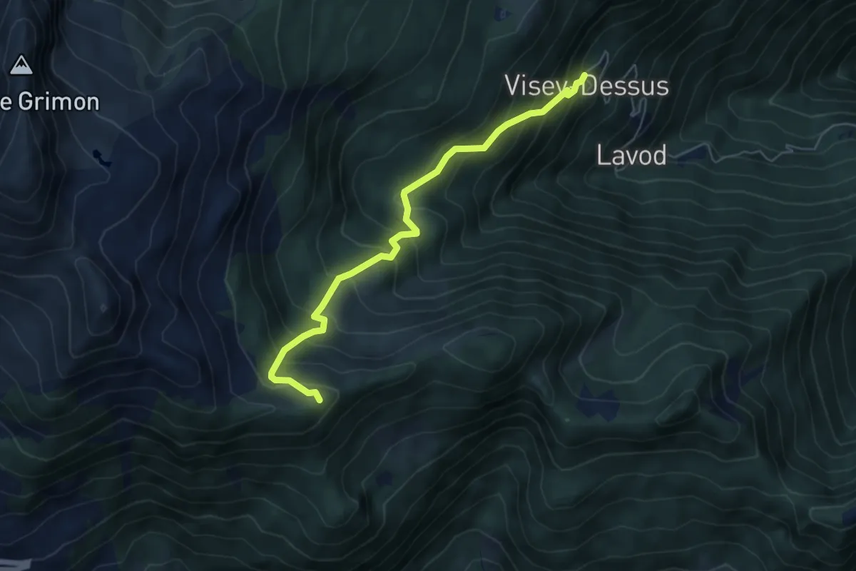
Medium · Trail
Visey dessus – Col Terre Rousse
5.7 km · ↑ 579 m · 2 h 36 min
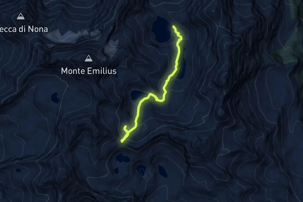
Expert · Cabin
Bivacco Menabreaz – Col des Laures
8.1 km · ↑ 578 m · 3 h 11 min
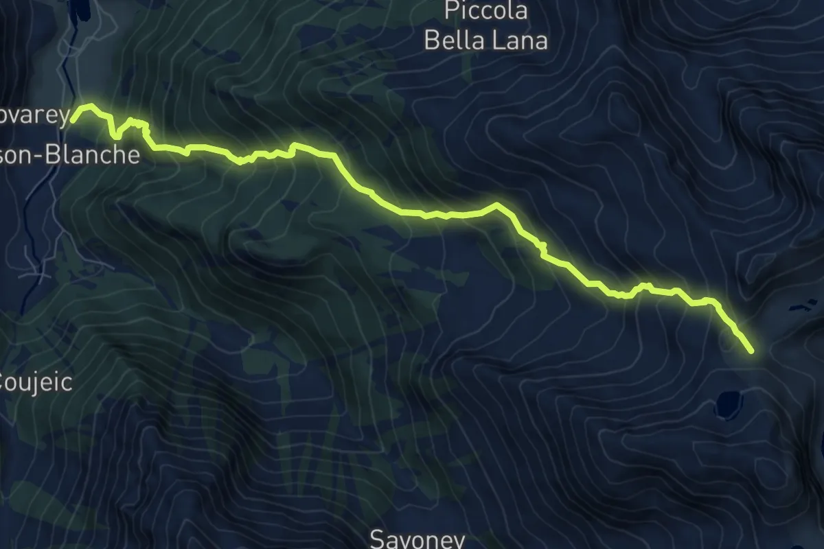
Demanding · Trail
Maisonnasse – Col de Raye Chevrère
9.9 km · ↑ 1223 m · 4 h 59 min
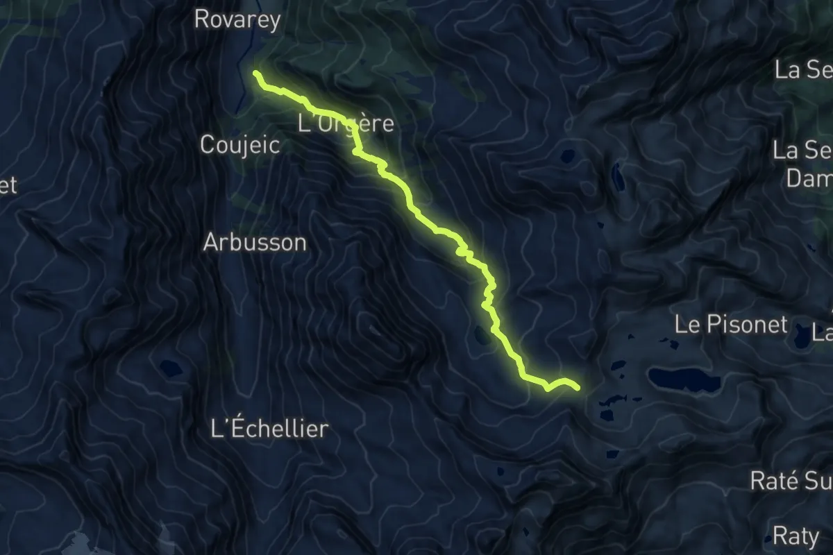
Demanding · Trail
Le Crin – Col de Médzove
13.5 km · ↑ 1080 m · 5 h 31 min
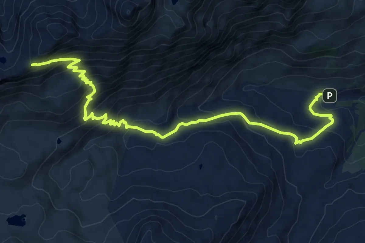
Demanding · Trail
Parcheggio Dondena – Col de Moutsaillon
11.5 km · ↑ 765 m · 4 h 22 min
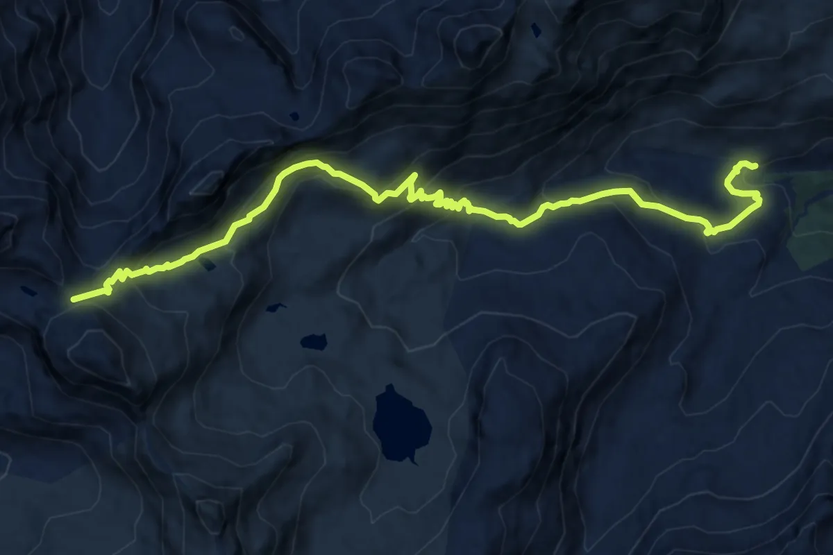
Demanding · Trail
Parcheggio Dondena – Col Pontonnet
15.0 km · ↑ 871 m · 5 h 26 min
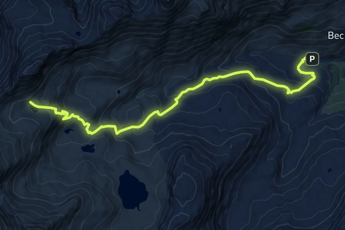
Medium · Trail
Parcheggio Dondena – Lac Pontonnet
12.2 km · ↑ 655 m · 4 h 18 min
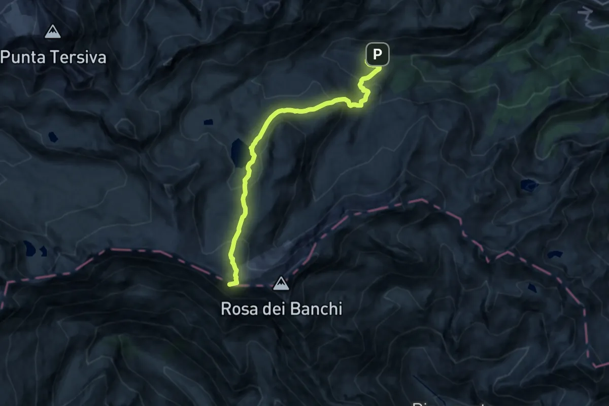
Expert · Summit
Parcheggio Dondena – Col de la Roese di Bantse
14.5 km · ↑ 864 m · 5 h 18 min
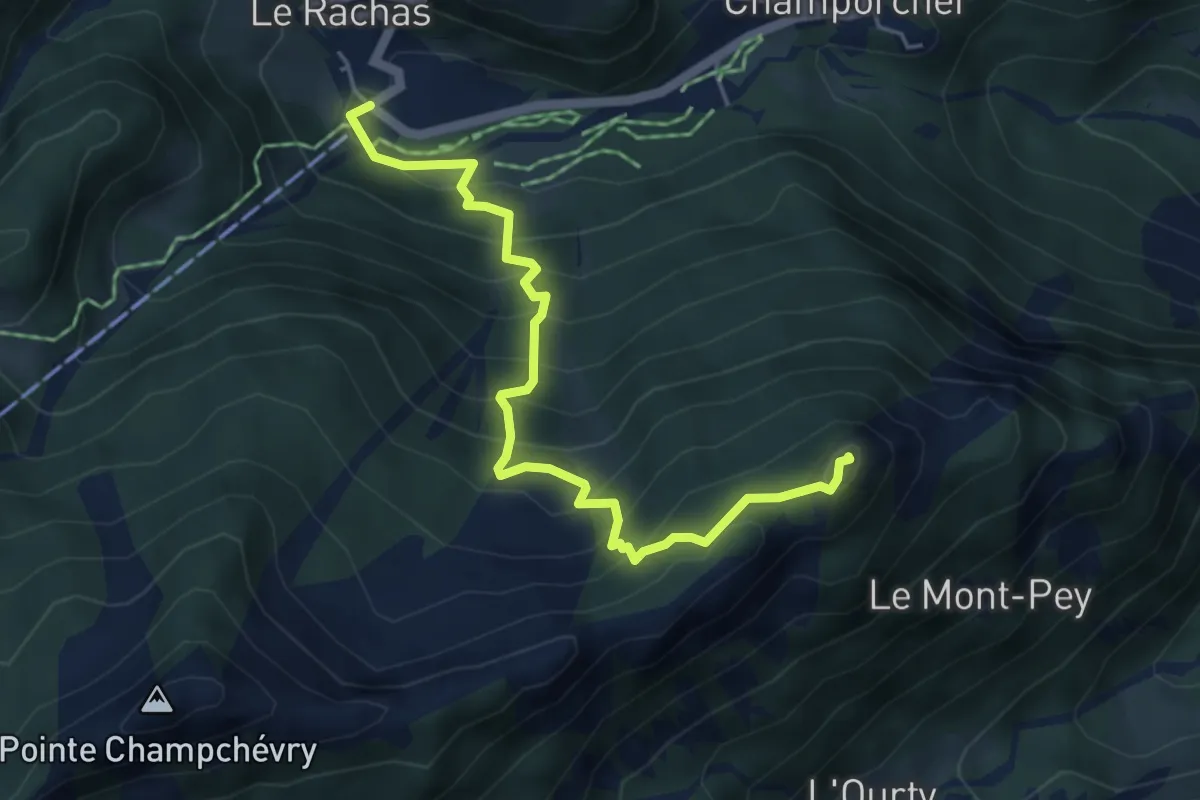
Medium · Summit
Chardonney – Bec de Monpey
5.2 km · ↑ 542 m · 2 h 24 min
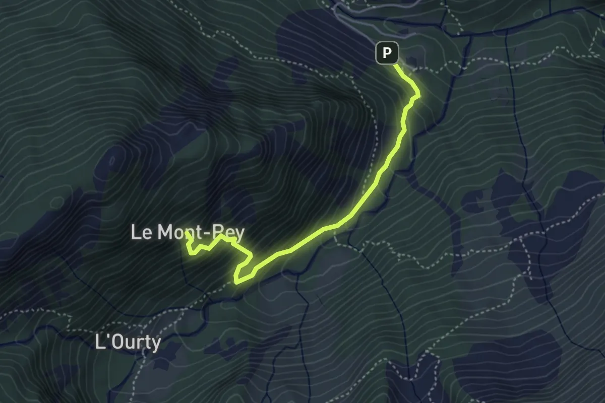
Medium · Trail
Outre l'Eve – Alpe Monpey
4.0 km · ↑ 449 m · 1 h 55 min
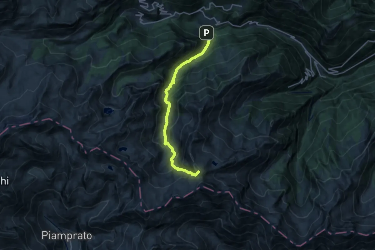
Demanding · Summit
Outre l'Eve – Col de la Fricolla
14.2 km · ↑ 1396 m · 6 h 23 min
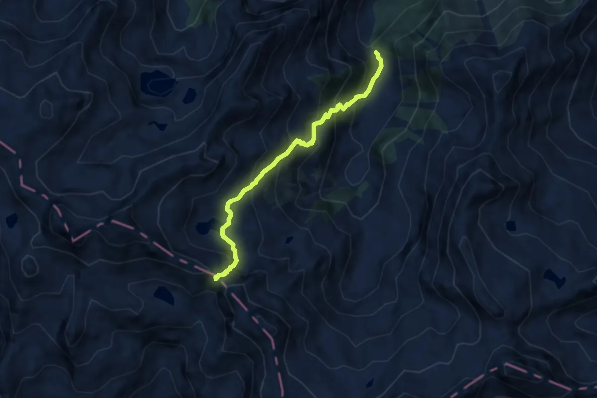
Demanding · Trail
Maison Vieilles – Col Santanel
6.6 km · ↑ 667 m · 3 h 1 min
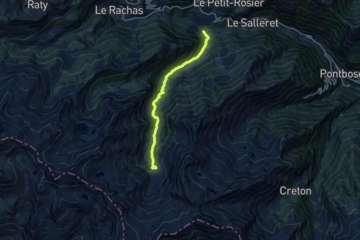
Medium · Trail
Outre l'Eve – Alpe Chenessy
10.1 km · ↑ 790 m · 4 h 6 min
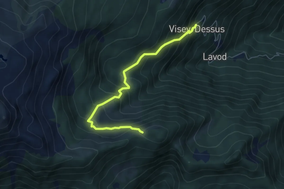
Medium · Trail
Visey damon – Col d'Arcomy
5.7 km · ↑ 562 m · 2 h 34 min
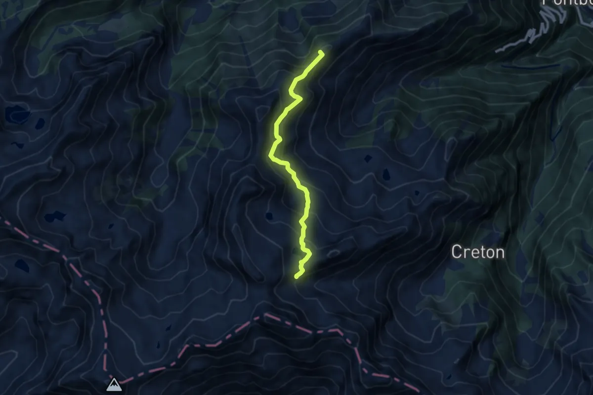
Medium · Summit
Pian Bouc – Col di Breuil
7.6 km · ↑ 683 m · 3 h 17 min
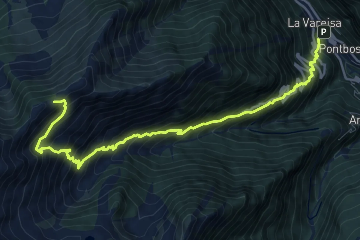
Demanding · Summit
Vareisa - Boset – Mont Digny
10.9 km · ↑ 1367 m · 5 h 32 min
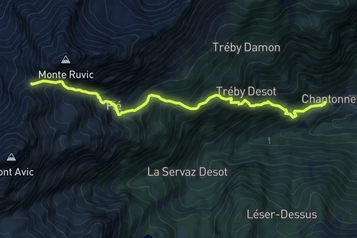
Demanding · Trail
Veulla – Col Varotta
10.1 km · ↑ 1405 m · 5 h 25 min
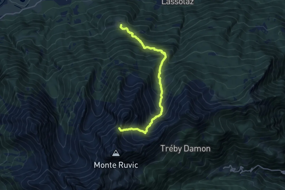
Expert · Summit
Cloutraz – Col Giron
13.5 km · ↑ 1565 m · 6 h 34 min
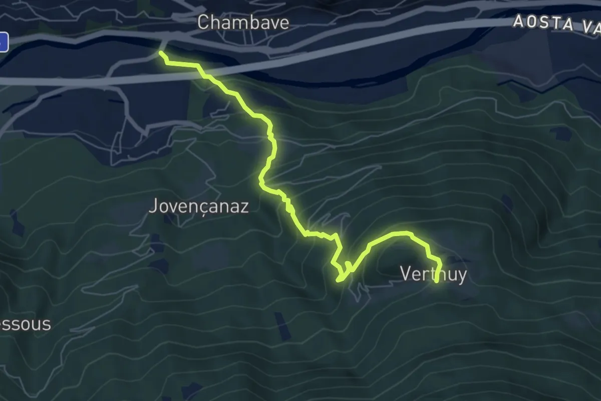
Medium · Trail
Ponte sulla Dora Baltea – Verthuy
6.9 km · ↑ 604 m · 2 h 56 min
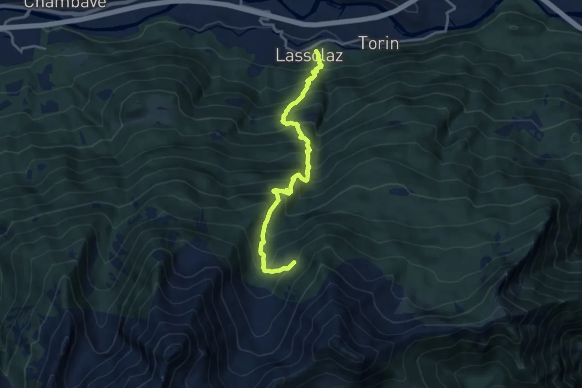
Demanding · Trail
Clapey – Alpe Valmeriana
10.1 km · ↑ 1273 m · 5 h 9 min
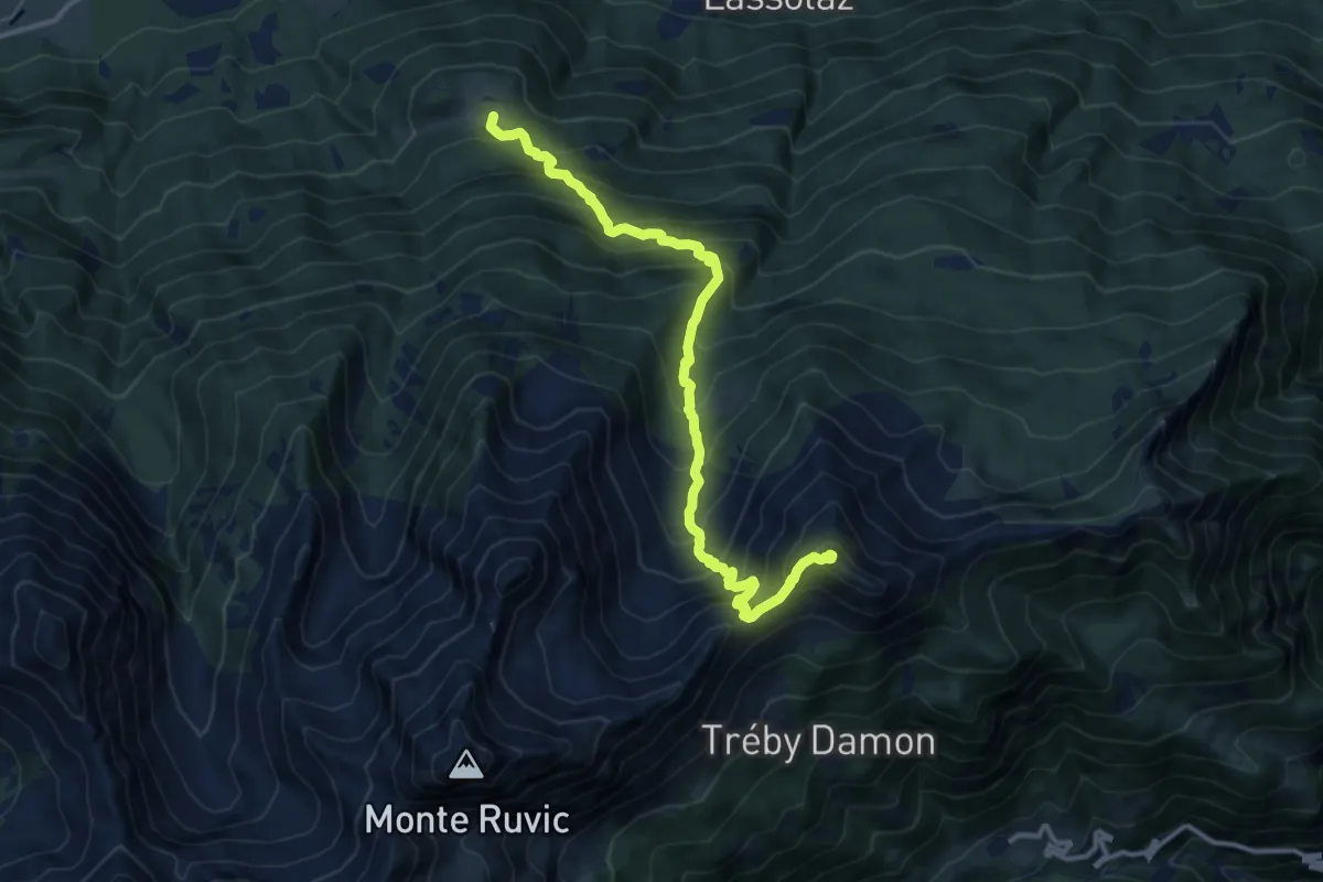
Demanding · Summit
Cloutraz – Mont Barbeston
13.0 km · ↑ 1414 m · 6 h 9 min
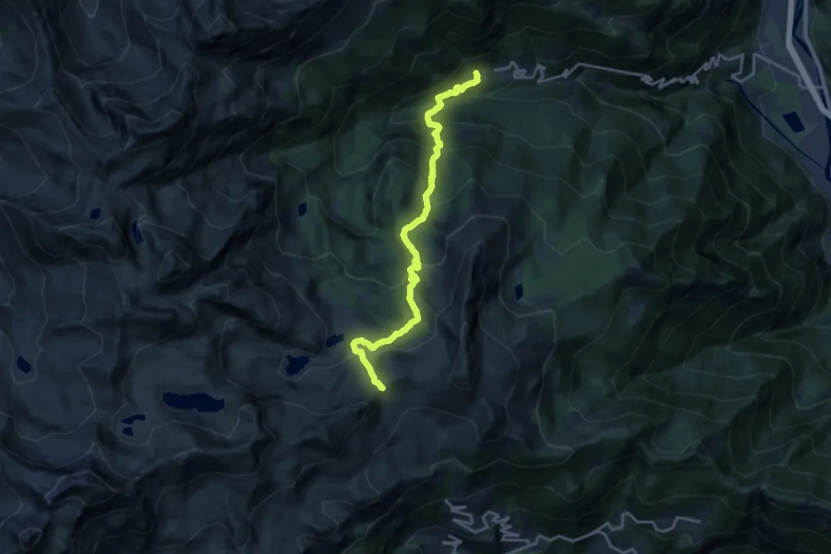
Demanding · Trail
Veulla – Col du Lac Blanc
13.9 km · ↑ 1110 m · 5 h 41 min
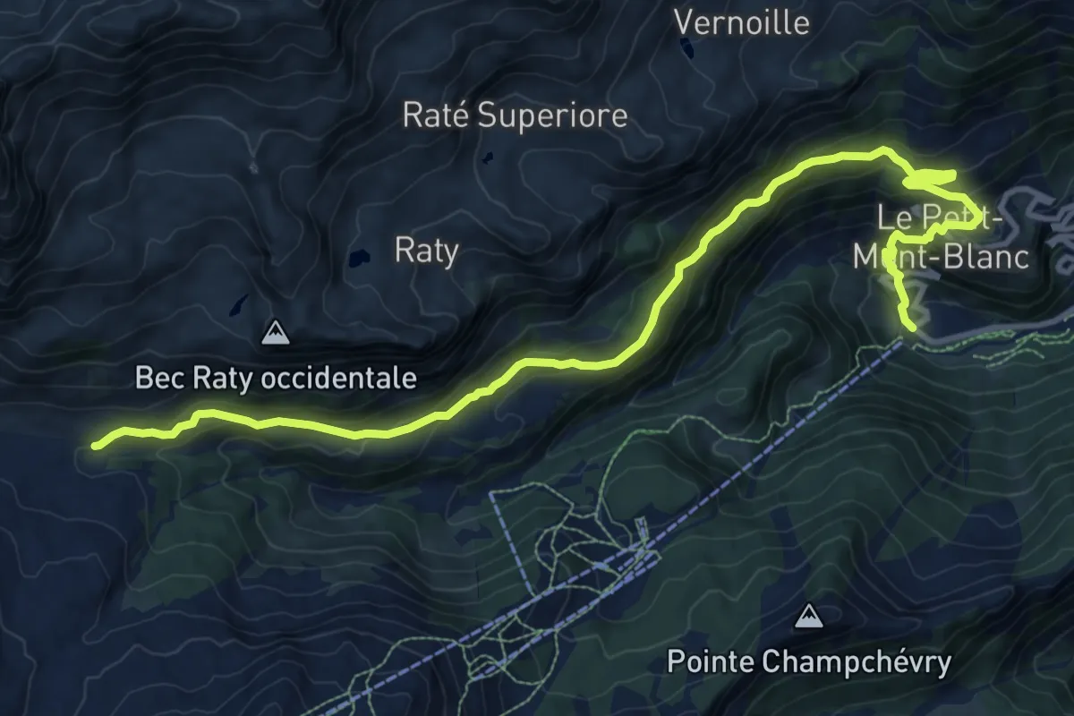
Demanding · Trail
Chardonney – Parcheggio Dondena
13.3 km · ↑ 830 m · 4 h 57 min
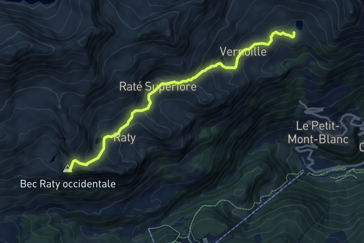
Medium · Summit
Parcheggio Dondena – Lac Muffé
8.2 km · ↑ 475 m · 2 h 58 min
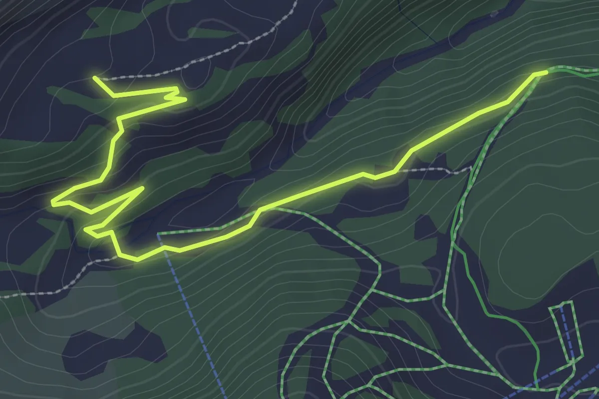
Medium · Trail
Chardonney – Champlong
3.7 km · ↑ 141 m · 1 h 11 min
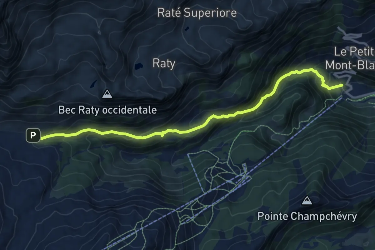
Medium · Trail
Chardonney – Parcheggio Dondena (Sentiero Scalette)
9.3 km · ↑ 662 m · 3 h 38 min
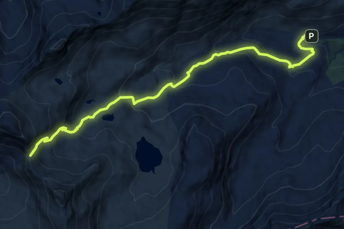
Medium · Trail
Rifugio Dondena – Col Fenetre de Champorcher
13.2 km · ↑ 746 m · 4 h 44 min
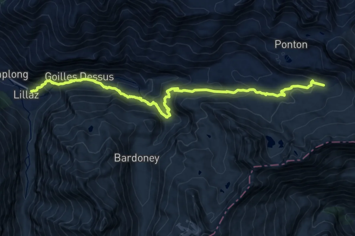
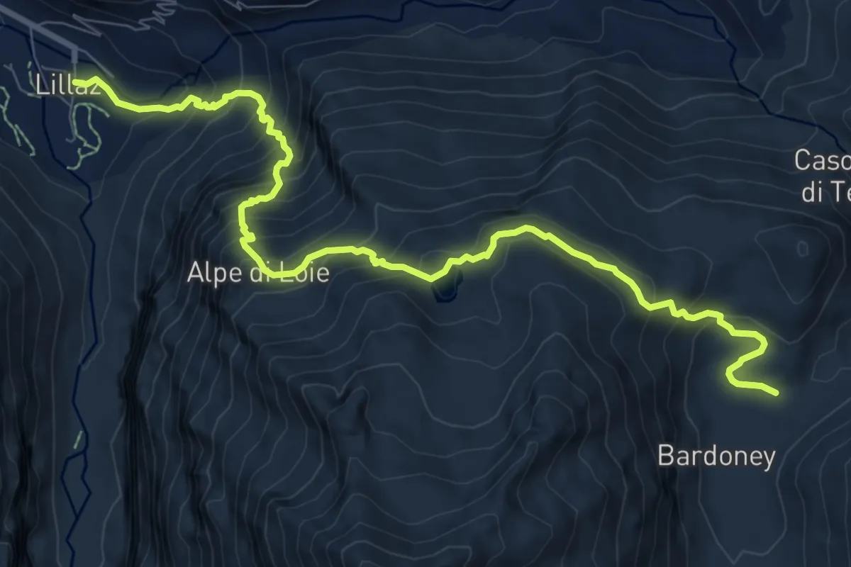
Demanding · Cabin
Lillaz – Rifugio Sogno di Berdzé
20.5 km · ↑ 1083 m · 7 h 12 min
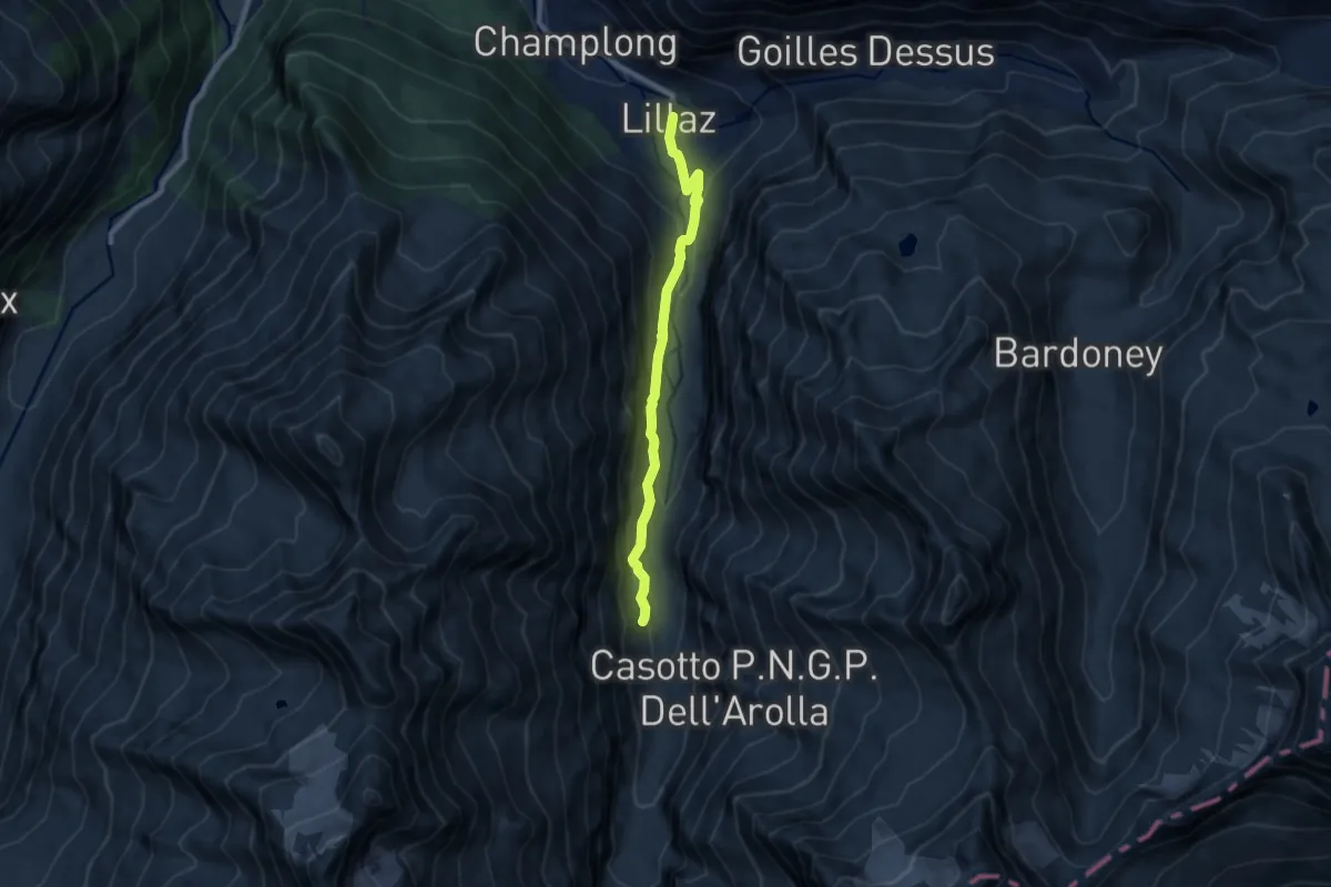
Demanding · Trail
Lillaz – Alpe Bardoney
10.4 km · ↑ 959 m · 4 h 32 min
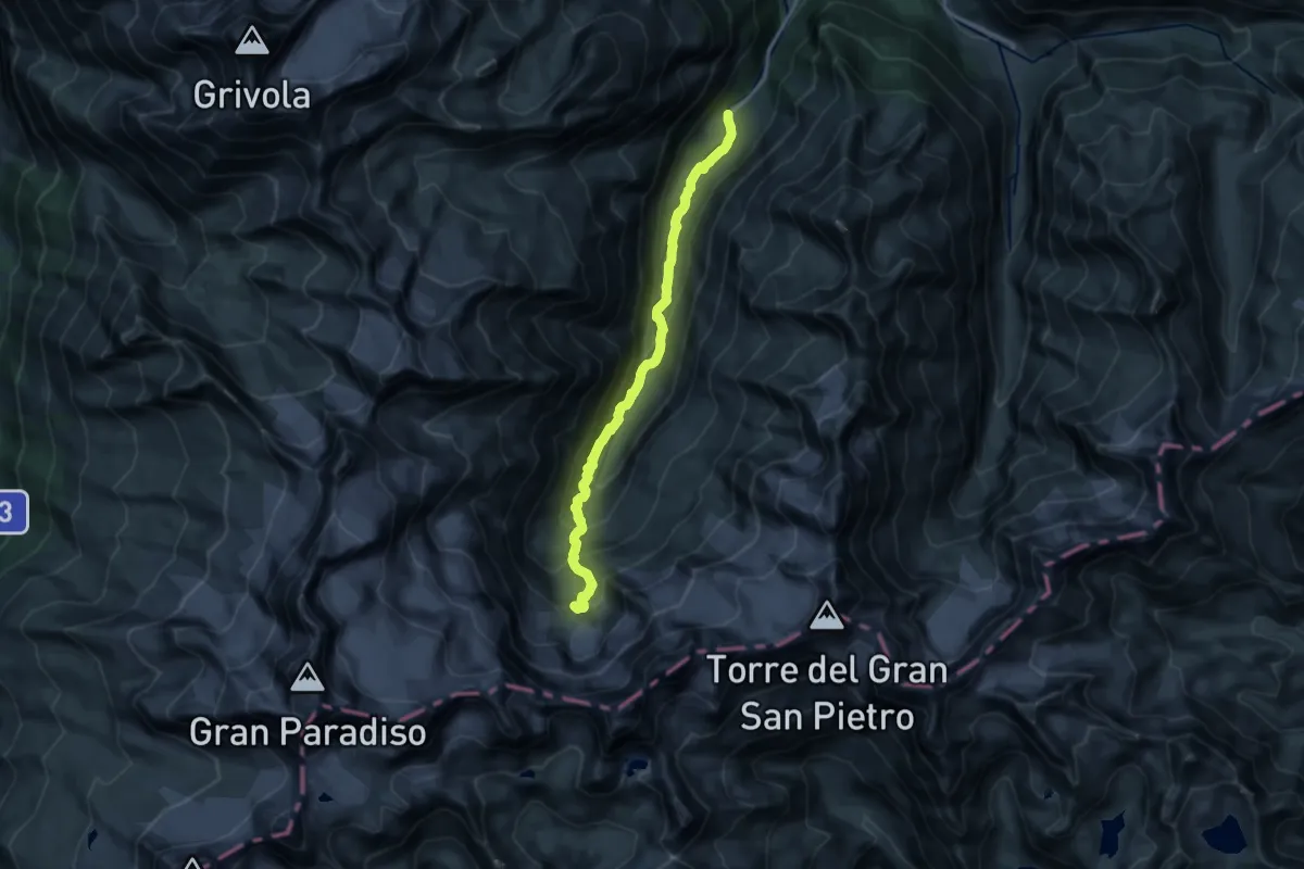
Medium · Trail
Lillaz – Fondovalle Valleile
8.0 km · ↑ 392 m · 2 h 45 min
Expert · Trail
Valnontey – Bivacco Borghi
16.7 km · ↑ 1099 m · 6 h 20 min
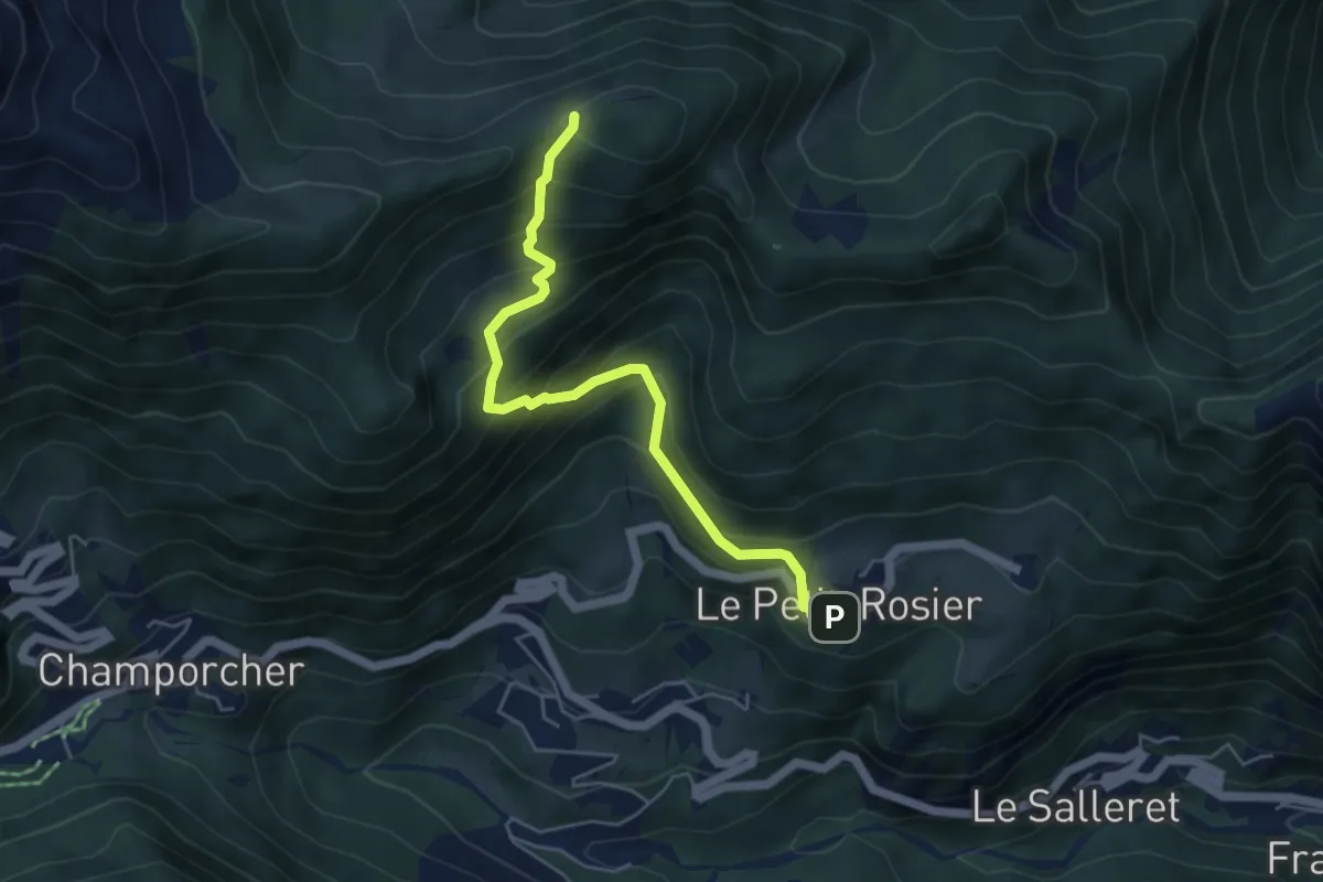
Medium · Trail
Petit-Rosier – Col d'Arcomy
5.0 km · ↑ 495 m · 2 h 15 min
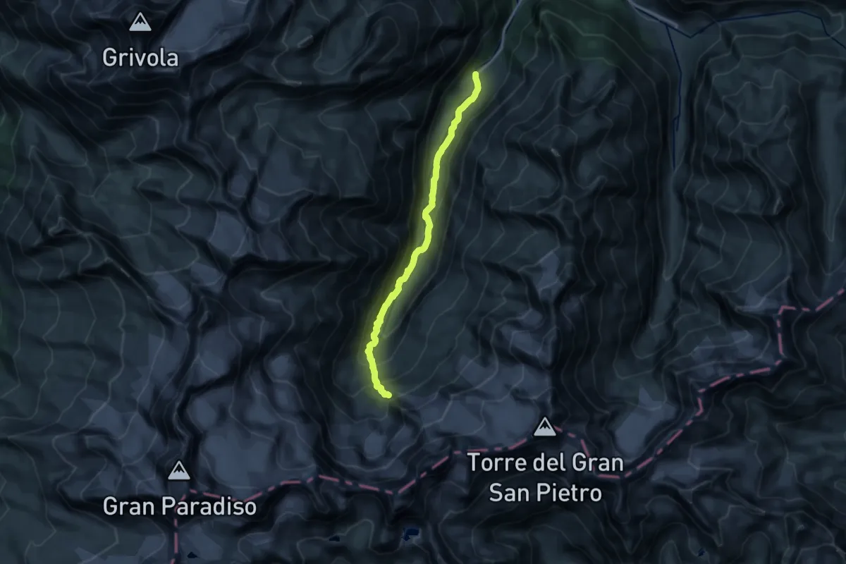
Expert · Trail
Valnontey – Bivacco Martinotti
15.1 km · ↑ 989 m · 5 h 43 min
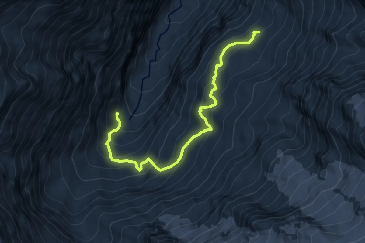
Demanding · Trail
Valnontey – Alpe Money
7.4 km · ↑ 644 m · 3 h 8 min
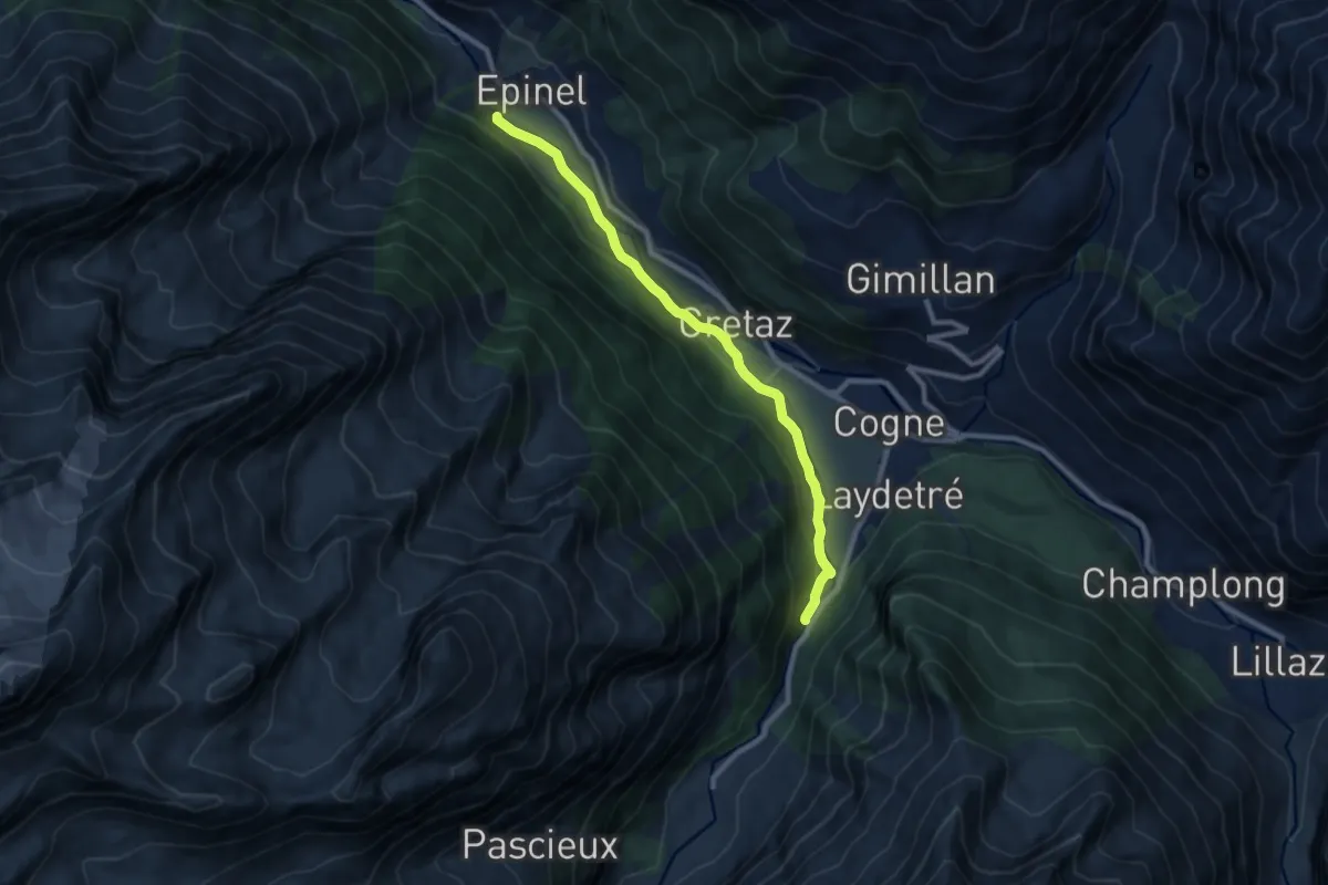
Medium · Trail
Epinal – Valnontey
9.0 km · ↑ 243 m · 2 h 40 min
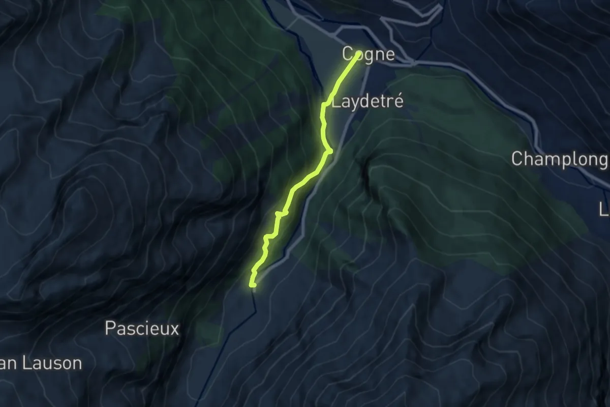
Medium · Trail
Prati di Sant'Orso - Buthier – Valnontey
6.2 km · ↑ 373 m · 2 h 16 min
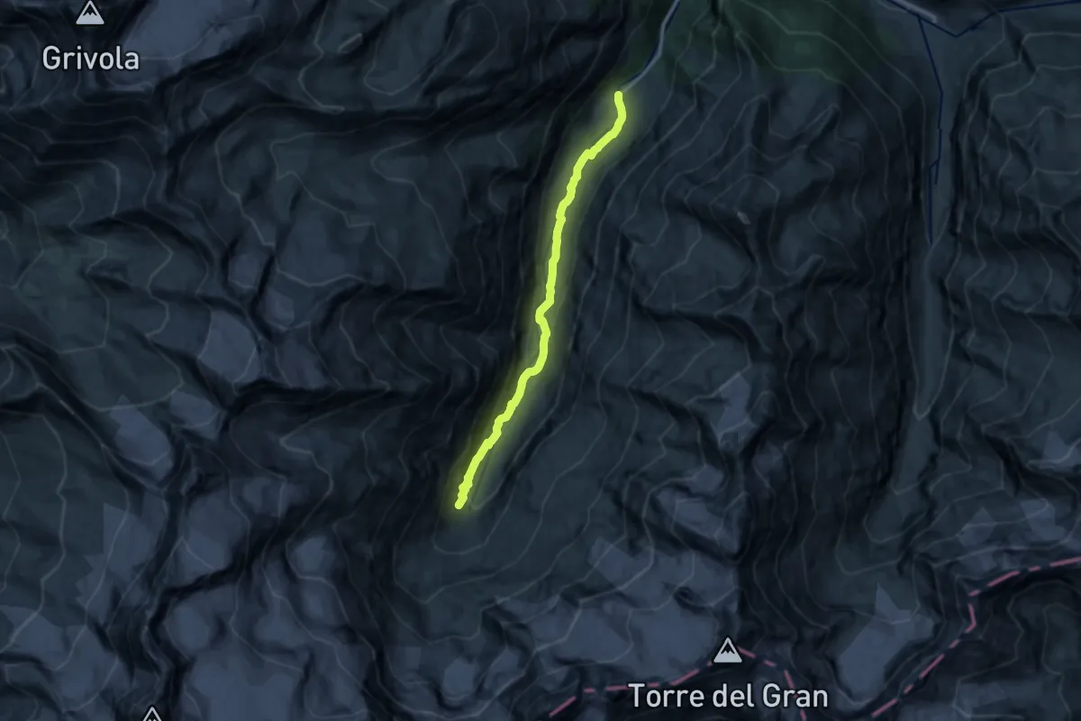
Medium · Trail
Valnontey – Fondovalle
12.2 km · ↑ 451 m · 3 h 52 min
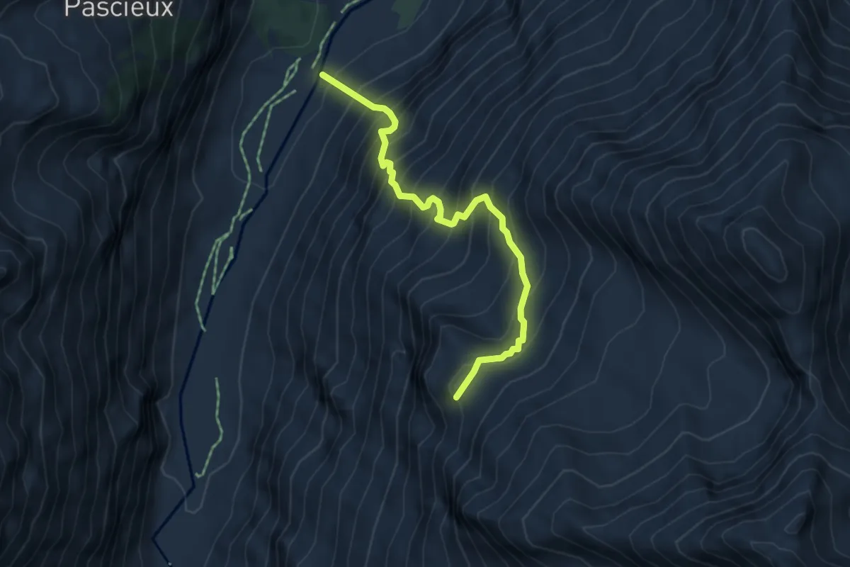
Demanding · Trail
Valnontey – Plan de la Tornetta
4.8 km · ↑ 809 m · 2 h 53 min
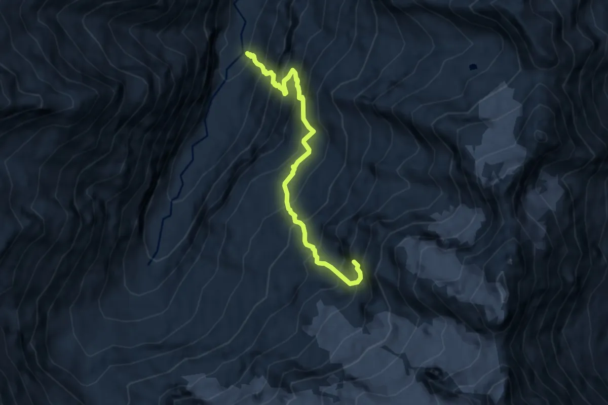
Expert · Trail
Valnontey – Bivacco Money
7.6 km · ↑ 1217 m · 4 h 26 min
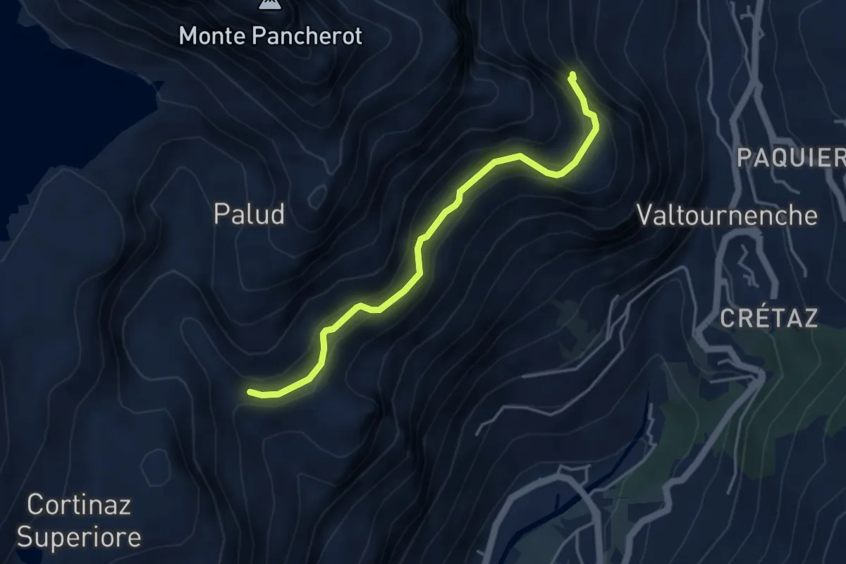
Medium · Trail
Area Pic-Nic Liortere – Falegnon
4.0 km · ↑ 407 m · 1 h 50 min
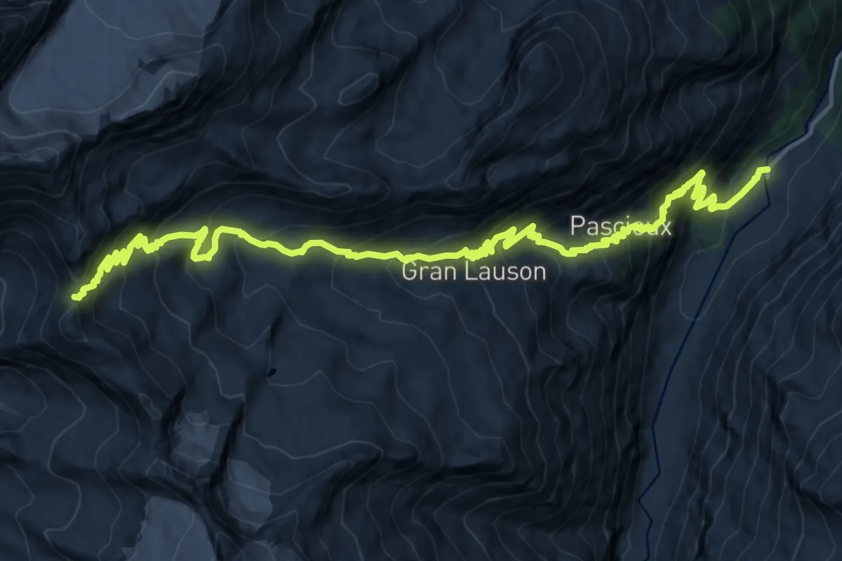
Demanding · Trail
Valnontey – Col Lauson
10.0 km · ↑ 1621 m · 5 h 12 min
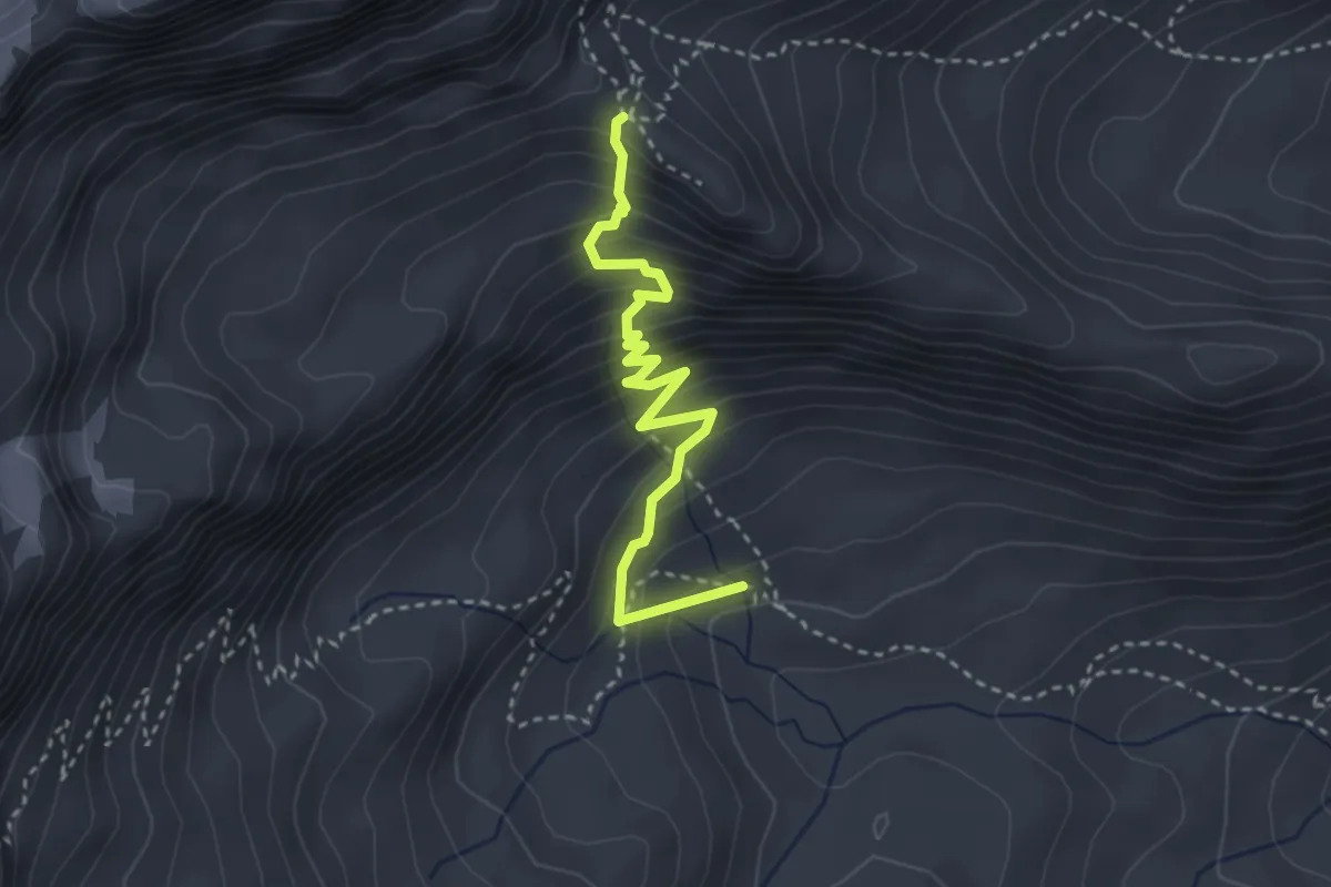
Medium · Trail
Valnontey – Colle de la Rousse
3.3 km · ↑ 368 m · 1 h 34 min
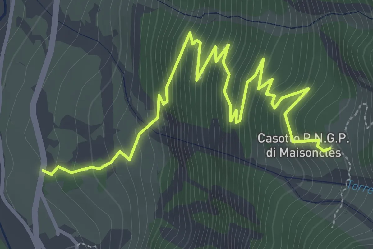
Medium · Trail
Rovenaud – Maisoncle
4.1 km · ↑ 382 m · 1 h 48 min
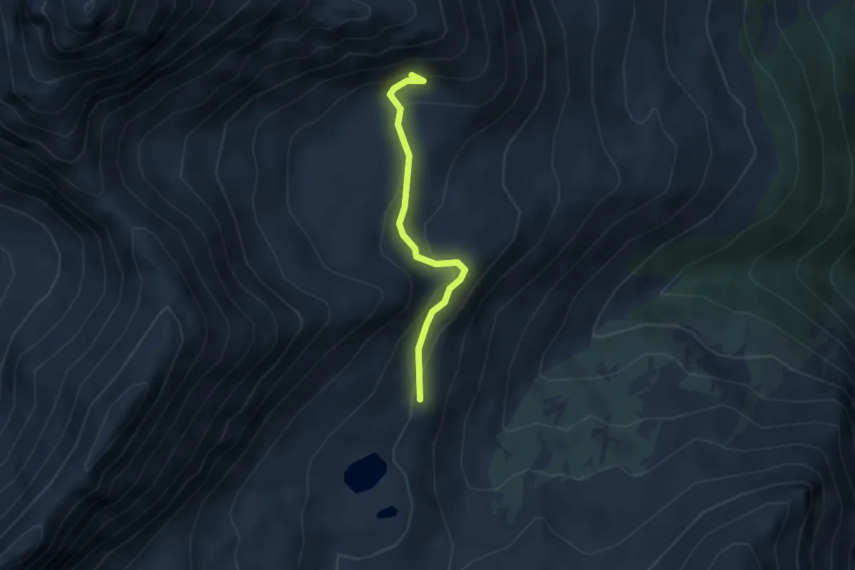
Medium · Trail
Degioz – Orvieille (Pavillon royal de chasse)
2.9 km · ↑ 166 m · 1 h 3 min
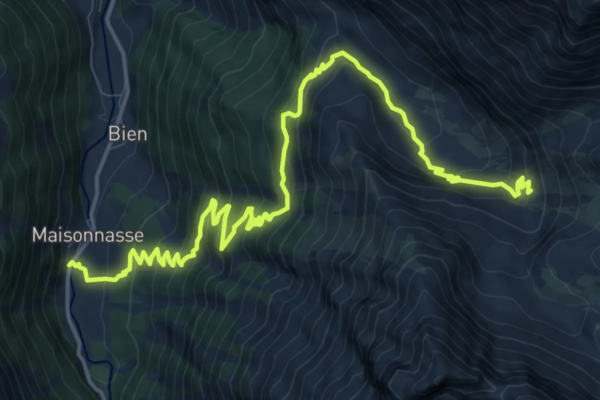
Demanding · Trail
Eaux-Rousses – Col Loson
14.1 km · ↑ 917 m · 5 h 19 min
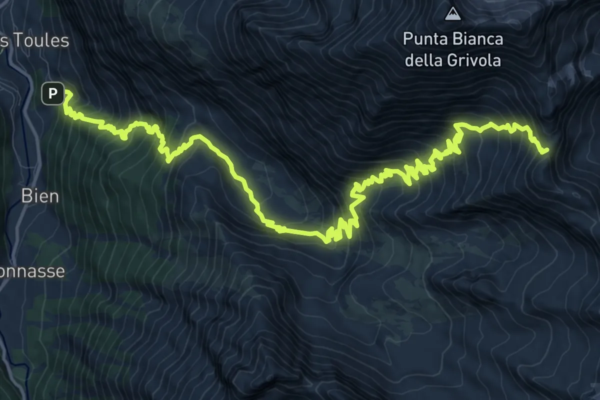
Demanding · Trail
Tignet – Col Loson
9.8 km · ↑ 1686 m · 5 h 18 min
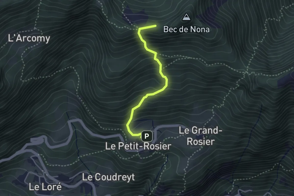
Medium · Summit
Petit-Rosier – Col de Poussauel
3.0 km · ↑ 357 m · 1 h 29 min
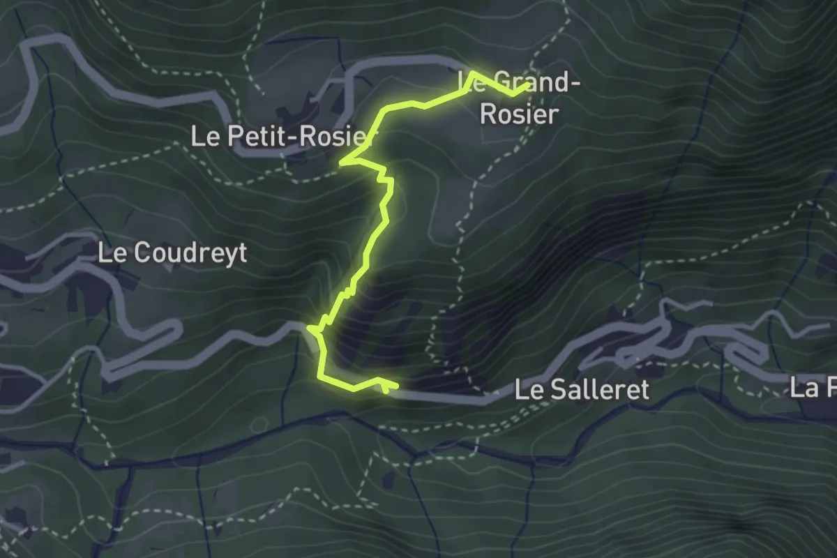
Medium · Trail
Echelly – Grand-Rosier
3.0 km · ↑ 319 m · 1 h 23 min