Trails in Italy
25,219 hiking trails, each with its route, climb, walking time and grade.
All trails, page 419 of 526
Medium · Trail
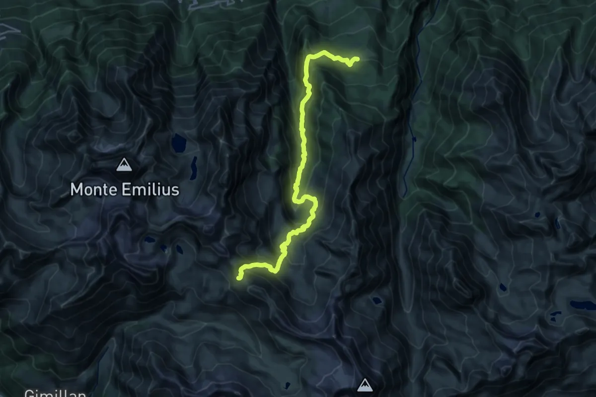
Druges – Col de Saint-Marcel
11.7 km · ↑ 102 m · 3 h 48 min
Demanding · Trail
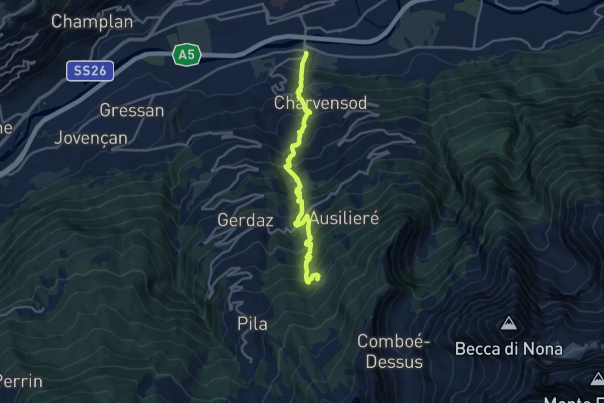
Pont Suaz – Ermitage de Saint-Grat
11.1 km · ↑ 1220 m · 5 h 17 min
Easy · Trail
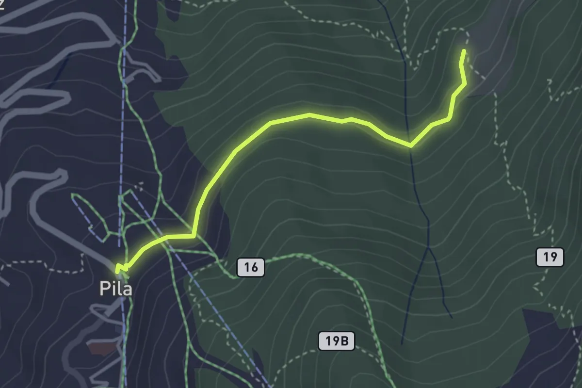
Pila – Hermitage Saint-Grat
3.2 km · ↑ 119 m · 1 h
Medium · Trail
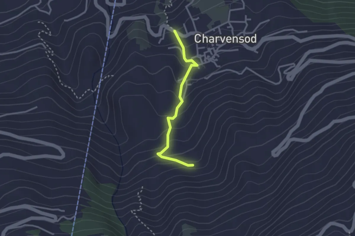
Charvensod – Sainte-Colombe
2.4 km · ↑ 188 m · 58 min
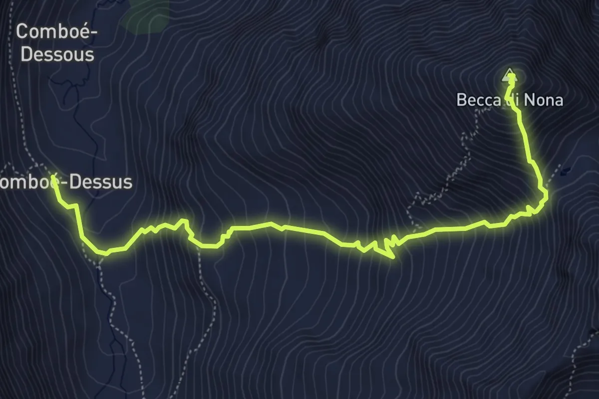
Demanding · Summit
Comboé (Comboué) – Becca di Nona
7.1 km · ↑ 989 m · 3 h 48 min
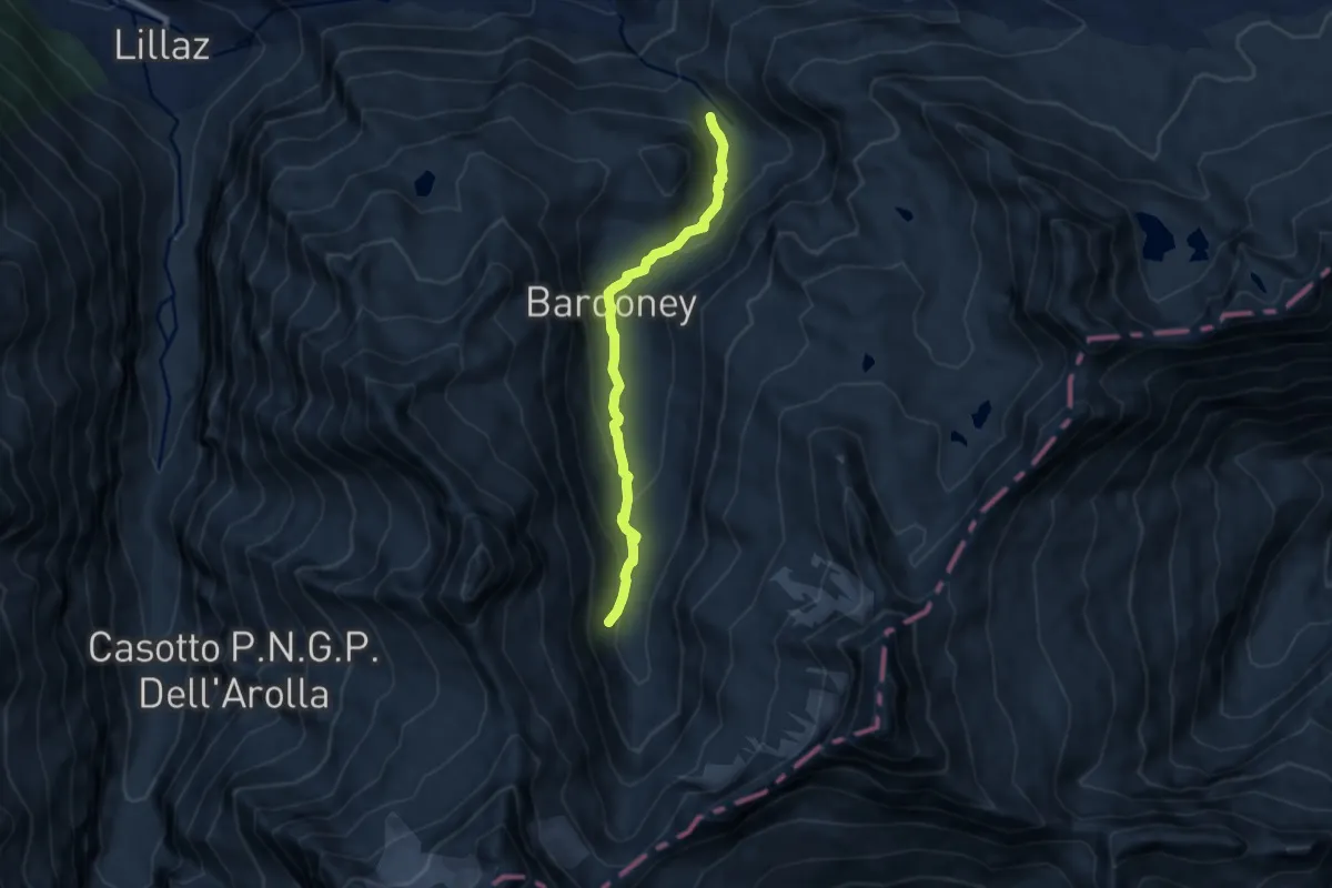
Medium · Trail
Percorso 13 – Vallone Bardoney
7.8 km · ↑ 307 m · 2 h 30 min
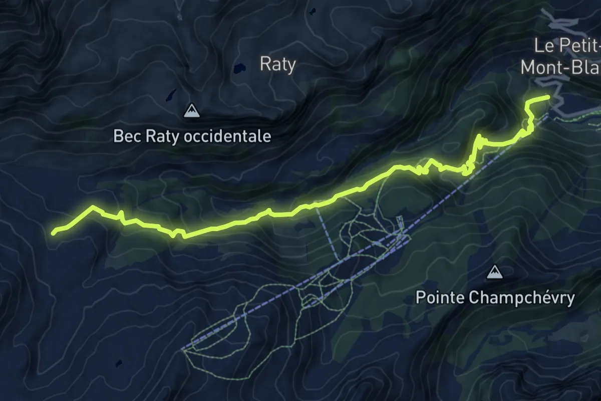
Demanding · Cabin
Chardonney – Rifugio Dondena
12.0 km · ↑ 858 m · 4 h 42 min
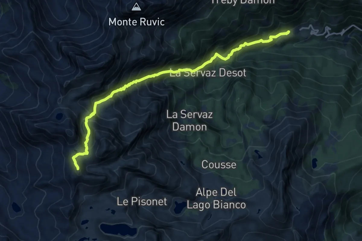
Demanding · Summit
Veulla – Grand Lac
15.2 km · ↑ 1605 m · 7 h 5 min
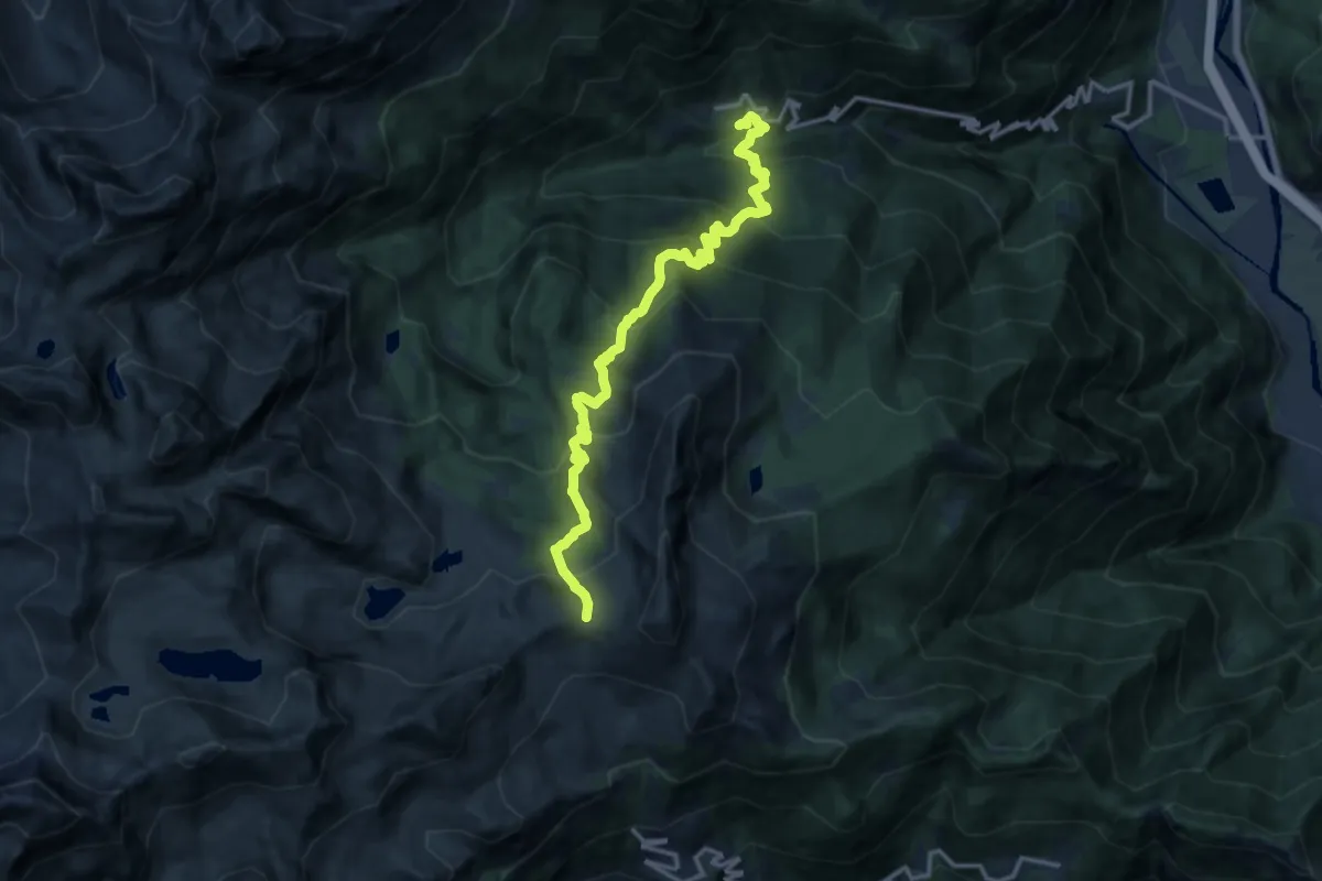
Demanding · Trail
Covarey – Col de la Croix
14.9 km · ↑ 1194 m · 6 h 7 min
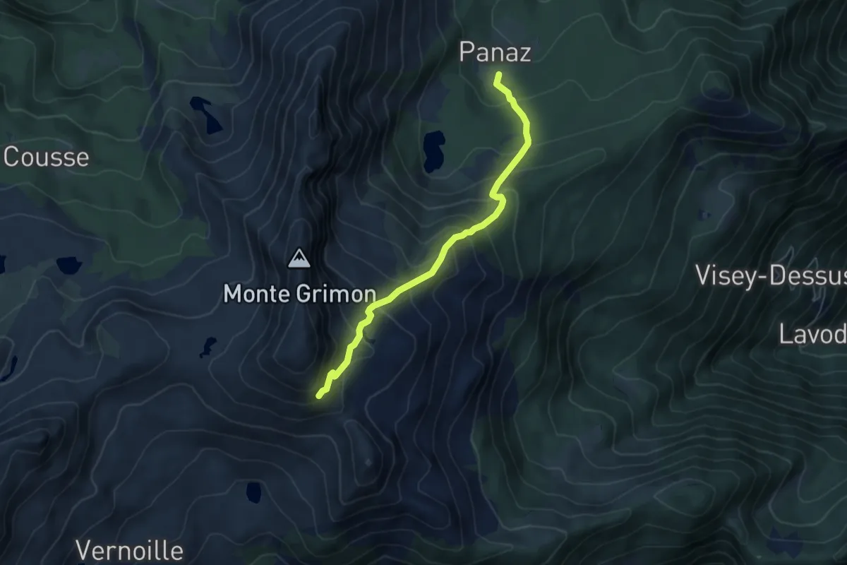
Demanding · Trail
Lo Pian – Col de Panaz
5.3 km · ↑ 528 m · 2 h 23 min
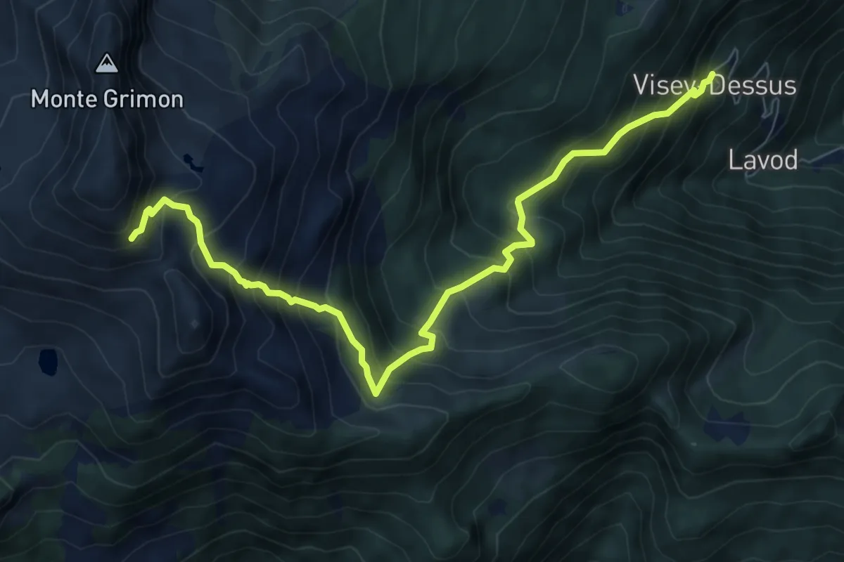
Demanding · Trail
Vesey damon – Col de Panaz
8.6 km · ↑ 944 m · 4 h 5 min
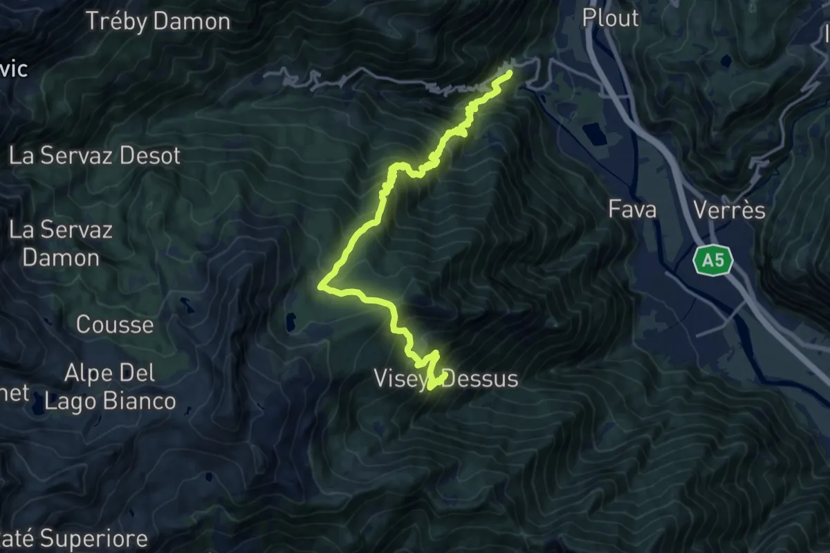
Demanding · Trail
Champdepraz – Visey Dessus
17.0 km · ↑ 1824 m · 7 h 58 min
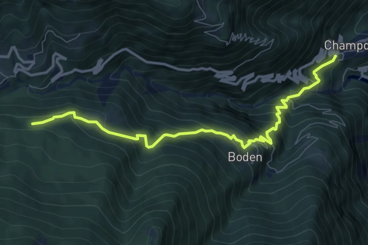
Medium · Trail
Champdepraz – Percorso 4
8.1 km · ↑ 778 m · 3 h 35 min
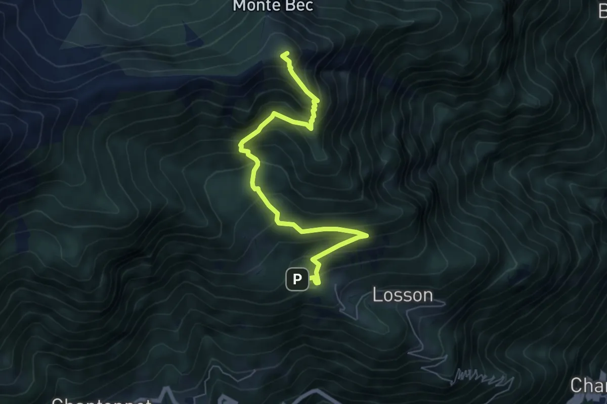
Medium · Summit
Capiron – Mont Lyan
6.7 km · ↑ 685 m · 3 h 4 min
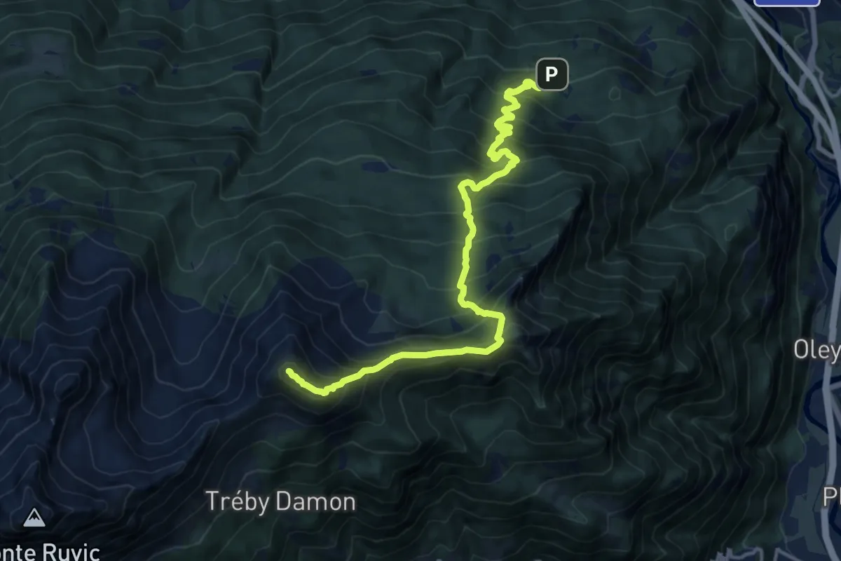
Demanding · Summit
Bellecombe – Mont Barbeston
15.2 km · ↑ 1497 m · 6 h 49 min
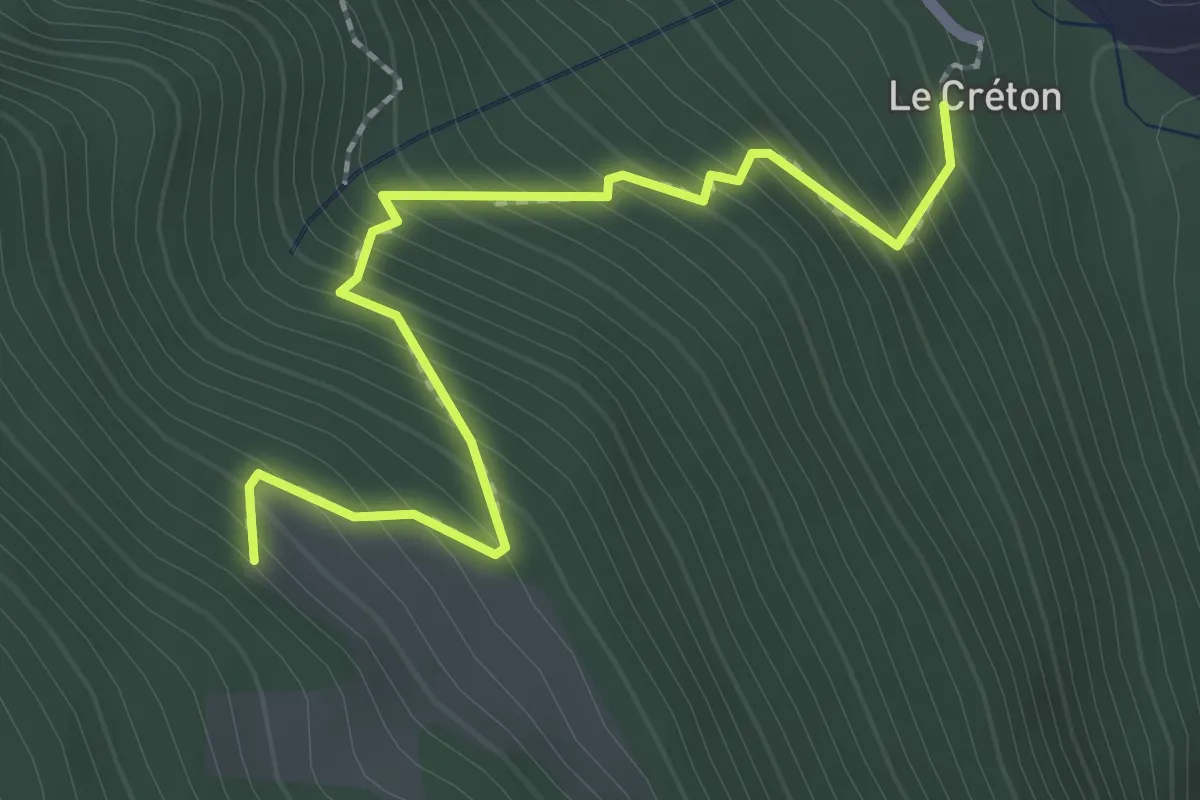
Easy · Trail
Créton – Arp du Bois
2.4 km · ↑ 299 m · 1 h 13 min
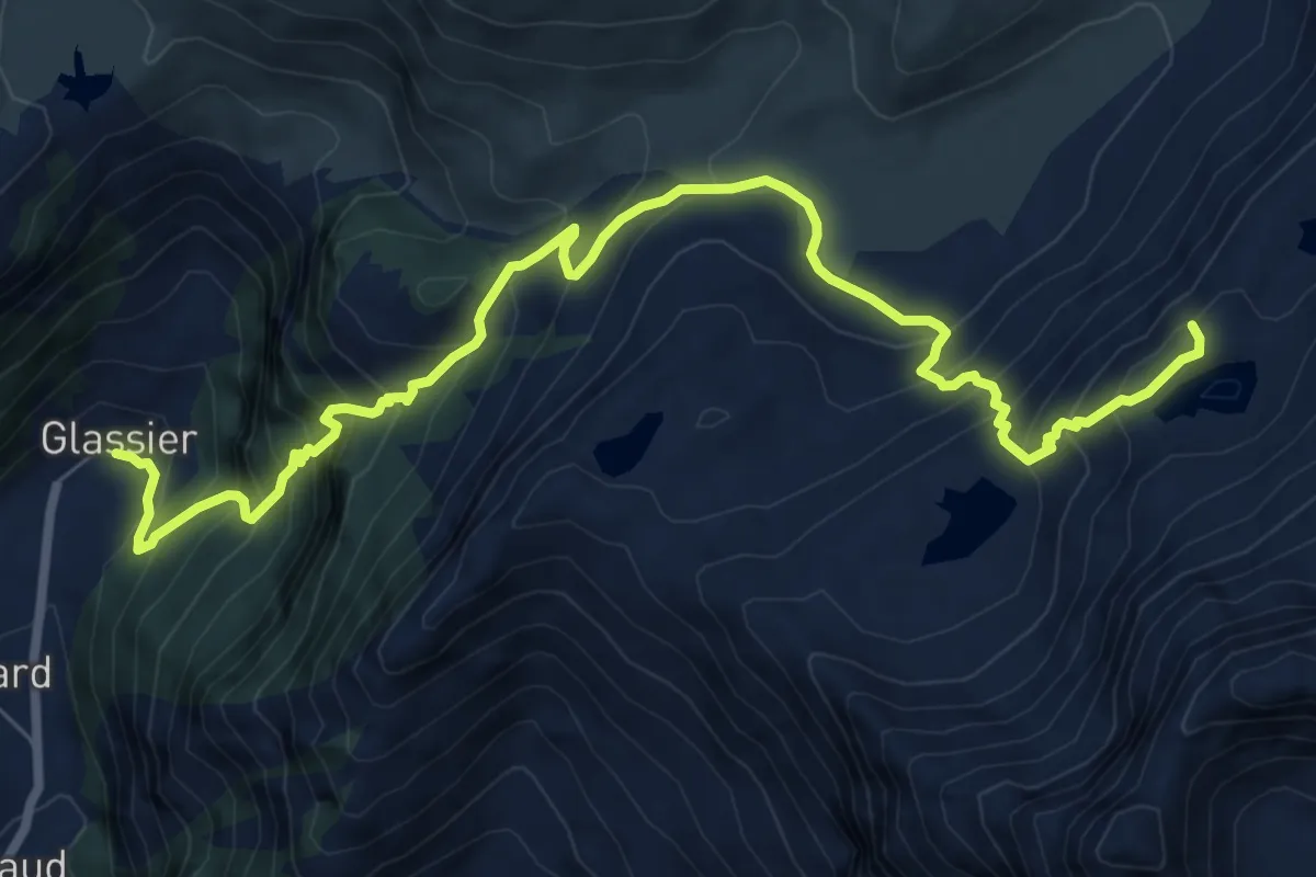
Demanding · Cabin
Glacier – Bivacco Regondi
9.9 km · ↑ 1010 m · 4 h 31 min
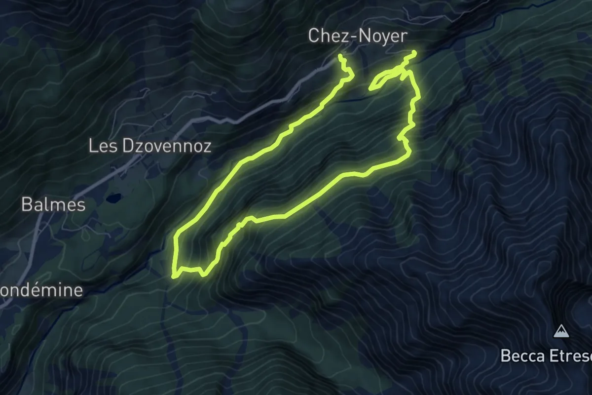
Demanding · Trail
La Culoz – Bionaz
14.0 km · ↑ 1399 m · 6 h 20 min
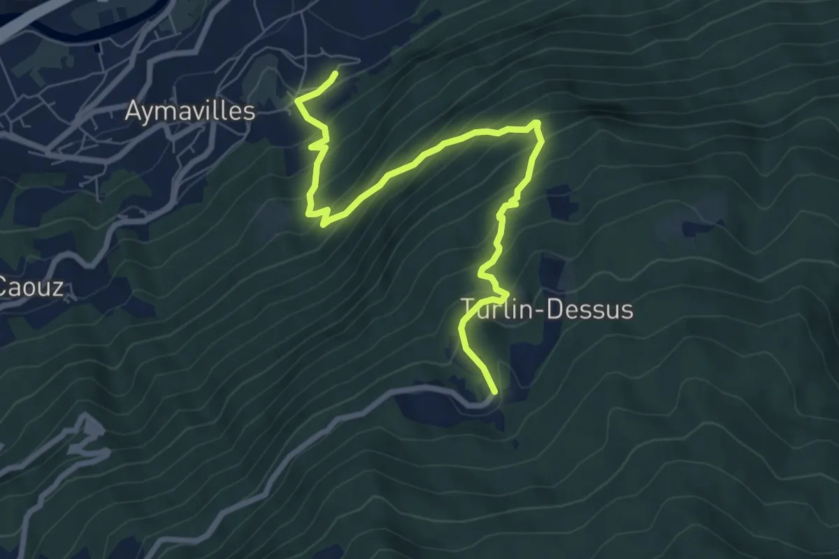
Demanding · Trail
Aymavilles – Torlin
8.0 km · ↑ 806 m · 3 h 39 min
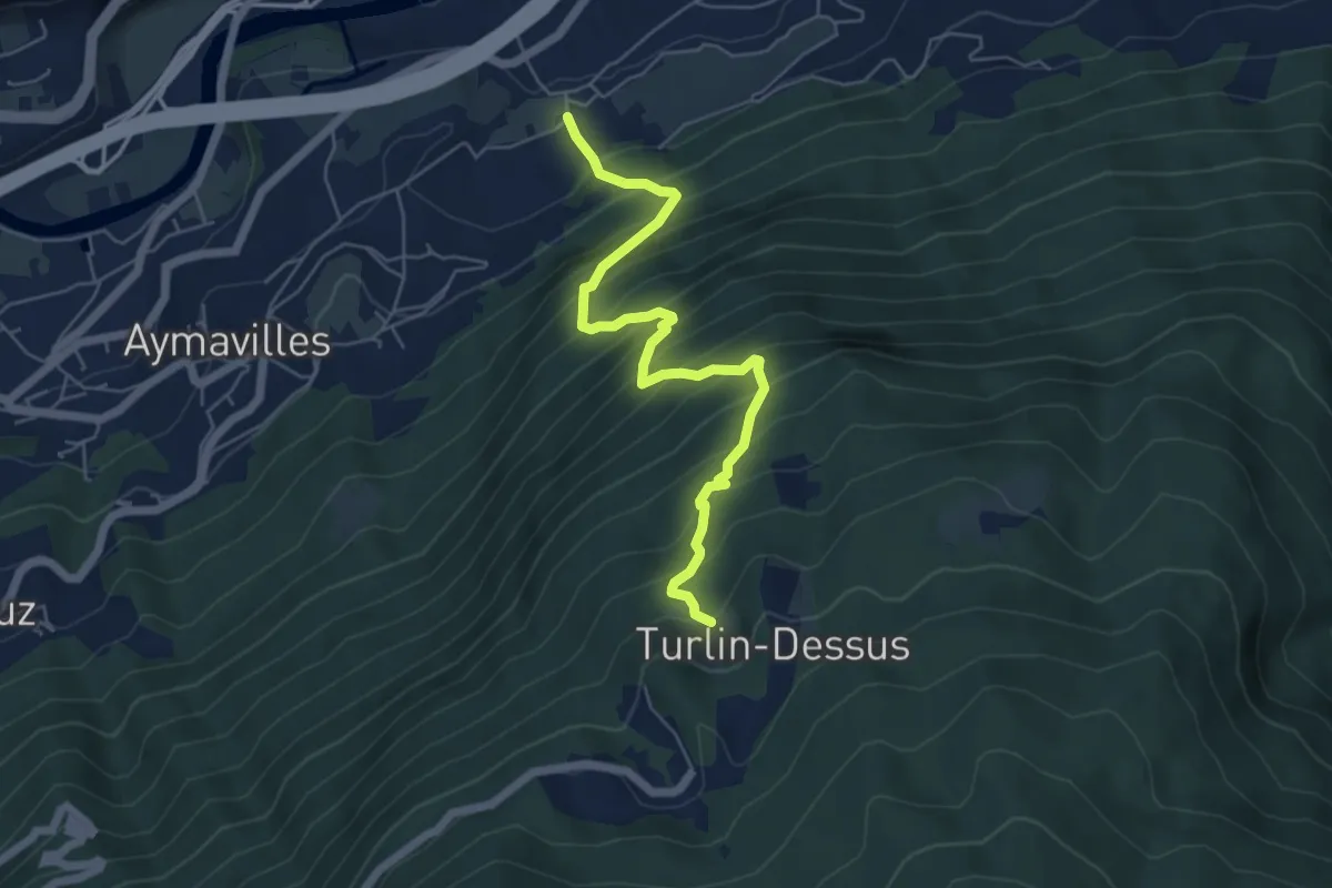
Demanding · Trail
Pompiod – Torlin desot (cappella)- Raccordo 38_S6
6.0 km · ↑ 809 m · 3 h 10 min
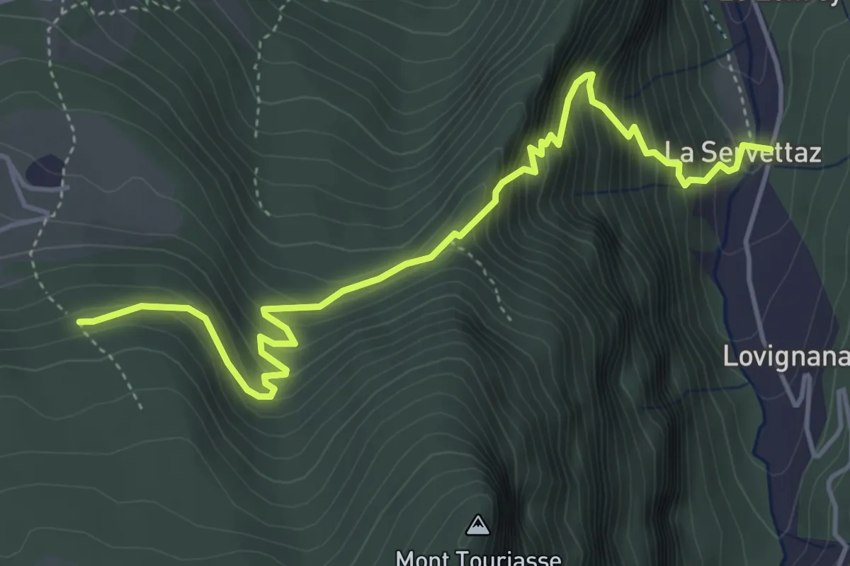
Medium · Trail
Servettaz – Les Druges
5.3 km · ↑ 595 m · 2 h 32 min
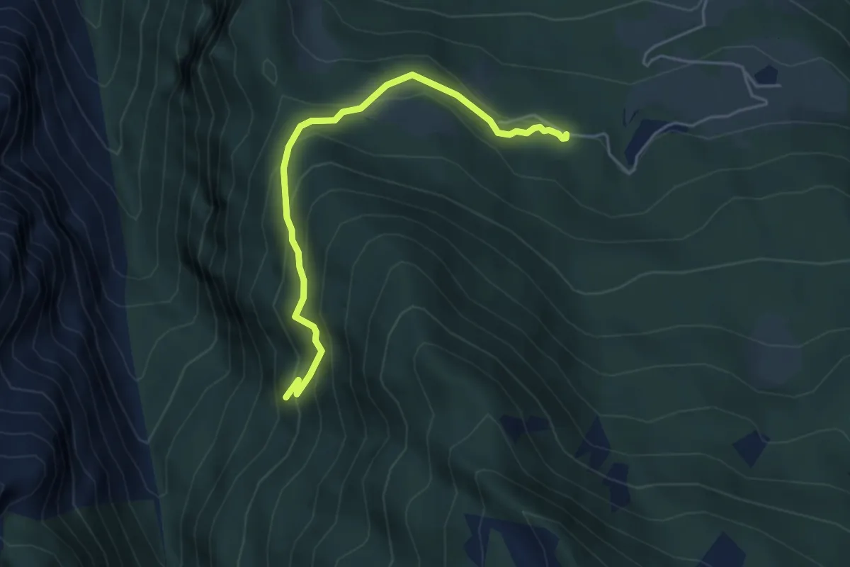
Medium · Trail
Les Druges – Miniere Servette
4.6 km · ↑ 371 m · 1 h 53 min
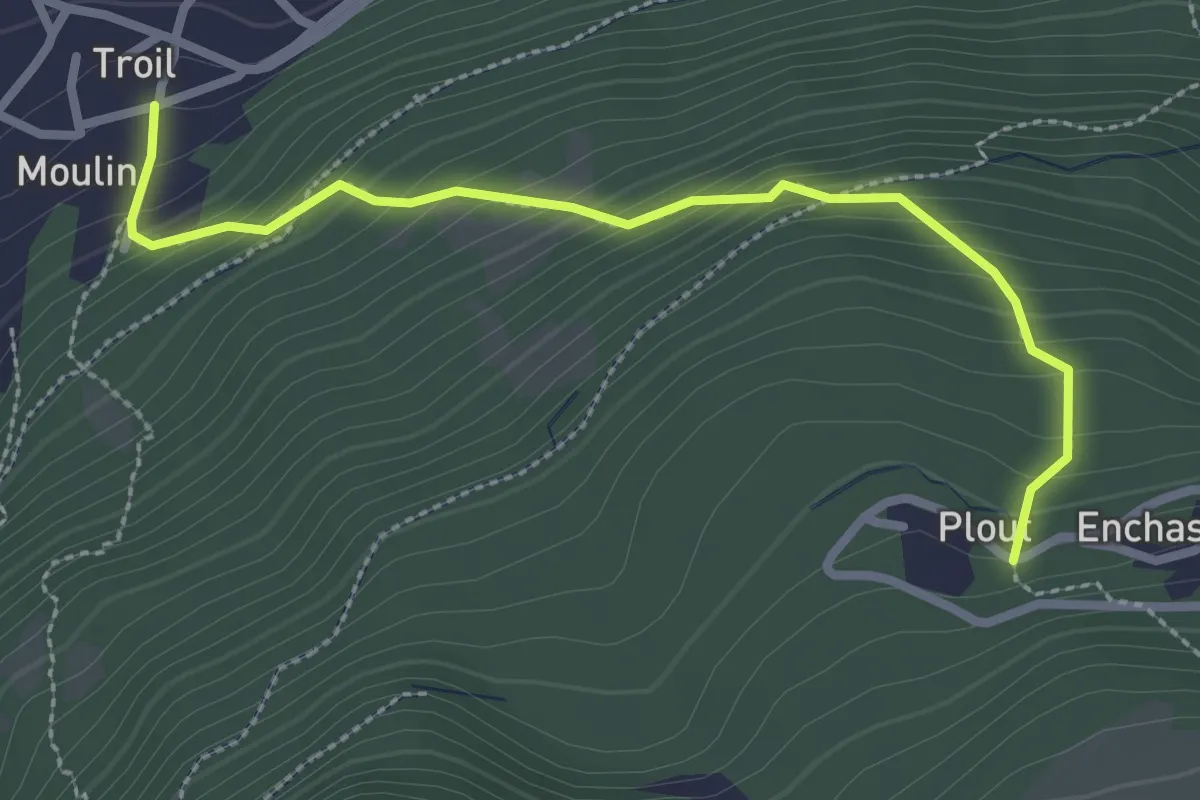
Medium · Trail
Moulin – Plout
2.8 km · ↑ 292 m · 1 h 18 min
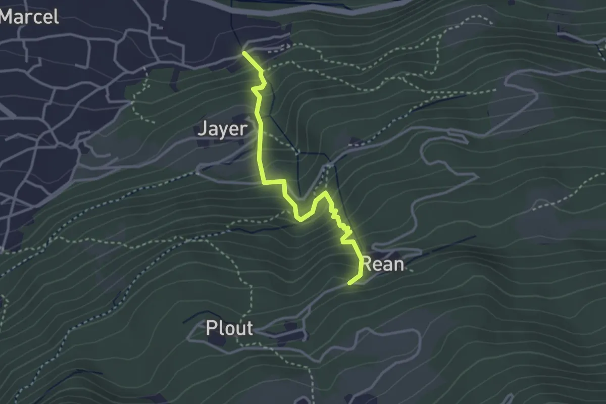
Medium · Trail
Valmeanaz – Rean
2.9 km · ↑ 393 m · 1 h 33 min
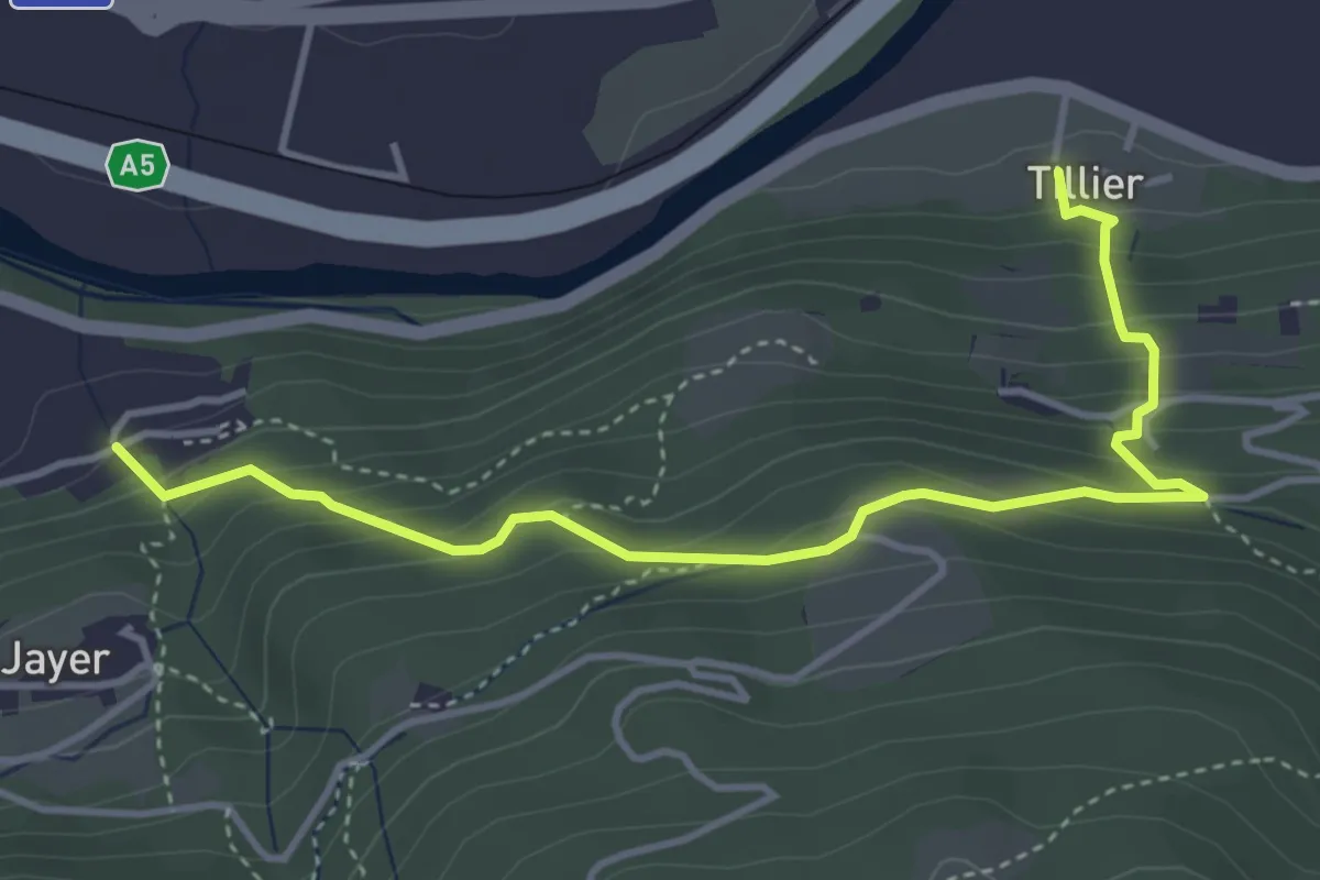
Medium · Trail
Tiller – Valmianaz
4.5 km · ↑ 408 m · 1 h 57 min
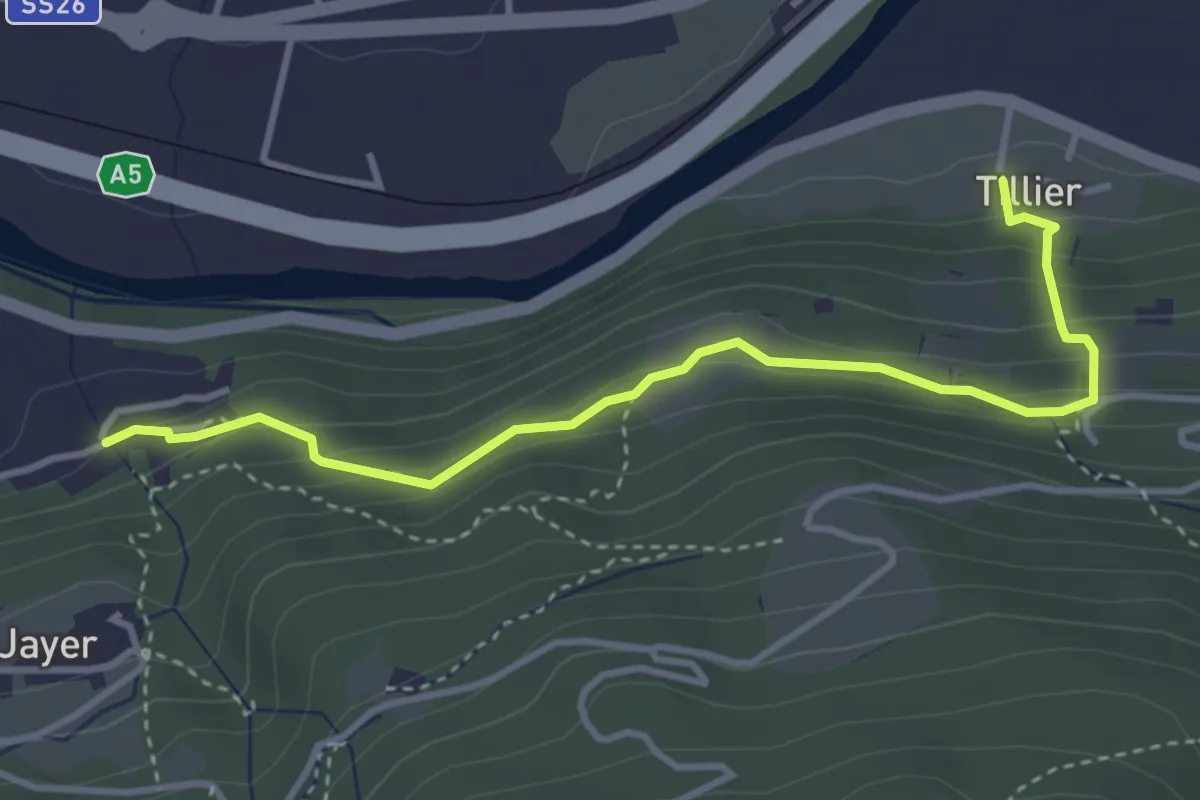
Medium · Trail
Tiller – Valmeanaz
3.9 km · ↑ 250 m · 1 h 28 min
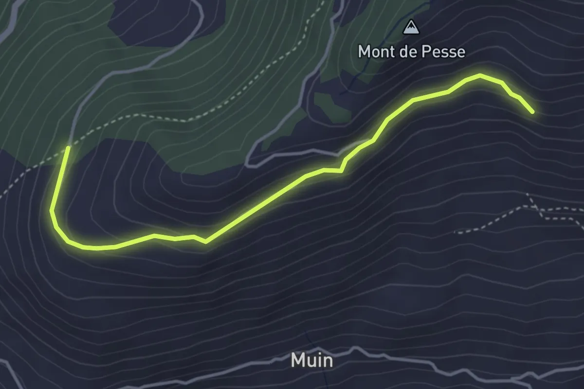
Easy · Trail
Blavy – Grandzette
4.1 km · ↑ 186 m · 1 h 22 min
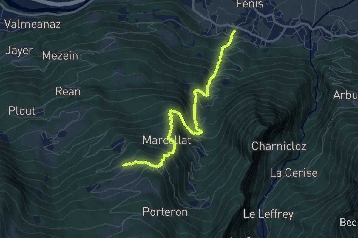
Demanding · Trail
Perron – Cretes
7.3 km · ↑ 818 m · 3 h 30 min
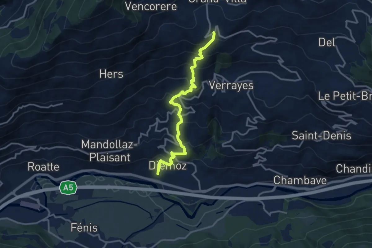
Demanding · Trail
Cort – Charrère
9.3 km · ↑ 809 m · 3 h 58 min
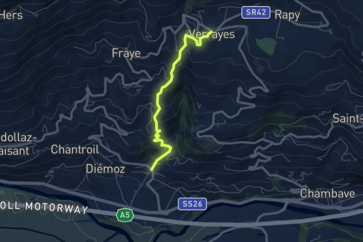
Medium · Trail
Crétaz – Capoluogo
5.3 km · ↑ 445 m · 2 h 12 min
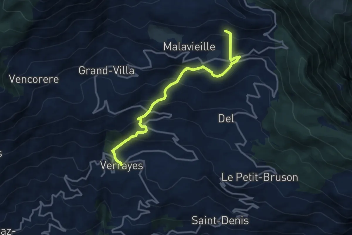
Medium · Trail
Verrayes (capoluogo) – Col des Bornes
9.5 km · ↑ 673 m · 3 h 42 min
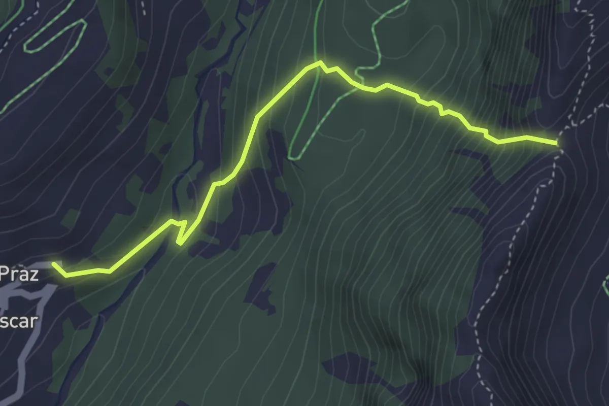
Medium · Trail
Praz – La Fenetre
3.9 km · ↑ 492 m · 1 h 59 min
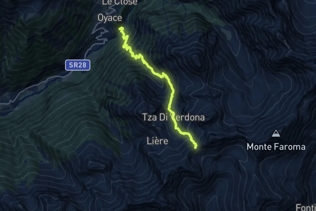
Demanding · Trail
Ponte Vernosse – Col de Saint-Barthélemy
12.9 km · ↑ 1367 m · 6 h 1 min
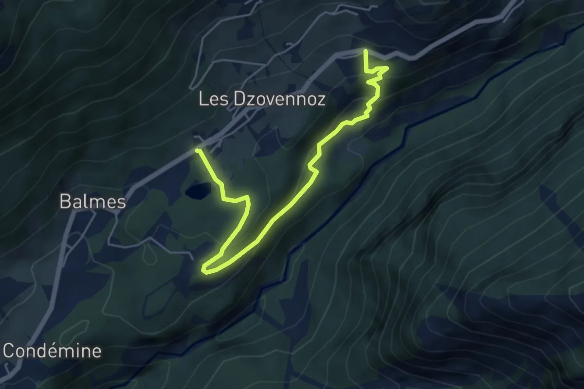
Easy · Trail
Lessert – Le Moulin
5.1 km · ↑ 300 m · 1 h 51 min
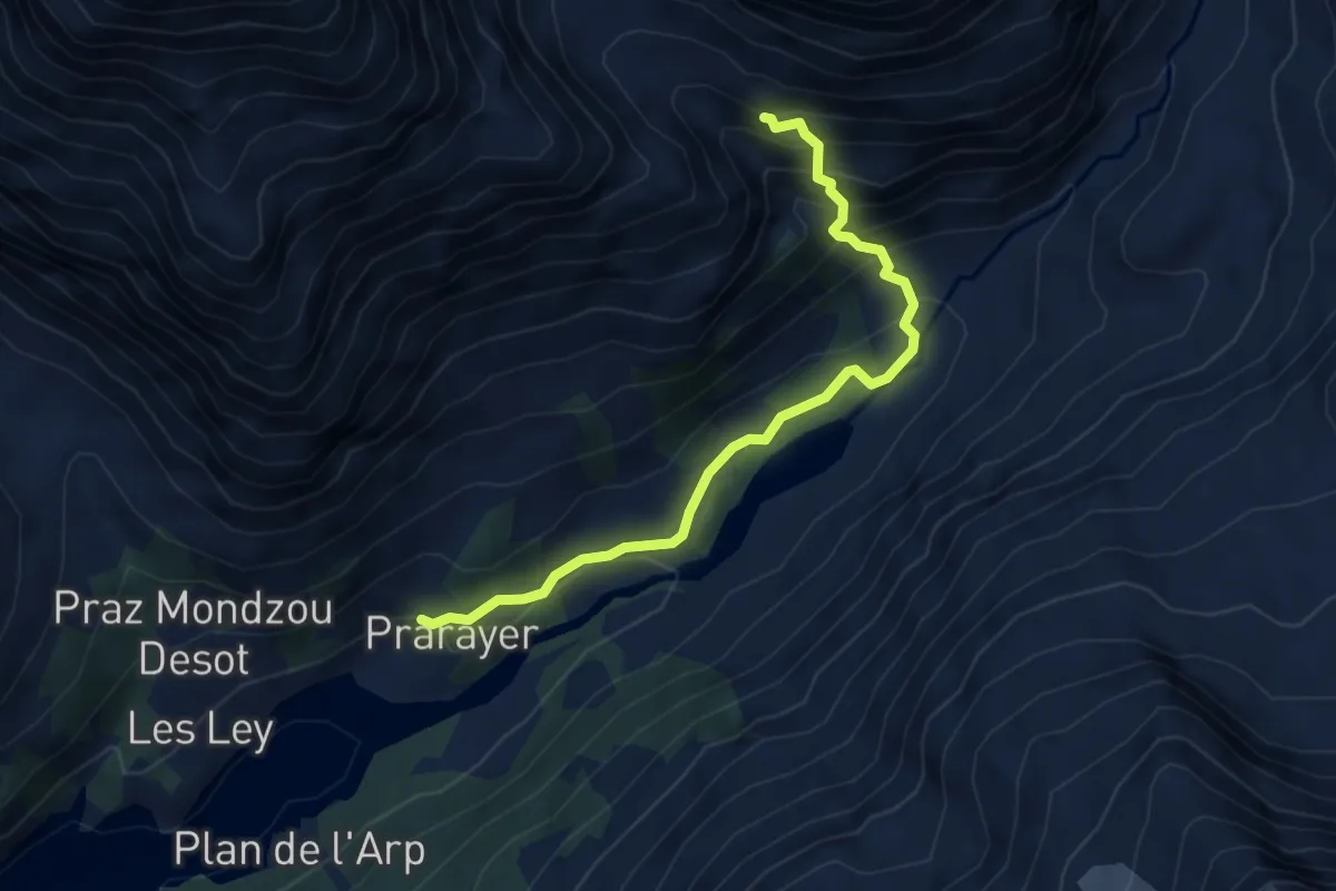
Demanding · Cabin
Rifugio Prarayer – Alpe Braulé
4.6 km · ↑ 367 m · 1 h 53 min
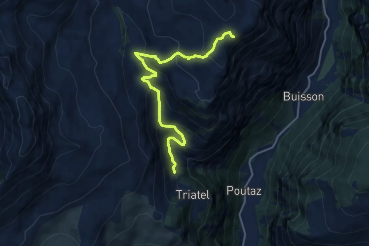
Medium · Trail
Triatel – Santuario di Gilliarey
9.5 km · ↑ 696 m · 3 h 45 min
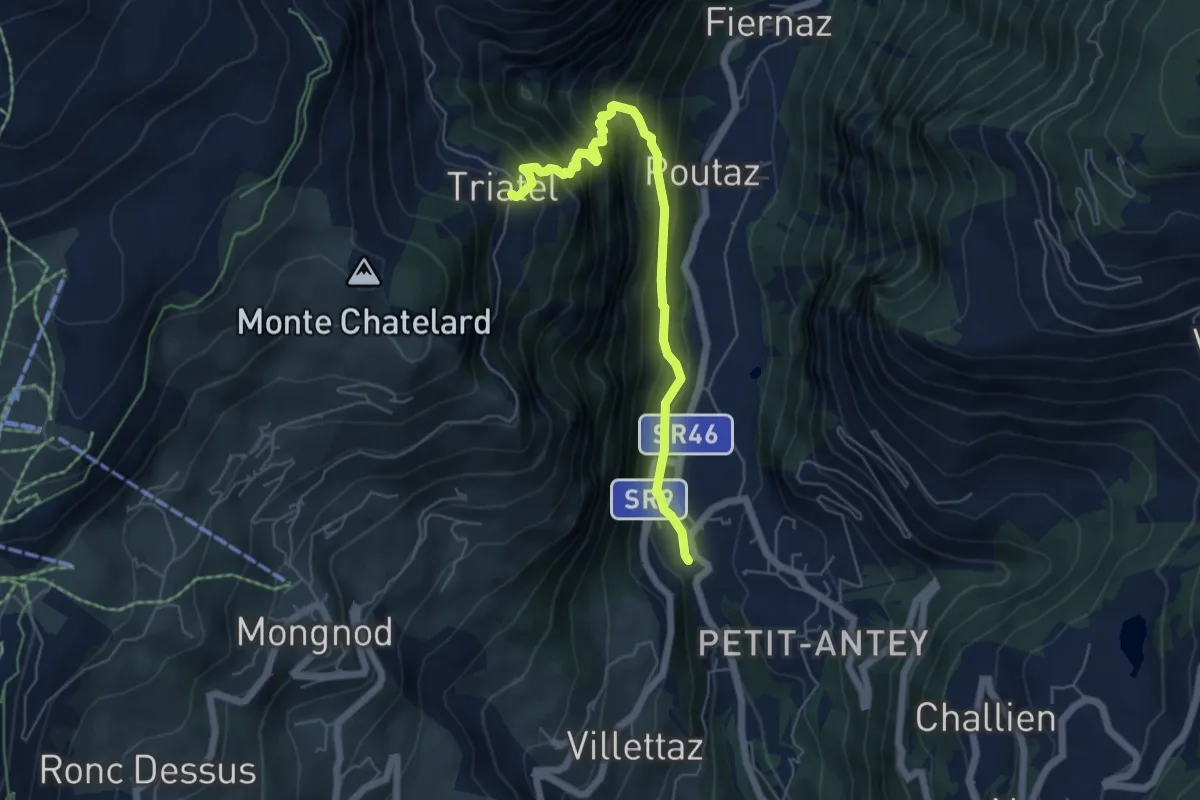
Medium · Trail
Confine comunale Antey -Torgnon – Triatel
5.6 km · ↑ 582 m · 2 h 35 min
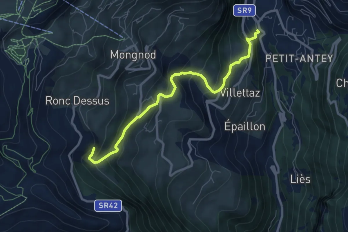
Medium · Trail
Grand Moulin – Maisonnet
6.9 km · ↑ 523 m · 2 h 46 min
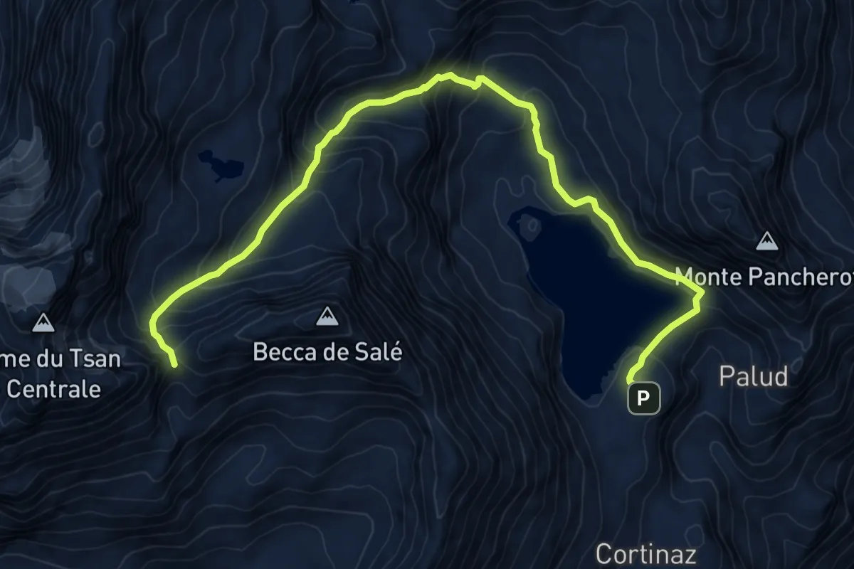
Demanding · Cabin
Rifugio Barmasse – Bivacco Rivolta
11.0 km · ↑ 859 m · 4 h 27 min
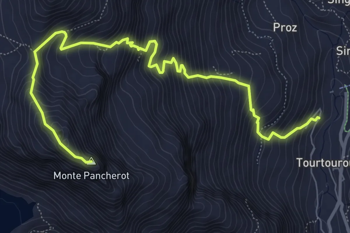
Expert · Summit
Plan de la Glae – Mont Pancherot
8.4 km · ↑ 1067 m · 4 h 18 min
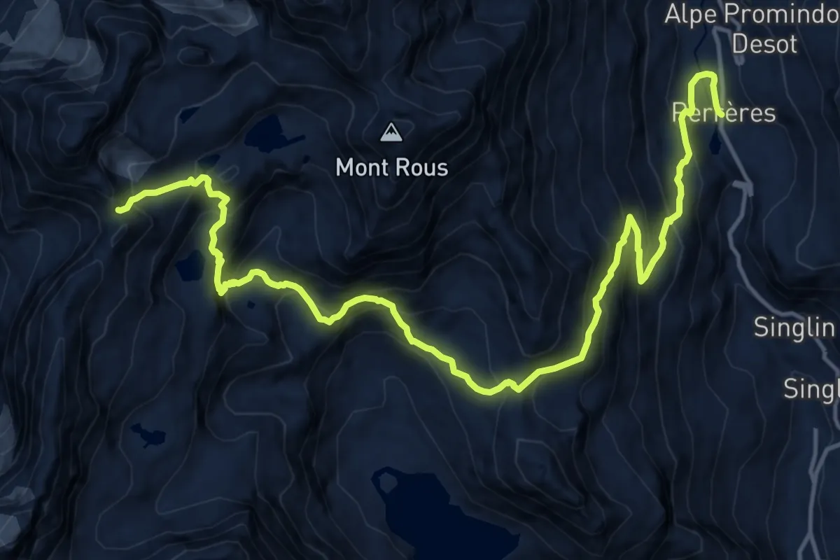
Expert · Trail
Perrères – Col de Valcournera
17.8 km · ↑ 1531 m · 7 h 32 min
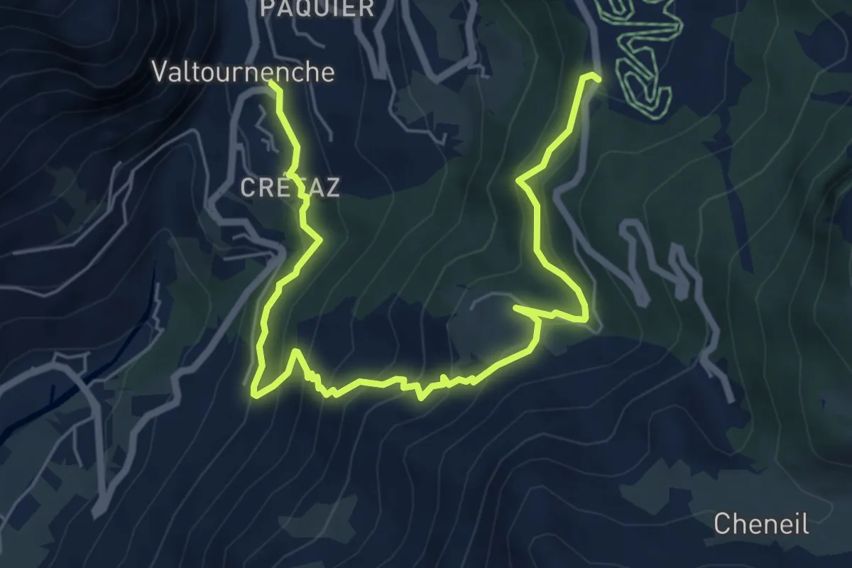
Medium · Trail
Paquier – Champleve
7.5 km · ↑ 570 m · 3 h
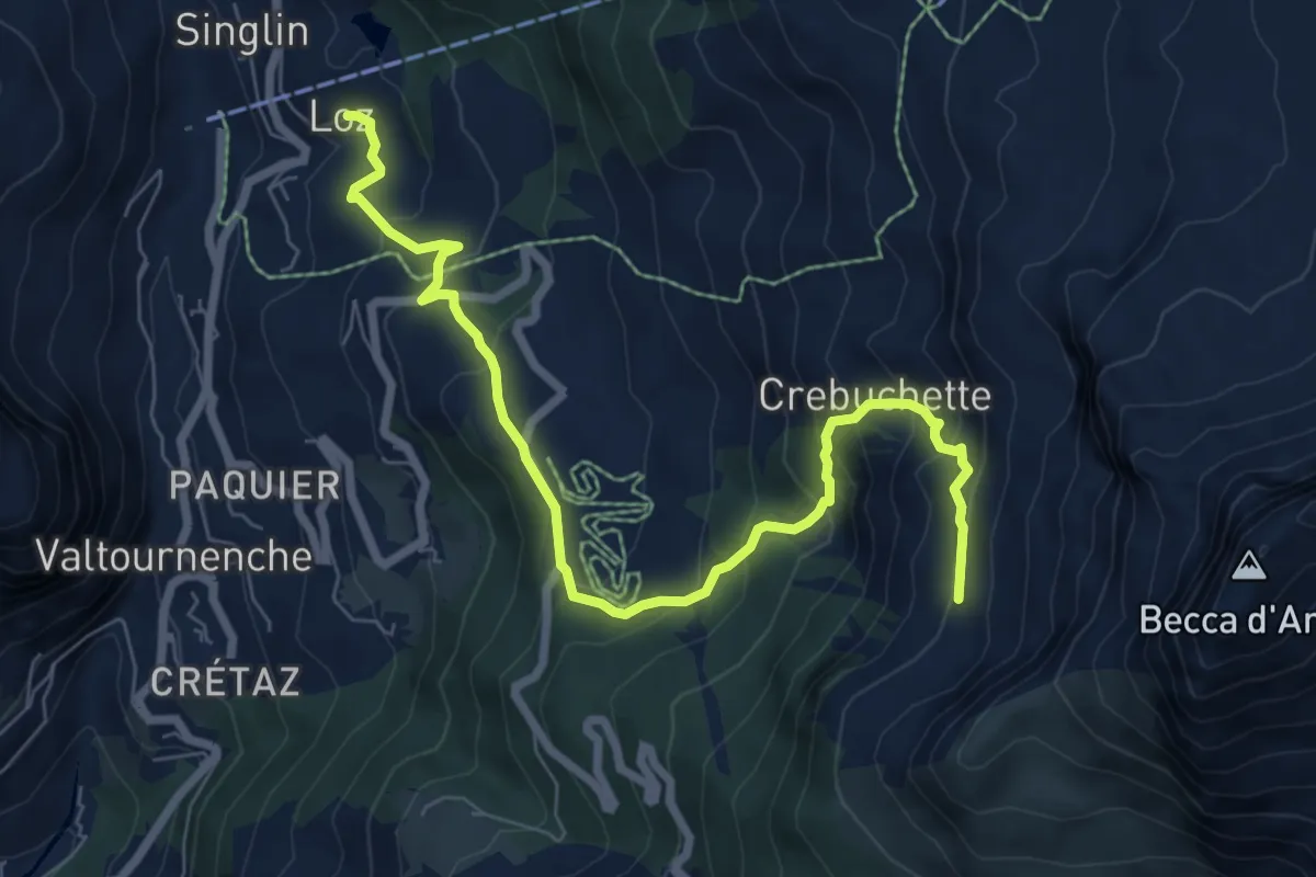
Medium · Trail
Loz (parcheggio) – Gran Balconata del Cervino
8.1 km · ↑ 607 m · 3 h 13 min
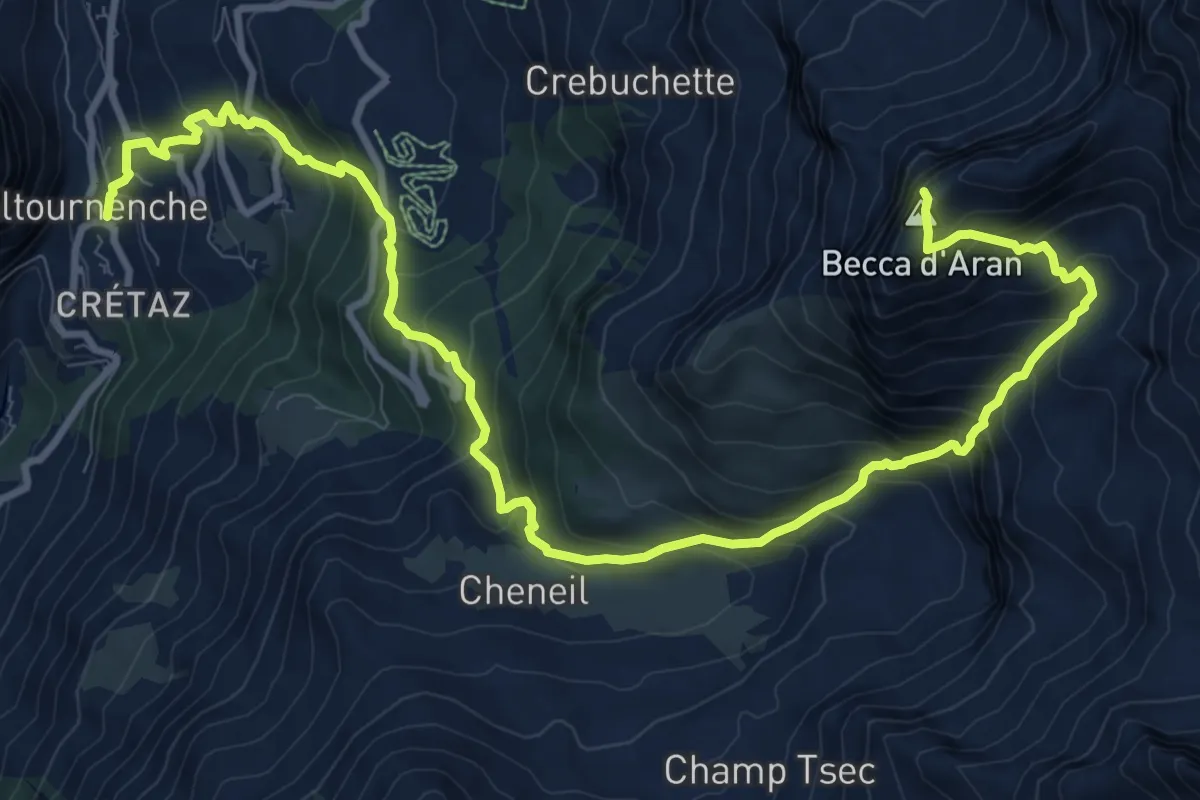
Expert · Summit
Paquier – Becca d'Aran
13.9 km · ↑ 1452 m · 6 h 25 min
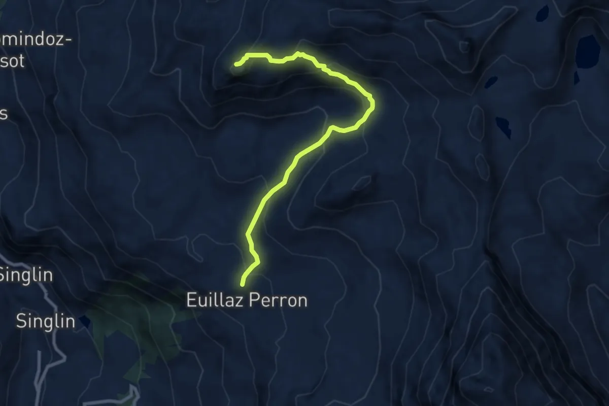
Medium · Summit
Desert – Motta di Plété Occidentale
8.0 km · ↑ 521 m · 3 h 1 min
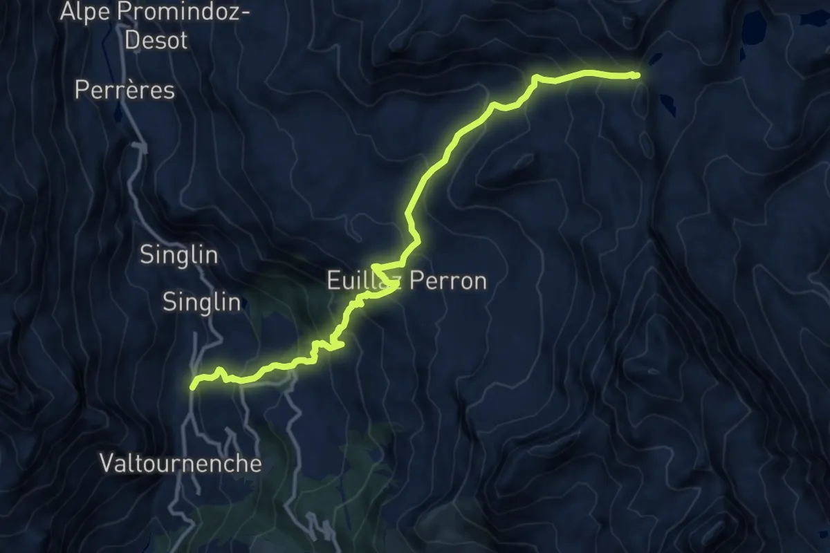
Demanding · Trail
Tourterouse – Colle Superiore delle Cime Bianche Sud
14.0 km · ↑ 1334 m · 6 h 12 min
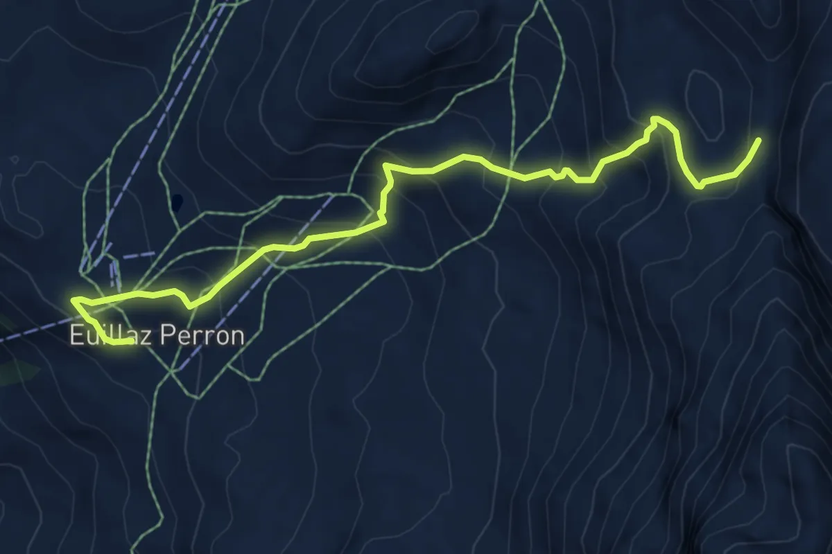
Expert · Trail
Illiaz Perron – Colle Roisetta
7.2 km · ↑ 602 m · 3 h
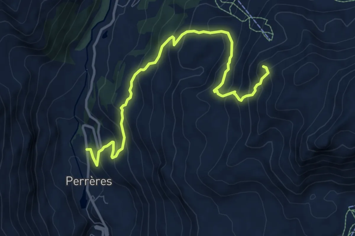
Medium · Summit
Perrère – Bec du Pio Merlo
9.7 km · ↑ 779 m · 3 h 58 min