Trails in Italy
25,219 hiking trails, each with its route, climb, walking time and grade.
All trails, page 420 of 526
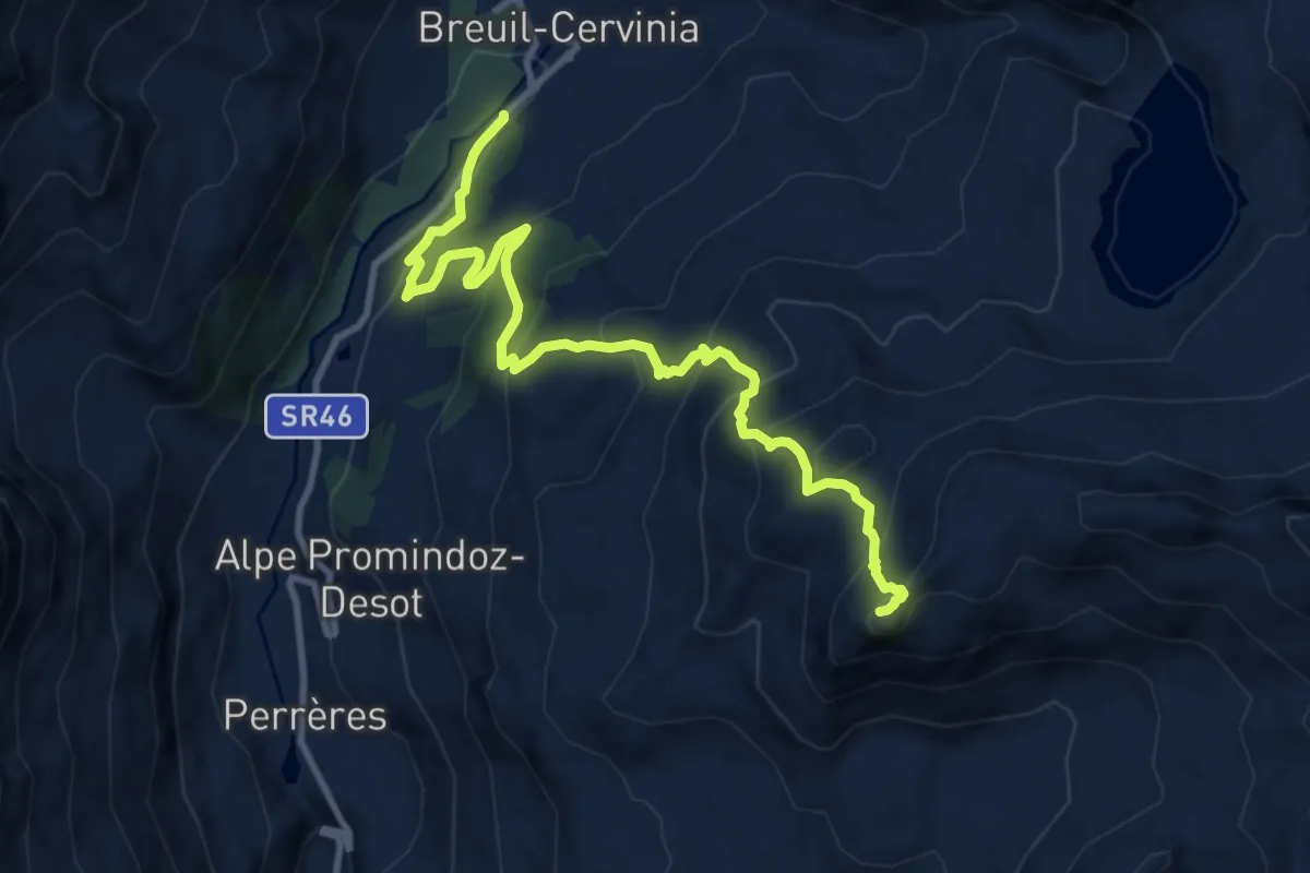
Demanding · Summit
Breuil-Cervinia – Motta di Plété Occidentale
11.8 km · ↑ 840 m · 4 h 36 min
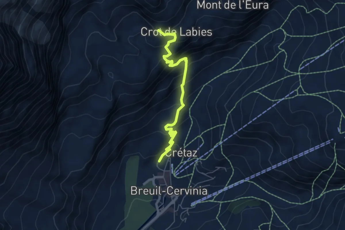
Medium · Trail
Breuil-Cervinia – Sentier Carrel
5.5 km · ↑ 491 m · 2 h 22 min
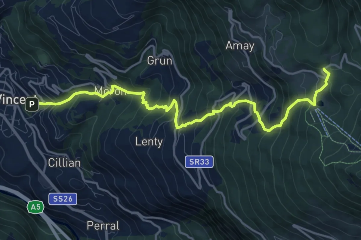
Demanding · Trail
Terme di Saint-Vincent – Col de Joux
11.9 km · ↑ 1025 m · 5 h 2 min
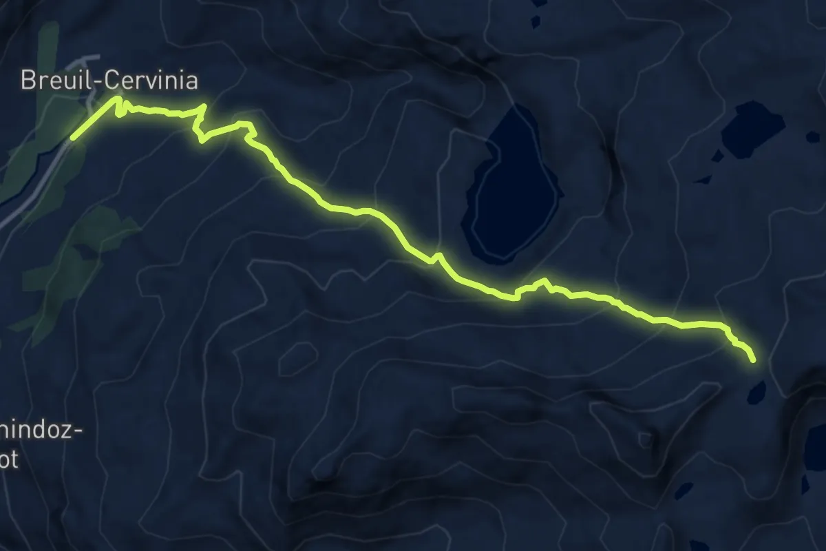
Demanding · Trail
Breuil-Cervinia – Colle Superiore delle Cime Bianche
12.1 km · ↑ 967 m · 4 h 57 min
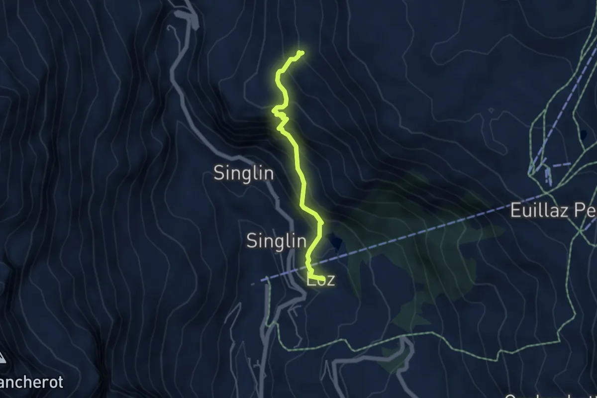
Medium · Trail
Loz (parcheggio) – Alpe Mandaz Inferiore
4.0 km · ↑ 472 m · 1 h 58 min
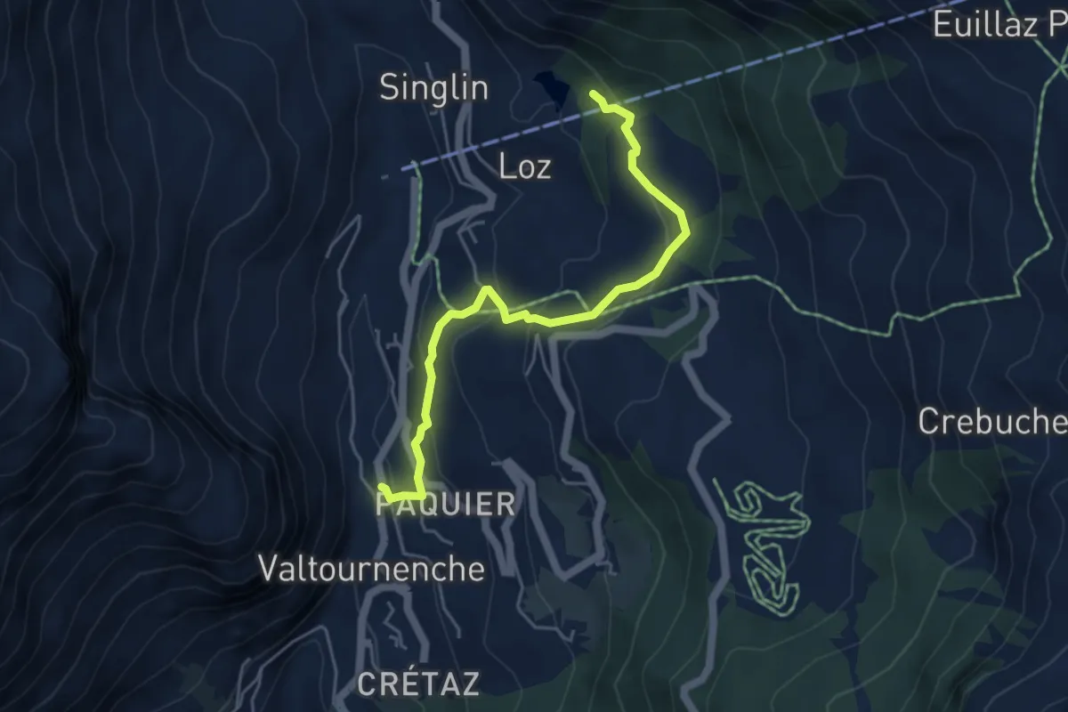
Medium · Trail
Pâquier – Lago Loz
4.7 km · ↑ 267 m · 1 h 41 min
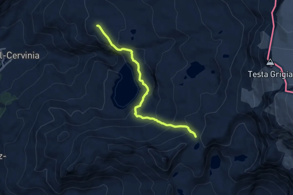
Medium · Trail
Plan Maison – Colle Superiore Cime Bianche
8.9 km · ↑ 575 m · 3 h 21 min
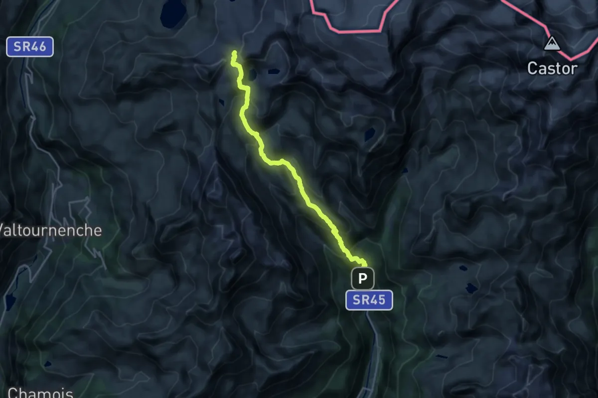
Demanding · Trail
Blanchard – Colle Superiore Cime Bianche
17.2 km · ↑ 1277 m · 6 h 50 min
Expert · Trail
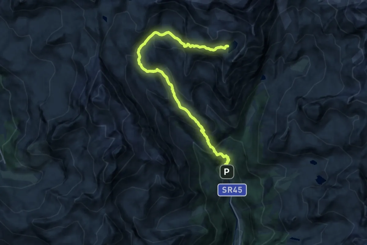
Blanchard – Lago Tzère
18.0 km · ↑ 1278 m · 7 h 1 min
Medium · Trail
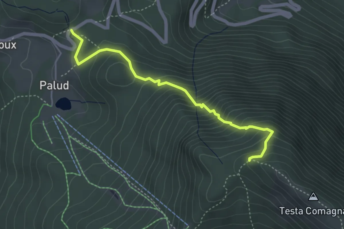
Col de Joux – Percorso 5
4.0 km · ↑ 406 m · 1 h 50 min
Expert · Trail
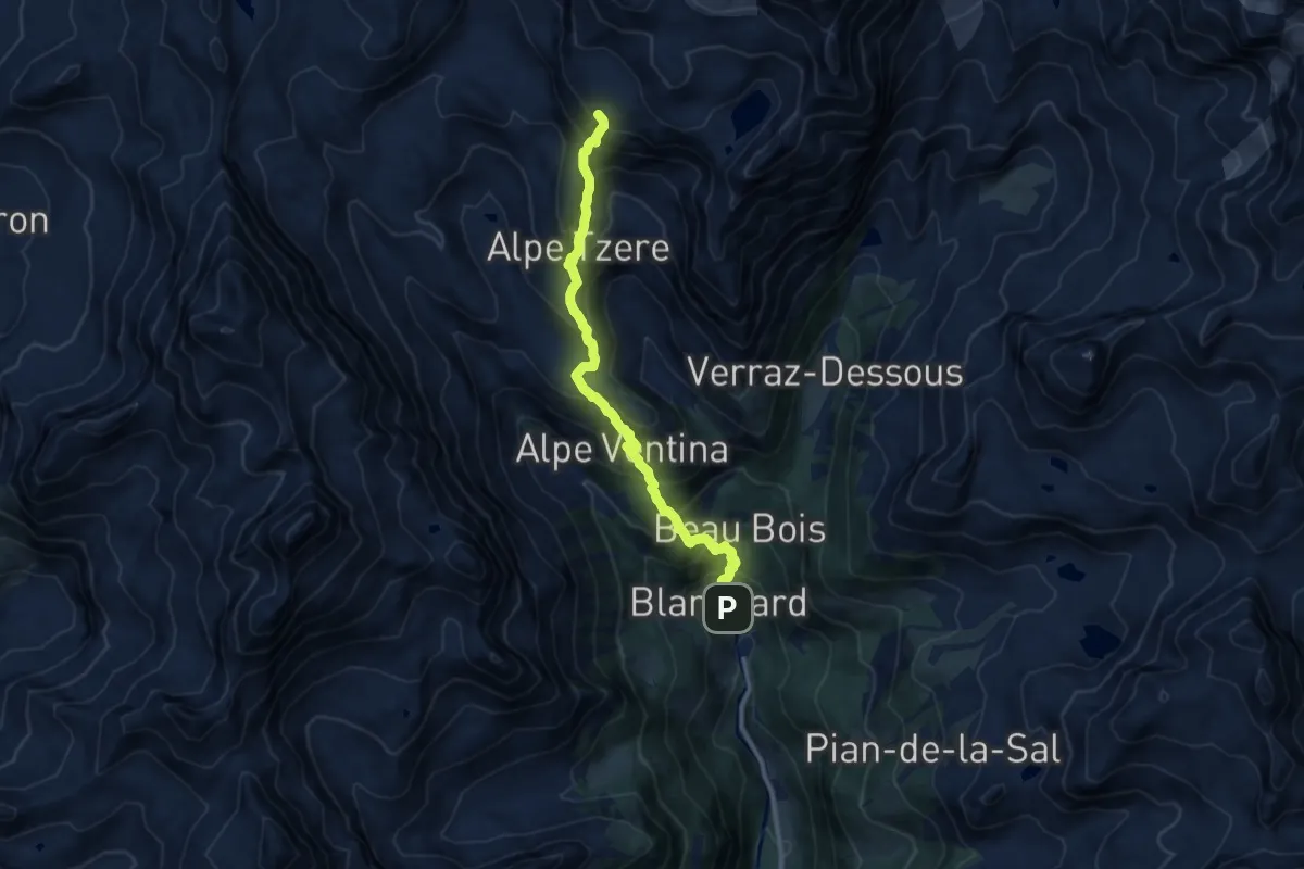
Blanchard – Bivacco Città di Mariano
10.3 km · ↑ 1099 m · 4 h 49 min
Expert · Cabin
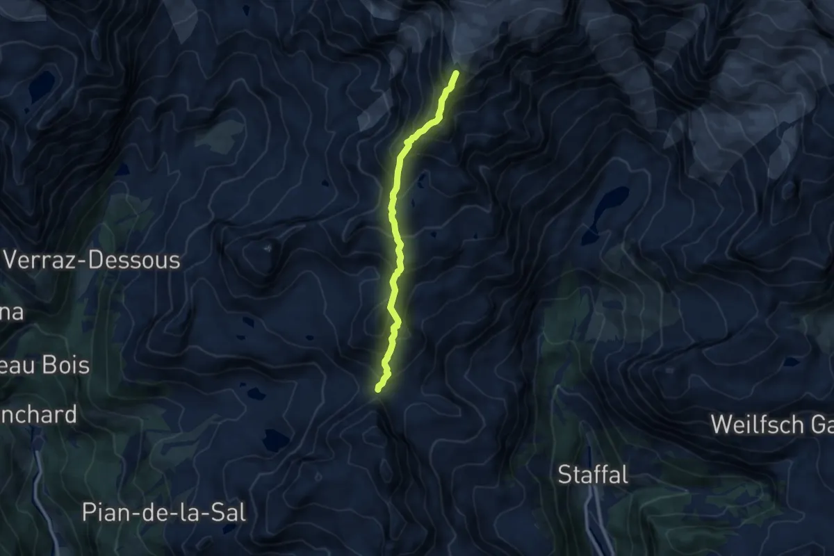
Colle Bettaforca – Rifugio Quintino Sella
8.4 km · ↑ 975 m · 4 h 6 min
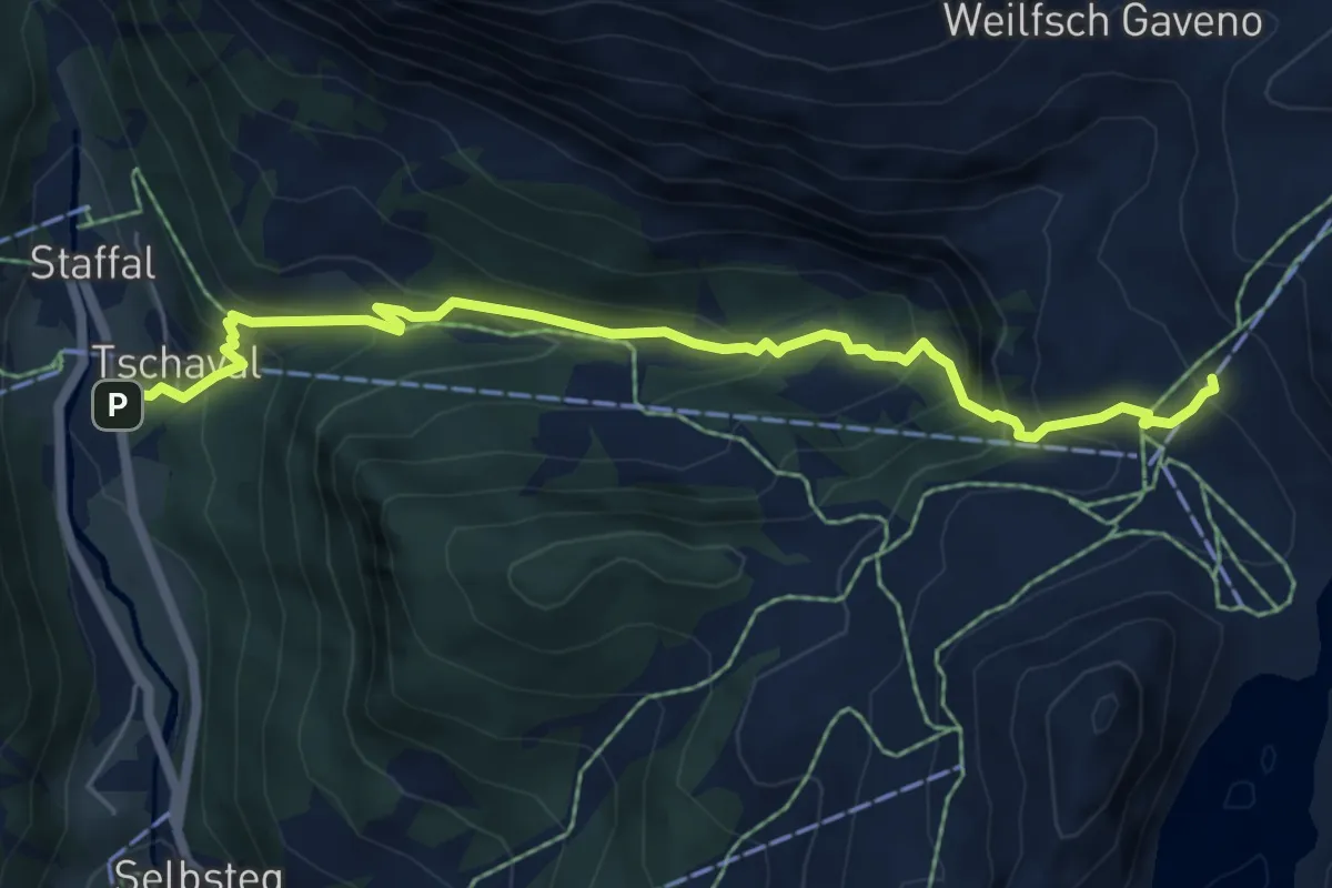
Medium · Trail
Staffal – Rifugio del Lys
6.6 km · ↑ 539 m · 2 h 43 min
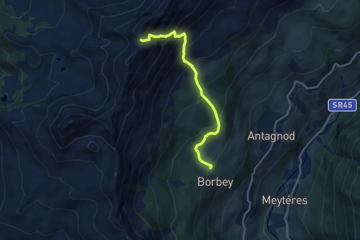
Medium · Trail
Barmasc – Col Pillonnet
7.3 km · ↑ 797 m · 3 h 27 min
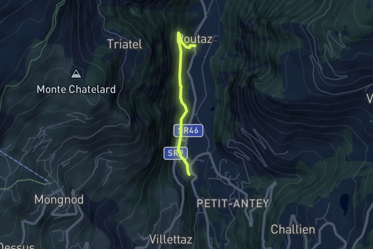
Medium · Trail
Grand Moulin – Poutaz
3.9 km · ↑ 264 m · 1 h 29 min
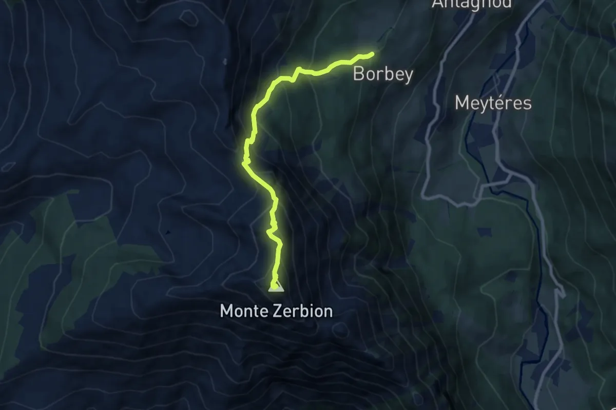
Demanding · Summit
Barmasc – Mont Zerbion
7.8 km · ↑ 802 m · 3 h 35 min
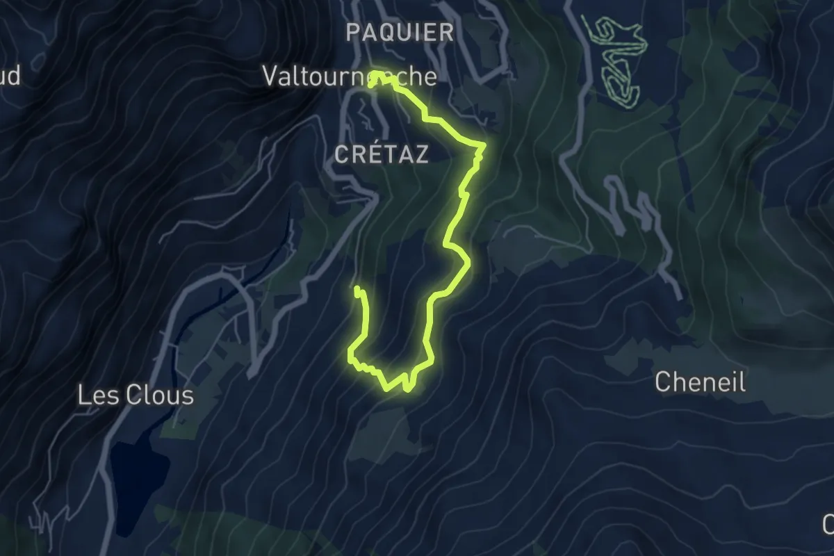
Medium · Trail
Pâquier – Servaz
6.0 km · ↑ 557 m · 2 h 37 min
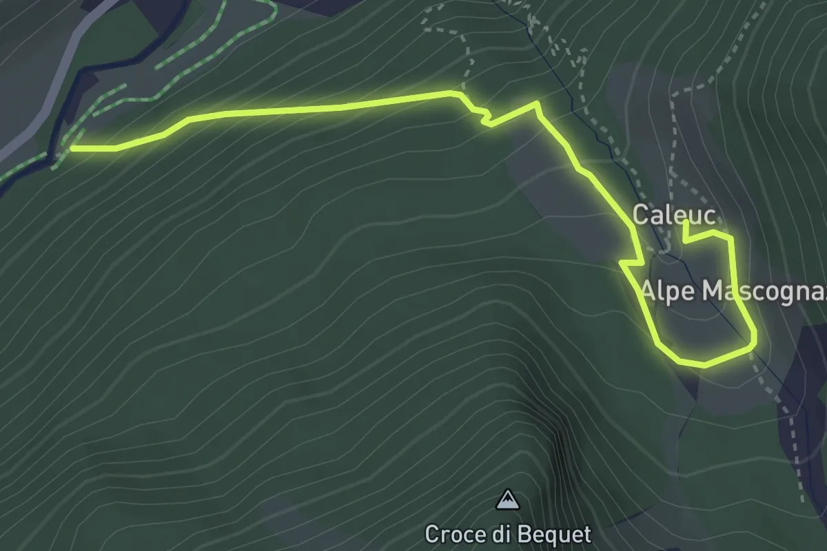
Medium · Trail
Amponey – Alpe Mascognaz
4.2 km · ↑ 335 m · 1 h 43 min
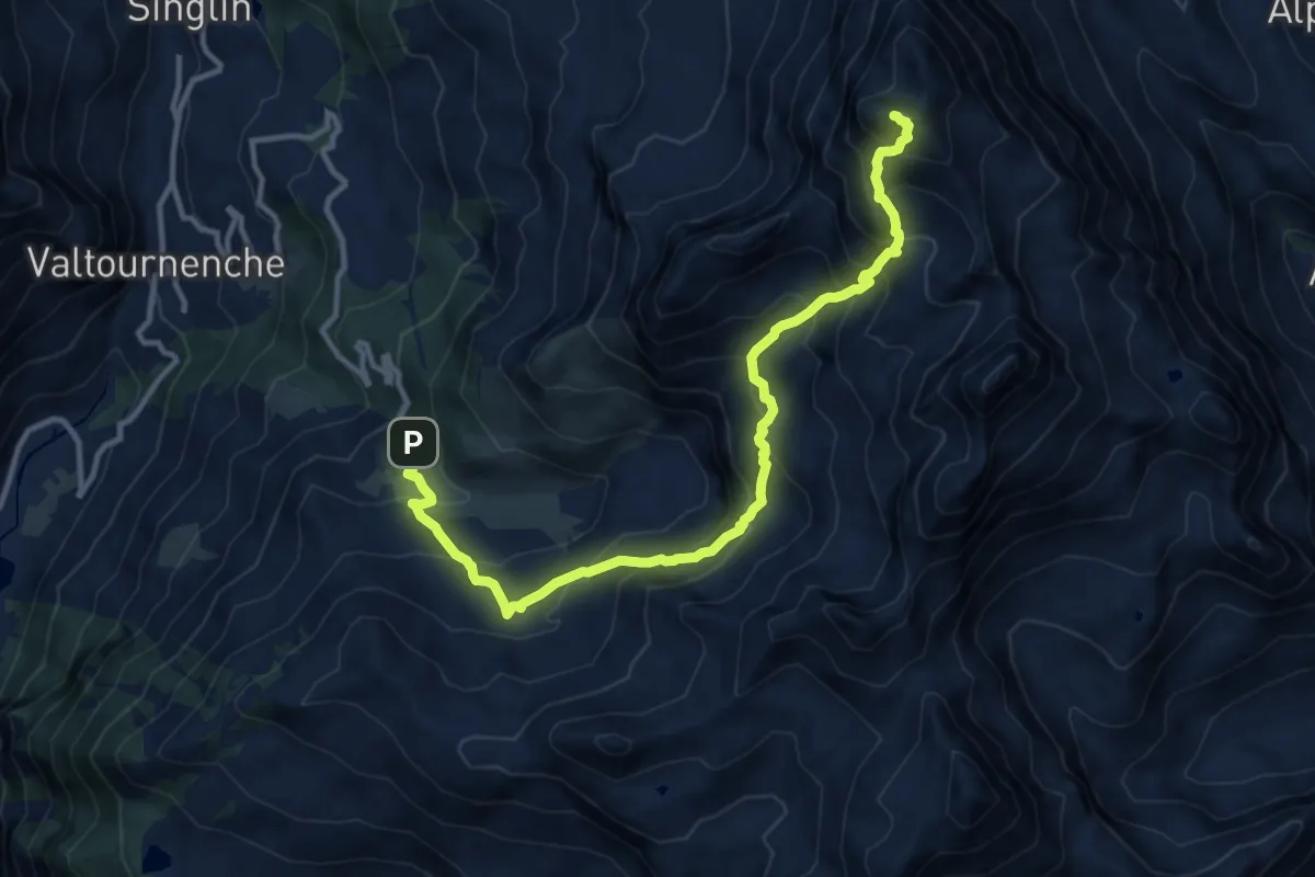
Demanding · Summit
Parcheggio Cheneil – Mont Roisetta
13.0 km · ↑ 1295 m · 5 h 53 min
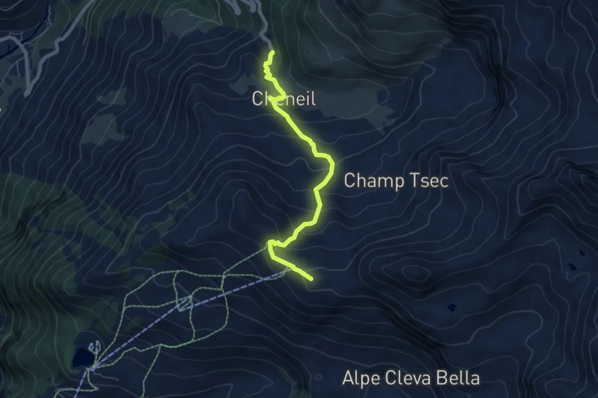
Medium · Trail
Barmaz – Santuario Clavalité
5.7 km · ↑ 481 m · 2 h 24 min
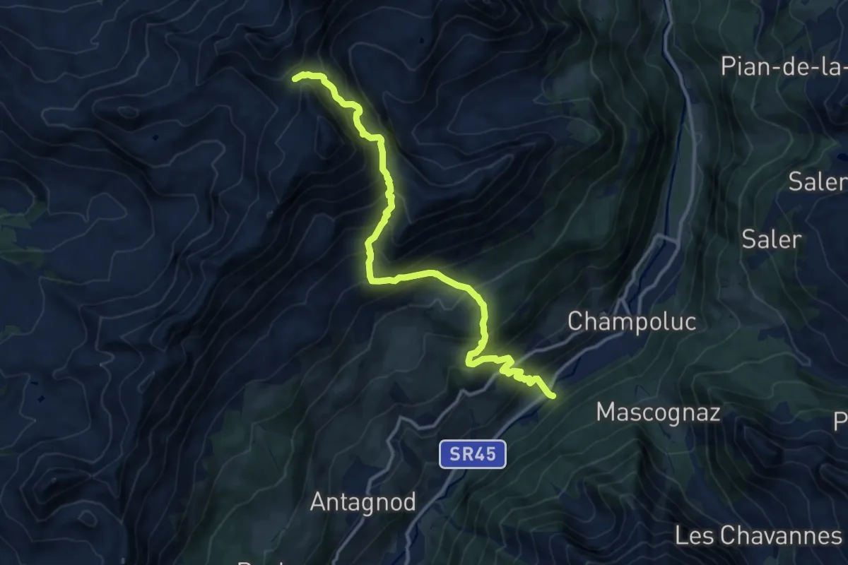
Demanding · Trail
Percorso 105 – Col di Nana
13.2 km · ↑ 1380 m · 6 h 7 min
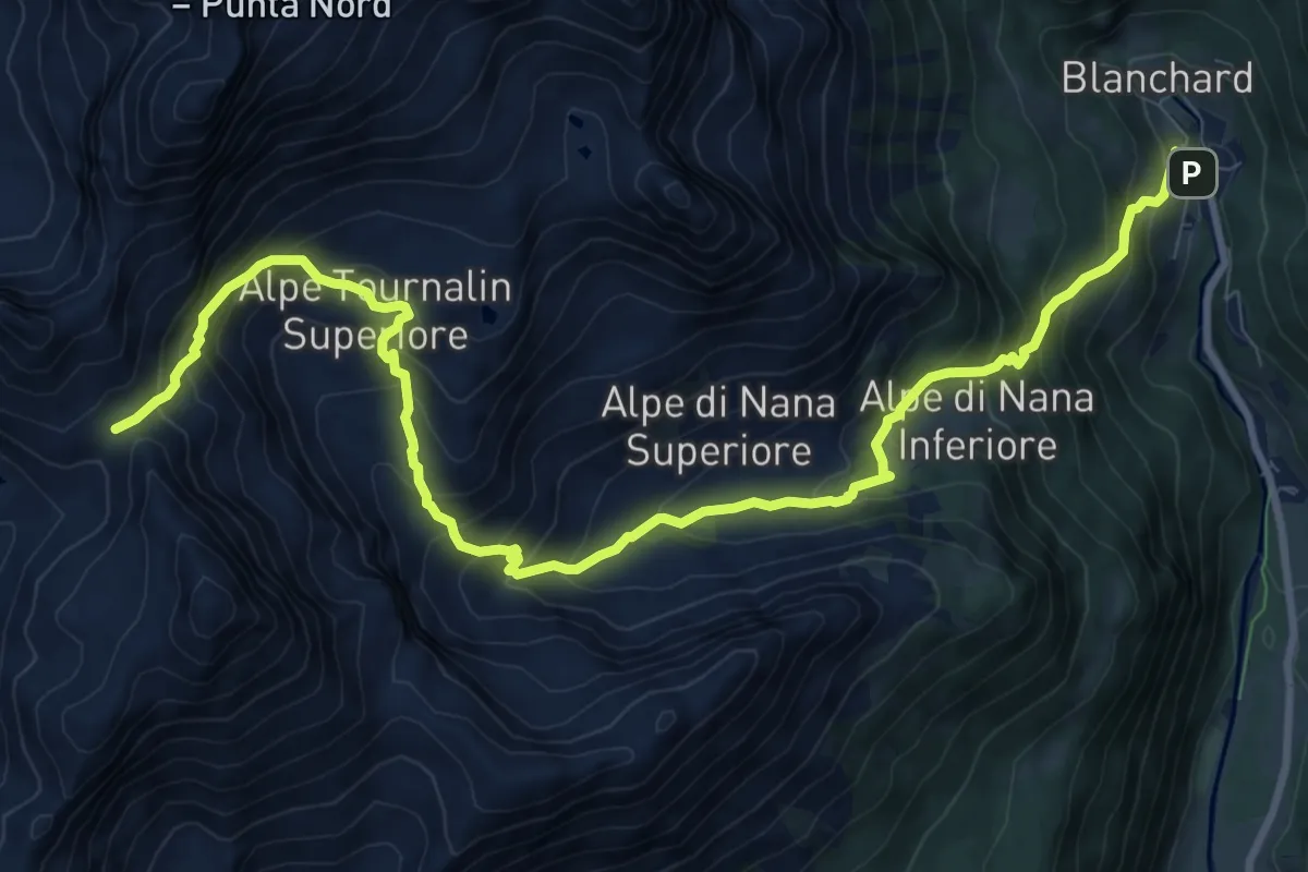
Demanding · Trail
Saint-Jacques – Col de Nannaz
12.5 km · ↑ 1115 m · 5 h 23 min
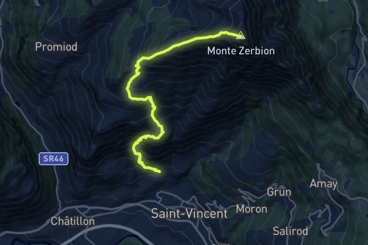
Demanding · Summit
Domianaz – Mont Zerbion
15.2 km · ↑ 1954 m · 7 h 49 min
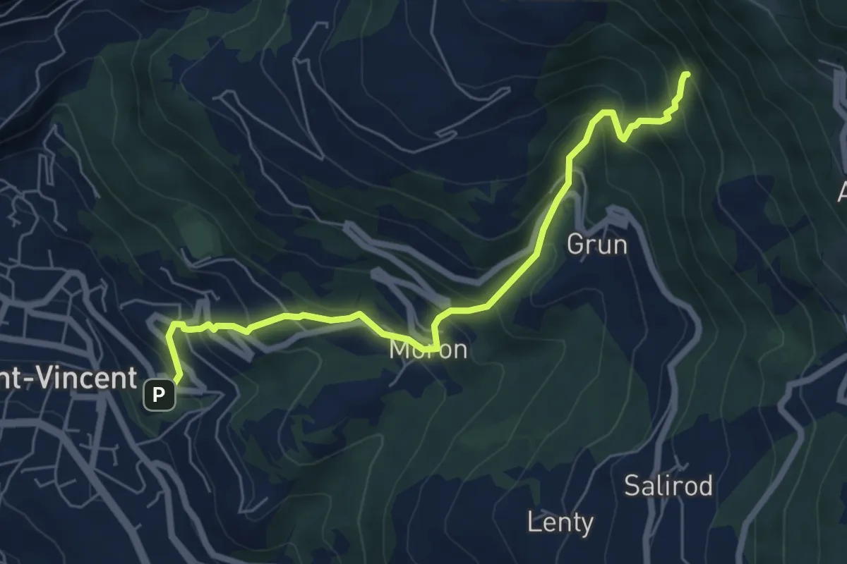
Medium · Trail
Terme di Saint-Vincent – Banqueun
6.4 km · ↑ 618 m · 2 h 51 min
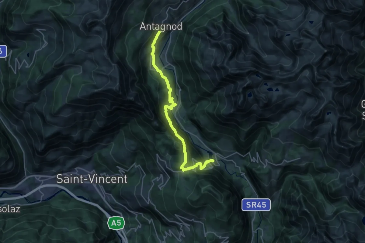
Demanding · Trail
Strada regionale 33 nei pressi del torrente Evançon – Antagnod
21.1 km · ↑ 1313 m · 7 h 50 min
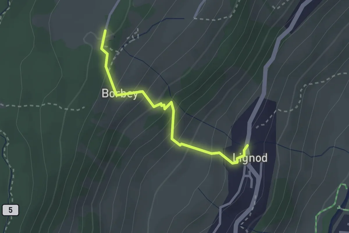
Easy · Trail
Lignod – Barmasc
2.3 km · ↑ 258 m · 1 h 6 min
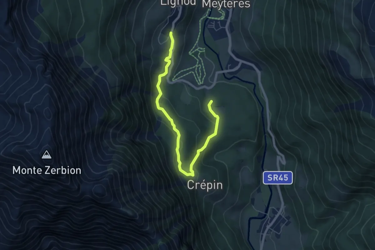
Medium · Trail
Strada per Lignod – Praz Charbon
6.5 km · ↑ 252 m · 2 h 5 min
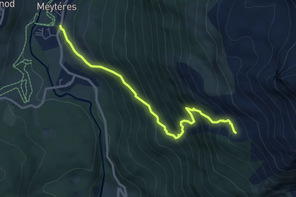
Medium · Trail
Cornu – Alpe Boussolaz
6.1 km · ↑ 691 m · 2 h 56 min
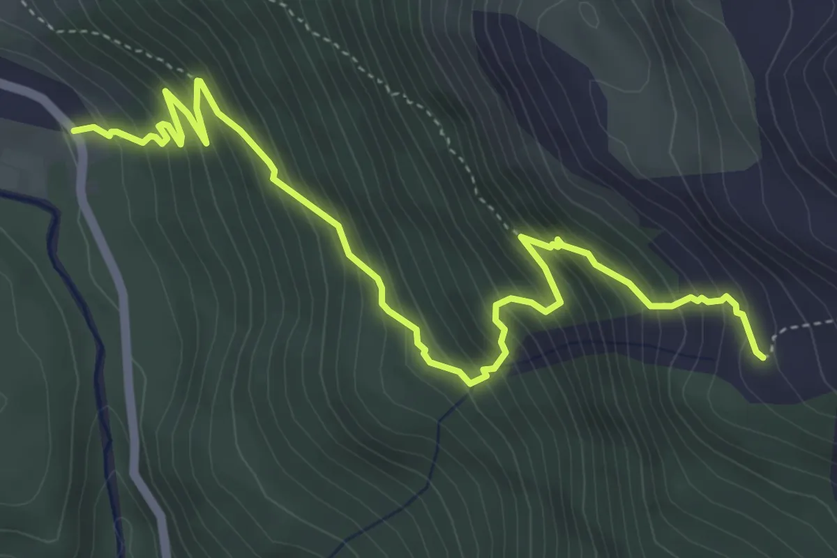
Medium · Trail
Corbet – Alpe Boussolaz
5.8 km · ↑ 672 m · 2 h 50 min
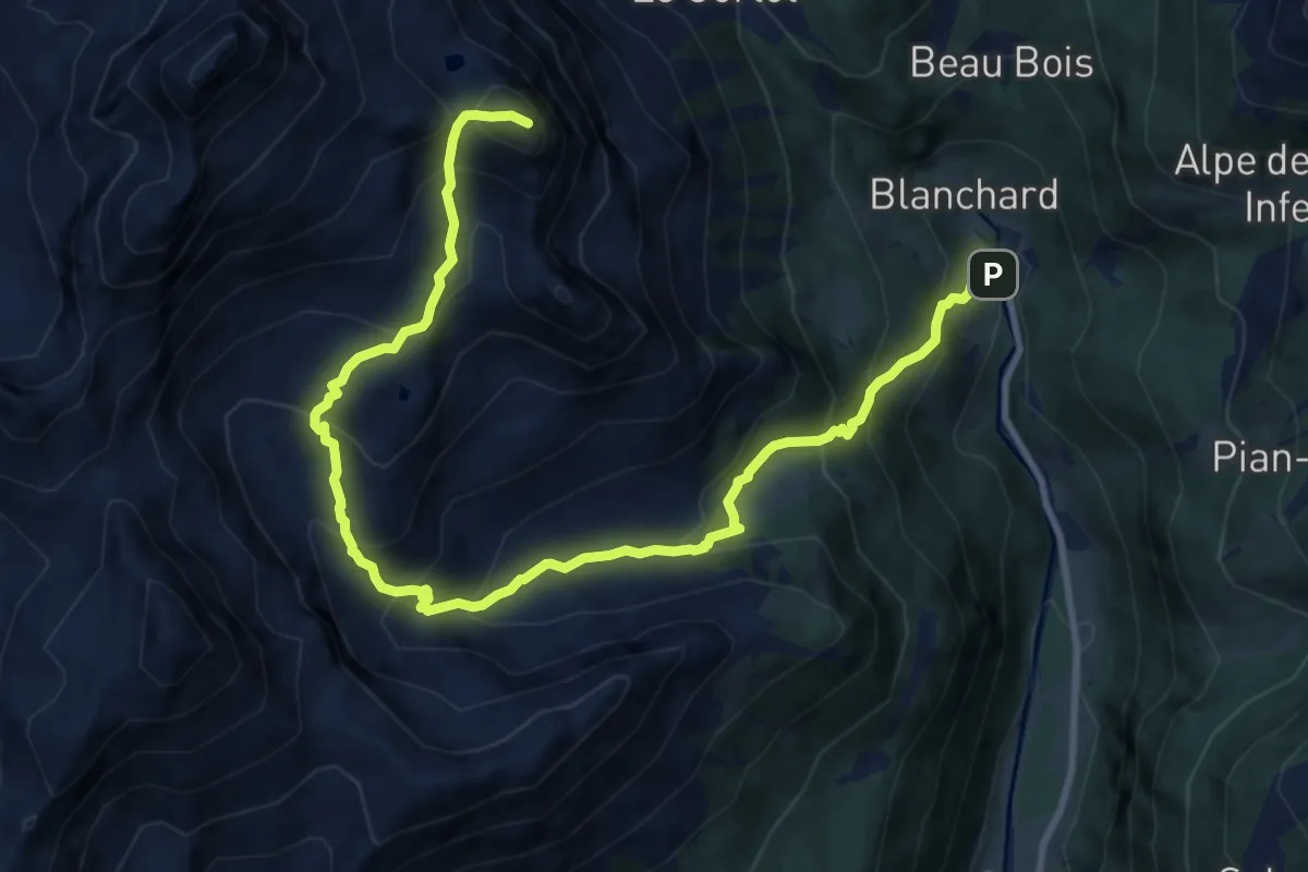
Demanding · Summit
Saint-Jacques – Monte Croce
13.2 km · ↑ 1221 m · 5 h 46 min
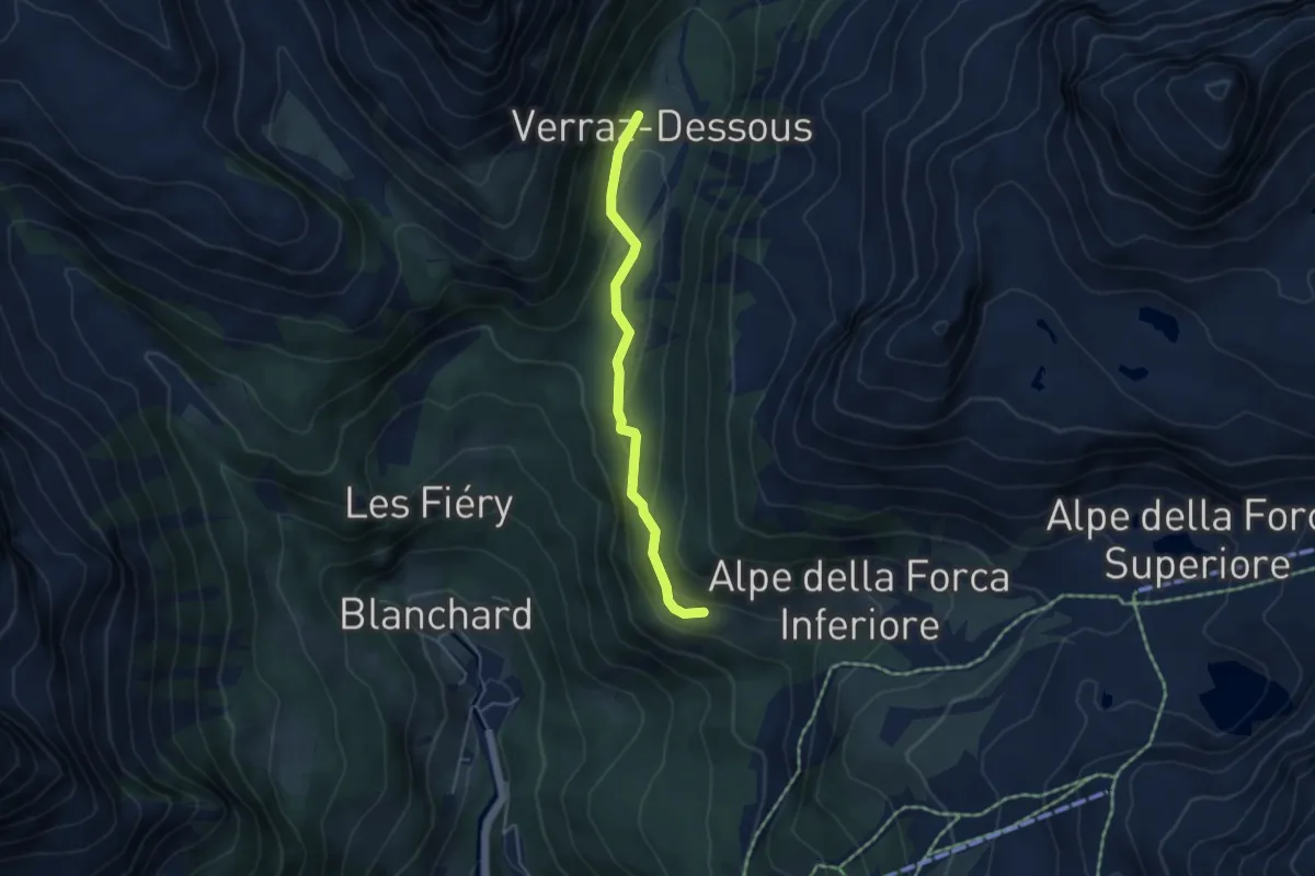
Medium · Cabin
Résy – Plan de Véraz
4.2 km · ↑ 199 m · 1 h 25 min
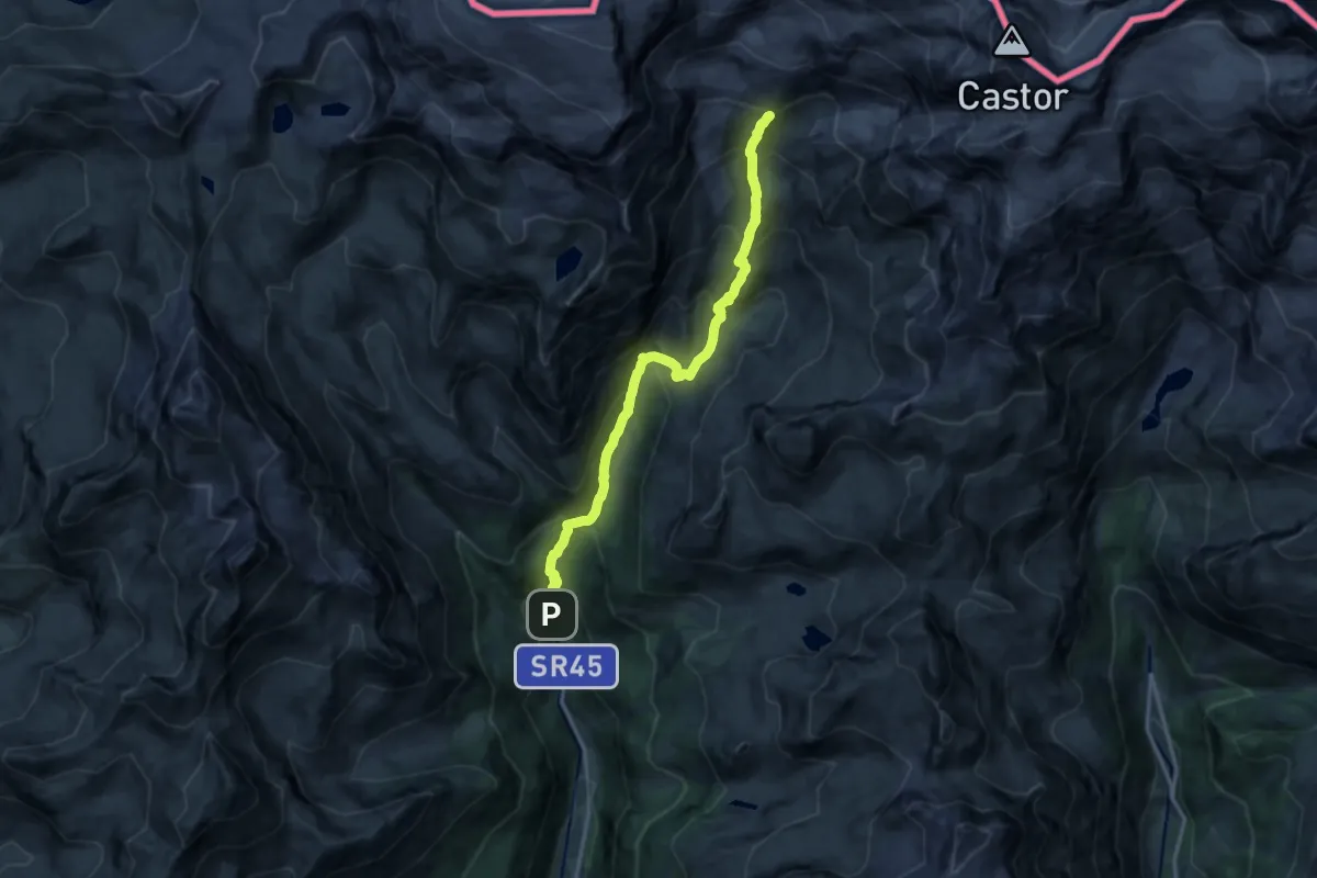
Demanding · Cabin
Blanchard – Rifugio Mezzalama
14.7 km · ↑ 1279 m · 6 h 14 min
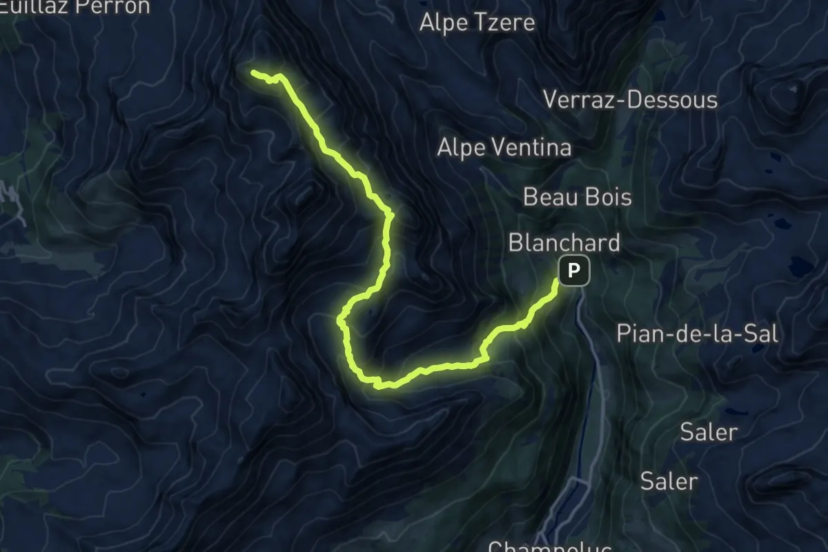
Expert · Summit
Saint-Jacques – Mont Roisetta
18.1 km · ↑ 1689 m · 7 h 56 min
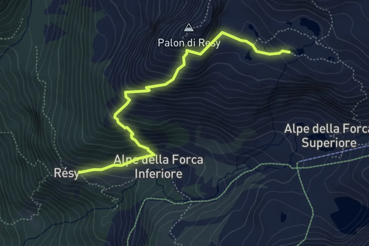
Medium · Cabin
Résy – Lacs de Résy
5.4 km · ↑ 562 m · 2 h 30 min
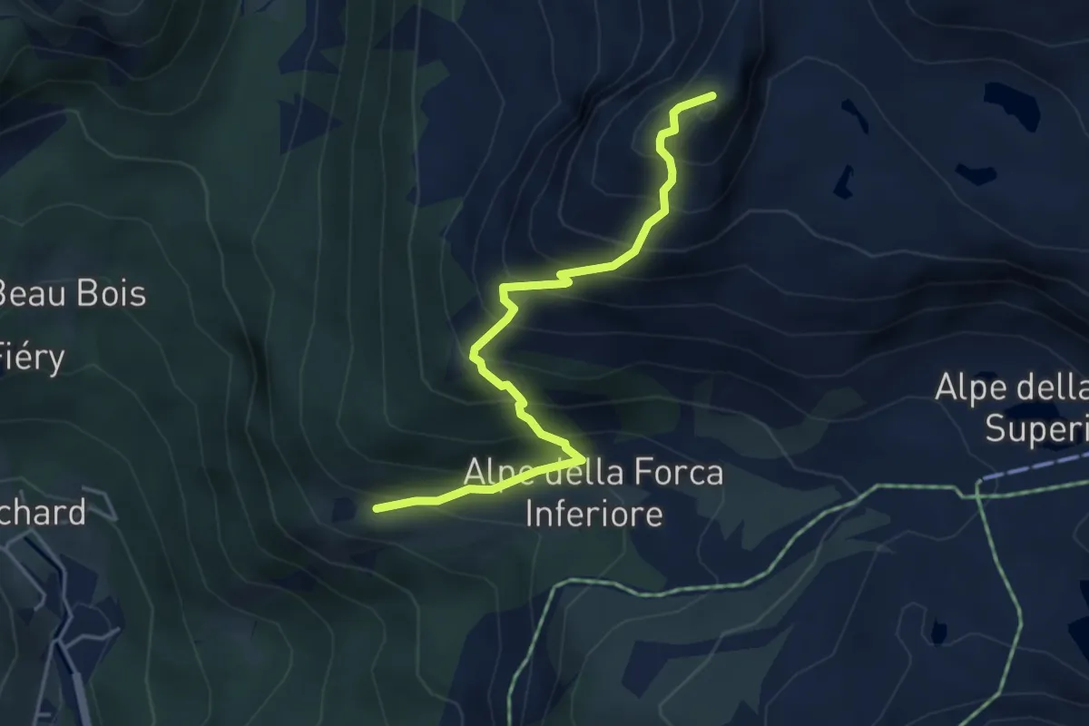
Medium · Summit
Résy – Palon de Résy
4.3 km · ↑ 557 m · 2 h 14 min
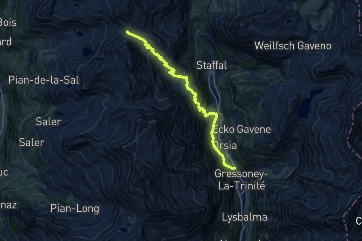
Demanding · Trail
Gressoney-la-Trinité – Colle Bettaforca
14.0 km · ↑ 1014 m · 5 h 30 min
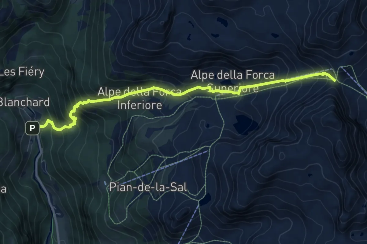
Demanding · Trail
Saint-Jacques – Col della Bettaforca
9.8 km · ↑ 983 m · 4 h 27 min
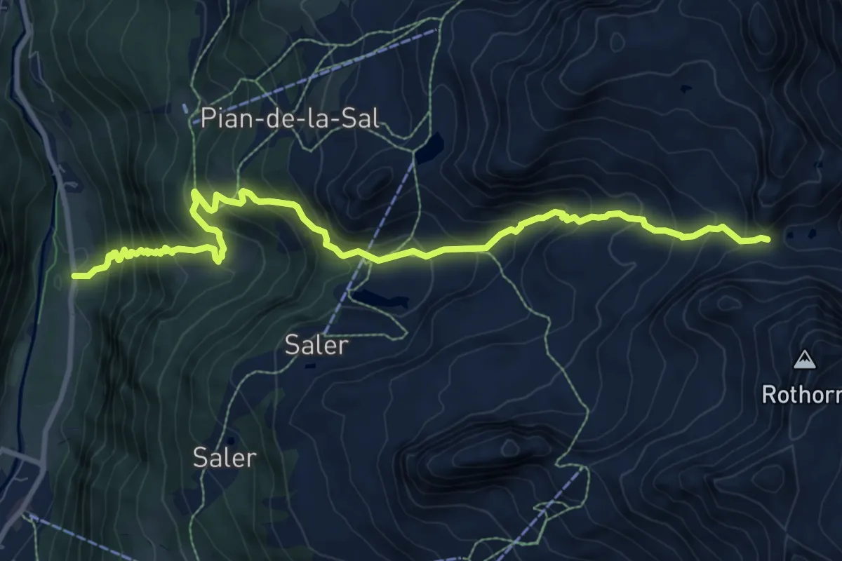
Demanding · Trail
Frachey – Col du Rothorn
10.5 km · ↑ 1120 m · 4 h 55 min
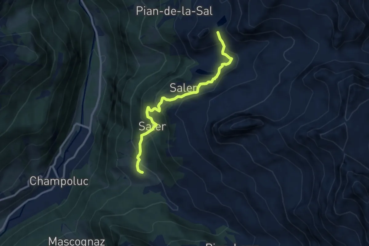
Medium · Trail
Crest – Lac Chercherioz
7.5 km · ↑ 489 m · 2 h 50 min
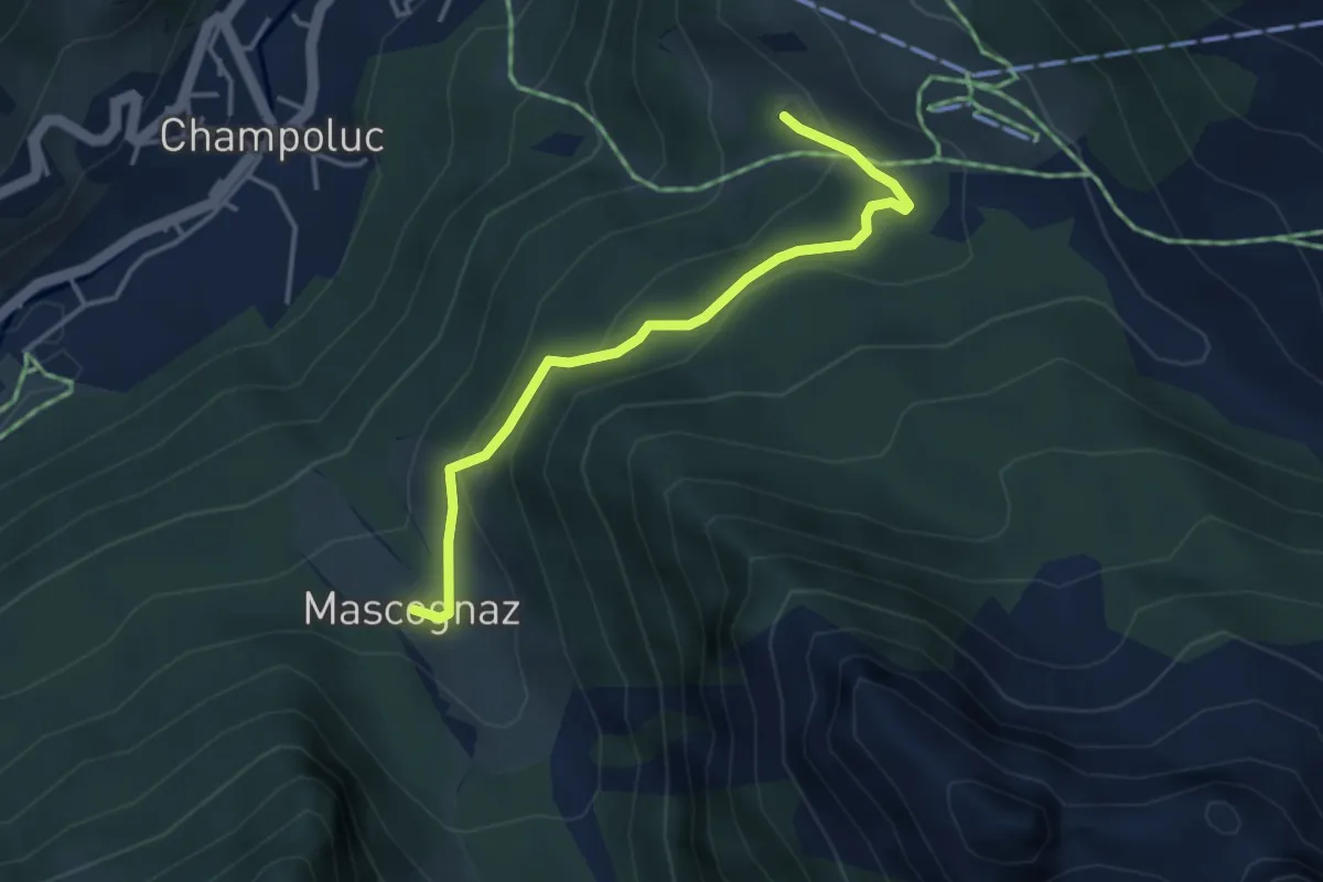
Medium · Trail
Crest – Mascognaz
3.7 km · ↑ 216 m · 1 h 21 min
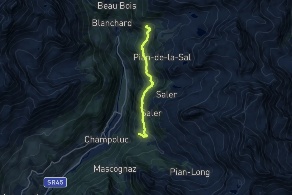
Medium · Cabin
Crest – Résy
9.1 km · ↑ 468 m · 3 h 10 min
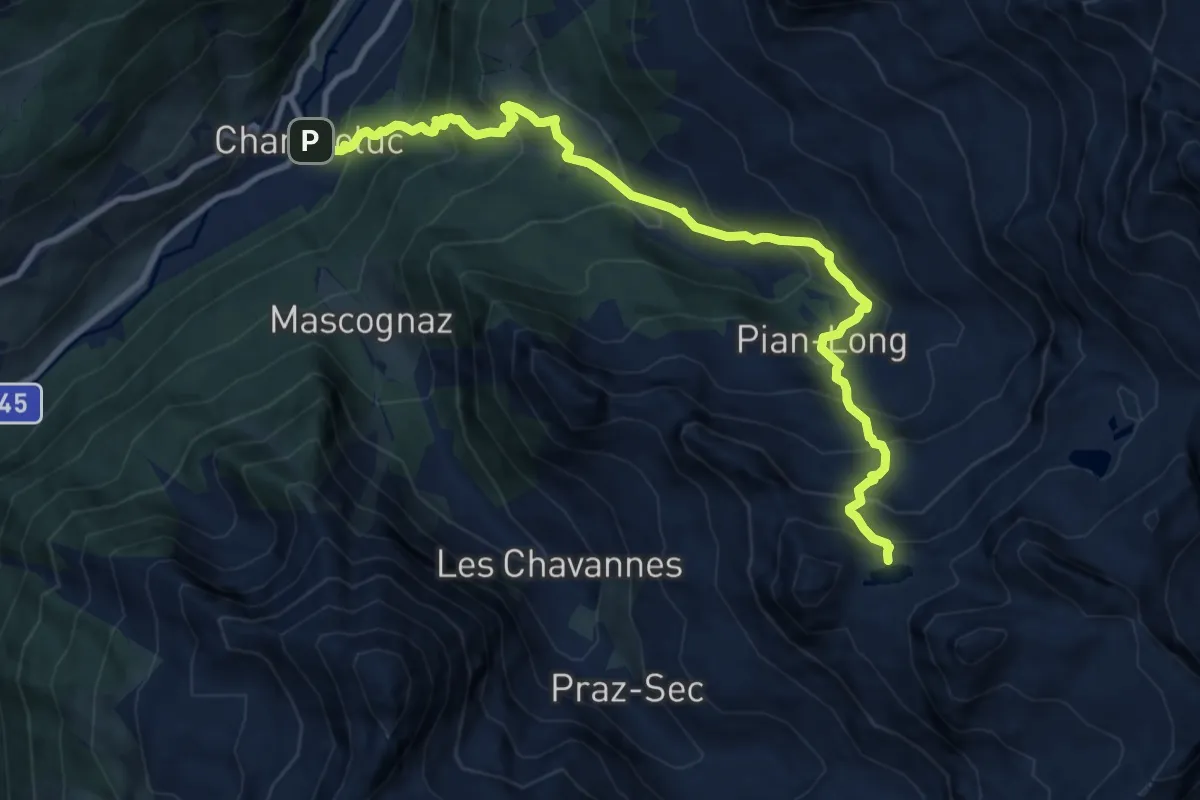
Demanding · Trail
Champoluc – Lacs Perrin
11.8 km · ↑ 1155 m · 5 h 18 min
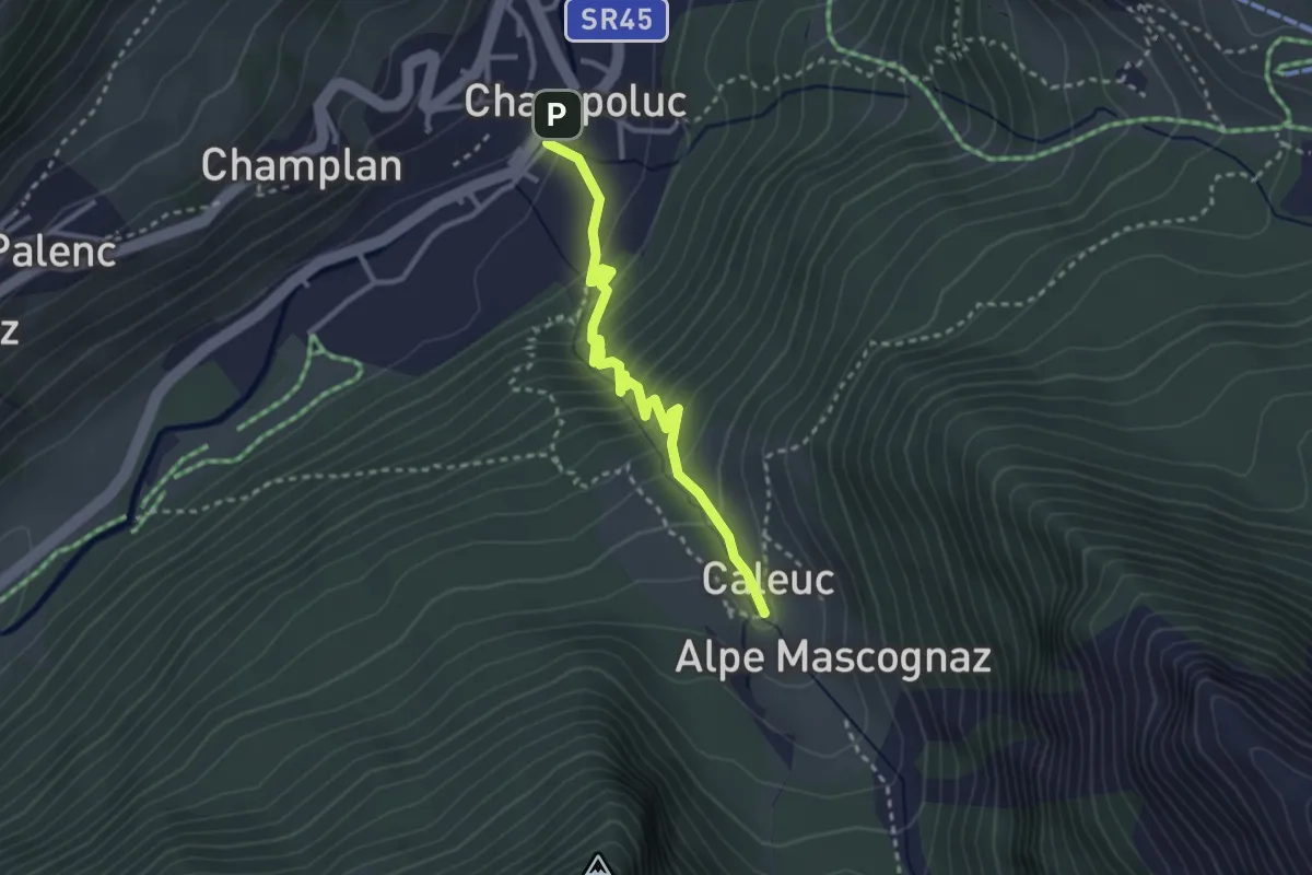
Medium · Trail
Champoluc – Cascata Mascognaz
3.0 km · ↑ 277 m · 1 h 19 min
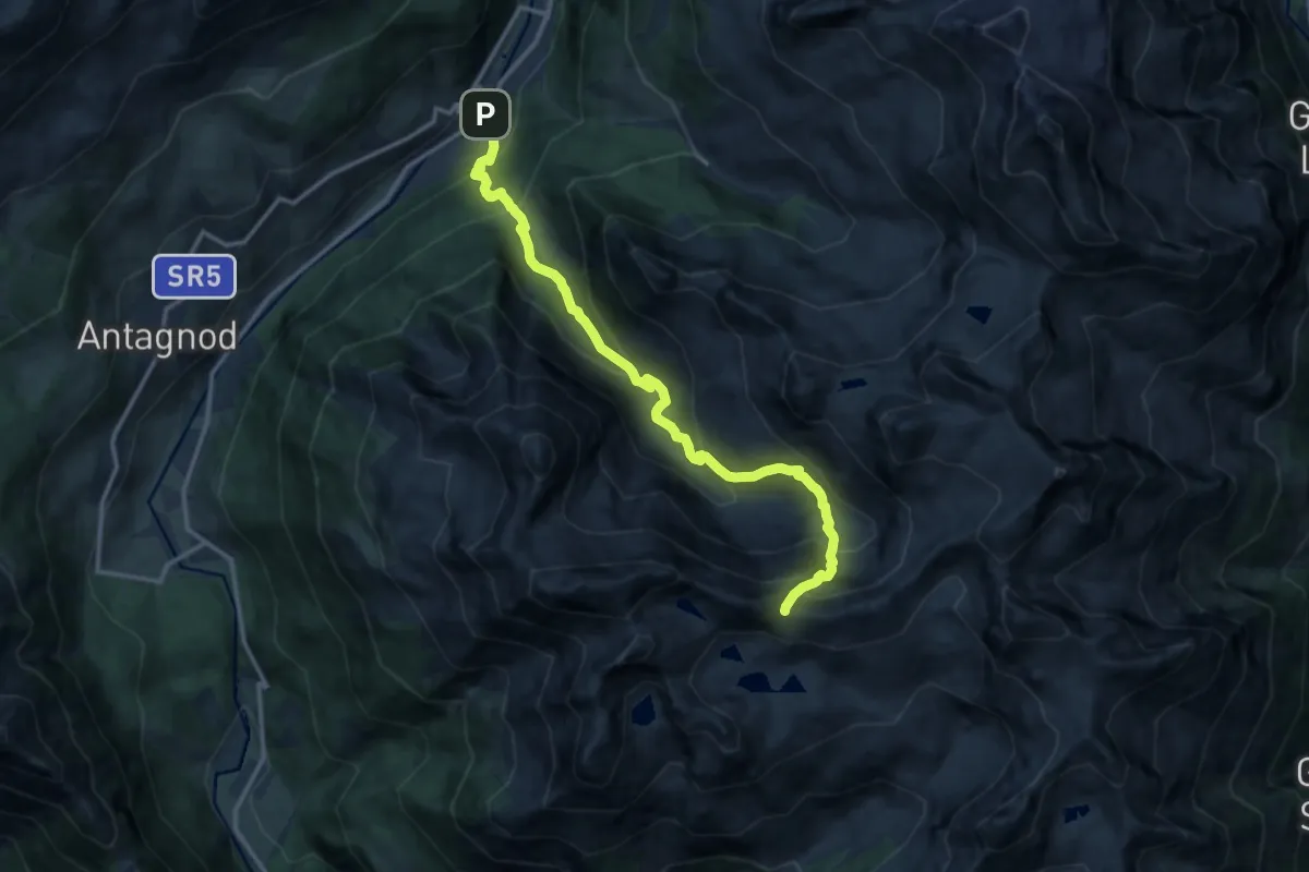
Demanding · Trail
Champoluc – Col Palasinaz
14.1 km · ↑ 1162 m · 5 h 50 min
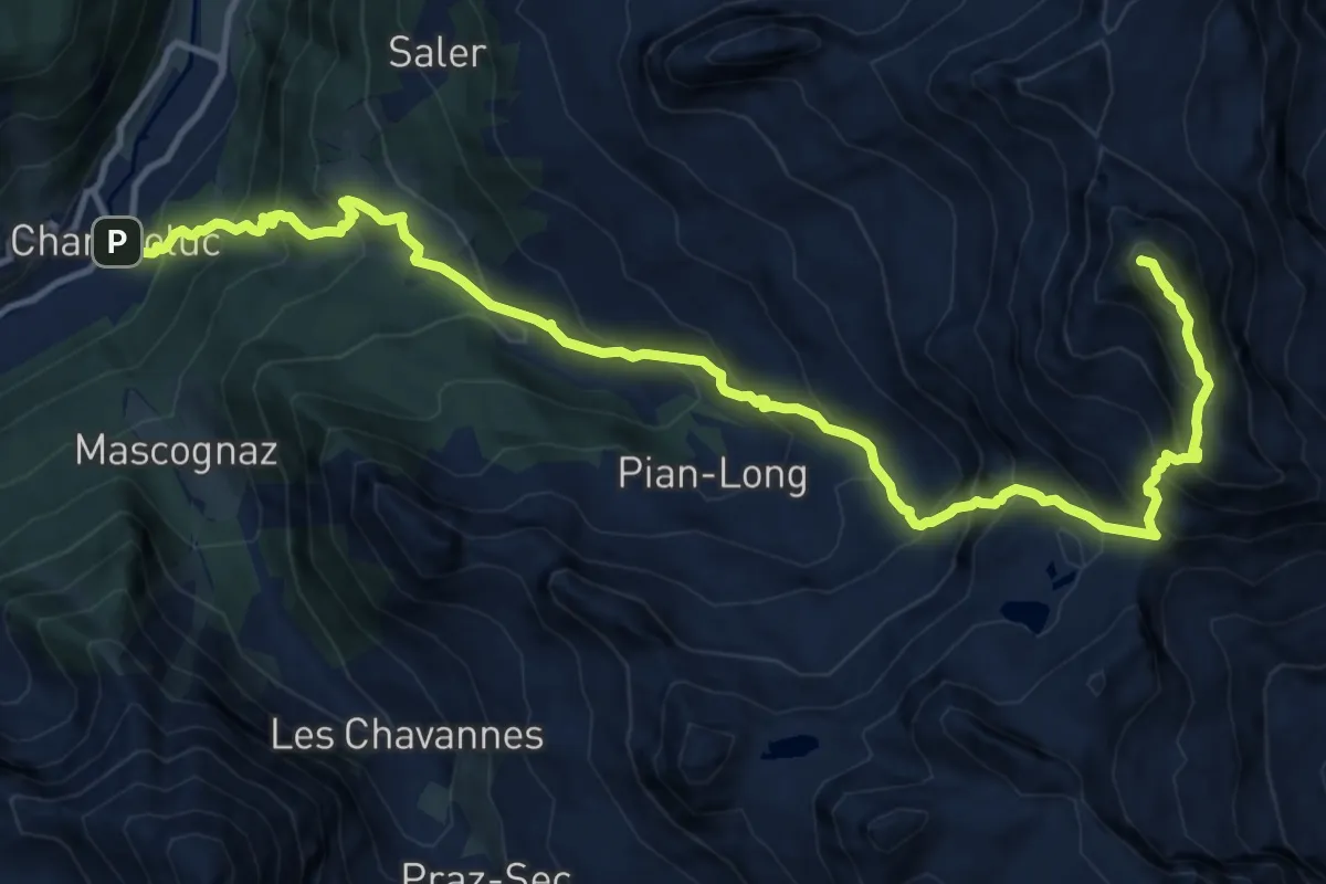
Expert · Summit
Champoluc – Testa Grigia
15.7 km · ↑ 1770 m · 7 h 32 min
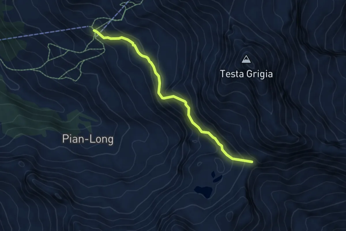
Demanding · Trail
Ostafa – Col du Pinter
5.8 km · ↑ 472 m · 2 h 23 min
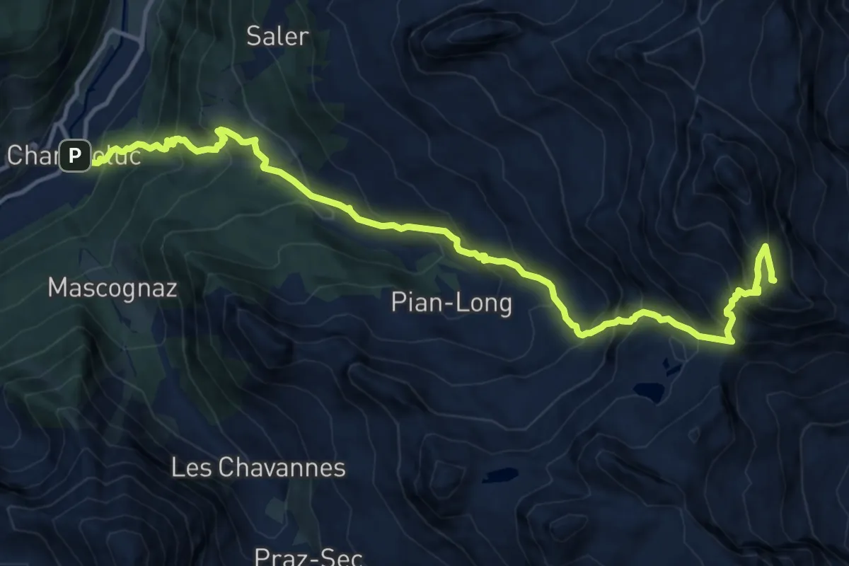
Expert · Summit
Champoluc – Bivacco Lateltin
14.8 km · ↑ 1655 m · 7 h 5 min
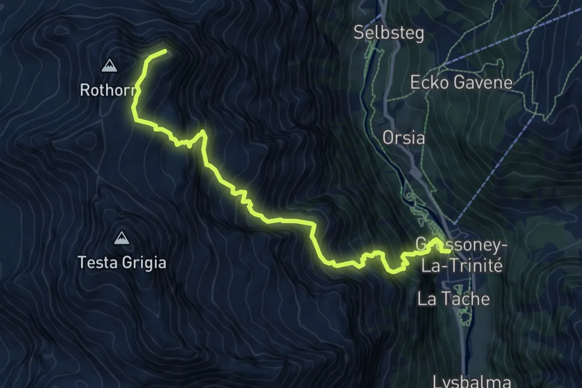
Expert · Summit
Gressoney-la-Trinité – Piccolo Rothorn
10.2 km · ↑ 1533 m · 5 h 43 min