Trails in Italy
25,219 hiking trails, each with its route, climb, walking time and grade.
All trails, page 421 of 526
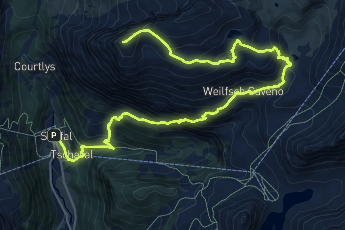
Demanding · Summit
Staffal – Punta Telcio
15.5 km · ↑ 1228 m · 6 h 19 min
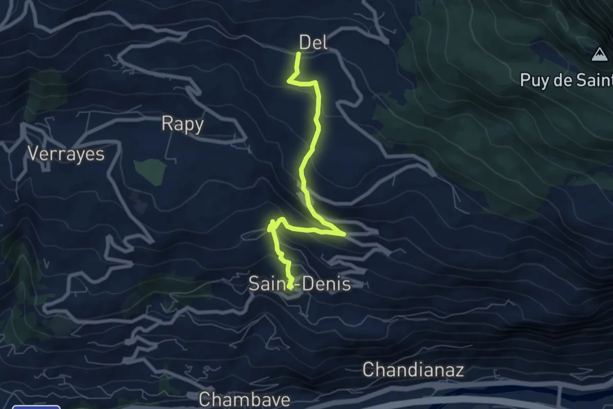
Medium · Trail
Saint-Denis – Del
6.2 km · ↑ 475 m · 2 h 30 min
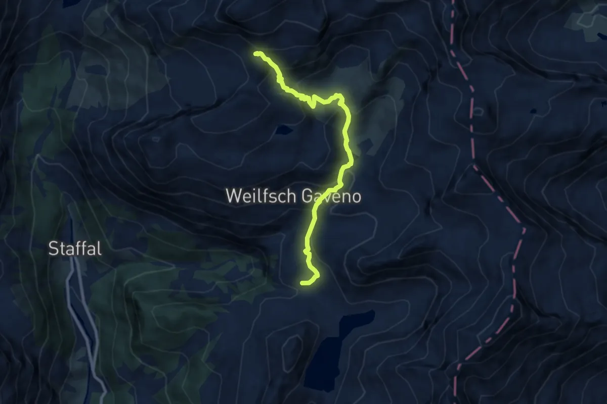
Medium · Trail
Gabiet – Colle Salza
8.3 km · ↑ 577 m · 3 h 12 min
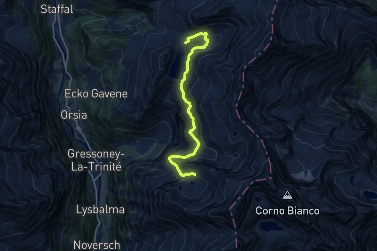
Expert · Cabin
Rifugio Gabiet – Bivacco Gastaldi
10.7 km · ↑ 950 m · 4 h 34 min
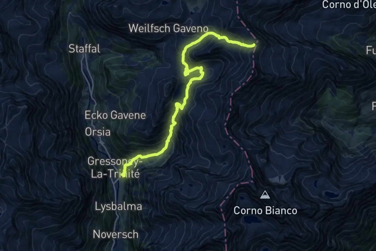
Demanding · Trail
Gressoney-la-Trinité – Passo Zube
17.8 km · ↑ 1420 m · 7 h 17 min
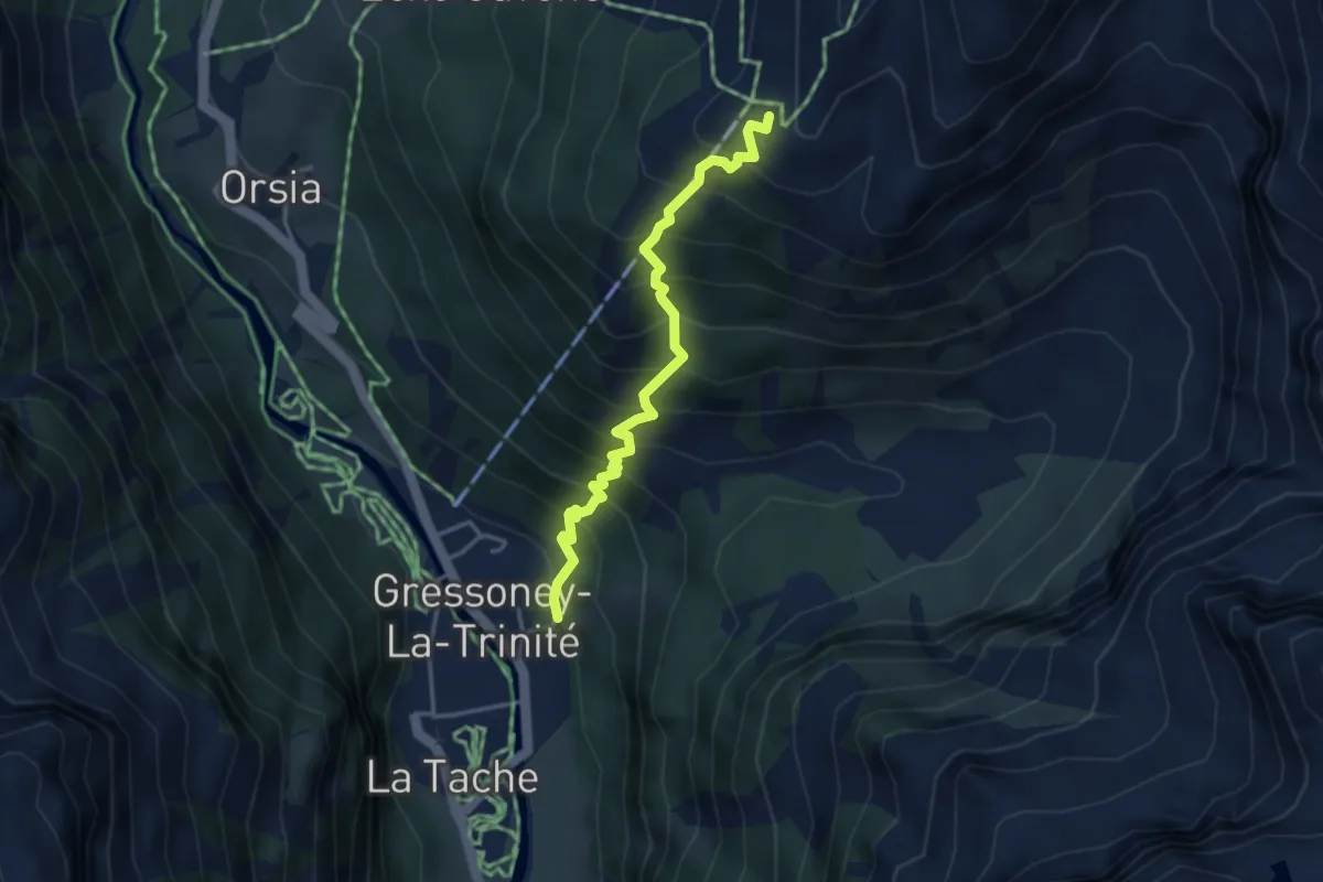
Demanding · Summit
Gressoney - La Trinité – Gabiet
3.7 km · ↑ 578 m · 2 h 8 min
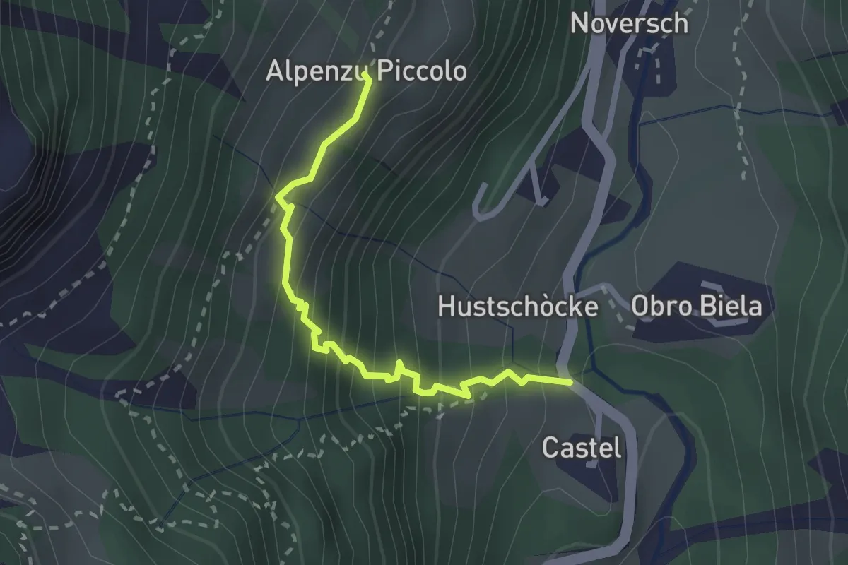
Medium · Trail
Balmeto – Leck Albezò
2.2 km · ↑ 301 m · 1 h 11 min
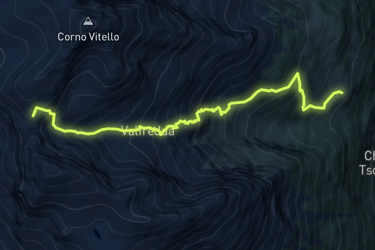
Expert · Cabin
Rifugio Alpenzù – Passo di Valfredda
7.6 km · ↑ 1086 m · 4 h 9 min
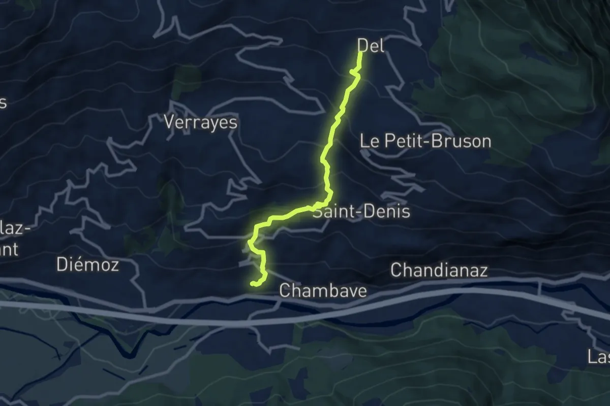
Medium · Trail
Chambave – Del
7.7 km · ↑ 730 m · 3 h 24 min
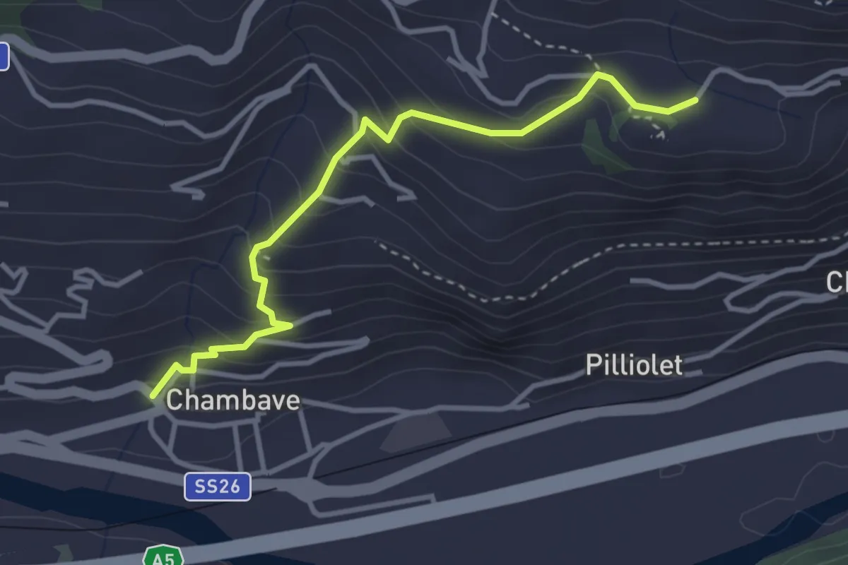
Medium · Trail
Chambave – Château de Cly
3.3 km · ↑ 264 m · 1 h 22 min
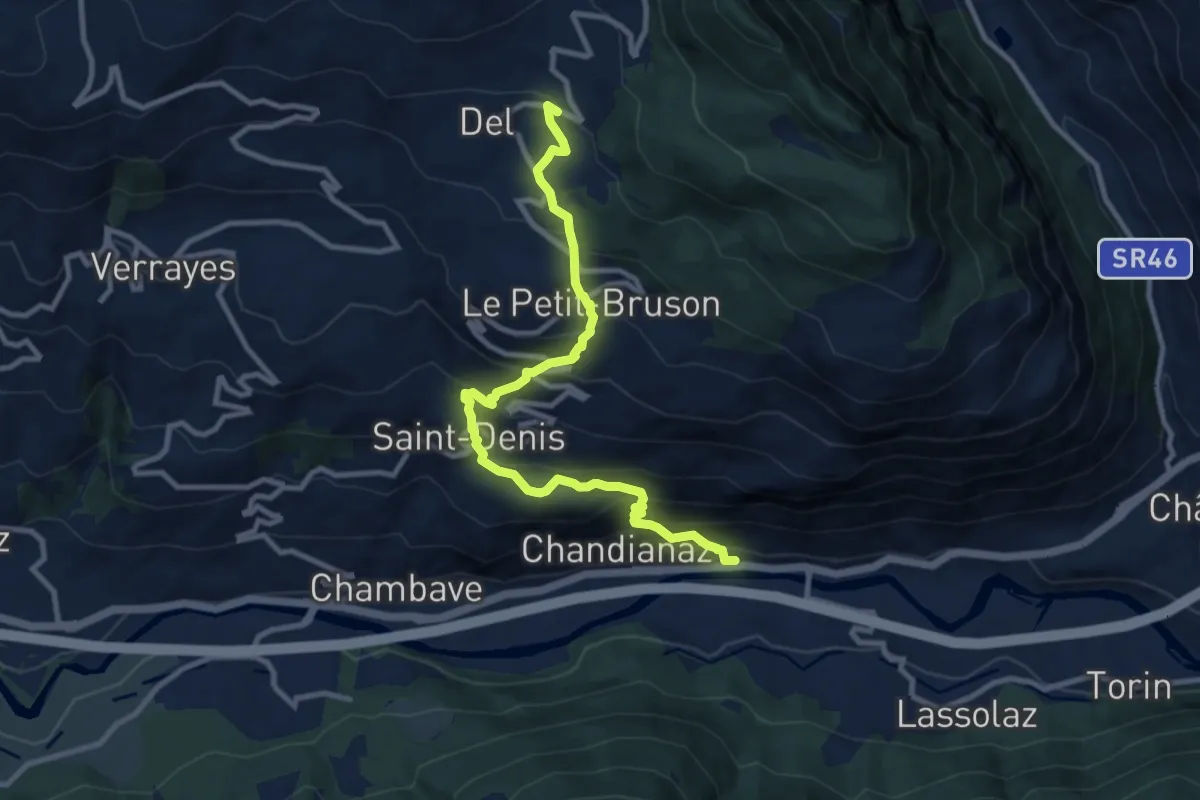
Demanding · Trail
Bedeugaz – Plau
10.4 km · ↑ 855 m · 4 h 18 min
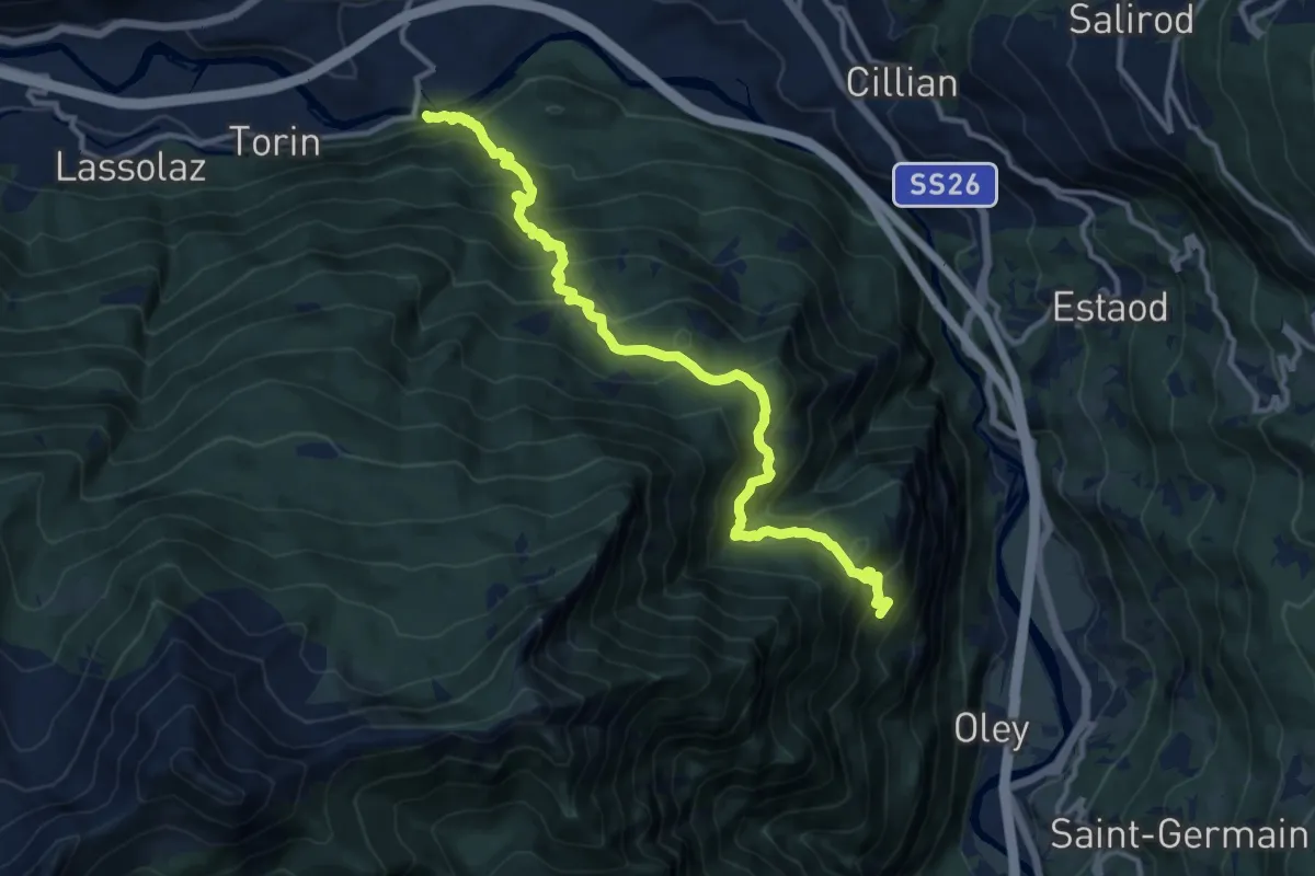
Demanding · Trail
Saint-Clair – Gettaz
13.5 km · ↑ 1120 m · 5 h 36 min
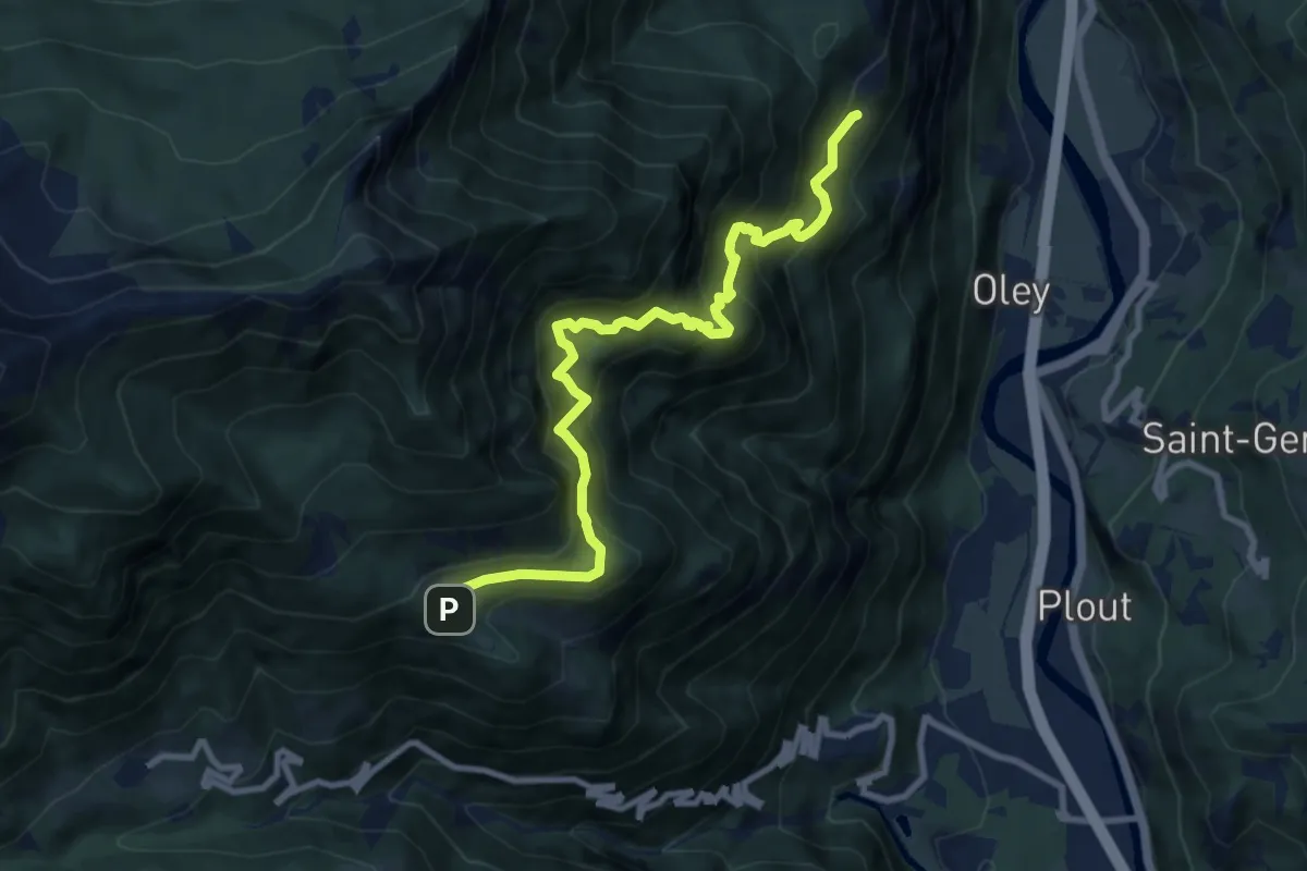
Demanding · Trail
Herin – Gettaz
10.1 km · ↑ 1170 m · 4 h 55 min
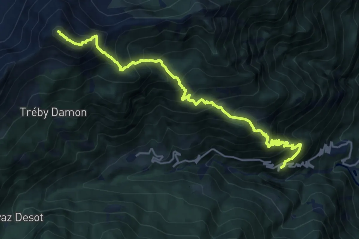
Demanding · Summit
Strada per Veulla – Mont Barbeston
14.4 km · ↑ 1748 m · 7 h 11 min
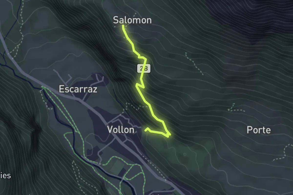
Medium · Trail
Vollon (Brusson) – Salomon
2.7 km · ↑ 330 m · 1 h 21 min
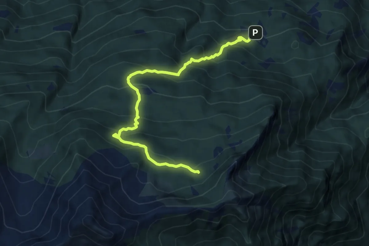
Demanding · Trail
Bellecombe – Thoule
11.2 km · ↑ 893 m · 4 h 35 min
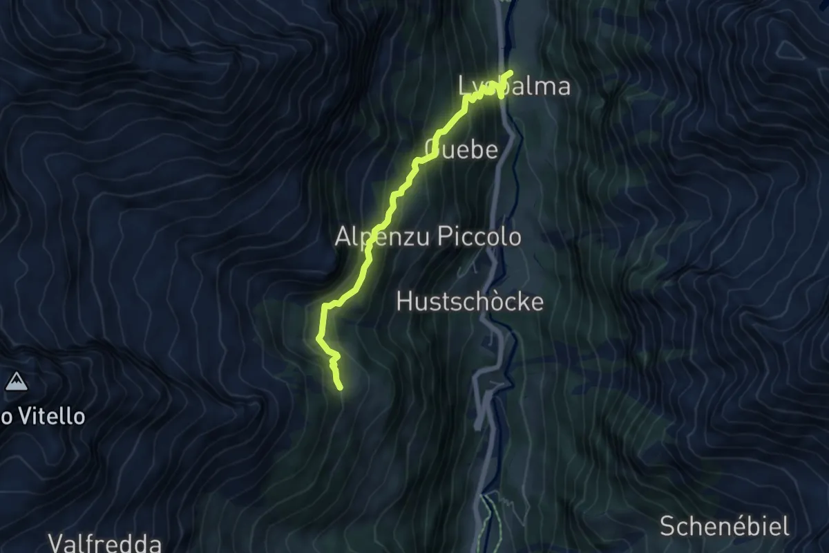
Demanding · Trail
Lysbalma – Ondermonté
5.4 km · ↑ 498 m · 2 h 22 min
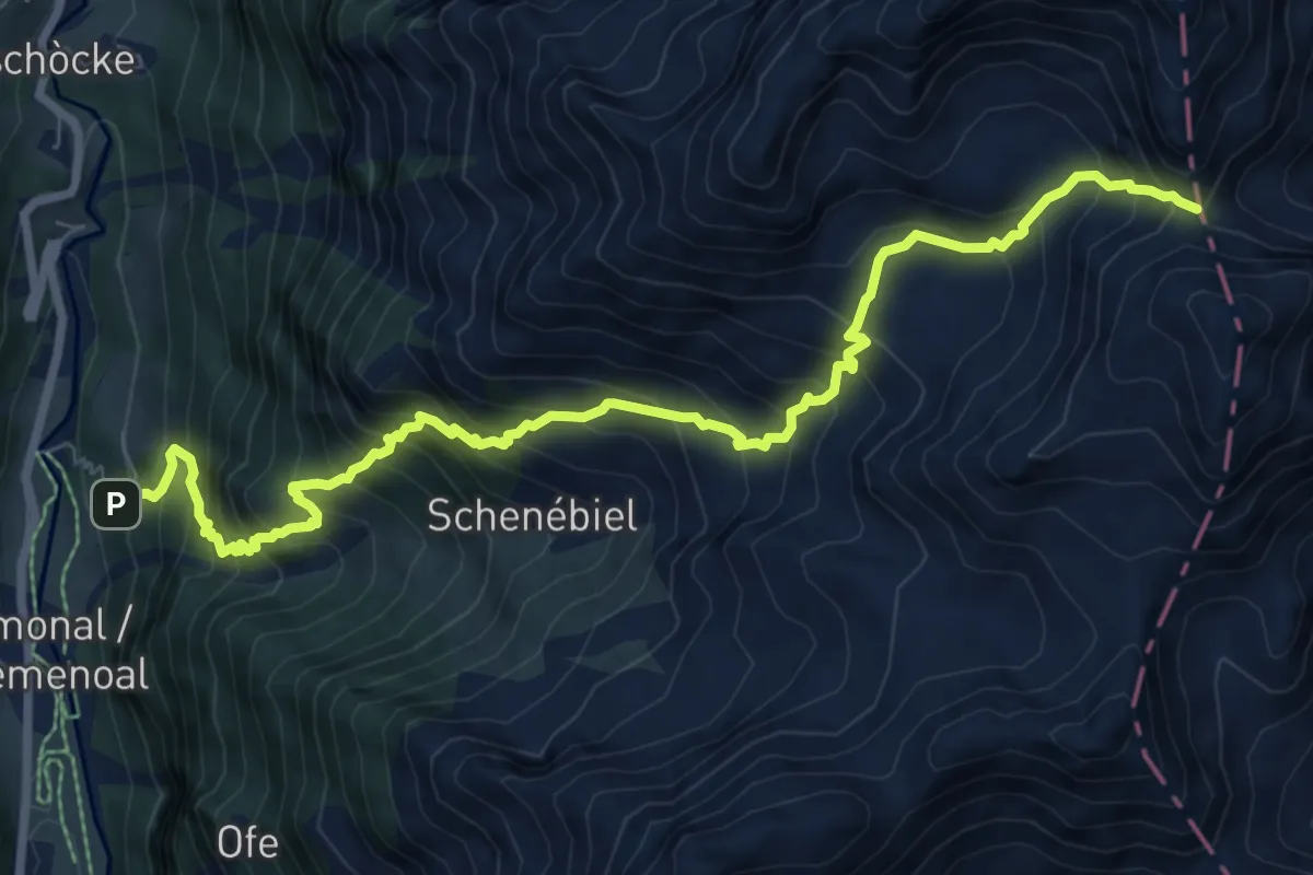
Demanding · Trail
Rong – Passo dell'Alpetto
9.4 km · ↑ 1310 m · 5 h 4 min
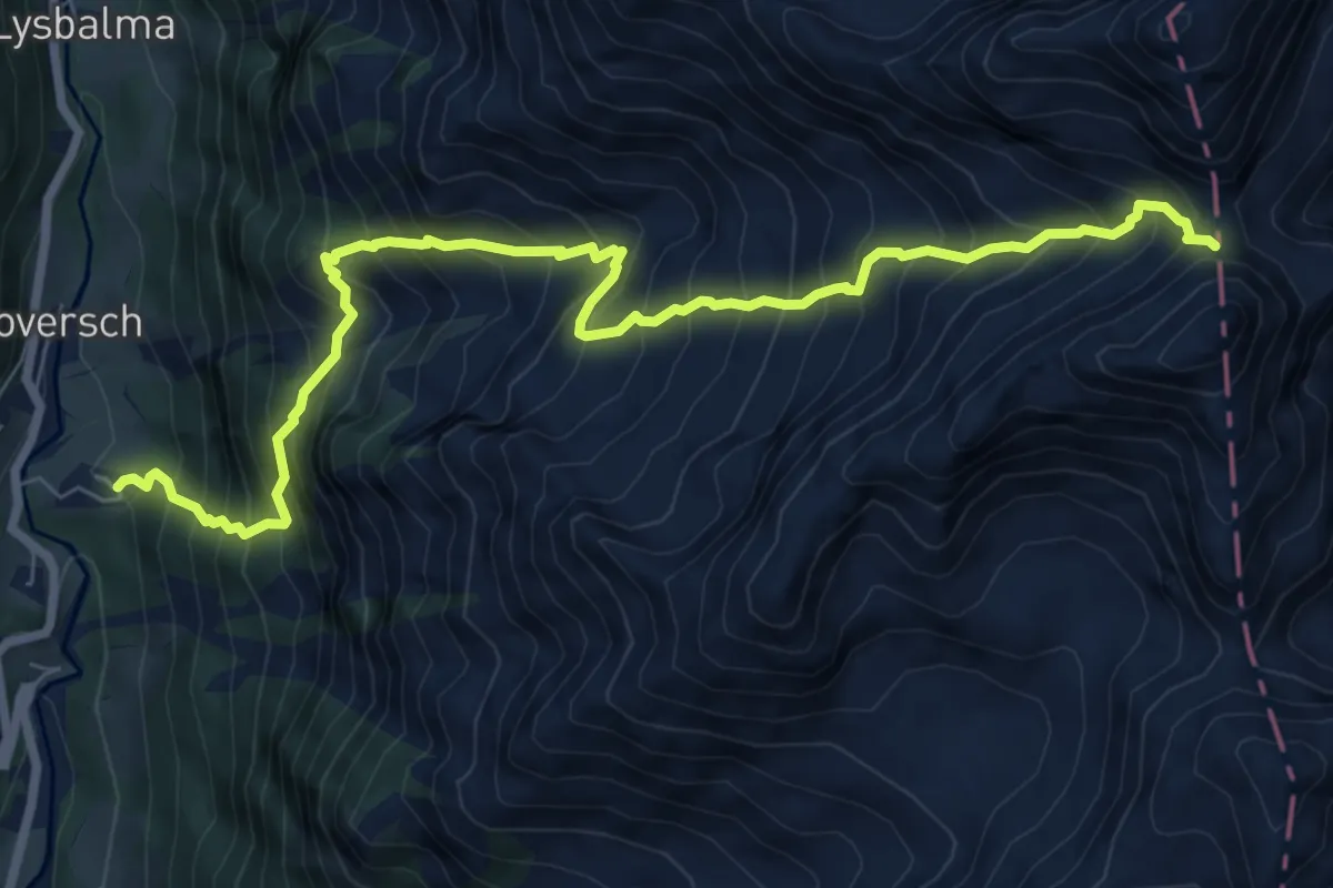
Demanding · Trail
Obrò Biela – Passo di Rissuolo
9.0 km · ↑ 1415 m · 5 h 11 min
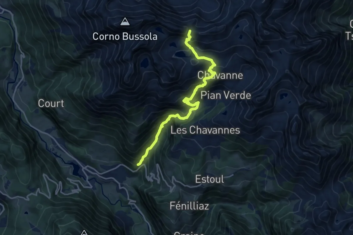
Demanding · Trail
La Manda – Col Palasina
13.2 km · ↑ 1221 m · 5 h 45 min
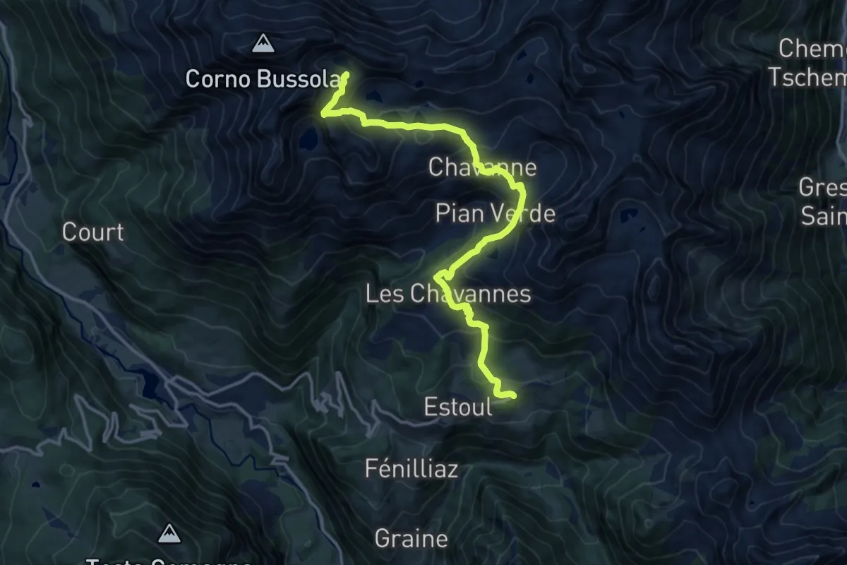
Demanding · Trail
Estoul – Lago Lungo
14.4 km · ↑ 887 m · 5 h 19 min
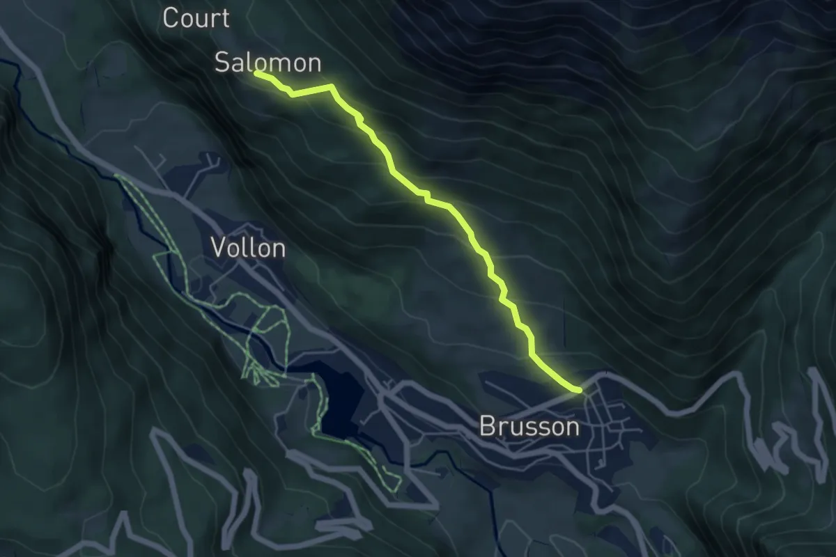
Medium · Trail
Pilaz – Salomon
4.7 km · ↑ 343 m · 1 h 51 min
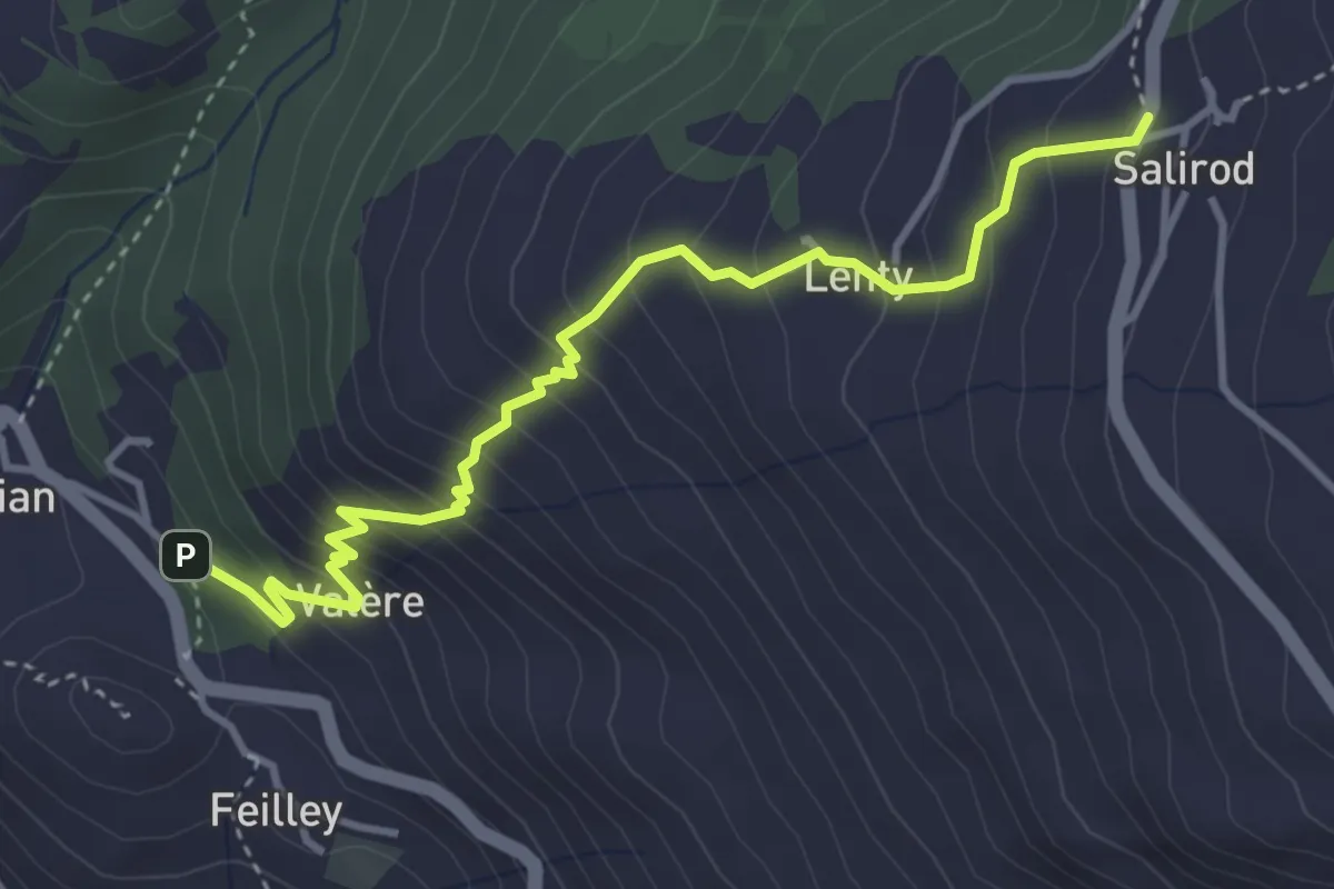
Medium · Trail
Perrelaz – Salirod
4.1 km · ↑ 430 m · 1 h 55 min
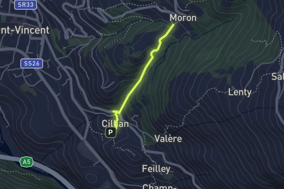
Medium · Trail
Ponte Romano – Moron
2.5 km · ↑ 188 m · 1 h 1 min
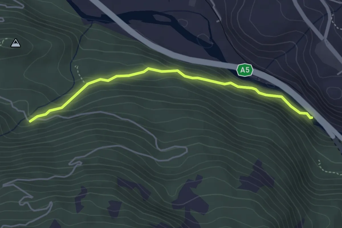
Easy · Trail
Ponte delle Capre – Ussel
4.0 km · ↑ 249 m · 1 h 29 min
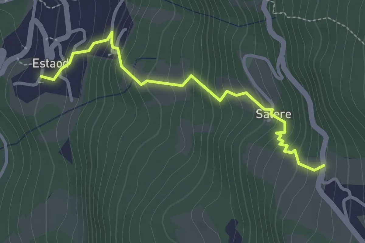
Medium · Trail
Estaod (Montjovet) – Emarèse
2.7 km · ↑ 292 m · 1 h 16 min
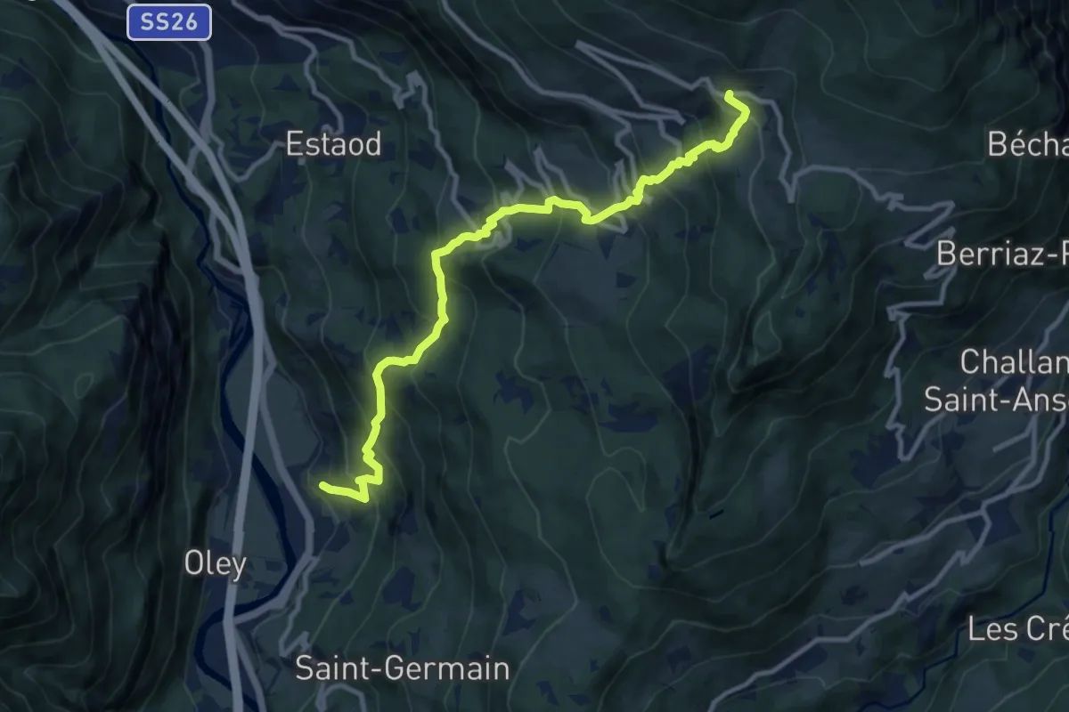
Demanding · Trail
Toffo (Montjovet) – Sommarèse
11.2 km · ↑ 1100 m · 5 h 1 min
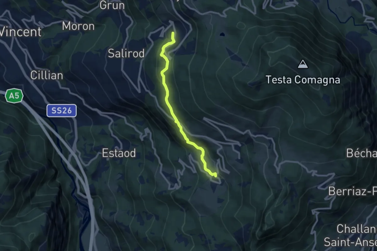
Medium · Trail
Erésaz – Grand Rhun
7.0 km · ↑ 368 m · 2 h 27 min
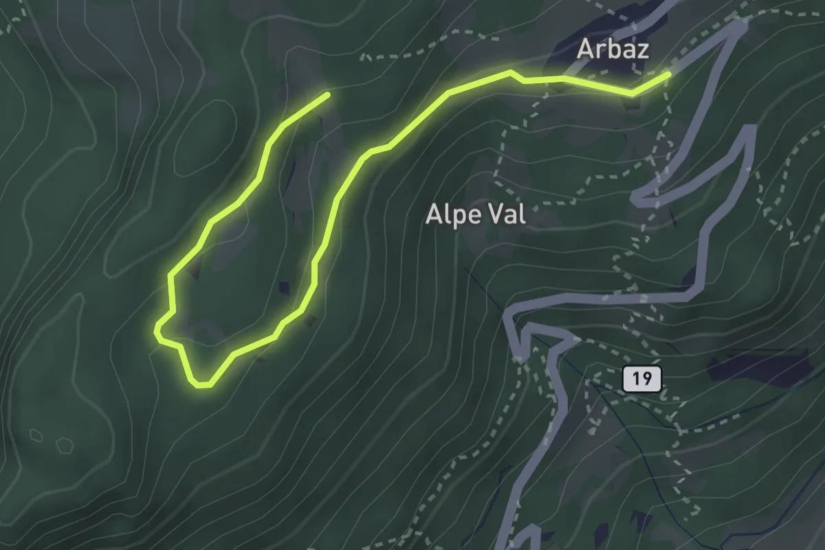
Easy · Trail
Arbaz – Mont d'Arbaz
3.8 km · ↑ 136 m · 1 h 11 min
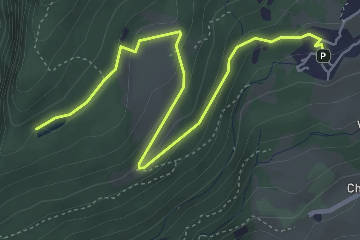
Easy · Trail
Orbeillaz – Pian Abelly
4.6 km · ↑ 173 m · 1 h 28 min
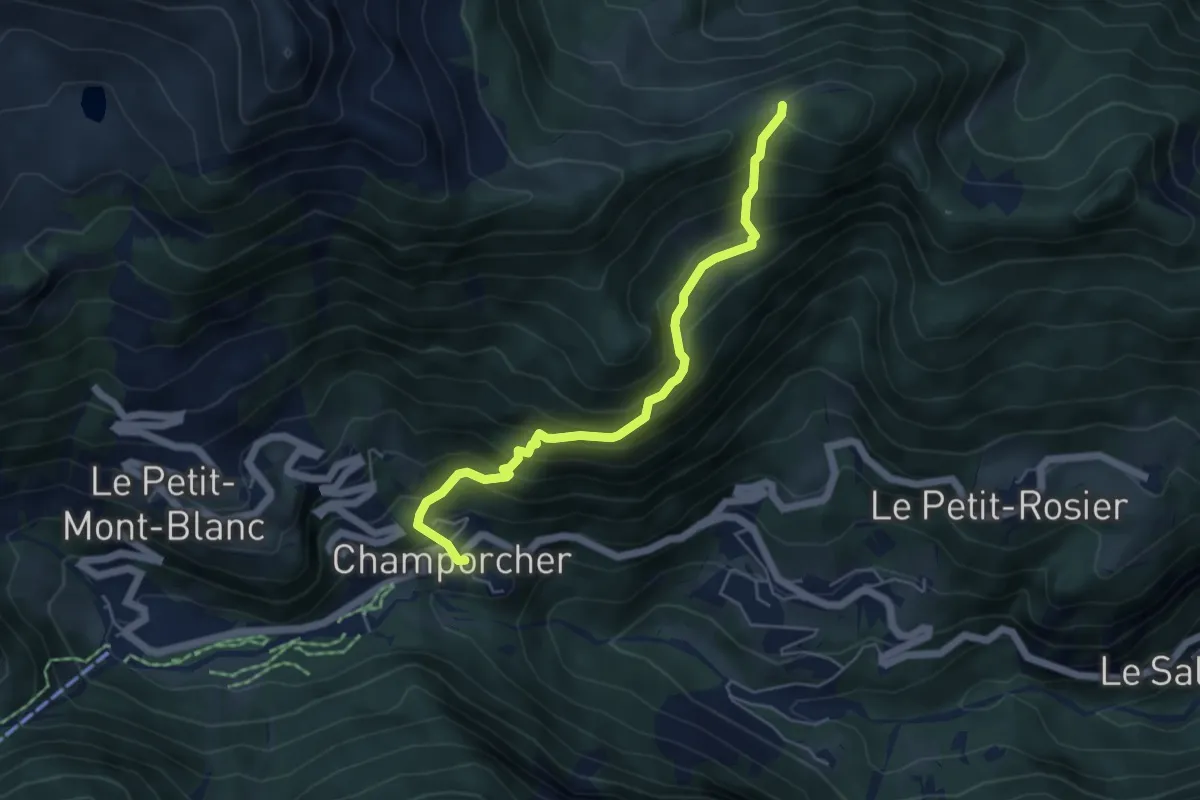
Medium · Trail
Gontier – Col d'Arcomy
5.2 km · ↑ 546 m · 2 h 25 min
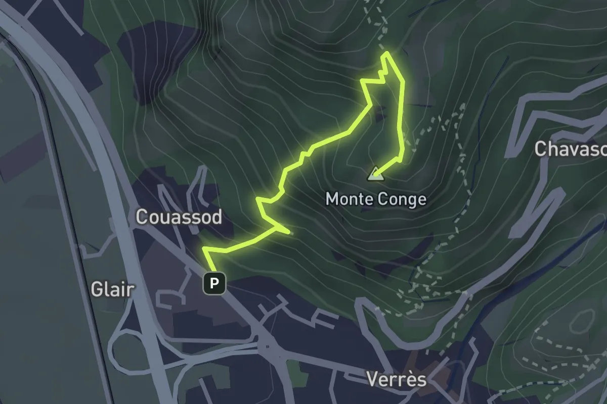
Medium · Summit
Strada Statale 26 – Croix de Saint-Gilles
2.7 km · ↑ 377 m · 1 h 27 min
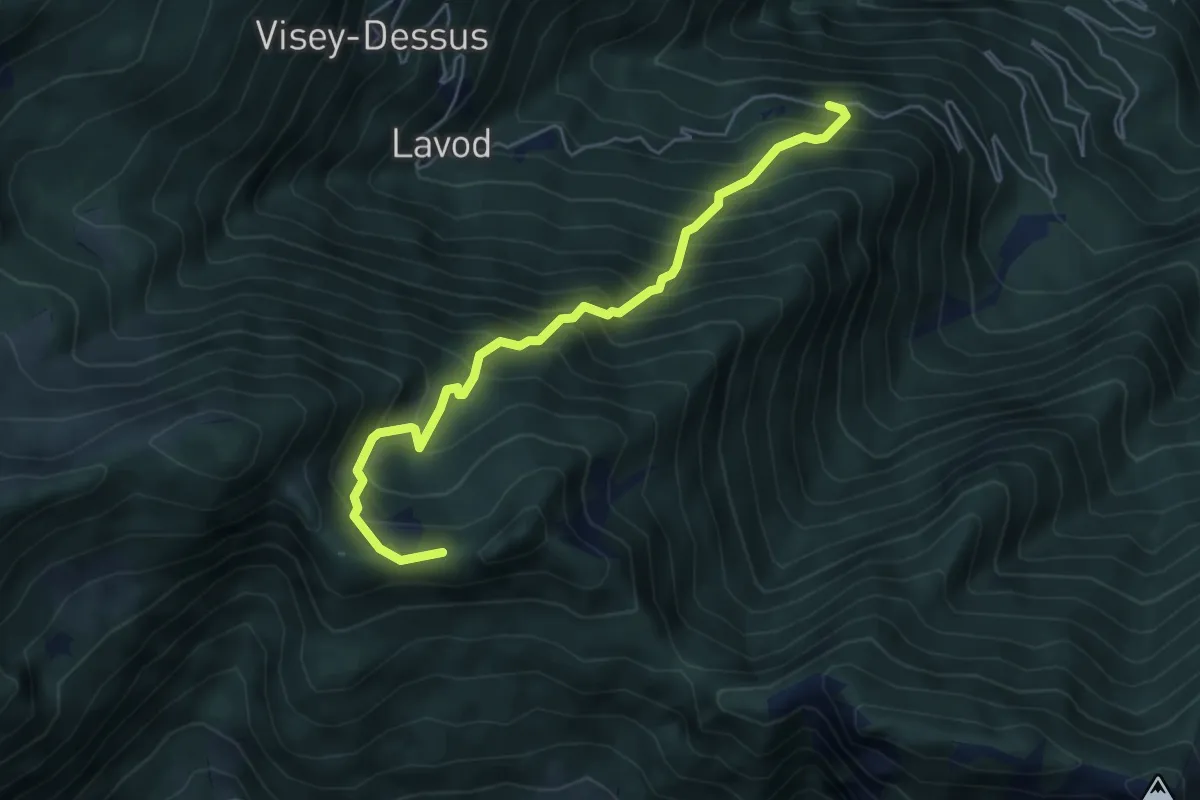
Medium · Summit
Castagnot – Colle d'Arcomy
5.7 km · ↑ 778 m · 3 h 1 min
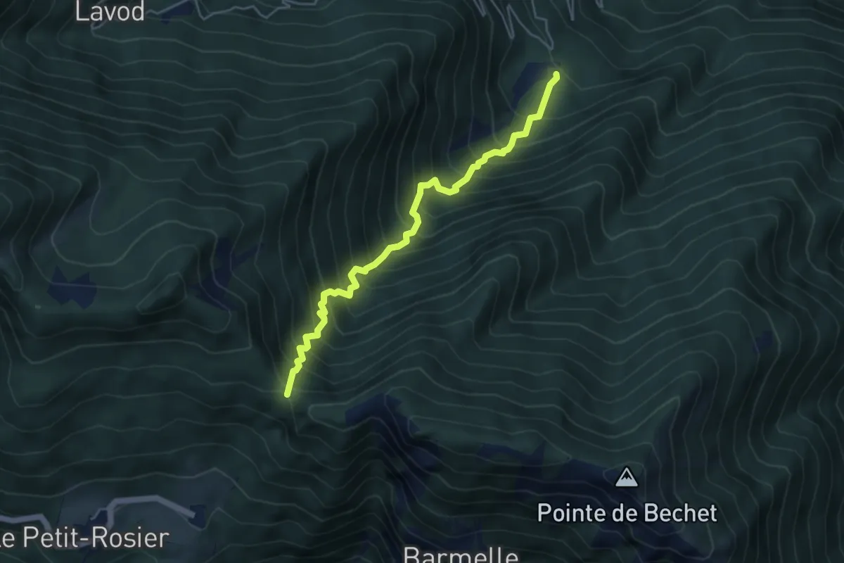
Demanding · Trail
Saint-Roch – Col de Plan Fenetre
4.8 km · ↑ 824 m · 2 h 55 min
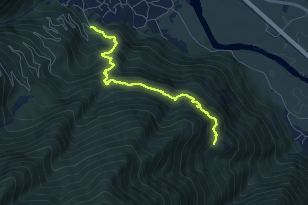
Medium · Trail
Poline desot – Ronchas
5.7 km · ↑ 781 m · 3 h 3 min
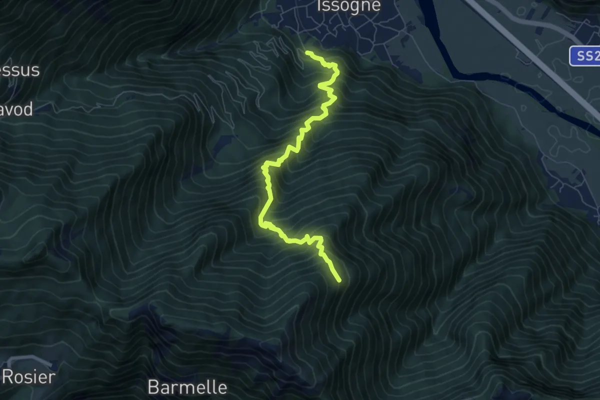
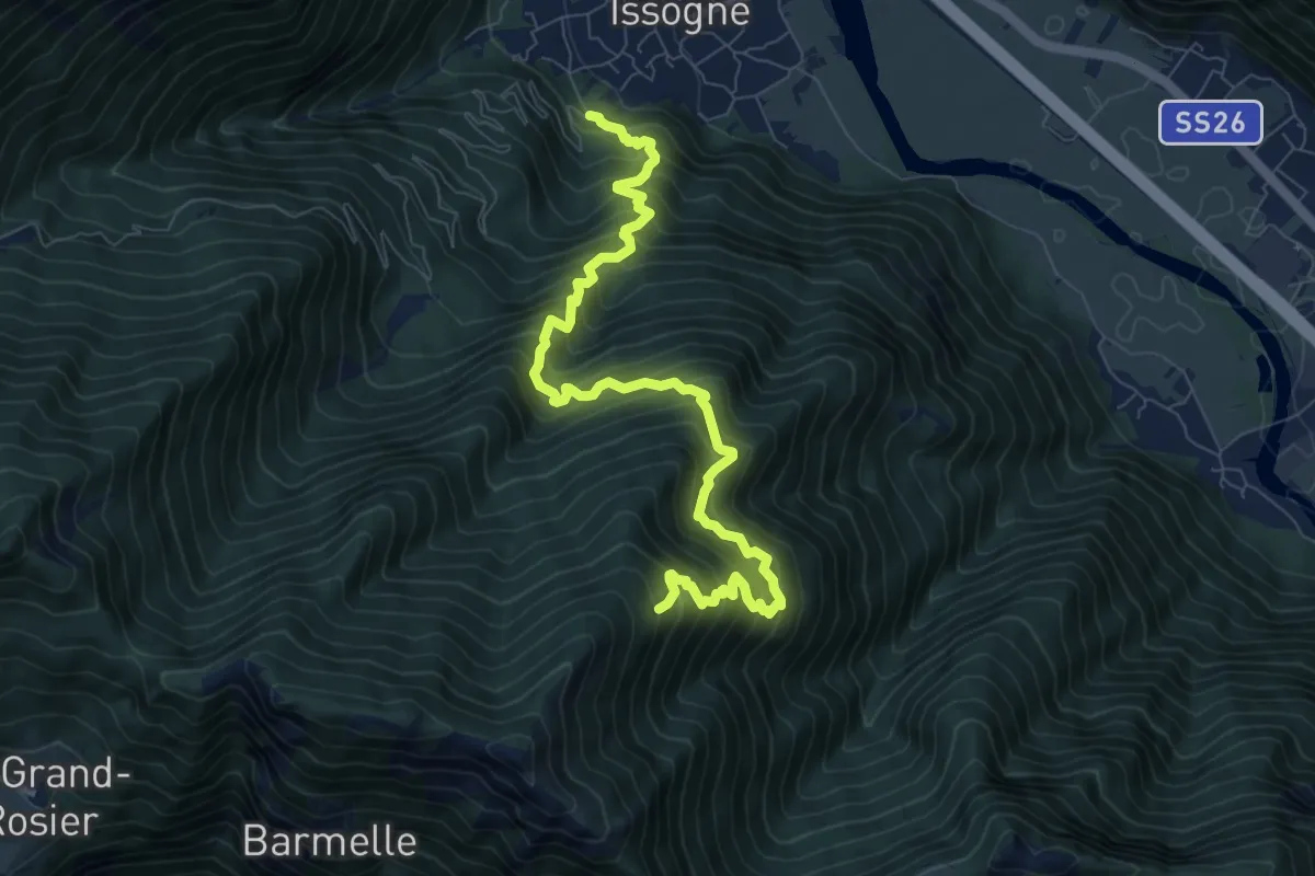
Demanding · Trail
Saint-Roch – La Borney
7.6 km · ↑ 1123 m · 4 h 13 min
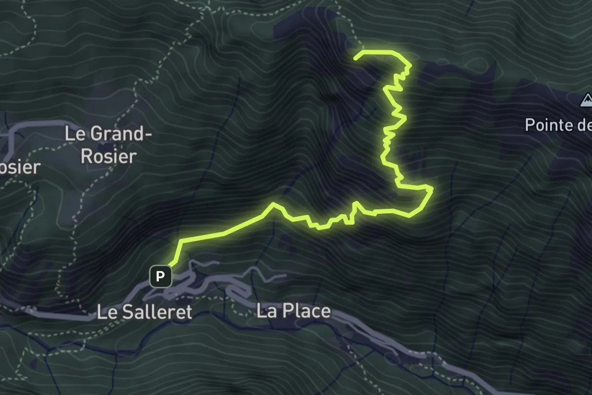
Demanding · Trail
Saint-Roch – La Borney
9.6 km · ↑ 1336 m · 5 h 9 min
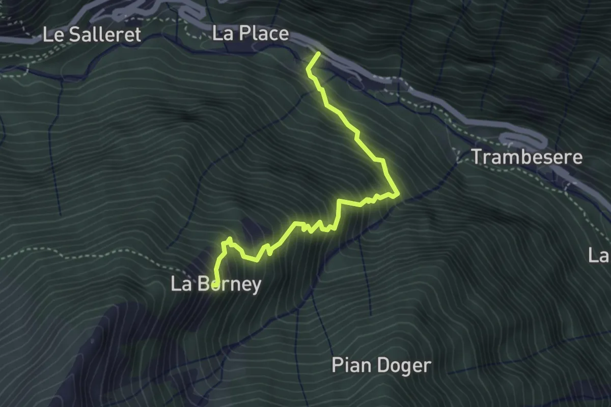
Demanding · Summit
Dublanc – Tete du Mont
5.3 km · ↑ 924 m · 3 h 15 min
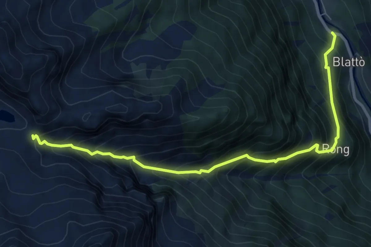
Medium · Trail
Frassiney – Borney
3.7 km · ↑ 603 m · 2 h 11 min
Demanding · Trail
Zer Trino – Passo Frudière
7.4 km · ↑ 1002 m · 3 h 55 min
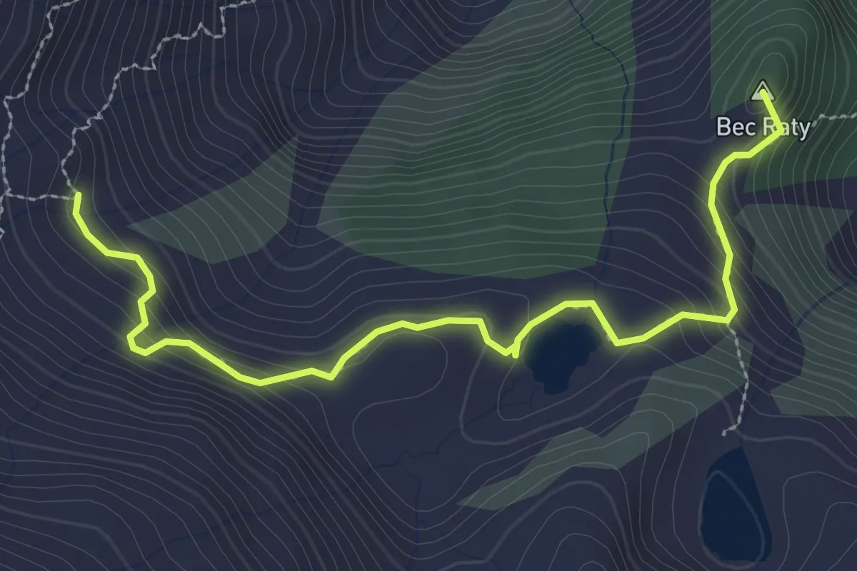
Medium · Summit
Fournier – Mandaz
3.3 km · ↑ 229 m · 1 h 16 min
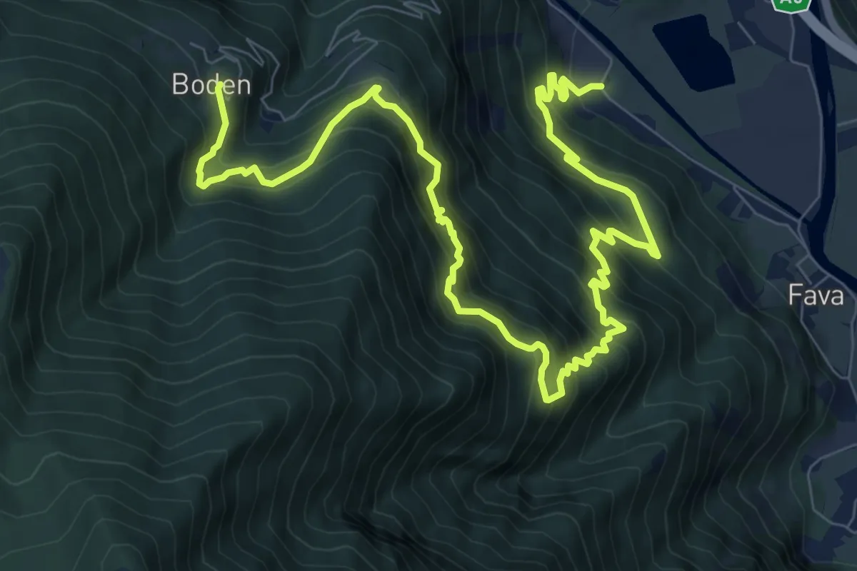
Demanding · Trail
Mure – Boden
12.4 km · ↑ 1404 m · 5 h 59 min
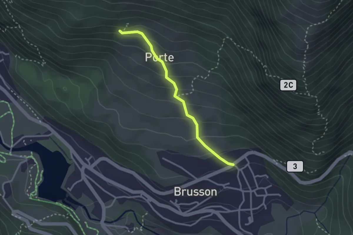
Easy · Trail
Pilaz – Fontaines de Goillaz
2.4 km · ↑ 170 m · 56 min
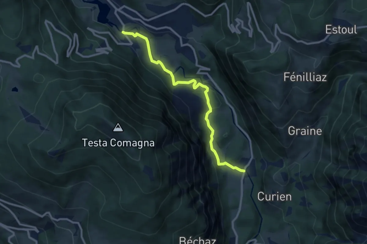
Easy · Trail
Arcesaz – Strada regionale 33 nei pressi del torrente Evançon (Brusson)
7.3 km · ↑ 202 m · 2 h 10 min
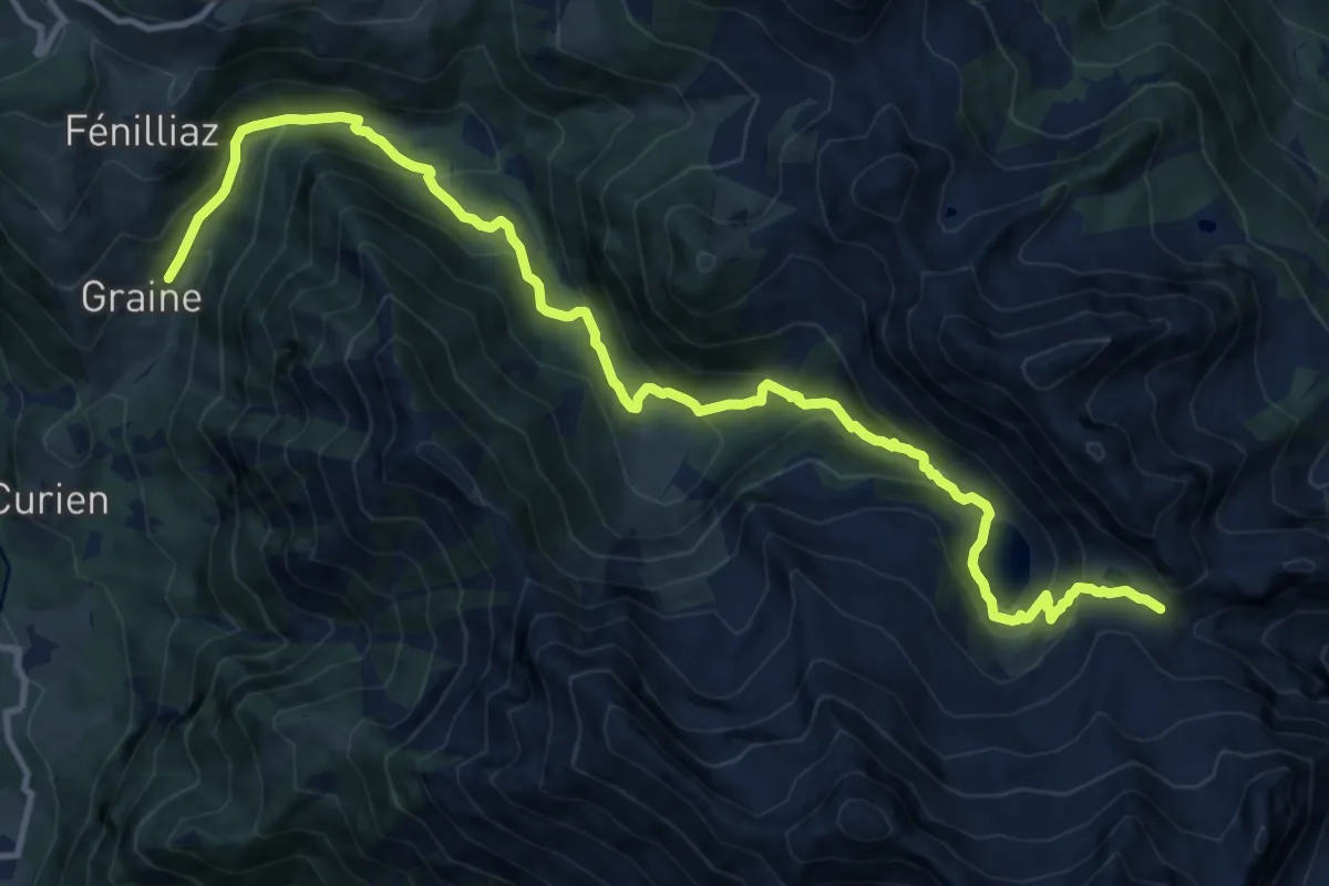
Demanding · Trail
Graines – Col de Frudière
15.0 km · ↑ 939 m · 5 h 35 min
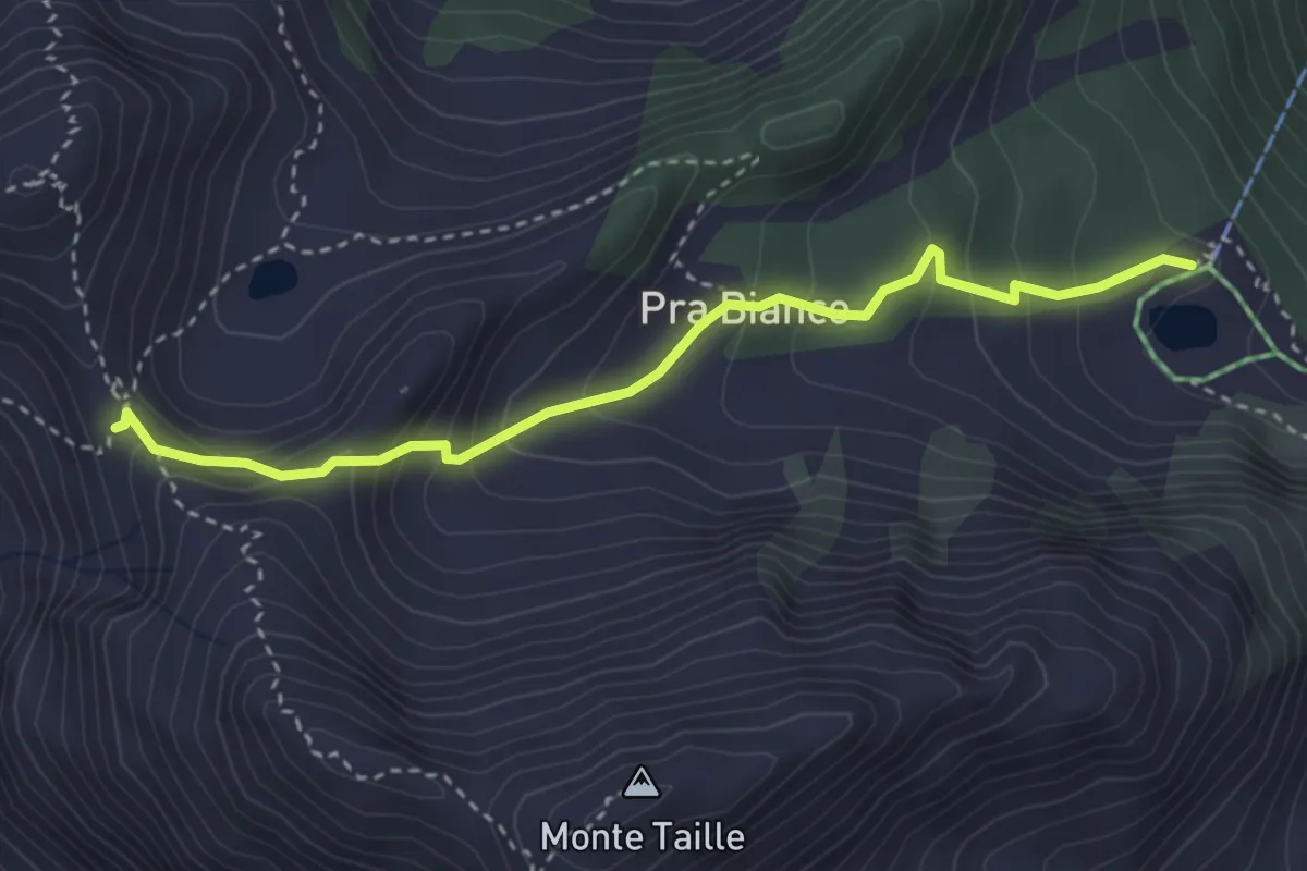
Expert · Trail
Weissmatten – Colle di Garda
3.5 km · ↑ 311 m · 1 h 29 min
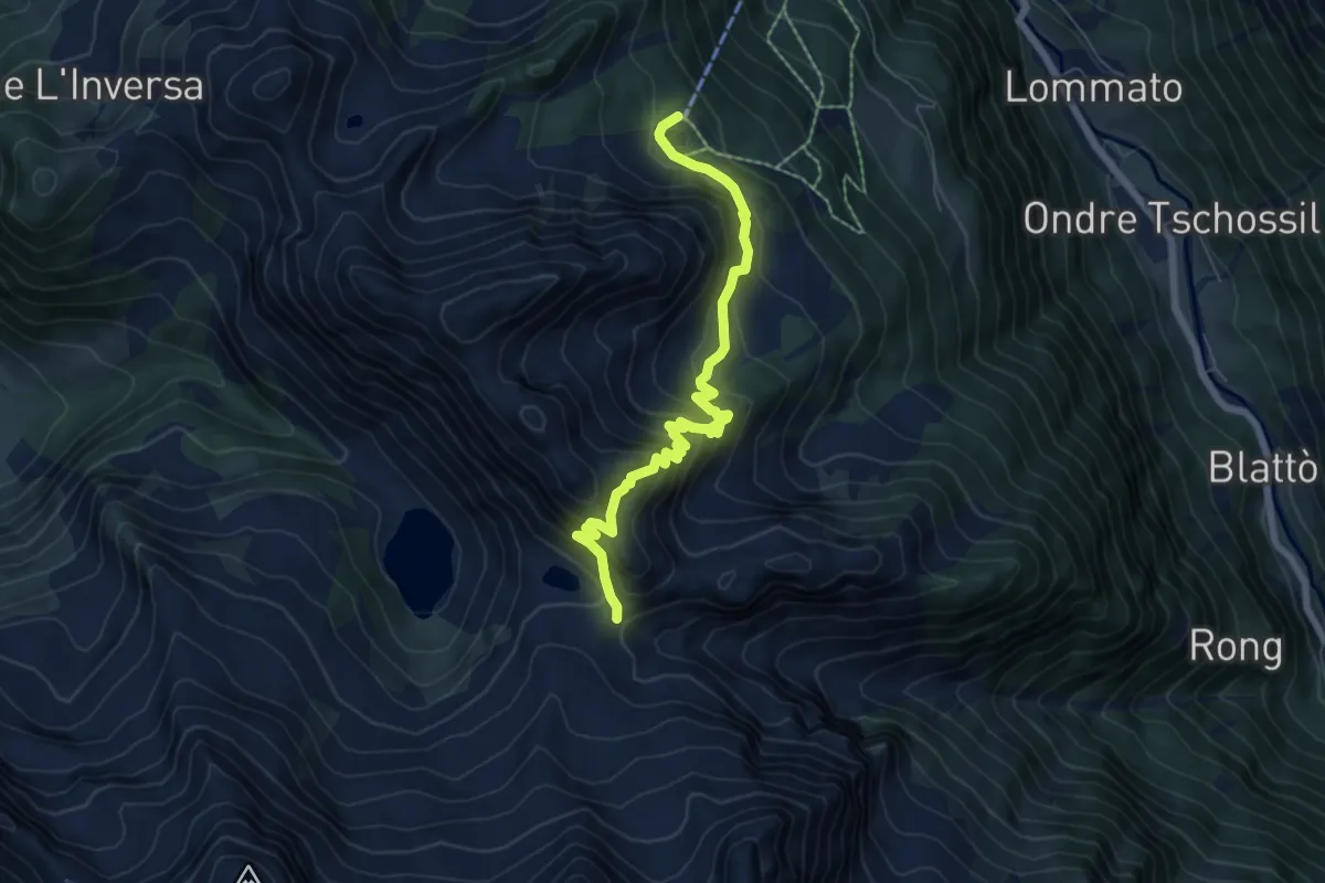
Demanding · Trail
Weissmatten – Passo Frudière
6.8 km · ↑ 606 m · 2 h 55 min
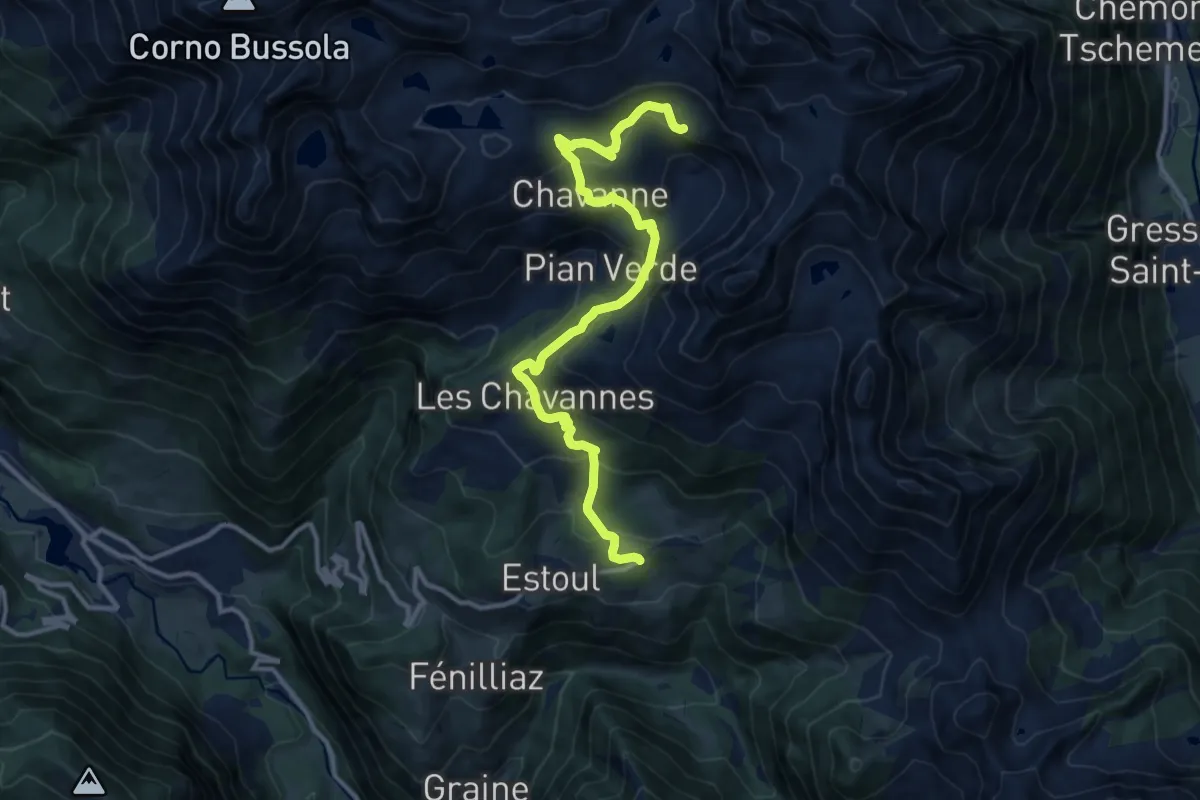
Demanding · Cabin
Strada per Estoul – Rifugio Arp
12.5 km · ↑ 687 m · 4 h 26 min