Trails in Italy
25,219 hiking trails, each with its route, climb, walking time and grade.
All trails, page 422 of 526
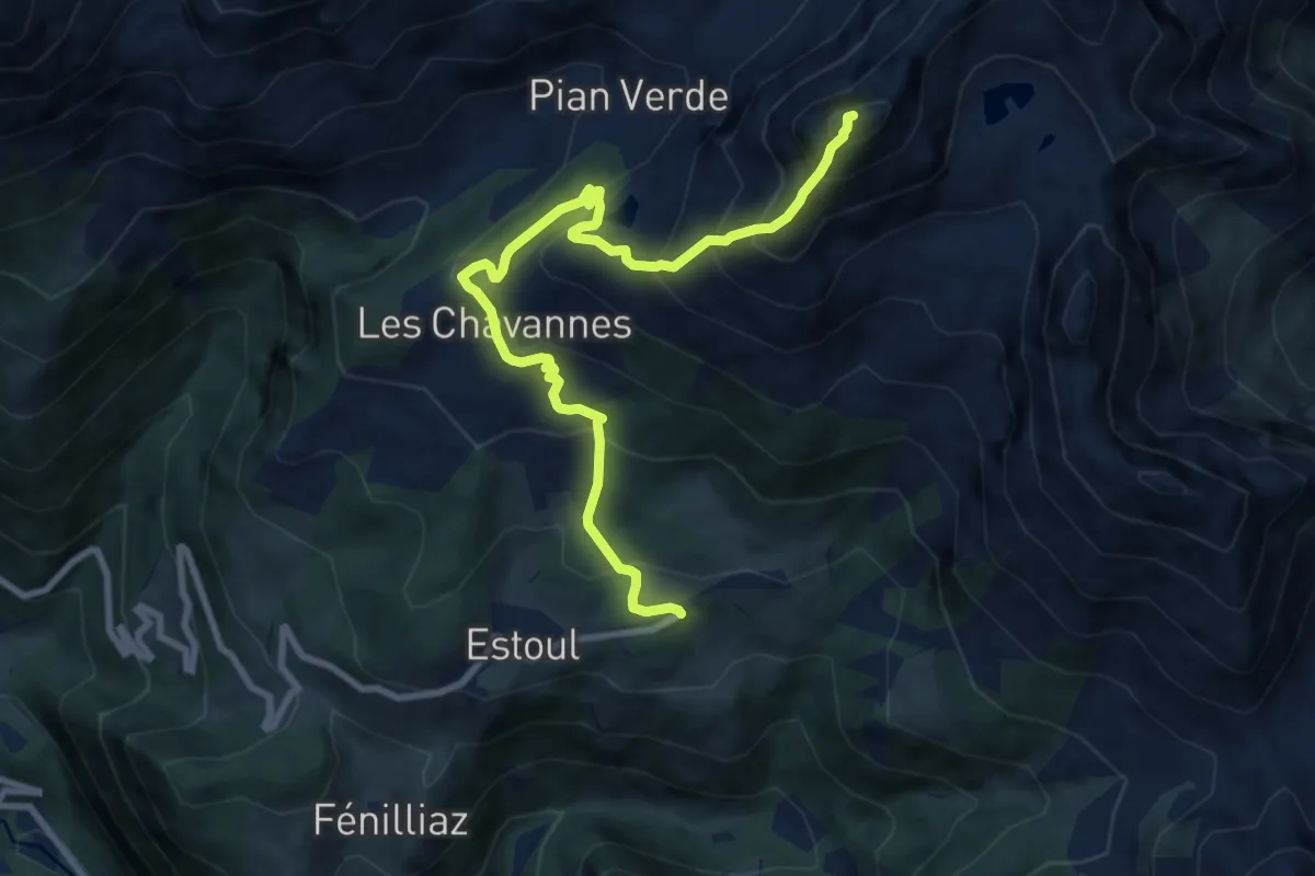
Expert · Summit
Strada per Estoul – Mont Bieteron
9.5 km · ↑ 874 m · 4 h 8 min
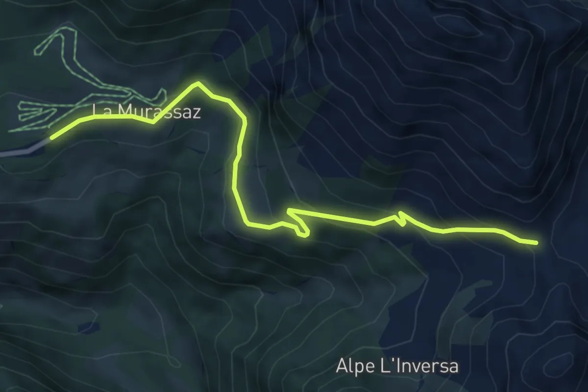
Medium · Trail
Strada per Estoul – Col Ranzola
6.8 km · ↑ 309 m · 2 h 16 min
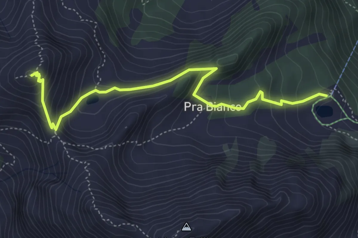
Medium · Summit
Strada per Tschalvrino – Punta Regina
5.0 km · ↑ 403 m · 2 h 3 min
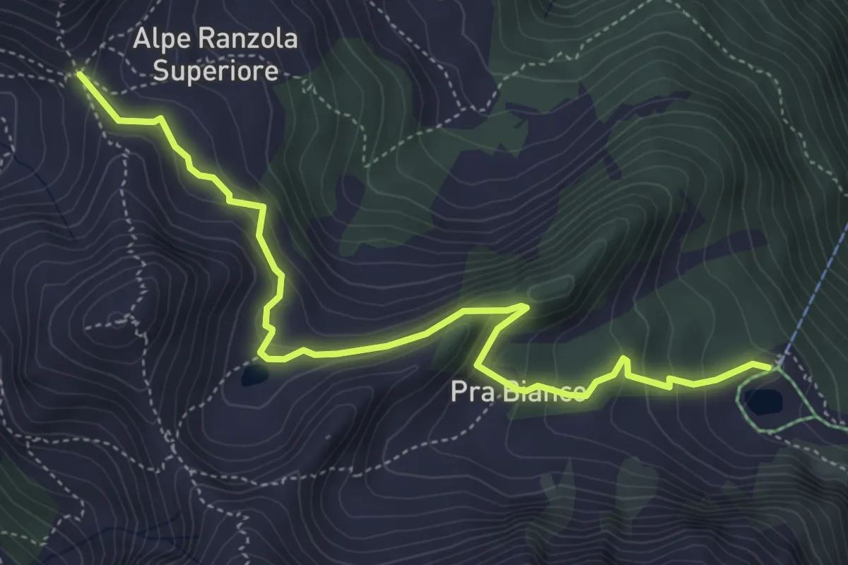
Medium · Trail
Wiessmatten – Col Ranzola
5.5 km · ↑ 382 m · 2 h 7 min
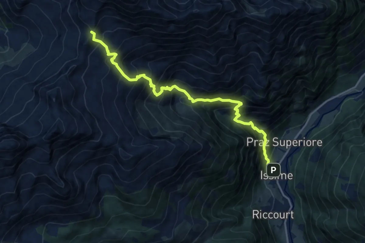
Expert · Trail
Kuniu – Colle Tschasten nord
12.2 km · ↑ 1685 m · 6 h 31 min
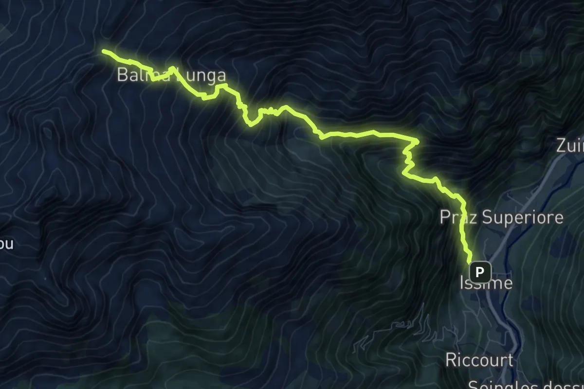
Expert · Trail
Kunju – Col Chasten Sud
11.8 km · ↑ 1650 m · 6 h 22 min
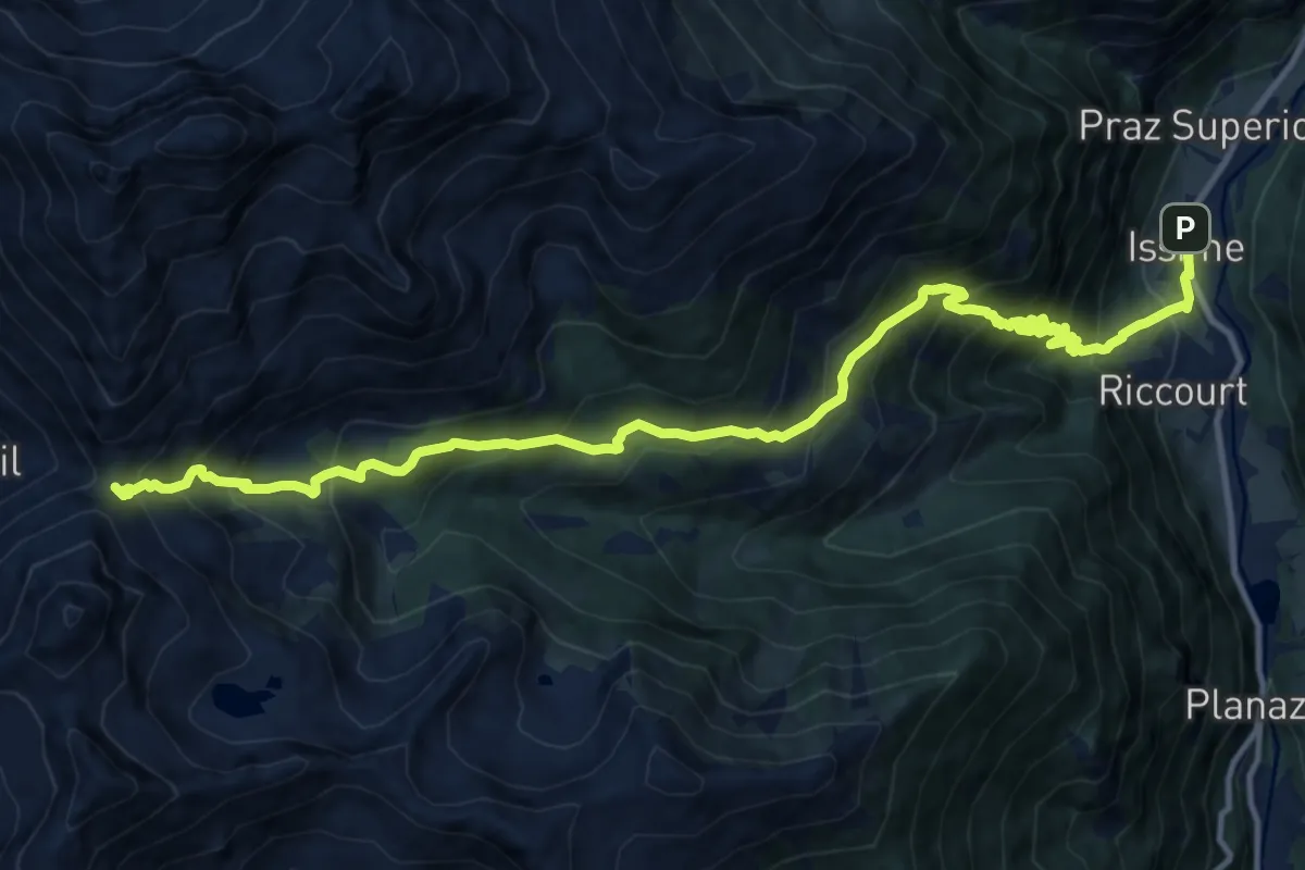
Demanding · Trail
Issime – Col Dondeuil
15.5 km · ↑ 1521 m · 6 h 57 min
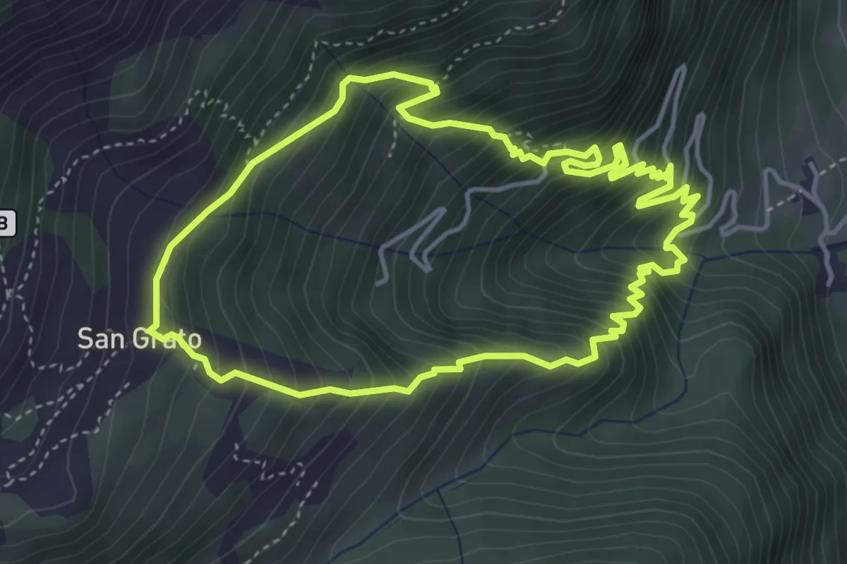
Medium · Trail
Grundji – Grundji
4.2 km · ↑ 600 m · 2 h 22 min
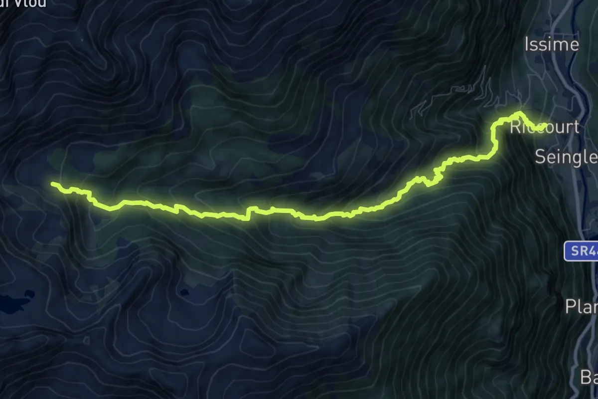
Demanding · Trail
Rikurt – Muni
11.7 km · ↑ 1071 m · 5 h 5 min
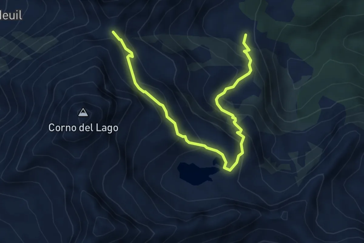
Expert · Trail
Muni – Col Dondeuil
5.9 km · ↑ 536 m · 2 h 33 min
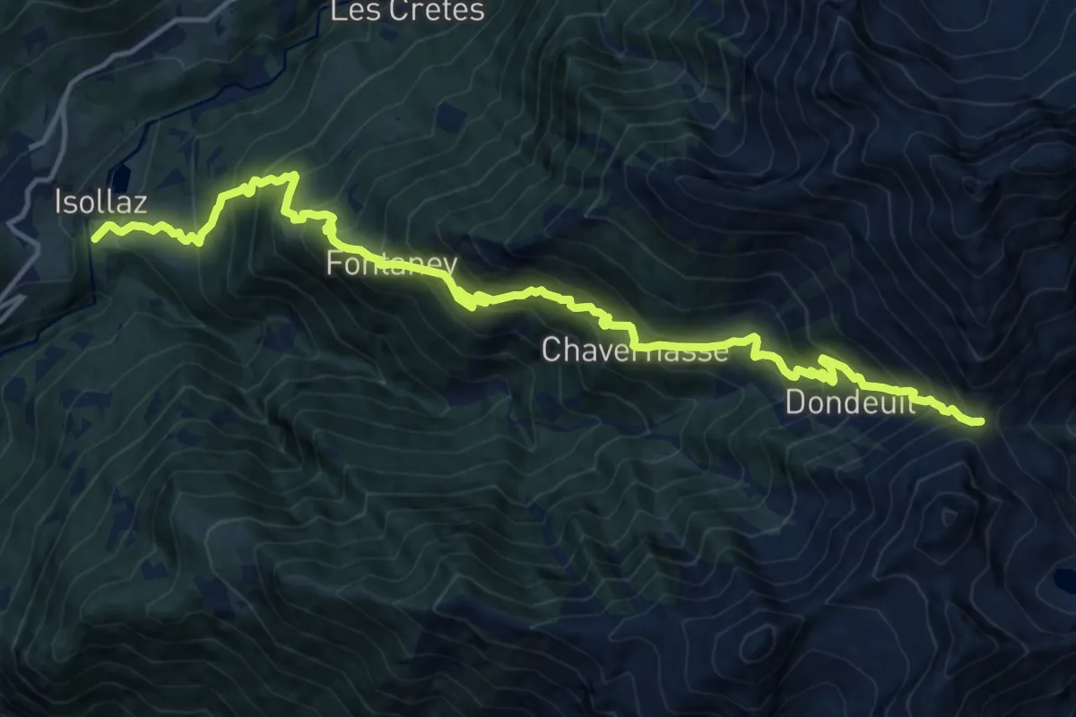
Demanding · Trail
Isollaz – Col Dondeuil
8.7 km · ↑ 1741 m · 5 h 7 min
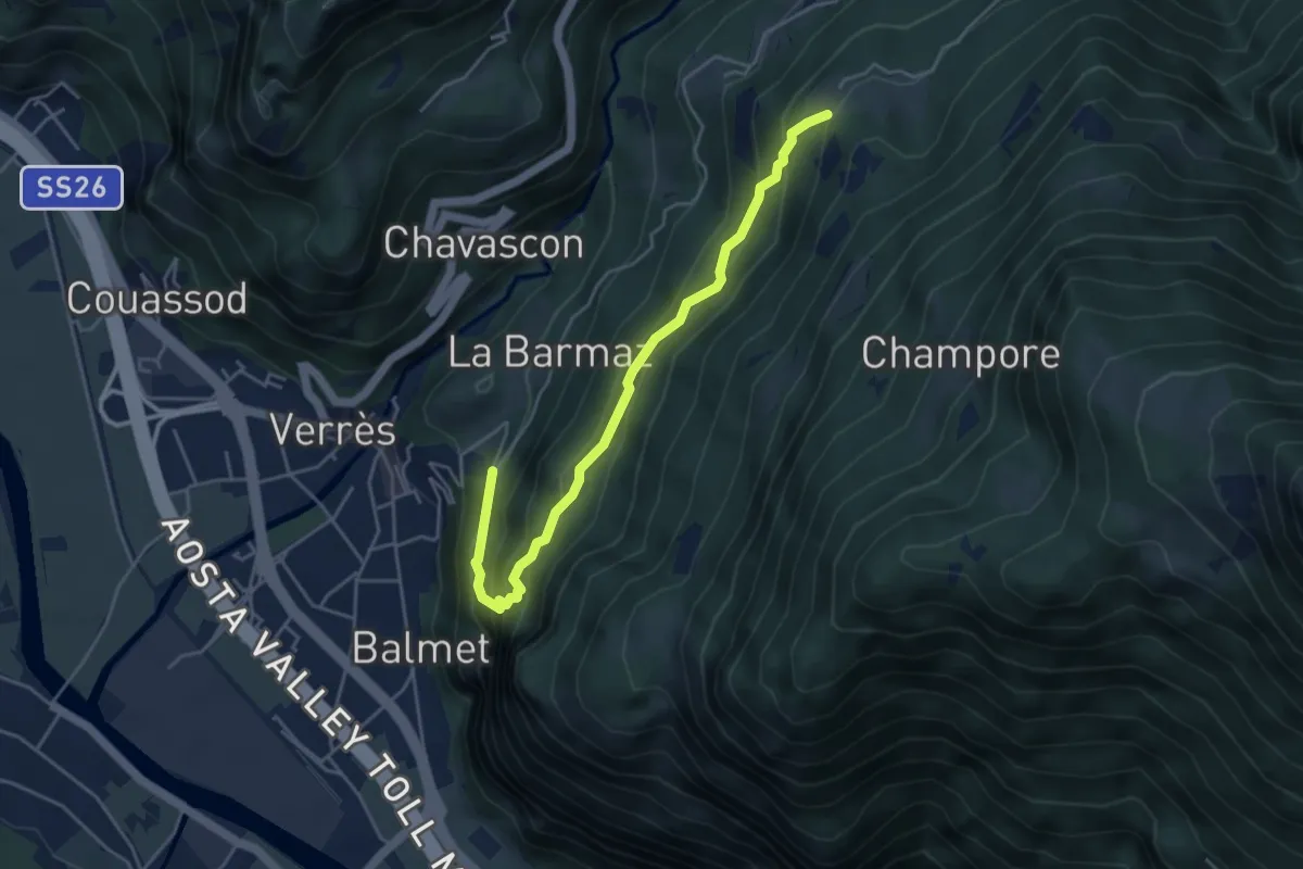
Medium · Trail
Strada dopo Castello – Omens
4.6 km · ↑ 419 m · 2 h
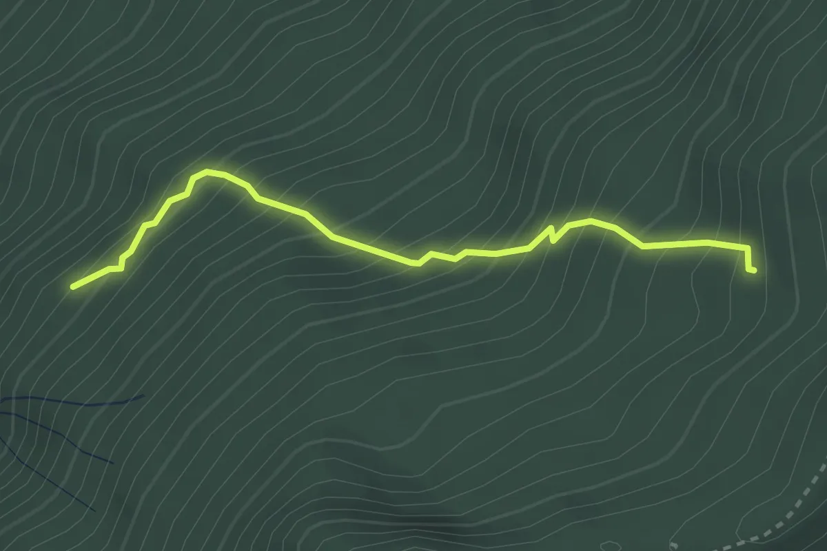
Medium · Trail
Bivio 593-593A – Bivio 587-593A
2.9 km · ↑ 411 m · 1 h 34 min
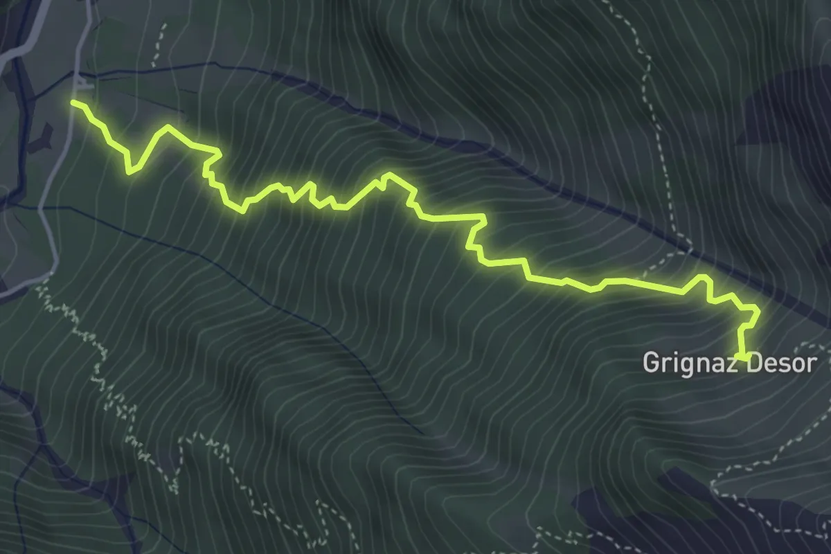
Demanding · Trail
Lihrla – Alpe Grignatz
5.1 km · ↑ 839 m · 3 h 2 min
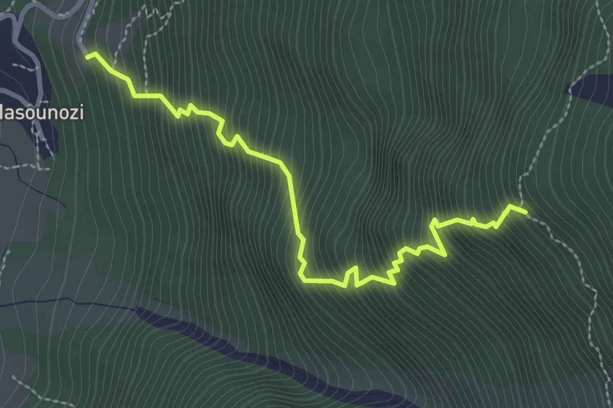
Medium · Trail
Pianatz – Berord
3.0 km · ↑ 627 m · 2 h 4 min
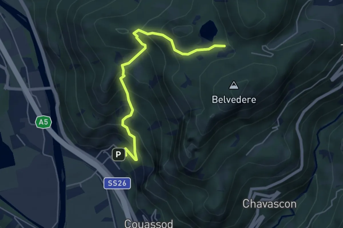
Medium · Trail
Torille – Lac de Ville
4.8 km · ↑ 478 m · 2 h 9 min
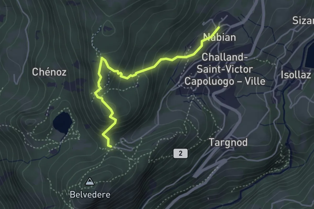
Medium · Trail
Nabian – Barmata
3.9 km · ↑ 277 m · 1 h 31 min
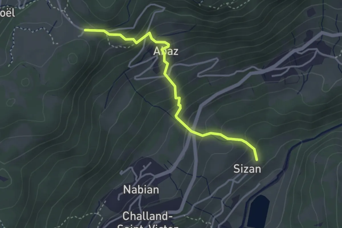
Medium · Trail
Sizan – Col d'Arlaz
3.4 km · ↑ 319 m · 1 h 29 min
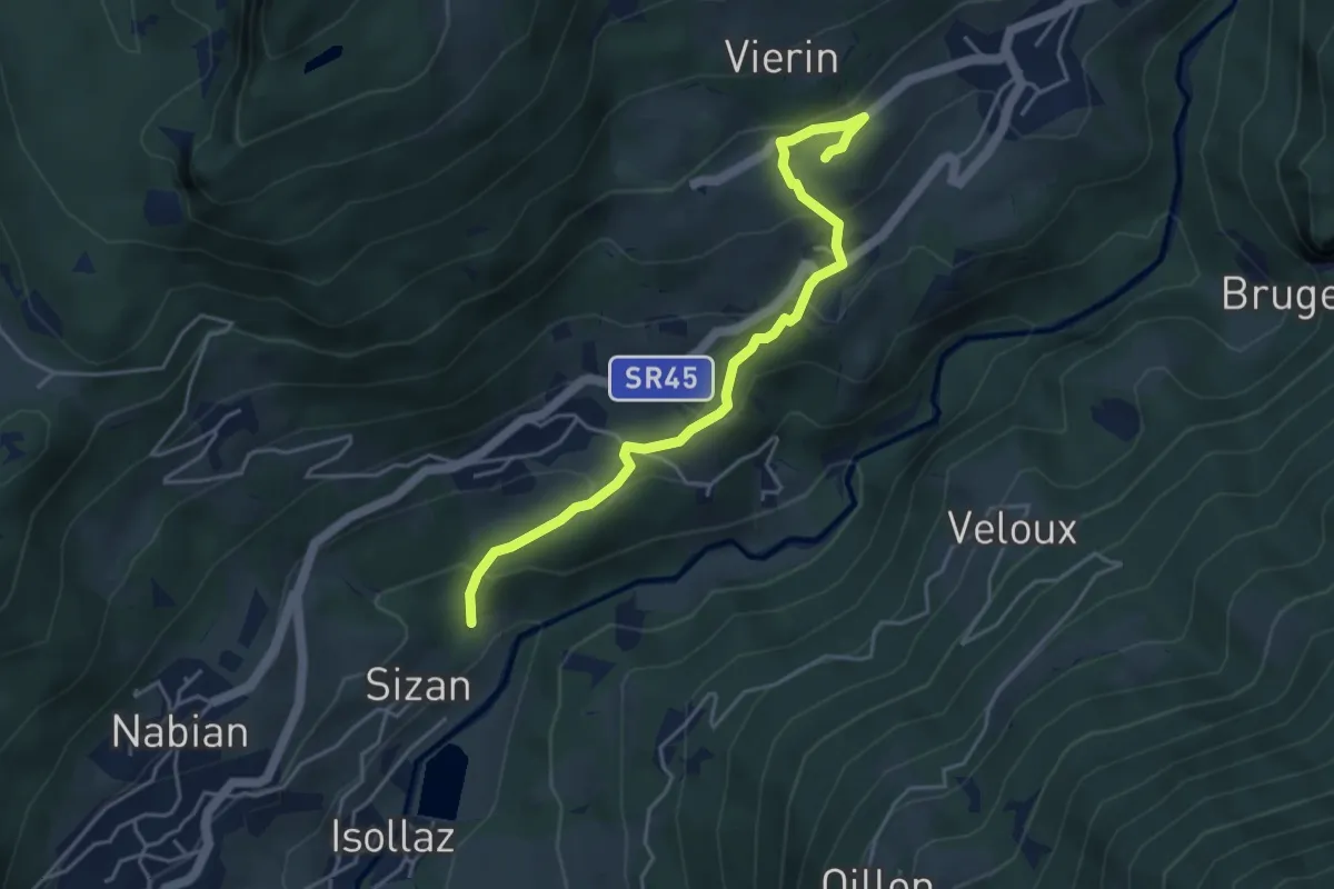
Medium · Trail
Sizan – Sant'Anna
4.6 km · ↑ 294 m · 1 h 43 min
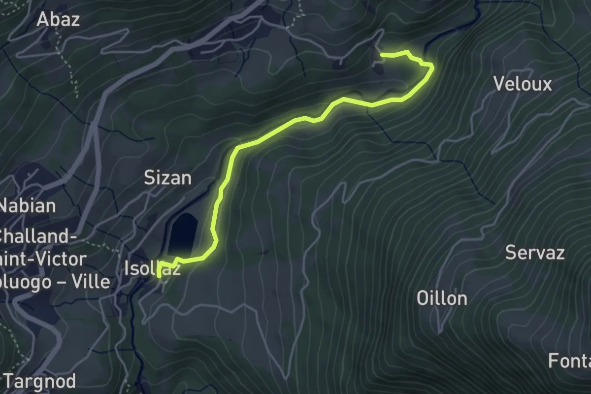
Medium · Trail
Isollaz – Verval
4.1 km · ↑ 149 m · 1 h 17 min
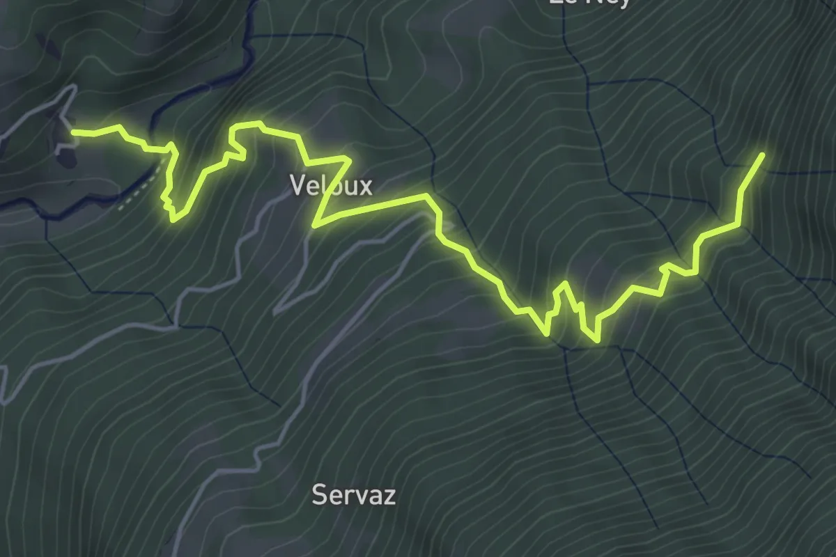
Medium · Trail
Verval – Tron damon
6.2 km · ↑ 782 m · 3 h 10 min
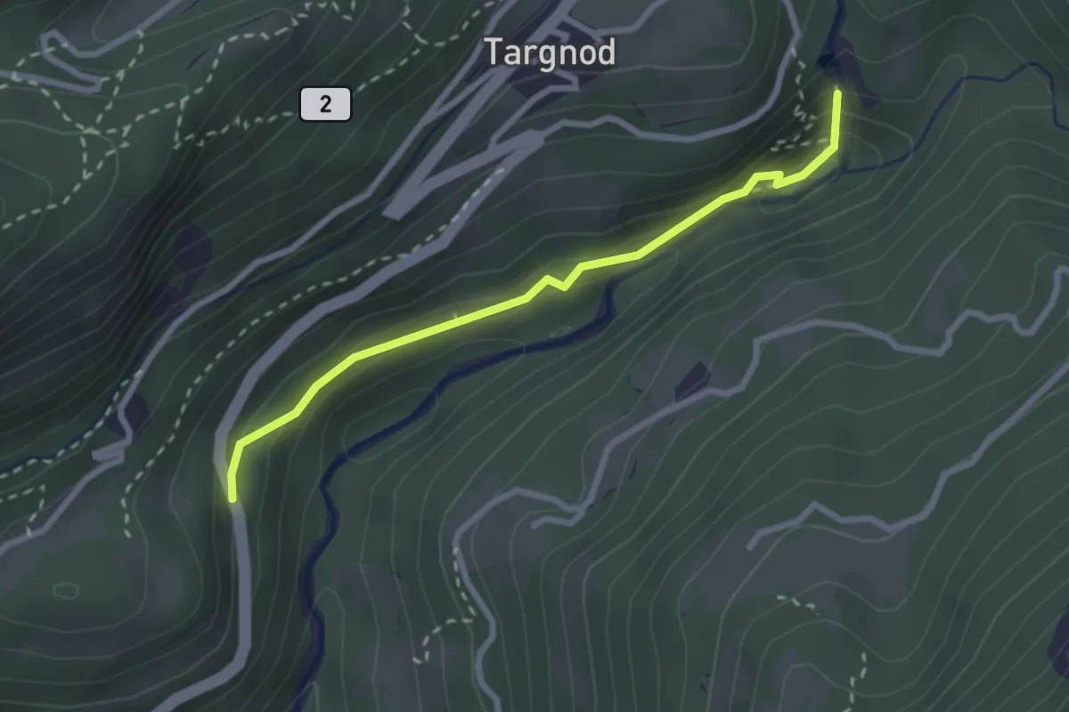
Demanding · Trail
Strada regionale – Cascata Isollaz
2.5 km · ↑ 113 m · 50 min
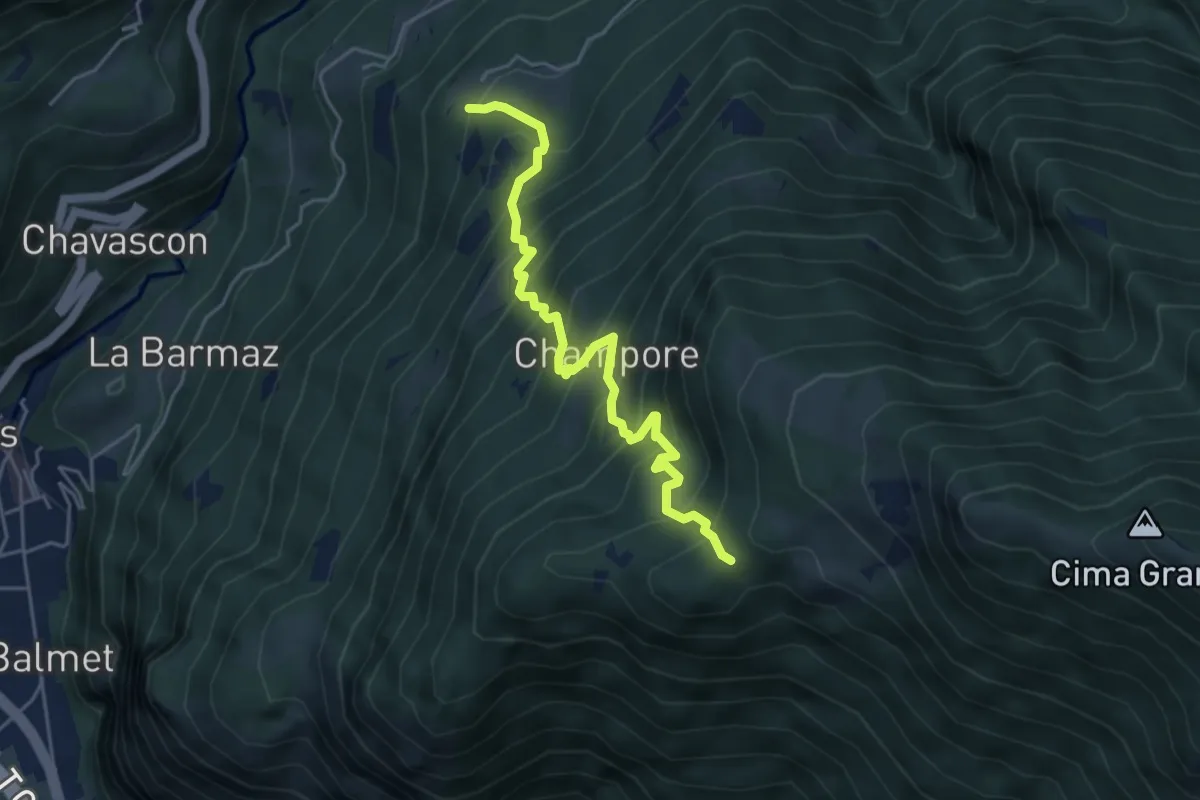
Medium · Trail
Omens – Bec de l'Oie
4.9 km · ↑ 656 m · 2 h 34 min
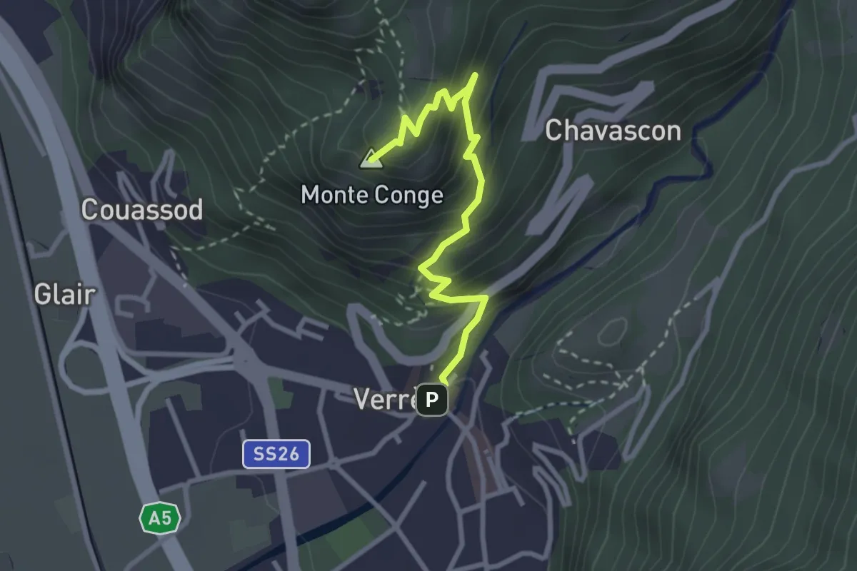
Medium · Summit
Piazza R.Challand – Croix de Saint-Gilles
2.7 km · ↑ 288 m · 1 h 15 min
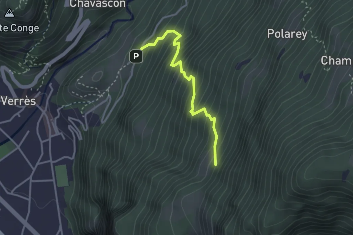
Medium · Trail
Barme – Carogne
2.8 km · ↑ 400 m · 1 h 32 min
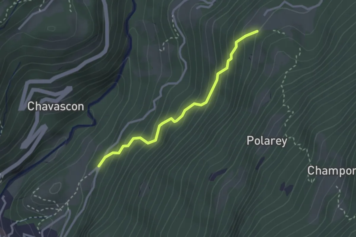
Easy · Trail
Barme – Omens
2.4 km · ↑ 290 m · 1 h 12 min
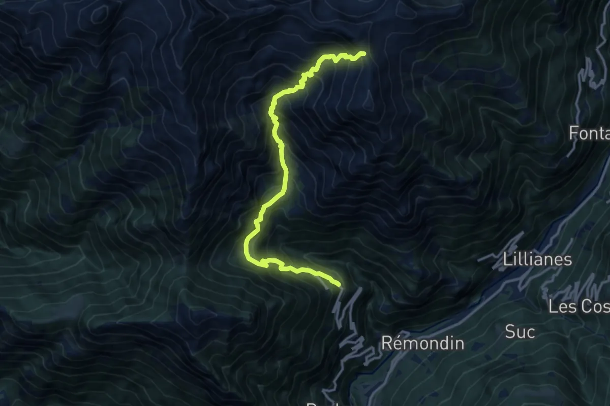
Demanding · Trail
Fey – Colle Prial
12.4 km · ↑ 1461 m · 6 h 5 min
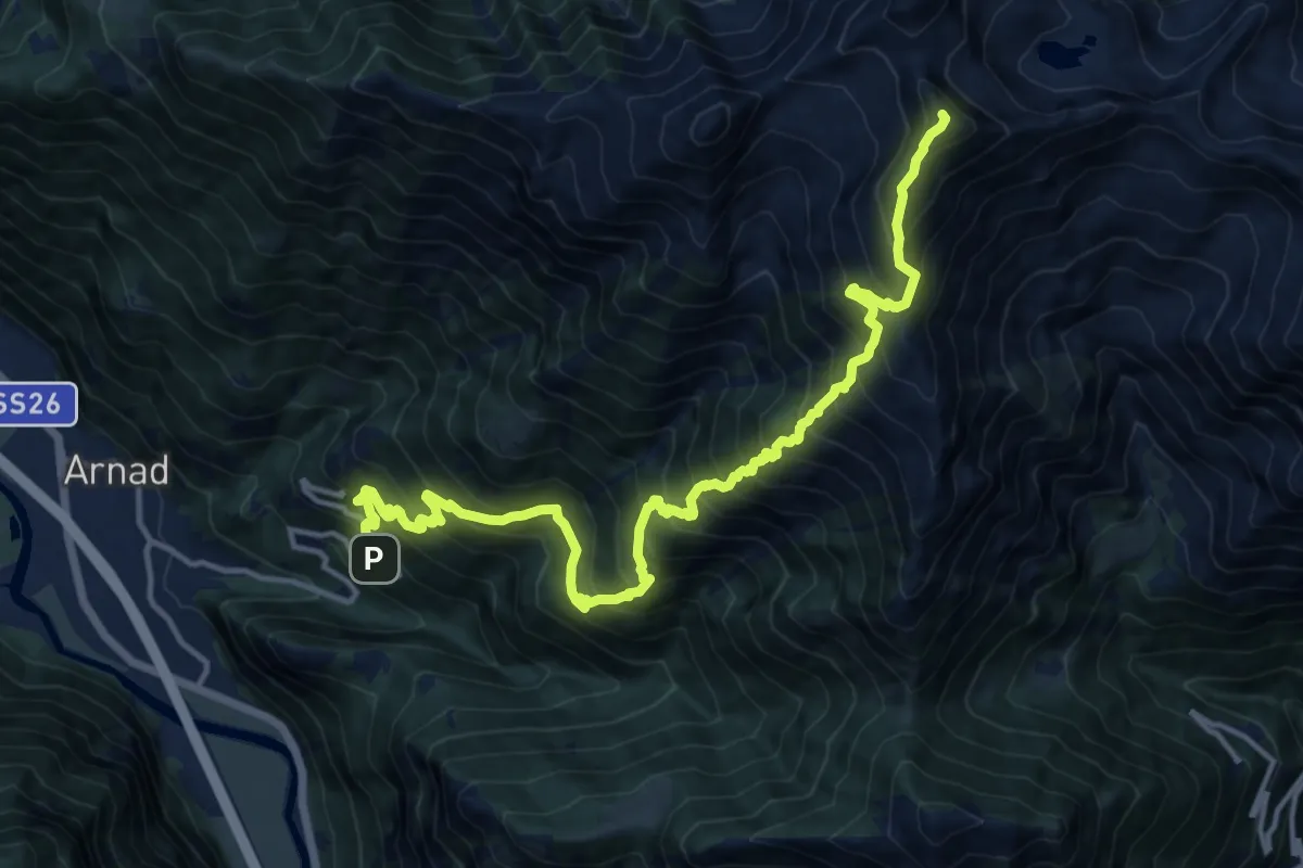
Demanding · Summit
Bonavessy – Mont Crabun
17.0 km · ↑ 2194 m · 8 h 46 min
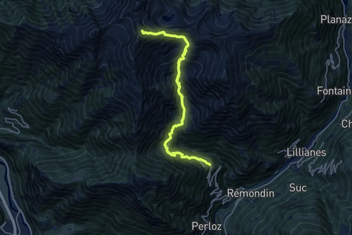
Demanding · Summit
Fey – Mont Crabun
14.3 km · ↑ 1863 m · 7 h 24 min
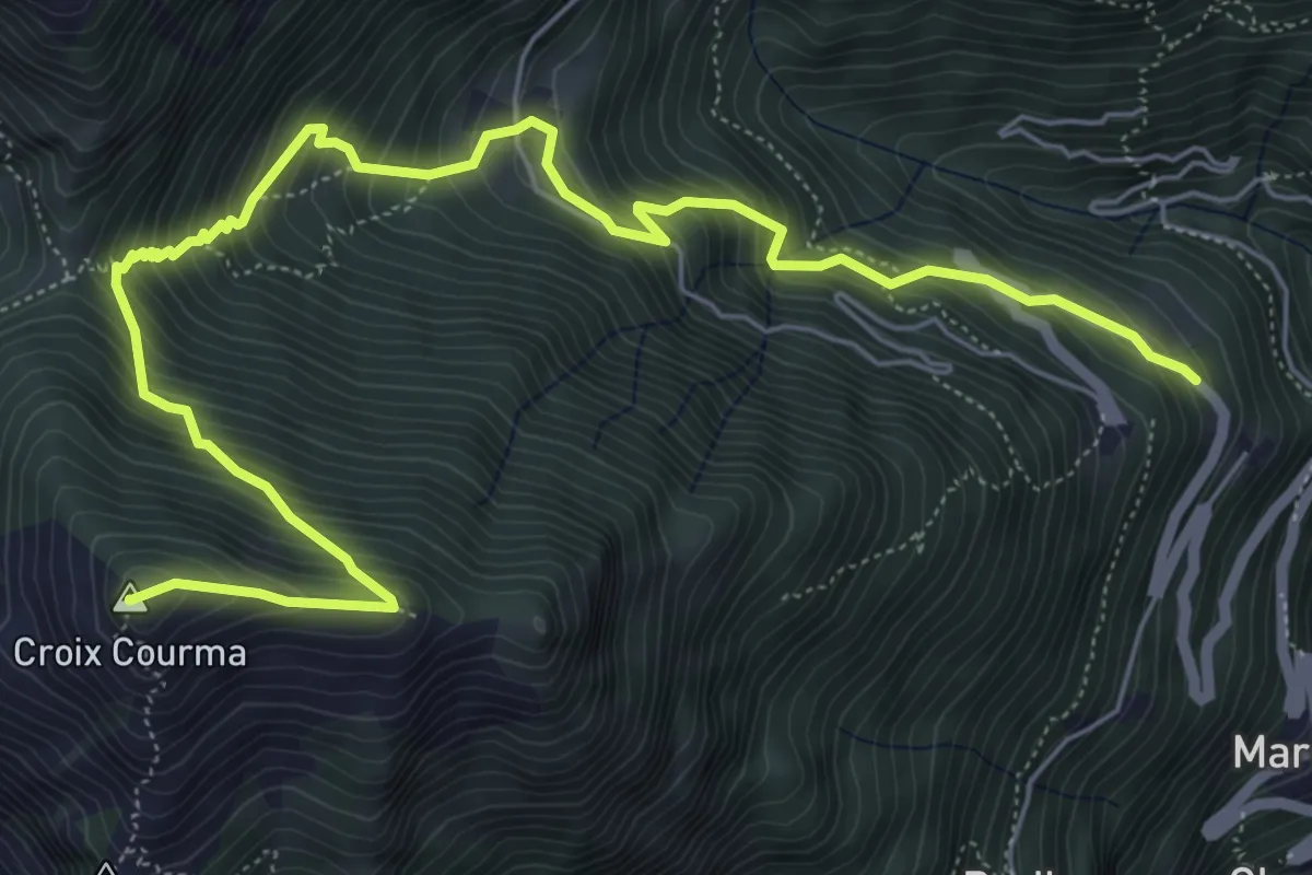
Demanding · Summit
Fey – Croix Corma
8.3 km · ↑ 974 m · 4 h 5 min
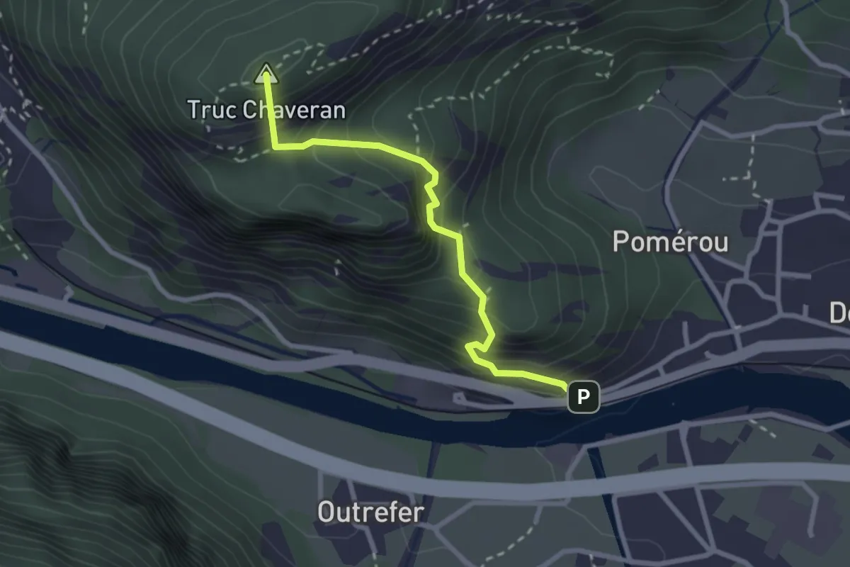
Medium · Summit
Bourg – Peredrette
2.5 km · ↑ 380 m · 1 h 25 min
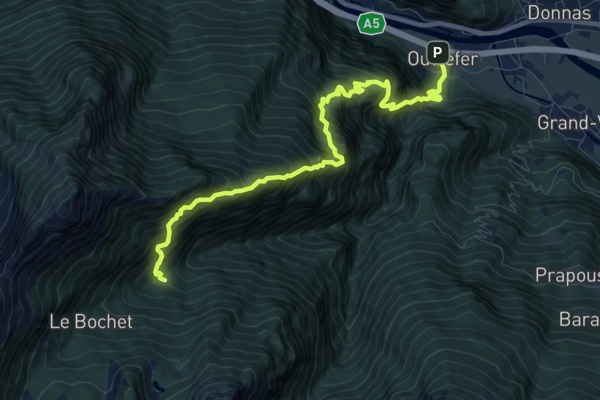
Demanding · Trail
Outrefer – Mognissola
11.2 km · ↑ 1717 m · 6 h 22 min
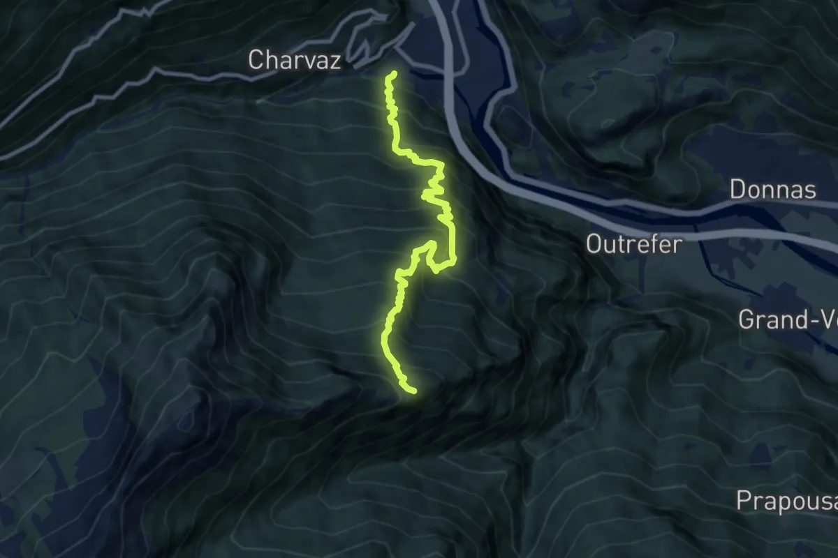
Demanding · Trail
La Raffort - Centrale – Cormoney
8.8 km · ↑ 1157 m · 4 h 35 min
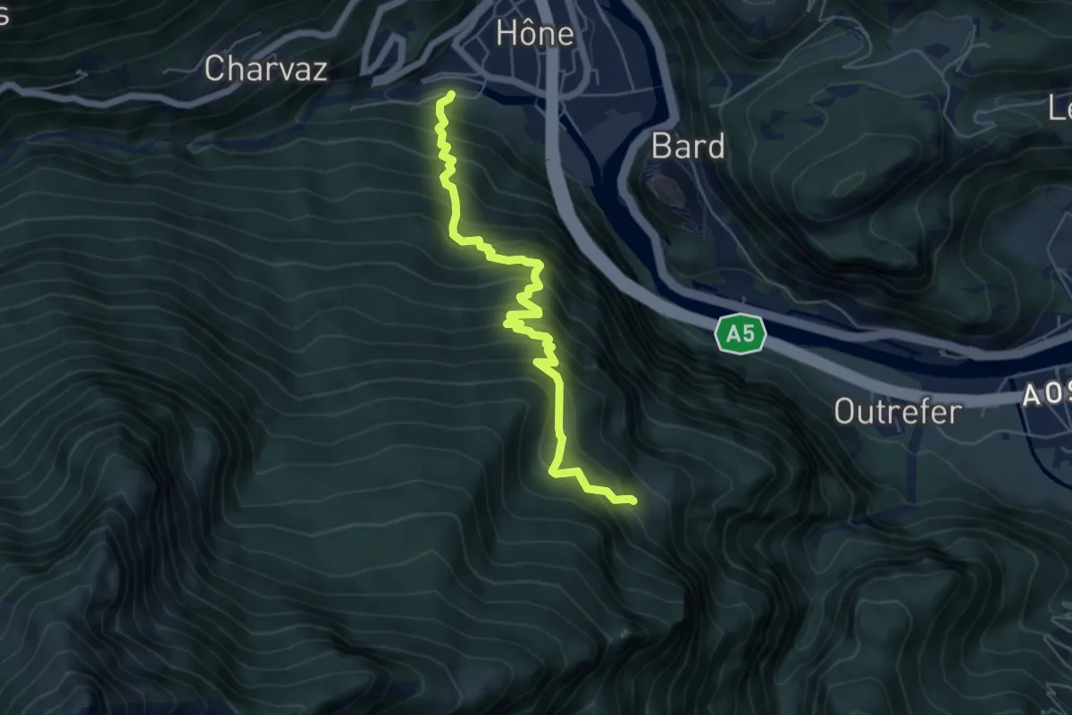
Medium · Trail
La Raffort – Pian
5.8 km · ↑ 748 m · 2 h 59 min
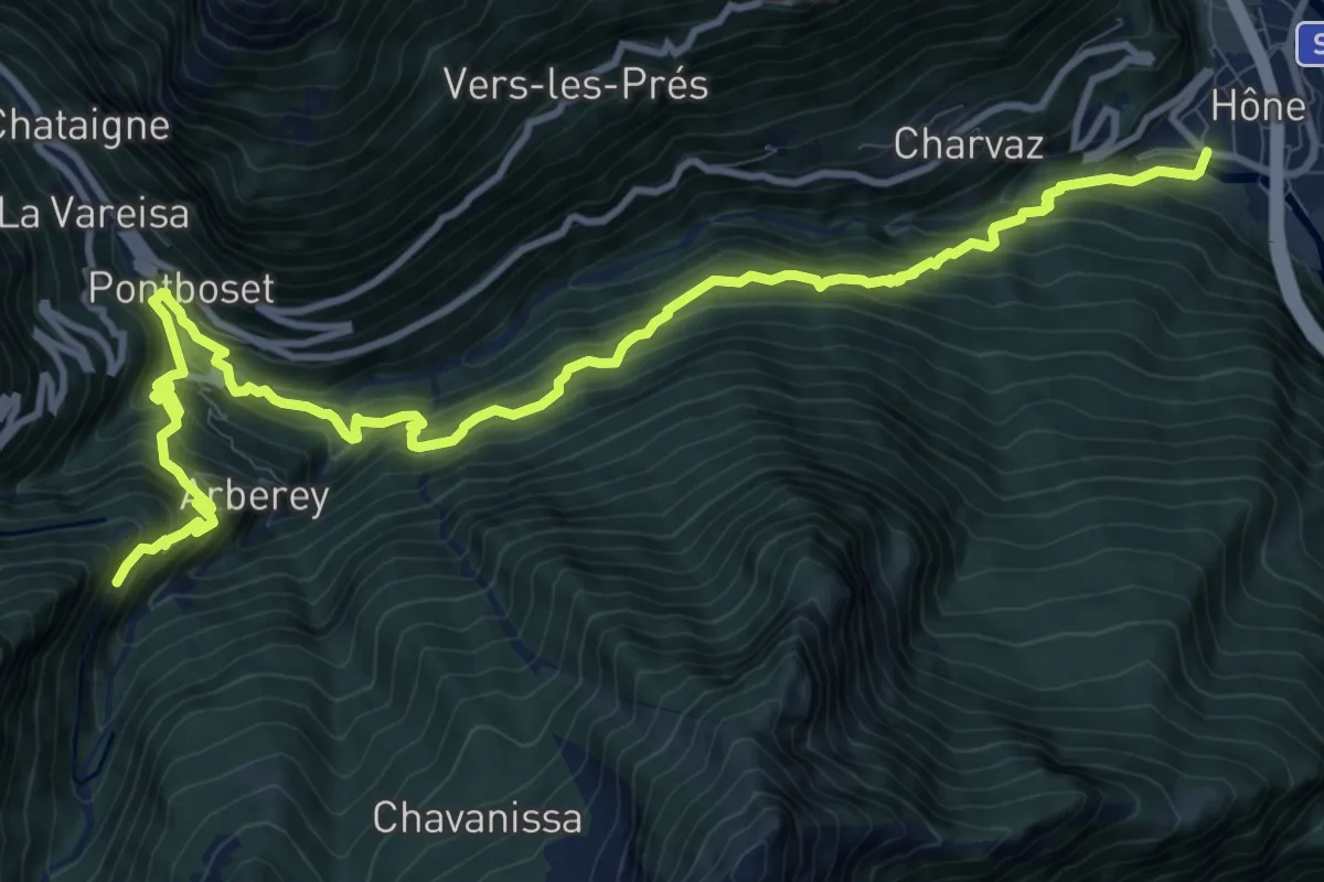
Demanding · Trail
Hône – Crest
14.3 km · ↑ 1411 m · 6 h 26 min
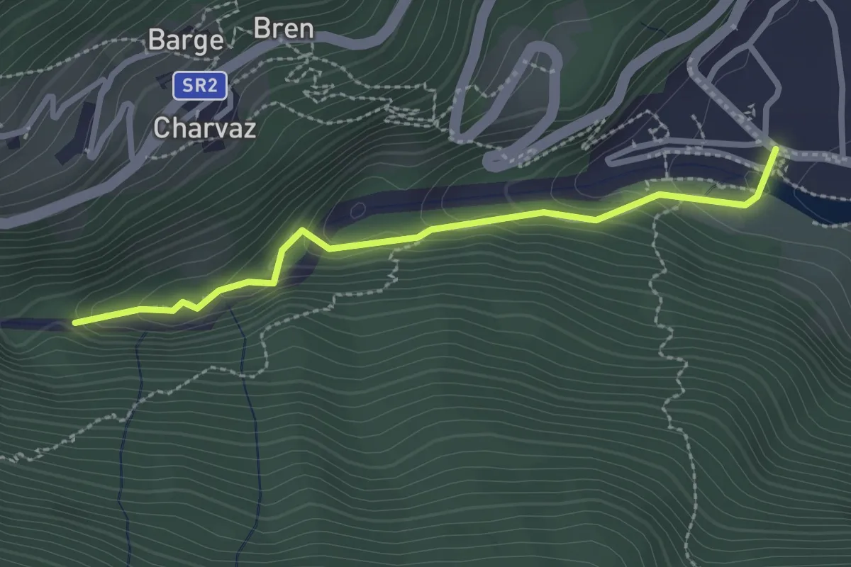
Easy · Trail
Hône, Piazza del Municipio – Le tre Goye
2.5 km · ↑ 131 m · 52 min
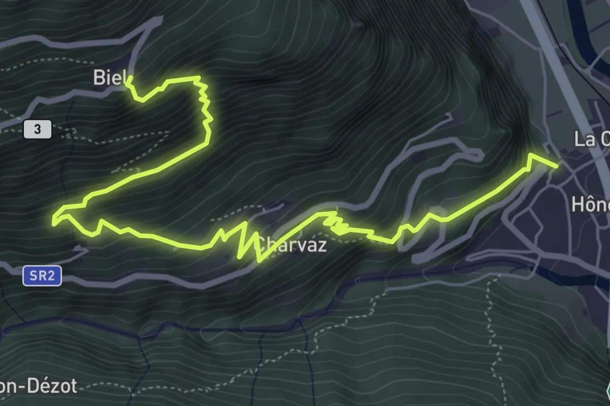
Demanding · Trail
Hône, Chiesa di San Giorgio – Biel
8.0 km · ↑ 775 m · 3 h 34 min
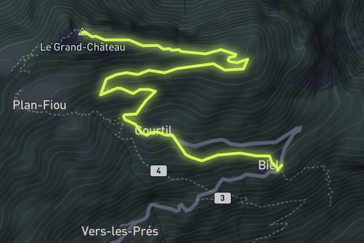
Medium · Summit
Biel – Grand Chateau
7.3 km · ↑ 623 m · 3 h 4 min
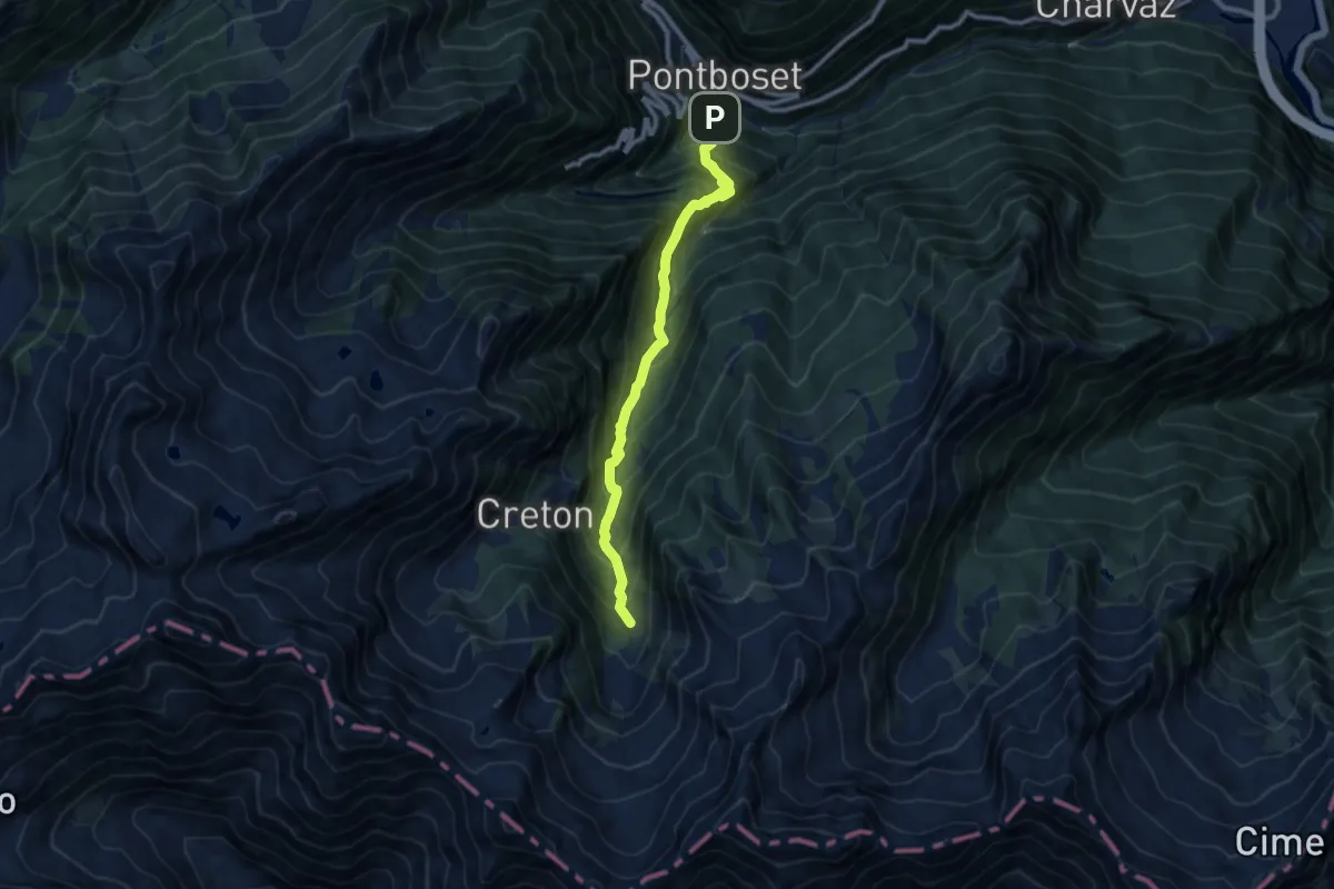
Demanding · Trail
Varesa – Chavanna
10.0 km · ↑ 1059 m · 4 h 40 min
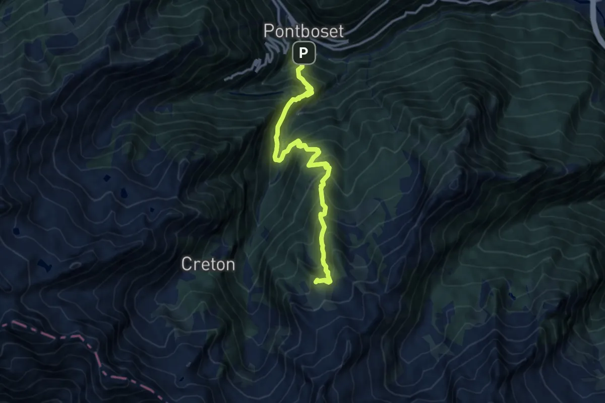
Demanding · Trail
Varesa – Buriana
12.0 km · ↑ 1373 m · 5 h 48 min
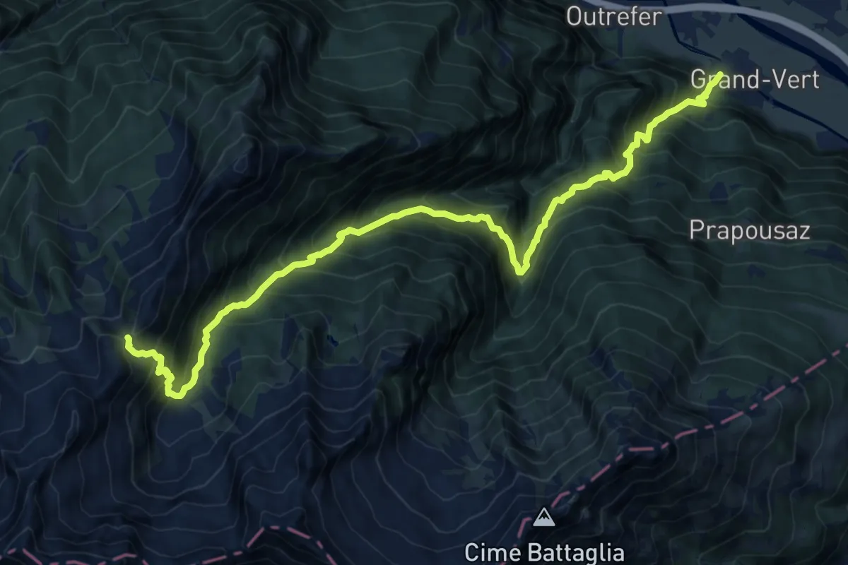
Demanding · Trail
Monteil – Col Pousseuil
8.6 km · ↑ 80 m · 3 h 12 min
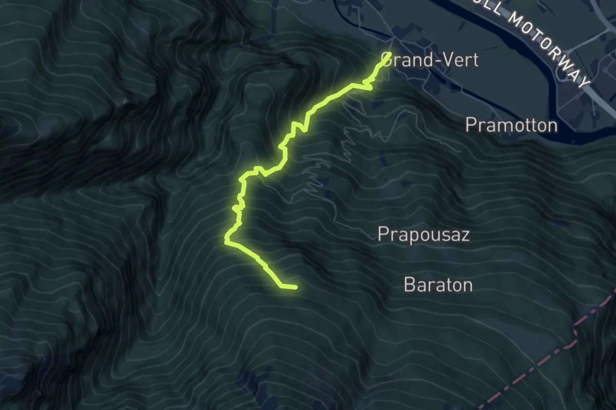
Demanding · Trail
Monteil – Montat
6.8 km · ↑ 1044 m · 3 h 51 min
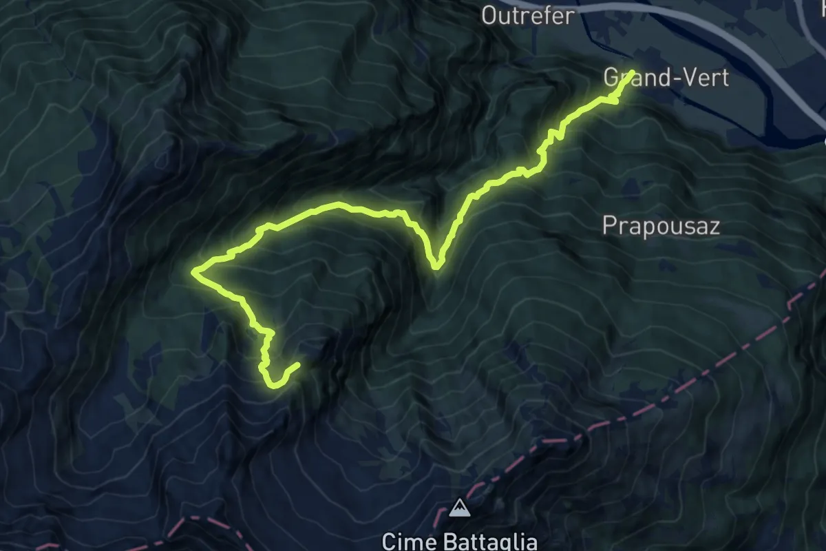
Demanding · Trail
Monteil – Col de Liet
15.9 km · ↑ 1816 m · 7 h 41 min
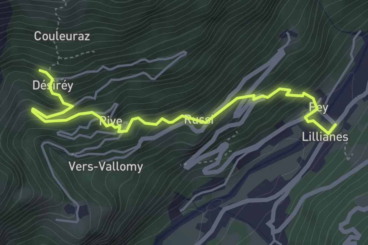
Medium · Trail
Lillianes – Le Miriou
4.5 km · ↑ 531 m · 2 h 13 min
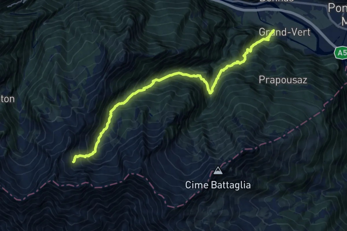
Demanding · Trail
Monteil – Le Give
9.0 km · ↑ 91 m · 3 h 22 min
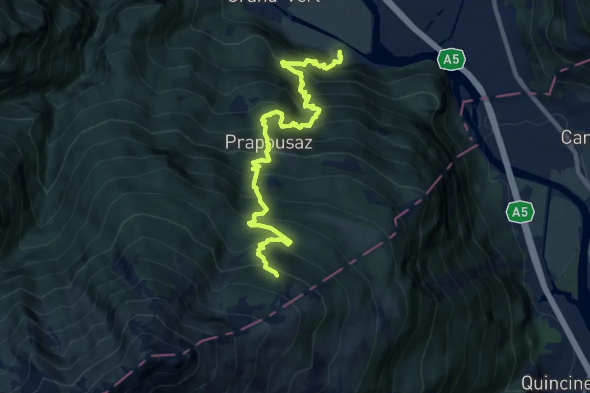
Demanding · Trail
Pramotton – Fontanet
10.2 km · ↑ 1453 m · 5 h 33 min
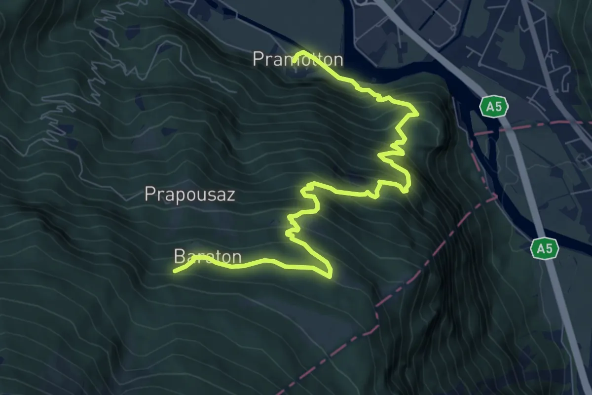
Demanding · Trail
Pramotton – Innesto Baraton
9.4 km · ↑ 1068 m · 4 h 33 min
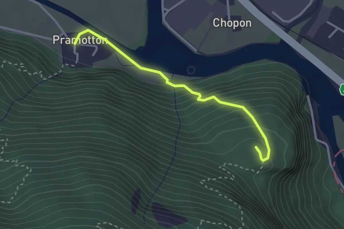
Medium · Trail
Pramotton – Tour Pramotton
2.5 km · ↑ 255 m · 1 h 8 min