Trails in Italy
25,219 hiking trails, each with its route, climb, walking time and grade.
All trails, page 423 of 526
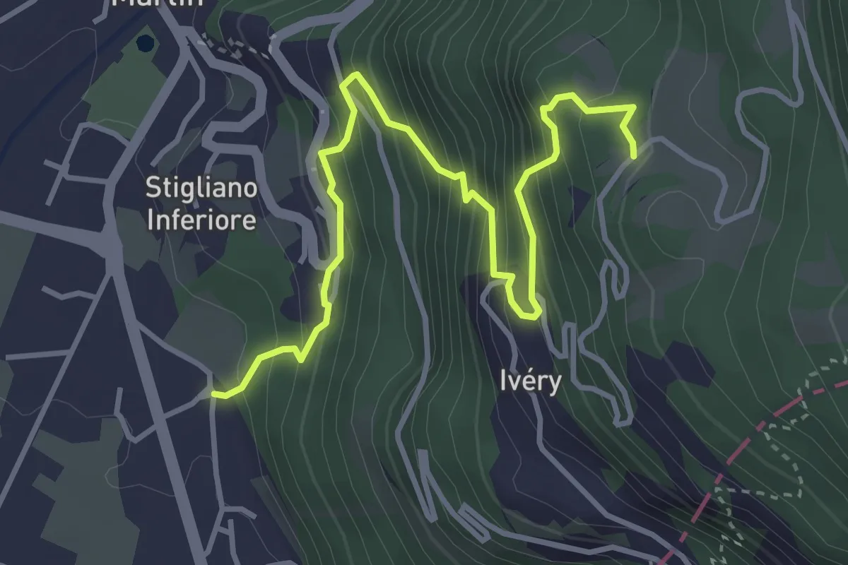
Medium · Trail
Cappella Sant'Erasmo – Reserve Naturelle de Holay
4.2 km · ↑ 533 m · 2 h 10 min
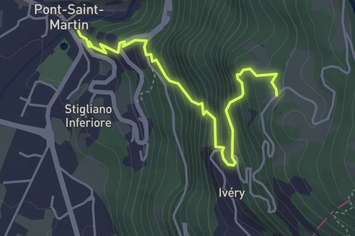
Medium · Trail
Capoluogo – Reserve Naturelle de Holay
3.9 km · ↑ 503 m · 2 h
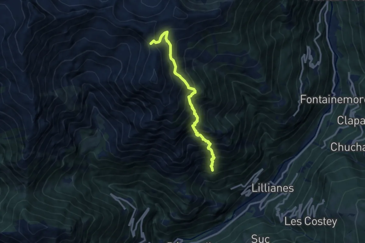
Demanding · Trail
Le Miriou – Monte Lose Bianche
8.1 km · ↑ 1227 m · 4 h 35 min
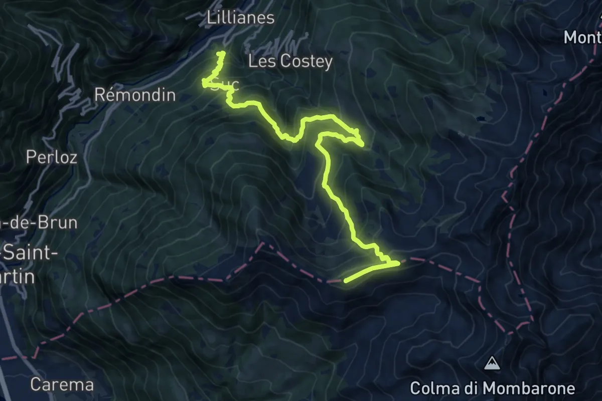
Demanding · Summit
Chussun – Punta di Cressa
17.5 km · ↑ 1598 m · 7 h 35 min
Demanding · Summit
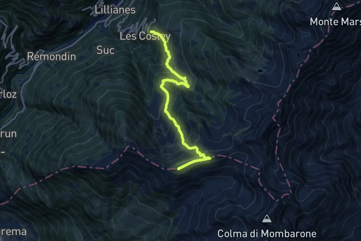
Sainte-Marguerite – Punta di Cressa
12.5 km · ↑ 1019 m · 5 h 9 min
Medium · Trail
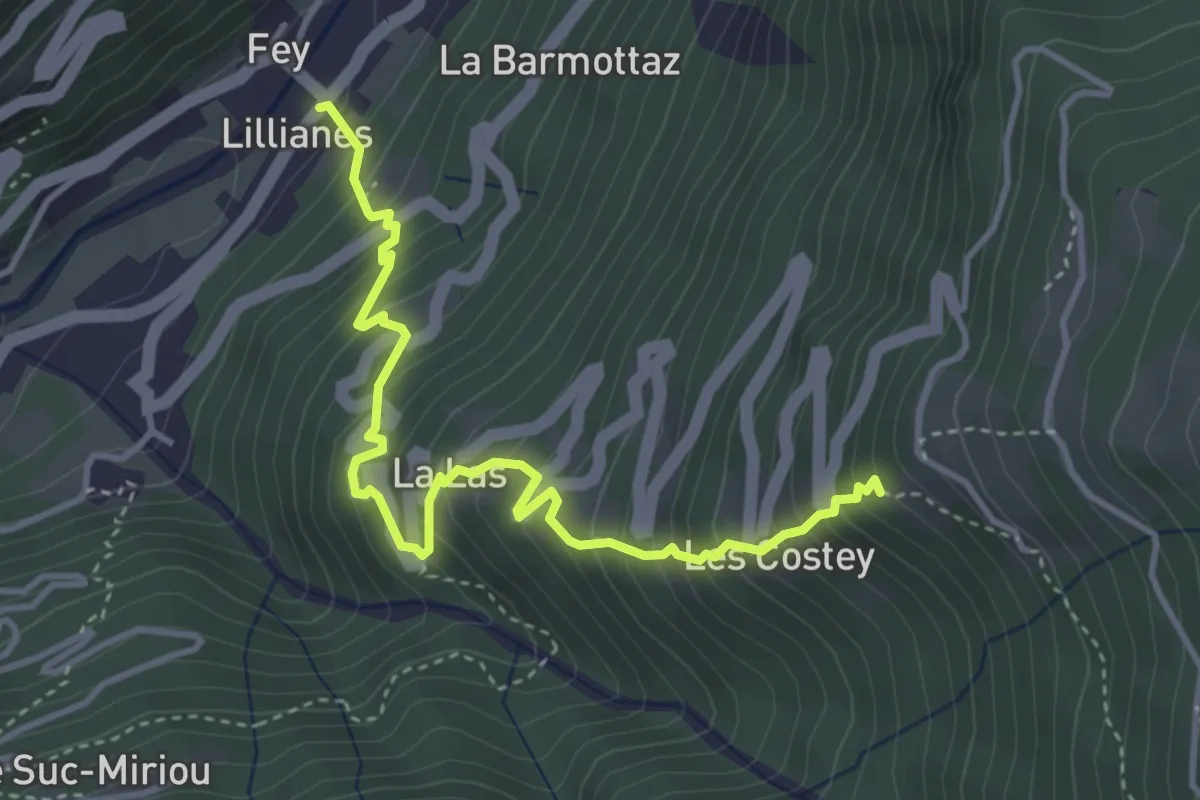
Lillianes – Sainte-Marguerite
4.3 km · ↑ 611 m · 2 h 20 min
Medium · Summit
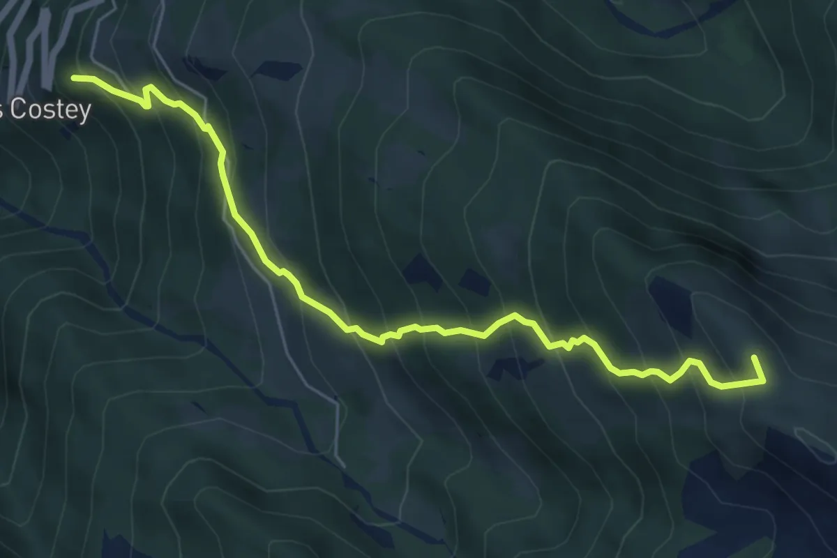
Sainte-Marguerite – Col de Carisey
6.2 km · ↑ 738 m · 3 h 4 min
Medium · Trail
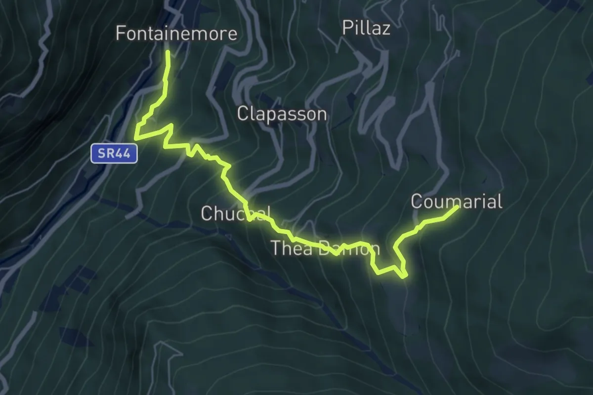
Fontainemore – Plan Commarial
6.5 km · ↑ 735 m · 3 h 8 min
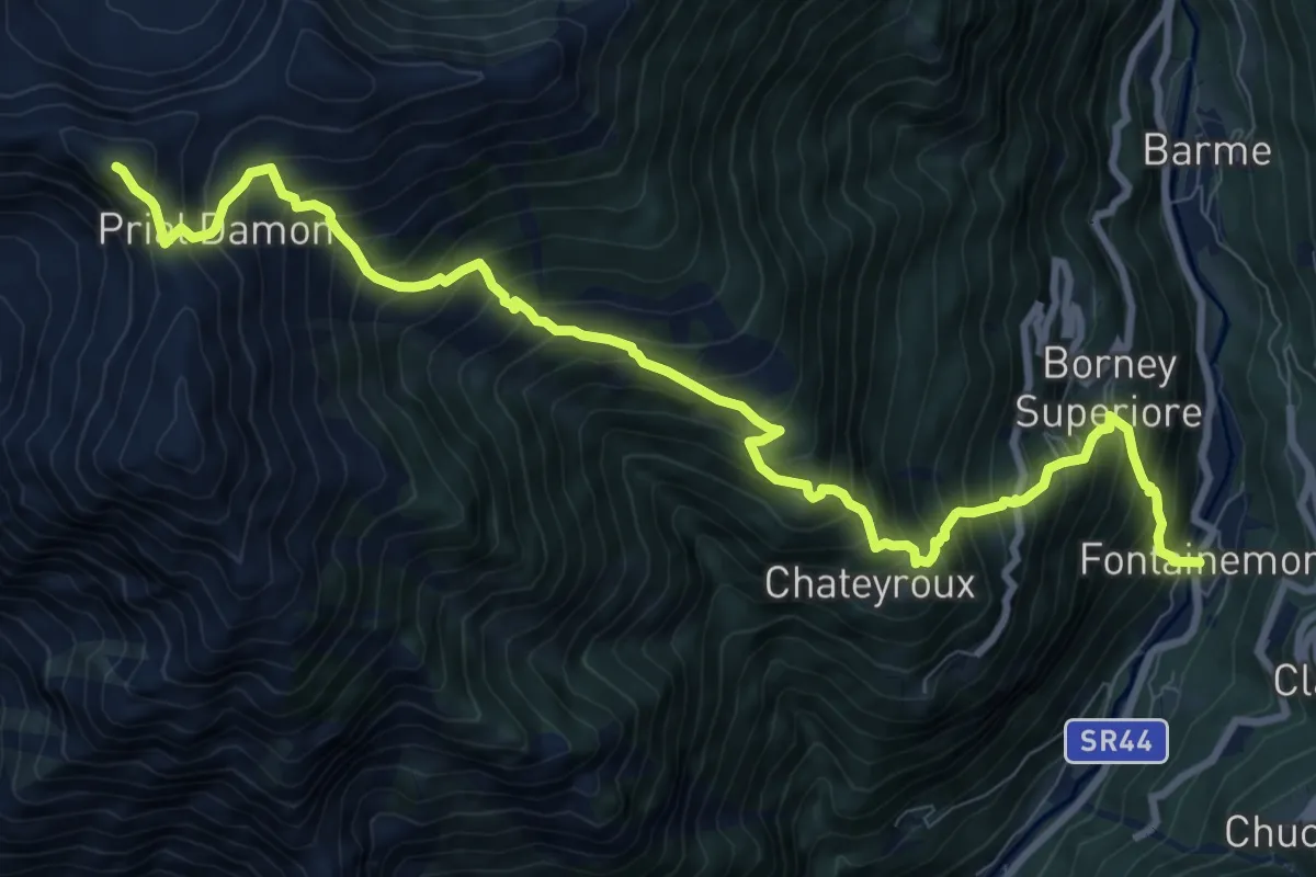
Demanding · Summit
Capoluogo – Pointe Prial
11.5 km · ↑ 1594 m · 6 h 10 min
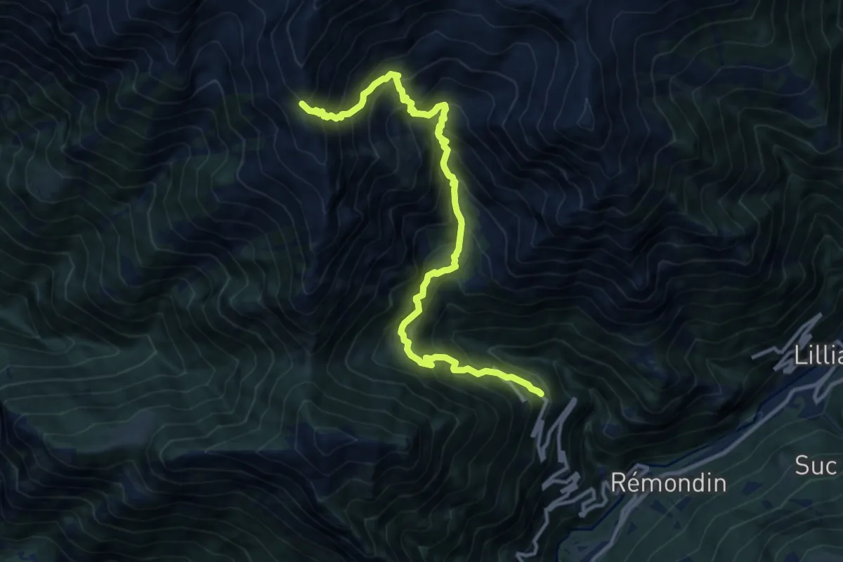
Demanding · Trail
Fey – Col d'Arche
13.0 km · ↑ 1615 m · 6 h 35 min
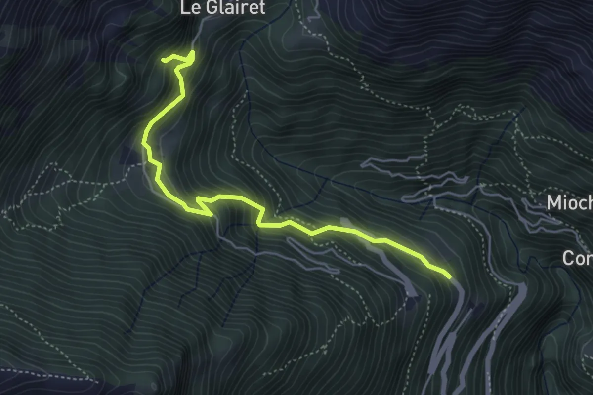
Medium · Trail
Fey – Piatolet
4.8 km · ↑ 527 m · 2 h 17 min
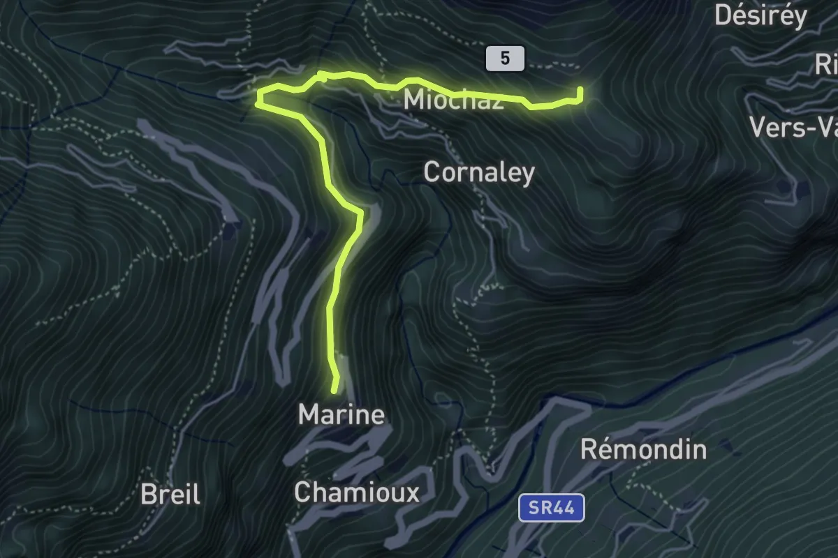
Medium · Trail
Marine – Varfey
4.6 km · ↑ 429 m · 2 h 1 min
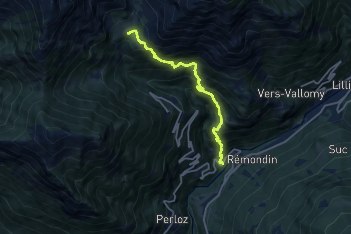
Demanding · Trail
Nantey – Pra
7.7 km · ↑ 958 m · 3 h 54 min
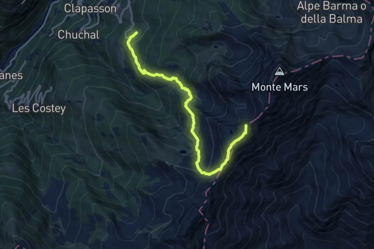
Demanding · Summit
Plan Coumarial – Rifugio Coda
11.1 km · ↑ 873 m · 4 h 30 min
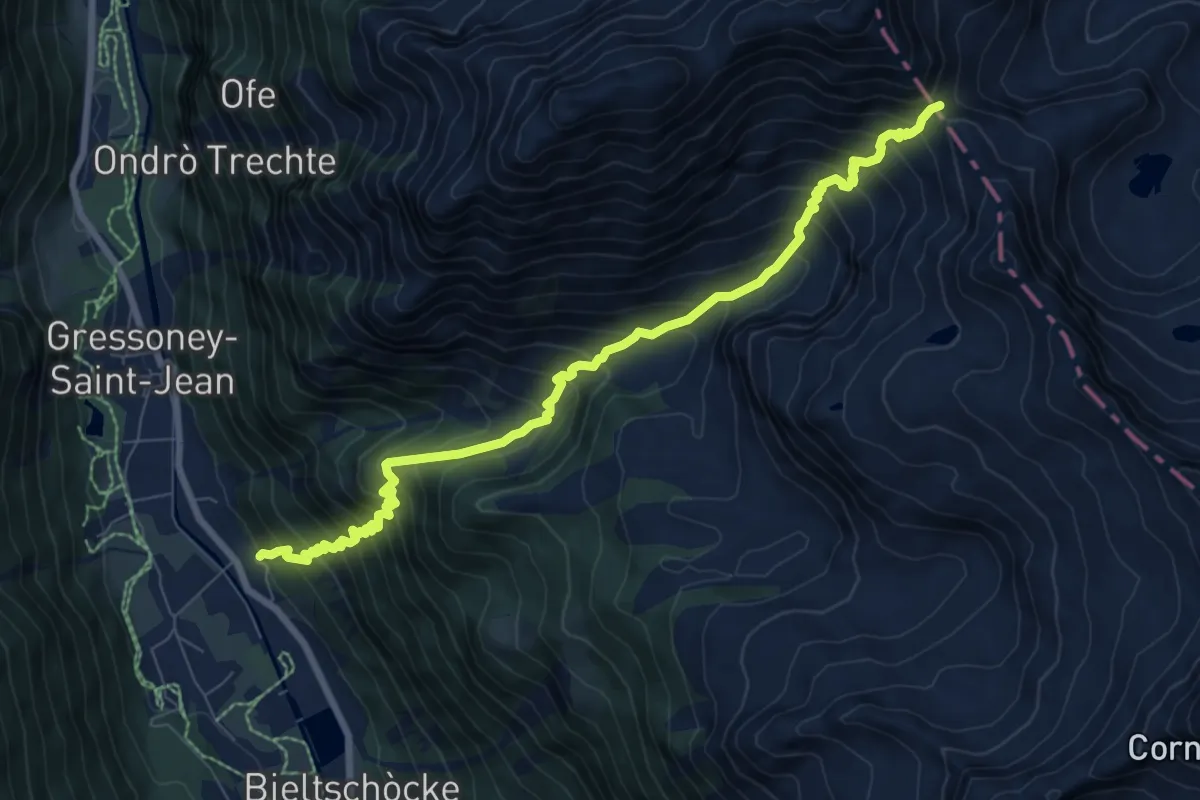
Demanding · Cabin
Ondrò Verdebio – Colle Valdobbia
8.8 km · ↑ 1151 m · 4 h 34 min
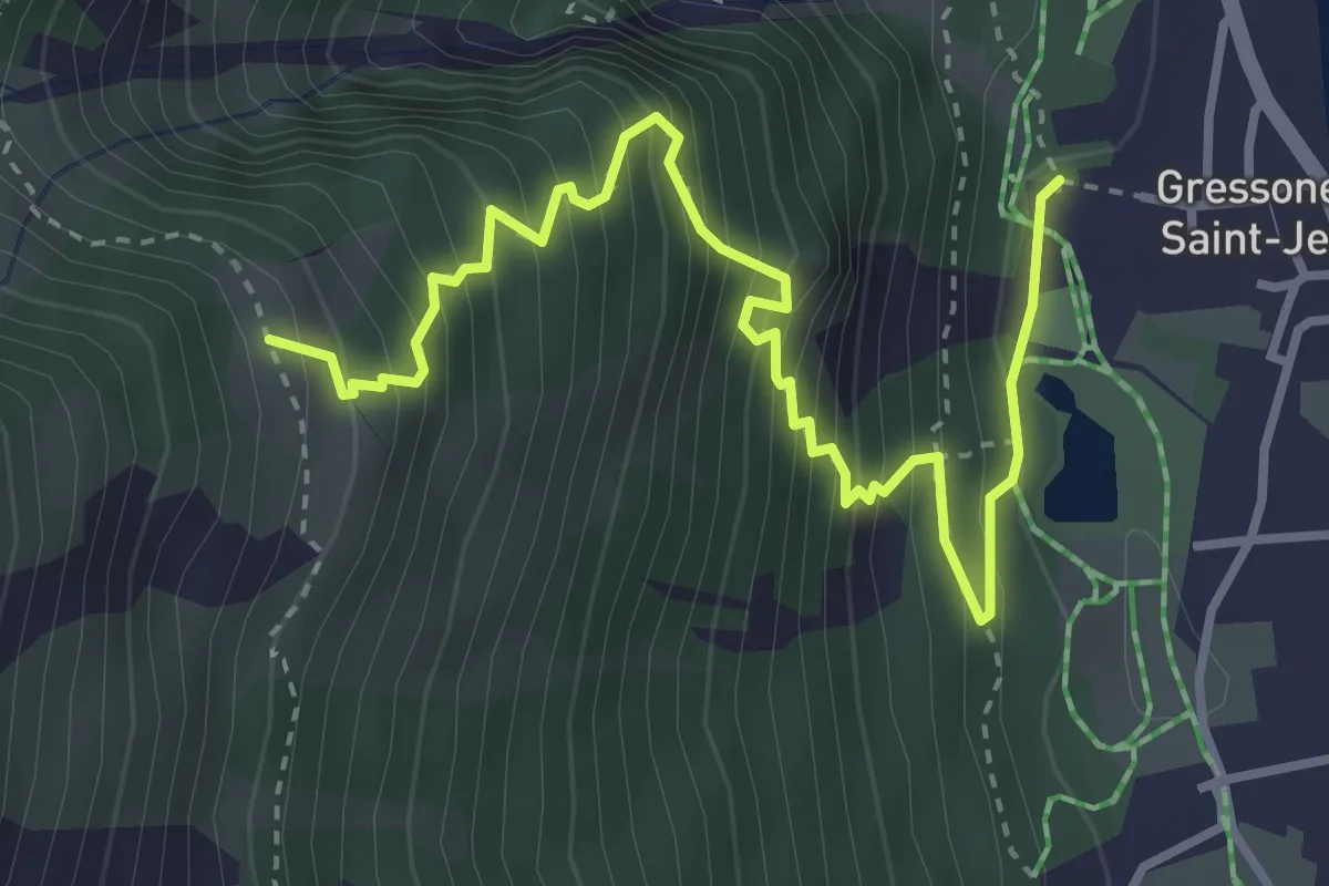
Medium · Trail
Lago Gover – Alpe Jatza
4.2 km · ↑ 611 m · 2 h 18 min
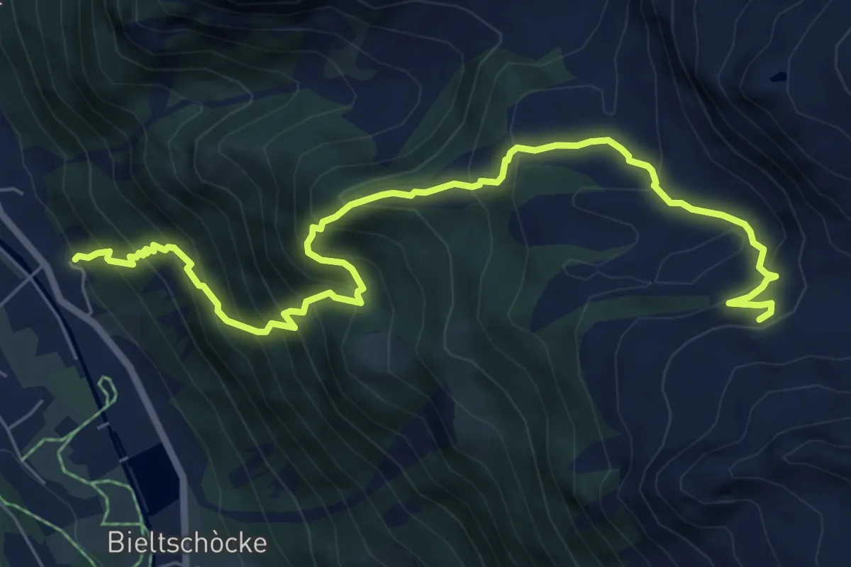
Demanding · Trail
Ondro Verdebio – Bronne
8.2 km · ↑ 888 m · 3 h 51 min
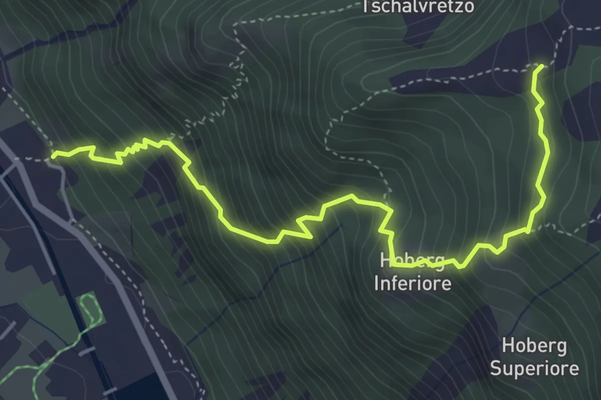
Demanding · Trail
Ondrò Verdebio – Ondrò Skearpie
5.1 km · ↑ 711 m · 2 h 45 min
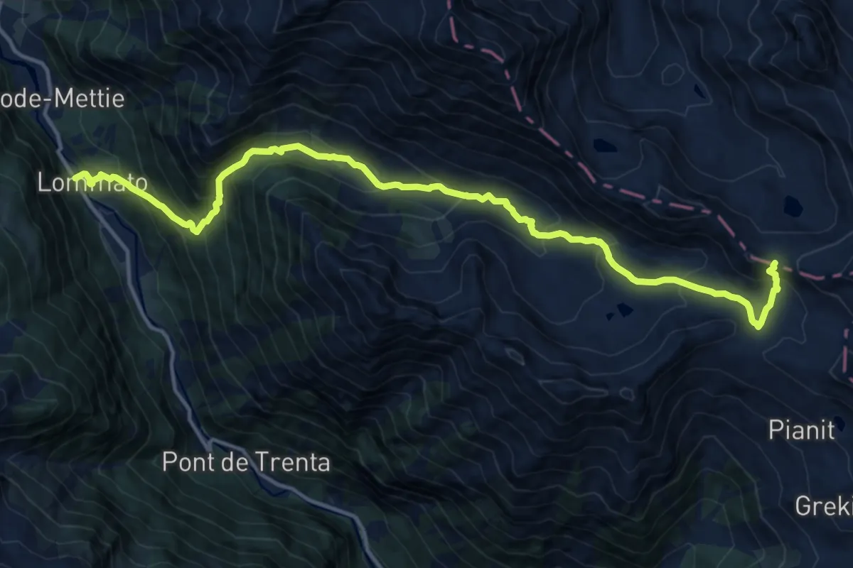
Demanding · Trail
Steina – Passo del Maccagno
16.0 km · ↑ 1232 m · 6 h 27 min
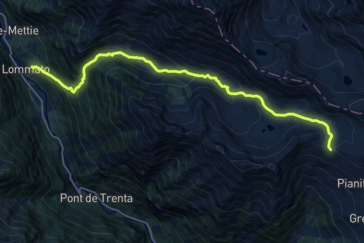
Demanding · Trail
Loomatto – Passo di Lazoney
14.4 km · ↑ 1039 m · 5 h 39 min
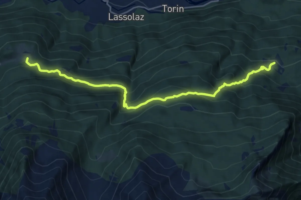
Demanding · Trail
Cloutraz – Bellecombe
13.0 km · ↑ 980 m · 5 h 12 min
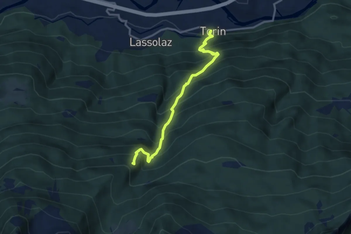
Demanding · Trail
Torin – Alpe Mont Giron
7.1 km · ↑ 1065 m · 3 h 59 min
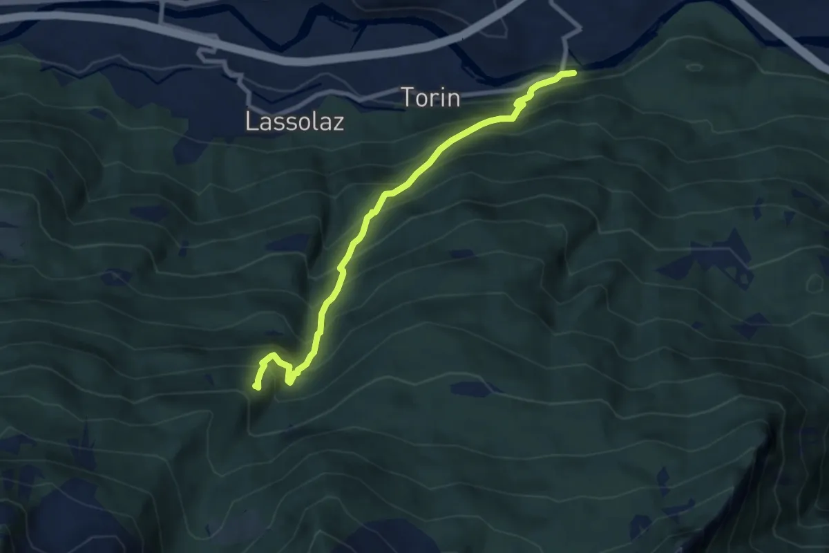
Demanding · Trail
Ponte Dora Baltea – Alpe Mont Giron
7.8 km · ↑ 1111 m · 4 h 15 min
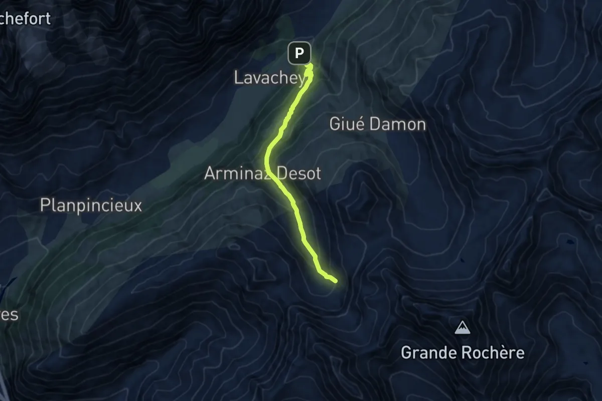
Medium · Trail
La Remisa – Pas-Entre-Deux-Sauts
9.3 km · ↑ 609 m · 3 h 31 min
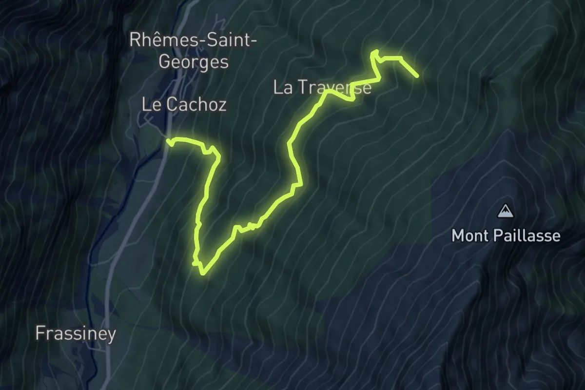
Demanding · Trail
Voix – Champromenty
8.5 km · ↑ 830 m · 3 h 48 min
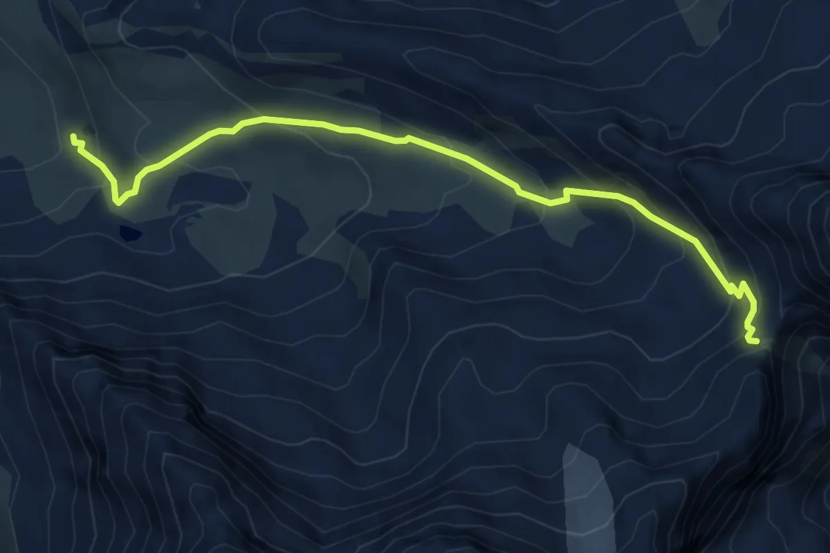
Demanding · Cabin
Rifugio Chalet de l'Epée – Col Fenêtre de Torrent
6.1 km · ↑ 472 m · 2 h 28 min
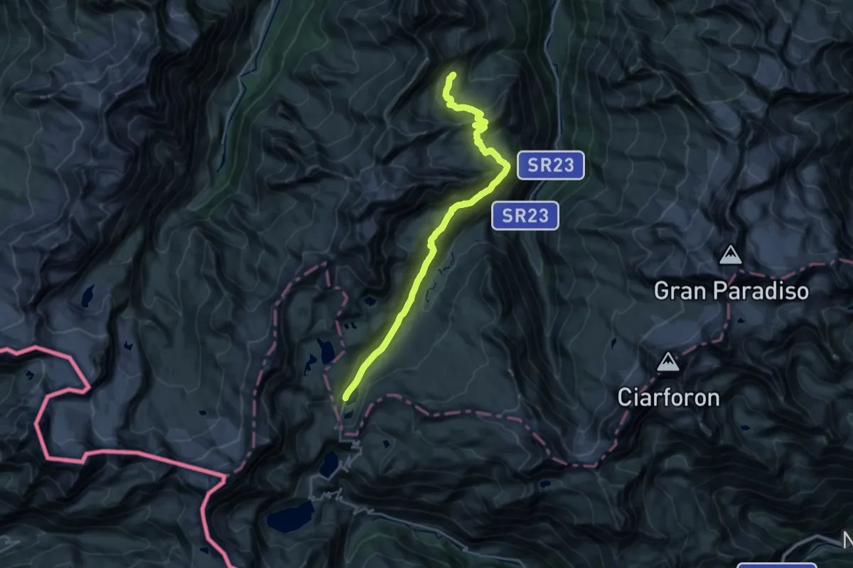
Demanding · Cabin
Lacs Djouan – Rifugio Savoia
23.9 km · ↑ 956 m · 7 h 44 min
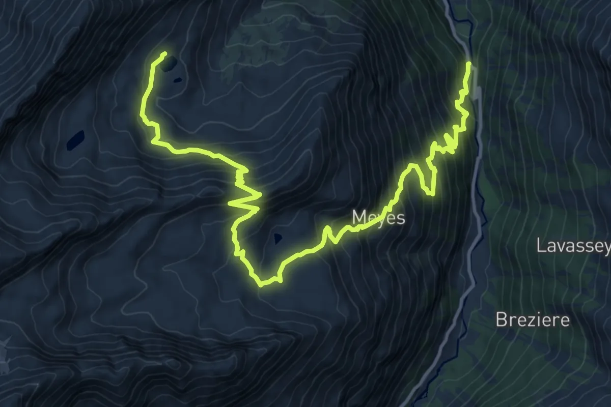
Demanding · Trail
Pont du Grand Clapey – Lago Djouan
16.3 km · ↑ 1355 m · 6 h 48 min
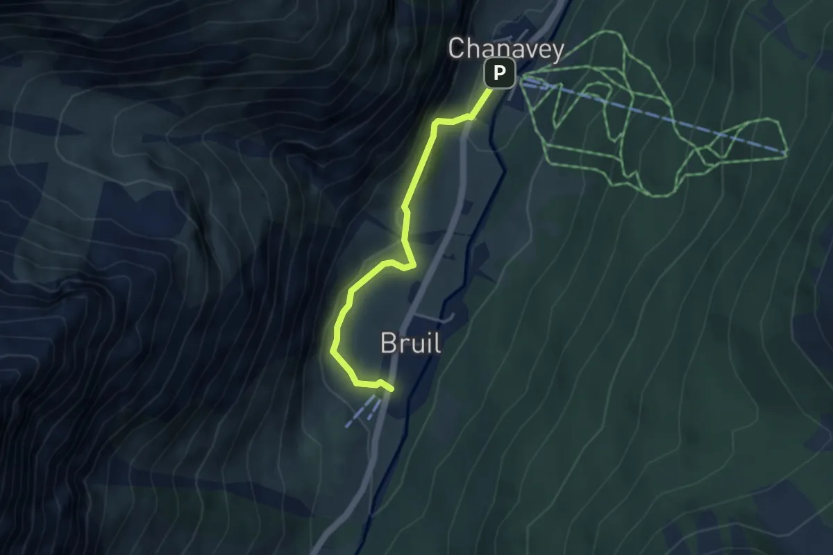
Medium · Trail
Chanavey – Bruil, Foyer de Fond
3.5 km · ↑ 171 m · 1 h 11 min
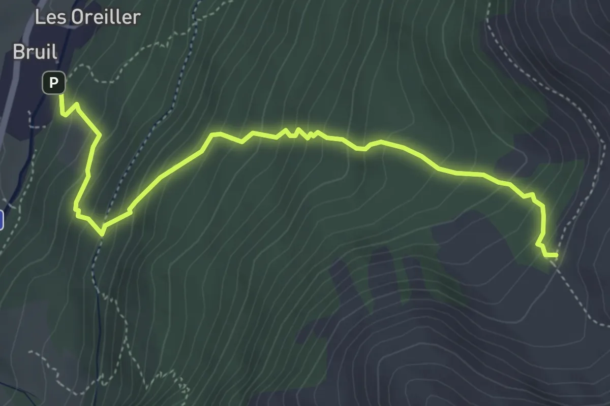
Medium · Trail
Bruil – Casotto PNGP di Sort
5.2 km · ↑ 561 m · 2 h 27 min
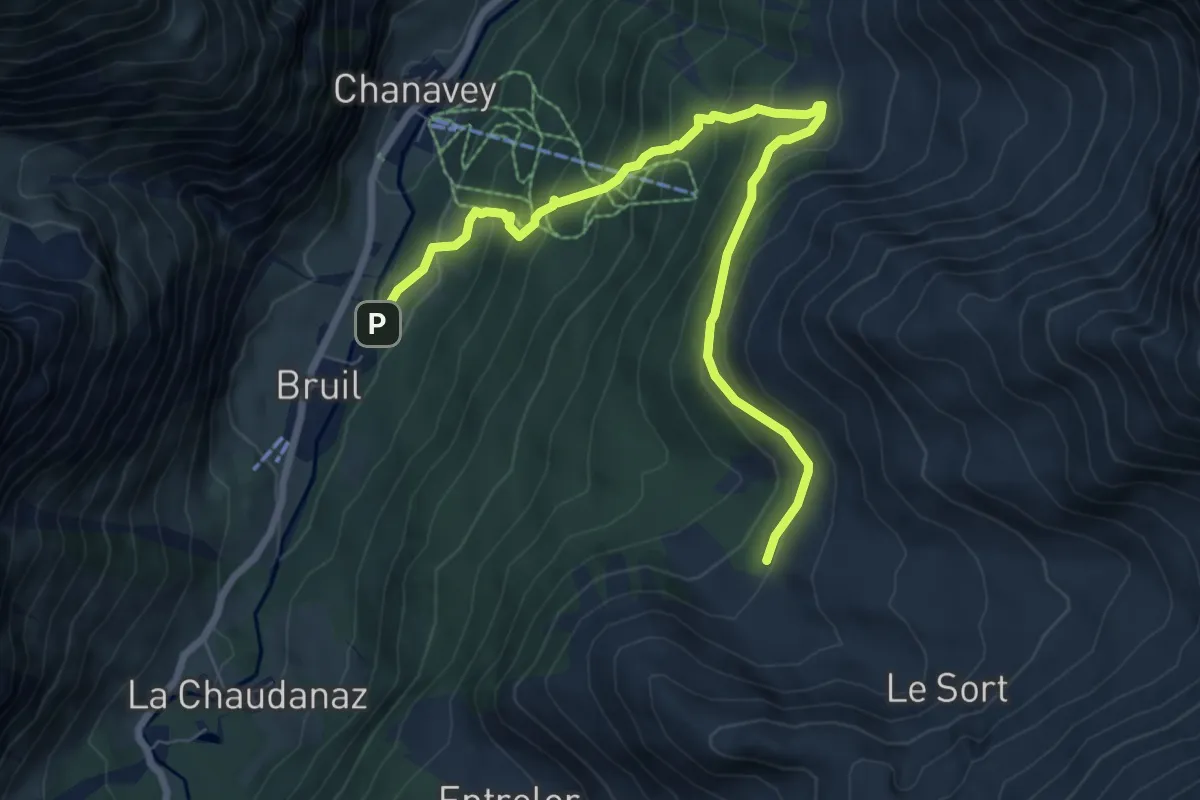
Medium · Trail
Oreiller – Casotto PNGP di Sort
8.6 km · ↑ 626 m · 3 h 24 min
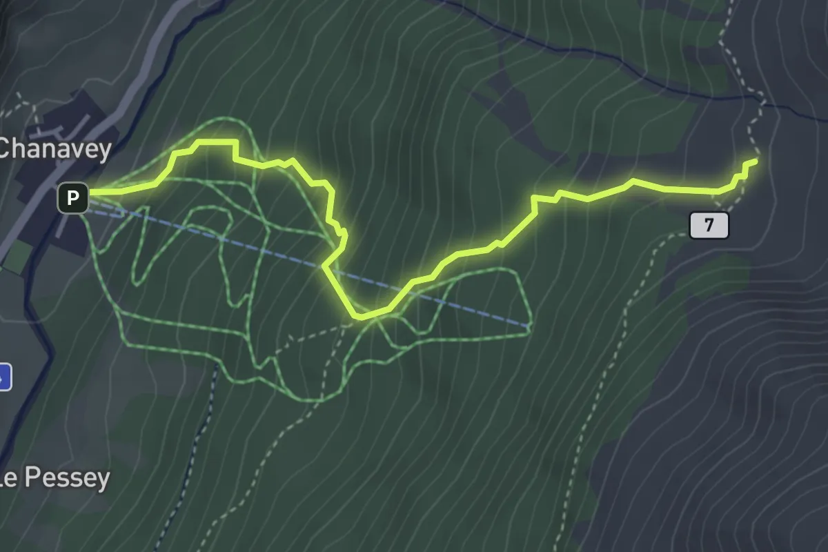
Medium · Trail
Chanavey – Chaussettaz
4.2 km · ↑ 498 m · 2 h 5 min
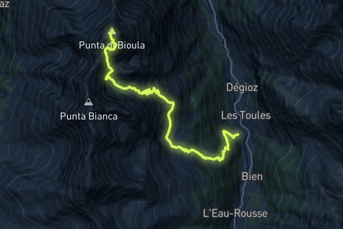
Expert · Summit
Toulaplana, Creton – Pointe Bioula
15.3 km · ↑ 1932 m · 7 h 48 min
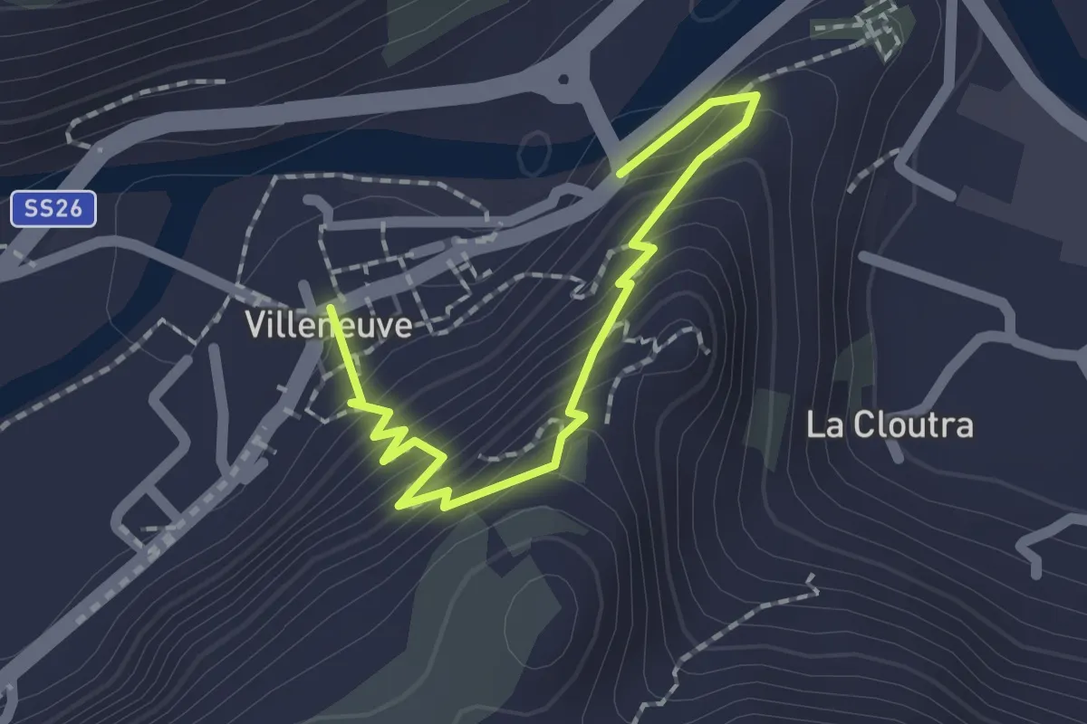
Medium · Trail
Capoluogo – Saint Roch
2.0 km · ↑ 188 m · 53 min
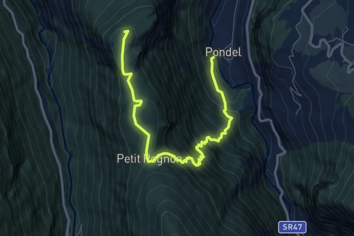
Demanding · Summit
Pondel – Petit Poignon
7.9 km · ↑ 809 m · 3 h 37 min
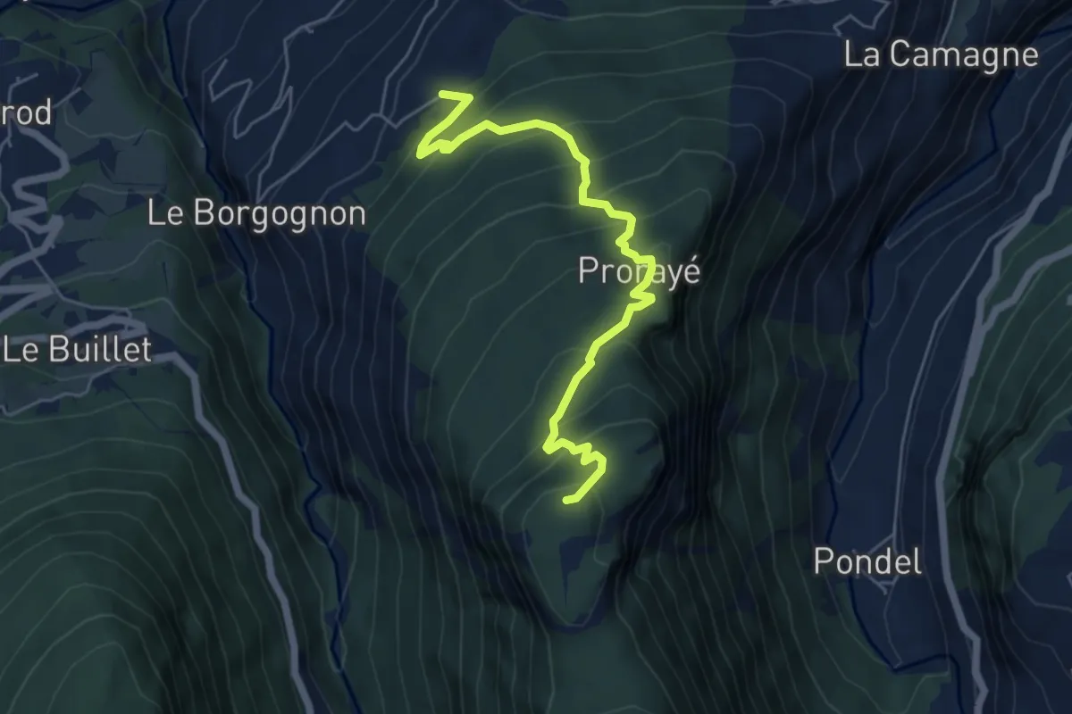
Medium · Summit
Champlong dessus – Petit-Poignon
5.8 km · ↑ 538 m · 2 h 31 min
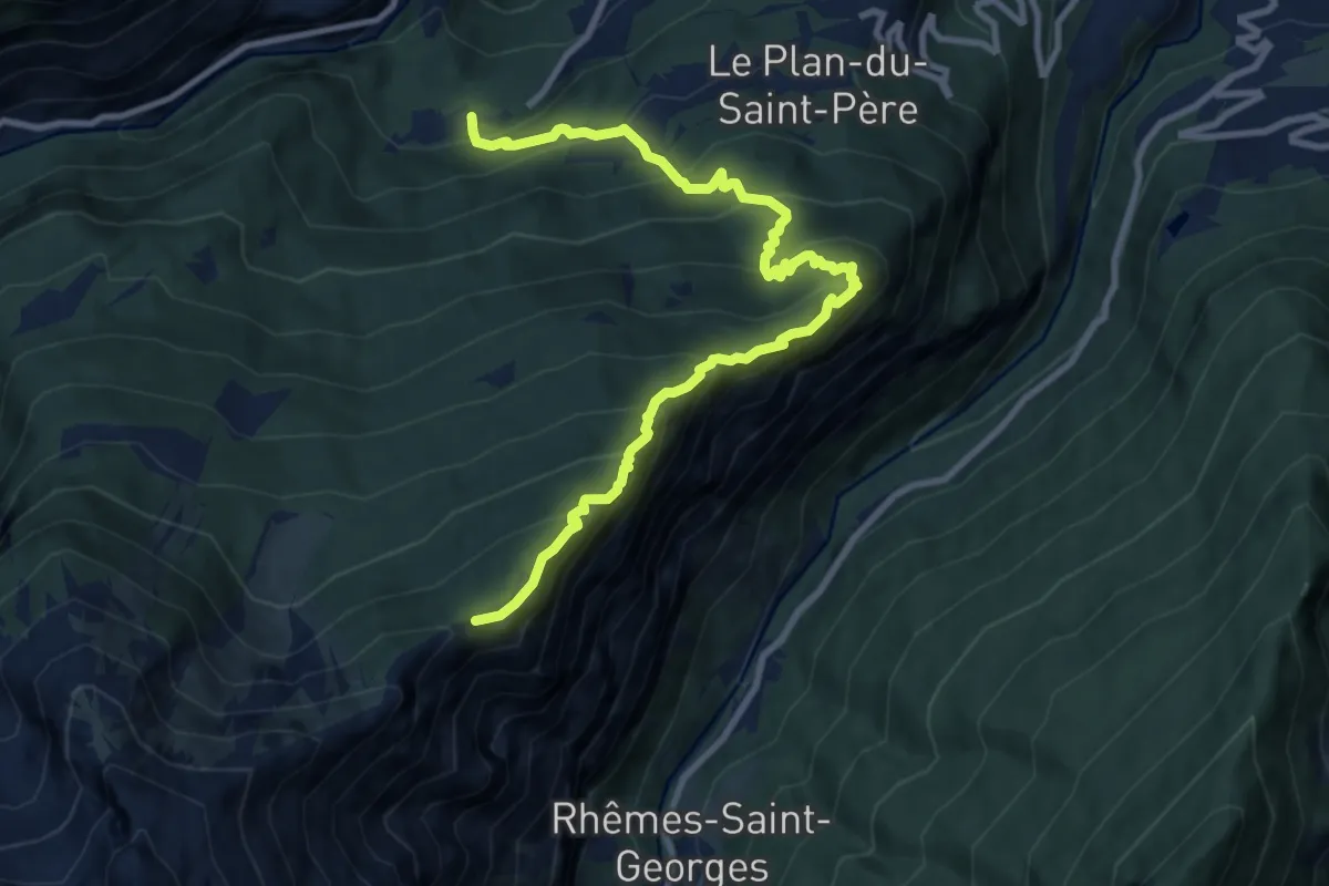
Demanding · Trail
Grand Haury – Cou
11.2 km · ↑ 1160 m · 5 h 9 min
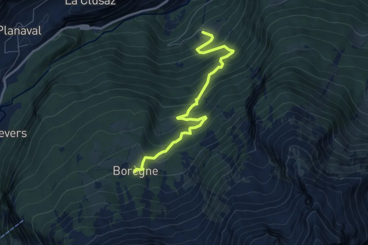
Medium · Trail
Chamin – Boregne
6.9 km · ↑ 606 m · 2 h 57 min
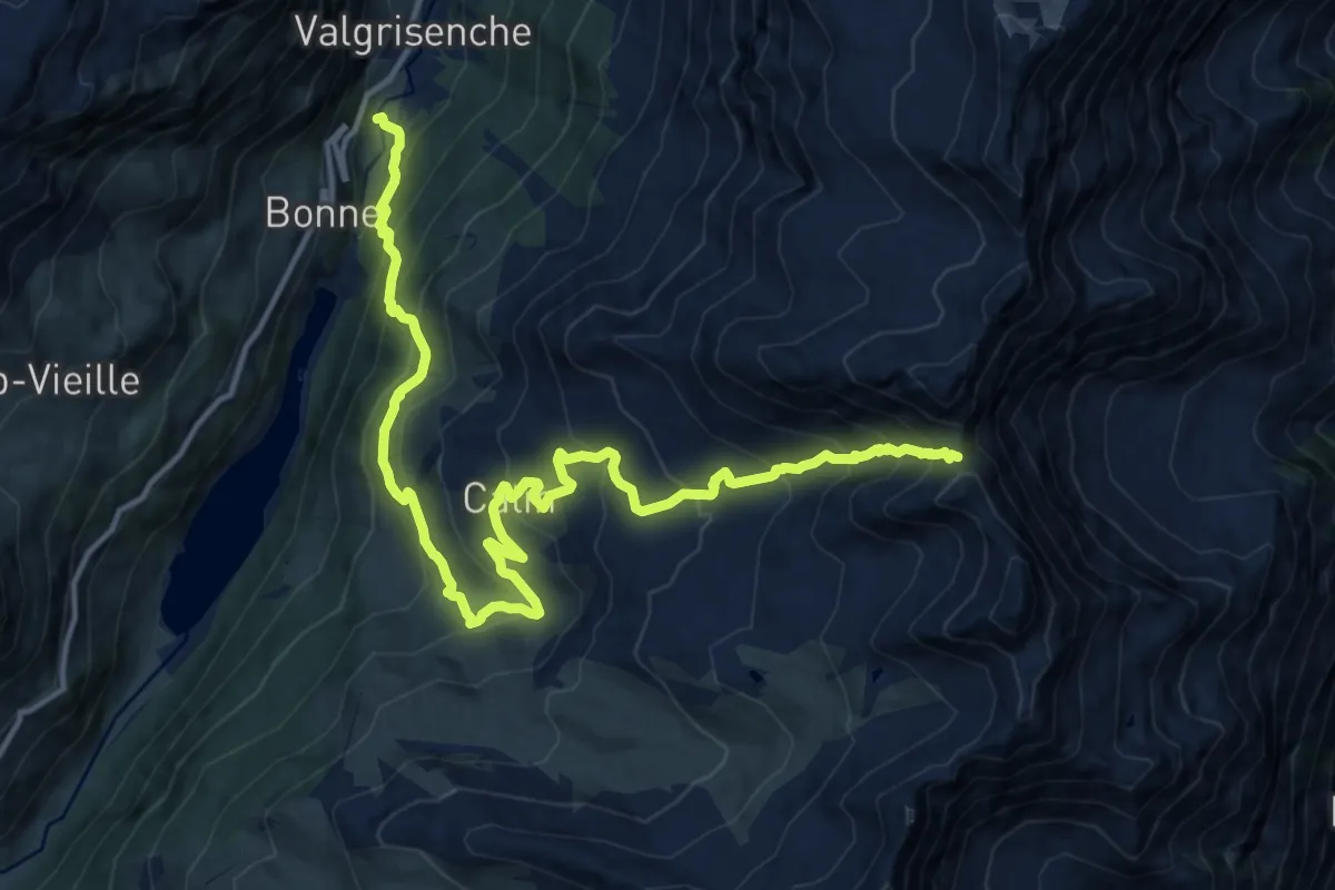
Demanding · Trail
Mondanges – Col de Feleumaz
17.2 km · ↑ 1411 m · 7 h 7 min
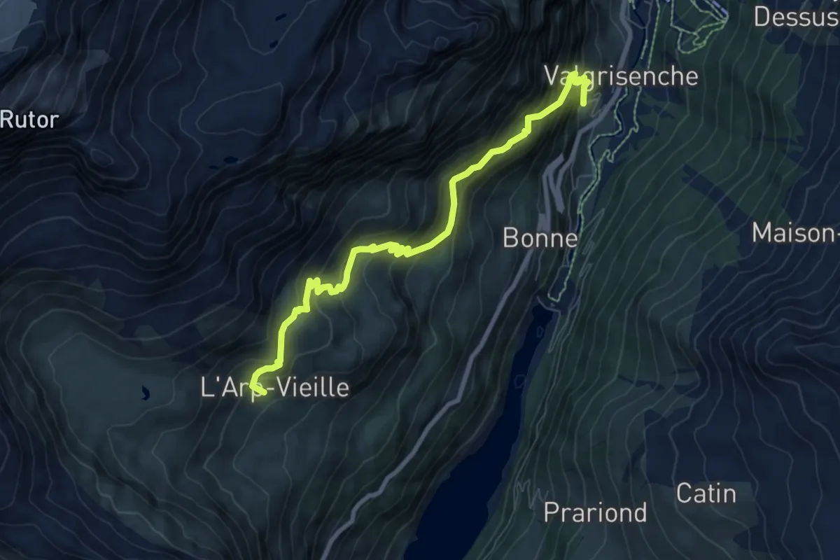
Demanding · Trail
Valgrisenche – Arp Vieille
8.3 km · ↑ 919 m · 3 h 56 min
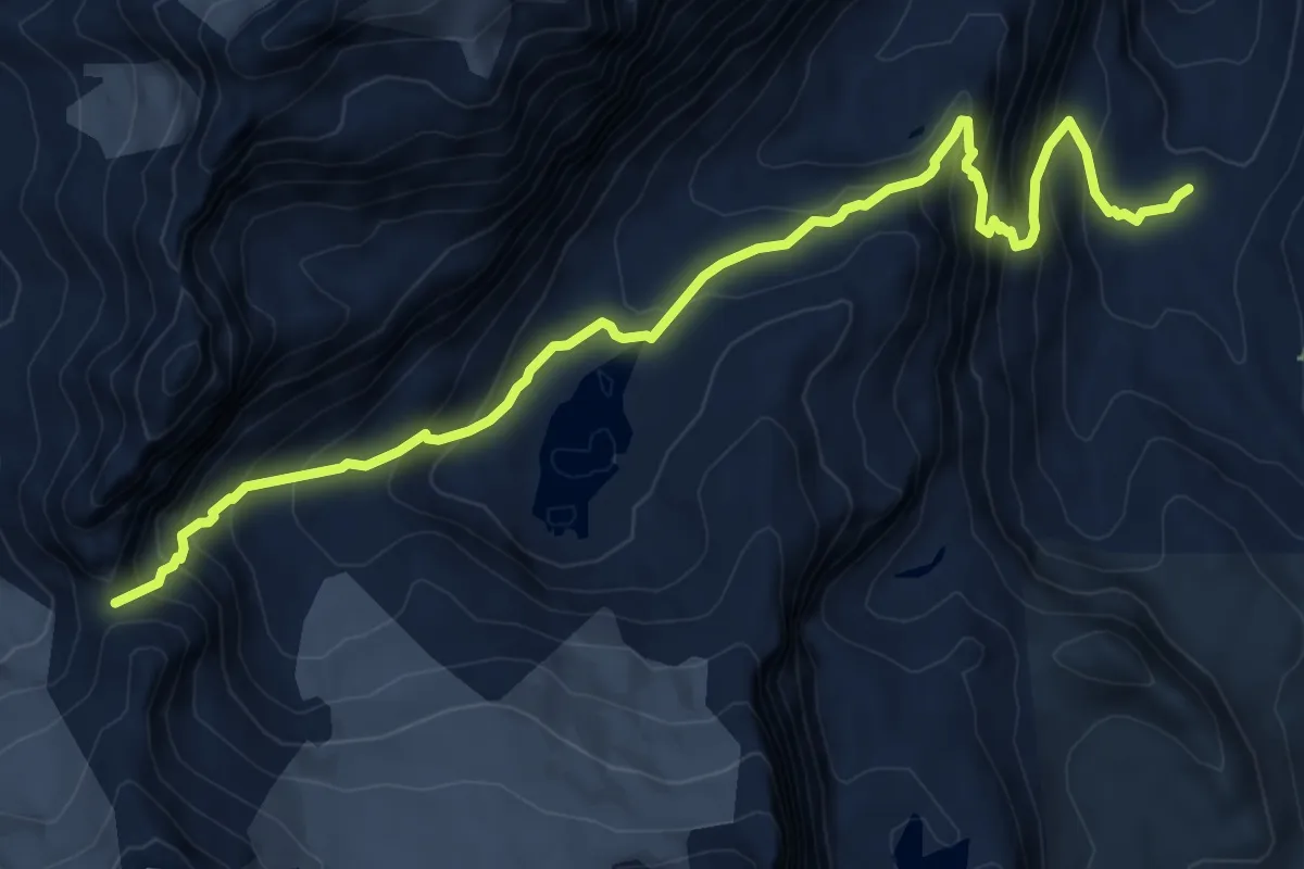
Demanding · Cabin
Rifugio Benevolo – Col Bassac Deré
9.6 km · ↑ 848 m · 4 h 6 min
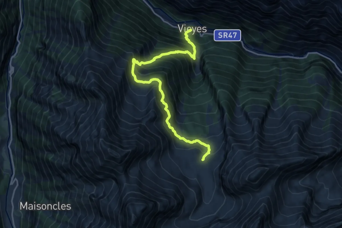
Demanding · Cabin
Vieyes – Bivacco Gontier
12.8 km · ↑ 1409 m · 6 h 4 min
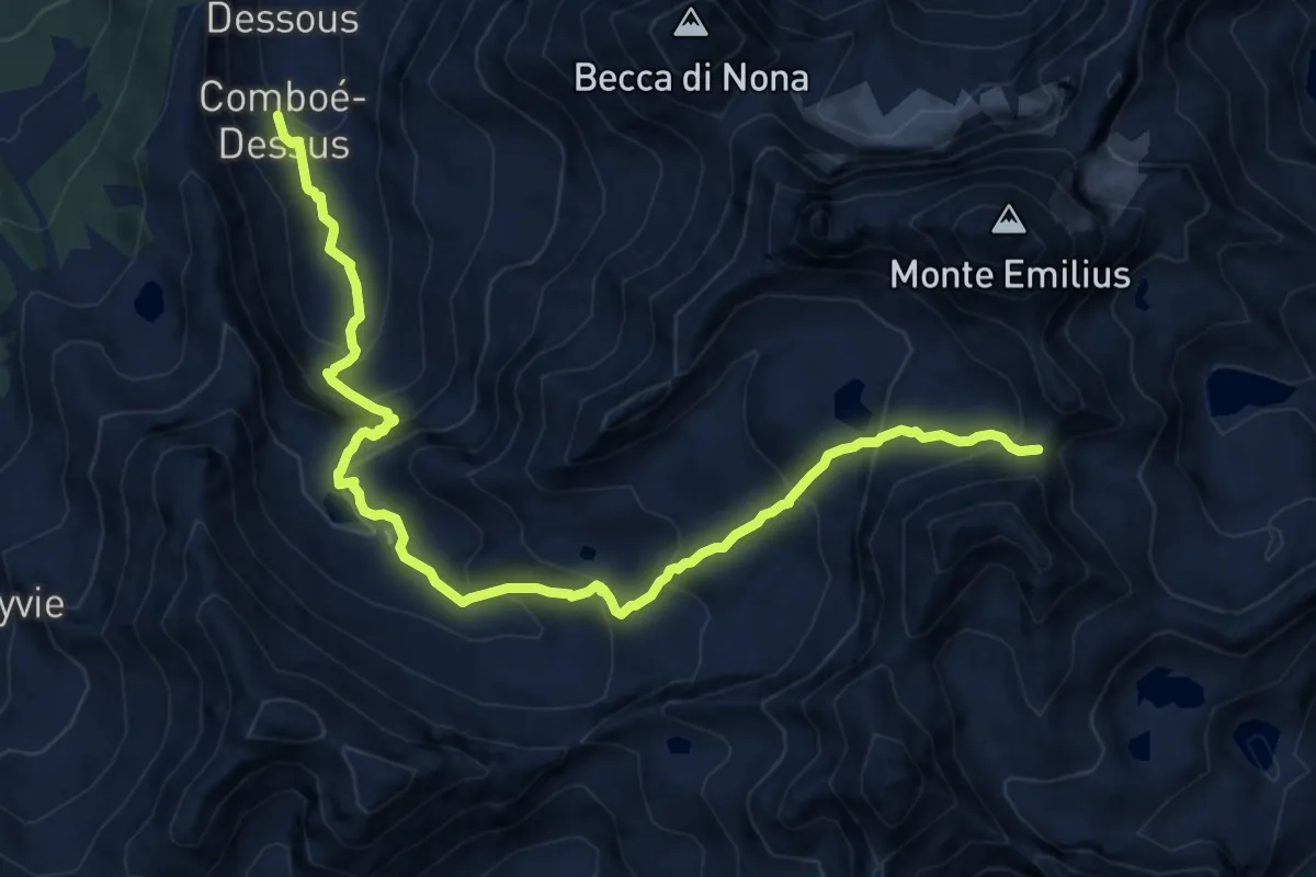
Expert · Trail
Rifugio Arbolle – Col d'Arbolle
13.1 km · ↑ 1062 m · 5 h 23 min
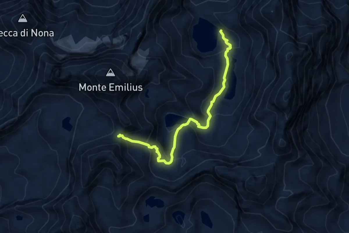
Expert · Cabin
Bivacco Menabreaz – Col d'Arbolle
8.9 km · ↑ 622 m · 3 h 27 min
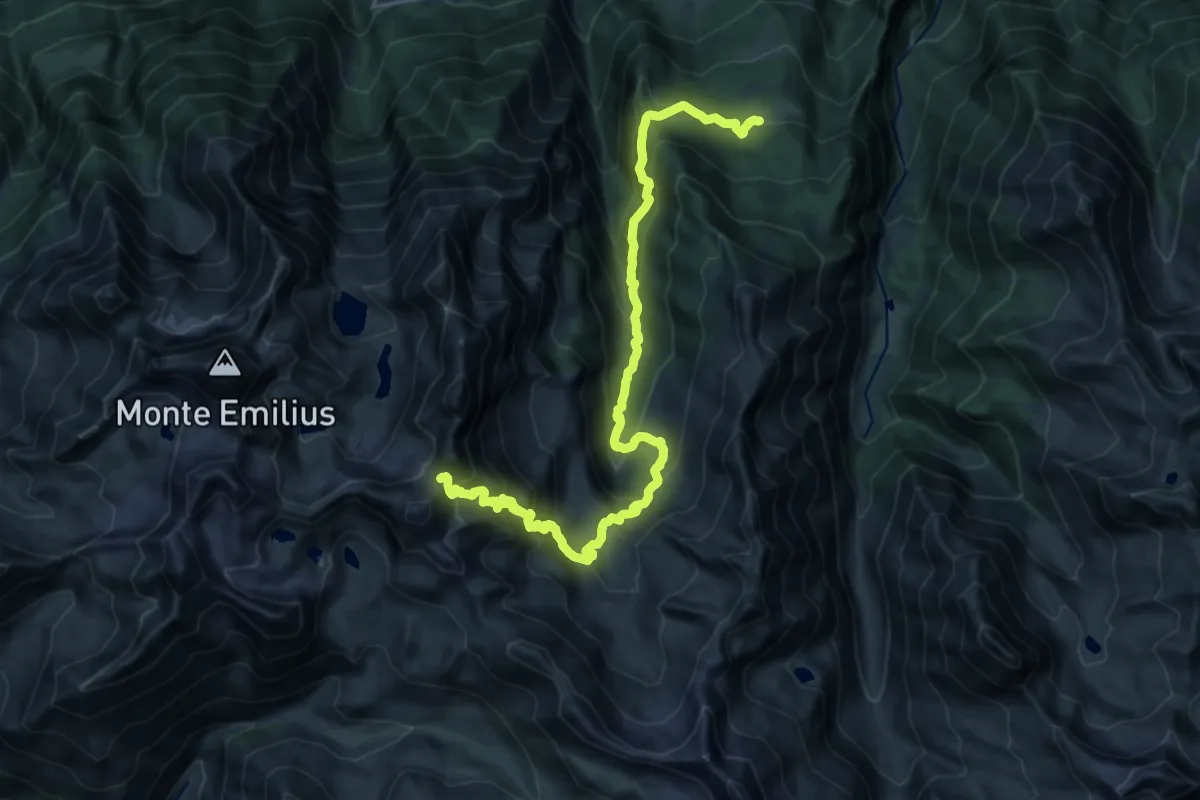
Demanding · Trail
Druges – Col de Leppe
13.2 km · ↑ 1638 m · 6 h 6 min
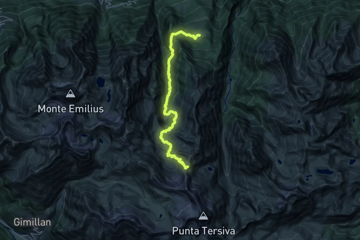
Demanding · Summit
Druges – Col Lavodilec
25.1 km · ↑ 1485 m · 9 h 9 min
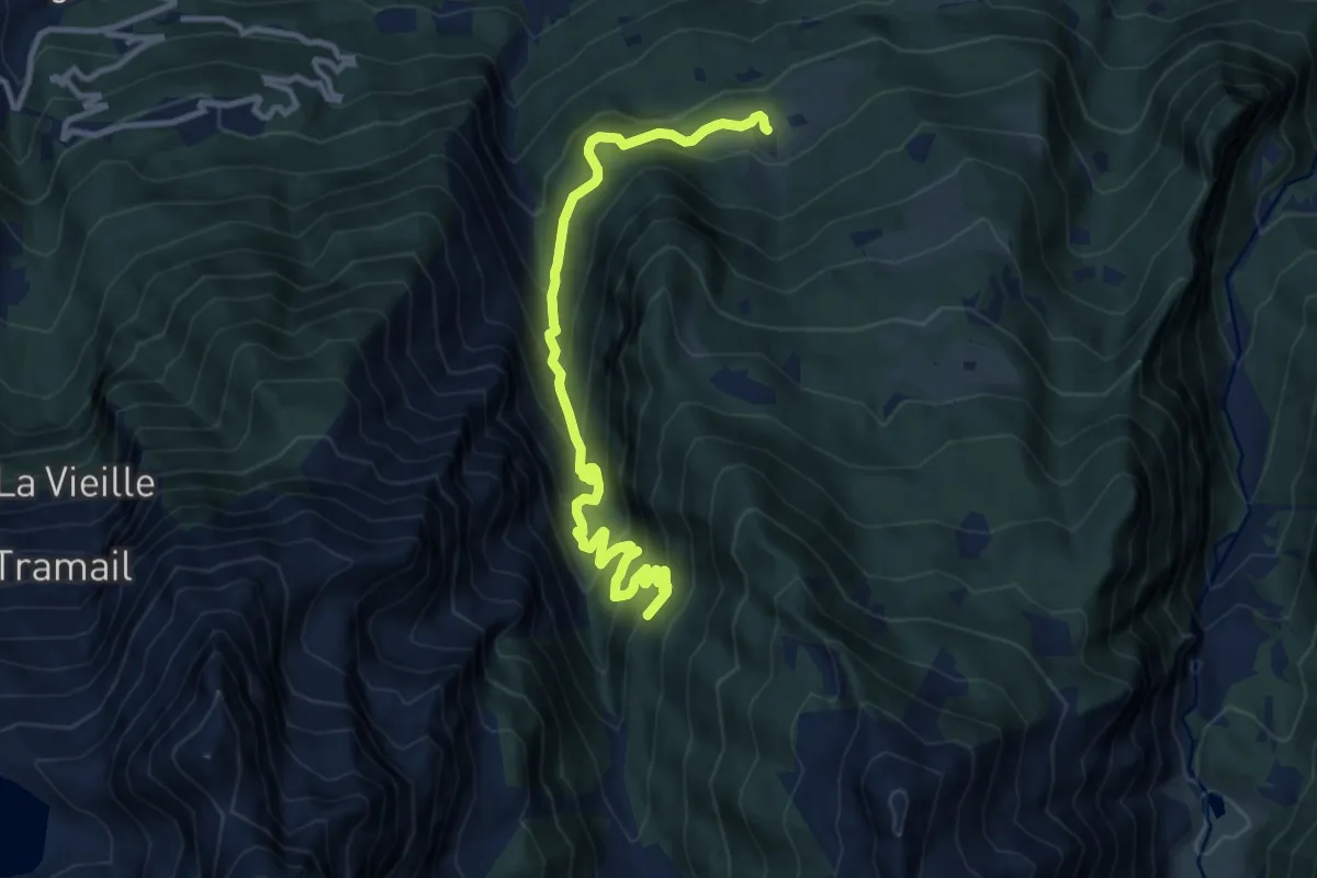
Demanding · Trail
Seissogne – Innesto S12
12.1 km · ↑ 927 m · 4 h 52 min
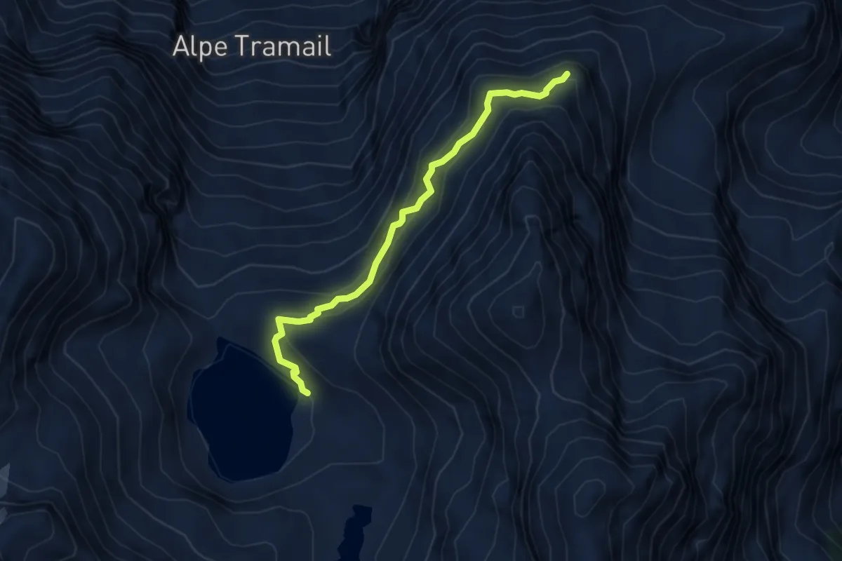
Demanding · Cabin
Bivacco Menabreaz – Ommo Bonplan
4.4 km · ↑ 410 m · 1 h 56 min