Trails in Italy
25,219 hiking trails, each with its route, climb, walking time and grade.
All trails, page 424 of 526
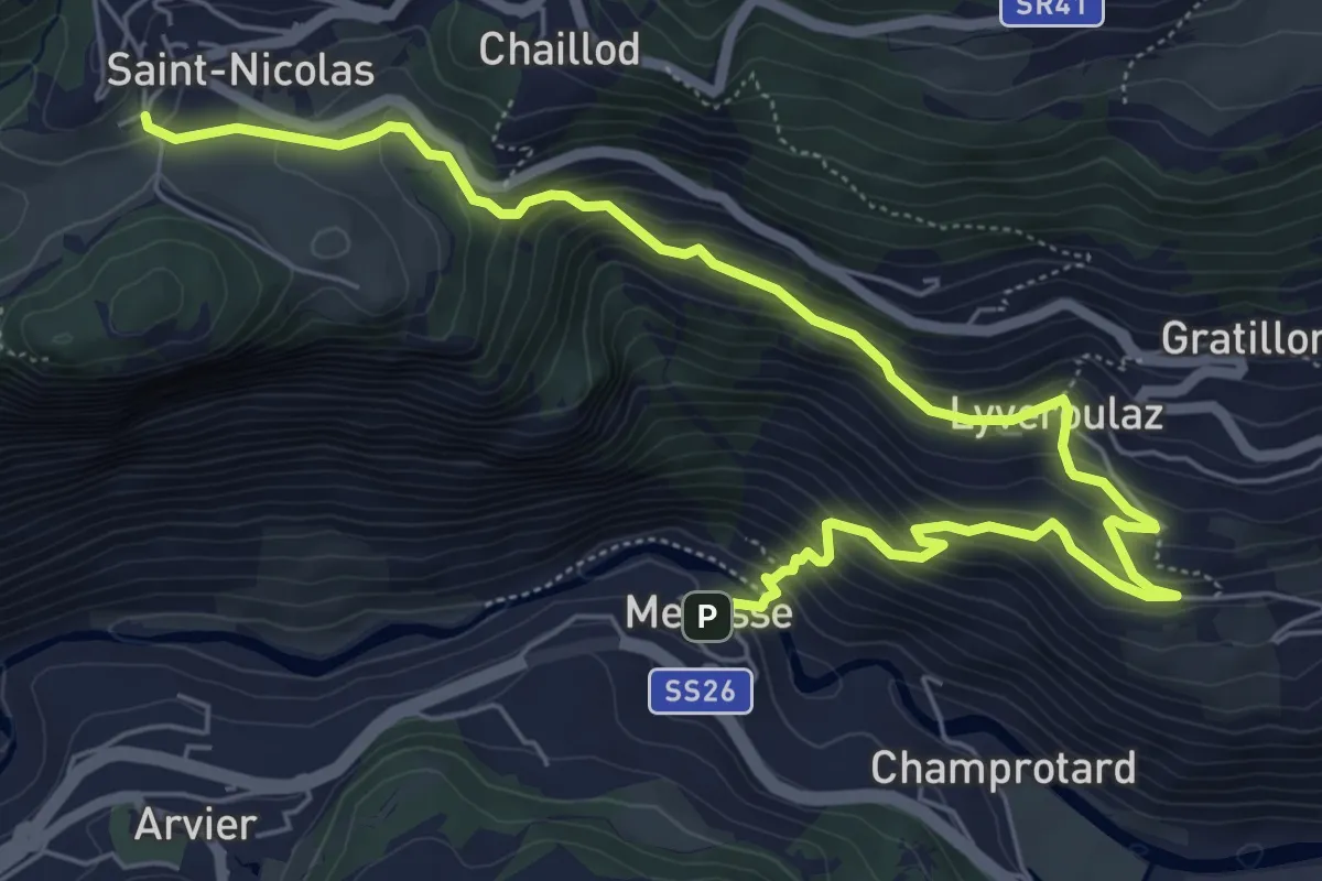
Medium · Trail
Mecosse – Fossaz
8.2 km · ↑ 565 m · 3 h 10 min
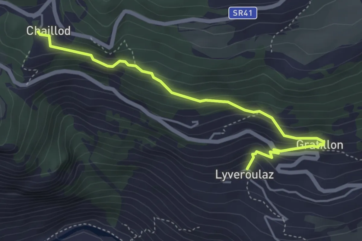
Easy · Trail
Liveroulaz – Chaillod
4.5 km · ↑ 283 m · 1 h 40 min
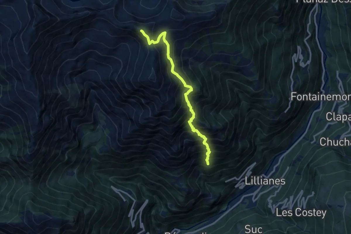
Demanding · Summit
Le Miriou – Punta Prial
8.8 km · ↑ 1290 m · 4 h 52 min
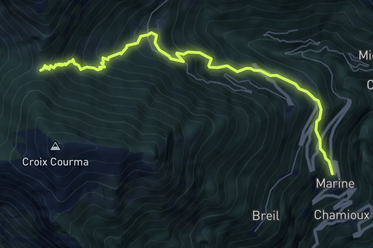
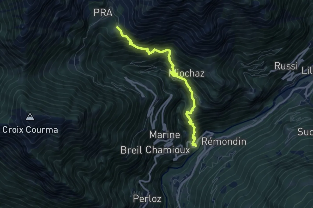
Demanding · Trail
Marine – Col Fênetre
7.4 km · ↑ 858 m · 3 h 37 min
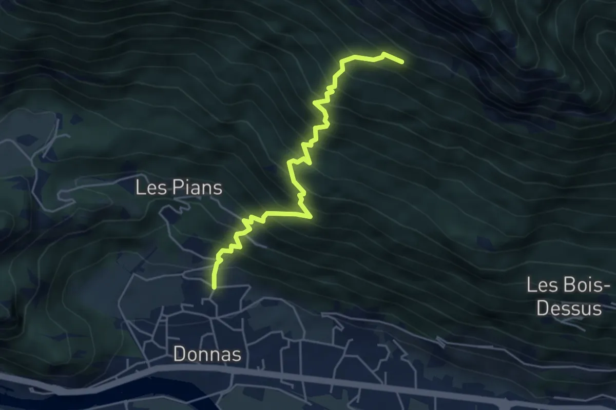
Demanding · Trail
Nantay – Ruine damon
7.1 km · ↑ 932 m · 3 h 41 min
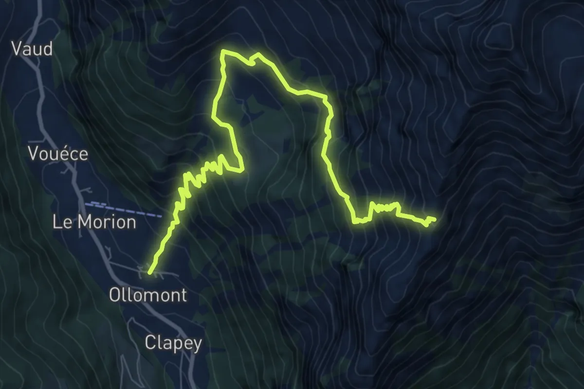
Demanding · Trail
Rovarey – Jas Dèsot
4.7 km · ↑ 828 m · 2 h 55 min
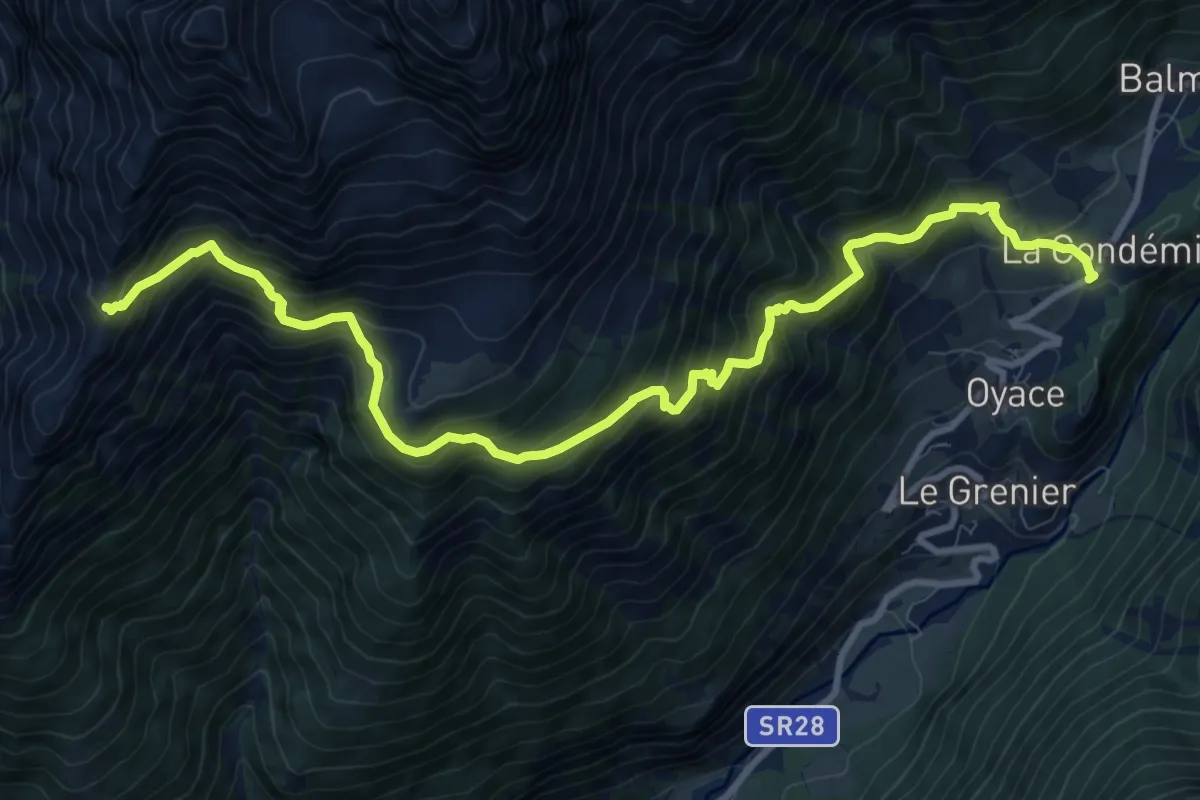
Demanding · Trail
Ollomont – Col Brison
10.6 km · ↑ 1180 m · 5 h 3 min
Demanding · Trail
Le Closé – Colle Brison
12.0 km · ↑ 1137 m · 5 h 17 min
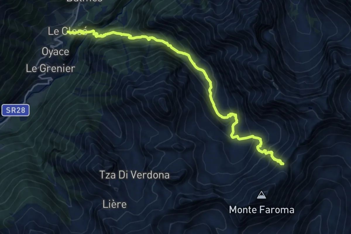
Demanding · Trail
Closé – Colle Vessona
17.7 km · ↑ 1607 m · 7 h 39 min
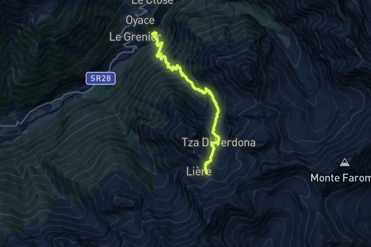
Demanding · Summit
Ponte Vernosse – Col de L'Arpeyssaou
12.4 km · ↑ 1199 m · 5 h 31 min
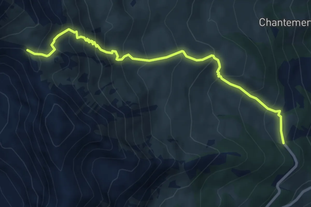
Medium · Trail
Laghetto Champillon – Col Champillon
6.6 km · ↑ 621 m · 2 h 54 min
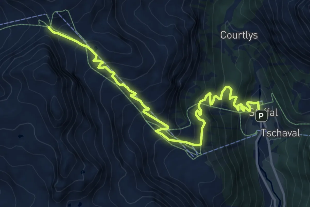
Demanding · Trail
Staffal – Col della Bettaforca
10.8 km · ↑ 903 m · 4 h 30 min
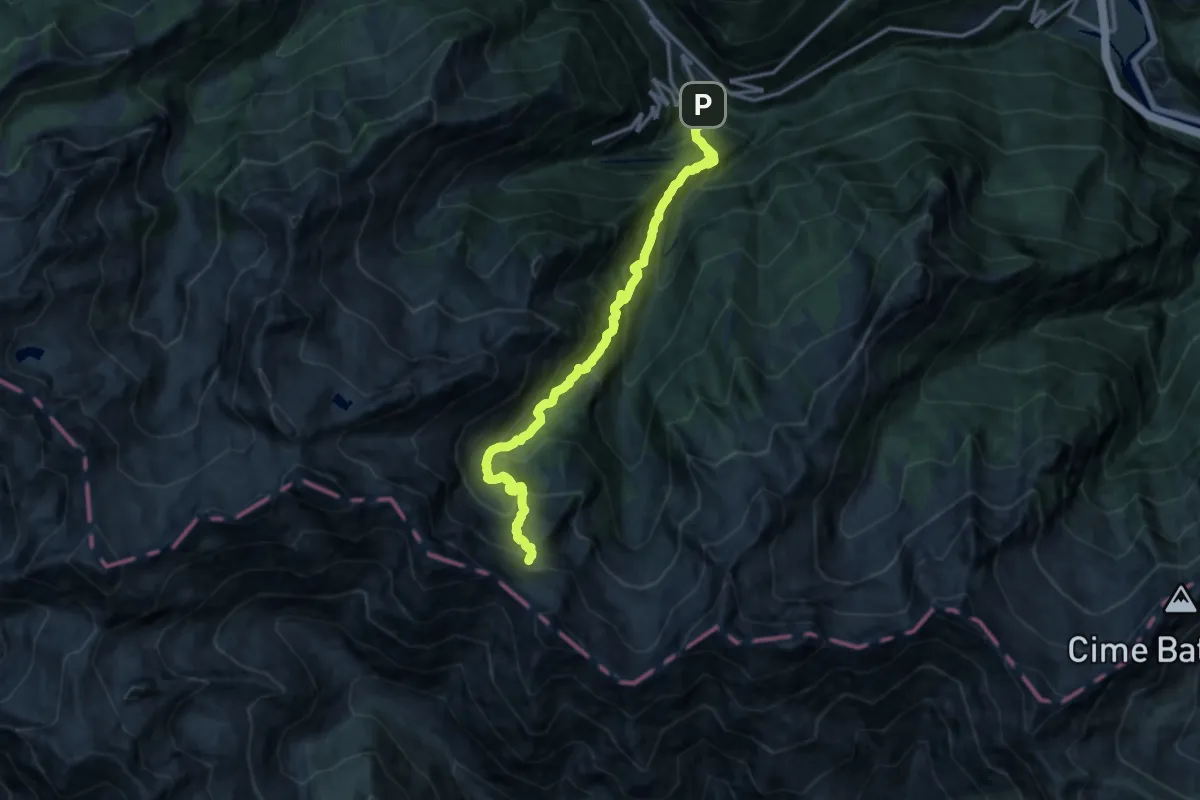
Demanding · Trail
Varesa – Lago di Leseney
14.5 km · ↑ 1805 m · 7 h 21 min
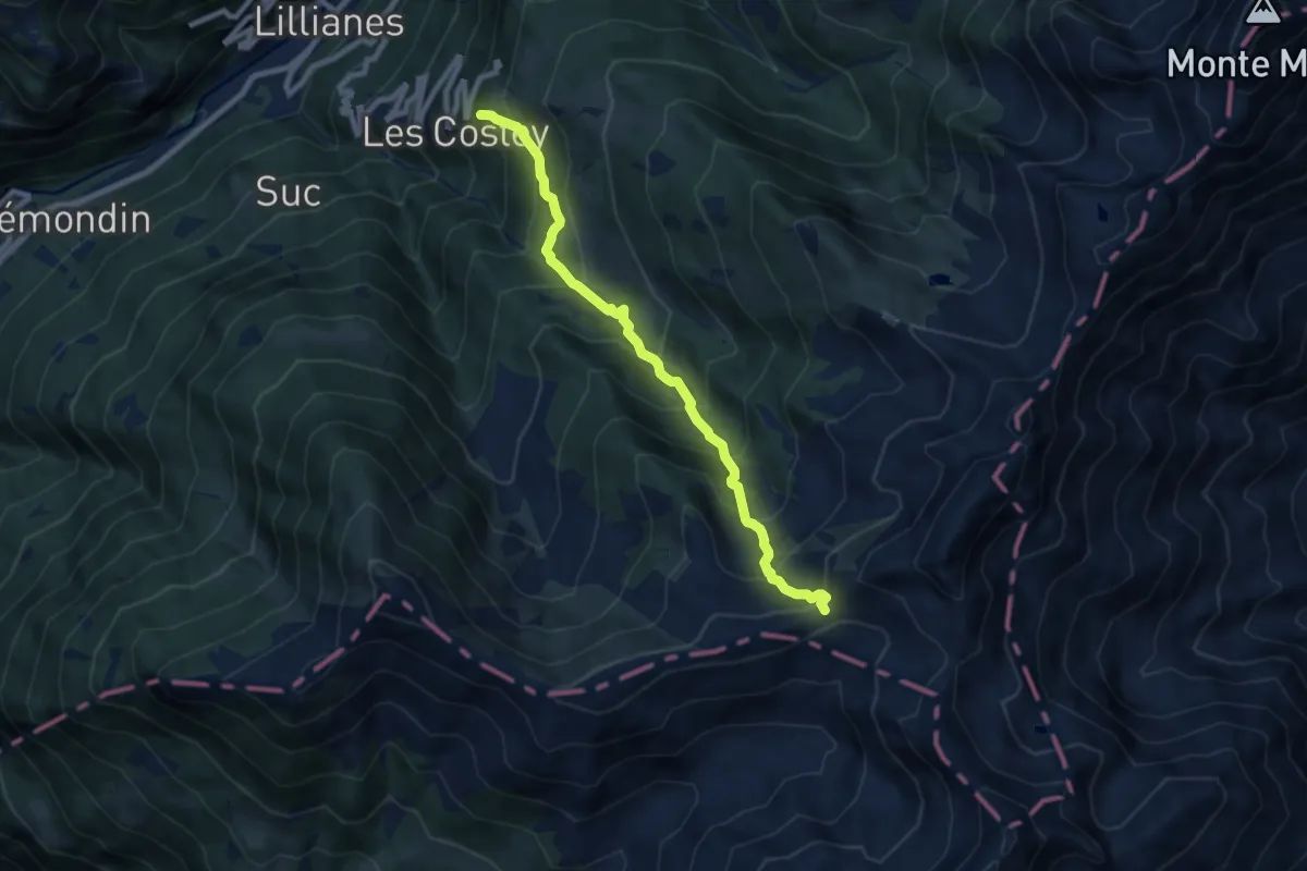
Demanding · Trail
Sainte-Marguerite – Col Giassit
8.3 km · ↑ 848 m · 3 h 48 min
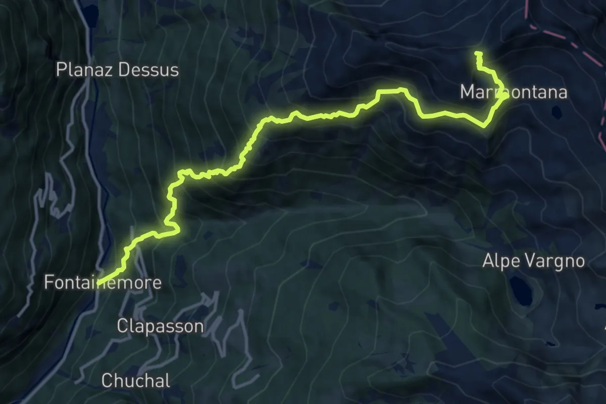
Demanding · Trail
Fontainemore (Capoluogo) – Colle Marmontana
13.6 km · ↑ 1827 m · 7 h 11 min
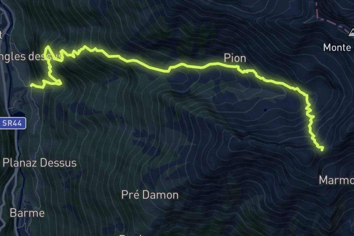
Demanding · Trail
Zengji – Colle Marmontana
11.8 km · ↑ 1441 m · 5 h 55 min
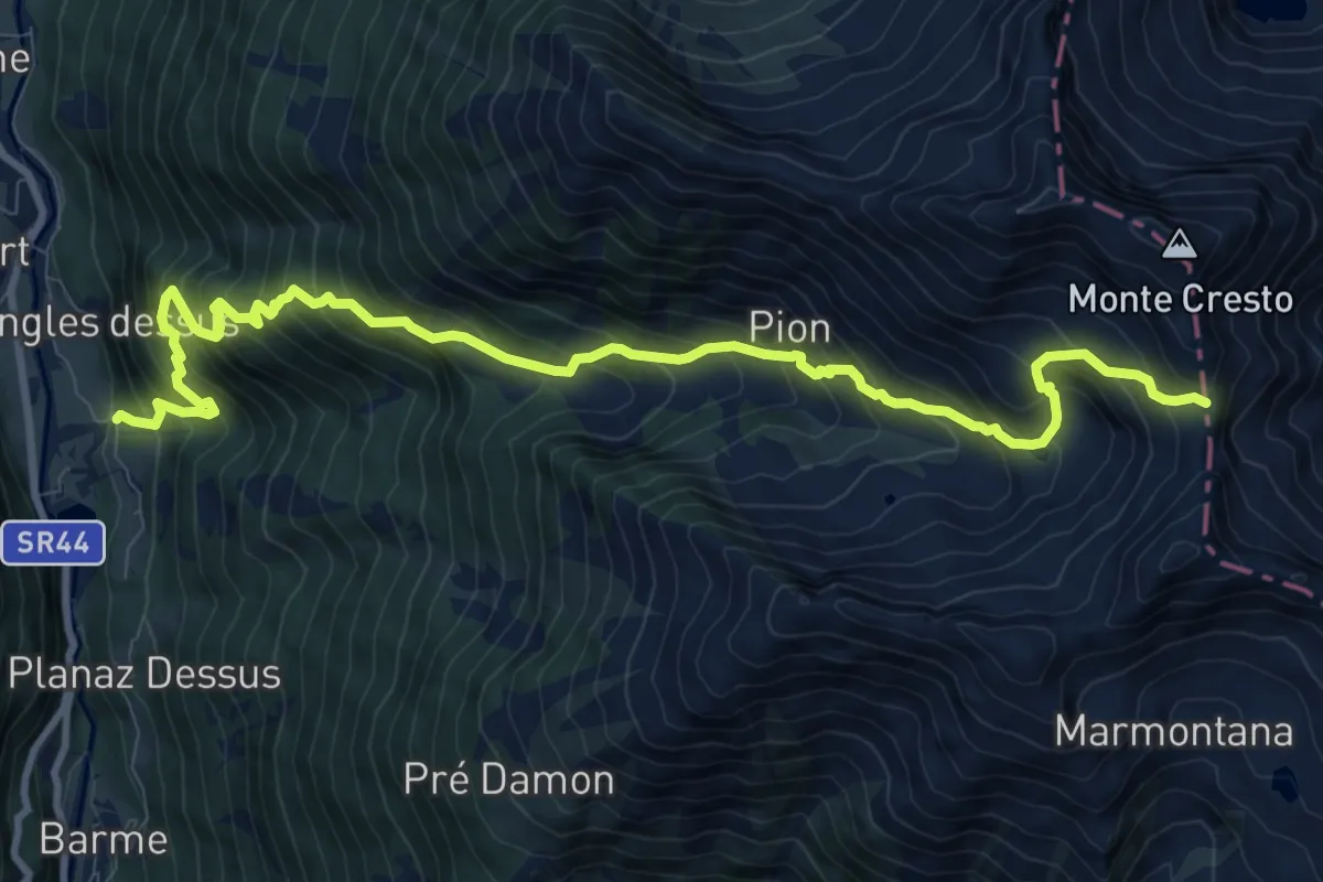
Expert · Trail
Zengji – Colle del Lupo
12.1 km · ↑ 1459 m · 6 h 1 min
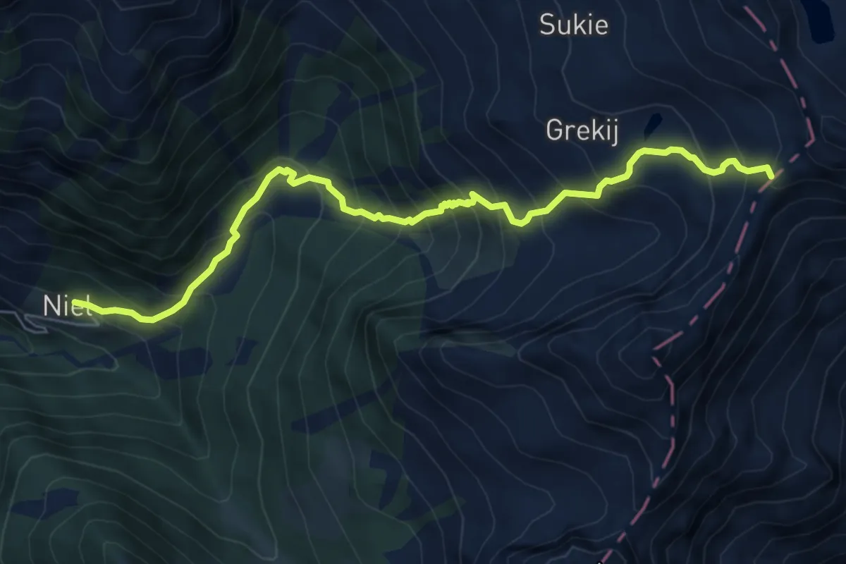
Demanding · Trail
Niel – Colle della Mologna Grande
6.9 km · ↑ 768 m · 3 h 17 min
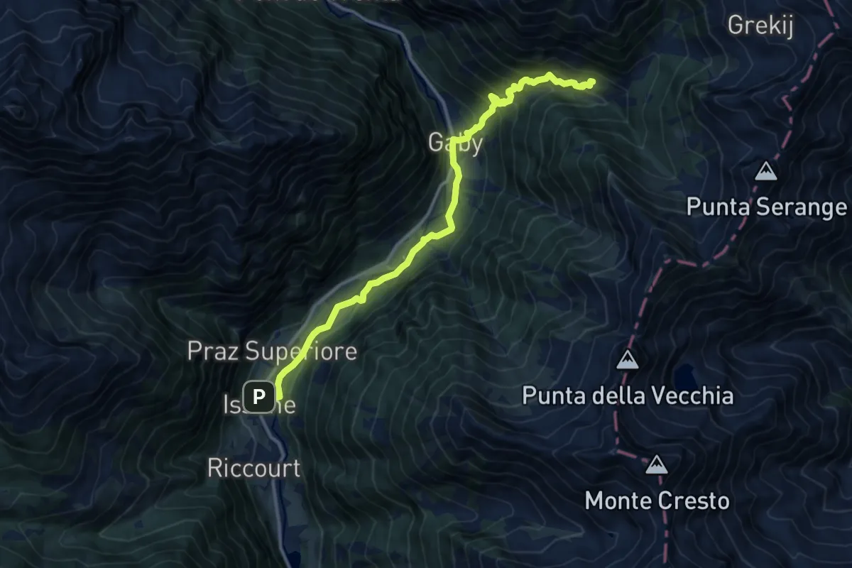
Medium · Trail
Issime – Niel
13.4 km · ↑ 735 m · 4 h 45 min
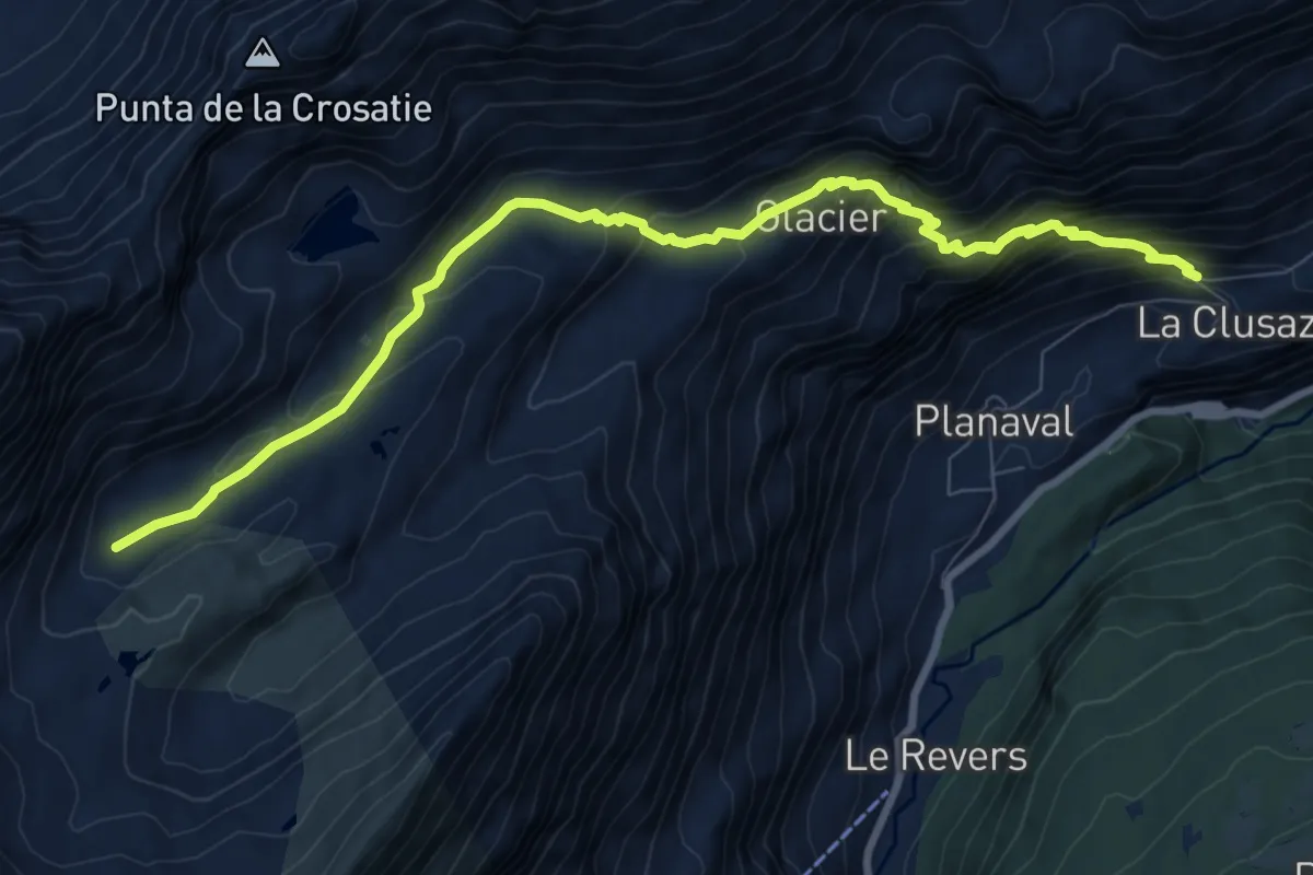
Demanding · Trail
La Clusaz – Col de la Crosatie
9.9 km · ↑ 759 m · 3 h 58 min
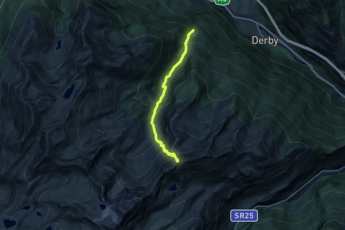
Expert · Trail
Lazey, innesto strada sterrata – Col de la Crosatie
12.9 km · ↑ 1296 m · 5 h 51 min
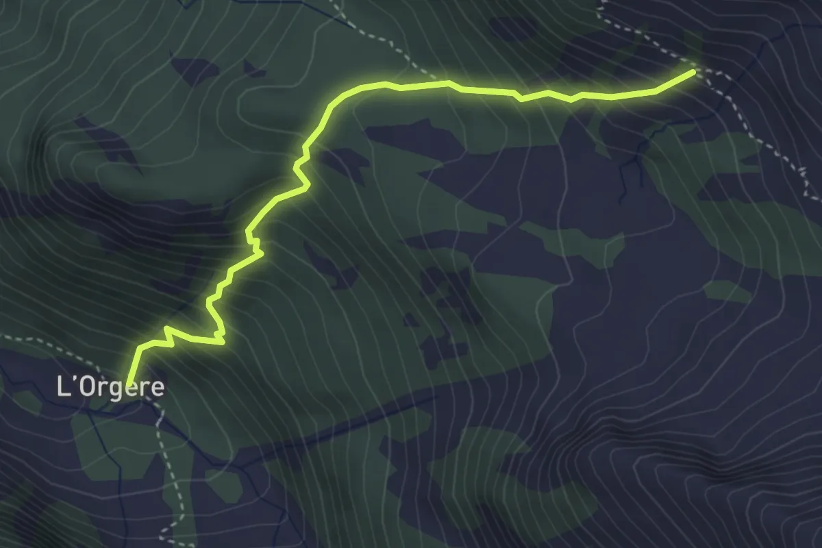
Medium · Trail
L'Orgère – Grand Bella Lana
4.0 km · ↑ 562 m · 2 h 9 min
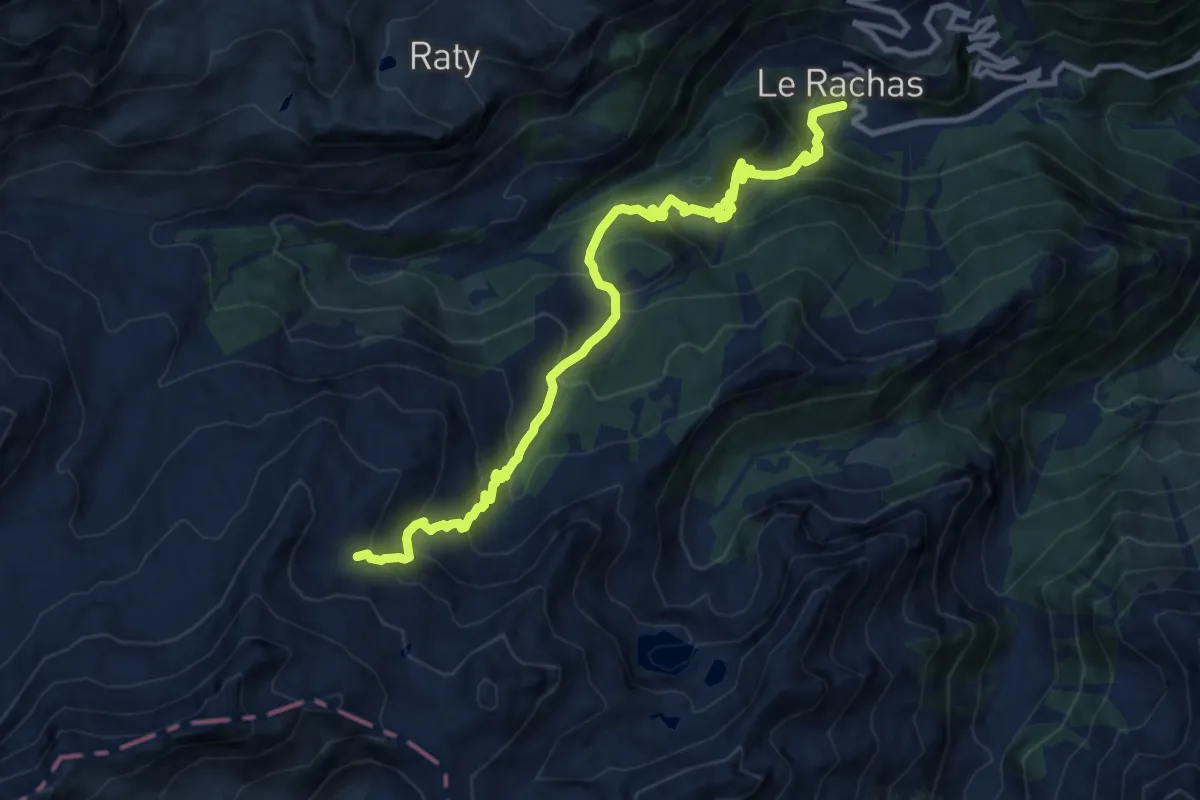
Demanding · Trail
Chardonney – Cimetta Rossa
12.0 km · ↑ 1041 m · 5 h 5 min
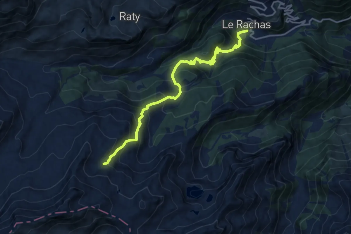
Demanding · Trail
Chardonney – Percorso 6
11.5 km · ↑ 1013 m · 4 h 54 min
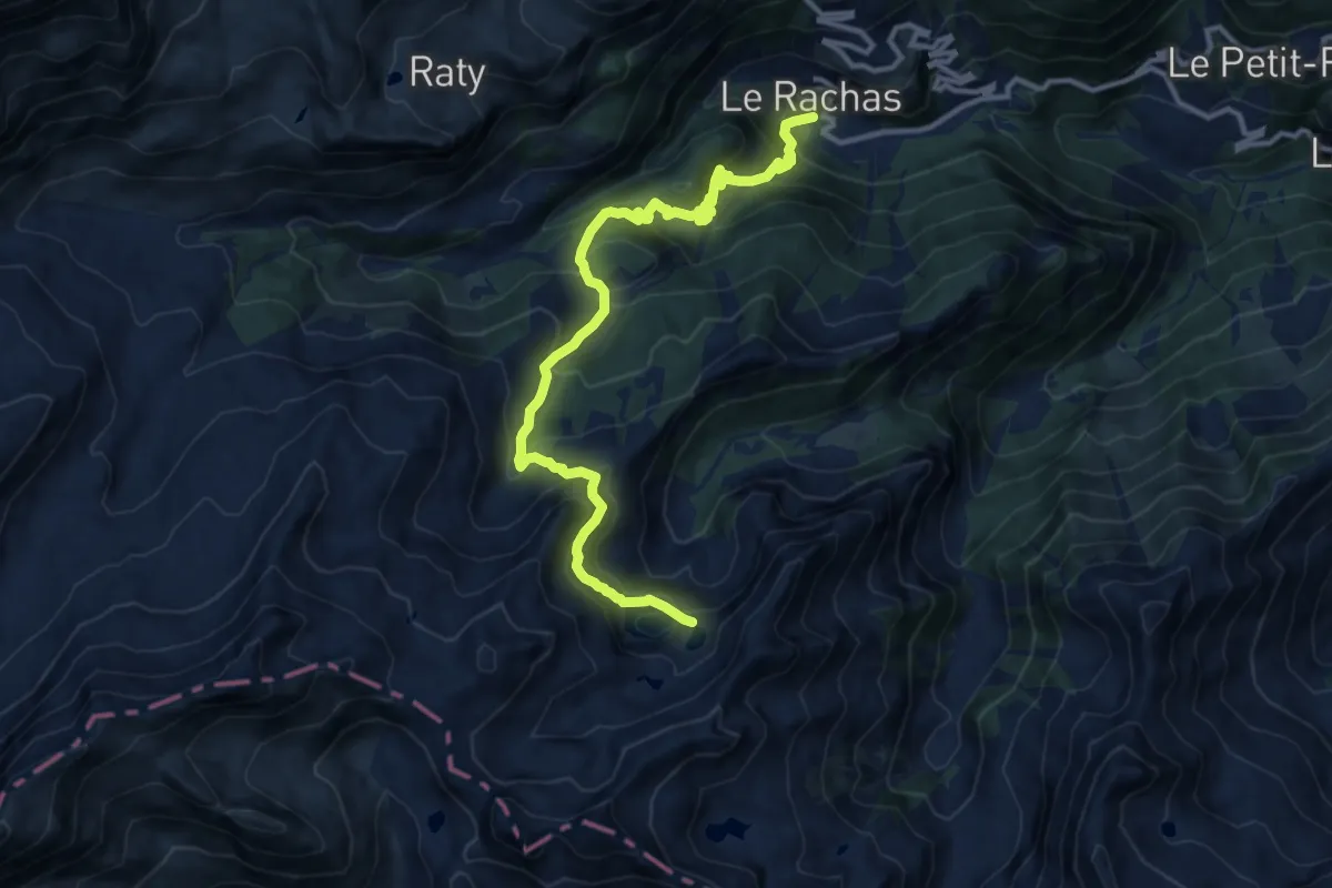
Demanding · Trail
Chardonney – Col Laris
13.2 km · ↑ 997 m · 5 h 17 min
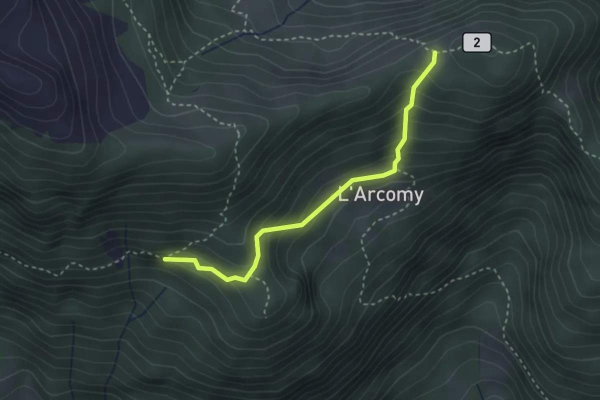
Medium · Trail
Percorso 11 – Col d'Arcomy
2.8 km · ↑ 208 m · 1 h 7 min
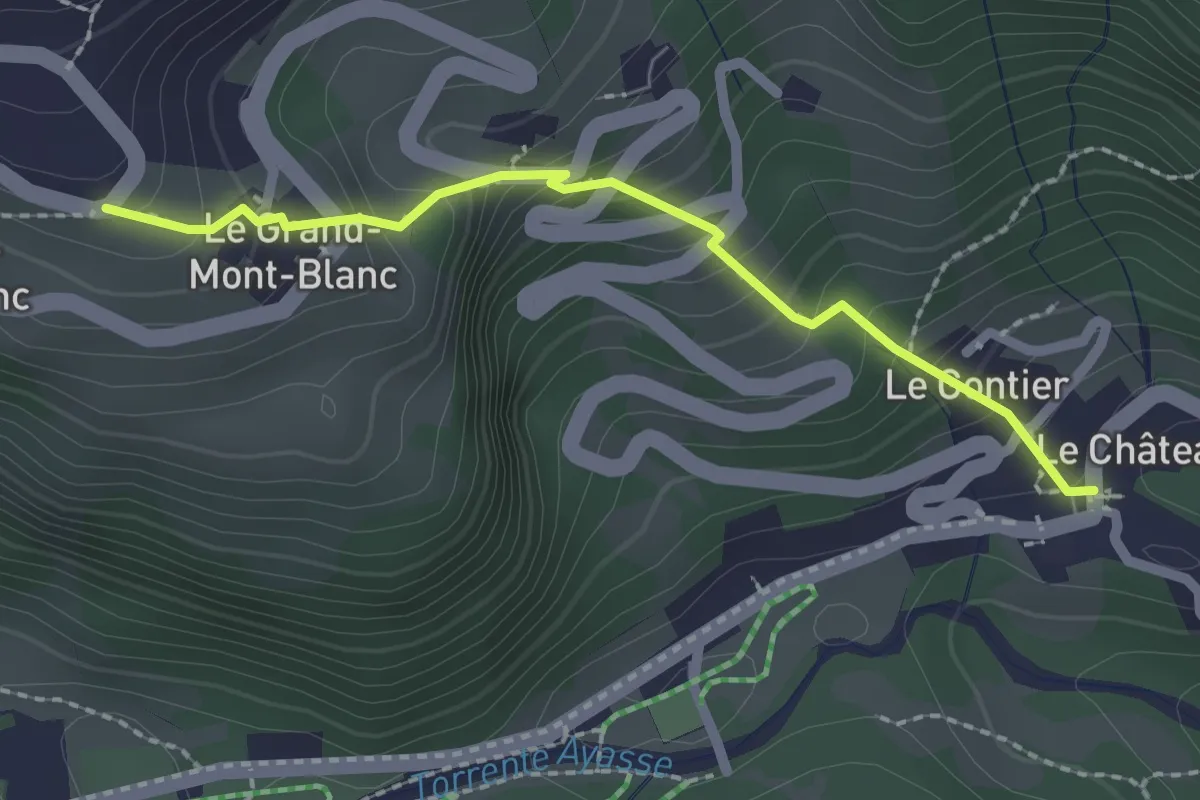
Easy · Trail
Gontier – Grand-Mont-Blanc
2.1 km · ↑ 249 m · 1 h 2 min
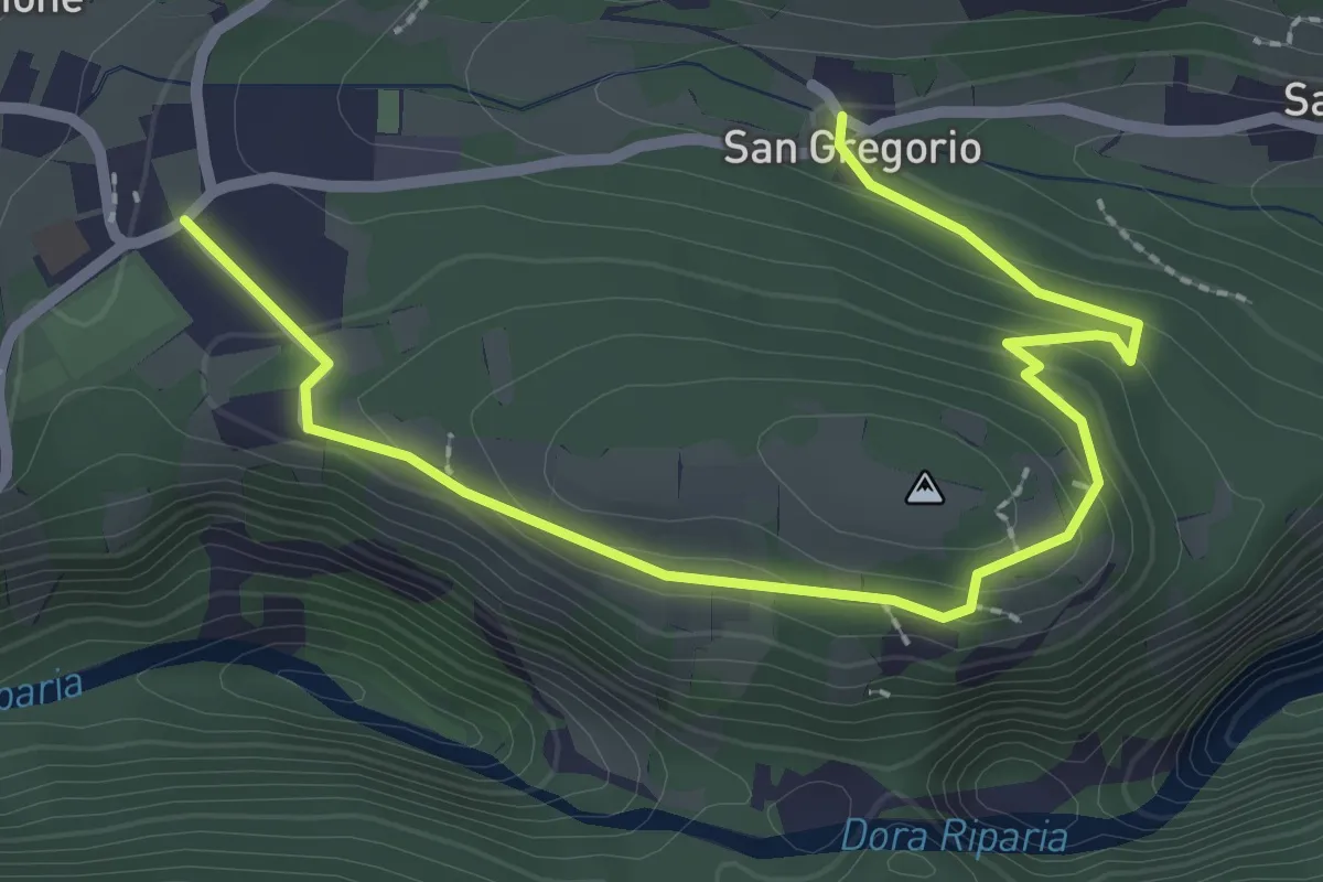
Medium · Trail
Bivio TOS823-TOS823B, San Gregorio – Bivio TOS823-TOS823B, San Giuseppe, Giaglione
3.1 km · ↑ 133 m · 1 h 2 min
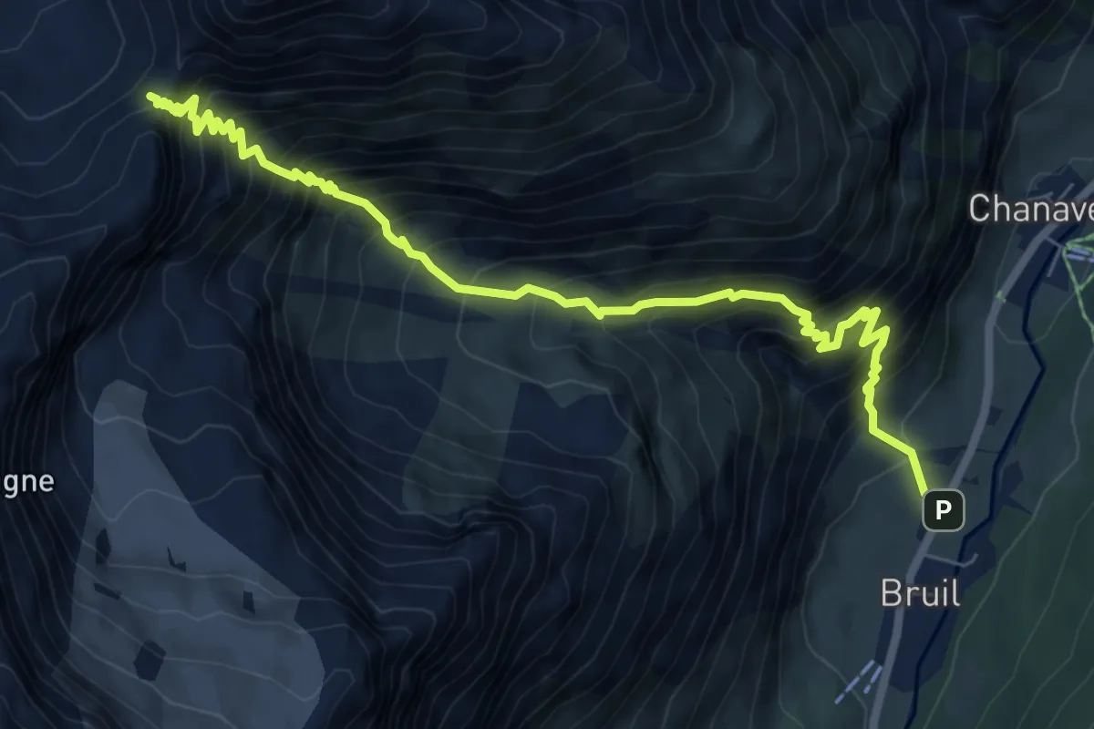
Expert · Trail
Bruil – Col Fenêtre de Torrent
8.0 km · ↑ 1190 m · 4 h 28 min
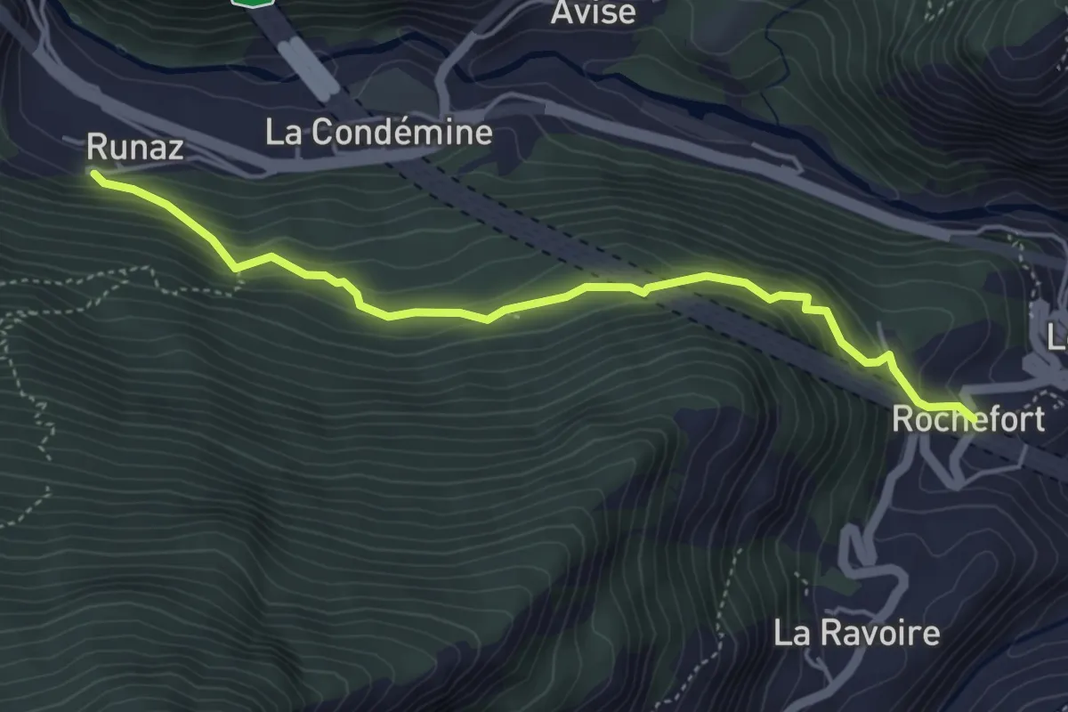
Medium · Trail
Runaz – Rochefort
4.6 km · ↑ 339 m · 1 h 49 min
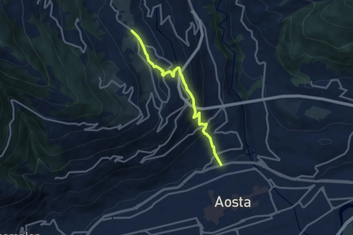
Medium · Trail
Strada Cappuccini – Excenex
6.7 km · ↑ 450 m · 2 h 33 min
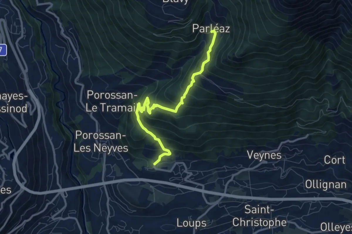
Medium · Trail
Area giochi Croux – Parleyaz
8.1 km · ↑ 535 m · 3 h 5 min
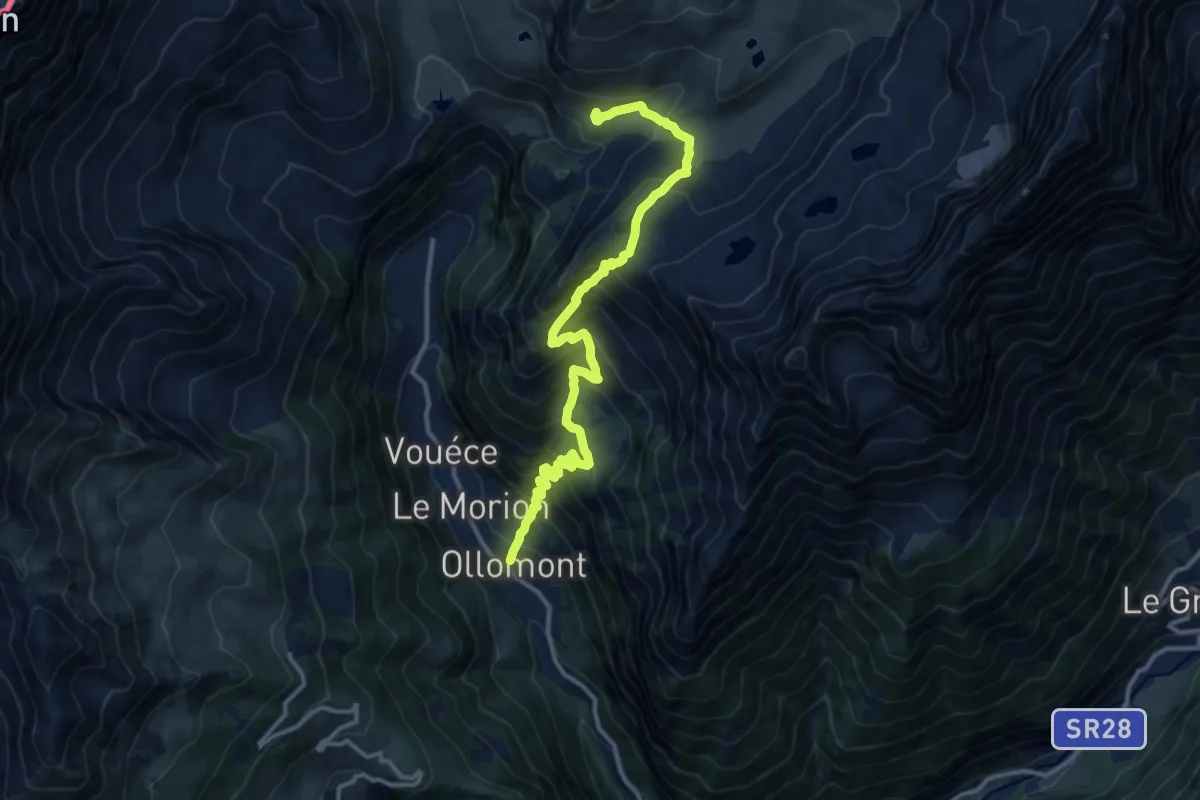
Demanding · Trail
Ollomont – Les Balmes
13.6 km · ↑ 1209 m · 5 h 50 min
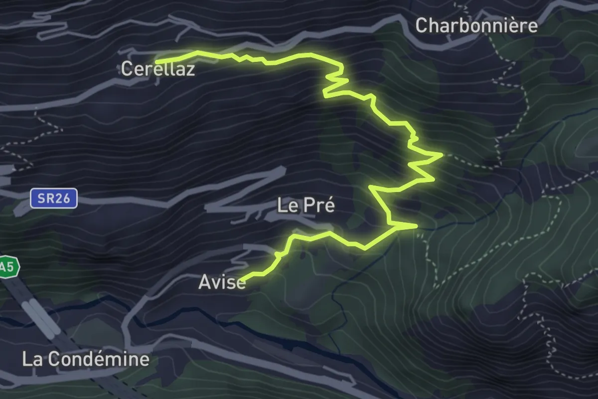
Medium · Trail
Avise – Cerellaz
5.8 km · ↑ 579 m · 2 h 38 min
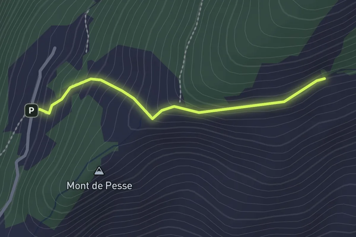
Medium · Trail
Percorso 3 – La Bourra
2.1 km · ↑ 178 m · 52 min
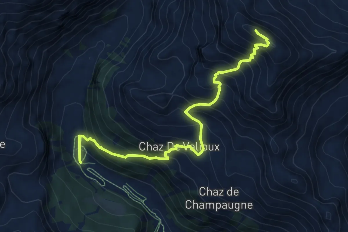
Expert · Summit
Servaz – Cima Bianca
8.3 km · ↑ 962 m · 4 h 3 min
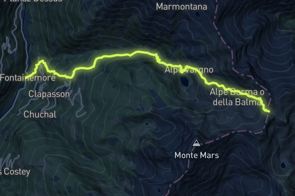
Demanding · Trail
Fontainemore – Colle della Barma d'Oropa
17.0 km · ↑ 1494 m · 7 h 15 min
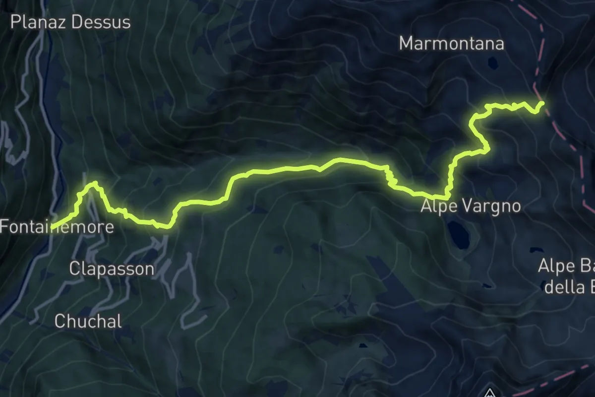
Demanding · Trail
Fontainemore – Col de Gragliasca
14.9 km · ↑ 1439 m · 6 h 39 min
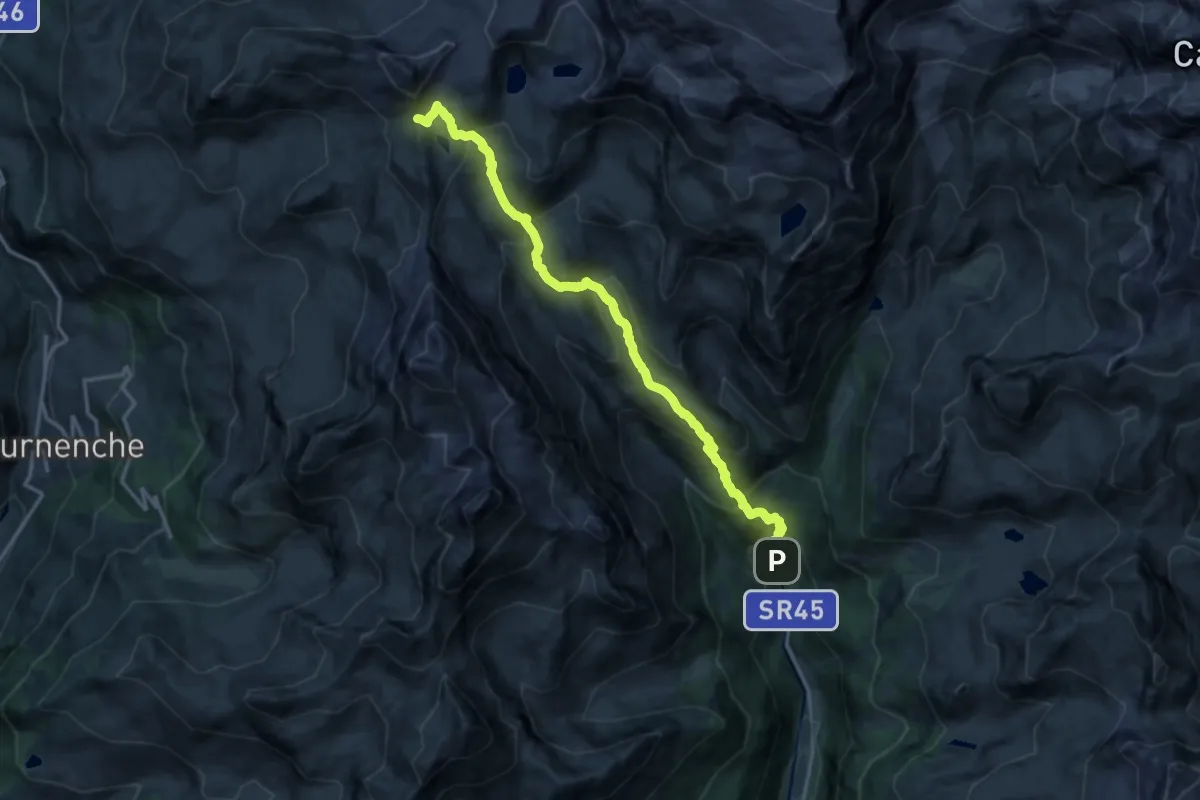
Expert · Trail
Blanchard – Colle Inferiore Cime Bianche
15.9 km · ↑ 1157 m · 6 h 16 min
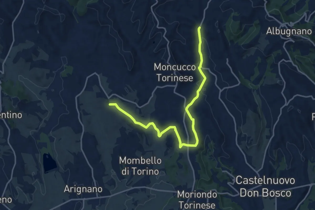
Medium · Trail
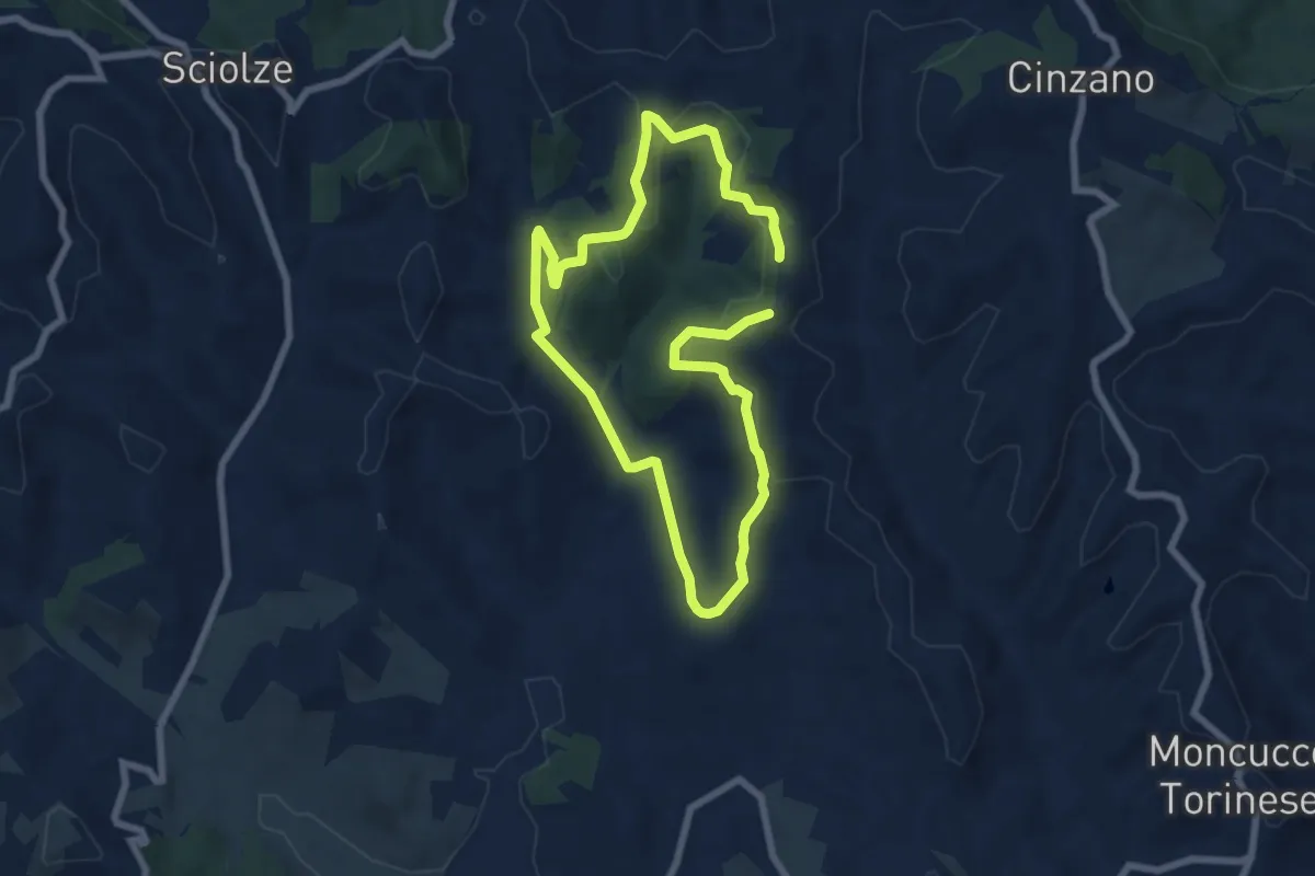
Moncucco torinese, bivio TOC100-ATN100-ATN115-ATN100L presso Cascina Morra – Moncucco torinese, Frazione Barbaso, bivio ATN115-ATN116-ATN292A
13.6 km · ↑ 248 m · 3 h 45 min
Easy · Trail
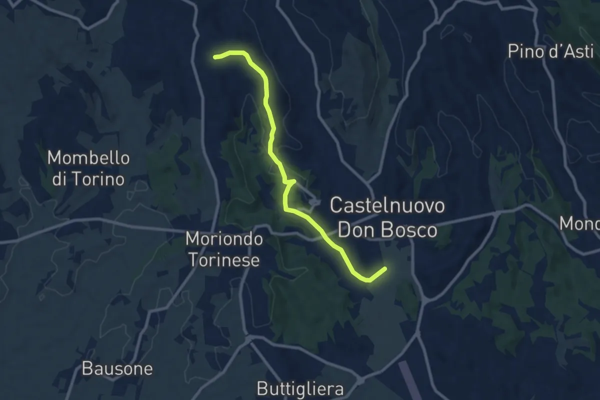
Moncucco Torinese, bivio ATN119-ATN119A presso Bric Castagneto – Moncucco Torinese, bivio ATN119-ATN119A presso Bric Castagneto
6.2 km · ↑ 186 m · 1 h 57 min
Easy · Trail
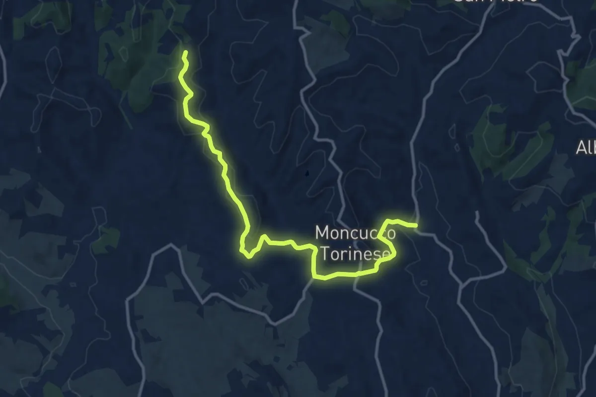
Castelnuovo Don Bosco, bivio ATN102-ATN120 – Moncucco torinese, bivio ATN115-ATN120
7.7 km · ↑ 140 m · 2 h 7 min
Medium · Trail
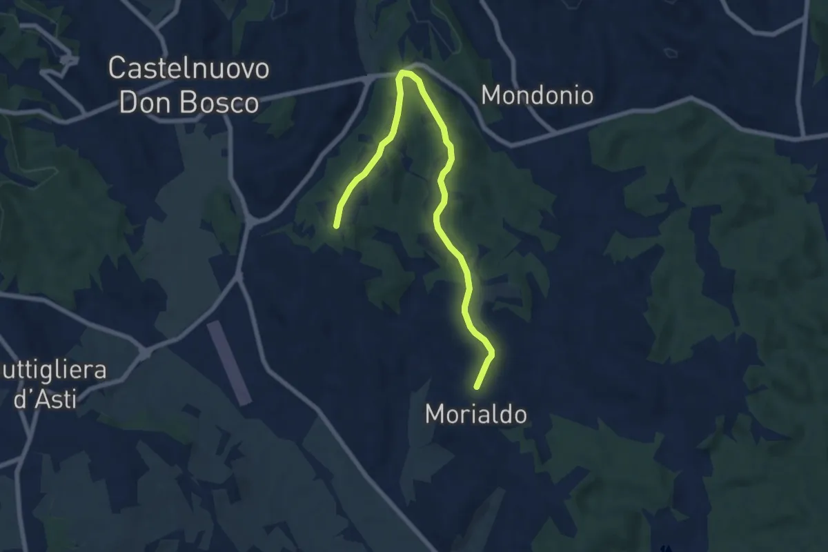
Moncucco Torinese, bivio ATN119-ATN115 – Moncucco Torinese, bivio TOC119 - ATN119 presso Bric Castagneto
12.0 km · ↑ 333 m · 3 h 33 min
Easy · Trail
Castelnuovo Don Bosco, frazione Morialdo, bivio ATN101-ATN101B – Castelnuovo Don Bosco, presso Bric Castiglione, bivio ATN101-ATN101B
7.2 km · ↑ 90 m · 1 h 54 min
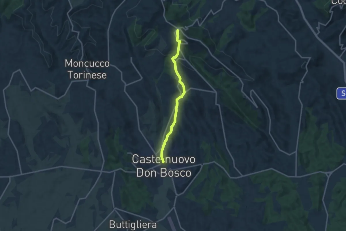
Medium · Trail
Castelnuovo Don Bosco, bivio ATN103-ATN101-ATN101A – Albugnano, bivio ATN103-ATN100
9.4 km · ↑ 306 m · 2 h 52 min
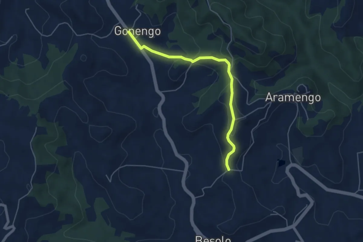
Easy · Trail
Aramengo, frazione Gonengo, bivio ATN105-ATN105B – Aramengo, frazione Masio, bivio ATN114-ATN105B
4.6 km · ↑ 169 m · 1 h 26 min
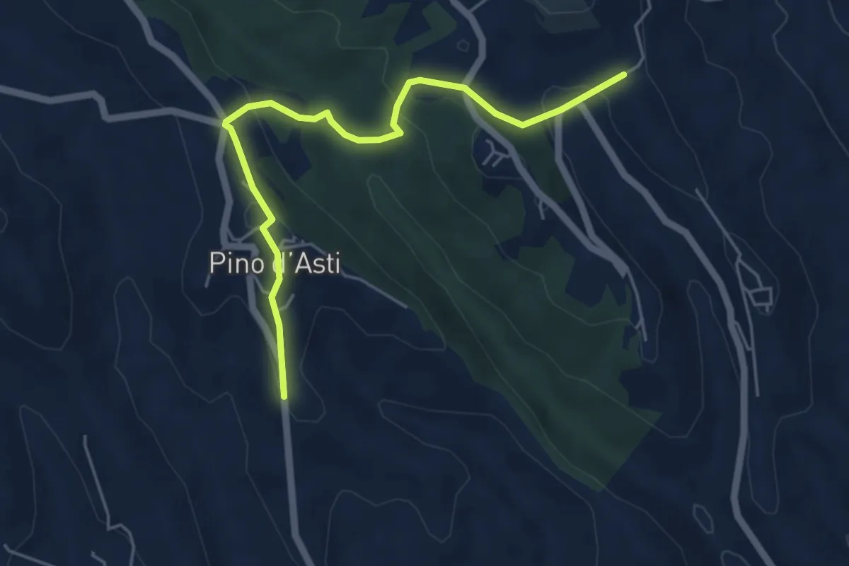
Easy · Trail
Passerano Marmorito, presso Schierano, bivio ATN108A - ATN112 – Pino d'Asti, bivio ATN108A - ATN108
5.2 km · ↑ 263 m · 1 h 47 min
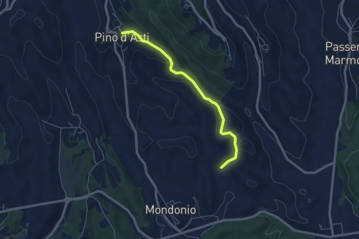
Easy · Trail
Pino d'Asti, bivio ATN108-ATN108B – Pino d'Asti, centro paese, bivio ATN108A-ATN108B
4.7 km · ↑ 182 m · 1 h 31 min