Trails in Italy
25,219 hiking trails, each with its route, climb, walking time and grade.
All trails, page 427 of 526
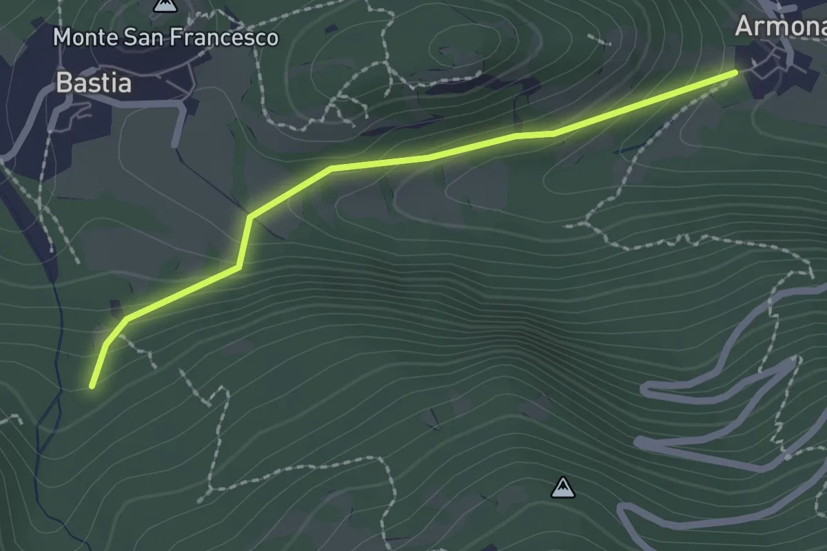
Easy · Trail
Gravere, Borgata Armona, bivio TOS831-TOS831C – Gravere, località Pietra Maria, bivio TOS819-TOS819A-TOS831C
2.0 km · ↑ 128 m · 45 min
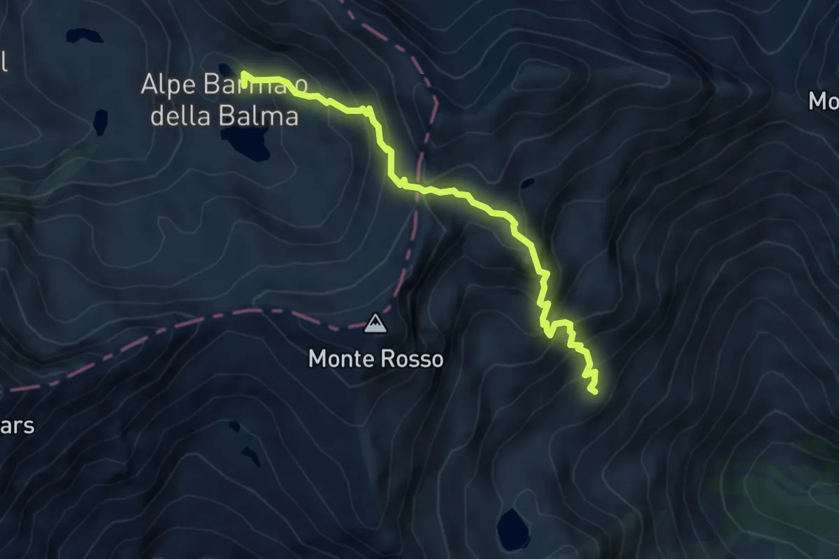
Expert · Cabin
Oropa Sport – Rifugio Barma
5.3 km · ↑ 557 m · 2 h 28 min
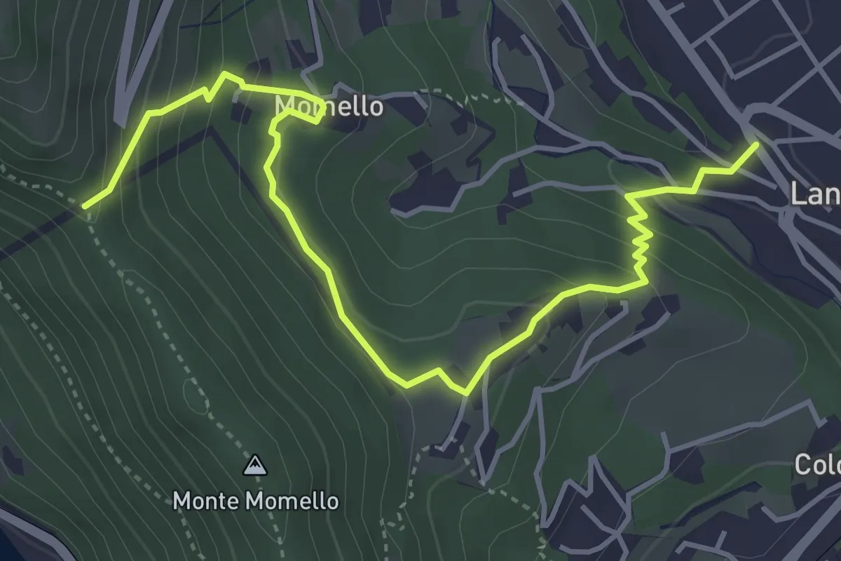
Easy · Trail
Via Umberto Primo – Colle Momello
5.0 km · ↑ 275 m · 1 h 47 min
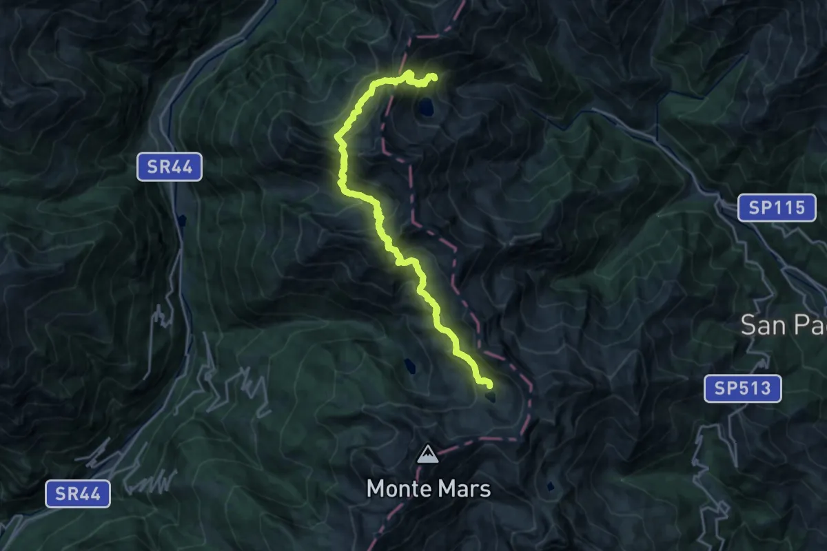
Demanding · Cabin
Rifugio Barma – Rifugio La Vecchia
10.0 km · ↑ 1156 m · 4 h 53 min
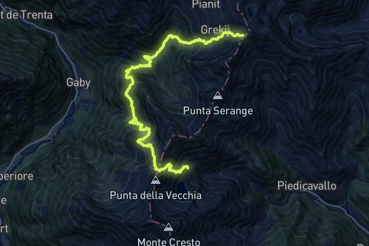
Demanding · Cabin
Rifugio La Vecchia – Colle della Mologna Rif. Rivetti
9.8 km · ↑ 919 m · 4 h 41 min
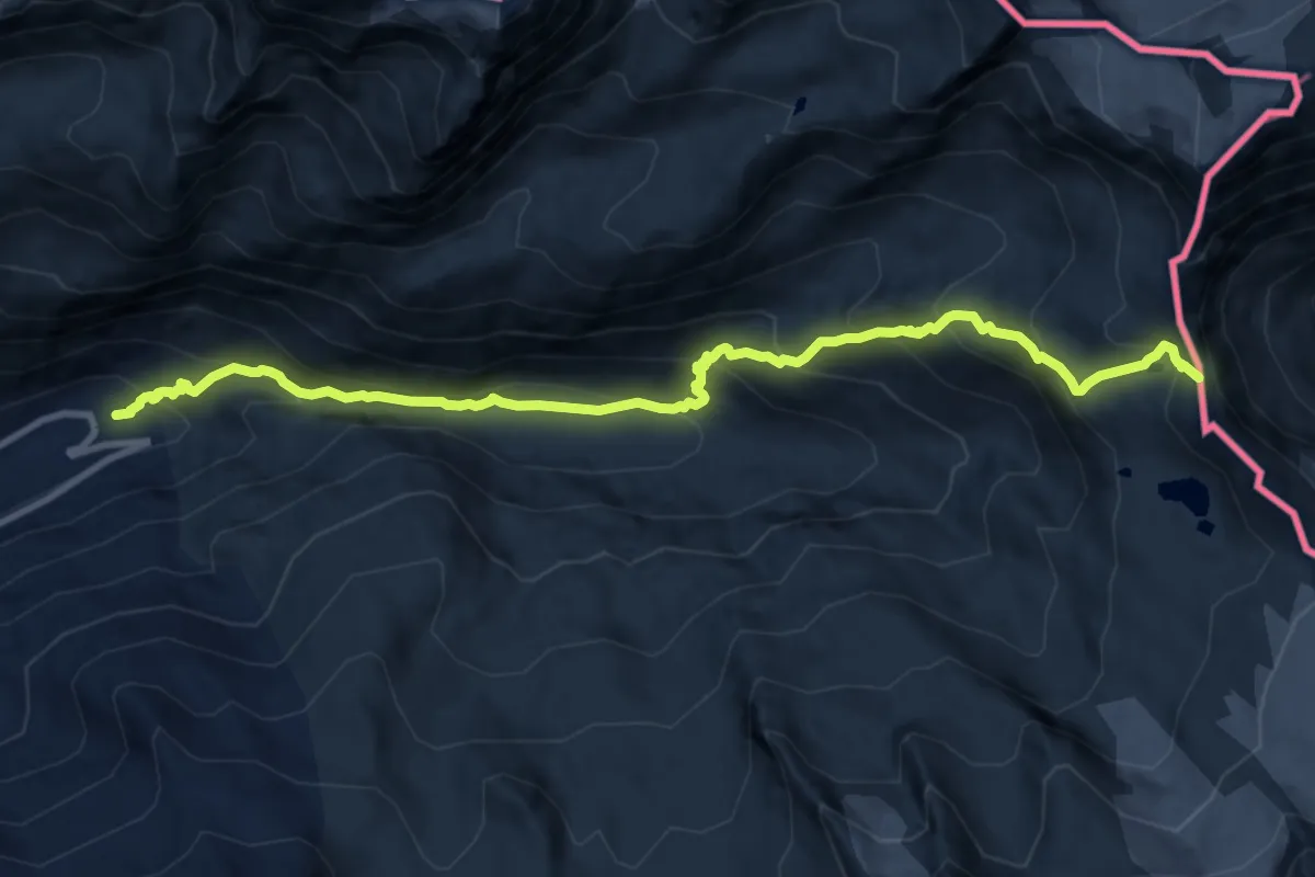
Demanding · Trail
Pont Saint-Charles – Col de la Lose
11.8 km · ↑ 931 m · 4 h 48 min
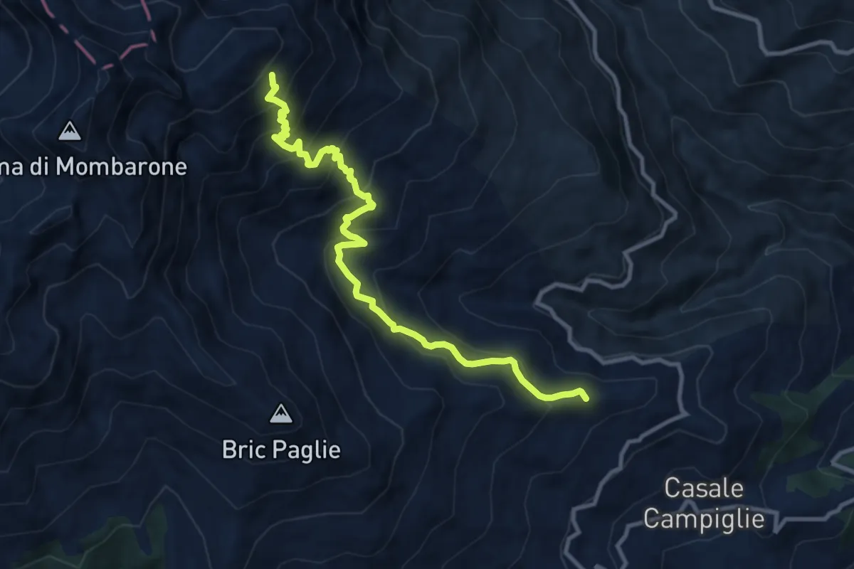
Demanding · Trail
Campiglie, bivio BIAB04-BIAB07 – Alpe Buscajun, bivio BIAB04-BIAC01
10.5 km · ↑ 936 m · 4 h 30 min
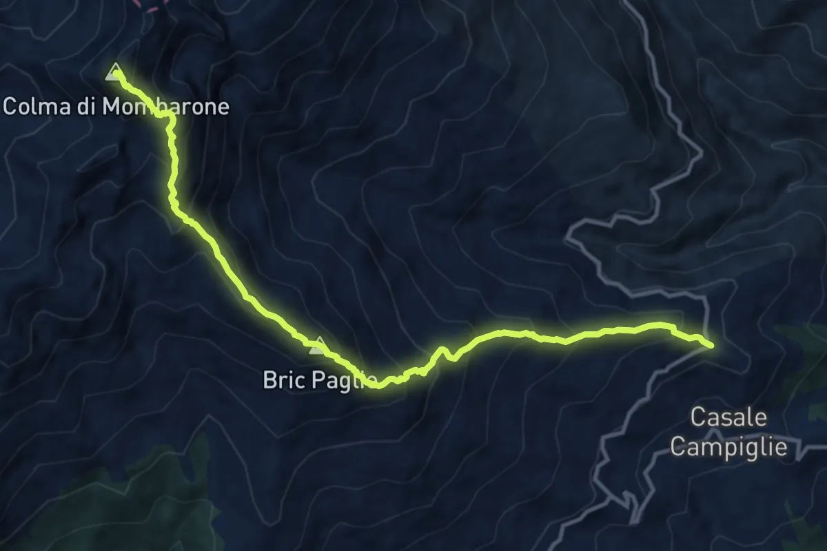
Demanding · Summit
San Carlo di Graglia, bivio BIAB07-BIAB02 – Colma di Mombarone, bivio BIAB07-BIAC02A
12.7 km · ↑ 1334 m · 5 h 53 min
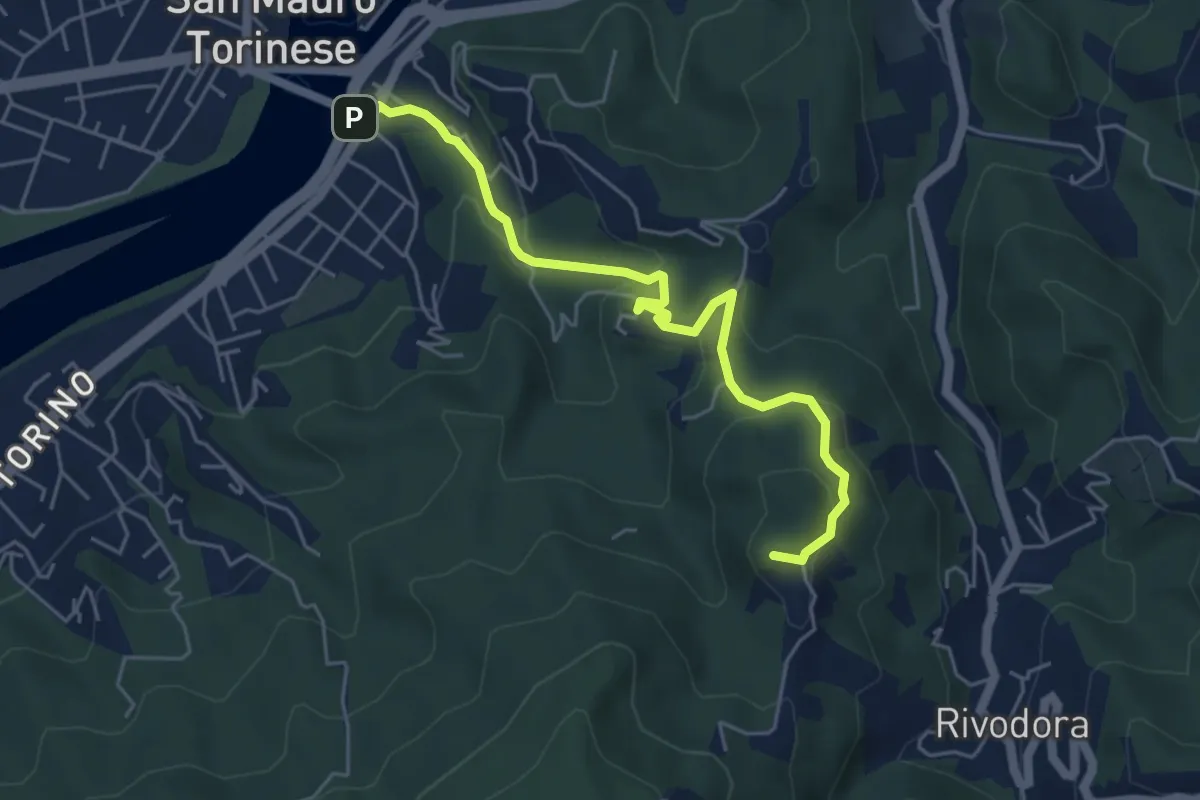
Easy · Summit
San Mauro Torinese, Piazzale Principe Umberto – Torino, presso Basilica di Superga, bivio sentieri 66-79
5.4 km · ↑ 277 m · 1 h 53 min
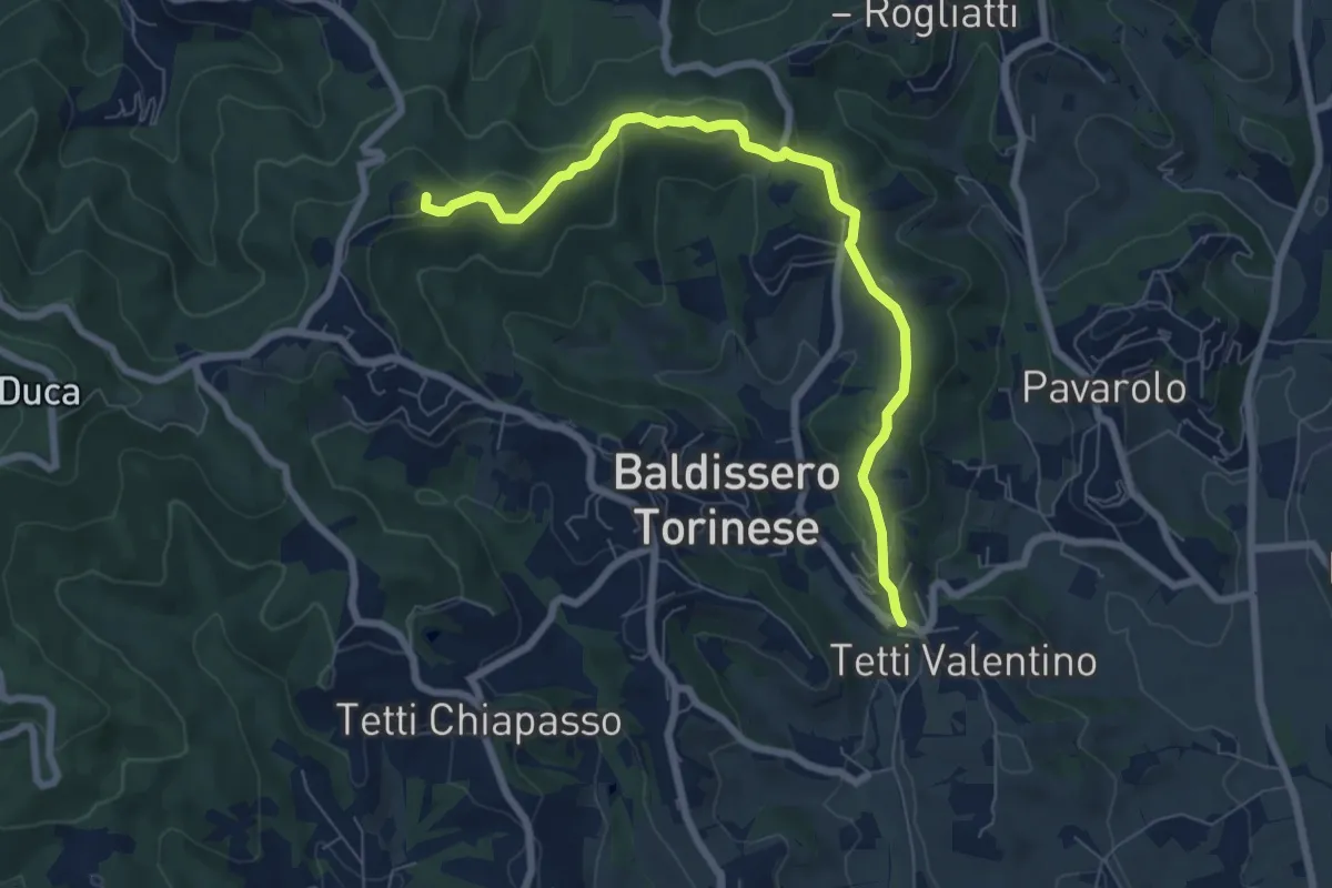
Easy · Summit
Baldissero Torinese, Cappella del Toetto, bivio TOC053 – Baldissero Torinese, Strada Bellavista-bivio TOC100
7.6 km · ↑ 269 m · 2 h 23 min
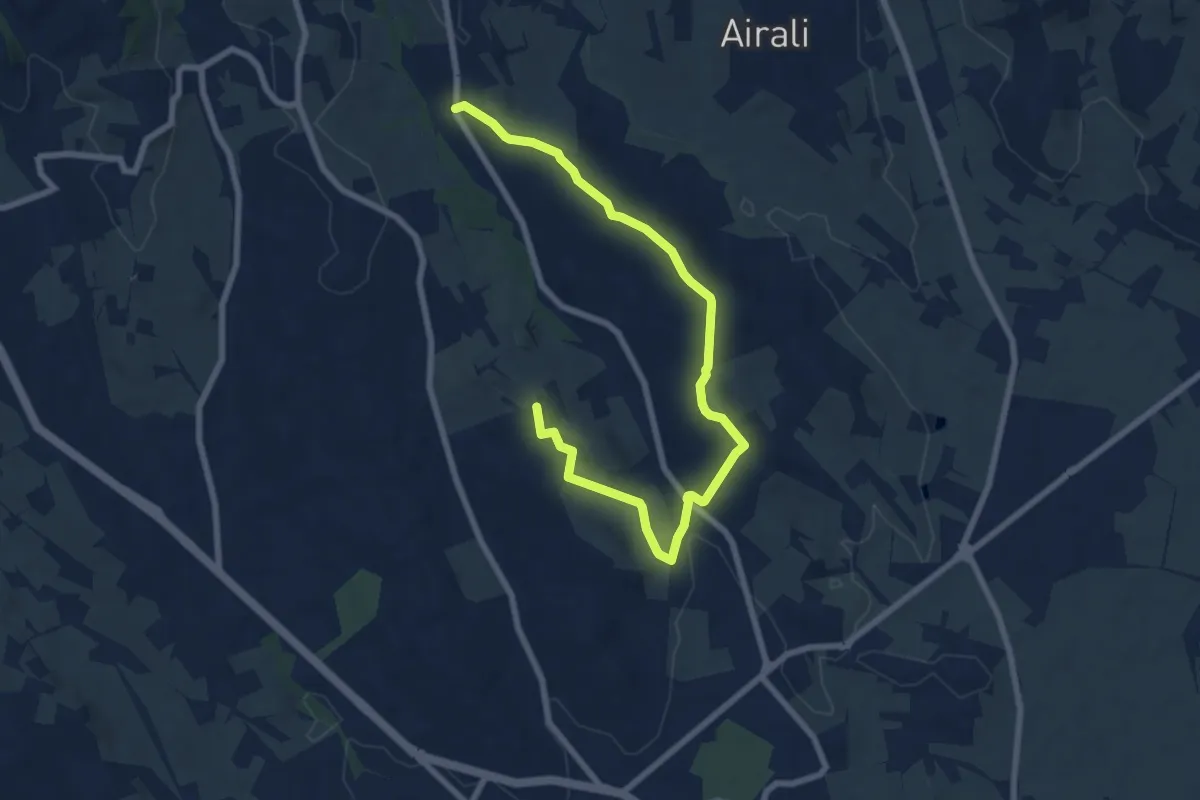
Medium · Trail
Baldissero Torinese; bivio Via Chieri-Strada delle Nuvole – Chieri, Cappella di Sant'Irene
9.0 km · ↑ 212 m · 2 h 36 min
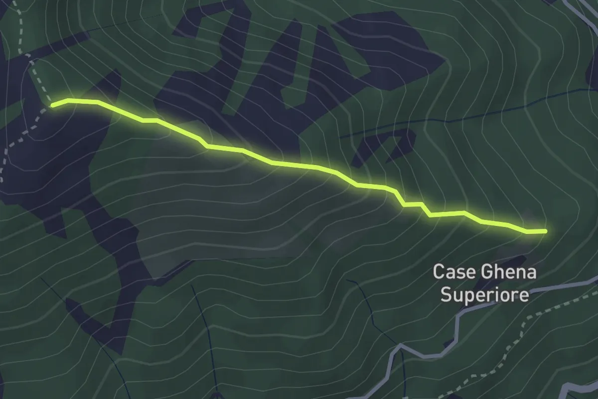
Medium · Trail
Bivio 414B presso Case Ghena – Pian di Rossa bivio 419
2.7 km · ↑ 344 m · 1 h 23 min
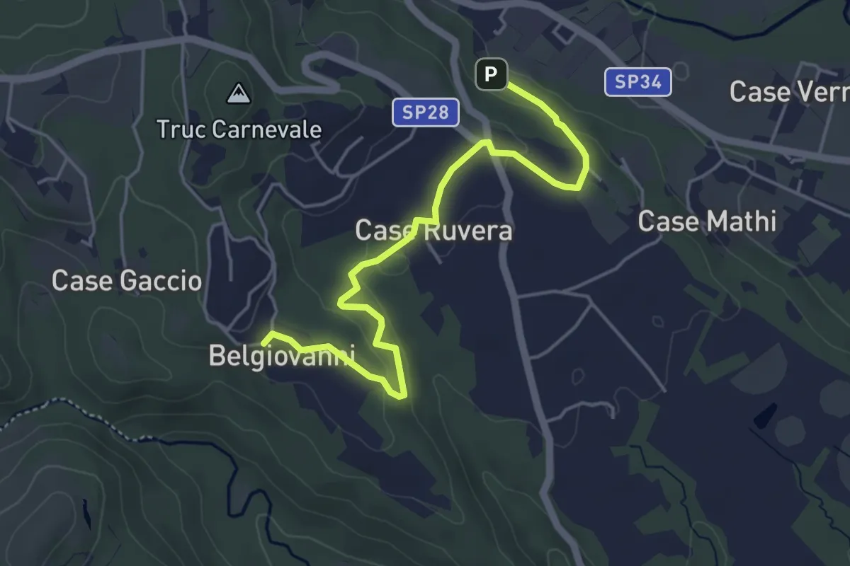
Easy · Trail
Bivio TON465-TON465A – Bivio TON465A-TOP140
4.9 km · ↑ 75 m · 1 h 20 min
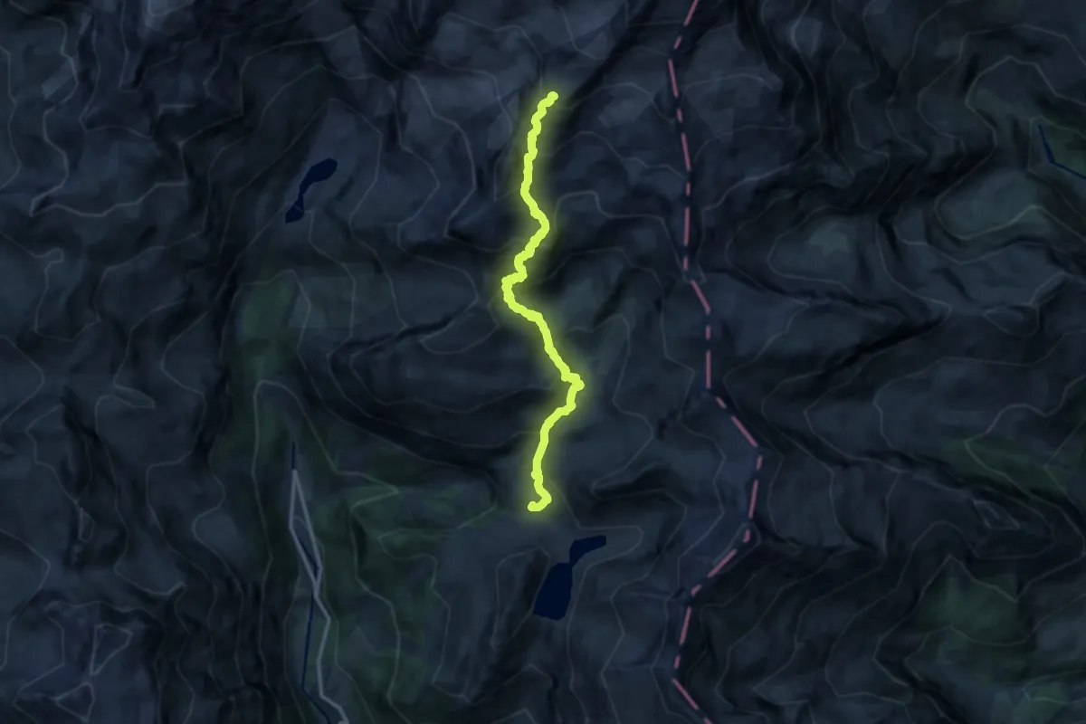
Expert · Cabin
Gabiet – Rifugio Mantova
12.9 km · ↑ 1143 m · 5 h 31 min
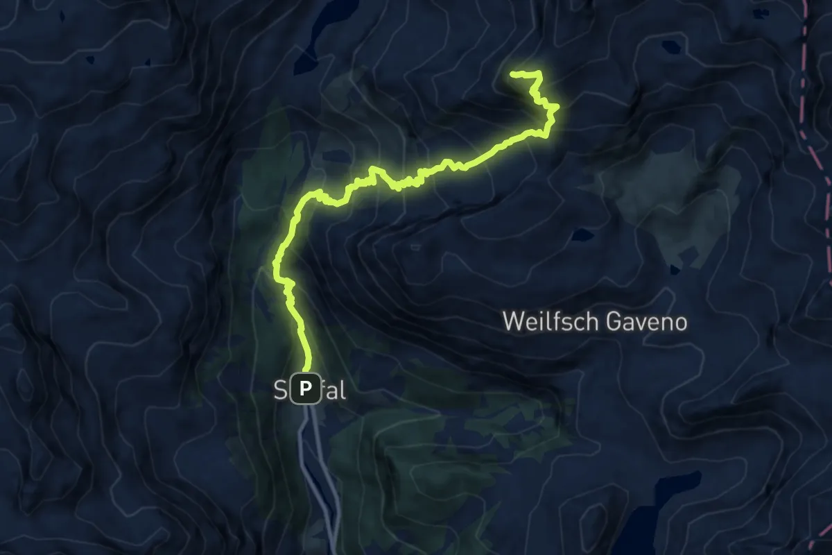
Demanding · Summit
Staffal – Alta Luce (Hochliecht)
12.3 km · ↑ 1333 m · 5 h 48 min
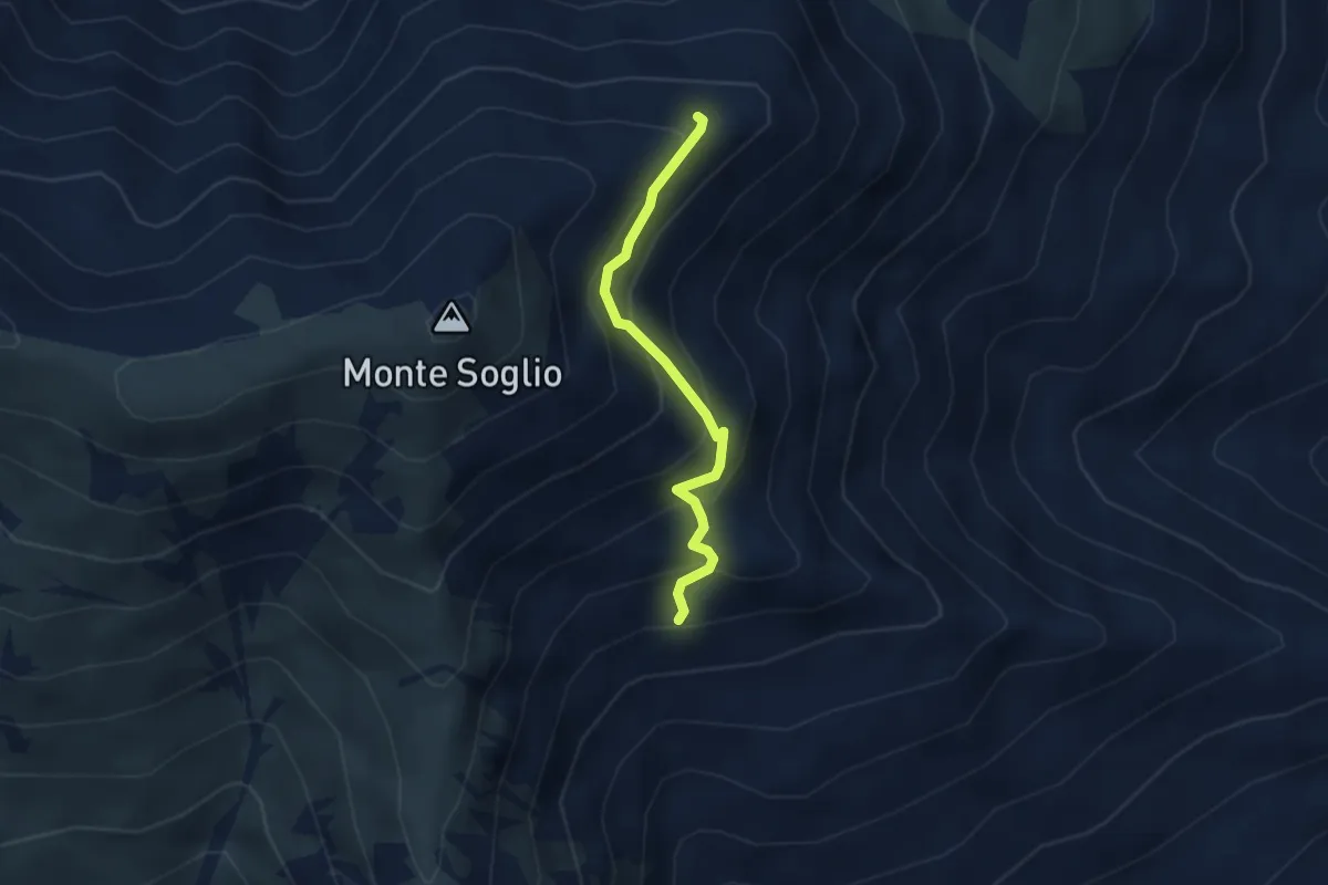
Medium · Trail
Bivio 401-401B, Alpe del Cont – Bivio 401B-456, Alpe Calus
2.9 km · ↑ 296 m · 1 h 19 min
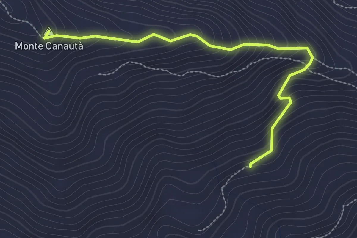
Easy · Summit
Bivio 401C-452 – Bivio 401-401C
3.1 km · ↑ 265 m · 1 h 18 min
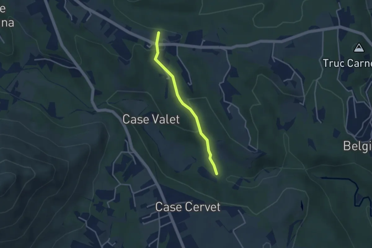
Easy · Trail
Bivio 412-412B – Bivio 412B-418
2.6 km · ↑ 97 m · 49 min
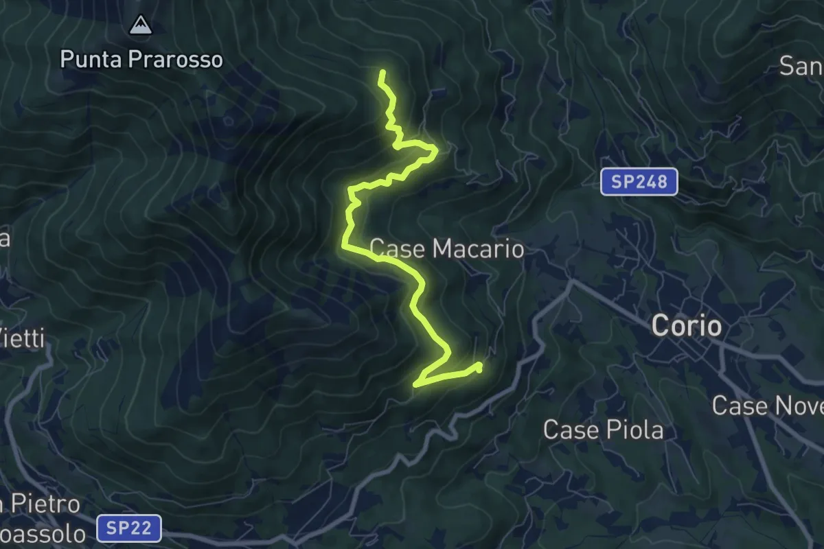
Medium · Trail
Bivio 414-414B, Case Roseto – Bivio 414-414C
7.6 km · ↑ 484 m · 2 h 51 min
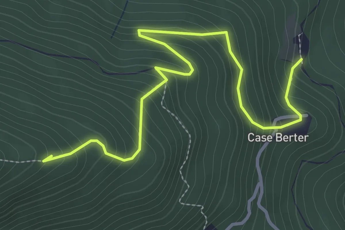
Easy · Summit
Bivio 414-414C, Case Bell – Bivio 414C-419, Bric Castello
3.6 km · ↑ 316 m · 1 h 32 min
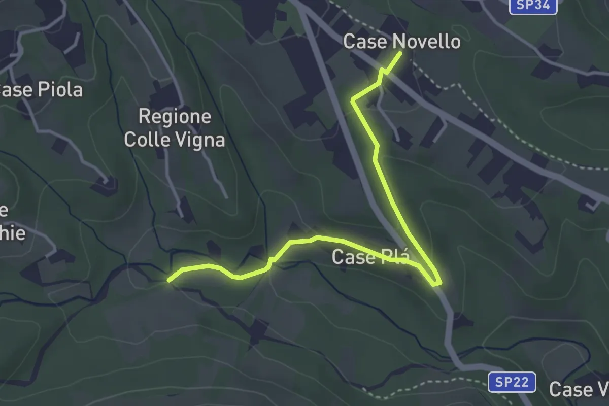
Easy · Trail
Bivio 418-418D – Bivio 412-418D, Case Canale
3.7 km · ↑ 84 m · 1 h 4 min
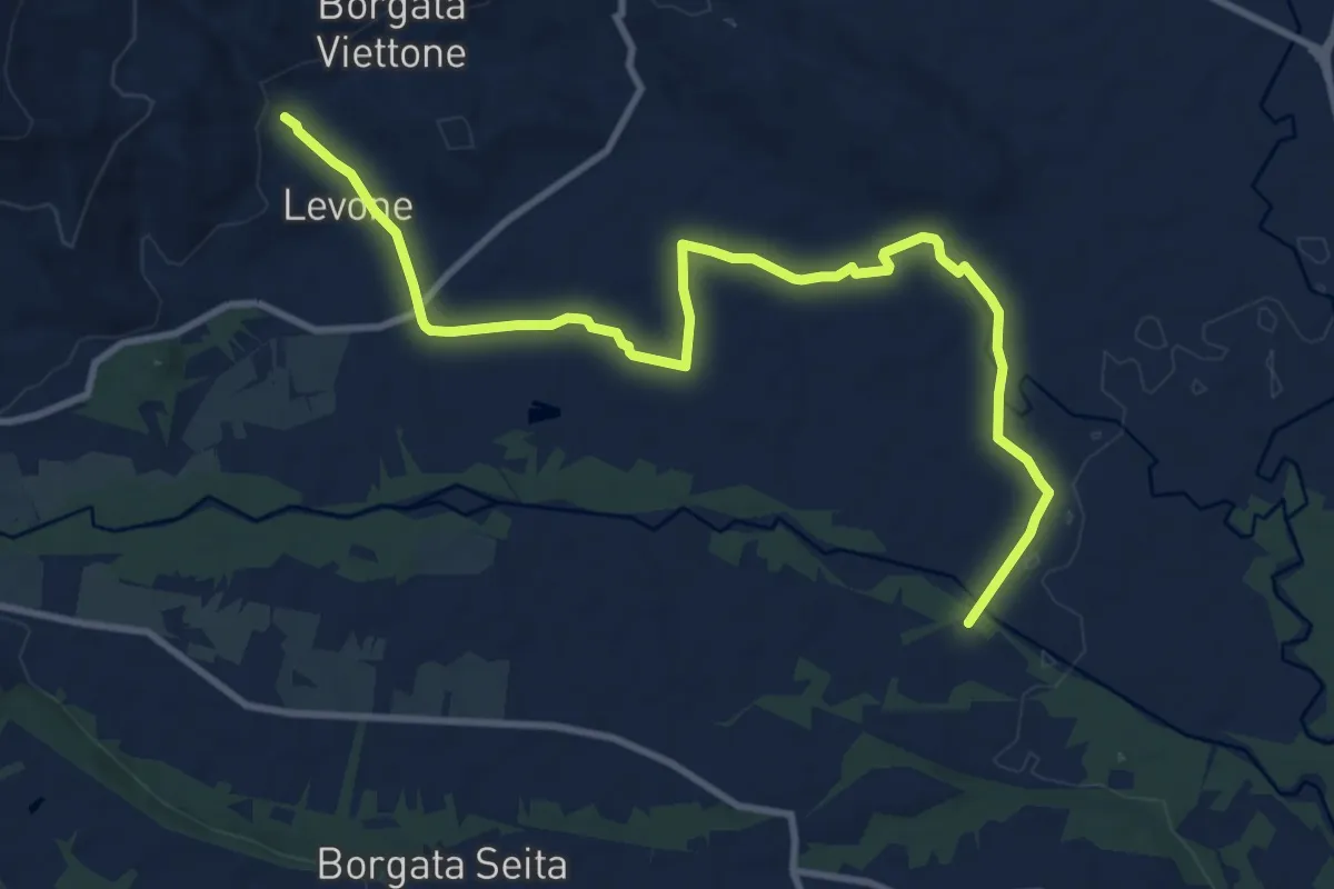
Medium · Trail
Bivio 460-463, Levone – Bivio TON463-TOP141, Regione Ingleisa
12.0 km · ↑ 76 m · 3 h
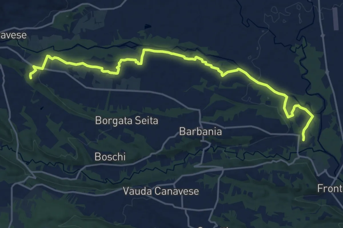
Medium · Trail
Case Mathi, Rocca Canavese – Bivio 140-141
17.0 km · ↑ 140 m · 4 h 18 min
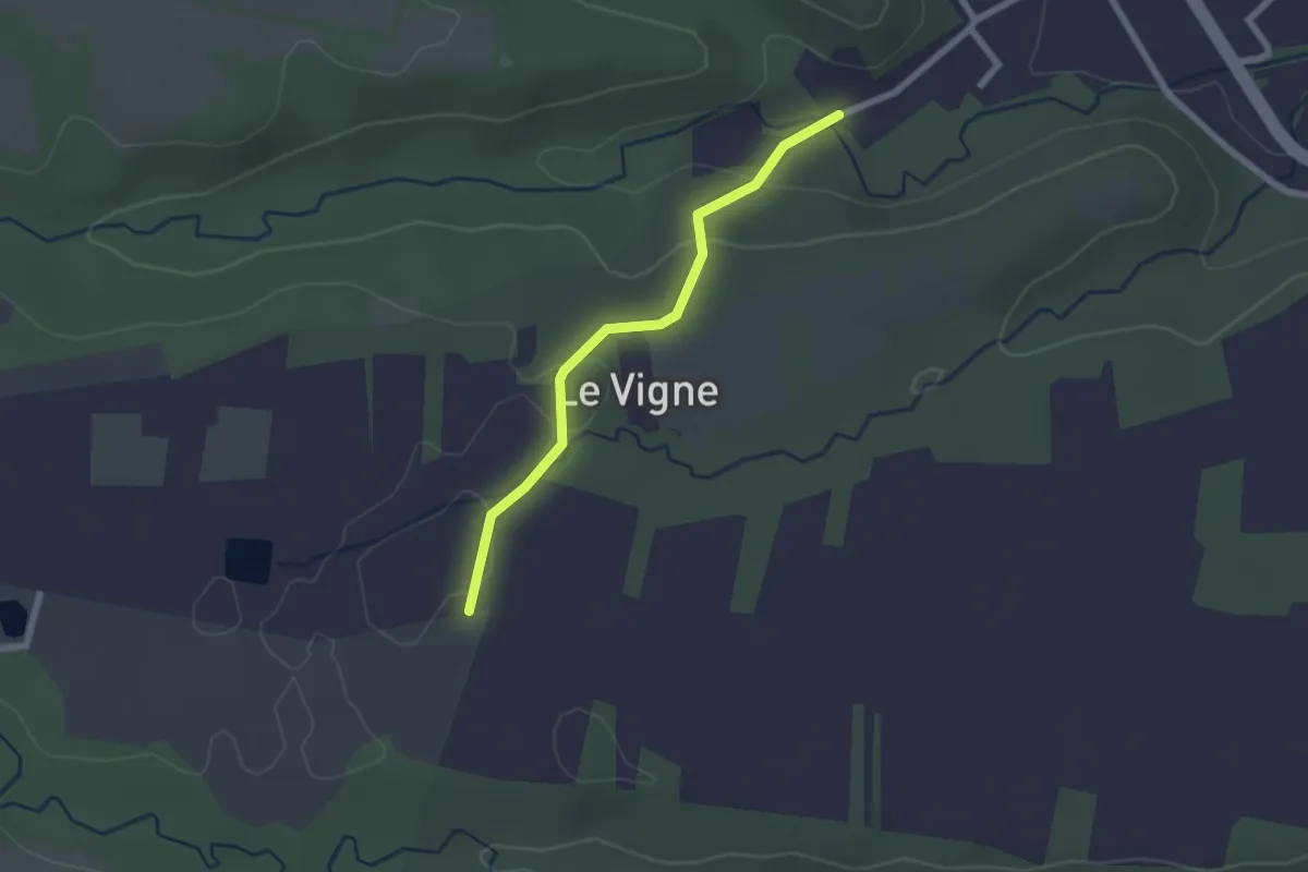
Easy · Trail
Grange di Front Bivio Via al Campo-Via Ronchi – Rivarossa Bivio Via Ronchi-Via Lessona
2.1 km · ↑ 41 m · 35 min
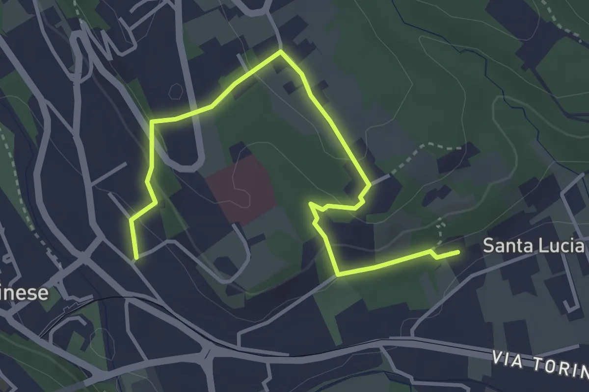
Easy · Trail
Via Bocciarelli – Santa Lucia
4.0 km · ↑ 141 m · 1 h 15 min
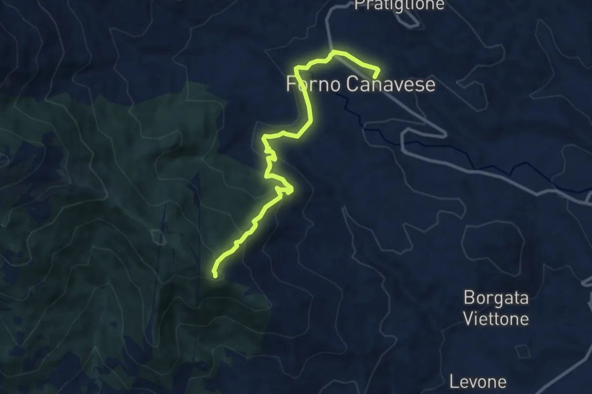
Medium · Trail
Forno Canavese – Bivio 461-467, Madonna della Neve
9.0 km · ↑ 395 m · 2 h 58 min
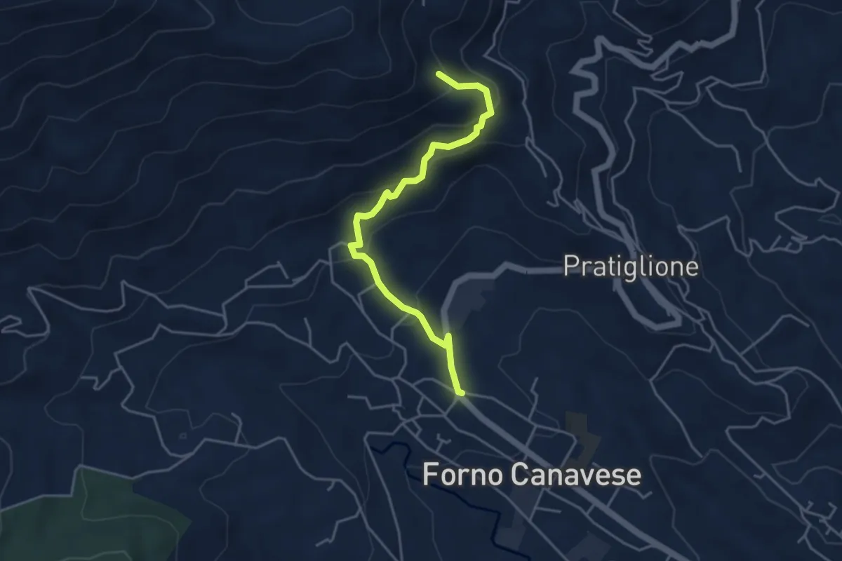
Medium · Trail
Bivio 467-467A, Forno Canavese – Bivio 452-467A, Carella
4.2 km · ↑ 280 m · 1 h 35 min
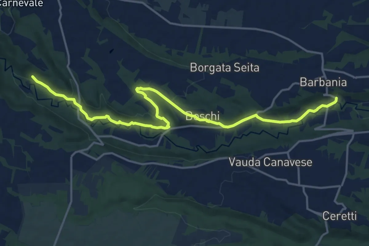
Medium · Trail
Bivio TOP140-TOP, Barbania, frazione Fandaglia` – Bivio TON465-TOP142, Rocca Canavese
13.5 km · ↑ 221 m · 3 h 40 min
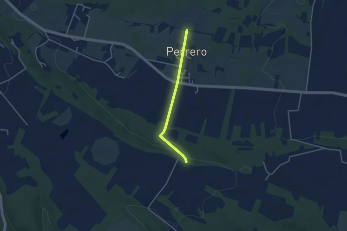
Easy · Trail
Bivio TOP141-141A, Perrero – Bivio TOP140-TOP141A, Cascina Guasto
2.4 km · ↑ 43 m · 40 min
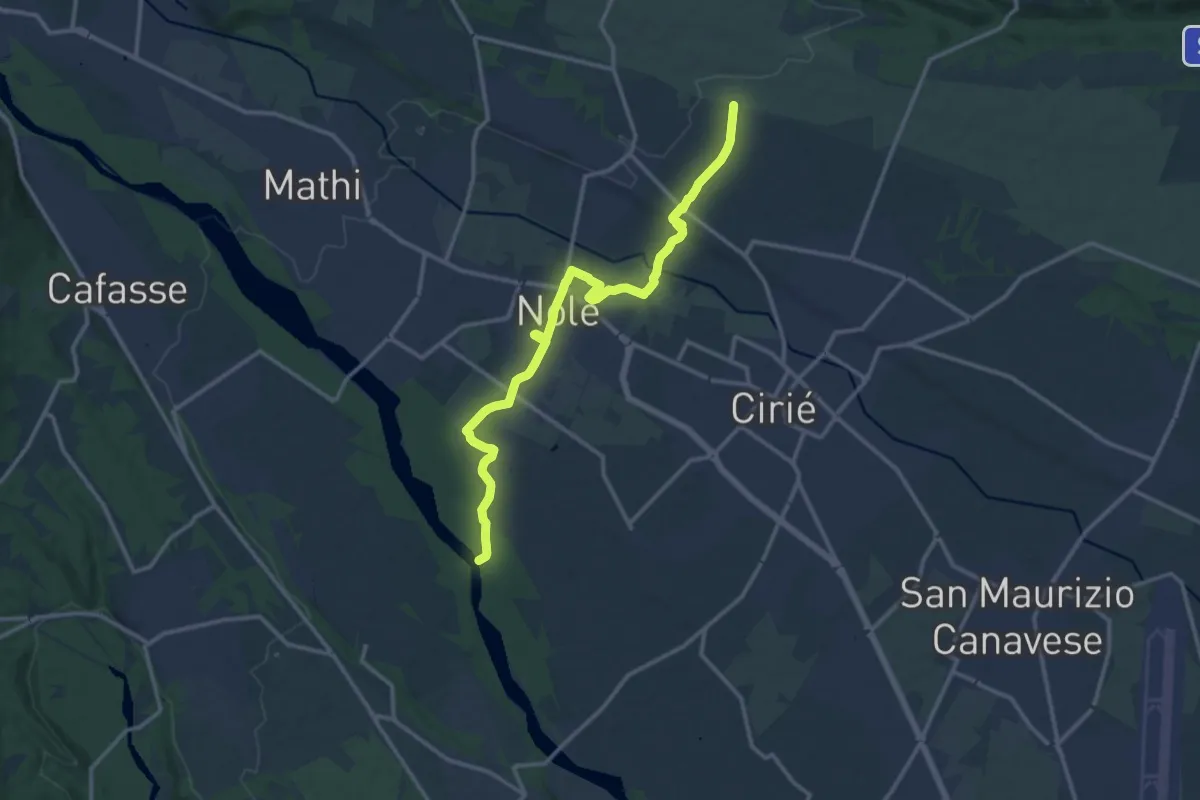
Medium · Trail
Corona Verde Stura, bivio ETOP210A – Strada delle Pecore, bivioETOP210A
14.7 km · ↑ 63 m · 3 h 36 min
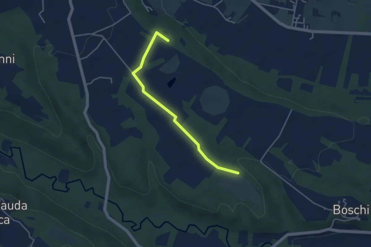
Easy · Trail
Rocca Canavese pressi Case Avocat – Barbania bivio TOP142
3.3 km · ↑ 39 m · 52 min
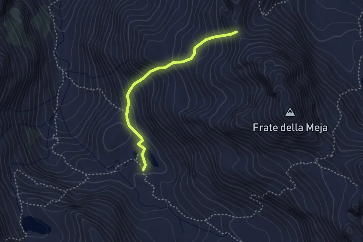
Medium · Trail
Riva Valdobbia, Alpe Maccagno, bivio VCA215-VCA215F – Riva Valdobbia, Colle del Forno
3.1 km · ↑ 379 m · 1 h 33 min
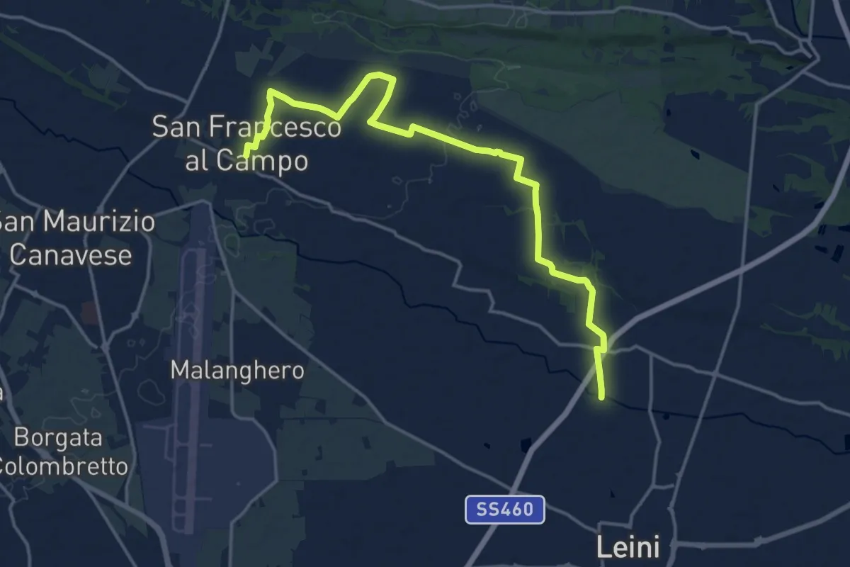
Medium · Trail
Tedeschi – San Francesco al Campo
17.3 km · ↑ 76 m · 4 h 15 min
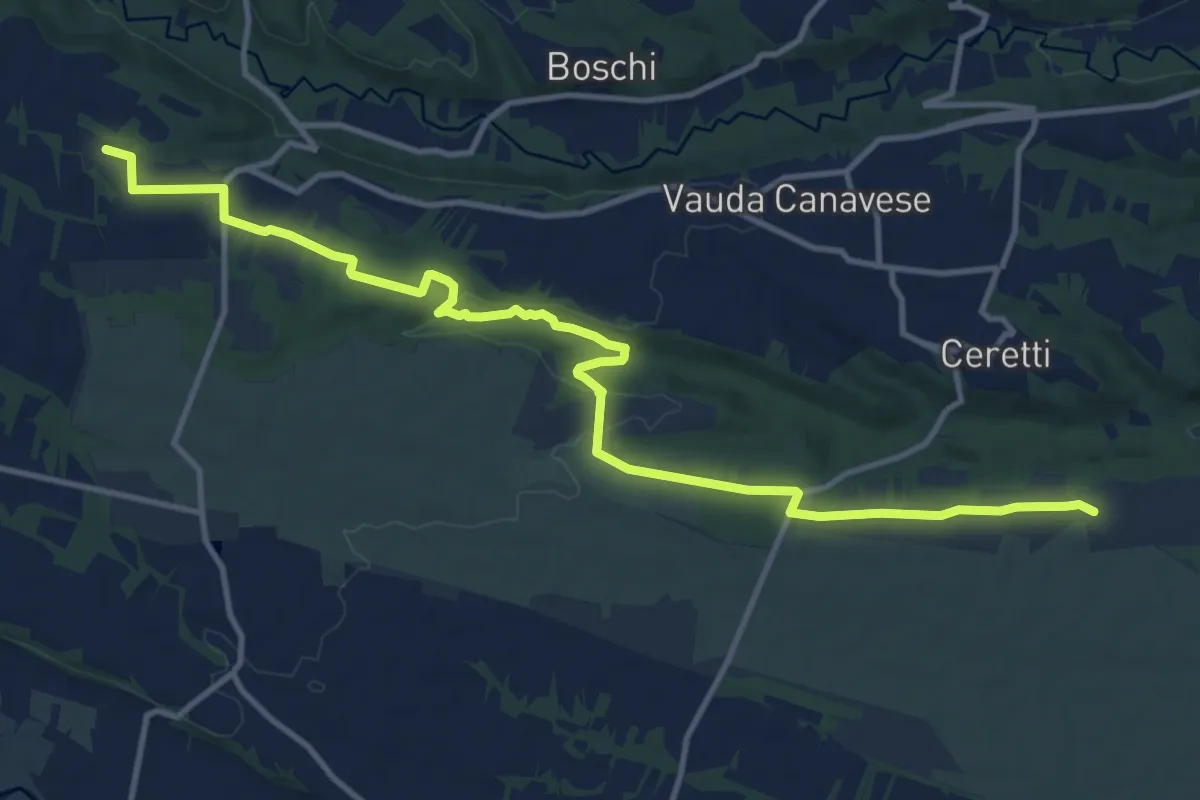
Medium · Trail
Località Ronchi Ceretti San Carlo Canavese – Strada Benne Nole
14.6 km · ↑ 172 m · 3 h 49 min
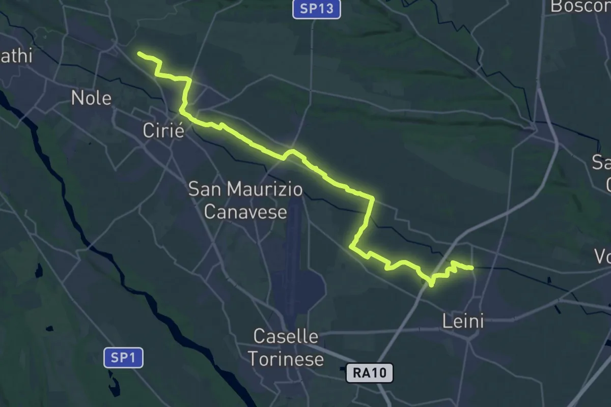
Medium · Trail
Leinì, frazione Tedeschi – San Carlo Canavese, borgata Baima
16.6 km · ↑ 27 m · 4 h 17 min
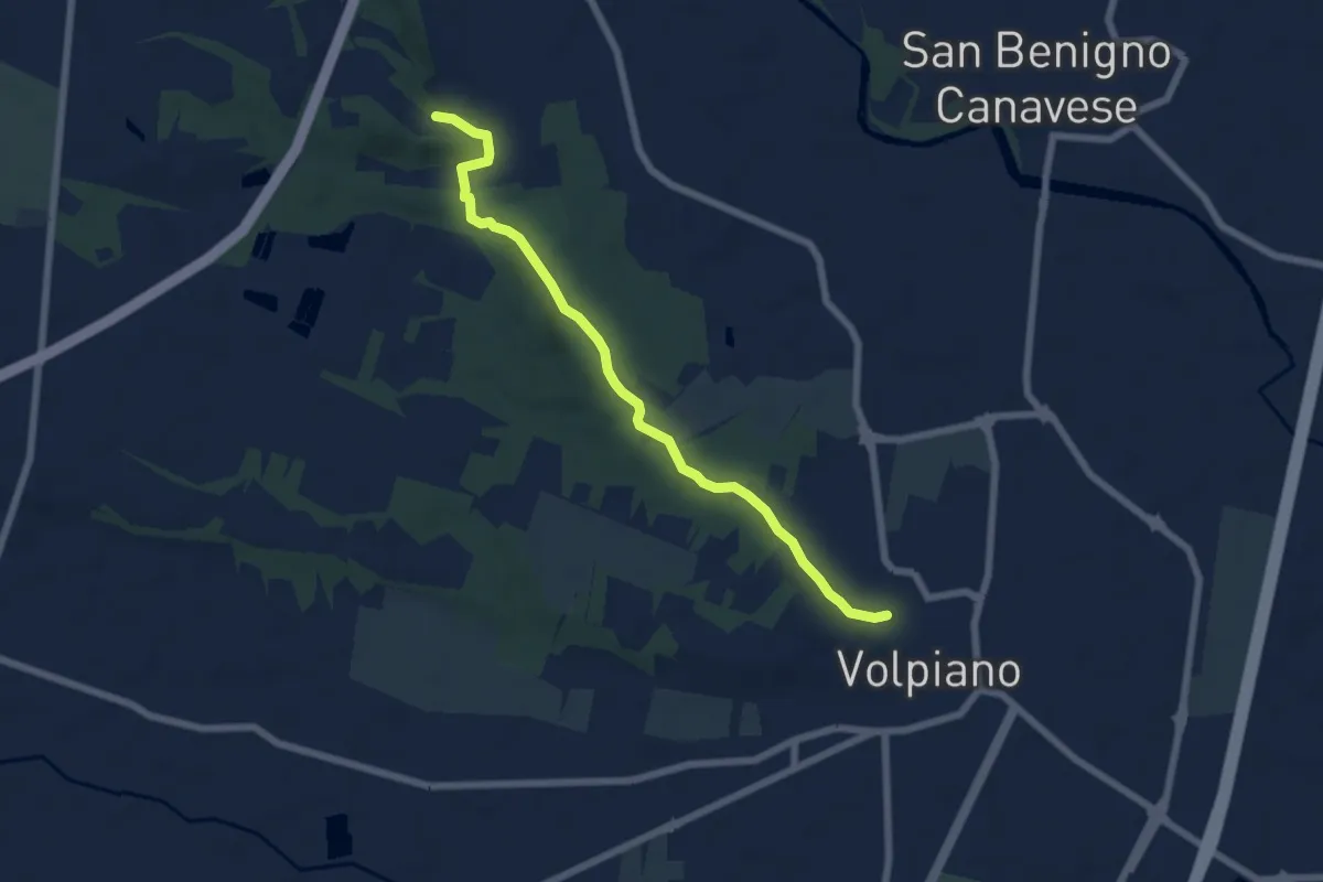
Easy · Trail
Volpiano, bivio TOP213B-TOP211 – San Benigno Canavese, bivio TOP146-TOP211
6.5 km · ↑ 112 m · 1 h 46 min
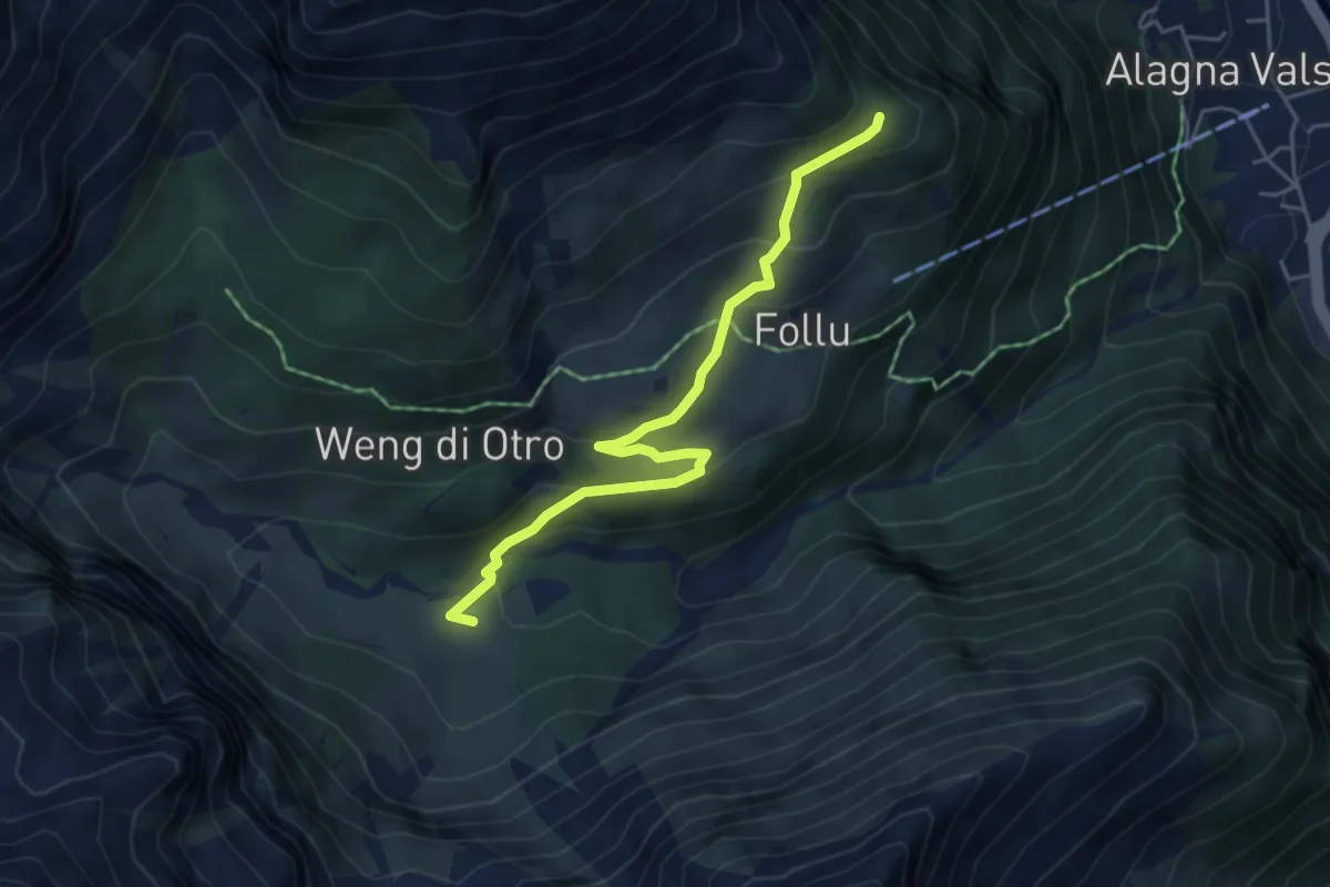
Medium · Trail
Bivio 203A-203G – Belvedere
5.0 km · ↑ 241 m · 1 h 42 min
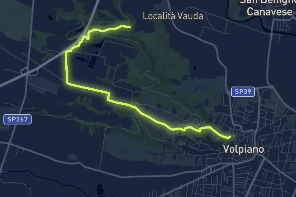
Medium · Trail
Volpiano, bivio TOP211-TOP211A – Volpiano, bivio TOP211-TOP211A, pressi Cascina Rosano
10.3 km · ↑ 95 m · 2 h 38 min
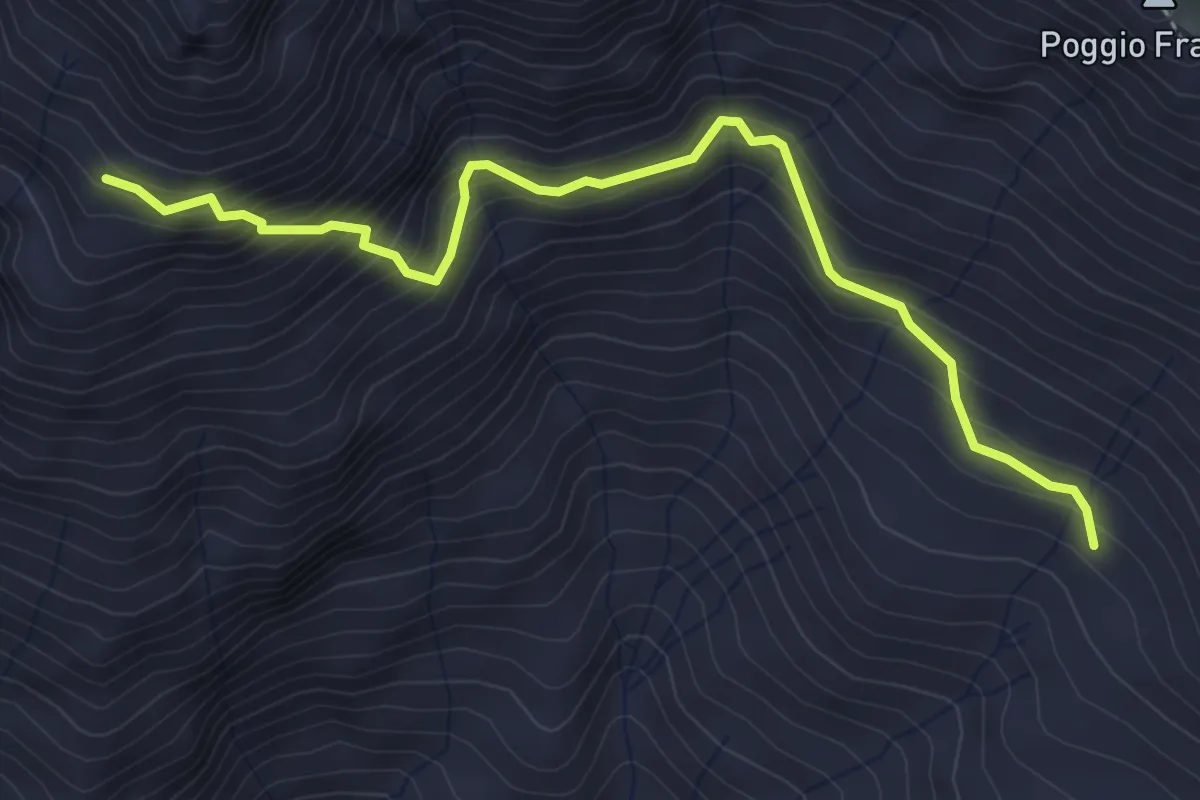
Medium · Trail
Sordevolo, Alpe Sette Fontane, bivio BIAD34-BIAC16 – Bivio BIAC16-BIAC19
4.5 km · ↑ 489 m · 2 h 7 min
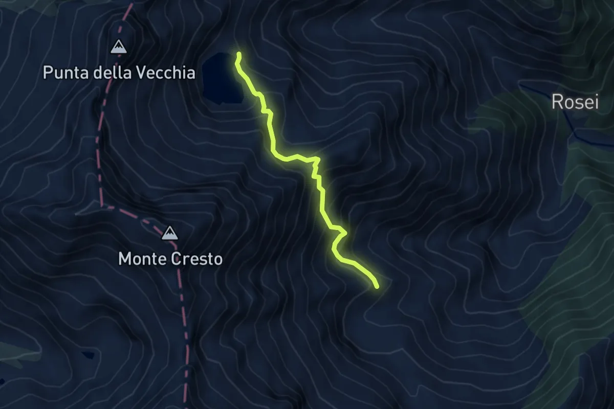
Medium · Trail
Sagliano Micca, Lago della Vecchia, bivio BIAE50-BIAE50B – Alpe Irogna, bivio BIAE41-BIAE50B
4.2 km · ↑ 466 m · 2 h 1 min
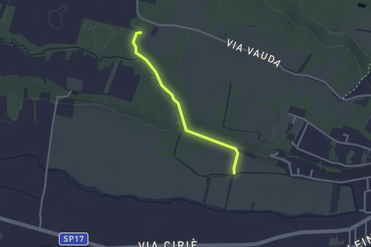
Easy · Trail
Volpiano, bivio TOP213A-TOP213 – Volpiano, bivio TOP213A-TOP211A
2.2 km · ↑ 27 m · 35 min
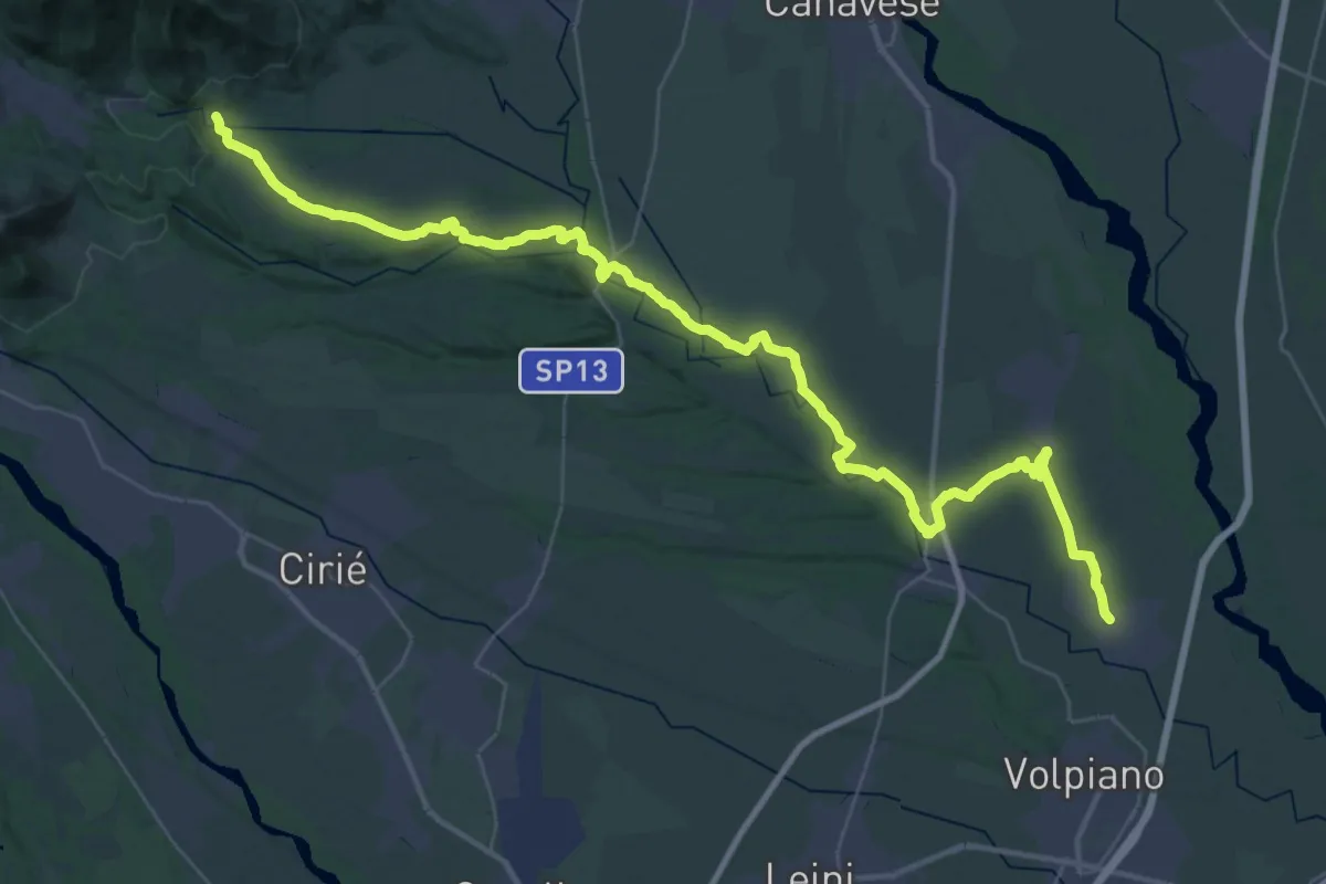
Demanding · Trail
San Benigno Canavese, bivio Via Carenzana-Via trento – Rocca Canavese, Piazza DR Domenico Osella-bivio TON461
26.1 km · ↑ 254 m · 6 h 58 min
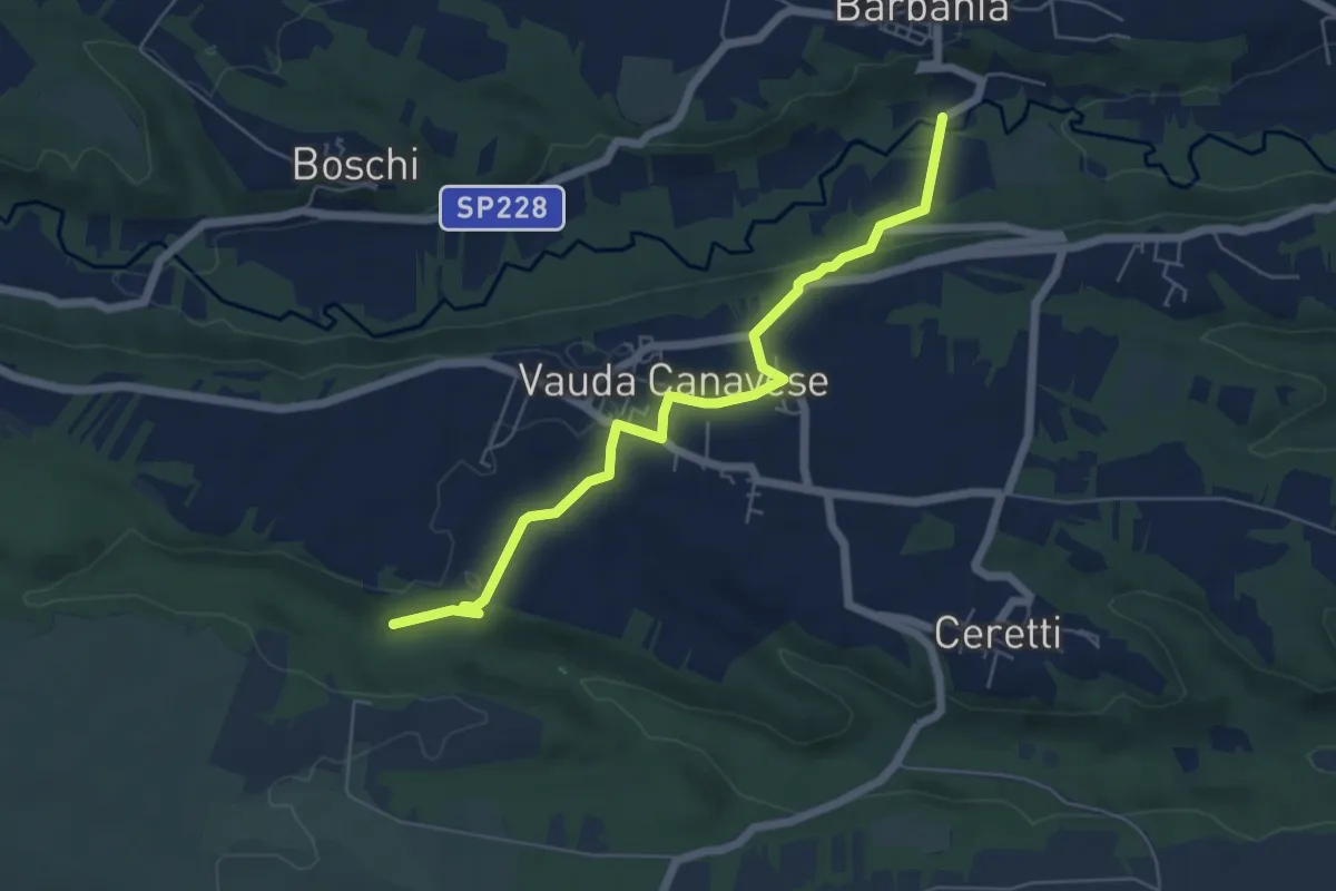
Easy · Trail
Barbania, località Fandaglia, bivio TOP142-TOP144A – San Carlo Canavese, bivio TOP144A-TOP214
6.1 km · ↑ 117 m · 1 h 42 min
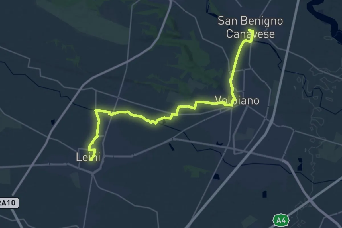
Demanding · Trail
Abbazia di Fruttuaria, TOP213-TOP131 – Leinì centro
21.3 km · ↑ 77 m · 5 h 12 min
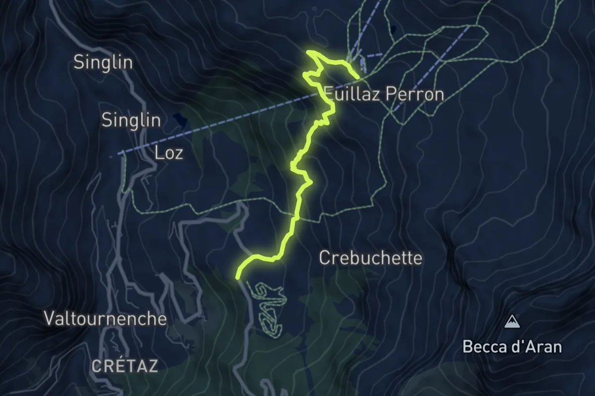
Medium · Trail
Champlève – Euillaz/Salette - Arrivo Telecabina
6.3 km · ↑ 481 m · 2 h 32 min
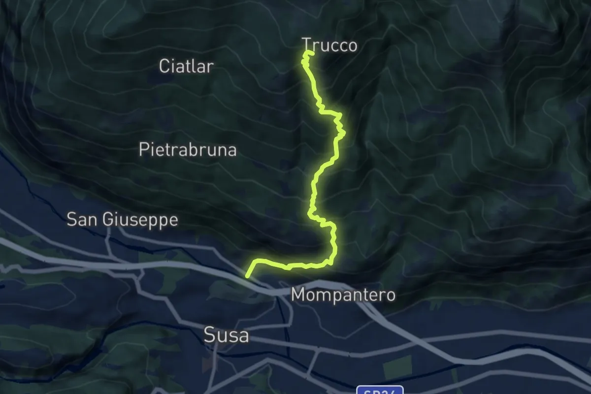
Demanding · Trail
Bivio 529-558, Pietrastretta – Bivio 529-558, Case Favre
8.3 km · ↑ 1164 m · 4 h 29 min
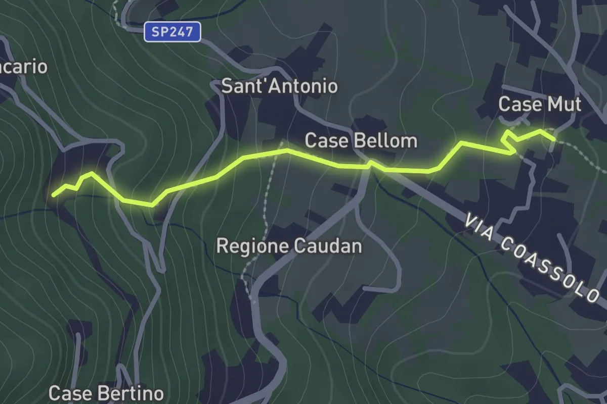
Easy · Trail
Bivio 412-412A, Case Mut – Bivio 412A-414, Case Dottora
2.5 km · ↑ 179 m · 58 min
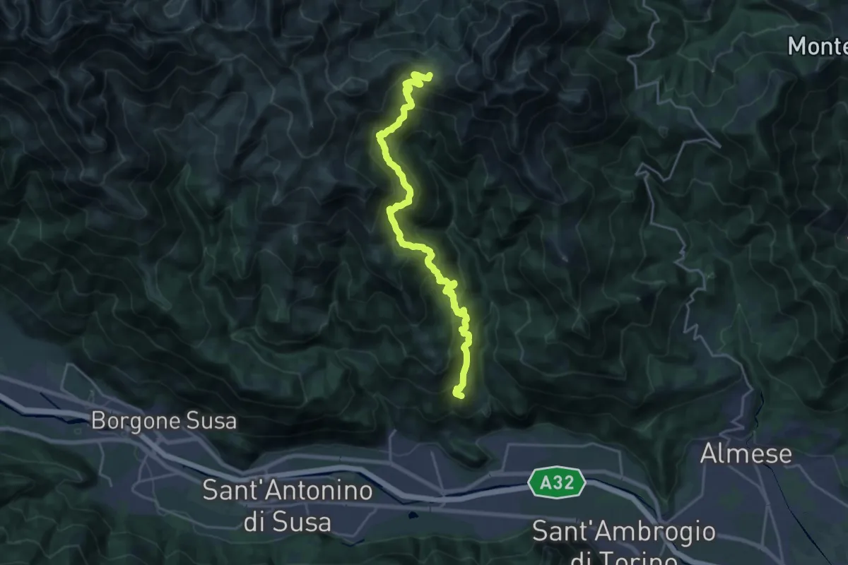
Demanding · Summit
Condove – Bivio 569-573, Colle Colombardo
21.3 km · ↑ 1494 m · 8 h 17 min