Trails in Italy
25,219 hiking trails, each with its route, climb, walking time and grade.
All trails, page 428 of 526
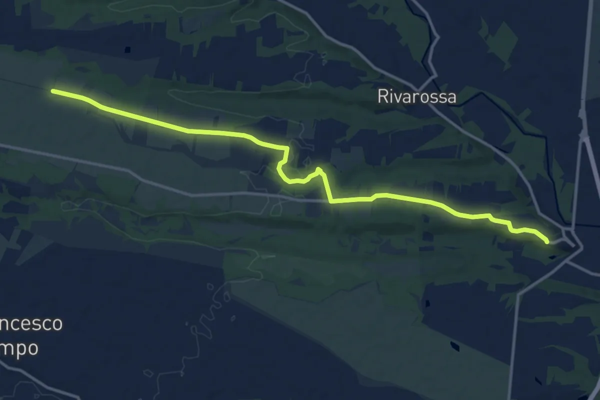
Medium · Trail
Lombardore, fronte municipio – San Francesco al Campo
13.1 km · ↑ 73 m · 3 h 16 min
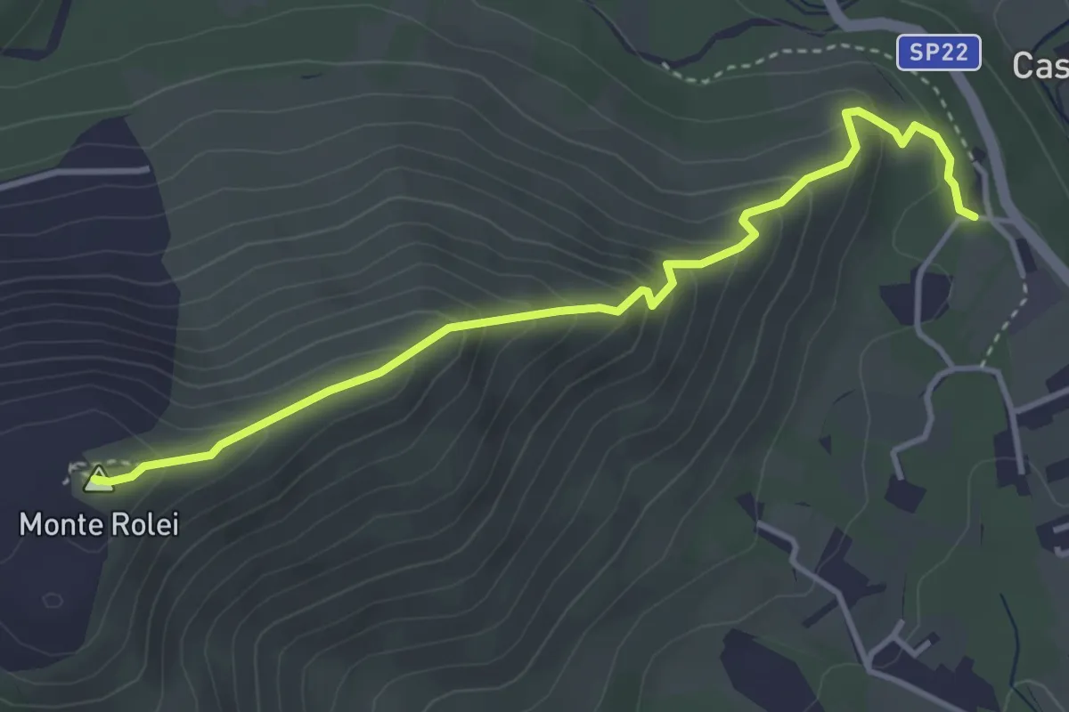
Medium · Summit
Bivio 418-418C, Regione Rio della Prussa – Monte Rolei
4.0 km · ↑ 338 m · 1 h 41 min
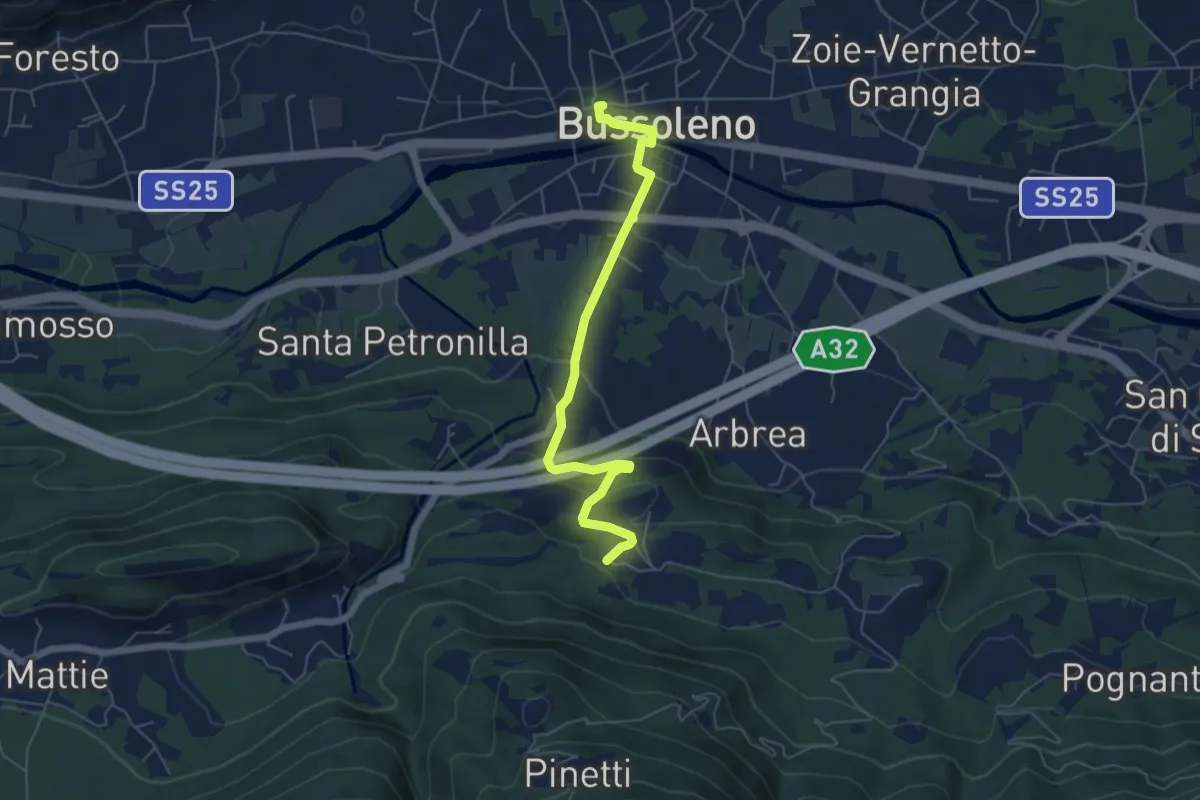
Easy · Trail
Bussoleno, Stazione ferroviaria, bivio TOS526A-TOS565 – Tignai, bivio TOS526-TOS526A
6.0 km · ↑ 242 m · 1 h 57 min
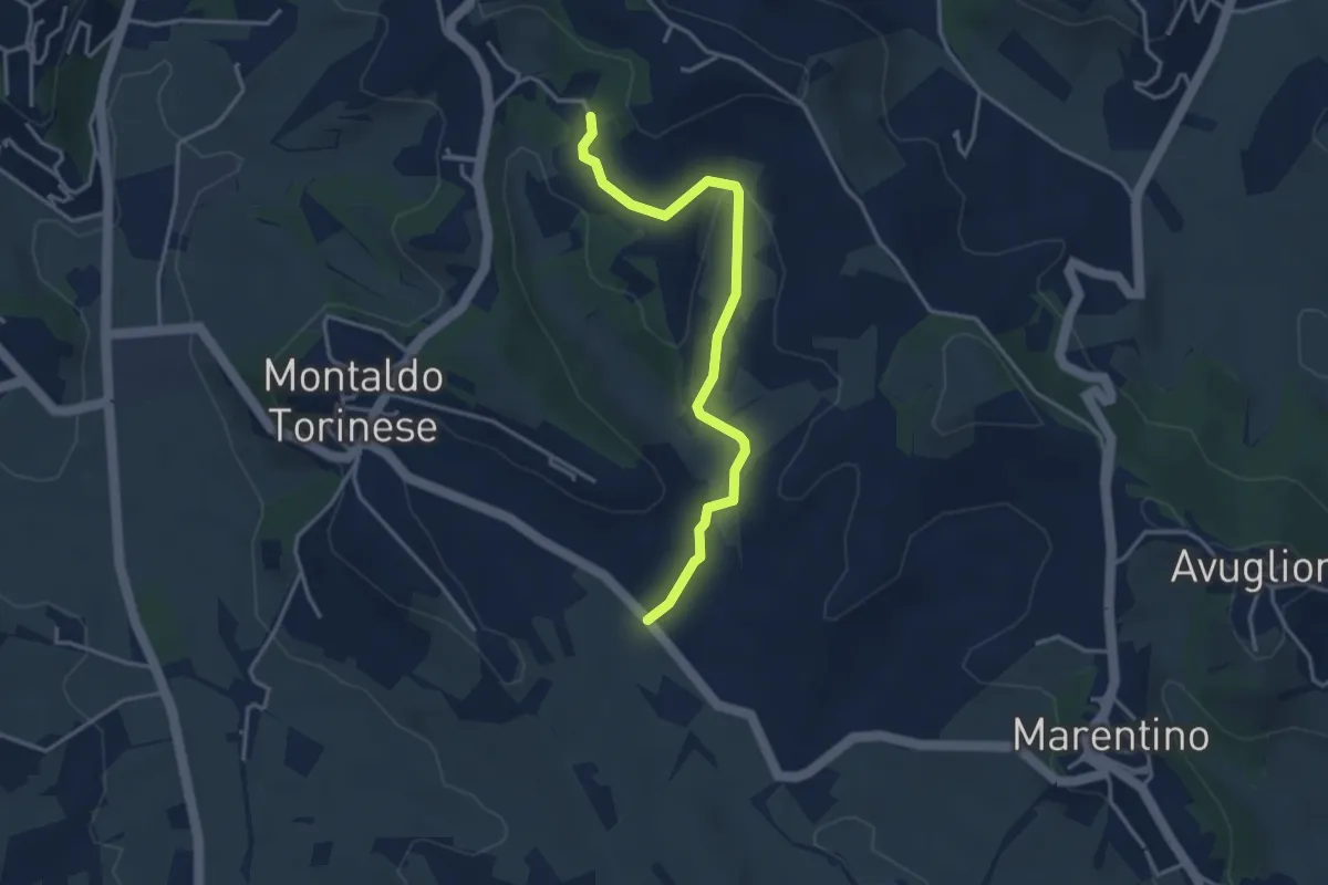
Easy · Trail
Montaldo Torinese Bivio Via Marentino-232 – Montaldo Torinese Frazione Tetti Quaglia
3.7 km · ↑ 102 m · 1 h 6 min
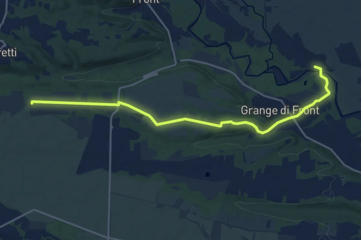
Medium · Trail
Cascina Babiasso, bivio TOP140-TOP143 – Località Ronchi Ceretti, bivio TOP214-TOP143
11.8 km · ↑ 113 m · 3 h 2 min
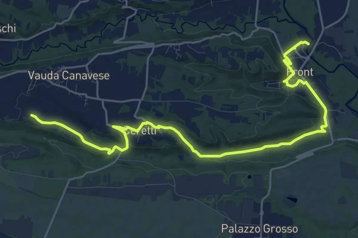
Medium · Trail
Presso campi sportivi, bivio TOP140-TOP144 – Vauda Canavese, sud del centro abitato, bivio TOP144-TOP144A
16.3 km · ↑ 310 m · 4 h 31 min
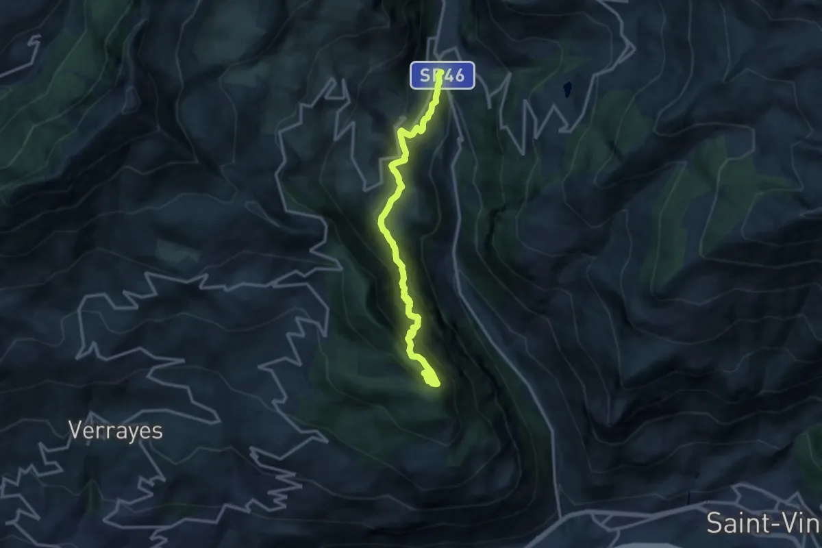
Demanding · Summit
Grand Moulin – Cappella Saint Evence (Torgnon)
12.0 km · ↑ 1173 m · 5 h 22 min
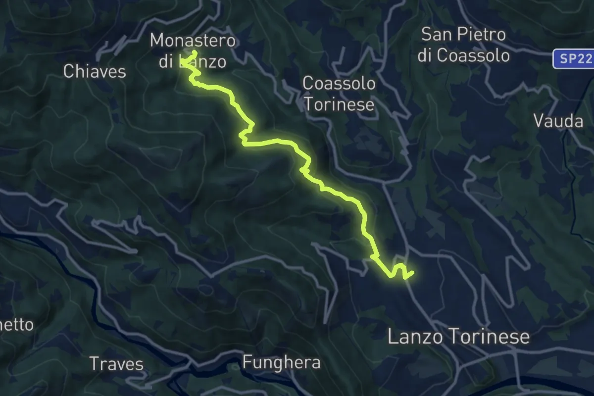
Medium · Trail
Santuario di Loreto – Monastero di Lanzo
10.2 km · ↑ 550 m · 3 h 35 min
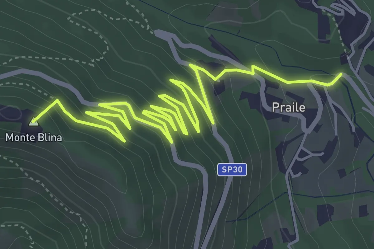
Medium · Summit
Bivio TON424-TON424A, ponte su Uppia – Bivio TON352-TON424A, Tortore
7.4 km · ↑ 464 m · 2 h 45 min
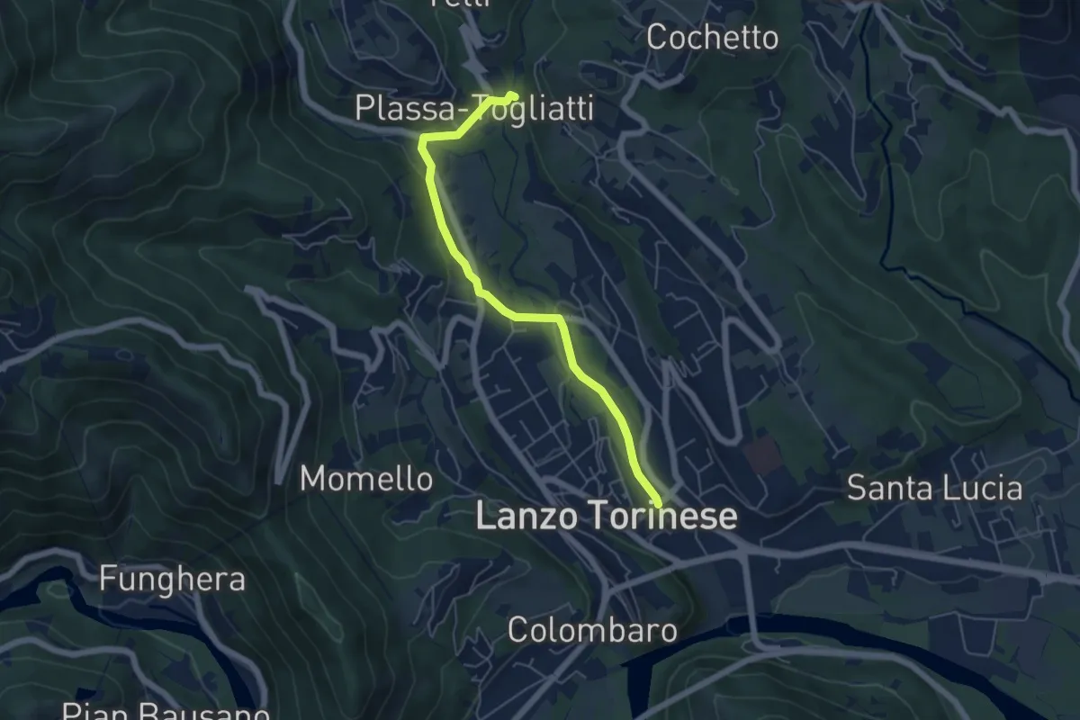
Easy · Trail
Stazione ferroviaria Lanzo Torinese – Bivio TON420-TON420A, Plassa-Togliatti
5.3 km · ↑ 102 m · 1 h 28 min
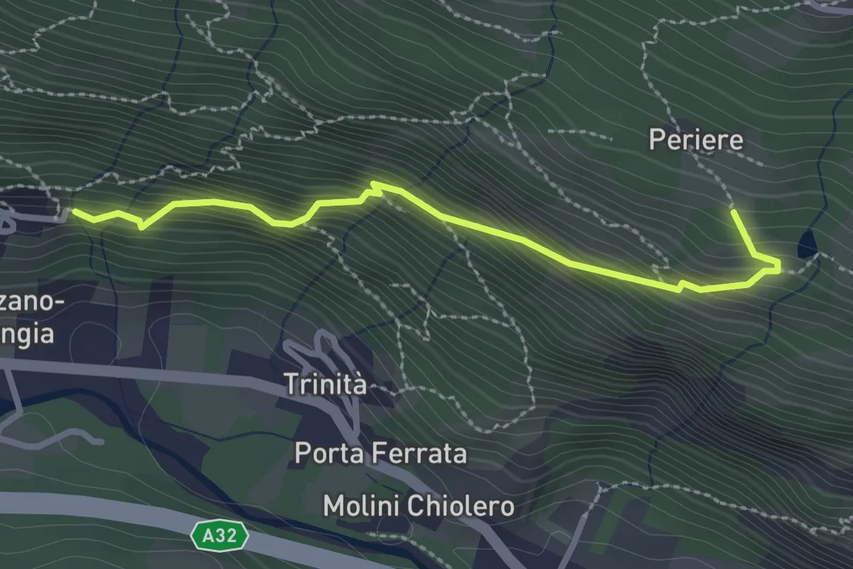
Medium · Trail
Frazione Marzano, Cappella di San Pietro – pressi Borgata Periere, Bivio 534
2.6 km · ↑ 289 m · 1 h 14 min
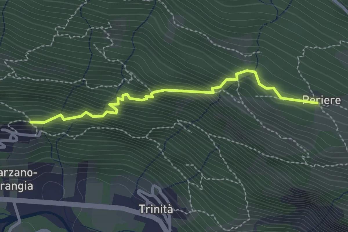
Medium · Trail
Frazione Marzano, Bivio MP002 – Borgata Periere, Bivio 534
2.4 km · ↑ 325 m · 1 h 17 min
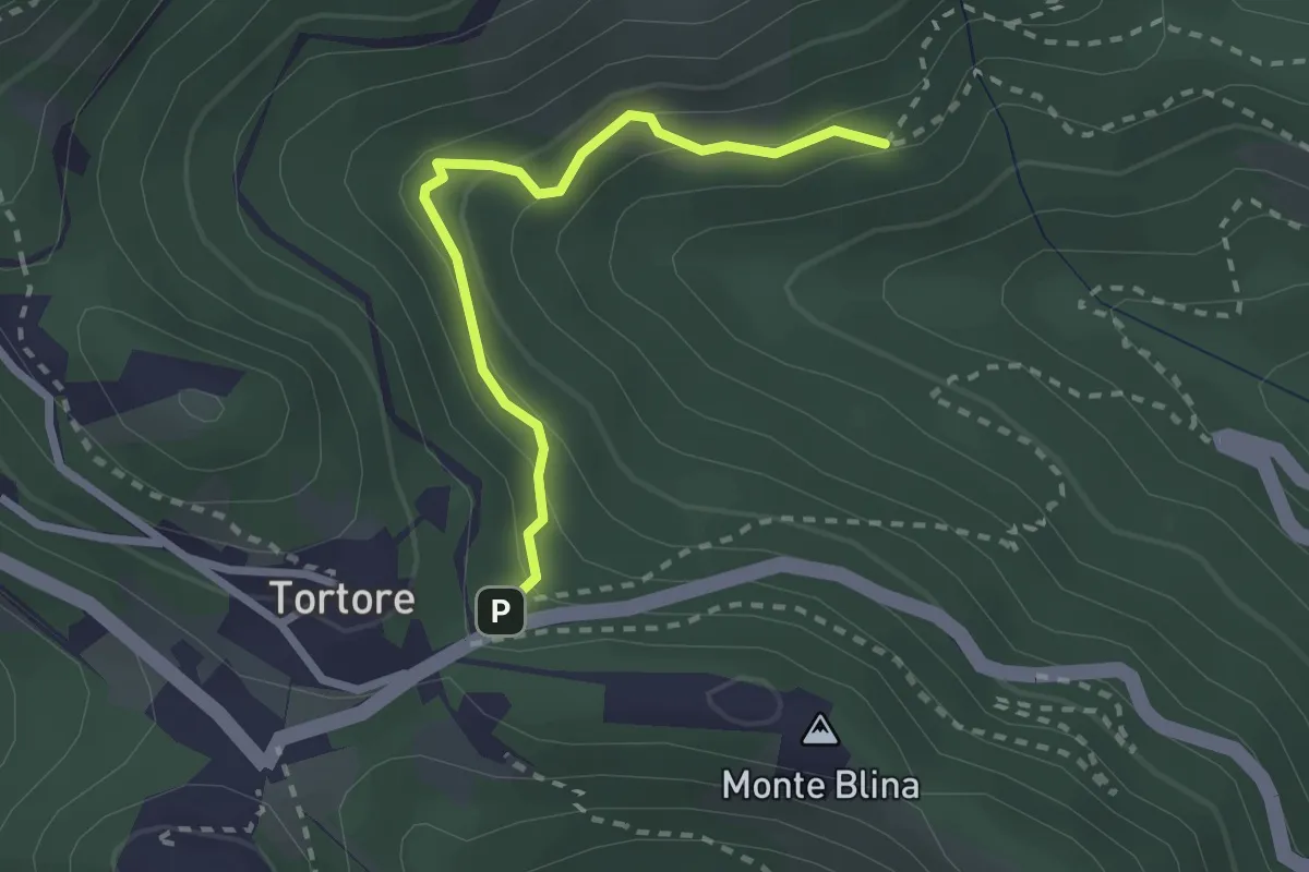
Easy · Trail
Bivio TON352-352B – Bivio TON352-352A, Tortore
2.4 km · ↑ 186 m · 58 min
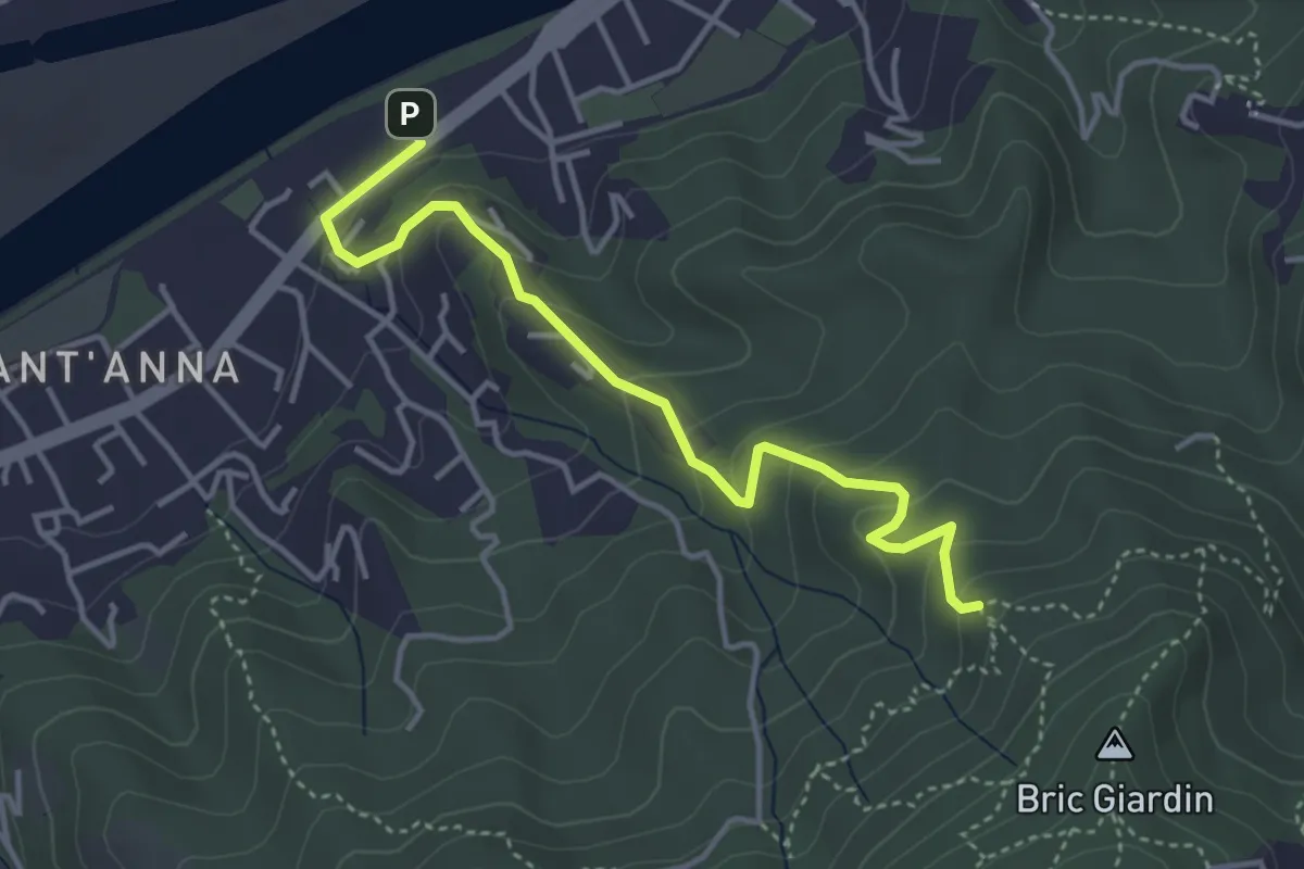
Easy · Trail
Il Castelletto di San Mauro – Bivio TOC061-TOC064, Cascina Monfredi
4.2 km · ↑ 234 m · 1 h 30 min
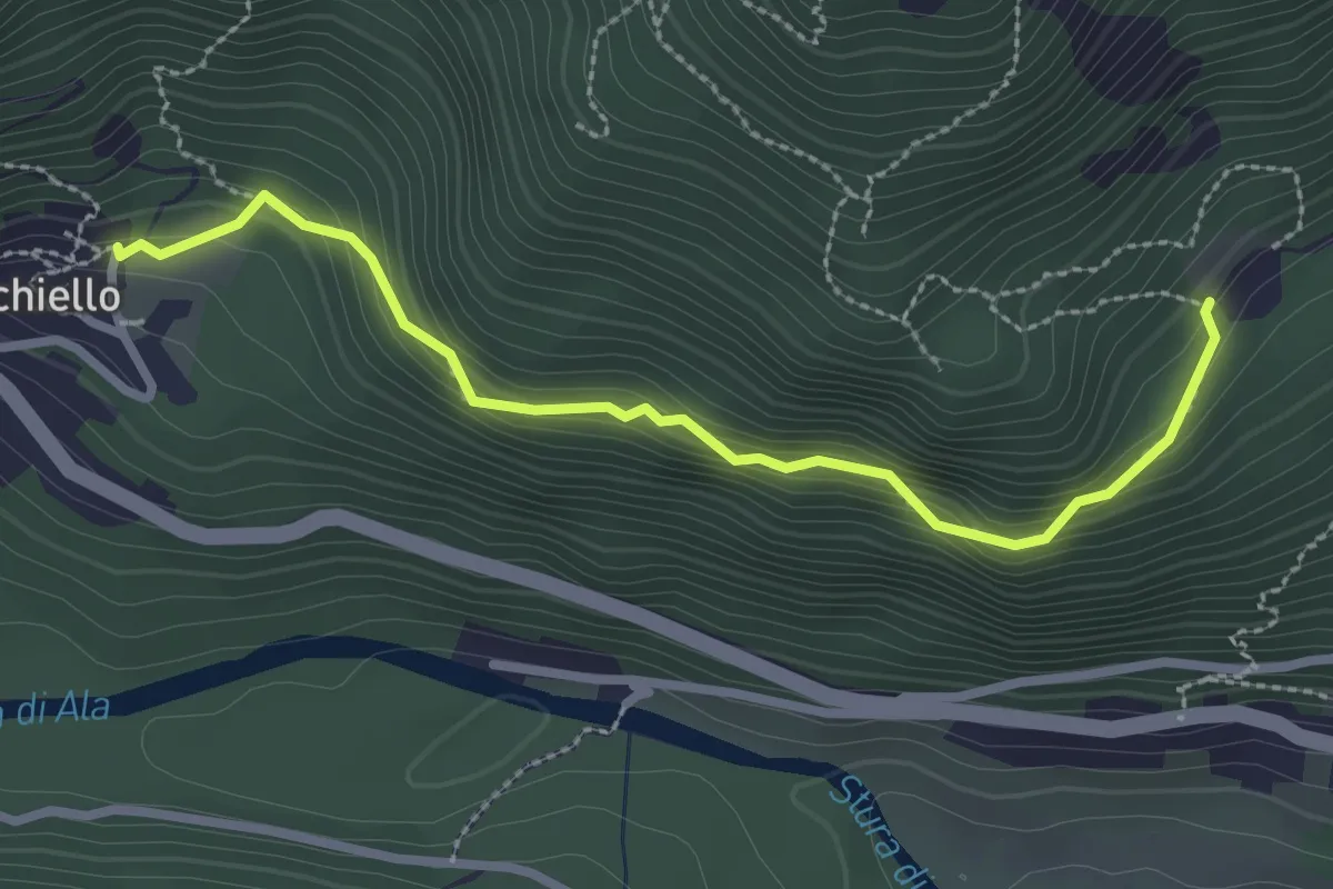
Easy · Trail
Bracchiello – Monti di Voragno
2.8 km · ↑ 212 m · 1 h 8 min
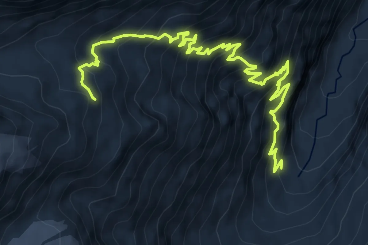
Demanding · Trail
Valnontey – Bivacco Leonessa
10.9 km · ↑ 1039 m · 4 h 49 min
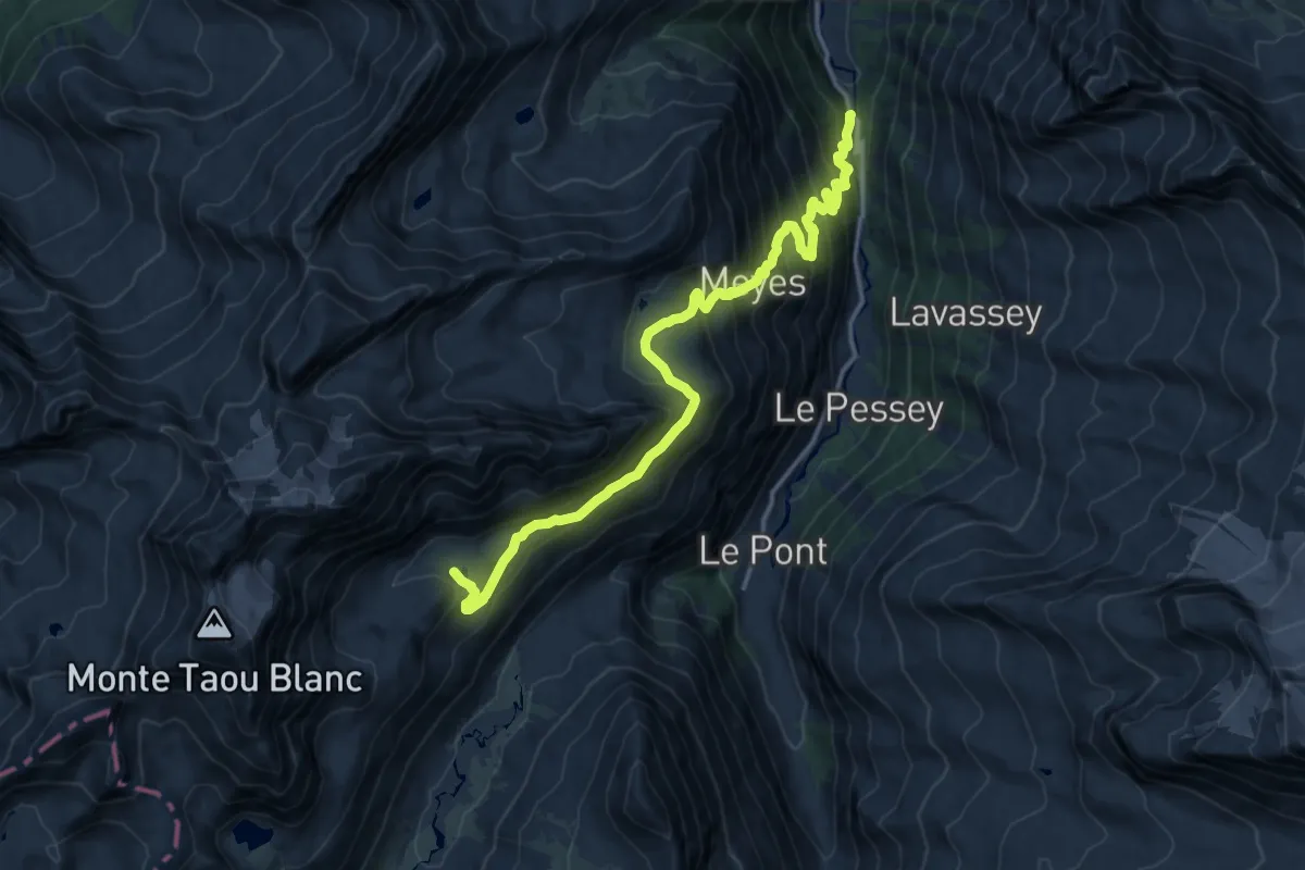
Demanding · Trail
Pont du Grand Clapey – Pian Borgnoz
15.4 km · ↑ 1177 m · 6 h 12 min
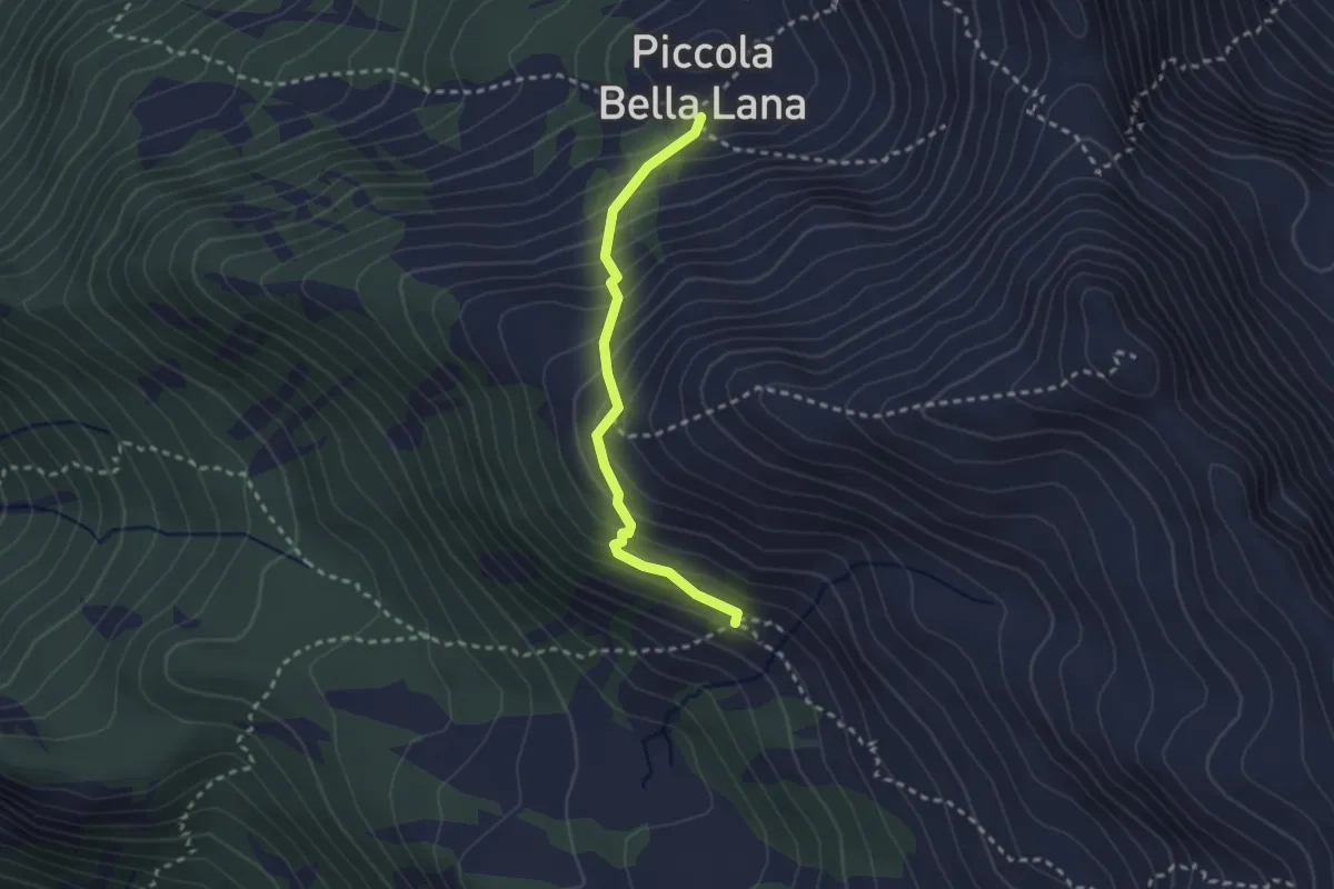
Demanding · Trail
Piccola Bella Lana – Grand Bella Lana
2.4 km · ↑ 281 m · 1 h 11 min
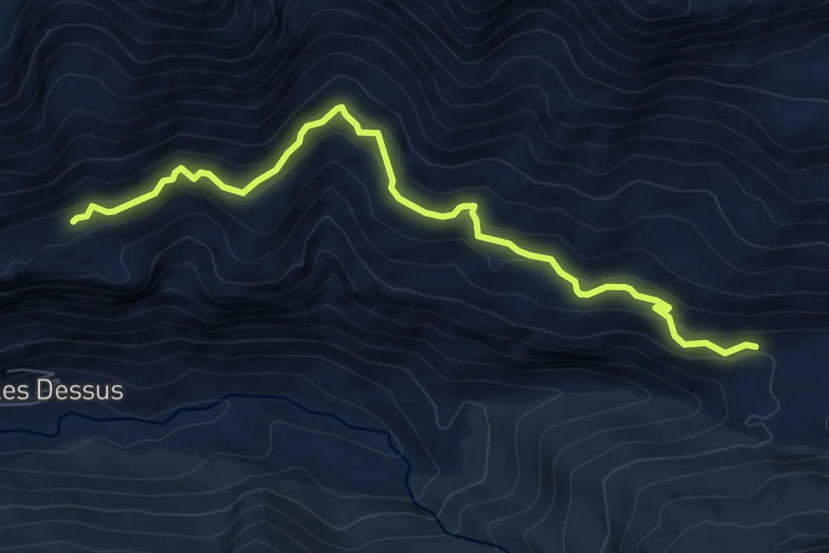
Medium · Trail
Percorso 10 – Taverona
7.8 km · ↑ 462 m · 2 h 50 min
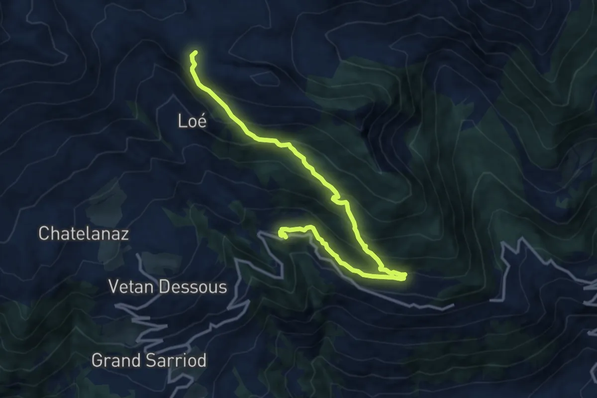
Demanding · Trail
Percorso 11 – Verrogne
11.9 km · ↑ 821 m · 4 h 36 min
Demanding · Trail
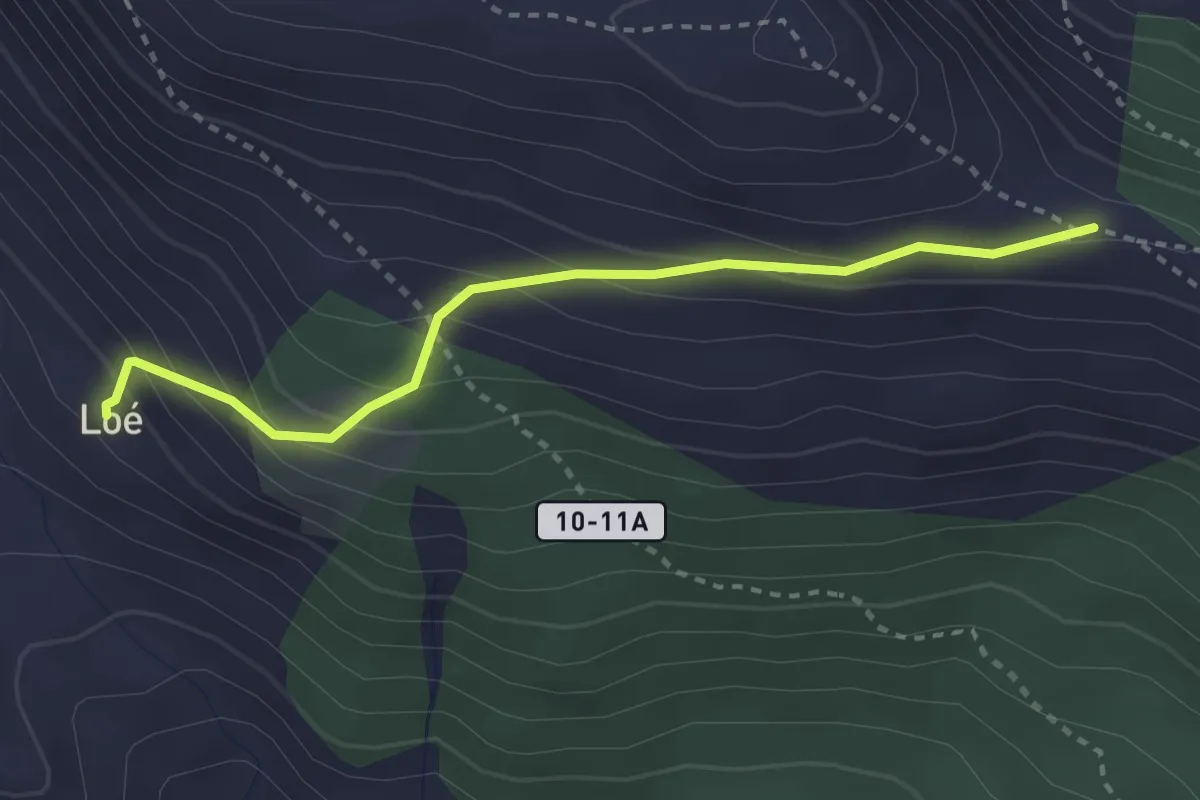
Alp Loé – Percorso 9A
2.9 km · ↑ 247 m · 1 h 14 min
Medium · Trail
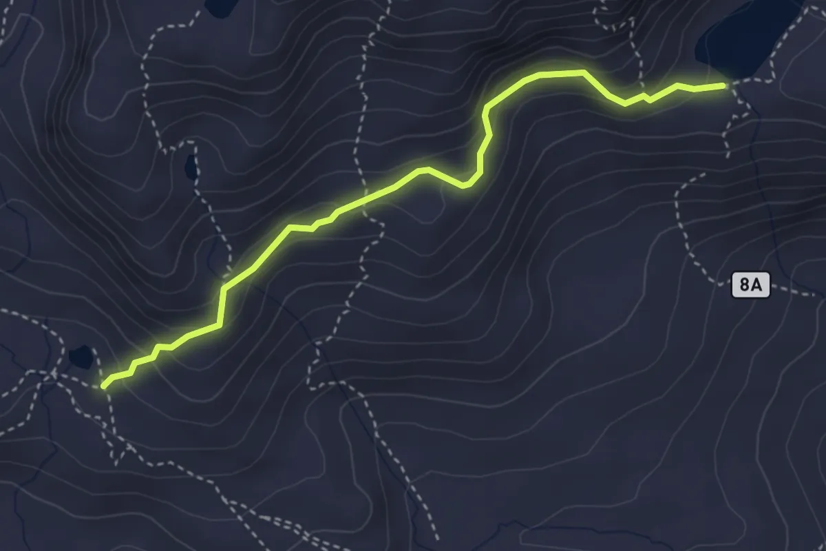
Lac de Grenouilles – Lago Fallère
3.7 km · ↑ 235 m · 1 h 24 min
Demanding · Trail
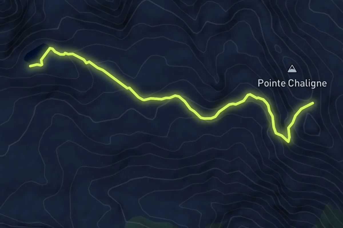
Lago Fallère – Col de Metz
7.9 km · ↑ 547 m · 3 h 2 min
Demanding · Trail
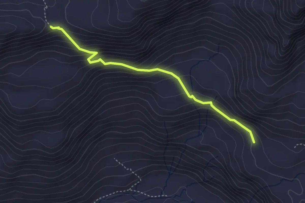
Ponton – Passo dell'Invergneux
3.8 km · ↑ 320 m · 1 h 36 min
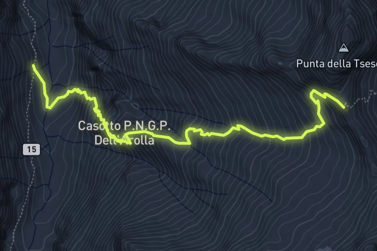
Expert · Trail
Percorso 15 – Colle dell'Arolla
7.6 km · ↑ 1053 m · 4 h 4 min
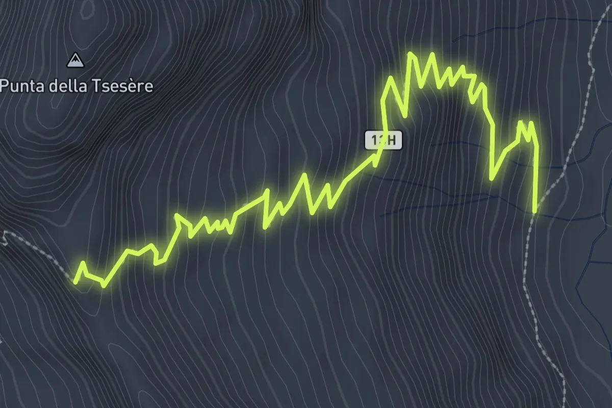
Expert · Trail
Percorso 13 – Colle dell'Arolla
5.0 km · ↑ 441 m · 2 h 9 min
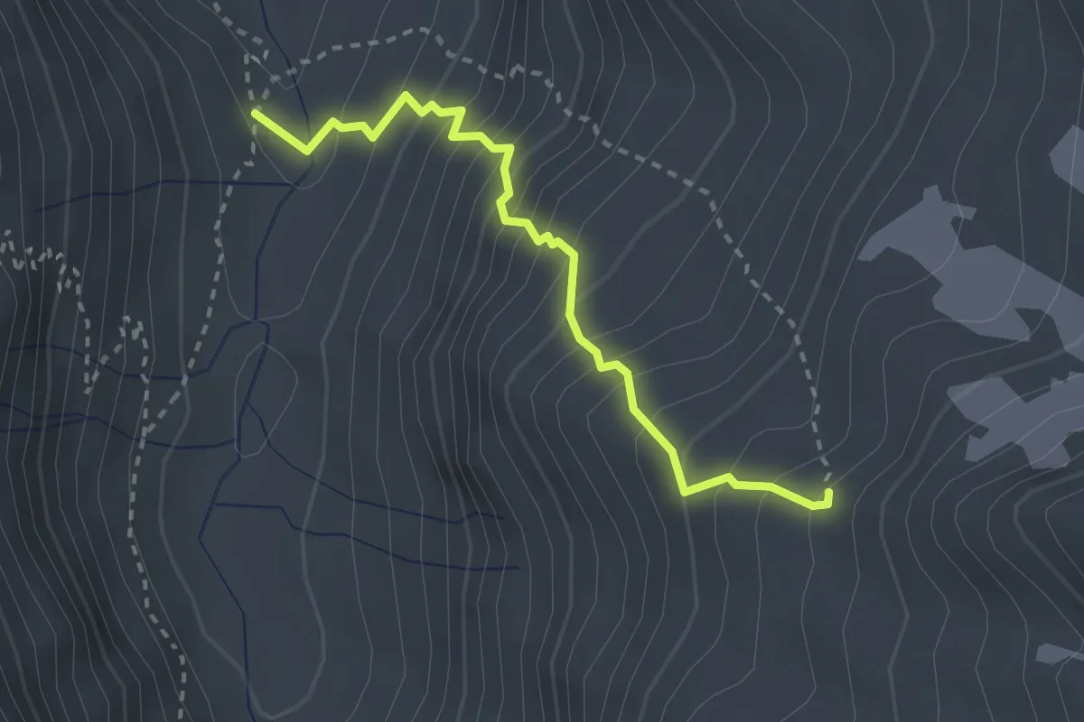
Medium · Trail
Percorso 13G – Bivacco Devis Gerard
2.8 km · ↑ 402 m · 1 h 31 min
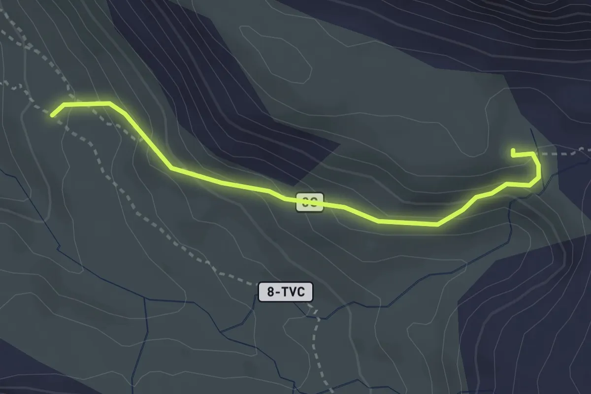
Expert · Cabin
Percorso 8 – Bivacco Muggia-Glarey
3.1 km · ↑ 230 m · 1 h 14 min
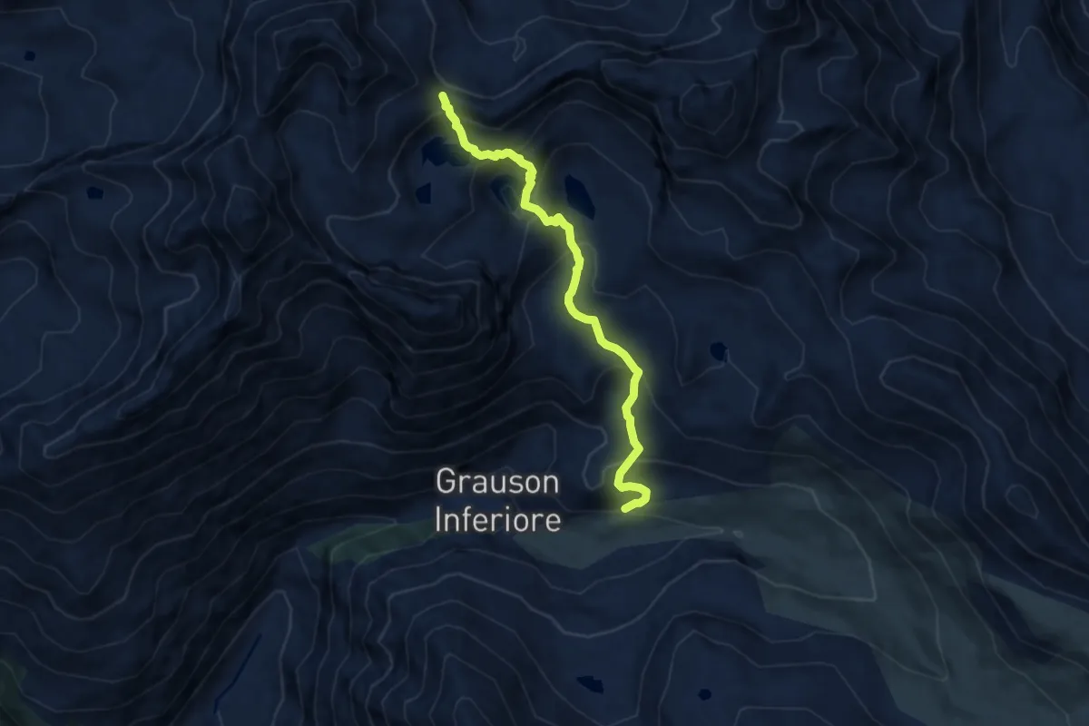
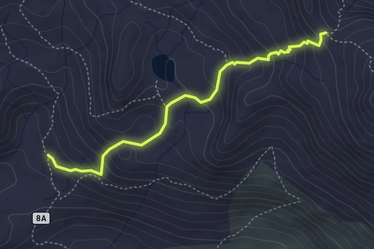
Demanding · Trail
Percorso 8 – Col de Laures
8.0 km · ↑ 625 m · 3 h 15 min
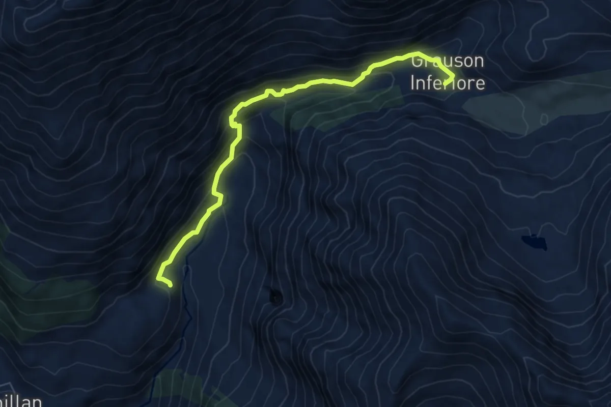
Demanding · Cabin
Grauson Superiore – Col de Saint Marcel
4.0 km · ↑ 362 m · 1 h 43 min
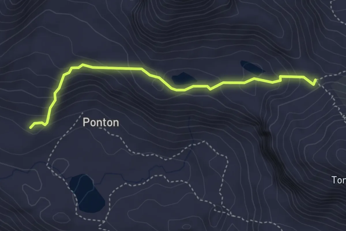
Medium · Trail
Cretetta – Grauson Inferiore
7.0 km · ↑ 559 m · 2 h 52 min
Demanding · Trail
Ponton – Col Pontonnet
3.7 km · ↑ 260 m · 1 h 26 min
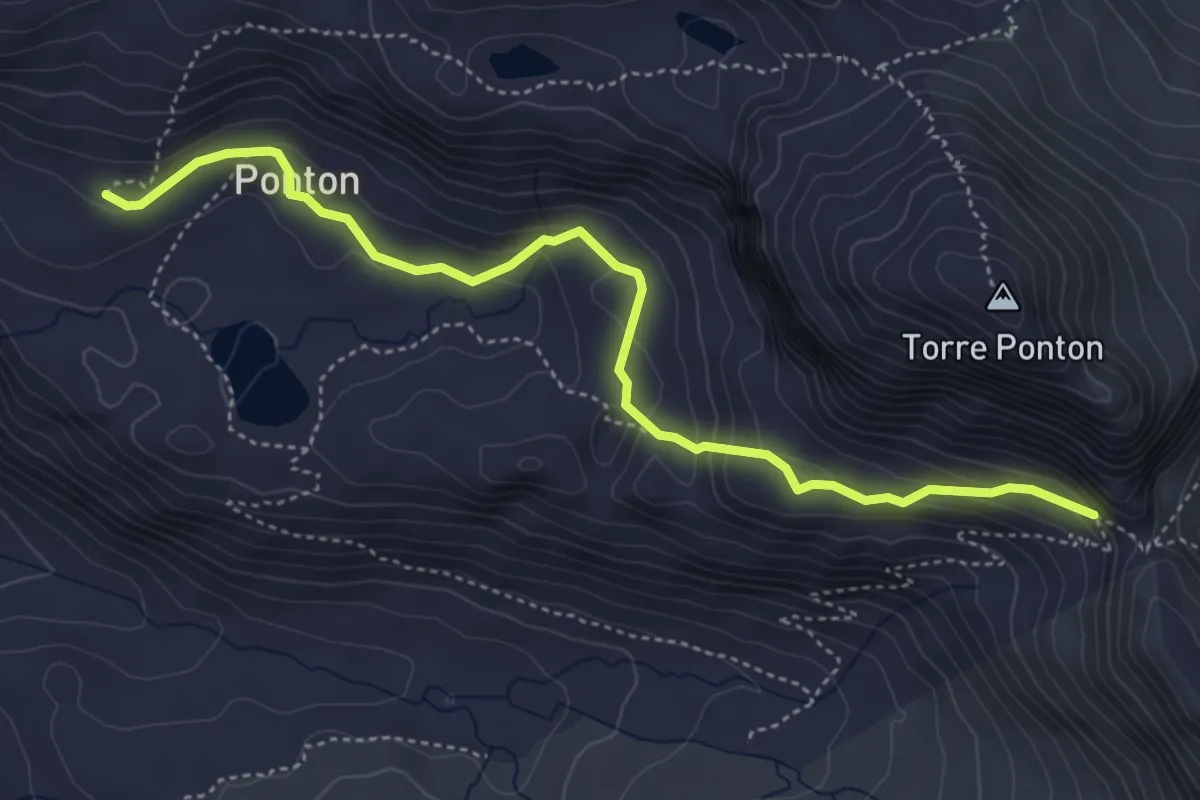
Medium · Trail
Ponton – Finestra di Champorcher
5.0 km · ↑ 284 m · 1 h 48 min
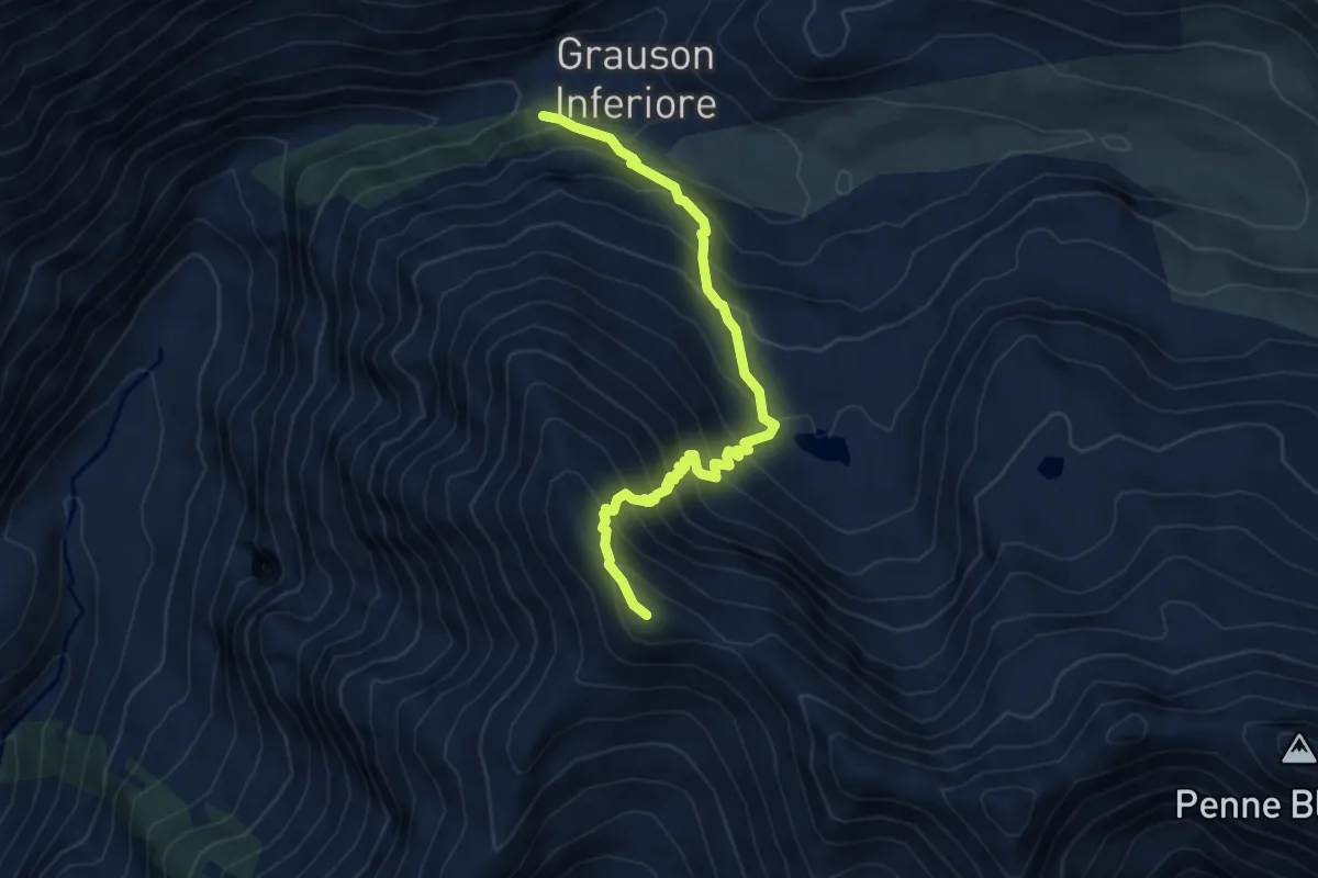
Demanding · Summit
Percorso 8 – Monte Creya
5.8 km · ↑ 697 m · 2 h 52 min
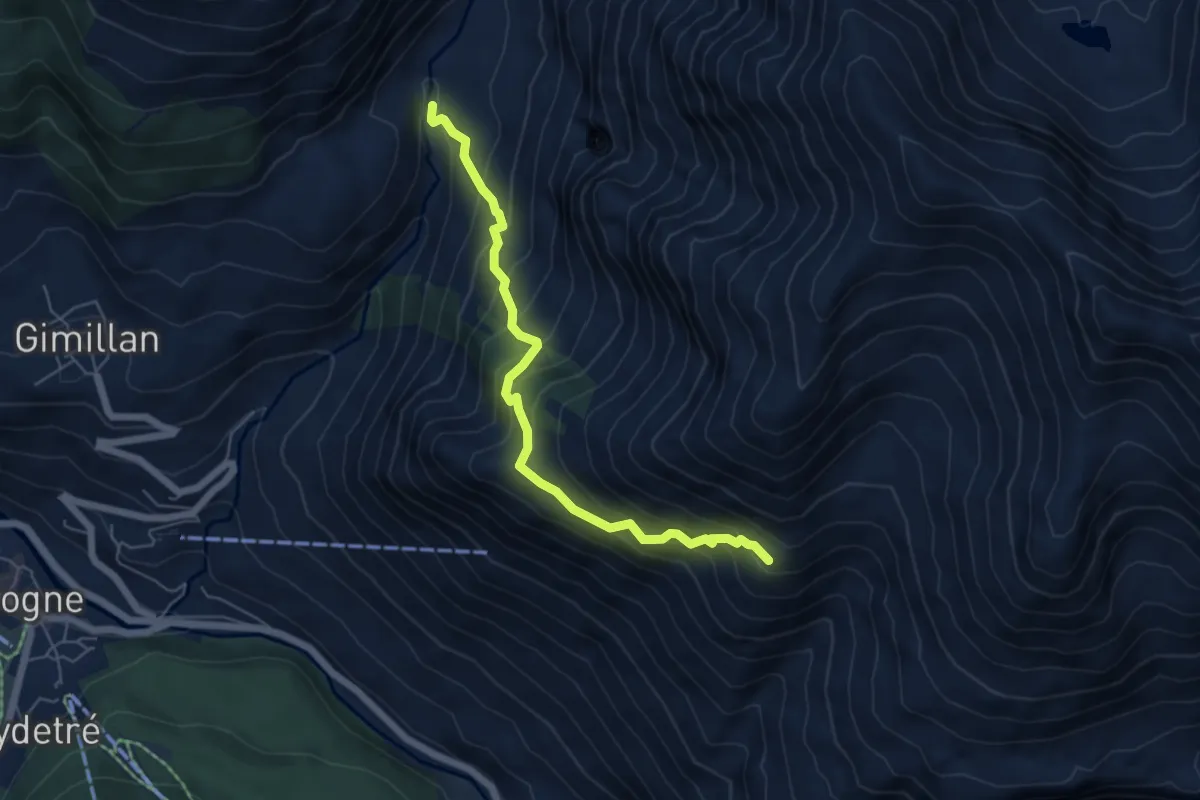
Demanding · Trail
Encloseur – Colonna
5.7 km · ↑ 614 m · 2 h 40 min
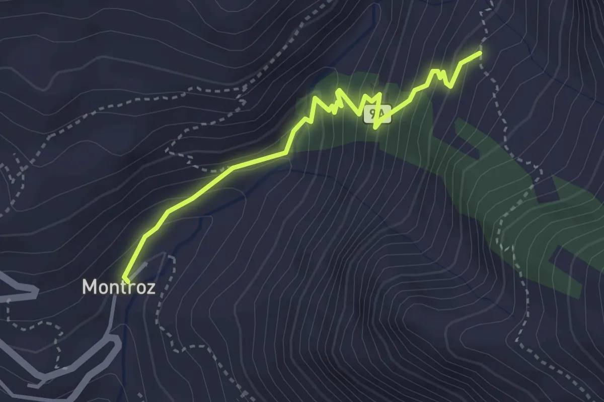
Medium · Trail
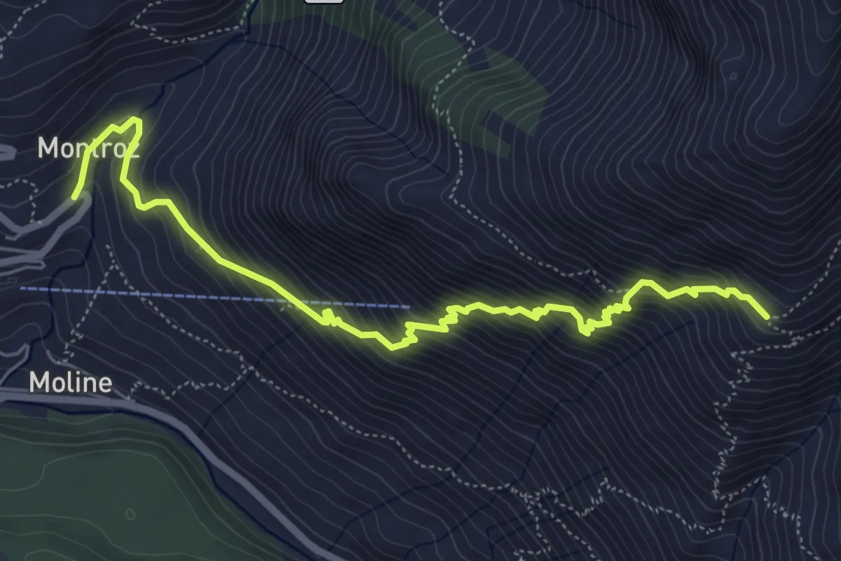
Montroz – Percorso 8D
3.4 km · ↑ 294 m · 1 h 26 min
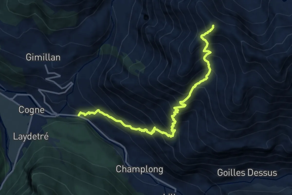
Demanding · Trail
Montroz – Colonna
6.7 km · ↑ 833 m · 3 h 23 min
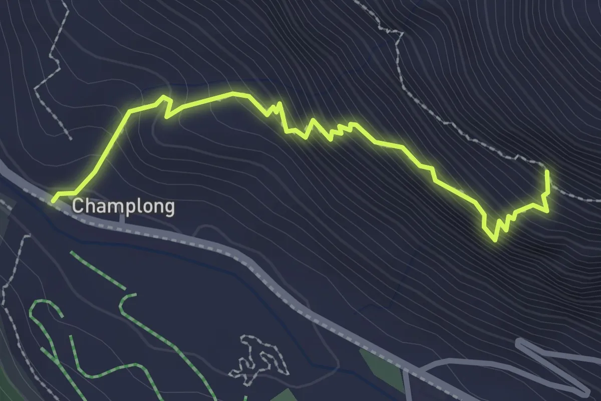
Demanding · Summit
Moline – Monte Creya
11.8 km · ↑ 1451 m · 5 h 56 min
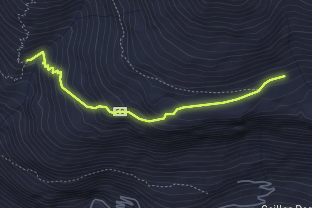
Medium · Trail
Champlong – Percorso 7
2.7 km · ↑ 382 m · 1 h 28 min
Demanding · Trail
Percorso 5 – Taverona
3.8 km · ↑ 279 m · 1 h 31 min
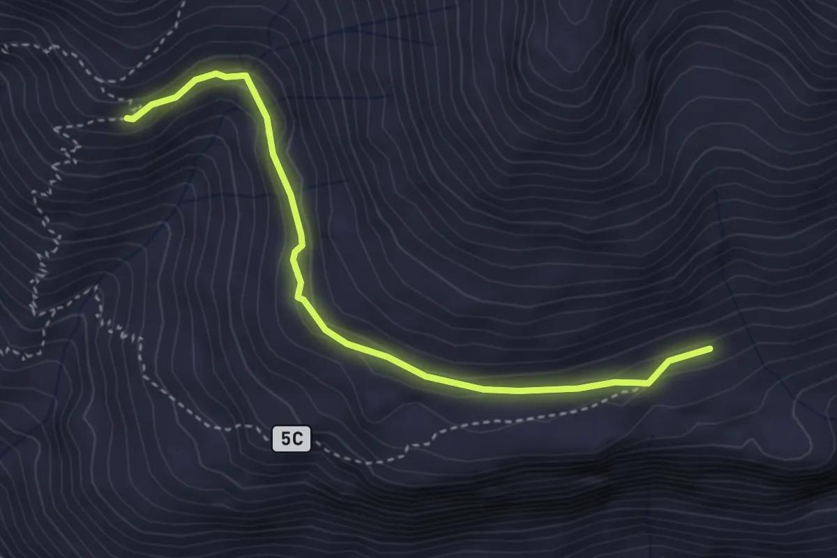
Medium · Trail
Colonna – Taverona
3.8 km · ↑ 168 m · 1 h 15 min
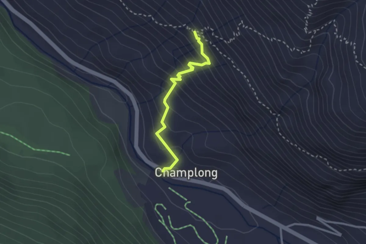
Medium · Trail
Percorso 7 – Champlong
2.2 km · ↑ 229 m · 1 h 1 min
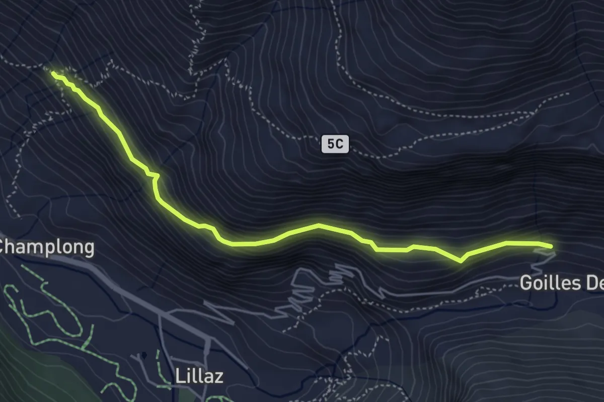
Medium · Trail
Percorso 5 – Percorso 10
4.9 km · ↑ 343 m · 1 h 55 min
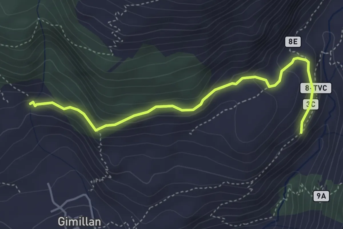
Medium · Trail
Cretetta – Pian di Teppe
4.2 km · ↑ 265 m · 1 h 34 min
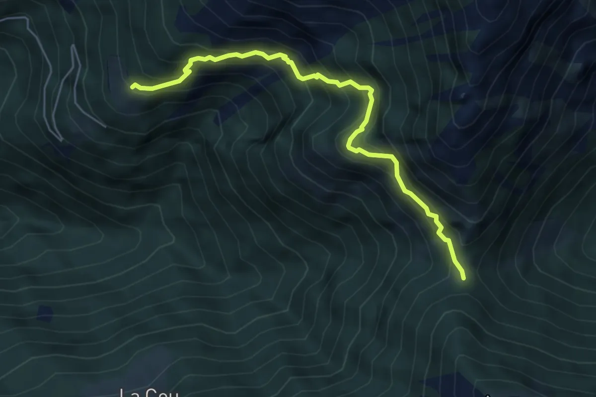
Demanding · Trail
Arsines – Col Fenetre
5.3 km · ↑ 648 m · 2 h 40 min
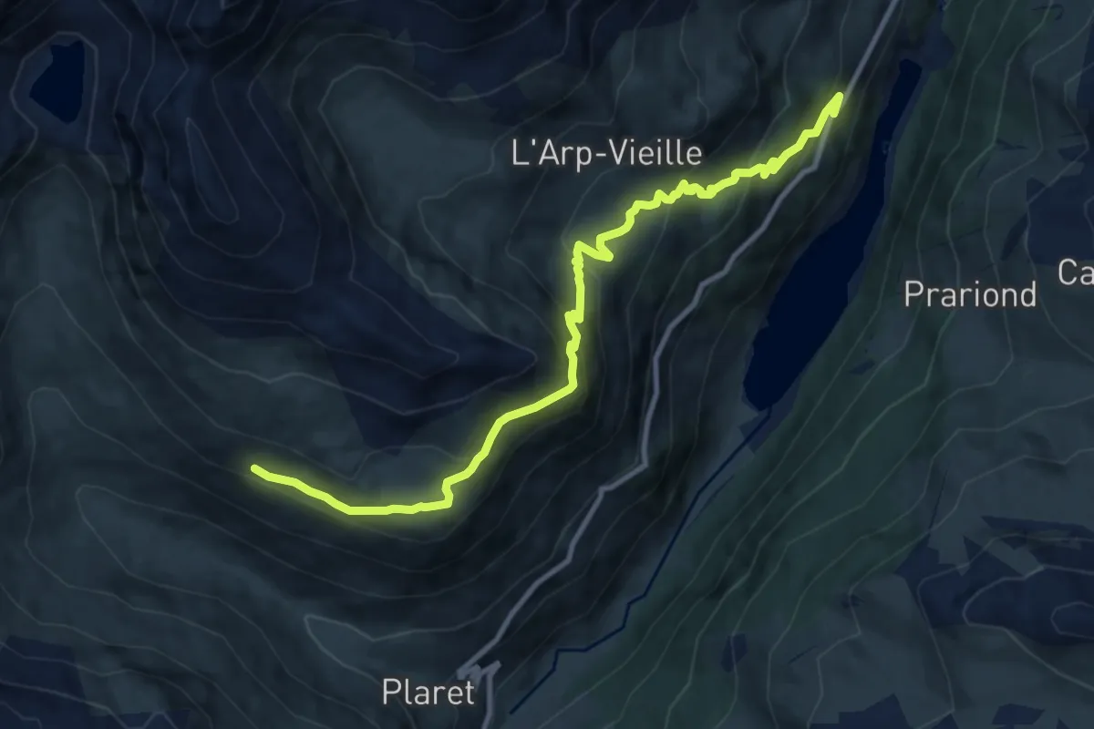
Demanding · Trail
Menthieu – Revère
10.9 km · ↑ 667 m · 4 h 1 min
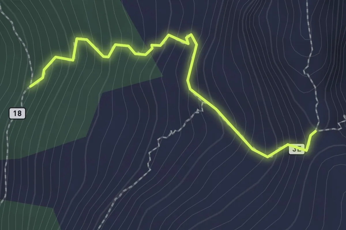
Medium · Trail
Percorso 18 – Colle di Crotey
2.2 km · ↑ 281 m · 1 h 8 min
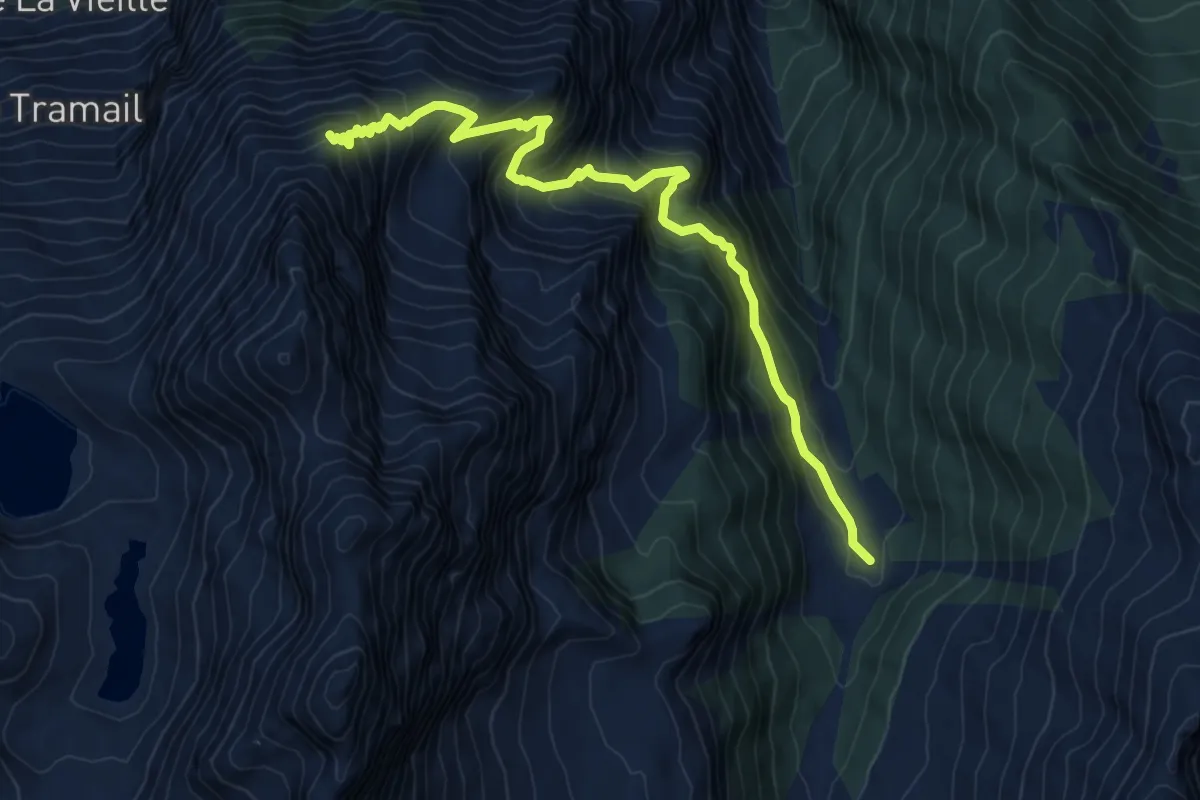
Demanding · Trail
Praz-Bornaz – Ommo Bonplan
9.6 km · ↑ 998 m · 4 h 26 min