Trails in Italy
25,219 hiking trails, each with its route, climb, walking time and grade.
All trails, page 429 of 526
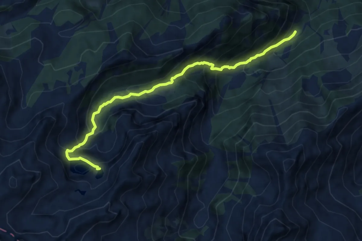
Demanding · Trail
Portes – Lago di Vercoche
10.5 km · ↑ 918 m · 4 h 27 min
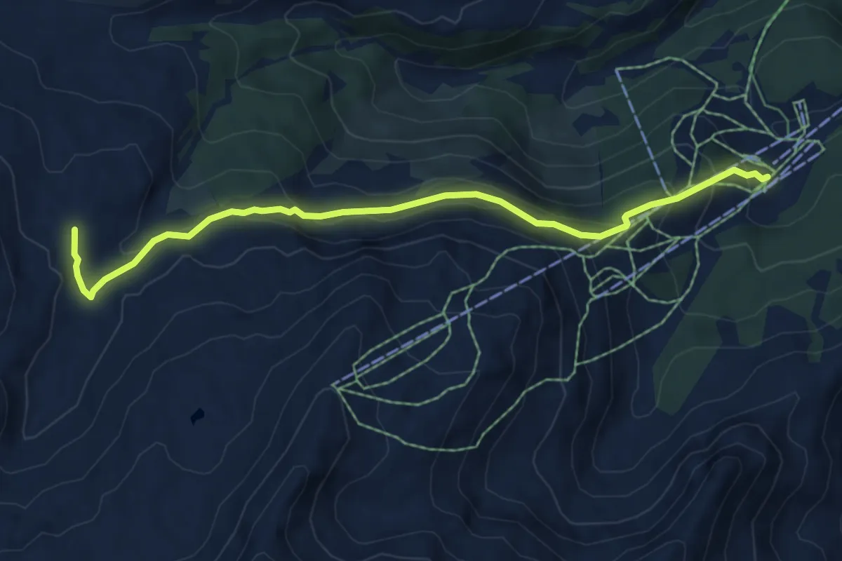
Medium · Trail
Laris – Percorso 7
6.6 km · ↑ 404 m · 2 h 25 min
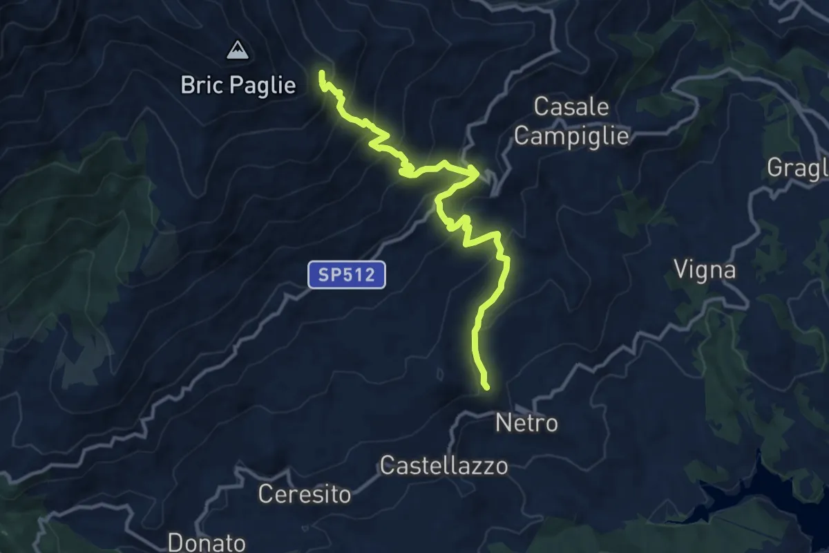
Demanding · Trail
Netro, bivio BIAB11-BIAB12 – Alpe Amburnero di Sopra, bivio BIAB07-BIAB11
11.4 km · ↑ 936 m · 4 h 44 min
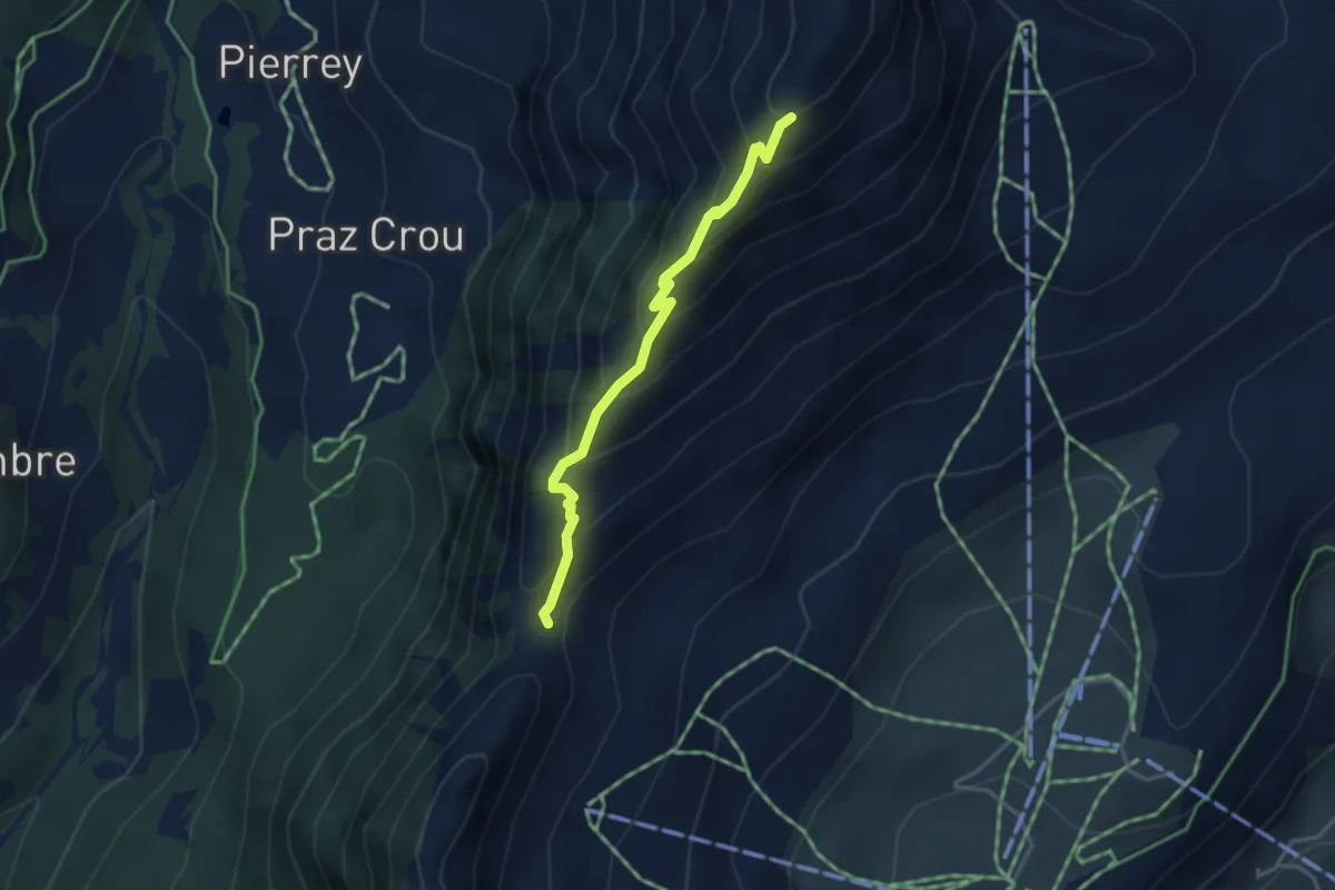
Medium · Trail
Col Fenêtre – Antecima Mont Meabé
3.3 km · ↑ 358 m · 1 h 34 min
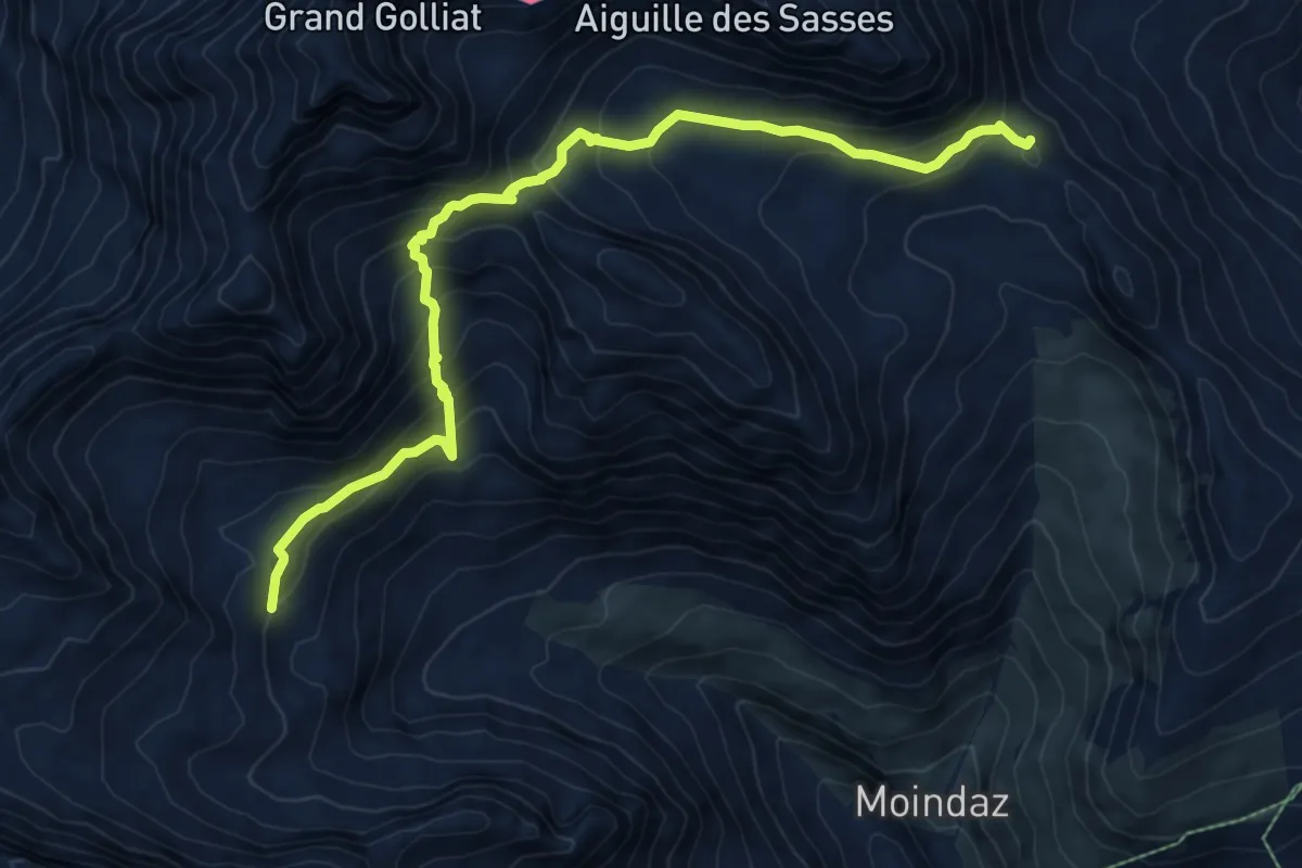
Demanding · Trail
Percorso 12 – Rifugio Frassati
9.0 km · ↑ 815 m · 3 h 53 min
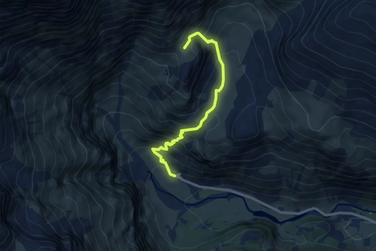
Medium · Cabin
Bivio 221-222 Rifugio Città di Ciriè – Bivio 221-221A, Colle Battaglia
5.3 km · ↑ 515 m · 2 h 23 min
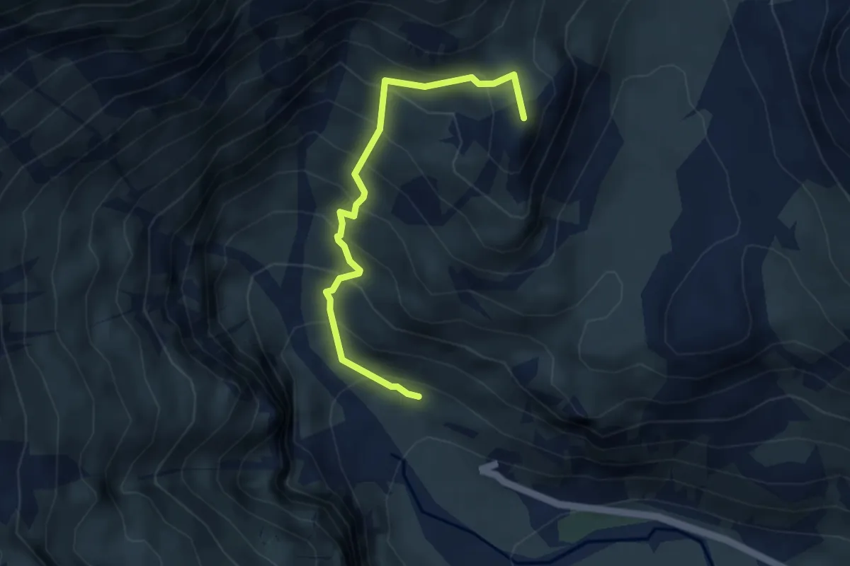
Medium · Summit
Bivio 221-221A – Bivio 221-221A, Colle Battaglia
3.9 km · ↑ 440 m · 1 h 53 min
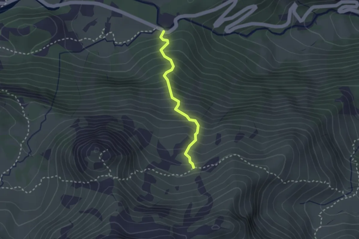
Medium · Trail
Bivio TON220-TON220A, La Masinà – Bivio TON219-TON220A, presso Alpe Fontana
2.2 km · ↑ 325 m · 1 h 13 min
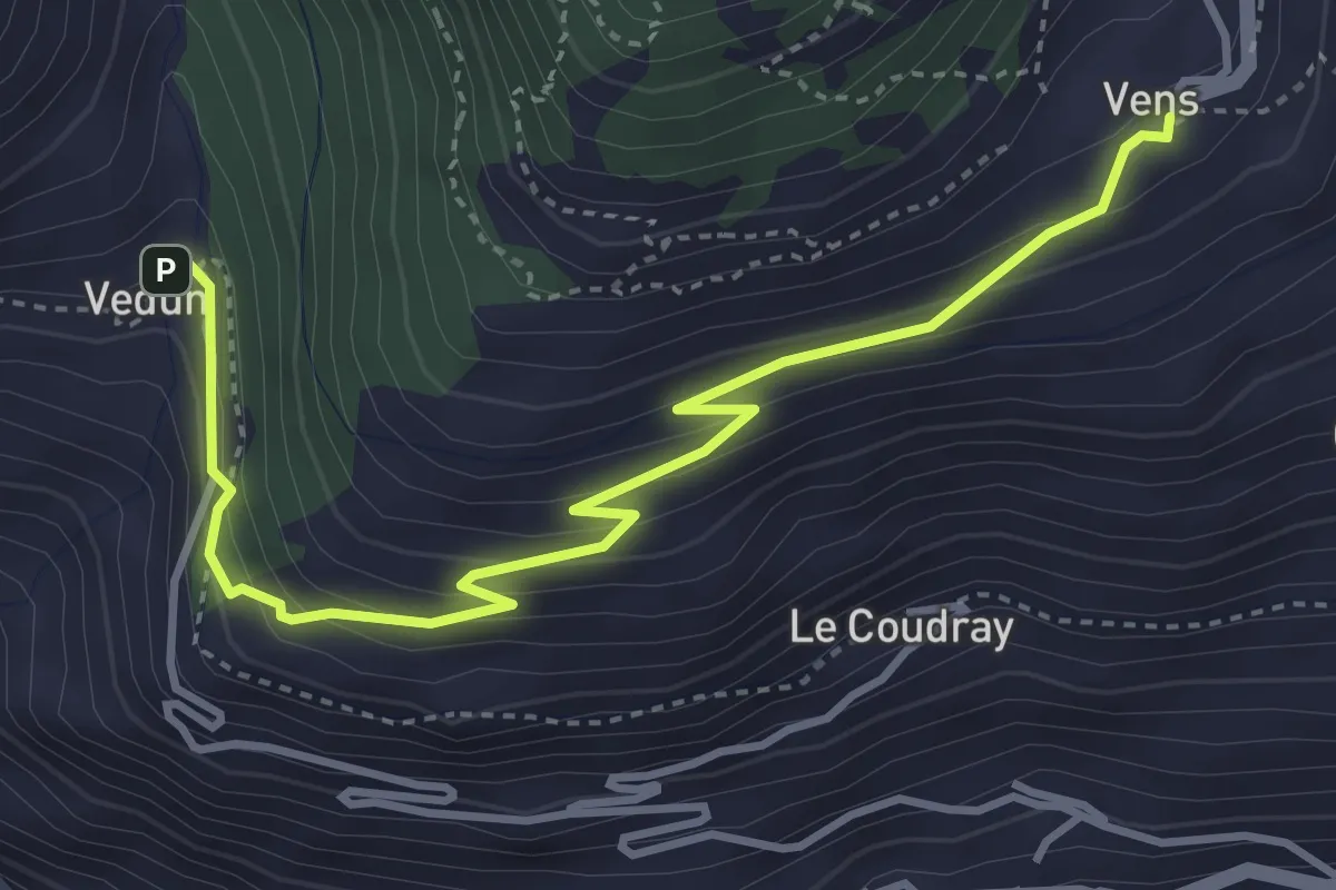
Medium · Trail
Vedun – Vens
4.4 km · ↑ 296 m · 1 h 41 min
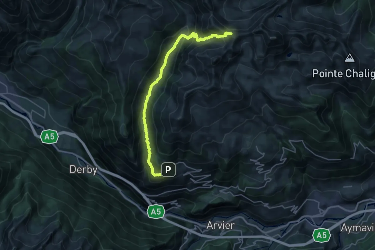
Demanding · Trail
Vens – Colle di Vertosan
21.2 km · ↑ 1306 m · 7 h 50 min
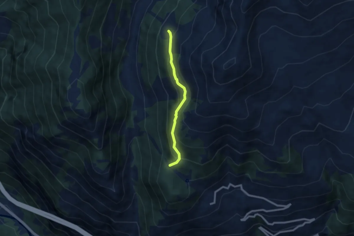
Medium · Trail
Col du Mont Joux – Alpe Bettex
4.8 km · ↑ 384 m · 1 h 58 min
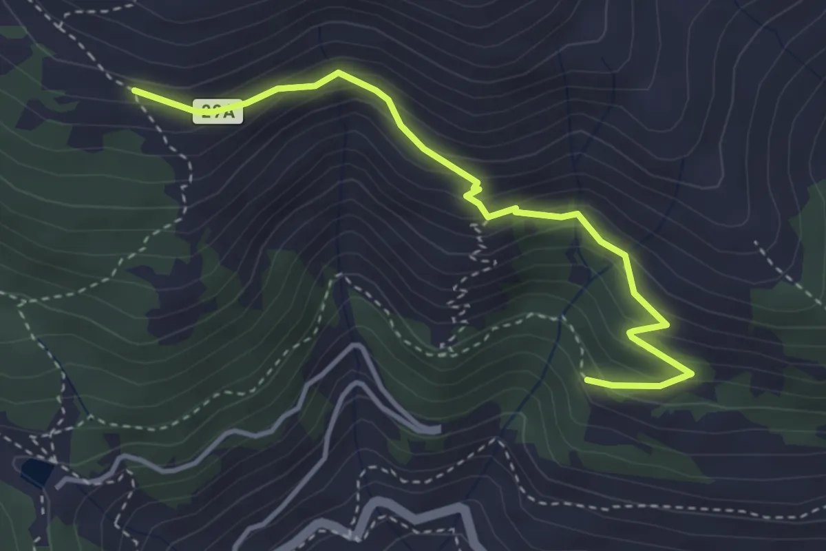
Medium · Trail
Percorso 29 – Barmaveraz
3.7 km · ↑ 328 m · 1 h 35 min
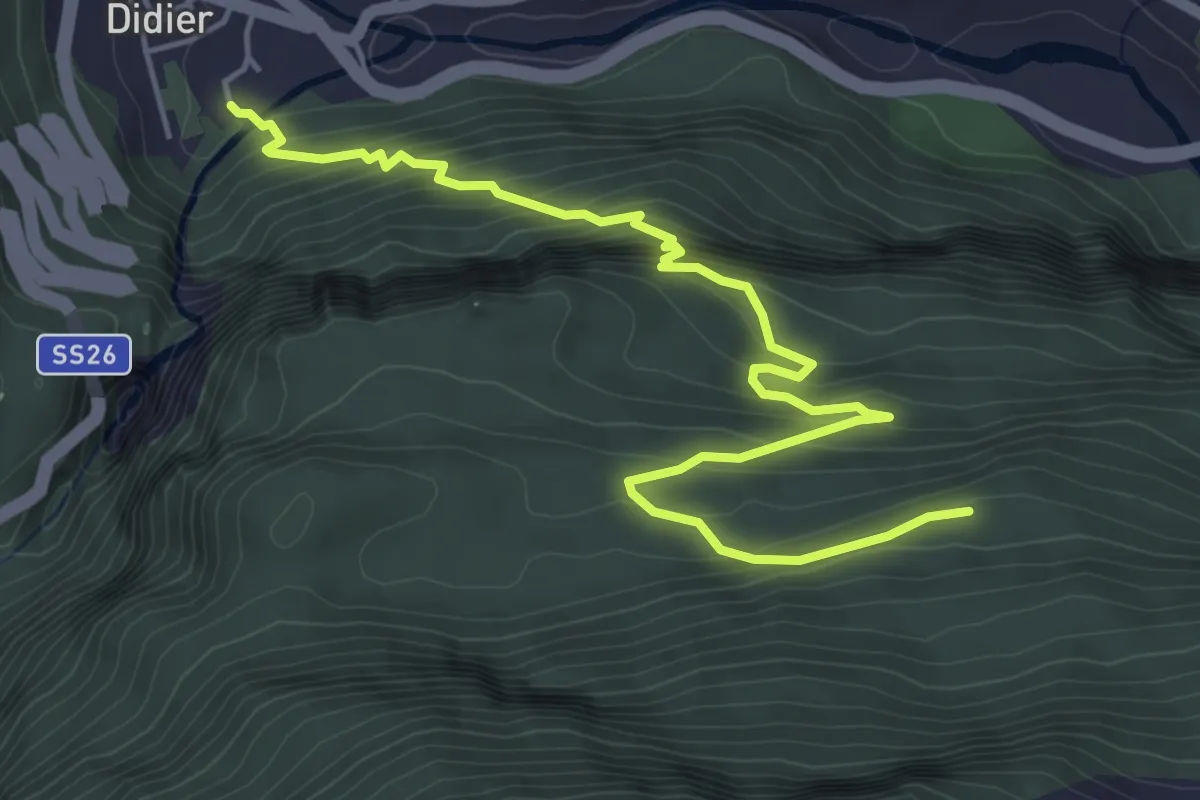
Medium · Trail
Pré-Saint-Didier – Paramont
6.1 km · ↑ 544 m · 2 h 37 min
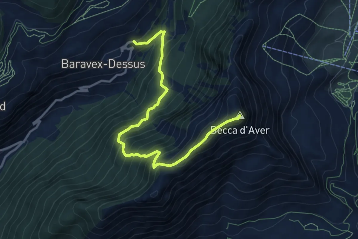
Medium · Summit
Praz – Becca d'Aver
8.6 km · ↑ 774 m · 3 h 43 min
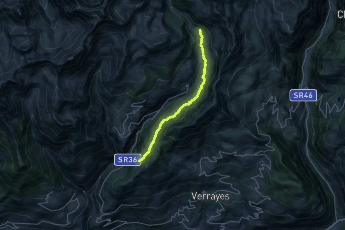
Medium · Trail
Percorso 3 – Percorso 12
15.7 km · ↑ 724 m · 5 h 16 min
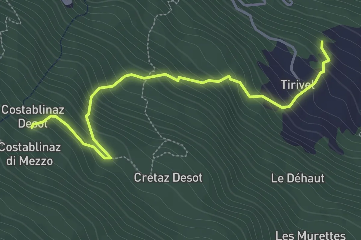
Easy · Trail
Tirivel – Costablinaz
3.5 km · ↑ 316 m · 1 h 31 min
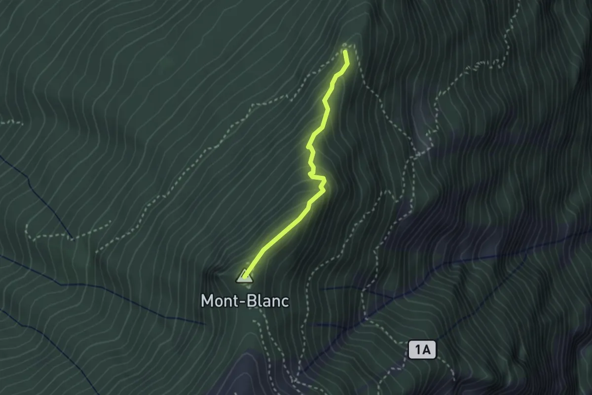
Medium · Summit
Col du Mont Blanc – Percorso 3
2.4 km · ↑ 187 m · 58 min
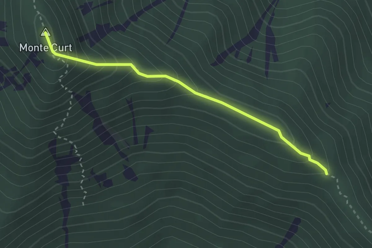
Medium · Summit
Località Taisonera, bivio TON016-TOS578 – Madonna della Bassa, bivio TON011-TON016
2.6 km · ↑ 253 m · 1 h 10 min
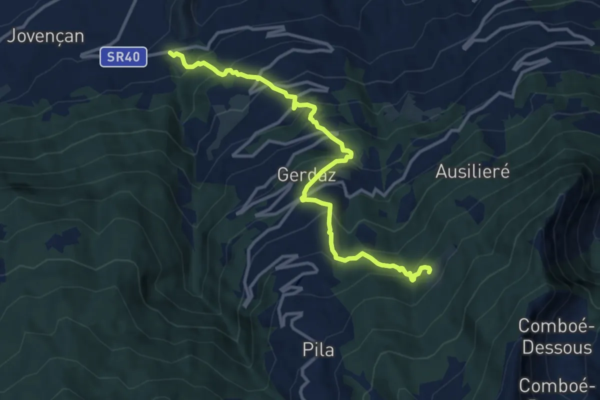
Demanding · Trail
Clapey – Hermitage Saint-Grat
10.6 km · ↑ 1039 m · 4 h 46 min
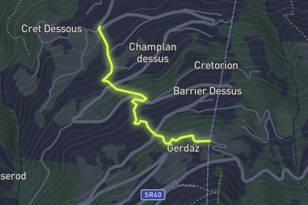
Medium · Trail
SR40 – Gerdaz
3.3 km · ↑ 379 m · 1 h 36 min
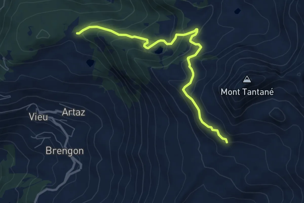
Medium · Trail
Col Pilaz – Cresta del Monte Tantané
7.4 km · ↑ 433 m · 2 h 41 min
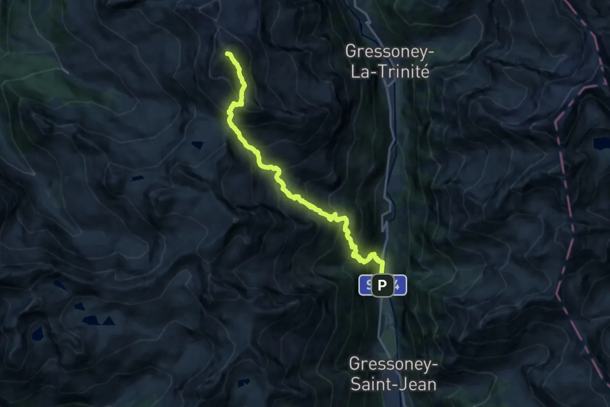
Expert · Summit
Tschemonal – Testa Grigia
14.7 km · ↑ 1890 m · 7 h 35 min
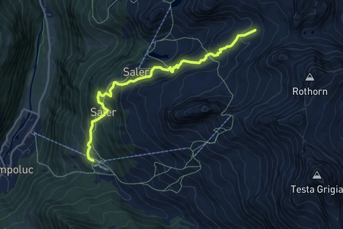
Medium · Trail
Crest – Percorso 10
9.1 km · ↑ 622 m · 3 h 29 min
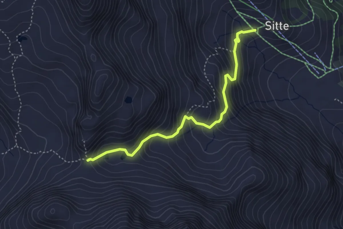
Demanding · Trail
Sitte – Colle del Rothorn
3.9 km · ↑ 400 m · 1 h 48 min
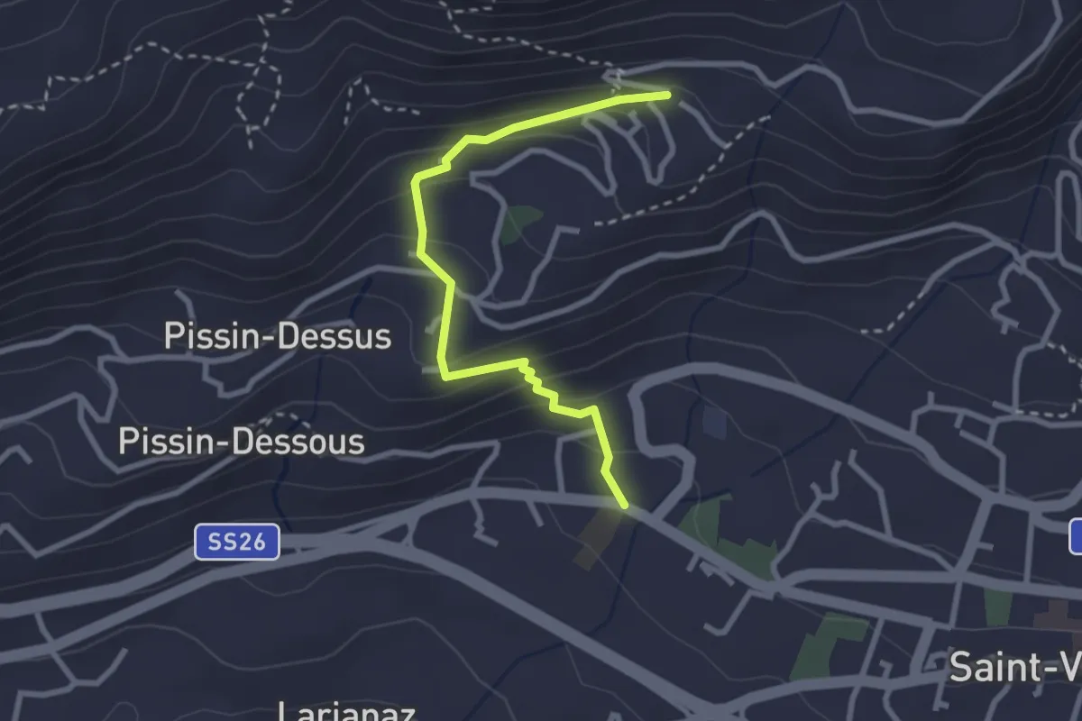
Medium · Trail
Panorama – Domianaz
2.7 km · ↑ 190 m · 1 h 3 min
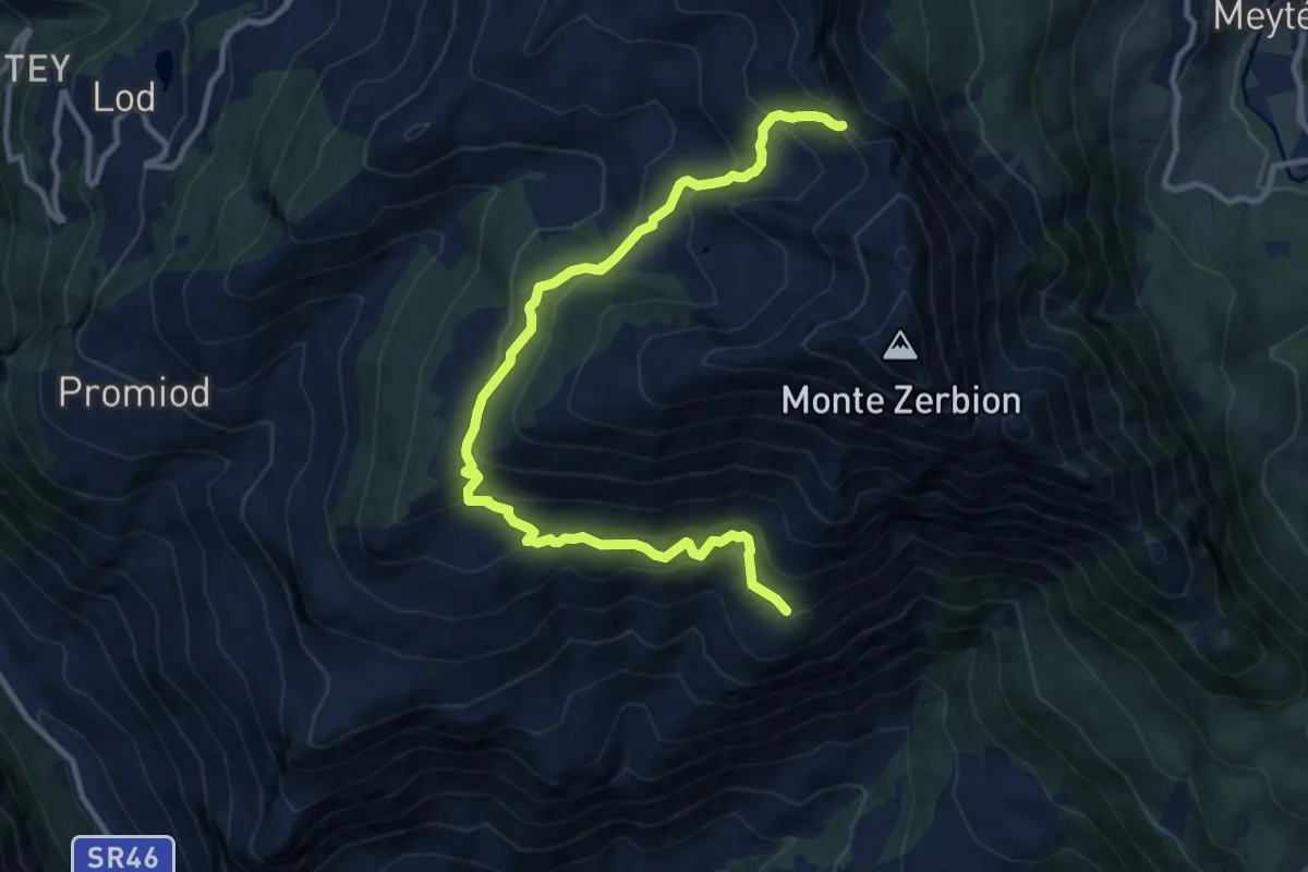
Demanding · Trail
Nouarsaz – Col Portela
12.4 km · ↑ 862 m · 4 h 48 min
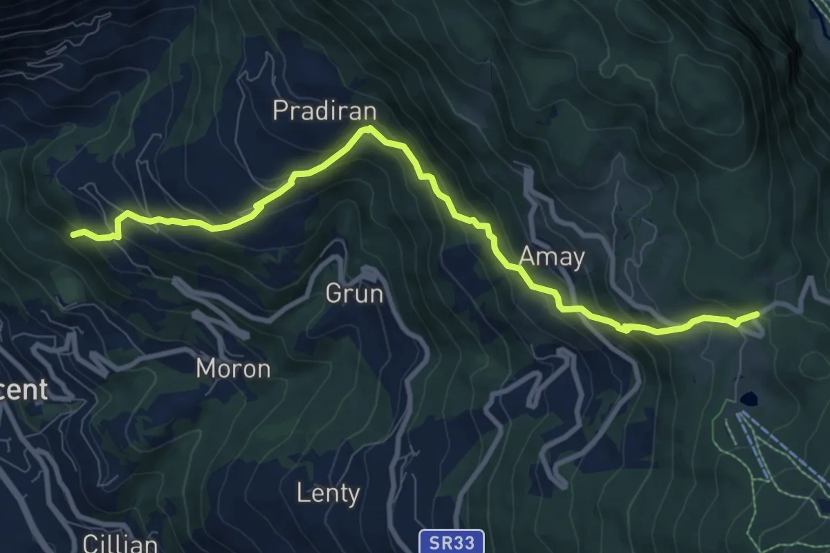
Demanding · Trail
Percorso 1 – Col de Joux
9.4 km · ↑ 811 m · 3 h 59 min
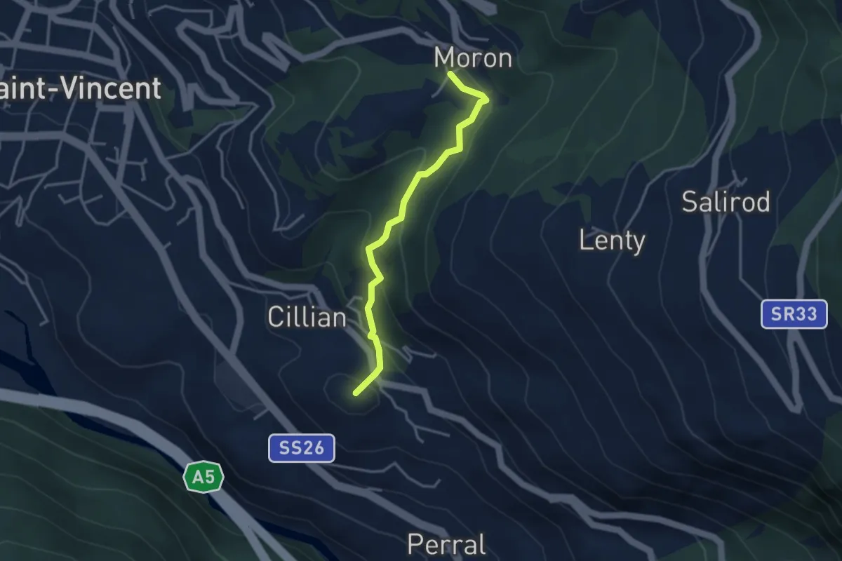
Medium · Summit
Perrelaz – Moron
3.1 km · ↑ 190 m · 1 h 8 min
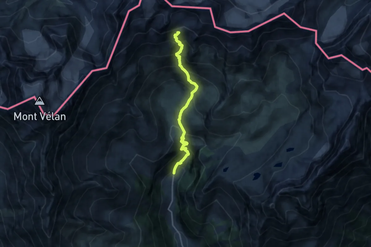
Expert · Summit
Glassier – Rifugio Amianthe
11.9 km · ↑ 1418 m · 5 h 53 min
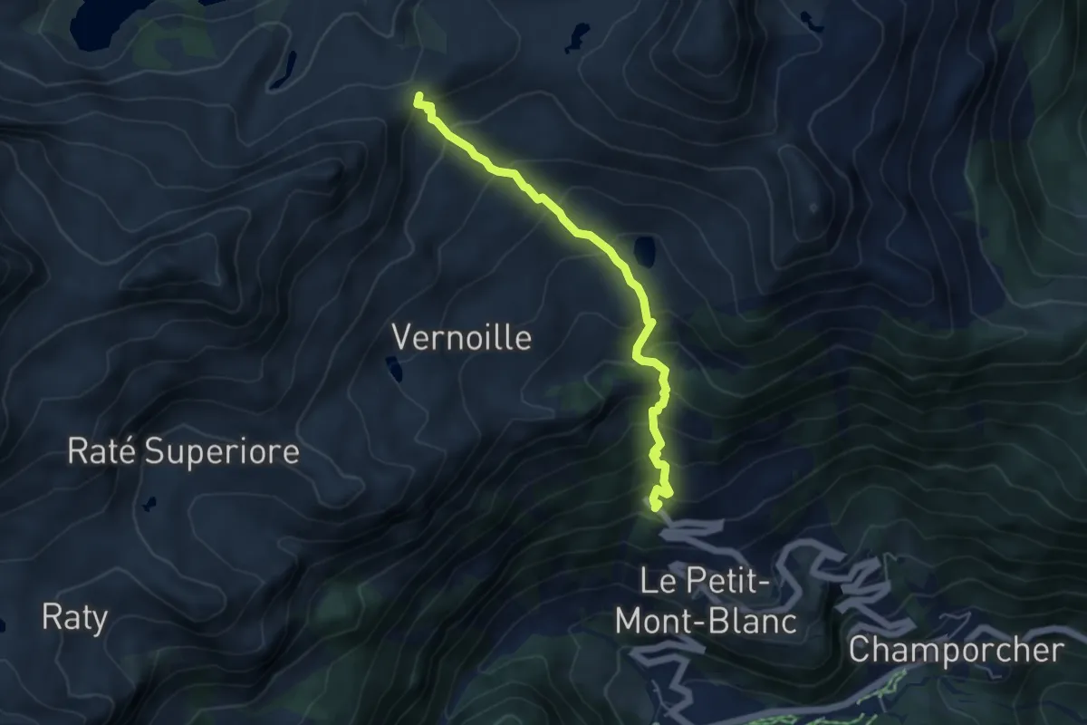
Medium · Trail
Strada Dondena – Col del Lago Bianco
4.9 km · ↑ 530 m · 2 h 18 min
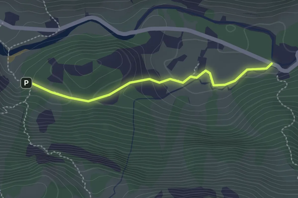
Medium · Trail
Pian della Mussa, bivio TON220-TON220B – Villa Sigismondi, bivio TON218-TON220B
2.3 km · ↑ 53 m · 40 min
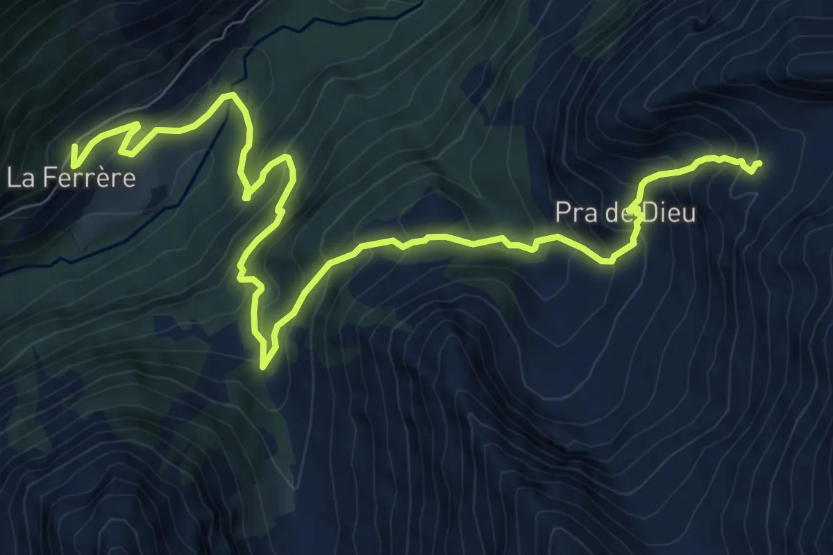
Expert · Trail
Ferrère – Bivacco Chentre Bionaz Ettore
11.0 km · ↑ 1095 m · 4 h 59 min
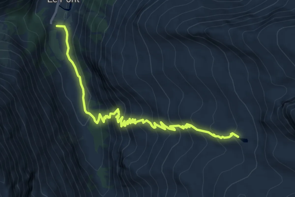
Demanding · Cabin
Pont – Rifugio Vittorio Emanuele II
9.9 km · ↑ 802 m · 4 h 5 min
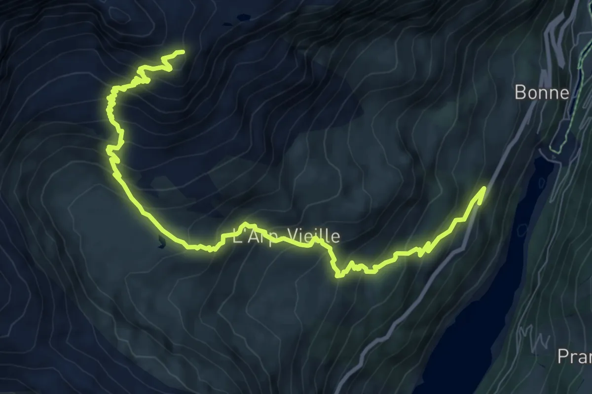
Demanding · Cabin
Menthieu – Rifugio degli Angeli al Morion
11.1 km · ↑ 1075 m · 4 h 57 min
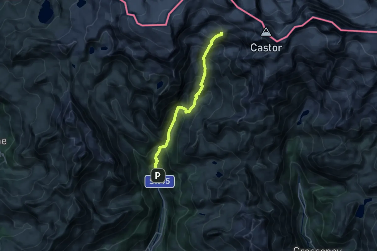
Expert · Cabin
Blanchard – Rifugio Guide di Ayas
17.8 km · ↑ 1656 m · 7 h 47 min
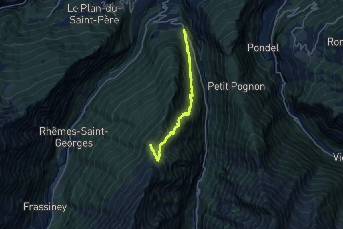
Demanding · Summit
Strada regionale 24 – Col du Mont Blanc
10.1 km · ↑ 1146 m · 4 h 52 min
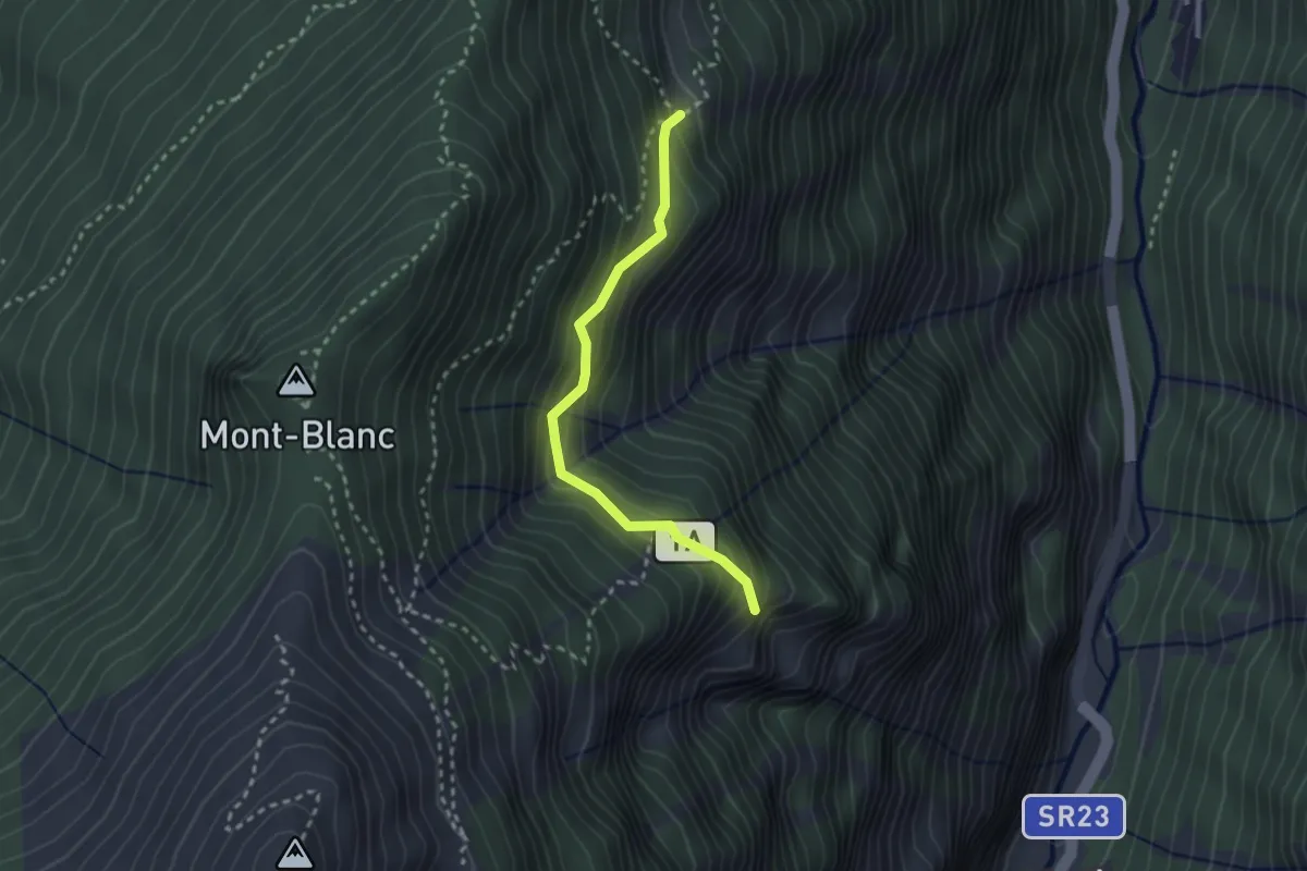
Medium · Cabin
Arpilles – L'Orvieille
2.5 km · ↑ 291 m · 1 h 13 min
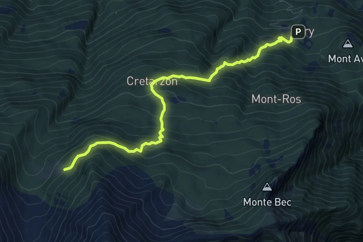
Demanding · Trail
Bellecombe – Alpe Valmeriana
10.4 km · ↑ 886 m · 4 h 22 min
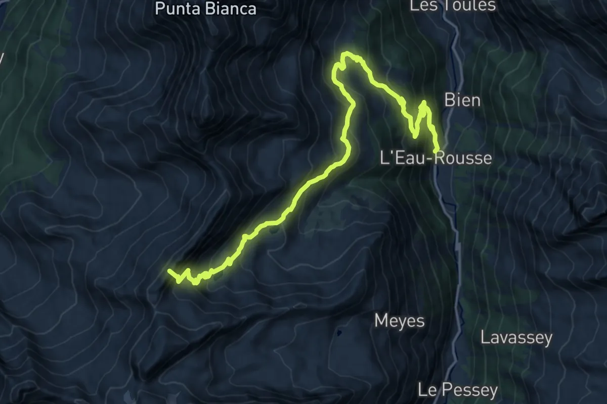
Expert · Summit
Eaux-Rousses – Col Entrelor
18.7 km · ↑ 1452 m · 7 h 33 min
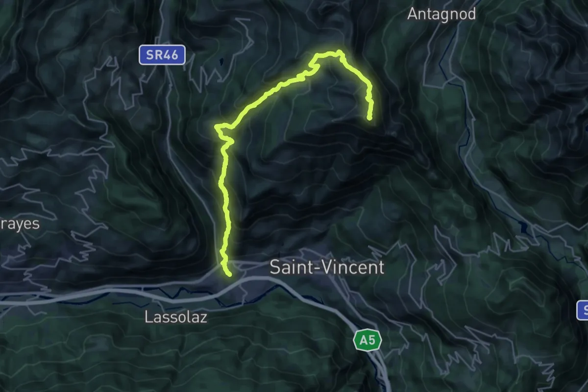
Demanding · Summit
Chatillon – Mont Tantanè
26.3 km · ↑ 2267 m · 11 h 7 min
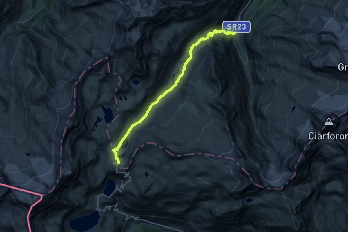
Medium · Cabin
Pont – Col du Nivolet
17.4 km · ↑ 759 m · 5 h 45 min
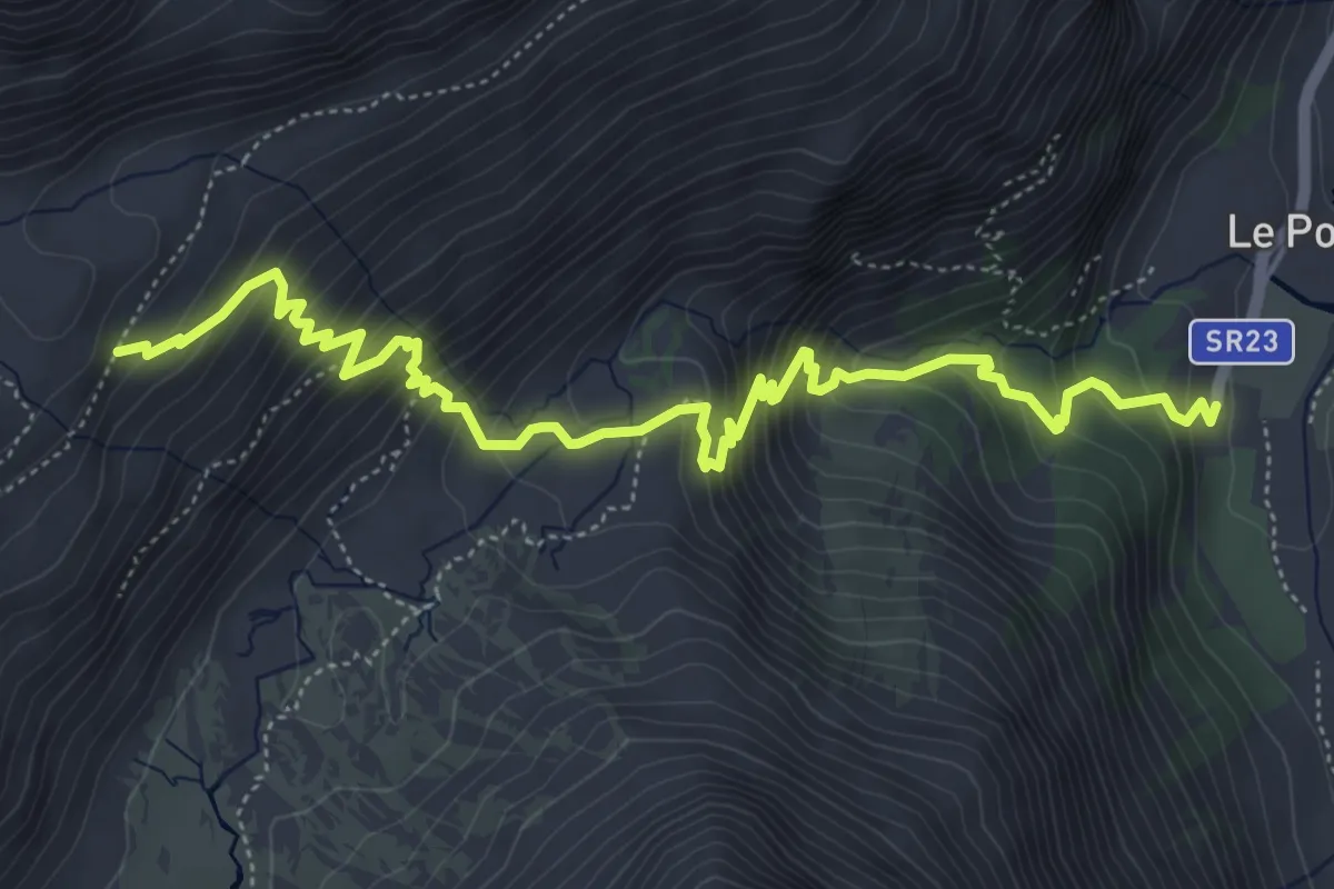
Medium · Trail
Pont – Plan Borgnoz
6.7 km · ↑ 713 m · 3 h 7 min
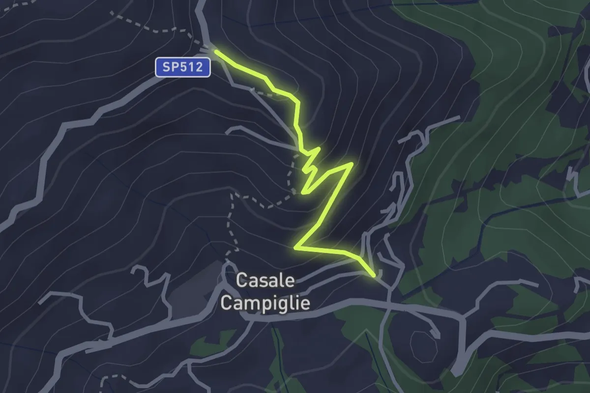
Easy · Trail
Campiglia, bivio BIAB02-BIAC51 – San Carlo di Graglia, bivio BIAB07-BIA02
2.5 km · ↑ 226 m · 1 h 5 min
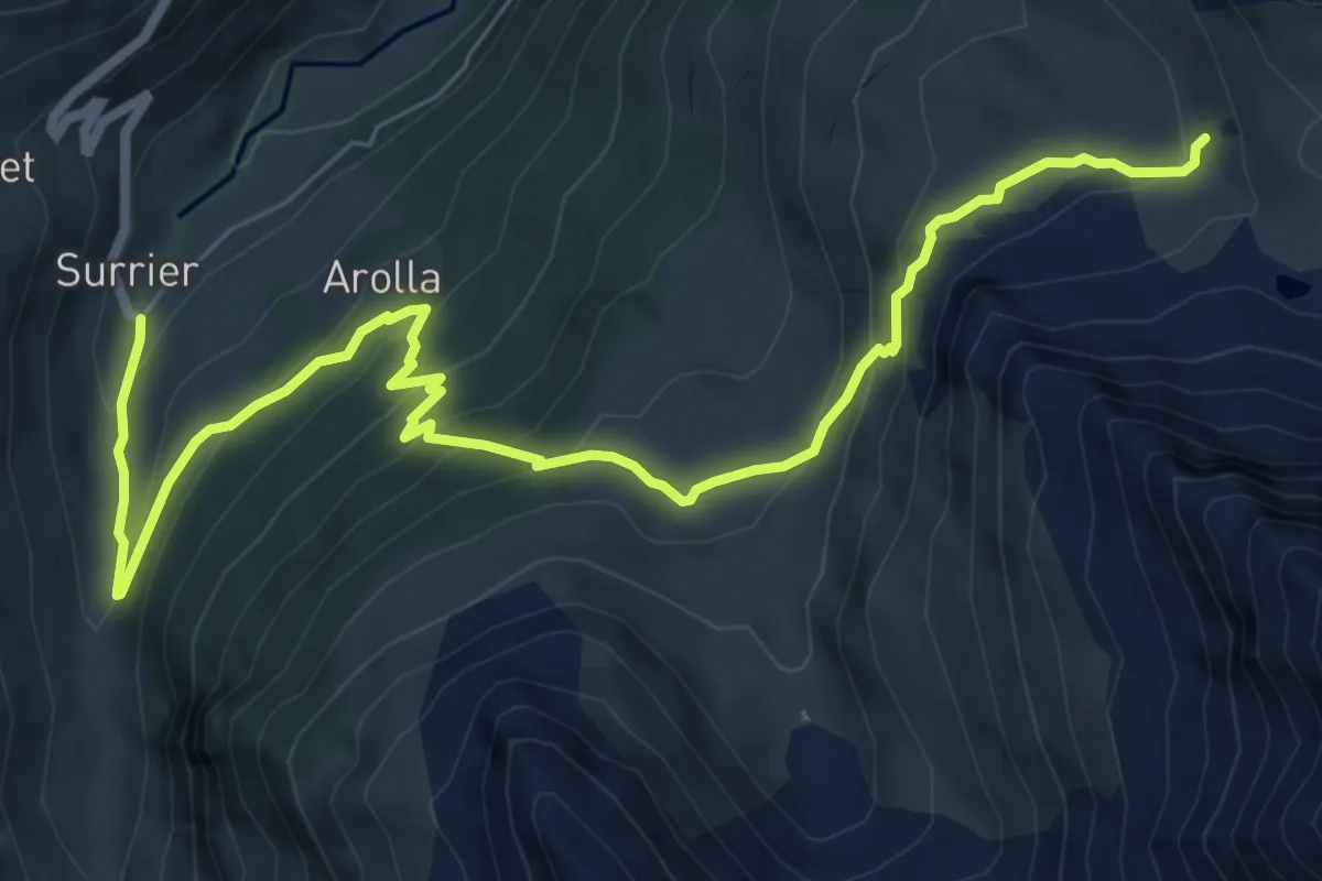
Medium · Cabin
Surrier, bivio poderali – Rifugio Chalet de l'Epée
9.0 km · ↑ 587 m · 3 h 24 min
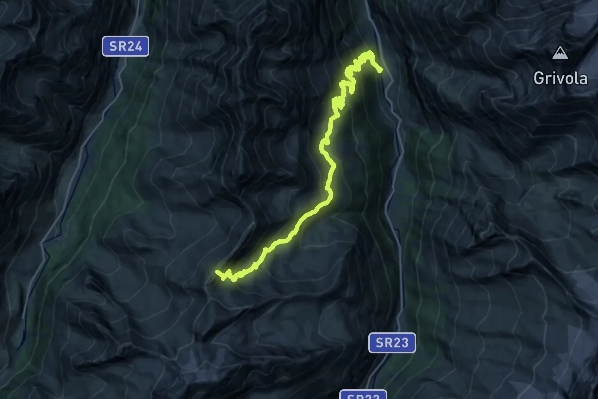
Expert · Summit
Dégioz – Col Entrelor
23.6 km · ↑ 1627 m · 9 h 5 min
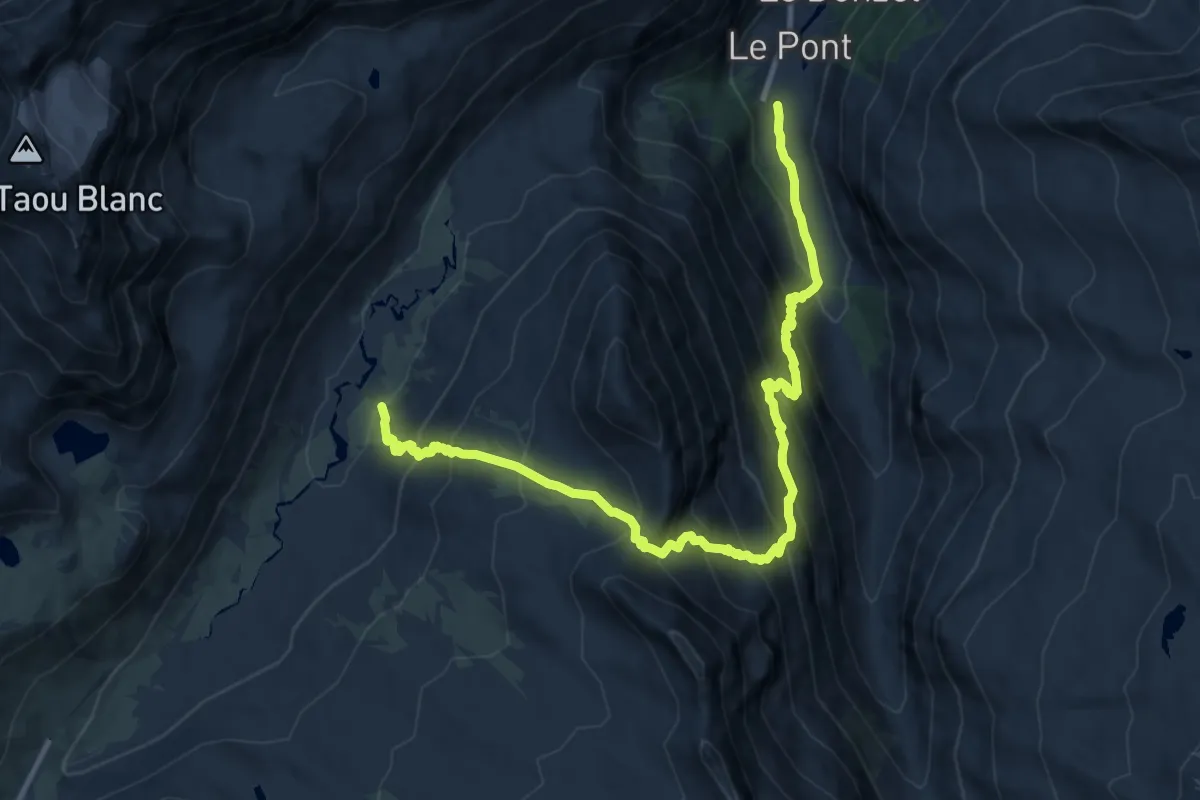
Demanding · Trail
Pont – Gran Collet
12.6 km · ↑ 1327 m · 5 h 51 min
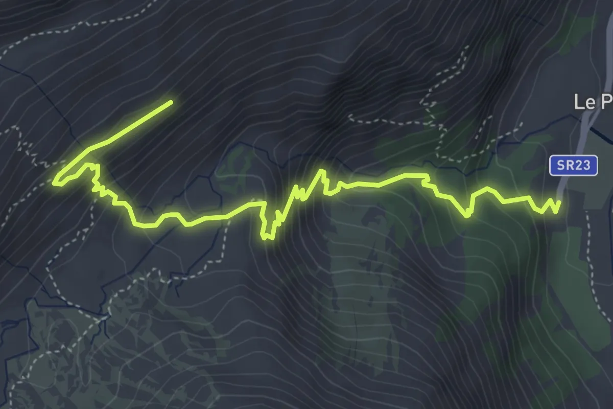
Medium · Trail
Pont – Aouille
6.0 km · ↑ 566 m · 2 h 38 min
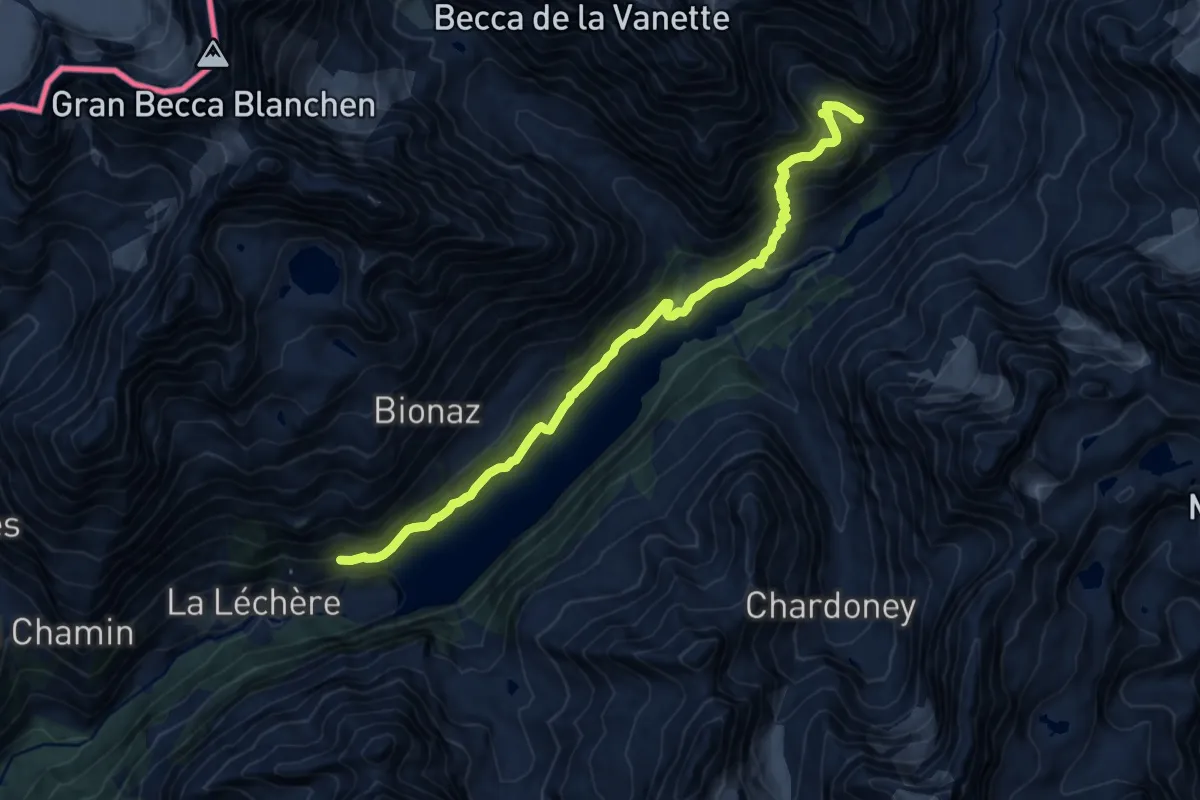
Demanding · Trail
Place Moulin – Rifugio Prarayer
14.0 km · ↑ 927 m · 5 h 19 min