Trails in Italy
25,219 hiking trails, each with its route, climb, walking time and grade.
All trails, page 430 of 526
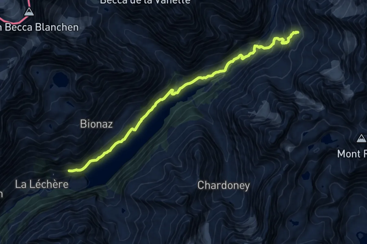
Demanding · Trail
Place Moulin – Alpeggio Bella Tsa
16.5 km · ↑ 947 m · 5 h 57 min
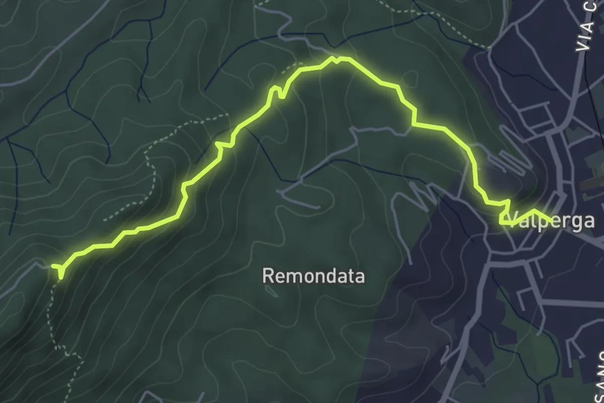
Easy · Trail
Valperga – Sacro Monte di Belmonte, convento
5.7 km · ↑ 319 m · 2 h 2 min
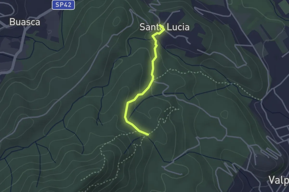
Easy · Trail
Cuorgné, Santa Lucia – Bivio Maglietti
2.3 km · ↑ 88 m · 44 min
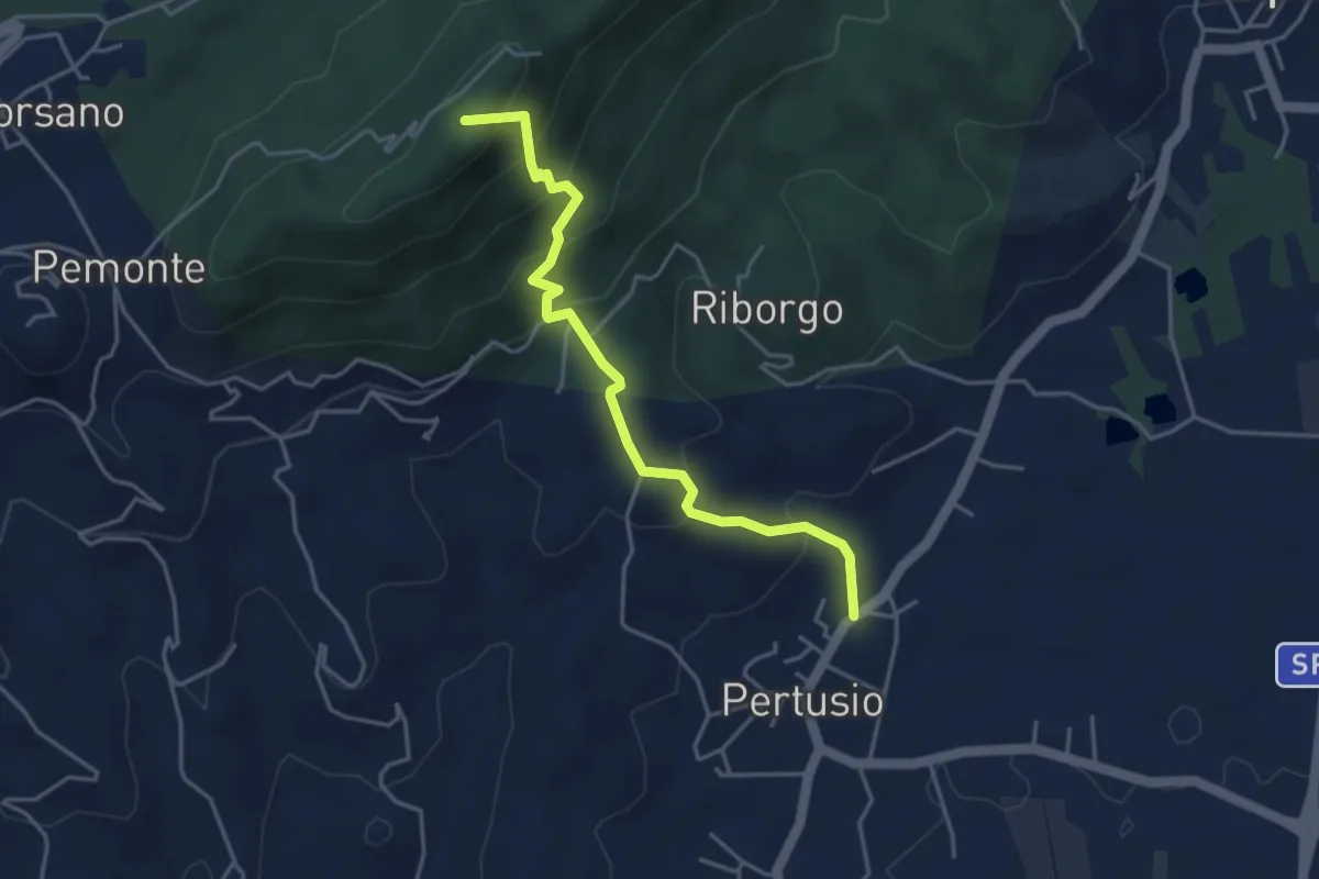
Medium · Summit
Bivio 422-423, Sacro Monte di Belmonte – Pertusio
4.2 km · ↑ 350 m · 1 h 45 min
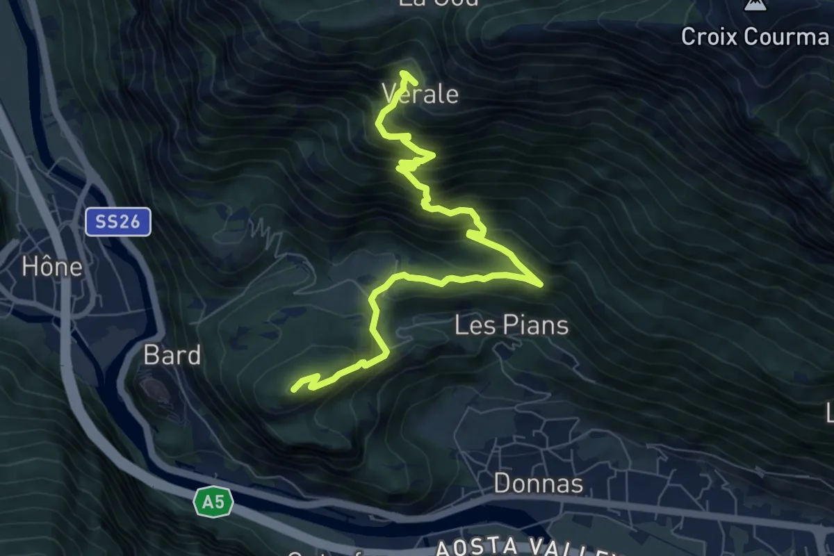
Demanding · Summit
Bourg de Donnas – Verale
8.5 km · ↑ 835 m · 3 h 49 min
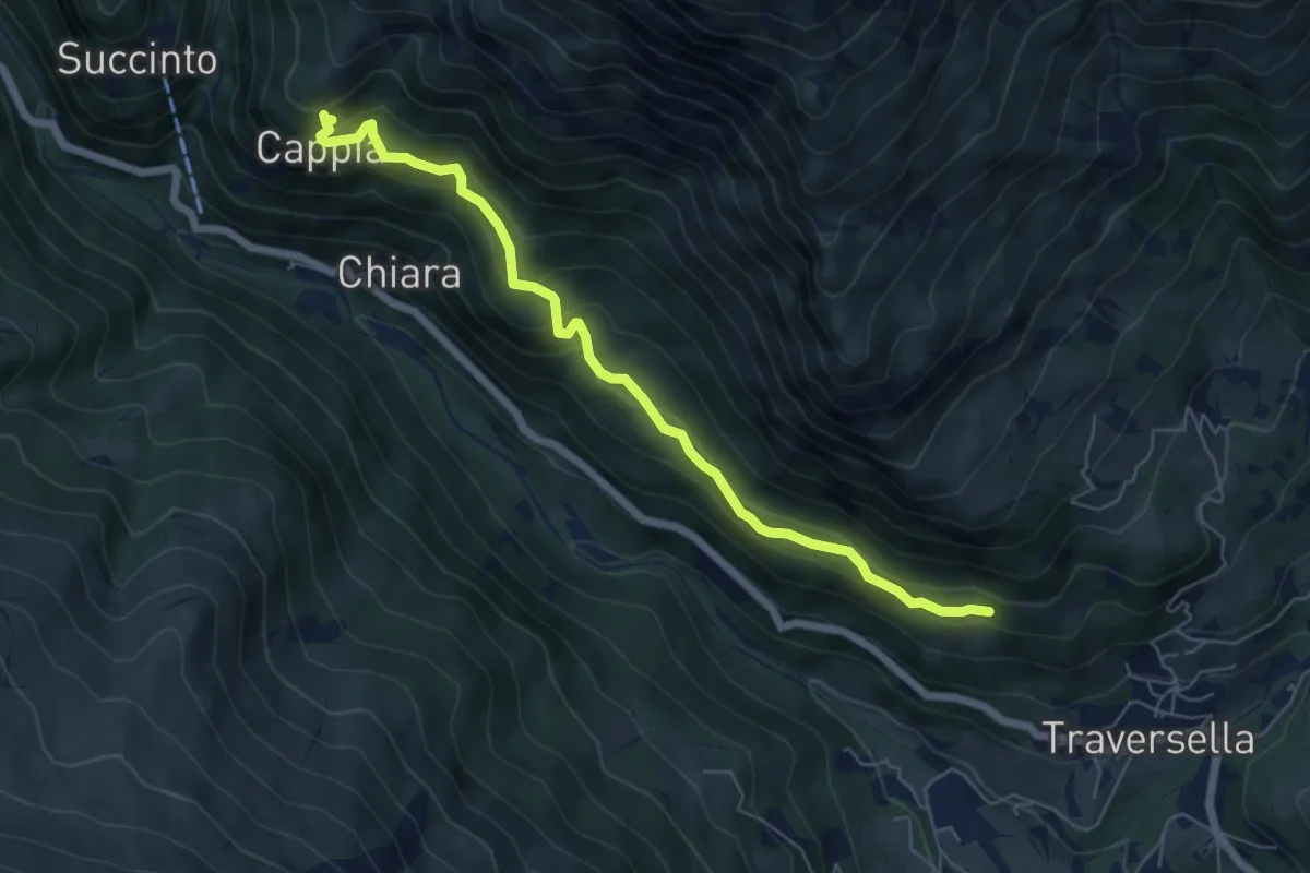
Medium · Trail
Traversella, presso Case Roncole – Piani di Cappia
6.4 km · ↑ 476 m · 2 h 32 min
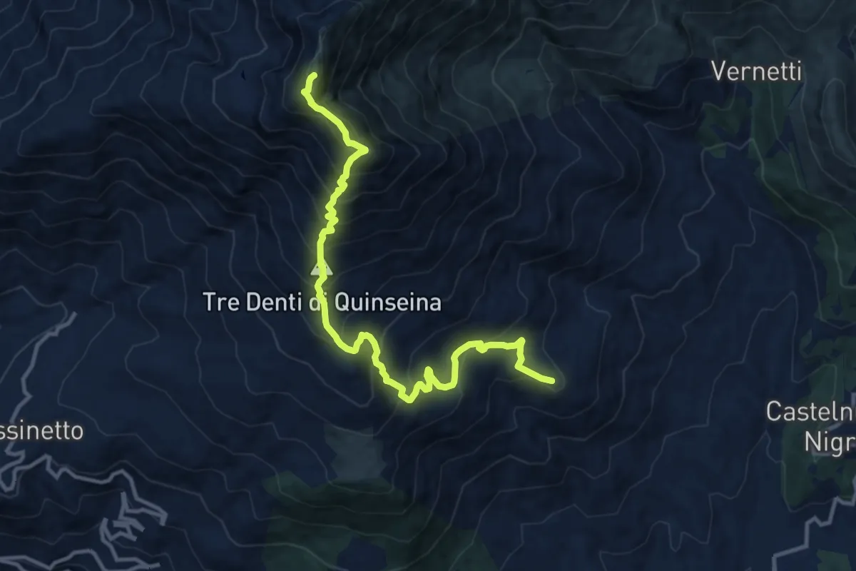
Demanding · Summit
Colleretto Castelnuovo, Santa Elisabetta, bivio TON909-TON917 – Castelnuovo Nigra, Punta Quinseina
12.4 km · ↑ 1161 m · 5 h 26 min
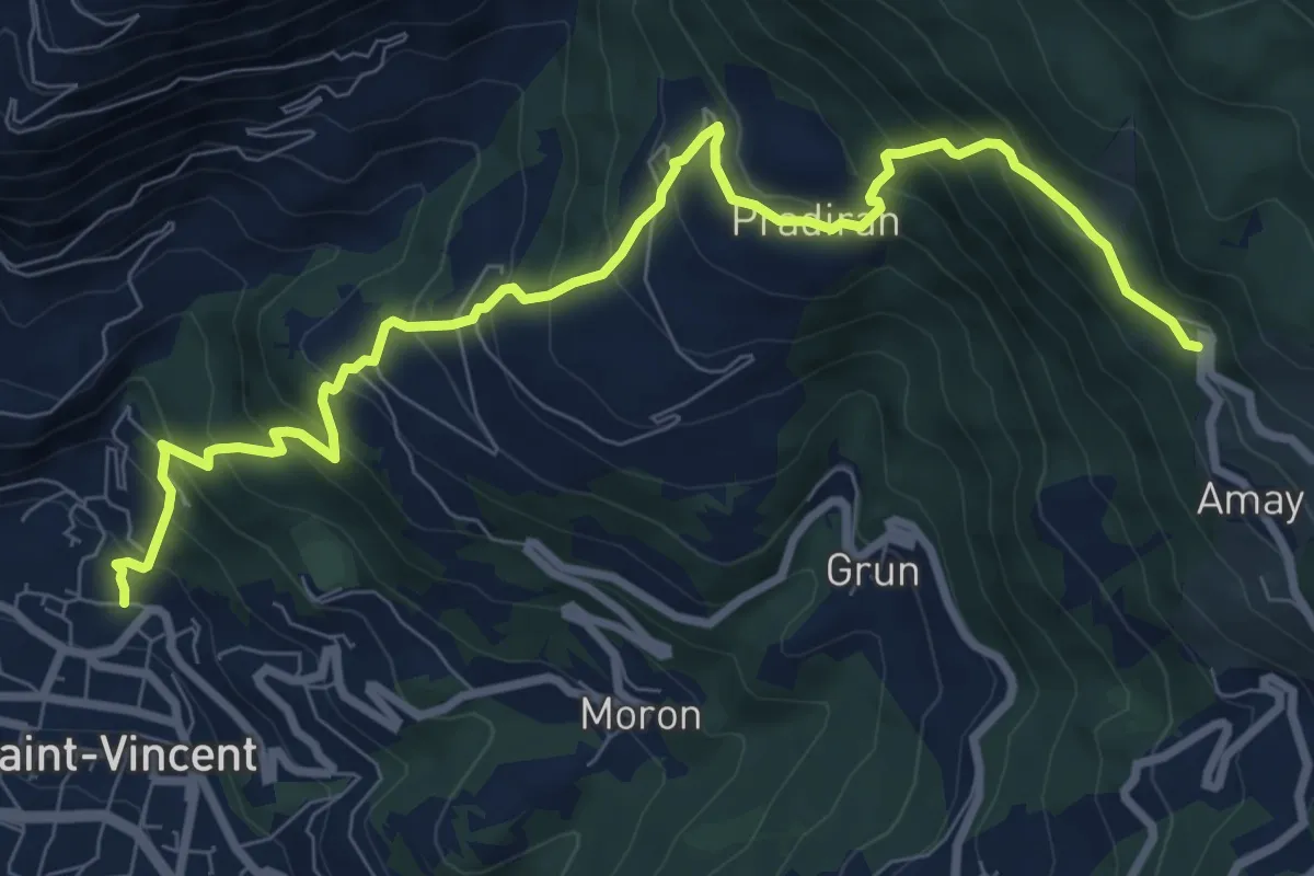
Demanding · Trail
Saint-Vincent – Santuario dei Partigiani
9.9 km · ↑ 905 m · 4 h 18 min
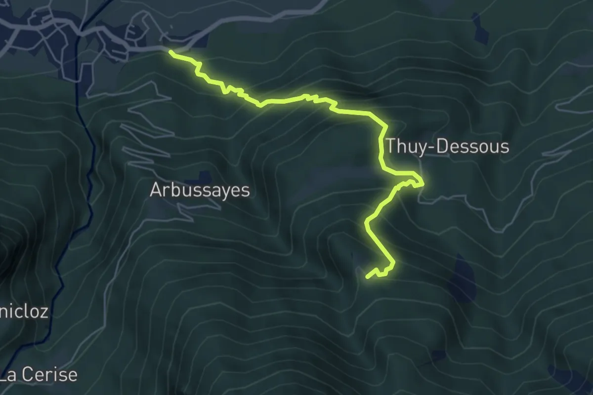
Medium · Trail
Rovarey – Thuy damon (Chambave)
5.7 km · ↑ 649 m · 2 h 45 min
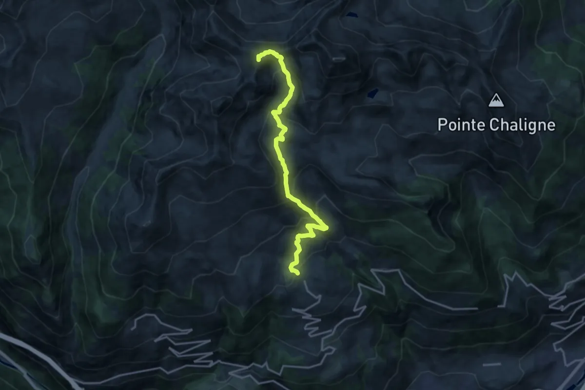
Demanding · Summit
Vetan – Monte di Vertosan
14.7 km · ↑ 1071 m · 5 h 47 min
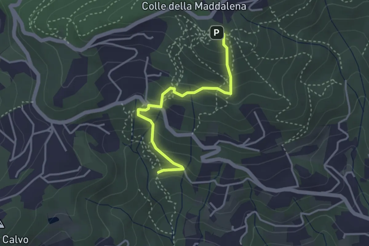
Medium · Trail
Strada Rondapaletto, Moncalieri – Cappella della Maddalena, Moncalieri
3.2 km · ↑ 236 m · 1 h 16 min
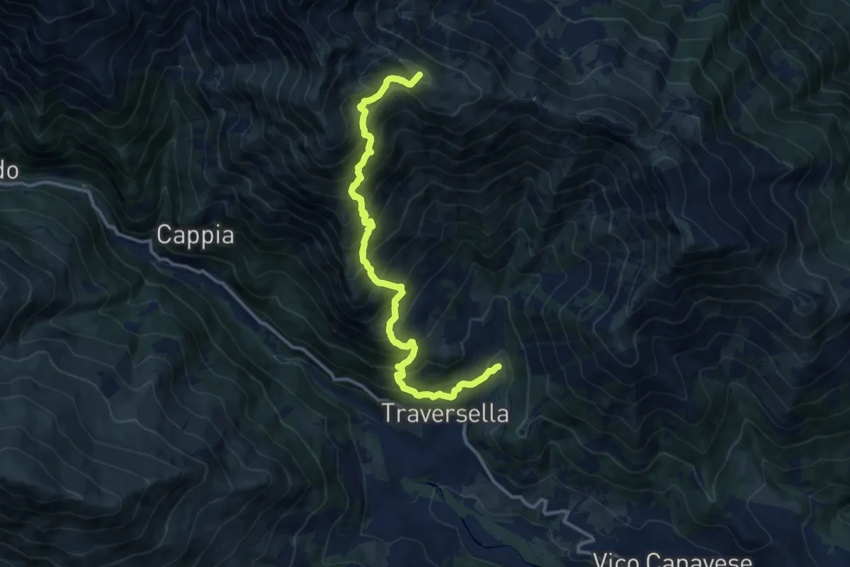
Demanding · Summit
Traversella, Schioppo (Miniere di ferro e rame) – Colle di Pian Spergiurati
12.6 km · ↑ 1385 m · 5 h 59 min
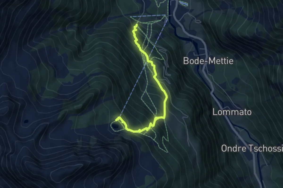
Medium · Trail
Start S2 (strada per Tschalvrino) – Weissmatten
5.4 km · ↑ 572 m · 2 h 30 min
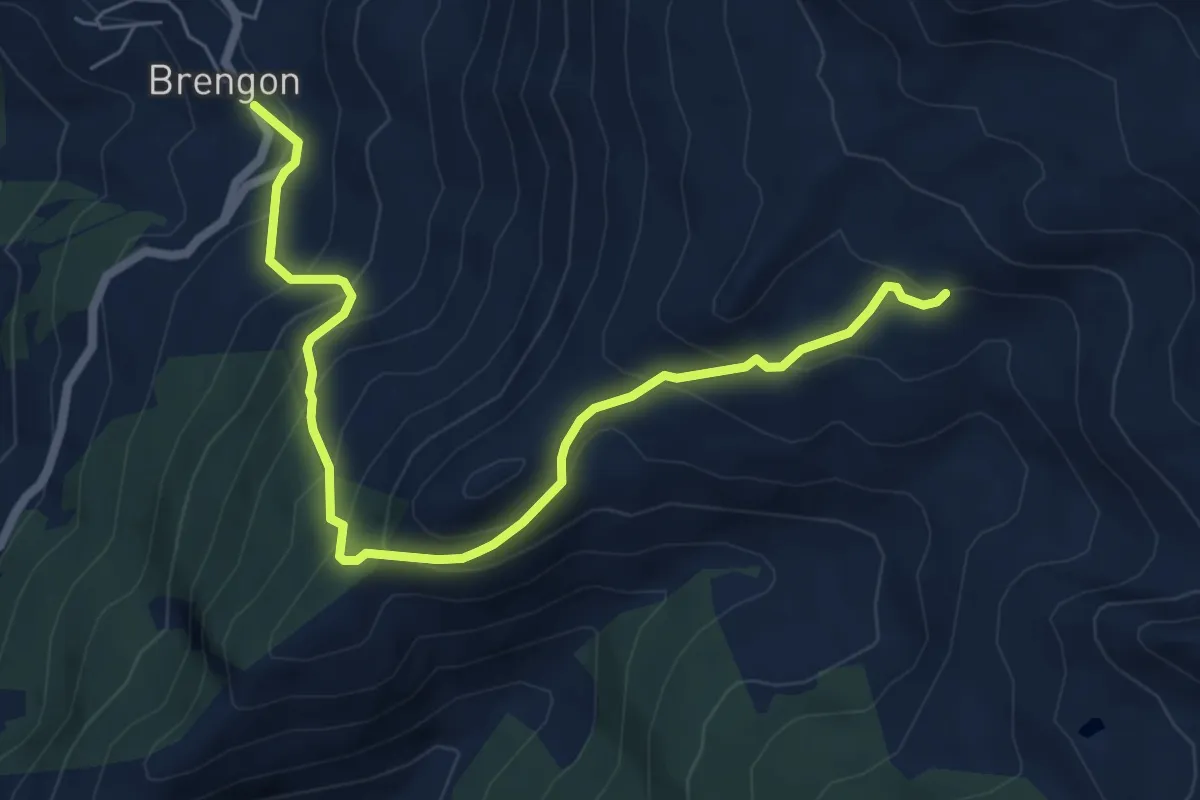
Medium · Trail
Champ-Cellier – Brengon
7.2 km · ↑ 585 m · 2 h 59 min
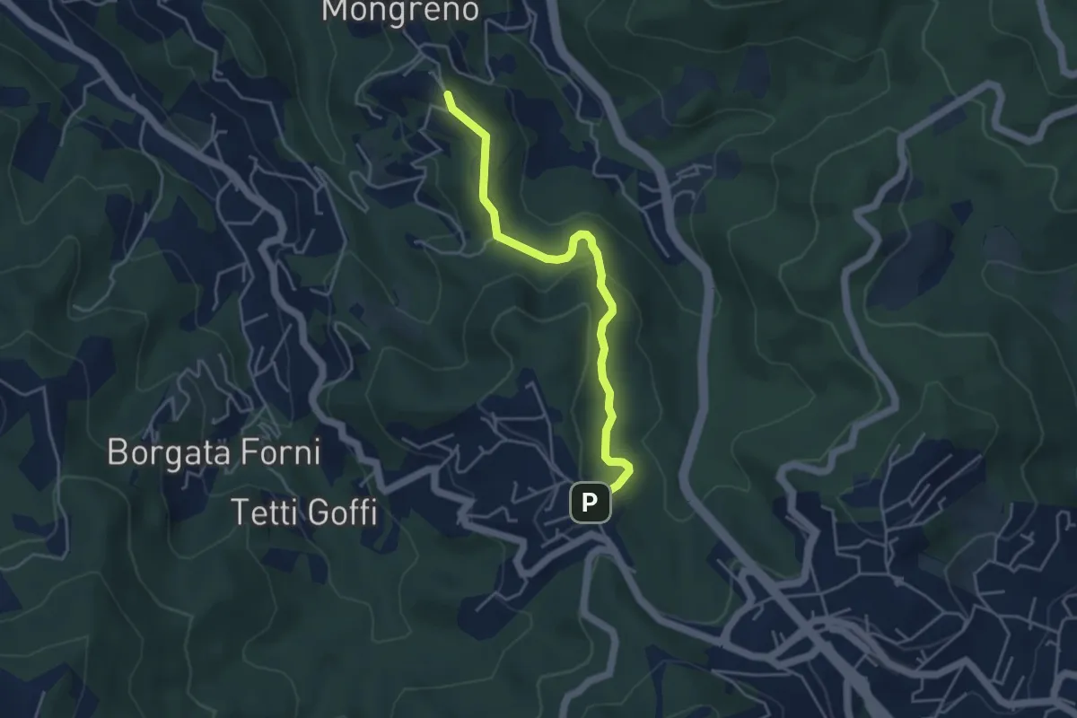
Easy · Trail
Torino, Frazione Mongreno, bivio TOC045-TOC002 – Pino Torinese, Cantoniera, bivio TOC022-TOC045
4.2 km · ↑ 179 m · 1 h 23 min
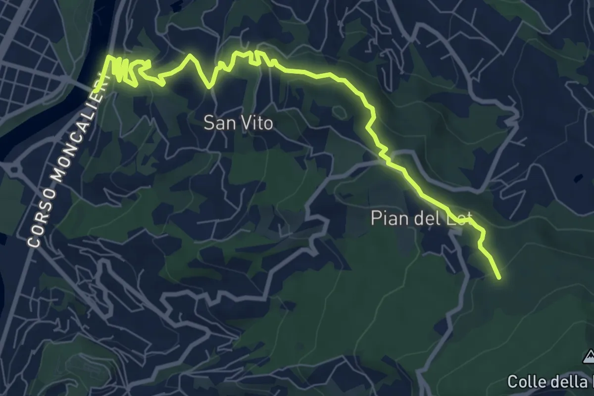
Medium · Trail
Torino, Ponte Isabella – Torino, Bivio TOC012-TOC016 presso Parco della Rimembranza
9.2 km · ↑ 402 m · 3 h 3 min
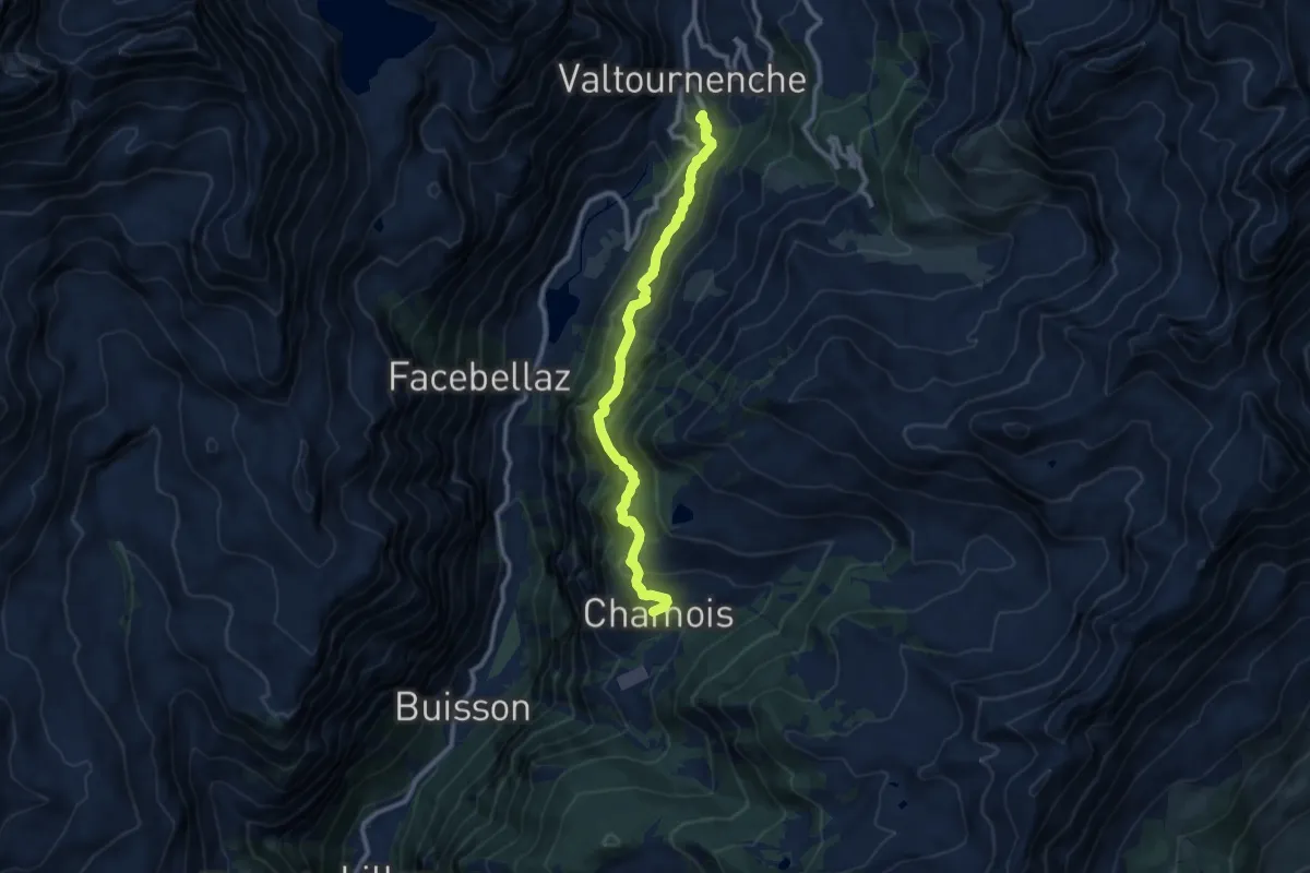
Medium · Trail
Paquier – Chamois
10.0 km · ↑ 768 m · 4 h 2 min
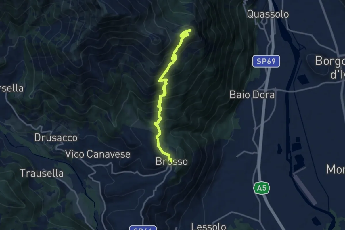
Demanding · Summit
Brosso bivio 720-721 – Monte Cavallaria
9.9 km · ↑ 716 m · 3 h 54 min
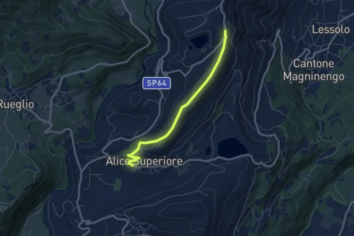
Medium · Trail
Alice Superiore – SP66 bivio AVAM
5.8 km · ↑ 200 m · 1 h 49 min
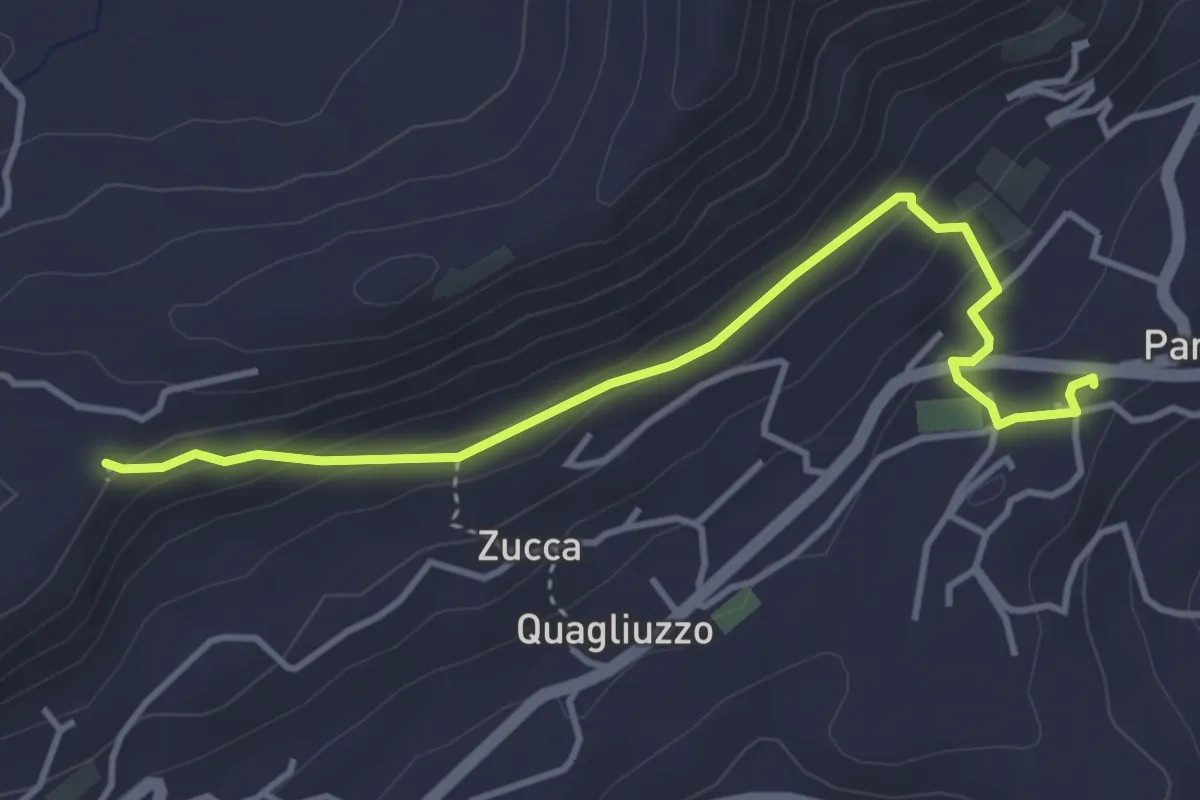
Medium · Trail
Parella – Alta Via dell’Anfiteatro Morenico di Ivrea
4.2 km · ↑ 182 m · 1 h 23 min
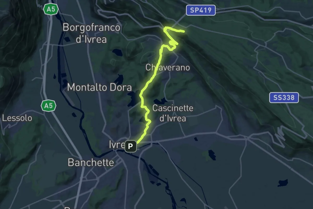
Demanding · Trail
Ivrea Piazza Carlo Freguglia – AVAM Passo dell'Oca
19.0 km · ↑ 576 m · 5 h 44 min
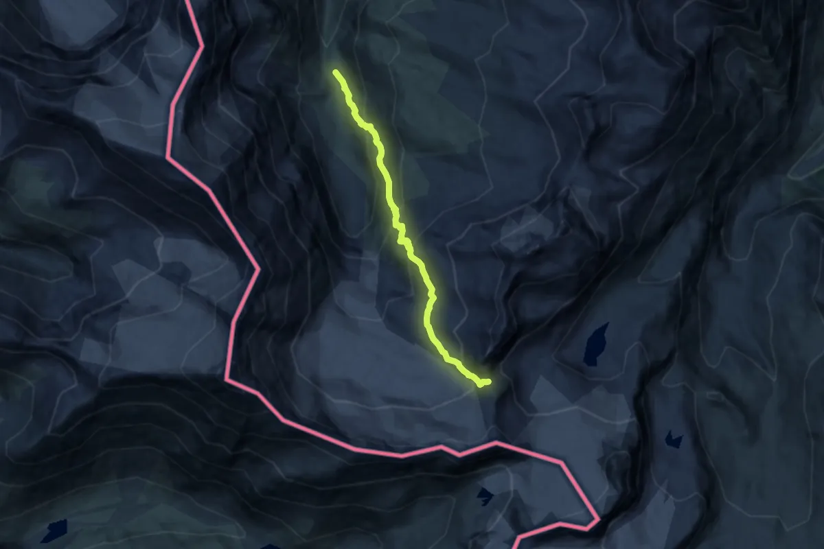
Expert · Trail
Rifugio Bezzi – Col Bassac Deré
10.6 km · ↑ 857 m · 4 h 22 min
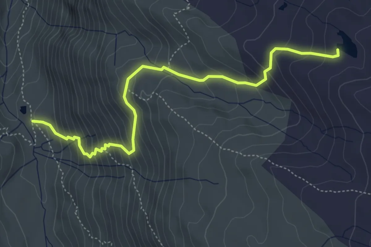
Medium · Cabin
Rifugio Bezzi – Lac de Saint-Martin
5.5 km · ↑ 503 m · 2 h 23 min
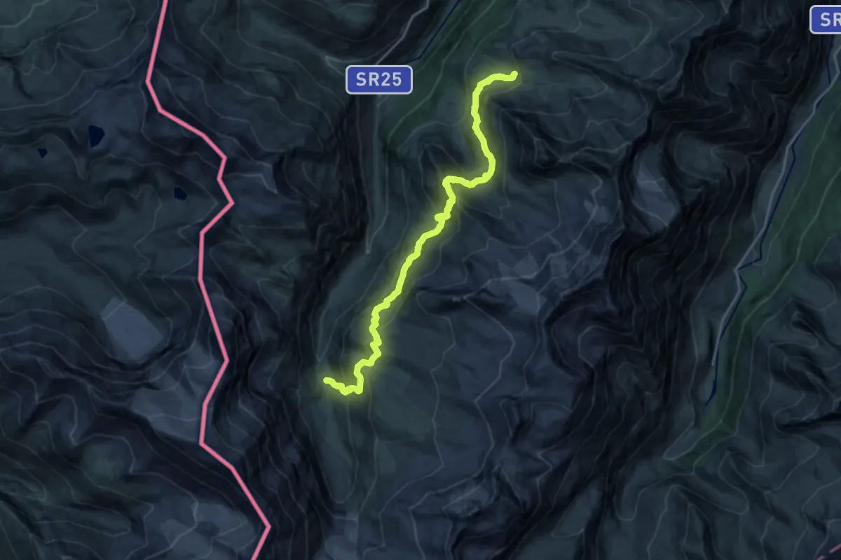
Demanding · Cabin
Rifugio Bezzi – Rifugio Chalet De L'Epée
18.9 km · ↑ 1382 m · 7 h 28 min
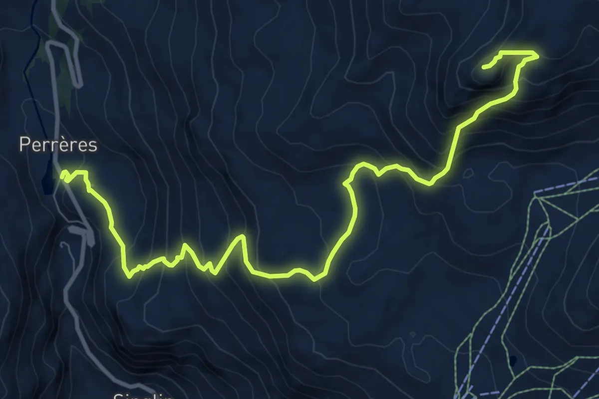
Demanding · Summit
Perrères – Motta di Pleté occcidentale 2840m
10.8 km · ↑ 971 m · 4 h 39 min
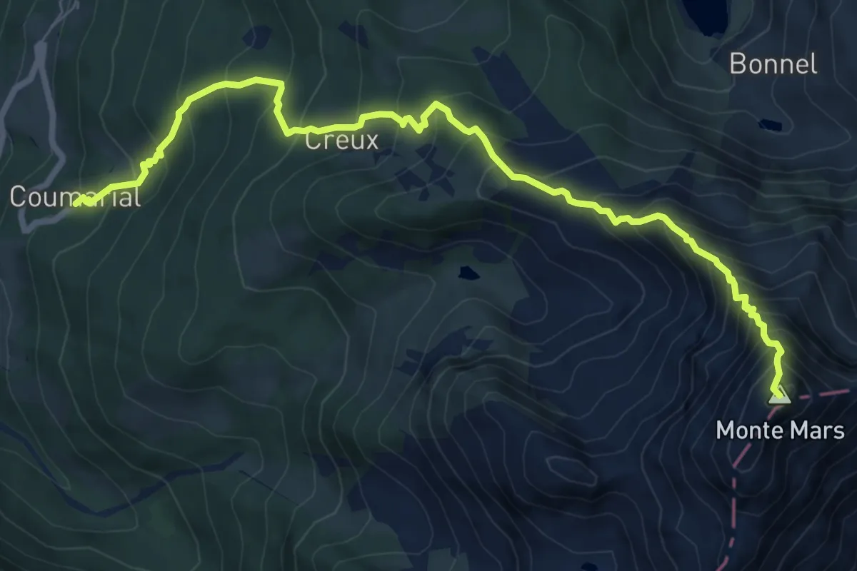
Expert · Summit
Plan Coummarial – Mont Mars
8.6 km · ↑ 1066 m · 4 h 21 min
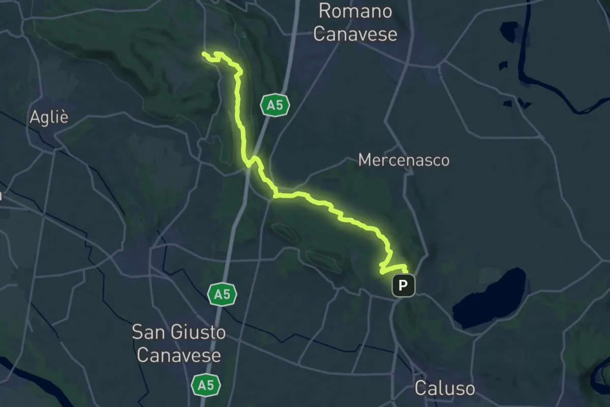
Demanding · Trail
Bivio 101-102, Candia Canavese – Bivio 101-103, Vialfré
23.1 km · ↑ 434 m · 6 h 24 min
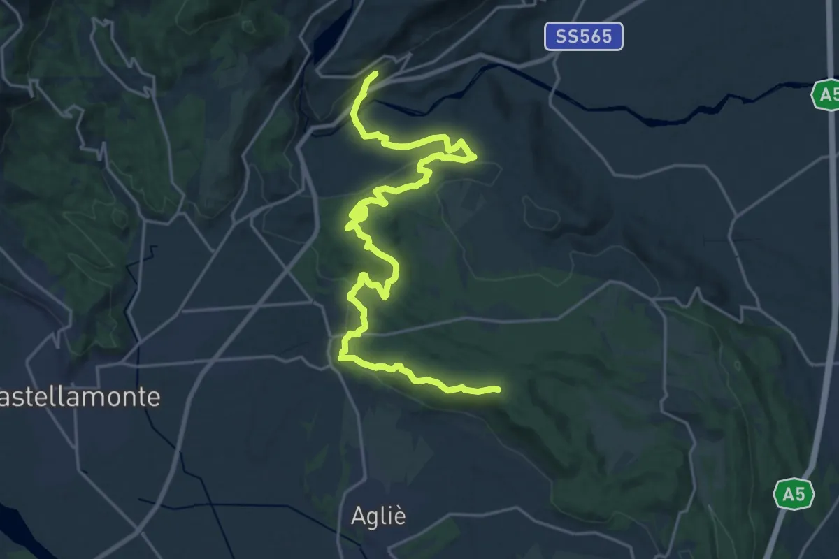
Demanding · Summit
Bivio TON722-TOP100, Strambinello – Bivio 100-101-103, Vialfrè
24.5 km · ↑ 538 m · 6 h 58 min
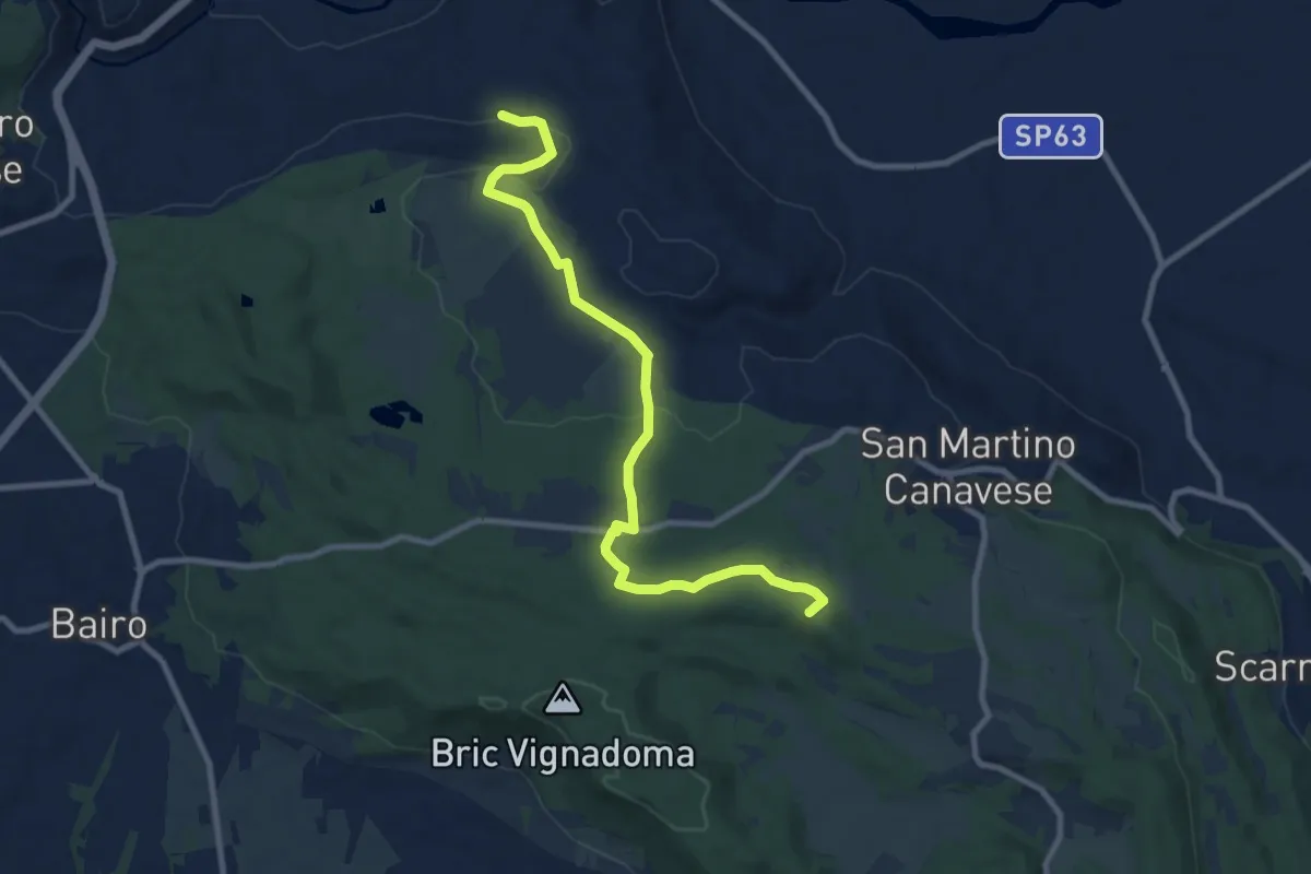
Medium · Summit
Bivio 100-103, Pricco – Bivio 100-103, Vialfre
10.0 km · ↑ 137 m · 2 h 40 min
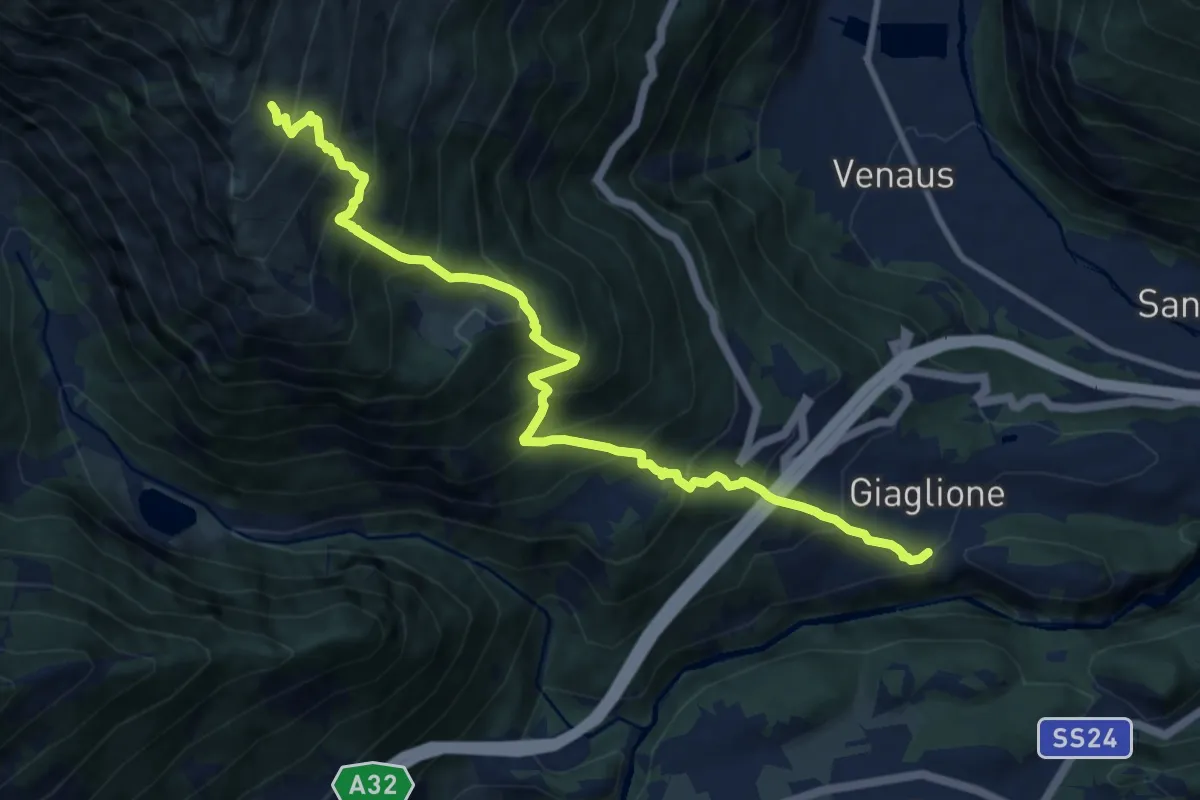
Demanding · Trail
Bivio TOS820-TOS821, San Lorenzo, Giaglione – Bivio 801-820, Bergeria Blet
11.5 km · ↑ 1340 m · 5 h 37 min
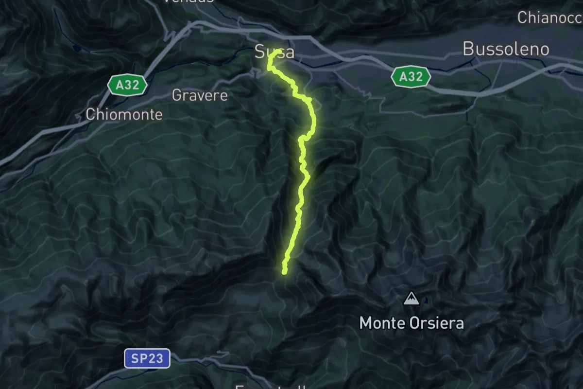
Demanding · Trail
Susa, bivio TOS515-TOS535 – Colle delle Finestre, bivio TOS373-TOS515
10.3 km · ↑ 1682 m · 5 h 24 min
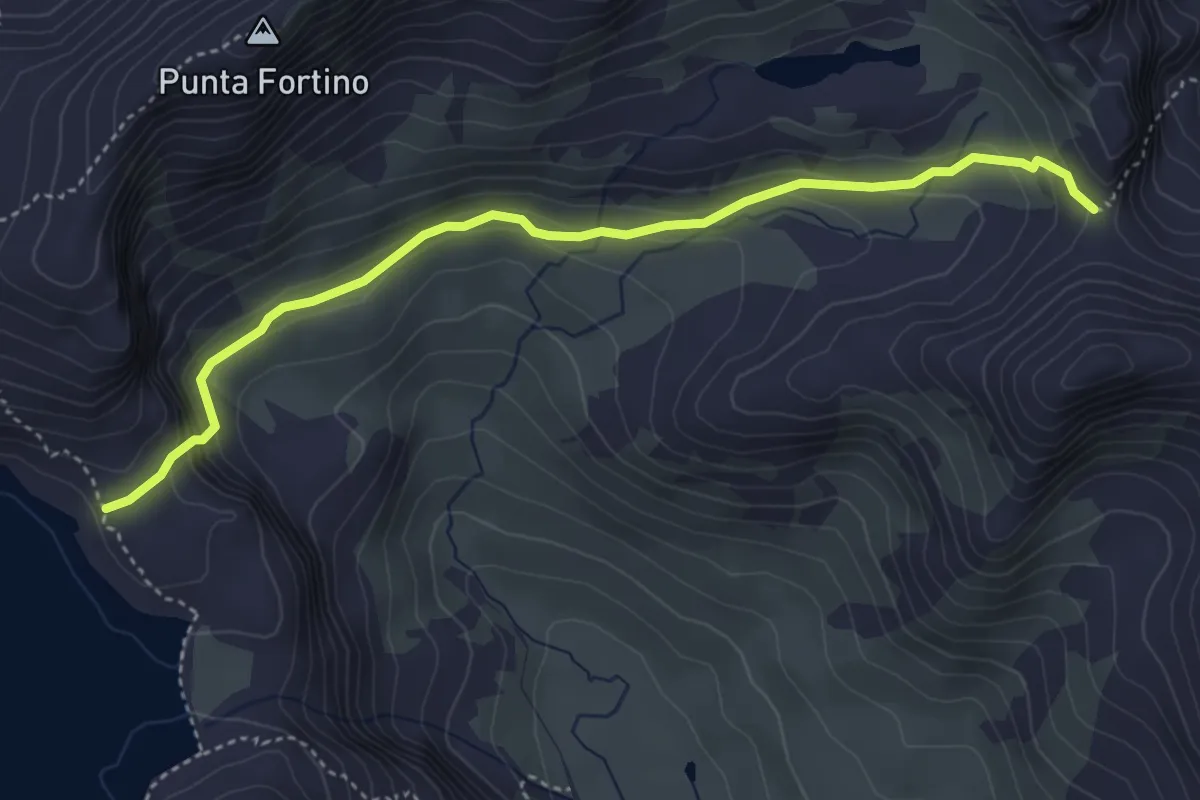
Medium · Trail
Bivio 119-122, Lago della Rossa – Bivio 119-218, Passo Mangioire
4.4 km · ↑ 215 m · 1 h 31 min
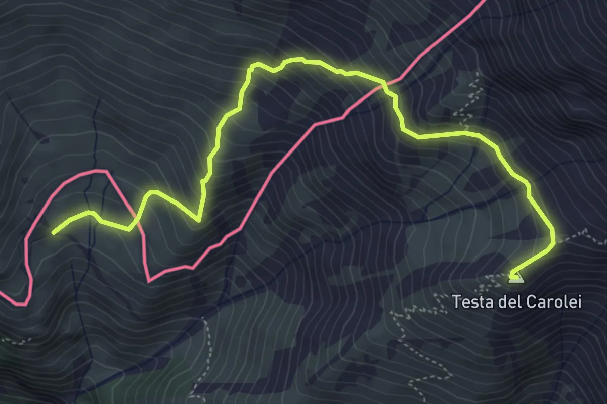
Medium · Summit
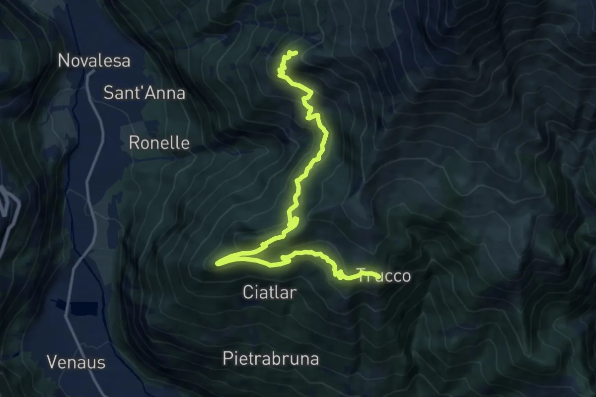
Novalesa, bivio TOS554-TOS581 – Bivio 554-584, Alpe Tour
5.9 km · ↑ 543 m · 2 h 34 min
Demanding · Cabin
Bivio 554-587, Alpe Crest – Alpe Crest
14.9 km · ↑ 984 m · 5 h 39 min
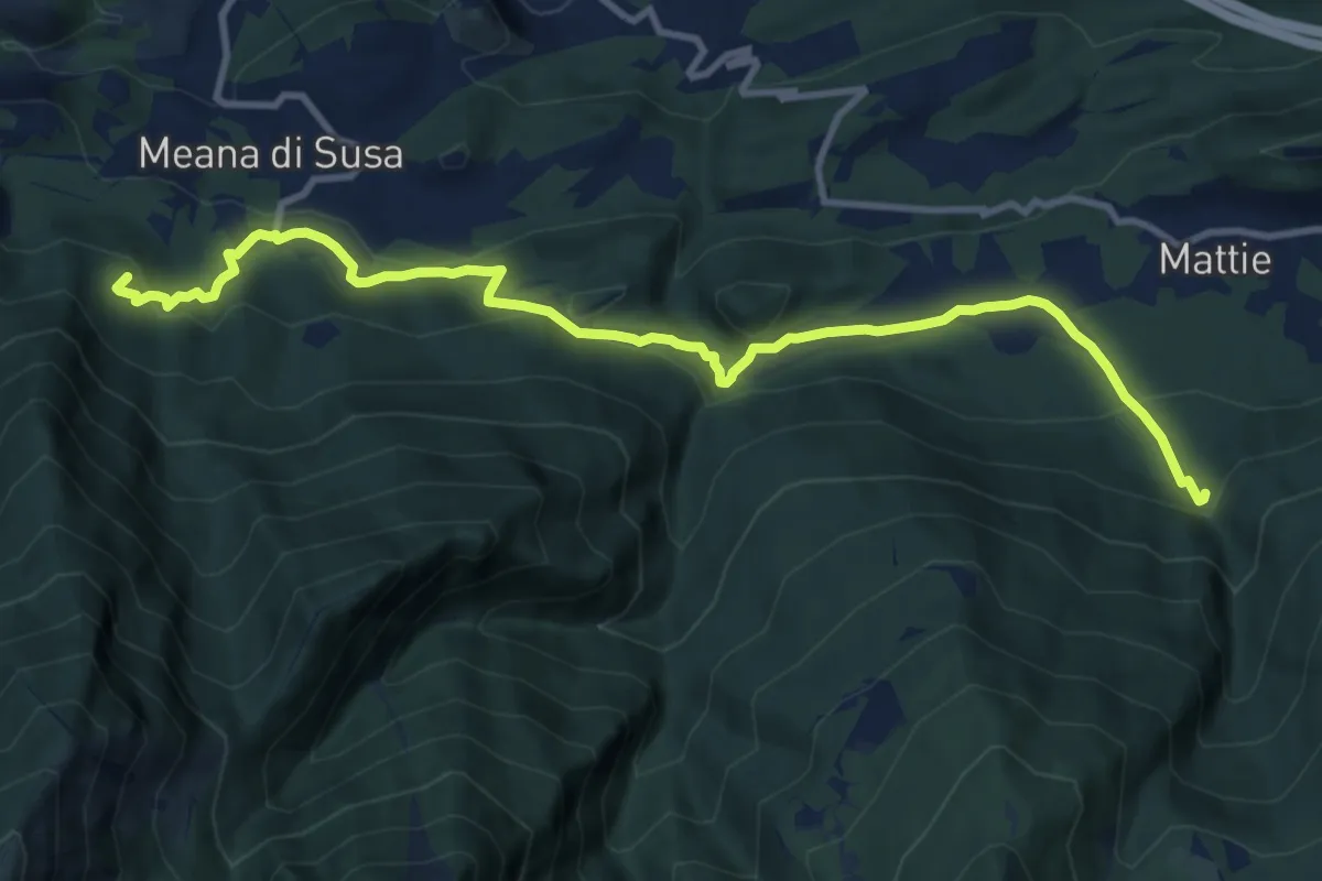
Medium · Summit
Mattie, Rio Corrente, bivio TOS525-TOS527 – Gravere, Certosa di Madonna della Losa
12.0 km · ↑ 556 m · 4 h 2 min
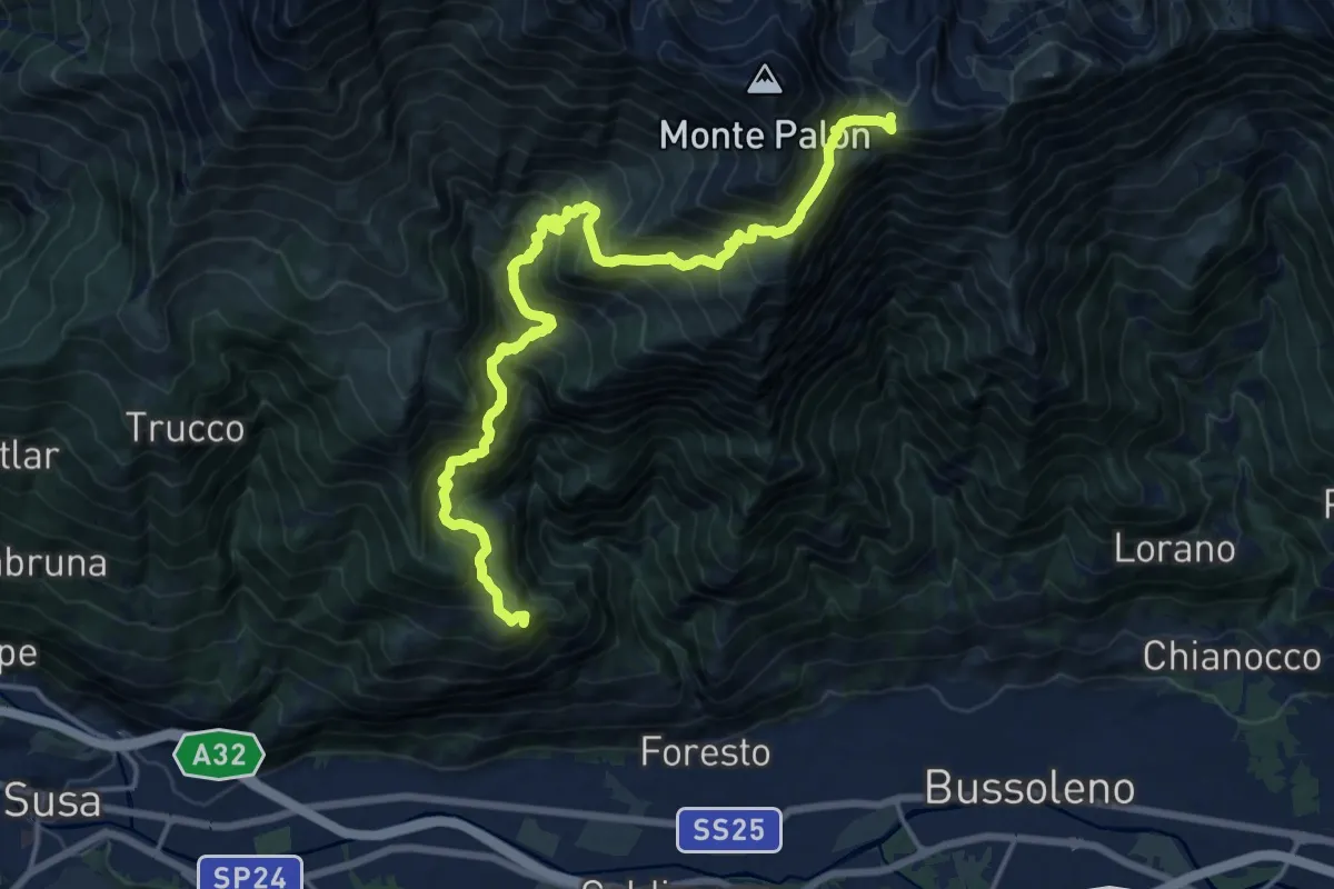
Demanding · Summit
Bivio 536B-538-560, Foresto – Bivio 114-560, Colle Croce di Ferro
18.7 km · ↑ 1711 m · 8 h 8 min
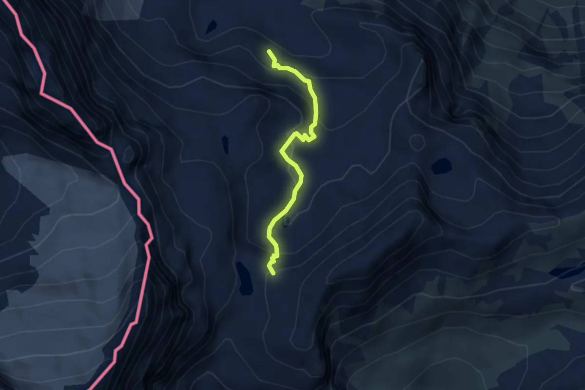
Medium · Trail
Bivio 222-222A, Rocca Affinau – Bivio 122-222A, Collarin d'Arnas
3.3 km · ↑ 254 m · 1 h 20 min
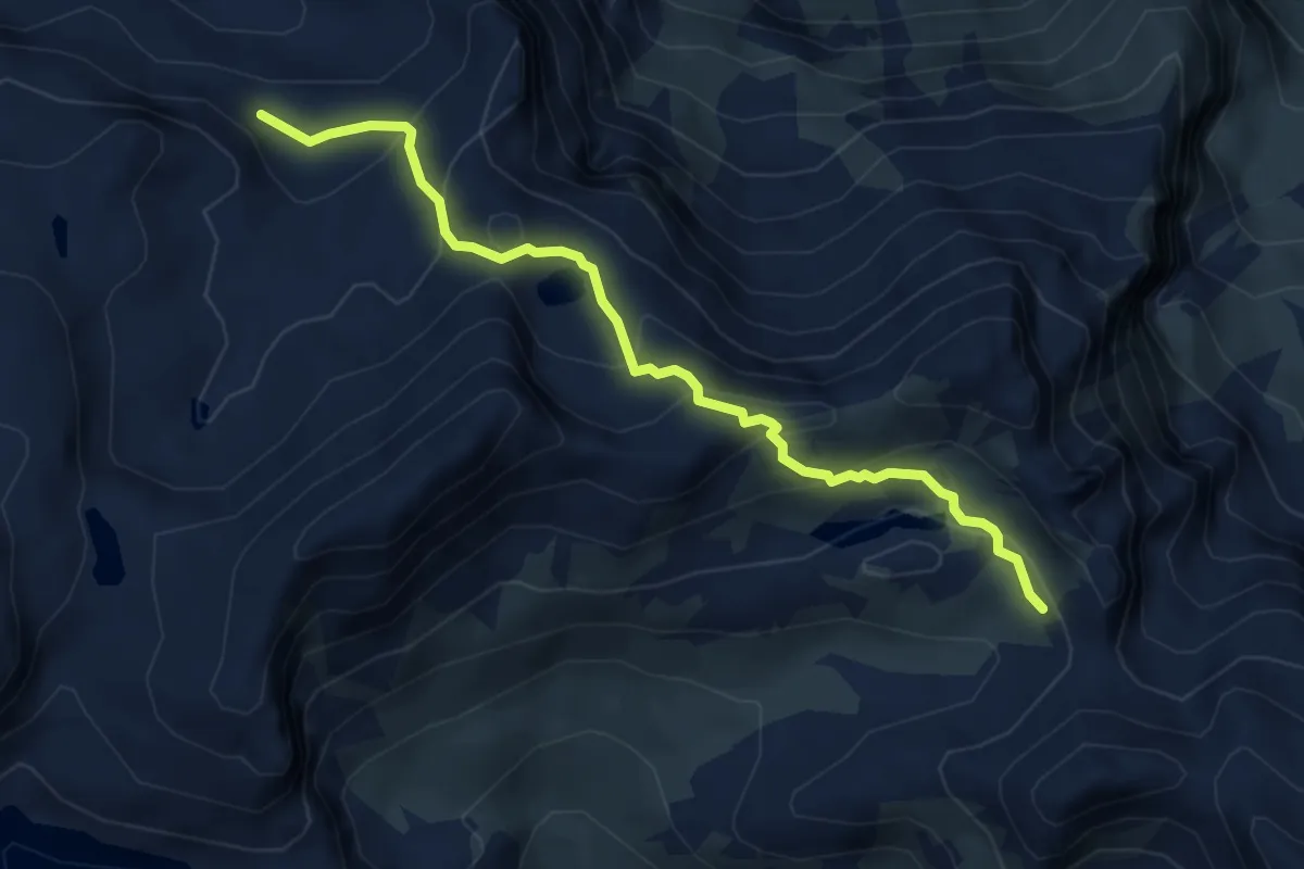
Medium · Trail
Bivio 222A-222B, Rocca Affinau – Bivio 119-222B, Passo Mangioire
5.0 km · ↑ 338 m · 1 h 55 min
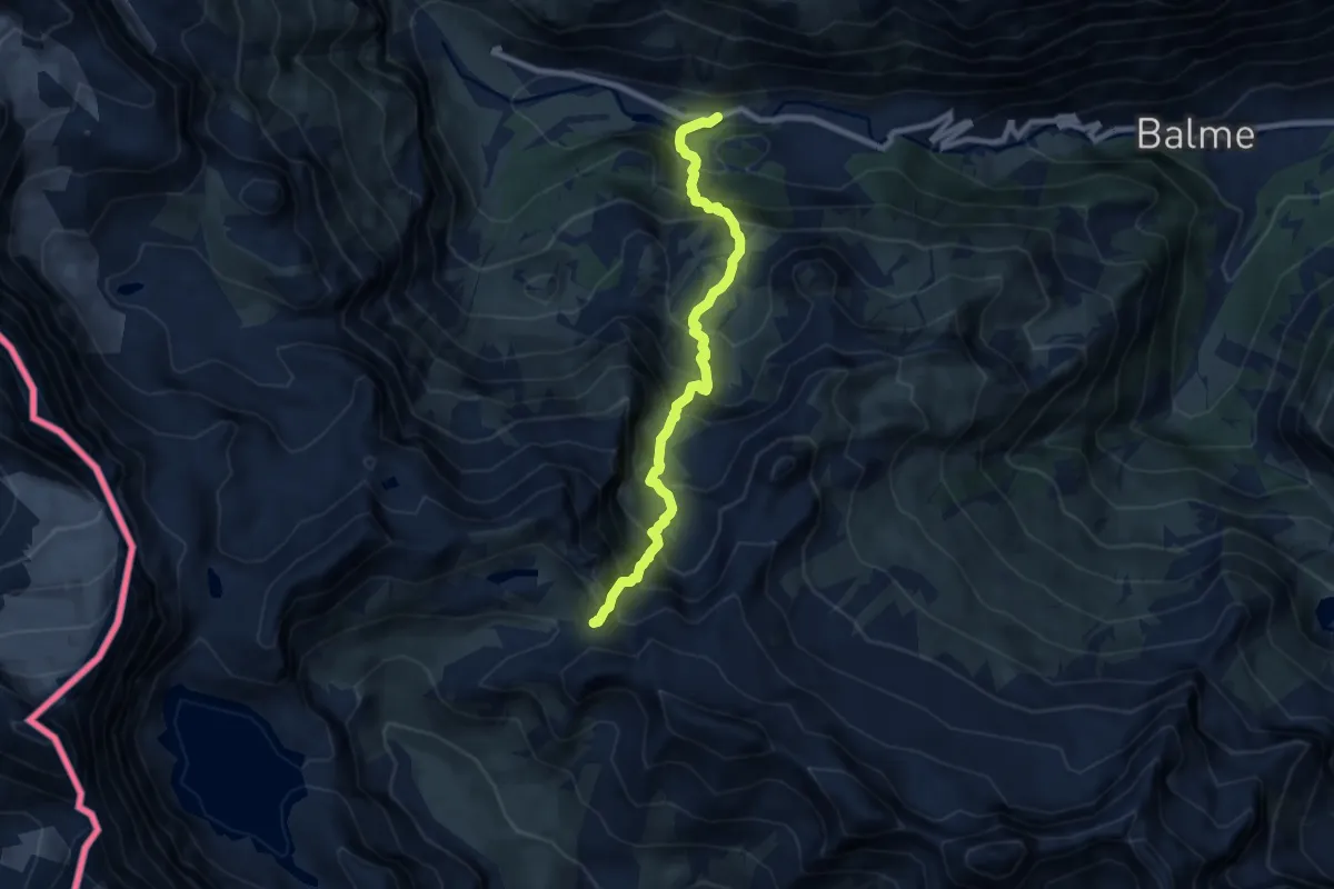
Demanding · Trail
Bivio 218-220-227, Grange della Mussa – Bivio 119-218, Passo Mangioire
8.1 km · ↑ 987 m · 4 h 4 min
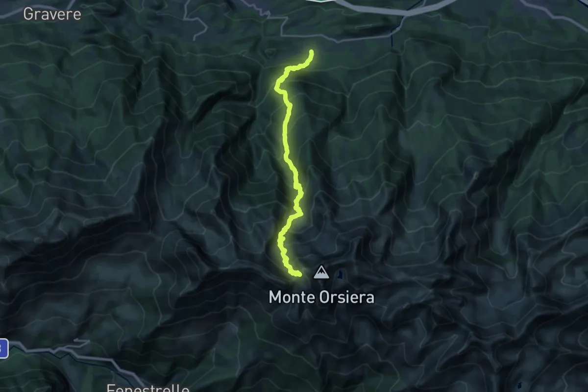
Demanding · Trail
Mattie, Borgata Menolzio, bivio TOS514-TOS527 – Bivio 514-335, Colle dell'Orsiera
8.8 km · ↑ 1877 m · 5 h 20 min
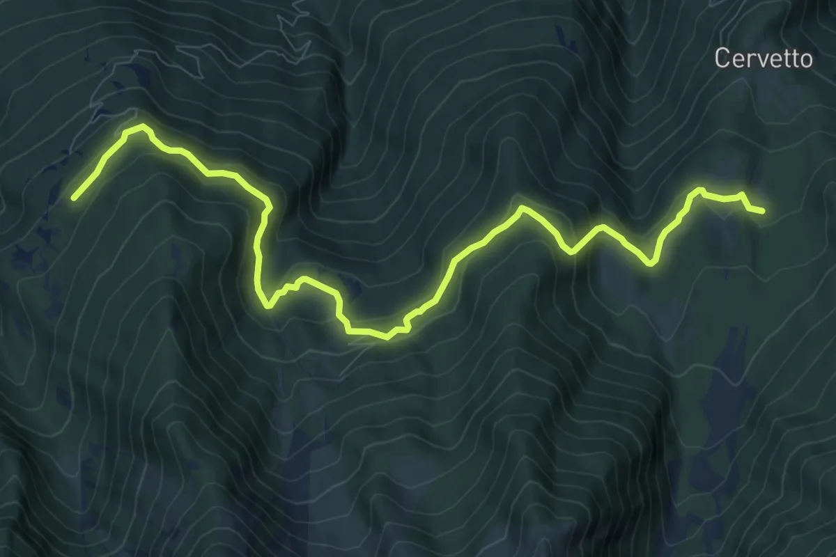
Medium · Cabin
Borgata Pra la Grangia, bivio TOS514A-TOS521 – Rifugio Onelio Amprimo, bivio TOS510-TOS513-TOS521
11.7 km · ↑ 543 m · 3 h 56 min
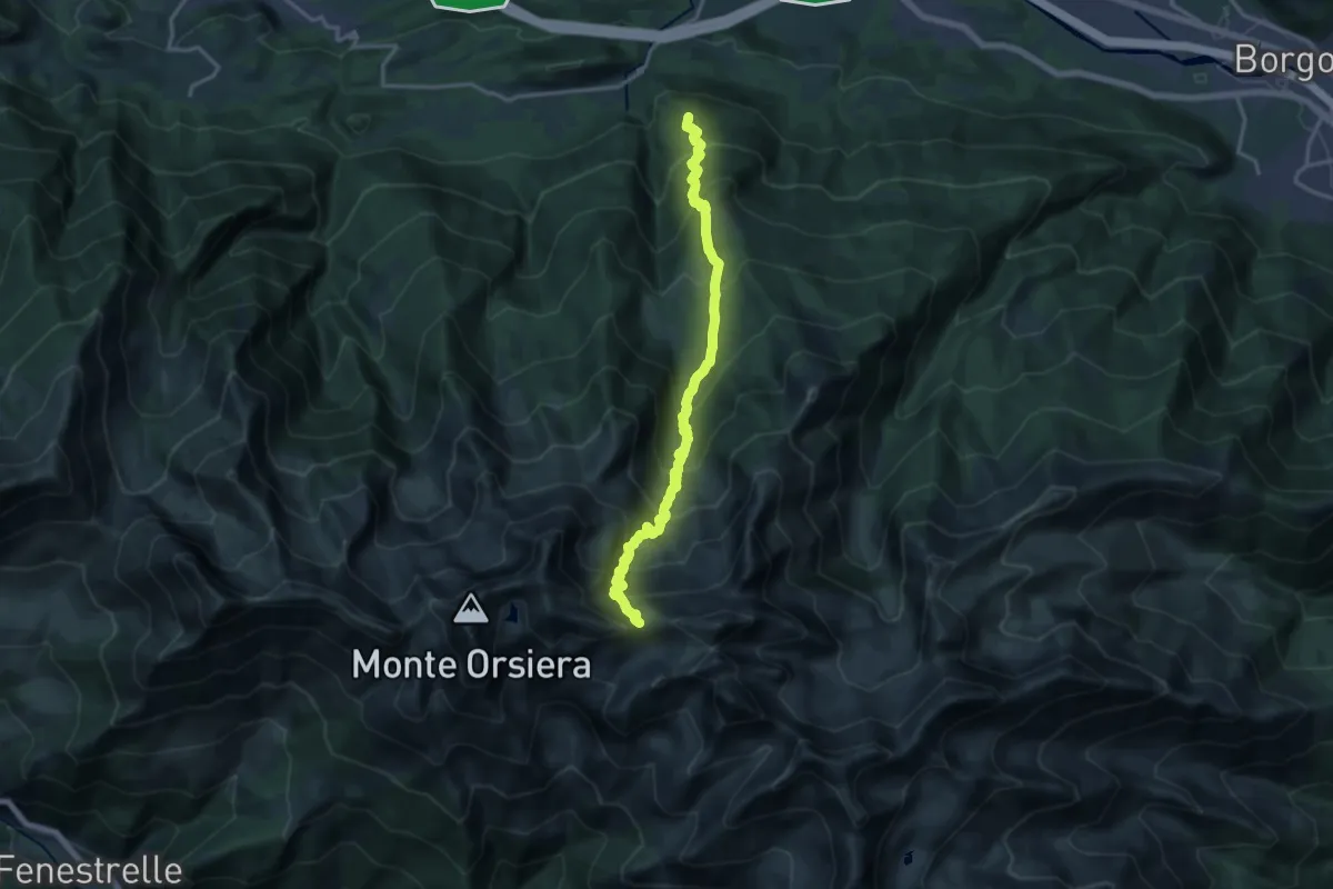
Demanding · Summit
Mattie, Borgata Giordani, bivio TOS510-TOS525 – Colle del Sabbione, bivio TOS337-TOS338-TOS510
15.9 km · ↑ 1675 m · 7 h 23 min
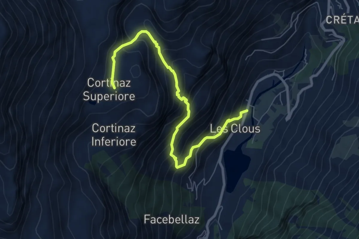
Demanding · Trail
Moulin Dessous – Cortinaz Damon
7.2 km · ↑ 802 m · 3 h 26 min
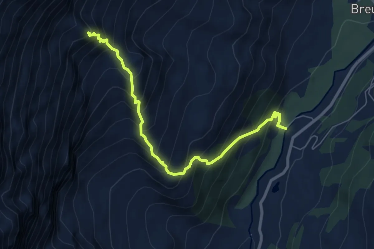
Expert · Cabin
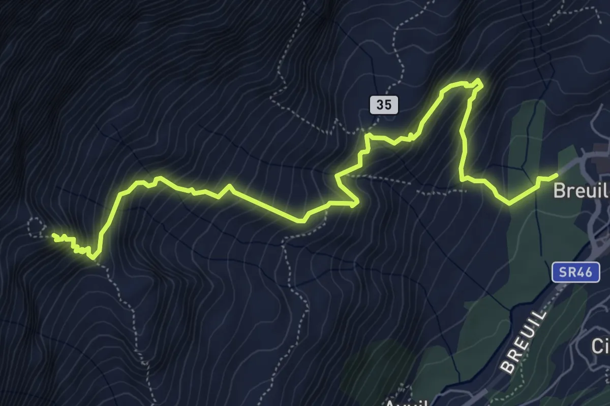
Avouil – Rifugio Bobba
5.9 km · ↑ 791 m · 3 h 7 min
Expert · Cabin
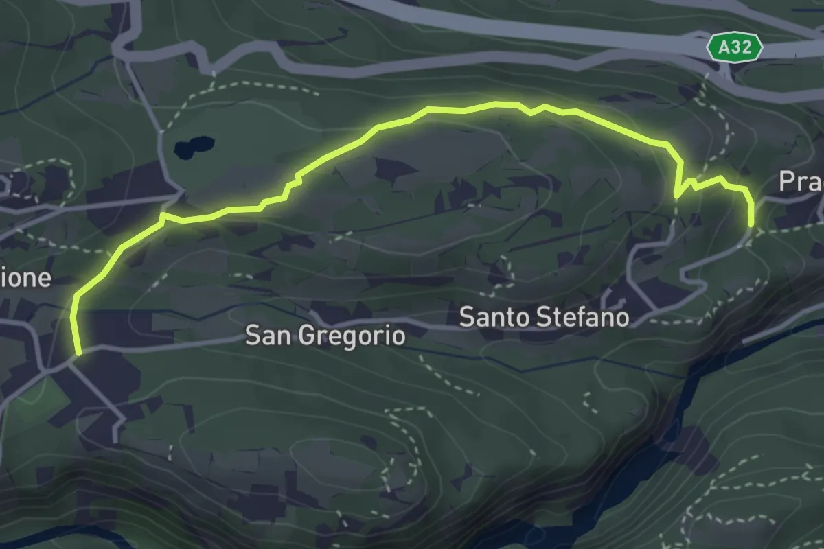
Breuil-Cervinia – Rifugio Bobba
7.7 km · ↑ 842 m · 3 h 39 min
Medium · Trail
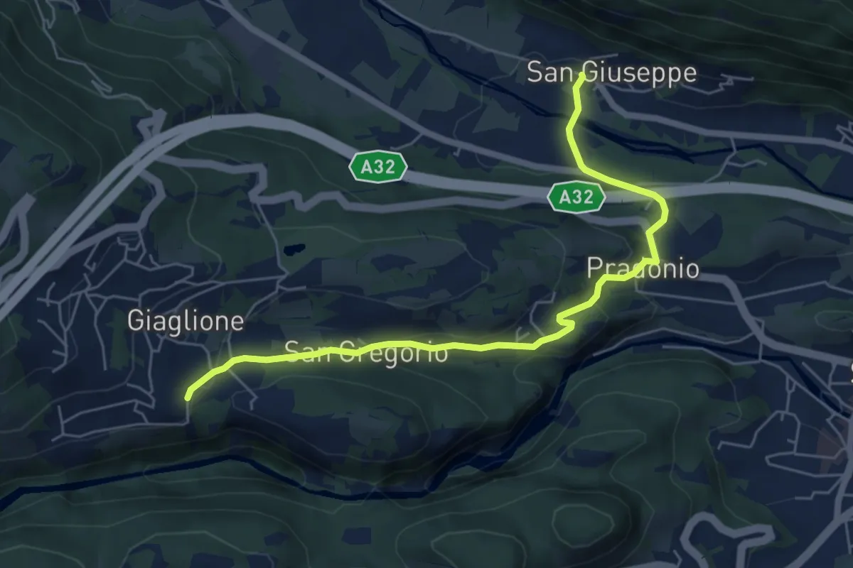
Breida, bivio TOS823-TOS823A – SP 211, bivio TOS823-TOS823A
3.9 km · ↑ 125 m · 1 h 11 min
Easy · Trail
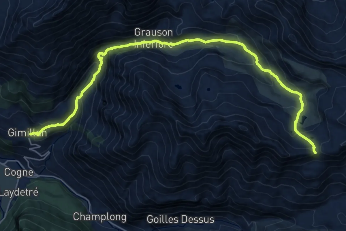
Giaglione, San Lorenzo, bivio TOS820-TOS821-TOS823 – Mompantero, San Giuseppe, bivio TOS529-TOS823
6.3 km · ↑ 220 m · 1 h 57 min
Demanding · Trail
Gimillan – Passo dell'Invergneux
21.7 km · ↑ 1215 m · 7 h 46 min