Trails in Italy
25,219 hiking trails, each with its route, climb, walking time and grade.
All trails, page 431 of 526
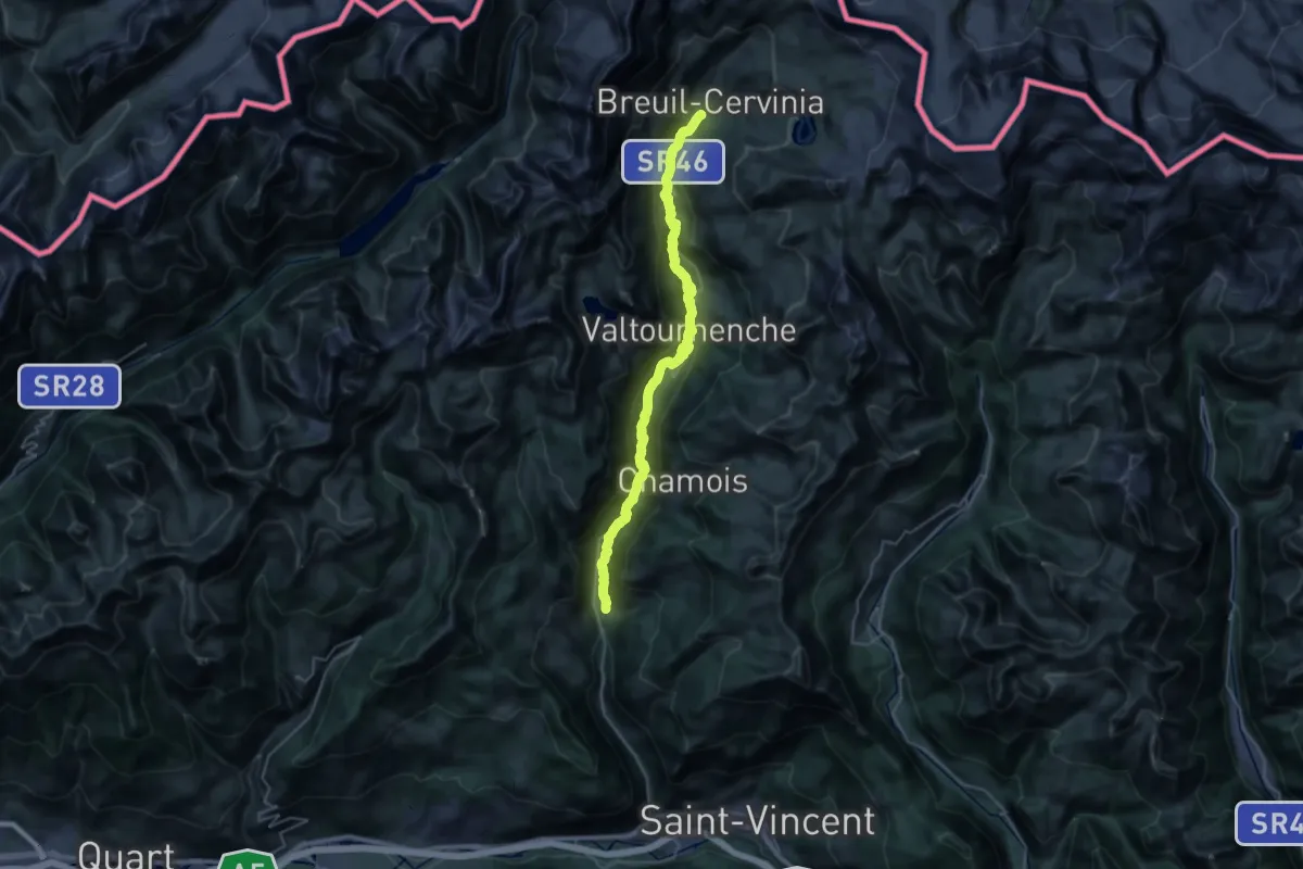
Demanding · Trail
Bourg – Maen
17.4 km · ↑ 1067 m · 6 h 13 min
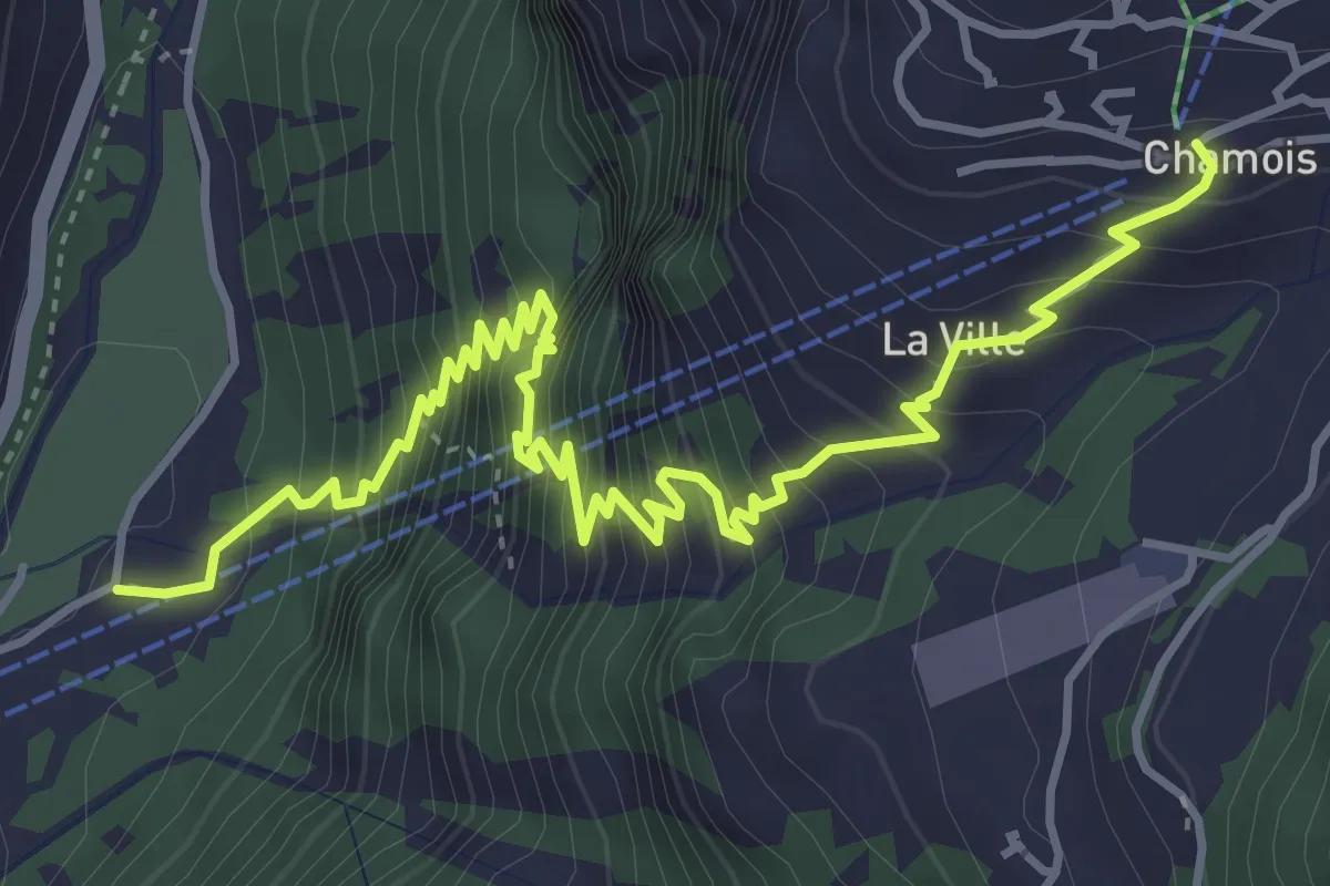
Medium · Trail
Nuarsaz – Corgnolaz
5.7 km · ↑ 780 m · 3 h 2 min
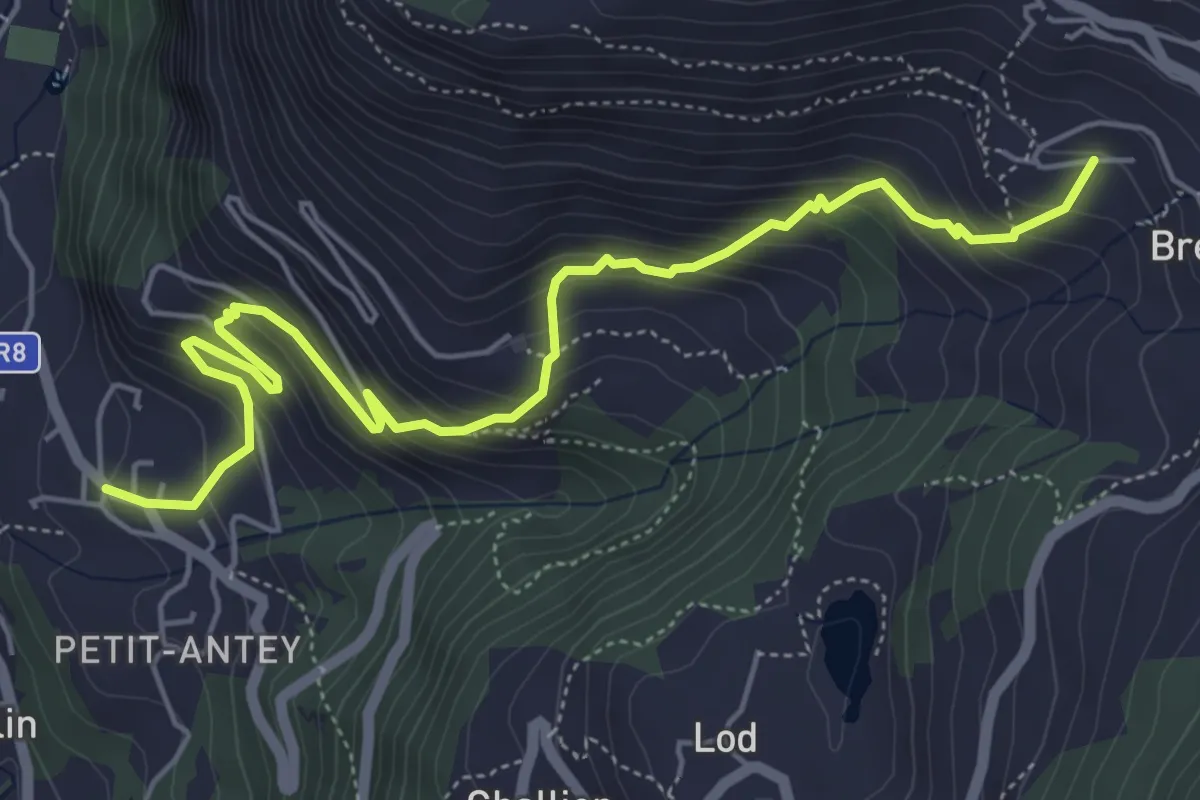
Medium · Trail
Bourg – Messelod (La Magdeleine)
6.5 km · ↑ 551 m · 2 h 43 min
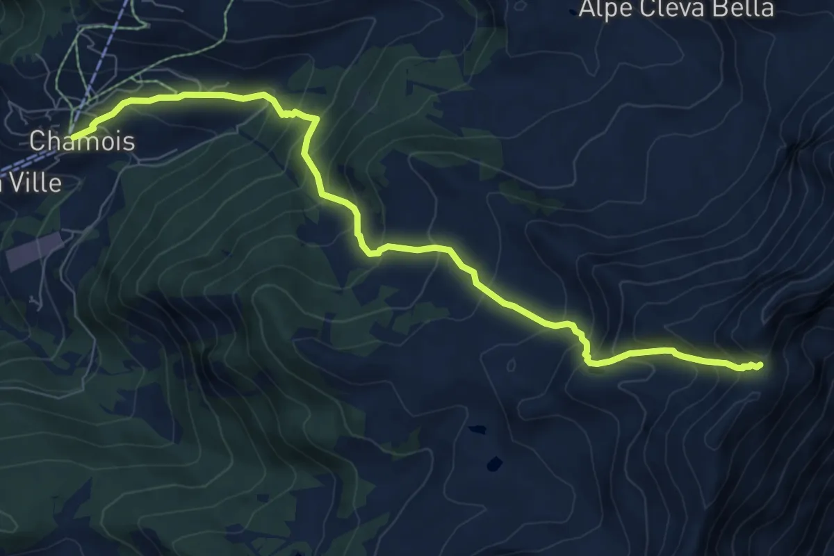
Demanding · Trail
Chamois – Col Pillonnet
8.7 km · ↑ 868 m · 3 h 56 min
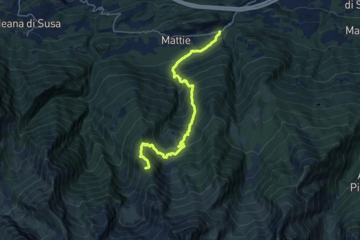
Demanding · Summit
Mattie, Borgata Giordani, bivio TOS510-TOS525 – Bivio per Bergerie dell'Orsiera, bivio TOS514-TOS525
14.6 km · ↑ 1272 m · 6 h 12 min
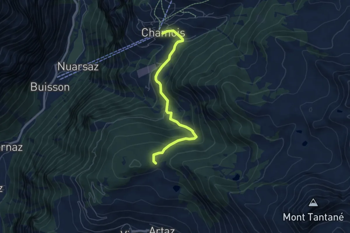
Medium · Trail
Chamois – Col Pilaz
6.0 km · ↑ 266 m · 1 h 59 min
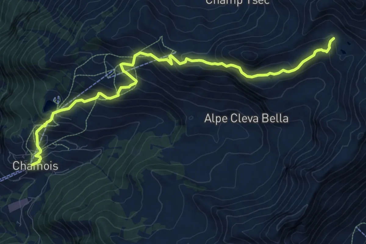
Demanding · Trail
Chamois – Alta Via N. 1
12.5 km · ↑ 898 m · 4 h 54 min
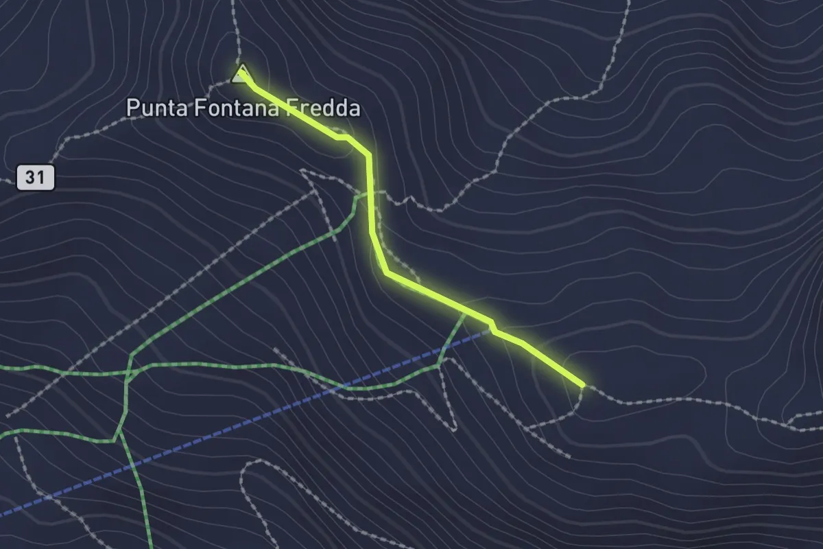
Demanding · Summit
Santuario Clavalité – Col Cheneil
1.6 km · ↑ 68 m · 31 min
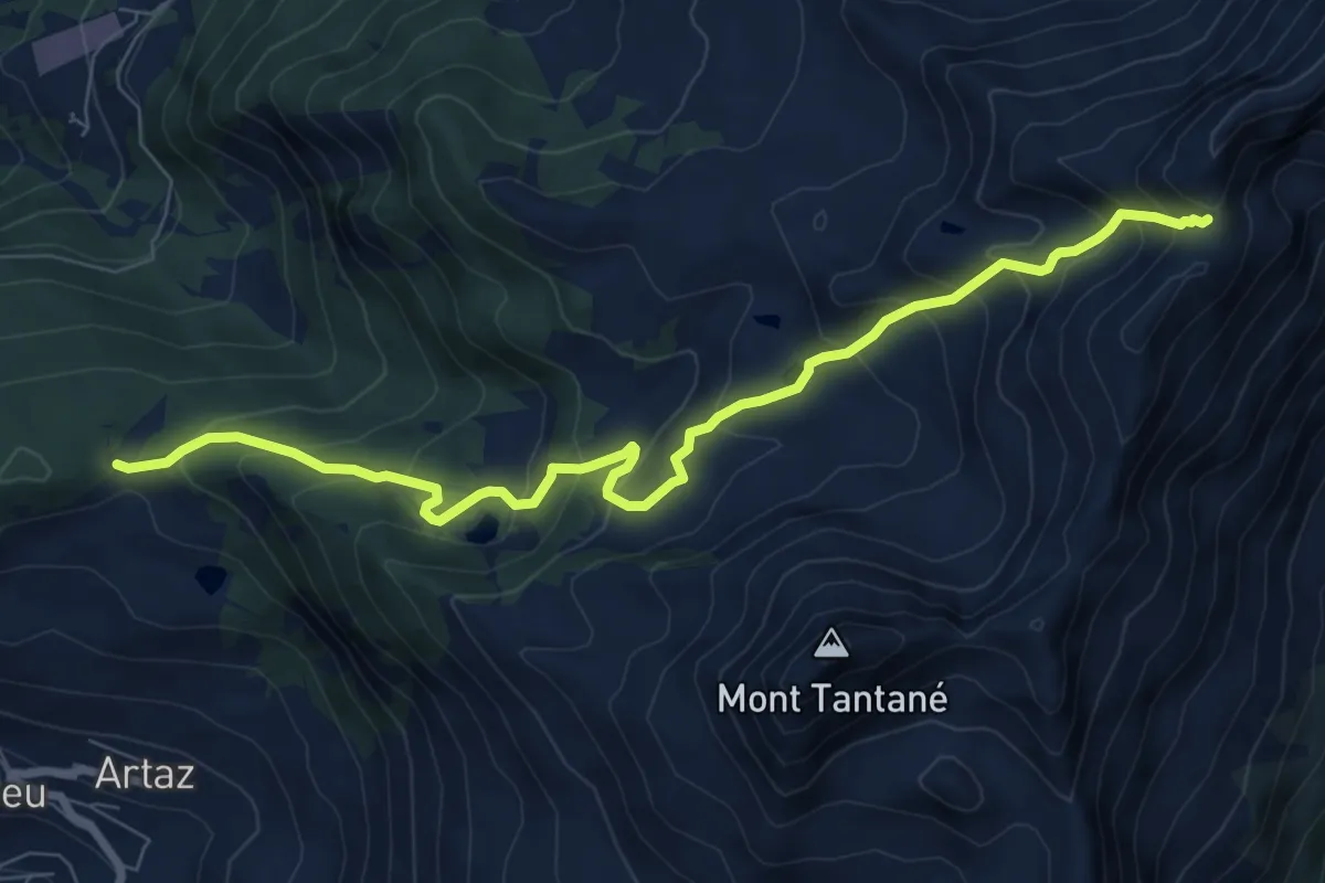
Medium · Trail
Col Pilaz – Col Pillonet
8.8 km · ↑ 734 m · 3 h 40 min
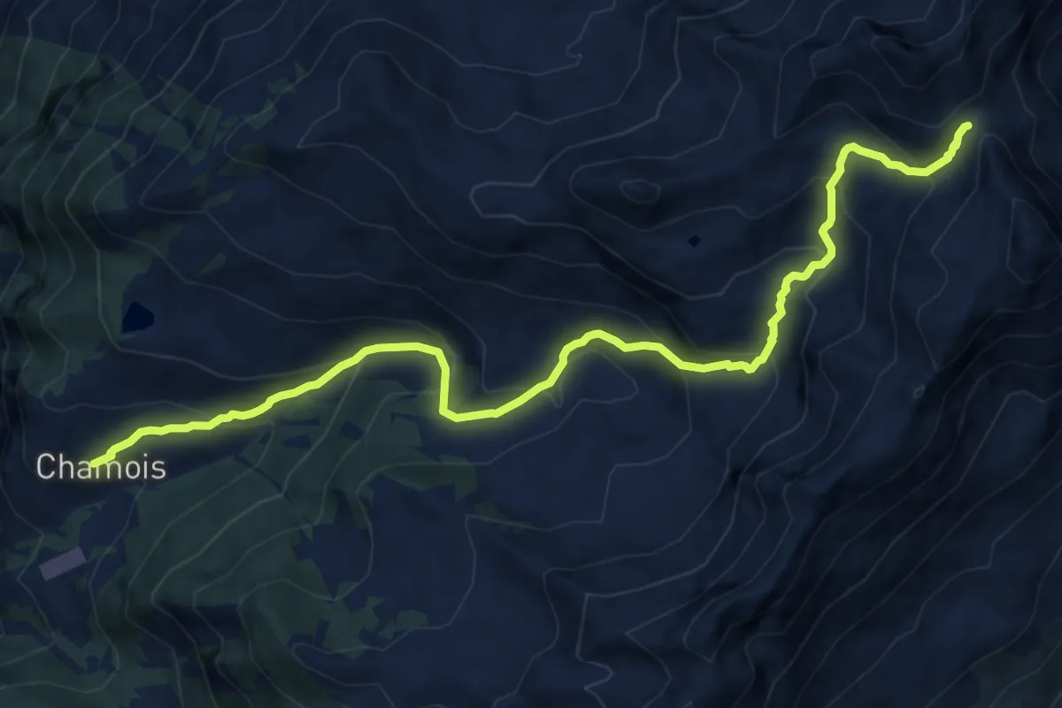
Demanding · Trail
Chamois – Col de Nannaz
13.3 km · ↑ 960 m · 5 h 13 min
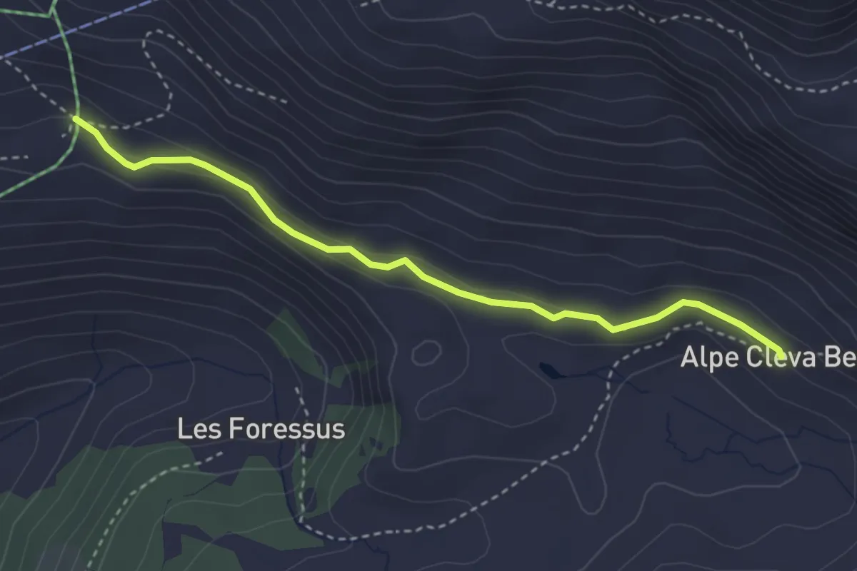
Medium · Trail
Alpe Glavin – Alpe Cleva Bella
3.4 km · ↑ 105 m · 1 h 1 min
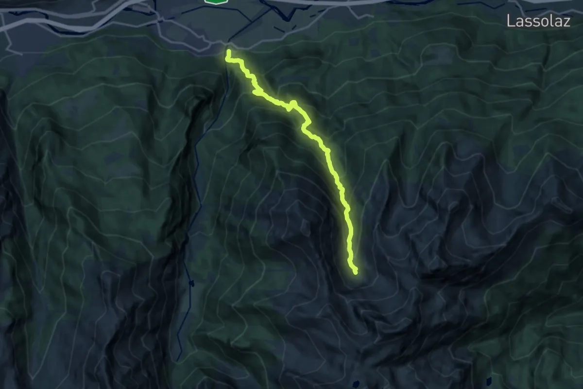
Demanding · Trail
Miserègne – Ponton
15.0 km · ↑ 1493 m · 6 h 46 min
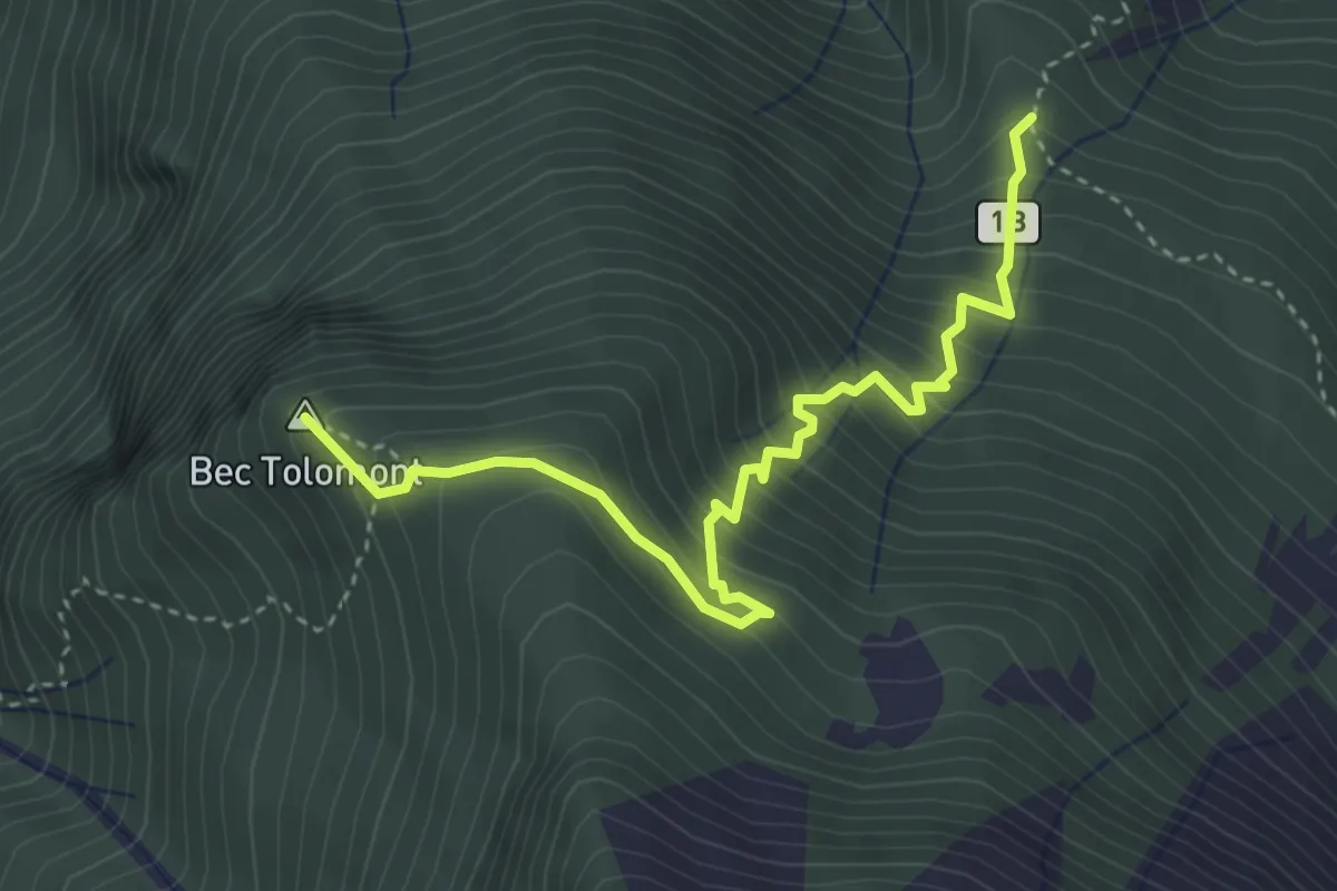
Medium · Summit
Cerise – Percorso 1
4.1 km · ↑ 504 m · 2 h 3 min
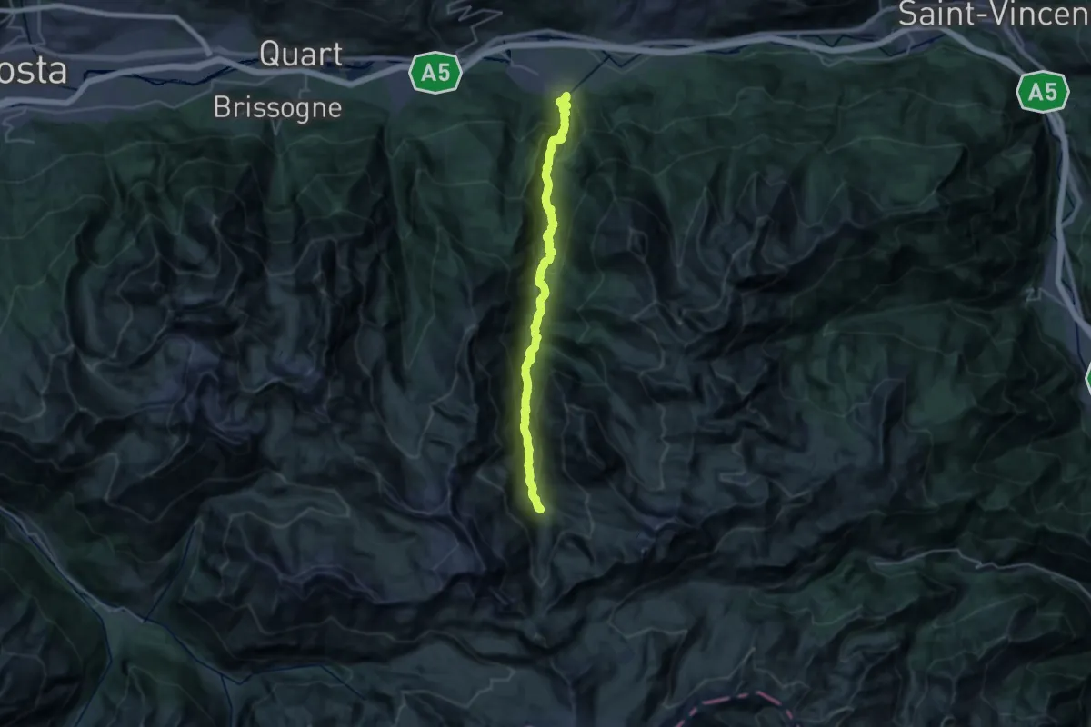
Demanding · Trail
Barche – Grand Alpe
12.8 km · ↑ 1597 m · 5 h 55 min
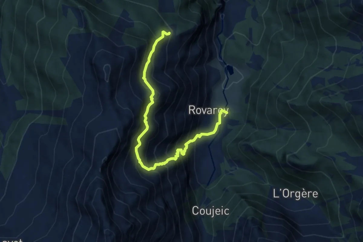
Demanding · Trail
Maison Blanche – Praz Premier
9.1 km · ↑ 1227 m · 4 h 48 min
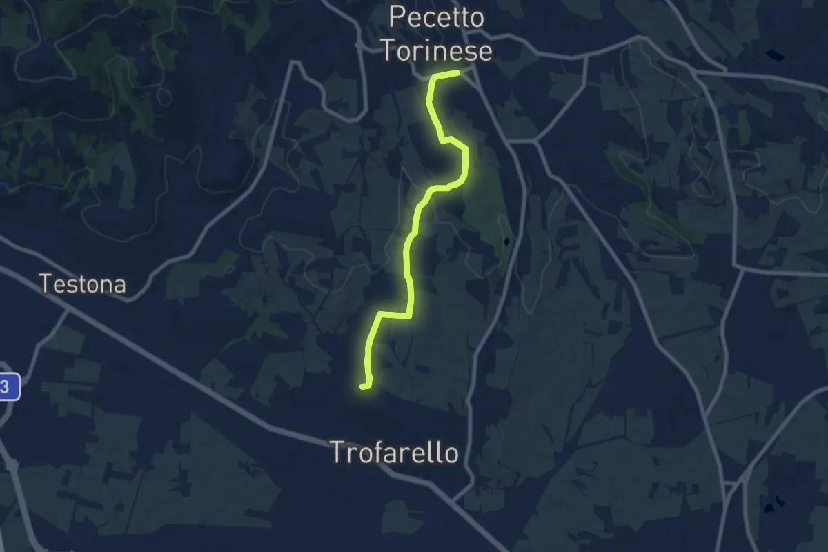
Easy · Trail
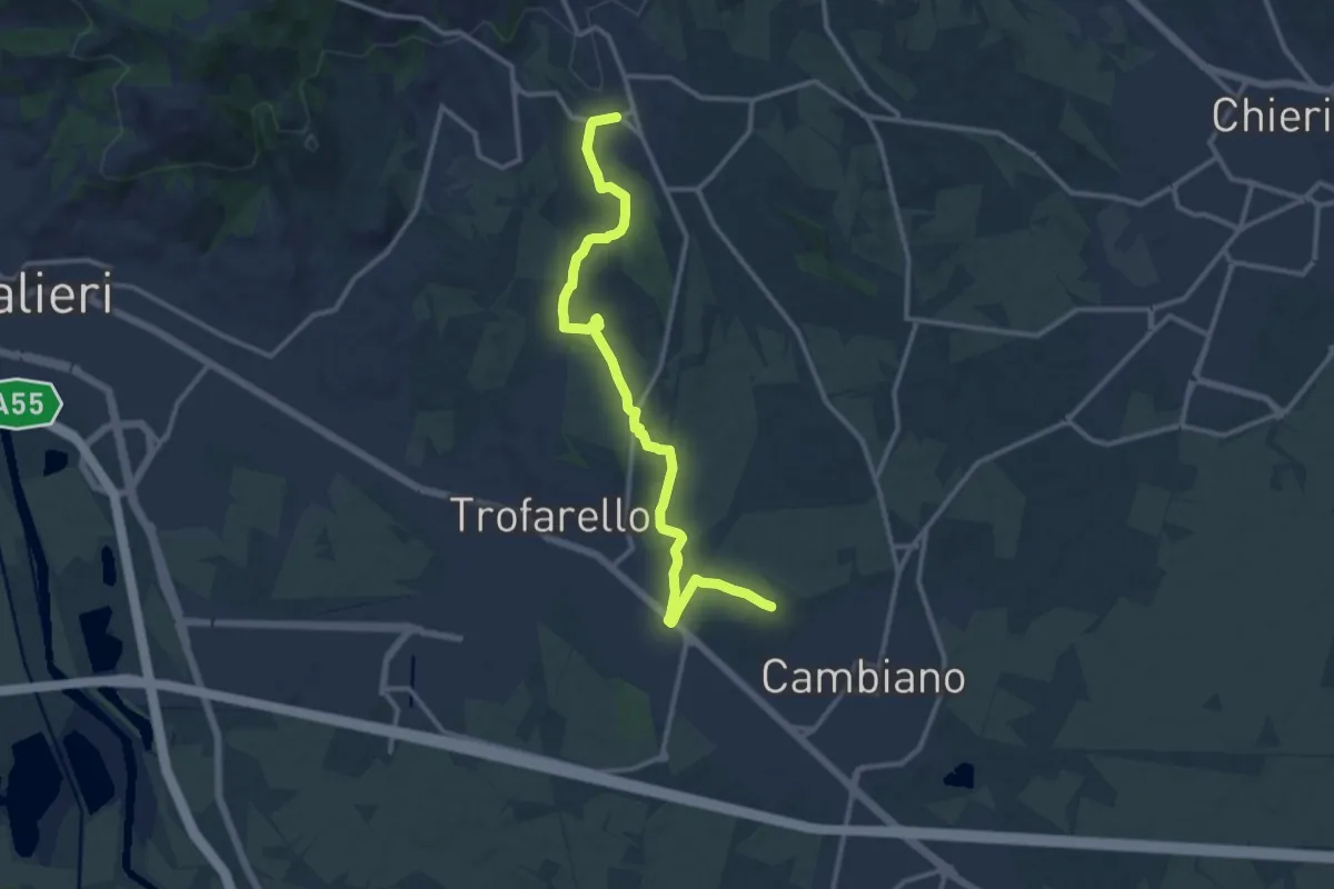
Trofarello, Santi Quirico e Giuditta – Pecetto Torinese, San Sebastiano
7.5 km · ↑ 124 m · 2 h 2 min
Medium · Trail
Cappella Malmontea, Cambiano – Chiesa di San Sebastiano, Pecetto
13.9 km · ↑ 194 m · 3 h 42 min
Medium · Trail
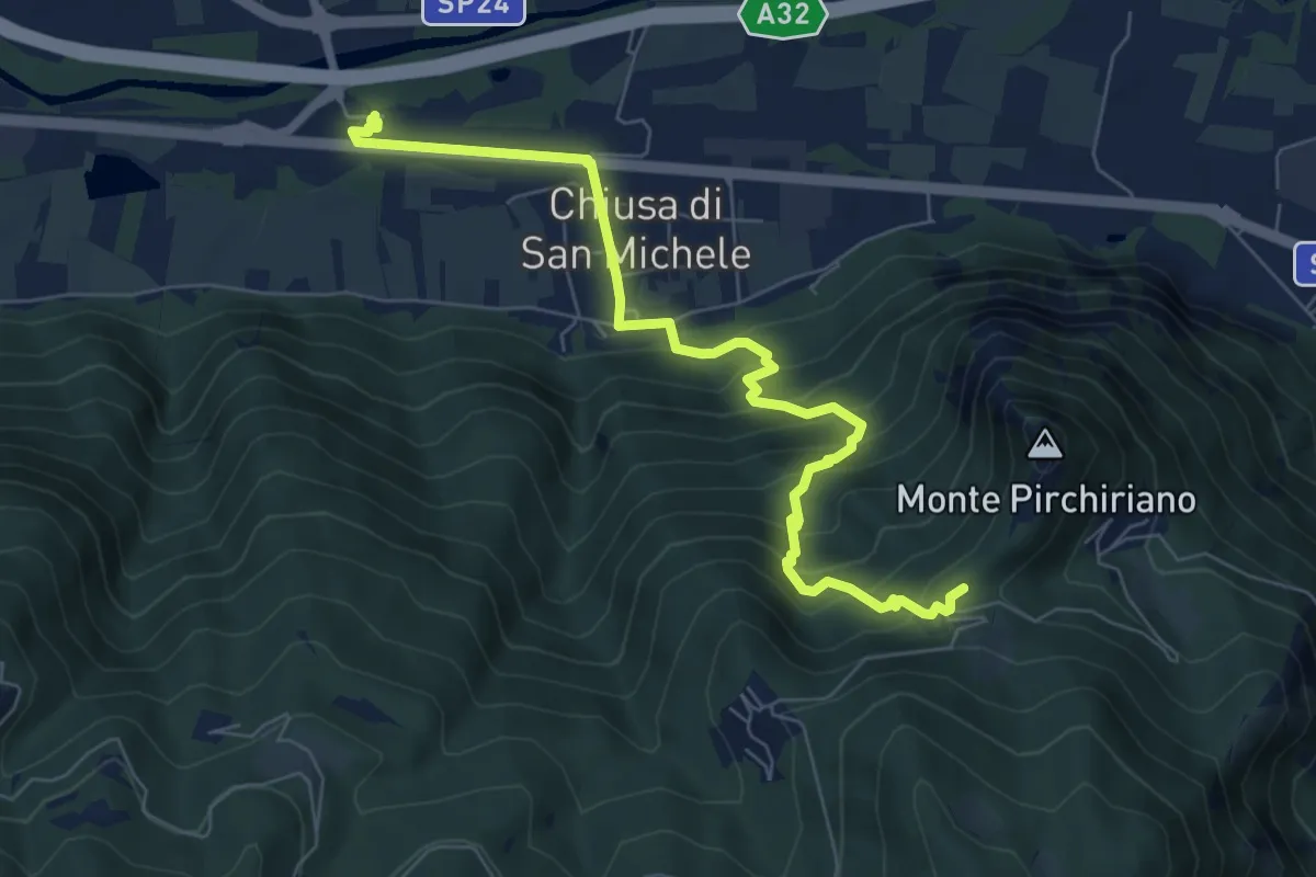
Chiusa di San Michele, stazione ferroviaria di Condove – Bivio 502-503, Sacra di San Michele
7.9 km · ↑ 520 m · 2 h 59 min
Medium · Summit
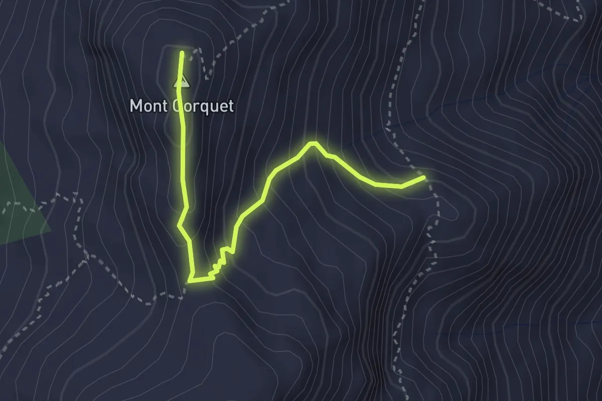
Percorso 8 – Mont Corquet
3.1 km · ↑ 308 m · 1 h 24 min
Demanding · Trail
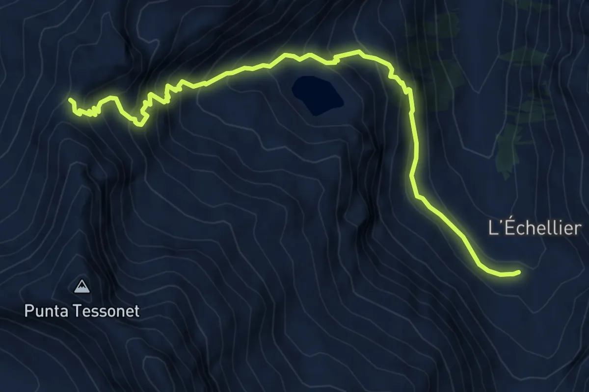
Grand Alpe – Col Lavodilec
8.1 km · ↑ 833 m · 3 h 44 min
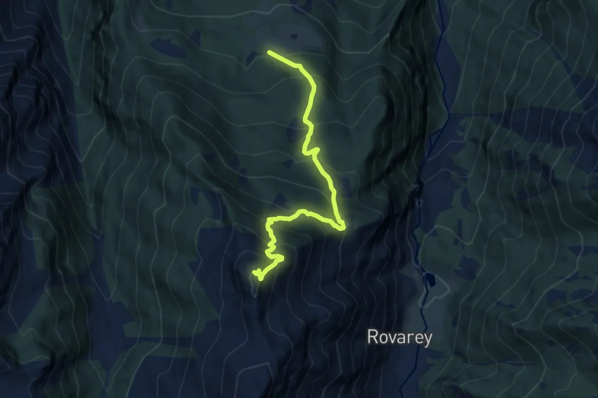
Demanding · Summit
Les Druges – Mont Corquet
8.9 km · ↑ 924 m · 4 h 6 min
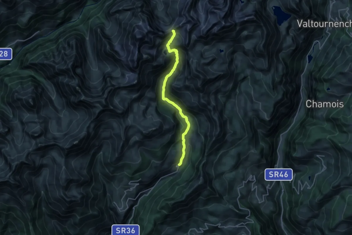
Demanding · Trail
Praz – Col Livourneaz
18.5 km · ↑ 1157 m · 6 h 52 min
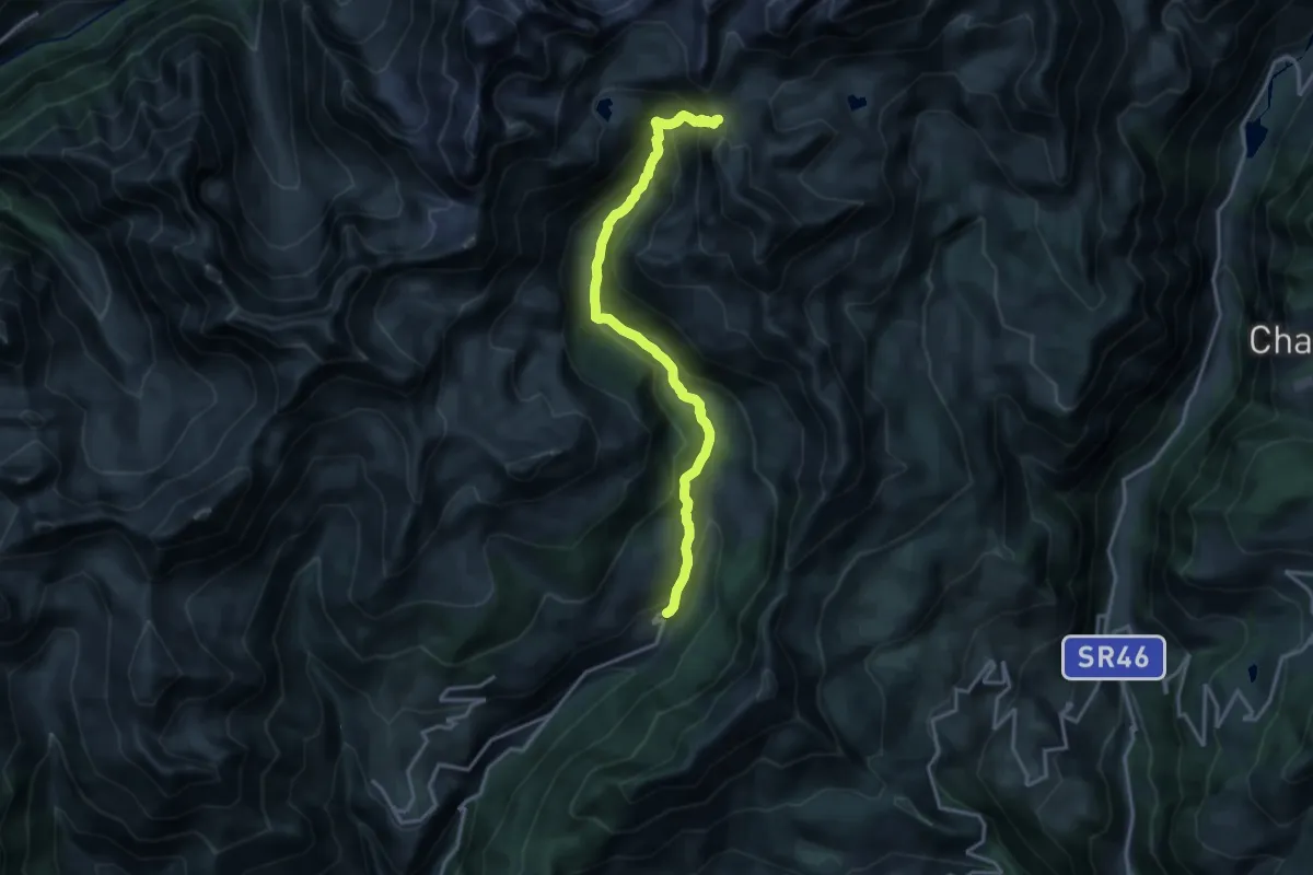
Demanding · Trail
Praz – Fenetre de Tsan
16.2 km · ↑ 1061 m · 6 h 7 min
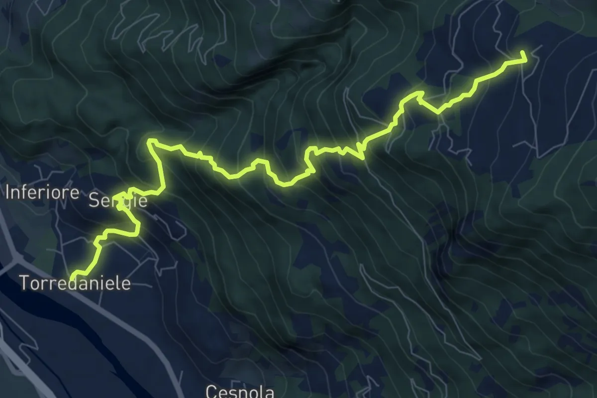
Demanding · Trail
Torre Daniele – Trovinasse
10.4 km · ↑ 1109 m · 4 h 51 min
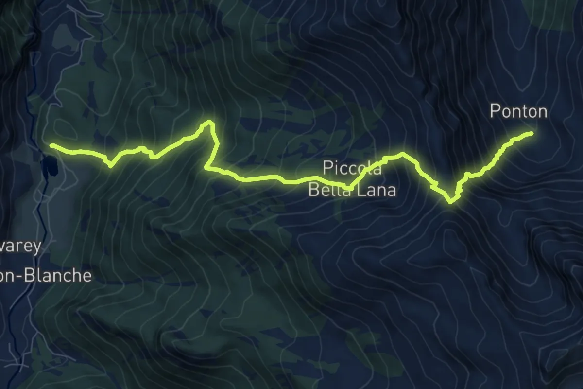
Demanding · Trail
Robbio – Colle di Bella Lana
10.2 km · ↑ 1453 m · 5 h 33 min
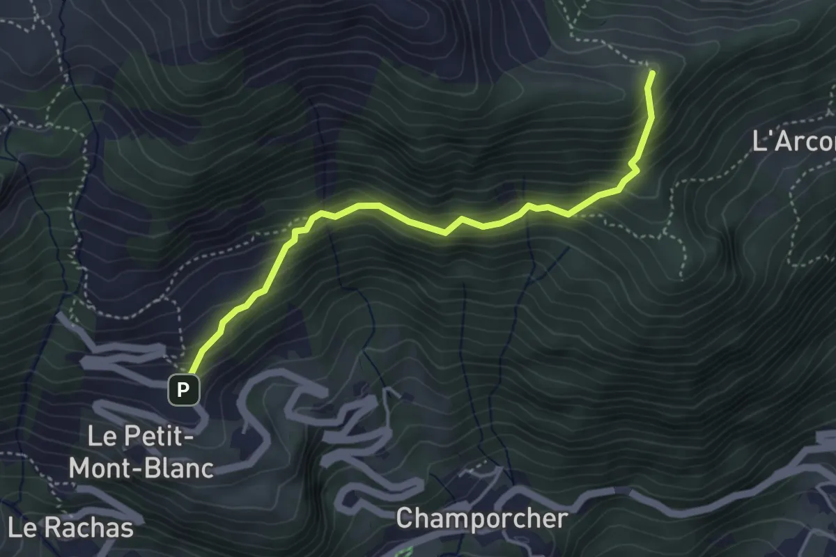
Medium · Trail
Remoran – Col Terre Rosse
4.0 km · ↑ 396 m · 1 h 49 min
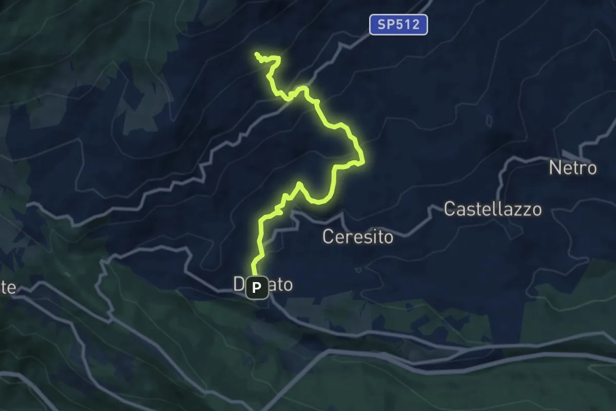
Medium · Trail
Donato, bivio BIAB35-BIAB36 – Donato, Le Piane, BIAB32-BIAB33-BIAB35
8.6 km · ↑ 498 m · 3 h 7 min
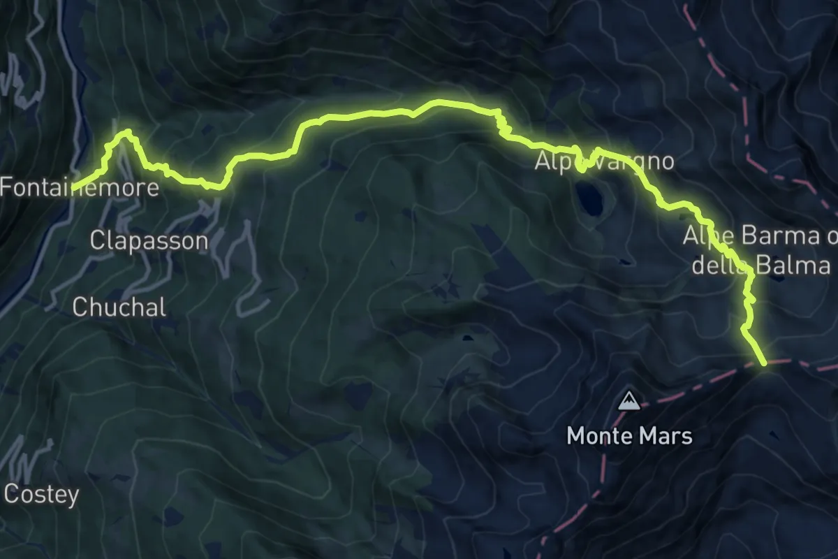
Demanding · Trail
Fontainemore – Col de Chardon
16.9 km · ↑ 1481 m · 7 h 11 min
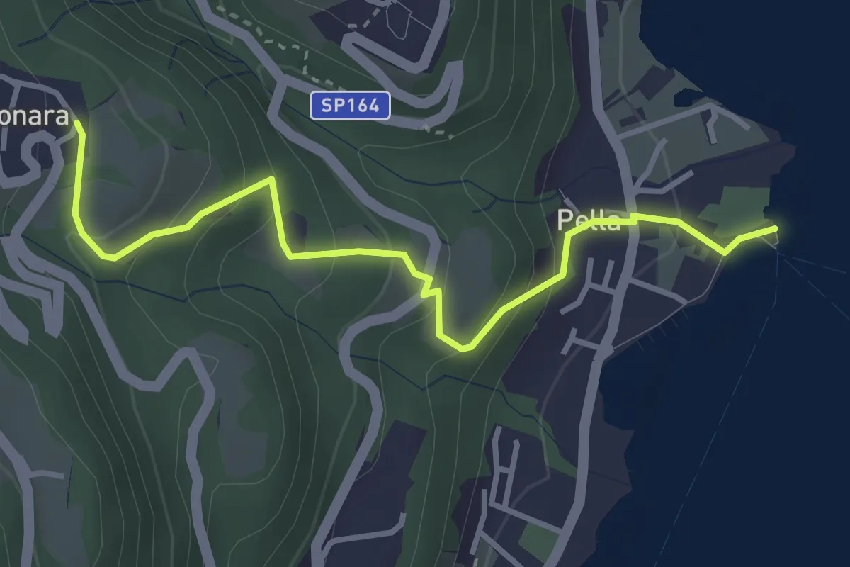
Easy · Trail
Pella scalo – Centonara, bivio NOAT36-VBAT36
3.6 km · ↑ 226 m · 1 h 20 min
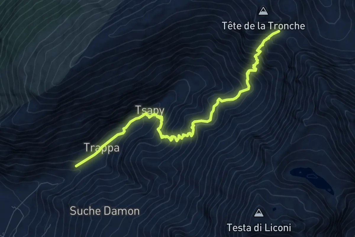
Demanding · Trail
Villair – Col Sapin
10.2 km · ↑ 1052 m · 4 h 41 min
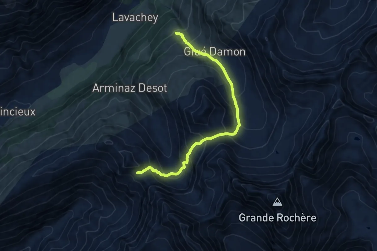
Demanding · Cabin
Col Sapin – Rifugio Bonatti
11.3 km · ↑ 952 m · 4 h 44 min
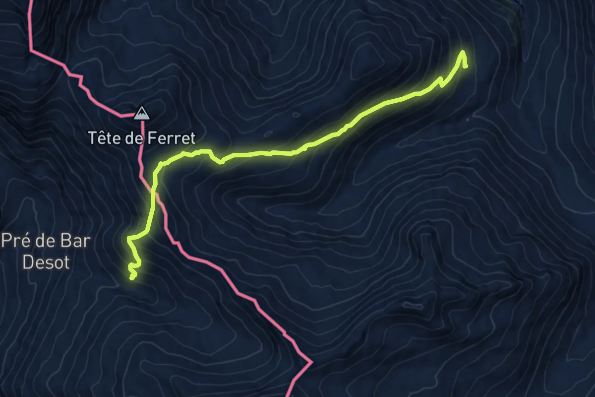
Medium · Cabin
Rifugio Bonatti – La Peule
9.1 km · ↑ 678 m · 3 h 36 min
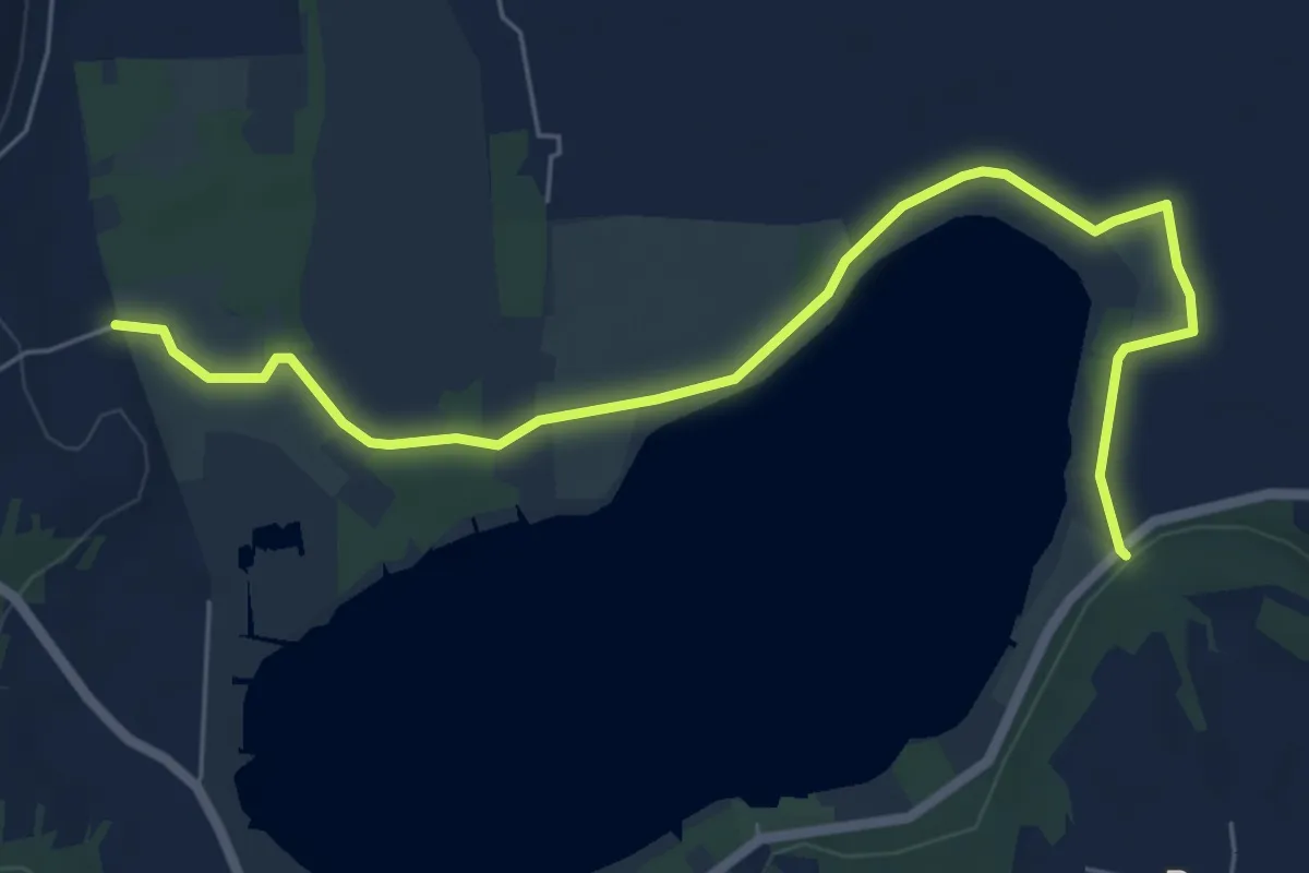
Easy · Trail
Bivio 105-105A, Candia – Bivio 105-105A, presso SP Lungo Lago
7.2 km · ↑ 10 m · 1 h 44 min
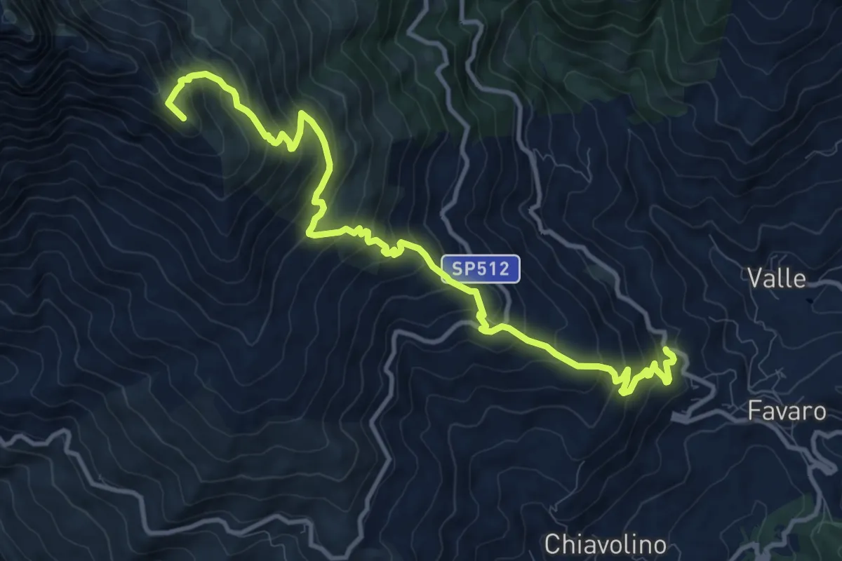
Expert · Summit
Favaro a monte delle cave – Croce del Mucrone, bivio BIAD02-BIAD24
12.6 km · ↑ 1105 m · 5 h 22 min
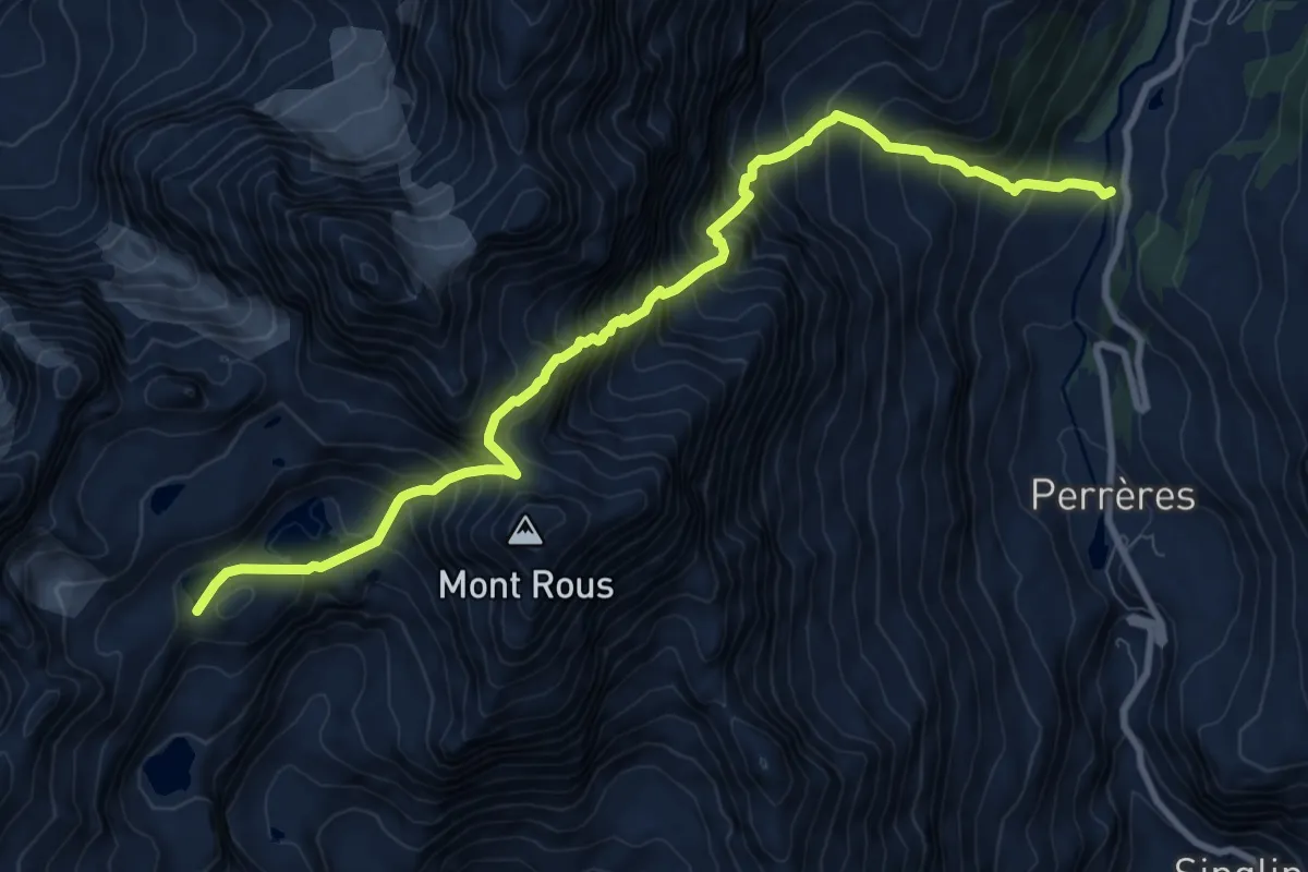
Expert · Cabin
Laghetto Vofrède – Rifugio Perucca Vuillermoz
10.4 km · ↑ 1553 m · 5 h 50 min
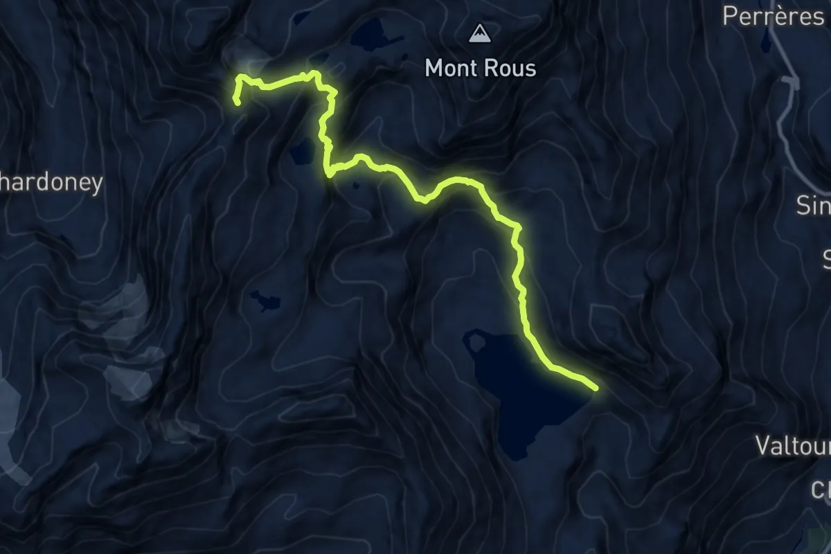
Demanding · Trail
Cignana – Colle Valcornera
11.6 km · ↑ 976 m · 4 h 51 min
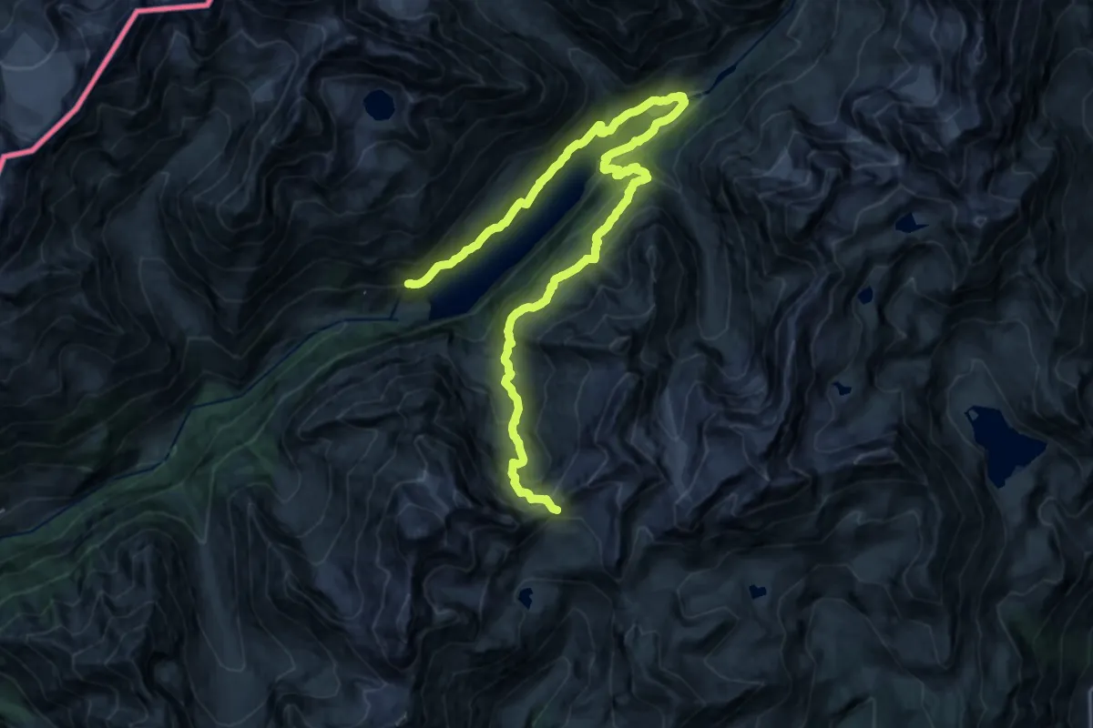
Expert · Trail
Place Moulin – Col di Livournea
13.5 km · ↑ 428 m · 4 h 43 min
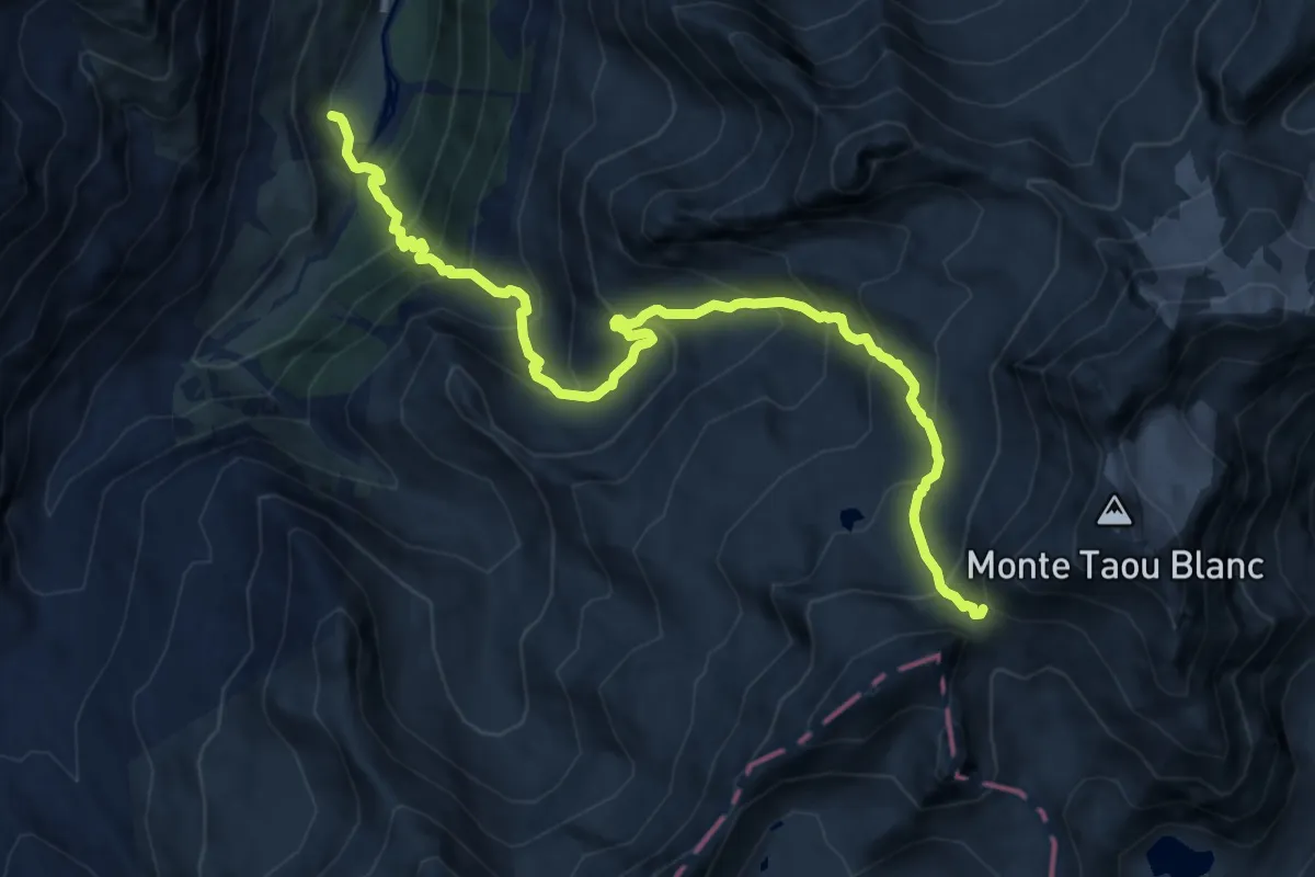
Expert · Trail
Thumel – Col Leynir
12.1 km · ↑ 1217 m · 5 h 29 min
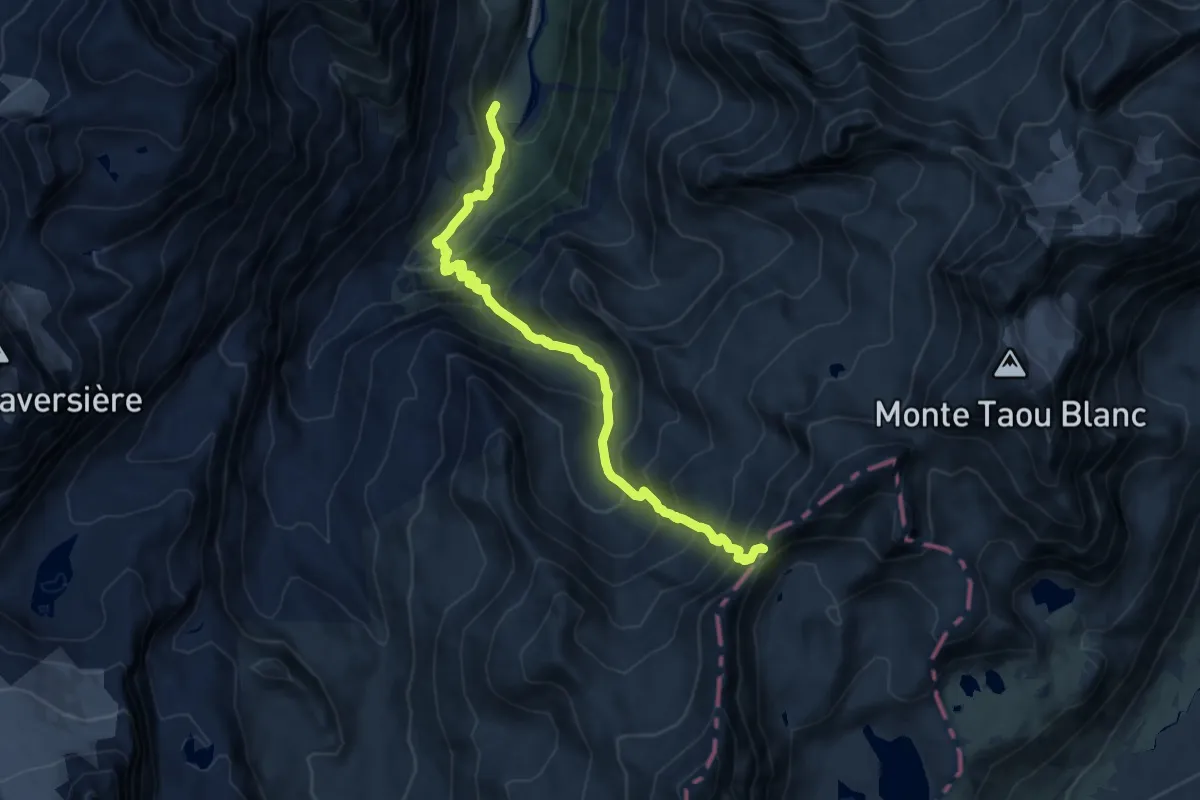
Expert · Trail
Thumel – Col Rosset
11.1 km · ↑ 1111 m · 5 h 1 min
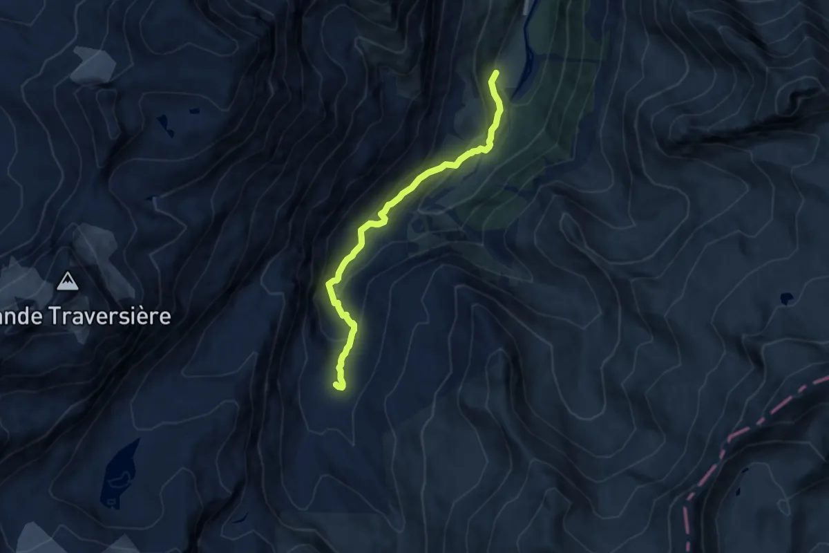
Demanding · Cabin
Thumel – Rifugio Benevolo
7.5 km · ↑ 454 m · 2 h 45 min
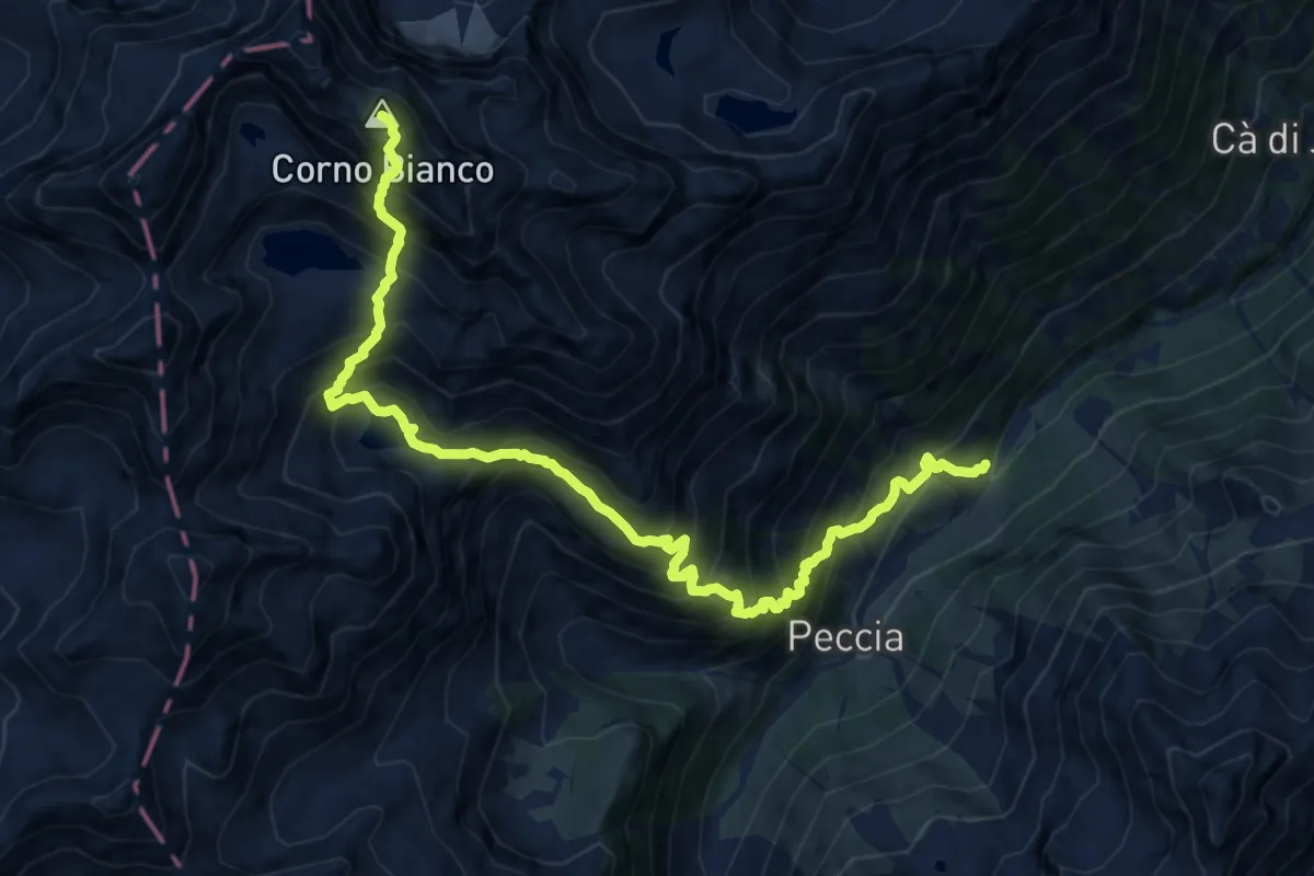
Expert · Summit
Piane – Corno Bianco
13.7 km · ↑ 1916 m · 7 h 23 min
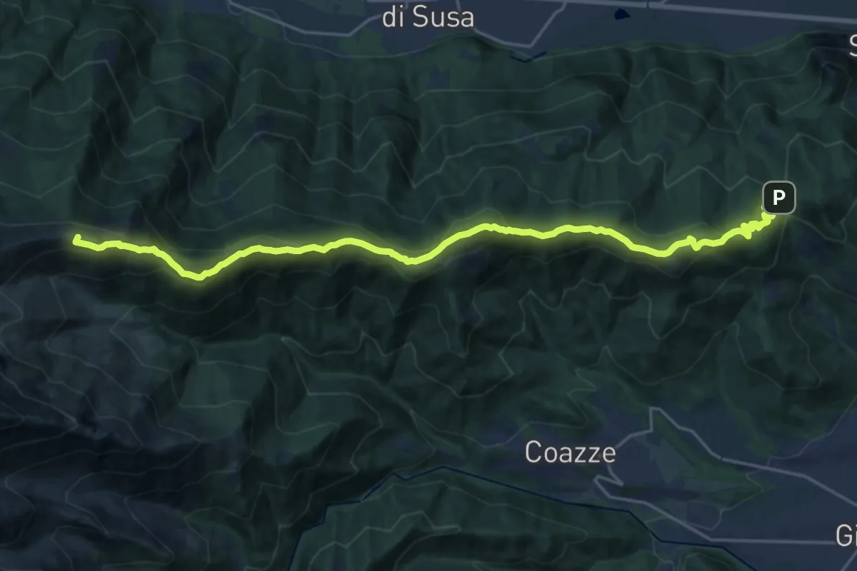
Demanding · Summit
Colle Braida, bivioTOS435-TOS451-TOS503A – Pian Peiroel, bivio TOS420-TOS435
23.3 km · ↑ 1076 m · 7 h 50 min
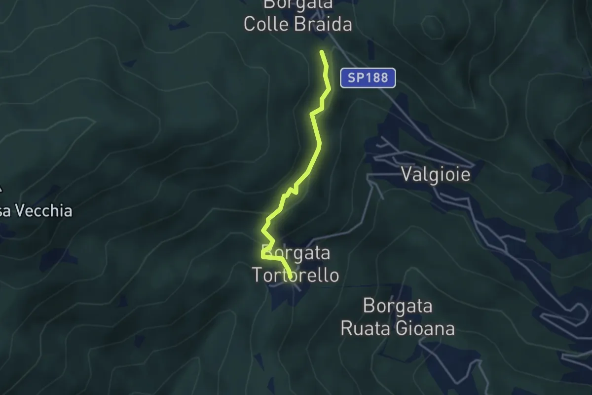
Medium · Trail
Bivio 435-435A, Borgata Colle Braida – Bivio 435A-438, Borgata Tortorello
2.7 km · ↑ 213 m · 1 h 6 min
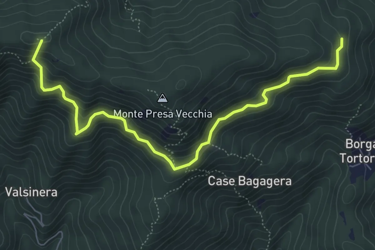
Medium · Summit
Bivio 435-435B, Borgata Presa delle Rose – Bivio 435-435C, Colle Remondetto
7.0 km · ↑ 443 m · 2 h 37 min
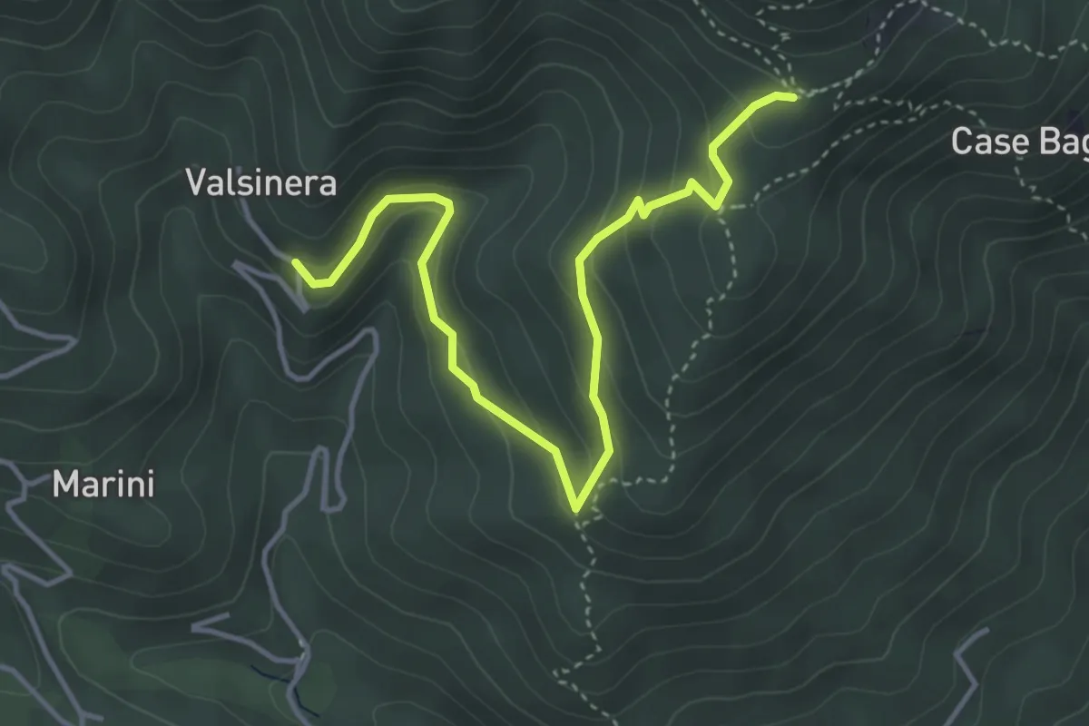
Easy · Trail
Valsinera – Bivio 435B-436
4.5 km · ↑ 283 m · 1 h 41 min
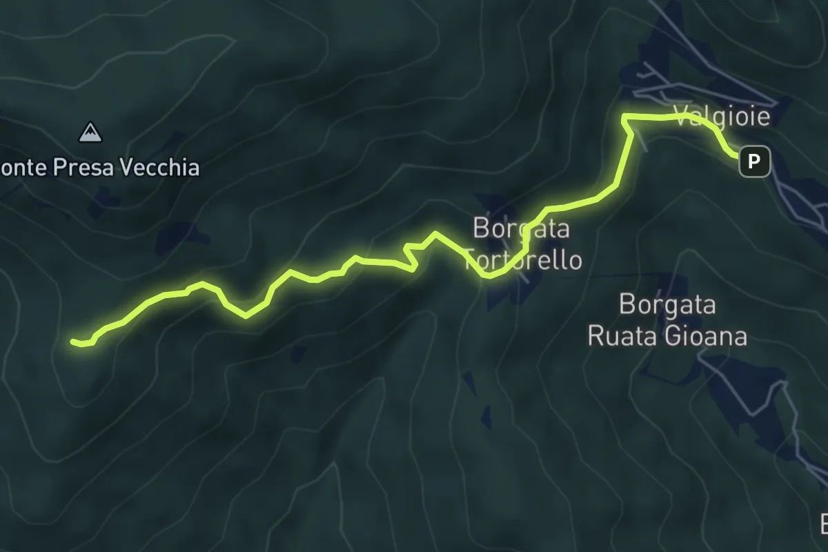
Easy · Trail
Borgata Chiodrero – Bivio 436-438
6.1 km · ↑ 292 m · 2 h 4 min
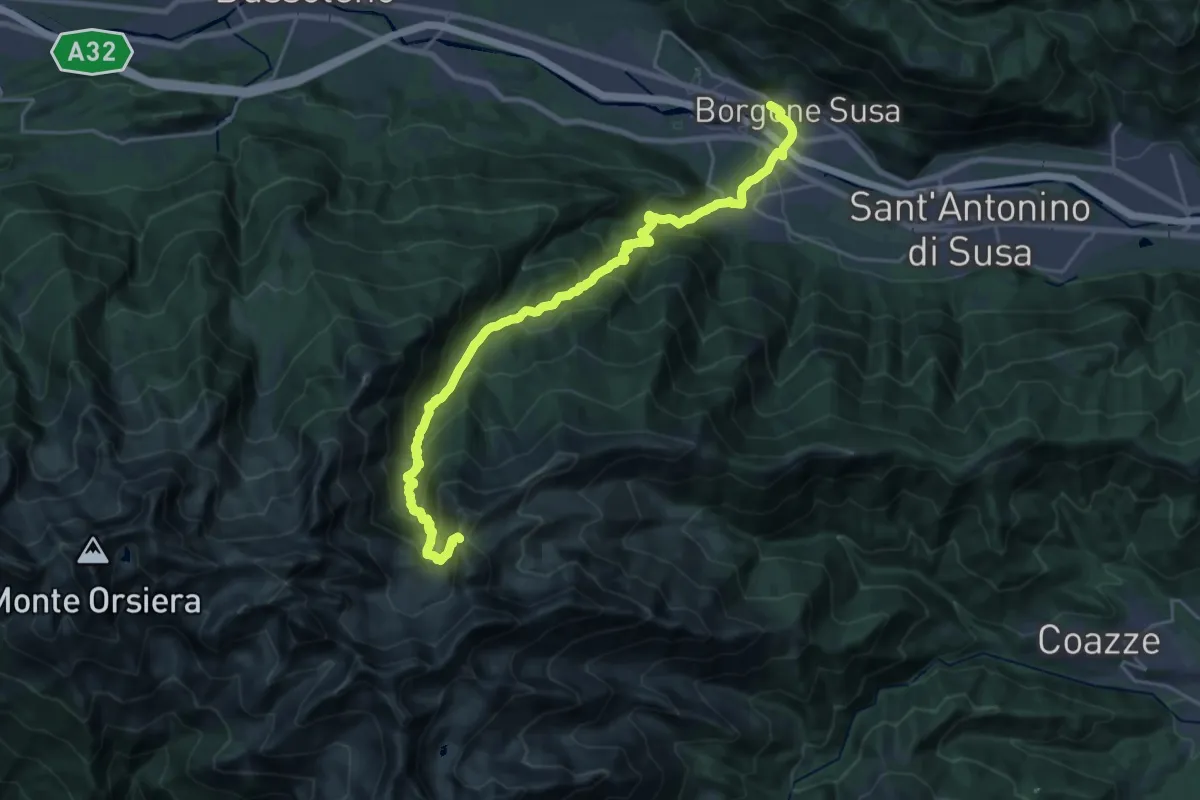
Demanding · Trail
Borgone di Susa, Stazione – Bivio 420-444-506, Colle del Vento
12.4 km · ↑ 1824 m · 6 h 9 min
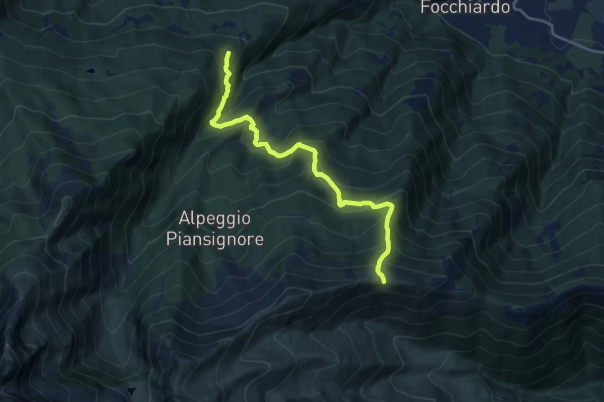
Demanding · Trail
San Giorio di Susa, Borgata Adret – Colletto di Pian dell'Orso
11.1 km · ↑ 938 m · 4 h 40 min