Trails in Italy
25,219 hiking trails, each with its route, climb, walking time and grade.
All trails, page 432 of 526
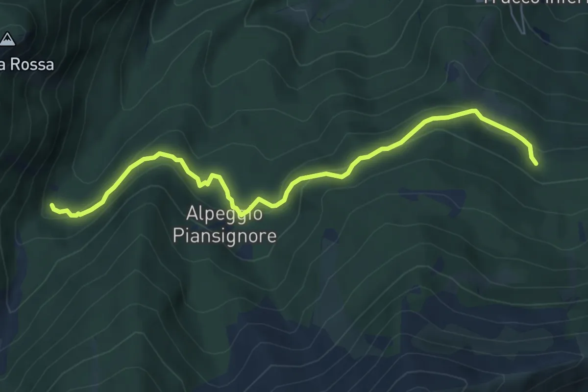
Medium · Cabin
Rifugio GEAT-Val Gravio – Fontana del Vallone
6.5 km · ↑ 332 m · 2 h 15 min
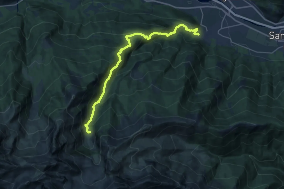
Demanding · Trail
Villar Focchiardo, località Sant'Anna – Pra da Sal presso Mustione
18.4 km · ↑ 1332 m · 7 h 13 min
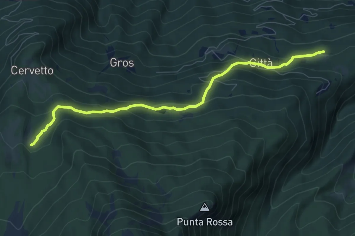
Medium · Cabin
Frazione Città, bivio TOS513-TOS512 – Rifugio Onelio Amprimo, bivio TOS510-TOS513-TOS521
7.8 km · ↑ 415 m · 2 h 44 min
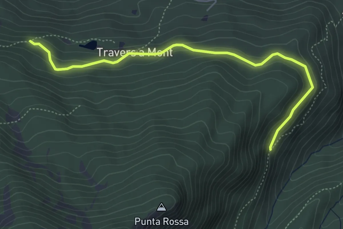
Easy · Trail
Bivio 512-513A, Passet – Bivio 513-513A, Paradiso delle Rane
5.4 km · ↑ 200 m · 1 h 43 min
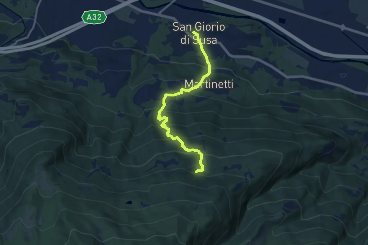
Medium · Trail
San Giorio di Susa – Frazione Città, bivio TOS513-TOS513B
7.8 km · ↑ 691 m · 3 h 20 min
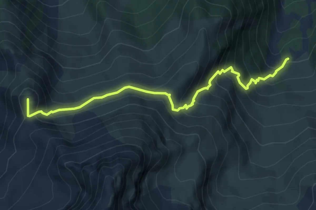
Medium · Summit
Bussoleno, Pian del Roc, bivio TOS510-TOS519 – Mattie, Bergeria dell'Orsiera, bivio TOS514-TOS519
6.6 km · ↑ 640 m · 2 h 57 min
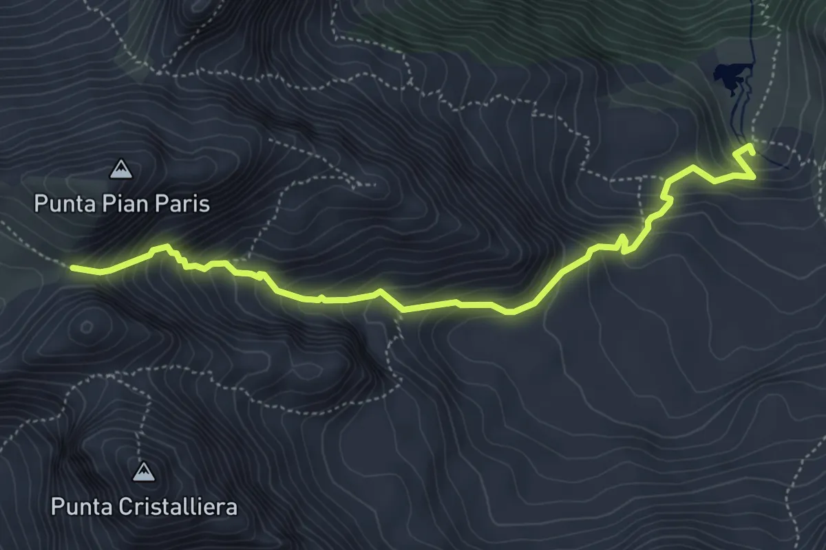
Medium · Trail
Lago Rosso, bivio TOS506-TOS508 – Colle Inferiore di Malanotte, bivio TOS338-TOS508
5.5 km · ↑ 647 m · 2 h 42 min
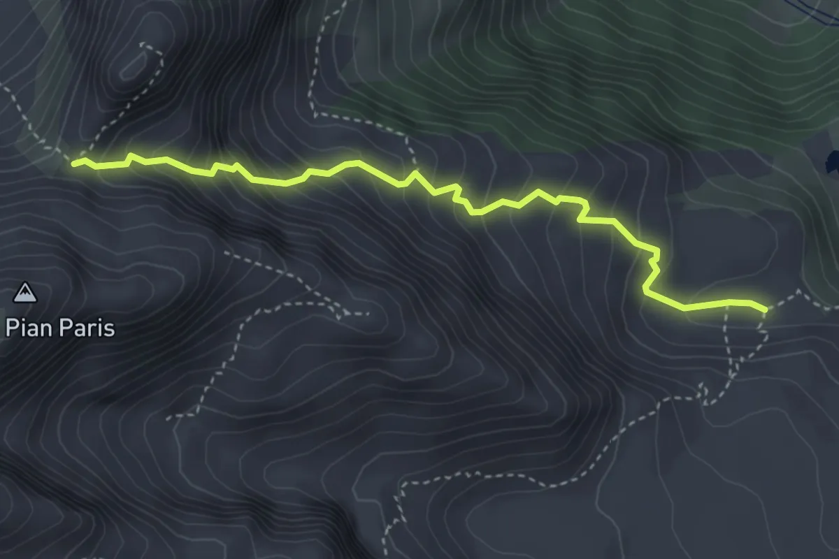
Medium · Trail
Alpe Piano delle Cavalle, TO508-TOS509 – Porta del Villano, bivio TOS511-TOS509
4.0 km · ↑ 456 m · 1 h 56 min
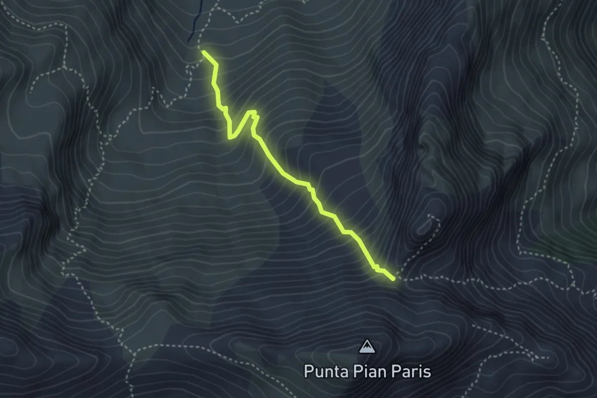
Medium · Trail
Balmerotto, bivio TOS510-TOS511 – Porta del Villano, bivio TOS511-TOS509
3.3 km · ↑ 520 m · 1 h 54 min
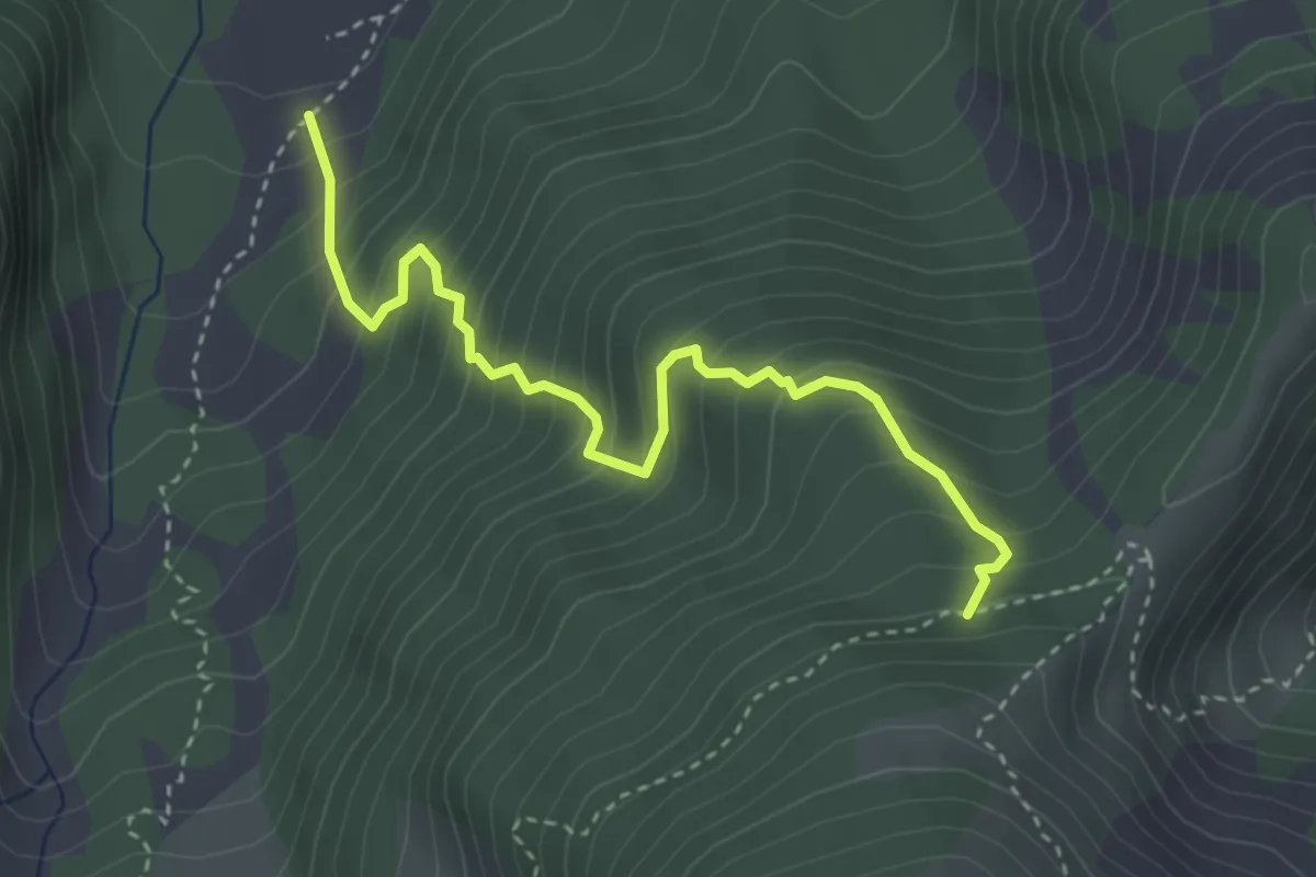
Medium · Trail
Balmetta, bivio TOS510-TOS516 – Alpe Aciano, bivio TOS517-TOS516
3.7 km · ↑ 482 m · 1 h 55 min
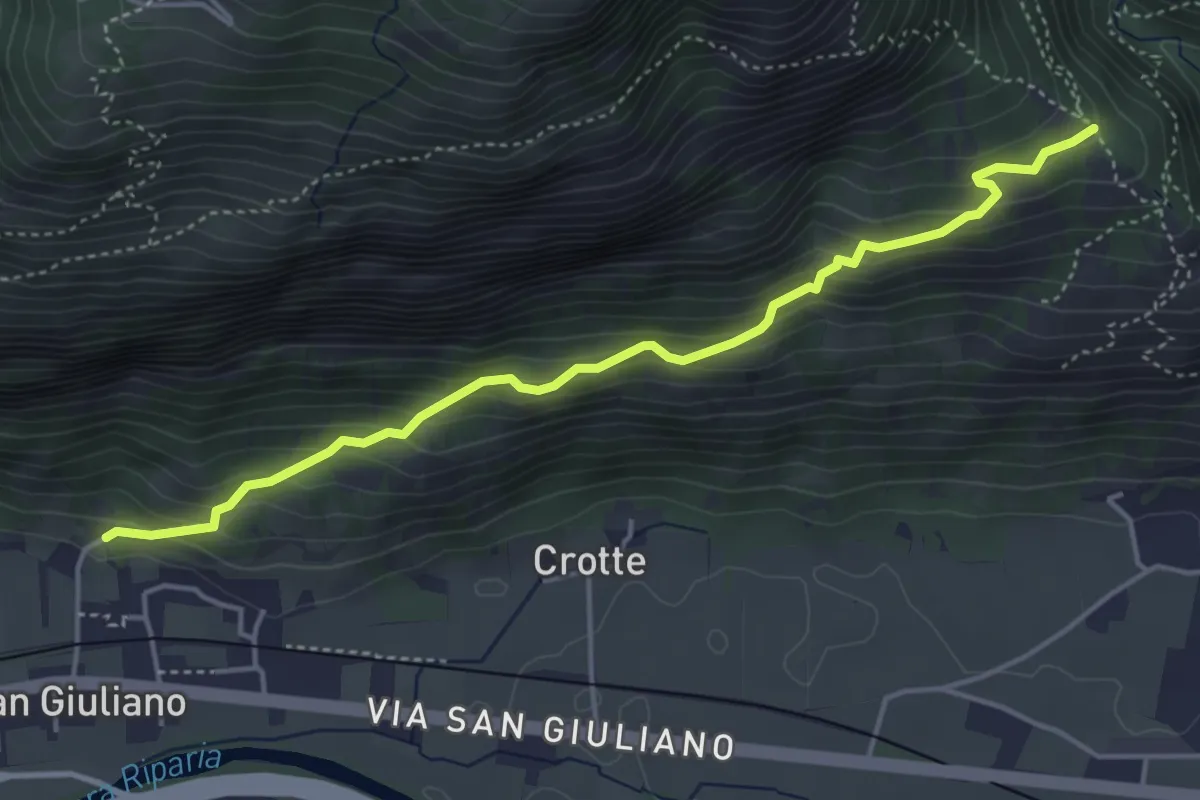
Medium · Trail
Ambruna – Bivio 536-560, Coste
4.7 km · ↑ 380 m · 1 h 56 min
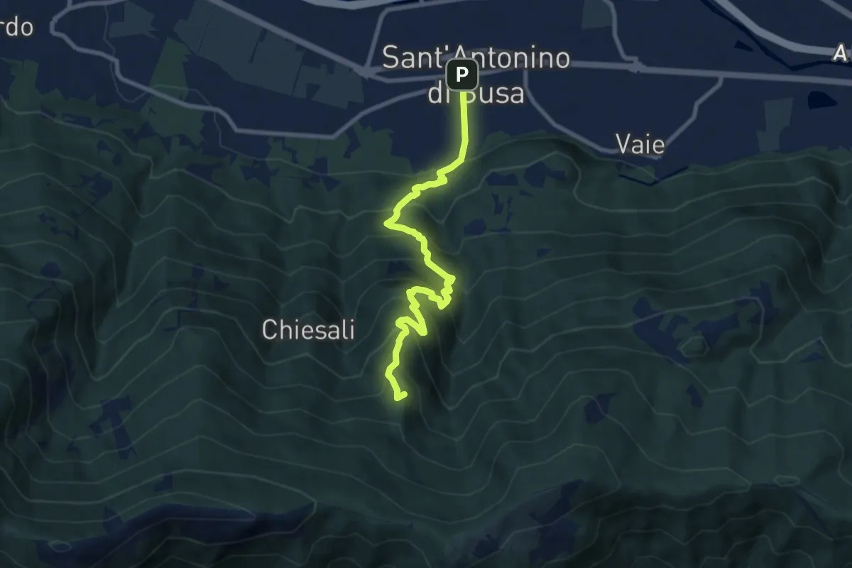
Medium · Summit
Sant'Antonino – Colle Bione
8.6 km · ↑ 794 m · 3 h 45 min
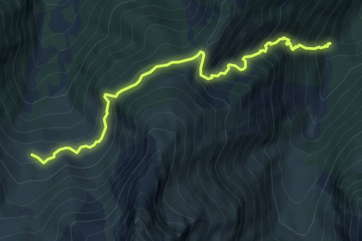
Demanding · Trail
Rifugio Valgravio, bivio TOS512-TOS517 – Alpe di mezzo, bivio TOS510-TOS517
7.9 km · ↑ 842 m · 3 h 42 min
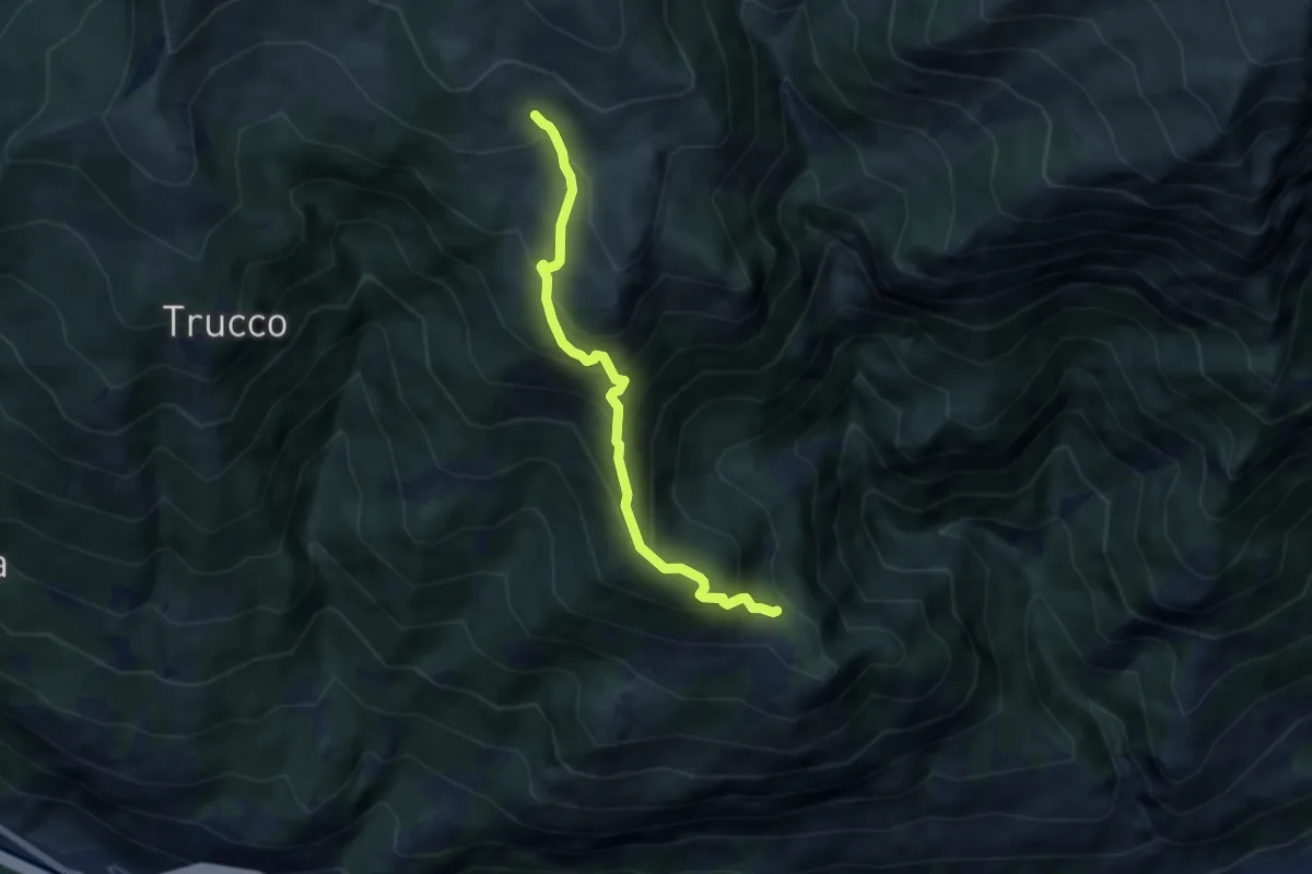
Medium · Trail
Bivio 535-559-560, Chiamberlando – Bivio 529-559, strada per Alpe Tour
6.3 km · ↑ 641 m · 2 h 52 min
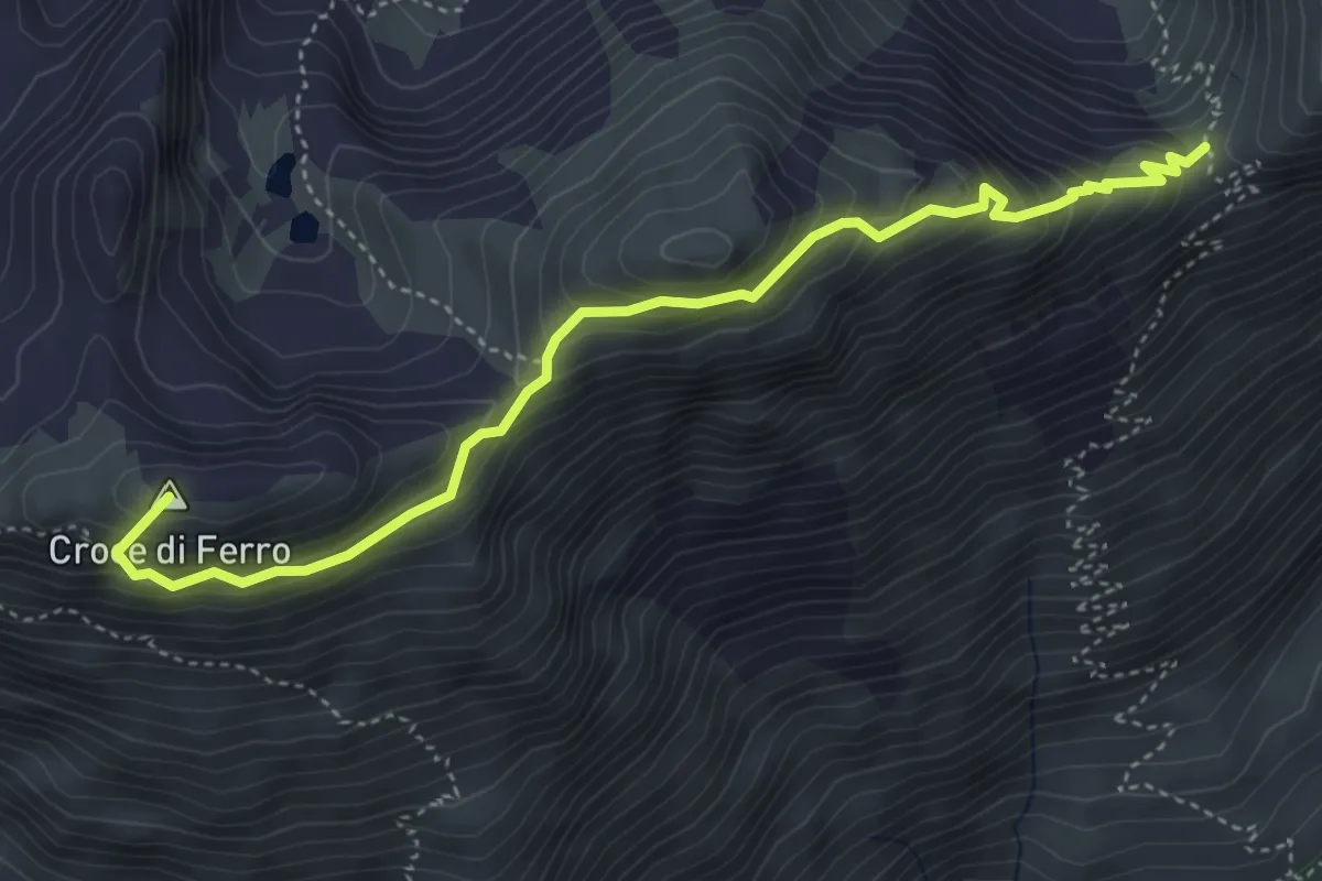
Demanding · Summit
Bivio 113-531, Colle Coupe – Bivio 531-560, Colle Croce di Ferro
4.8 km · ↑ 495 m · 2 h 13 min
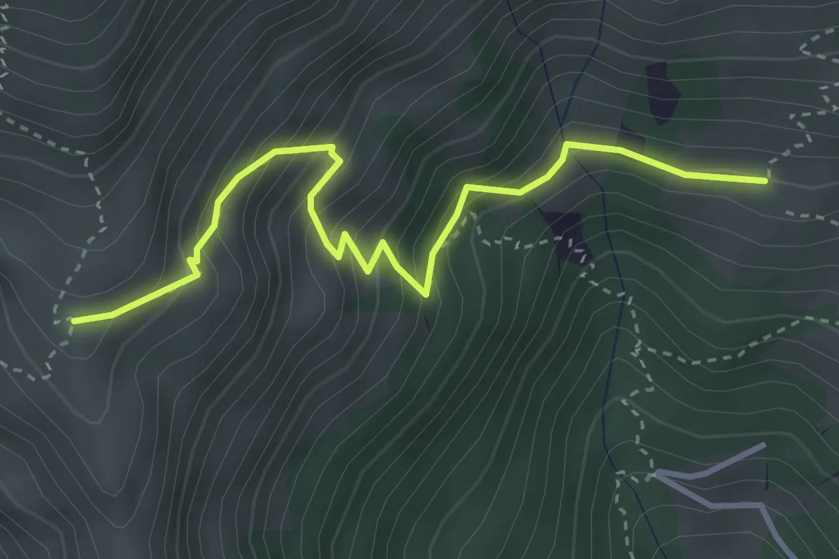
Medium · Trail
Bivio 532-565-565A, Alpe Druge – Bivio 540-565A, Grange Balmafol
3.6 km · ↑ 403 m · 1 h 43 min
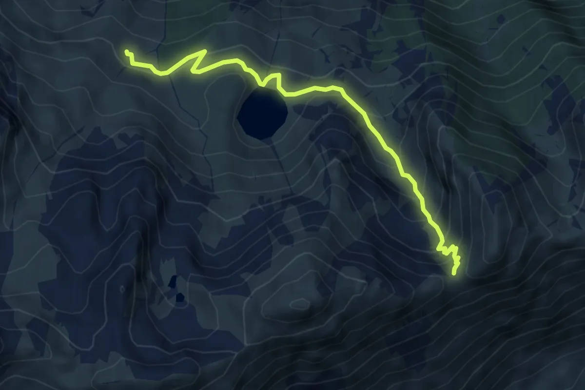
Medium · Trail
Bivio 113-114 – Bivio 113-565, Colle Coupe
6.0 km · ↑ 415 m · 2 h 19 min
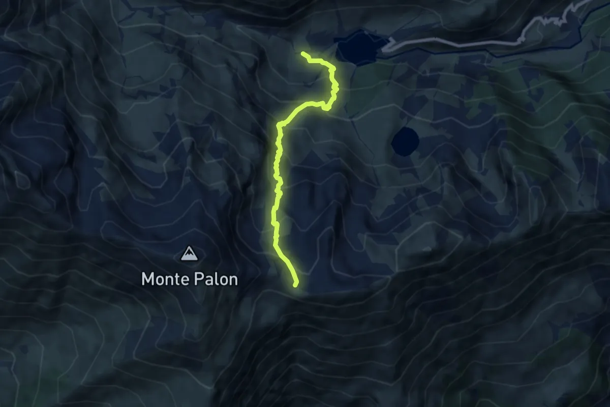
Medium · Trail
Bivio 111-114, Malciaussia – Bivio 114-560, Colle Croce di Ferro
6.6 km · ↑ 728 m · 3 h 8 min
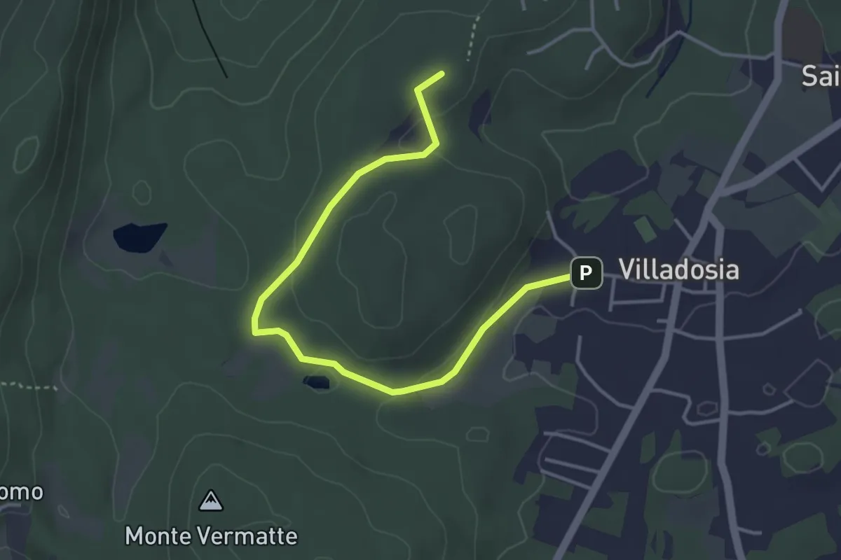
Easy · Trail
Via Santa Maria – Cascina Bruciata
4.3 km · ↑ 84 m · 1 h 12 min
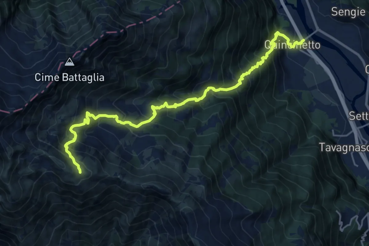
Demanding · Trail
Quincinetto – Bivio 719-831, Colle di Pian Spergiurati
8.9 km · ↑ 1793 m · 5 h 14 min
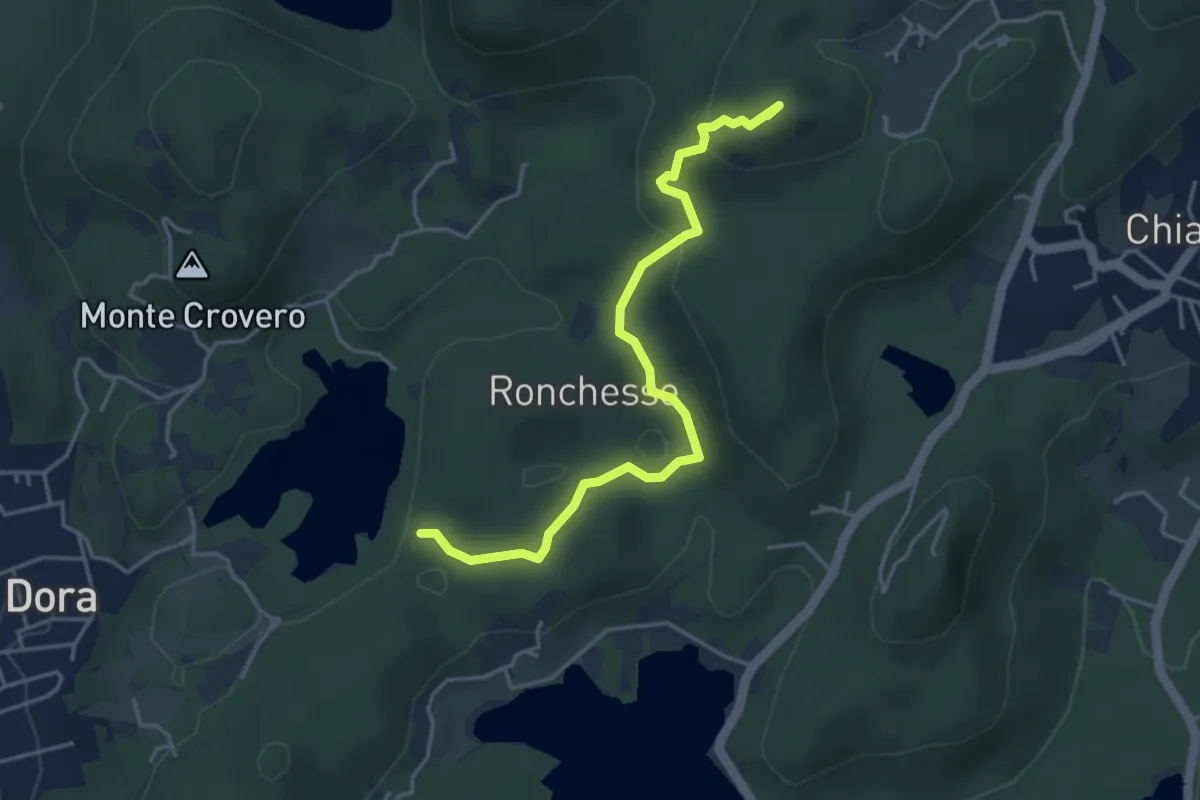
Easy · Summit
Bivio 120-121, Lago Pistono – Bivio TON860-TOP121-TOP121A, Ponte della Gaietta
4.4 km · ↑ 137 m · 1 h 21 min
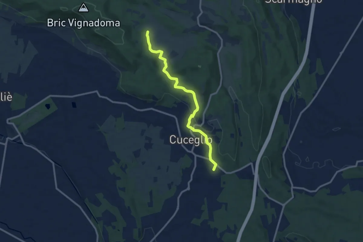
Easy · Trail
Bivio 100A-126, Truc Cumie – Bivio 100-100A, San Nicolao
7.8 km · ↑ 183 m · 2 h 14 min
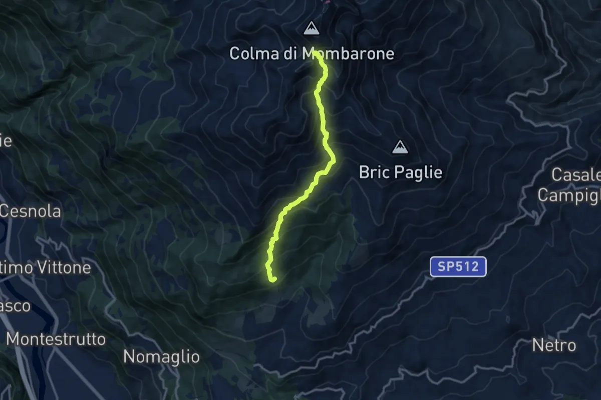
Demanding · Trail
Andrate, San Giacomo – Bocchetta di Quarn
9.8 km · ↑ 1006 m · 4 h 29 min
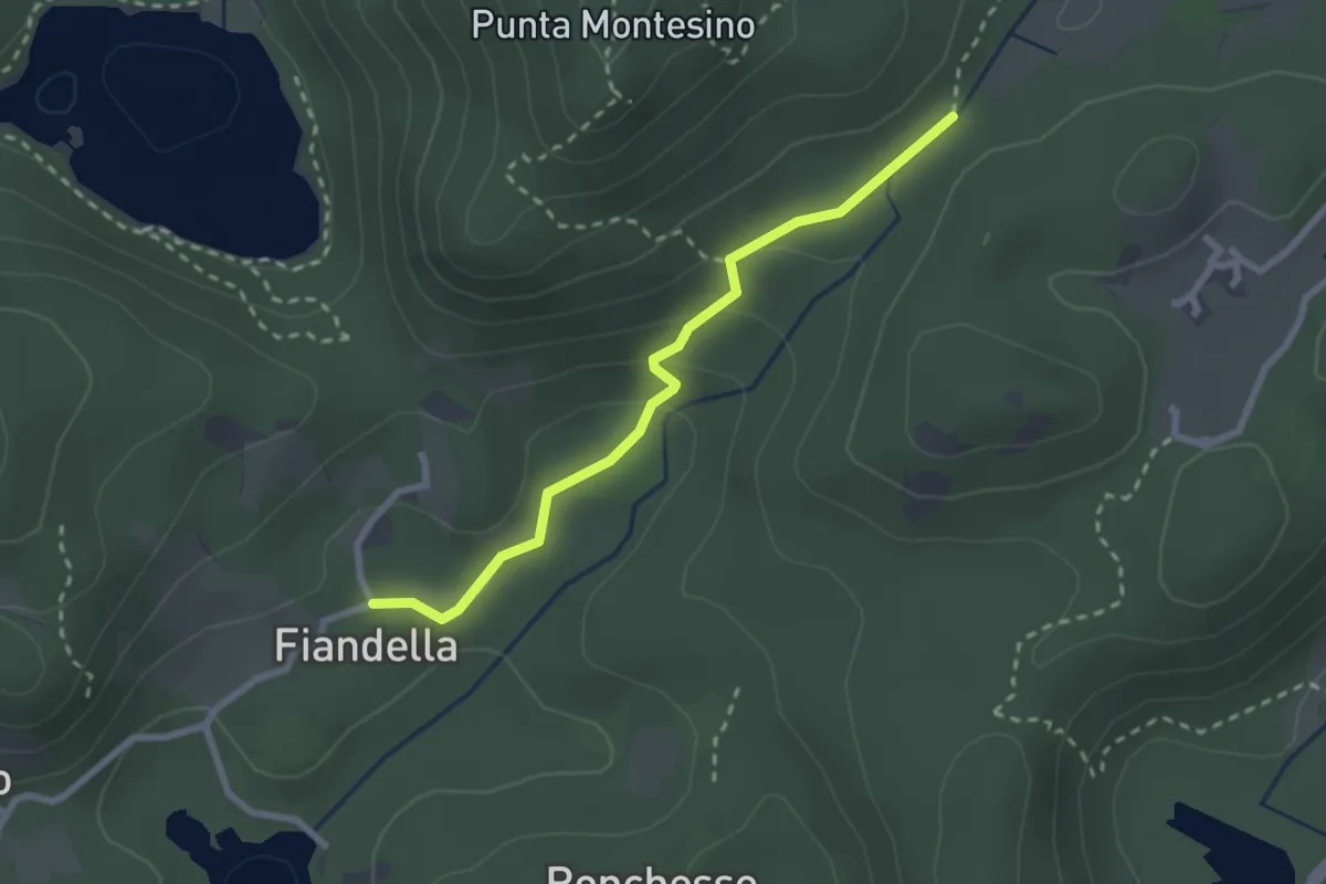
Easy · Trail
Bivio 120-121A, Case Ronzetto – Bivio 860-121-121A, Ponte della Gaietta
2.5 km · ↑ 85 m · 46 min
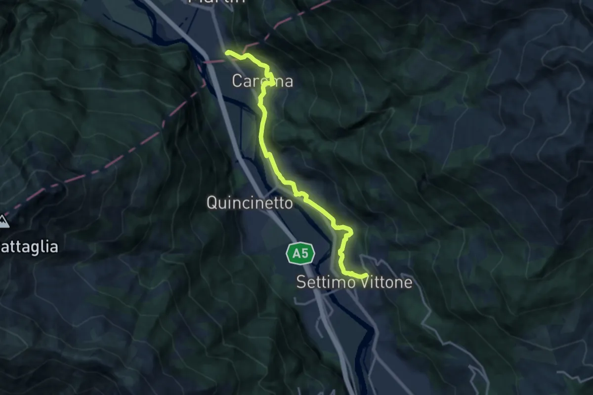
Medium · Trail
San Rocco – Bivio 801-852
13.3 km · ↑ 347 m · 3 h 54 min
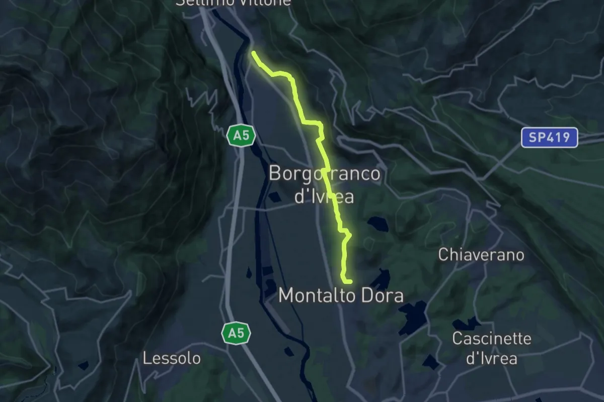
Medium · Trail
Bivio 802-852, Montestrutto – Bivio 802- 122
13.4 km · ↑ 114 m · 3 h 25 min
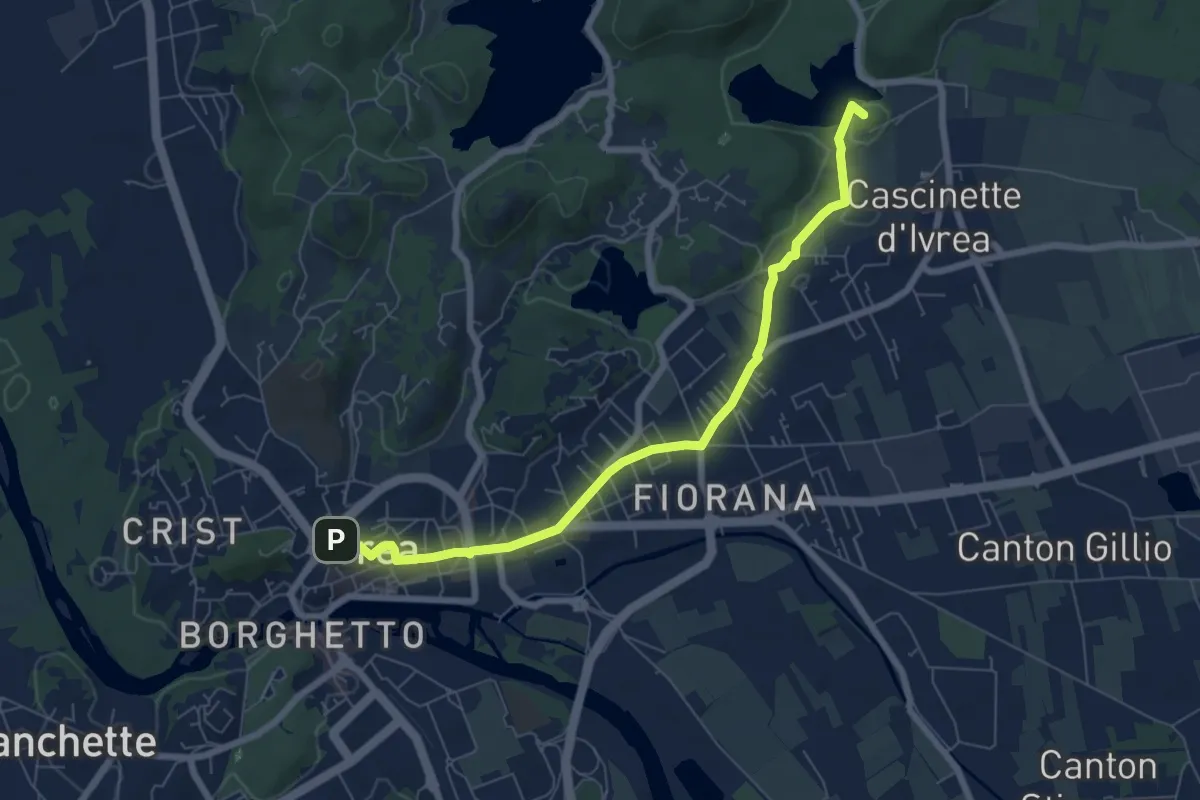
Easy · Summit
Bivio 120-124, Ivrea – Bivio 124-125, Bollengo
7.2 km · ↑ 43 m · 1 h 48 min
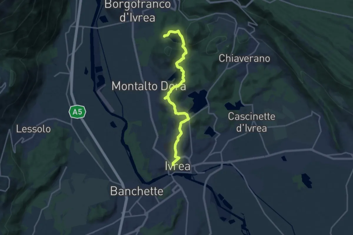
Medium · Trail
Bivio 120-124, Ivrea – Bivio 862-120-120C
13.3 km · ↑ 321 m · 3 h 50 min
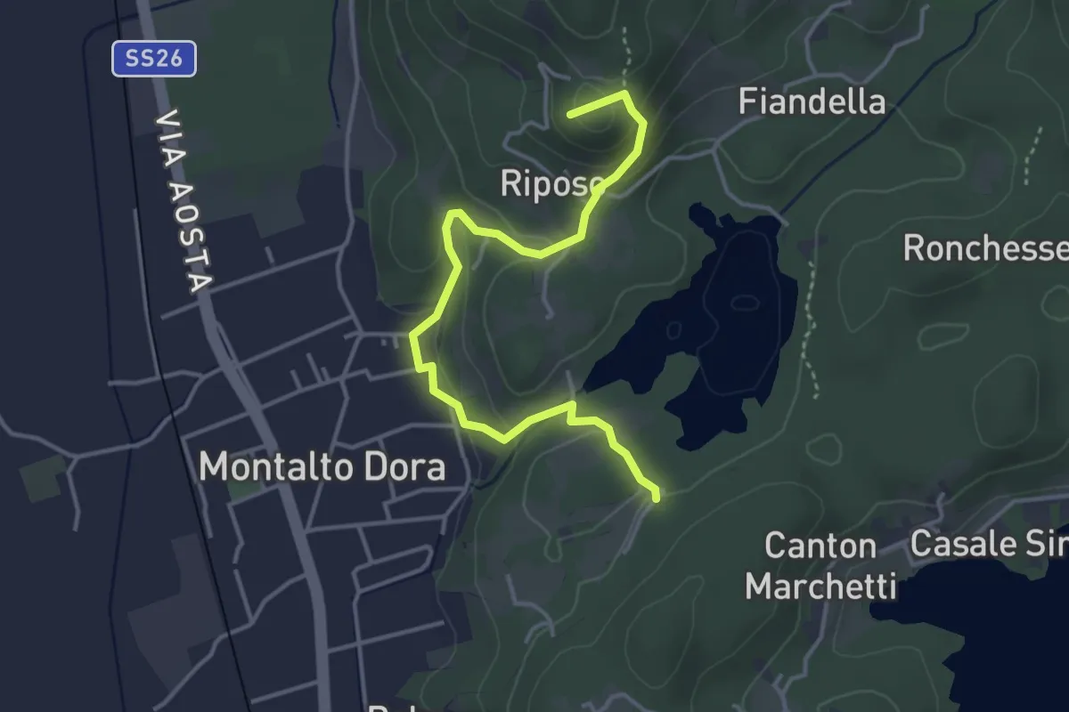
Easy · Summit
Bivio 120-122, presso Lago Pistono – Monte di Maggio
4.2 km · ↑ 174 m · 1 h 22 min
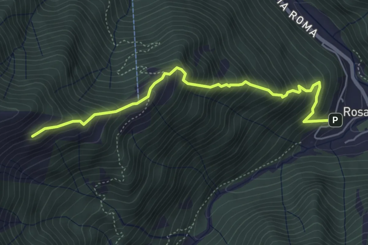
Medium · Trail
Bivio B30-B31 – Brengola
5.0 km · ↑ 685 m · 2 h 39 min
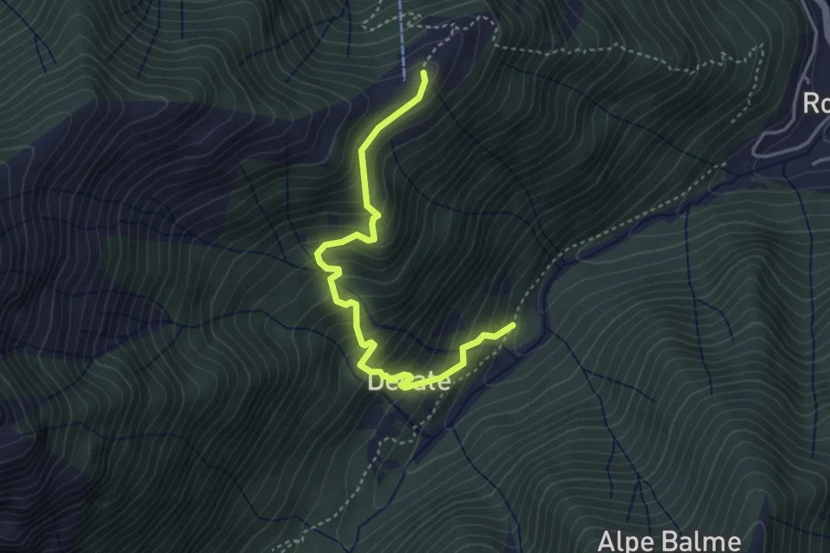
Medium · Cabin
Bivio E30-E32, Desate – Cascine La Sella
3.8 km · ↑ 426 m · 1 h 49 min
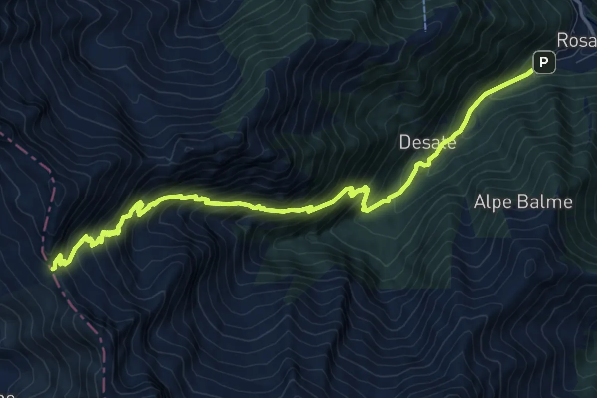
Demanding · Trail
Bivio E29-E30, Ponte Concresio – Colle della Gragliasca
12.1 km · ↑ 1312 m · 5 h 42 min
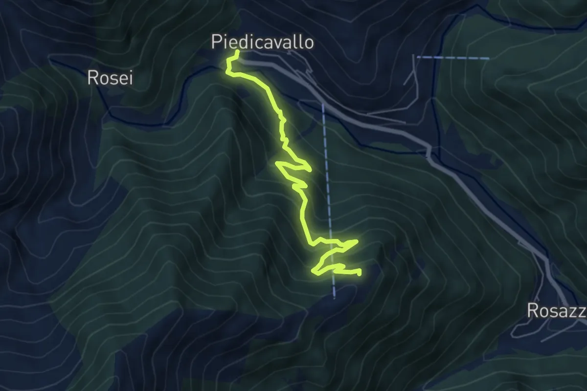
Medium · Cabin
Bivio E40-E50-E60, Piedicavallo – Cascine La Sella
5.8 km · ↑ 464 m · 2 h 22 min
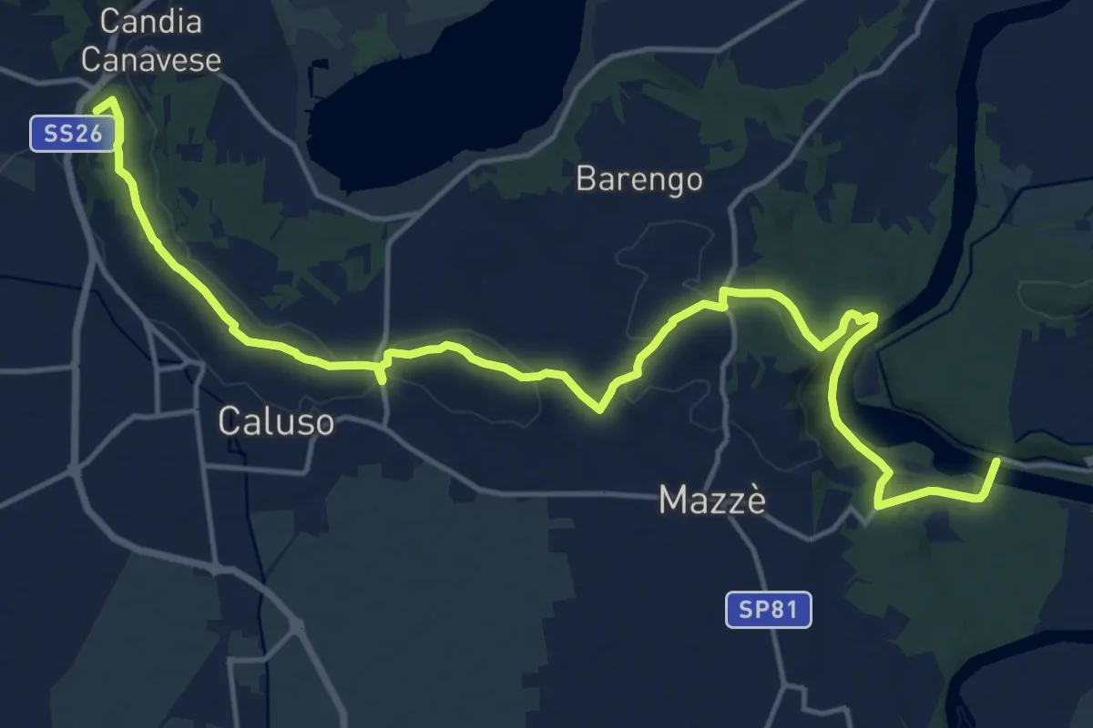
Demanding · Summit
Bivio 102-110-112, Ponte sulla Dora Baltea – Bivio 101-102, Candia Canavese
20.0 km · ↑ 351 m · 5 h 28 min
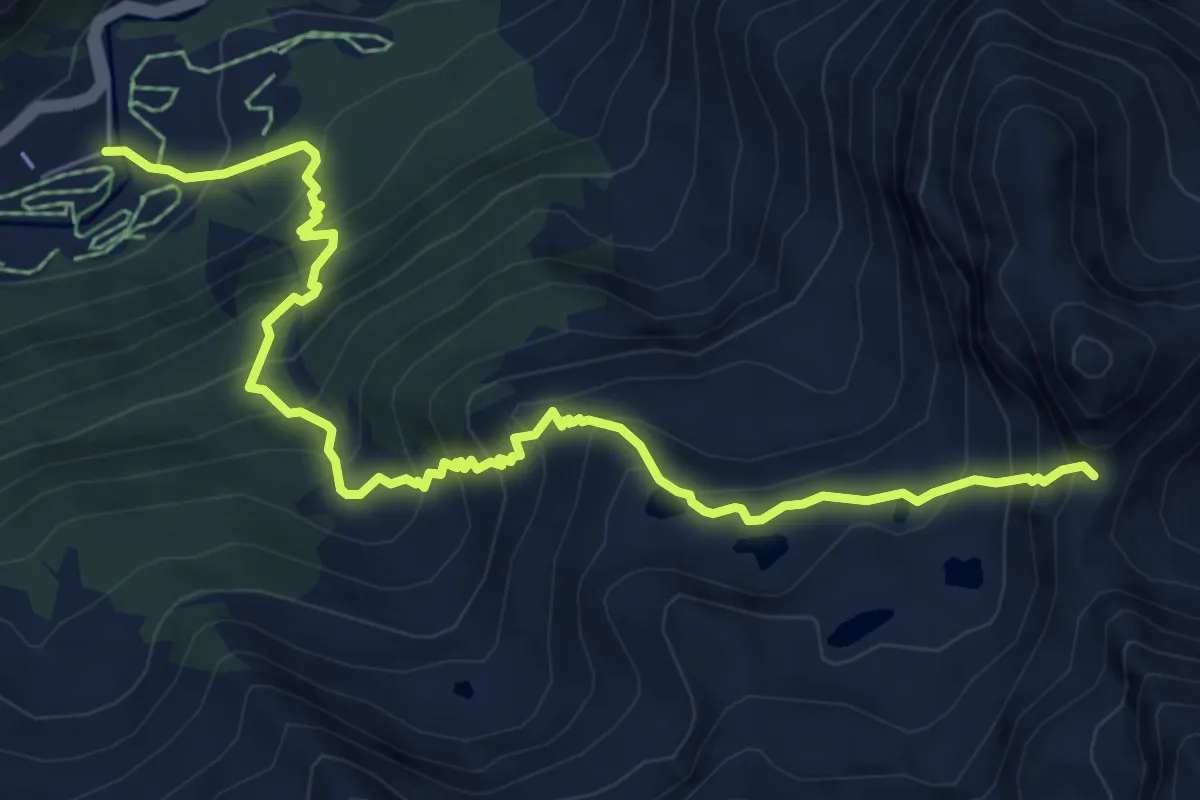
Demanding · Trail
Ghiarai – Bocchetta Fioria
7.9 km · ↑ 901 m · 3 h 49 min
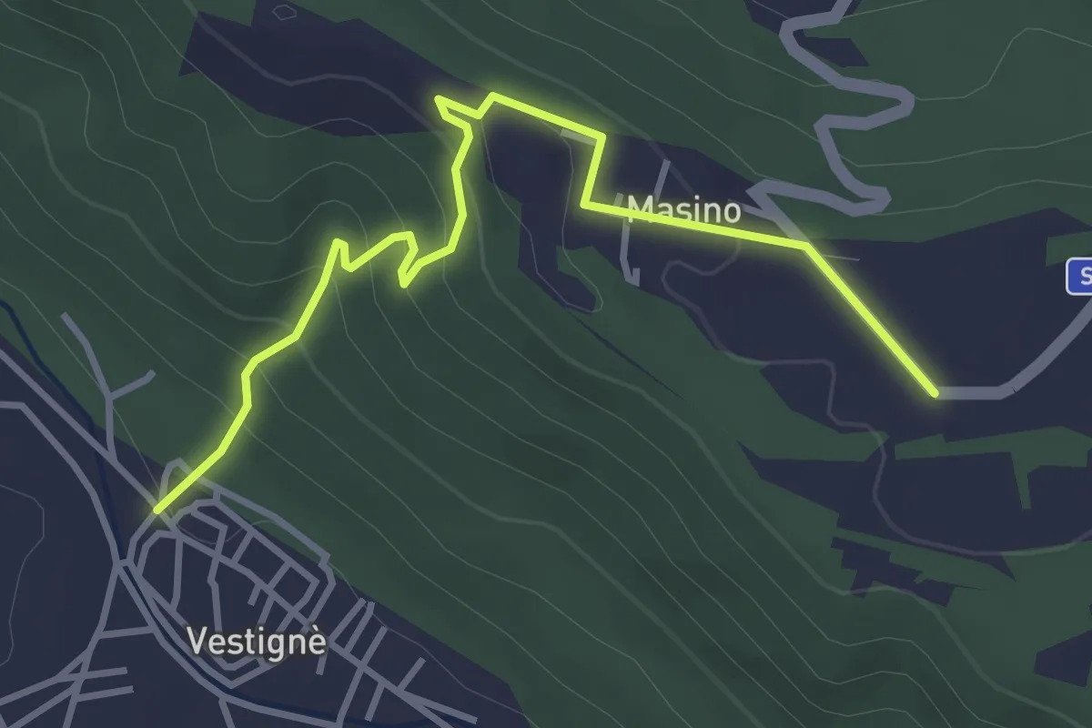
Easy · Trail
Vestignè – Masino, bivio TOP111-TOP113 presso Cascina del Pozzo
3.9 km · ↑ 210 m · 1 h 22 min
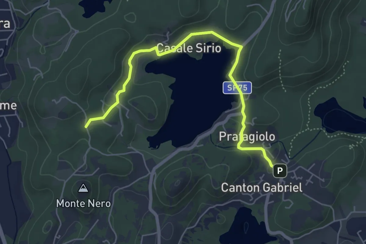
Easy · Trail
Ivrea Canton Gabriel – Ivrea, Località San Pietro
5.5 km · ↑ 96 m · 1 h 30 min
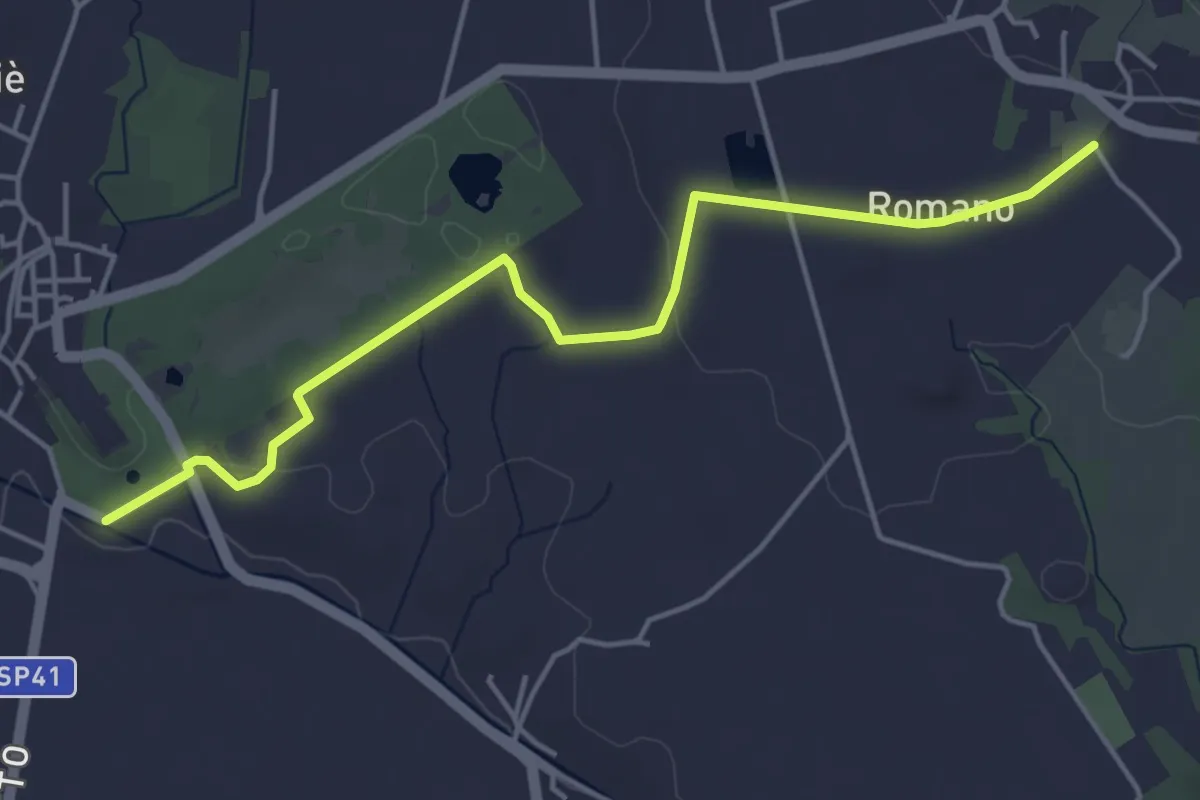
Easy · Trail
Bivio 132-135A, Castello di Aglié – Bivio 135-135A, San Grato
5.0 km · ↑ 78 m · 1 h 21 min
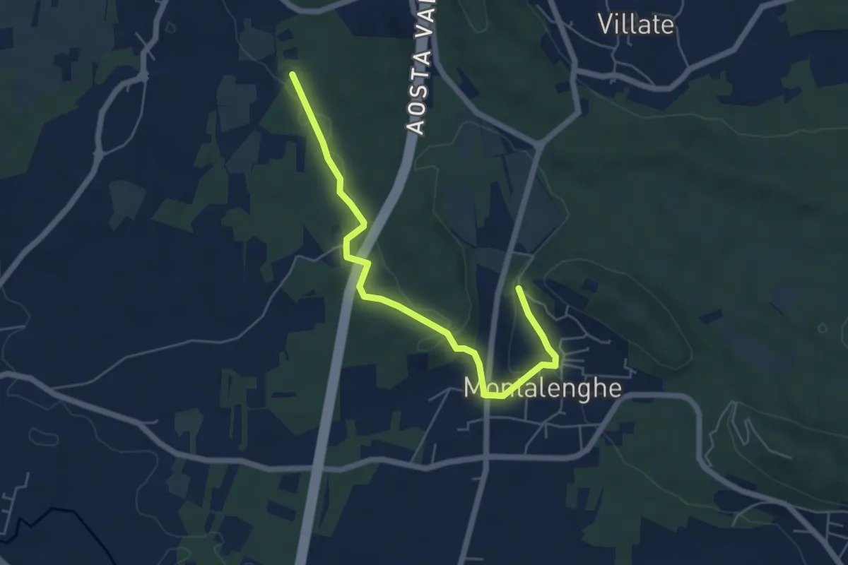
Easy · Trail
Bivio 104-136B, Montalenghe – Bivio 136-136B, Cuceglio
5.8 km · ↑ 96 m · 1 h 34 min
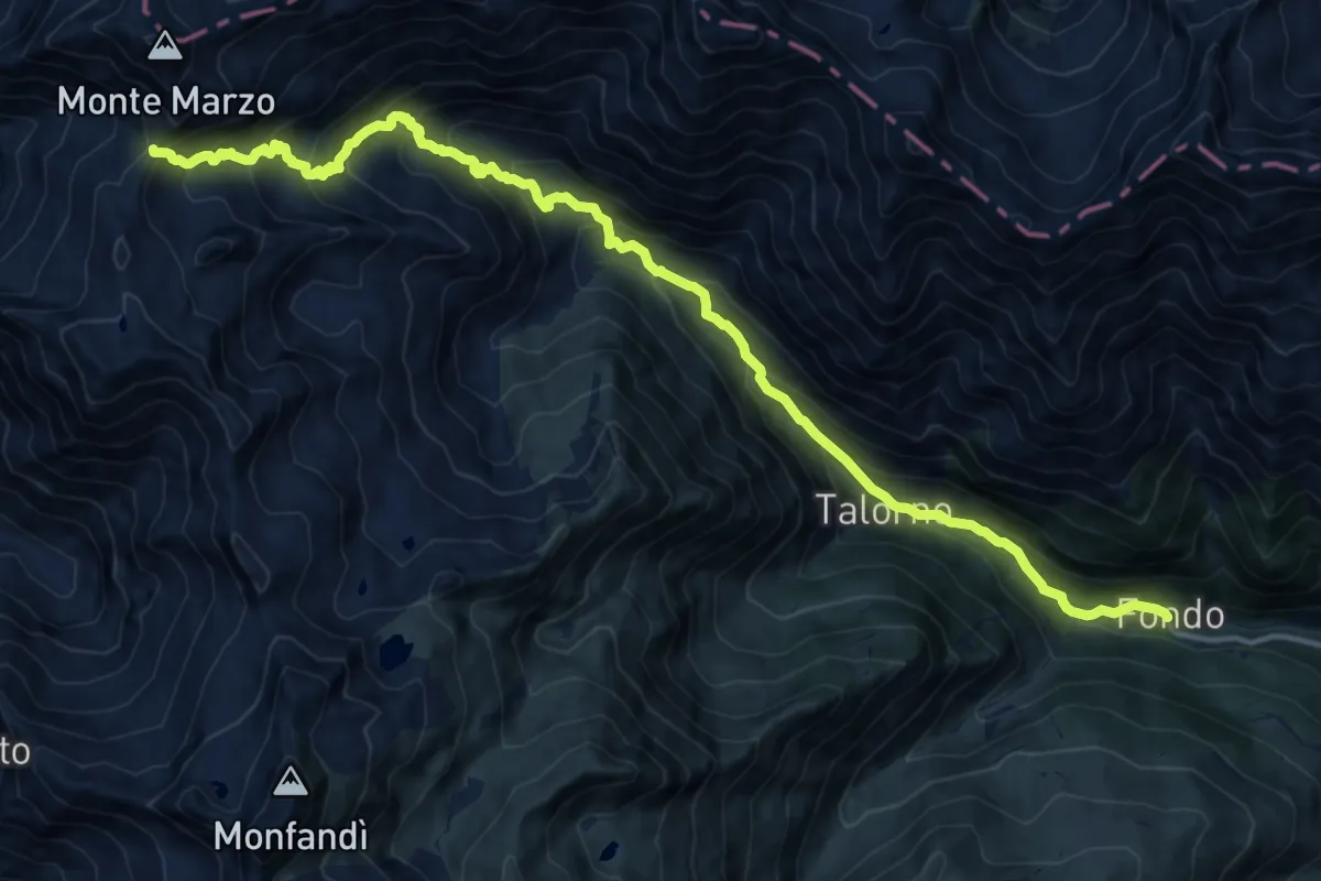
Demanding · Trail
Fondo – Bocchetta delle Oche
17.1 km · ↑ 1362 m · 6 h 59 min
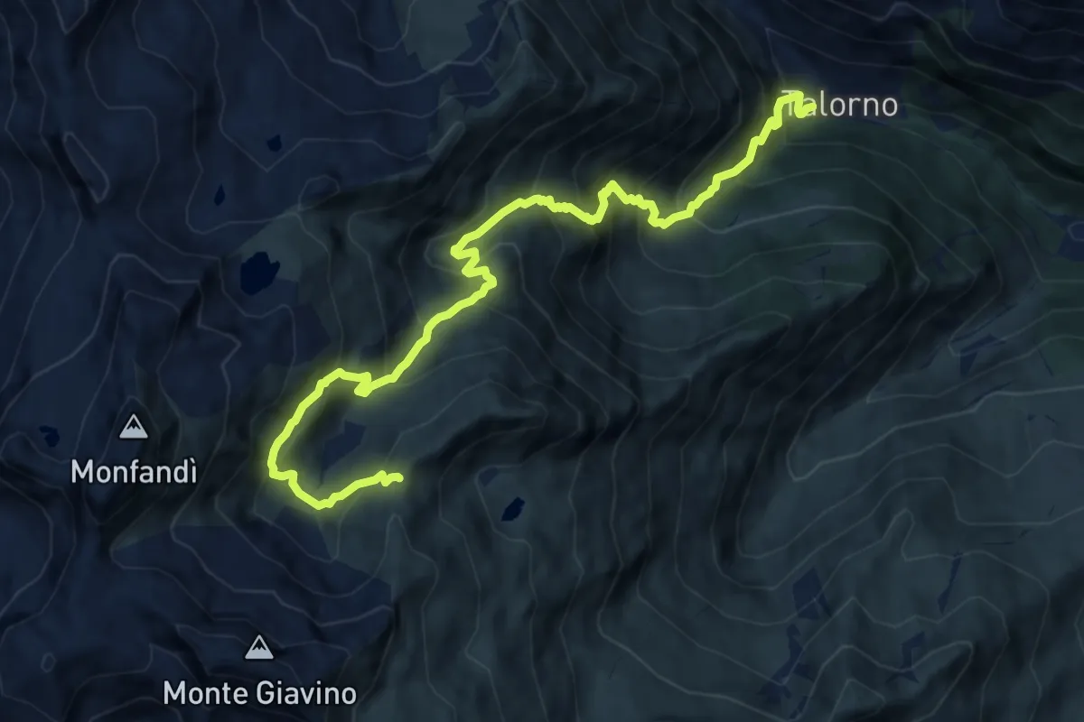
Demanding · Trail
Tallorno,bivio 708 – Collle della Furce, bivio 718
12.0 km · ↑ 1376 m · 5 h 49 min
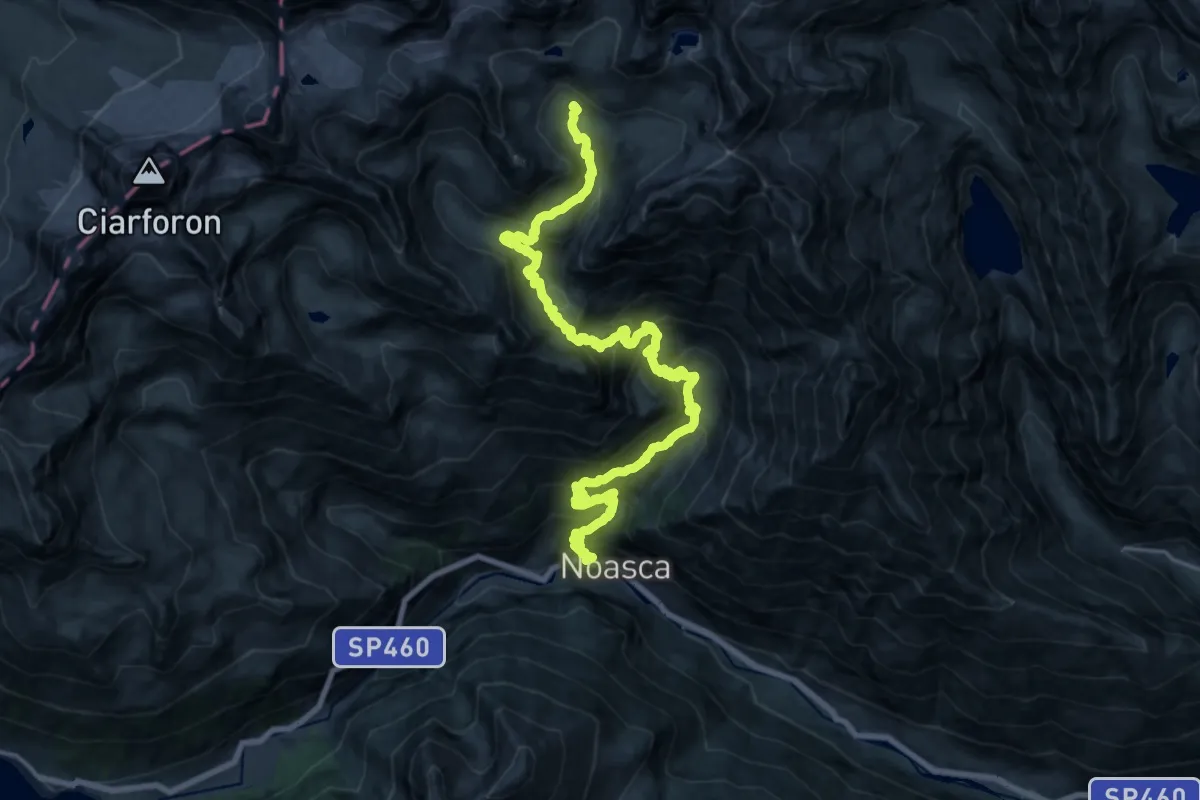
Demanding · Trail
Noasca, bivio TON548-TON552 su SS di Ceresole – Noasca, Bivacco Ivrea, Bivio TON548-TON548A
13.1 km · ↑ 334 m · 4 h 48 min
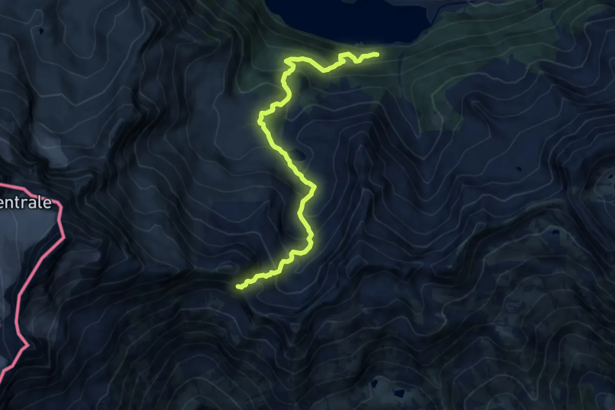
Demanding · Trail
Bivio 520-521, Villa Poma – Bivio 315A-318-521, Colle della Piccola
12.0 km · ↑ 1076 m · 5 h 9 min
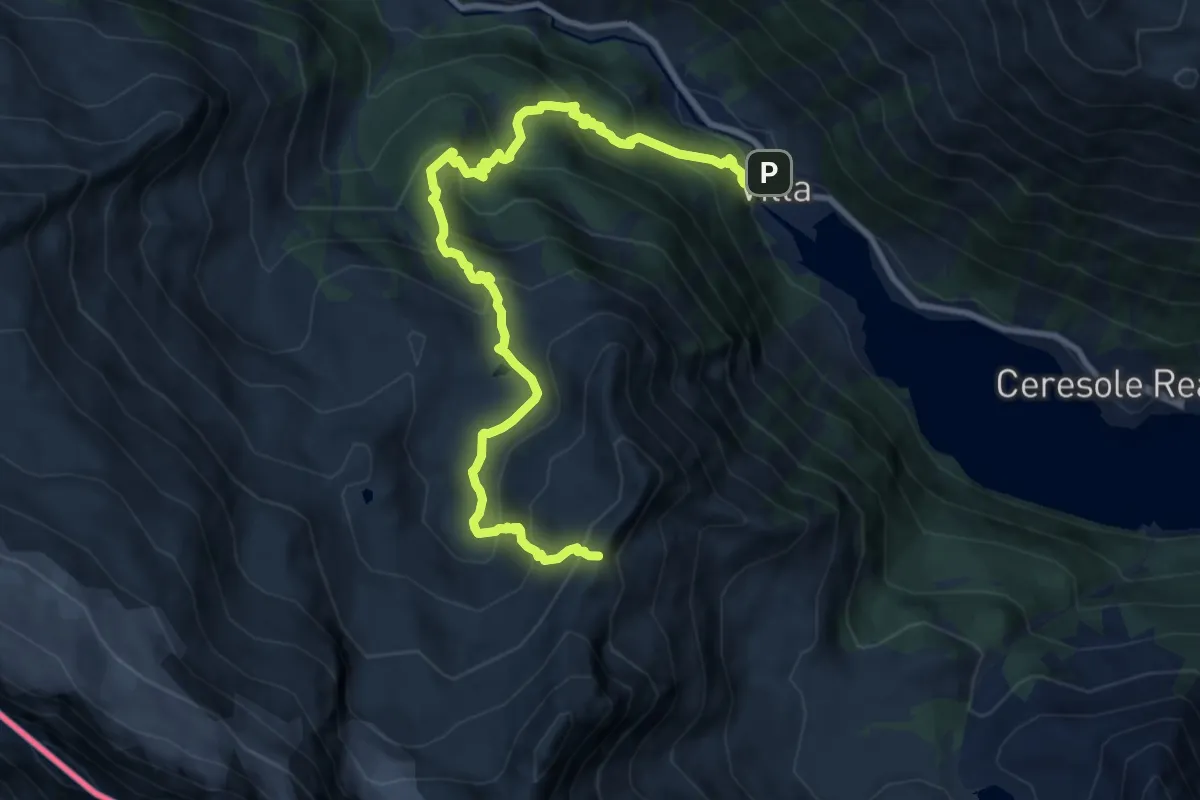
Demanding · Trail
Località Villa – Colle di Nel
12.1 km · ↑ 986 m · 4 h 59 min
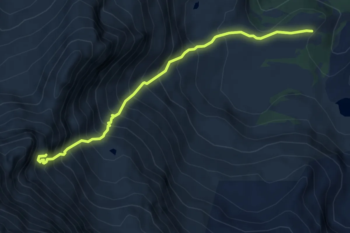
Expert · Trail
Bivio TON521-TON525 – Località Loslà, Rifugio Leonesi
5.9 km · ↑ 900 m · 3 h 21 min
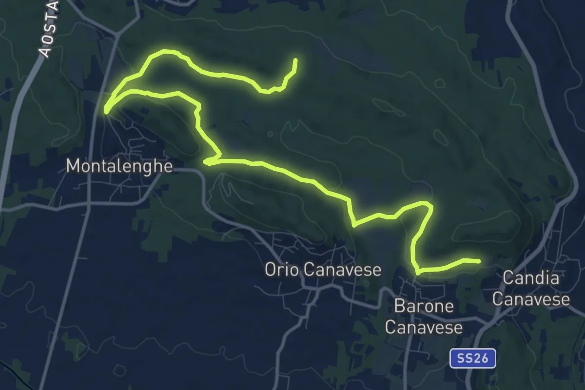
Medium · Trail
Bivio101-104, presso Torre – Bivio 101-104, costa Becchera
14.7 km · ↑ 223 m · 3 h 57 min
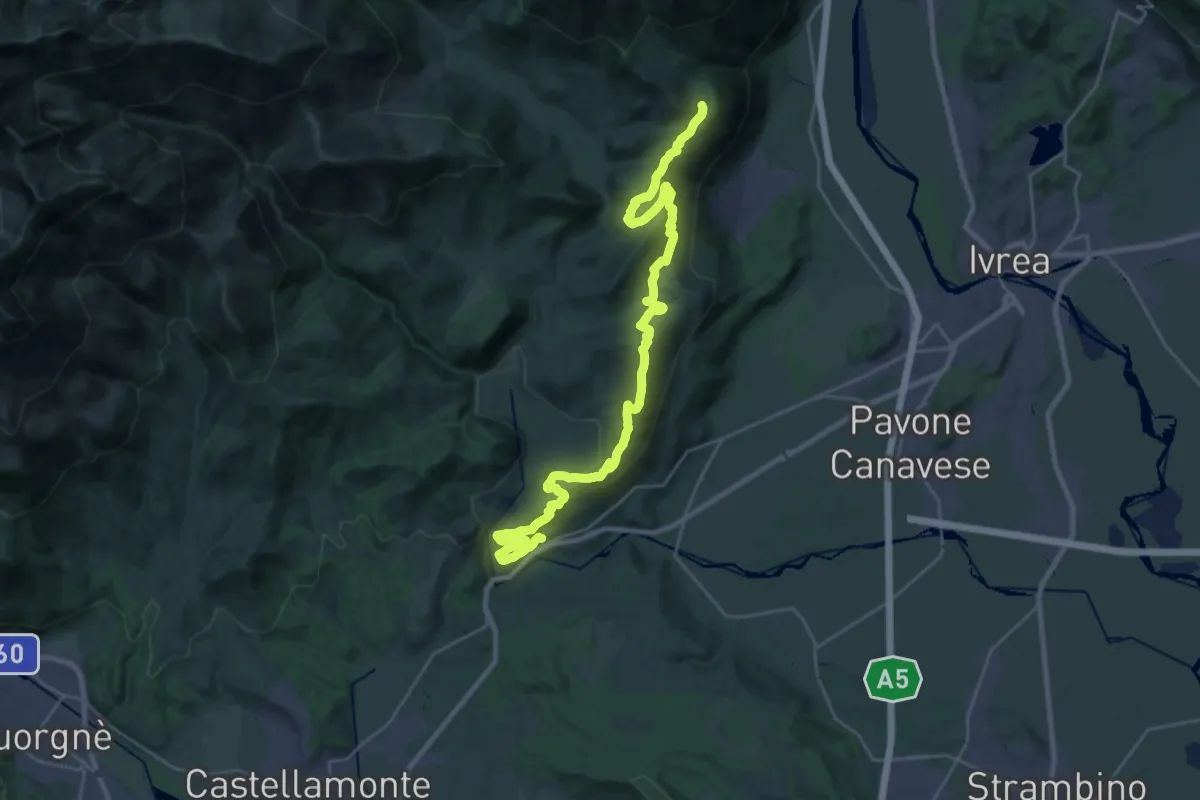
Medium · Trail
Strambinello, bivio 101 – Brosso, bivio 720-721
16.1 km · ↑ 287 m · 4 h 51 min
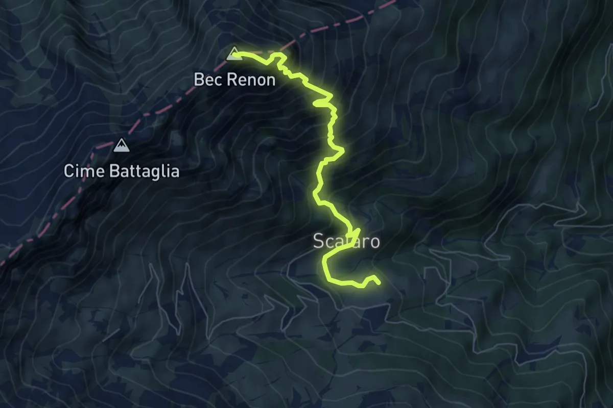
Demanding · Summit
Le Capanne, bivio TON831-TON834 – Bec Renon, bivio TON834-TON834A
6.6 km · ↑ 855 m · 3 h 24 min