Trails in Italy
25,219 hiking trails, each with its route, climb, walking time and grade.
All trails, page 433 of 526
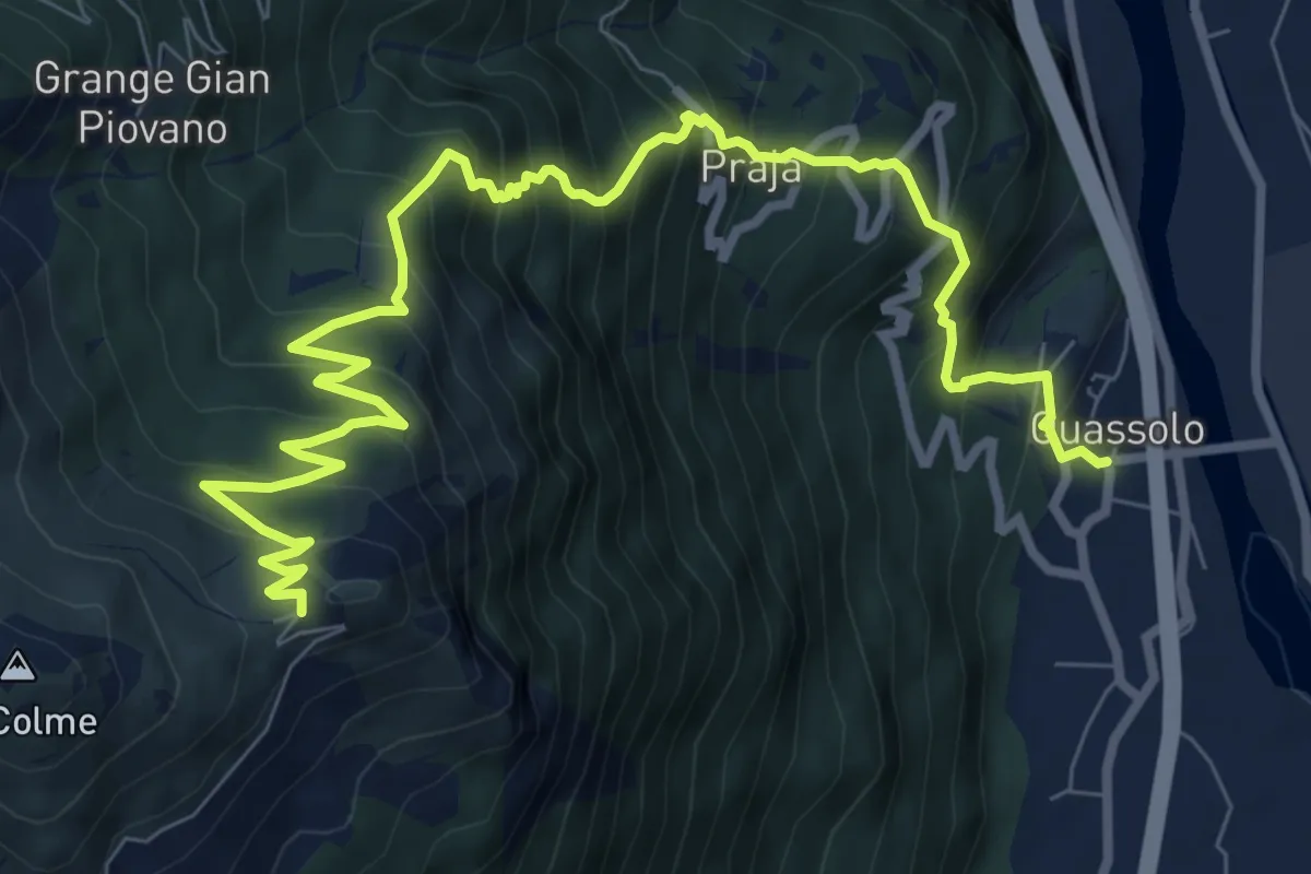
Demanding · Trail
Quassolo – Pian dei muli
11.5 km · ↑ 1172 m · 5 h 15 min
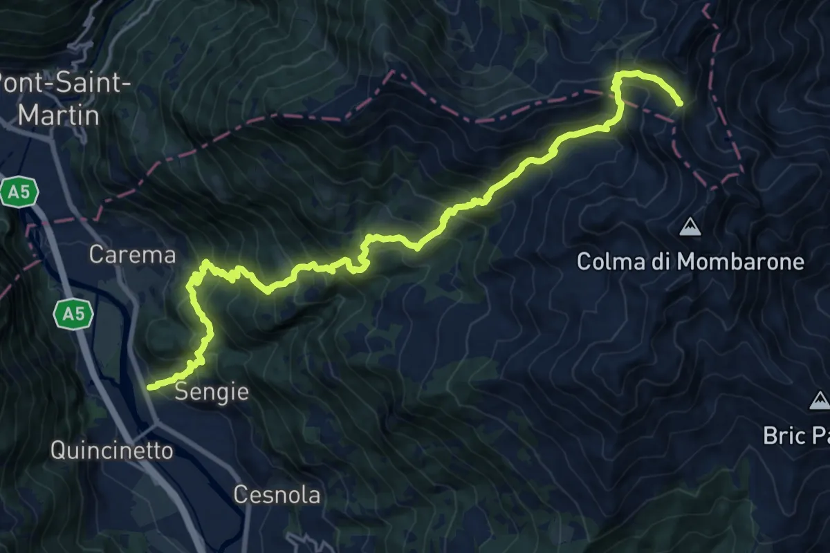
Demanding · Trail
Quincinetto (Ponte sulla Dora) – Colle della Lace
11.1 km · ↑ 1950 m · 6 h 6 min
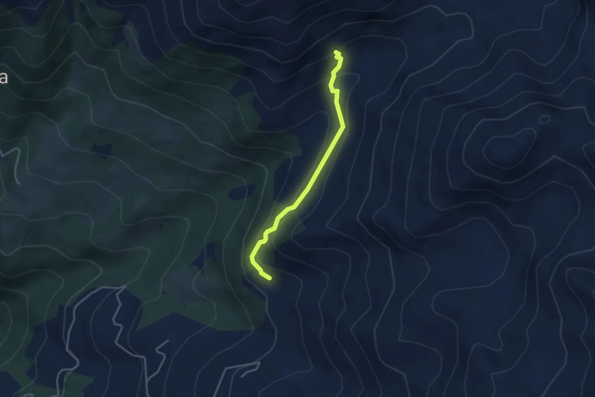
Medium · Trail
Casa Pianmaglio – Baita Alpetto
3.1 km · ↑ 208 m · 1 h 11 min
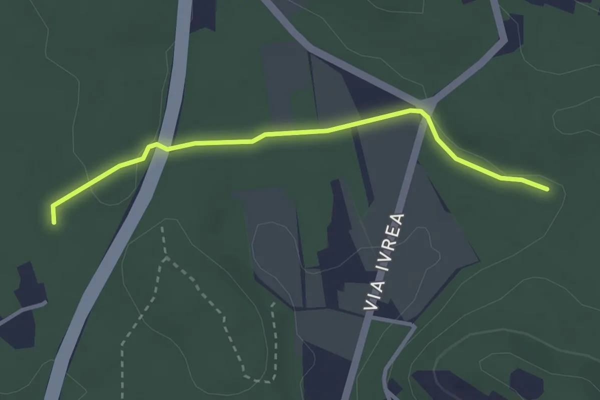
Easy · Trail
Bivio 126B-104A-104B, presso autostrada – Bivio 104-104A-104B, presso Montalenghe
2.7 km · ↑ 34 m · 43 min
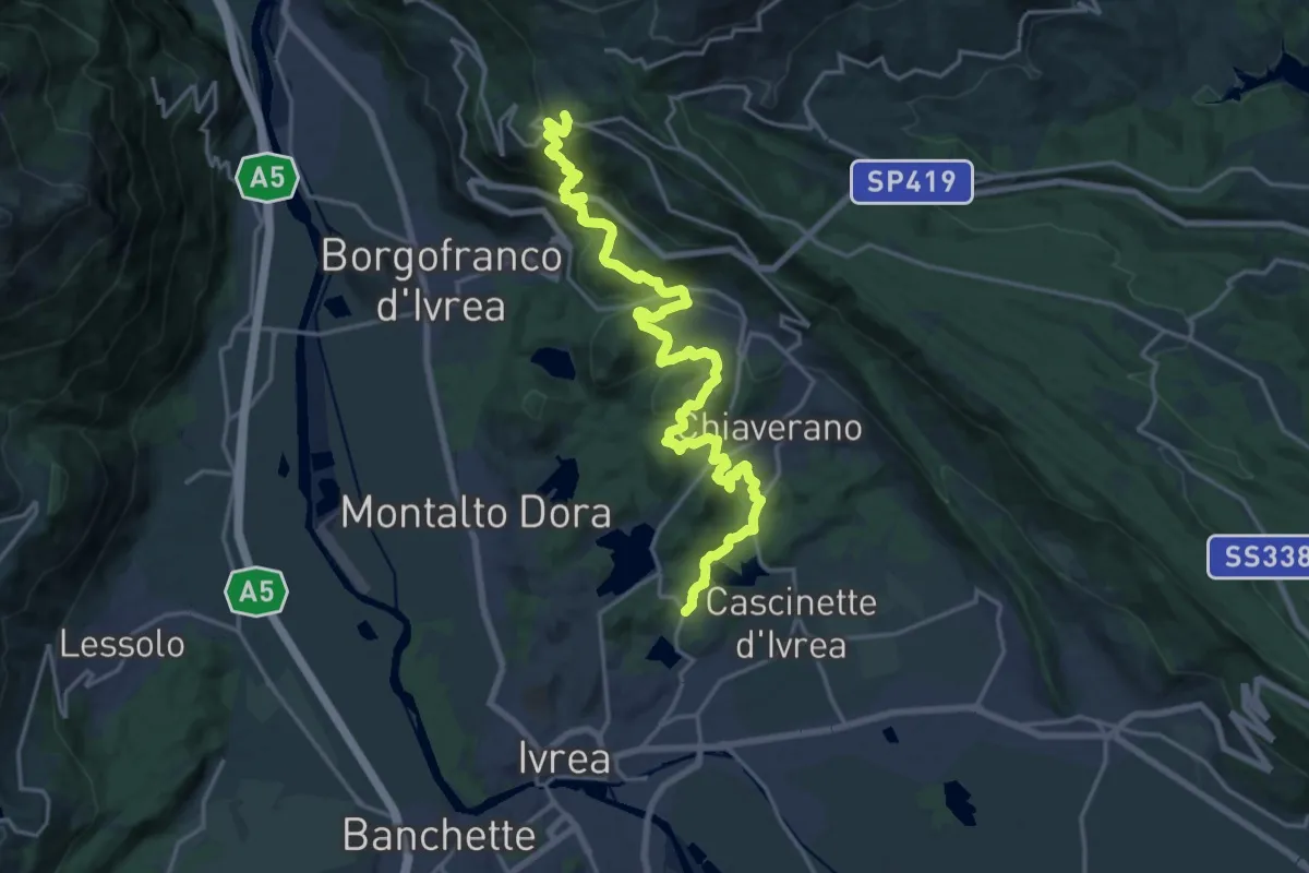
Demanding · Trail
Bivio 860-120, Canton Gabriel – Bivio 860-861, Andrate
22.8 km · ↑ 876 m · 7 h 17 min
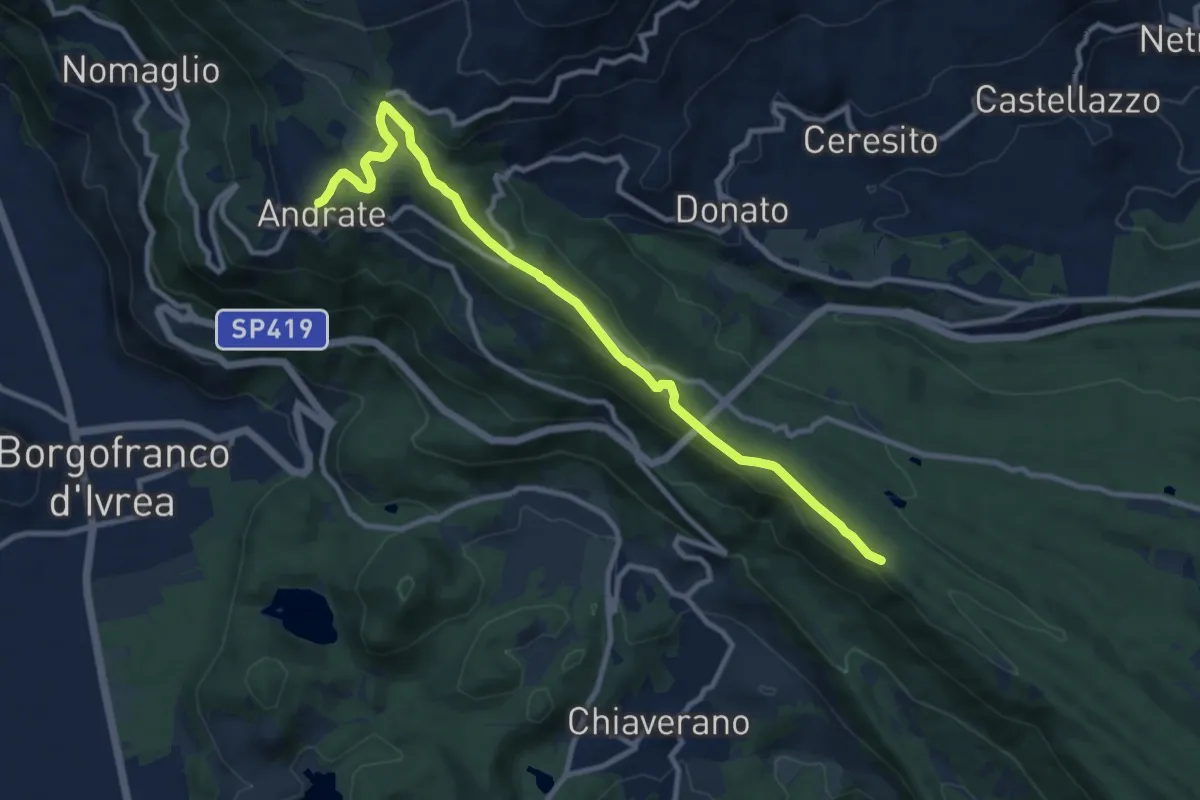
Medium · Trail
Andrate – Bivio TOP120-BIAS02-BIAS05, presso Scalveis
11.3 km · ↑ 319 m · 3 h 21 min
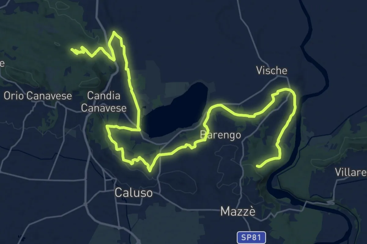
Medium · Trail
Bivio 102-105, Barone Canavese – Bivio 101-105, presso bric Barone
17.6 km · ↑ 306 m · 5 h 1 min
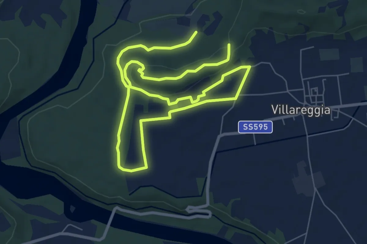
Easy · Trail
Moncrivello, bivio TOP110-TOP110A presso Cascina Maletto – Moncrivello, bivio TOP110-TOP110A presso Bric Ronchello
6.1 km · ↑ 111 m · 1 h 44 min
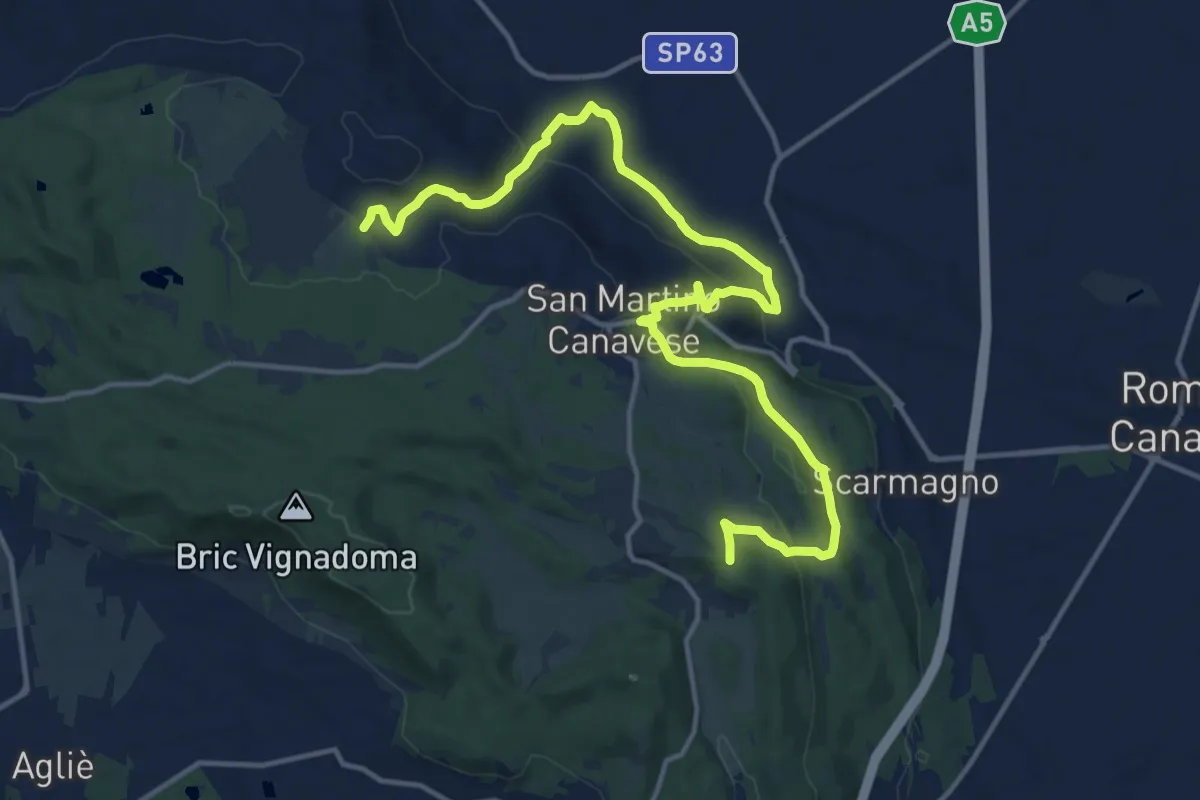
Demanding · Trail
San Martino Canavese, Golagno, bivio TOP103-TOP103A – Bivio TOP103-TOP103A presso Vialfré
18.1 km · ↑ 491 m · 5 h 20 min
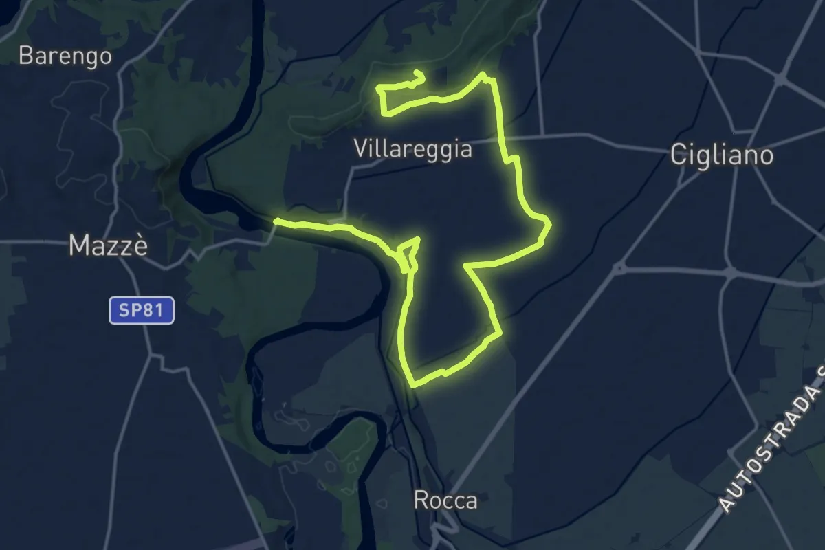
Demanding · Trail
Villareggia, presso Dora Baltea, bivio TOP110-TOP112 – Moncrivello, Madonna di Miralto, bivio TOP110-TOP112
22.8 km · ↑ 214 m · 5 h 51 min
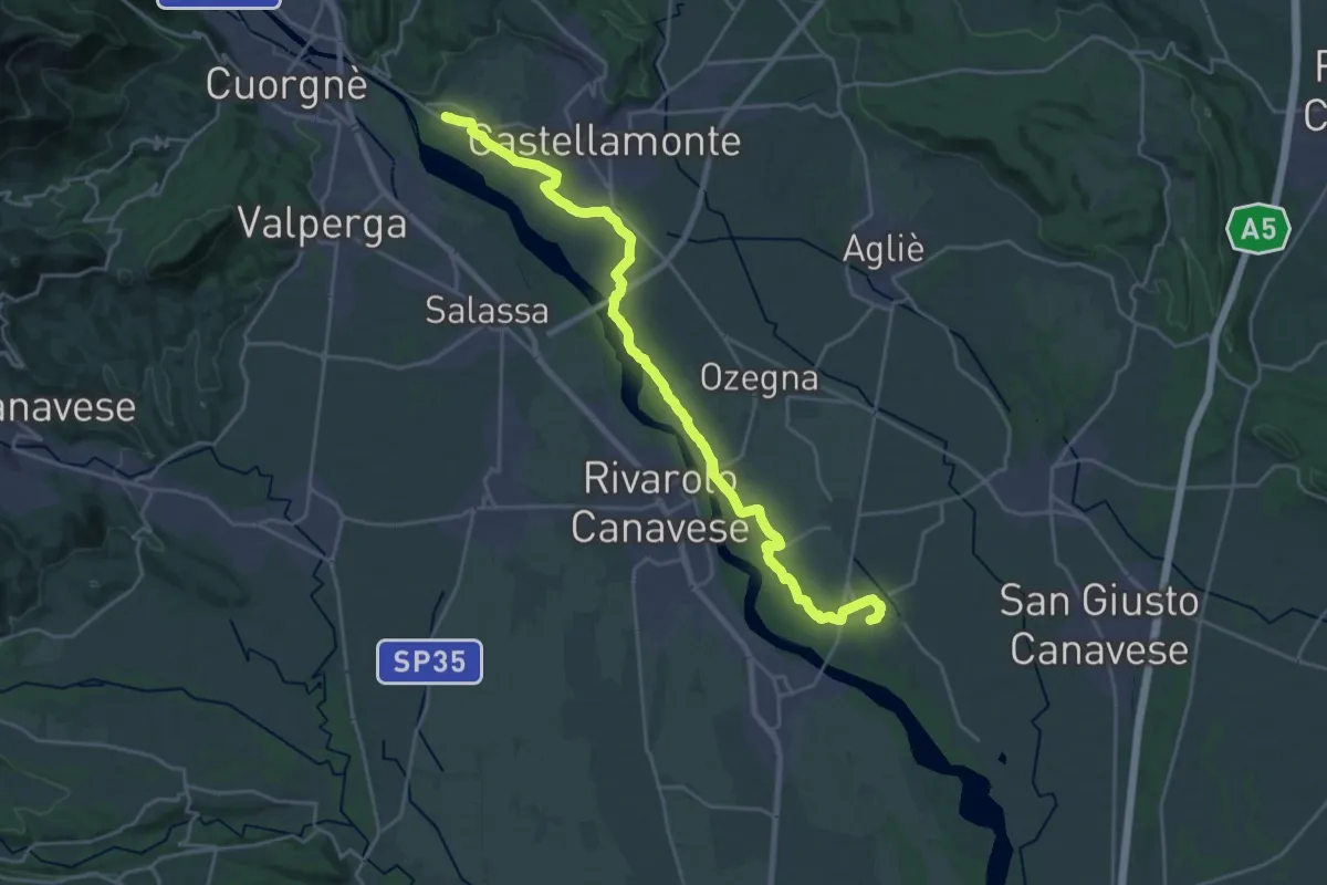
Demanding · Trail
Bivio 130-131, Lusigliè – Castellamonte, frazione Spineto
26.6 km · ↑ 94 m · 6 h 29 min
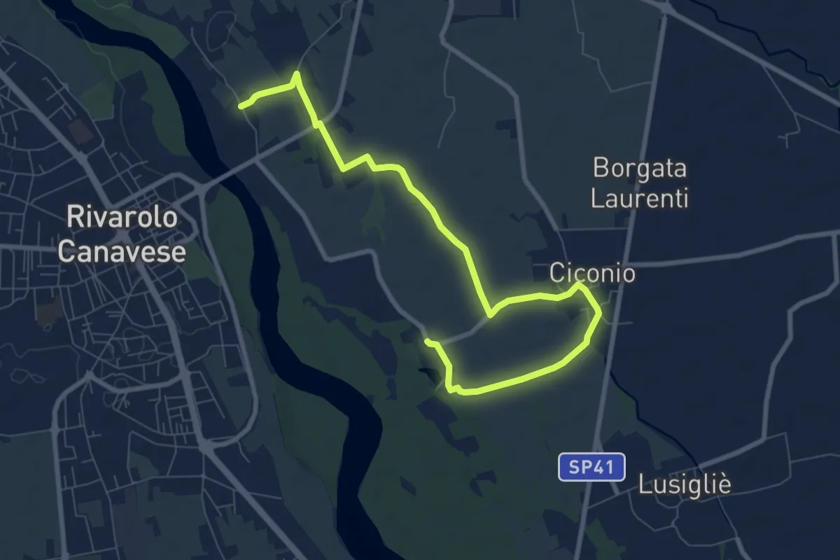
Medium · Trail
Rivarolo Canavese, bivio TOP130-TOP130A – Rivarolo canavese, bivio TOP130-TOP130A
9.7 km · ↑ 25 m · 2 h 20 min
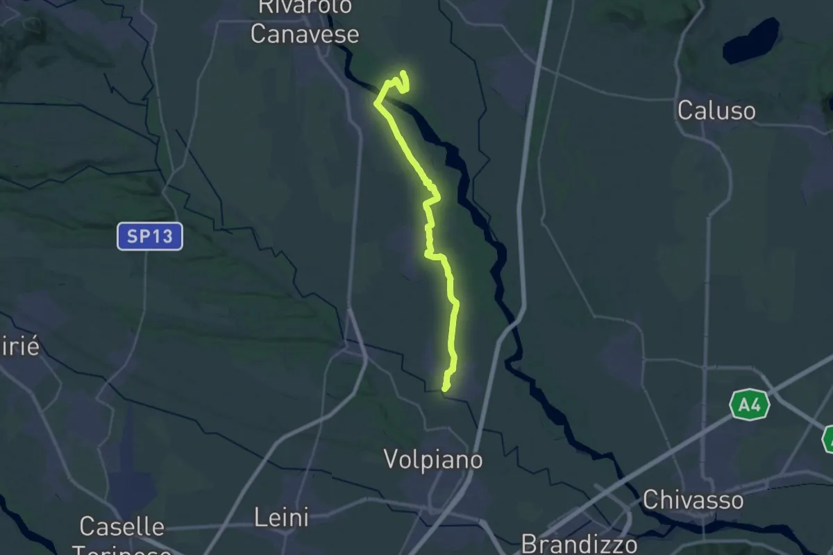
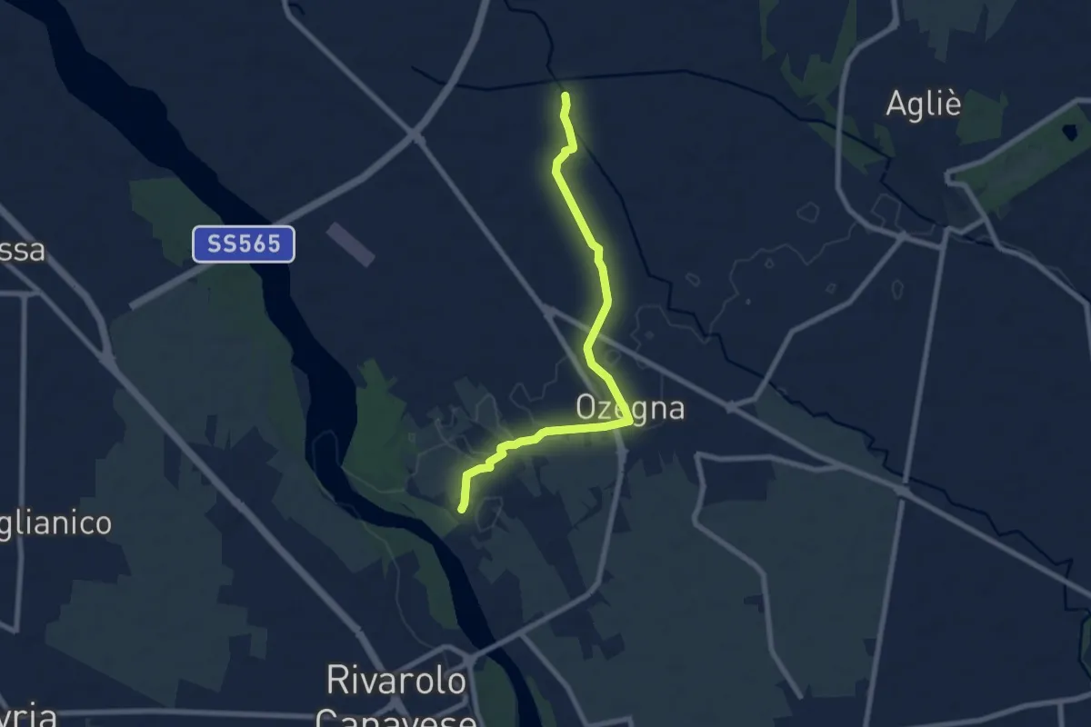
Demanding · Trail
San Benigno Canavese, Abbazia di Fruttuaria – Lusigliè, bivio130
27.4 km · ↑ 46 m · 6 h 34 min
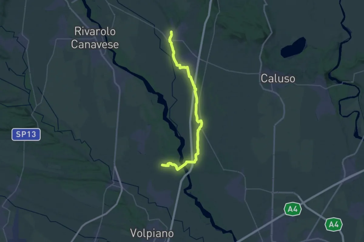
Easy · Trail
Bivio 130-132A, presso torrente Orco – Bivio 132-132A, presso località Ghe di Castellamonte
7.6 km · ↑ 17 m · 1 h 50 min
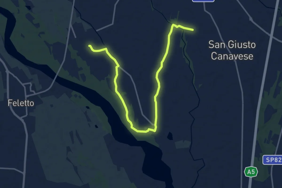
Demanding · Trail
Bivio TOP131-TOP133, San Benigno – Bivio 132-133-135, San Giorgio Canavese
29.2 km · ↑ 125 m · 7 h 10 min
Medium · Trail
San Giusto Canavese, cascina Ruale – Bivio presso Lusiglié
12.7 km · ↑ 30 m · 3 h 4 min
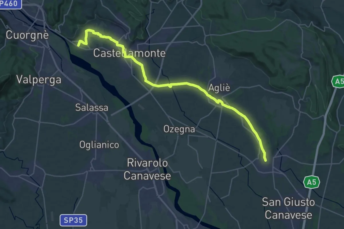
Demanding · Trail
San Giorgio Canavese, centro paese – Castellamonte, frazione Spineto
27.1 km · ↑ 125 m · 6 h 41 min
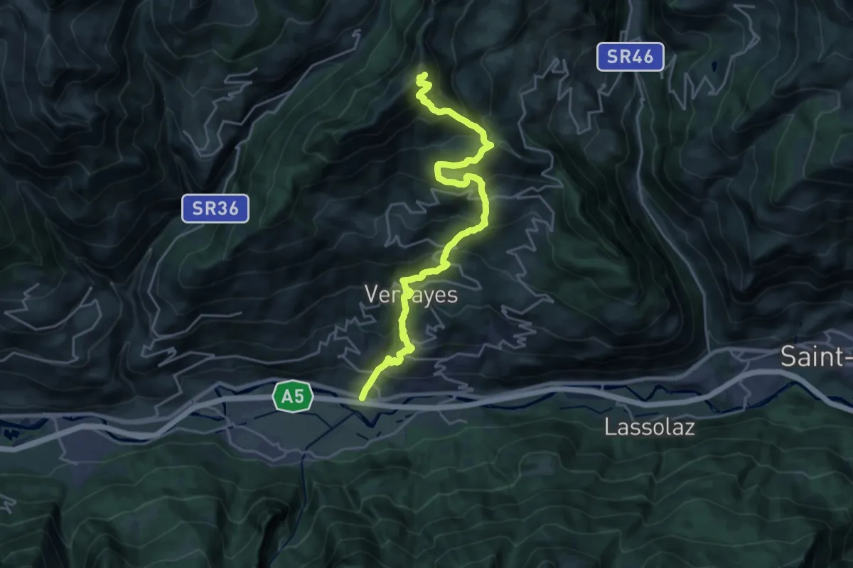
Expert · Summit
Crétaz – Becca d'Aver
23.7 km · ↑ 1960 m · 9 h 51 min
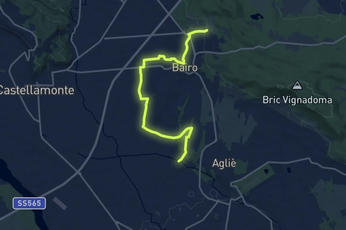
Medium · Trail
Santa Maria in Zinzolano – Bivio 100-134, Torre Canavese
12.2 km · ↑ 137 m · 3 h 11 min
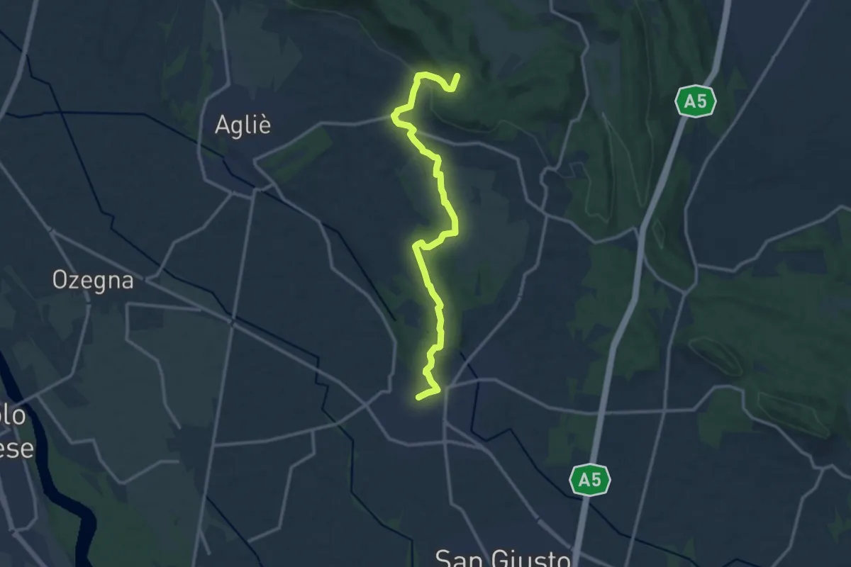
Medium · Trail
San Giorgio Canavese – Bivio100-135 presso Madonna della Rotonda (Aglié)
12.5 km · ↑ 193 m · 3 h 22 min
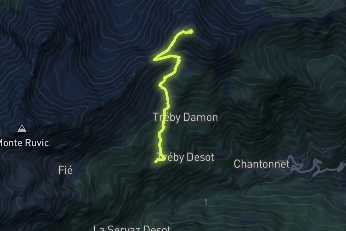
Demanding · Summit
Veulla – Mont Barbeston
6.7 km · ↑ 686 m · 3 h 4 min
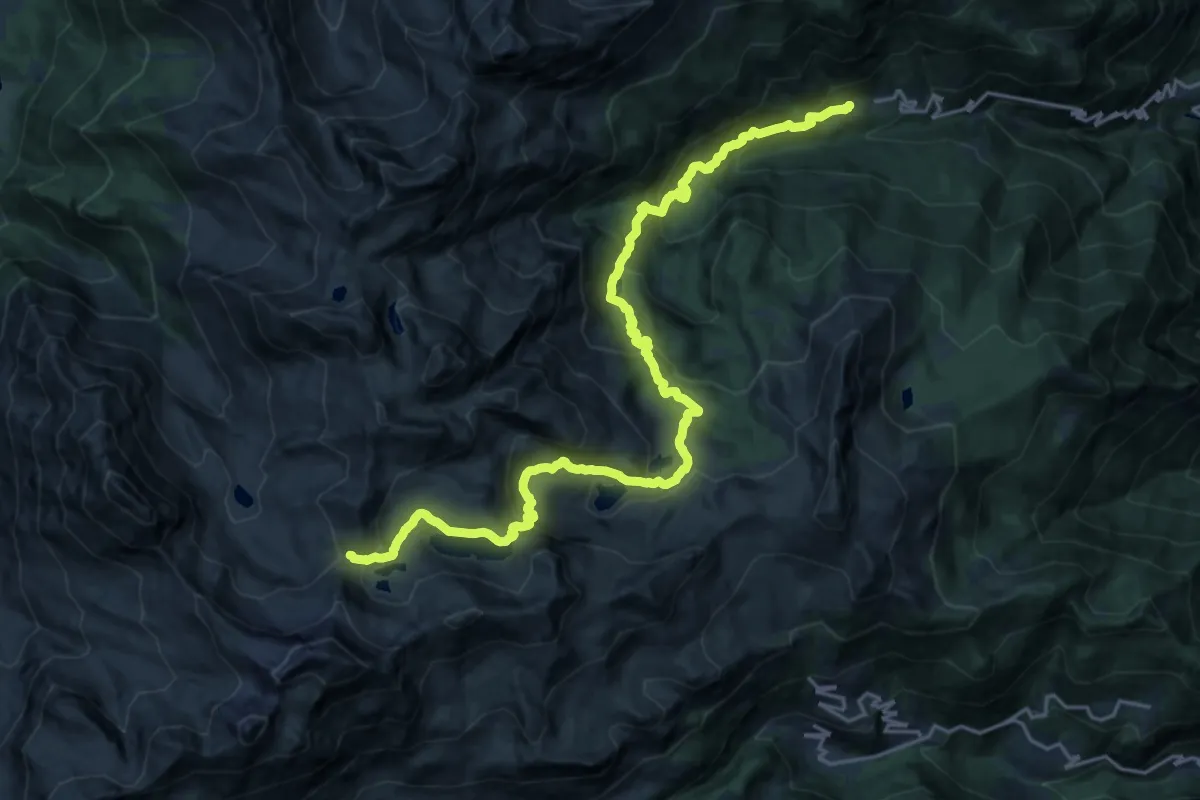
Demanding · Trail
Veulla – Colle di Medzove
12.2 km · ↑ 1408 m · 5 h 26 min
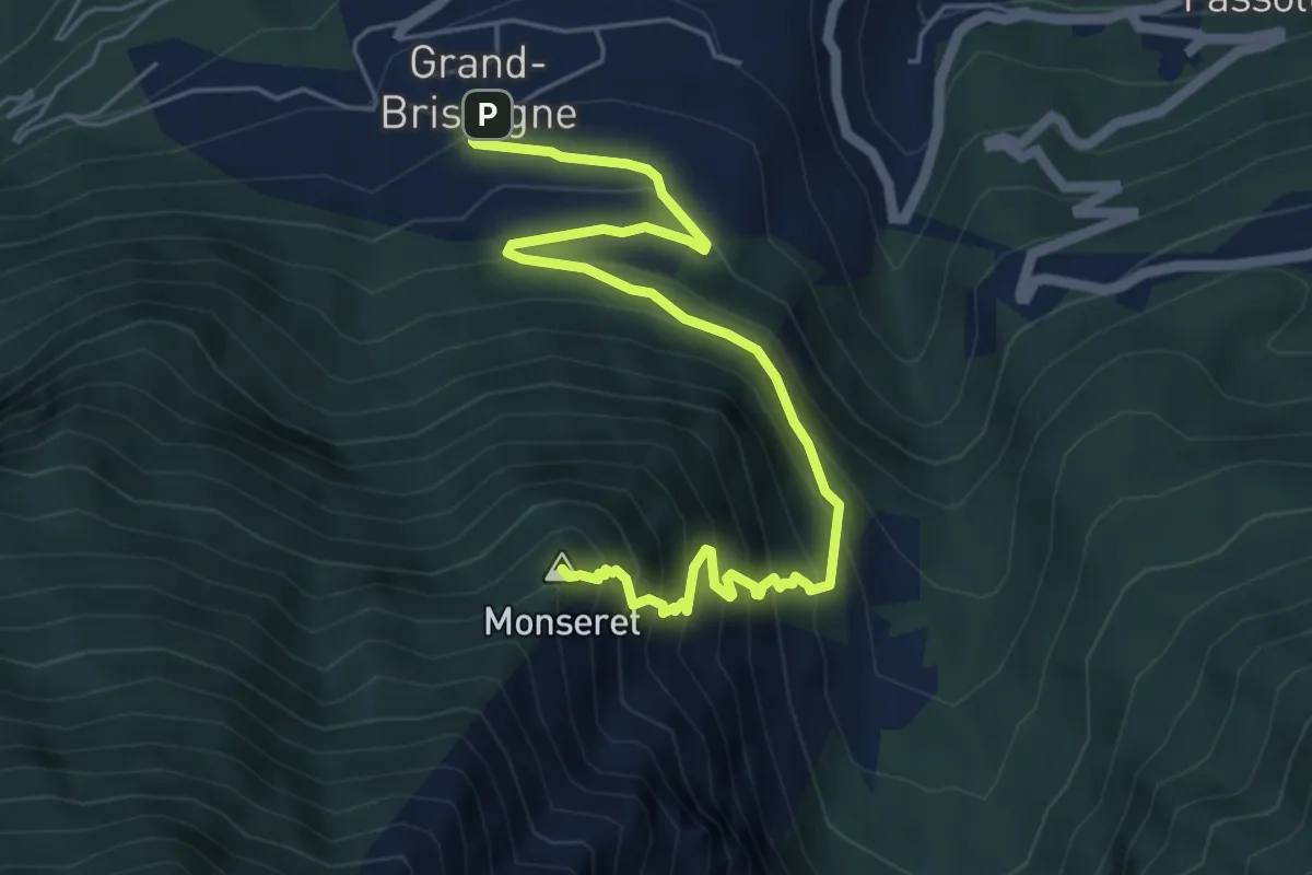
Demanding · Summit
Grand Brissogne – Percorso 11
6.8 km · ↑ 652 m · 3 h 1 min
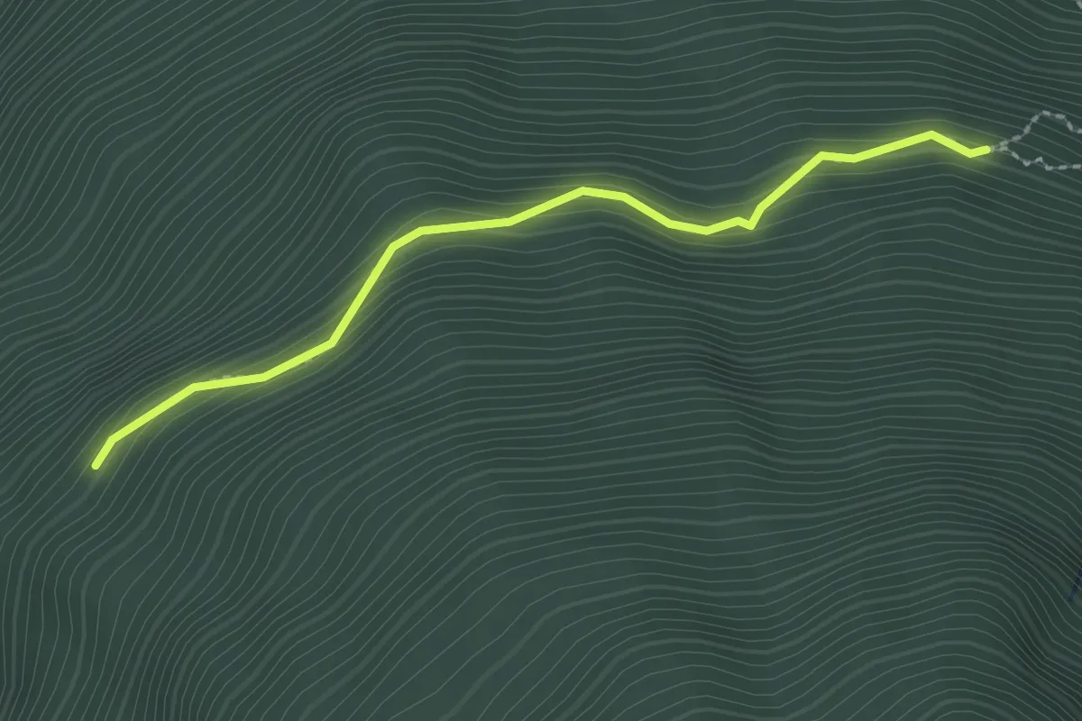
Demanding · Trail
Arpisson – Percorso 11
2.3 km · ↑ 163 m · 54 min
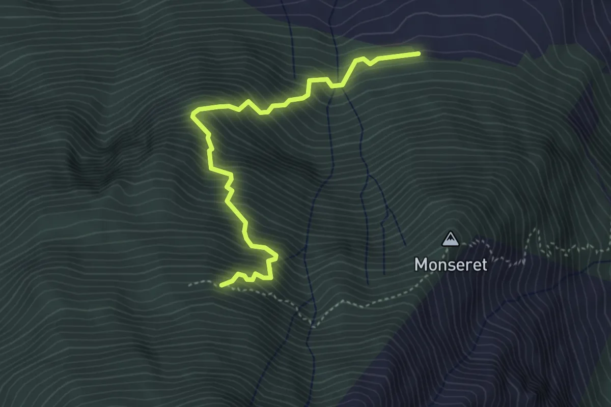
Demanding · Trail
Percorso 1 – Percorso 10
4.2 km · ↑ 715 m · 2 h 33 min
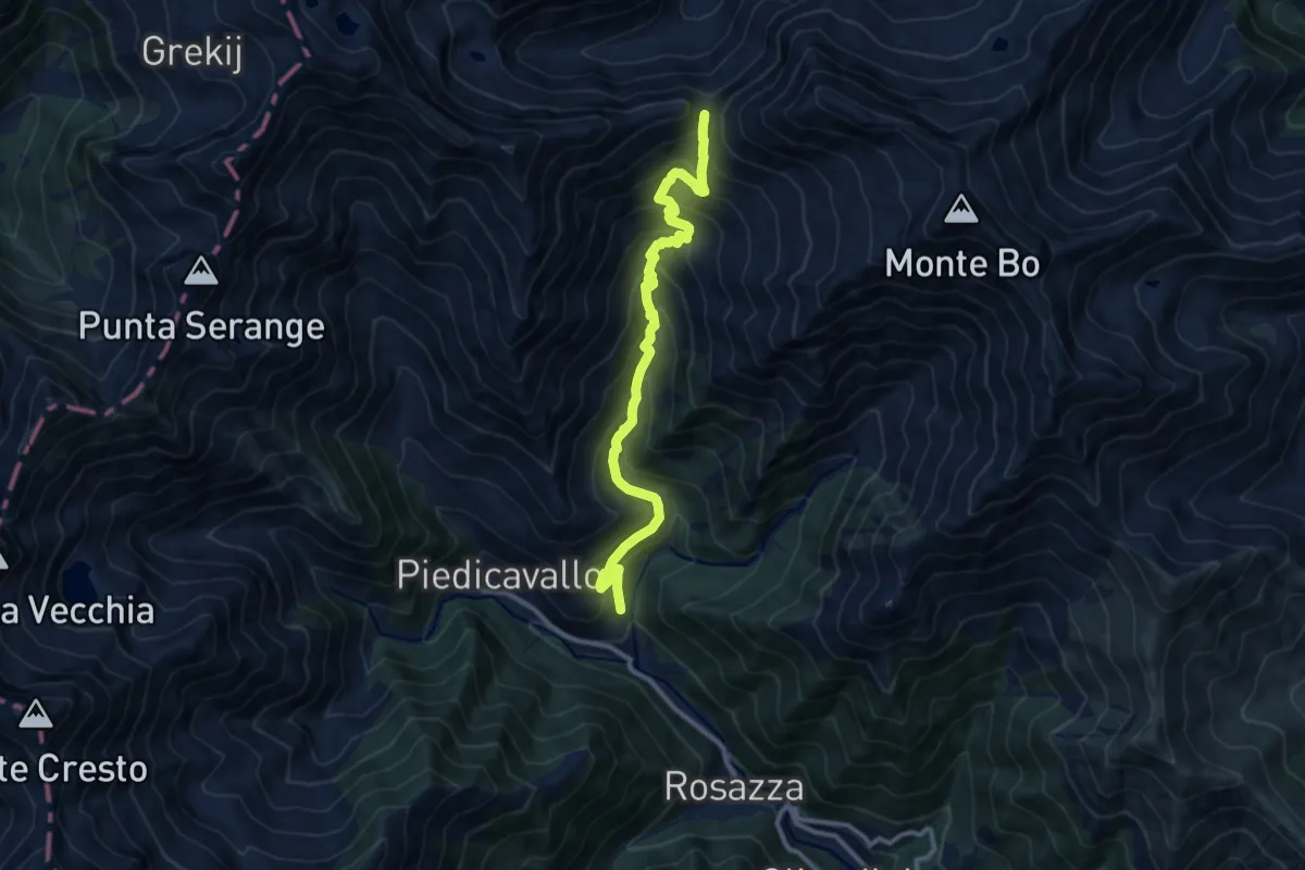
Demanding · Trail
Bivio E76-E70, Montesinaro – Bocchetta del Croso
11.4 km · ↑ 914 m · 4 h 40 min
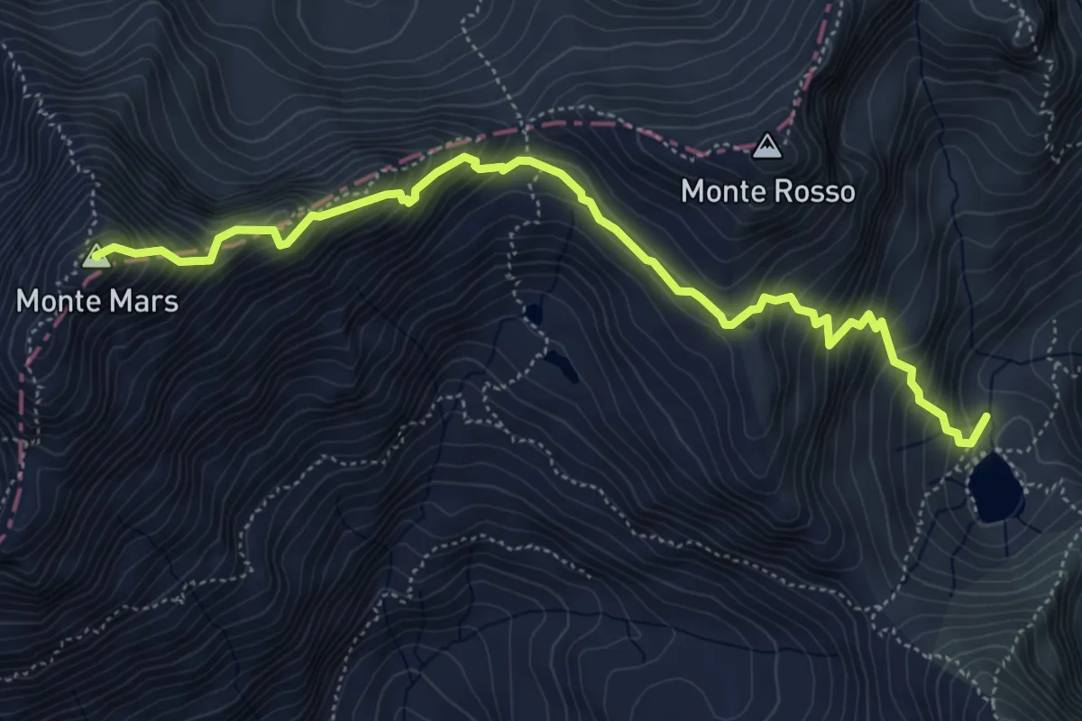
Expert · Summit
Bivio BIAD23-BIAD24, Oropa Sport – Monte Mars
6.0 km · ↑ 728 m · 3 h
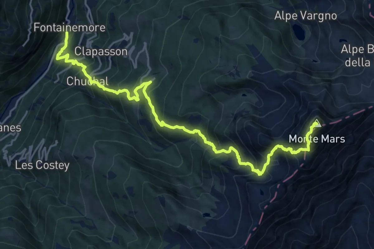
Expert · Summit
Fontainemore – Mont Mars
17.1 km · ↑ 1902 m · 8 h 10 min
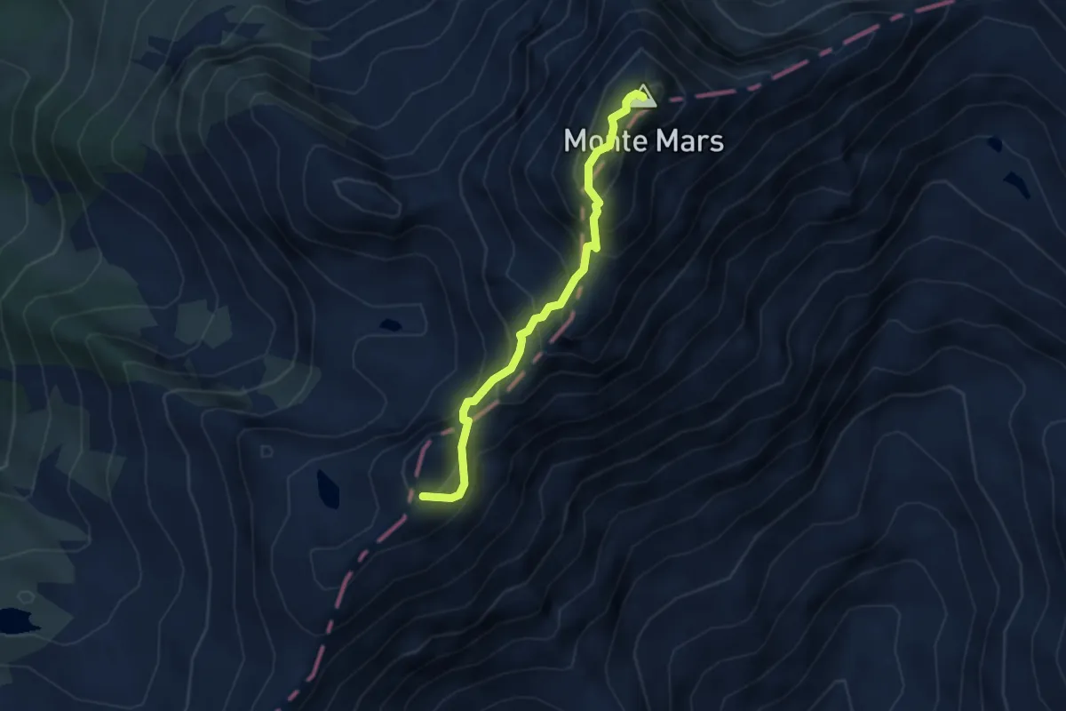
Expert · Summit
Rifugio Coda – Mont Mars
3.4 km · ↑ 421 m · 1 h 42 min
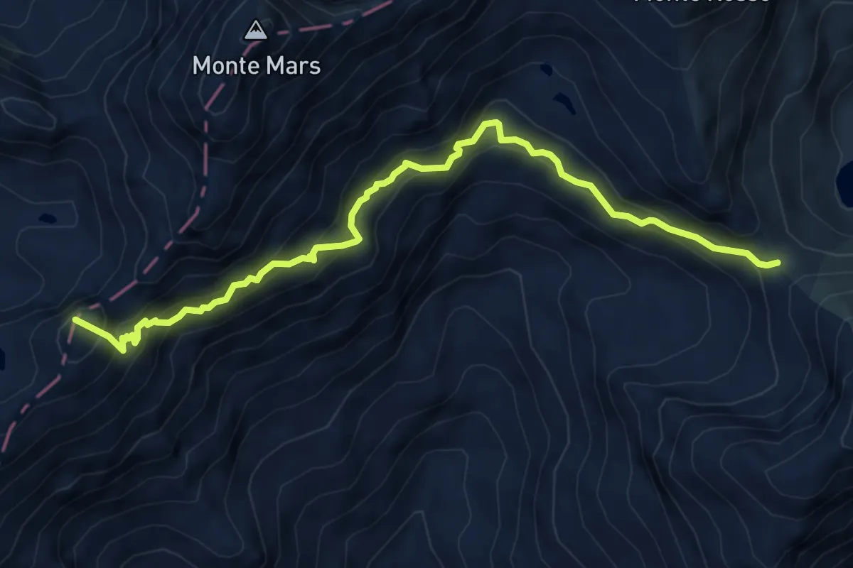
Demanding · Summit
Bocchetta del Lago, bivio BIAC11-BIAD24 – Rifugio Coda, bivio BIAC11-BIAC03
7.0 km · ↑ 665 m · 3 h 6 min
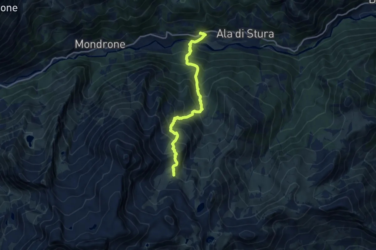
Demanding · Trail
Cresto – Bivio 209-211A, Alpe Radice
10.7 km · ↑ 1135 m · 5 h
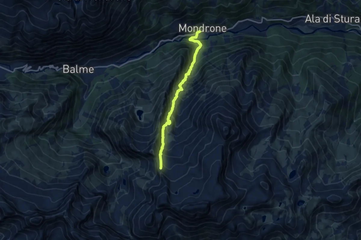
Demanding · Trail
Bivio 212-234, Mondrone – BIvio 212-215, Colle Vallonetto
10.1 km · ↑ 1256 m · 5 h 6 min
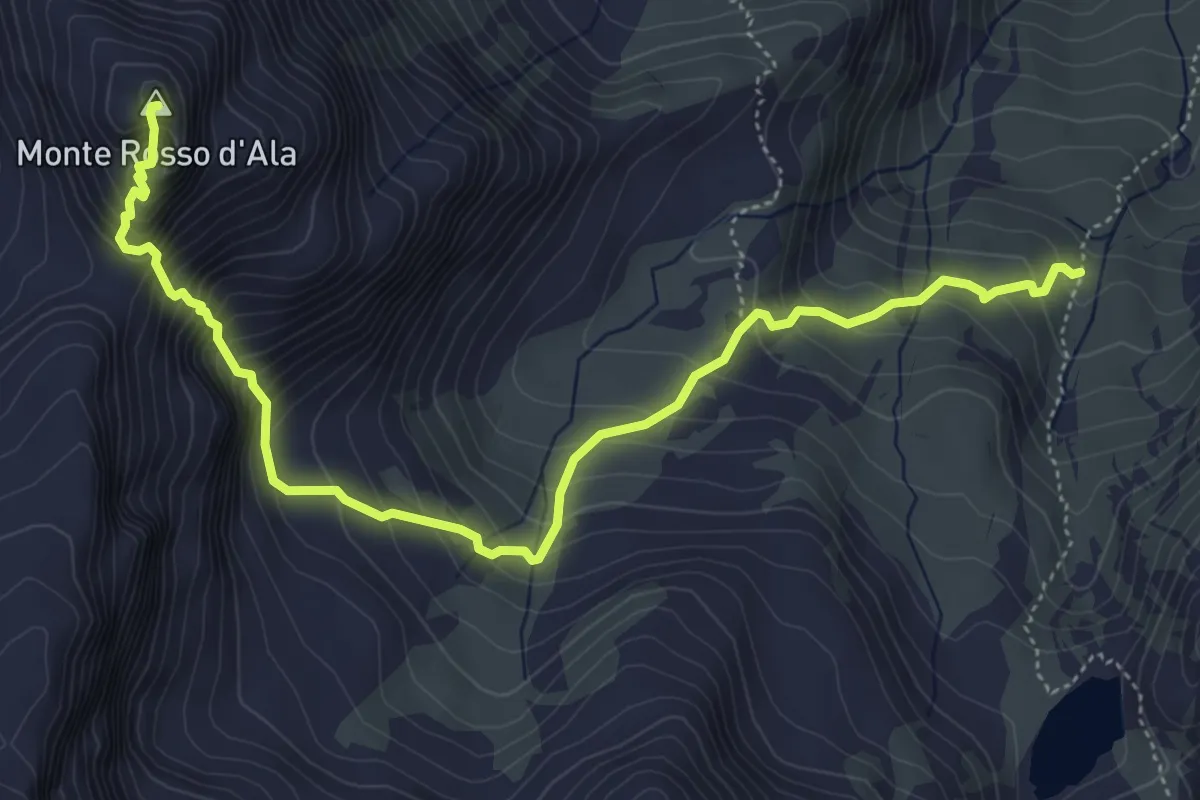
Demanding · Summit
Bivio 211-211A – Cima monte Rosso d'Ala
6.2 km · ↑ 750 m · 3 h 5 min
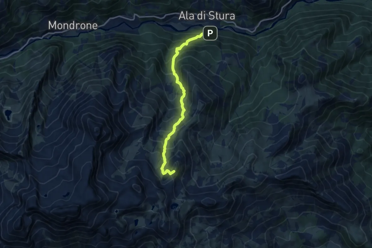
Demanding · Summit
Bivio 210-211, La Fabbrica – Bivio 129-132-210, Colle Tre Lajet
10.8 km · ↑ 1192 m · 5 h 9 min
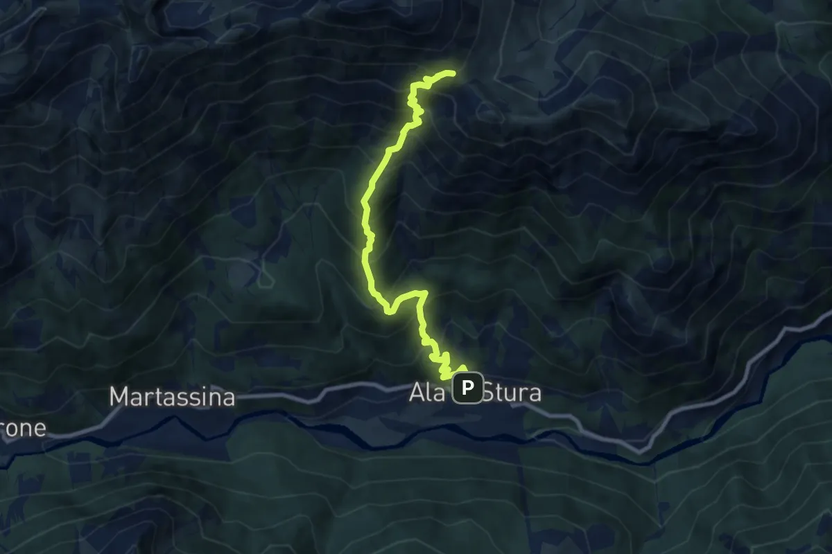
Demanding · Trail
Ala di Stura – Bivio 238-241, Colle d'Attia
8.3 km · ↑ 1038 m · 4 h 13 min
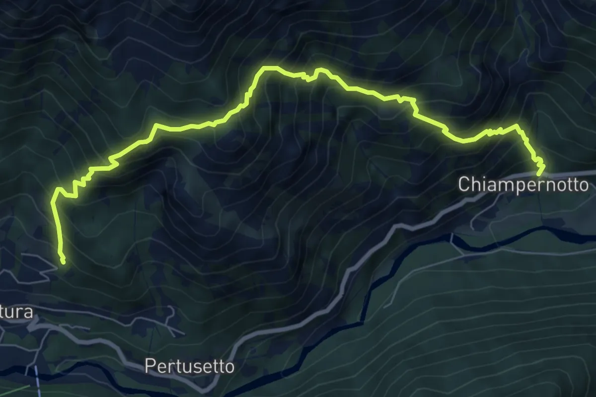
Demanding · Trail
Chiampernotto – Bivio 239-240, Pian del Tetto
8.6 km · ↑ 1244 m · 4 h 44 min
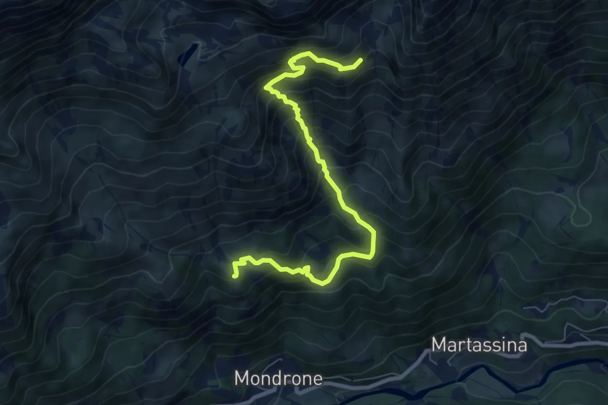
Demanding · Trail
Bivio 234-235, Alpe Gramone – Bivio 235-236, Alpe Pian Comune
7.7 km · ↑ 914 m · 3 h 48 min
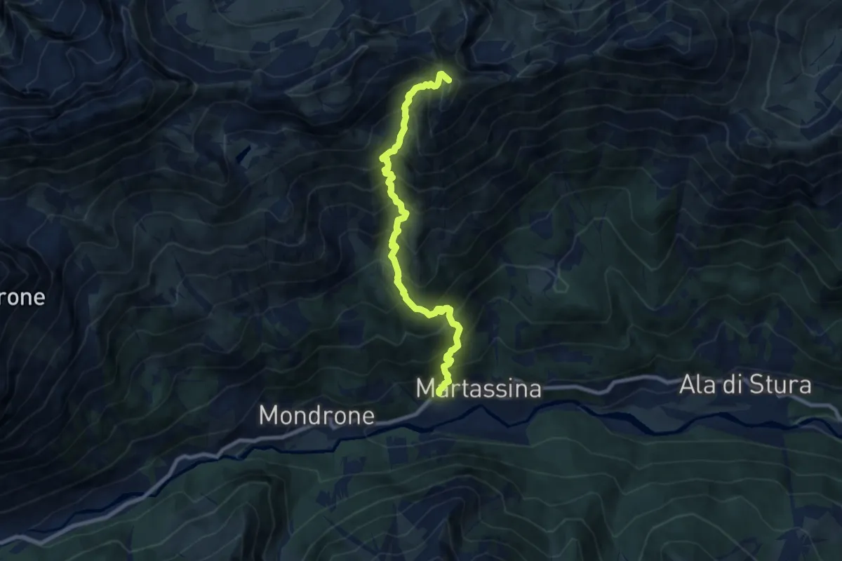
Demanding · Summit
Tomà, Ala di Stura – Bivio 236-306, Colle Croset
8.2 km · ↑ 1204 m · 4 h 33 min
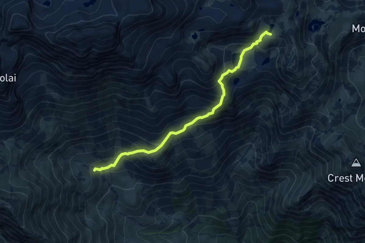
Medium · Trail
Bivio 127-128A, Alpe Milone – Bivio 127-129A, Lago Lungo
6.8 km · ↑ 560 m · 2 h 49 min
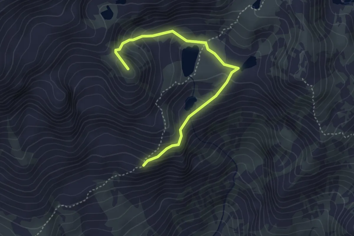
Medium · Summit
Bivio 127-127A – Passo Mazzucchini
4.0 km · ↑ 337 m · 1 h 41 min
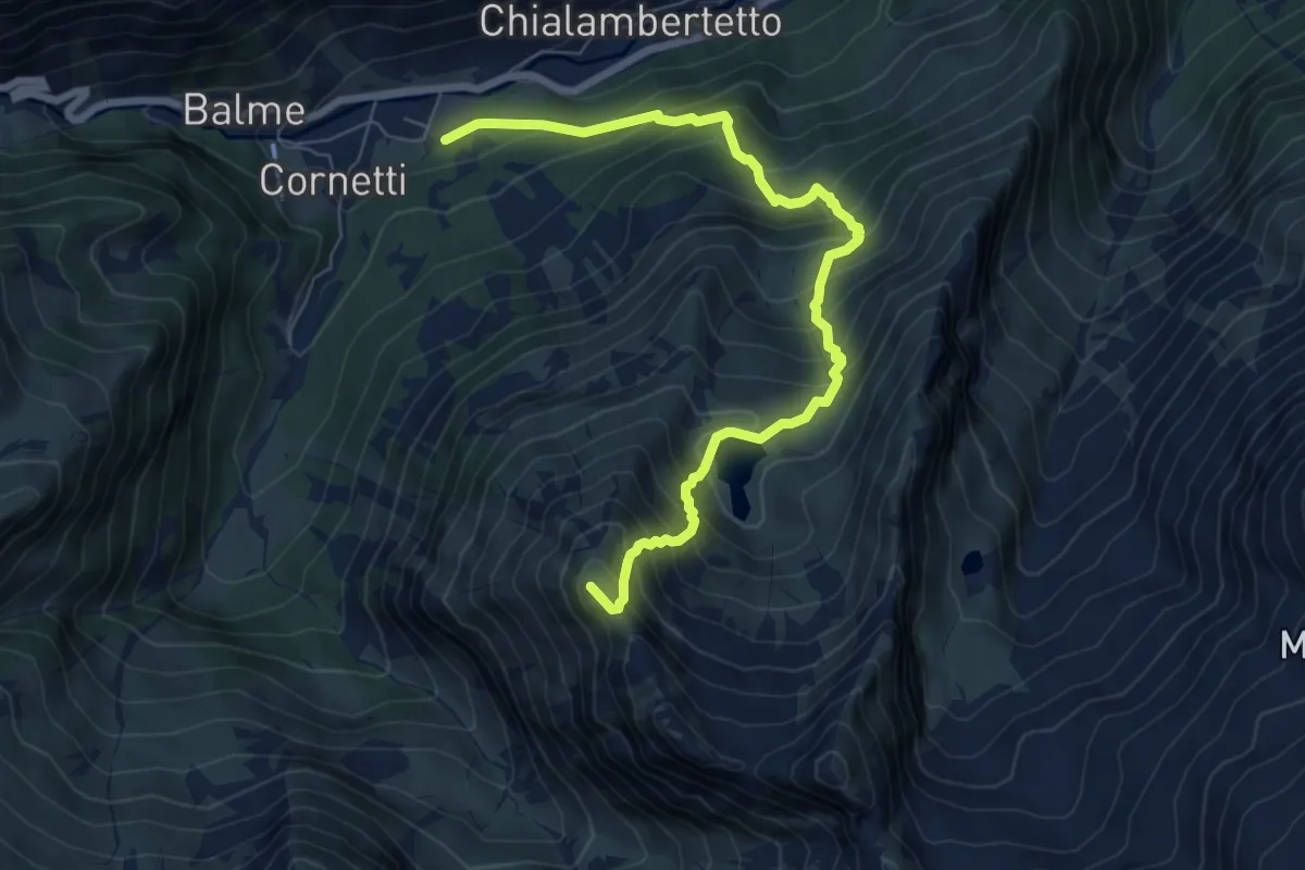
Demanding · Summit
Balme, Villaggio Albaron – Il Fort
7.9 km · ↑ 921 m · 3 h 52 min
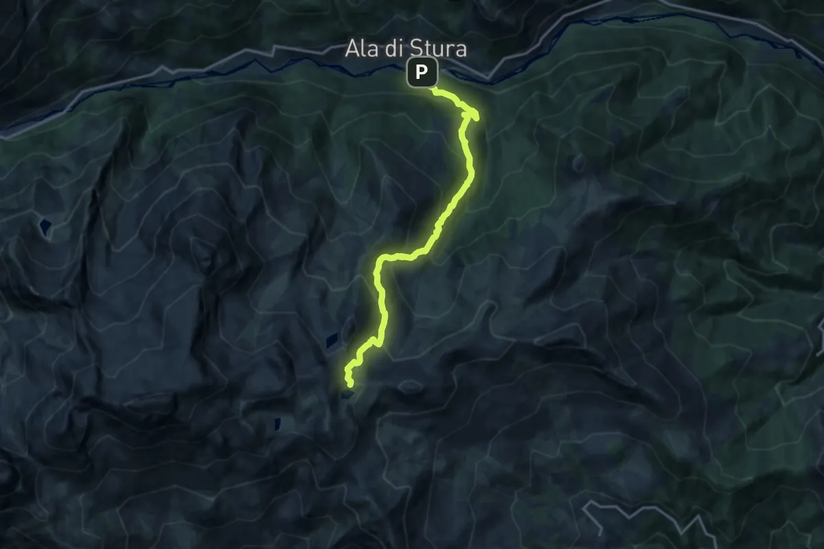
Demanding · Trail
La Fabbrica – Bivio 129-132-210-211, Colle Tre Lajet
14.6 km · ↑ 1262 m · 6 h 11 min
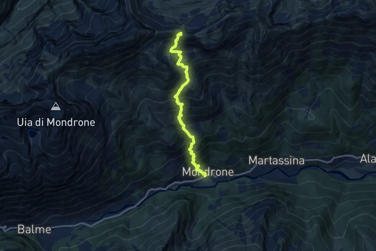
Demanding · Trail
Bivio 212-234, Mondrone – Bivio 234-305, Colle Trione
8.6 km · ↑ 1208 m · 4 h 39 min
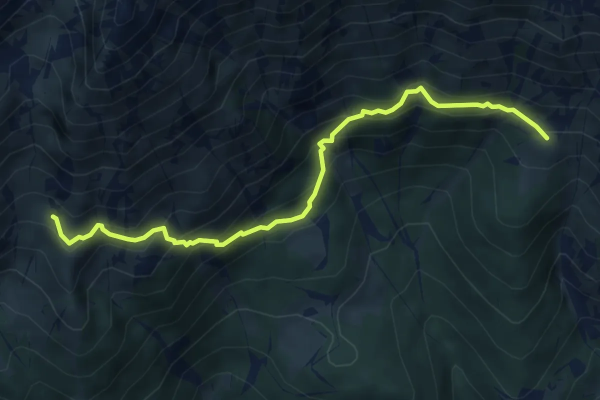
Medium · Trail
Bivio 236-236A, Alpe Ciavanis – Bivio 236A-238, Alpe d'Attia
6.0 km · ↑ 536 m · 2 h 34 min
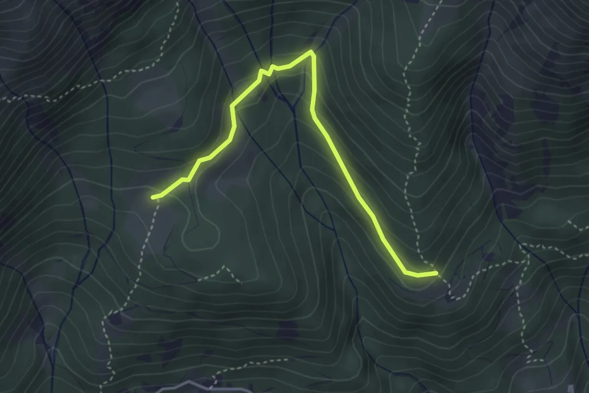
Easy · Trail
Bivio 238-238B, Pian d'Attia – Bivio 236B-238B, Pianfè
3.8 km · ↑ 188 m · 1 h 18 min
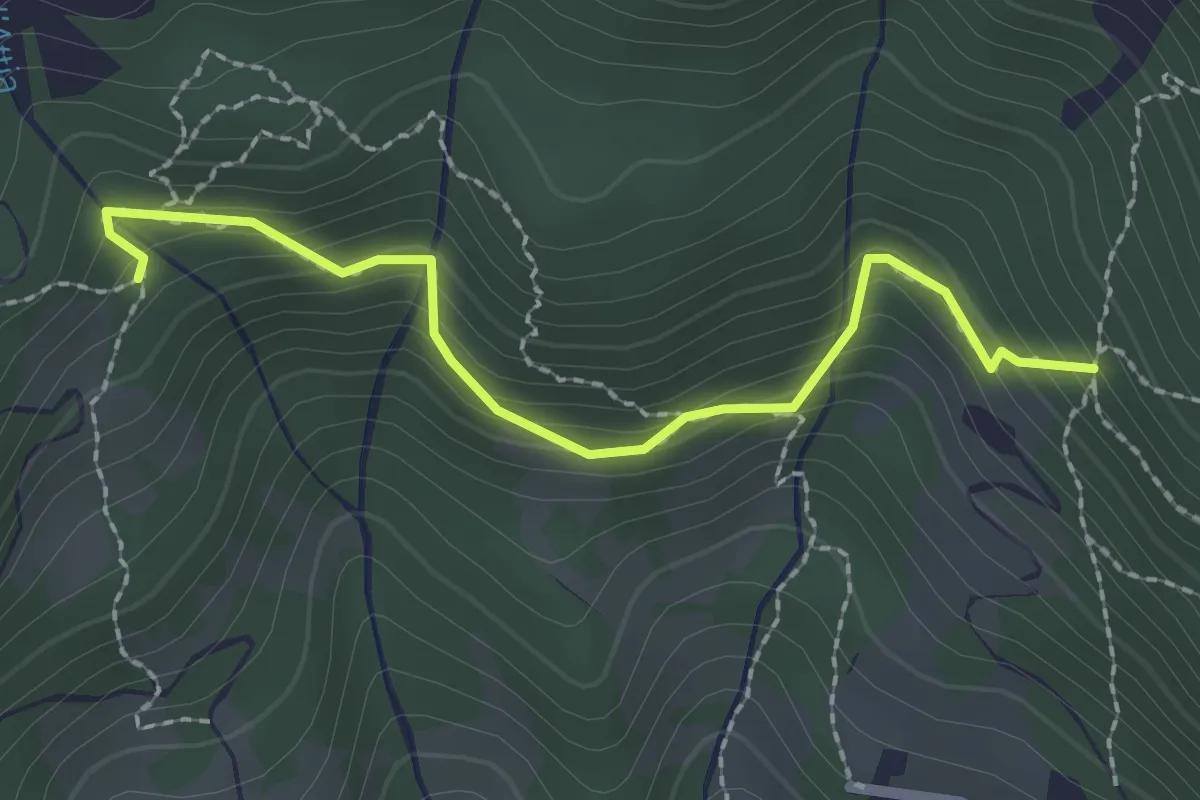
Easy · Trail
Bivio 238-238A, Chiottero – Bivio 238A-240, Pesera
2.3 km · ↑ 186 m · 57 min
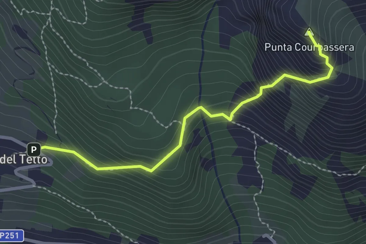
Expert · Summit
Bivio 239-241, Pian del Tetto – Curbassera
2.4 km · ↑ 342 m · 1 h 19 min
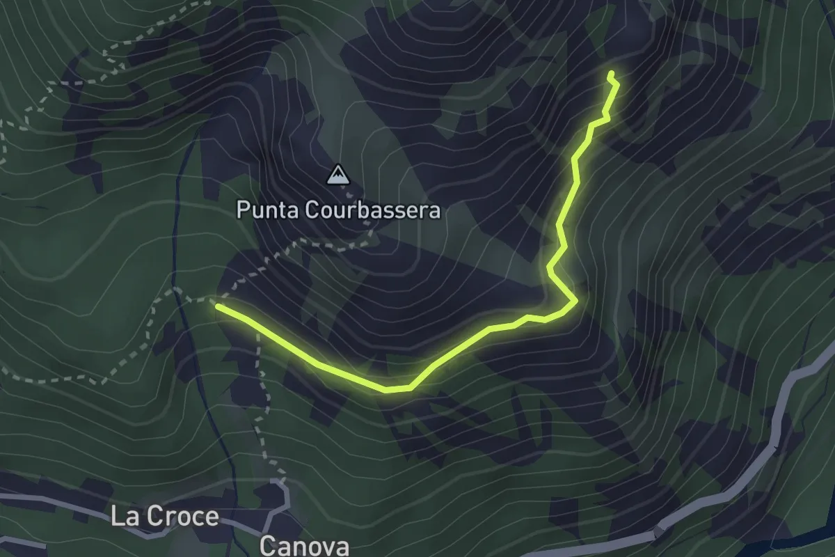
Demanding · Trail
Bivio 239A-239B, Alpe Credarian – Bouiri dou Servagiou
2.6 km · ↑ 206 m · 1 h 4 min