Trails in Italy
25,219 hiking trails, each with its route, climb, walking time and grade.
All trails, page 434 of 526
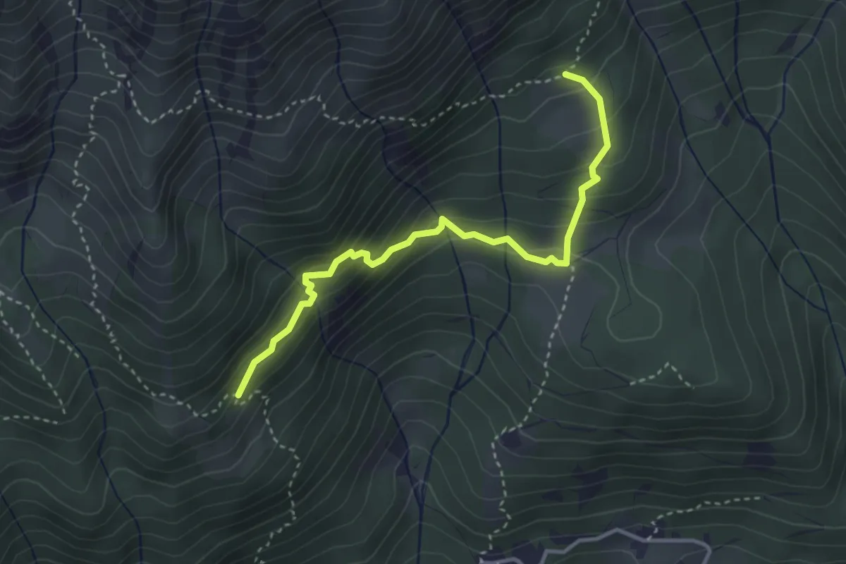
Medium · Trail
Bivio 236-236B, Alpe Latea – Bivio 236A-236B, Pian Sarpeis
3.6 km · ↑ 334 m · 1 h 34 min
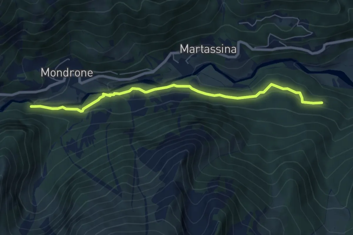
Easy · Trail
Bivio 209-209B, Alpe Praias – Bivio 209B-212, Ponte Pianard
6.2 km · ↑ 178 m · 1 h 51 min
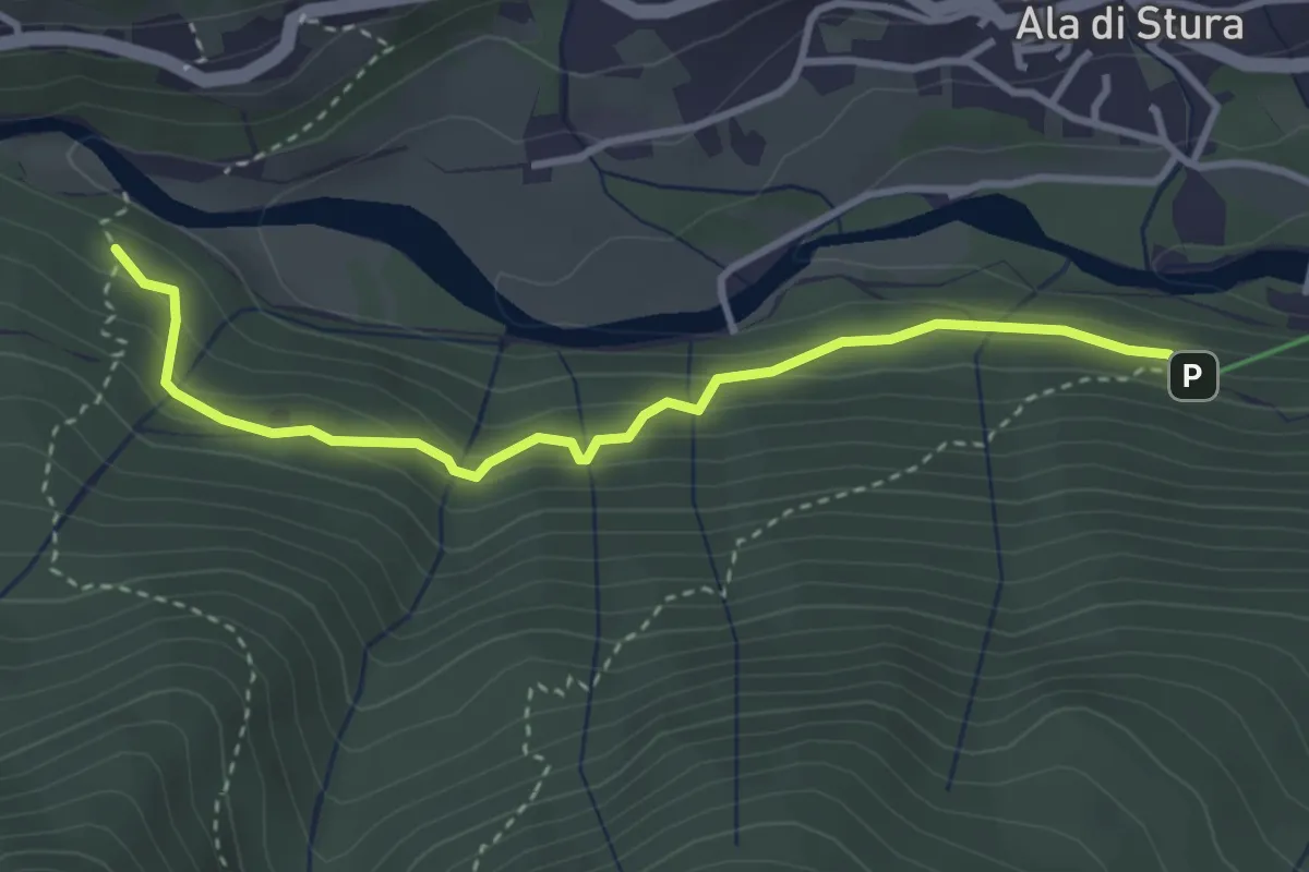
Easy · Trail
Bivio 209A-210, La Fabbrica – Bivio 209-209A, Alpe Praias
3.5 km · ↑ 252 m · 1 h 23 min
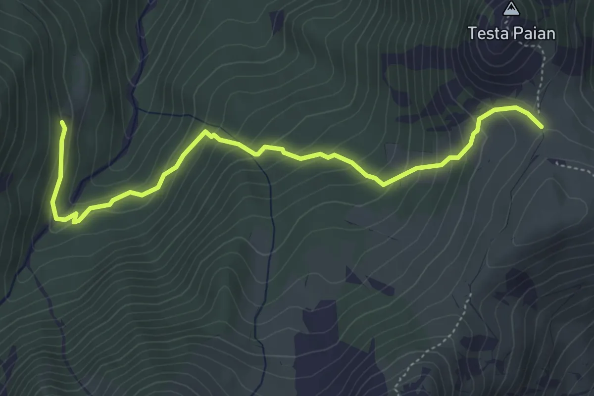
Medium · Trail
Bivio 205A-210, Alpe Longimala – Bivio 205-205A, Colle Testa Paian
5.3 km · ↑ 397 m · 2 h 6 min
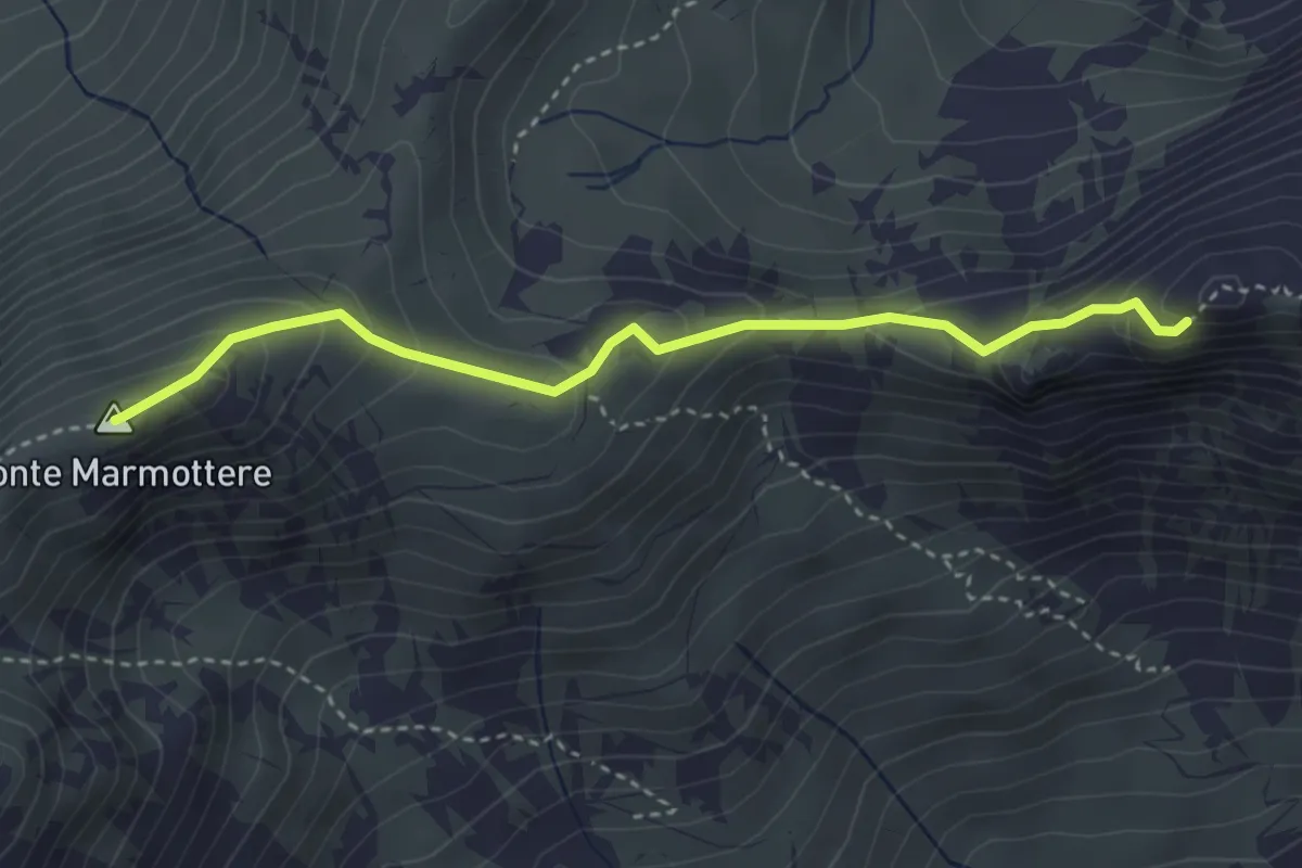
Medium · Summit
BIvio 132-132A – Rocca Moross
3.6 km · ↑ 269 m · 1 h 25 min
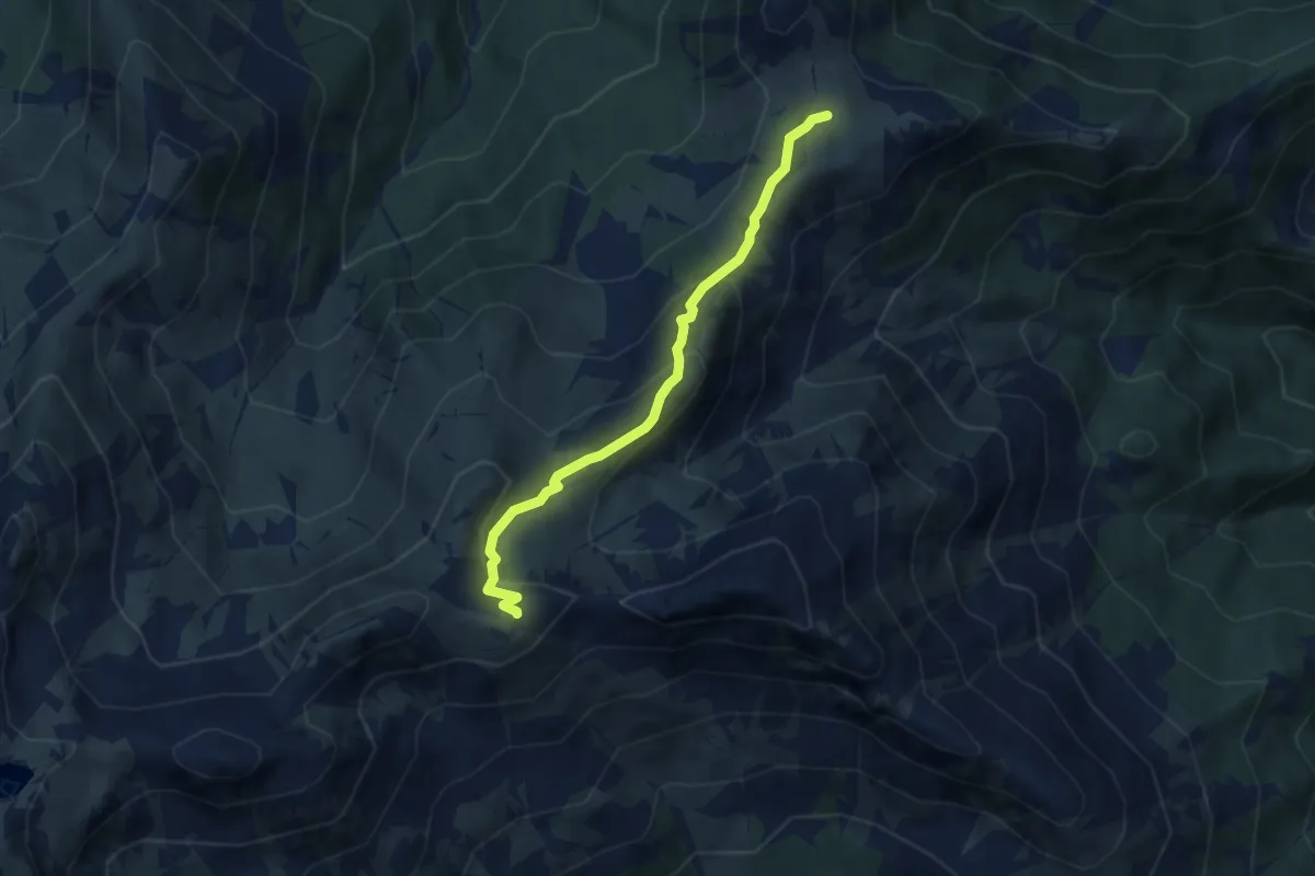
Medium · Trail
Bivio 205-205B, Alpe del Conte – Bivio 132A-205B, Colle Pian Fum
6.3 km · ↑ 355 m · 2 h 16 min
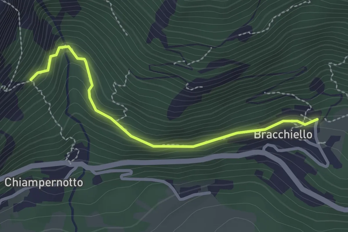
Easy · Trail
Bivio 241-243, Bracchiello – Bivio 240-243, Chiampernotto
2.4 km · ↑ 134 m · 51 min
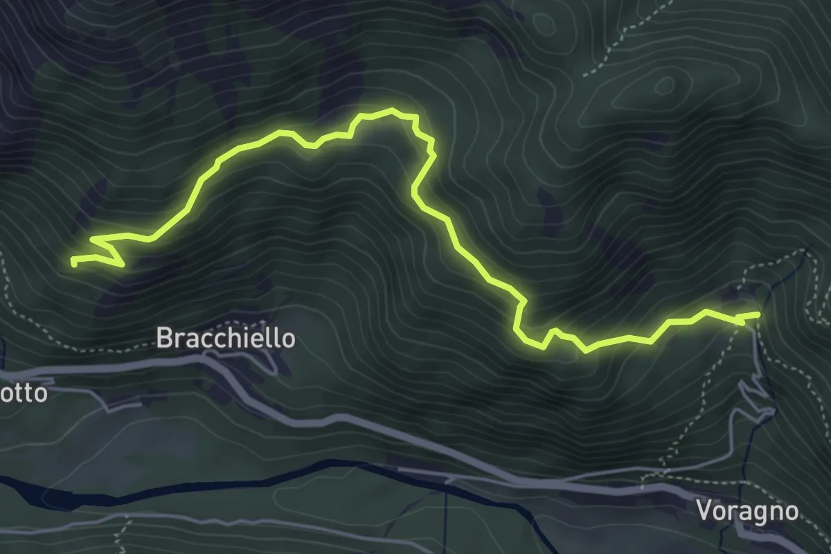
Medium · Trail
Bivio 242A-260, Monti di Voragno – Bivio 241-260, Ciomes
5.9 km · ↑ 444 m · 2 h 22 min
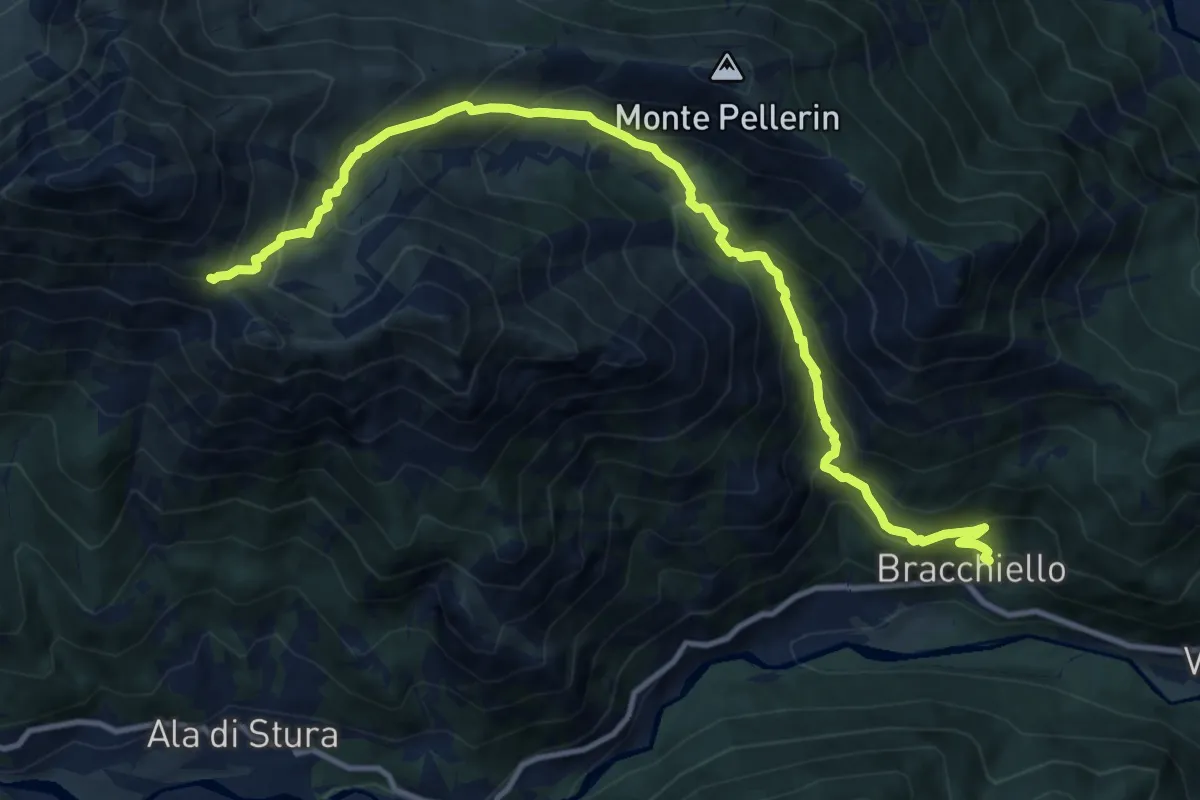
Demanding · Trail
Bivio 241-243, Bracchiello – Bivio 238-241, Colle d'Attia
12.9 km · ↑ 1223 m · 5 h 42 min
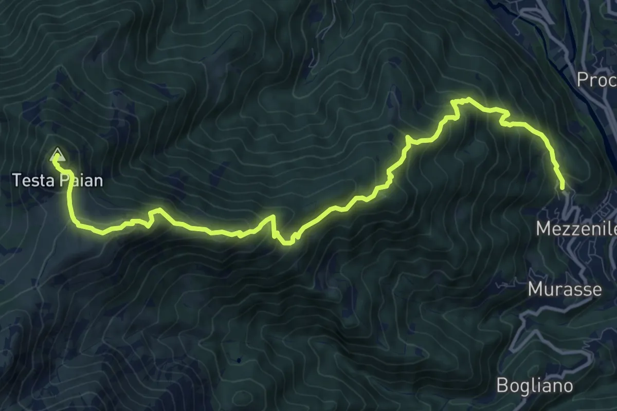
Demanding · Summit
Cattelli – Testa Paian
13.6 km · ↑ 1202 m · 5 h 49 min
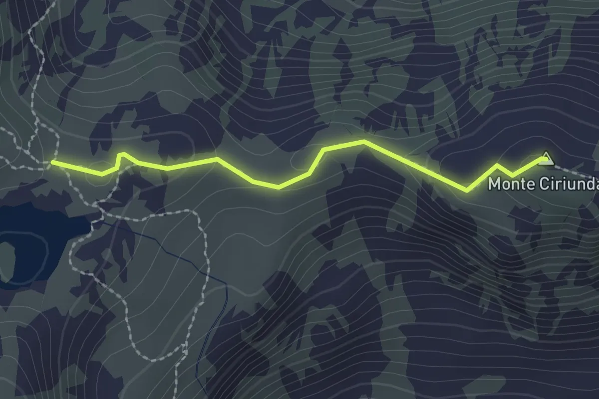
Medium · Summit
Bivio 129-132-210-211, Colle tre Laiet – Bivio 132-132A, Colle Marmottere
2.0 km · ↑ 78 m · 38 min
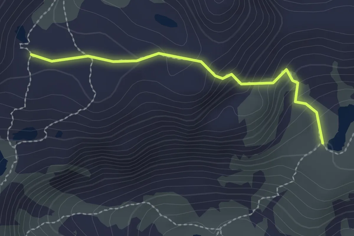
Easy · Trail
Bivio 127-127B, Lago Lungo – Bivio 127A-127B, Laghetto Rocce Rosse
2.1 km · ↑ 149 m · 49 min
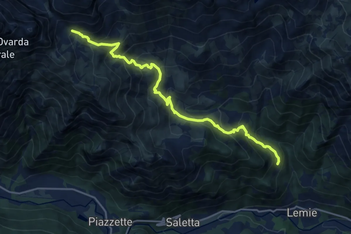
Demanding · Trail
Bivio 128A-128 – Bivio 128A-131, Inversigni
12.4 km · ↑ 1064 m · 5 h 14 min
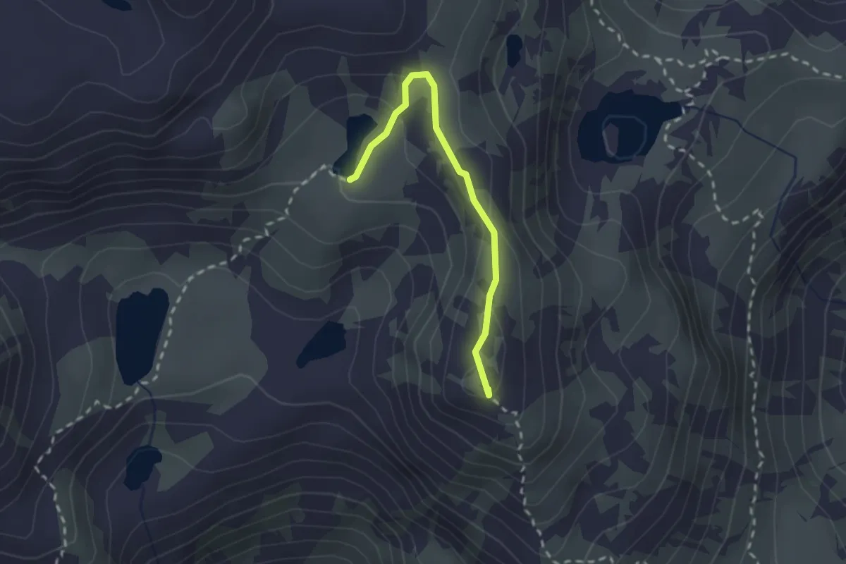
Demanding · Summit
Bivio 129-129A-129B, Colle Veilet – Bivio 127-129A, Lago Lungo
2.1 km · ↑ 89 m · 41 min
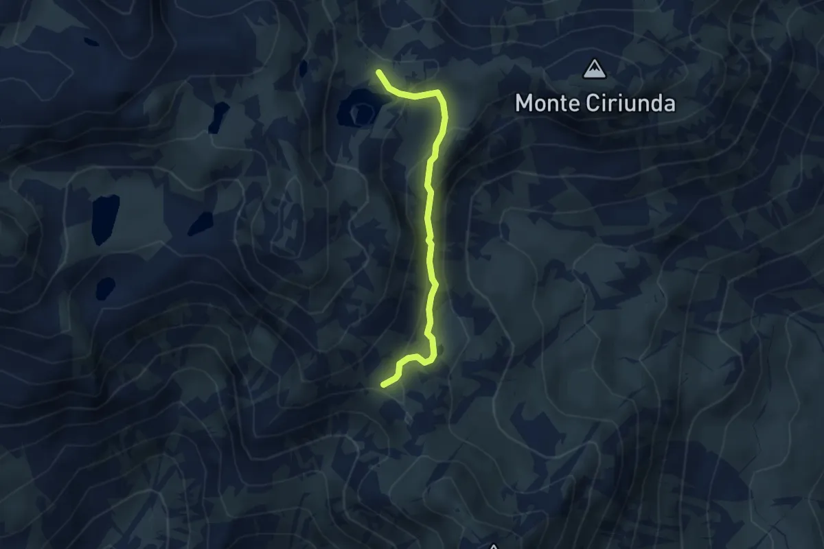
Medium · Trail
Bivio 129-129A-129B, Colle Veilet – Bivio 129-132-210-211, Colle Tre Lajet
3.3 km · ↑ 196 m · 1 h 12 min
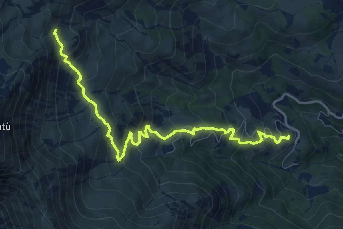
Medium · Summit
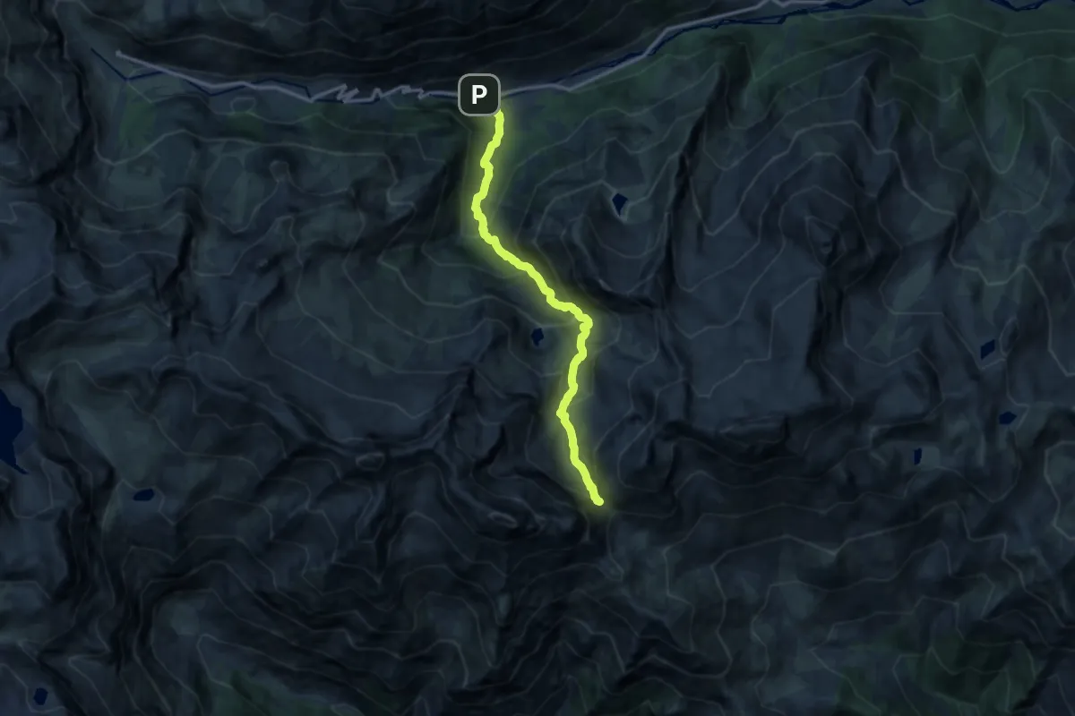
Alpe Bianca – Bivio 129-130, Lago Veilet
9.3 km · ↑ 671 m · 3 h 39 min
Demanding · Trail
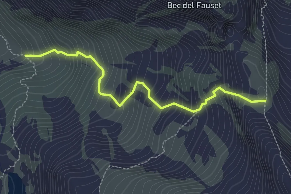
Cornetti – Bivio 128-214, Passo Paschiet
12.5 km · ↑ 1025 m · 5 h 11 min
Medium · Trail
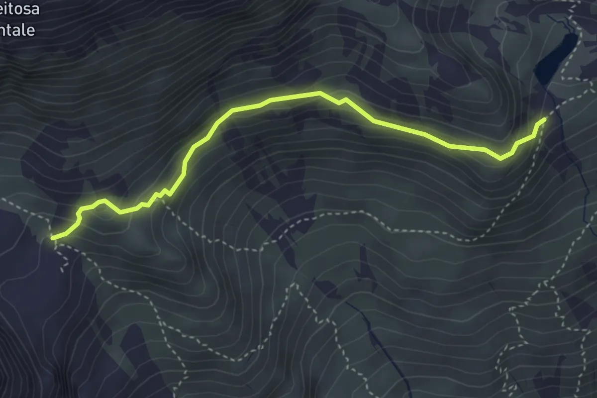
Bivio 214-215, Alpe Pian Buet – Bivio 212-215, Colle Vallonetto
2.7 km · ↑ 416 m · 1 h 33 min
Medium · Trail
Bivio 233-233B, Bivacco Molino – Bivio 233B-234, Lago Vasuero
3.8 km · ↑ 272 m · 1 h 30 min
Demanding · Trail
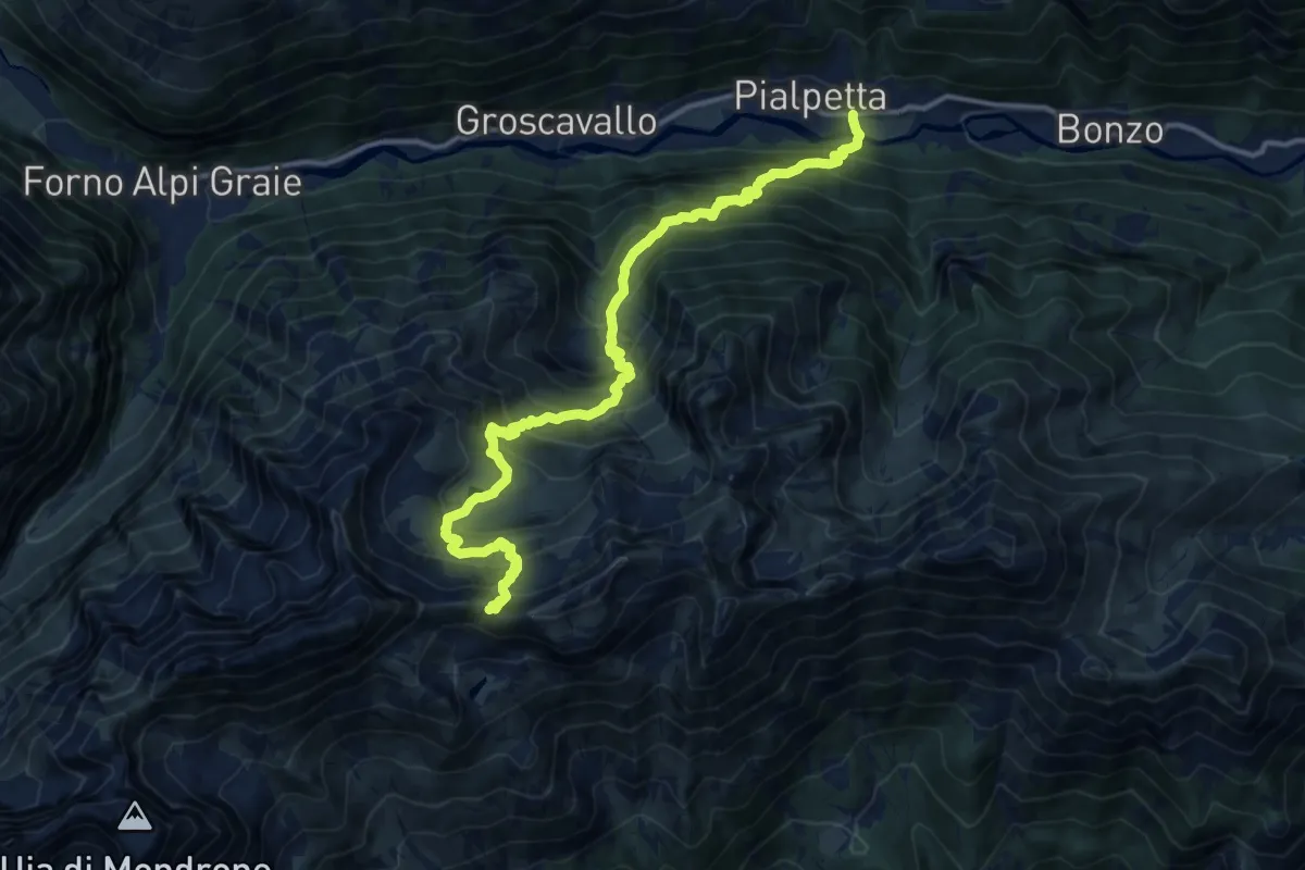
Bivio 305-321, Pialpetta – Bivio 234-305, Colle Trione
14.9 km · ↑ 1583 m · 6 h 57 min
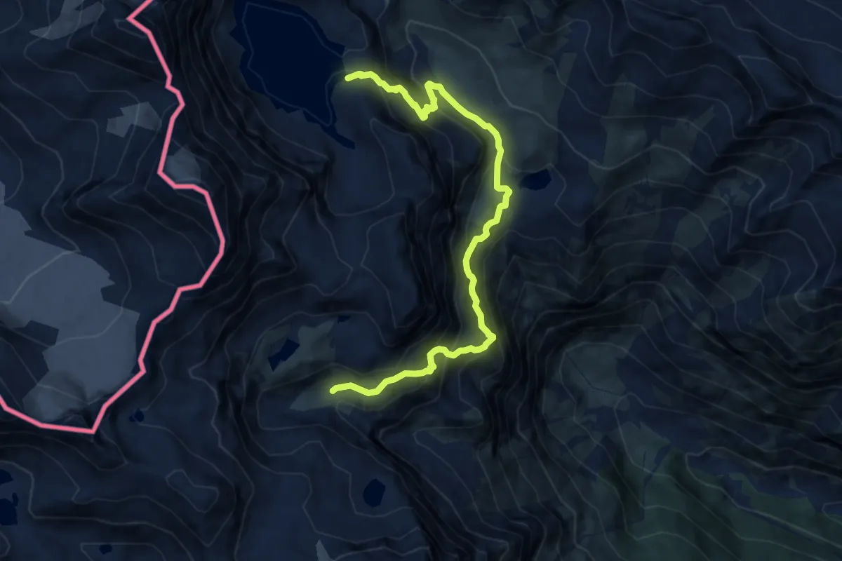
Demanding · Cabin
Bivio 122-122A, Diga della Rossa – Bivio 118-122A, Rifugio Cibrario
10.3 km · ↑ 1177 m · 4 h 58 min
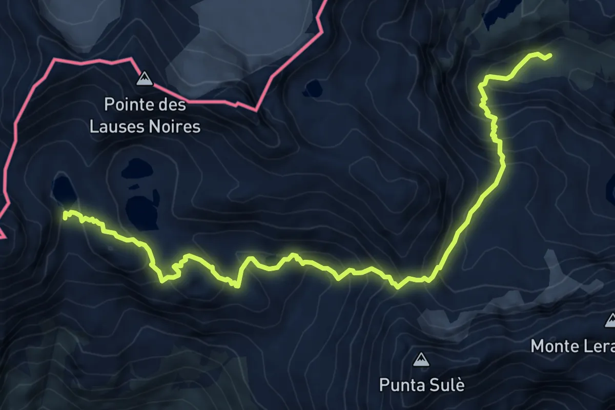
Demanding · Trail
Bivio 122-222A, Collarin d'Arnas – Bivio 116-122, Lago Autaret
9.8 km · ↑ 871 m · 4 h 13 min
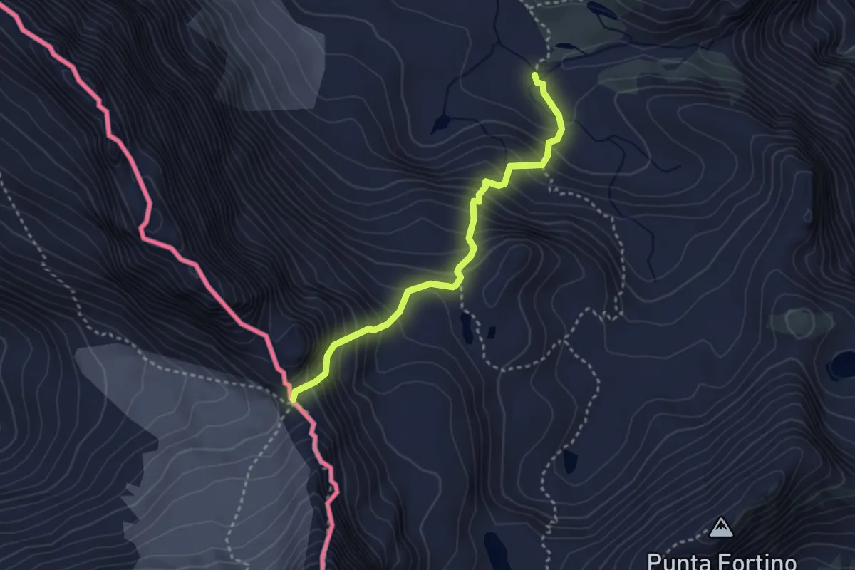
Medium · Trail
Bivio 222-226, Rifugio Città di Ciriè – Colle Arnas
3.1 km · ↑ 451 m · 1 h 43 min
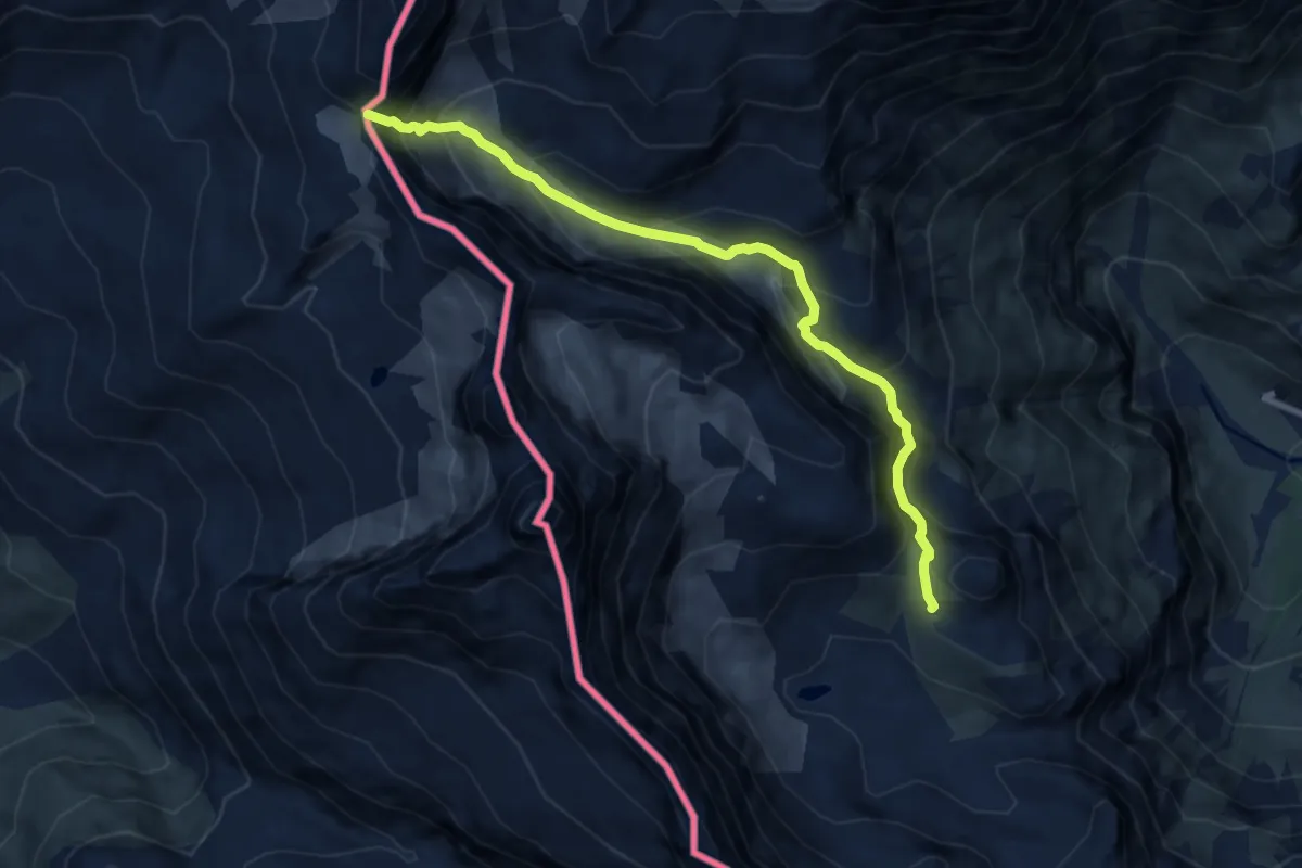
Expert · Trail
Bivio 222-224, Rifugio Gastaldi – Passo Collerin
8.6 km · ↑ 771 m · 3 h 42 min
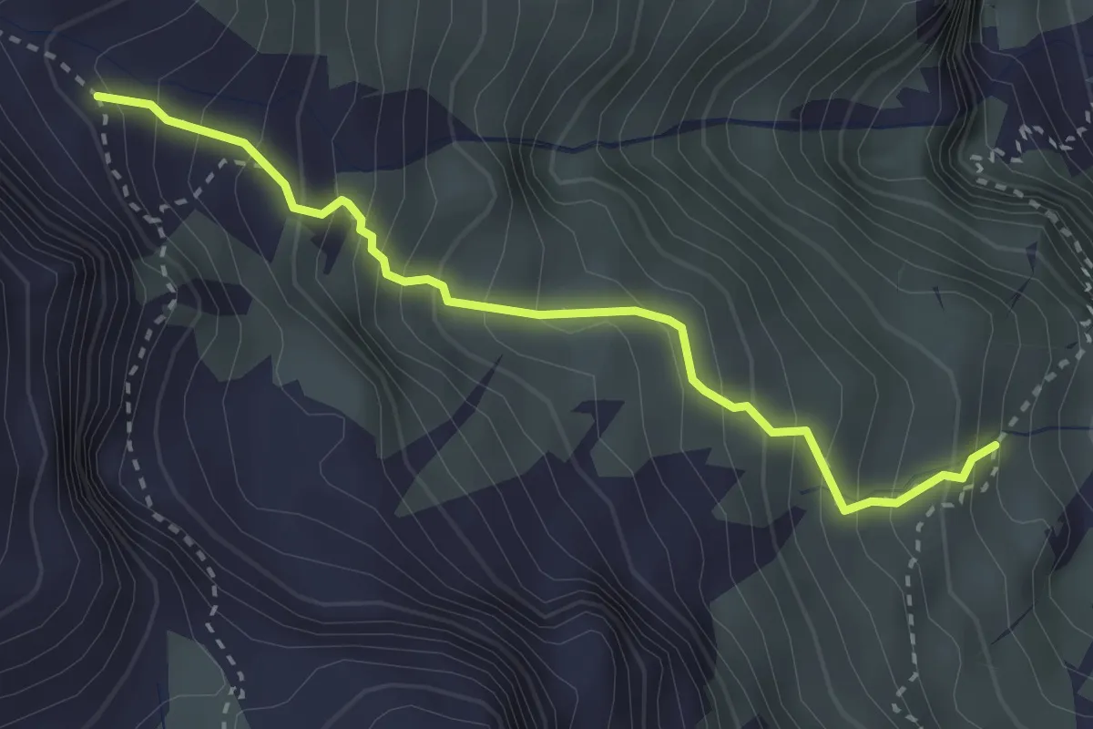
Medium · Trail
Bivio 222-223, Pian dei Morti – Bivio 223-224, Pian Gias
3.0 km · ↑ 410 m · 1 h 36 min
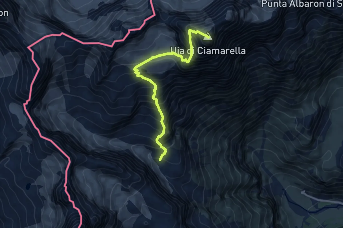
Expert · Summit
Bivio 224-224A – Uja di Ciamarella
7.4 km · ↑ 963 m · 3 h 51 min
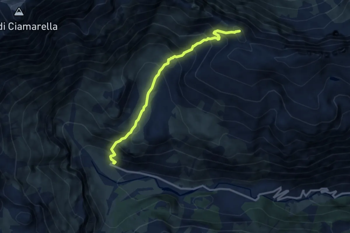
Demanding · Cabin
Bivio 222-226, Rifugio Città di Ciriè – Bivio 226-310, Ghicet di Sea
7.2 km · ↑ 858 m · 3 h 34 min
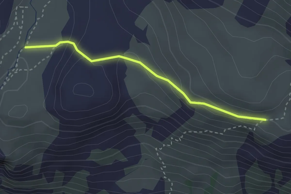
Medium · Trail
Bivio 226-226A, Pian Ciamarella – Bivio 226A-227, Alpe Rossa
2.5 km · ↑ 128 m · 53 min
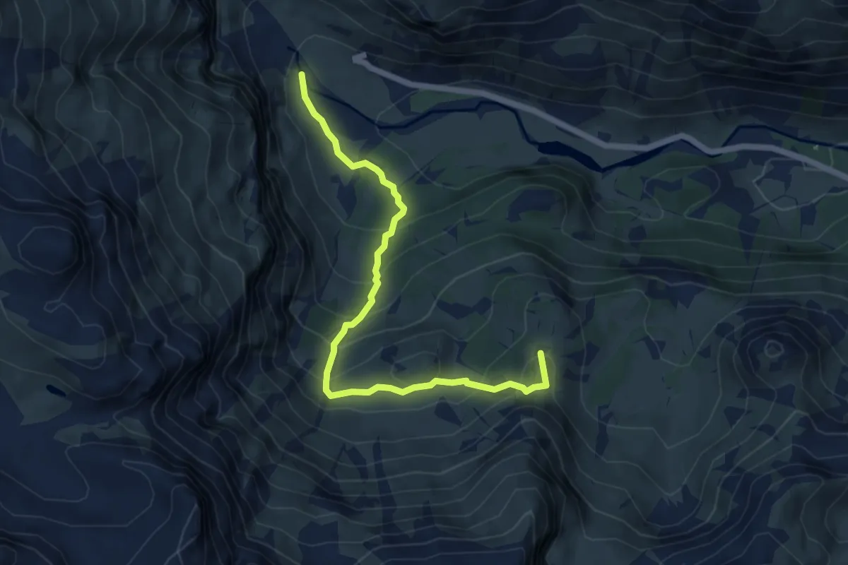
Medium · Summit
Bivio 219-222, Rocca Venoni – Bivio 217-219, Alpe Pian Giaé
5.9 km · ↑ 422 m · 2 h 18 min
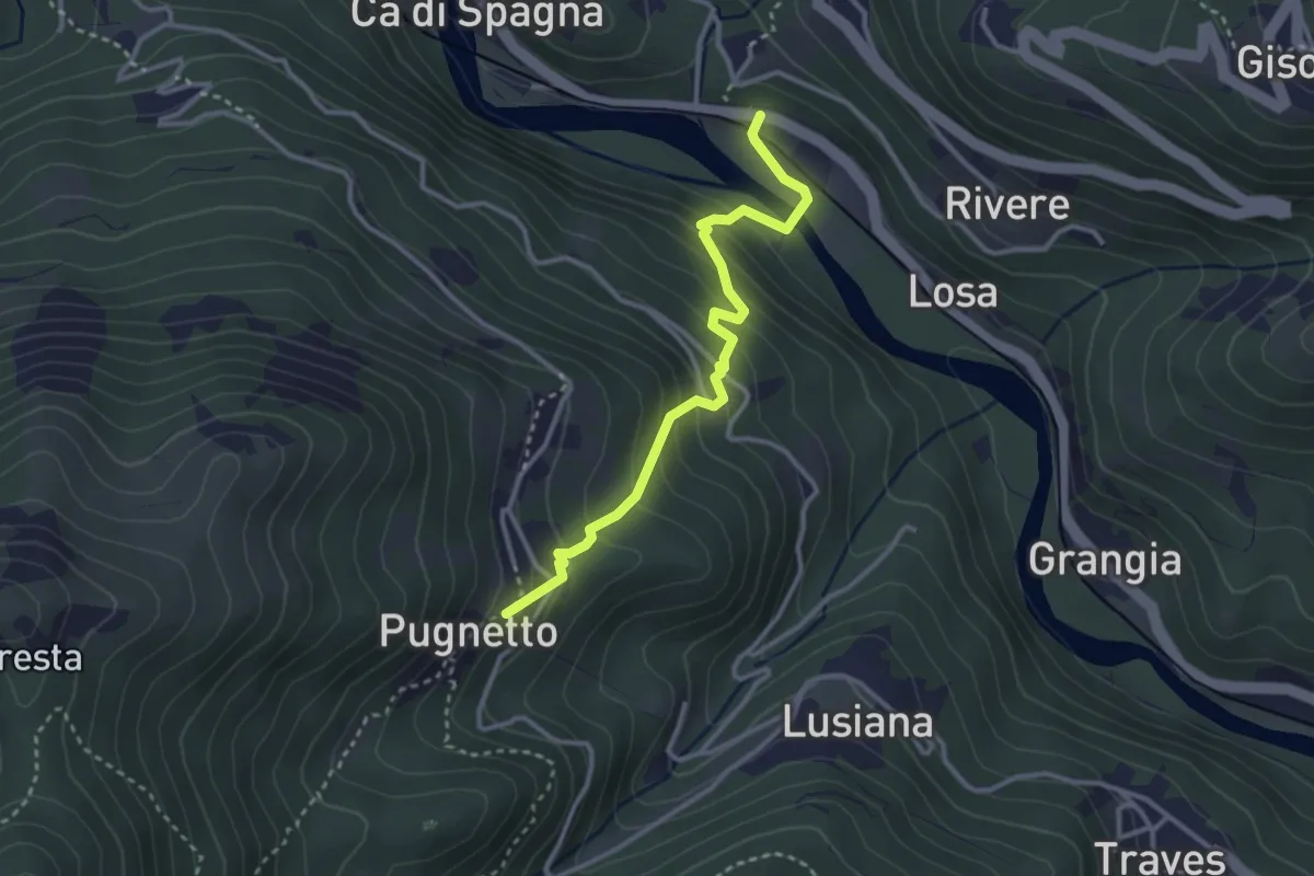
Easy · Trail
Bivio 258-335, Stazione Losa – Bivio 202-258, Pugnetto
3.2 km · ↑ 293 m · 1 h 24 min
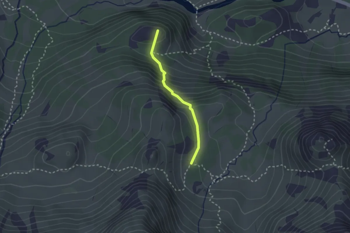
Easy · Summit
Bivio 218-218A, Pian della Mussa – Bivio 218A-219
1.9 km · ↑ 187 m · 51 min
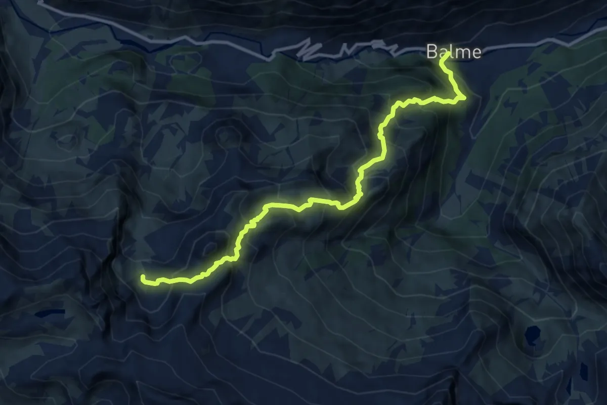
Demanding · Trail
217-228, Balme – Bivio 217-218, Pian Alemanni Superiore
11.0 km · ↑ 1298 m · 5 h 24 min
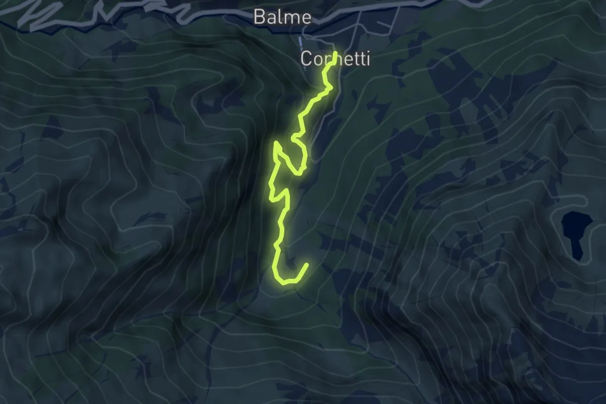
Medium · Cabin
Bivio 214-214B, Cornetti – Bivio 214-214B, Alpe Pian Salé
4.8 km · ↑ 355 m · 1 h 55 min
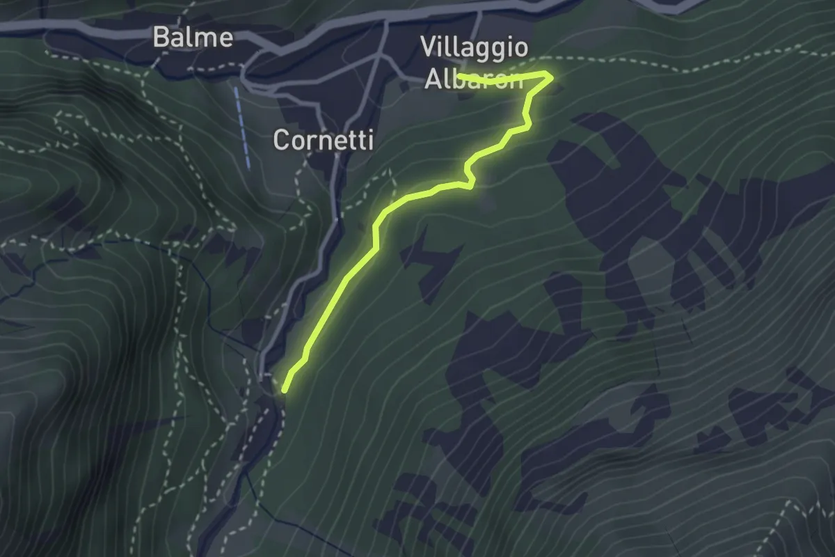
Easy · Trail
Bivio 213-214C, Albaron – Bivio 214-214C, Frè
2.6 km · ↑ 98 m · 50 min
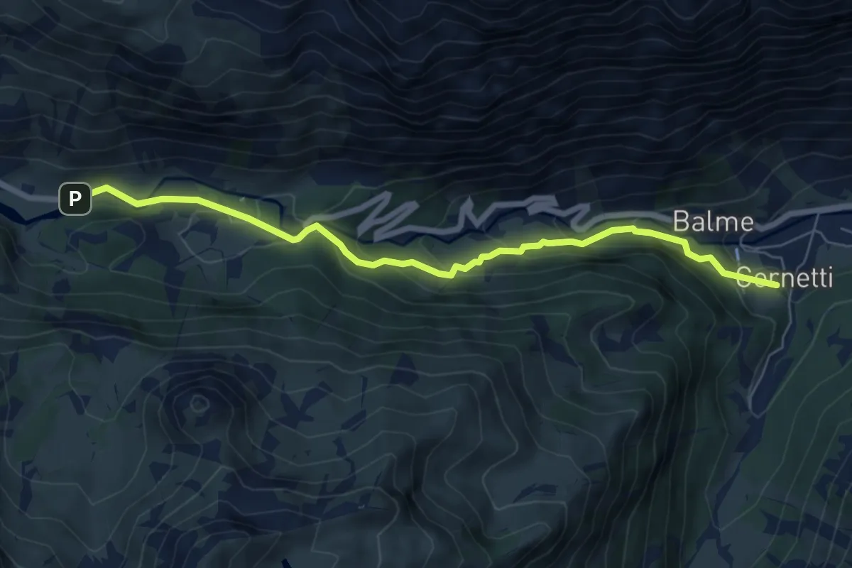
Medium · Trail
Bivio 217-220, Balme – Bivio 218-220-227, Grange della Mussa
6.8 km · ↑ 381 m · 2 h 26 min
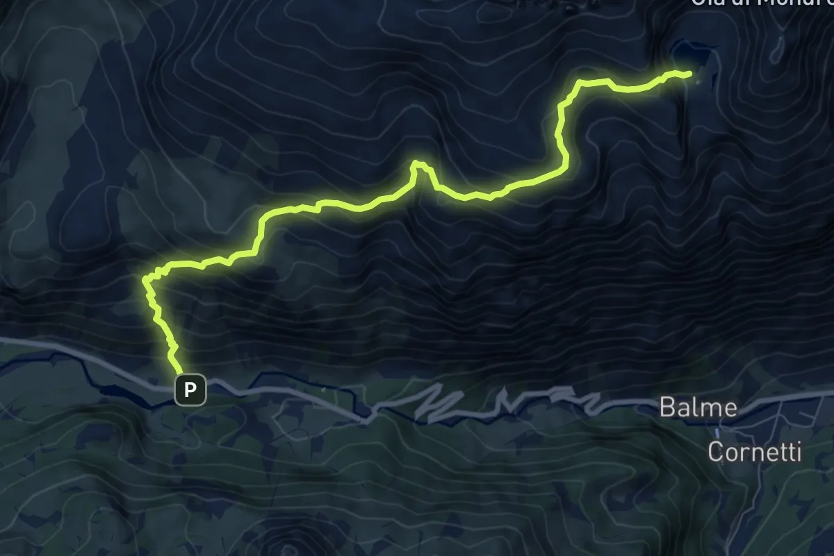
Demanding · Trail
Bivio 218-220-227, Grange della Mussa – Bivio 227-228-232A, Lago Mercurin
9.7 km · ↑ 985 m · 4 h 25 min
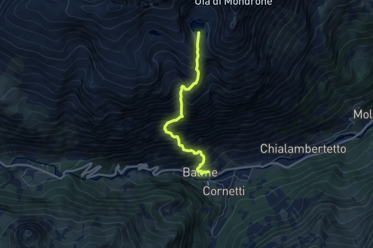
Demanding · Trail
Bivio 217-228, Balme – Bivio 227-228-232A, Lago Mercurin
5.5 km · ↑ 1031 m · 3 h 33 min
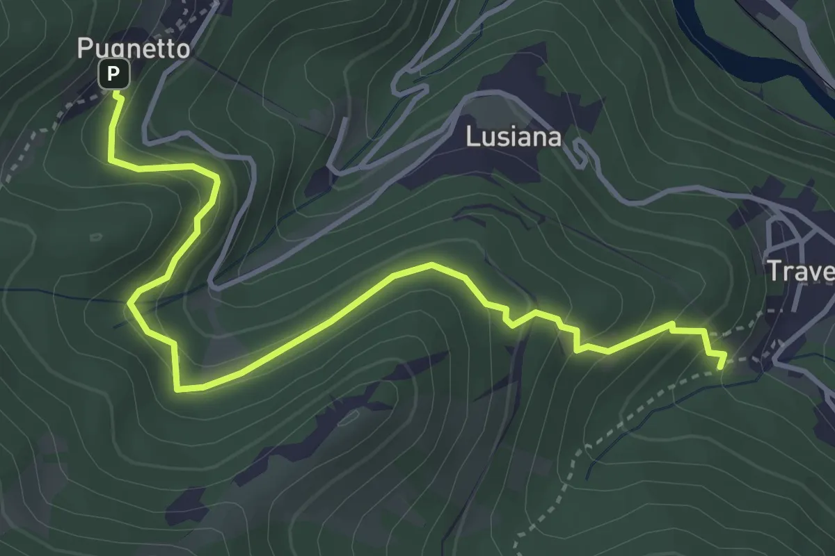
Medium · Trail
Bivio 252-257, Villa di Traves – Bivio 202-257, Pugnetto
4.5 km · ↑ 336 m · 1 h 48 min
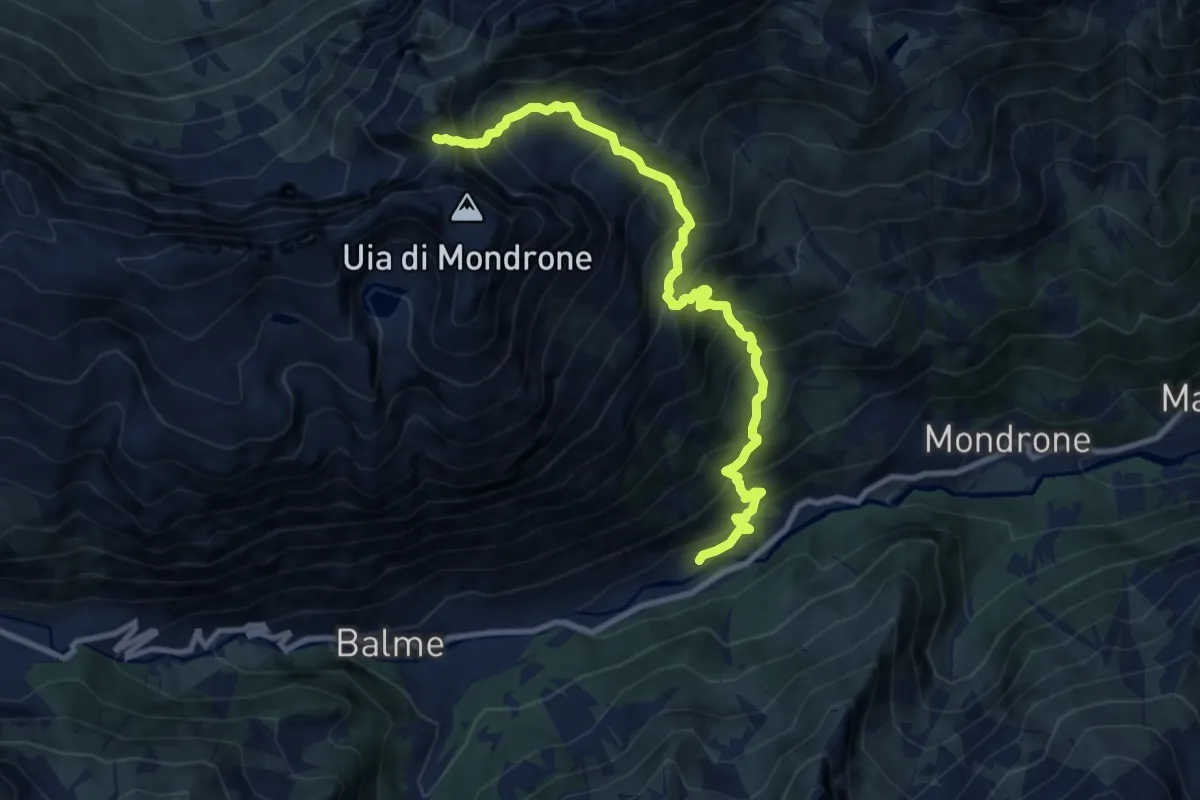
Demanding · Trail
Chialambertetto – Bivio 233-309, Passo dell'Ometto
10.2 km · ↑ 1284 m · 5 h 12 min
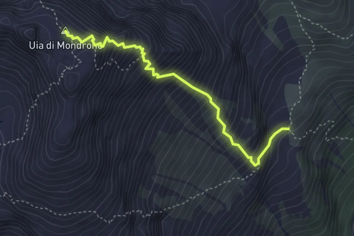
Expert · Summit
Bivio 232-233, Alpe le Piane – Uja di Mondrone
3.7 km · ↑ 859 m · 2 h 44 min
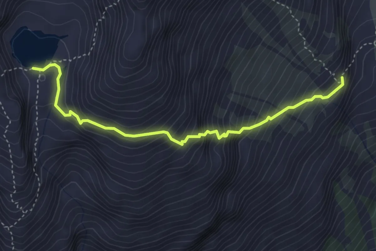
Demanding · Trail
Bivio 232-232A, Le Piane – Bivio 229-232A, Lago Mercurin
4.0 km · ↑ 563 m · 2 h 10 min
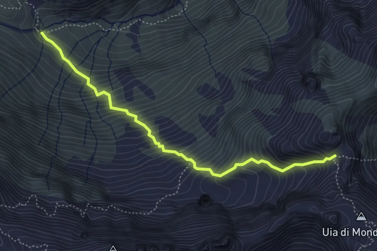
Demanding · Trail
Bivio 308-309, Alpe Sea – Bivio 233-309, Passo dell'Ometto
5.0 km · ↑ 806 m · 2 h 55 min
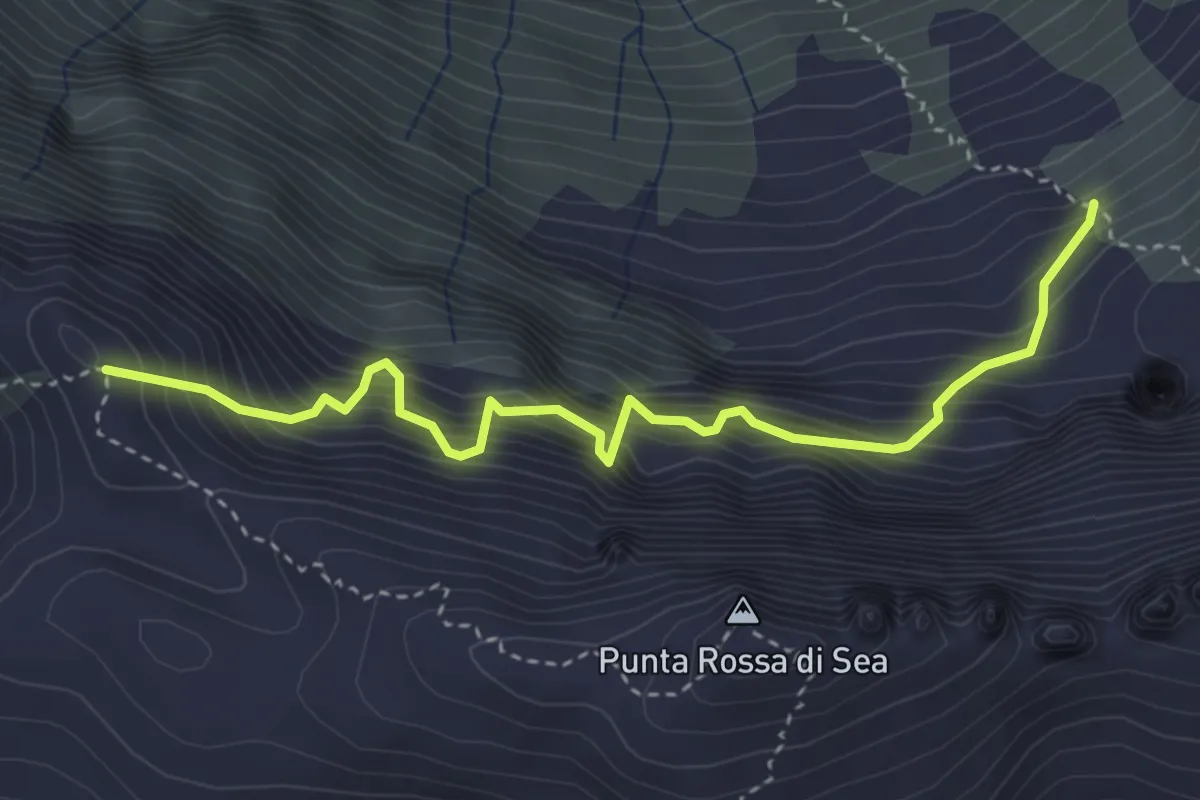
Expert · Trail
Bivio 309-310 – Bivio 226-310, Ghicet di Sea
4.0 km · ↑ 878 m · 2 h 50 min
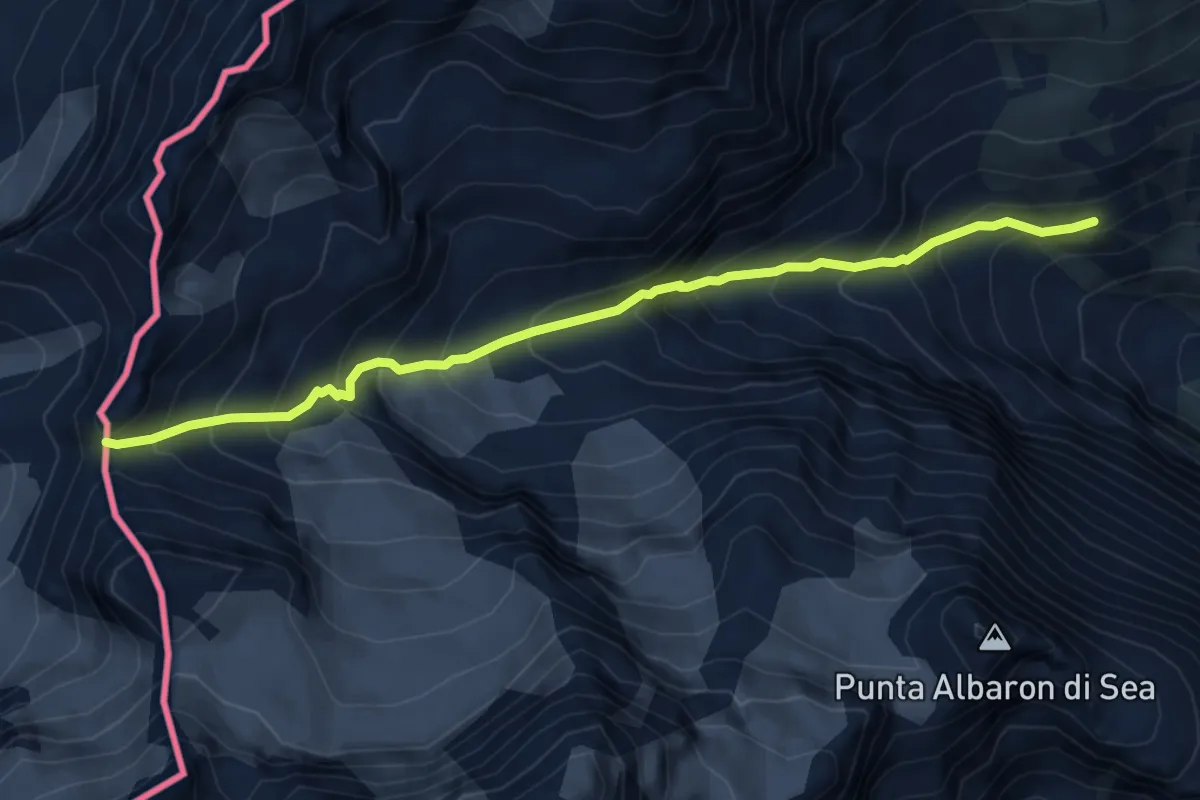
Medium · Trail
Bivio 308-315, Forno Alpi Graie – Colle di Sea
6.1 km · ↑ 737 m · 3 h 3 min
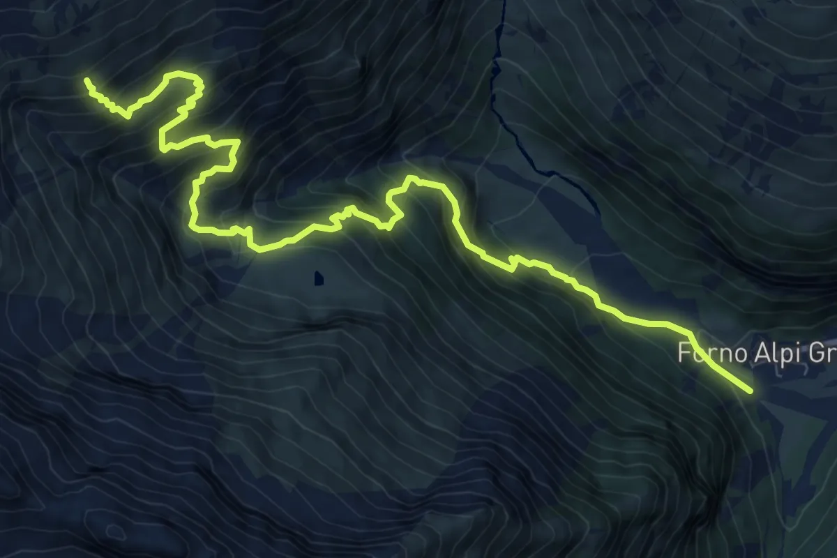
Demanding · Cabin
Bivio 315-318, Forno Alpi Graie – Bivio 315-315A-316, Rifugio Daviso
11.3 km · ↑ 1189 m · 5 h 15 min
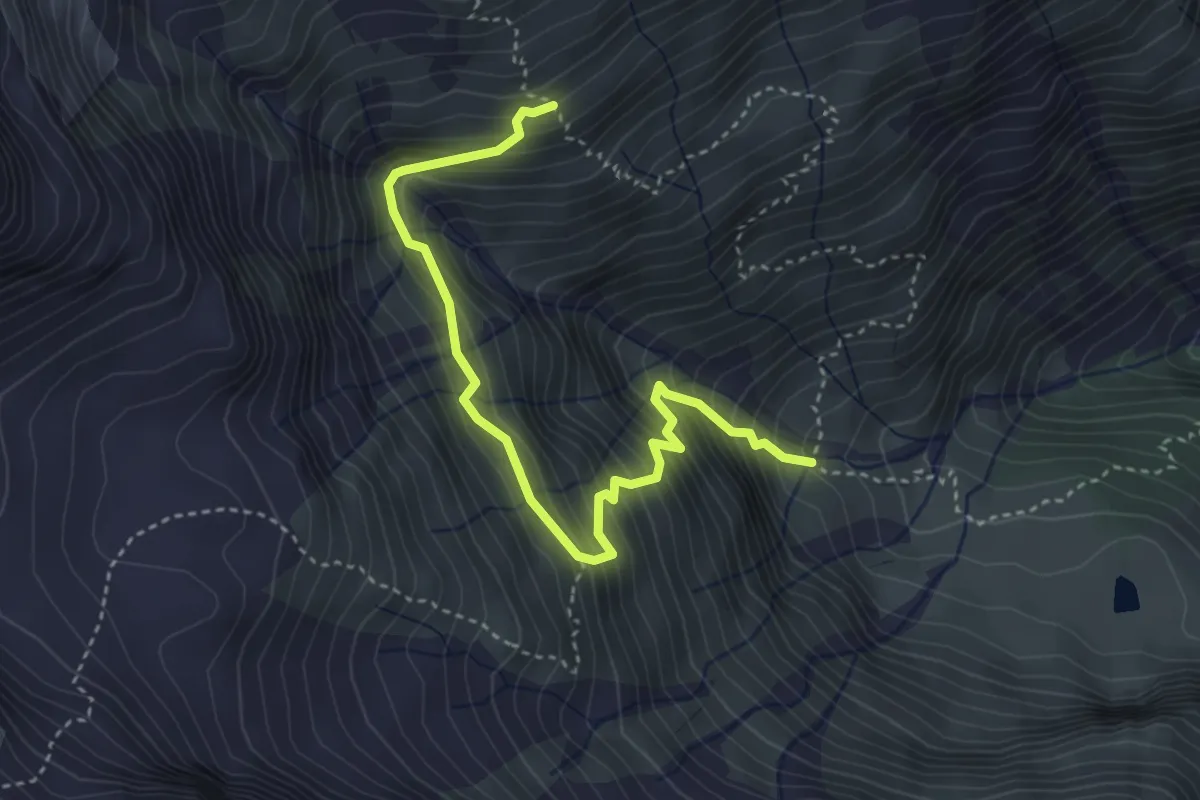
Demanding · Cabin
Bivio 315-316, Rifugio Daviso – Bivio 308-316, Gias Piatou
4.2 km · ↑ 547 m · 2 h 10 min
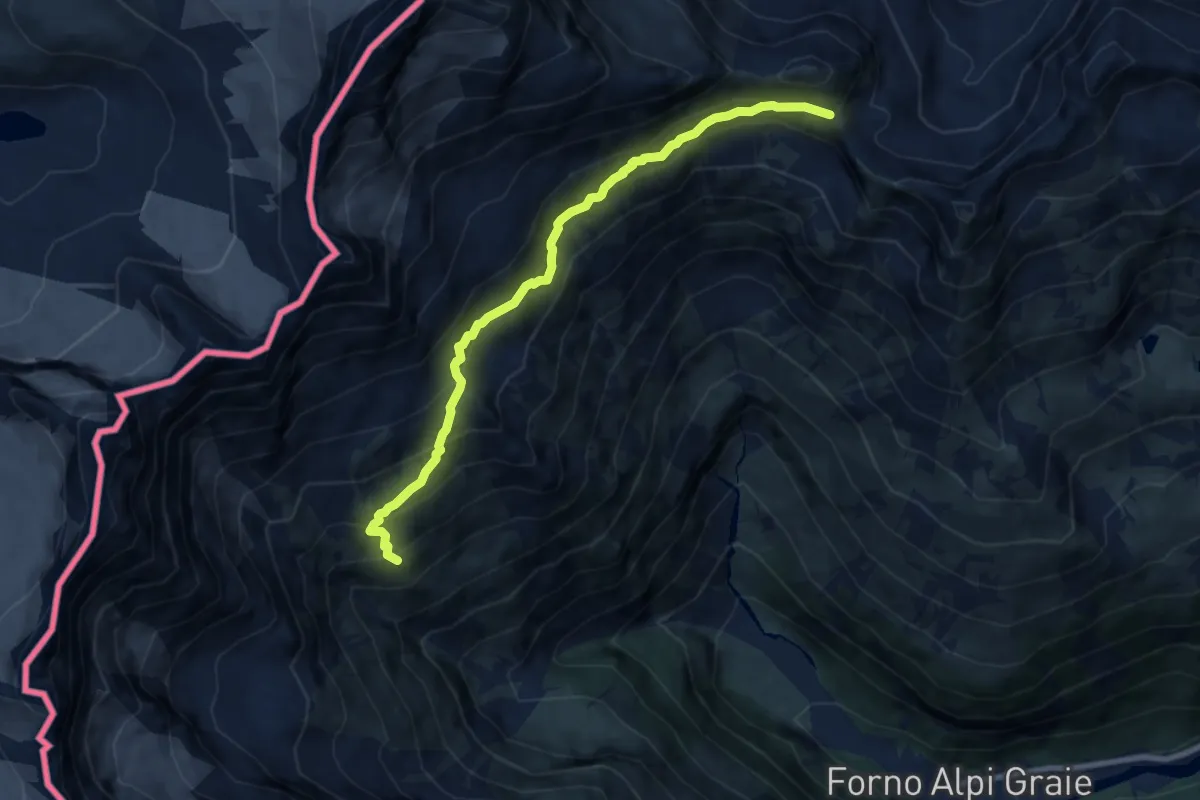
Demanding · Cabin
Bivio 315-315A-316, Rifugio Daviso – BIvio 315A-318-521, Colle Piccola
8.6 km · ↑ 746 m · 3 h 38 min
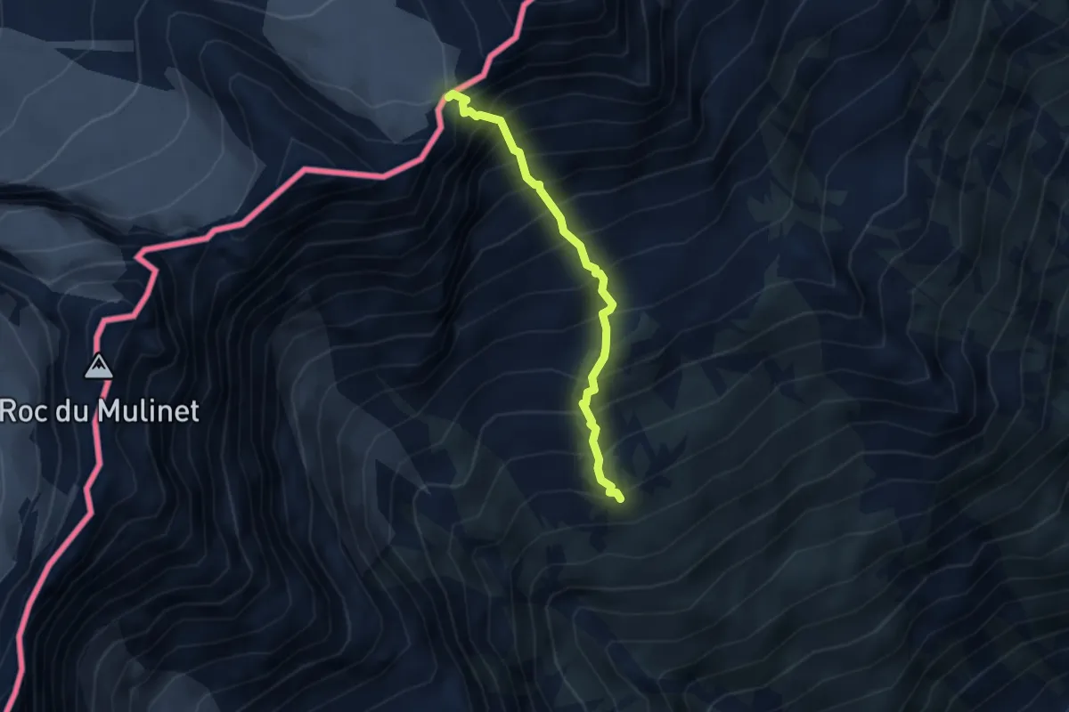
Expert · Trail
315A-315B, Rifugio Daviso – Colle Girard
3.1 km · ↑ 653 m · 2 h 9 min