Trails in Italy
25,219 hiking trails, each with its route, climb, walking time and grade.
All trails, page 440 of 526
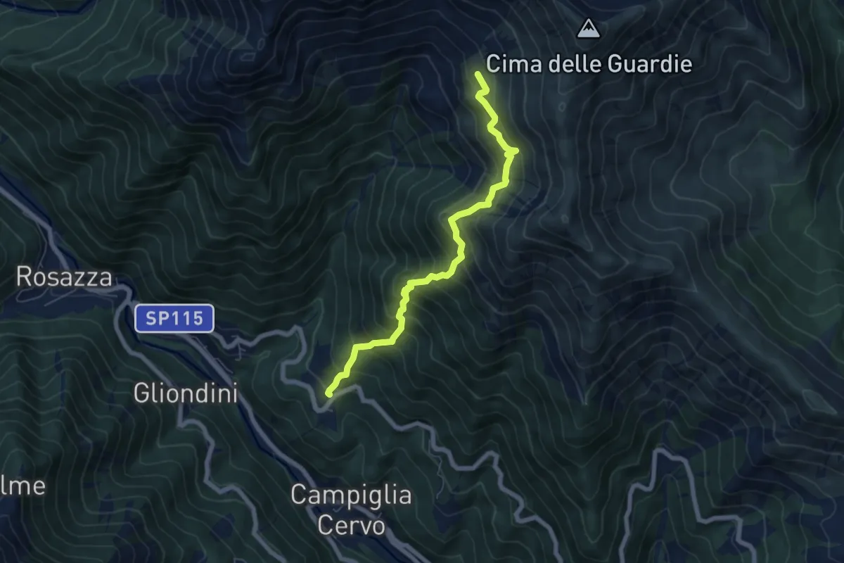
Demanding · Trail
Alpe Teggie del Campo – Bivio E25A-E28-E82, Piaro
6.1 km · ↑ 821 m · 3 h 13 min
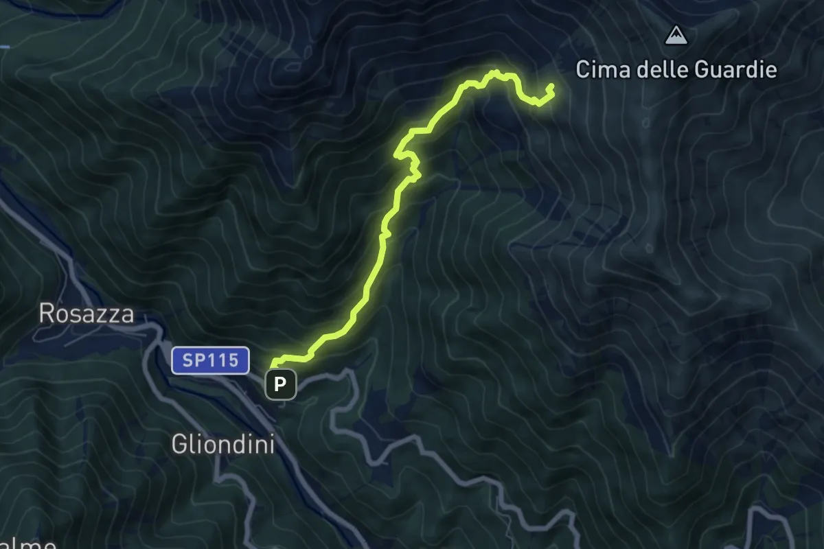
Medium · Trail
Panoramica Zegna – Bivio E80-F01-F11, Bassa del Campo
6.5 km · ↑ 724 m · 3 h 6 min
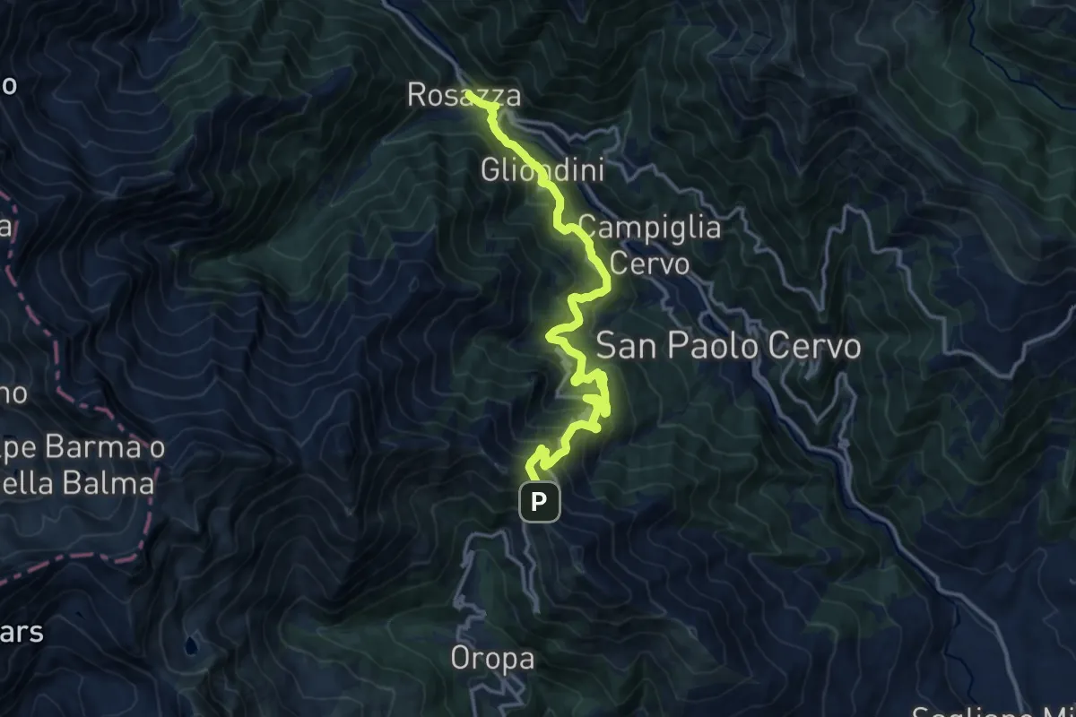
Demanding · Trail
Bivio E29-E30, Ponte Concresio – Bivio D17-E29, Colle della Colma
14.7 km · ↑ 1138 m · 5 h 56 min
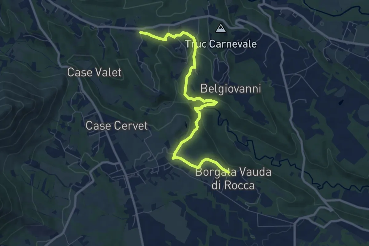
Medium · Trail
Bivio 465-466 in borgata Vauda di Rocca – Bivio 418-466 presso borgata San Pietro di Corio
8.2 km · ↑ 242 m · 2 h 28 min
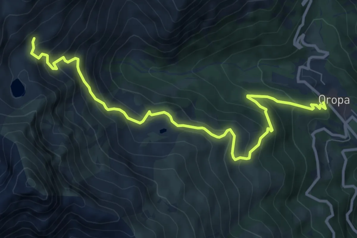
Medium · Trail
Santuario di Oropa – Rifugio Rosazza, bivio BIAD11-BIAD24
9.7 km · ↑ 765 m · 3 h 57 min
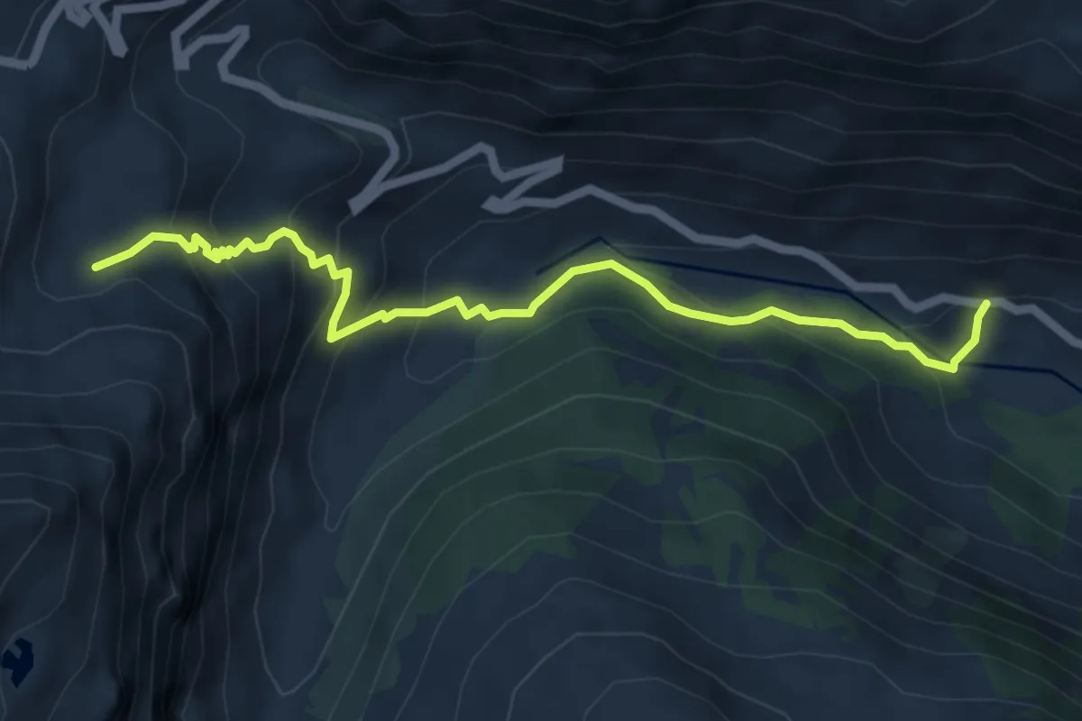
Medium · Trail
Chiapili di sopra – Alpe Pratorotondo
6.0 km · ↑ 437 m · 2 h 23 min
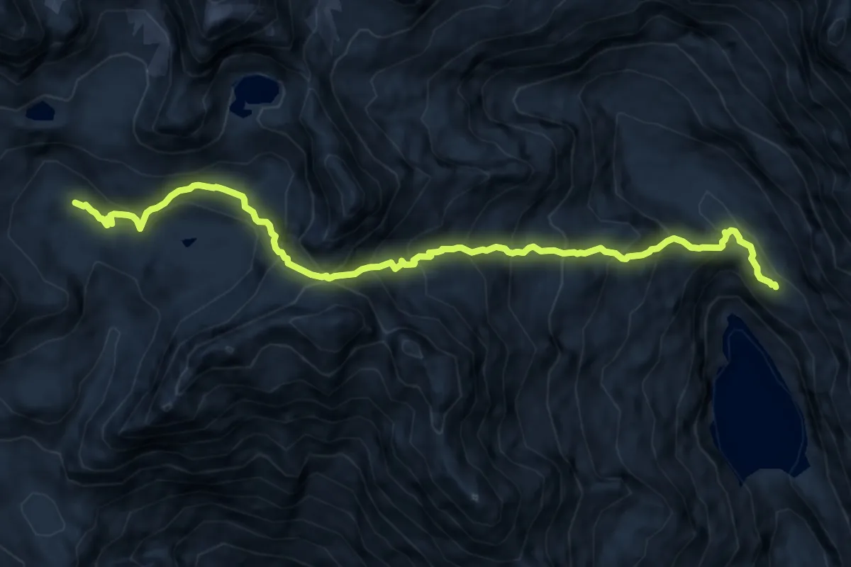
Expert · Cabin
Bivio TON548-TON548A, Bivacco Ivrea – Bivio TON548A-TON560, presso Lago di Telessio verso il Rifugio Pontese
12.5 km · ↑ 1197 m · 5 h 33 min
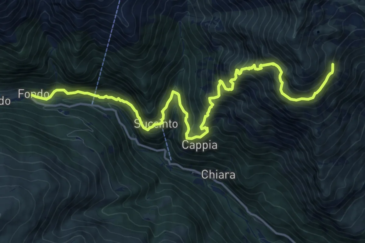
Demanding · Trail
Bivio Alpe Chiaromonte – Fondo
14.8 km · ↑ 1483 m · 6 h 43 min
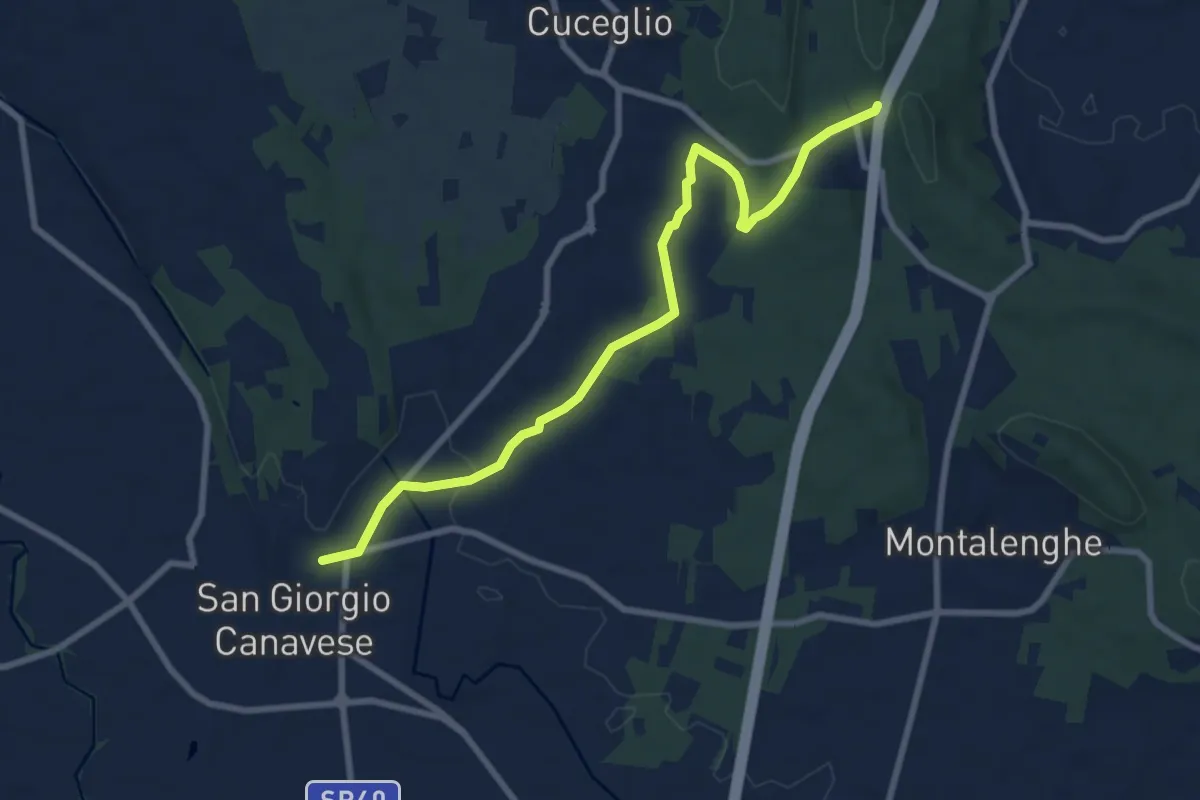
Medium · Trail
San Giorgio Canavese – Galleria della Pietra Grossa
8.8 km · ↑ 98 m · 2 h 17 min
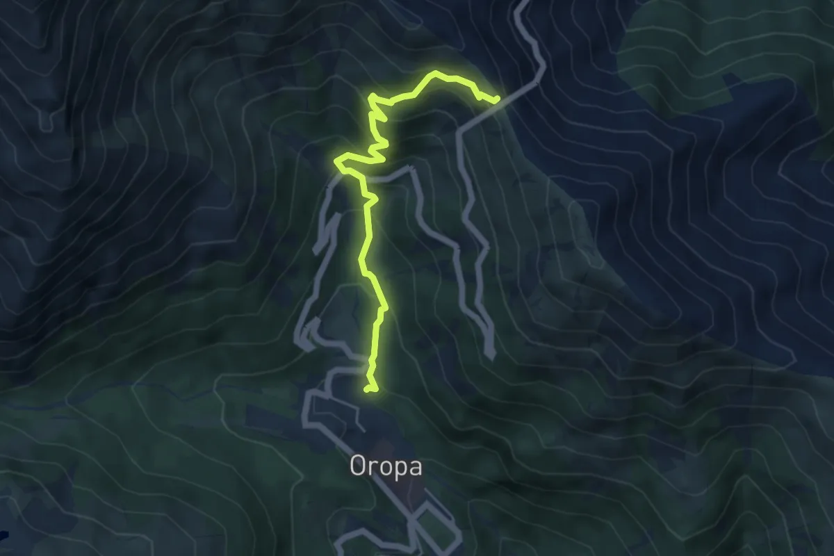
Medium · Trail
Oropa – Colle della Colma, bivio BIAD17-BIAE29
4.8 km · ↑ 440 m · 2 h 5 min
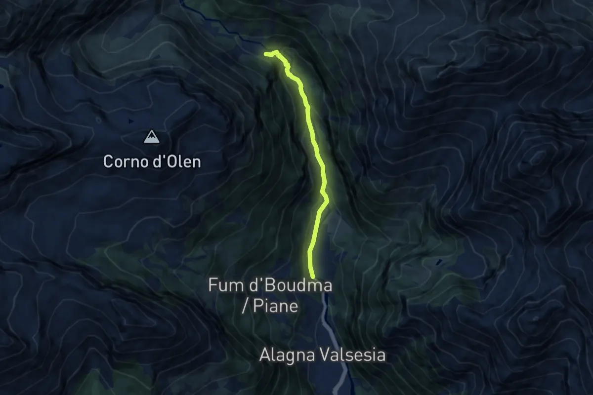
Medium · Cabin
Pedemonte – Rifugio Pastore
6.3 km · ↑ 348 m · 2 h 15 min
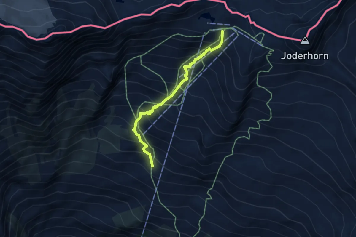
Medium · Cabin
Staffa (Macugnaga) – Rifugio Oberto
3.9 km · ↑ 564 m · 2 h 8 min
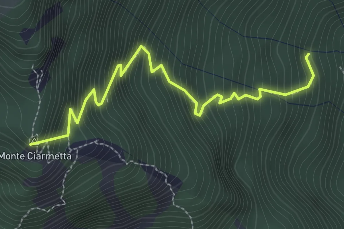
Medium · Summit
Bivio 540-540B – Bivio 538-540B, Alpe Fugera
2.9 km · ↑ 459 m · 1 h 41 min
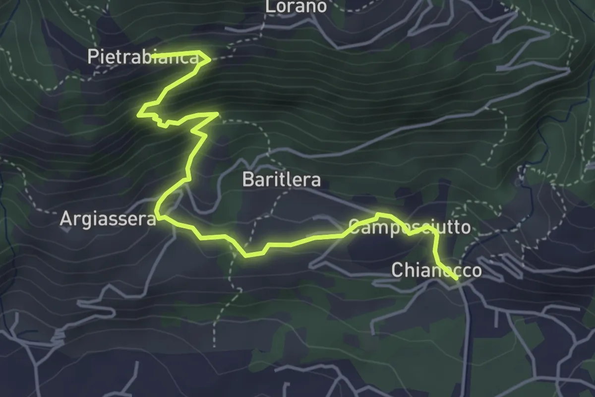
Medium · Trail
Bivio 539-539A, Pietrabianca – Bivio 539A-565, Chianocco
4.9 km · ↑ 400 m · 2 h 2 min
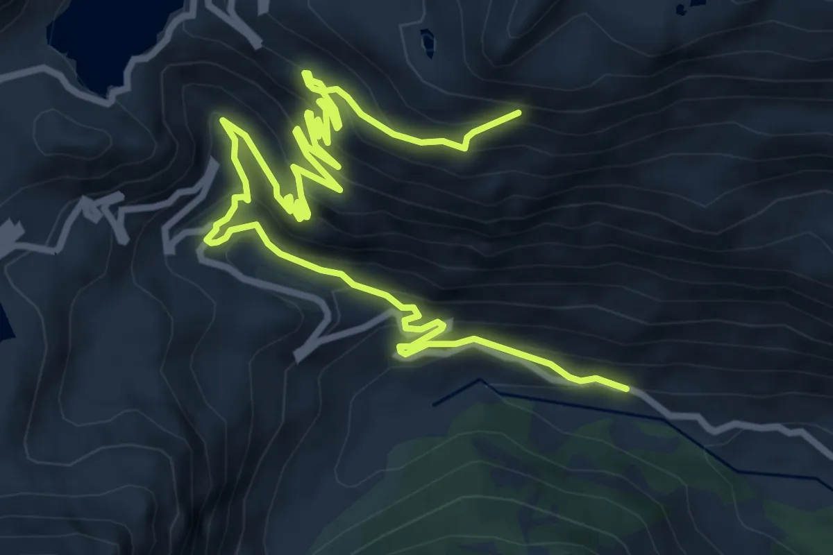
Demanding · Trail
Chiapili di Sopra – 537-550, Laghetti Losere
11.7 km · ↑ 838 m · 4 h 35 min
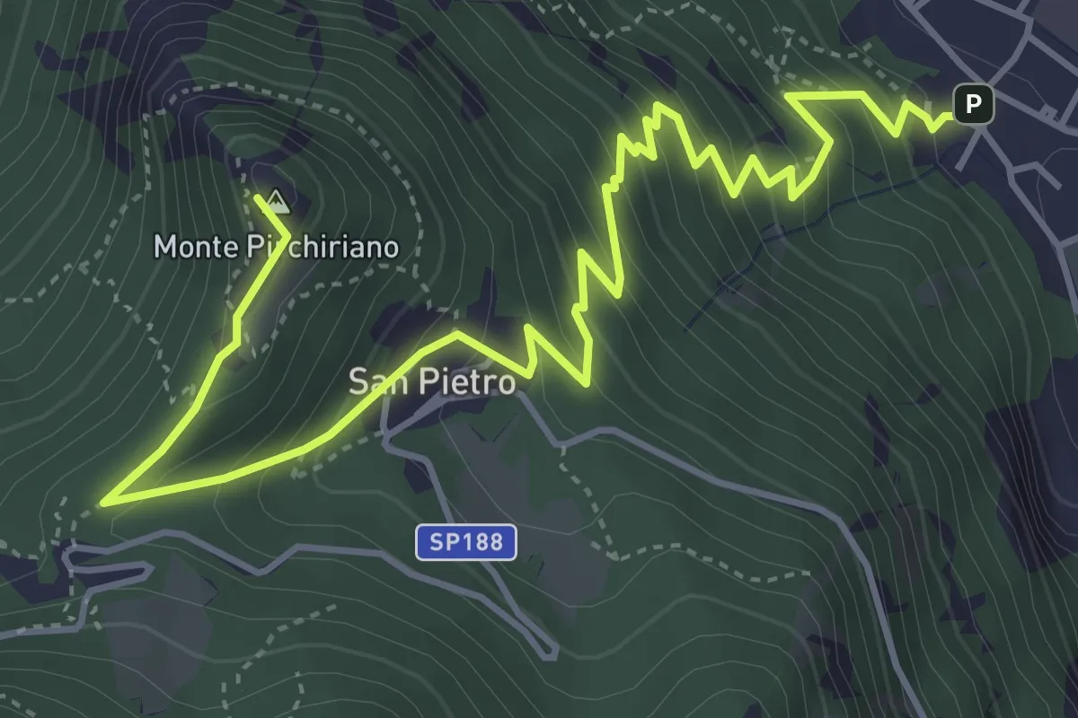
Medium · Summit
Sant'Ambrogio – Sacra San Michele
6.2 km · ↑ 579 m · 2 h 43 min
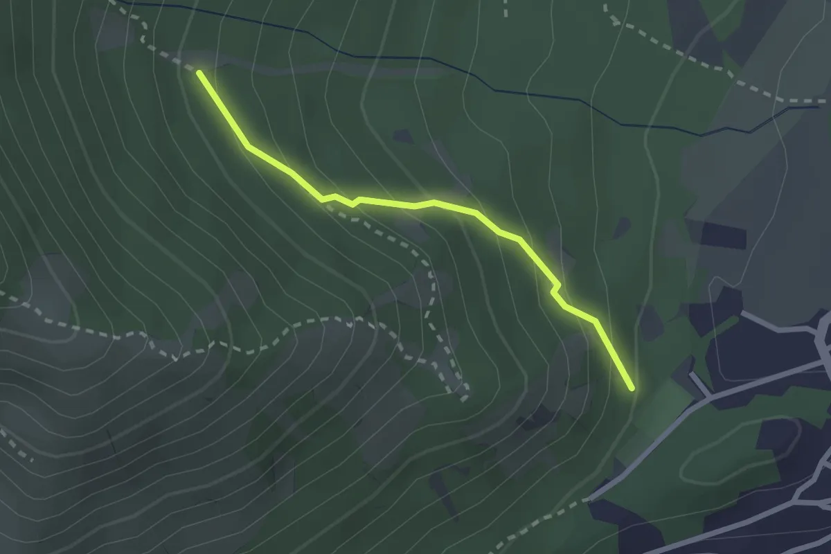
Medium · Trail
Bivio 572-572C, Caselette – Bivio 572A-572C
2.1 km · ↑ 186 m · 54 min
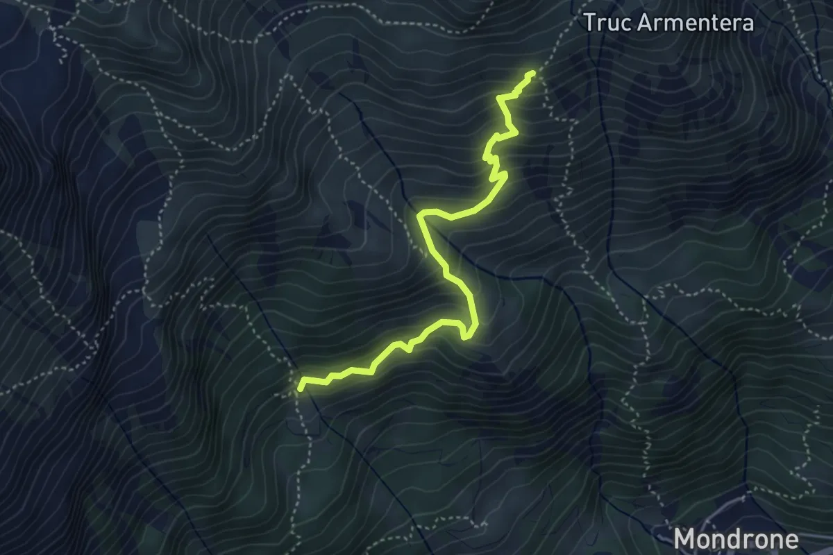
Medium · Trail
Bivio 233-233A, Alpe Pian del Bosco – Bivio 234-234A, Alpe Vasuera Sopra
4.2 km · ↑ 420 m · 1 h 55 min
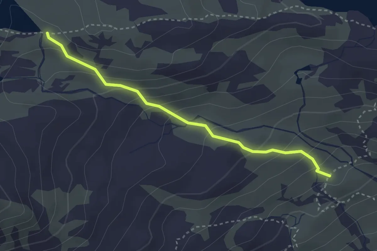
Medium · Trail
Bivio 323-323C, Alpe Laietto – Bivio 323C-324, Lago Fertà
2.9 km · ↑ 221 m · 1 h 10 min
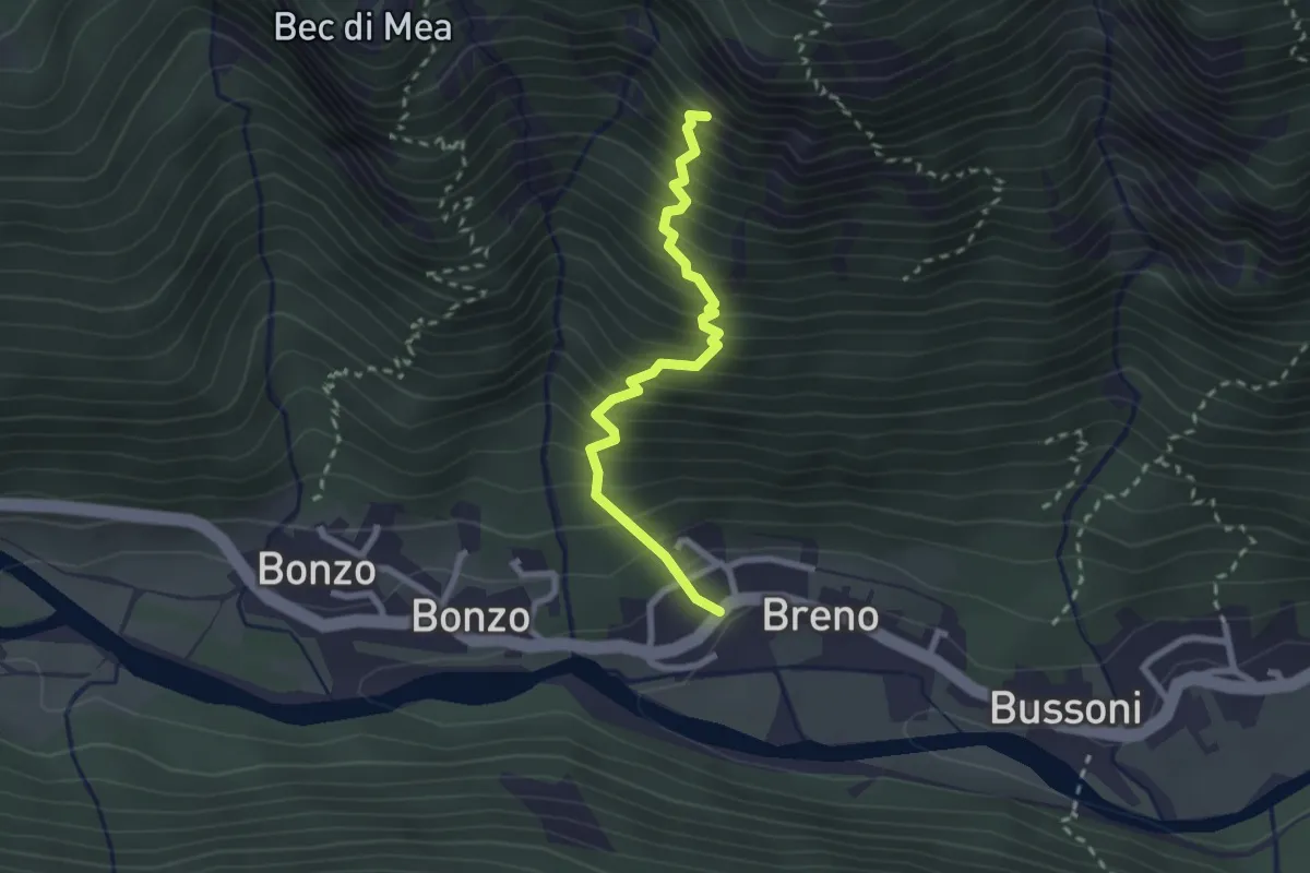
Medium · Trail
Breno – Bivio 323-323B
2.4 km · ↑ 456 m · 1 h 34 min
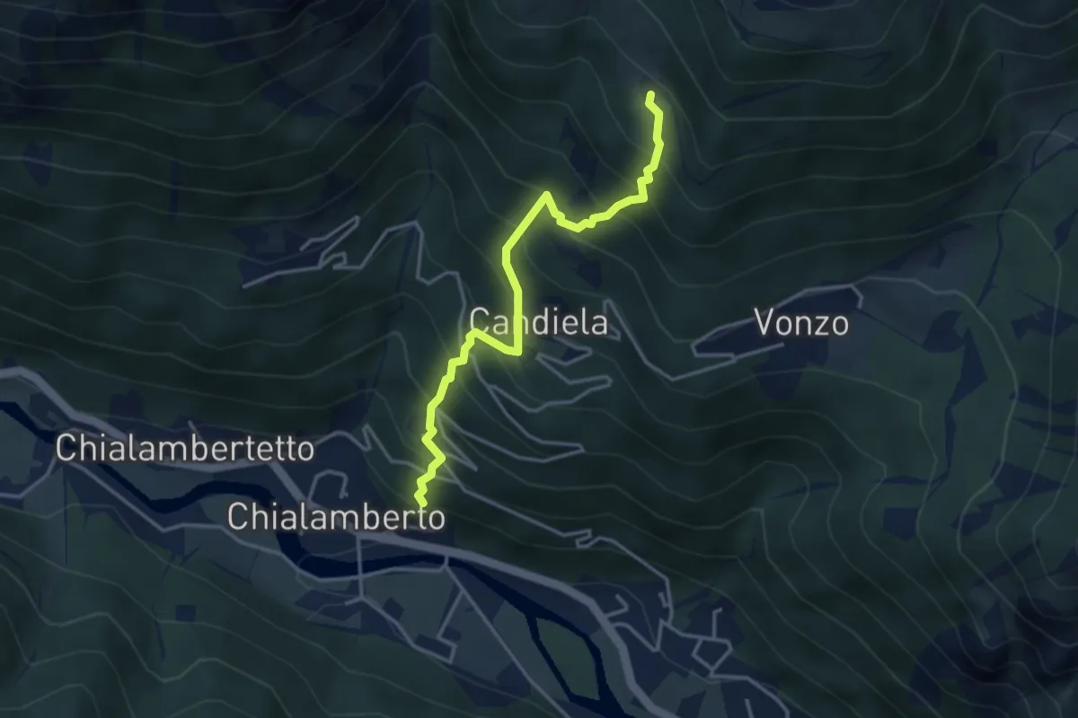
Medium · Trail
Bivio 325-325B, Chialamberto – Bivio 325-325B, Chiappili
3.6 km · ↑ 547 m · 2 h 2 min
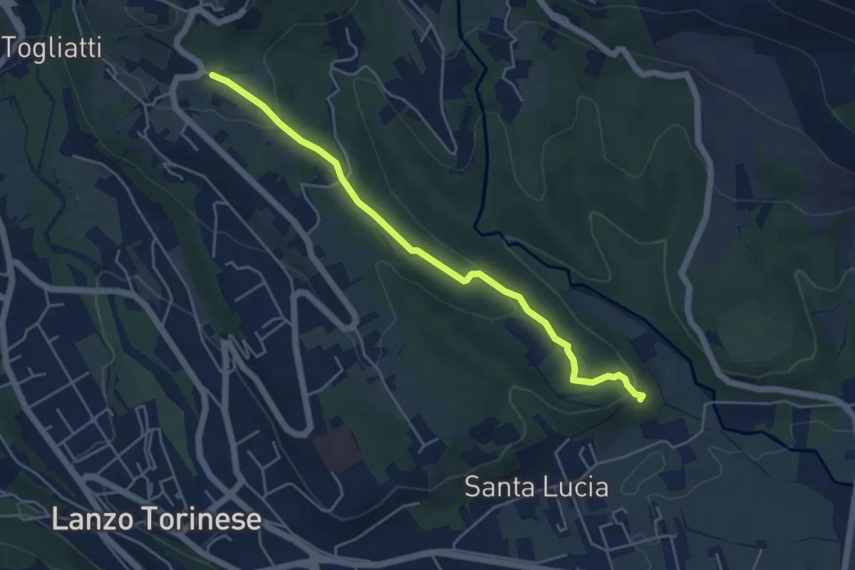
Easy · Trail
Strada dell'Eremo – Case Gisolo
4.6 km · ↑ 128 m · 1 h 22 min
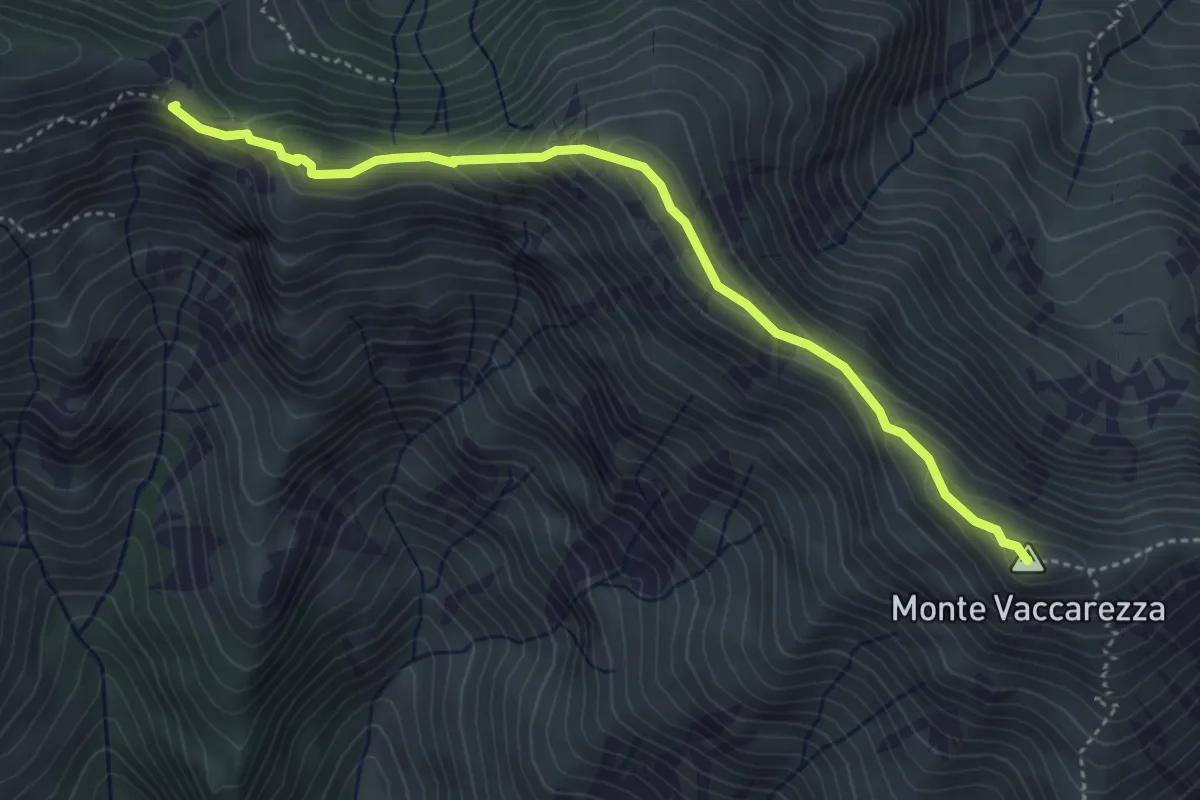
Demanding · Summit
Bivio 408-408B, Alpe Pertus – Bivio 408B-409, Cima Vaccarezza
4.5 km · ↑ 268 m · 1 h 38 min
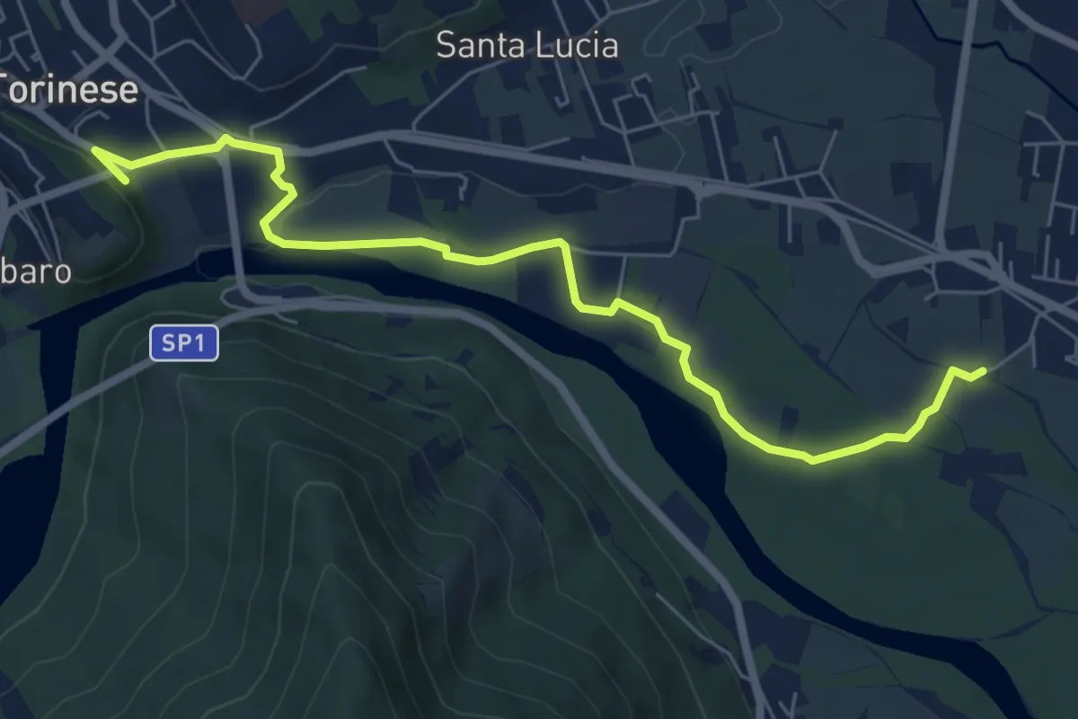
Easy · Trail
Sant'Anna, Balangero – Bivio 101-402, Parco ponte del Diavolo
7.2 km · ↑ 66 m · 1 h 50 min
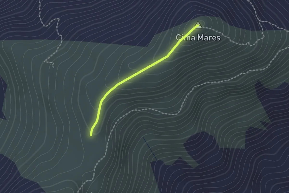
Medium · Summit
Bivio 456-456A-501, La Bassa – Bivio 456-456A, San Bernardo Mares
1.5 km · ↑ 84 m · 32 min
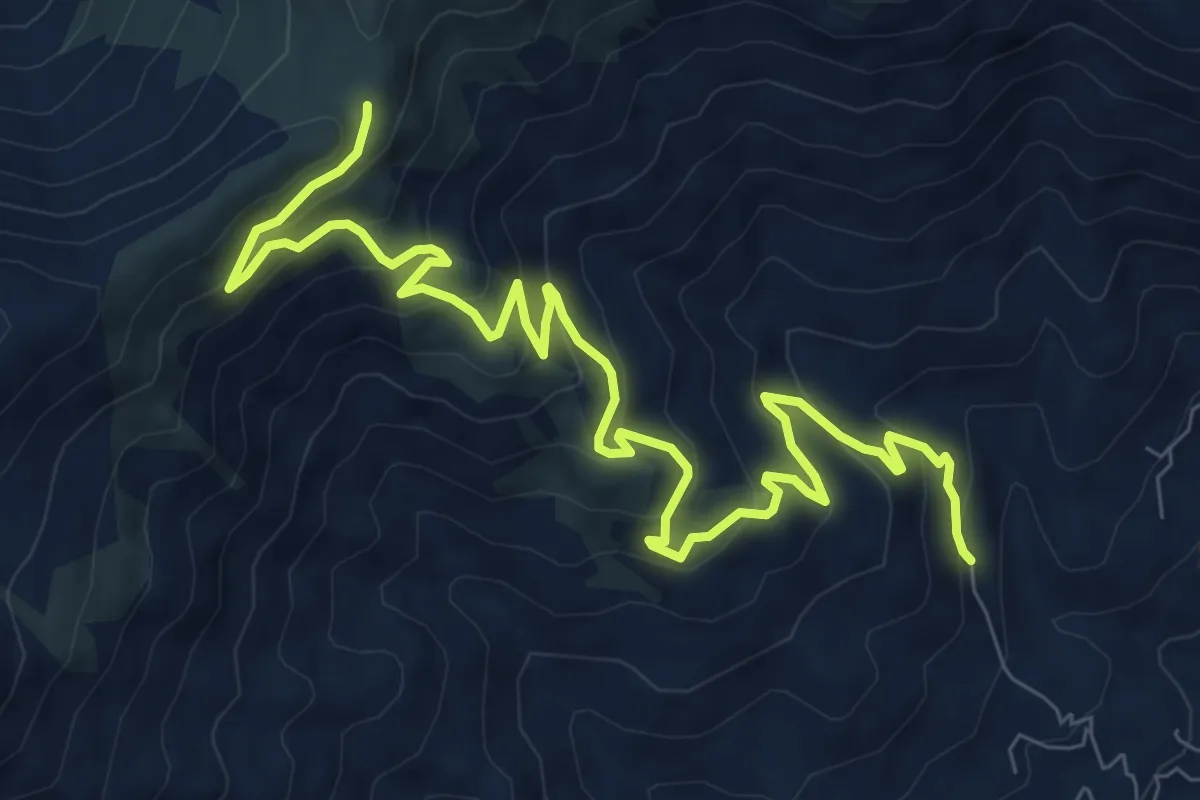
Medium · Cabin
Bivio 452-453, Madonna della Neve – Bivio 453-456, San Bernardo Mares
11.4 km · ↑ 694 m · 4 h 11 min
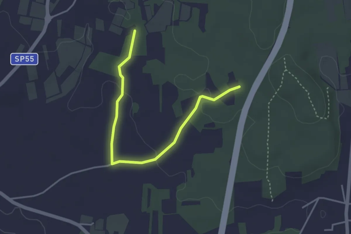
Easy · Trail
bivio 136 – bivio 136B
3.8 km · ↑ 53 m · 1 h
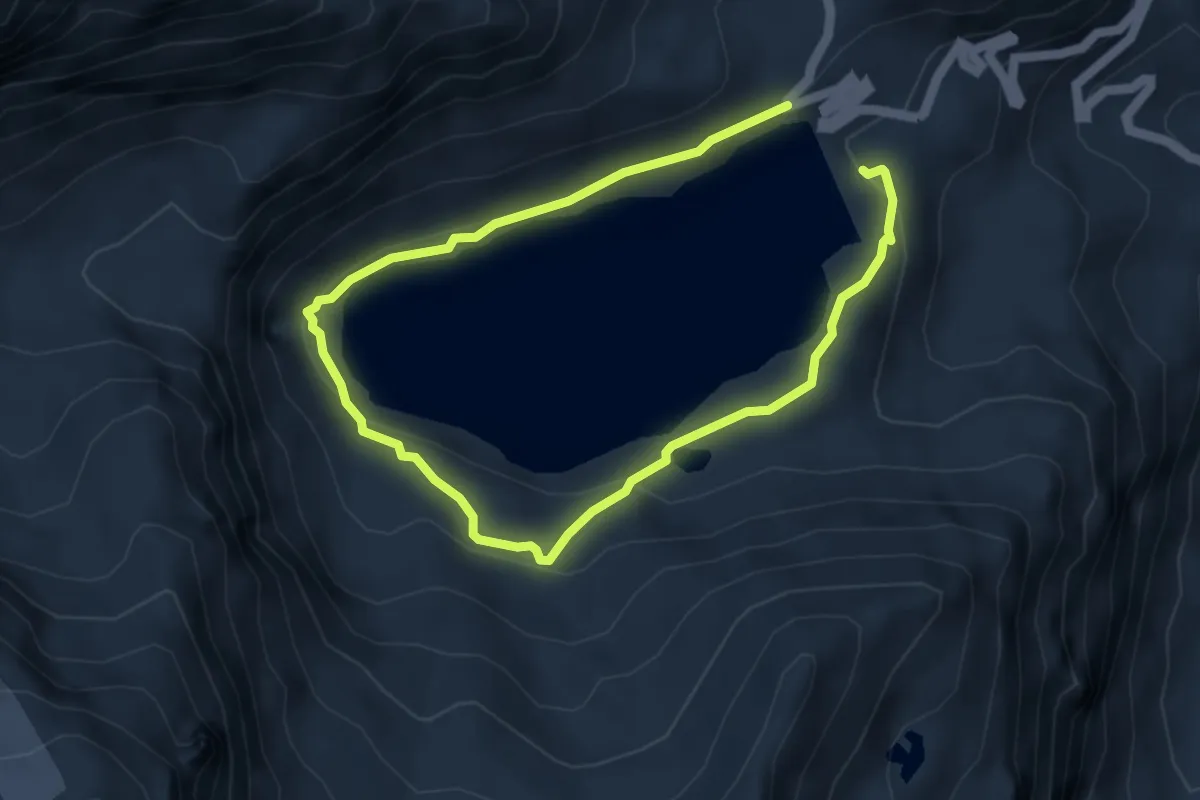
Medium · Trail
Madonna della Neve al Lago Serrù – Bivio 529-534
3.6 km · ↑ 169 m · 1 h 14 min
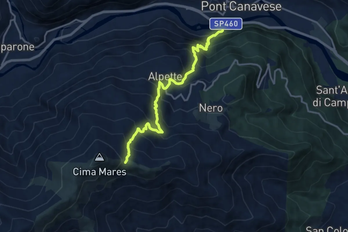
Demanding · Trail
Pont Canavese – Bivio 456-501, Colle La Bassa
9.8 km · ↑ 1029 m · 4 h 33 min
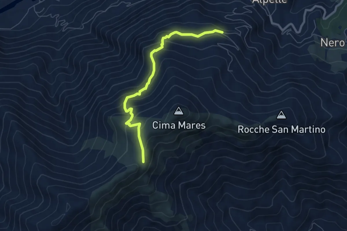
Medium · Cabin
Alpette, Trione – Canischio, San Bernardo di Mares, bivio TON453-TON456-TON502
6.4 km · ↑ 421 m · 2 h 26 min
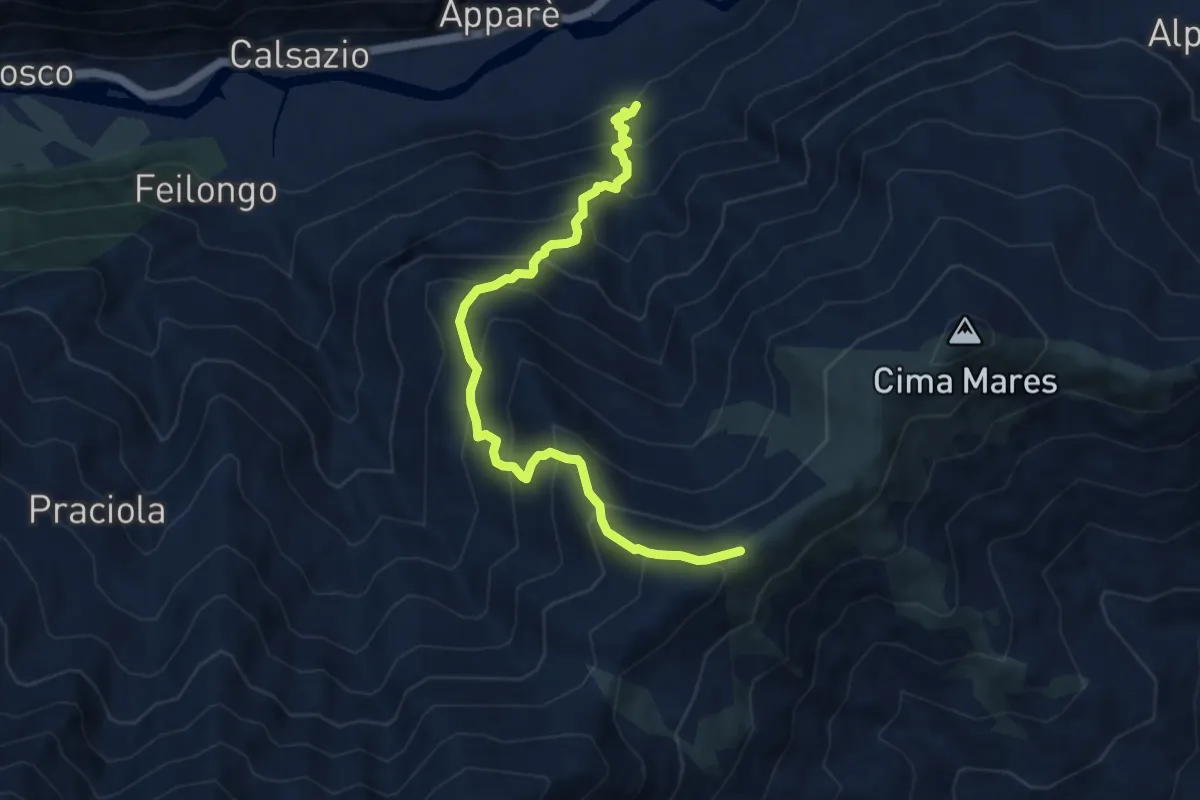
Demanding · Trail
Sparone, Borgata Bisdonio – Bivio 456-503, San Bernardo d Mares
8.7 km · ↑ 1018 m · 4 h 15 min
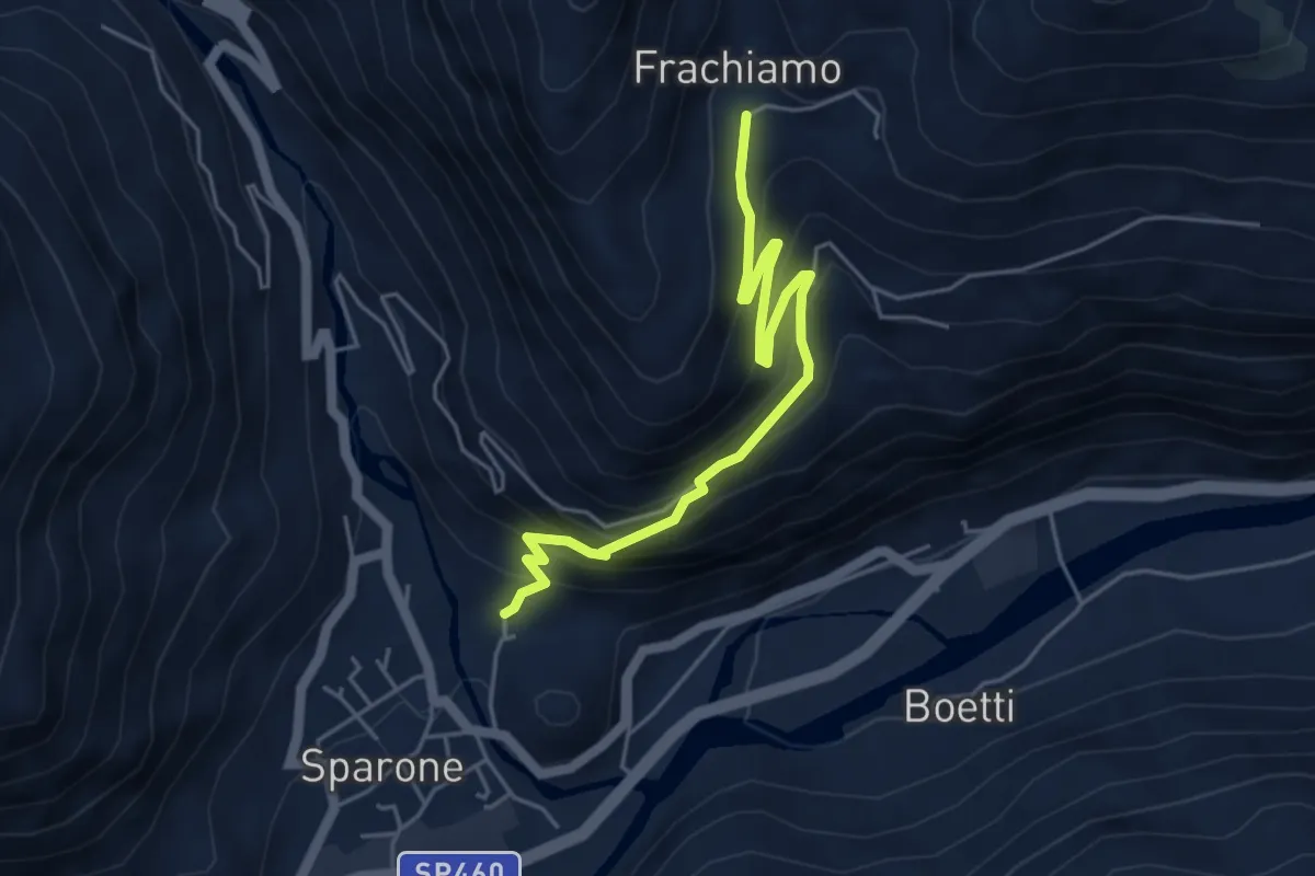
Medium · Trail
Peretti – Frachiamo
5.1 km · ↑ 443 m · 2 h 10 min
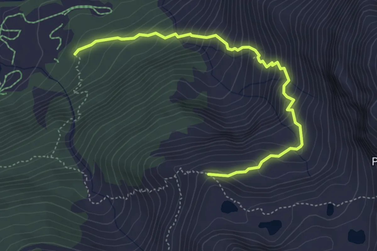
Medium · Trail
bivio TON517-TON517B – Alpe Liliet
4.9 km · ↑ 565 m · 2 h 23 min
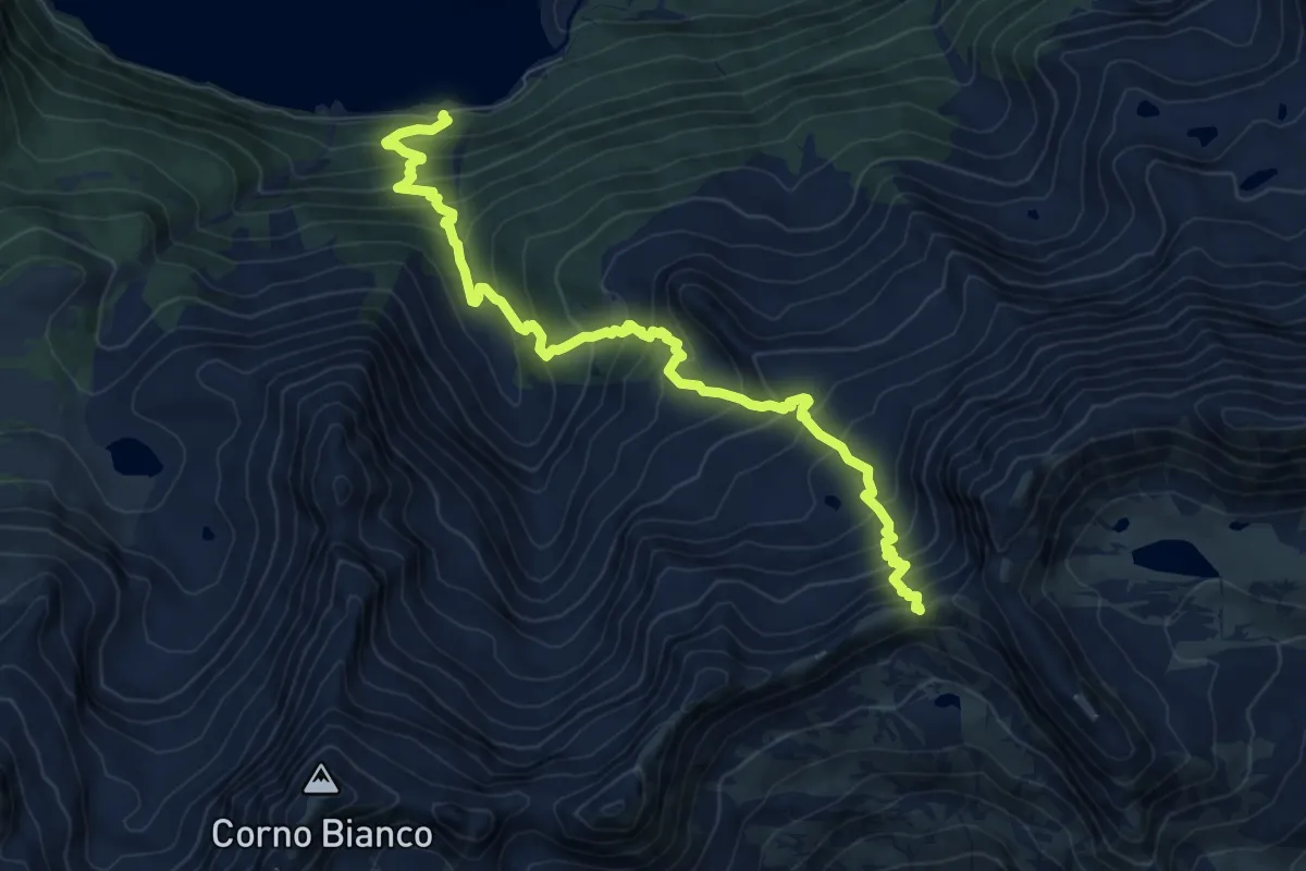
Demanding · Trail
Villa Poma – Colle Crocetta
9.5 km · ↑ 1060 m · 4 h 33 min
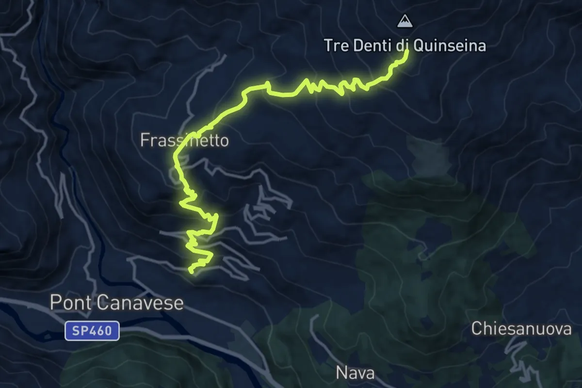
Demanding · Trail
Pont Canavese, Santa Maria – Presso Tre Denti, bivio TON649-TON650
14.1 km · ↑ 1127 m · 5 h 47 min
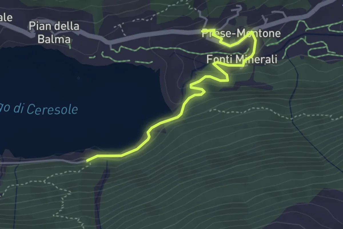
Easy · Trail
Villa Poma – Bivio per Borgata Montone
4.0 km · ↑ 131 m · 1 h 13 min
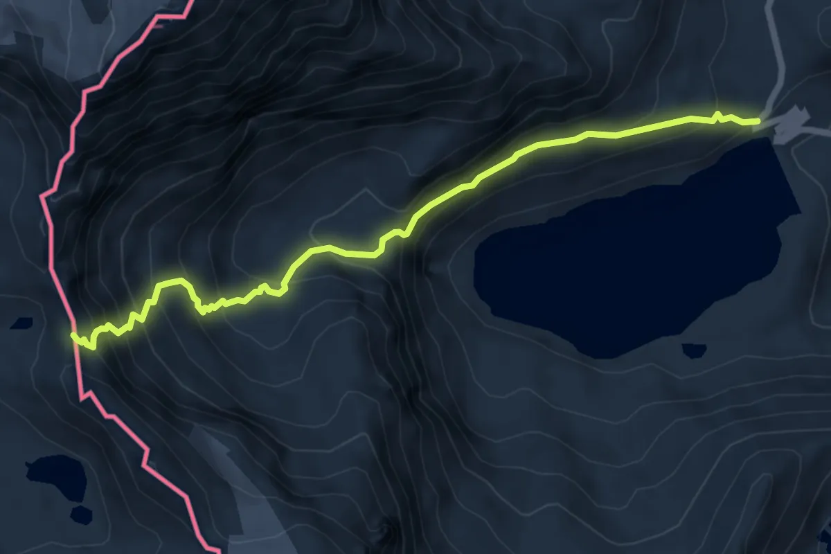
Expert · Trail
Bivio 529-534, Lago Serrù – Passo della Losa - Quota: 2965
6.5 km · ↑ 679 m · 3 h
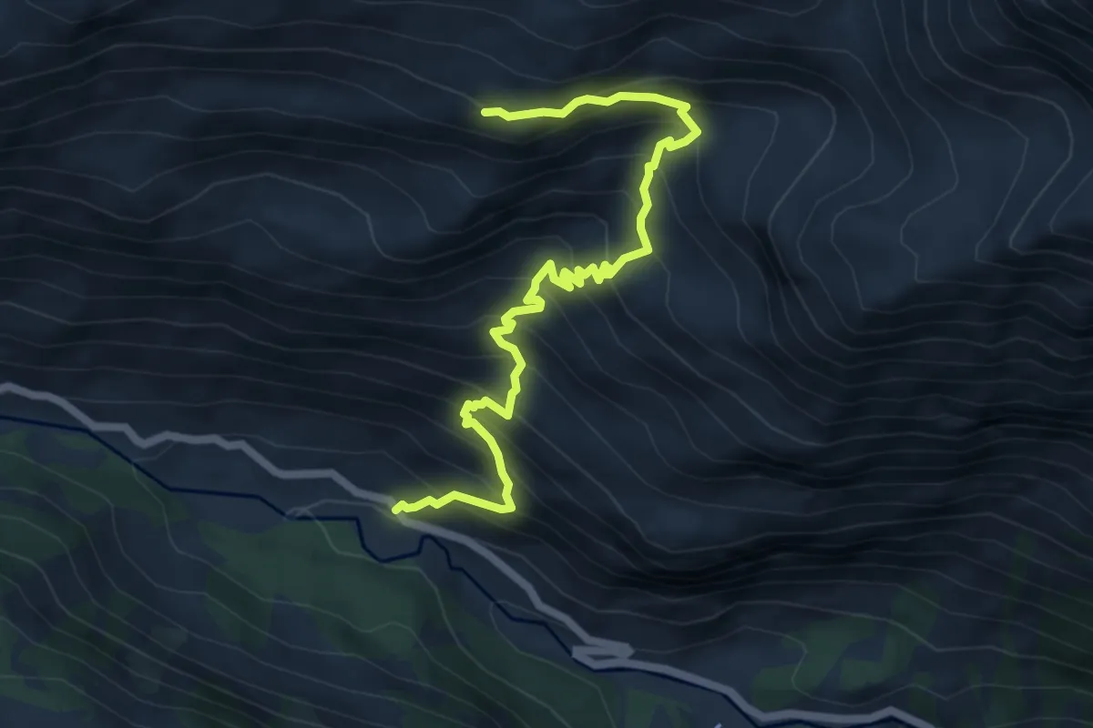
Demanding · Trail
Chiapili di Sopra – Alpe Comba
6.9 km · ↑ 807 m · 3 h 23 min
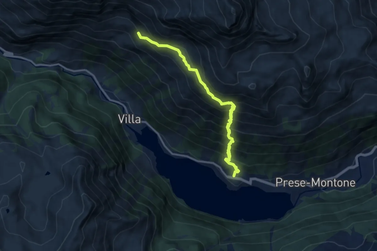
Expert · Trail
Ceresole reale - Quota: 1612 – Bivio 540 - Quota:2050
9.0 km · ↑ 999 m · 4 h 18 min
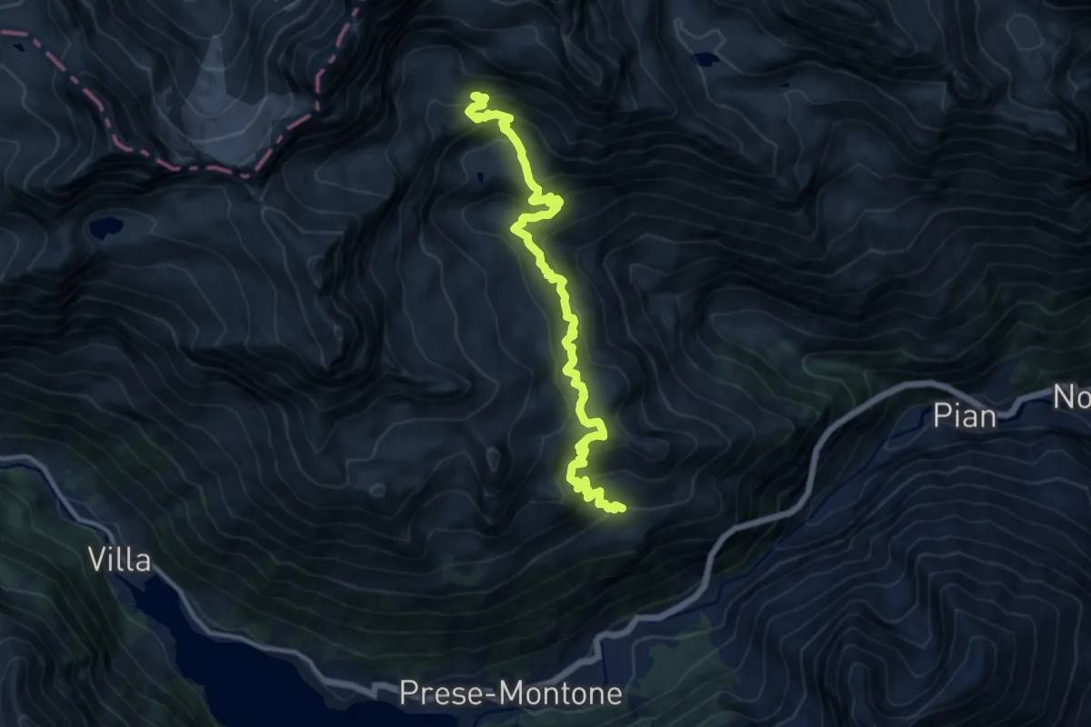
Demanding · Trail
Alpe Prà del Cres, bivio 543 – Bivacco Giraudo, bivio550
13.3 km · ↑ 977 m · 5 h 16 min
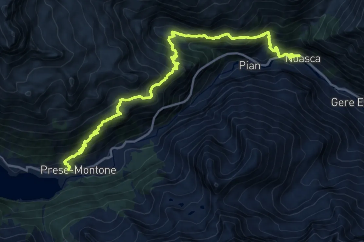
Medium · Trail
Bvio TON543-TON544 – Bivio TON520A-TON543, località Broc
9.9 km · ↑ 651 m · 4 h 8 min
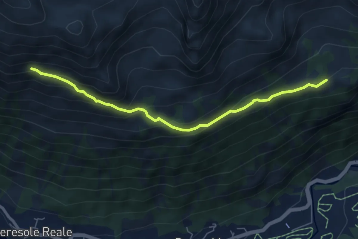
Medium · Trail
Alpe Brengi (biv. 543) – Casotto Cialma (biv. 540A)
5.2 km · ↑ 305 m · 1 h 54 min
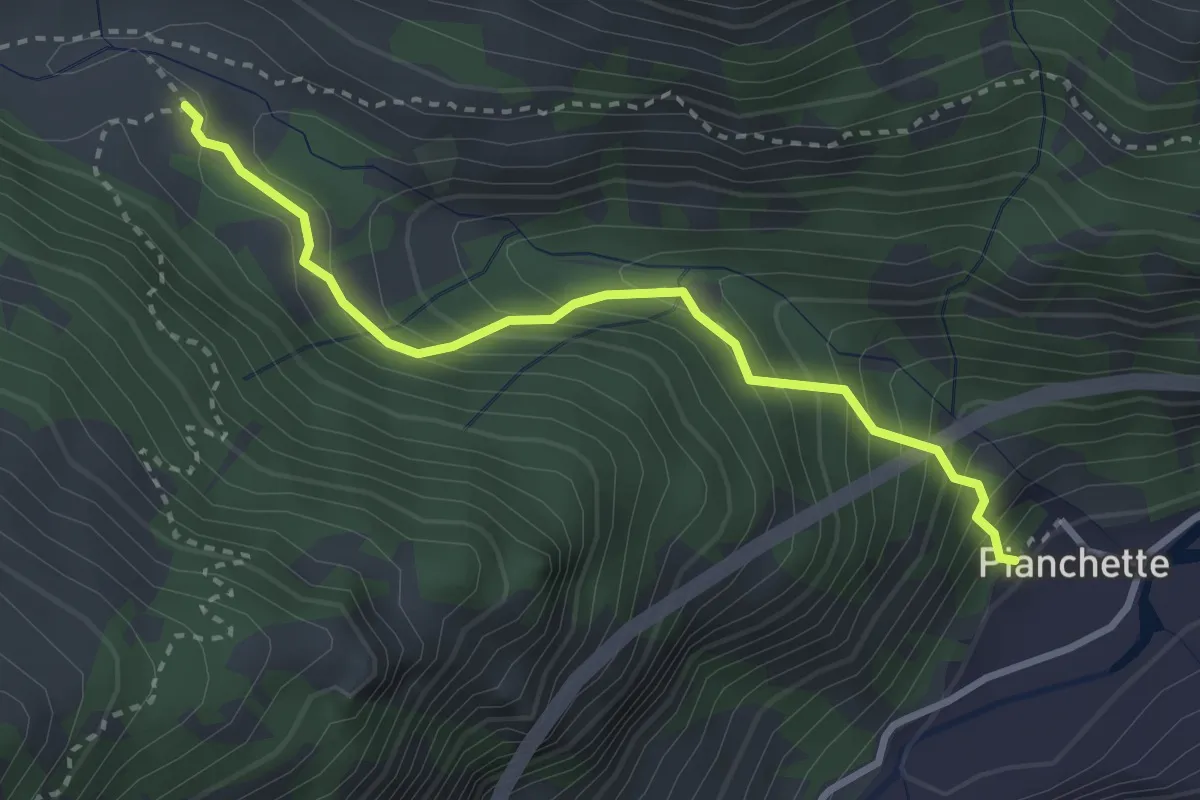
Medium · Trail
Noasca frazione Pianchetti – Frazione Borgo Vecchio, bivio 543
3.1 km · ↑ 347 m · 1 h 29 min
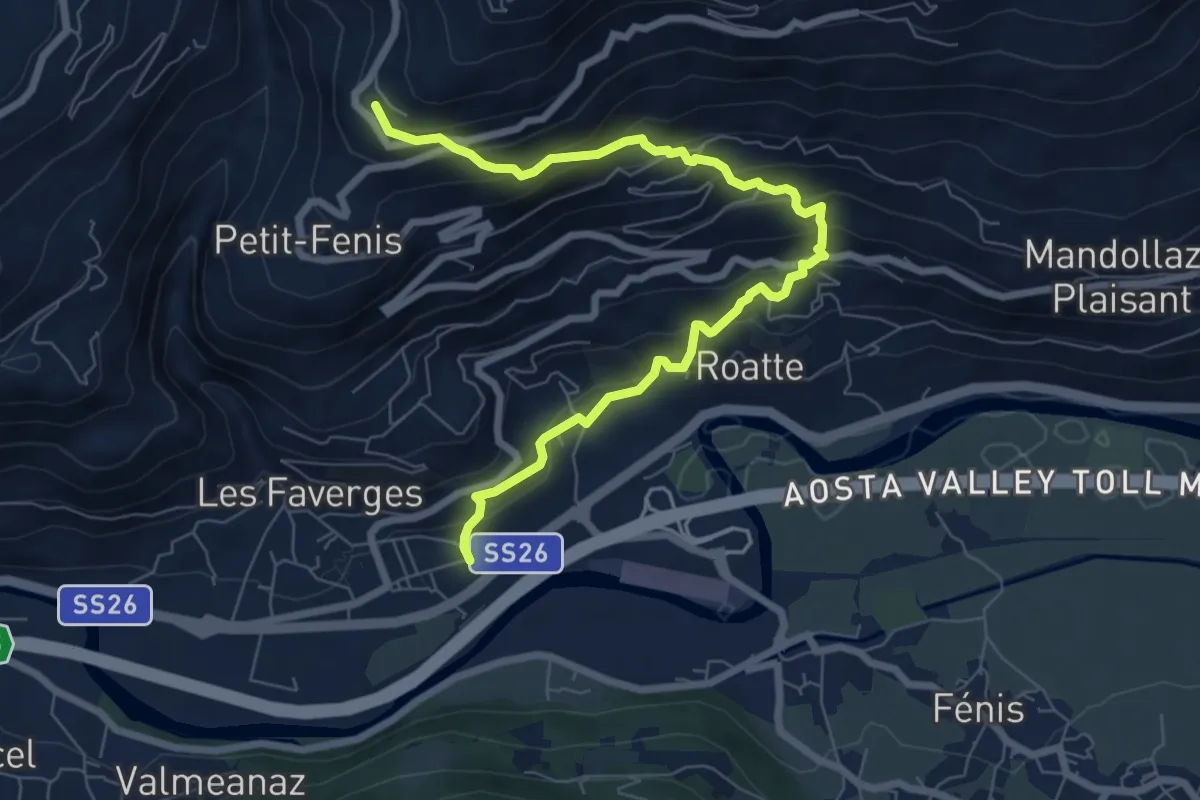
Medium · Trail
Nus – Blavy
8.3 km · ↑ 638 m · 3 h 20 min
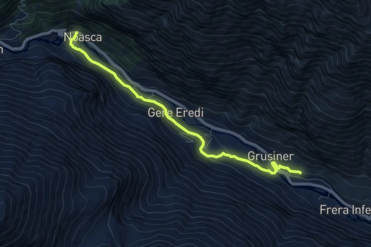
Medium · Trail
Fé, bivio 545 – 543-544, Noasca
8.4 km · ↑ 297 m · 2 h 37 min
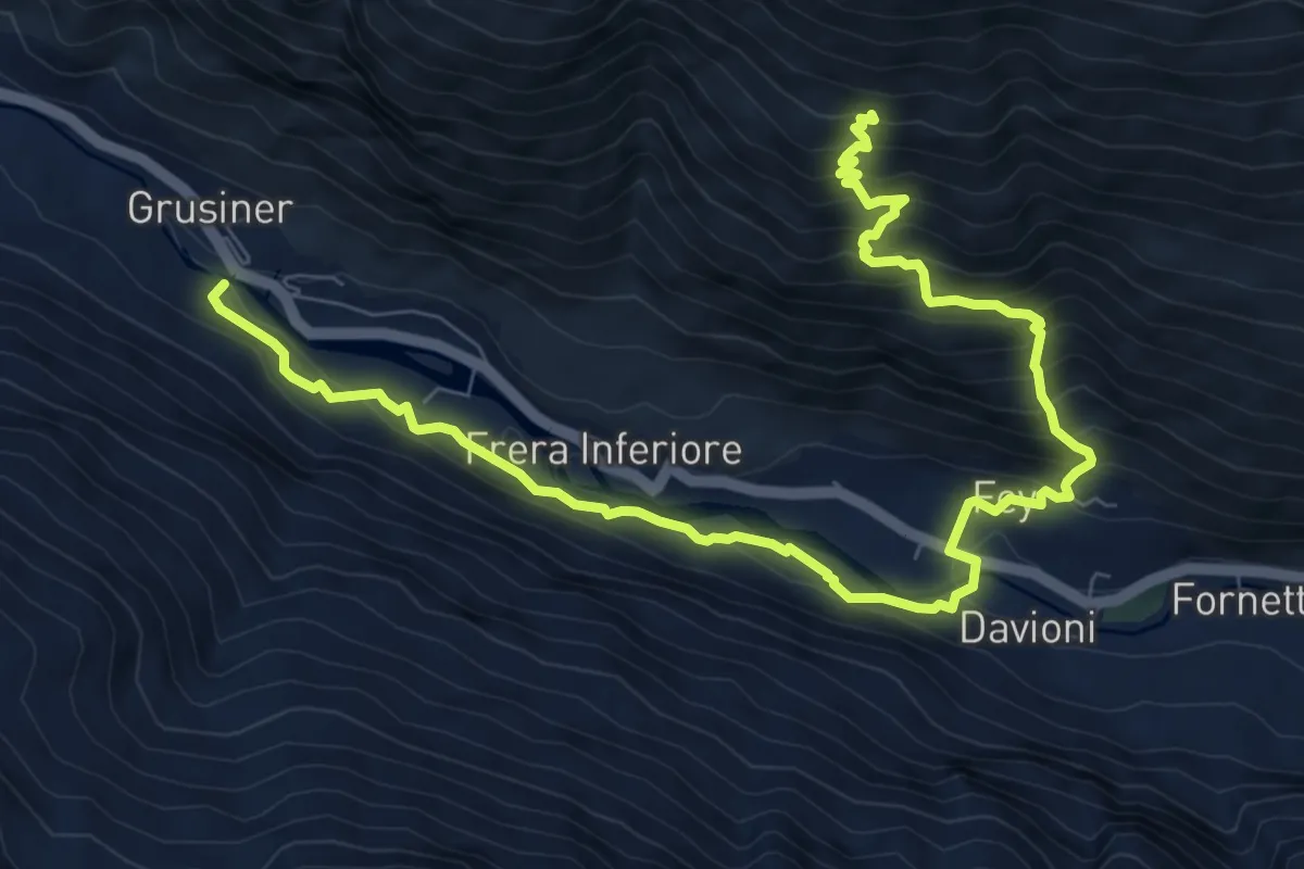
Demanding · Trail
Borgata Prà, bivio 544 – Bivio 545 presso MeinardI
10.9 km · ↑ 1001 m · 4 h 45 min
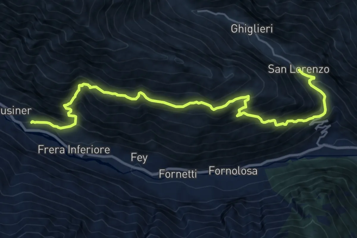
Demanding · Trail
Fè, bivio 544 – San Lorenzo di Piantonetto
17.2 km · ↑ 1647 m · 7 h 37 min
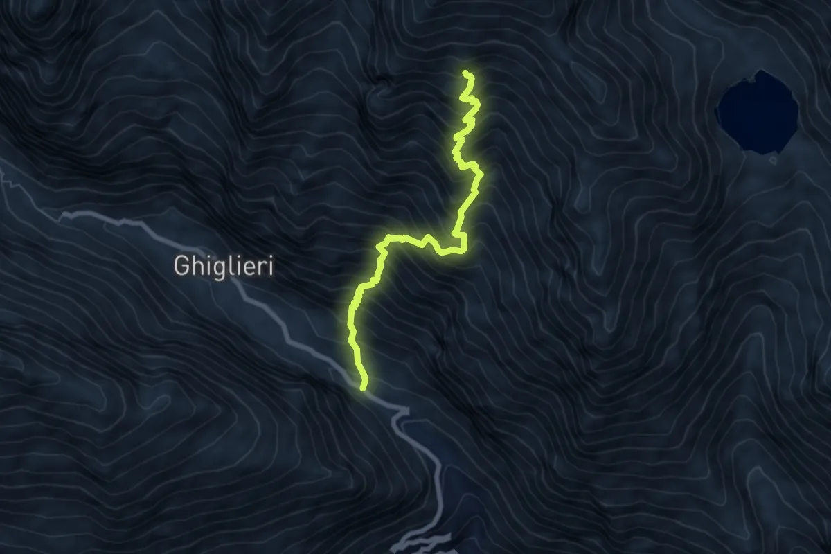
Demanding · Trail
Borgata San Lorenzo – Alpe Praghetta, bivio 560-560A-561
6.7 km · ↑ 1131 m · 4 h 2 min