Trails in Italy
25,219 hiking trails, each with its route, climb, walking time and grade.
All trails, page 441 of 526
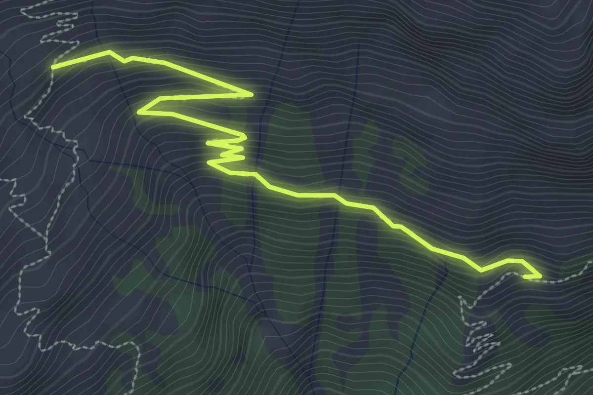
Medium · Trail
Bivio 548, quota 1630 – Bivio 552, quota 1900
4.0 km · ↑ 292 m · 1 h 35 min
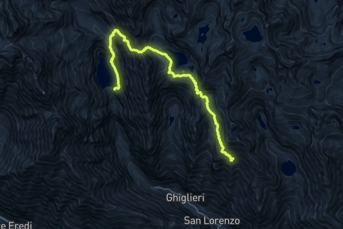
Expert · Trail
Lago di Teleccio, diga – Bivio 560-560A-561, Alpe Praghetta Superiore
9.5 km · ↑ 1193 m · 4 h 50 min
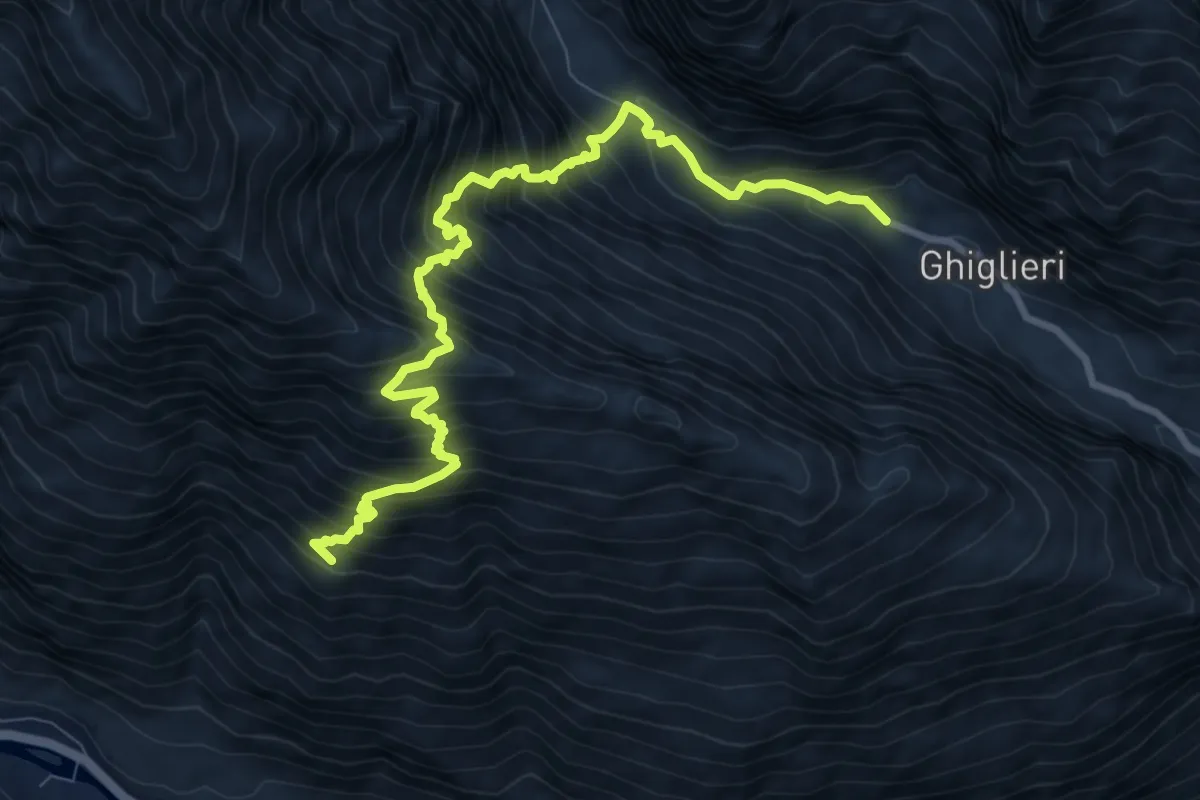
Demanding · Trail
San Giacomo (bivio 559 AVC) – Bivio 545 (GTA)
10.3 km · ↑ 1428 m · 5 h 31 min
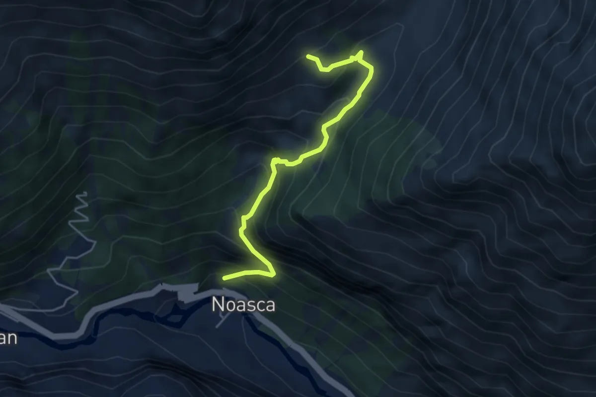
Medium · Trail
Noasca, bivio 543C – Bivio 548 (pressi A. Lavassai)
4.2 km · ↑ 509 m · 2 h 6 min
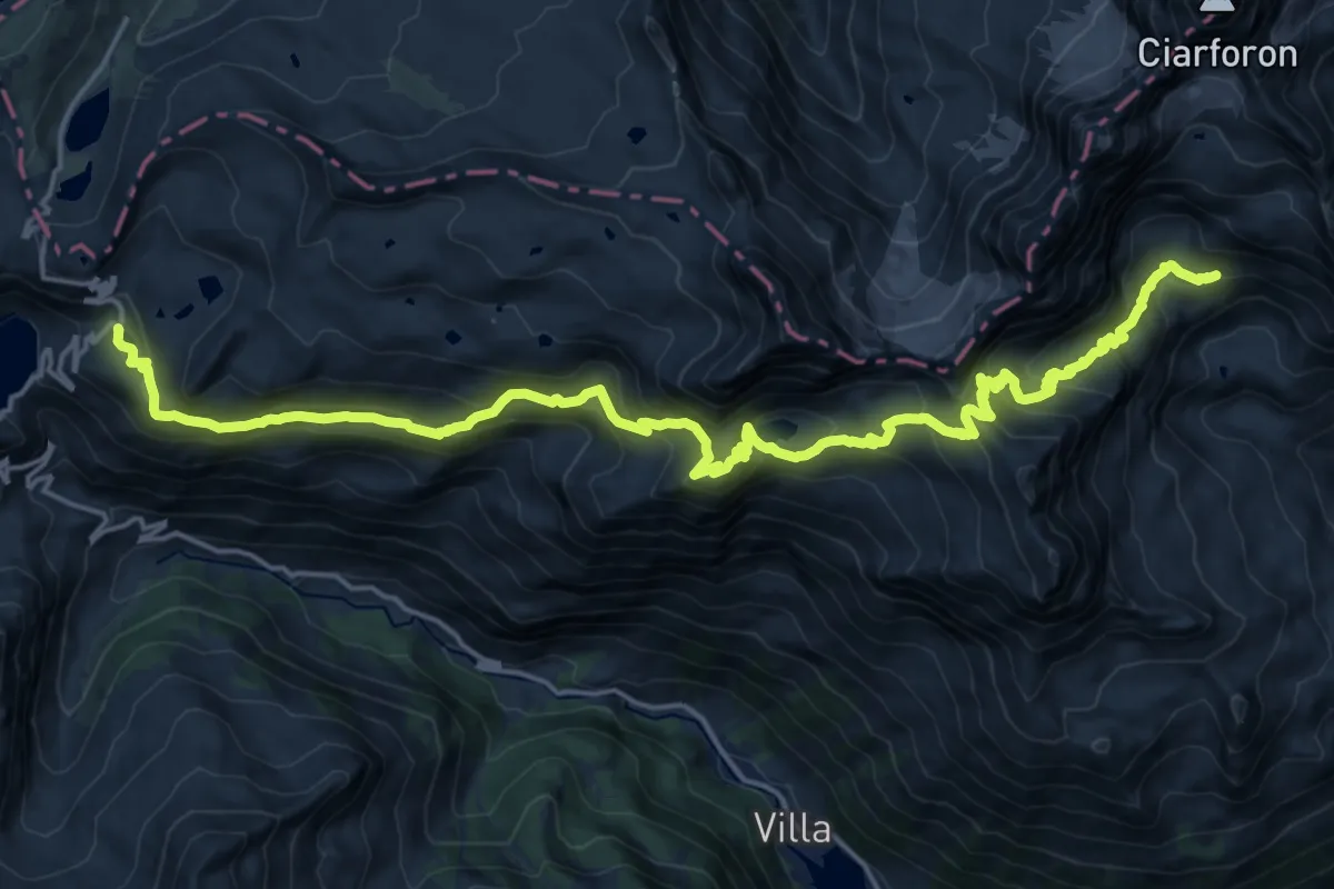
Demanding · Trail
Ceresole Reale, Rifugio Città di Chivasso – Noasca, Bivacco Giraudo, BIVIO 542
12.1 km · ↑ 829 m · 4 h 45 min
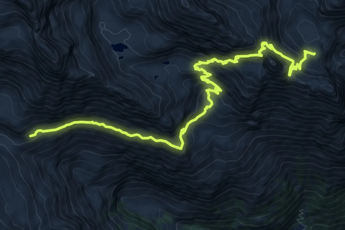
Demanding · Trail
Noasca, Alpe Forges, bivio TON542-TON551 – Noasca, presso Alpe La Bruna, bivio TON548-TON551
16.4 km · ↑ 1103 m · 6 h 16 min
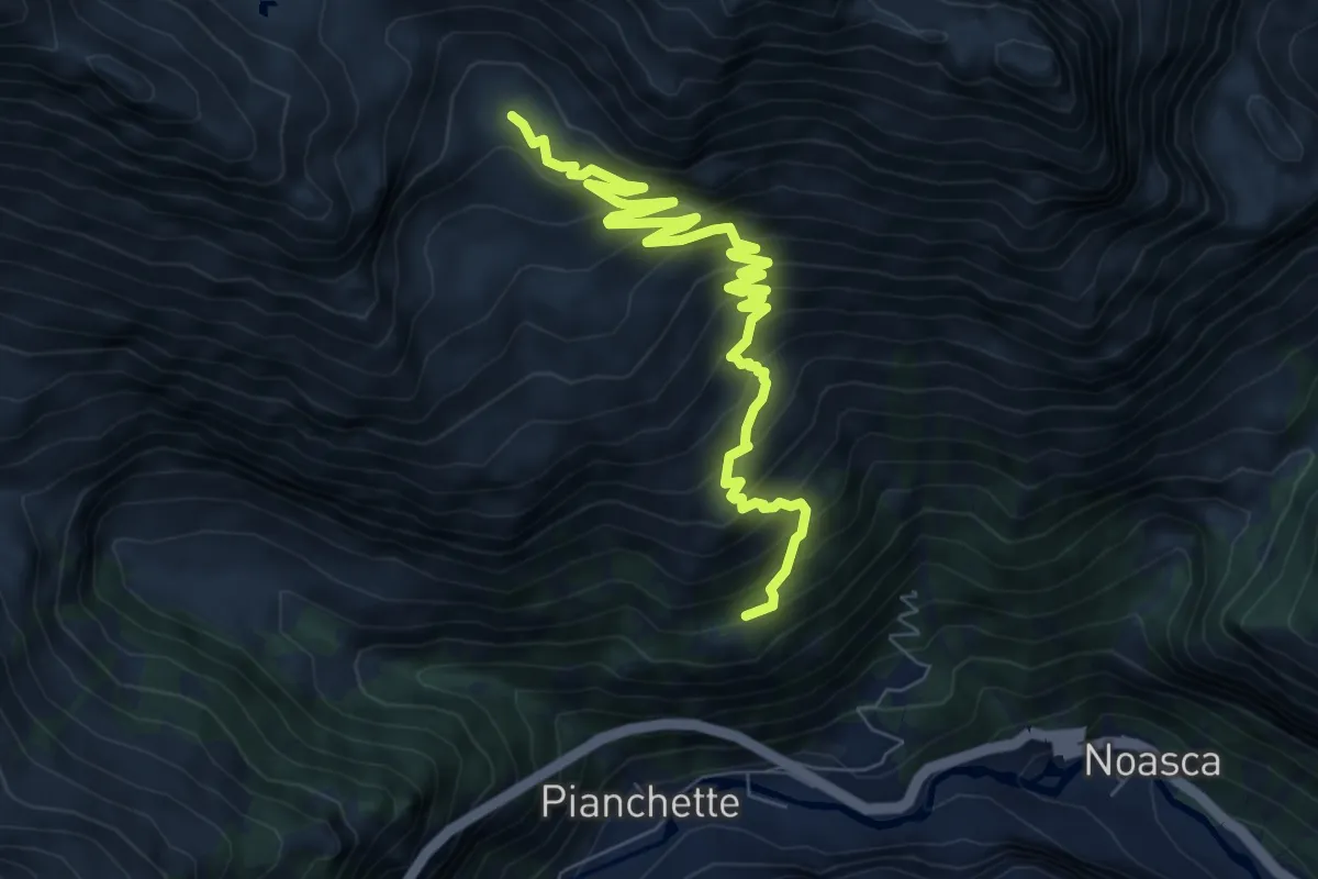
Medium · Cabin
Bivio TON543-TON552 in loc. Varda – Bivio TON550-TON552 al Gran Piano
9.1 km · ↑ 706 m · 3 h 41 min
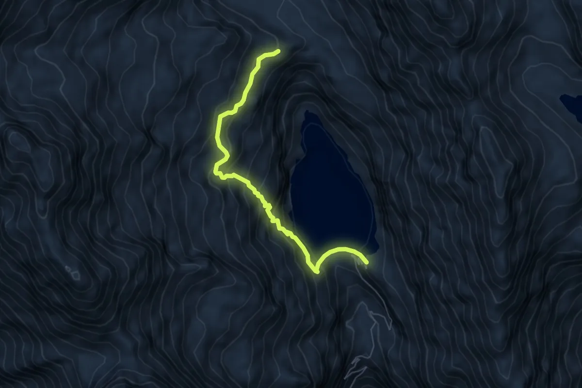
Medium · Trail
Alpe del Trucco, bivio 555-560 – Alpe Giafort, bivio 548A-555
6.1 km · ↑ 518 m · 2 h 34 min
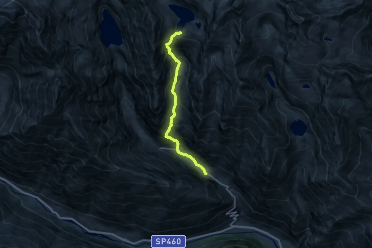
Demanding · Trail
Bivio 559-560A, Valsoani – Bivio 559-560, Rifugio Pocchiola Meneghello
11.6 km · ↑ 1398 m · 5 h 46 min
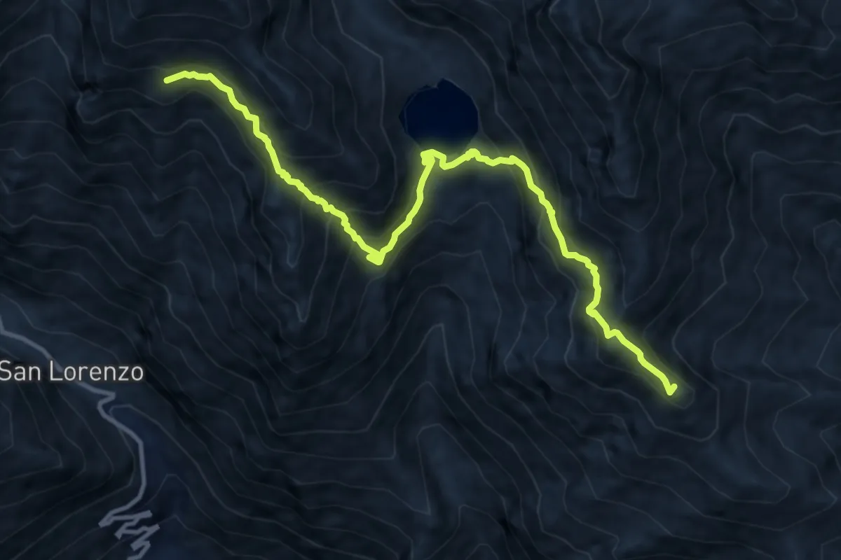
Demanding · Summit
Talosio – Alpe Praghetta (bivio 560)
12.0 km · ↑ 1063 m · 5 h 9 min
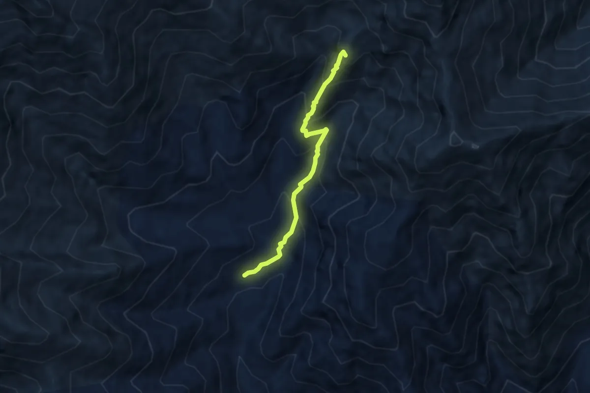
Medium · Summit
561-565, Talosio – 565-601, Colle Crest
6.0 km · ↑ 494 m · 2 h 30 min
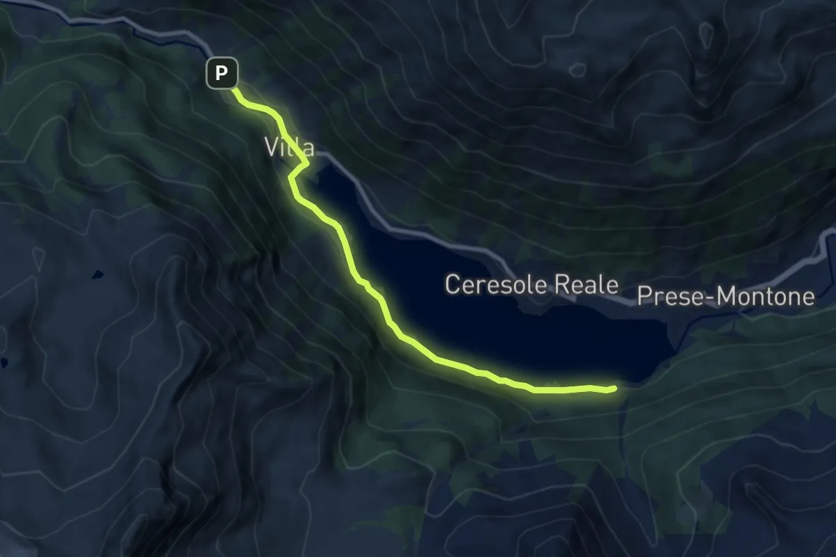
Medium · Trail
Villa Poma, bivio 520 – Borgata Mua', bivio 540
8.7 km · ↑ 107 m · 2 h 17 min
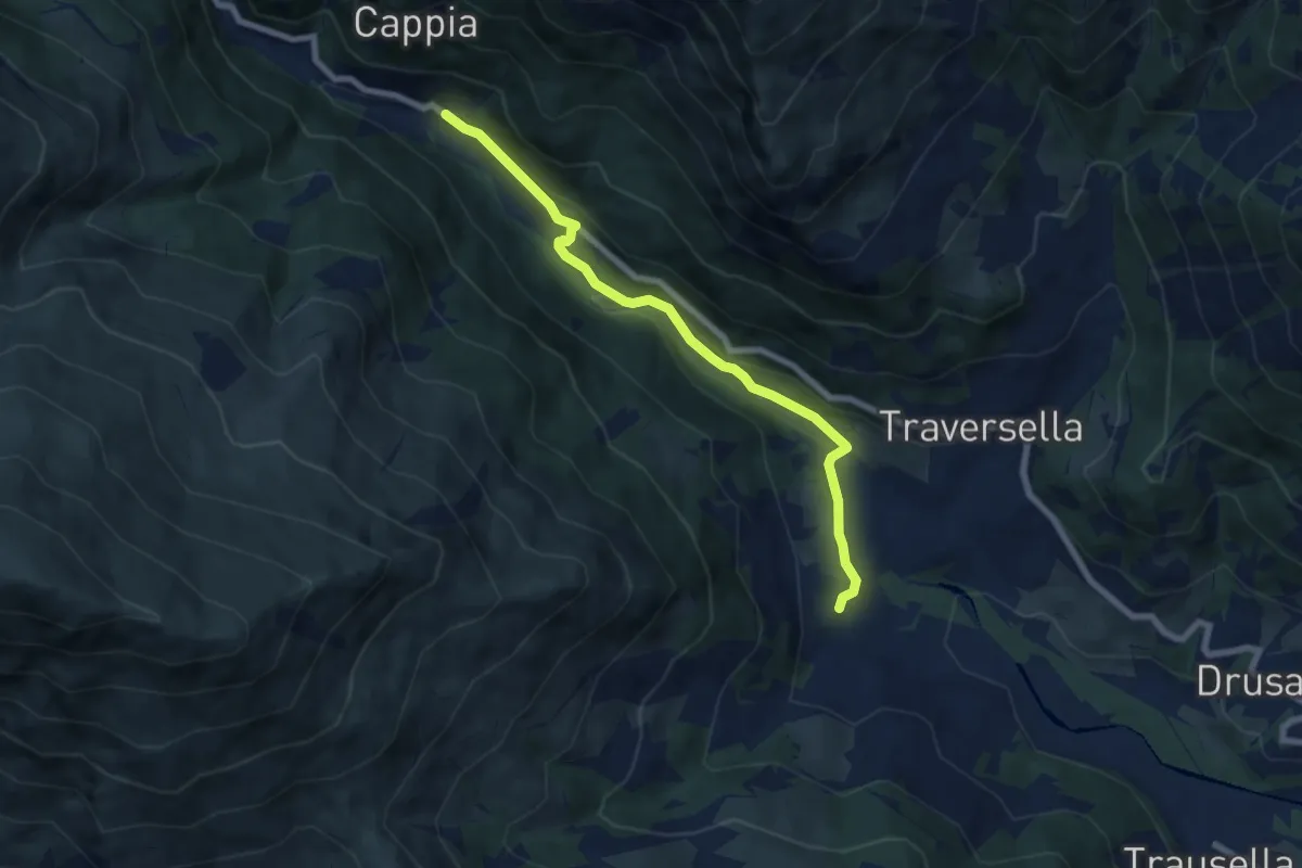
Easy · Trail
Chiara, bivio 750 – Inverso di Traversella, bivio 714-752
7.1 km · ↑ 216 m · 2 h 9 min
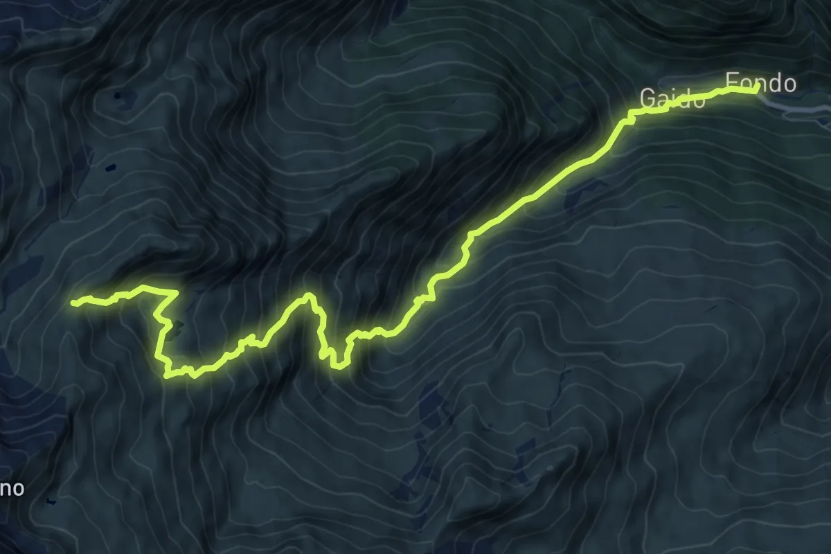
Demanding · Trail
Fondo, bivio 713 – Colle della Furce, bivio 712
13.0 km · ↑ 1457 m · 6 h 13 min
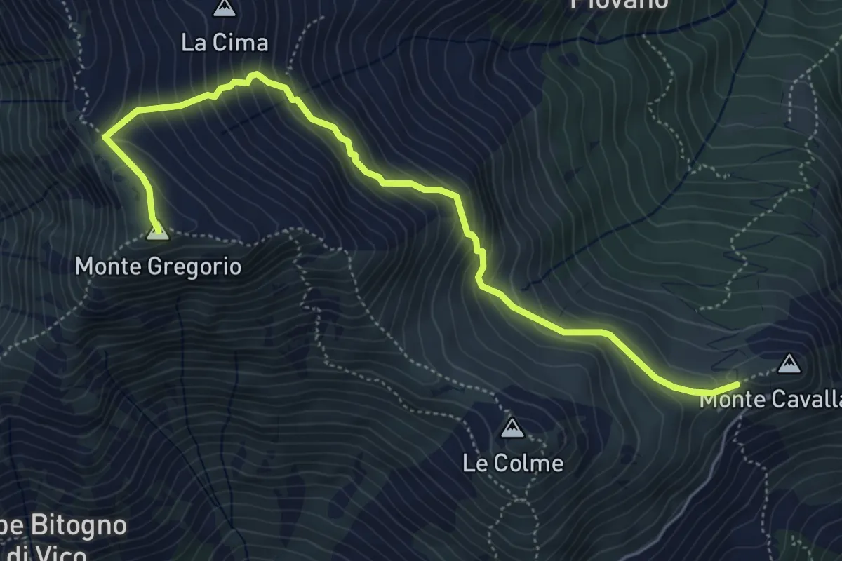
Demanding · Summit
Colle Pian dei Muli – Monte Gregorio
5.9 km · ↑ 559 m · 2 h 37 min
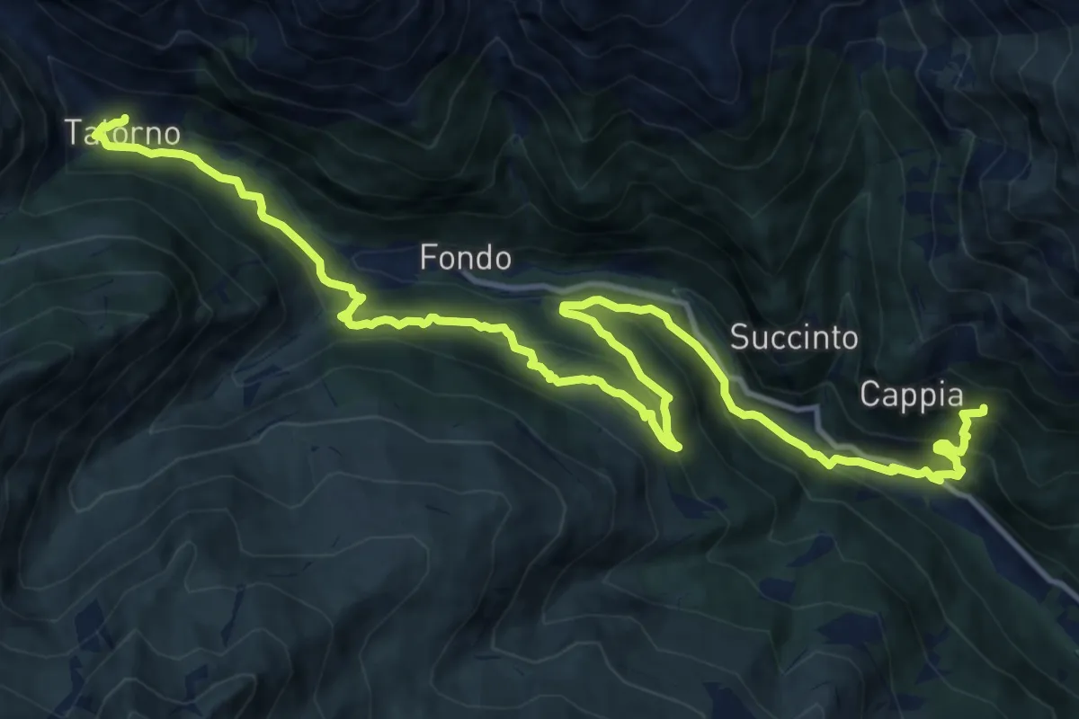
Demanding · Trail
Tallorno, bivio 708 – Bivio 730 presso Cappia
17.0 km · ↑ 1194 m · 6 h 36 min
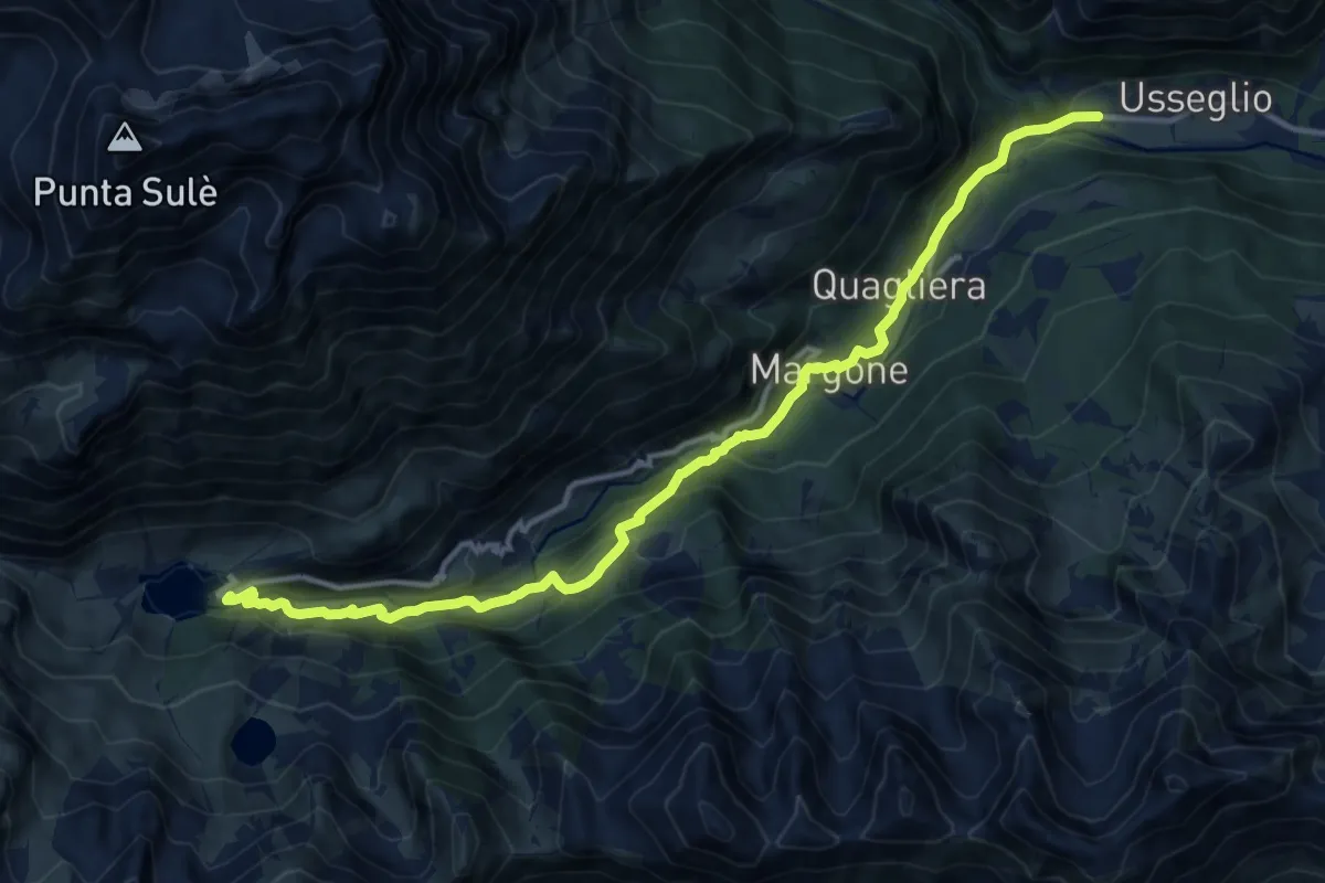
Demanding · Cabin
Malciaussia – Usseglio (Villaretto)
14.3 km · ↑ 809 m · 5 h 8 min
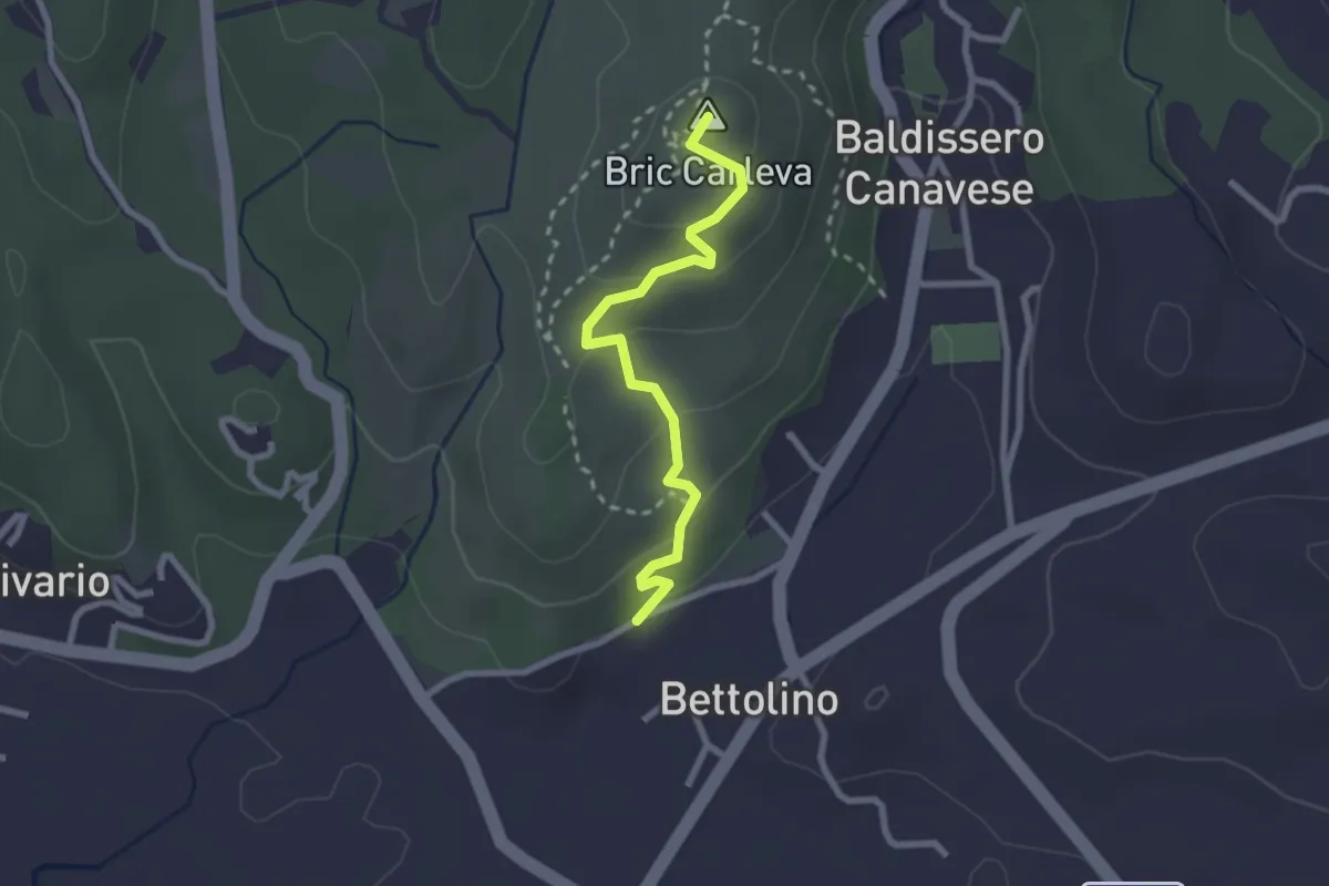
Medium · Summit
Vidracco, San Rocco – Baldissero Canavese, Bettolino
2.5 km · ↑ 108 m · 49 min
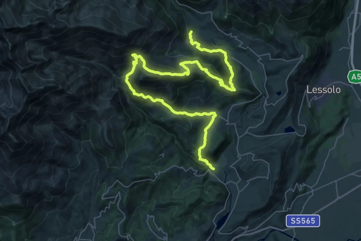
Demanding · Trail
Vico canavese, Frazione Inverso, bivio752 – Issiglio (per il Colle di Bossola)
20.8 km · ↑ 987 m · 7 h 29 min
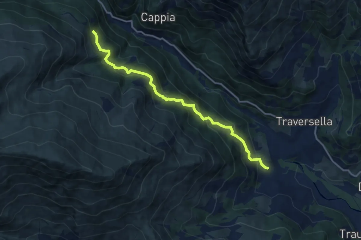
Medium · Trail
Vico Canavese, frazione Inverso, bivio 751-754 – Cantoncello, bivio 750-754
9.7 km · ↑ 681 m · 3 h 46 min
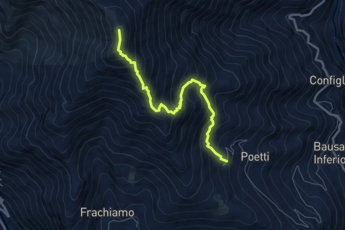
Medium · Summit
Campidaglio – Punta Arbella
6.3 km · ↑ 741 m · 3 h 5 min
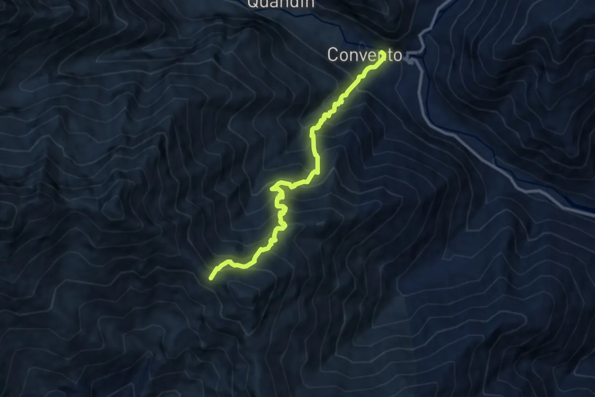
Demanding · Trail
Ronco Canavese – Colle Crest, bivio 565
9.0 km · ↑ 1361 m · 5 h 4 min
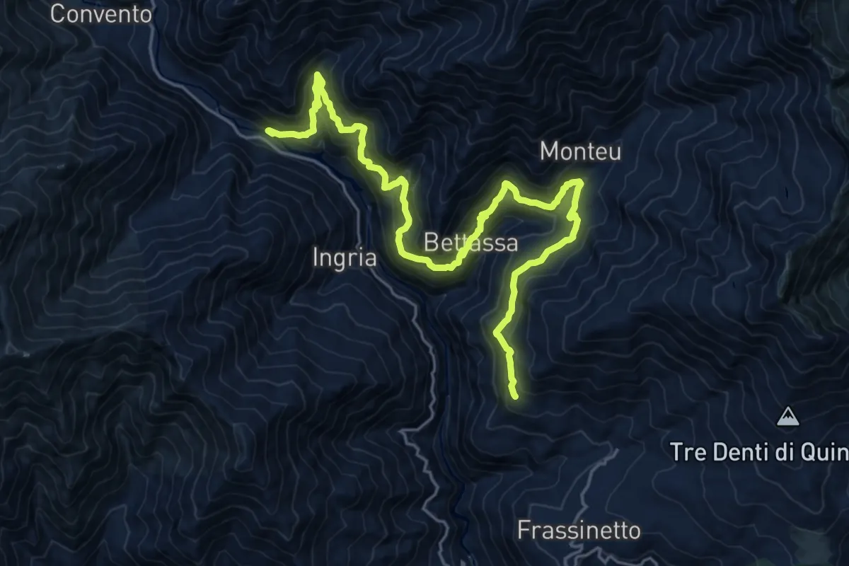
Demanding · Trail
Villanova d'Ingria, Ponte sul Soana – Bivio 602-648, Berchiotto
11.3 km · ↑ 1057 m · 4 h 55 min
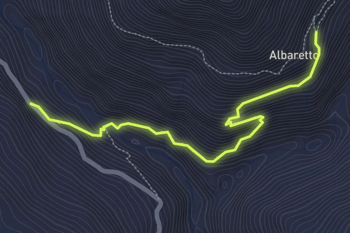
Medium · Trail
Ingria, Rivoira, Belvedere – Alberetto, bivio 602-602A
3.5 km · ↑ 363 m · 1 h 37 min
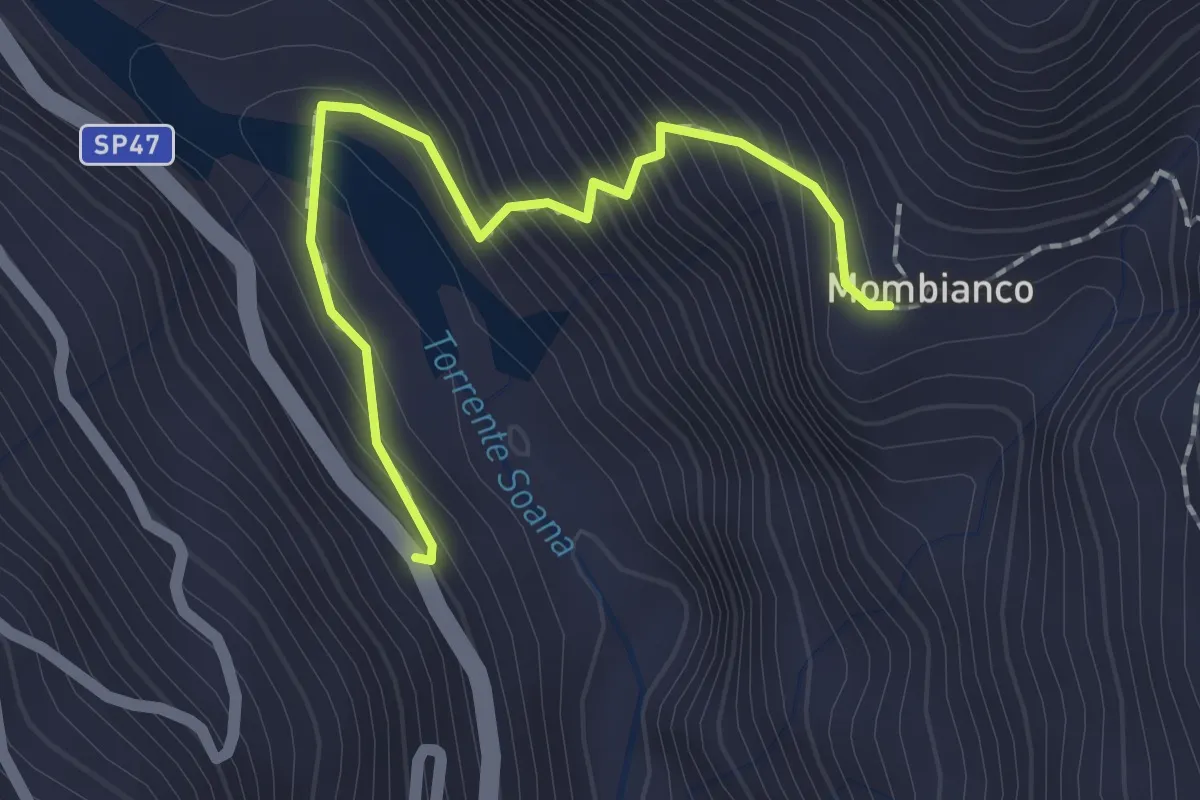
Easy · Trail
Ingria, Viretto – Rivoira, Mombianco, bivio 602
2.0 km · ↑ 215 m · 57 min
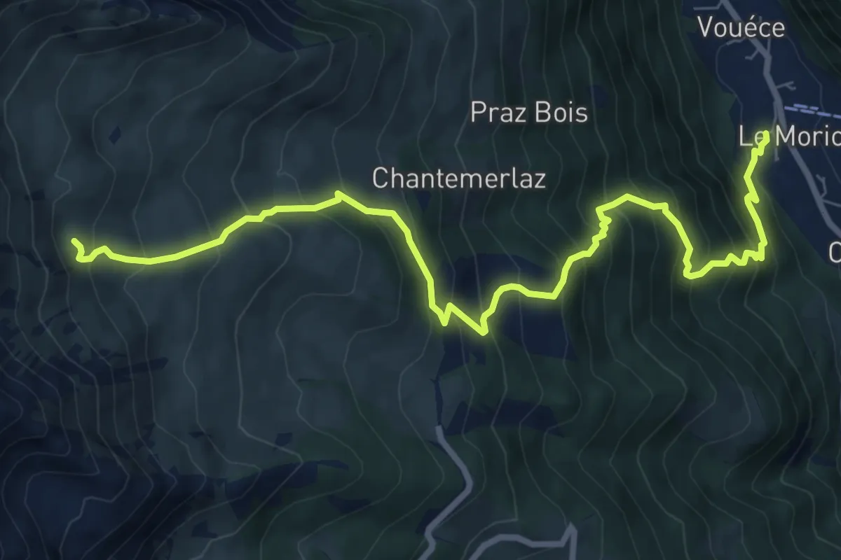
Demanding · Cabin
Rifugio Champillon – Rey
9.5 km · ↑ 1051 m · 4 h 31 min
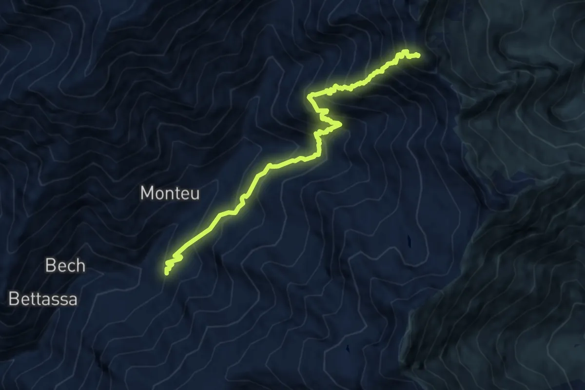
Expert · Summit
Località Balma, bivio 602 – Punta Rama, bivio TOS603-TOS603A
10.5 km · ↑ 1348 m · 5 h 24 min
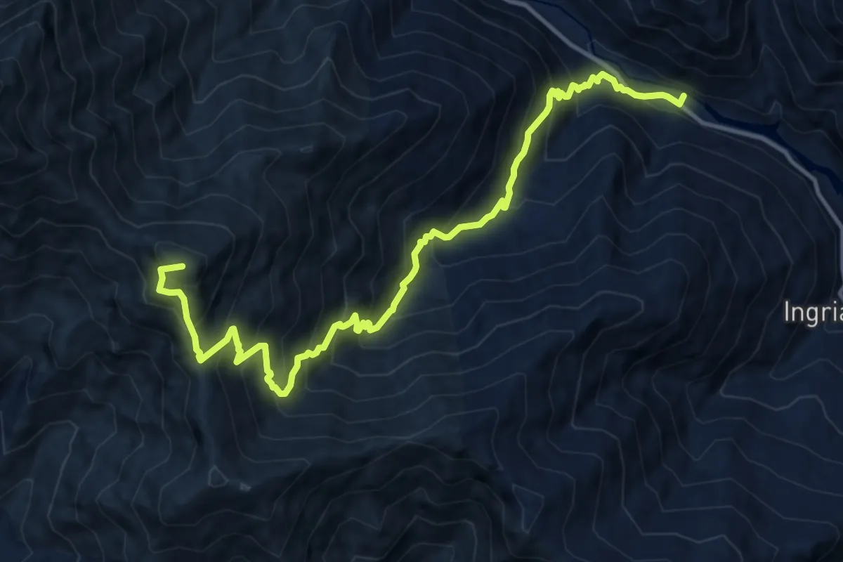
Demanding · Summit
Bivio 565-601-611, Colle Crest – Villanova d'Ingria, Ponte sul Soana
13.5 km · ↑ 1403 m · 6 h 14 min
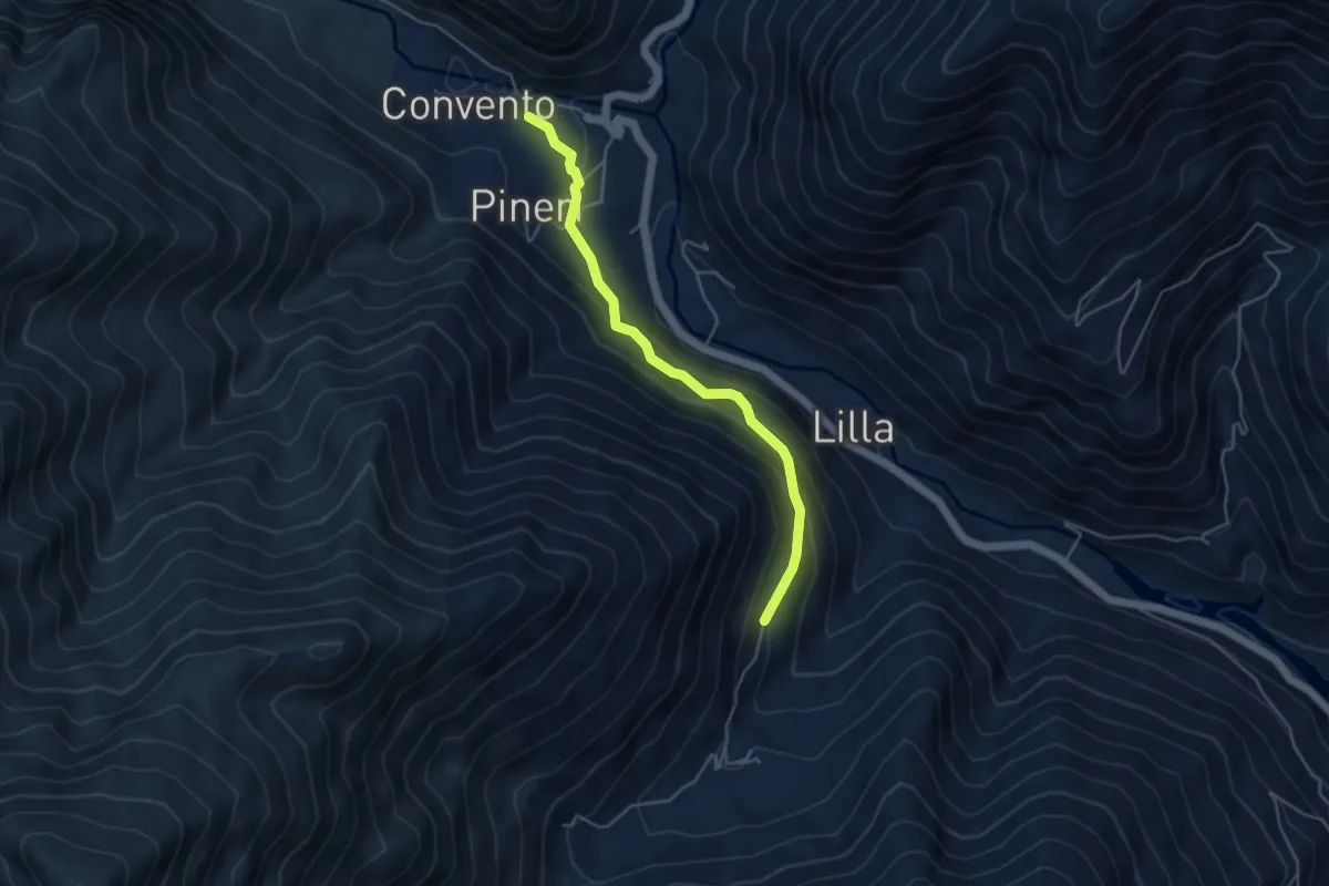
Medium · Trail
Ronco Canavese, frazione Convento, bivio 601 – Ronco Canavese, Loc. Grangia bivio 611
4.4 km · ↑ 303 m · 1 h 41 min
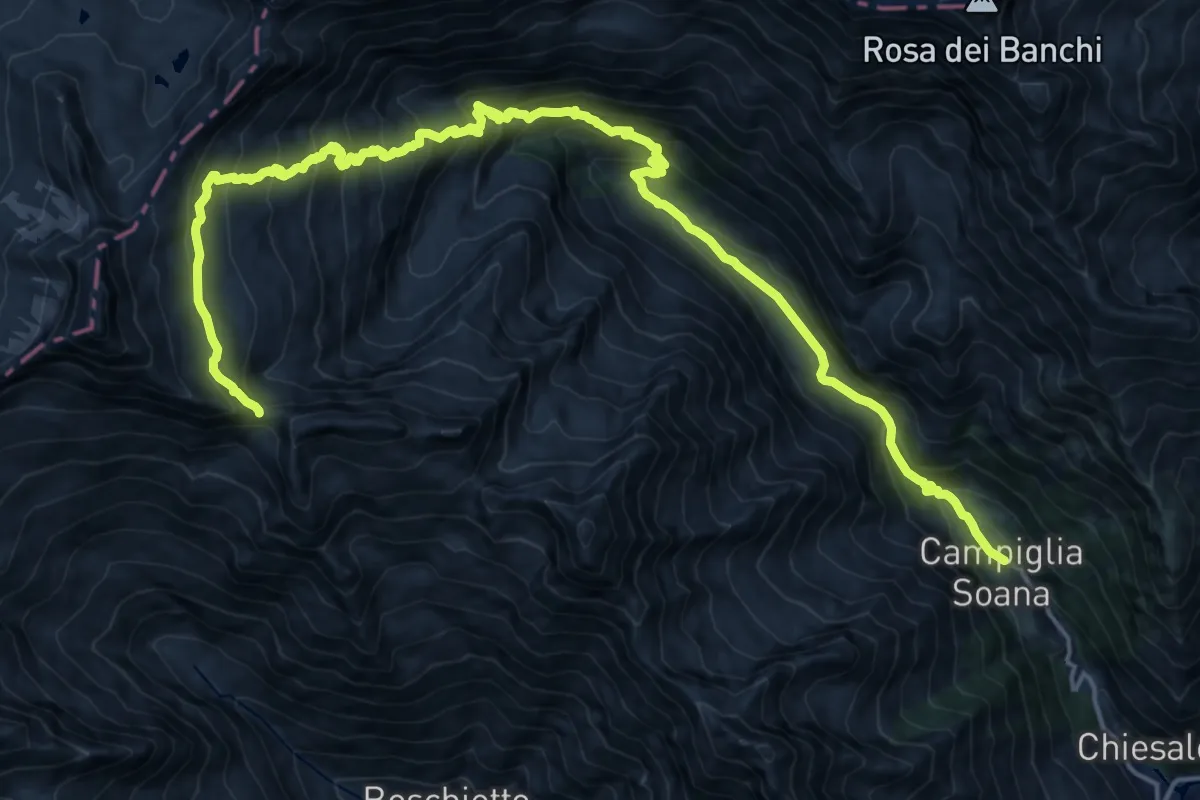
Demanding · Trail
Campiglia Soana – Colle della Cadrega
11.8 km · ↑ 1513 m · 5 h 33 min
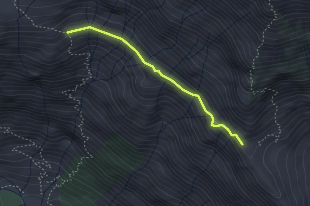
Medium · Trail
Bivio 625-625A presso Valico Balma-Arietta – Biv18 625A-624 presso Grange Arietta
2.9 km · ↑ 144 m · 1 h
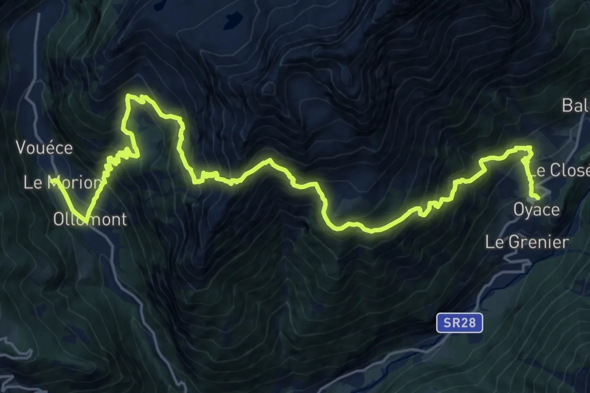
Demanding · Trail
Rey – Oyace
12.4 km · ↑ 1214 m · 5 h 44 min
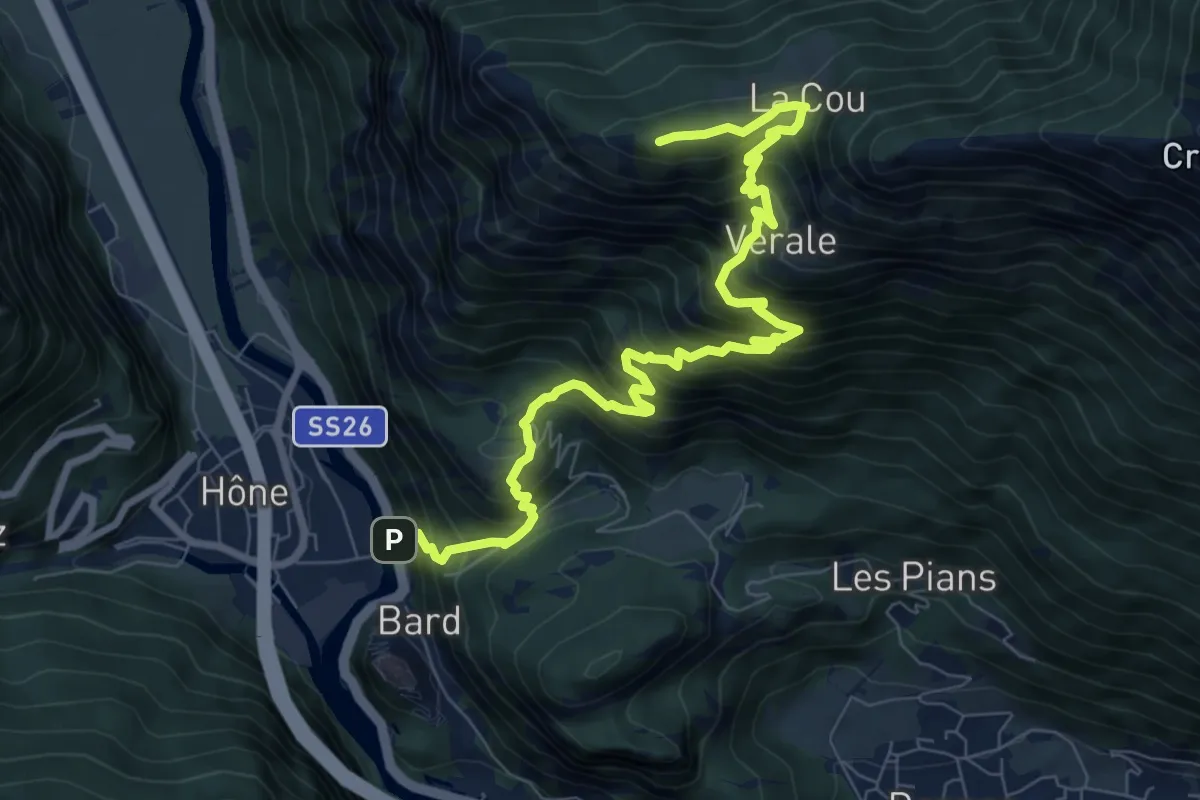
Demanding · Summit
Bard – Tête de Cou
9.9 km · ↑ 1129 m · 4 h 47 min
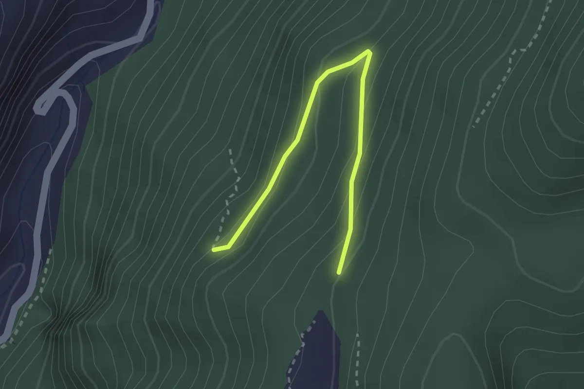
Easy · Trail
Percorso 3 – Percorso 5
2.5 km · ↑ 137 m · 53 min
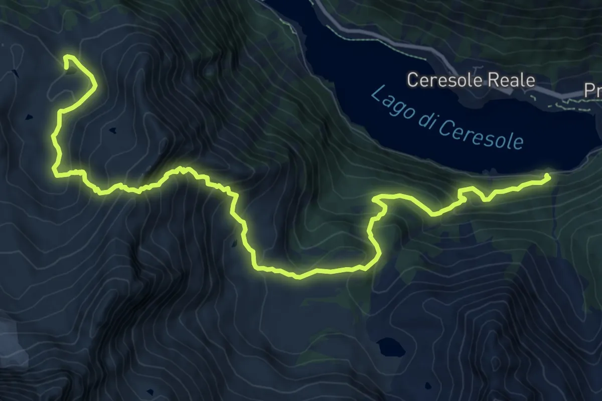
Demanding · Cabin
Villa Poma – Rifugio Jervis
14.9 km · ↑ 1279 m · 6 h 18 min
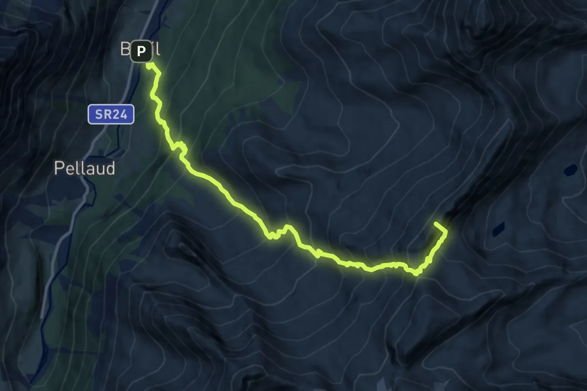
Expert · Summit
Rifugio Savoia – Rhêmes-Notre-Dame
12.4 km · ↑ 1429 m · 6 h 1 min
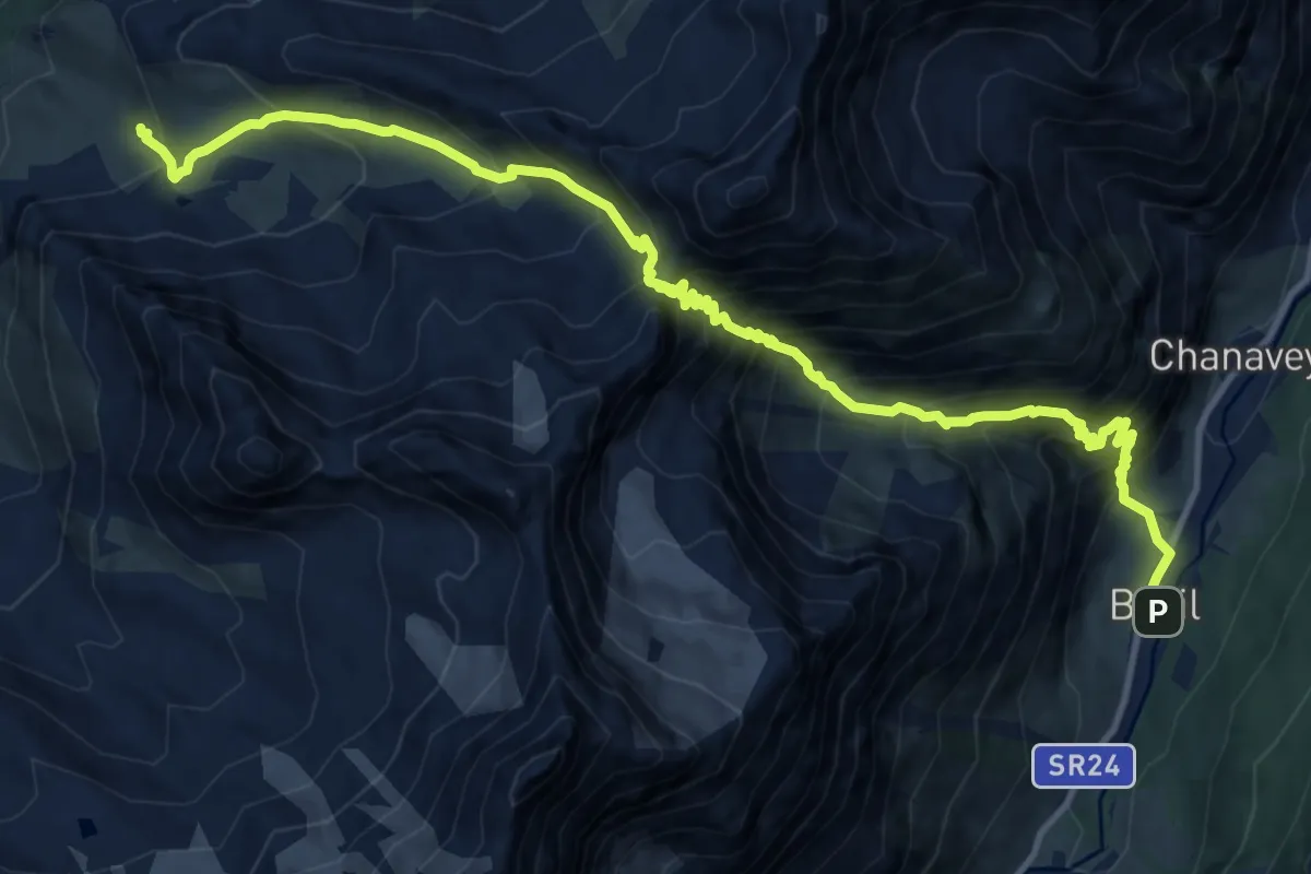
Expert · Cabin
Rhêmes-Notre-Dame – Rifugio Chalet de l'Epée
14.8 km · ↑ 1677 m · 7 h 8 min
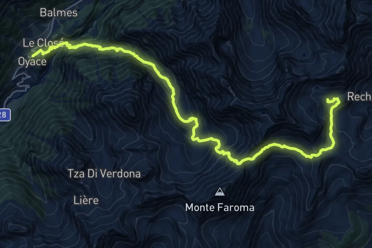
Demanding · Cabin
Oyace – Rifugio Cuney
14.1 km · ↑ 1776 m · 6 h 45 min
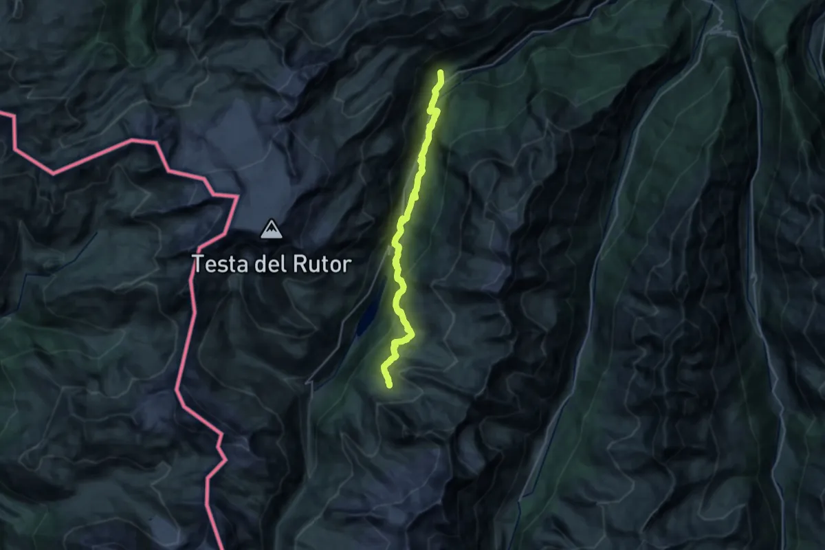
Demanding · Cabin
Rifugio Chalet de l'Epée – Planaval
12.1 km · ↑ 1003 m · 4 h 47 min
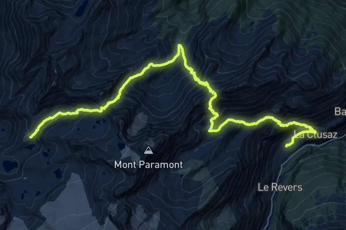
Expert · Cabin
Planaval – Rifugio Deffeyes
15.5 km · ↑ 2085 m · 7 h 56 min
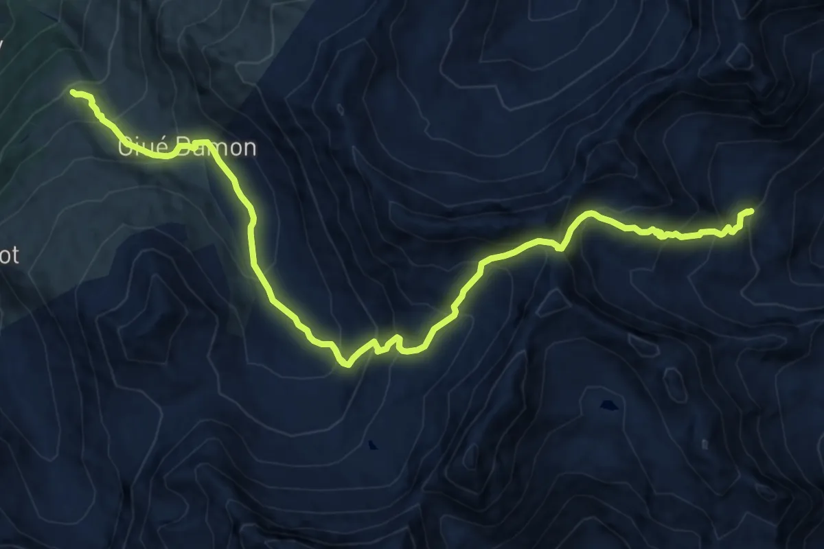
Expert · Cabin
Rifugio Bonatti – Rifugio Frassati
14.8 km · ↑ 1277 m · 6 h 16 min
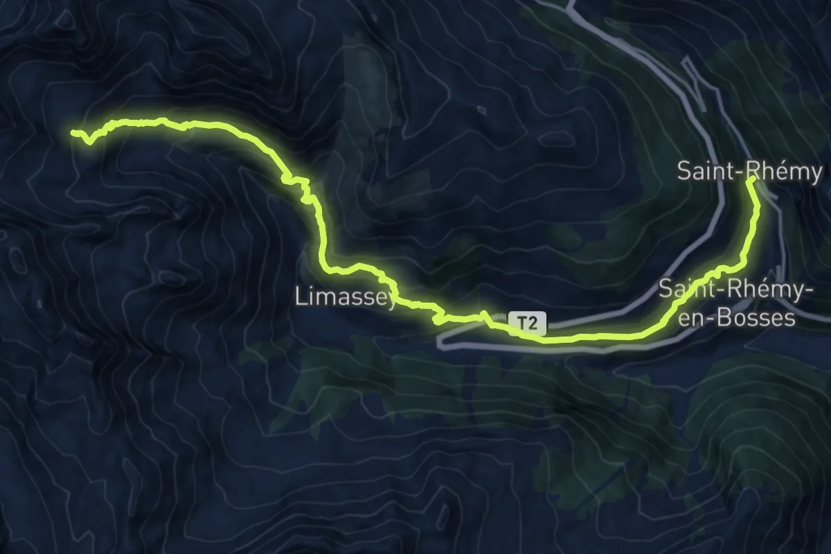
Demanding · Trail
Rifugio Frassati – Saint-Rhémy
20.5 km · ↑ 1244 m · 7 h 32 min
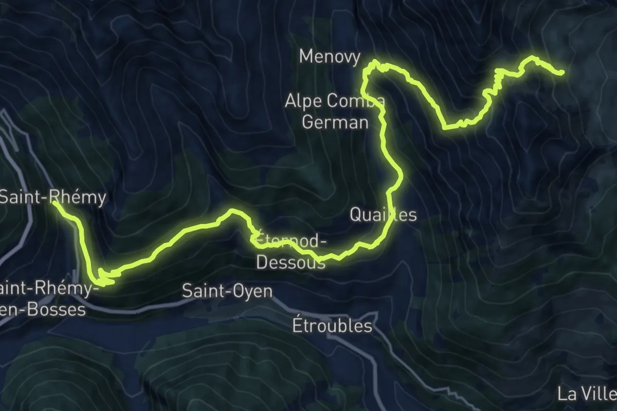
Demanding · Cabin
Saint-Rhémy – Rifugio Champillon
14.0 km · ↑ 1480 m · 6 h 19 min
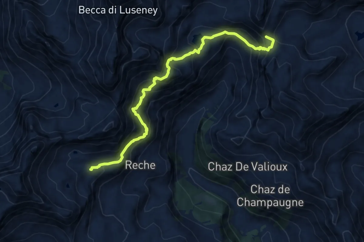
Demanding · Summit
Rifugio Cuney – Rifugio Barmasse
12.4 km · ↑ 1090 m · 5 h 18 min
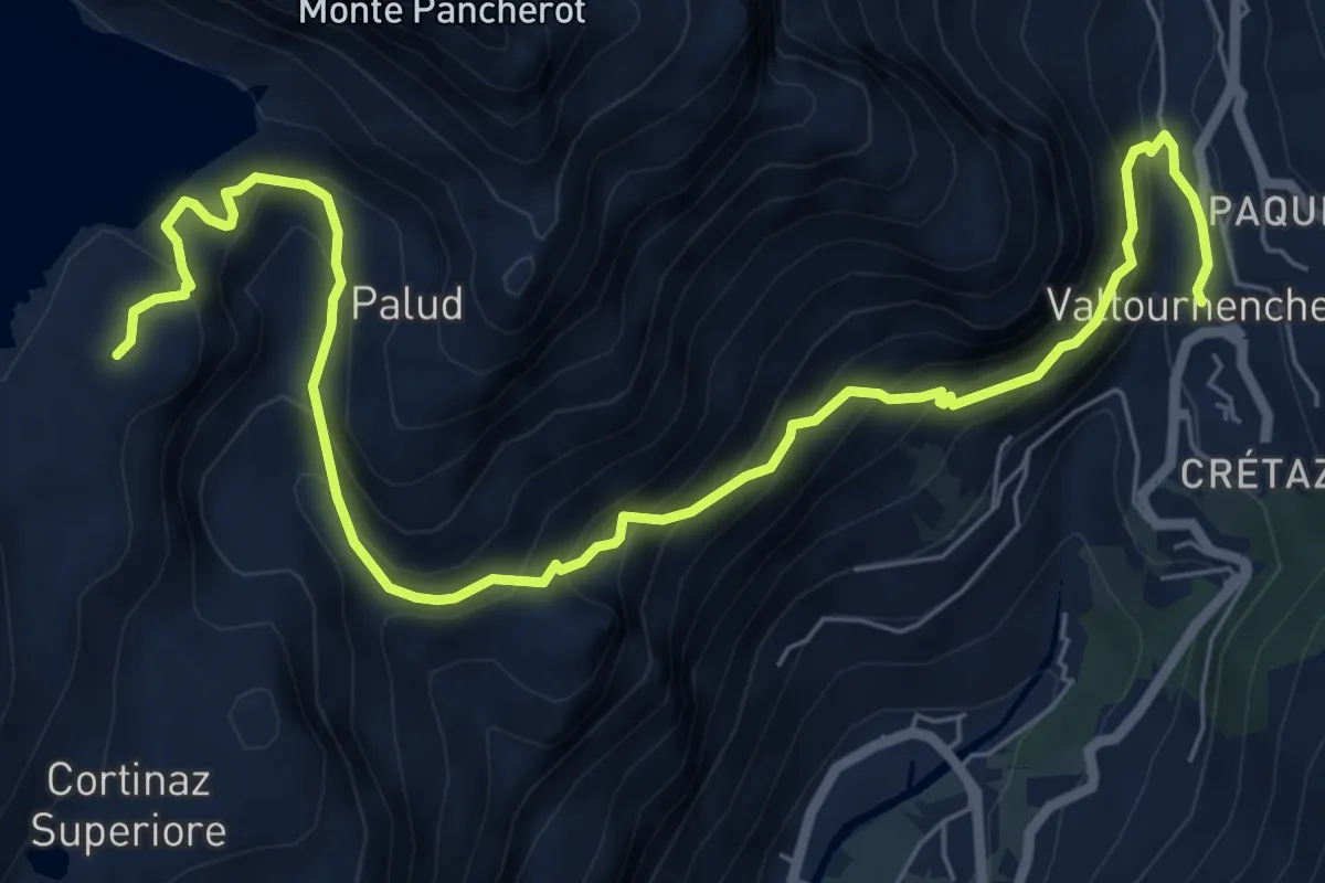
Demanding · Cabin
Rifugio Barmasse – Valtournenche
9.0 km · ↑ 858 m · 3 h 59 min
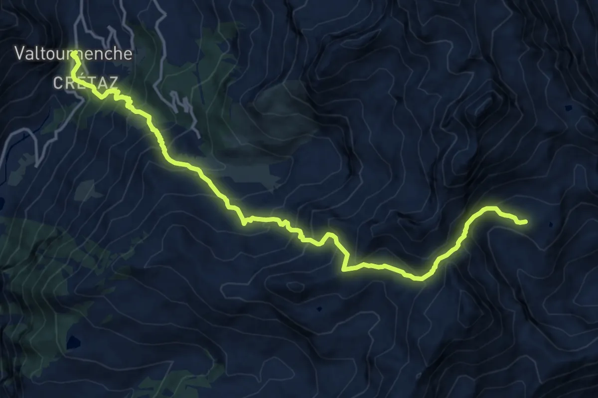
Demanding · Cabin
Valtournenche – Rifugio Grand Tournalin
17.1 km · ↑ 1655 m · 7 h 37 min
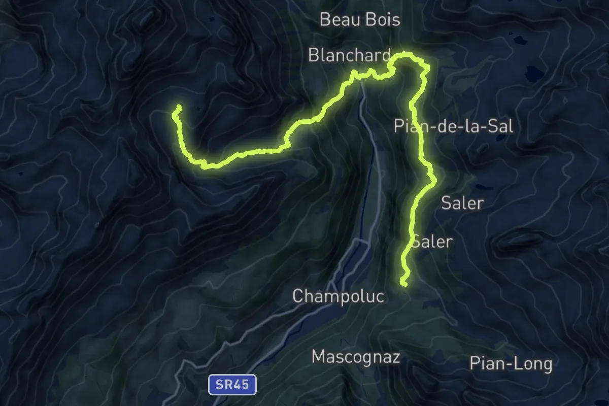
Demanding · Cabin
Rifugio Grand Tournalin – Crest
10.9 km · ↑ 1192 m · 4 h 59 min
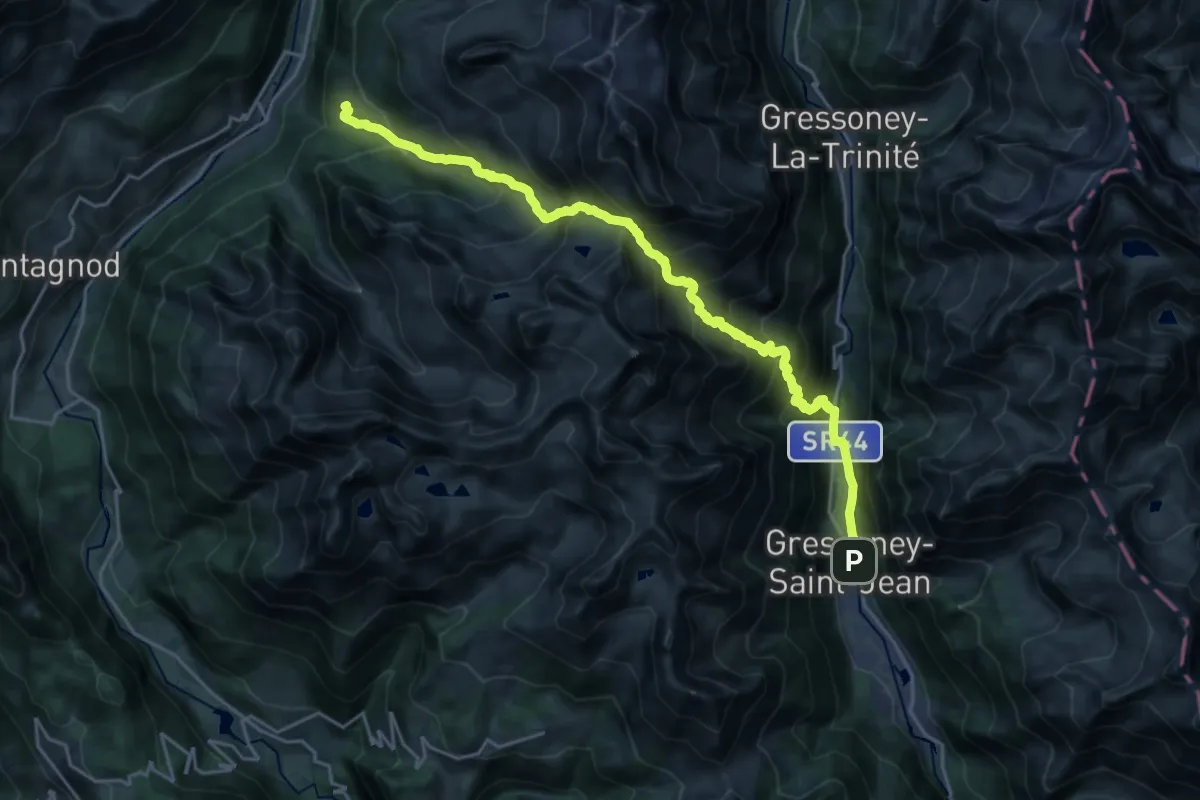
Demanding · Cabin
Crest – Gressoney-Saint-Jean
12.1 km · ↑ 1492 m · 6 h