Trails in Italy
25,219 hiking trails, each with its route, climb, walking time and grade.
All trails, page 442 of 526
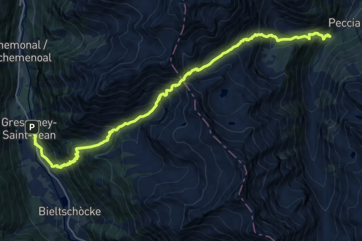
Demanding · Trail
Gressoney-Saint-Jean – Alpe Garte
9.4 km · ↑ 1138 m · 4 h 43 min
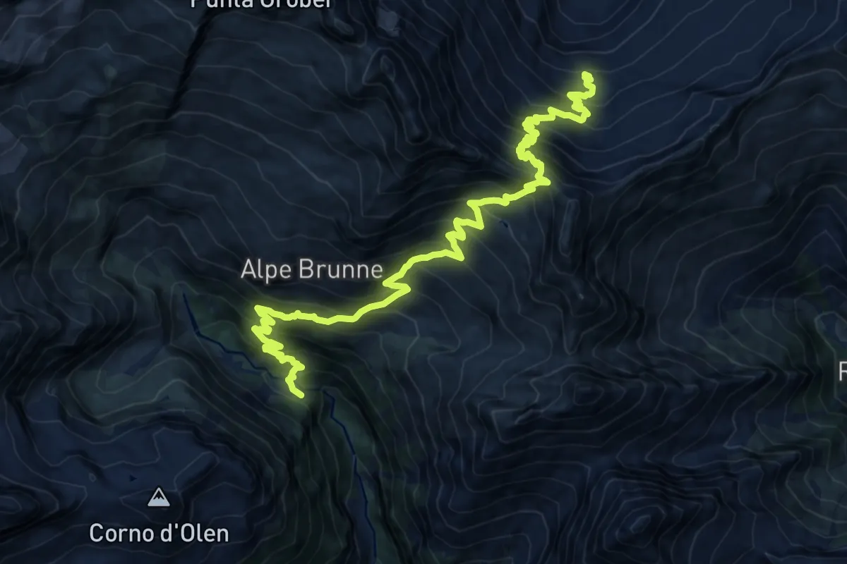
Medium · Cabin
Rifugio Pastore – Bivacco Lanti
10.4 km · ↑ 680 m · 4 h 21 min
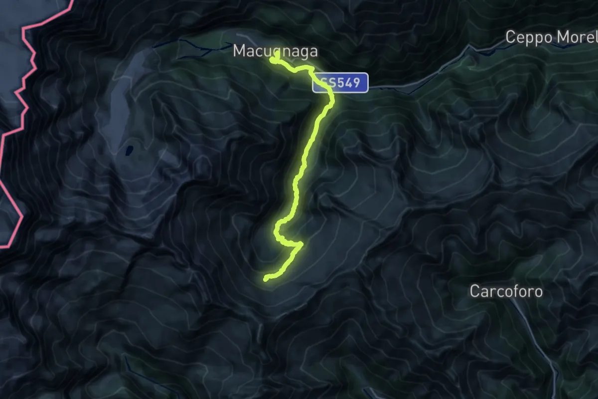
Demanding · Cabin
Bivacco Lanti – Staffa (Macugnaga)
20.8 km · ↑ 1085 m · 7 h 16 min
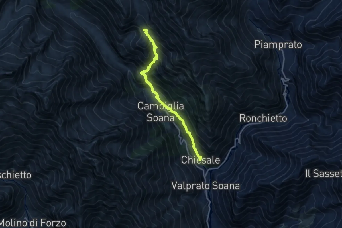
Demanding · Summit
Bivio 628-632, Chiosale – Bivio 628-630, Grange Prariond
9.9 km · ↑ 1054 m · 4 h 38 min
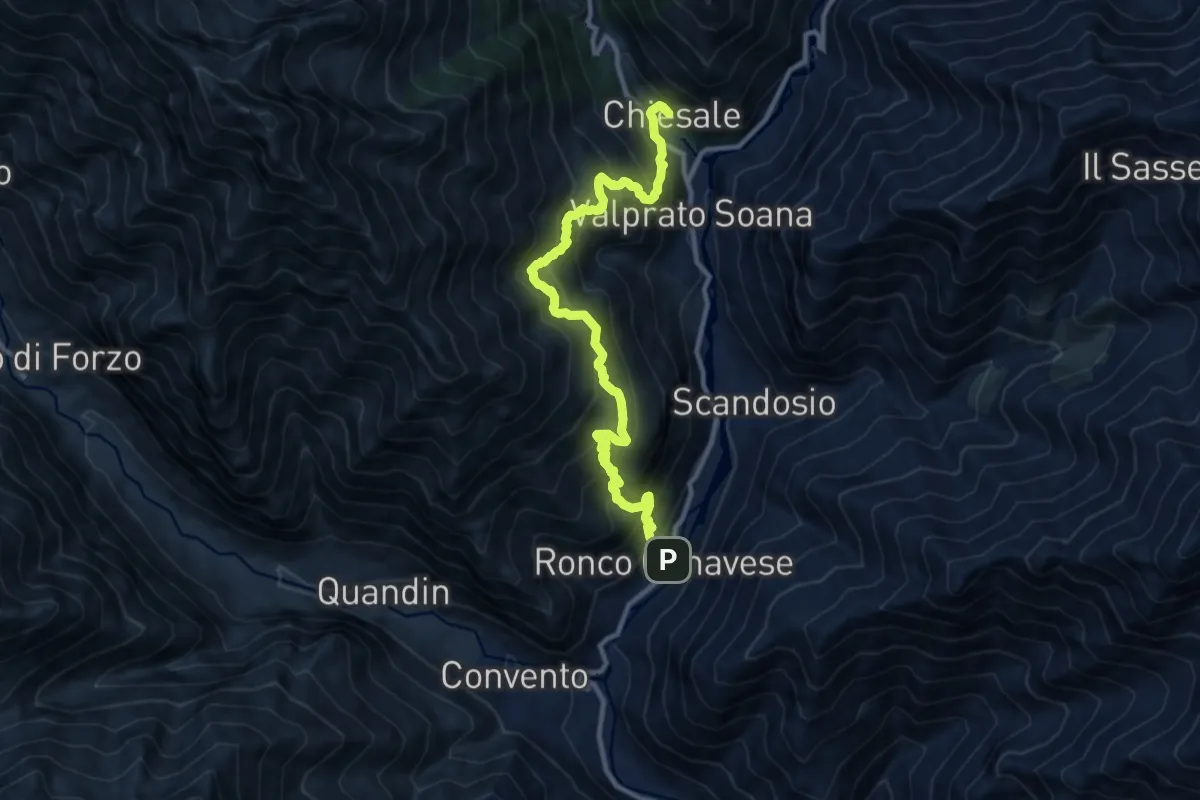
Demanding · Trail
Ronco Canavese – Valprato Soana, località Chiesale, bivio 628-629
11.7 km · ↑ 1149 m · 5 h 15 min
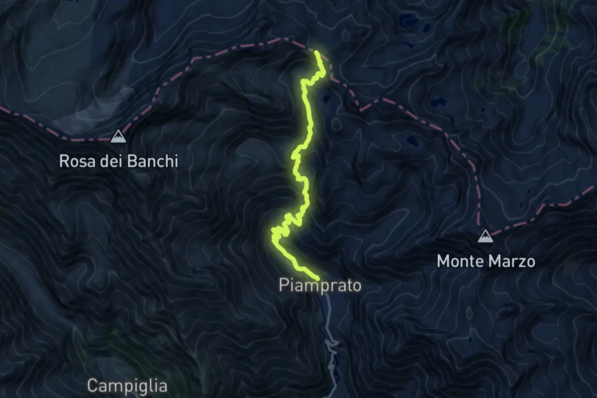
Demanding · Trail
Piamprato – Colle Larissa
12.7 km · ↑ 1053 m · 5 h 17 min
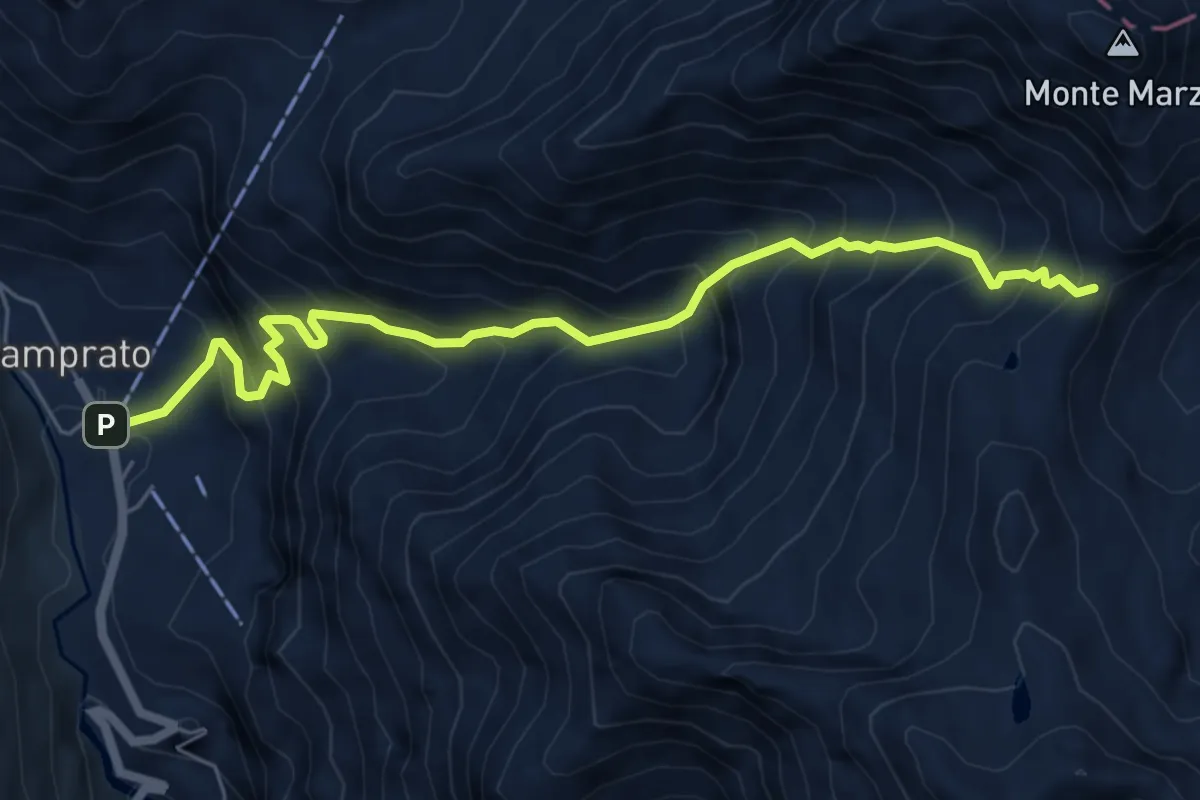
Demanding · Trail
Piamprato – Bocchetta delle Oche, bivio708
6.8 km · ↑ 872 m · 3 h 29 min
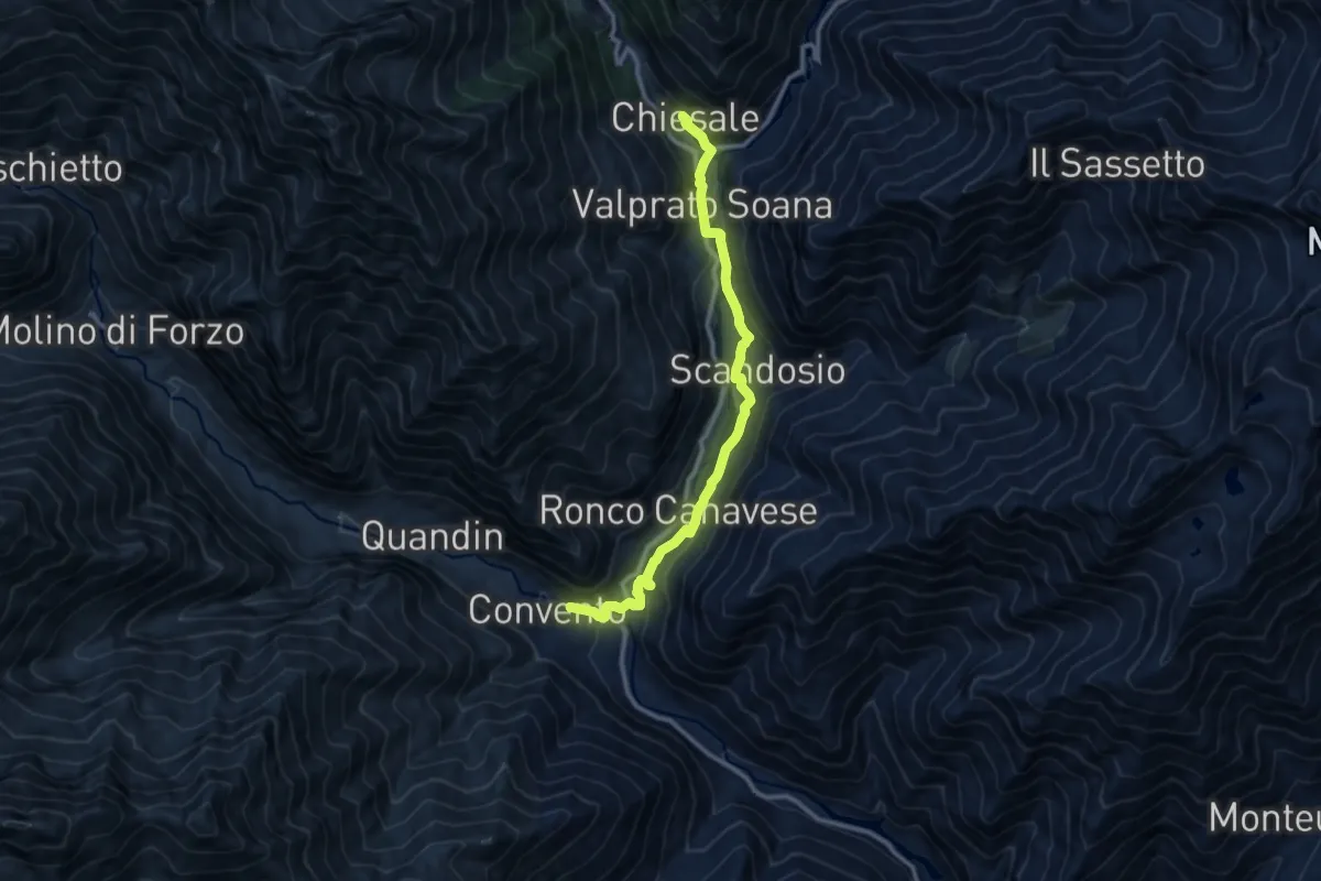
Medium · Trail
Ronco Canavese, pressi Borgata Convento – Valprato Soana, Borgata Chiesale
10.9 km · ↑ 377 m · 3 h 24 min
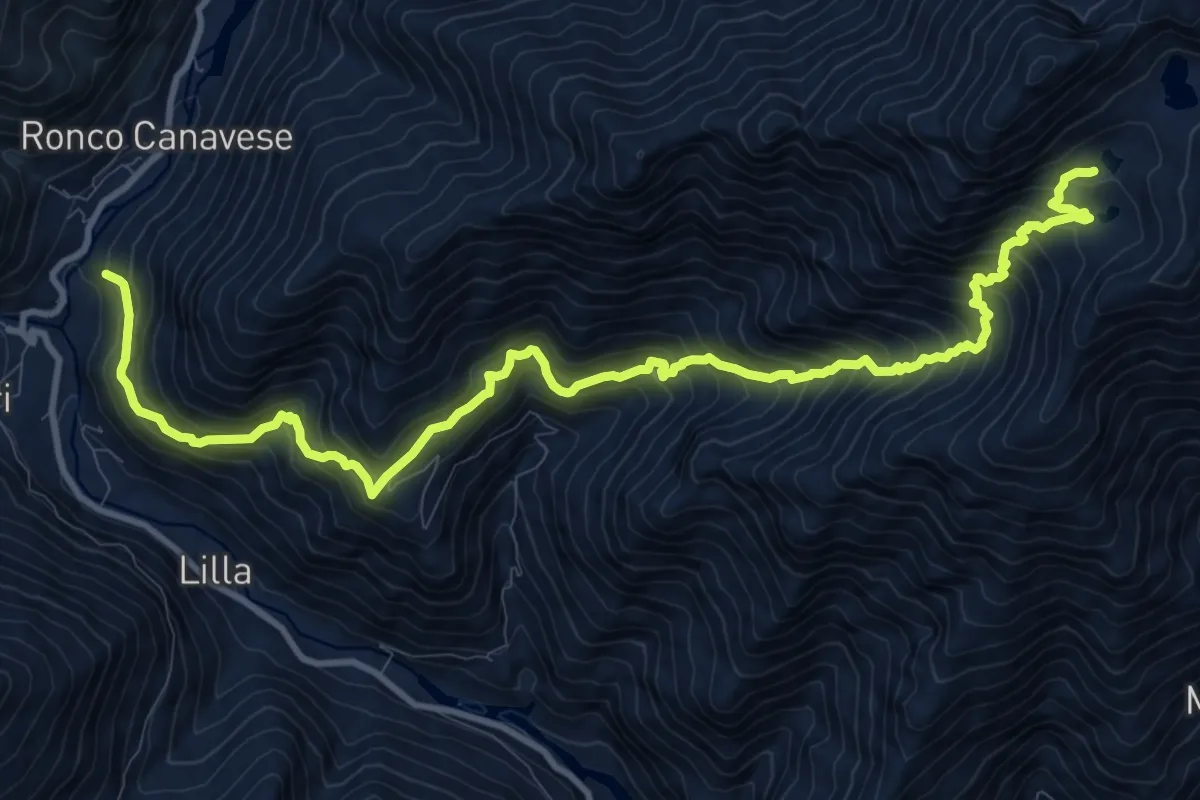
Demanding · Trail
Ronco Canavese, località Fucina, bivio TON632 – Laghi di Canaussa
13.9 km · ↑ 1650 m · 6 h 52 min
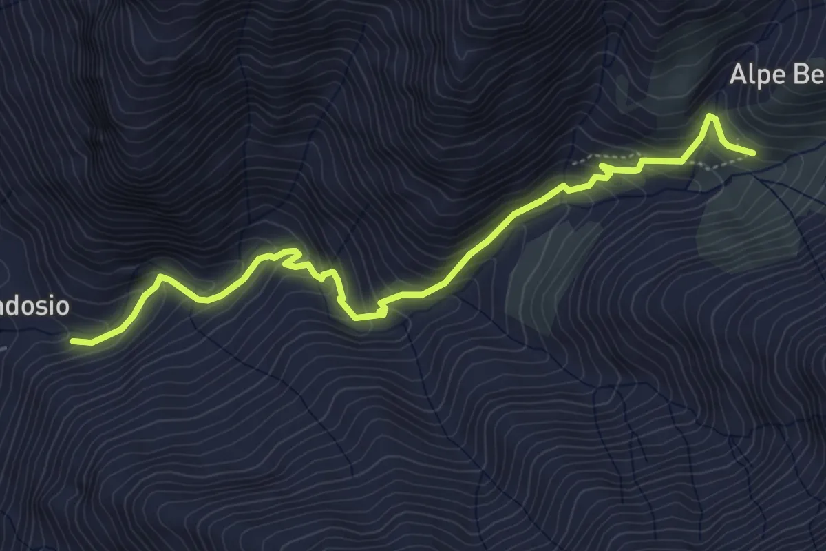
Medium · Trail
Scandosio, bivio TON632 – Alpe Fontana - Quota:1615
5.7 km · ↑ 542 m · 2 h 31 min
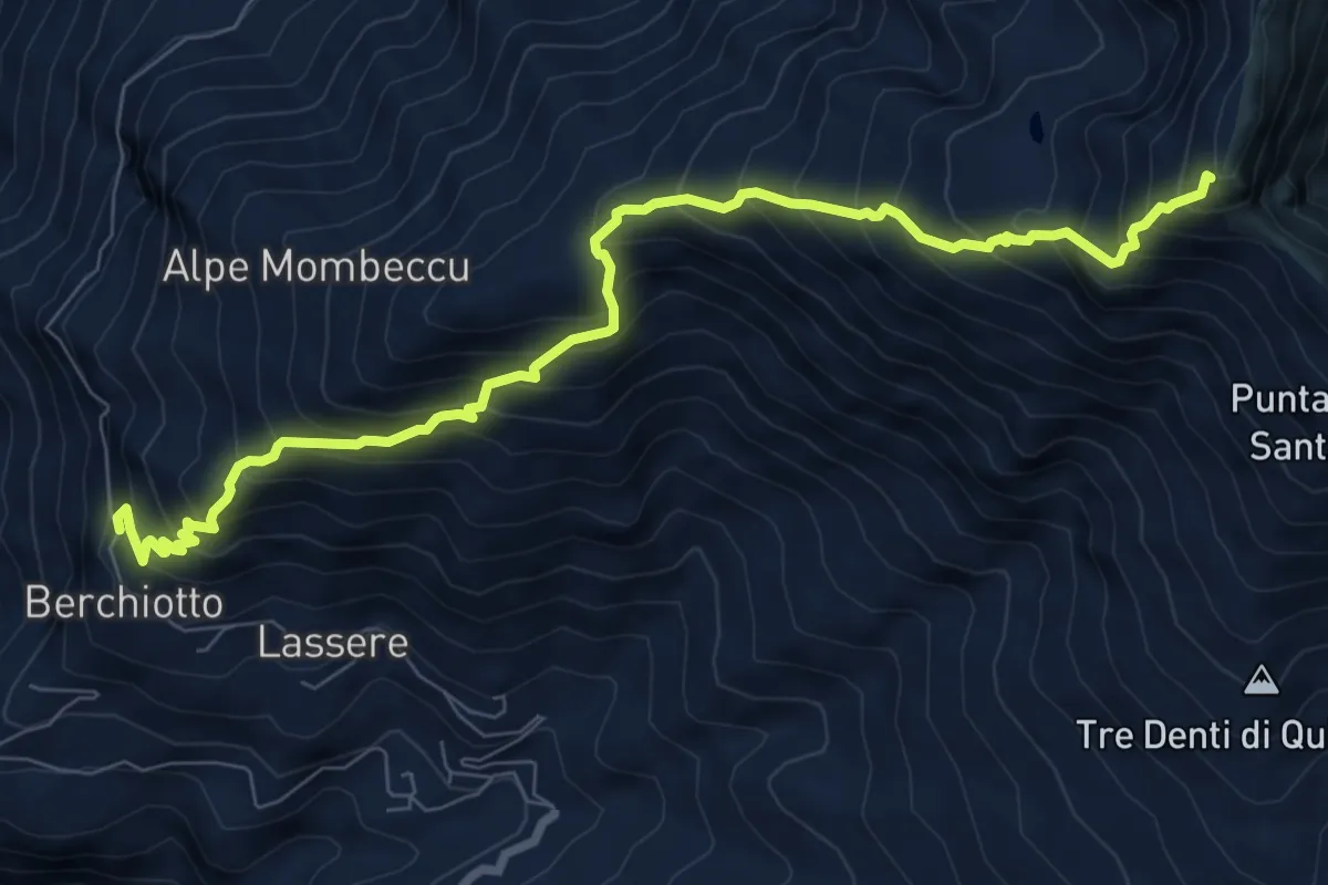
Demanding · Trail
Frassinetto, Borgta Berchiotto, bivio 602 – Bivio 909 presso Punta Quinseina nord
9.2 km · ↑ 1139 m · 4 h 39 min
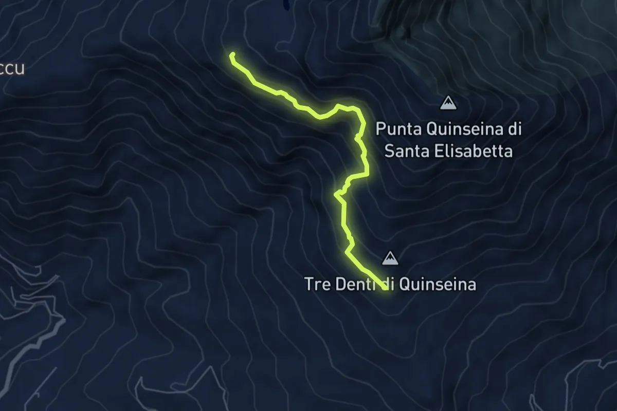
Demanding · Trail
Bivio 909 (Pian del Lupo) - Quota: 1600 – Alpe Quinseina, bivio 648 - Quota:1925
4.9 km · ↑ 433 m · 2 h 6 min
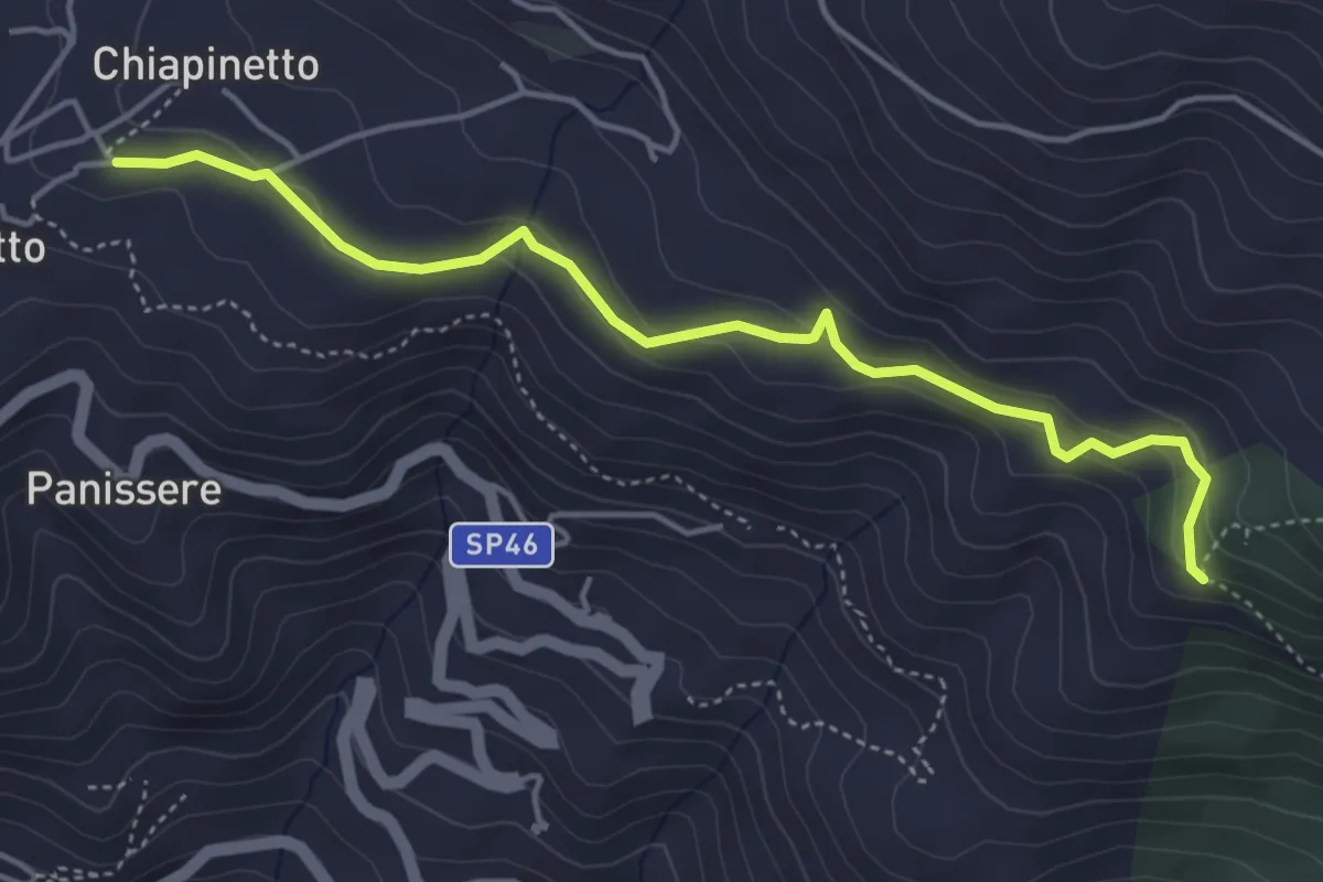
Easy · Trail
Frassinetto, bivio 650-650A – Chiesanuova, bivio 650A-910
4.7 km · ↑ 174 m · 1 h 30 min
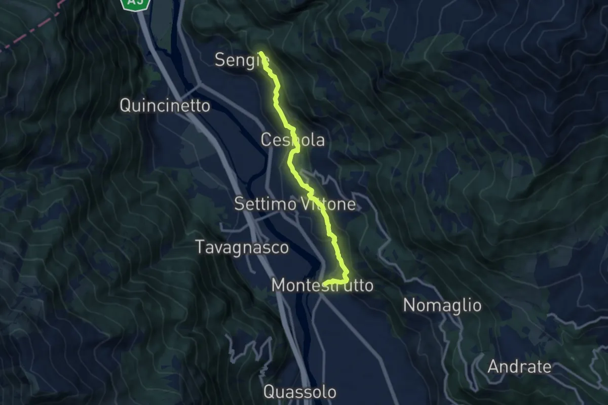
Medium · Trail
Bivio TON852-TON881, Montestrutto – Bivio TON852-TON854 presso Senge
9.1 km · ↑ 498 m · 3 h 13 min
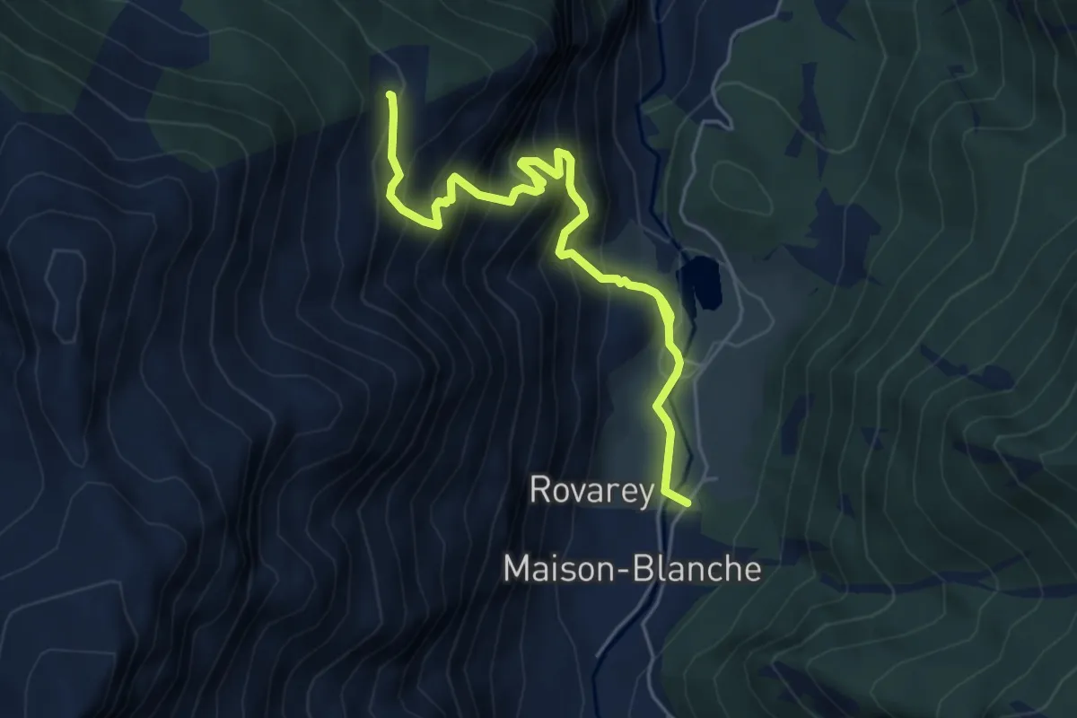
Medium · Trail
Chez Boz – Prapremier
5.7 km · ↑ 683 m · 2 h 49 min
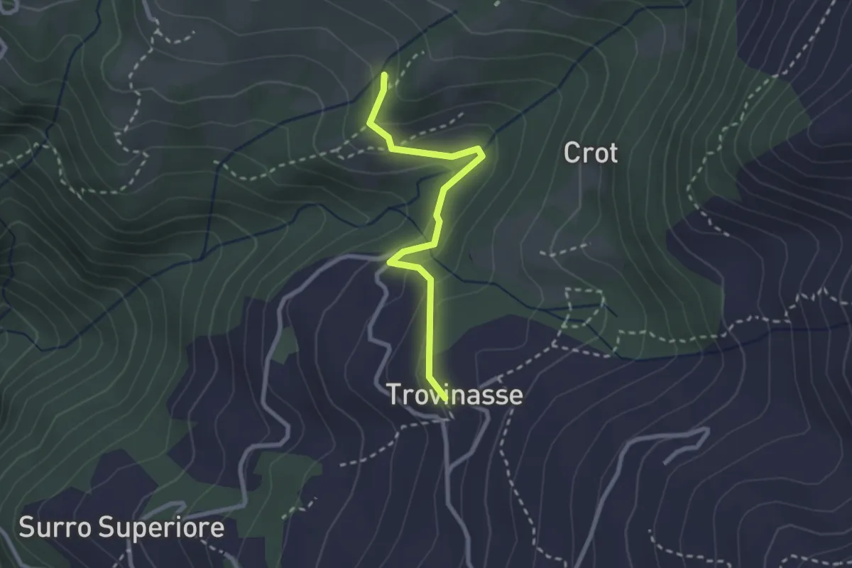
Medium · Trail
Borgata Trovinasse, Quincinetto, bivio TON854 – Località L'Agnerezzo, bivio 841
2.4 km · ↑ 129 m · 51 min
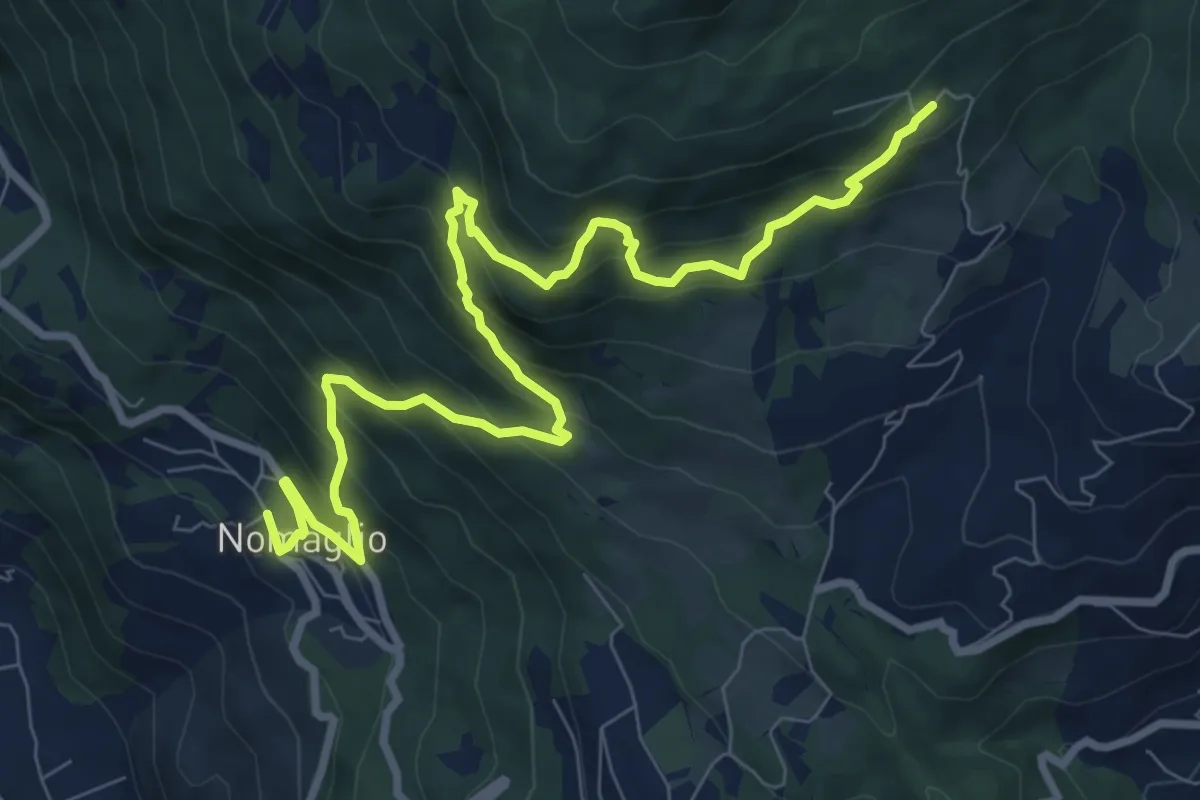
Demanding · Trail
Nomaglio, bivio TON871-TON881 – Andrate, frazione San Giacomo, bivio TON871-TON872
10.5 km · ↑ 939 m · 4 h 31 min
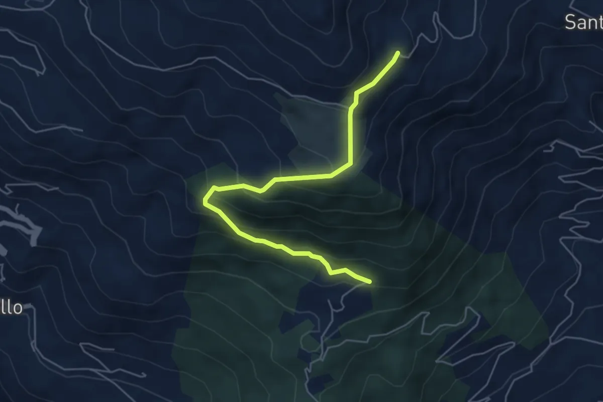
Medium · Trail
Rondano, bivio TON910-TON910A – Pian del Lupo, bivio TON909-TON910
5.3 km · ↑ 377 m · 2 h 5 min
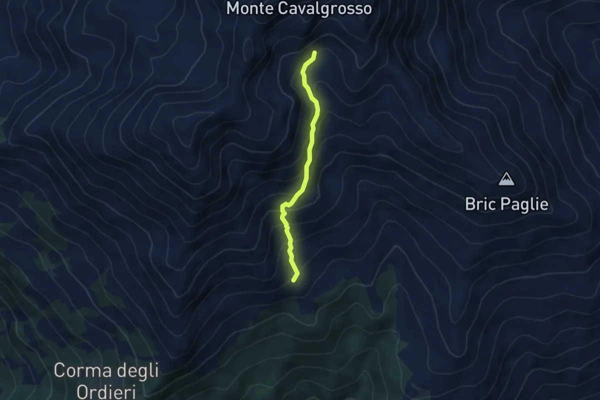
Demanding · Trail
Pinalba, bivio 872-872A – Bivio 872-872A a quota 1950
3.8 km · ↑ 365 m · 1 h 42 min
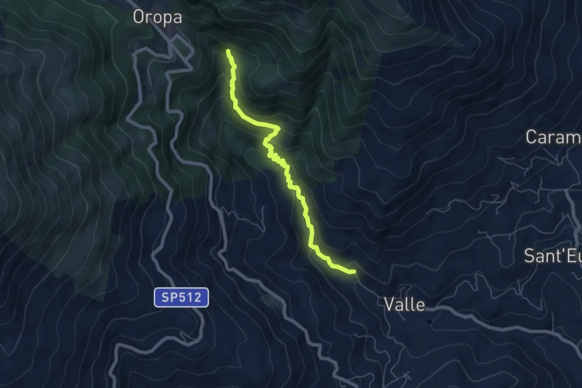
Medium · Trail
Pralungo, frazione Valle – Bivio BIAD03-BIAD04 presso Santuario di Oropa
5.7 km · ↑ 370 m · 2 h 9 min
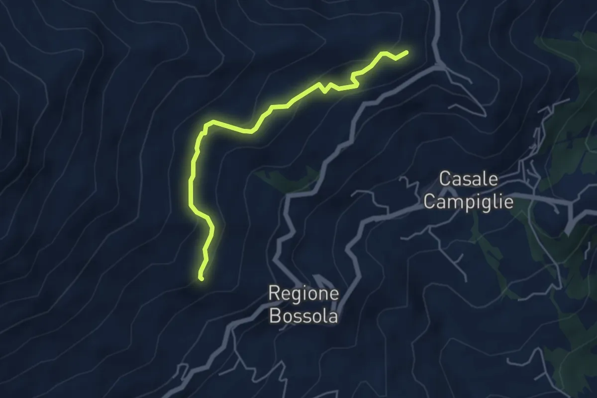
Medium · Trail
Bivio BIAB06-BIAB07 nei pressi di San Carlo di Graglia – Località Bar, bivio BIAB06-BIAB11
4.3 km · ↑ 240 m · 1 h 33 min
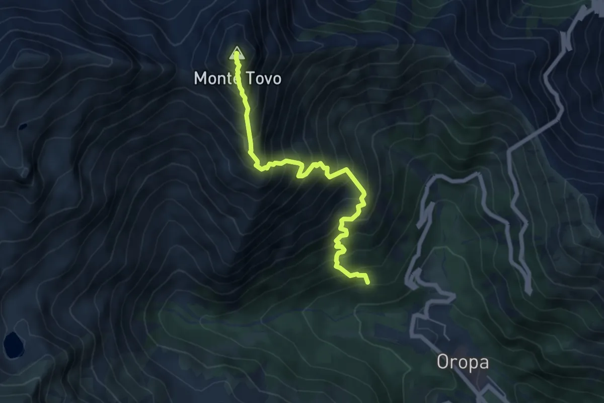
Demanding · Summit
Bivio BIAD13-BIAD14, a monte del Delubro – Monte Tovo, BIAD14-BIAD32
5.6 km · ↑ 899 m · 3 h 17 min
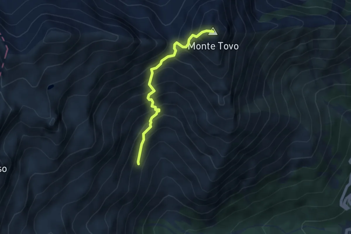
Medium · Summit
Bivio BIAD13-BIAD32 – Monte Tovo, bivio BIAD14-BIAD32
3.5 km · ↑ 513 m · 1 h 57 min
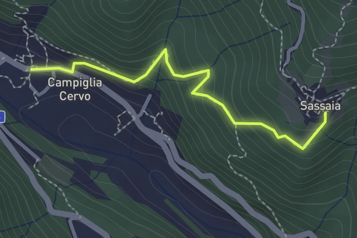
Easy · Trail
Sassaia – Campiglia Cervo
2.1 km · ↑ 234 m · 1 h 1 min
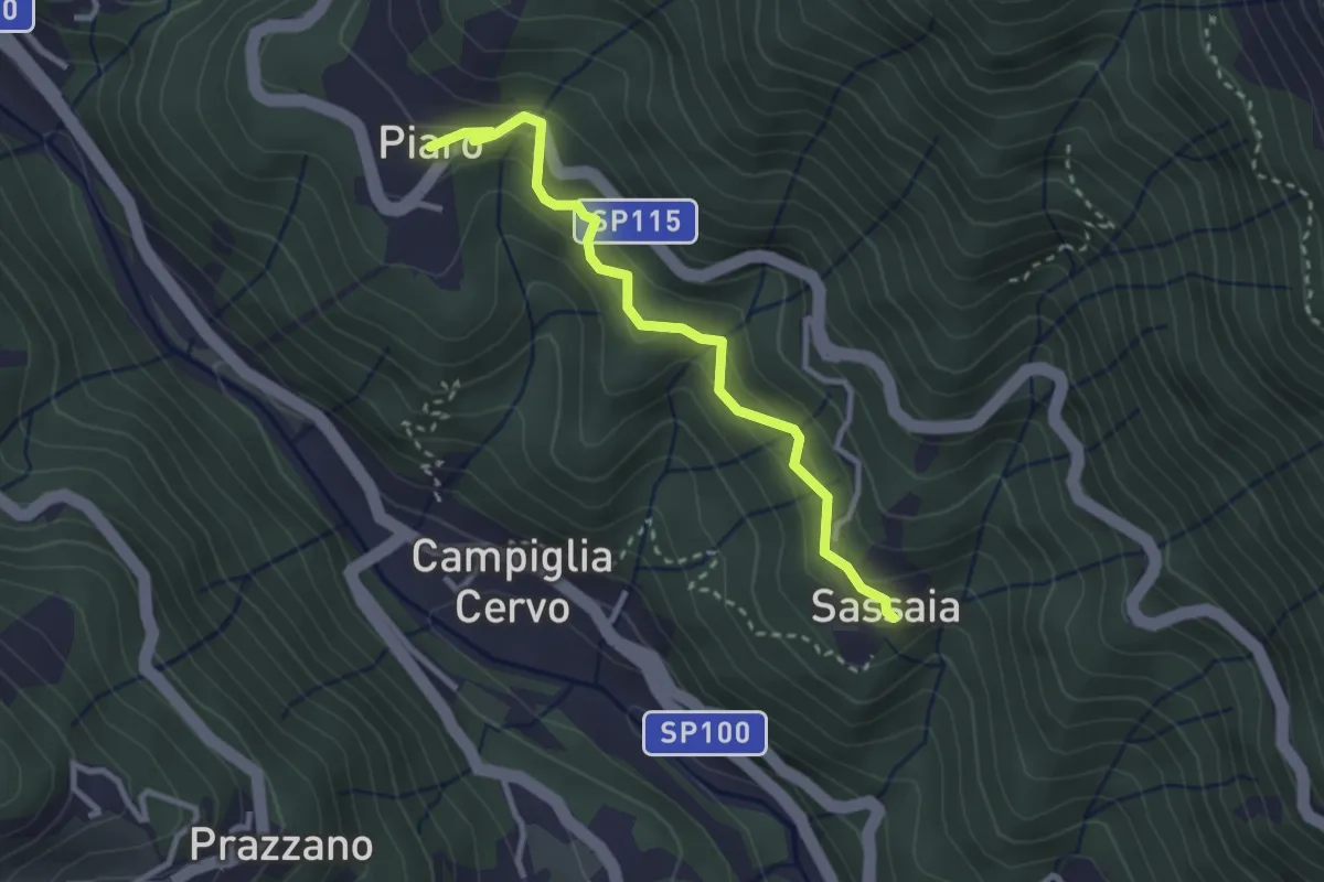
Easy · Trail
Bivio E25A-E28-E82, Piaro – Sassaia
2.9 km · ↑ 190 m · 1 h 6 min
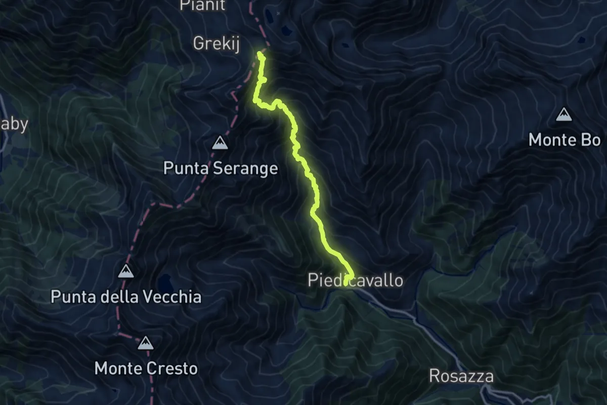
Demanding · Trail
Bivio E40-E50-E60, Piedicavallo – Colle della Mologna Grande
11.3 km · ↑ 1342 m · 5 h 35 min
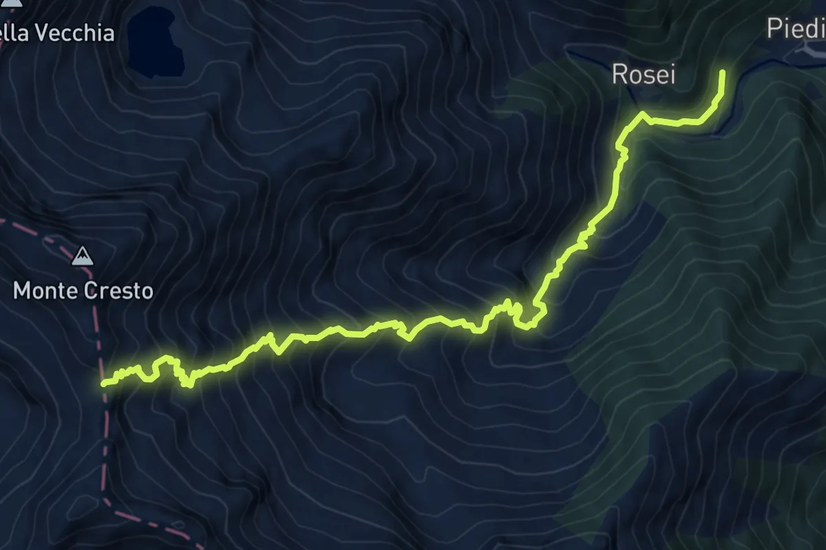
Demanding · Trail
Bivio E41-E50, Pilone votivo – Colle del Lupo o Turrison
9.7 km · ↑ 1331 m · 5 h 11 min
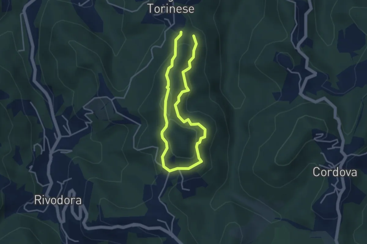
Easy · Trail
Bivio TOC002-TOC073, presso San Martino, Castiglione Torinese – Bivio TOC002-TOC073, presso San Martino, Castiglione Torinese
2.6 km · ↑ 127 m · 56 min
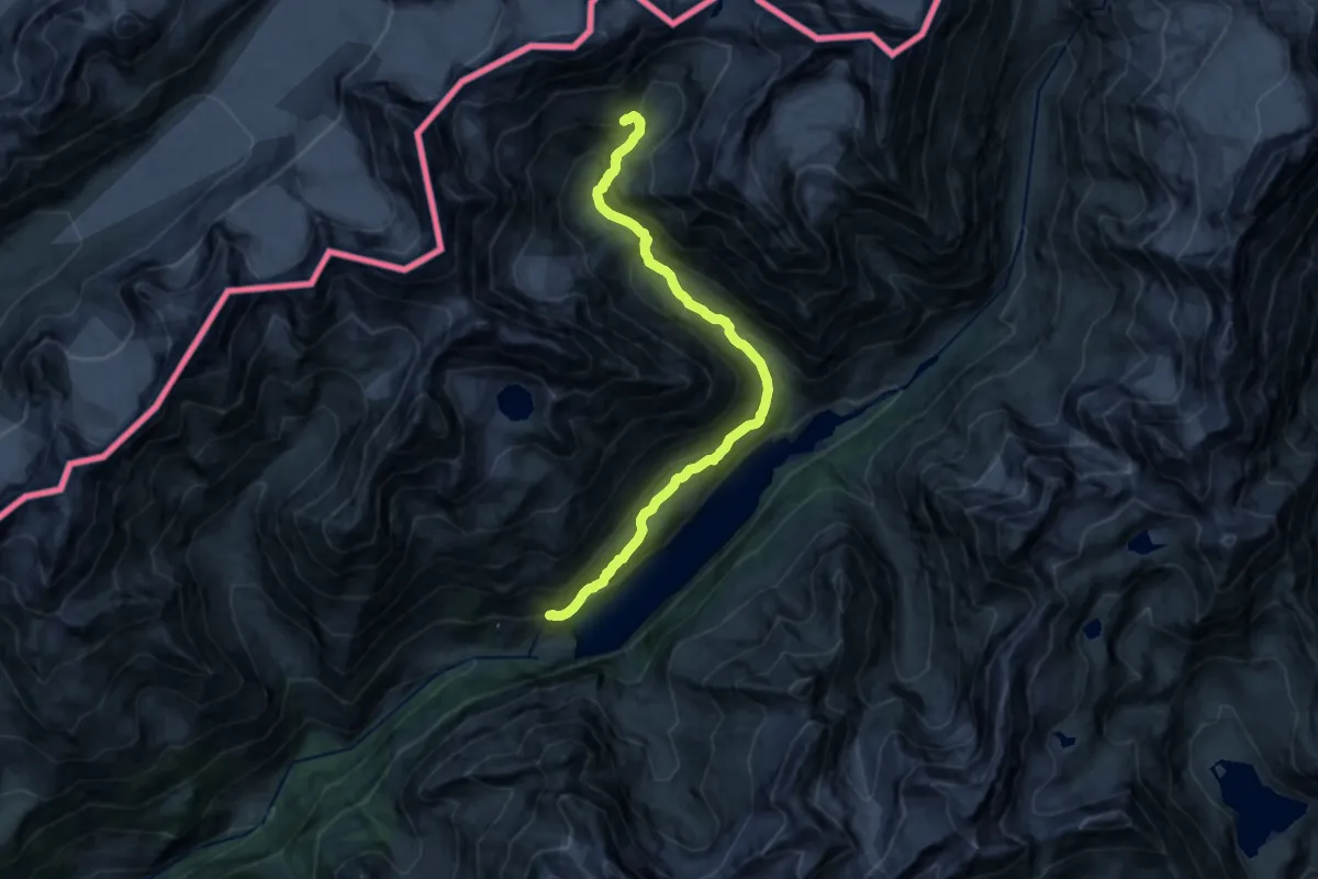
Expert · Cabin
Place Moulin – Rifugio Nacamuli
16.3 km · ↑ 1000 m · 6 h 1 min
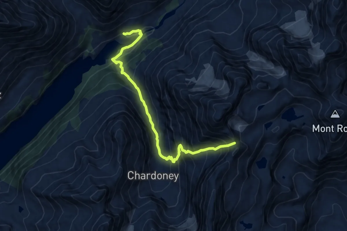
Demanding · Cabin
Rifugio Prarayer – Colle di Valcorneraz
11.2 km · ↑ 1193 m · 5 h 14 min
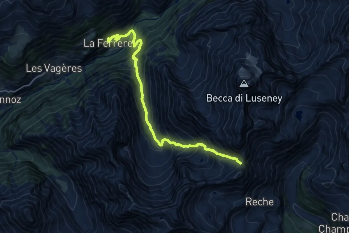
Demanding · Trail
La Ferrère – Colle di Montagnaye
15.0 km · ↑ 1461 m · 6 h 42 min
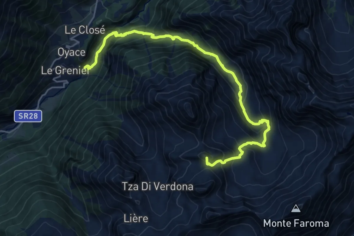
Demanding · Summit
Vernosse – Col Vamea
17.7 km · ↑ 1449 m · 7 h 19 min
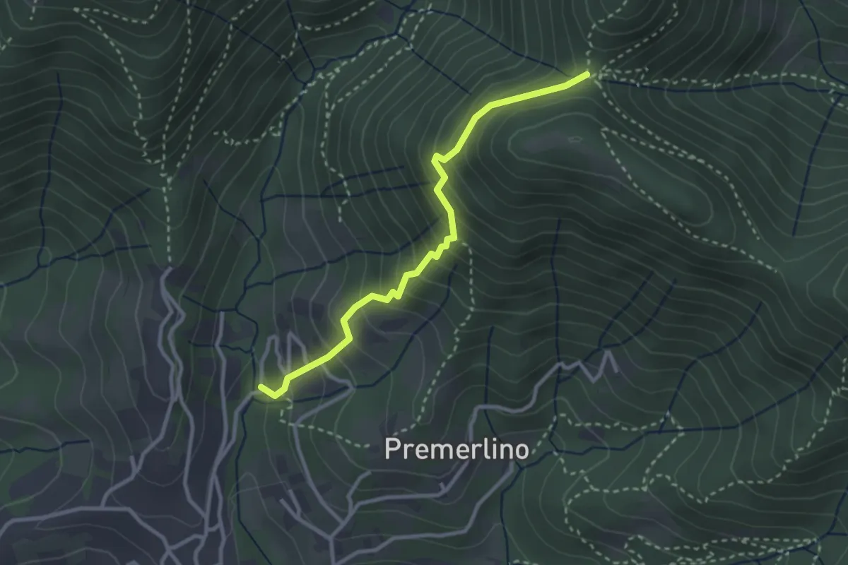
Medium · Trail
Catene (Sorisole) – Forcella del Sorriso
2.9 km · ↑ 309 m · 1 h 21 min
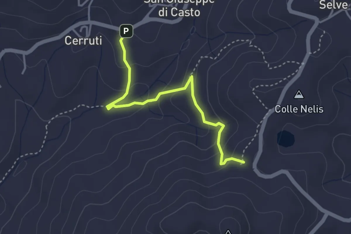
Easy · Trail
San Giuseppe di Casto – Bivio E09-E96, Porchera
3.4 km · ↑ 186 m · 1 h 12 min
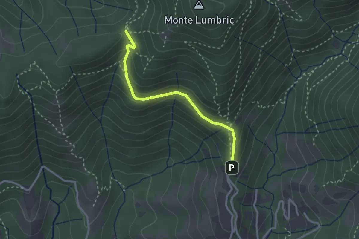
Easy · Trail
Pisgiu (Sorisole) – Forcella di Rua (Sorisole)
2.4 km · ↑ 157 m · 54 min
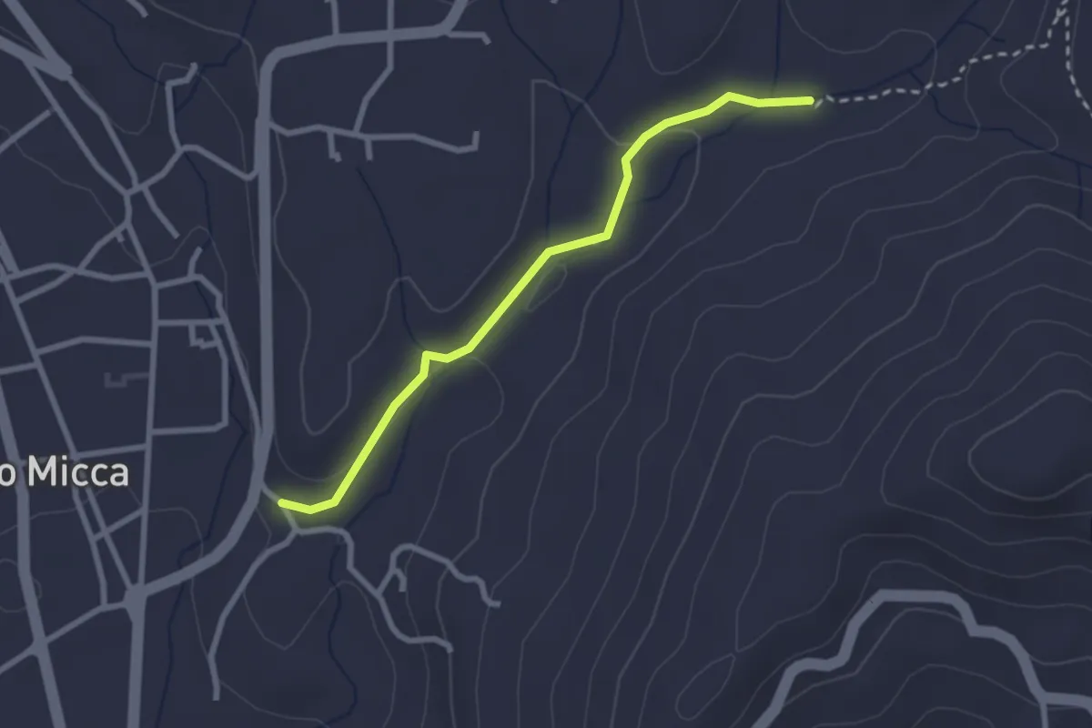
Easy · Trail
Bivio E09A-E96, Narteggio – Bivio E09-E09A, Molinetto
2.6 km · ↑ 55 m · 44 min
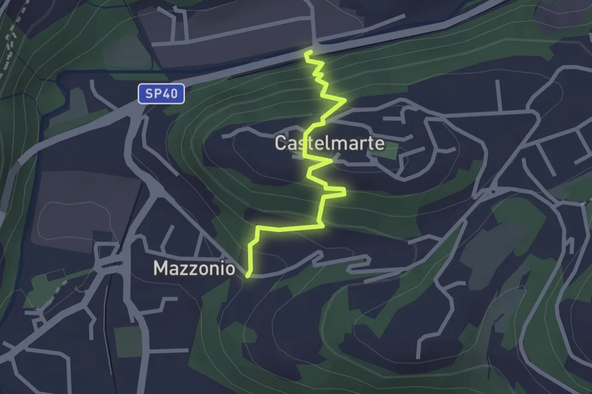
Easy · Trail
Stazione di Caslino d'Erba – Mazzonio (Ponte Lambro)
2.2 km · ↑ 199 m · 56 min
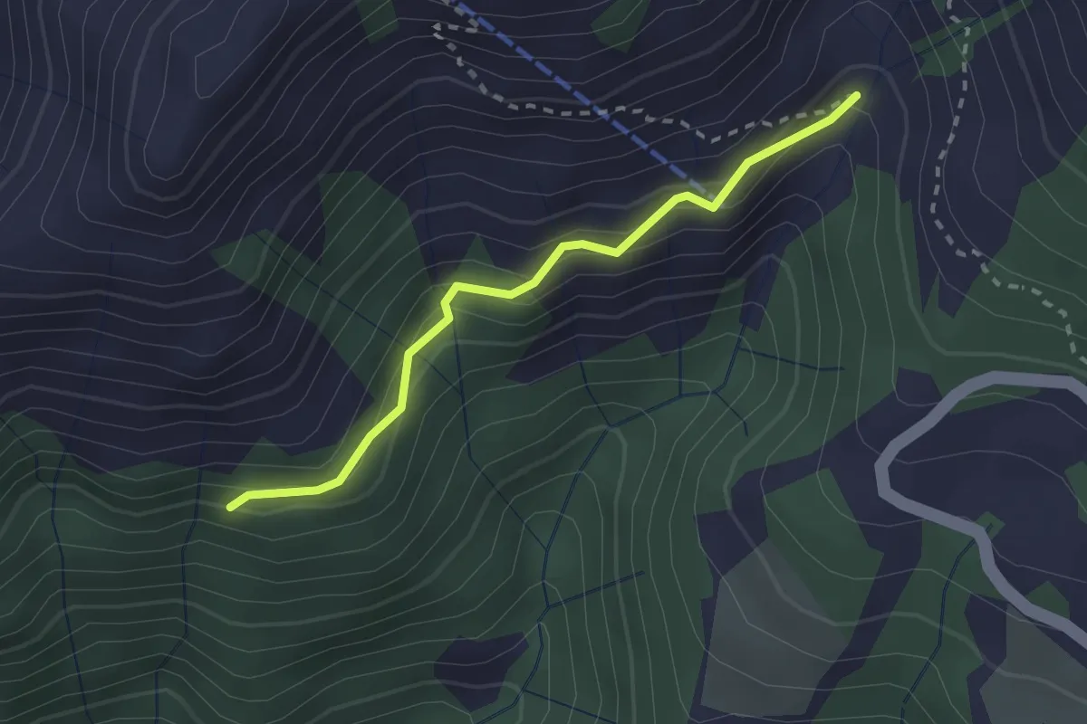
Easy · Trail
Bivio BIAG05A-BIAG10A, ponte sul Rio Cavallero – Bivio BIAG05-BIAG05A, Alpe Prella
2.3 km · ↑ 206 m · 1 h
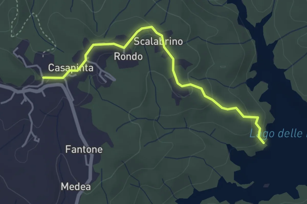
Easy · Trail
Lago artificiale di Masserano – Bivio BIAM11-BIAM12, Ex asilo di Casapinta
3.6 km · ↑ 124 m · 1 h 8 min
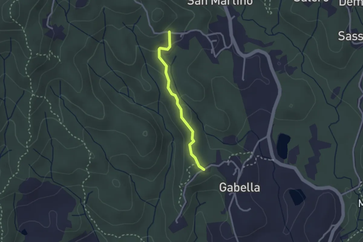
Easy · Trail
Bivio BIAM42A-BIAM48, Gabella – Bugellio
2.1 km · ↑ 55 m · 37 min
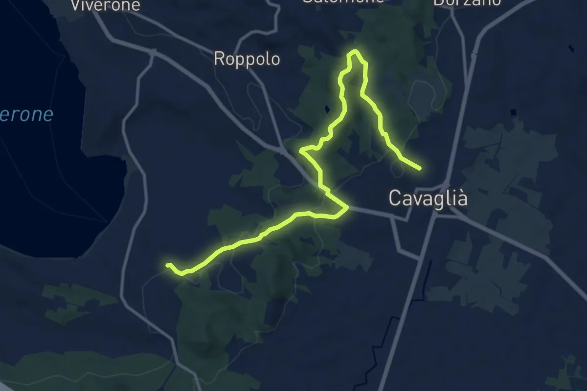
Medium · Trail
Morzano – Cascina Dua
11.6 km · ↑ 274 m · 3 h 20 min
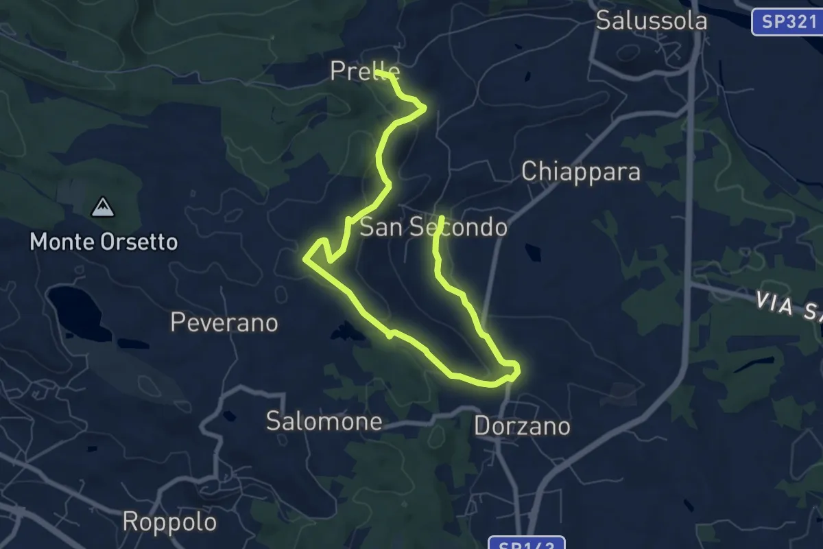
Medium · Trail
Bivio BIAS59-BIAS59A, Cascina Carengo – Bivio BIAS25-BIAS59A, Prelle
10.0 km · ↑ 301 m · 3 h
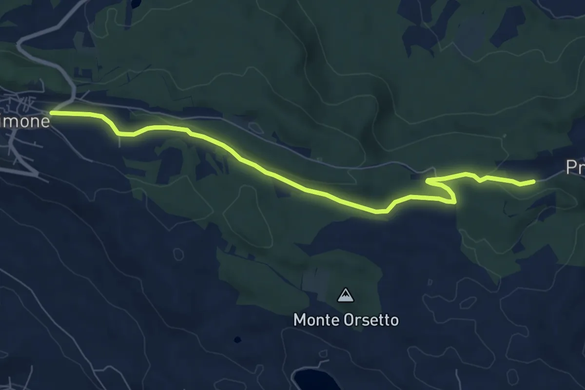
Easy · Trail
SP 415 – Bivio BIAS01-BIAS07-BIAS33, San Rocco
7.9 km · ↑ 106 m · 2 h 6 min
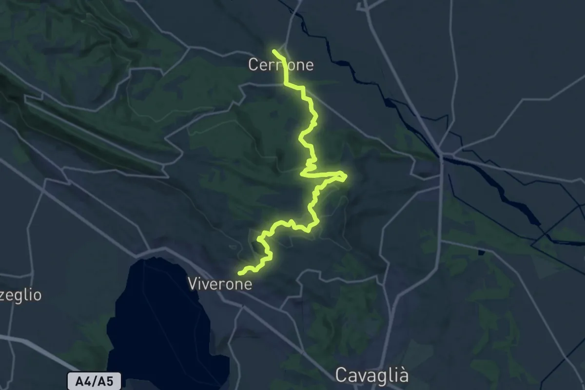
Demanding · Trail
Bivio BIAS01-BIAS25, Rolle – Bivio BIAS03-BIAS25, Cerrione
19.7 km · ↑ 437 m · 5 h 36 min
Easy · Trail
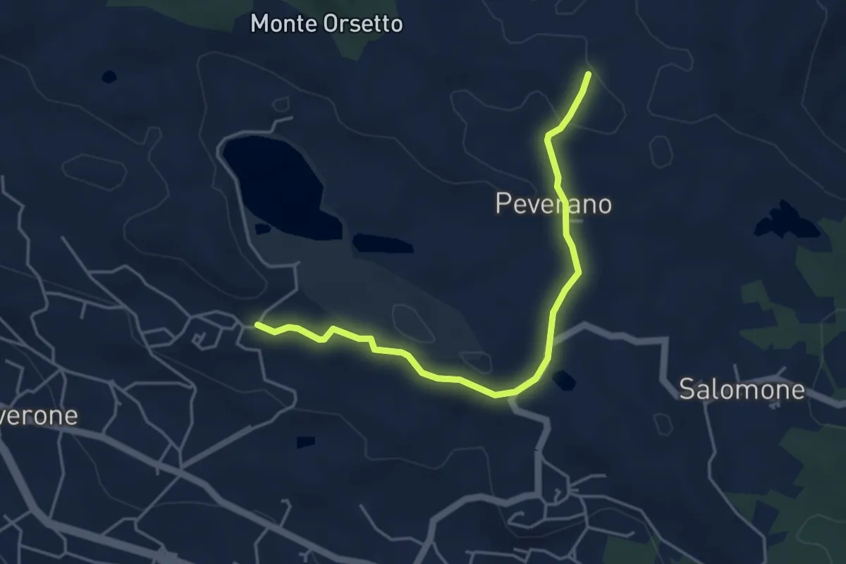
Bivio BIAS25-BIAS25A, Bertignano – Bivio BIAS25-BIAS25A, Santa Elisabetta
4.4 km · ↑ 54 m · 1 h 9 min
Easy · Trail
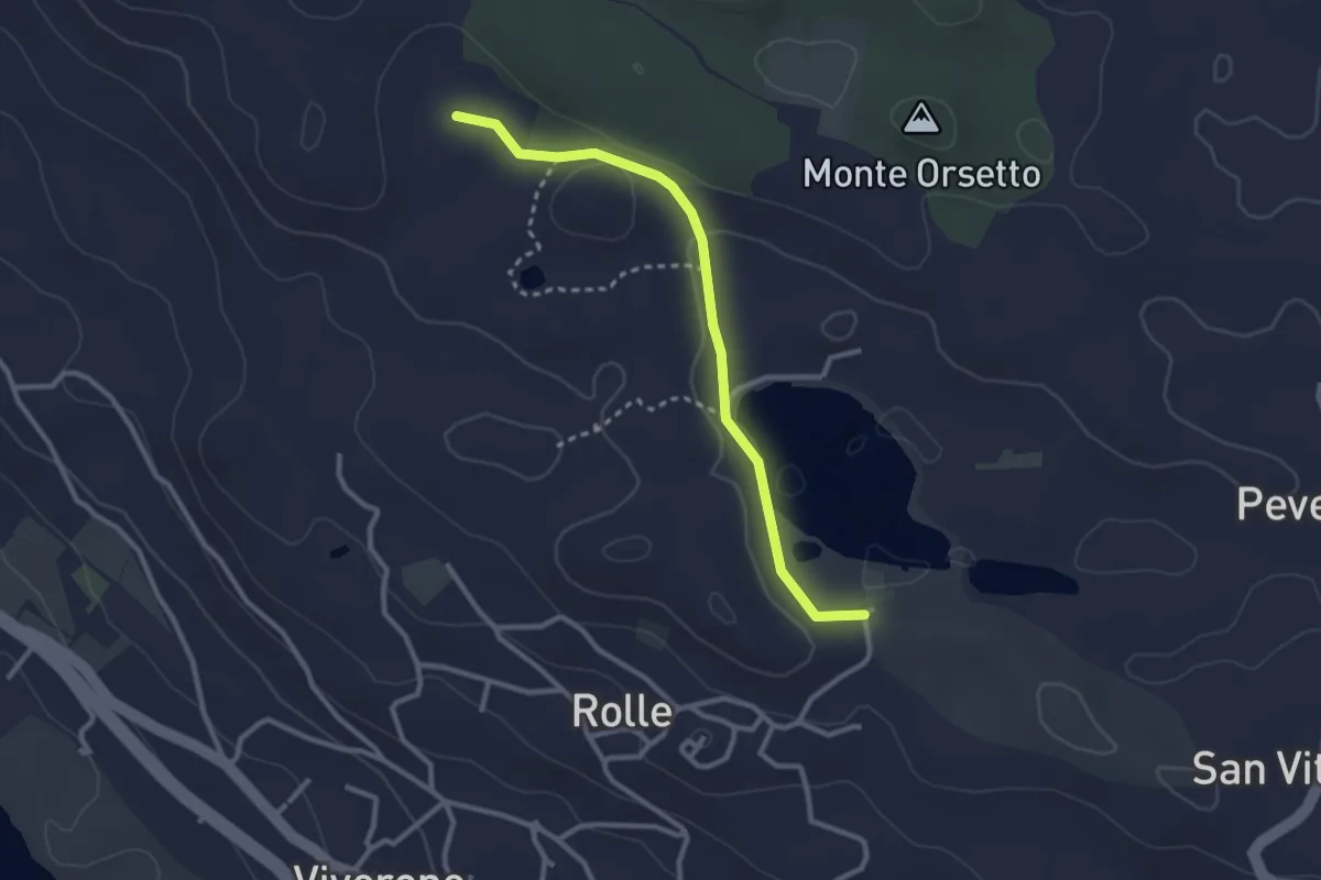
Bivio BIAS25-BIAS25B, Cascina Vanotta – Cava del Purcarel
2.8 km · ↑ 53 m · 47 min
Easy · Trail
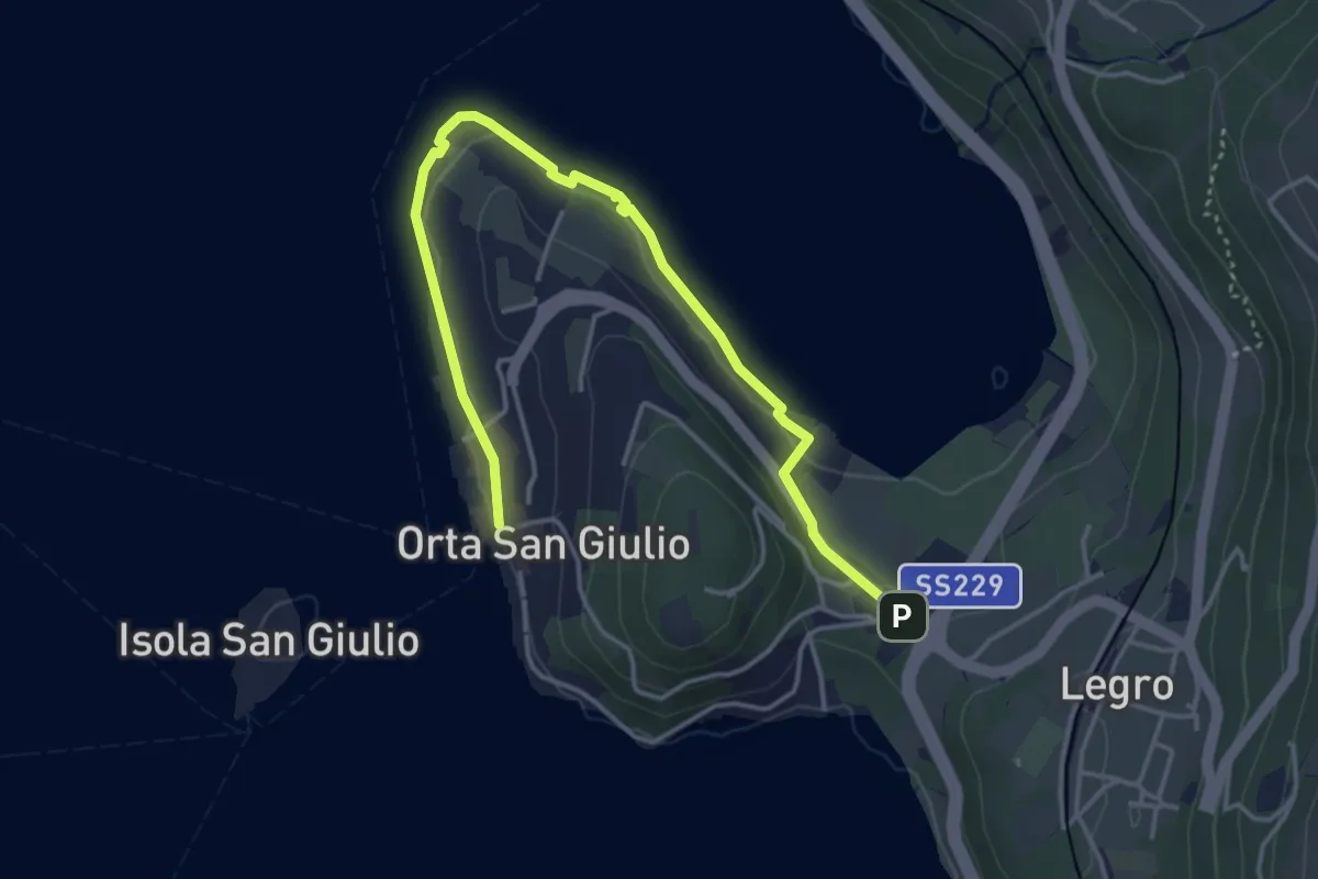
Orta Scalo, bivio ENOATU1-ENOATU1A – Orta San Giulio località Ortello, bivio ENOATU1-ENOATU1A
4.8 km · ↑ 71 m · 1 h 17 min
Easy · Trail
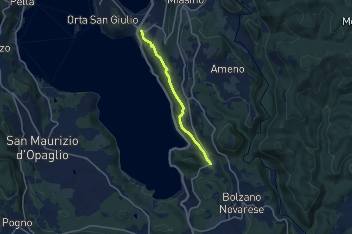
Orta San Giulio località Ortello, bivio NOATU1-NOATU2 – Orta San Giulio località Corconio bivio NOAVU2-NOATU2-NOATU2A
7.0 km · ↑ 181 m · 2 h 3 min