Trails in Italy
25,219 hiking trails, each with its route, climb, walking time and grade.
All trails, page 443 of 526
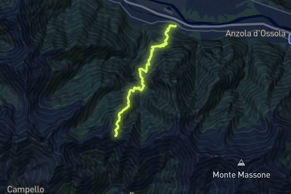
Demanding · Trail
Megolo di Mezzo – Alpe Ventolaro
14.2 km · ↑ 1960 m · 7 h 36 min
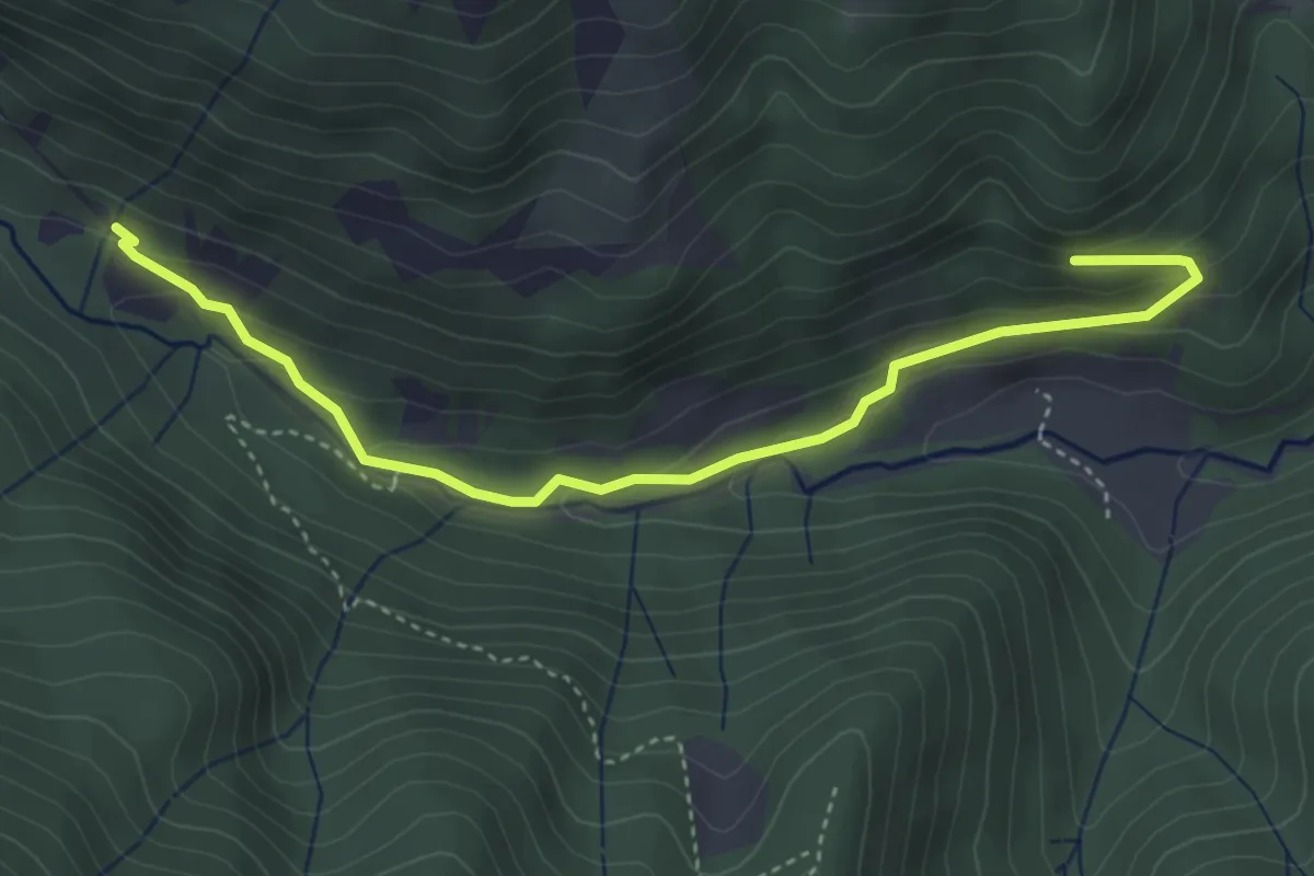
Easy · Trail
Bivio BIAF10-BIAF14, Poggio Selletto Piccolo – Bivio BIAF05-BIAF10, Alpe Rondolere
4.3 km · ↑ 173 m · 1 h 23 min
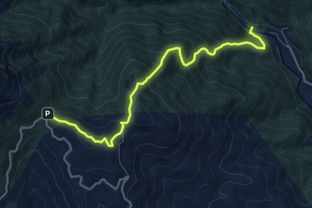
Medium · Trail
Bivio BIAH12-BIAH20, San Martino – Bivio BIAG02-BIAG04-BIAH12-BIAH31, Bocchetta di Noveis
7.6 km · ↑ 688 m · 3 h 17 min
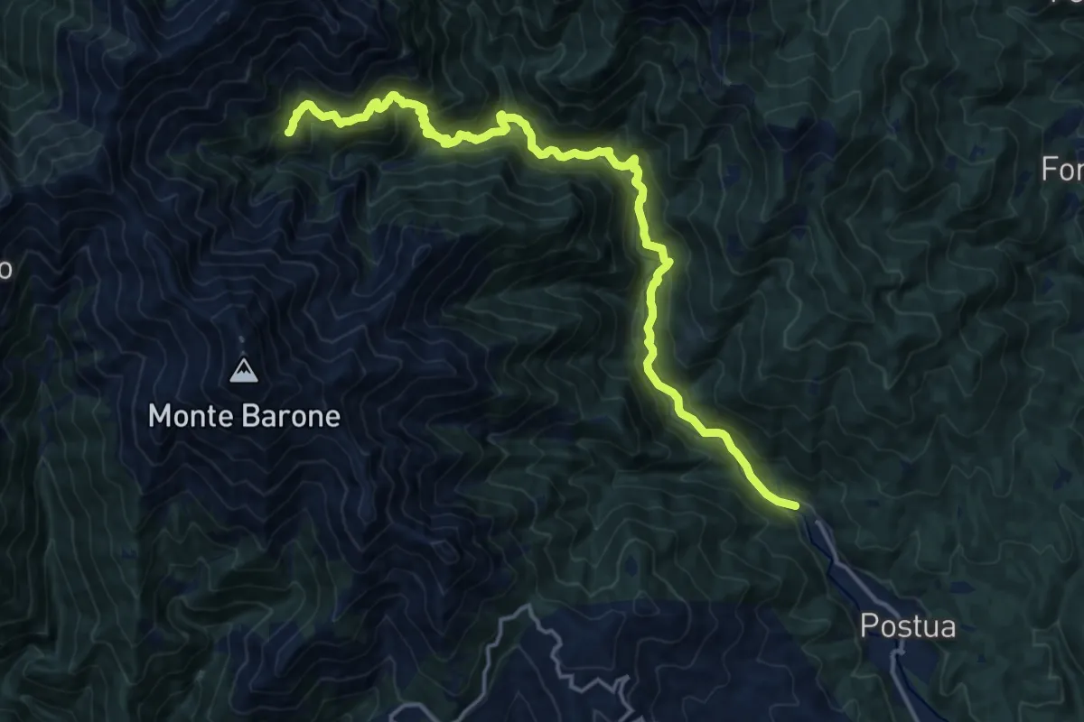
Demanding · Trail
Bivio BIAH12-BIAH20, San Martino – Alpe Panin
17.8 km · ↑ 1246 m · 6 h 54 min
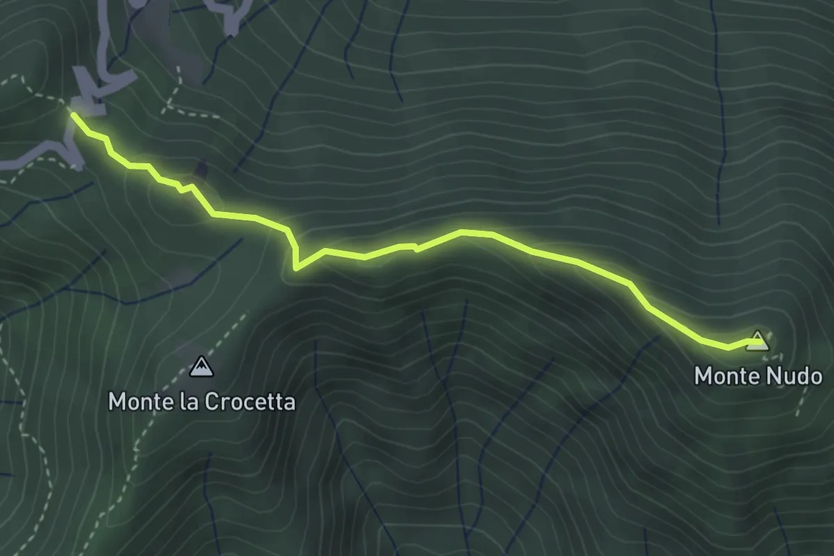
Demanding · Summit
Passo Cuvignone – Pozzopiano
3.5 km · ↑ 183 m · 1 h 13 min
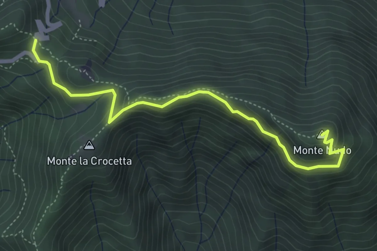
Expert · Summit
Passo Cuvignone – Monte Nudo
5.0 km · ↑ 271 m · 1 h 47 min
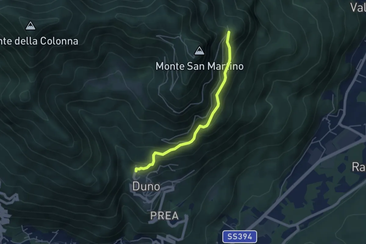
Medium · Trail
Duno – Vallalta
4.1 km · ↑ 319 m · 1 h 40 min
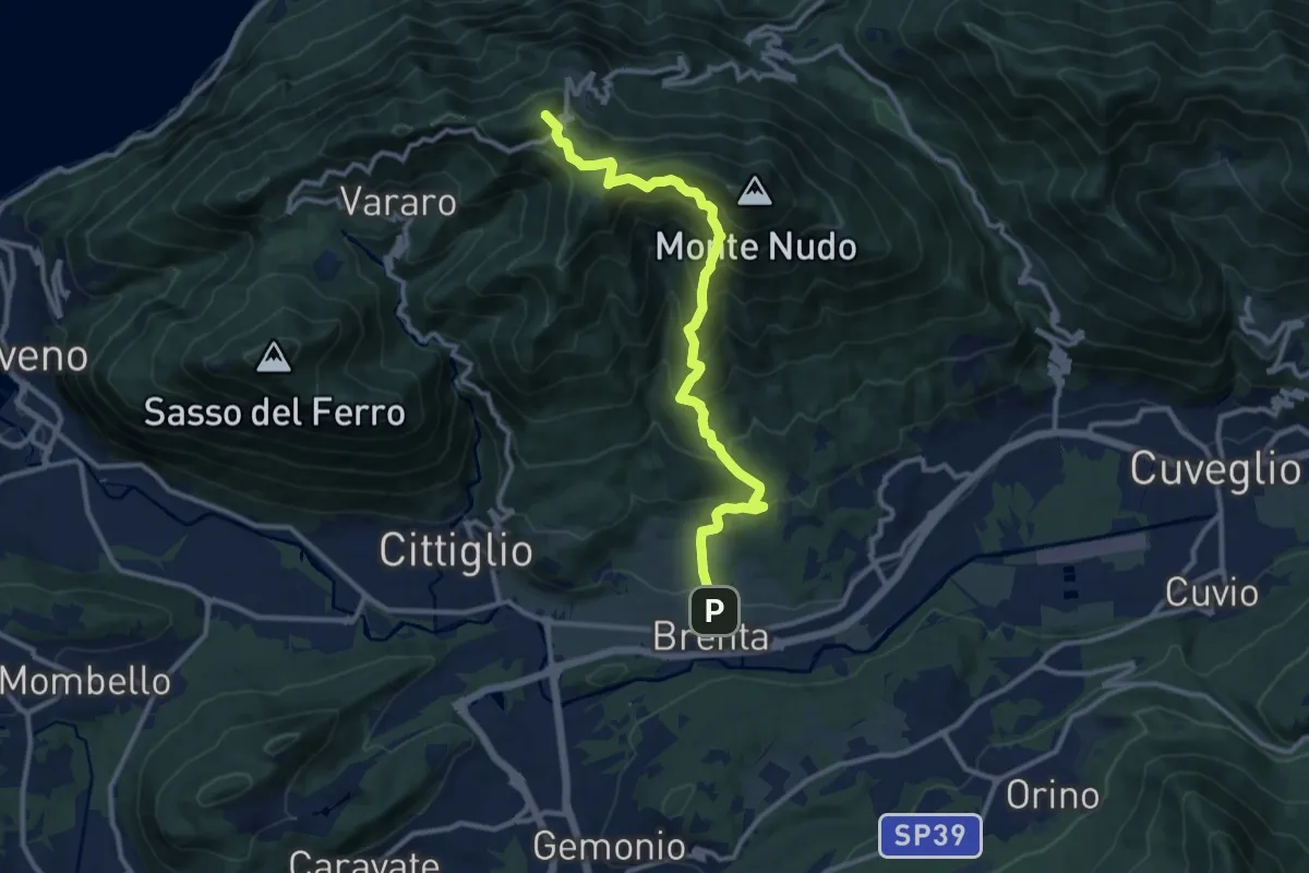
Demanding · Summit
Brenta – Passo Cuvignone
11.5 km · ↑ 1011 m · 4 h 55 min
Demanding · Trail
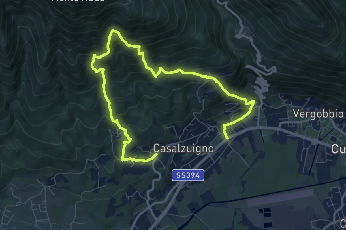
Casale – Aga-Villa Bozzolo
11.5 km · ↑ 1072 m · 5 h 3 min
Medium · Summit
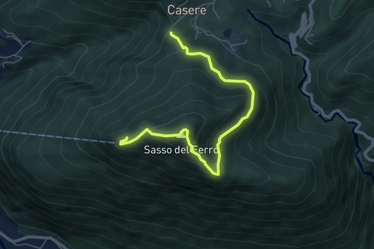
Casere – Sasso del Ferro-Casere
2.7 km · ↑ 320 m · 1 h 17 min
Medium · Summit
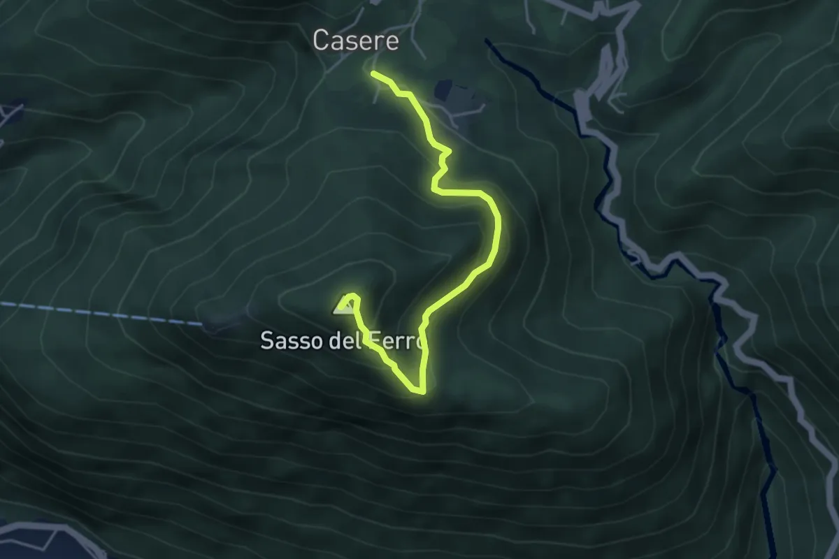
Casere – Piana-Sasso del Ferro
4.2 km · ↑ 298 m · 1 h 39 min
Demanding · Trail
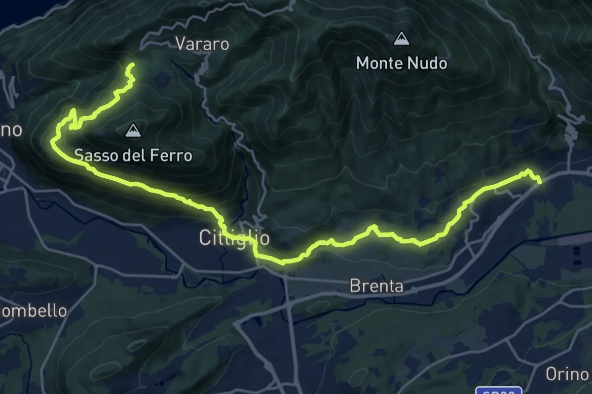
Casalzuigno – Cittiglio-Vararo
21.0 km · ↑ 1143 m · 7 h 26 min
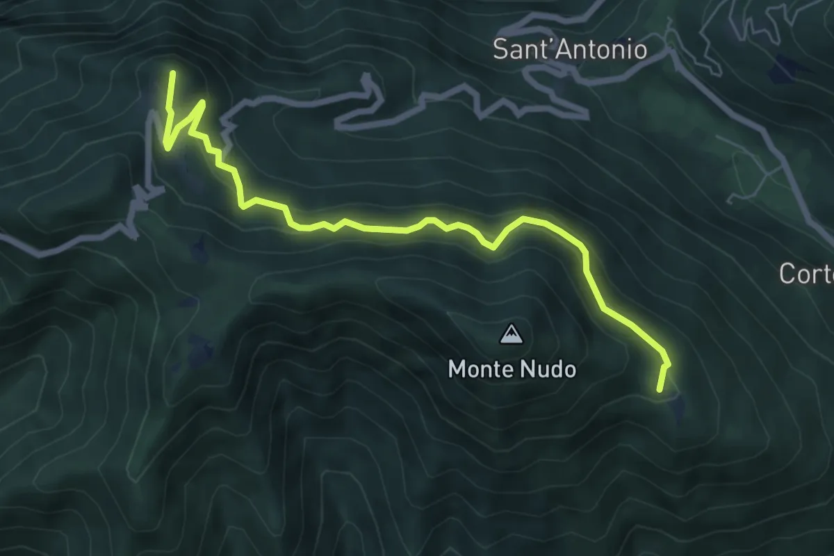
Medium · Summit
Rifugio Adamoli – Pozzo Piano
6.5 km · ↑ 408 m · 2 h 25 min
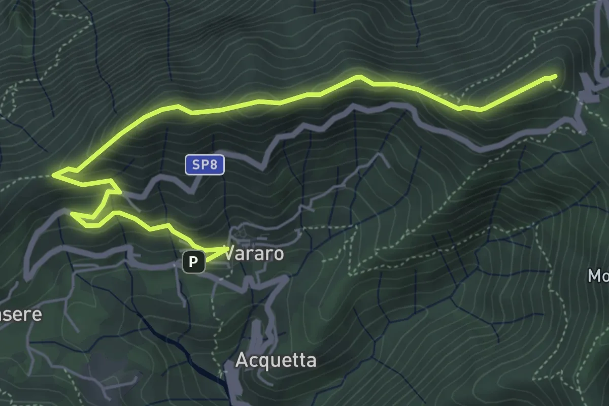
Demanding · Summit
Vararo – P.so Cuvignone
6.5 km · ↑ 418 m · 2 h 26 min
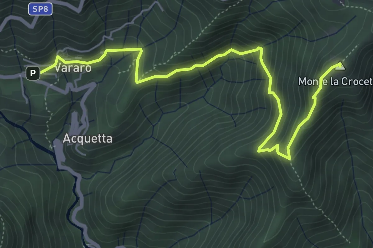
Medium · Summit
Vararo – Crocetta-P.so Cuvignone
6.2 km · ↑ 410 m · 2 h 21 min
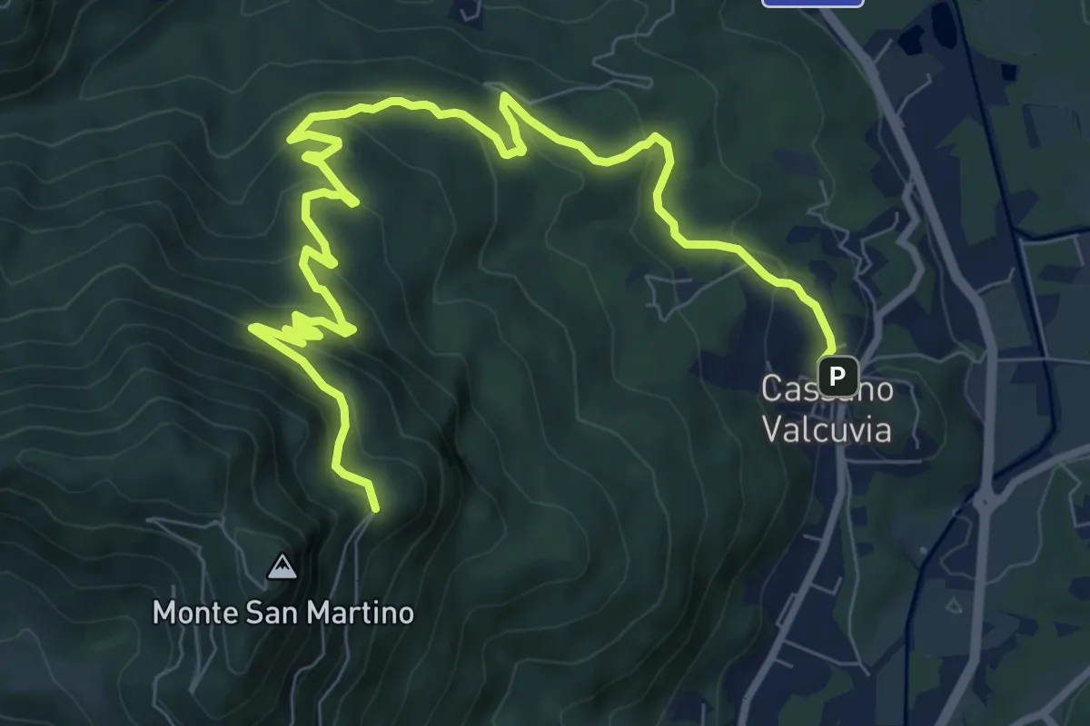
Medium · Trail
Cassano Valcuvia – Villa San Giuseppe
11.6 km · ↑ 598 m · 4 h 2 min
Medium · Trail
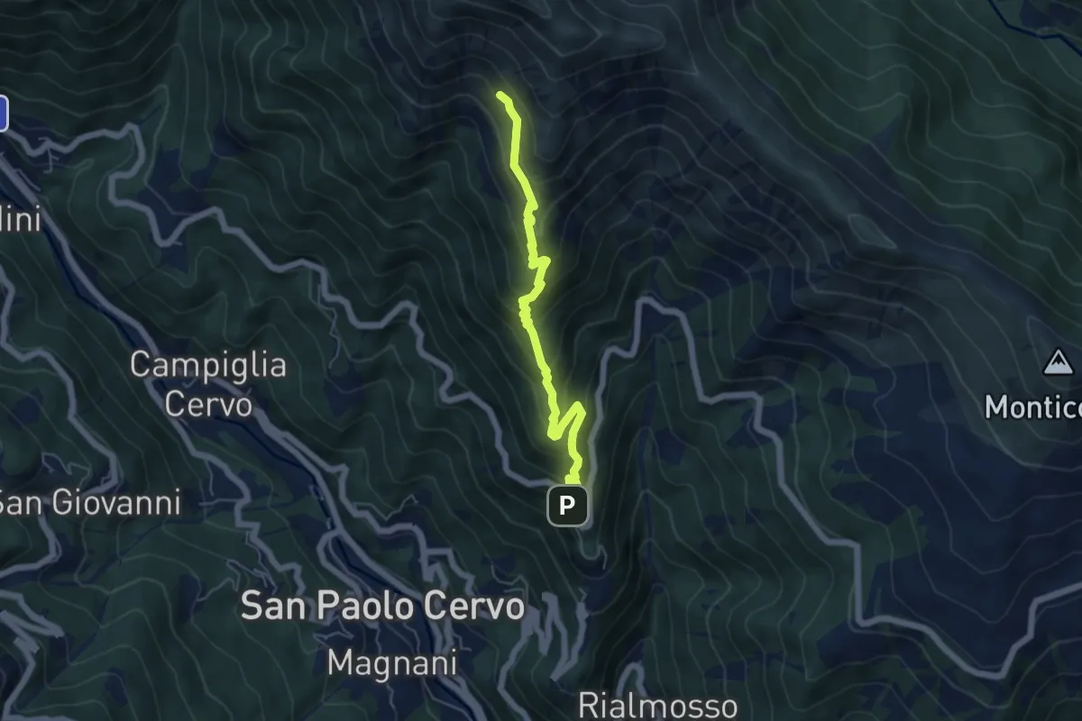
Panoramica Zegna, Oriomosso – Alpe Fontane
5.3 km · ↑ 524 m · 2 h 24 min
Medium · Trail
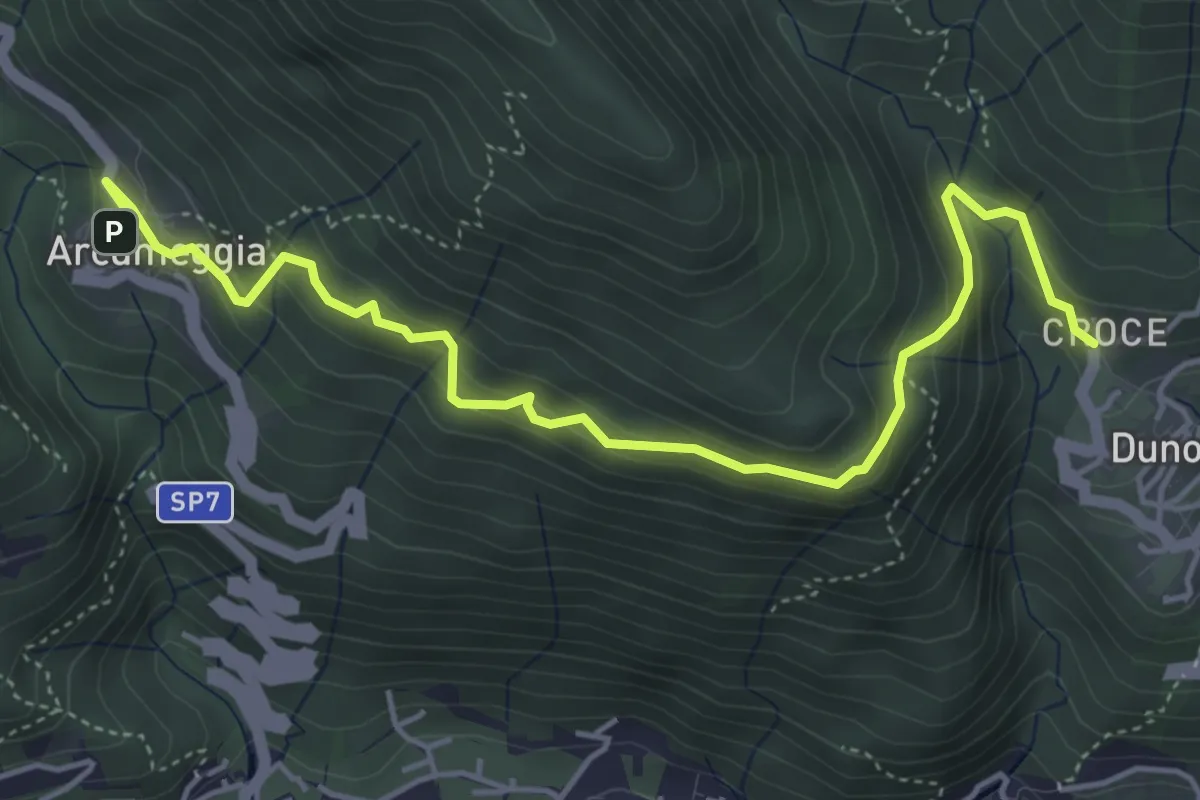
Arcumeggia – Duno
5.4 km · ↑ 366 m · 2 h 5 min
Medium · Trail
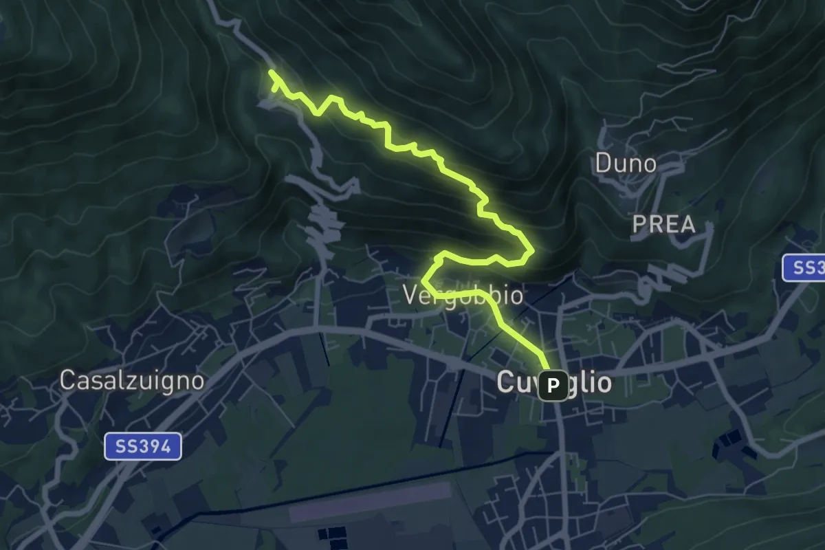
Cuveglio – Cascine-Vergobbio-Arcumeggia
7.4 km · ↑ 561 m · 2 h 58 min
Demanding · Summit
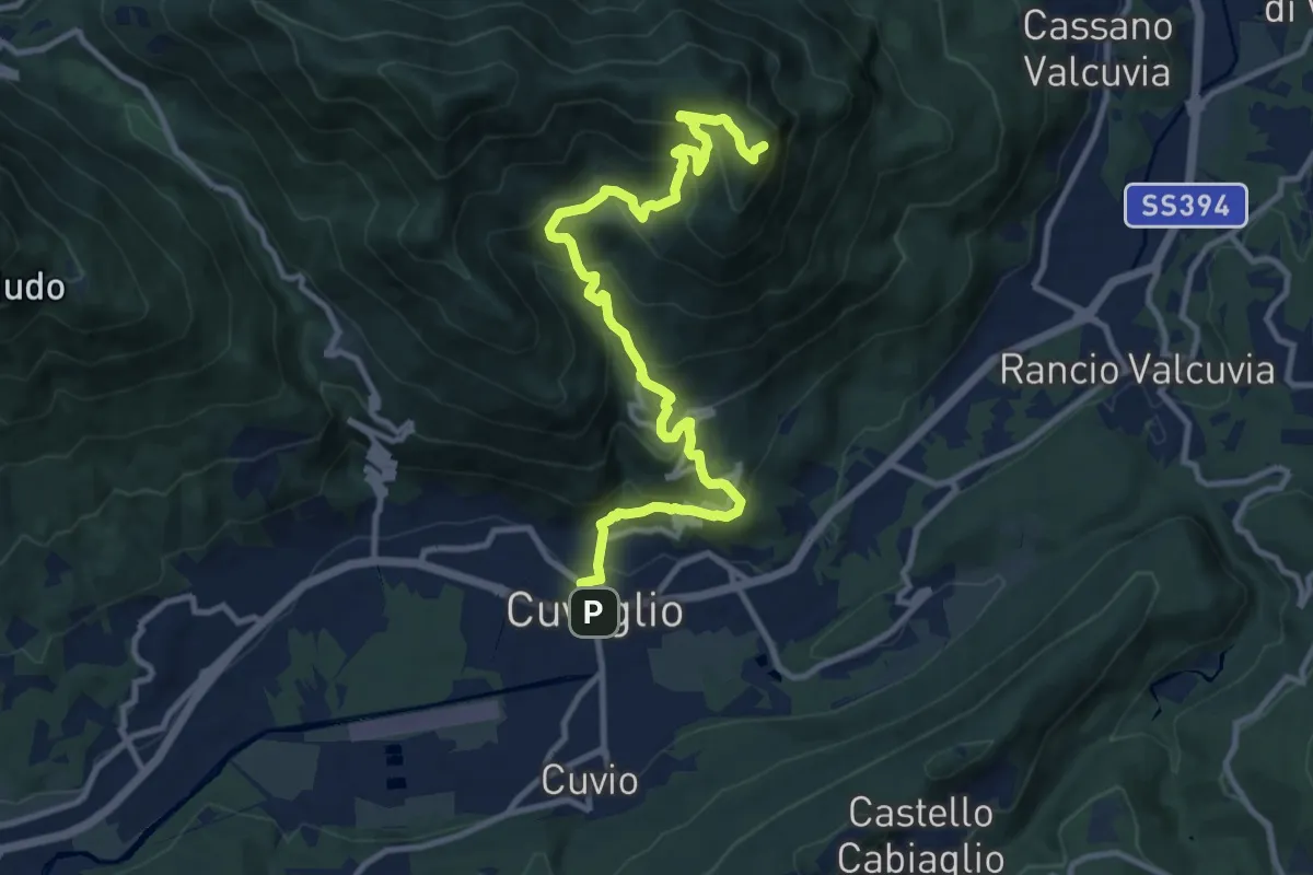
Cuveglio – San Martino
12.5 km · ↑ 834 m · 4 h 45 min
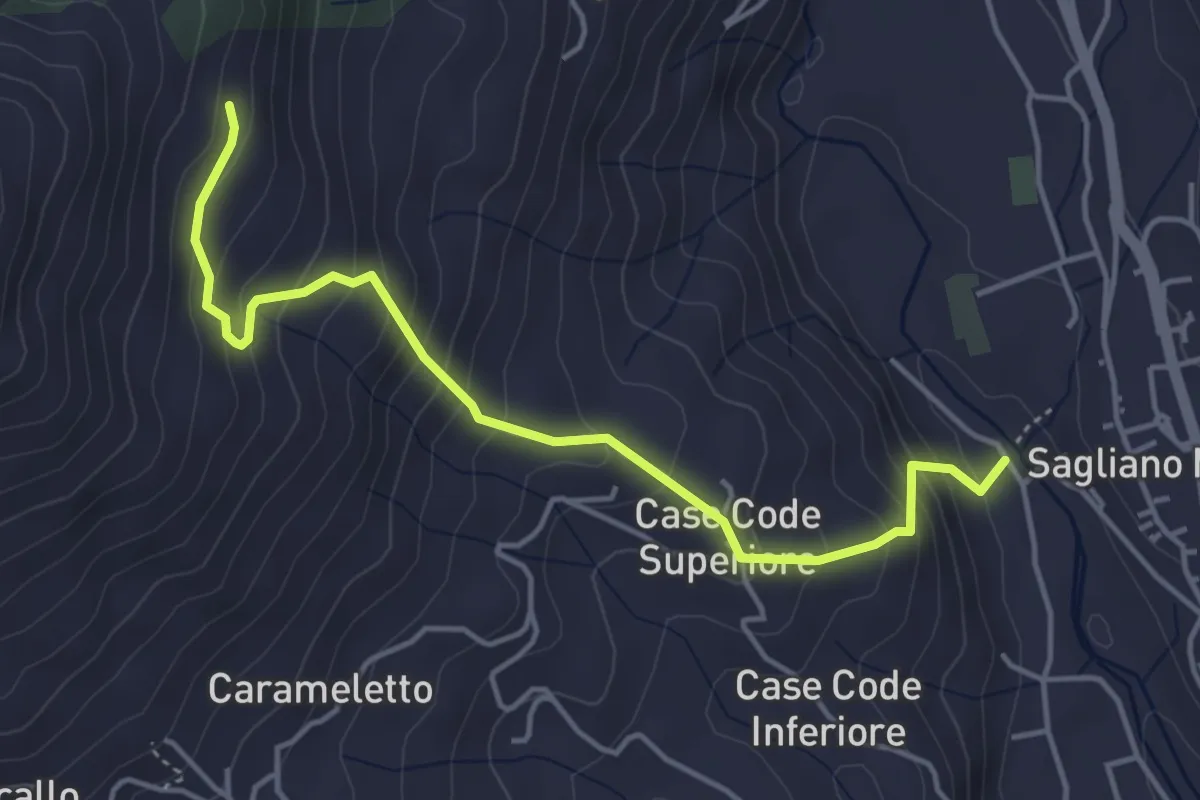
Medium · Trail
Bivio E08-E96, Ponte Trinità – Bivio E08-E05, Cascina San Martino
4.7 km · ↑ 420 m · 2 h 1 min
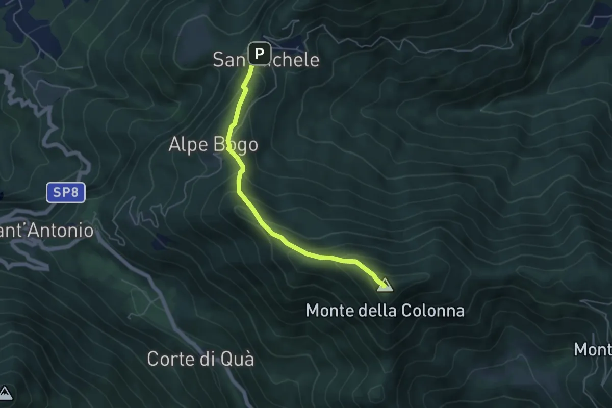
Medium · Summit
San Michele – Monte Colonna-San Martino
4.5 km · ↑ 348 m · 1 h 49 min
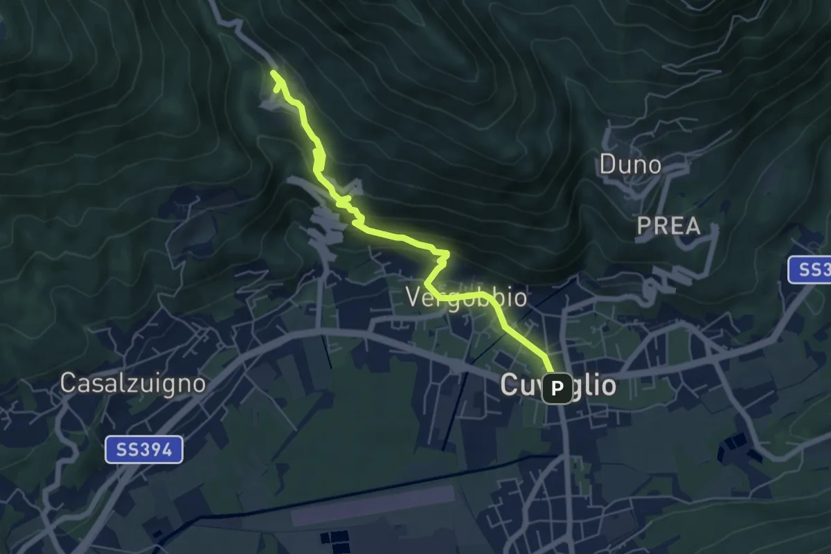
Medium · Trail
Cuveglio – Arcumeggia
5.9 km · ↑ 325 m · 2 h 6 min
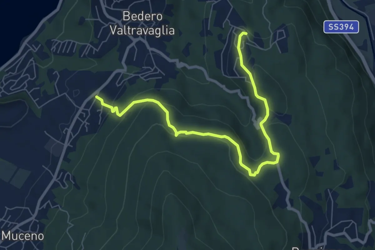
Medium · Trail
Bedero – Villaggio Olandese
7.4 km · ↑ 362 m · 2 h 32 min
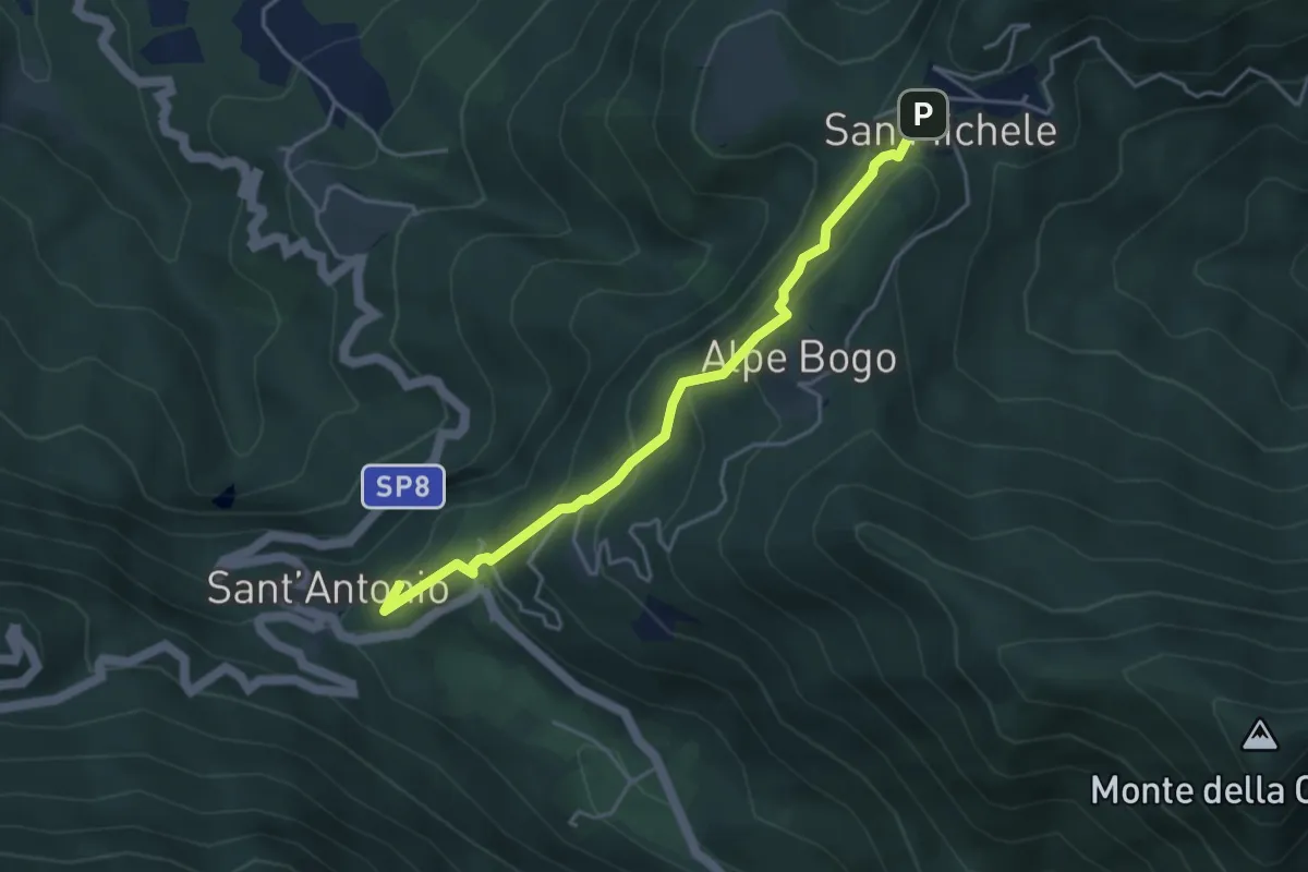
Easy · Summit
San Michele – Sant'Antonio
4.2 km · ↑ 316 m · 1 h 40 min
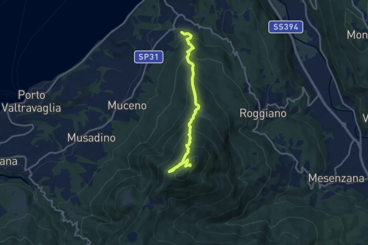
Medium · Summit
Brezzo di Bedero – San Michele
8.5 km · ↑ 731 m · 3 h 35 min
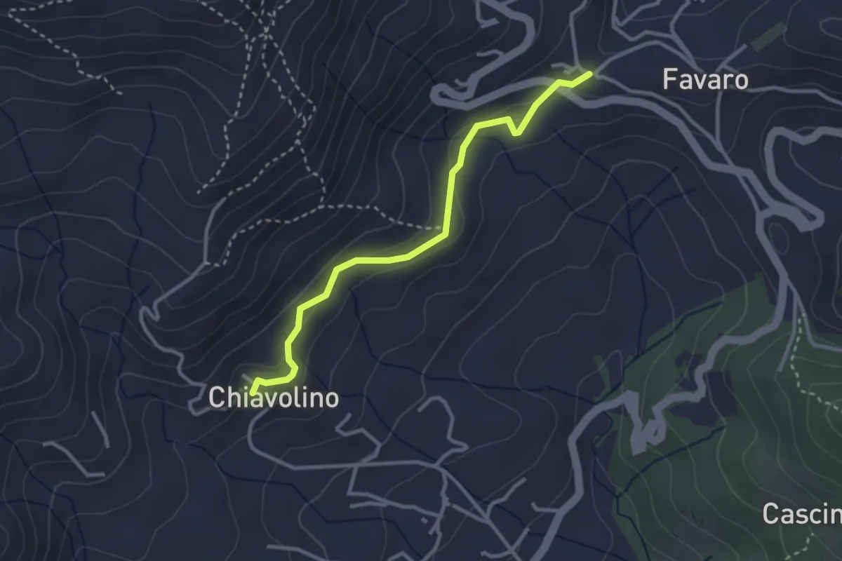
Medium · Trail
Pollone Chiavolino, BIAC26-BIAD51 – Favaro
3.0 km · ↑ 141 m · 1 h 1 min
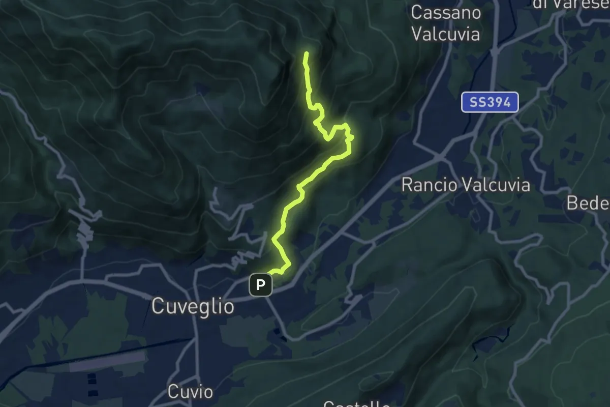
Medium · Trail
Cuveglio – Vallalta
7.9 km · ↑ 614 m · 3 h 12 min
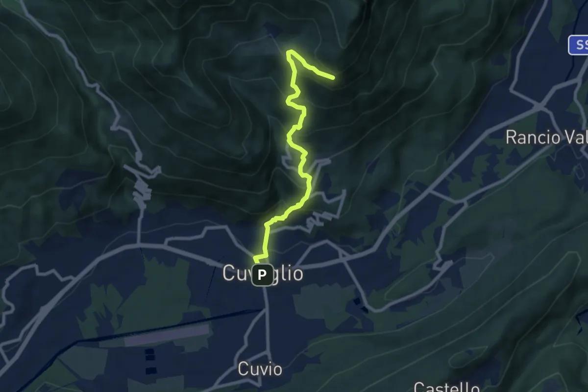
Demanding · Trail
Cuveglio – Vallalta
7.0 km · ↑ 577 m · 2 h 53 min
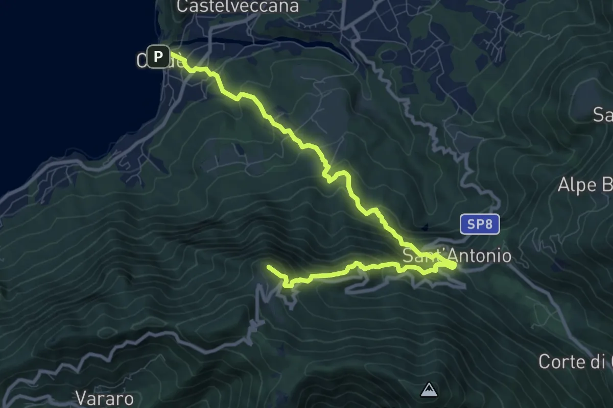
Demanding · Summit
Calde – Rifugio Adamoli
10.9 km · ↑ 888 m · 4 h 30 min
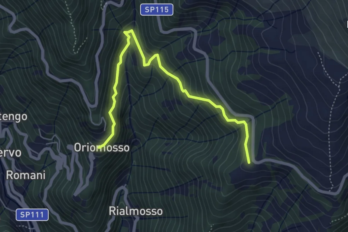
Medium · Trail
Bivio E85A-E85B-E91, Orio di Mosso – Bivio E85-E85B, Sella del Cucco
5.4 km · ↑ 394 m · 2 h 7 min
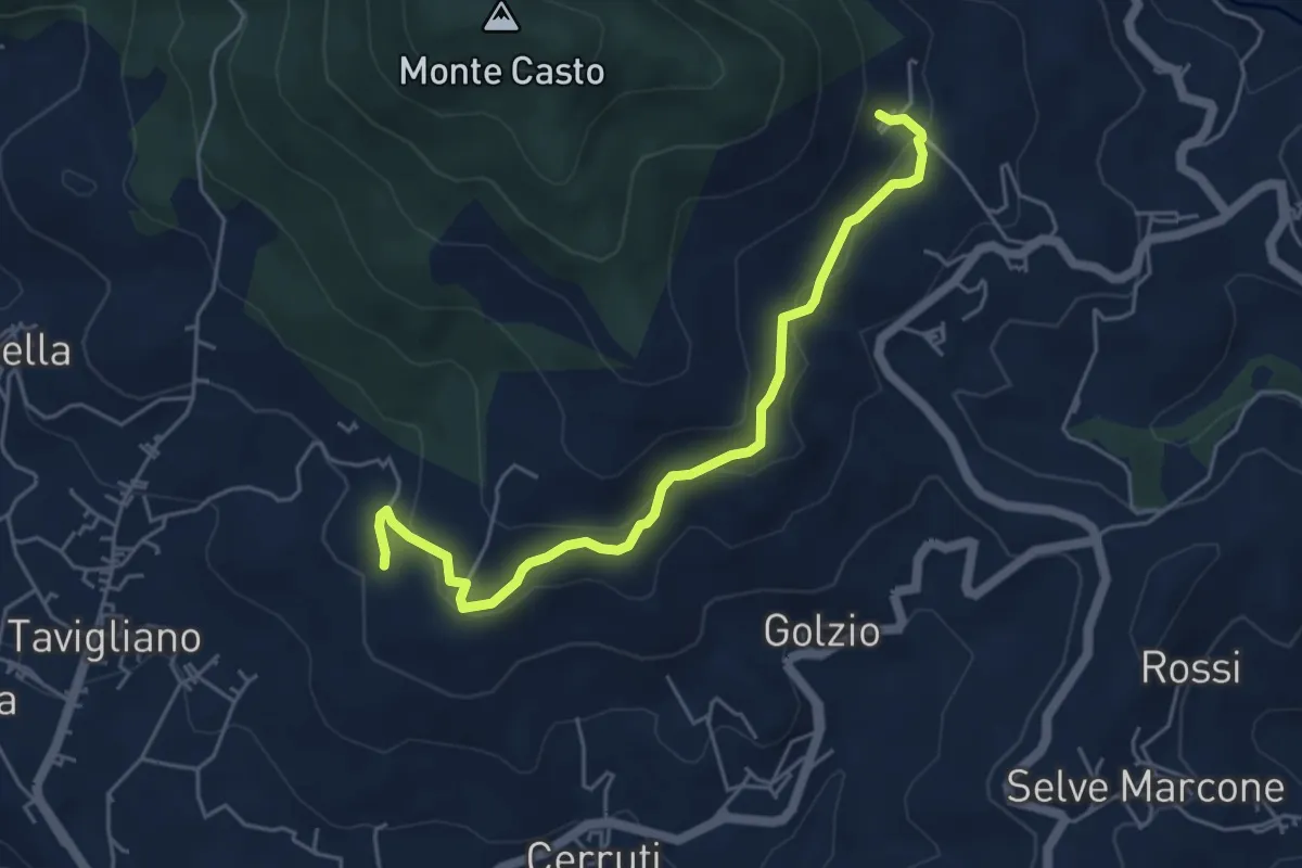
Easy · Trail
Bivio E02-E90-L71, Trab – Bivio E02-E93, Cascina Bosa
5.2 km · ↑ 278 m · 1 h 50 min
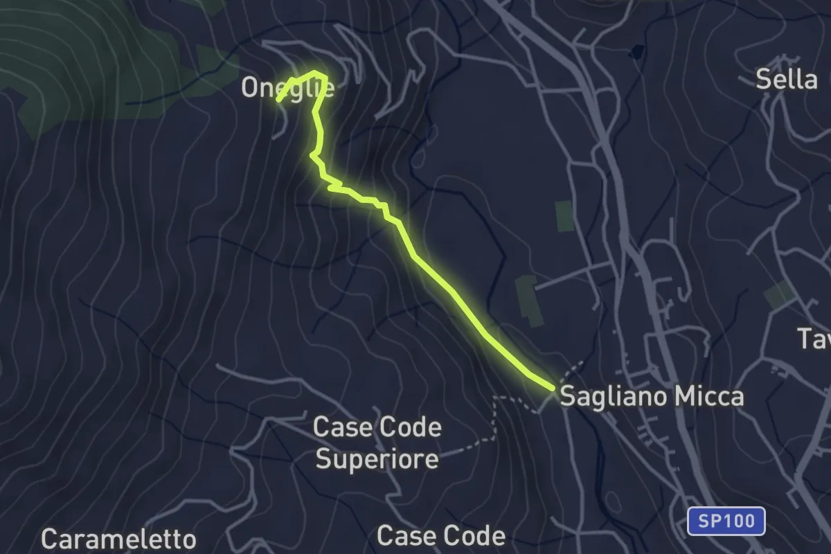
Easy · Trail
Bivio E04-E96, Ponte della Trinità – Bivio E04-E05-E07, Oneglie
2.9 km · ↑ 244 m · 1 h 13 min
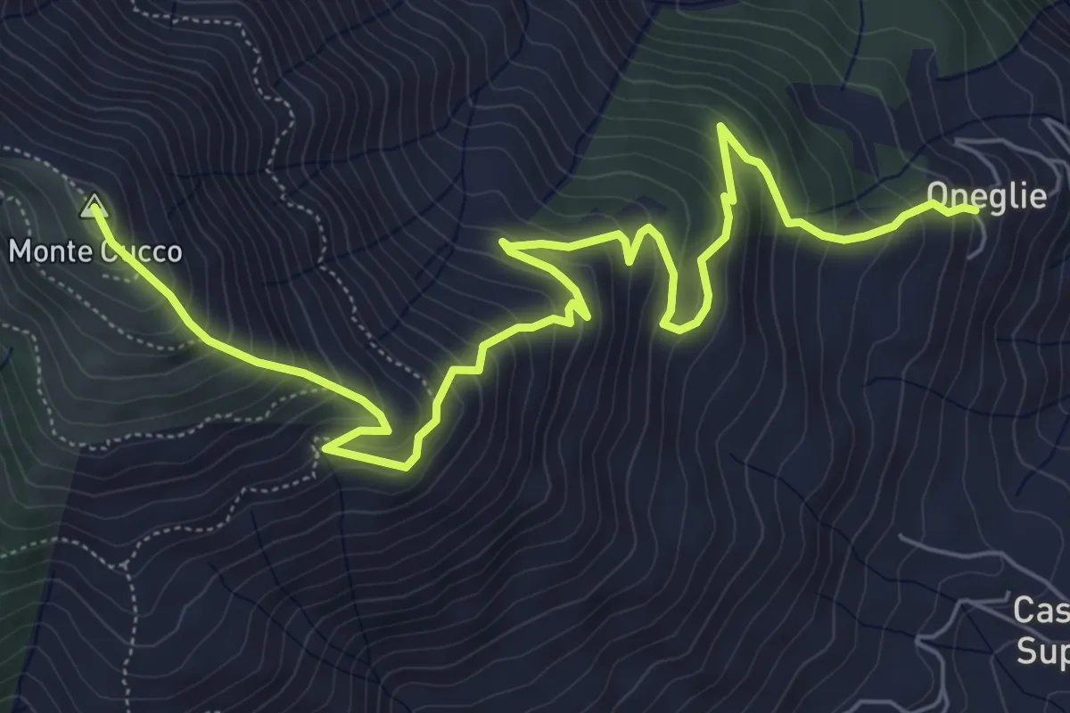
Medium · Summit
Bivio E04-E05-E07, Oneglie – Bivio D05-E05, Alpone Superiore
8.5 km · ↑ 758 m · 3 h 40 min
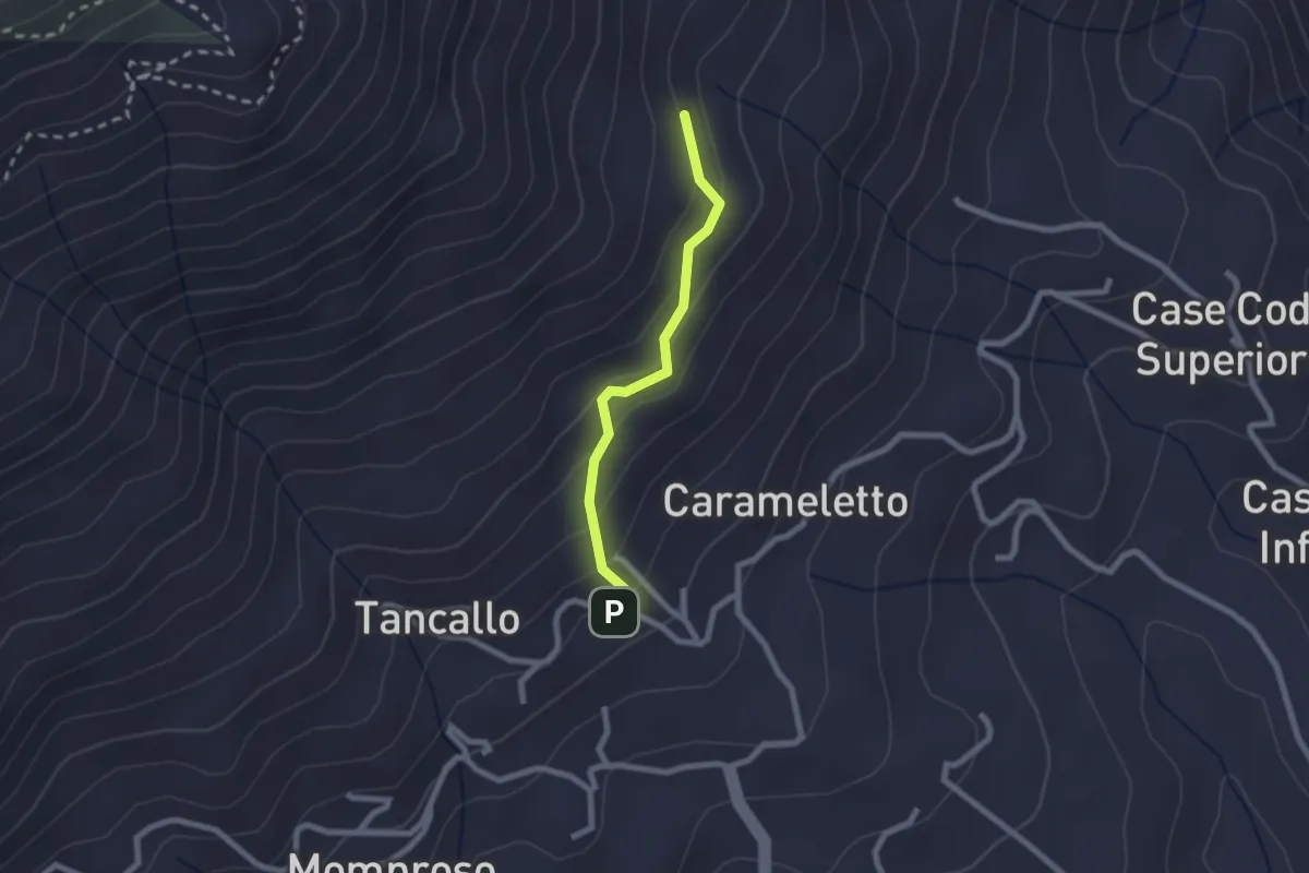
Easy · Trail
Sant’Eurosia – Bivio E06-E08, Cascina Moie
2.0 km · ↑ 130 m · 45 min
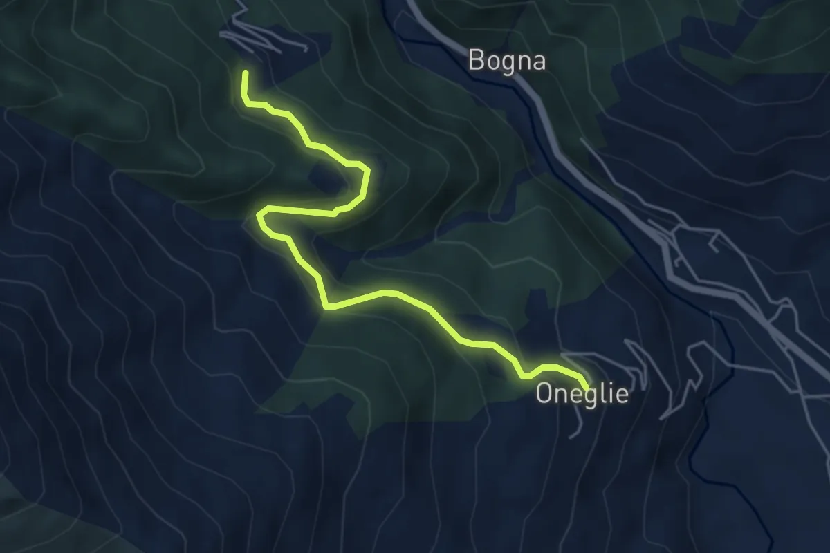
Easy · Trail
Bivio E04-E05-E07, Oneglie – Bivio E07-E10-E20, Riabella
4.8 km · ↑ 296 m · 1 h 47 min
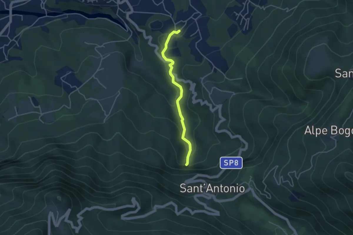
Medium · Trail
Sarigo – Cascata della Froda
3.3 km · ↑ 150 m · 1 h 6 min
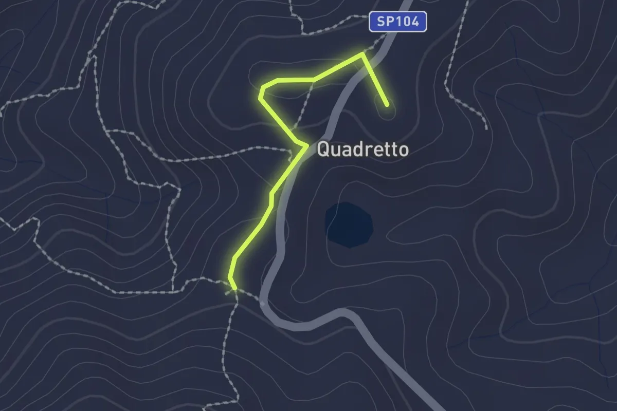
Easy · Summit
Bivio E09-E09A, Porchera – Bivio E09B-E09C-P10, Cimitero di Selve Marcone
1.6 km · ↑ 35 m · 27 min
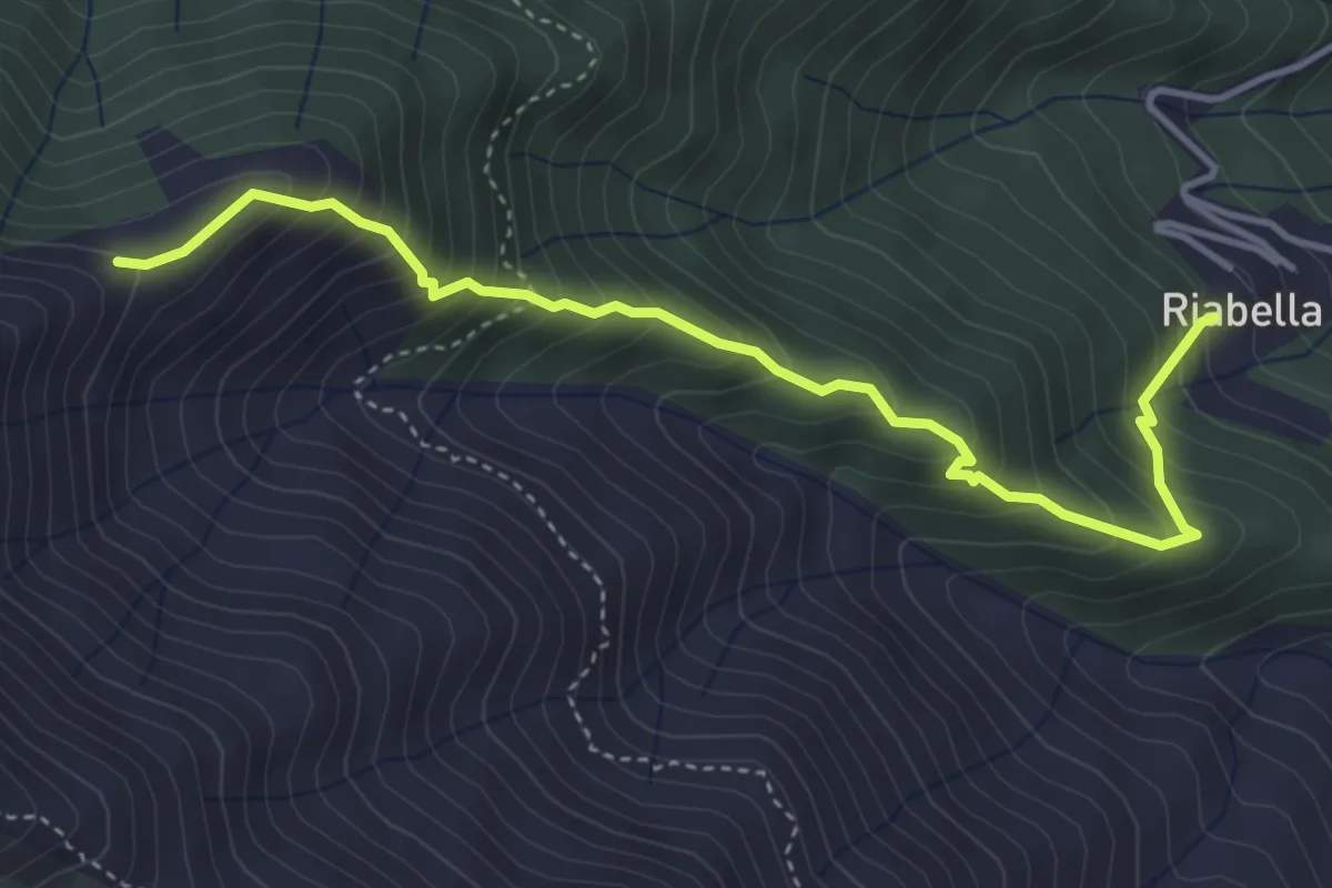
Medium · Trail
Bivio E07-E10-E20, Riabella – Cascina Campello
4.5 km · ↑ 533 m · 2 h 12 min
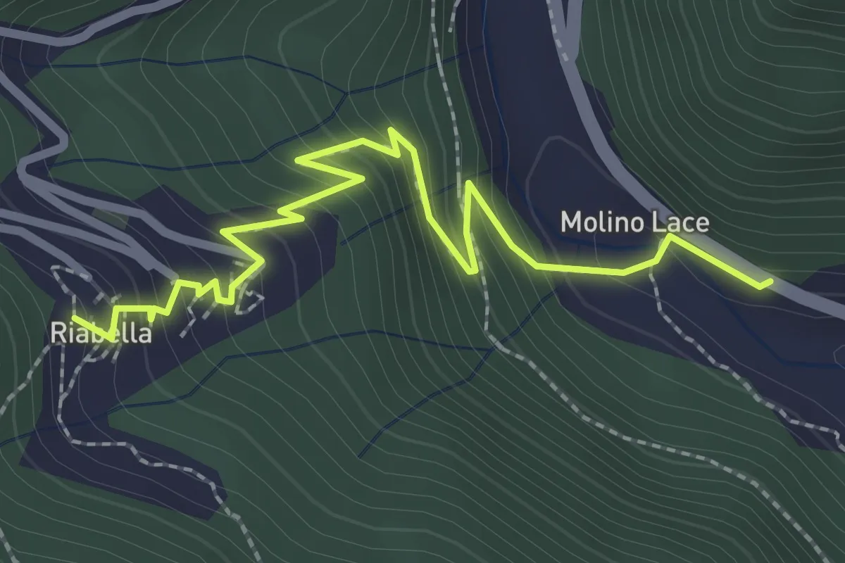
Easy · Trail
Bogna – Bivio E07-E10-E12, Riabella
2.8 km · ↑ 242 m · 1 h 12 min
Medium · Trail
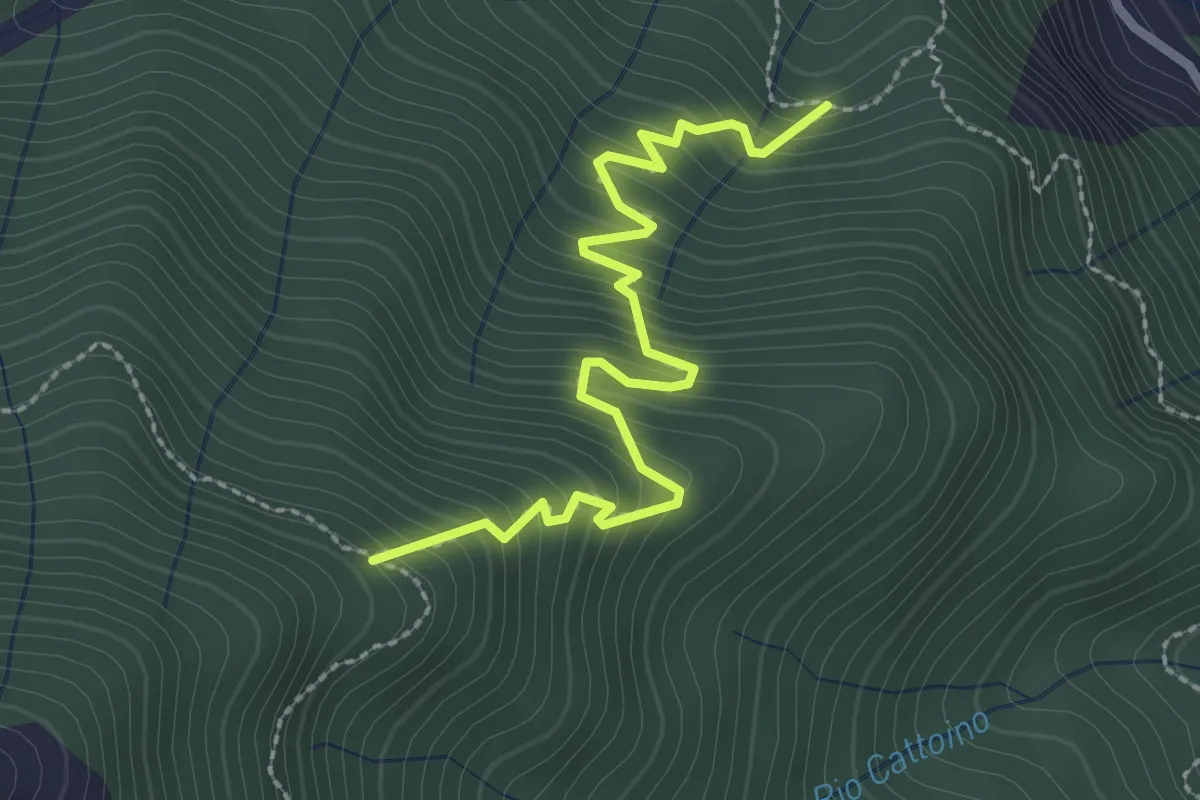
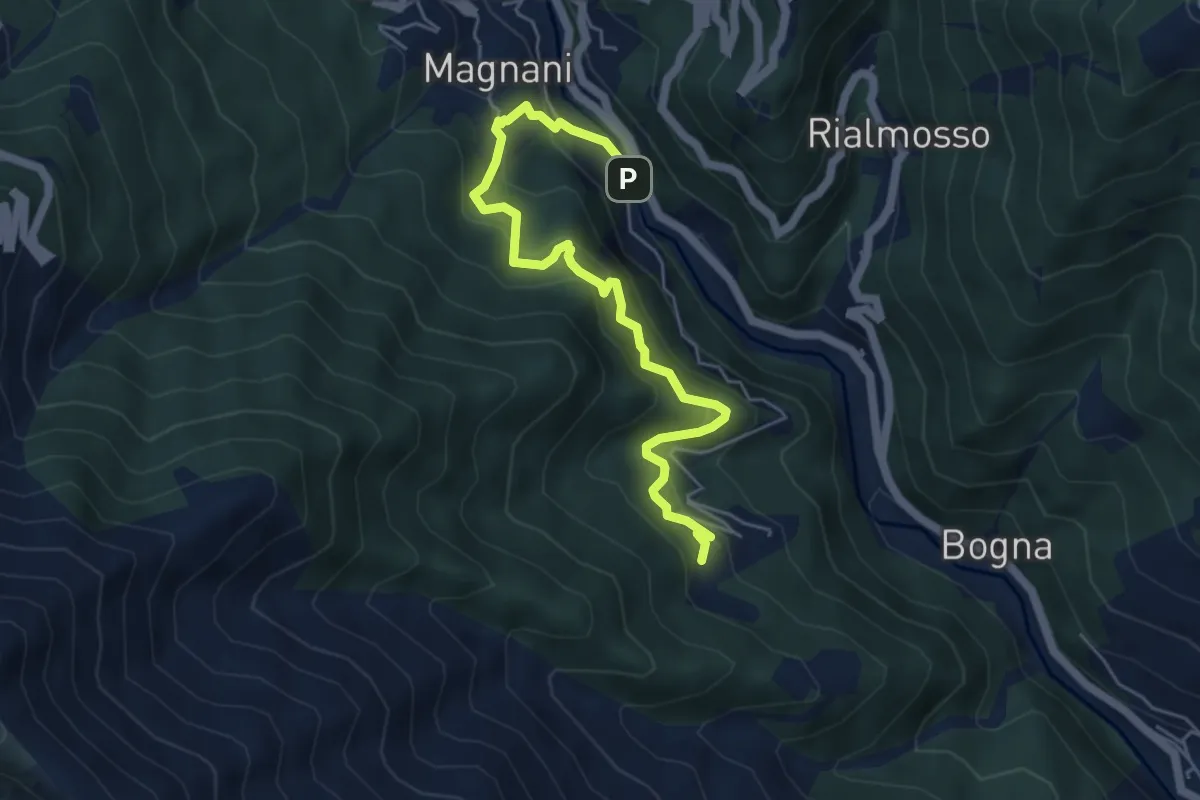
Bivio E13-E20, Driagno – Bivio E01-E13, Cascina Cattoino
2.8 km · ↑ 333 m · 1 h 23 min
Medium · Trail
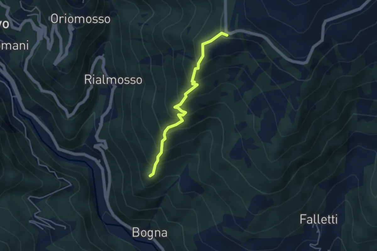
Ponte sul Cervo in Balma – Bivio E07-E10-E12, Riabella
5.7 km · ↑ 518 m · 2 h 28 min
Medium · Trail
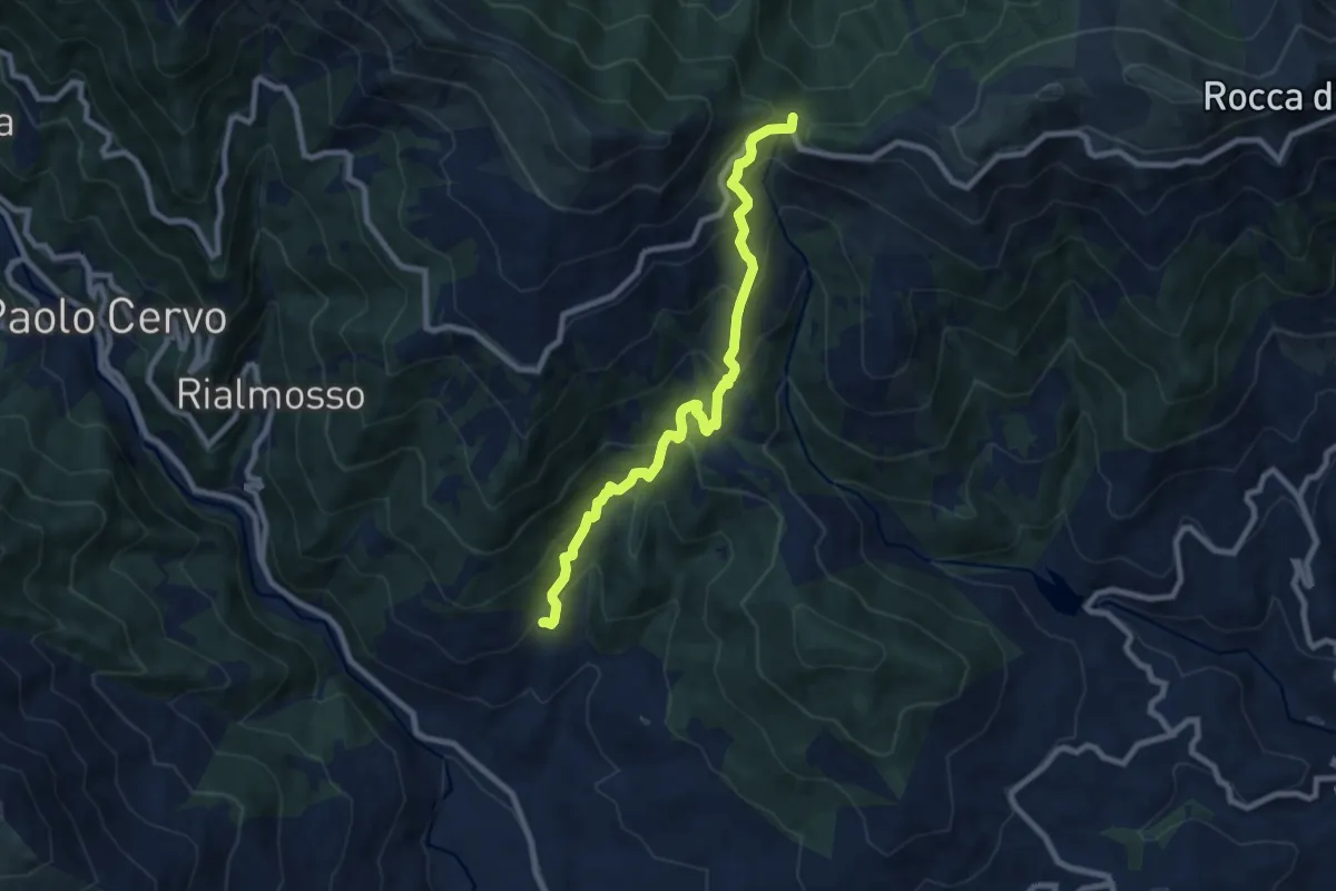
Bivio E85-E85A – Bivio E85-E88, Sella del Cucco
3.3 km · ↑ 375 m · 1 h 35 min
Medium · Trail
Bivio E85A-E87-E88, Falletti – Bivio E87-F03-F05, Bocchetto Sessera
8.5 km · ↑ 696 m · 3 h 30 min
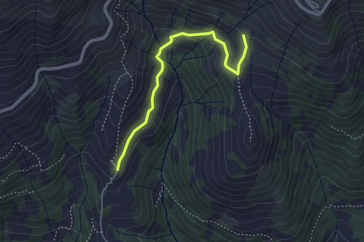
Easy · Cabin
Bivio E87-E97, Capanna Volpi – Bivio E87A-L61, Alpe Marchetta
3.9 km · ↑ 255 m · 1 h 28 min
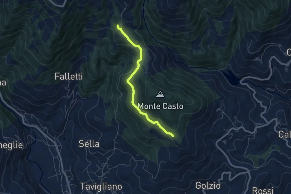
Easy · Trail
Contrada Varda, bivio BIAE90-BIAE98 – Bivio BIAE90-BIAE87 in Località Pratetto
5.3 km · ↑ 191 m · 1 h 40 min
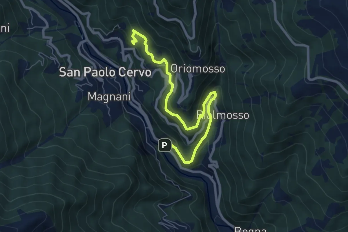
Medium · Trail
Balma – Bivio E89-E91, Quittengo
6.6 km · ↑ 505 m · 2 h 40 min
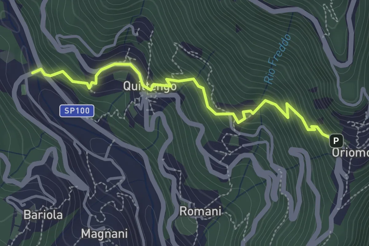
Easy · Trail
Bivio E21-E91, Ponte delle Fontane – Bivio E85A-E91, Oriomosso
3.2 km · ↑ 284 m · 1 h 22 min