Trails in Italy
25,219 hiking trails, each with its route, climb, walking time and grade.
All trails, page 460 of 526
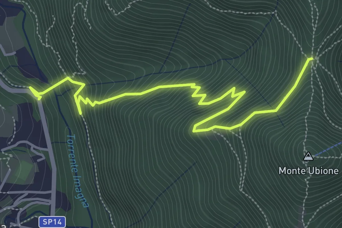
Medium · Trail
Strozza – Roccoli della Passata
4.5 km · ↑ 505 m · 2 h 9 min
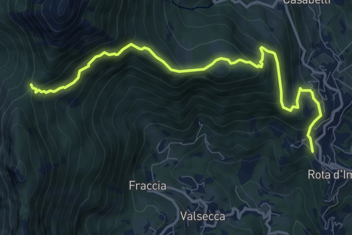
Medium · Trail
Rota d'Imagna – La Passata
9.3 km · ↑ 722 m · 3 h 46 min
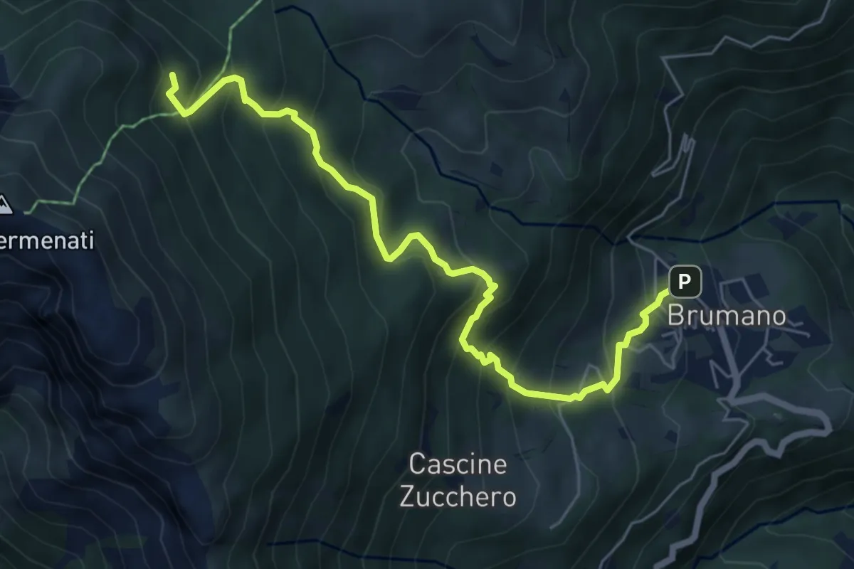
Medium · Trail
Brumano – Colletto di Brumano (incrocio 571)
6.4 km · ↑ 616 m · 2 h 51 min
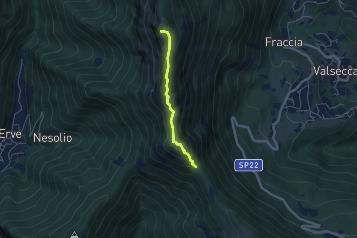
Demanding · Summit
Passo del Pertüs – La Passata
3.3 km · ↑ 339 m · 1 h 30 min
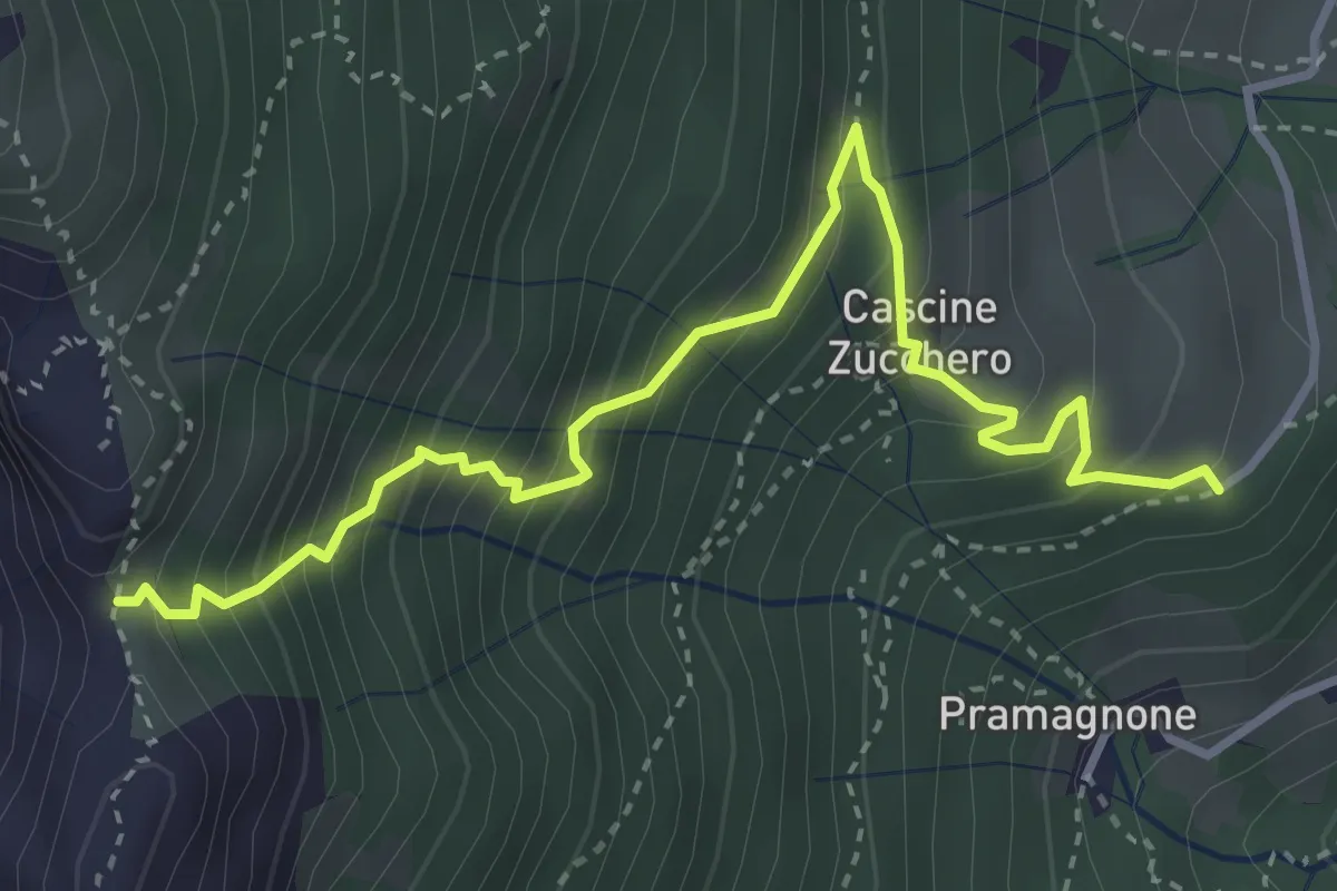
Demanding · Trail
Cascina Zucchero (Brumano) – Cima Piazzo
4.0 km · ↑ 518 m · 2 h 5 min
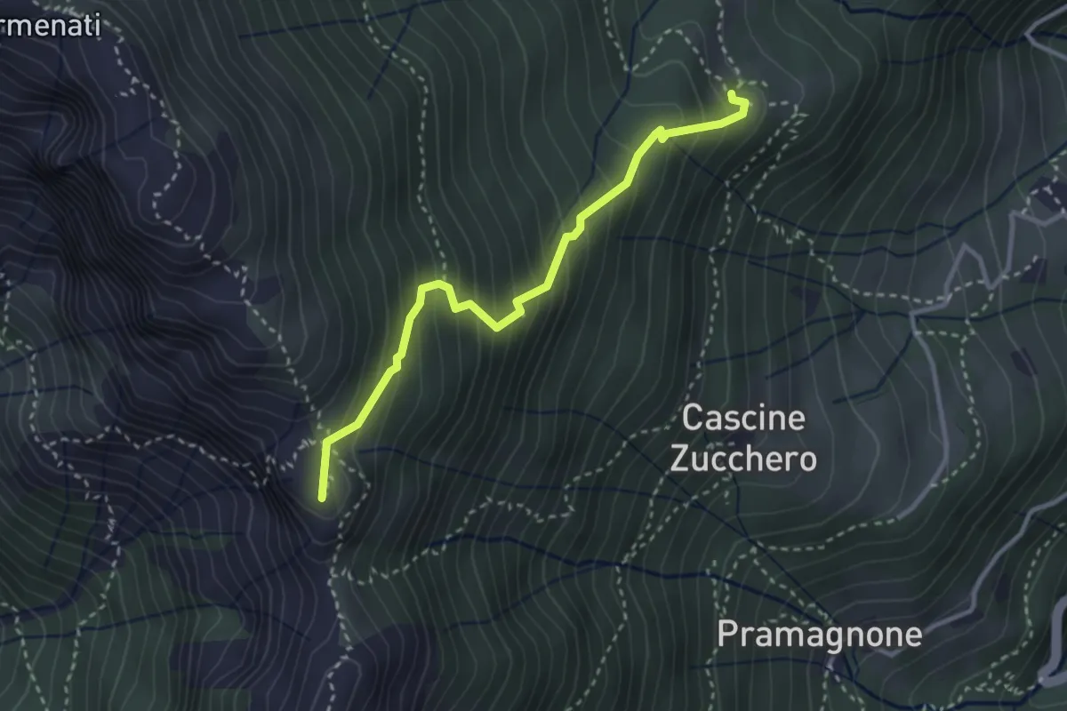
Demanding · Summit
Rifugio Resegone (incrocio 587) – Passo dei Solitari
3.1 km · ↑ 351 m · 1 h 29 min
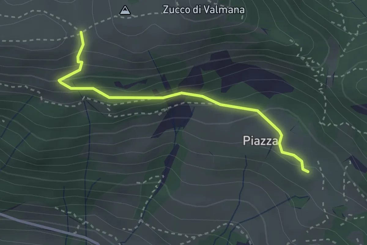
Easy · Trail
Fuipiano – Forcella di Valmana
2.6 km · ↑ 183 m · 1 h 1 min
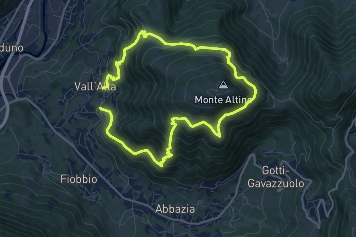
Medium · Trail
Vall'Alta (Albino) – Vall'Alta (Albino)
7.9 km · ↑ 605 m · 3 h 16 min
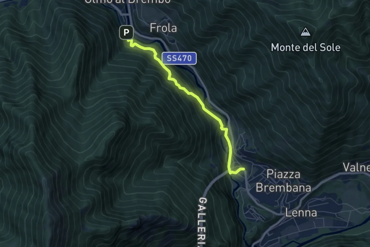
Medium · Trail
Piazza Brembana (I Fondi) – Olmo al Brembo (Cugno)
5.9 km · ↑ 382 m · 2 h 14 min
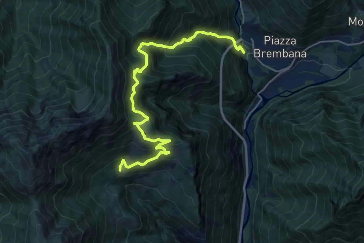
Demanding · Trail
Piazza Brembana – Cespedosio
14.7 km · ↑ 1398 m · 6 h 30 min
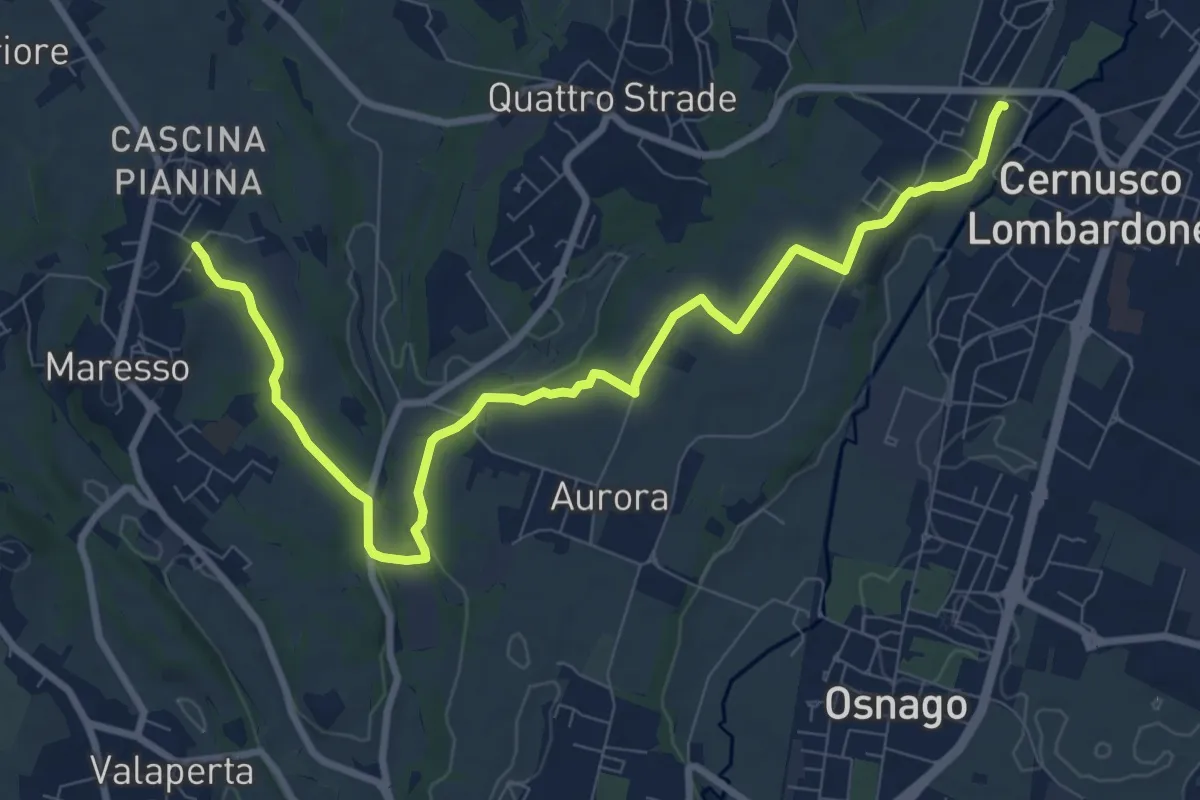
Medium · Trail
Cernusco Lombardone (FS) – Maresso
10.5 km · ↑ 100 m · 2 h 42 min
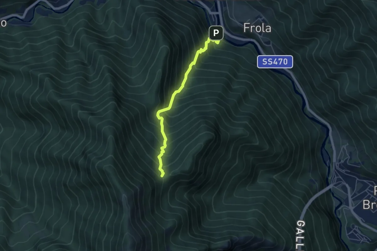
Medium · Summit
Cugno di Sotto (Olmo al Brembo) – Baita Maffenoli
4.8 km · ↑ 749 m · 2 h 45 min
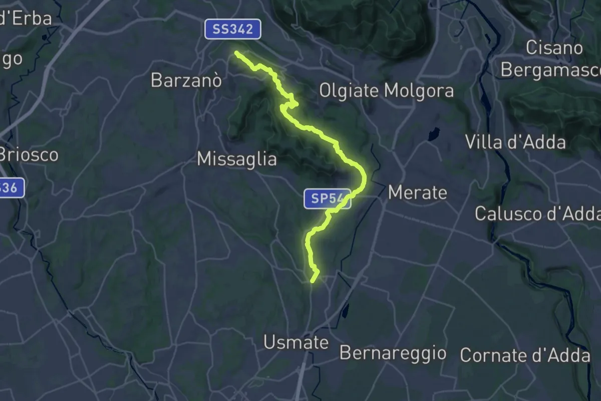
Demanding · Trail
Ceregallo – Lomagna
27.3 km · ↑ 455 m · 7 h 26 min
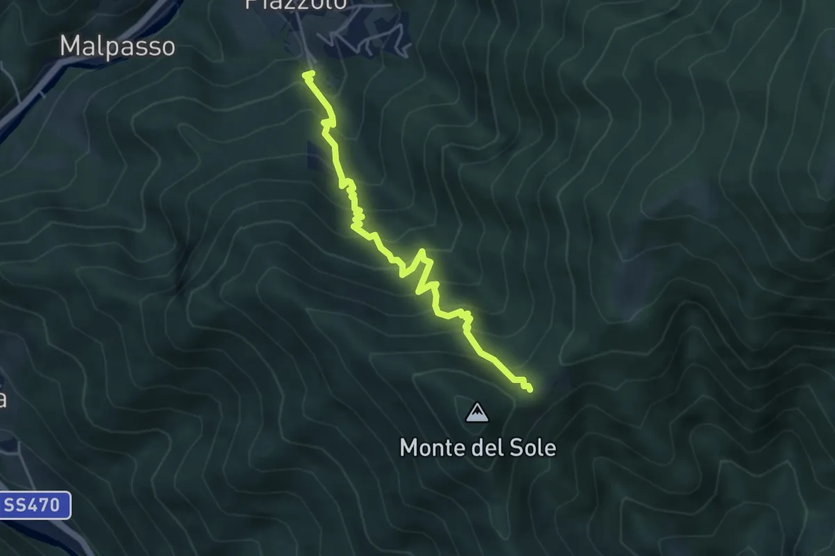
Medium · Trail
Piazzolo – Roccolo di Calche
4.5 km · ↑ 619 m · 2 h 24 min
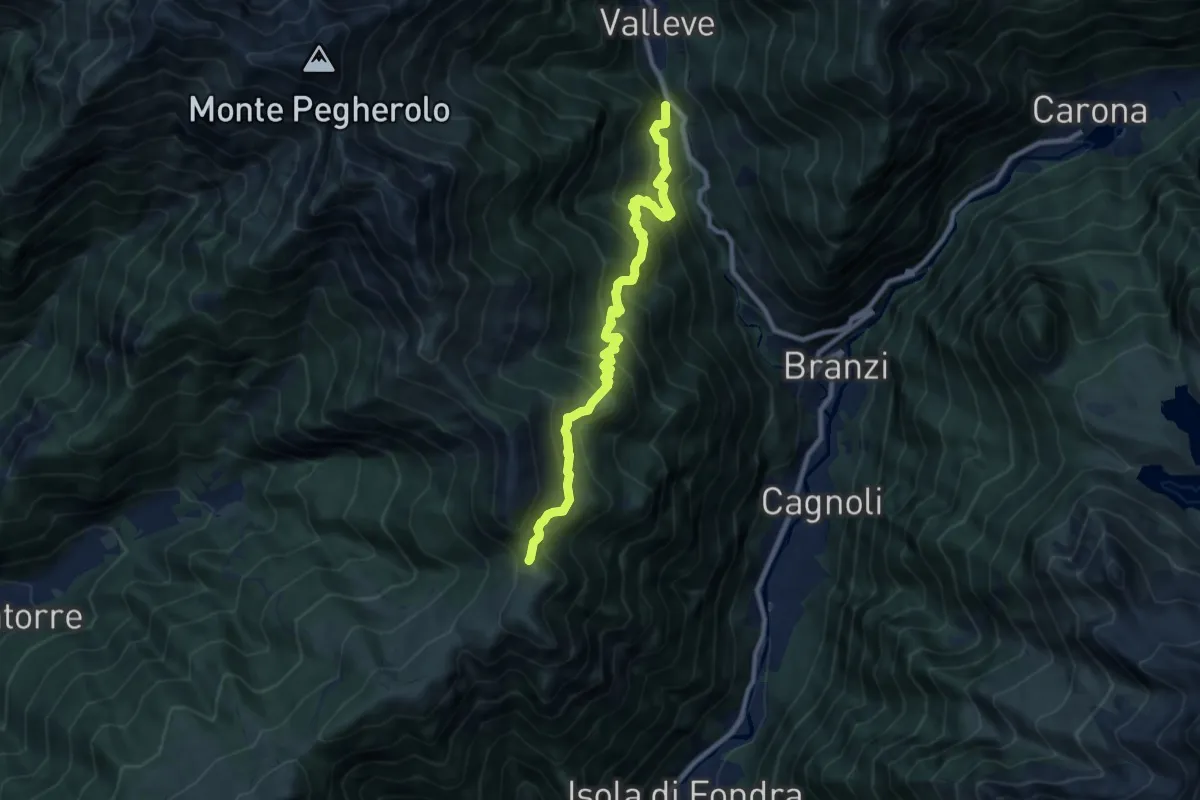
Demanding · Trail
Valleve (Valrobà) – Forcolino di Torcola Vaga
9.6 km · ↑ 859 m · 4 h 8 min
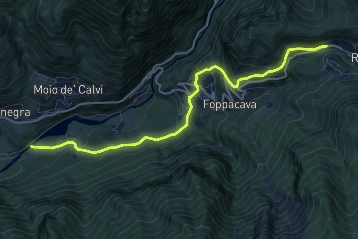
Medium · Trail
Lenna (Cantone San Francesco) – Roncobello
10.1 km · ↑ 657 m · 3 h 49 min
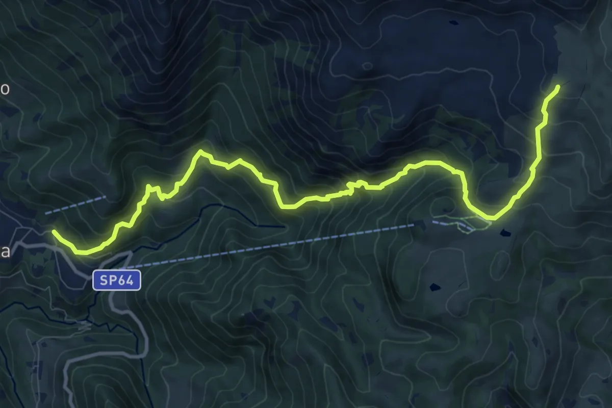
Demanding · Cabin
Moggio – Rifugio Nicola
12.4 km · ↑ 1120 m · 5 h 21 min
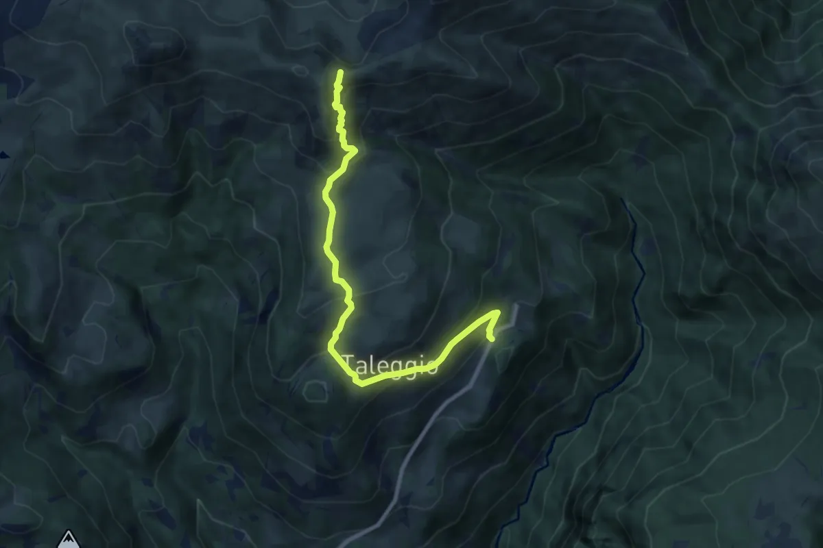
Medium · Trail
Quindicina – Bocchetta Regadur
8.6 km · ↑ 579 m · 3 h 16 min
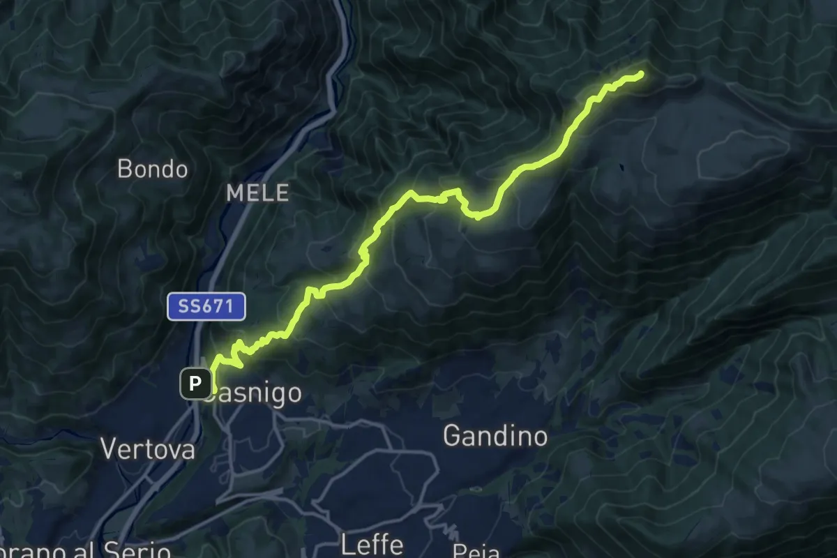
Demanding · Summit
Casnigo (SS. Trinità) – Pizzo Formico
16.7 km · ↑ 1289 m · 6 h 44 min
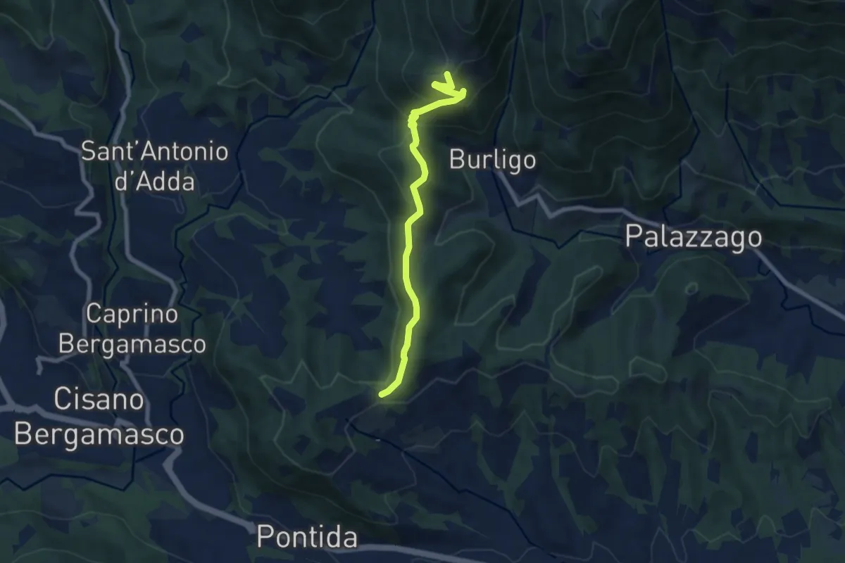
Medium · Summit
Gronfaleggio – Col Pedrino
6.5 km · ↑ 368 m · 2 h 20 min
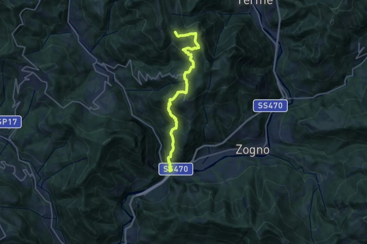
Demanding · Trail
Ponti di S. Antonio – Roccoli Spadì
14.5 km · ↑ 1073 m · 5 h 45 min
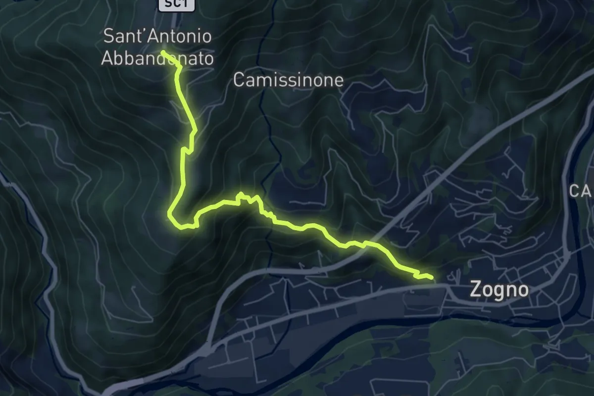
Medium · Trail
Zogno (via Sottocorna) – S. Antonio Abbandonato
7.2 km · ↑ 729 m · 3 h 16 min
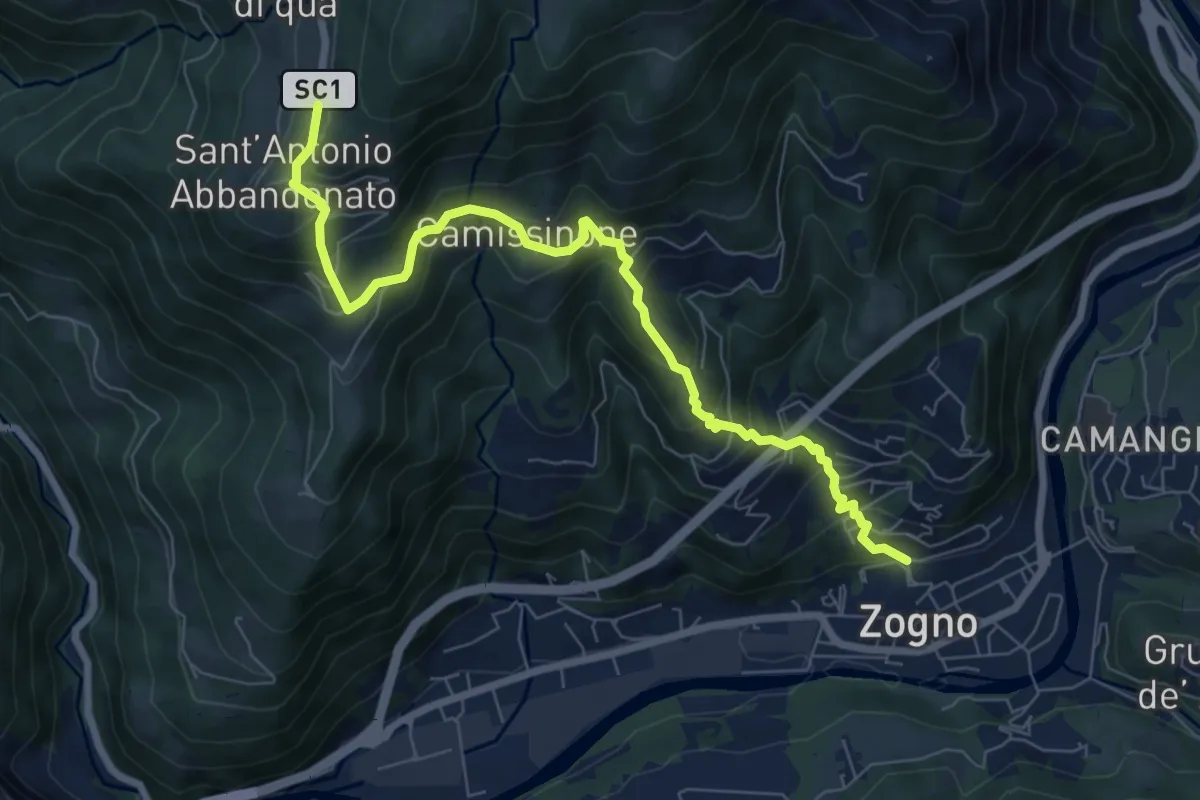
Medium · Trail
Zogno – Castignola
8.2 km · ↑ 688 m · 3 h 25 min
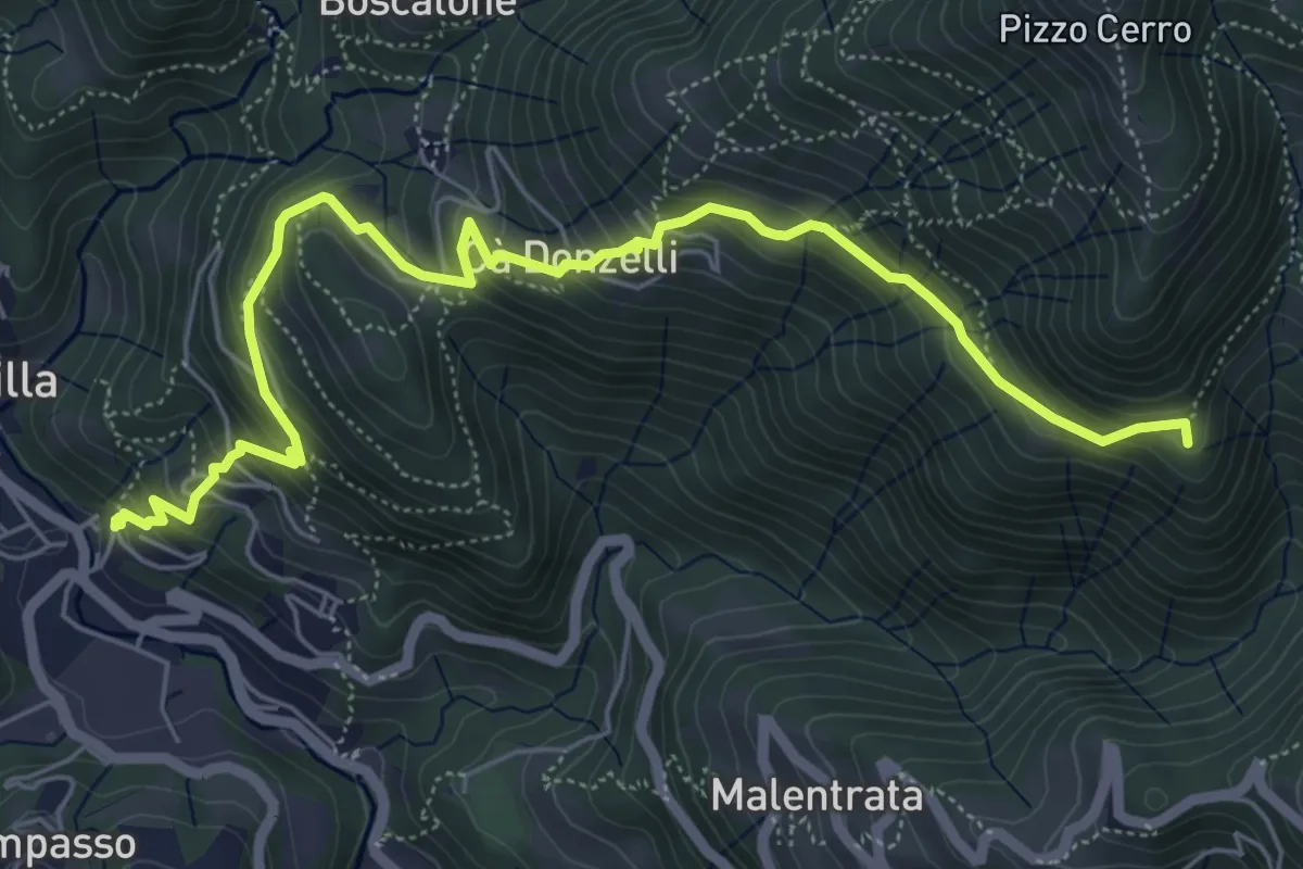
Medium · Summit
Brembilla – Catremerio
7.1 km · ↑ 585 m · 2 h 57 min
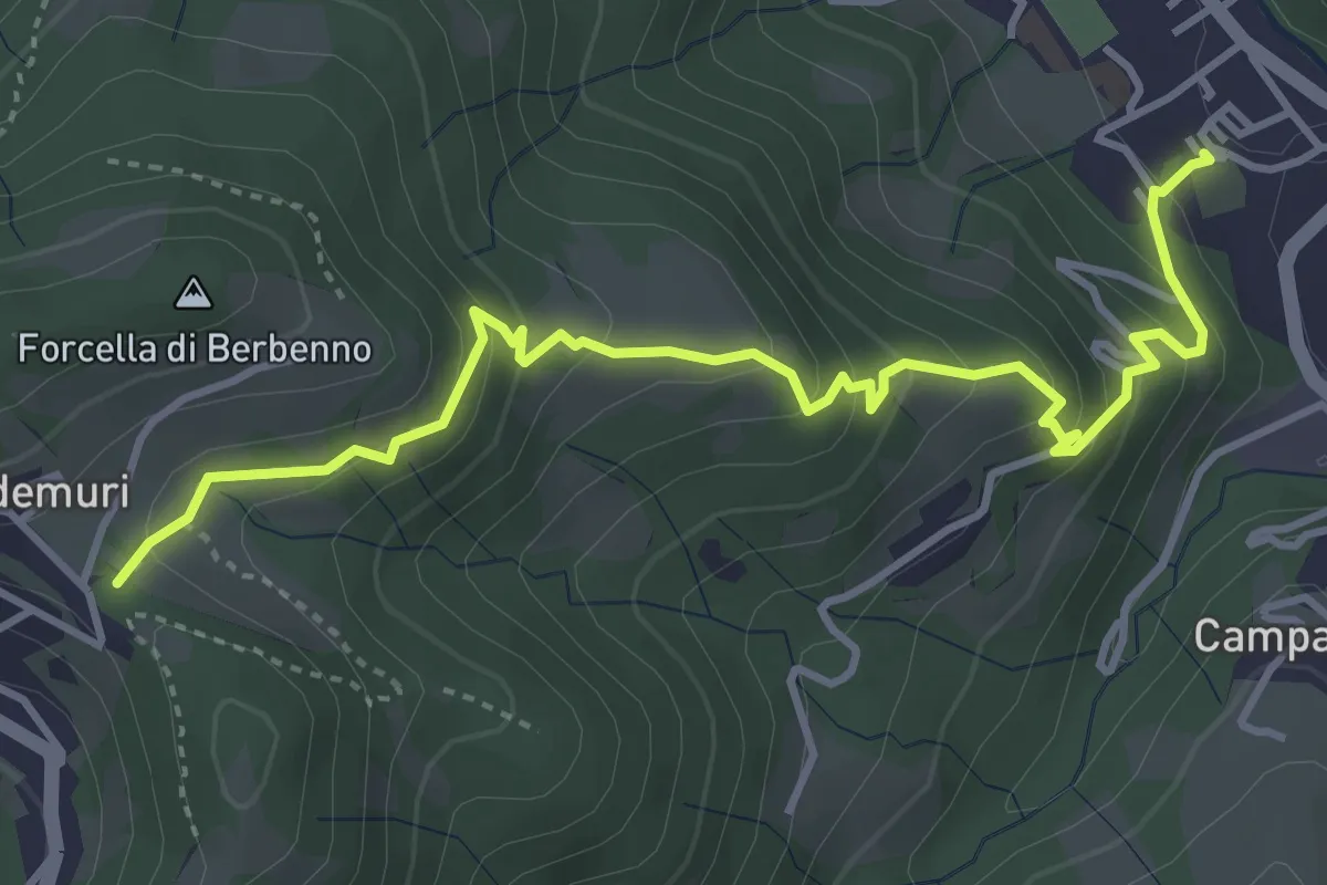
Medium · Trail
Brembilla – Forcella di Berbenno
4.6 km · ↑ 347 m · 1 h 51 min
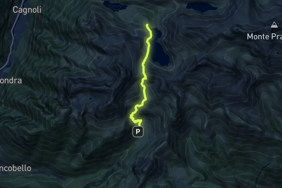
Medium · Cabin
Baite di Mezzeno – Rifugio Laghi Gemelli
8.6 km · ↑ 764 m · 3 h 41 min
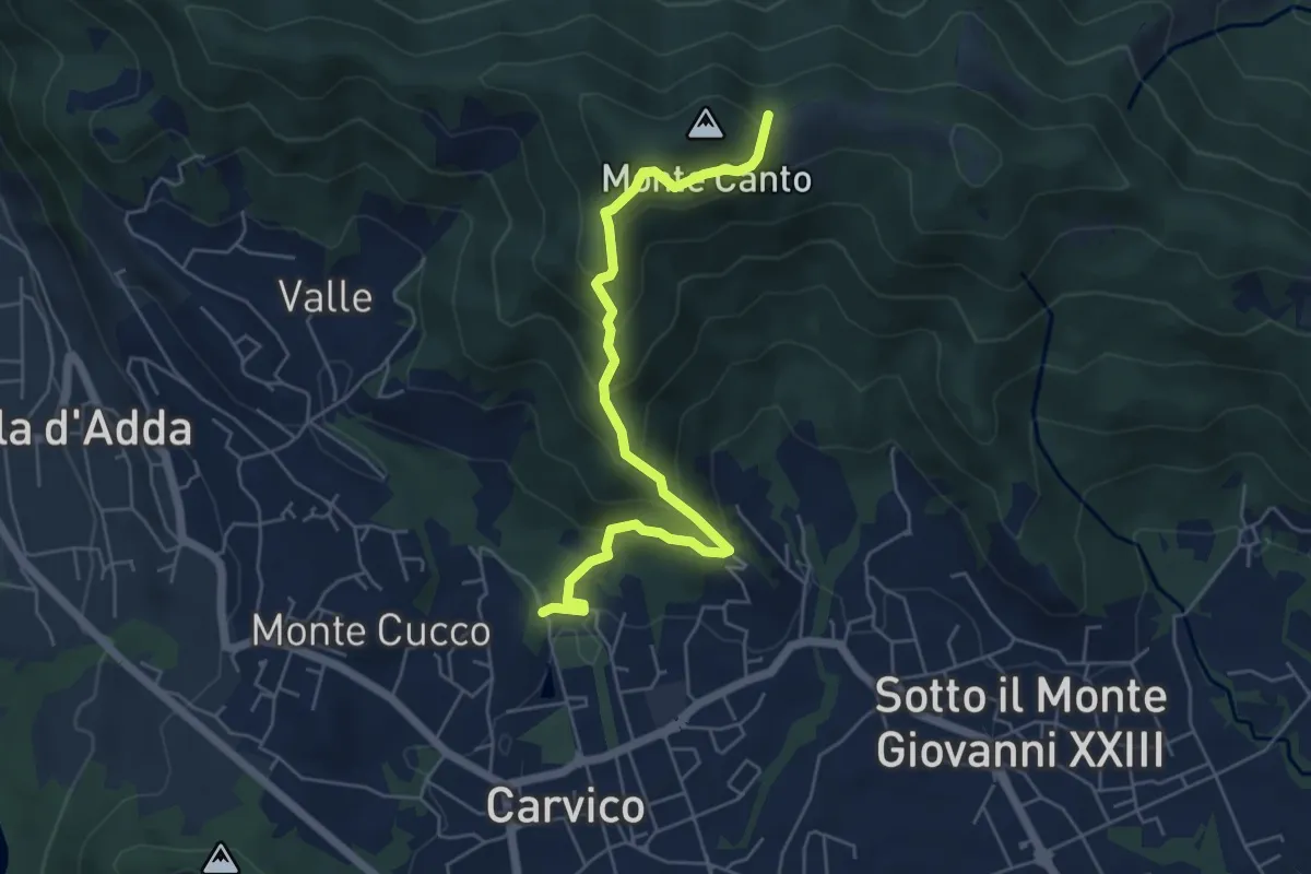
Medium · Trail
Carvico – Il Canto (incrocio 891)
5.7 km · ↑ 440 m · 2 h 19 min
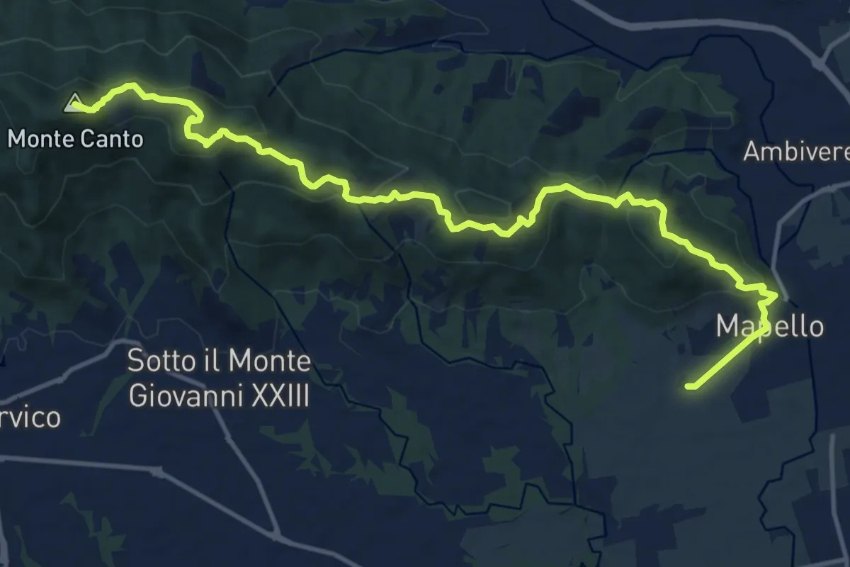
Medium · Summit
Mapello – Villa d'Adda (traghetto)
15.0 km · ↑ 666 m · 4 h 59 min
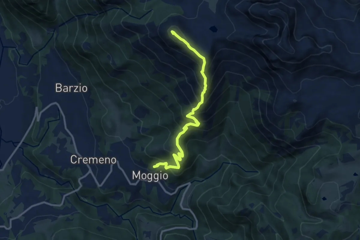
Demanding · Summit
Moggio – Zucco Orscellera
8.7 km · ↑ 996 m · 4 h 13 min
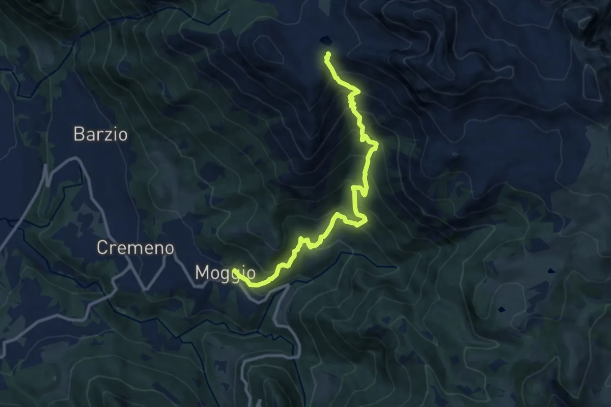
Demanding · Trail
Moggio – Bocchetta di Pesciola
9.9 km · ↑ 1046 m · 4 h 36 min
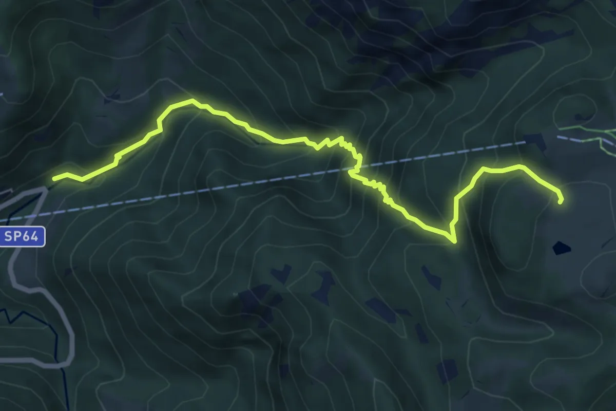
Medium · Cabin
Moggio (Mulino) – Ca' Rovellasca
6.8 km · ↑ 749 m · 3 h 14 min
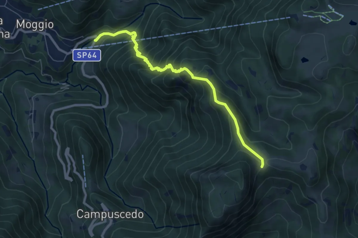
Medium · Trail
Moggio (Mulino) – Area di sosta Maesimo
6.7 km · ↑ 676 m · 3 h 2 min
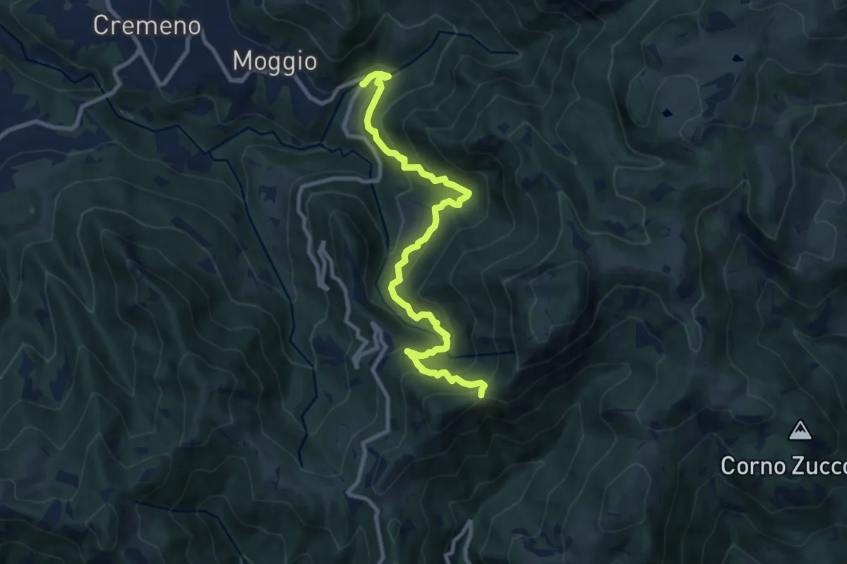
Demanding · Trail
Moggio (Mulino) – Baitel del Lozz
9.8 km · ↑ 912 m · 4 h 17 min
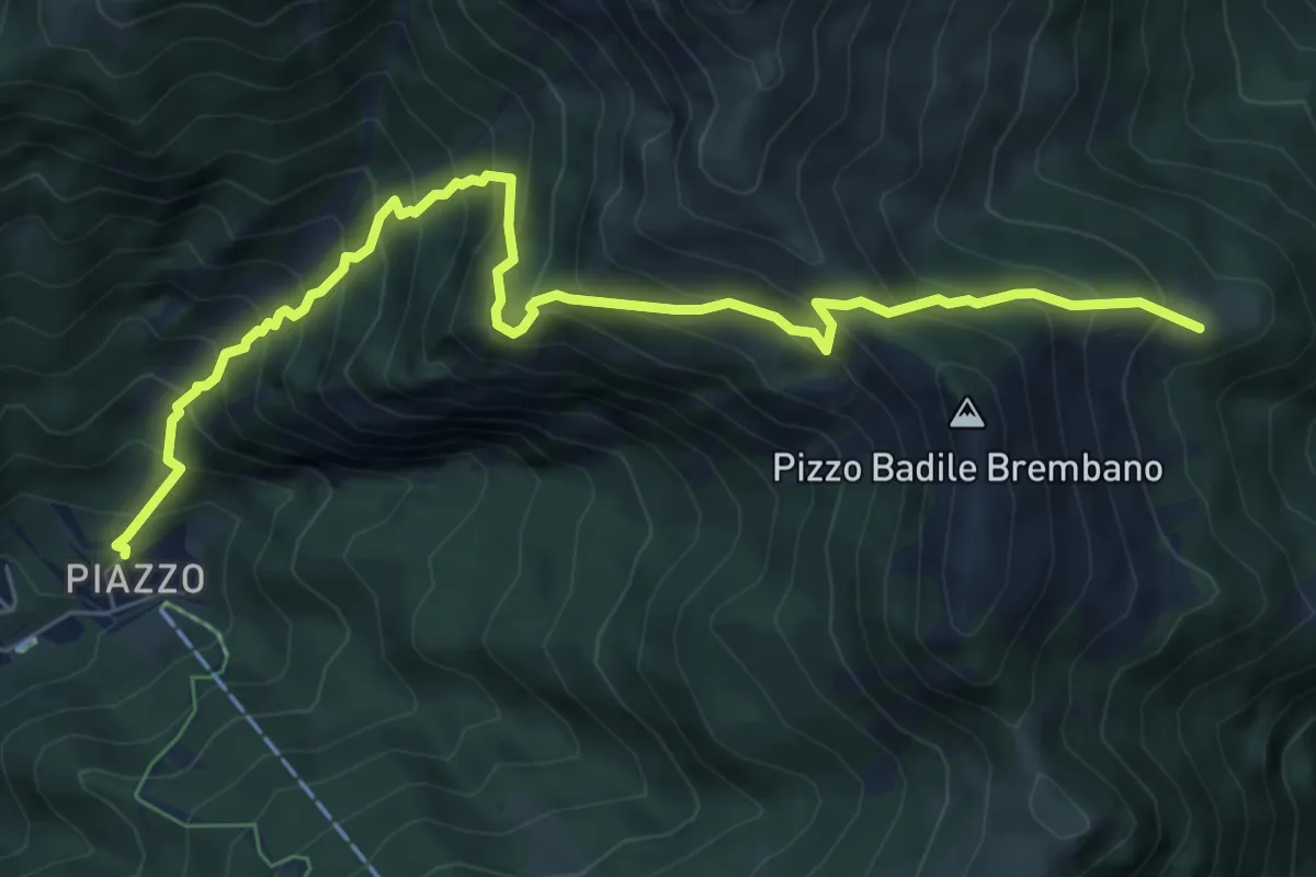
Demanding · Trail
Piazzatorre (Piazzo) – Passo e Casera di Monte Colle
7.9 km · ↑ 1002 m · 4 h 3 min
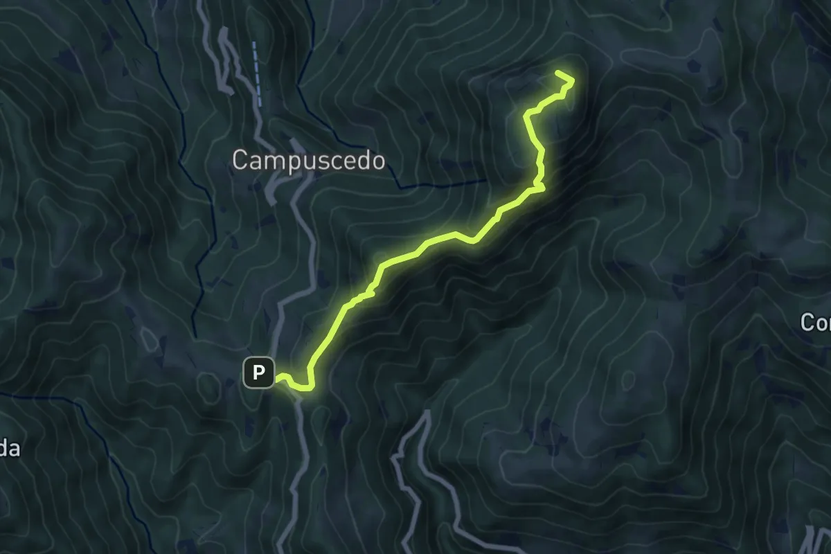
Medium · Summit
Culmine San Pietro – Area di sosta Maesimo
6.4 km · ↑ 504 m · 2 h 36 min
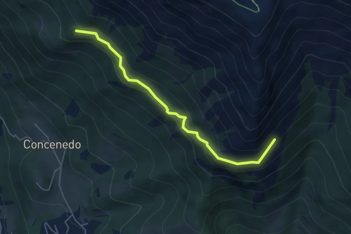
Medium · Trail
Piazza Alta – Baita Pesciola bassa
4.3 km · ↑ 269 m · 1 h 36 min
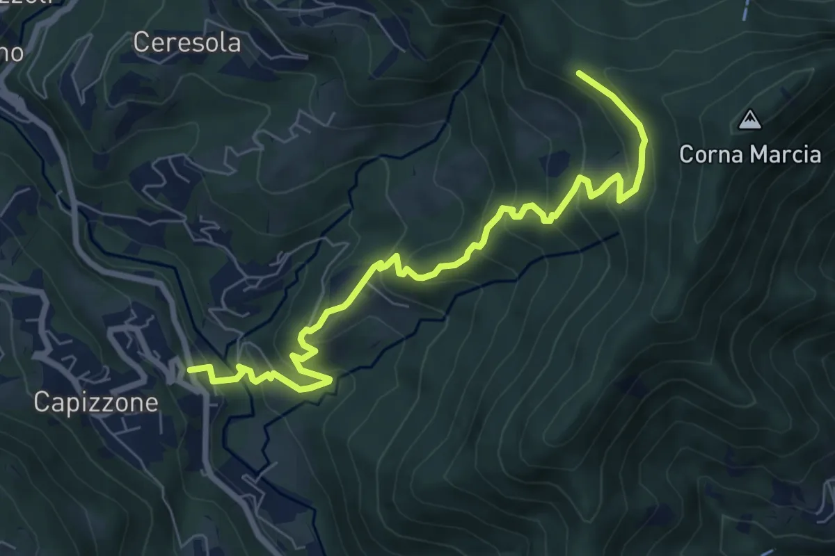
Medium · Trail
Medega (Capizzone) – Passo del Canto
7.9 km · ↑ 565 m · 3 h 5 min
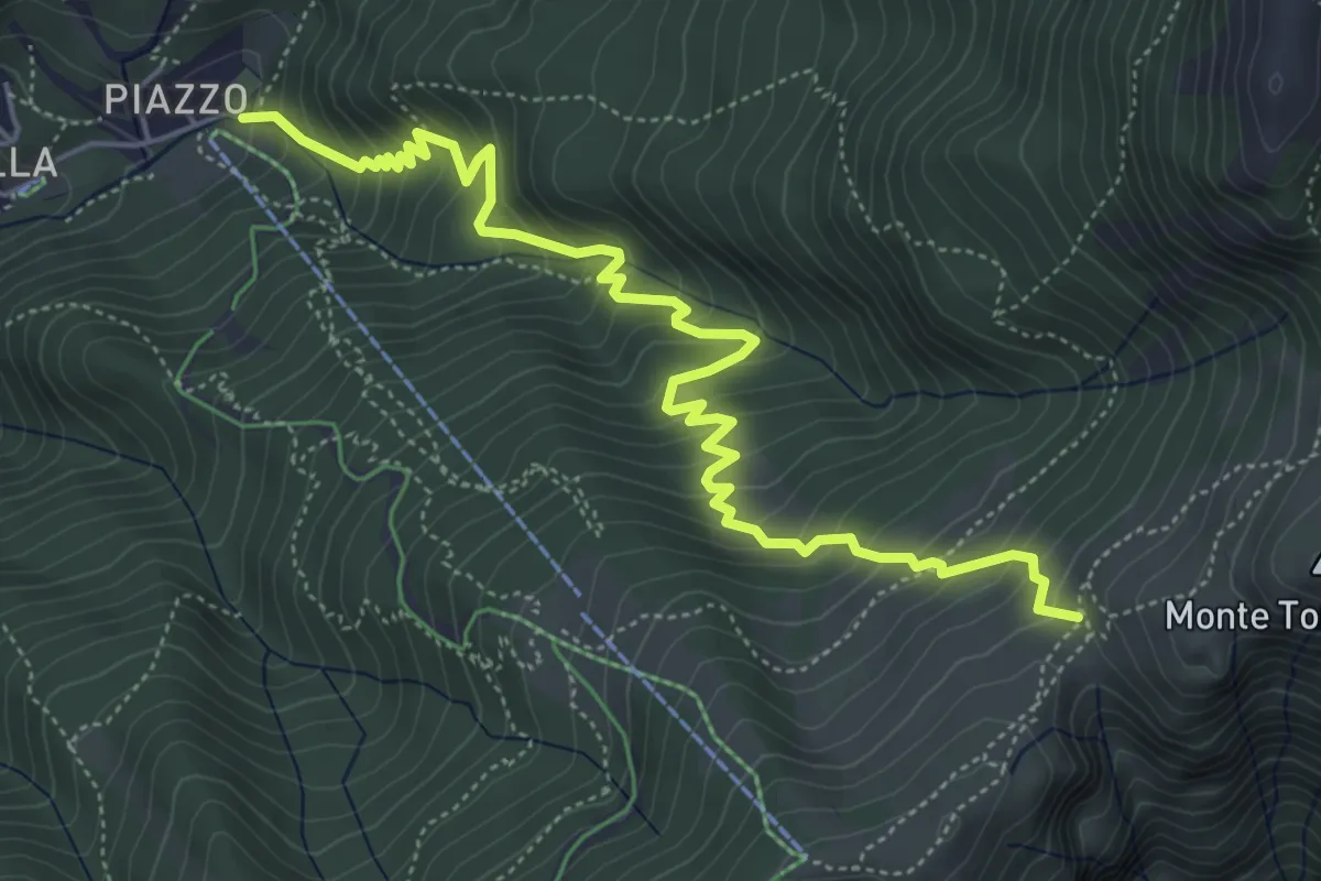
Medium · Trail
Piazzatorre (Piazzo) – Torcola Vaga (incrocio 119)
6.3 km · ↑ 617 m · 2 h 49 min
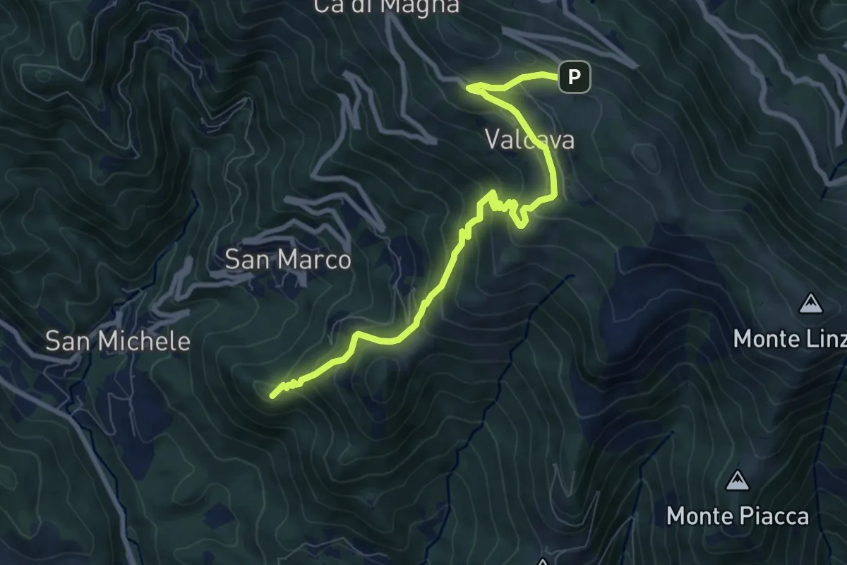
Medium · Summit
Torre de' Busi – Ripetitori (Valcava)
8.7 km · ↑ 620 m · 3 h 23 min
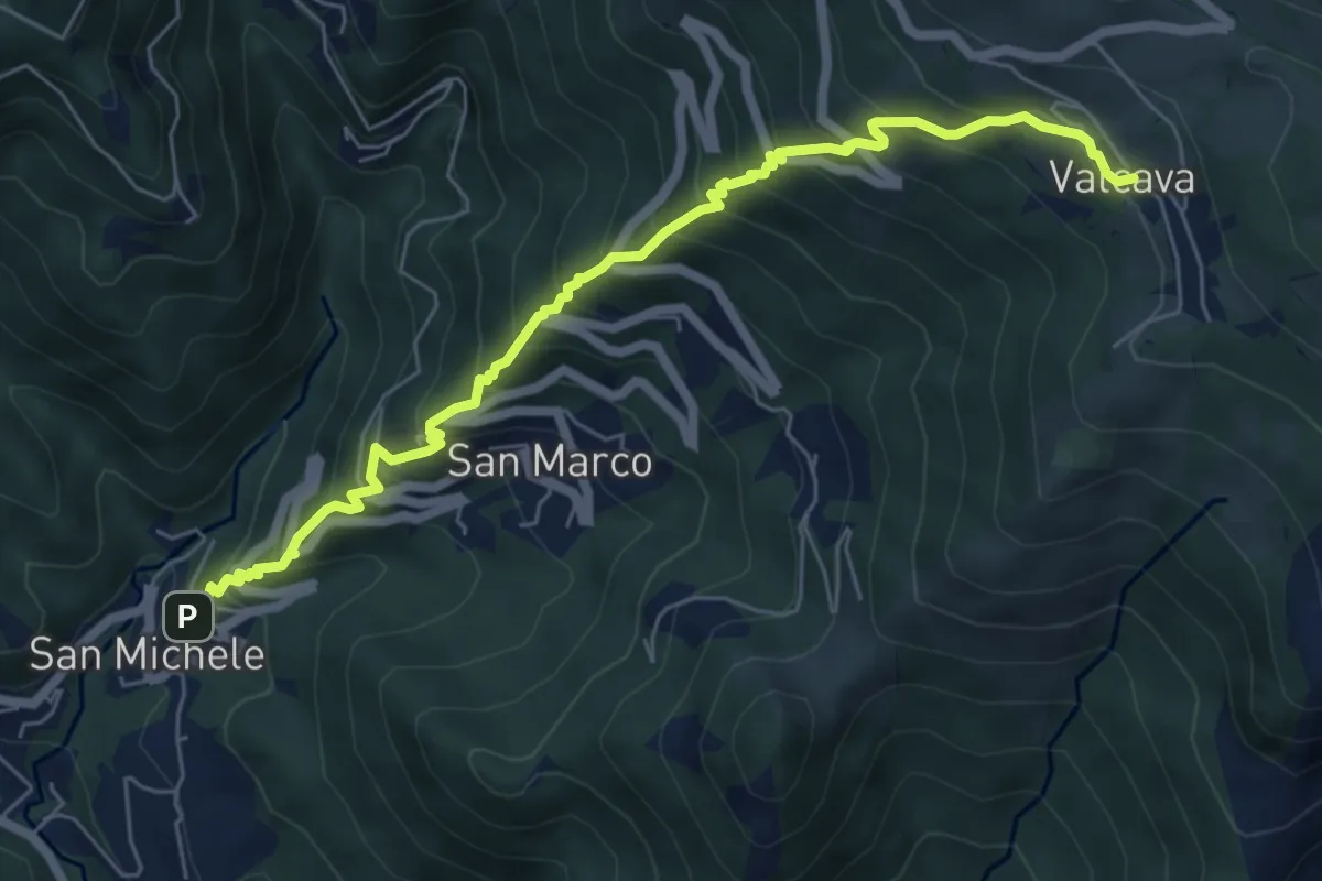
Medium · Trail
Torre de' Busi – Valcava
6.9 km · ↑ 799 m · 3 h 22 min
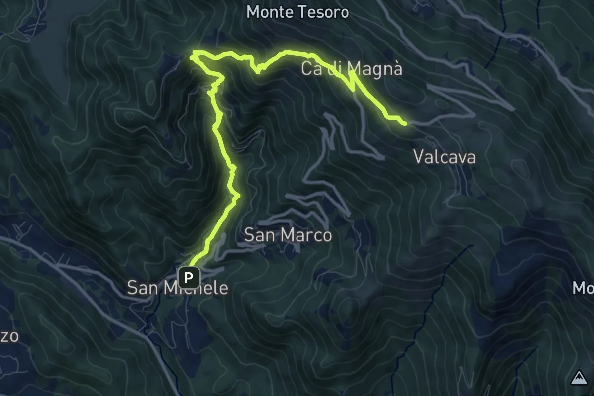
Demanding · Trail
Torre de' Busi – Valcava
10.8 km · ↑ 877 m · 4 h 27 min
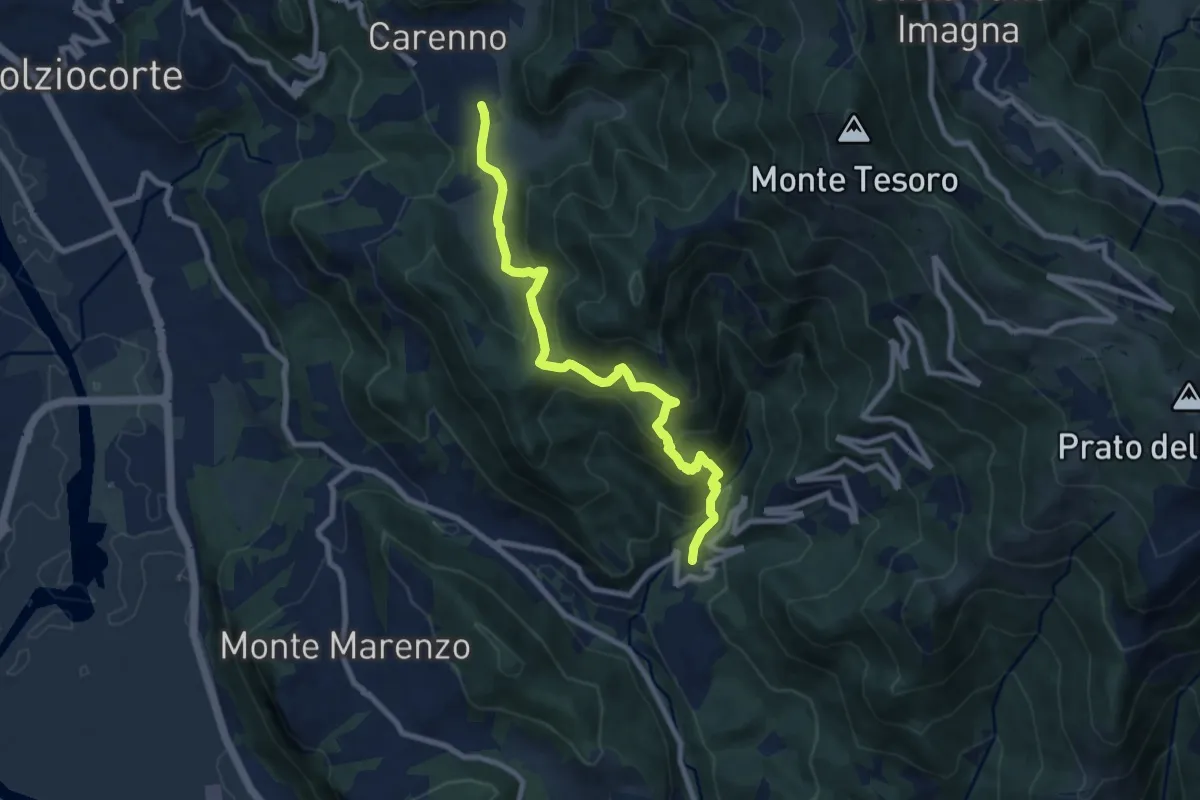
Medium · Trail
Carenno – Torre de' Busi
8.8 km · ↑ 708 m · 3 h 37 min
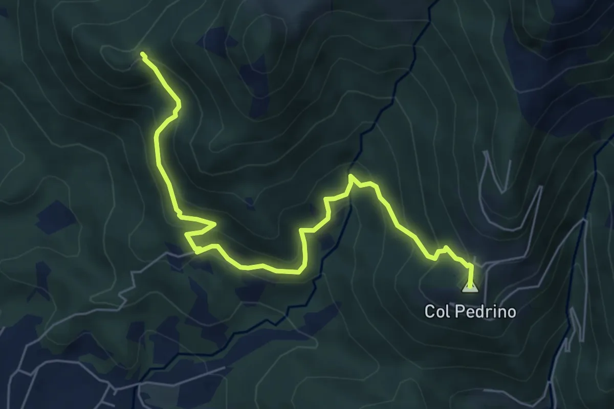
Medium · Summit
Località Foppa – Coldara
6.6 km · ↑ 509 m · 2 h 39 min
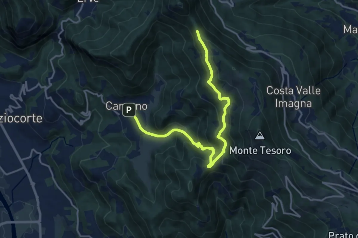
Medium · Trail
Carenno – Pertüs
11.3 km · ↑ 669 m · 4 h 8 min
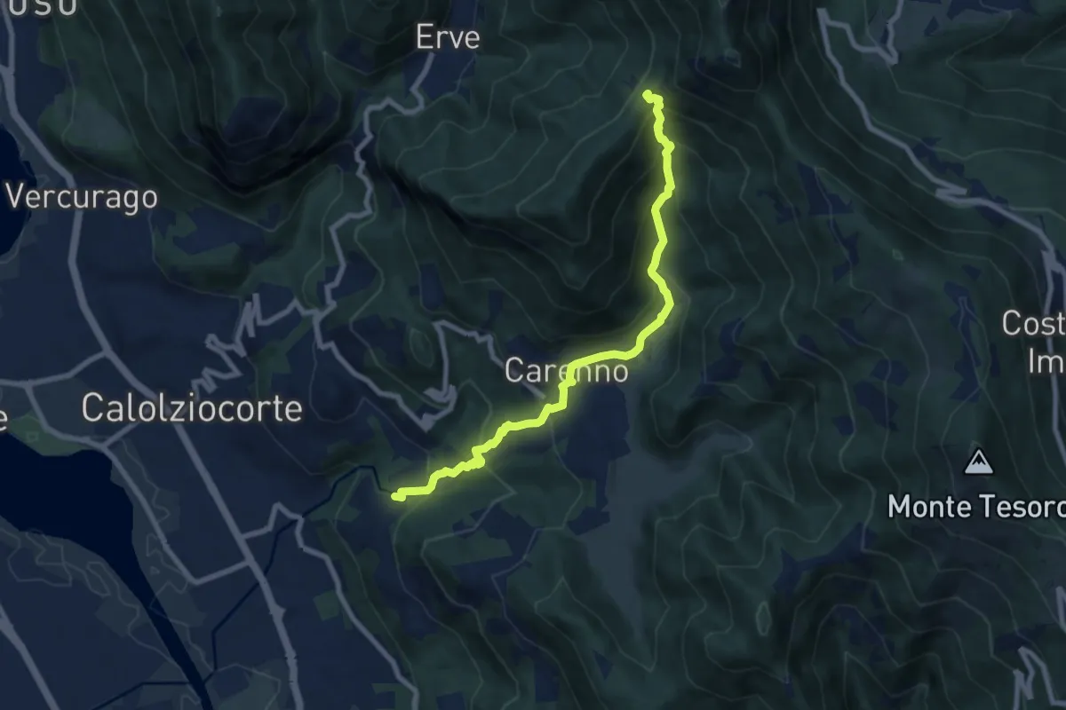
Medium · Trail
Lorentino (Calolziocorte) – Passo della Pertulena
8.1 km · ↑ 668 m · 3 h 21 min
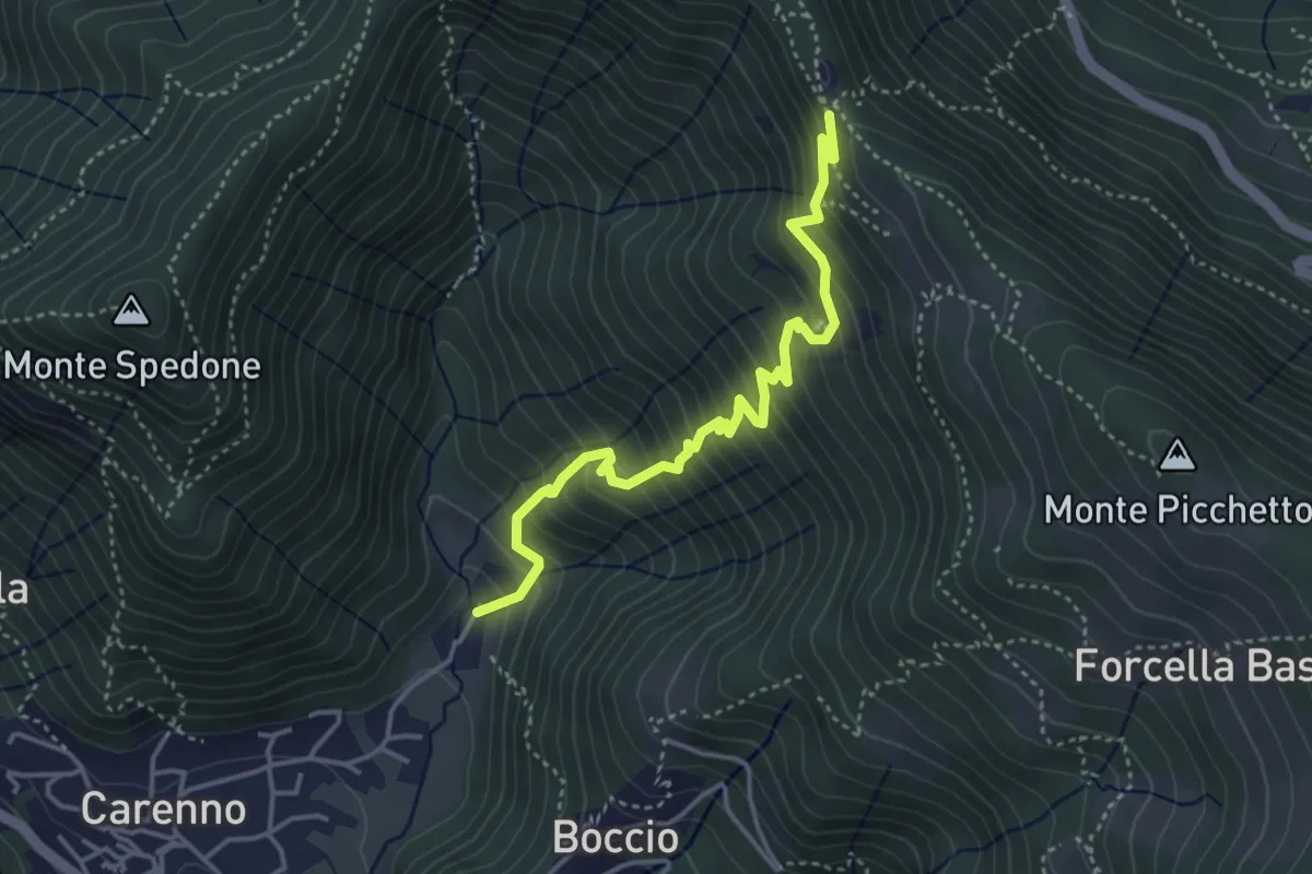
Medium · Trail
Carenno – Pertüs
4.2 km · ↑ 517 m · 2 h 7 min
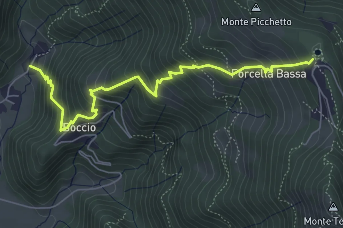
Medium · Trail
Carenno – Forcella Alta
5.8 km · ↑ 634 m · 2 h 45 min
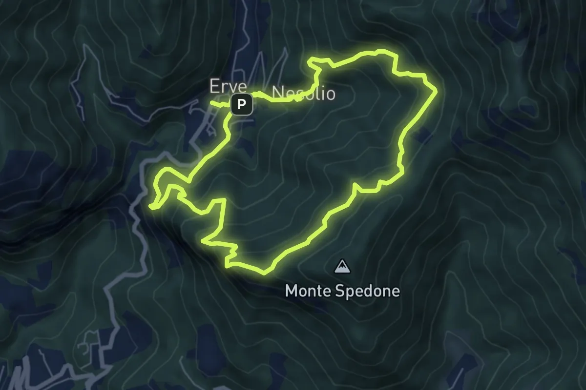
Demanding · Trail
Erve – Erve
6.1 km · ↑ 678 m · 3 h