Trails in Italy
25,219 hiking trails, each with its route, climb, walking time and grade.
All trails, page 461 of 526
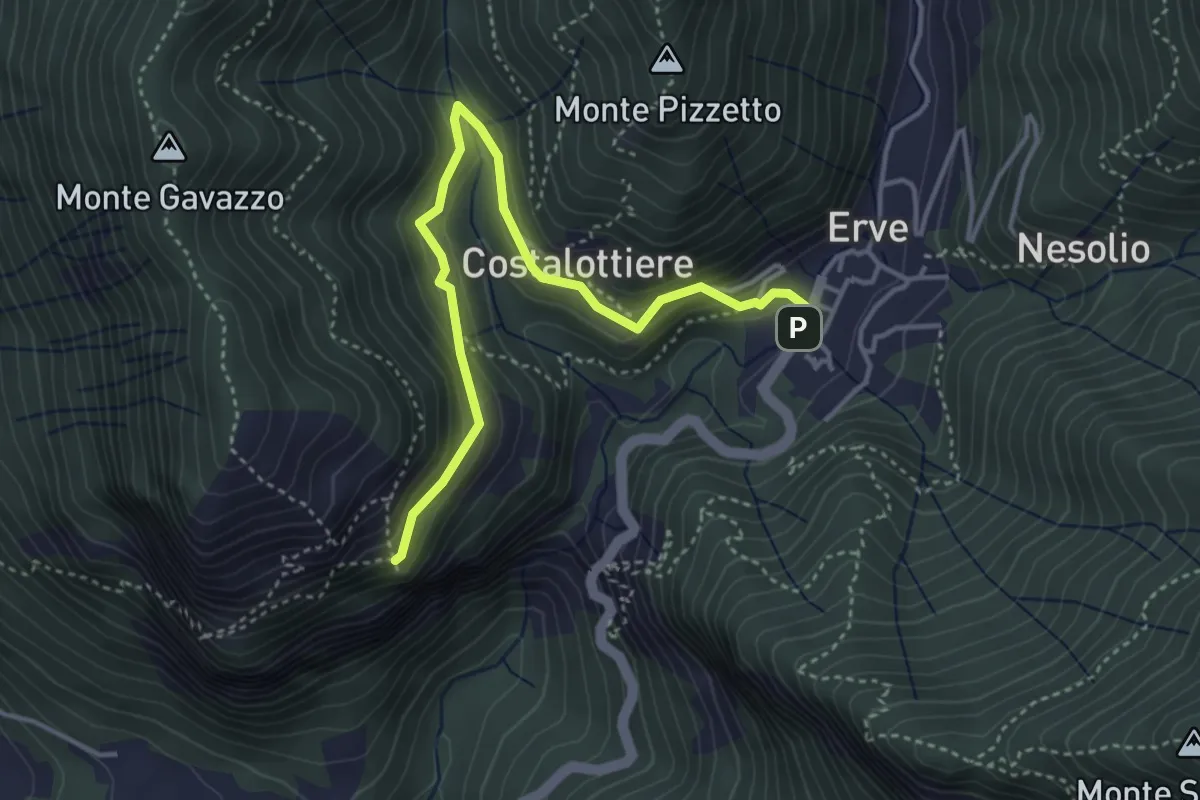
Easy · Trail
Erve – Croce di Vicerola
4.2 km · ↑ 219 m · 1 h 28 min
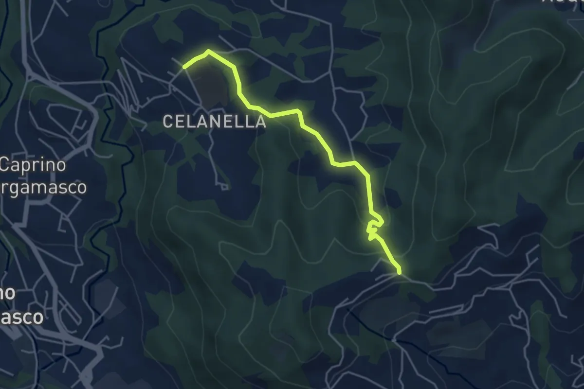
Easy · Trail
Gronfaleggio – Celana
4.0 km · ↑ 148 m · 1 h 16 min
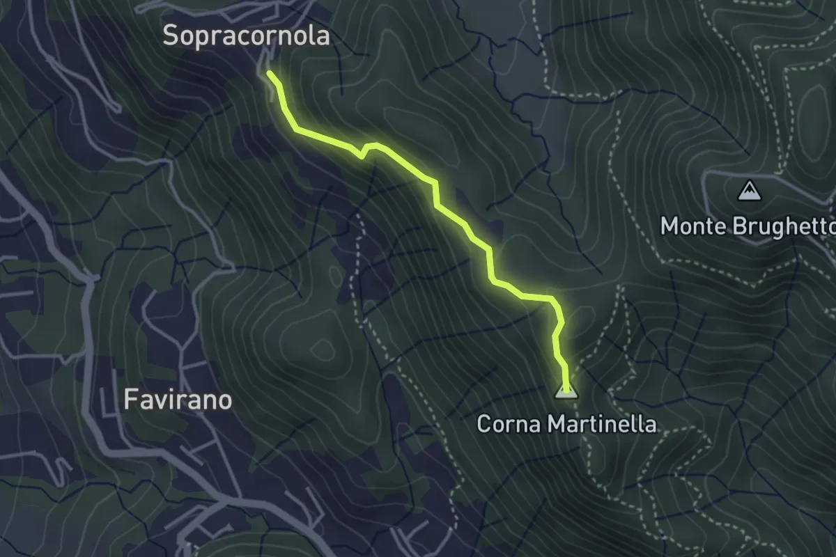
Easy · Summit
Torre de Busi – Sopracornola
2.9 km · ↑ 212 m · 1 h 9 min
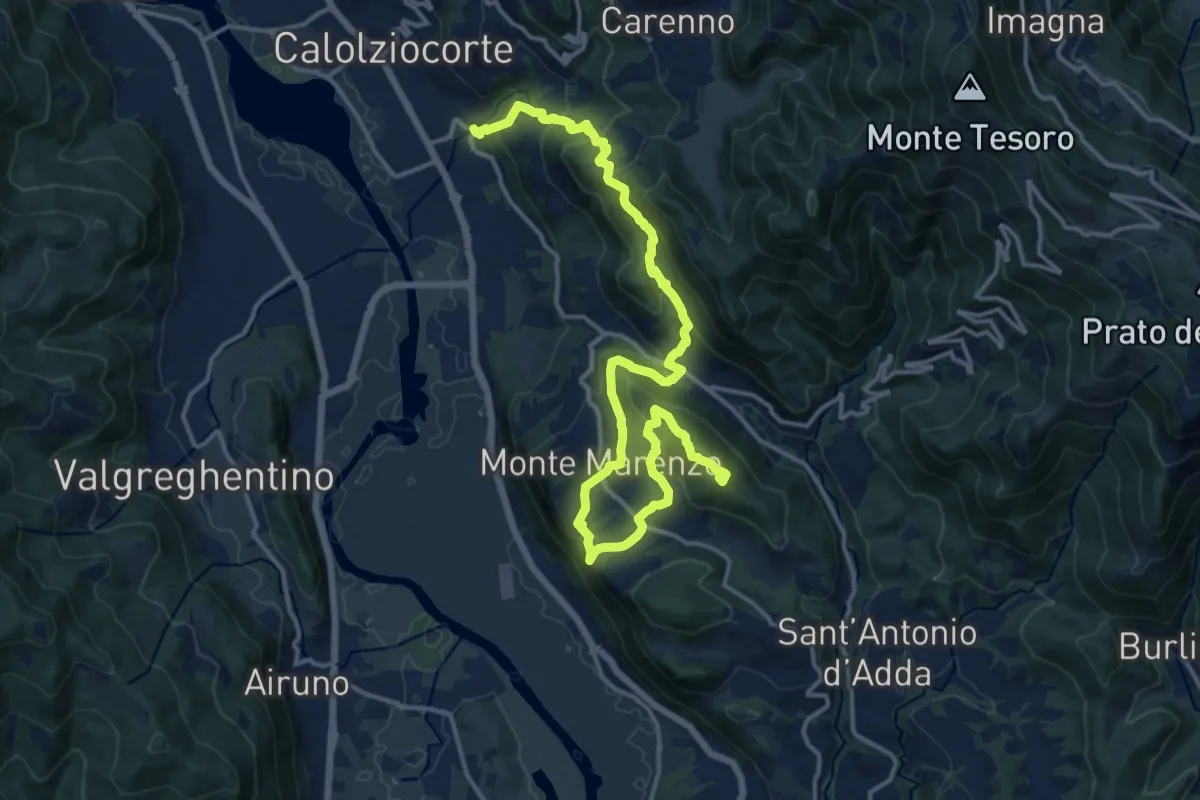
Demanding · Summit
Ponte Serta (Calolziocorte) – Ponte Contrada (Torre de' Busi)
18.8 km · ↑ 982 m · 6 h 34 min
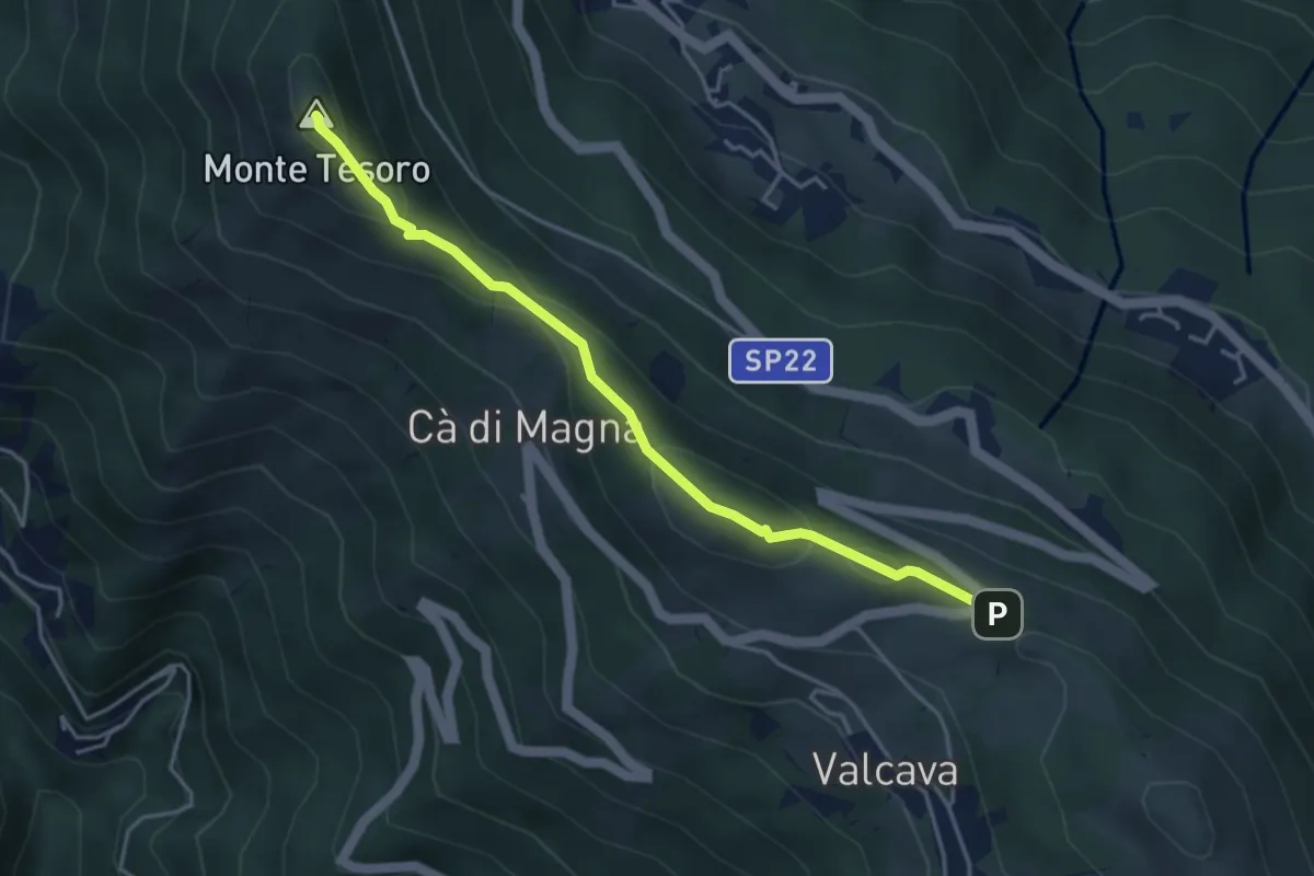
Medium · Summit
Ripetitori (Valcava) – Convento del Pertus
4.1 km · ↑ 216 m · 1 h 27 min
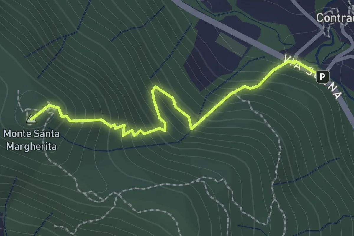
Medium · Summit
Contrada (Torre de' Busi) – S. Margherita (Monte Marenzo)
2.2 km · ↑ 259 m · 1 h 5 min
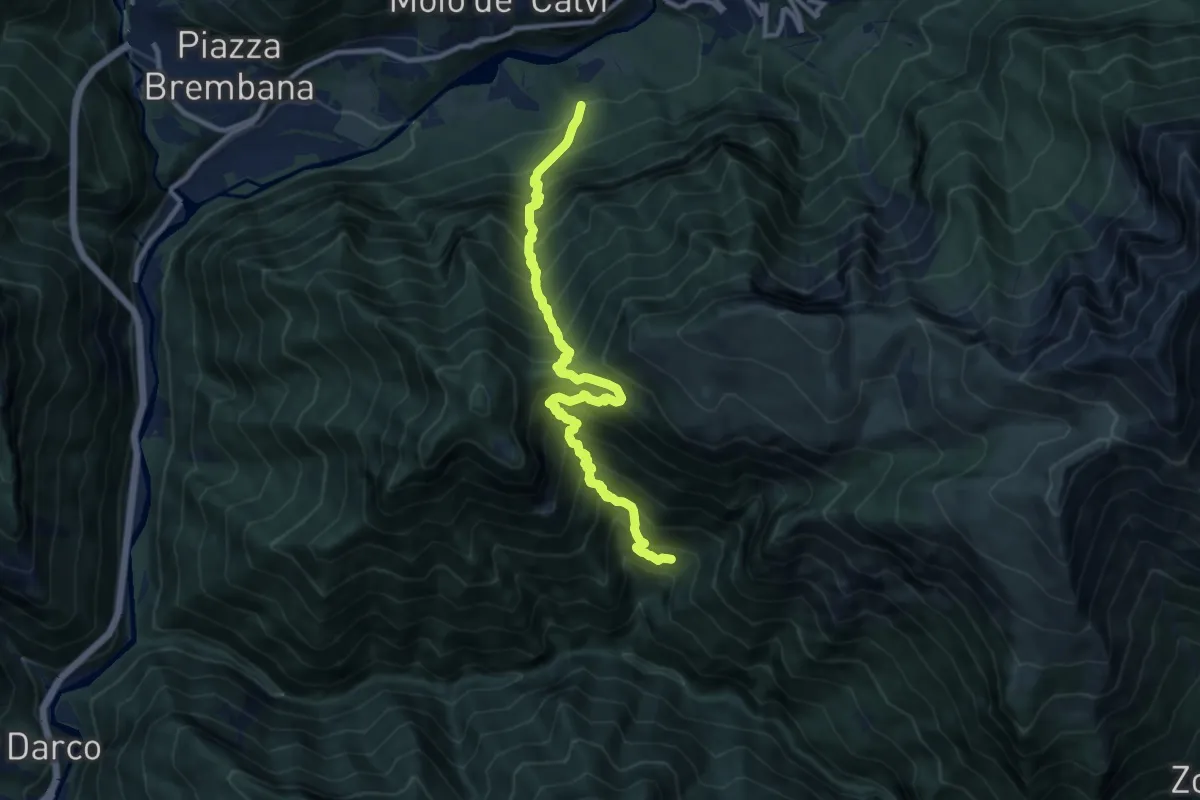
Demanding · Trail
Incrocio 259 – Incrocio 269
11.2 km · ↑ 1484 m · 5 h 51 min
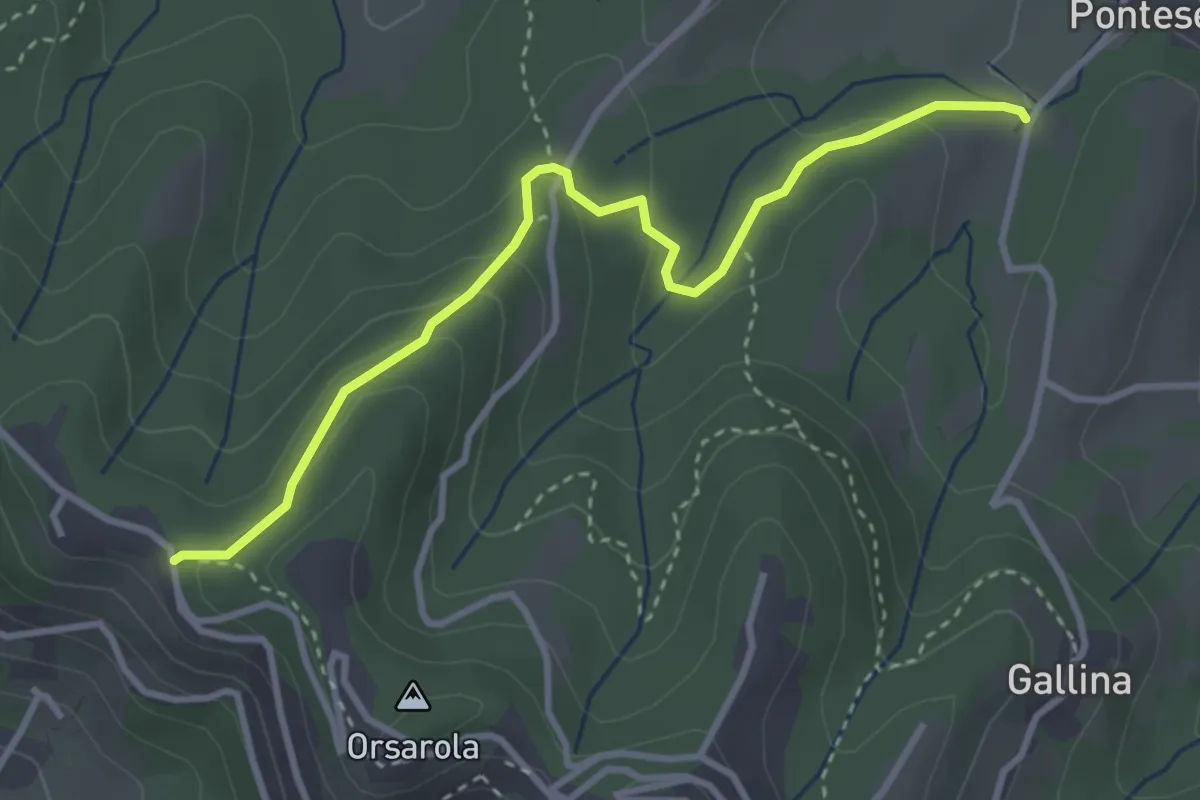
Demanding · Trail
Via Castagneta – Colle dei Roccoli
3.5 km · ↑ 145 m · 1 h 9 min
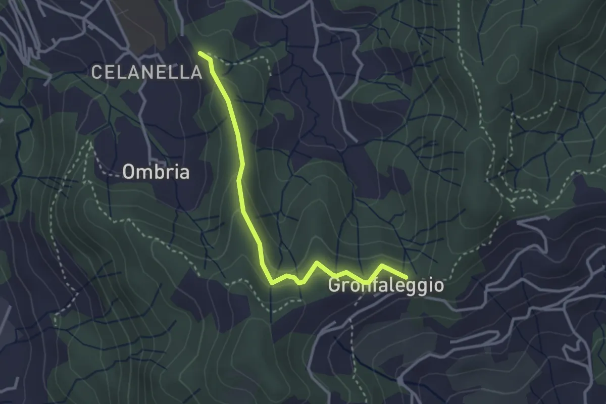
Easy · Trail
Celana – Gronfaleggio
2.9 km · ↑ 126 m · 58 min
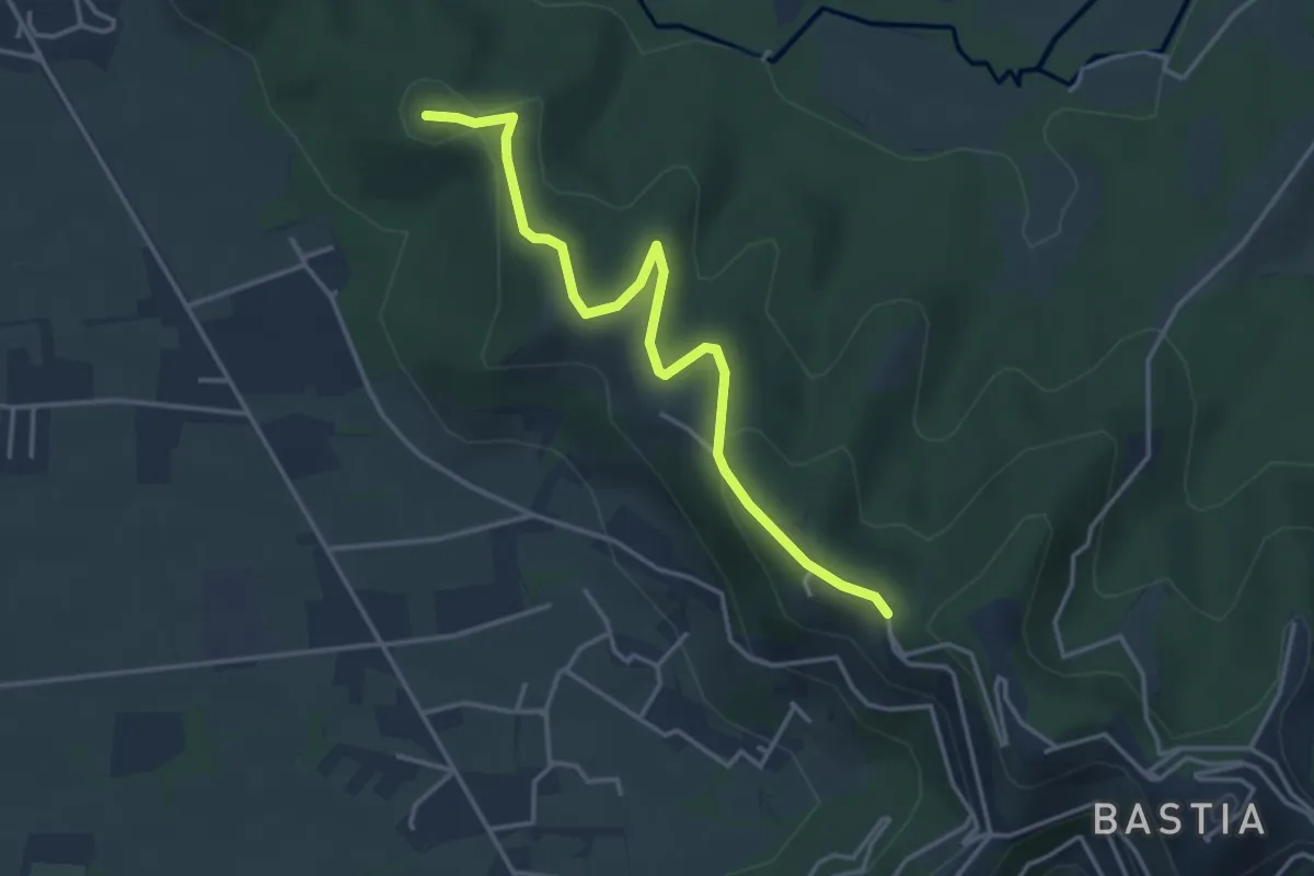
Easy · Summit
Santuario di Sombreno (Paladina) – Colle dei Roccoli (Bergamo)
4.0 km · ↑ 110 m · 1 h 11 min
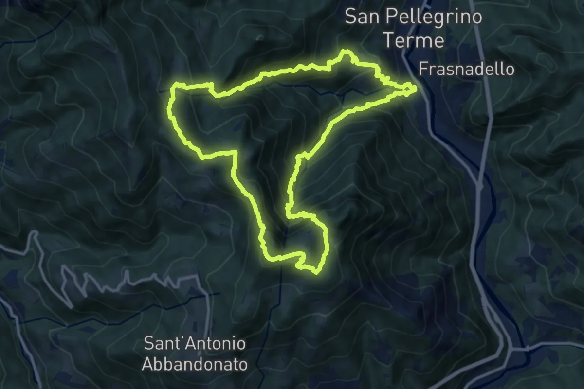
Demanding · Summit
San Pellegrino – San Pellegrino
10.7 km · ↑ 979 m · 4 h 47 min
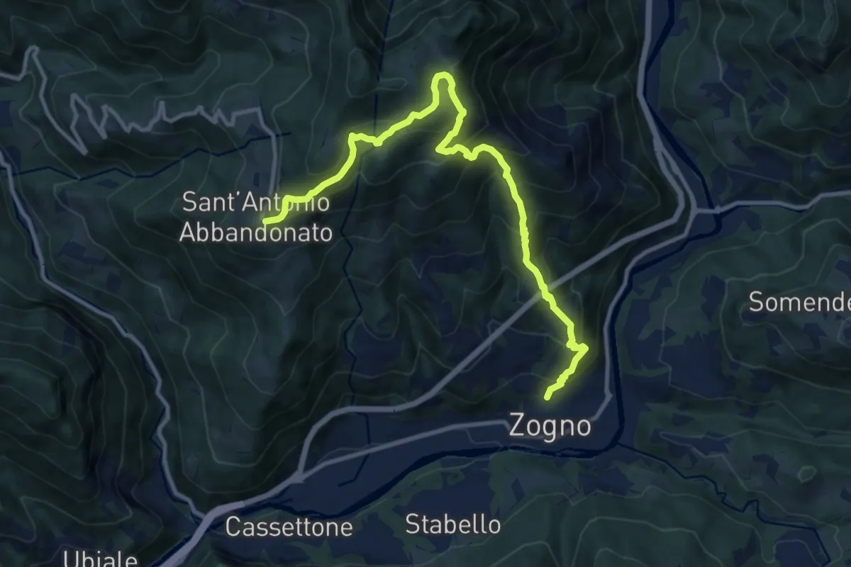
Demanding · Trail
Zogno – S. Antonio Abbandonato
11.8 km · ↑ 1031 m · 5 h 1 min
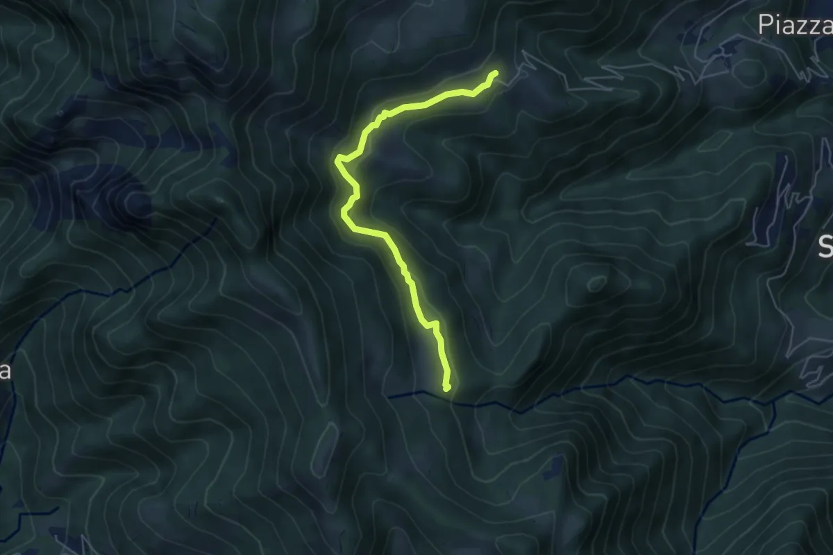
Easy · Trail
Sussia – Cà Boffelli
5.1 km · ↑ 243 m · 1 h 44 min
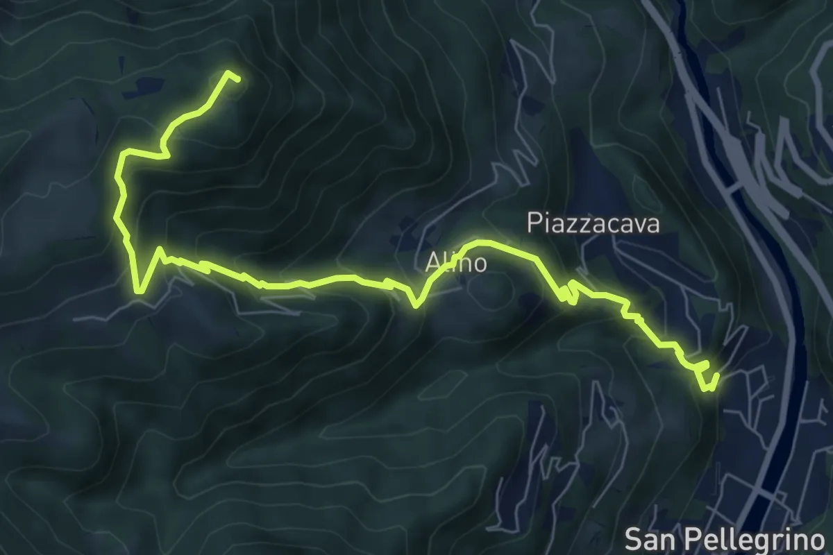
Medium · Summit
Alino (San Pellegrino) – Monte Molinasco
8.7 km · ↑ 729 m · 3 h 39 min
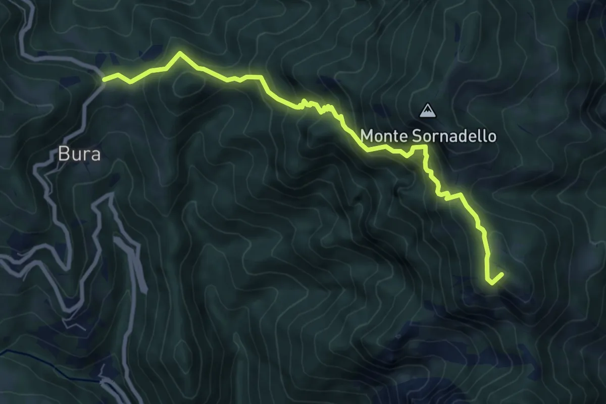
Demanding · Summit
Catremerio (Brembilla) – Forcella di Bura
7.7 km · ↑ 849 m · 3 h 40 min
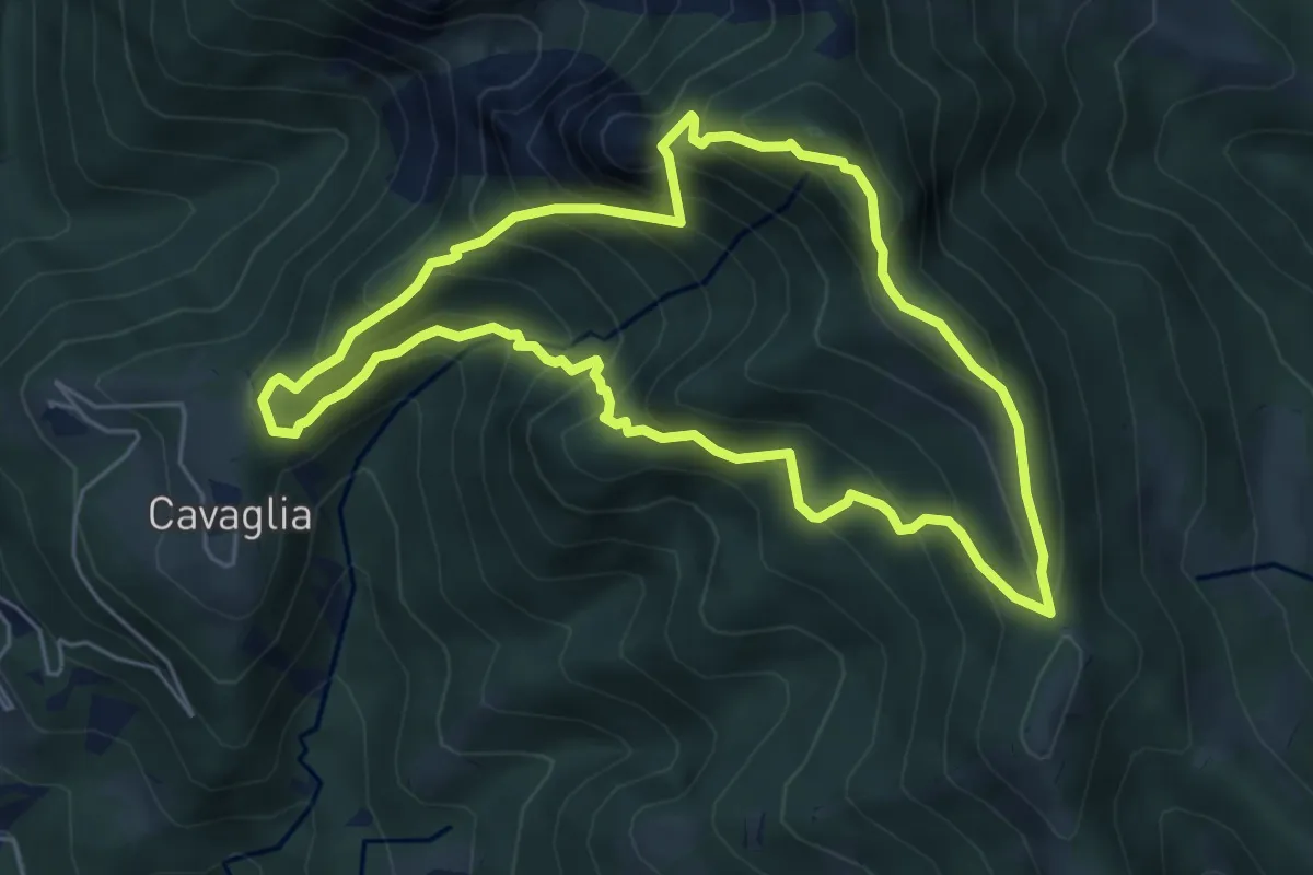
Medium · Summit
Cavaglia (Brembilla) – Cavaglia (Brembilla)
5.5 km · ↑ 600 m · 2 h 40 min
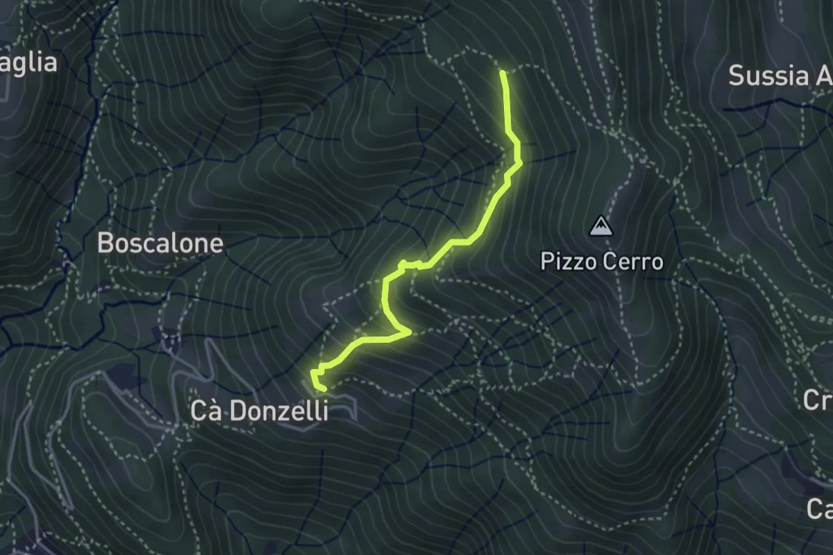
Medium · Trail
Feniletto (Brembilla) – Rifugio Lupi di Brembilla
3.0 km · ↑ 299 m · 1 h 22 min
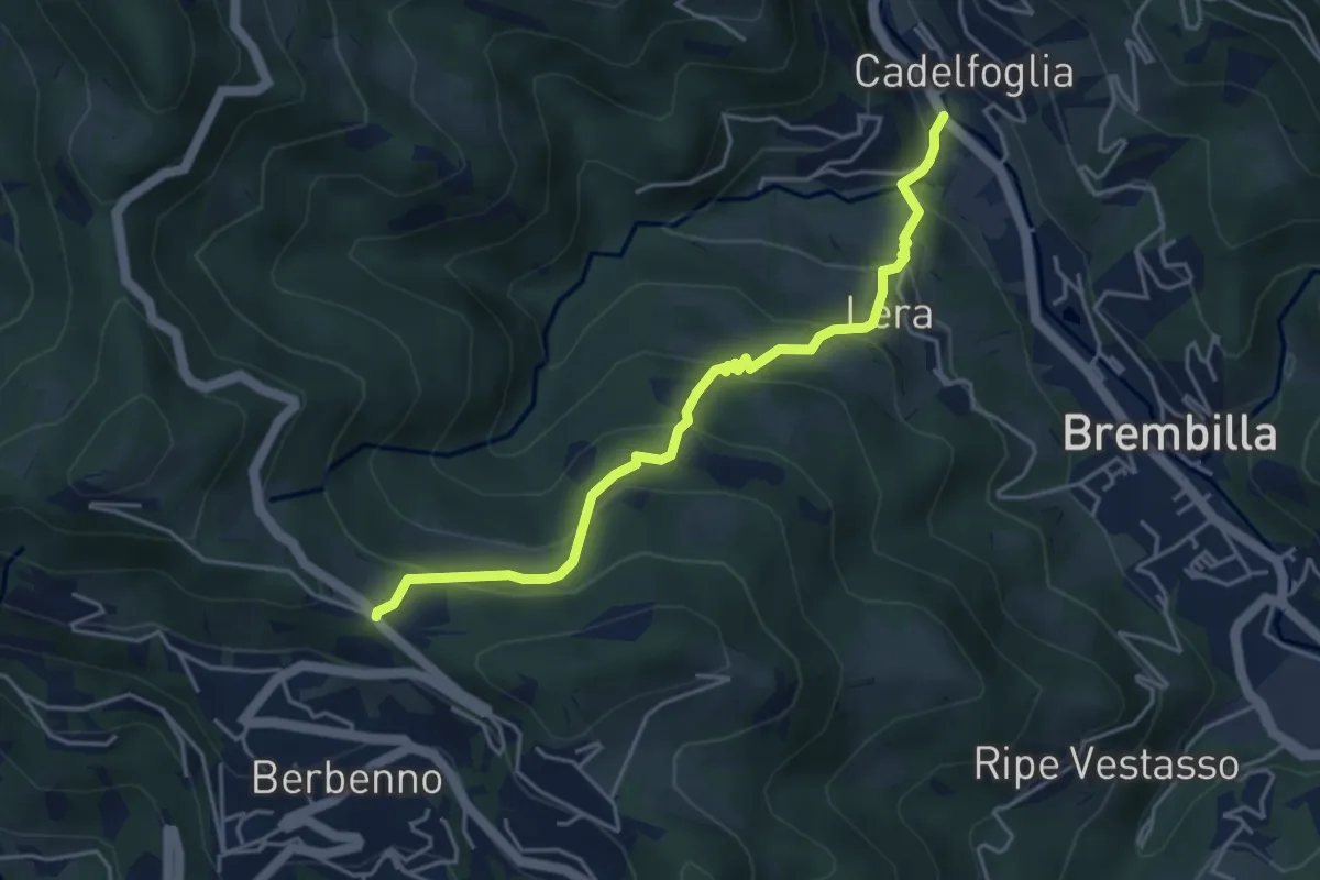
Medium · Trail
Cadelfoglia – Madonna dell'Assunta (Berbenno)
4.4 km · ↑ 339 m · 1 h 47 min
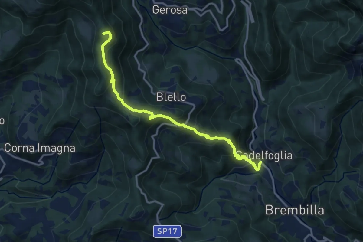
Medium · Summit
Cadelfoglia – Bocchetta di Piazzacava
9.1 km · ↑ 766 m · 3 h 48 min
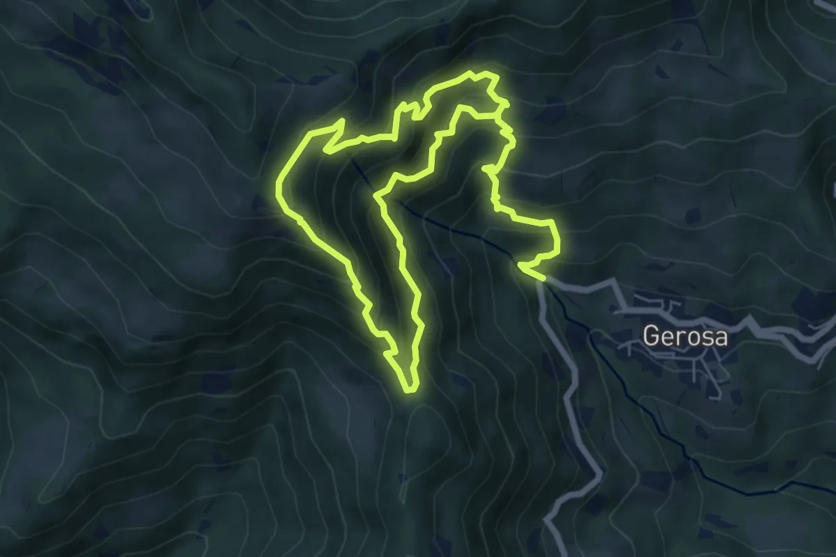
Demanding · Trail
Mulini – Tre Faggi
11.1 km · ↑ 1129 m · 5 h 4 min
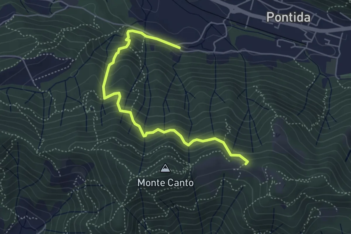
Medium · Trail
Pontida (Santuario San Giuseppe) – Il Canto (incrocio 897)
4.9 km · ↑ 429 m · 2 h 5 min
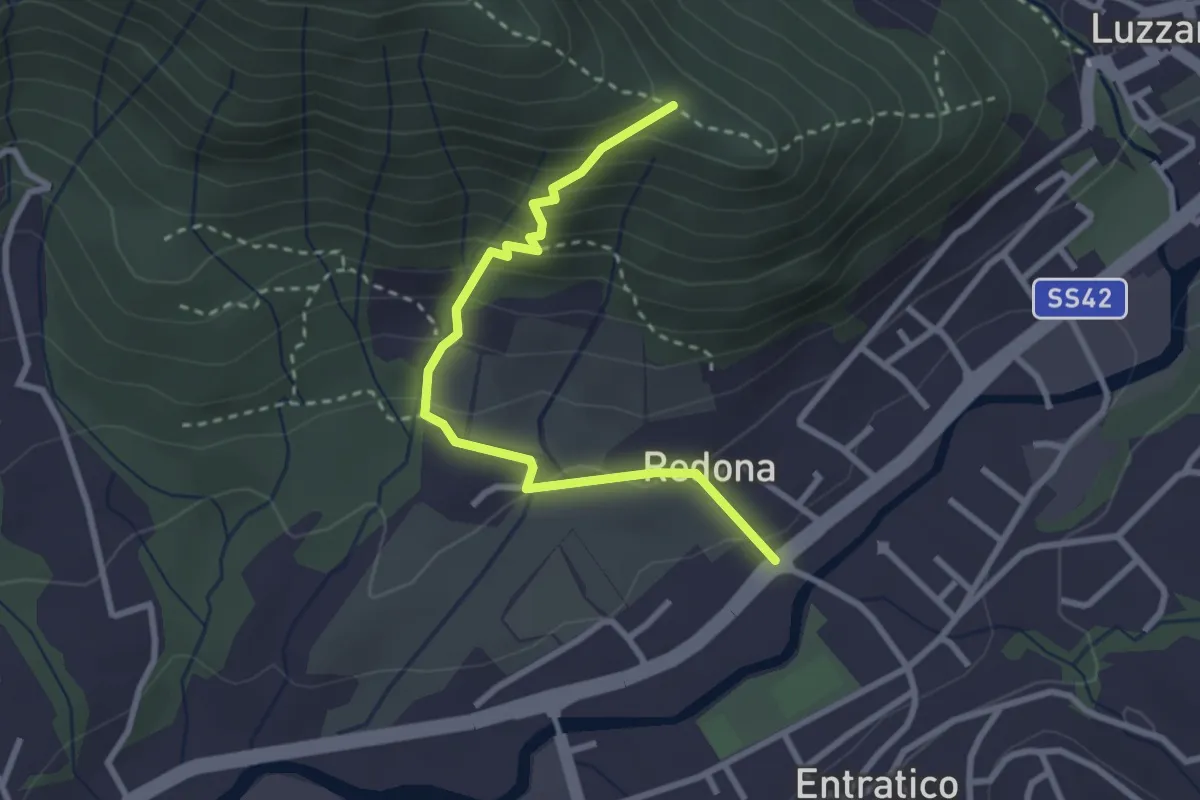
Medium · Trail
Redona (Entratico) – Costa del Colle (incrocio 611)
2.9 km · ↑ 245 m · 1 h 13 min
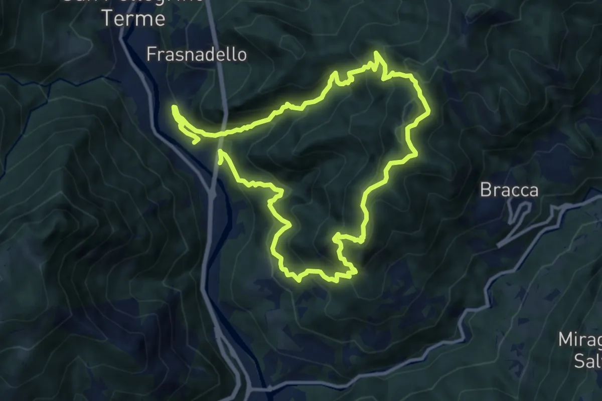
Expert · Summit
Pregalleno (San Pellegrino Terme) – Pregalleno
9.0 km · ↑ 836 m · 4 h 4 min
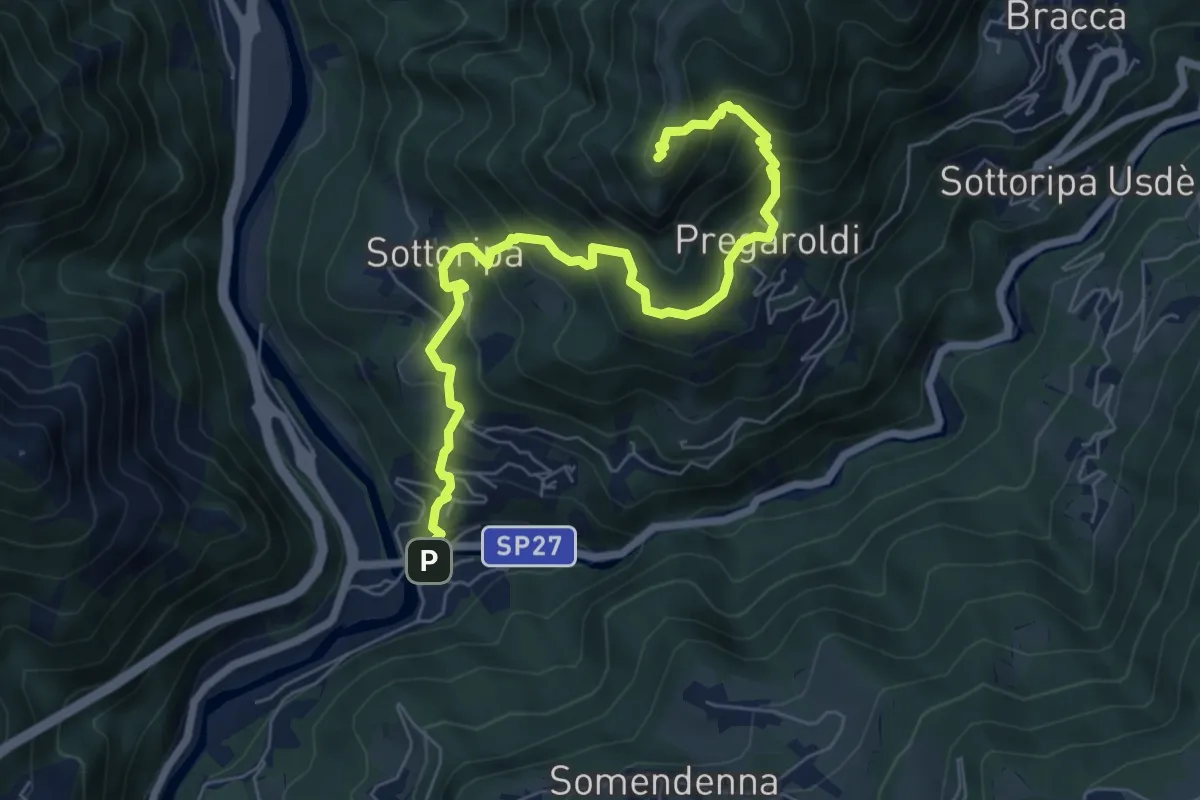
Medium · Summit
Ambria – Pizzo di Spino
7.5 km · ↑ 700 m · 3 h 17 min
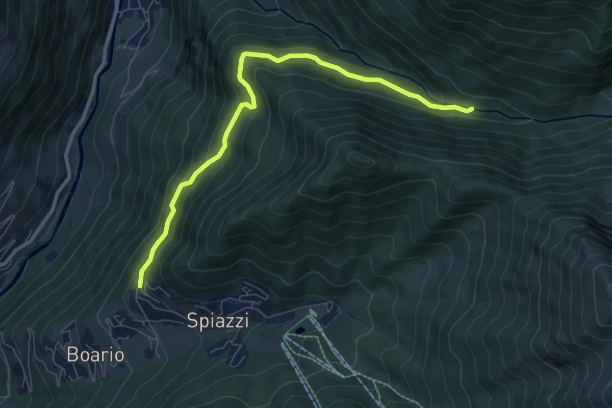
Medium · Trail
Spiazzi di Boario – Val Sedornia
7.4 km · ↑ 421 m · 2 h 40 min
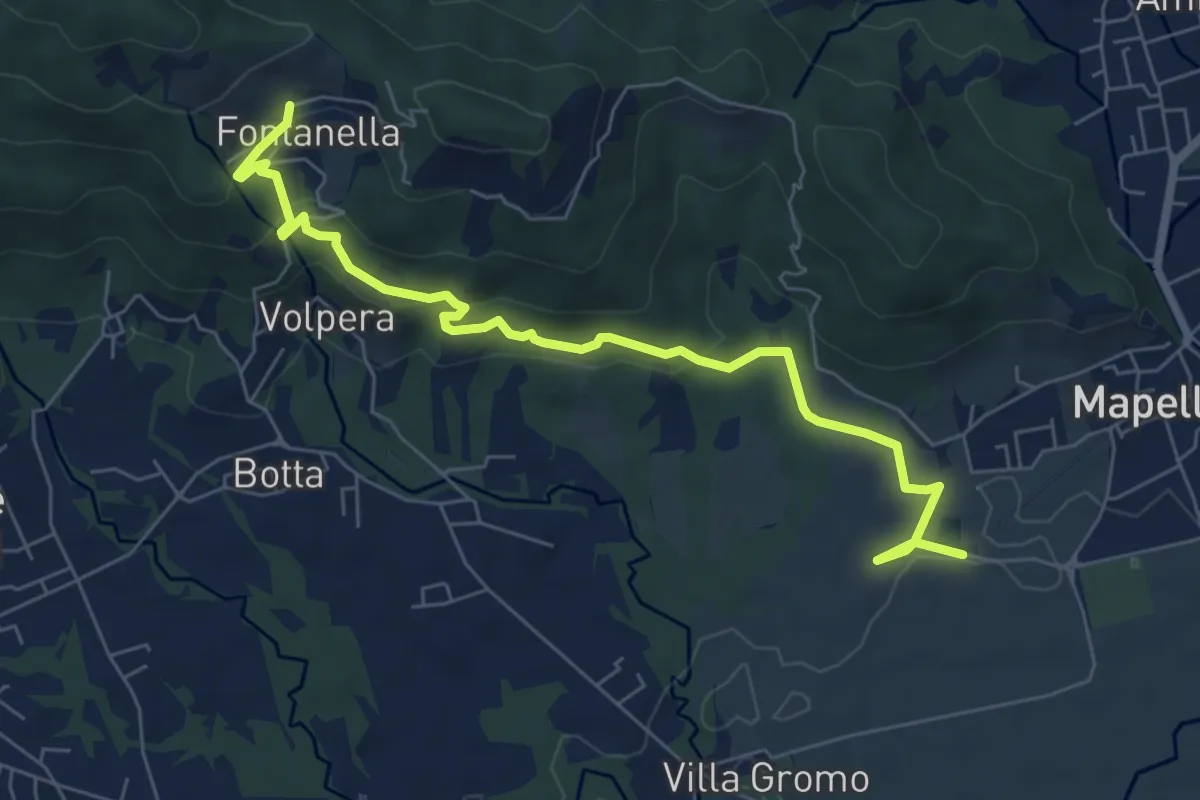
Medium · Trail
Madonna di Prada – Fontanella (Sotto il Monte)
7.5 km · ↑ 231 m · 2 h 17 min
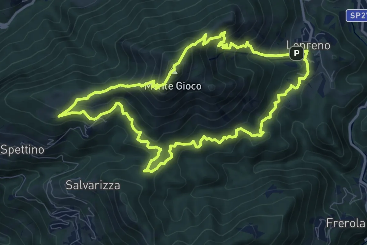
Medium · Summit
Lepreno (Serina) – Lepreno
8.9 km · ↑ 710 m · 3 h 46 min
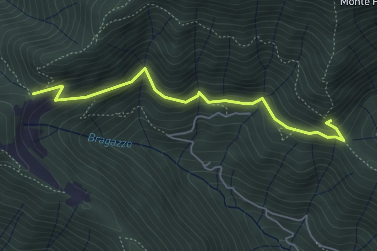
Medium · Trail
Fienile Piazzolo (Vigano San Martino) – Prati Alti
4.5 km · ↑ 340 m · 1 h 48 min
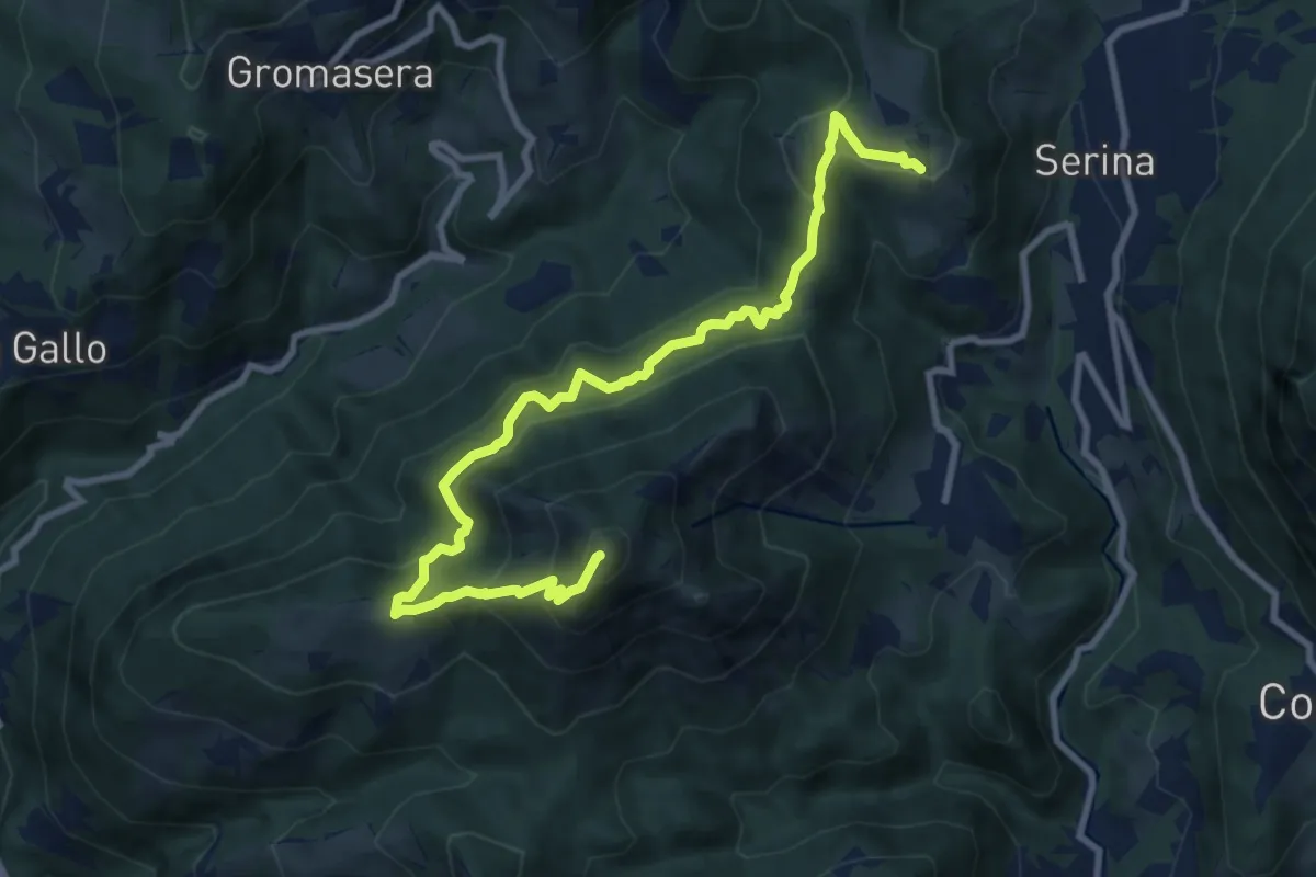
Medium · Summit
Corone (Serina) – Spettino (San Pellegrino Terme)
10.4 km · ↑ 752 m · 4 h 5 min
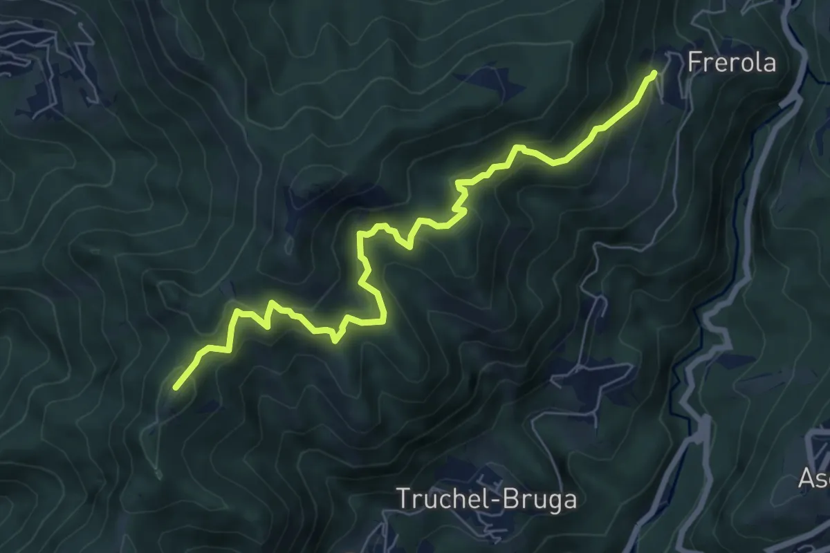
Medium · Summit
Frerola (Algua) – Bracca
7.2 km · ↑ 567 m · 2 h 56 min
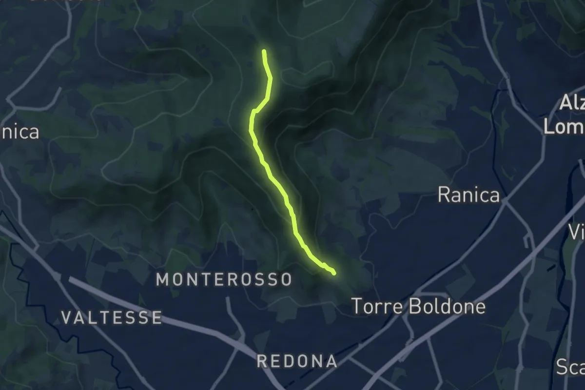
Medium · Trail
Calvarola (Bergamo) – Croce dei Morti (Ponteranica)
5.2 km · ↑ 329 m · 1 h 57 min
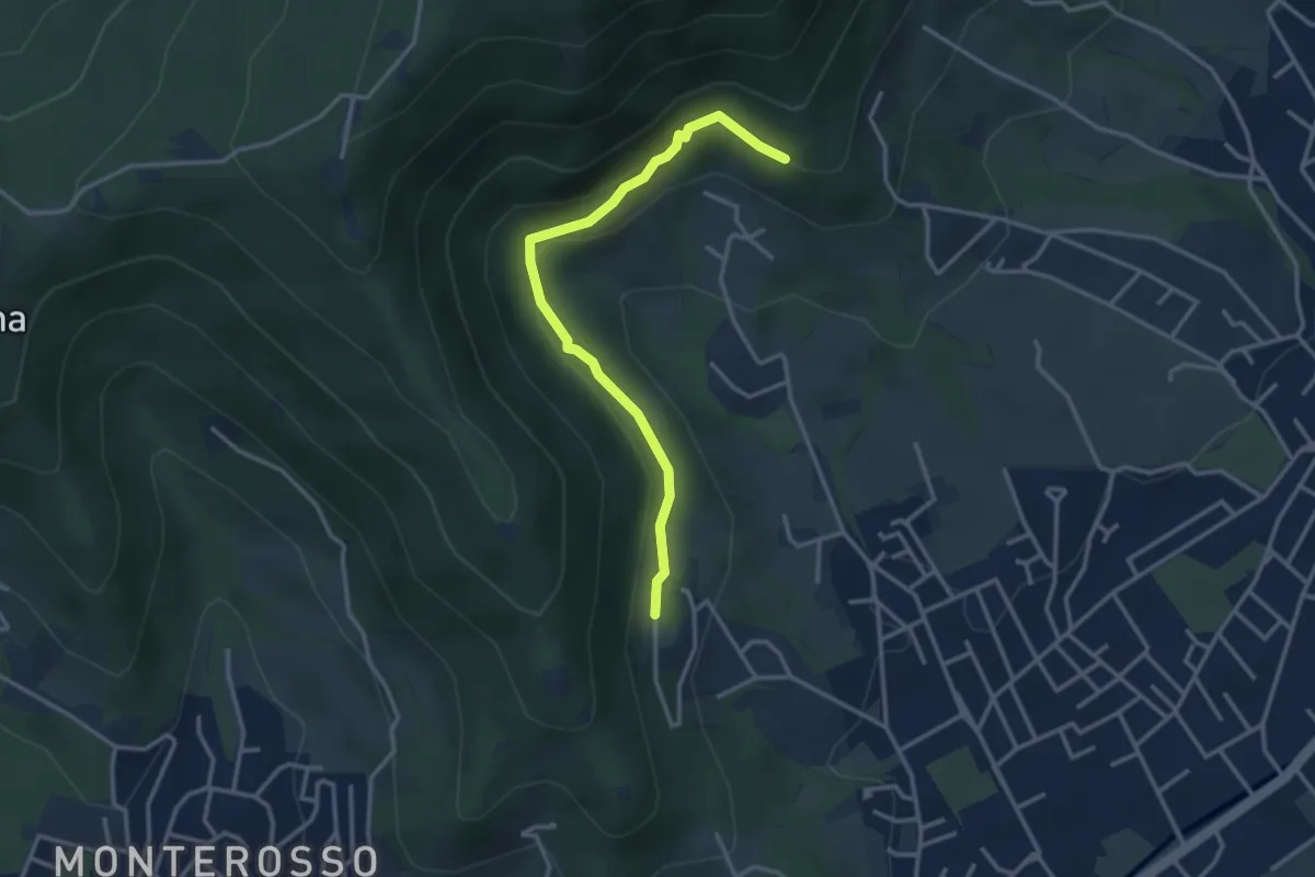
Easy · Trail
Gaito (Torre Boldone) – San Rocco (Ponteranica)
3.3 km · ↑ 127 m · 1 h 4 min
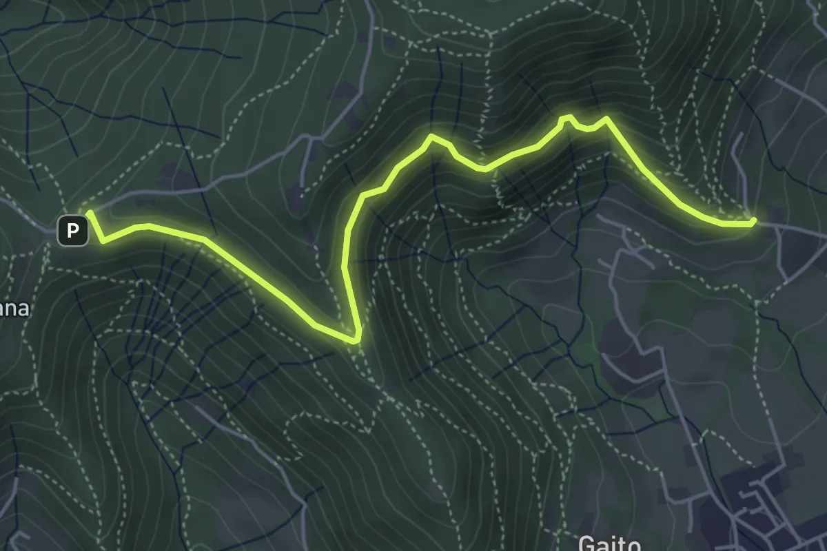
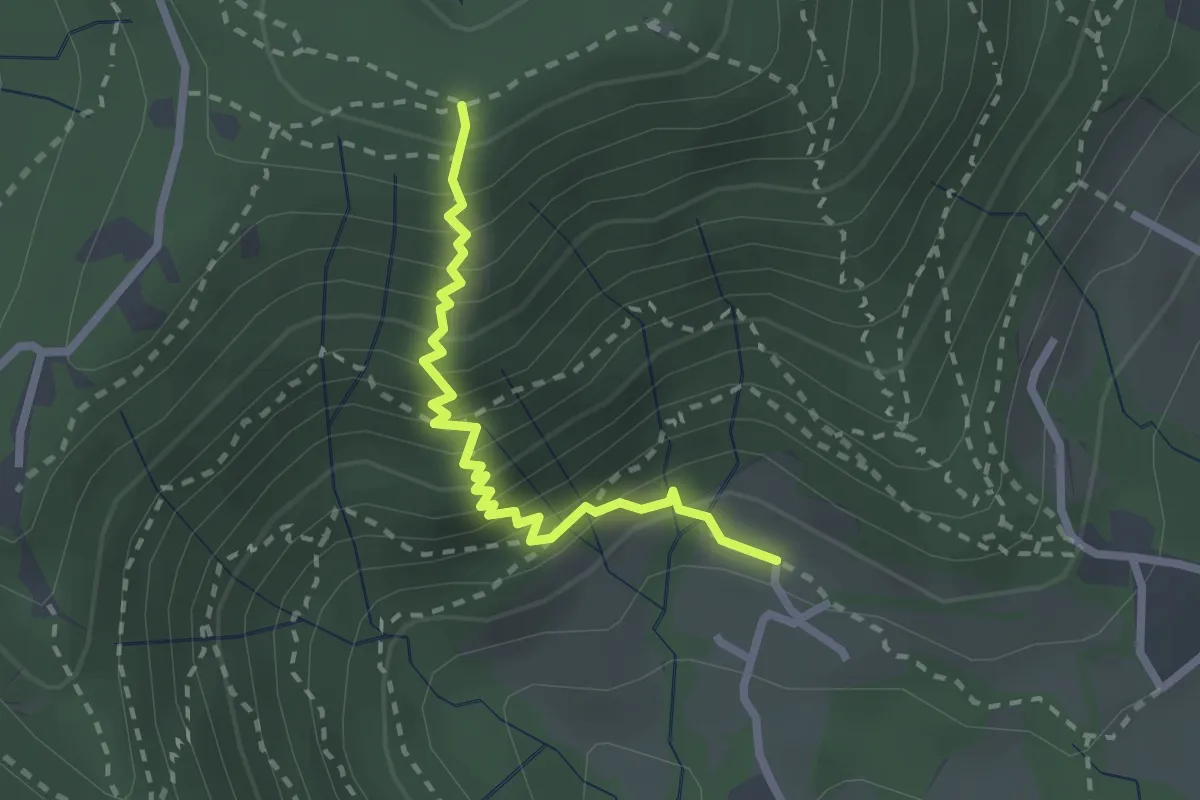
Medium · Trail
San Rocco (Ranica) – Maresana (Ponteranica)
5.4 km · ↑ 332 m · 2 h
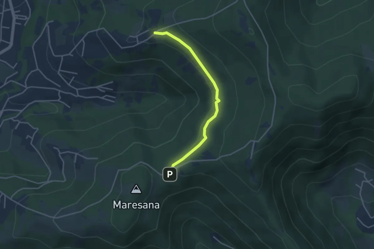
Medium · Trail
Fenile (Torre Boldone) – Croce del Boscone (Torre Boldone)
2.4 km · ↑ 321 m · 1 h 15 min
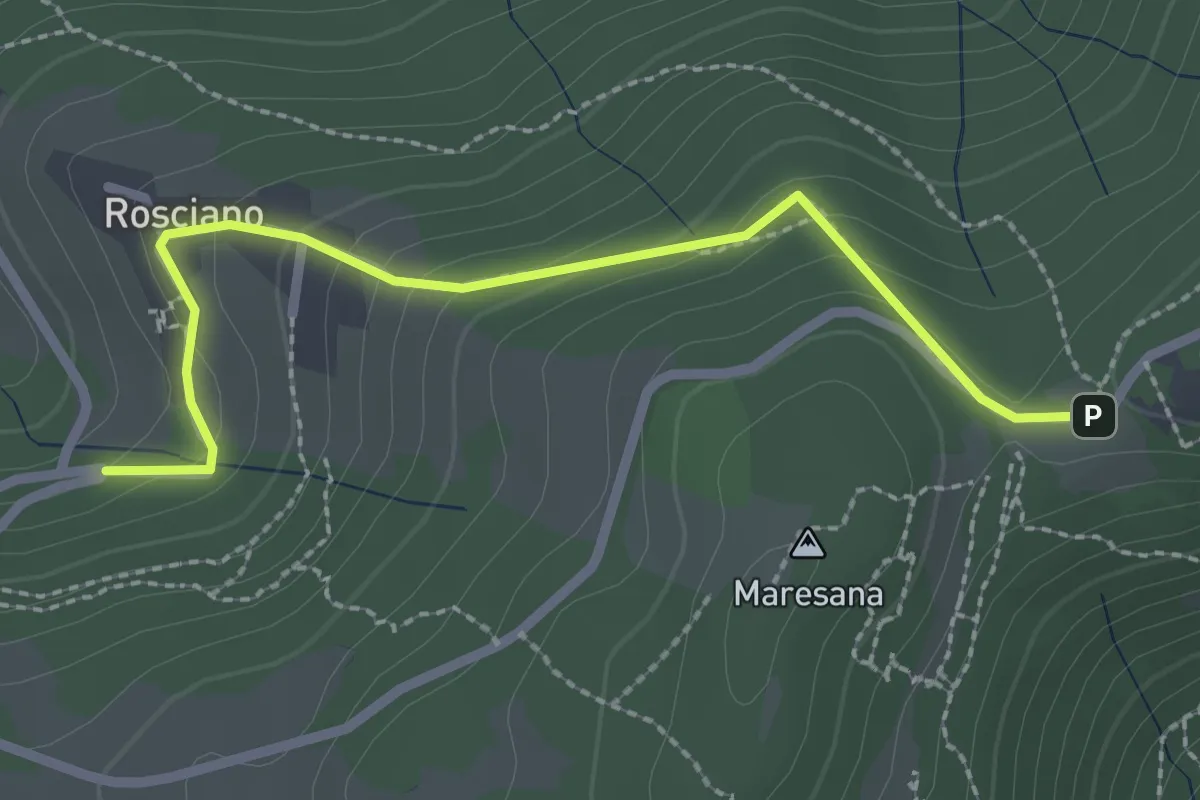
Easy · Trail
Maresana (Ponteranica) – Castello della Moretta (Ponteranica)
3.0 km · ↑ 63 m · 51 min
Easy · Trail
Rosciano (Ponteranica) – Maresana (Ponteranica)
2.6 km · ↑ 147 m · 55 min
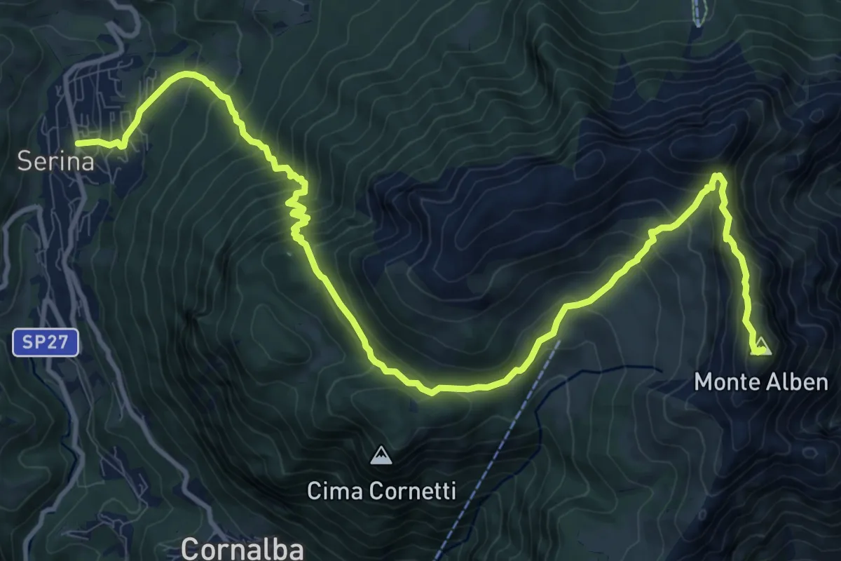
Expert · Summit
Serina – Monte Alben
14.7 km · ↑ 1277 m · 6 h 14 min
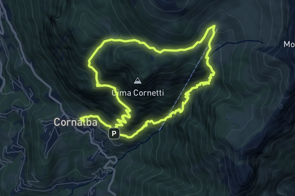
Medium · Trail
Cornalba – Cornalba
7.5 km · ↑ 759 m · 3 h 32 min
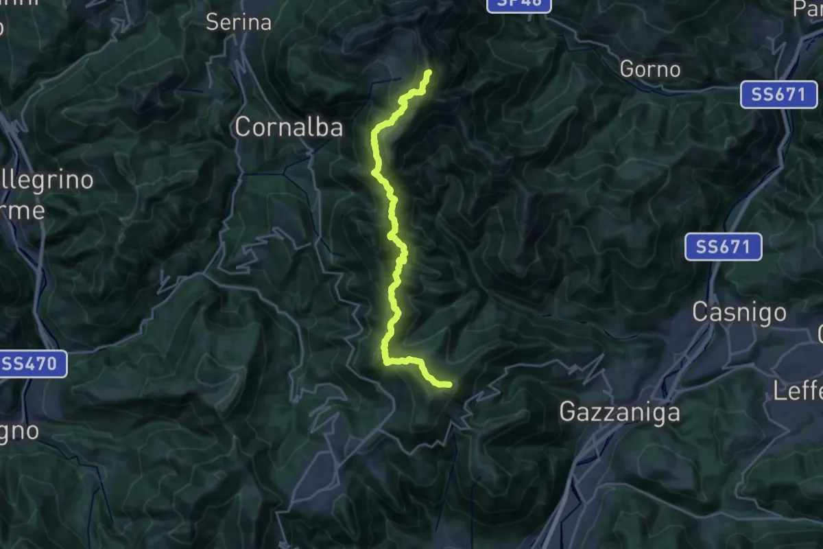
Expert · Summit
Ca' de Spi' (Gazzaniga) – Monte Alben
20.0 km · ↑ 1657 m · 8 h 19 min
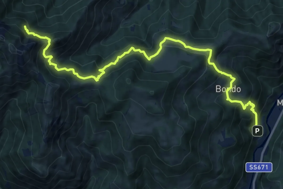
Expert · Cabin
Colzate – Bivacco La Plana
17.4 km · ↑ 1575 m · 7 h 31 min
Medium · Trail
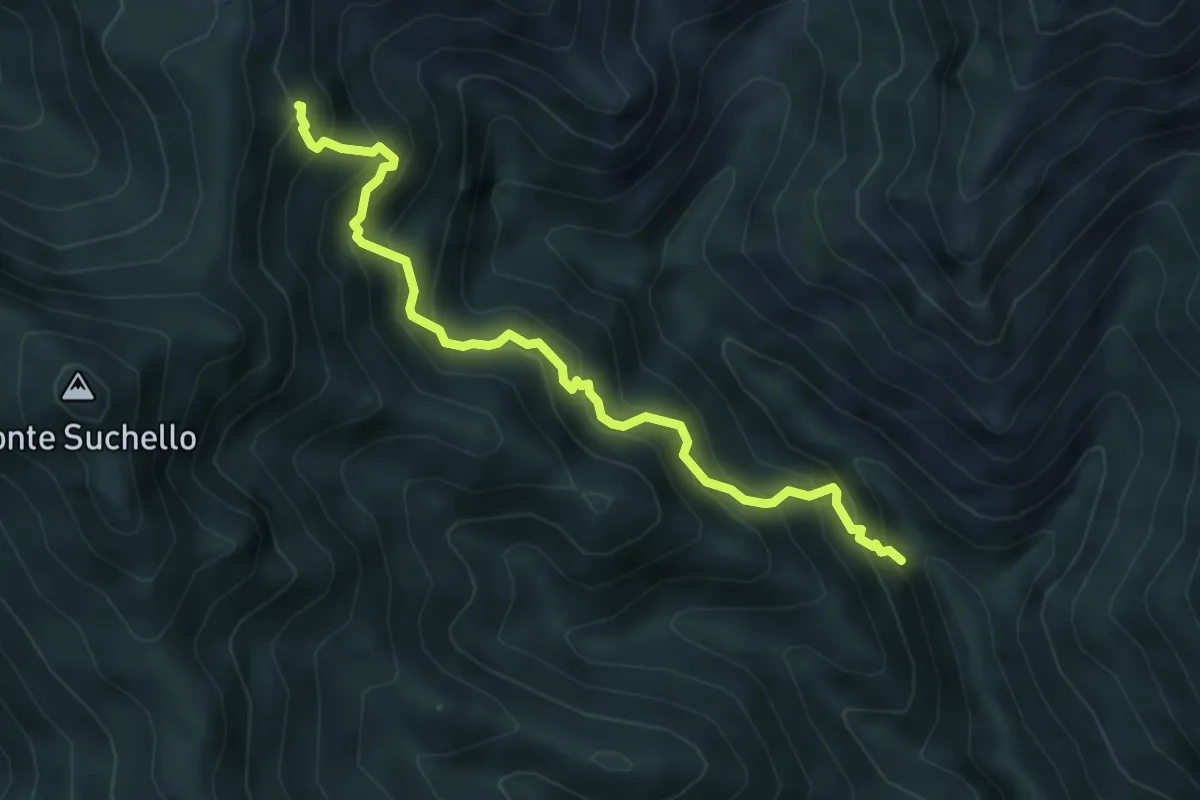
Val Vertova – Colle di Barbata
5.0 km · ↑ 660 m · 2 h 36 min
Easy · Trail
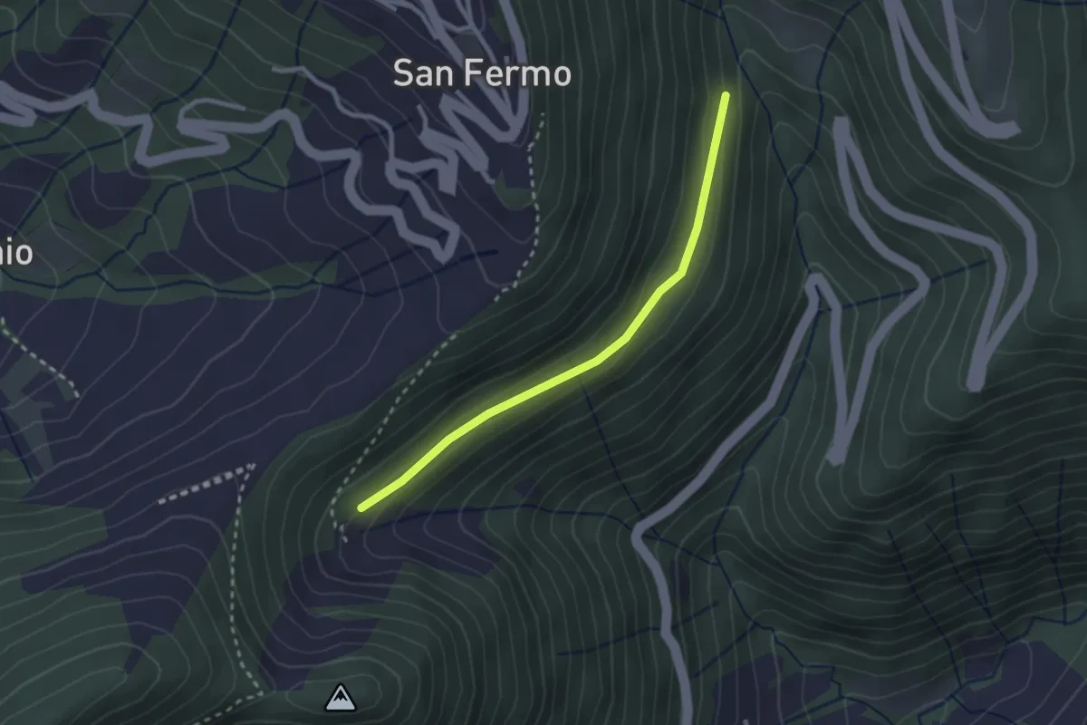
Incrocio 748 – Bondo (incrocio ASR02)
2.5 km · ↑ 83 m · 46 min
Medium · Summit
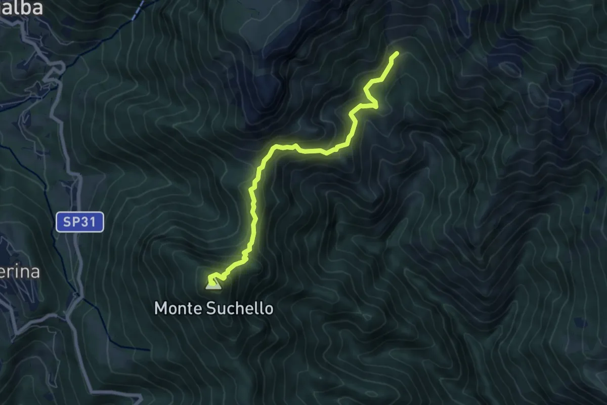
Aviatico – Sedernello
6.5 km · ↑ 548 m · 2 h 44 min
Medium · Summit
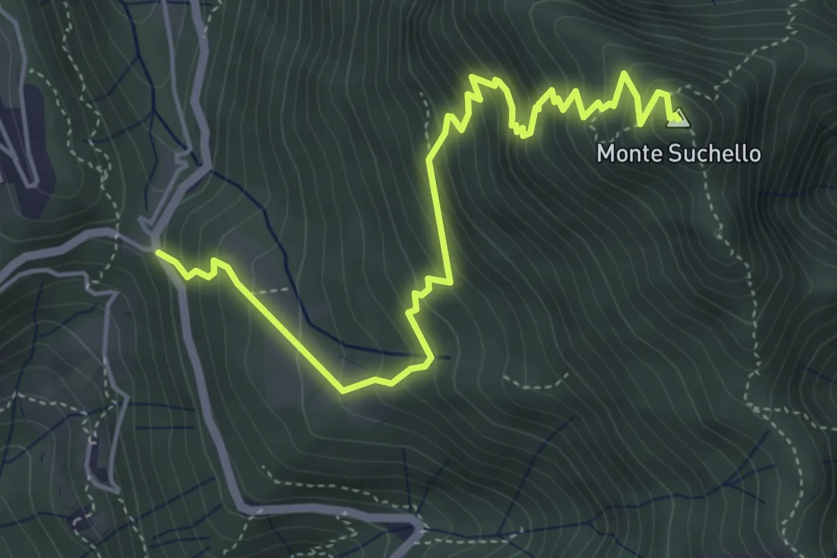
Costa Serina – Monte Suchello
5.5 km · ↑ 618 m · 2 h 39 min
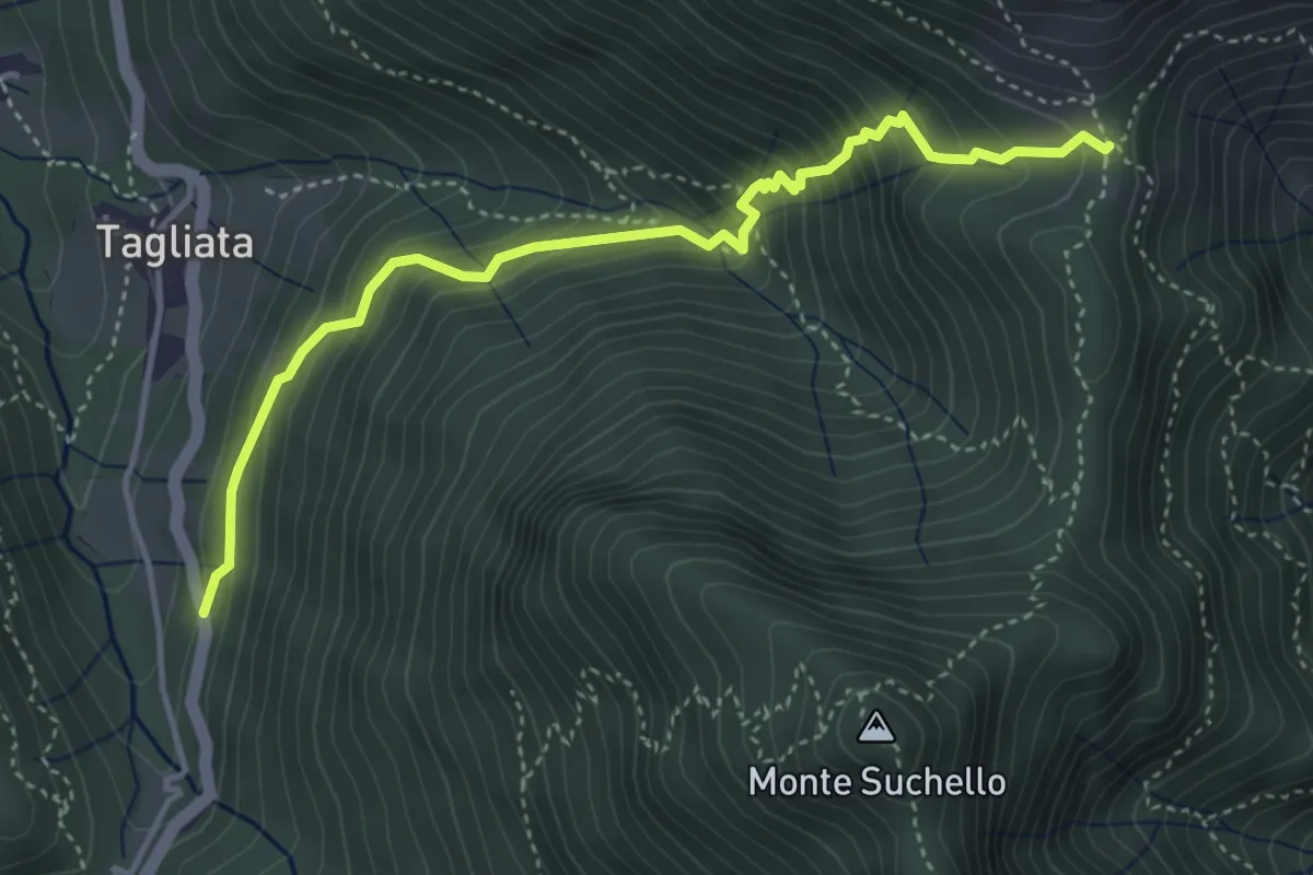
Medium · Trail
Costa di Serina – Passo Barbata (incrocio 525)
4.3 km · ↑ 508 m · 2 h 8 min
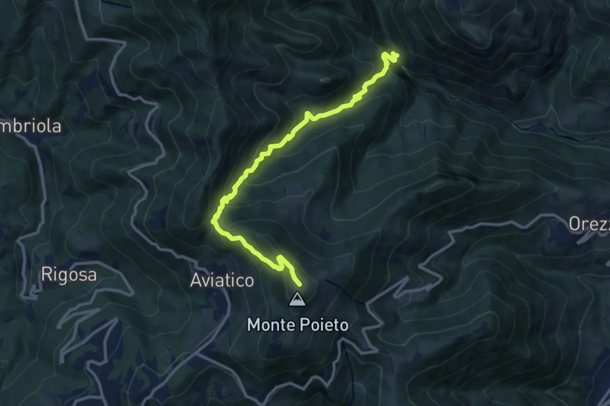
Demanding · Trail
Val Vertova – Monte Poieto
10.0 km · ↑ 782 m · 4 h 4 min
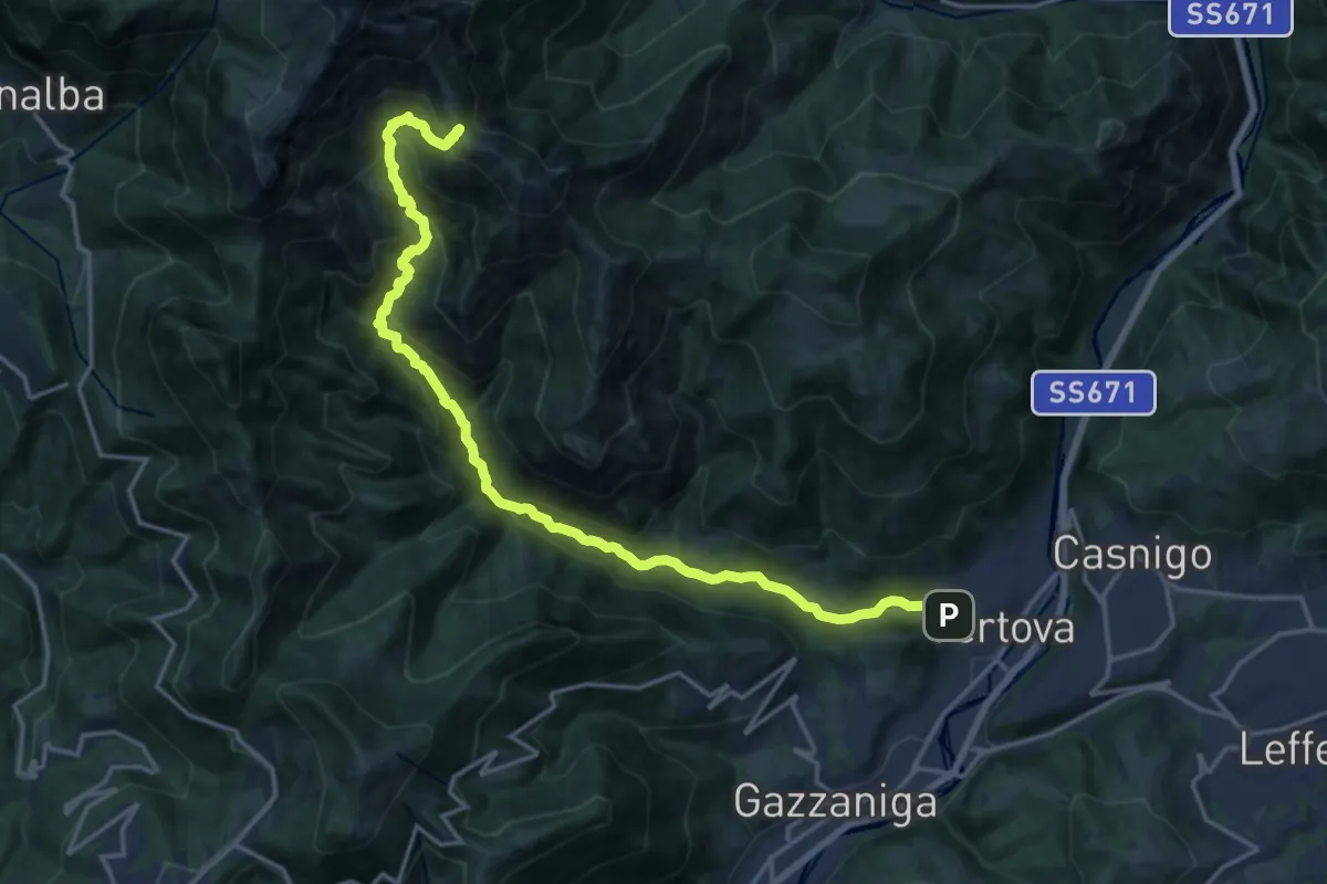
Demanding · Cabin
Vertova – Bivacco Testa
19.1 km · ↑ 1189 m · 7 h 5 min
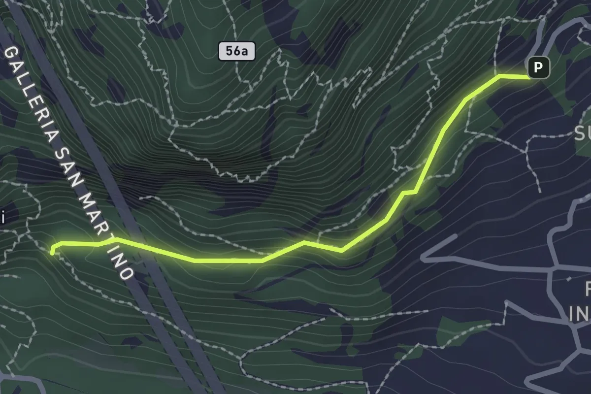
Medium · Trail
Incrocio 552 – Incrocio 553_1
2.1 km · ↑ 156 m · 50 min