Trails in Italy
25,219 hiking trails, each with its route, climb, walking time and grade.
All trails, page 462 of 526
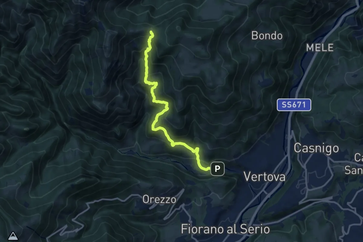
Demanding · Trail
Vertova – Dasla
10.8 km · ↑ 930 m · 4 h 33 min
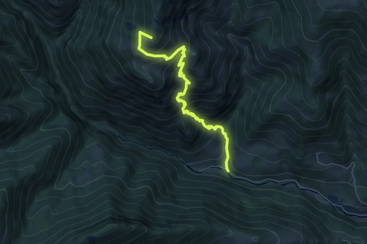
Medium · Summit
Vertova – Passo di Bliben
6.5 km · ↑ 709 m · 3 h 4 min
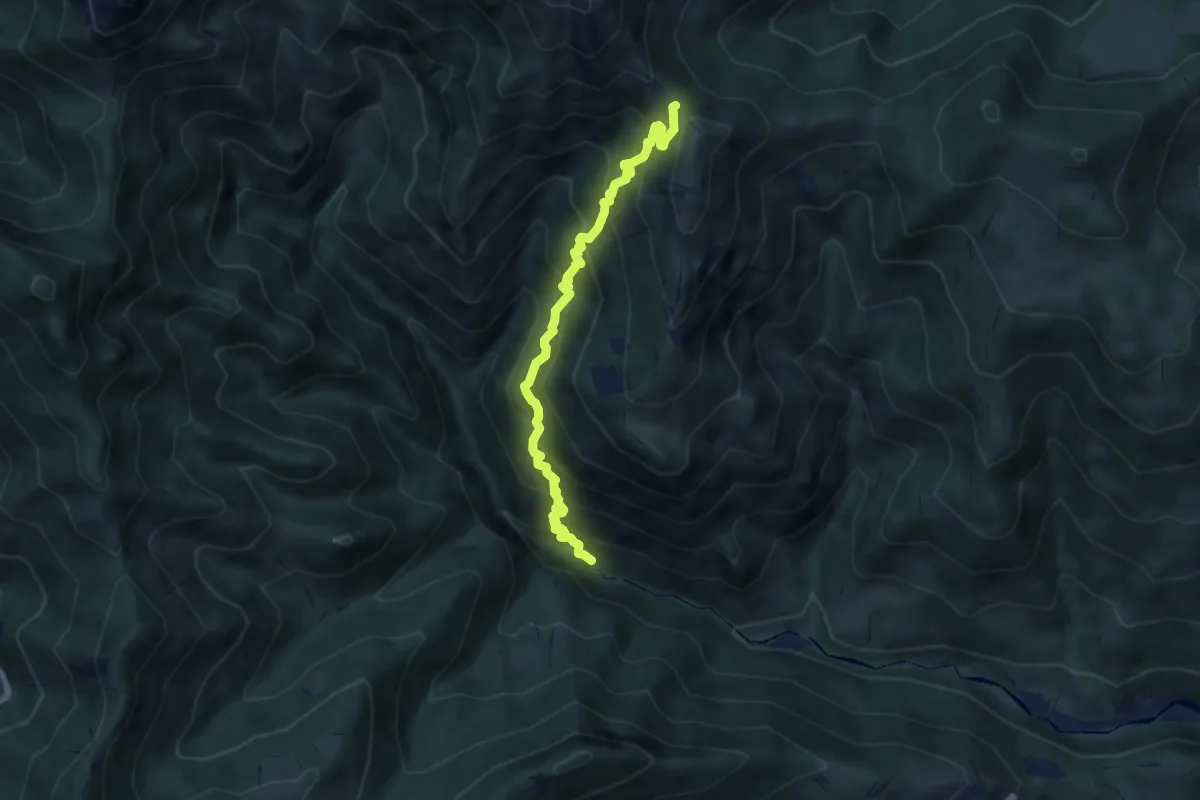
Demanding · Trail
Gaernài (Val Vertova) – Passo di Bliben
7.3 km · ↑ 856 m · 3 h 35 min
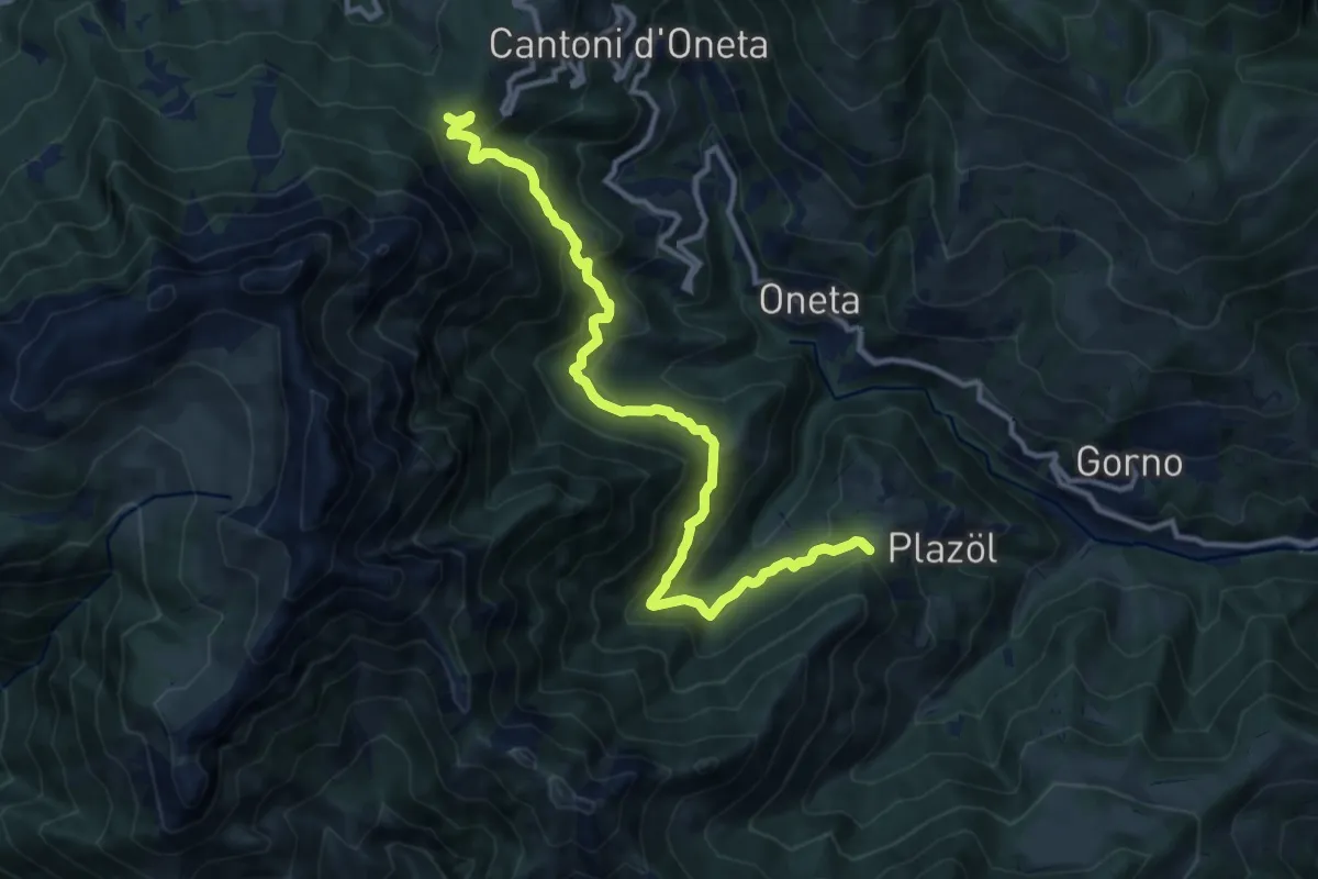
Demanding · Trail
Chignolo (Oneta) – Passo della Crocetta
12.5 km · ↑ 884 m · 4 h 52 min
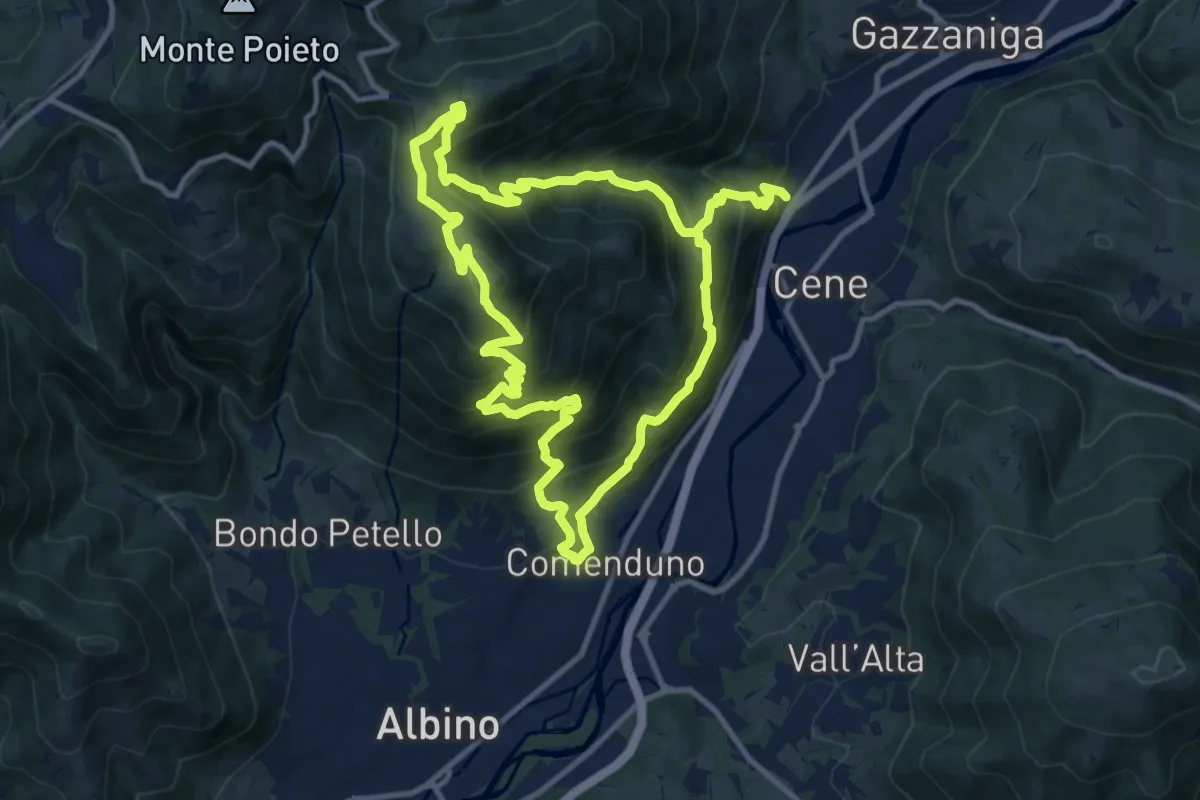
Demanding · Summit
Comenduno (Albino) – Comenduno (Albino)
11.1 km · ↑ 1121 m · 5 h 6 min
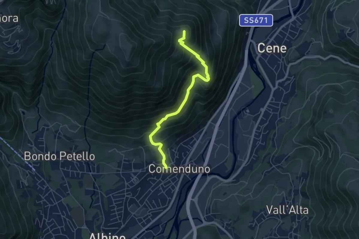
Medium · Summit
Comenduno (Albino) – Ganda
5.7 km · ↑ 511 m · 2 h 27 min
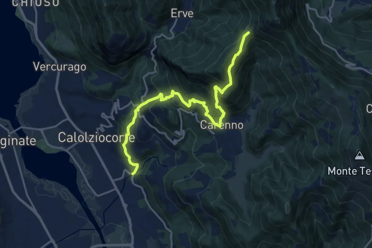
Demanding · Trail
Serta (Calolziocorte) – Passo della Pertulena
12.4 km · ↑ 967 m · 5 h 2 min
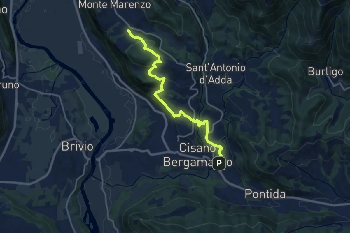
Medium · Trail
Costa (Monte Marenzo) – Cava (Caprino Bergamasco)
11.9 km · ↑ 462 m · 3 h 48 min
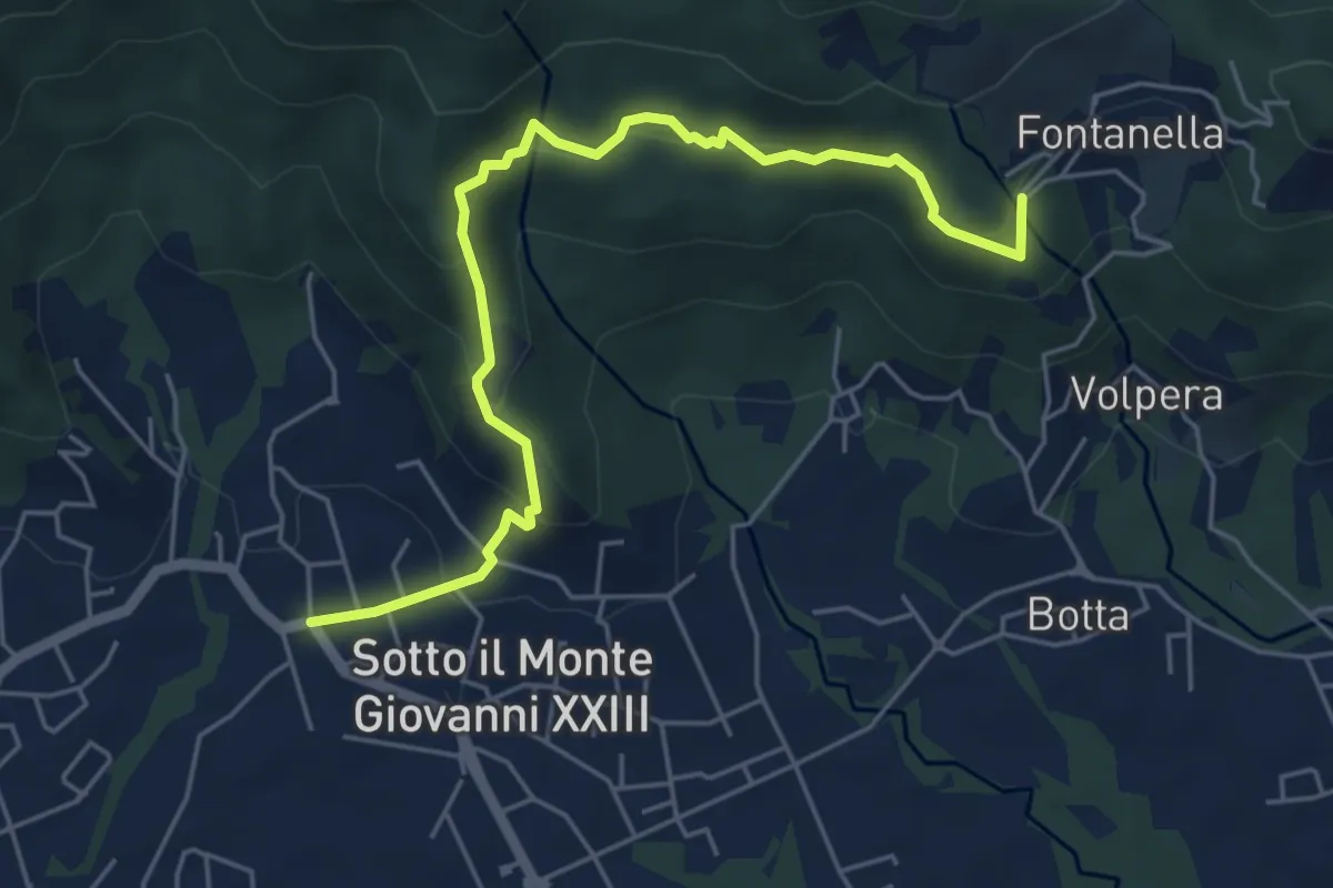
Easy · Trail
Sotto il Monte – Fontanella (incrocio 892)
5.8 km · ↑ 311 m · 2 h 3 min
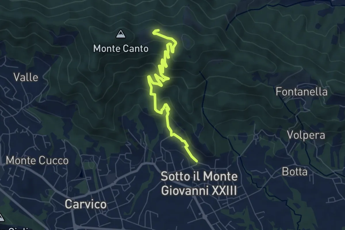
Medium · Trail
Sotto il Monte – Monte Canto (incrocio 891)
7.8 km · ↑ 458 m · 2 h 50 min
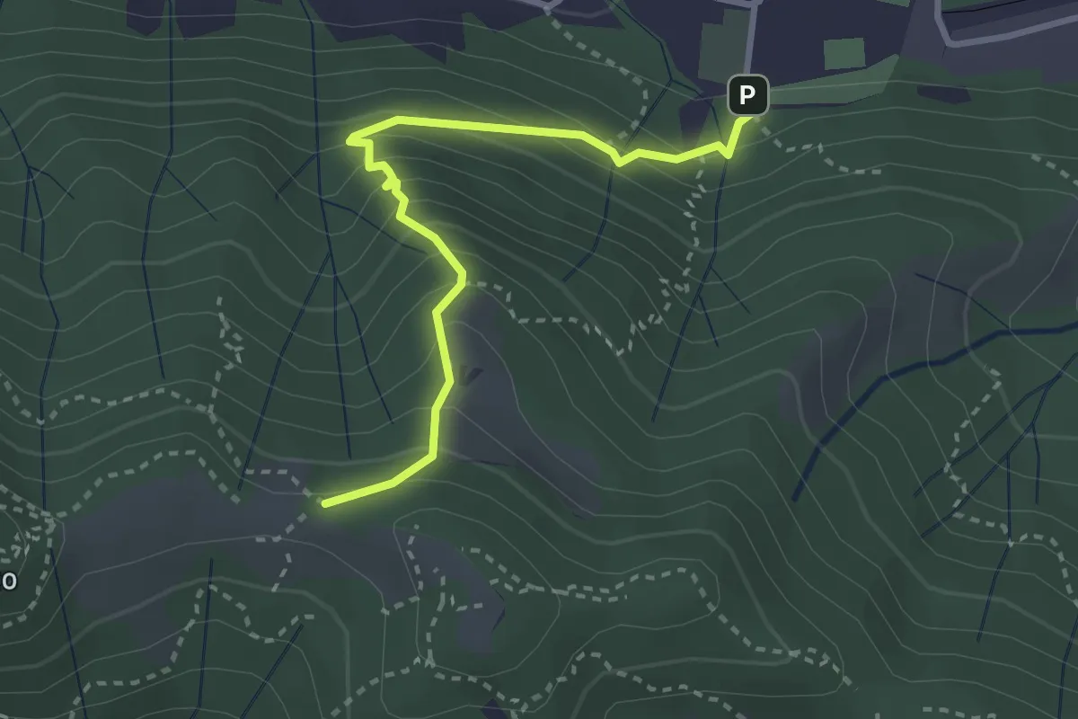
Medium · Trail
Pontida – Il Canto (incrocio 891)
3.1 km · ↑ 308 m · 1 h 23 min
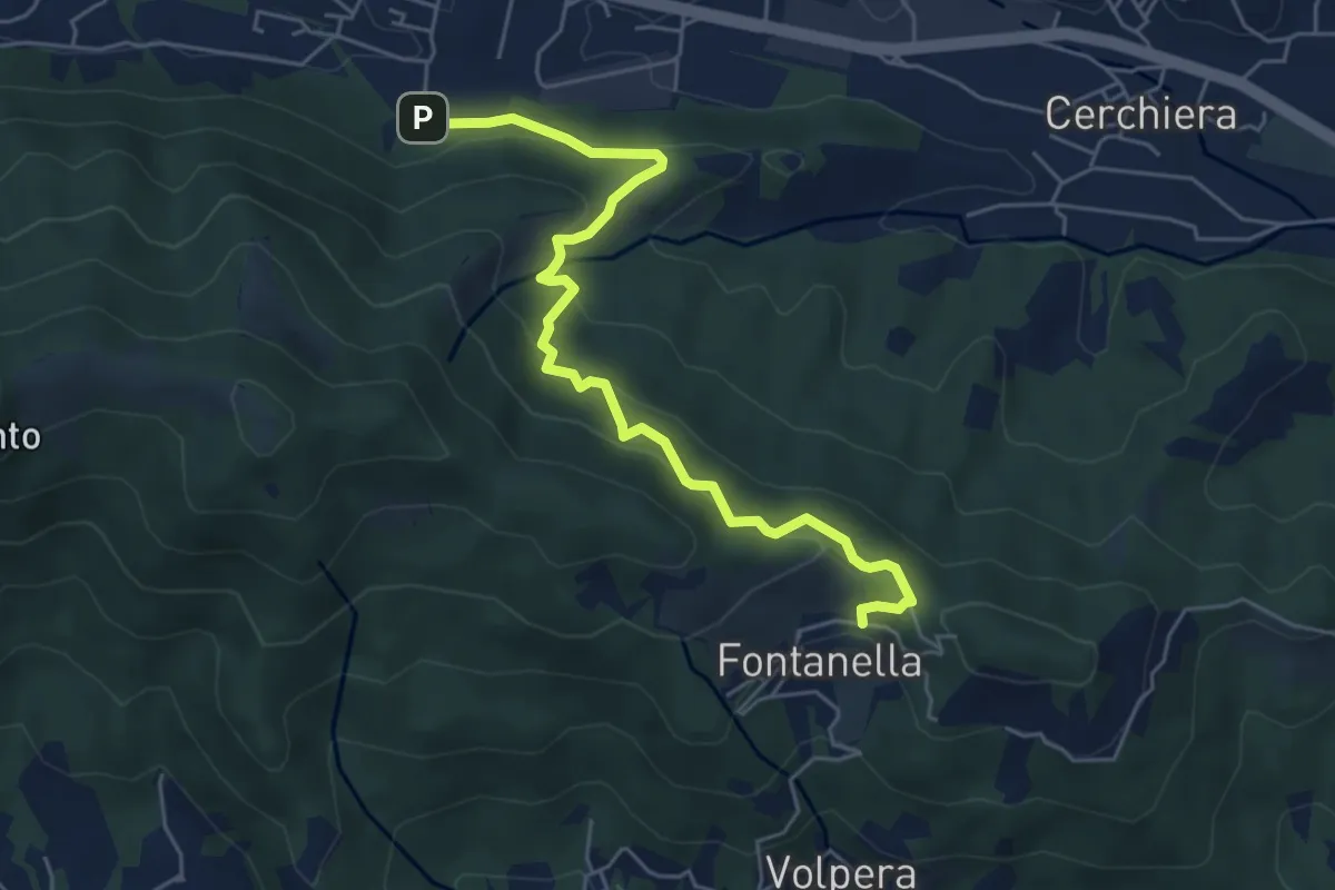
Medium · Trail
Pontida – Fontanella
5.9 km · ↑ 358 m · 2 h 10 min
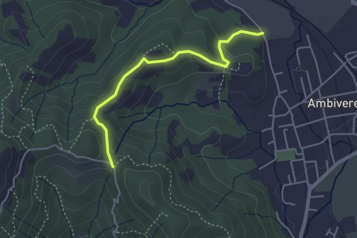
Easy · Trail
Ambivere – Chiesetta dei Cerri (incrocio 891)
3.4 km · ↑ 116 m · 1 h 3 min
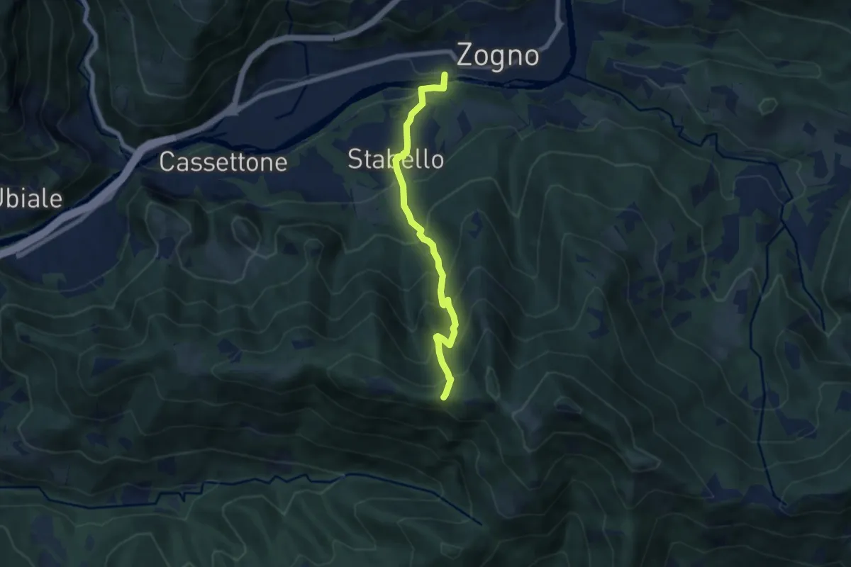
Demanding · Trail
Zogno – Casèl (incrocio 507)
6.1 km · ↑ 672 m · 2 h 54 min
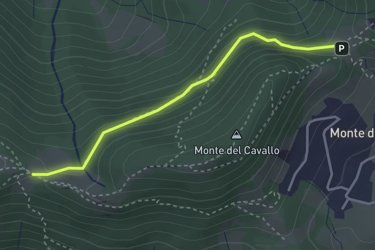
Easy · Trail
Canto Basso – Forcella di Monte di Nese
2.7 km · ↑ 240 m · 1 h 10 min
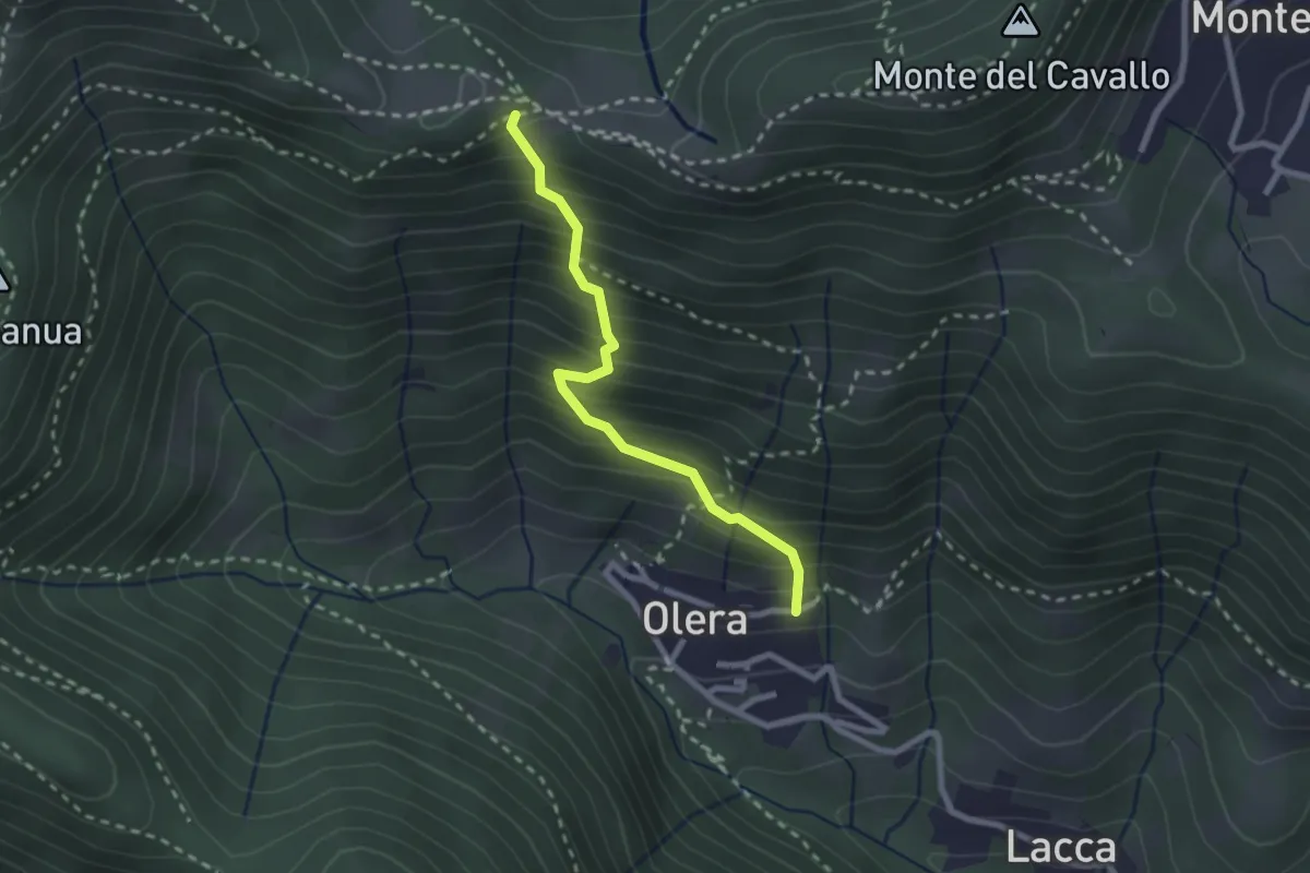
Medium · Trail
Olera (Alzano Lombardo) – Canto Basso
2.3 km · ↑ 347 m · 1 h 18 min
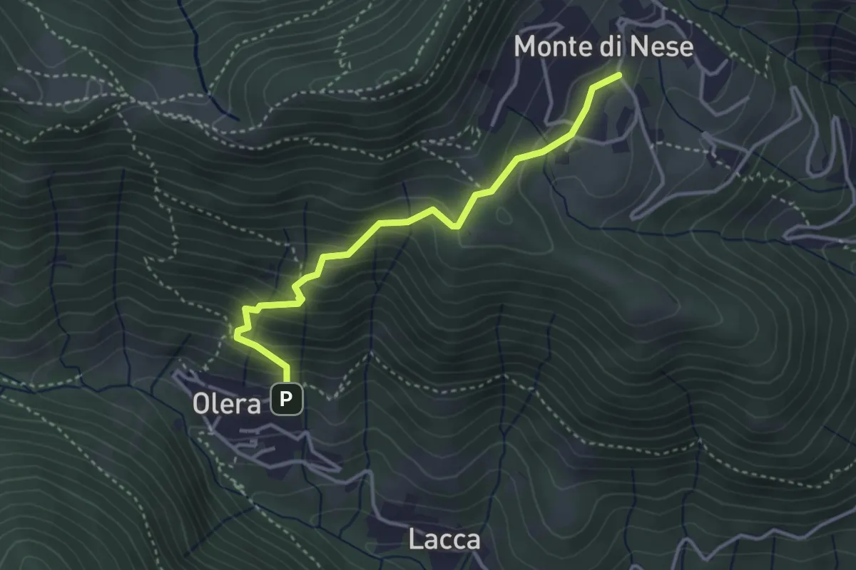
Medium · Trail
Olera (Alzano Lombardo) – Monte di Nese
3.4 km · ↑ 311 m · 1 h 29 min
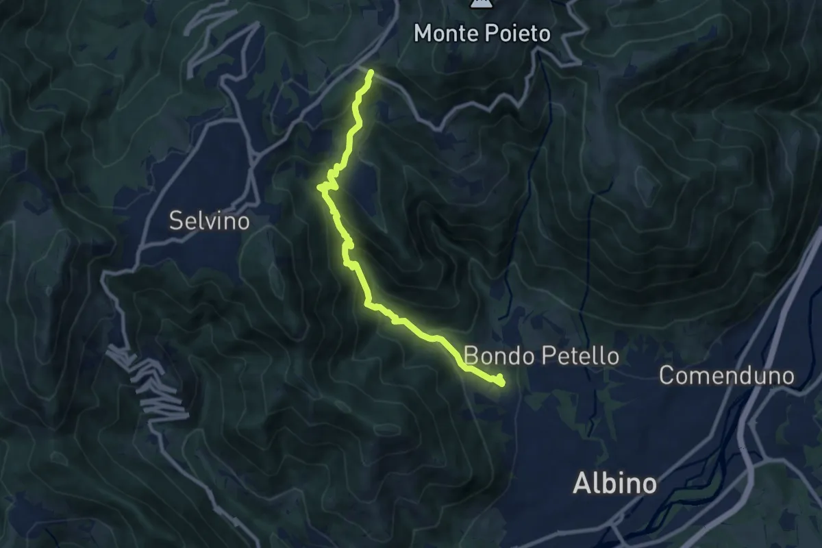
Medium · Trail
Albino – Ama (Aviatico)
8.7 km · ↑ 637 m · 3 h 26 min
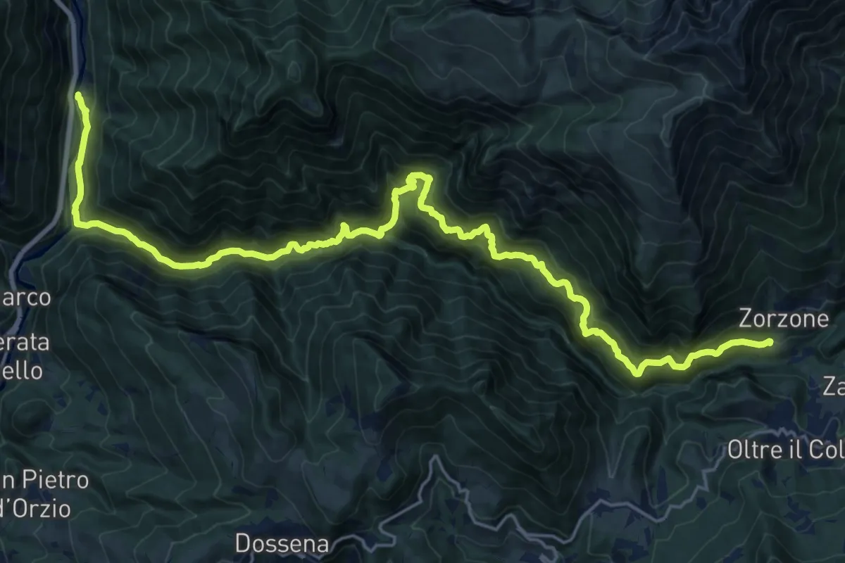
Demanding · Trail
Valparina – Scalvino (Lenna)
12.6 km · ↑ 1106 m · 5 h 19 min
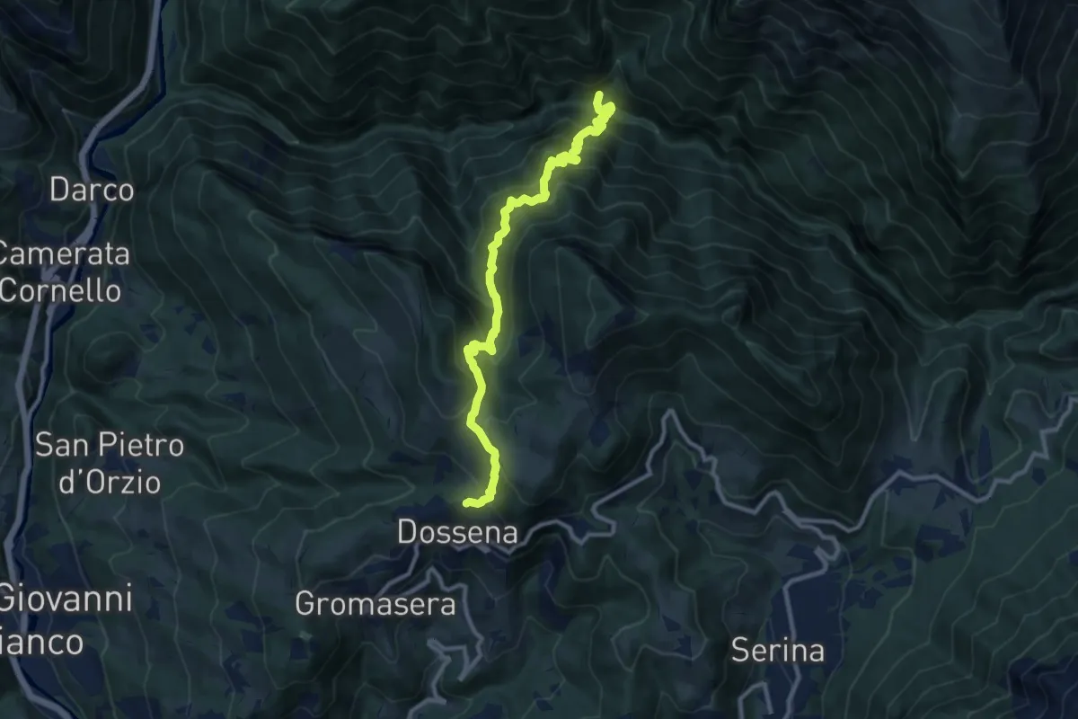
Demanding · Trail
Dossena (Costa Villa) – Val Parina (incrocio 259)
10.5 km · ↑ 959 m · 4 h 33 min
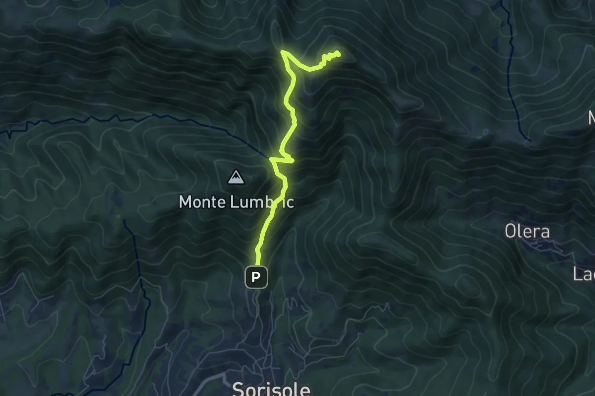
Demanding · Summit
Pisgiu – Monte Canto Alto
6.1 km · ↑ 609 m · 2 h 46 min
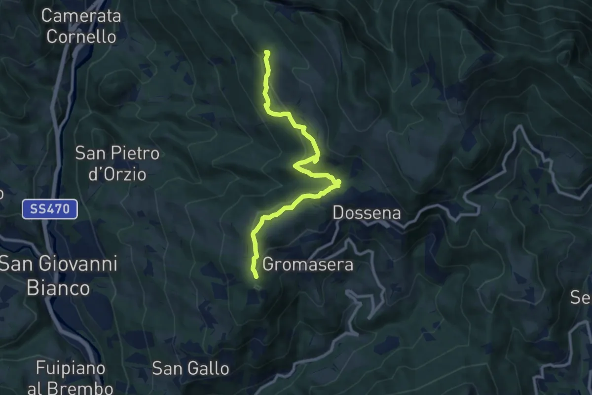
Medium · Trail
Dossena (S.S. Trinità) – Miniere del Paglio
8.4 km · ↑ 421 m · 2 h 54 min
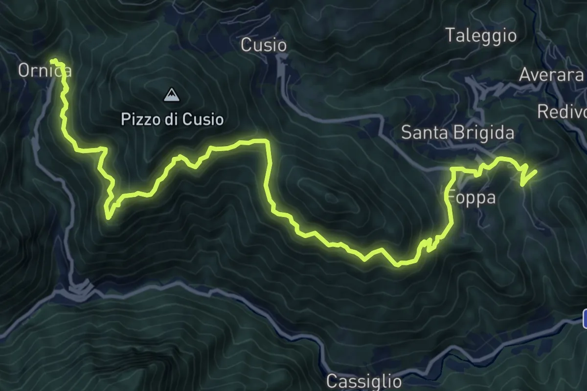
Demanding · Trail
Rasega (Ornica) – Santa Brigida (Val di Guei)
15.1 km · ↑ 1214 m · 6 h 12 min
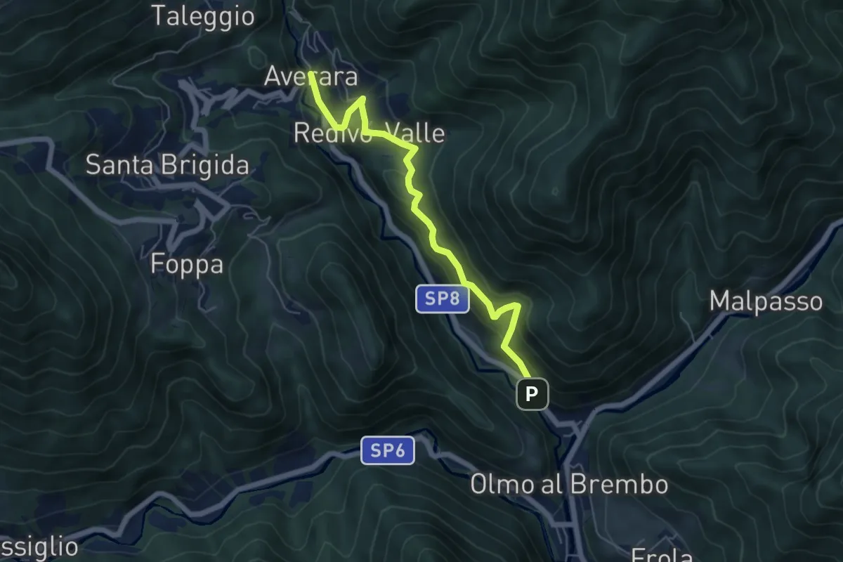
Medium · Trail
Olmo al Brembo – Redivo (Averara)
5.5 km · ↑ 488 m · 2 h 22 min
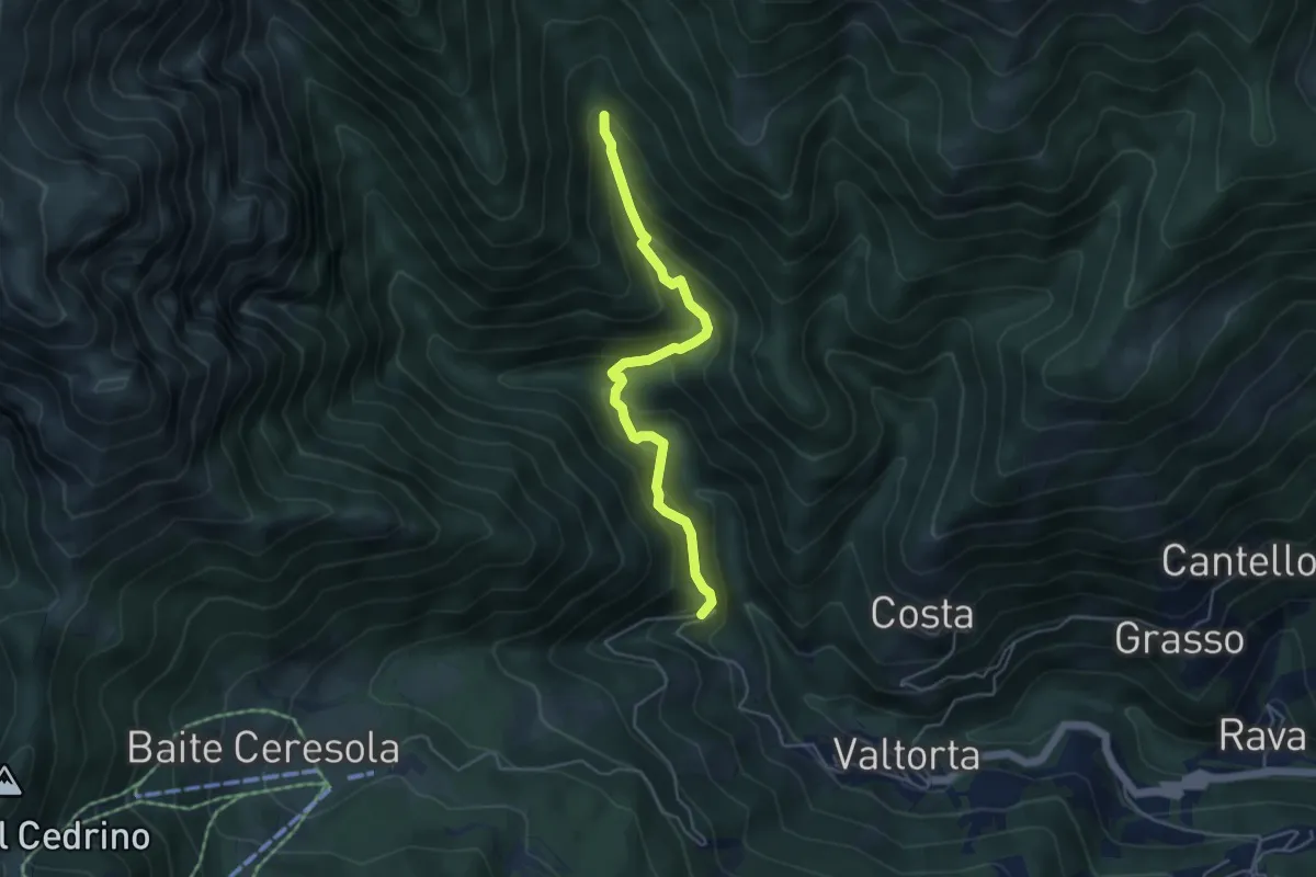
Medium · Trail
Gualtieri (Valtorta) – Incrocio 104
4.5 km · ↑ 385 m · 1 h 54 min
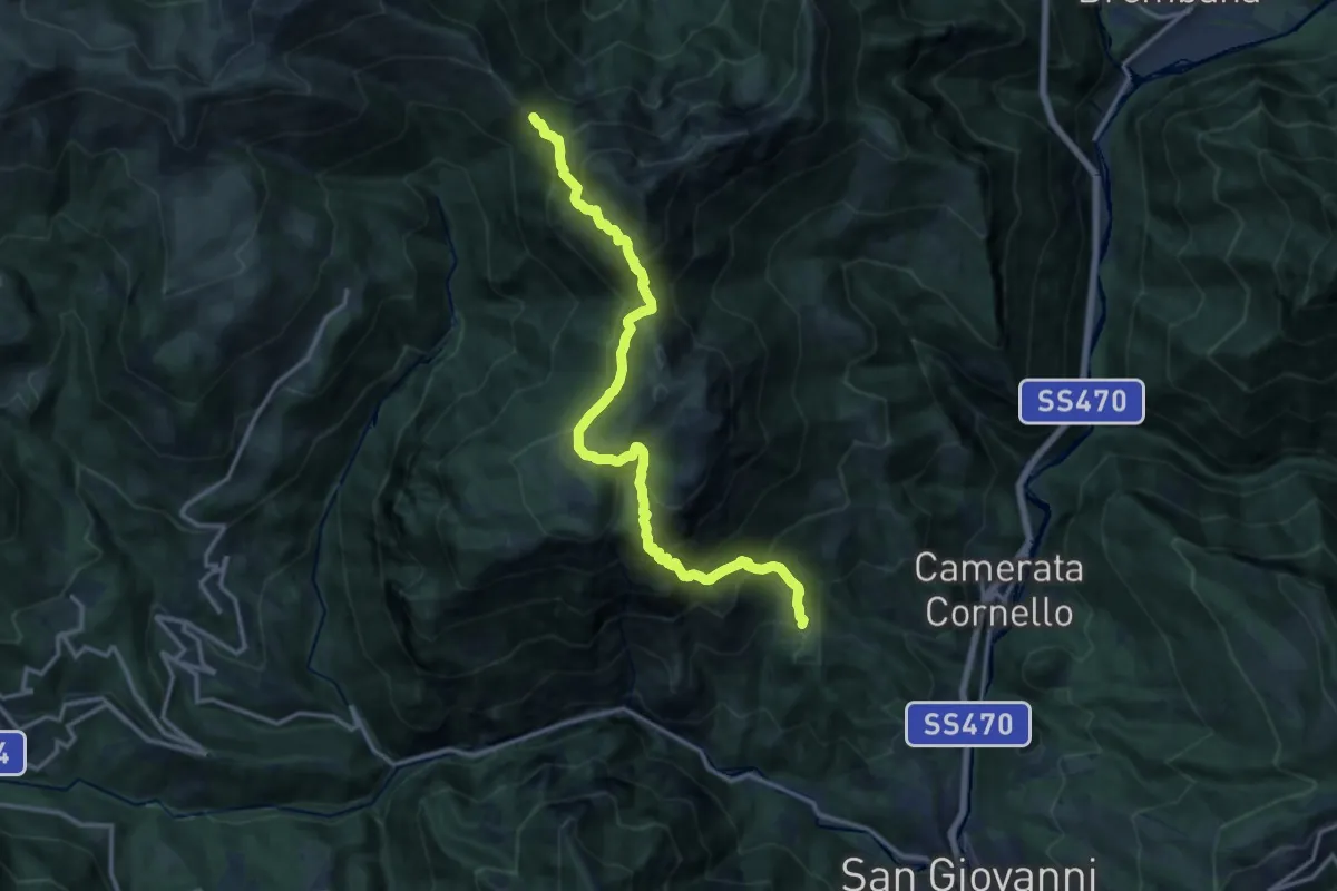
Demanding · Trail
San Giovanni Bianco (Pianca) – Passo Baciamorti
15.0 km · ↑ 1530 m · 6 h 51 min
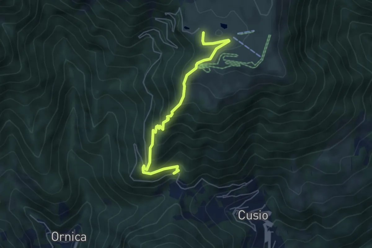
Medium · Cabin
Colle Maddalena – Piani dell'Avaro
5.3 km · ↑ 422 m · 2 h 10 min
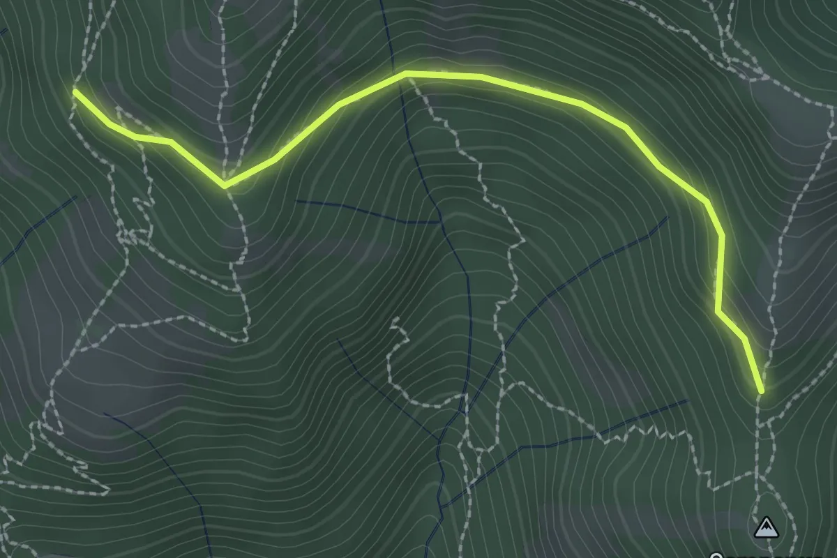
Medium · Trail
La Senna – Campanua
2.5 km · ↑ 146 m · 54 min
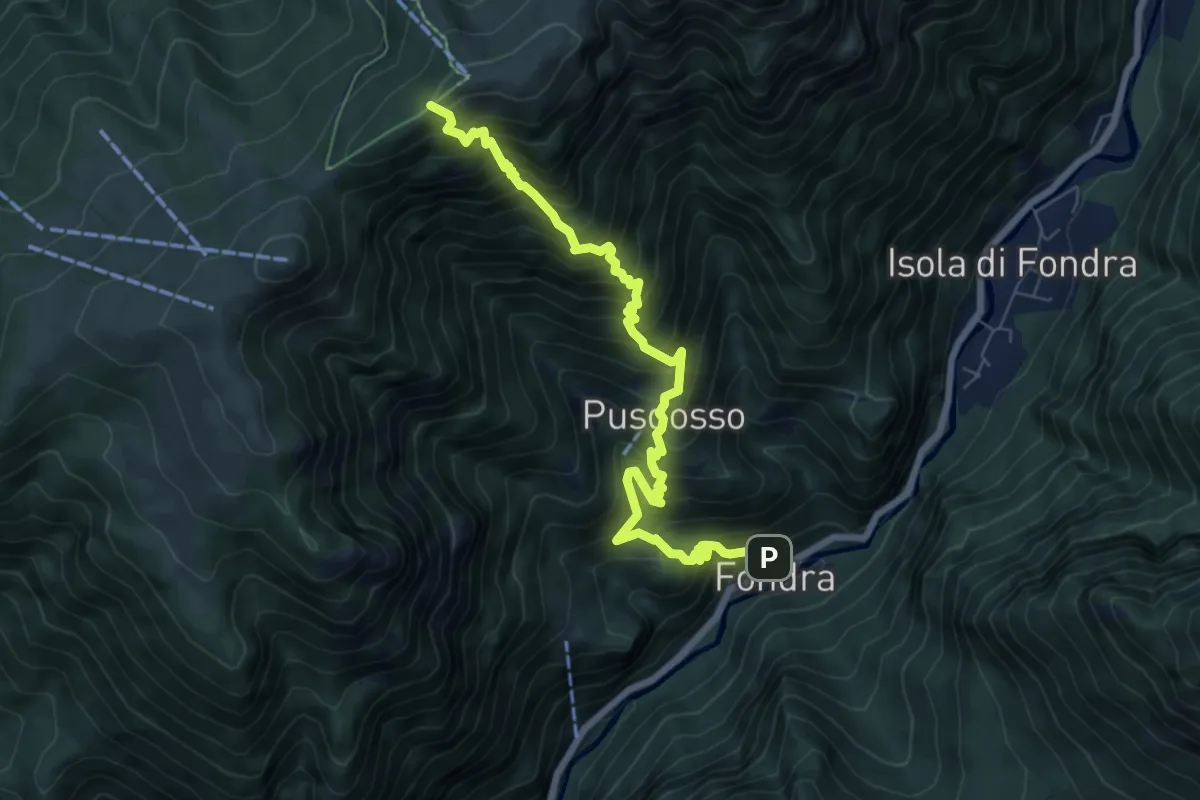
Demanding · Trail
Fondra – Torcola Soliva (incrocio 119)
8.0 km · ↑ 1125 m · 4 h 19 min
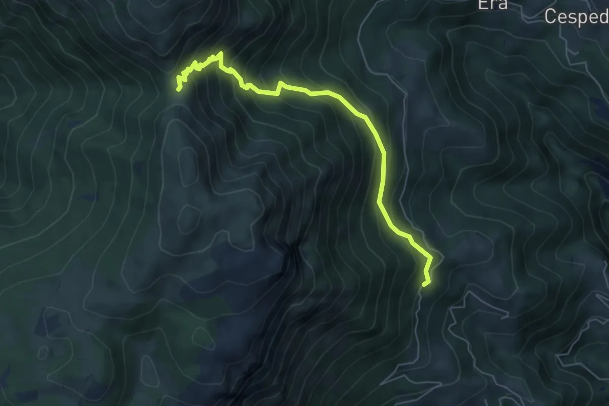
Medium · Trail
Foppelle (Camerata Cornello) – Passo di Grialeggio
6.0 km · ↑ 590 m · 2 h 41 min
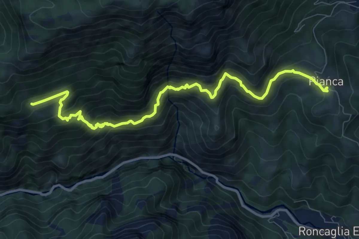
Demanding · Trail
Pianca (San Giovanni Bianco) – Cantiglio
9.6 km · ↑ 945 m · 4 h 20 min
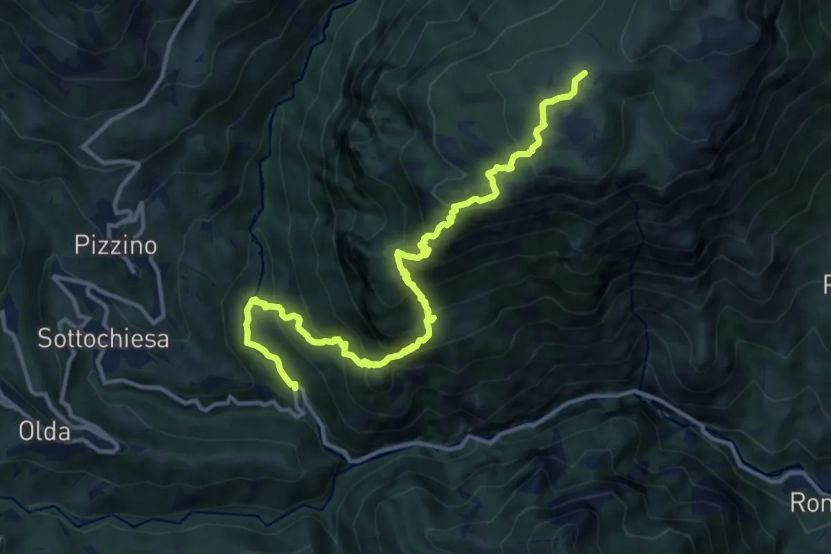
Demanding · Trail
Taleggio (Ponte del Becco) – Baita Cancervo
12.2 km · ↑ 1126 m · 5 h 19 min
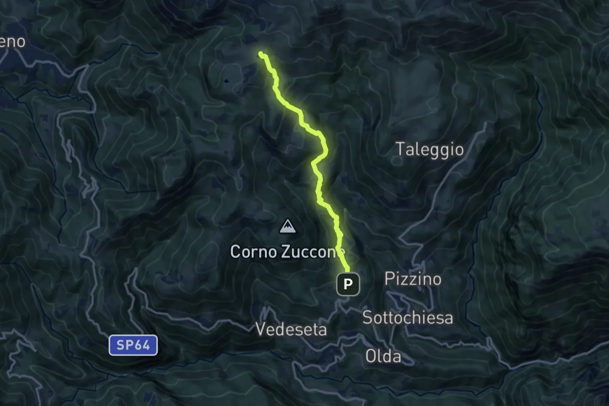
Medium · Trail
Reggetto (Vedeseta) – Piani di Artavaggio
10.4 km · ↑ 722 m · 4 h 1 min
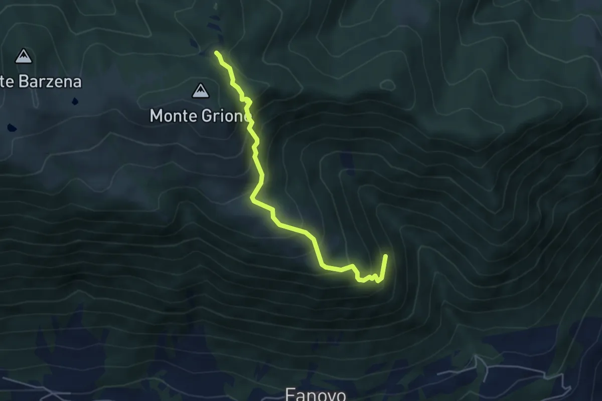
Medium · Trail
Valle di Palate (Endine) – Monte Grione (incrocio 547)
4.4 km · ↑ 456 m · 2 h 2 min
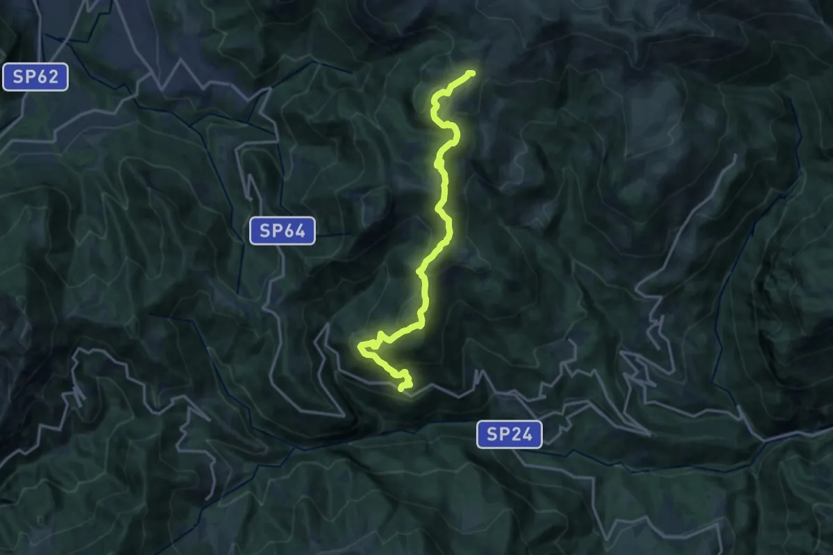
Medium · Trail
Avolasio (Vedeseta) – Piani di Artavaggio
14.8 km · ↑ 756 m · 5 h 8 min
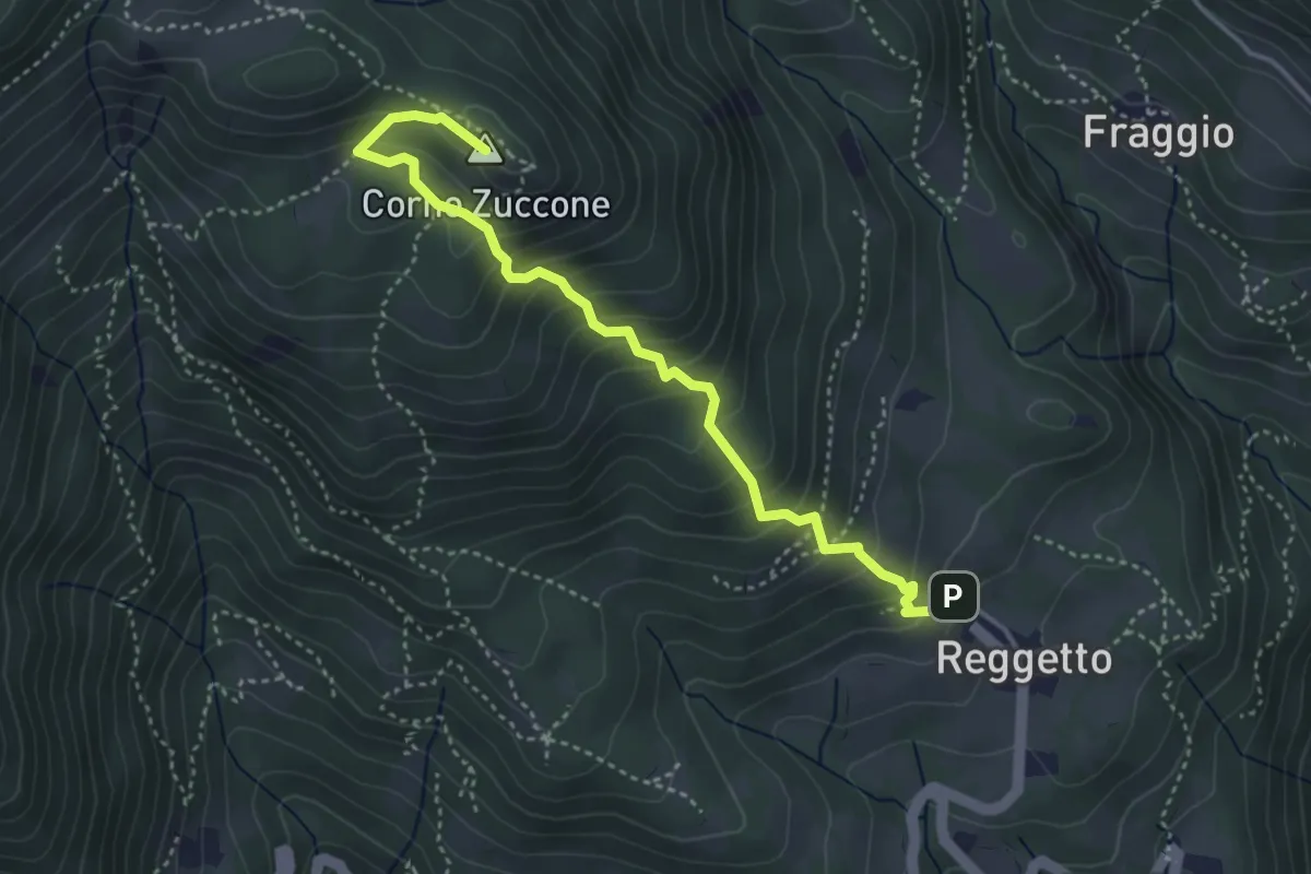
Demanding · Summit
Reggetto – Corno Zuccone (incrocio 151)
4.1 km · ↑ 405 m · 1 h 51 min
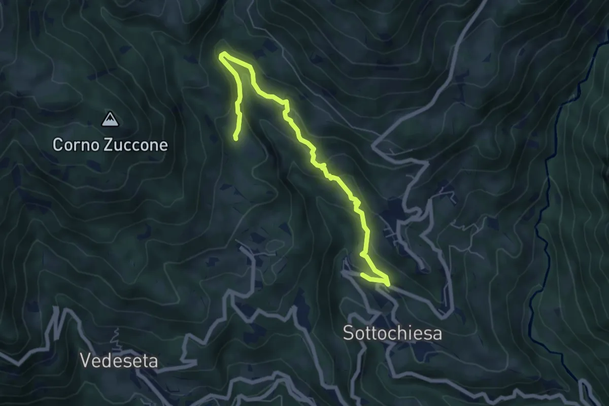
Medium · Trail
Sottochiesa – Fraggio
6.7 km · ↑ 318 m · 2 h 16 min
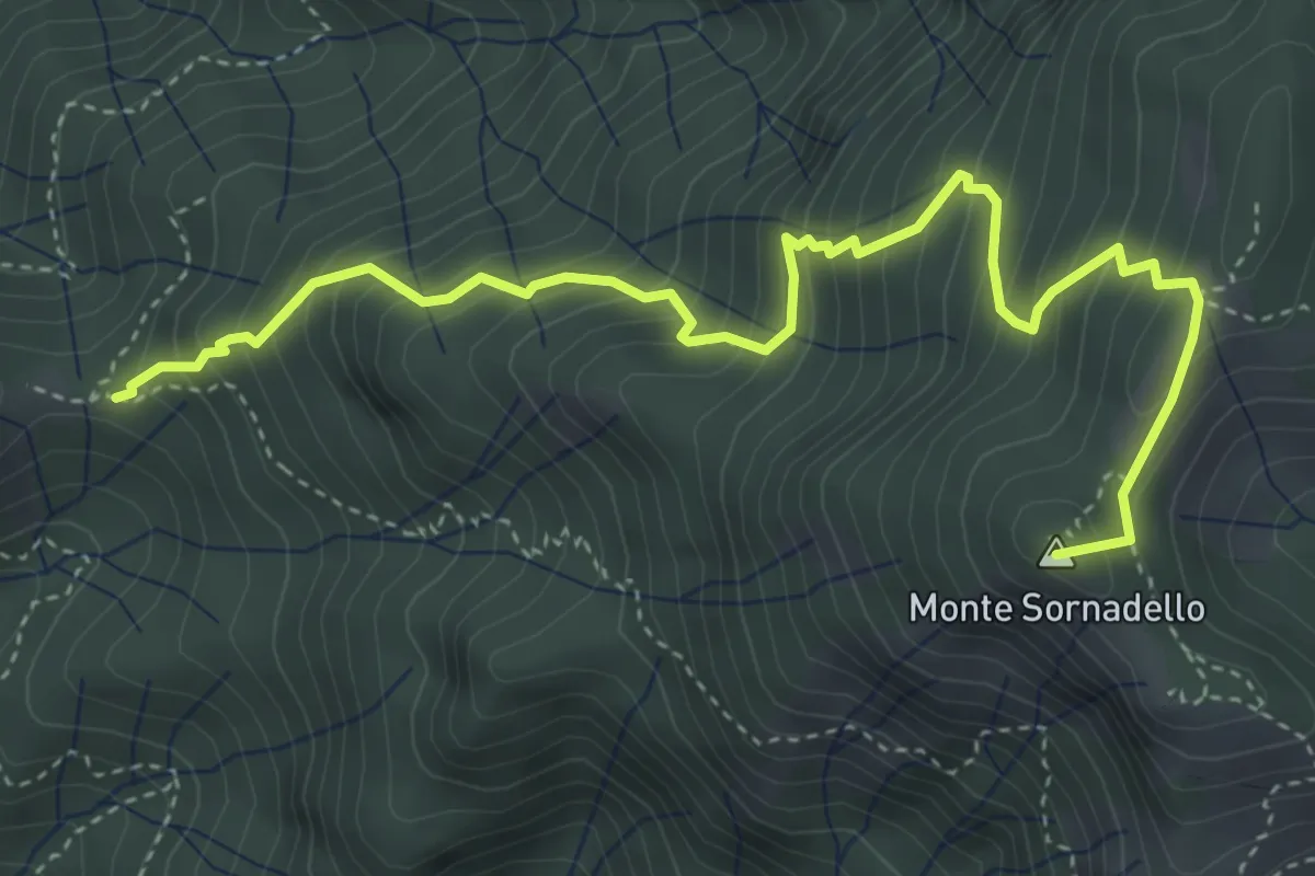
Medium · Summit
Incrocio 595 – Incrocio 595
5.0 km · ↑ 635 m · 2 h 33 min
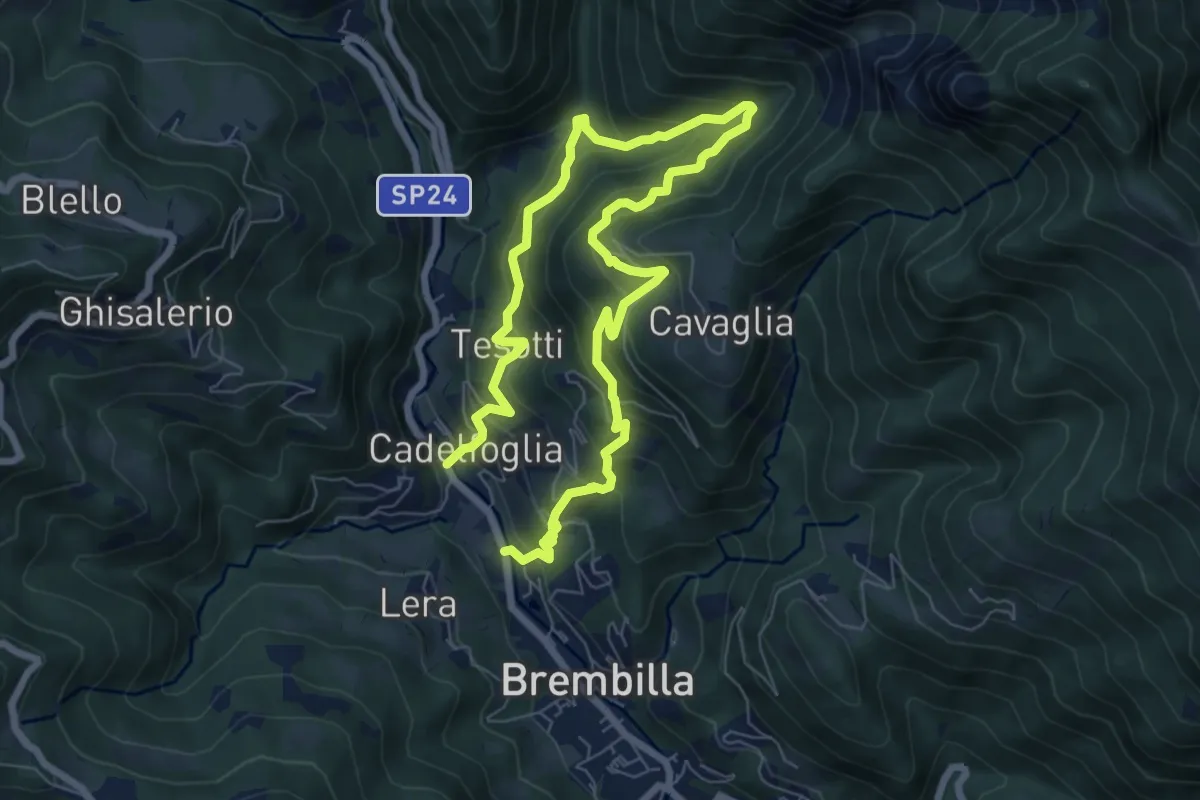
Demanding · Trail
Capreduzzo – Cadelfoglia
11.3 km · ↑ 1006 m · 4 h 50 min
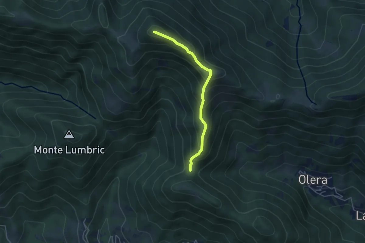
Medium · Summit
Forcella del Sorriso – Monte Canto Alto
3.6 km · ↑ 370 m · 1 h 39 min
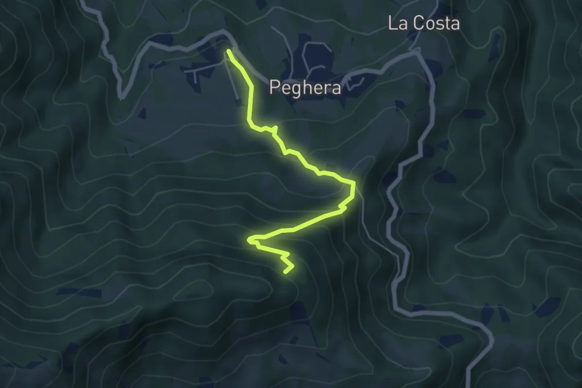
Demanding · Trail
Peghera – Piavigin
4.6 km · ↑ 380 m · 1 h 54 min
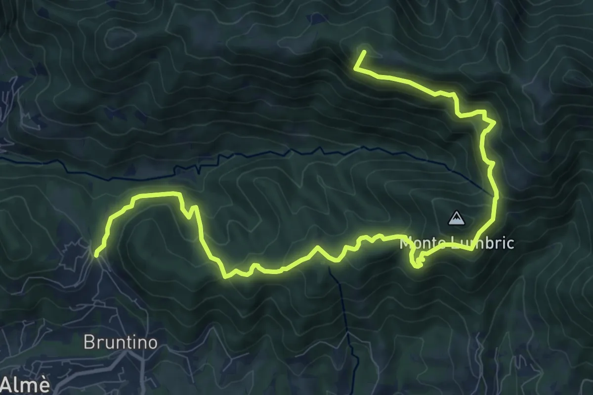
Demanding · Summit
Bruntino Alto – Prati Parini
13.4 km · ↑ 1072 m · 5 h 30 min
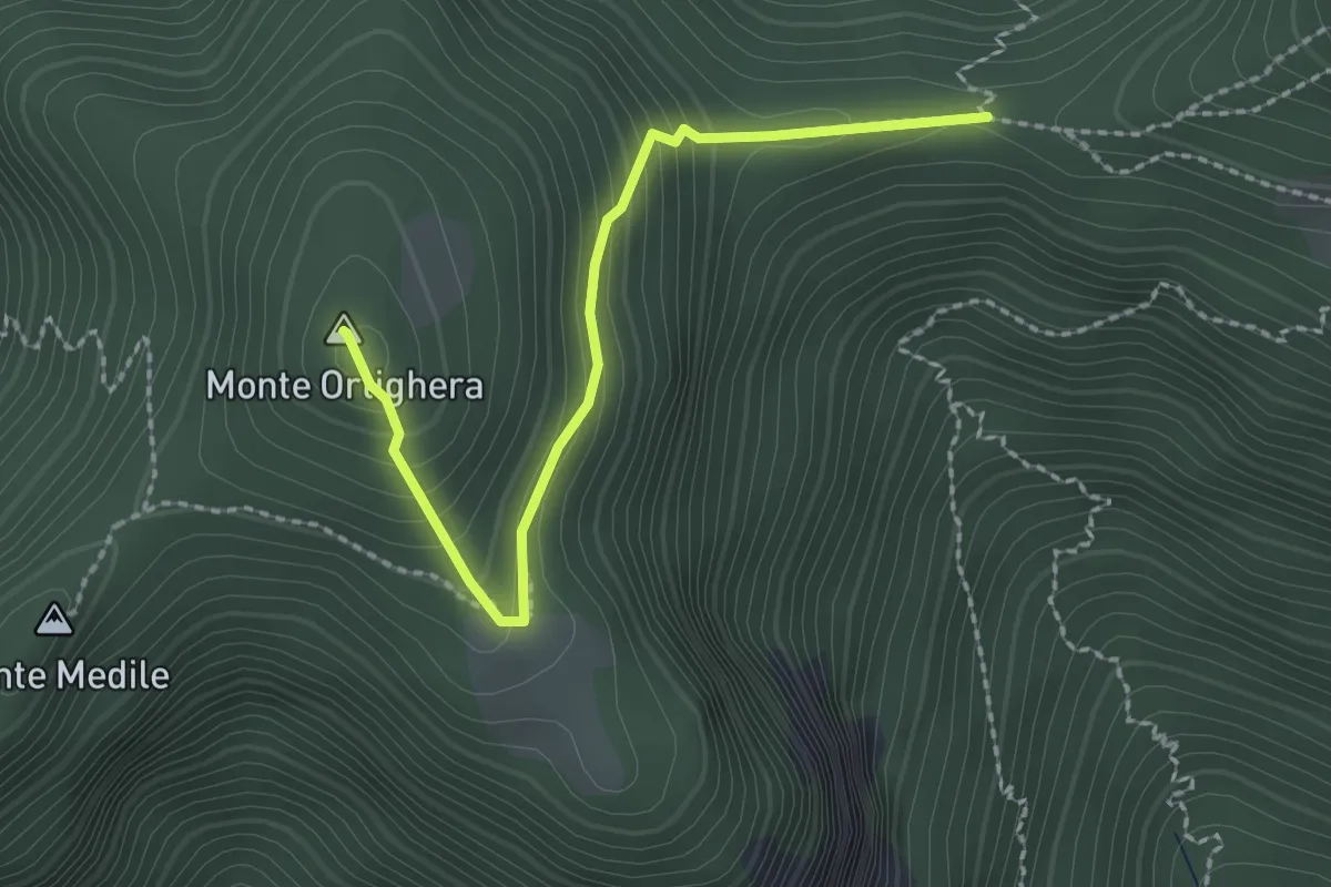
Easy · Summit
Incrocio 273 – Monte Ortighera
2.3 km · ↑ 206 m · 59 min
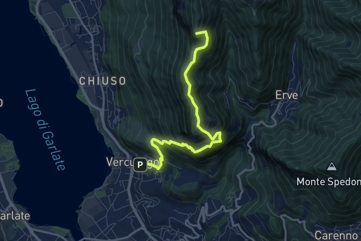
Demanding · Summit
Erve – Somasca (Vercurago)
8.6 km · ↑ 981 m · 4 h 9 min
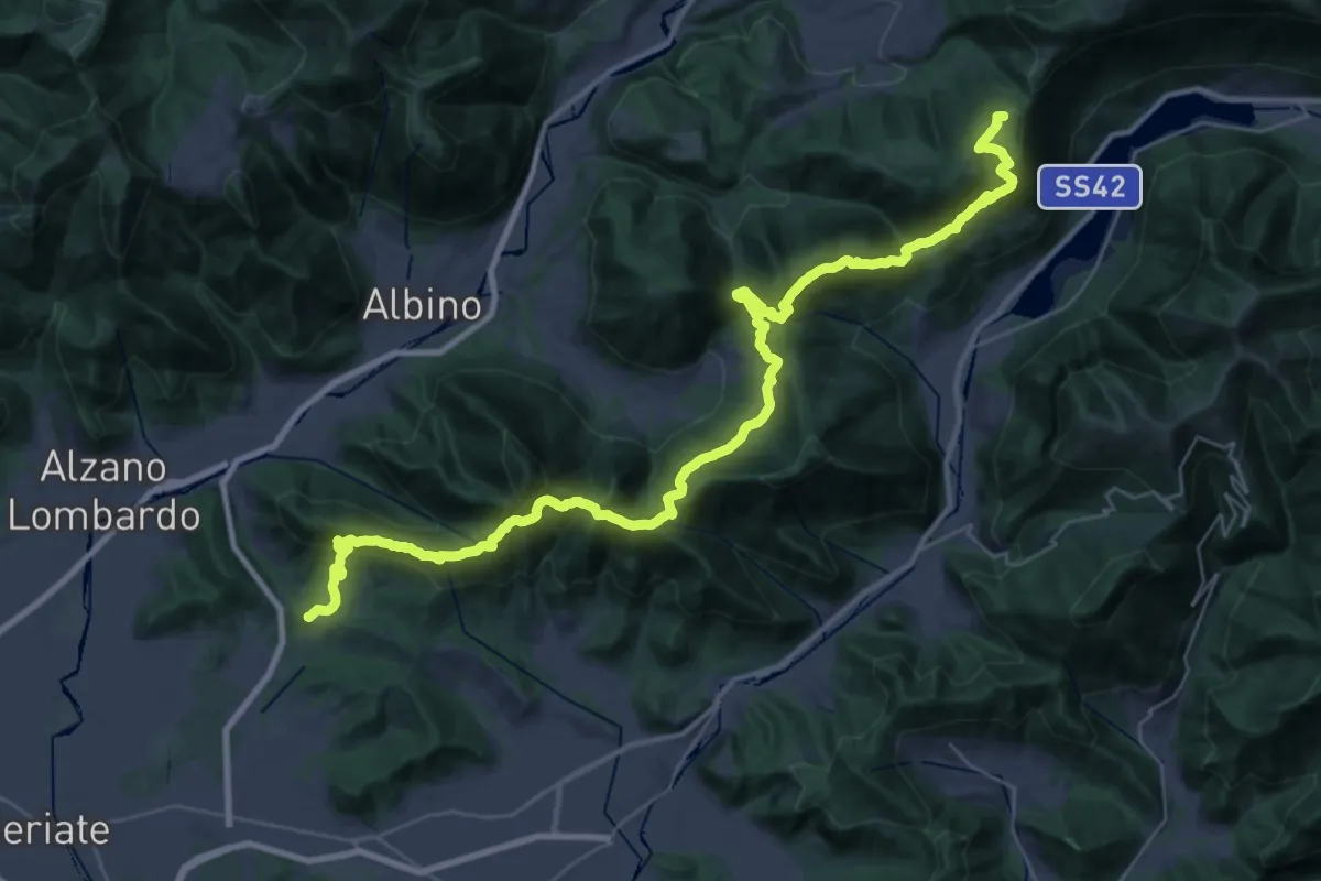
Demanding · Summit
Tribulina di Gavarno – Monticelli
43.4 km · ↑ 2445 m · 15 h 32 min
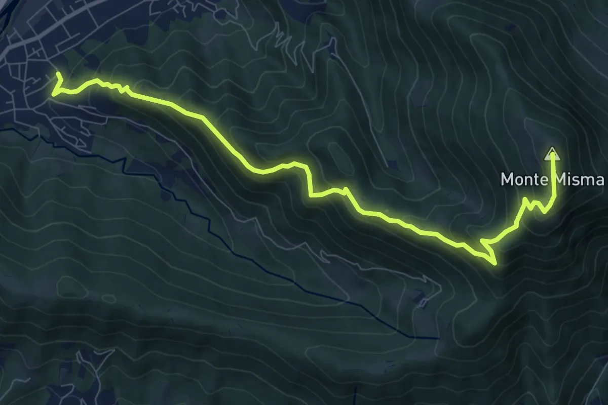
Demanding · Summit
Cornale – Monte Misma
9.9 km · ↑ 853 m · 4 h 11 min
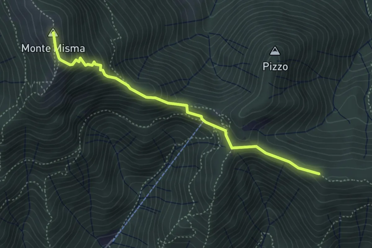
Medium · Summit
Bivio Corna Clima (Luzzana) – Monte Misma
4.5 km · ↑ 378 m · 1 h 53 min
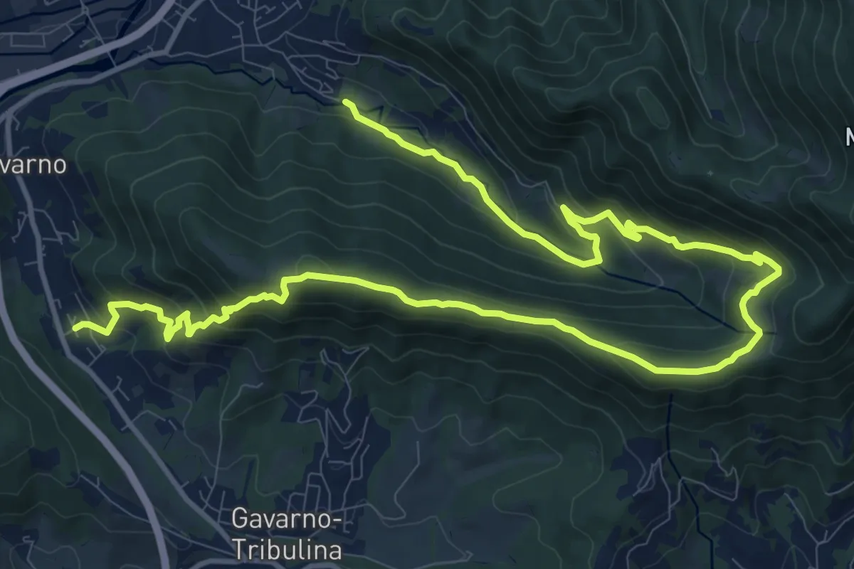
Demanding · Trail
Cornale (Pradalunga) – Gavarno
17.1 km · ↑ 933 m · 6 h 4 min