Trails in Italy
25,219 hiking trails, each with its route, climb, walking time and grade.
All trails, page 464 of 526
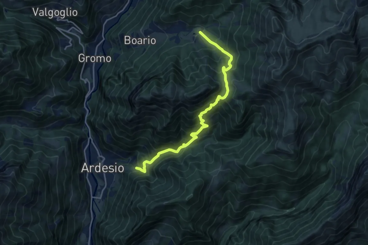
Demanding · Trail
Piazzolo – Spiazzi di Boario
13.5 km · ↑ 1361 m · 6 h 8 min
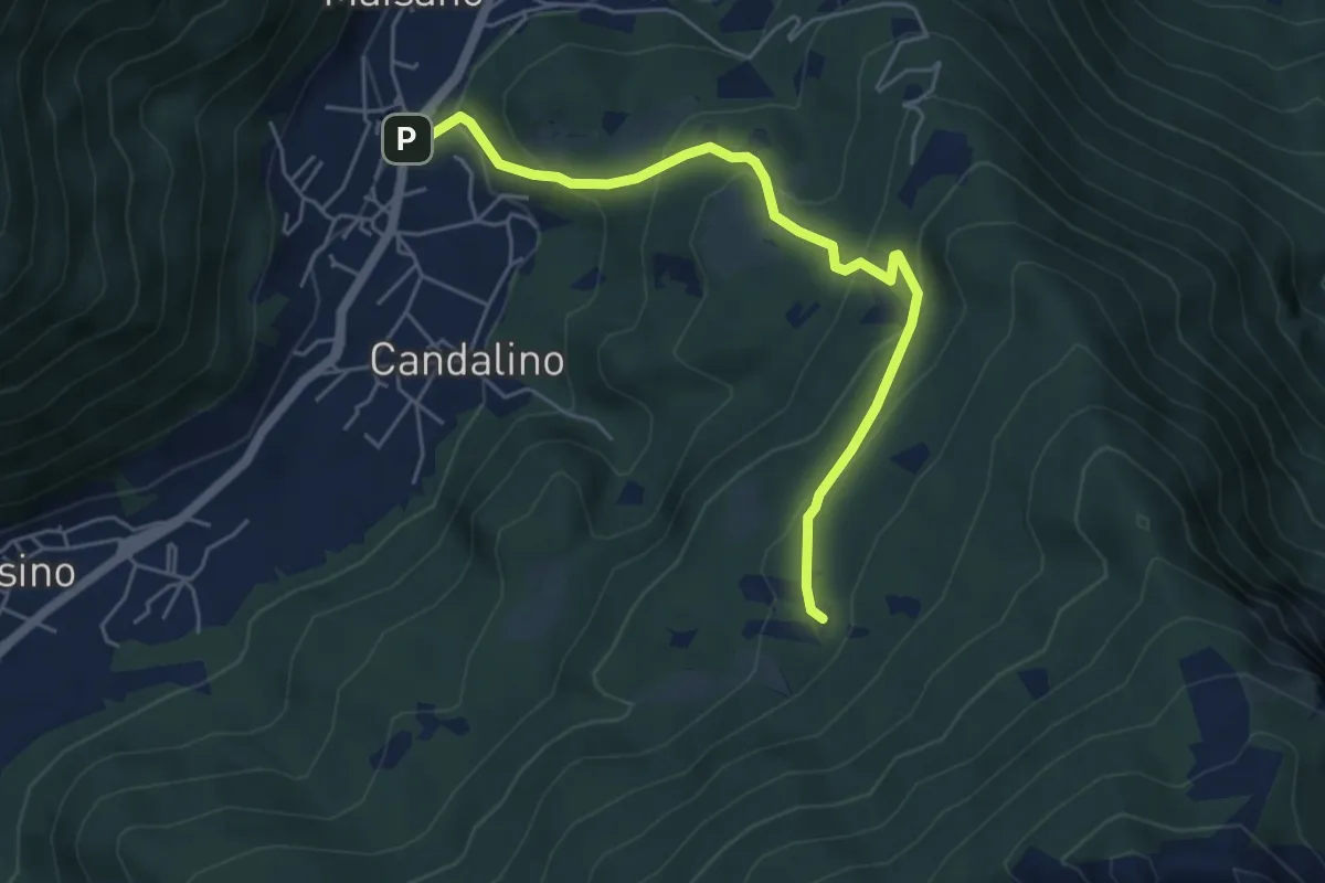
Medium · Trail
Osigo (Valbrona) – Valcerrina
5.4 km · ↑ 323 m · 1 h 58 min
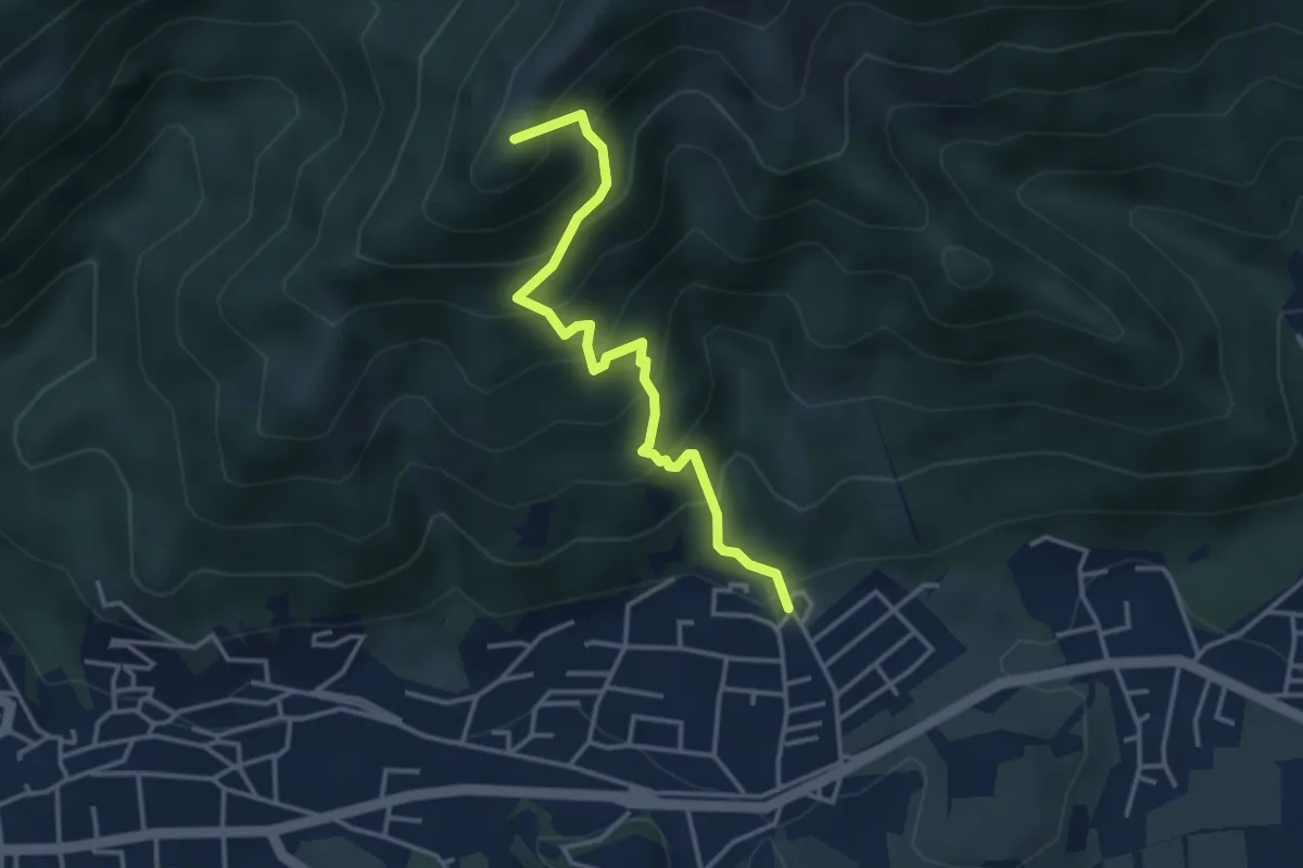
Medium · Summit
Clusone – Incrocio 317
3.6 km · ↑ 402 m · 1 h 44 min
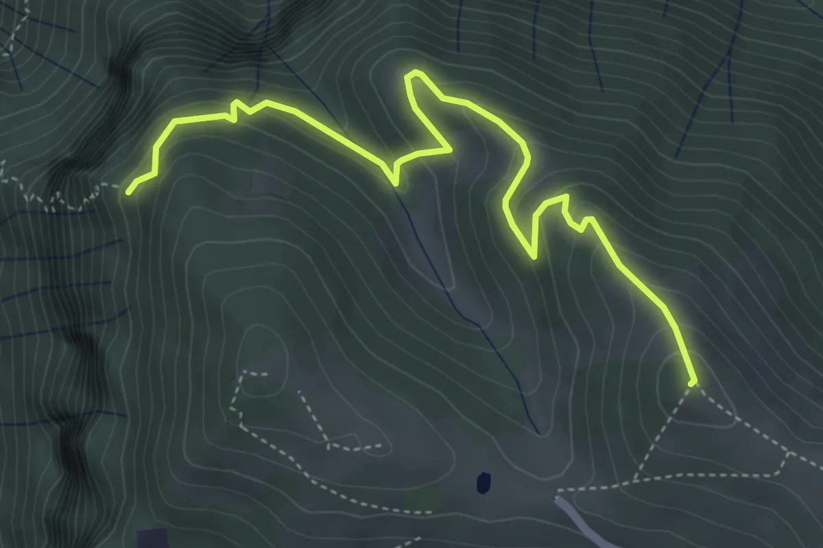
Medium · Summit
Colle di Caf – Foppalupo (Colli di San Fermo)
5.2 km · ↑ 372 m · 2 h 2 min
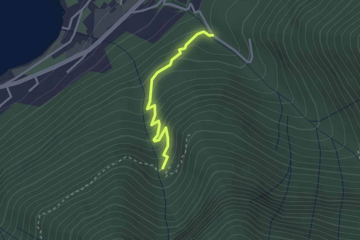
Easy · Trail
Monasterolo del Castello – Val Spirola
2.1 km · ↑ 224 m · 59 min
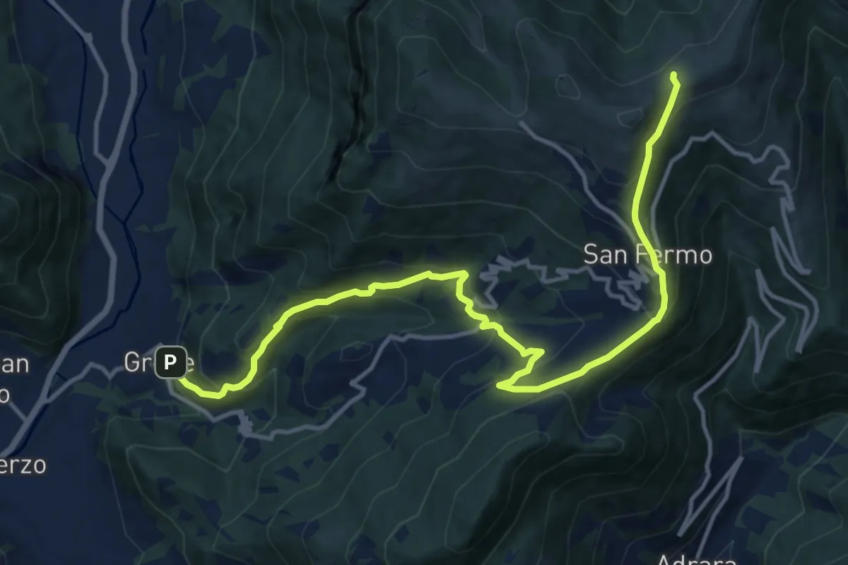
Demanding · Trail
Grone – Foppelle
14.1 km · ↑ 944 m · 5 h 22 min
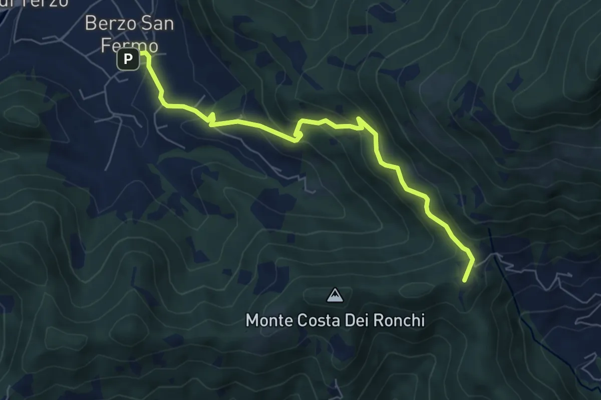
Medium · Summit
Berzo San Fermo – Col Croce
6.6 km · ↑ 444 m · 2 h 31 min
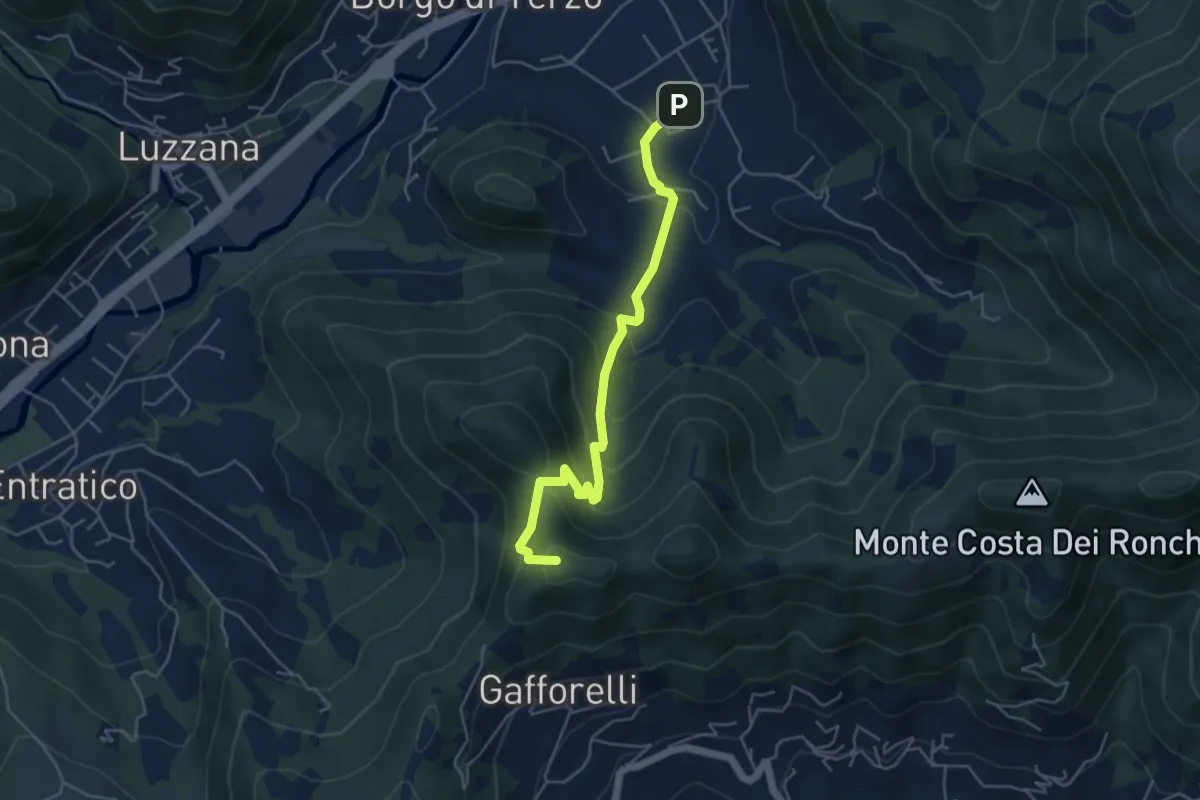
Medium · Summit
Berzo San Fermo – Il Casino
4.8 km · ↑ 328 m · 1 h 51 min
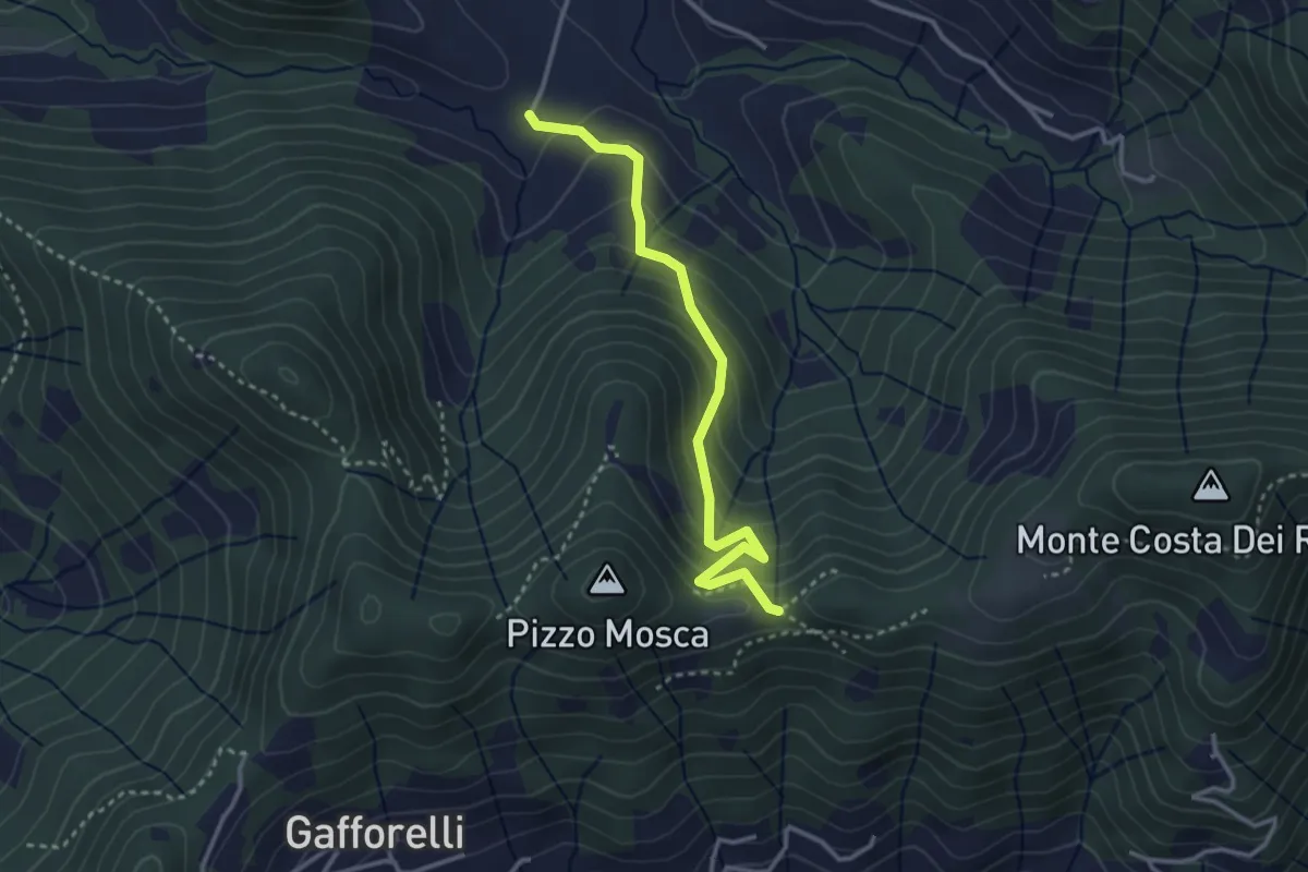
Medium · Trail
Cascina Barberino – Pizzo Mosca (Foresto Sparso)
3.2 km · ↑ 313 m · 1 h 26 min
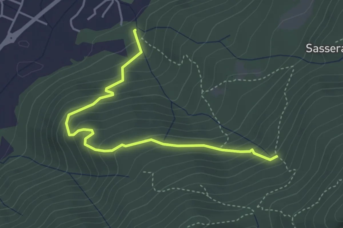
Easy · Trail
Ponte Castel – Sorgente (Valbrona)
4.0 km · ↑ 308 m · 1 h 37 min
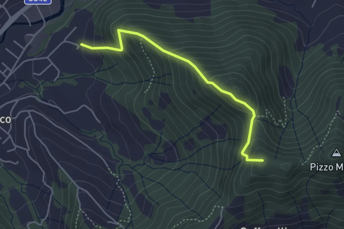
Medium · Summit
Maico (Entratico) – Il Casino (Foresto Sparso)
3.7 km · ↑ 394 m · 1 h 44 min
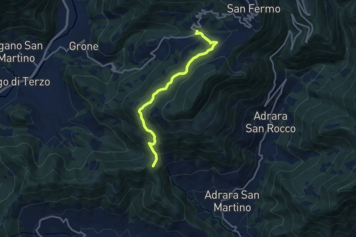
Medium · Summit
Sant'Antonio di Grone – Col Croce
8.3 km · ↑ 516 m · 3 h 4 min
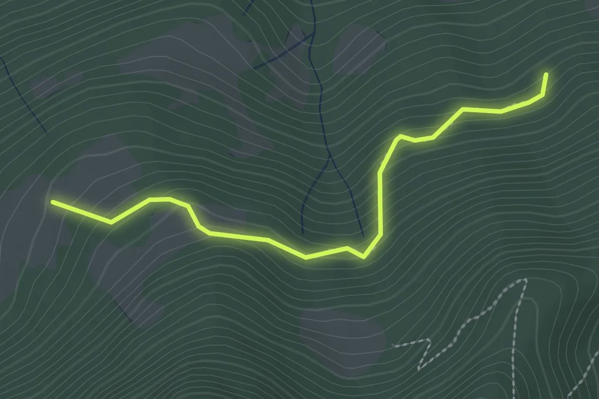
Medium · Trail
Rumignano – Pirola (S. Felice al Lago)
2.5 km · ↑ 204 m · 1 h 2 min
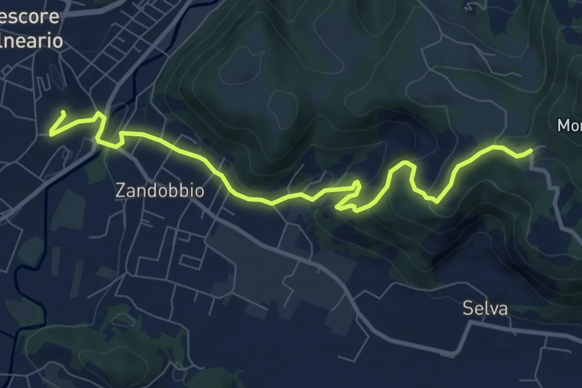
Medium · Trail
Trescore Balneario – Buca del Corno
8.7 km · ↑ 386 m · 2 h 53 min
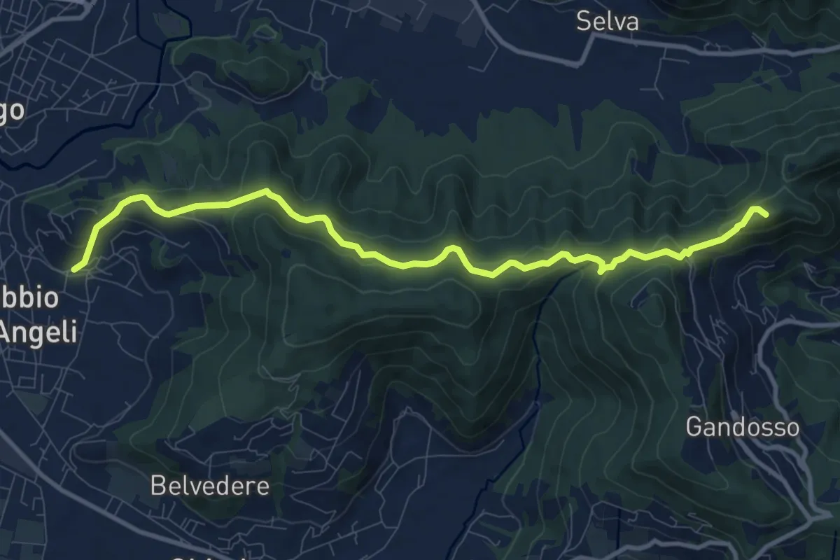
Medium · Summit
Carobbio degli Angeli – San Giovanni delle Formiche
10.6 km · ↑ 442 m · 3 h 27 min
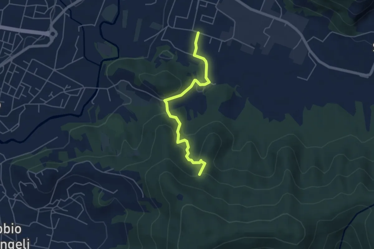
Easy · Trail
Zandobbio – Incrocio 650
4.4 km · ↑ 209 m · 1 h 29 min
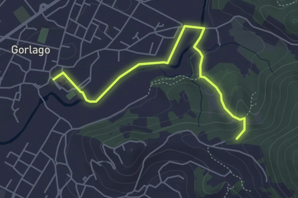
Easy · Trail
Gorlago – Incrocio 650
4.7 km · ↑ 115 m · 1 h 22 min
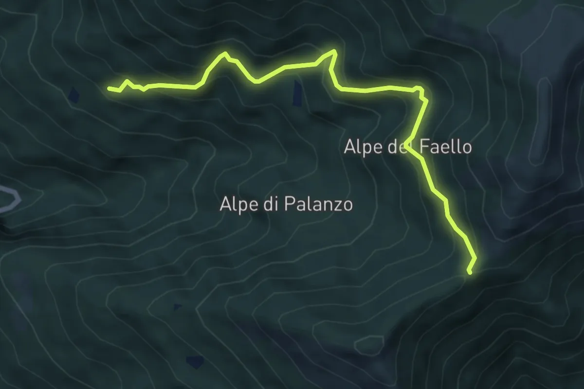
Medium · Trail
Il Gaggio (Faggeto Lario) – Bocchetta di Palanzo
5.8 km · ↑ 475 m · 2 h 24 min
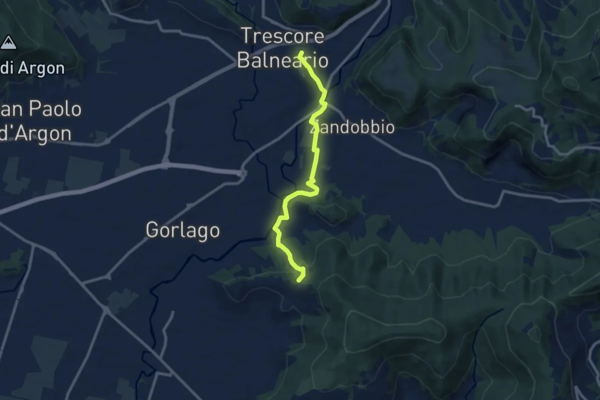
Easy · Trail
Trescore Balneario – Carobbio degli Angeli (incrocio 650)
7.6 km · ↑ 185 m · 2 h 11 min
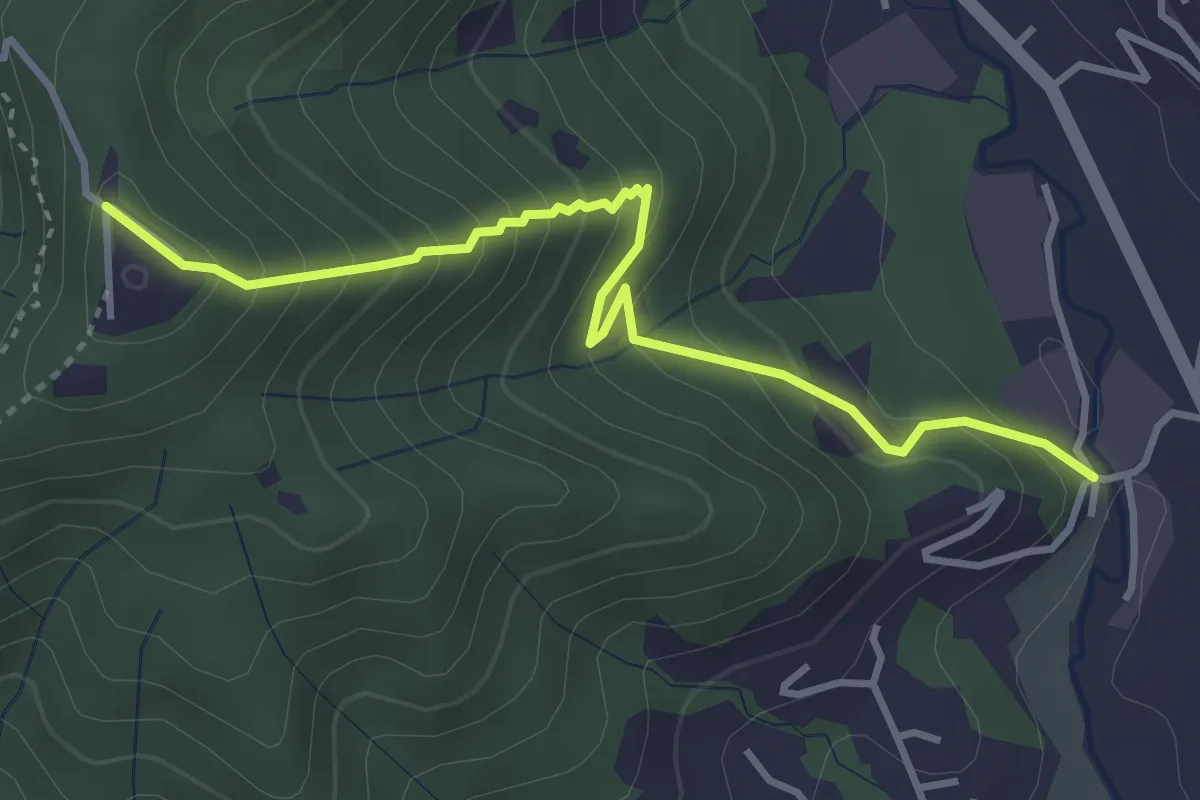
Medium · Trail
Fornace – San Giovanni delle Formiche
3.8 km · ↑ 345 m · 1 h 38 min
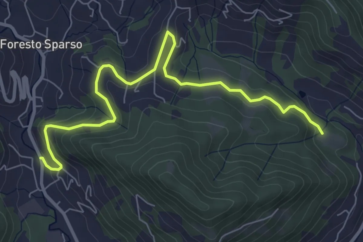
Easy · Trail
L'Immacolata – Dosso dell'Era
7.0 km · ↑ 215 m · 2 h 8 min
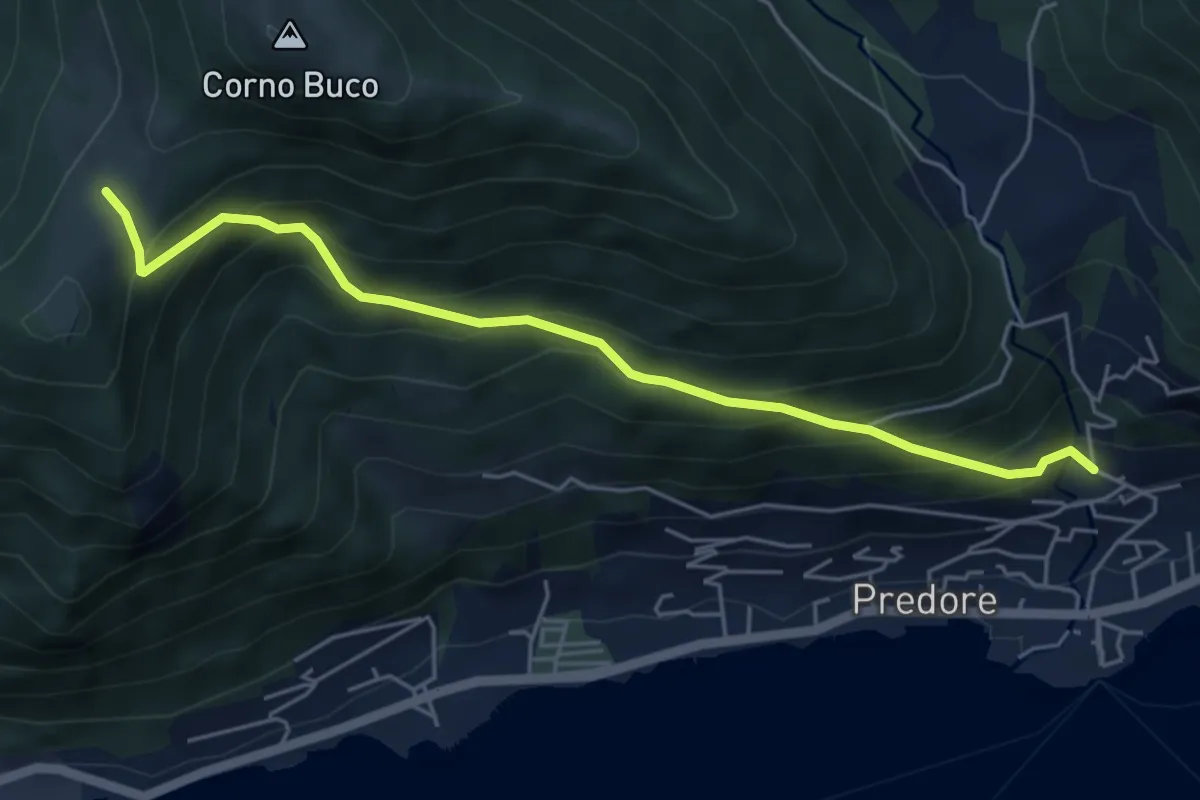
Medium · Trail
Predore – Colle Cambline
5.3 km · ↑ 495 m · 2 h 19 min
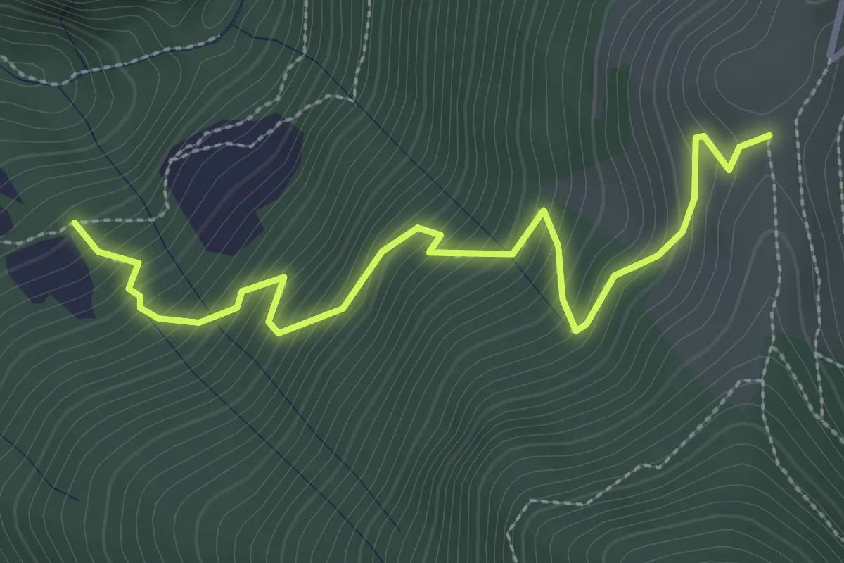
Medium · Trail
Pozzi (incrocio 744) – Colle Dedine
3.2 km · ↑ 397 m · 1 h 38 min
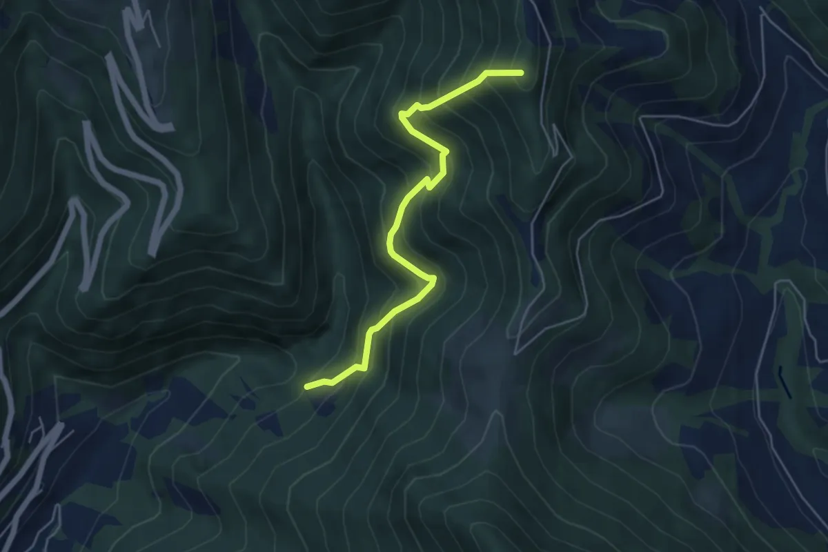
Medium · Summit
Incrocio 744 – Sella (incrocio 701)
4.9 km · ↑ 615 m · 2 h 29 min
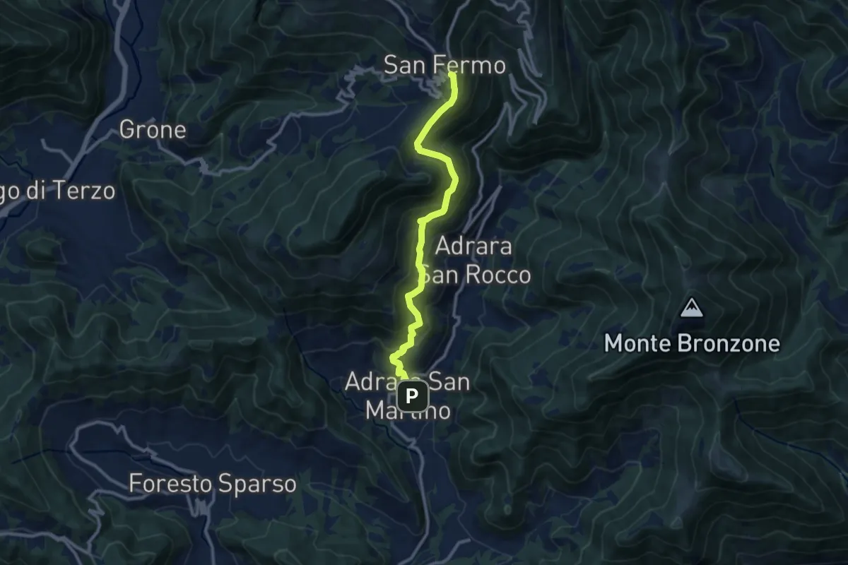
Demanding · Trail
Adrara San Martino – Colli di San Fermo
9.9 km · ↑ 812 m · 4 h 5 min
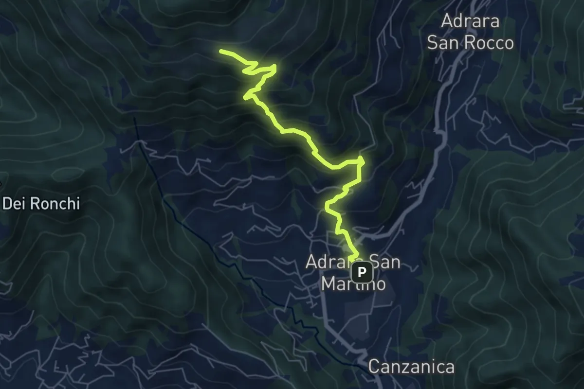
Medium · Cabin
Adrara San Martino – Fienili di Gaiana
6.0 km · ↑ 598 m · 2 h 43 min
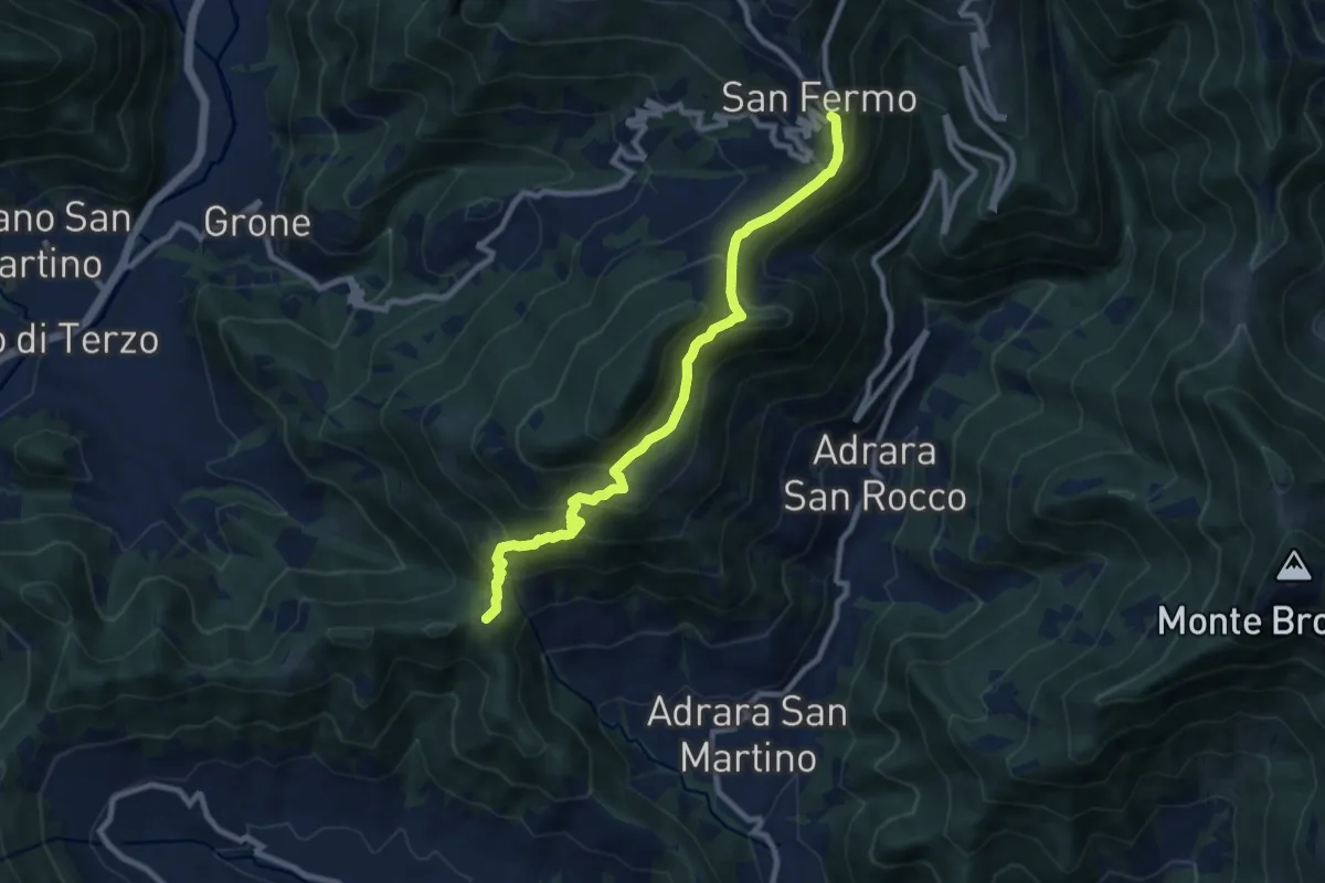
Medium · Summit
Adrara San Martino – Colli di San Fermo
9.2 km · ↑ 662 m · 3 h 37 min
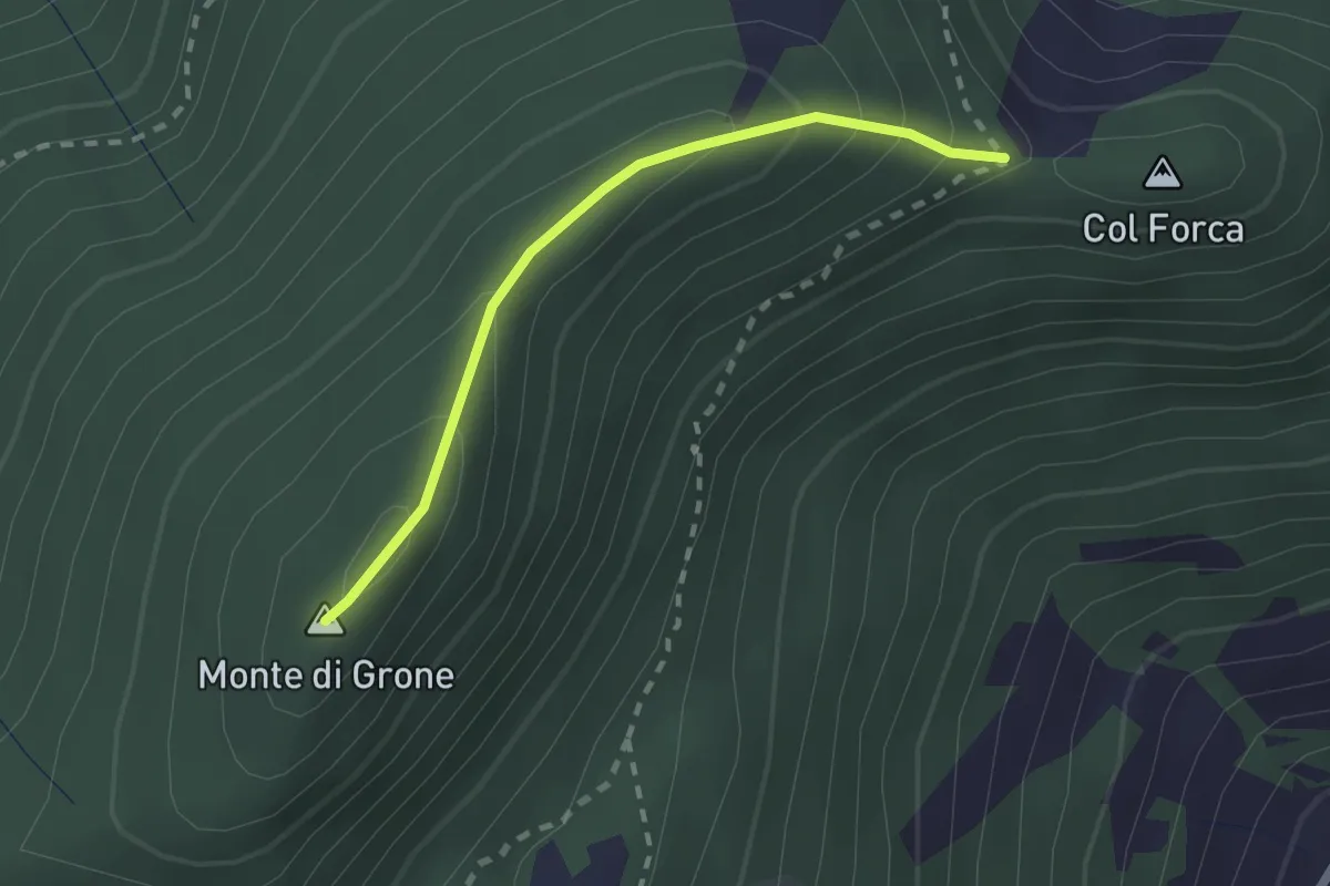
Easy · Summit
Cascina Fagiolo – Passo Colle Forca (Adrara San Martino)
2.0 km · ↑ 164 m · 50 min
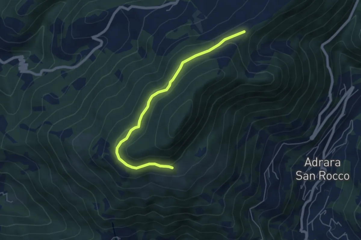
Medium · Trail
Incrocio 717 – Incrocio 717
5.2 km · ↑ 198 m · 1 h 39 min
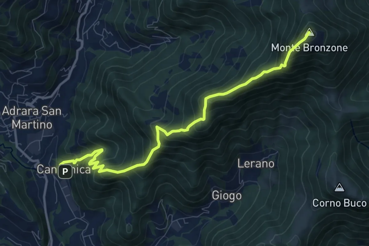
Demanding · Summit
Canzanica (Adrara San Martino) – Monte Bronzone
9.7 km · ↑ 1041 m · 4 h 33 min
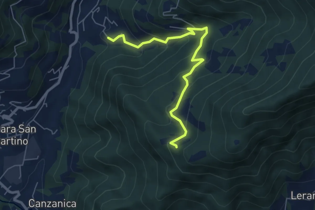
Medium · Trail
Madonna del Monte Uliveto (Adrara San Martino) – Incrocio 701
5.3 km · ↑ 391 m · 2 h 6 min
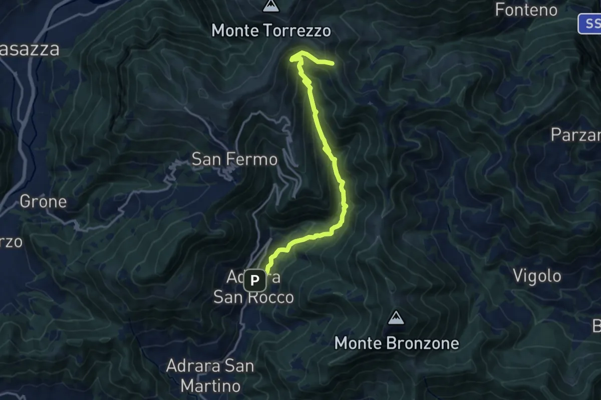
Demanding · Trail
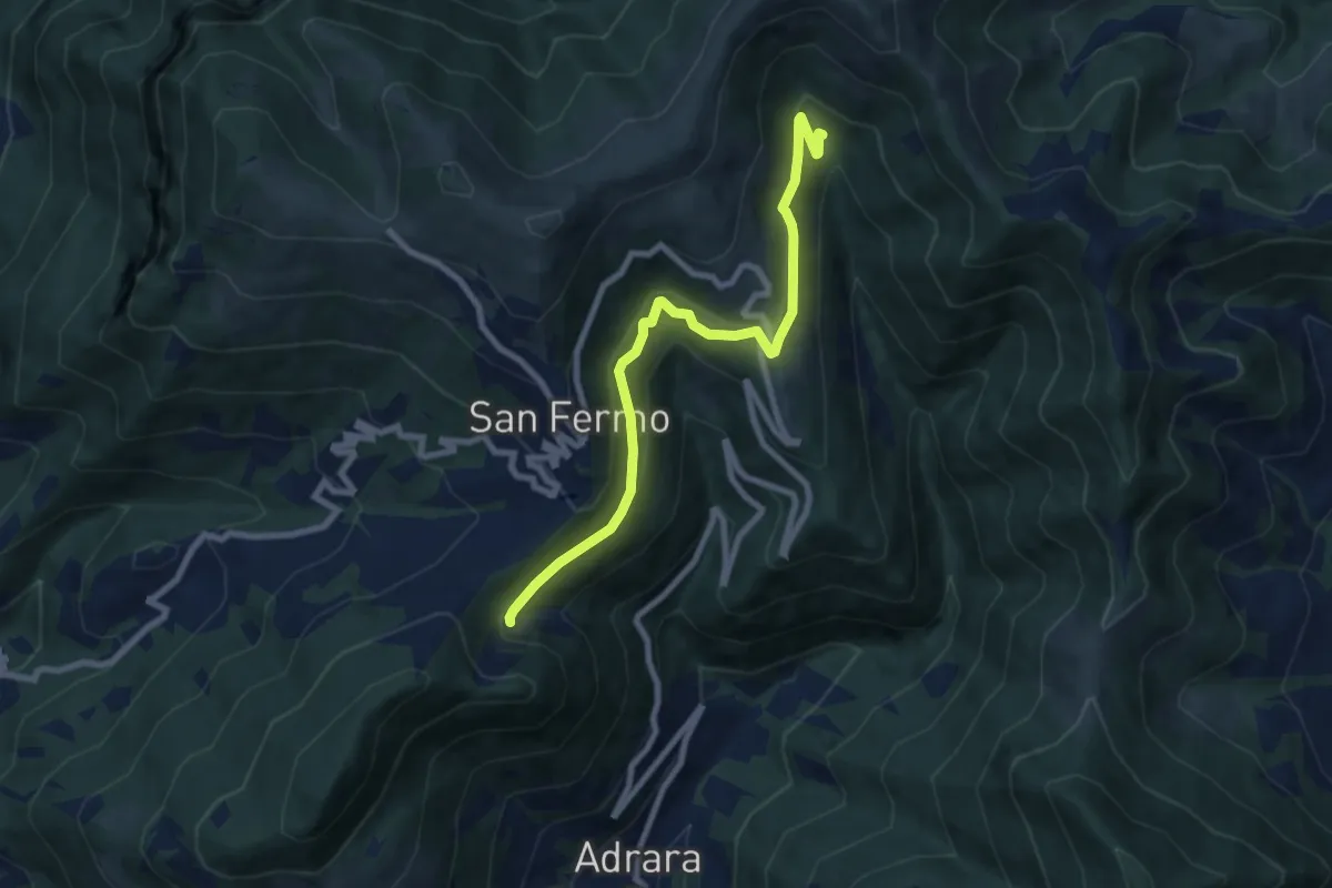
Adrara San Rocco – Cucche
13.1 km · ↑ 895 m · 5 h 3 min
Medium · Trail
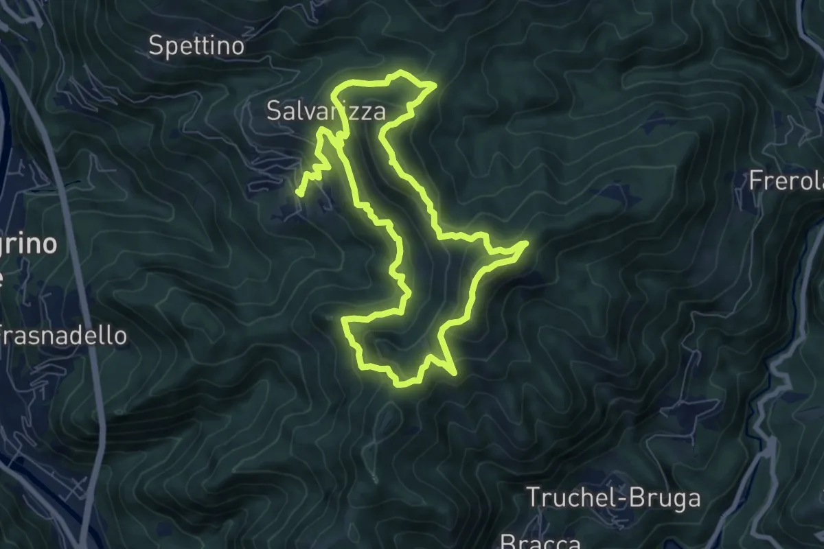
Adrara San Martino (incrocio 715) – Incrocio 744
8.2 km · ↑ 459 m · 2 h 55 min
Demanding · Summit
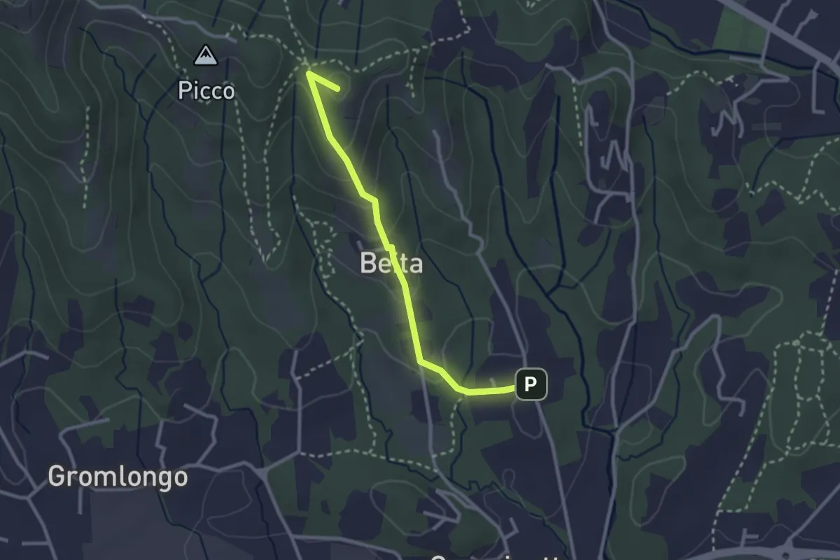
Santa Croce – Santa Croce
7.3 km · ↑ 589 m · 3 h 2 min
Easy · Summit
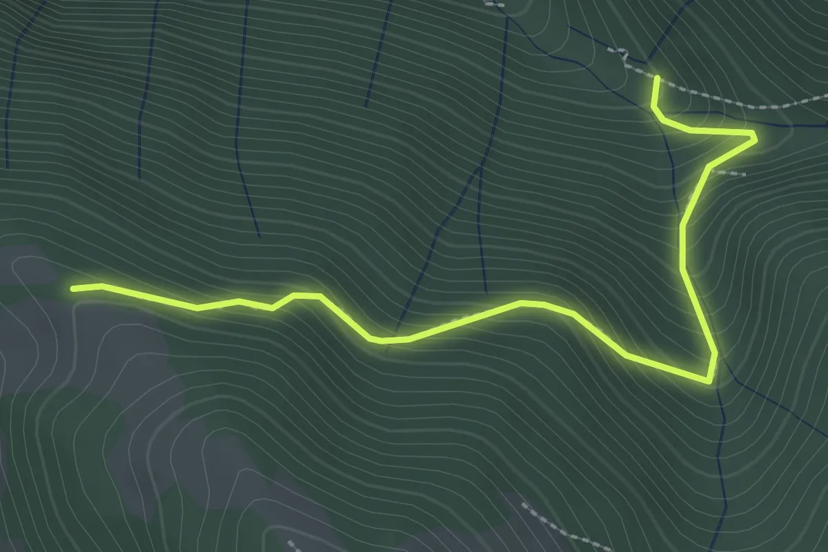
Brocchione – Secchia
2.6 km · ↑ 121 m · 53 min
Easy · Trail
Incrocio 612 – Incrocio 612A
2.9 km · ↑ 301 m · 1 h 21 min
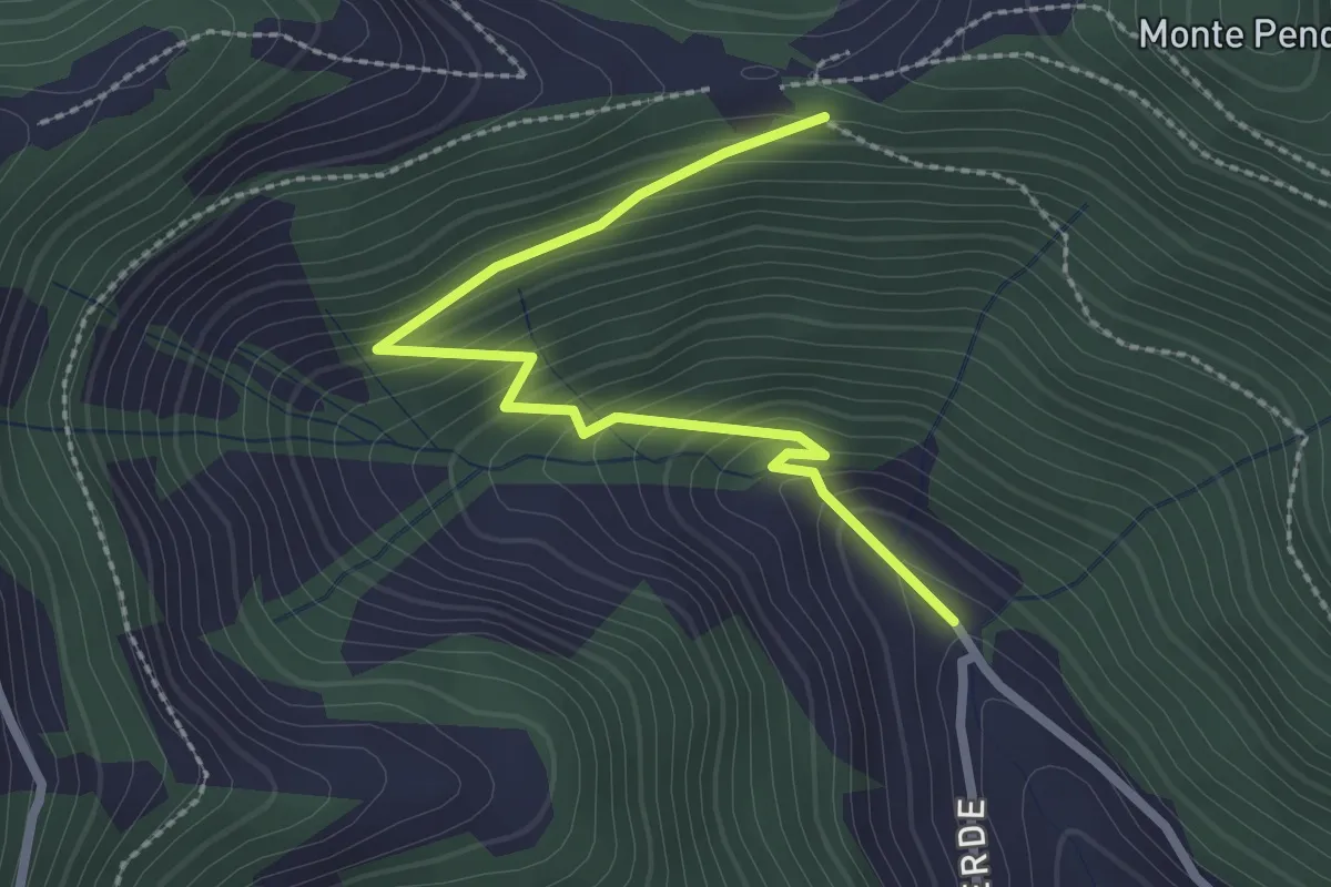
Easy · Trail
Bratta (incrocio 725) – Colle Cargadura (incrocio 704)
2.7 km · ↑ 216 m · 1 h 6 min
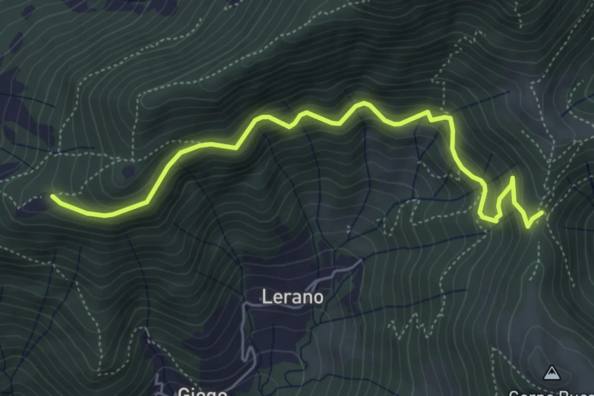
Medium · Trail
Incrocio 719 – Colle di Oregia
5.6 km · ↑ 536 m · 2 h 29 min
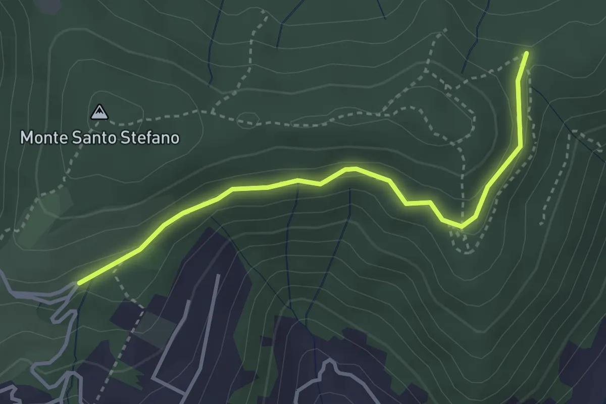
Medium · Trail
Cascina Pedrini – Boca di senter
3.4 km · ↑ 120 m · 1 h 4 min
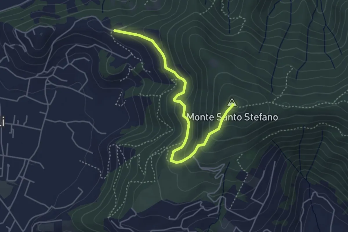
Medium · Summit
Duria – Boca di senter
4.3 km · ↑ 266 m · 1 h 35 min
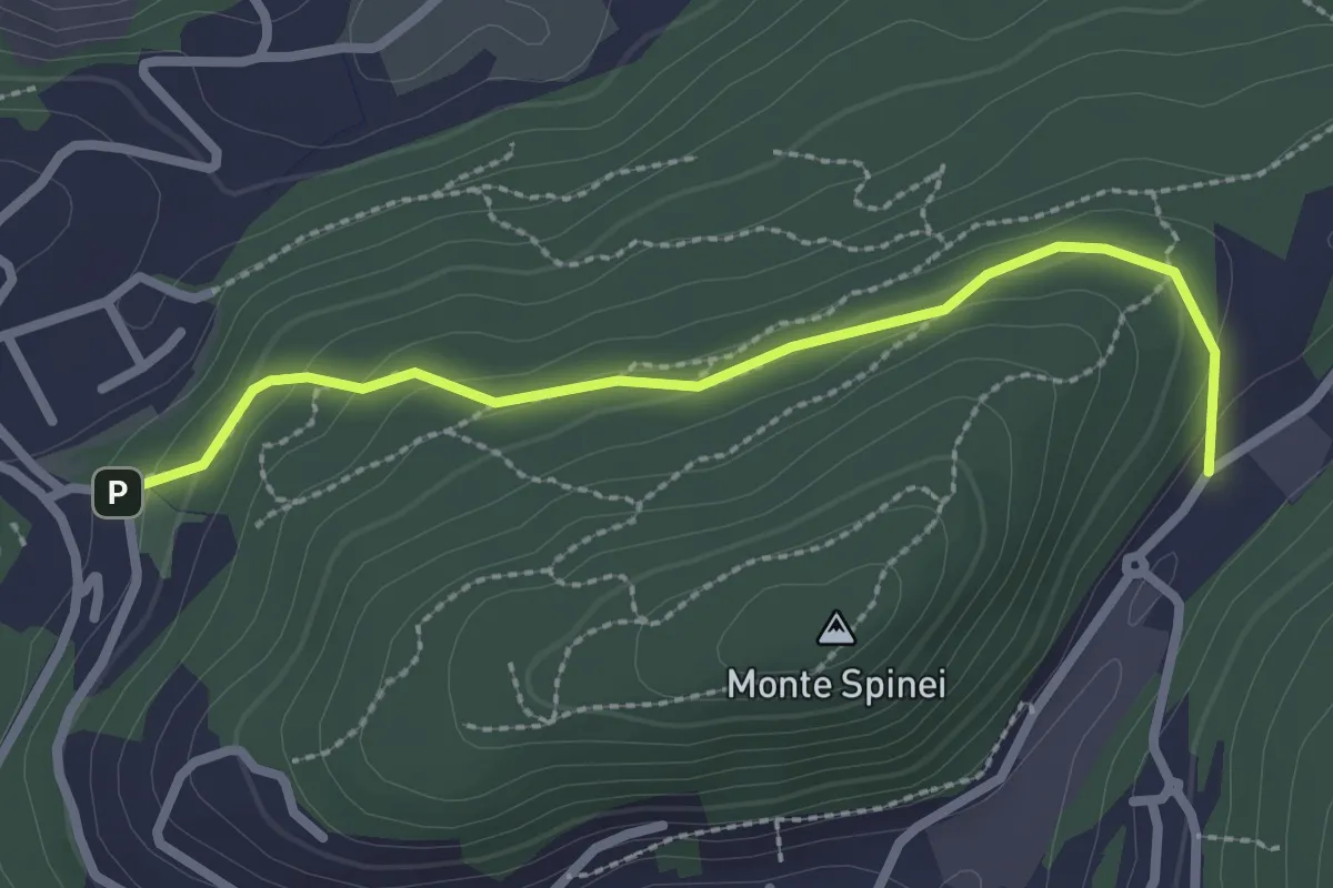
Easy · Trail
Bosco della Gualdera – Zona industriale di Proseprio
2.6 km · ↑ 85 m · 48 min
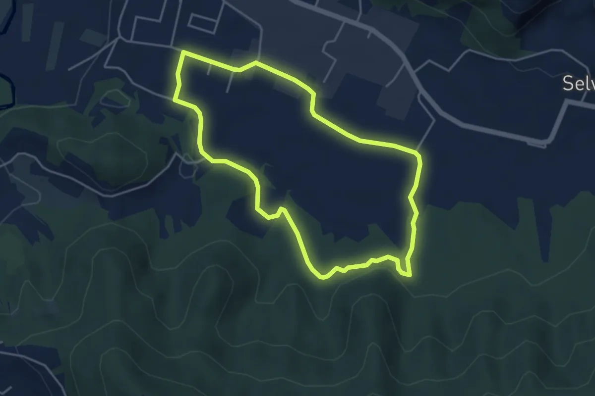
Easy · Trail
San Giorgio (Zandobbio) – San Giorgio (Zandobbio)
3.8 km · ↑ 48 m · 1 h 3 min
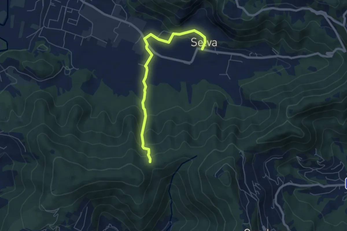
Easy · Trail
Selva – Boca di senter
5.8 km · ↑ 262 m · 1 h 56 min
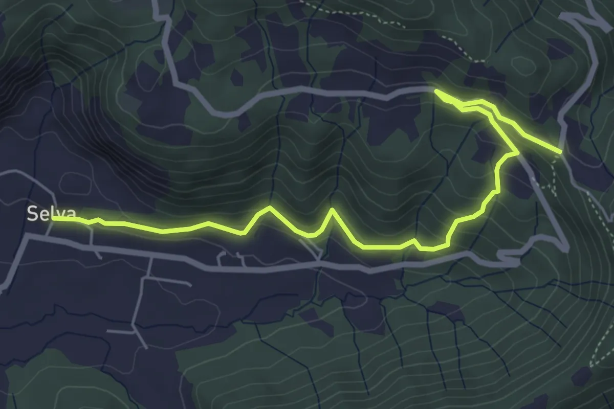
Medium · Trail
Selva – Colle San Giovanni
6.1 km · ↑ 362 m · 2 h 14 min
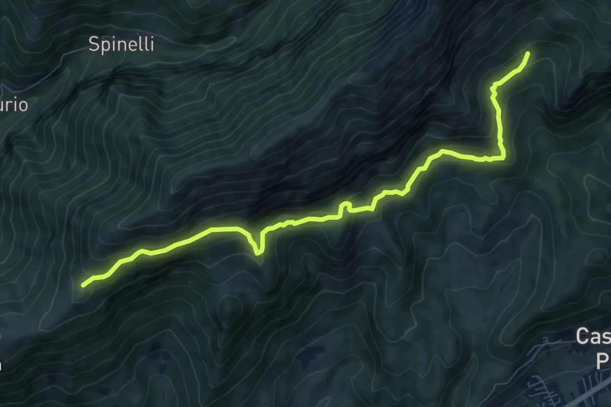
Expert · Trail
Cappella Alpini Monte Blum (incrocio 317) – Malga Spina (incrocio 317)
9.8 km · ↑ 702 m · 3 h 50 min
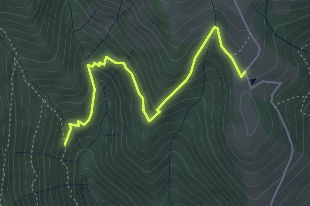
Medium · Trail
Incrocio 240 – Prima Baita Alpe Vaccaro (incrocio 241)
4.0 km · ↑ 382 m · 1 h 46 min
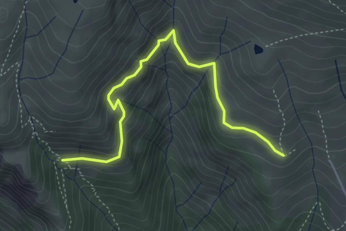
Medium · Cabin
Scala della Forcella (incrocio 240) – Rifugio Monte Vaccaro (incrocio 241)
4.2 km · ↑ 307 m · 1 h 40 min
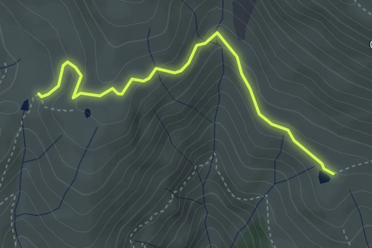
Easy · Trail
Terza Baita Alpe Vaccaro (incrocio 241) – Baita della Forcella (incrocio 240)
3.5 km · ↑ 212 m · 1 h 18 min