Trails in Italy
25,219 hiking trails, each with its route, climb, walking time and grade.
All trails, page 465 of 526
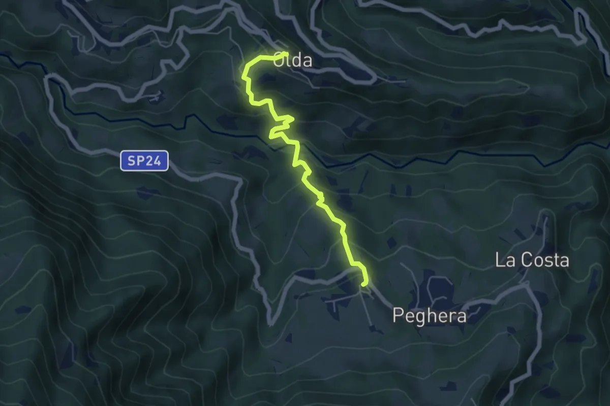
Medium · Trail
Olda – Peghera
5.0 km · ↑ 397 m · 2 h 3 min
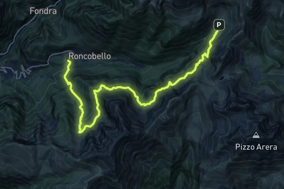
Expert · Trail
Costa (Roncobello) – Baite di Mezzeno
10.3 km · ↑ 675 m · 4 h 19 min
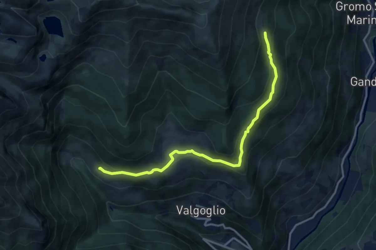
Medium · Cabin
Bortolotti (Valgoglio) – Baita Nedulo (incrocio 233)
8.9 km · ↑ 363 m · 2 h 53 min
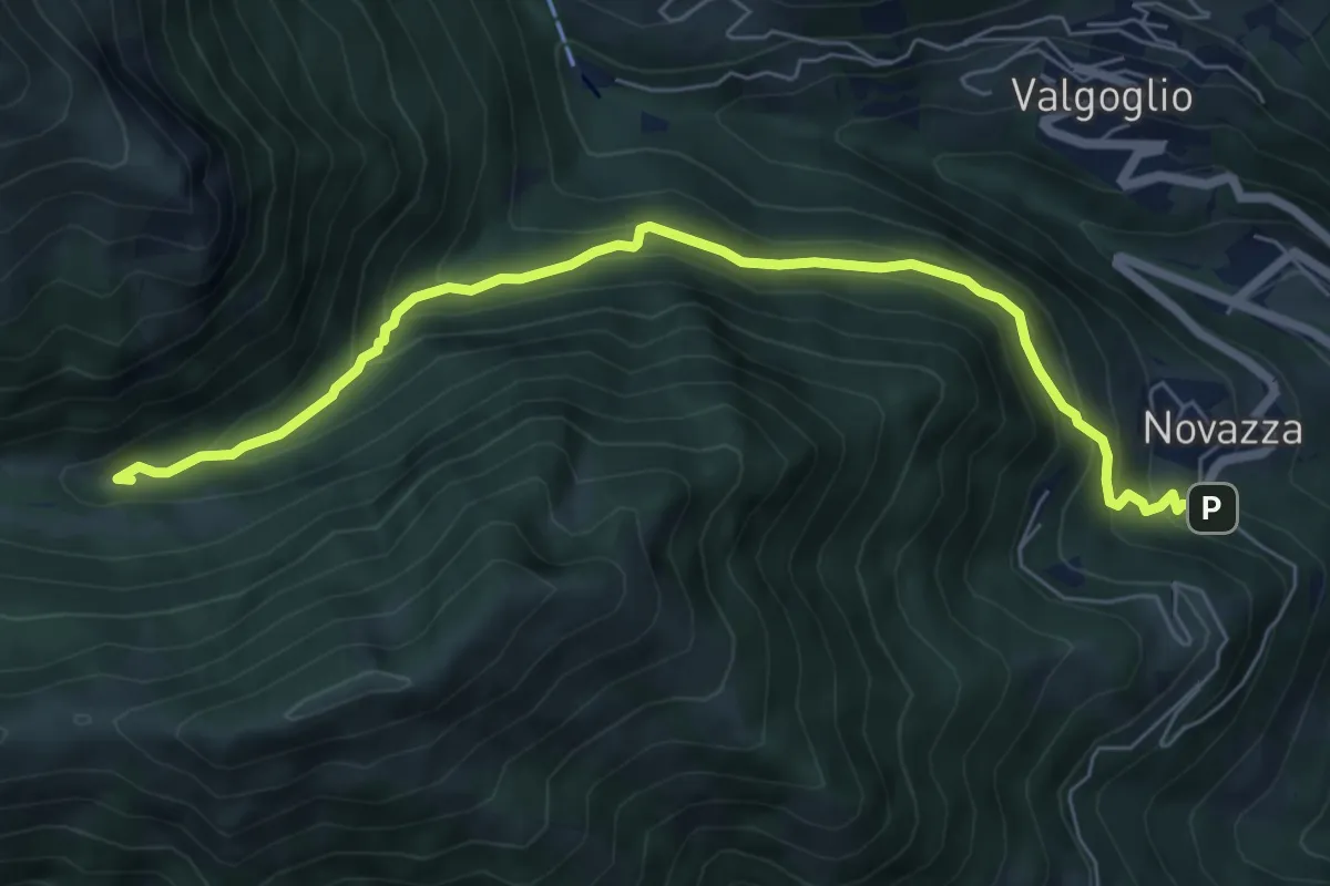
Medium · Cabin
Rifugio Gianpace – Novazza
7.0 km · ↑ 623 m · 3 h
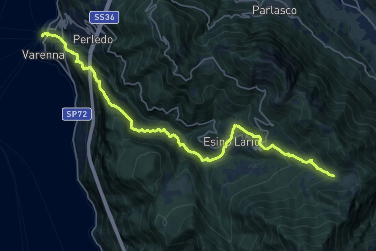
Demanding · Trail
Varenna – Alpe Cainallo
18.0 km · ↑ 1543 m · 7 h 36 min
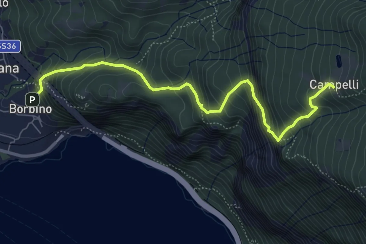
Medium · Trail
Borbino – Campelli, Chiesa di Santa Maria
6.3 km · ↑ 682 m · 2 h 58 min
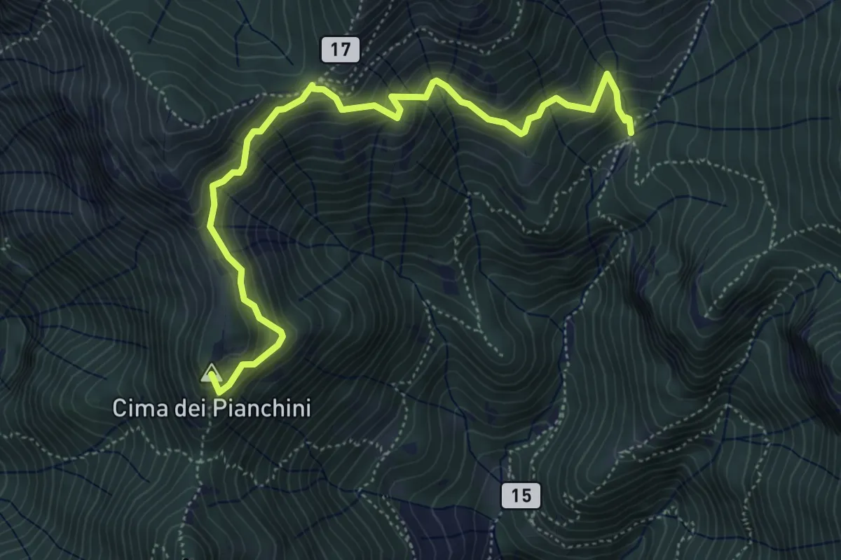
Medium · Summit
Somana – Alpe di Calivazzo
5.8 km · ↑ 549 m · 2 h 34 min
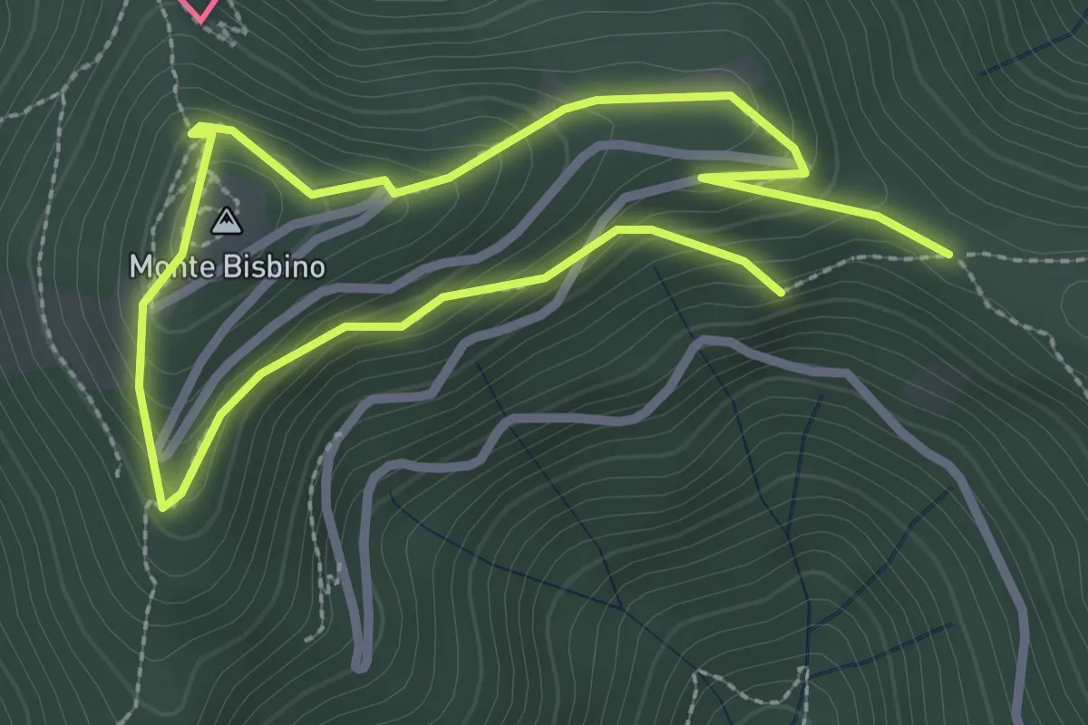
Expert · Summit
Alpe Piella – Ca' Bossi
2.2 km · ↑ 189 m · 57 min
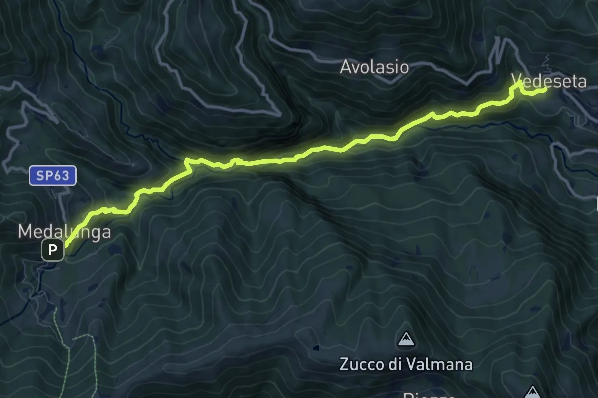
Medium · Trail
Morterone – Vedeseta
10.8 km · ↑ 740 m · 4 h 10 min
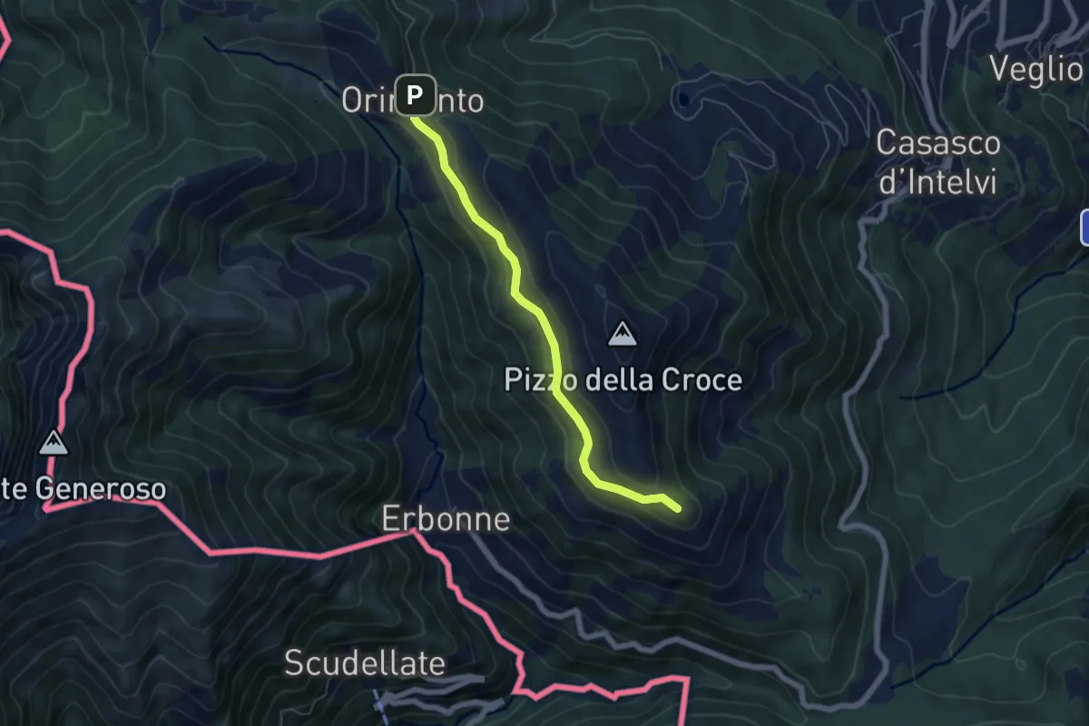
Easy · Summit
Capanna Bruno – Orimento
5.3 km · ↑ 143 m · 1 h 34 min
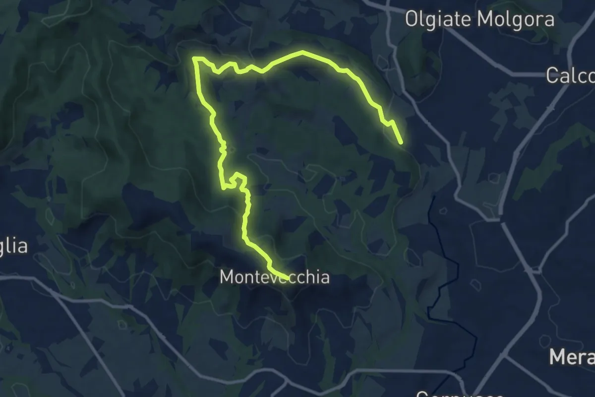
Medium · Summit
Cernusco Lombardone (FS) – Beolco
12.4 km · ↑ 430 m · 3 h 52 min
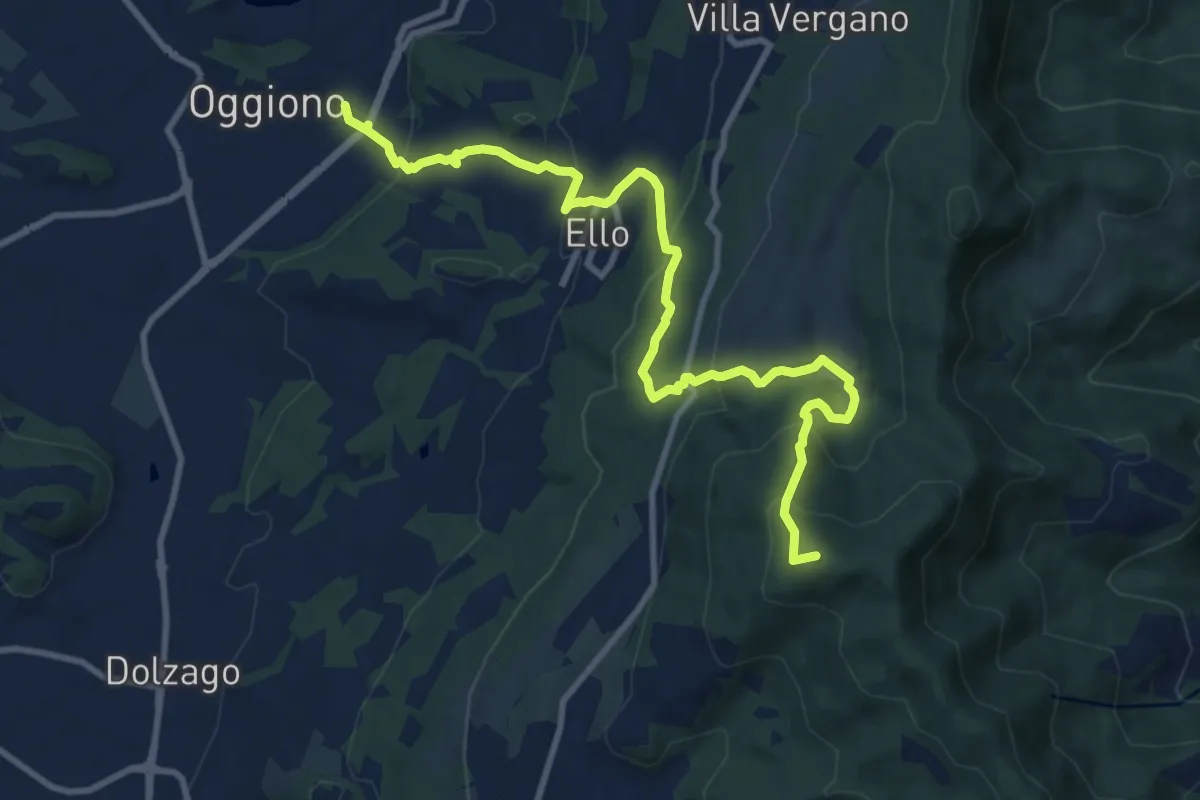
Medium · Summit
Oggiono – Monte Crocione
11.5 km · ↑ 618 m · 4 h 3 min
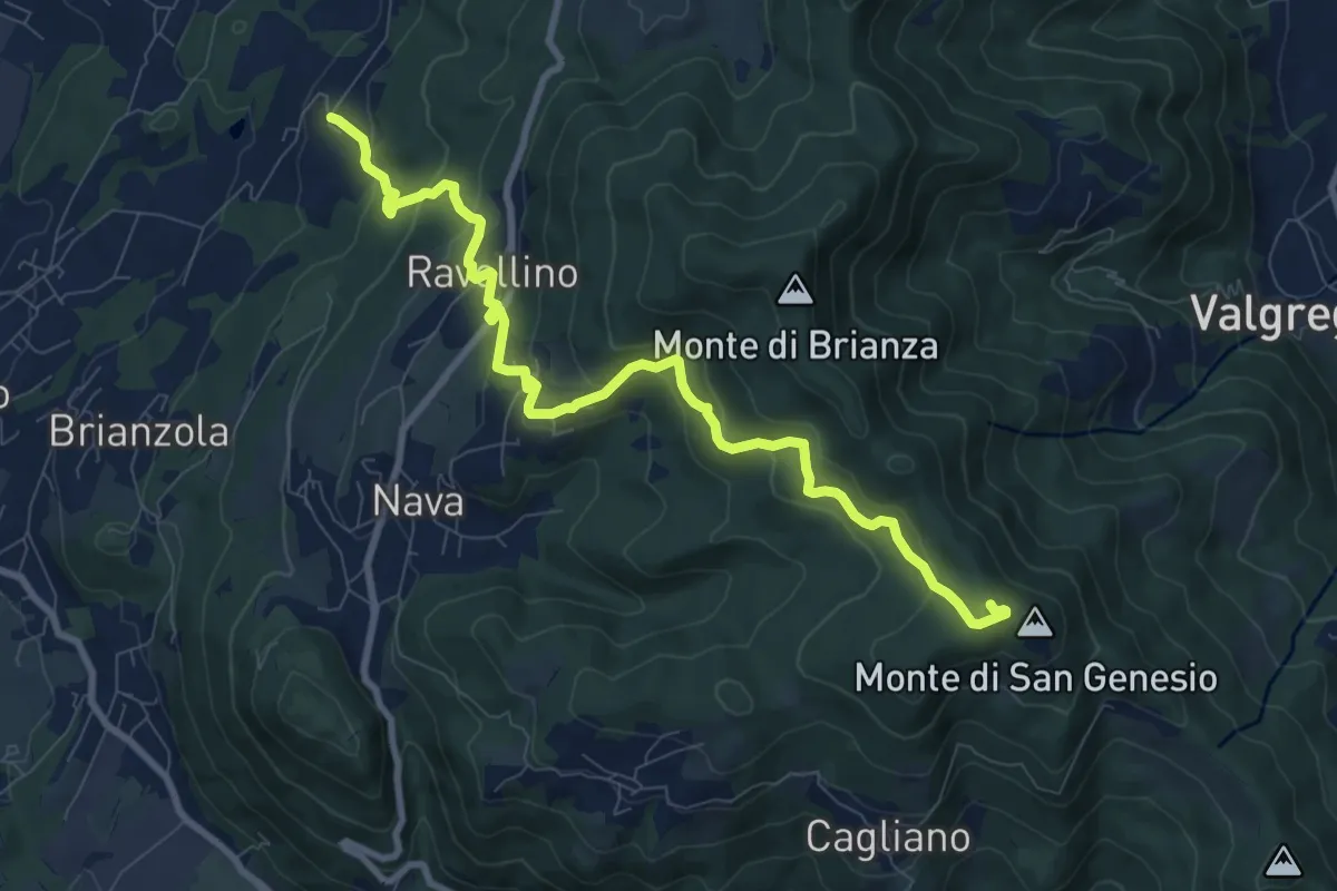
Medium · Summit
Marconaga – Monte di San Genesio
9.9 km · ↑ 516 m · 3 h 28 min
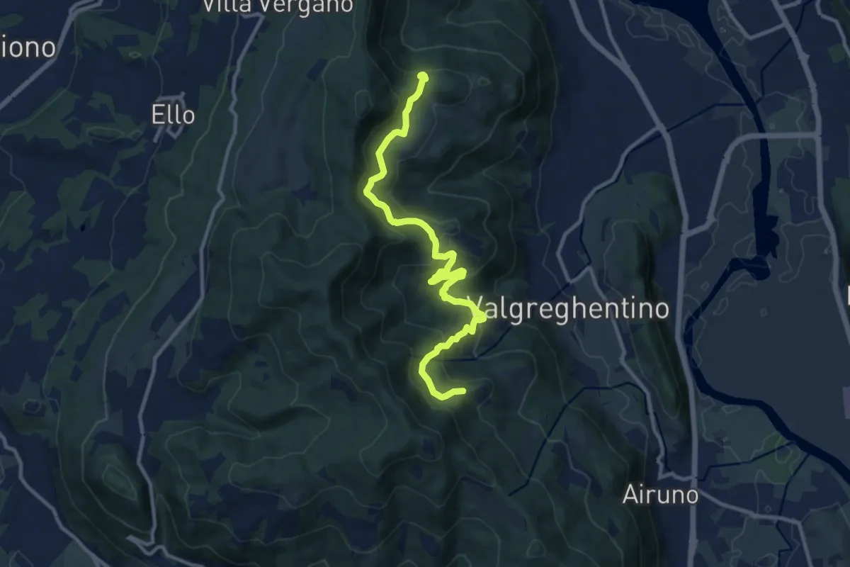
Medium · Trail
Campiano – Consonno
11.0 km · ↑ 560 m · 3 h 48 min
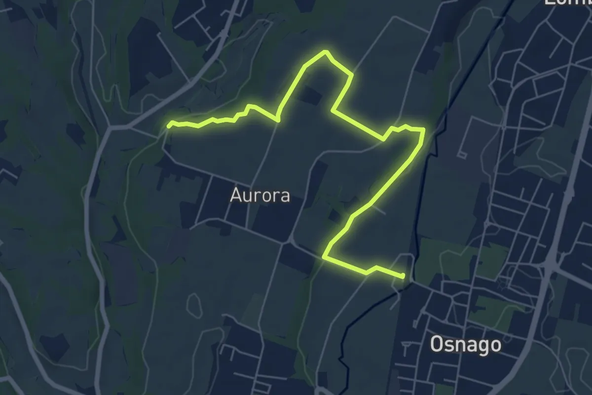
Easy · Trail
Osnago – Torrente Curone
6.8 km · ↑ 43 m · 1 h 42 min
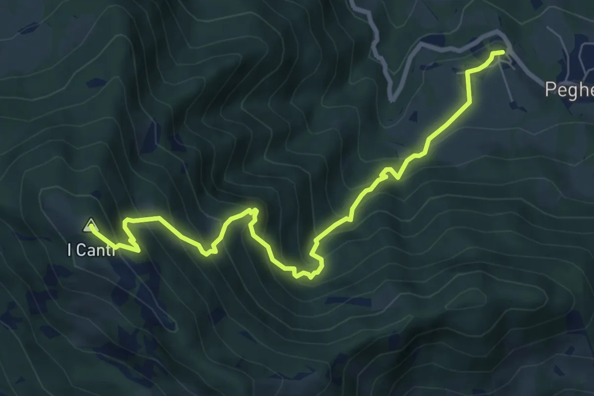
Demanding · Summit
Peghera – I Canti
7.7 km · ↑ 792 m · 3 h 33 min
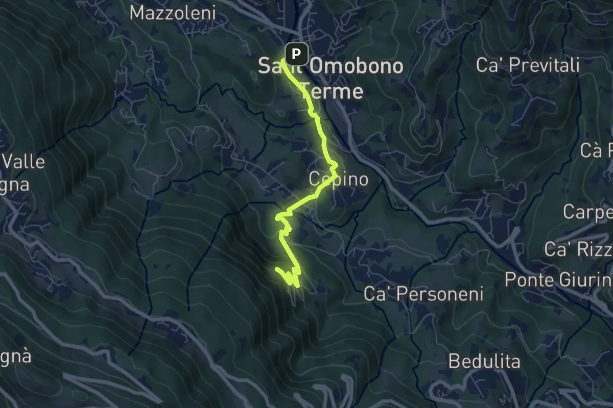
Easy · Trail
Selino Basso – Santuario della Cornabusa
6.0 km · ↑ 283 m · 2 h 2 min
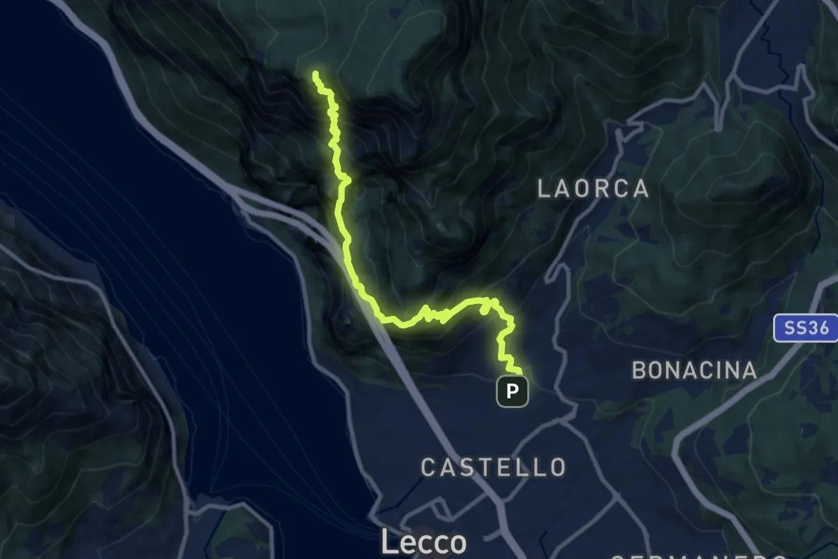
Expert · Summit
Lecco (San Giovanni) – Pian dei Resinelli
10.0 km · ↑ 1587 m · 5 h 47 min
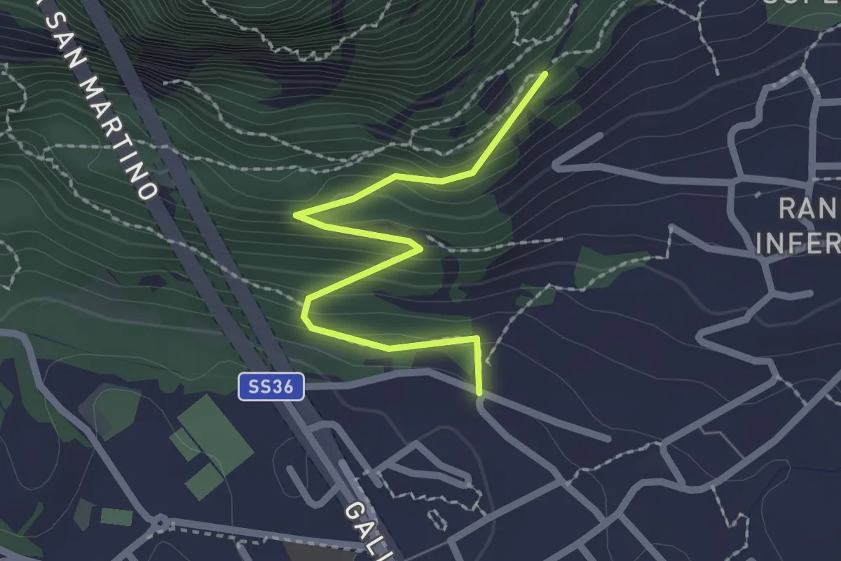
Easy · Trail
Lecco (via Ronco Inferiore) – Incrocio 552_1
2.1 km · ↑ 168 m · 52 min
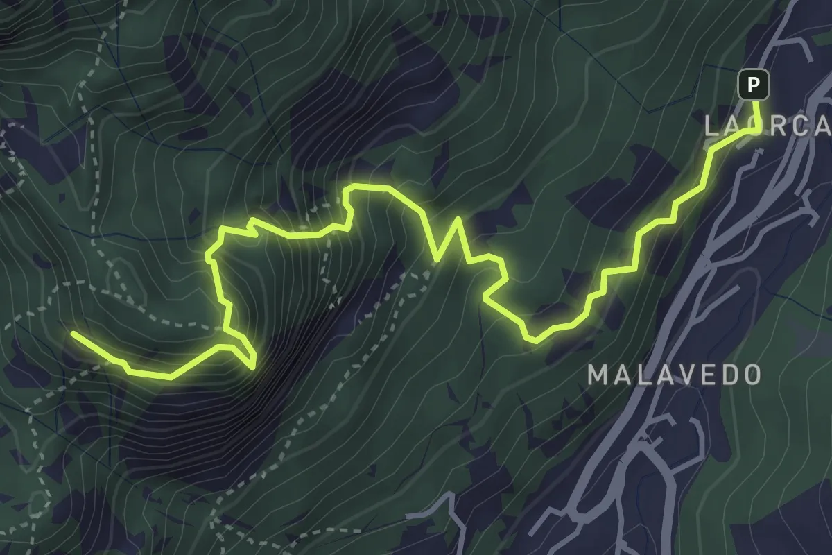
Demanding · Summit
Rifugio Piazza – Corno Medale
4.9 km · ↑ 860 m · 3 h 2 min
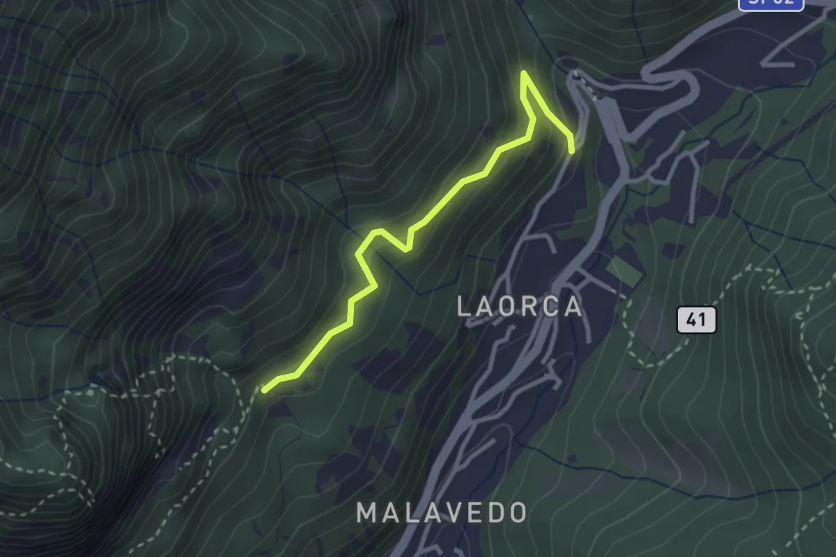
Easy · Trail
Incrocio 551 – Incrocio 556
2.7 km · ↑ 193 m · 1 h 3 min
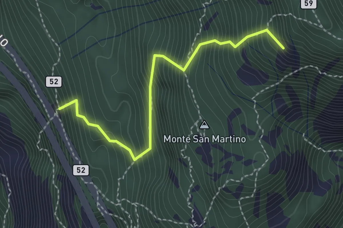
Demanding · Summit
Rifugio Riccardo Piazza – Corno Medale
2.1 km · ↑ 415 m · 1 h 24 min
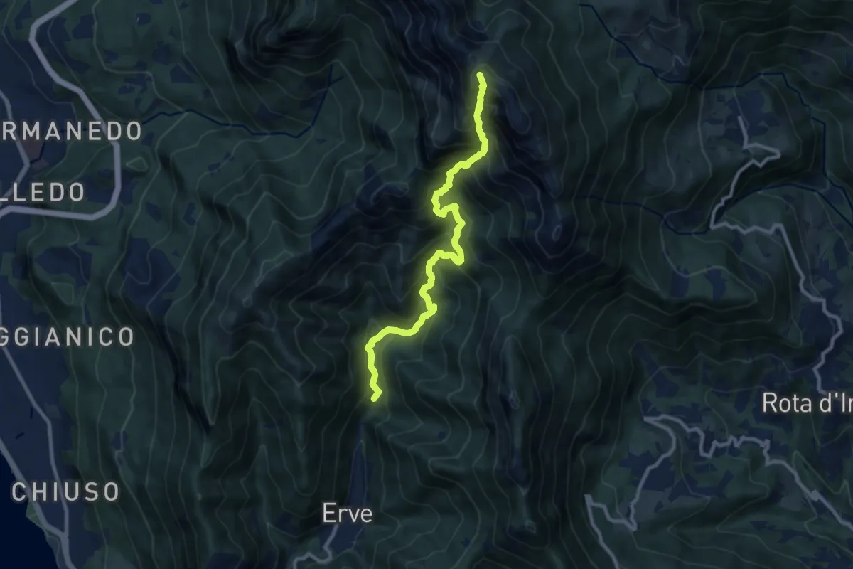
Expert · Summit
Erve – Rifugio Azzoni
9.6 km · ↑ 1242 m · 4 h 57 min
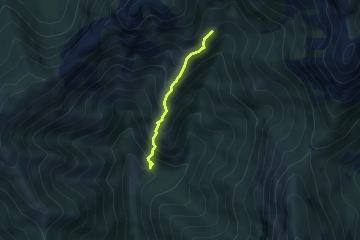
Demanding · Trail
Sentiero 803 – Sentiero 803
2.7 km · ↑ 404 m · 1 h 31 min
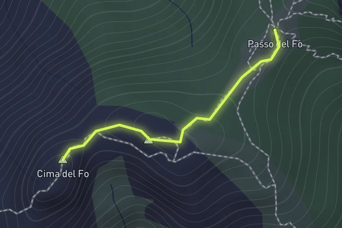
Expert · Summit
Sentiero 928 – Passo del Fo'
1.0 km · ↑ 72 m · 23 min
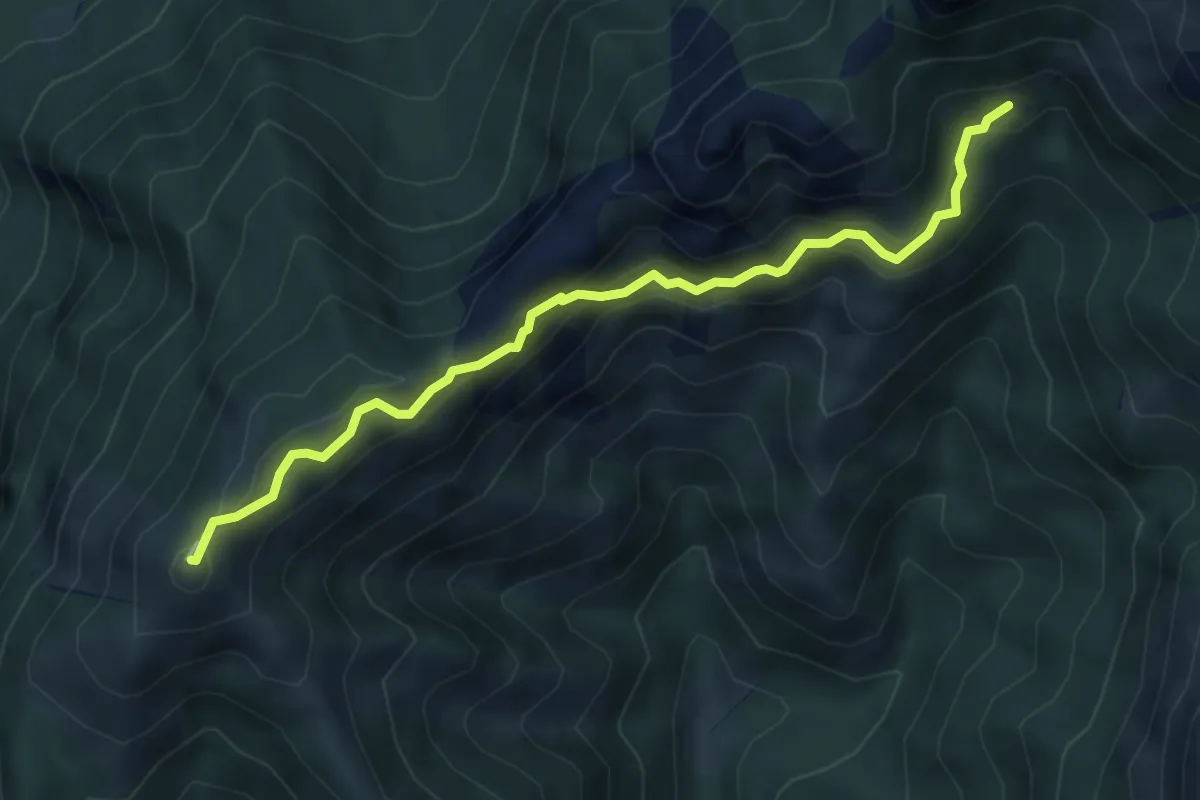
Demanding · Summit
Rif. Alpinisti Monzesi – Monte Magnodeno
5.1 km · ↑ 345 m · 1 h 57 min
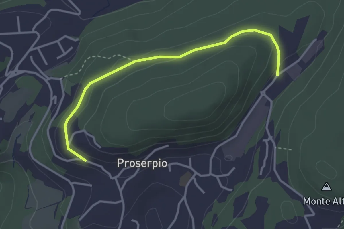
Easy · Trail
Rusera (Proserpio) – Zona industriale di Proseprio
3.1 km · ↑ 50 m · 51 min
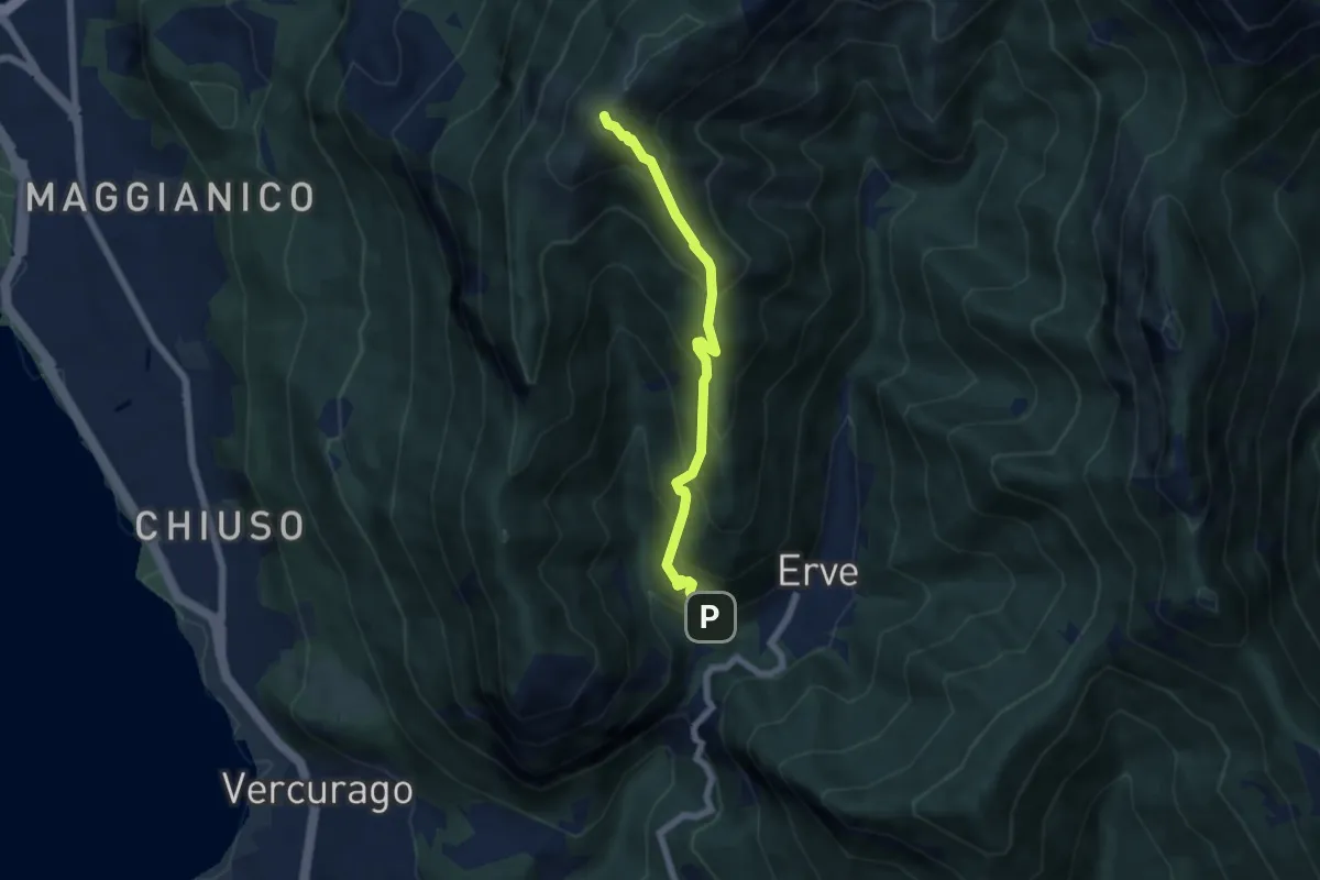
Medium · Summit
Erve – Monte Magnodeno
5.6 km · ↑ 626 m · 2 h 41 min
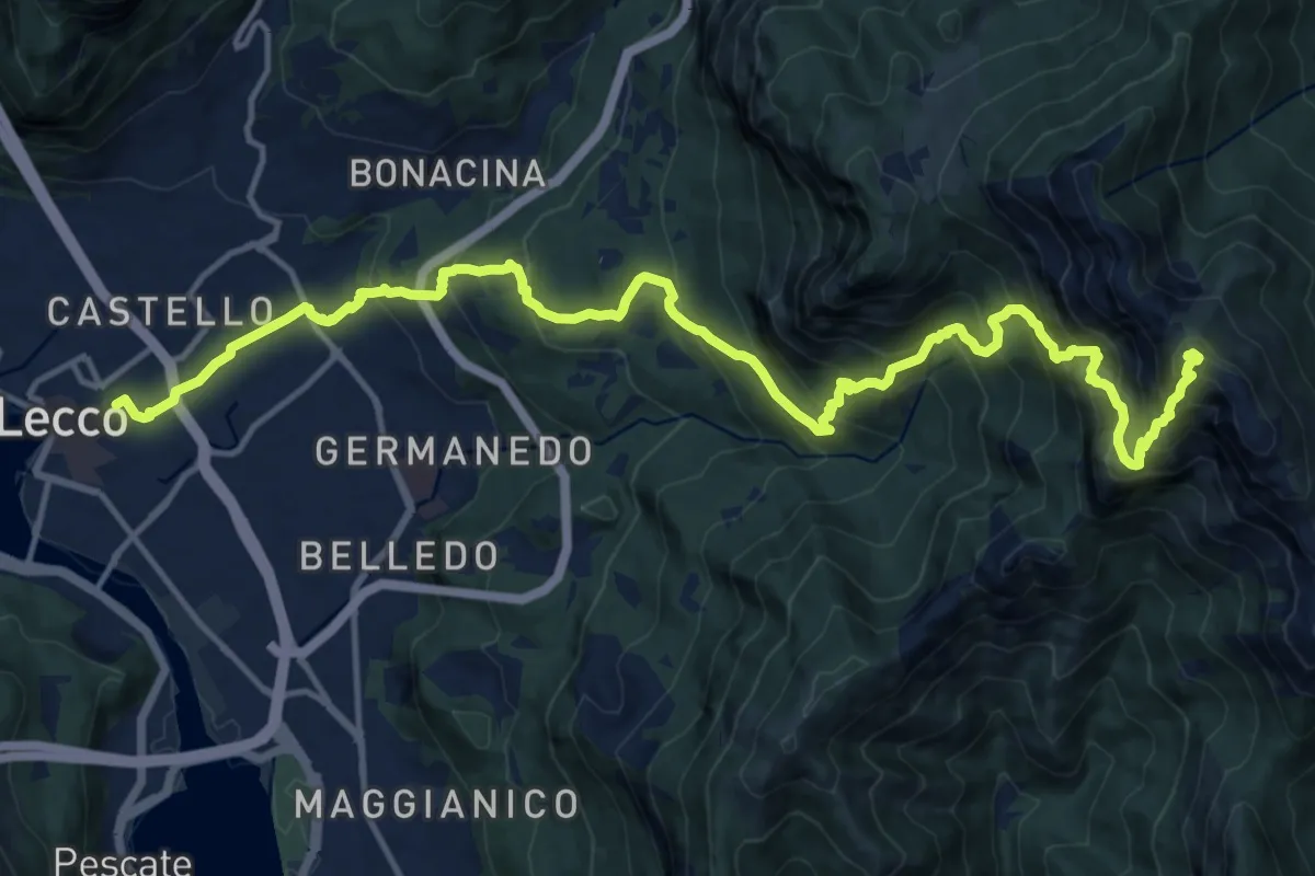
Demanding · Summit
Lecco (Stazione) – Monte Resegone
18.8 km · ↑ 1725 m · 8 h 10 min
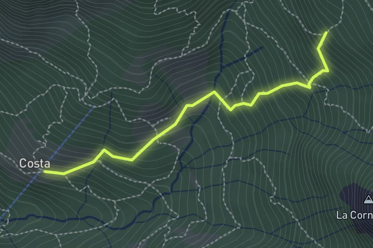
Medium · Trail
Frazione Costa – Innesto sentiero 901
2.4 km · ↑ 303 m · 1 h 14 min
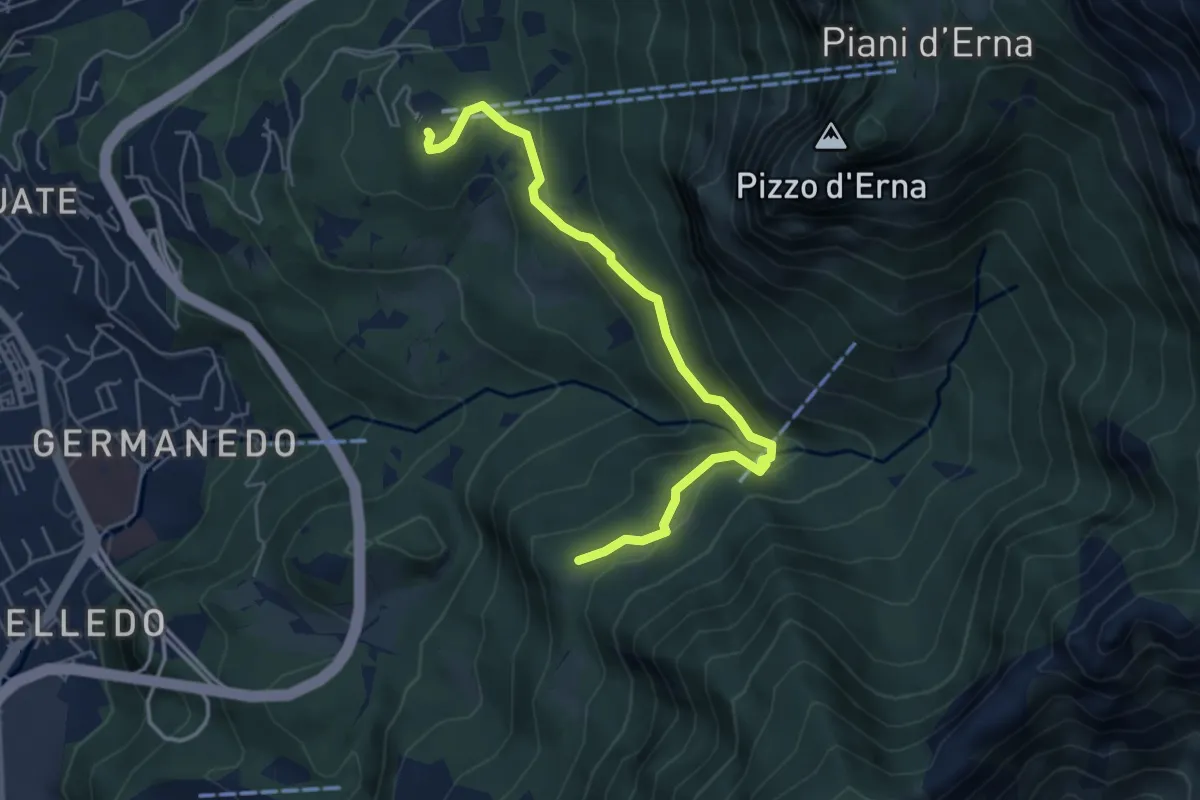
Easy · Trail
Piazzale funivia – Campo de' Boi - La Madonnina
5.5 km · ↑ 212 m · 1 h 45 min
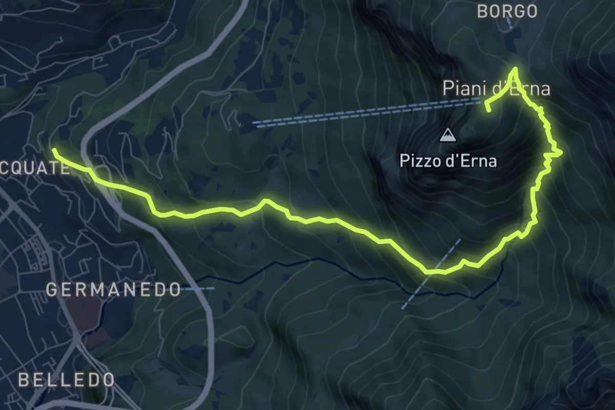
Demanding · Trail
Acquate – Piani d'Erna, funivia
10.6 km · ↑ 997 m · 4 h 40 min
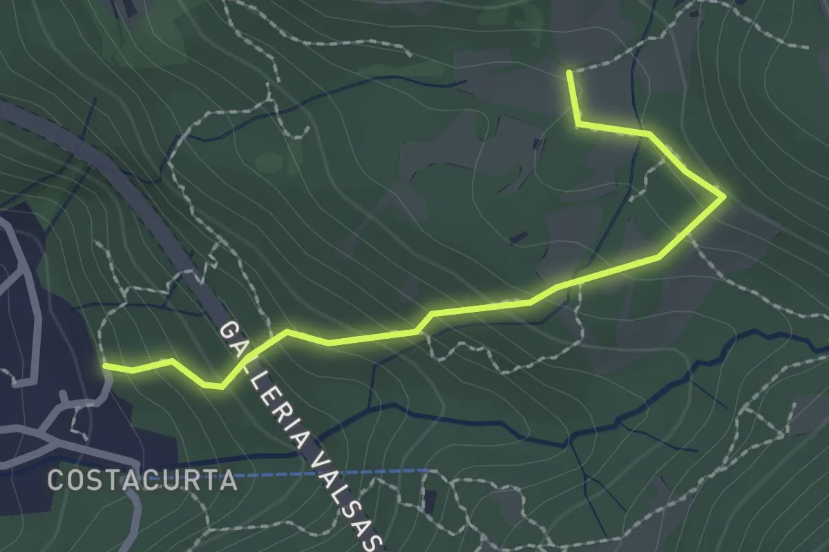
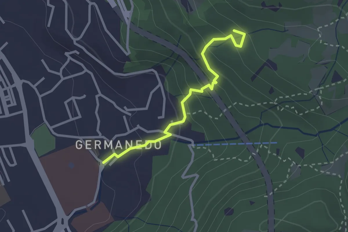
Easy · Trail
Germanedo, innesto percorso 903-1 – Cavagiozzo, innesto percorso 903
2.1 km · ↑ 196 m · 56 min
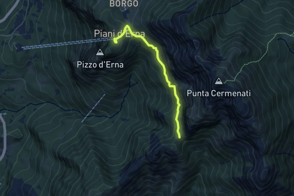
Easy · Trail
Lecco – Innesto su percorso 903
2.4 km · ↑ 183 m · 57 min
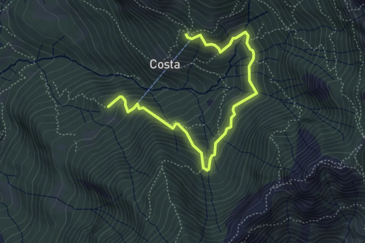
Demanding · Cabin
Piani d'Erna – Capanna Ghislandi
5.3 km · ↑ 350 m · 2 h
Medium · Cabin
Rifugio Stoppani – Innesto sentiero 919
5.6 km · ↑ 532 m · 2 h 28 min
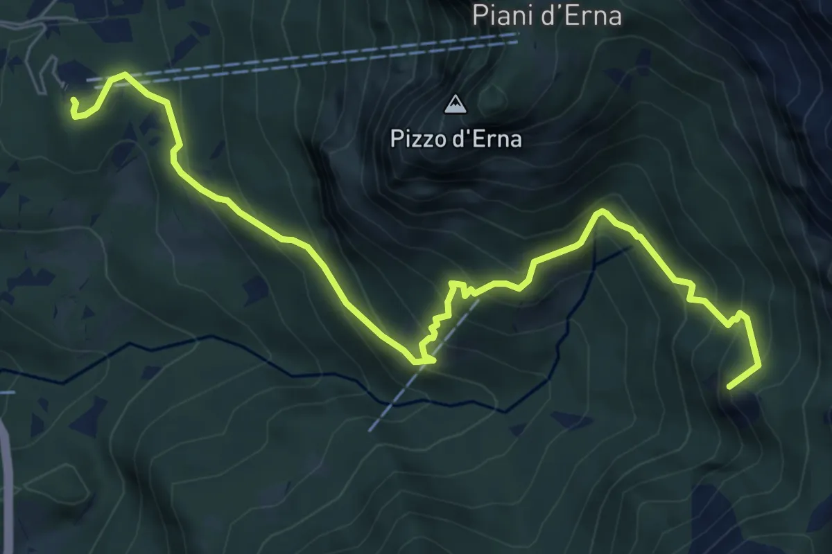
Medium · Summit
Piazzale funivia per Piani d'Erna – Rif. Alpinisti Monzesi
7.7 km · ↑ 658 m · 3 h 15 min
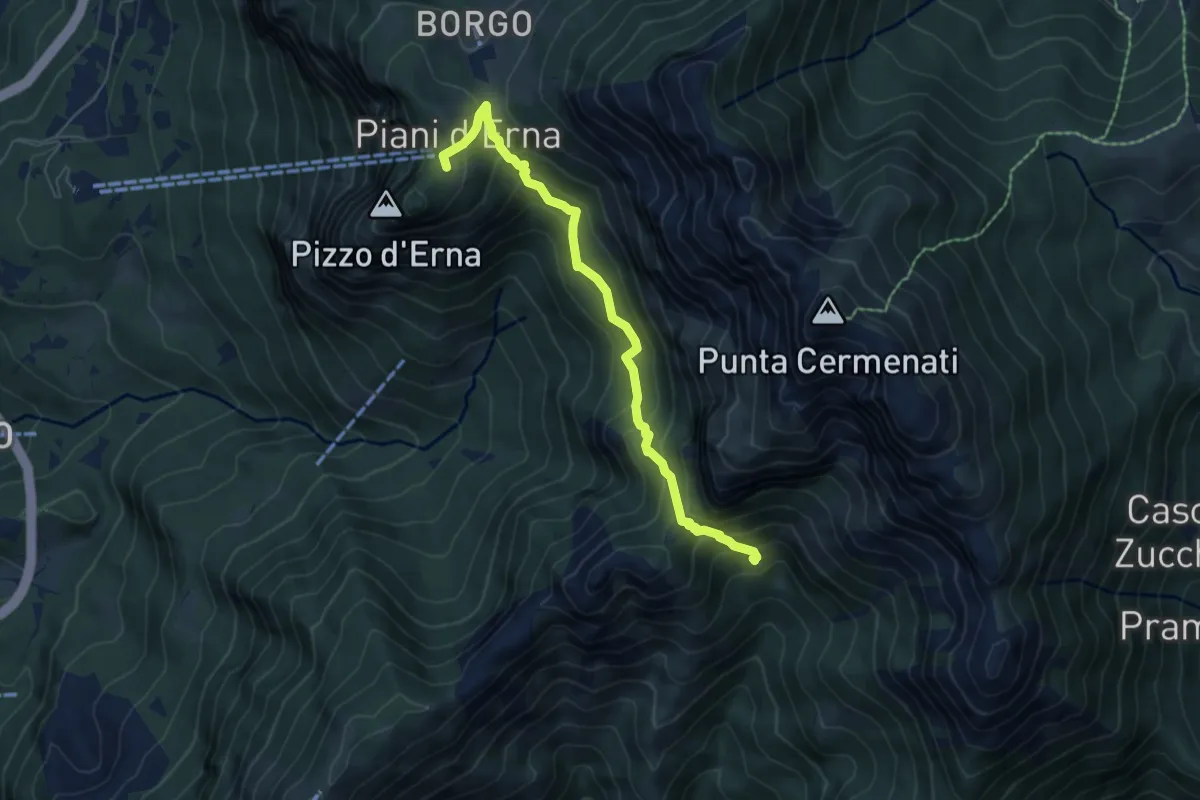
Medium · Cabin
Capanna Alpinisti Monzesi – Piani d'Erna
6.0 km · ↑ 566 m · 2 h 38 min
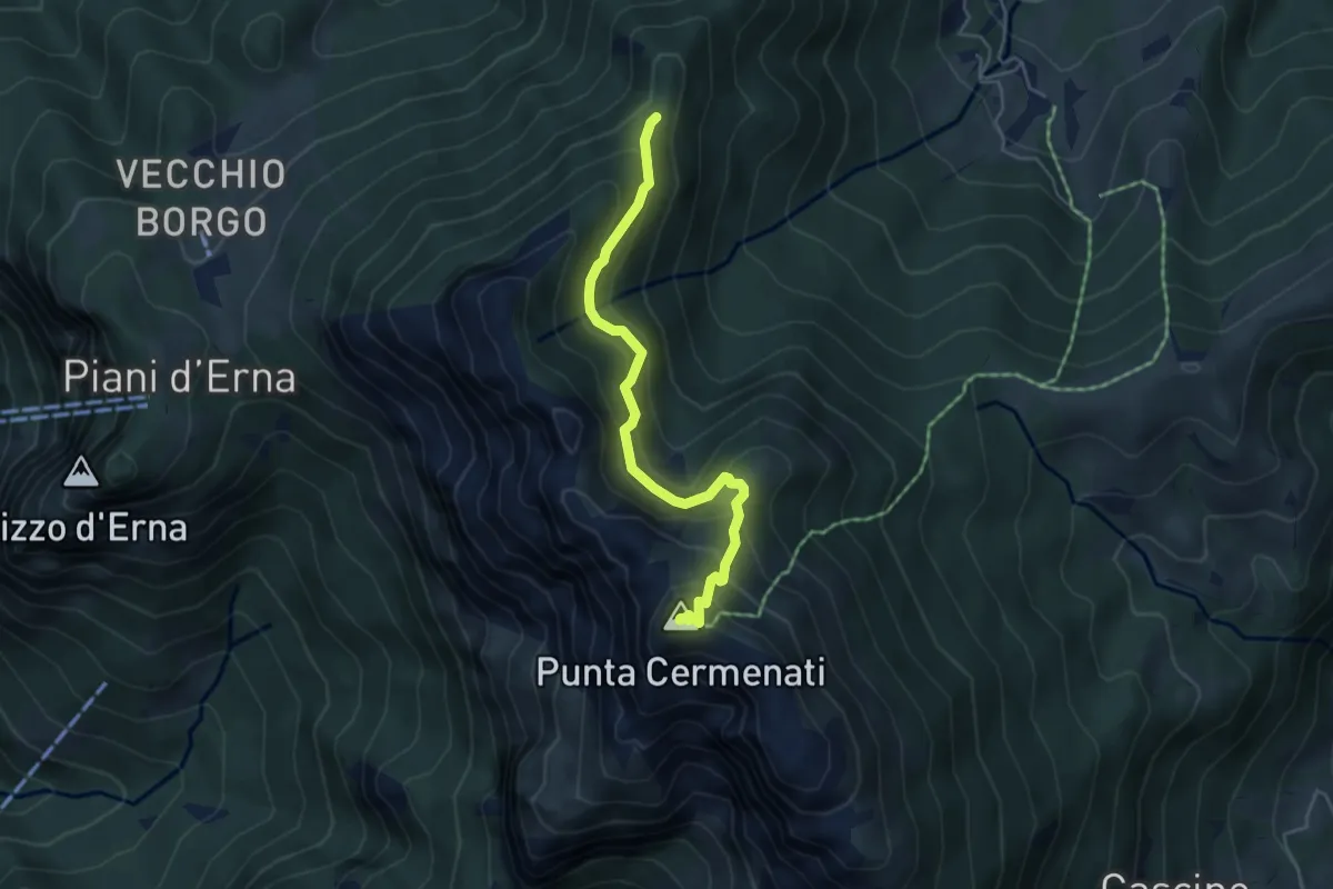
Demanding · Summit
Passo del Giuff – Monte Resegone
4.7 km · ↑ 410 m · 2 h
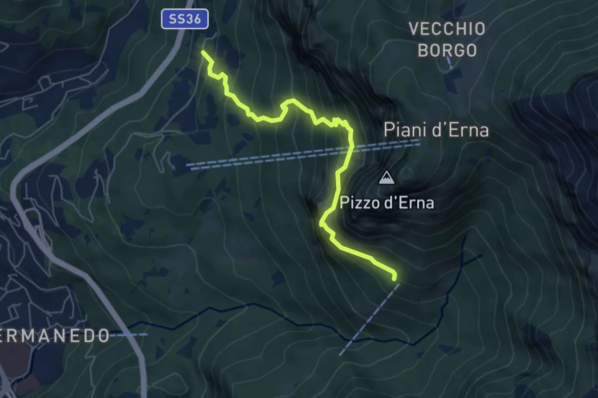
Expert · Cabin
Versasio – Rifugio Stoppani
5.6 km · ↑ 636 m · 2 h 42 min
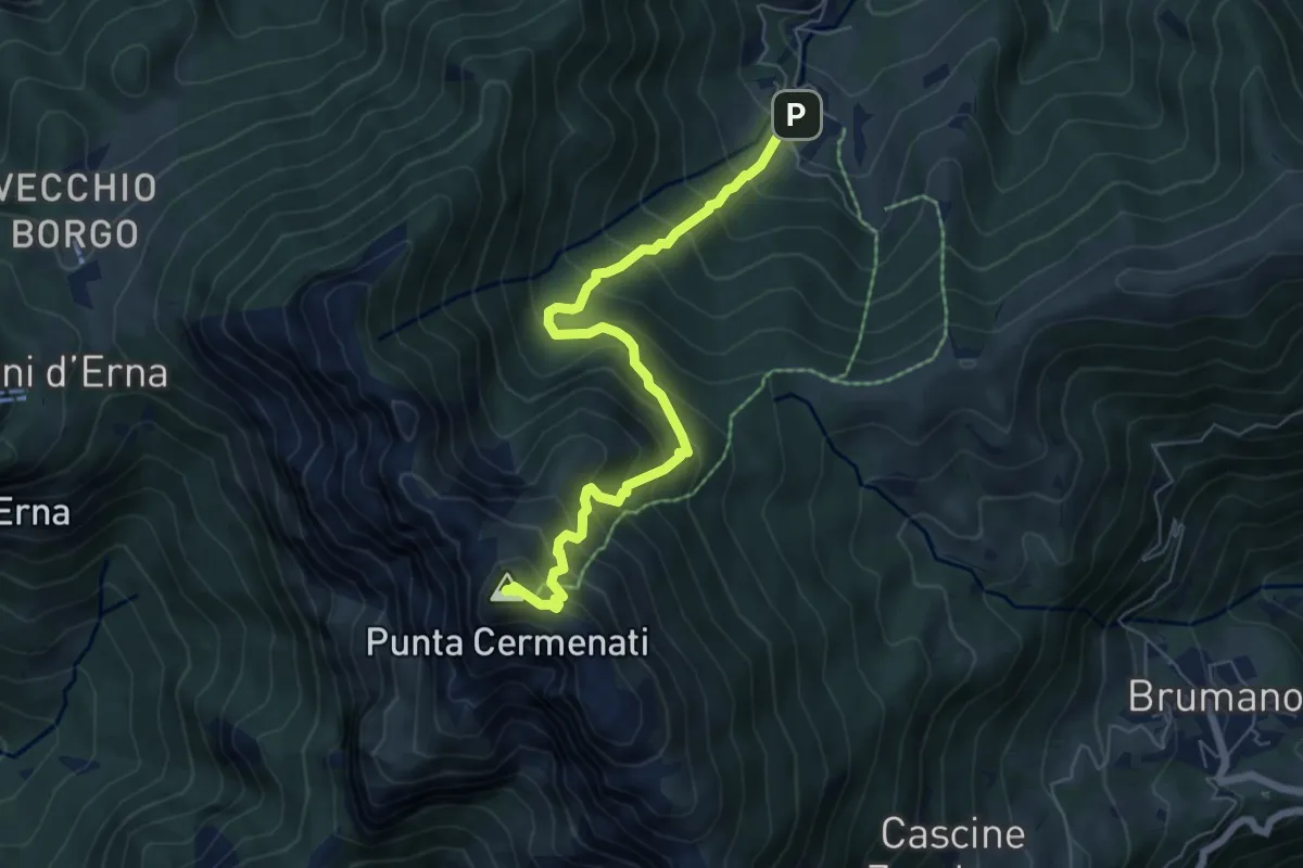
Medium · Summit
Morterone – Monte Resegone
6.5 km · ↑ 759 m · 3 h 11 min
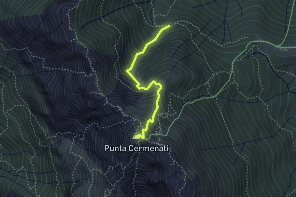
Demanding · Summit
Sorgente Forbesette – Monte Resegone
3.1 km · ↑ 458 m · 1 h 44 min
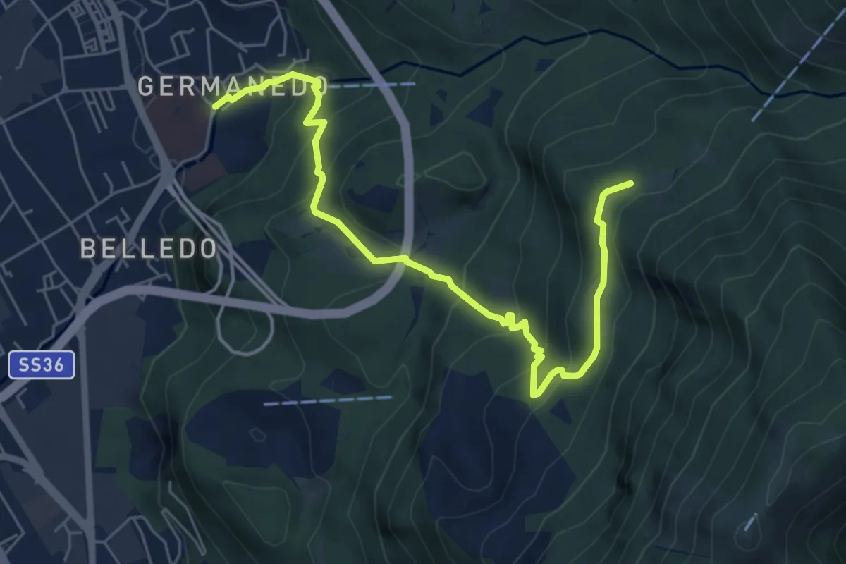
Medium · Trail
Lecco – Campo de' Boi, La Madonnina
6.5 km · ↑ 445 m · 2 h 31 min
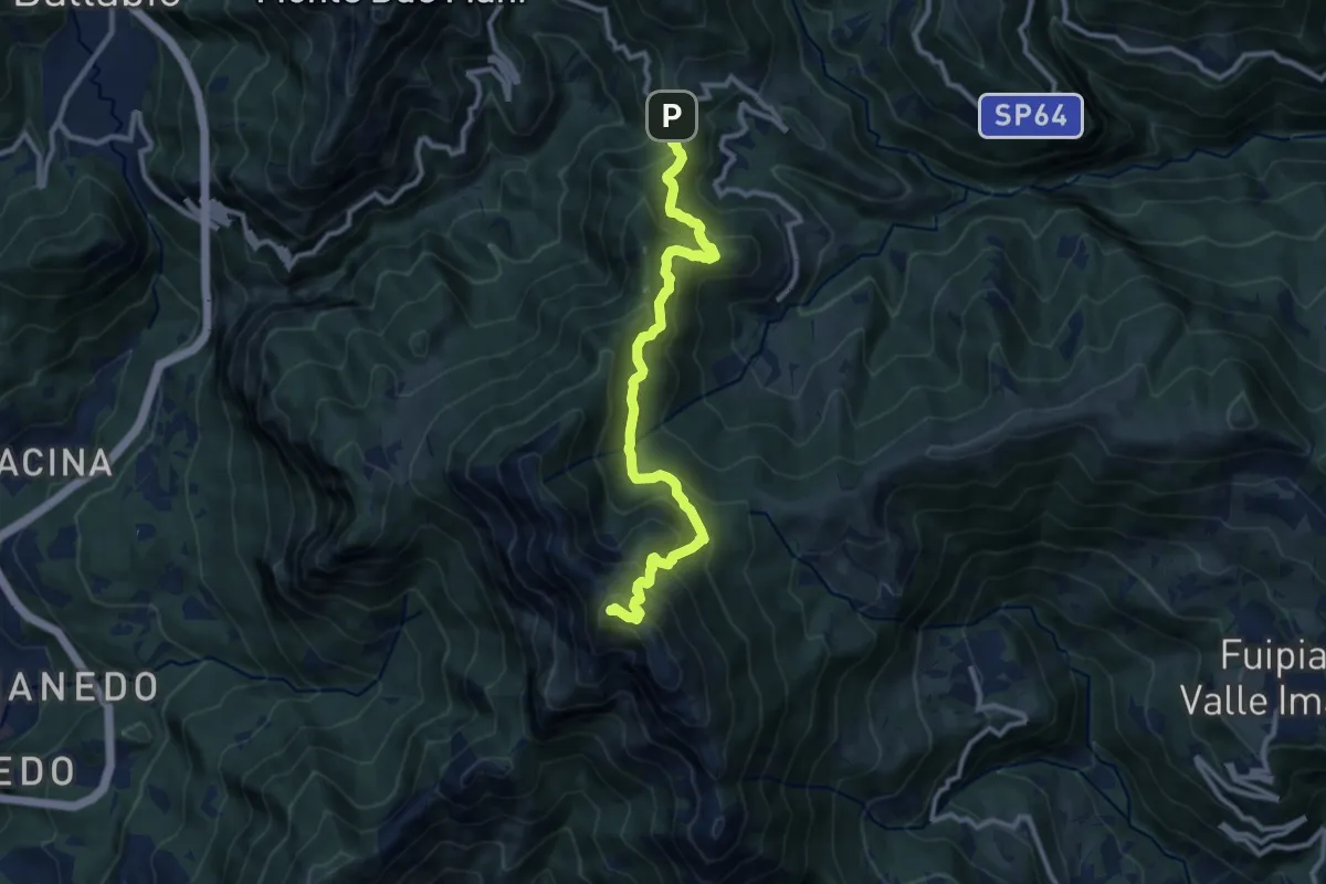
Demanding · Summit
Forcella di Olino – Monte Resegone
10.5 km · ↑ 866 m · 4 h 22 min
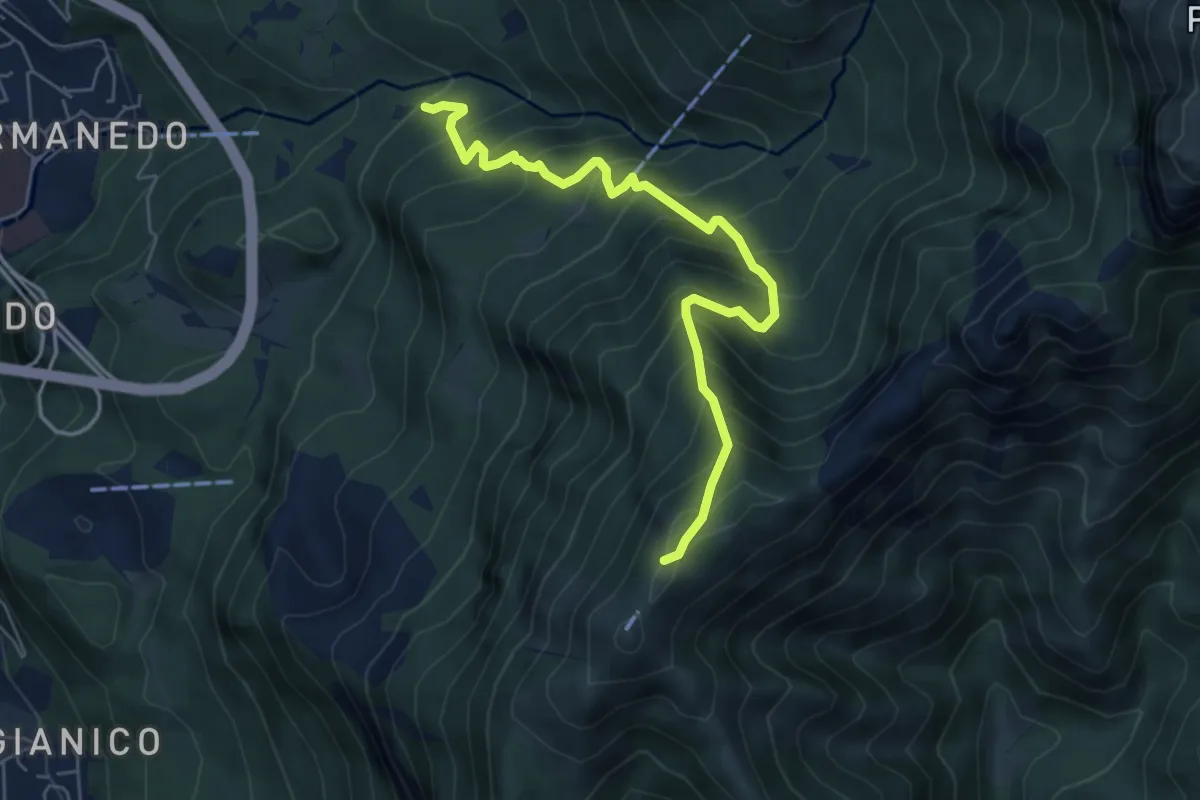
Medium · Trail
Innesto percorso 927 – Monte Magnodeno, innesto percorso 927
6.2 km · ↑ 754 m · 3 h 5 min
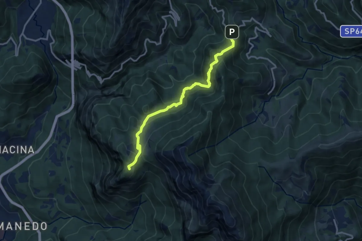
Expert · Trail
Pianid'Erna – Forcella di Olino
8.9 km · ↑ 659 m · 3 h 32 min
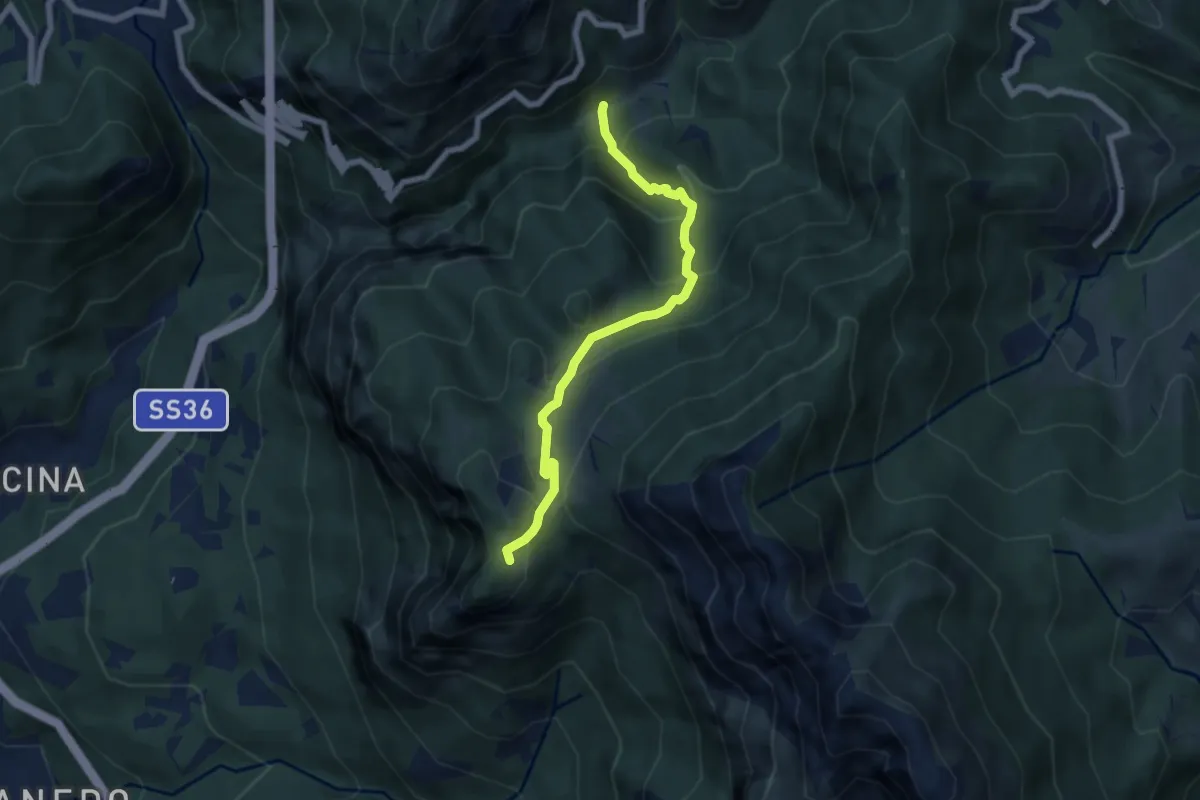
Medium · Trail
Boazzo, percorso 922 – Piani d'Erna, arrivo Funivia
6.2 km · ↑ 477 m · 2 h 29 min
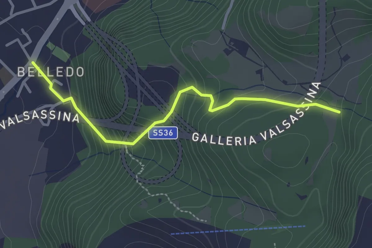
Easy · Trail
Belledo (Lecco) – Sentiero Rotary 920
2.7 km · ↑ 228 m · 1 h 8 min