Trails in Italy
25,219 hiking trails, each with its route, climb, walking time and grade.
All trails, page 466 of 526
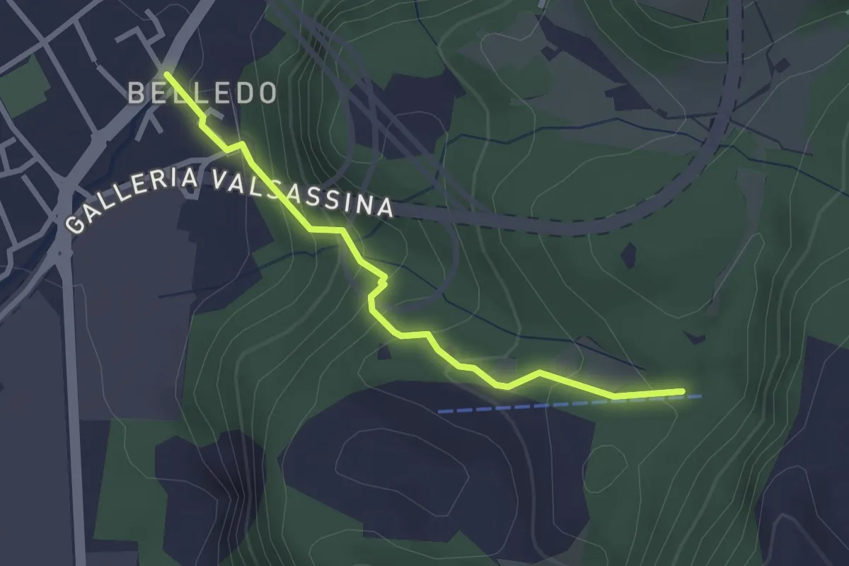
Easy · Trail
Belledo (Lecco) – Sentiero Rotary 920, Vaiolo Bassa
2.5 km · ↑ 202 m · 1 h 1 min
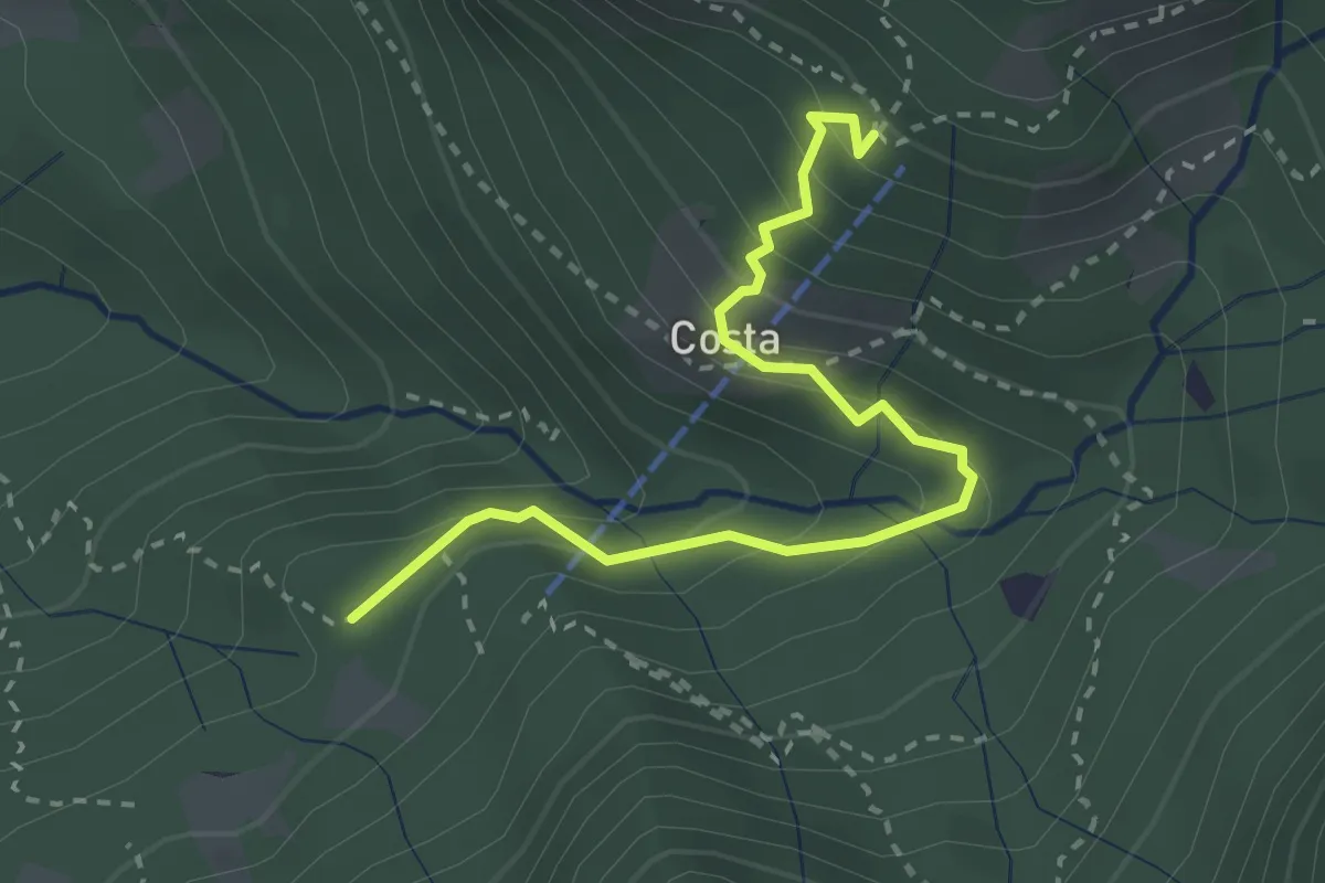
Medium · Cabin
Innesto 919 – Rifugio Sotppani
3.0 km · ↑ 272 m · 1 h 18 min
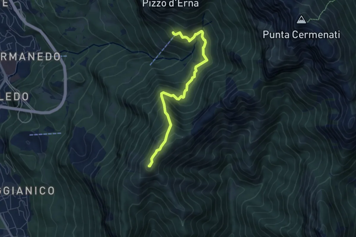
Demanding · Summit
Rifugio Stoppani – Monte Magnodeno
6.5 km · ↑ 557 m · 2 h 45 min
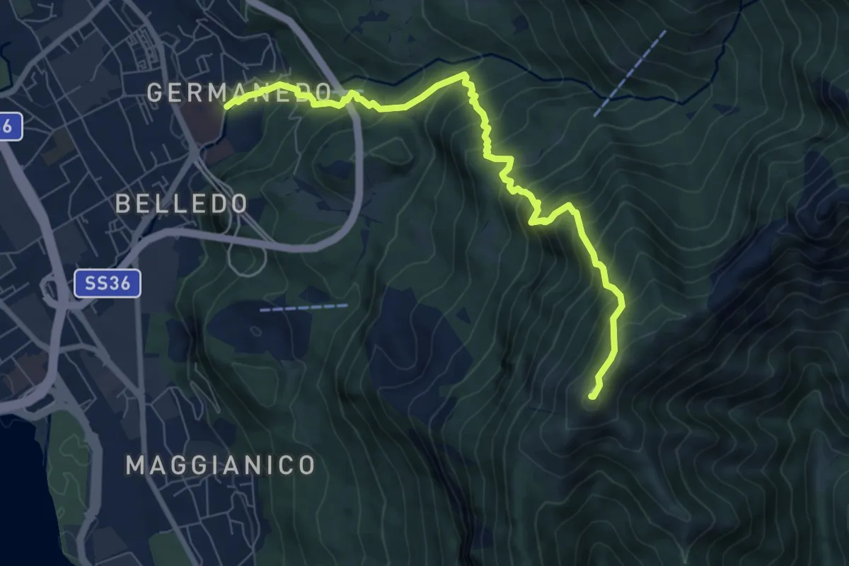
Demanding · Summit
Lecco Germanedo – Monte Magnodeno
8.0 km · ↑ 950 m · 3 h 57 min
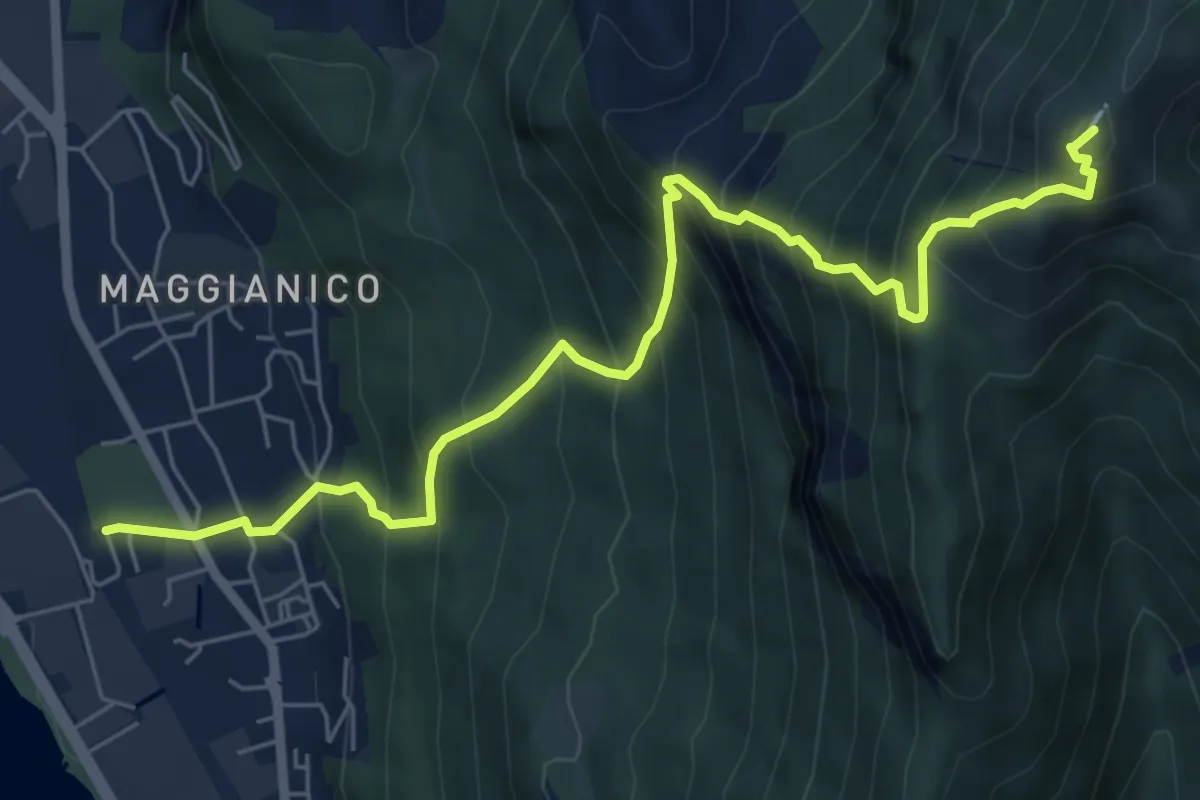
Demanding · Summit
Lecco – Monte Magnodeno
7.2 km · ↑ 1006 m · 3 h 52 min
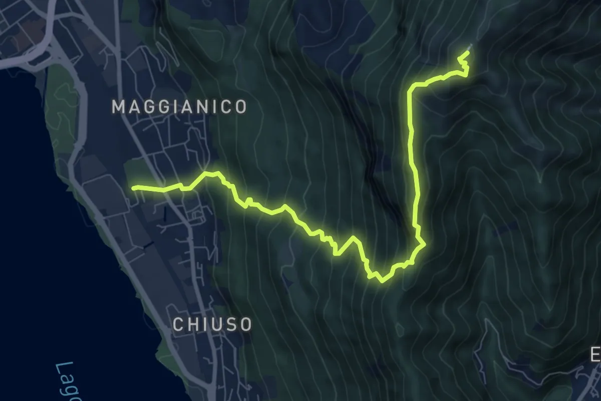
Demanding · Summit
Lecco – Monte Magnodeno
9.1 km · ↑ 992 m · 4 h 18 min
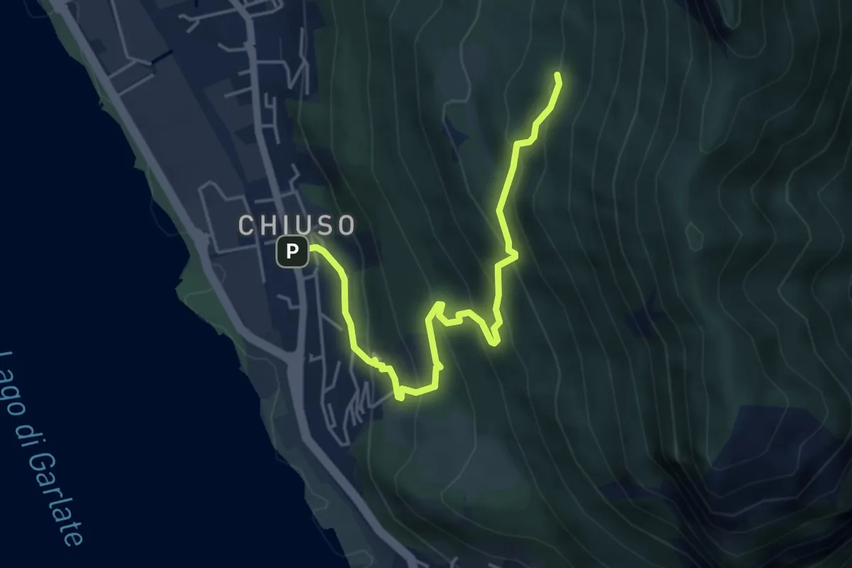
Medium · Cabin
Chiuso – Rifugio Camposecco
4.8 km · ↑ 430 m · 2 h 4 min
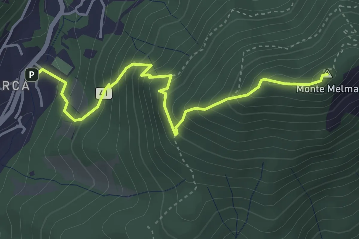
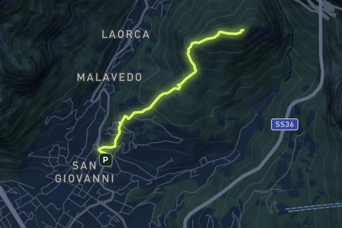
Medium · Summit
Laorca – Monte Melma
3.8 km · ↑ 481 m · 1 h 57 min
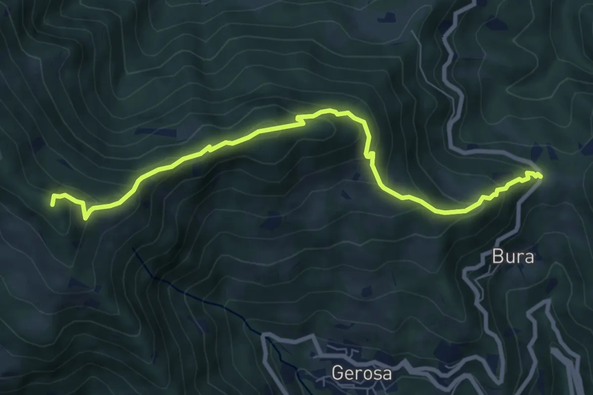
Medium · Summit
Lecco (Varigione) – Monte Melma
5.3 km · ↑ 554 m · 2 h 27 min
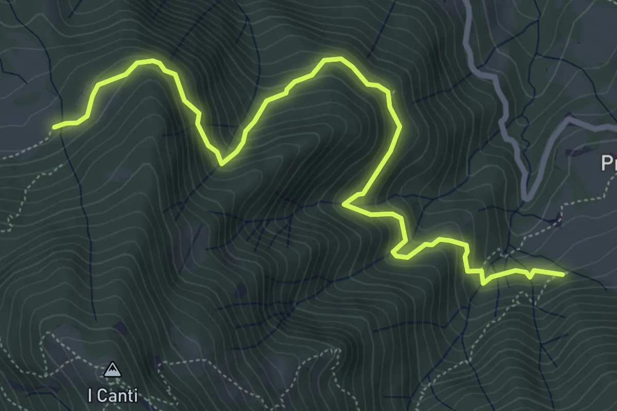
Medium · Summit
Forcella di Bura – Zucco di Pralongone
7.6 km · ↑ 602 m · 3 h 6 min
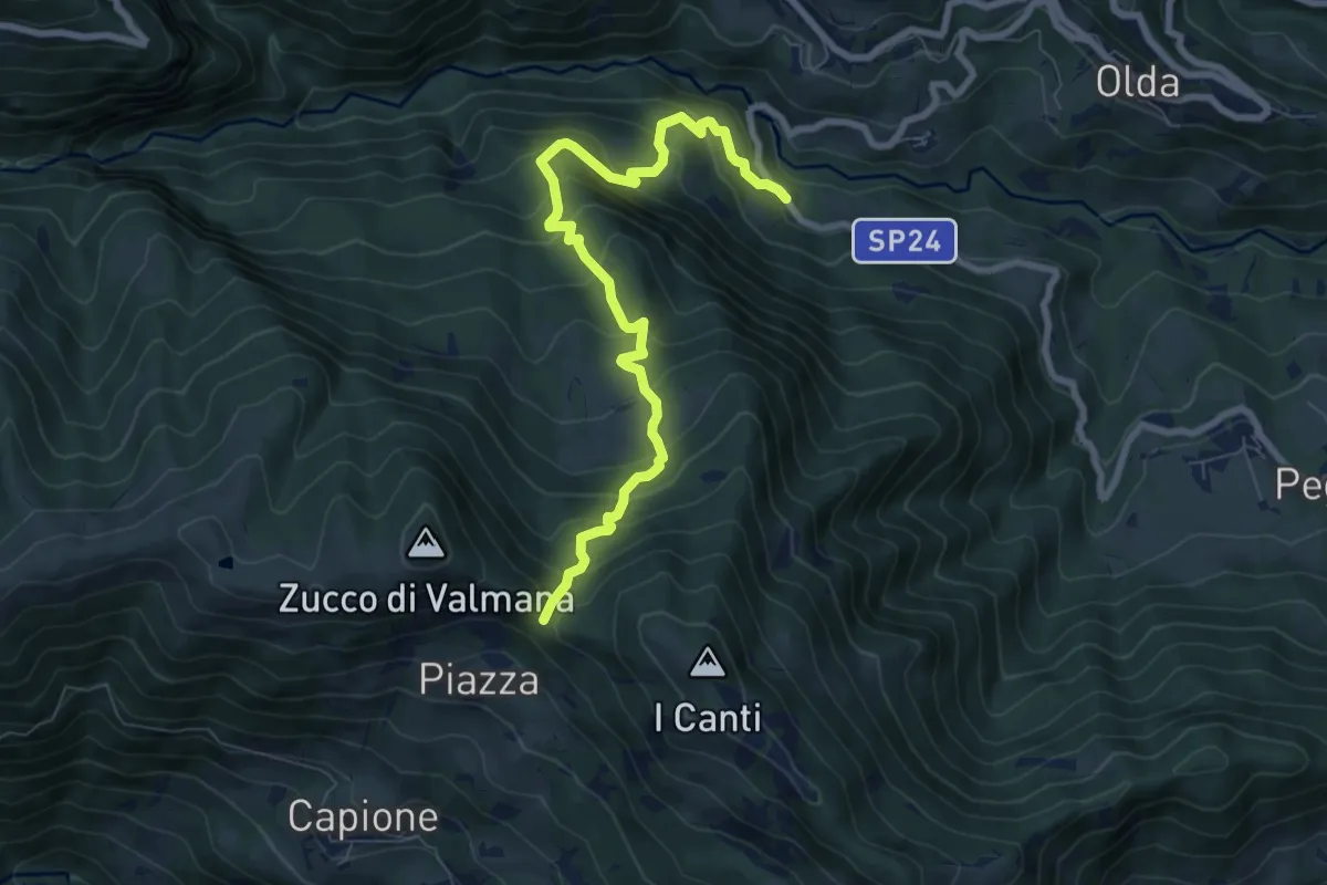
Demanding · Trail
Incrocio 569 (Peghera) – Incrocio 569B (Piazzoli)
7.2 km · ↑ 617 m · 3 h 3 min
Medium · Trail
Ponte Lavina – Bocca del Grassello
8.2 km · ↑ 738 m · 3 h 32 min
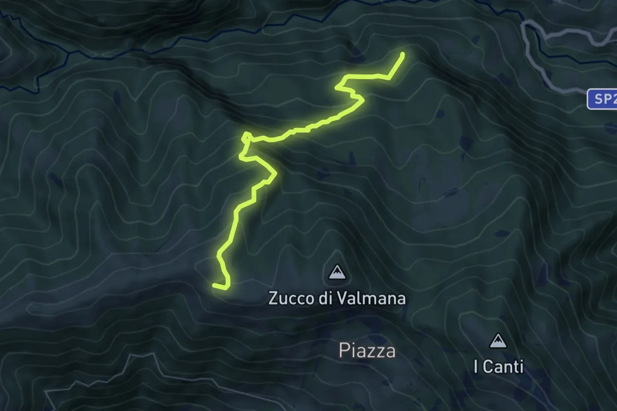
Expert · Trail
Incrocio 569B (Ponte Lavina) – Alpe Costa del Palio
6.6 km · ↑ 579 m · 2 h 49 min
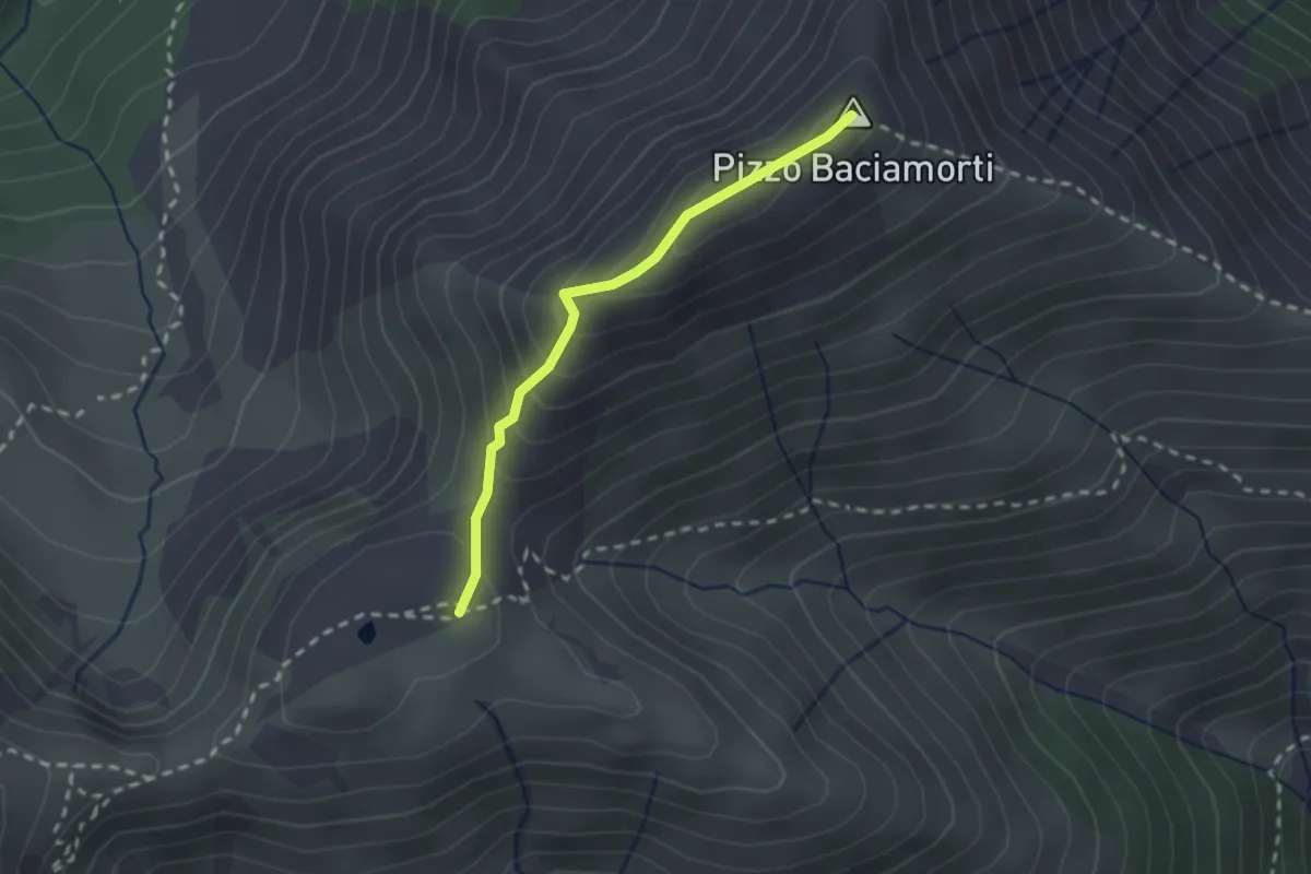
Demanding · Summit
Passo Baciamorti – Baita Cambretondo
2.0 km · ↑ 162 m · 50 min
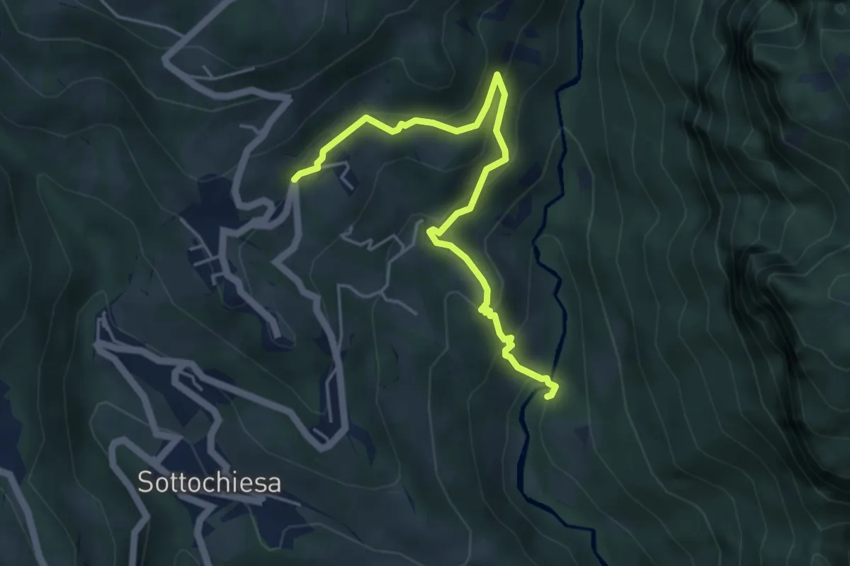
Medium · Trail
Incrocio 130 (Ponte Forcola) – Grasso
4.7 km · ↑ 308 m · 1 h 47 min
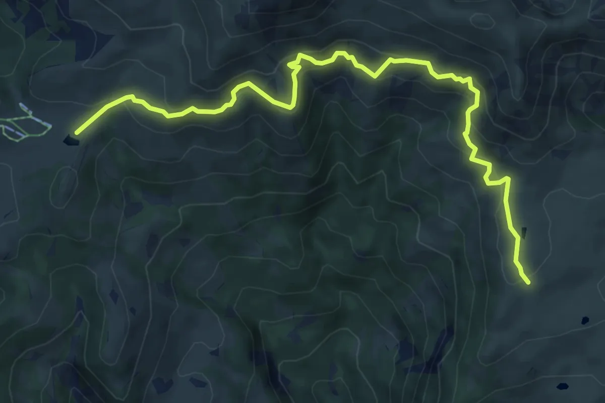
Medium · Cabin
Rifugio Angelo Gherardi – Piani d'Artavaggio
8.6 km · ↑ 584 m · 3 h 18 min
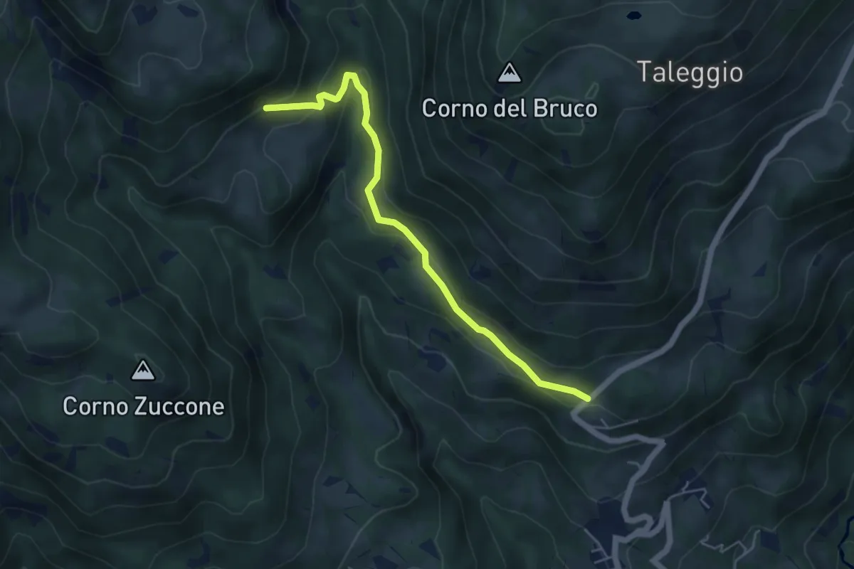
Medium · Trail
Via Arighiglio (Pizzino) – Incrocio 150
5.0 km · ↑ 203 m · 1 h 37 min
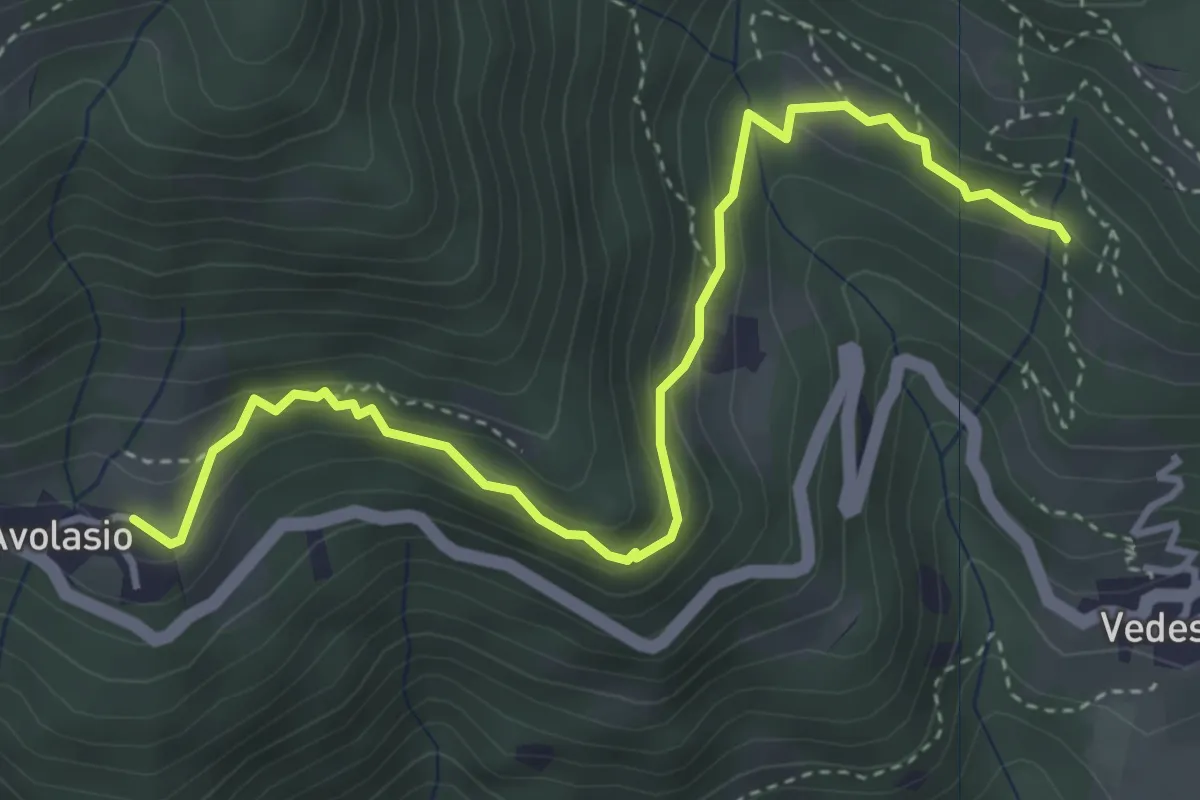
Medium · Trail
Avolasio – Salguggia (incrocio 152A)
4.4 km · ↑ 253 m · 1 h 35 min
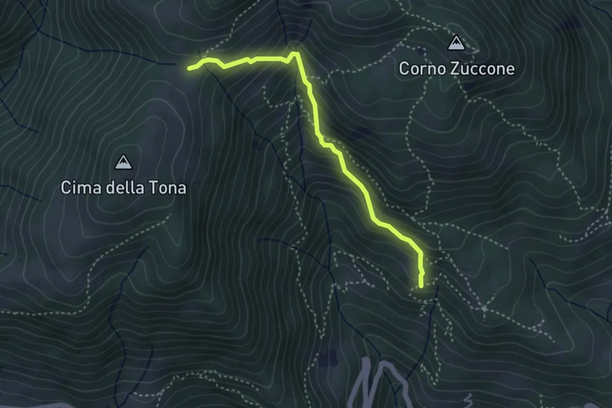
Medium · Trail
Baita Zucai (incrocio 152A) – Passo della Sella
3.5 km · ↑ 363 m · 1 h 36 min
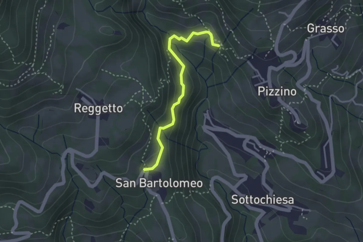
Medium · Trail
San Bartolomeo – Santuario di Salzana
2.8 km · ↑ 154 m · 59 min
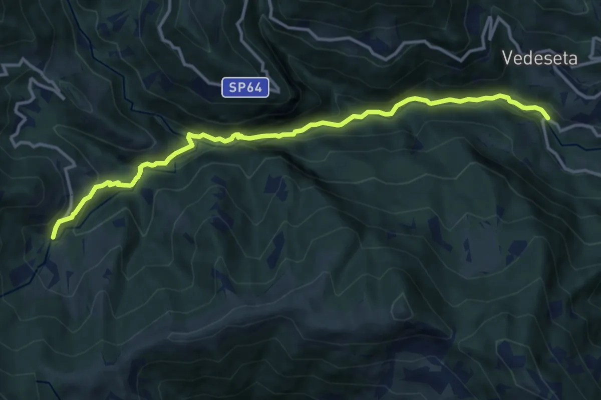
Medium · Trail
Ponte Lavina – Morterone
11.0 km · ↑ 607 m · 3 h 55 min
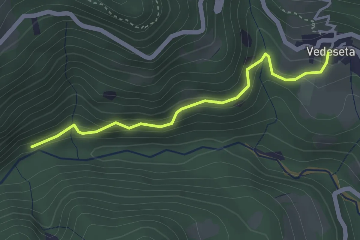
Medium · Trail
Vedeseta – Incrocio 156
3.1 km · ↑ 197 m · 1 h 9 min
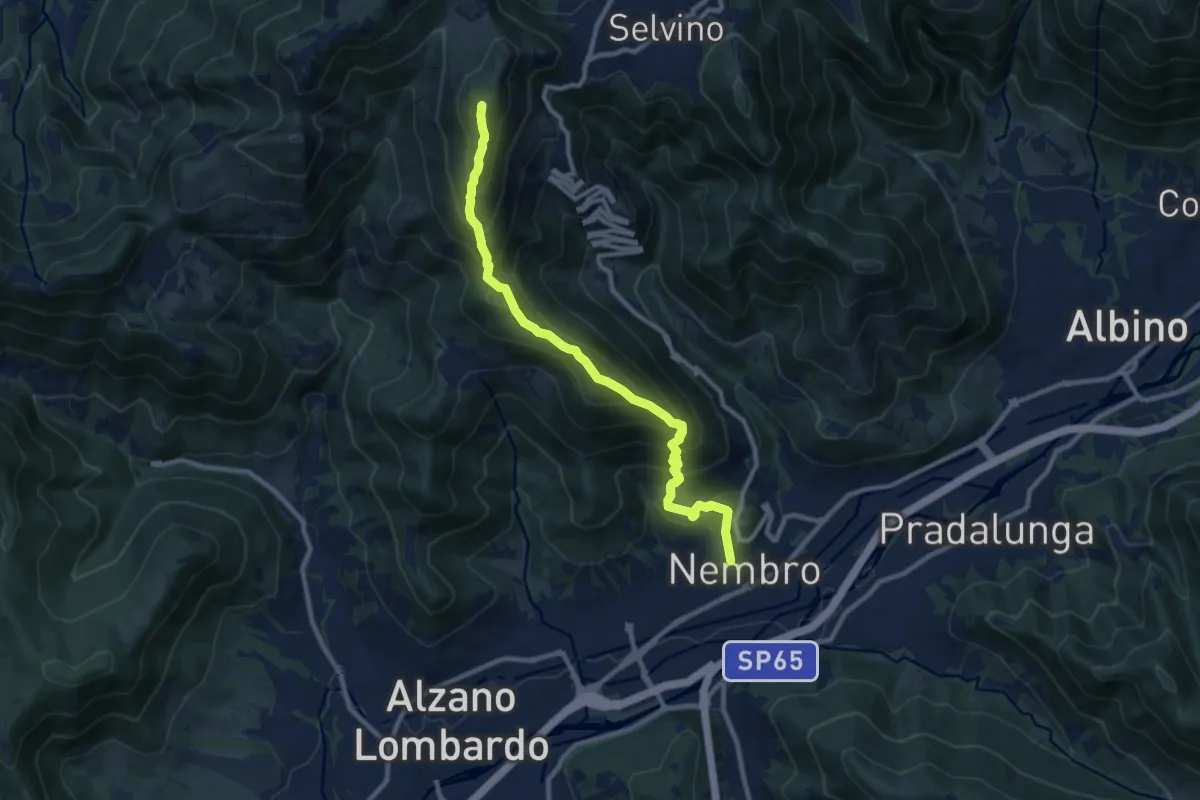
Demanding · Summit
Nembro – Salmezza
10.3 km · ↑ 993 m · 4 h 34 min
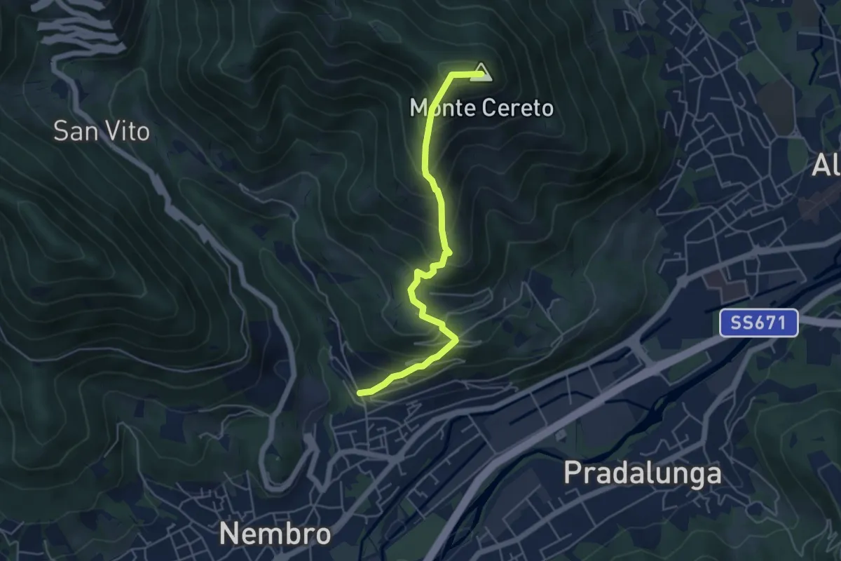
Medium · Summit
Trevasco (Nembro) – Monte Cereto
4.8 km · ↑ 563 m · 2 h 21 min
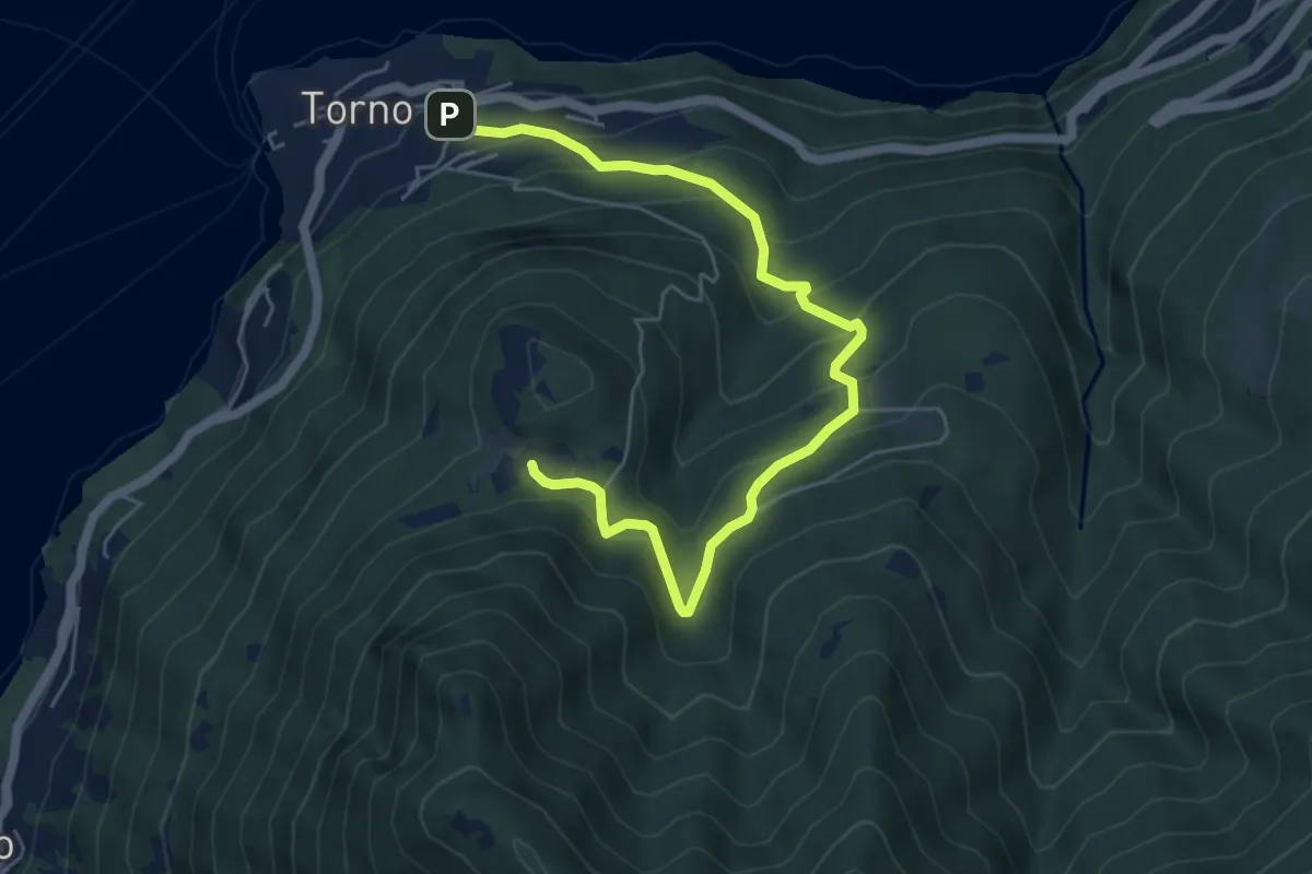
Medium · Trail
Torno – Montepiatto
6.3 km · ↑ 528 m · 2 h 37 min
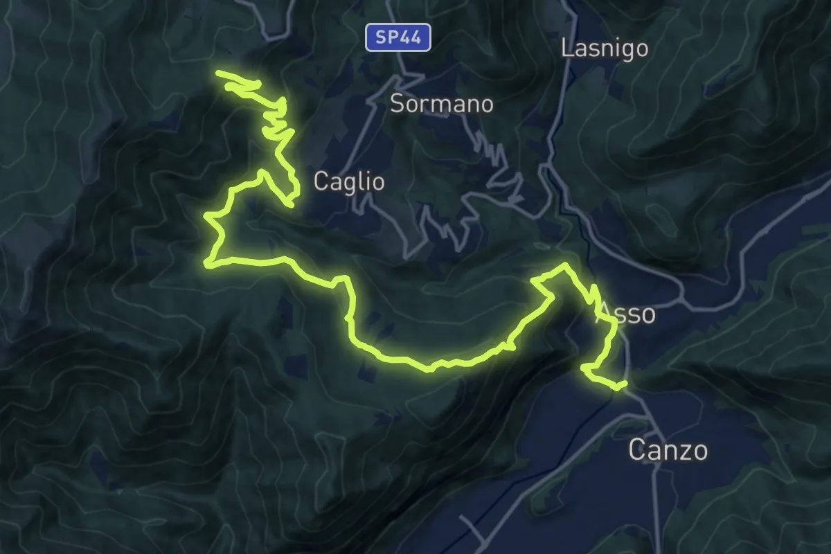
Demanding · Trail
Innesto Sentiero 300 – Innesto Sentiero 307V
22.6 km · ↑ 1139 m · 7 h 48 min
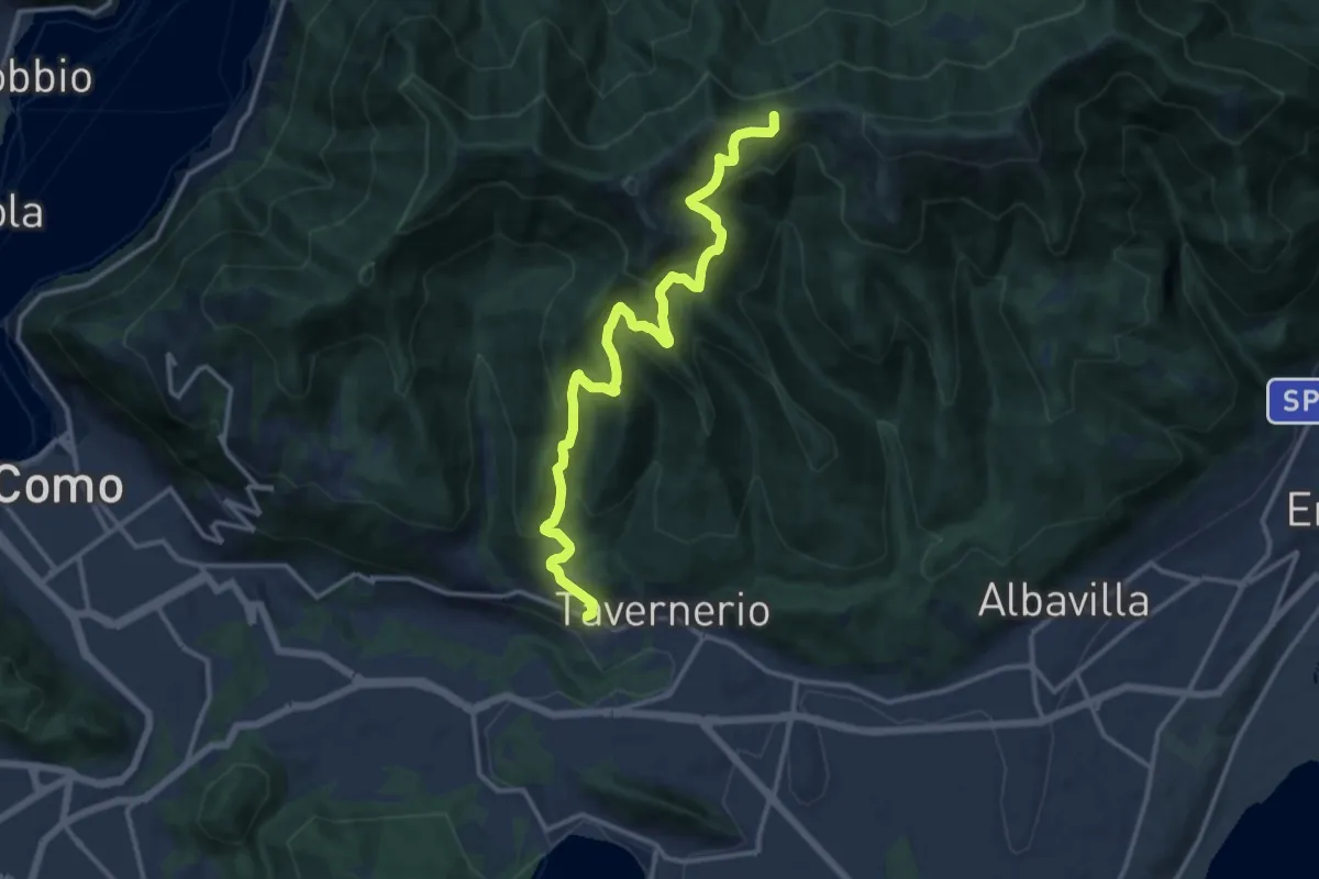
Demanding · Trail
Via Cesare Battisti (Solzago) – Incrocio Sentiero 300 V - Sentiero 363
14.2 km · ↑ 910 m · 5 h 20 min
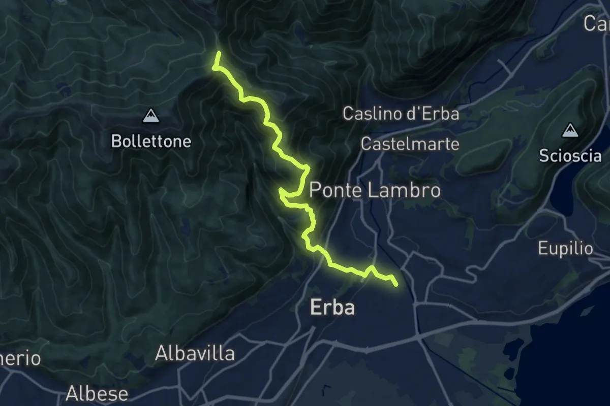
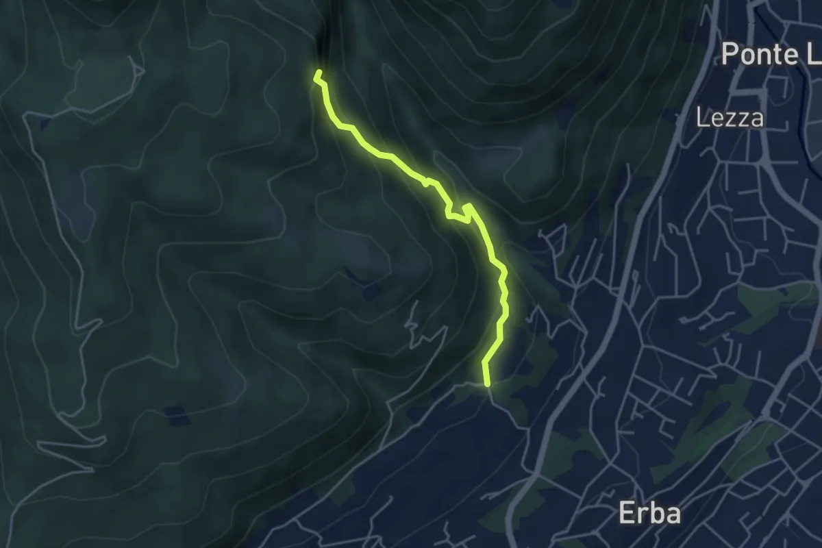
Demanding · Trail
Stazione di Erba – Bocchetta di Lemma
13.9 km · ↑ 1049 m · 5 h 34 min
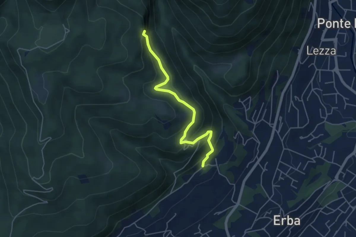
Demanding · Trail
C.na Ginocchio – Buco del Piombo
3.7 km · ↑ 335 m · 1 h 36 min
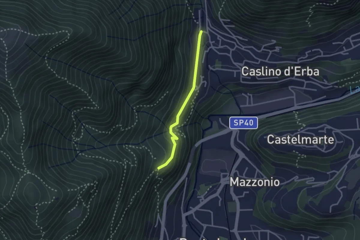
Medium · Trail
C.na Paradiso – Buco del Piombo
4.4 km · ↑ 324 m · 1 h 44 min
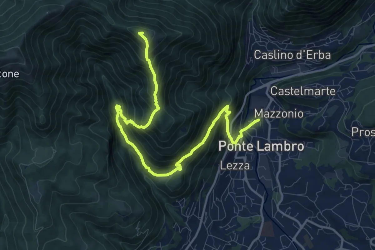
Demanding · Trail
Caslino d’Erba, loc. Punt di Murnèe – incrocio con sentiero 312 per Monte Puscio
2.3 km · ↑ 102 m · 46 min
Demanding · Summit
Ponte Lambro – Monte Puscio
11.7 km · ↑ 1032 m · 5 h
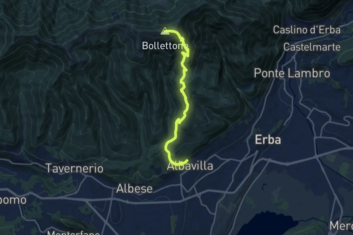
Demanding · Summit
Albavilla – Monte Bolettone
12.1 km · ↑ 820 m · 4 h 38 min
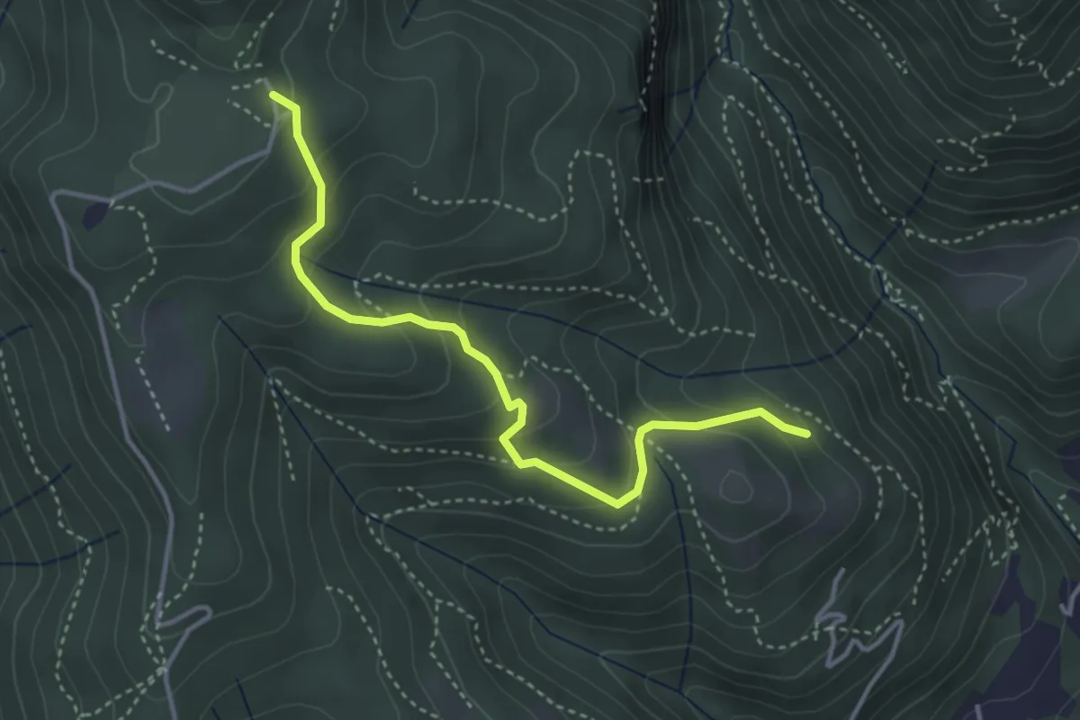
Medium · Trail
Cardögia – Alpe del Vicerè
3.8 km · ↑ 238 m · 1 h 25 min
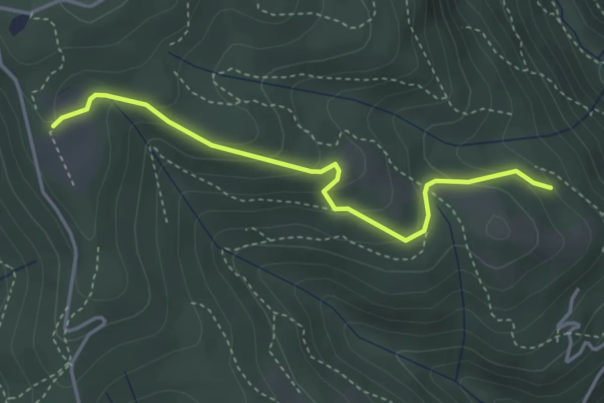
Easy · Trail
Cardögia – Ex Albergo la Salute
3.5 km · ↑ 186 m · 1 h 14 min
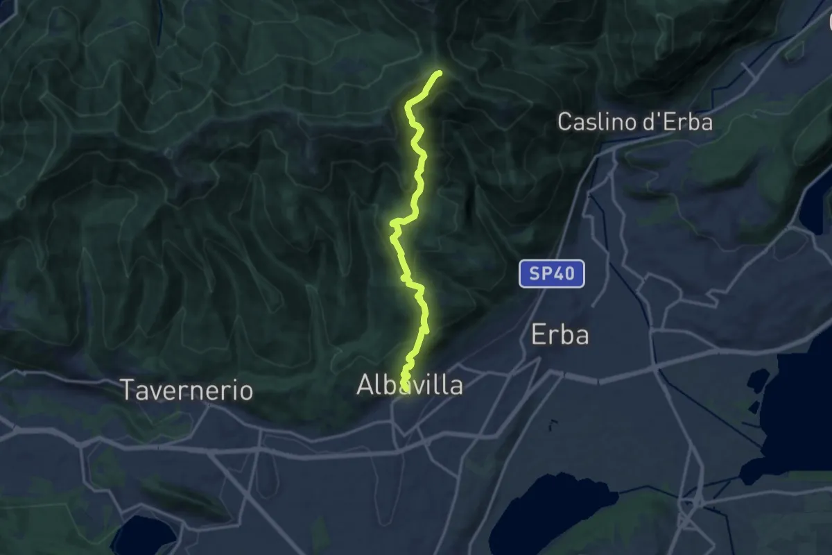
Medium · Cabin
Albavilla – RIfugio Capanna Mara
12.2 km · ↑ 779 m · 4 h 34 min
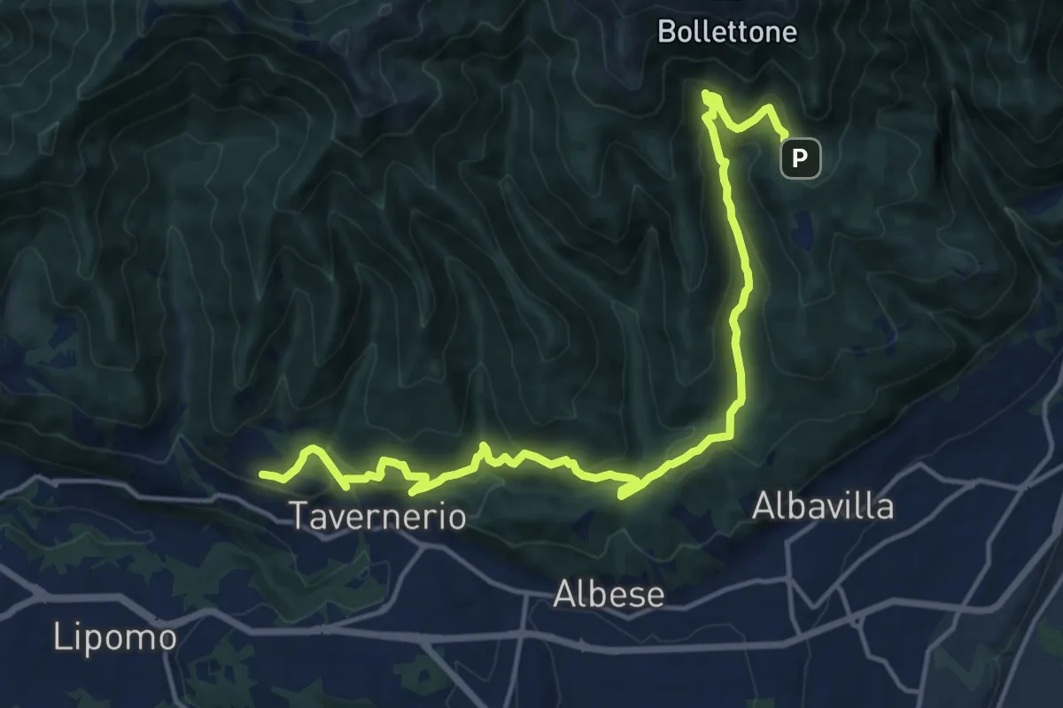
Demanding · Trail
Caslascio (Tavernerio) – Alpe del Vicerè
17.7 km · ↑ 819 m · 5 h 57 min
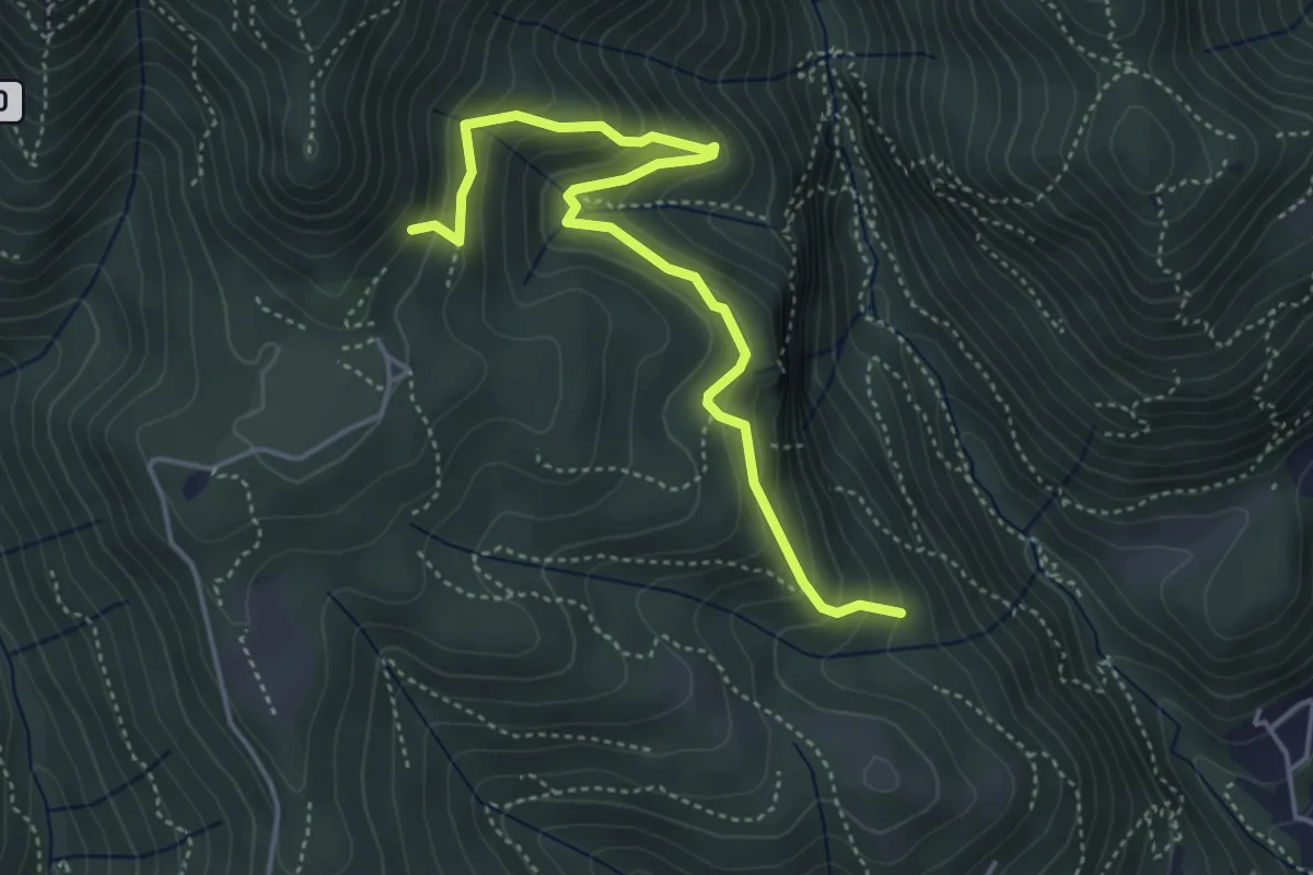
Medium · Trail
Praa Sciresöö – Rifugio Cacciatori
4.8 km · ↑ 479 m · 2 h 10 min
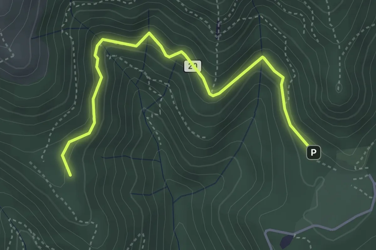
Medium · Trail
Alpe del Vicerè – Baita Patrizi
4.1 km · ↑ 256 m · 1 h 31 min
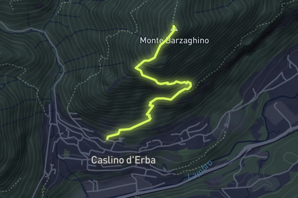
Demanding · Summit
Caslino d’Erba – Via ai Ronchi – Monte Barzaghino
3.9 km · ↑ 614 m · 2 h 15 min
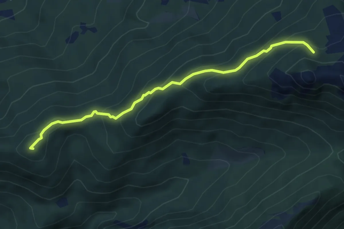
Medium · Summit
Visino (Valbrona) – Rifugio SEV
5.5 km · ↑ 406 m · 2 h 11 min
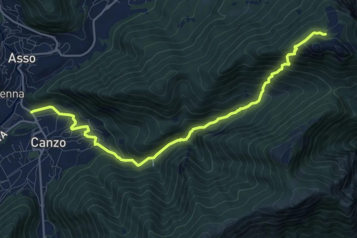
Demanding · Cabin
Stazione Canzo-Asso – Rifugio SEC "Marisa Consigliere"
11.9 km · ↑ 910 m · 4 h 46 min
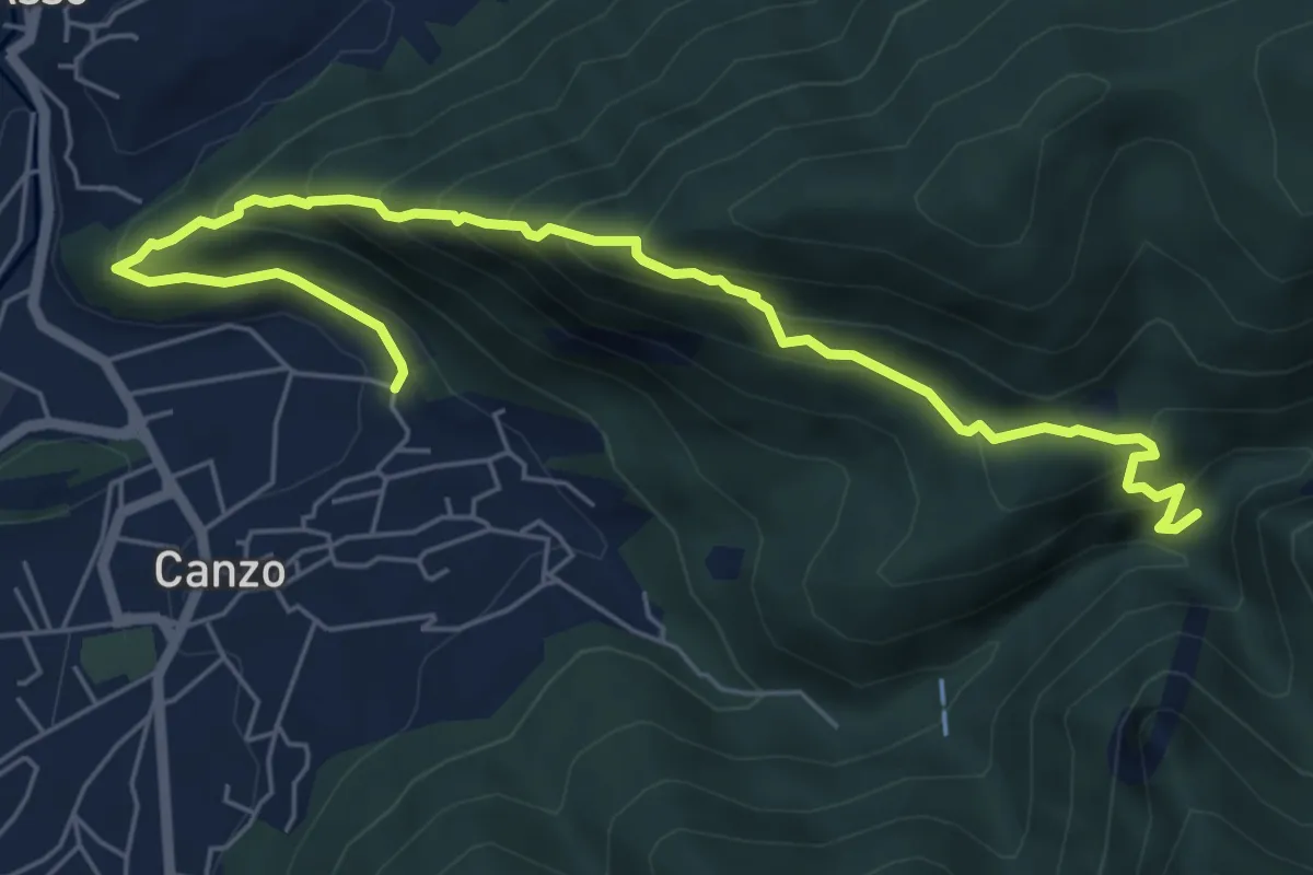
Medium · Trail
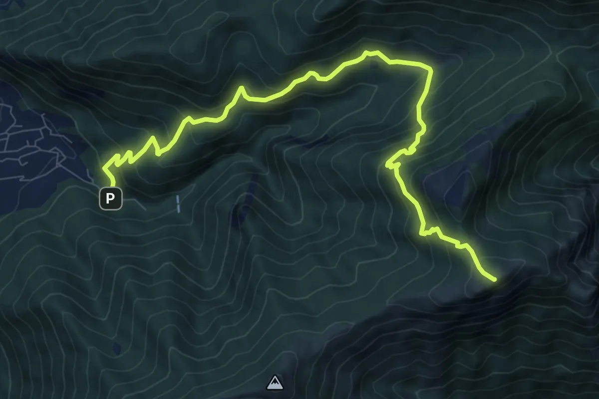
Ca' Bianca (Canzo) – Sentiero Geologico (San Miro)
7.2 km · ↑ 697 m · 3 h 12 min
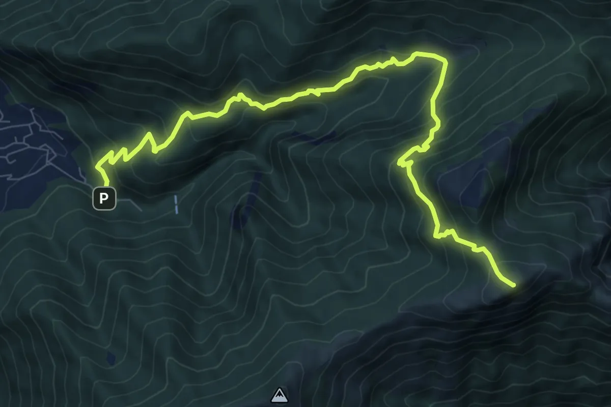
Demanding · Summit
Fonte di Gajum – Pendici del Monte Rai
10.9 km · ↑ 887 m · 4 h 30 min
Demanding · Summit
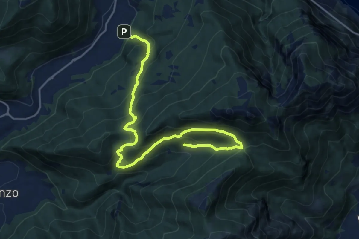
Fonte di Gajum – Pendici del Monte Rai
10.9 km · ↑ 872 m · 4 h 28 min
Demanding · Trail
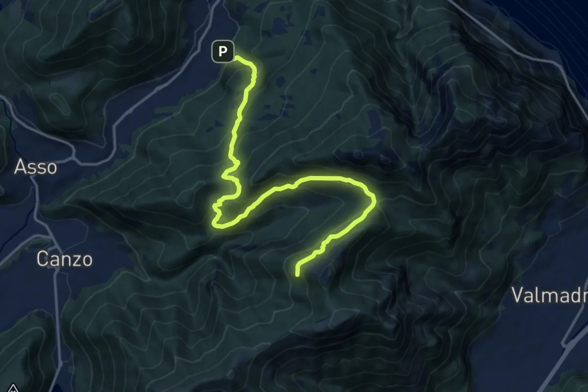
Candalino – Terz'Alpe
13.4 km · ↑ 1138 m · 5 h 37 min
Demanding · Trail
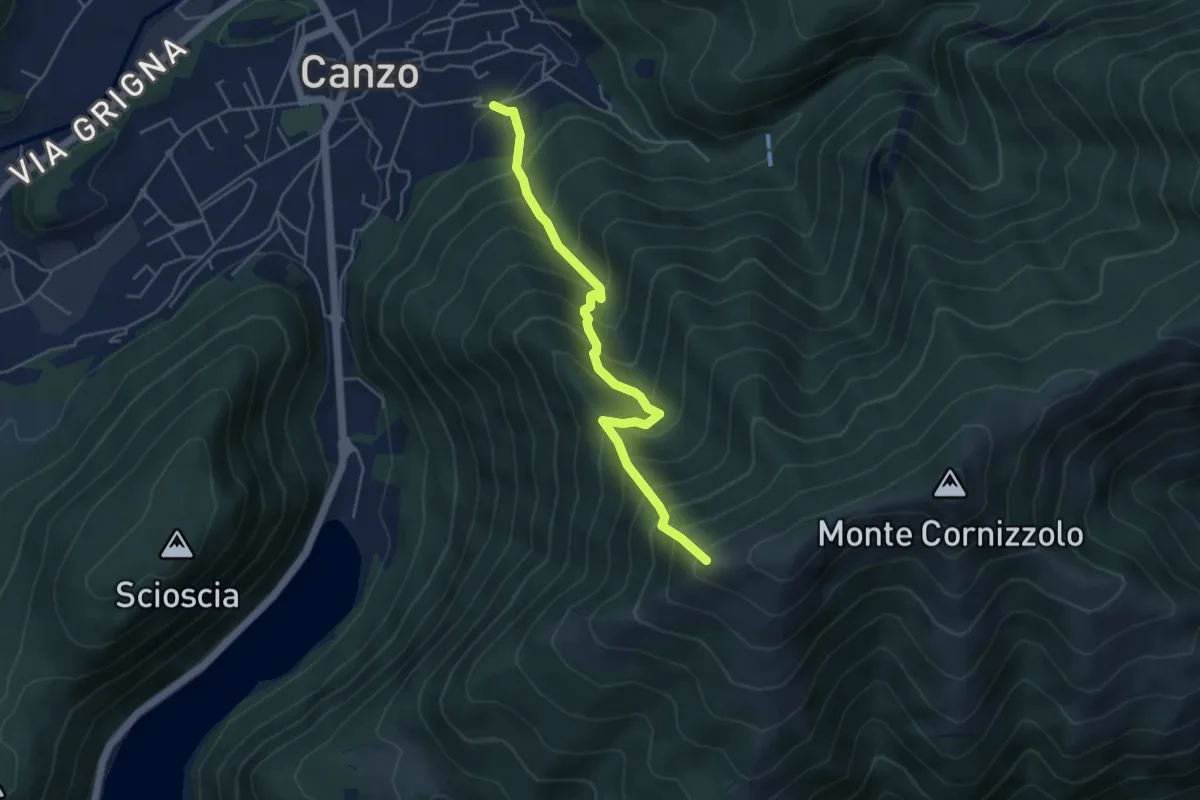
Candalino – Alpe Alto
14.3 km · ↑ 1206 m · 6 h
Medium · Trail
Lazzaretto (Canzo) – Monte Pesora
4.7 km · ↑ 667 m · 2 h 34 min