Trails in Italy
25,219 hiking trails, each with its route, climb, walking time and grade.
All trails, page 468 of 526
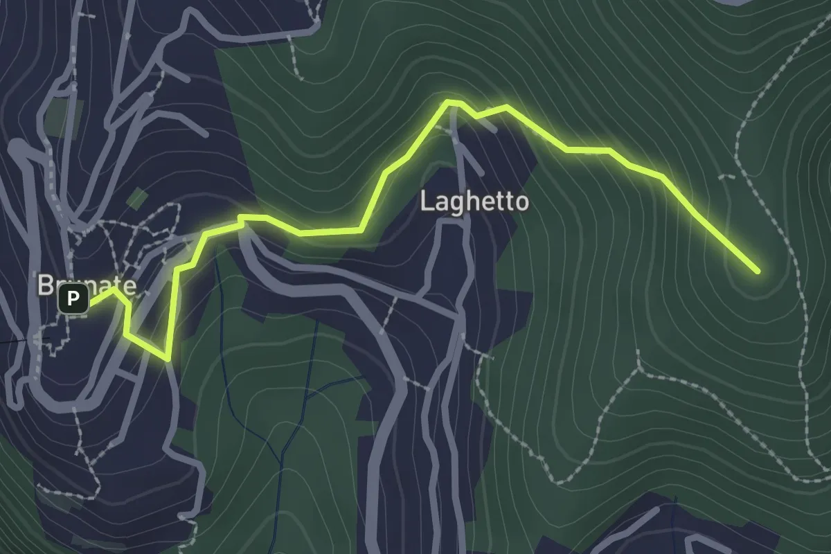
Medium · Summit
Brunate – CAO
2.7 km · ↑ 210 m · 1 h 5 min
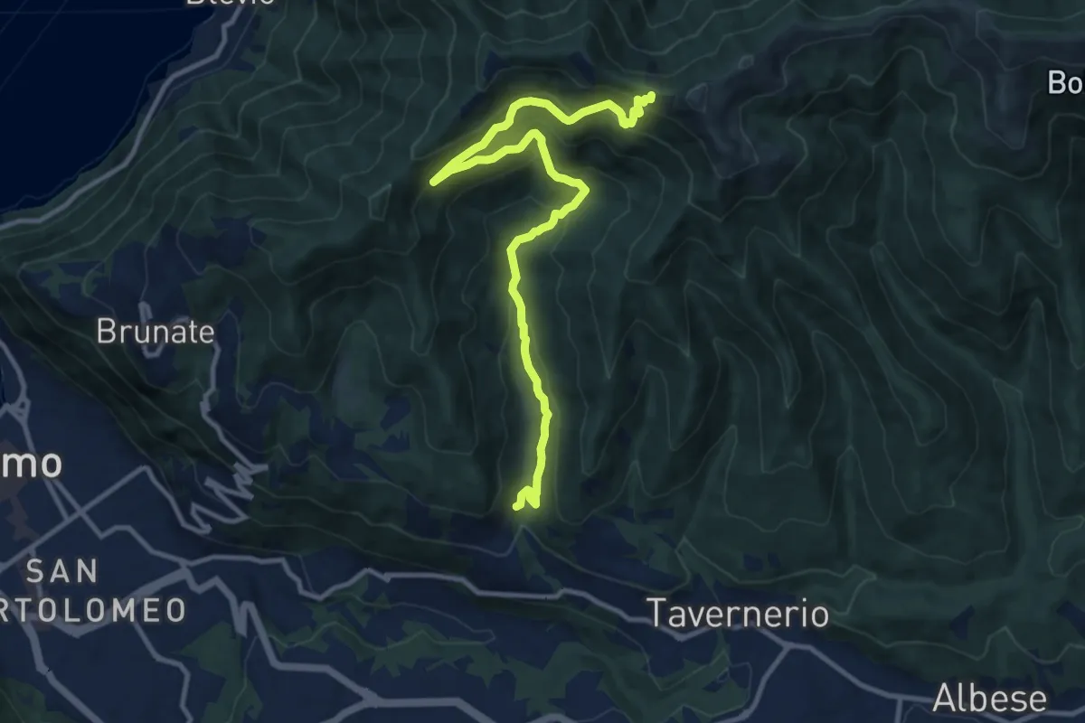
Medium · Trail
Ponzate – Baita Fabrizio
12.4 km · ↑ 721 m · 4 h 29 min
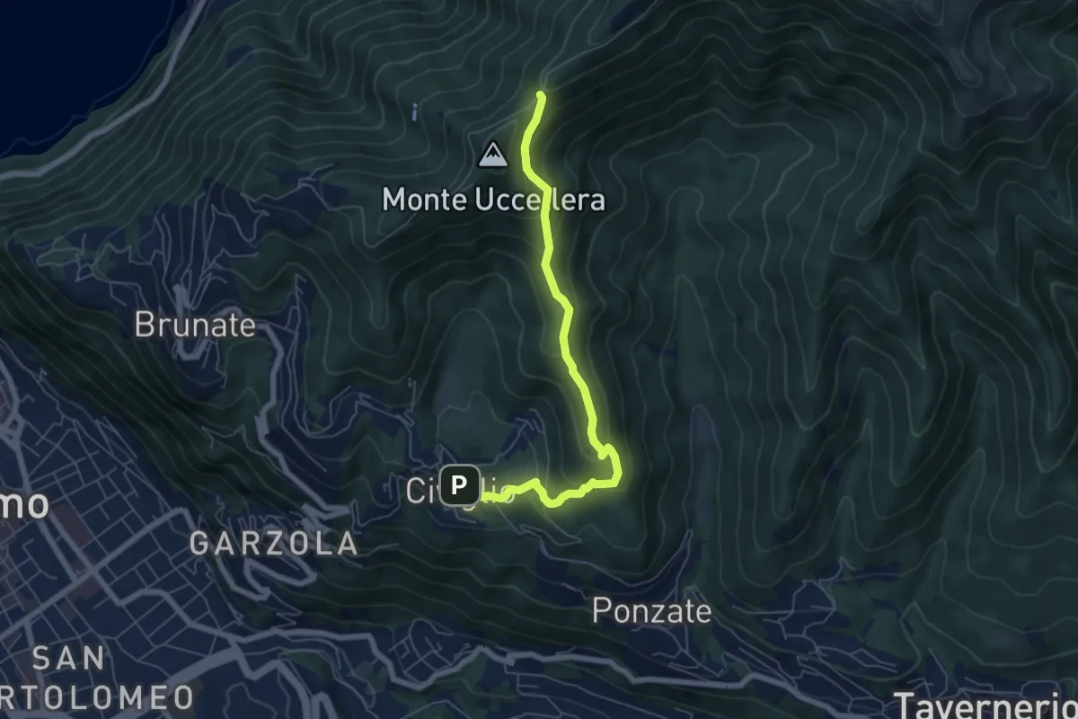
Medium · Trail
Civiglio – Baita Carla
6.2 km · ↑ 367 m · 2 h 16 min
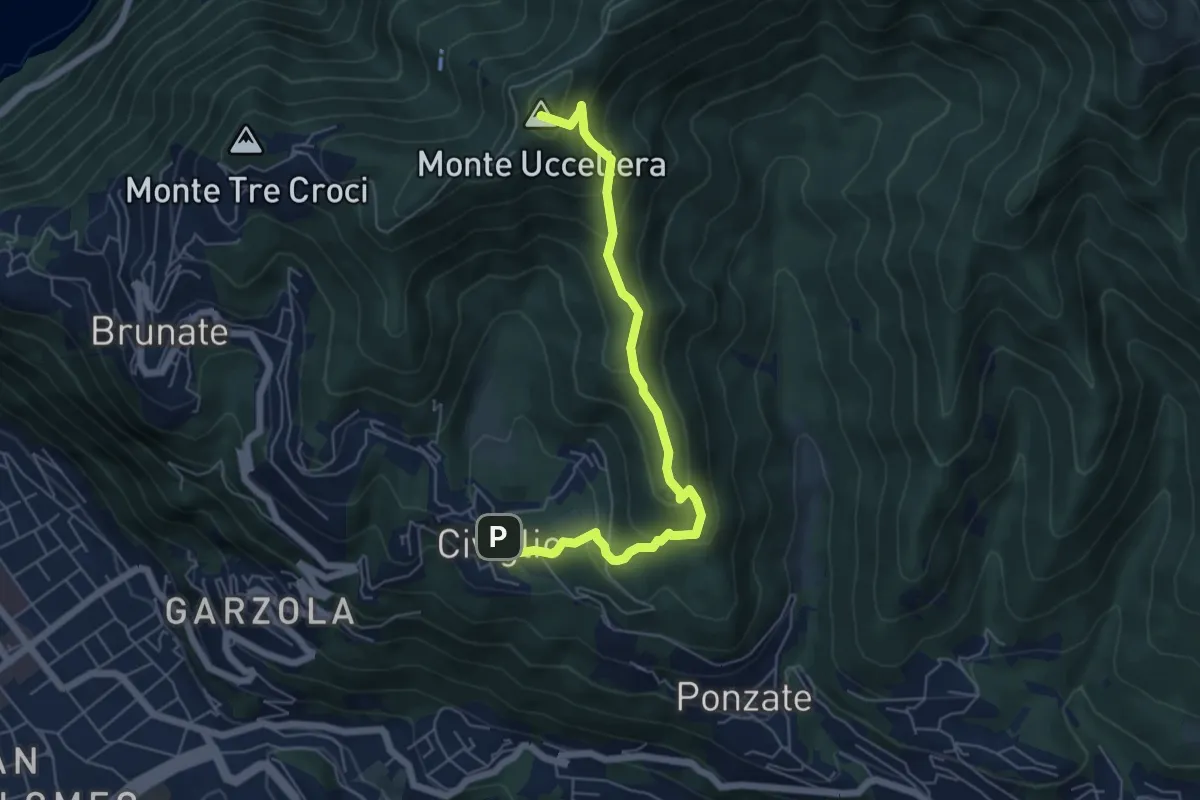
Medium · Summit
Civiglio – CAO
6.1 km · ↑ 379 m · 2 h 15 min
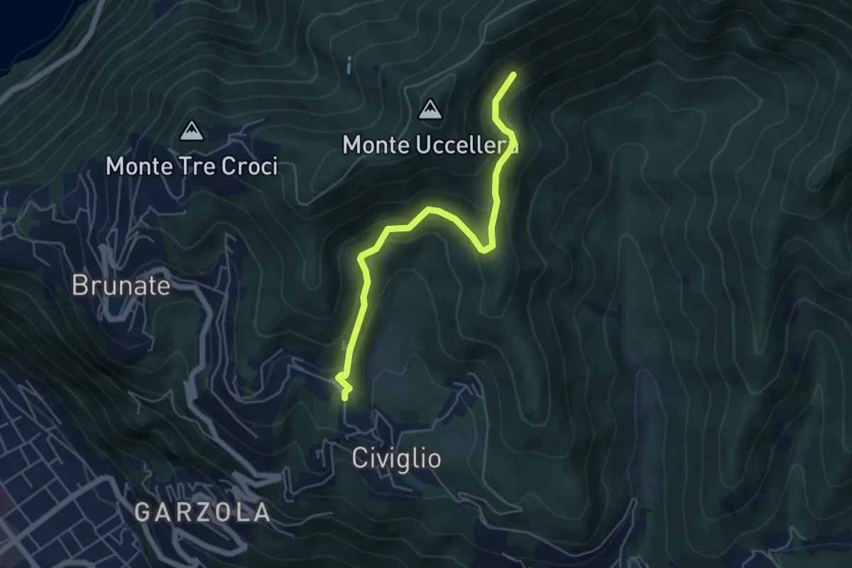
Medium · Trail
Visigna – Strada del Boscone
4.9 km · ↑ 288 m · 1 h 47 min
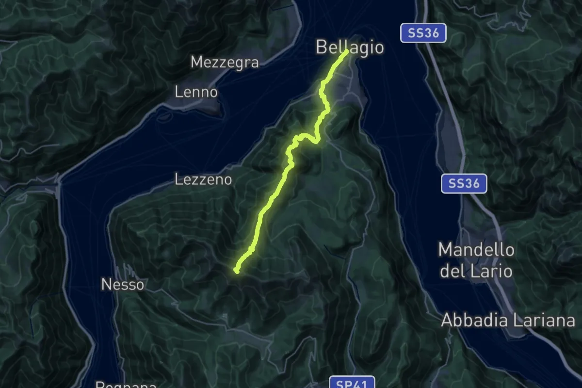
Expert · Summit
Colma di Sormano – Imbarcadero di Bellagio
22.2 km · ↑ 1840 m · 9 h 14 min
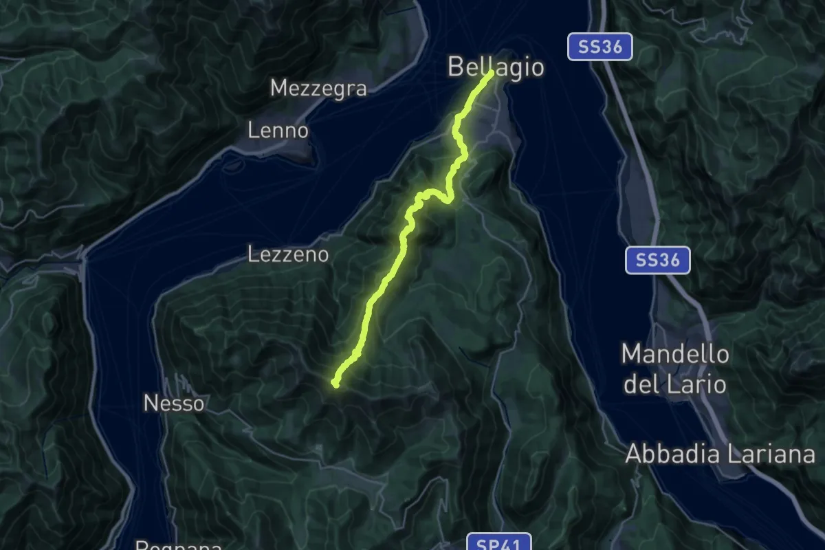
Demanding · Summit
Colma di Sormano – Imbarcadero di Bellagio
22.3 km · ↑ 1827 m · 9 h 13 min
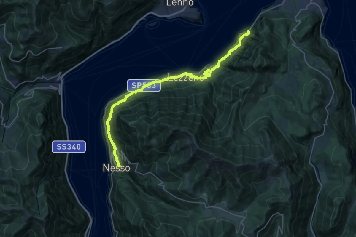
Medium · Trail
Nesso – Ponte del Diavolo (Bellagio)
10.8 km · ↑ 630 m · 4 h 8 min
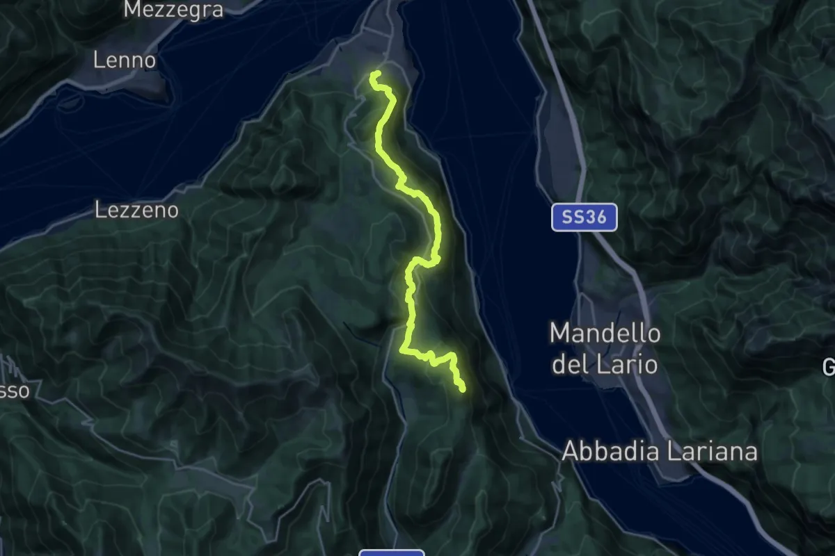
Demanding · Summit
Caval di Barni – Breno (Bellagio)
20.6 km · ↑ 955 m · 6 h 56 min
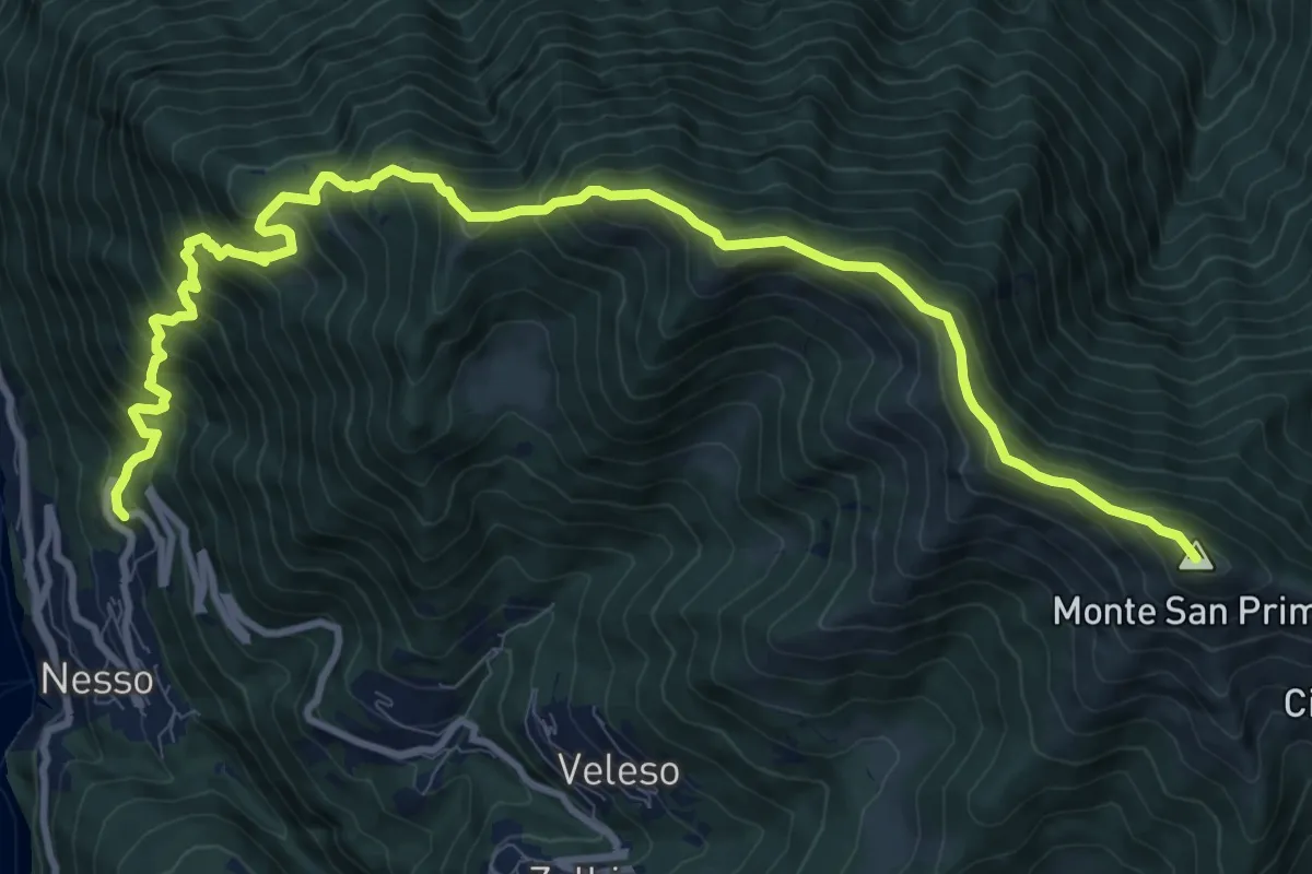
Demanding · Summit
Nesso – Monte San Primo
13.2 km · ↑ 1364 m · 6 h 5 min
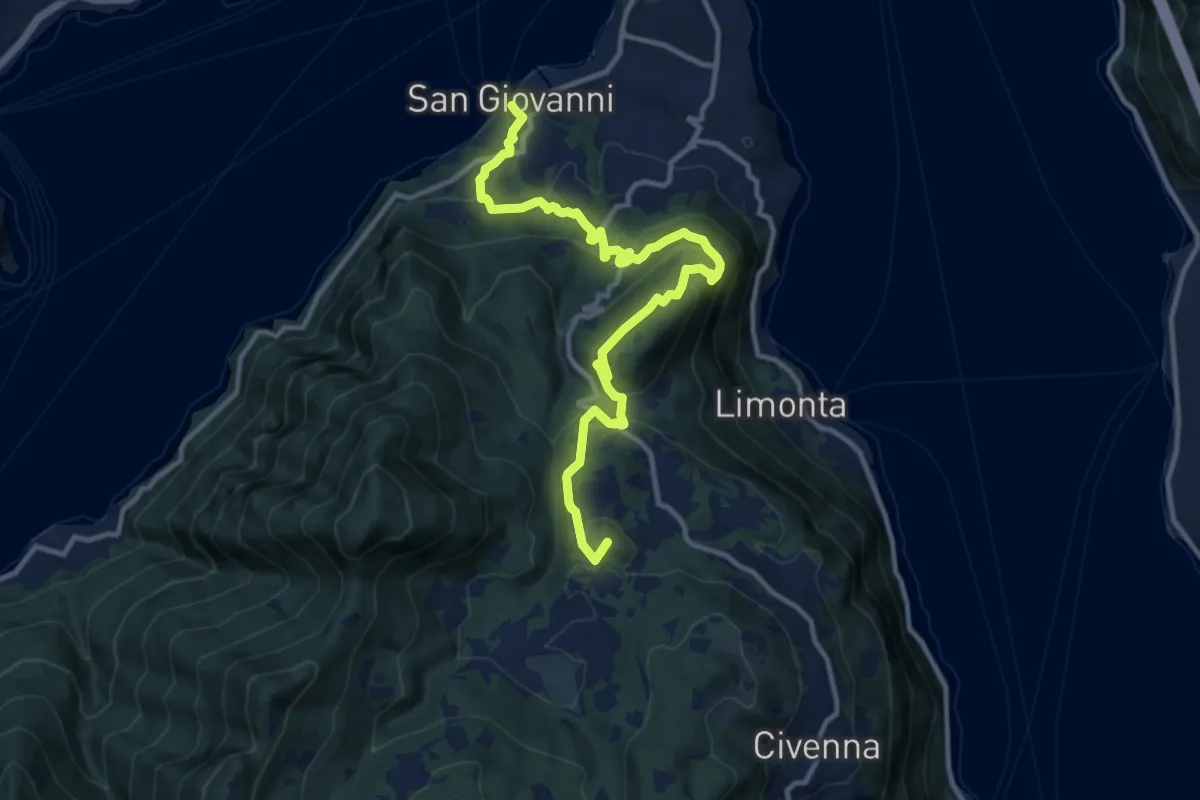
Medium · Summit
San Giovanni (Bellagio) – Parco Monte San Primo
13.3 km · ↑ 656 m · 4 h 34 min
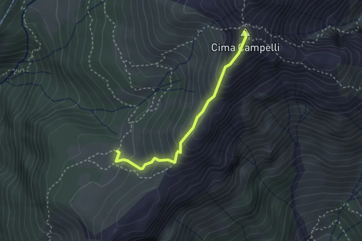
Demanding · Summit
Incrocio 525 – Incrocio 530
2.5 km · ↑ 274 m · 1 h 11 min
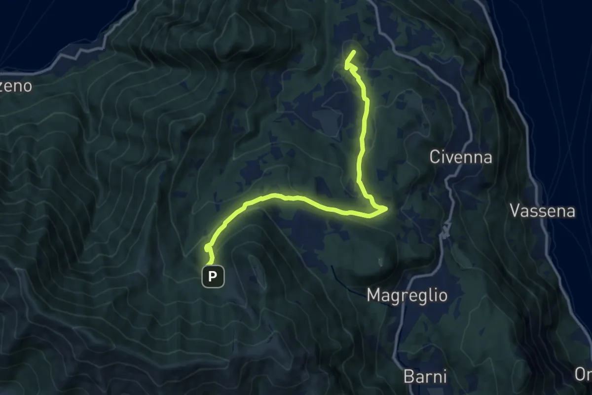
Medium · Summit
Innesto Sentiero del Tivano Monte Gamasca – Parco Monte San Primo
11.4 km · ↑ 444 m · 3 h 39 min
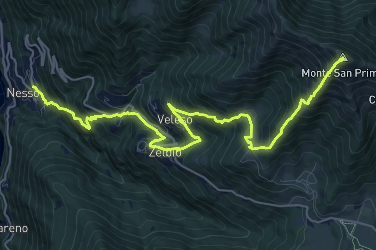
Demanding · Summit
Nesso – Monte San Primo
15.3 km · ↑ 1369 m · 6 h 35 min
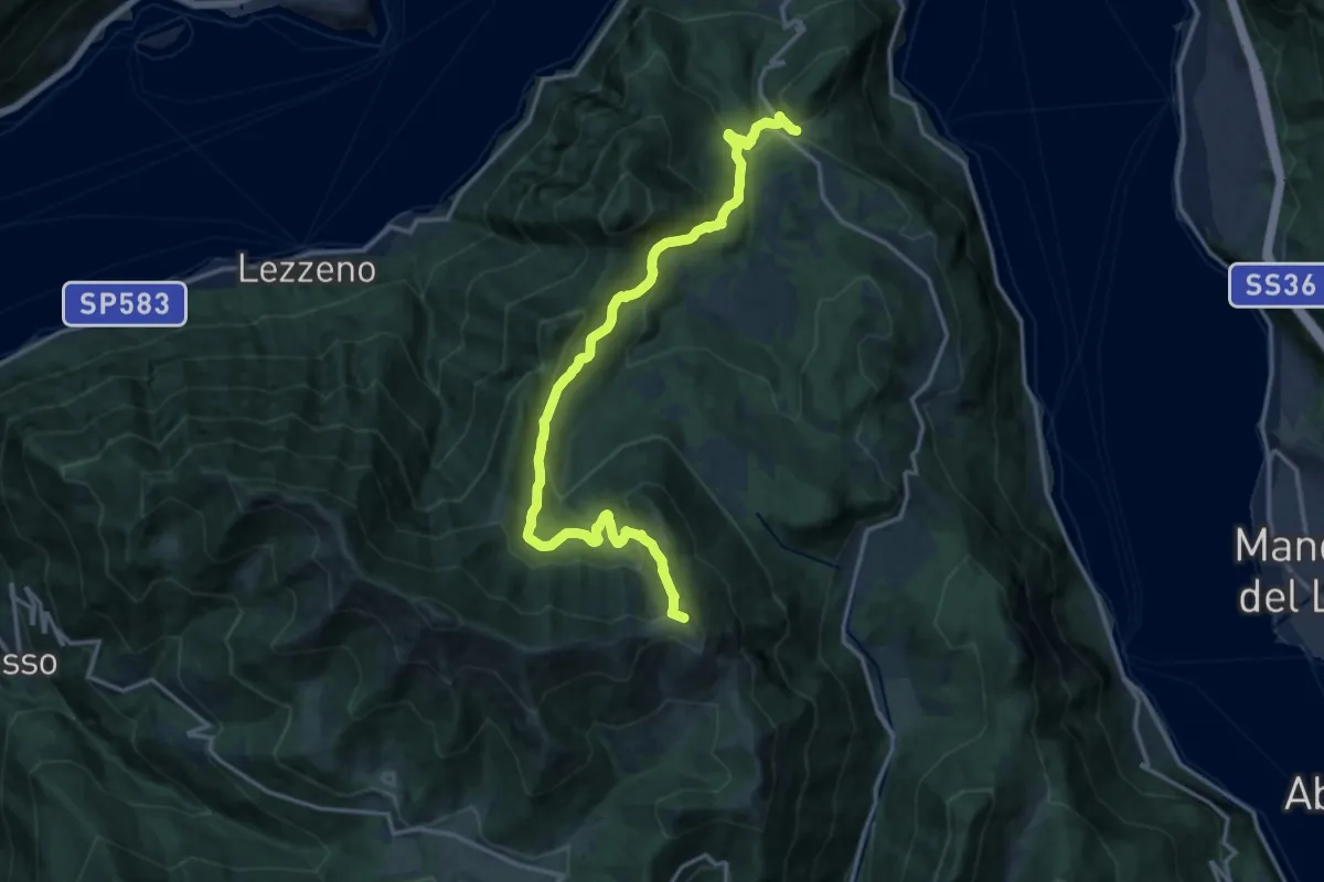
Demanding · Summit
Chevrio – Bocchetta di Terrabiotta
17.2 km · ↑ 986 m · 6 h 11 min
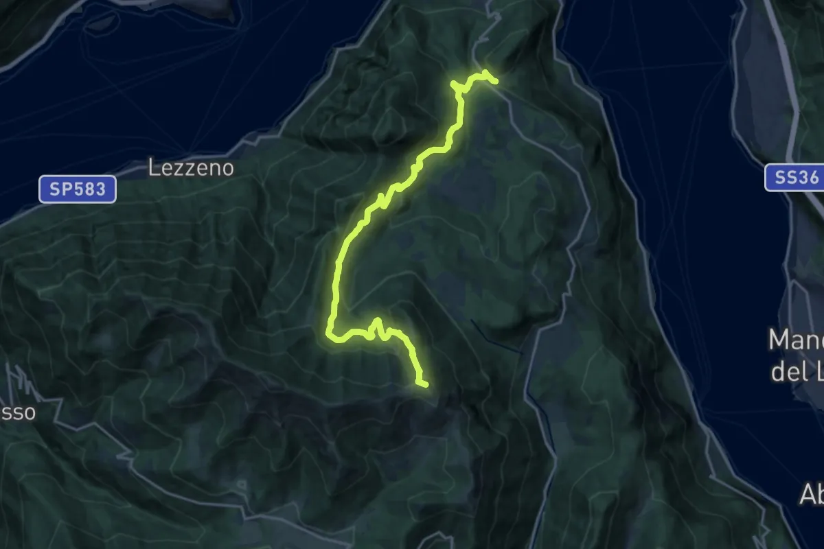
Demanding · Summit
Chevrio – Bocchetta di Terrabiotta
18.0 km · ↑ 985 m · 6 h 23 min
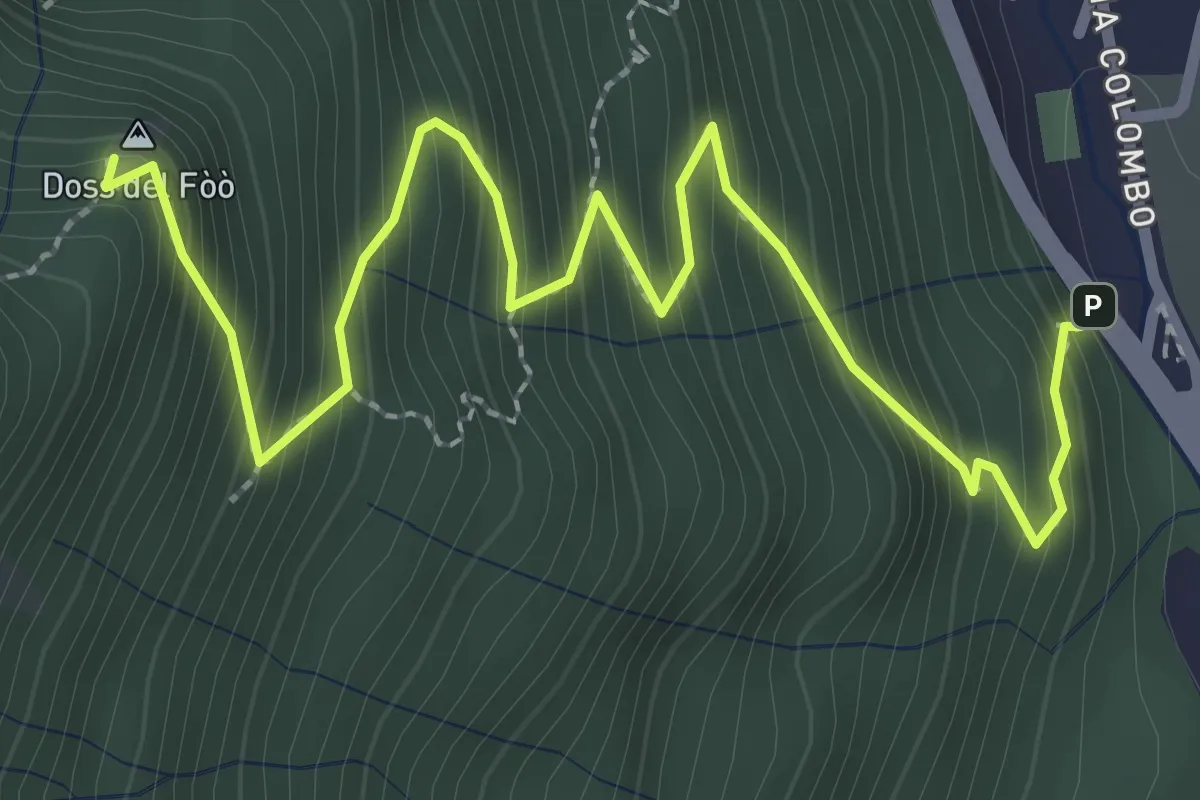
Medium · Summit
Barni – Bocchetta di Spessola
3.6 km · ↑ 433 m · 1 h 48 min
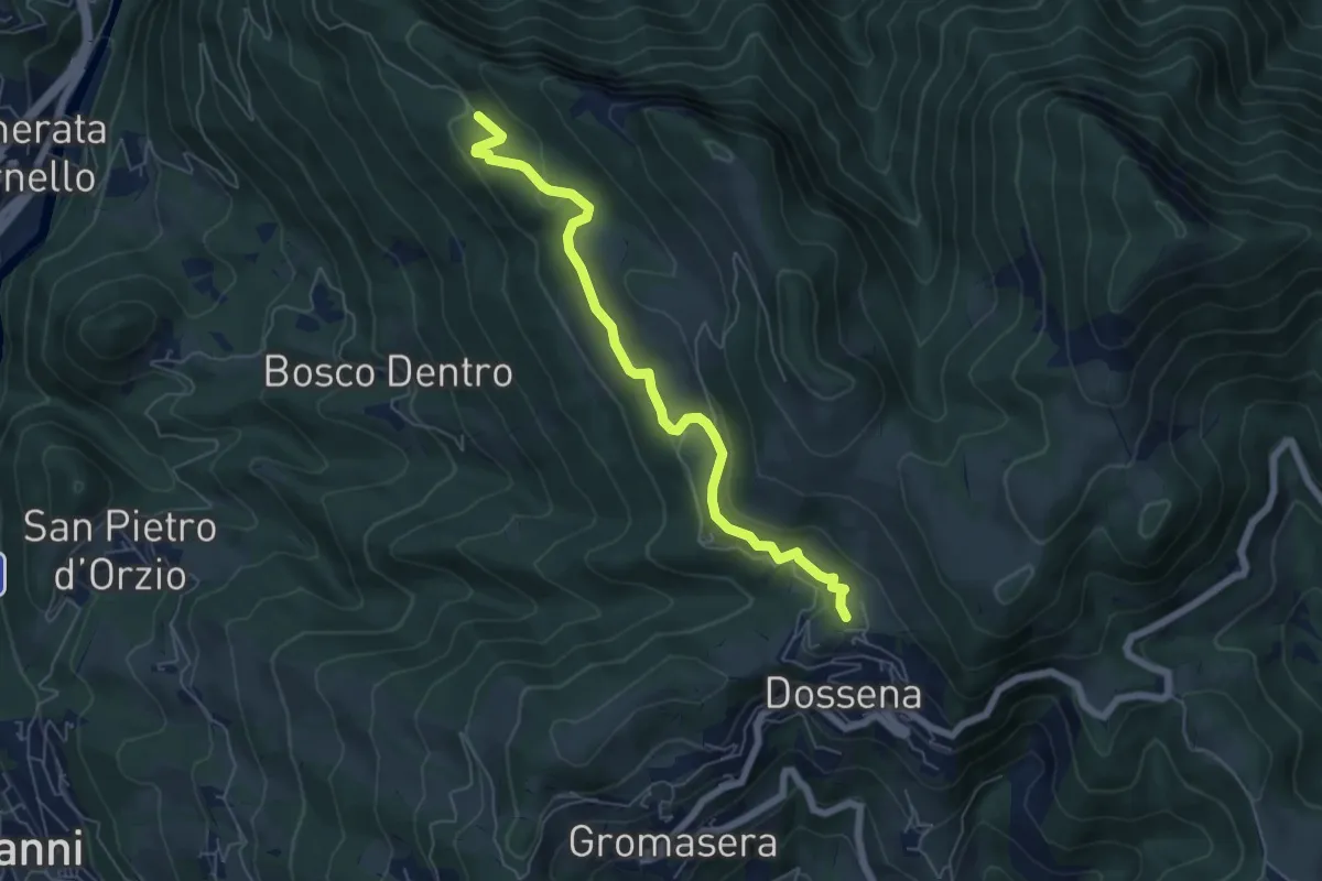
Easy · Trail
Villa – Miniere del Paglio
6.1 km · ↑ 231 m · 1 h 57 min
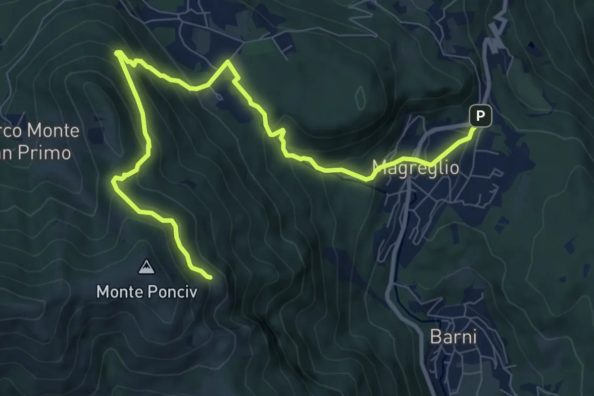
Expert · Trail
Madonna del Ghisallo (Magreglio) – Monte Ponciv
10.1 km · ↑ 657 m · 3 h 49 min
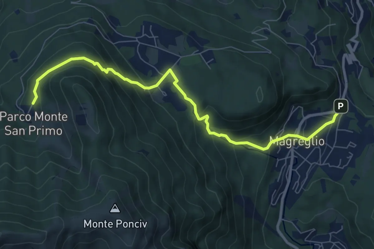
Expert · Trail
Madonna del Ghisallo (Magreglio) – Parco Monte San Primo
7.9 km · ↑ 465 m · 2 h 53 min
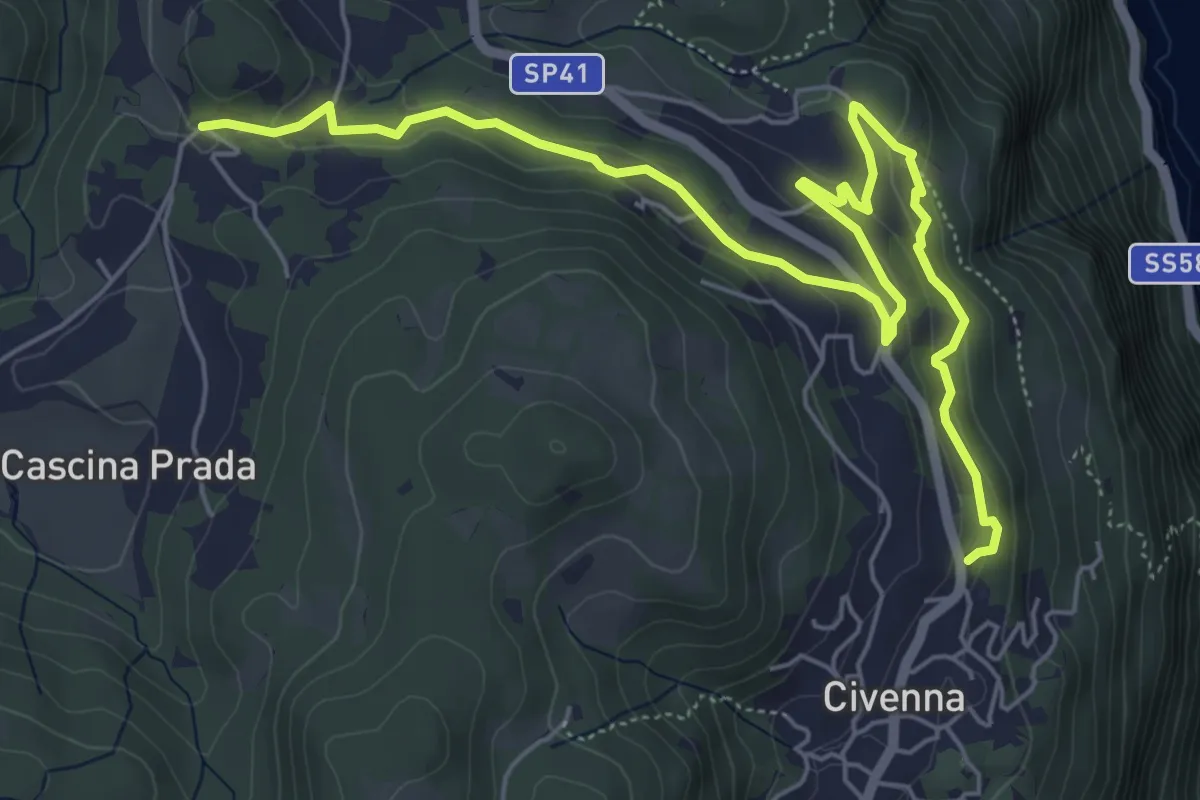
Easy · Trail
Belvedere delle Grigne (Civenna) – Regina Pacis (Bellagio)
7.5 km · ↑ 267 m · 2 h 21 min
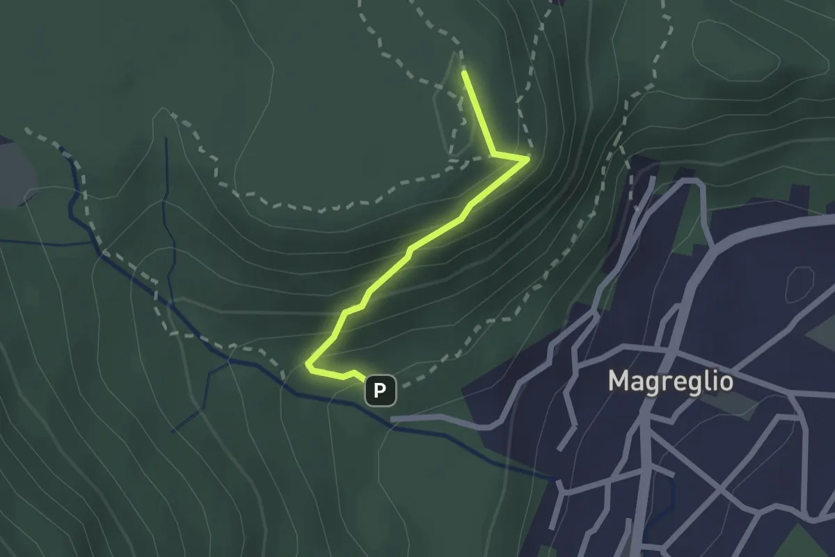
Medium · Summit
Piano Rancio – Castagneti
1.6 km · ↑ 158 m · 43 min
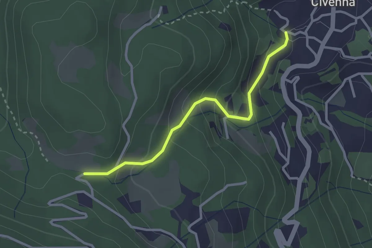
Easy · Trail
Civenna – C.na Barco (Bellagio)
2.4 km · ↑ 187 m · 58 min
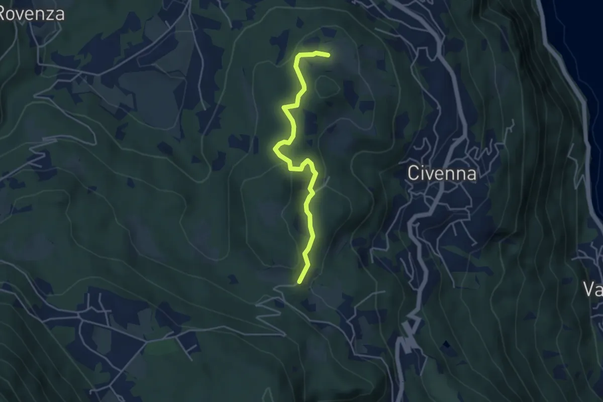
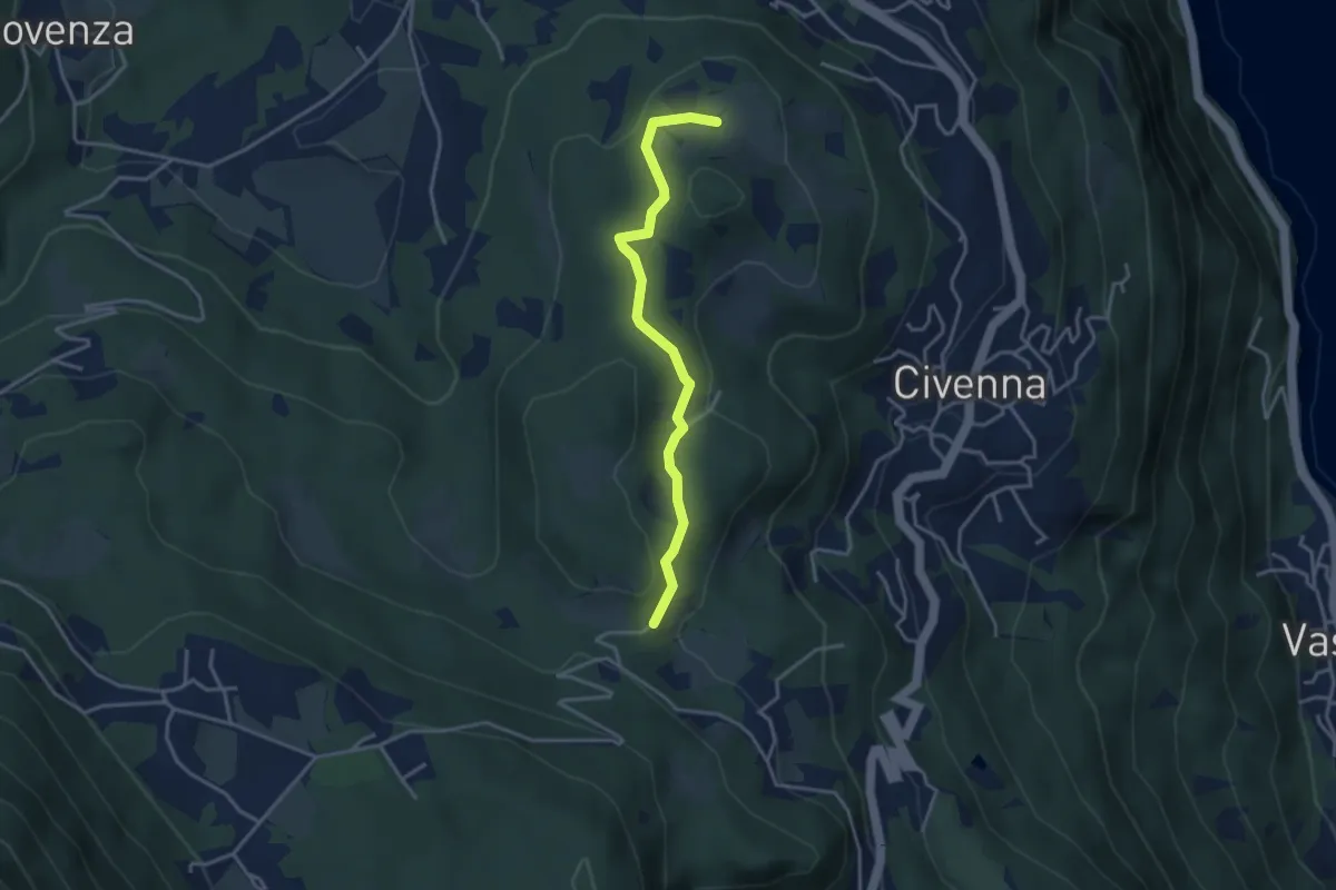
Easy · Trail
C.na Tronca (Bellagio) – Stalle di Villa Mora (Bellagio)
4.0 km · ↑ 166 m · 1 h 18 min
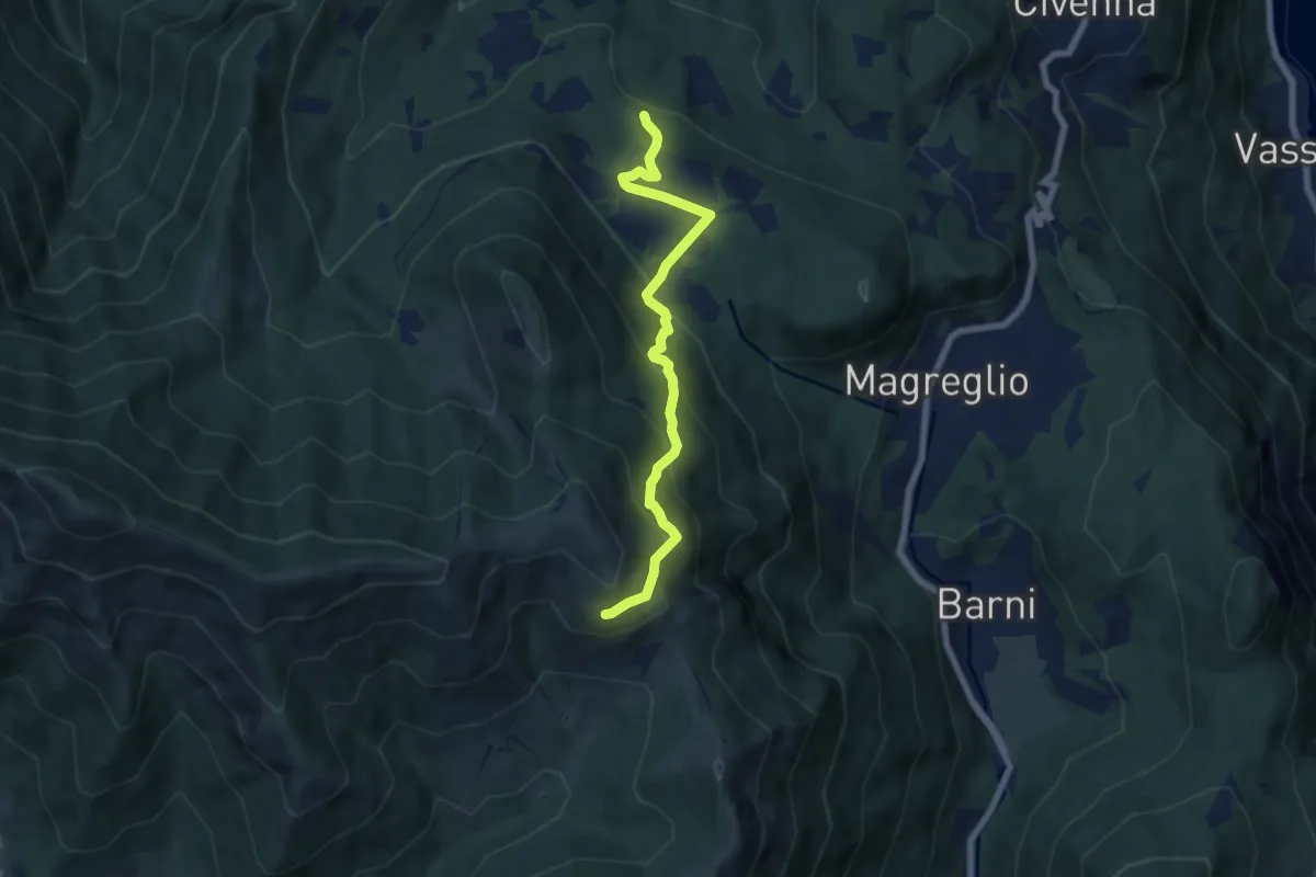
Easy · Trail
C.na Tronca (Bellagio) – Stalle di Villa Mora (Bellagio)
3.5 km · ↑ 126 m · 1 h 6 min
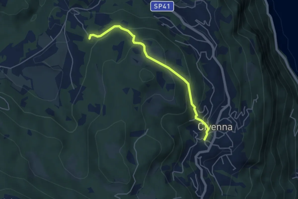
Medium · Trail
Pietra Luna – Innesto Dorsale
6.7 km · ↑ 501 m · 2 h 41 min
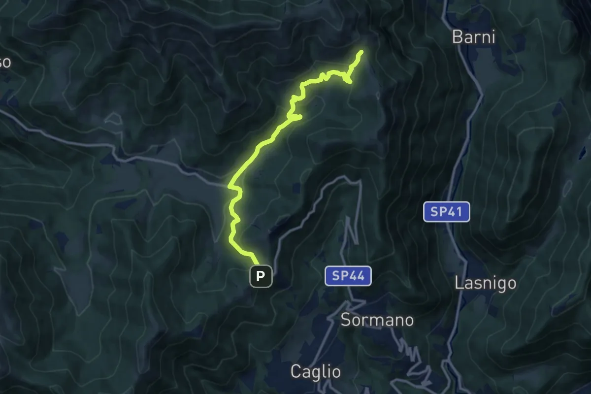
Easy · Trail
Civenna – Villa Mora (Bellagio)
4.0 km · ↑ 249 m · 1 h 28 min
Medium · Trail
Colma di Sormano – Bocchetta di Spessola
10.1 km · ↑ 446 m · 3 h 21 min
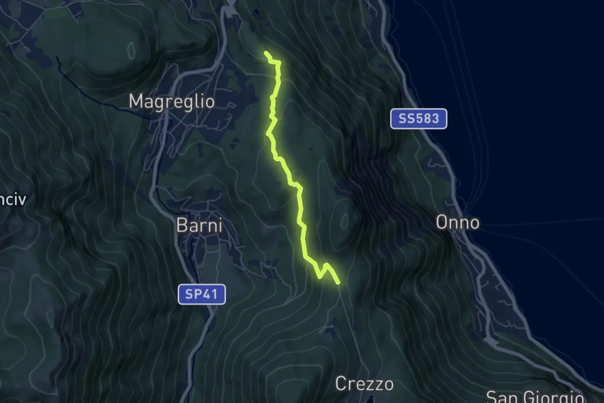
Easy · Trail
Caval di Barni – Alpetto
5.1 km · ↑ 253 m · 1 h 45 min
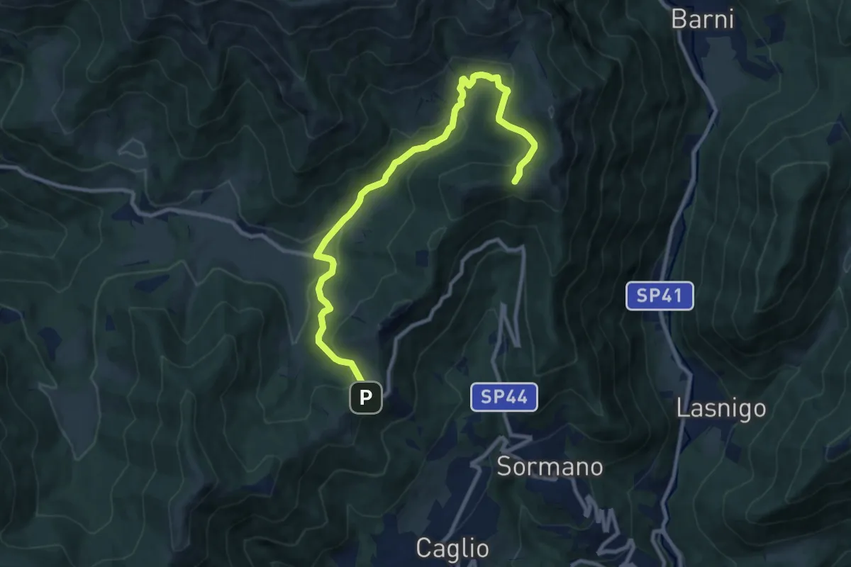
Medium · Trail
Colma di Sormano – Colma del Bosco
10.4 km · ↑ 419 m · 3 h 21 min
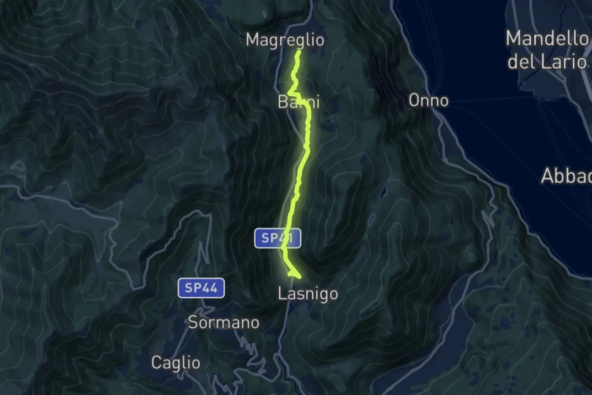
Medium · Trail
Sant'Alessandro (Lasnigo) – Paraguai (Magreglio)
9.3 km · ↑ 302 m · 2 h 51 min
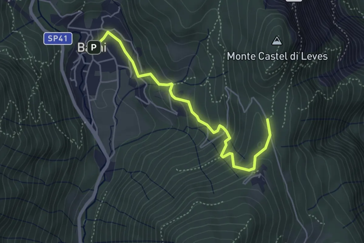
Easy · Trail
Barni – Caval di Barni
4.5 km · ↑ 276 m · 1 h 39 min
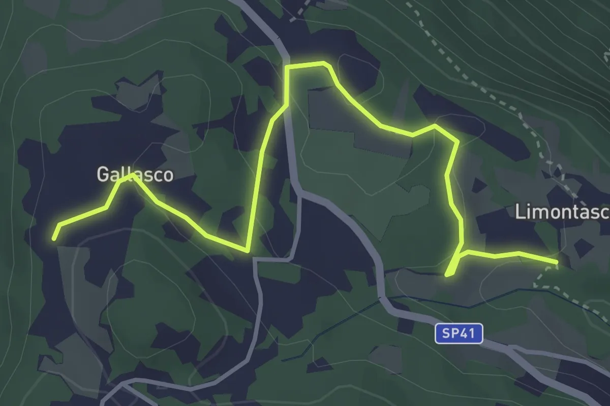
Easy · Trail
Limonta – Gallasco
4.0 km · ↑ 86 m · 1 h 8 min
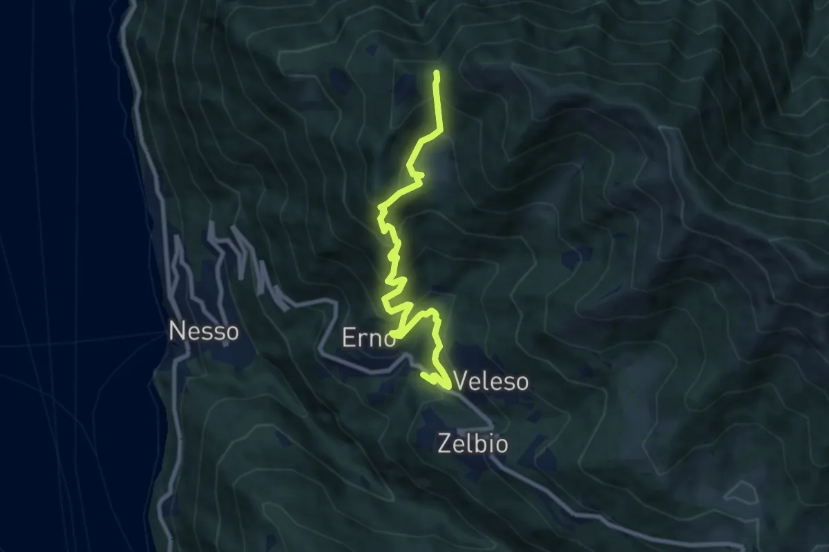
Medium · Trail
Veleso – La Forcoletta
7.9 km · ↑ 698 m · 3 h 23 min
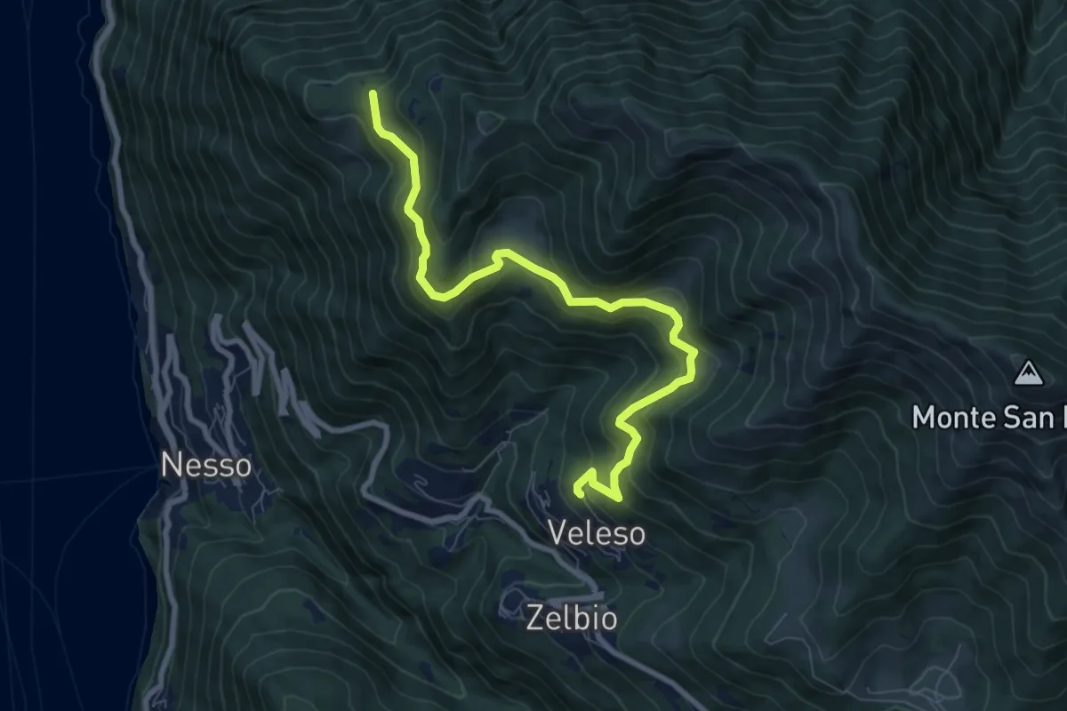
Medium · Trail
Veleso – Cresta NW M. Colmenacco
8.5 km · ↑ 502 m · 3 h 5 min
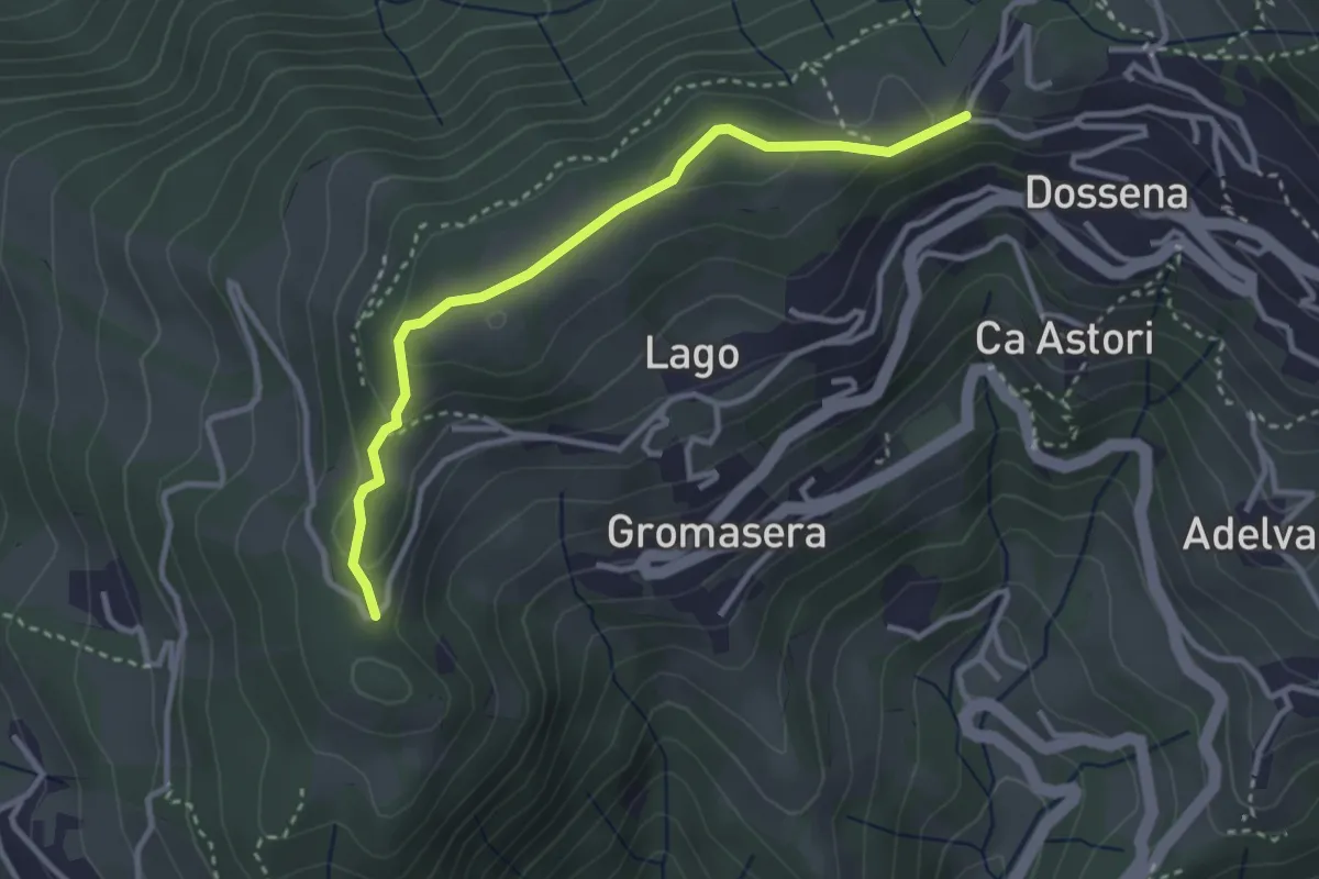
Easy · Trail
Dossena (S.S. Trinità) – Dossena
3.2 km · ↑ 83 m · 56 min
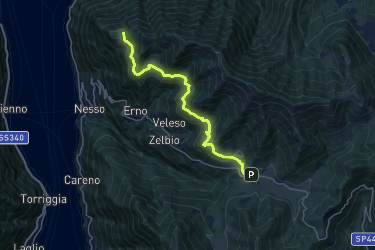
Medium · Trail
Pian del Tivano – Cresta NW M. Colmenacco
13.2 km · ↑ 610 m · 4 h 26 min
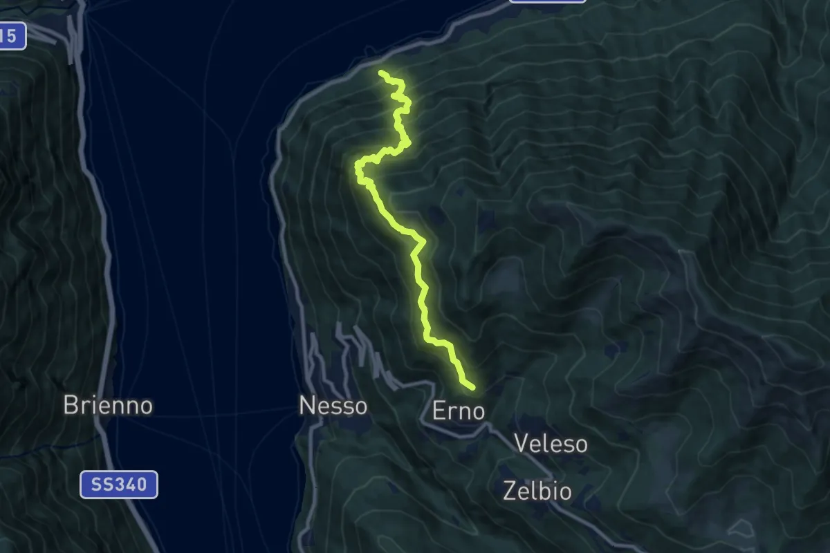
Demanding · Trail
Carvagnana – Erno
8.9 km · ↑ 1168 m · 4 h 38 min
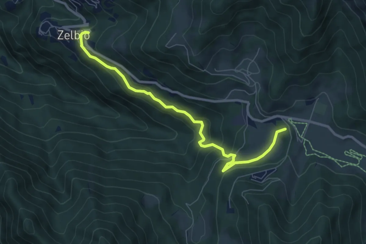
Medium · Summit
Zelbio – Il Dosso
7.1 km · ↑ 350 m · 2 h 26 min
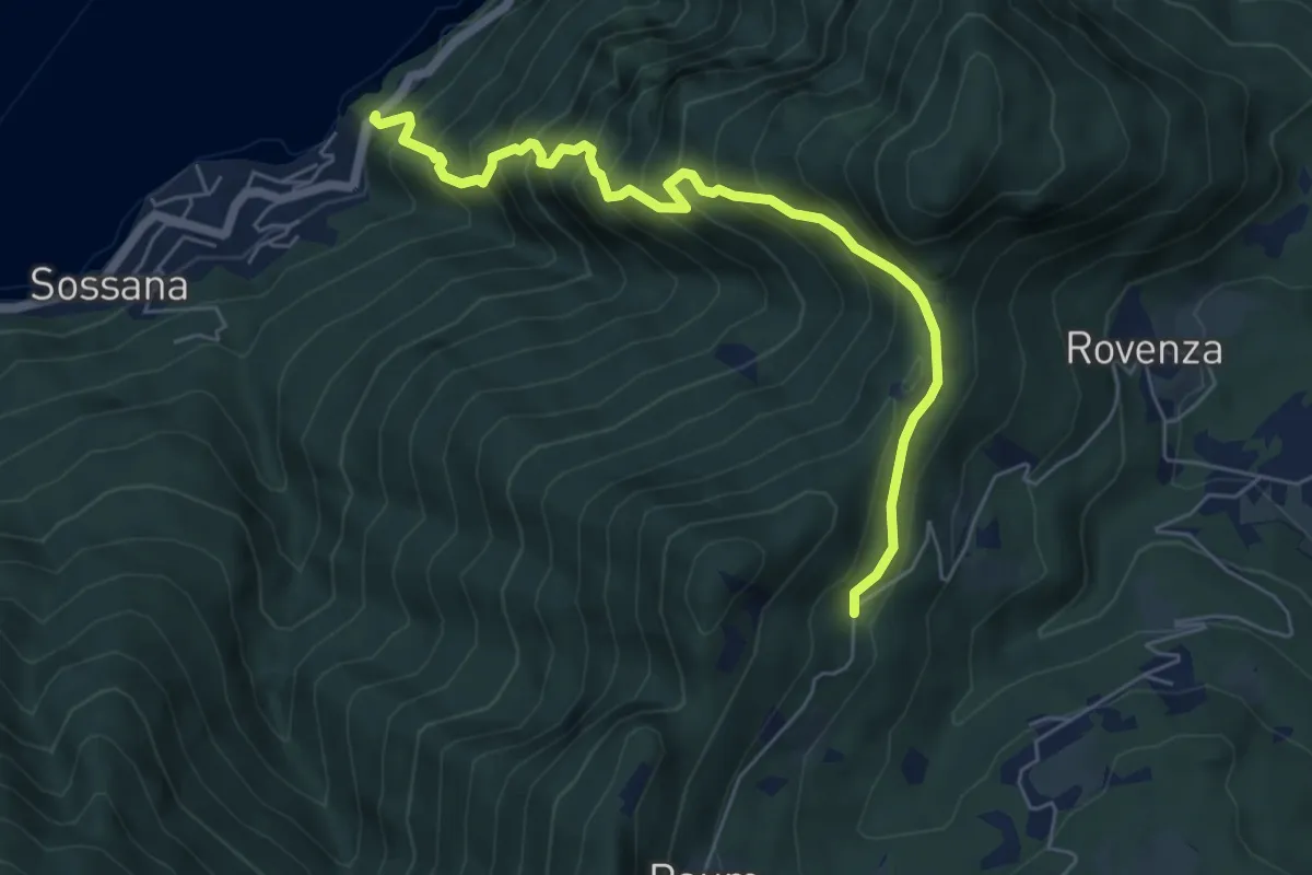
Medium · Trail
Casate – Rovenzola
6.2 km · ↑ 754 m · 3 h 7 min
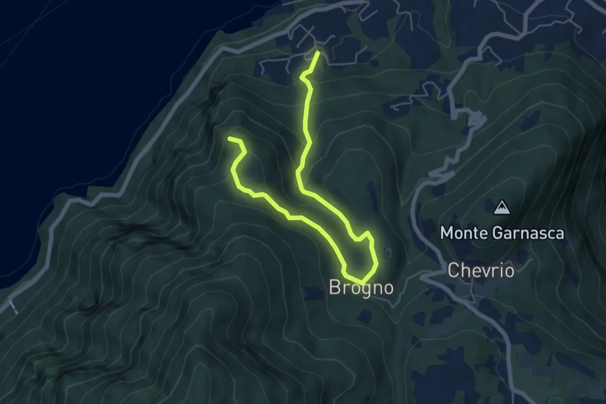
Medium · Trail
Vergonese – Belvedere
6.3 km · ↑ 435 m · 2 h 26 min
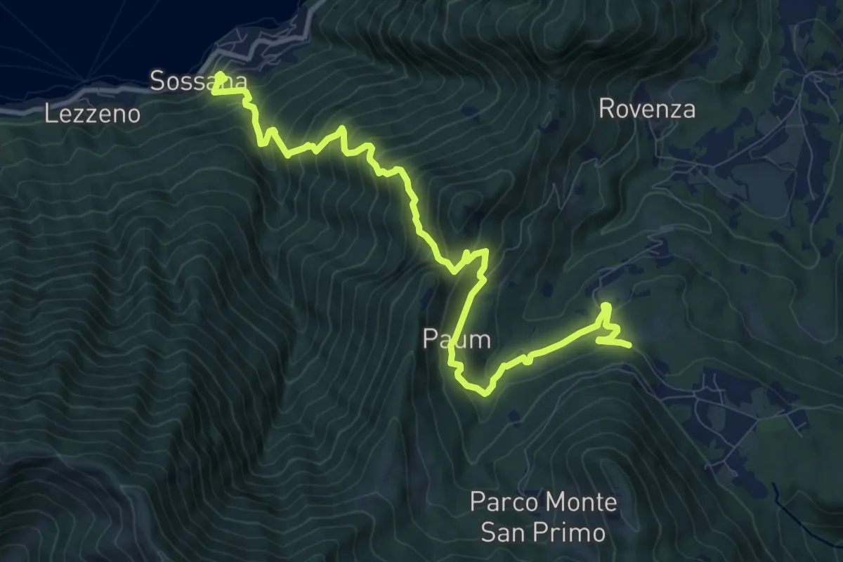
Demanding · Trail
Cendraro (Lezzeno) – Pietra Lentina
12.3 km · ↑ 1124 m · 5 h 20 min
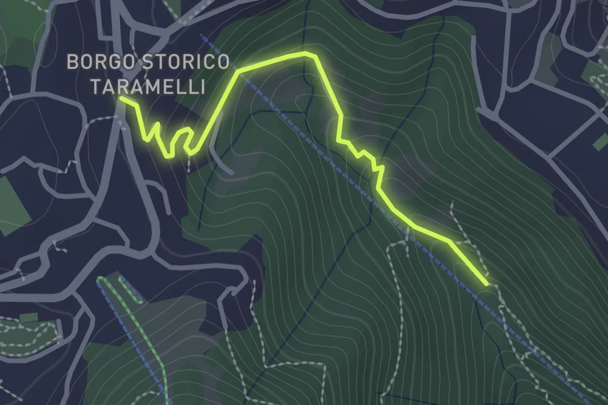
Easy · Trail
Incrocio 550 – Selvino
2.6 km · ↑ 158 m · 58 min
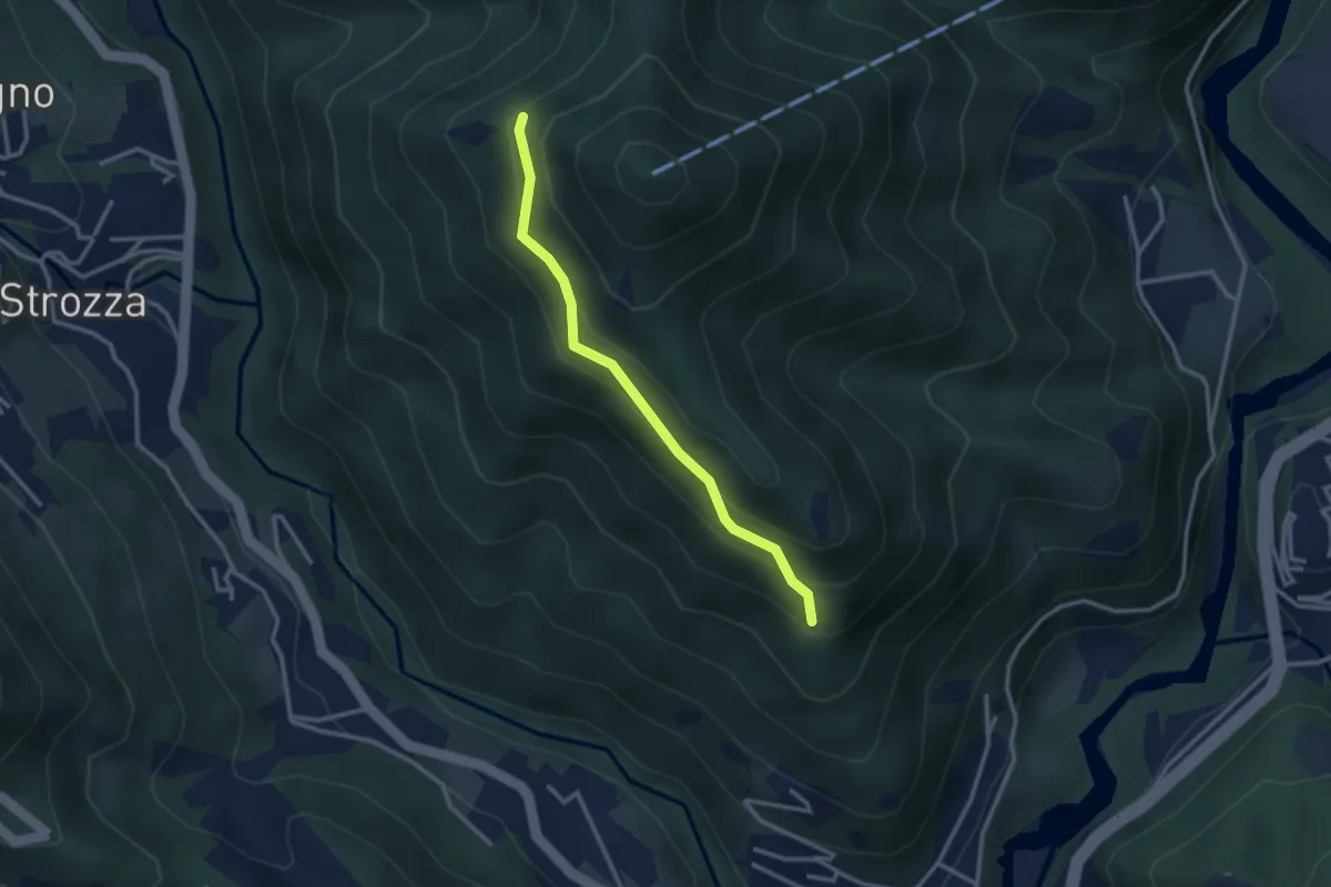
Medium · Trail
Incrocio 571 – Incrocio 584
2.7 km · ↑ 197 m · 1 h 4 min
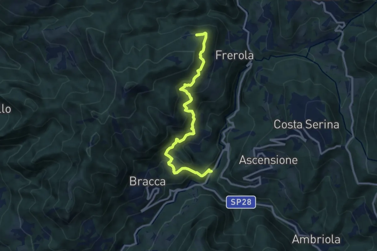
Demanding · Trail
Algua – Pradai
8.7 km · ↑ 826 m · 3 h 50 min
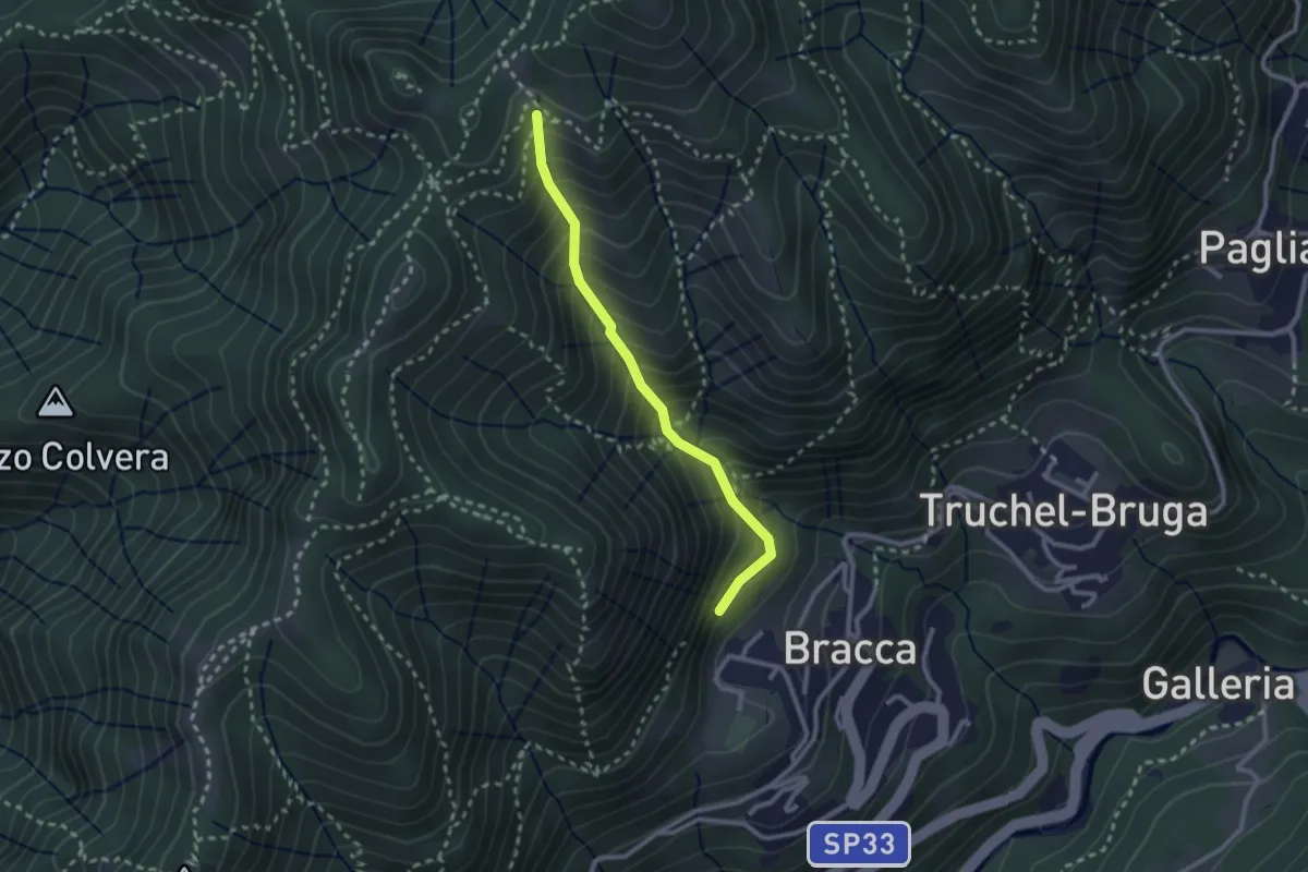
Medium · Trail
Incrocio 597 – Incrocio 597
2.4 km · ↑ 348 m · 1 h 19 min
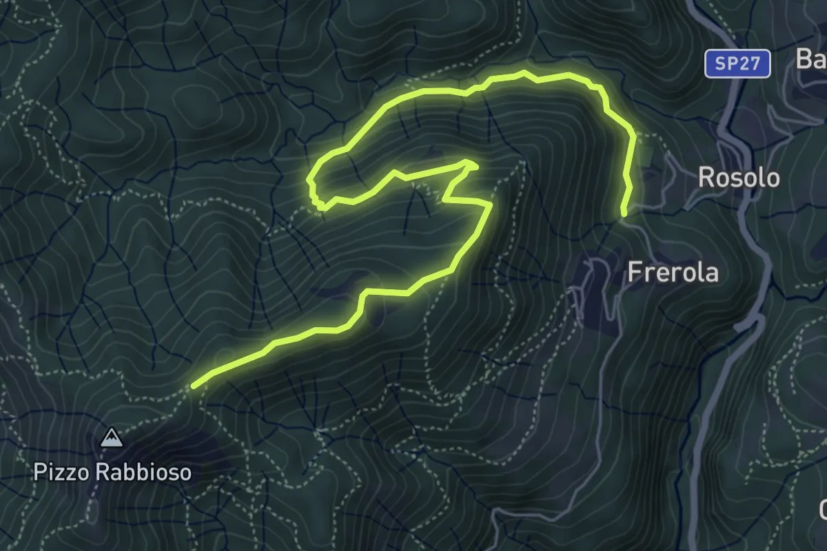
Medium · Trail
Frerola (Algua) – Pizzo Rabbioso
7.4 km · ↑ 474 m · 2 h 47 min
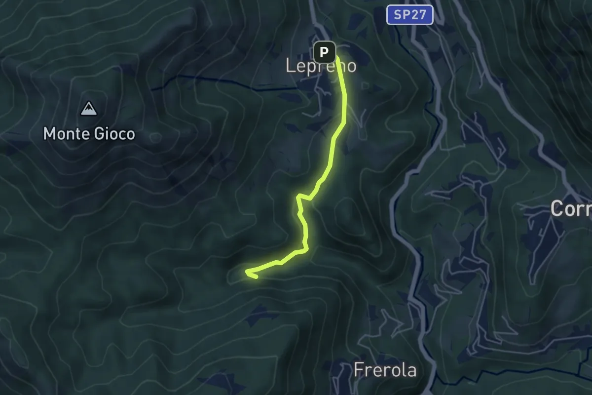
Medium · Trail
Lepreno – Incrocio 593
3.8 km · ↑ 126 m · 1 h 10 min