Trails in Italy
25,219 hiking trails, each with its route, climb, walking time and grade.
All trails, page 469 of 526
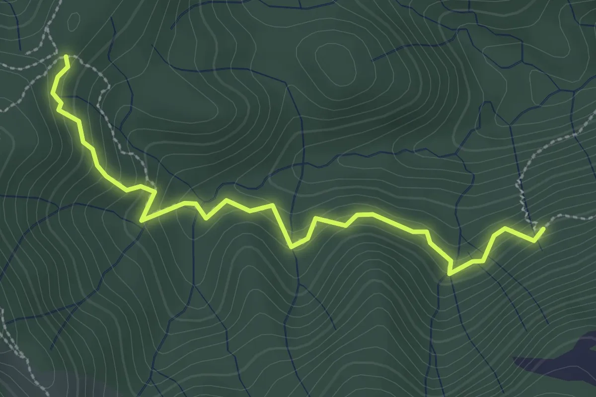
Medium · Trail
Incrocio 593 – Incrocio 561/598
3.0 km · ↑ 277 m · 1 h 19 min
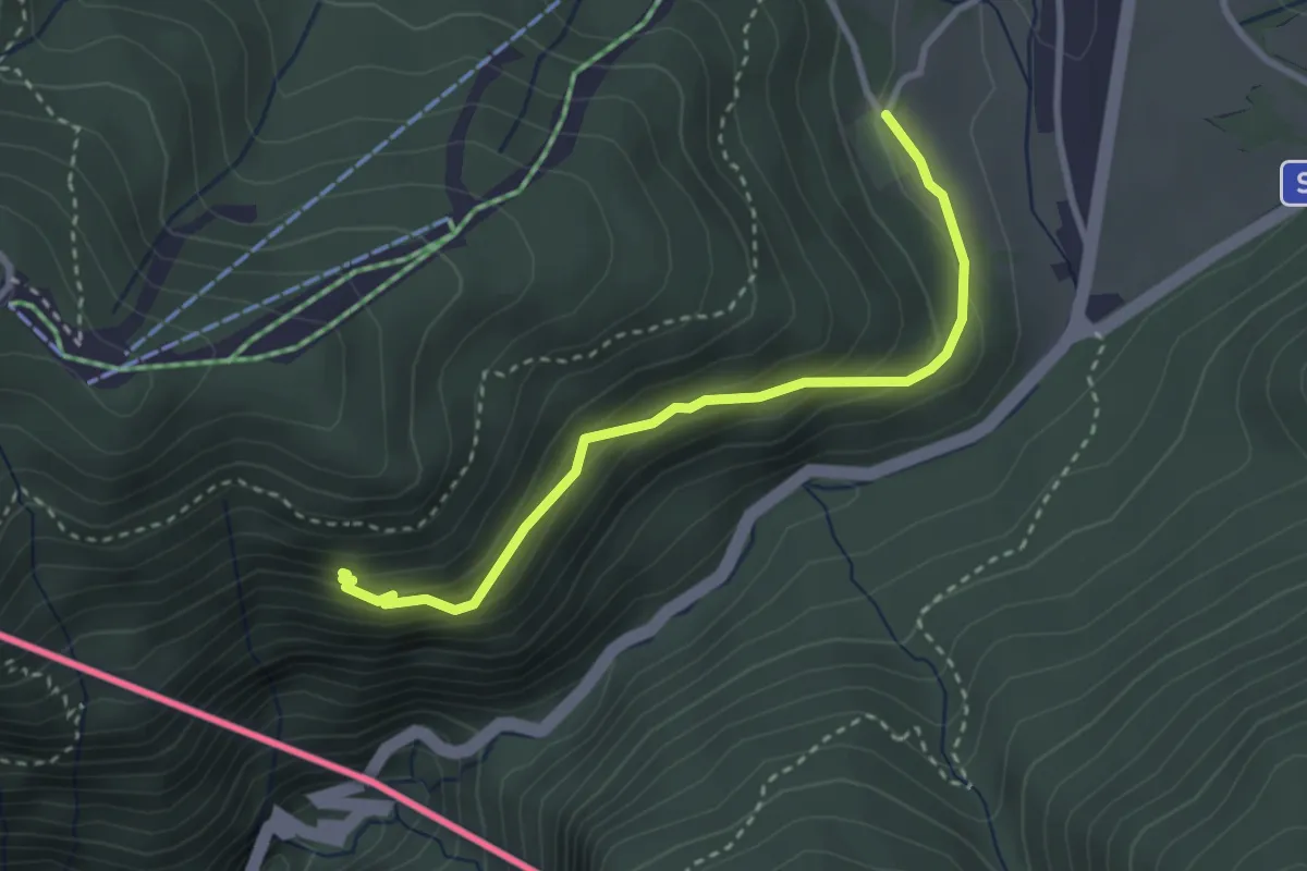
Easy · Trail
Alpe Bovisio – Lanzo
3.1 km · ↑ 208 m · 1 h 11 min
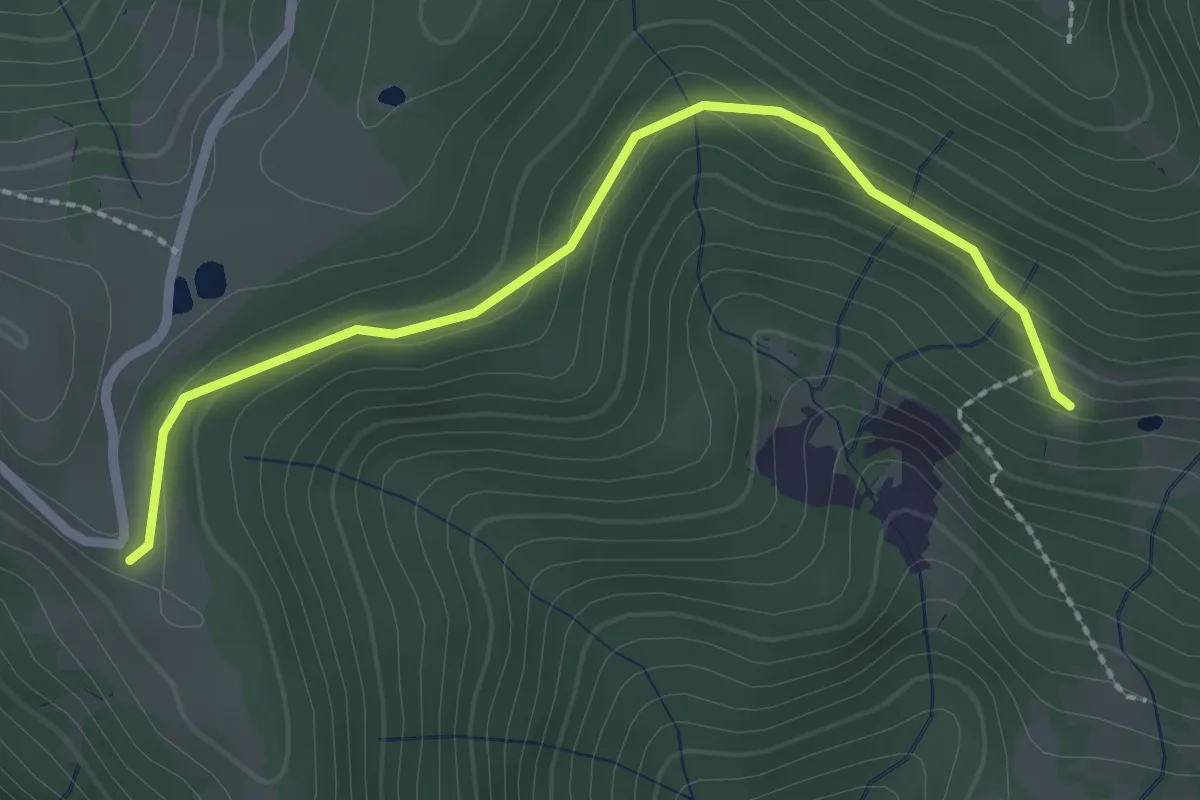
Easy · Trail
Alpe di Colonno – Alpe di Sala
2.5 km · ↑ 124 m · 51 min
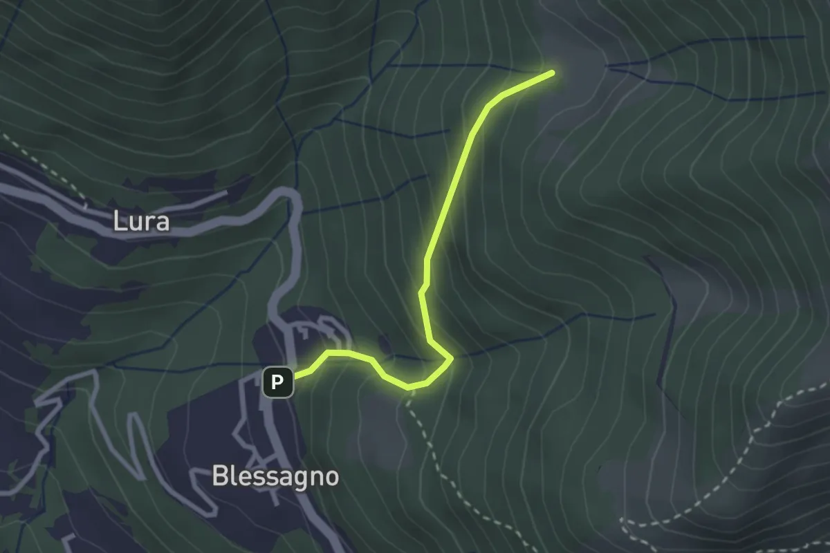
Easy · Cabin
Blessagno – Alpe di Blessagno
2.3 km · ↑ 267 m · 1 h 7 min
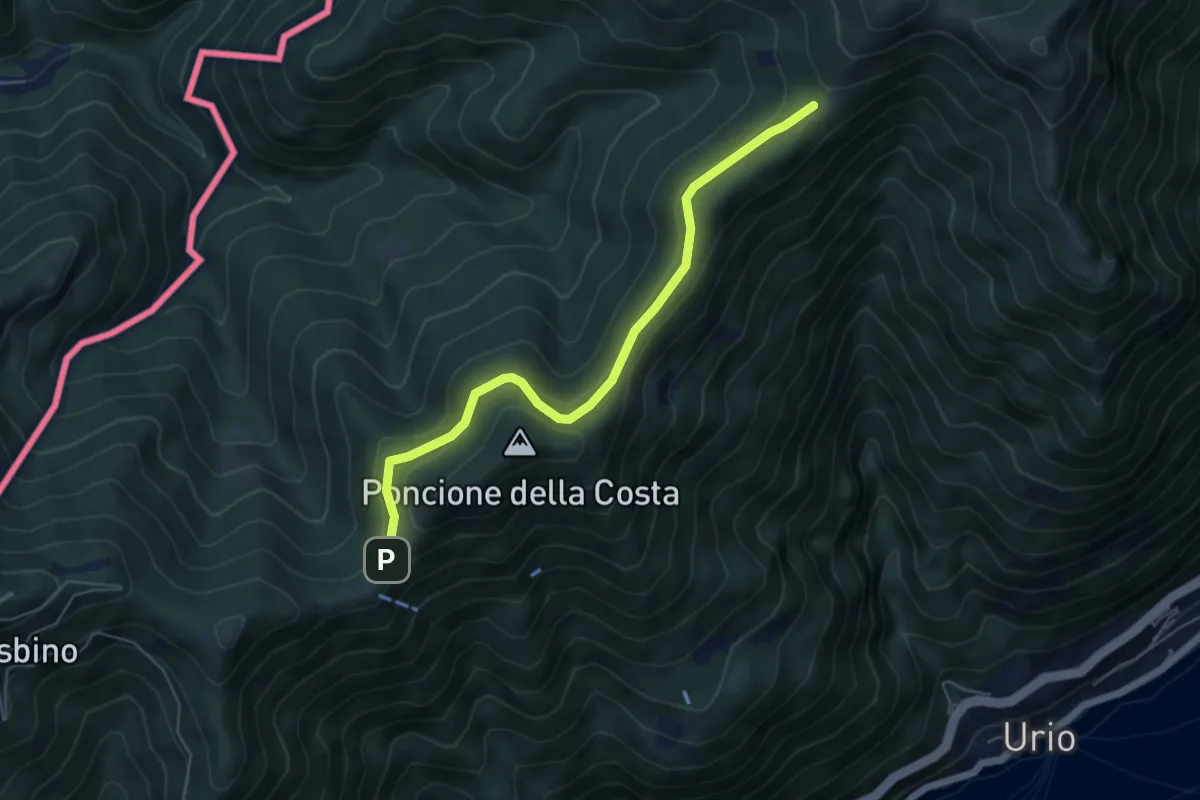
Easy · Cabin
Rif. Bugone – Rif. Murelli
5.6 km · ↑ 165 m · 1 h 41 min
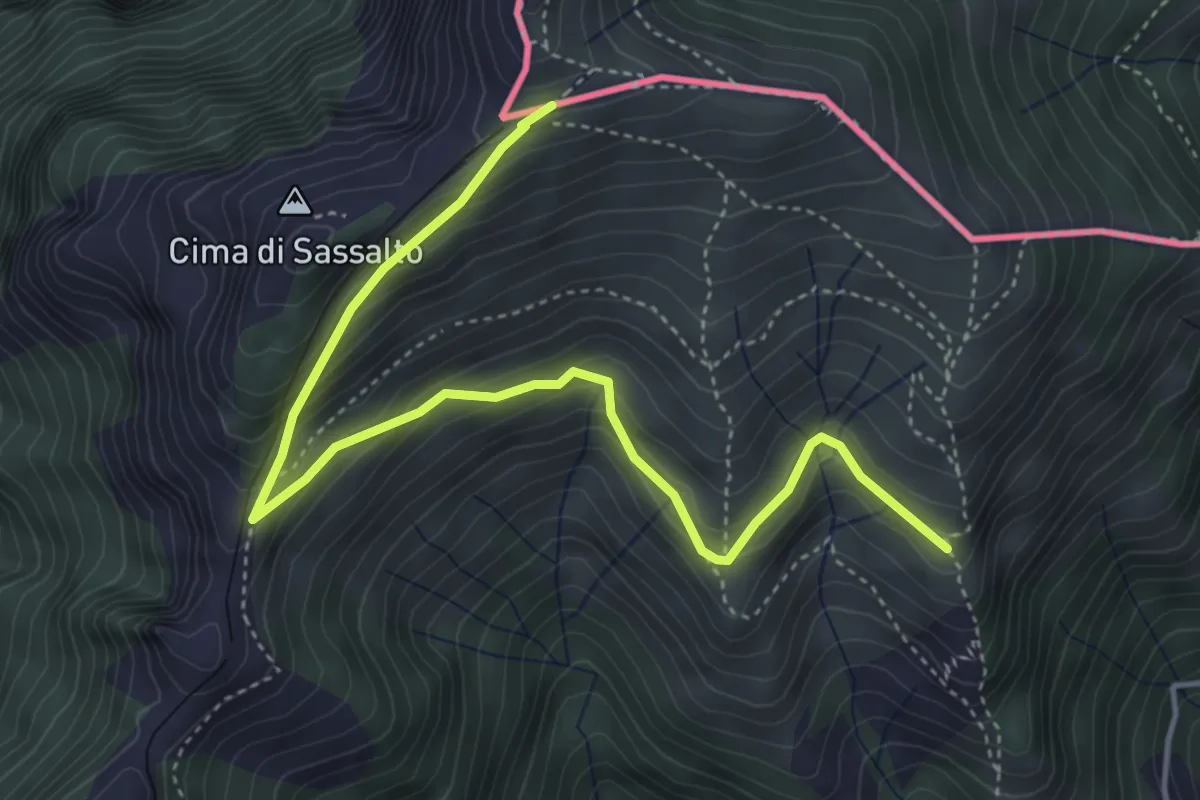
Medium · Trail
Nadigh – M.te Generoso St.ne
5.1 km · ↑ 414 m · 2 h 6 min
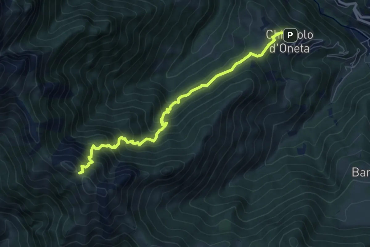
Demanding · Trail
Chignolo (Oneta) – Passo di Pradaccio
7.5 km · ↑ 811 m · 3 h 32 min
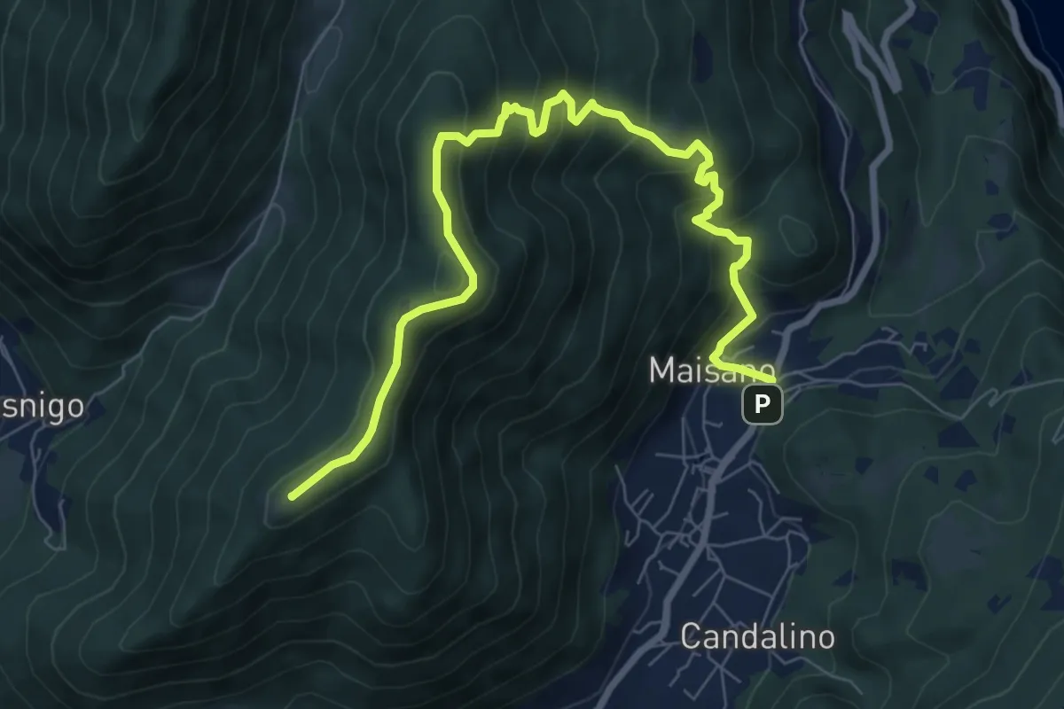
Medium · Summit
Valbrona - Maisano – Monte Megna
9.1 km · ↑ 626 m · 3 h 30 min
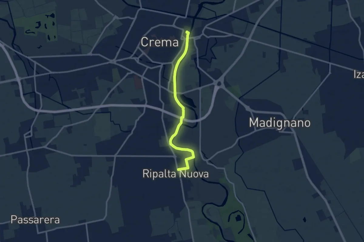
Medium · Trail
Crema (Parcheggio La Buca) – Ripalta Nuova
9.2 km · ↑ 27 m · 2 h 14 min
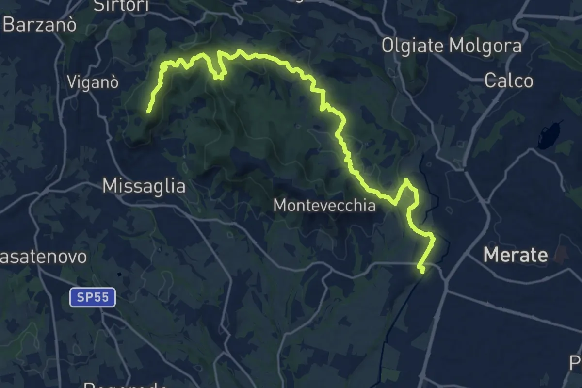
Demanding · Summit
Cernusco Lombardone (FS) – Missaglia
21.8 km · ↑ 575 m · 6 h 23 min
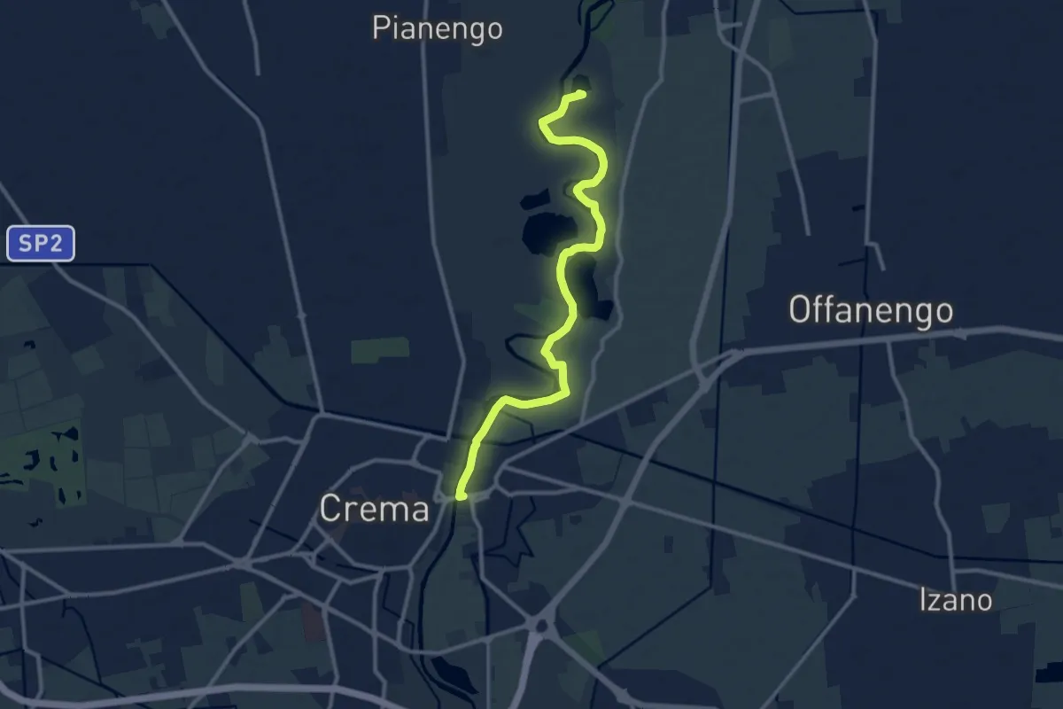
Medium · Trail
Crema (Via Cadorna) – Lago dei Riflessi
11.4 km · ↑ 17 m · 2 h 44 min
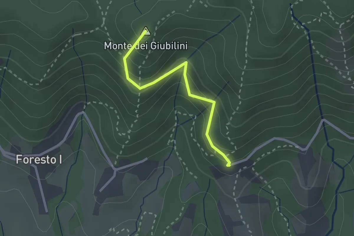
Easy · Summit
Boscalgisi – Zappel d'Erba
2.1 km · ↑ 212 m · 58 min
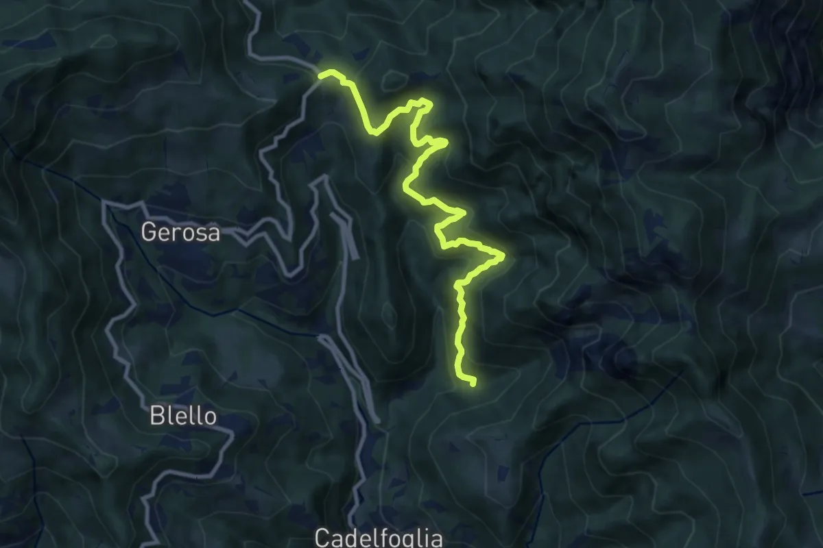
Medium · Trail
Incrocio 592C – Forcella di Bura
9.9 km · ↑ 766 m · 4 h
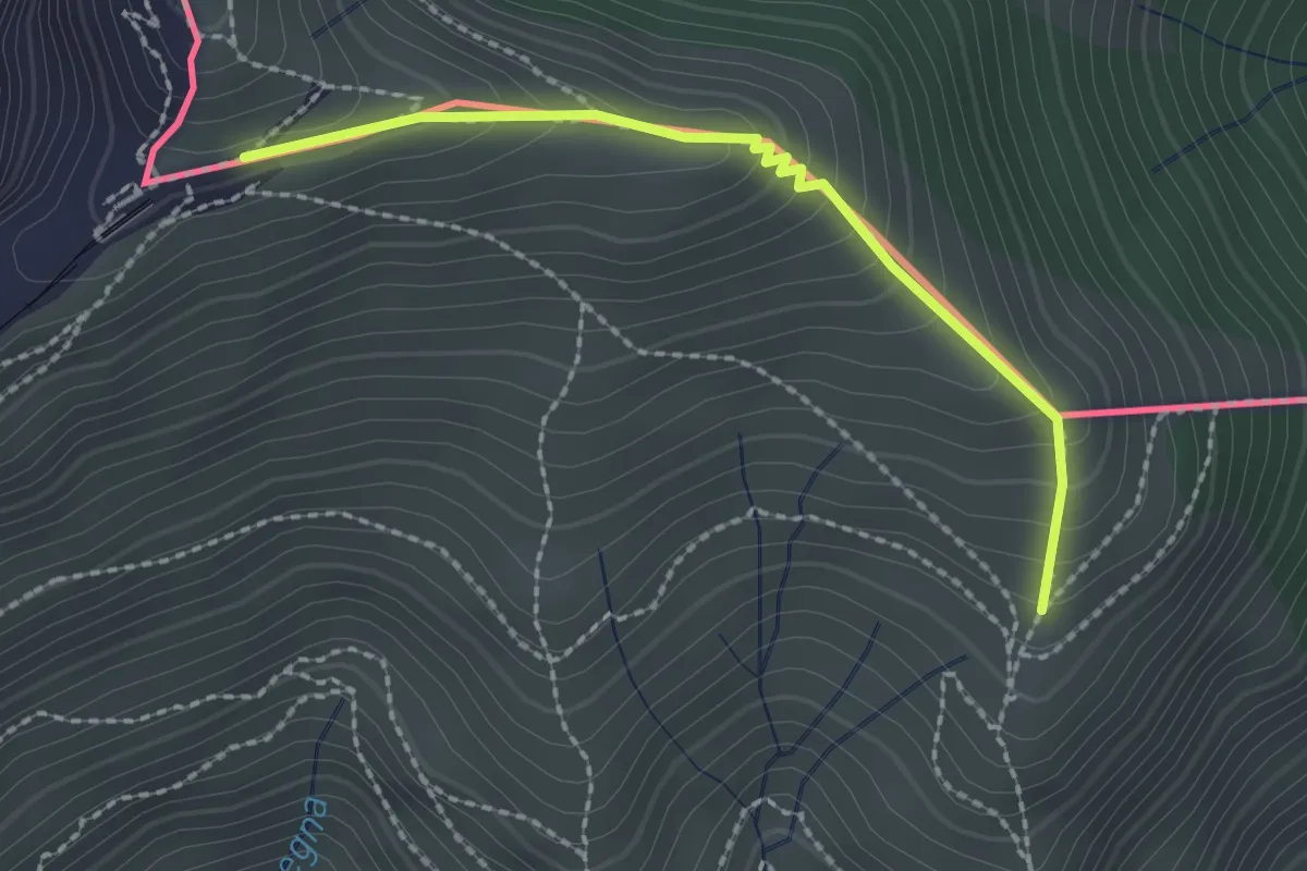
Medium · Trail
Piana – M.te Generoso St.ne
2.1 km · ↑ 193 m · 55 min
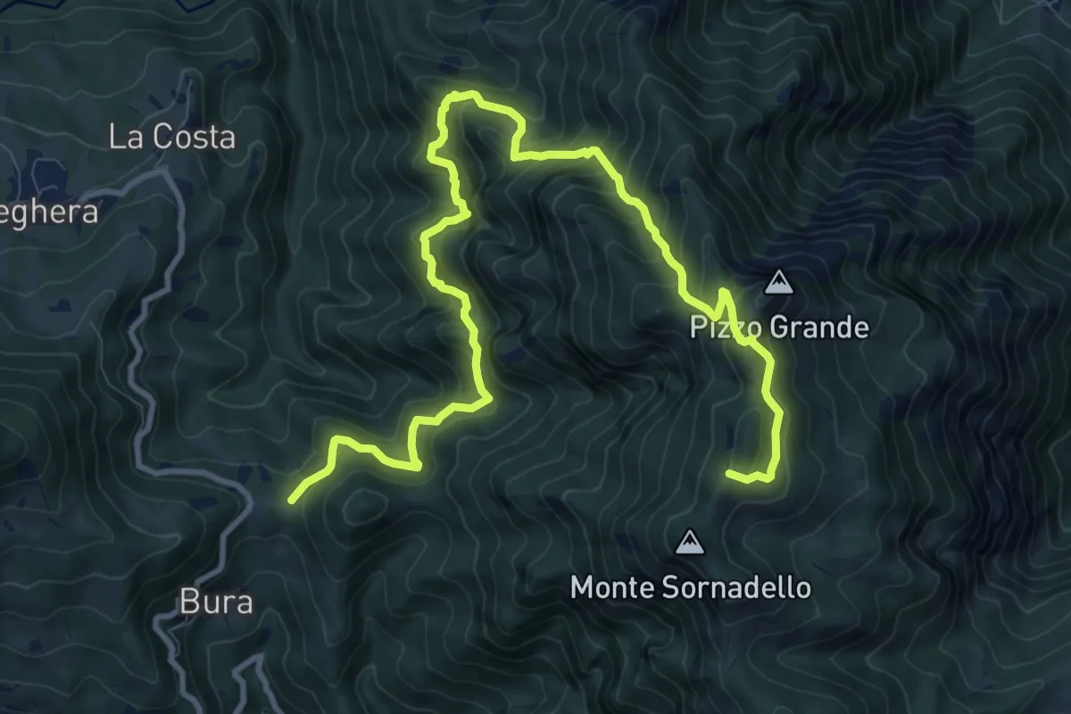
Demanding · Trail
Forcella di Bura – Passo Mercante del Ferro
13.2 km · ↑ 1150 m · 5 h 36 min
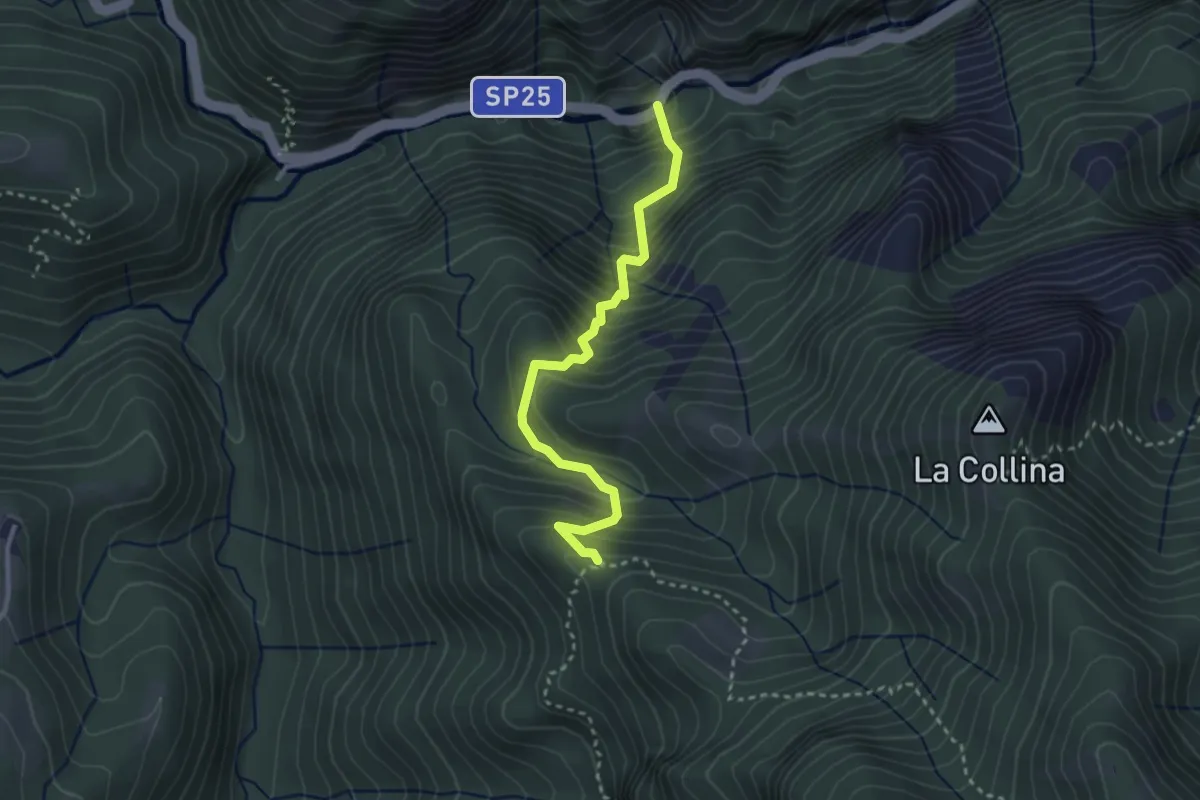
Medium · Trail
Orridi Val Taleggio – Incrocio 595B
3.0 km · ↑ 410 m · 1 h 36 min
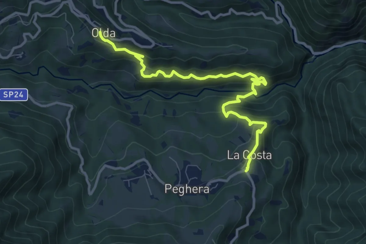
Medium · Trail
Olda – Costa di Peghera
8.9 km · ↑ 653 m · 3 h 31 min
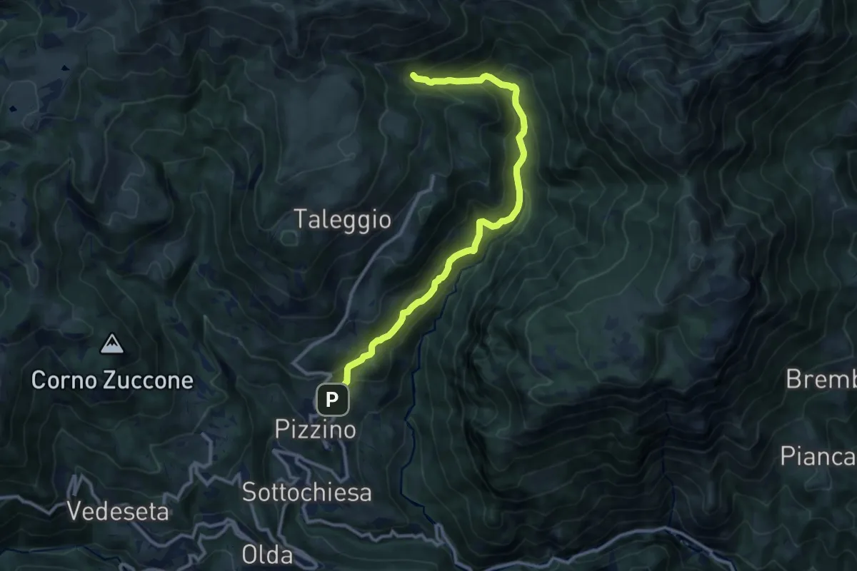
Medium · Trail
Grasso – Incrocio 153
11.3 km · ↑ 739 m · 4 h 16 min
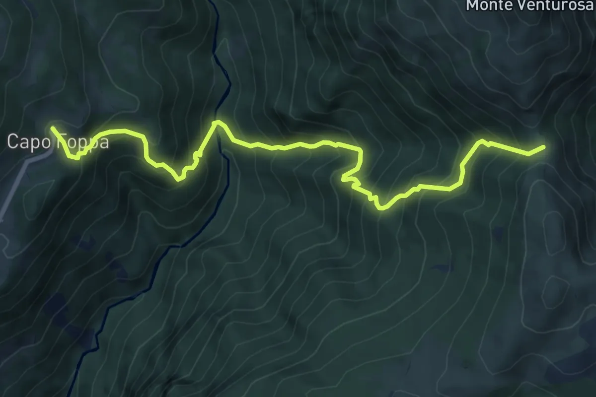
Demanding · Trail
Quindicina – Passo Grialeggio
8.0 km · ↑ 965 m · 3 h 59 min
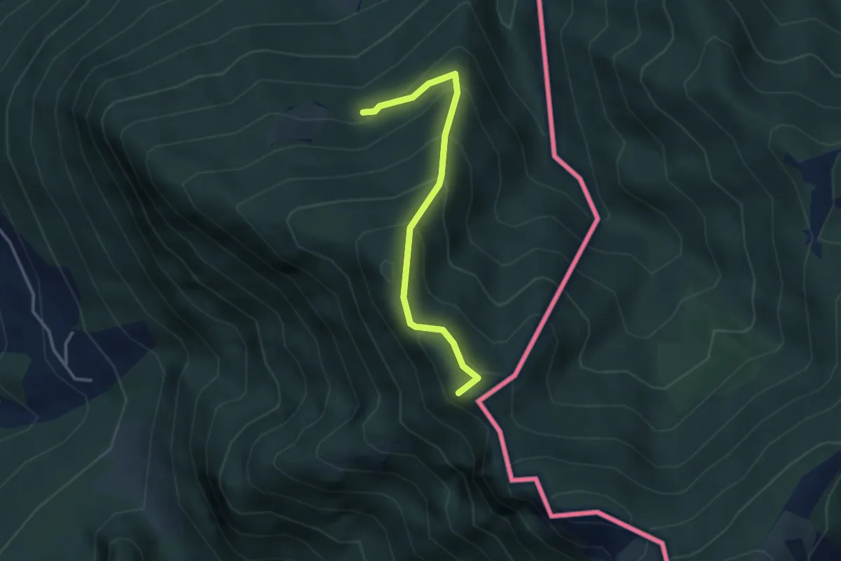
Medium · Summit
Alpe d'Arogno – Cima Crocetta
3.1 km · ↑ 283 m · 1 h 20 min
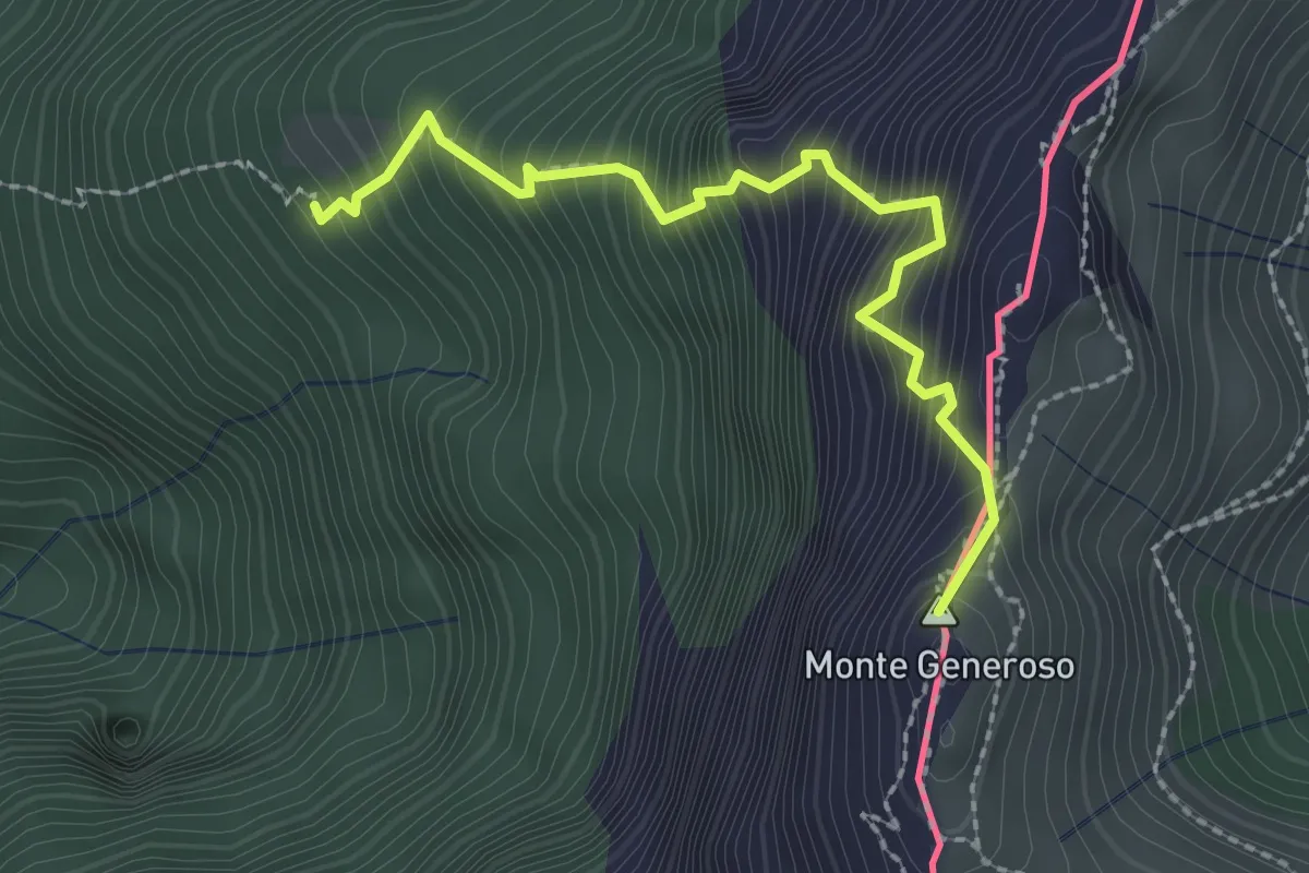
Expert · Summit
Perostabbio – Monte Generoso
2.4 km · ↑ 452 m · 1 h 33 min
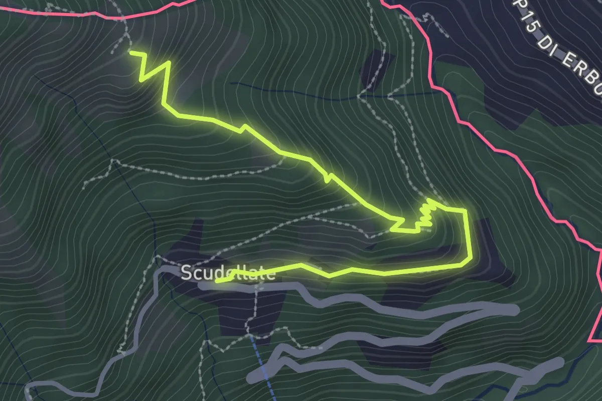
Medium · Trail
Alpe di Sella – Scudellate
3.6 km · ↑ 344 m · 1 h 35 min
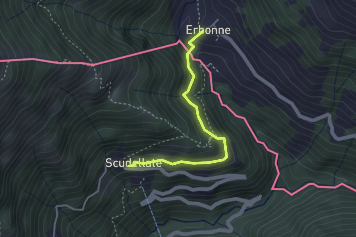
Medium · Trail
Scudellate – Erbonne (I)
2.8 km · ↑ 174 m · 1 h 2 min
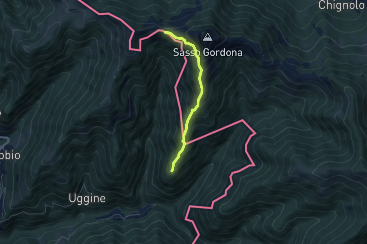
Medium · Cabin
Alpe del Corno – Rifugio Prabello (I)
4.5 km · ↑ 409 m · 1 h 57 min
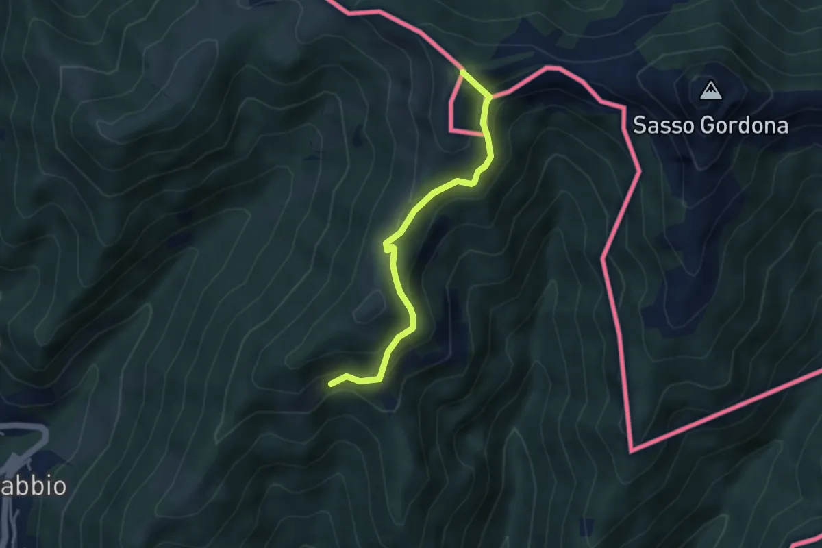
Medium · Summit
Rifugio Prabello (I) – Arla
3.6 km · ↑ 265 m · 1 h 26 min
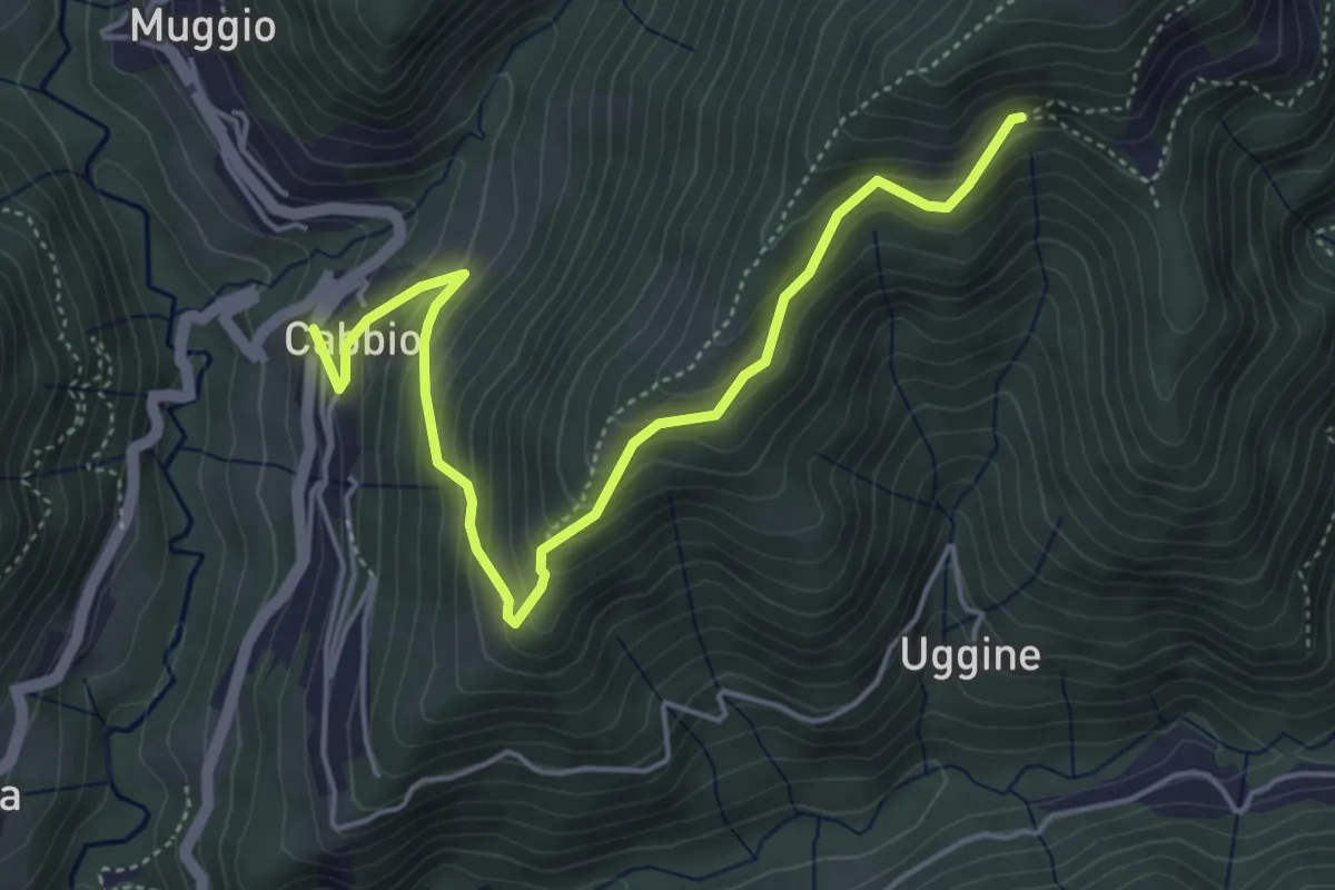
Medium · Trail
Arla – Cabbio
5.2 km · ↑ 436 m · 2 h 11 min
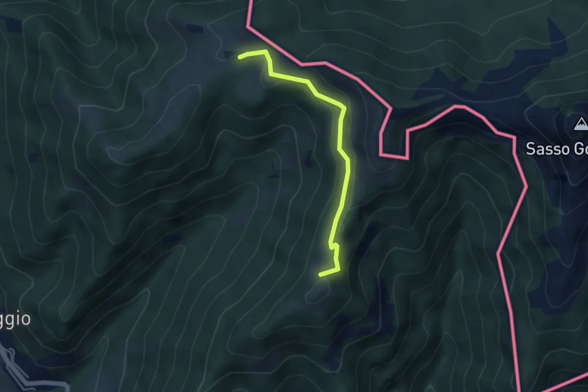
Medium · Summit
Arla – Alpe Bonello
3.3 km · ↑ 148 m · 1 h 7 min
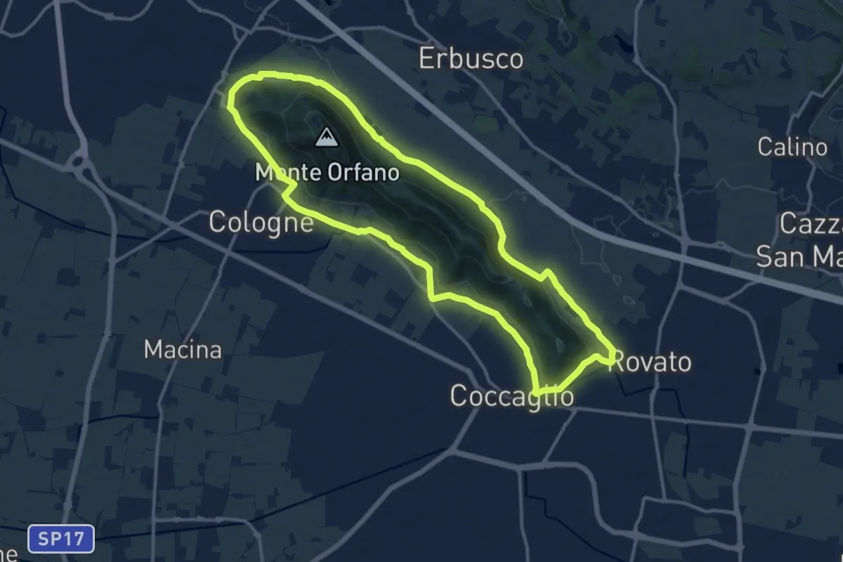
Medium · Trail
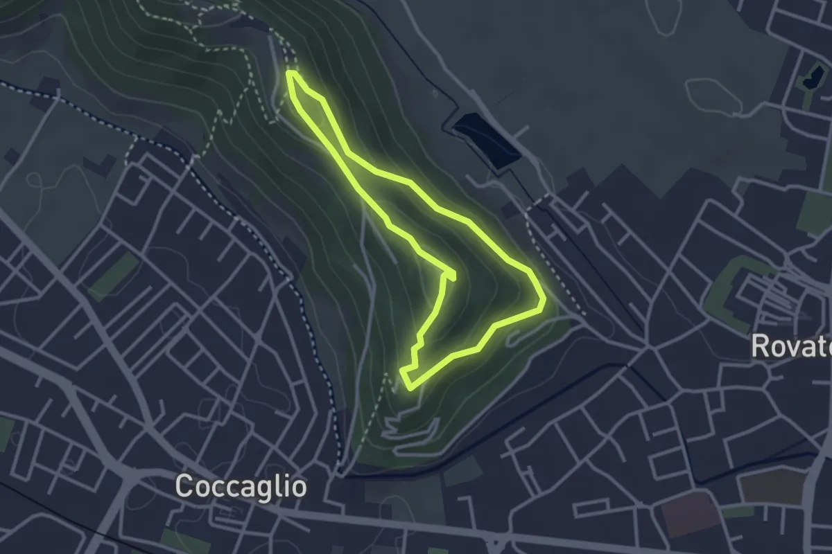
Rovato Chiesa S. Stefano – Rovato Chiesa S. Stefano
12.9 km · ↑ 158 m · 3 h 34 min
Medium · Trail
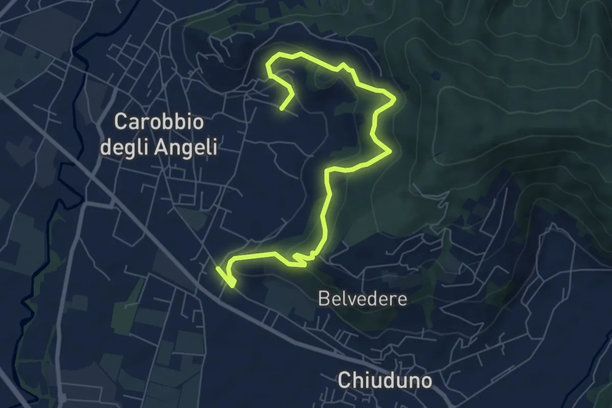
Rovato Via Monte Orfano – Rovato Via Monte Orfano
2.7 km · ↑ 135 m · 58 min
Medium · Trail
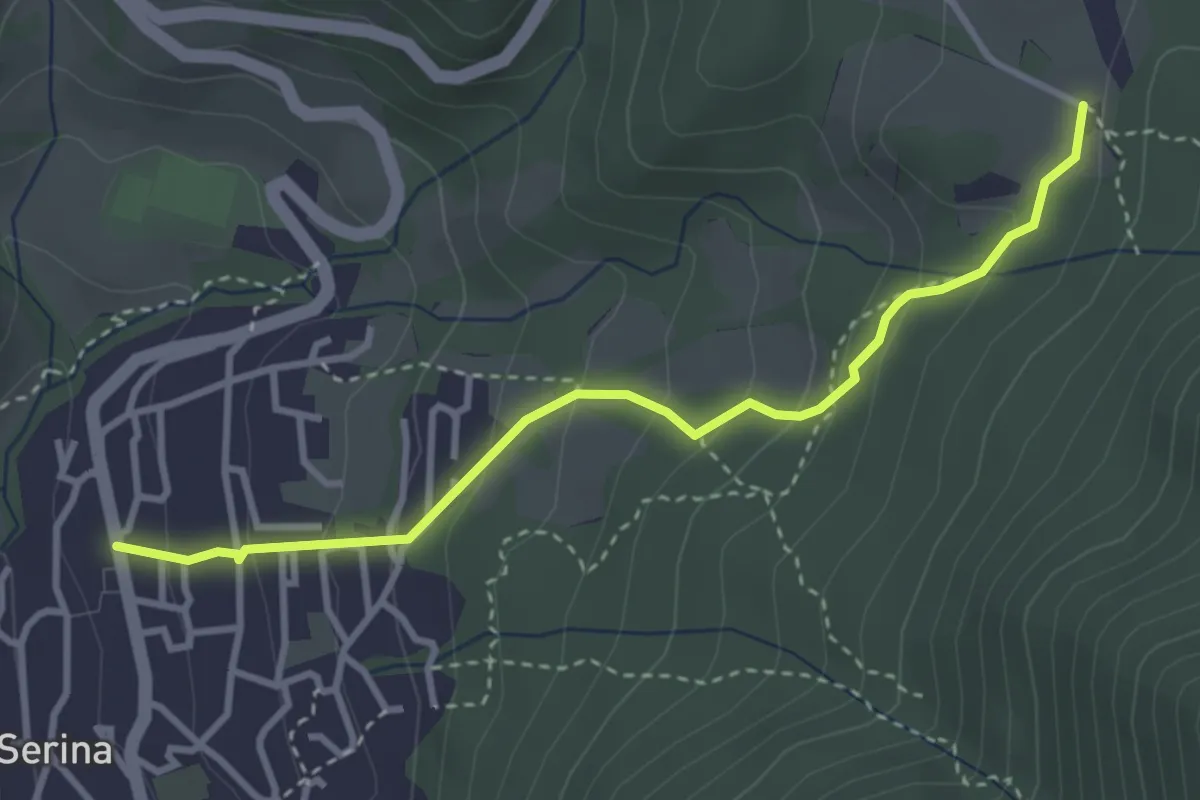
Cicola – Santo Stefano
7.8 km · ↑ 443 m · 2 h 49 min
Easy · Trail
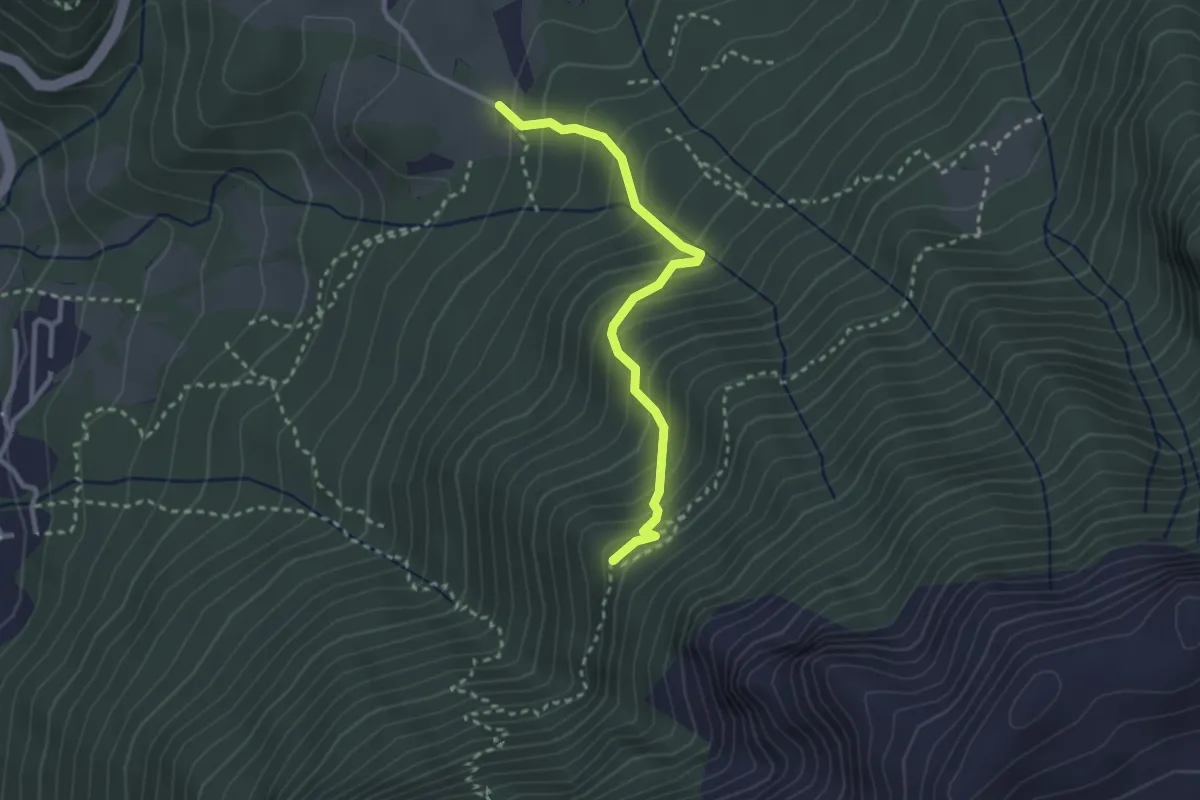
Serina – Cà di Zocc
3.4 km · ↑ 243 m · 1 h 20 min
Medium · Cabin
Cà di Zocc – Casina Bianca
2.7 km · ↑ 322 m · 1 h 20 min
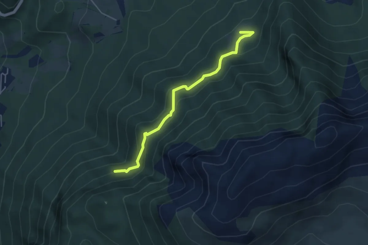
Medium · Trail
Pian della Mussa – Incrocio 502
3.8 km · ↑ 282 m · 1 h 31 min
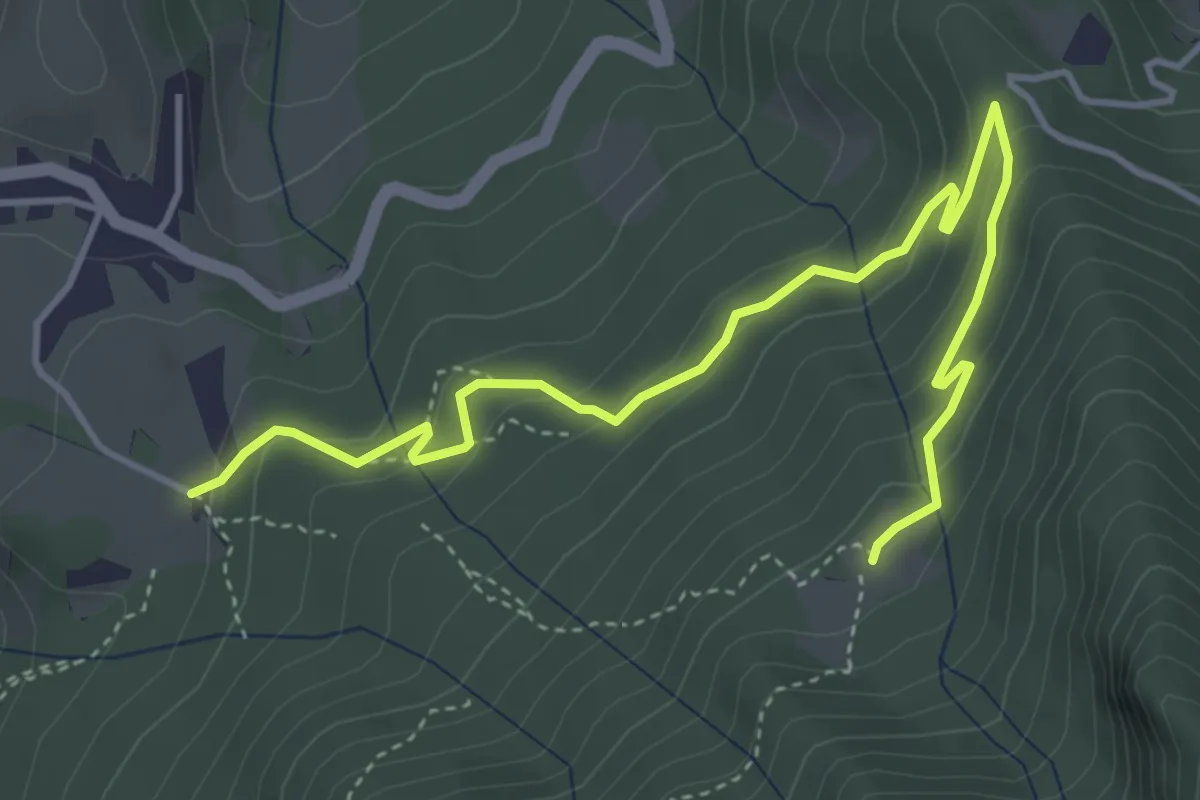
Easy · Trail
Cà di Zocc – Plan della Mussa
5.1 km · ↑ 255 m · 1 h 46 min
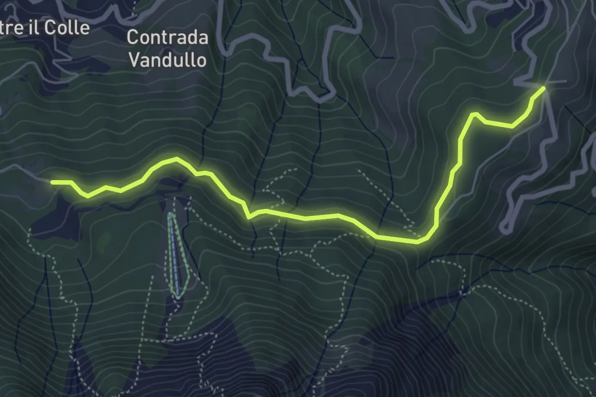
Easy · Trail
Pian della Palla – Passo di Zambla
5.7 km · ↑ 153 m · 1 h 41 min
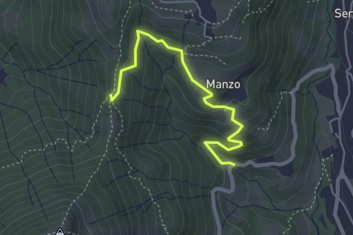
Easy · Trail
Sorgenti del Manzo – 3 Gobbe
3.7 km · ↑ 226 m · 1 h 22 min
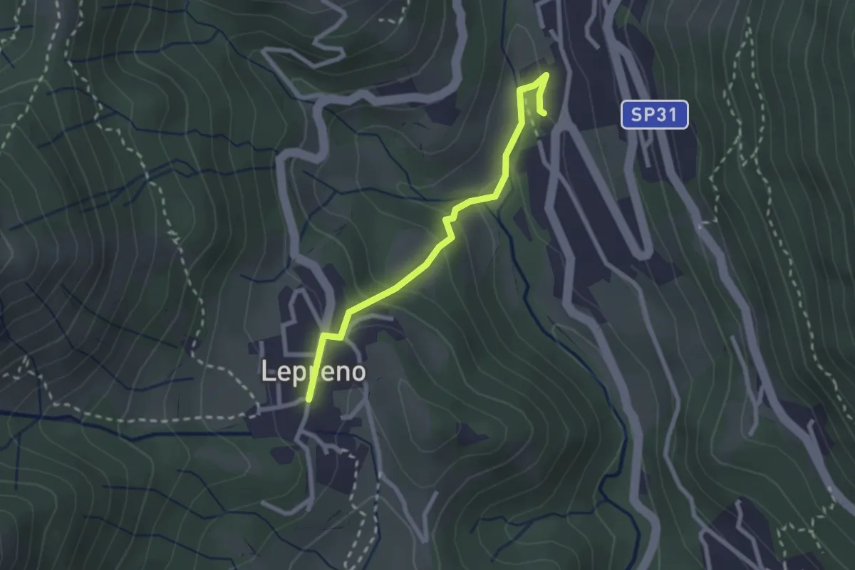
Easy · Trail
Serina – Lepreno
2.3 km · ↑ 113 m · 47 min
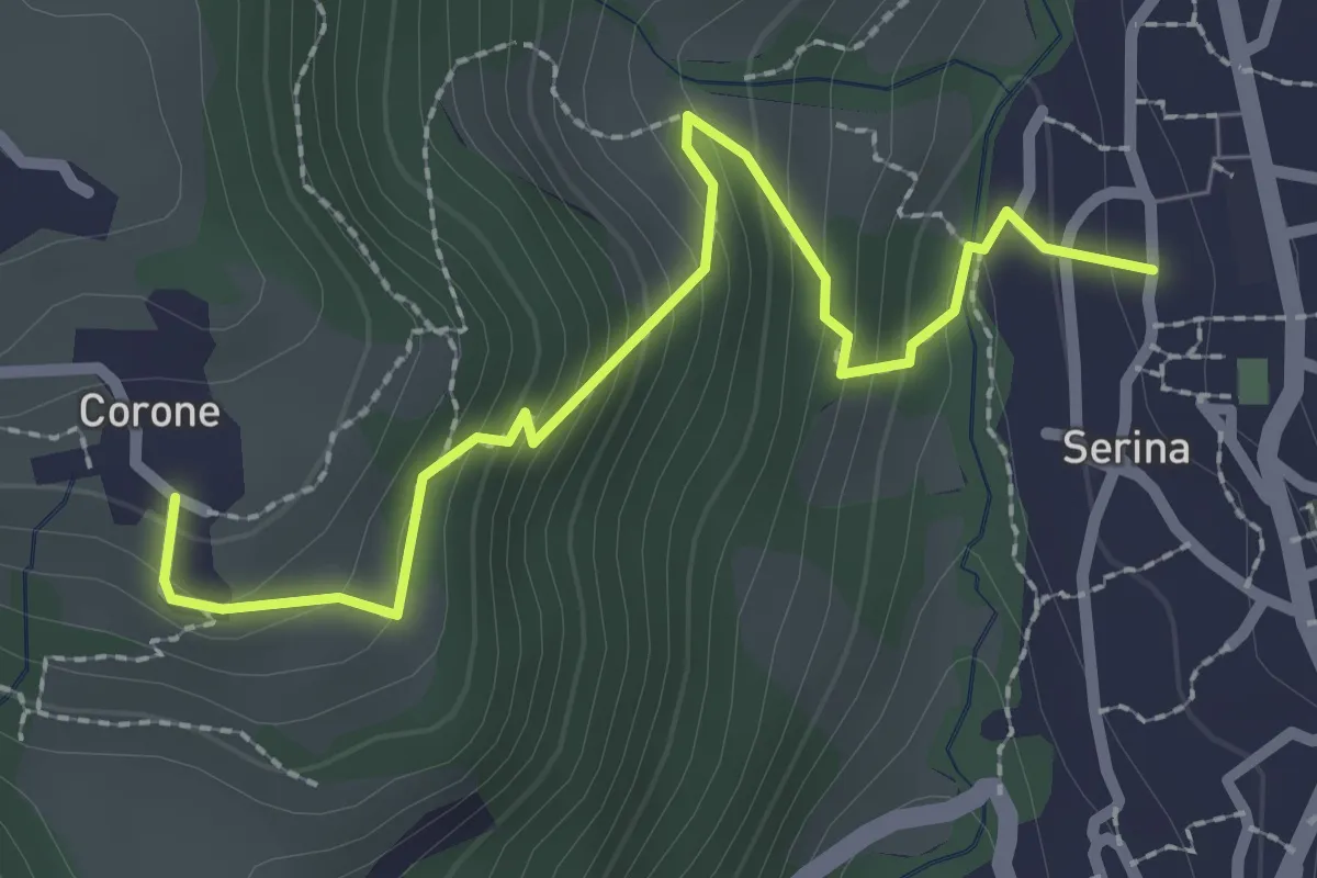
Medium · Trail
Serina – Corone
2.7 km · ↑ 220 m · 1 h 7 min
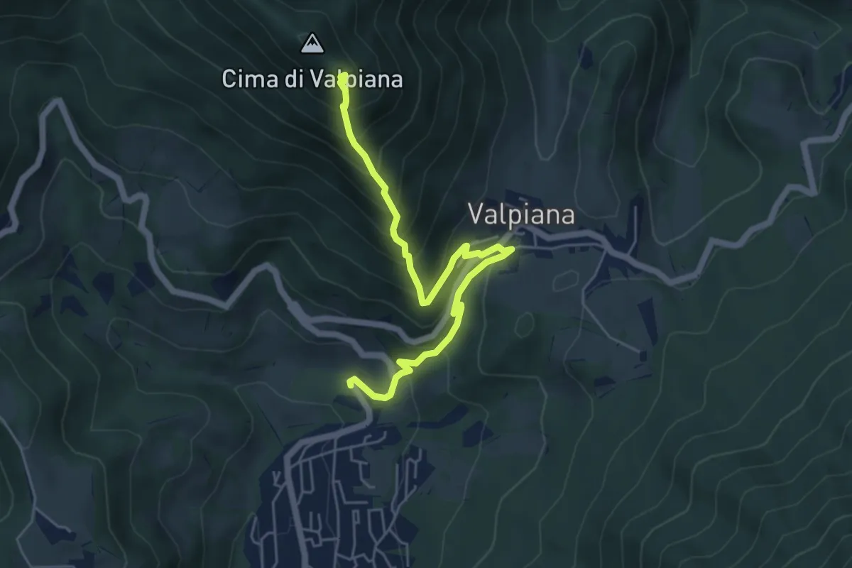
Medium · Trail
Monte Castello – Serina
5.5 km · ↑ 534 m · 2 h 27 min
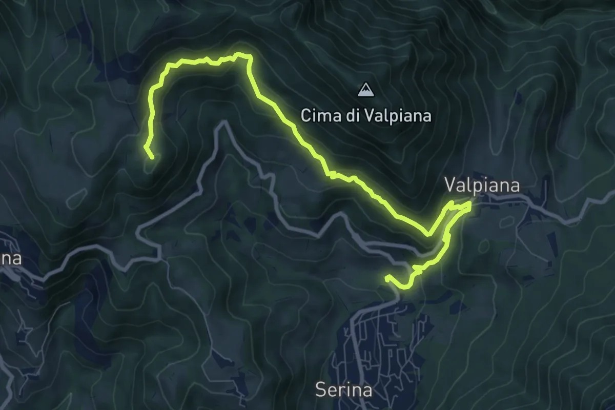
Medium · Summit
Serina – Monte Vaccareggio
9.9 km · ↑ 545 m · 3 h 32 min
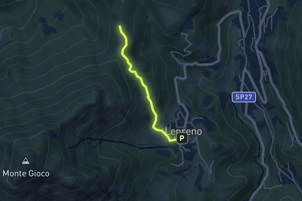
Easy · Trail
Lepreno – 3 Gobbe
2.8 km · ↑ 165 m · 1 h 1 min
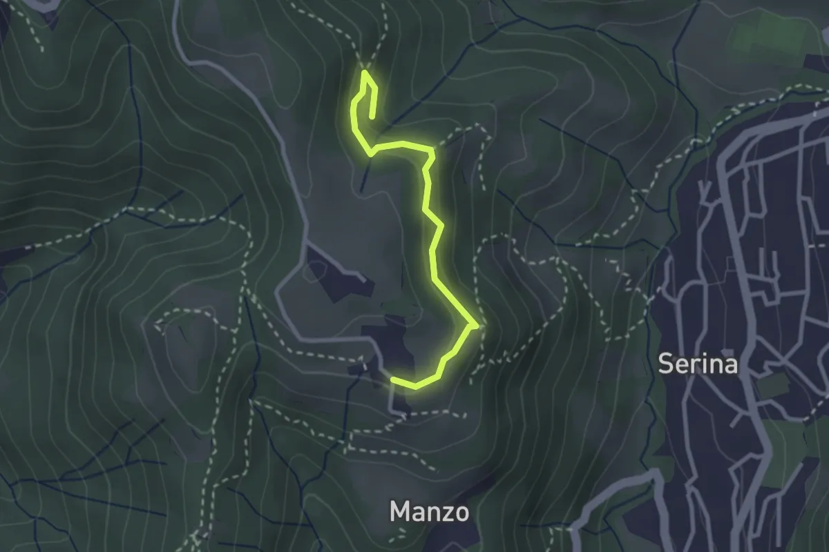
Medium · Trail
Corone – Incrocio Via Mercatorum
2.4 km · ↑ 123 m · 51 min
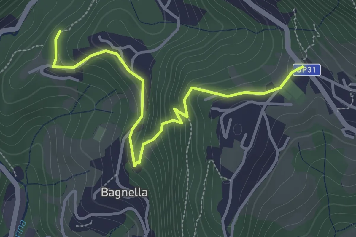
Easy · Trail
Rosolo – Cornalba
3.3 km · ↑ 216 m · 1 h 15 min
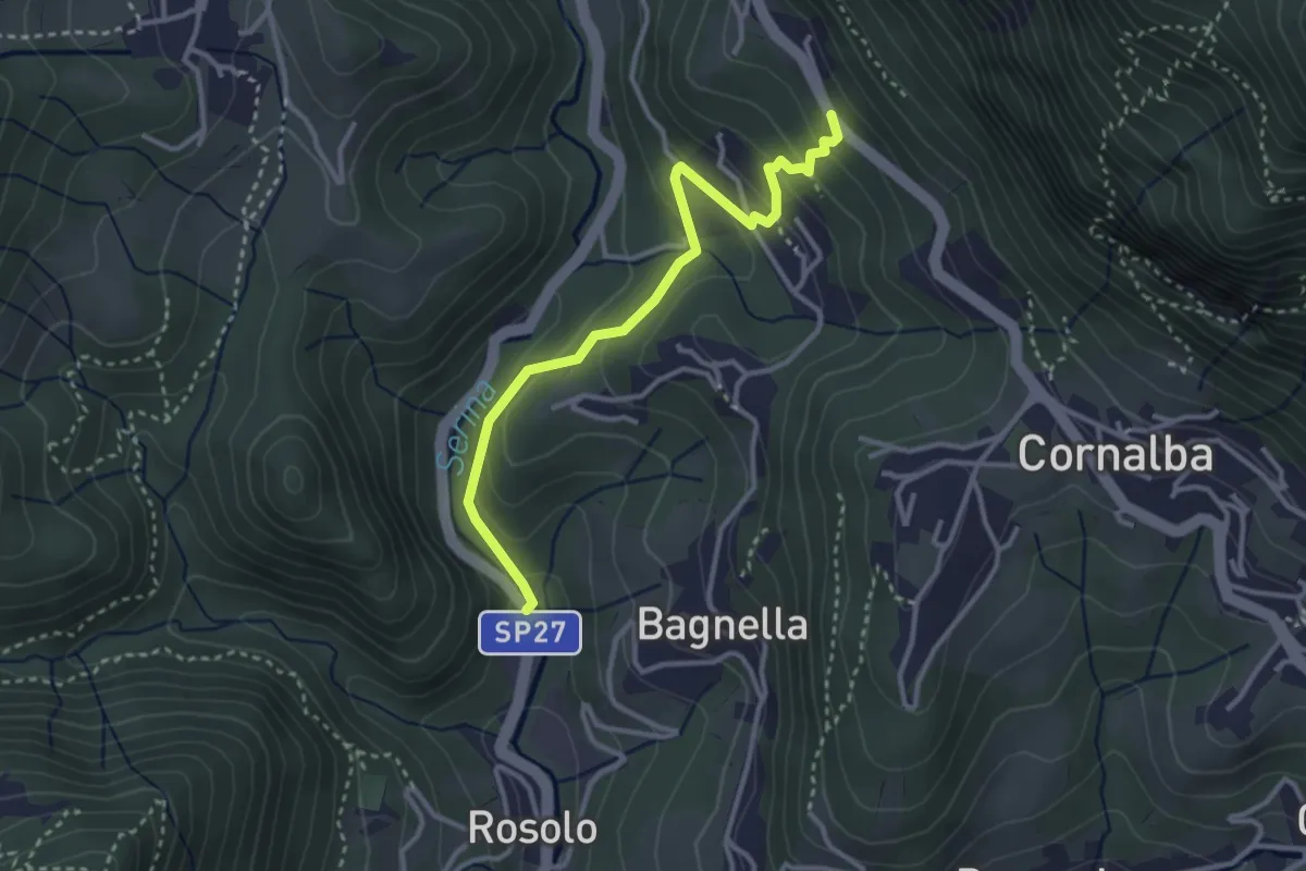
Easy · Trail
Rosolo – San Pantaleone
3.3 km · ↑ 199 m · 1 h 13 min
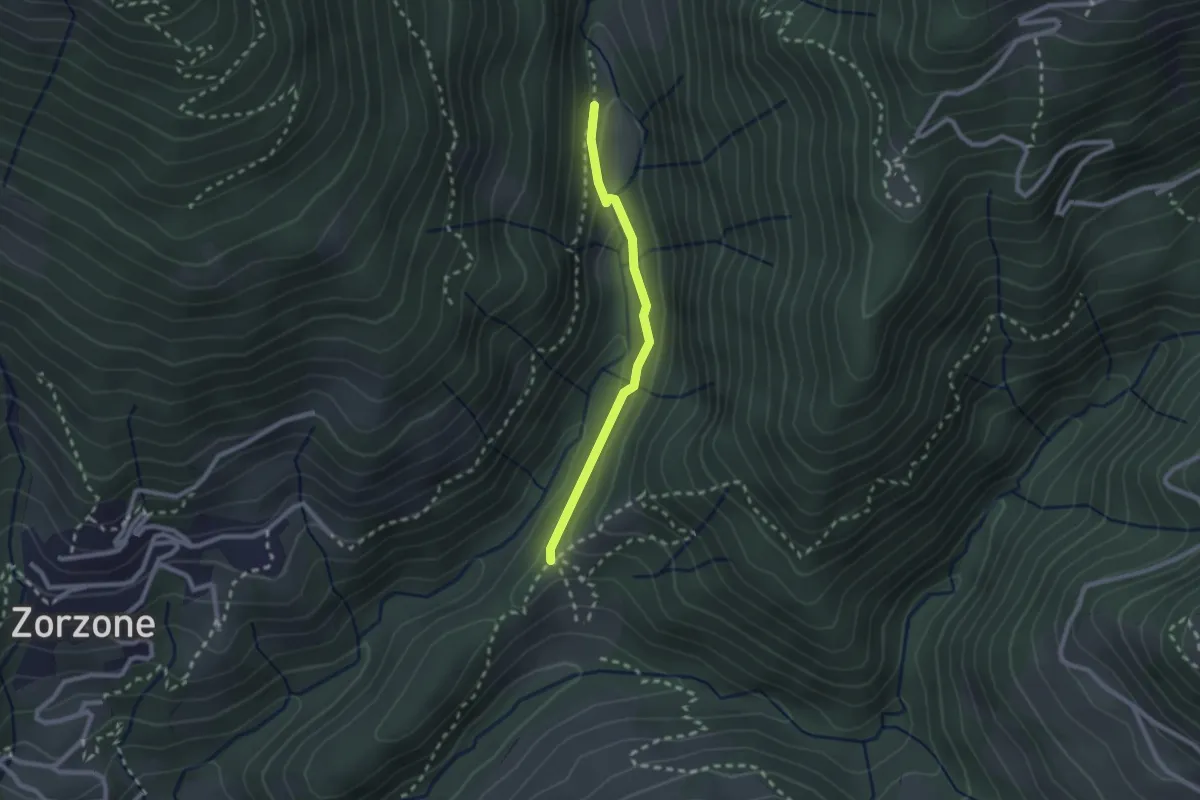
Easy · Trail
Piazzole – Cappella Forcella
2.1 km · ↑ 78 m · 39 min
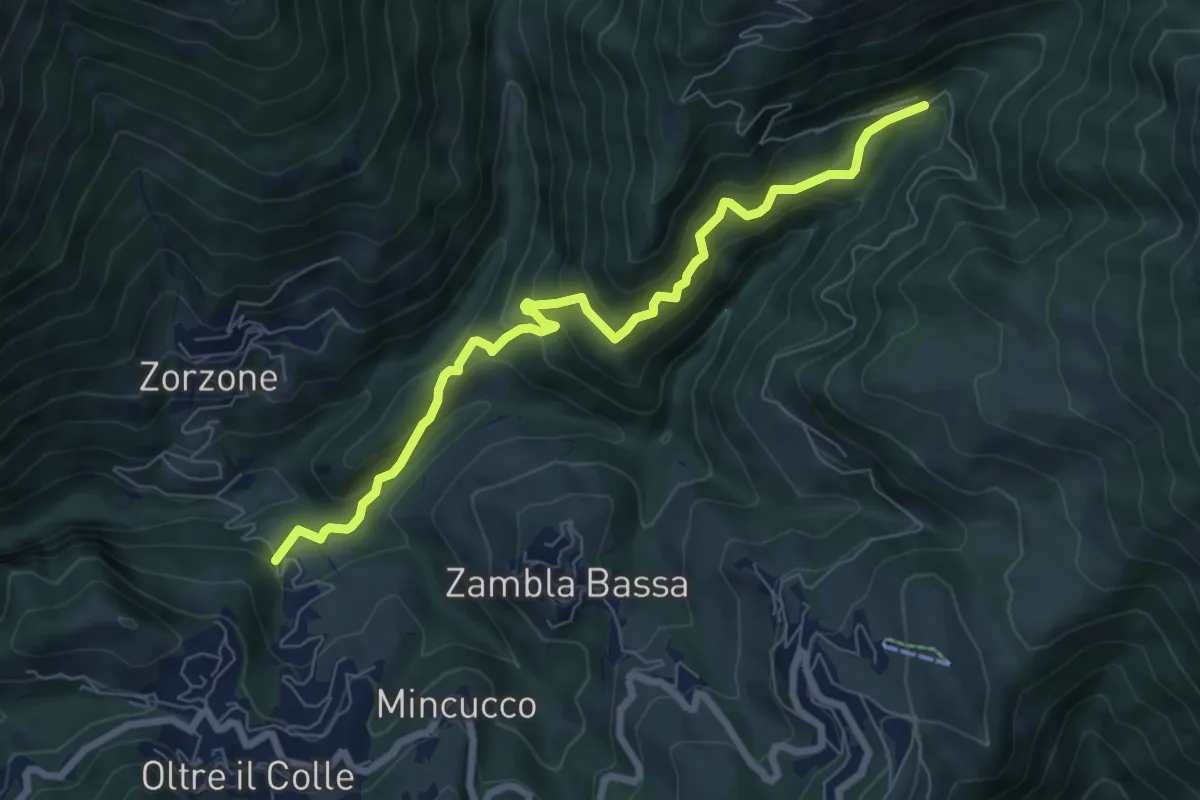
Medium · Trail
Incrocio H30 – Plassa - Arera
7.5 km · ↑ 618 m · 3 h 7 min
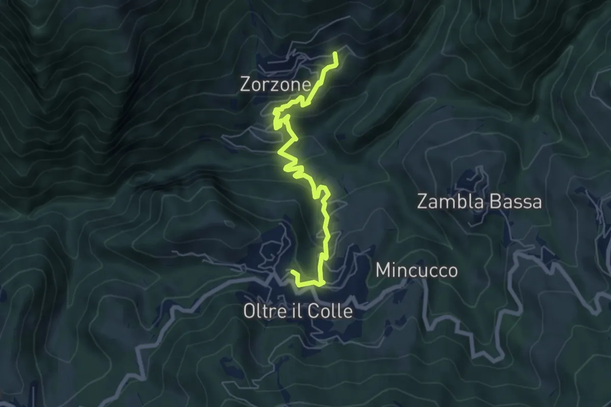
Medium · Trail
Oltre il Colle – Zorzone
5.9 km · ↑ 428 m · 2 h 19 min
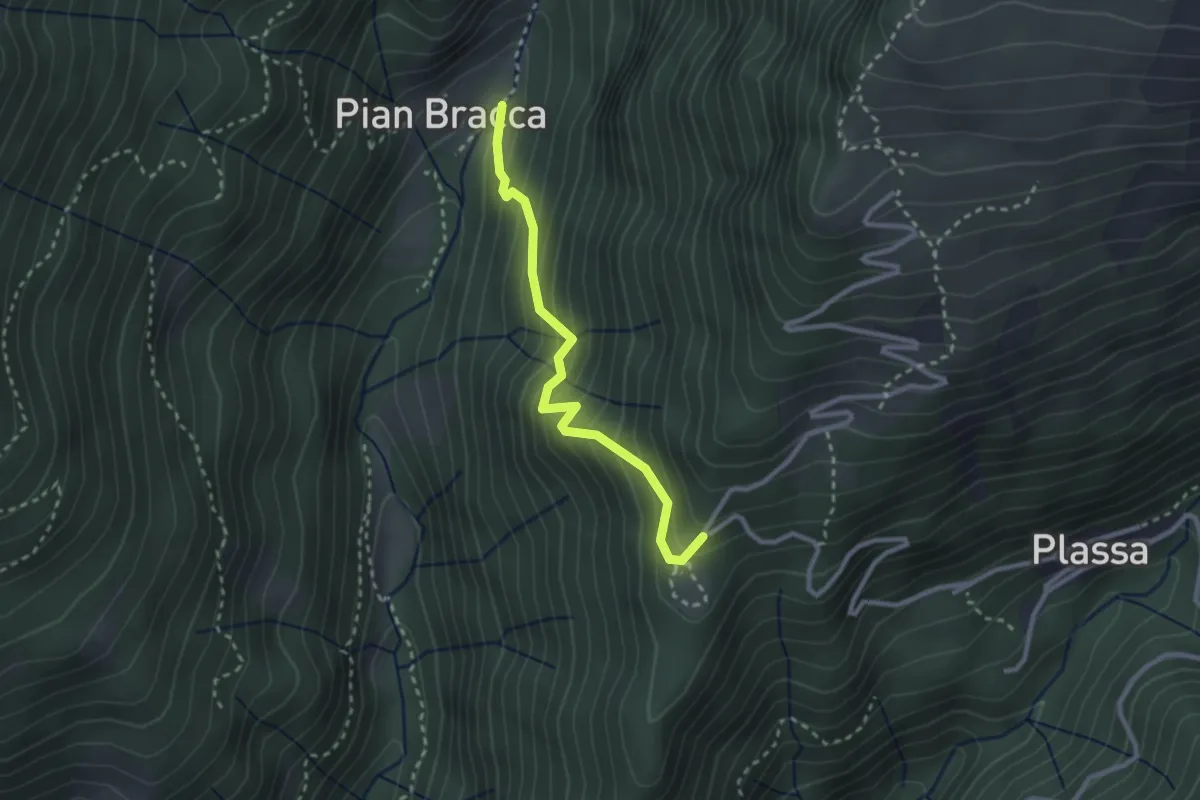
Medium · Trail
Pian Bracca (incrocio 231) – Cattedrale Vegetale
2.6 km · ↑ 299 m · 1 h 15 min