Trails in Italy
25,219 hiking trails, each with its route, climb, walking time and grade.
All trails, page 470 of 526
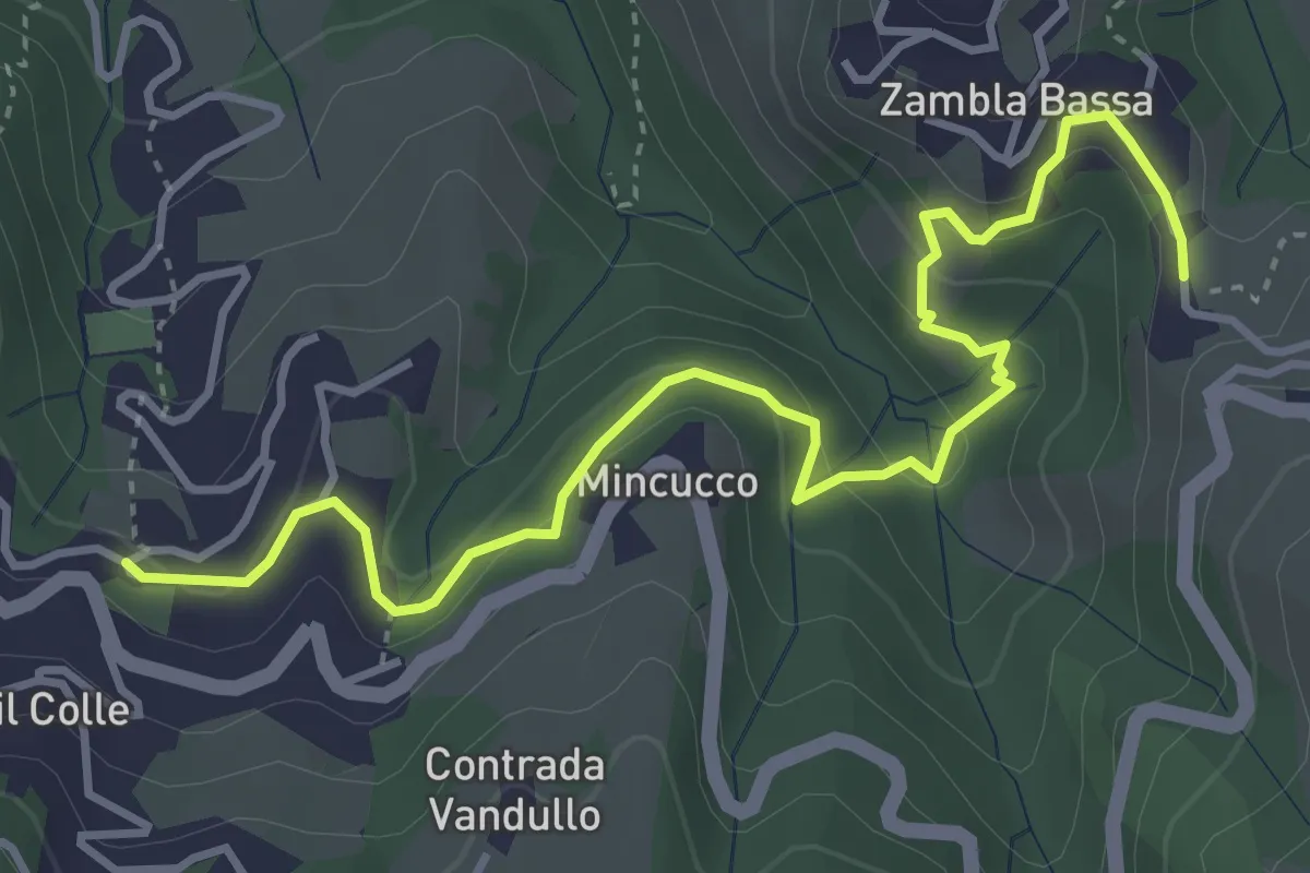
Medium · Trail
Oltre il Colle – Zambla Bassa
4.6 km · ↑ 232 m · 1 h 35 min
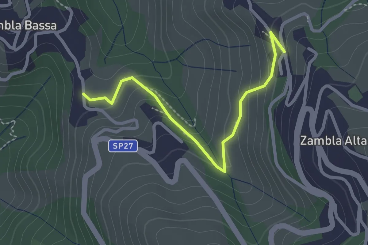
Easy · Trail
Zambla Bassa – Zambla Alta
2.3 km · ↑ 132 m · 49 min
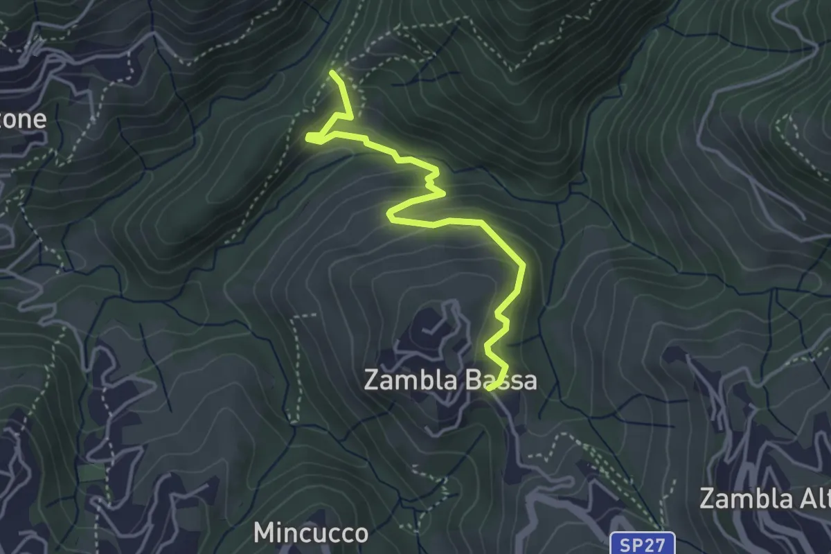
Medium · Trail
Cappella Forcella – Zambla Bassa
3.7 km · ↑ 213 m · 1 h 21 min
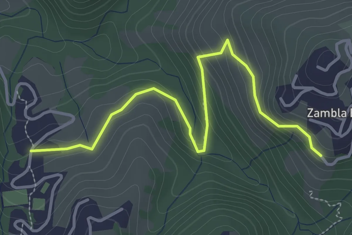
Medium · Trail
Oltre il Colle (incrocio H30) – Zambla Bassa (incrocio H24)
3.3 km · ↑ 154 m · 1 h 7 min
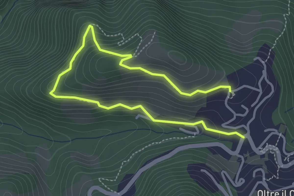
Easy · Trail
Oltre il Colle – S. Bartolomeo
2.0 km · ↑ 152 m · 49 min
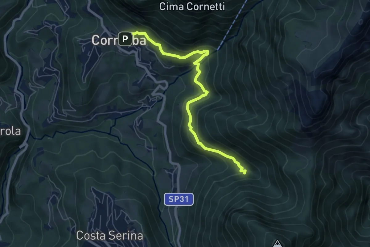
Medium · Trail
Cornalba – Incrocio 519B
6.4 km · ↑ 430 m · 2 h 26 min
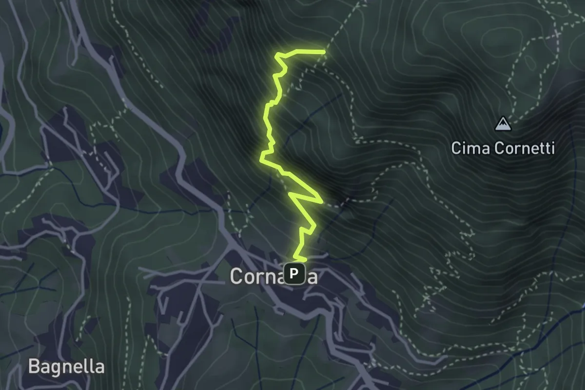
Demanding · Trail
Cornalba – Falesia Corna Bianca
2.9 km · ↑ 526 m · 1 h 49 min
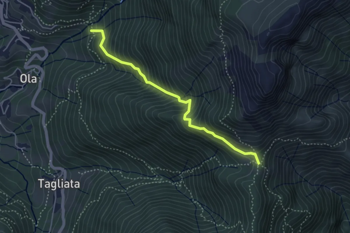
Medium · Trail
Incrocio H41 – Passo Barbata
3.8 km · ↑ 473 m · 1 h 56 min
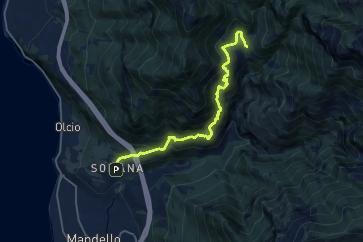
Demanding · Trail
Somana-Mandello – Rifugio Bietti Buzzi
9.3 km · ↑ 1082 m · 4 h 33 min
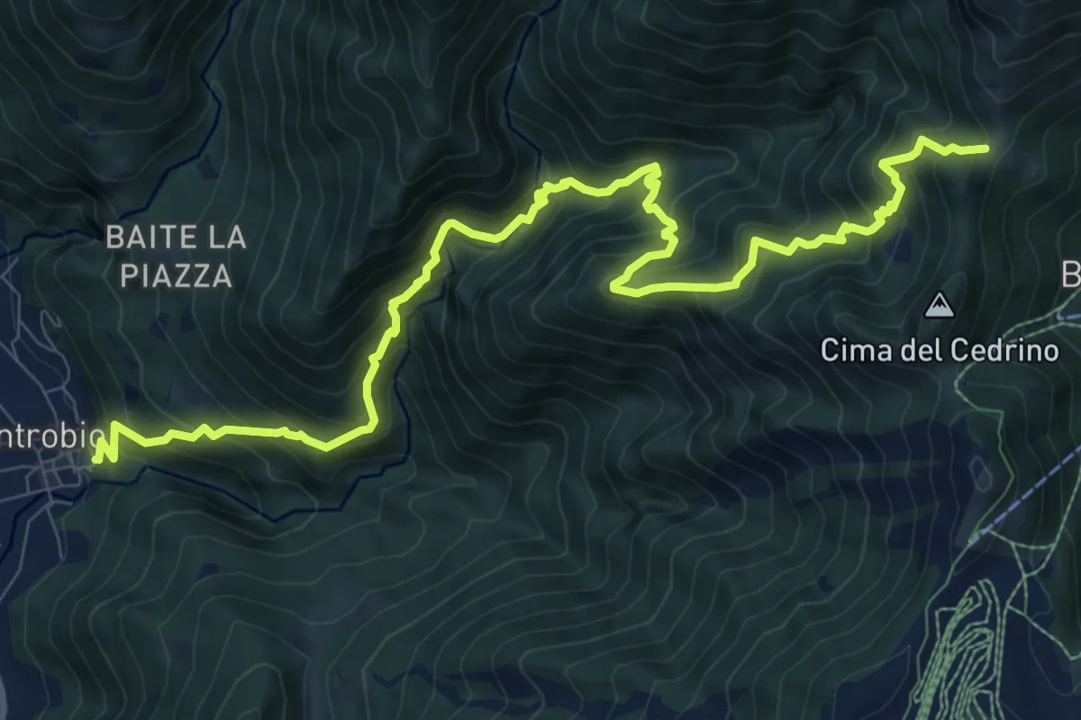
Demanding · Trail
Introbio – Introbio - Passo del Gandazzo
12.1 km · ↑ 1163 m · 5 h 23 min
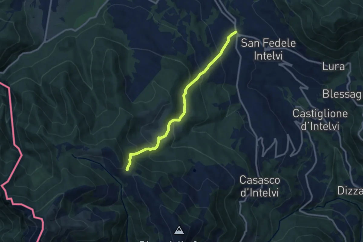
Medium · Trail
San Fedele Intelvi – Orimento
7.6 km · ↑ 560 m · 3 h 1 min
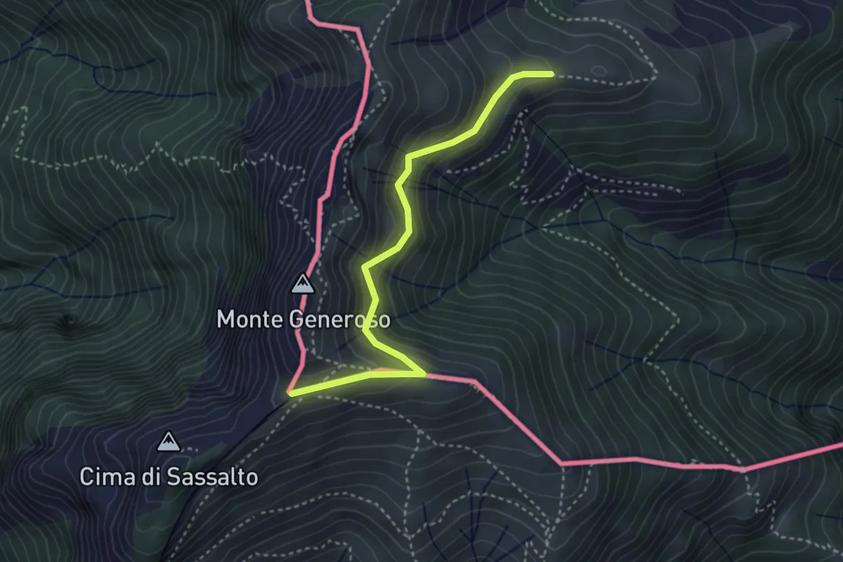
Easy · Trail
Orimento – Monte Generoso
3.5 km · ↑ 296 m · 1 h 28 min
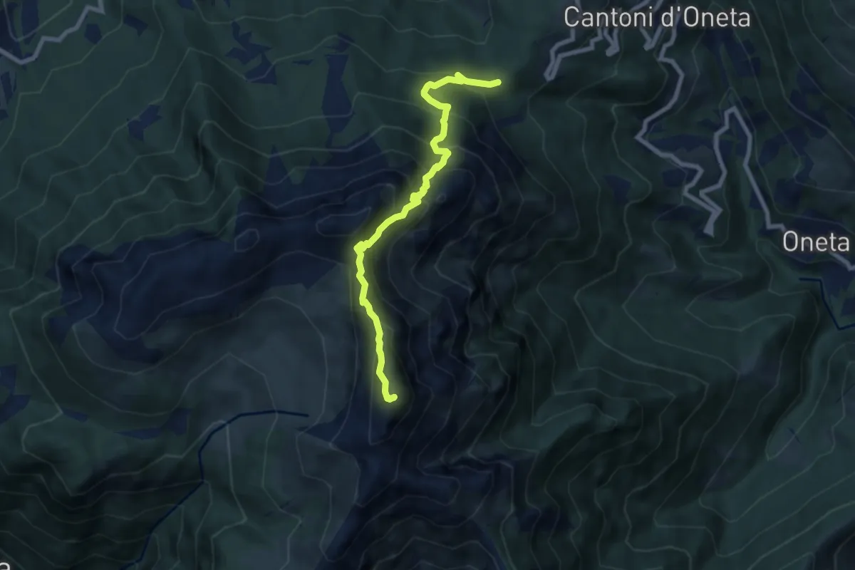
Expert · Summit
Passo della Crocetta – Monte Alben
7.1 km · ↑ 751 m · 3 h 19 min
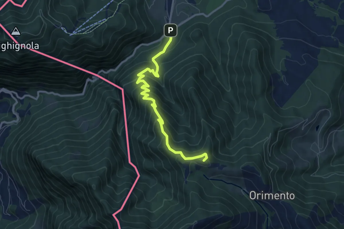
Medium · Summit
Lanzo d'Intelvi (bivio Crotto Dogana) – Orimento
8.1 km · ↑ 565 m · 3 h 9 min
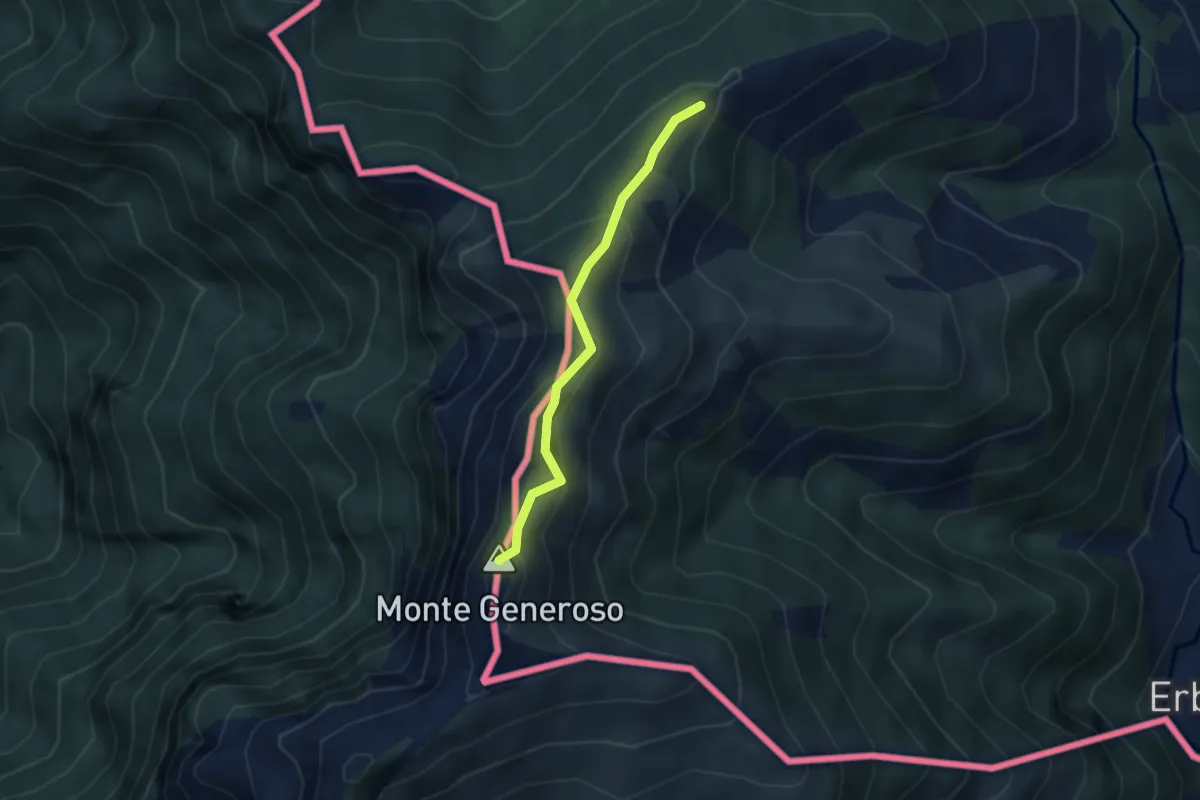
Medium · Summit
Casermetta di Orimento – Monte Generoso (Fiore di Pietra)
2.9 km · ↑ 131 m · 58 min
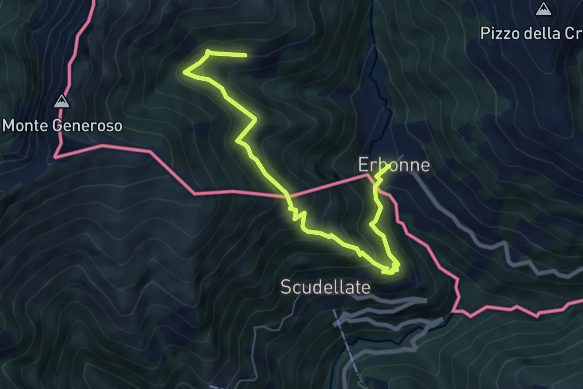
Medium · Trail
Orimento – Erbone
6.7 km · ↑ 535 m · 2 h 44 min
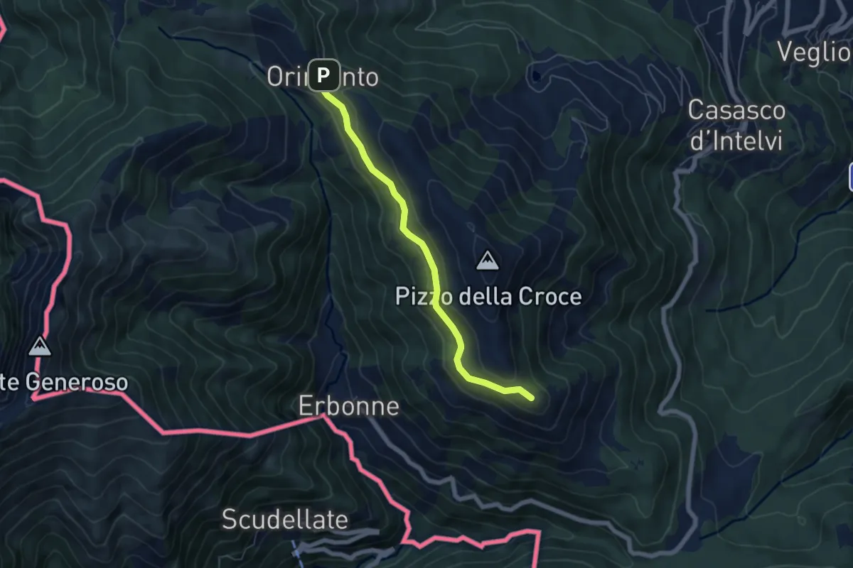
Easy · Summit
Rifugio Bruno e Giuseppe – Orimento
5.3 km · ↑ 143 m · 1 h 33 min
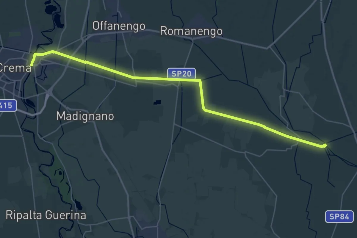
Demanding · Trail
Crema (Via Cadorna) – Tombe Morte
29.3 km · ↑ 9 m · 6 h 57 min
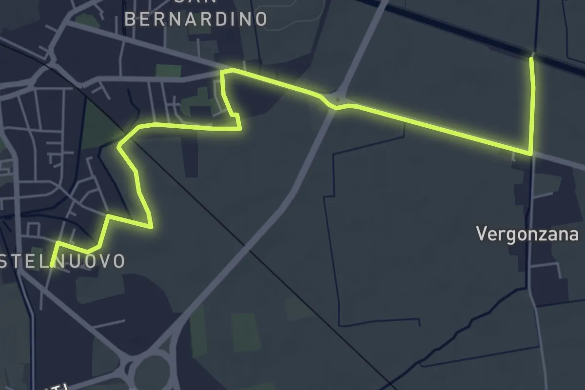
Easy · Trail
Crema Castel Nuovo (Via Zambellini) – Izano
6.9 km · ↑ 4 m · 1 h 39 min
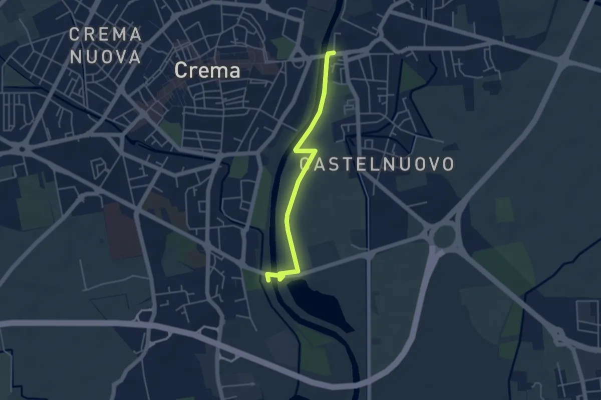
Easy · Trail
Crema (Via Cadorna) – Ripalta Cremasca
4.0 km · ↑ 10 m · 58 min
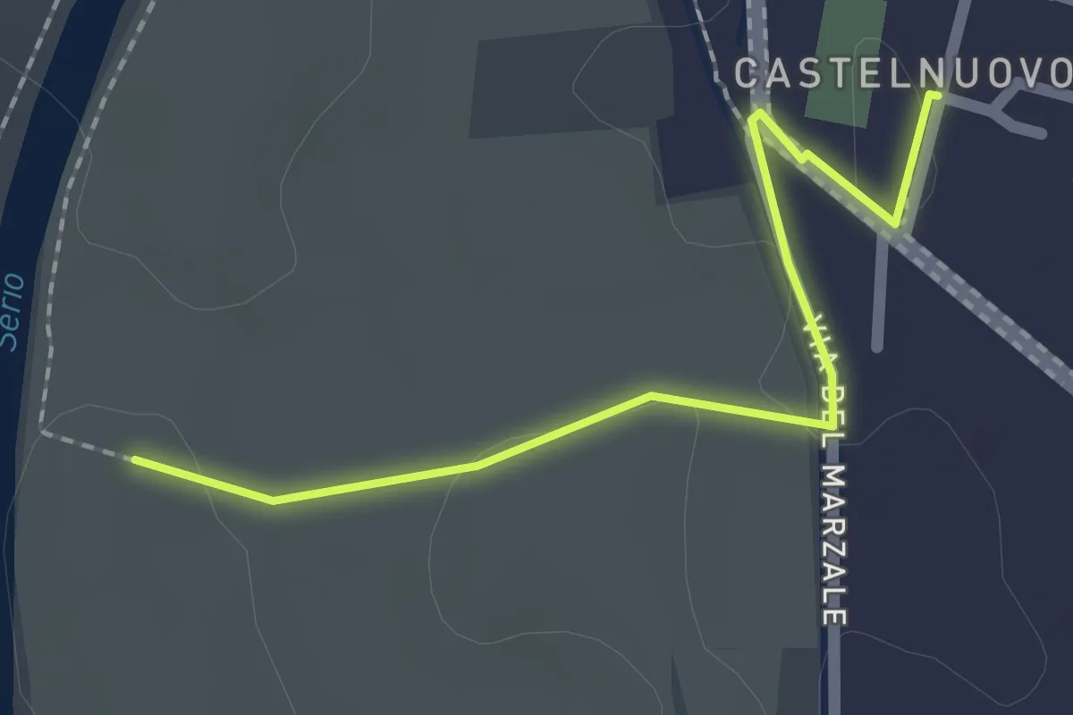
Easy · Trail
Crema (Via Zanibelli) – Ripalta Cremasca
2.0 km · ↑ 0 m · 29 min
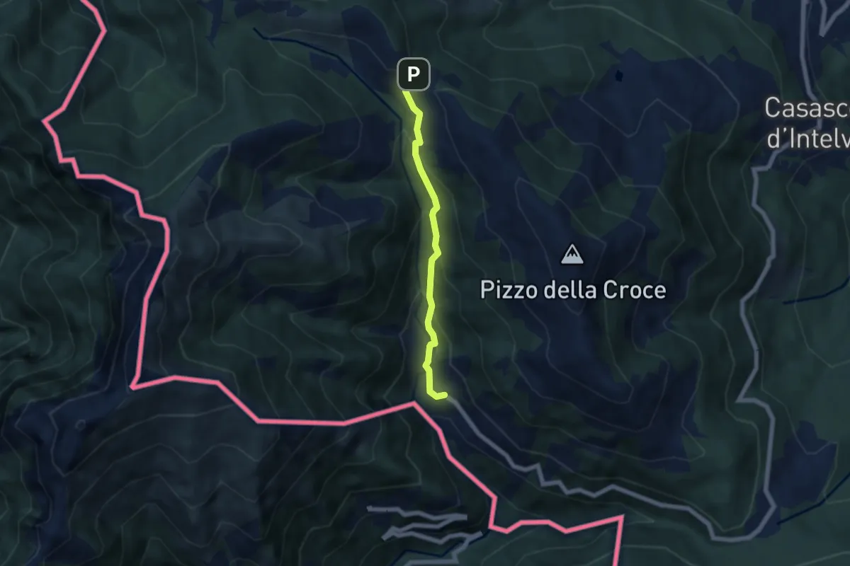
Medium · Trail
Orimento – Erbonne
4.7 km · ↑ 343 m · 1 h 51 min
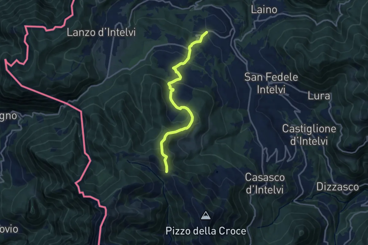
Medium · Trail
Pellio Superiore – Orimento
10.8 km · ↑ 541 m · 3 h 44 min
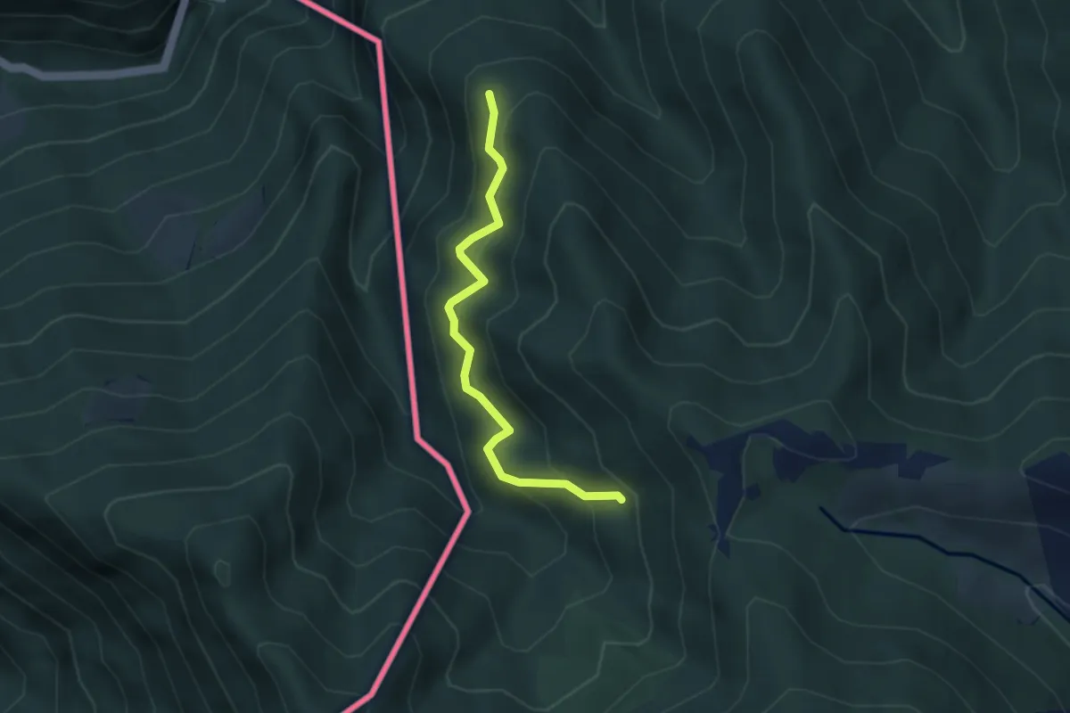
Medium · Trail
Pellio Superiore – Alpe di Gotta
3.3 km · ↑ 349 m · 1 h 33 min
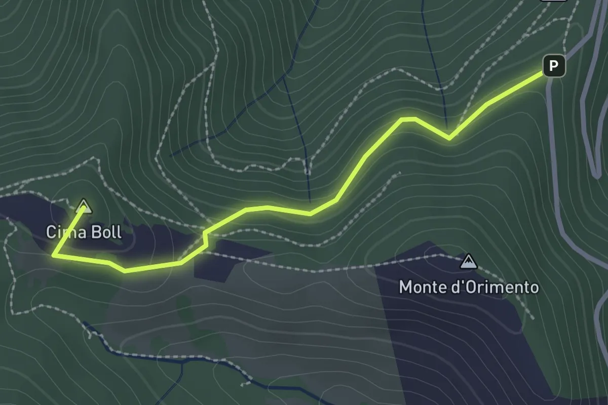
Easy · Summit
Località Casermette – Alpe di Gotta
2.5 km · ↑ 146 m · 54 min
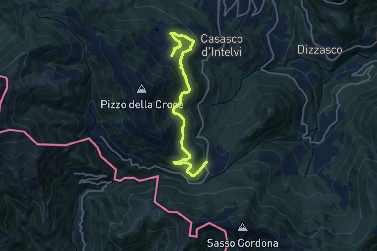
Medium · Trail
Piano delle Alpi – Rifugio Bruno e Giuseppe
10.4 km · ↑ 518 m · 3 h 34 min
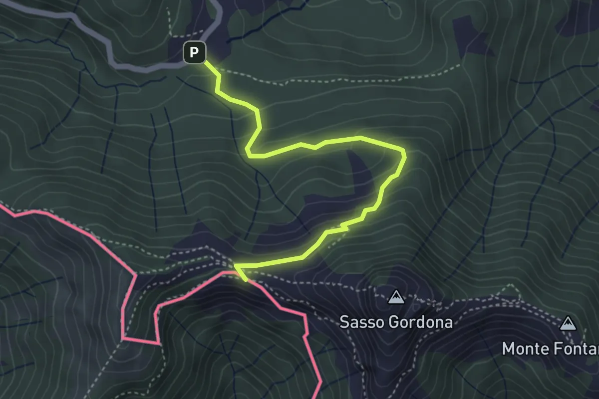
Easy · Cabin
Piano delle Alpi – Rifugio Prabello
4.1 km · ↑ 259 m · 1 h 32 min
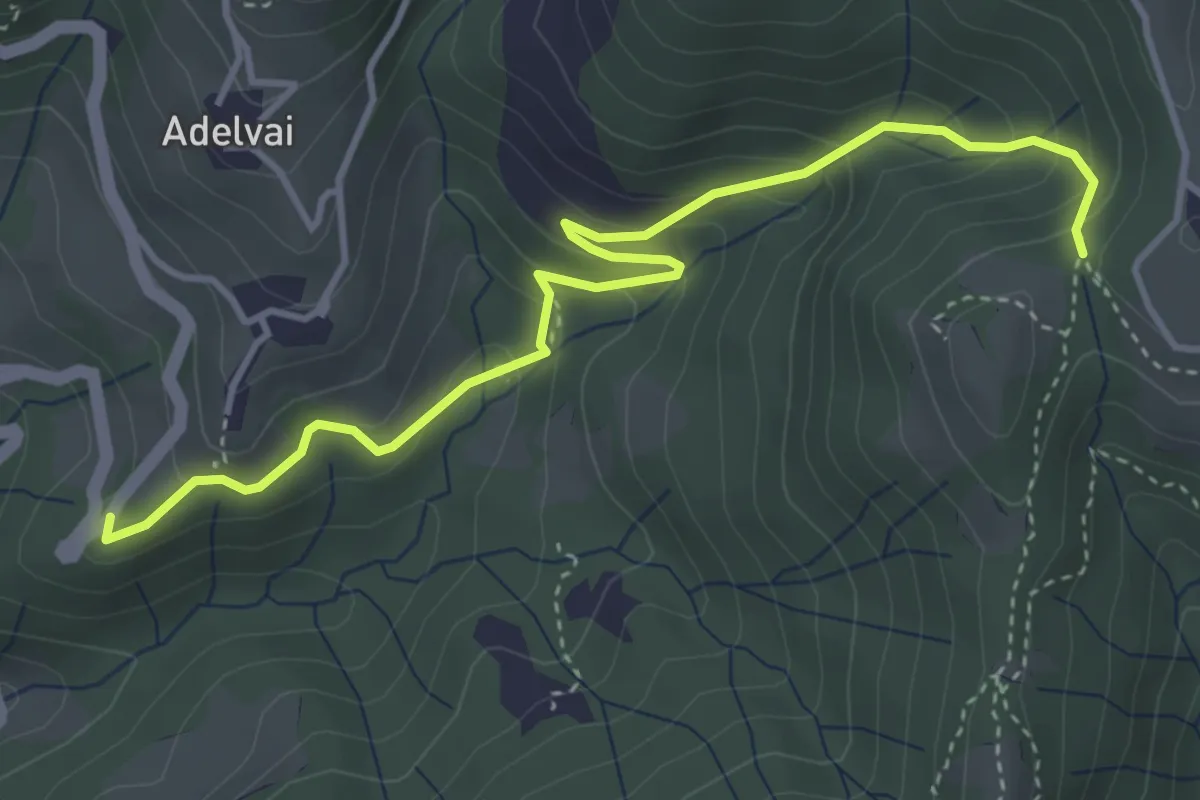
Medium · Trail
Chiesa San Francesco – Corone
4.4 km · ↑ 300 m · 1 h 42 min
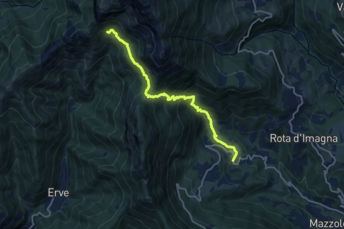
Demanding · Cabin
Valsecca – Capanna Alpinisti Monzesi
9.6 km · ↑ 868 m · 4 h 8 min
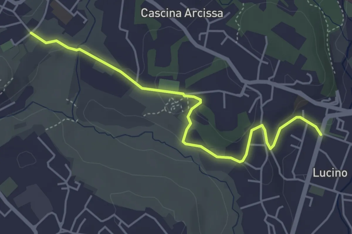
Easy · Trail
Montano Lucino cimitero – Montano Lucino loc. Trivino
4.7 km · ↑ 95 m · 1 h 19 min
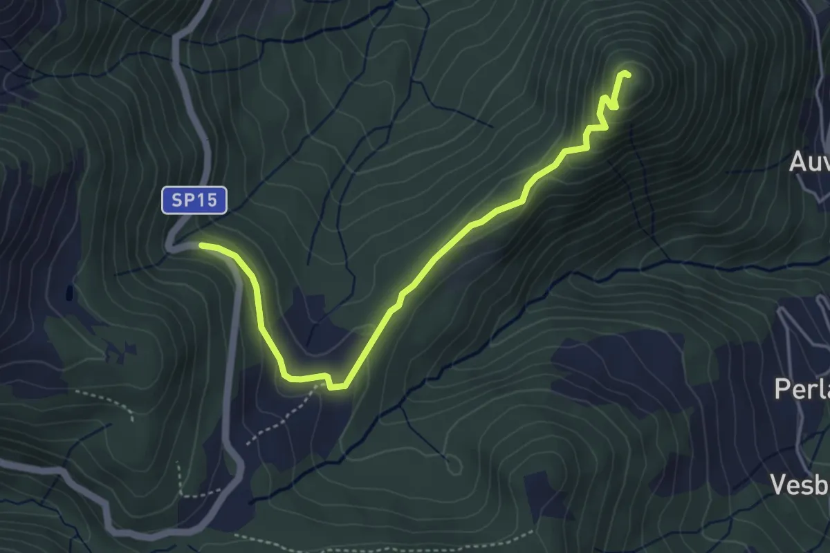
Easy · Summit
SP15 di Erbonne – San Zeno
4.4 km · ↑ 161 m · 1 h 23 min
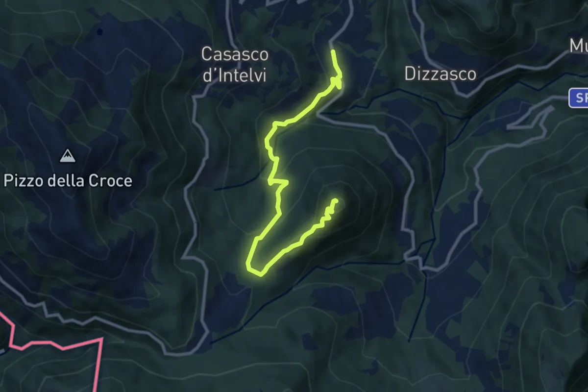
Medium · Summit
Cerano d'Intelvi – San Zeno
8.4 km · ↑ 455 m · 2 h 58 min
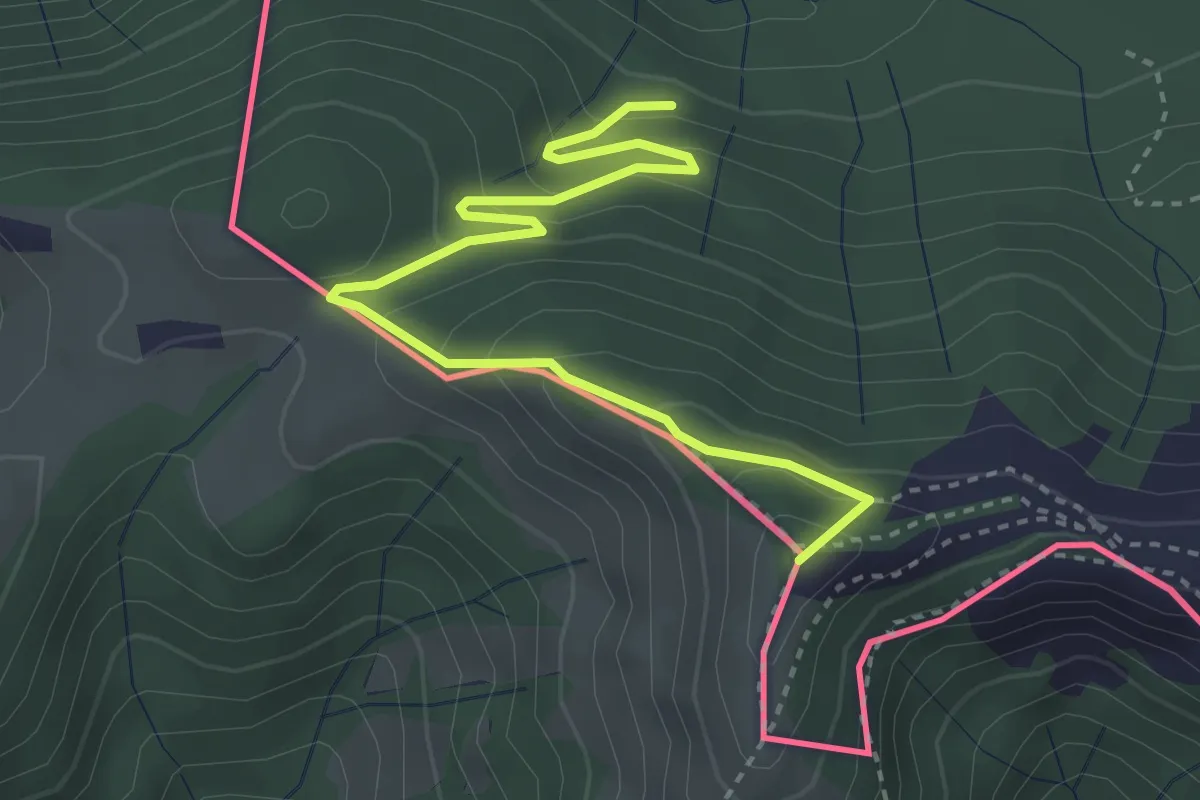
Medium · Summit
Pian delle Alpi – Rif. Prabello
3.9 km · ↑ 291 m · 1 h 34 min
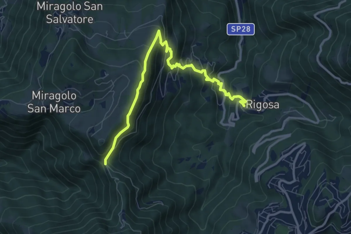
Medium · Trail
Rigosa – Passata
8.5 km · ↑ 576 m · 3 h 15 min
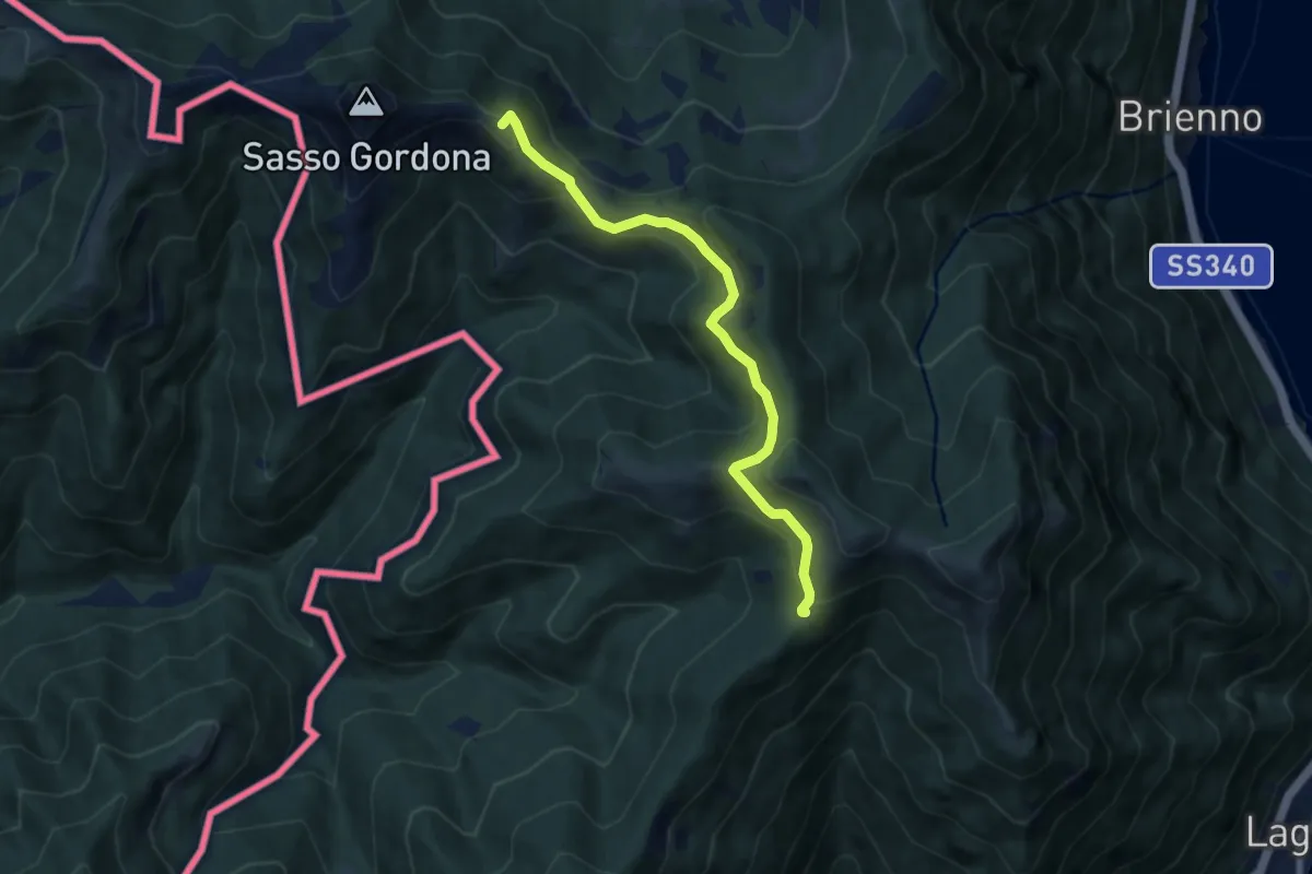
Medium · Summit
Rif. Prabello – Rif. Murelli
7.0 km · ↑ 377 m · 2 h 29 min
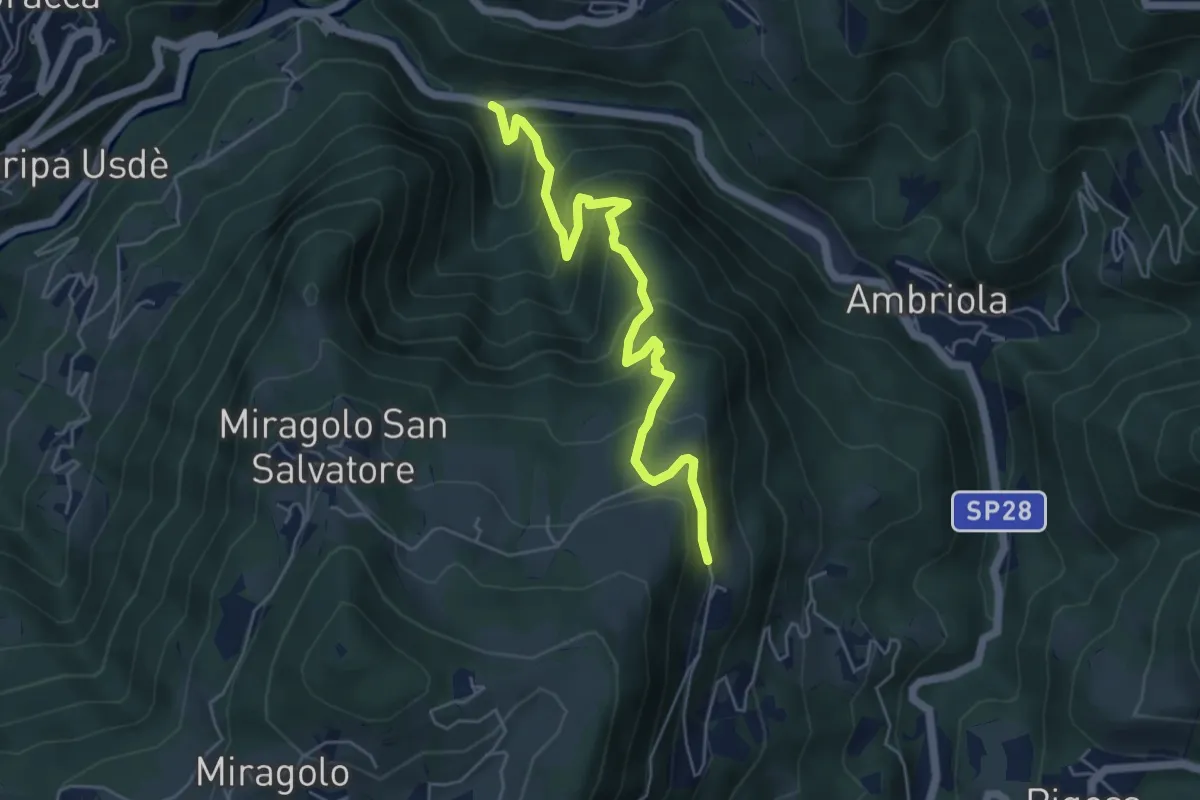
Medium · Trail
Algua – Sambusita alta (Case di Sopra)
5.6 km · ↑ 528 m · 2 h 28 min
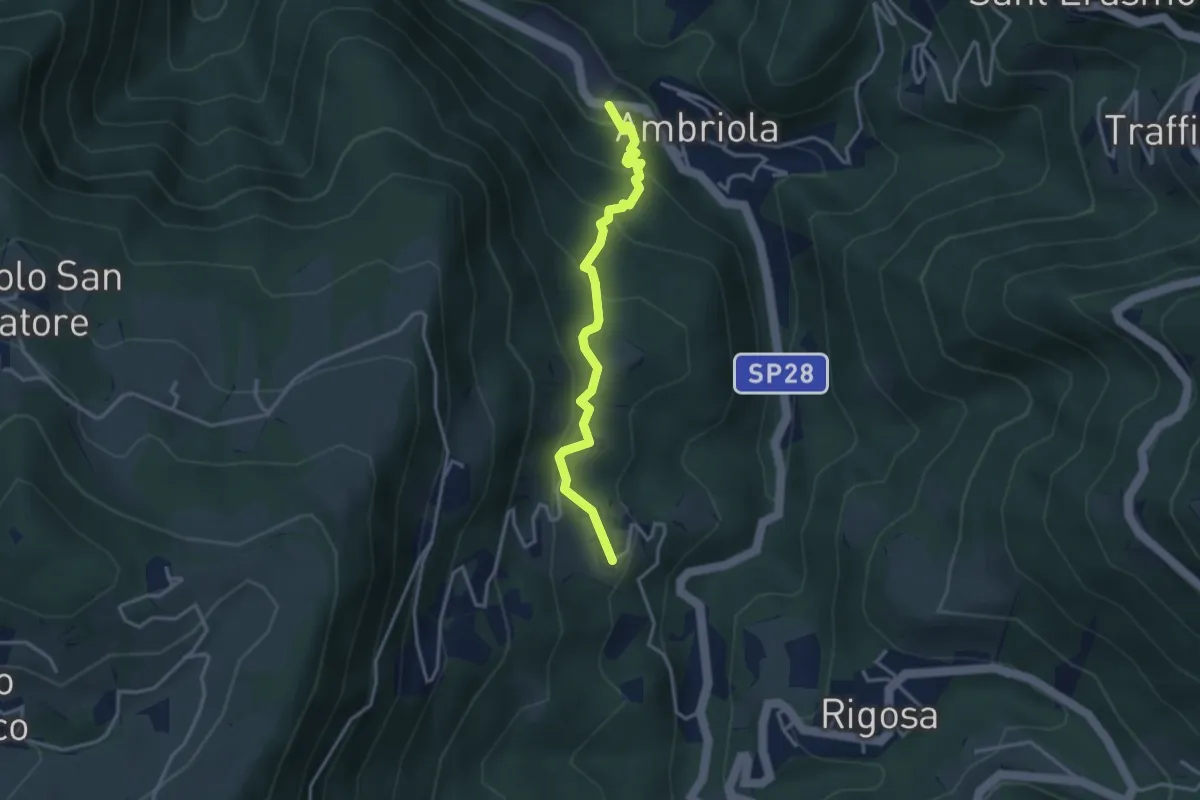
Medium · Trail
Ambriola – Sambusita (Chiesa)
3.3 km · ↑ 269 m · 1 h 22 min
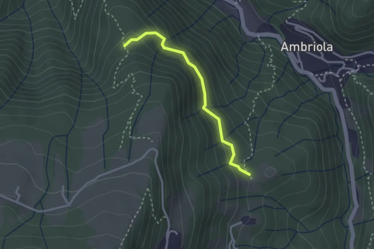
Demanding · Trail
Incrocio H51 – Incrocio H52
2.3 km · ↑ 197 m · 58 min
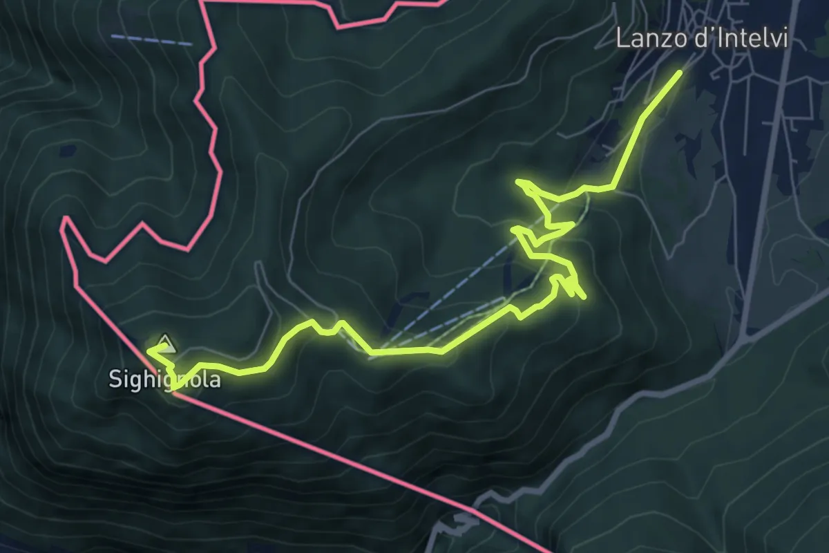
Medium · Summit
Lanzo d'Intelvi – Vetta Monte Sighignola
8.7 km · ↑ 435 m · 3 h
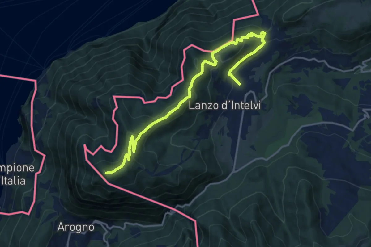
Medium · Summit
Lanzo d'Intelvi – Vetta Monte Sighignola
13.4 km · ↑ 601 m · 4 h 27 min
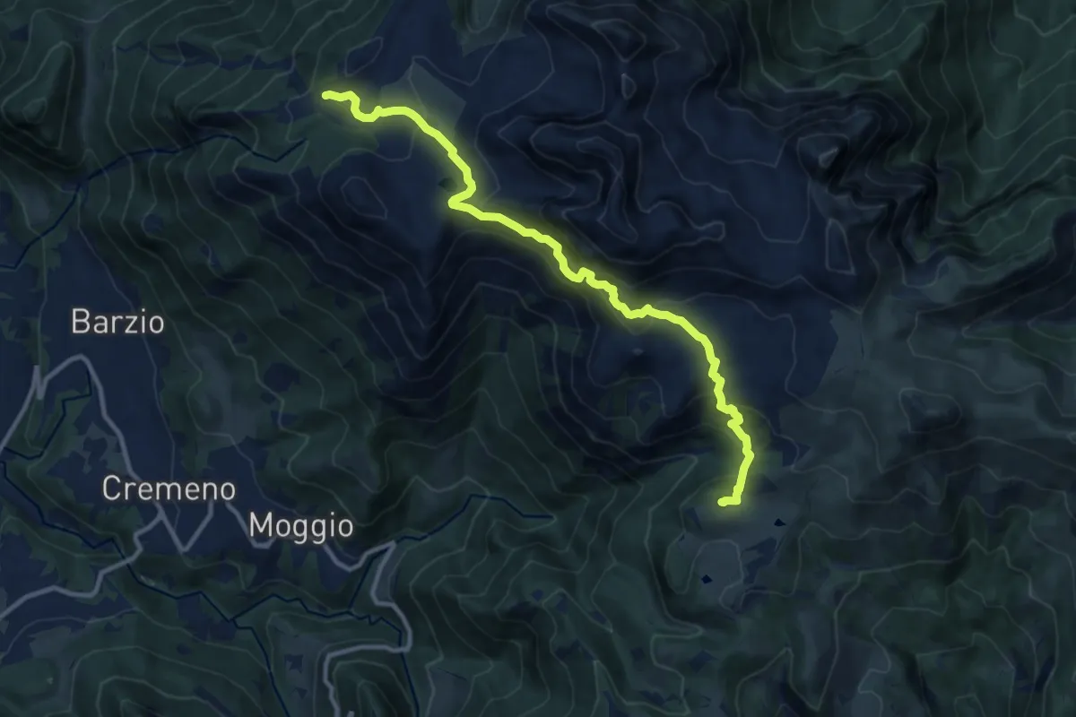
Expert · Cabin
Piani di Bobbio (funivia) – Rifugio Sassi Castelli
11.9 km · ↑ 765 m · 4 h 28 min
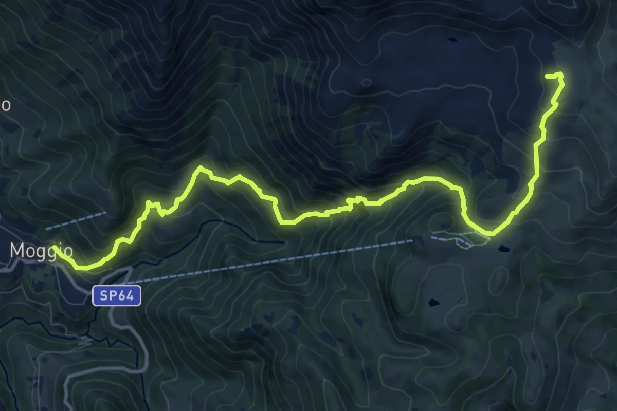
Demanding · Cabin
Moggio – Rifugio Cazzaniga-Merlini
13.2 km · ↑ 1135 m · 5 h 34 min
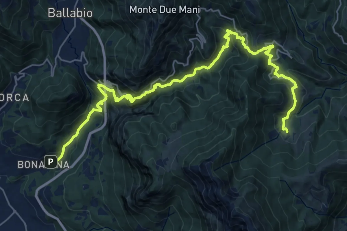
Demanding · Trail
Bonacina – Morterone
11.5 km · ↑ 1187 m · 5 h 5 min
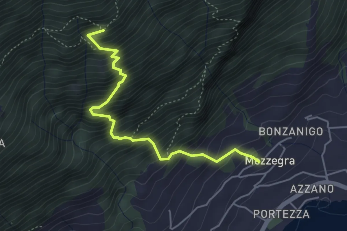
Medium · Trail
Mezzegra – Redendola
4.1 km · ↑ 720 m · 2 h 32 min
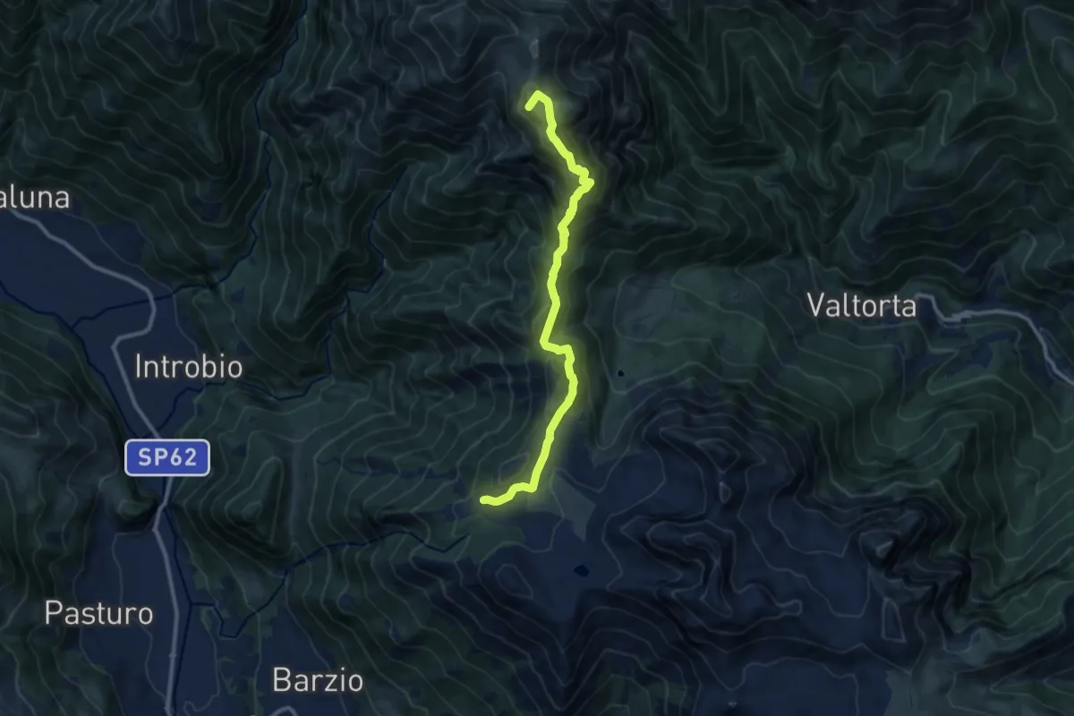
Demanding · Summit
Piani di Bobbio – Rifugio Grassi
10.4 km · ↑ 611 m · 3 h 47 min
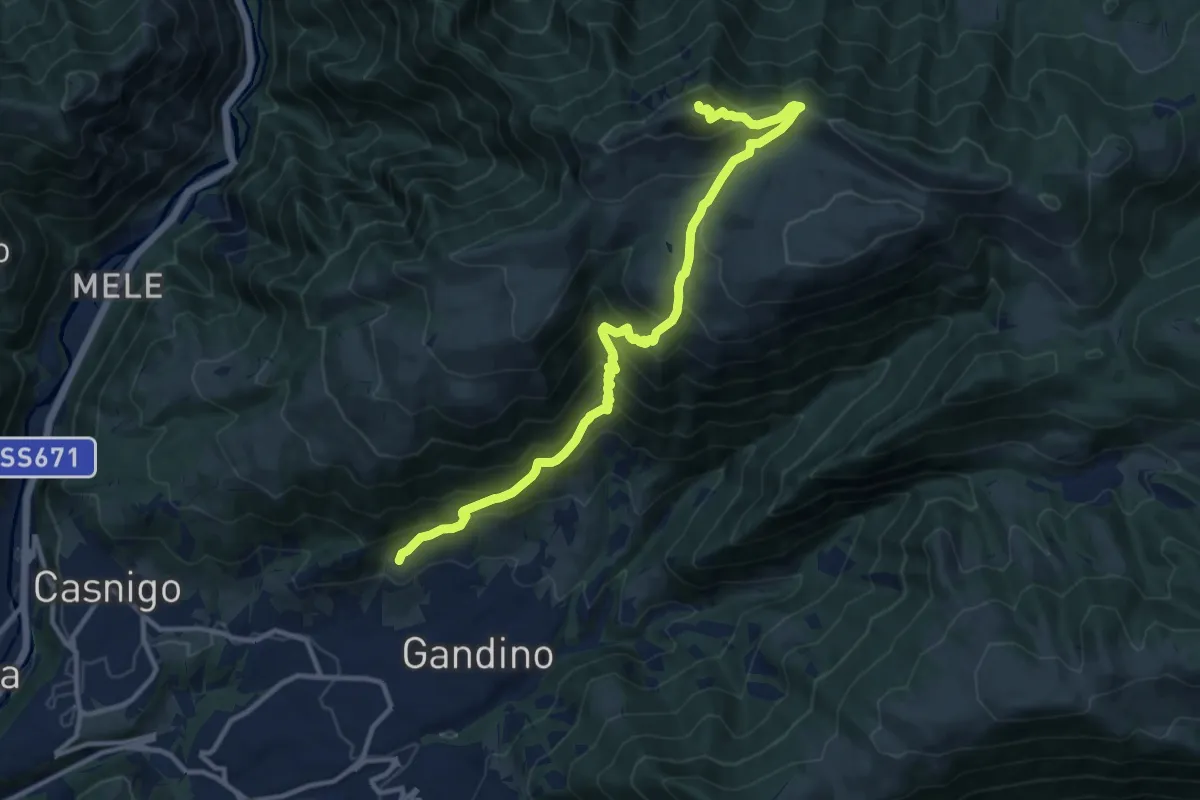
Demanding · Summit
Barzizza – Pizzo Formico
13.0 km · ↑ 1024 m · 5 h 18 min
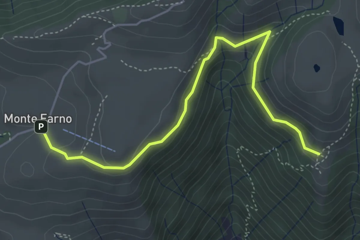
Easy · Cabin
Monte Farno – Tribulina di Guazza
4.7 km · ↑ 216 m · 1 h 35 min
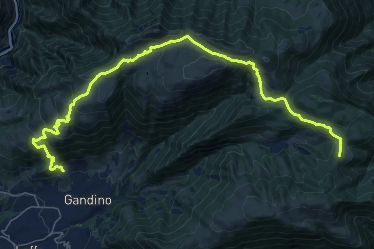
Demanding · Summit
Barzizza di Gandino – Monte di Sovere
25.5 km · ↑ 1497 m · 9 h 16 min