Trails in Italy
25,219 hiking trails, each with its route, climb, walking time and grade.
All trails, page 472 of 526
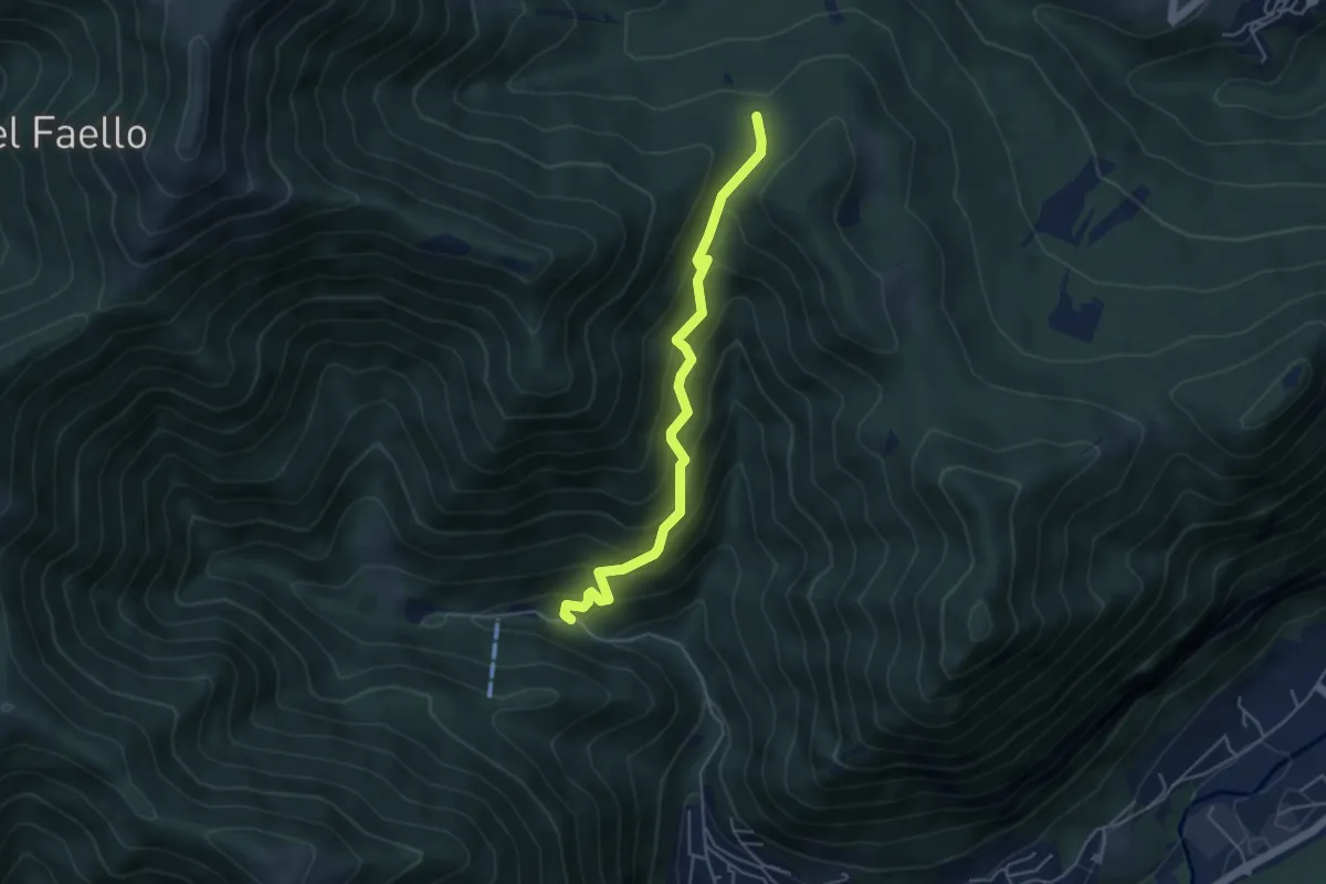
Medium · Trail
Forum Franciscanum – Bocchetta della Vallunga
4.6 km · ↑ 458 m · 2 h 5 min
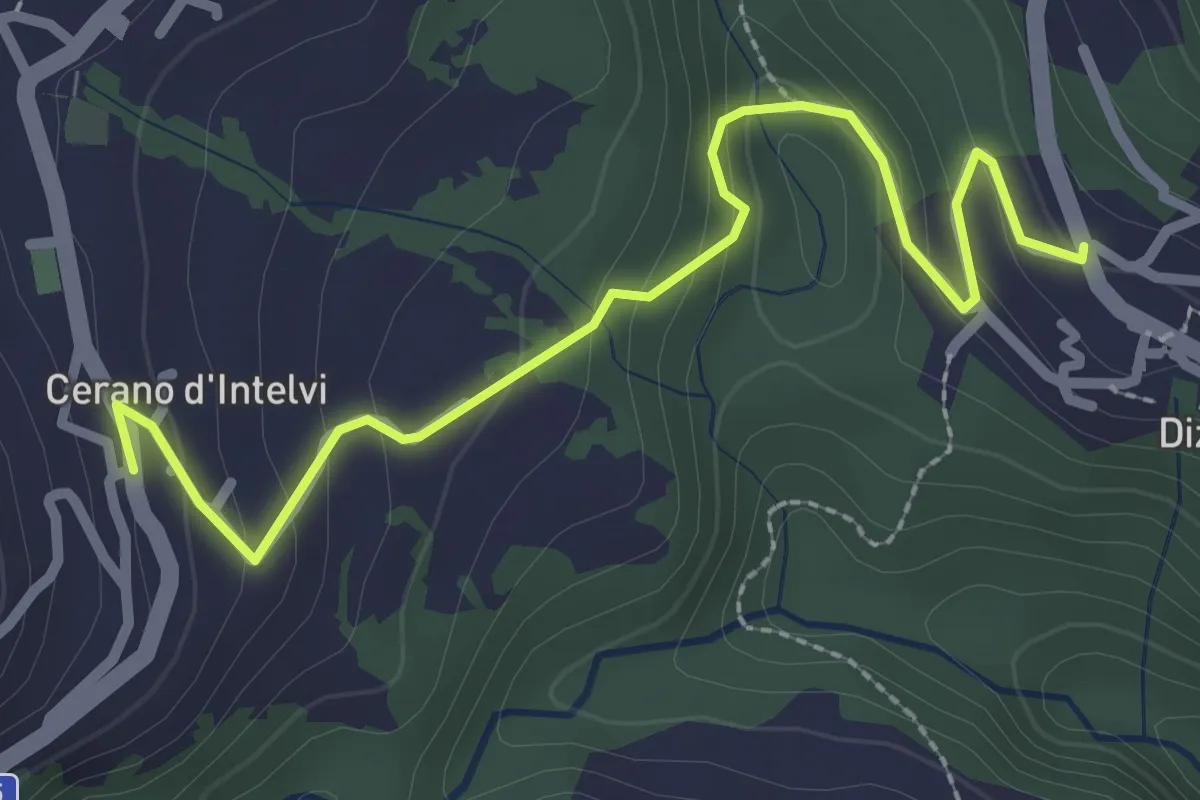
Easy · Trail
Dizzasco – Cerano
2.9 km · ↑ 180 m · 1 h 5 min
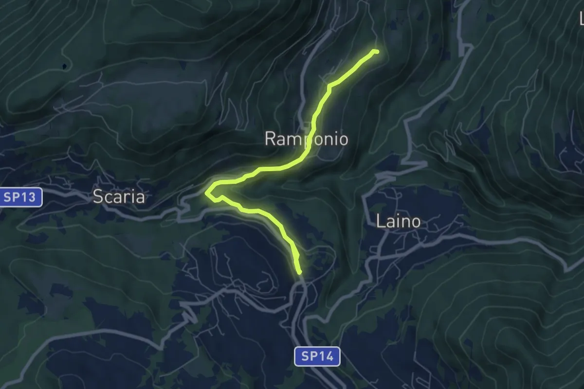
Easy · Trail
Ramponio San Pancrazio incrocio sentiero 815 – Pellio Inferiore, inizio sentiero 947
6.8 km · ↑ 211 m · 2 h 3 min
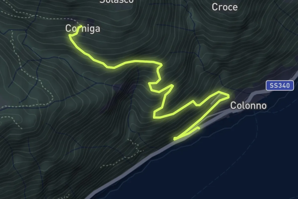
Medium · Trail
Corniga – Colonno
5.8 km · ↑ 577 m · 2 h 38 min
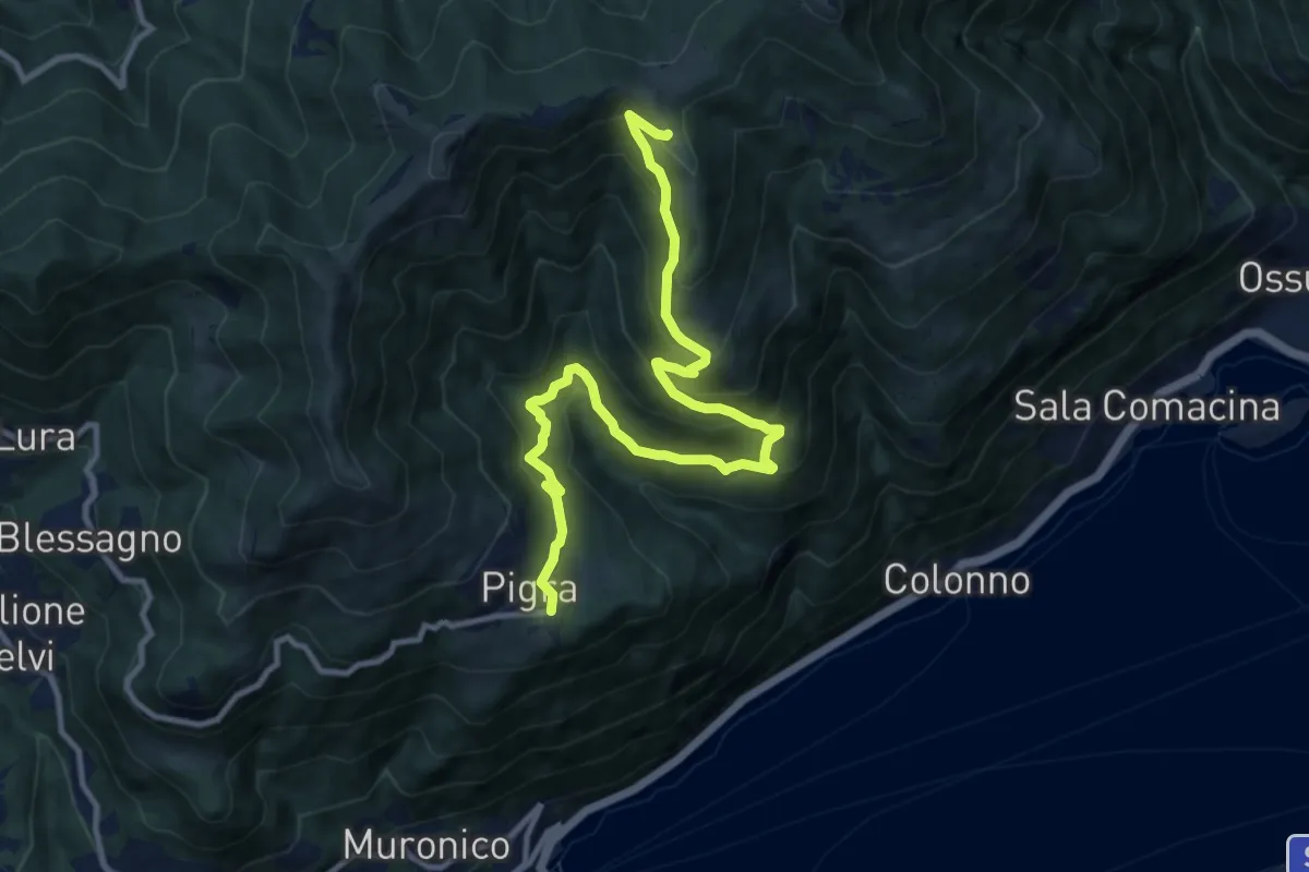
Demanding · Trail
Pigra (rotonda Antelami) – Alpe di Colonno
12.1 km · ↑ 816 m · 4 h 38 min
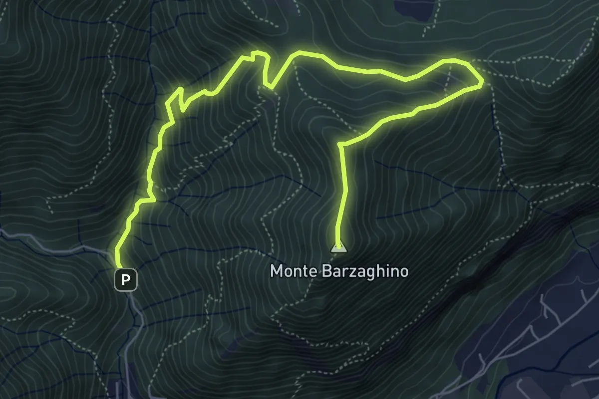
Demanding · Summit
strada per Forum Franciscanum – Monte Barzaghino
8.0 km · ↑ 642 m · 3 h 17 min
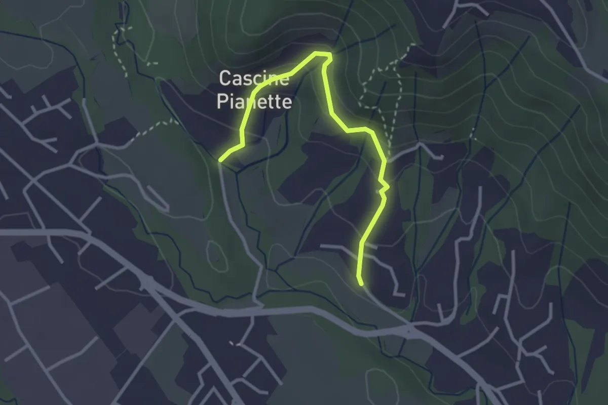
Easy · Trail
Cascina Oliva – Cascina Pianetta Prima
2.8 km · ↑ 157 m · 1 h
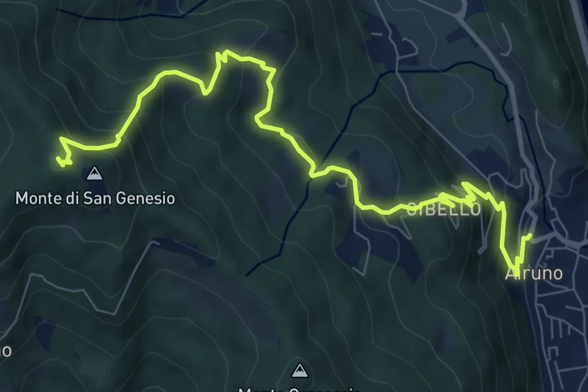
Medium · Summit
Airuno (FS) – Monte di San Genesio
9.2 km · ↑ 619 m · 3 h 31 min
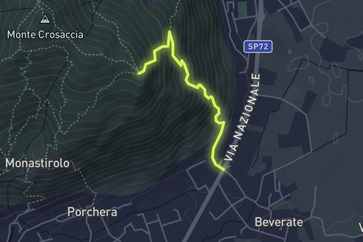
Medium · Trail
Beverate – Crosaccia
3.3 km · ↑ 384 m · 1 h 37 min
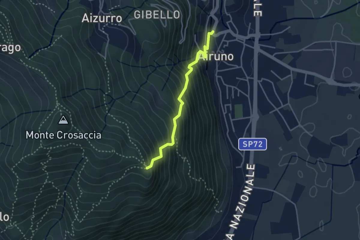
Medium · Trail
Airuno (FS) – Crosaccia
2.9 km · ↑ 356 m · 1 h 27 min
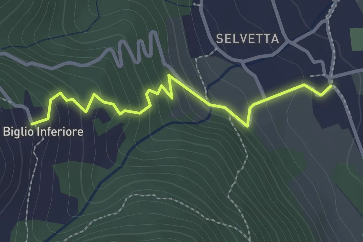
Easy · Trail
Valgreghentino – Biglio Inferiore
2.3 km · ↑ 182 m · 57 min
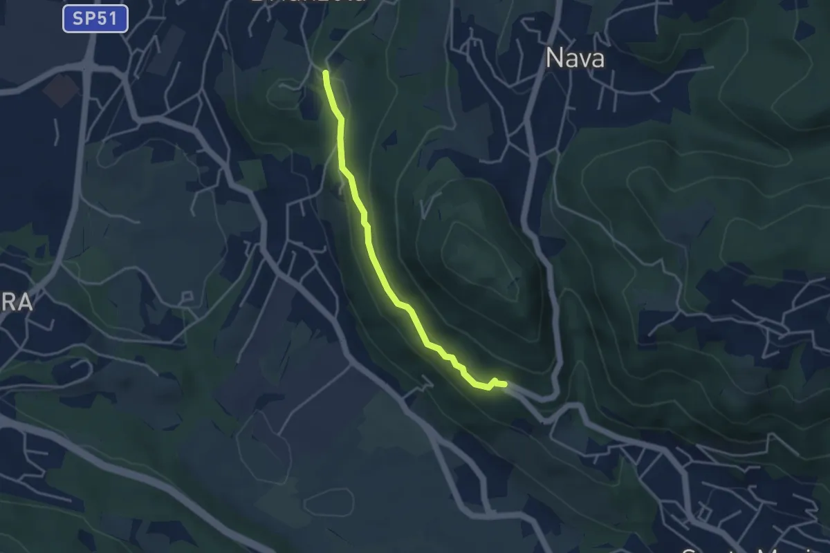
Easy · Trail
Brianzola – Ceppetto
3.3 km · ↑ 136 m · 1 h 5 min
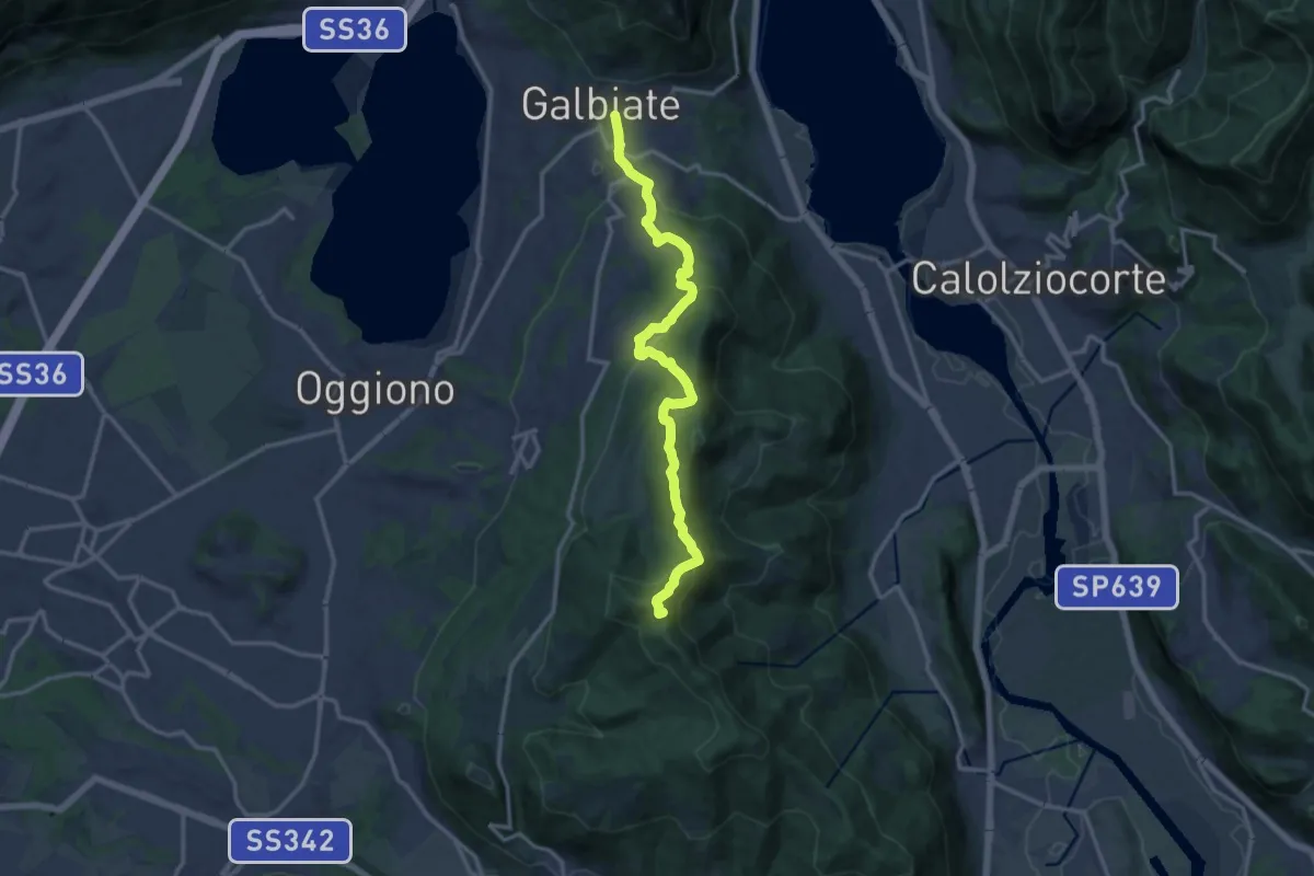
Medium · Summit
Olgiate Molgora (FS) – Galbiate
14.3 km · ↑ 669 m · 4 h 50 min
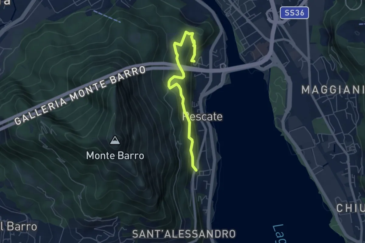
Medium · Trail
Pescalina – Pescate (cimitero)
5.5 km · ↑ 361 m · 2 h 4 min
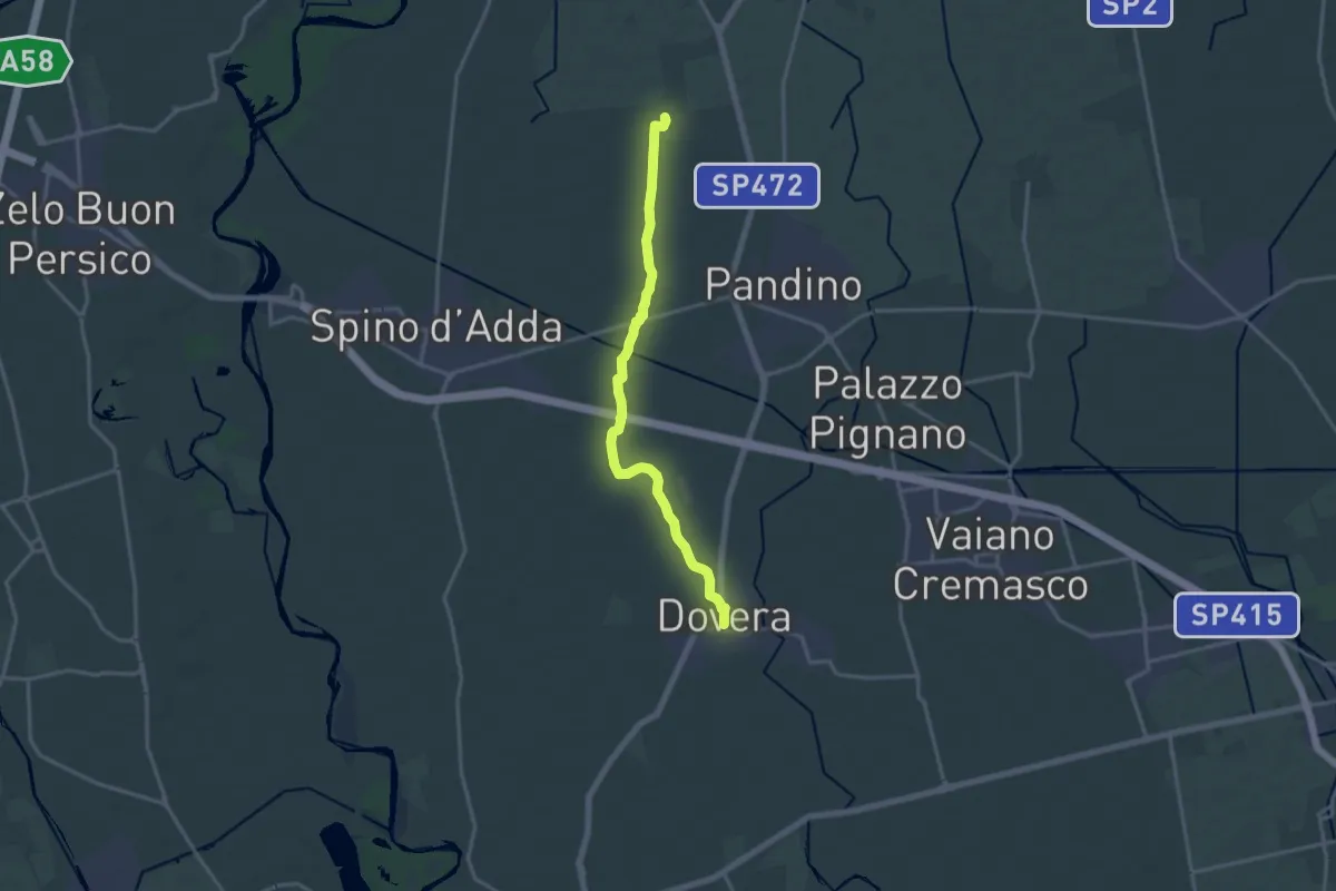
Medium · Trail
Dovera Madonna Pilastrello – Gradella (Pandino)
16.2 km · ↑ 16 m · 3 h 52 min
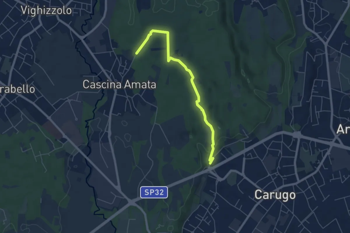
Easy · Trail
Cascina Amata – Cascina San Martino
5.5 km · ↑ 58 m · 1 h 26 min
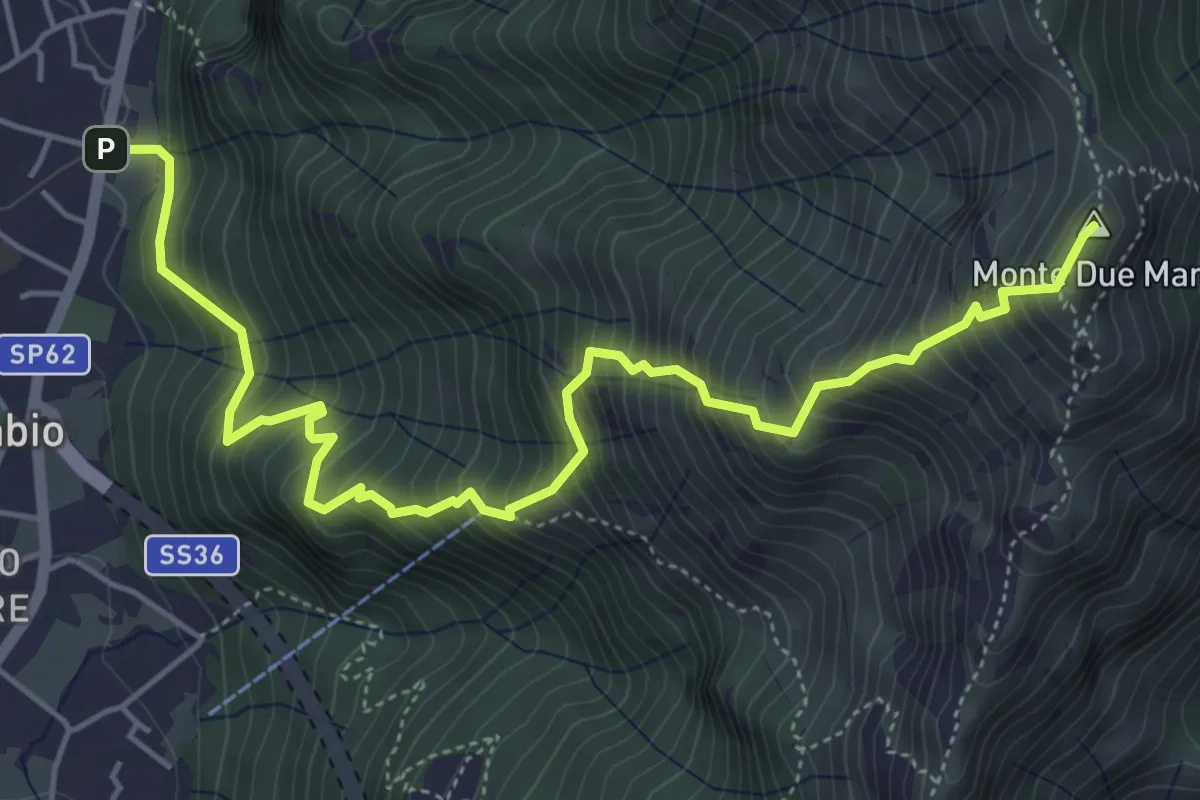
Demanding · Summit
Gera – Monte Due Mani
6.3 km · ↑ 961 m · 3 h 34 min
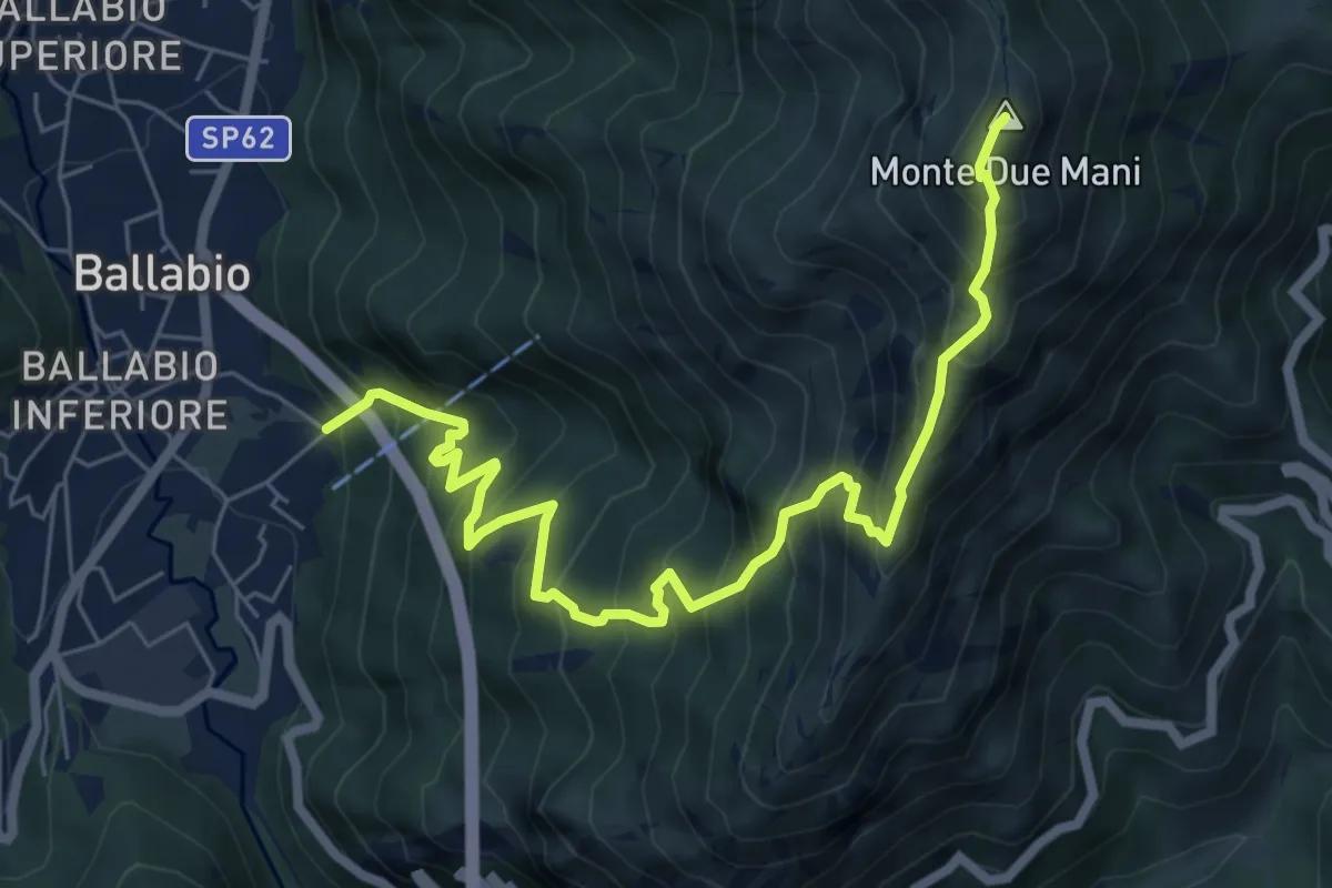
Demanding · Summit
Ballabio Inferiore (Ca' Formai) – Monte Due Mani
7.7 km · ↑ 970 m · 3 h 56 min
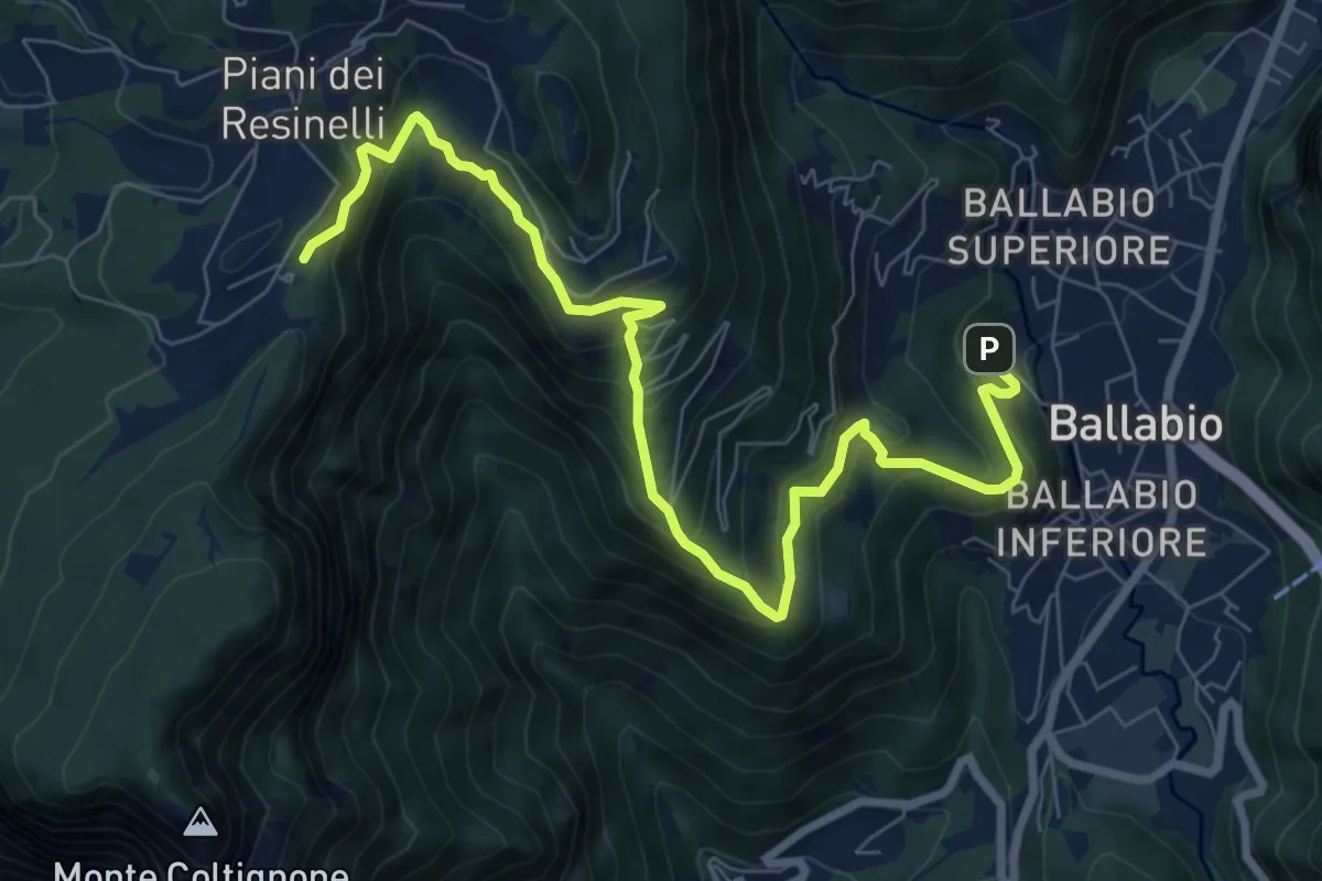
Medium · Cabin
Ballabio – Rifugio Rocca Locatelli
9.3 km · ↑ 653 m · 3 h 37 min
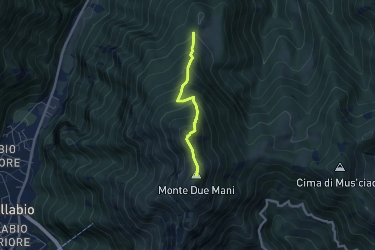
Medium · Summit
Casera di Bodega – Monte Due Mani
3.8 km · ↑ 424 m · 1 h 49 min
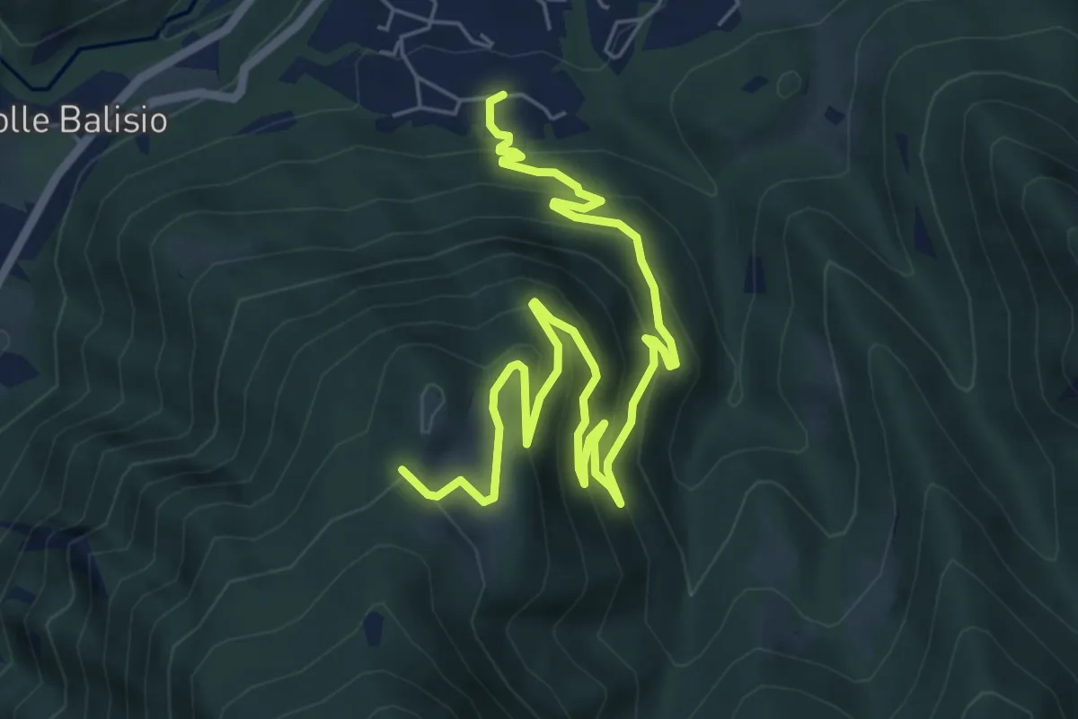
Medium · Trail
Casere di Maggio – La Foppa
8.4 km · ↑ 555 m · 3 h 11 min
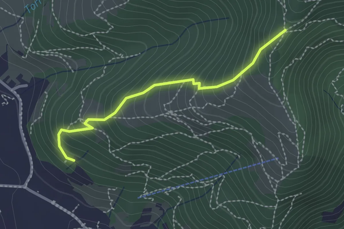
Medium · Trail
Moggio – Acquadela
2.2 km · ↑ 240 m · 1 h 2 min
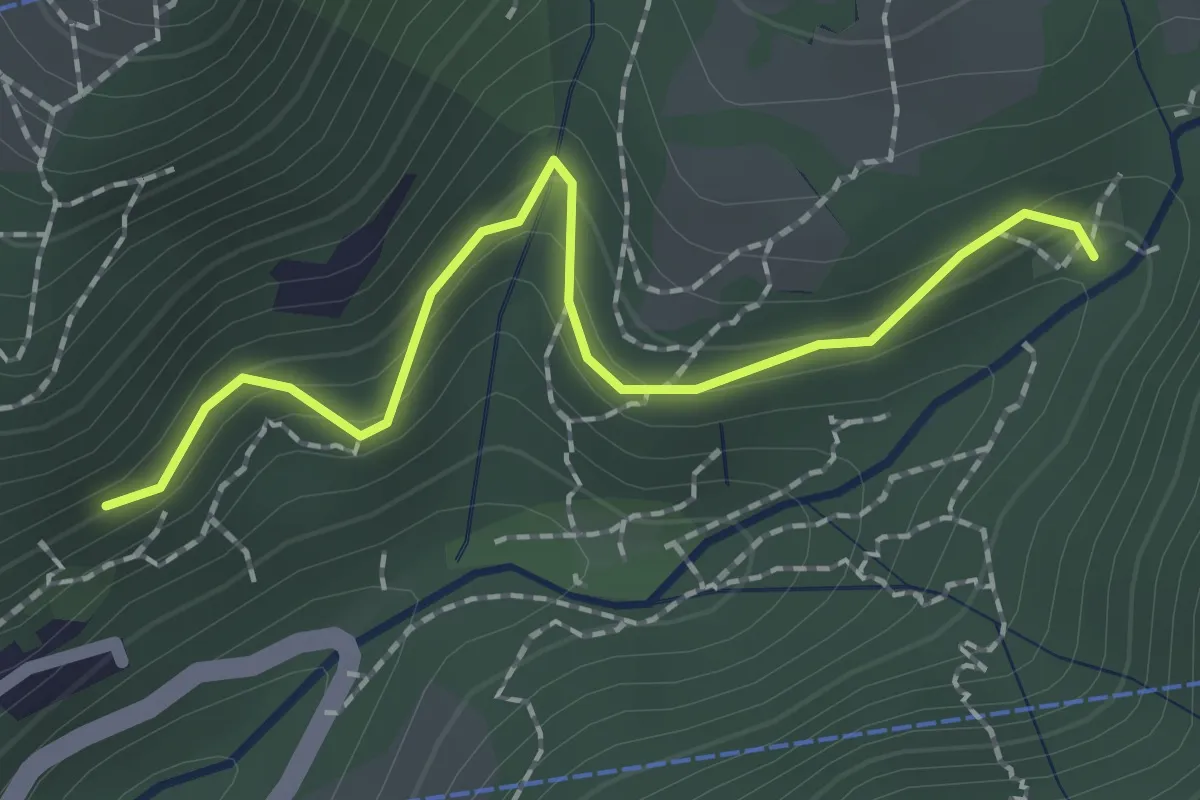
Easy · Trail
Innesto 724 – Pé Gròss
2.0 km · ↑ 162 m · 49 min
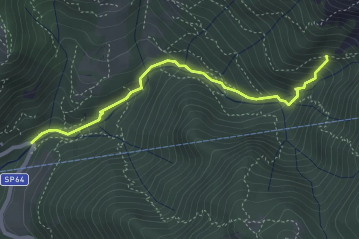
Medium · Trail
Moggio (Mulino) – Innesto 724
3.7 km · ↑ 354 m · 1 h 39 min
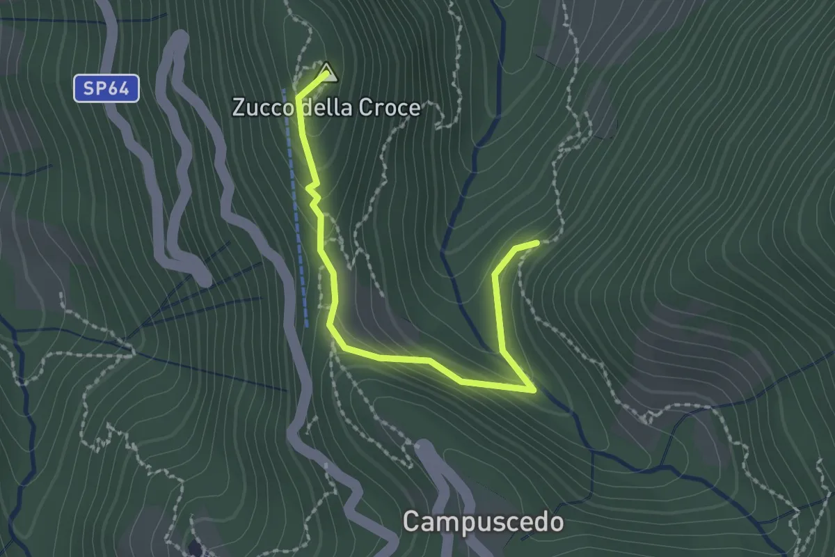
Medium · Summit
Baite Francetto – Rifugio Zucco della Croce
2.1 km · ↑ 115 m · 45 min
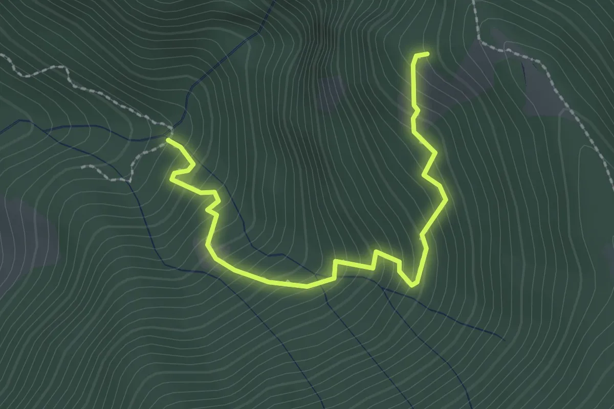
Medium · Trail
Innesto 728 – Innesto SASP58
2.5 km · ↑ 320 m · 1 h 17 min
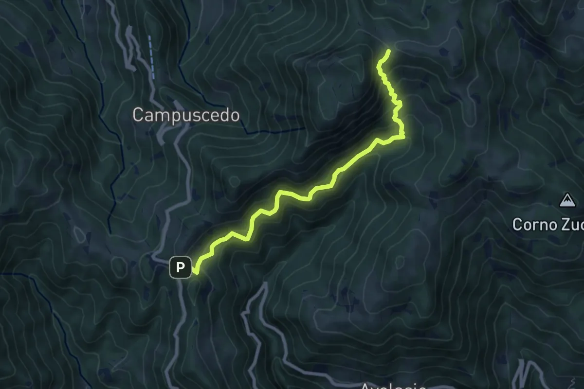
Medium · Trail
Innesto 730 – Area di sosta Maesimo
7.2 km · ↑ 661 m · 3 h 9 min
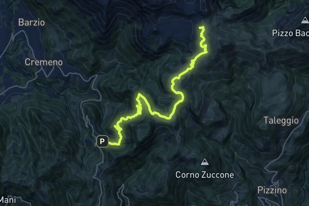
Demanding · Cabin
Campuscedo – Rifugio Cazzaniga-Merlini
19.7 km · ↑ 1105 m · 7 h 2 min
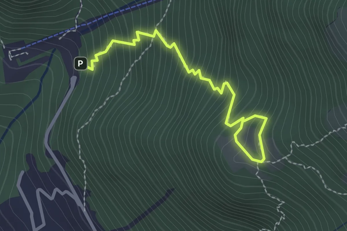
Medium · Trail
La Piazza – Masone
2.5 km · ↑ 294 m · 1 h 13 min
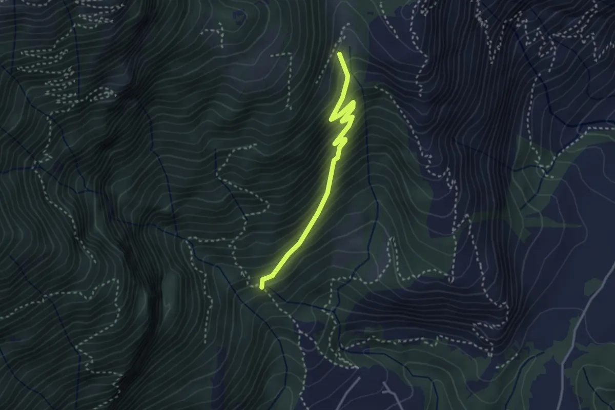
Medium · Trail
Sent 895 – Nava
3.0 km · ↑ 324 m · 1 h 24 min
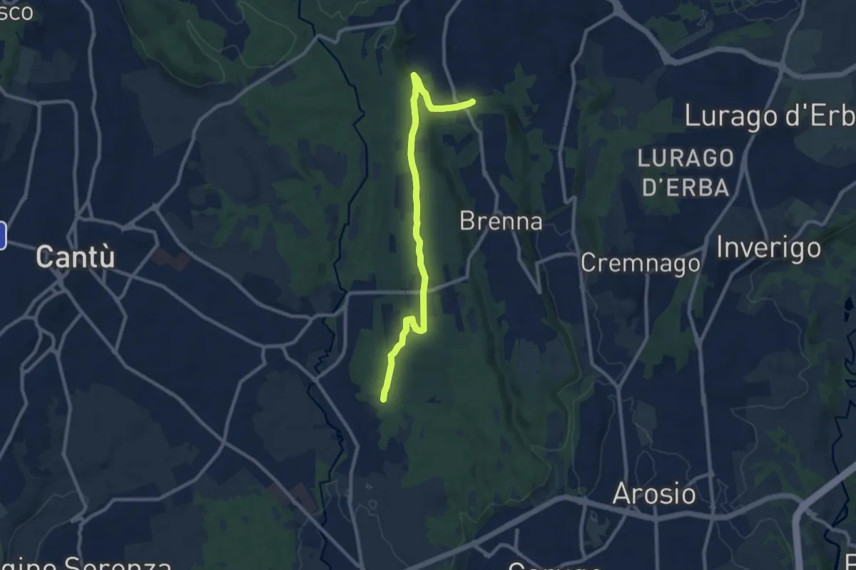
Medium · Trail
Brenna (FS) – Cascina Amata
9.5 km · ↑ 129 m · 2 h 32 min
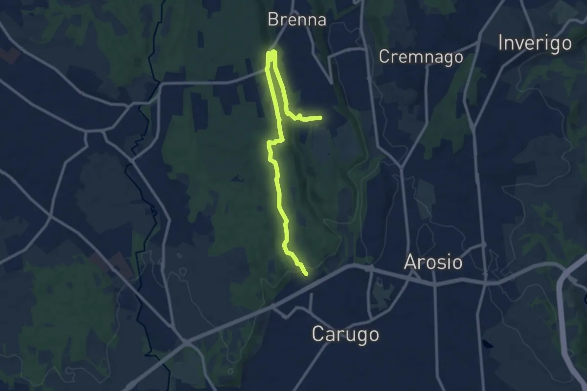
Medium · Trail
Cascina Gattedo – Pozzolo Inferiore
8.9 km · ↑ 131 m · 2 h 23 min
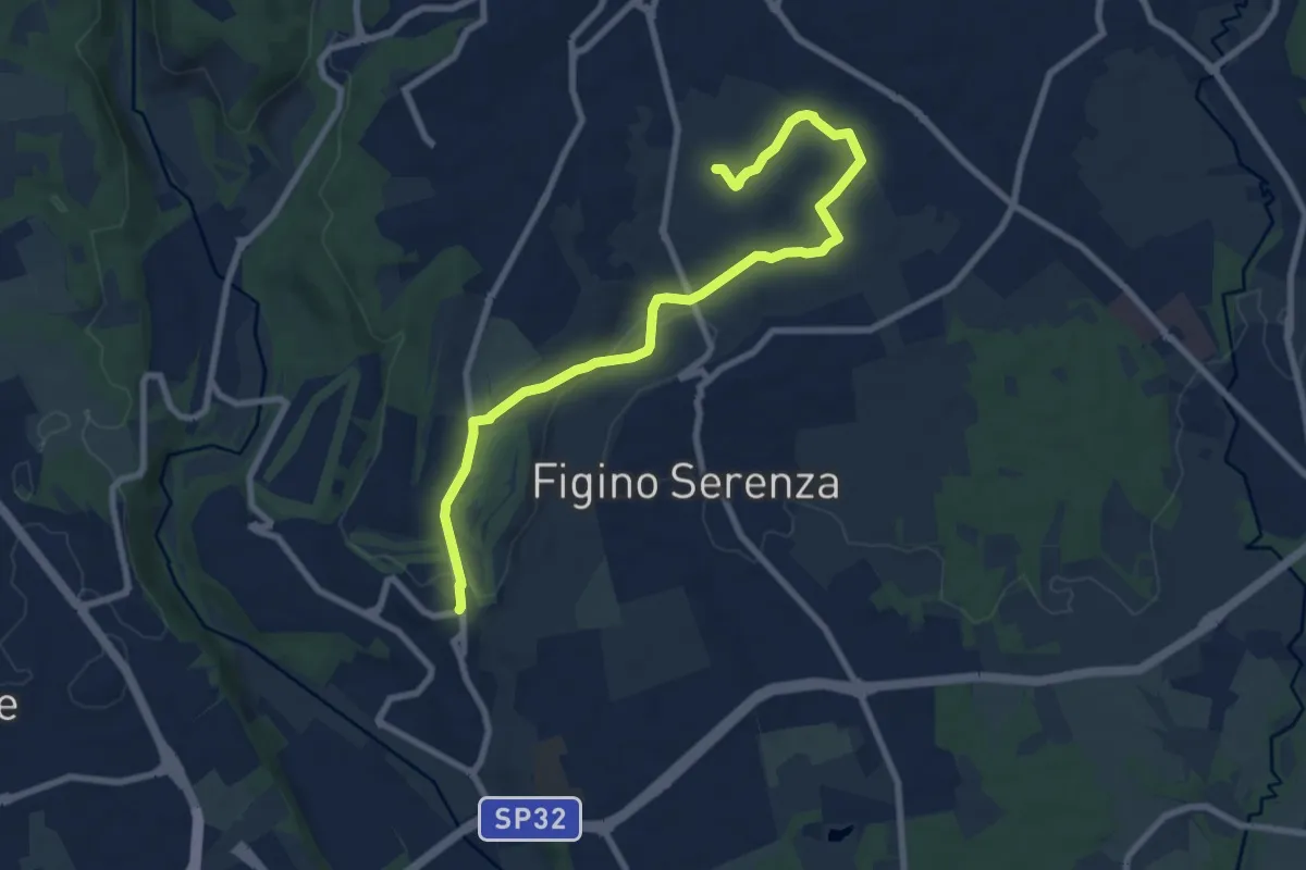
Medium · Trail
Carimate – Cascina Moia
9.3 km · ↑ 103 m · 2 h 25 min
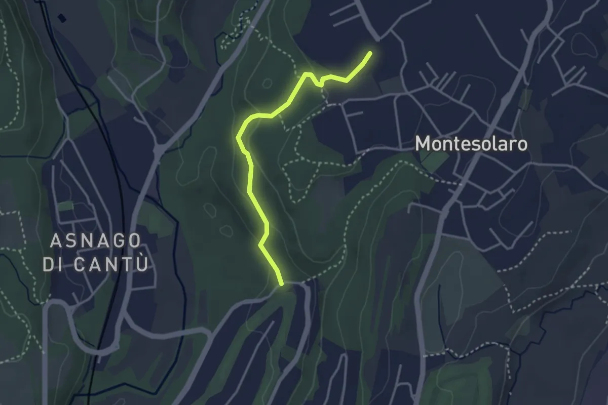
Easy · Trail
Carimate – Cantù
2.9 km · ↑ 102 m · 55 min
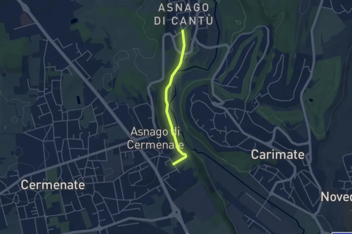
Easy · Trail
Asnago di Cantù – Asnago di Cermenate
3.2 km · ↑ 83 m · 56 min
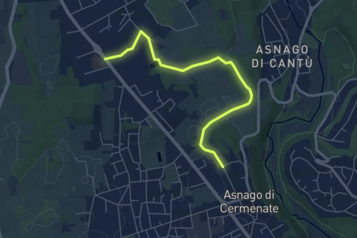
Easy · Trail
Cermenate – Minoprio
5.7 km · ↑ 27 m · 1 h 24 min
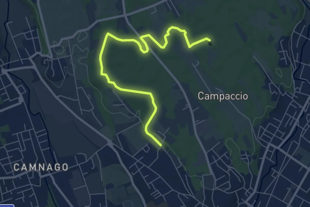
Easy · Trail
Cascina Colombera – Zoca dei Pirutit
7.2 km · ↑ 31 m · 1 h 46 min
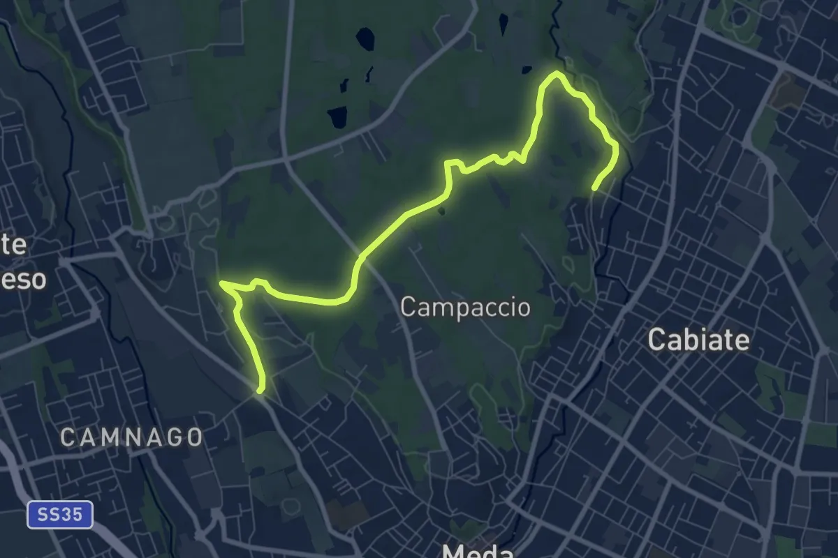
Medium · Trail
Camnago – Cabiate
9.3 km · ↑ 81 m · 2 h 23 min
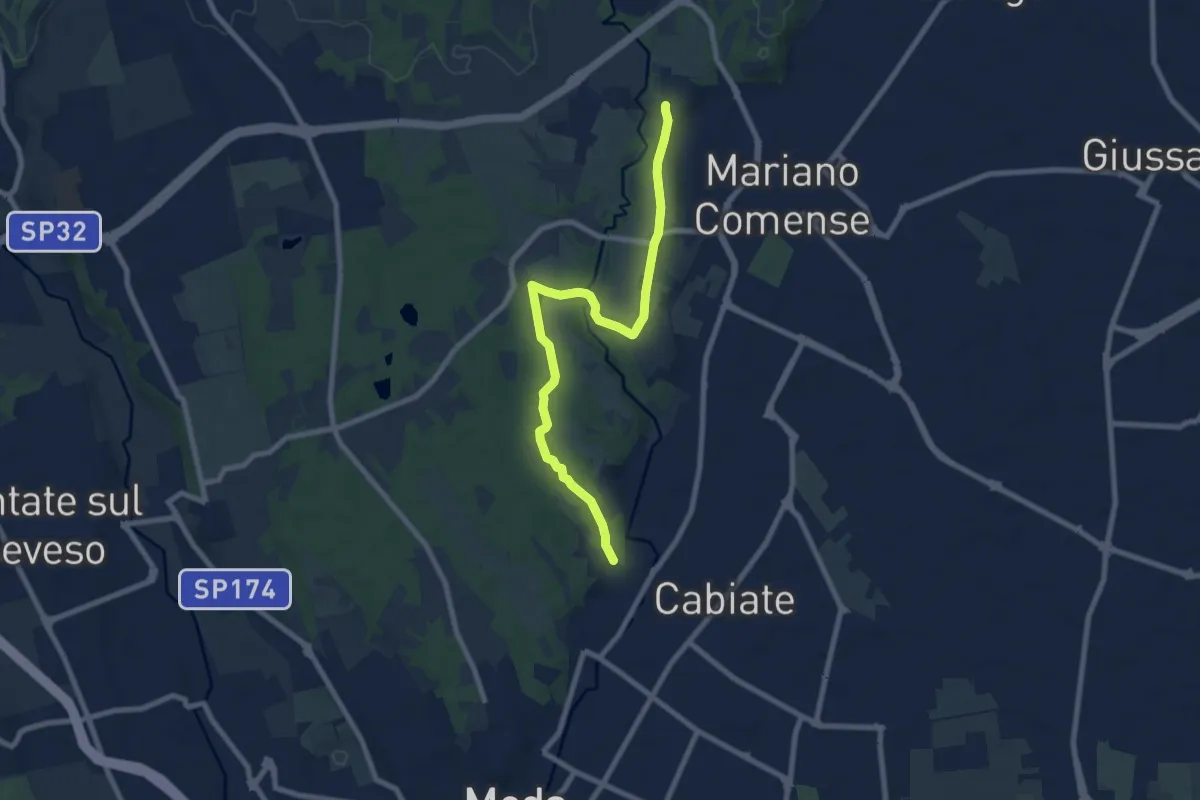
Medium · Trail
Cabiate – Mariano Comense
8.6 km · ↑ 62 m · 2 h 10 min
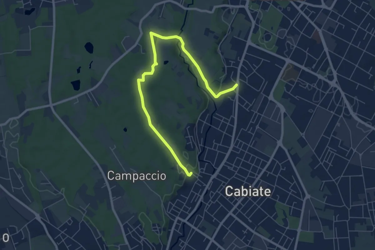
Easy · Trail
Cabiate – Mariano Comense (depuratore)
7.6 km · ↑ 70 m · 1 h 56 min
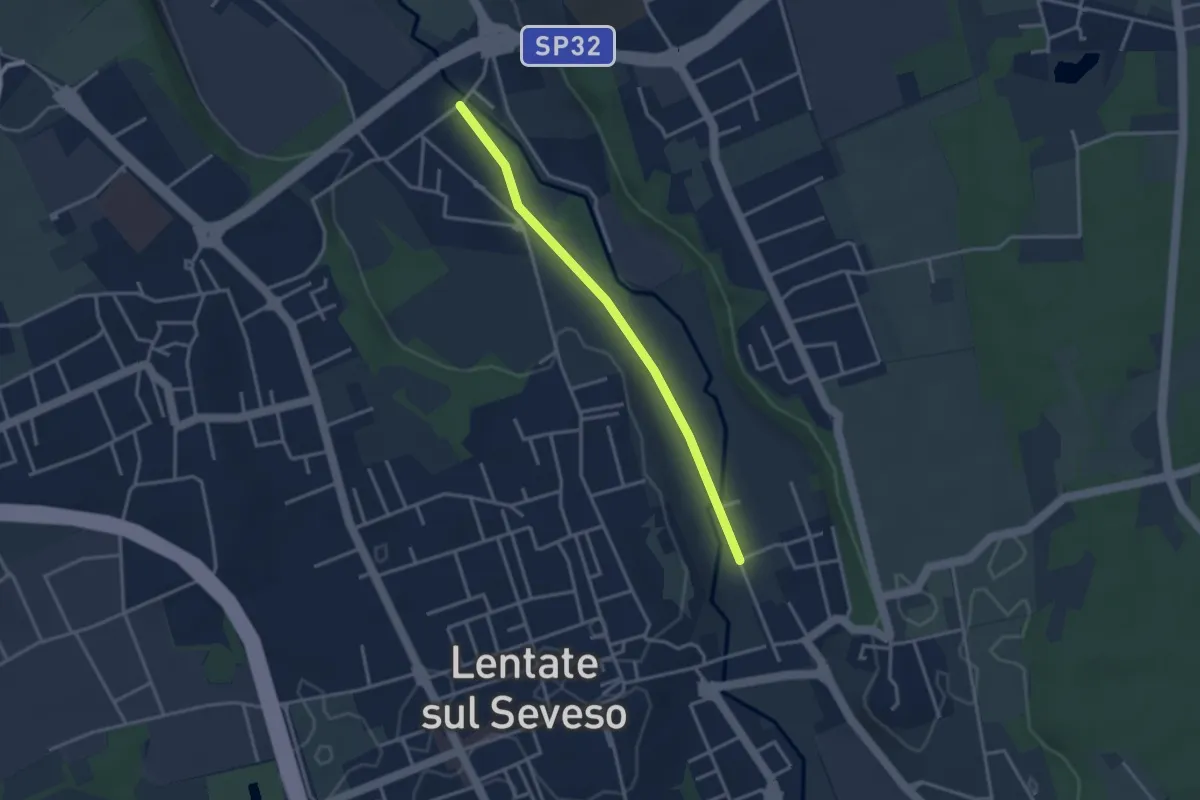
Easy · Trail
Lentate sul Seveso – Carimate
3.1 km · ↑ 9 m · 45 min
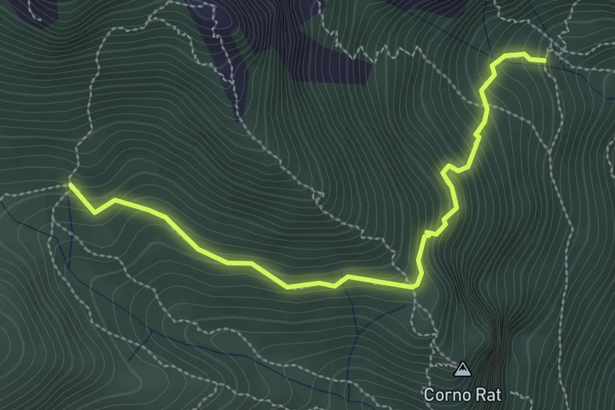
Medium · Trail
Fontanino di Sambrosera – Acqua del Fo'
3.1 km · ↑ 292 m · 1 h 22 min
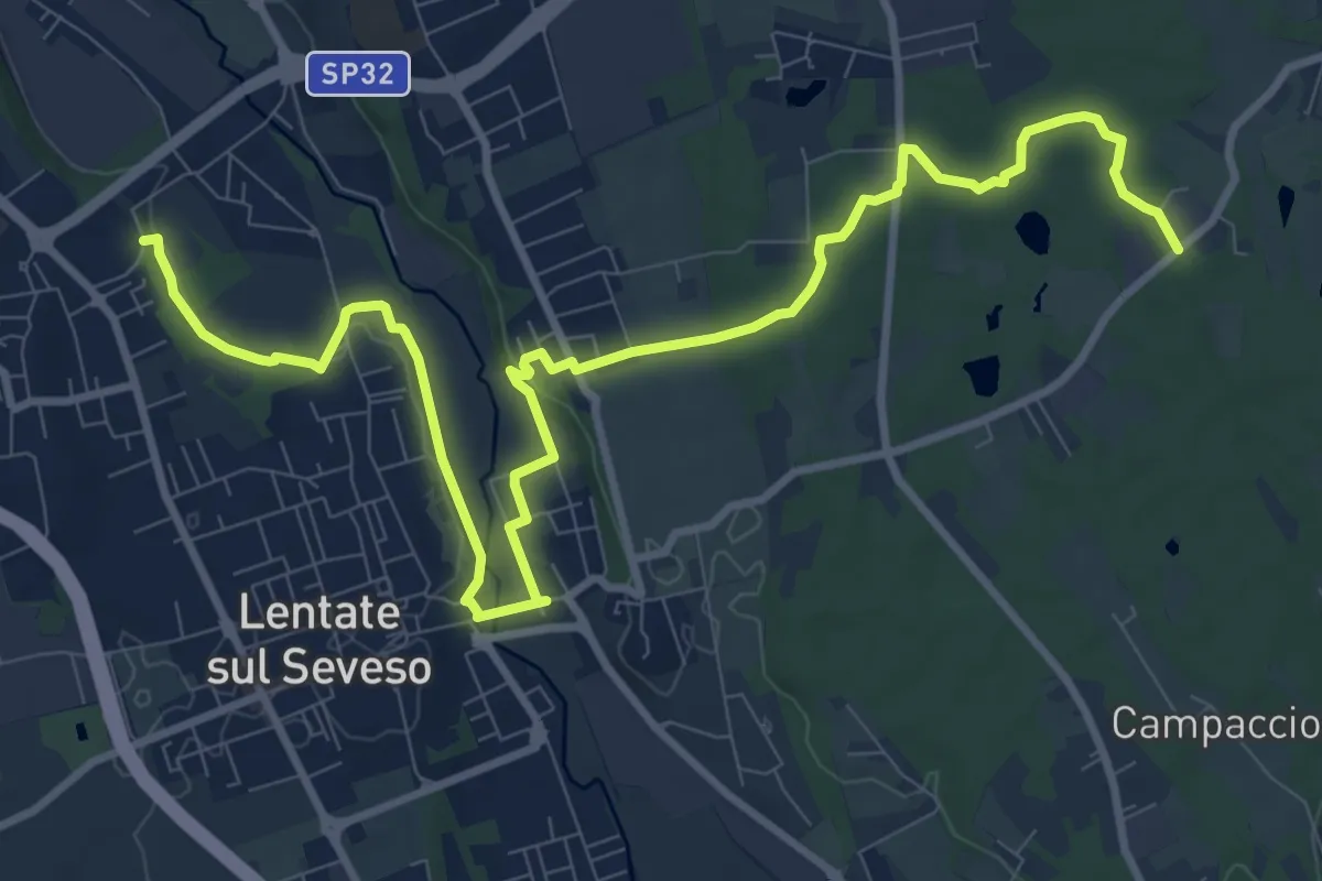
Medium · Trail
Copreno – Boscaccio
13.4 km · ↑ 151 m · 3 h 29 min
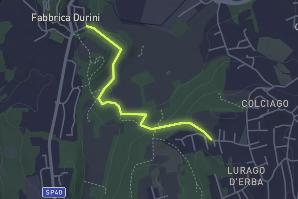
Easy · Trail
Fabbrica Durini – Careggia
3.3 km · ↑ 83 m · 58 min
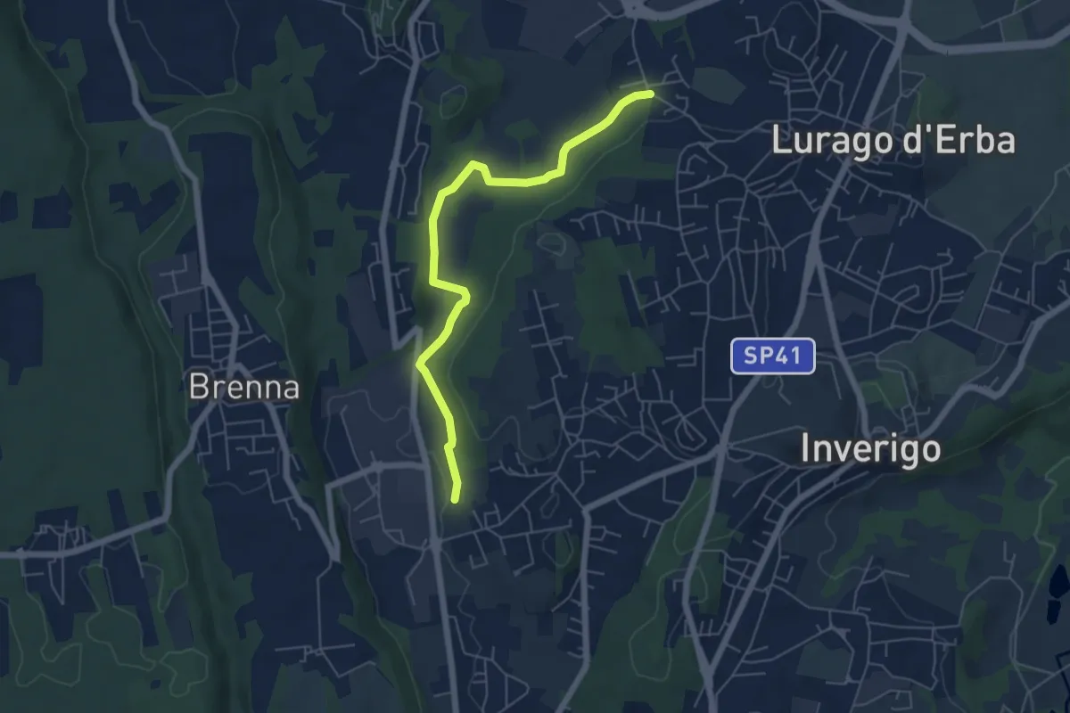
Easy · Trail
Cremnago (lazzaretto) – Pioppette
5.7 km · ↑ 81 m · 1 h 31 min
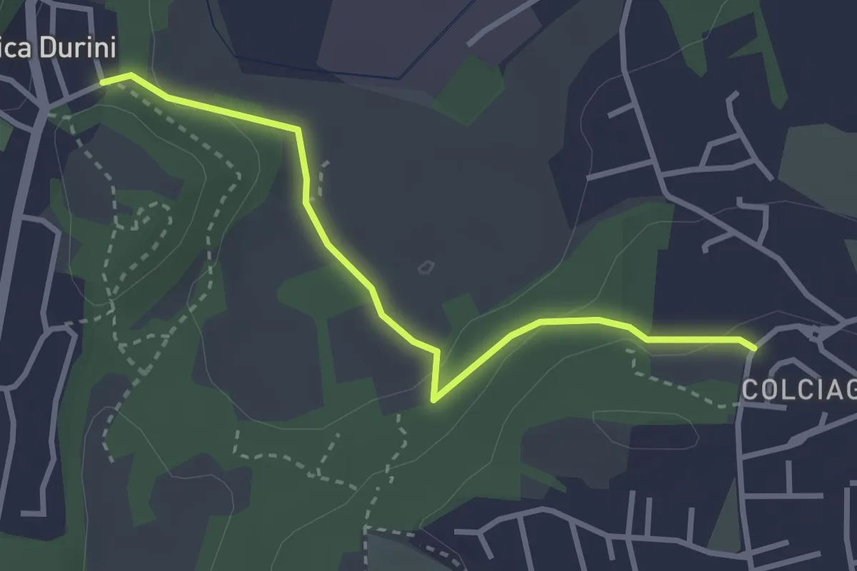
Easy · Trail
Fabbrica Durini – Colciago
3.0 km · ↑ 85 m · 54 min
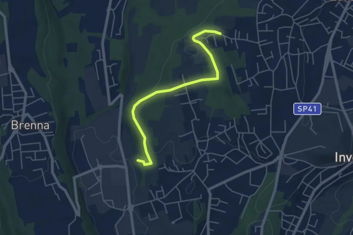
Easy · Trail
Innesto S2 – Careggia
4.3 km · ↑ 131 m · 1 h 17 min
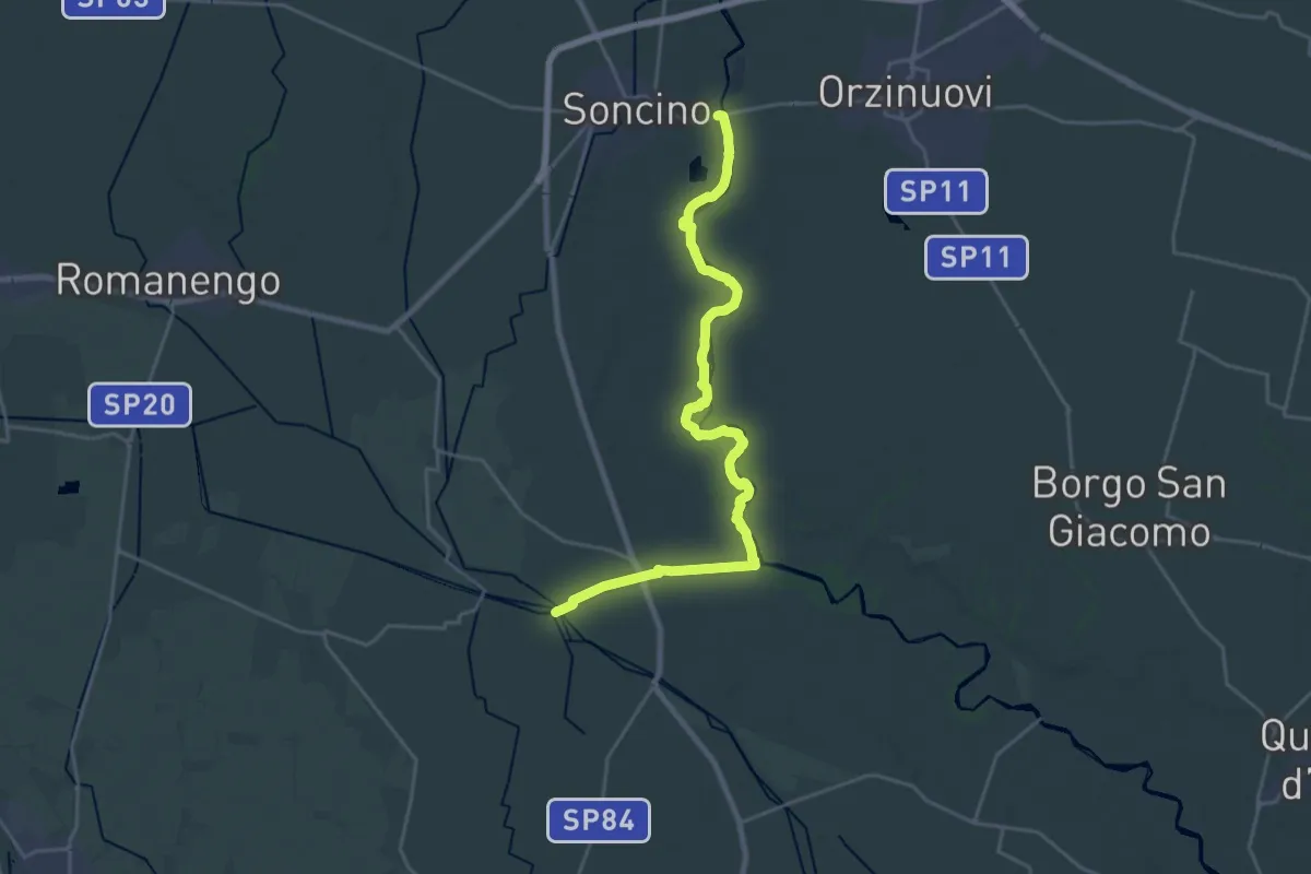
Demanding · Trail
Soncino – Tombe Morte (Genivolta)
25.1 km · ↑ 42 m · 6 h