Trails in Italy
25,219 hiking trails, each with its route, climb, walking time and grade.
All trails, page 473 of 526
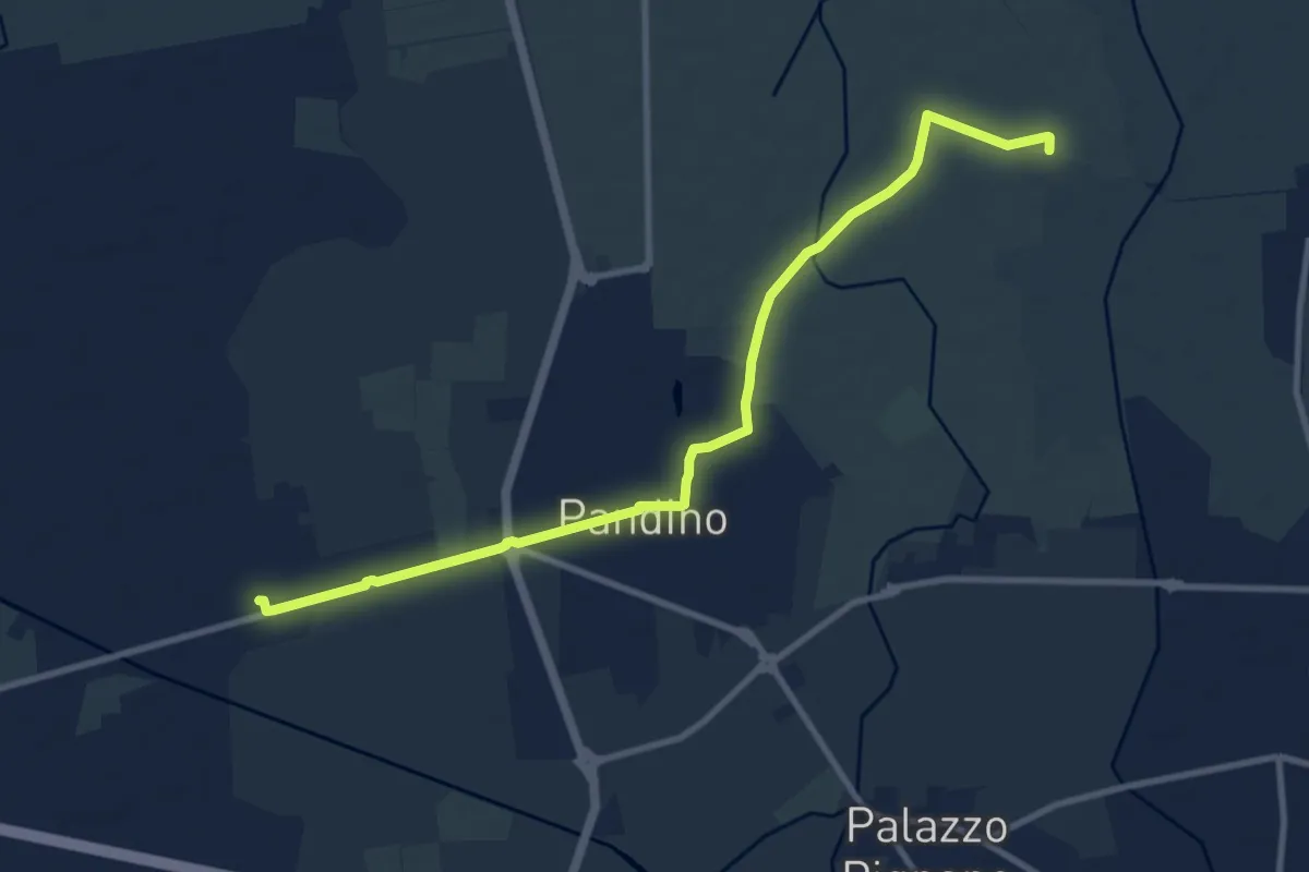
Medium · Trail
Nosadello – La Zecca (Pandino)
10.8 km · ↑ 0 m · 2 h 33 min
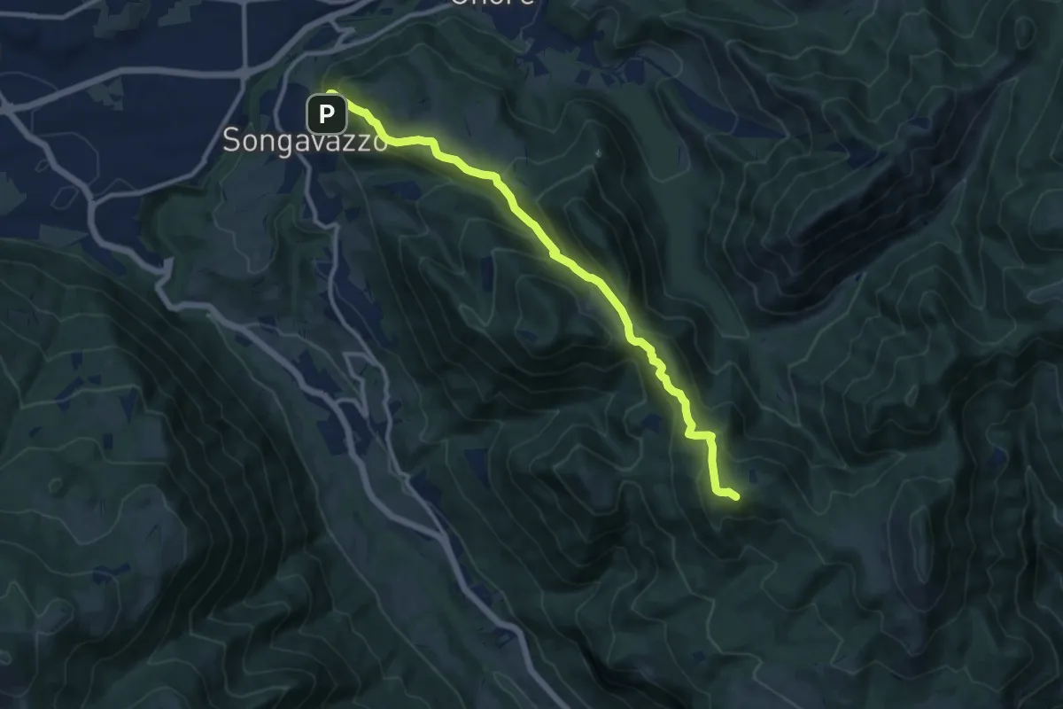
Medium · Summit
Songavazzo – Bossico (San Fermo)
11.2 km · ↑ 639 m · 4 h 2 min
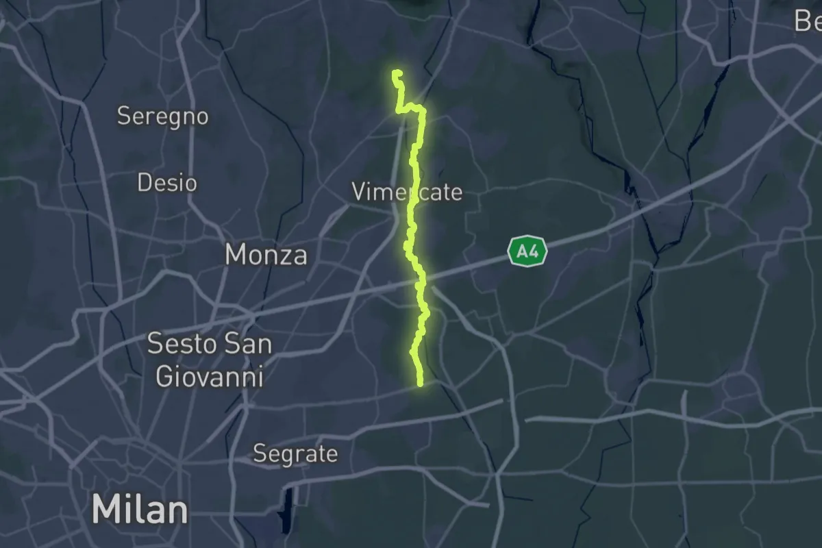
Demanding · Trail
Bussero (Cascina Gogna) – Lomagna (Fornace)
23.0 km · ↑ 50 m · 5 h 55 min
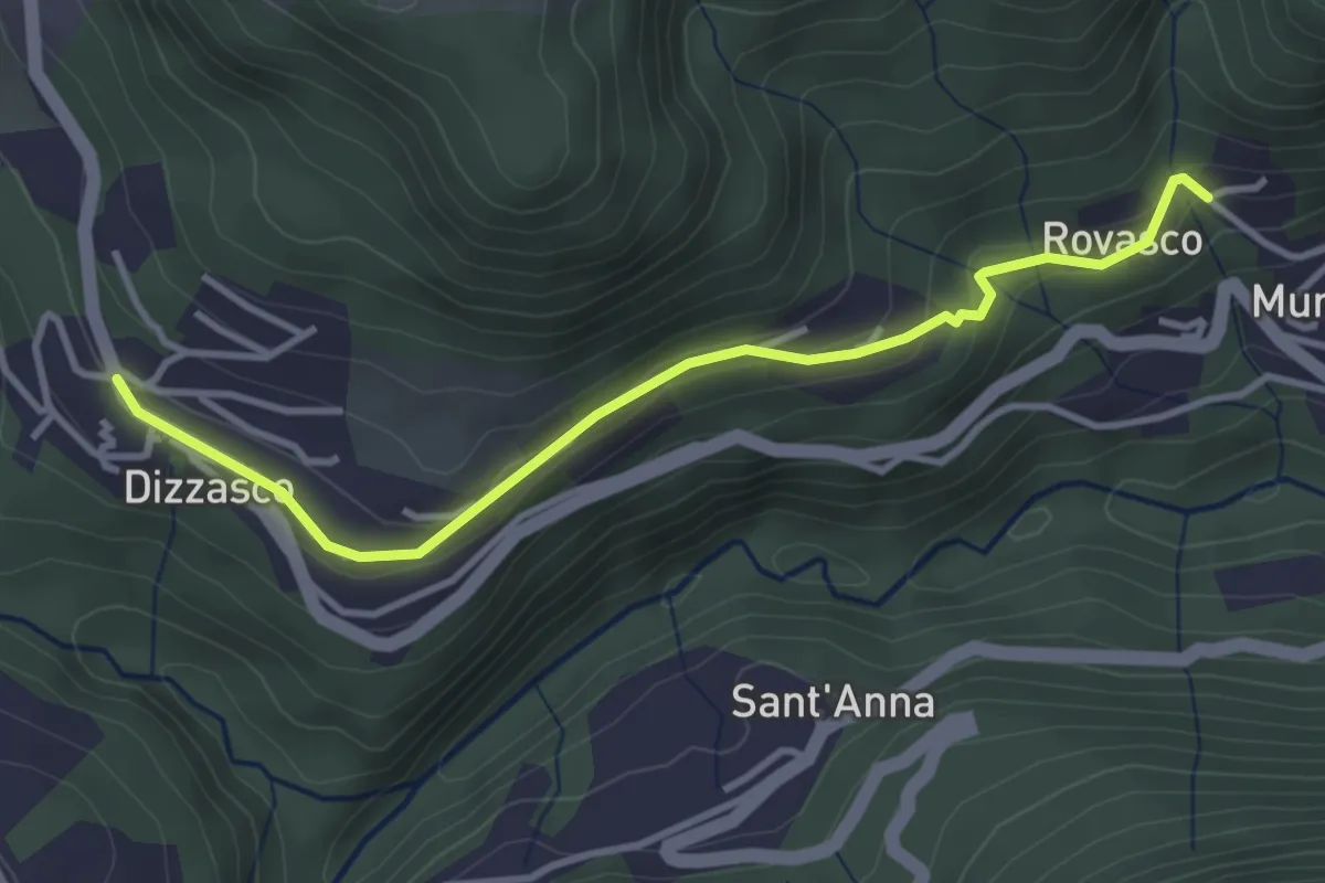
Easy · Trail
Dizzasco – Rovasco
3.6 km · ↑ 143 m · 1 h 10 min
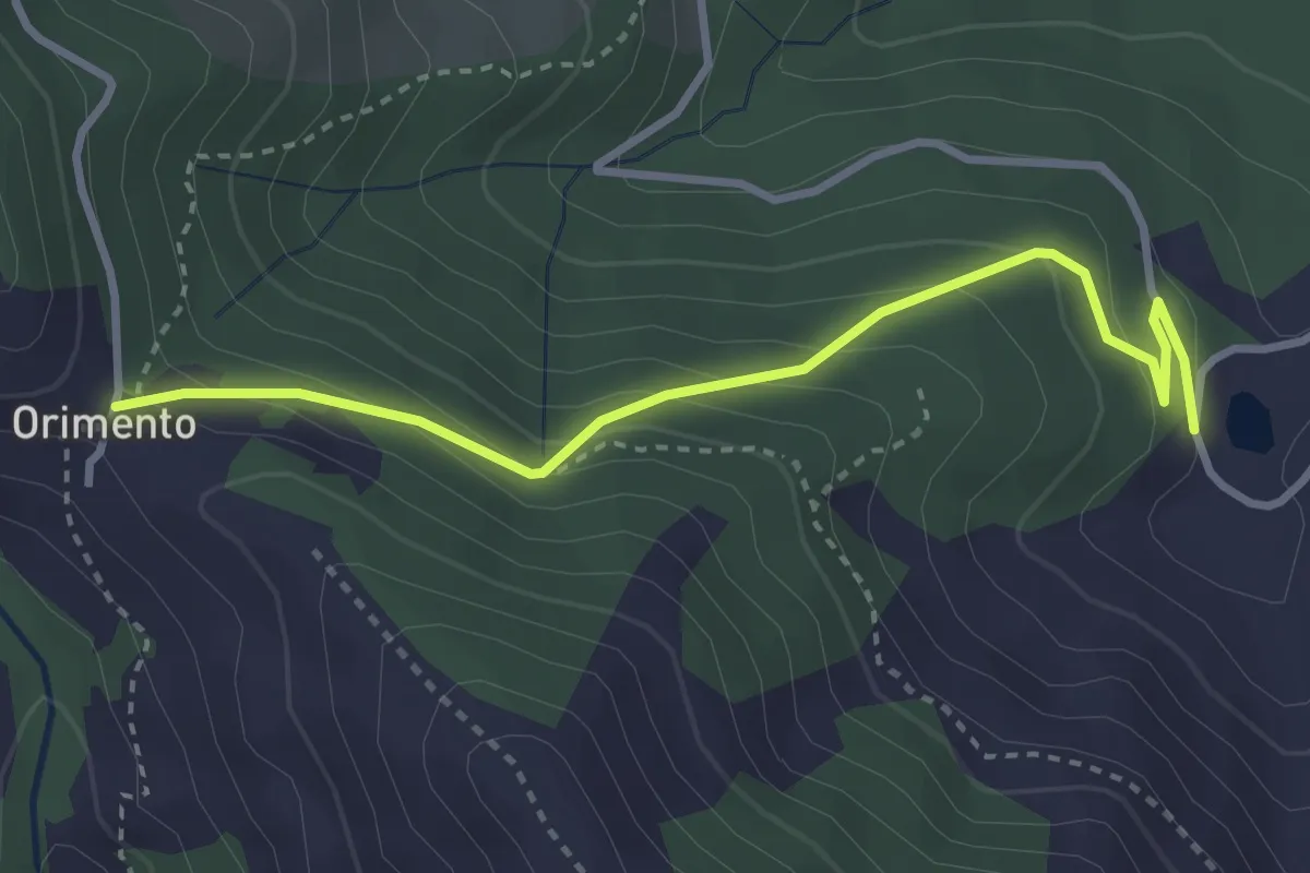
Easy · Trail
Bolla Mater – Orimento
3.3 km · ↑ 213 m · 1 h 15 min
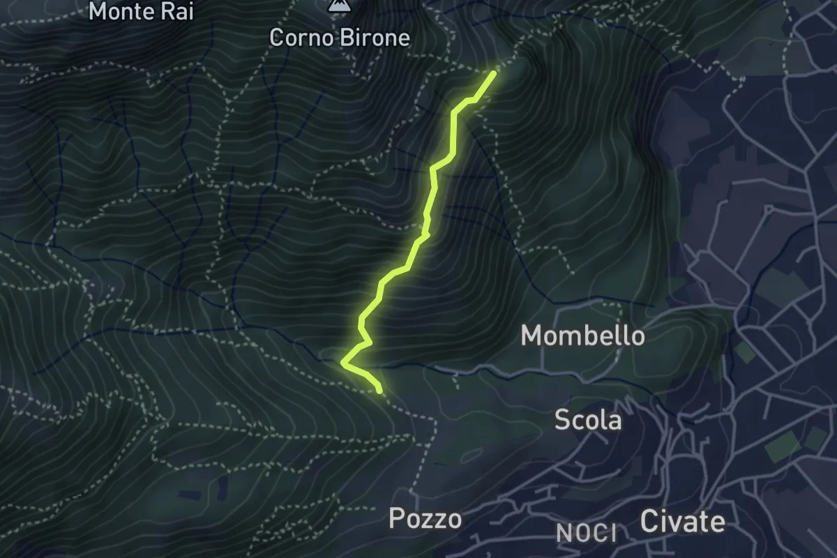
Medium · Trail
Cascina Oro – Ceppo della Forcola
2.6 km · ↑ 345 m · 1 h 22 min
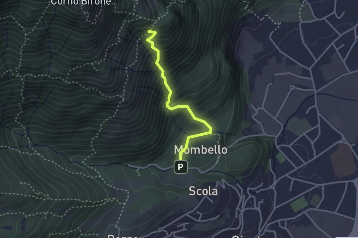
Medium · Trail
Mombello – Innesto 8 SEC
2.7 km · ↑ 375 m · 1 h 27 min
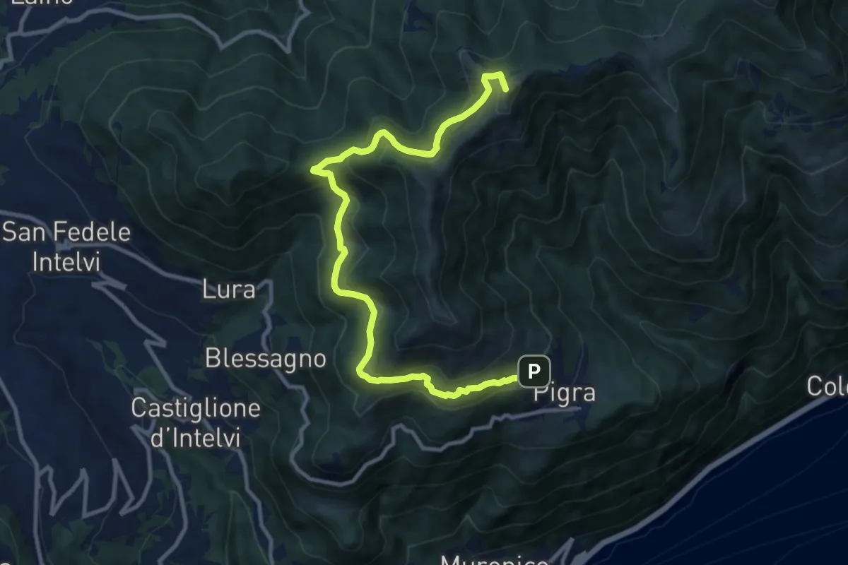
Medium · Summit
Pigra – Alpe di Colonno
11.3 km · ↑ 622 m · 4 h
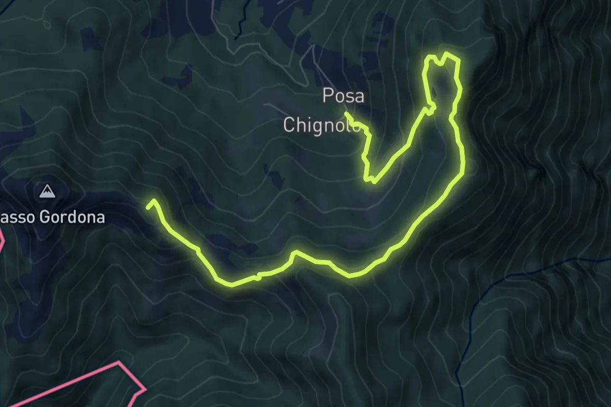
Medium · Summit
Schignalo fraz. Posa – Le Crocette
10.7 km · ↑ 752 m · 4 h 9 min
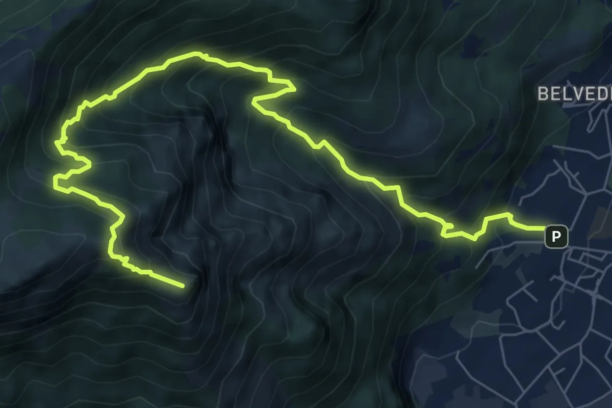
Expert · Summit
Caserta – Corno Birone
9.3 km · ↑ 1043 m · 4 h 28 min
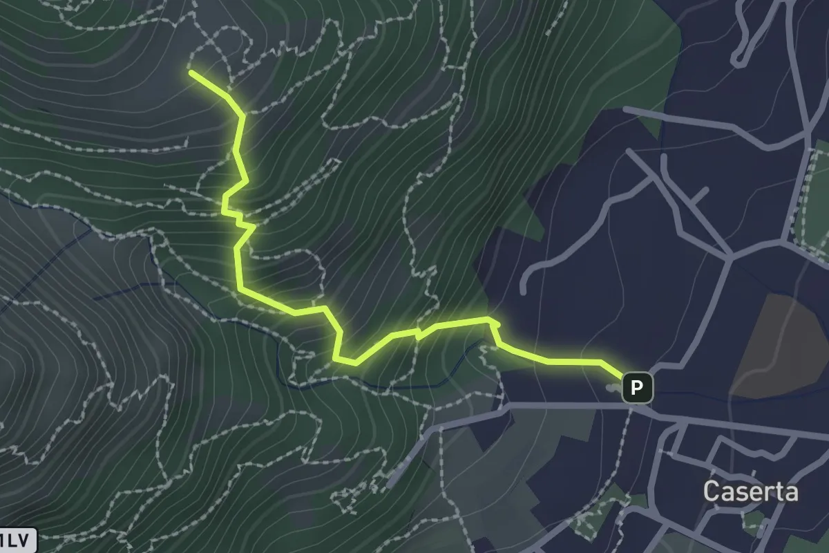
Demanding · Trail
Caserta – San Tomaso
2.2 km · ↑ 312 m · 1 h 12 min
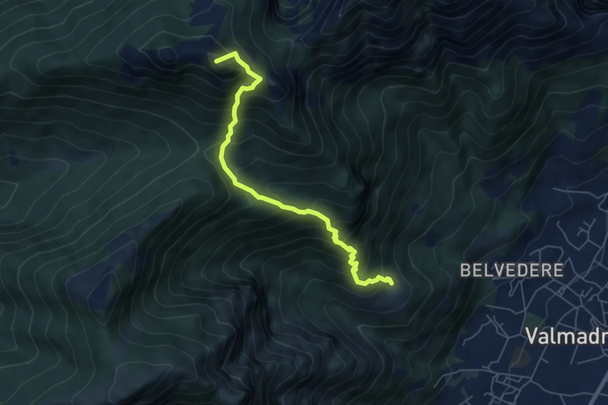
Medium · Summit
San Tomaso – Rifugio S.E.V.
5.6 km · ↑ 734 m · 2 h 55 min
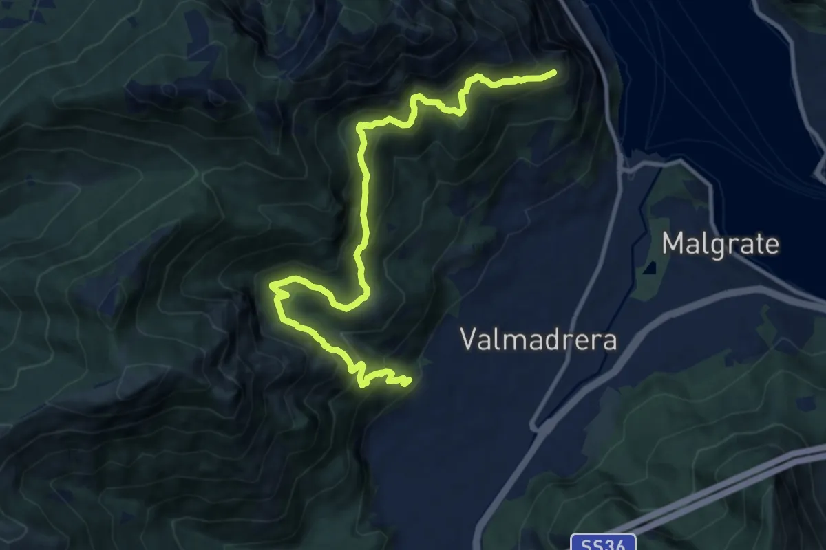
Demanding · Trail
Santuario della Madonna di San Martino – Sasso di Preguda
11.9 km · ↑ 1039 m · 5 h 3 min
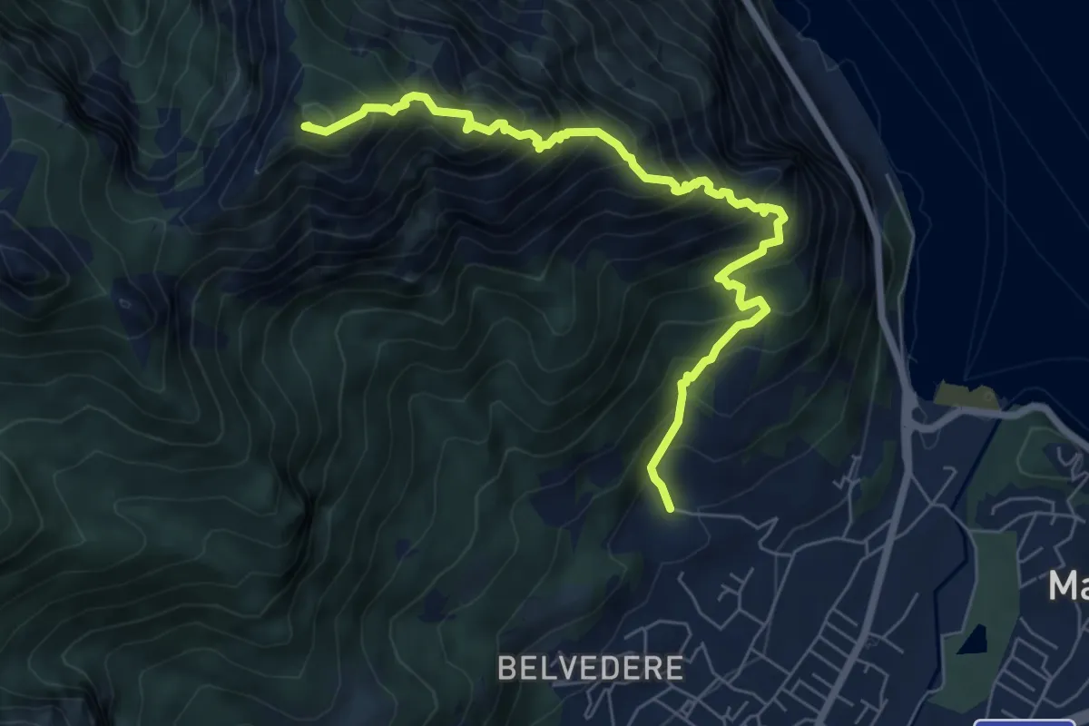
Expert · Summit
Piazza Rossé – Bocchetta di Moregge
7.2 km · ↑ 935 m · 3 h 43 min
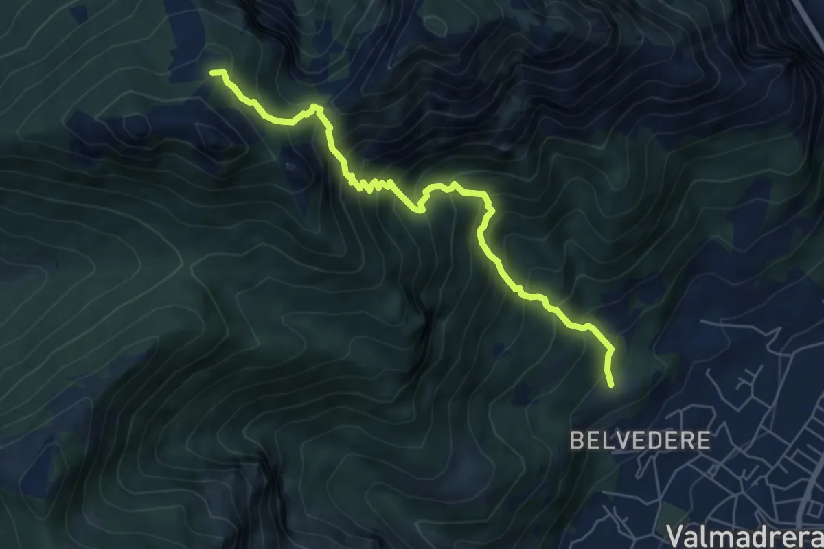
Demanding · Cabin
Cappelletta VARS – Rifugio S.E.V.
6.2 km · ↑ 837 m · 3 h 17 min
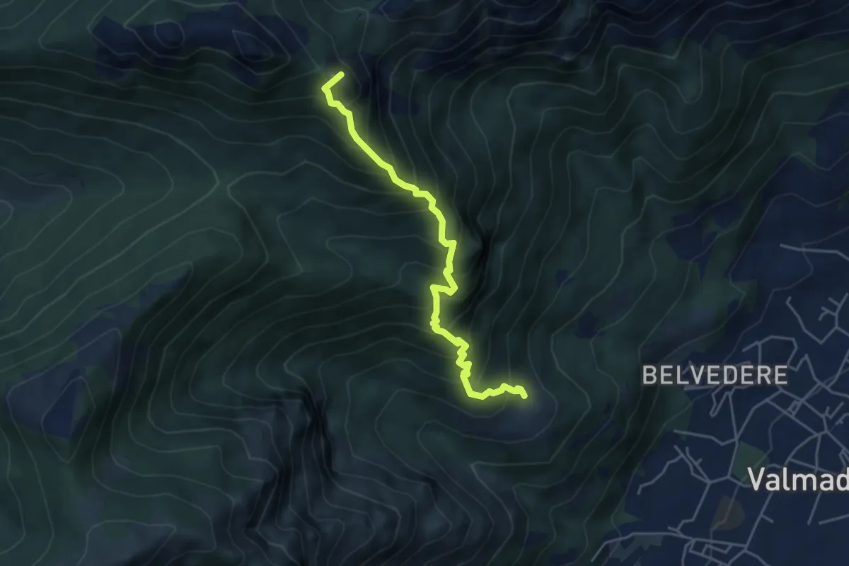
Expert · Summit
San Tomaso – Bocchetta di Luera
4.5 km · ↑ 629 m · 2 h 26 min
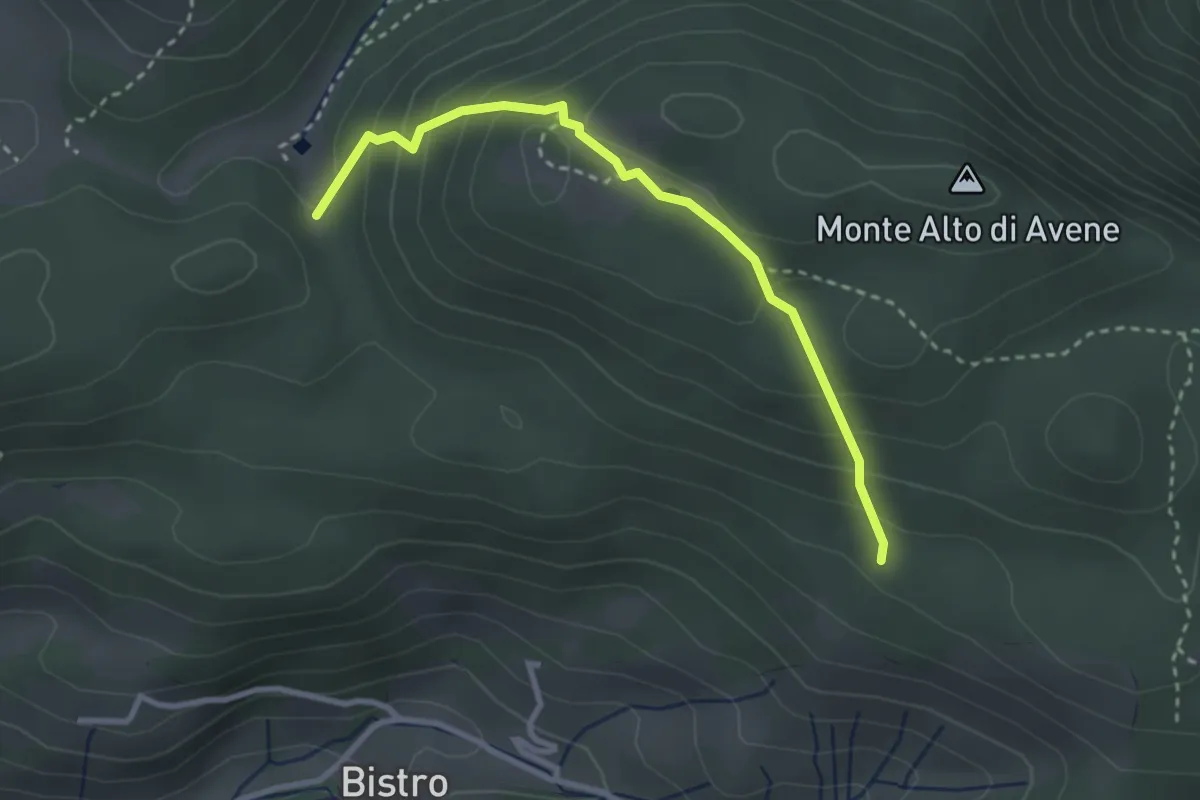
Medium · Trail
Monte di Sovere – Campo d'Avene
3.0 km · ↑ 230 m · 1 h 12 min
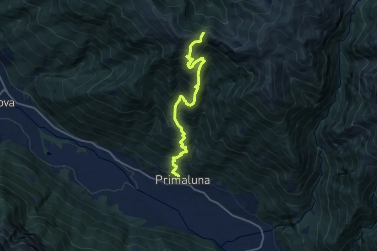
Demanding · Trail
Primaluna – Bocchetta di Olino
9.4 km · ↑ 1233 m · 4 h 54 min
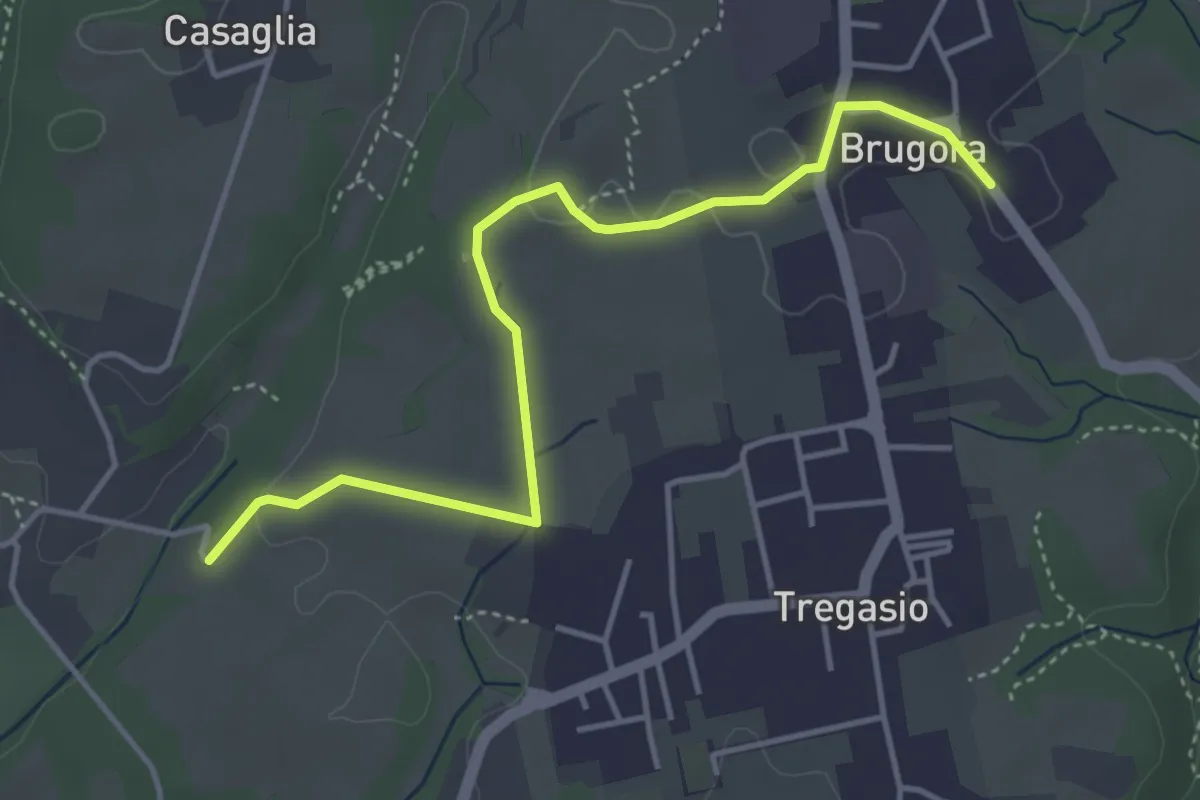
Easy · Trail
Brugora – Cascina Riva
4.5 km · ↑ 38 m · 1 h 9 min
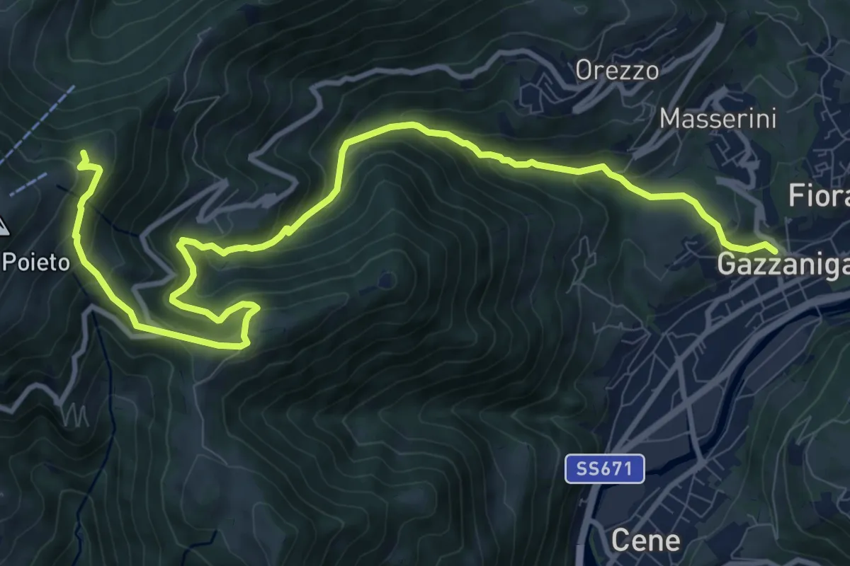
Demanding · Trail
Gazzaniga – Ca de Spi'
13.2 km · ↑ 890 m · 5 h 3 min
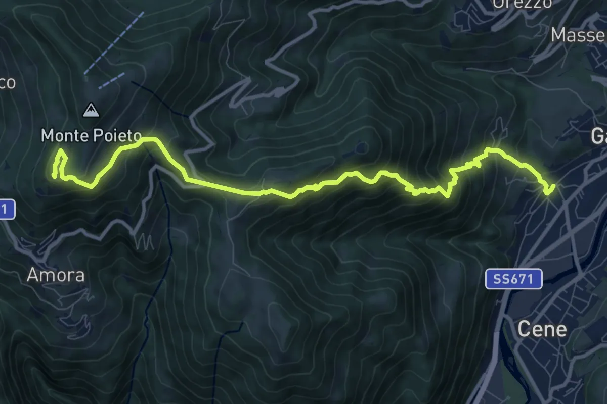
Demanding · Summit
Rova (Gazzaniga) – Monte Cornagera
10.9 km · ↑ 990 m · 4 h 43 min
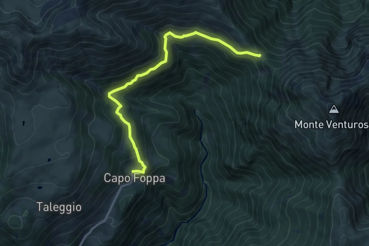
Medium · Trail
Capofoppa (Pizzino) – Passo Baciamorti
7.8 km · ↑ 425 m · 2 h 46 min
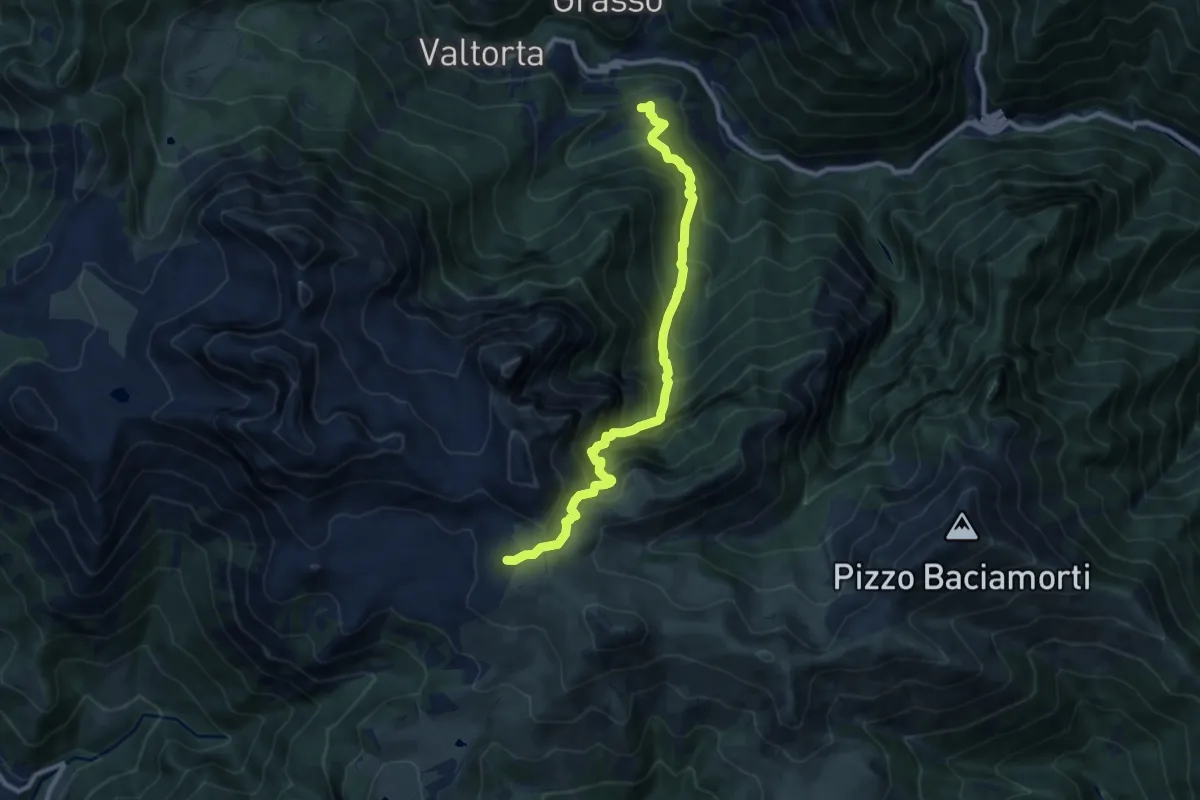
Demanding · Cabin
Valtorta (Piani Bassi) – Rifugio Cazzaniga-Merlini
9.5 km · ↑ 1068 m · 4 h 34 min
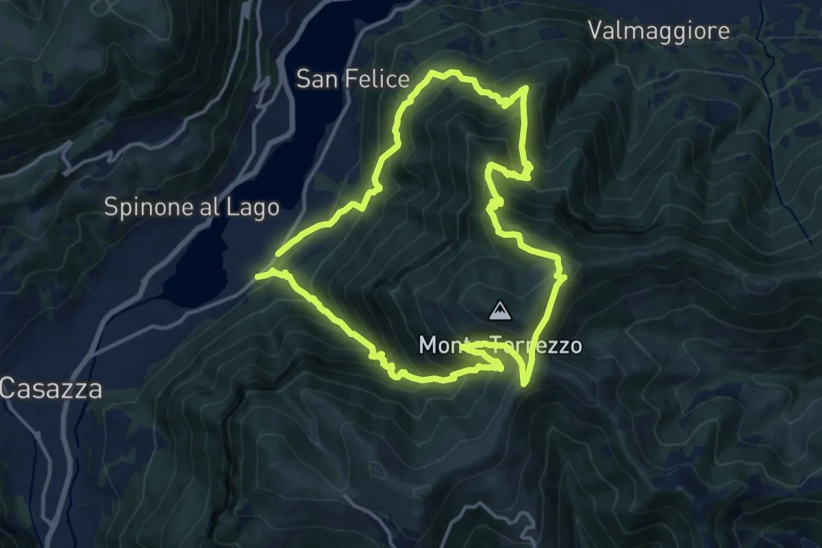
Demanding · Summit
Monasterolo del Castello – Monasterolo del Castello
12.8 km · ↑ 1048 m · 5 h 28 min
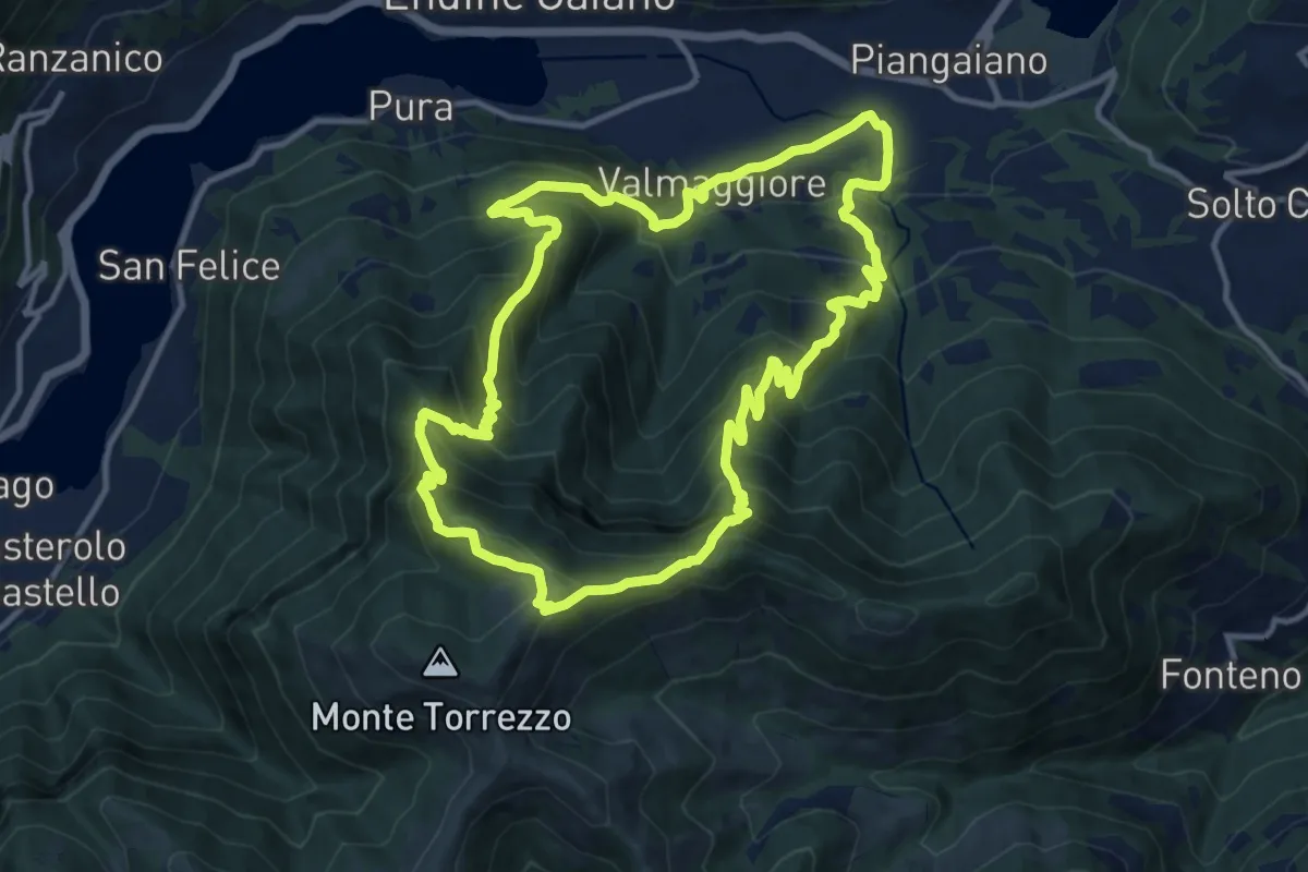
Demanding · Summit
Valmaggiore (Endine Gaiano) – Valmaggiore (Endine Gaiano)
12.6 km · ↑ 1053 m · 5 h 26 min
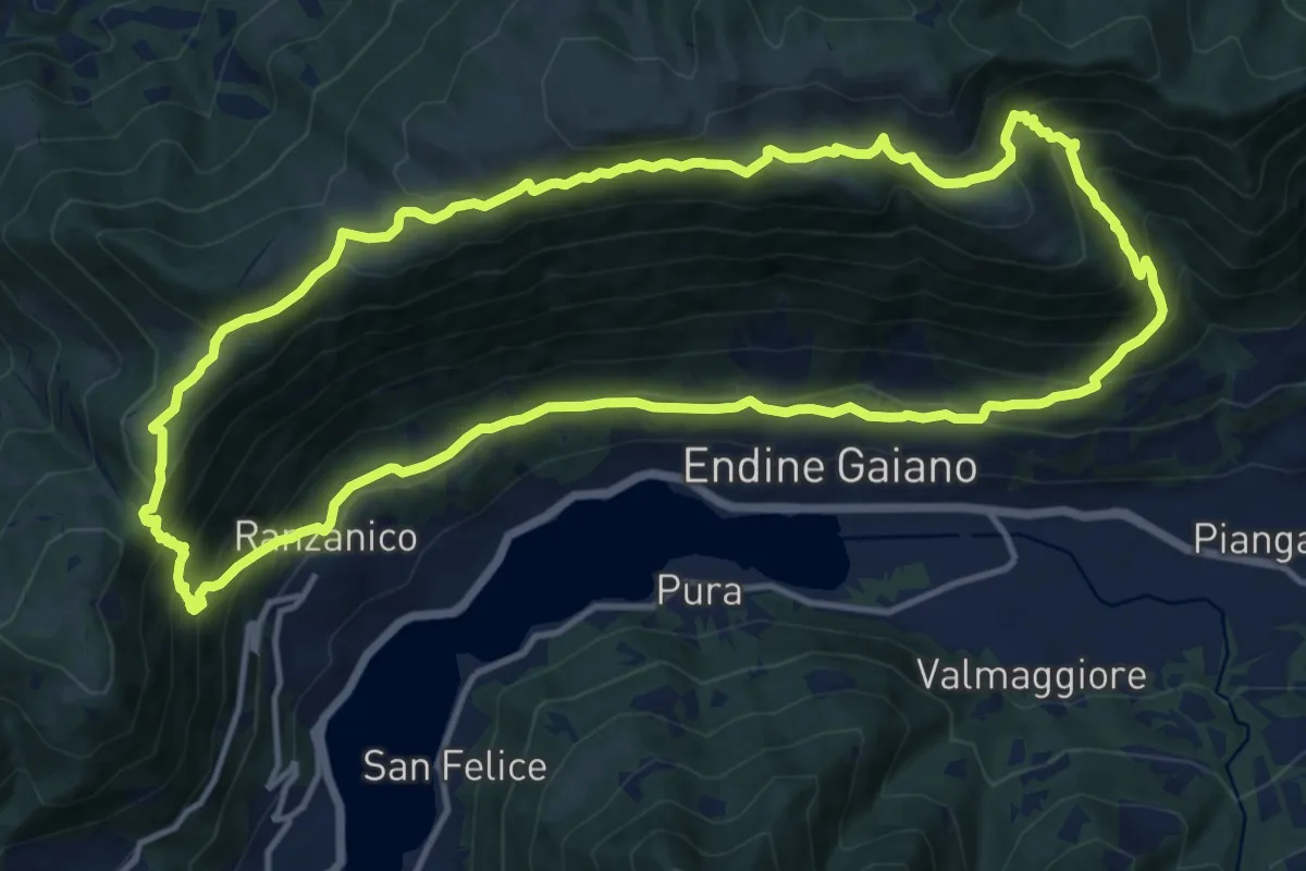
Demanding · Trail
Ranzanico – Ranzanico
14.3 km · ↑ 941 m · 5 h 37 min
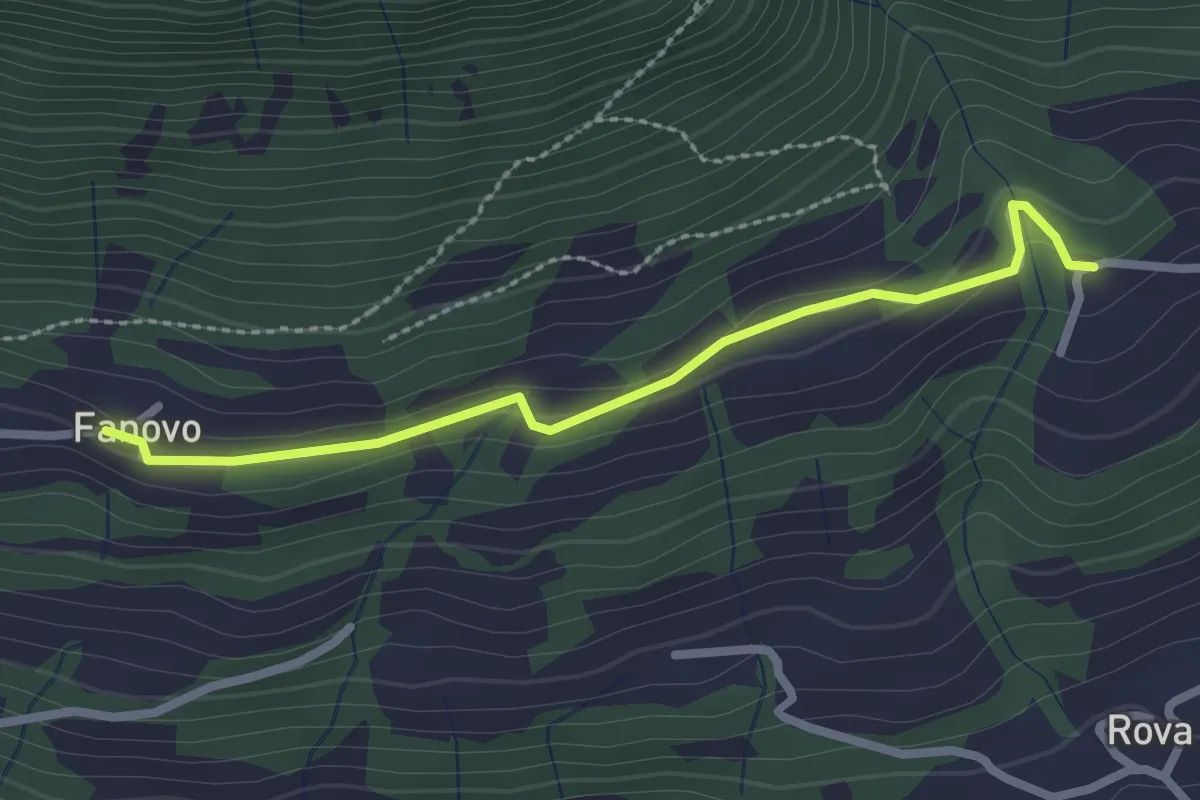
Easy · Trail
Fanovo (Endine Gaiano) – Palate
2.5 km · ↑ 94 m · 47 min
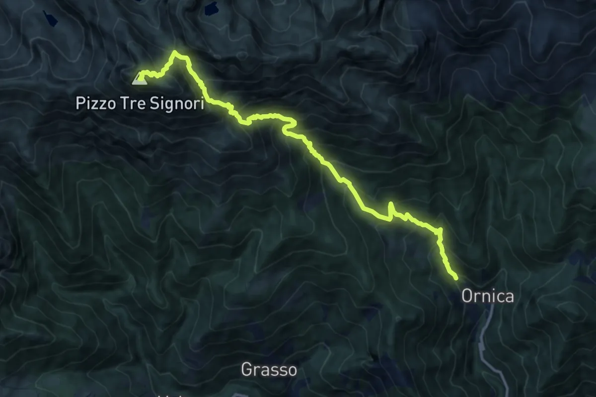
Demanding · Summit
Ornica – Pizzo dei Tre Signori
12.8 km · ↑ 1537 m · 6 h 21 min
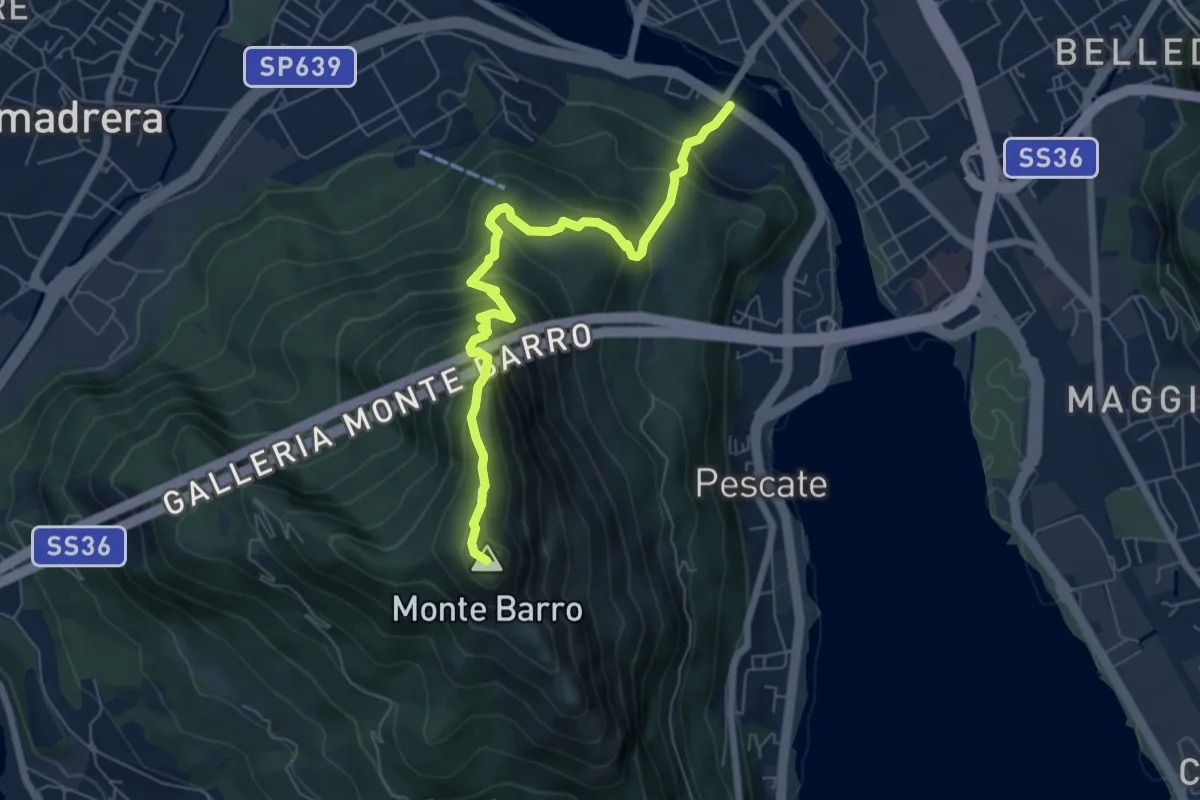
Expert · Summit
Lecco (Ponte Azzone Visconti) – Monte Barro
6.6 km · ↑ 705 m · 3 h 5 min
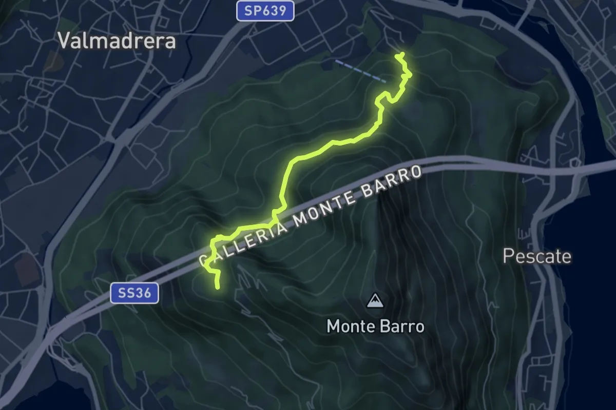
Demanding · Trail
Malgrate – Parco archeologico Monte Barro
5.6 km · ↑ 409 m · 2 h 12 min
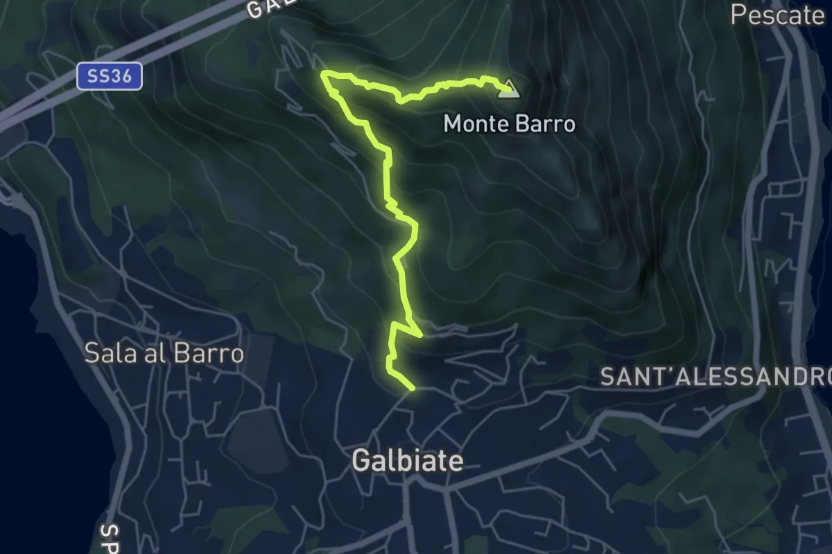
Demanding · Summit
Galbiate (lavatoio) – Monte Barro
5.3 km · ↑ 485 m · 2 h 18 min
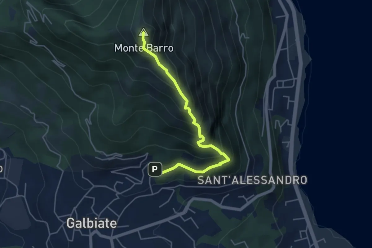
Expert · Summit
Galbiate – Monte Barro
4.1 km · ↑ 475 m · 2 h
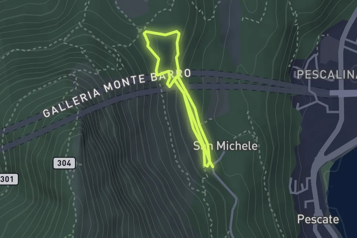
Medium · Trail
San Michele – San Michele
4.2 km · ↑ 208 m · 1 h 26 min
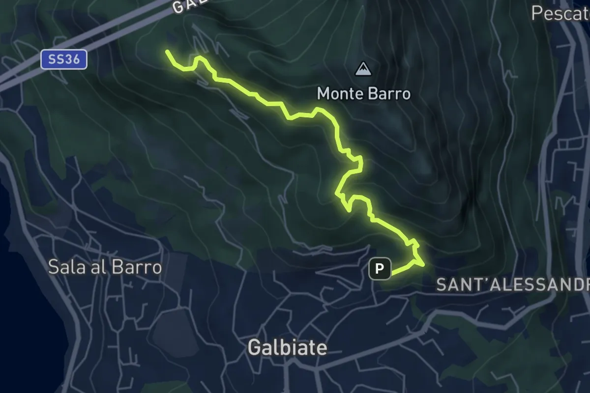
Medium · Trail
Galbiate – Parco archeologico Monte Barro
5.6 km · ↑ 537 m · 2 h 29 min
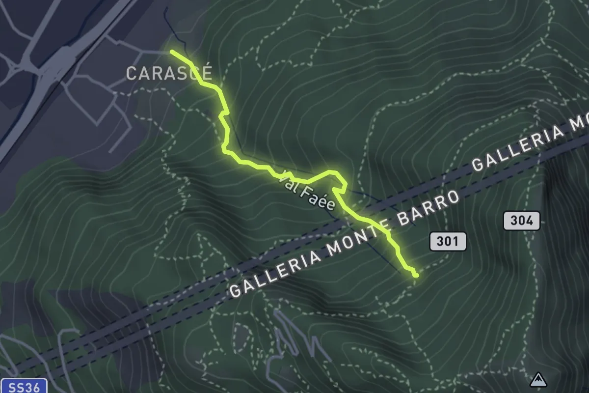
Medium · Trail
Carascé – Faée Alto
2.9 km · ↑ 388 m · 1 h 31 min
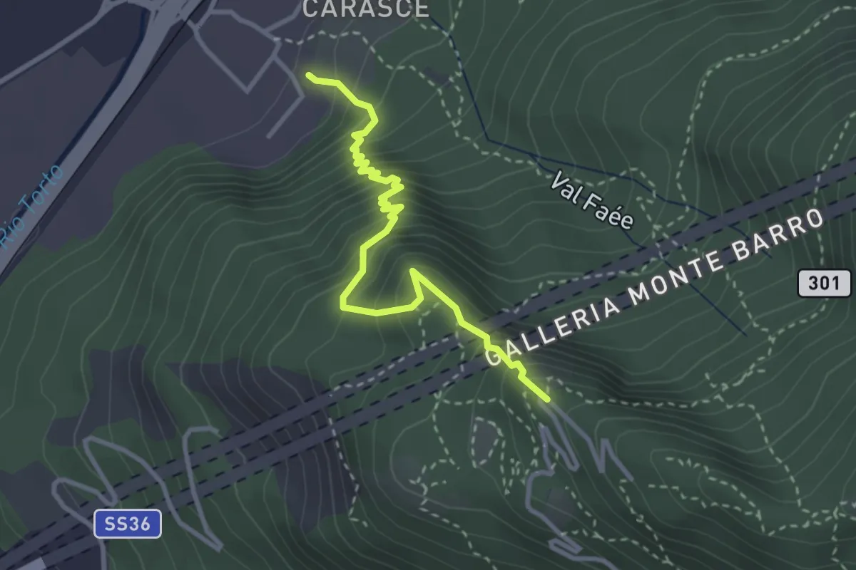
Medium · Trail
Valmadrera (fornaci Villa) – Culcinera
3.1 km · ↑ 428 m · 1 h 40 min
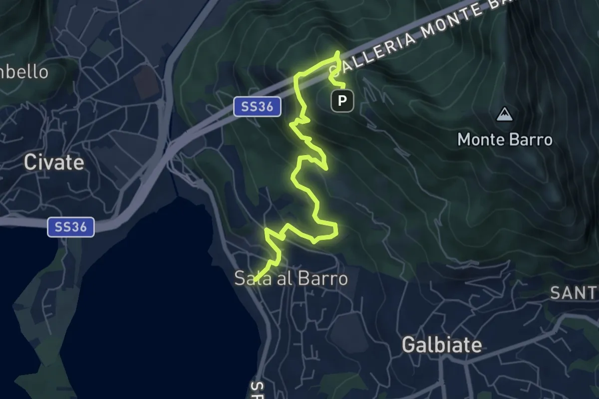
Medium · Trail
Sala al Barro (FS) – Parco archeologico Monte Barro
6.9 km · ↑ 476 m · 2 h 40 min
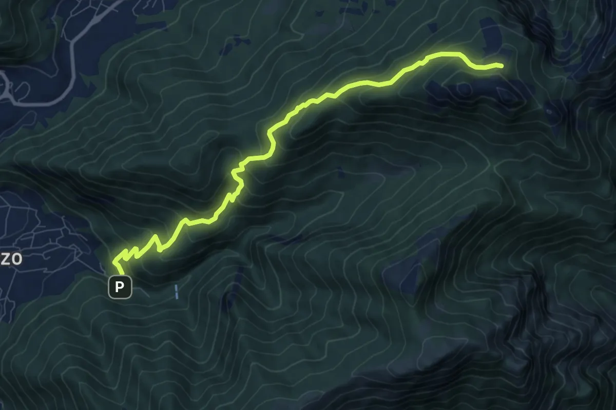
Medium · Cabin
Fonti di Gajum – Pianezzo
9.6 km · ↑ 780 m · 3 h 58 min
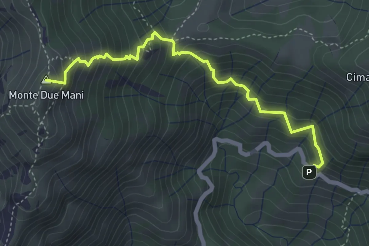
Medium · Summit
Innesto SP63 – Monte Due Mani
4.1 km · ↑ 587 m · 2 h 14 min
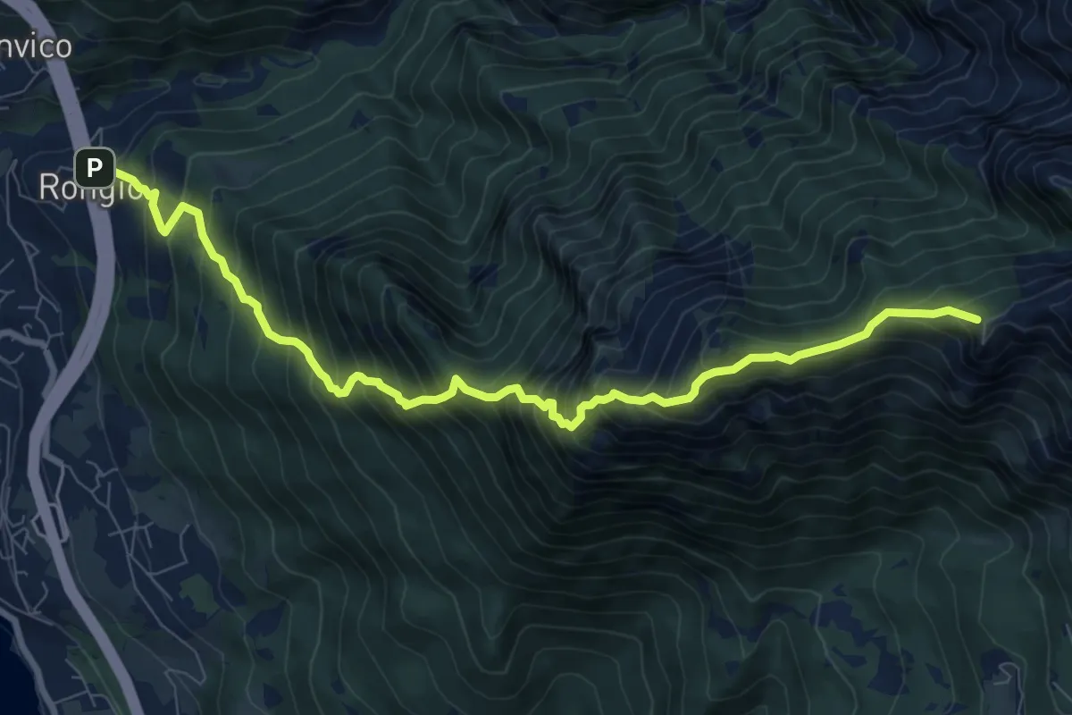
Demanding · Summit
Rongio – Rifugio Rosalba
9.7 km · ↑ 1345 m · 5 h 13 min
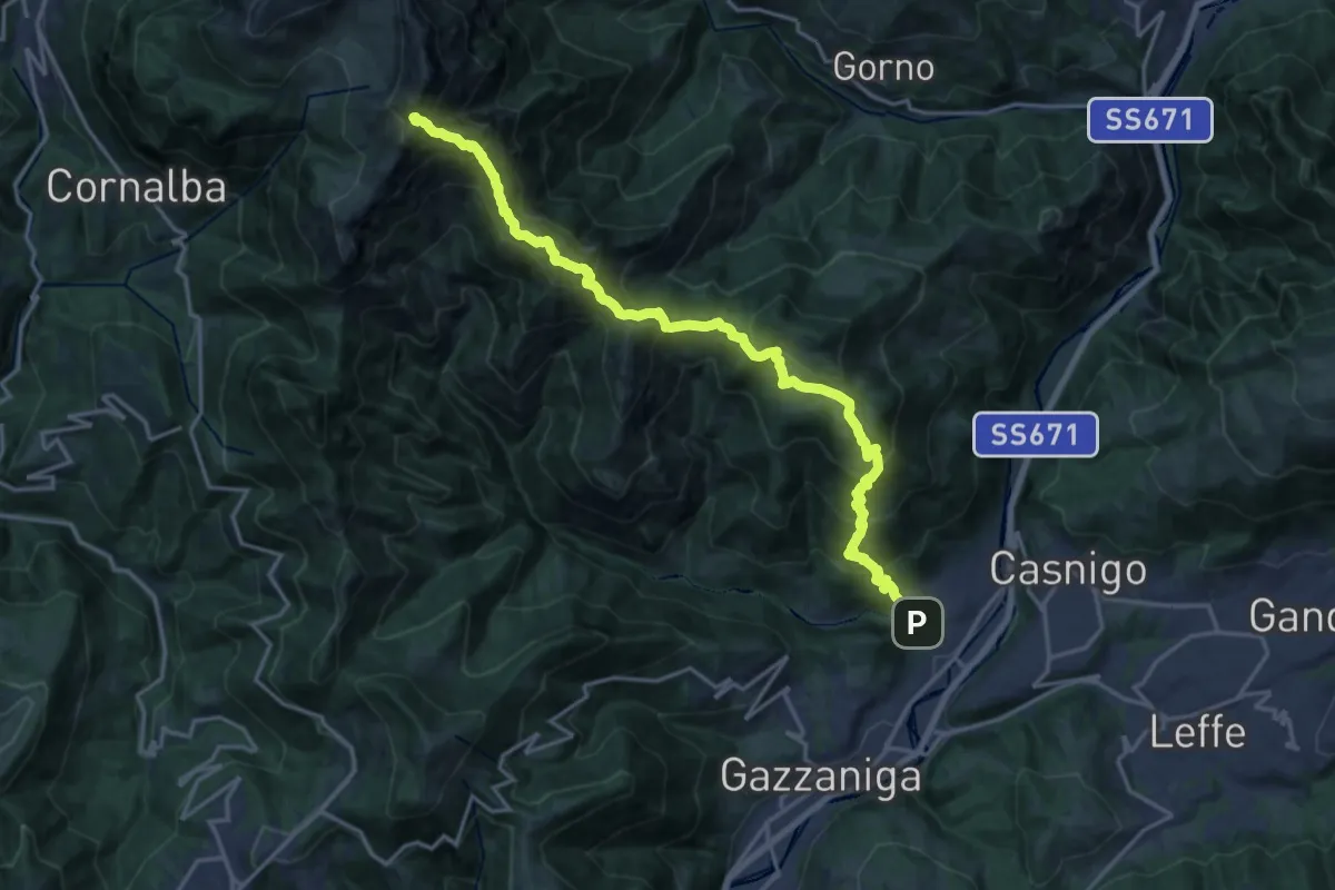
Demanding · Summit
Vertova – Cima Campelli
20.8 km · ↑ 1808 m · 8 h 50 min
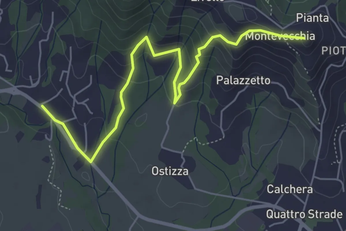
Medium · Summit
Lomaniga – Beolco
5.8 km · ↑ 304 m · 2 h 2 min
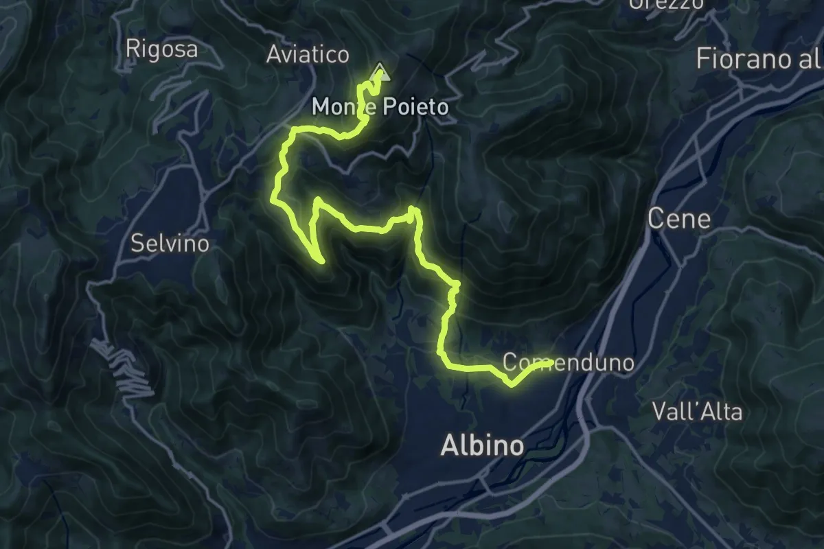
Demanding · Summit
Comenduno (Albino) – Monte Poieto
19.0 km · ↑ 1177 m · 7 h 3 min
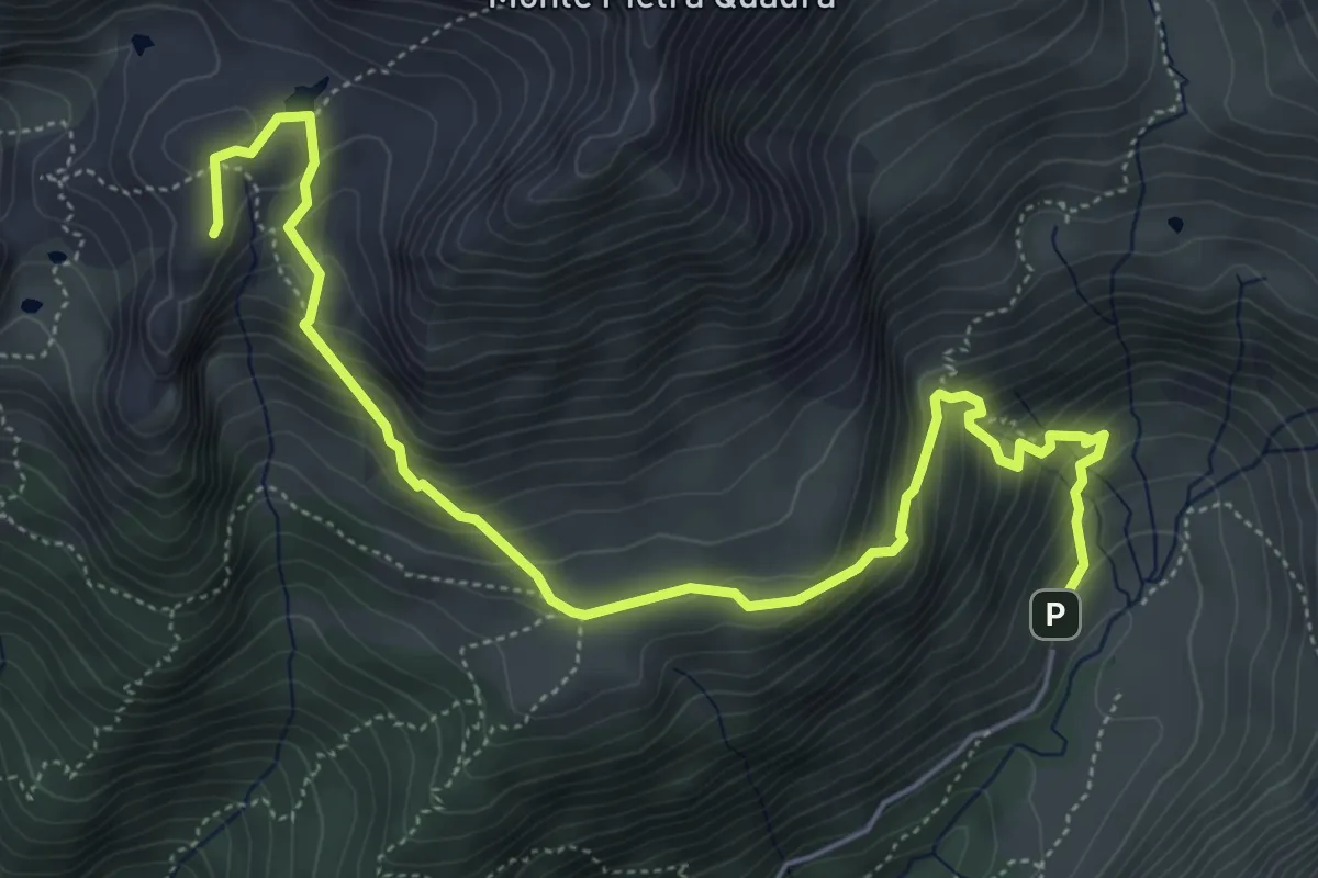
Expert · Summit
Baite di Mezzeno – Tre Pizzi
6.7 km · ↑ 517 m · 2 h 42 min
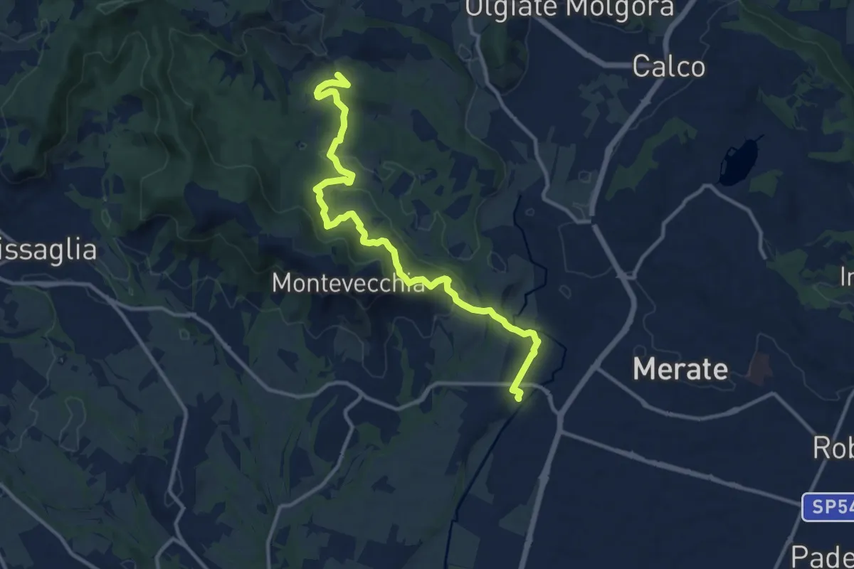
Medium · Summit
Cernusco Lombardone (FS) – Perego
12.5 km · ↑ 409 m · 3 h 51 min
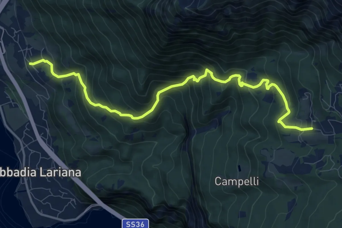
Demanding · Trail
Crebbio – Piani Resinelli
11.0 km · ↑ 870 m · 4 h 29 min
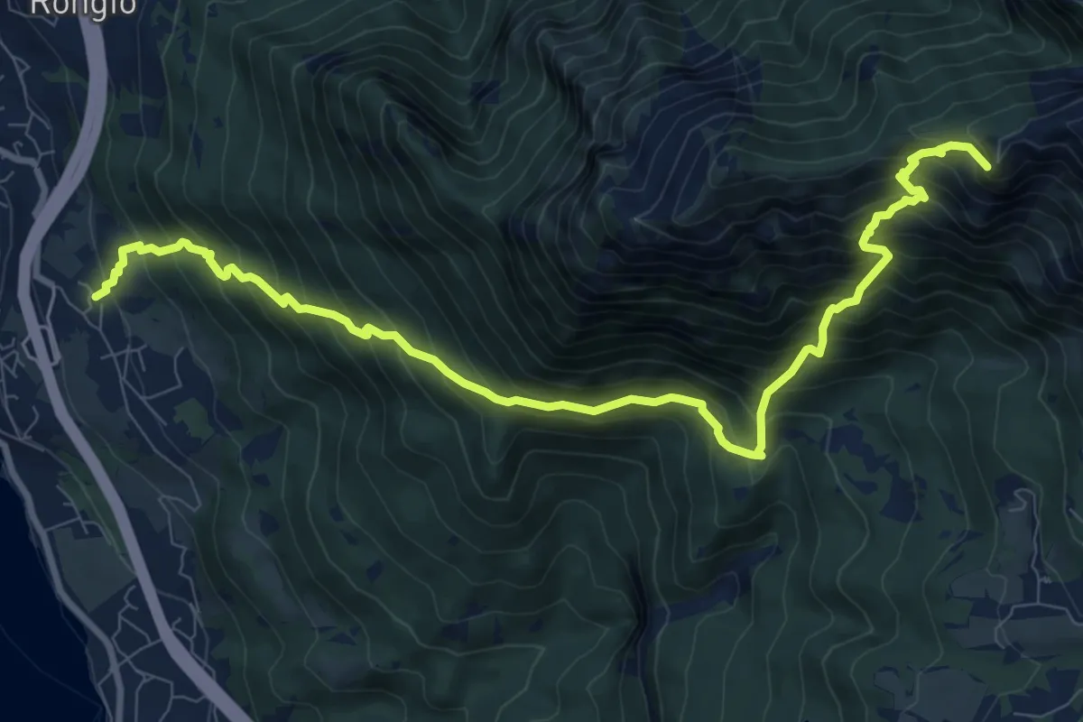
Demanding · Summit
Maggiana or Rongio – Rifugio Rosalba
11.2 km · ↑ 1434 m · 5 h 45 min
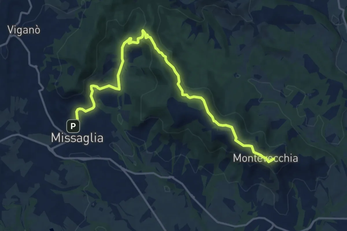
Medium · Summit
Montevecchia – Missaglia
12.8 km · ↑ 341 m · 3 h 45 min