Trails in Italy
25,219 hiking trails, each with its route, climb, walking time and grade.
All trails, page 474 of 526
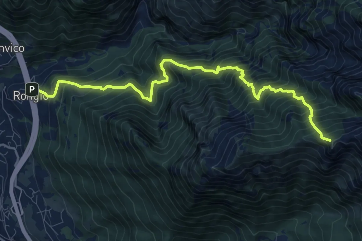
Demanding · Summit
Rongio – Rifugio Rosalba
11.2 km · ↑ 1537 m · 5 h 58 min
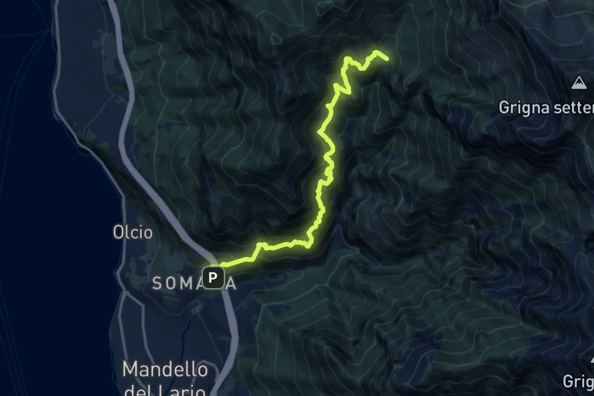
Demanding · Summit
Somana – Bocchetta di Prada
12.0 km · ↑ 1371 m · 5 h 48 min
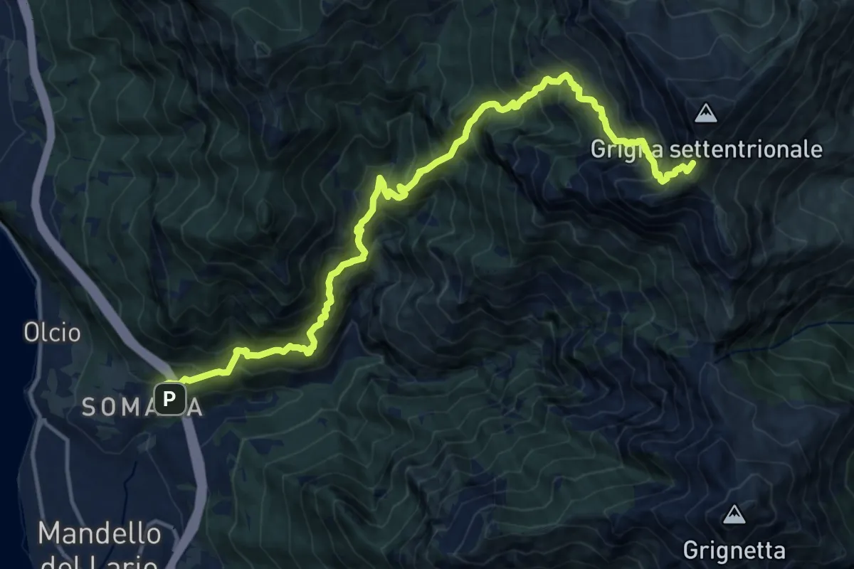
Demanding · Trail
Somana – Grignone
8.2 km · ↑ 2058 m · 5 h 35 min
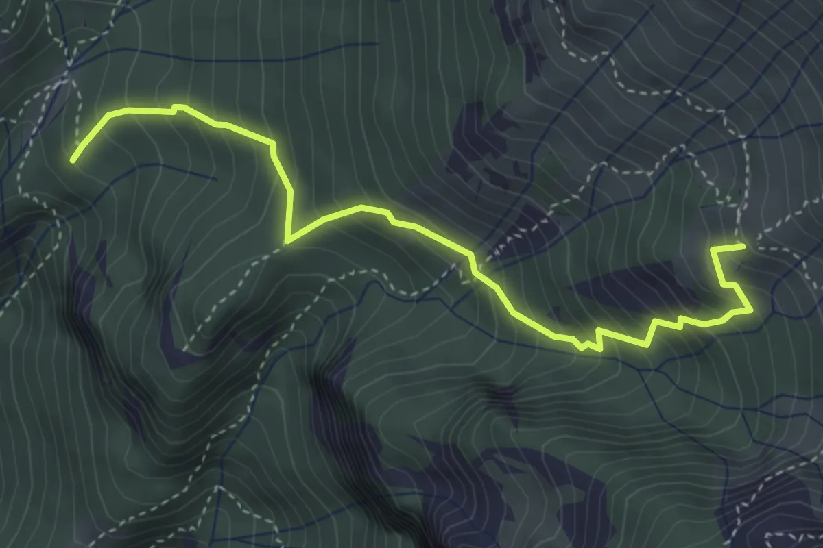
Medium · Summit
Alpe Calivazzo – Rifugio Bietti
4.1 km · ↑ 544 m · 2 h 9 min
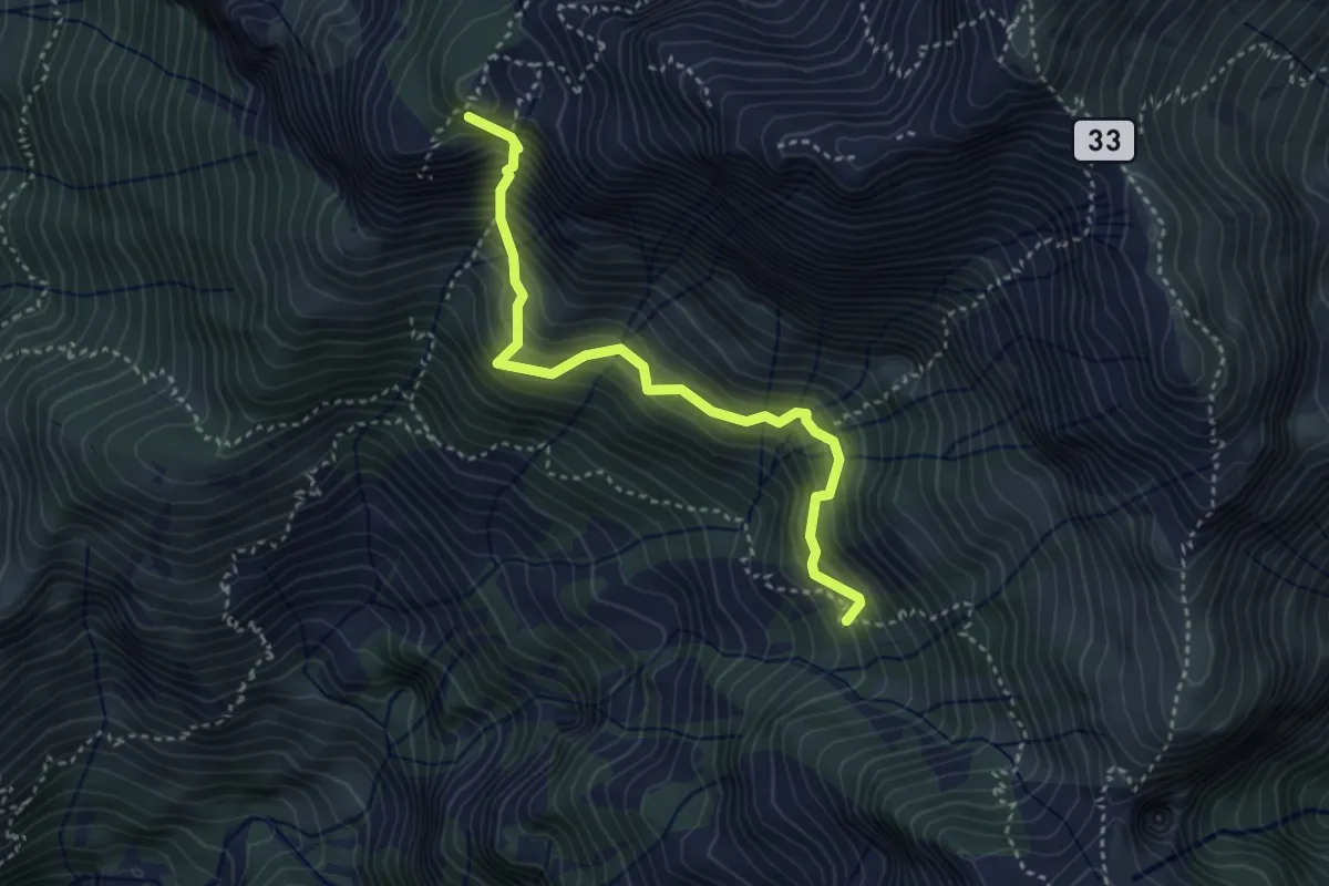
Expert · Summit
Rifugio Elisa – Rifugio Bietti
3.6 km · ↑ 580 m · 2 h 7 min
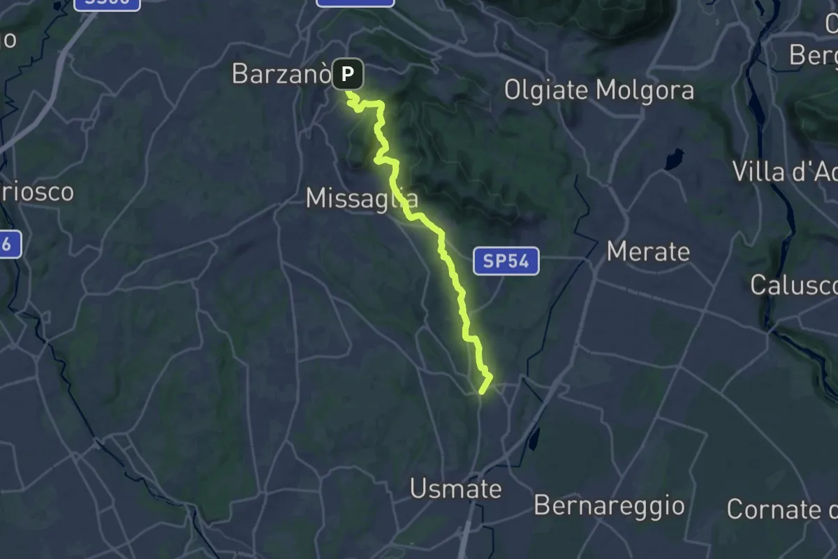
Demanding · Trail
Sirtori – Lomagna
20.3 km · ↑ 463 m · 5 h 47 min
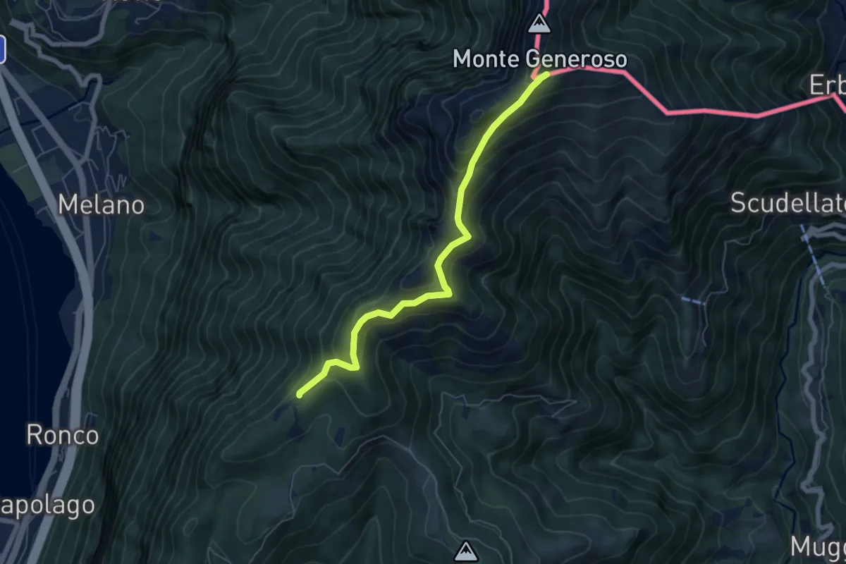
Medium · Trail
Bellavista – M.te Generoso St.ne
5.9 km · ↑ 431 m · 2 h 20 min
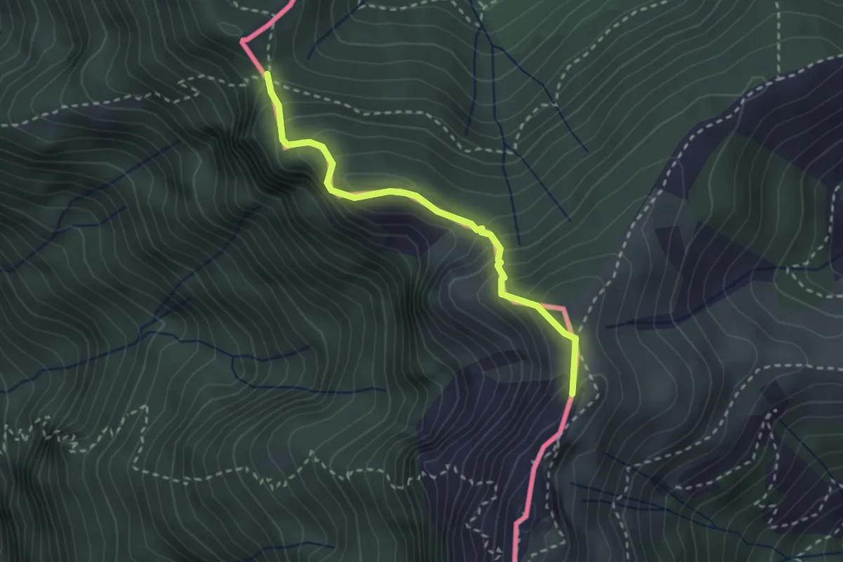
Medium · Summit
Cima Crocetta – Cima della Piancaccia
2.6 km · ↑ 298 m · 1 h 15 min
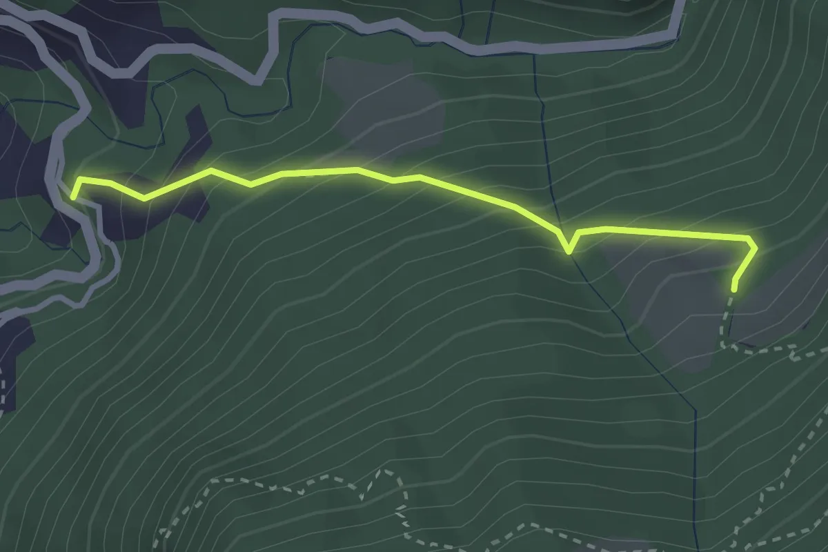
Medium · Trail
Alpe Pianca – Sasso Grosso
2.7 km · ↑ 327 m · 1 h 20 min
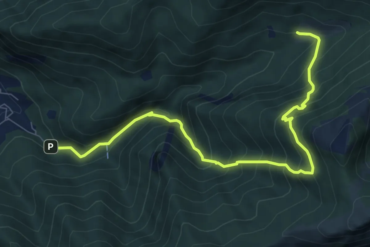
Demanding · Trail
Fonti di Gajum – Terz'Alpe
8.5 km · ↑ 900 m · 3 h 57 min
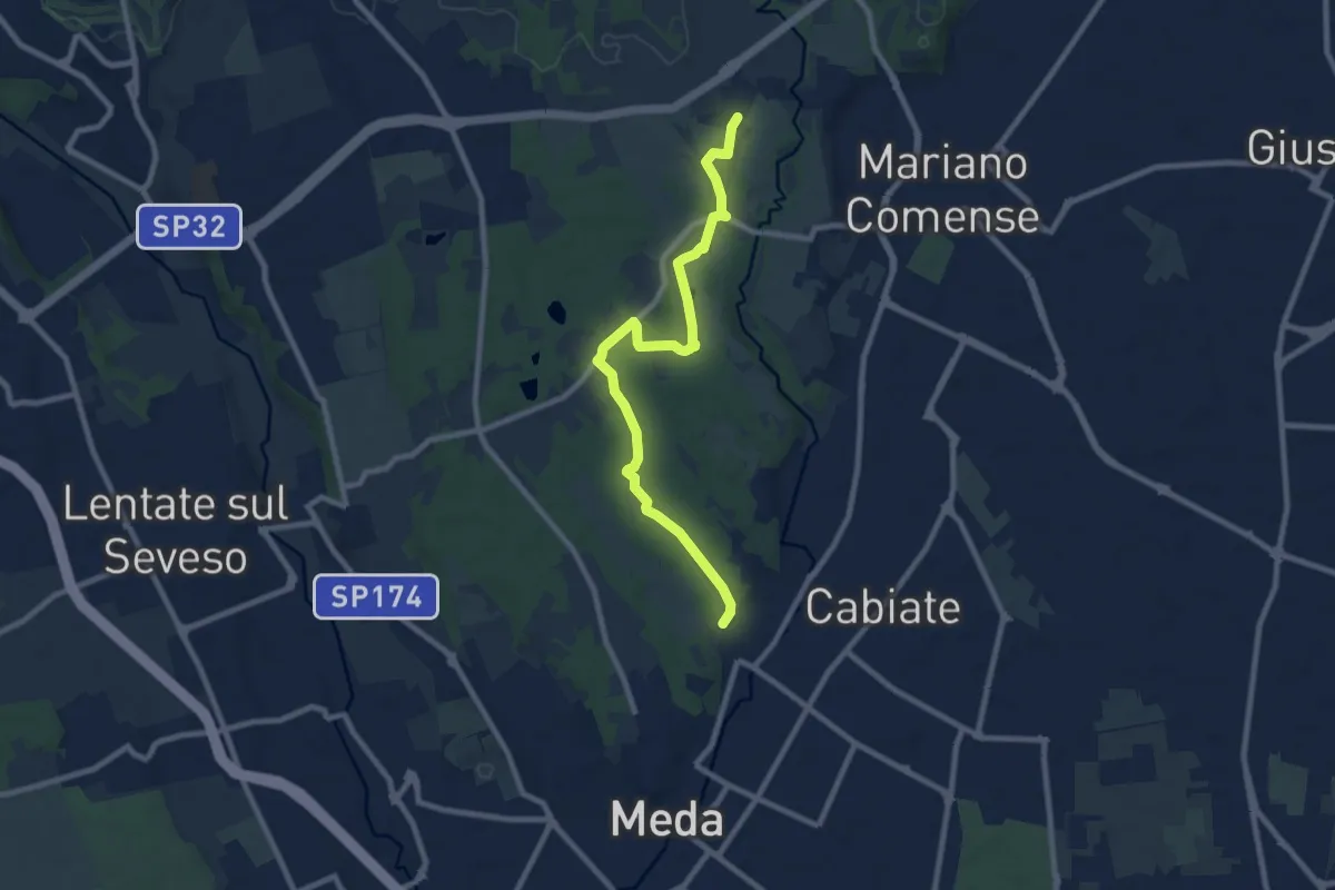
Medium · Trail
Meda (Pian delle Monache) – Cascina Castel Marino
9.2 km · ↑ 59 m · 2 h 18 min
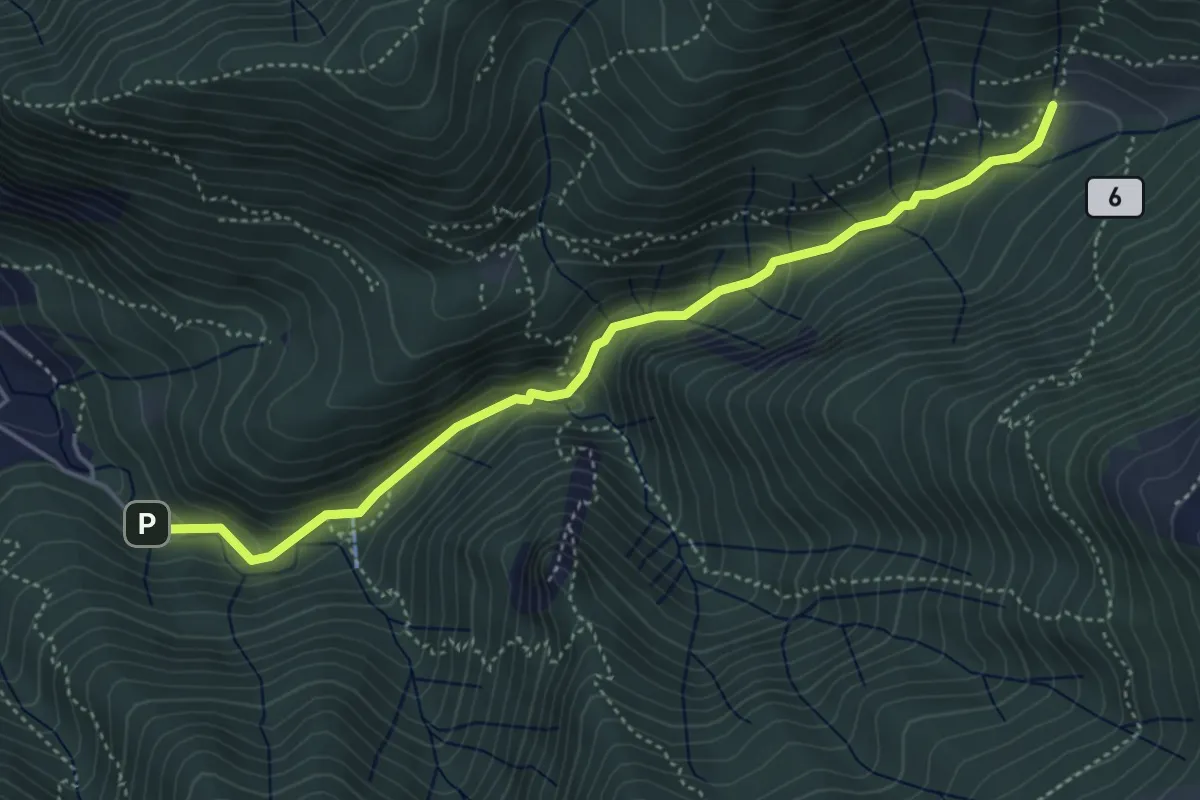
Medium · Trail
Fonti di Gajum – Terz'Alpe
4.8 km · ↑ 303 m · 1 h 47 min
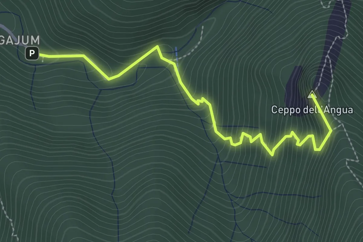
Medium · Summit
Fonti di Gajum – Rifugio Consiglieri
3.2 km · ↑ 370 m · 1 h 33 min
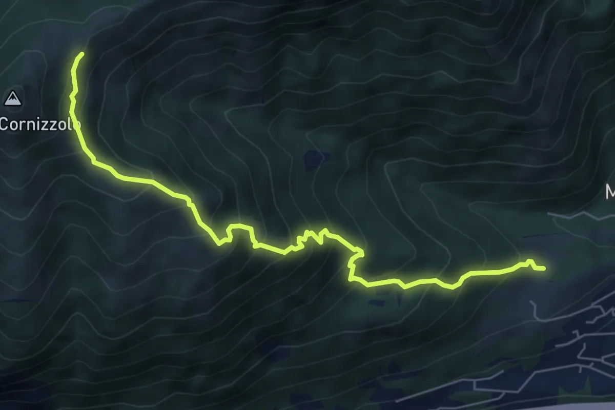
Medium · Cabin
Pozzo – Rifugio SEC Marisa Consigliere
6.7 km · ↑ 747 m · 3 h 12 min
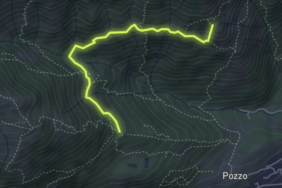
Medium · Summit
Tre Casott – Dosso della Guardia
4.1 km · ↑ 347 m · 1 h 43 min
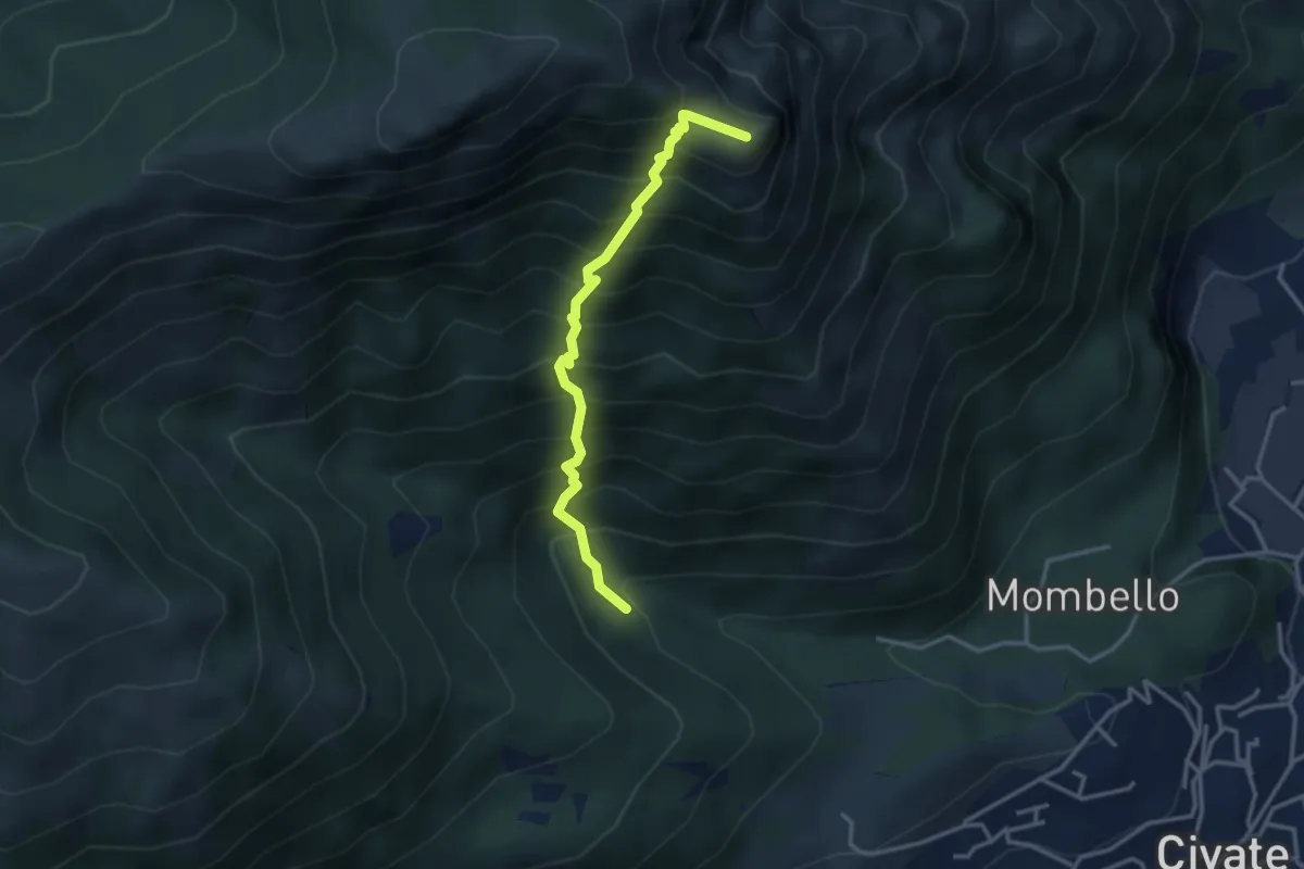
Medium · Summit
Innesto 10 SEC – Innesto 1 OSA
3.2 km · ↑ 652 m · 2 h 10 min
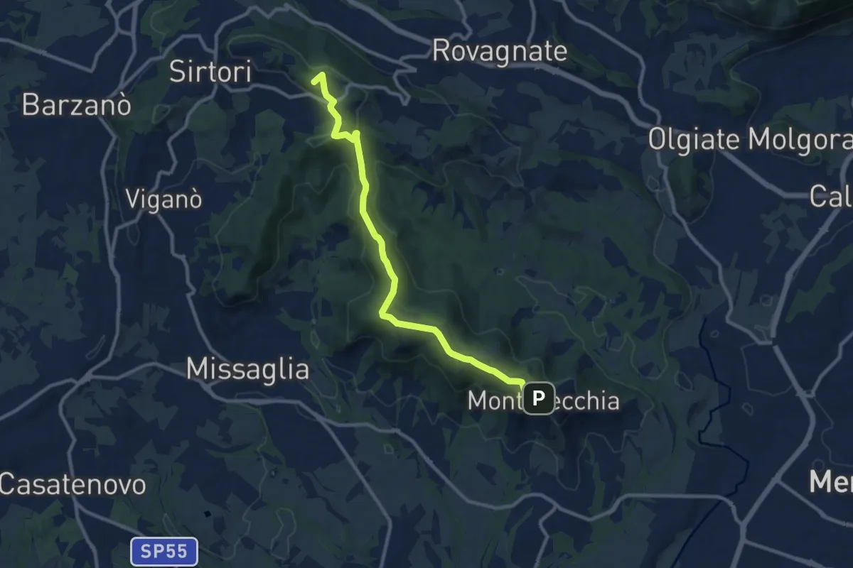
Medium · Summit
Ceregallo – Montevecchia alta
10.2 km · ↑ 305 m · 3 h 5 min
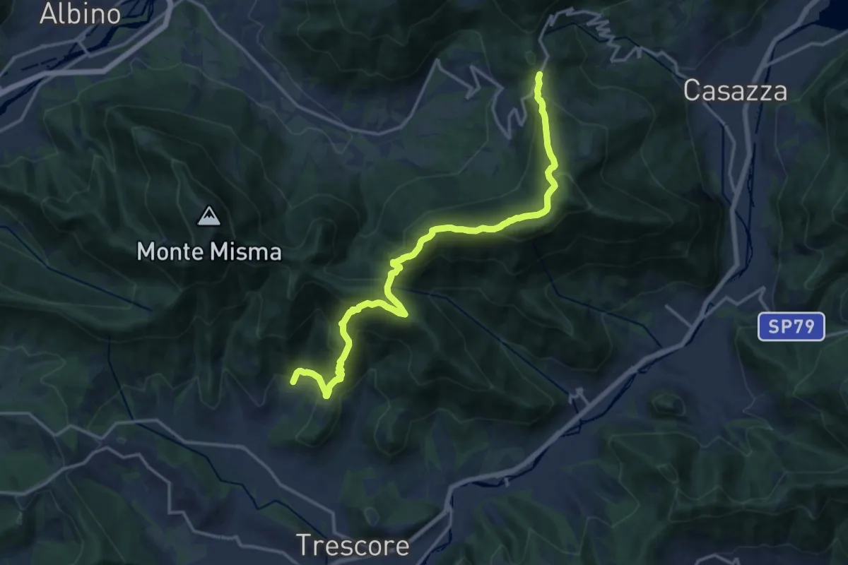
Demanding · Trail
S. Ambrogio (Cenate Sopra) – Colle Gallo
16.1 km · ↑ 1017 m · 6 h 1 min
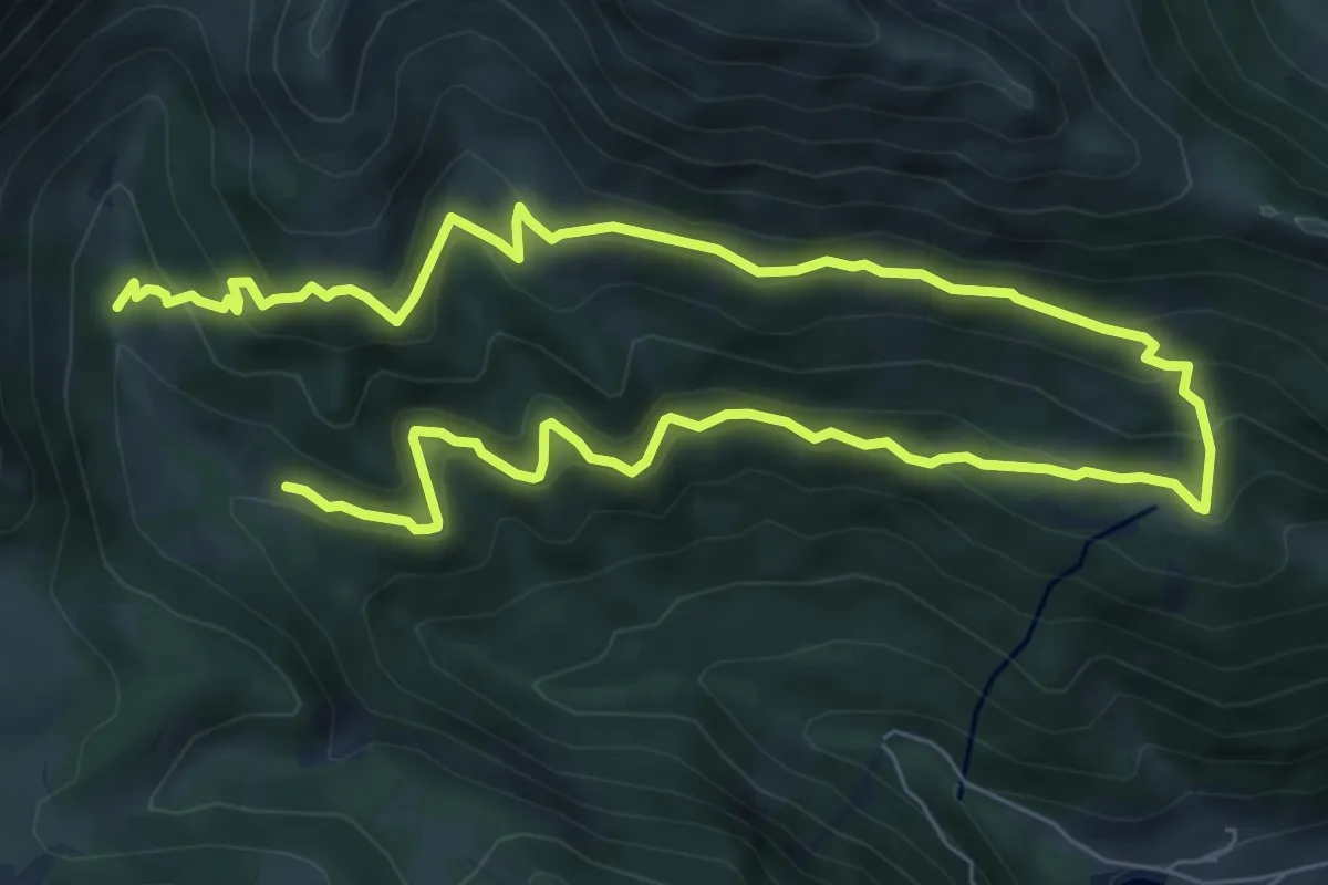
Medium · Cabin
Rifugio Alpe Corte – Rifugio Alpe Corte
6.2 km · ↑ 395 m · 2 h 26 min
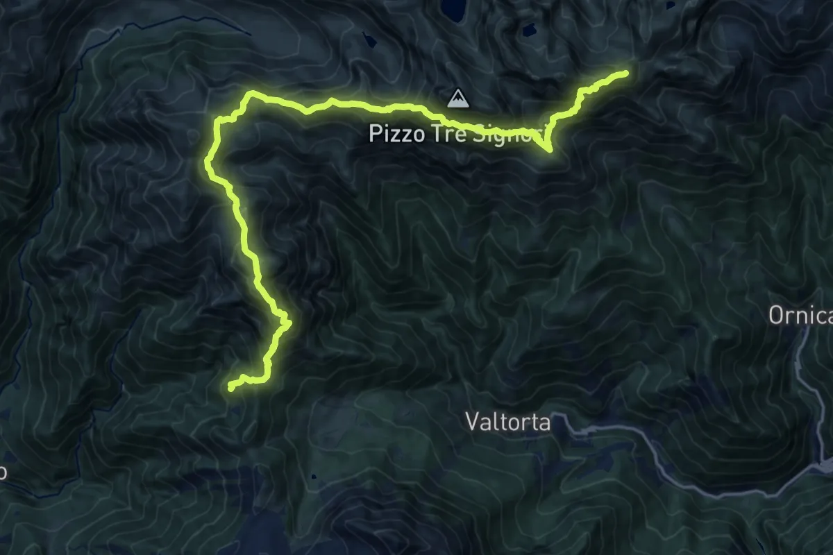
Demanding · Summit
Rifugio Buzzoni – Rifugio Cesare Benigni
20.8 km · ↑ 1713 m · 8 h 37 min
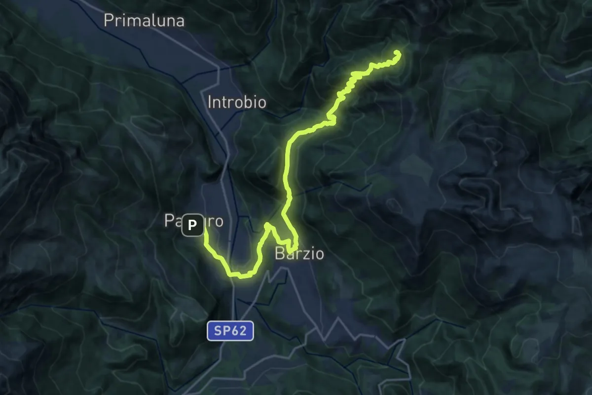
Demanding · Cabin
Pasturo – Rifugio Buzzoni
10.6 km · ↑ 1181 m · 4 h 46 min
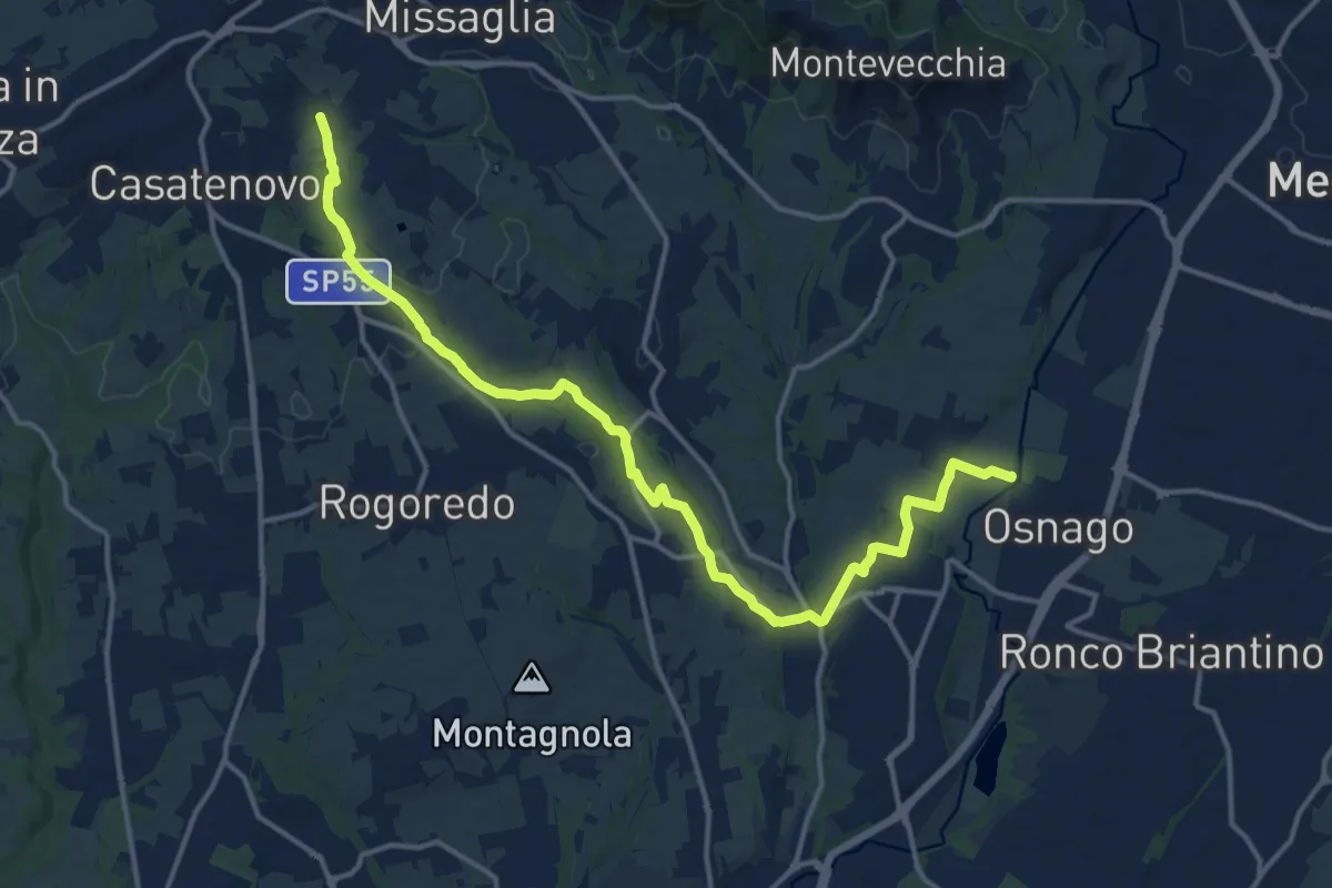
Medium · Trail
Osnago – Misericordia
17.0 km · ↑ 147 m · 4 h 20 min
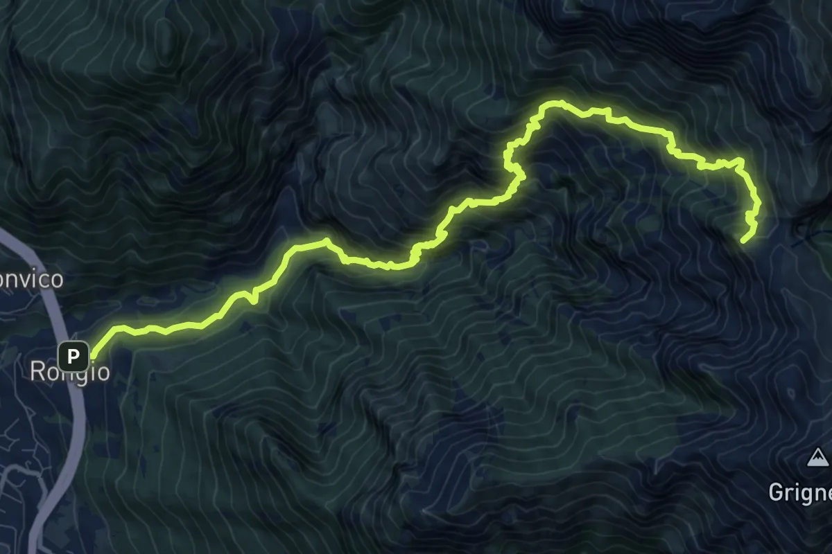
Demanding · Summit
Rongio – Buco di Grigna
14.8 km · ↑ 1871 m · 7 h 33 min
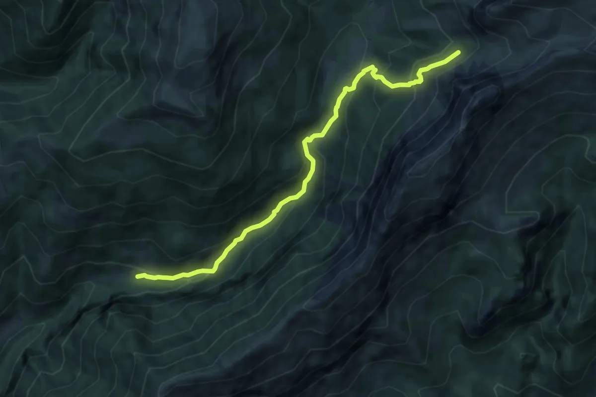
Medium · Trail
Spinelli – Rifugio Olmo (incrocio 320)
9.1 km · ↑ 699 m · 3 h 40 min
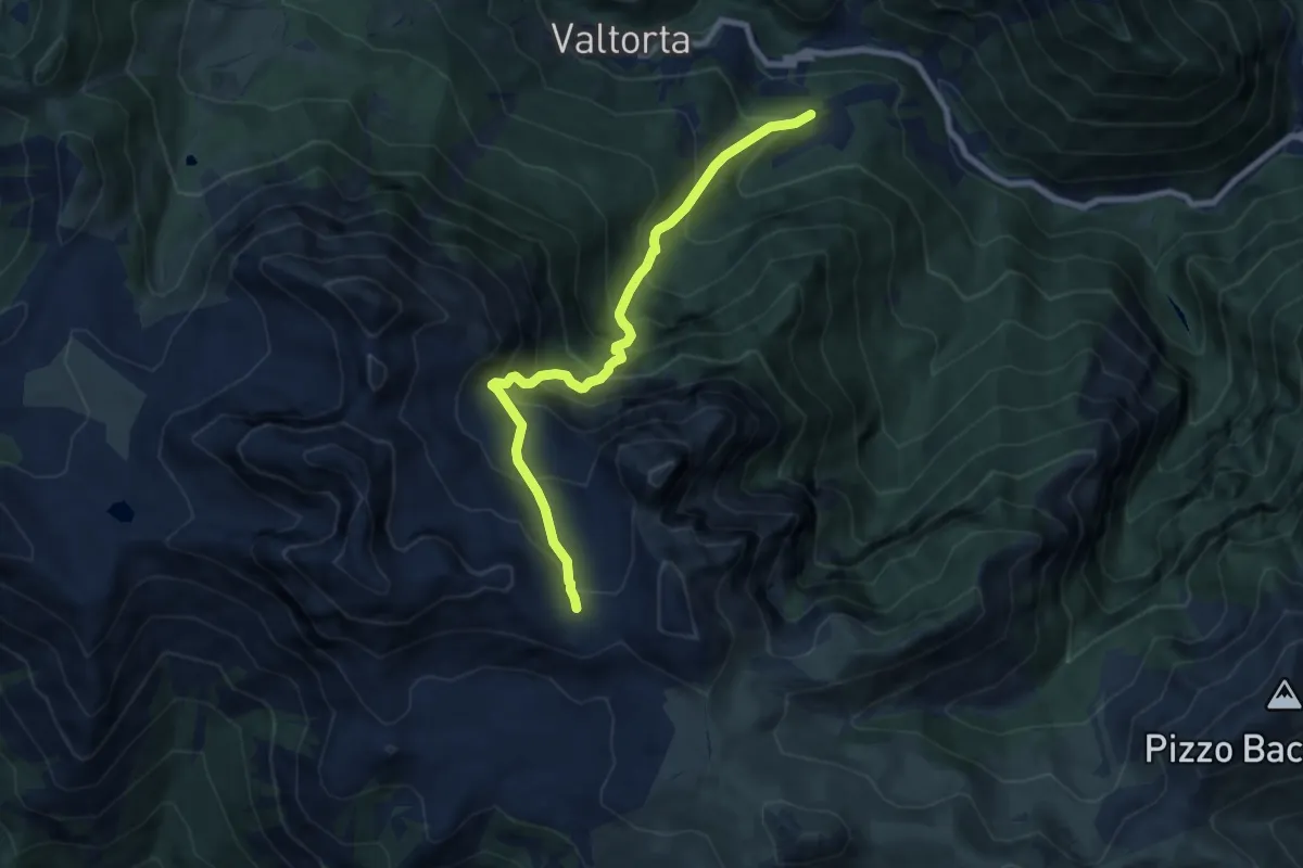
Demanding · Trail
Piani di Valtorta – Incrocio 101 (Rif. Cazzaniga)
8.0 km · ↑ 961 m · 3 h 58 min
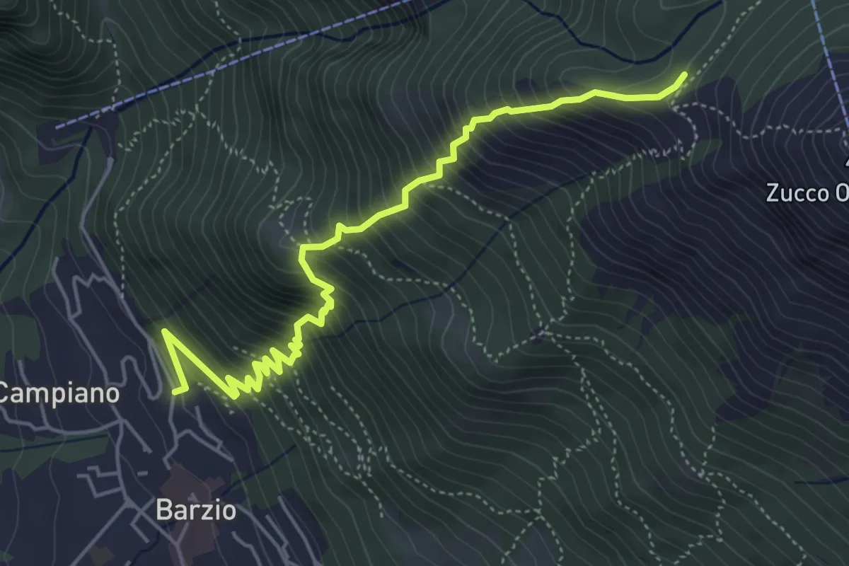
Medium · Trail
Robiasca – Albergo Pequeno
5.6 km · ↑ 800 m · 3 h 4 min
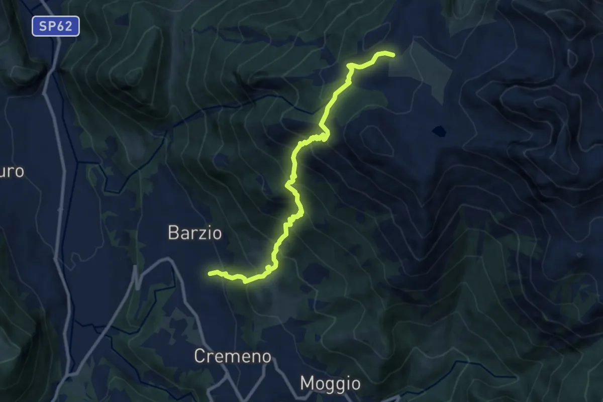
Demanding · Trail
Vallicello – Piani di Bobbio (Chiesa)
8.7 km · ↑ 919 m · 4 h 3 min
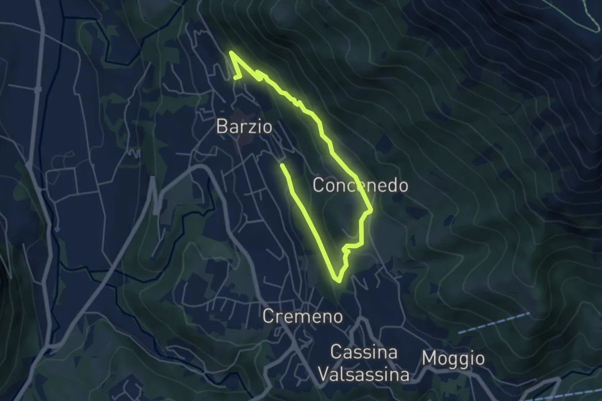
Easy · Trail
Robiasca – Berlendino
6.5 km · ↑ 287 m · 2 h 9 min
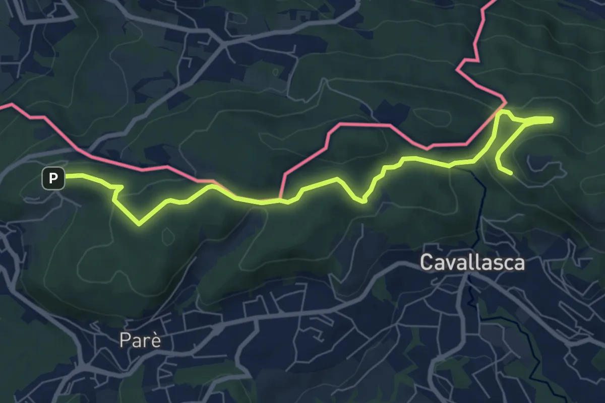
Medium · Trail
Bizzarone – Como
8.2 km · ↑ 264 m · 2 h 30 min
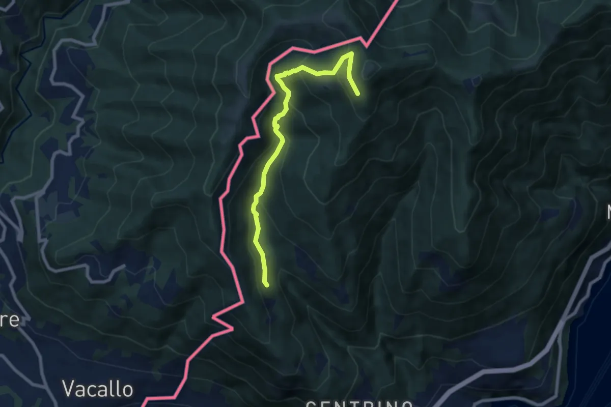
Medium · Trail
Como (Monte Olimpino) – Rifugio Prabello
6.7 km · ↑ 510 m · 2 h 42 min
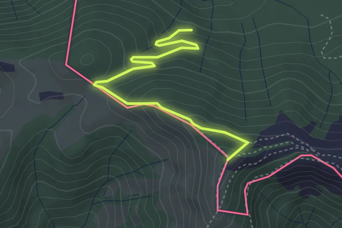
Medium · Summit
Rifugio Prabello – Rifugio Boffalora
3.9 km · ↑ 291 m · 1 h 34 min
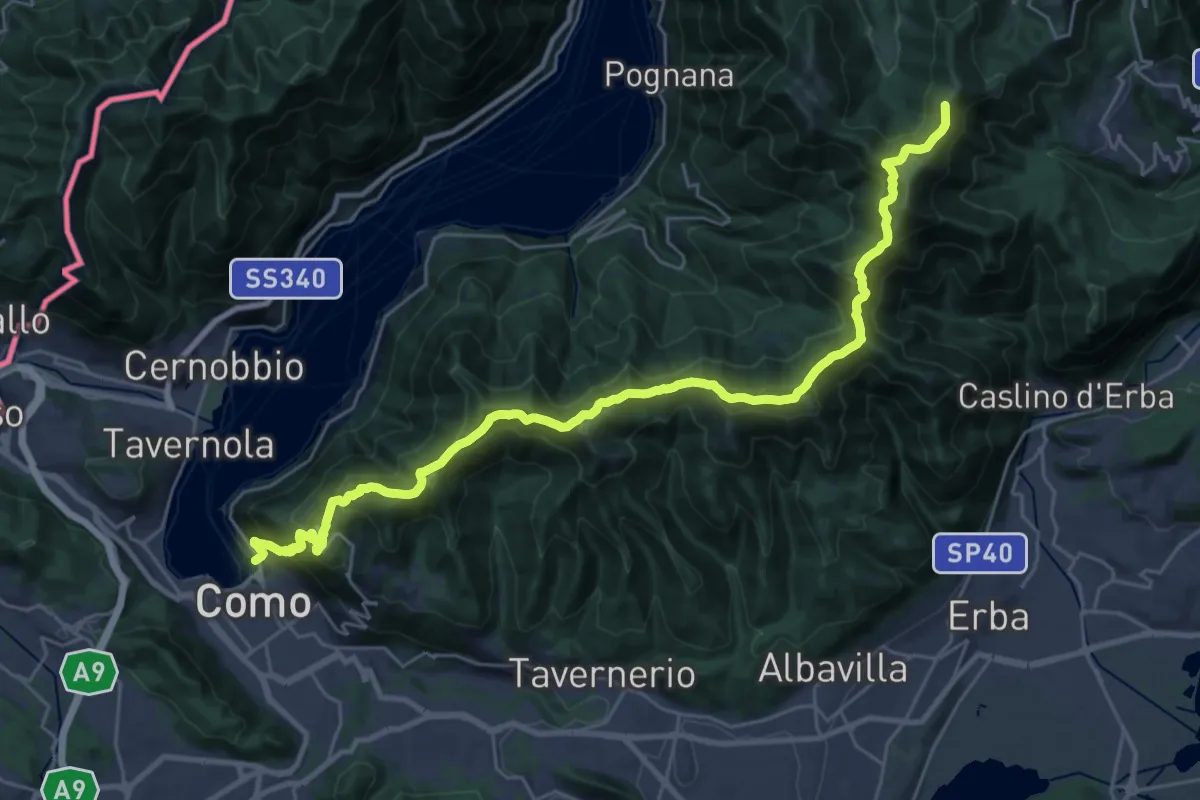
Demanding · Summit
Como – Piano del Tivano
32.2 km · ↑ 2080 m · 12 h 6 min
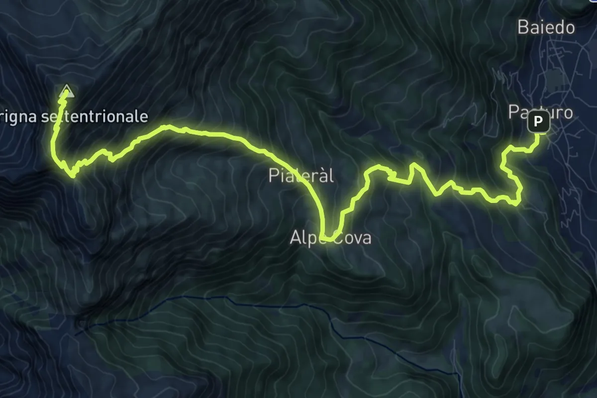
Demanding · Summit
Rifugio Luigi Brioschi – Pasturo
16.5 km · ↑ 1832 m · 7 h 52 min
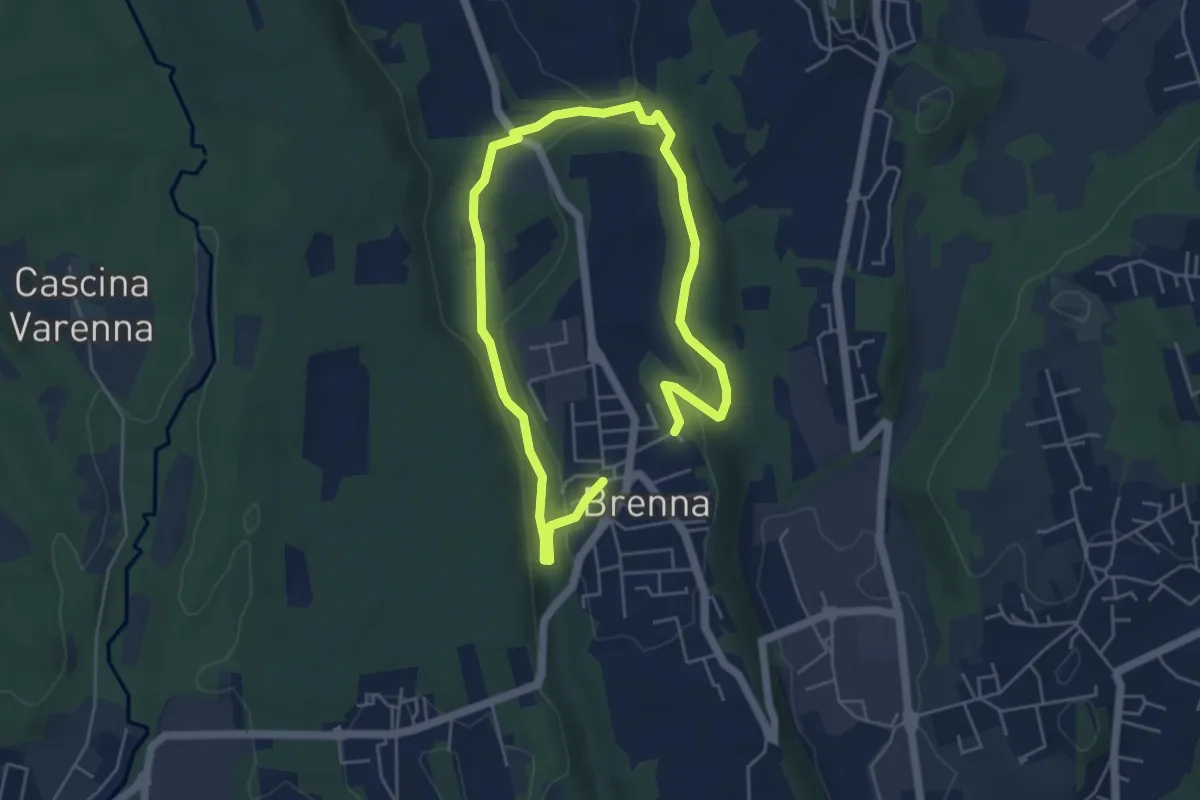
Easy · Trail
Valle Sorda – Valle di Brenna
3.9 km · ↑ 70 m · 1 h 8 min
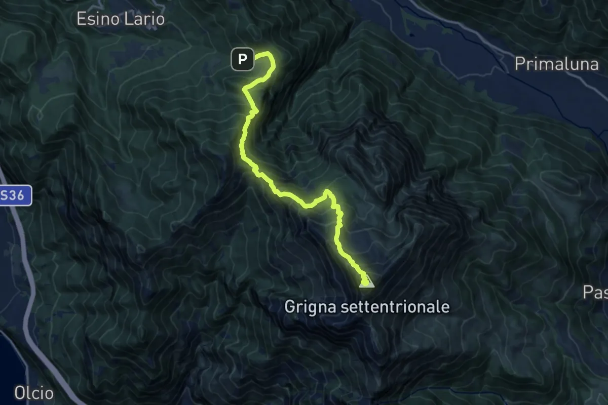
Demanding · Summit
Alpe Cainallo – Rifugio Luigi Brioschi
14.1 km · ↑ 1286 m · 6 h 7 min
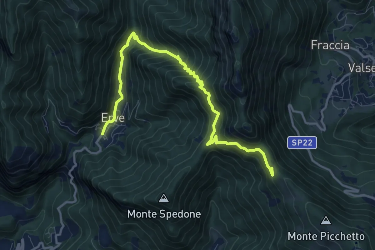
Demanding · Trail
Convento del Pertus – Erve, Piazza del Municipio
10.4 km · ↑ 869 m · 4 h 20 min
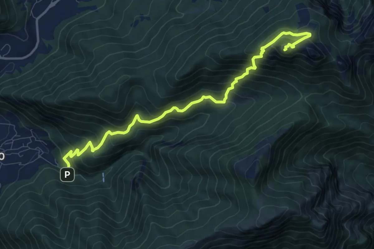
Expert · Summit
Fonti di Gajum – Vetta Corno Occidentale
10.7 km · ↑ 937 m · 4 h 33 min
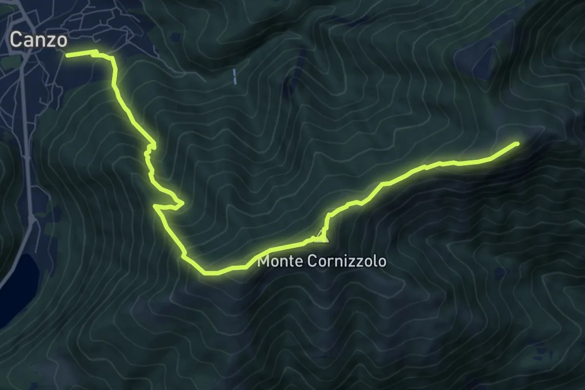
Demanding · Summit
Chiesa di San Francesco (Canzo) – La Colma (Rifugio Marisa Consiglieri)
11.0 km · ↑ 1087 m · 4 h 58 min
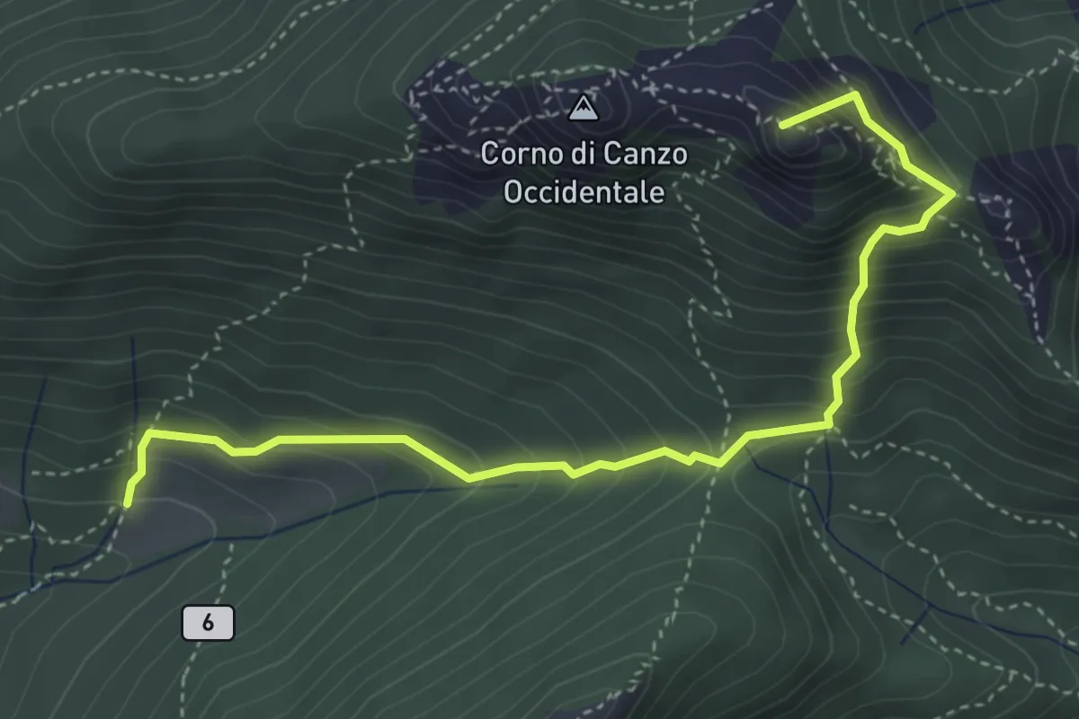
Medium · Summit
Terz'Alpe – Rifugio SEV Pianezzo
4.5 km · ↑ 519 m · 2 h 11 min
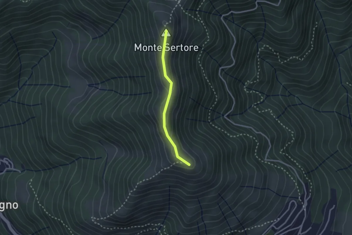
Easy · Summit
Bocchetta di Pigra – Pizzo Pasquella
2.1 km · ↑ 71 m · 39 min
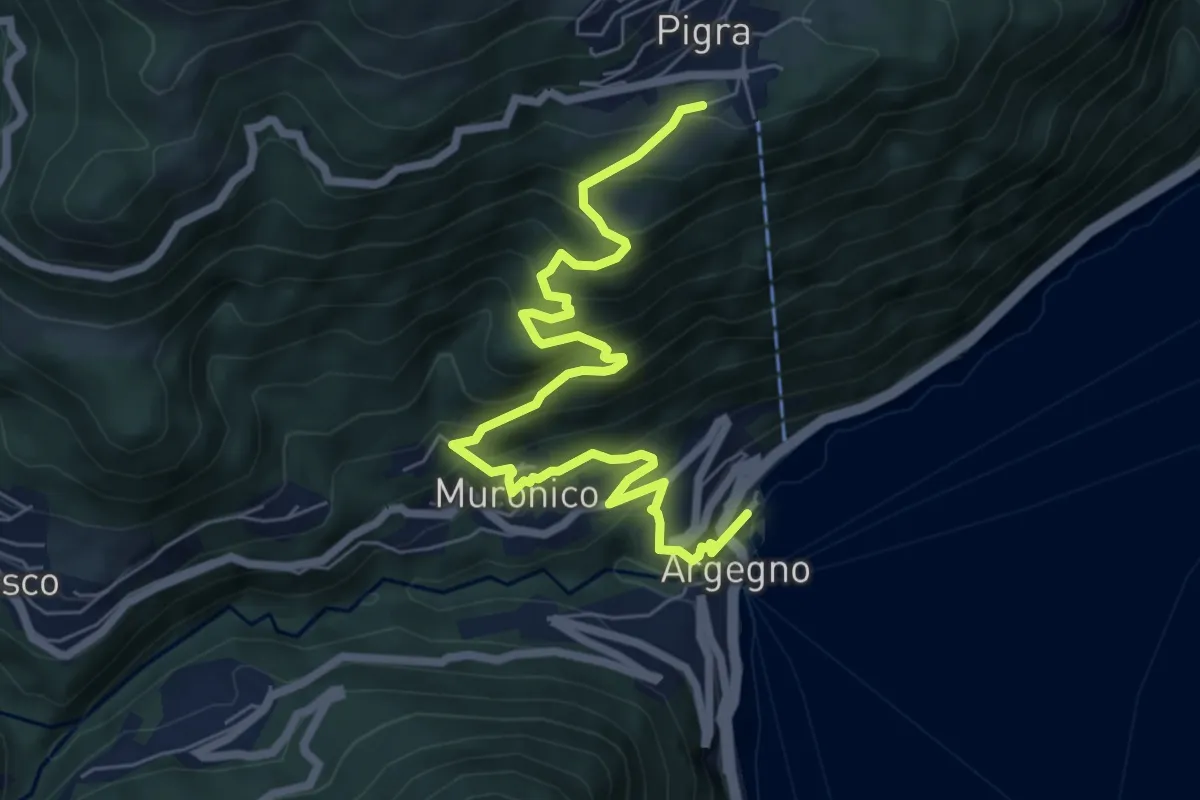
Medium · Trail
Pigra (chiesa) – Argegno (parcheggio chiesa)
7.8 km · ↑ 689 m · 3 h 20 min
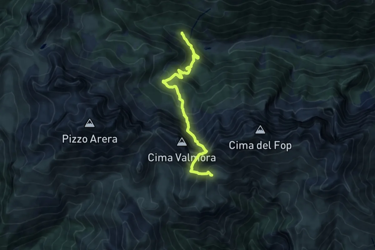
Expert · Cabin
Valcanale – Baita Santamaria in Leten
10.8 km · ↑ 1164 m · 5 h 4 min
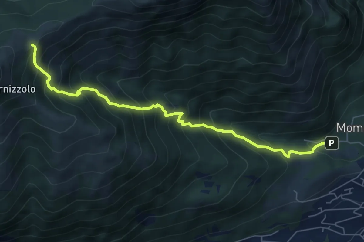
Medium · Cabin
Pozzo – Rifugio SEC Marisa Consigliere
6.2 km · ↑ 778 m · 3 h 9 min
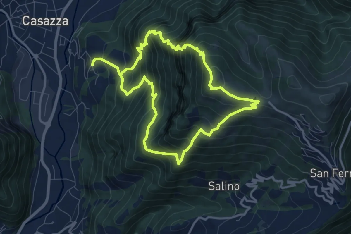
Demanding · Summit
Colognola (Casazza) – Colognola (Casazza)
7.6 km · ↑ 865 m · 3 h 44 min
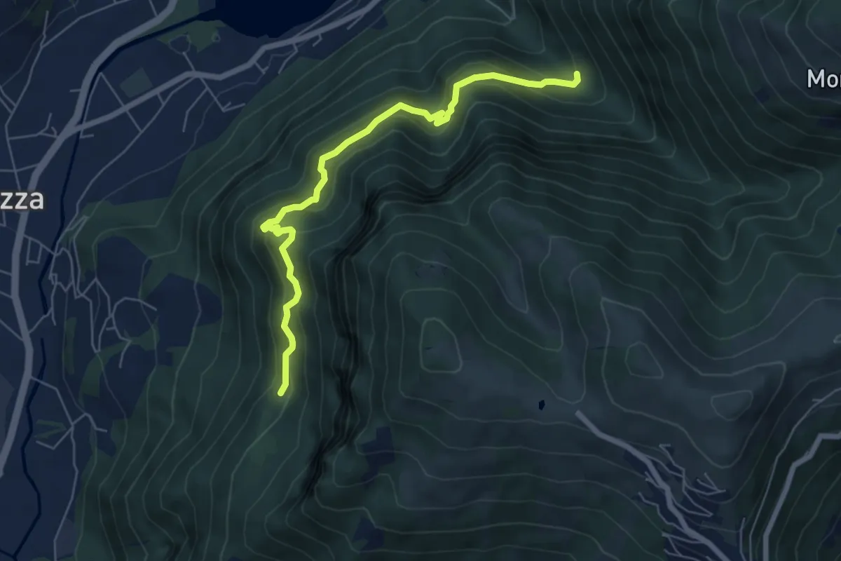
Medium · Trail
Cummia (Colognola di Casazza) – Fontanello
6.4 km · ↑ 498 m · 2 h 36 min
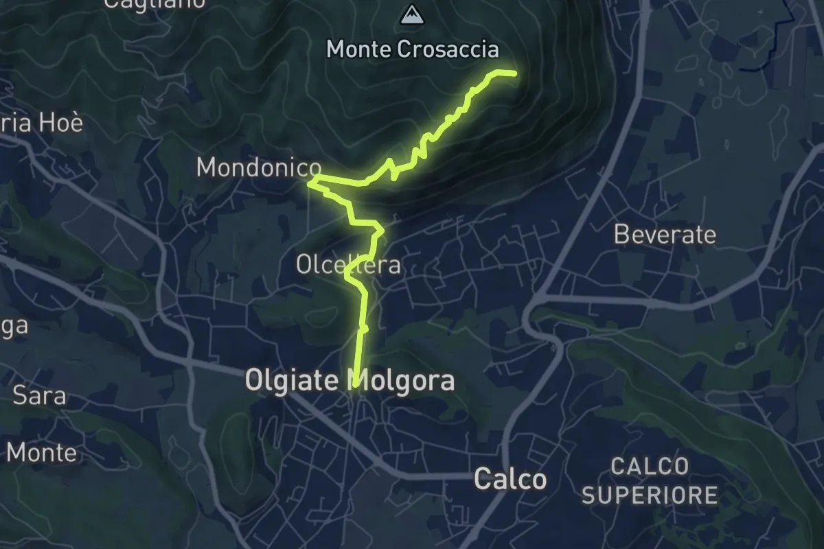
Medium · Trail
Olgiate Molgora (FS) – Crosaccia
7.3 km · ↑ 425 m · 2 h 39 min
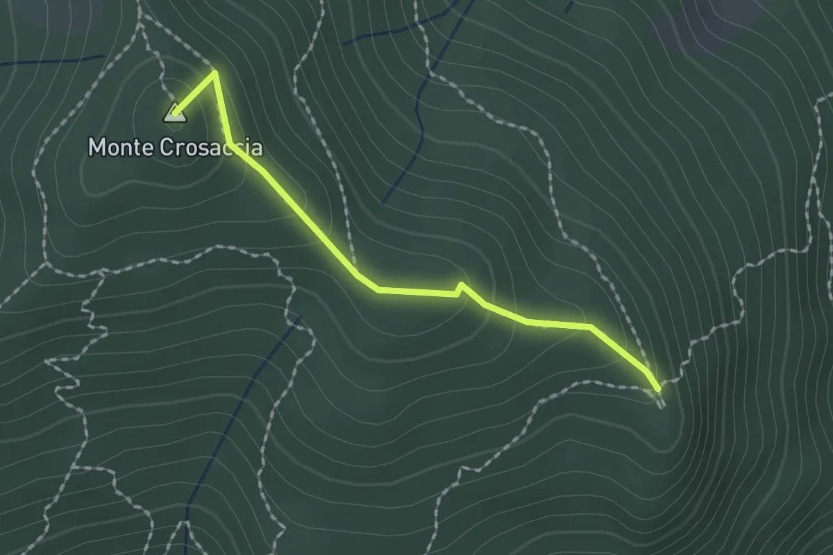
Easy · Summit
Crosaccia – Campsirago
1.7 km · ↑ 100 m · 37 min
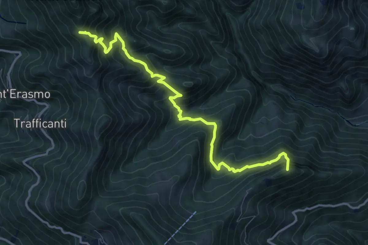
Demanding · Summit
Os-cioel (Orezzo) – Incrocio 519
10.4 km · ↑ 1063 m · 4 h 45 min