Trails in Italy
25,219 hiking trails, each with its route, climb, walking time and grade.
All trails, page 475 of 526
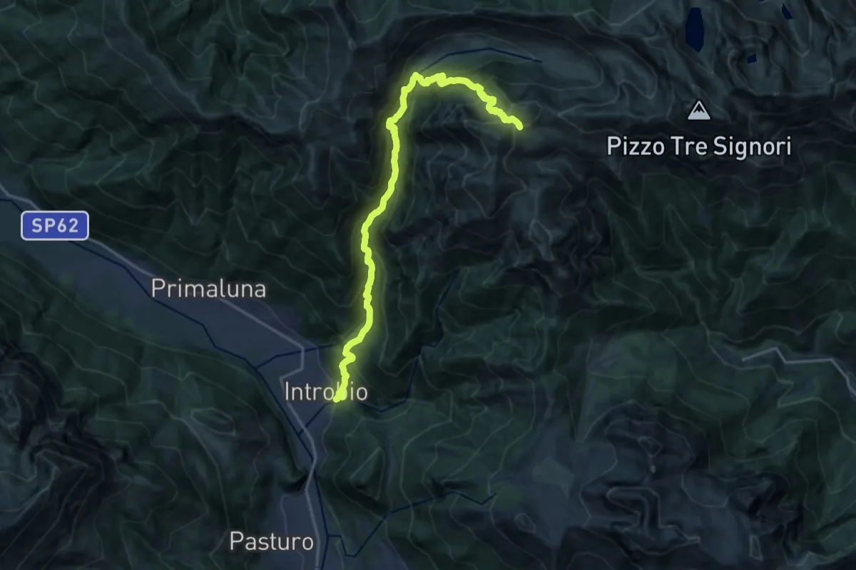
Demanding · Cabin
Introbio – Rifugio Grassi
17.7 km · ↑ 1540 m · 7 h 31 min
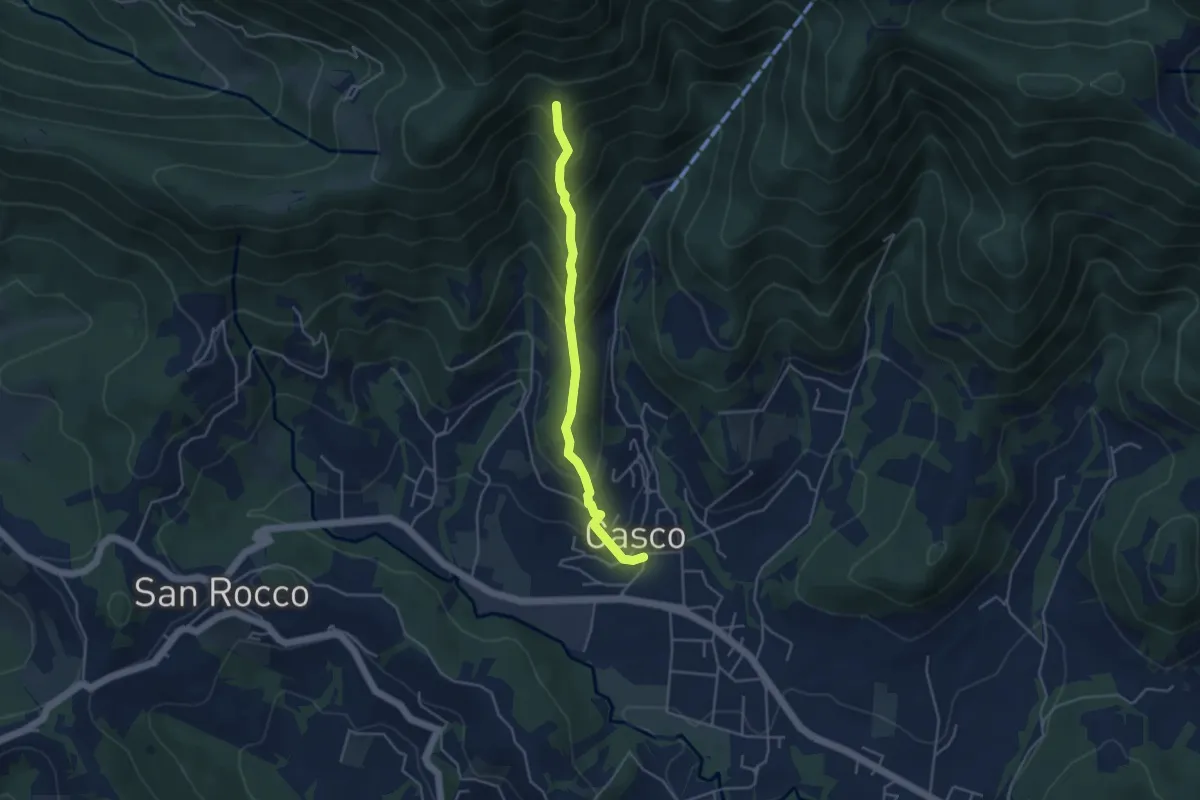
Medium · Trail
Cenate Sopra – Cà Muratori
4.0 km · ↑ 392 m · 1 h 48 min
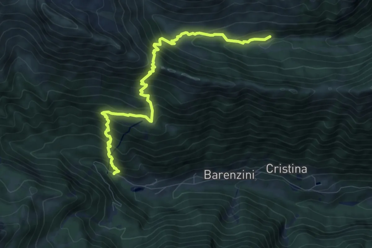
Demanding · Trail
Valcanale – Val Sanguigno incrocio 232
10.0 km · ↑ 969 m · 4 h 28 min
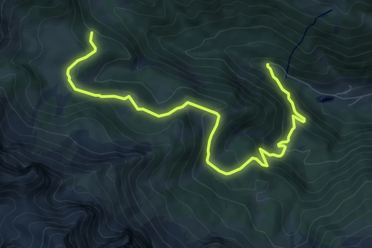
Medium · Trail
Valcanale – Baita GAN - Incrocio 218
10.3 km · ↑ 613 m · 3 h 46 min
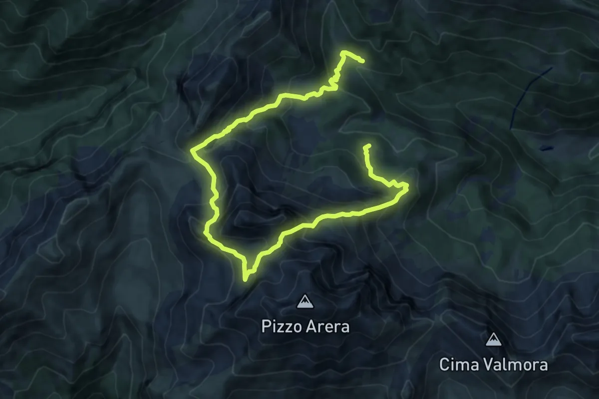
Demanding · Cabin
Rifugio Alpe Corte – Baita GAN
15.0 km · ↑ 1348 m · 6 h 28 min
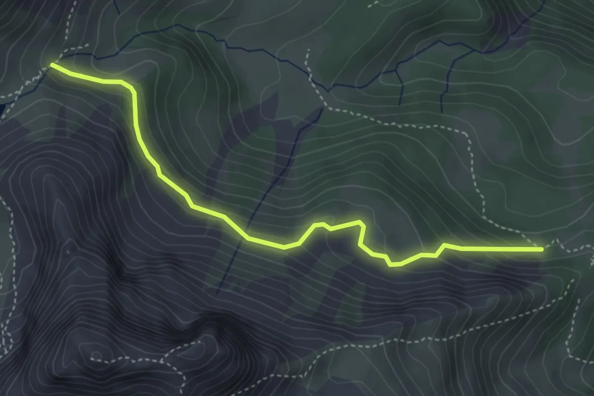
Expert · Cabin
Rifugio Lago Branchino – Baita di Piazza alta
4.3 km · ↑ 276 m · 1 h 37 min
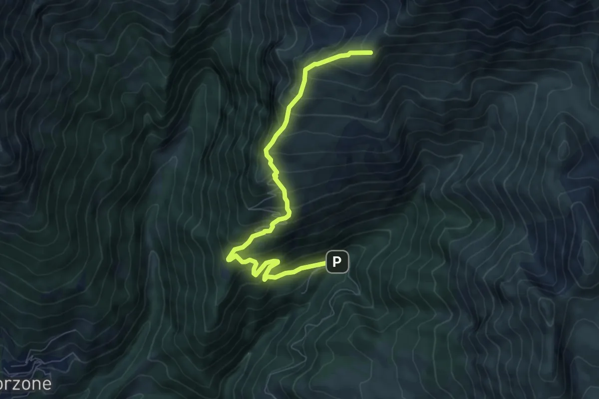
Demanding · Cabin
Zambla – Rifugio Capanna 2000
7.9 km · ↑ 847 m · 3 h 43 min
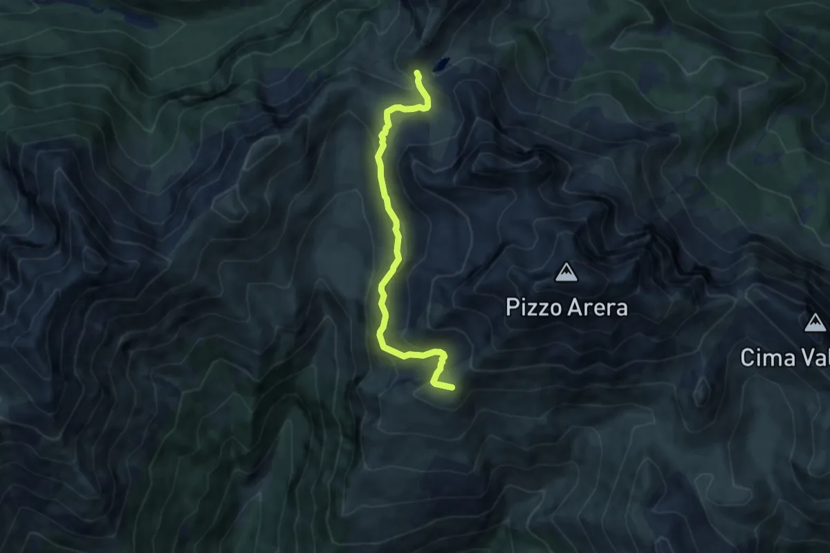
Medium · Cabin
Rifugio Capanna 2000 – Passo Branchino
7.3 km · ↑ 398 m · 2 h 35 min
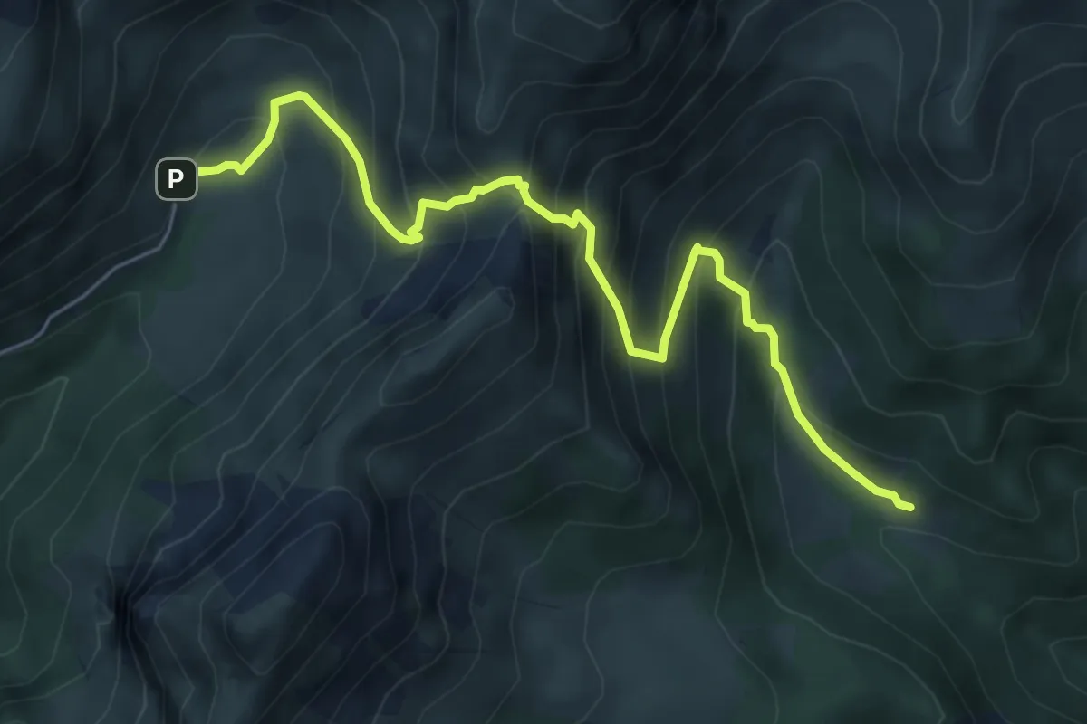
Medium · Cabin
Baite di Mezzeno – Rifugio Alpe Corte
6.4 km · ↑ 724 m · 3 h 5 min
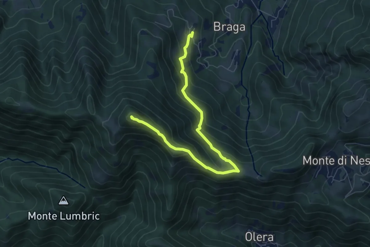
Medium · Summit
Cler (Sedrina) – Ripa (Poscante)
7.8 km · ↑ 573 m · 3 h 4 min
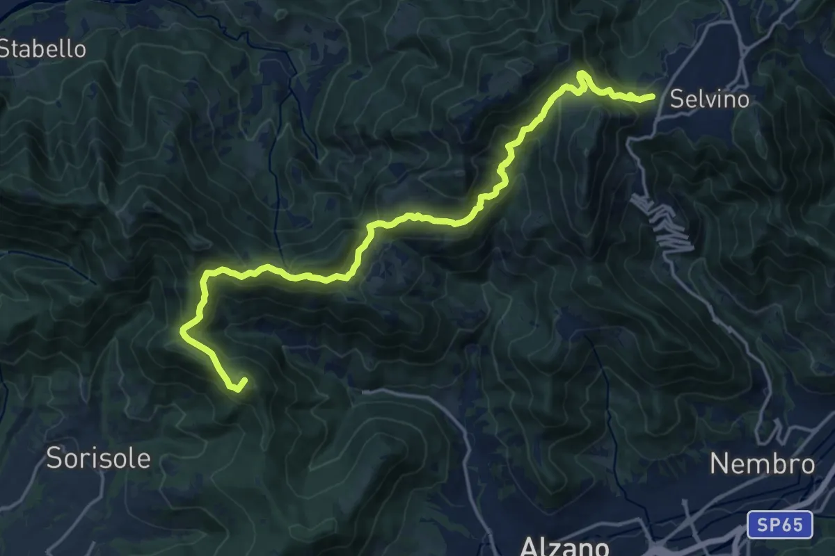
Demanding · Summit
Bergamo (Monterosso) – Selvino
18.3 km · ↑ 1015 m · 6 h 32 min
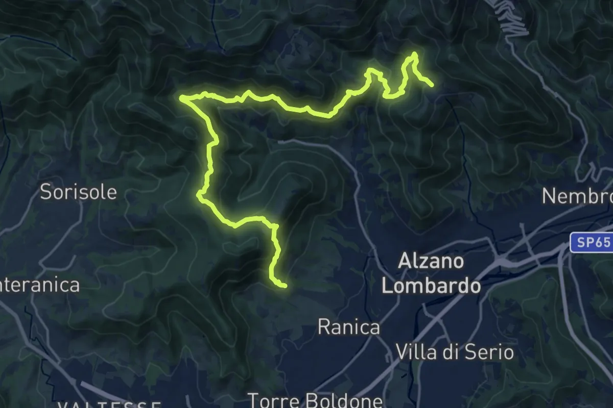
Demanding · Trail
San Rocco (Ranica) – Lonno (Nembro)
20.9 km · ↑ 1269 m · 7 h 41 min
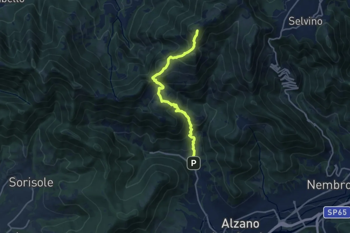
Demanding · Summit
Nese (Alzano Lombardo) – Salmezza (Selvino)
10.7 km · ↑ 906 m · 4 h 30 min
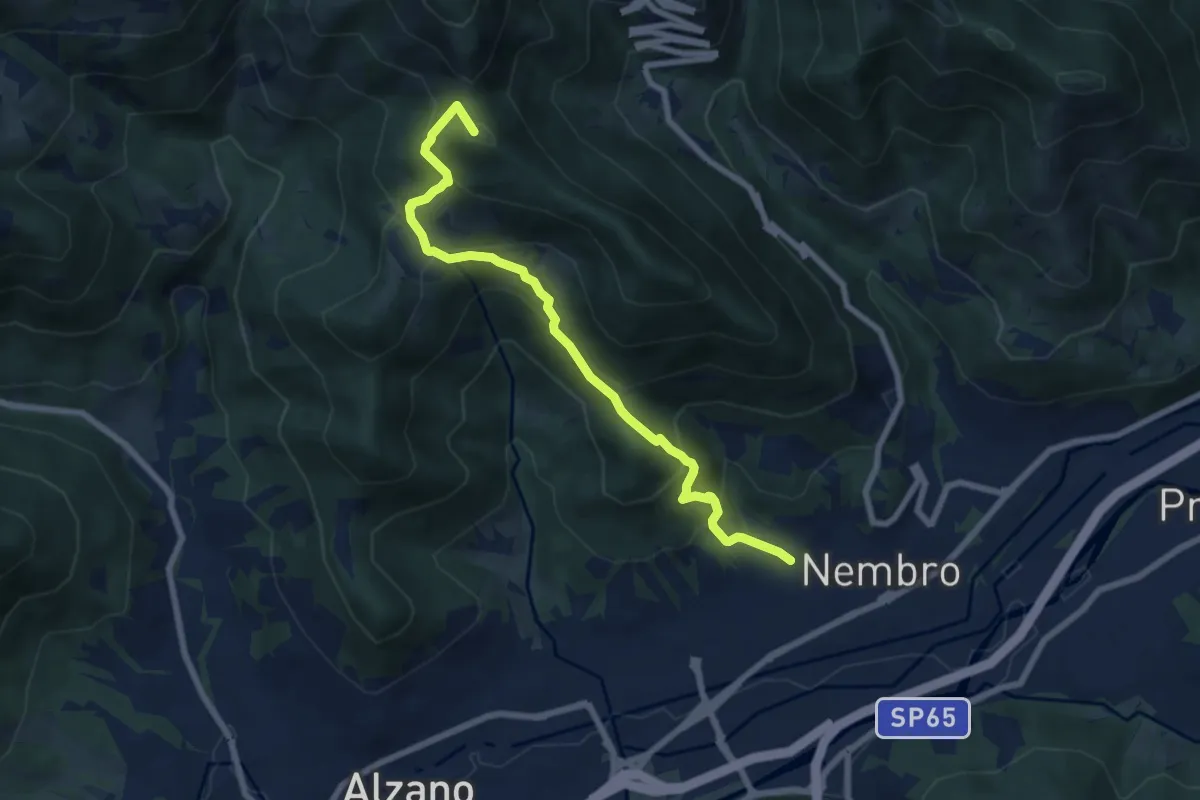
Medium · Summit
Madonna dello Zuccarello (Nembro) – Selvino
7.5 km · ↑ 583 m · 3 h 3 min
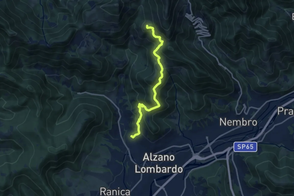
Medium · Summit
Nese (Alzano Lombardo) – Salmezza (Selvino)
9.9 km · ↑ 707 m · 3 h 52 min
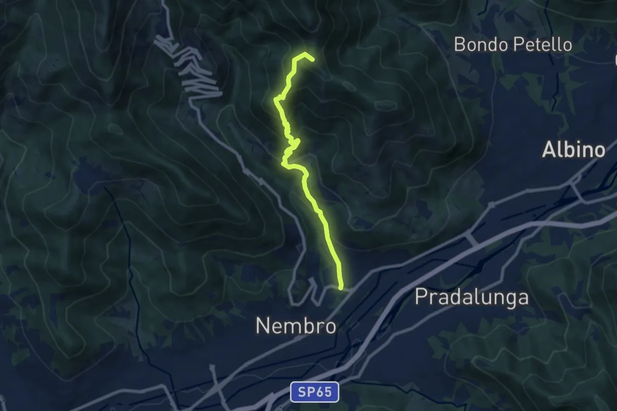
Medium · Summit
Trevasco (Nembro) – Selvino
6.8 km · ↑ 603 m · 2 h 55 min
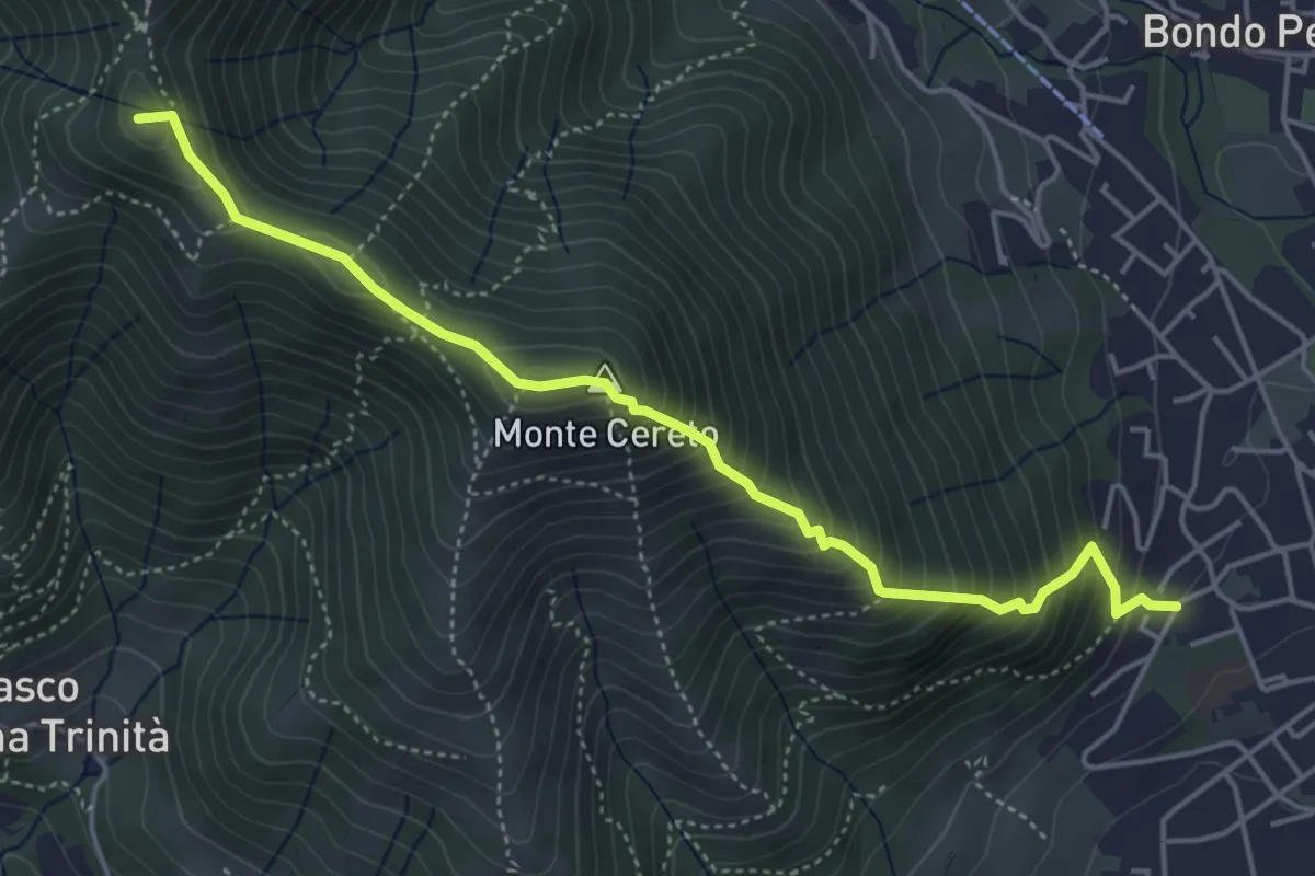
Medium · Summit
Albino – Selvino (Masu)
5.0 km · ↑ 625 m · 2 h 32 min
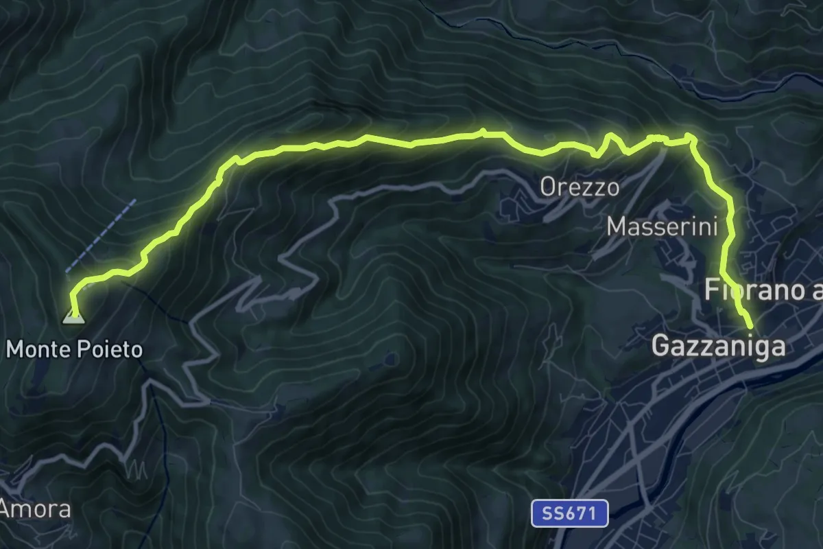
Demanding · Summit
Gazzaniga – Monte Poieto
12.6 km · ↑ 948 m · 5 h 2 min
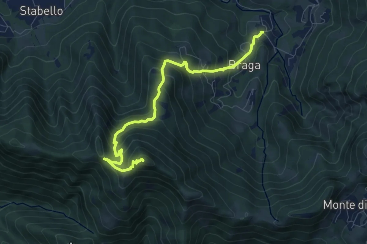
Medium · Summit
Poscante – Canto Alto
8.5 km · ↑ 775 m · 3 h 41 min
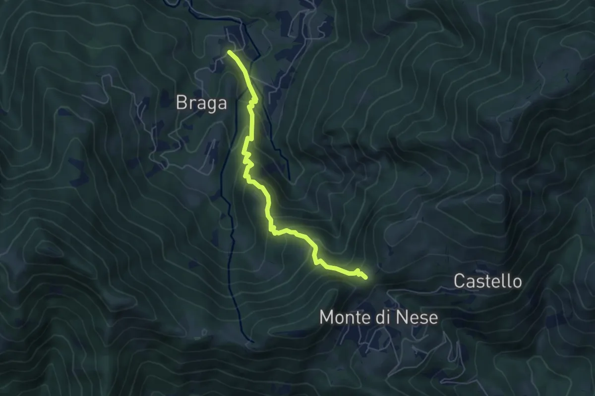
Medium · Trail
Poscante – Forcella di Monte di Nese
5.7 km · ↑ 465 m · 2 h 21 min
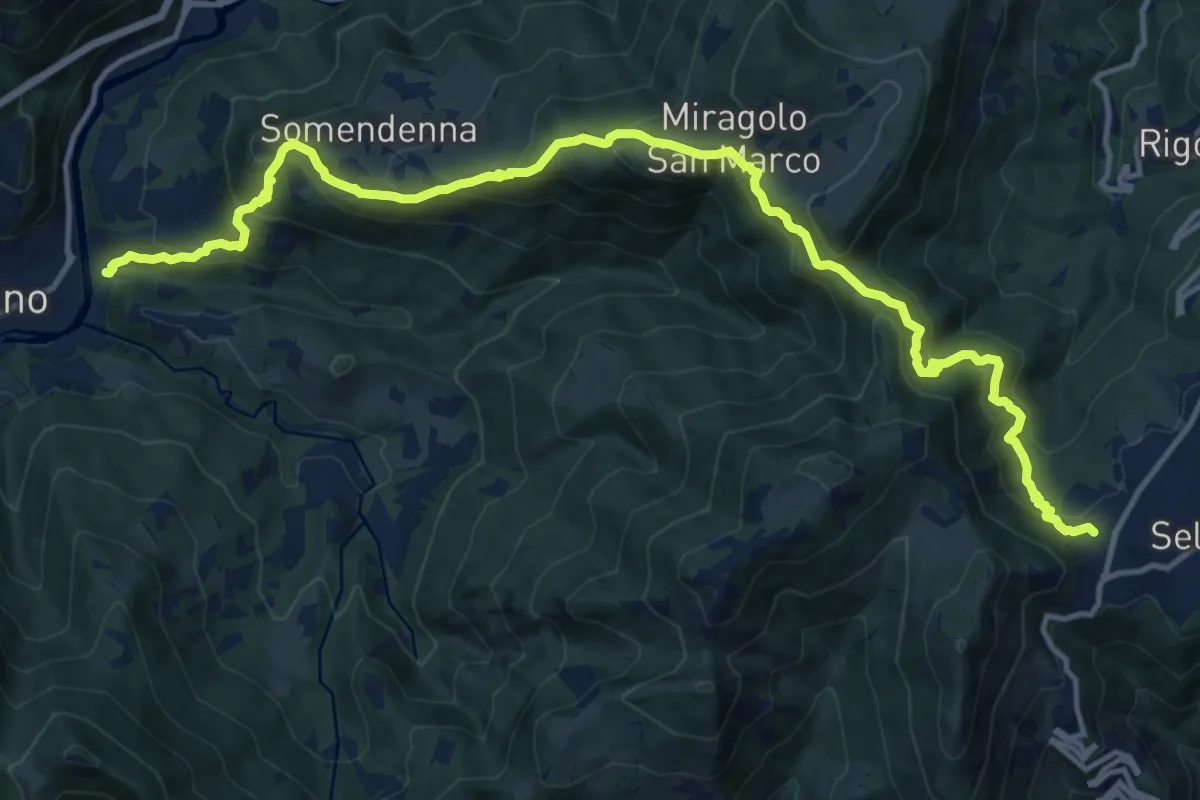
Demanding · Trail
Selvino – Zogno
16.8 km · ↑ 1180 m · 6 h 32 min
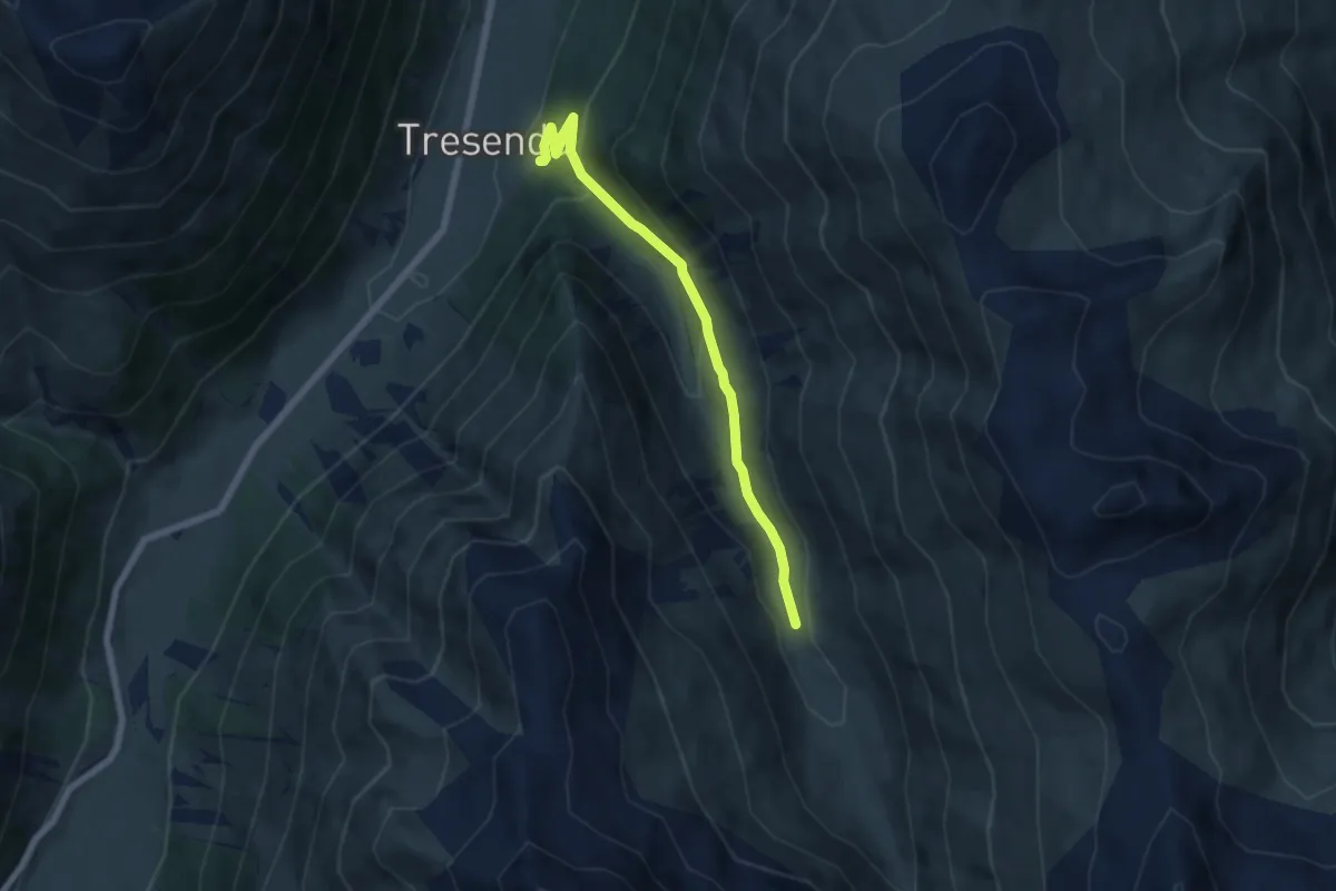
Medium · Trail
Via dali Mina (Tresenda) – 116
6.0 km · ↑ 323 m · 2 h 8 min
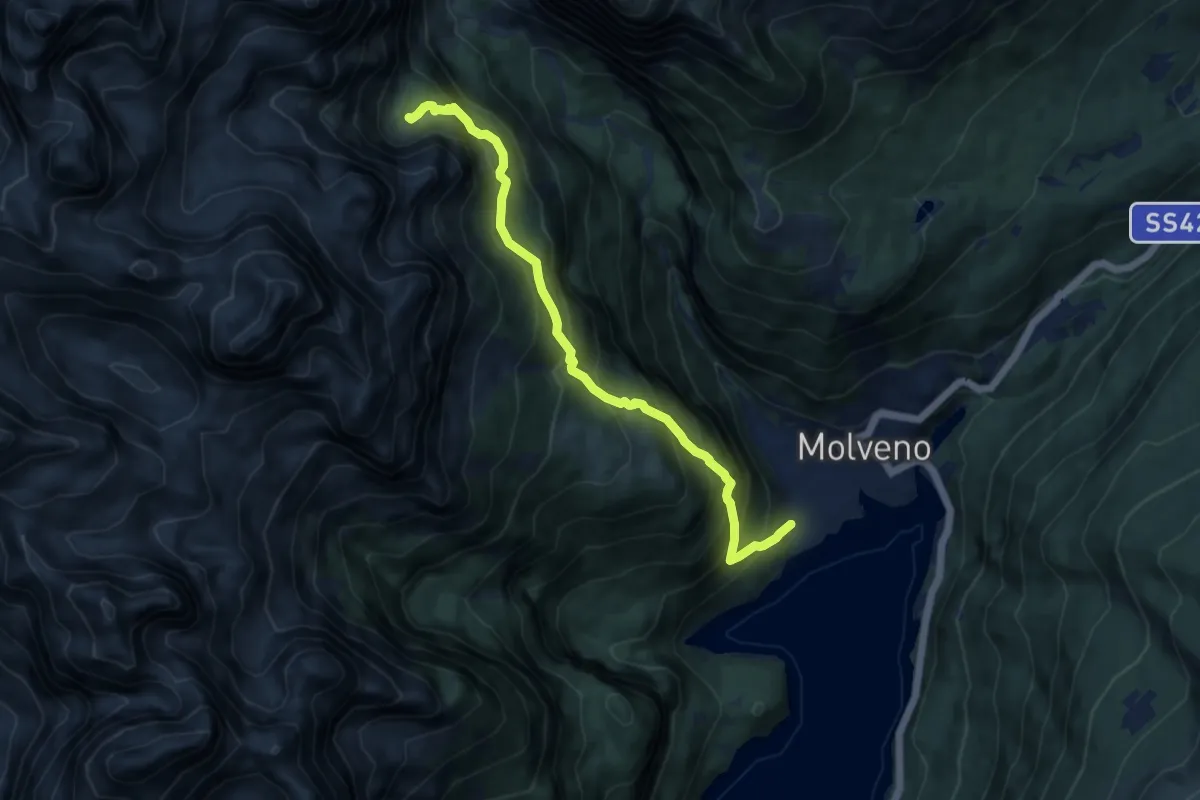
Demanding · Cabin
Molveno - Segheria Veneziana – Rifugio della Selvata (bivio 319 - 340)
9.5 km · ↑ 970 m · 4 h 21 min
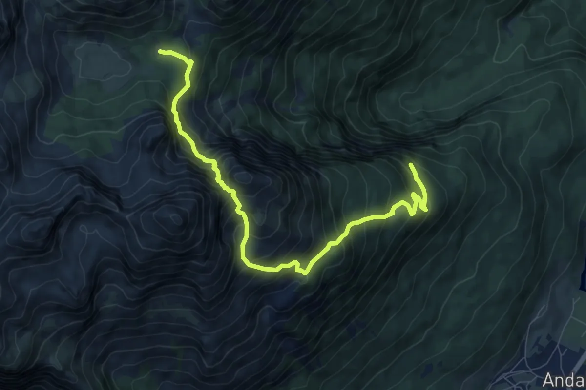
Demanding · Trail
Quota 1465 (bivio 301) – Campo della Spora (bivio 301)
9.5 km · ↑ 1069 m · 4 h 34 min
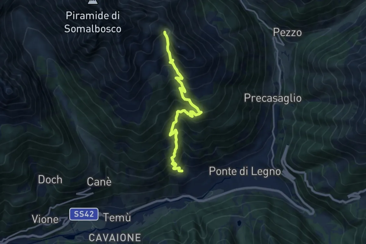
Demanding · Trail
Villa Dalegno – Bocchetta di Val Massa
11.8 km · ↑ 1136 m · 5 h 15 min
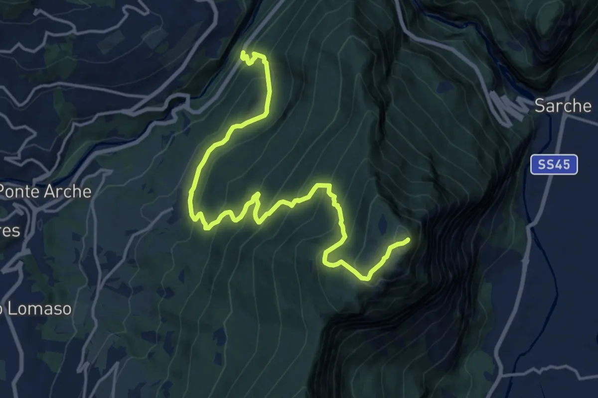
Demanding · Summit
Strada Statale 237 del Caffaro al Km 102 (bivio 349B) – Monte Casale
16.0 km · ↑ 1202 m · 6 h 23 min
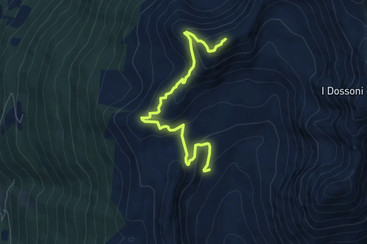
Demanding · Summit
Valle Varadega – Monte Varadega
6.7 km · ↑ 437 m · 2 h 32 min
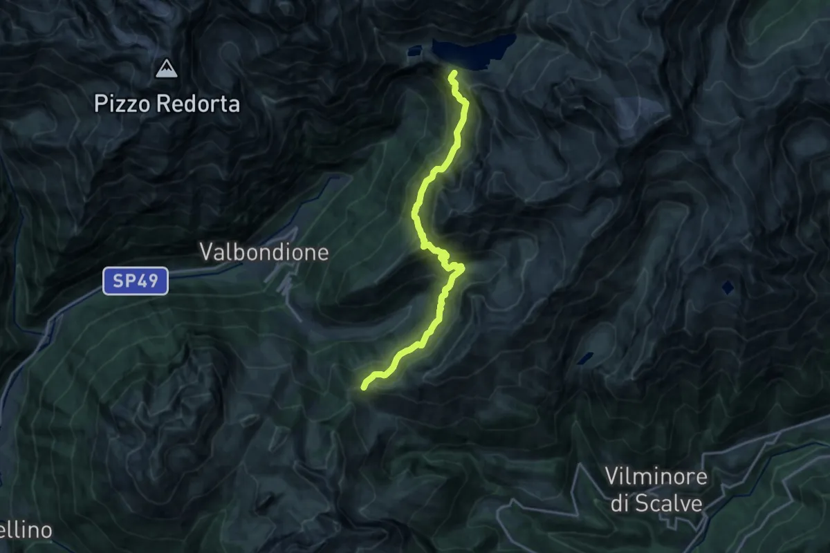
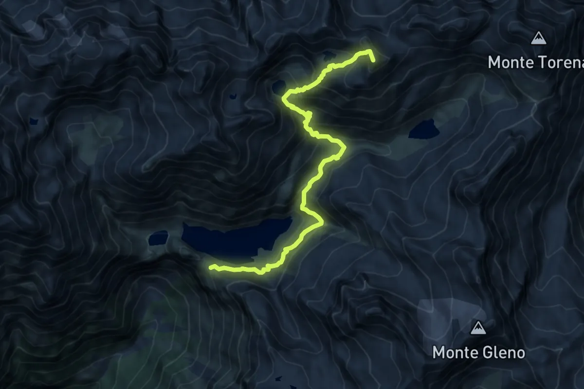
Demanding · Cabin
Rifugio Curò – Passo della Manina
15.4 km · ↑ 1338 m · 6 h 32 min
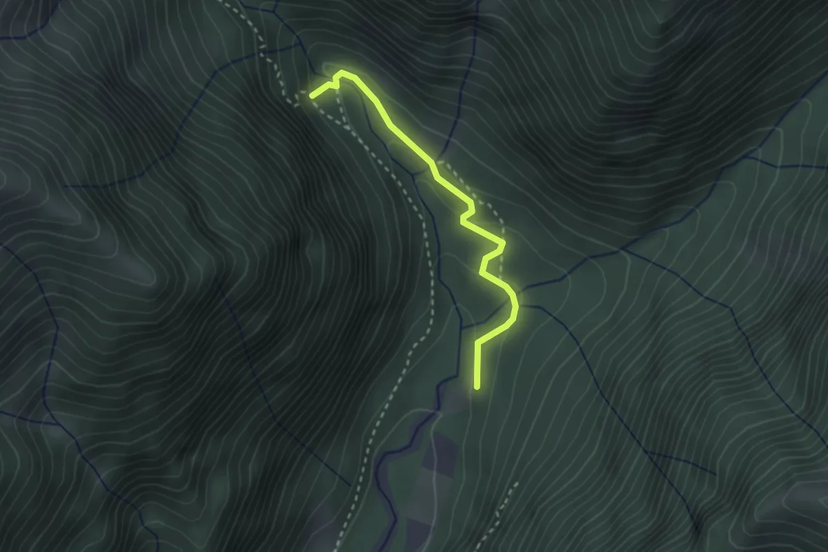
Demanding · Summit
Rifugio Curò – Passo di Caronella
12.7 km · ↑ 1106 m · 5 h 23 min
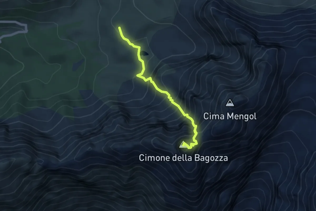
Easy · Trail
La Paghera (incrocio 414) – Cascata del Vò (incrocio 413)
2.5 km · ↑ 117 m · 51 min
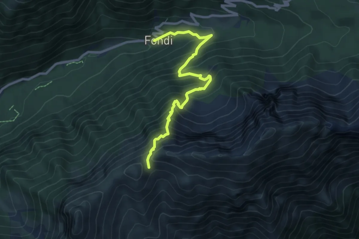
Demanding · Summit
Schilpario – Cimone della Bagozza
4.4 km · ↑ 695 m · 2 h 33 min
Expert · Trail
Schilpario (I Fondi) – Passo del Lifretto
6.7 km · ↑ 814 m · 3 h 21 min
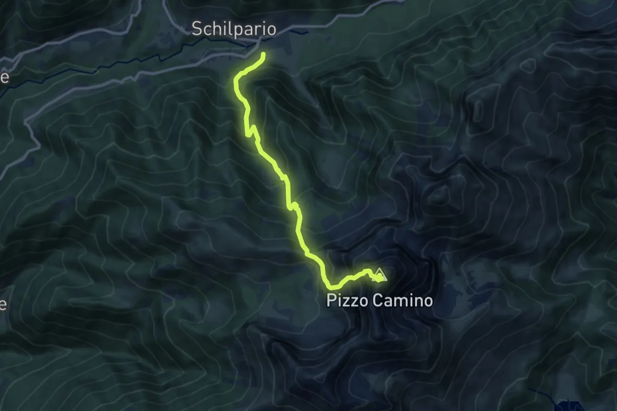
Expert · Summit
Schilpario (Museo Etnografico) – Pizzo Camino
9.5 km · ↑ 1322 m · 5 h 6 min
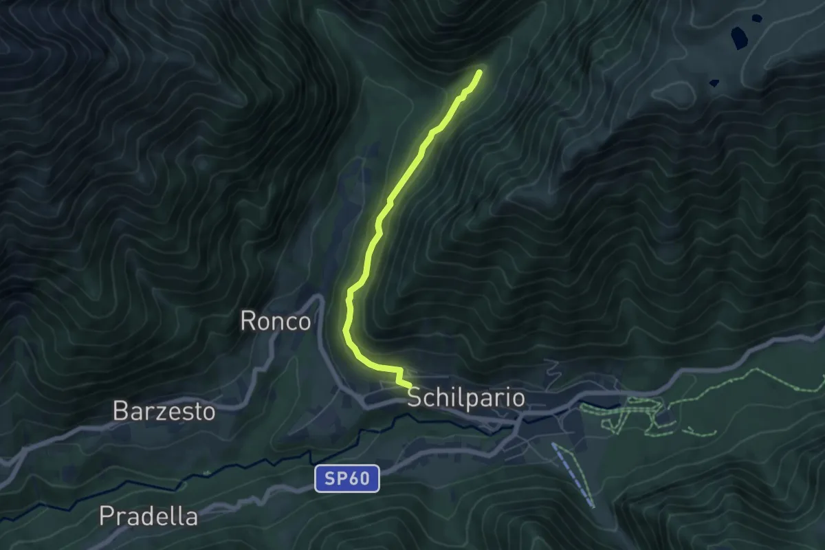
Easy · Trail
Schilpario – Corna Grosa (incrocio 414)
4.8 km · ↑ 228 m · 1 h 38 min
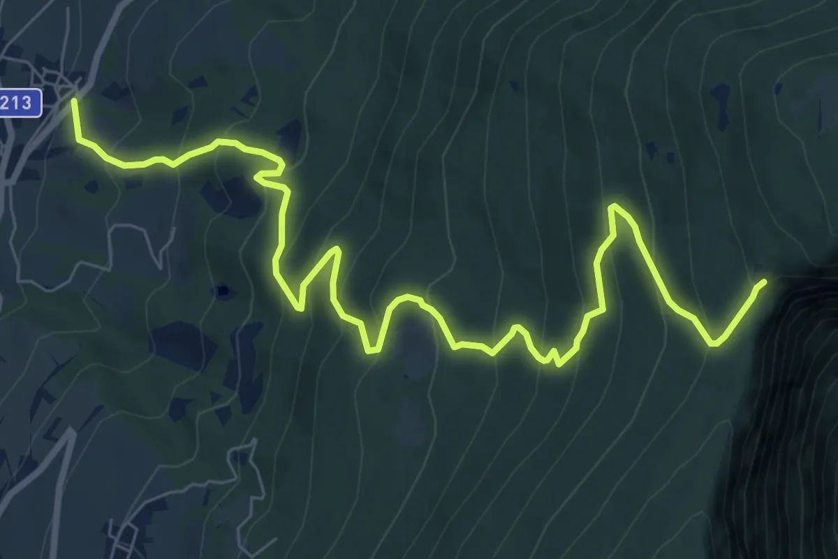
Demanding · Trail
Godenzo – Duson
9.8 km · ↑ 825 m · 4 h 6 min
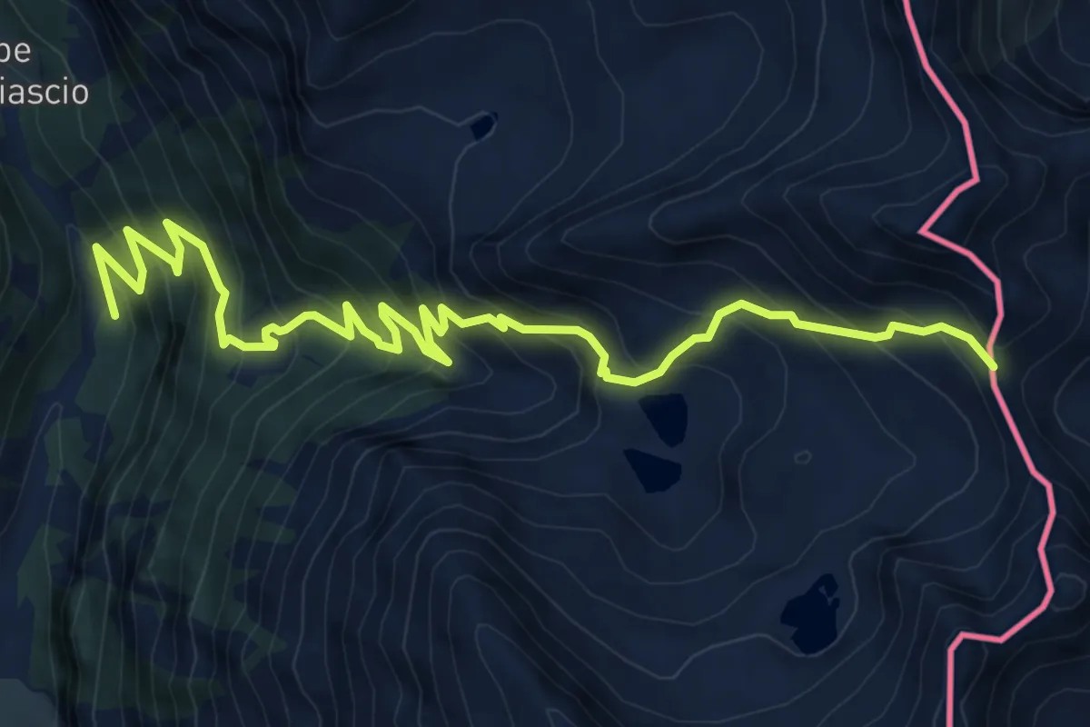
Demanding · Trail
Campello – Passo dell'Arasé
9.0 km · ↑ 1034 m · 4 h 23 min
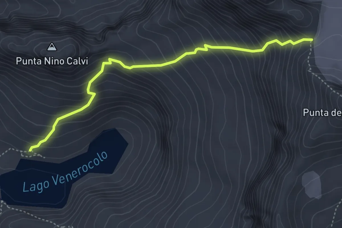
Expert · Cabin
Lago Venerocolo – Passo del Venerocolo
4.5 km · ↑ 575 m · 2 h 19 min
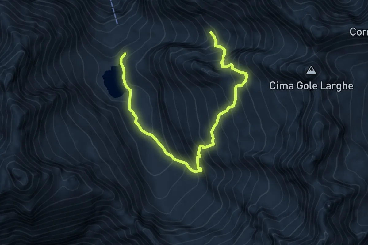
Expert · Cabin
Aviolo – Passo Platte
8.2 km · ↑ 909 m · 3 h 55 min
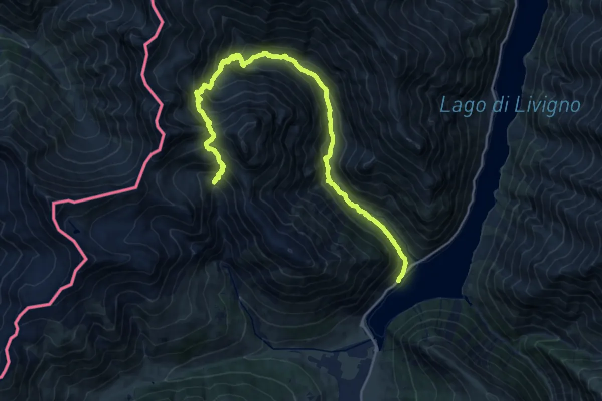
Demanding · Trail
Parcheggio P 2 Vie'ira – Baitel dala Sciascia
18.5 km · ↑ 1499 m · 7 h 37 min
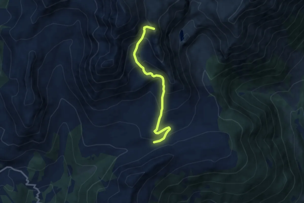
Medium · Summit
Innesto Sentiero 104 – Innesto Sentiero 173
7.3 km · ↑ 572 m · 2 h 58 min
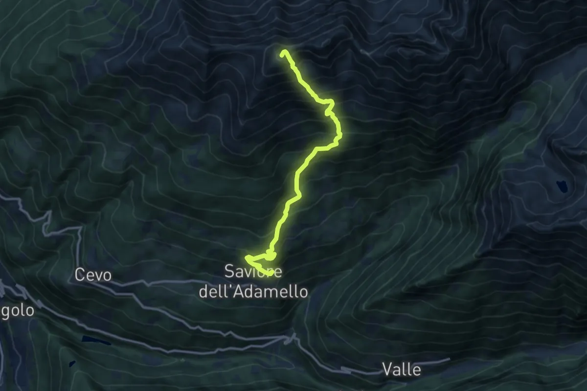
Demanding · Summit
Saviore dell'Adamello – Pian della Regina
10.8 km · ↑ 1314 m · 5 h 24 min
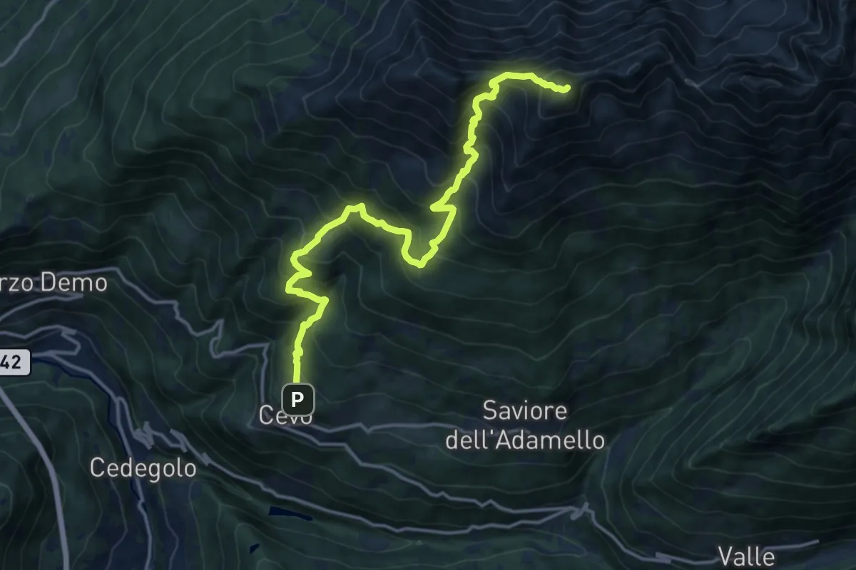
Demanding · Summit
Cevo – Pian della Regina
15.4 km · ↑ 1541 m · 6 h 58 min
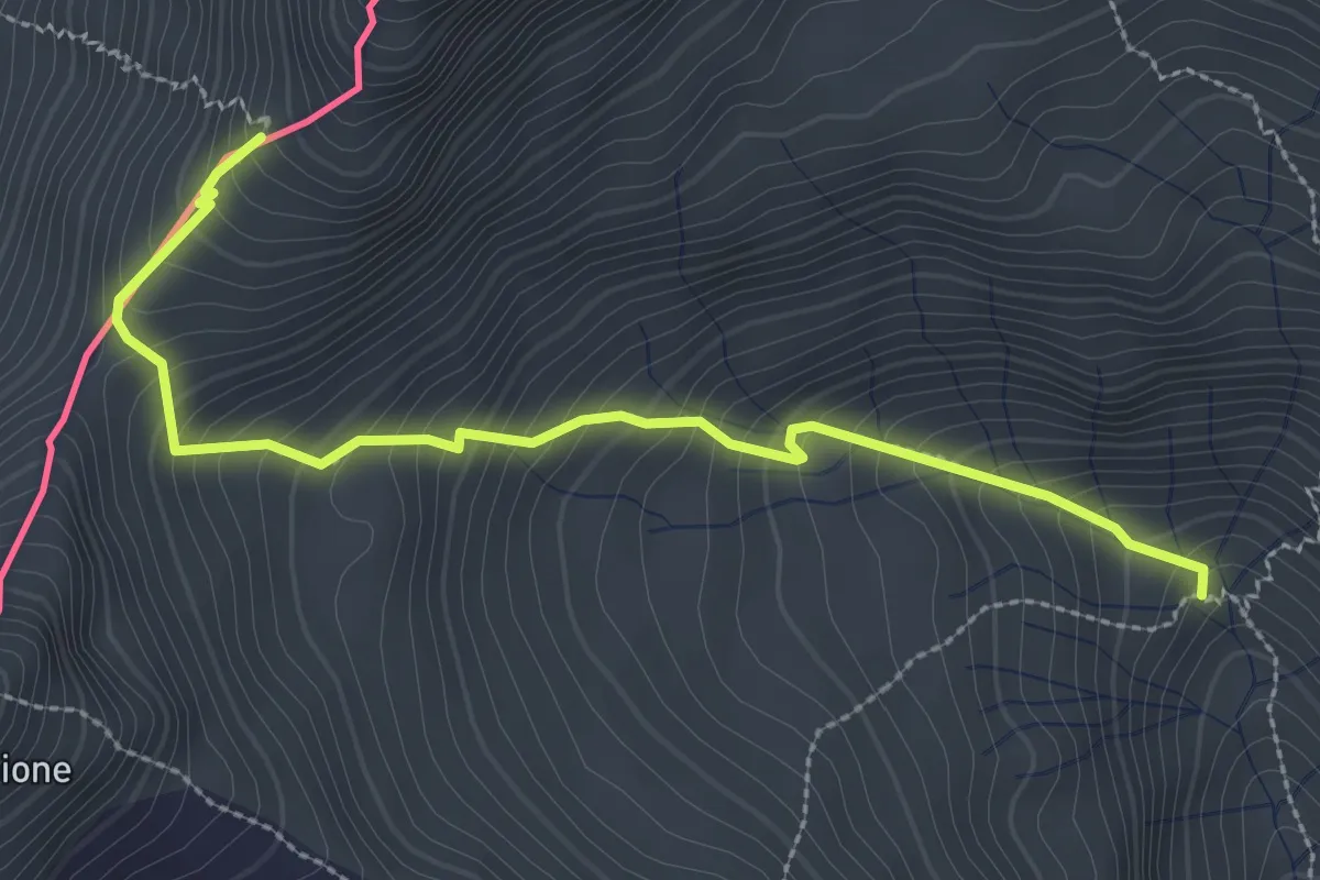
Medium · Trail
Ponte Calcheira – Passo Tropione
3.1 km · ↑ 393 m · 1 h 35 min
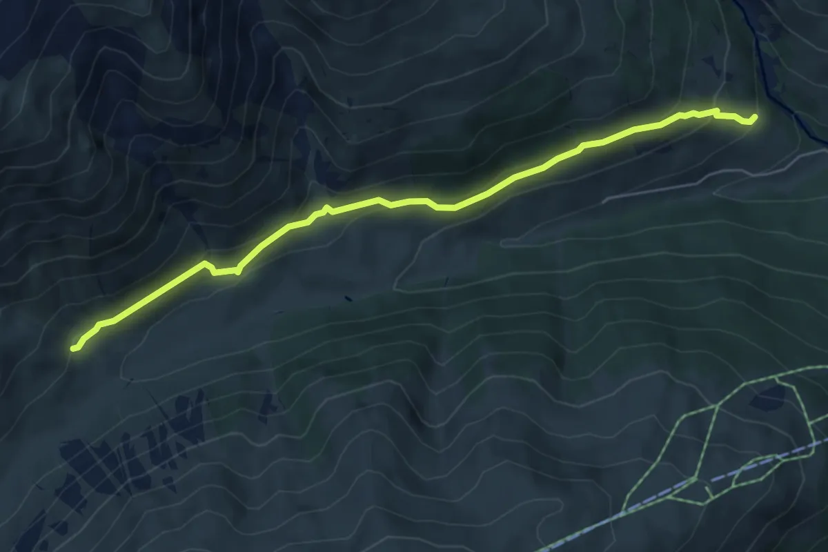
Easy · Trail
175 – 172
6.0 km · ↑ 257 m · 1 h 58 min
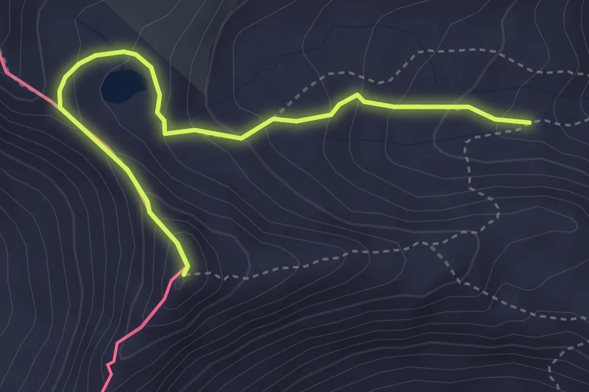
Expert · Summit
173 – Punta Cassana
3.8 km · ↑ 318 m · 1 h 36 min
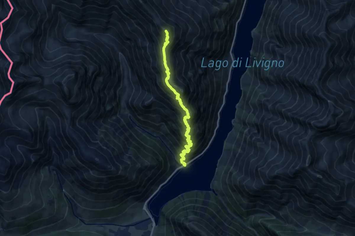
Demanding · Summit
Area Picnic Val Viera – Ristoro Fopel
11.3 km · ↑ 1112 m · 5 h 5 min
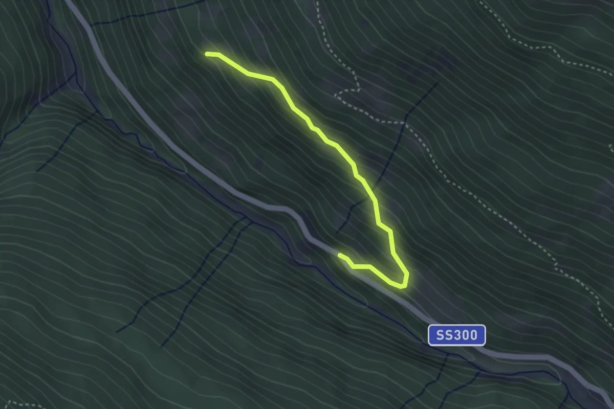
Easy · Trail
SS330 - Santa Caterina – Innesto Sentiero 571A
3.2 km · ↑ 285 m · 1 h 22 min
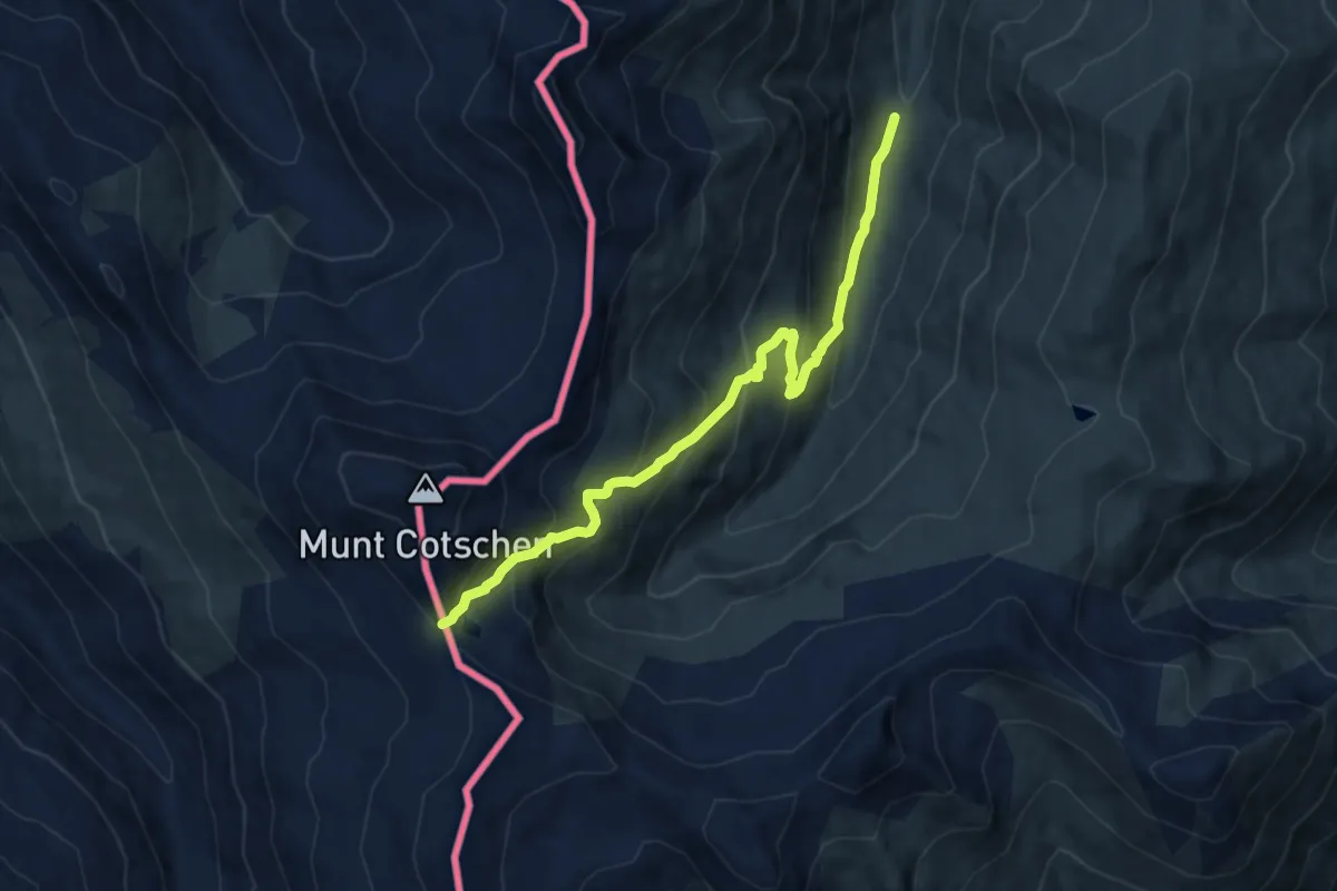
Medium · Trail
Ponte Calcheira – Passo Federia
9.2 km · ↑ 721 m · 3 h 44 min