Trails in Italy
25,219 hiking trails, each with its route, climb, walking time and grade.
All trails, page 476 of 526
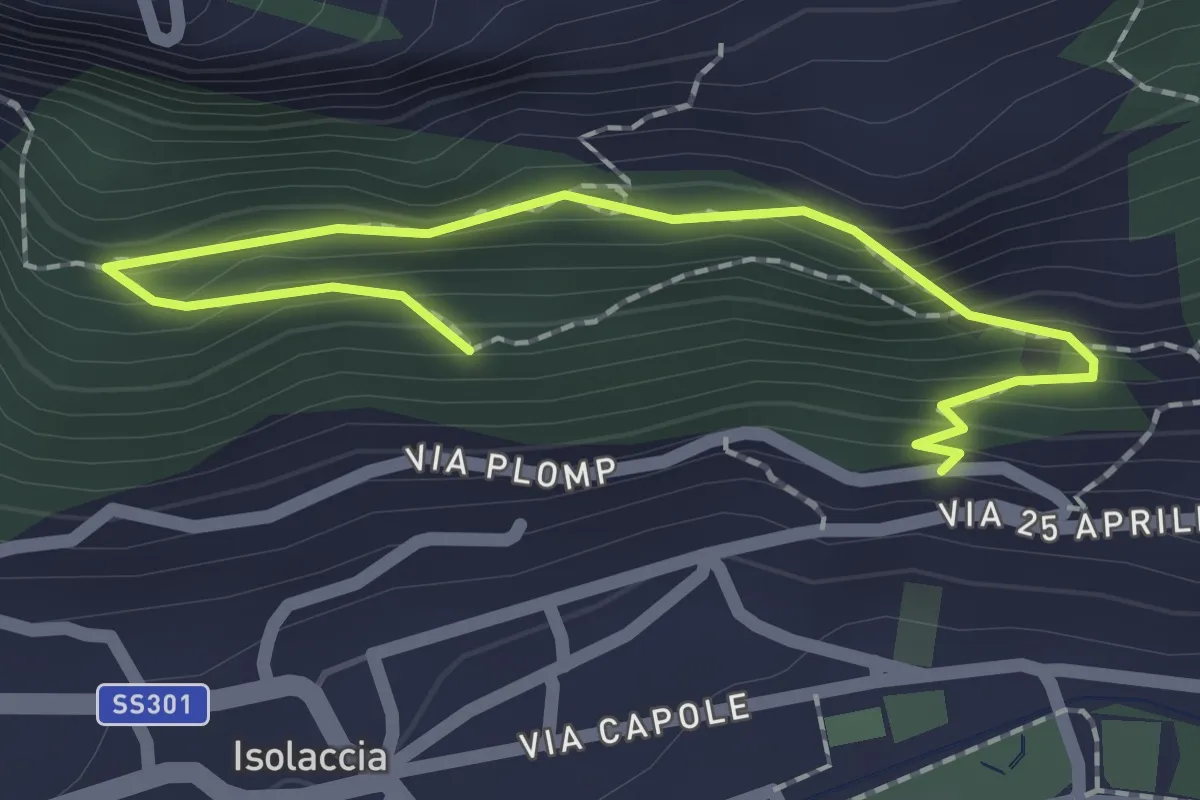
Easy · Trail
Via Plomp (Isolaccia) – Parco Faunistico
2.2 km · ↑ 210 m · 59 min
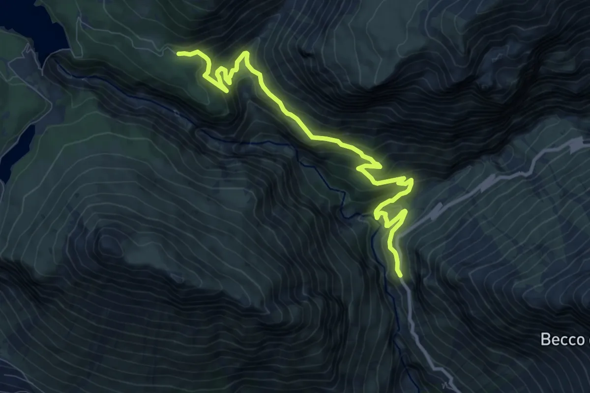
Medium · Trail
Via Stelvio (Bormio) – Area Picnic Solena
10.4 km · ↑ 666 m · 3 h 54 min
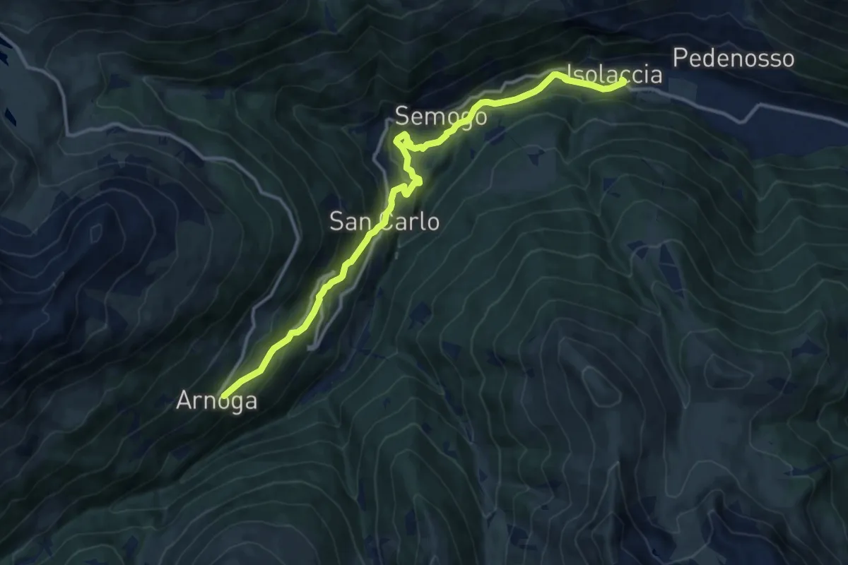
Medium · Trail
SS301 - Via Nazionale (Isolaccia) – Arnoga
13.6 km · ↑ 627 m · 4 h 34 min
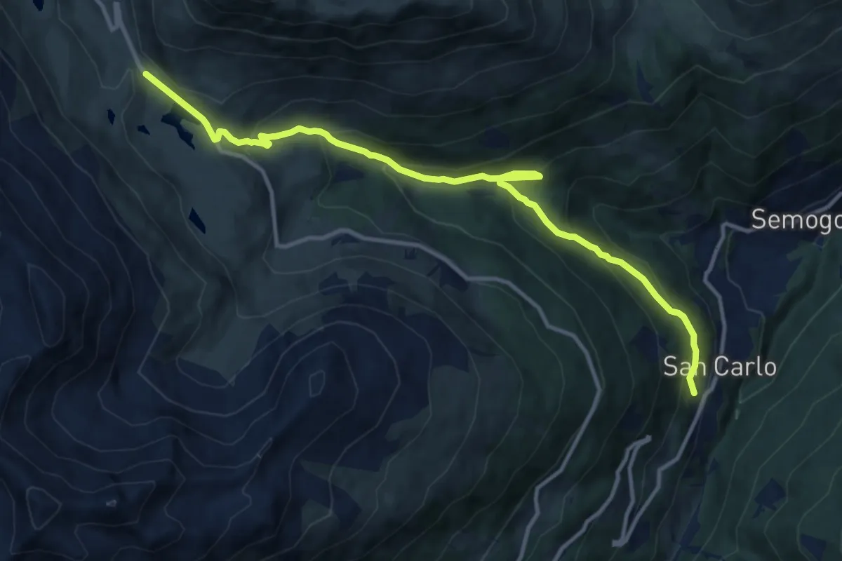
Medium · Trail
Via Clef (San Carlo) – Passo Foscagno
12.2 km · ↑ 771 m · 4 h 33 min
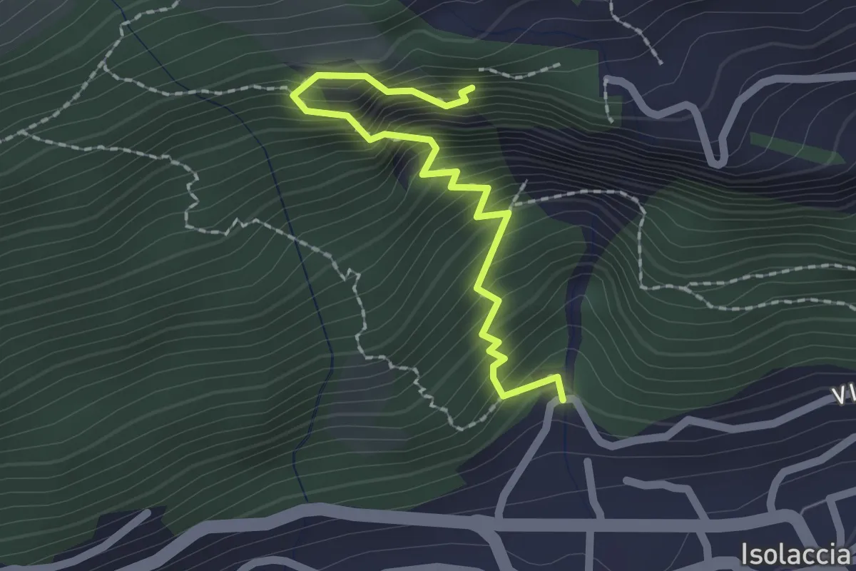
Medium · Trail
Torrente Rio Scianna – 196
2.0 km · ↑ 386 m · 1 h 19 min
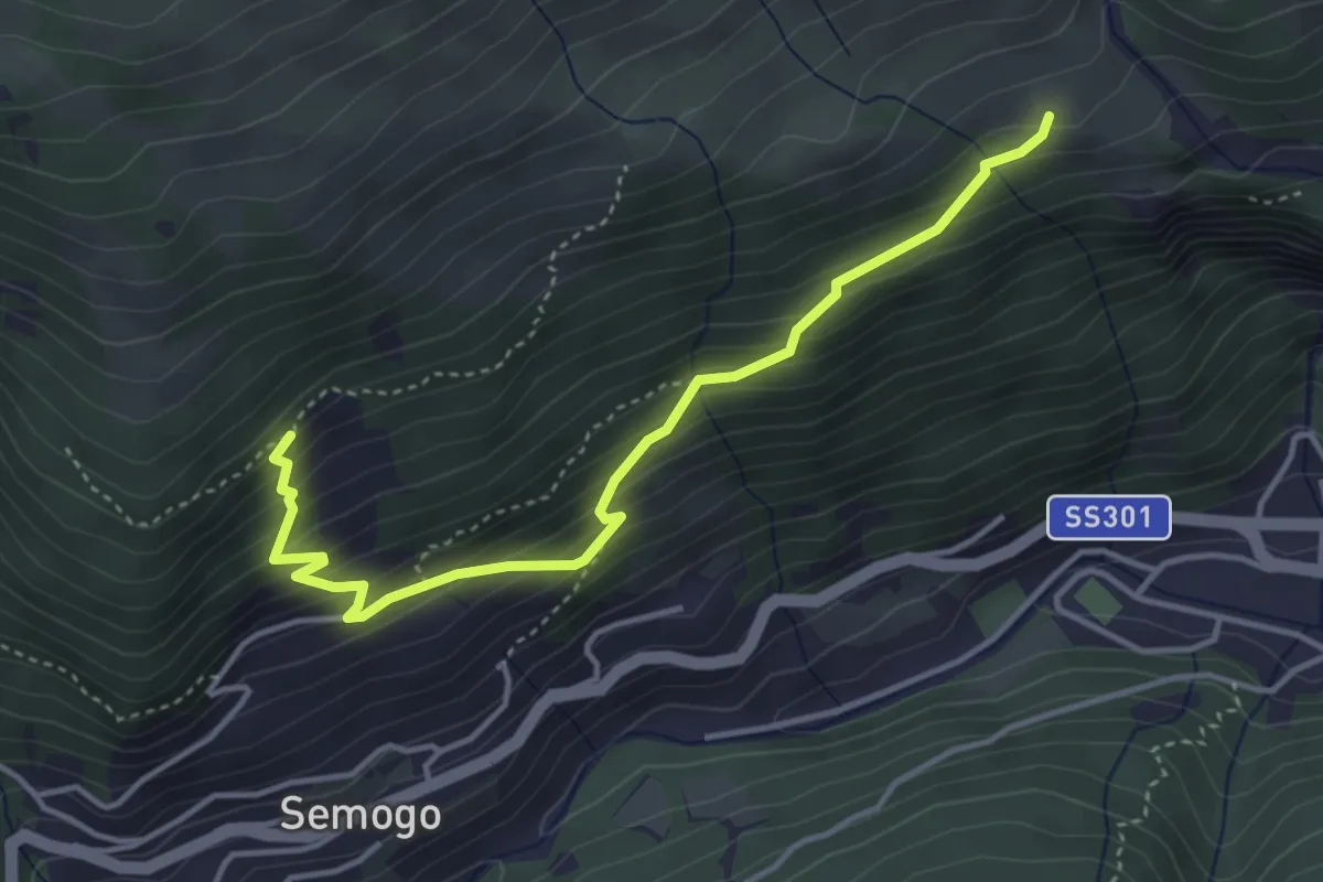
Medium · Trail
Piazza Sant'Abbondio (Segomo) – Dosso di Sopra (Semogo)
4.2 km · ↑ 391 m · 1 h 50 min
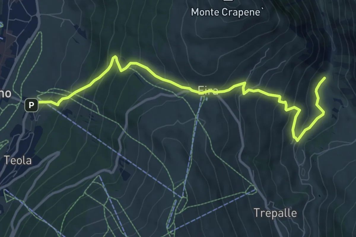
Medium · Trail
SS301 - Livigno – Via Sfefan (Isola)
9.8 km · ↑ 697 m · 3 h 49 min
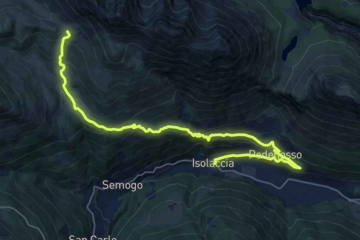
Demanding · Trail
Piazza Quattro Novembre (Isolaccia) – Bocchetta di Trela
18.8 km · ↑ 1110 m · 6 h 51 min
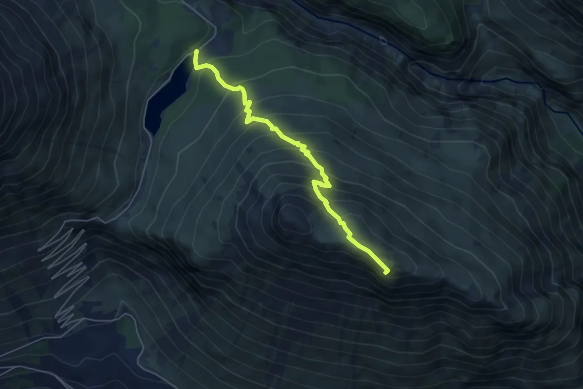
Expert · Summit
Lago delle Scale – Croce delle Scale
4.9 km · ↑ 514 m · 2 h 16 min
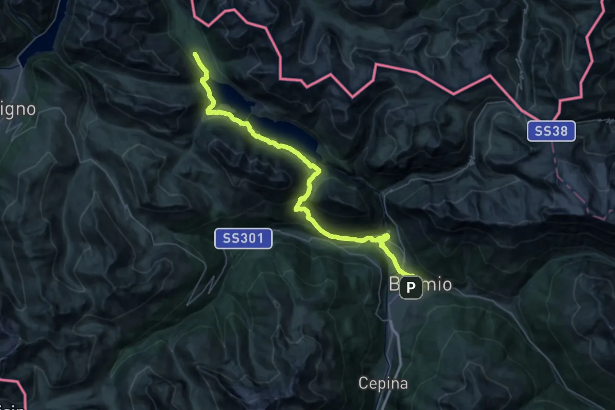
Demanding · Trail
Via Don Evaristo Peccedi (Bormio) – Passo di Fraele
20.6 km · ↑ 1057 m · 7 h 5 min
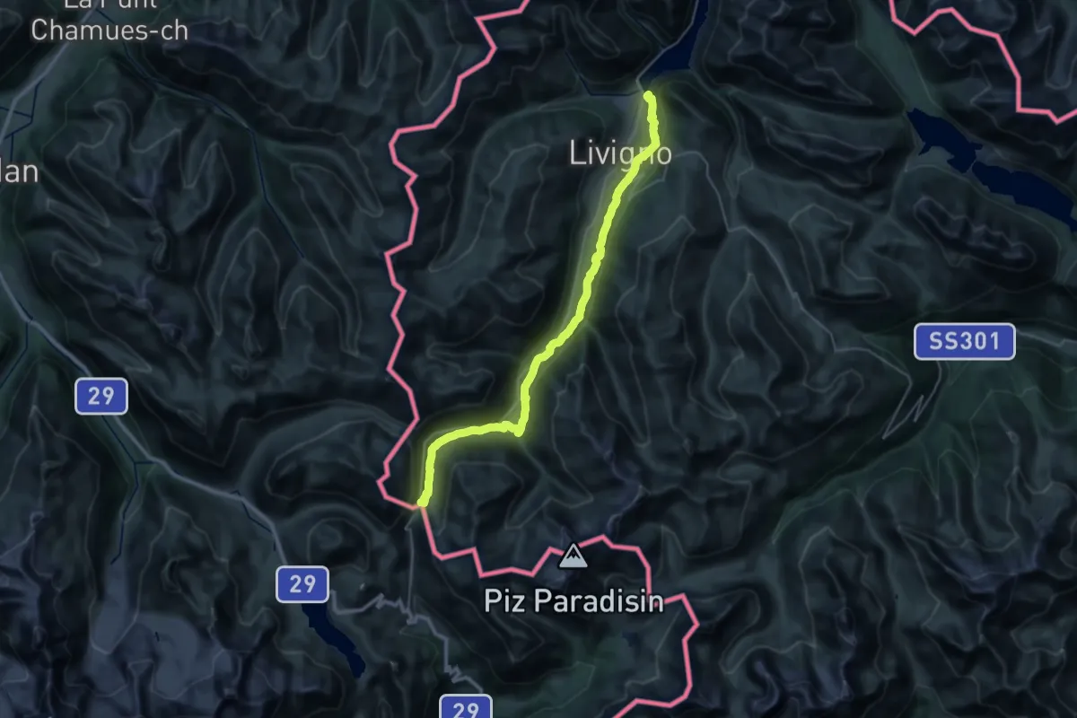
Medium · Cabin
Ponte del Brum (Livigno) – Rifugio Forcola
17.7 km · ↑ 769 m · 5 h 50 min
Easy · Trail
100 – 100
2.8 km · ↑ 64 m · 47 min
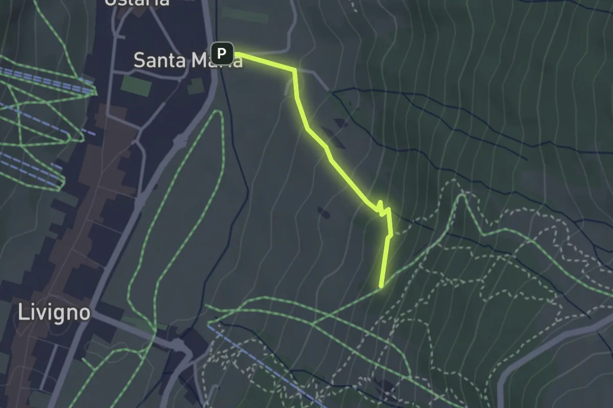
Easy · Cabin
Via Marangona – Monte Sponda
2.3 km · ↑ 151 m · 52 min
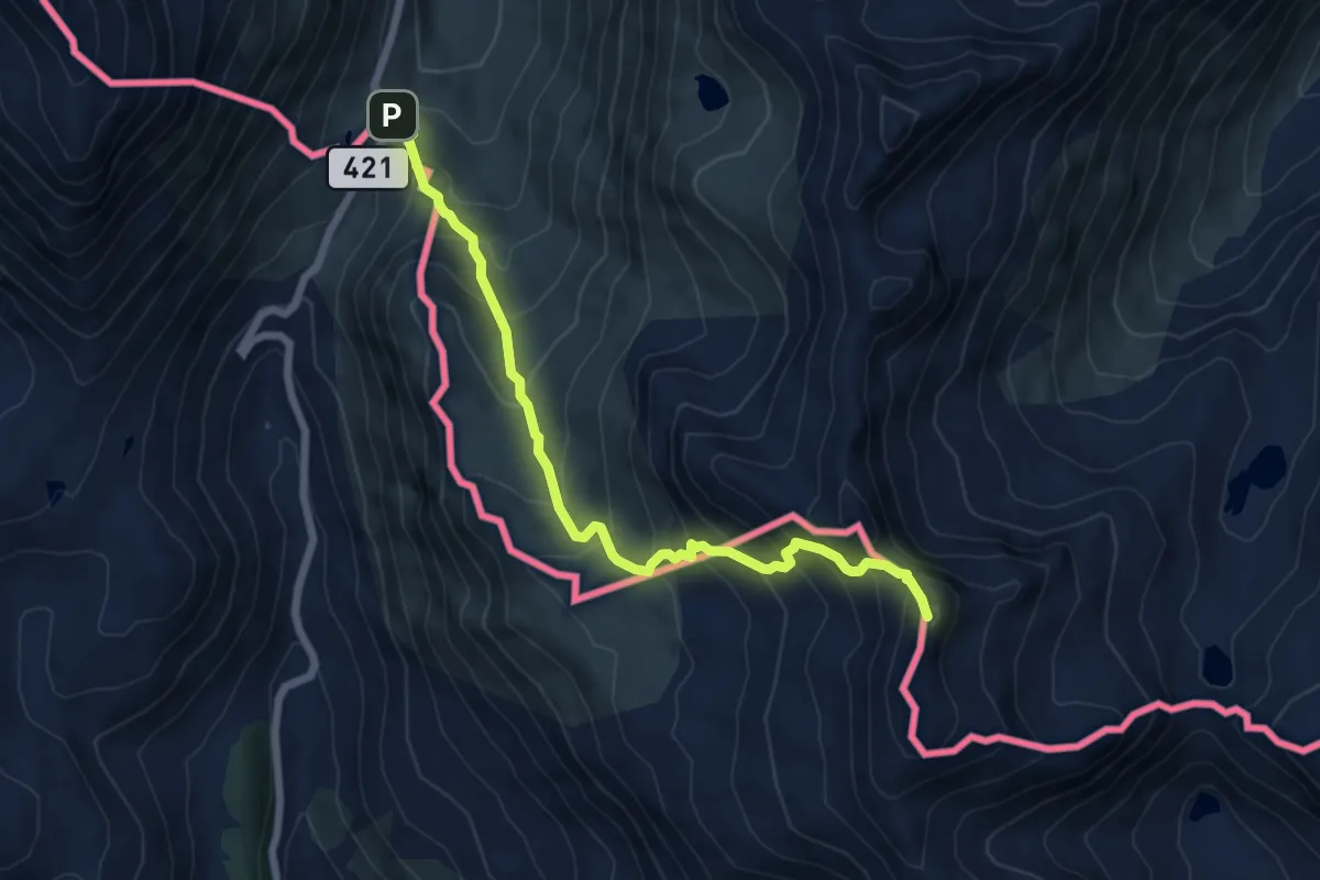
Expert · Summit
Forcola di Livigno – Pass de Val Mera
6.7 km · ↑ 675 m · 3 h 2 min
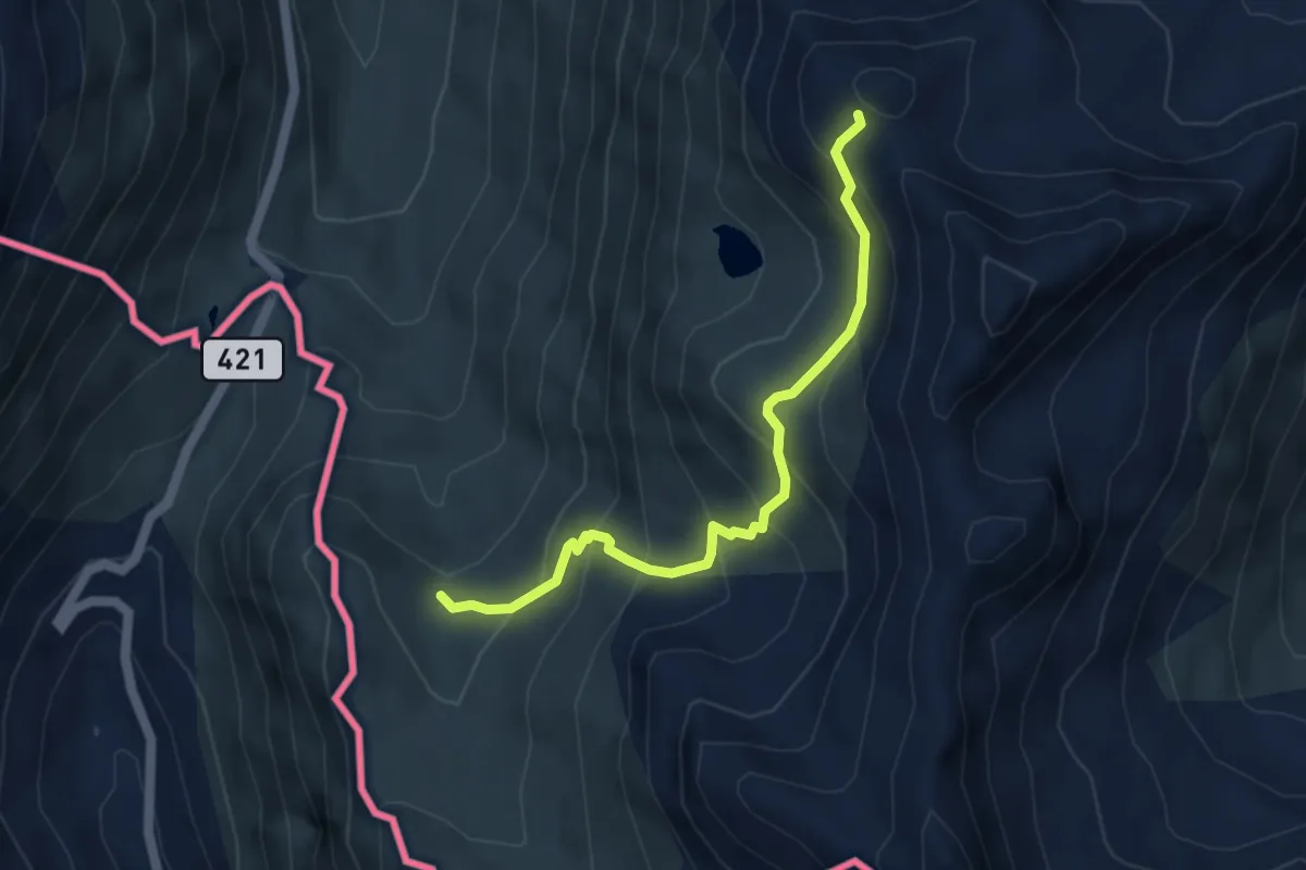
Medium · Trail
111 – Monte Vago
4.5 km · ↑ 420 m · 1 h 58 min
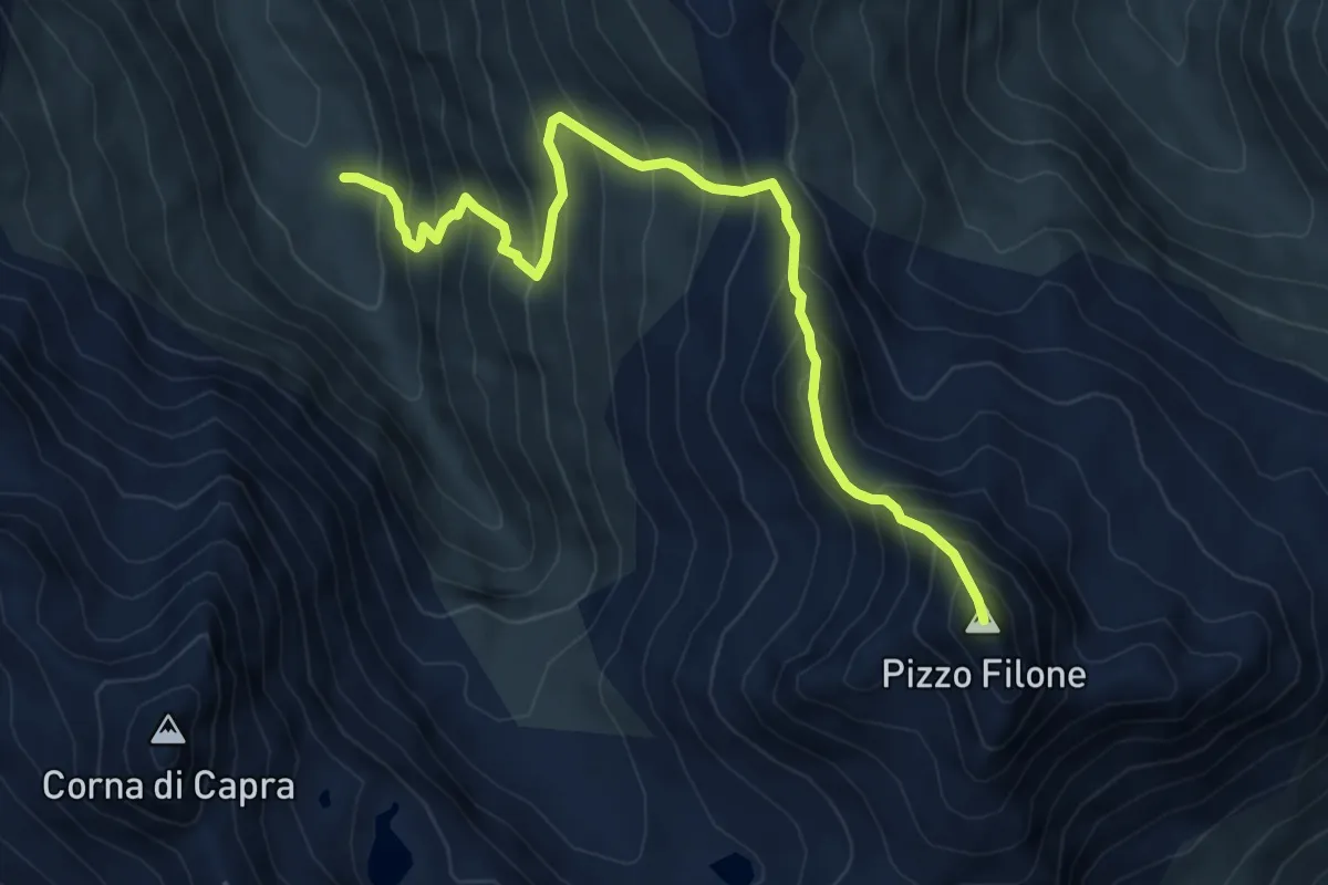
Demanding · Summit
116 – Colle delle Mine
7.5 km · ↑ 918 m · 3 h 46 min
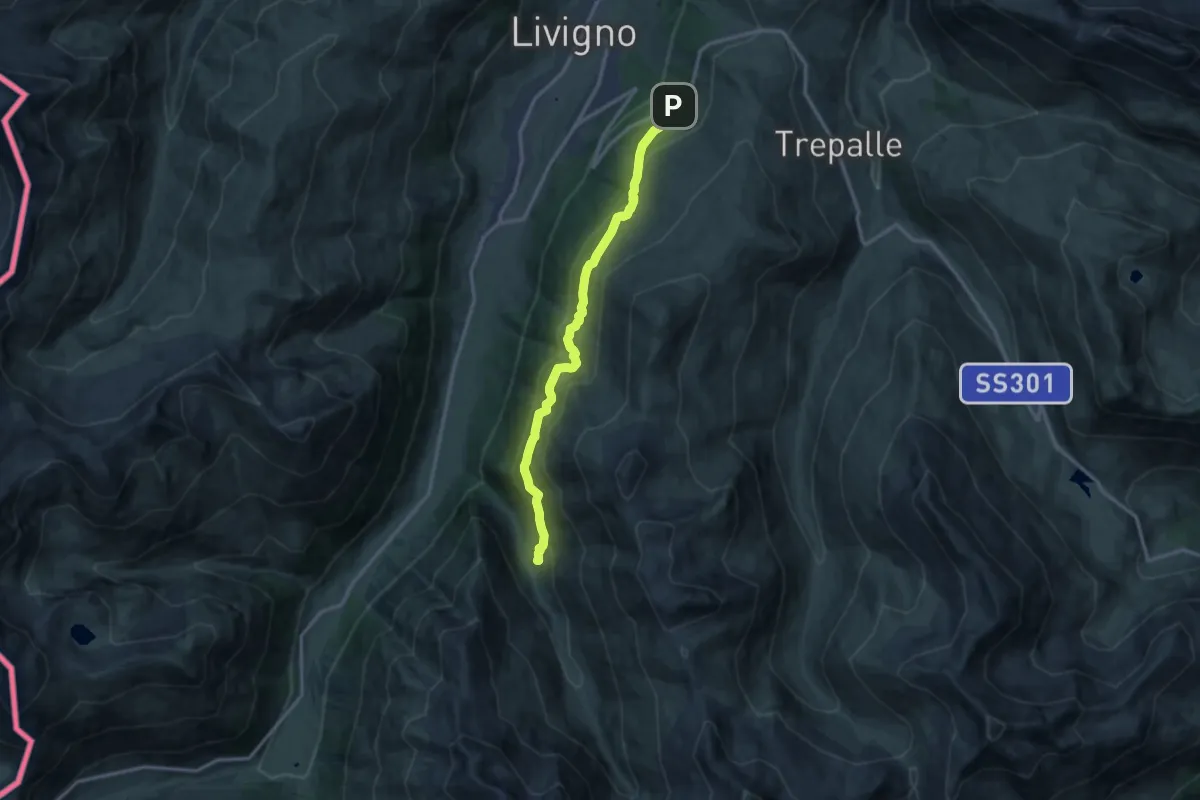
Medium · Trail
Via Paré (Teola) – Alpe Mine
12.6 km · ↑ 701 m · 4 h 29 min
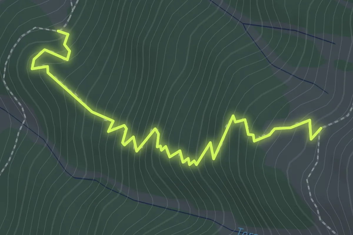
Medium · Trail
100 – 121
2.9 km · ↑ 351 m · 1 h 26 min
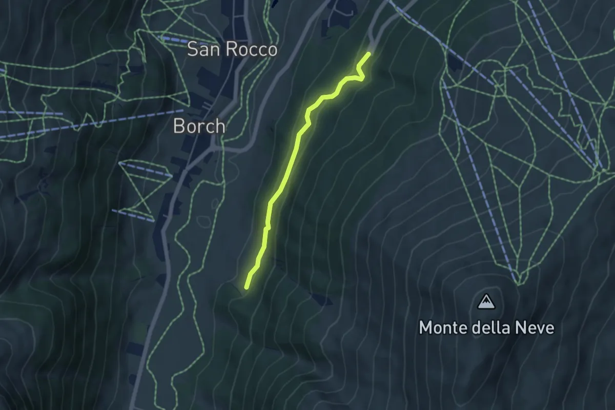
Easy · Trail
SS 301 - Via del Foscagno (Teola) – 100
4.0 km · ↑ 209 m · 1 h 23 min
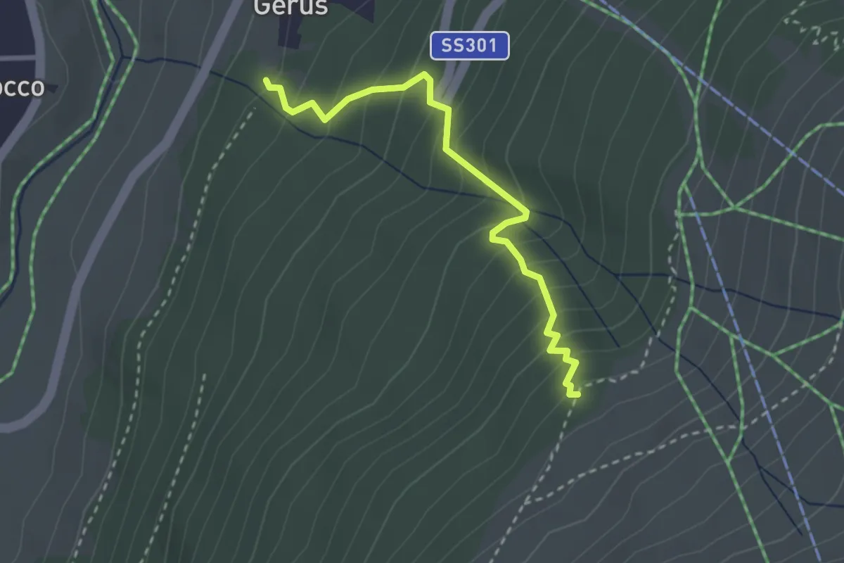
Medium · Trail
100 – 121
2.7 km · ↑ 325 m · 1 h 21 min
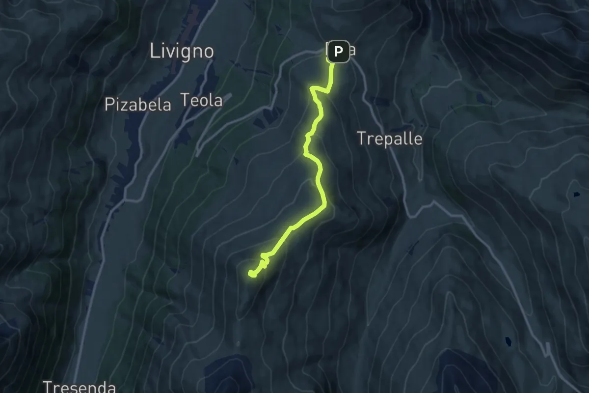
Medium · Summit
Via da li crosceta (Eira) – Monte della Neve
9.7 km · ↑ 550 m · 3 h 28 min
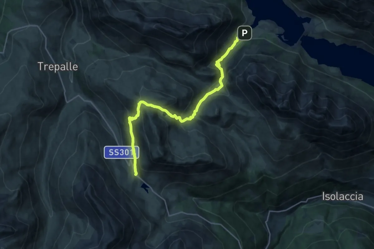
Demanding · Trail
Lago di San Giacomo – Passo Foscagno
17.4 km · ↑ 1096 m · 6 h 29 min
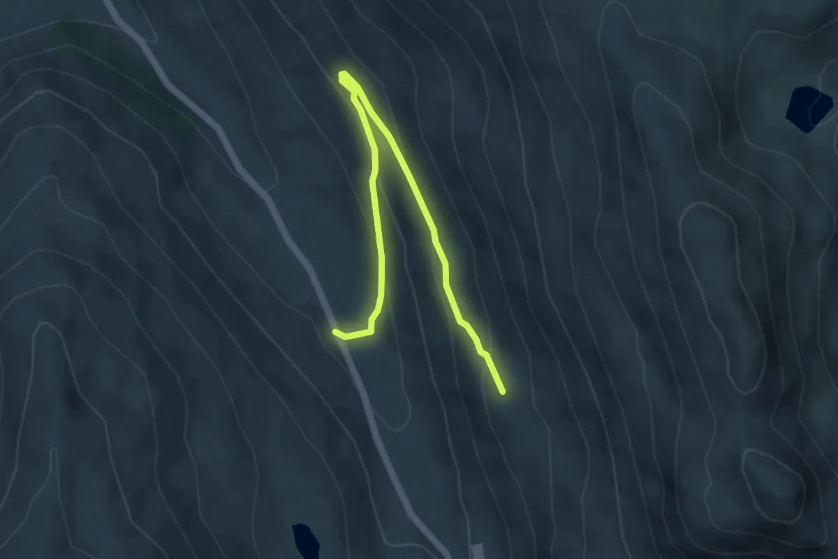
Easy · Trail
SS 301 – 130
4.5 km · ↑ 220 m · 1 h 33 min
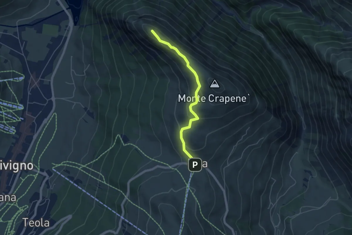
Medium · Summit
Eira – Ponte del Brum (Livigno)
4.5 km · ↑ 166 m · 1 h 25 min
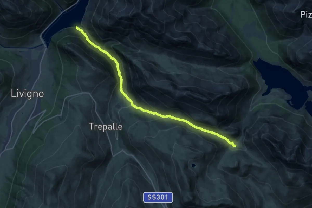
Demanding · Trail
138 – Casine di Trela
17.2 km · ↑ 848 m · 5 h 54 min
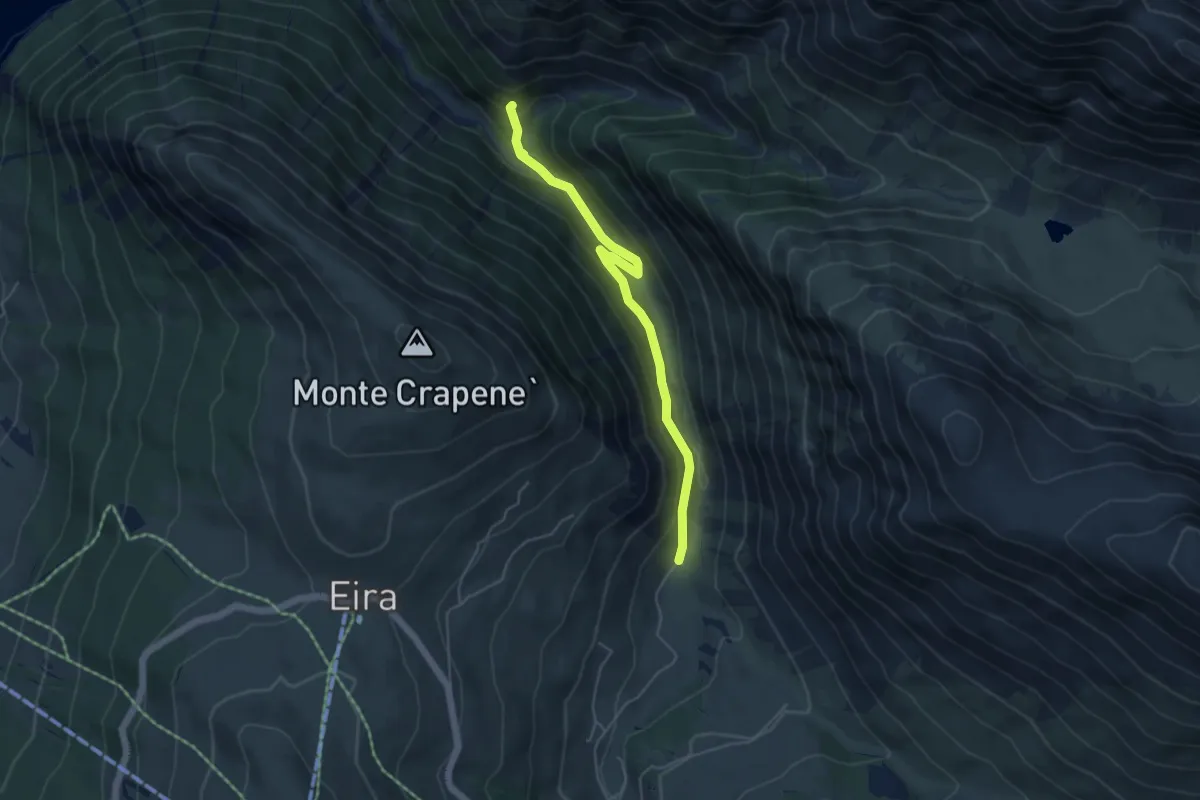
Easy · Trail
138 – Via Stefan (Trepalle)
4.9 km · ↑ 231 m · 1 h 40 min
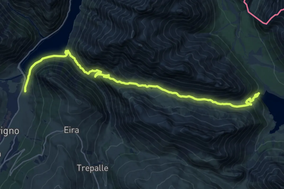
Demanding · Trail
Via Pemont (Livigno) – 138
23.5 km · ↑ 1109 m · 7 h 57 min
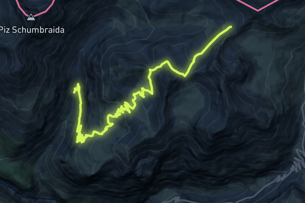
Demanding · Trail
145 – 145 (Caserma degli alpini)
18.3 km · ↑ 929 m · 6 h 20 min
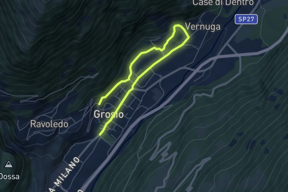
Medium · Trail
Via Roma (Grosio) – 250
6.8 km · ↑ 201 m · 2 h 3 min
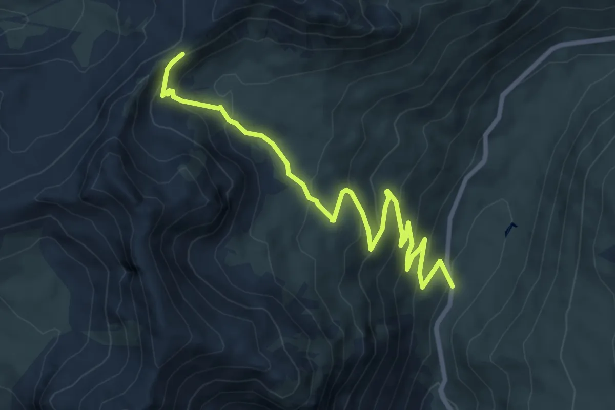
Medium · Trail
Strada Statale N.38 dello Stelvio – Bocchetta di Forcola
7.8 km · ↑ 457 m · 2 h 49 min
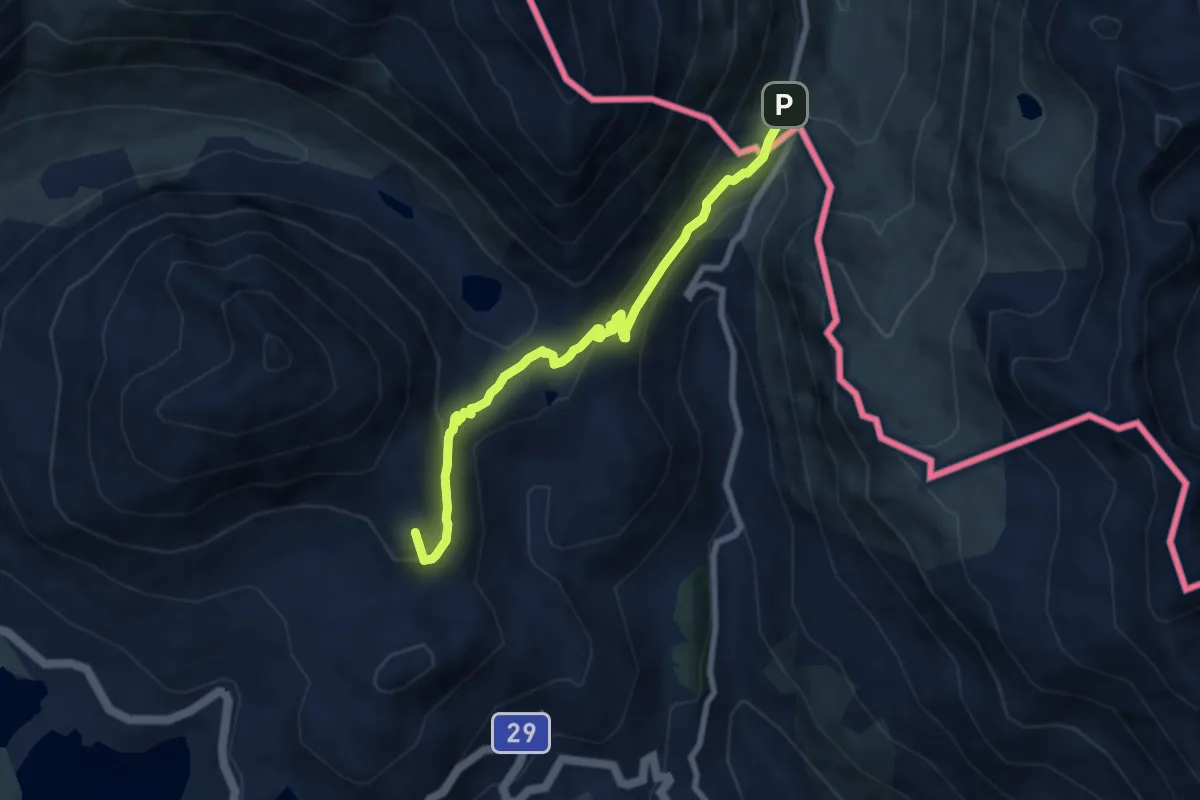
Medium · Summit
Ospizio Bernina – Rifugio Tridentina
7.3 km · ↑ 269 m · 2 h 19 min
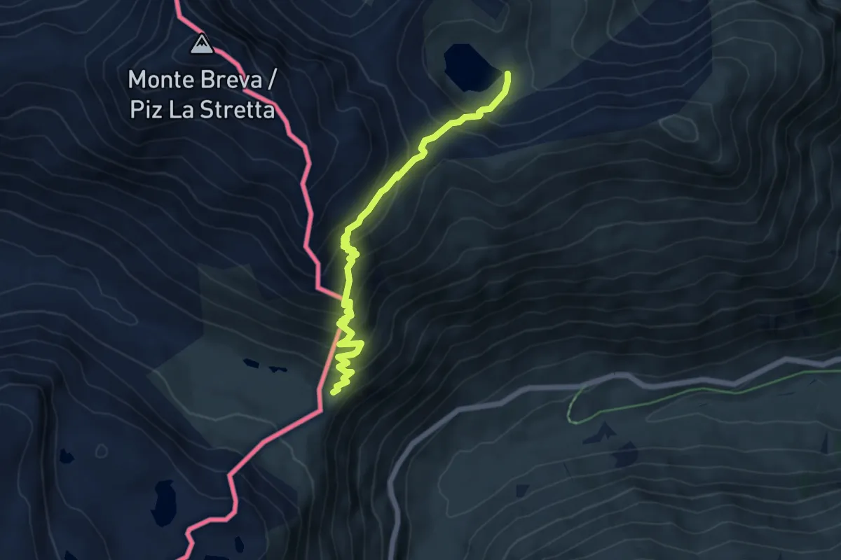
Medium · Trail
La Colma – Alpe Campaccio
5.6 km · ↑ 514 m · 2 h 26 min
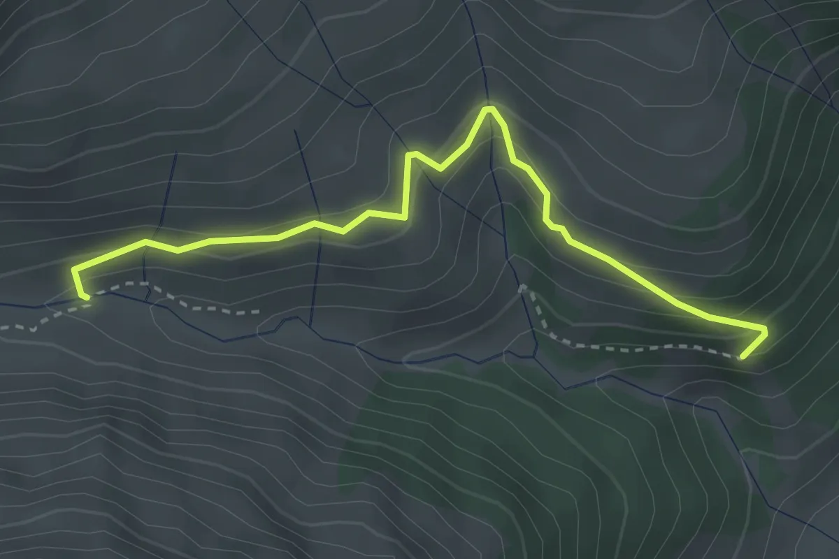
Easy · Trail
151 – 151
3.3 km · ↑ 217 m · 1 h 15 min
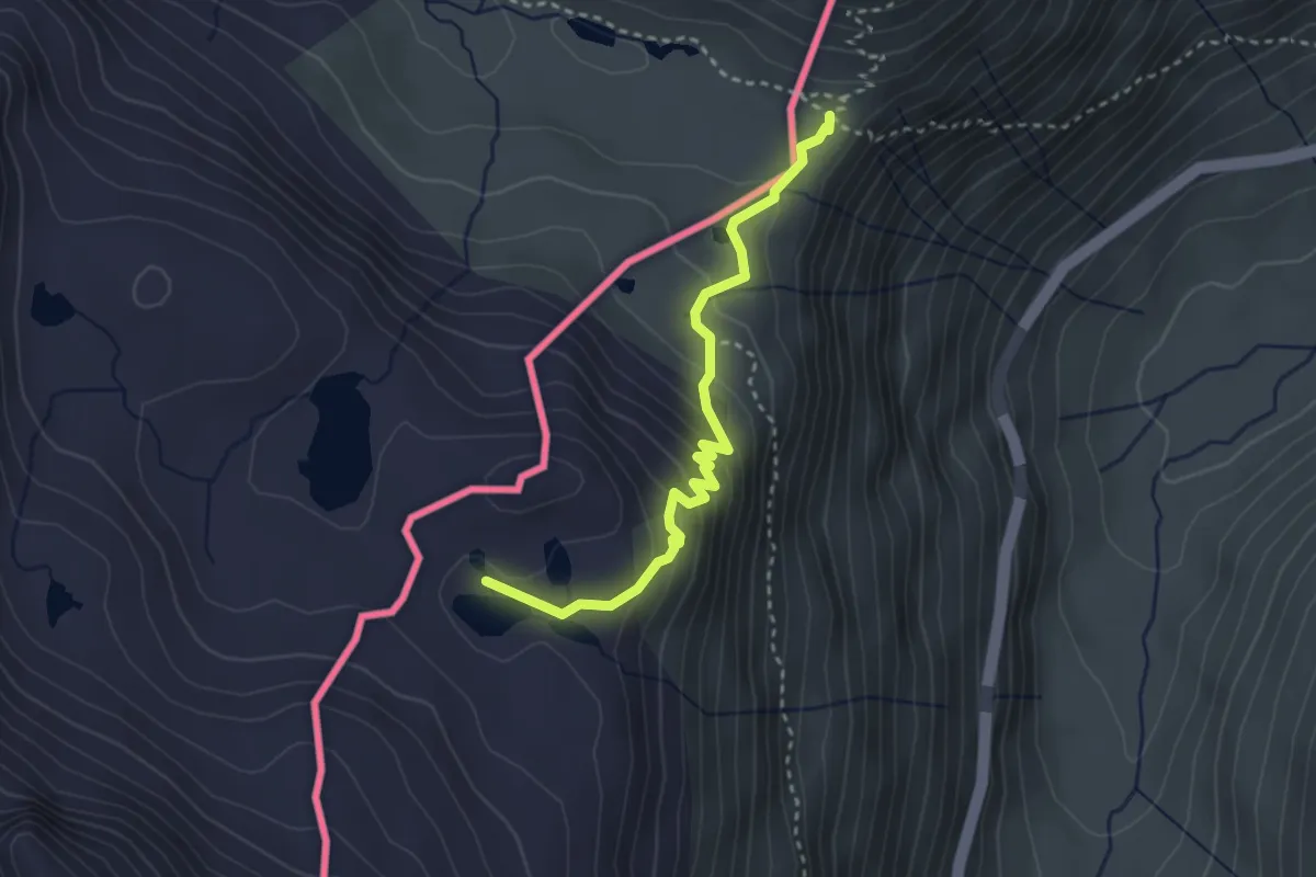
Medium · Trail
La Colma – Laghi Forcola
3.1 km · ↑ 189 m · 1 h 8 min
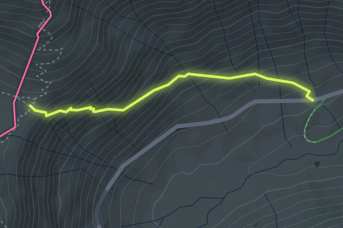
Medium · Trail
Livigno, Val dal Fain – La Colma
2.7 km · ↑ 352 m · 1 h 25 min
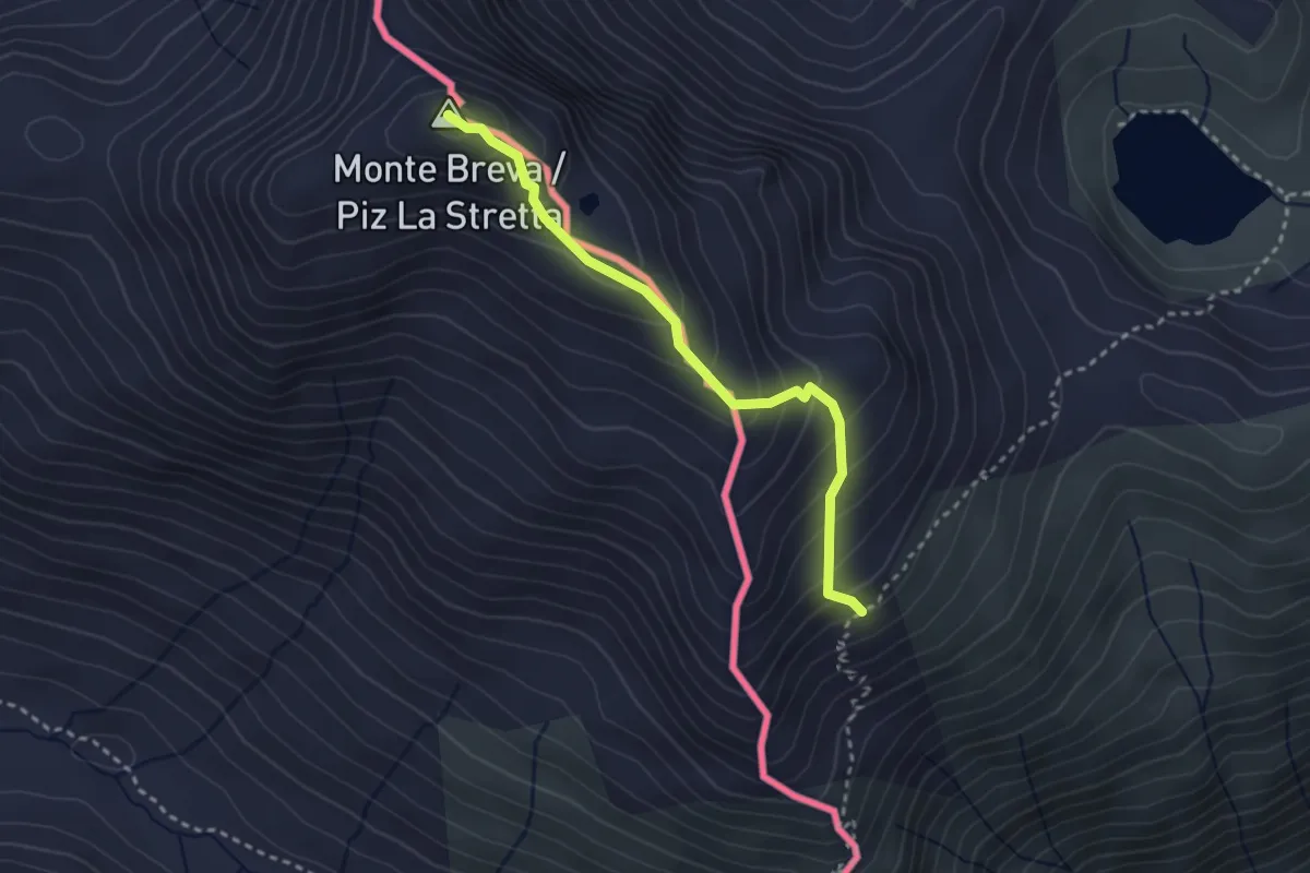
Demanding · Summit
151 – Piz la Stretta
2.8 km · ↑ 268 m · 1 h 15 min
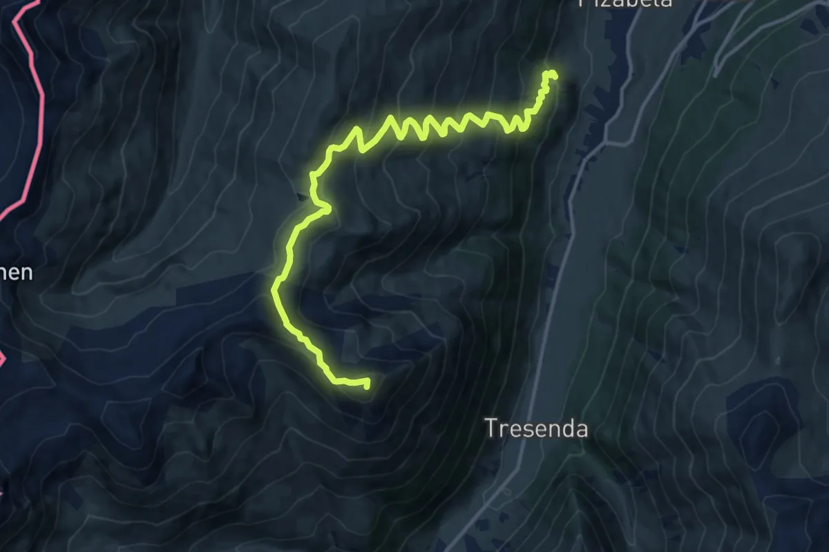
Demanding · Summit
190 – 157 - Baitel da Plasgianet
15.0 km · ↑ 974 m · 5 h 39 min
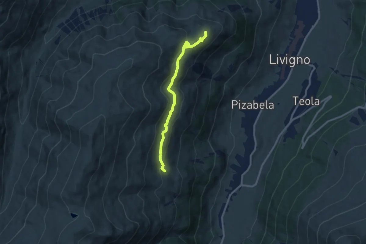
Easy · Cabin
Costaccia – 157
6.4 km · ↑ 280 m · 2 h 7 min
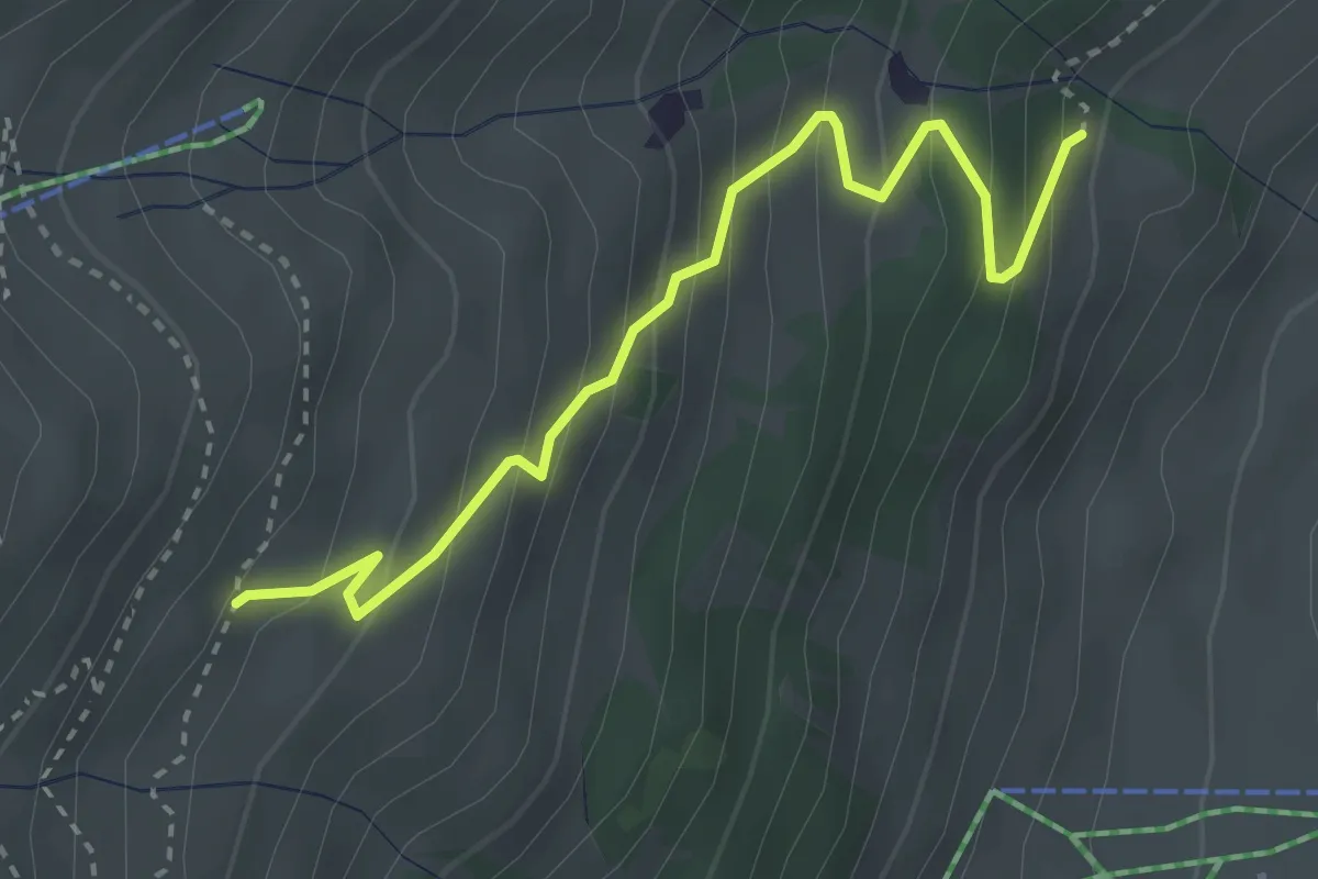
Medium · Trail
159 – 190
3.3 km · ↑ 328 m · 1 h 29 min
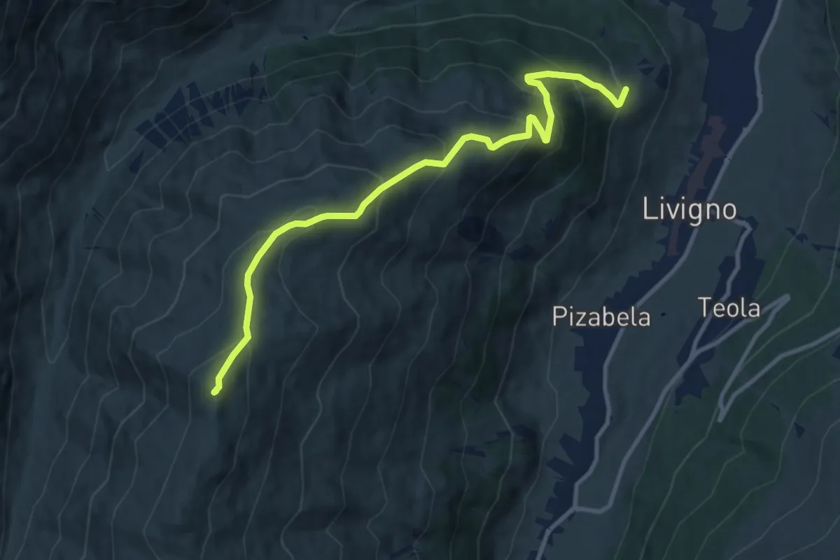
Medium · Summit
Cheseira da Fedaria – Tea del Plan
10.5 km · ↑ 789 m · 4 h 12 min
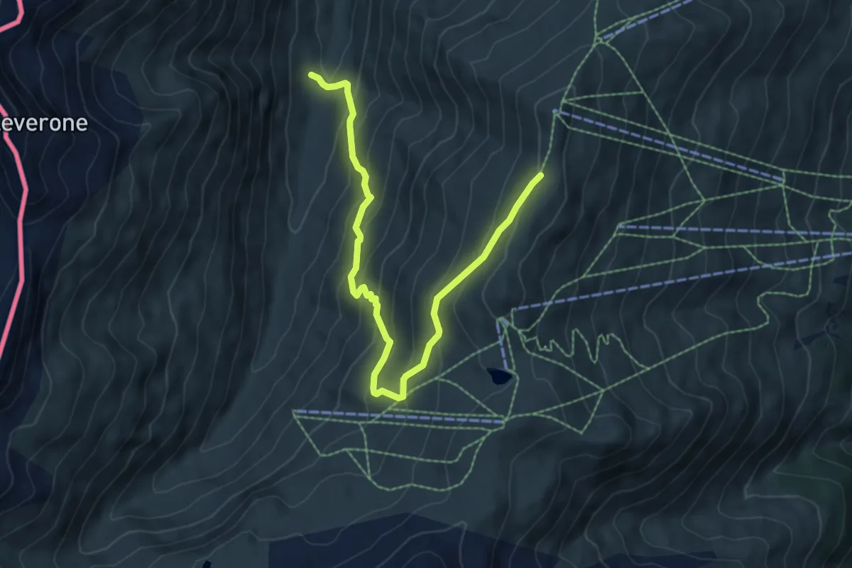
Medium · Trail
Cheseira da Fedaria – 162
7.6 km · ↑ 562 m · 3 h 1 min
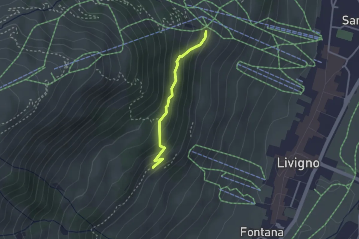
Expert · Cabin
Tea del Plan – 190
2.1 km · ↑ 117 m · 45 min
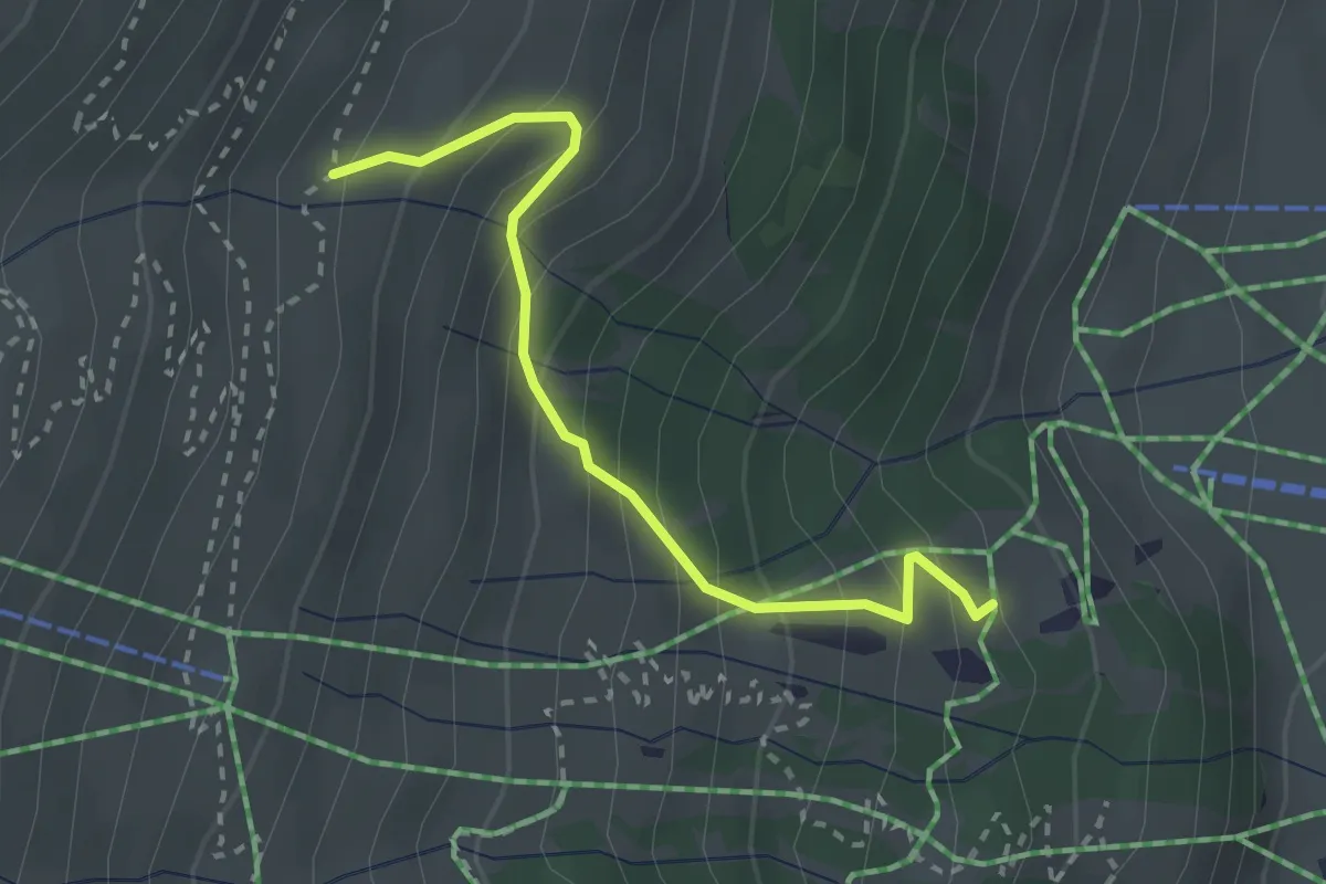
Easy · Trail
157 – 159
2.6 km · ↑ 301 m · 1 h 17 min
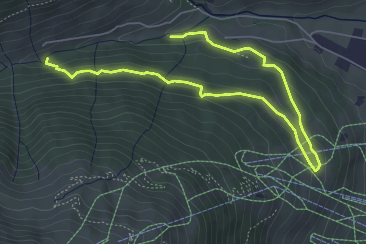
Easy · Trail
167 – 167
6.4 km · ↑ 190 m · 1 h 55 min
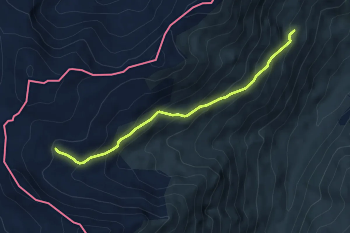
Medium · Trail
172 – Torrente Valle del Laverone
5.3 km · ↑ 429 m · 2 h 11 min
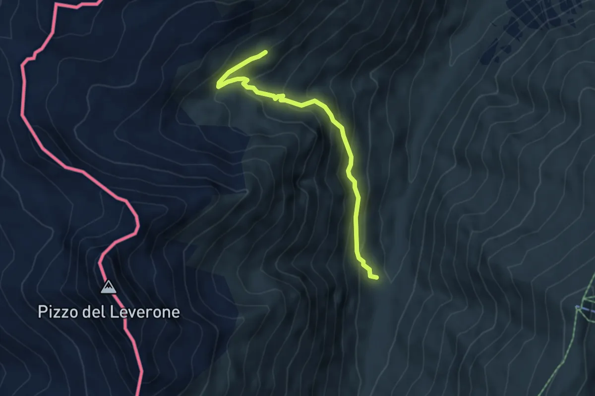
Medium · Trail
Alpe Federia – 170
5.0 km · ↑ 370 m · 1 h 59 min
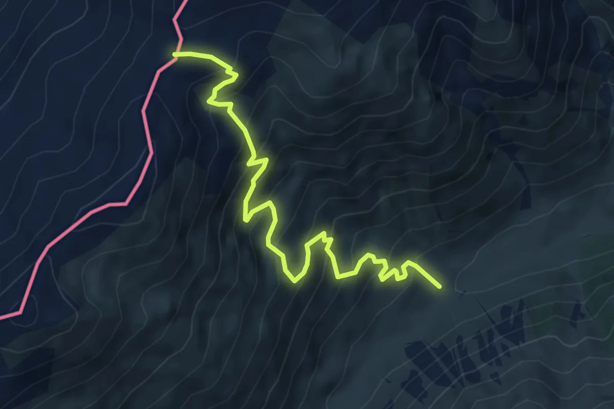
Medium · Trail
167 – Passo di Cassana
6.5 km · ↑ 632 m · 2 h 54 min
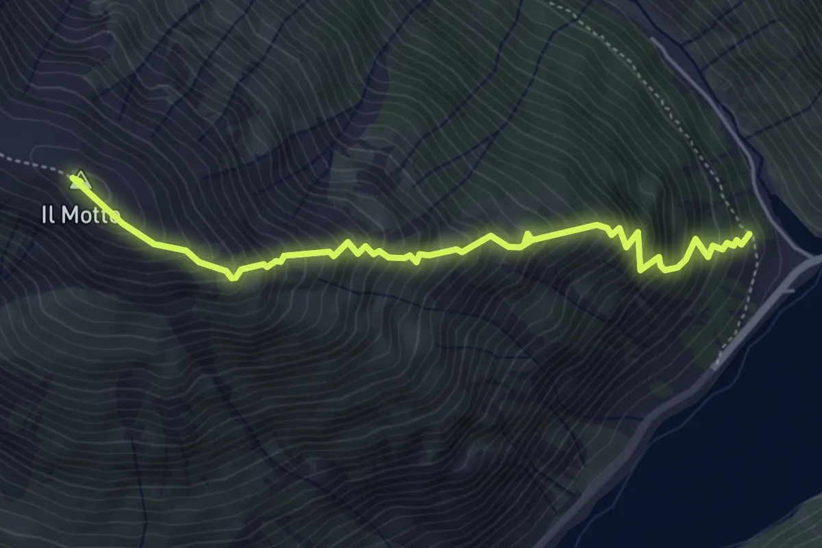
Expert · Summit
176 – 176
5.1 km · ↑ 848 m · 3 h 3 min