Trails in Italy
25,219 hiking trails, each with its route, climb, walking time and grade.
All trails, page 477 of 526
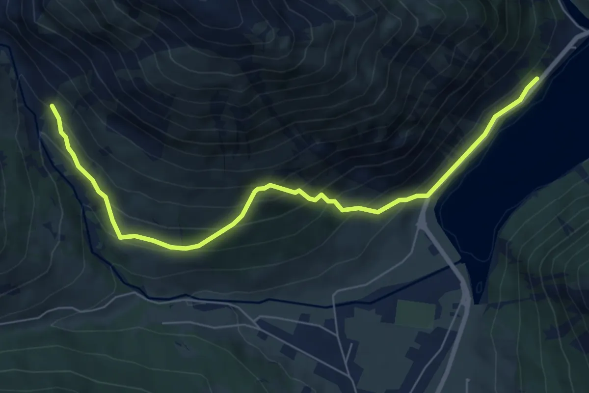
Medium · Trail
176 – 175
6.9 km · ↑ 587 m · 2 h 54 min
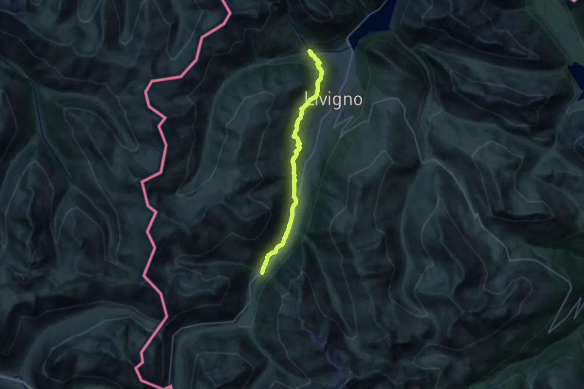
Demanding · Trail
Ponte Calcheira (Livigno) – Via Forcola (Tresenda)
20.0 km · ↑ 775 m · 6 h 24 min
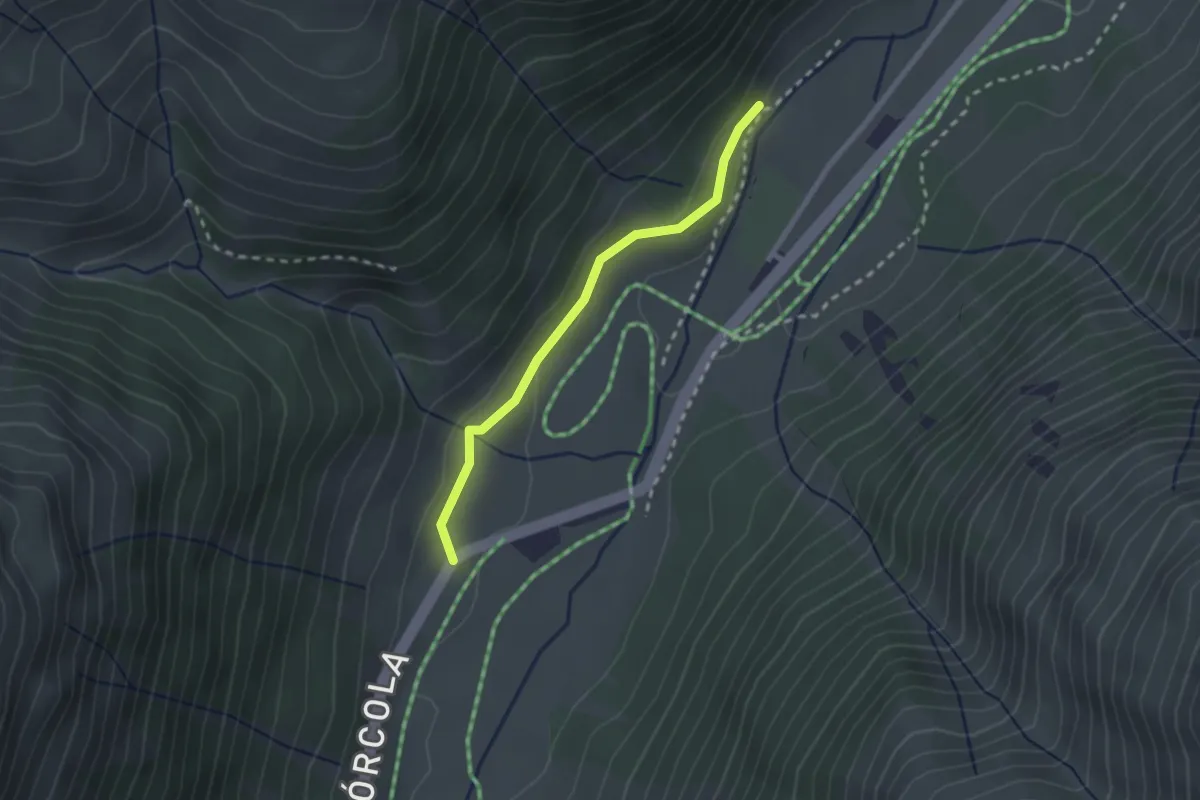
Easy · Trail
Aple Camparaccio – 190
2.1 km · ↑ 56 m · 38 min
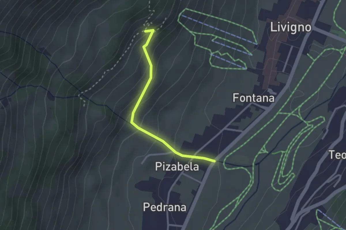
Easy · Trail
Via Pedrana (Livigno) – 190
2.3 km · ↑ 166 m · 54 min
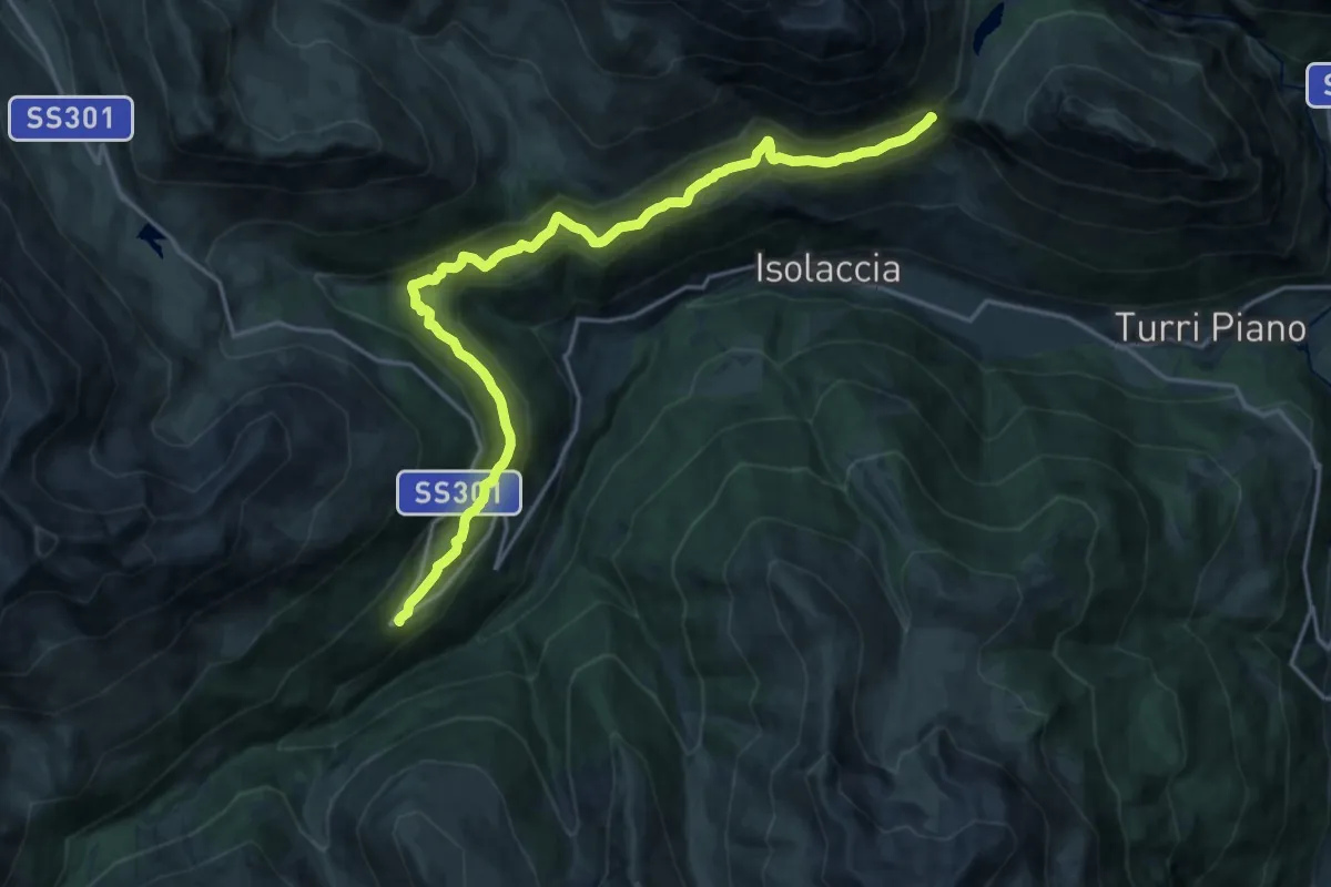
Demanding · Trail
Arnoga – Strada Militare Fior d'Alpe - Cancano - Itineraio 199
20.0 km · ↑ 889 m · 6 h 39 min
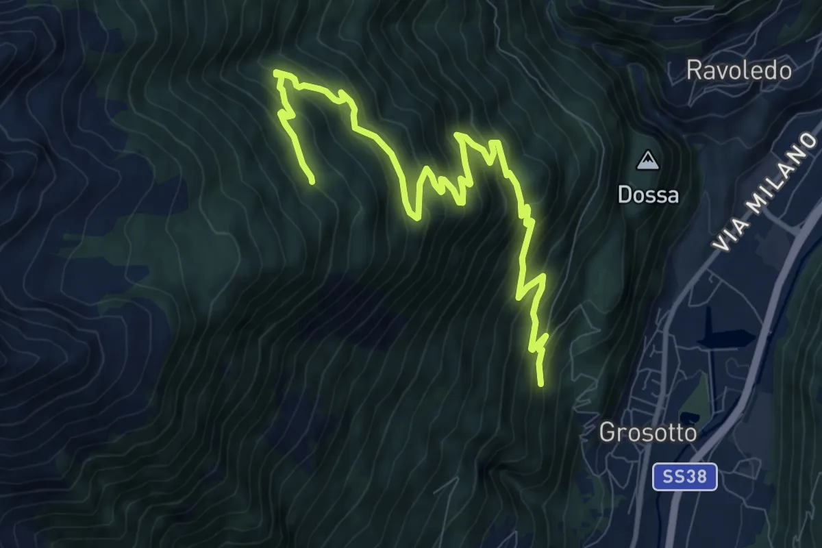
Demanding · Trail
202 – 236
11.6 km · ↑ 940 m · 4 h 46 min
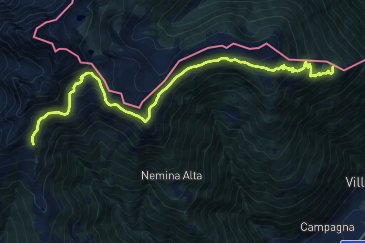
Demanding · Summit
Tirano Stazione – Passo Caldenno
18.4 km · ↑ 1200 m · 6 h 56 min
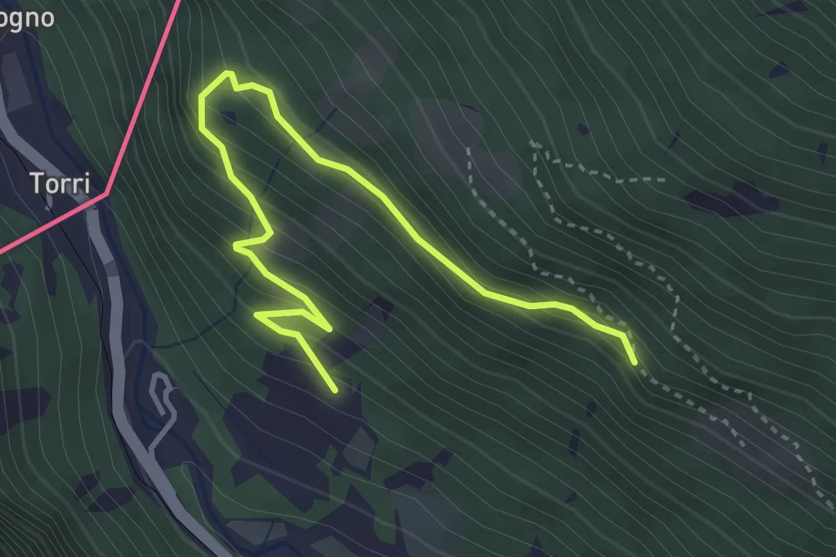
Medium · Trail
Via Roma (Grosio) – Via Rasica (San Rocco)
3.9 km · ↑ 324 m · 1 h 37 min
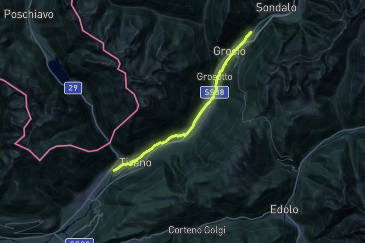
Demanding · Trail
Lungoargine Poschiavino – 279
18.2 km · ↑ 377 m · 5 h 12 min
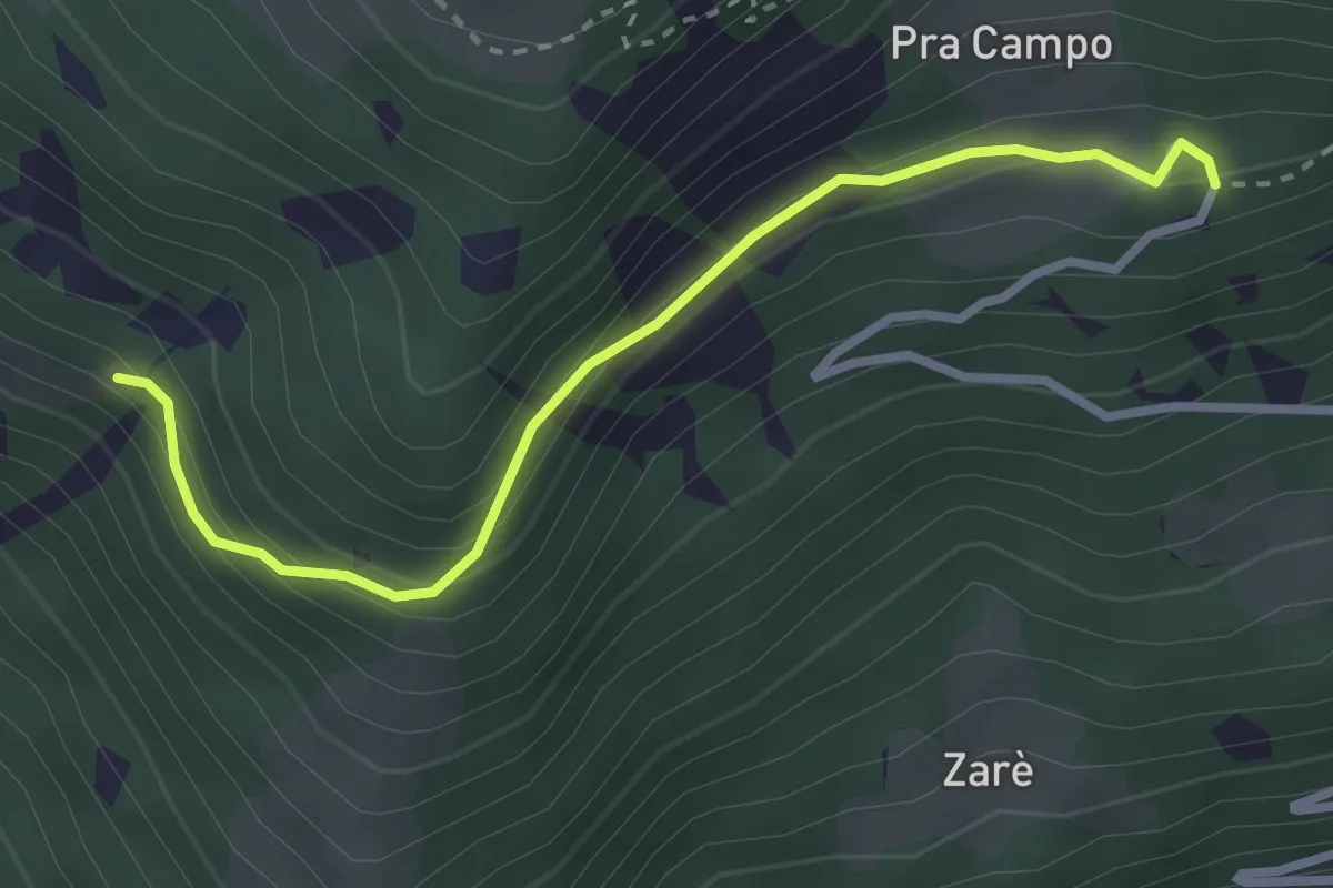
Easy · Trail
Prò Campo – Le Zocche
3.0 km · ↑ 164 m · 1 h 3 min
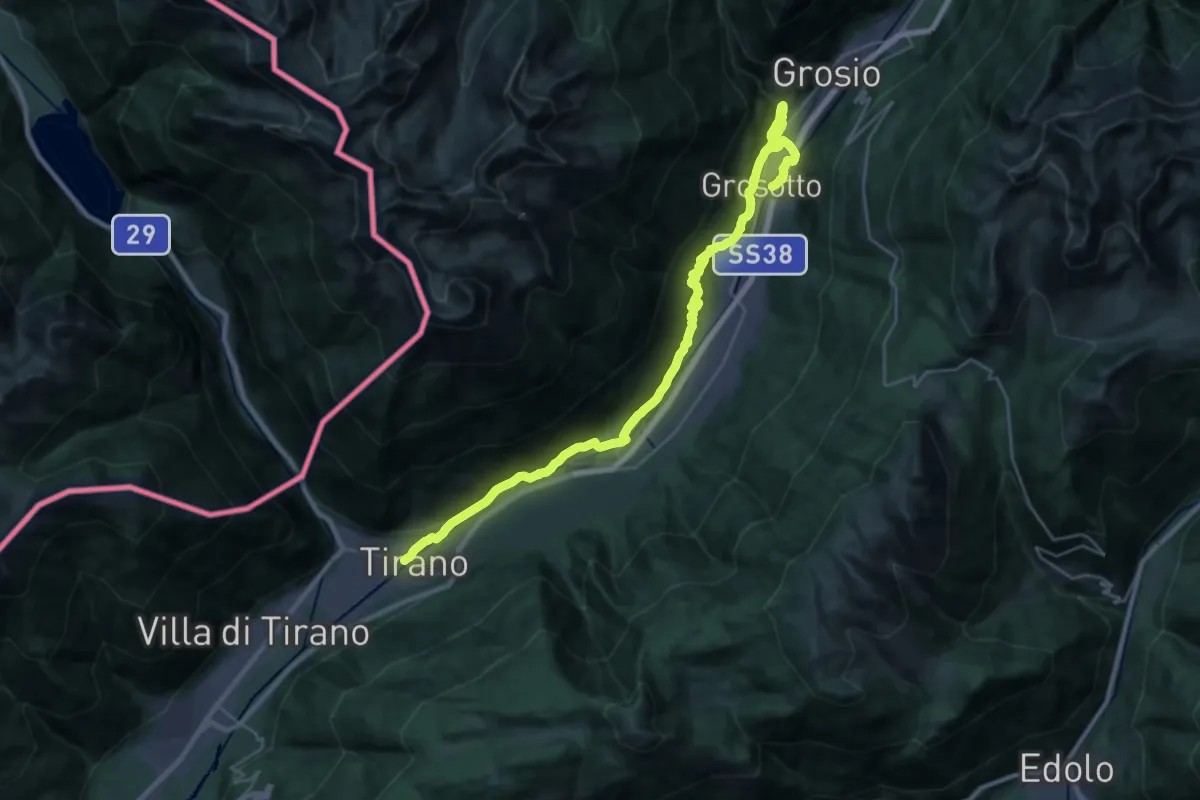
Medium · Trail
SS38 - TIrano – Prati di Punta (Grosotto)
15.7 km · ↑ 541 m · 5 h 2 min
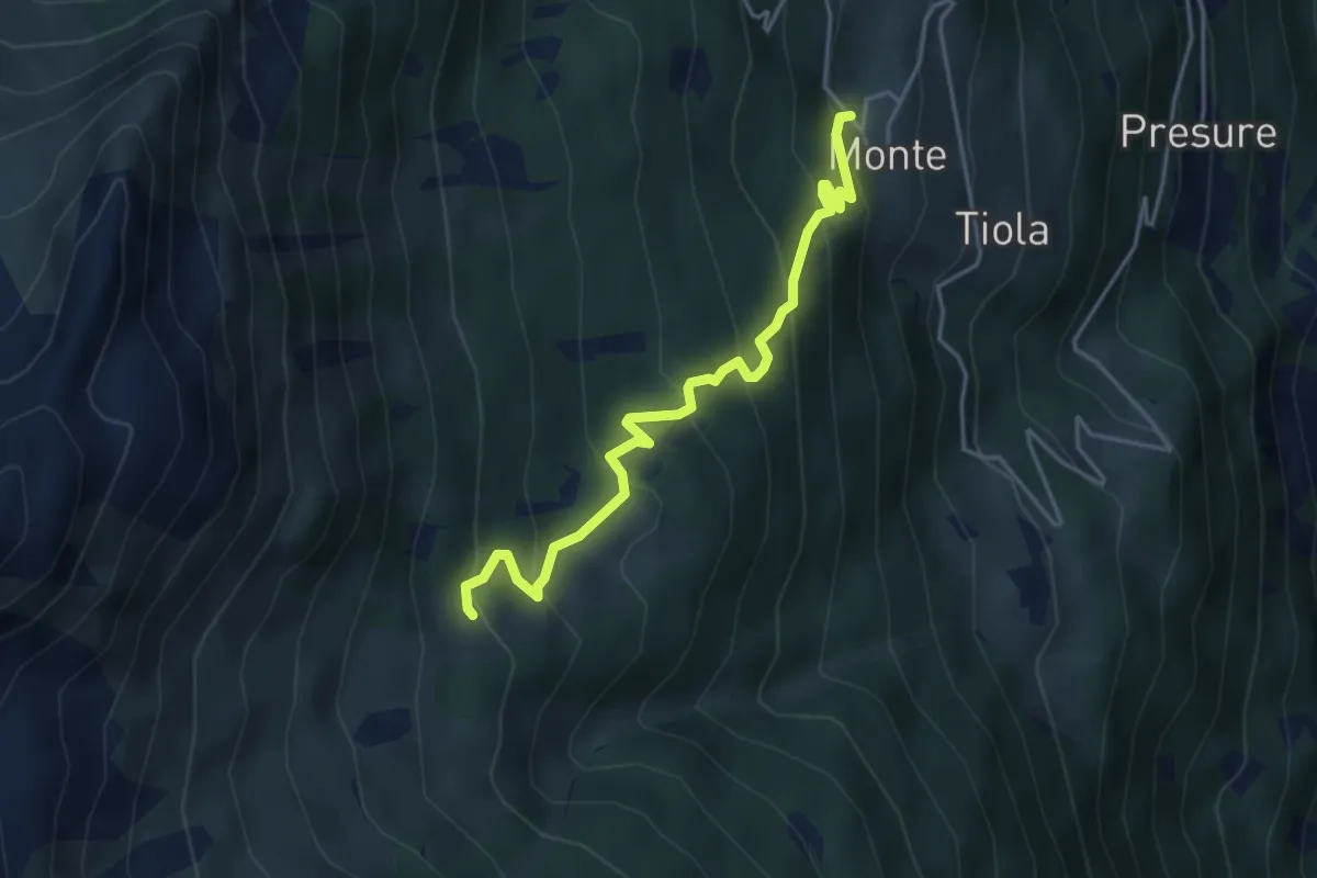
Medium · Trail
207 – 208 - Monte Zandila
4.2 km · ↑ 389 m · 1 h 50 min
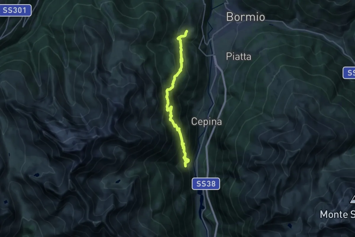
Demanding · Trail
Via Breno (Fontane) – Via Roma (Oga)
16.4 km · ↑ 1216 m · 6 h 31 min
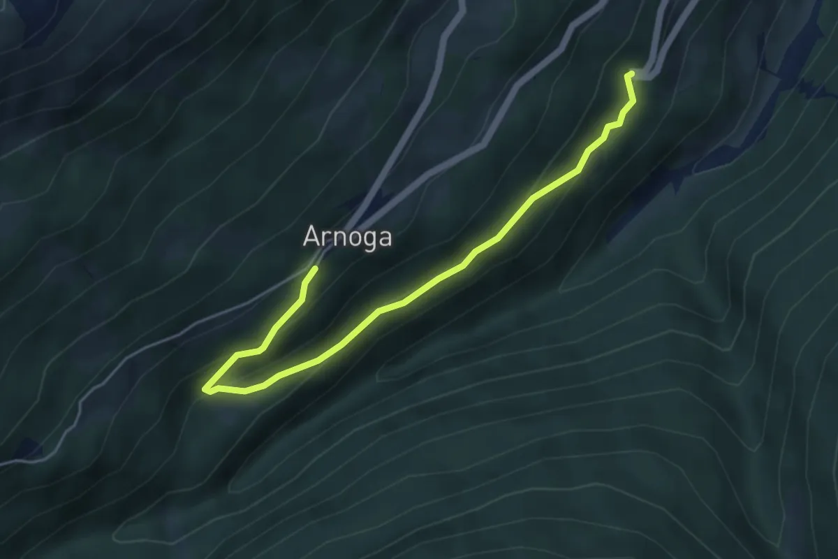
Easy · Trail
Arnoga – SS 301
4.9 km · ↑ 248 m · 1 h 42 min
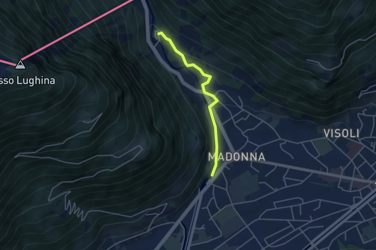
Easy · Trail
Tirano – Torri
3.2 km · ↑ 100 m · 58 min
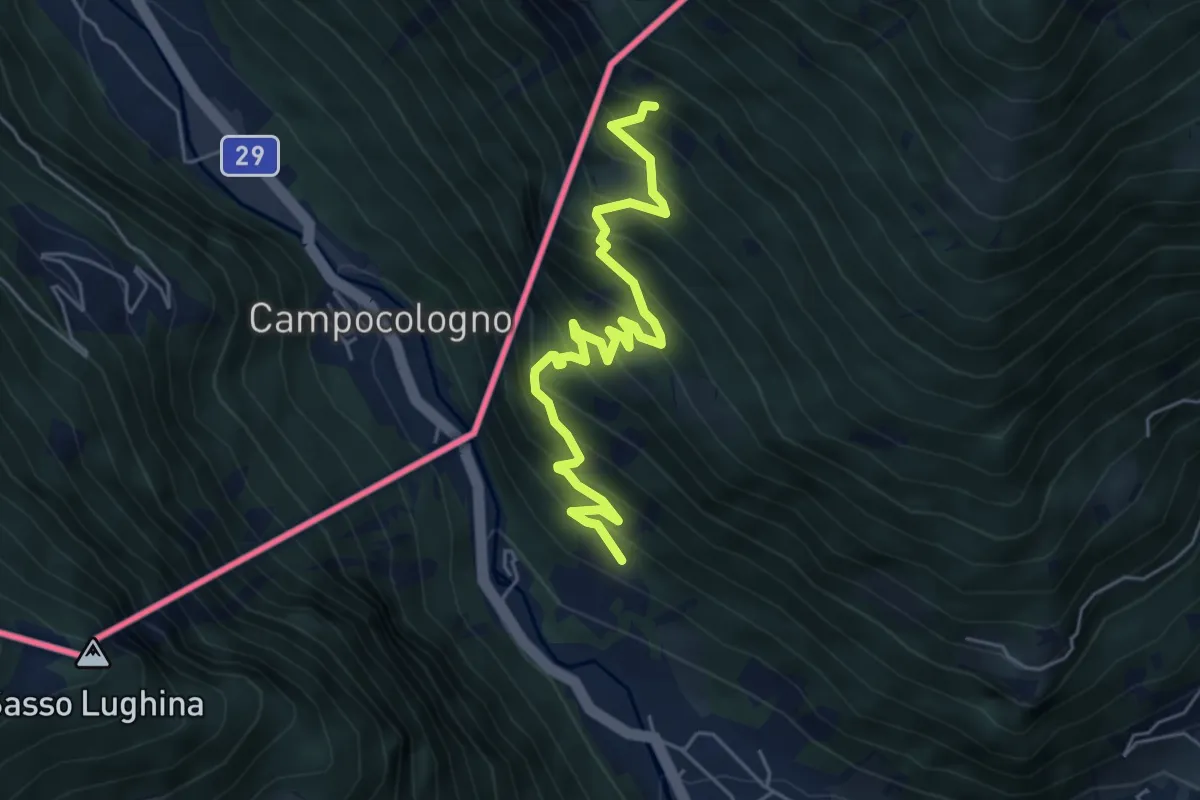
Medium · Trail
Via San Rocco (San Rocco() – Sasso del Gallo
5.8 km · ↑ 634 m · 2 h 44 min
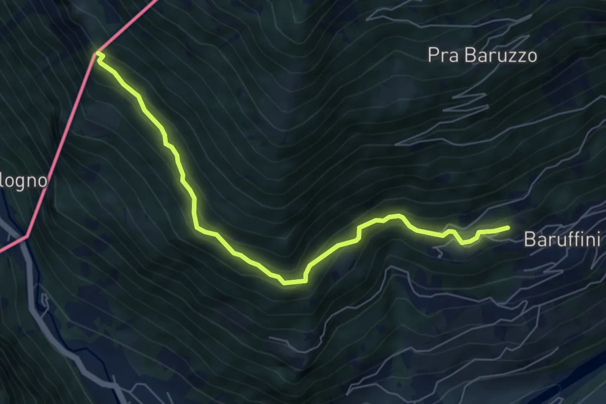
Medium · Trail
Case Alte (Baruffini) – Caserma di Finanza
6.7 km · ↑ 467 m · 2 h 35 min
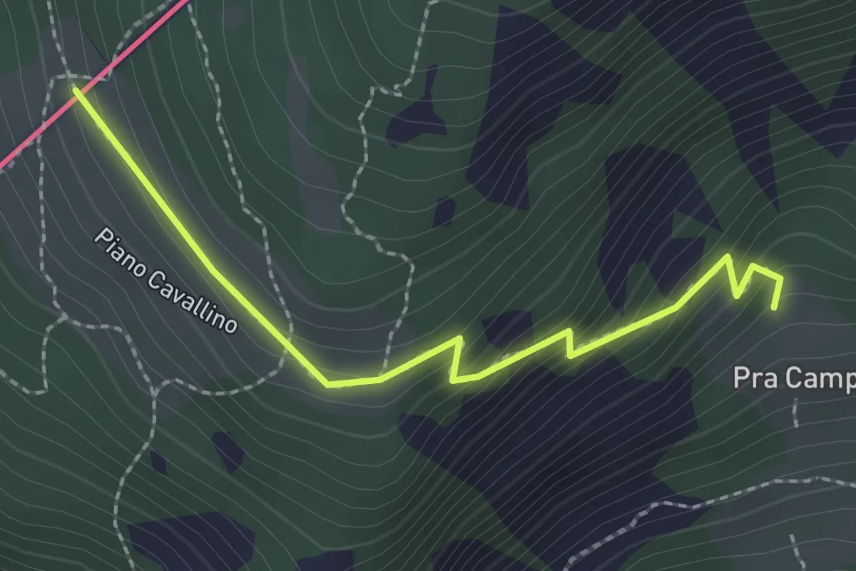
Easy · Trail
201 – Piano Cavallino
2.3 km · ↑ 172 m · 54 min
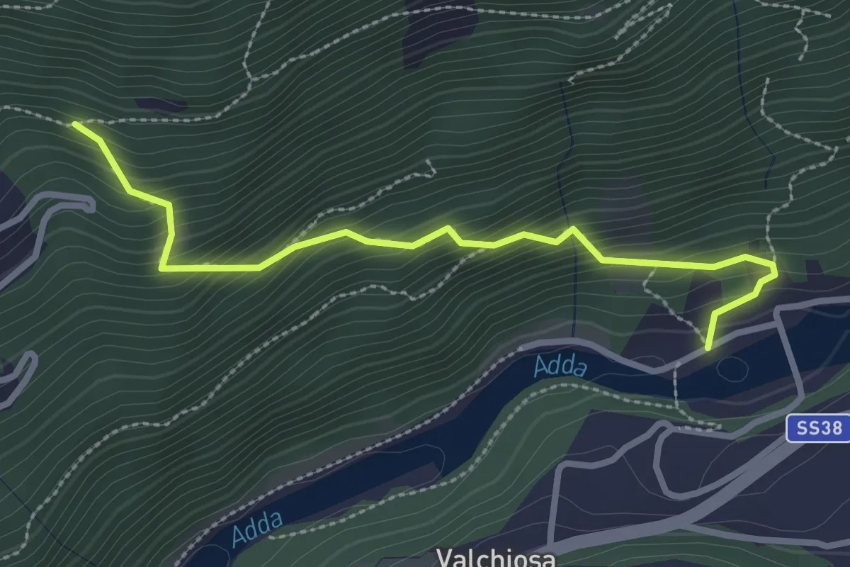
Medium · Trail
Diga di Sernio – 202
2.8 km · ↑ 329 m · 1 h 22 min
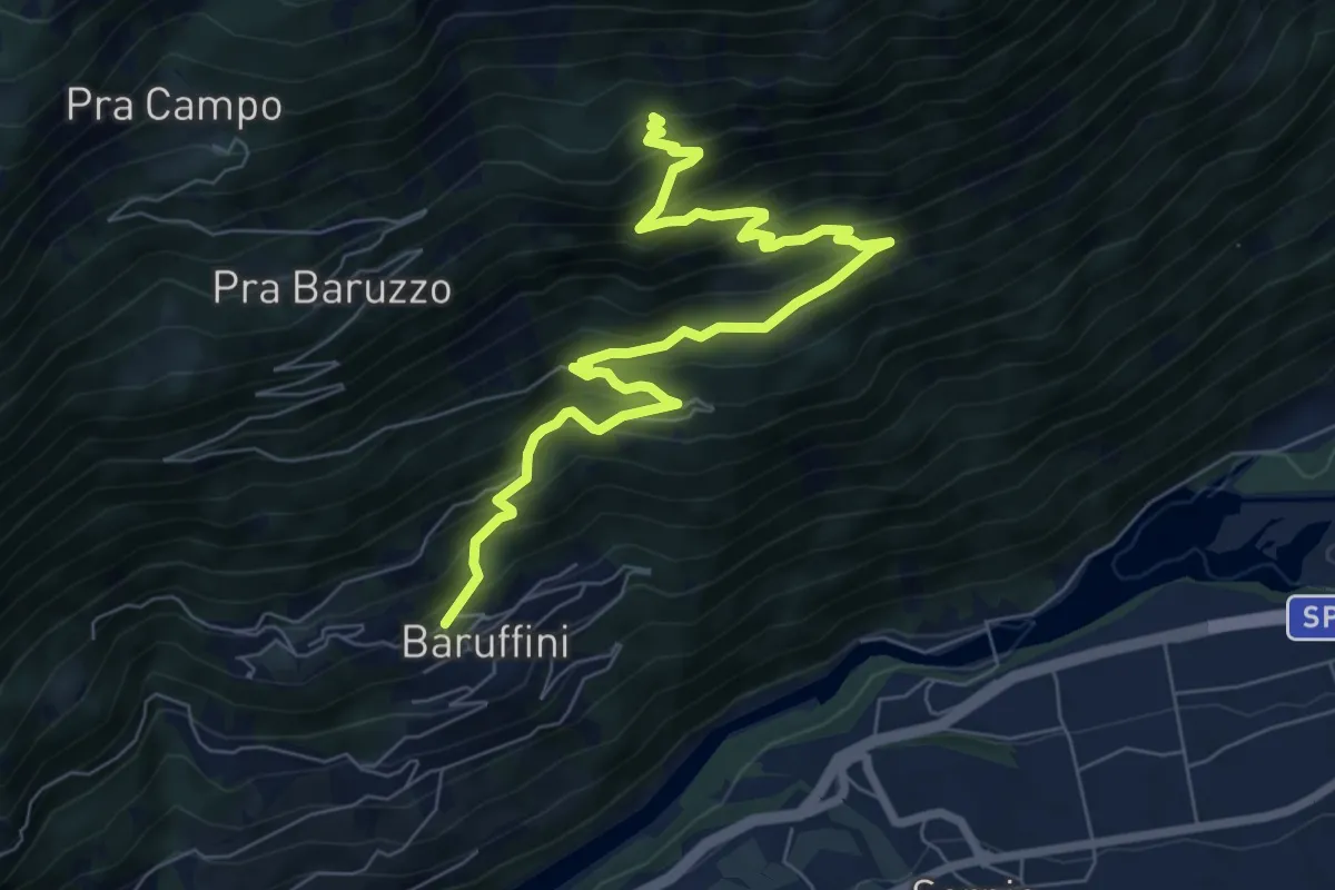
Demanding · Trail
Baruffini – 201
8.5 km · ↑ 831 m · 3 h 49 min
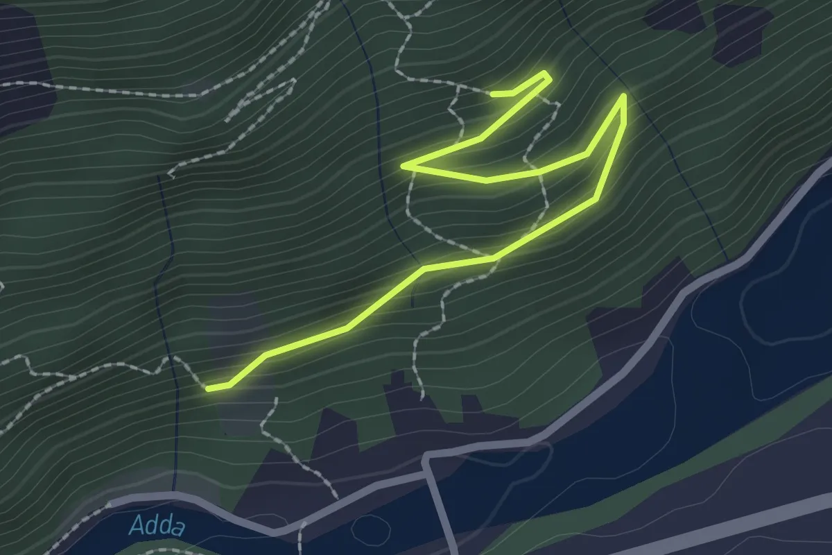
Easy · Trail
221 – 223
2.4 km · ↑ 150 m · 54 min
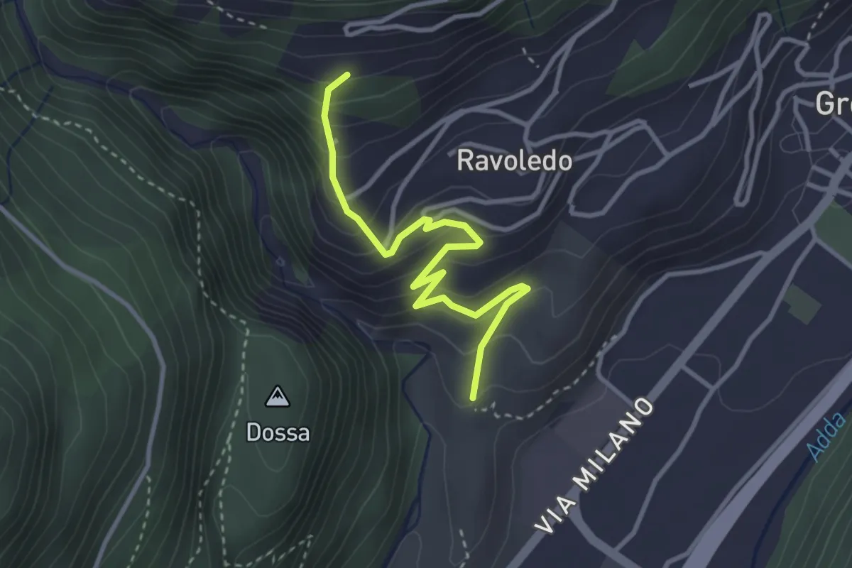
Expert · Trail
202 – 250
3.2 km · ↑ 297 m · 1 h 24 min
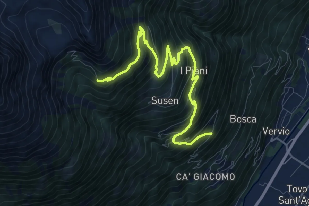
Demanding · Trail
Quattro Rui – Rifugio Schiazzera
11.6 km · ↑ 902 m · 4 h 42 min
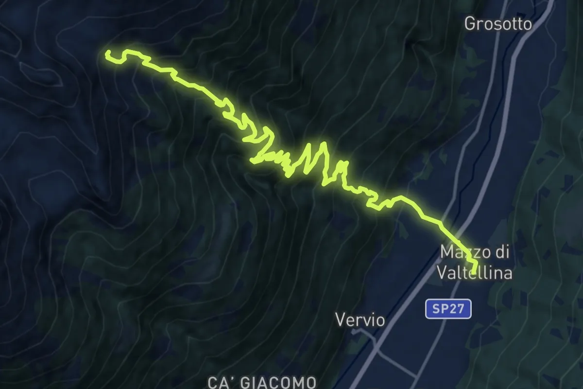
Demanding · Cabin
Via Papa Giovanni XXIII (Mazzo di Valtellina) – 201 - Alpe Salina
9.1 km · ↑ 1681 m · 5 h 6 min
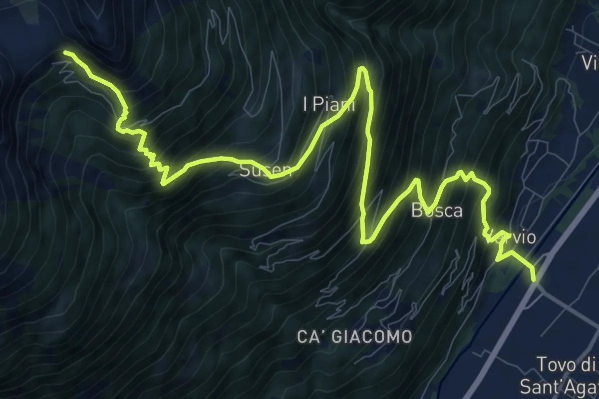
Demanding · Trail
Via delle Industrie (Tovo di Sant'Agata) – 201 - Rifugio Schiazzera
13.5 km · ↑ 1545 m · 6 h 32 min
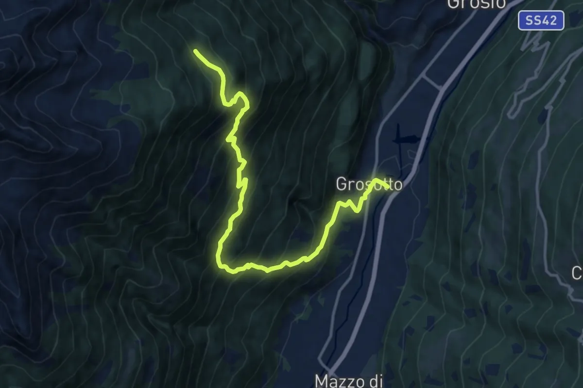
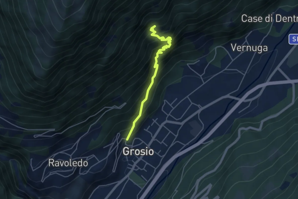
Demanding · Trail
Via Molini (Grosotto) – 201
12.9 km · ↑ 1269 m · 5 h 48 min
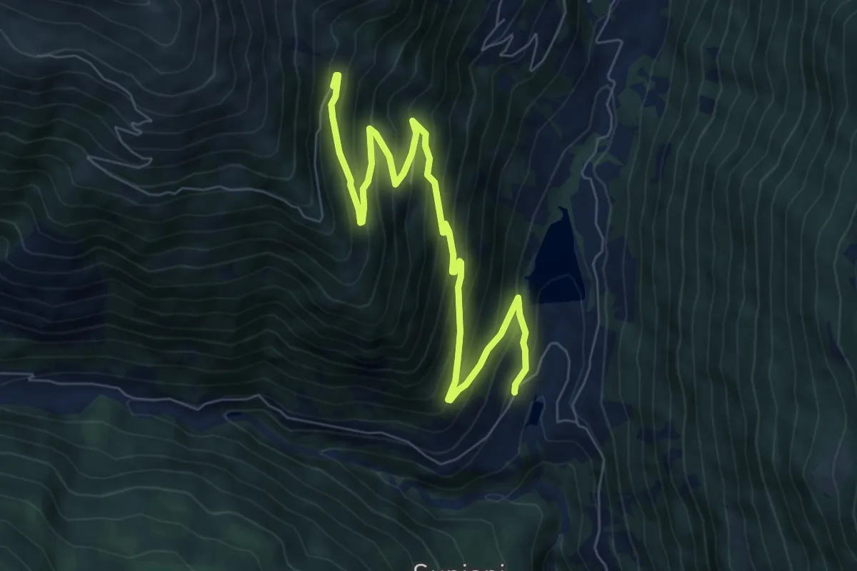
Medium · Trail
Ravoledo – Arzuga
3.9 km · ↑ 593 m · 2 h 12 min
Medium · Trail
258 – 261
9.0 km · ↑ 735 m · 3 h 43 min
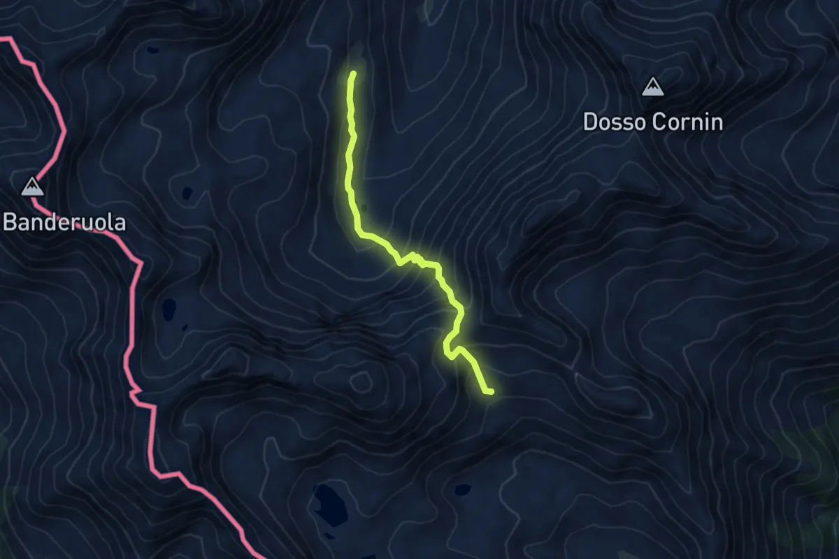
Medium · Trail
201 – 249
5.2 km · ↑ 495 m · 2 h 19 min
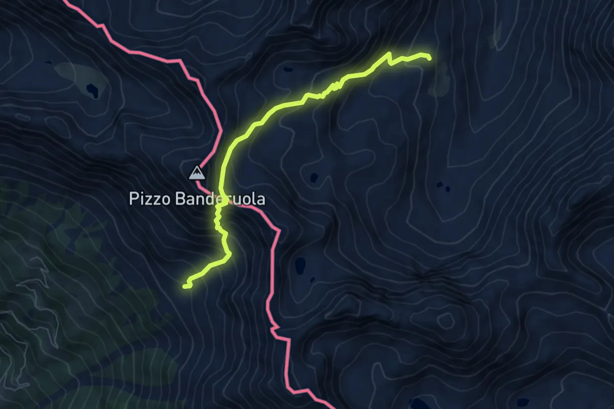
Expert · Trail
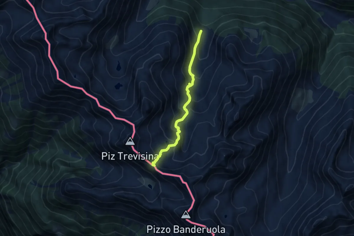
258 – Passo Banderuola
6.9 km · ↑ 817 m · 3 h 24 min
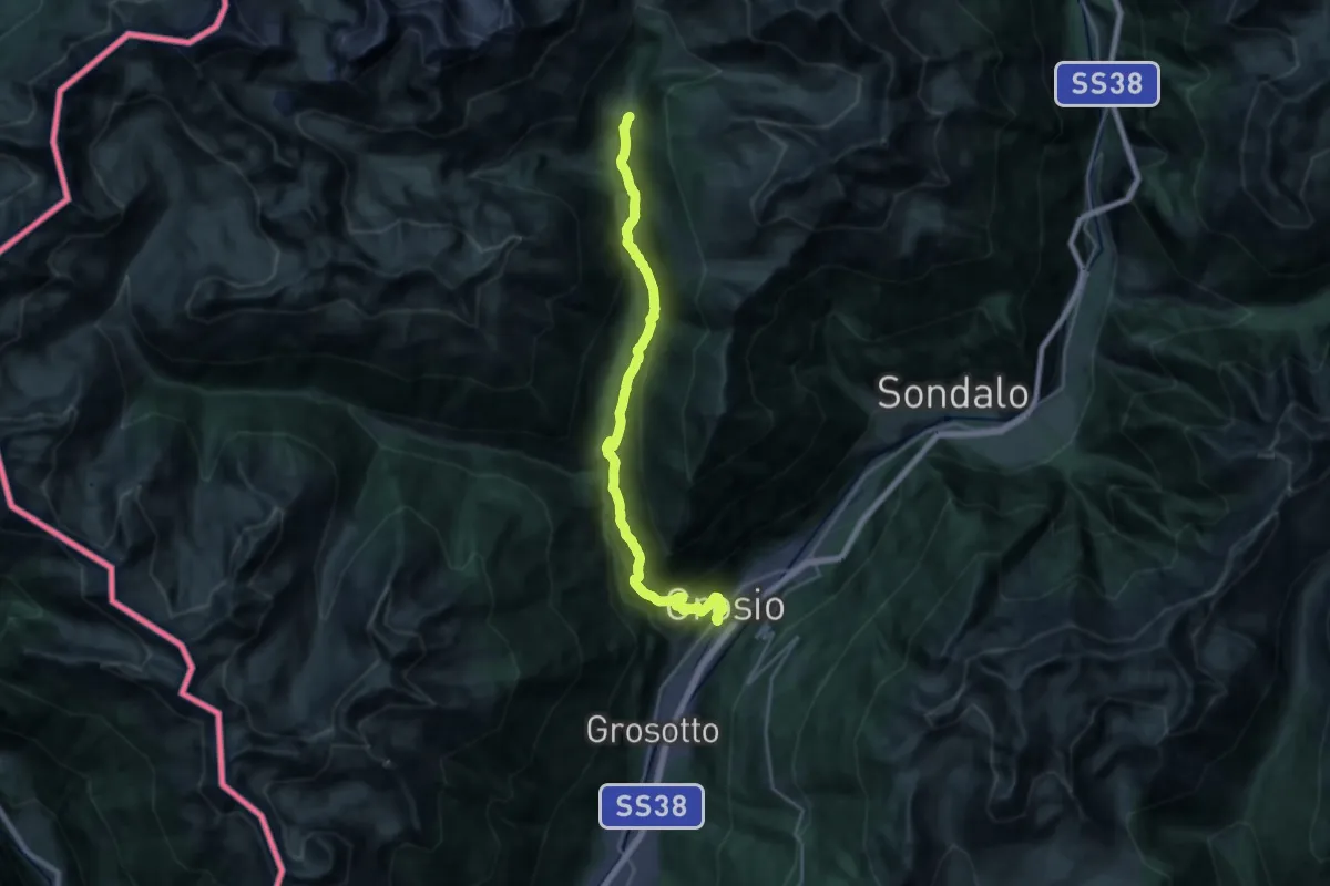
Medium · Trail
Via Roma (Grosio) – 208
11.5 km · ↑ 191 m · 3 h 48 min
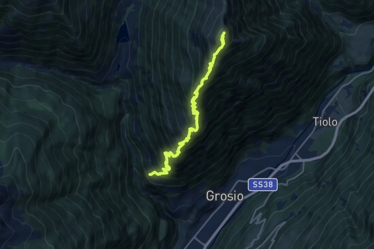
Demanding · Summit
Chiesa di San Giacomo (Ravoledo) – Monte Storile
12.9 km · ↑ 1551 m · 6 h 24 min
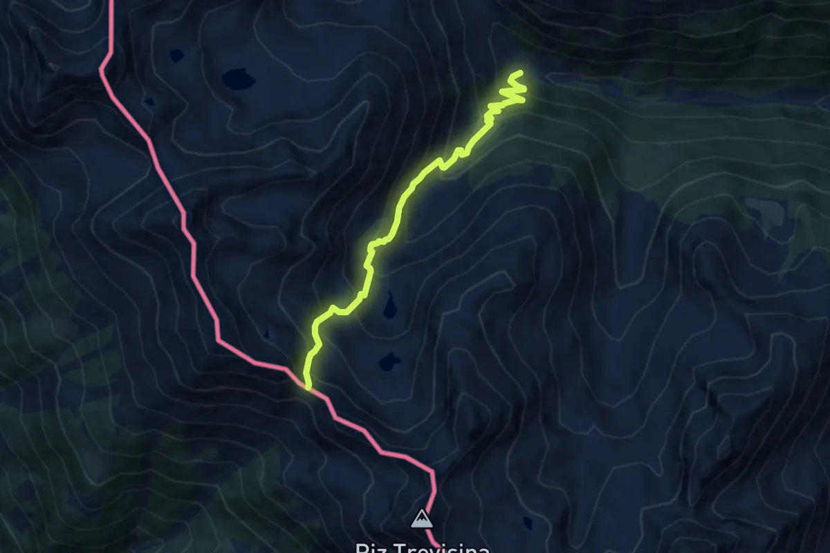
Demanding · Trail
Campo Pedruna – Passo di Pedruna
8.5 km · ↑ 826 m · 3 h 48 min
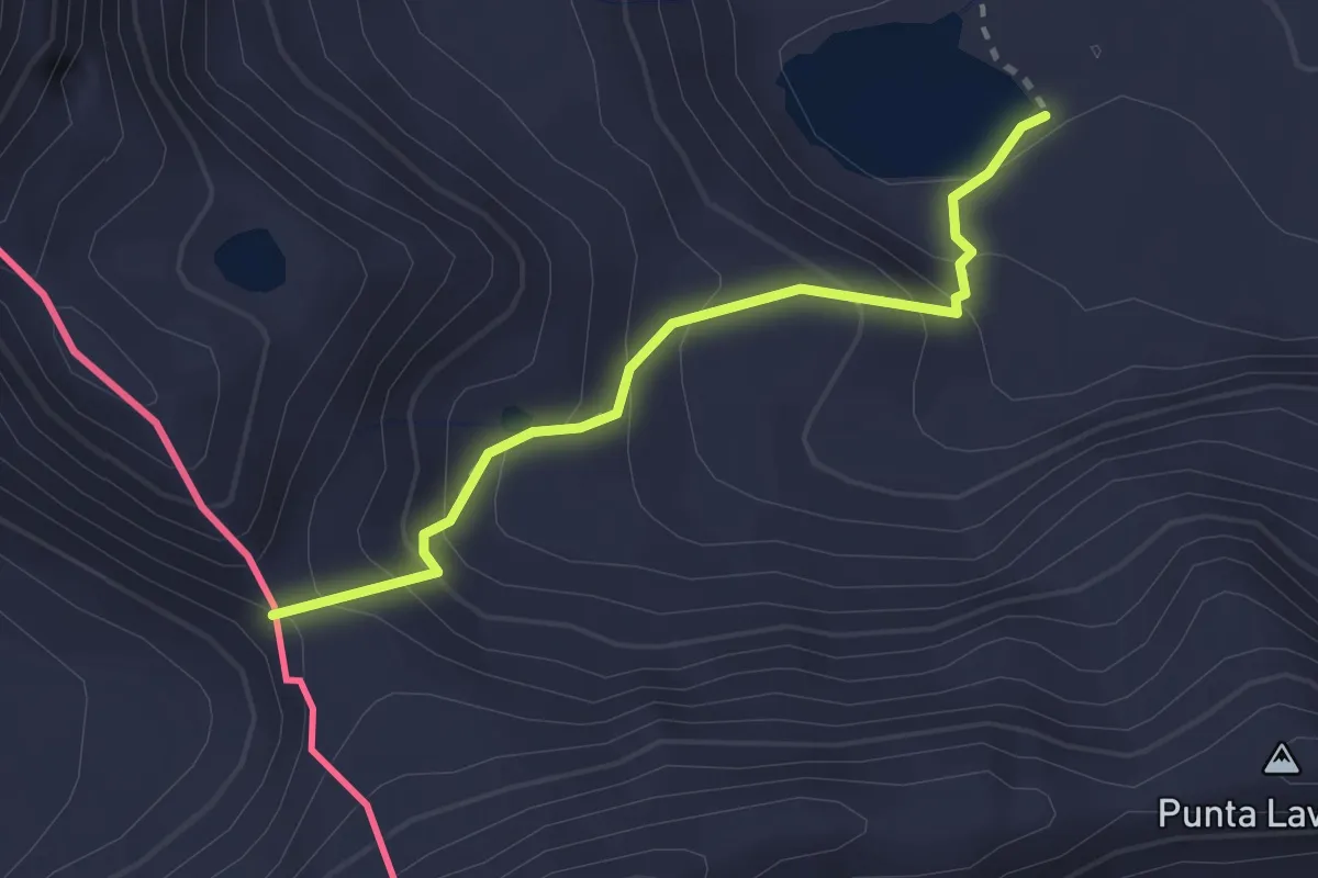
Easy · Trail
Rifugio Malghera – Passo di Malghera
2.4 km · ↑ 217 m · 1 h 3 min
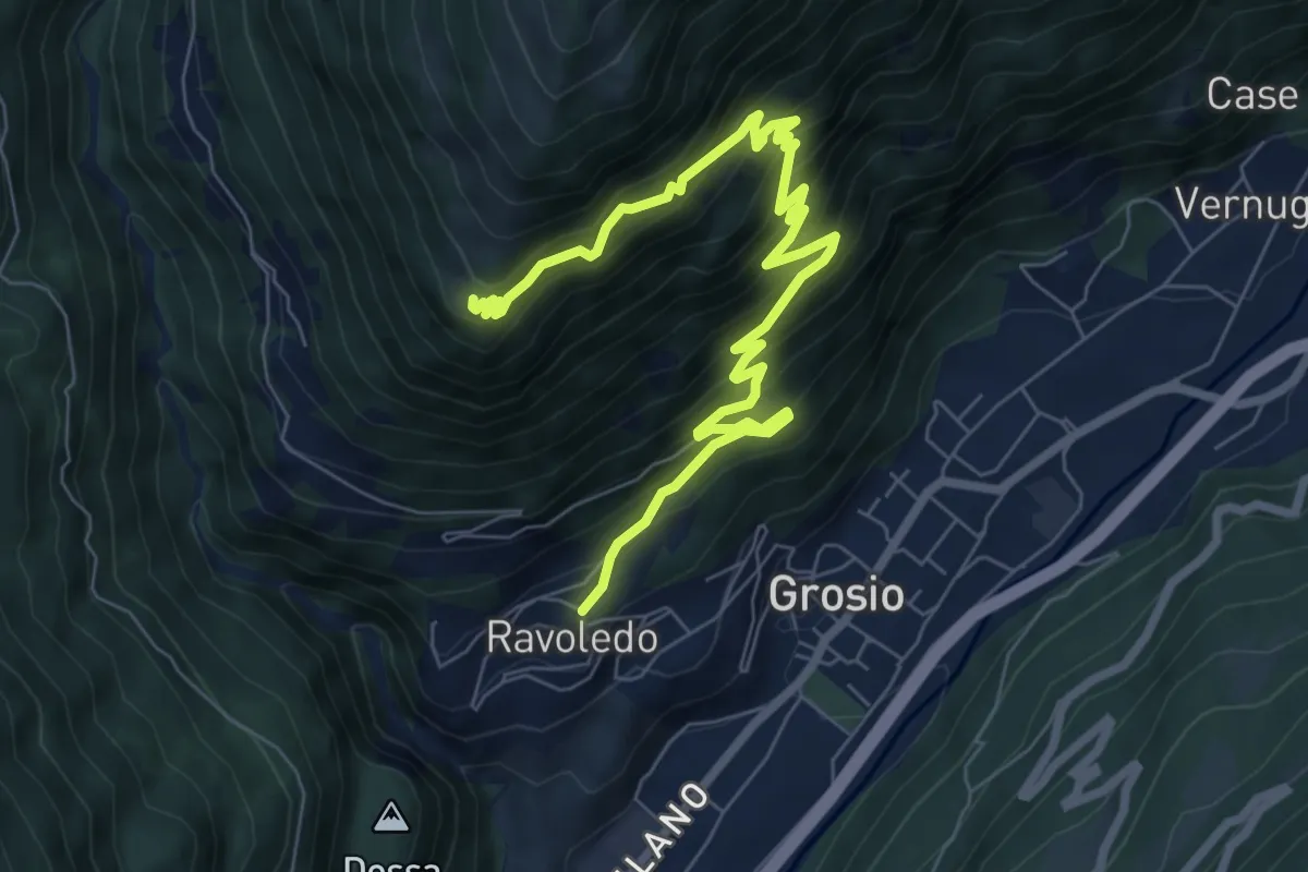
Demanding · Trail
Ravoledo – 251
9.3 km · ↑ 899 m · 4 h 8 min
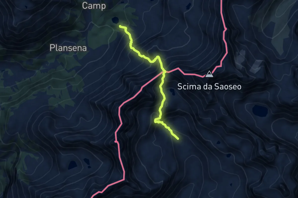
Demanding · Trail
Casera di Sacco – Passo di Sacco
9.1 km · ↑ 1122 m · 4 h 35 min
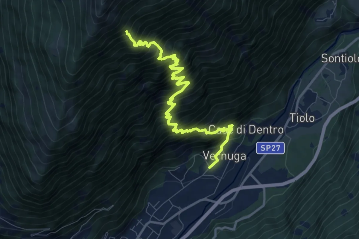
Demanding · Trail
Vernuga – 266
9.7 km · ↑ 1528 m · 5 h 36 min
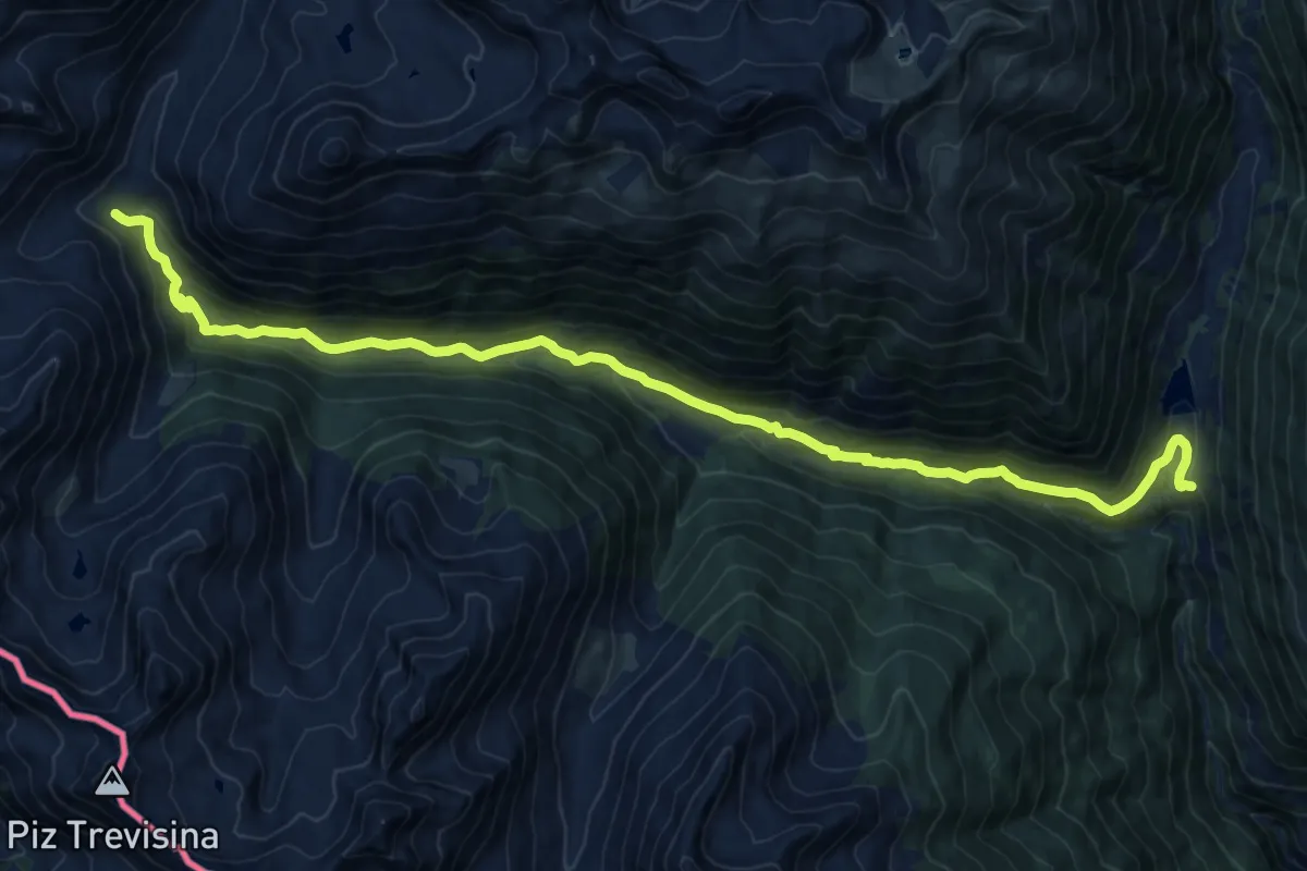
Medium · Trail
Campo Pedruna – Passo di Guinzana
7.9 km · ↑ 698 m · 3 h 22 min
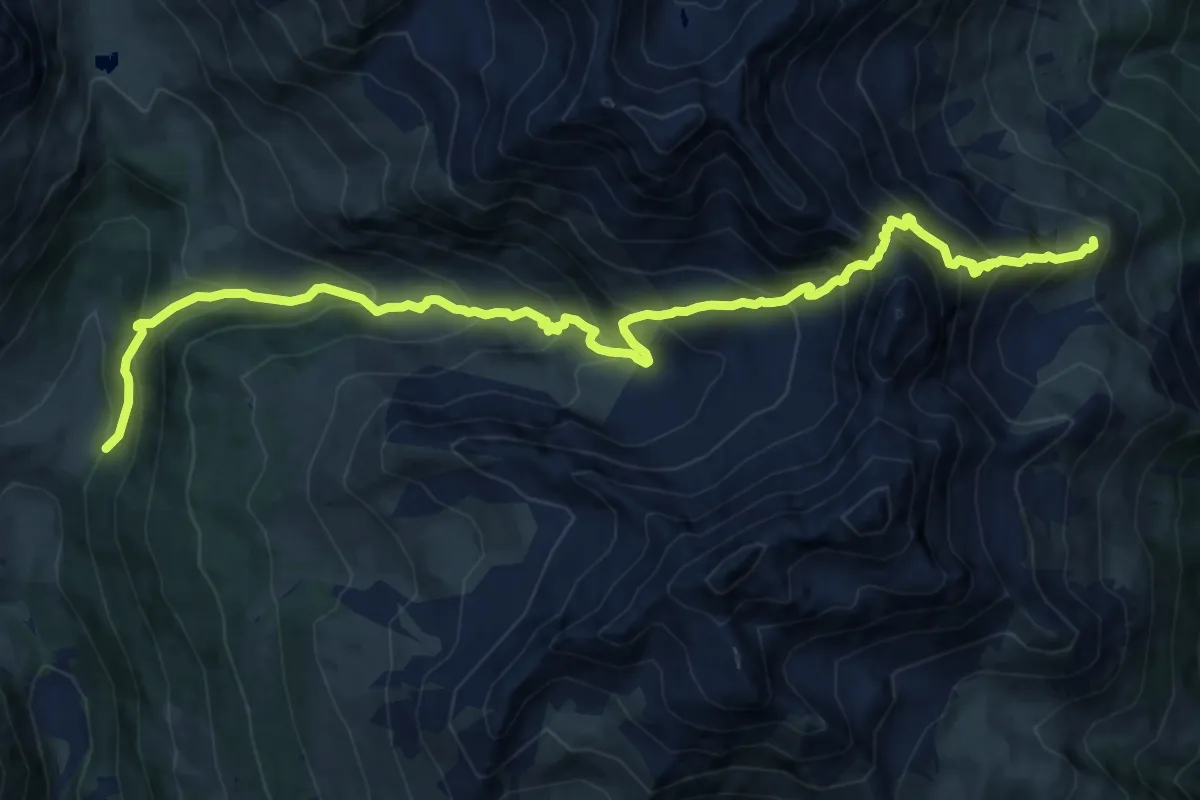
Demanding · Trail
250 - Fusino – 201 - Malghera
21.4 km · ↑ 917 m · 7 h 3 min
Demanding · Trail
208 – 208
15.4 km · ↑ 1582 m · 7 h 4 min
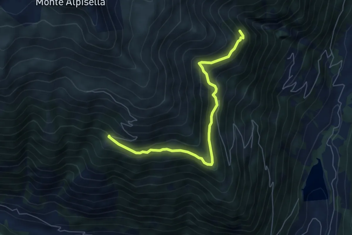
Medium · Trail
260 - Moregno – 258
6.2 km · ↑ 455 m · 2 h 27 min
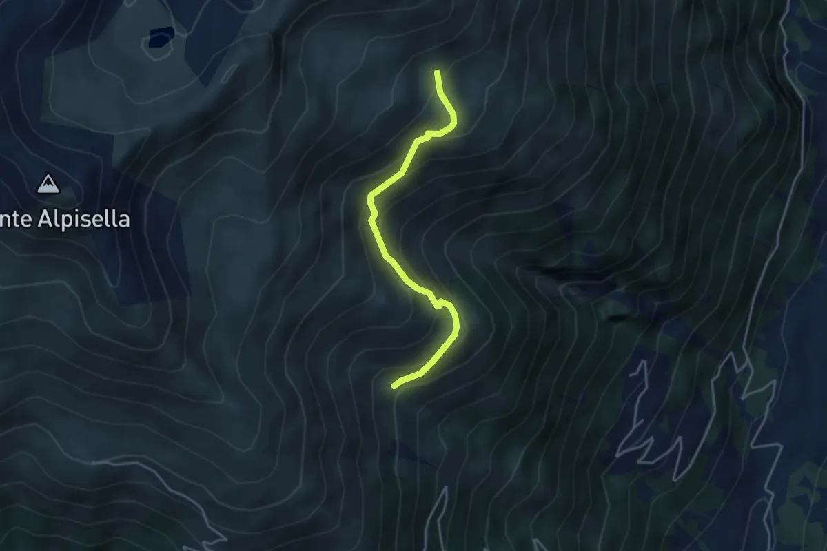
Easy · Trail
261 – 201
3.5 km · ↑ 302 m · 1 h 29 min
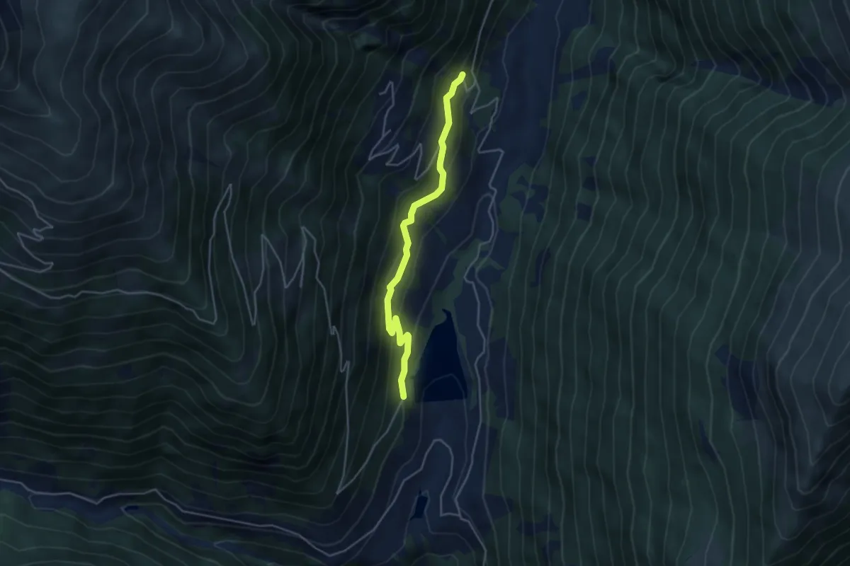
Easy · Trail
244 – 261
4.0 km · ↑ 301 m · 1 h 36 min
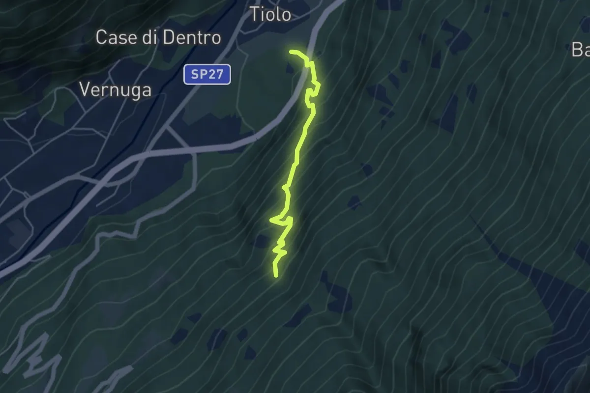
Medium · Trail
Innesto Sentiero 455 – Innesto Sentiero 460
3.9 km · ↑ 489 m · 1 h 58 min
Demanding · Summit
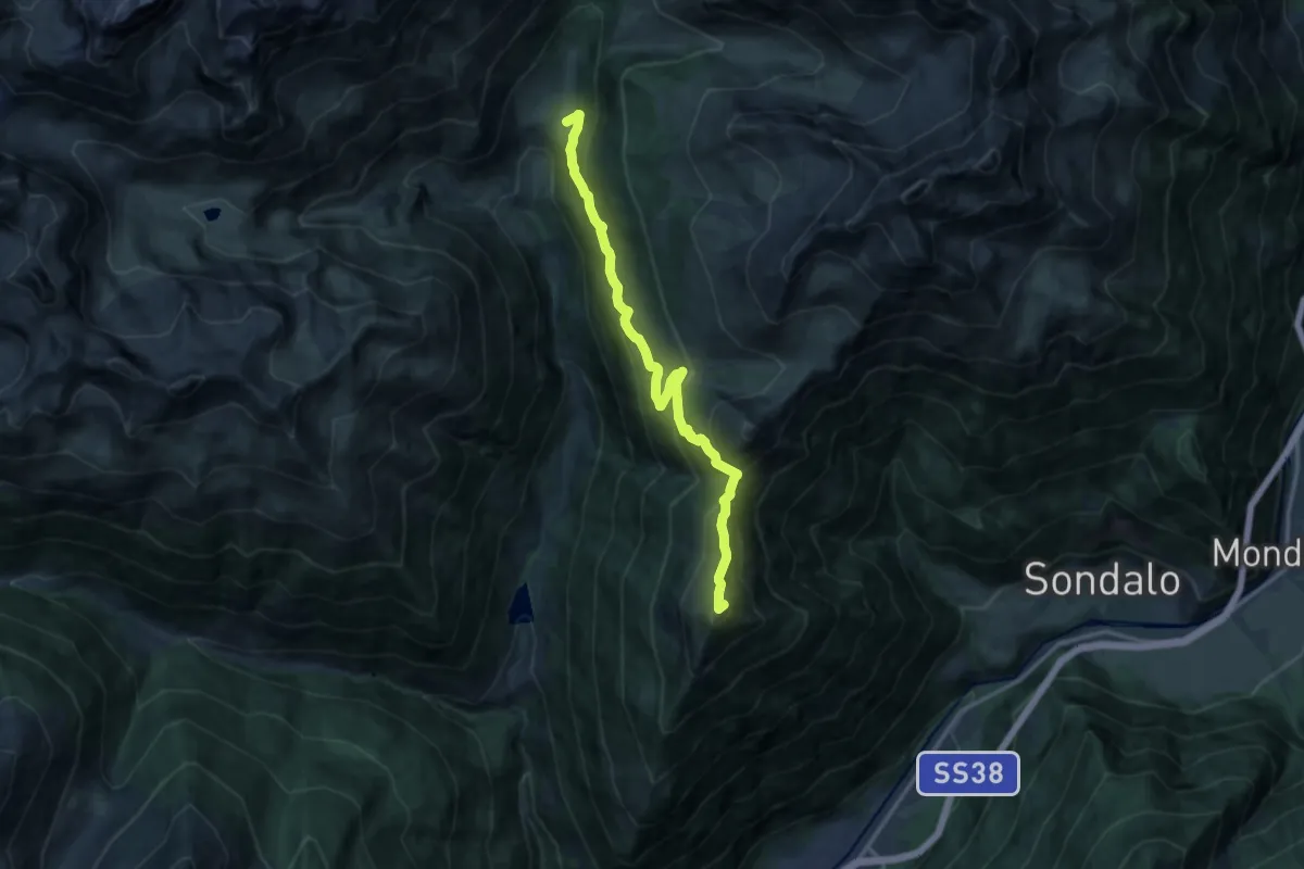
Rifugio Eita – Monte Storile
14.0 km · ↑ 944 m · 5 h 20 min
Easy · Trail
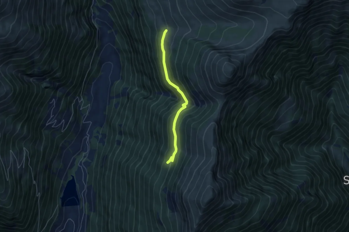
251 – 208
4.7 km · ↑ 293 m · 1 h 44 min
Demanding · Trail
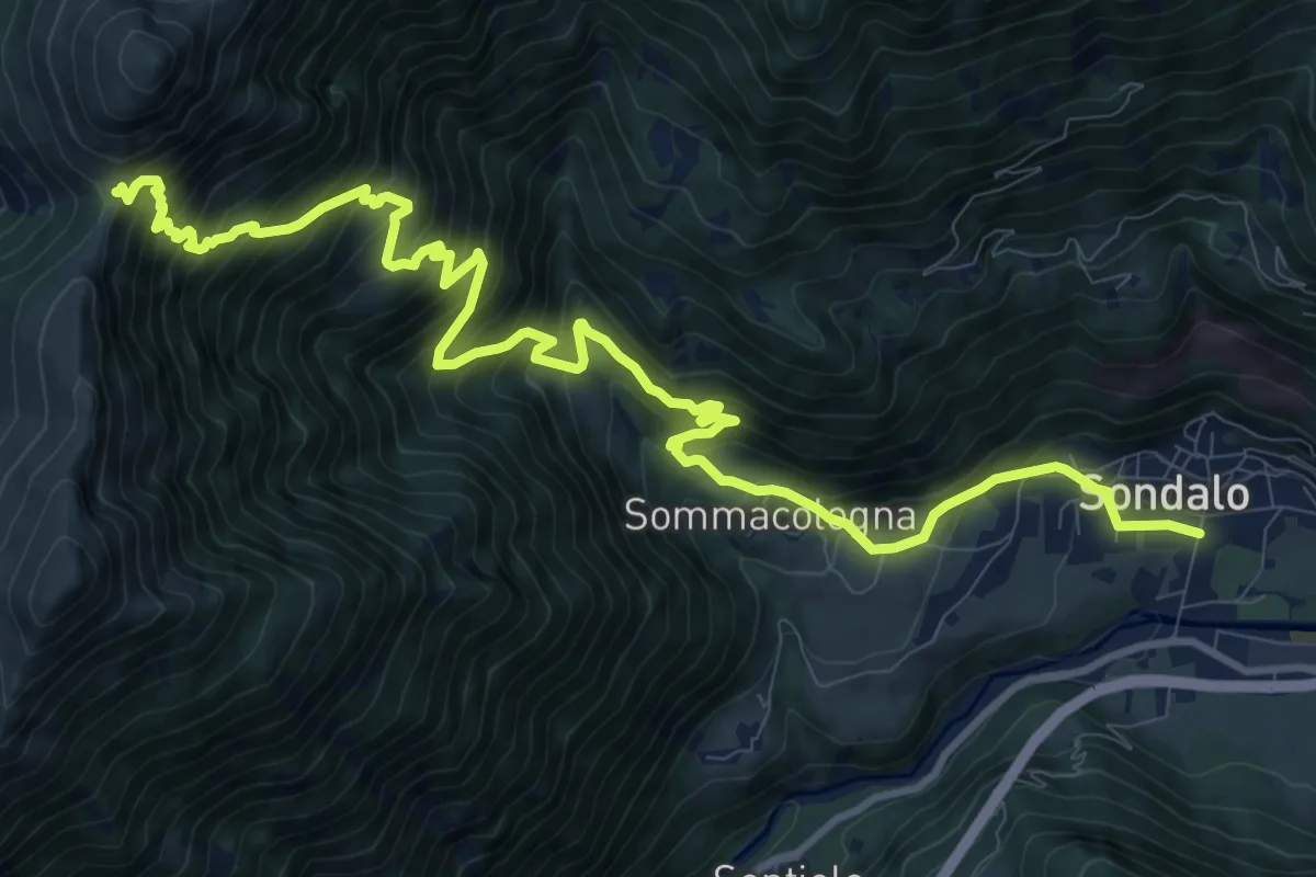
Via donatori di Sangue (Sondalo) – Passo della Forcola
14.4 km · ↑ 1473 m · 6 h 35 min
Demanding · Trail
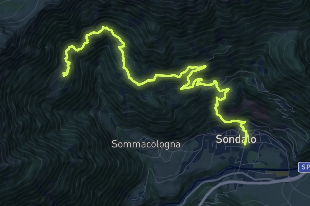
Via Ausonio Zubiani (Sondalo) – Innesto 258
14.7 km · ↑ 1388 m · 6 h 28 min