Trails in Italy
25,219 hiking trails, each with its route, climb, walking time and grade.
All trails, page 478 of 526
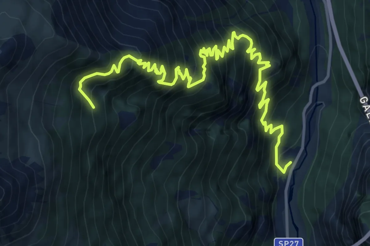
Demanding · Trail
SP 27 - Strada Provinciale dello Stelvio – Innesto 272
12.6 km · ↑ 1488 m · 6 h 12 min
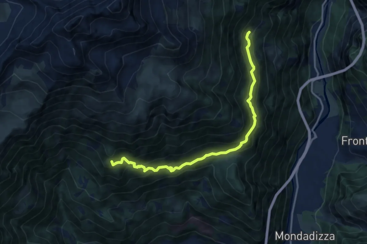
Medium · Trail
Innesto 272 – Innesto 208
10.2 km · ↑ 764 m · 4 h 4 min
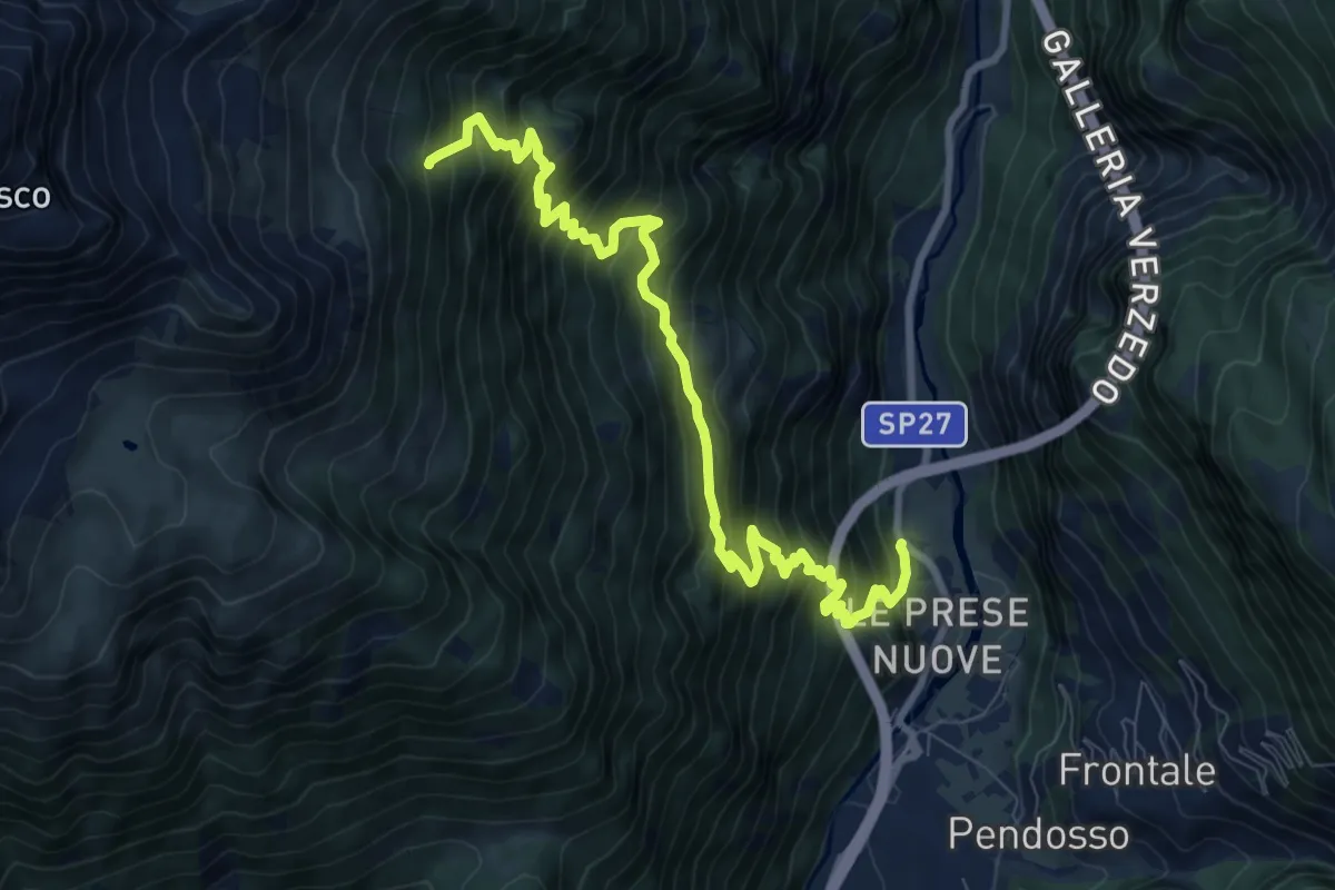
Demanding · Trail
SP 27 - Strada Provinciale dello Stelvio – Innesto 208
10.1 km · ↑ 1218 m · 5 h 1 min
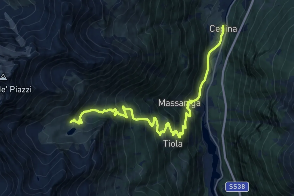
Demanding · Trail
Via Roma (Cepina) – Lago Campaccio
18.3 km · ↑ 1333 m · 7 h 12 min
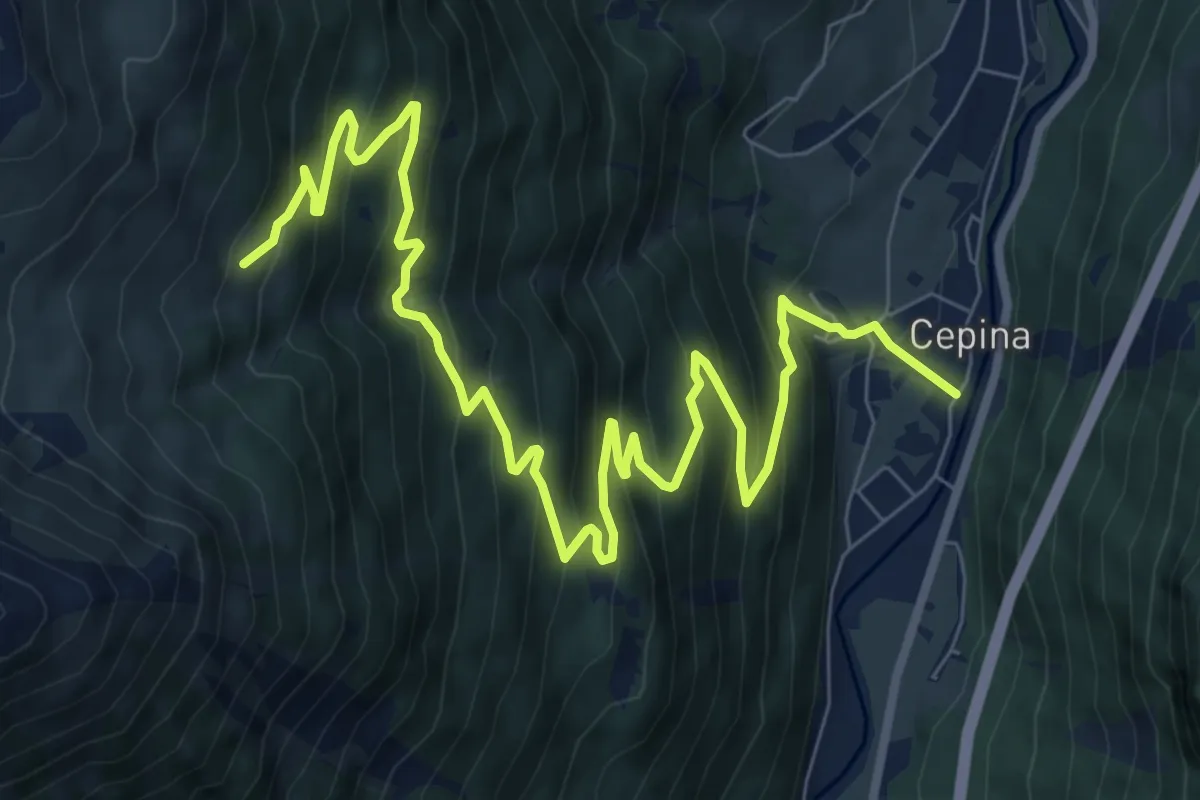
Demanding · Trail
Via E. De Gasperi (Cepina) – Innesto 208
11.6 km · ↑ 981 m · 4 h 52 min
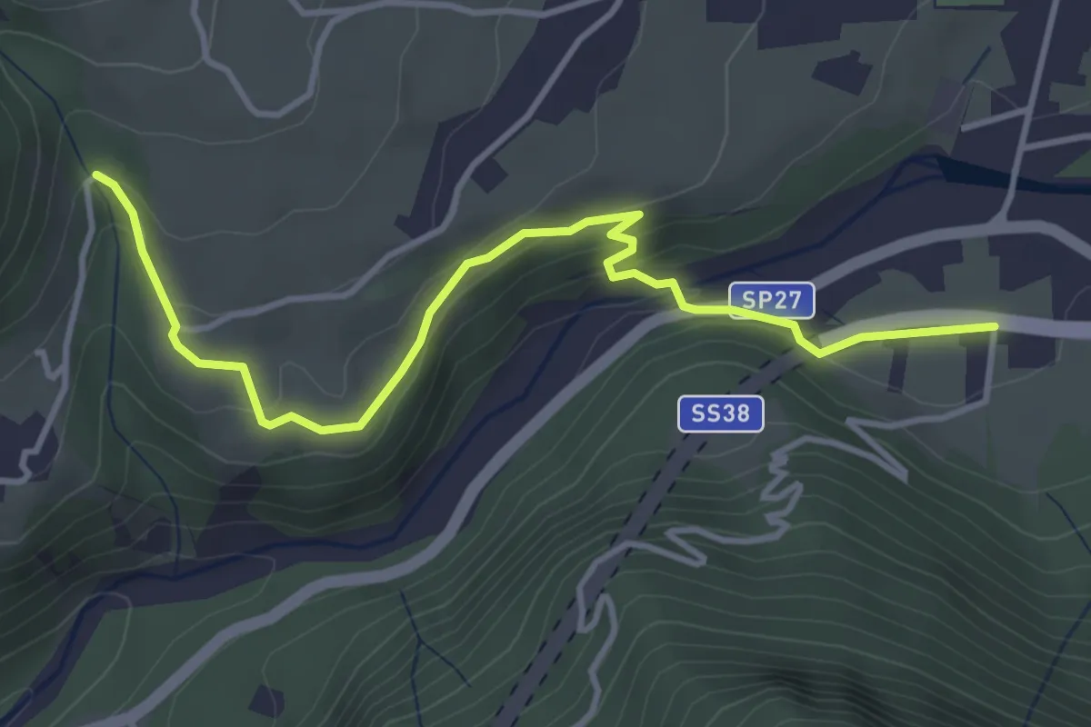
Easy · Trail
Bolladore – Sommalogna
4.1 km · ↑ 167 m · 1 h 20 min
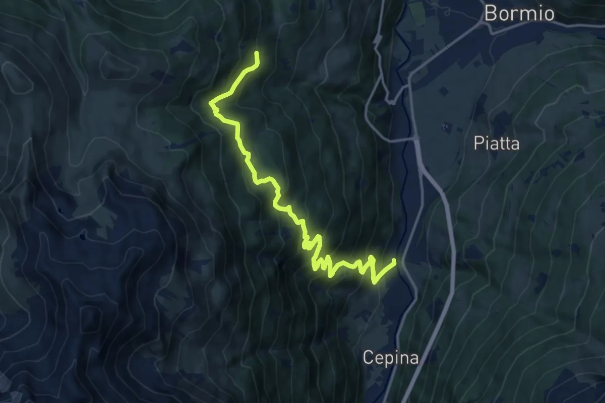
Demanding · Trail
Via Zola (Valdisotto) – Innesto 280
13.7 km · ↑ 987 m · 5 h 23 min
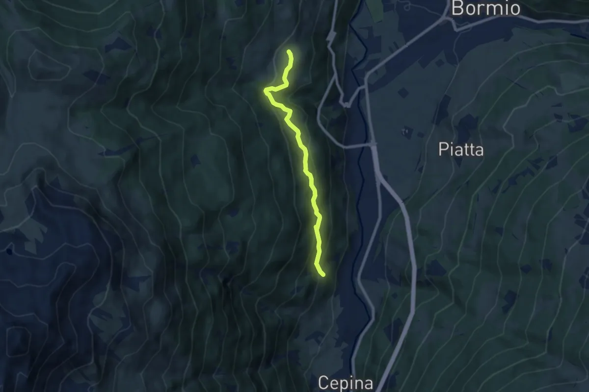
Medium · Trail
Innesto 276 – Via Roma (Oga)
6.5 km · ↑ 425 m · 2 h 28 min
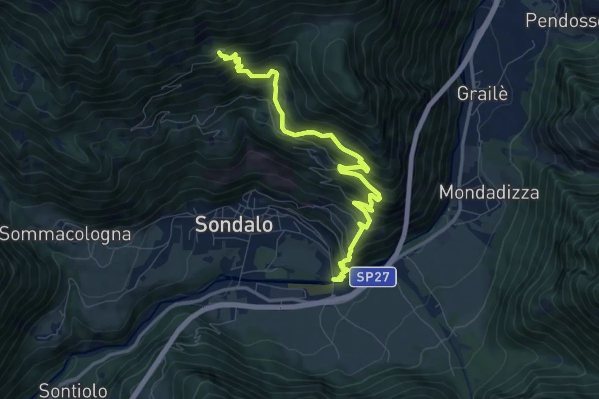
Demanding · Trail
Via Primo Maggio (Bolladore) – Bosco del Sasso
8.8 km · ↑ 967 m · 4 h 11 min
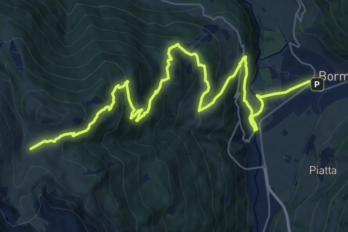
Demanding · Trail
Via Don Evaristo Peccedi (Bormio) – Dosso le Pone
11.9 km · ↑ 1111 m · 4 h 51 min
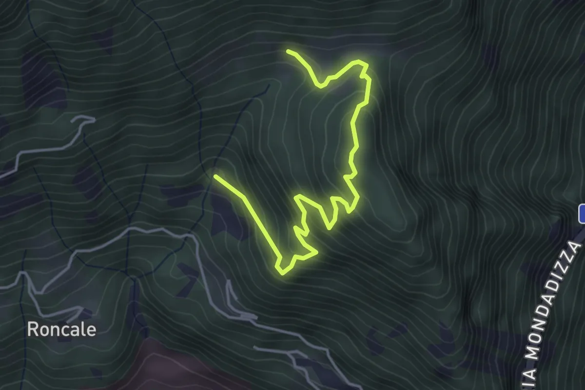
Medium · Trail
Innestio 278 – Innesto 271
4.6 km · ↑ 368 m · 1 h 52 min
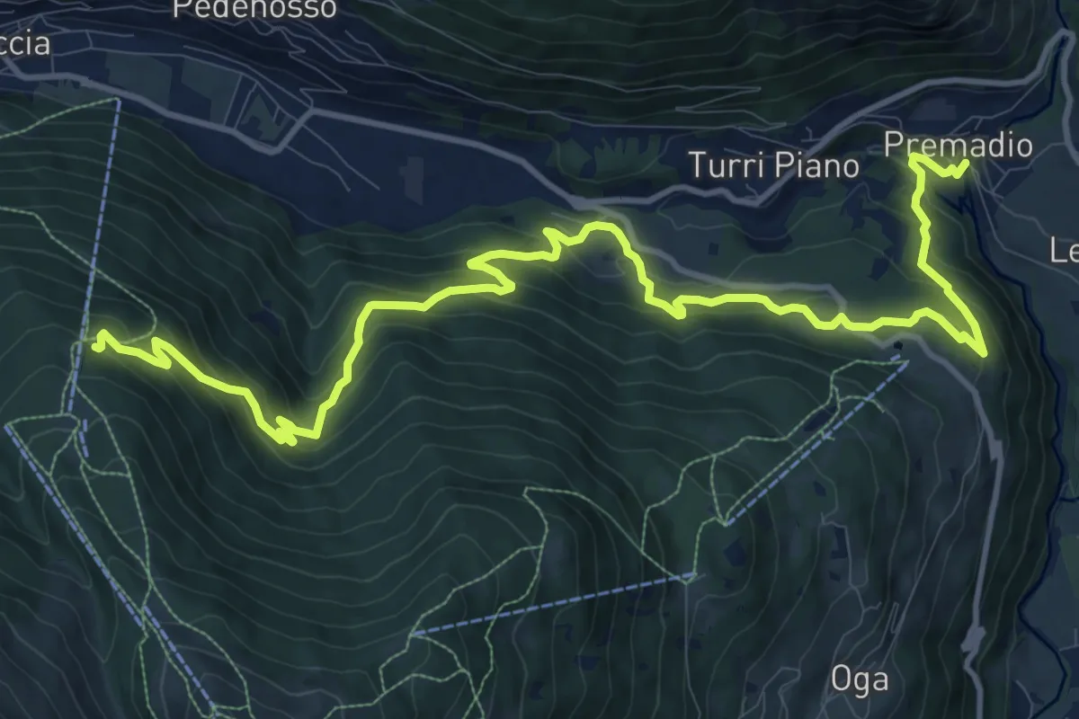
Demanding · Trail
Via Piscina (Premadio) – Innesto 284
15.6 km · ↑ 972 m · 5 h 47 min
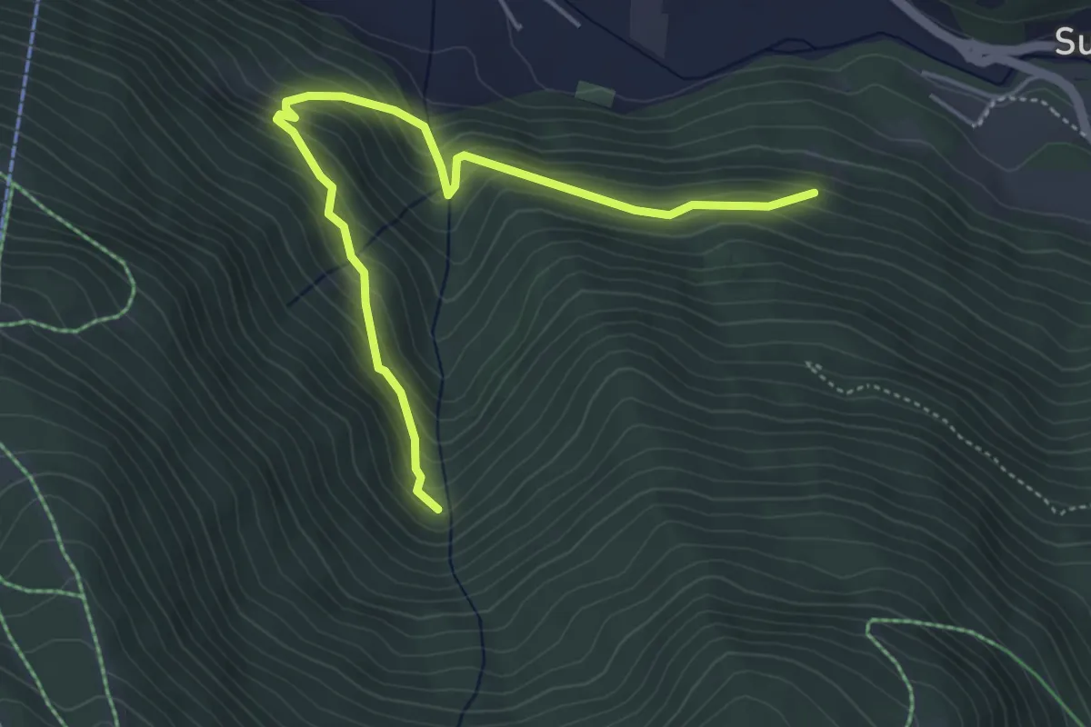
Medium · Trail
Via dei Prati (Isolaccia) – Innesto 282
5.1 km · ↑ 416 m · 2 h 6 min
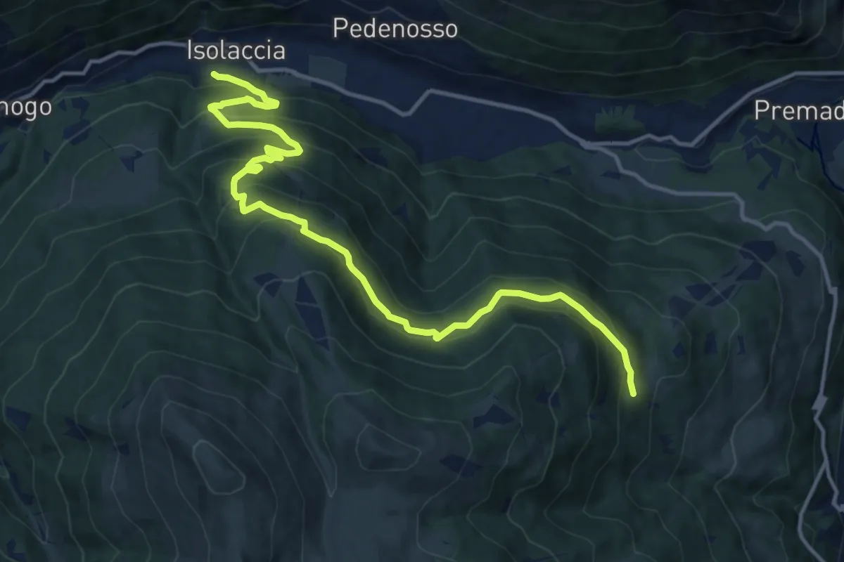
Demanding · Trail
Via Zardin (Isolaccia) – Innesto 280
14.7 km · ↑ 931 m · 5 h 30 min
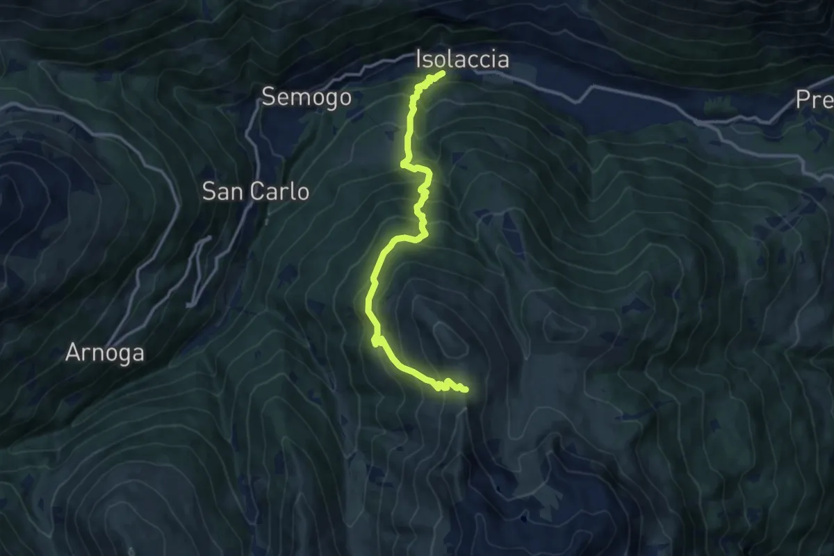
Demanding · Trail
Via Zardin (Isolaccia) – Innesto 208
11.8 km · ↑ 1134 m · 5 h 15 min
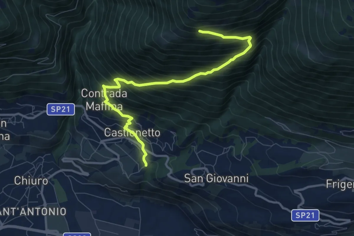
Demanding · Trail
Innesto Percorso 306 – Innesto Percorso 301
9.1 km · ↑ 932 m · 4 h 10 min
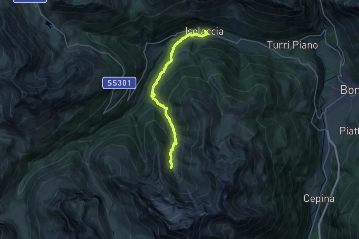
Demanding · Trail
Via Nazionale (Isolaccia) – Bivacco Monte Cantoni
15.9 km · ↑ 965 m · 5 h 50 min
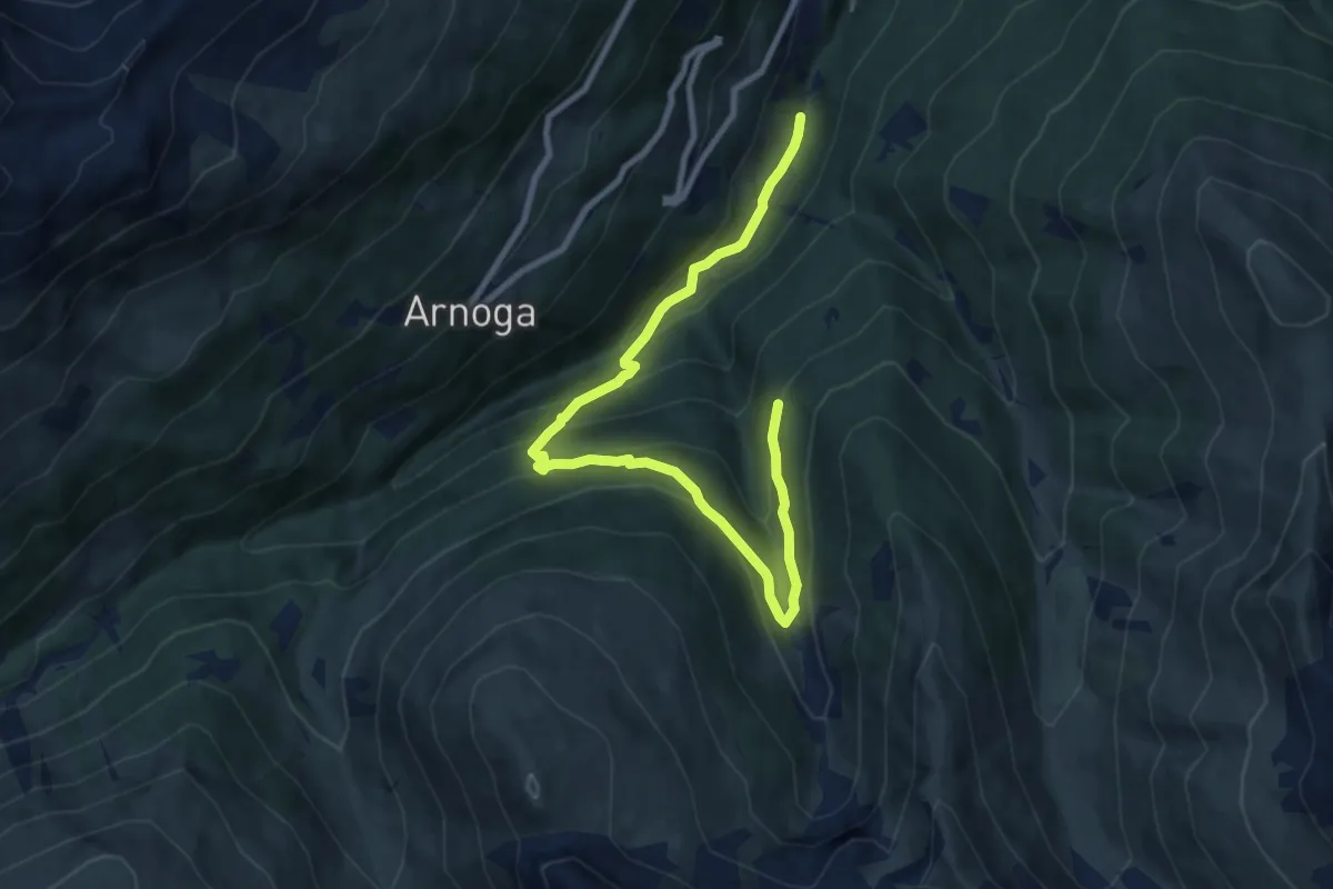
Medium · Trail
Innesto 209 – Innesto 288
10.2 km · ↑ 648 m · 3 h 49 min
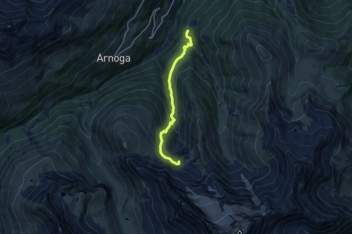
Medium · Trail
Prescedont – Innesto 208 - Bivacco Ferrario
9.4 km · ↑ 682 m · 3 h 41 min
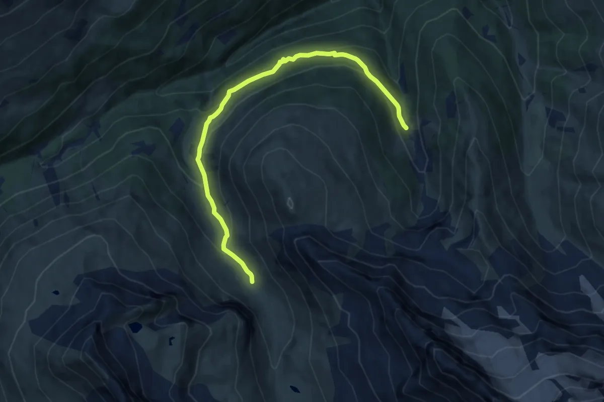
Medium · Trail
Innesto 288 – Innesto 208 - Torrente Val Verva
9.5 km · ↑ 469 m · 3 h 16 min
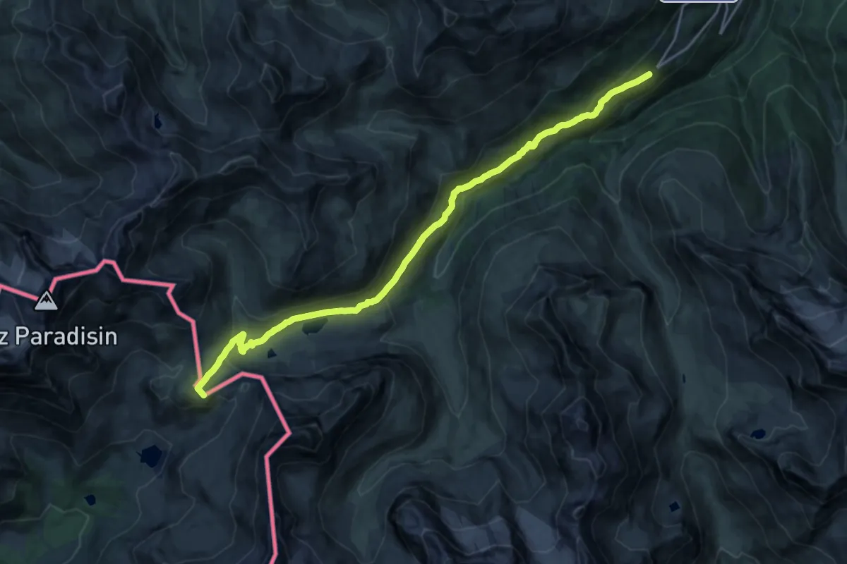
Demanding · Summit
Arnoga – Passo della Val Viola
19.8 km · ↑ 809 m · 6 h 26 min
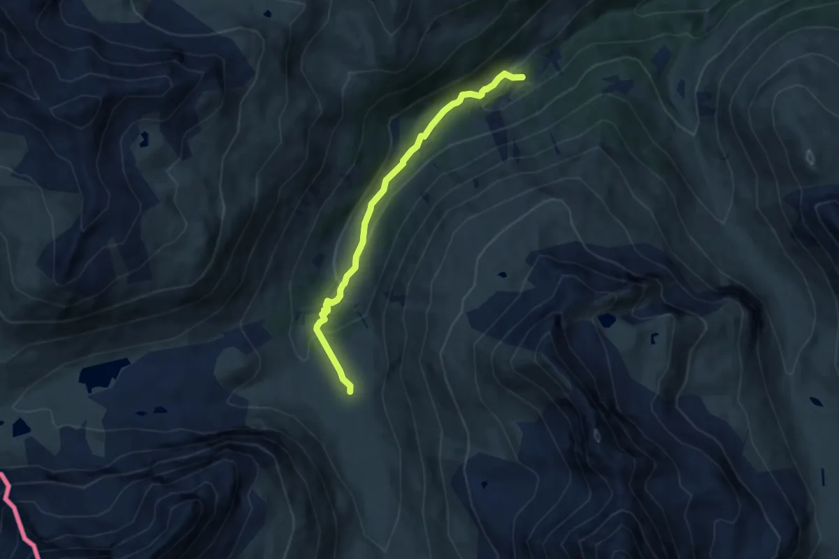
Easy · Cabin
Baite Paluetta – Innesto 294
7.2 km · ↑ 246 m · 2 h 14 min
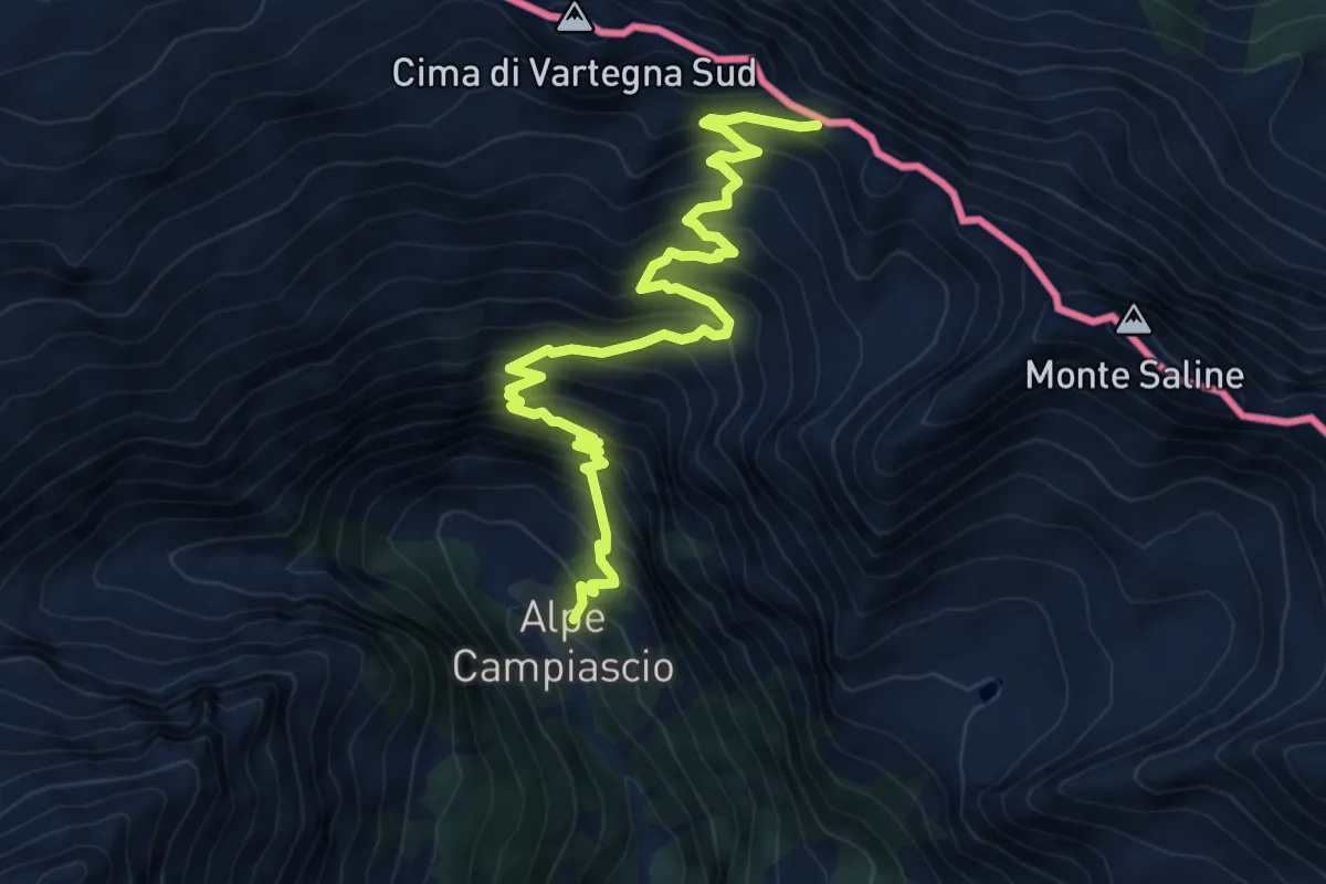
Expert · Trail
Innesto Sentiero 306 – Passo di Saline
8.6 km · ↑ 882 m · 3 h 56 min
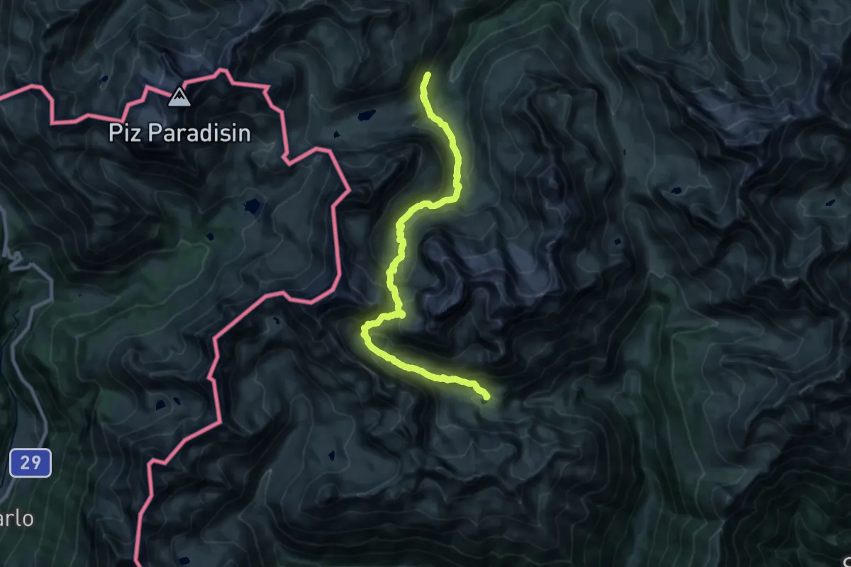
Demanding · Trail
Innesto Percorso 208 – Innesto Percorso 290
12.0 km · ↑ 703 m · 4 h 32 min
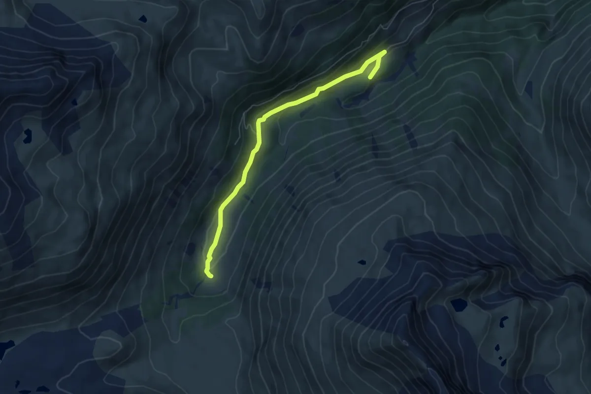
Easy · Trail
Innesto 290 – Innesto 291
6.0 km · ↑ 158 m · 1 h 46 min
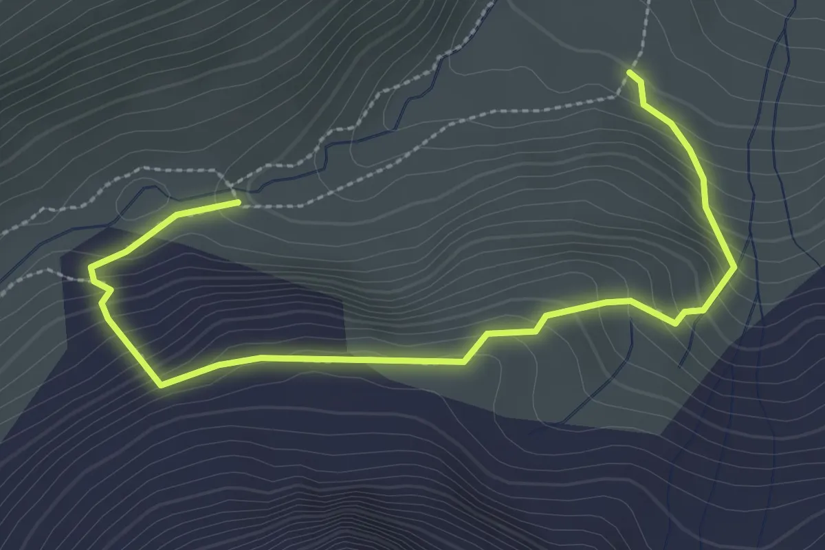
Demanding · Trail
Innesto 292 – Innesto 292
3.4 km · ↑ 286 m · 1 h 25 min
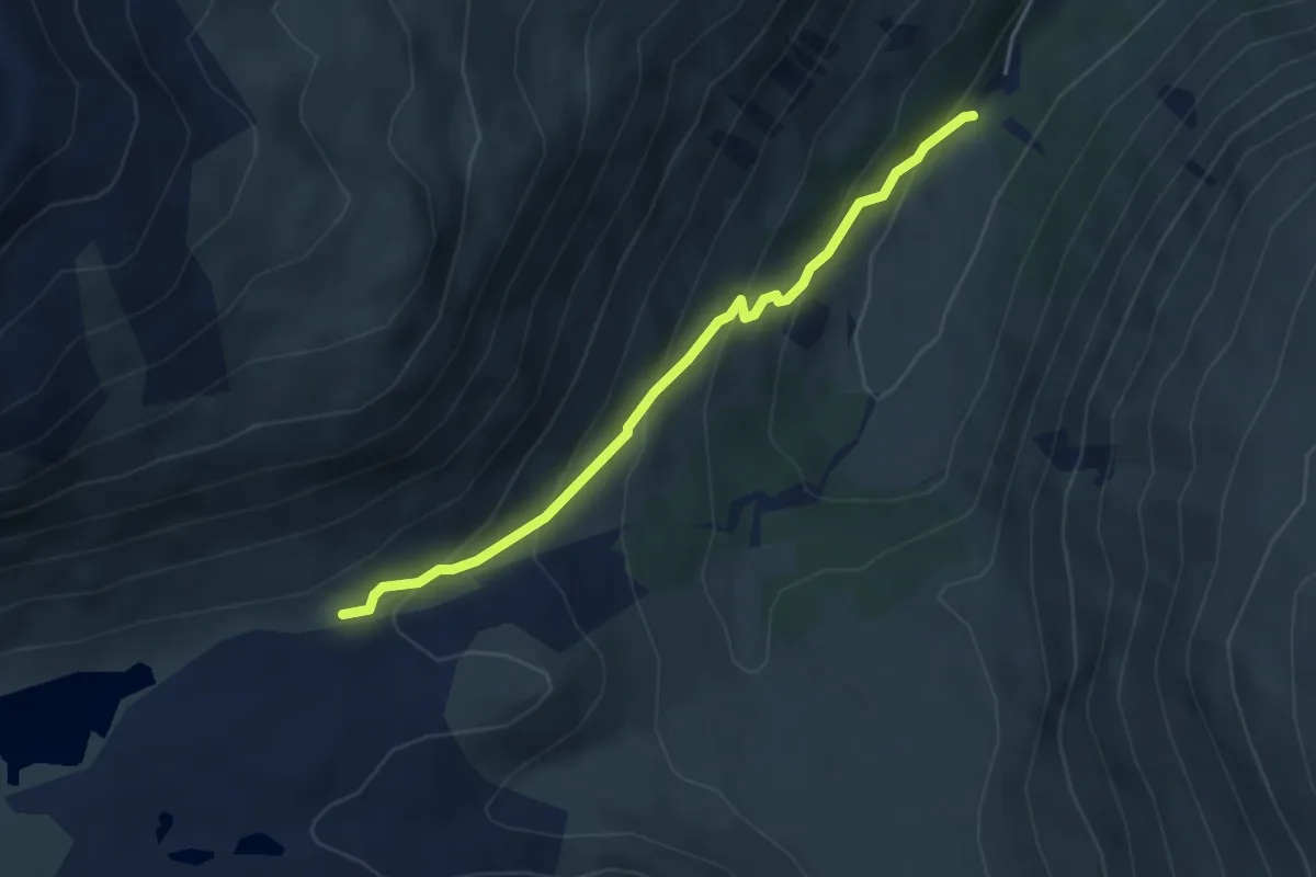
Easy · Trail
Innesto 293 – Innesto 290
4.1 km · ↑ 281 m · 1 h 34 min
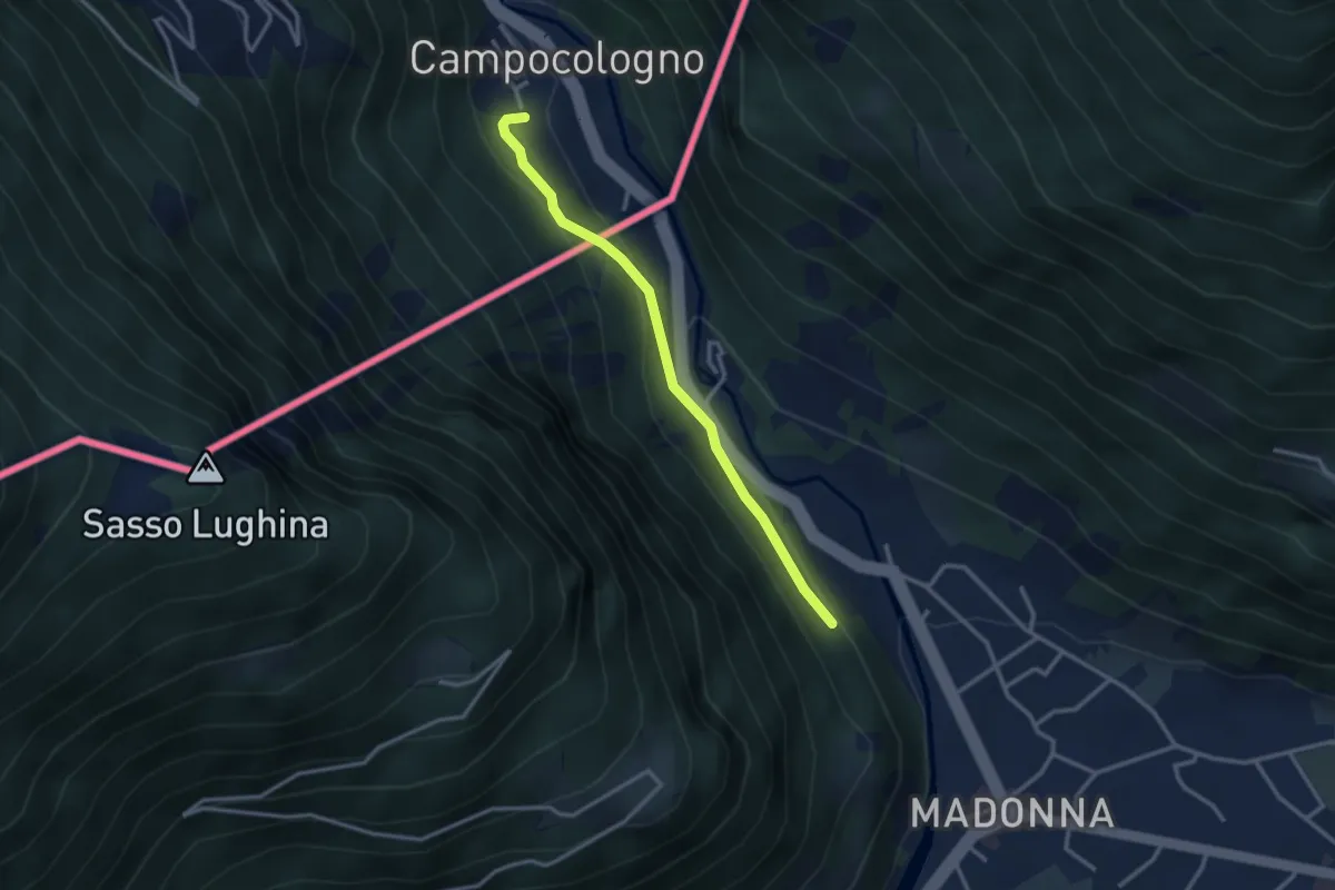
Easy · Trail
Sondrio – Campocologno
2.9 km · ↑ 131 m · 58 min
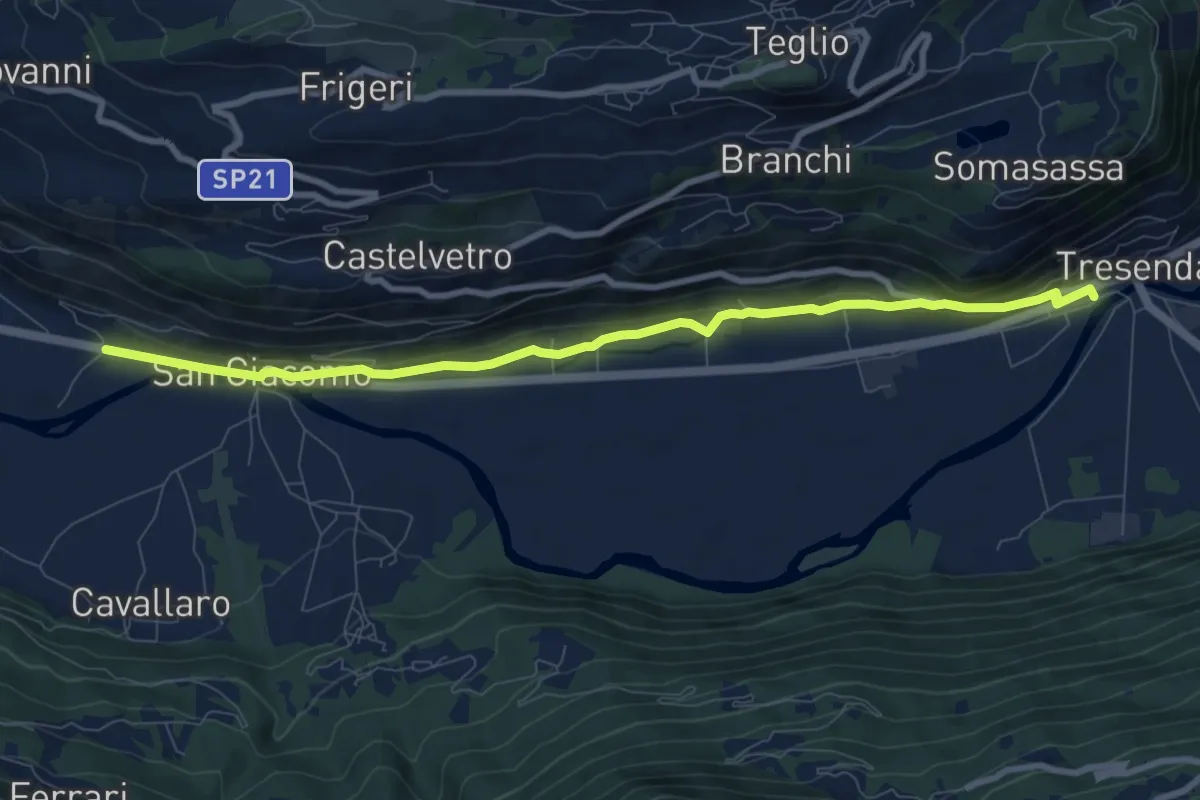
Medium · Trail
Stazione Treni (Tresenda) – Via Nazionale (San Giacomo)
9.2 km · ↑ 282 m · 2 h 46 min
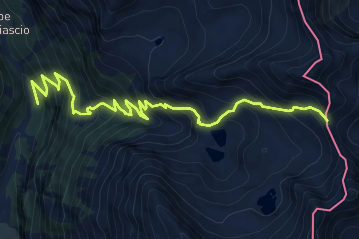
Demanding · Trail
Innesto Sentiero 301 – Passo dell'Arasé
9.0 km · ↑ 1034 m · 4 h 23 min
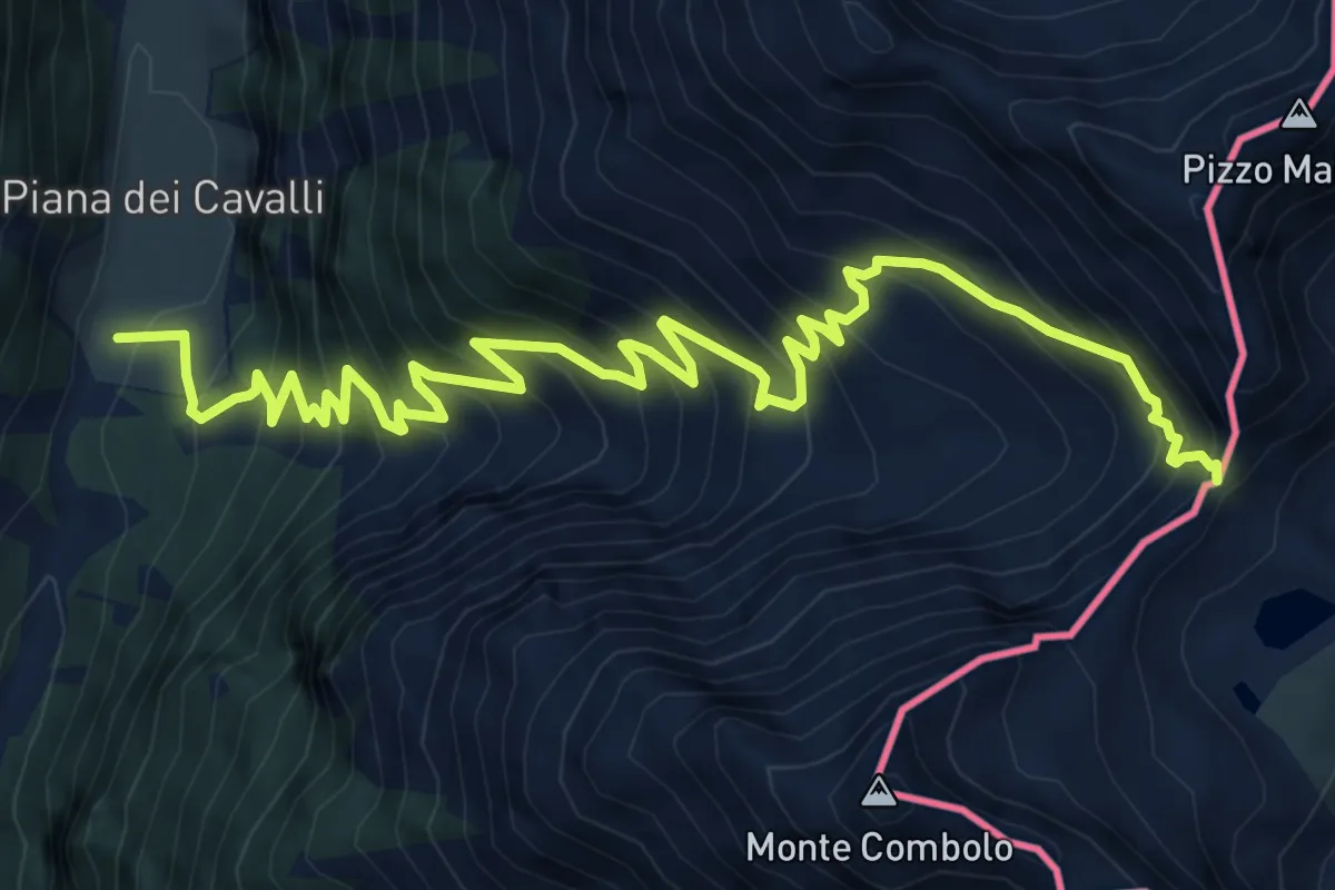
Expert · Trail
Innesto Sentiero 301 – Passo Malgina
10.2 km · ↑ 1188 m · 4 h 58 min
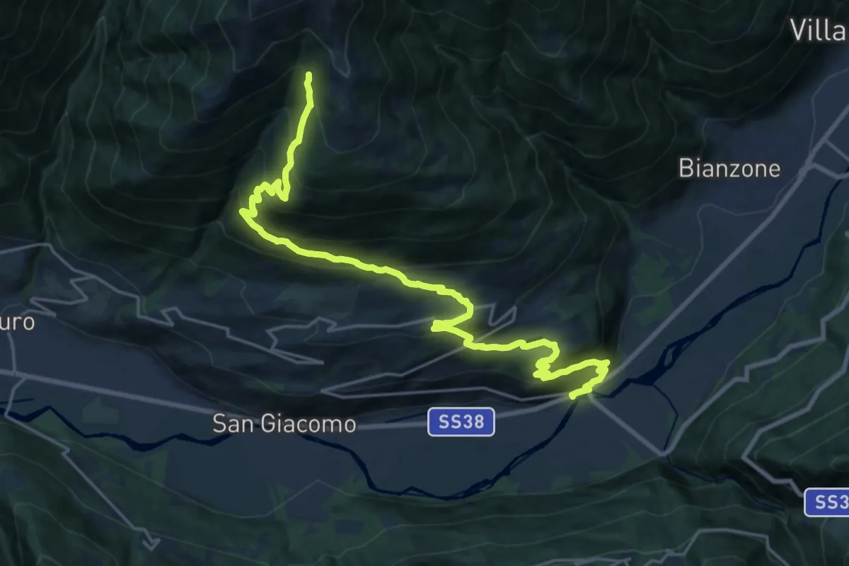
Medium · Trail
Stazione di Tesenda – Innesto Sentiero 301
11.5 km · ↑ 44 m · 3 h 42 min
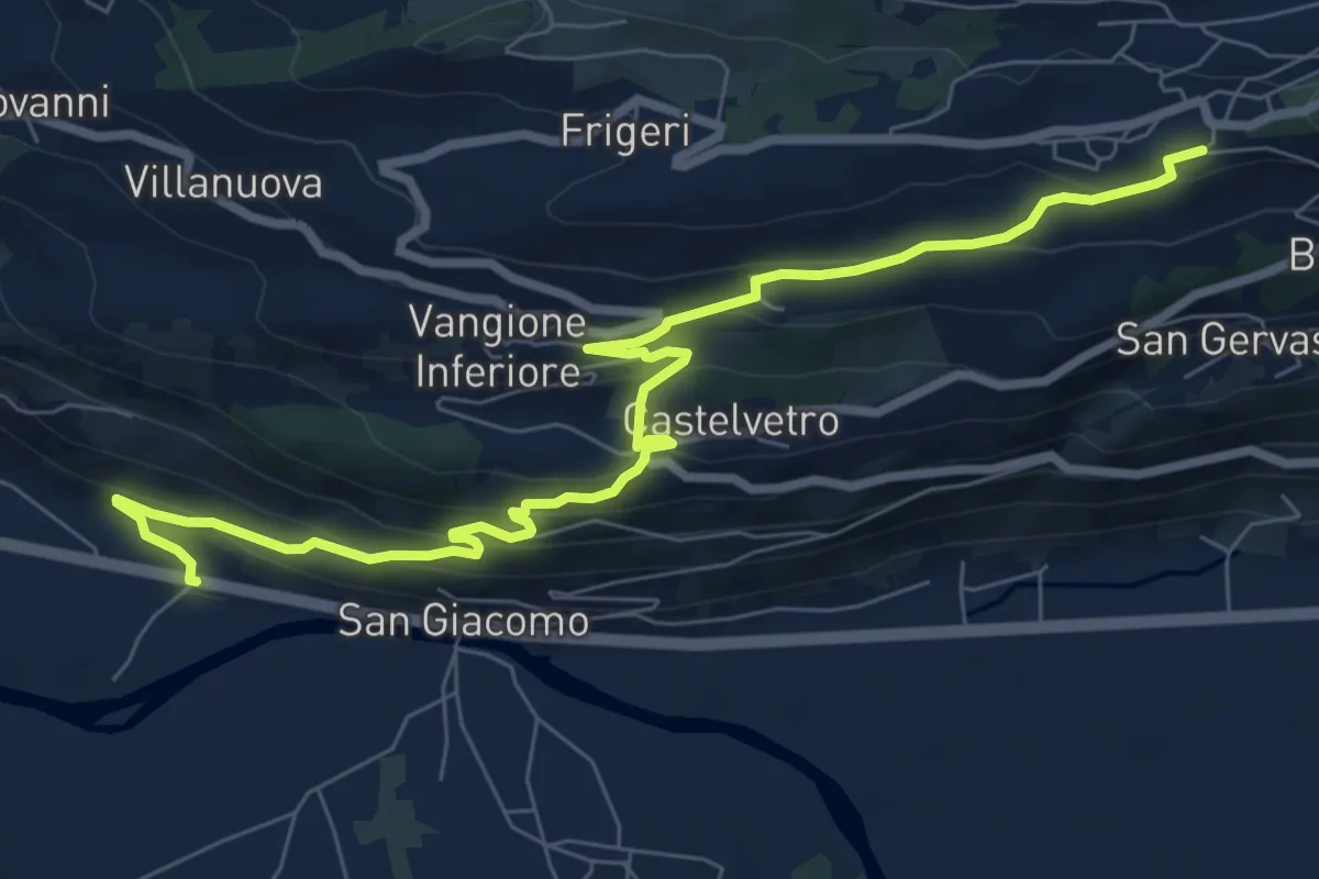
Medium · Trail
Via Nazionale (San Giacomo) – Via Fabio Besta (Teglio)
9.2 km · ↑ 483 m · 3 h 13 min
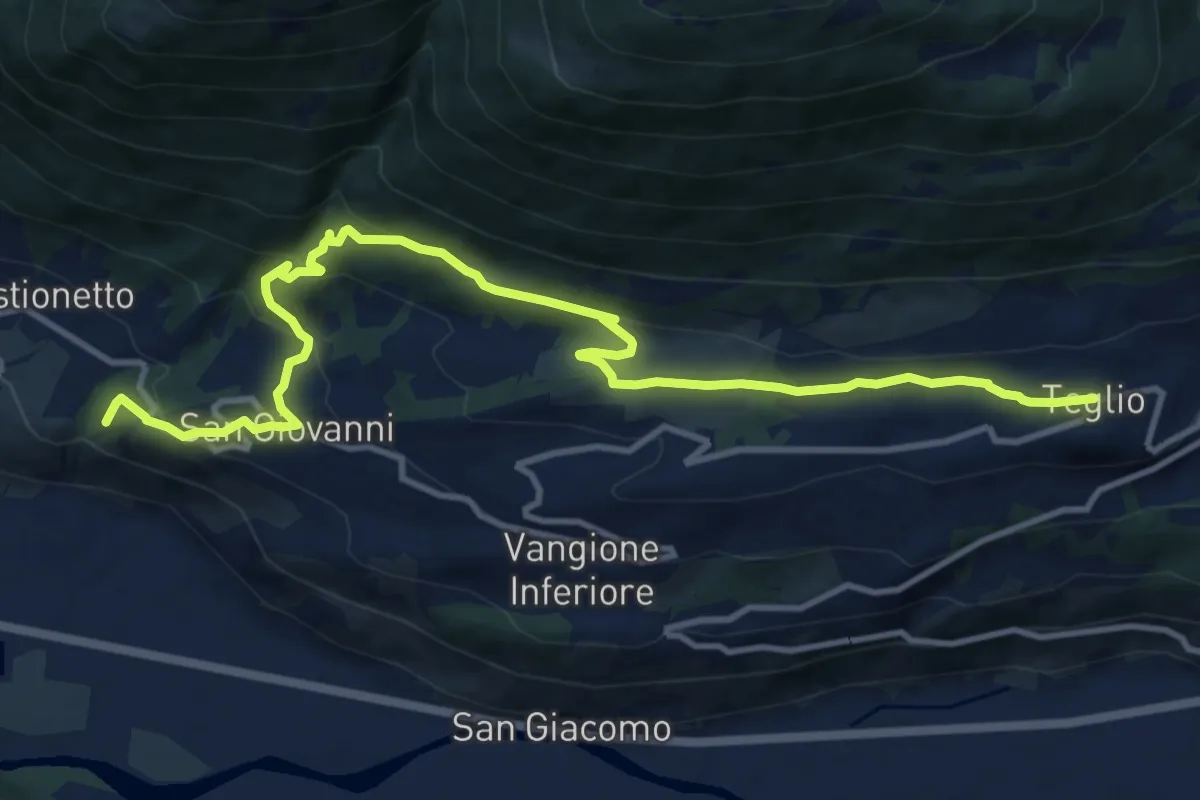
Medium · Trail
Innesto Percorso 306 – Piazza St. Eufemia
13.4 km · ↑ 533 m · 4 h 20 min
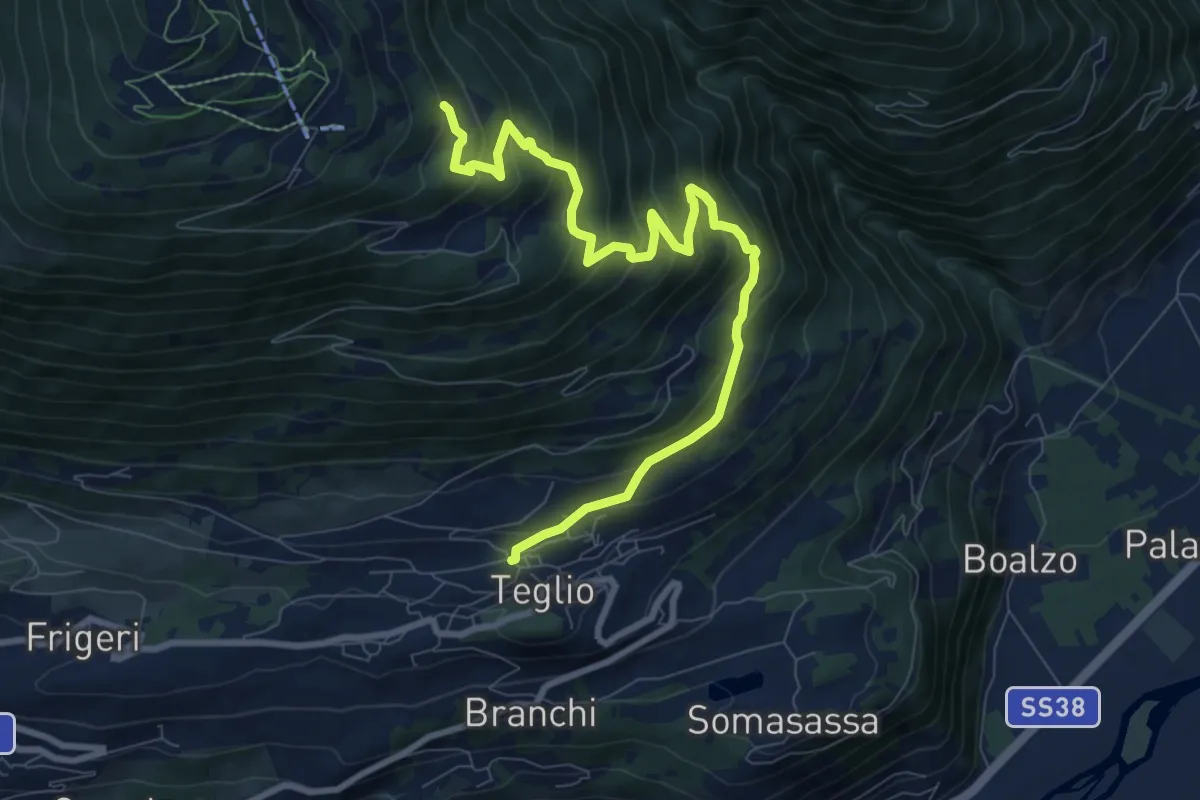
Medium · Trail
Via Milano (Teglio) – Innesto Percorso 301
9.8 km · ↑ 685 m · 3 h 48 min
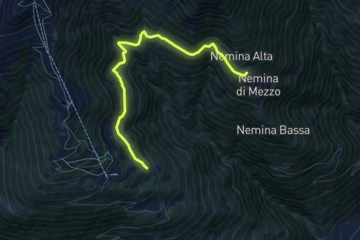
Medium · Trail
Innesto Sentiero 392 – Innesto Sentiero 393
9.2 km · ↑ 610 m · 3 h 29 min
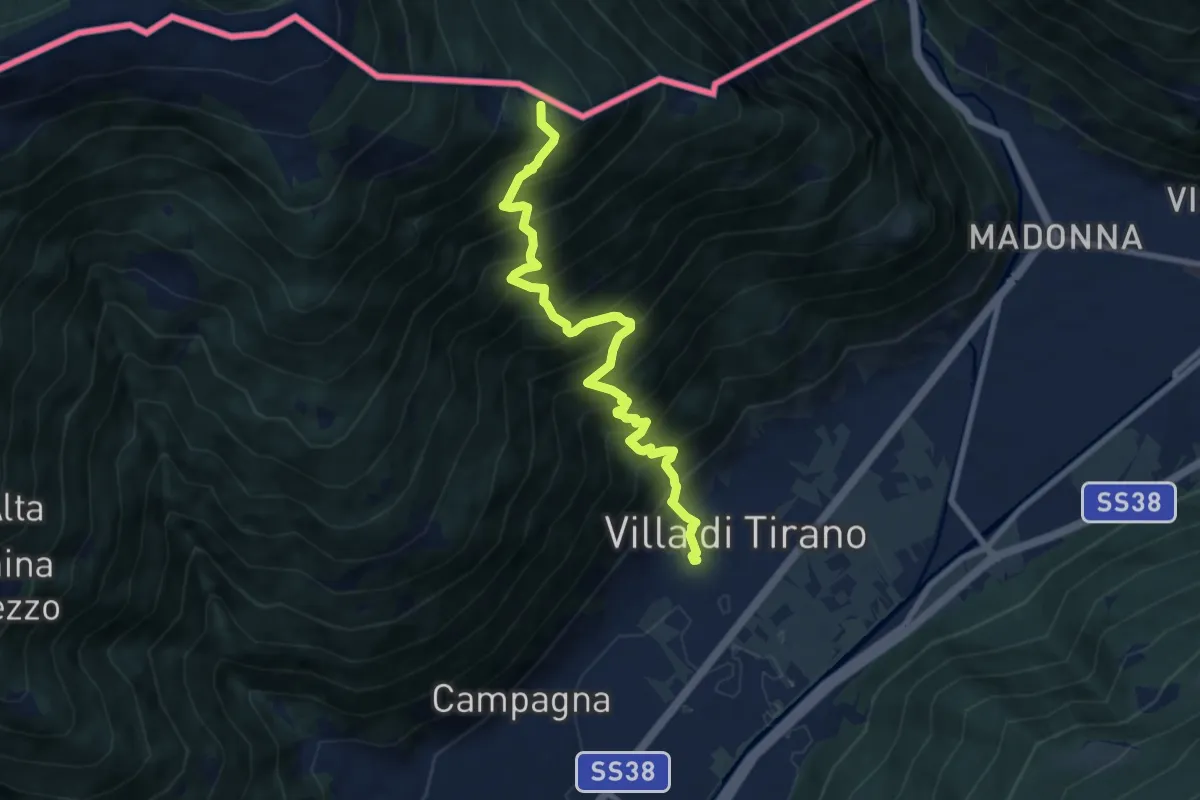
Demanding · Summit
Piazza Luigi Torelli (Villa di Tirano) – Innesto Sentiero 301
8.6 km · ↑ 1355 m · 4 h 58 min
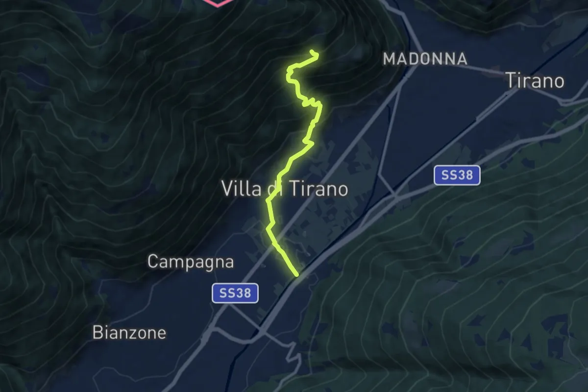
Medium · Trail
Via Argine Destro (Villa di Tirano) – Innesto Sentiero 301
7.9 km · ↑ 619 m · 3 h 12 min
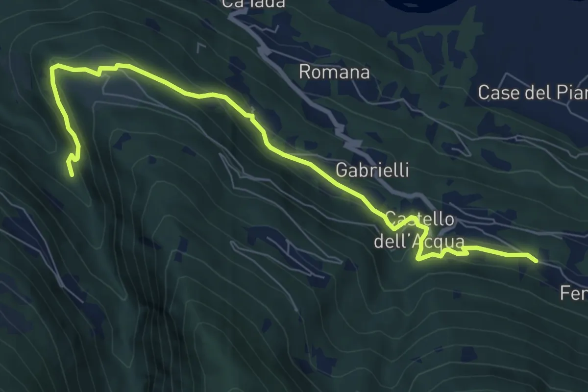
Medium · Trail
Innesto Sentiero 274 – Innesto Sentiero 266
8.1 km · ↑ 416 m · 2 h 49 min
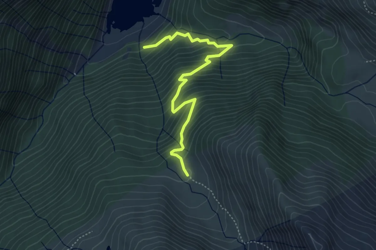
Demanding · Trail
Incrocio 323 - 312 – Innesto Sentiero 301
4.8 km · ↑ 418 m · 2 h 2 min
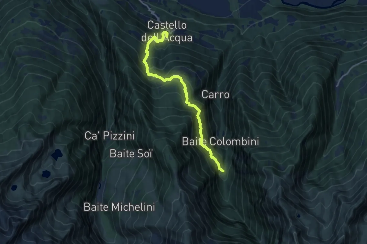
Demanding · Trail
Innesto Sentiero 271 – Innesto Sentiero 310
11.1 km · ↑ 1150 m · 5 h 7 min
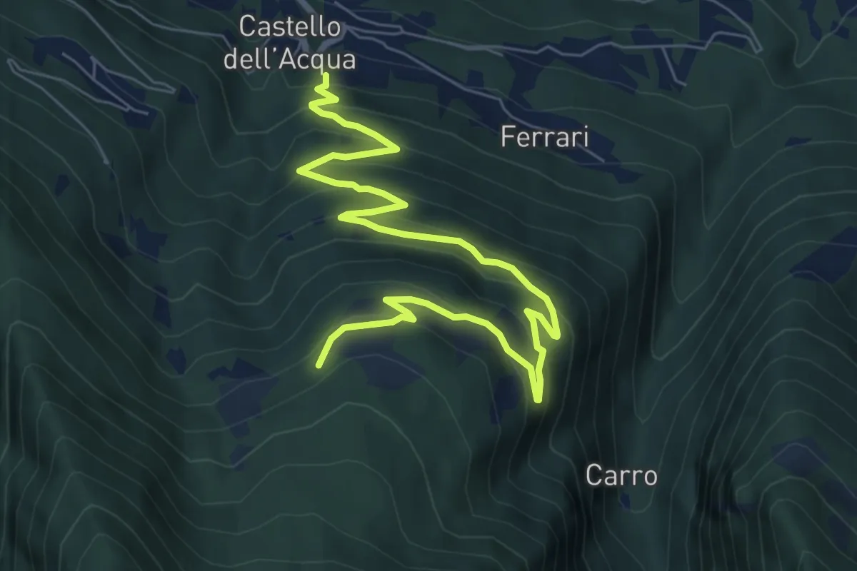
Medium · Trail
Innesto Sentiero 271 – Innesto Sentiero 272
8.7 km · ↑ 583 m · 3 h 19 min
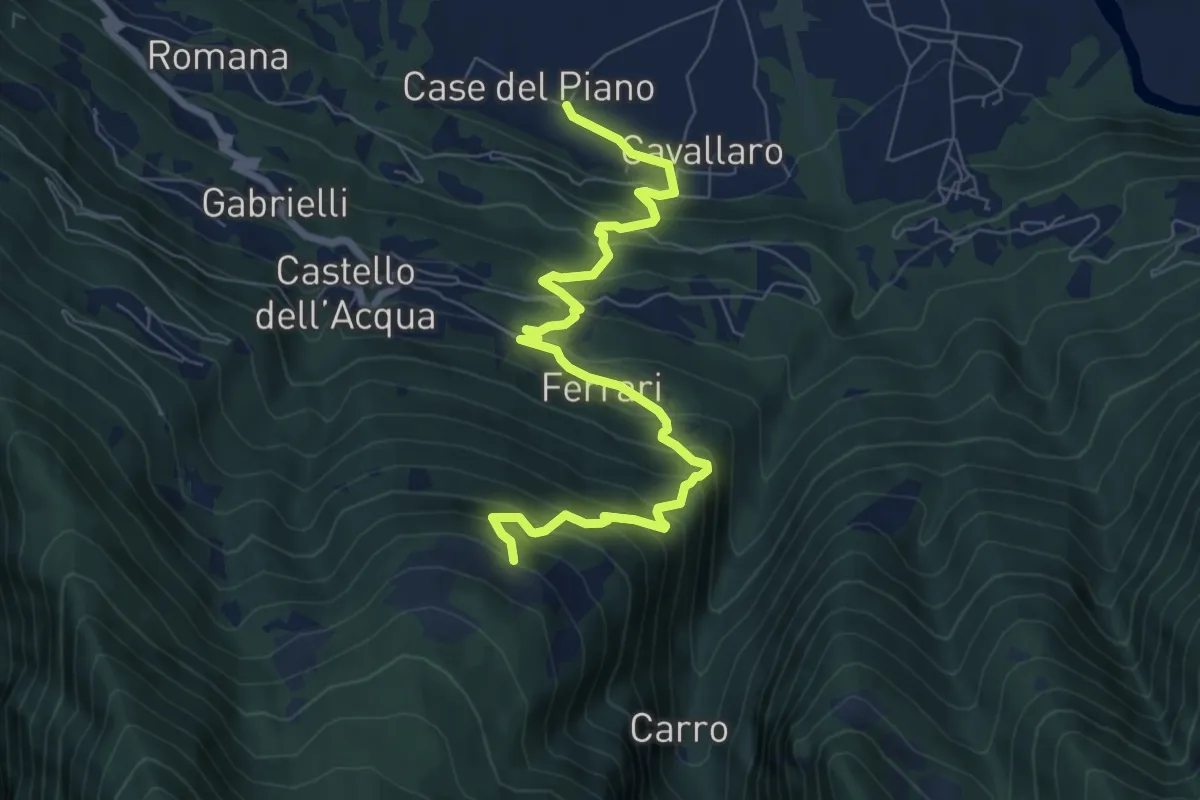
Medium · Trail
Innesto Sentiero 203 – Innesto Sentiero 273
8.1 km · ↑ 782 m · 3 h 37 min
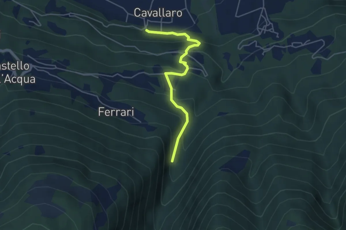
Medium · Trail
Innesto Sentiero 274 – Innesto Sentiero 310
3.9 km · ↑ 326 m · 1 h 38 min
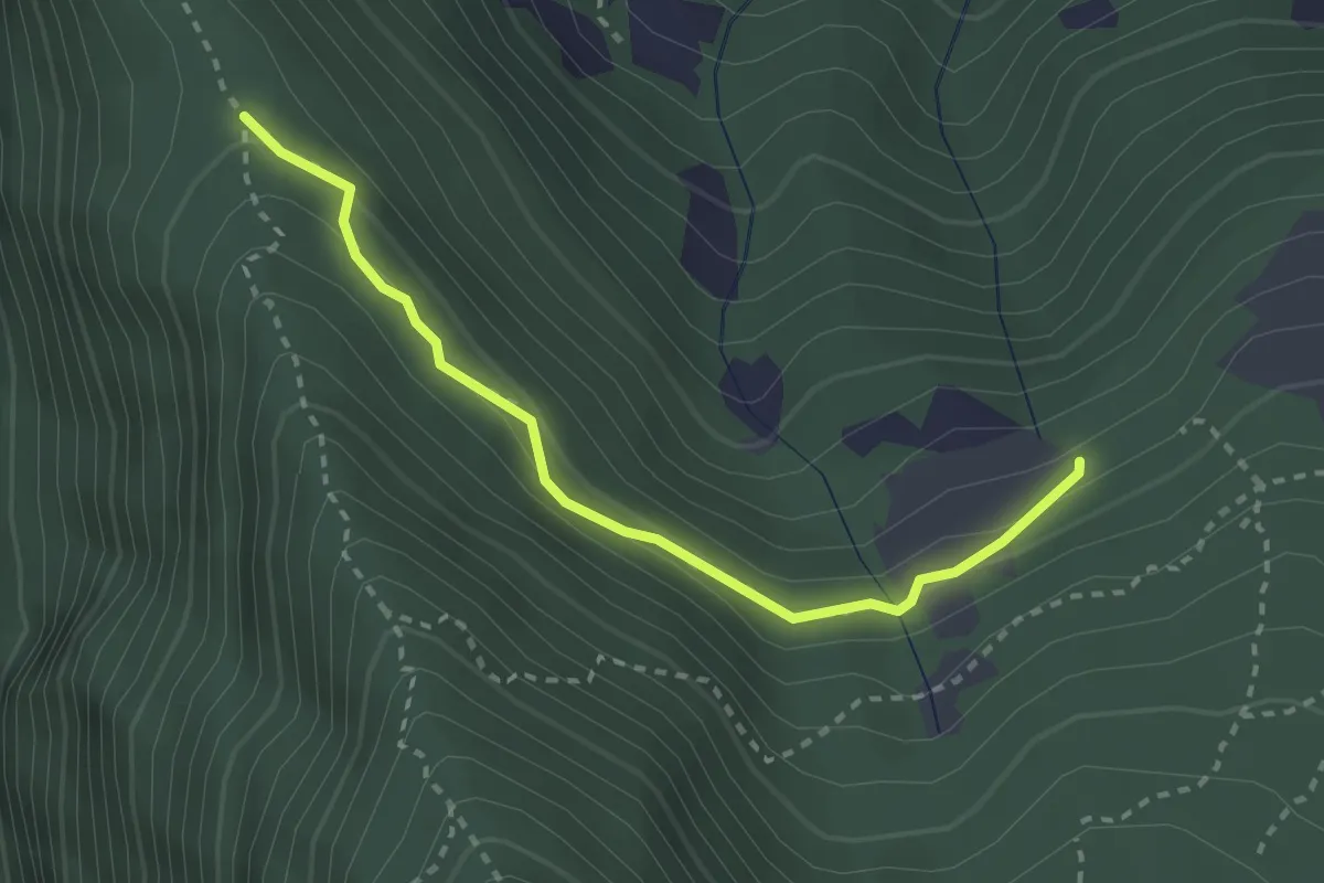
Easy · Trail
Innesto Sentiero 277 – Innesto Sentiero 272
2.7 km · ↑ 191 m · 1 h 3 min
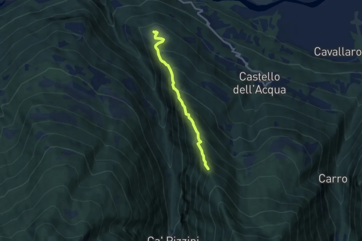
Medium · Trail
Innesto Sentiero 271 – Innesto Sentiero 201
5.7 km · ↑ 653 m · 2 h 45 min
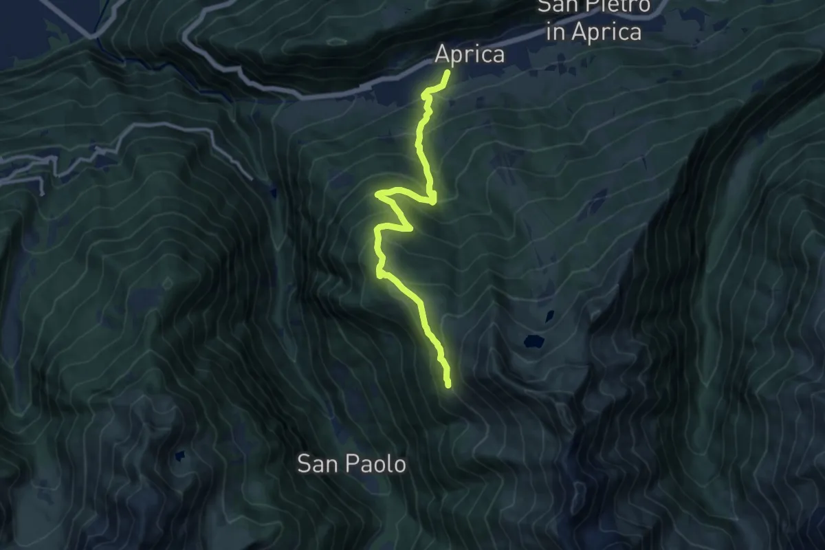
Demanding · Trail
Innesto Sentiero 342 – Innesto Sentiero 301
11.0 km · ↑ 863 m · 4 h 29 min
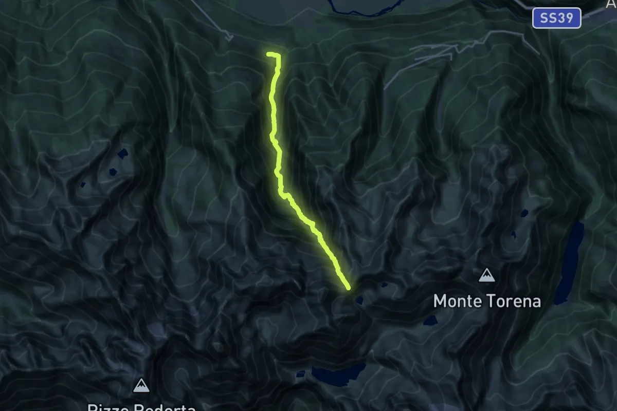
Demanding · Trail
Innesto Sentiero 274 – Passo della Malgina
7.8 km · ↑ 1977 m · 5 h 16 min