Trails in Italy
25,219 hiking trails, each with its route, climb, walking time and grade.
All trails, page 484 of 526
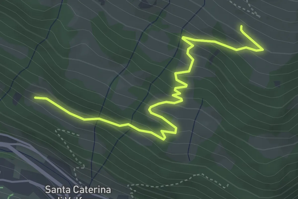
Medium · Trail
Innesto Sentiero 571 – Innesto Sentiero 571
4.7 km · ↑ 336 m · 1 h 50 min
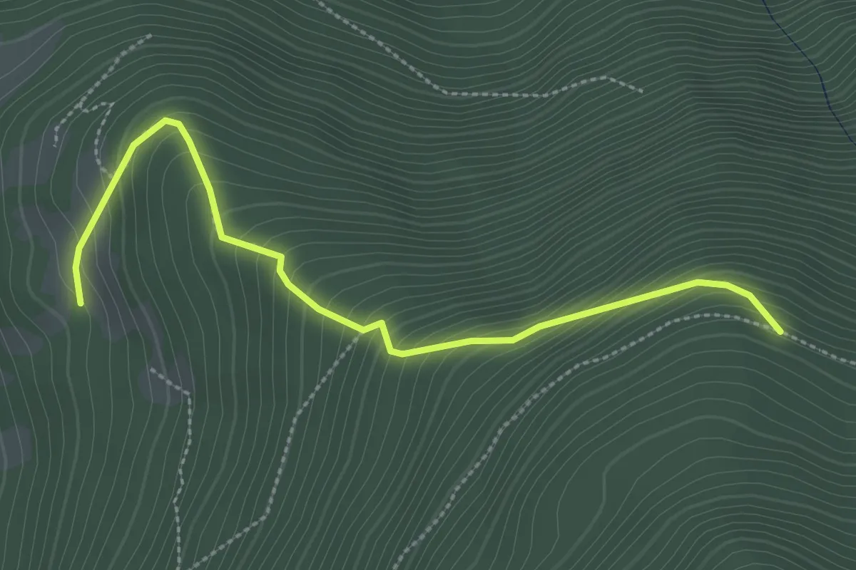
Easy · Trail
Belvedere – Intersezione sentiero 3 Fratelli
3.1 km · ↑ 302 m · 1 h 23 min
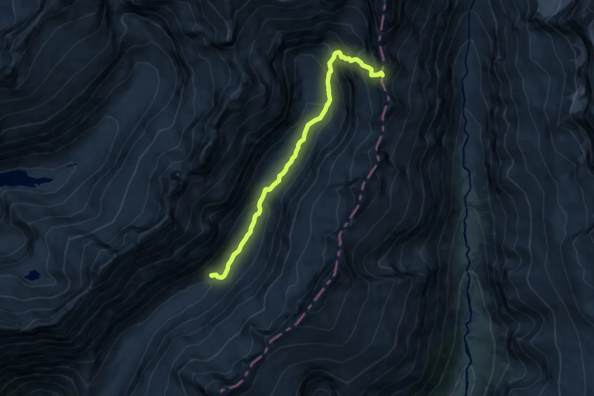
Demanding · Summit
Baita Adamè – Bocchetta delle Levade
9.6 km · ↑ 739 m · 3 h 52 min
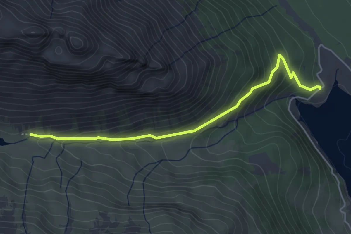
Medium · Trail
Innesto Sentiero 138 – Innesto Sentiero 199
4.4 km · ↑ 291 m · 1 h 40 min
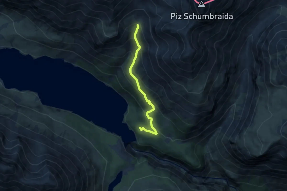
Medium · Trail
Innesto Sentiero 145 – Torrente Val Cancano
6.3 km · ↑ 489 m · 2 h 33 min
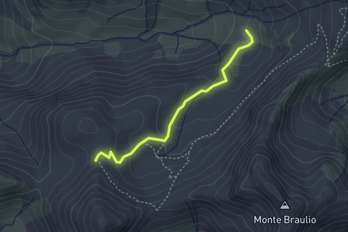
Easy · Trail
Innesto Sentiero 146 – Innesto Sentiero 145
3.0 km · ↑ 142 m · 1 h
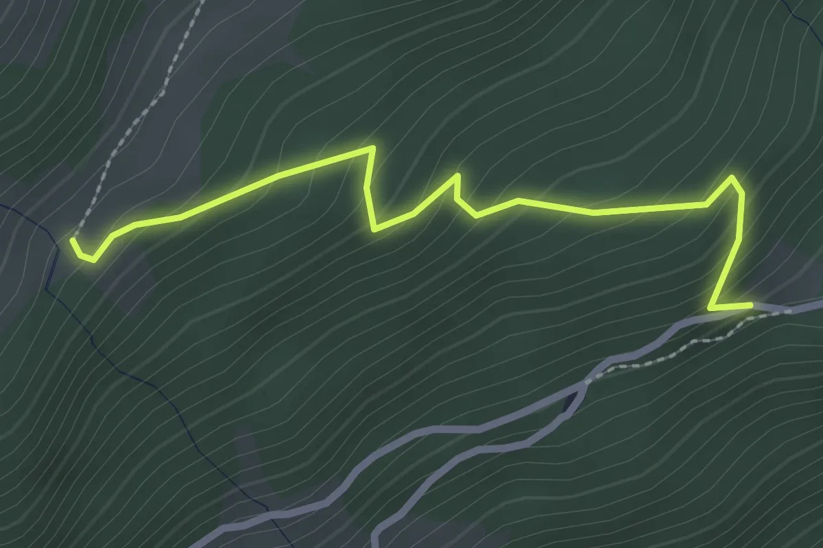
Easy · Trail
Innesto Sentiero 148 – Innesto Sentiero 290
2.5 km · ↑ 226 m · 1 h 4 min
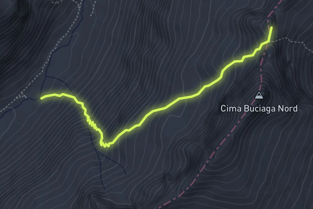
Demanding · Summit
Baita Adamè – Passo della Porta
4.8 km · ↑ 667 m · 2 h 34 min
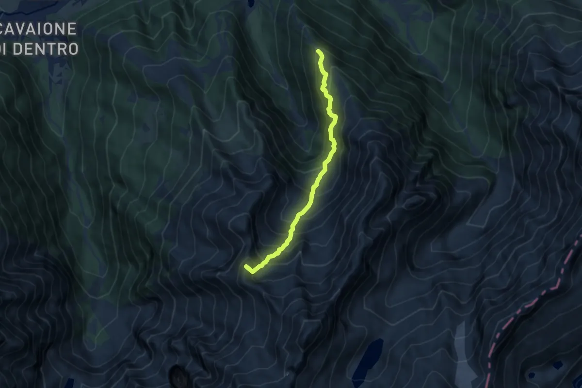
Expert · Summit
Corno d'Aola – Bocchetta della Calotta
7.7 km · ↑ 982 m · 3 h 57 min
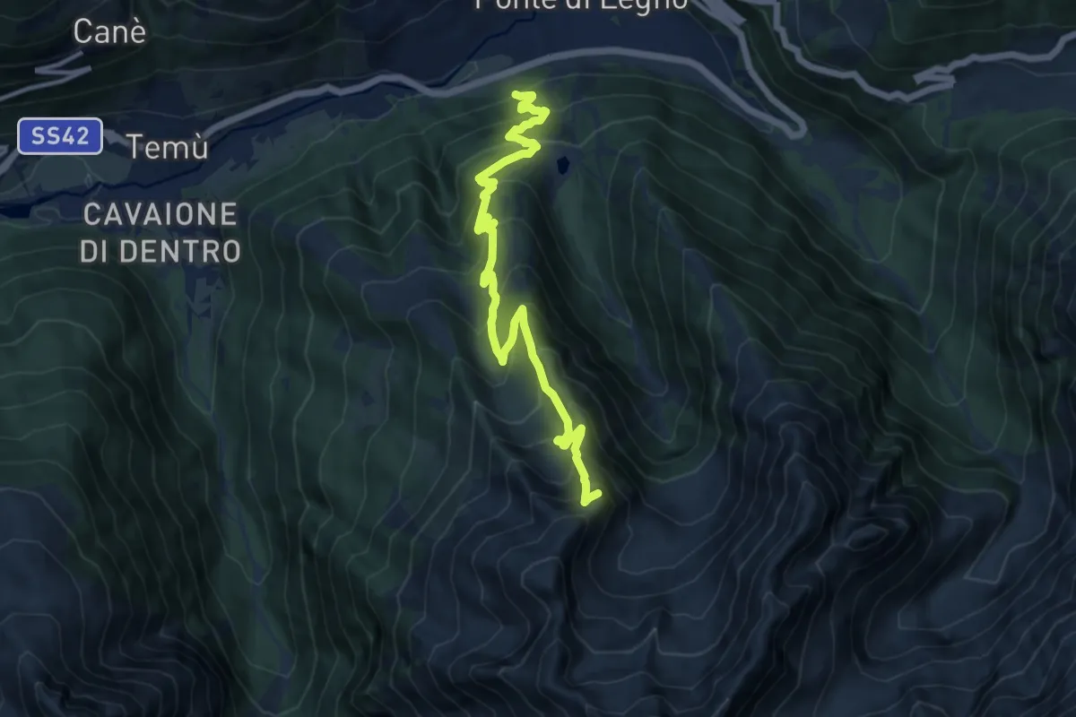
Expert · Summit
Incrocio con Via Valeriana – Bocchetta di Casola
12.4 km · ↑ 1133 m · 5 h 23 min
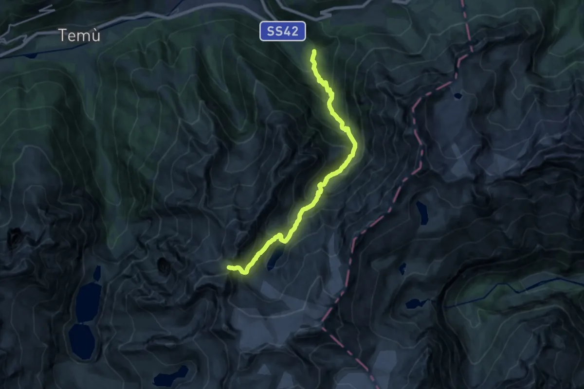
Expert · Cabin
Val Sozzine – Bocchetta della Calotta
15.7 km · ↑ 1536 m · 7 h 2 min
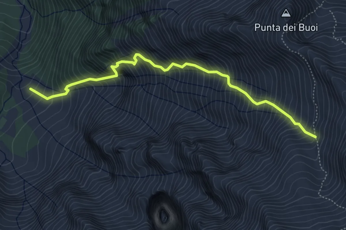
Demanding · Trail
Malga Caldea – Intersezione percorso 640
5.6 km · ↑ 1127 m · 3 h 45 min
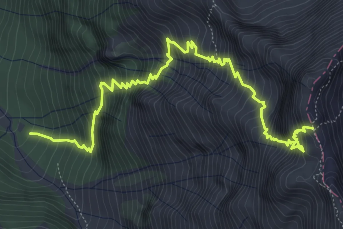
Expert · Trail
Val Sozzine – Passo del Castellaccio
7.6 km · ↑ 1274 m · 4 h 33 min
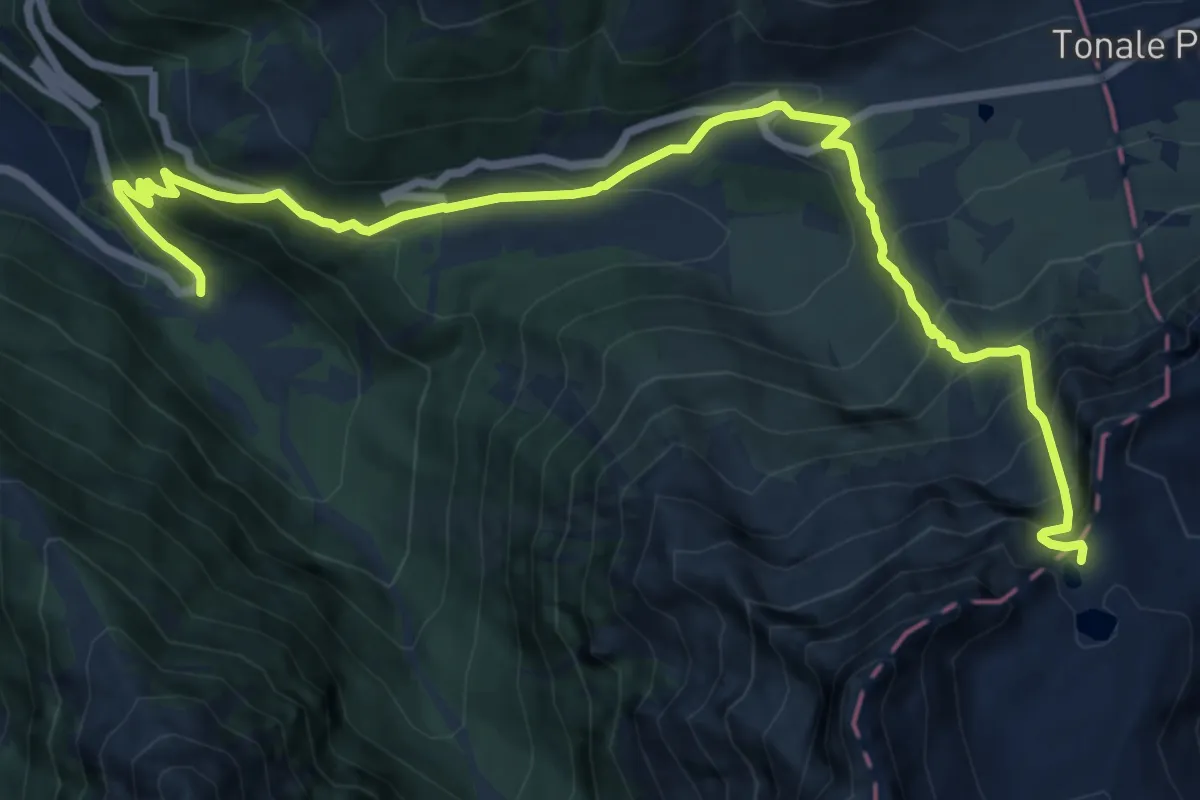
Demanding · Cabin
Ponte di Legno – Passo del Paradiso
14.9 km · ↑ 1313 m · 6 h 22 min
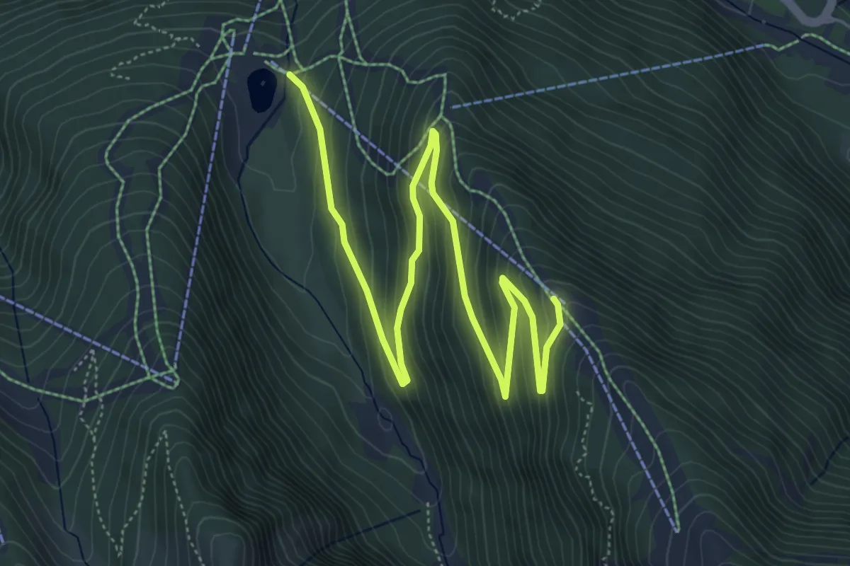
Medium · Cabin
Valbione – Rifugio Corno d'Aola
7.6 km · ↑ 437 m · 2 h 45 min
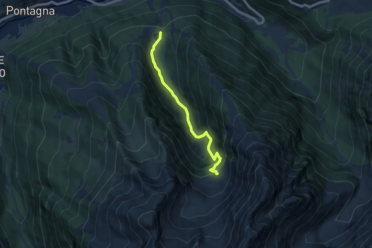
Expert · Cabin
Valbione – Baite di Pozzuolo
6.6 km · ↑ 523 m · 2 h 42 min
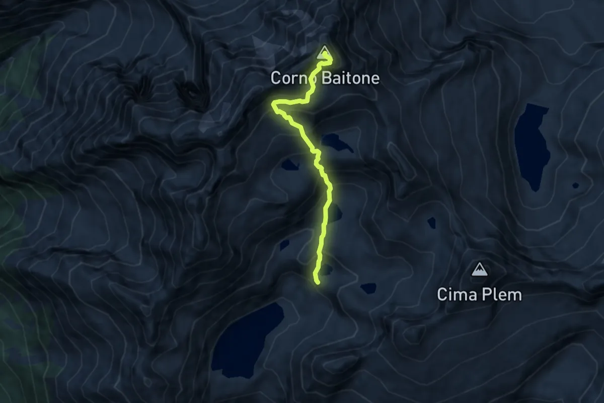
Expert · Summit
Rifugio Tonolini – Corno Baitone
7.0 km · ↑ 844 m · 3 h 28 min
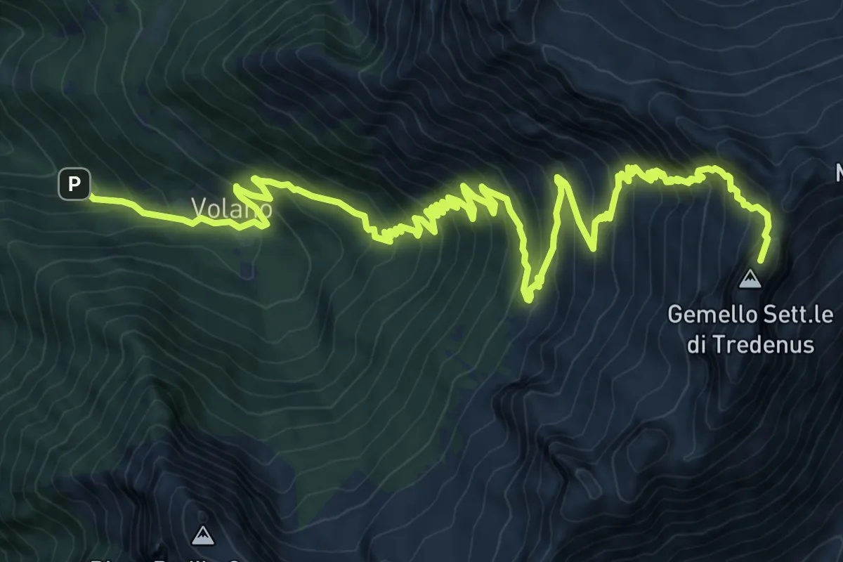
Demanding · Summit
Ponte del Sergio – Rifugio Maria e Franco
16.8 km · ↑ 1483 m · 7 h 11 min
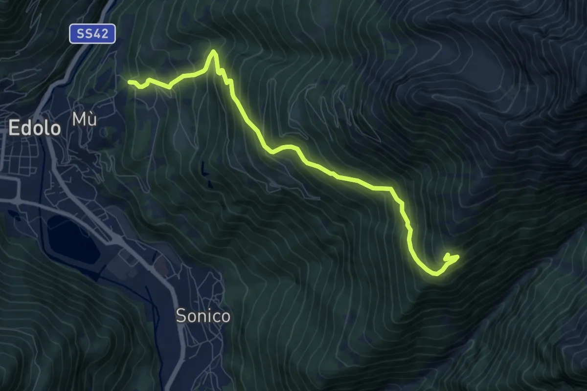
Demanding · Cabin
Mù – Malga Stain (strada vecchia)
9.3 km · ↑ 1010 m · 4 h 23 min
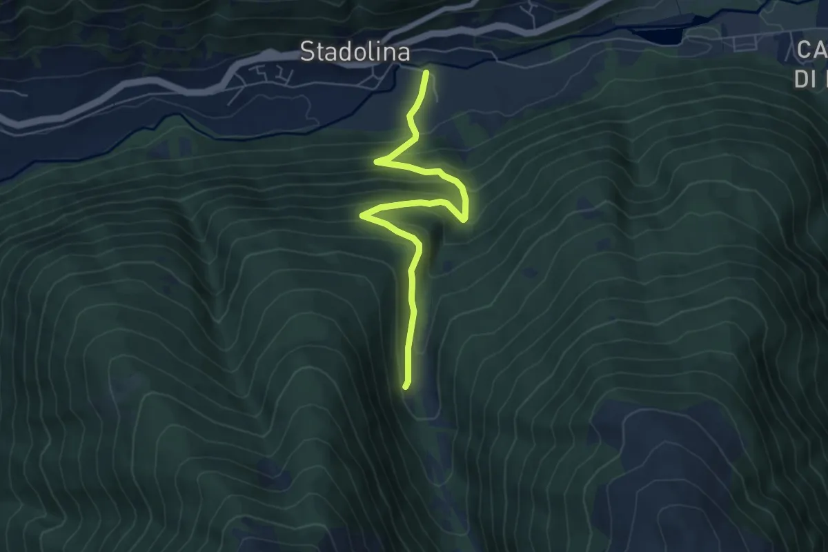
Medium · Trail
Vallaro – Val Paghera
6.1 km · ↑ 461 m · 2 h 26 min
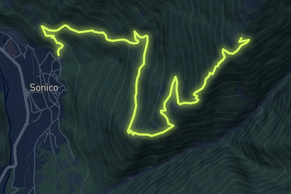
Demanding · Cabin
Pradella – Malga Stain
12.5 km · ↑ 1281 m · 5 h 43 min
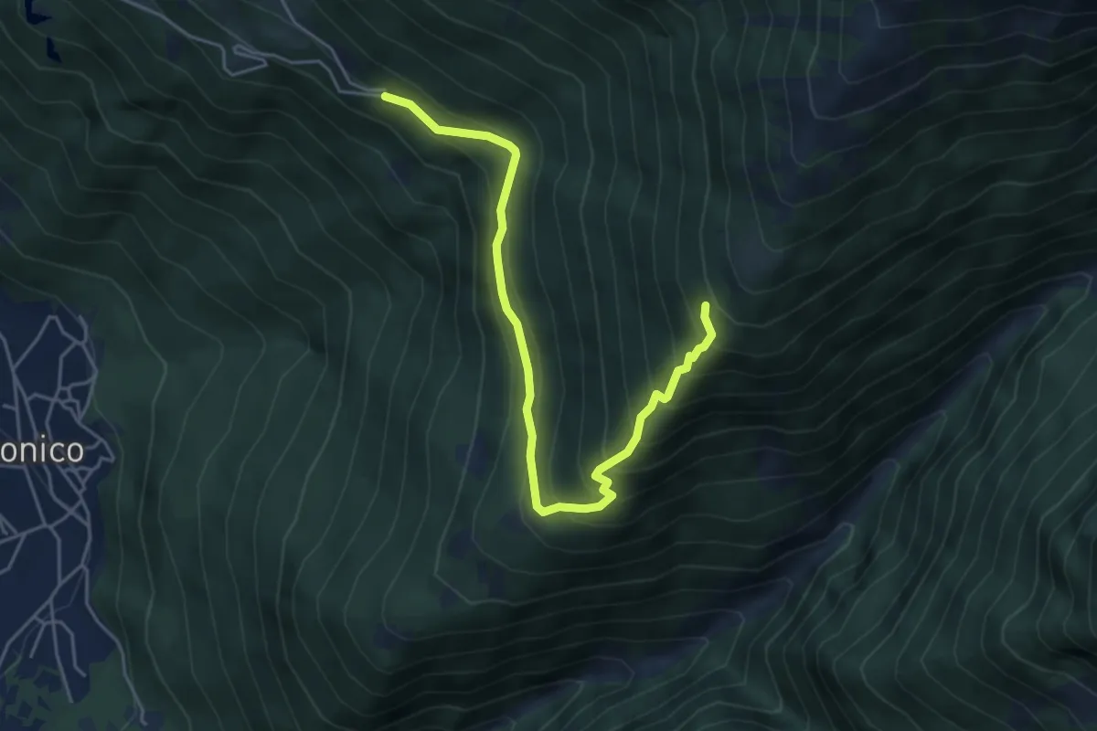
Medium · Trail
Stablo – Malga Stain
5.1 km · ↑ 571 m · 2 h 26 min
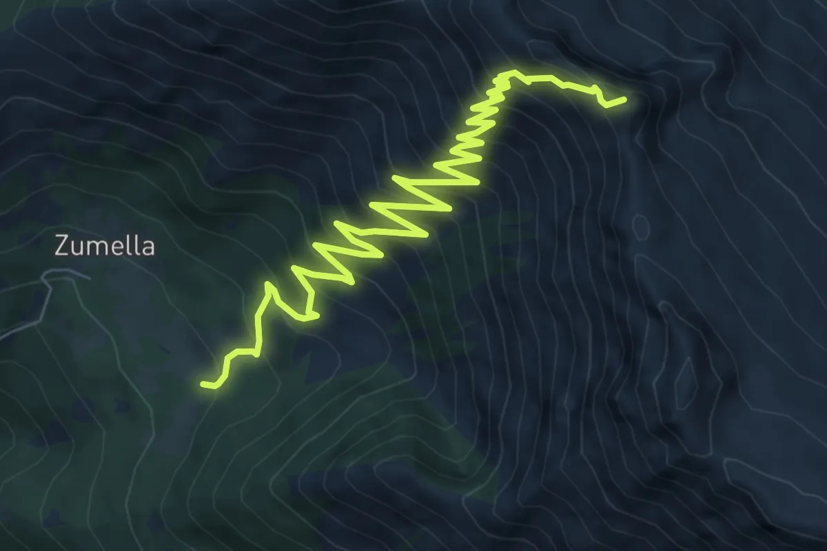
Demanding · Summit
Baite Nicol – Diga d'Arno
10.4 km · ↑ 1040 m · 4 h 42 min
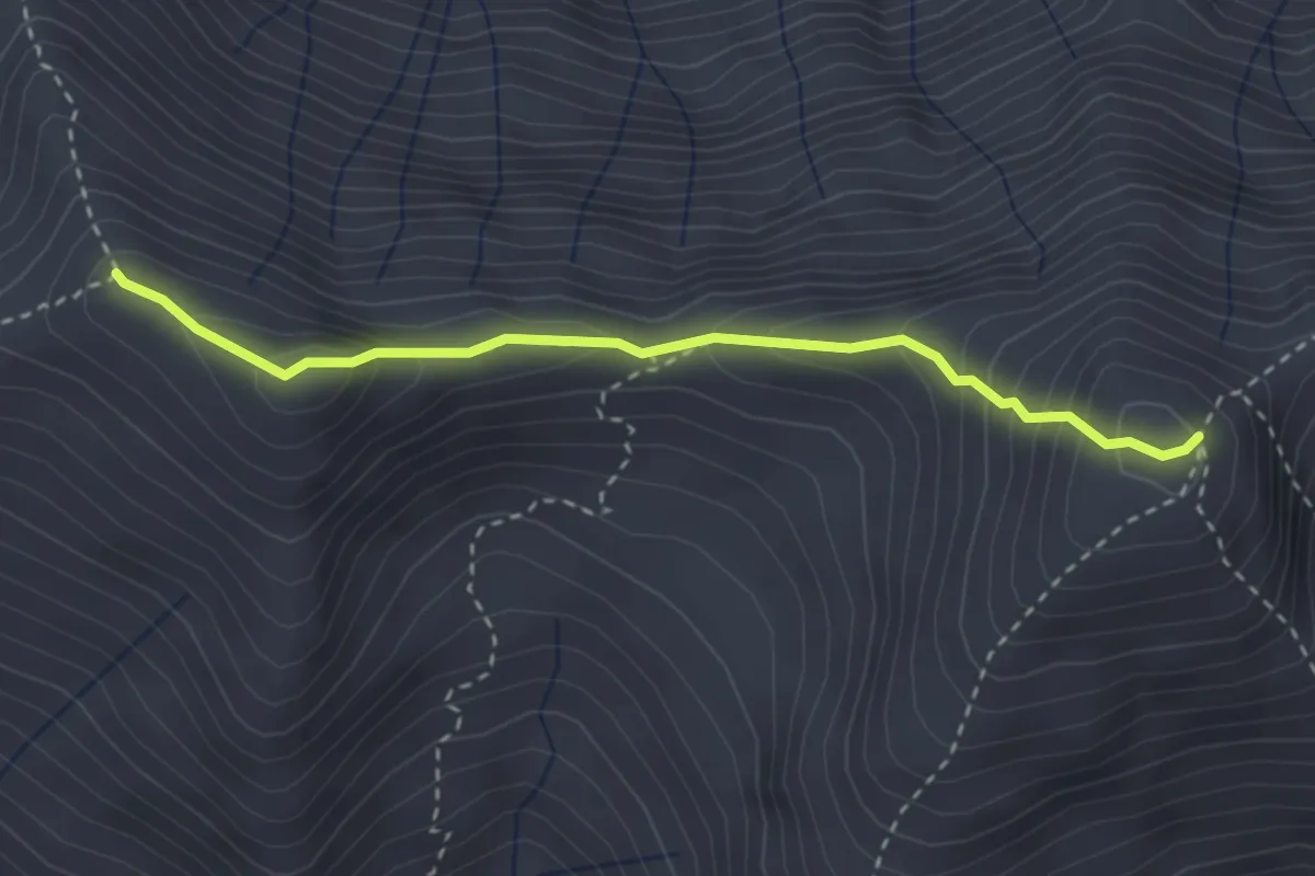
Medium · Summit
Piz Olda – Pian della Regina
3.0 km · ↑ 318 m · 1 h 23 min
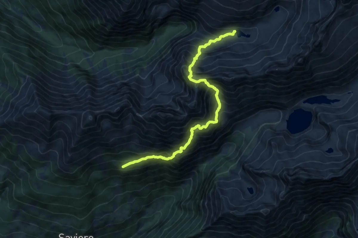
Demanding · Cabin
Malga Casentia – Rifugio Gnutti
7.5 km · ↑ 1199 m · 4 h 18 min
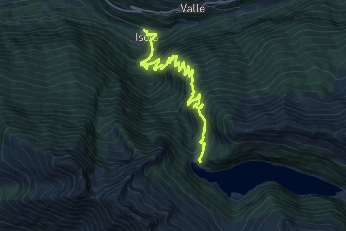
Expert · Trail
Isola – Lago d'Arno
11.0 km · ↑ 1202 m · 5 h 12 min
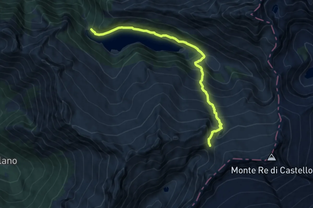
Demanding · Cabin
Lago d'Arno – Rifugio Maria e Franco
11.3 km · ↑ 873 m · 4 h 33 min
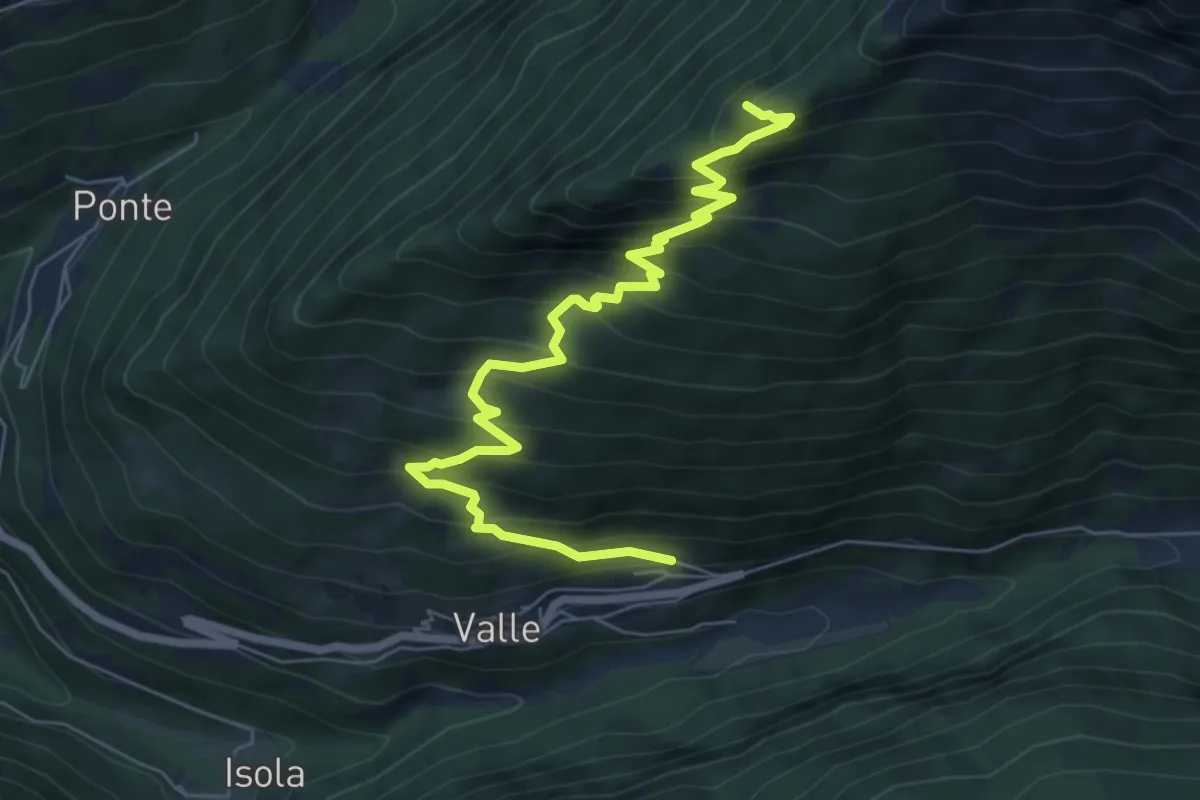
Demanding · Summit
Valle – Monte Zuccone
7.6 km · ↑ 804 m · 3 h 33 min
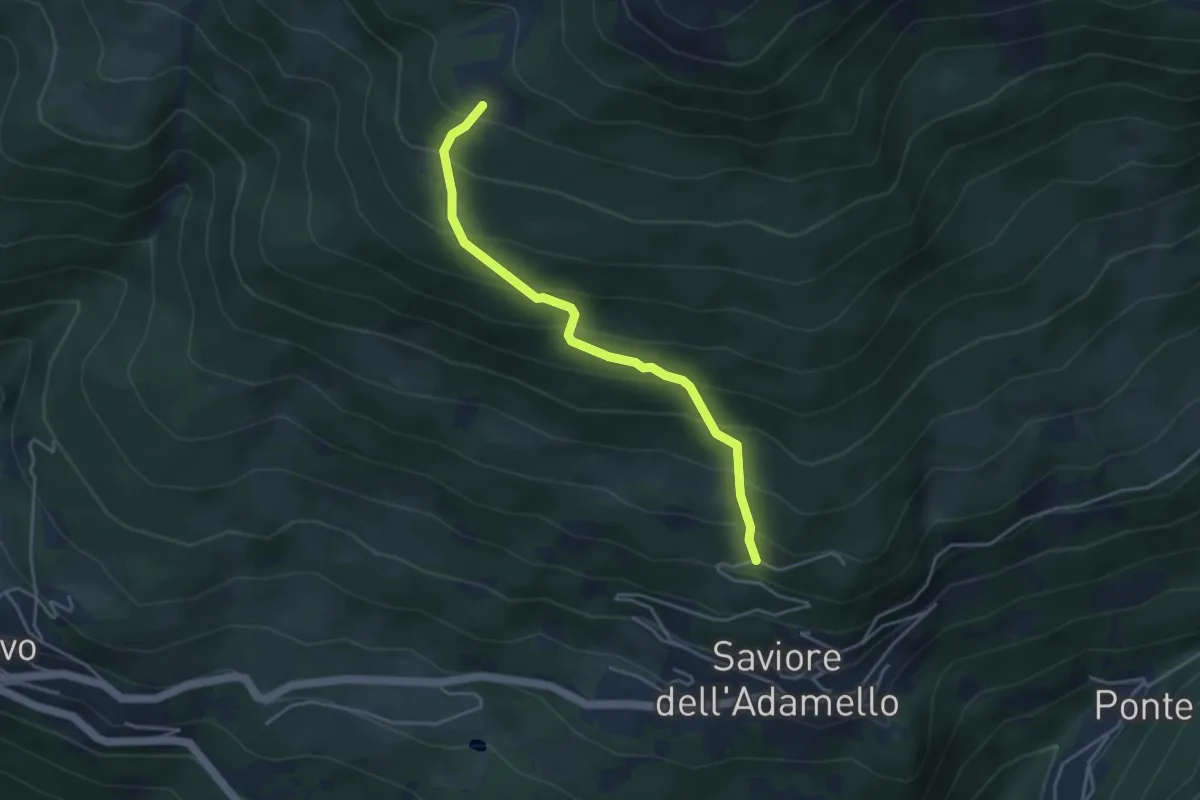
Medium · Trail
Saviore – Malga Corti
4.0 km · ↑ 434 m · 1 h 53 min
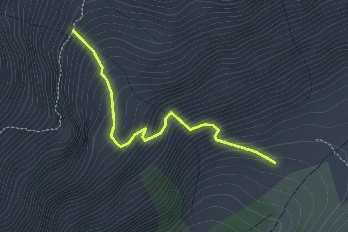
Medium · Trail
Malga Macesso – Intersezione sentiero n. 686
2.3 km · ↑ 335 m · 1 h 17 min
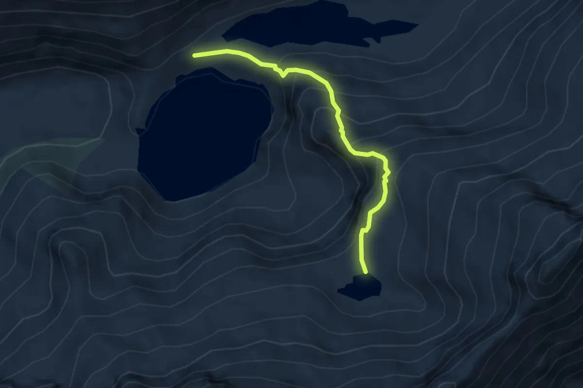
Medium · Trail
Malga Salarno – Laghetto di Gana
4.0 km · ↑ 329 m · 1 h 39 min
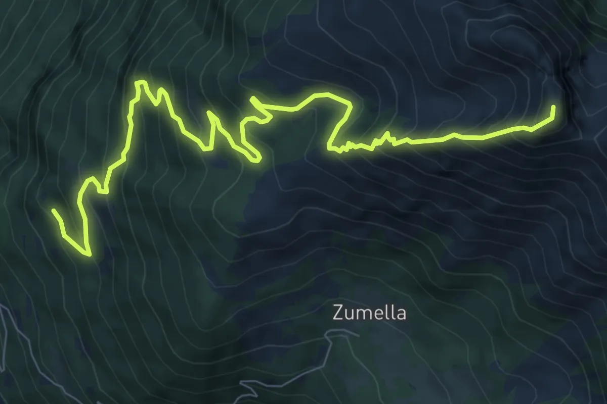
Demanding · Summit
Pusolo – Innesto sentiero n.678
10.8 km · ↑ 1029 m · 4 h 47 min
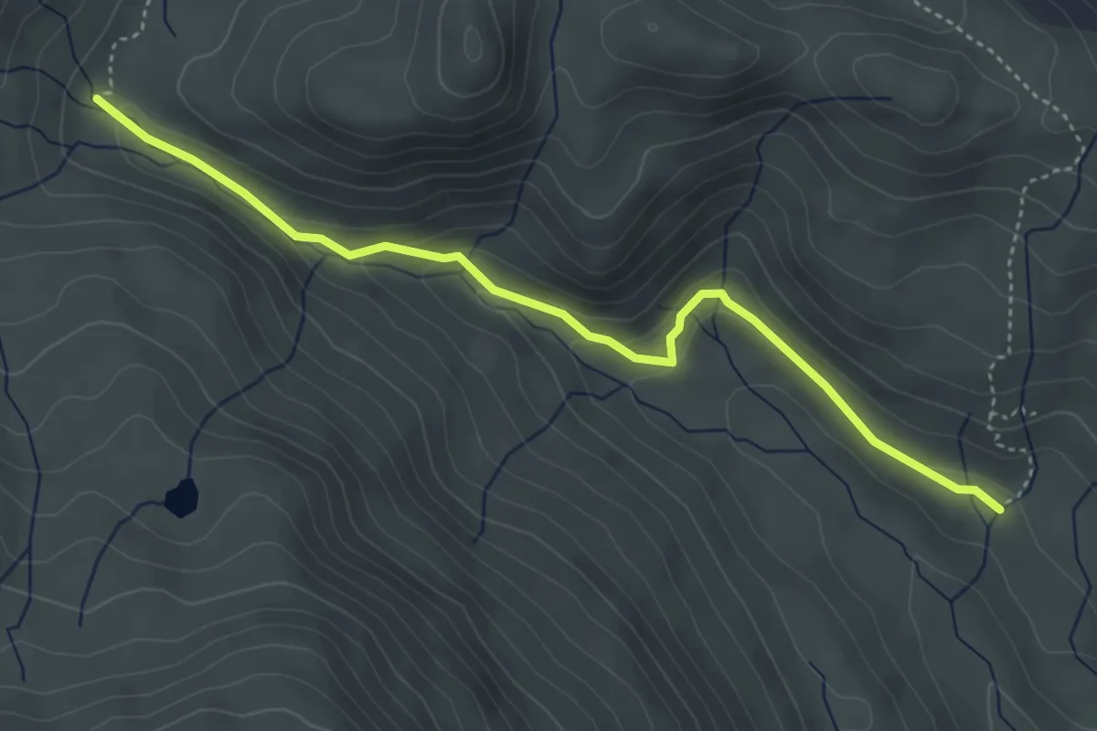
Easy · Trail
Innesto Sentiero 130 – Innesto Sentiero 196
4.4 km · ↑ 184 m · 1 h 26 min
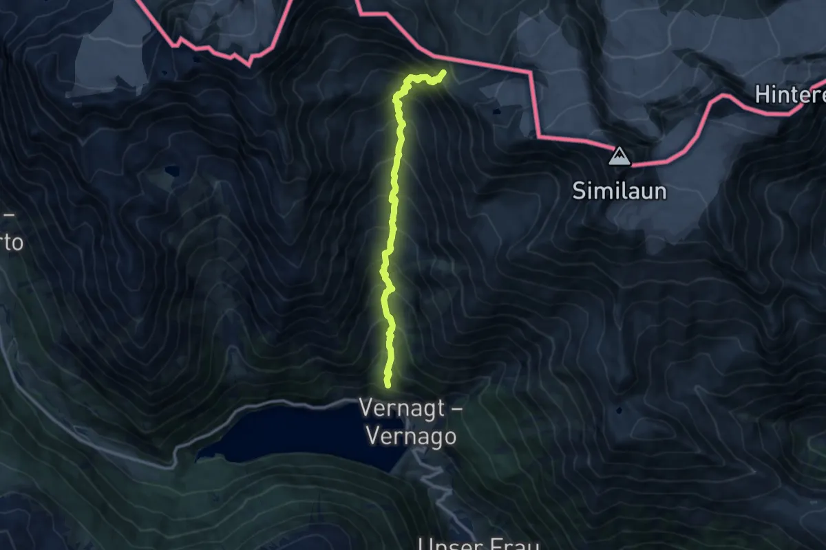
Demanding · Cabin
Vernagt – Similaunhutte
9.5 km · ↑ 1195 m · 4 h 50 min
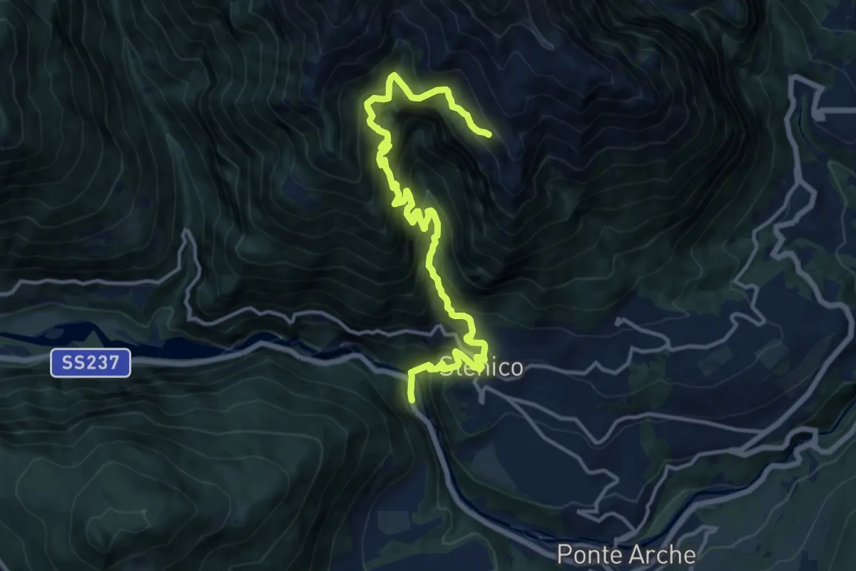
Demanding · Trail
Ponte Pià - Strada Statale 237 al Km 97,5 (bivio 465B) – Prati del Valandro (bivio 348)
14.6 km · ↑ 1494 m · 6 h 42 min
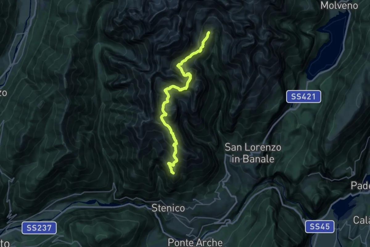
Demanding · Summit
Seo – Rifugio "Al Cacciatore" (bivio 325 - 325B)
22.3 km · ↑ 1907 m · 9 h 24 min
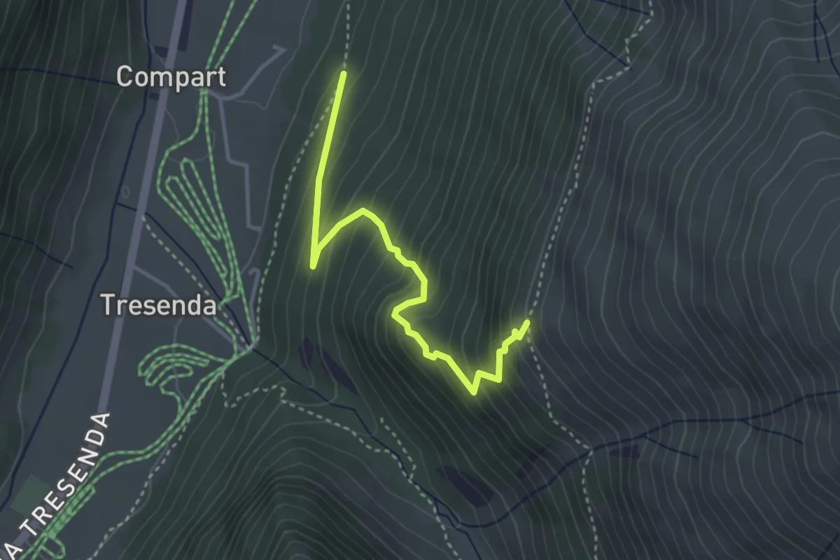
Medium · Trail
Sentiero 100 – Sentiero 121
3.4 km · ↑ 370 m · 1 h 36 min
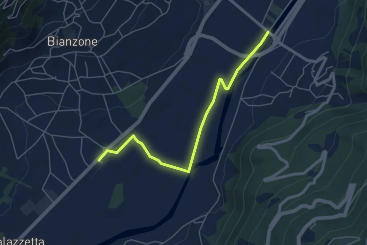
Easy · Trail
Stazione di Brianzone – Innseto Sentiero 303
4.7 km · ↑ 8 m · 1 h 7 min
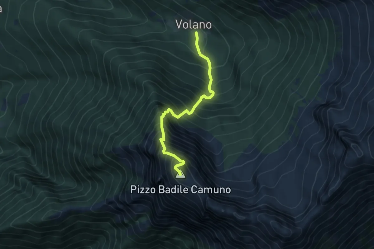
Expert · Summit
Volano – Pizzo Badile
5.1 km · ↑ 939 m · 3 h 14 min
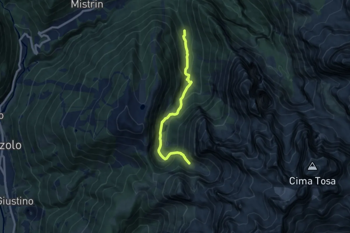
Medium · Trail
Val d'Agola - parcheggio – Lach sut (bivio O307)
9.8 km · ↑ 572 m · 3 h 33 min
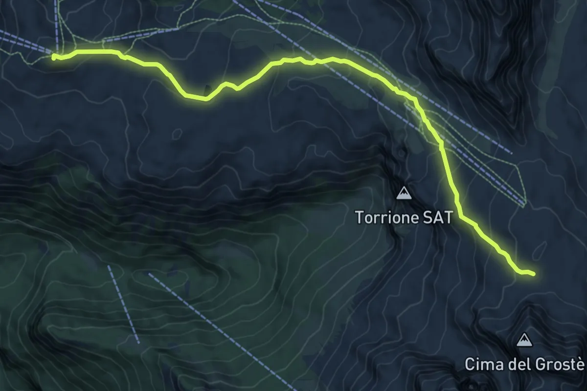
Medium · Summit
Madonna di Campiglio - chiesa (bivio 300) – Grostedi (bivio 305)
11.4 km · ↑ 576 m · 3 h 57 min
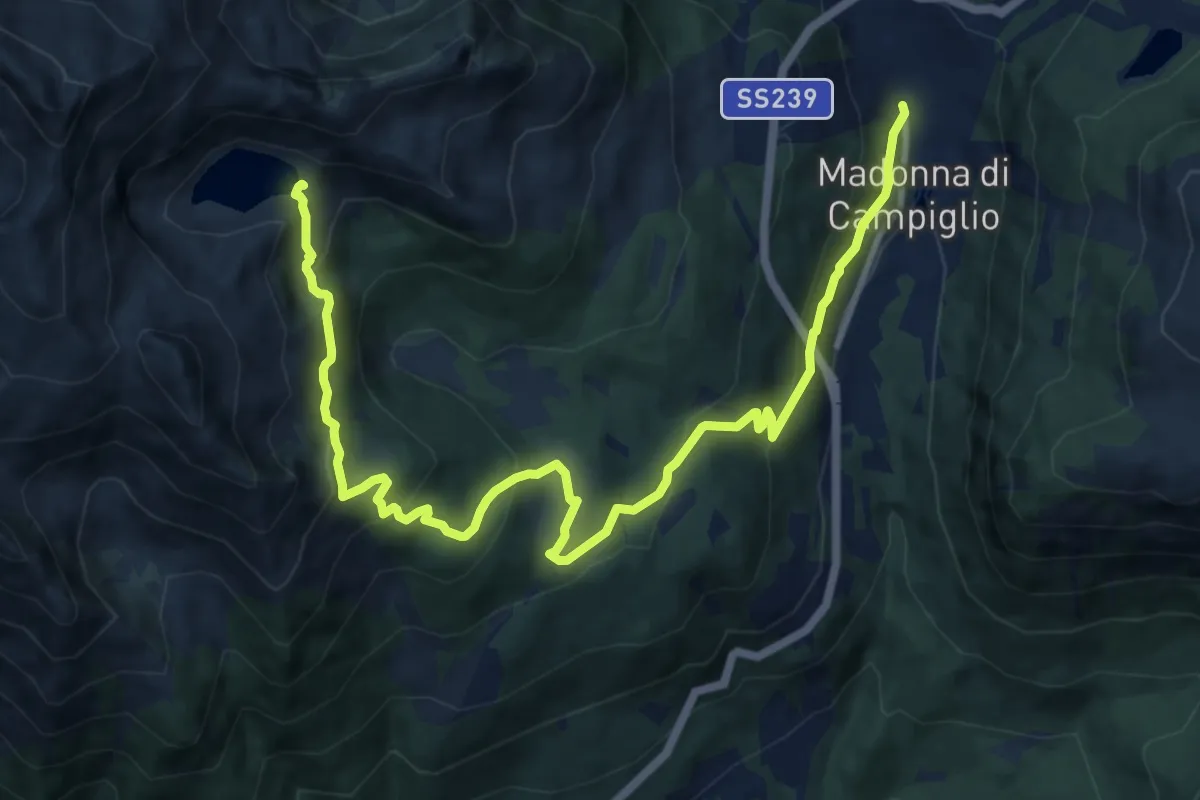
Medium · Trail
Madonna di Campiglio (Piazza Righi) – Lago Ritort (bivio 232 - 278)
13.9 km · ↑ 695 m · 4 h 47 min
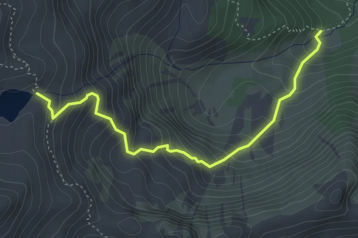
Medium · Trail
Quota 1818 (bivio 217) – Presso Lago Lambin (bivio 232)
4.0 km · ↑ 510 m · 2 h 3 min
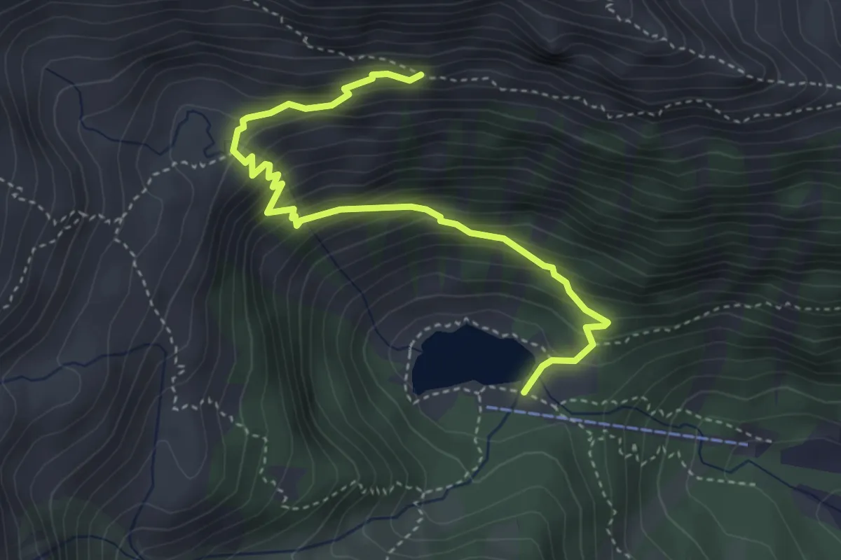
Medium · Cabin
Lago Nambino (217) – Quota 2172 (bivio 226)
4.3 km · ↑ 415 m · 1 h 55 min
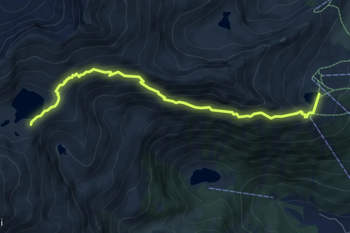
Medium · Cabin
Rifugio Pradalago - Viviani (bivio 265) – Lago Serodoli (217 - 232)
7.3 km · ↑ 564 m · 2 h 56 min
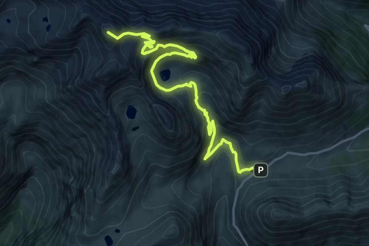
Demanding · Summit
Passo del Vivione – Rifugio Tagliaferri
12.0 km · ↑ 916 m · 4 h 49 min
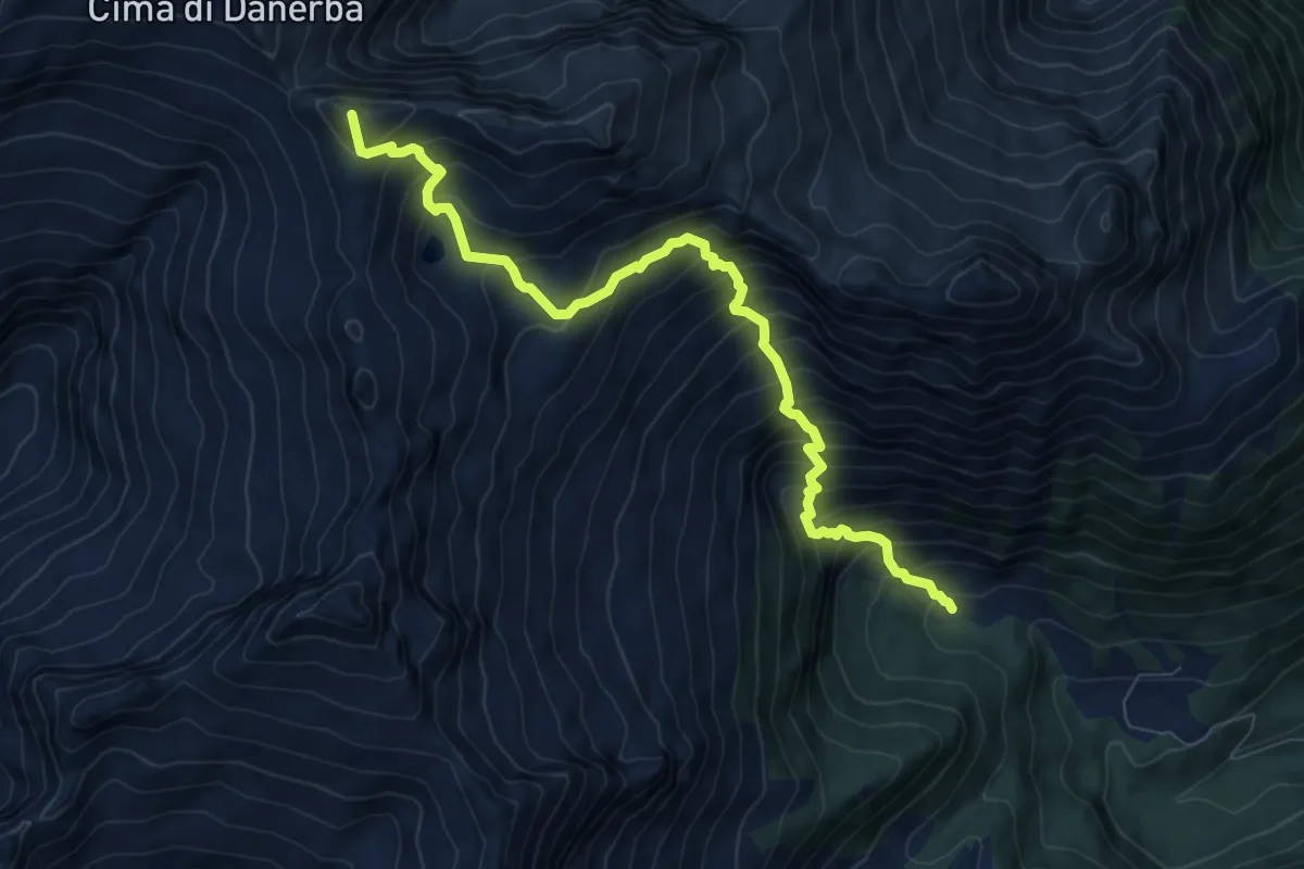
Expert · Summit
Malga d'Arnò – Passo Boldone
8.9 km · ↑ 1163 m · 4 h 37 min
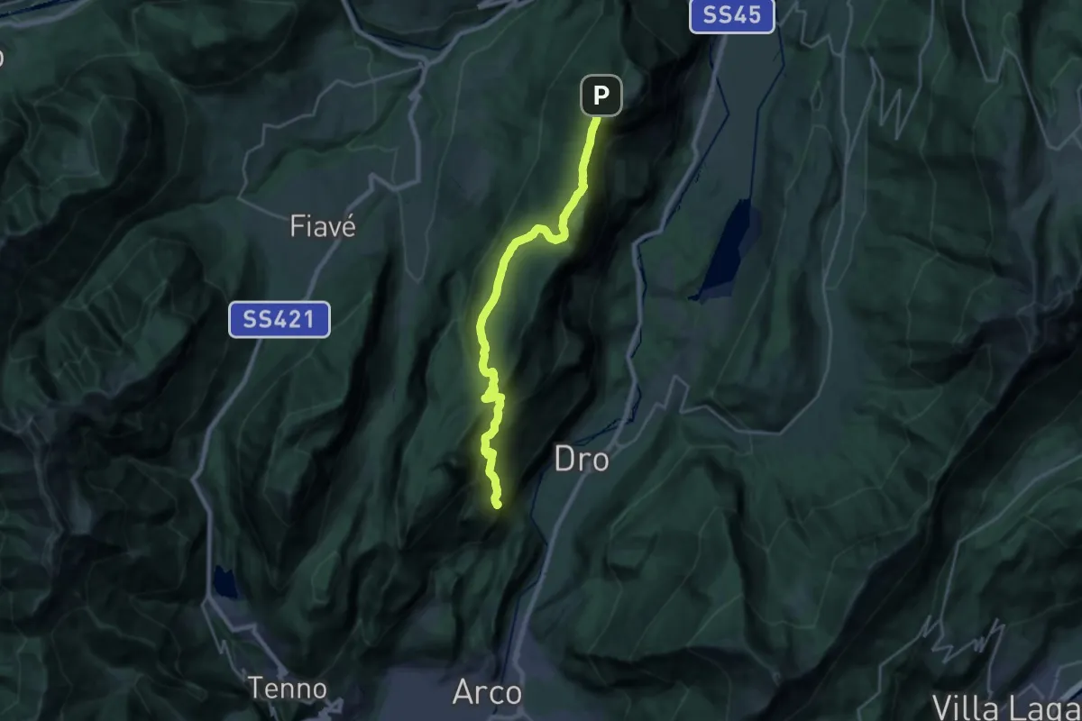
Demanding · Summit
Arco - Parco Arciducale – Le Quadre (bivio 411)
22.5 km · ↑ 1129 m · 7 h 46 min