Trails in Italy
25,219 hiking trails, each with its route, climb, walking time and grade.
All trails, page 485 of 526
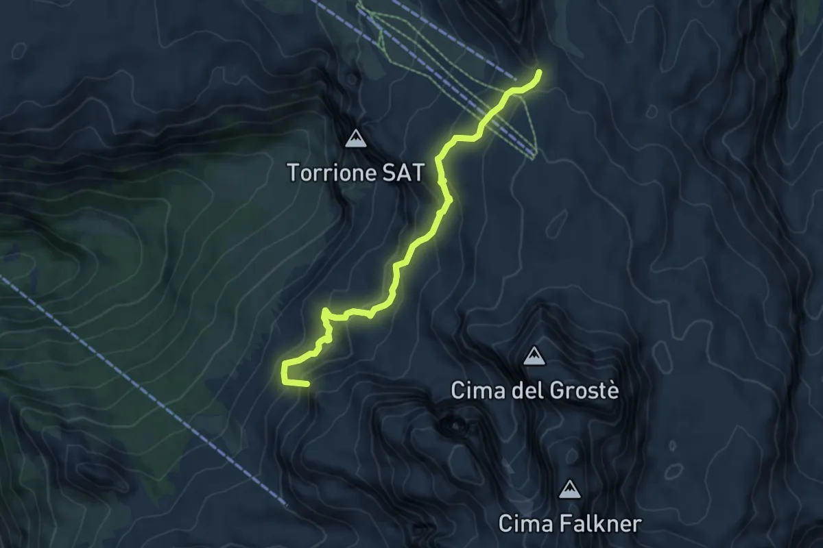
Medium · Summit
Passo del Grostè (bivio 301 - 305 - 306 - 390) – Rifugi "Francis Fox Tuckett" e "Quintino Sella" (bivio 303 - 317 - 328)
6.4 km · ↑ 466 m · 2 h 31 min
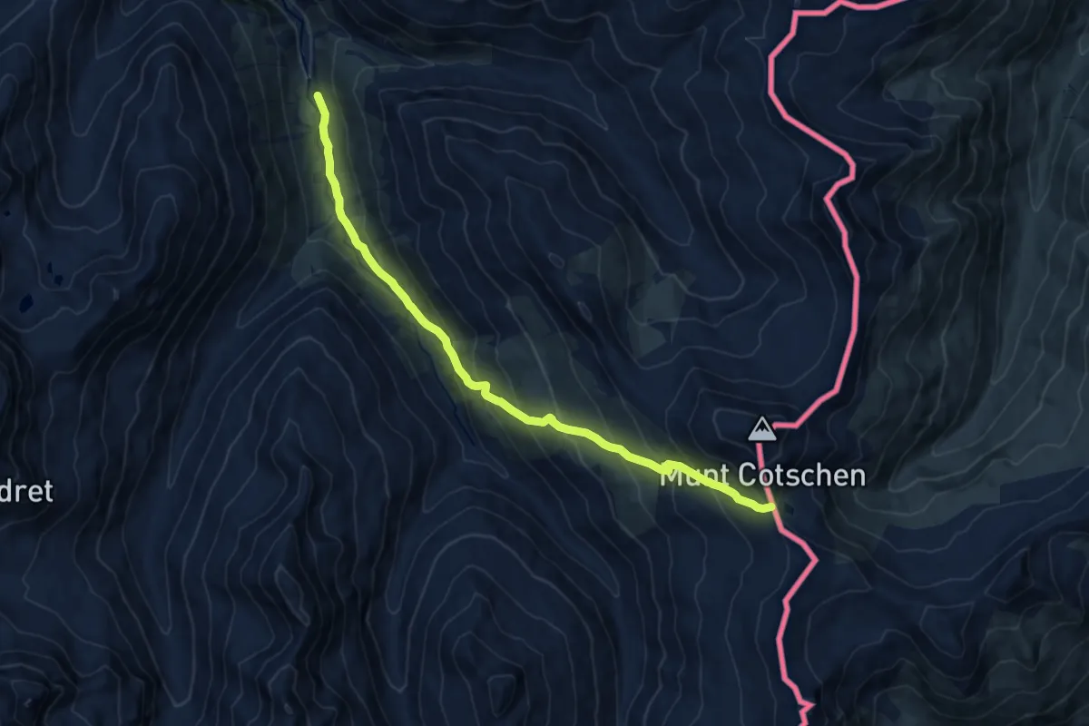
Demanding · Trail
Serlas – Fuorcla Federia
12.6 km · ↑ 923 m · 4 h 58 min
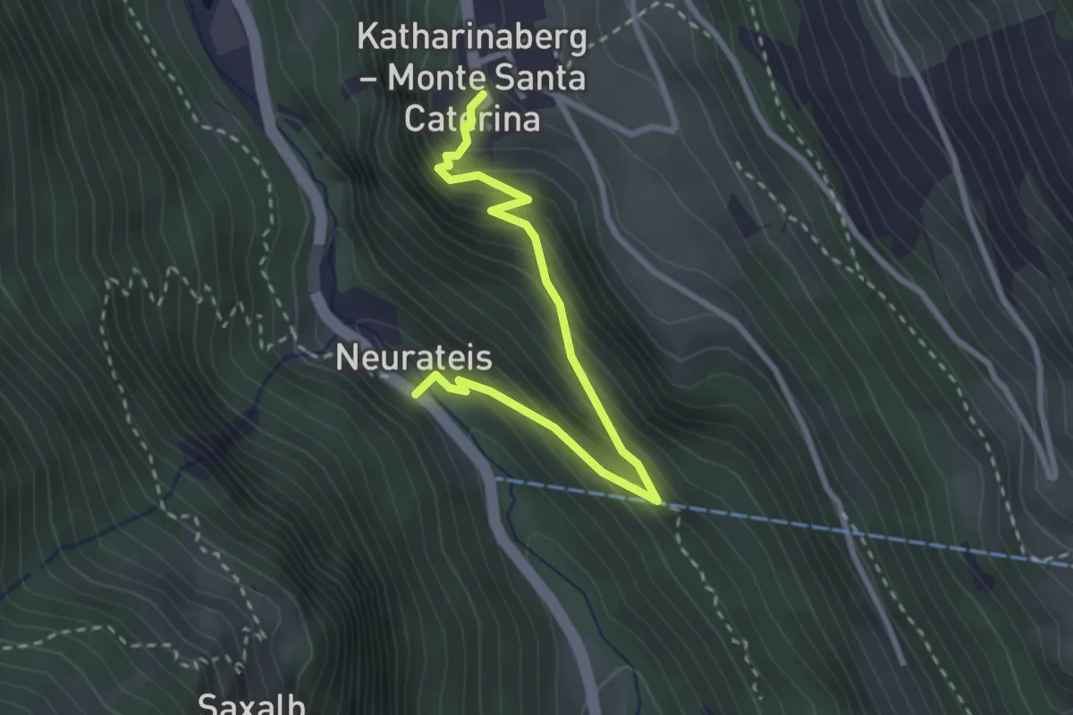
Medium · Trail
Neuratheis – Katharinaberg
2.9 km · ↑ 305 m · 1 h 21 min
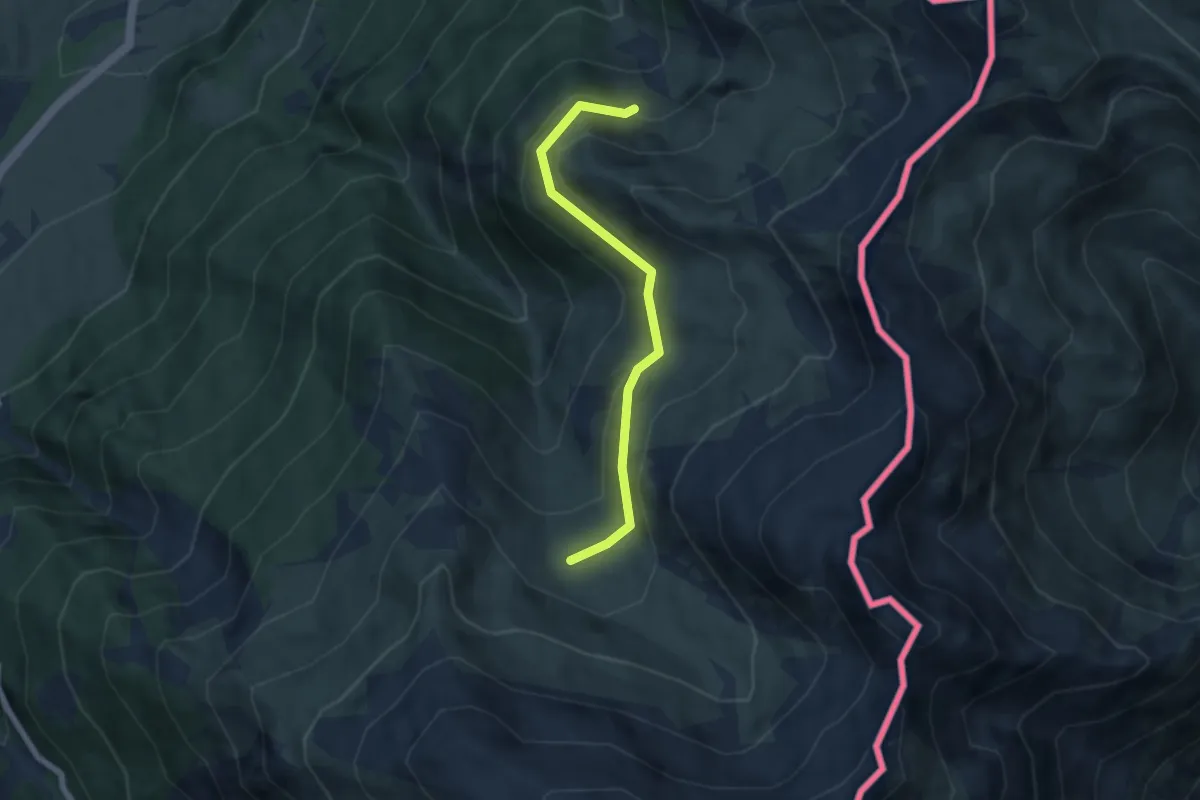
Easy · Trail
Alp Sielva – Plaun Radond
5.7 km · ↑ 254 m · 1 h 53 min
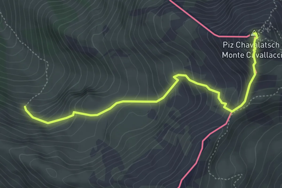
Medium · Summit
Plaun Radond – Piz Chavalatsch
5.0 km · ↑ 558 m · 2 h 23 min
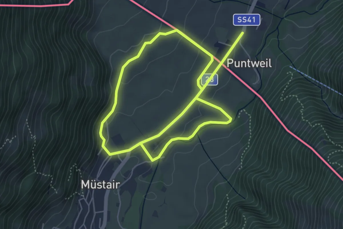
Easy · Trail
Munstair – Munstair
4.6 km · ↑ 79 m · 1 h 19 min
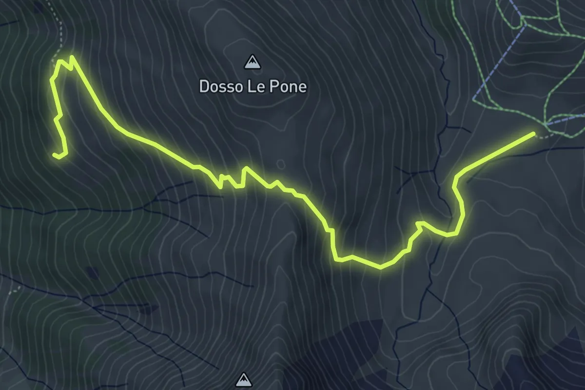
Medium · Trail
Innesto Sentiero 209 – Innesto Sentiero 280
7.4 km · ↑ 554 m · 2 h 57 min
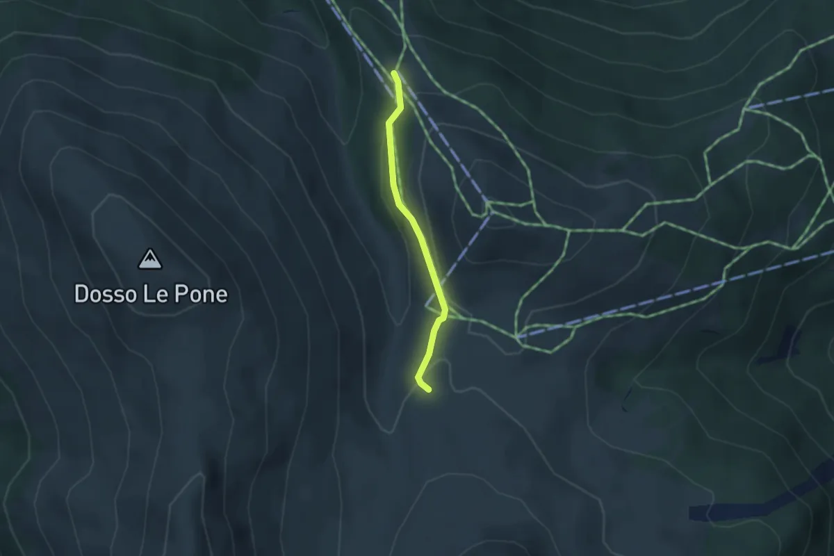
Easy · Trail
Innesto Sentiero 209 – Innesto Sentiero 208
2.4 km · ↑ 83 m · 45 min
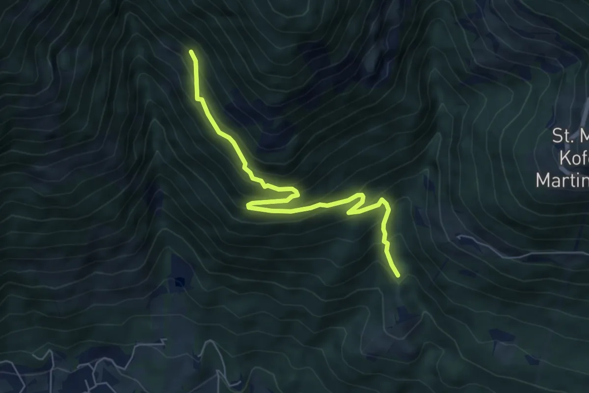
Medium · Trail
Tiss – Zuckbichl
6.0 km · ↑ 571 m · 2 h 39 min
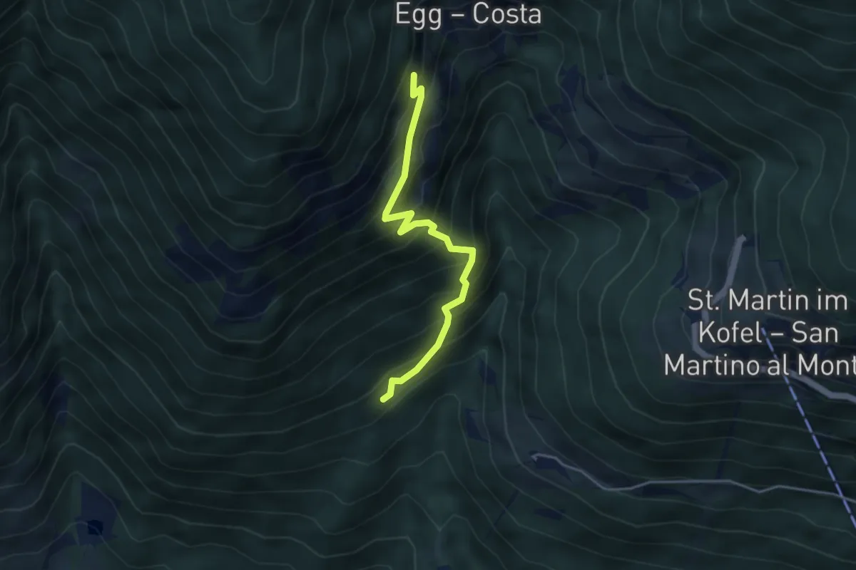
Medium · Trail
Percorso 14A – Forra
3.7 km · ↑ 535 m · 2 h 2 min
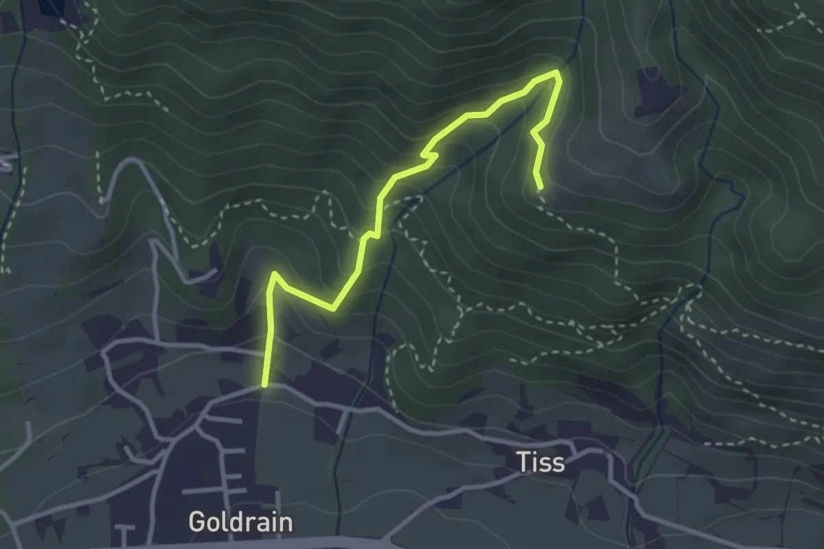
Medium · Trail
Percorso 6 – Coldrano
2.9 km · ↑ 300 m · 1 h 21 min
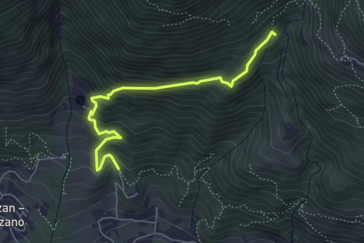
Medium · Trail
Coldrano – Percorso 14A
4.8 km · ↑ 492 m · 2 h 12 min
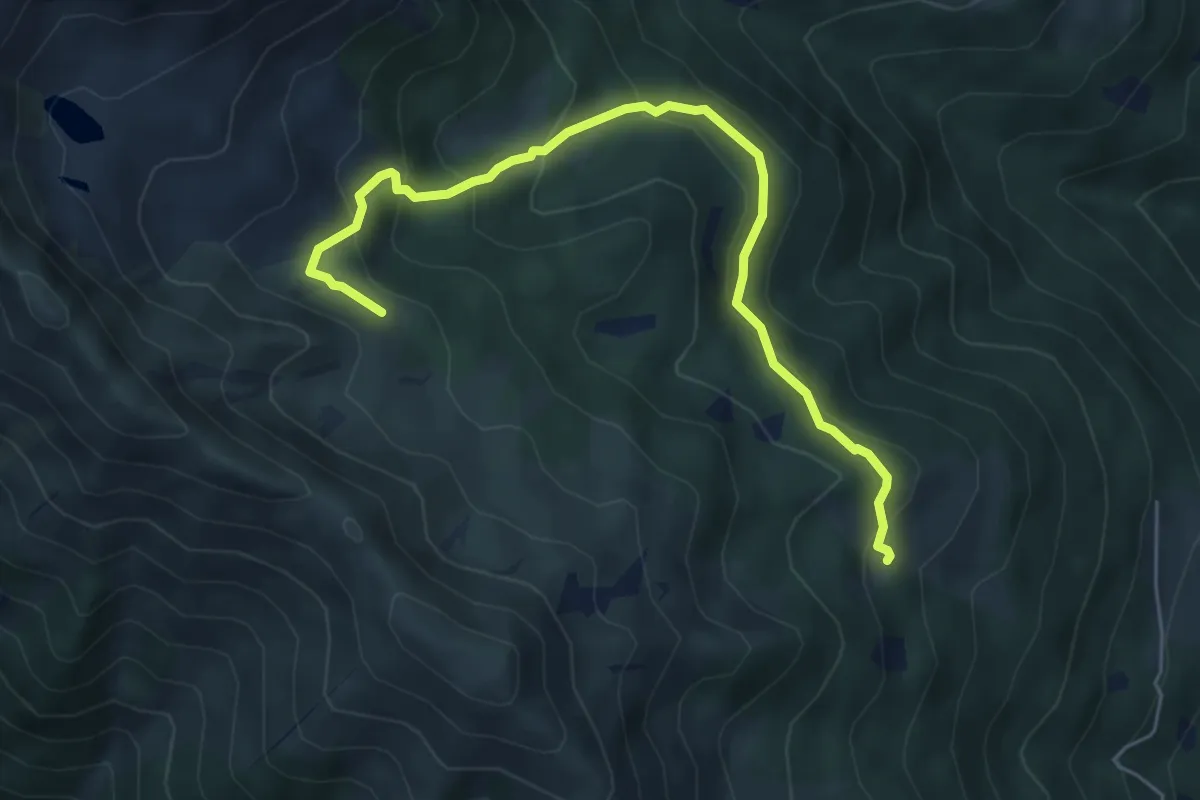
Medium · Cabin
Presso Malga Cengledino (bivio O225 - O225B - O235) – Presso Baito Fontana delle Laste (bivio O25)
6.1 km · ↑ 329 m · 2 h 9 min
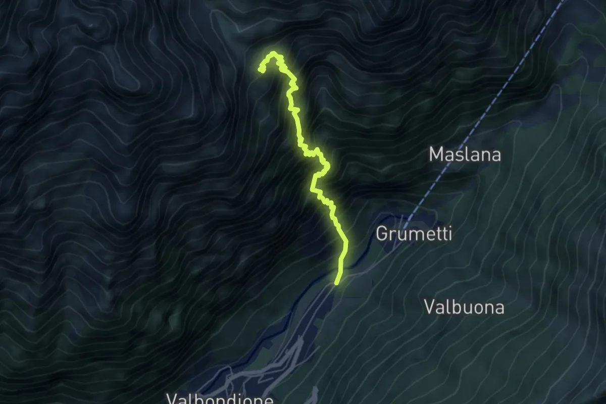
Demanding · Cabin
Valbondione – Rifugio Coca
5.6 km · ↑ 1040 m · 3 h 34 min
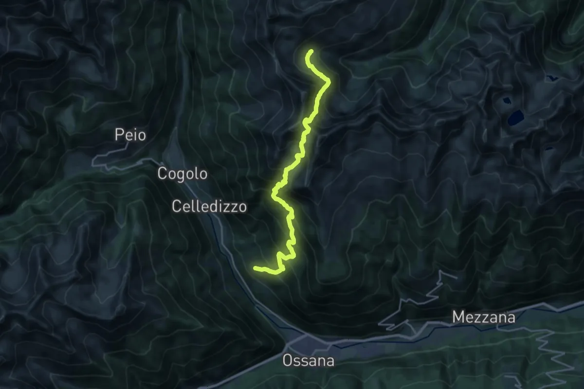
Demanding · Trail
Celentino – La Palina (bivio 109)
9.8 km · ↑ 1524 m · 5 h 16 min
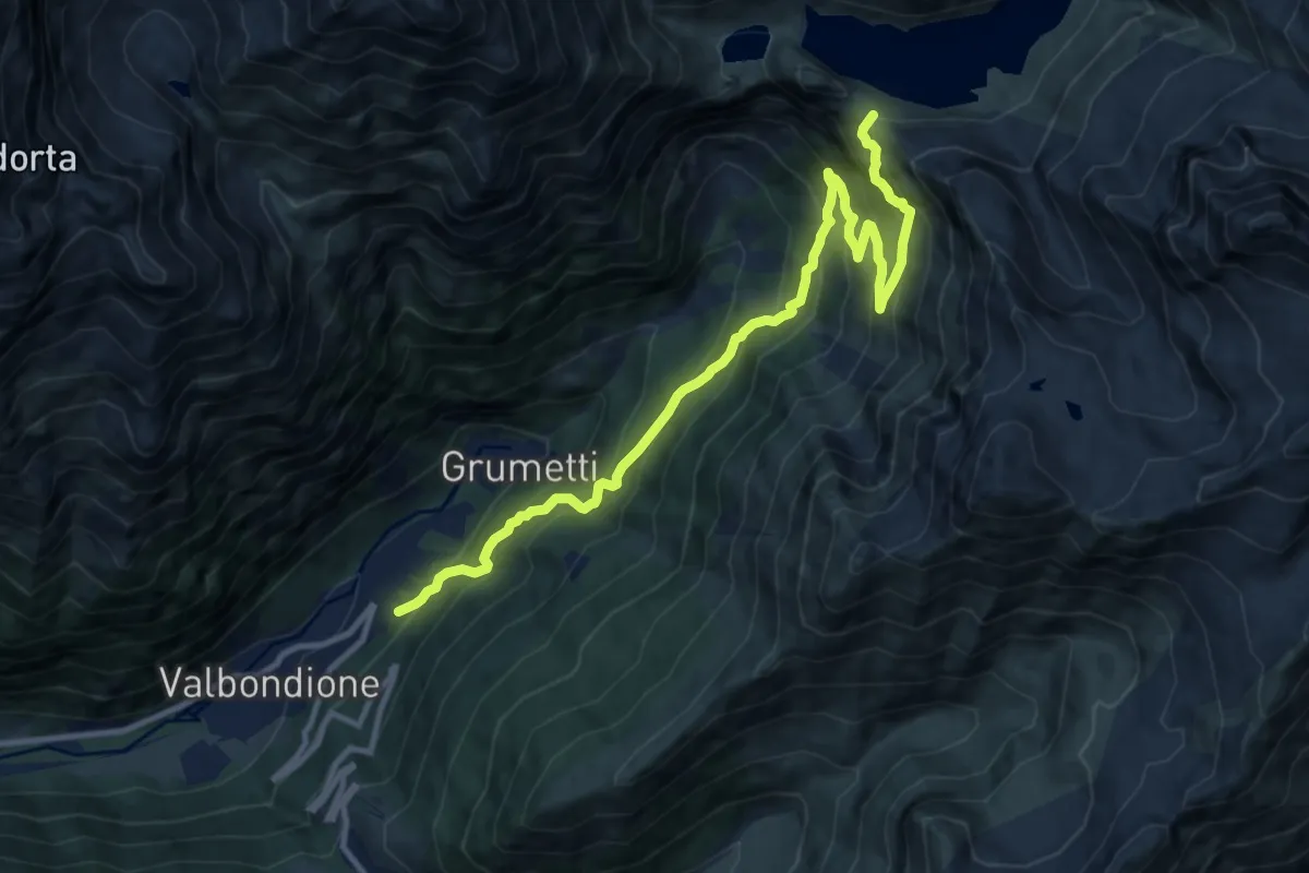
Demanding · Cabin
Valbondione – Rifugio Curò
12.6 km · ↑ 1249 m · 5 h 41 min
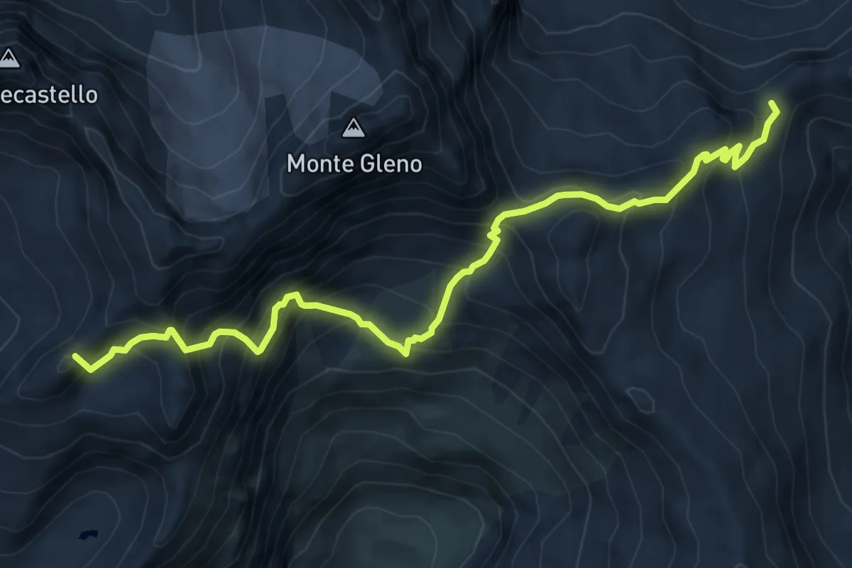
Expert · Summit
Rifugio Curò – Rifugio Tagliaferri
8.0 km · ↑ 947 m · 3 h 56 min
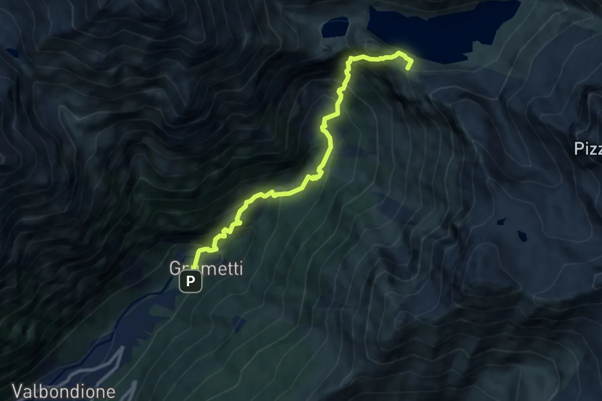
Demanding · Cabin
Valbondione – Rifugio Curò
8.3 km · ↑ 1014 m · 4 h 9 min
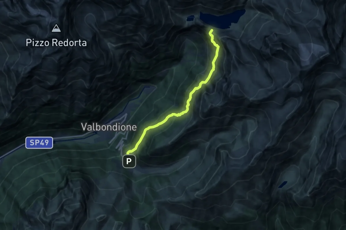
Demanding · Cabin
Lizzola – Rifugio Curò
12.0 km · ↑ 1032 m · 5 h 4 min
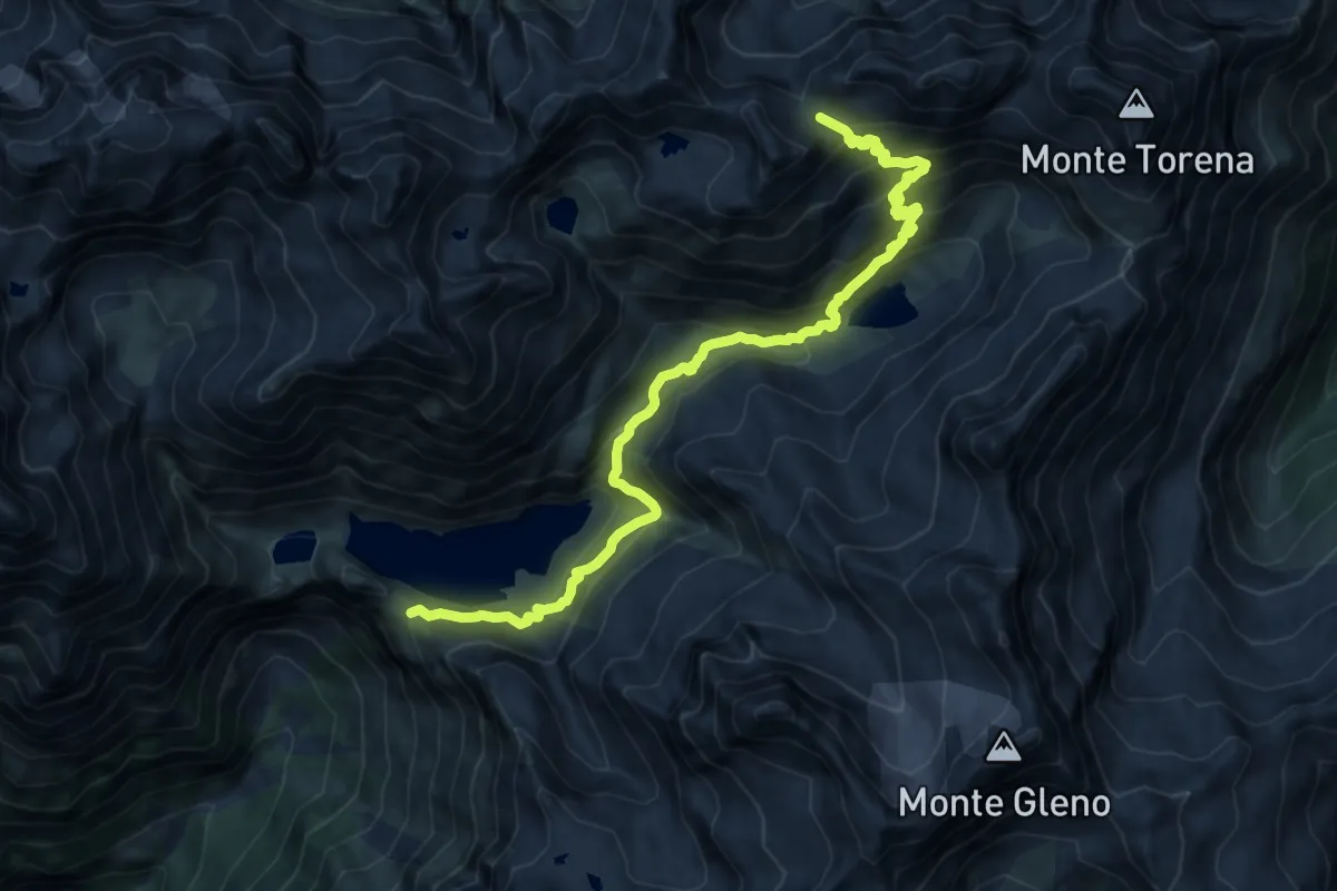
Demanding · Cabin
Rifugio Curò – Passo di Caronella
14.0 km · ↑ 966 m · 5 h 24 min
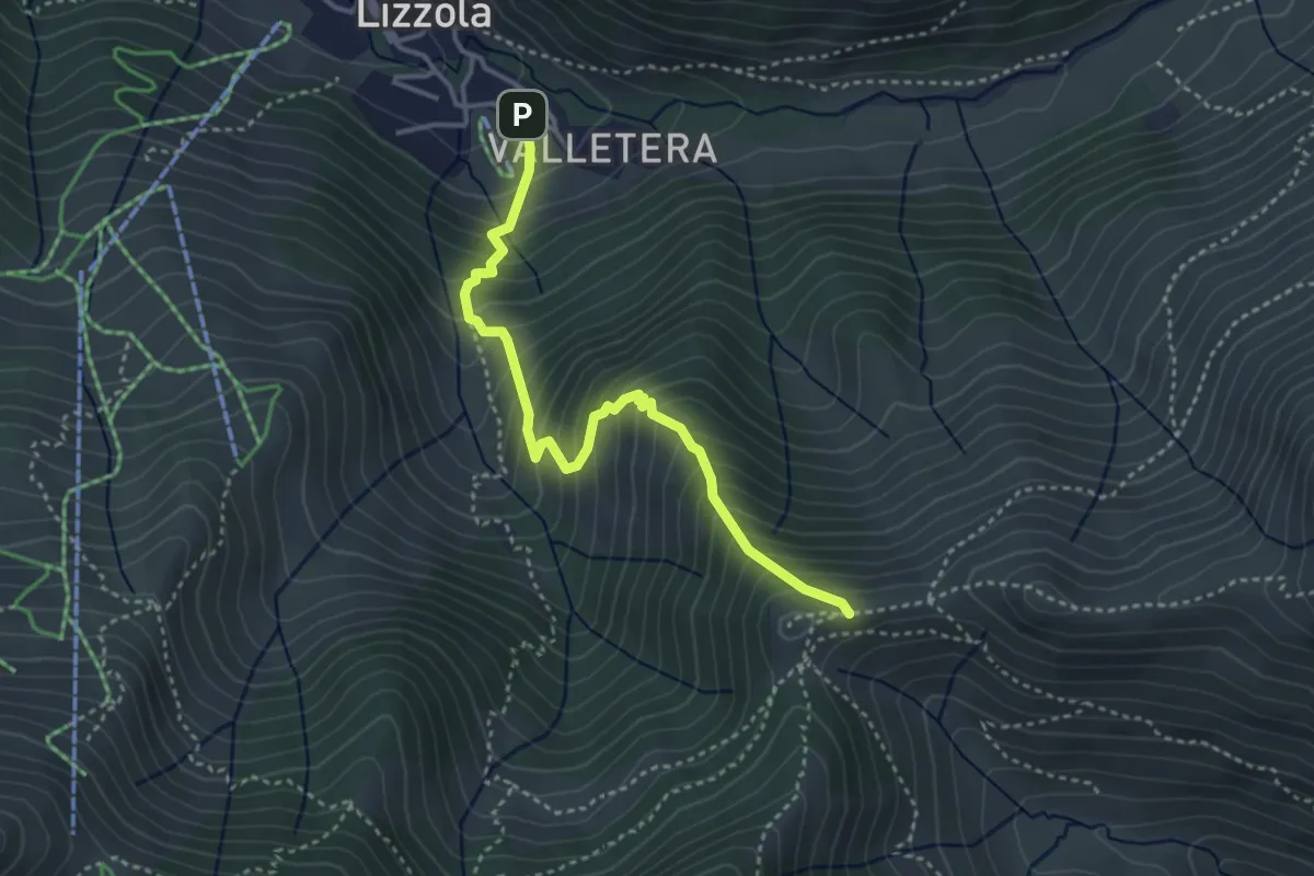
Medium · Trail
Lizzola – Passo della Manina
3.7 km · ↑ 511 m · 1 h 59 min
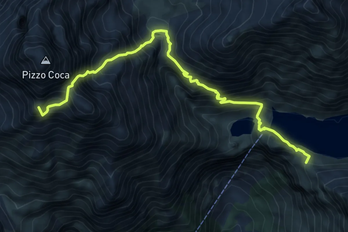
Expert · Summit
Rifugio Coca – Rifugio Curò
9.7 km · ↑ 1290 m · 5 h 6 min
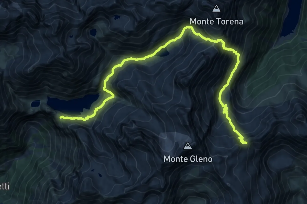
Demanding · Cabin
Rifugio Curò – Rifugio Tagliaferri
11.1 km · ↑ 1074 m · 4 h 53 min
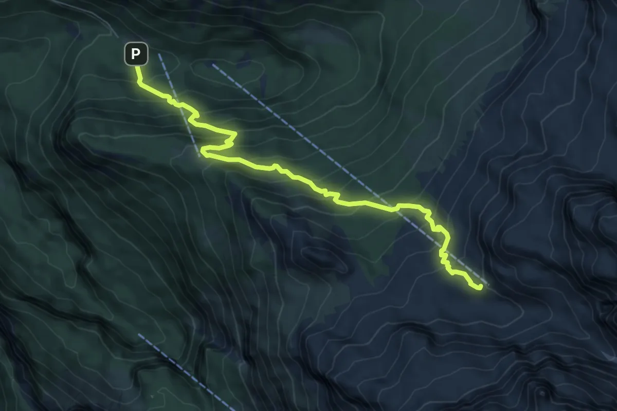
Demanding · Cabin
Vallesinella (bivio 382) – Rifugi "Francis Fox Tuckett" e "Quintino Sella" (bivio 303 - 316 - 328)
8.1 km · ↑ 715 m · 3 h 27 min
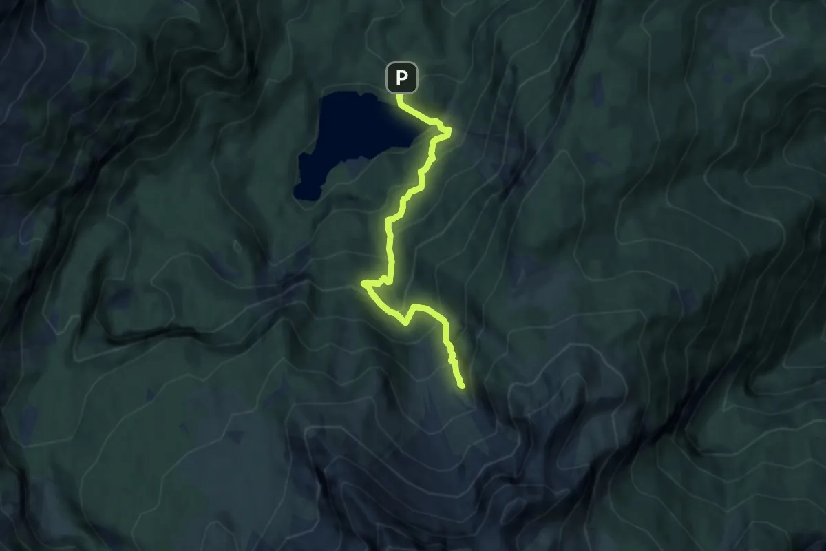
Demanding · Trail
Tovel - parcheggio (bivio 309) – Val Strangola (bivio 330)
7.3 km · ↑ 666 m · 3 h 11 min
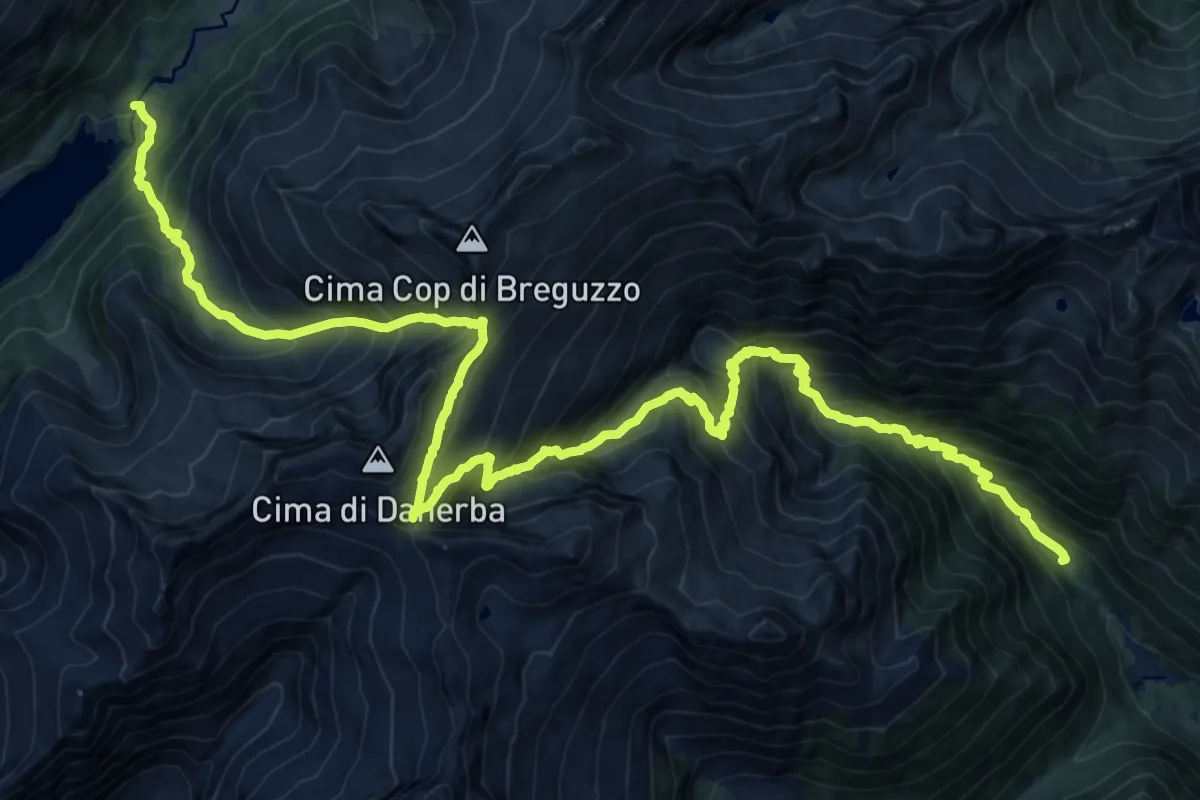
Expert · Trail
Ponte Pianone (bivio O223B - O264A) – Malga di Breguzzo (O240)
14.0 km · ↑ 1603 m · 6 h 41 min
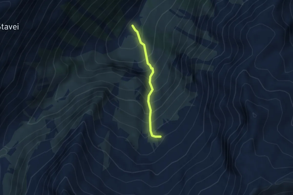
Medium · Trail
Piana di Bon (bivio 216) – Ex Baito Caldura
2.5 km · ↑ 445 m · 1 h 33 min
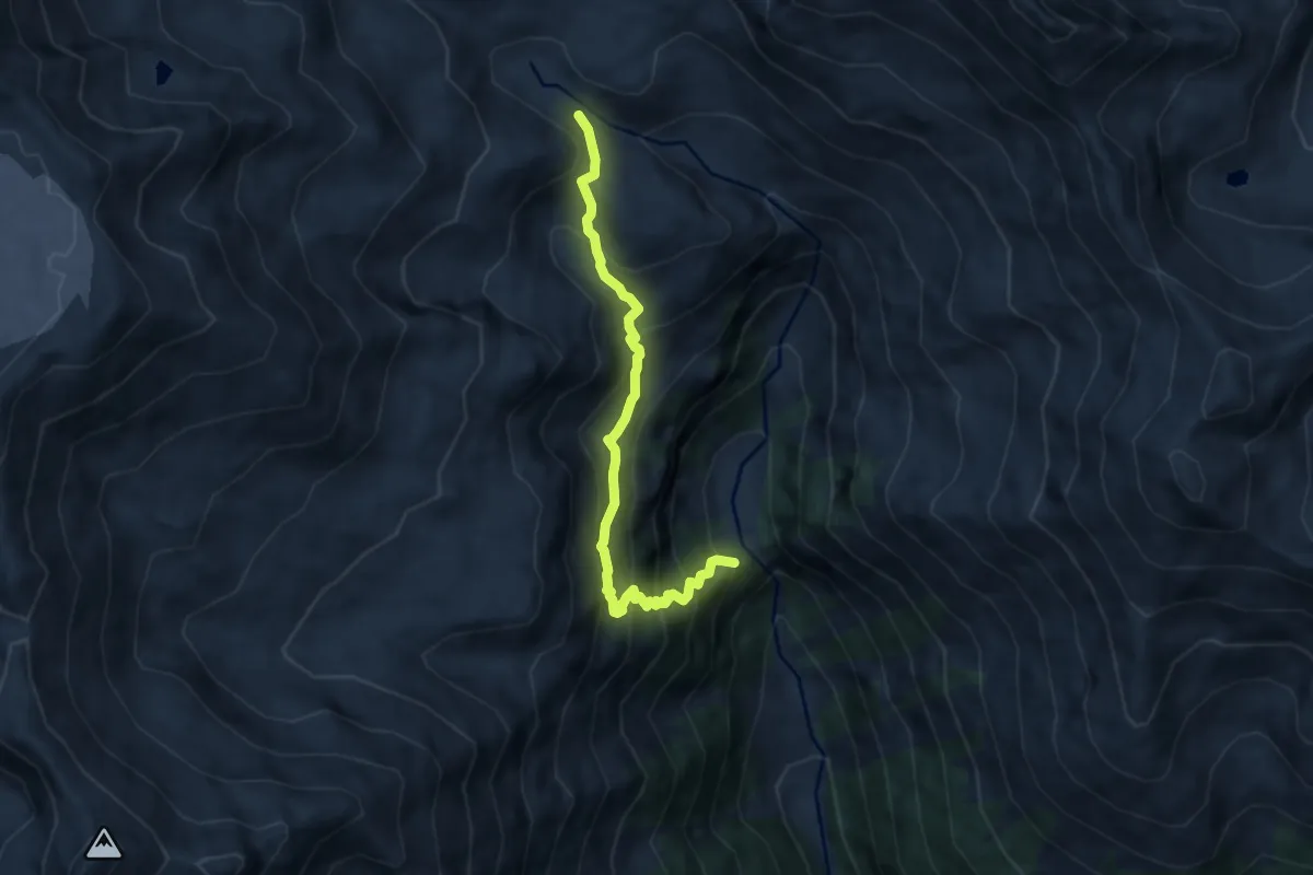
Medium · Trail
Dos de la Cros (bivio 106) – Val Saent (bivio 106)
7.3 km · ↑ 735 m · 3 h 19 min
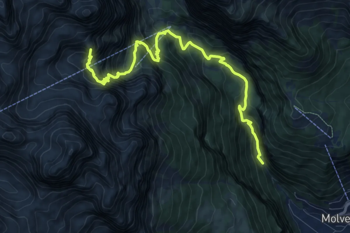
Demanding · Summit
Valle delle Seghe - Ciclamino – Rifugi Tosa e "Tommaso Pedrotti" (bivio 318A - 358)
12.5 km · ↑ 1181 m · 5 h 31 min
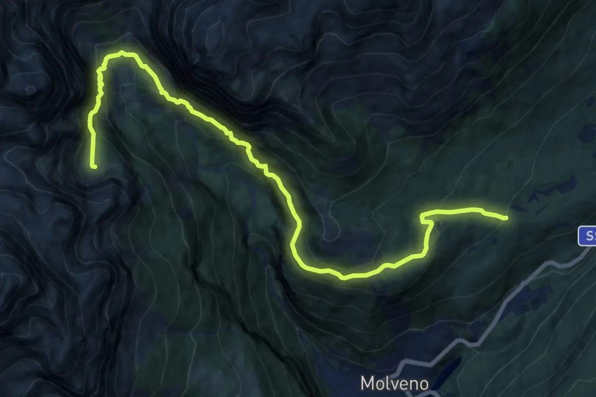
Demanding · Cabin
Valbiole - parcheggio bivio SF – Rifugio della Selvata (bivio 319 - 332)
14.2 km · ↑ 1516 m · 6 h 38 min
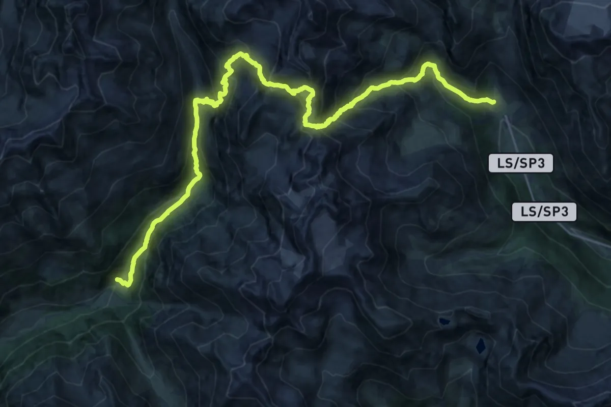
Demanding · Trail
Matsch – Kurzras
15.0 km · ↑ 1139 m · 6 h 19 min
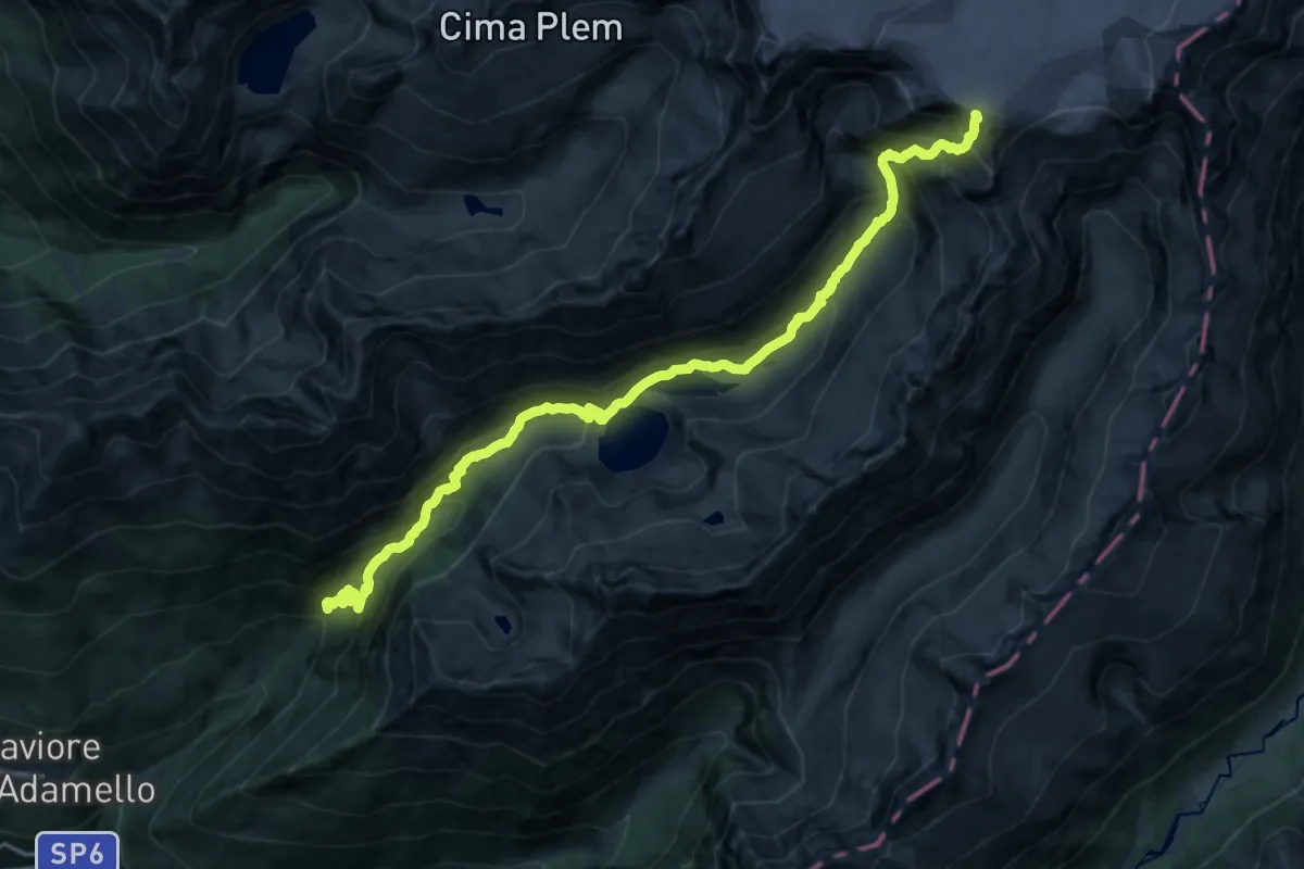
Expert · Cabin
Saviore dell'Adamello (Fabrezza) – Passo Salarno
10.8 km · ↑ 1746 m · 5 h 38 min
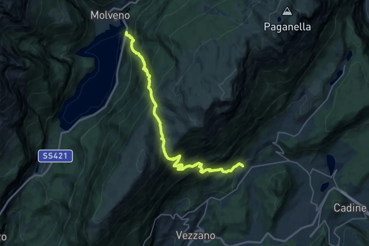
Demanding · Trail
Presso Park Hotel al Lago – Covelo
9.1 km · ↑ 867 m · 4 h 17 min
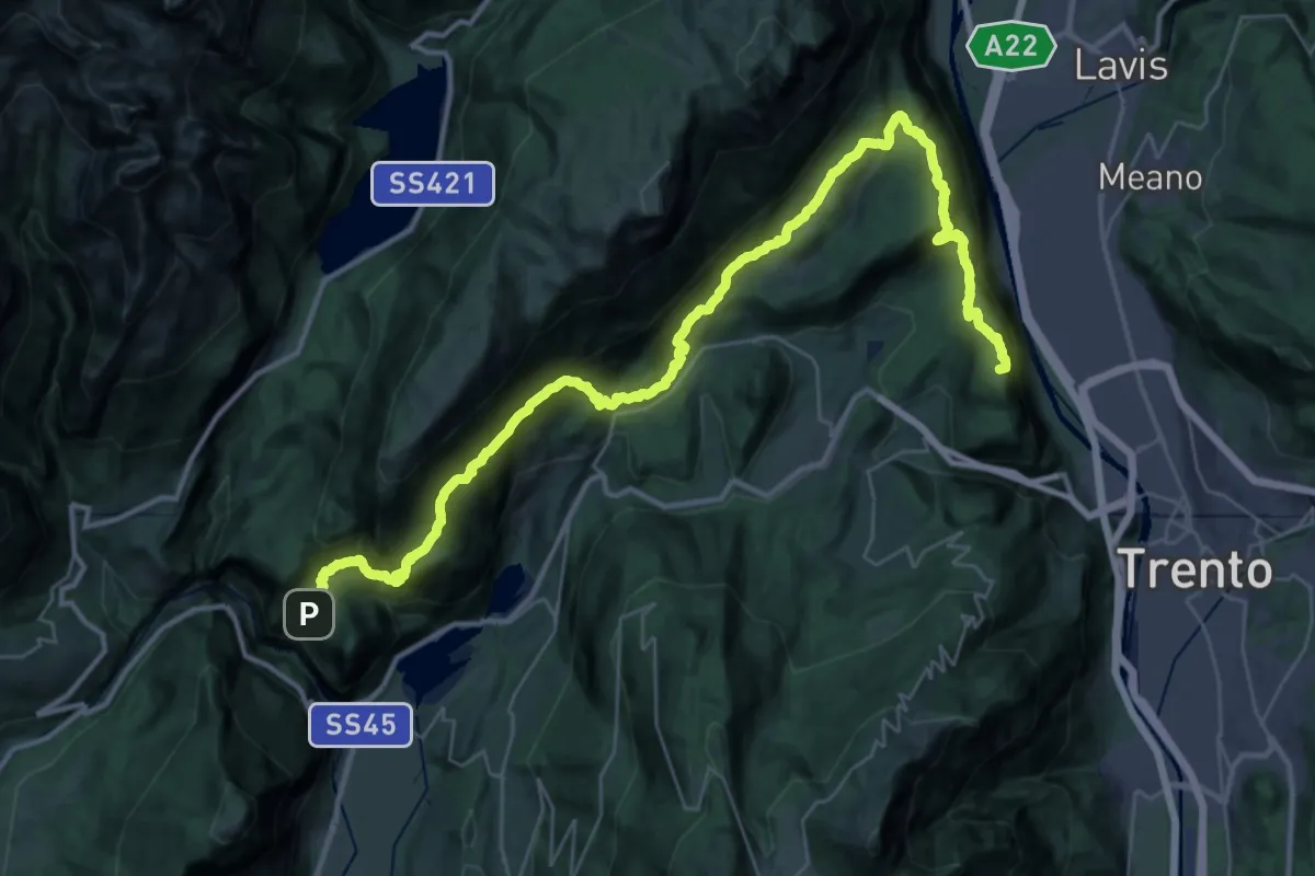
Demanding · Summit
Vela - capolinea bus – Ranzo - croce pressi chiesetta di SV
43.7 km · ↑ 2871 m · 16 h 32 min
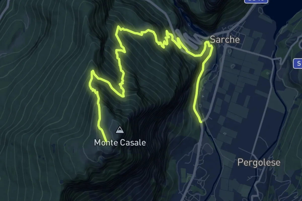
Demanding · Cabin
Ponte del gobbo - Strada Statale 45 bis – Capanna "Don Zio Pisoni" (bivio 411)
16.7 km · ↑ 1532 m · 7 h 16 min
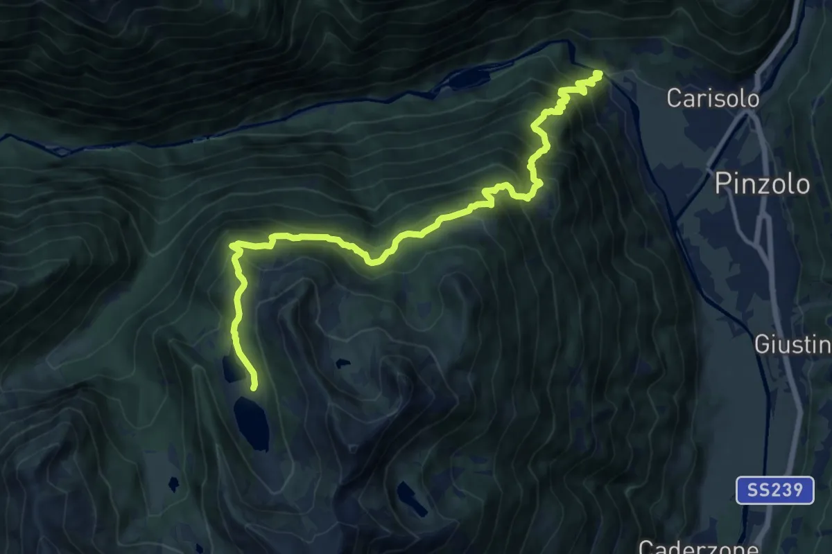
Demanding · Cabin
Ponte sul Sarca di Genova (bivio 300) – Rifugio di San Giuliano (bivio 221)
14.3 km · ↑ 1352 m · 6 h 19 min
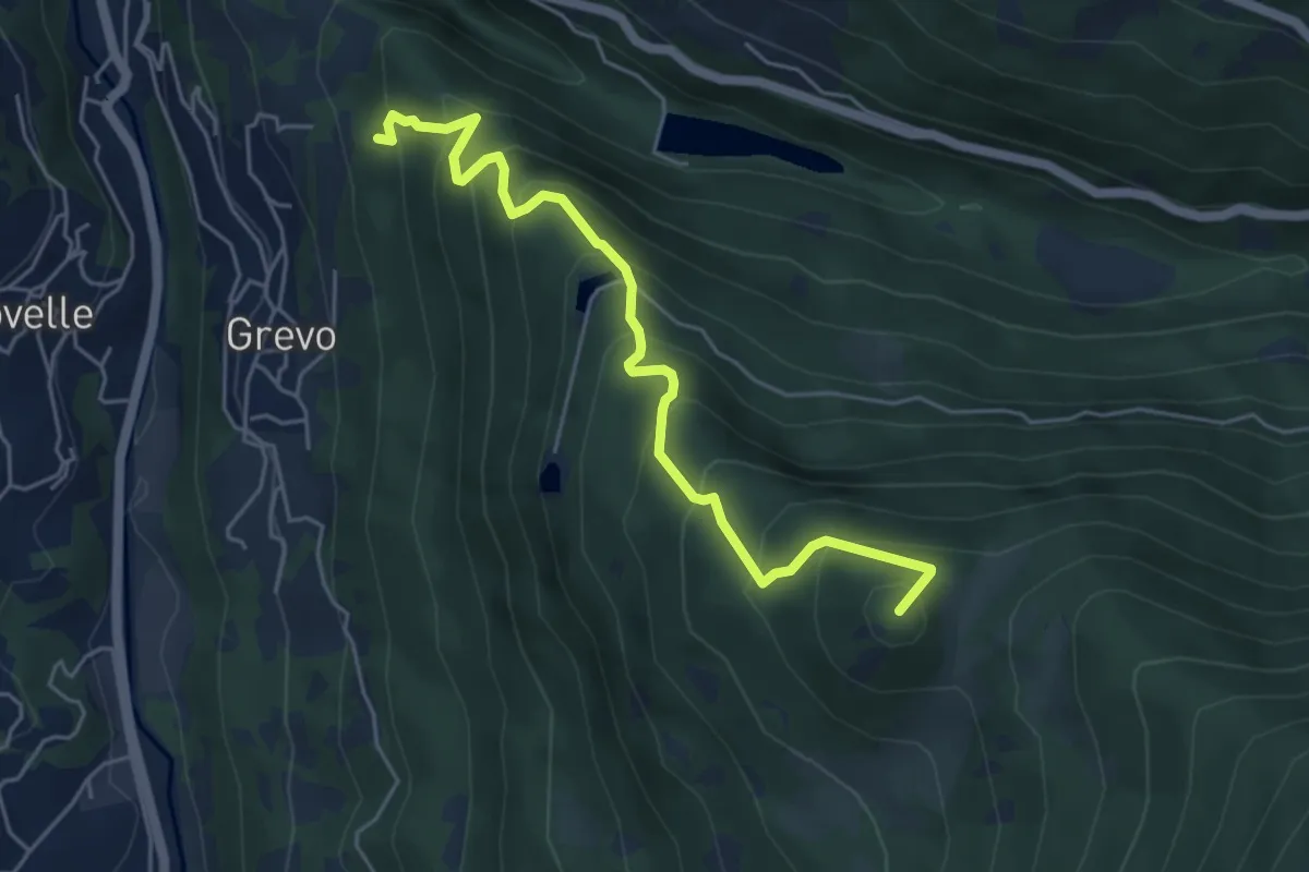
Medium · Summit
Grevo – Innesto sentiero n.605 Sentiero dei tre Fratelli
5.3 km · ↑ 510 m · 2 h 21 min
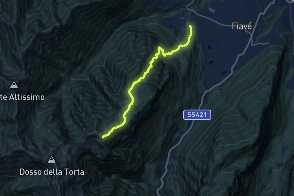
Demanding · Summit
Cornelle – Malga Nardis (bivio 420)
11.6 km · ↑ 1258 m · 5 h 28 min
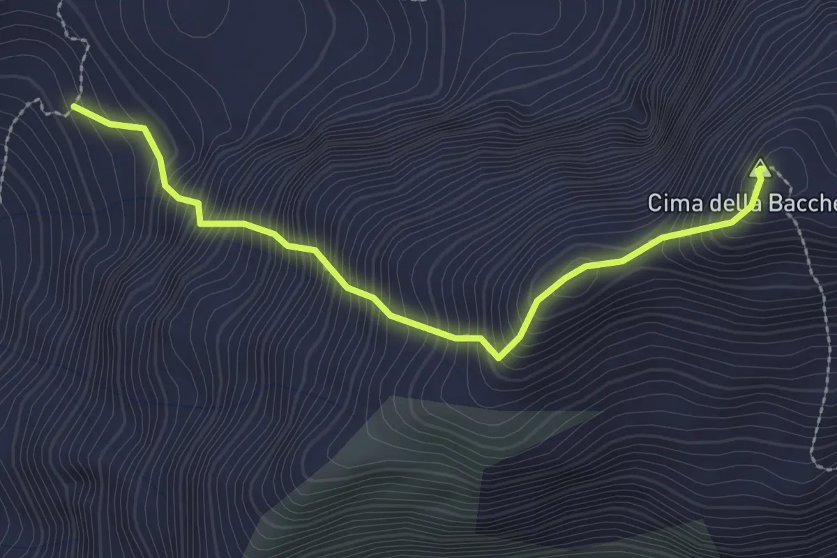
Expert · Summit
Innesto Sentiero 190 – Cima della Bacchetta
2.7 km · ↑ 557 m · 1 h 51 min
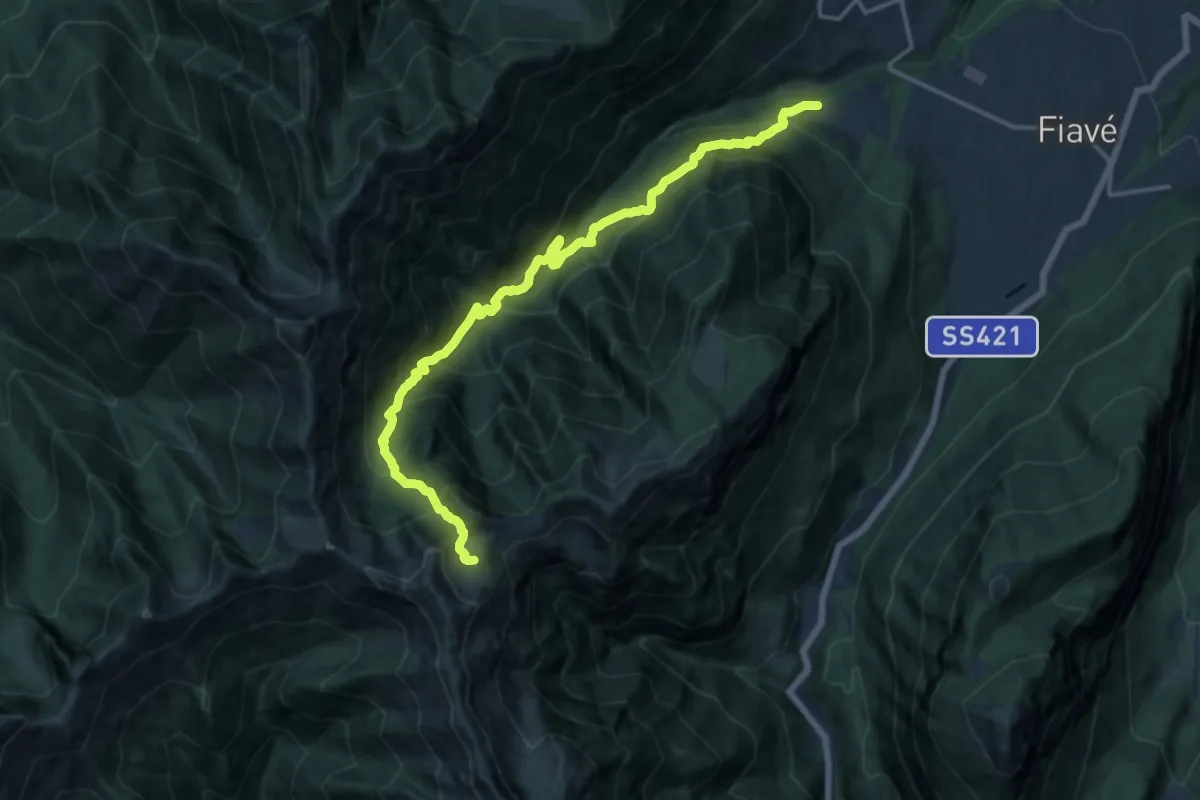
Demanding · Trail
Maso Clena – Greper de Nardis (bivio 420)
16.5 km · ↑ 1616 m · 7 h 23 min
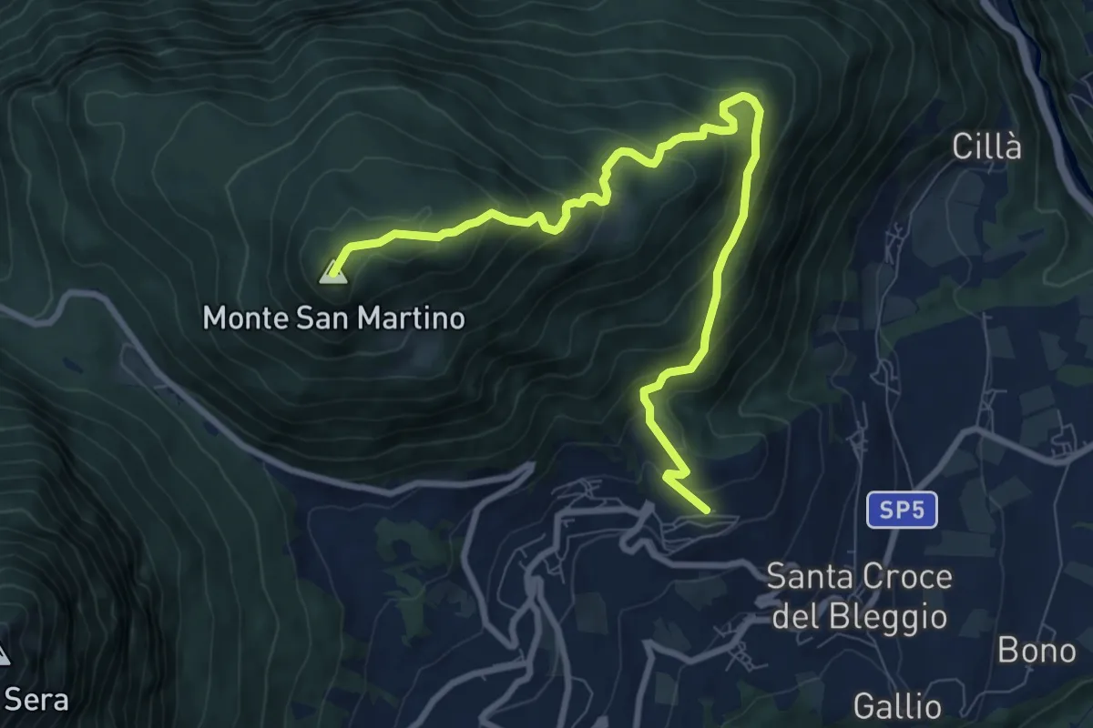
Medium · Summit
Balbido - frazione di Bleggio Superiore – Passo Duron
9.6 km · ↑ 644 m · 3 h 40 min
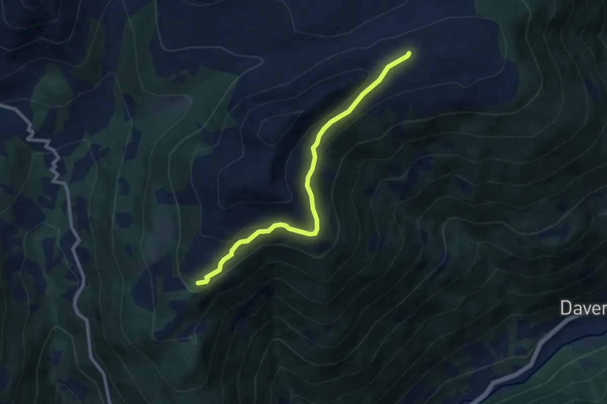
Easy · Trail
Intersezione percorso 145 – Pianaccio
6.7 km · ↑ 234 m · 2 h 5 min
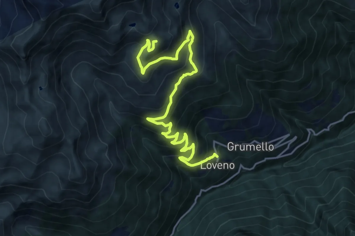
Demanding · Summit
Paisco Loveno (Loveno) – Innesto sentiero n. 107
14.9 km · ↑ 1152 m · 6 h
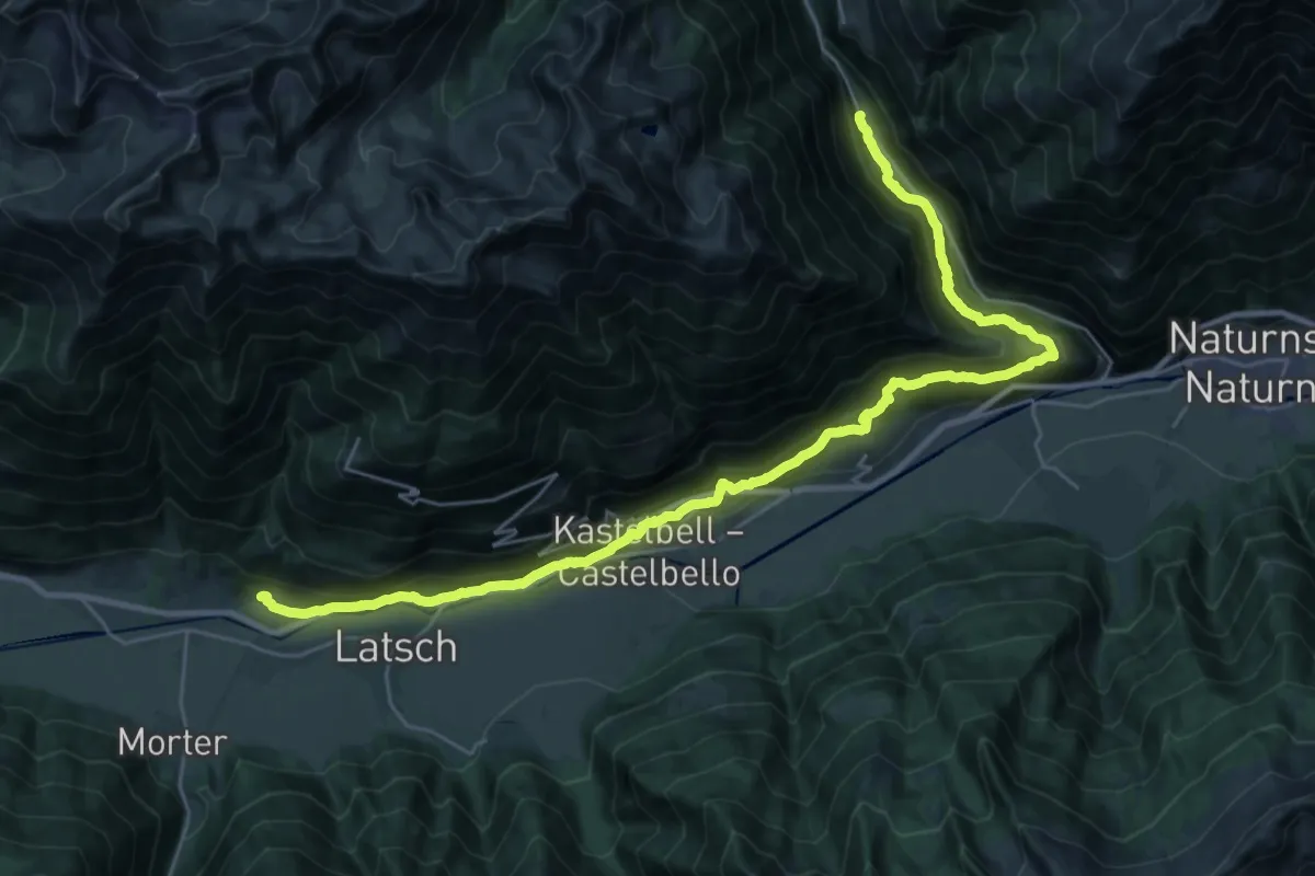
Demanding · Trail
Tiss – Alt Rateis
16.4 km · ↑ 804 m · 5 h 45 min
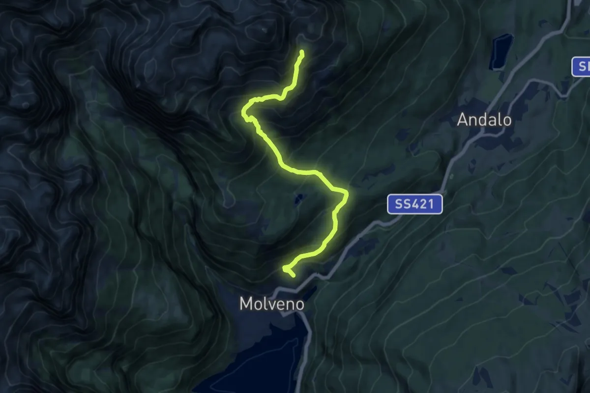
Demanding · Trail
Molveno - croce – Tovo Valon (bivio 353)
10.7 km · ↑ 1041 m · 4 h 47 min
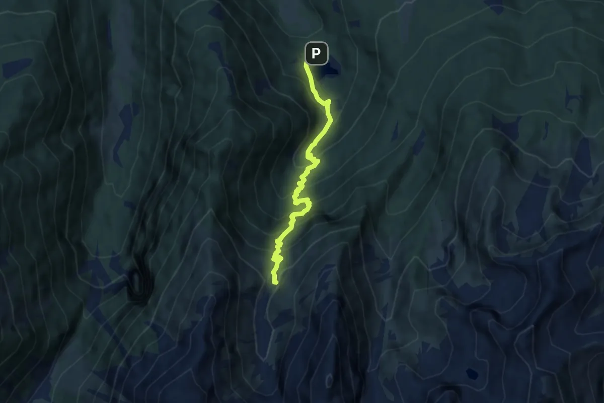
Medium · Trail
Lago di Fazzon – Malga Baselga
6.5 km · ↑ 793 m · 3 h 15 min
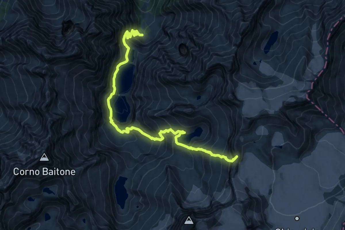
Expert · Summit
Temù (Malga Caldea) – Passo Brizio
20.8 km · ↑ 1780 m · 8 h 47 min
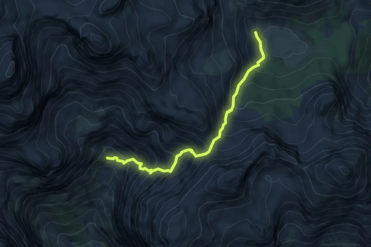
Demanding · Cabin
Malga Spora (bivio 301) – Vallazza (bivio 322)
5.6 km · ↑ 724 m · 2 h 53 min