Trails in Italy
25,219 hiking trails, each with its route, climb, walking time and grade.
All trails, page 487 of 526
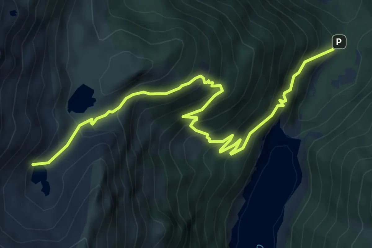
Demanding · Trail
Palazzina Falk – Laghi Torena
8.7 km · ↑ 836 m · 3 h 53 min
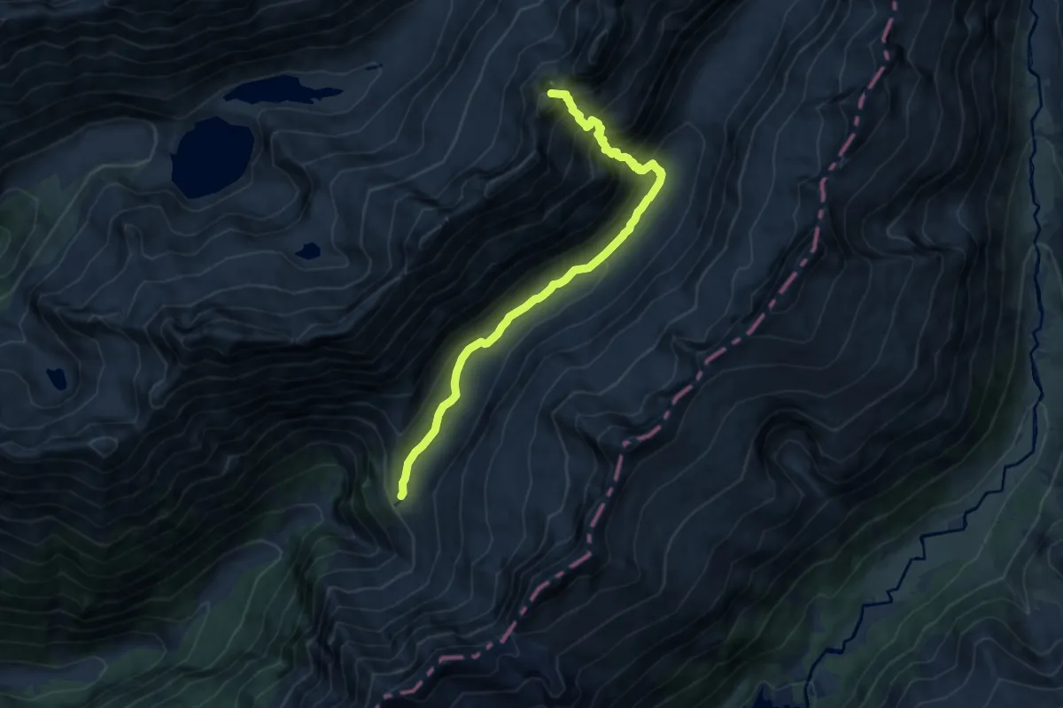
Demanding · Summit
Rifugio Città di Lissone in Val Adamè – Rifugio Paolo Prudenzini
10.6 km · ↑ 836 m · 4 h 19 min
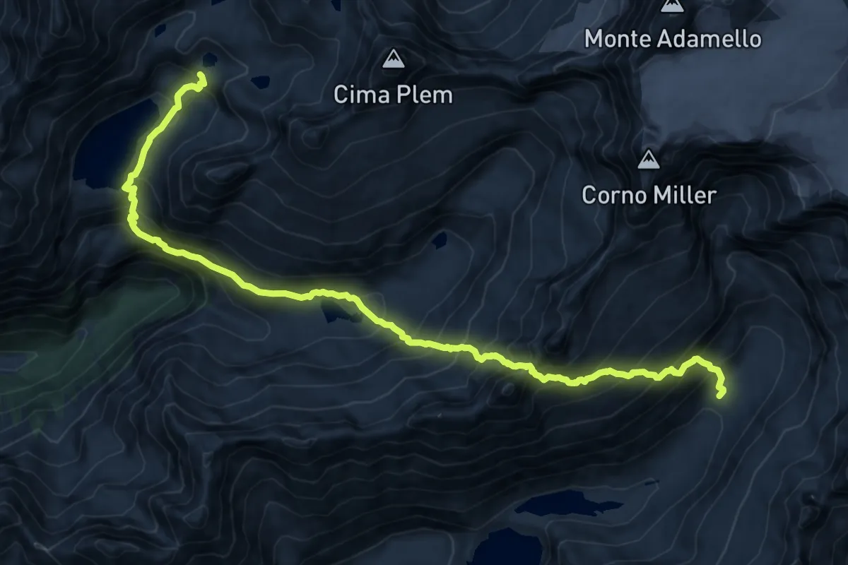
Expert · Cabin
Rifugio Paolo Prudenzini – Riugio Franco Tonolini
8.6 km · ↑ 1046 m · 4 h 20 min
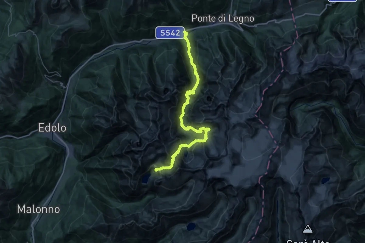
Expert · Cabin
Riugio Franco Tonolini – Temù
20.8 km · ↑ 2191 m · 9 h 19 min
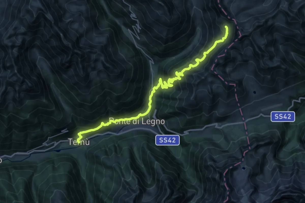
Demanding · Cabin
Temù – Rifugio Angelino Bozzi al Montozzo
15.7 km · ↑ 1663 m · 6 h 52 min
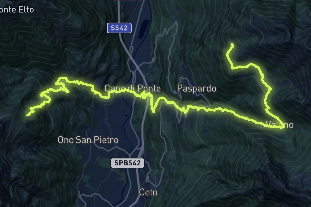
Demanding · Cabin
Rifugio Baita Iseo – Rifugio Colombè
17.2 km · ↑ 1182 m · 7 h 3 min
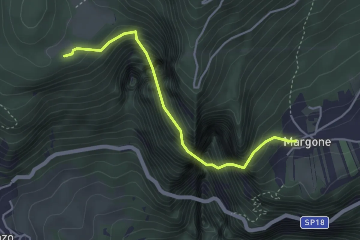
Demanding · Trail
Margone (bivio 627) – Presso Malga Bael (bivio 602)
3.3 km · ↑ 1170 m · 3 h 19 min
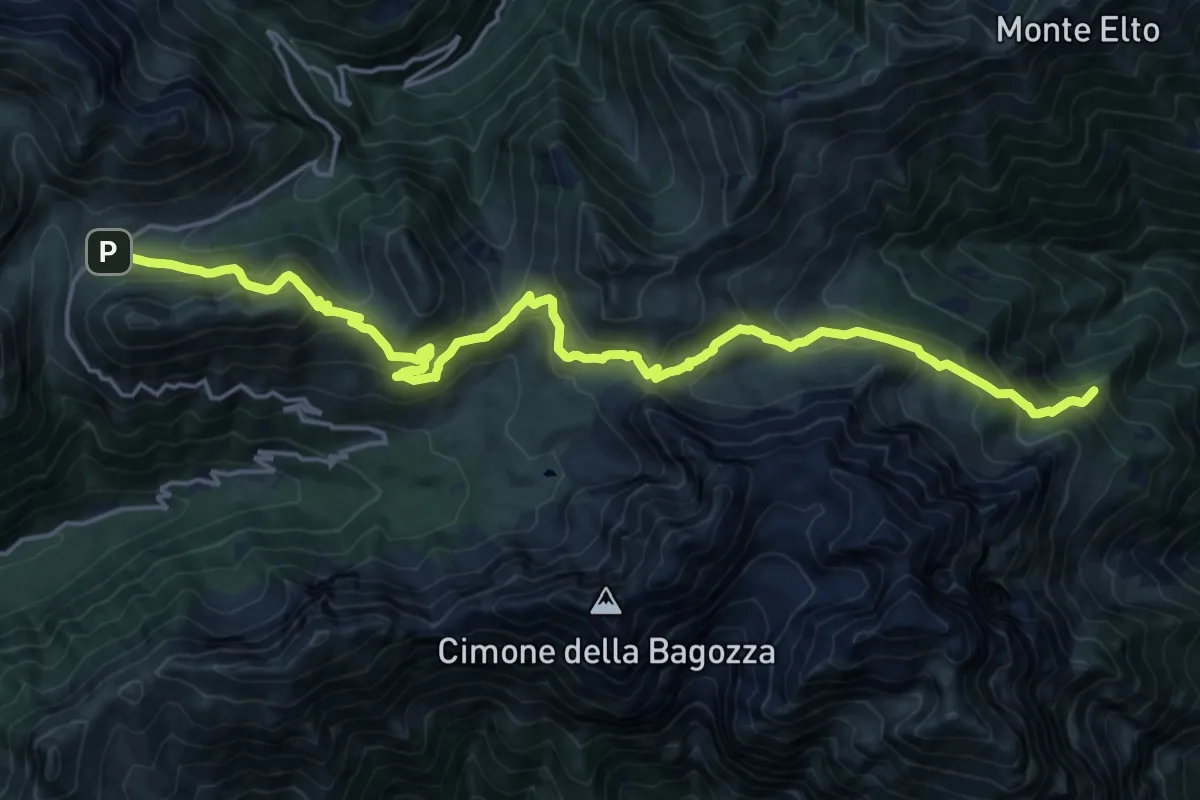
Demanding · Summit
Passo del Vivione – Rifugio Baita Iseo
21.6 km · ↑ 1299 m · 7 h 55 min
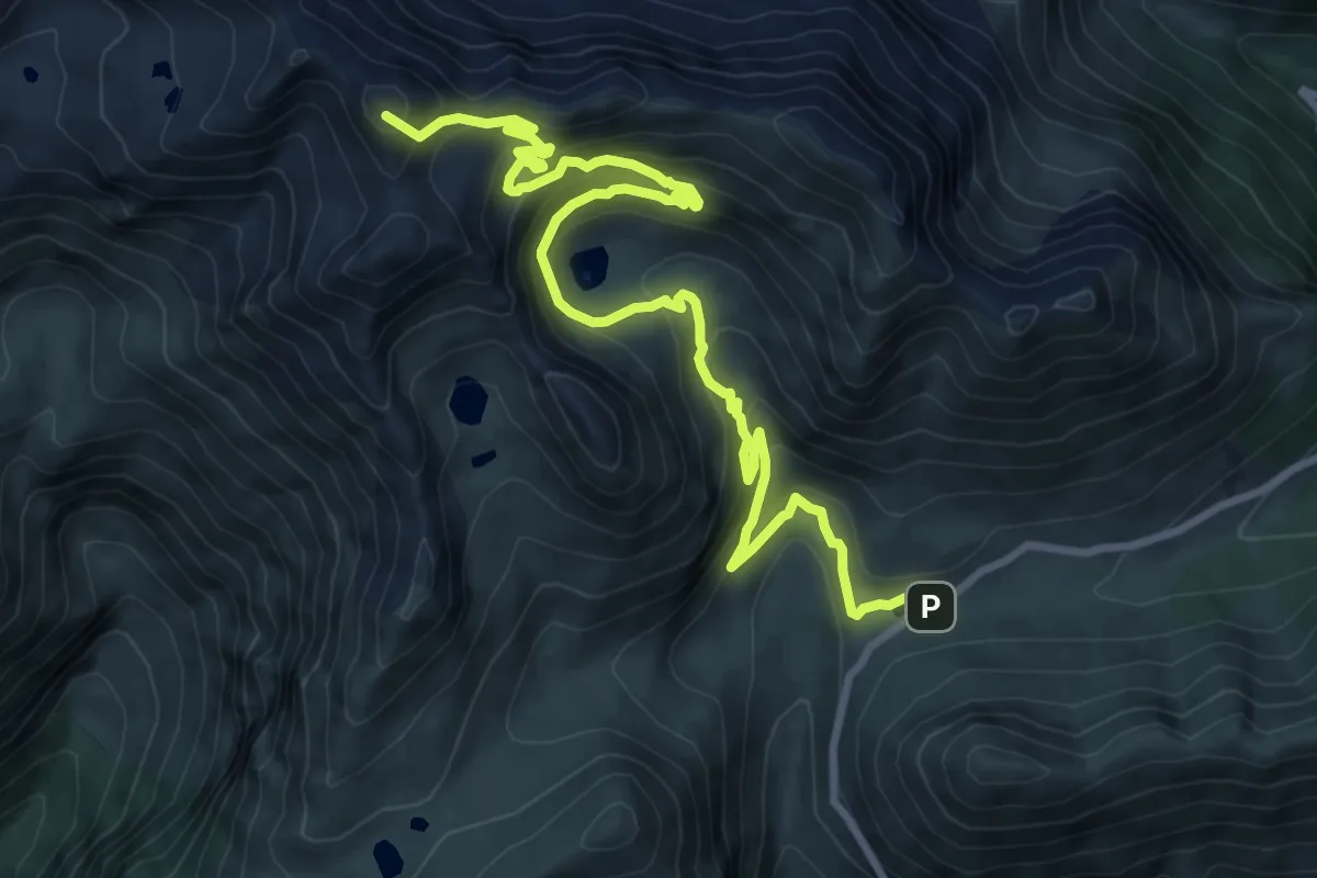
Demanding · Summit
Rifugio Nani Tagliaferri al Passo di Venano – Passo del Vivione
12.0 km · ↑ 916 m · 4 h 49 min
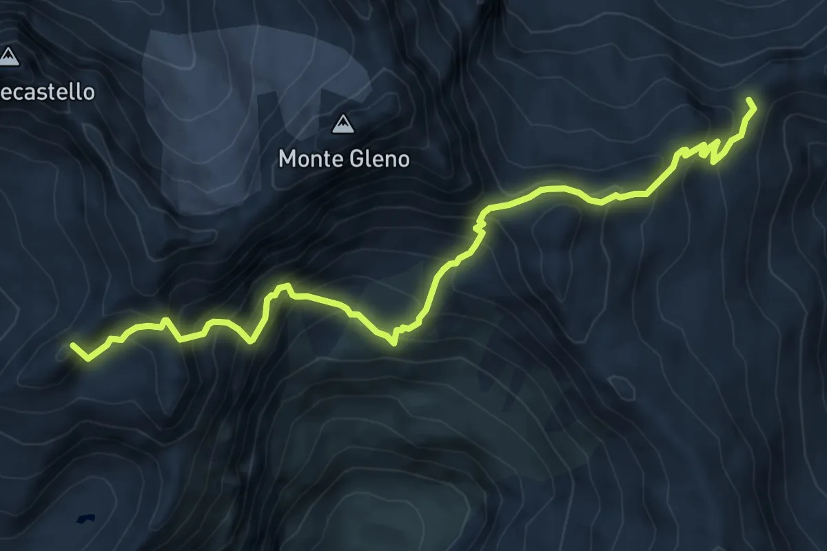
Expert · Summit
Rifugio Antonio Curò – Rifugio Nani Tagliaferri al Passo di Venano
8.0 km · ↑ 947 m · 3 h 56 min
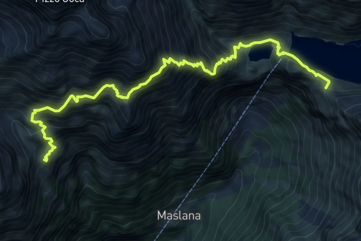
Demanding · Cabin
Rifugio Mario Merelli al Coca – Rifugio Antonio Curò
11.2 km · ↑ 1407 m · 5 h 42 min
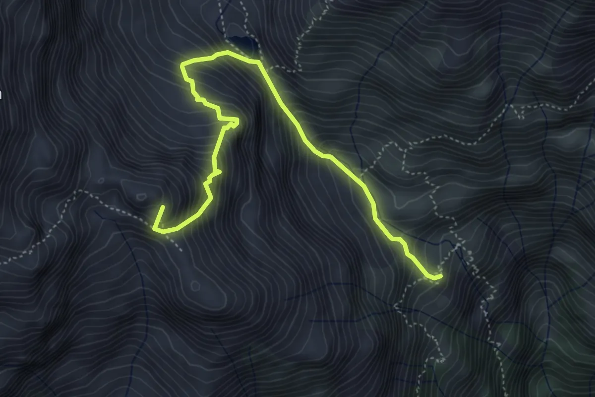
Expert · Summit
Rifugio Antonio Baroni al Brunone – Rifugio Mario Merelli al Coca
5.3 km · ↑ 841 m · 3 h 5 min
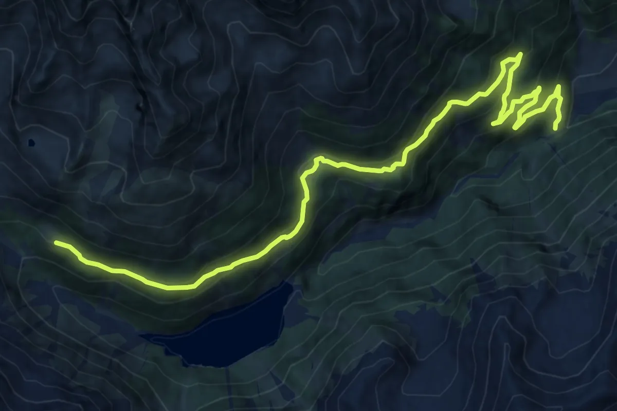
Demanding · Trail
Malga Termenago di Sotto - parcheggio (bivio O110) – Malga Paludei (bivio O110B-O141)
18.0 km · ↑ 1064 m · 6 h 34 min
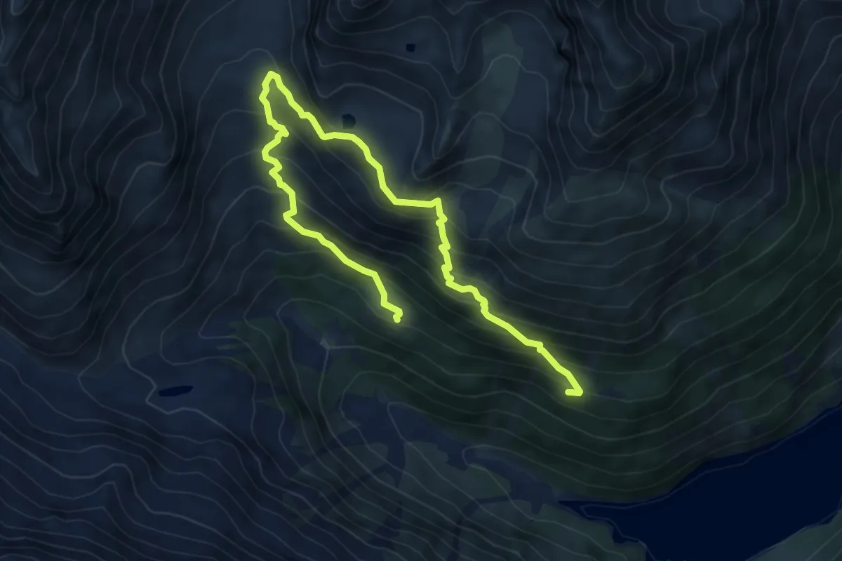
Medium · Trail
Saline (bivio O124) – Malga Paludei (bivio O110B - O124)
8.9 km · ↑ 755 m · 3 h 44 min
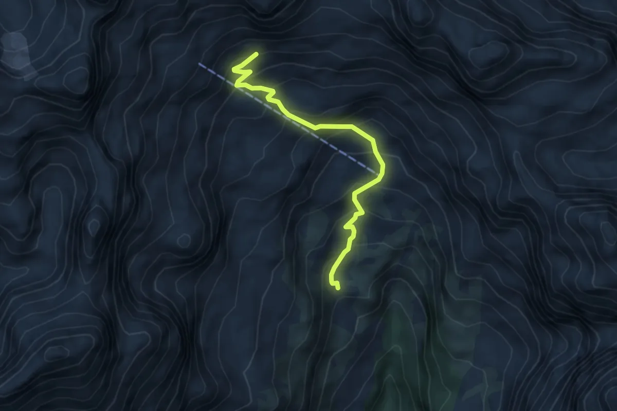
Medium · Cabin
Rifugio Al Cacciatore (bivio 325 - 348) – Alta Val d'Ambiez (bivio 320)
5.1 km · ↑ 527 m · 2 h 21 min
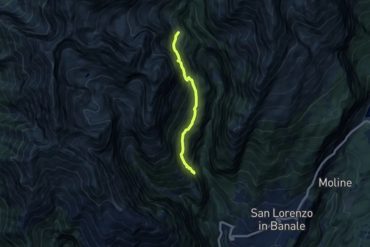
Demanding · Trail
Quota 957 (bivio 349) – Malga Senaso di sotto (bivio 325)
7.4 km · ↑ 868 m · 3 h 38 min
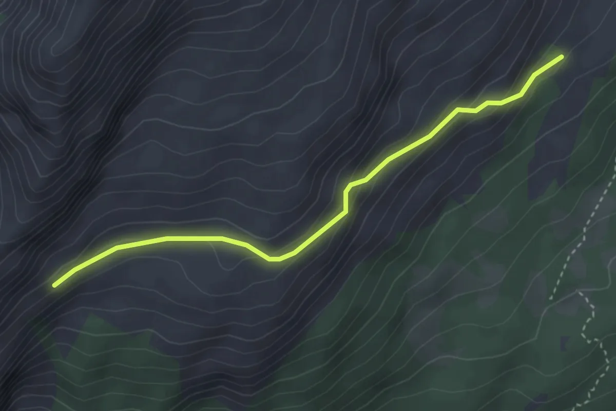
Easy · Trail
Prada (bivio 345) – Eglo (bivio 351)
3.5 km · ↑ 193 m · 1 h 15 min
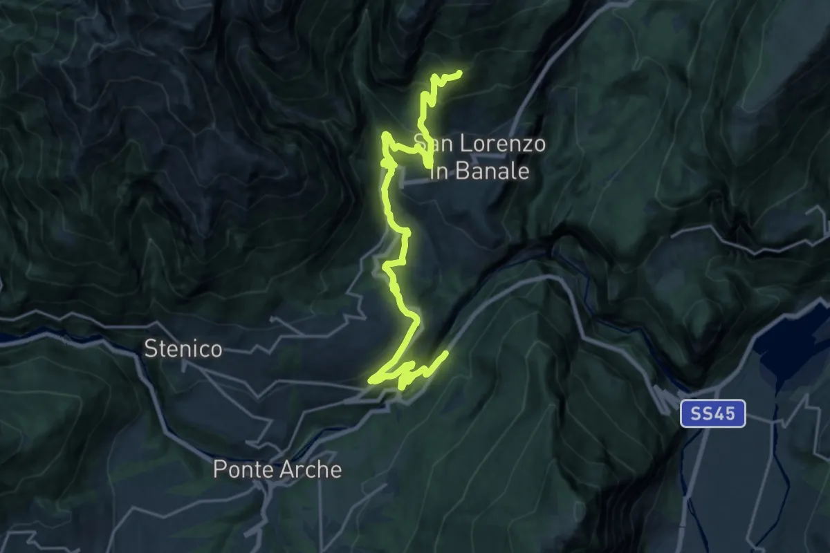
Demanding · Trail
Strada Statale 237 del Caffaro al Km 102 (bivio 411) – Prà Ustin - Le Mase (bivio 351)
20.6 km · ↑ 1250 m · 7 h 34 min
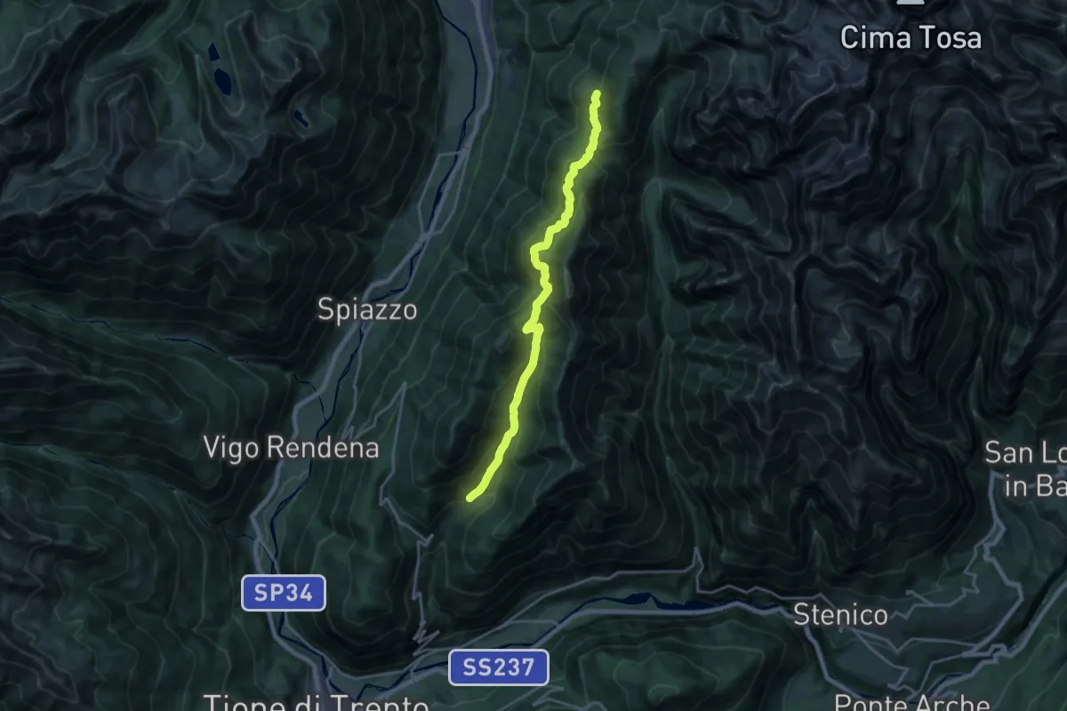
Demanding · Trail
Manez – Malga Plan (bivio 354)
18.6 km · ↑ 1081 m · 6 h 44 min
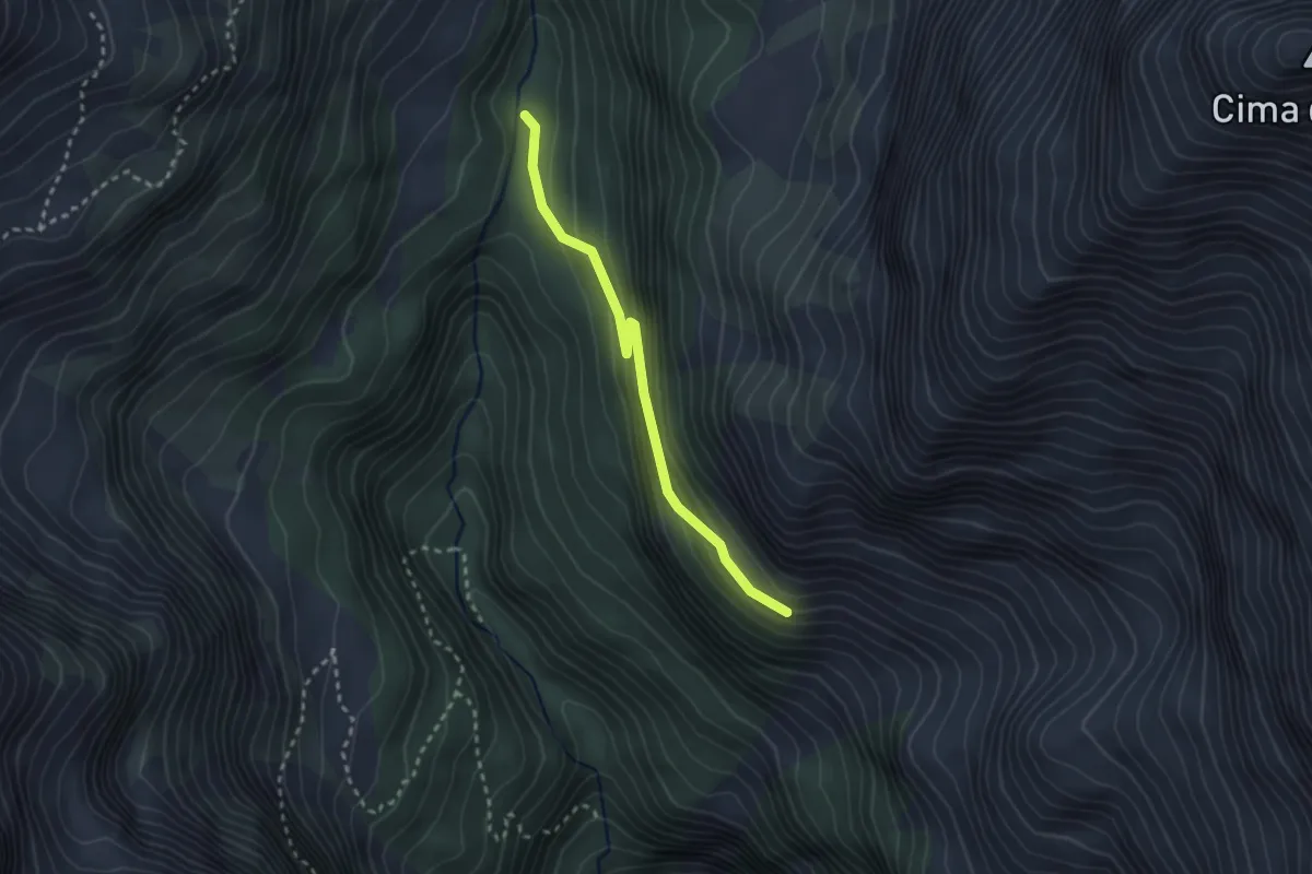
Medium · Trail
Pont de Paride – Quota 1720 (bivio 351)
2.5 km · ↑ 202 m · 1 h 2 min
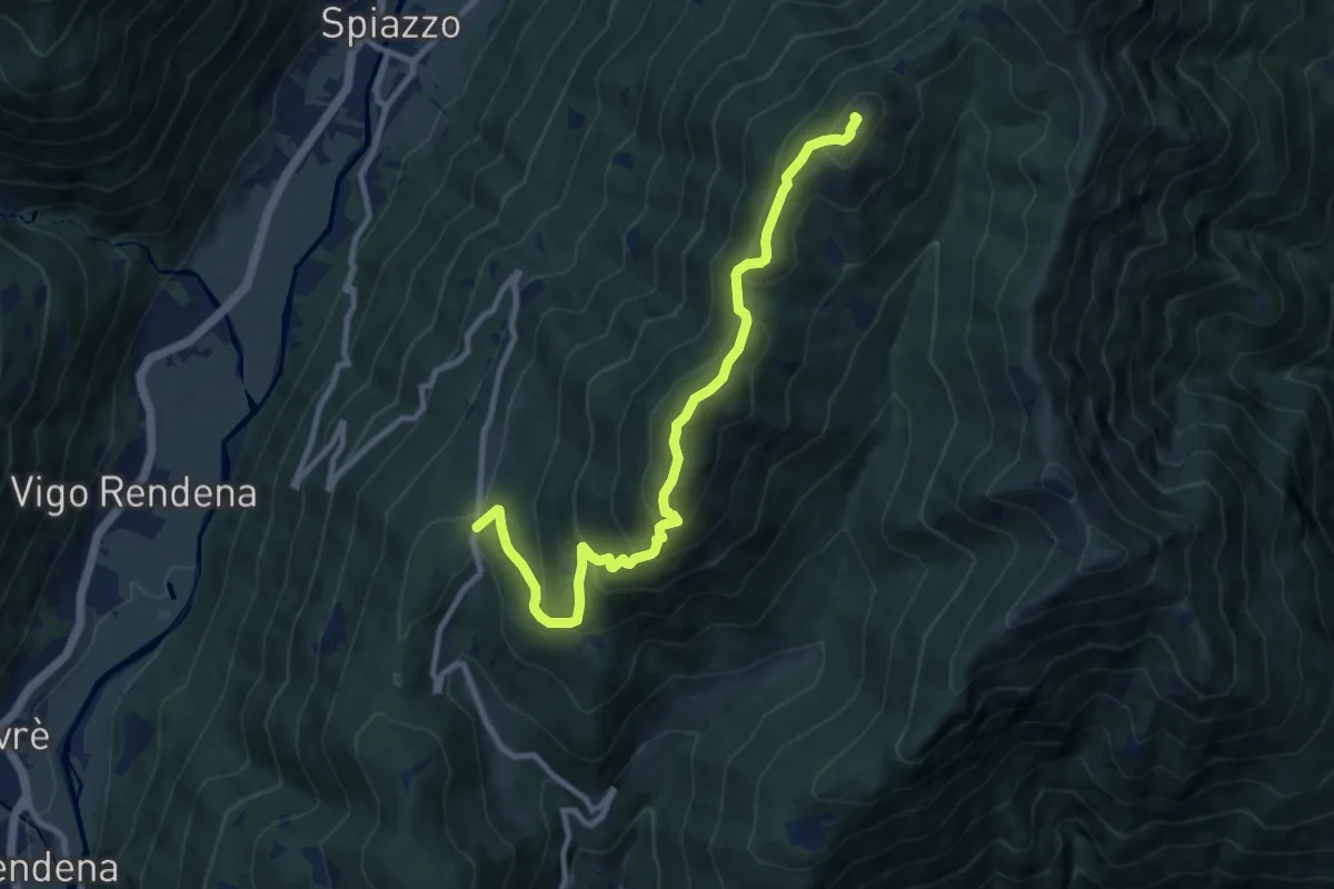
Demanding · Summit
Passo Daone - Prà de l'Asen (bivio 300) – Passo delle Malghette (bivio 350)
10.1 km · ↑ 815 m · 4 h 9 min
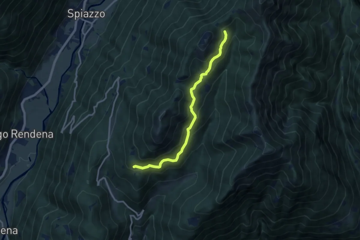
Medium · Trail
Pramarciù (bivio 356) – Magrera (bivio 350)
8.6 km · ↑ 464 m · 3 h 2 min
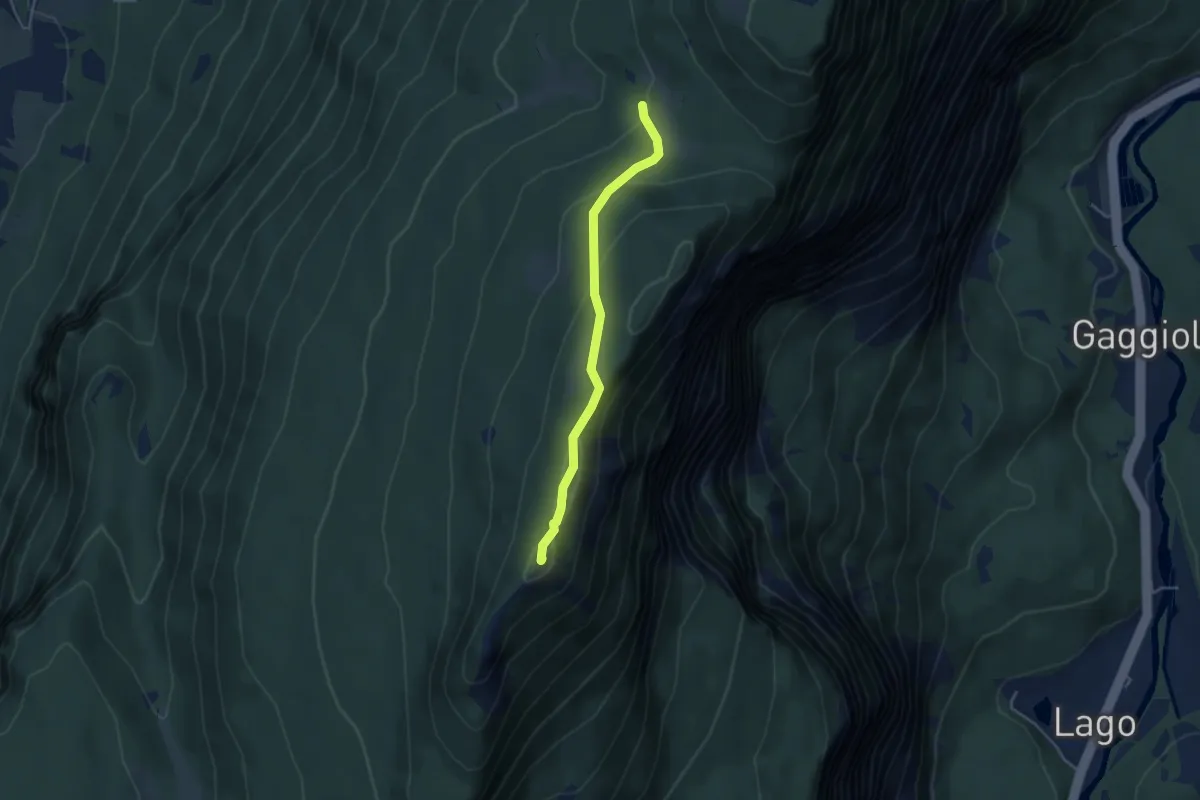
Easy · Summit
presso Baita Cargoni (bivio 408) – Busa del Lumac - Val Bona Alta
3.8 km · ↑ 172 m · 1 h 16 min
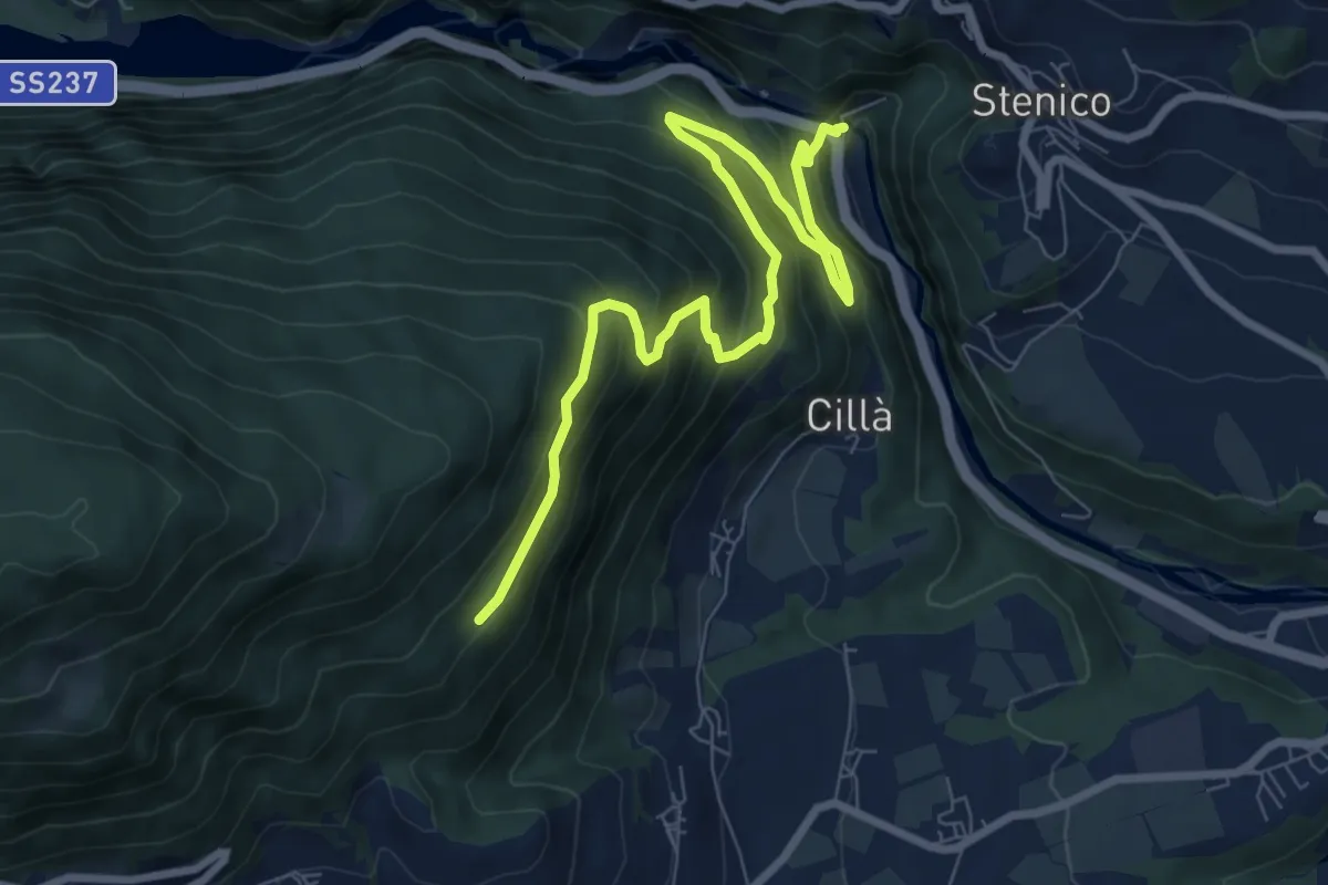
Medium · Trail
Ponte Pià - Strada Statale 237 al Km 97,5 (bivio 346) – Trevie (bivio 465)
9.2 km · ↑ 673 m · 3 h 37 min
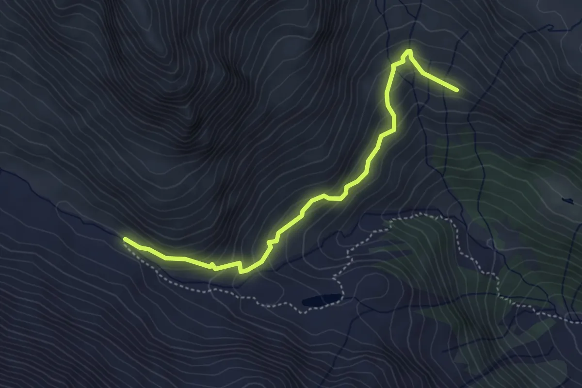
Medium · Trail
Quota 2236 – Passerella Torrente Noce (bivio O110)
4.4 km · ↑ 334 m · 1 h 46 min
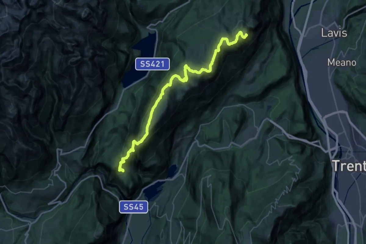
Demanding · Summit
La Roda - ex rifugio Cesare Battisti – Ranzo - chiesa di San Nicolò (bivio 627)
34.4 km · ↑ 2186 m · 12 h 52 min
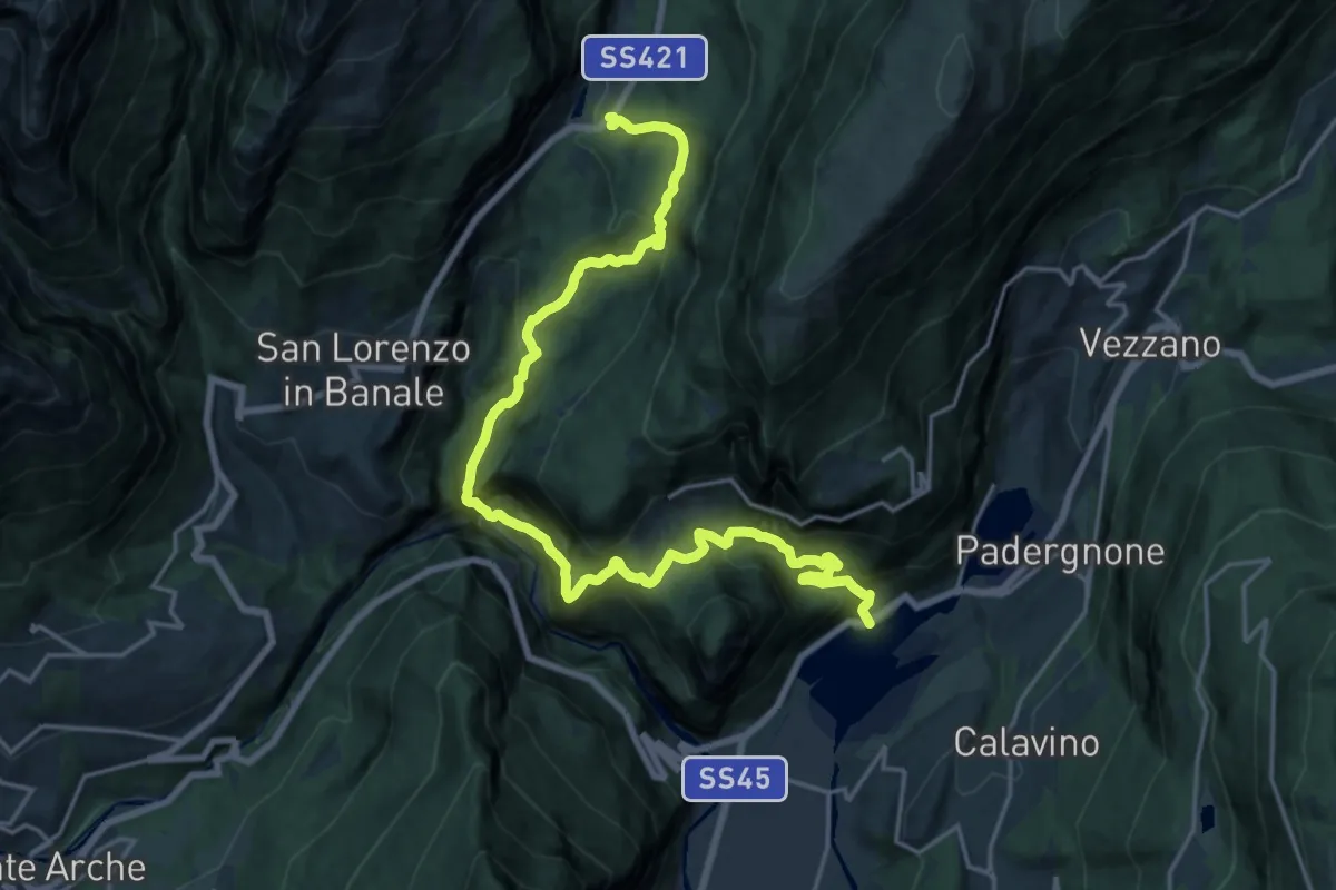
Demanding · Trail
Castel Toblino – Nembia
11.4 km · ↑ 596 m · 4 h 26 min
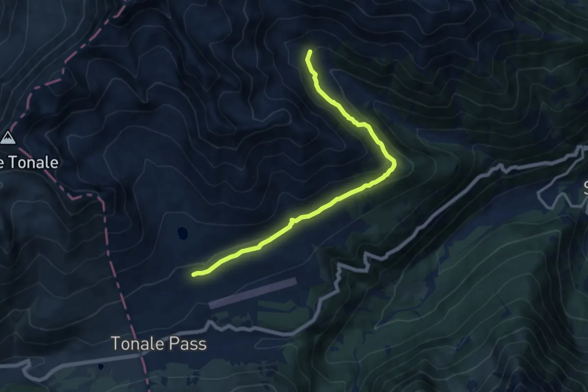
Medium · Trail
ospizio San Bartolomeo (bivio O111 - O111A) – Quota 2111 (bivio O137)
10.1 km · ↑ 364 m · 3 h 11 min
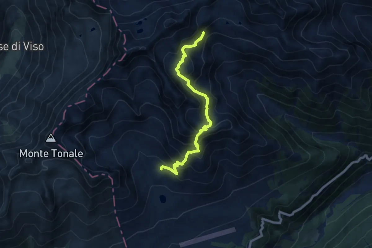
Demanding · Trail
Rock Glacier (bivio O111) – Quota 2561 (bivio O137)
10.0 km · ↑ 882 m · 4 h 16 min
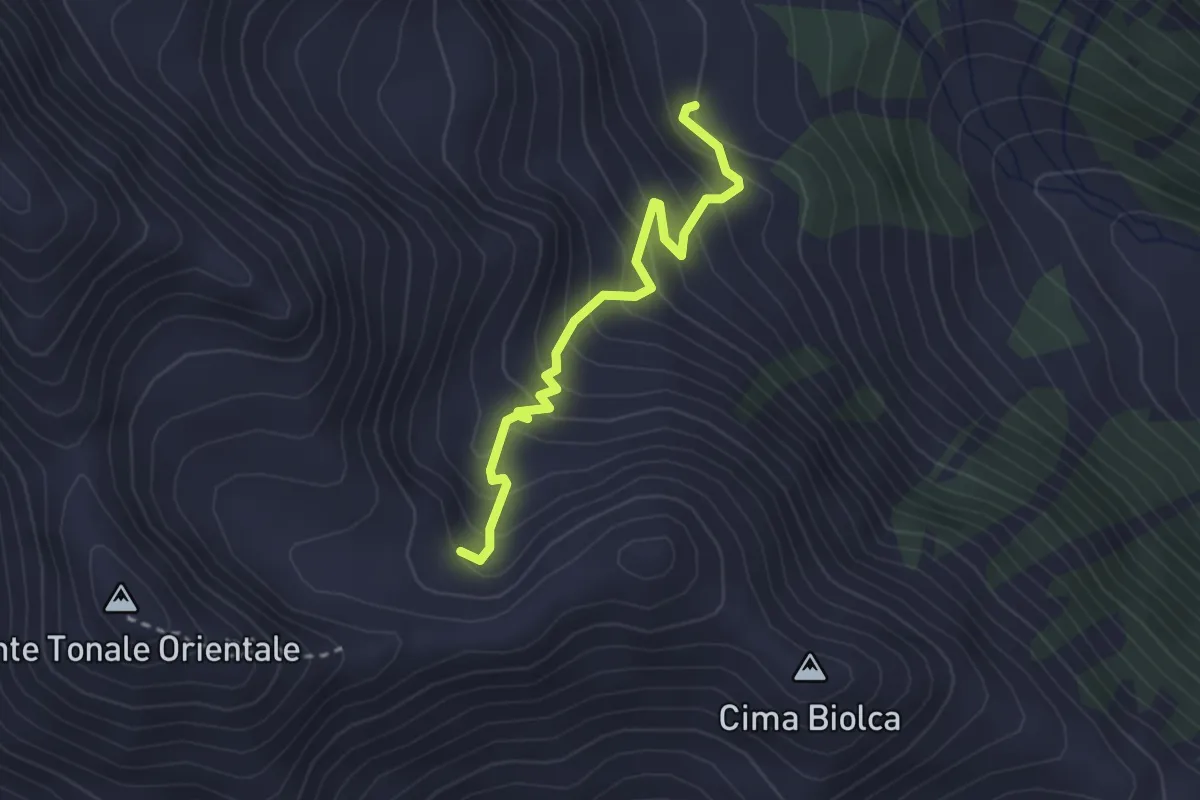
Easy · Trail
Val Strino (bivio O137) – Città Morta (bivio O161)
2.6 km · ↑ 293 m · 1 h 15 min
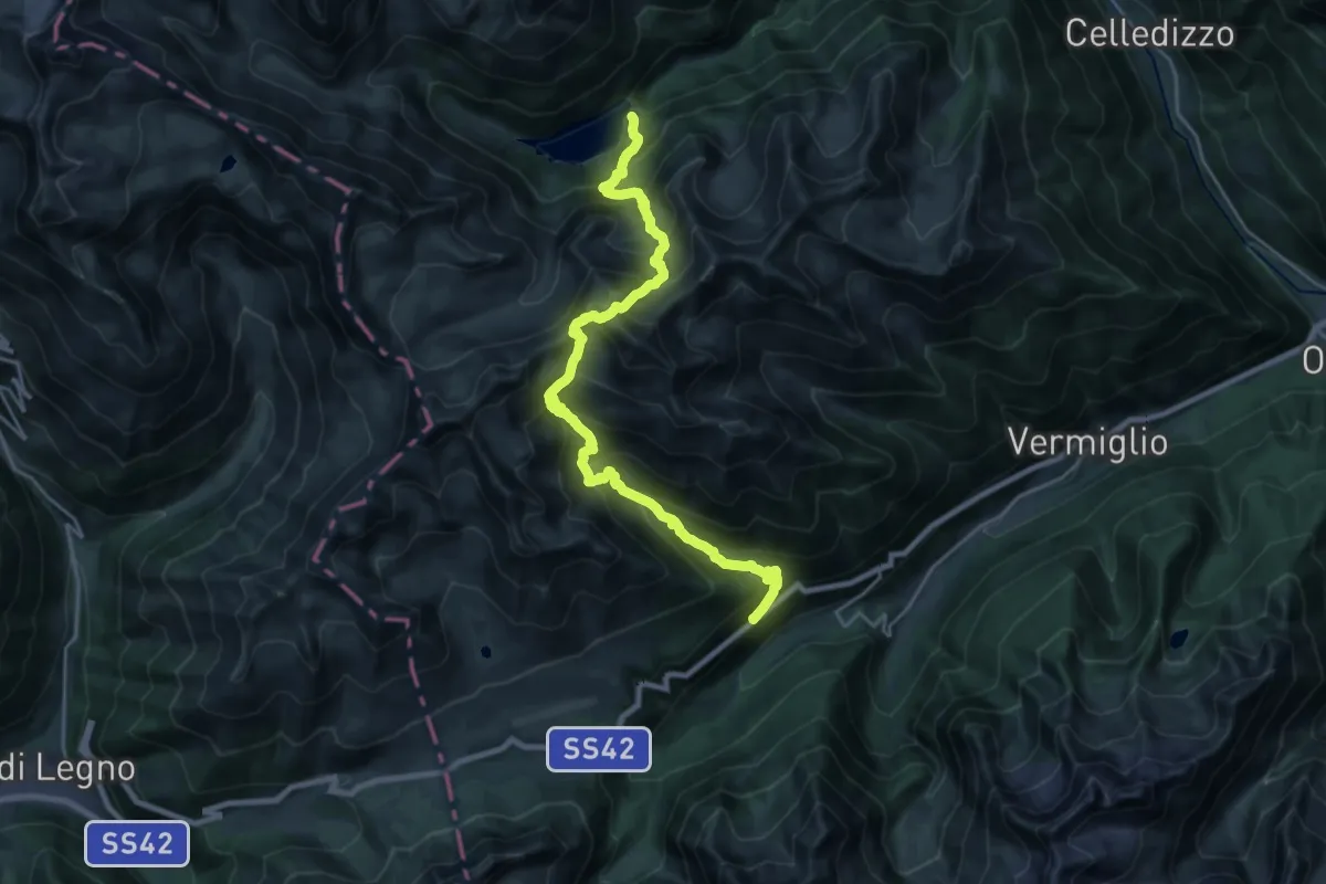
Demanding · Trail
Strada Statale 42 del Passo del Tonale al Km 153,4 – Malga di Celentino (bivio O110 - O144)
12.1 km · ↑ 1077 m · 5 h 28 min
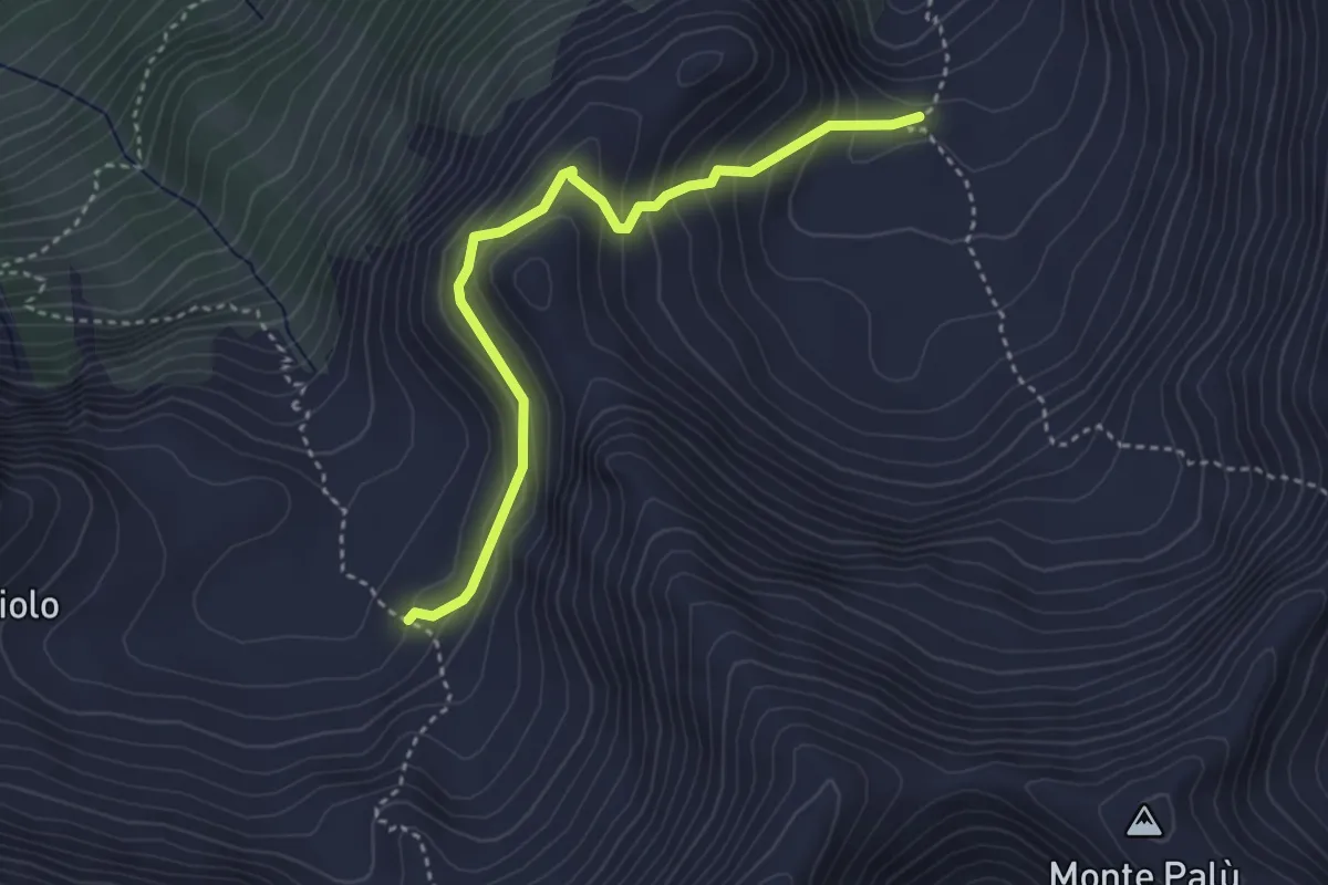
Medium · Trail
Val Pudria - conca superiore (bivio O144) – Val Comiciolo (bivio O137)
3.6 km · ↑ 271 m · 1 h 26 min
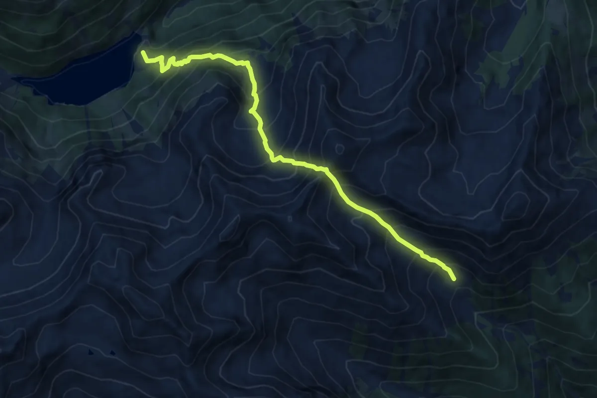
Demanding · Trail
Malga di Celentino (bivio O110 - O137) – Val Saviana (bivio O126)
11.2 km · ↑ 1483 m · 5 h 52 min
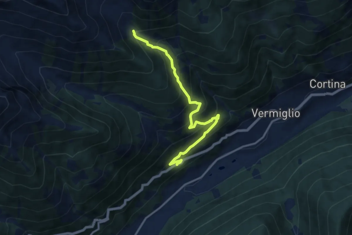
Medium · Trail
Strada Statale 42 del Tonale - al Km 157 – Val Saviana (bivio O126)
8.2 km · ↑ 736 m · 3 h 32 min
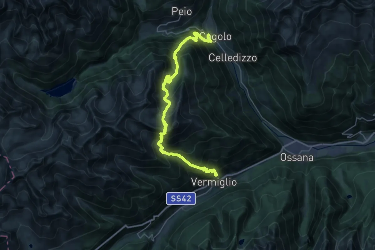
Demanding · Trail
Cogolo – Fraviano
13.4 km · ↑ 1428 m · 6 h 22 min
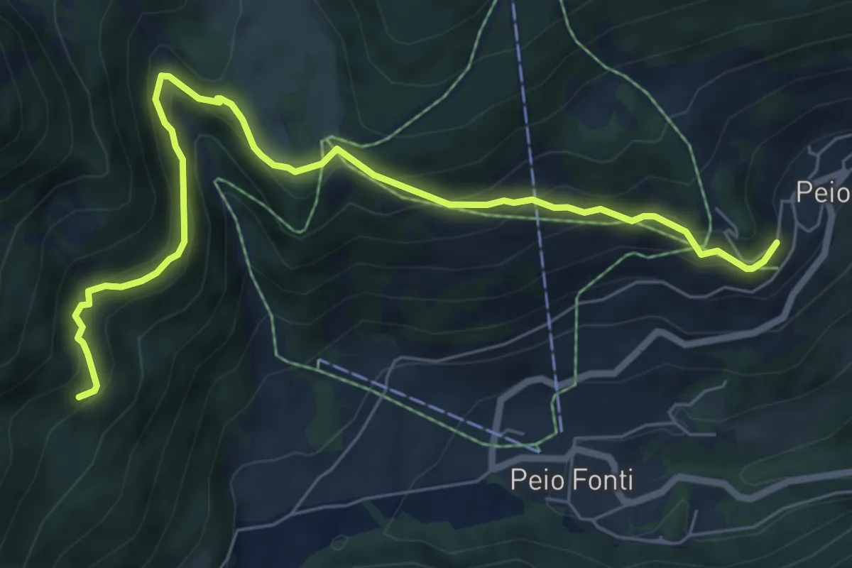
Medium · Trail
Dosso di San Rocco – Quota 1794 (bivio 124)
7.3 km · ↑ 428 m · 2 h 39 min
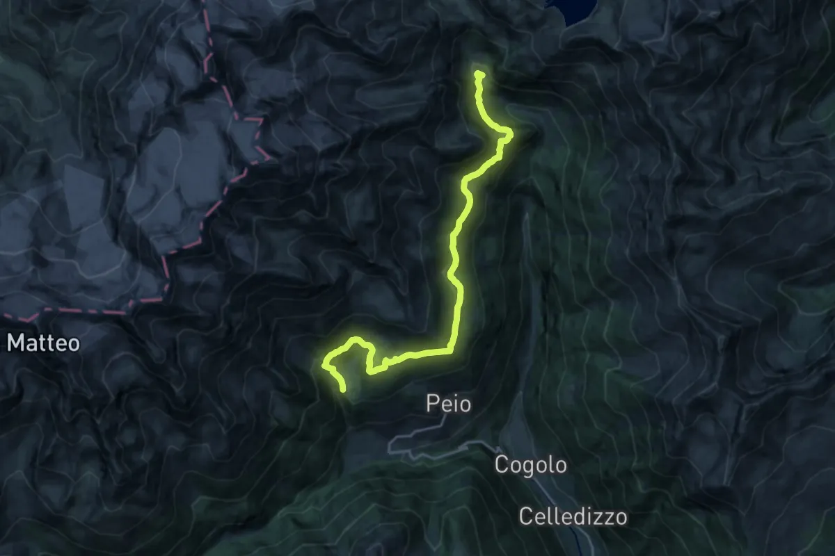
Demanding · Trail
Covel - Rio Vioz (bivio 125) – Centrale di Malga Mare (bivio 102 - 123)
19.6 km · ↑ 884 m · 6 h 32 min
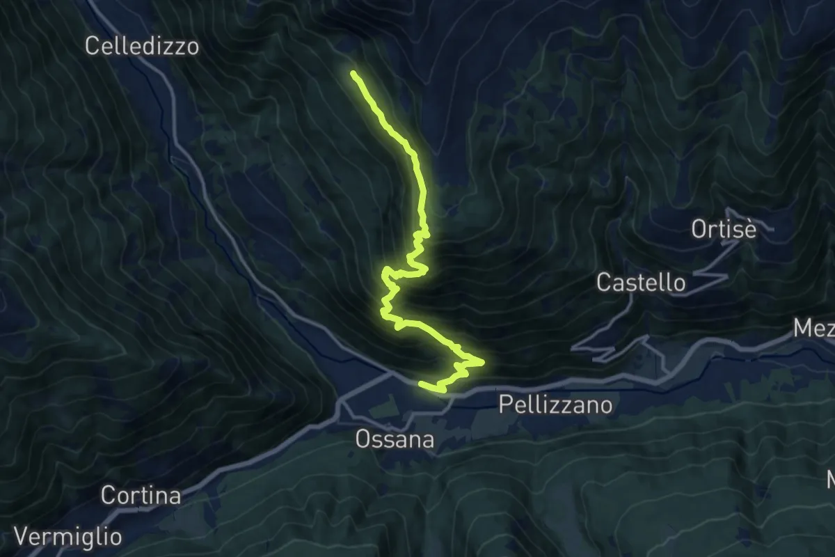
Demanding · Cabin
Cusiano – Malga Campo (bivio 132)
13.1 km · ↑ 1308 m · 5 h 56 min
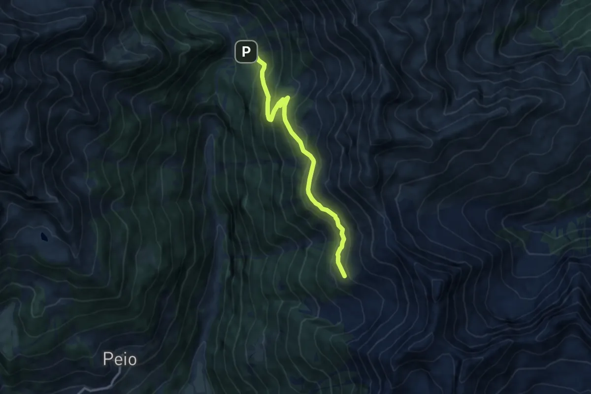
Medium · Trail
Malga Pontevecchio – Quota 2279 (bivio 109)
10.1 km · ↑ 643 m · 3 h 46 min
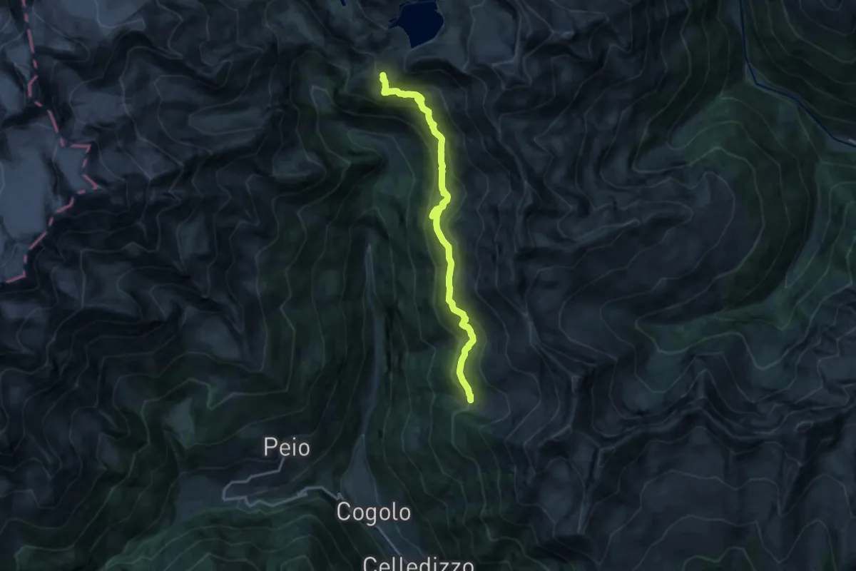
Demanding · Trail
Malga Levi (bivio 109) – Cresta "Le Lame" (bivio 123)
14.4 km · ↑ 887 m · 5 h 19 min
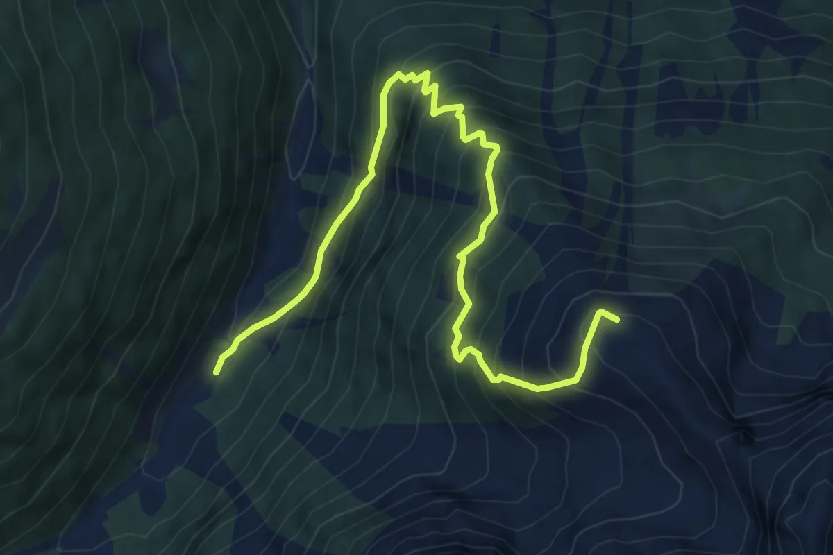
Medium · Trail
Parcheggio Fontanon (bivio 109) – Campo Secco (bivio 171)
7.8 km · ↑ 787 m · 3 h 33 min
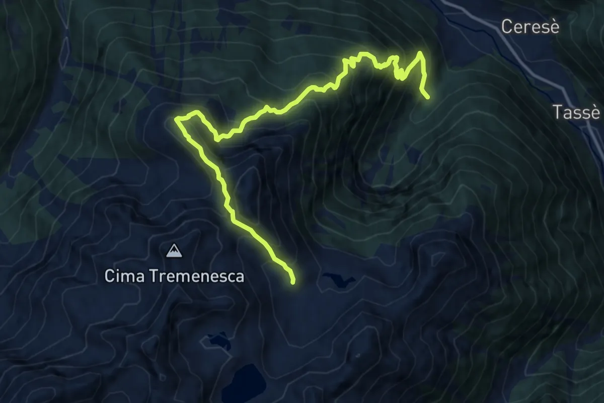
Demanding · Trail
Pontin - parcheggio Valorz (bivio 121) – Presso Malga Sora Sas (bivio 121)
13.7 km · ↑ 1544 m · 6 h 35 min
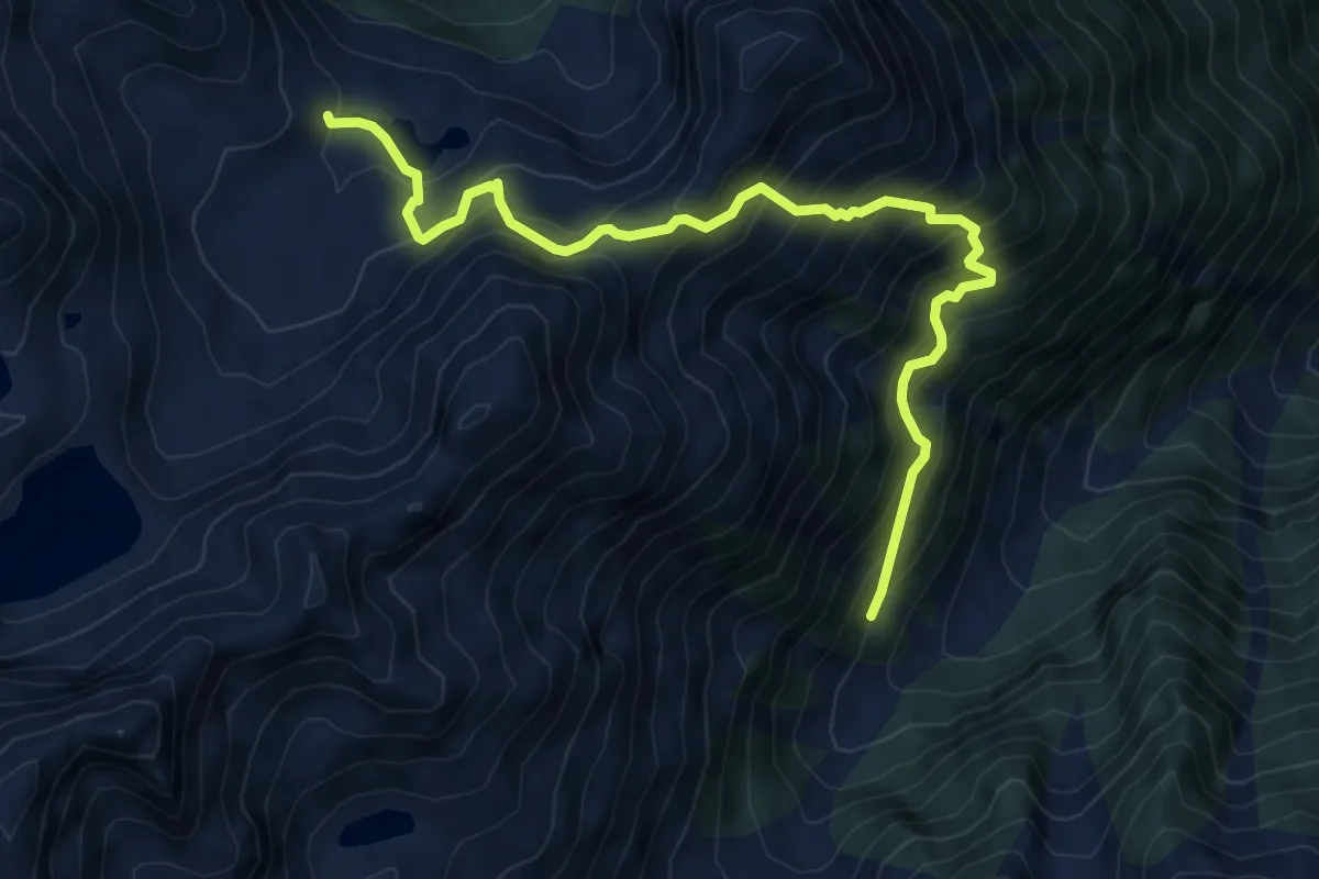
Demanding · Cabin
Presso Malga Saleci bassa (bivio 120) – Malga Sora Sas (bivio 121)
7.8 km · ↑ 959 m · 3 h 55 min
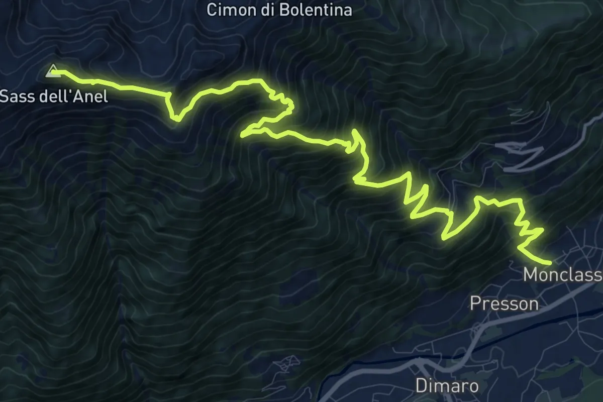
Demanding · Summit
Pracorno – Monclassico - Chiesa di San Vigilio
17.9 km · ↑ 1842 m · 8 h 13 min
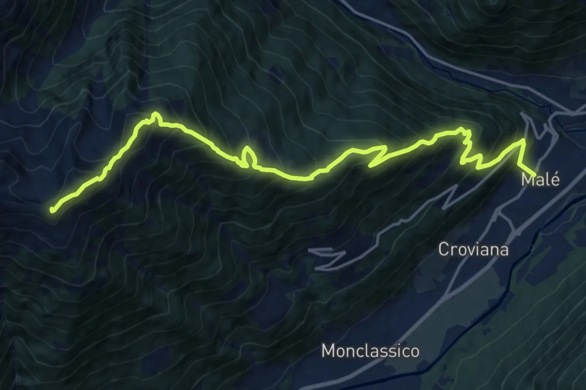
Demanding · Summit
Malé – Cresta sud-est Sass de l'Anel (bivio 120)
16.6 km · ↑ 1681 m · 7 h 34 min
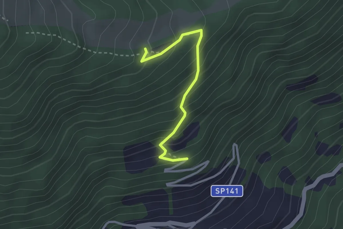
Easy · Trail
Presso Mas de Mèz – Mas de la Cros (bivio 119)
2.3 km · ↑ 236 m · 1 h 4 min
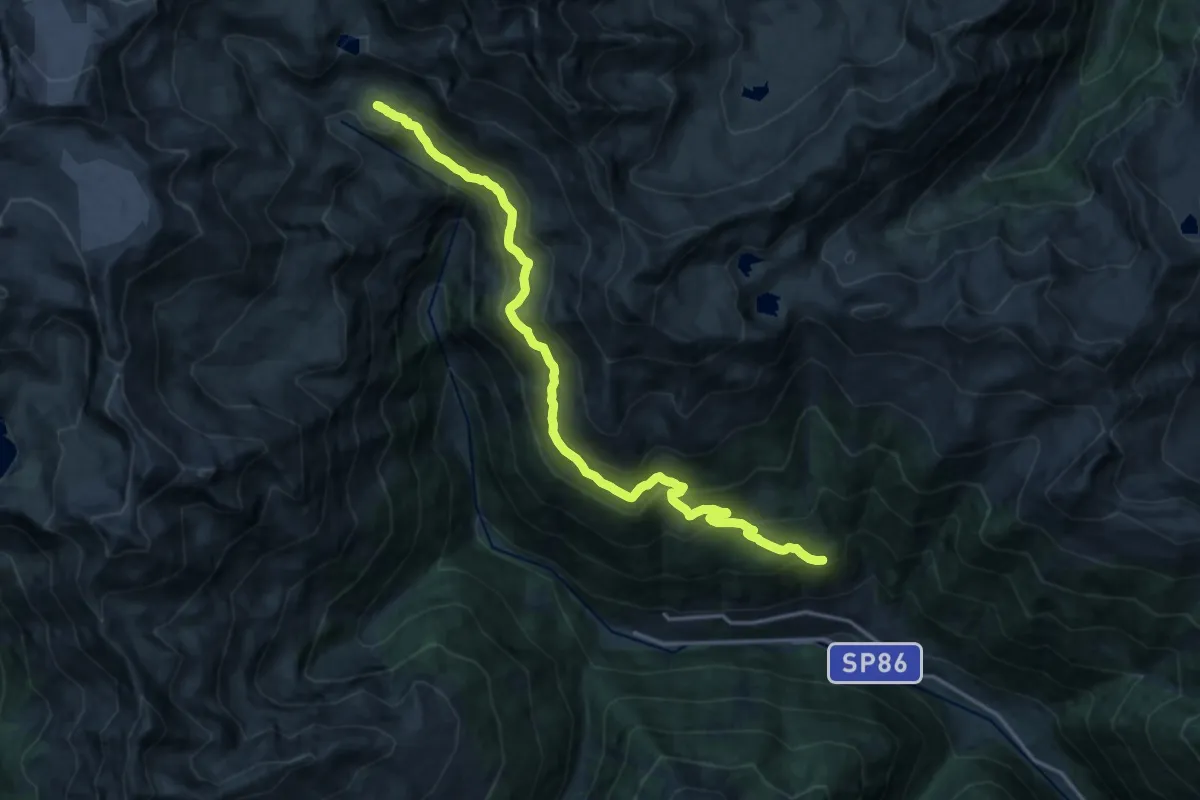
Demanding · Trail
Le Plazete (bivio 108) – Laghetto del rifugio (bivio 107)
18.6 km · ↑ 1083 m · 6 h 45 min
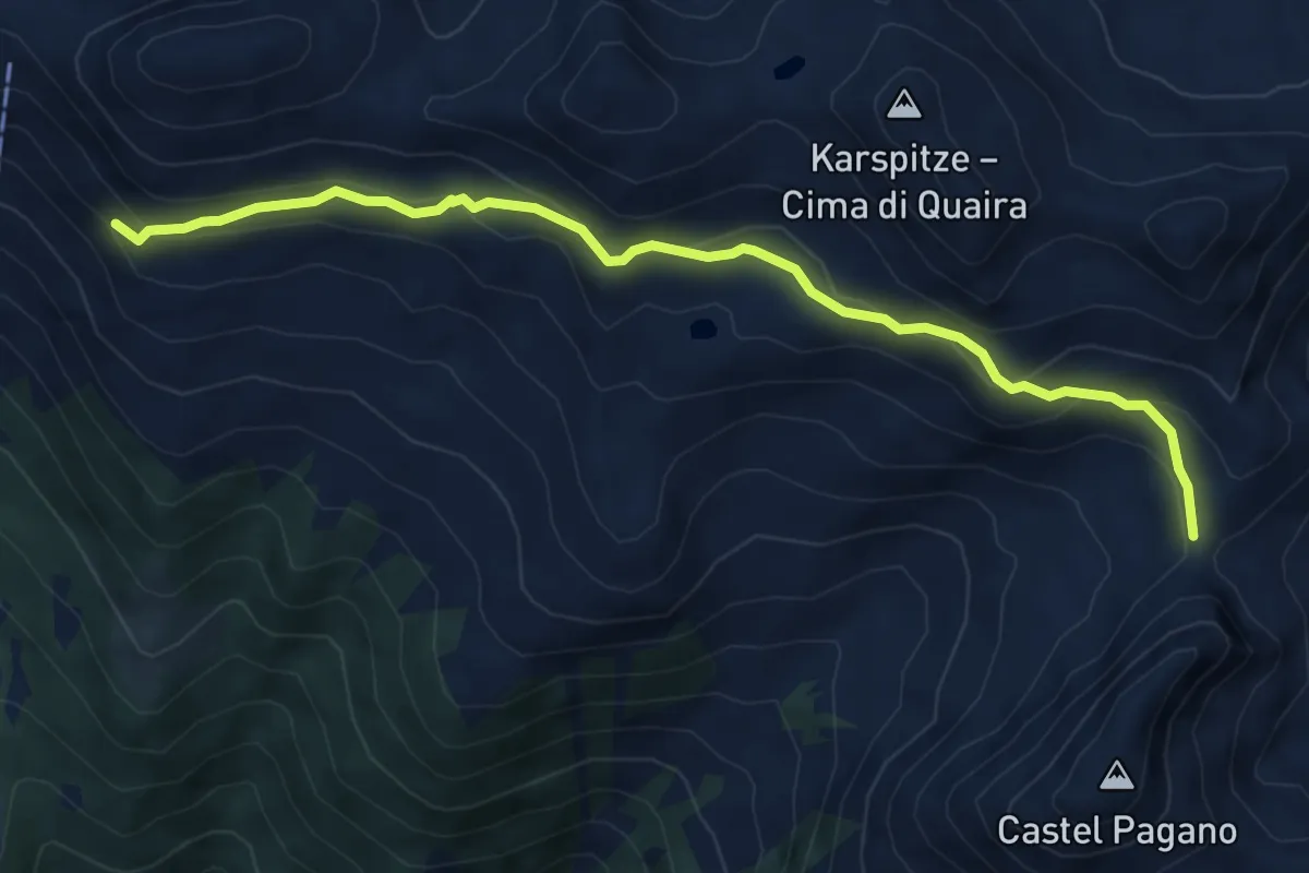
Medium · Trail
Passo Palù (bivio 133) – Presso Rifugio Stella Alpina al Lago Corvo (bivio 108)
6.8 km · ↑ 344 m · 2 h 21 min