Trails in Italy
25,219 hiking trails, each with its route, climb, walking time and grade.
All trails, page 488 of 526
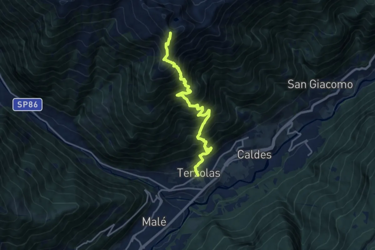
Demanding · Summit
Terzolas - Piazza Torraccia – Cima Vese (bivio 133B)
12.2 km · ↑ 1631 m · 6 h 25 min
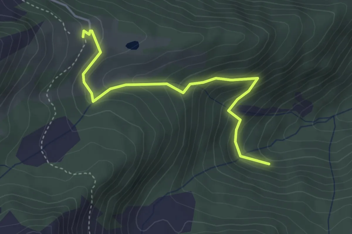
Medium · Cabin
Val Malgazza (bivio 115) – Malga Preghena di sotto (bivio 118A - 133B)
3.8 km · ↑ 304 m · 1 h 33 min
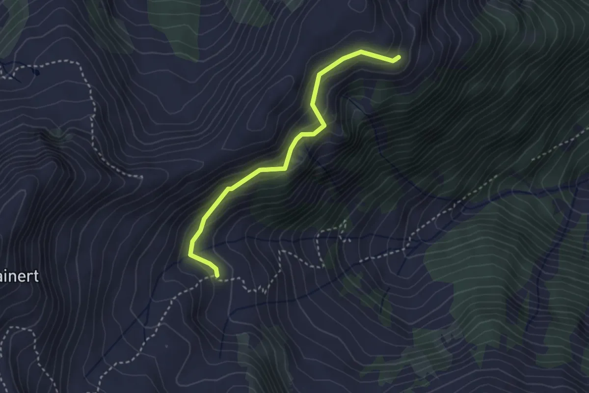
Medium · Trail
Malga Laresé di sopra (bivio 117) – Quota 2139 (bivio 115)
3.0 km · ↑ 215 m · 1 h 10 min
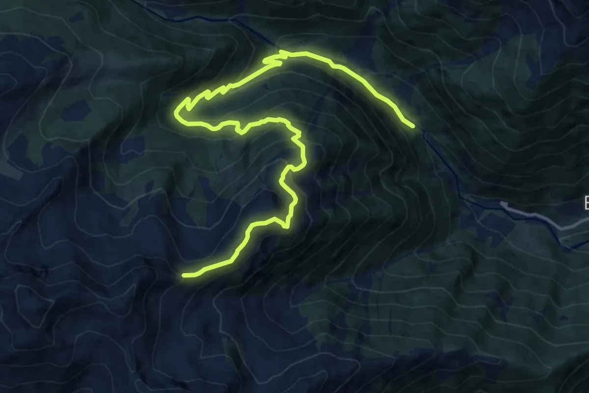
Demanding · Trail
Pont delle Poie – Passo Lainert (bivio 133B)
15.0 km · ↑ 1068 m · 5 h 52 min
Medium · Cabin
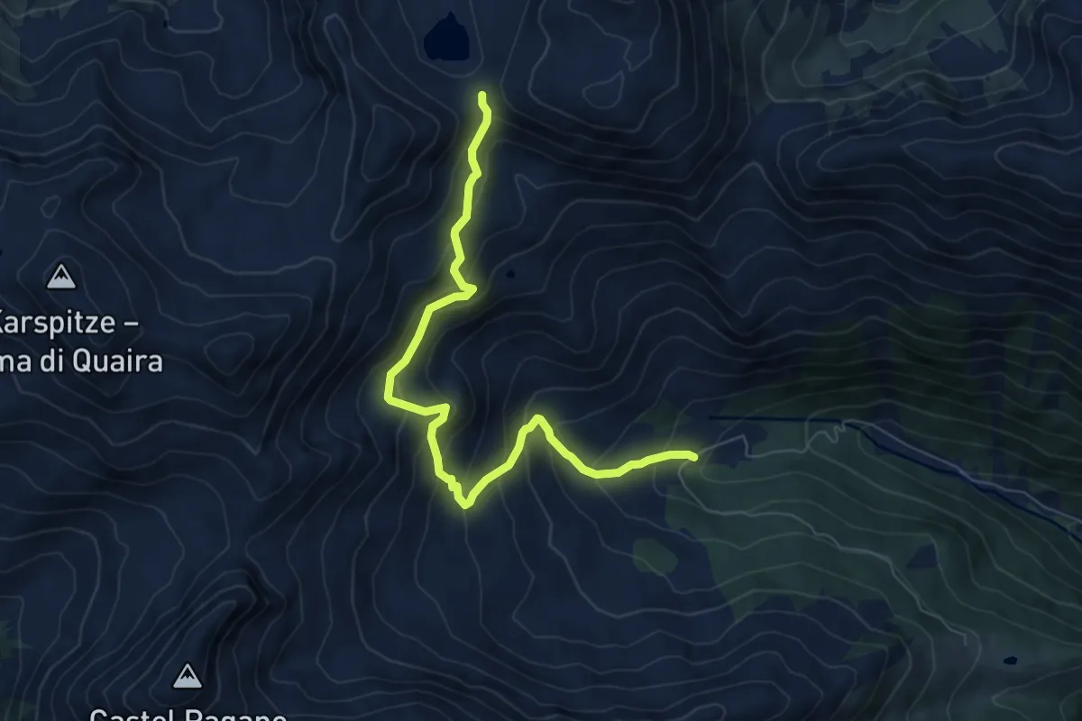
Malga Bordolona di sotto (bivio 112) – Passo Alplaner (bivio 12 e 14A - Alpenverein Südtirol)
7.6 km · ↑ 652 m · 3 h 12 min
Easy · Cabin
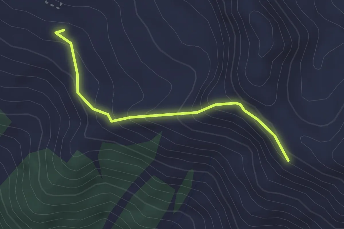
Malga Binasia di Sopra - bivacco (bivio 133) – Bait dei Vaciar - ruderi (bivio 131)
2.6 km · ↑ 253 m · 1 h 9 min
Demanding · Summit
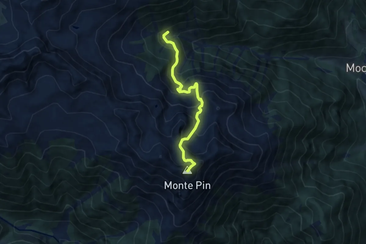
Bevia di Bresimo (bivio 149) – Malga Lavazzè (bivio 134 - 147)
7.6 km · ↑ 813 m · 3 h 34 min
Demanding · Trail
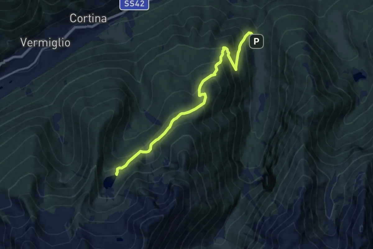
Sant'Antonio (Valpiana) – Lago di Barco (bivio 205)
10.3 km · ↑ 846 m · 4 h 16 min
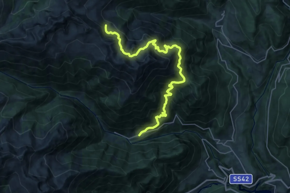
Demanding · Trail
Bevia di Bresimo (bivio 131) – Costa Pozzon (bivio 133)
11.1 km · ↑ 1468 m · 5 h 25 min
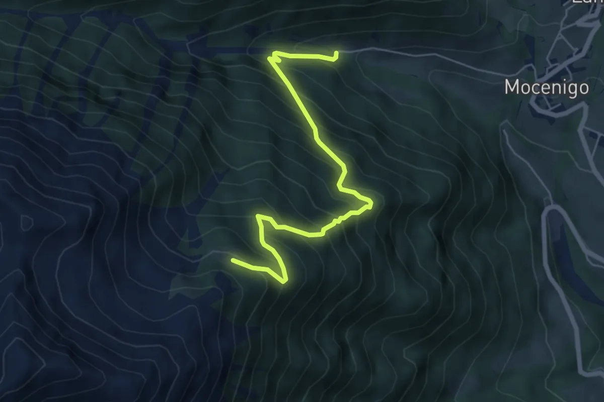
Medium · Trail
Fontane - ponte sul Torrente Lavazzè (bivio 134) – Malga Stablei (bivio 149)
5.6 km · ↑ 645 m · 2 h 43 min
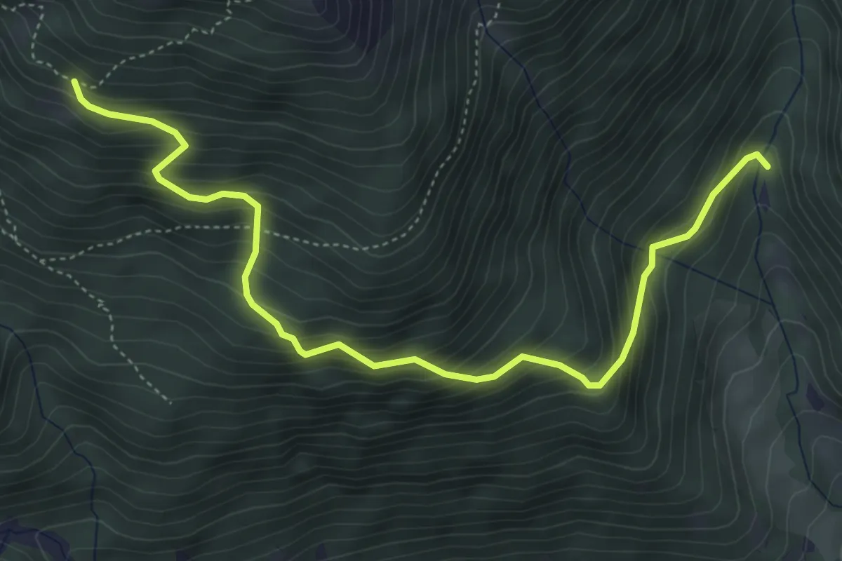
Medium · Trail
Pont dal Vat - parcheggio (bivio 113) – Malga Cemiglio di Fuori - ruderi (bivio 133)
5.4 km · ↑ 599 m · 2 h 35 min
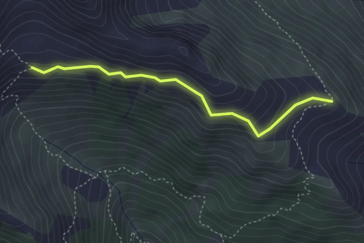
Medium · Trail
Cresta est delle Slavazzaie (bivio 133) – Quota 2130 (bivio 113A)
3.4 km · ↑ 226 m · 1 h 18 min
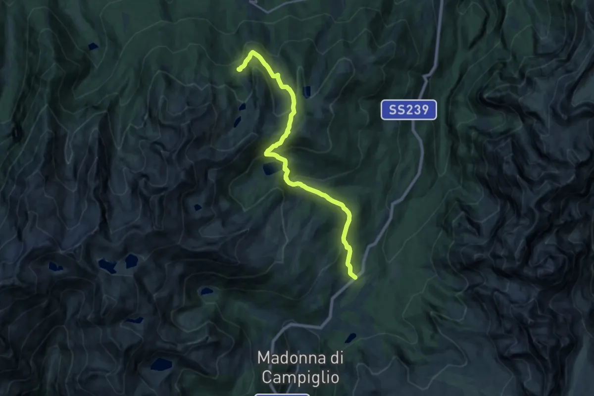
Medium · Trail
Passo Campo Carlo Magno (hotel Maribel) – Val Lores (bivio 202)
15.6 km · ↑ 788 m · 5 h 24 min
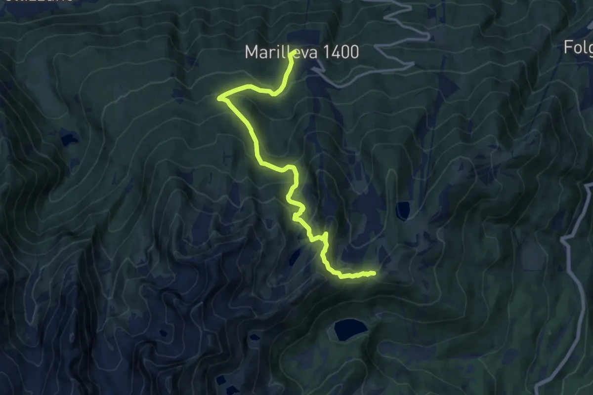
Medium · Trail
Marilleva 1400 – Bassetta della Viga (bivio 201)
12.3 km · ↑ 795 m · 4 h 38 min
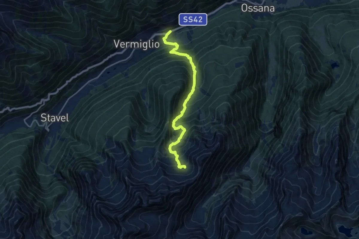
Demanding · Trail
Cortina (Vermiglio) – Lago Piccolo
12.7 km · ↑ 1274 m · 5 h 45 min
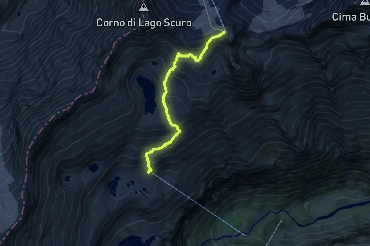
Expert · Cabin
Rifugio Mandrone (bivio O212 - O236) – Passo Presena
6.3 km · ↑ 568 m · 2 h 43 min
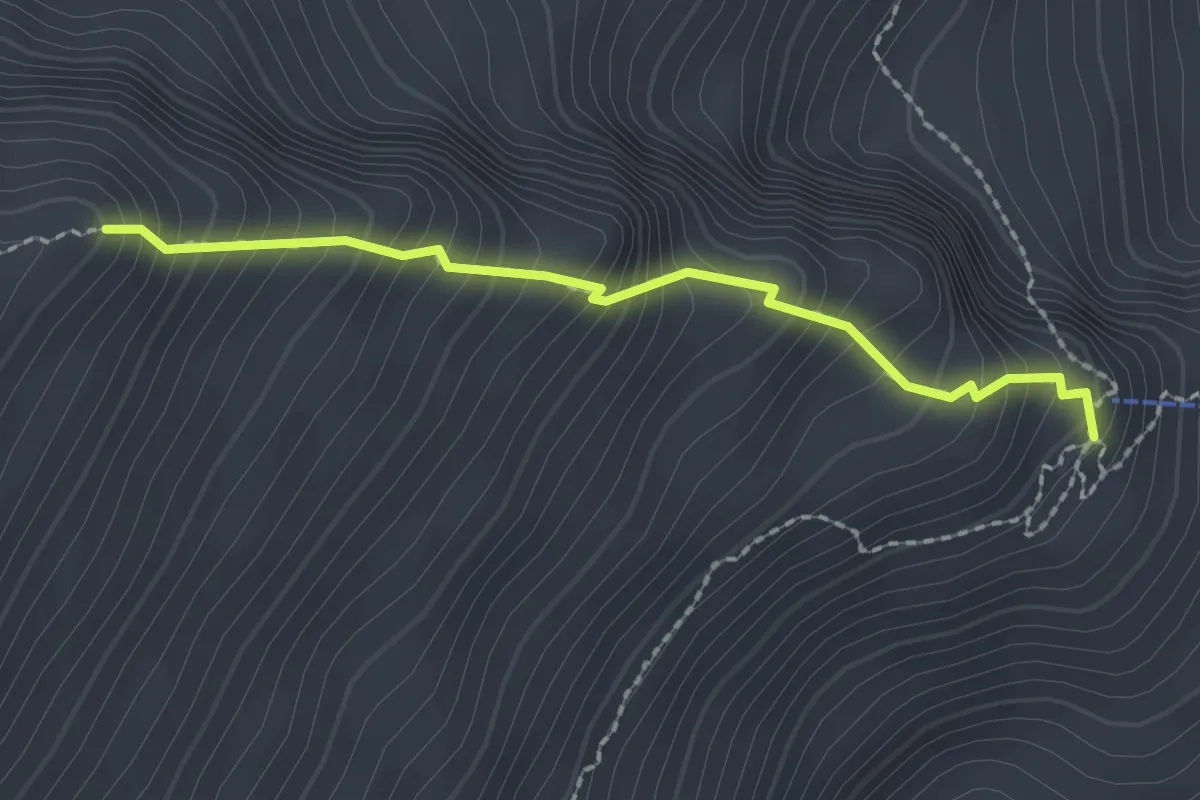
Demanding · Cabin
Rifugio Carè Alto "Dante Ongari" (bivio 213 - 215 - 222) – Bocchetta del Cannone
2.0 km · ↑ 345 m · 1 h 14 min
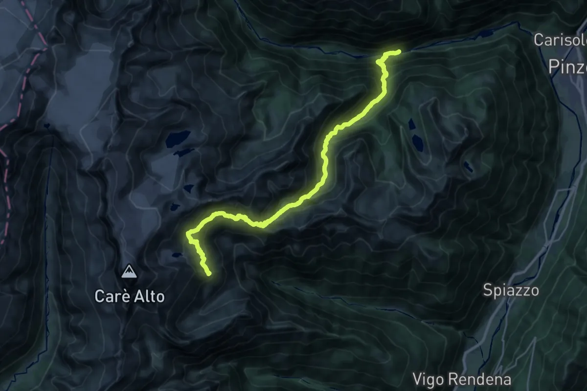
Demanding · Cabin
Scala di Bò – Rifugio Carè Alto "Dante Ongari" (bivio 213 - 213A - 222)
12.5 km · ↑ 1744 m · 6 h 12 min
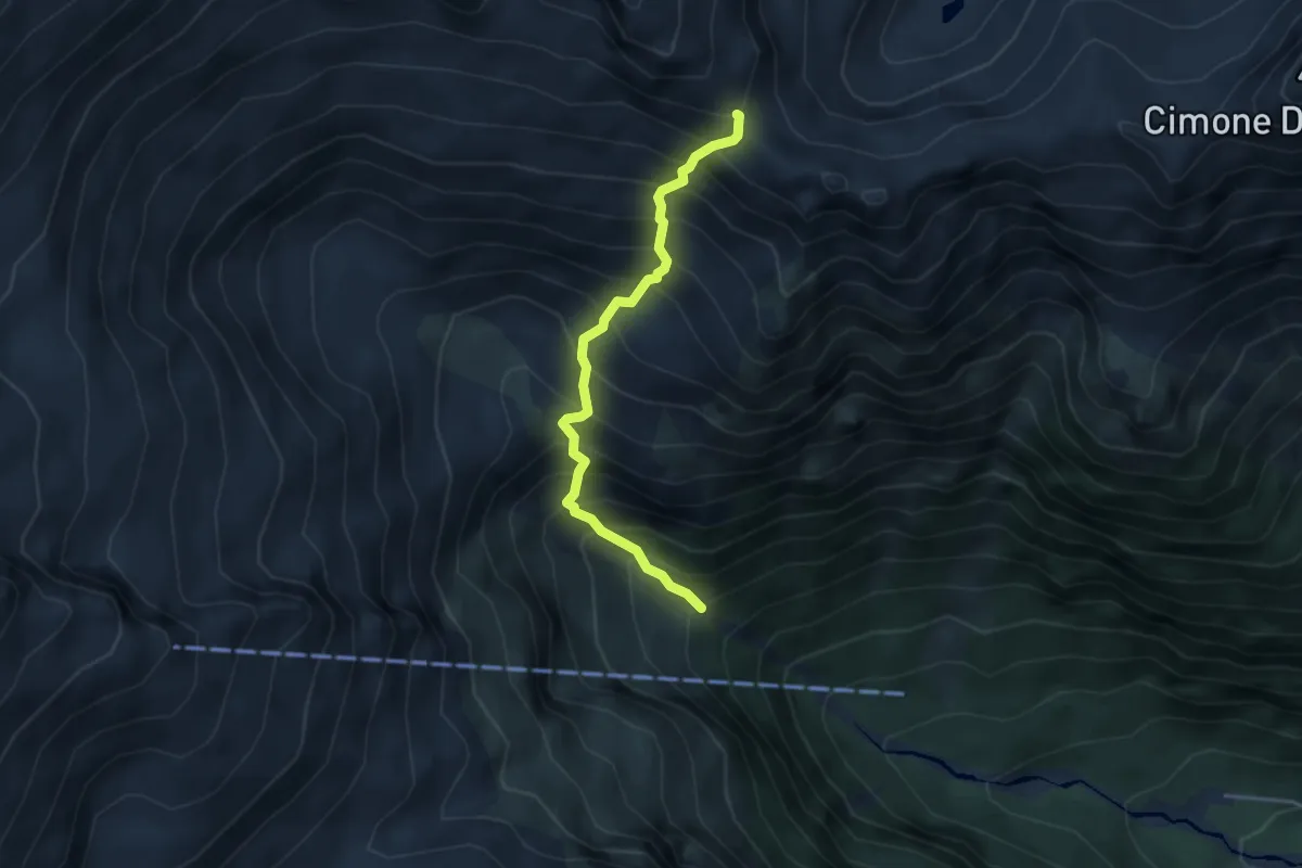
Demanding · Trail
Ponte Zucal (bivio 213) – Passo Altar (bivio 215)
3.7 km · ↑ 729 m · 2 h 27 min
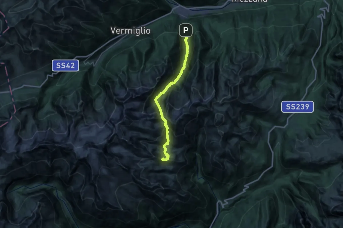
Demanding · Summit
Valpiana – Rifugio Val Amola - Segantini (bivio 211 - 211B - 219)
23.8 km · ↑ 2255 m · 10 h 30 min
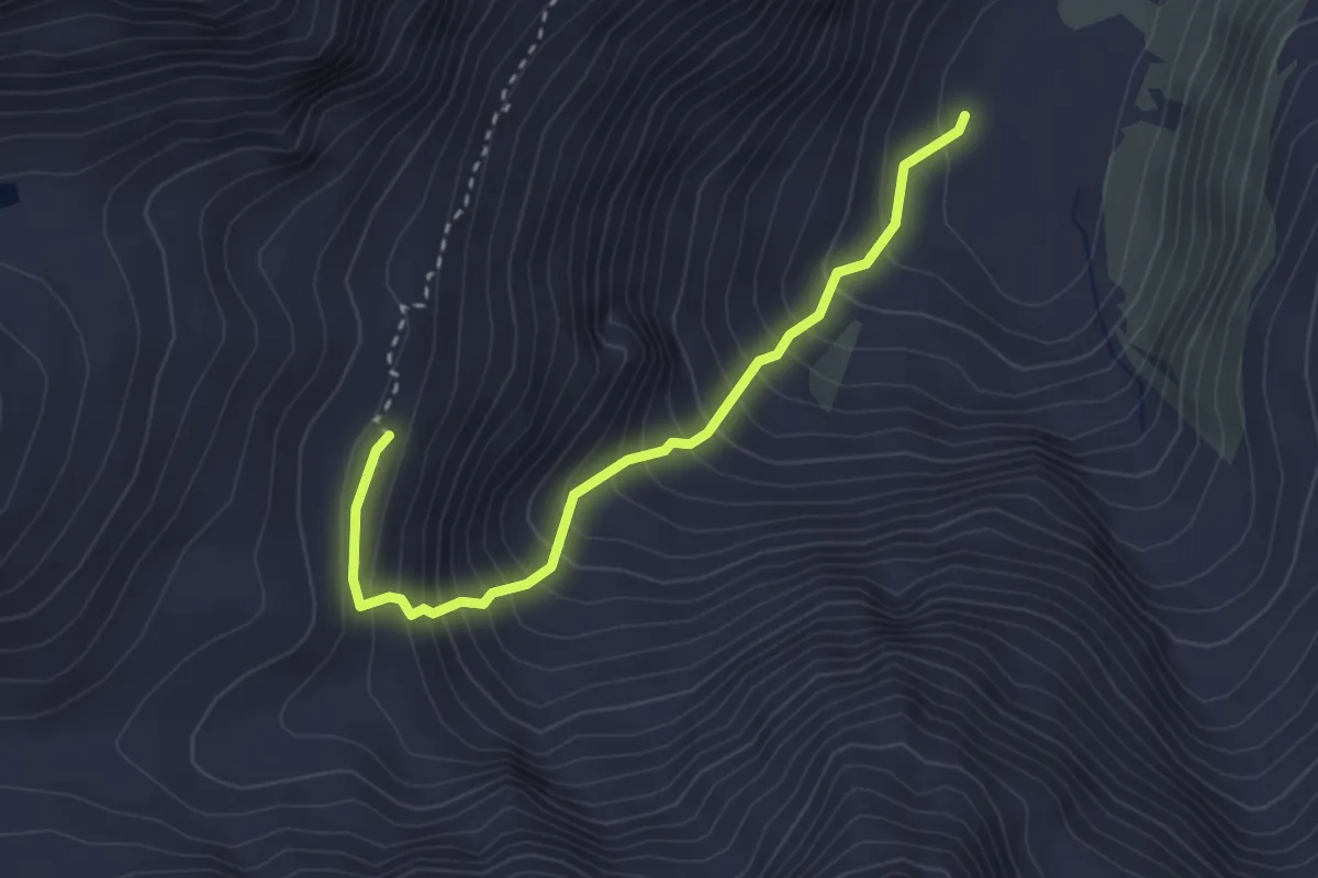
Demanding · Cabin
Lago Venezia (bivio 216) – Bivacco "Jack Canali"
3.0 km · ↑ 418 m · 1 h 37 min
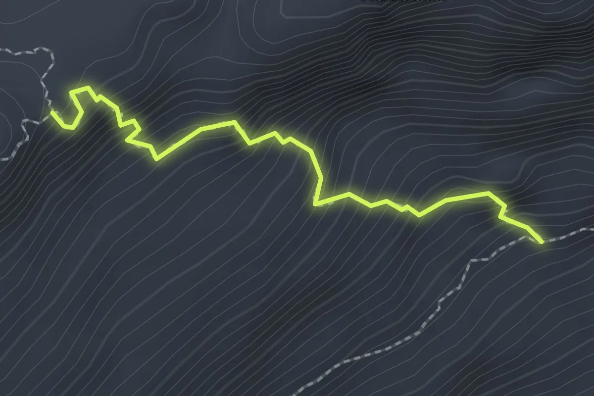
Expert · Trail
Quota 2473 – Passo dei Pozzoni (bivio 214 - 218A)
2.1 km · ↑ 334 m · 1 h 13 min
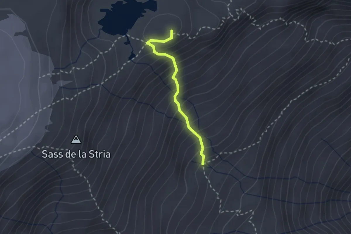
Expert · Summit
Val Niscli (bivio 215) – Passo dei Pozzoni (bivio 214 - 218)
1.9 km · ↑ 303 m · 1 h 6 min
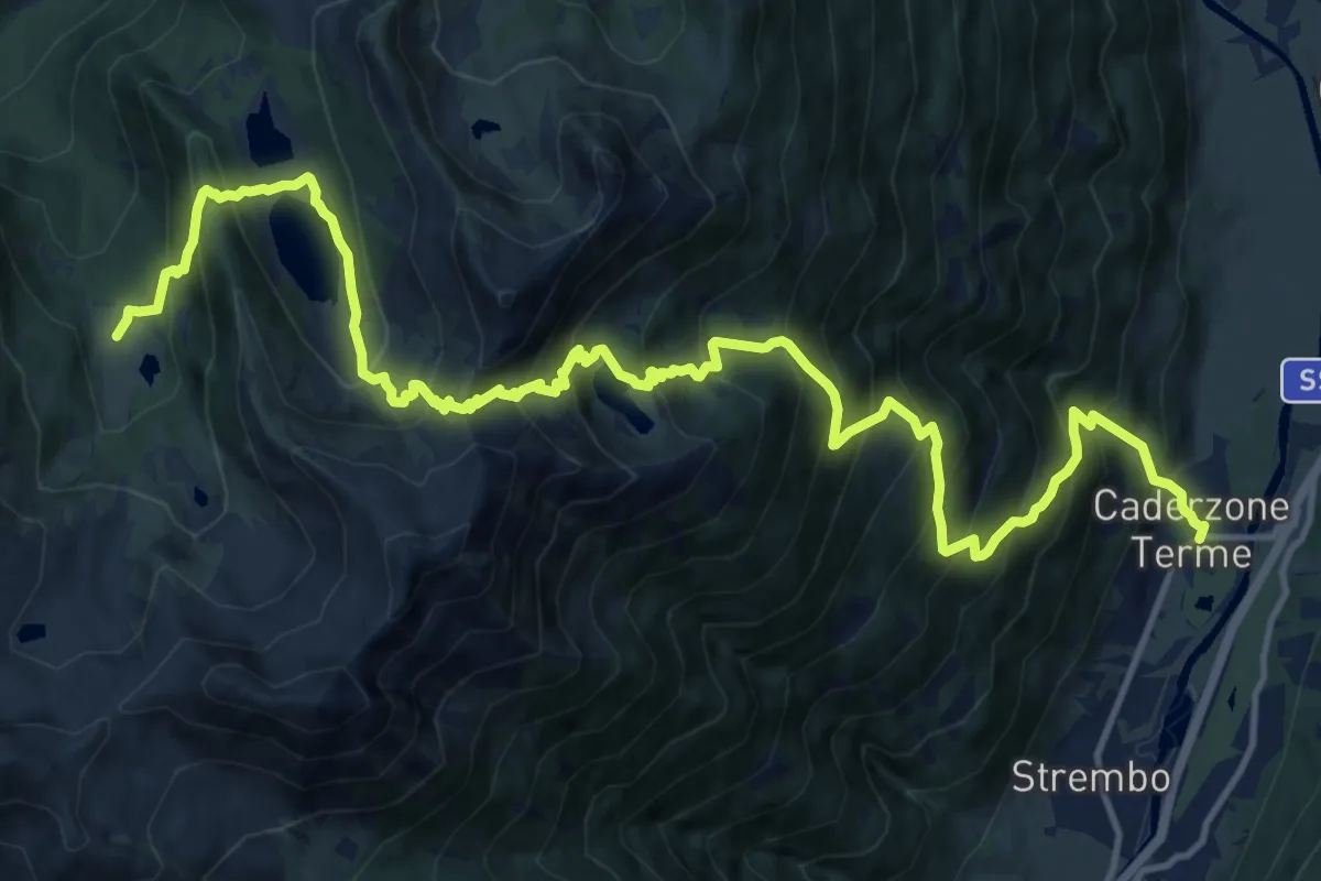
Demanding · Trail
Caderzone – Malga Germenega di mezzo (bivio 244)
9.5 km · ↑ 1496 m · 5 h 2 min
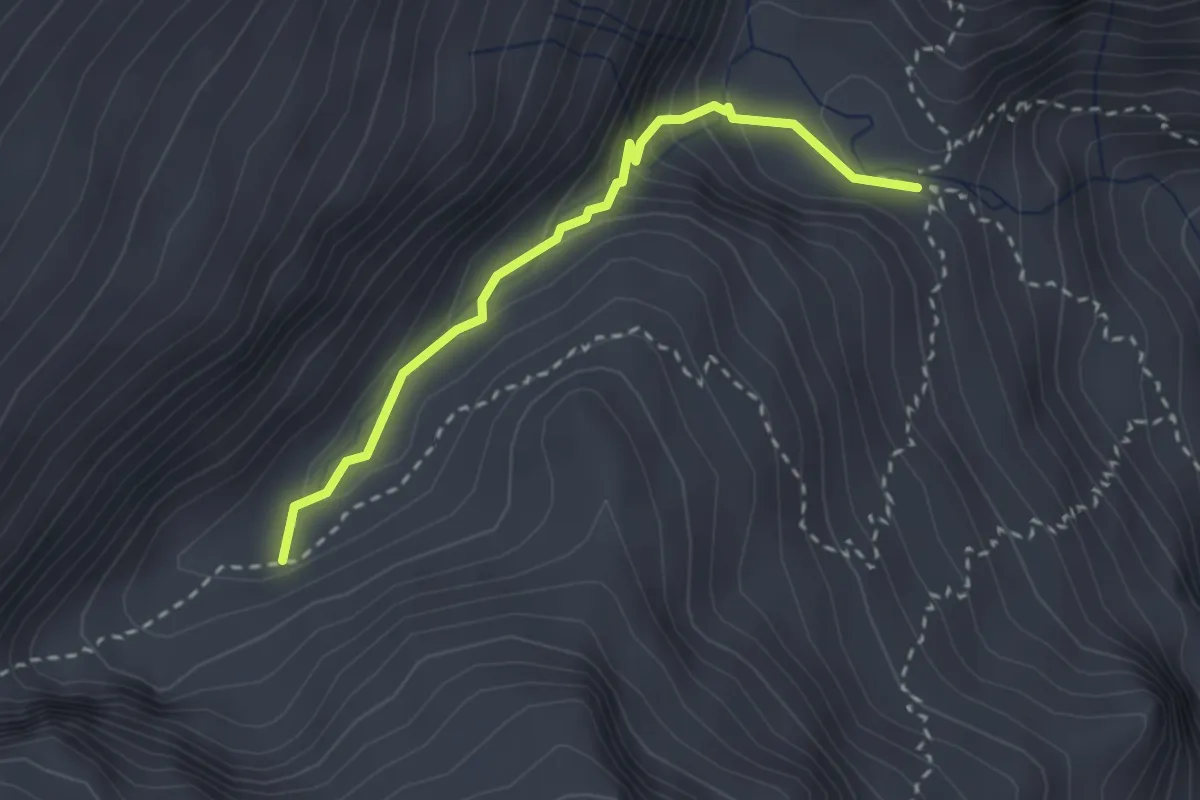
Demanding · Trail
Ponte di Redont (bivio O223) – Val del Vescovo (bivio O223)
2.6 km · ↑ 187 m · 1 h 1 min
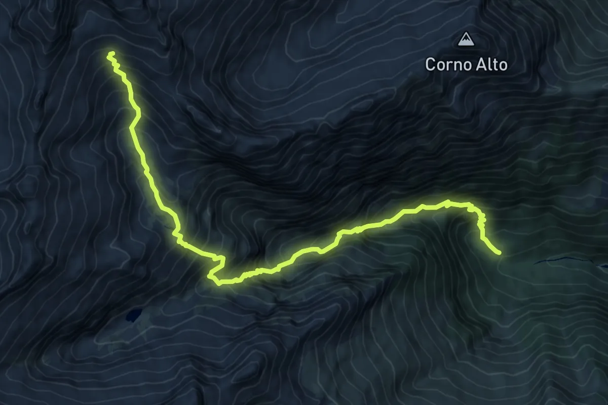
Demanding · Trail
Pian del Forno (Val San Valentino) – Busa degli Aerei (bivio O222)
11.6 km · ↑ 1389 m · 5 h 45 min
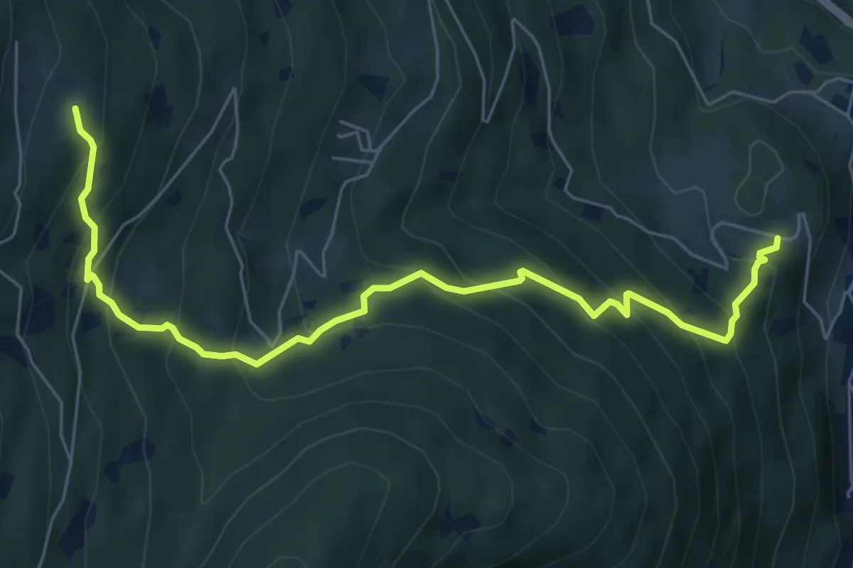
Medium · Trail
Calchera (bivio 225) – Presso Zeller (bivio 225)
7.1 km · ↑ 634 m · 3 h 2 min
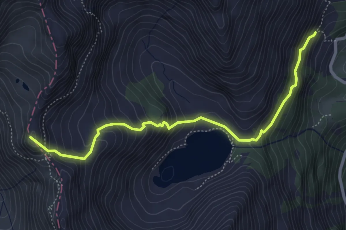
Medium · Summit
Diga di Malga Bissina (fine strada) – Passo di Campo
5.5 km · ↑ 539 m · 2 h 28 min
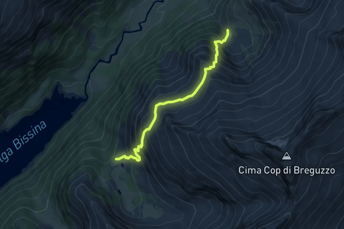
Demanding · Trail
Valle Cop di casa (bivio O248) – Baitello della pozza (bivio O223 - O249)
5.9 km · ↑ 605 m · 2 h 42 min
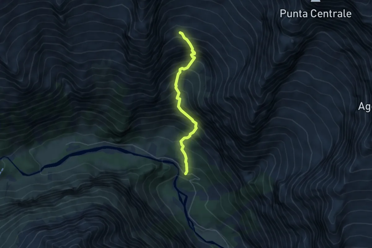
Demanding · Trail
Pian del Cuc (Val di Genova) – Mandra Cercen Alta (bivio O220)
4.4 km · ↑ 752 m · 2 h 40 min
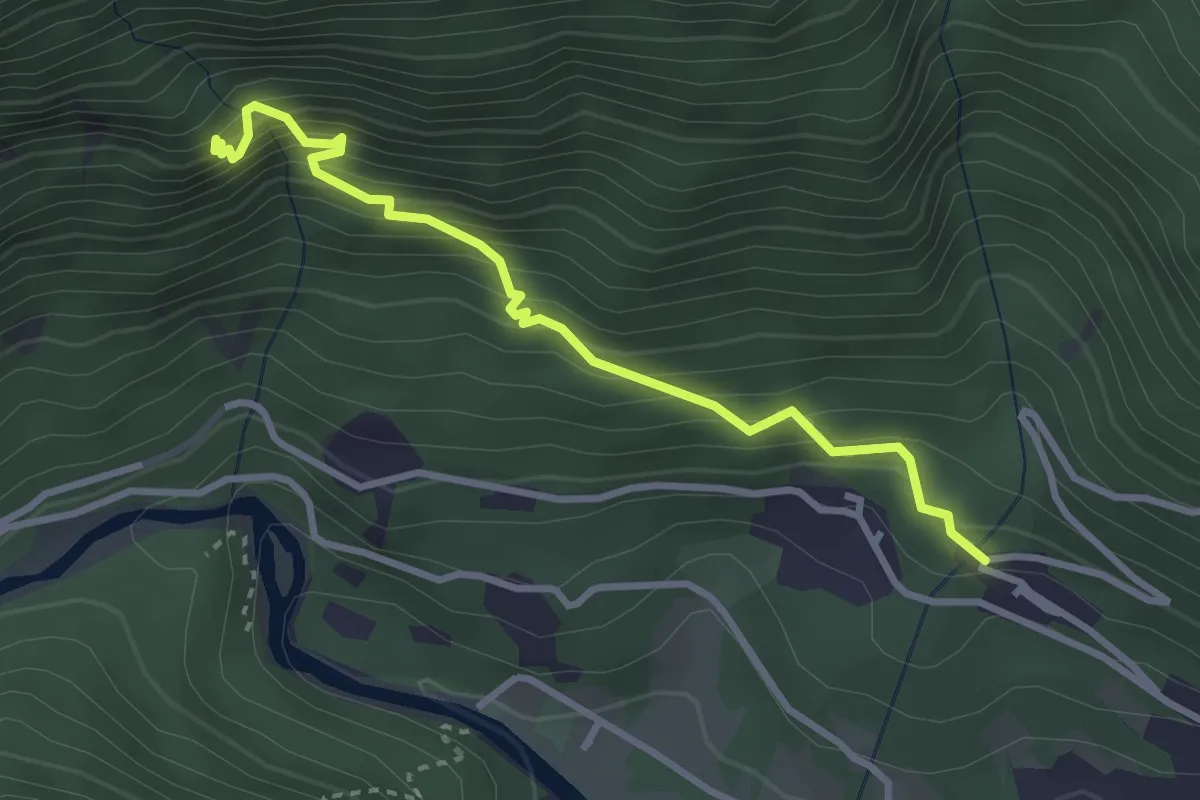
Medium · Trail
Carisolo (bivio strada per Campolo) – Chiesetta di San Martino
3.2 km · ↑ 463 m · 1 h 45 min
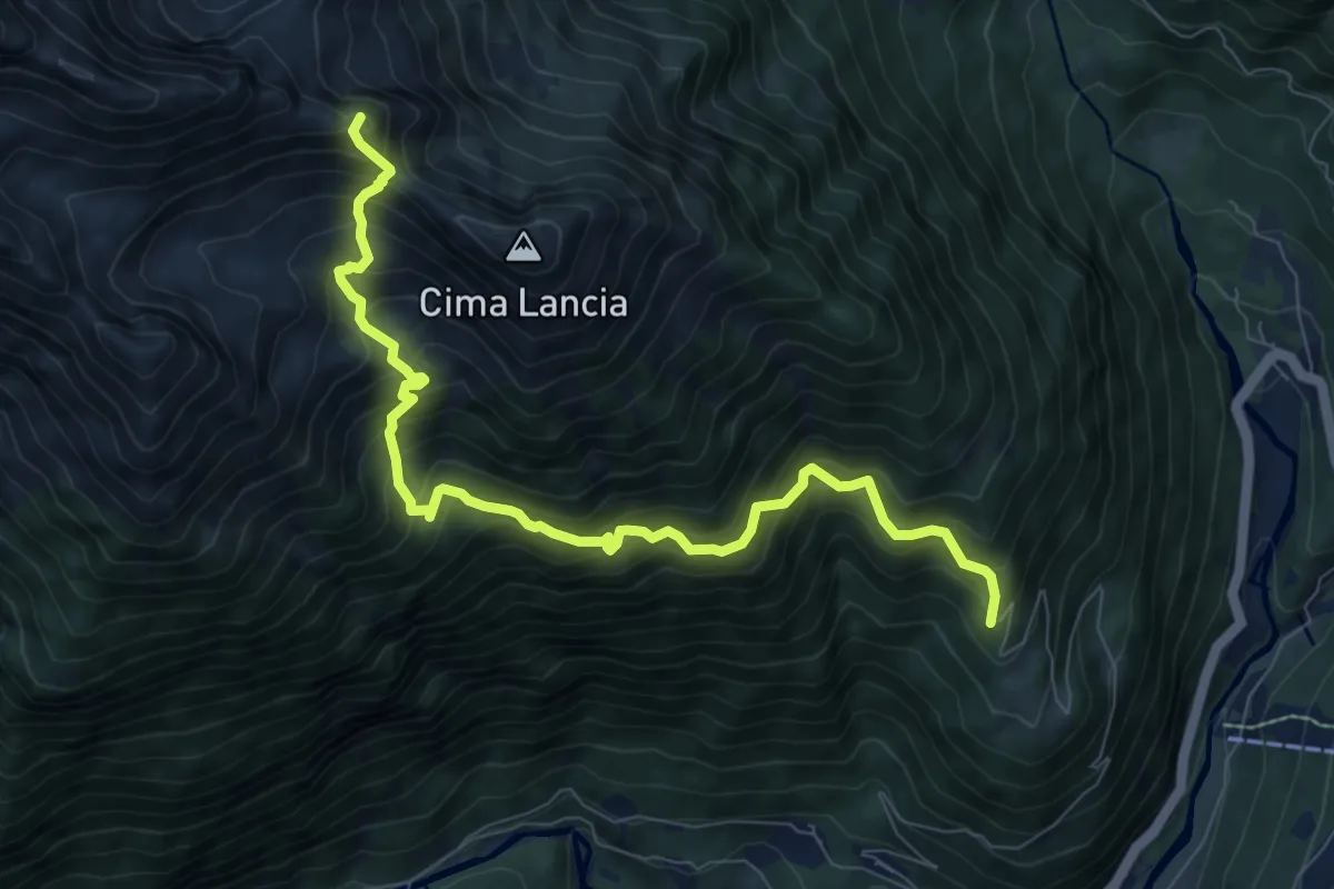
Expert · Summit
Campolo (inizio strada forestale) – Ponte Sarca D'Amola (bivio 211)
9.2 km · ↑ 1138 m · 4 h 38 min
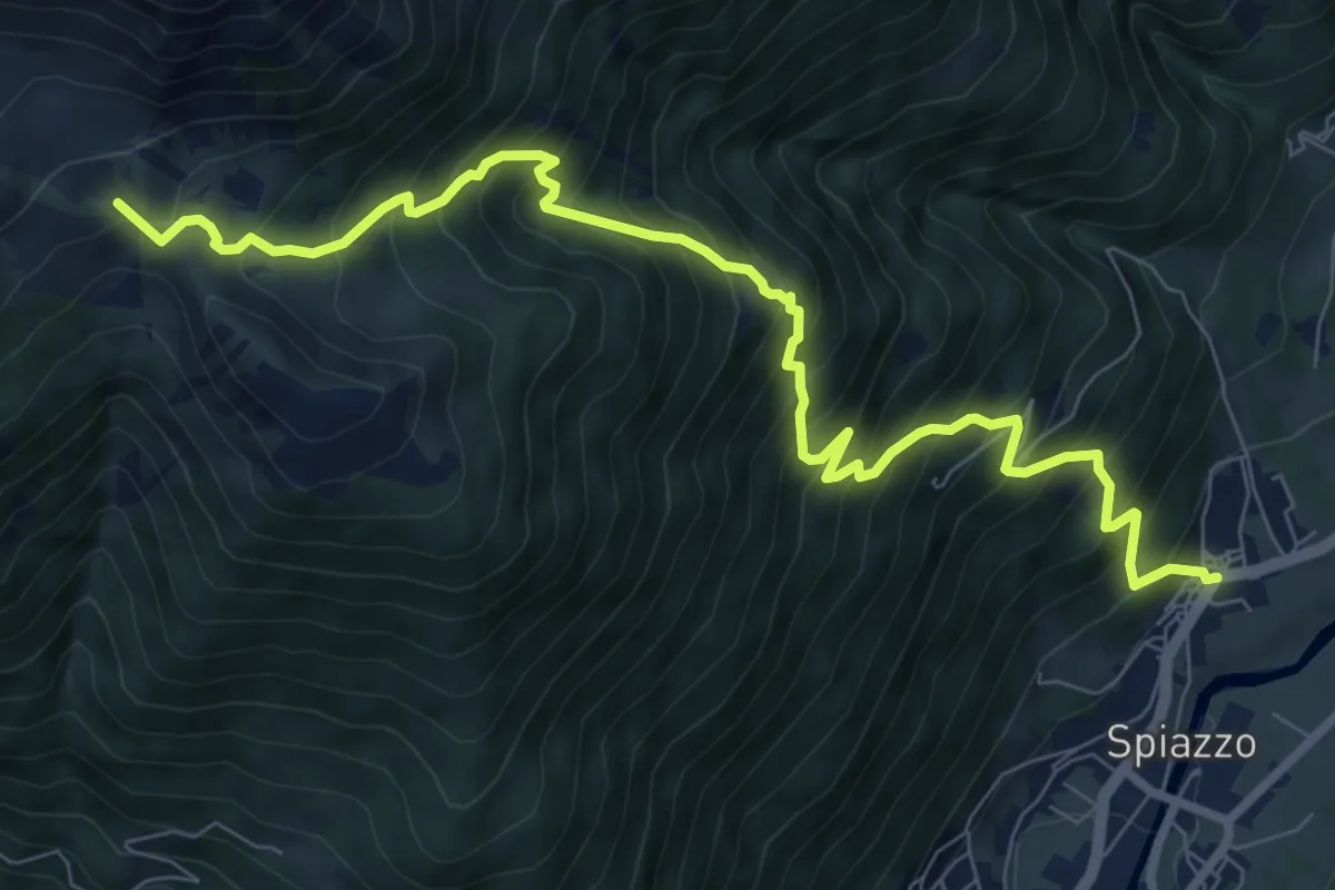
Demanding · Trail
Mortaso – Quota 1958 (bivio 244)
9.8 km · ↑ 1260 m · 5 h 2 min
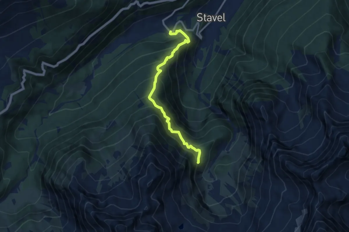
Demanding · Trail
Velon - bivio strada – Gras di presanella
7.8 km · ↑ 1055 m · 4 h 7 min
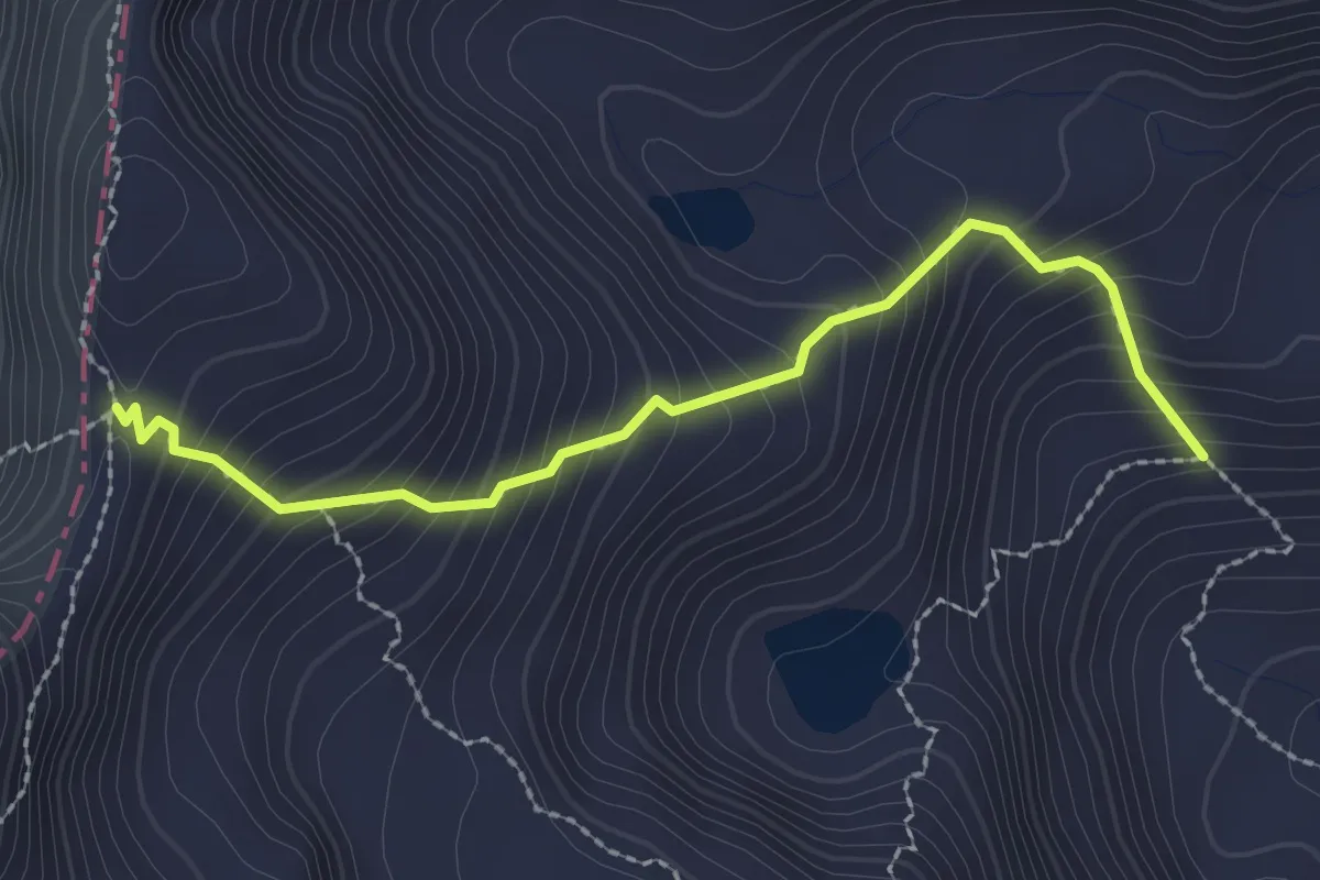
Medium · Trail
Alpe Casinelle (bivio O245) – Passo Ignaga - o di Casinelle
2.5 km · ↑ 325 m · 1 h 17 min
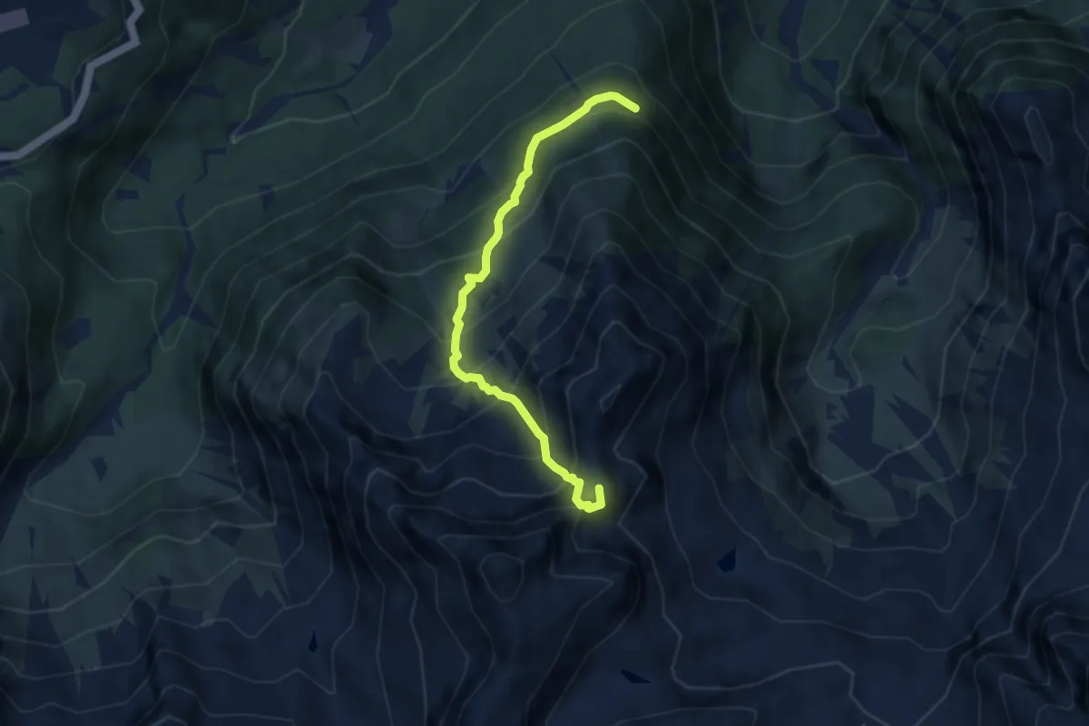
Expert · Summit
Presso ex Forte Pozzi alti (bivio O233) – Presso Laghetto Presanella (bivio O220)
6.3 km · ↑ 795 m · 3 h 13 min
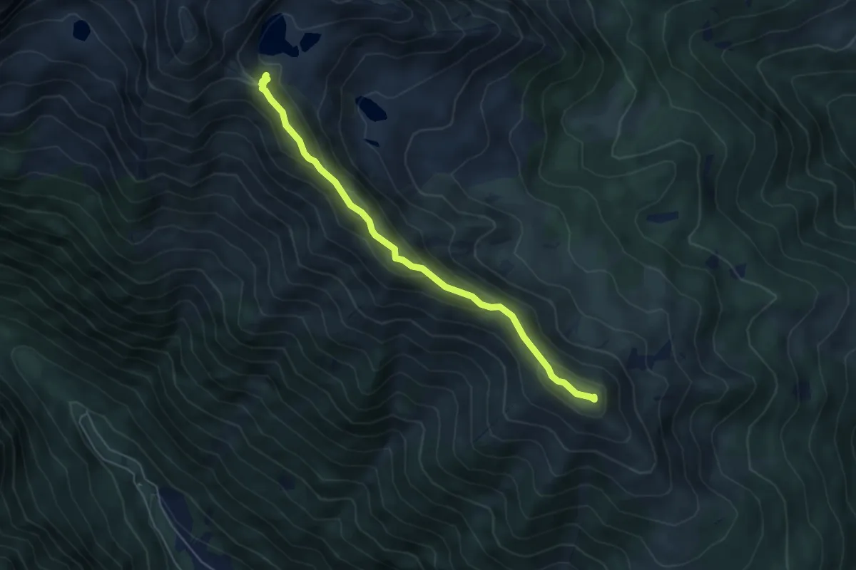
Expert · Summit
Presso Malga Cengledino (bivio 225 - 225A - 225B) – Presso Laghi di Valbona (bivio 225)
5.1 km · ↑ 270 m · 1 h 47 min
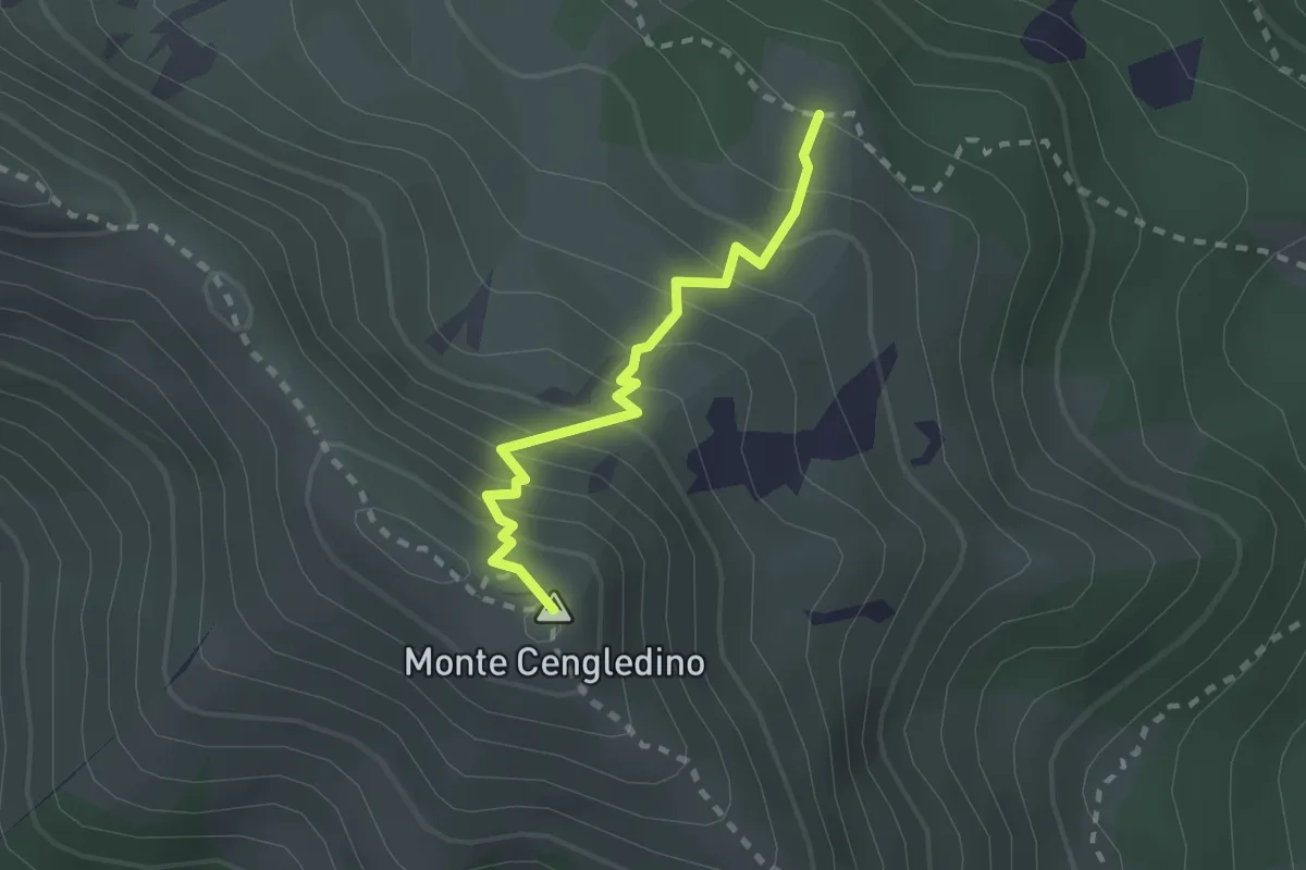
Demanding · Summit
Pian di San Martin (bivio 225) – Monte Cengledino (bivio 235)
2.1 km · ↑ 257 m · 1 h 3 min
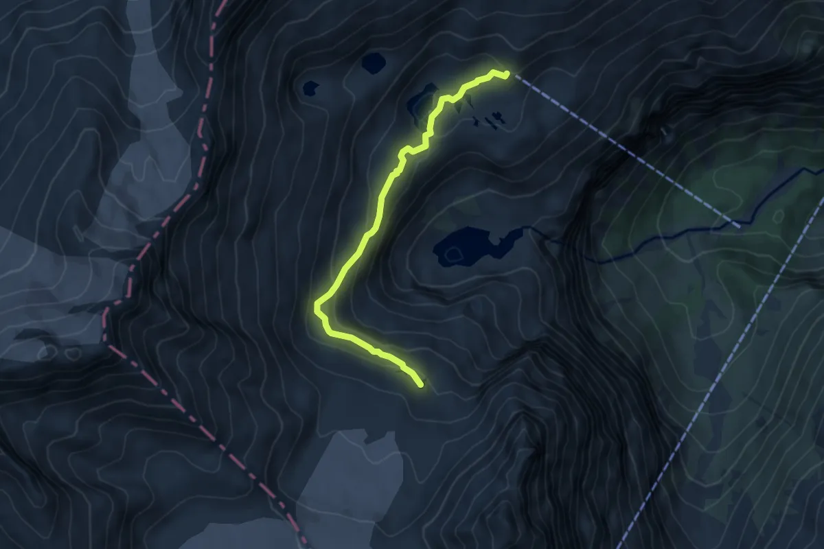
Demanding · Cabin
Rifugio Madron (bivio O209 - O212) – Passerella
5.6 km · ↑ 292 m · 1 h 57 min
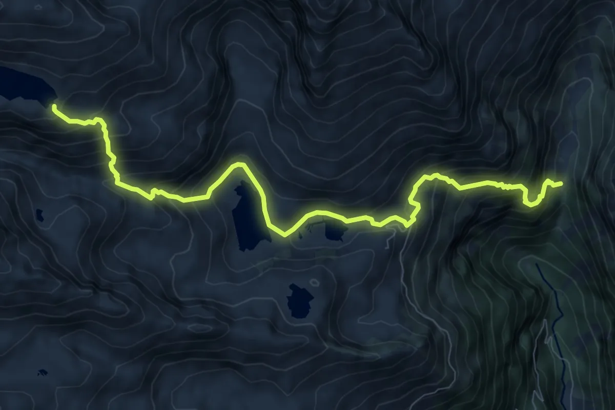
Demanding · Trail
Malga Valina di Nambrone (bivio 217) – Lago Vedretta
10.3 km · ↑ 964 m · 4 h 31 min
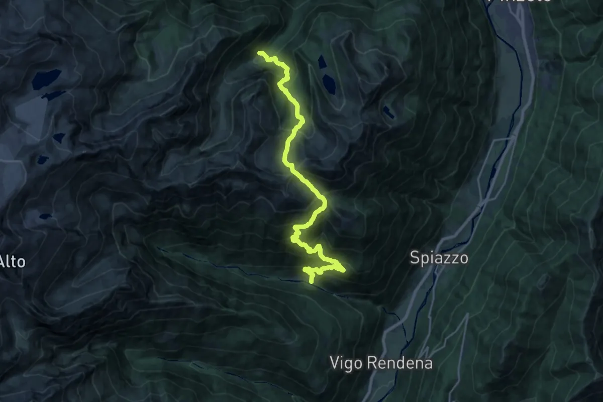
Demanding · Trail
Val Borzago - ponte sul Rio Garzana – Malga Germenega bassa (bivio 215)
10.3 km · ↑ 1192 m · 4 h 54 min
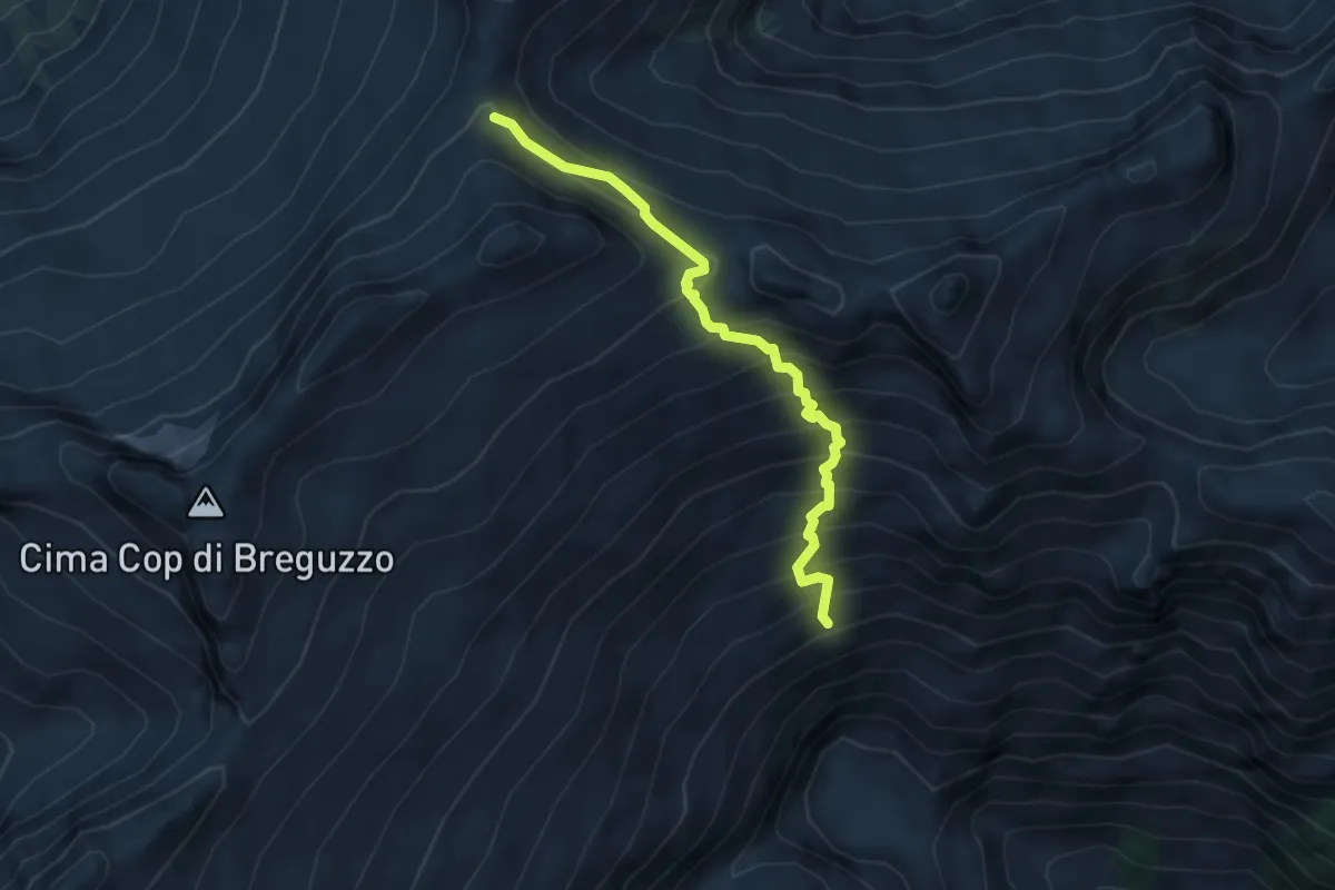
Expert · Trail
Quota 2261 (bivio O261A) – Passo di San Valentino
4.6 km · ↑ 558 m · 2 h 17 min
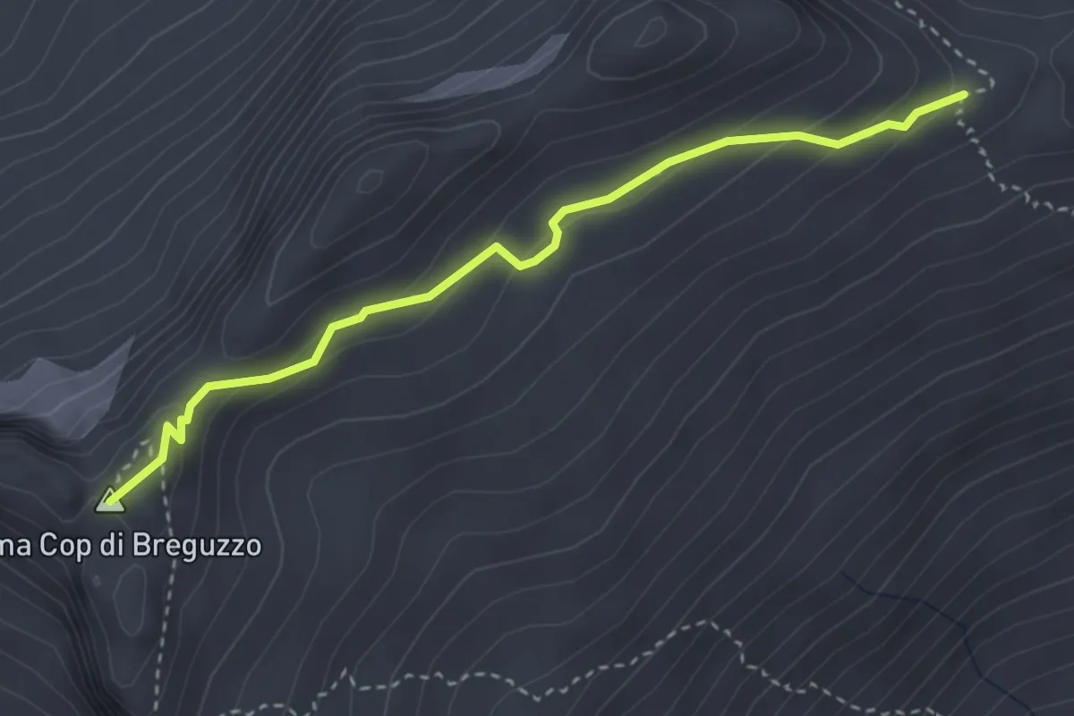
Demanding · Summit
Bocchetta Cop di casa (bivio O253) – Quota 2807 (bivio O261A)
3.4 km · ↑ 169 m · 1 h 10 min
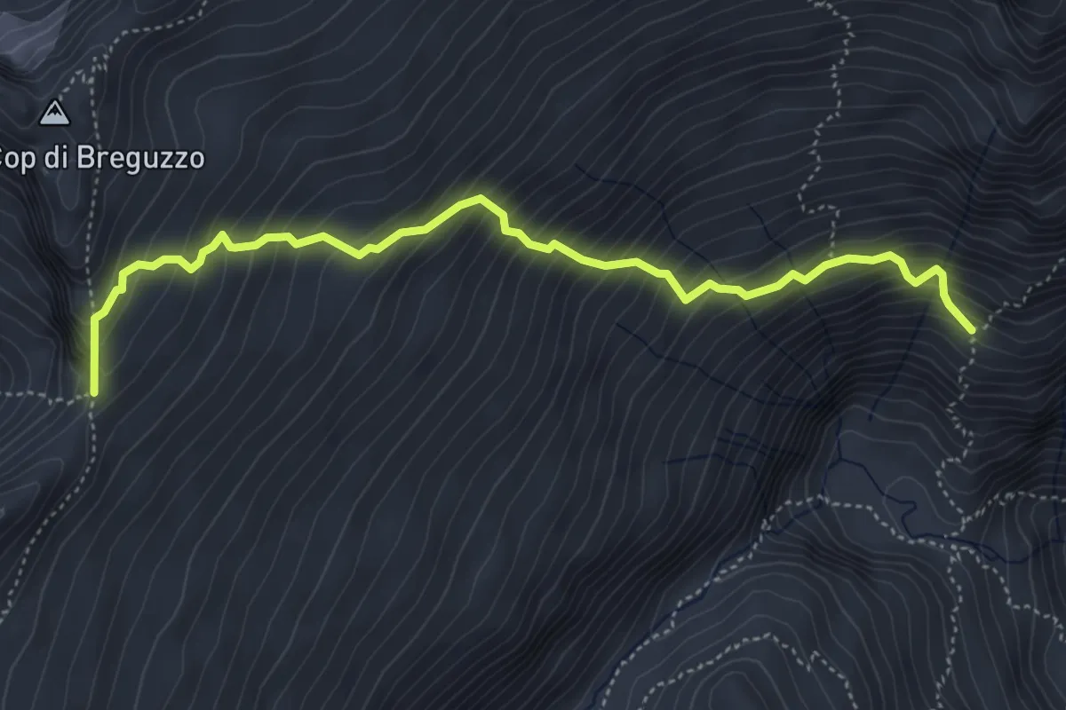
Demanding · Trail
Quota 2173 (bivio O261) – Passo di Breguzzo (bivio O223)
5.2 km · ↑ 738 m · 2 h 49 min
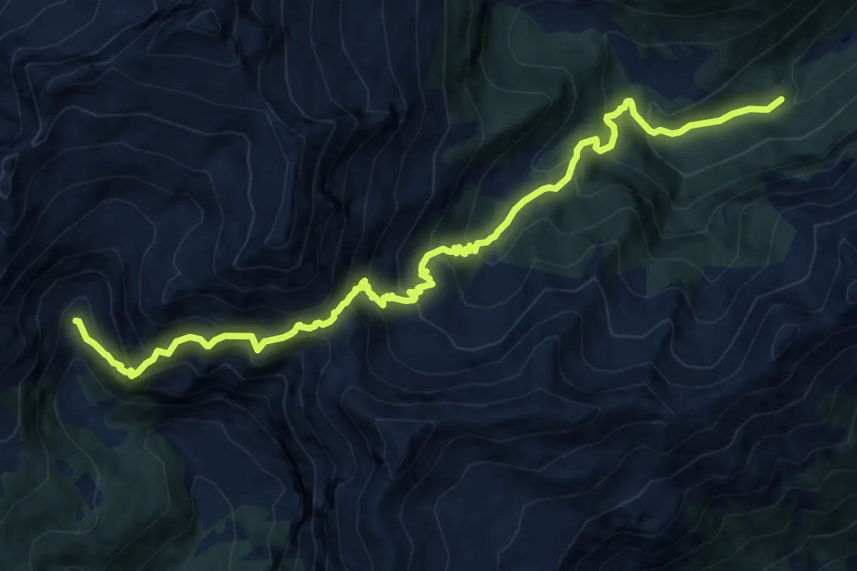
Expert · Trail
Val D'Arnò - bivio strada – Valbona (bivio O249)
14.5 km · ↑ 1426 m · 6 h 31 min
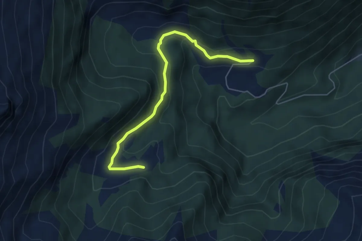
Medium · Trail
Malga D'Arnò (bivio O254) – Malga Maggiasone (bivio O262)
4.9 km · ↑ 183 m · 1 h 33 min
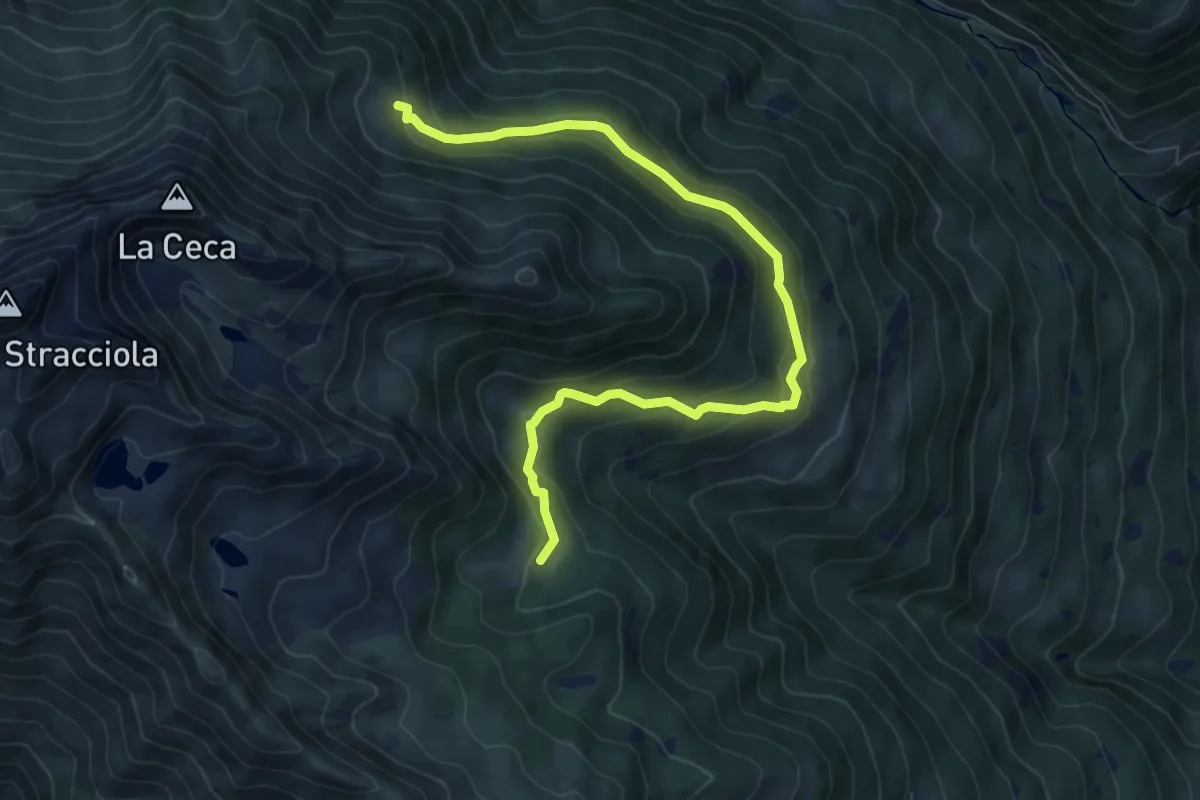
Medium · Trail
Malga Geredol (bivio O261) – Stablo Marc (bivio O225A)
8.8 km · ↑ 443 m · 3 h 3 min
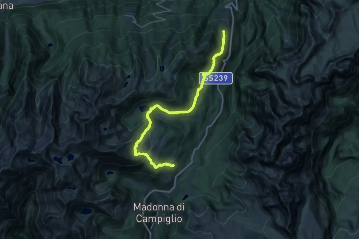
Demanding · Trail
Monti Alti - Casina – Malga Zeledria
20.8 km · ↑ 1040 m · 7 h 10 min