Trails in Italy
25,219 hiking trails, each with its route, climb, walking time and grade.
All trails, page 489 of 526
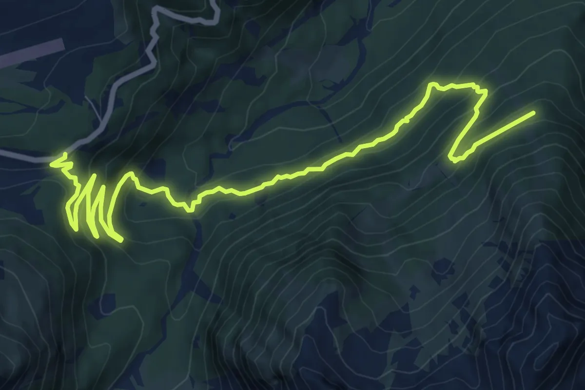
Medium · Trail
Strada Statale 42 del Tonale al Km 150 – Ex Forte Pozzi alti (bivio O234)
12.8 km · ↑ 760 m · 4 h 40 min
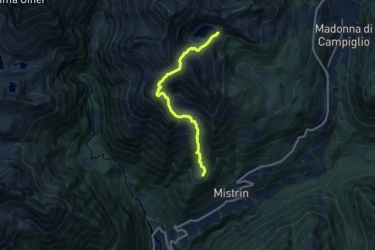
Demanding · Trail
Clémp – Lago Ritort (bivio 232 - 277)
10.1 km · ↑ 1033 m · 4 h 37 min
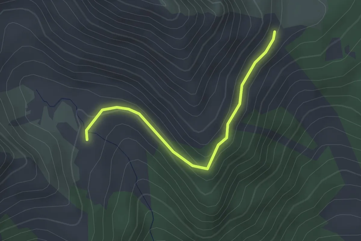
Easy · Trail
Malga Valchestria (bivio 278) – Pian dei Mughi (bivio 277)
2.7 km · ↑ 104 m · 52 min
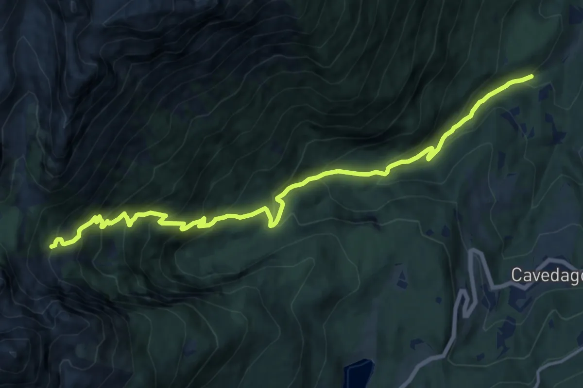
Demanding · Trail
Le Seghe - Val Sporeggio – Tabelle (bivio 301)
13.7 km · ↑ 1117 m · 5 h 40 min
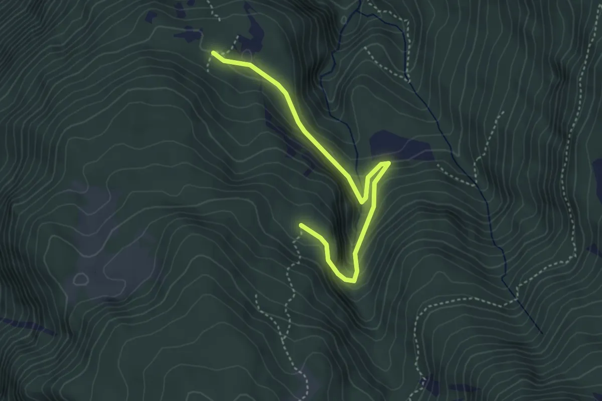
Easy · Trail
Prà de la Selva (bivio 308) – Le Cune (bivio 308)
4.1 km · ↑ 313 m · 1 h 38 min
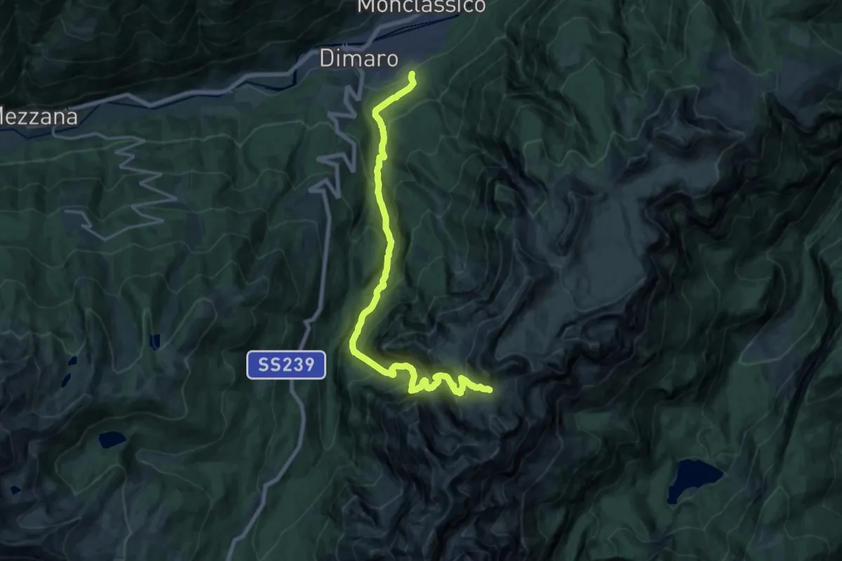
Medium · Trail
Carciato - parco La Gnocca (bivio 335) – Passo di Prà Castron (bivio 310 - 336)
9.6 km · ↑ 138 m · 3 h 32 min
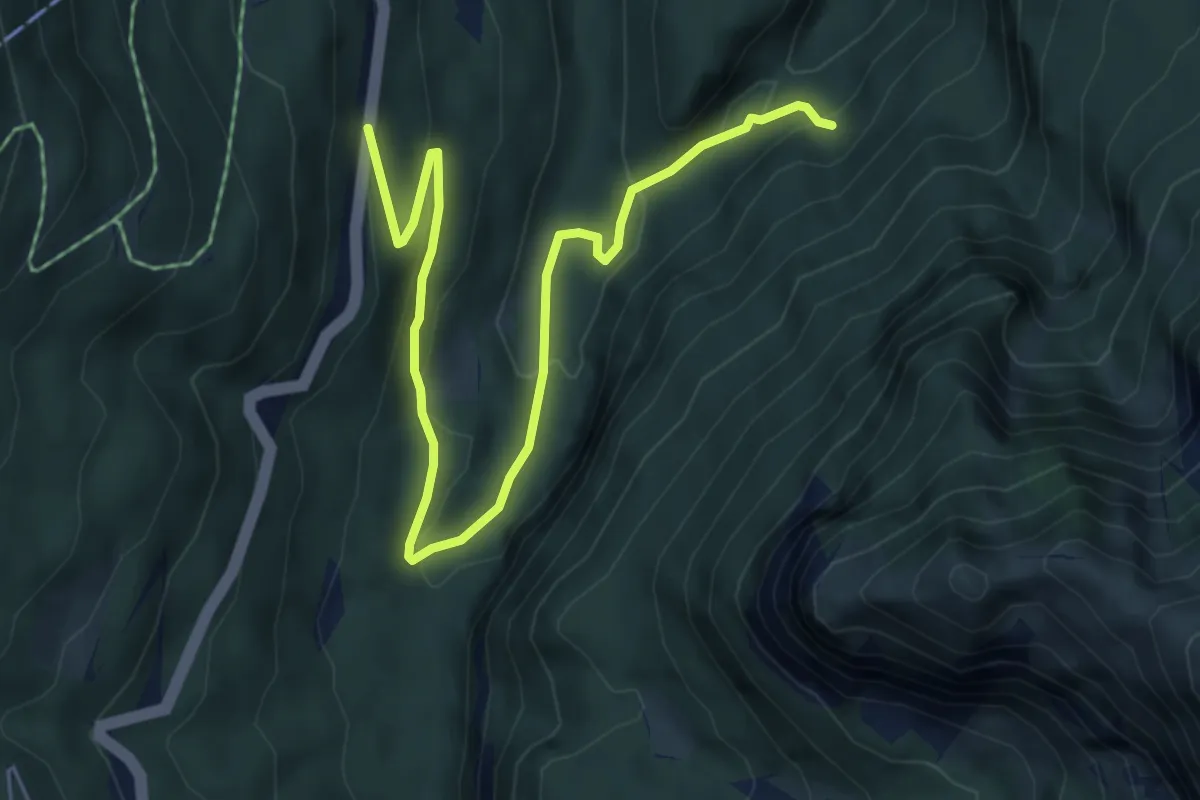
Medium · Trail
Folgarida - Strada Statale 239 per Campiglio – Quota 1287 (bivio 329)
6.5 km · ↑ 267 m · 2 h 7 min
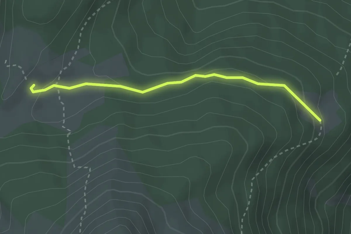
Easy · Cabin
Malga Termoncello - bivacco (bivio 330) – Malga Loverdina -bivacco (bivio 370)
2.5 km · ↑ 105 m · 49 min
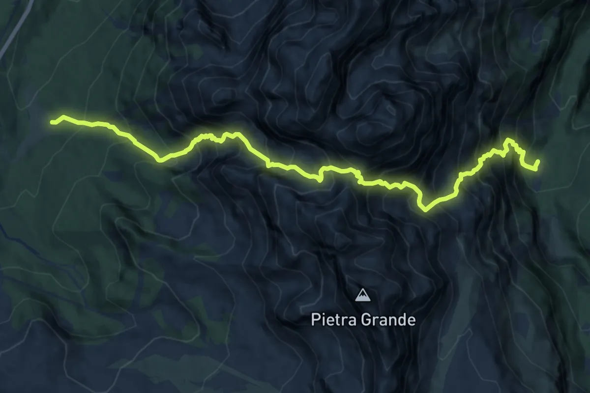
Expert · Trail
Malga Mondifrà – Ache forti (bivio 314 - 369)
13.5 km · ↑ 1996 m · 7 h 30 min
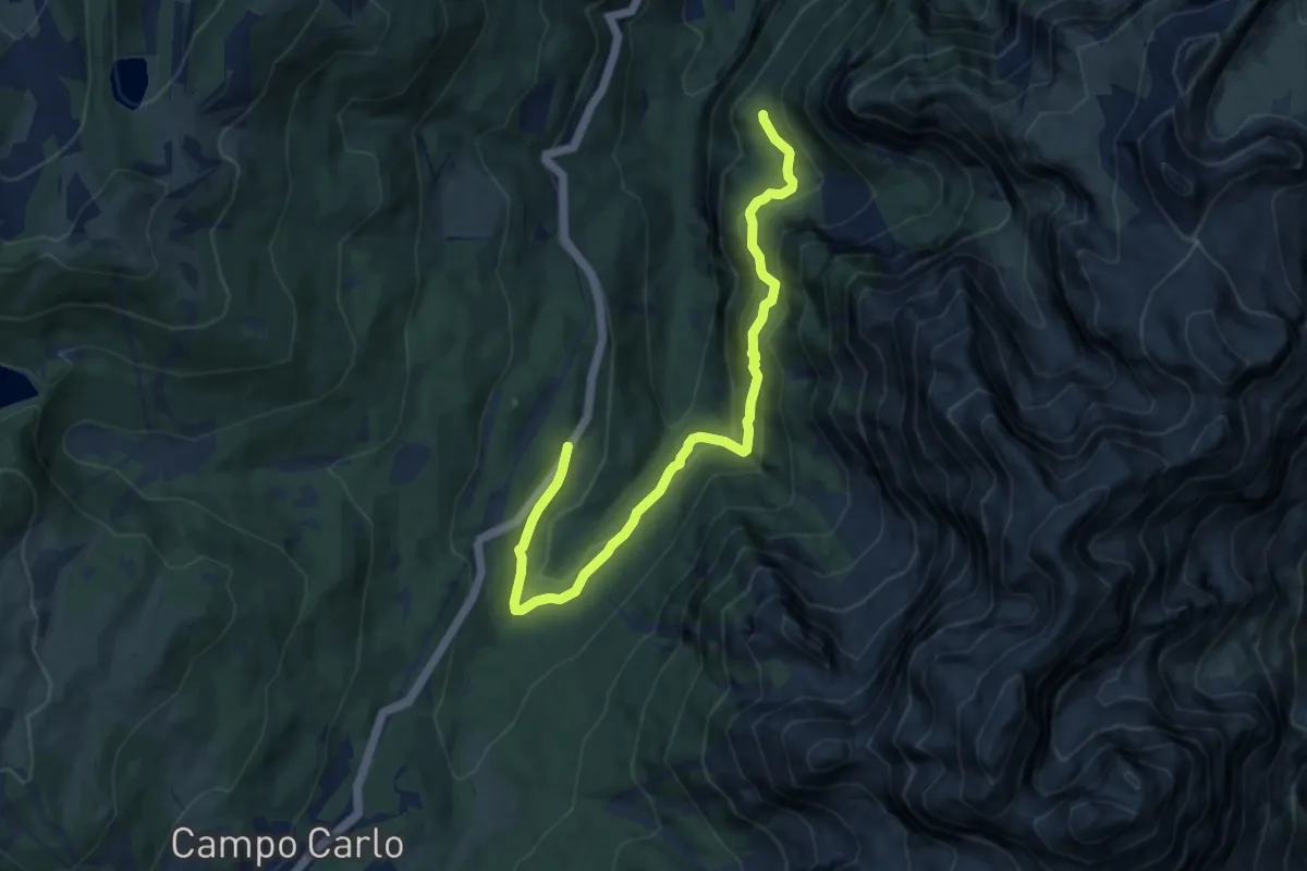
Medium · Trail
Presso Malga prà del Maza al Km 12 della Strada Statale 239 – Presso Malga Scale - ruderi (bivio 329)
9.8 km · ↑ 530 m · 3 h 27 min
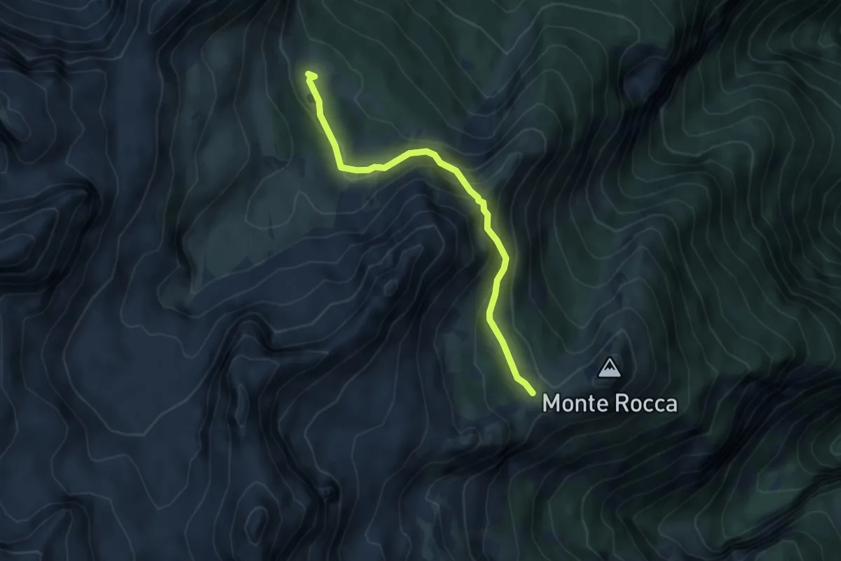
Medium · Cabin
Malga Campa - bivacco (bivio 338 - 362 - 370) – Col (bivio 361)
4.5 km · ↑ 325 m · 1 h 46 min
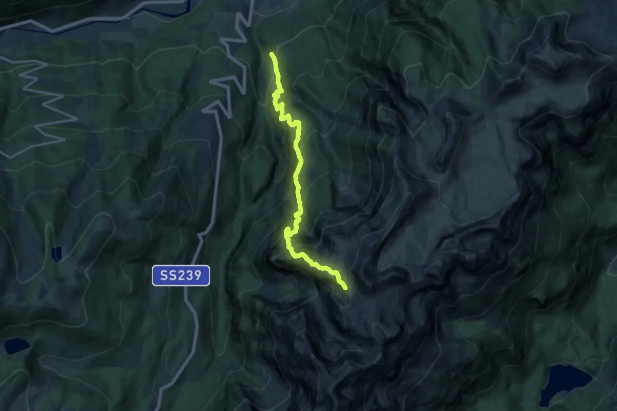
Demanding · Trail
Val Plana (bivio 329) – Pra Castron
13.0 km · ↑ 1646 m · 6 h 38 min
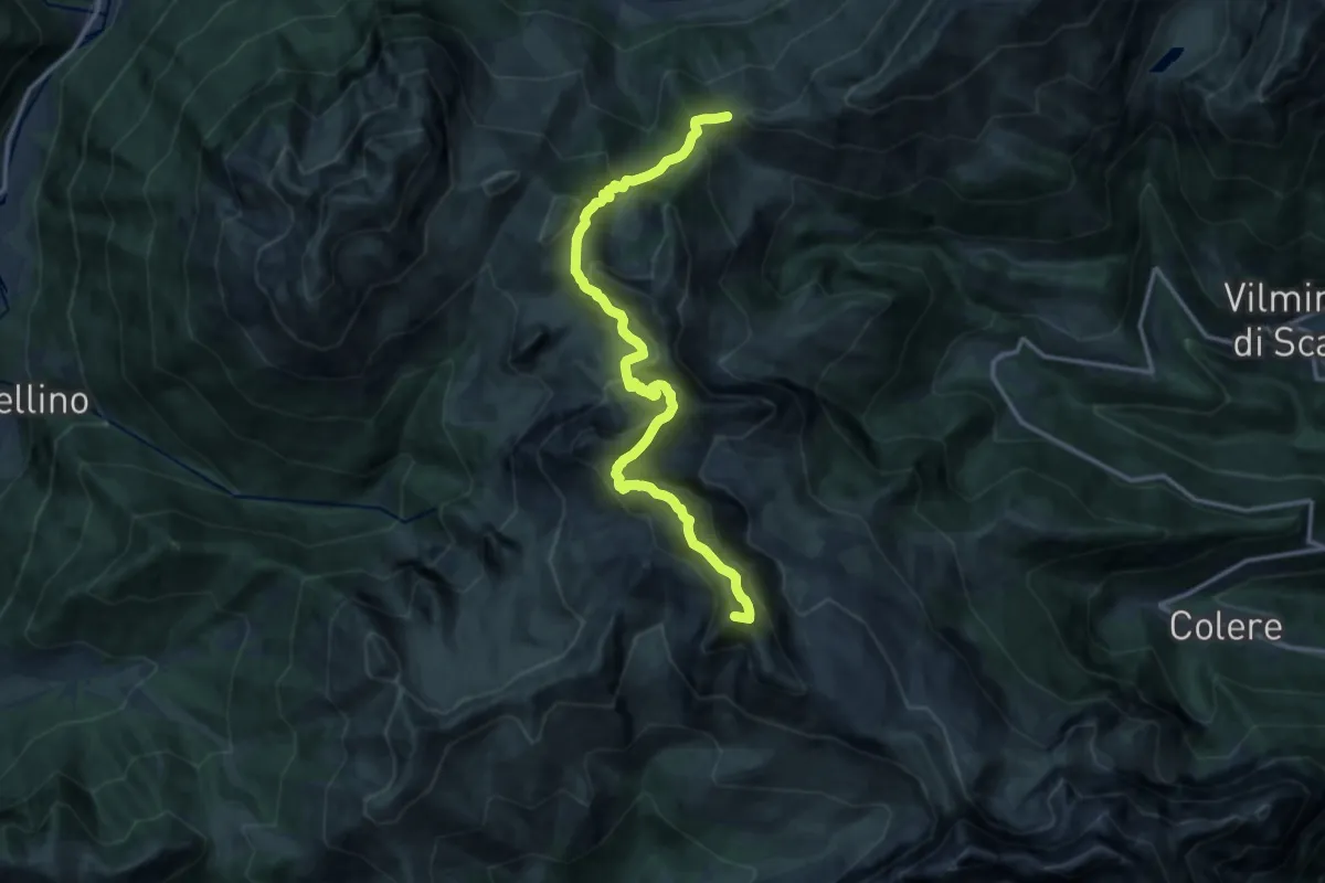
Demanding · Summit
Passo della Manina – Rifugio Albani
14.6 km · ↑ 1017 m · 5 h 39 min
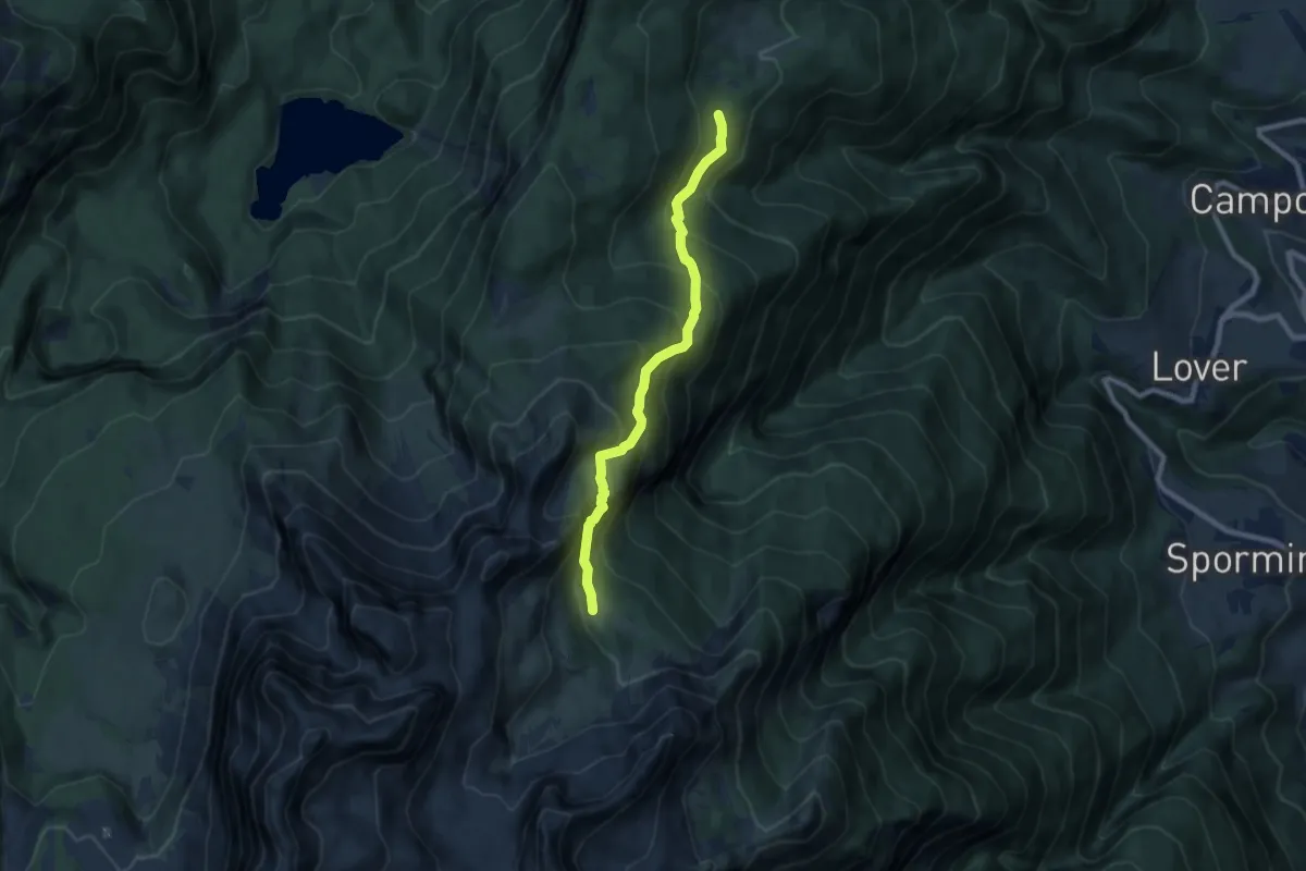
Medium · Cabin
Prà dei Gosi (bivio 330) – Malga Campa - bivacco (bivio 338 - 362 - 363)
7.6 km · ↑ 704 m · 3 h 20 min
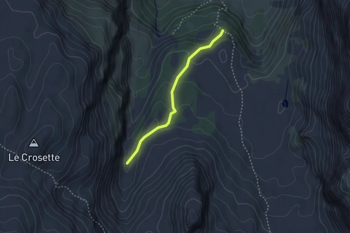
Medium · Trail
Quota 1968 (bivio 371) – Valle di Santa Maria Flavona (bivio 314)
2.6 km · ↑ 133 m · 54 min
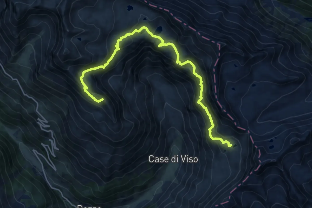
Demanding · Summit
Ponte di Legno (Sant'Apollonia) – Rifugio Angelino Bozzi
17.6 km · ↑ 1278 m · 6 h 55 min
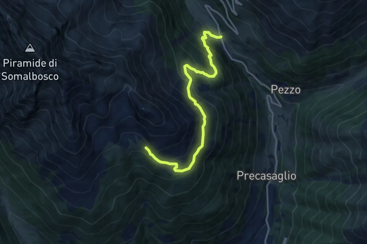
Medium · Trail
Sant'Apollonia – Baita Privisgai
10.2 km · ↑ 755 m · 4 h 2 min
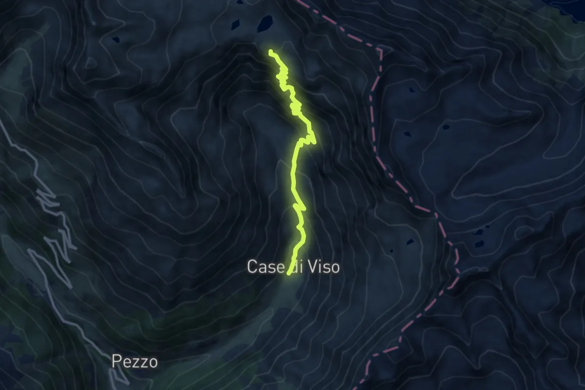
Demanding · Trail
Ponte di Legno (Case di Viso) – Innesto sentiero 102
10.2 km · ↑ 972 m · 4 h 30 min
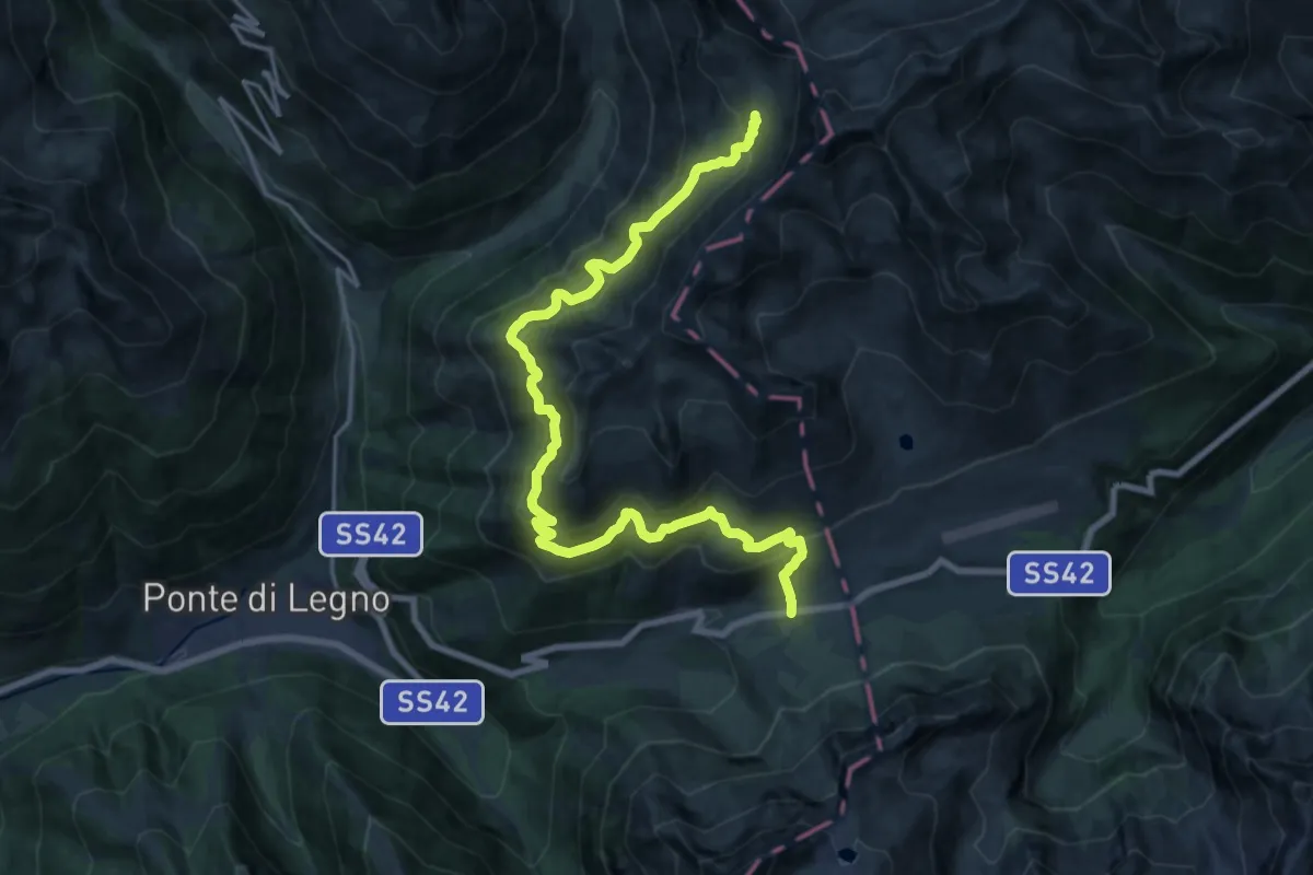
Demanding · Trail
Tonale – Rifugio Angelino Bozzi
21.5 km · ↑ 1347 m · 8 h
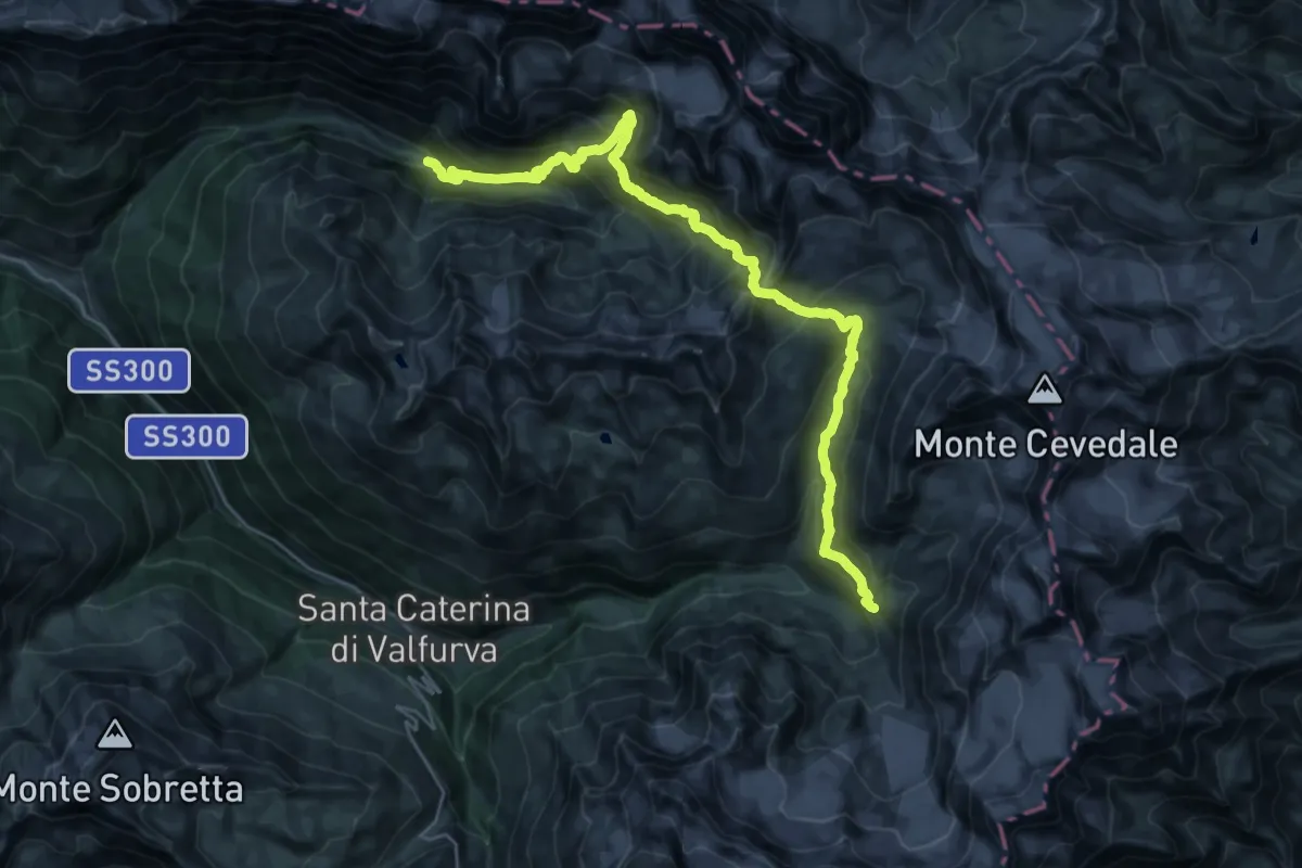
Demanding · Cabin
Rifugio Campo – Rifugio Branca
15.6 km · ↑ 1453 m · 6 h 48 min
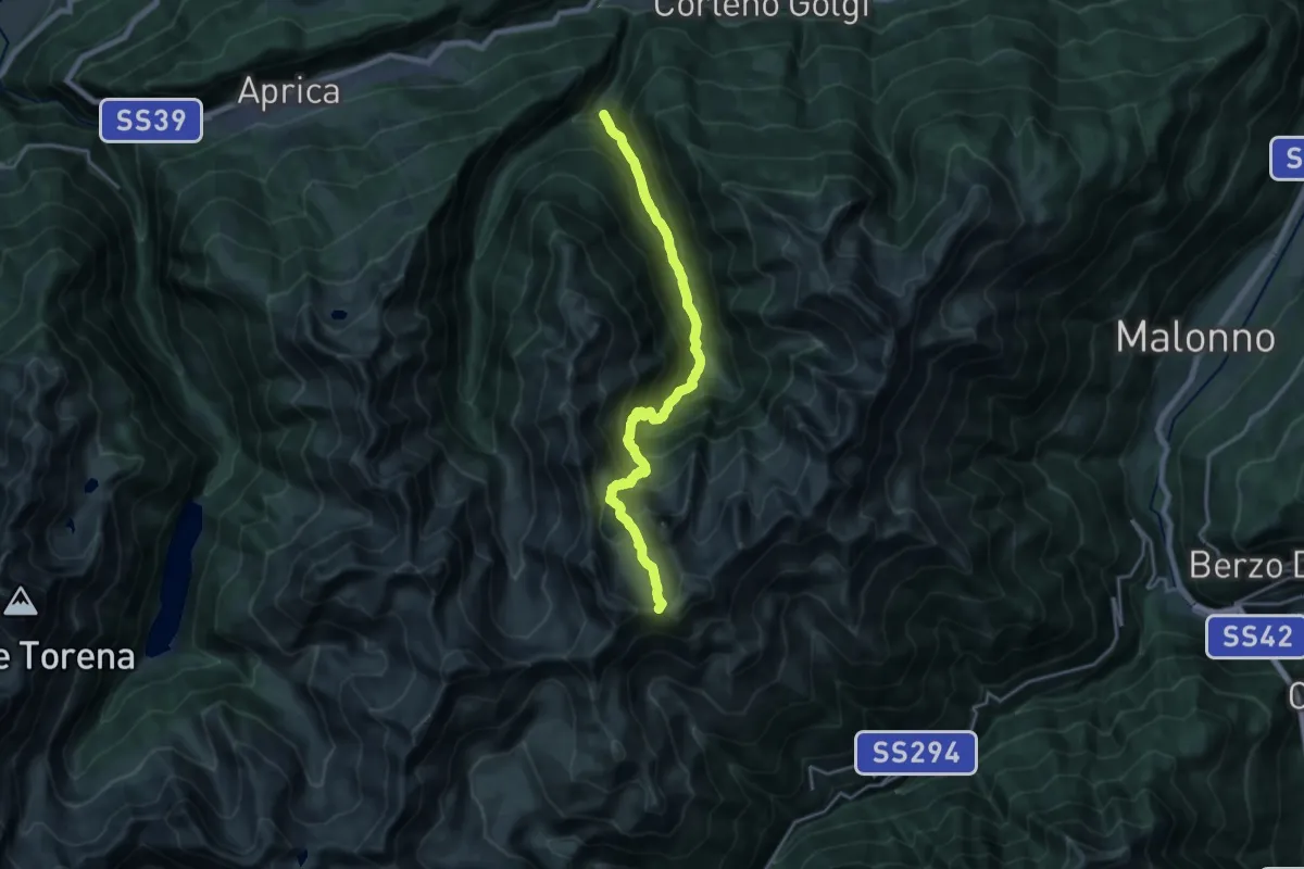
Demanding · Trail
Sant'Antonio – Passo del Torsoleto
18.3 km · ↑ 1575 m · 7 h 44 min
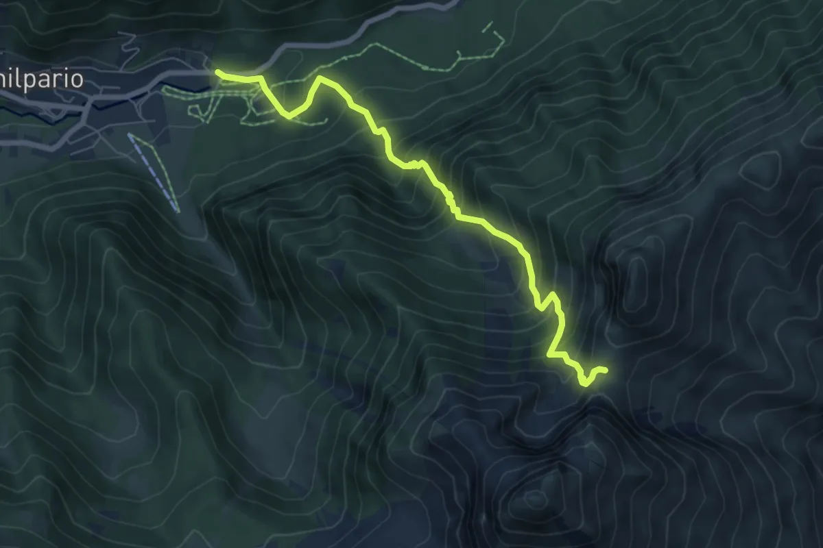
Demanding · Trail
Schilpario (Paghere) – Passo di Ezendola
6.8 km · ↑ 844 m · 3 h 26 min
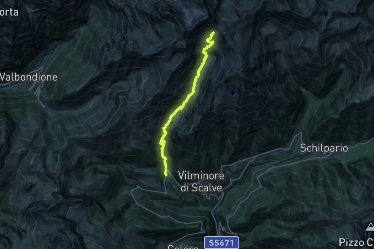
Demanding · Trail
Bueggio (Vilminore di Scalve) – Passo di Belviso
15.0 km · ↑ 1425 m · 6 h 37 min
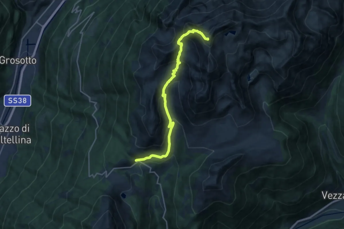
Demanding · Summit
Val Varadega – Pianaccio
14.4 km · ↑ 1063 m · 5 h 42 min
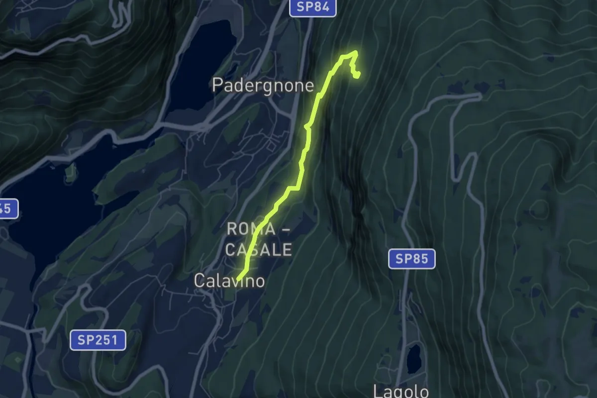
Medium · Trail
Calavino (bivio 619) – Ex Maso Conzeta (bivio 618)
5.5 km · ↑ 382 m · 2 h 7 min
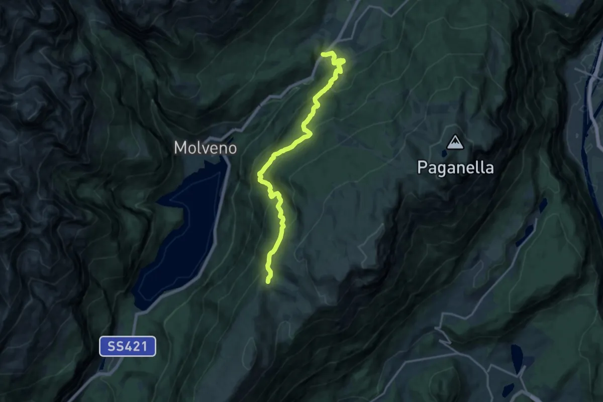
Demanding · Trail
Laghet (frazione di Andalo) – Passo di San Giovanni (bivio 602 - 612 - 644)
15.4 km · ↑ 932 m · 5 h 40 min
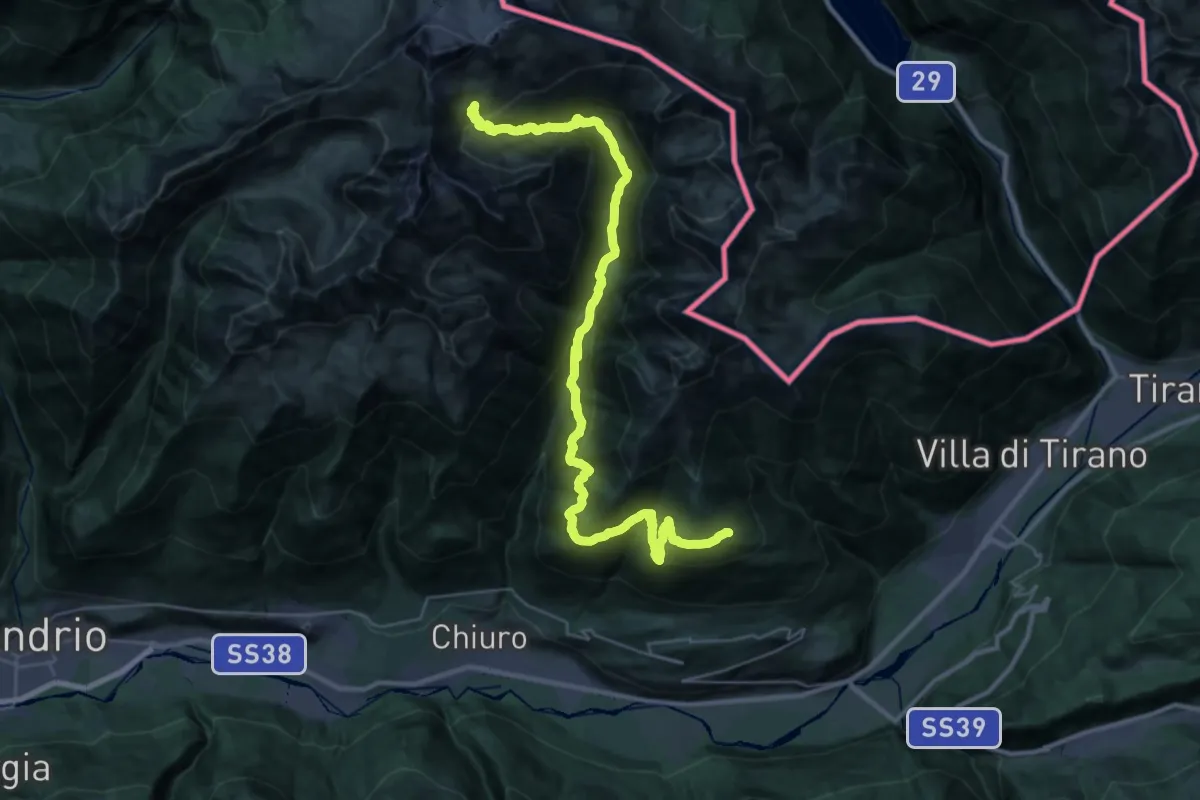
Demanding · Cabin
Rifugio Cederna Maffina – Prato Valentino
19.3 km · ↑ 1801 m · 8 h 17 min
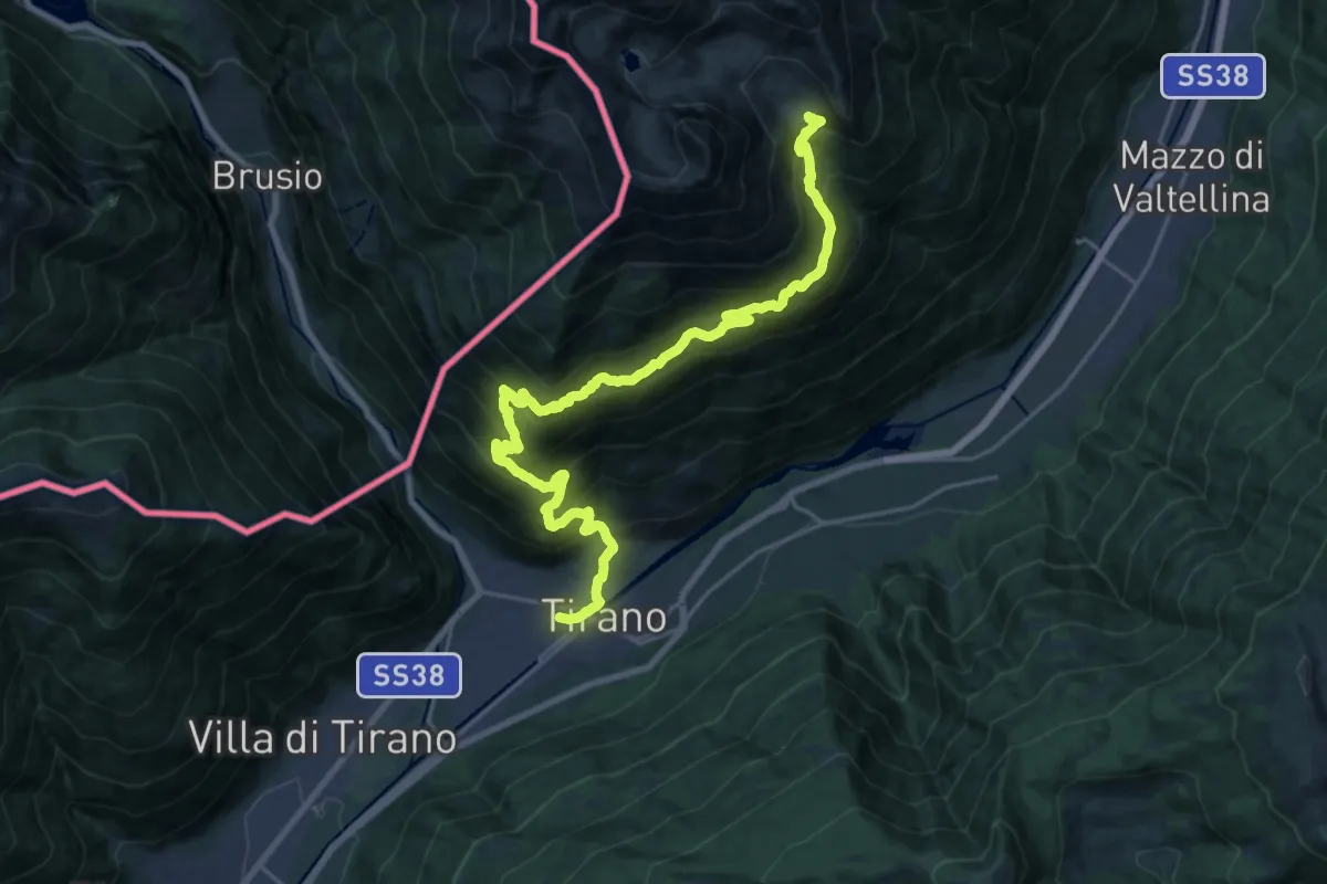
Demanding · Cabin
Tirano Stazione – Rifugio Schiazzera
12.4 km · ↑ 1890 m · 6 h 22 min
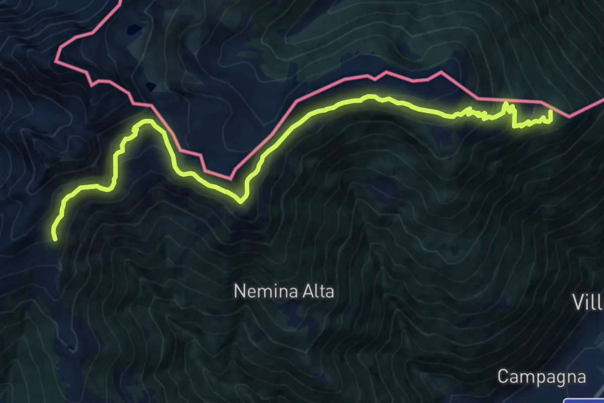
Demanding · Summit
Prato Valentino – Tirano Stazione
18.4 km · ↑ 1200 m · 6 h 56 min
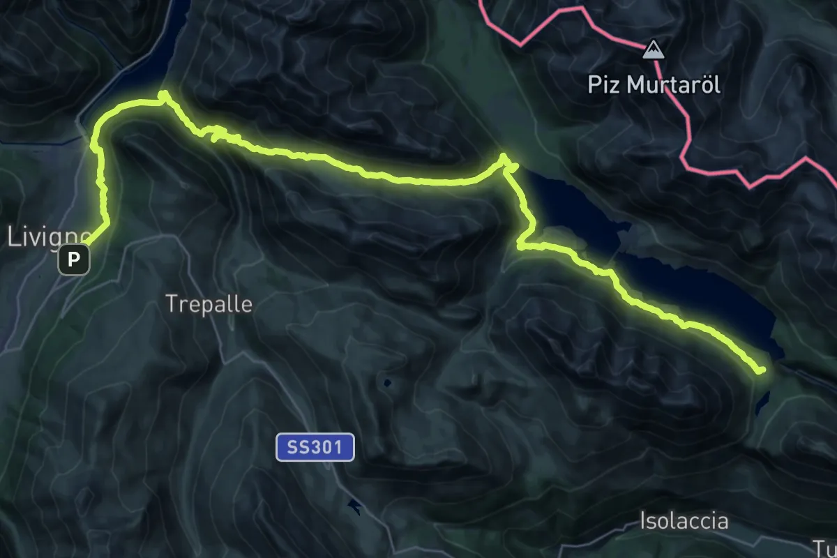
Demanding · Trail
Livigno (Loc. Teola) – Rifugio Monte alle Scale (Cancano)
21.6 km · ↑ 923 m · 7 h 22 min
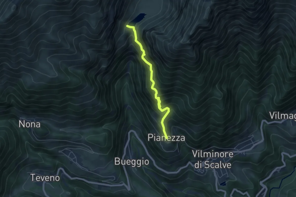
Medium · Trail
Pianezza (Vilminore) – Diga del Gleno
5.0 km · ↑ 574 m · 2 h 25 min
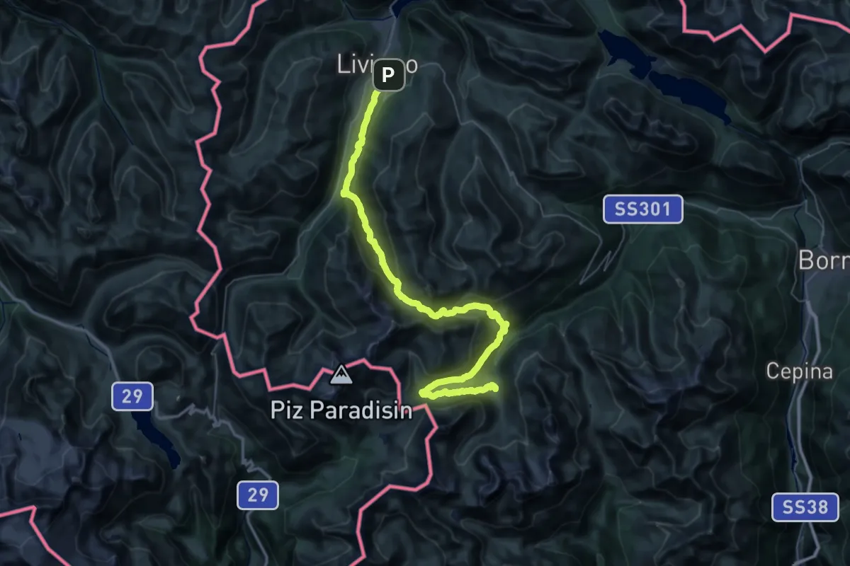
Expert · Cabin
Rifugio Federico – Livigno
24.7 km · ↑ 1360 m · 9 h
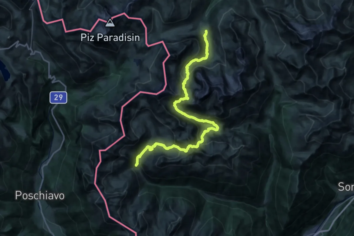
Demanding · Cabin
Malghera – Rifugio Valgoi
19.3 km · ↑ 1446 m · 7 h 52 min
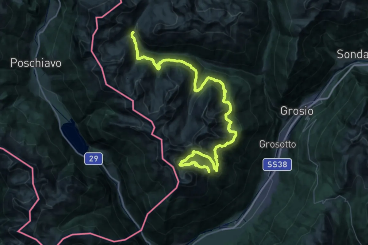
Demanding · Cabin
Rifugio Schiazzera – Malghera
24.6 km · ↑ 1285 m · 8 h 53 min
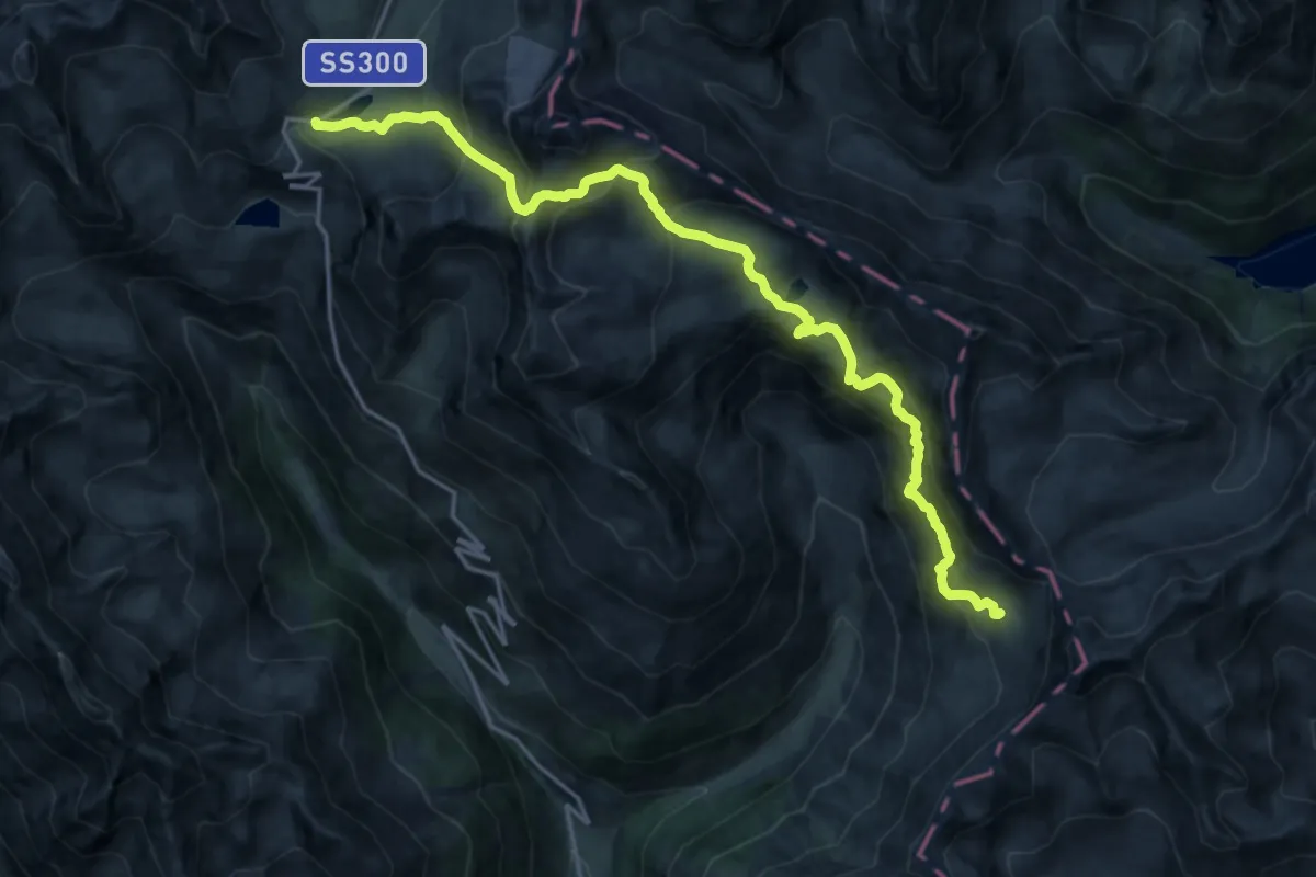
Expert · Cabin
Passo di Gavia – Rifugio Angelino Bozzi al Montozzo
10.5 km · ↑ 785 m · 4 h 24 min
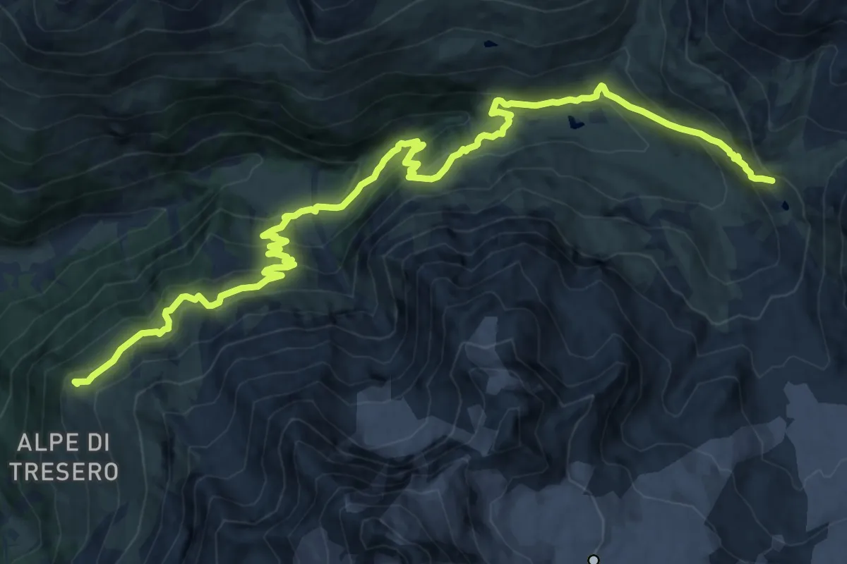
Demanding · Summit
Rifugio Branca – Passo di Gavia
18.9 km · ↑ 1271 m · 7 h 14 min
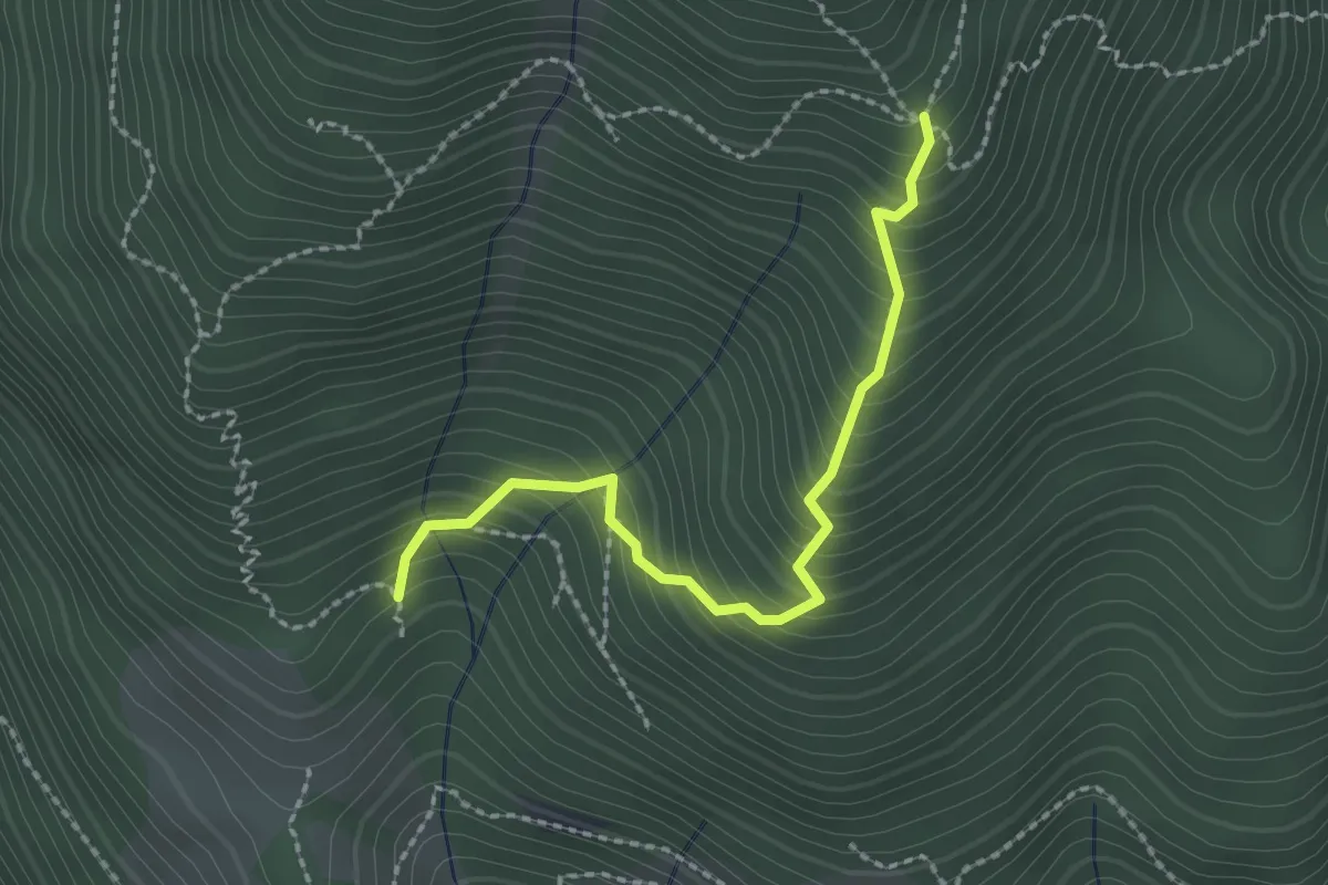
Medium · Cabin
Incrocio 411 – Baita Napoleù
2.2 km · ↑ 323 m · 1 h 14 min
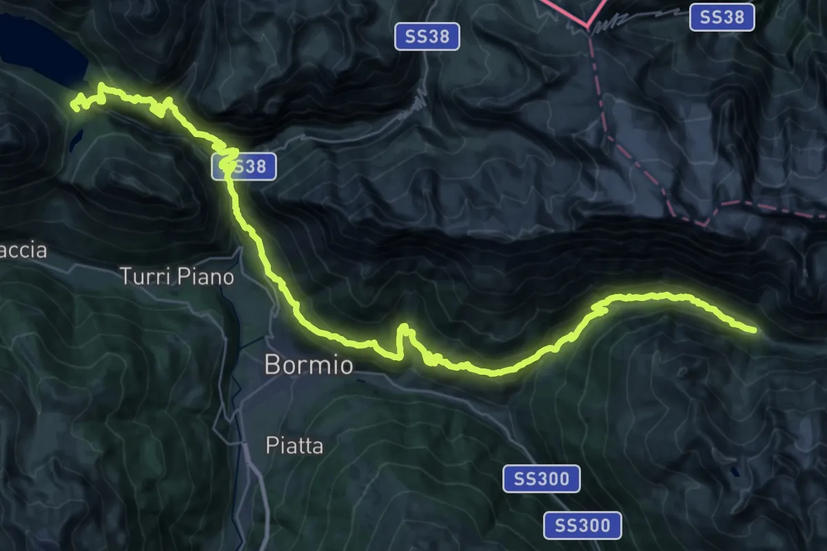
Demanding · Cabin
Rifugio Monte alle Scale (Cancano) – Rifugio Campo
24.6 km · ↑ 1307 m · 8 h 57 min
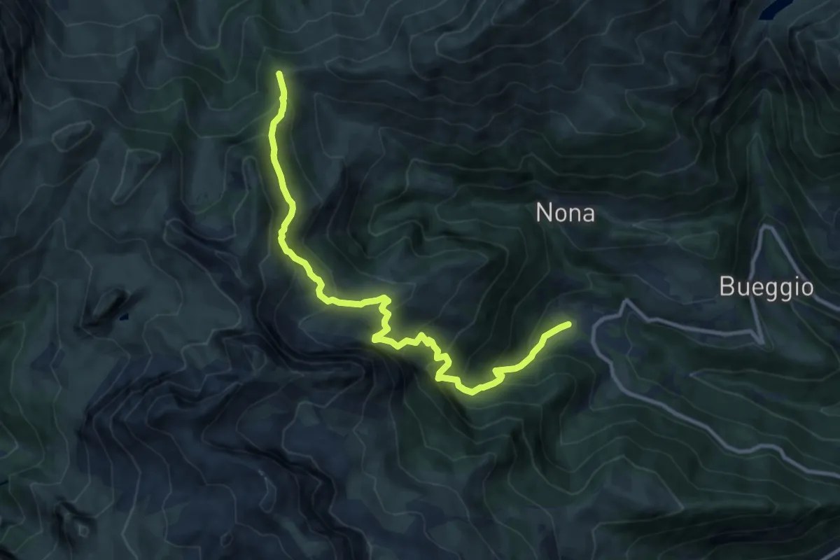
Demanding · Trail
Teveno – Passo della Manina
11.2 km · ↑ 1104 m · 5 h 2 min
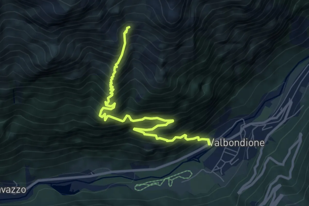
Demanding · Trail
Valbondione – Pozzo Enel
7.5 km · ↑ 1119 m · 4 h 12 min
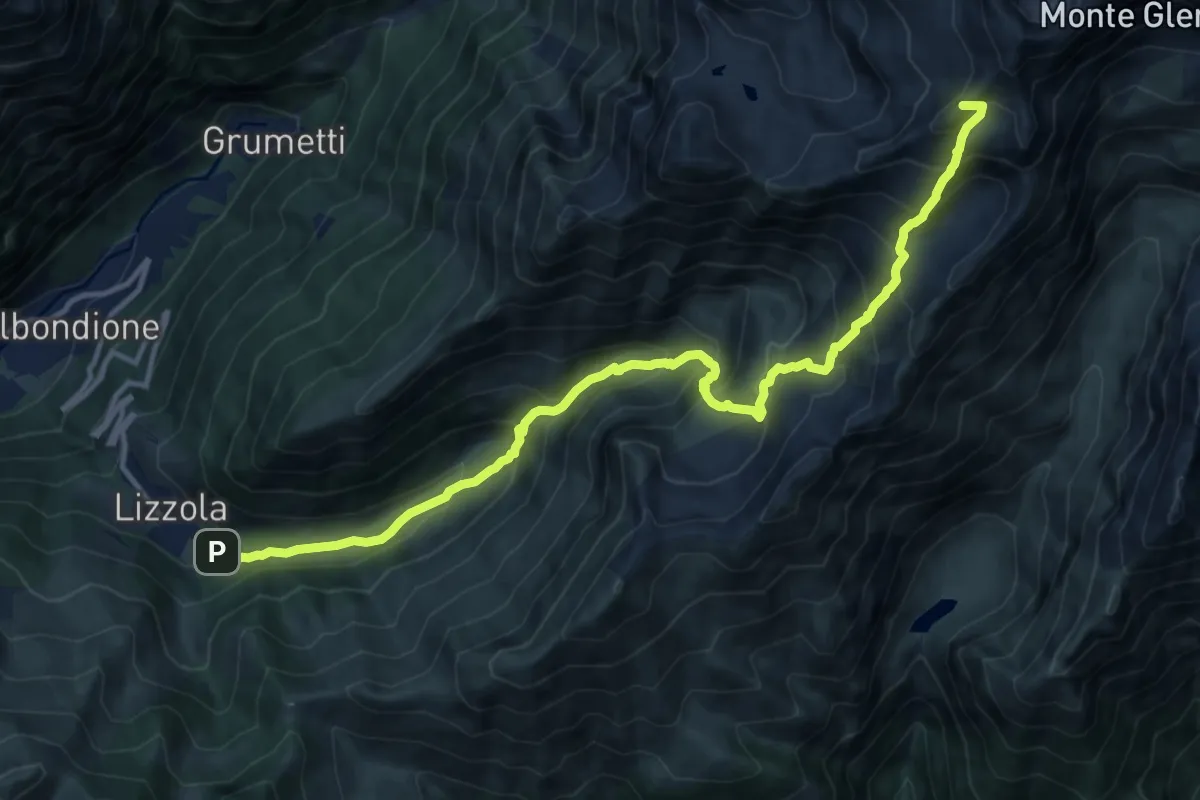
Demanding · Summit
Lizzola – Passo Bondione
14.7 km · ↑ 1360 m · 6 h 24 min
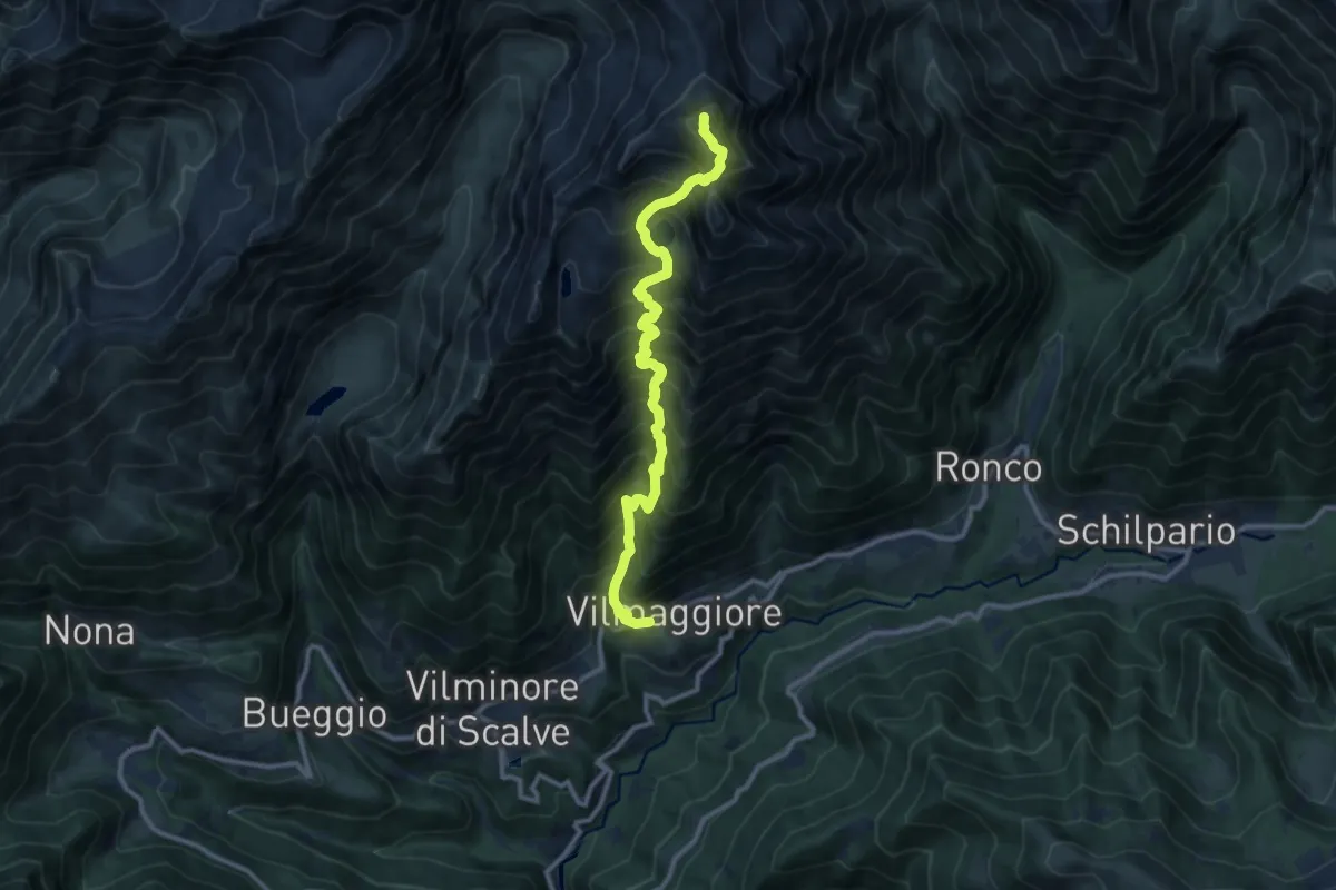
Demanding · Summit
Vilmaggiore – Pizzo Tornello
11.2 km · ↑ 1566 m · 6 h 2 min
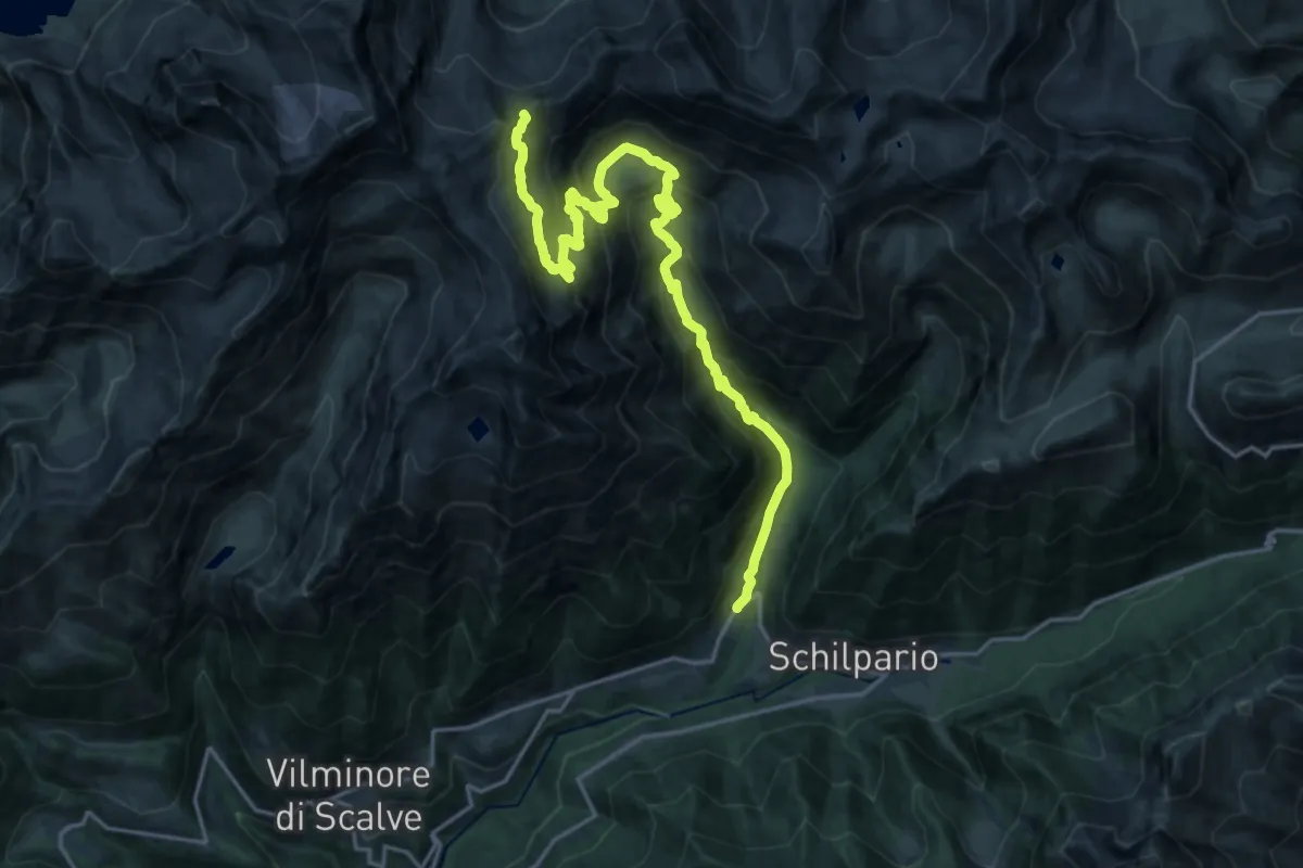
Demanding · Cabin
Schilpario (Ronco) – Rifugio Tagliaferri
11.0 km · ↑ 1372 m · 5 h 6 min
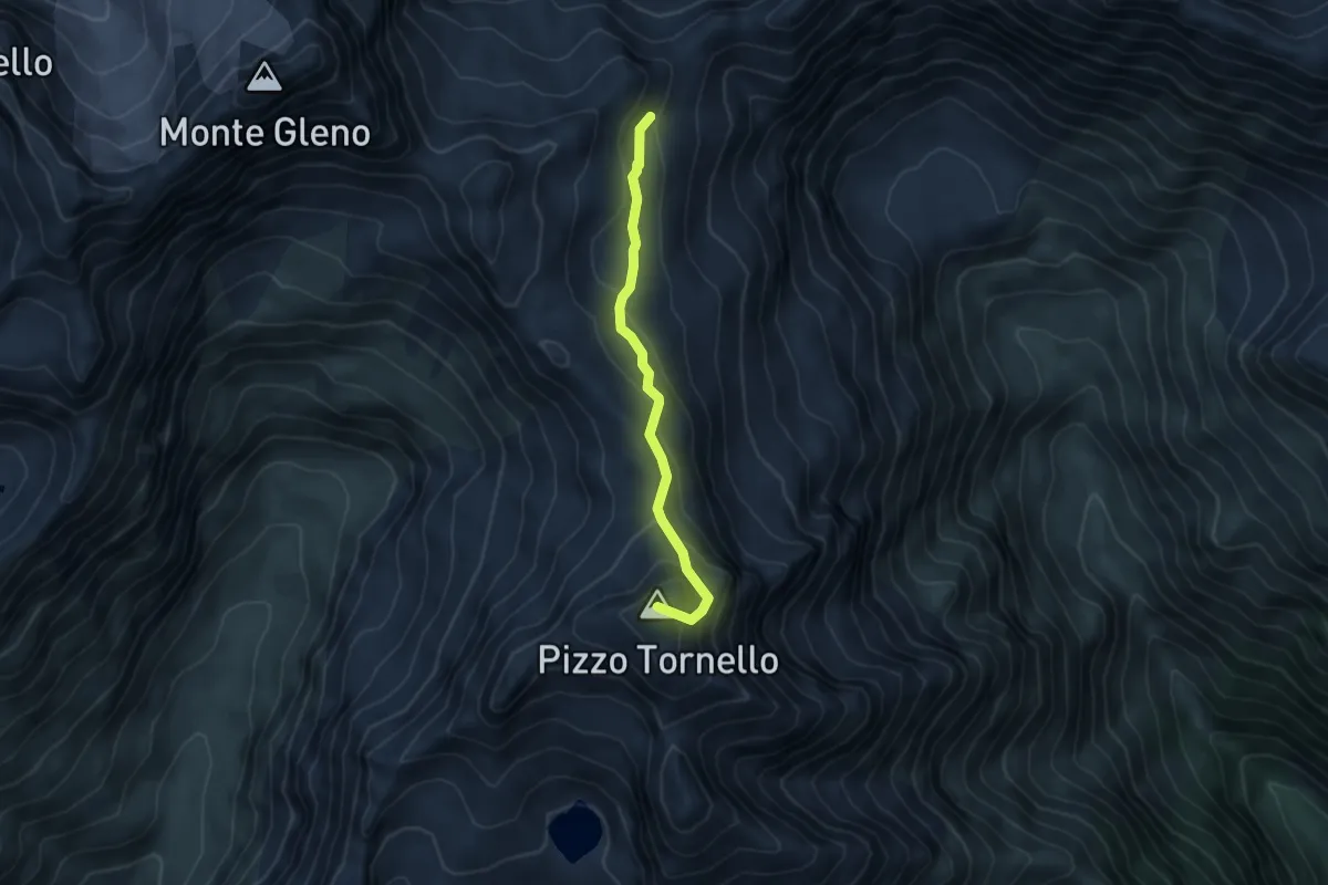
Medium · Summit
Rifugio Tagliaferri – Pizzo Tornello
4.5 km · ↑ 308 m · 1 h 44 min
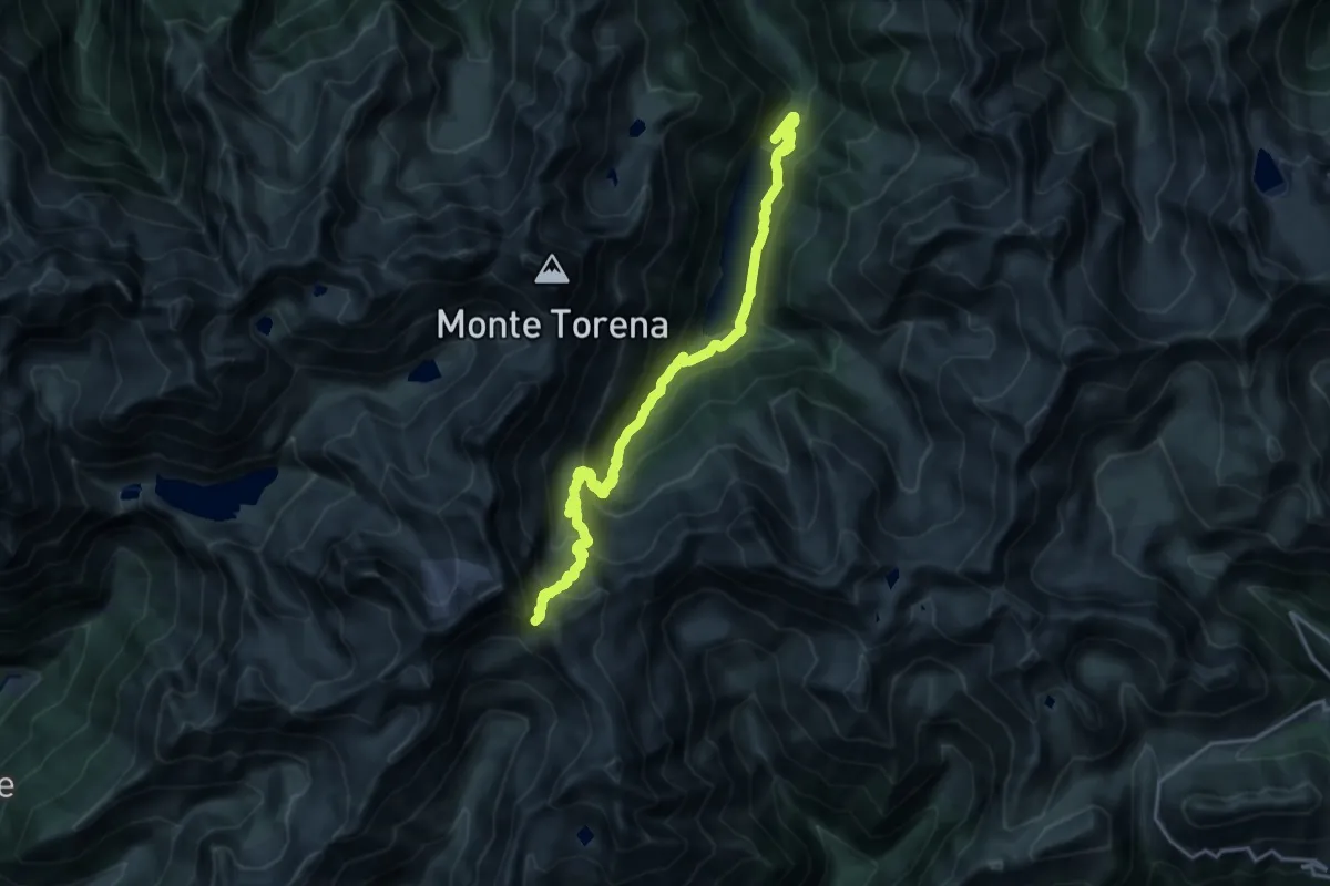
Demanding · Trail
Lago Belviso – Passo di Belviso
19.3 km · ↑ 1530 m · 7 h 52 min
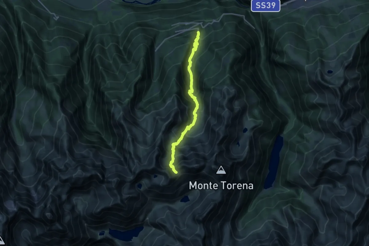
Demanding · Trail
Carona – Passo Caronella
16.2 km · ↑ 1497 m · 7 h 4 min
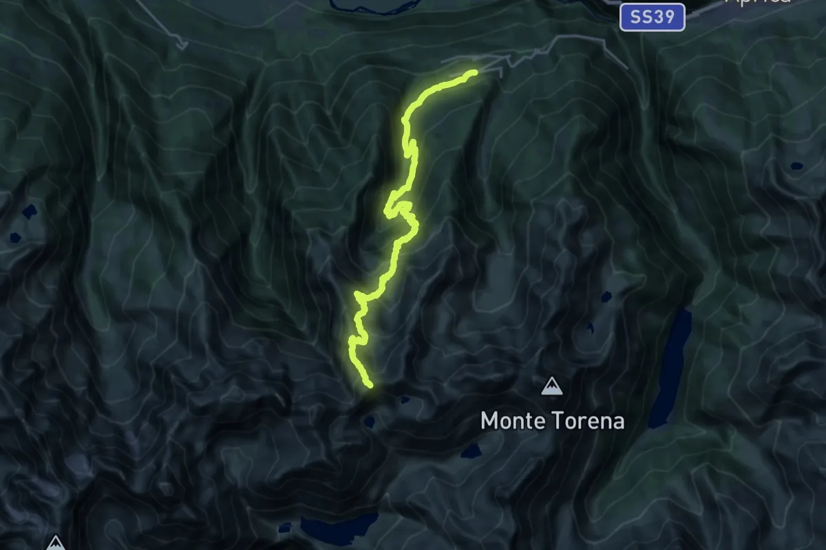
Demanding · Trail
Bondone – Passo Bondone
10.6 km · ↑ 1664 m · 5 h 28 min
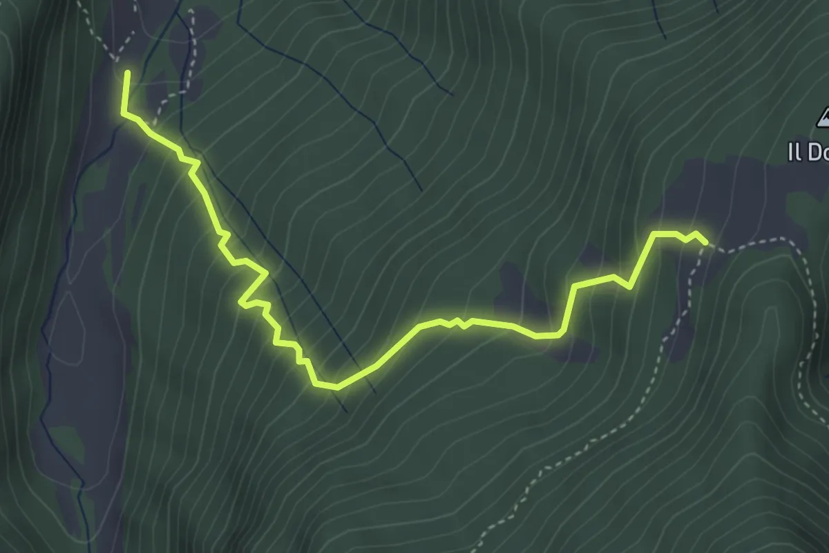
Demanding · Trail
Pra di Gianni – Malga Dosso
4.4 km · ↑ 503 m · 2 h 8 min