Trails in Italy
25,219 hiking trails, each with its route, climb, walking time and grade.
All trails, page 490 of 526
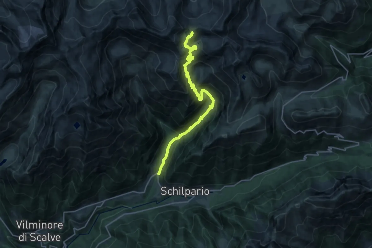
Demanding · Trail
Schilpario (Ronco) – Passo del Venerocolo
17.3 km · ↑ 1391 m · 7 h 6 min
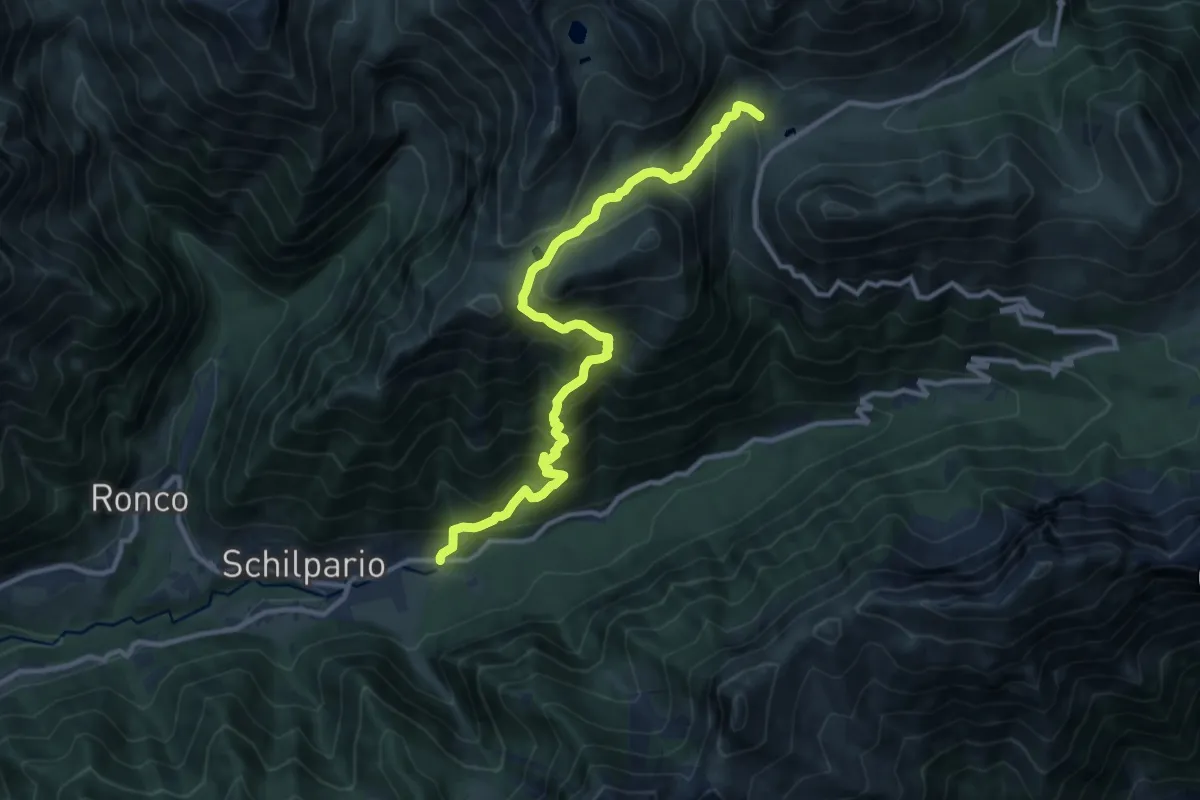
Demanding · Trail
Schilpario (Chiesa di Santa Elisabetta) – Passo del Vivione
11.9 km · ↑ 1116 m · 5 h 13 min
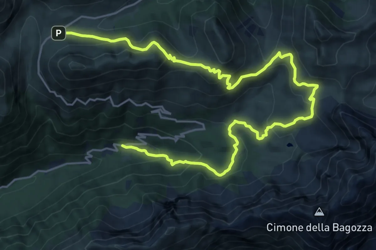
Demanding · Trail
Schilpario (I Fondi) – Passo del Vivione
20.7 km · ↑ 1131 m · 7 h 21 min
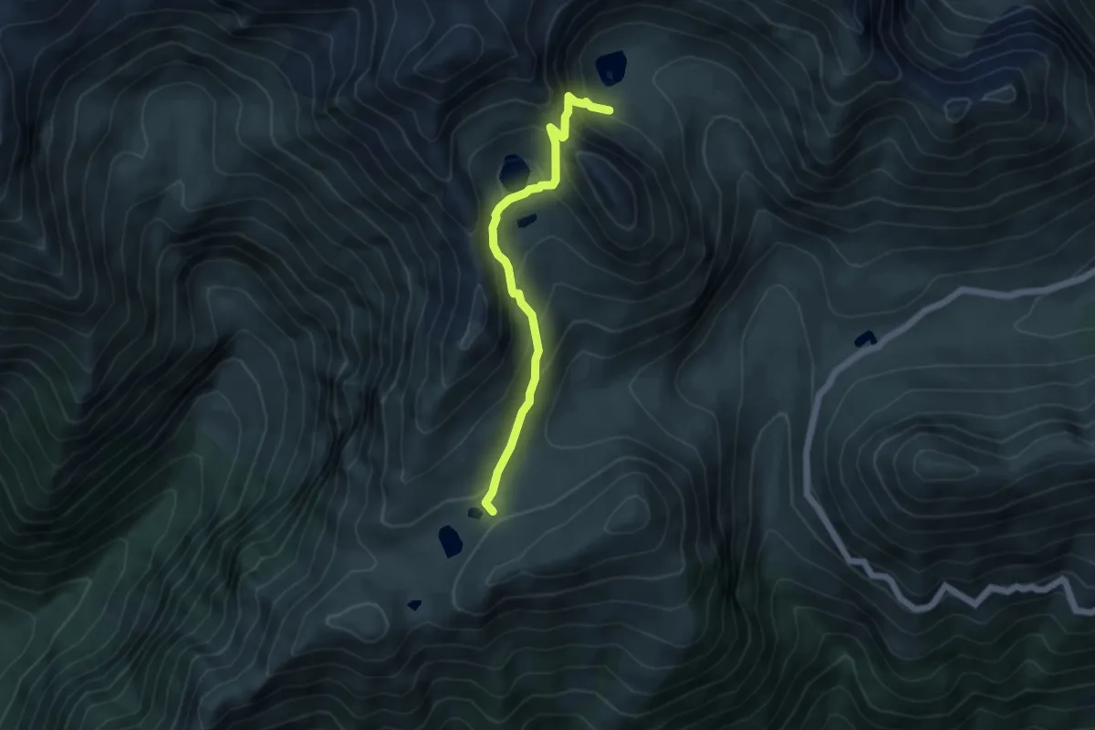
Demanding · Trail
Laghetti delle Valli – Lago di Valbona
4.8 km · ↑ 368 m · 1 h 55 min
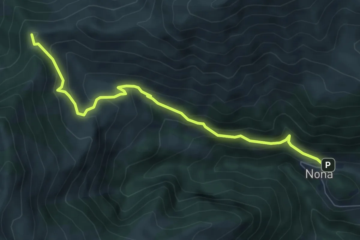
Medium · Trail
Nona – Manina (Chiesetta)
6.9 km · ↑ 527 m · 2 h 46 min
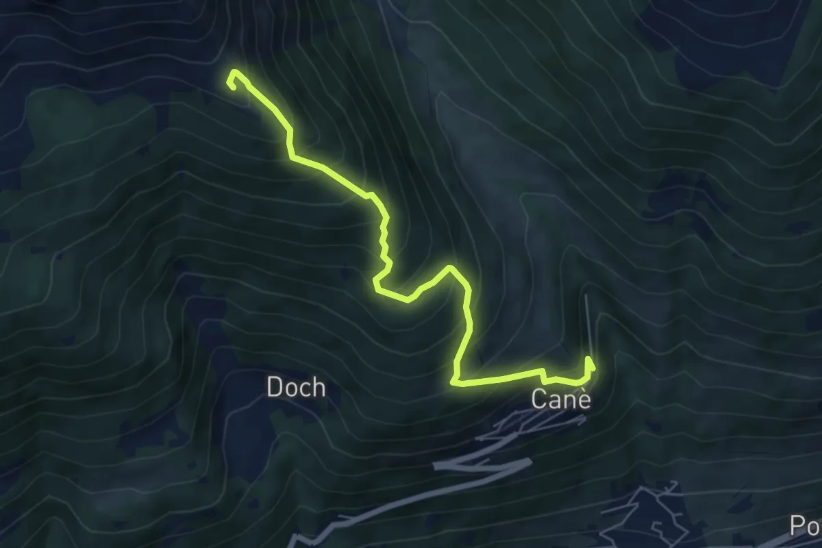
Medium · Summit
Canè – Torre dei Pagà
6.3 km · ↑ 736 m · 3 h 4 min
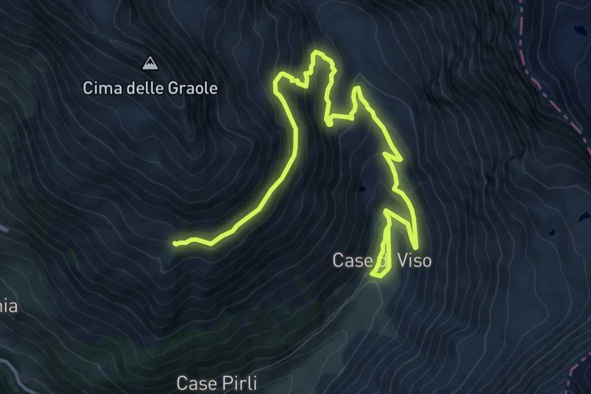
Medium · Trail
Ponte di Legno (Case di Viso) – Innesto sentiero 193
13.6 km · ↑ 794 m · 4 h 56 min
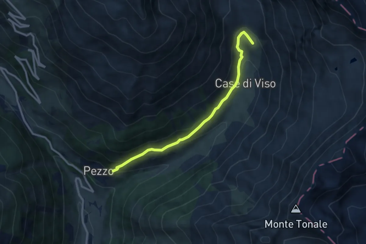
Medium · Trail
Pezzo – Case di Viso
6.8 km · ↑ 362 m · 2 h 24 min
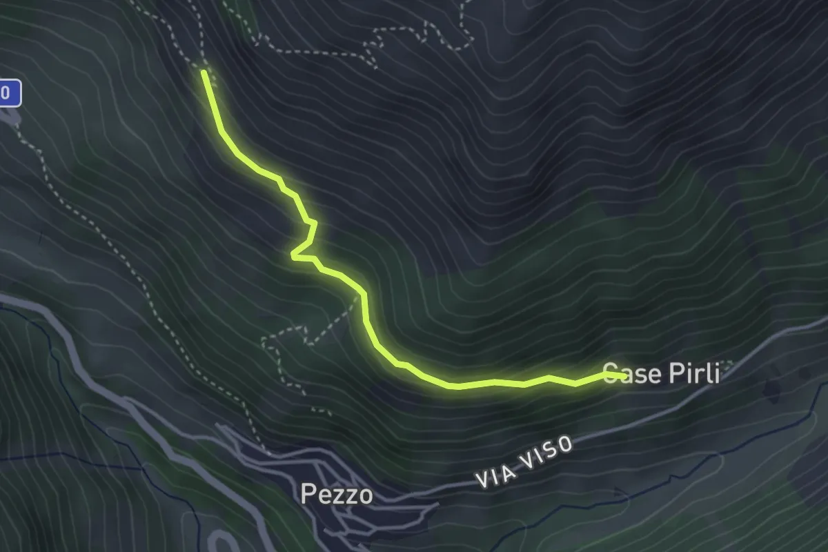
Medium · Trail
Case Pirli – Intersezione percorso 193
3.4 km · ↑ 210 m · 1 h 16 min
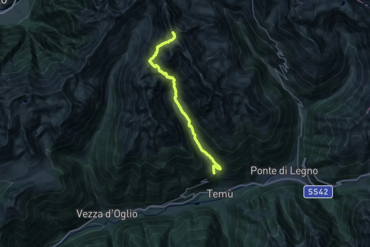
Demanding · Summit
Canè – Cima Monticello
19.7 km · ↑ 1647 m · 8 h 14 min
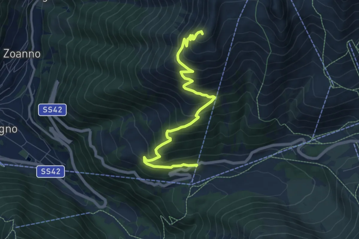
Medium · Summit
Vascasa Alta – Malga Bleis
8.8 km · ↑ 741 m · 3 h 41 min
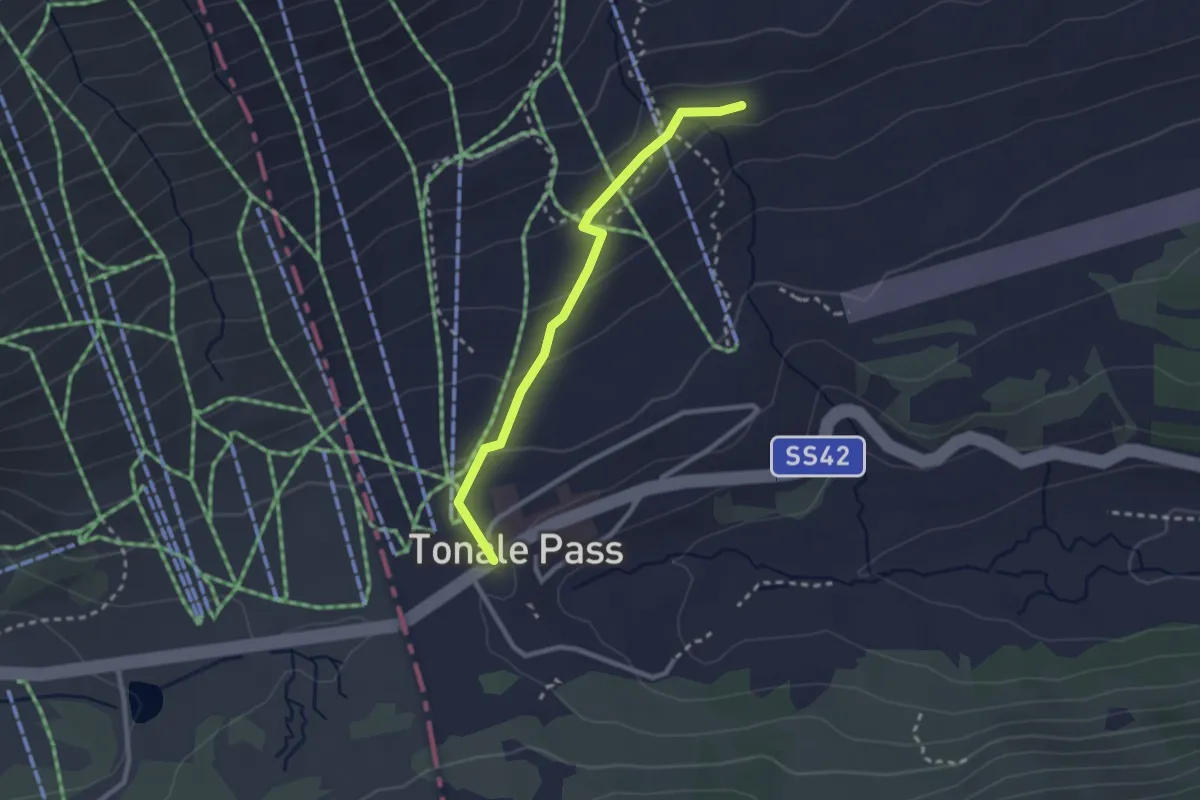
Easy · Trail
Passo del Tonale – Ospizio San Bartolomeo (bivio O111 - O160)
2.5 km · ↑ 97 m · 47 min
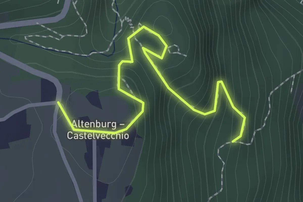
Medium · Trail
Percorso 14 – Castelvecchio - Altenburg
2.2 km · ↑ 196 m · 57 min
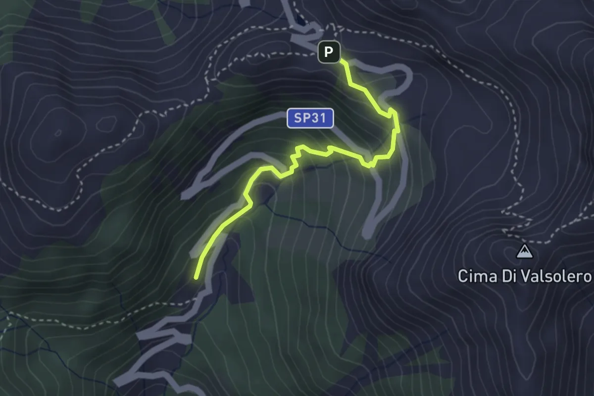
Easy · Trail
Malga Valsolero di Sopra – Passo del Mànghen
3.0 km · ↑ 283 m · 1 h 20 min
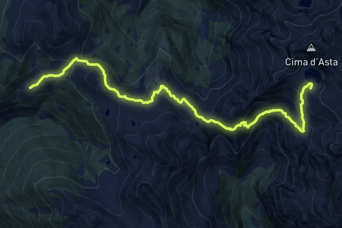
Demanding · Cabin
Rifugio Malga Conseria – Rifugio O. Brentari a Cima d'Asta
15.9 km · ↑ 1190 m · 6 h 19 min
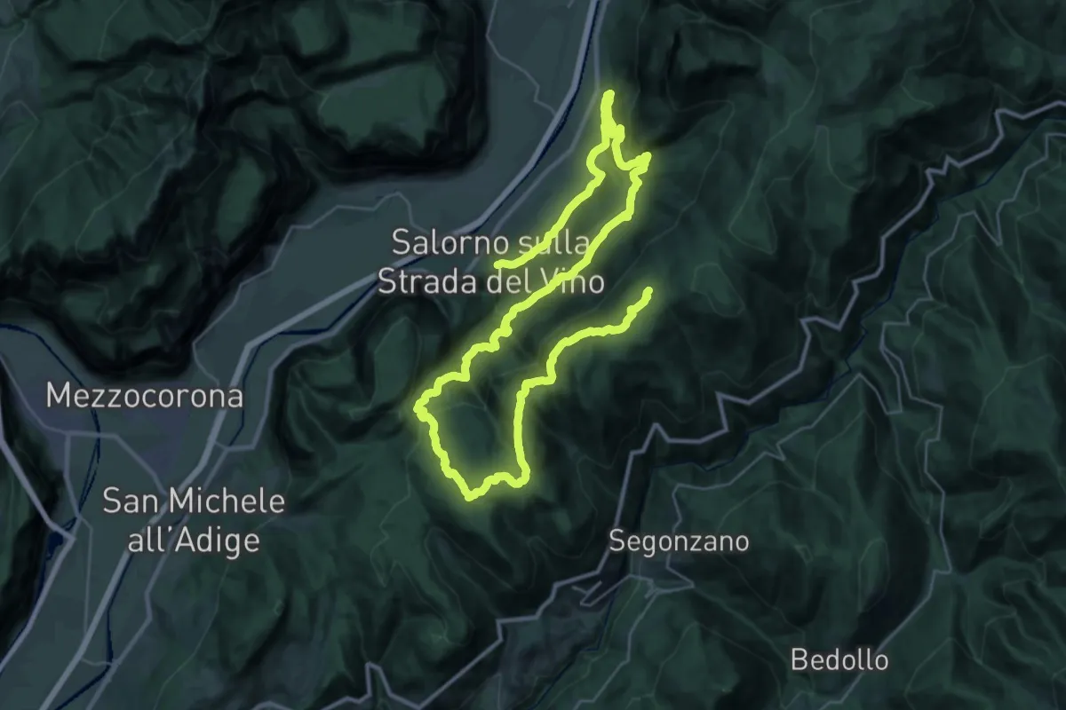
Demanding · Cabin
Salorno (Salurn) – Rifugio Potzmauer
25.6 km · ↑ 1718 m · 9 h 35 min
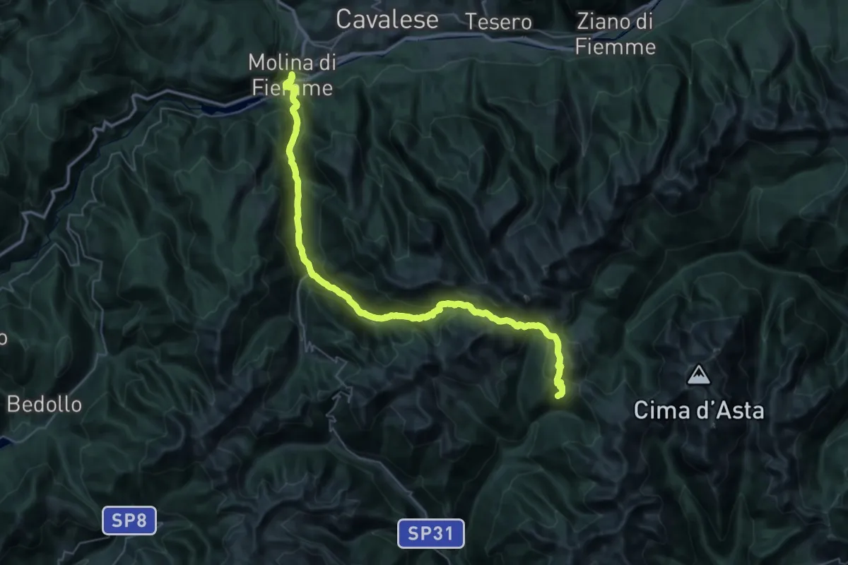
Demanding · Cabin
Molina di Fiemme – Rifugio Malga Conseria
21.2 km · ↑ 1632 m · 8 h 20 min
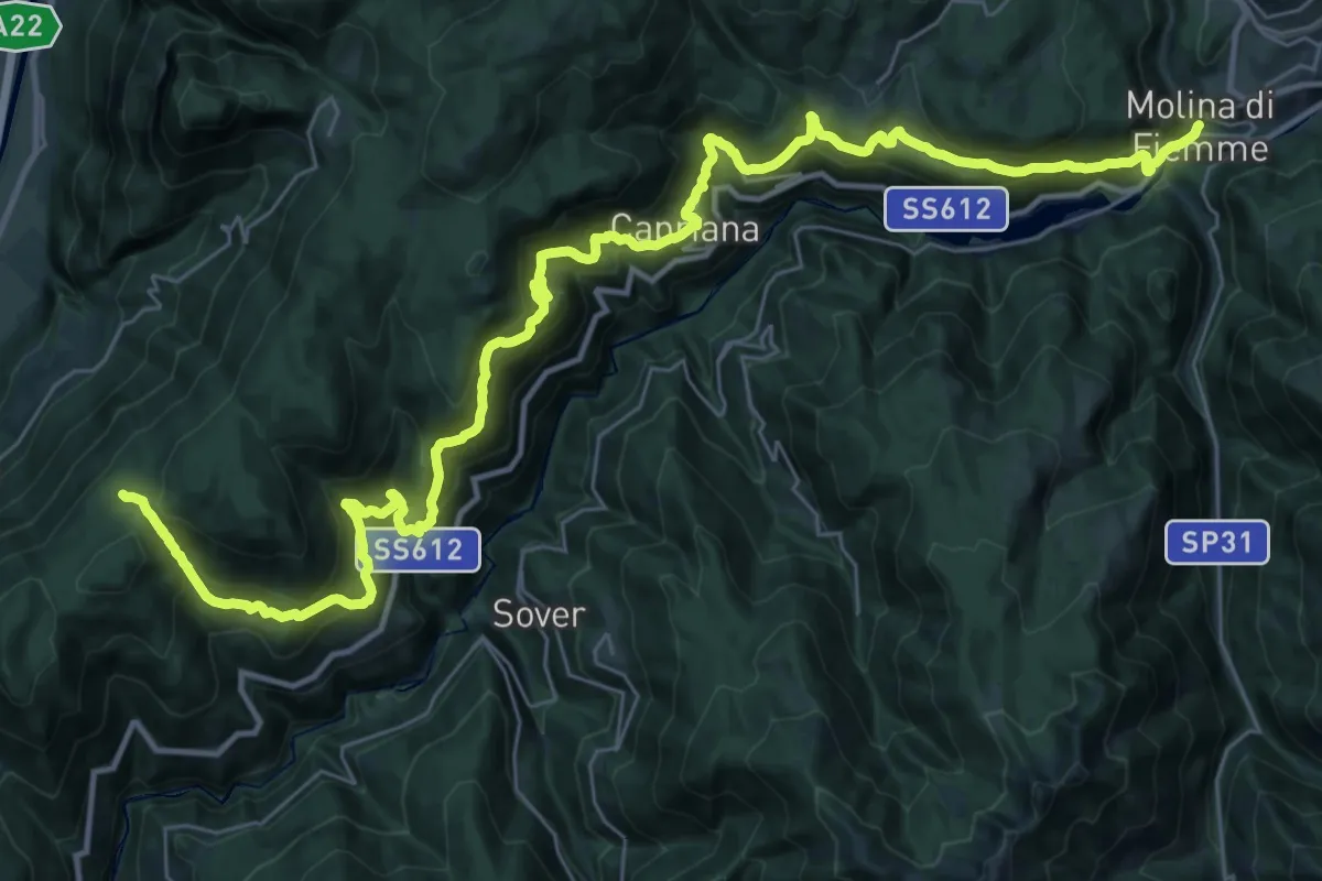
Demanding · Cabin
Rifugio Potzmauer – Molina di Fiemme
22.1 km · ↑ 1660 m · 8 h 53 min
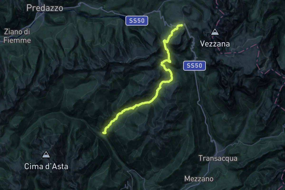
Demanding · Trail
Caoria – Passo Rolle
19.7 km · ↑ 1487 m · 7 h 35 min
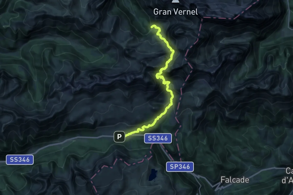
Demanding · Cabin
Passo San Pellegrino – Rifugio Contrin
11.2 km · ↑ 869 m · 4 h 38 min
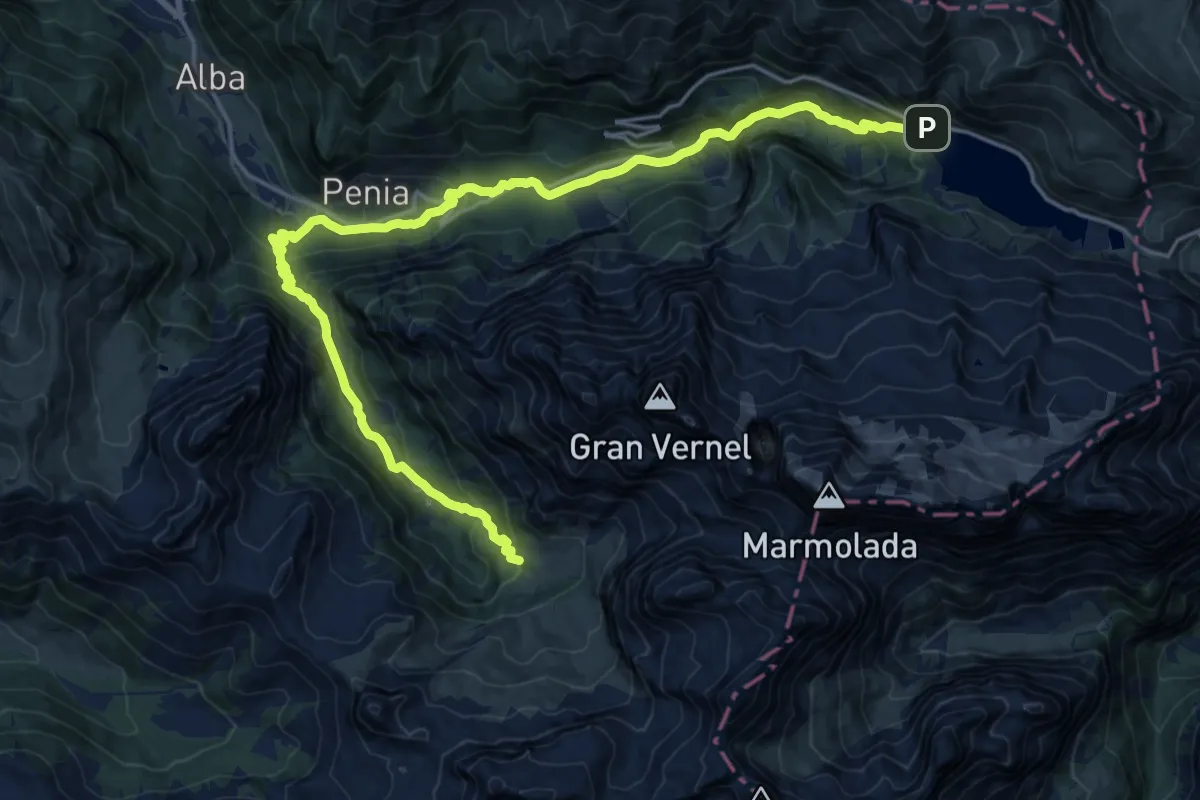
Demanding · Cabin
Rifugio Contrin – Rifugio Marmolada
22.5 km · ↑ 1194 m · 7 h 55 min
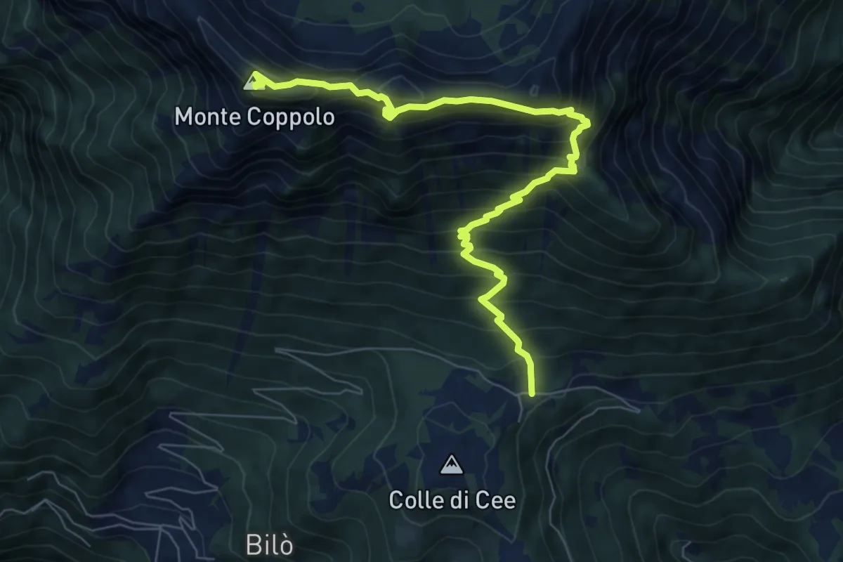
Demanding · Summit
Lamon Le Ei – Monte Coppolo
8.3 km · ↑ 1048 m · 4 h 14 min
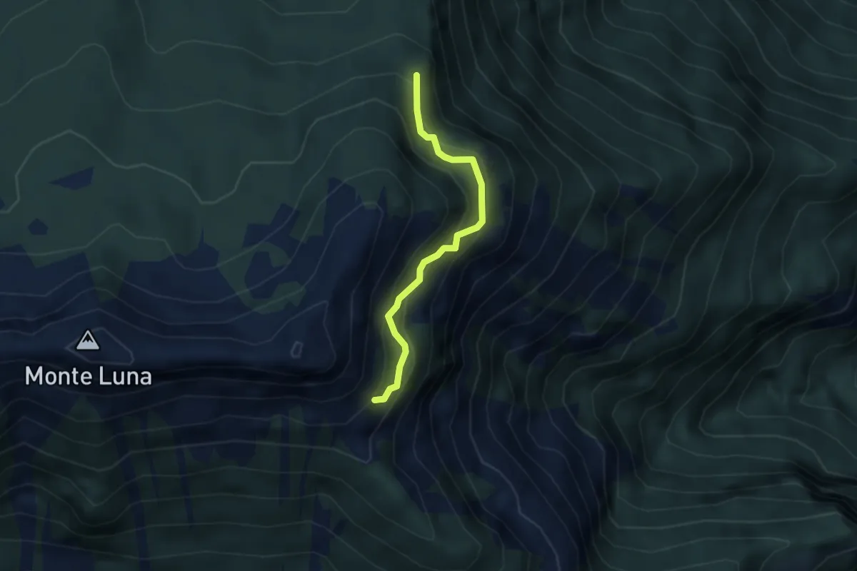
Medium · Trail
Nei pressi del Monte Piaz - inn. sent. 821 – Malga Malarica di Sopra - inn. sent. 393
2.8 km · ↑ 328 m · 1 h 22 min
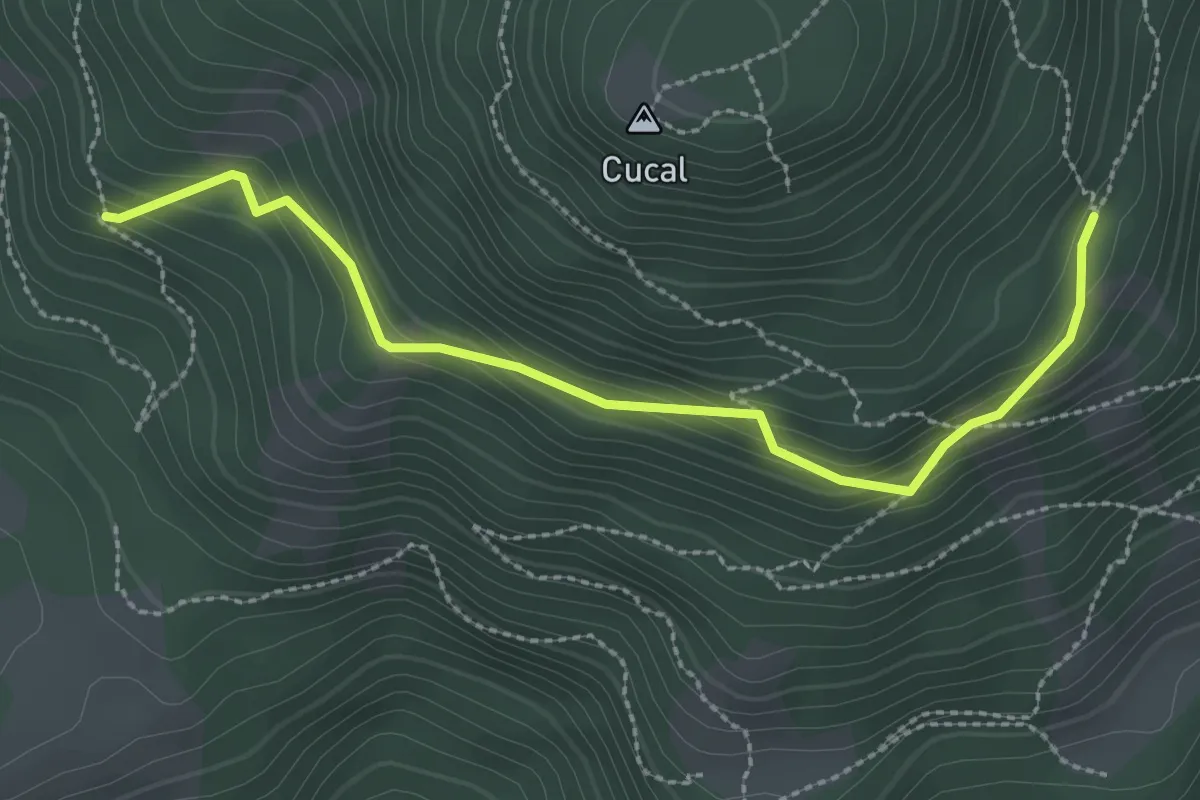
Medium · Trail
I Mati - bivio strada forestale – Quota 1527
2.8 km · ↑ 217 m · 1 h 9 min
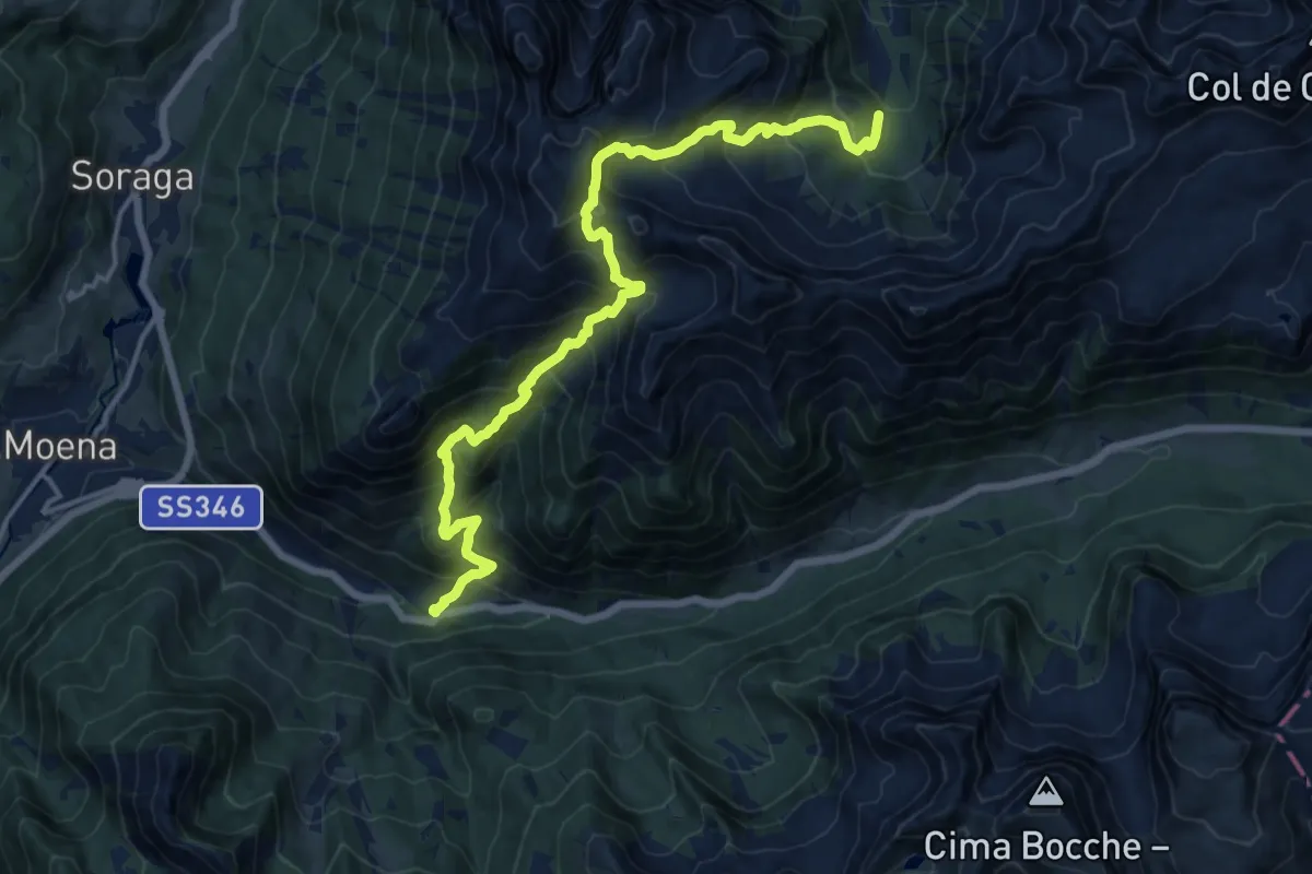
Medium · Trail
Pian di Munciogn - Monzoni (bivio 603) – I Ronc - Ronchi al km 3,8 della Strada Statale 346
8.4 km · ↑ 705 m · 3 h 52 min
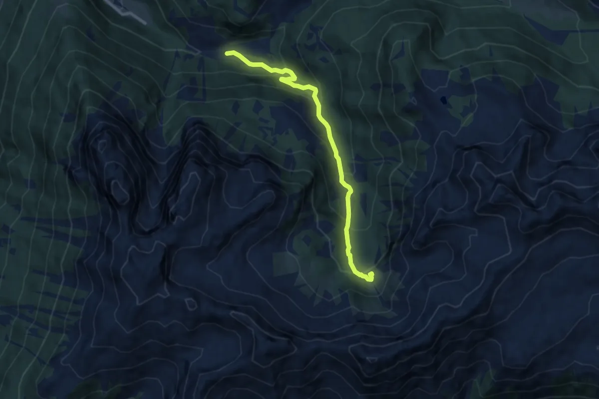
Medium · Cabin
Malga Crocefisso – Rifugio Monzoni "T.Taramelli" (bivio 604)
7.9 km · ↑ 507 m · 2 h 58 min
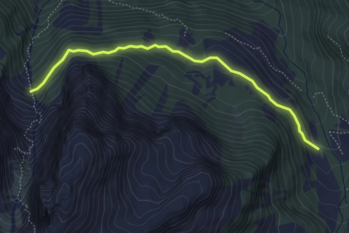
Easy · Trail
Baita Monzoni (bivio 603) – Mandra de Valacia (bivio 615)
5.0 km · ↑ 214 m · 1 h 39 min
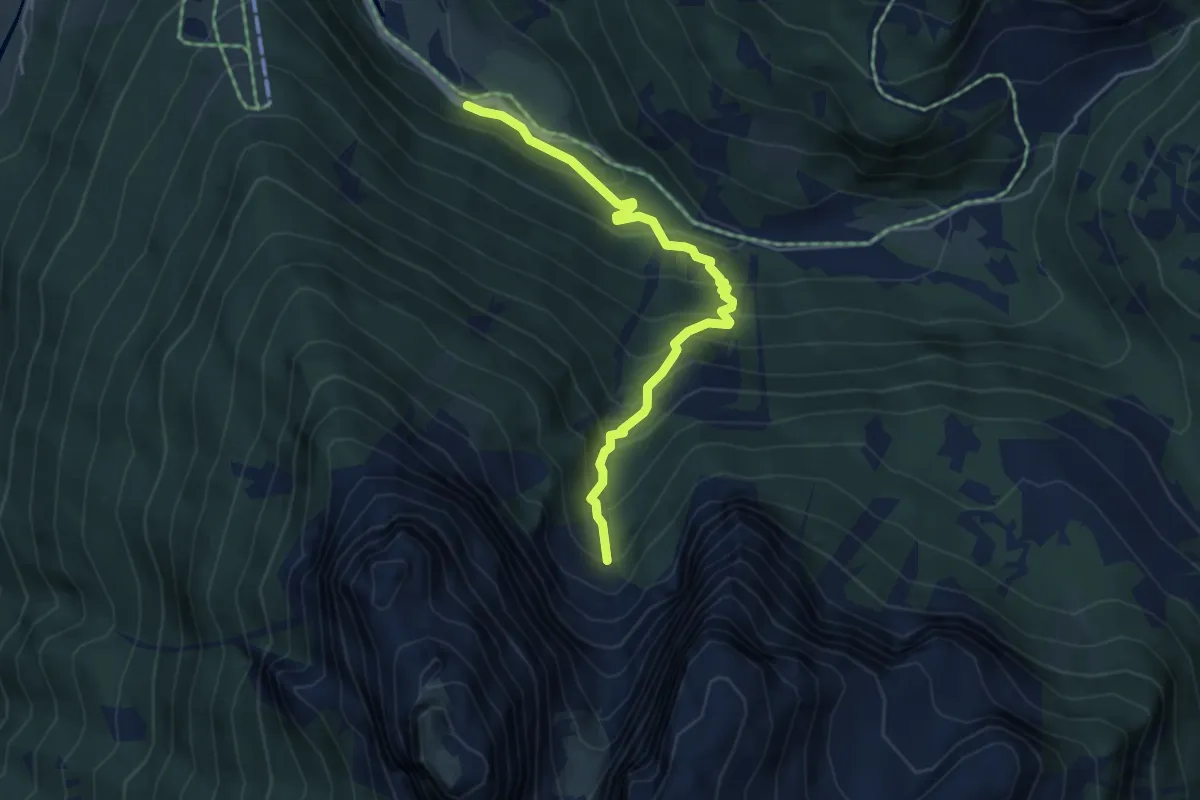
Medium · Trail
Val de Sen Nicolò - Pènt de Garnetè – Bivacco Valacia - "Donato Zeni" (bivio 624)
4.7 km · ↑ 442 m · 2 h 4 min
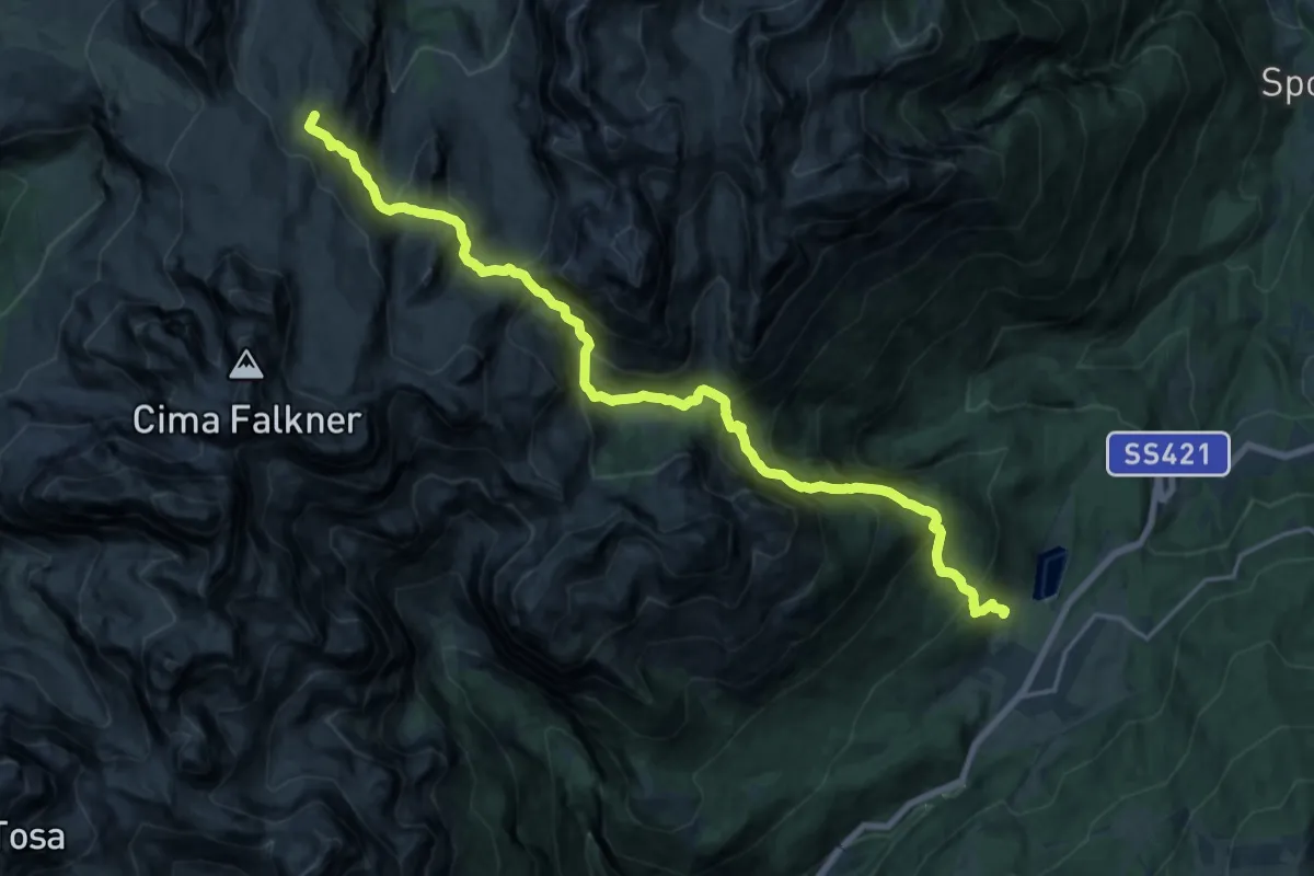
Demanding · Summit
Pegorar – Rifugio Grostè "Giorgio Graffer" (bivio 331 - 336 - 382)
20.7 km · ↑ 1944 m · 9 h 6 min
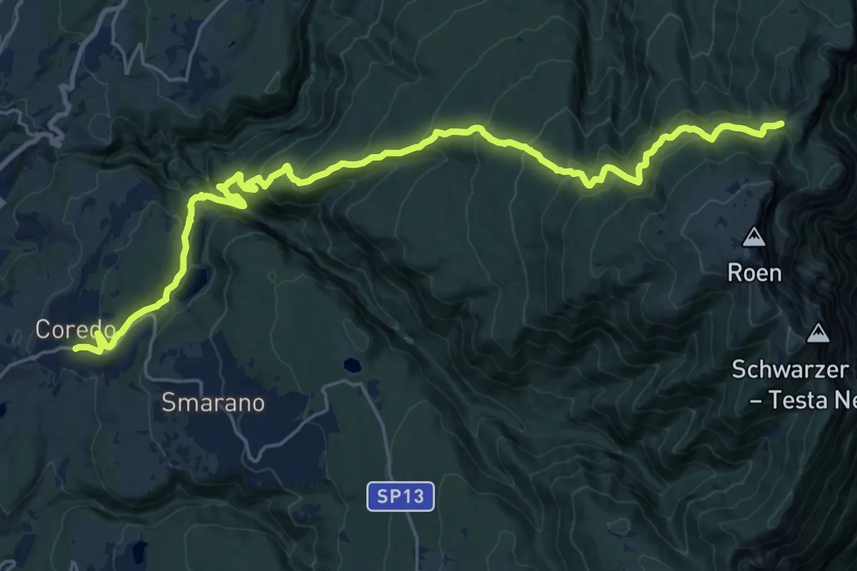
Demanding · Cabin
Coredo - Piazza Cigni – Rifugio Malga di Romeno (bivio 560 CAI - 500)
12.5 km · ↑ 1189 m · 5 h 14 min
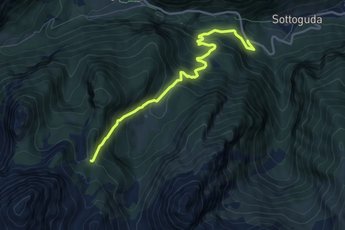
Medium · Trail
Sottoguda - da S.P. 641 – Forcella de Franzéi - sentieri 684 e 687
7.6 km · ↑ 637 m · 3 h 10 min
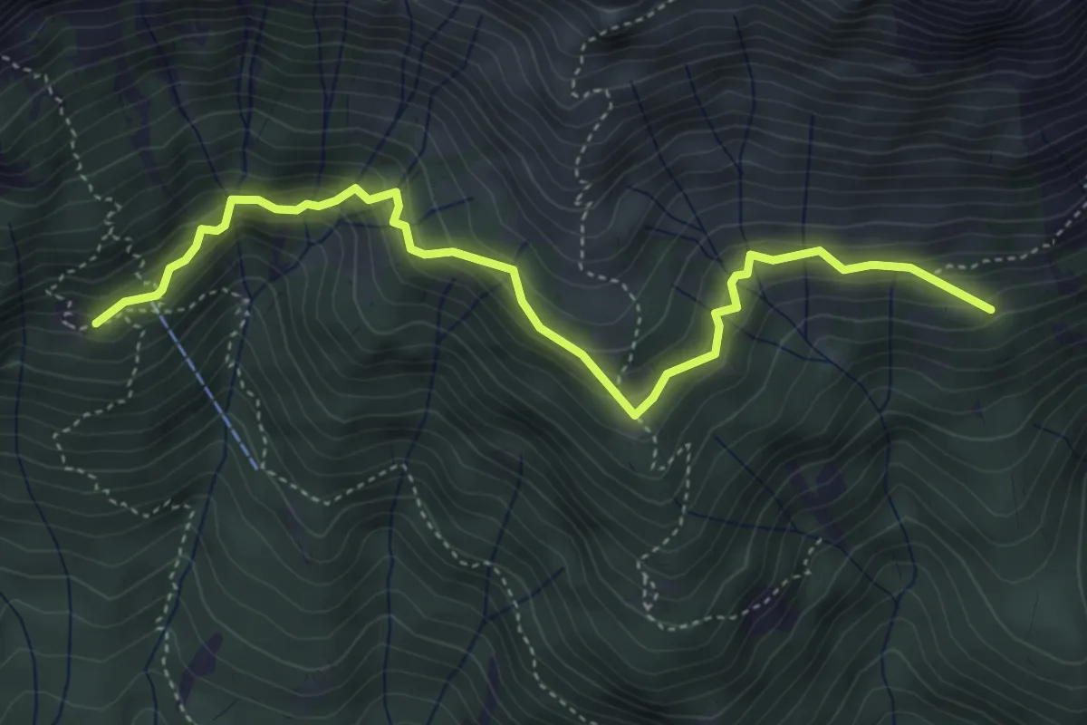
Medium · Cabin
Baita dei Cacciatori da sentiero 689 – dopo Baita Col Mont - sentiero 688
4.9 km · ↑ 451 m · 2 h 8 min
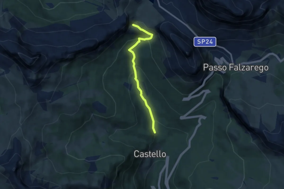
Medium · Trail
sent. 35 poco dopo Castello – inn. sent. 23 sopra La Viza
5.5 km · ↑ 305 m · 1 h 57 min
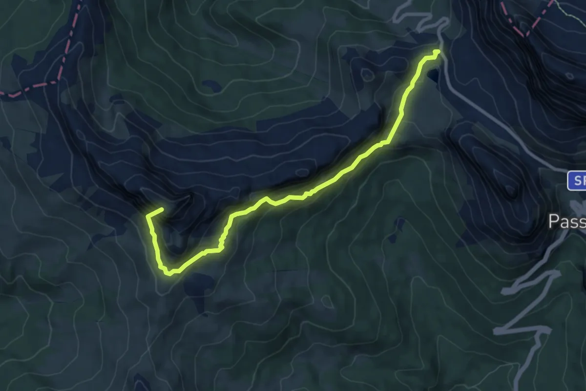
Demanding · Summit
Rifugio Valparola – sopra I Formiei - inn. sent. 24 - Confine Reg.
8.3 km · ↑ 680 m · 3 h 26 min
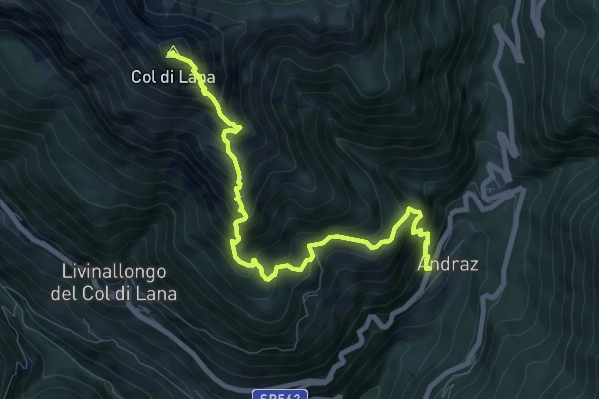
Demanding · Summit
Andraz – Bivacco Sief - sentiero 23
9.0 km · ↑ 1115 m · 4 h 32 min
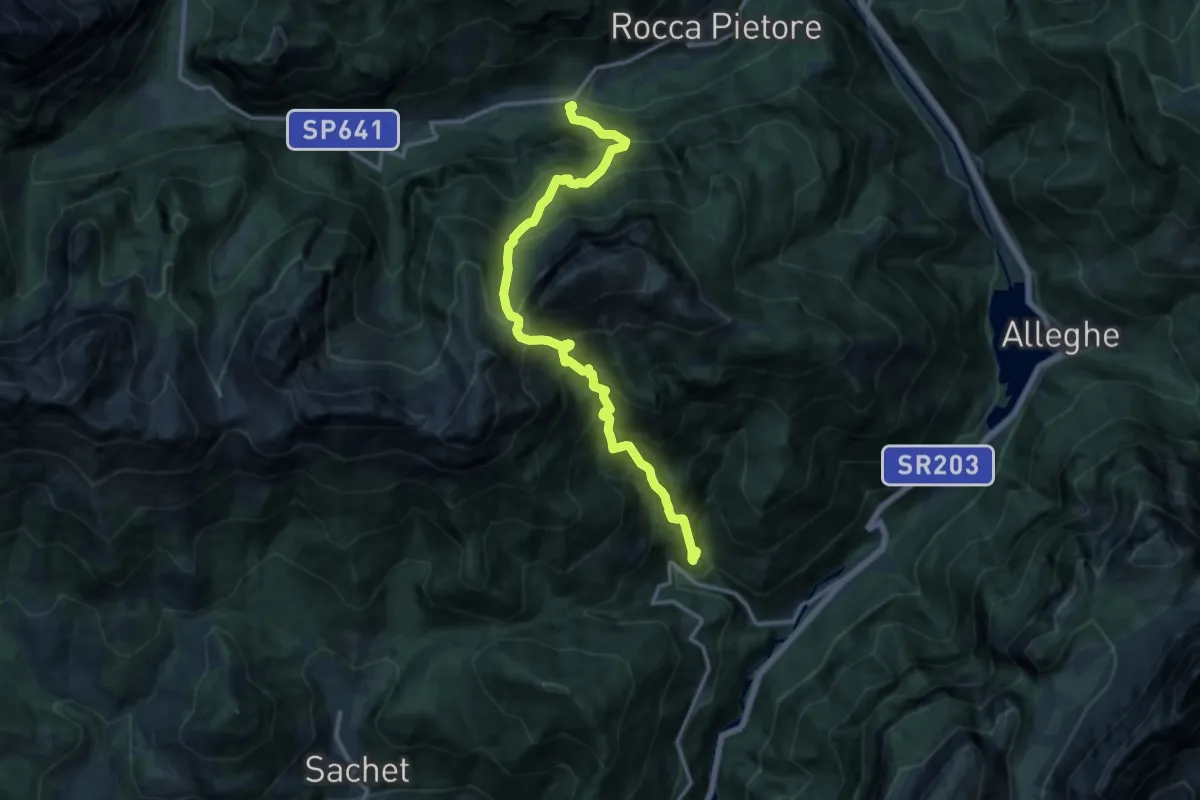
Demanding · Trail
Pian Molin - Costoia – Bosco Verde
14.4 km · ↑ 1924 m · 7 h 34 min
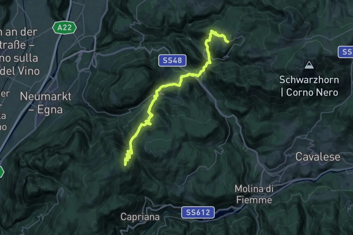
Demanding · Cabin
Malga Parco Corno – Redagno di Sopra
13.9 km · ↑ 935 m · 5 h 26 min
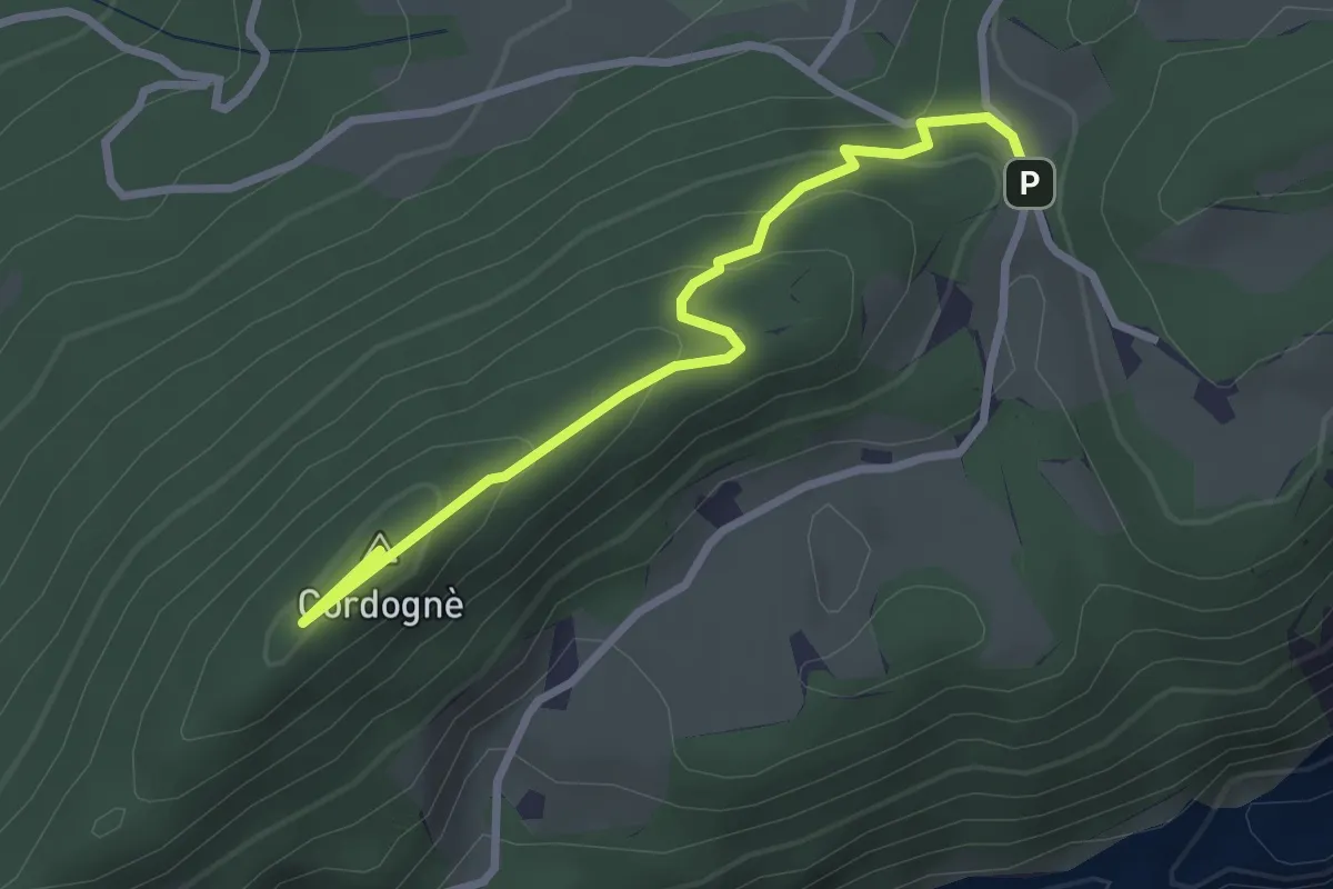
Easy · Summit
Poit – Falasorni
2.9 km · ↑ 156 m · 1 h 1 min
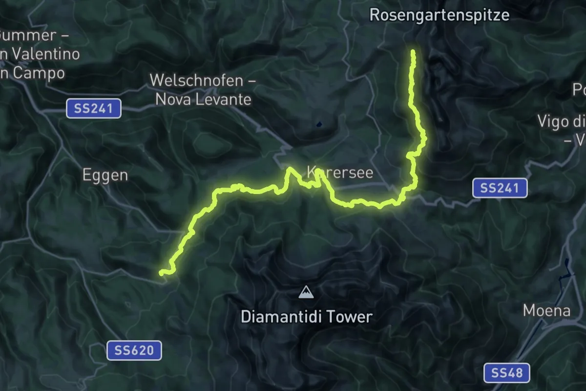
Medium · Trail
Obereggen – Bivio Rifugio Coronelle
16.2 km · ↑ 412 m · 5 h 18 min
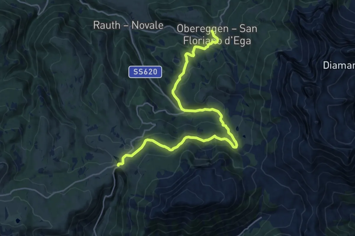
Demanding · Trail
Passo Lavaze – Obereggen
18.0 km · ↑ 824 m · 6 h 2 min
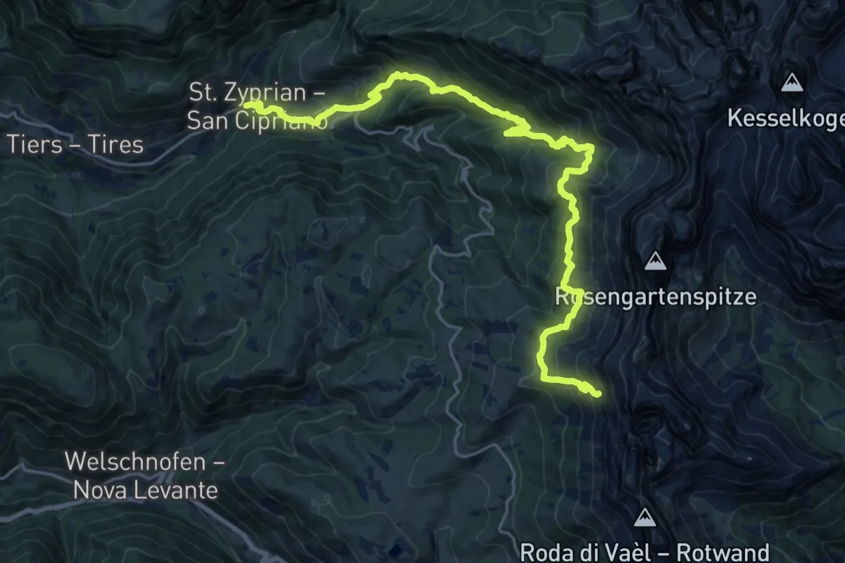
Medium · Trail
Bivio Rifugio Coronelle – San Cipriano Tires
10.8 km · ↑ 165 m · 3 h 39 min
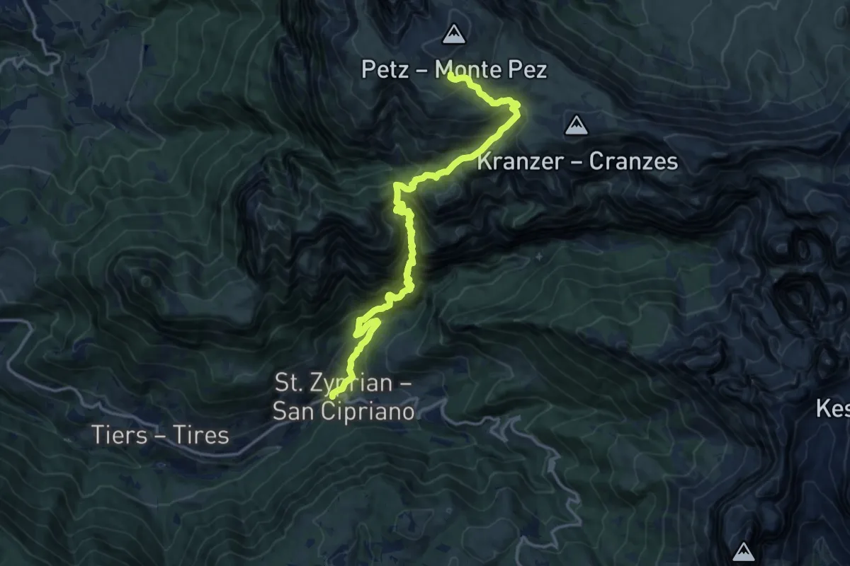
Demanding · Cabin
San Cipriano Tires – Rifugio Bolzano
15.6 km · ↑ 1782 m · 7 h 33 min
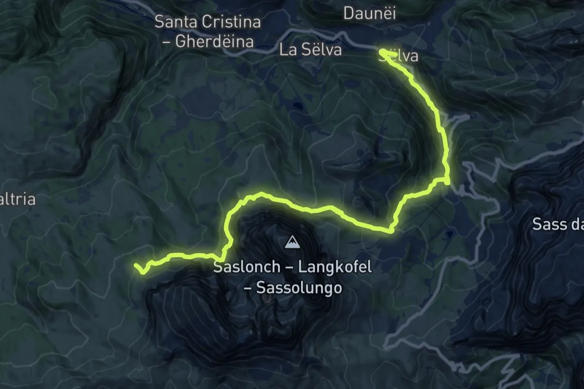
Demanding · Summit
Rifugio Sasso Piatto – Selva di Val Gardena
22.1 km · ↑ 1412 m · 8 h 17 min
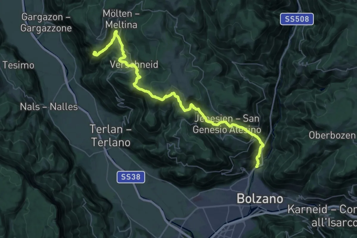
Demanding · Trail
Via Sarentino – Handlegg
17.8 km · ↑ 1430 m · 7 h 11 min
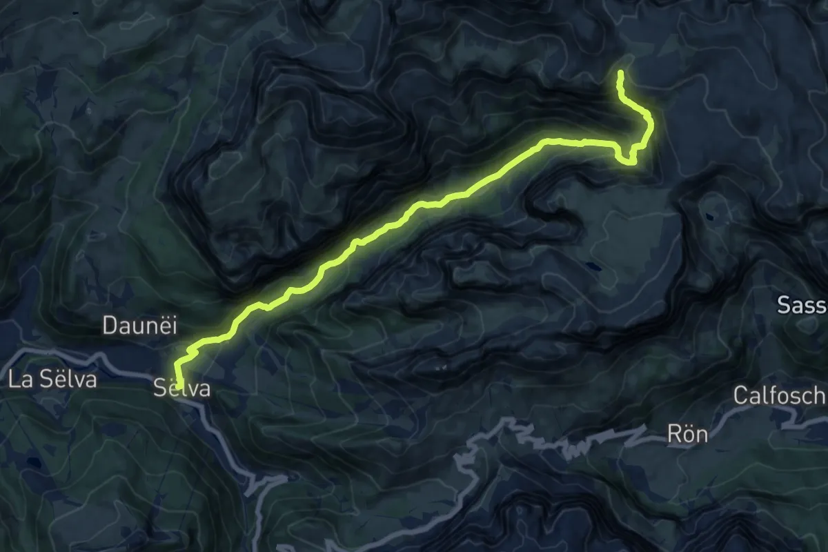
Demanding · Cabin
Selva di Val Gardena – Rifugio Puez
17.6 km · ↑ 1046 m · 6 h 25 min
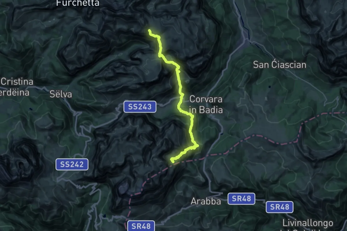
Demanding · Cabin
Rifugio Puez – Rifugio Kostner
12.5 km · ↑ 1037 m · 5 h 22 min
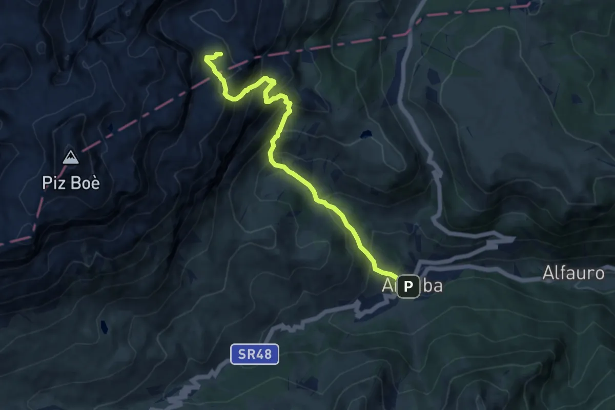
Demanding · Cabin
Rifugio Kostner – Arabba
9.0 km · ↑ 948 m · 4 h 11 min
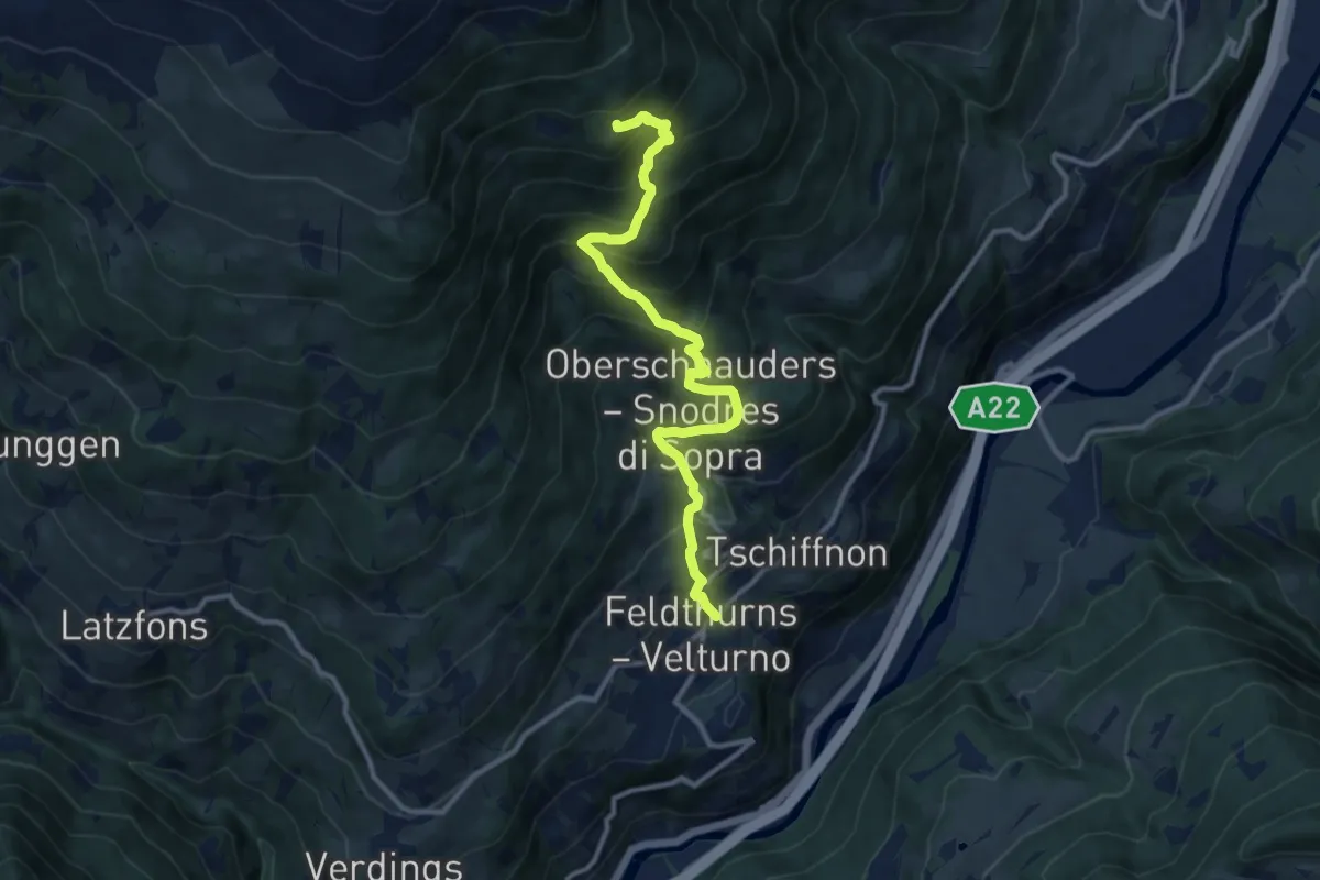
Demanding · Trail
Feldthurns – 8
11.3 km · ↑ 1010 m · 4 h 51 min