Trails in Italy
25,219 hiking trails, each with its route, climb, walking time and grade.
All trails, page 491 of 526
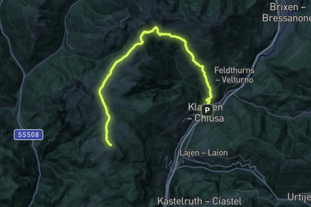
Demanding · Summit
Chiusa – Corno del Renon
51.0 km · ↑ 2841 m · 18 h 12 min
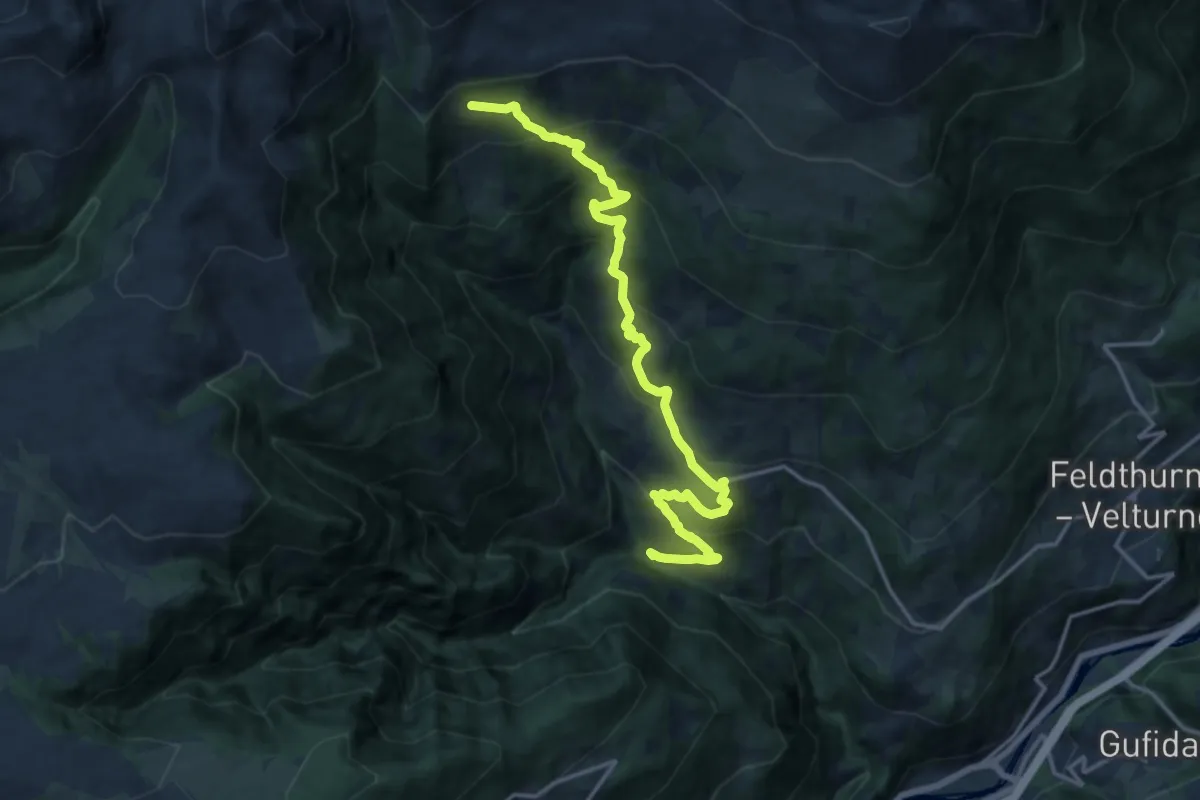
Demanding · Cabin
Mühlele – Rifugio Chiusa
16.5 km · ↑ 1176 m · 6 h 26 min
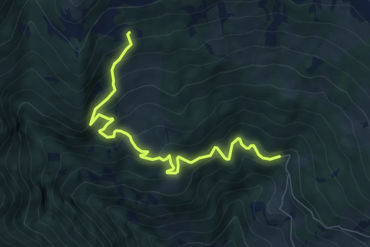
Medium · Cabin
Saltner Saege – Rifugio Chiusa
7.5 km · ↑ 612 m · 3 h 5 min
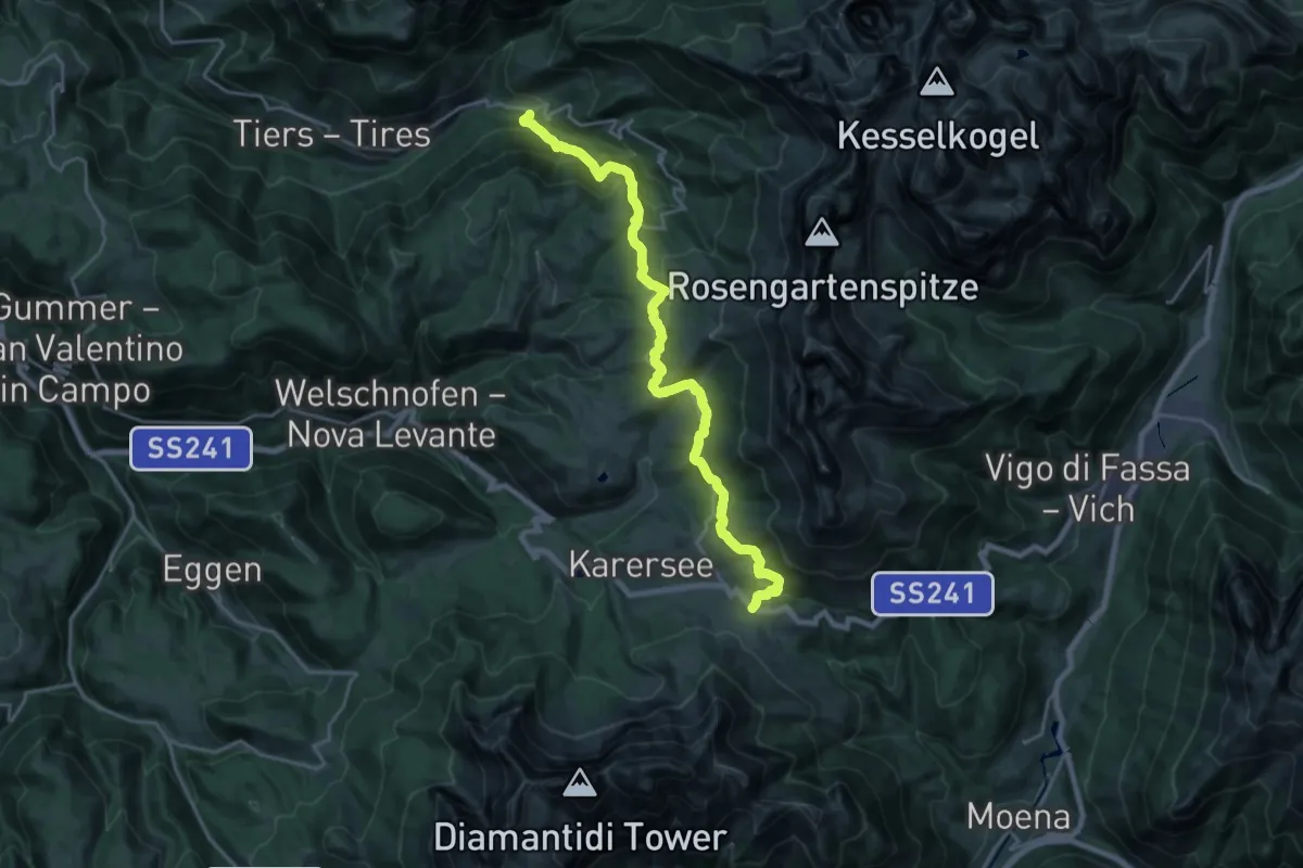
Demanding · Trail
San Cipriano – Passo di Carezza
22.4 km · ↑ 1147 m · 7 h 47 min
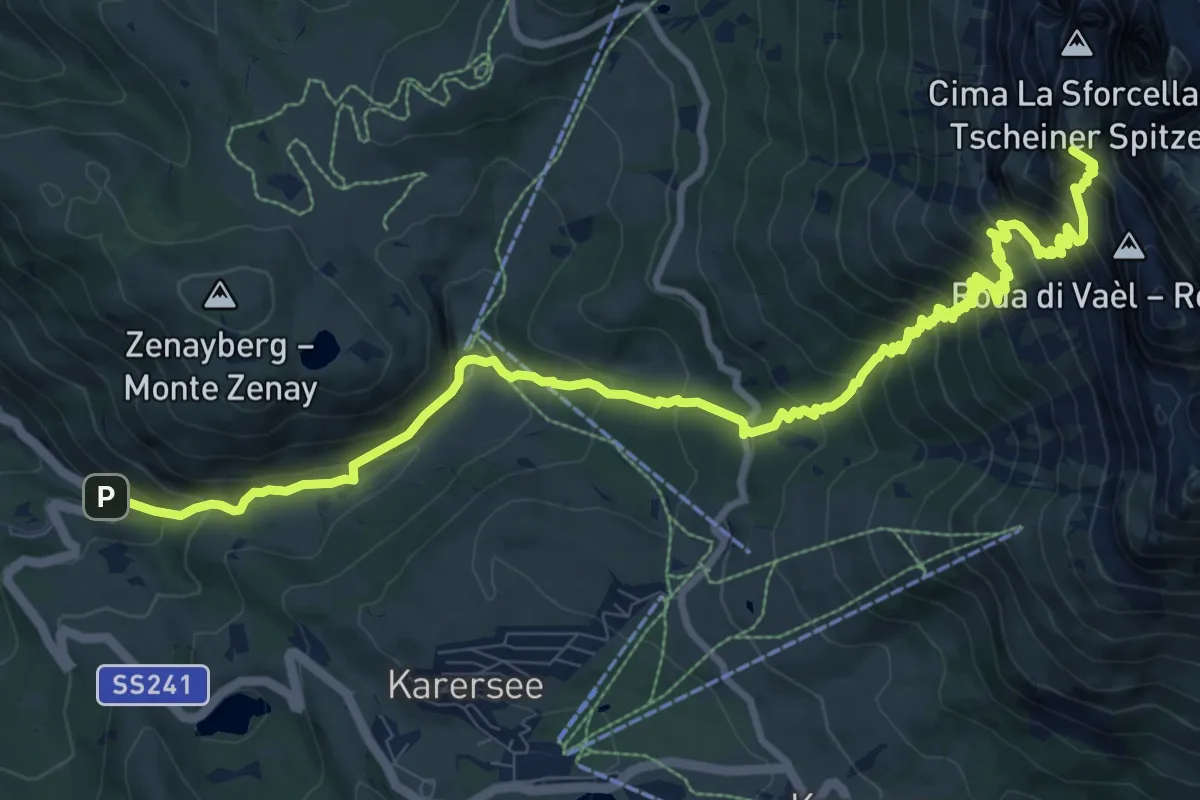
Demanding · Summit
Hotel Adler – Passo Vajolon
12.6 km · ↑ 1205 m · 5 h 36 min
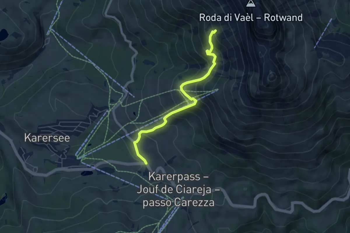
Medium · Trail
Percorso 6 – Percorso 552
5.5 km · ↑ 609 m · 2 h 37 min
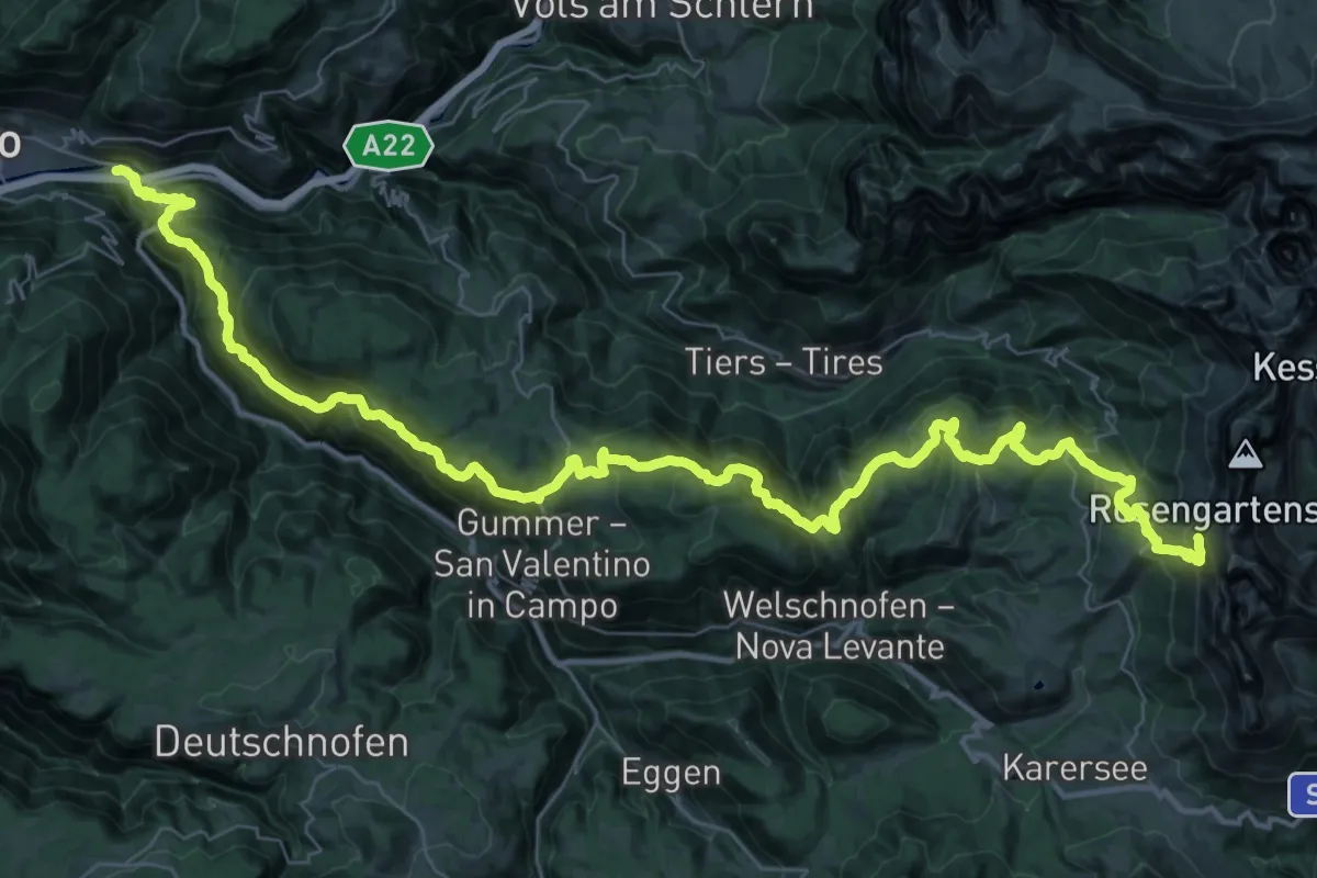
Demanding · Cabin
Kardaun – Kölner Hütte
28.0 km · ↑ 2441 m · 11 h 16 min
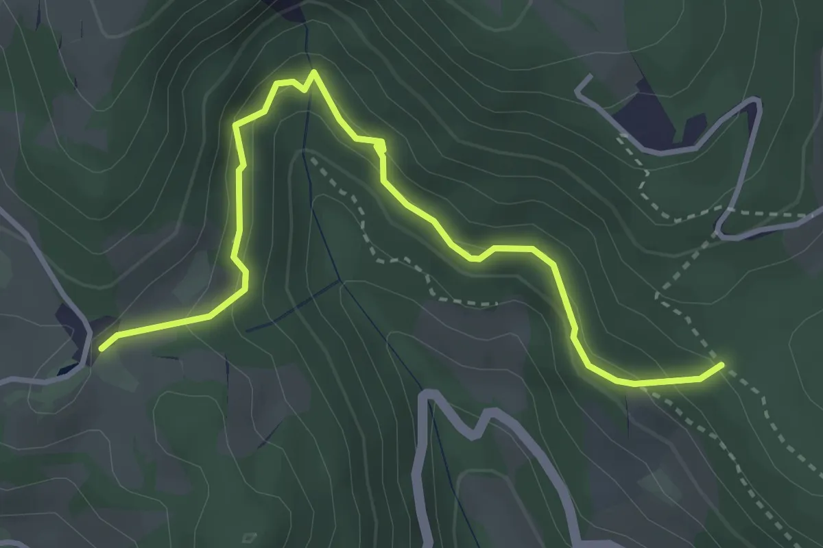
Easy · Trail
Percorso 33 – Locher
3.7 km · ↑ 301 m · 1 h 32 min
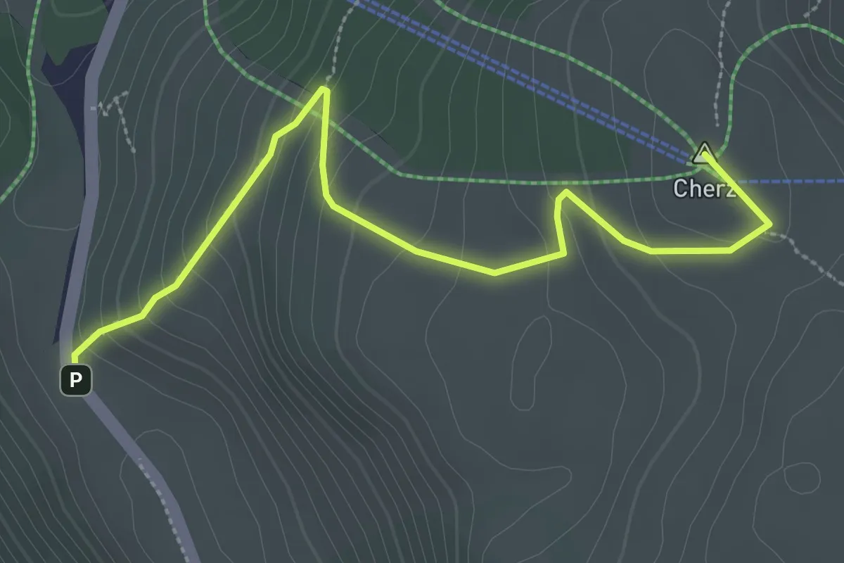
Medium · Summit
Passo Campolongo – inn. sent. 44 (ex 1022) presso Rif. Incisa
3.4 km · ↑ 199 m · 1 h 15 min
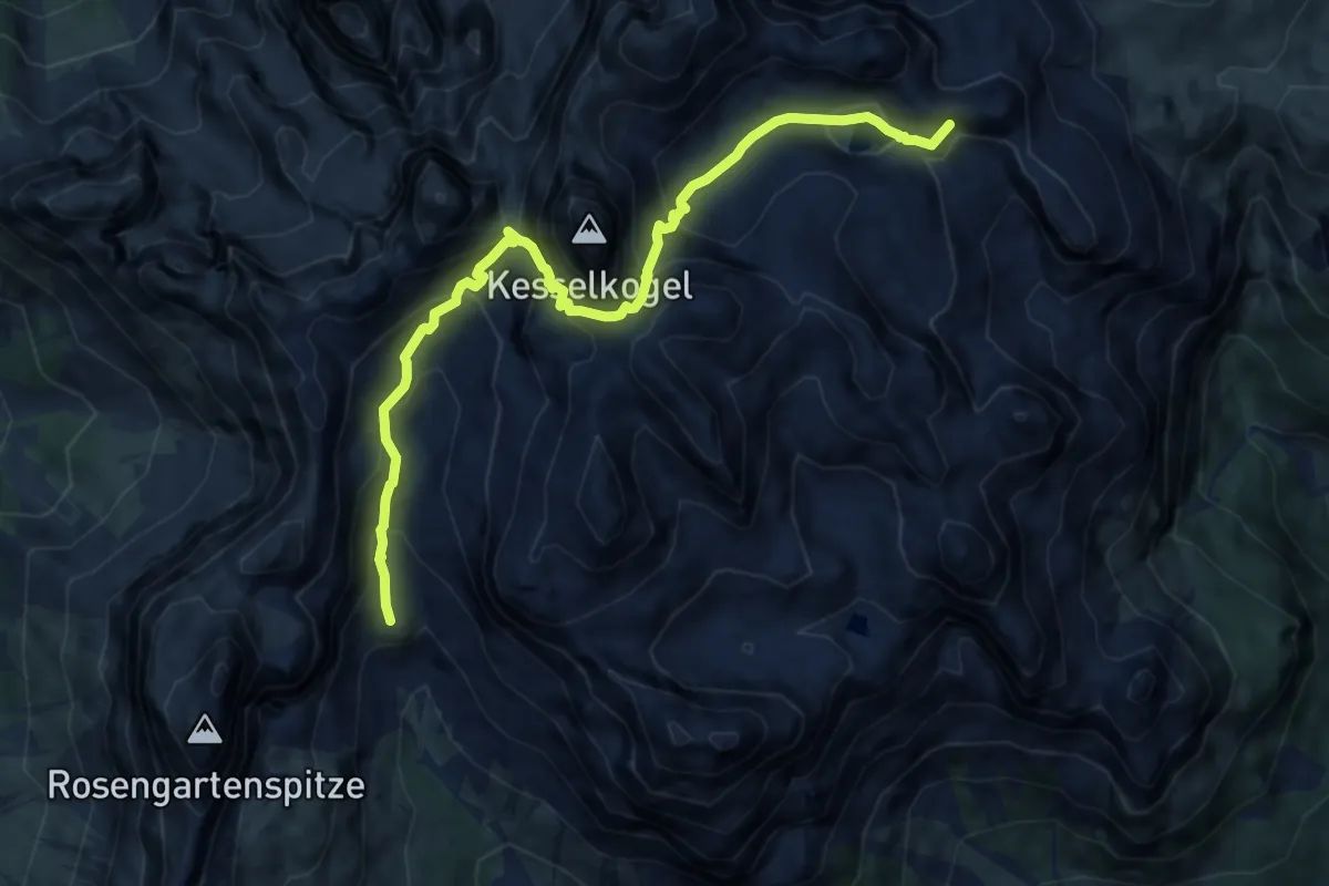
Demanding · Summit
Rifugio Vaiolet e Preuss (bivio 542 - 546) – Rifugio Antermoia (bivio 580 - 583)
10.1 km · ↑ 957 m · 4 h 27 min
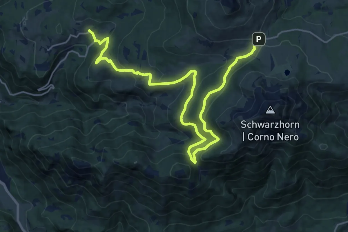
Demanding · Trail
Stadt – Passo Oclini
18.9 km · ↑ 856 m · 6 h 19 min
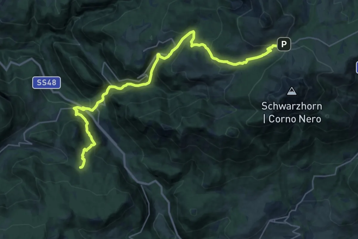
Medium · Trail
Fontanefredde – Passo Oclini
11.6 km · ↑ 344 m · 4 h
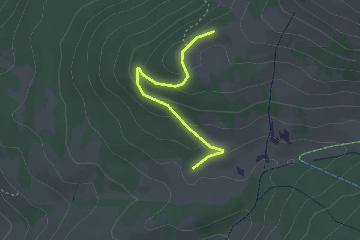
Easy · Trail
Percorso 7 – Percorso 12A
2.5 km · ↑ 104 m · 49 min
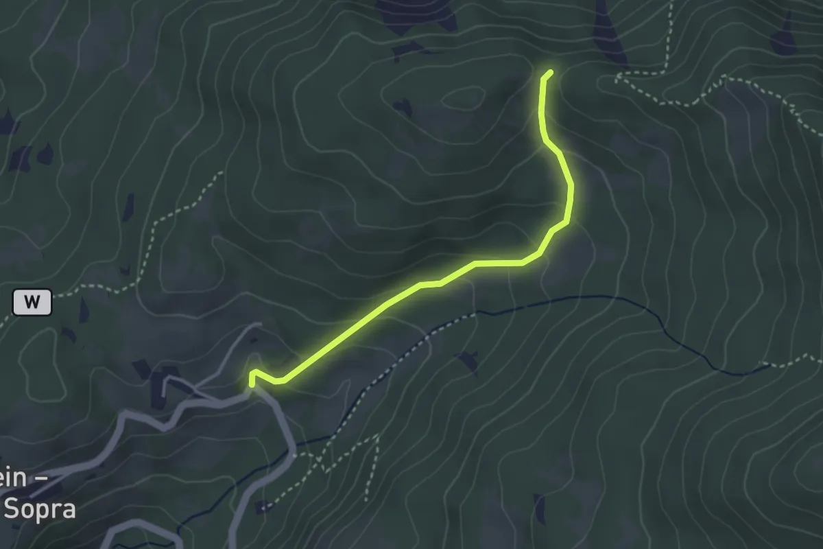
Medium · Trail
Stadt – Percorso 12
3.1 km · ↑ 182 m · 1 h 8 min
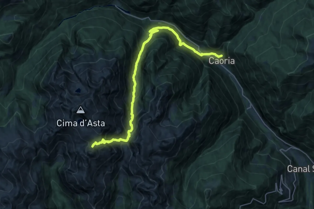
Expert · Summit
Rifugio O. Brentari a Cima d'Asta – Caoria
23.2 km · ↑ 1932 m · 9 h 39 min
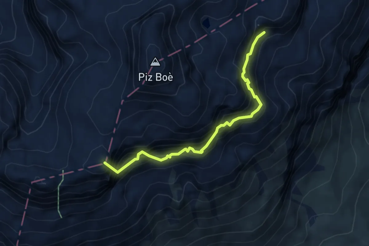
Expert · Summit
sotto Sas de Pordoi - da percorso 627 - confine Regione – Les Fontanes - innesto percorso 638
4.8 km · ↑ 862 m · 3 h
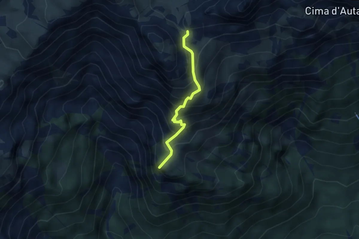
Medium · Summit
Sappade – Col Becher innesto 689
3.0 km · ↑ 359 m · 1 h 29 min
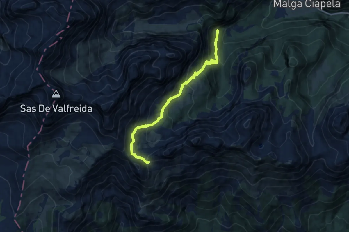
Medium · Trail
Gran Pian da sentiero 610 – Passo Col Becher
9.4 km · ↑ 744 m · 3 h 50 min
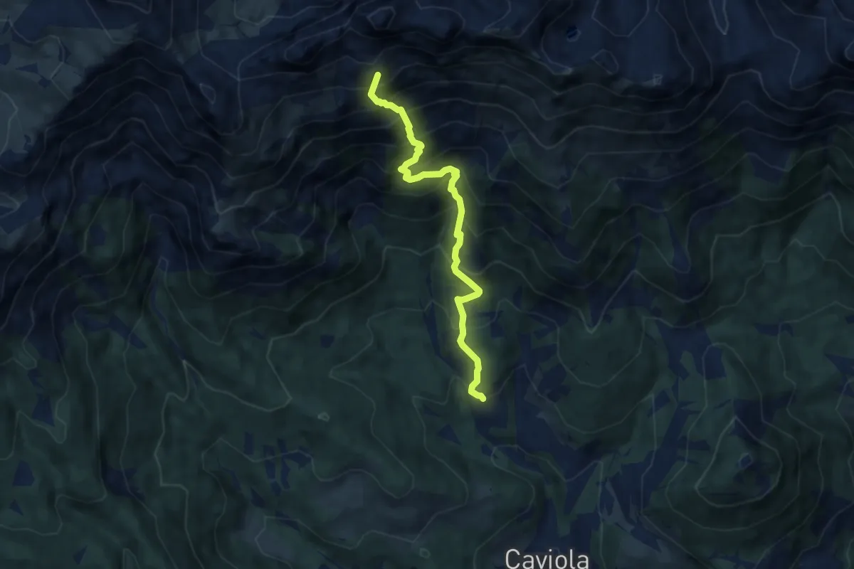
Demanding · Summit
Colmean – Passo Col Becher
7.0 km · ↑ 958 m · 3 h 44 min
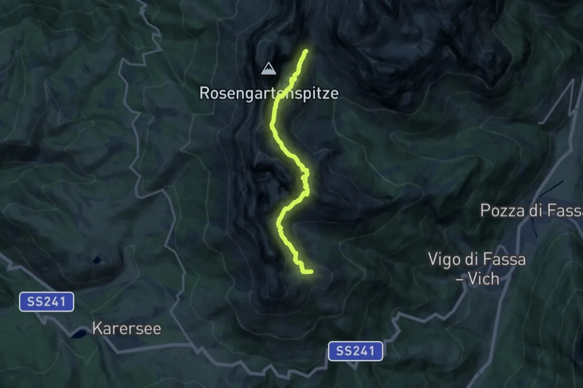
Expert · Summit
Rifugio Roda di Vael (bivio 545 - 548 - 549) – Presso Rifugio Vaiolet e Preuss (bivio 546)
11.3 km · ↑ 1033 m · 4 h 54 min
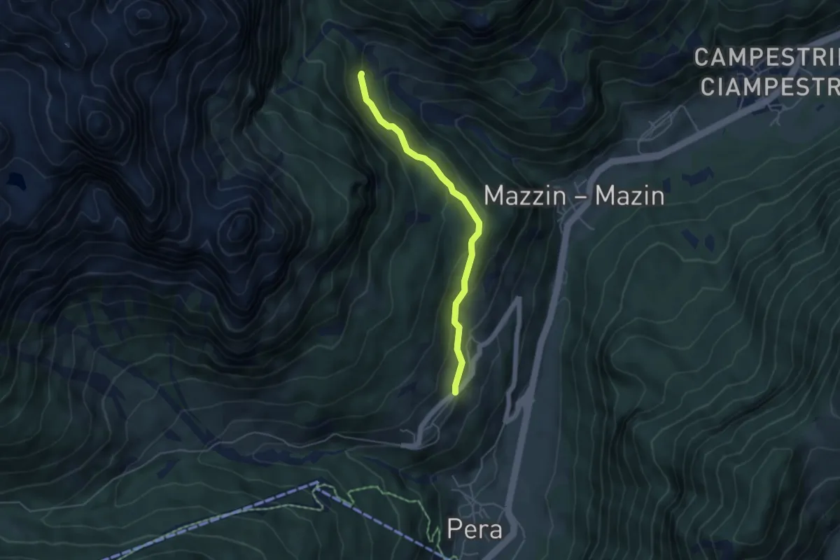
Easy · Trail
Ronc - Ronch – Paradores - Val de Udai (bivio 580)
4.3 km · ↑ 235 m · 1 h 31 min
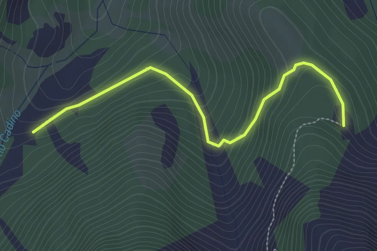
Easy · Trail
Malga Agnelezza – Quota 1816
2.8 km · ↑ 176 m · 1 h 3 min
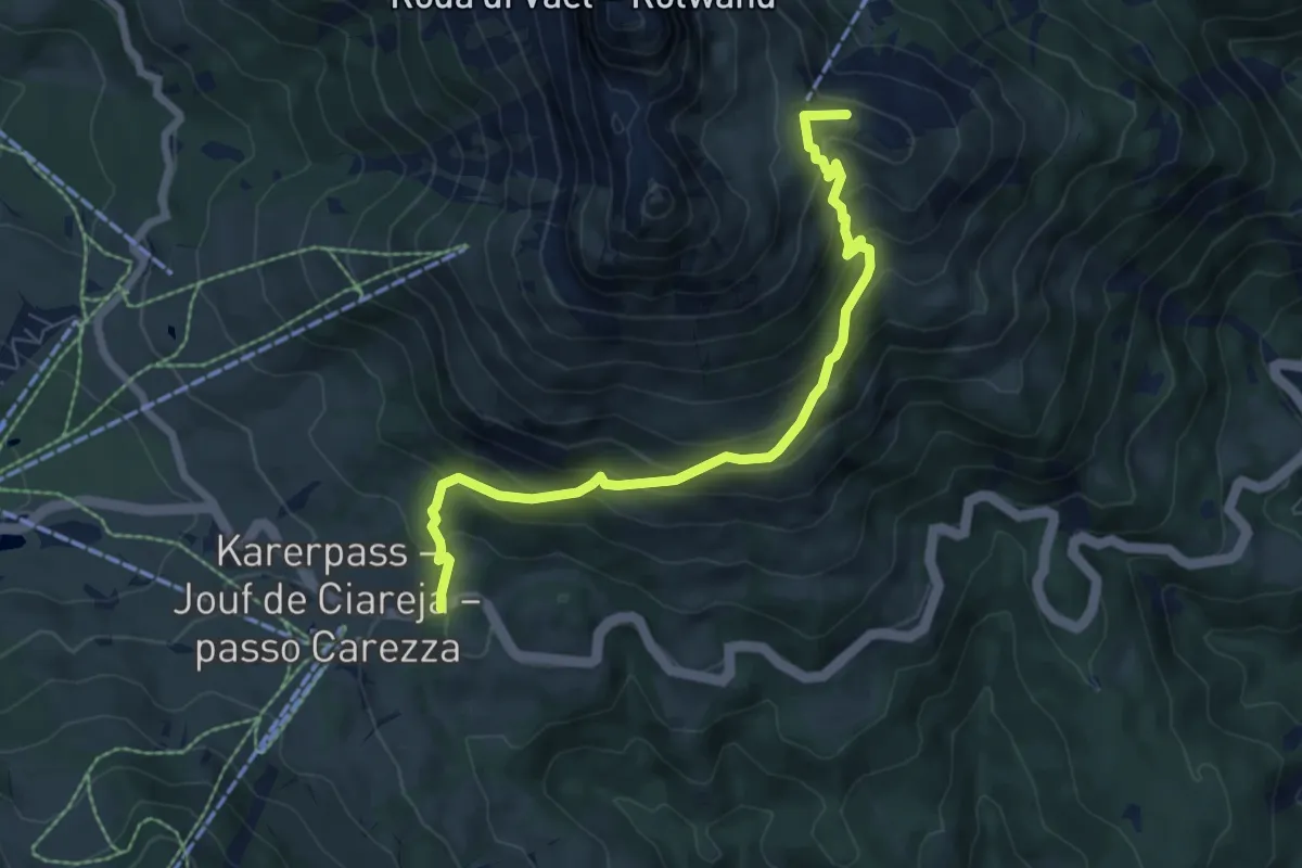
Medium · Summit
Parcheggio Valate - presso Passo Carezza – Rifugio Roda di Vael (bivio 541 - 545 - 549)
7.1 km · ↑ 570 m · 2 h 55 min
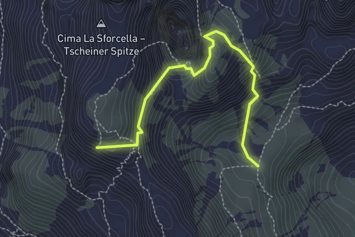
Demanding · Summit
Pael (bivio 541) – Pas dal Vaiolon
2.6 km · ↑ 692 m · 2 h 6 min
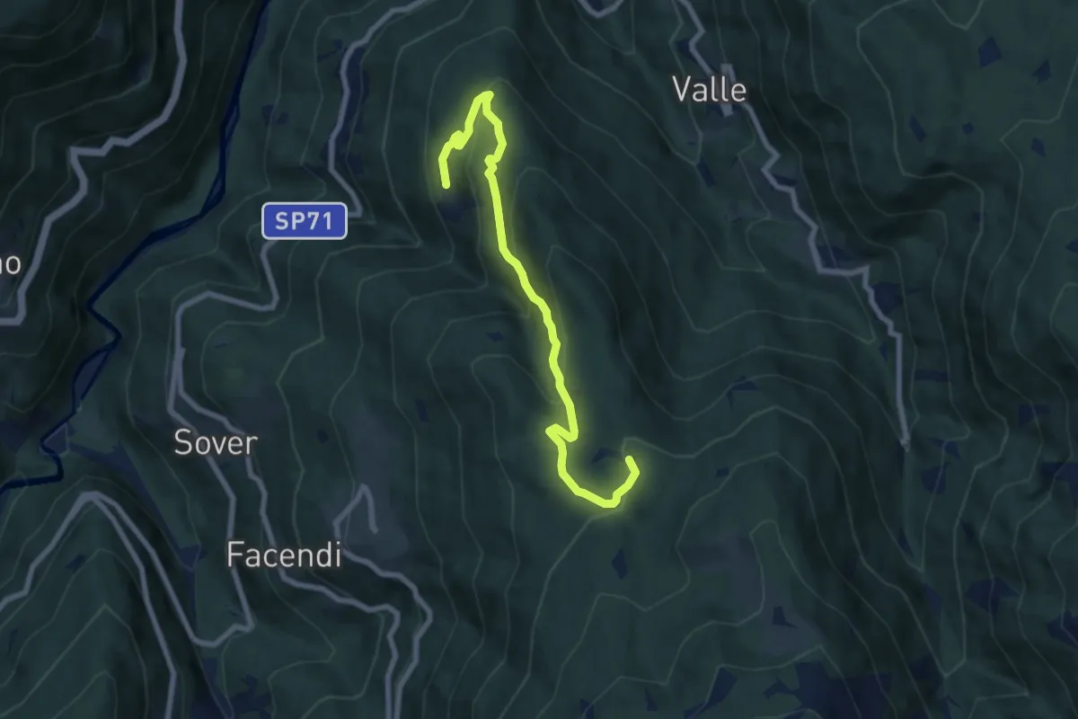
Medium · Trail
Monte Alto - Piscine – Baita Monte Pat
7.7 km · ↑ 420 m · 2 h 43 min
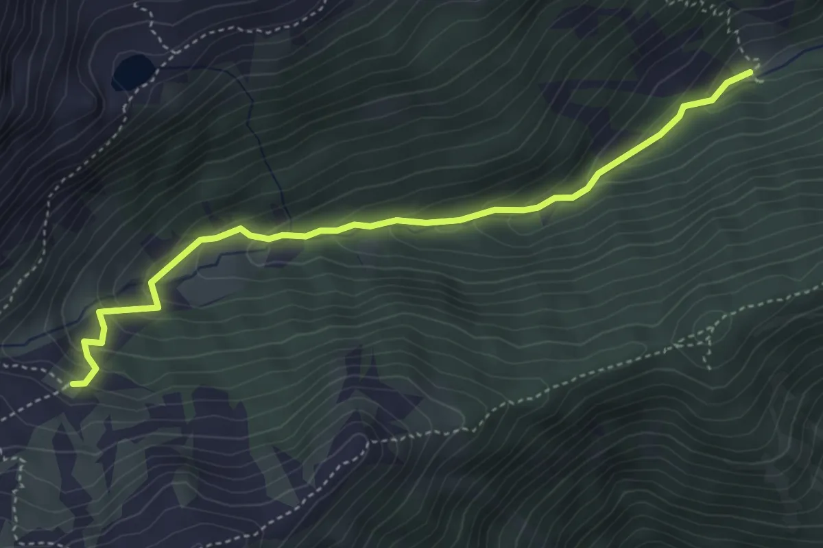
Medium · Trail
Percorso 3 – Innerer Falkomai
4.4 km · ↑ 295 m · 1 h 41 min
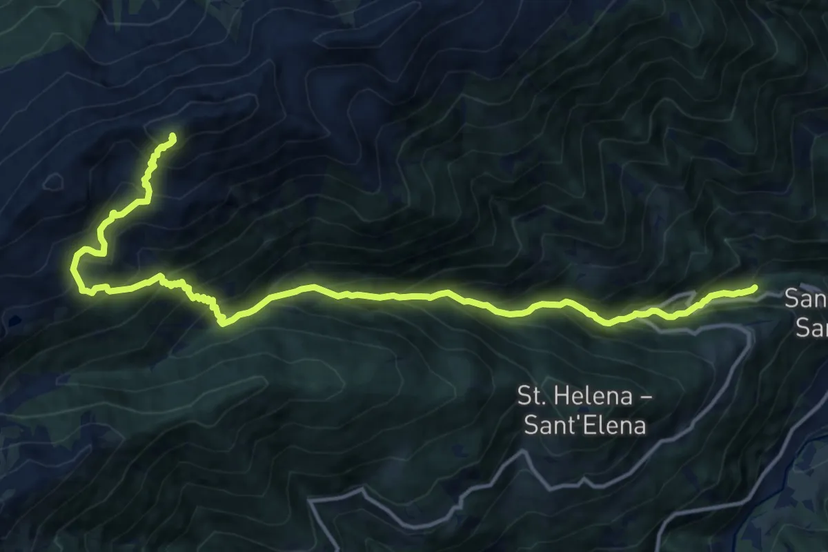
Expert · Trail
San Pancrazio – Percorso 5
15.7 km · ↑ 1712 m · 7 h 25 min
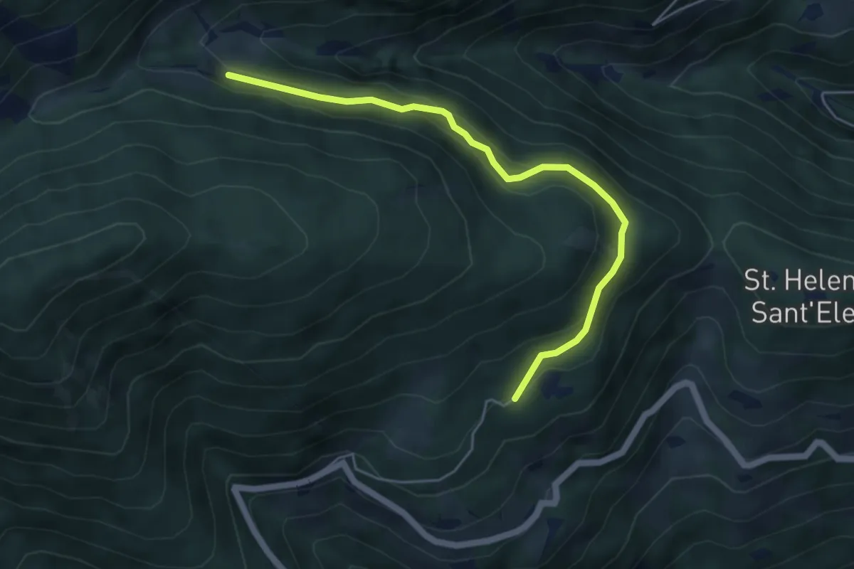
Easy · Trail
Parcheggio S. Elena – Malga Mariolberg
4.9 km · ↑ 238 m · 1 h 40 min
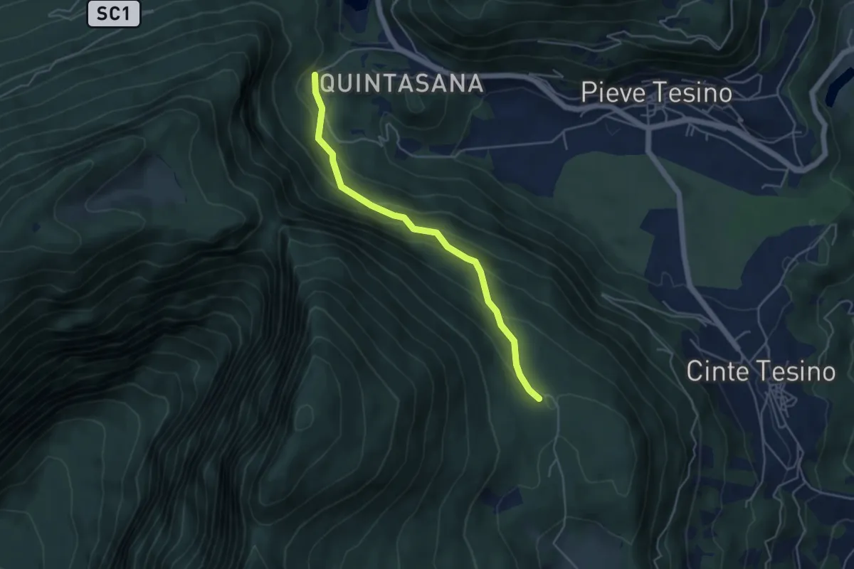
Easy · Trail
Drio Castello – Pra Castellana
4.3 km · ↑ 301 m · 1 h 41 min
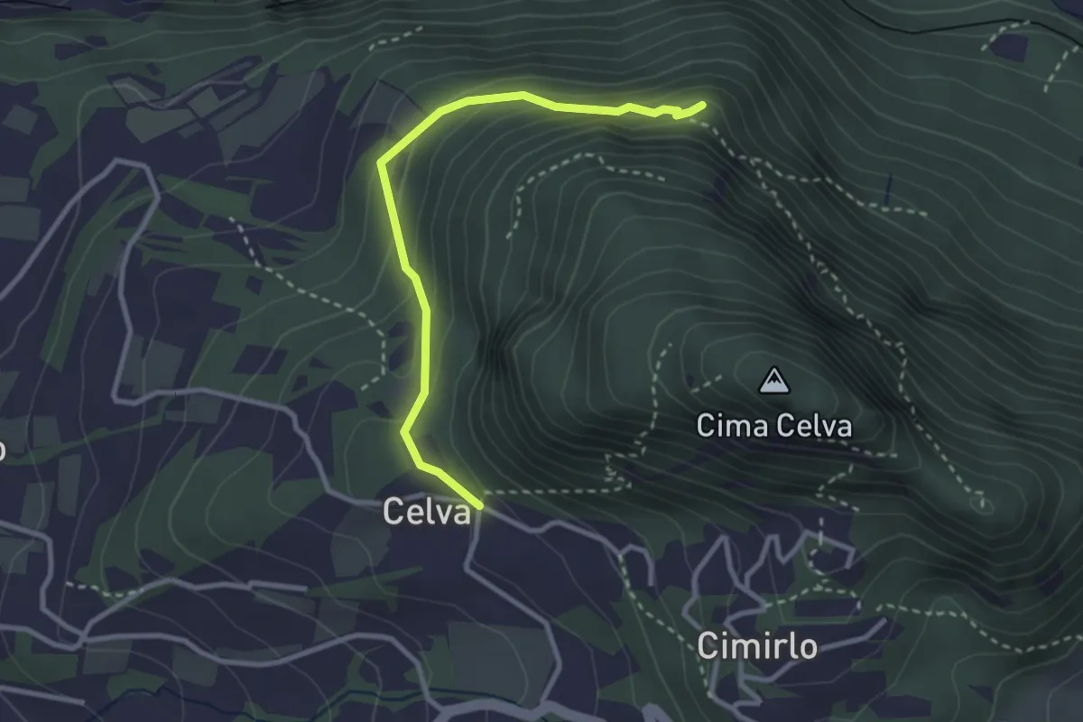
Easy · Summit
Celva – Sella del Celvet
2.9 km · ↑ 188 m · 1 h 5 min
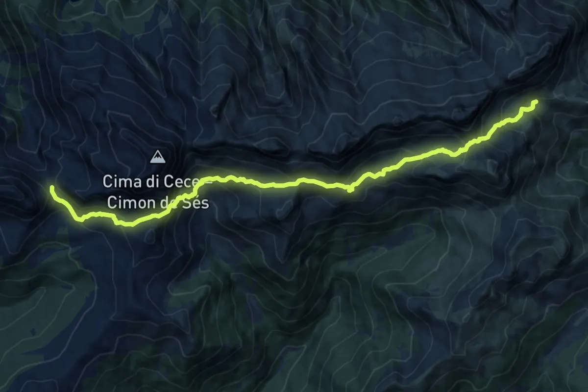
Expert · Cabin
Forcella di Valmaggiore - bivacco – Alta Valcigolera
16.5 km · ↑ 1166 m · 6 h 26 min
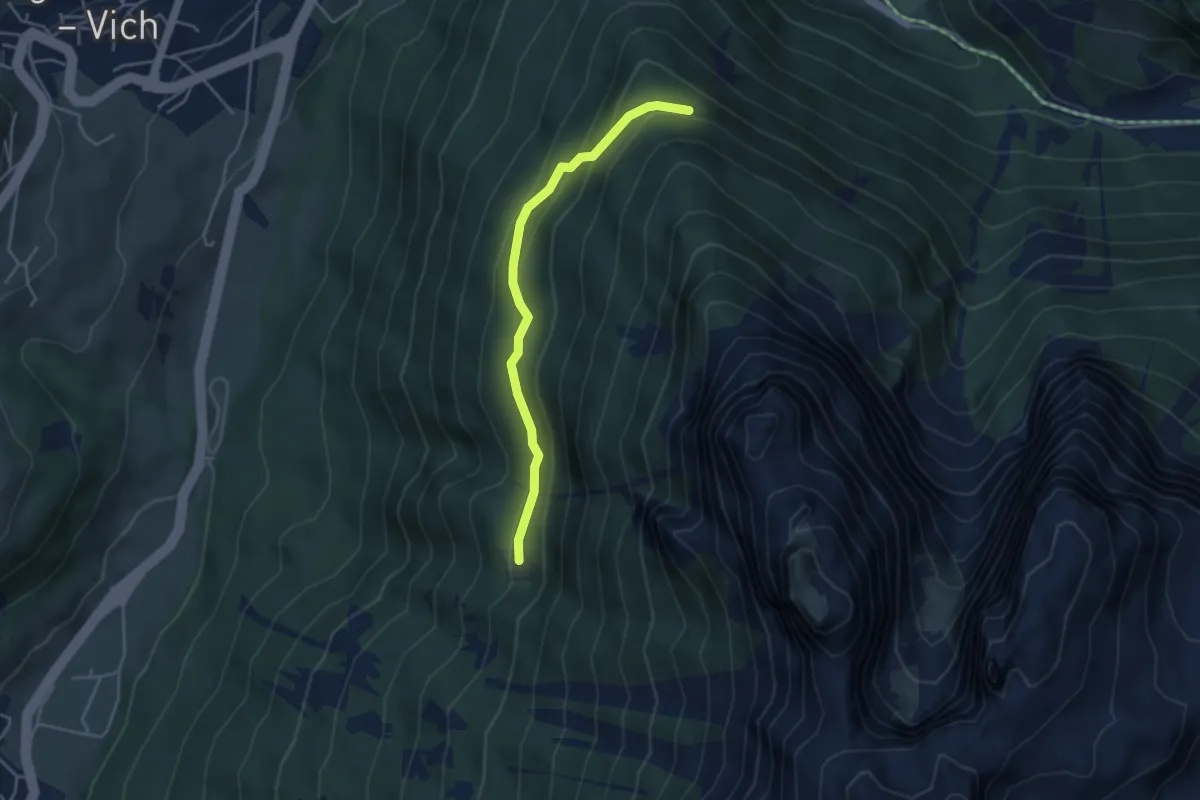
Easy · Trail
Le Pociace - bivacco forestale – Presso Ciastel de Sot
3.8 km · ↑ 215 m · 1 h 22 min
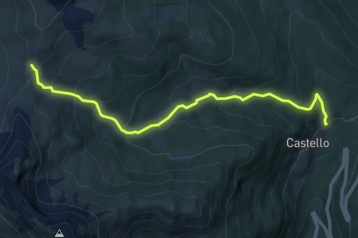
Medium · Trail
Castello di Andraz – Passo Sief (Jou de le Omblie)
6.8 km · ↑ 455 m · 2 h 35 min
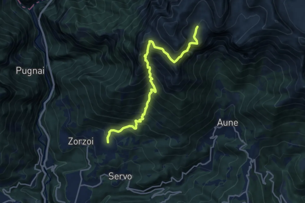
Demanding · Cabin
Zorzoi - Col dei Mich – Malga Monsampiàn - inn. sent. 810 e 817
12.2 km · ↑ 1692 m · 6 h 33 min
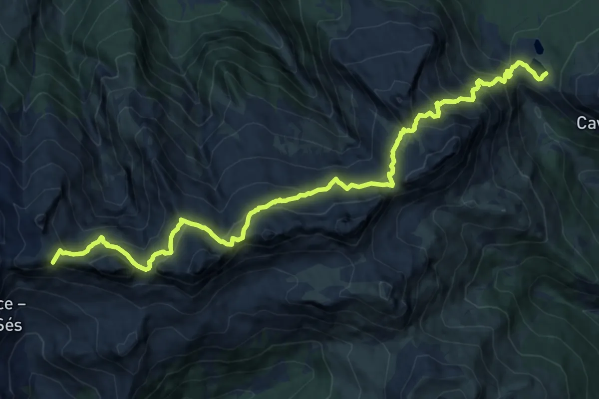
Expert · Summit
Rifugio Laghi di Colbricon – Malga Sadole - Baita Monte Cauriol (bivio 320)
16.6 km · ↑ 1481 m · 7 h 8 min
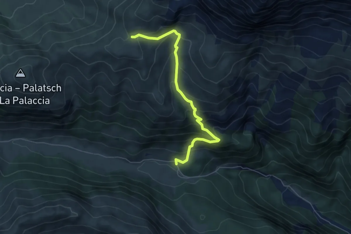
Medium · Cabin
Pontons - presso Rifugio Micheluzzi (bivio 532) – Rifugio Sassopiatto (bivio 557 - 594)
5.8 km · ↑ 444 m · 2 h 20 min
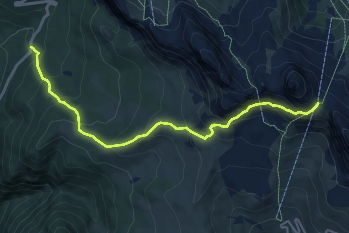
Medium · Cabin
Castello - parcheggio S.P. 48 loc. La Mierla – Forcella Nuvolau
9.1 km · ↑ 627 m · 3 h 30 min
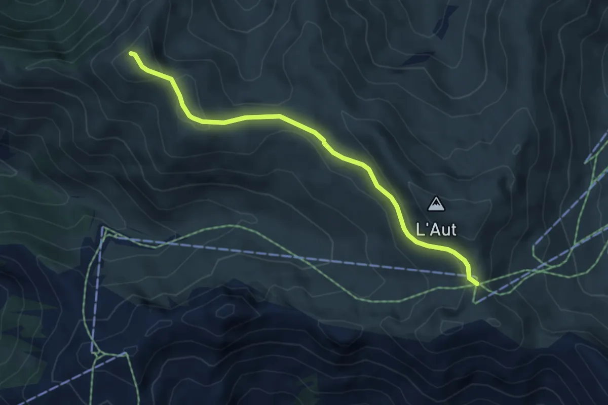
Medium · Summit
Sela dal Brunéch – Col Bel
4.8 km · ↑ 149 m · 1 h 27 min
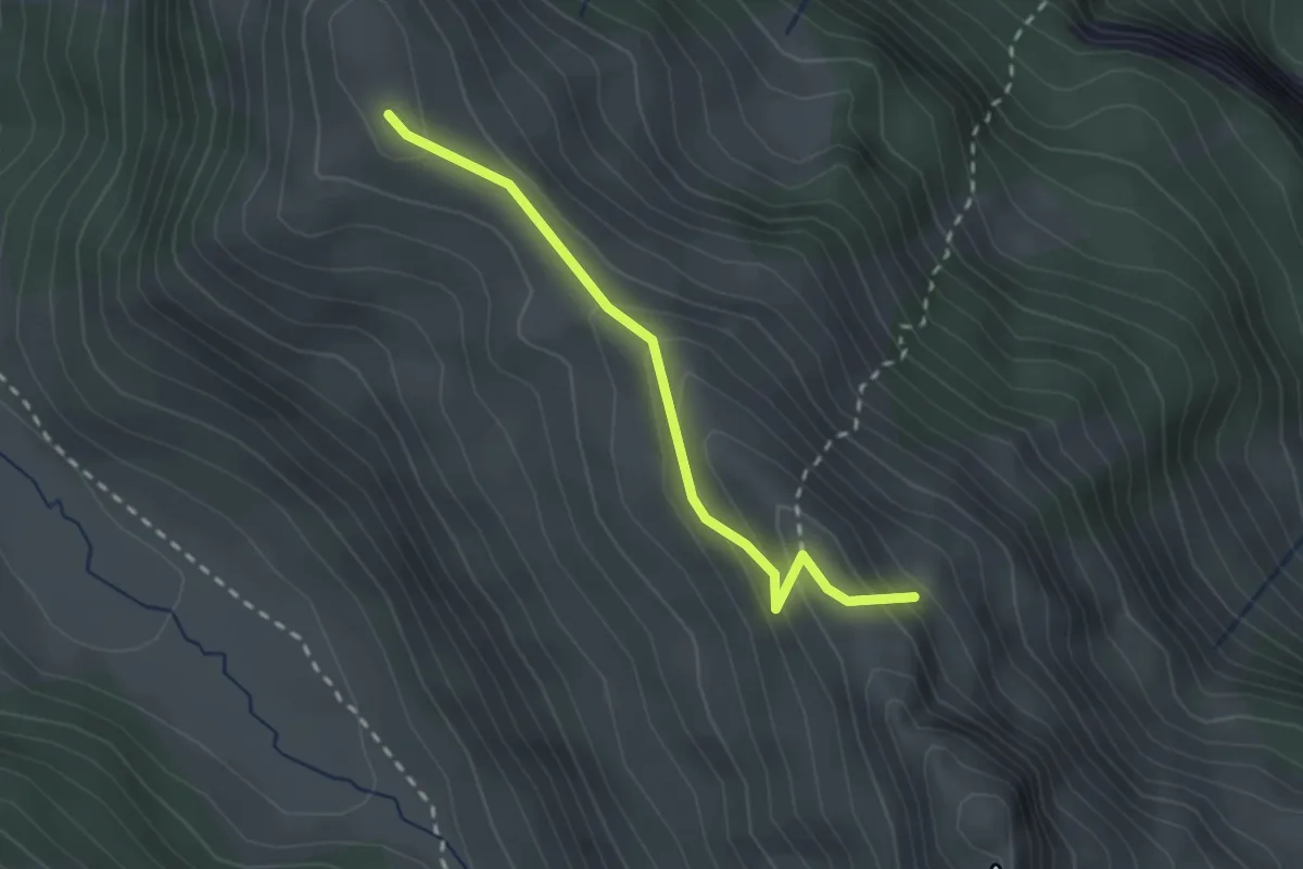
Easy · Summit
Pian de Sele – Col Pelous
2.3 km · ↑ 147 m · 51 min
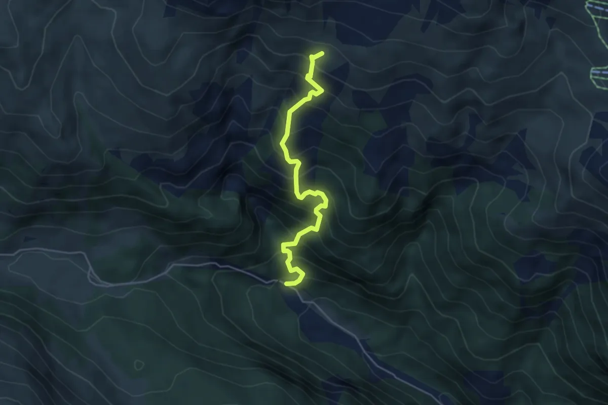
Medium · Cabin
Val Duron – Rifugio Sandro Pertini
4.3 km · ↑ 627 m · 2 h 23 min
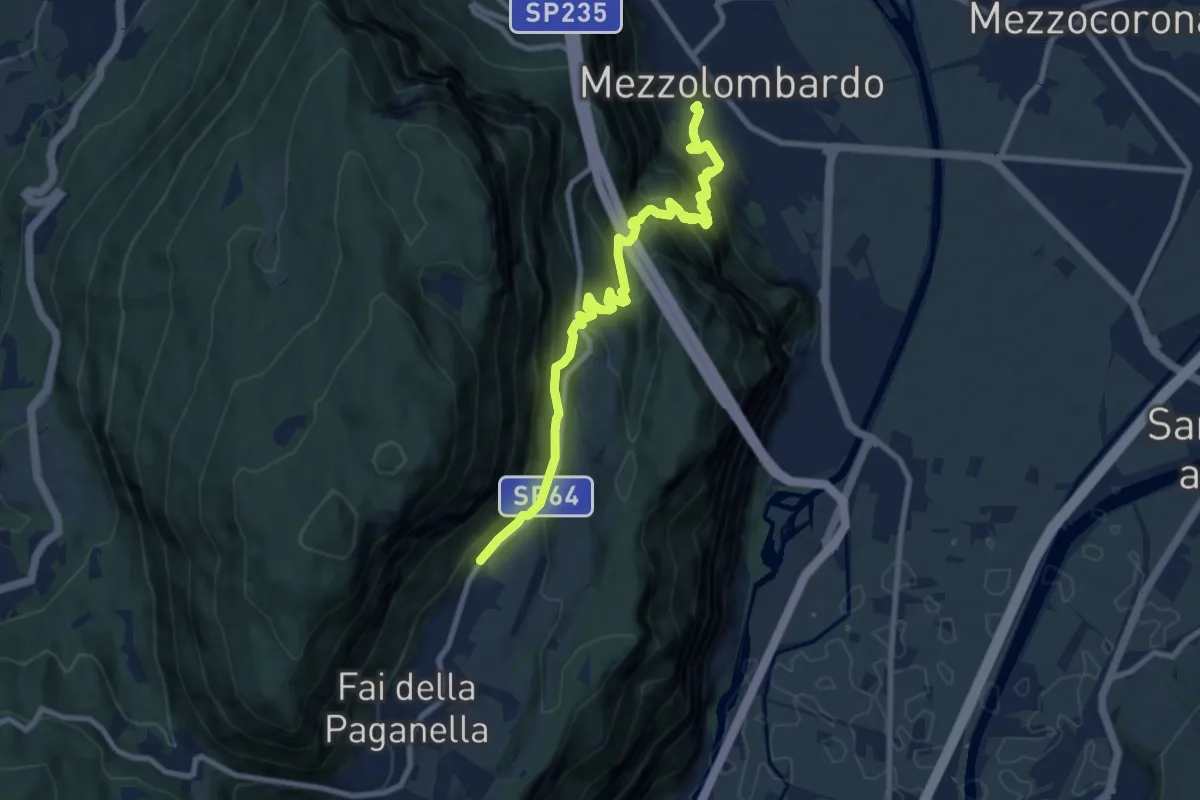
Demanding · Trail
Mezzolombardo – Fai - Le Coste (bivio 603)
9.4 km · ↑ 842 m · 4 h 2 min
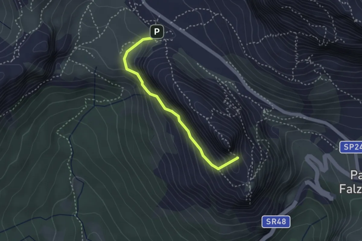
Demanding · Summit
Percorso 424 (presso palestra di roccia) – Forte Tre Sassi (Passo Valparola)
2.8 km · ↑ 254 m · 1 h 13 min
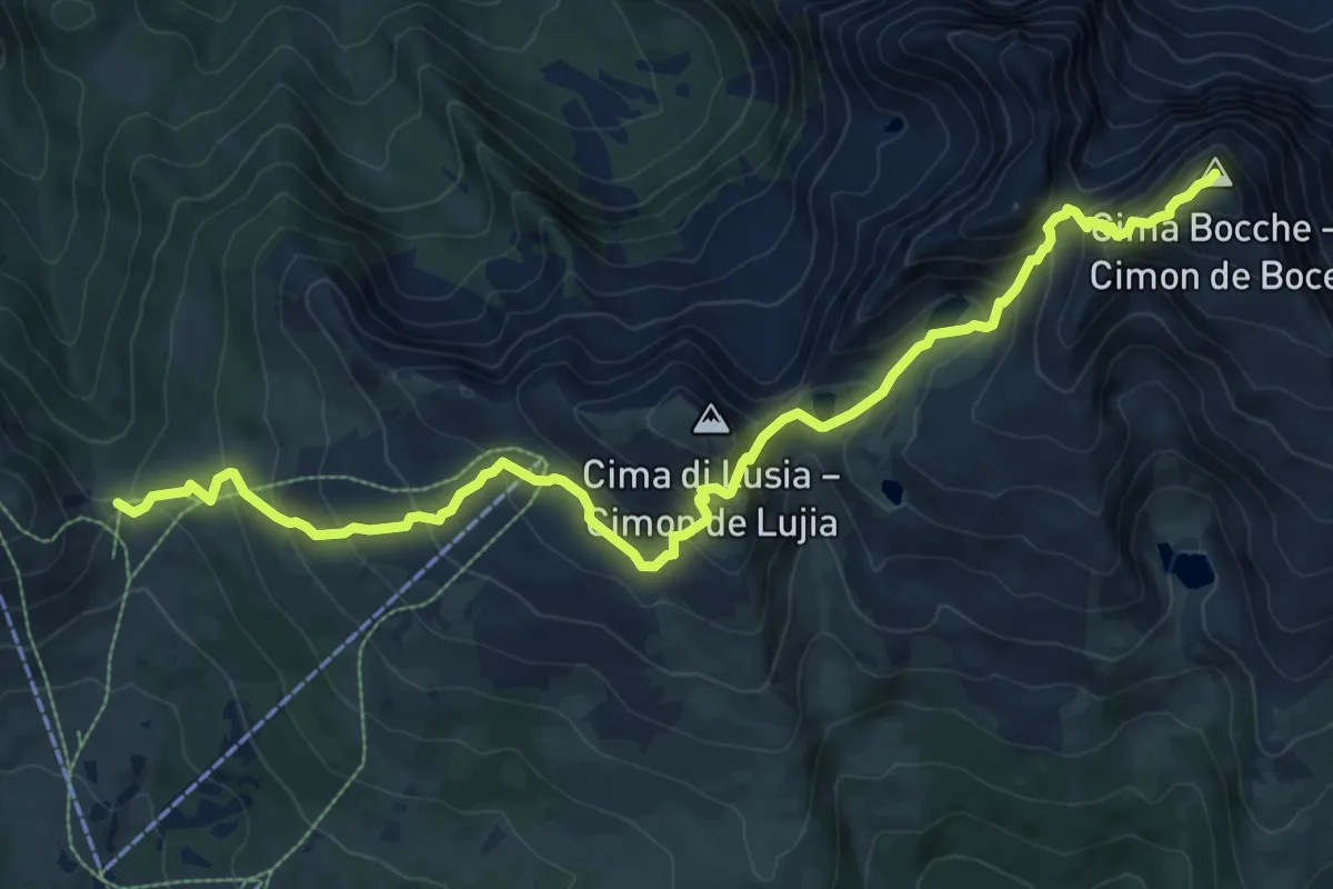
Demanding · Summit
Pas de Lujia (bivio 614 - 623 - 632 - 660) – Cima di Bocche - Boce (bivio 628)
11.1 km · ↑ 926 m · 4 h 37 min
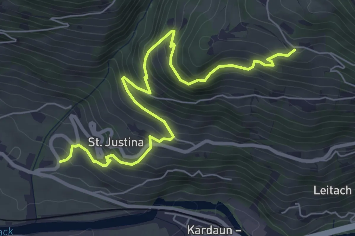
Medium · Trail
bei Signat (Ritten) – Ansitz Waldgries (bei Bozen)
6.7 km · ↑ 512 m · 2 h 42 min
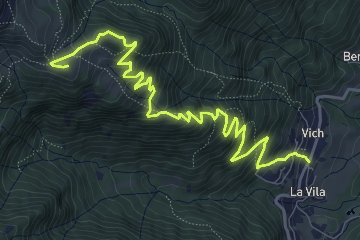
Medium · Cabin
Frassenè - strada per Domadore – Rifugio Scarpa
9.4 km · ↑ 660 m · 3 h 39 min
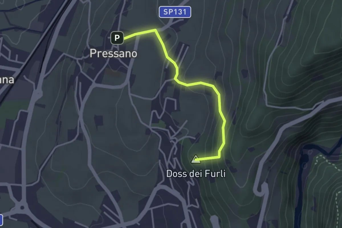
Easy · Summit
Dos Paion – Pressano
2.9 km · ↑ 169 m · 1 h 3 min
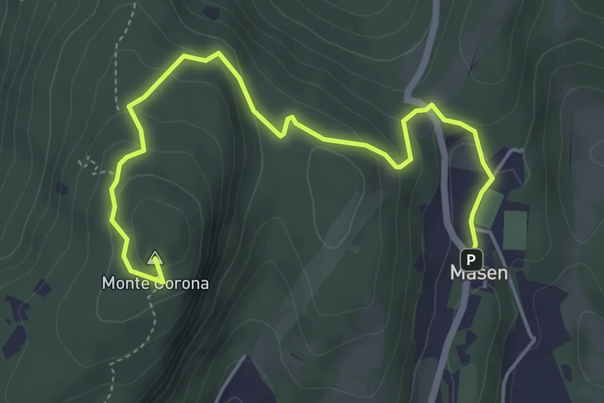
Medium · Summit
Masen – Monte Corona - Dos Paion
5.0 km · ↑ 237 m · 1 h 42 min
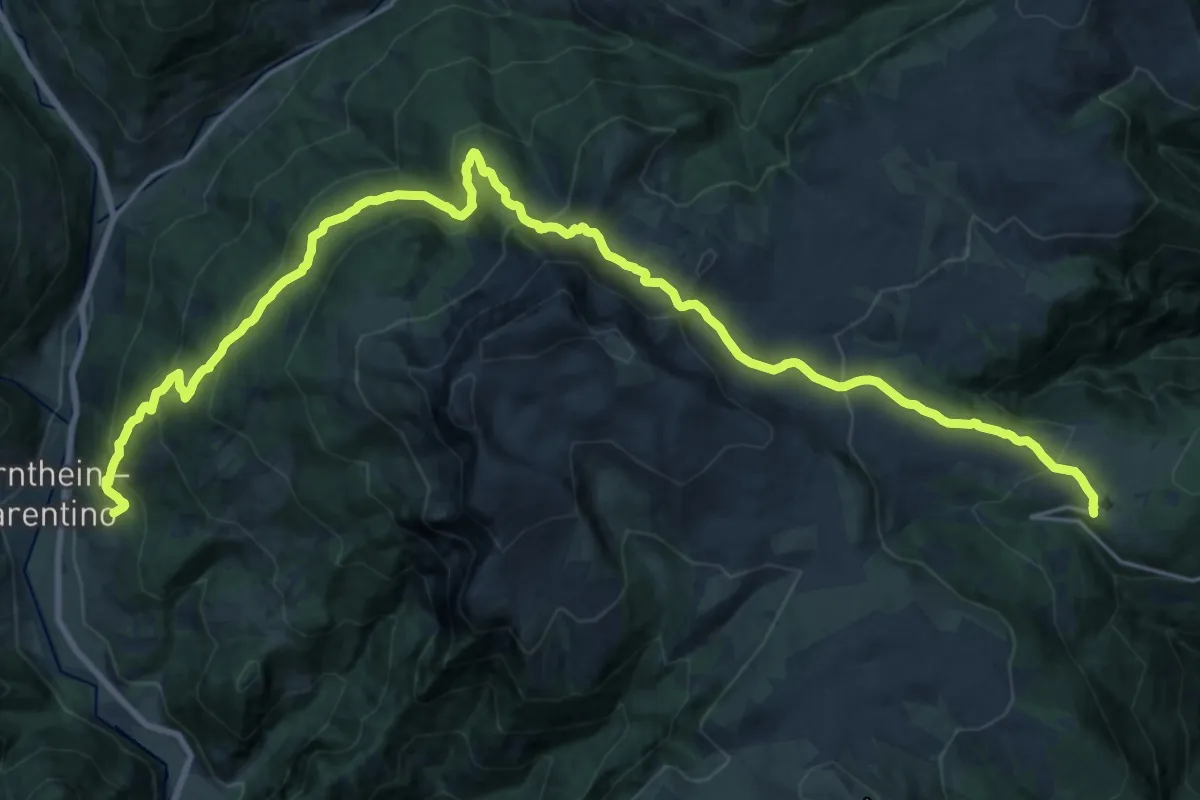
Medium · Trail
Gasserhütte – Schloss Reinegg
14.5 km · ↑ 470 m · 4 h 58 min