Trails in Italy
25,219 hiking trails, each with its route, climb, walking time and grade.
All trails, page 492 of 526
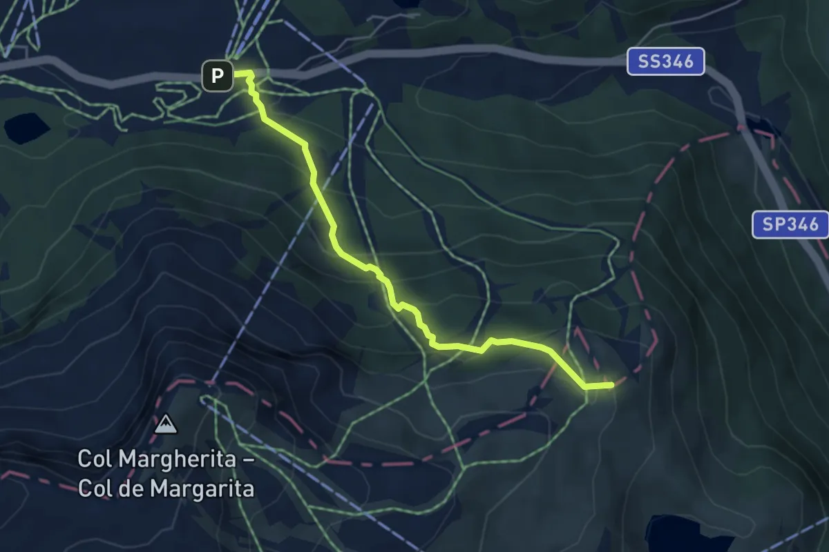
Medium · Summit
Pas de Sen Pelegrin (bivio 604 - 607 - 728) – Passo Valles
4.6 km · ↑ 303 m · 1 h 45 min
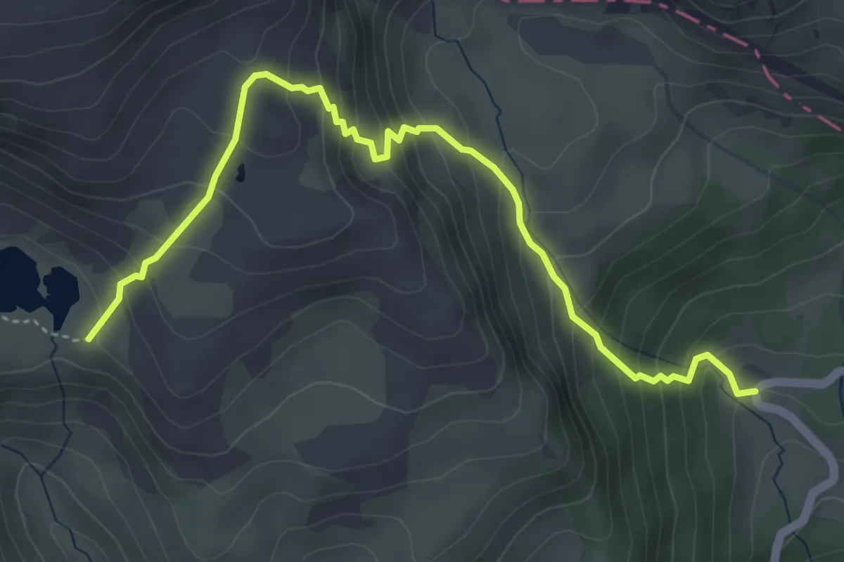
Medium · Cabin
Malga Vallazza (bivio 623) – Lago di Iuribrutto/Gereburt (bivio 629)
5.0 km · ↑ 499 m · 2 h 15 min
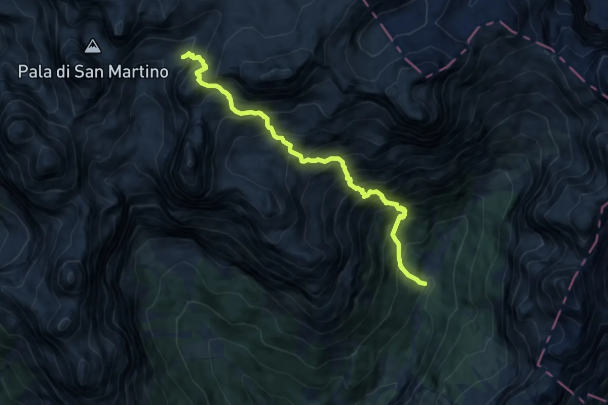
Expert · Trail
Pian delle Lede (bivio 707) – Val Pradidali (bivio 709)
9.3 km · ↑ 1599 m · 5 h 40 min
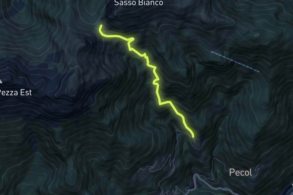
Demanding · Trail
Pian Molin - Costoia – Forcella S'ciota
6.1 km · ↑ 806 m · 3 h 11 min
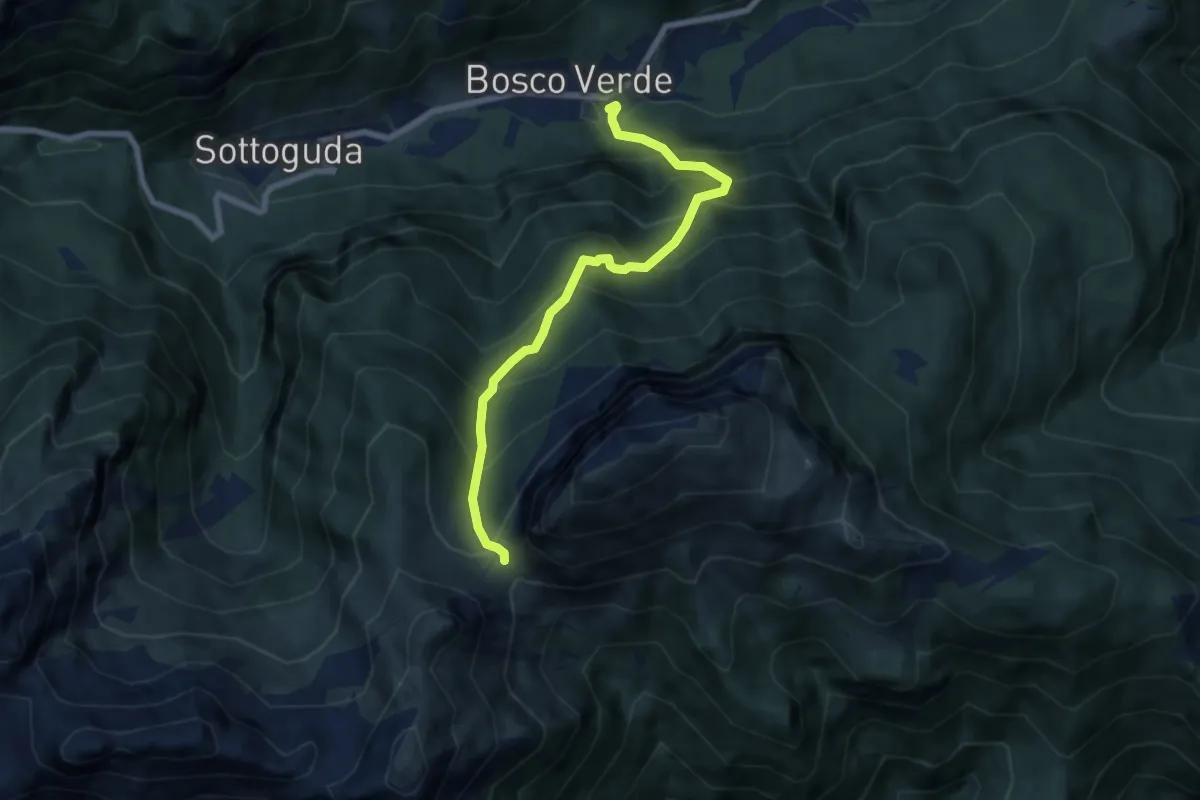
Demanding · Trail
Bosto Verde – Forcella S'ciota
6.7 km · ↑ 819 m · 3 h 22 min
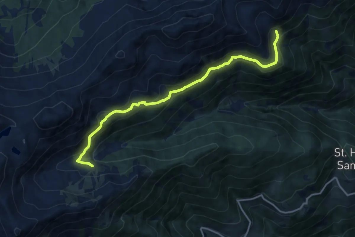
Demanding · Trail
Innerer Falkomai – Percorso 6
10.1 km · ↑ 576 m · 3 h 39 min
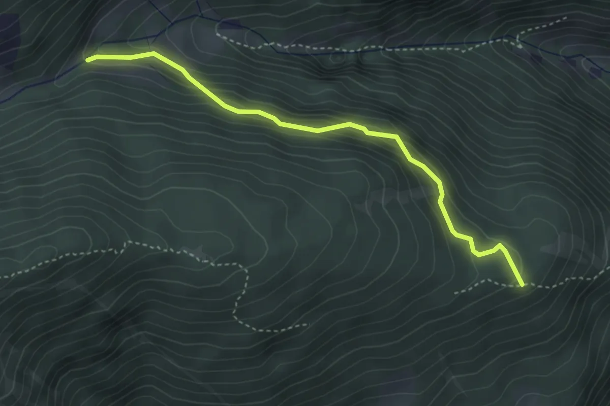
Easy · Trail
Malga Mariolberg – Percorso 8
3.8 km · ↑ 276 m · 1 h 29 min
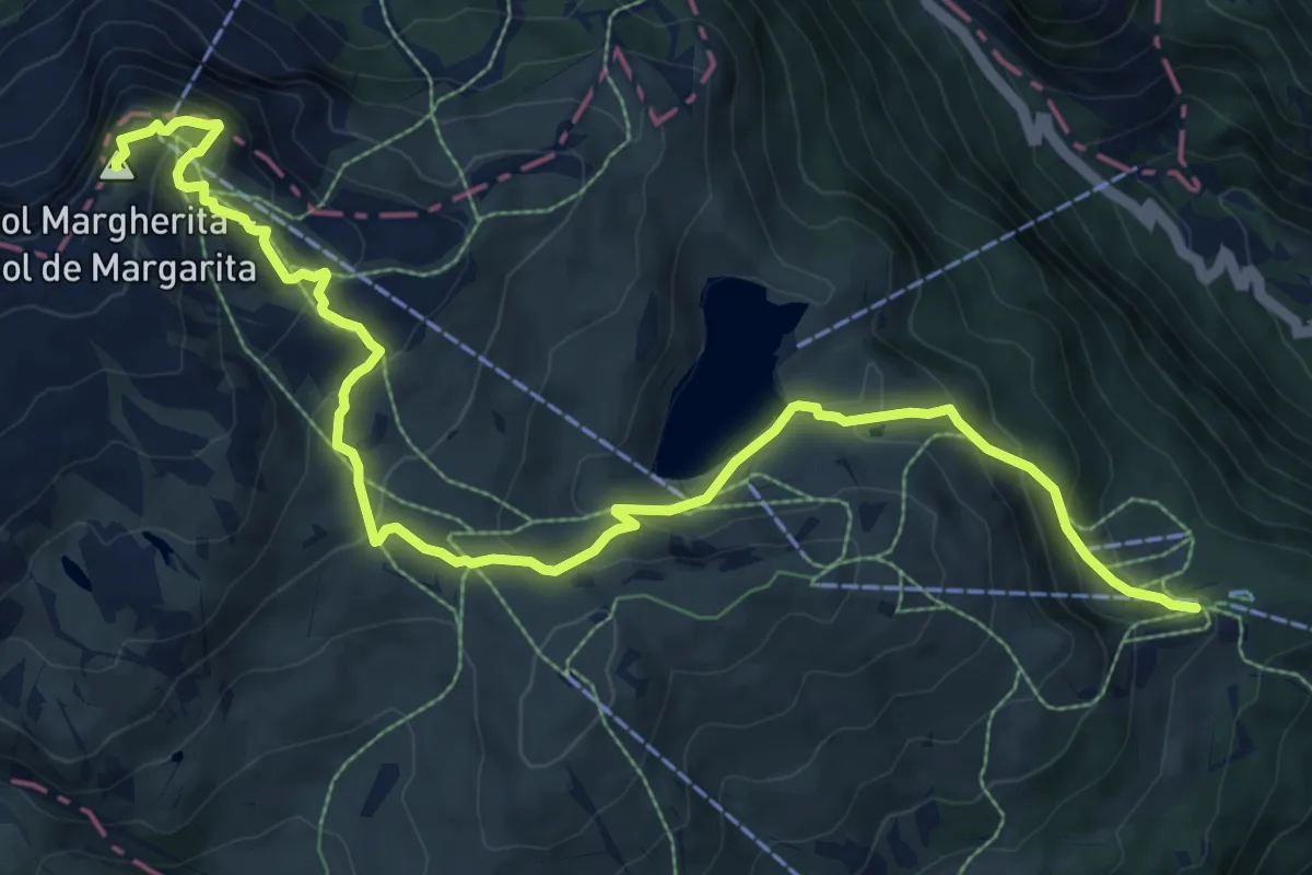
Medium · Summit
Rifugio Le Buse – Col Margherita - Forcella Vallazza
11.4 km · ↑ 668 m · 4 h 8 min
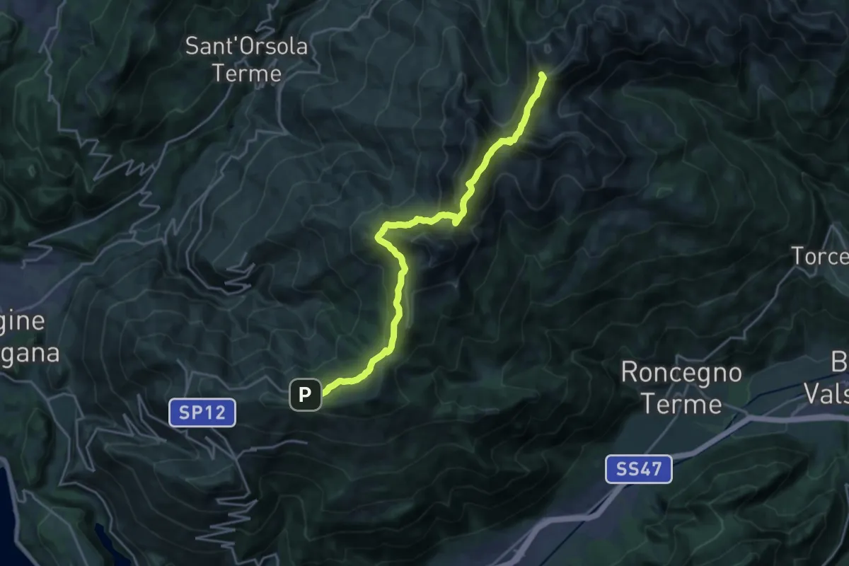
Demanding · Summit
Presso Battisti - Palù del Fèrsina (bivio 370) – Ristorante Panarotta (bivio 313)
20.1 km · ↑ 1194 m · 7 h 19 min
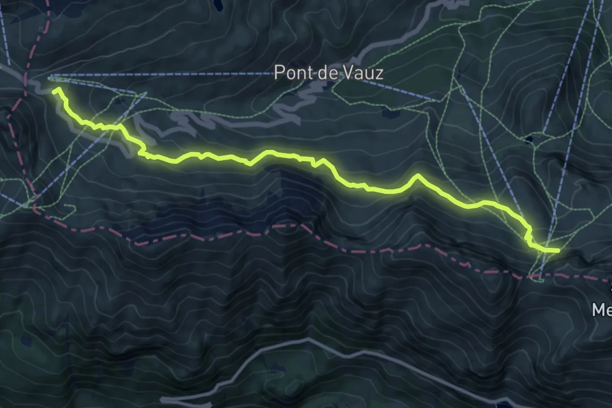
Medium · Trail
sotto Passo Pordoi - Lezuo (tornante) – sotto Porta Vescovo - inn. sent. 698
10.3 km · ↑ 618 m · 3 h 47 min
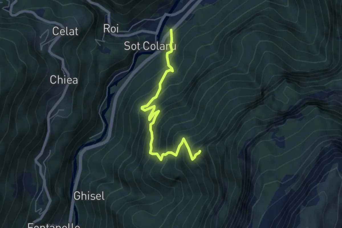
Medium · Trail
Le Vare – innesto sentiero n. 567
5.2 km · ↑ 696 m · 2 h 44 min
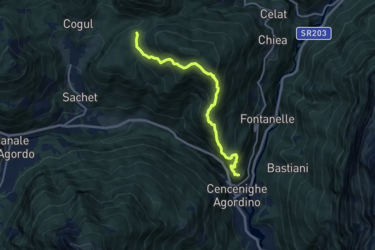
Demanding · Trail
Cencenicghe - Balestier – Bocche (ripetitore RAI)
8.9 km · ↑ 882 m · 4 h
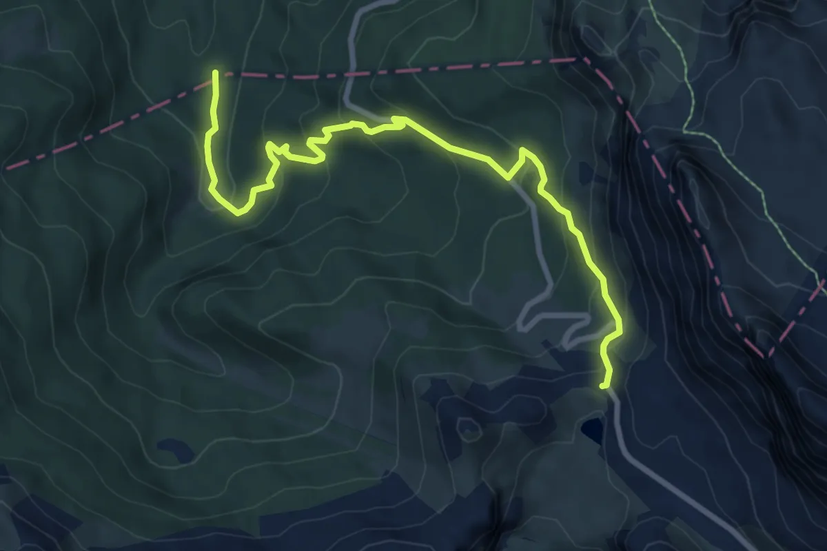
Medium · Cabin
Tornante S.P. 24 - dopo passo Valparola – Malga Valparola - confine Regione
8.4 km · ↑ 467 m · 3 h
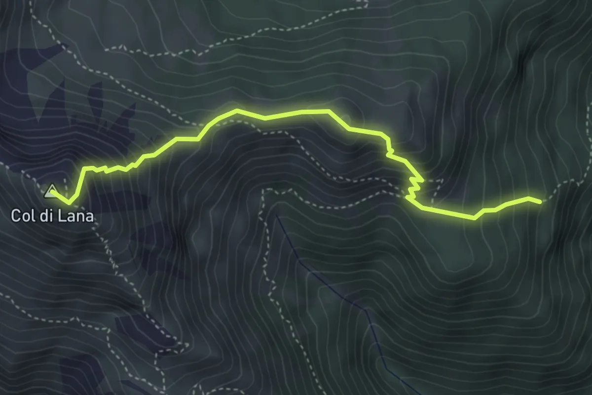
Medium · Summit
sent. 37 sopra Castello – Cima Col di Lana
4.4 km · ↑ 540 m · 2 h 12 min
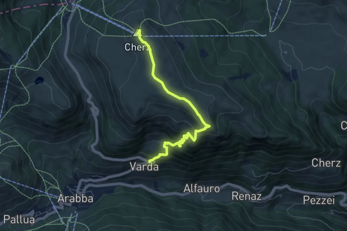
Medium · Summit
Varda – Rifugio Cherz
6.7 km · ↑ 417 m · 2 h 29 min
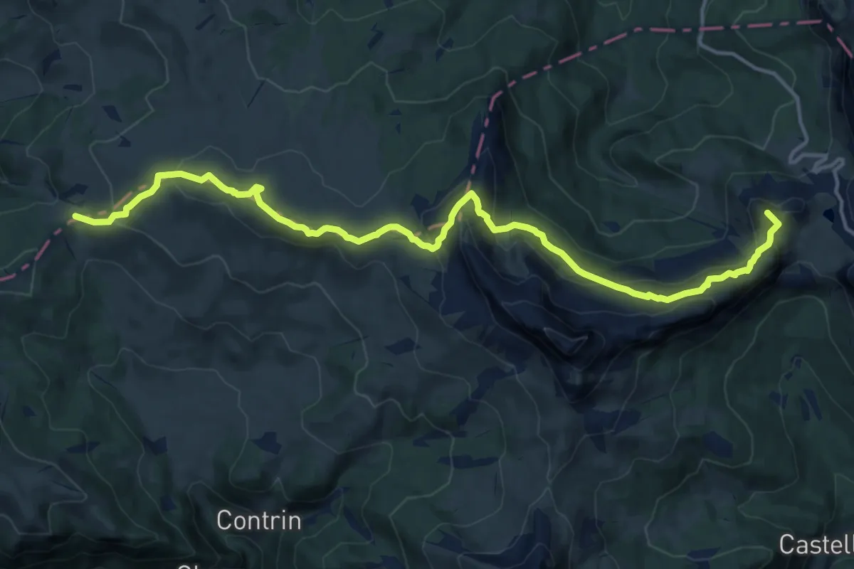
Medium · Summit
Rifugio Valparola – Passo Incisa - confine Regione
16.3 km · ↑ 786 m · 5 h 33 min
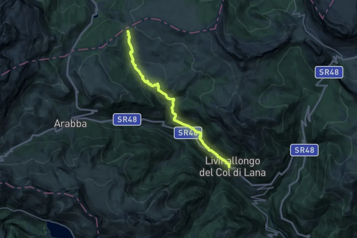
Medium · Cabin
Pieve di Livinallongo – Passo Incisa - confine Regione
15.6 km · ↑ 752 m · 5 h 18 min
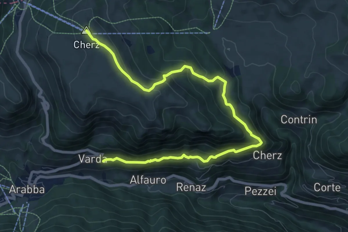
Medium · Summit
Varda – sotto Rifugio Cherz - inn. sent. 22
11.9 km · ↑ 622 m · 4 h 10 min
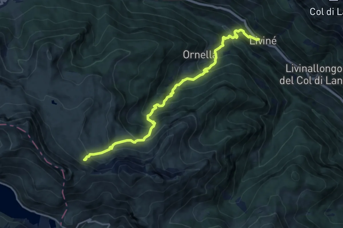
Demanding · Trail
Livinè – inn. sent. 699 sotto Passo Padon (Monti Alti di Ornella)
12.2 km · ↑ 1180 m · 5 h 26 min
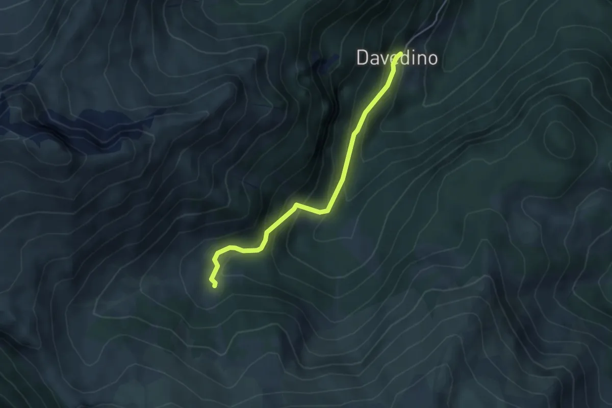
Medium · Trail
Davedino – loc. Ciampèi
3.9 km · ↑ 329 m · 1 h 38 min
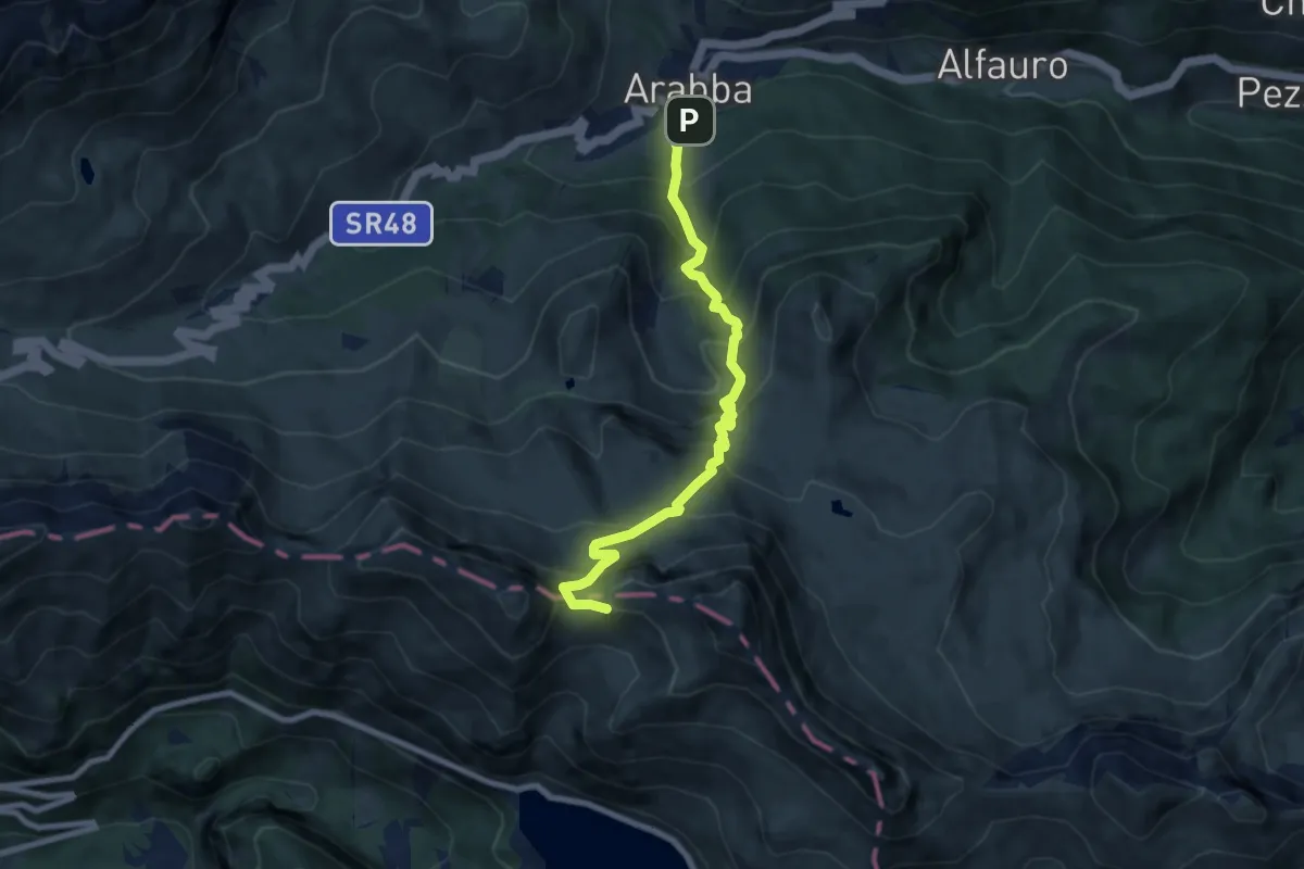
Demanding · Cabin
Arabba - Part. Funivia Porta Vescovo – Porta Vescovo
8.3 km · ↑ 889 m · 3 h 53 min
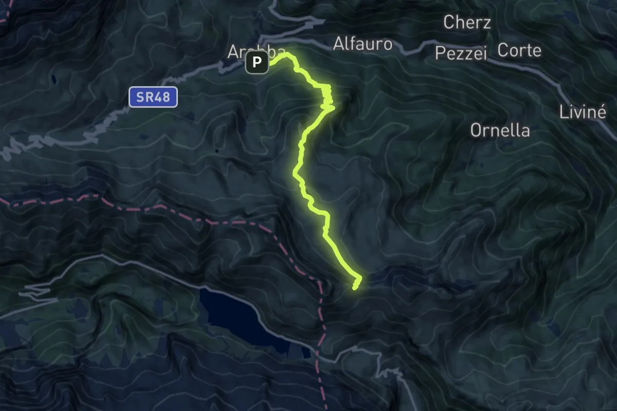
Demanding · Cabin
Arabba - Le Freine - Part. Funivia P.ta Vescovo – Passo Padon
12.4 km · ↑ 873 m · 4 h 49 min
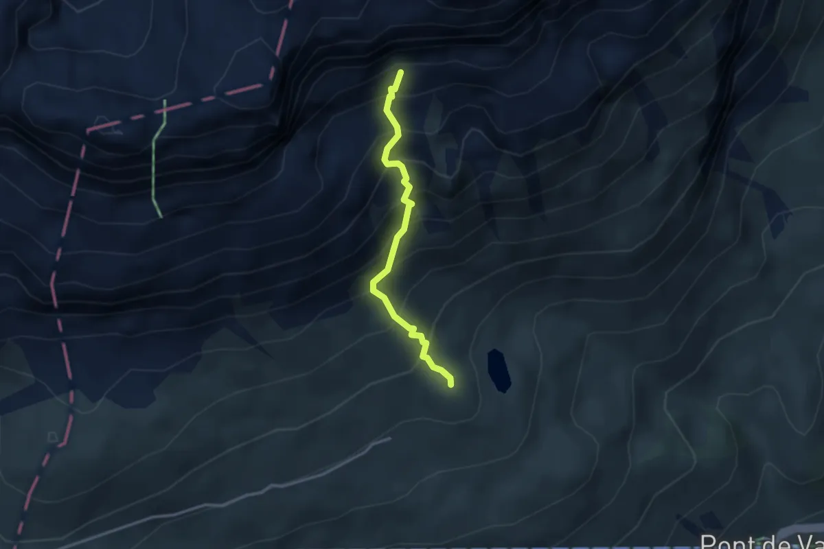
Expert · Trail
Passo Pordoi - Monumento Ossario – inn. sent. 626 vicino attacco Ferrata Piazzetta
2.7 km · ↑ 431 m · 1 h 34 min
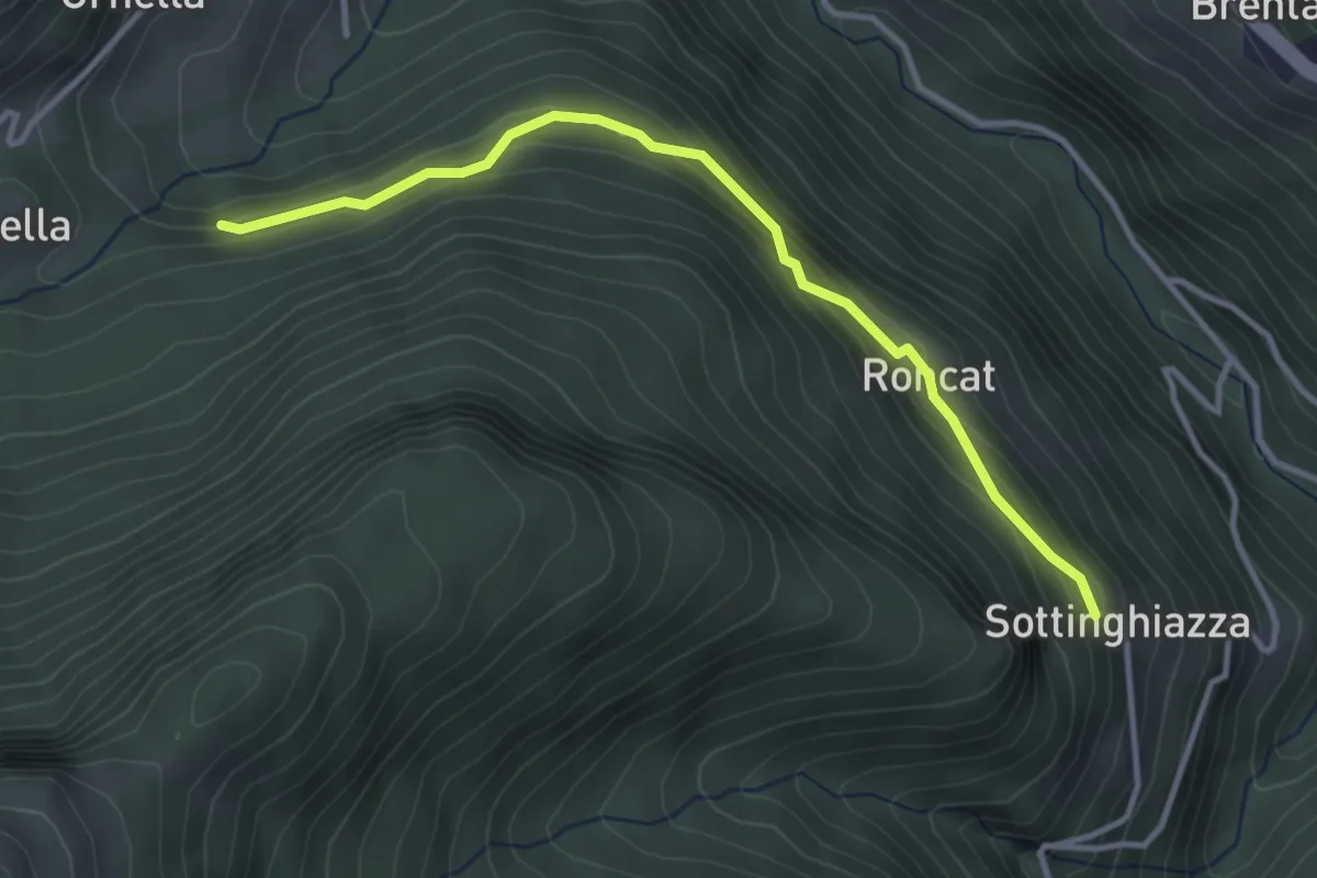
Easy · Trail
loc. Sottinghiazza – inn. sent. 634 in loc. Palùa di Ornella
3.5 km · ↑ 176 m · 1 h 12 min
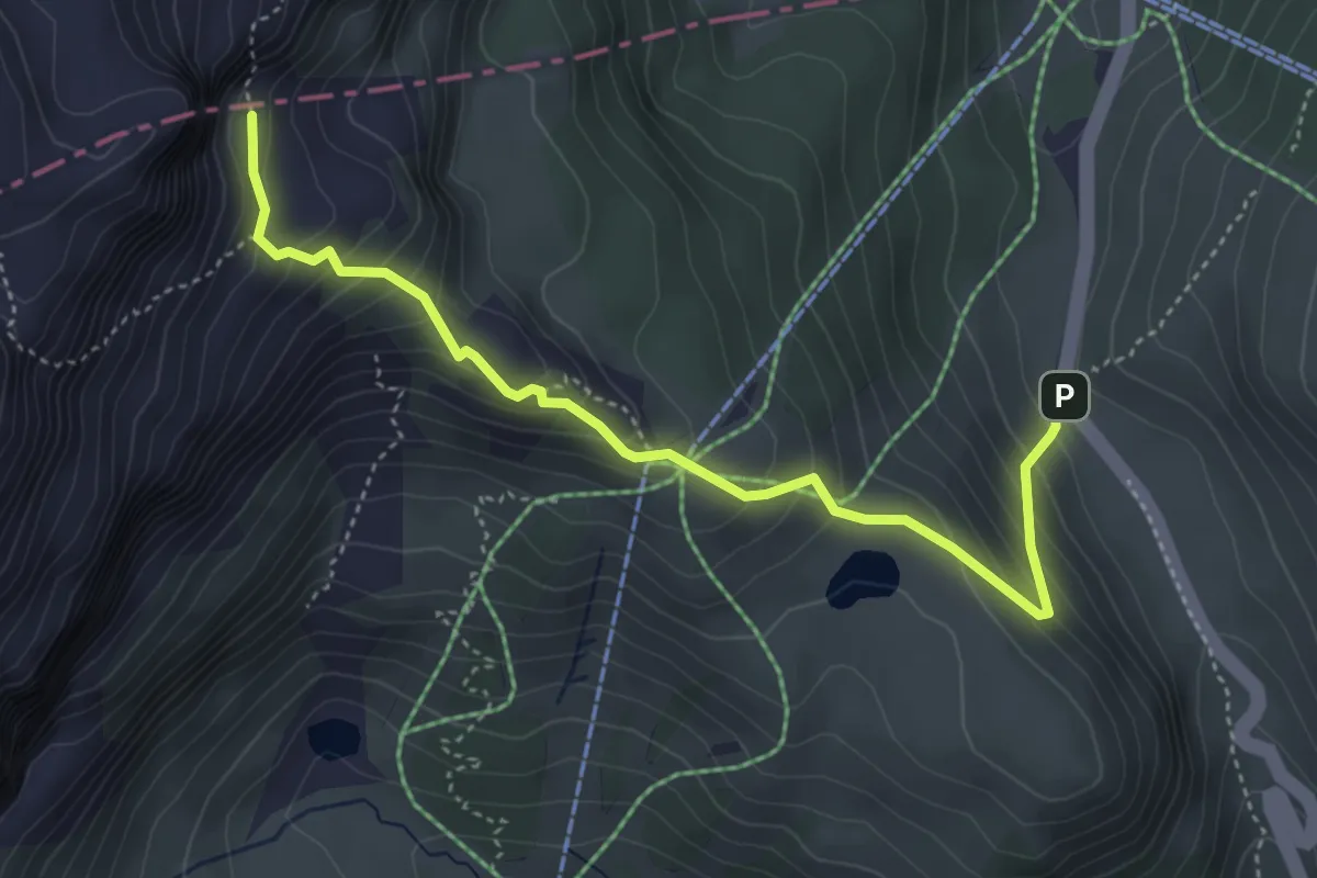
Demanding · Trail
Passo Campolongo – confine Regione verso Laghetto Boè
4.5 km · ↑ 424 m · 1 h 59 min
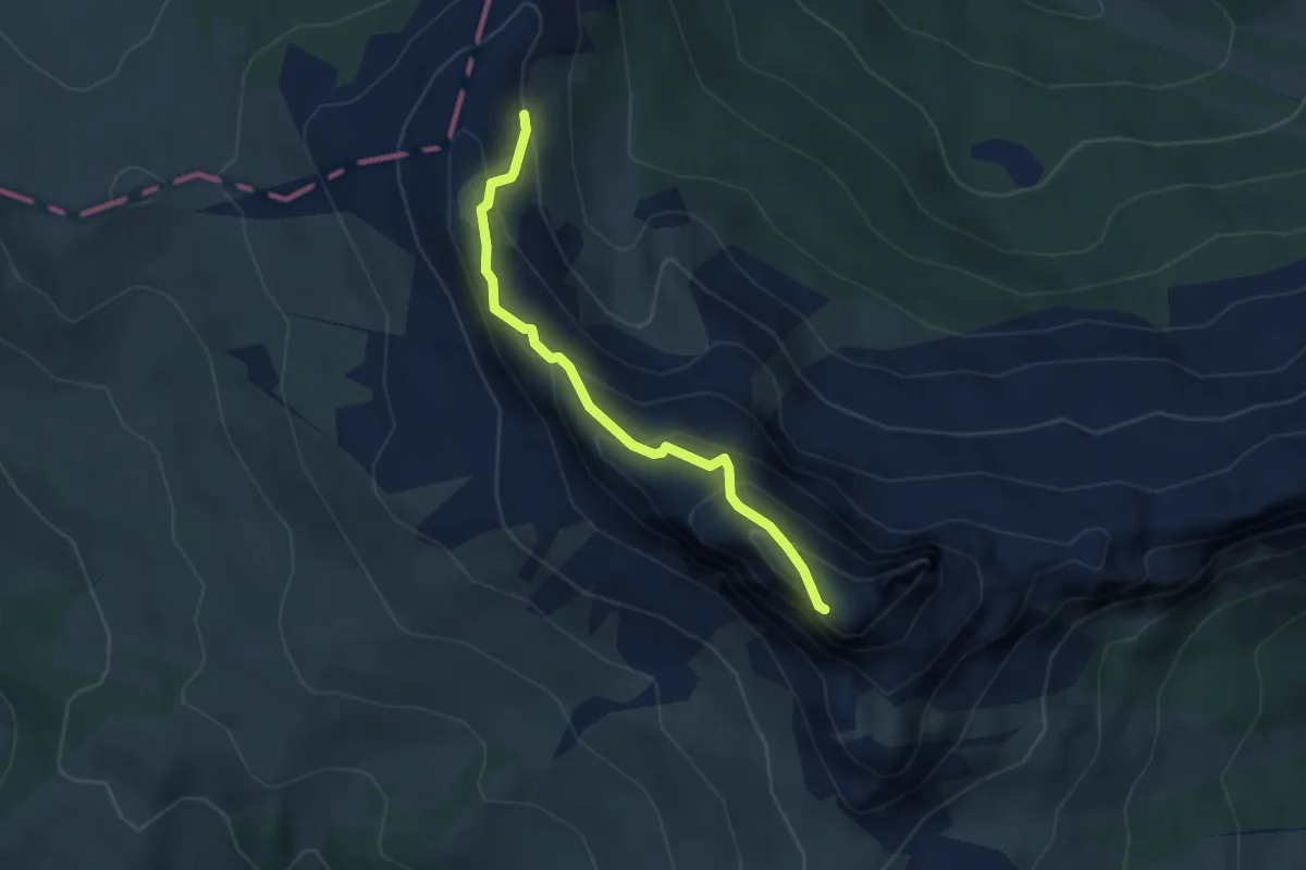
Demanding · Summit
sent. 24 nei pressi di Les Pizades – Cima Settsass Ovest
3.4 km · ↑ 294 m · 1 h 27 min
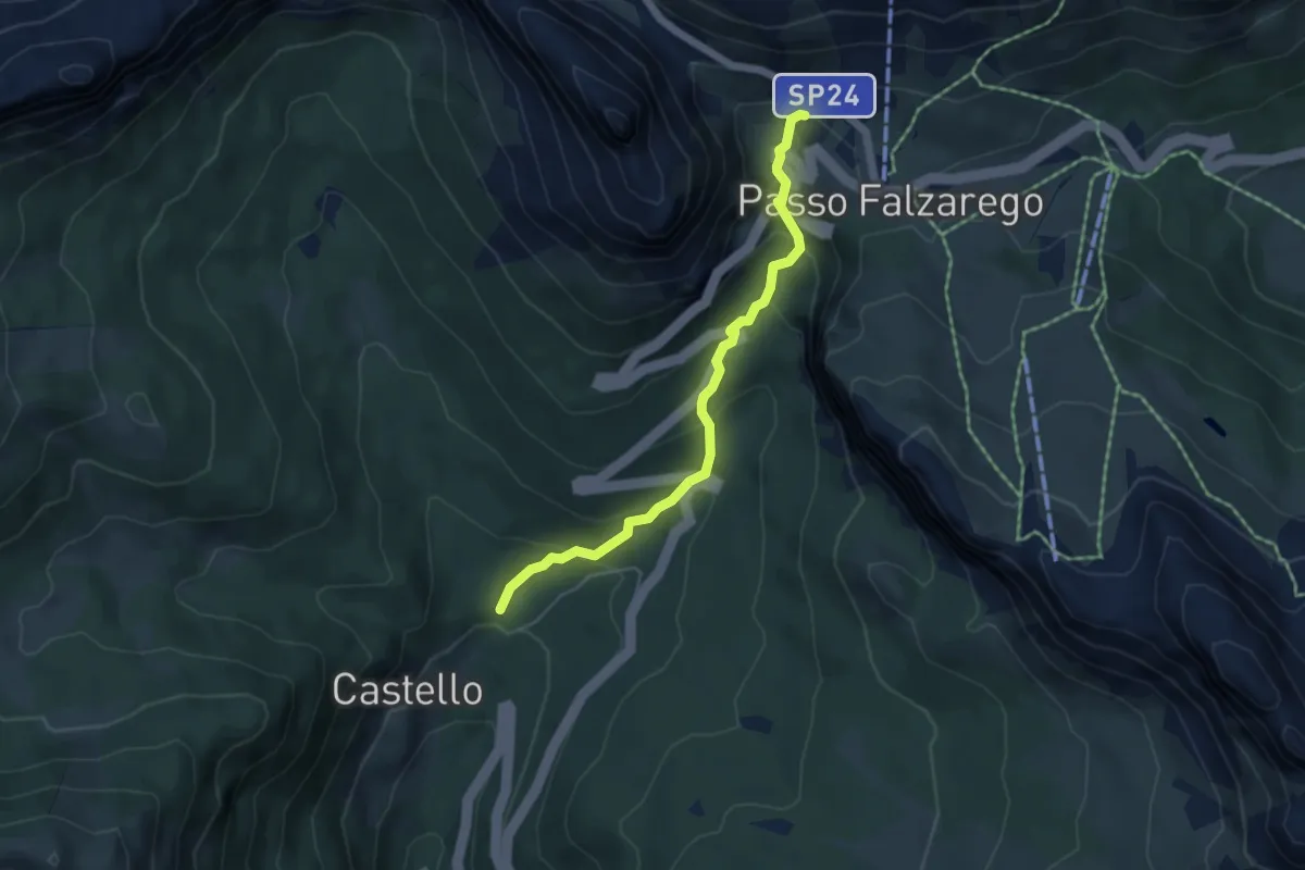
Medium · Trail
Castello – Passo Falzarego
4.7 km · ↑ 340 m · 1 h 51 min
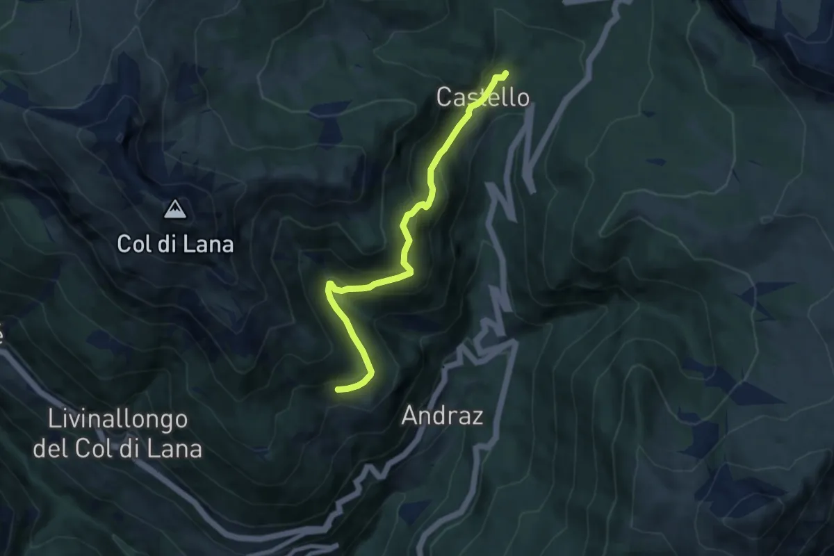
Medium · Trail
Castello di Andraz – Agai
6.8 km · ↑ 488 m · 2 h 40 min
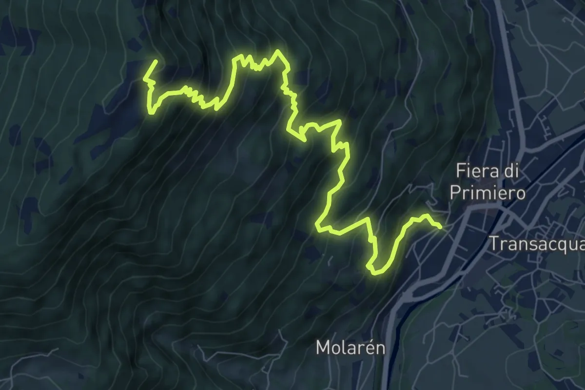
Demanding · Summit
Pieve - Fiera di Primiero (bivio 357) – Presso Buse di Santa Romina (bivio 379)
11.0 km · ↑ 1093 m · 4 h 58 min
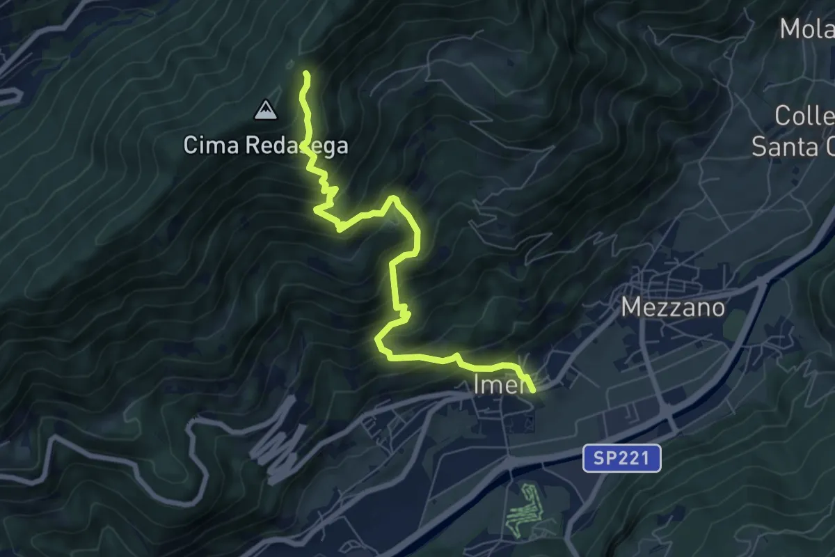
Demanding · Trail
Imer – RedÀsega
7.2 km · ↑ 852 m · 3 h 32 min
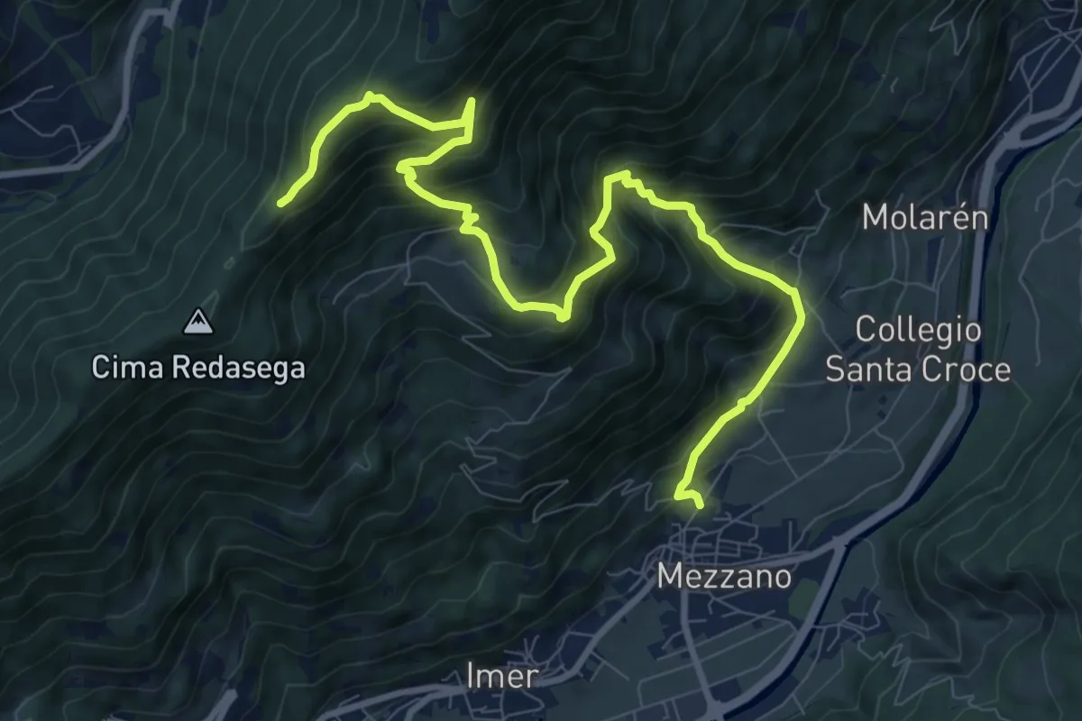
Demanding · Trail
Mezzano – Capitello di Sant'Antonio
11.2 km · ↑ 1138 m · 5 h 7 min
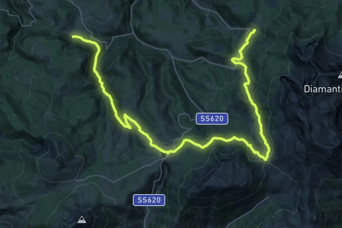
Demanding · Trail
Percorso 8 – Percorso 21A
17.6 km · ↑ 857 m · 6 h 13 min
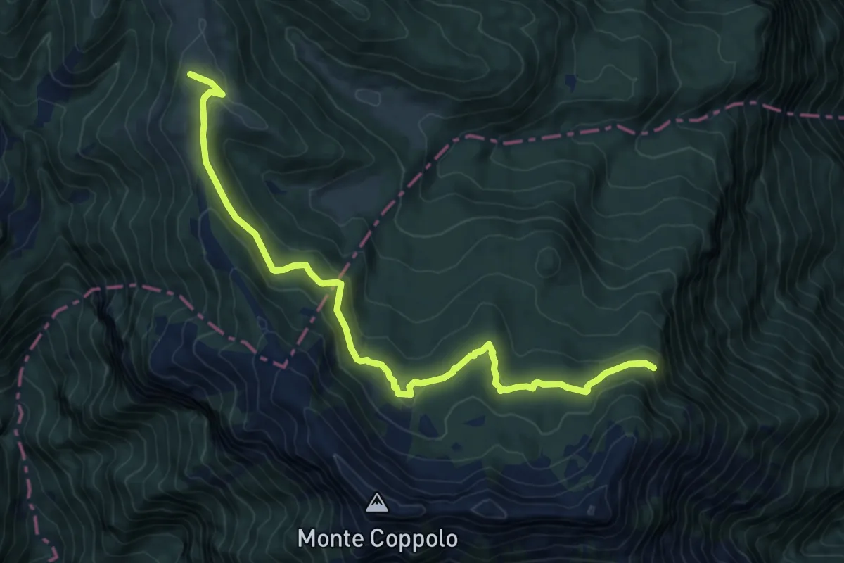
Medium · Trail
Monte Coppolo bivio 393 – Bivio con il sentiero CAI 822
10.1 km · ↑ 469 m · 3 h 23 min
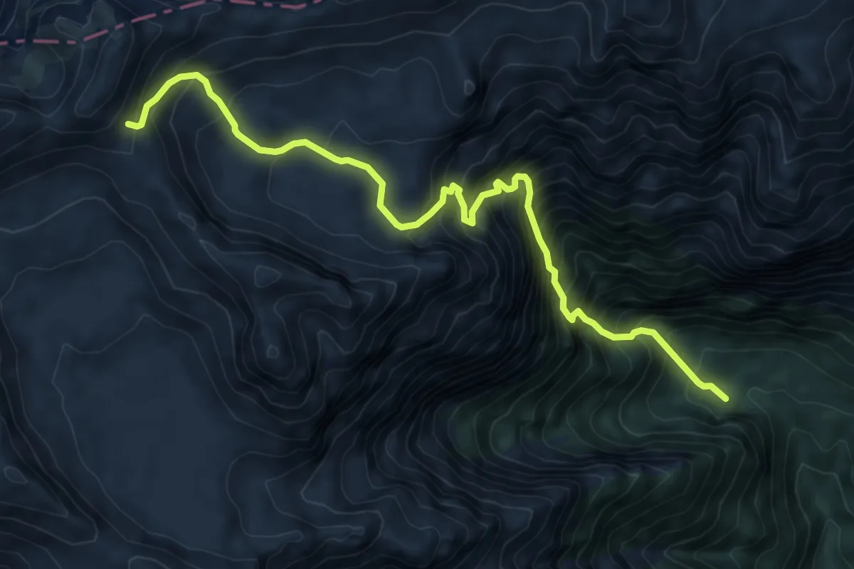
Demanding · Trail
Pian dei Violini - da sent. 812 – nei pressi passo Pietena - inn. sent. 801
9.0 km · ↑ 1350 m · 5 h 3 min
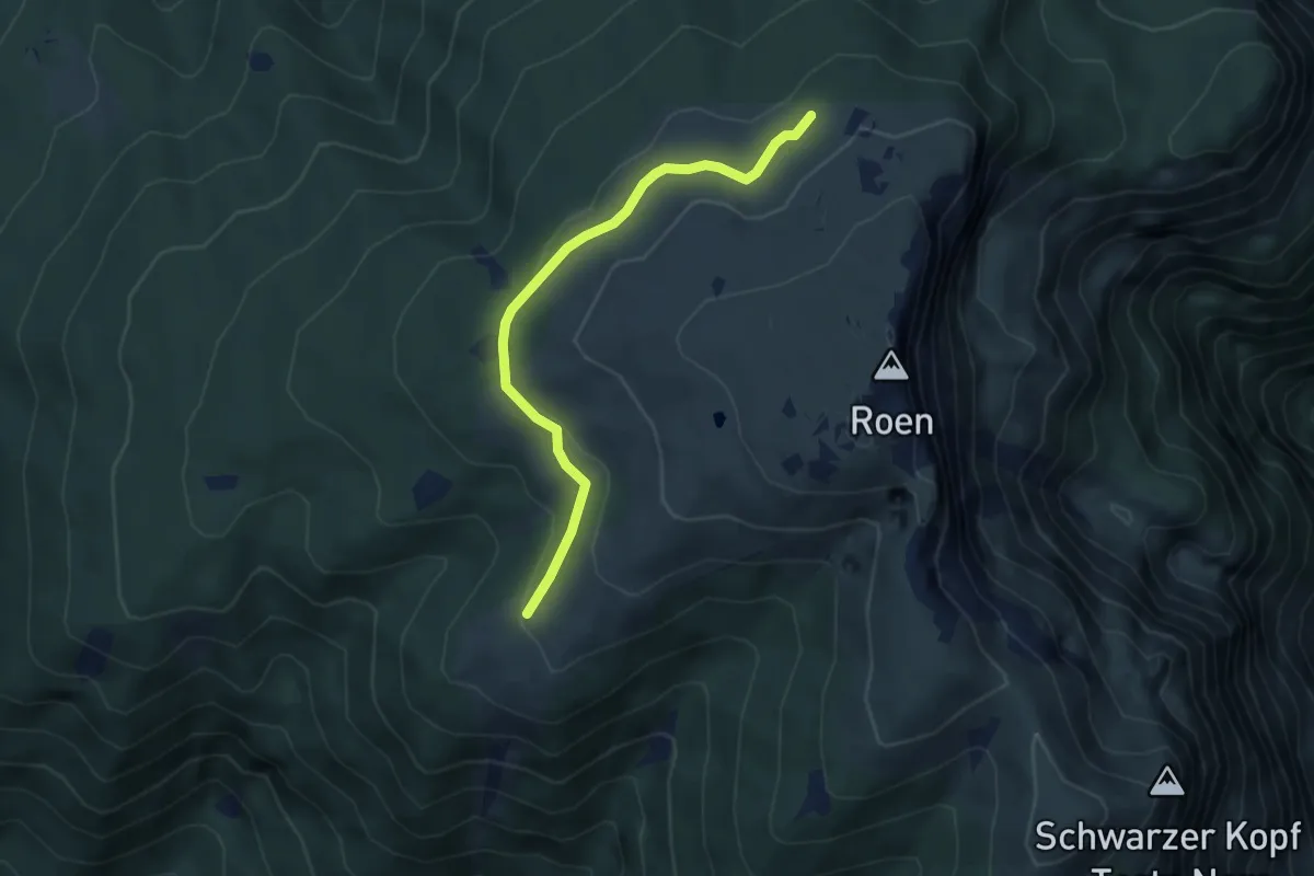
Easy · Trail
Malga di Smarano e Sfruz (bivio 528) – Quota 1973 (bivio 500)
4.1 km · ↑ 102 m · 1 h 11 min
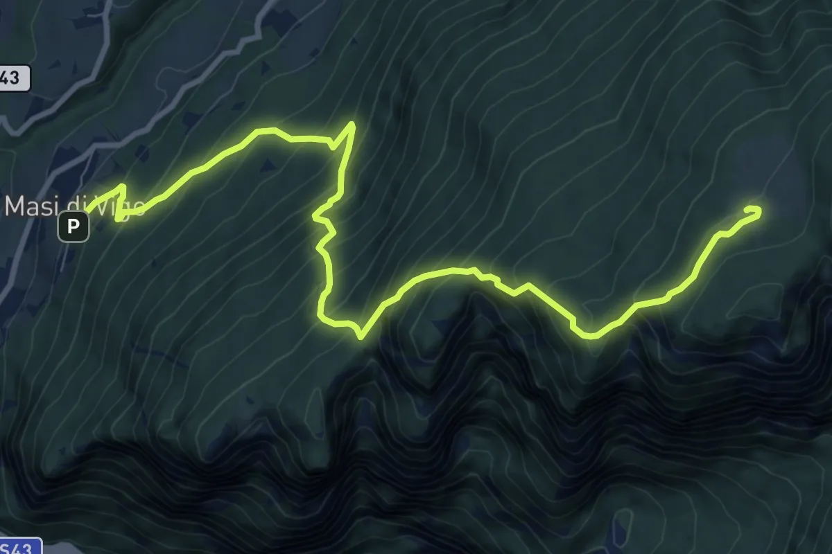
Demanding · Cabin
Masi di Vigo – Malga Bodrina (bivio 509)
11.0 km · ↑ 1173 m · 5 h 8 min
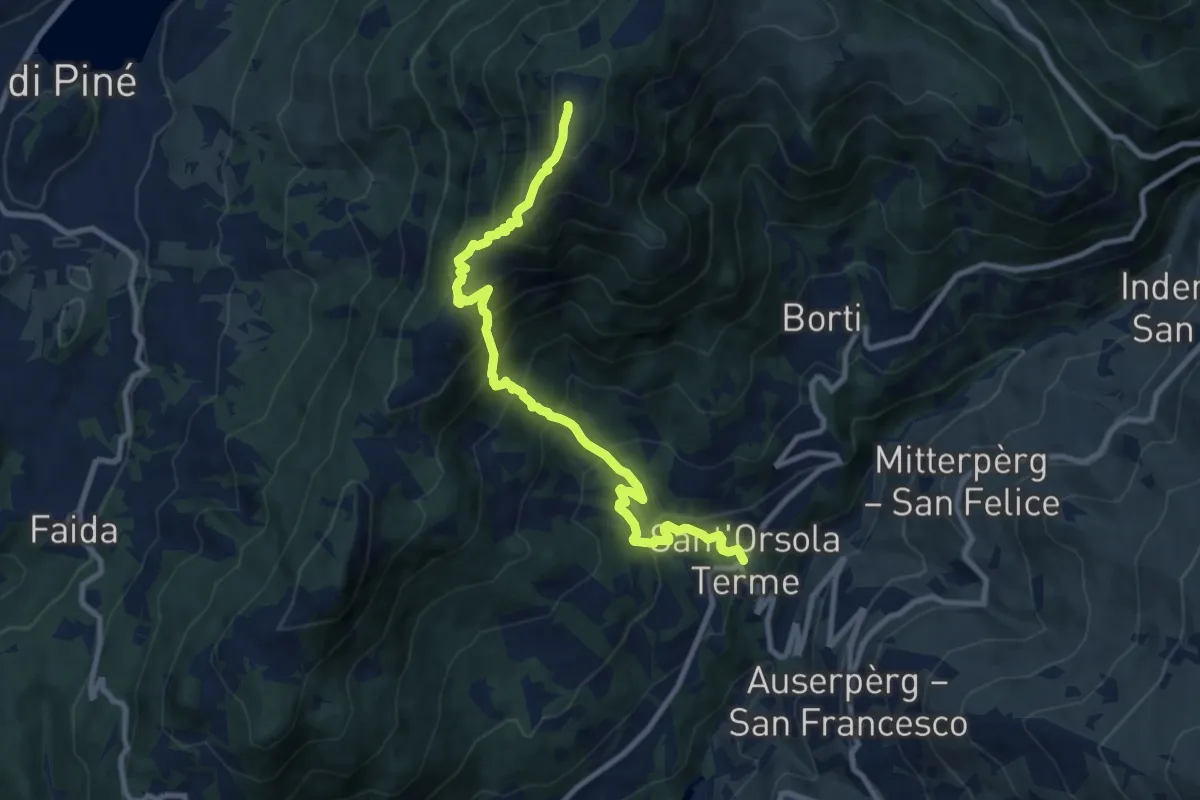
Demanding · Summit
Sant'Orsola – Dosso di Costalta (bivio 404)
10.1 km · ↑ 1094 m · 4 h 45 min
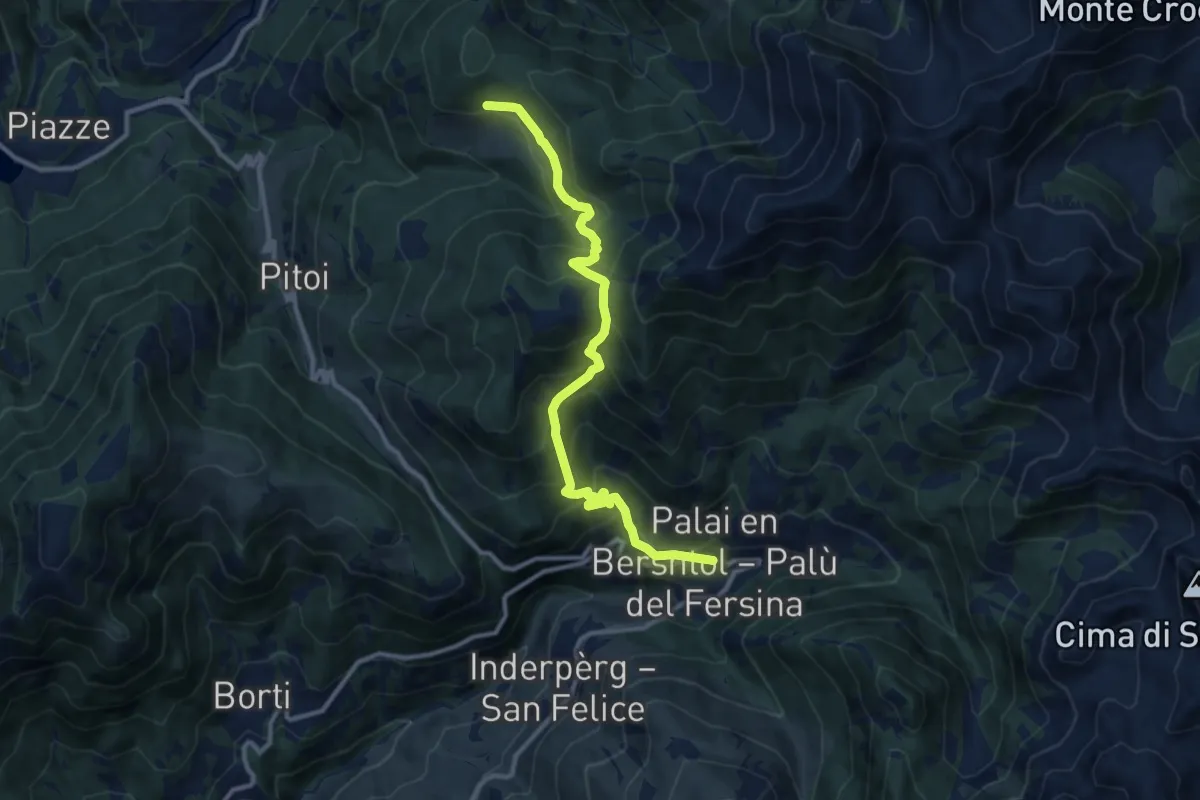
Demanding · Trail
Lènzi - frazione di Palù del Fèrsina – Stramaiolo (bivio 443)
11.3 km · ↑ 875 m · 4 h 33 min
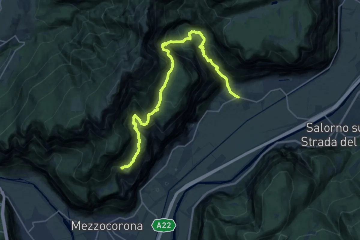
Medium · Trail
Roverè della Luna – Plon (bivio 500)
9.5 km · ↑ 485 m · 3 h 48 min
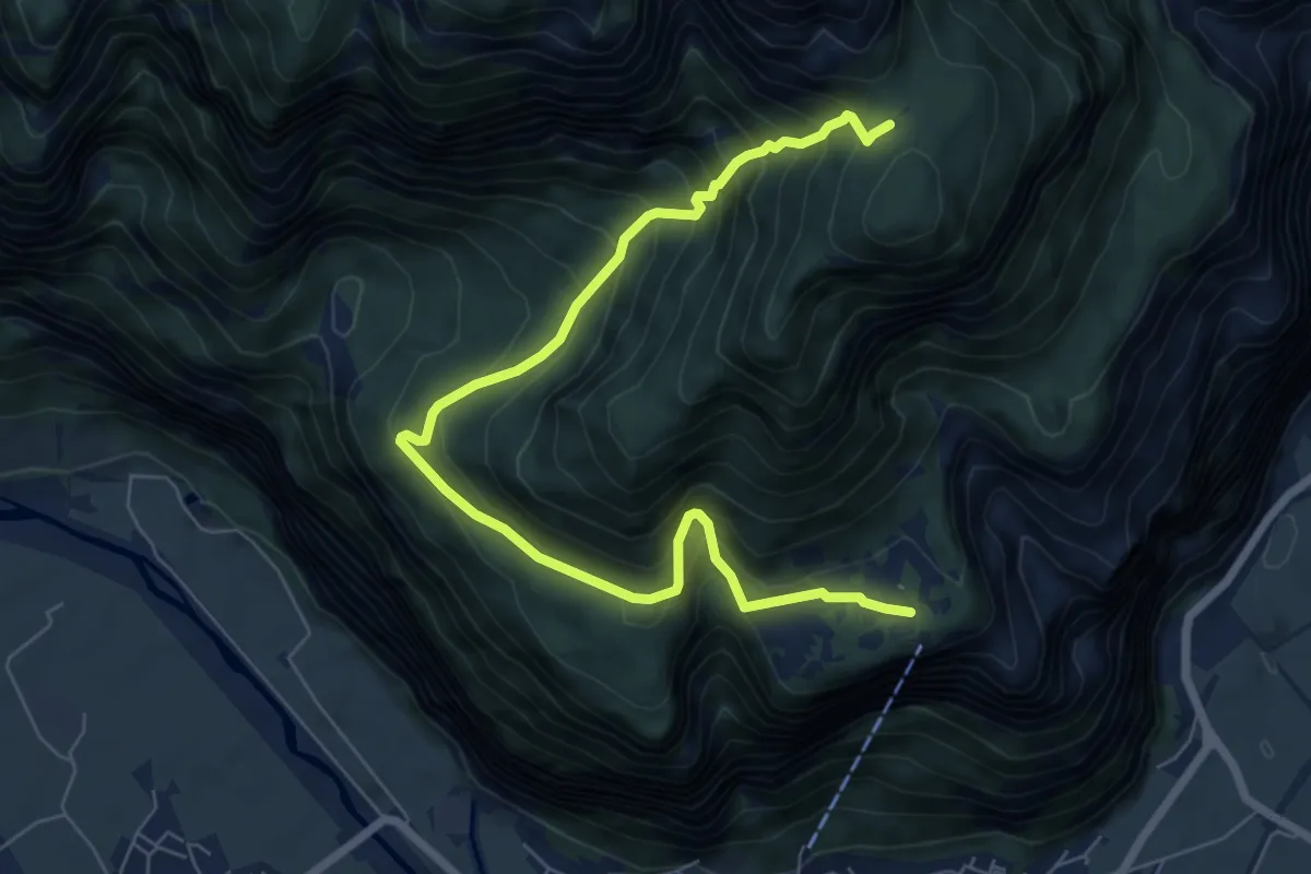
Demanding · Trail
Monte di Mezzocorona (bivio 500) – Bait dei Aiseli (bivio 500)
8.2 km · ↑ 940 m · 3 h 59 min
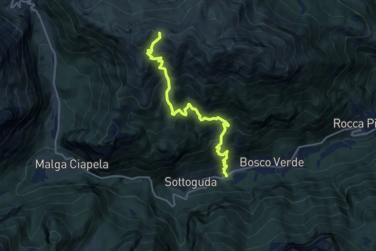
Demanding · Trail
Palue – Sass de Roi - inn. sent. 636
9.7 km · ↑ 1107 m · 4 h 41 min
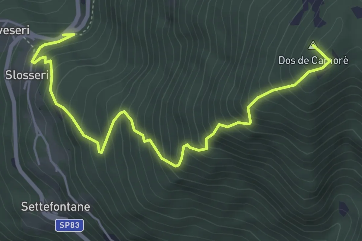
Medium · Summit
Sveseri - Montesover – Camorè (bivio E468)
5.4 km · ↑ 656 m · 2 h 42 min
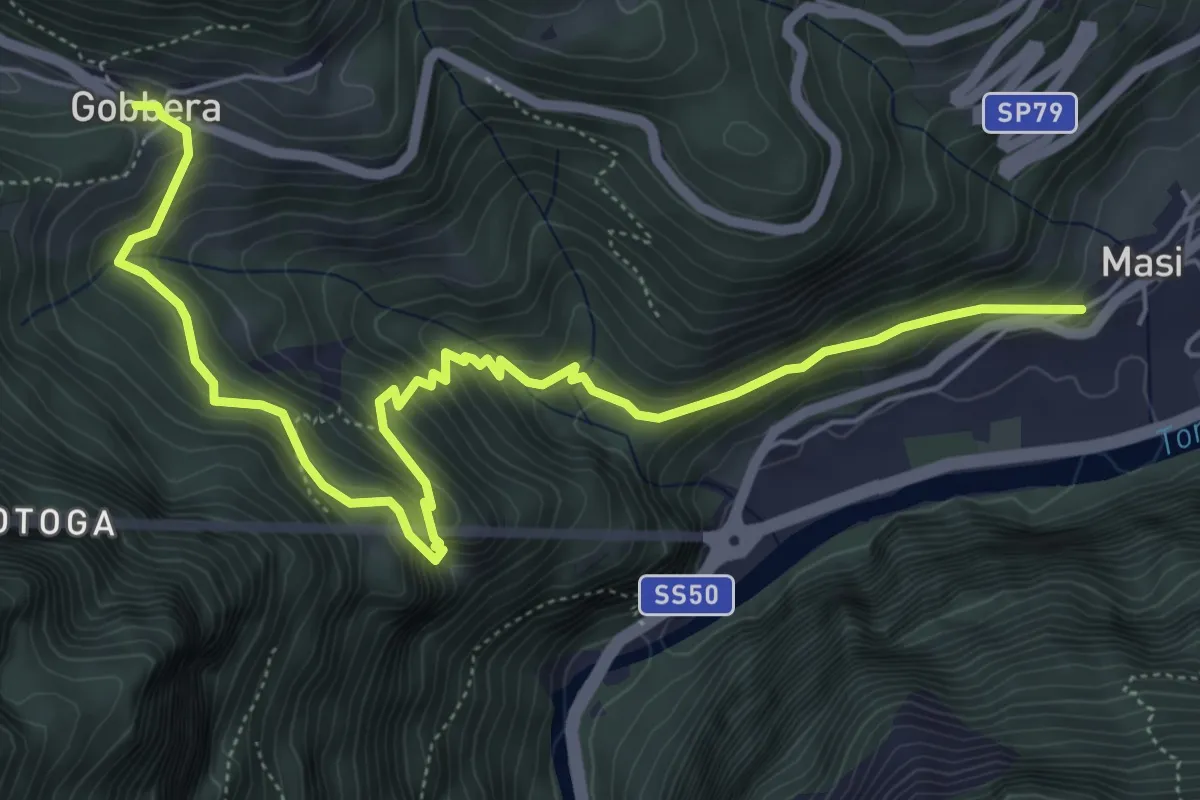
Medium · Trail
Masi D'Imer – Gobbera
7.1 km · ↑ 583 m · 2 h 57 min
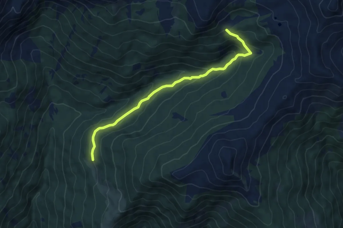
Medium · Trail
Bivio Strada Fossernica – Pian delle Belle Fior (bivio 335)
7.2 km · ↑ 411 m · 2 h 36 min
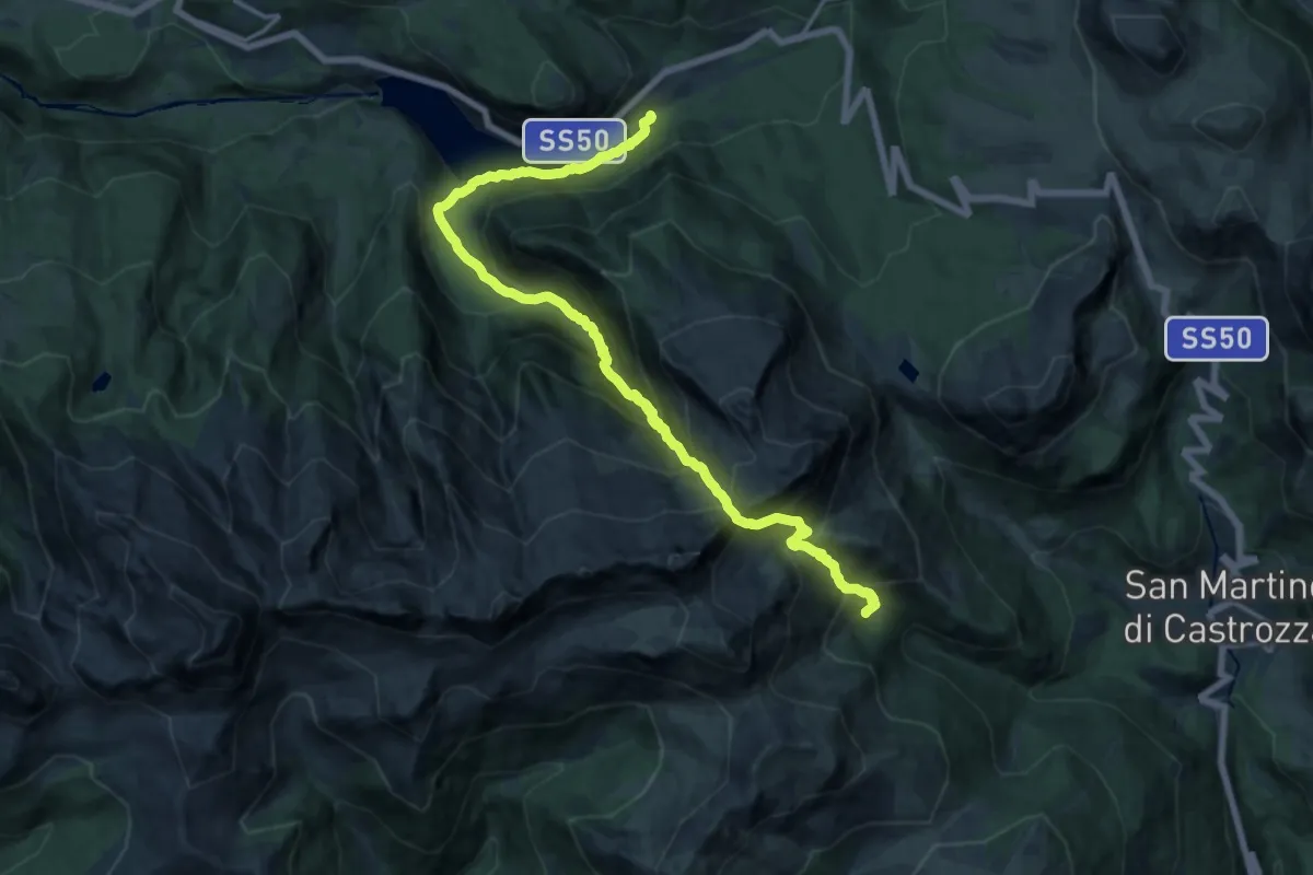
Demanding · Cabin
Pulesi - Paneveggio – Malga Valcigolera (bivio 368)
18.2 km · ↑ 1677 m · 7 h 55 min
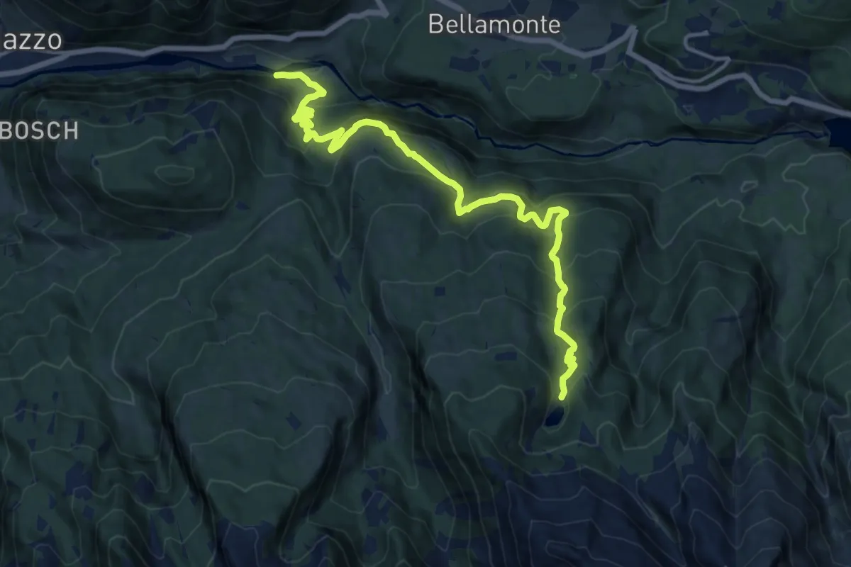
Demanding · Cabin
Quota 1088 Argine Travignolo (bivio 341) – Lago di Cece (bivio 336)
15.0 km · ↑ 1012 m · 5 h 44 min
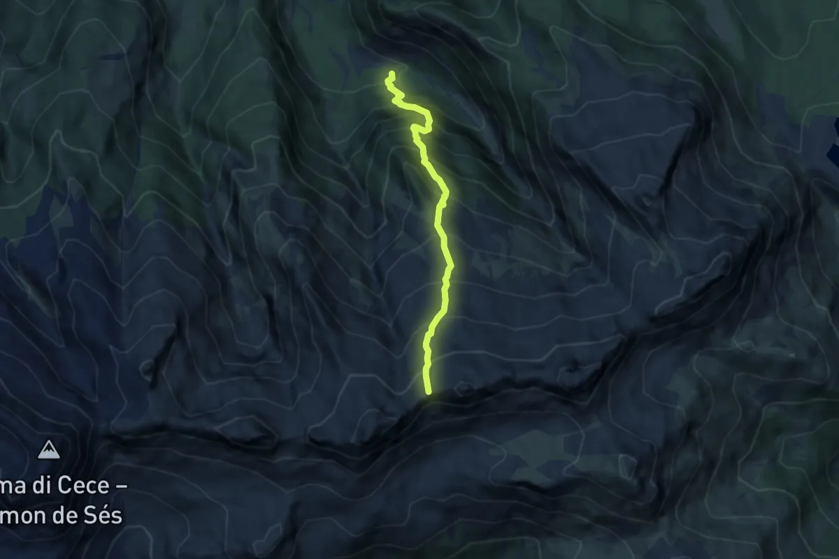
Demanding · Cabin
Pian di Ceremana (bivio 337) – Presso il bivacco "Aldo moro" (bivio 349)
6.5 km · ↑ 973 m · 3 h 38 min
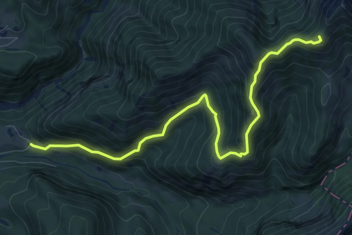
Expert · Summit
Agaon (bivio 726) – Pass de Mura
10.0 km · ↑ 845 m · 4 h 12 min