Trails in Italy
25,211 hiking trails, each with its route, climb, walking time and grade.
All trails, page 49 of 526
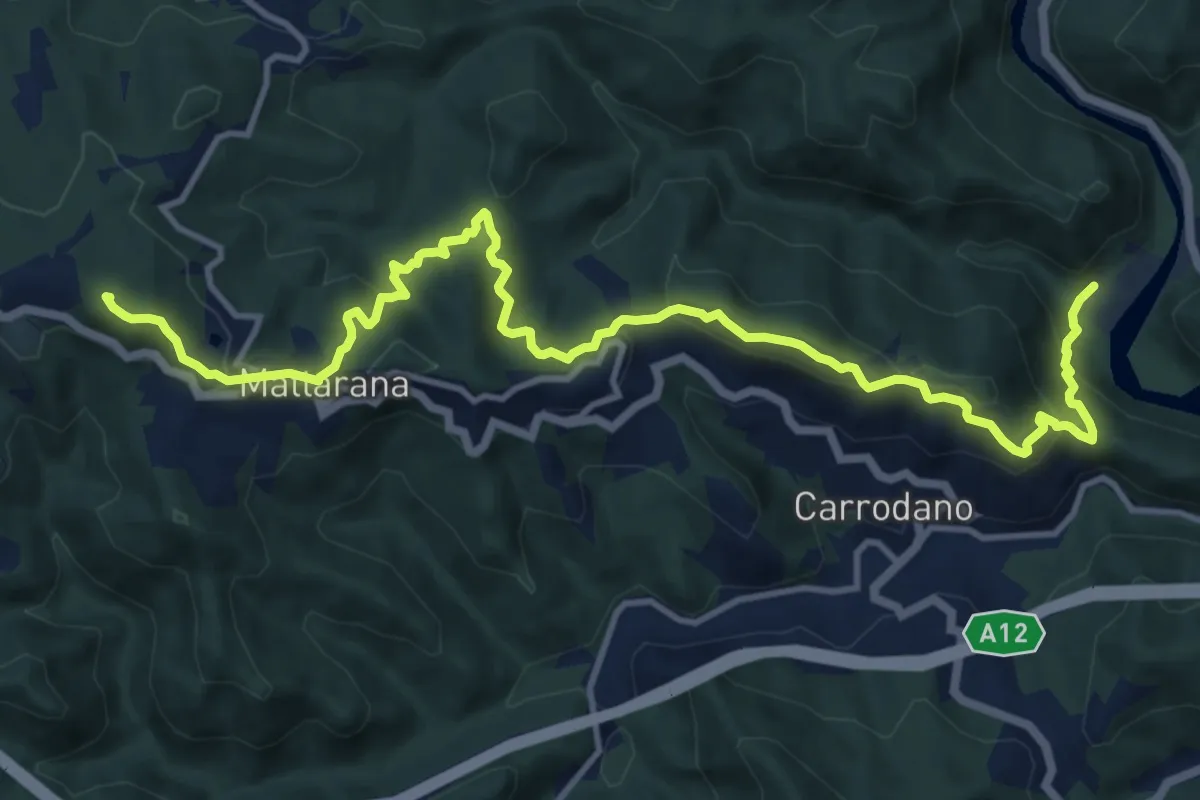
Demanding · Summit
Case Arsina - Carrodano Superiore - Casa Fogona - Mattarana - Monte Gruzze
15.2 km · ↑ 812 m · 5 h 21 min
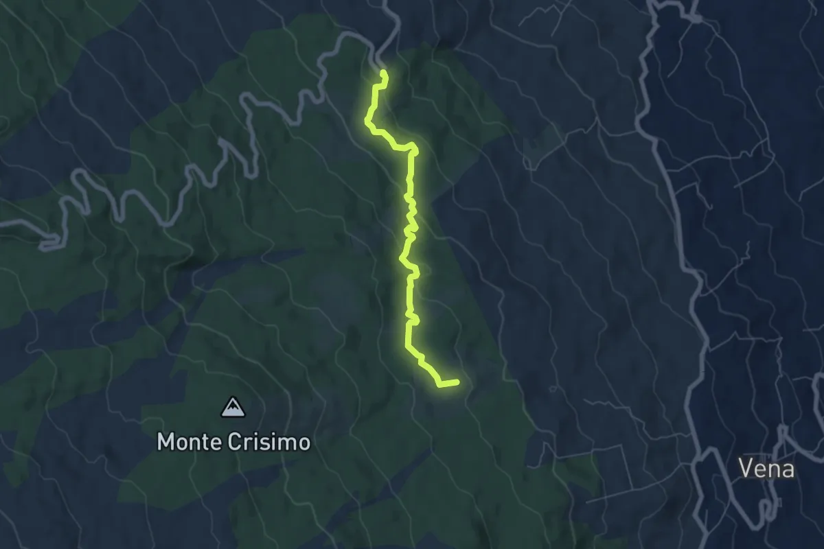
Easy · Summit
Case Bevacqua - Strada Provinciale Mareneve Fornazzo-Citelli-Linguaglossa
6.5 km · ↑ 185 m · 1 h 55 min
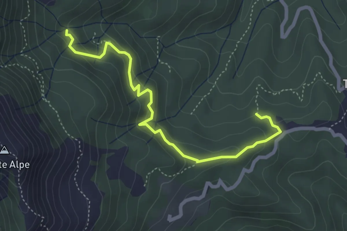
Medium · Trail
Case Borsare - Pian di Cappella
4.8 km · ↑ 291 m · 1 h 45 min
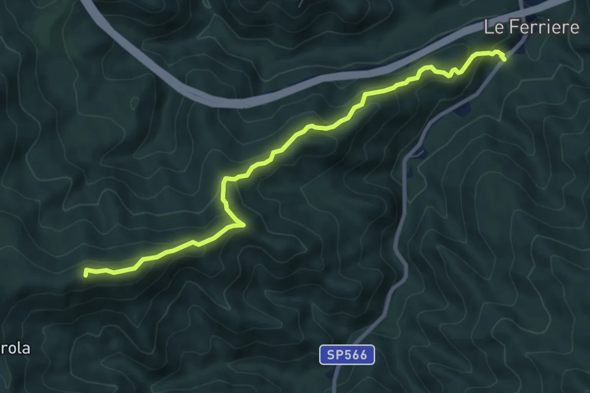
Medium · Summit
Case Cadato - Monte Pelizza - Monte Castagnola – Colle Forcola – Bivio AV5T
7.9 km · ↑ 524 m · 3 h
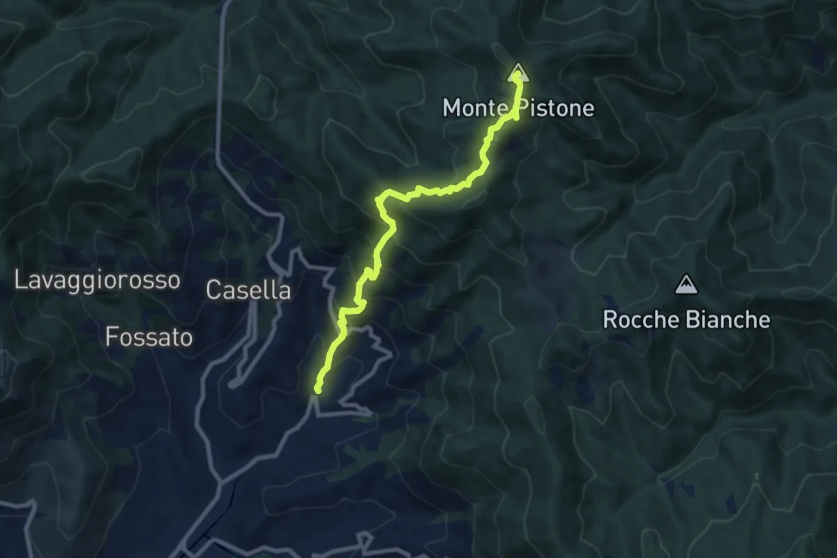
Medium · Summit
Case Cadato - Punta Leccio - Casa I Podi - Monte Piano - Monte Pistone - Cappella Taddei - Pian del Monio - Vignana
7.9 km · ↑ 786 m · 3 h 34 min
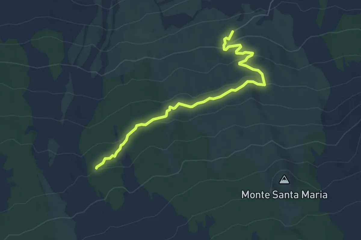
Demanding · Trail
Case Caldarera - Cisternazza - Pista Altomontana
6.9 km · ↑ 217 m · 2 h 5 min
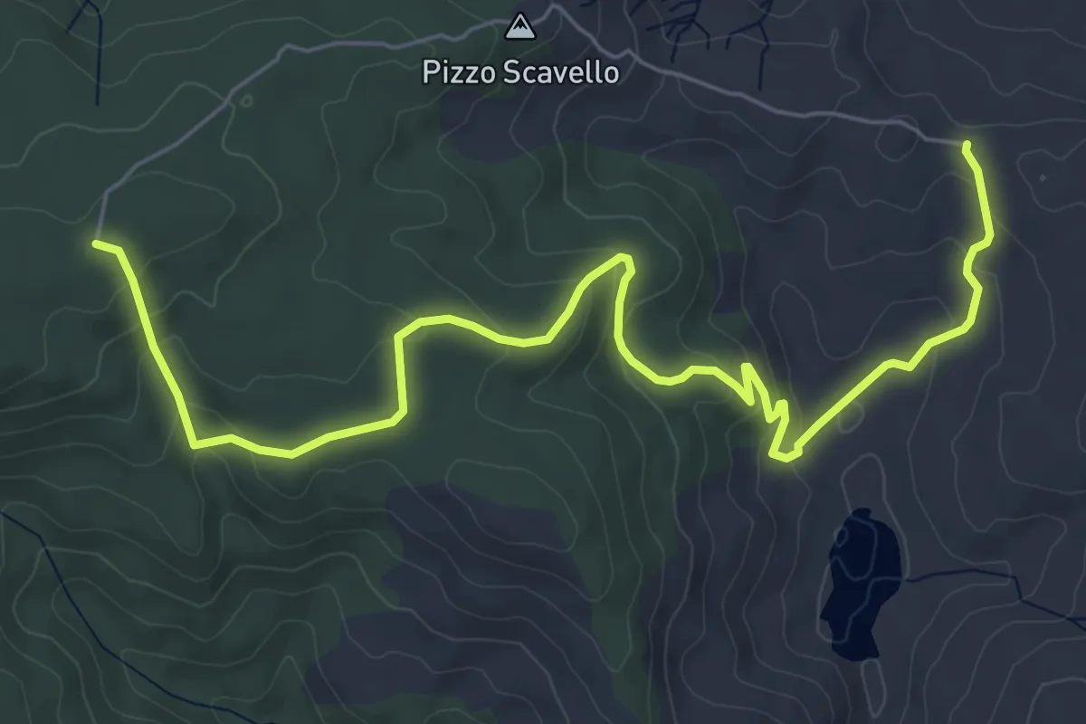
Medium · Trail
Case Cartolari
8.9 km · ↑ 324 m · 2 h 48 min
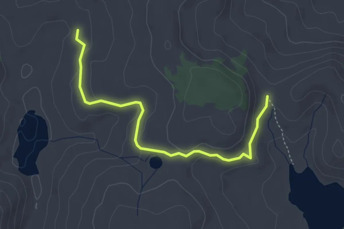
Easy · Trail
Case Cartolari Faranda
4.5 km · ↑ 123 m · 1 h 20 min
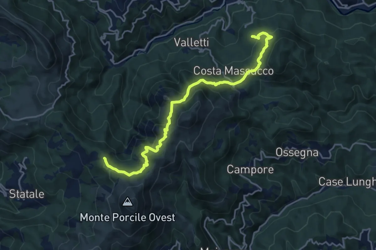
Medium · Trail
Case Colea - Colli di Valletti – Sella delle Matite - Rocche di Valletti - Bivio AV5T
13.9 km · ↑ 667 m · 4 h 44 min
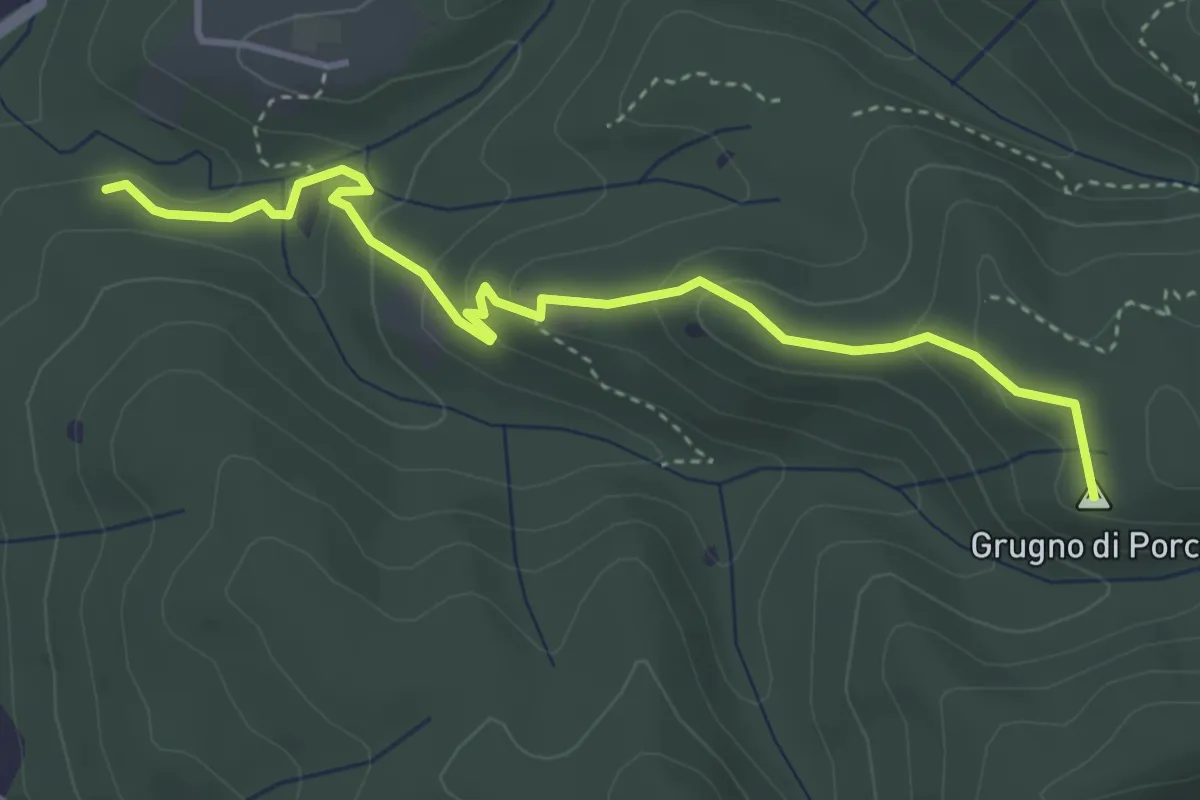
Easy · Summit
Case Corbinelli – Grugno del Porco
4.4 km · ↑ 214 m · 1 h 30 min
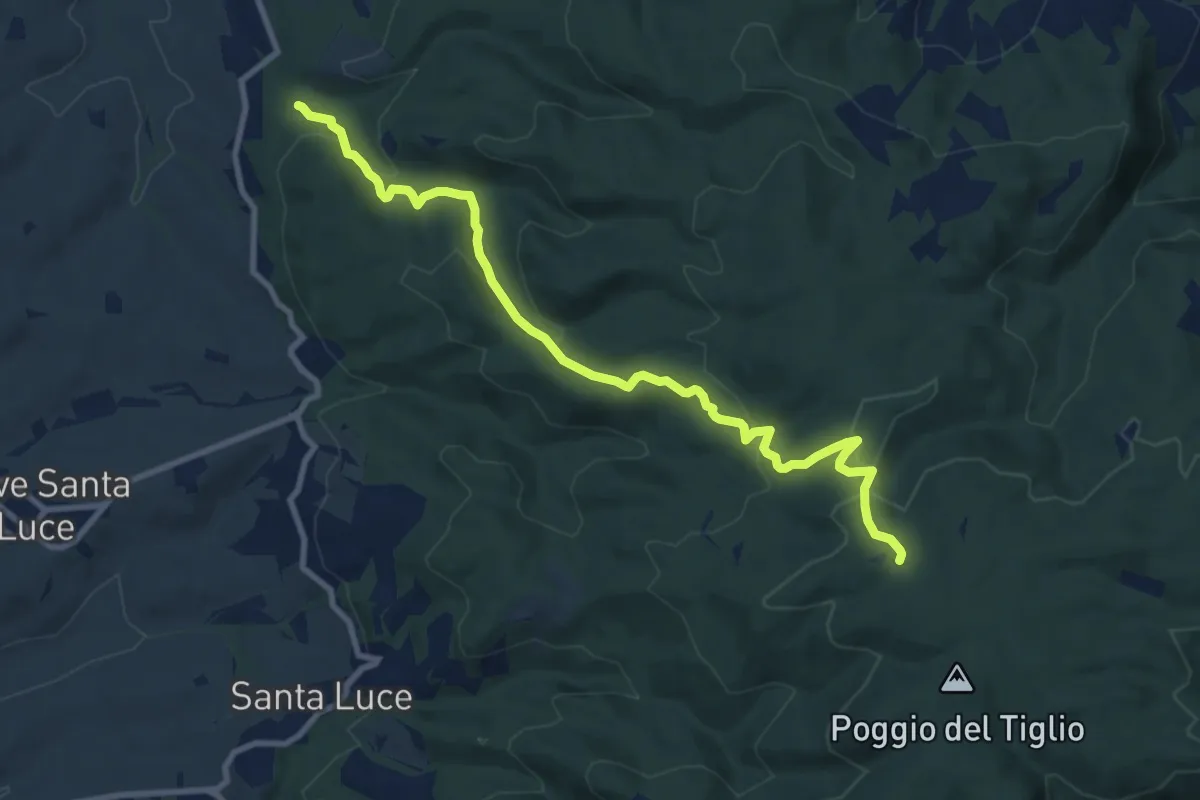
Medium · Trail
Case Corbinelli – Poggio al Ceraso
10.7 km · ↑ 505 m · 3 h 37 min
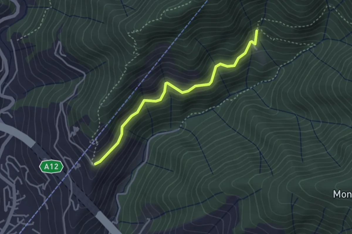
Easy · Trail
Case Costruccio - Il Pellegrino
3.2 km · ↑ 280 m · 1 h 22 min
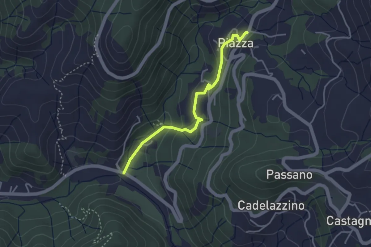
Easy · Trail
Case Ghiara - Caraschi - Piazza
3.2 km · ↑ 144 m · 1 h 4 min
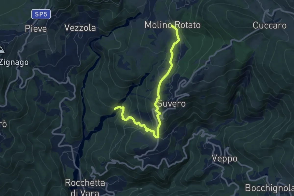
Easy · Trail
Case Ghiaro - Goledo - San Rocco - Molino Rotato
7.5 km · ↑ 290 m · 2 h 24 min
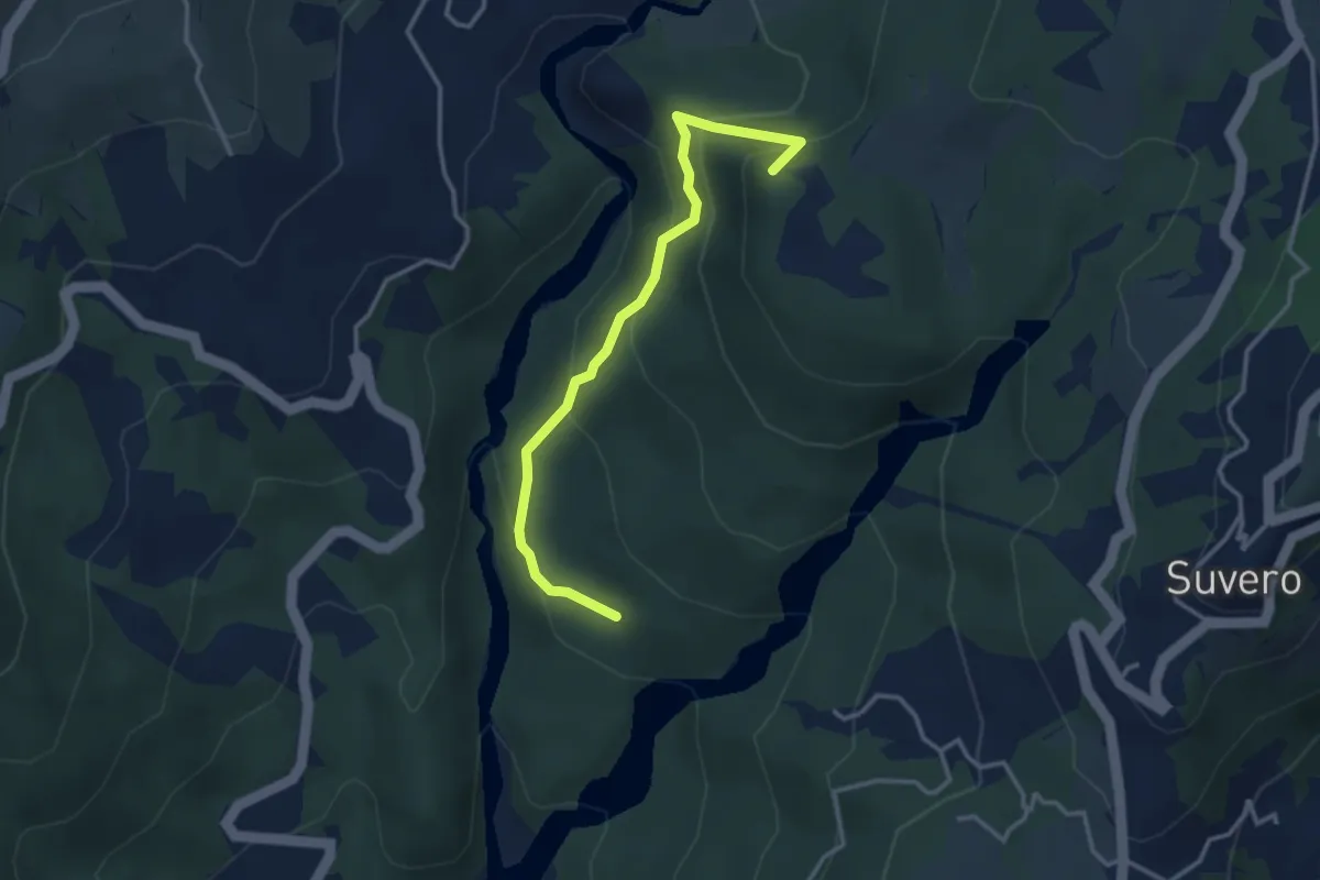
Easy · Summit
Case Ghiaro - Poggio Castellaro - La Debbia
3.5 km · ↑ 262 m · 1 h 23 min
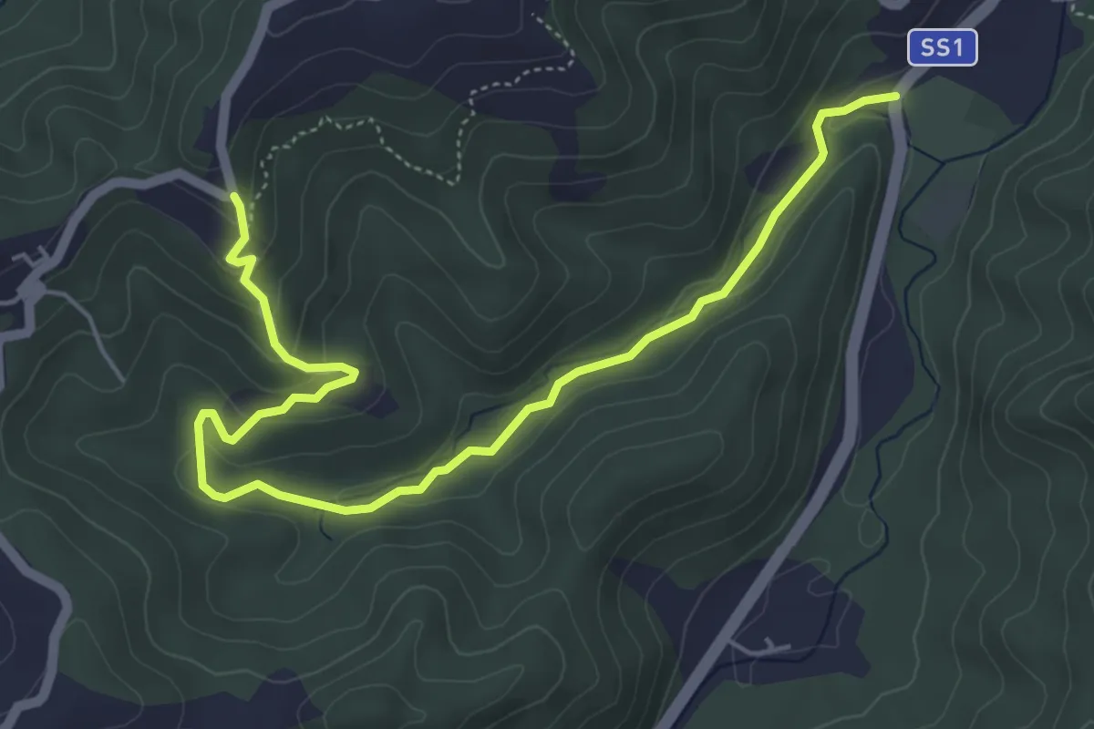
Easy · Trail
Case Grobbio – Incavanella
6.4 km · ↑ 201 m · 1 h 57 min
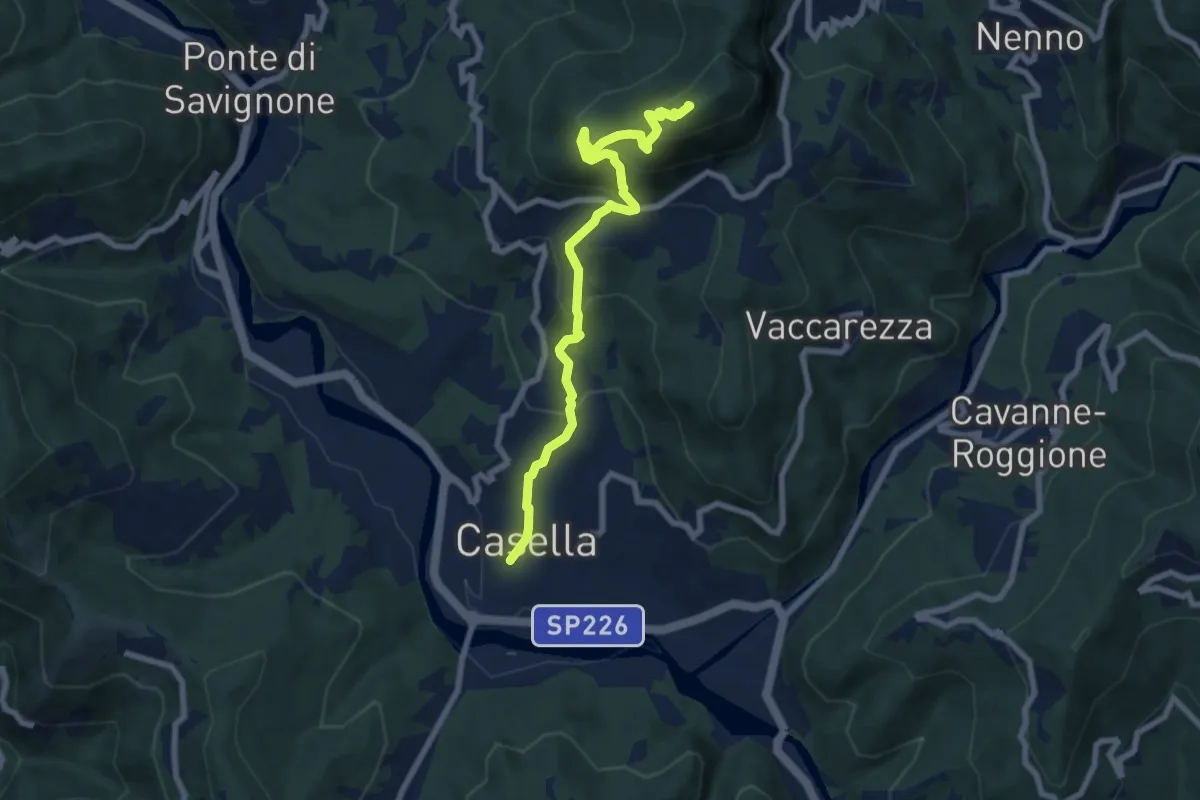
Medium · Summit
Casella - Monte Maggio - Crocefieschi
7.8 km · ↑ 604 m · 3 h 9 min
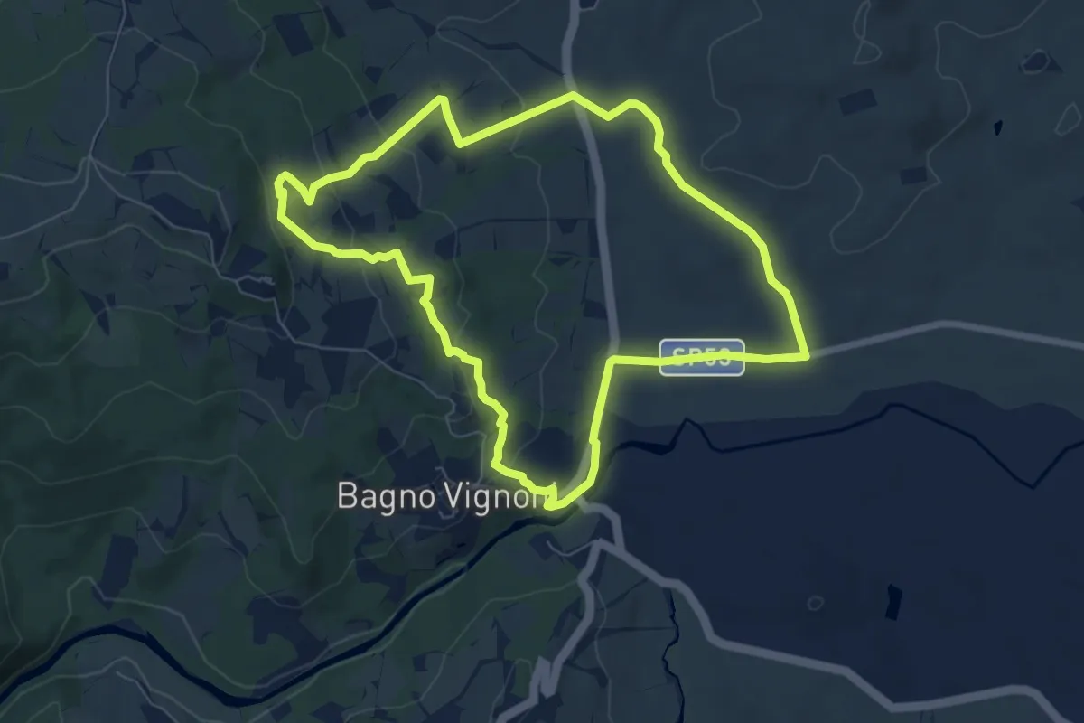
Easy · Trail
Casellona
7.4 km · ↑ 205 m · 2 h 18 min
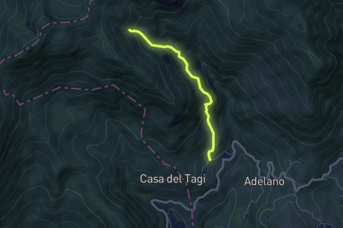
Medium · Trail
Case Maddalena - Foce Buscanca (Bivio SI)
4.6 km · ↑ 463 m · 2 h 5 min
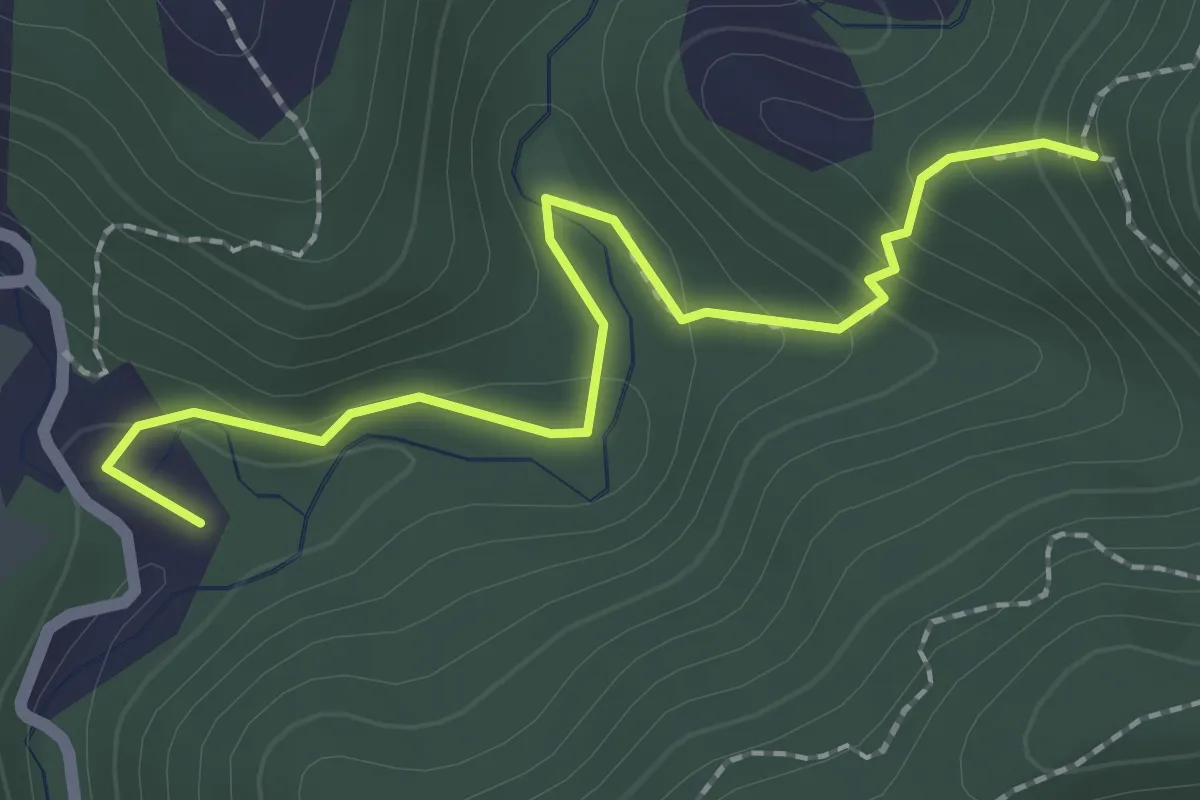
Easy · Summit
Case Mazzi - Beo del Morgallo
2.4 km · ↑ 114 m · 48 min
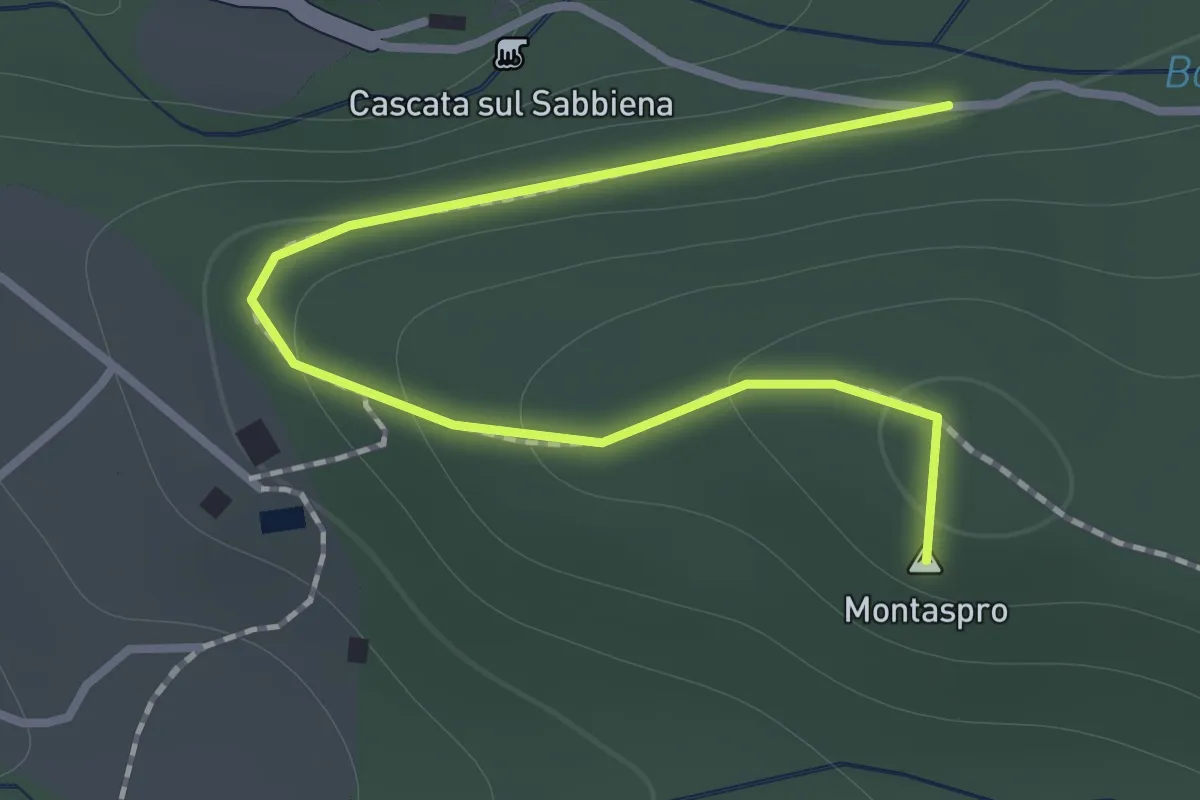
Demanding · Summit
Case Montaspro – Podere delle Capanne
1.4 km · ↑ 83 m · 31 min
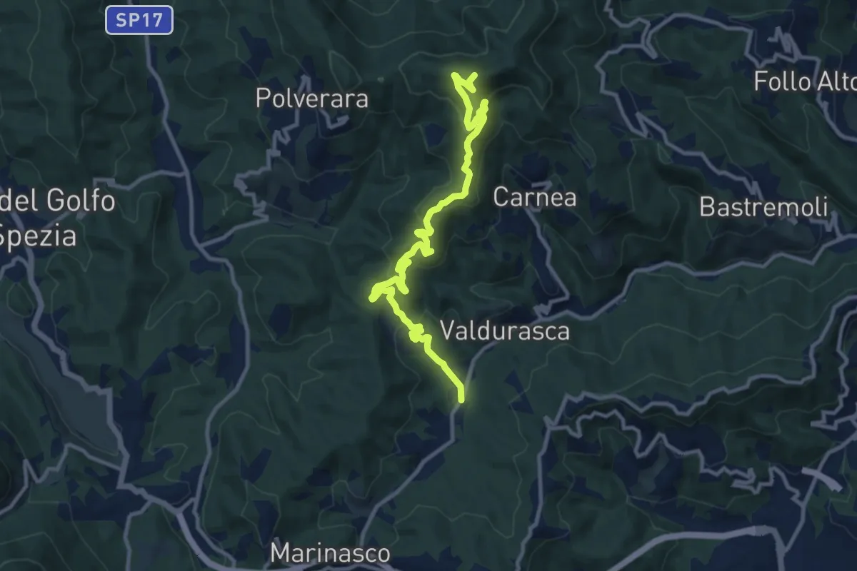
Medium · Summit
Case Palazzo – Passo di Ri – La Gretta – Monte Croce
11.8 km · ↑ 620 m · 4 h 8 min
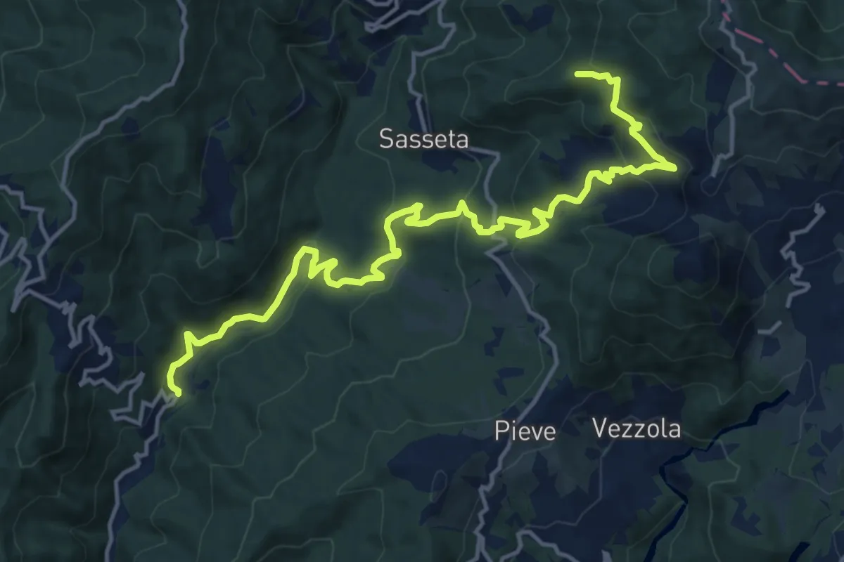
Demanding · Trail
Case Pastine - Imara - Vezzanelli - Castagnolo
16.6 km · ↑ 833 m · 5 h 44 min
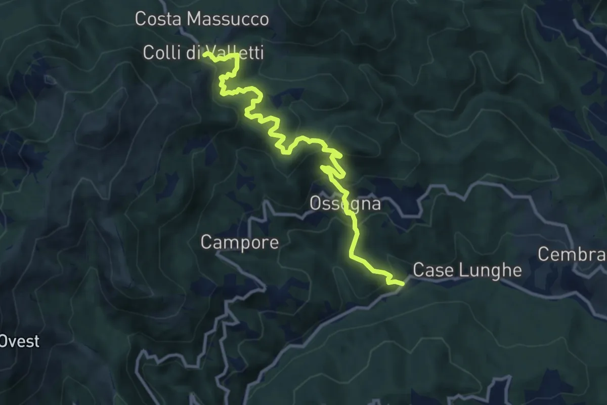
Medium · Trail
Case Peroni - Ossegna - Colli di Valletti
10.8 km · ↑ 645 m · 3 h 57 min
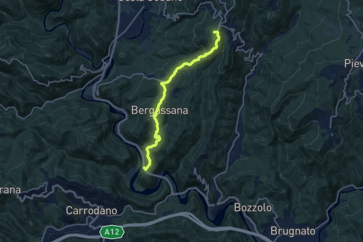
Medium · Summit
Case Peschiera - Bergassana - Santiario San Rocco - Scogna
11.2 km · ↑ 606 m · 3 h 58 min
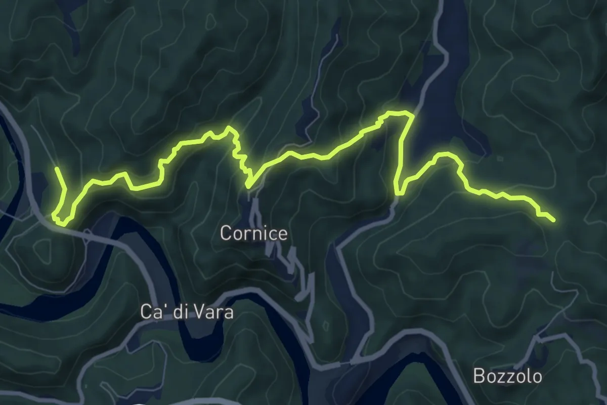
Medium · Trail
Case Peschiera - Cornice - Mangia - Casa Serigné - Bivio 142
11.1 km · ↑ 720 m · 4 h 11 min
Medium · Cabin
Case Pirao Pista Altomontana
10.3 km · ↑ 397 m · 3 h 18 min
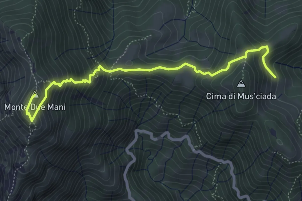
Medium · Summit
Casera di Musciada - Monte Due Mani
5.6 km · ↑ 485 m · 2 h 22 min
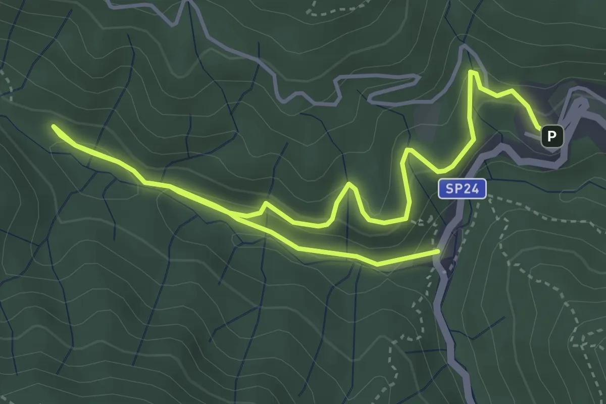
Easy · Trail
Caserma CFS – Glozano – Ponte Rigoli
6.4 km · ↑ 231 m · 2 h
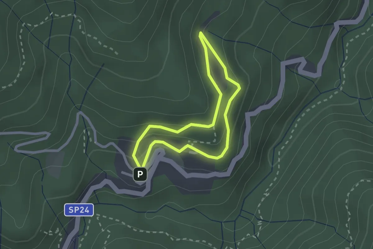
Easy · Trail
Caserma CFS – Prato delle Caselle – Rifugio Acquerino
1.8 km · ↑ 101 m · 41 min
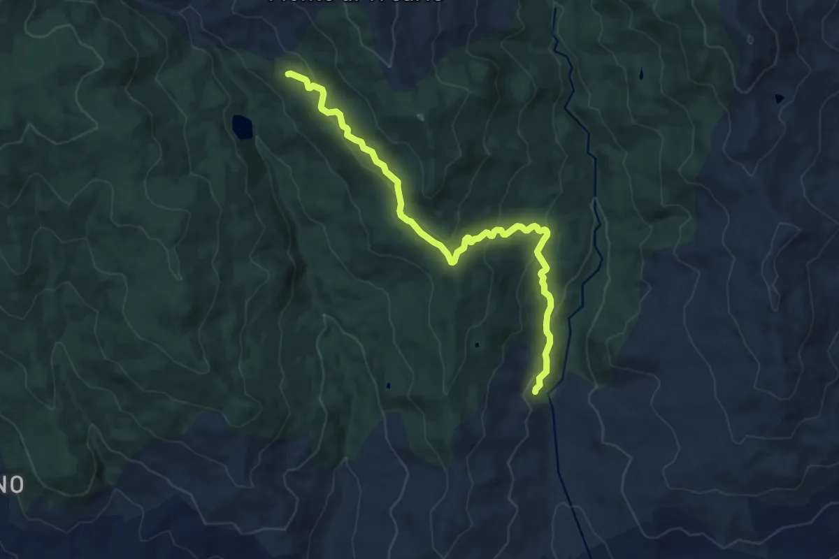
Medium · Cabin
Caserma Forestale Camisa
14.0 km · ↑ 488 m · 4 h 22 min
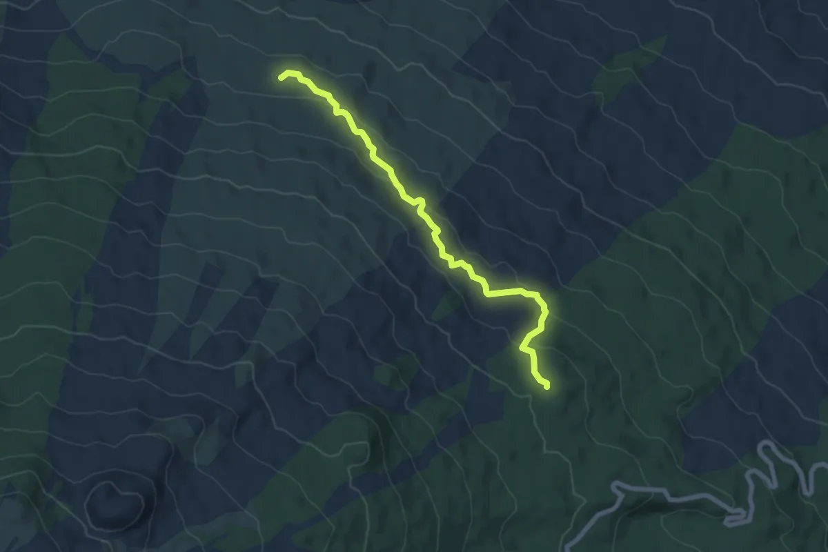
Easy · Cabin
Caserma Pitarrone - Passo Silletta
7.2 km · ↑ 255 m · 2 h 15 min
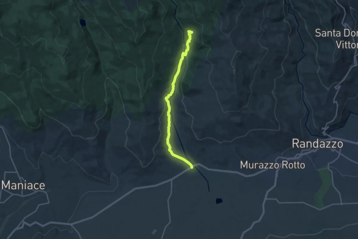
Medium · Trail
Caserma Zerbata
13.9 km · ↑ 289 m · 3 h 55 min
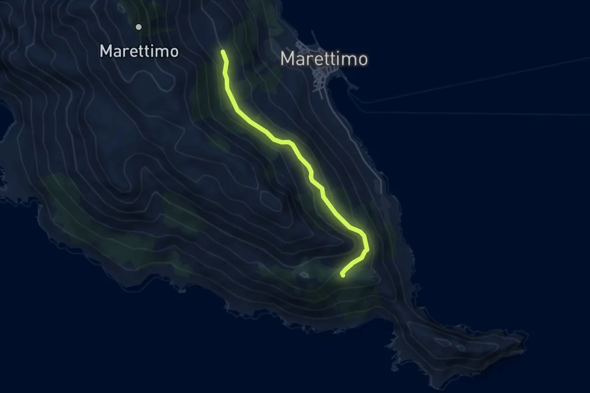
Easy · Trail
Case Romane - Carcaredda
4.7 km · ↑ 267 m · 1 h 41 min
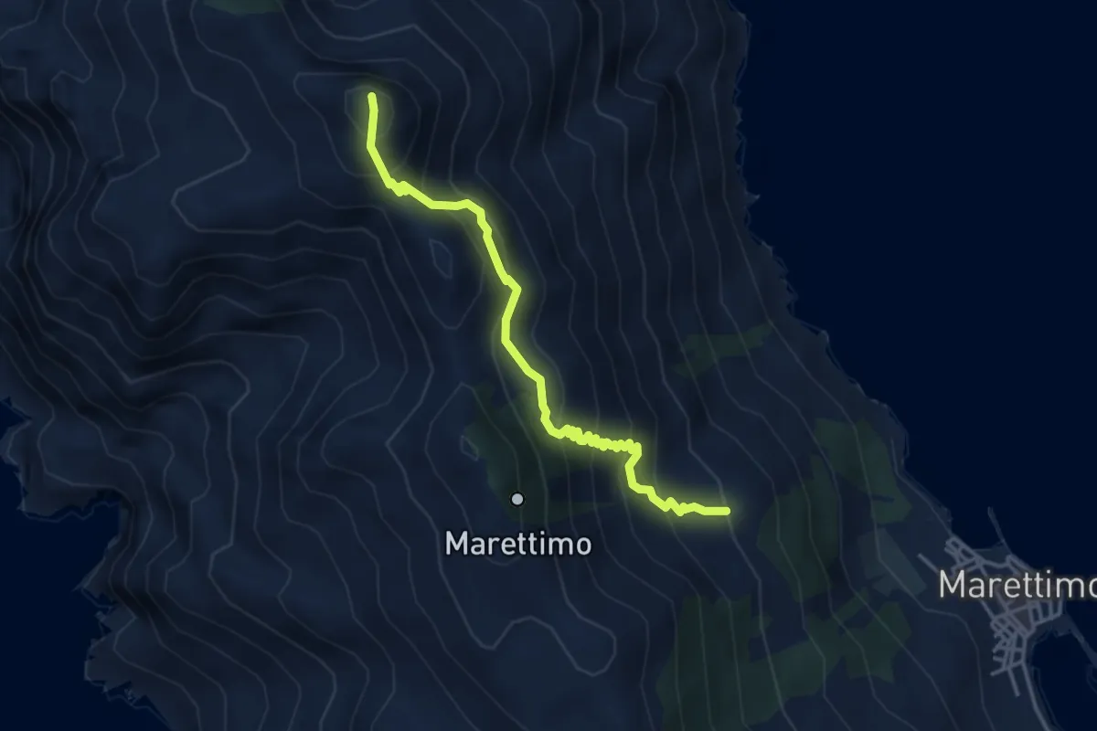
Medium · Summit
Case Romane Monte falcone
4.4 km · ↑ 544 m · 2 h 13 min
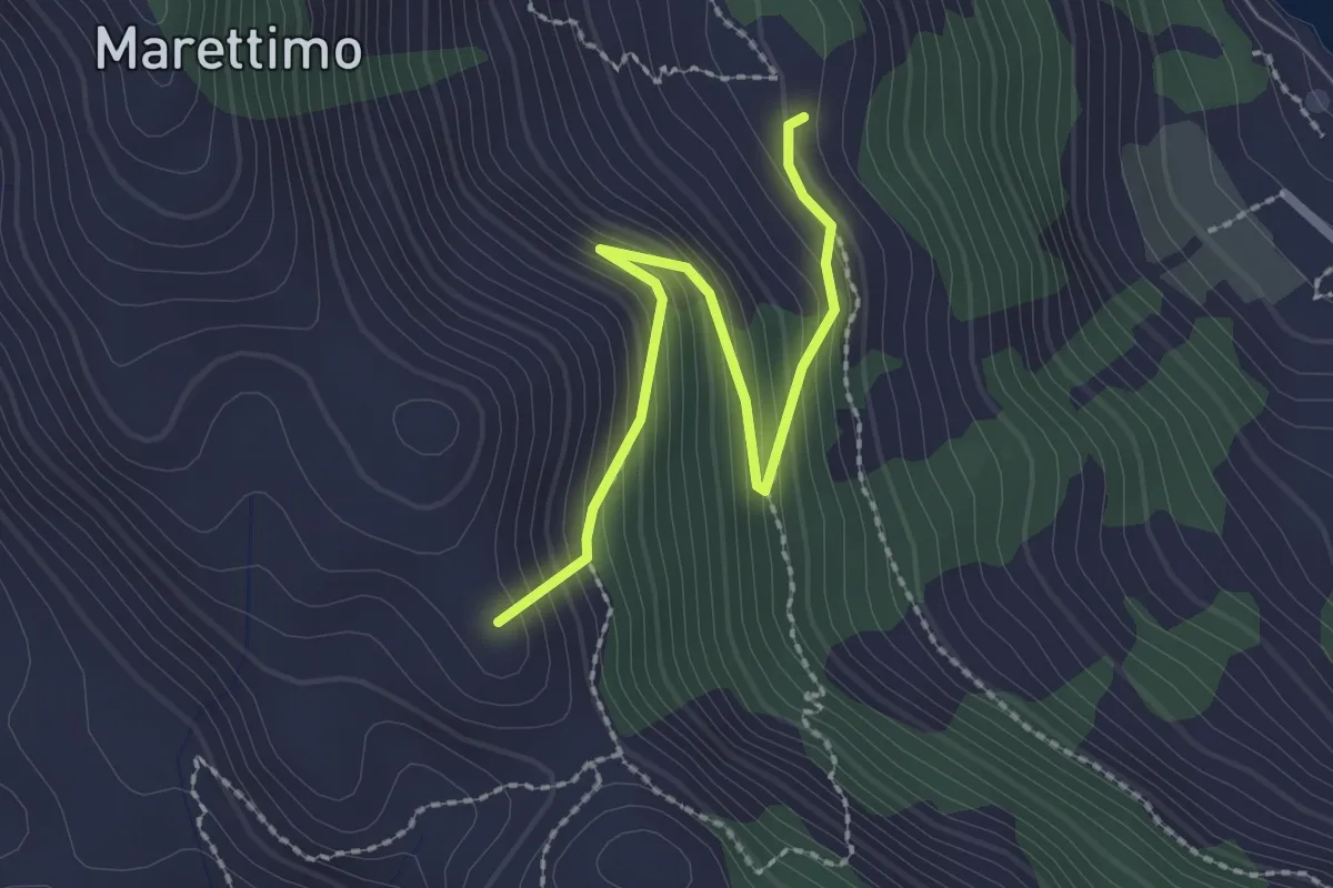
Easy · Summit
Case Romane Semaforo
2.6 km · ↑ 243 m · 1 h 9 min
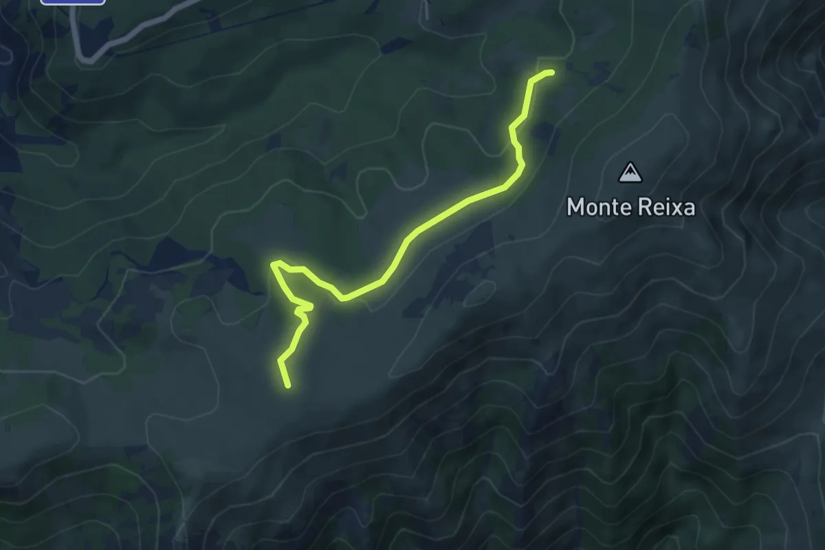
Easy · Summit
Case Tassara - Rifugio Argentea
5.5 km · ↑ 143 m · 1 h 36 min
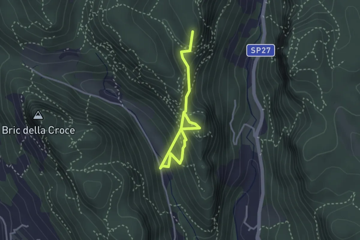
Medium · Summit
Case Valle - Castrum Perticae - Sant'Antonino - Frati
3.2 km · ↑ 252 m · 1 h 19 min
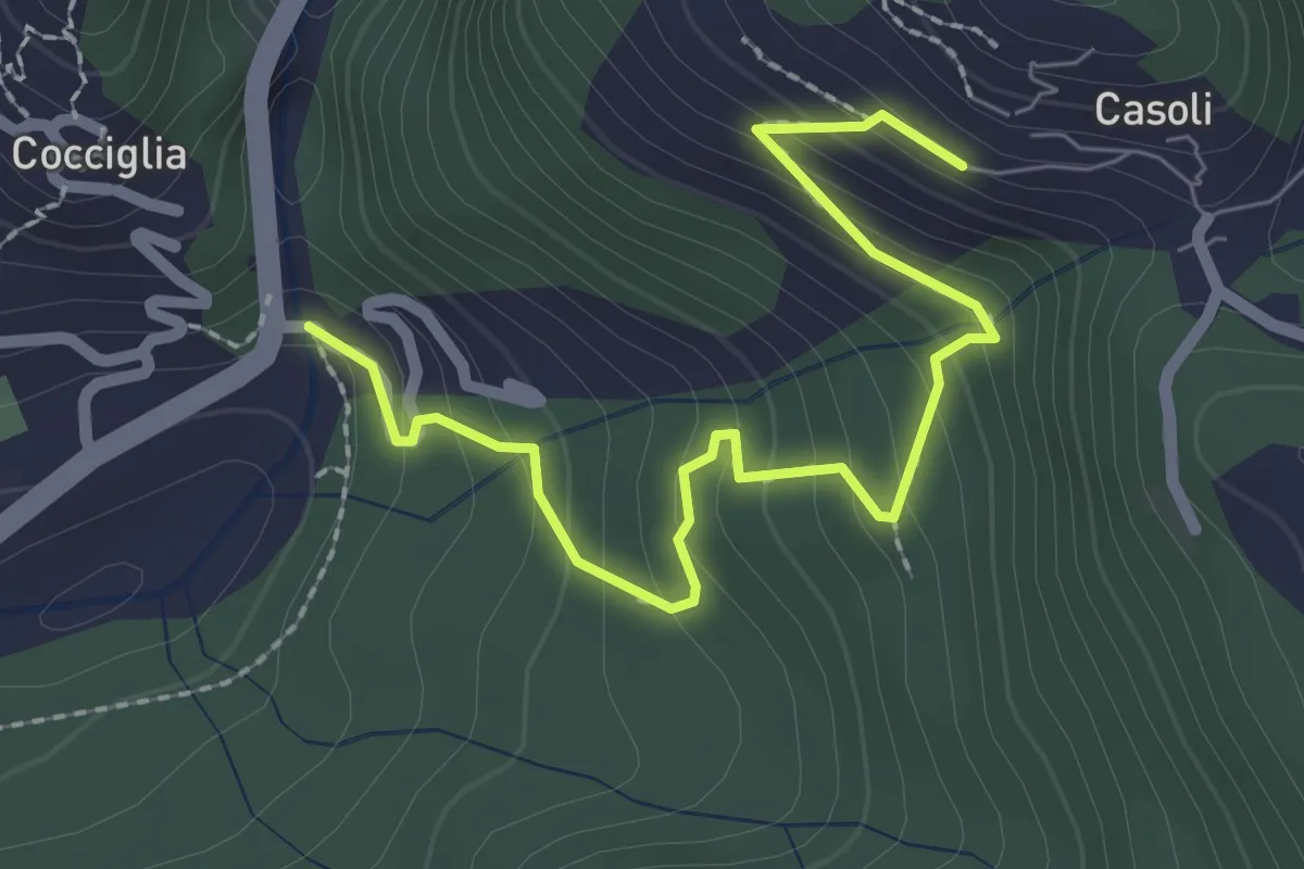
Medium · Trail
Casoli Ponte Nero
2.7 km · ↑ 207 m · 1 h 5 min
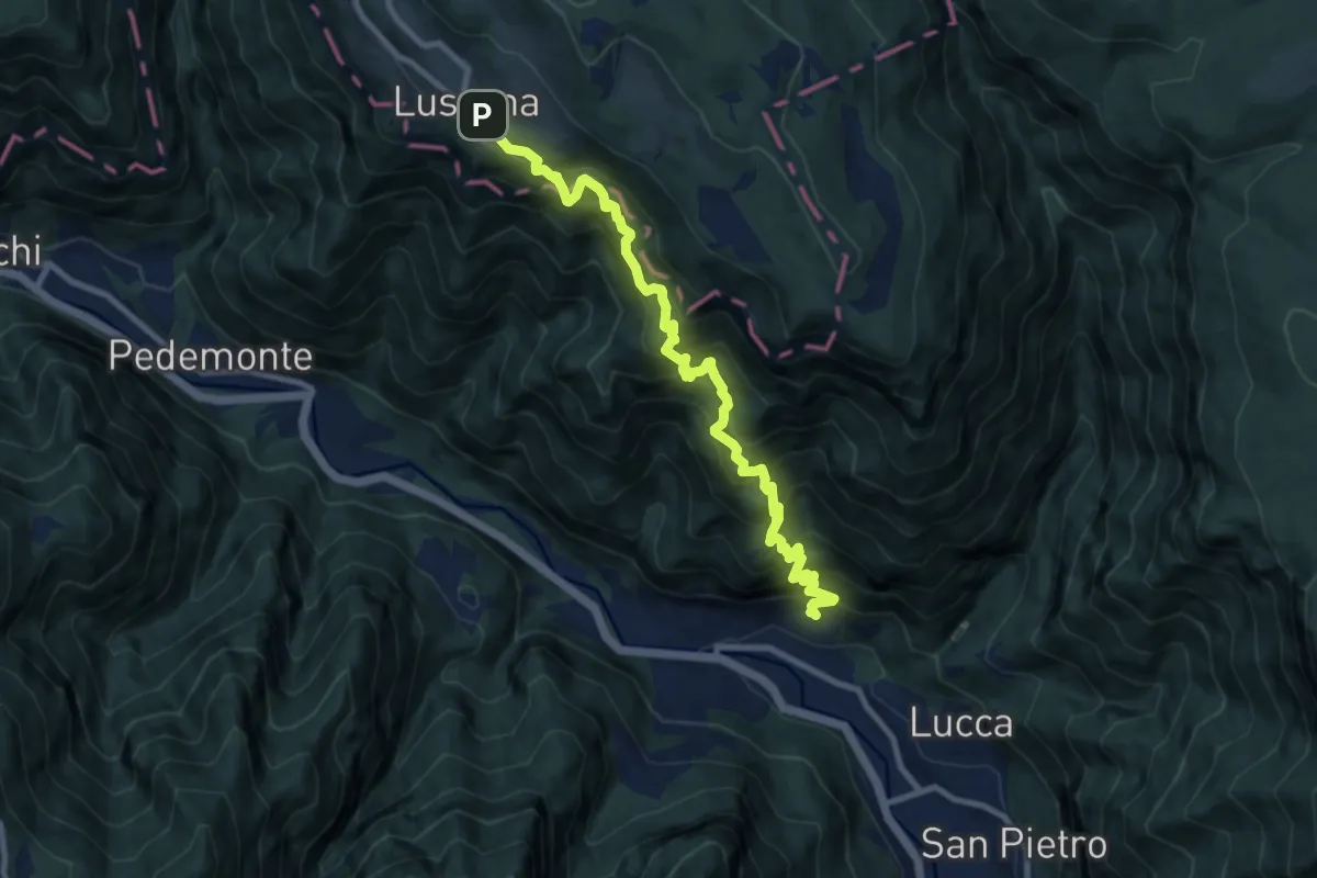
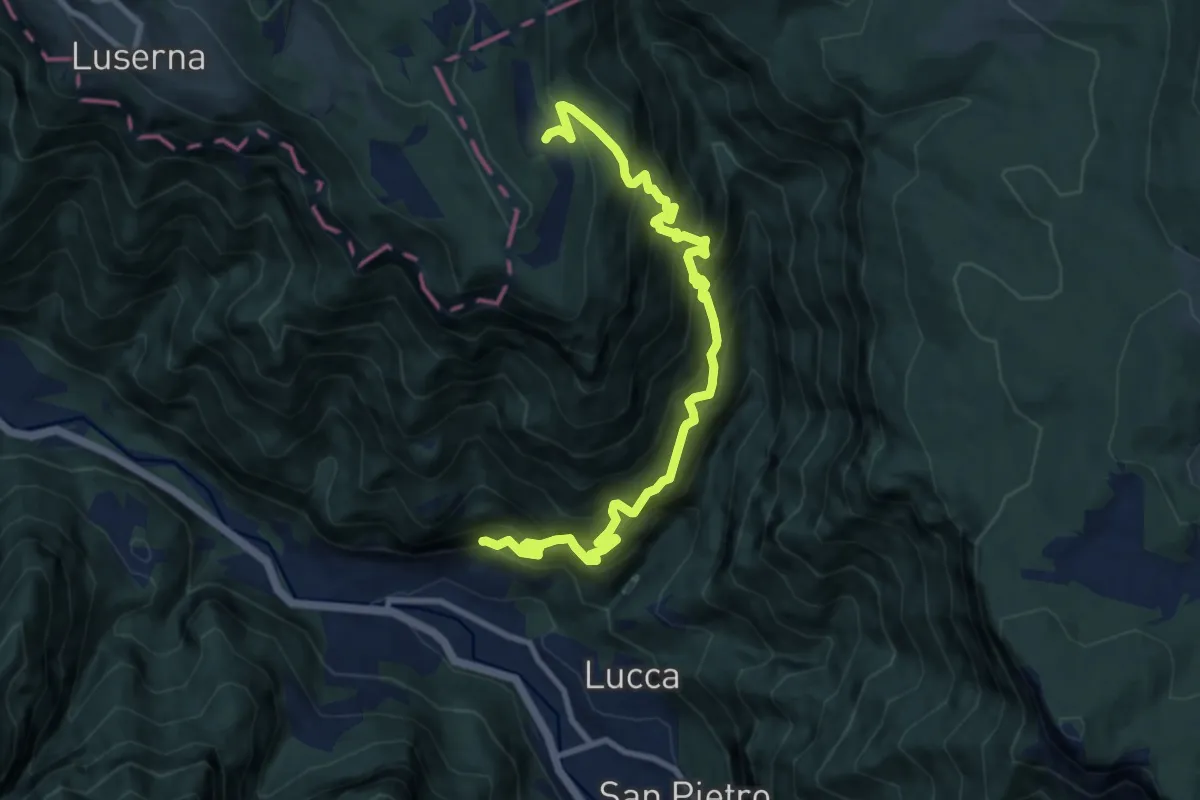
Demanding · Trail
Casotto – Belfiore – Nore - Luserna
10.3 km · ↑ 1591 m · 5 h 53 min
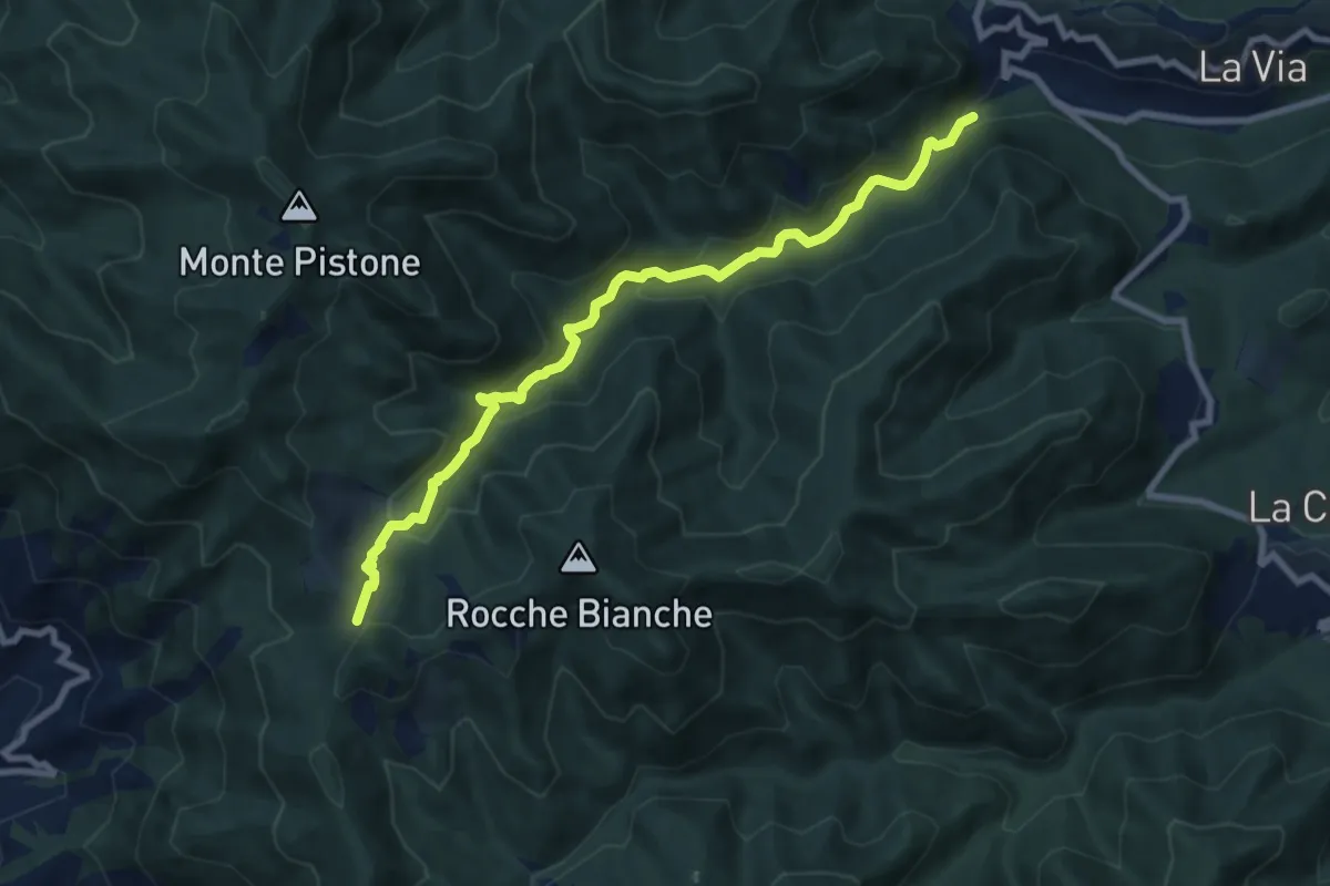
Demanding · Trail
Casotto – Val Torra – Malga Crojer
11.0 km · ↑ 1502 m · 5 h 52 min
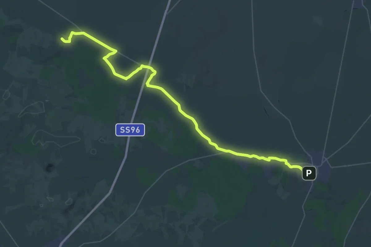
Medium · Trail
Cassana – M.no Ferriere – M. Bardellone
8.9 km · ↑ 433 m · 3 h 2 min
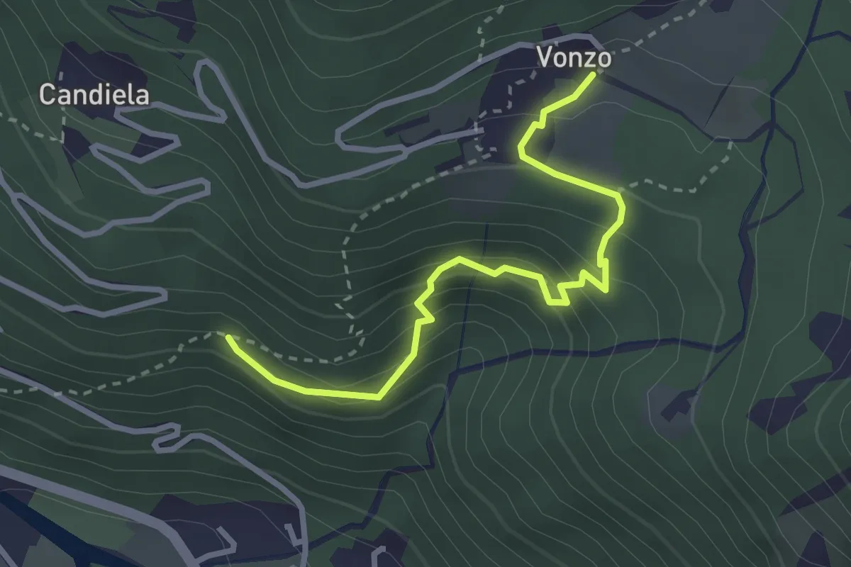
Demanding · Trail
Cassano delle Murge - Quasano (Toritto)
23.2 km · ↑ 60 m · 5 h 56 min
Medium · Trail
Castei d'le Rive
3.0 km · ↑ 276 m · 1 h 18 min
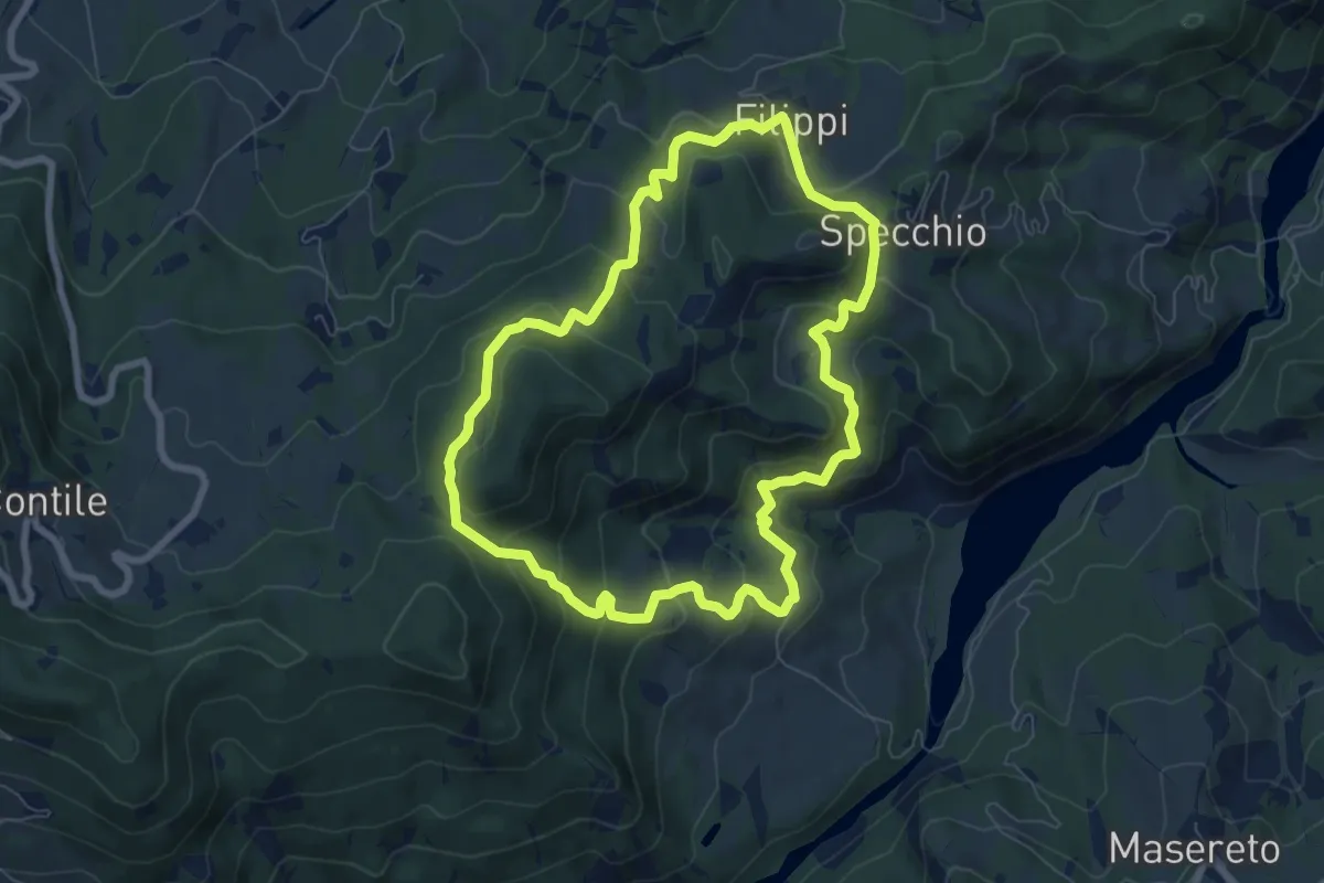
Medium · Trail
Castel Corniglio - Specchio - Filippi - Castel Corniglio
7.5 km · ↑ 378 m · 2 h 42 min
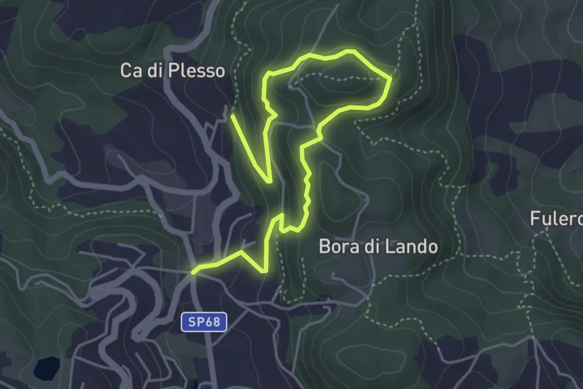
Easy · Trail
Castel d'Aiano - Monte della Spe - Famaticcia
5.6 km · ↑ 300 m · 1 h 59 min
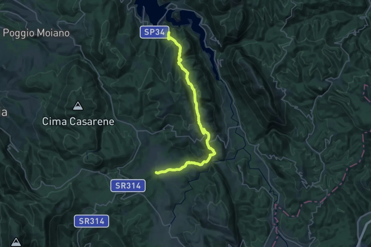
Demanding · Summit
Castel Di Tora – S.Maria del Piano
23.9 km · ↑ 989 m · 7 h 46 min
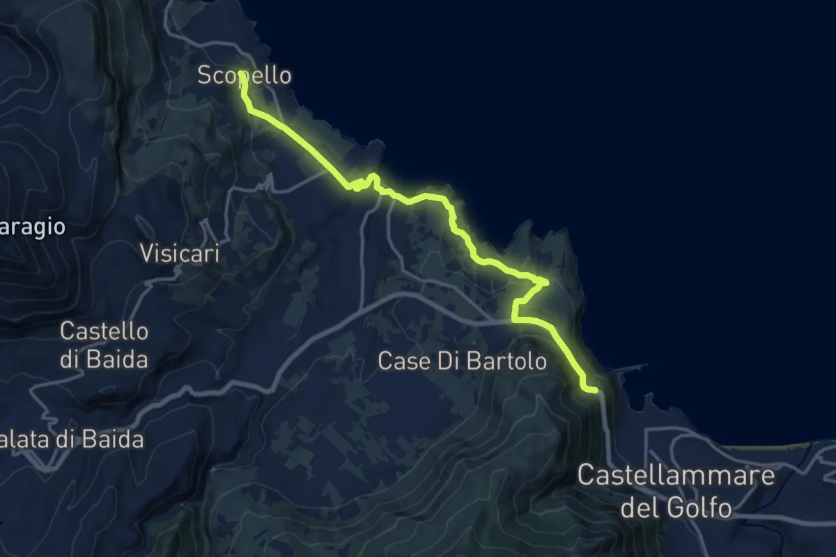
Medium · Trail
Castellammare - Borgo Scopello
17.3 km · ↑ 434 m · 5 h 1 min