Trails in Italy
25,211 hiking trails, each with its route, climb, walking time and grade.
All trails, page 50 of 526
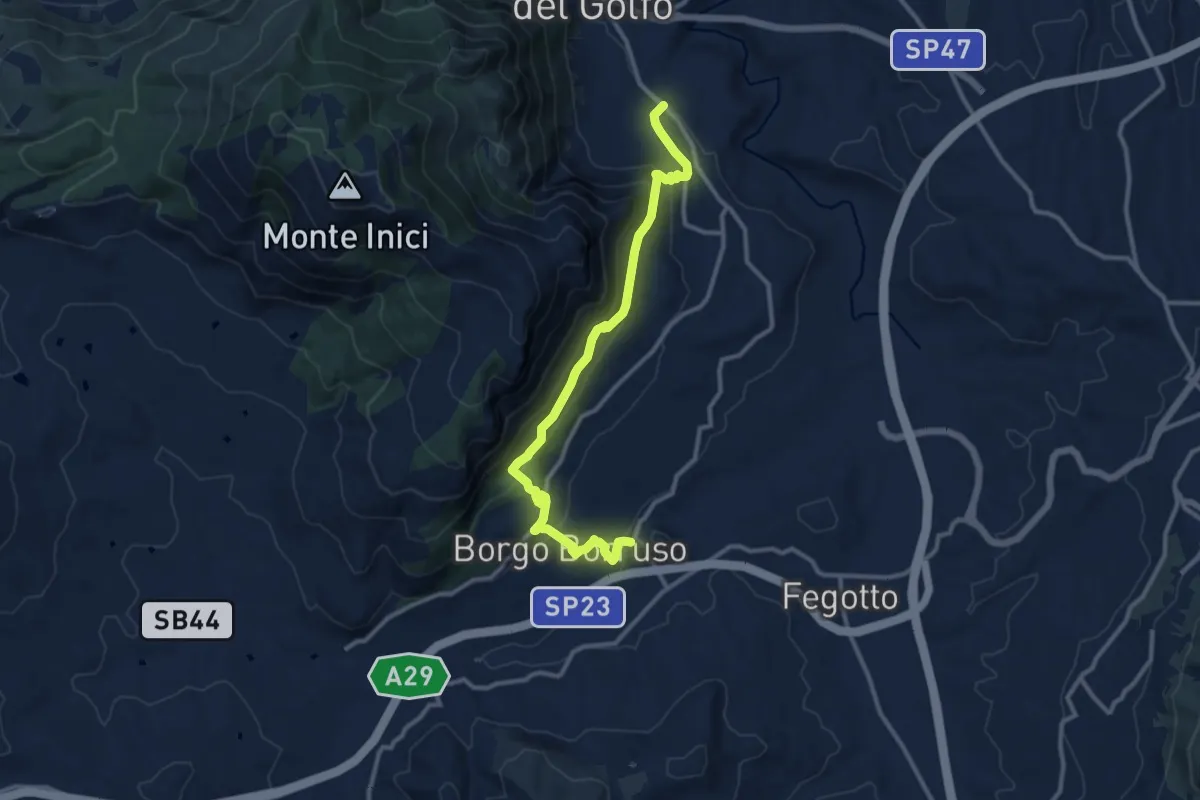
Medium · Trail
Castellammare del Golfo Ponte Bagni
14.0 km · ↑ 539 m · 4 h 28 min
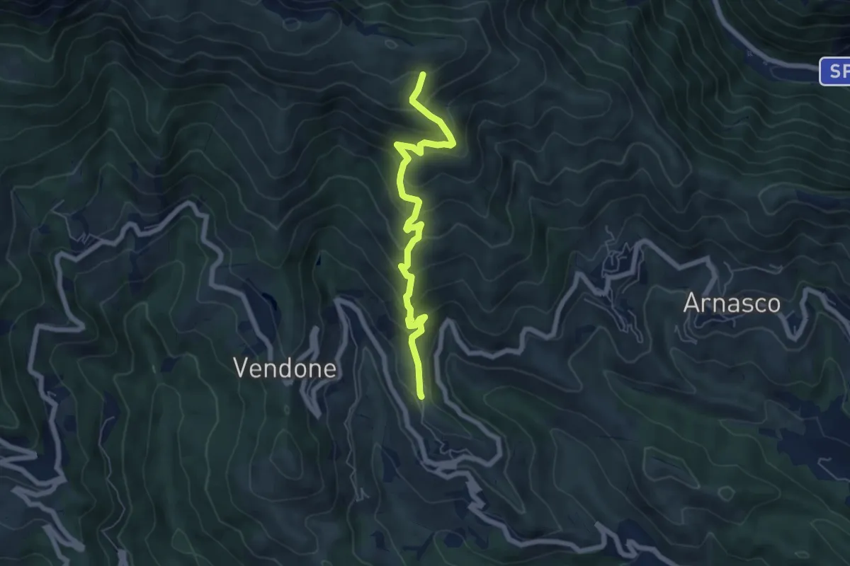
Medium · Trail
Castellaro - Monte Pendino
6.1 km · ↑ 518 m · 2 h 34 min
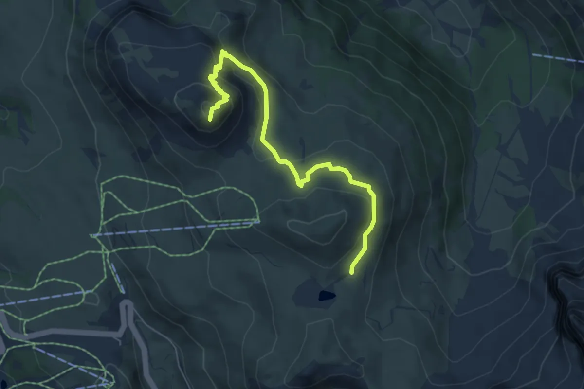
Medium · Summit
Castellazzo Trekking del Cristo Pensante
5.5 km · ↑ 324 m · 2 h
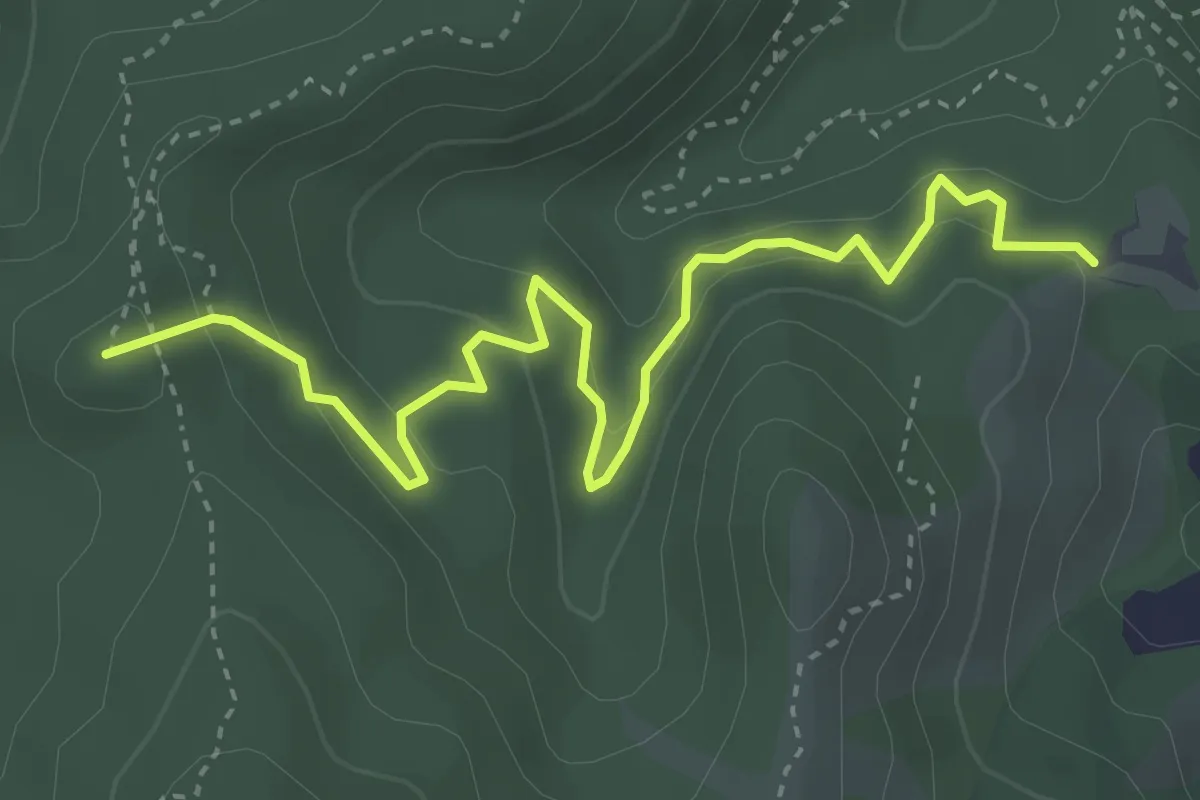
Medium · Summit
Castello Bellavista - Giumenta - Passo Caghetta
4.4 km · ↑ 262 m · 1 h 36 min
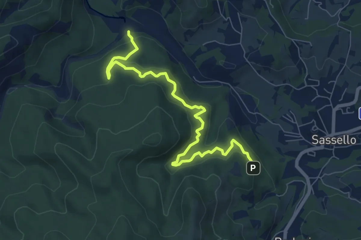
Medium · Trail
Castello Bellavista - Lago dei Gulli
8.1 km · ↑ 395 m · 2 h 46 min
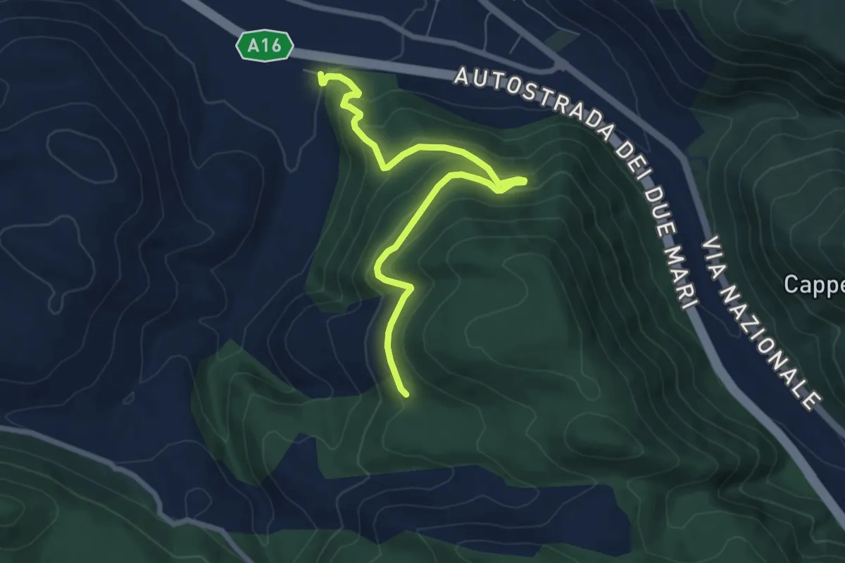
Medium · Trail
Castello Cisterna
7.9 km · ↑ 424 m · 2 h 48 min
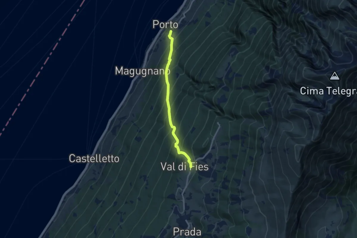
Demanding · Trail
Castello di Brenzone - Prada Alta
7.9 km · ↑ 849 m · 3 h 42 min
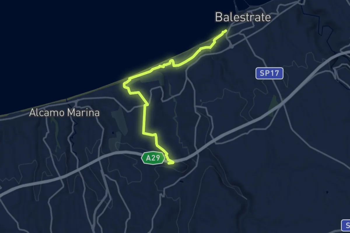
Medium · Trail
Castello di Calatubo-Geosito di Balestrate
13.9 km · ↑ 202 m · 3 h 43 min
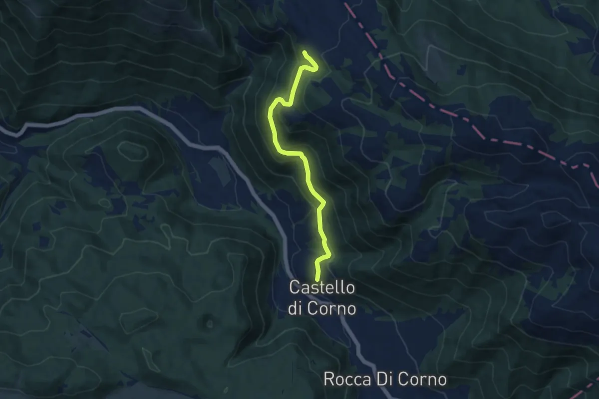
Medium · Trail
Castello di Corno - Cinno
7.8 km · ↑ 426 m · 2 h 46 min
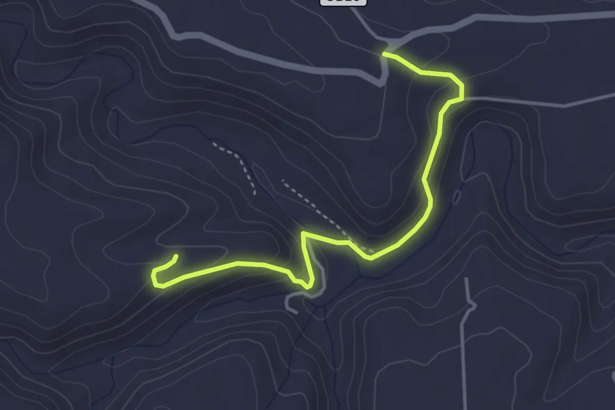
Easy · Trail
Castello di Oxena
4.4 km · ↑ 196 m · 1 h 28 min
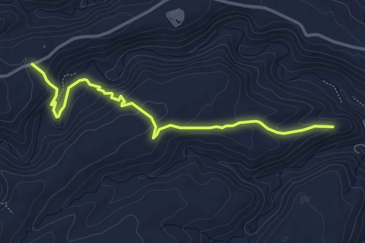
Easy · Trail
Castello di Oxena 2
7.1 km · ↑ 286 m · 2 h 18 min
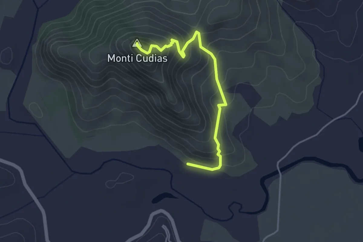
Medium · Summit
Castello di Quirra
4.1 km · ↑ 326 m · 1 h 41 min
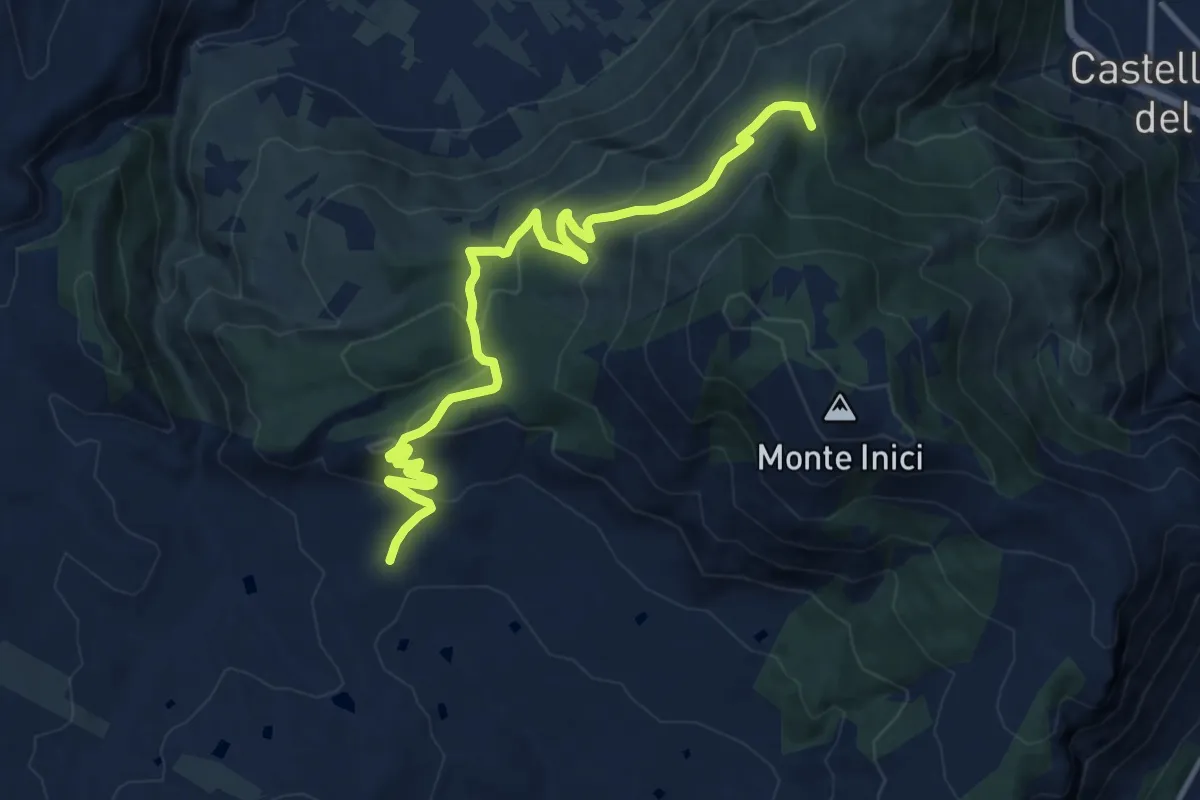
Medium · Trail
Castello Inici Tre Portelle
14.2 km · ↑ 558 m · 4 h 33 min
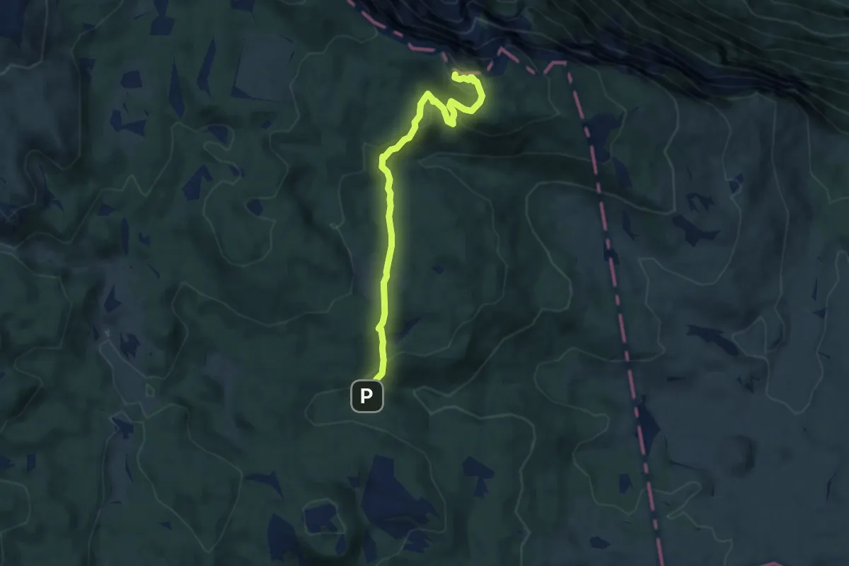
Medium · Summit
Castelloni di San Marco
7.5 km · ↑ 335 m · 2 h 30 min
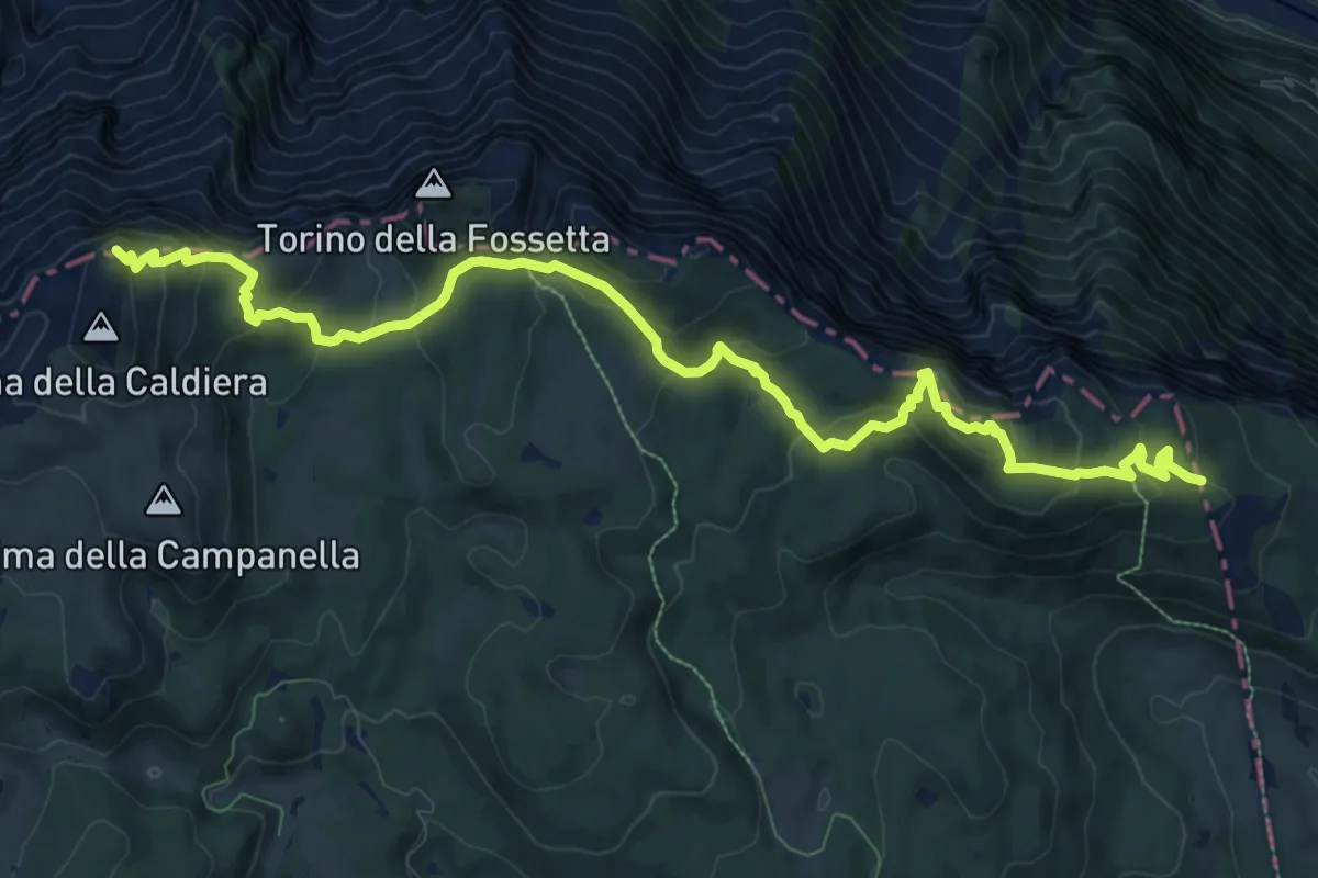
Medium · Summit
Castelloni di San Marco - Caldiera
12.5 km · ↑ 633 m · 4 h 20 min
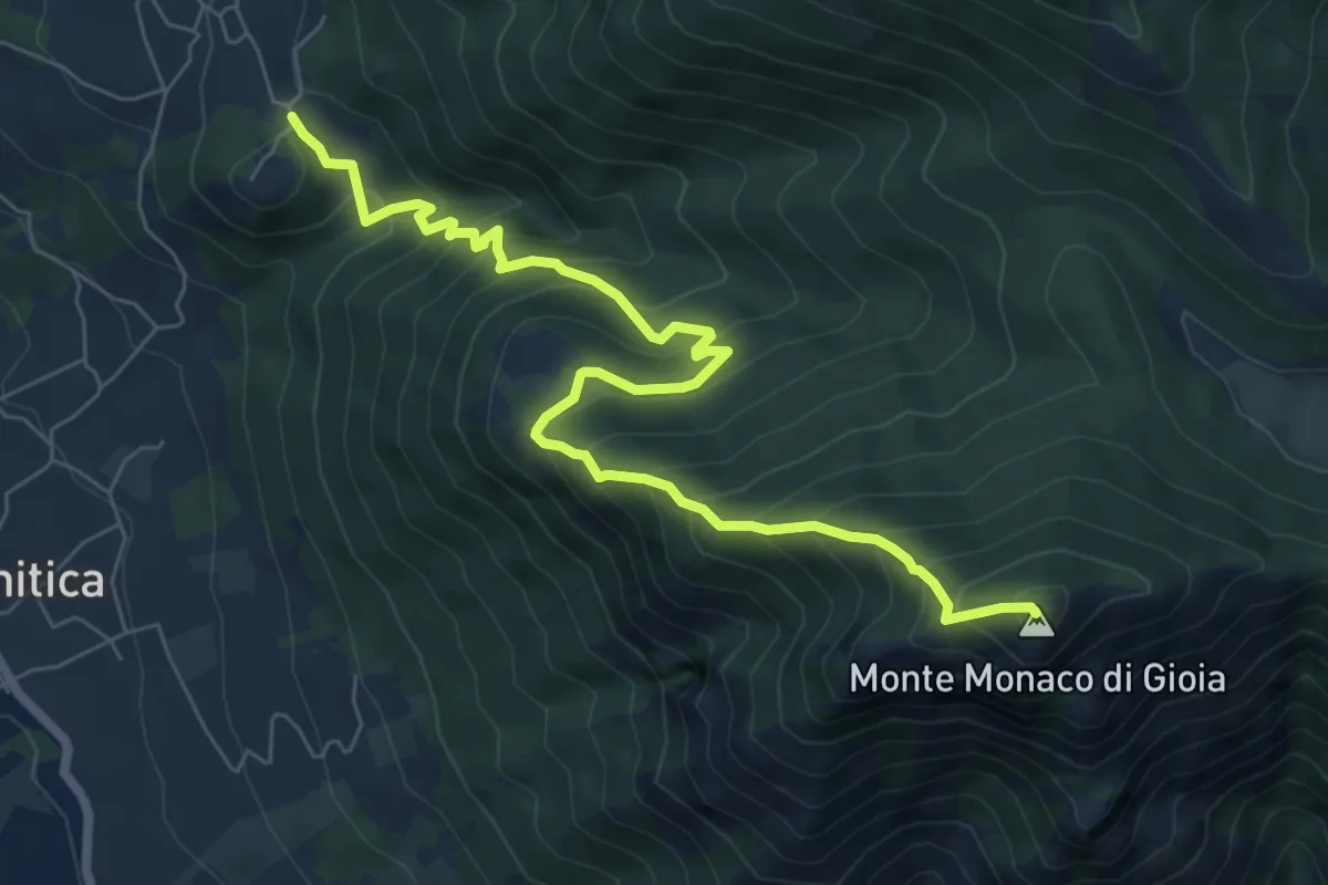
Demanding · Summit
Castello Valle Santa
8.6 km · ↑ 933 m · 4 h 3 min
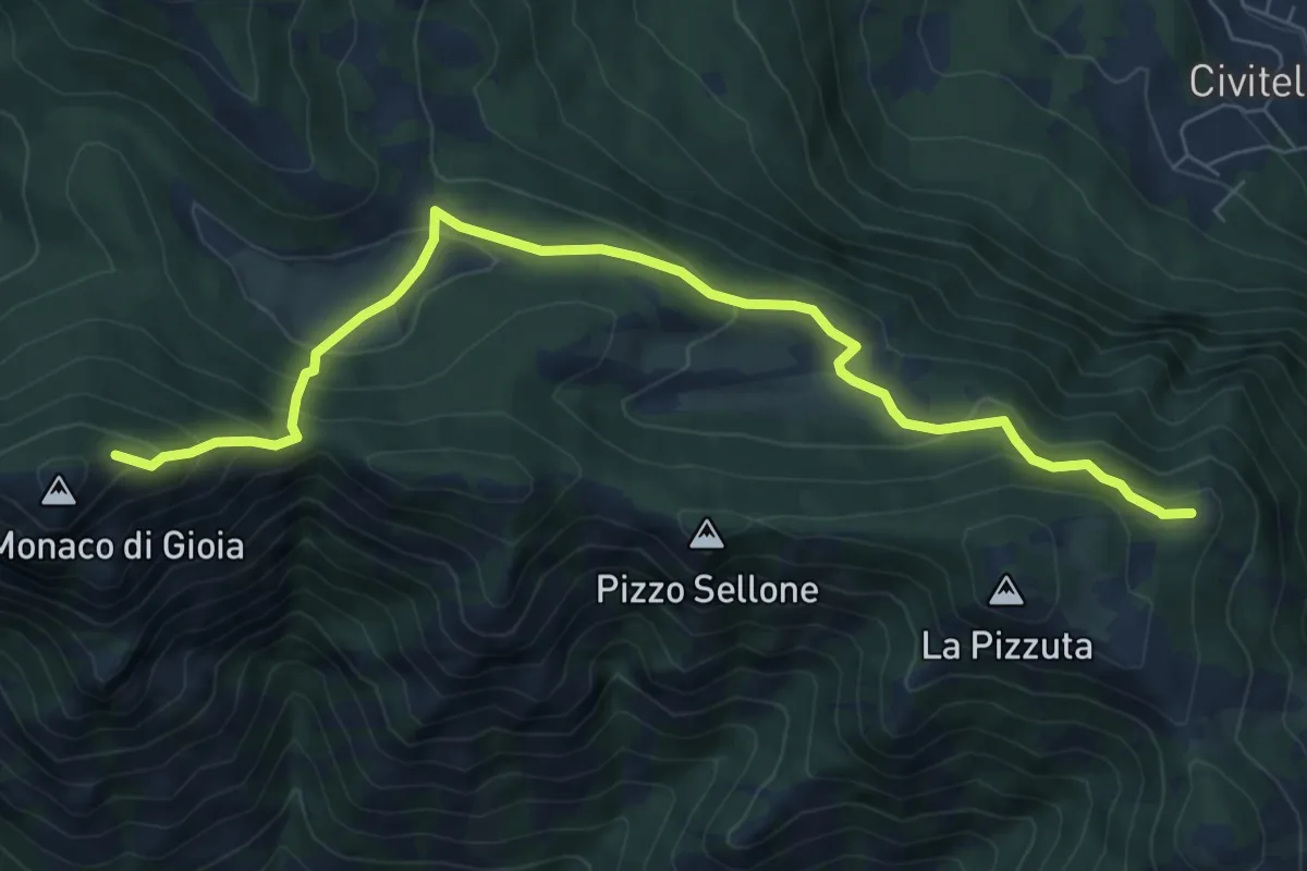
Demanding · Summit
Castello Valle Santa
8.4 km · ↑ 523 m · 3 h 6 min
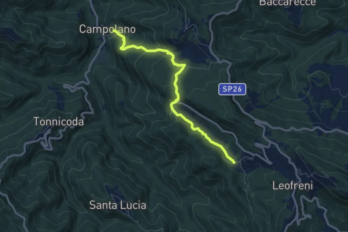
Medium · Trail
Castelluccio - Campolano
7.3 km · ↑ 357 m · 2 h 29 min
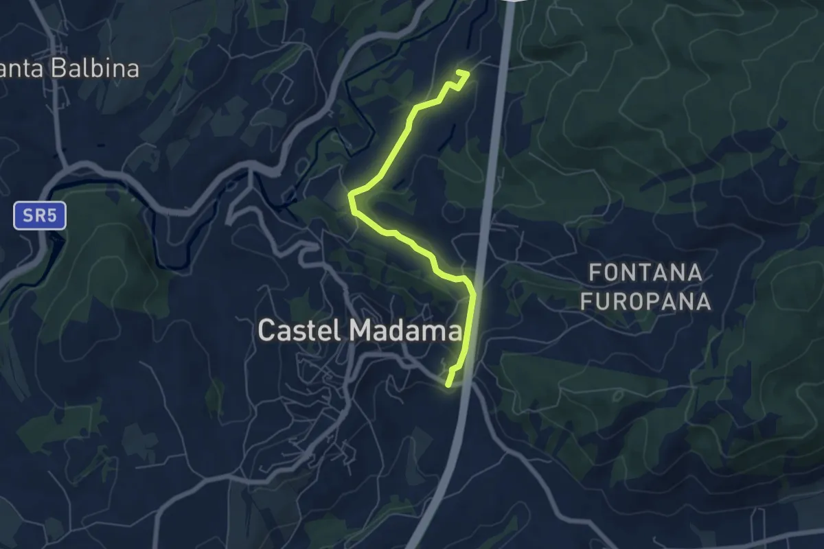
Easy · Summit
Castel Madama-Vicovaro
6.0 km · ↑ 144 m · 1 h 44 min
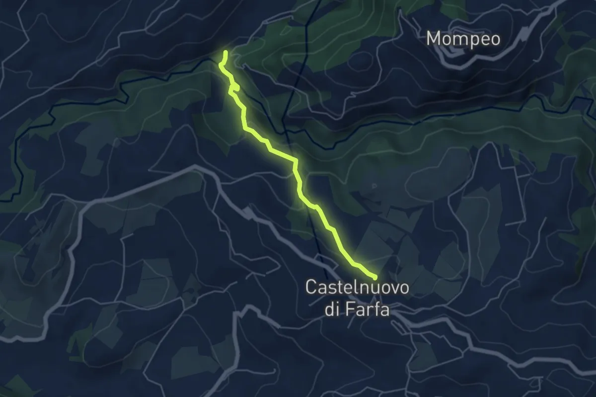
Easy · Trail
Castelnuovo di Farfa-Ponticello Fosso di Rasciano
4.5 km · ↑ 183 m · 1 h 28 min
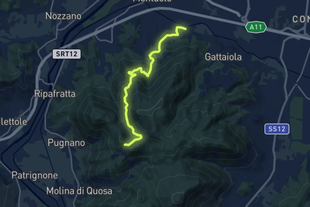
Medium · Trail
Castel Passerino
10.7 km · ↑ 574 m · 3 h 46 min
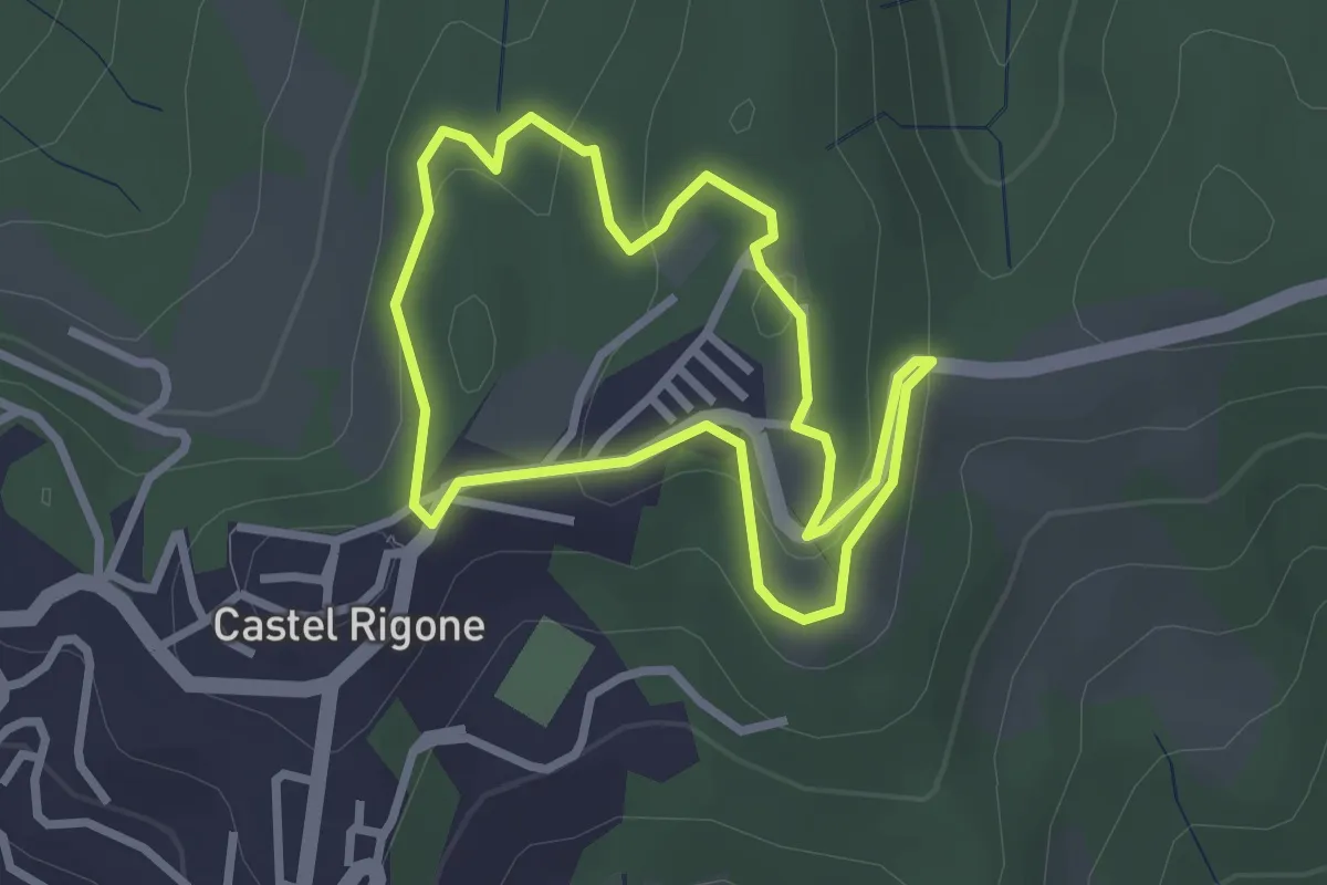
Easy · Trail
Castel Rigone
2.7 km · ↑ 89 m · 52 min
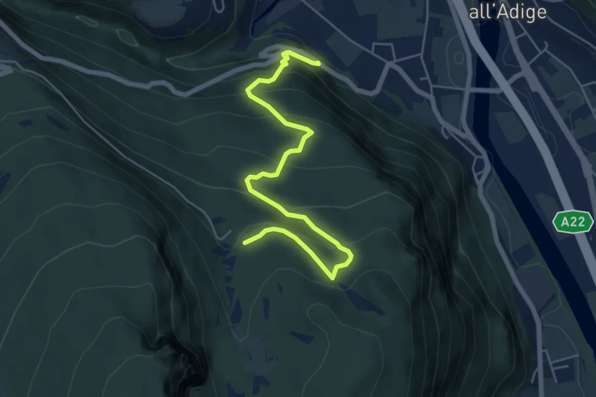
Medium · Trail
Castel Saiori - Chizzola
5.2 km · ↑ 409 m · 2 h 6 min
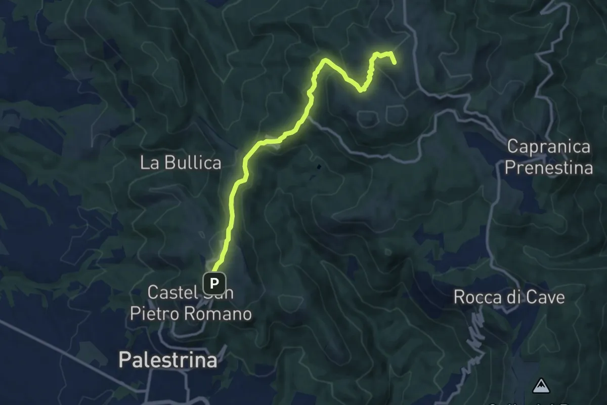
Medium · Summit
Castel San Pietro Romano-Colle Cialdea
10.6 km · ↑ 452 m · 3 h 29 min
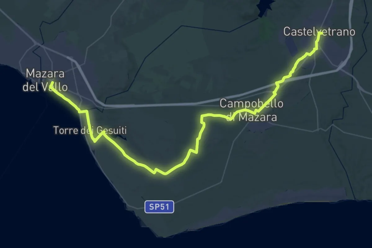
Demanding · Trail
Castelvetrano - Mazara del Vallo
29.4 km · ↑ 216 m · 7 h 44 min
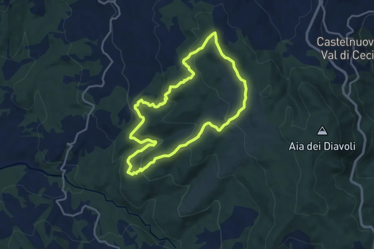
Medium · Summit
Castel Volterrano
8.9 km · ↑ 391 m · 3 h 4 min
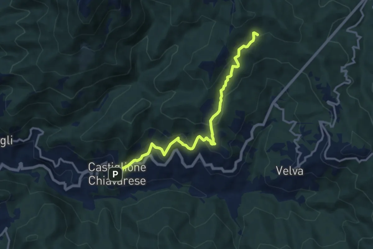
Medium · Trail
Castiglione Chiavarese - AV5T (Santuario di Velva)
9.0 km · ↑ 535 m · 3 h 17 min
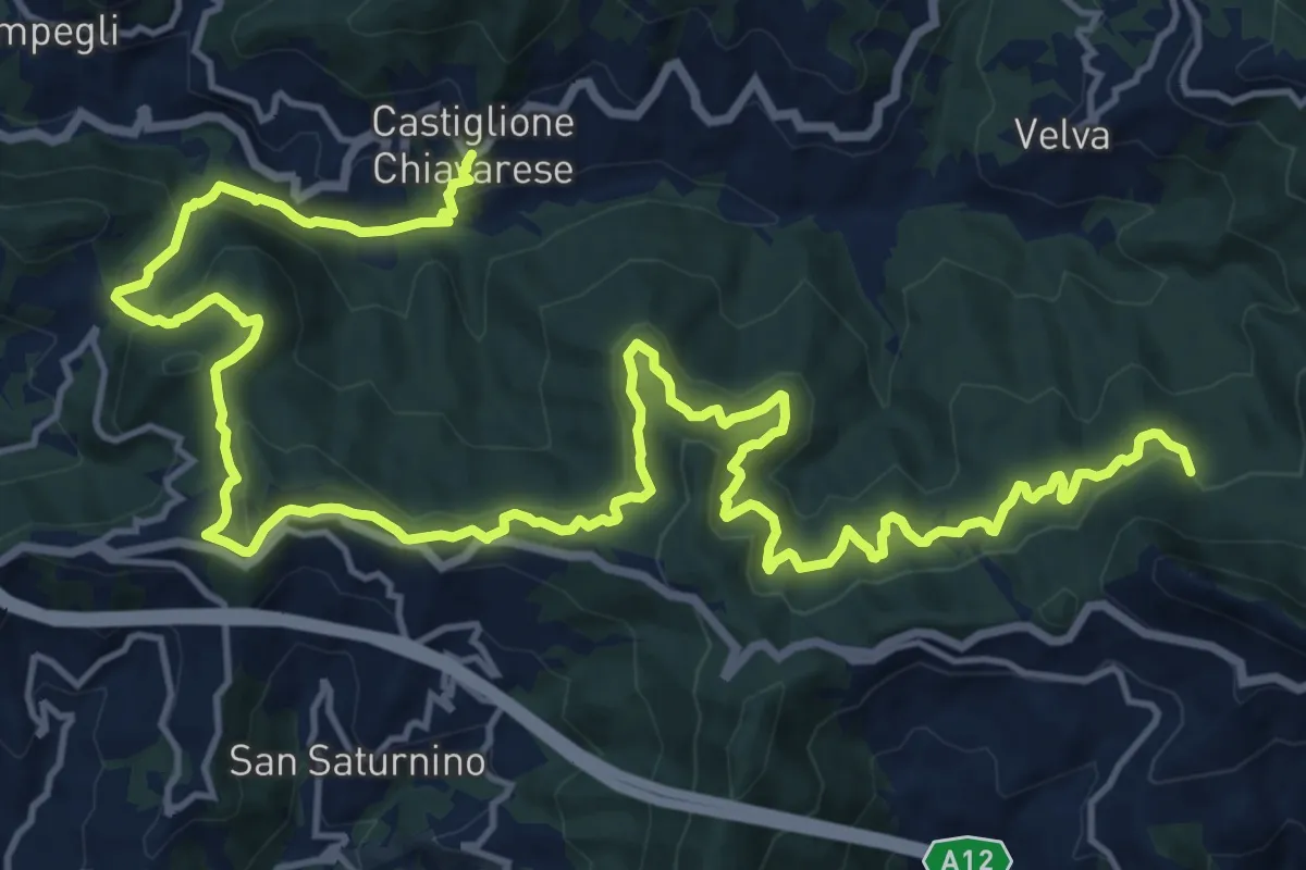
Medium · Trail
Castiglione Chiavarese - Costa ovest Monte Pietra di Vasca
12.6 km · ↑ 484 m · 4 h 19 min
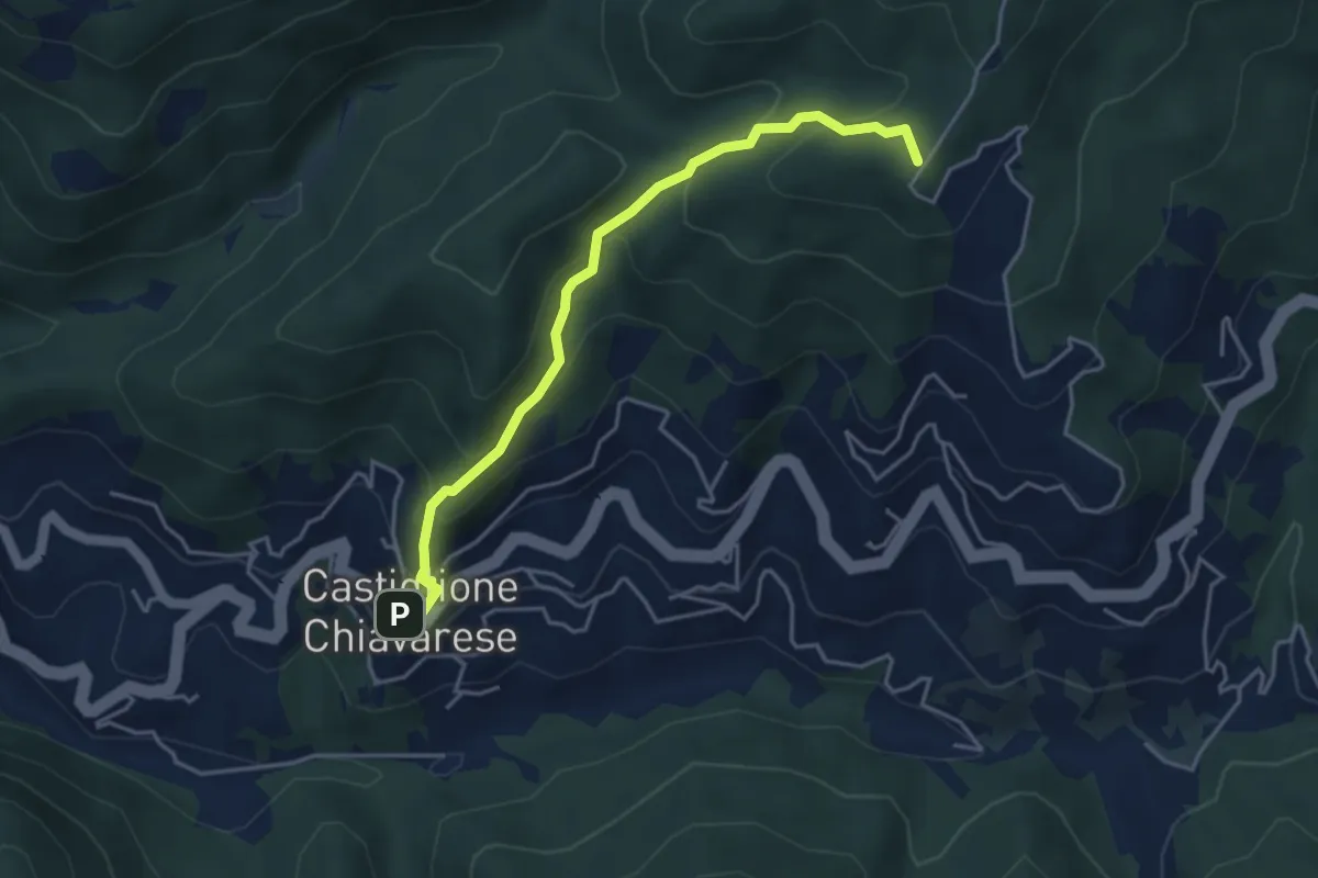
Medium · Summit
Castiglione Chiavarese - Monte Bastia
4.3 km · ↑ 322 m · 1 h 43 min
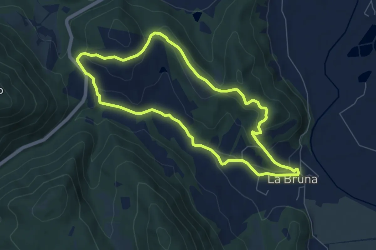
Easy · Trail
Castiglione Ugolino
6.4 km · ↑ 211 m · 2 h 4 min
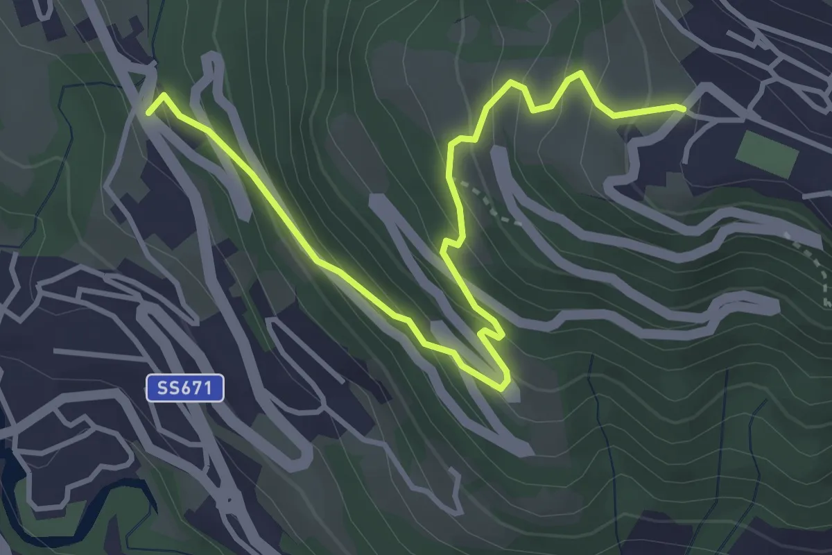
Medium · Trail
Castinic
4.1 km · ↑ 359 m · 1 h 45 min
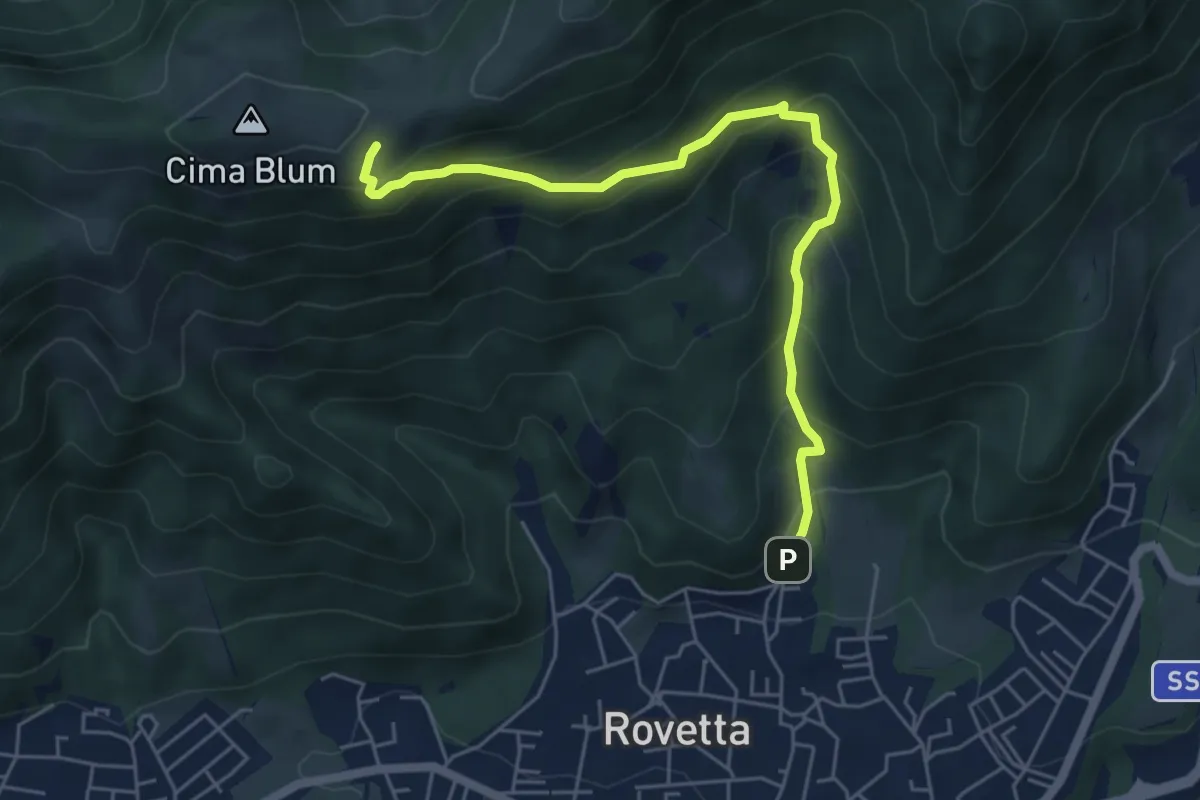
Medium · Trail
Castione - carrabile verso la Chiesetta degli Alpini sul colle Blum
5.8 km · ↑ 497 m · 2 h 27 min
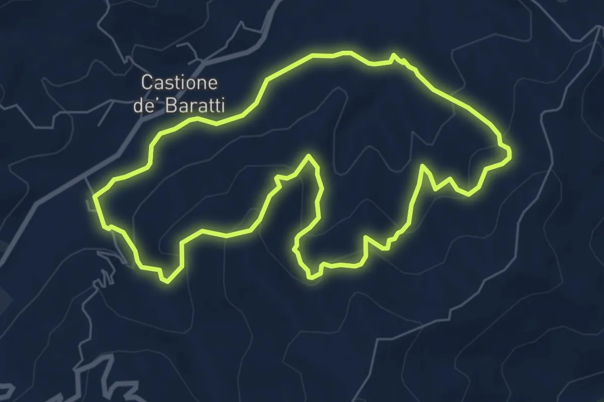
Easy · Trail
Castione De' Baratti - Orio - San Donnino - Rio Brozzo - Castione De' Baratti
6.5 km · ↑ 306 m · 2 h 18 min
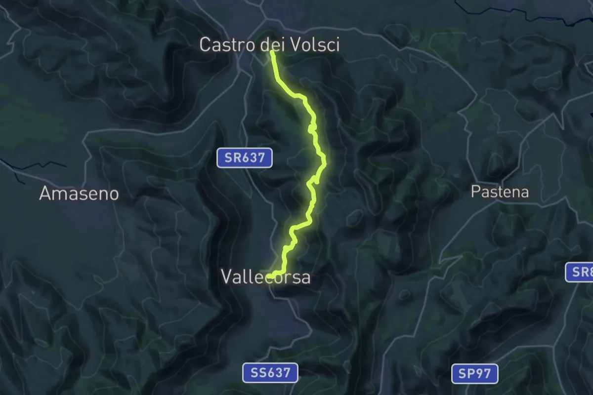
Demanding · Trail
Castro dei Volsci-Vallecorsa
19.4 km · ↑ 970 m · 6 h 41 min
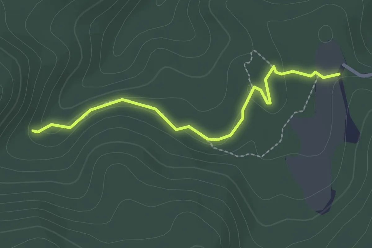
Easy · Trail
Casun du Rissu – Case Luxiata
2.4 km · ↑ 53 m · 40 min
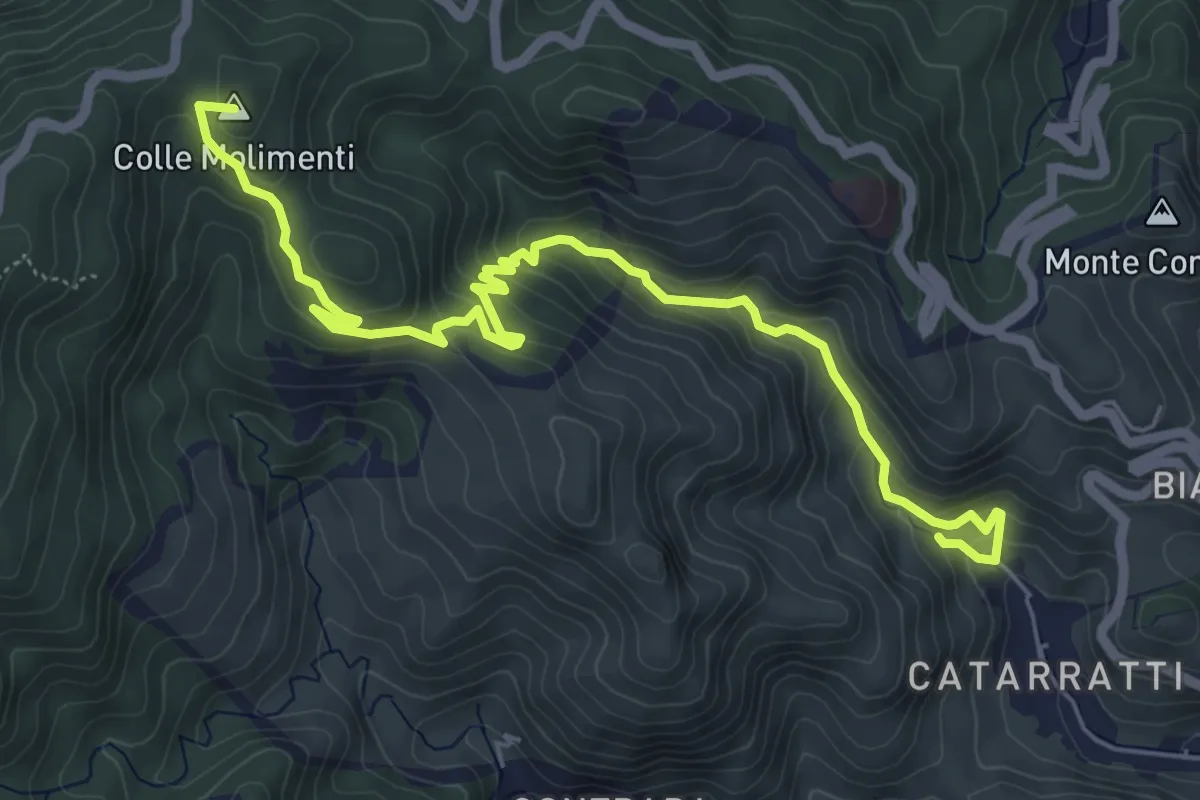
Medium · Summit
Cataratti Madunnuzza Colonia
7.9 km · ↑ 476 m · 2 h 54 min
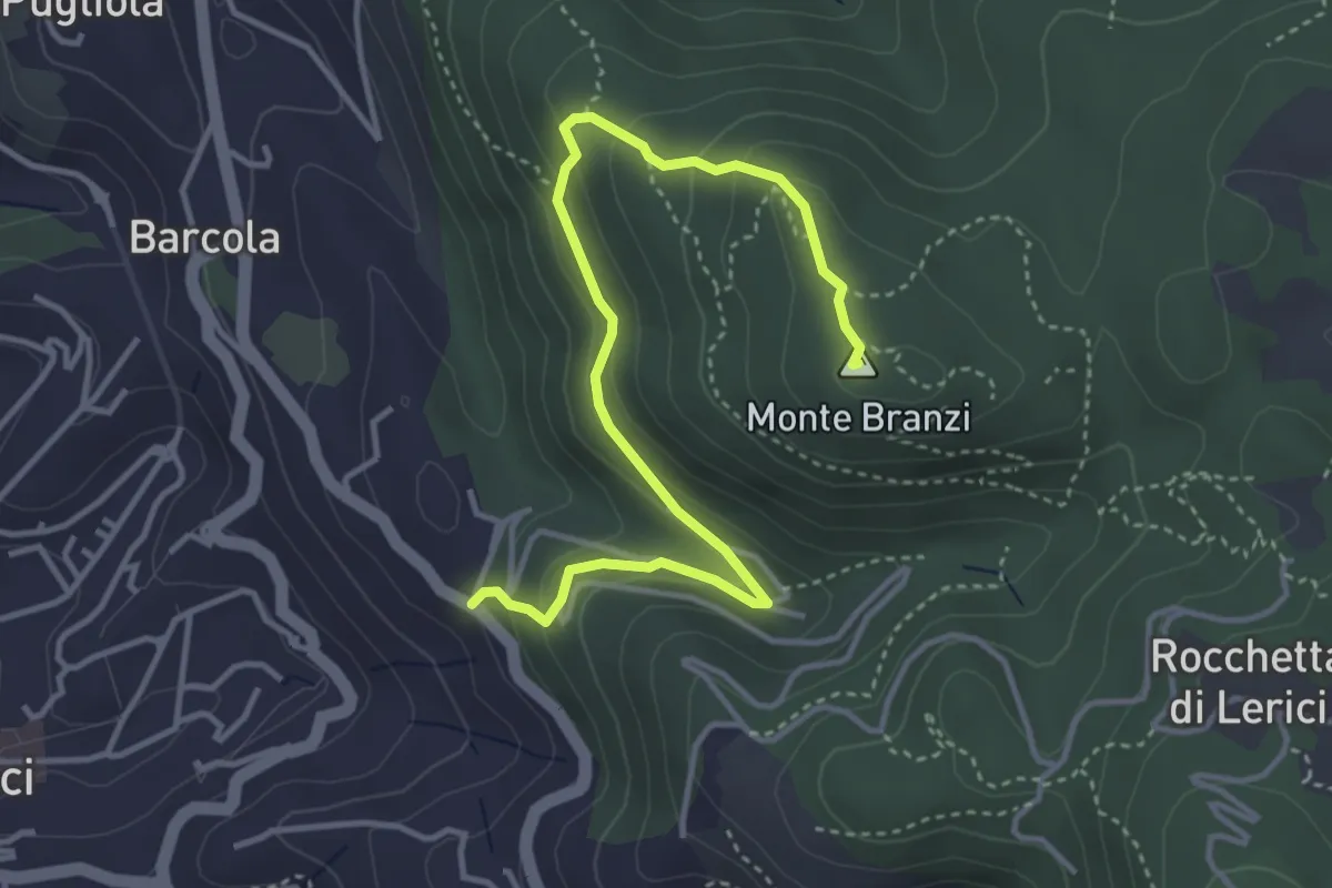
Medium · Summit
Catene - Canale di Redarca – M. Branzi
4.6 km · ↑ 210 m · 1 h 33 min
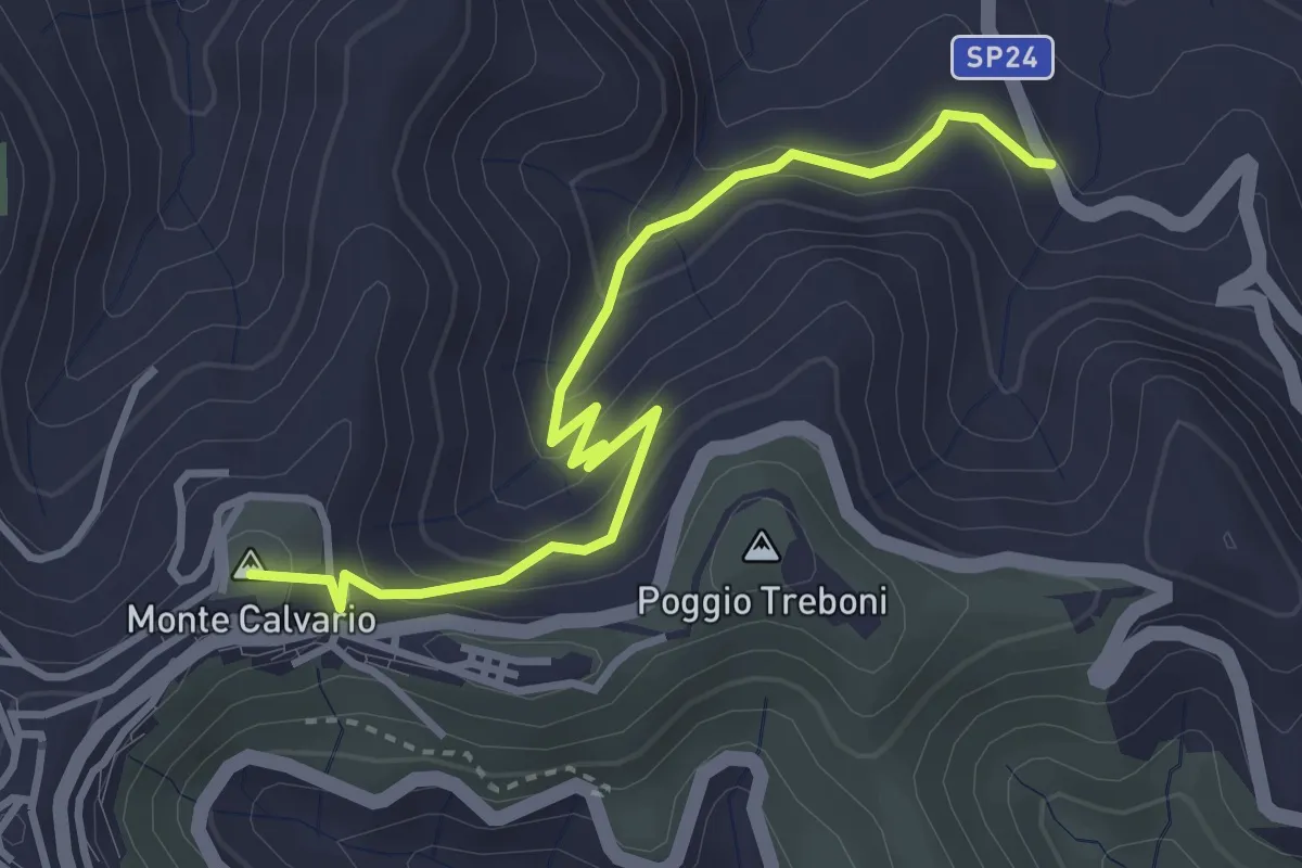
Medium · Summit
Cateratte
4.3 km · ↑ 294 m · 1 h 39 min
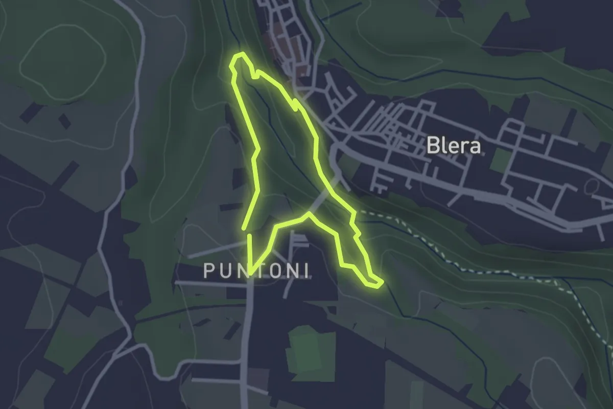
Medium · Trail
Cava Buia
2.3 km · ↑ 89 m · 45 min
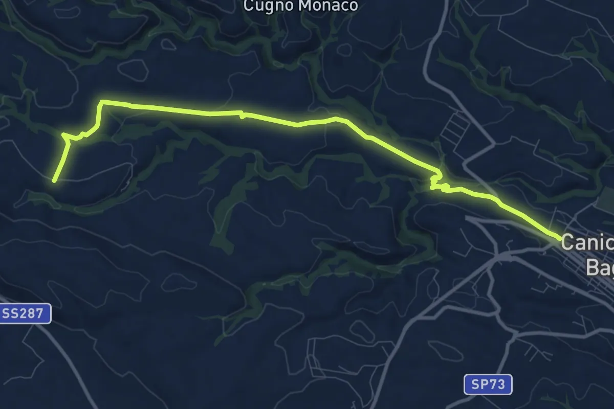
Medium · Trail
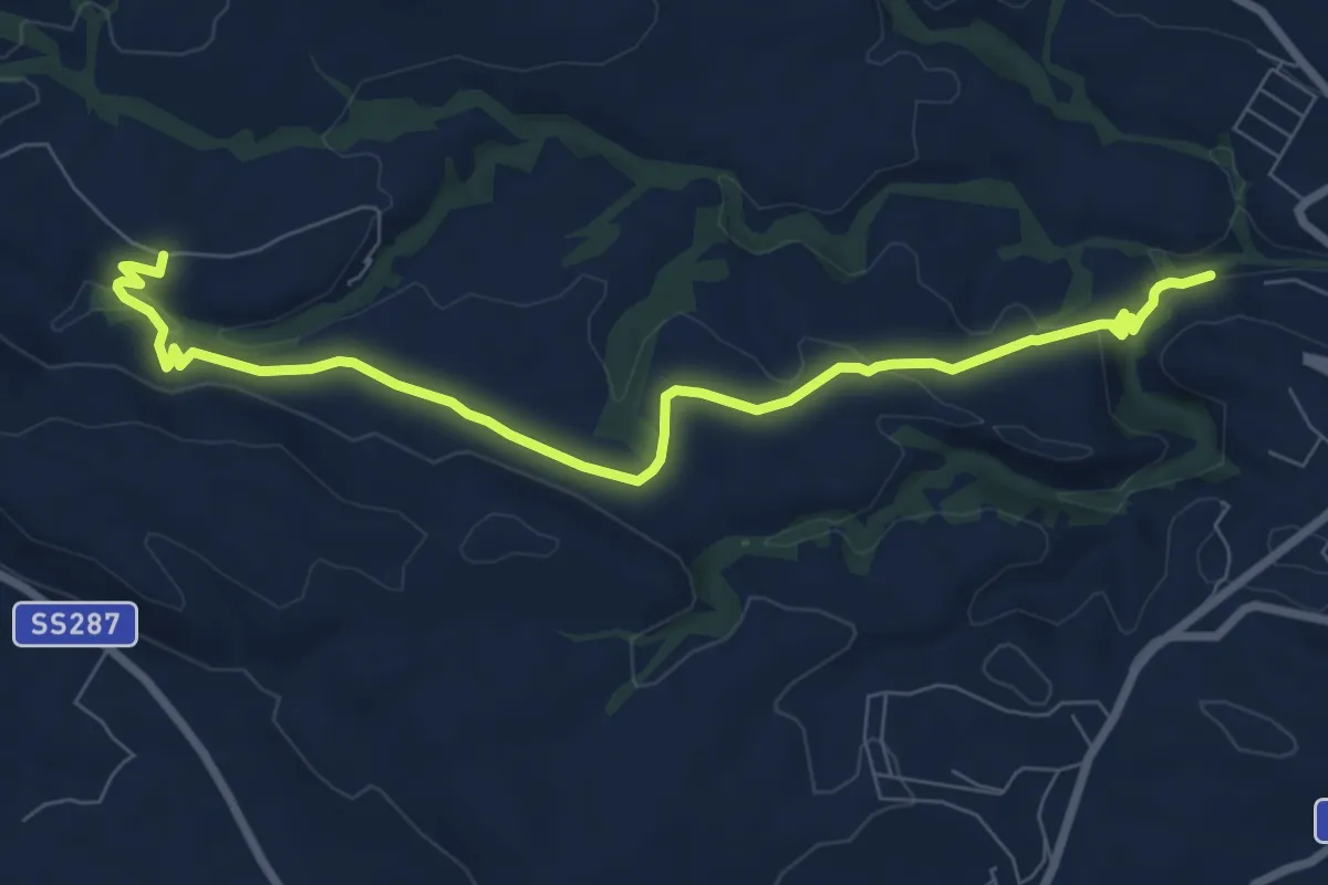
Cava Cardinale Var. Nord
12.2 km · ↑ 187 m · 3 h 17 min
Medium · Trail
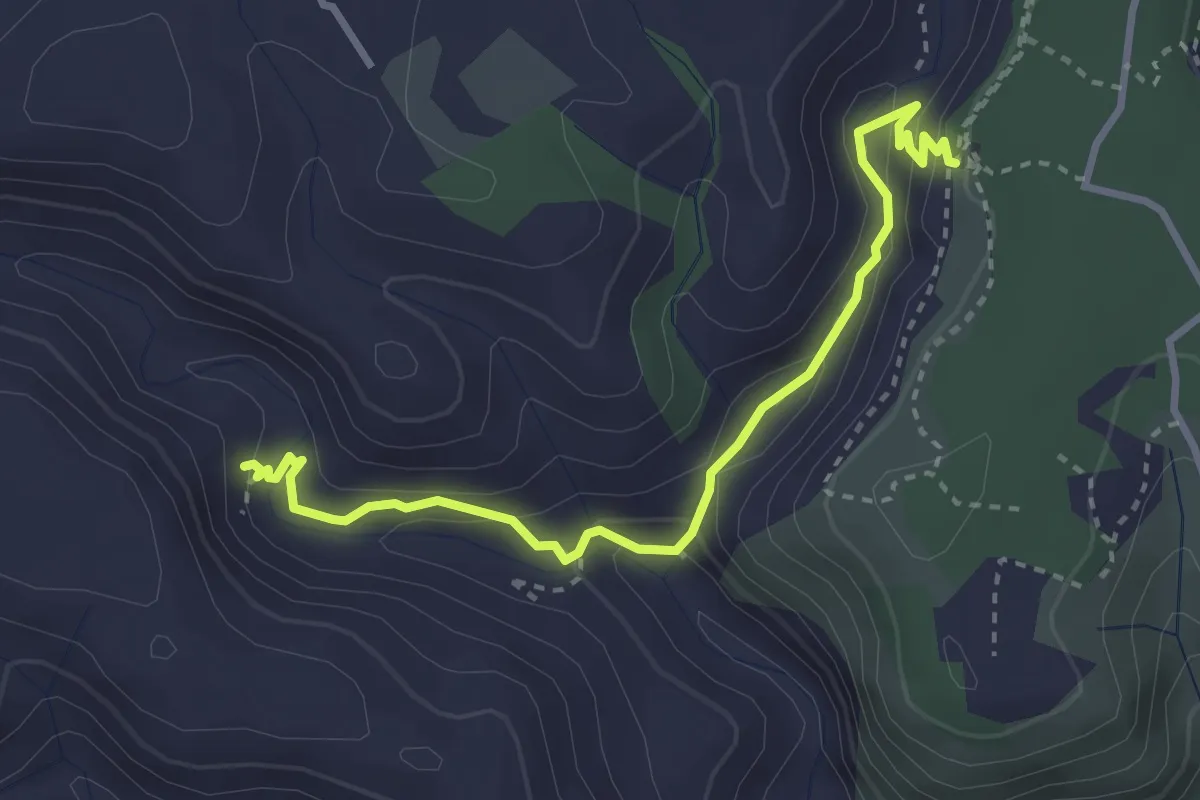
Cava Cardinale Var. Sud
10.1 km · ↑ 214 m · 2 h 50 min
Medium · Cabin
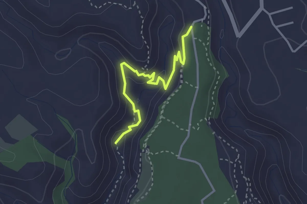
Cava Carosello Var. A
3.9 km · ↑ 190 m · 1 h 20 min
Medium · Trail
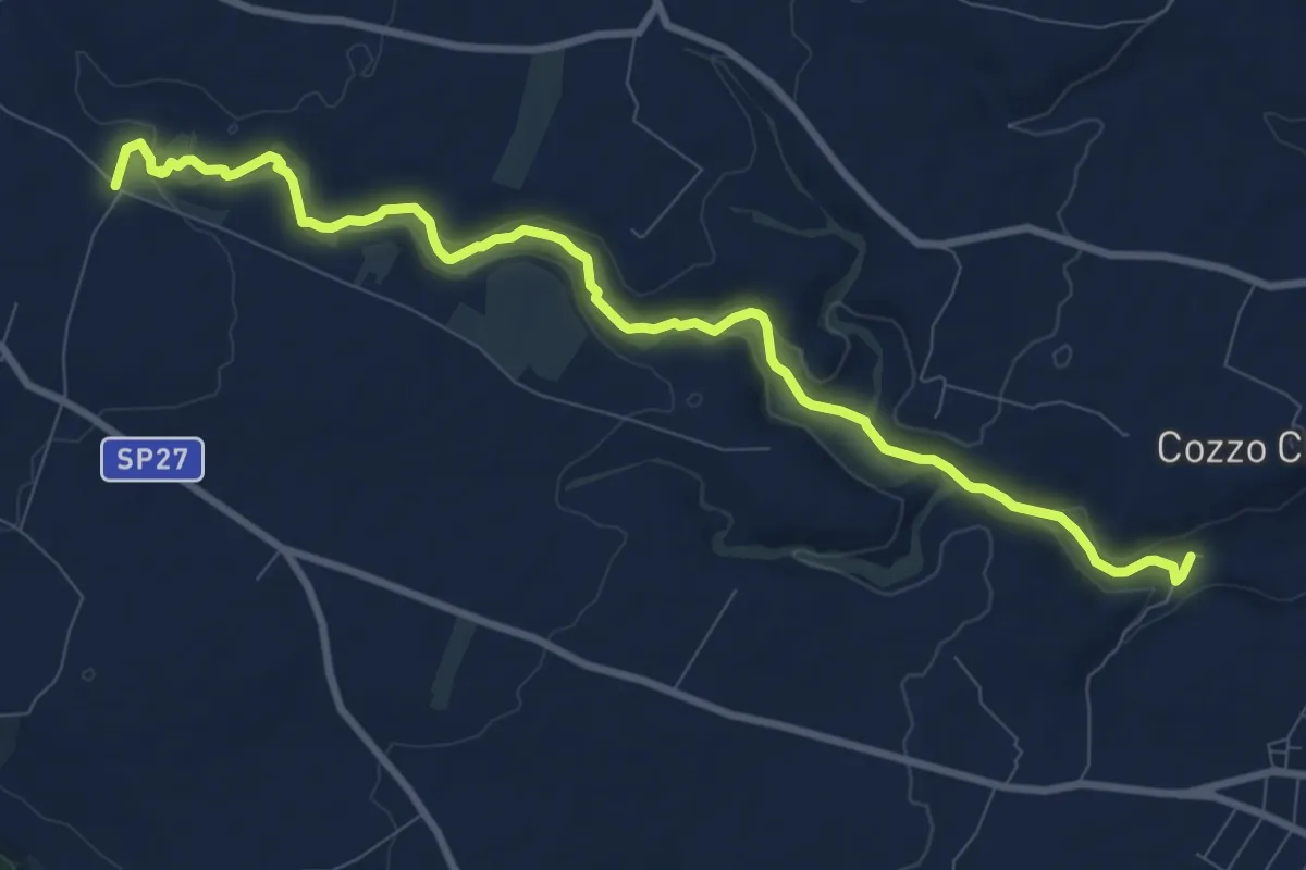
Cava Carosello Var. B
3.0 km · ↑ 96 m · 56 min
Medium · Trail
Cava Lazzaro
12.1 km · ↑ 191 m · 3 h 16 min
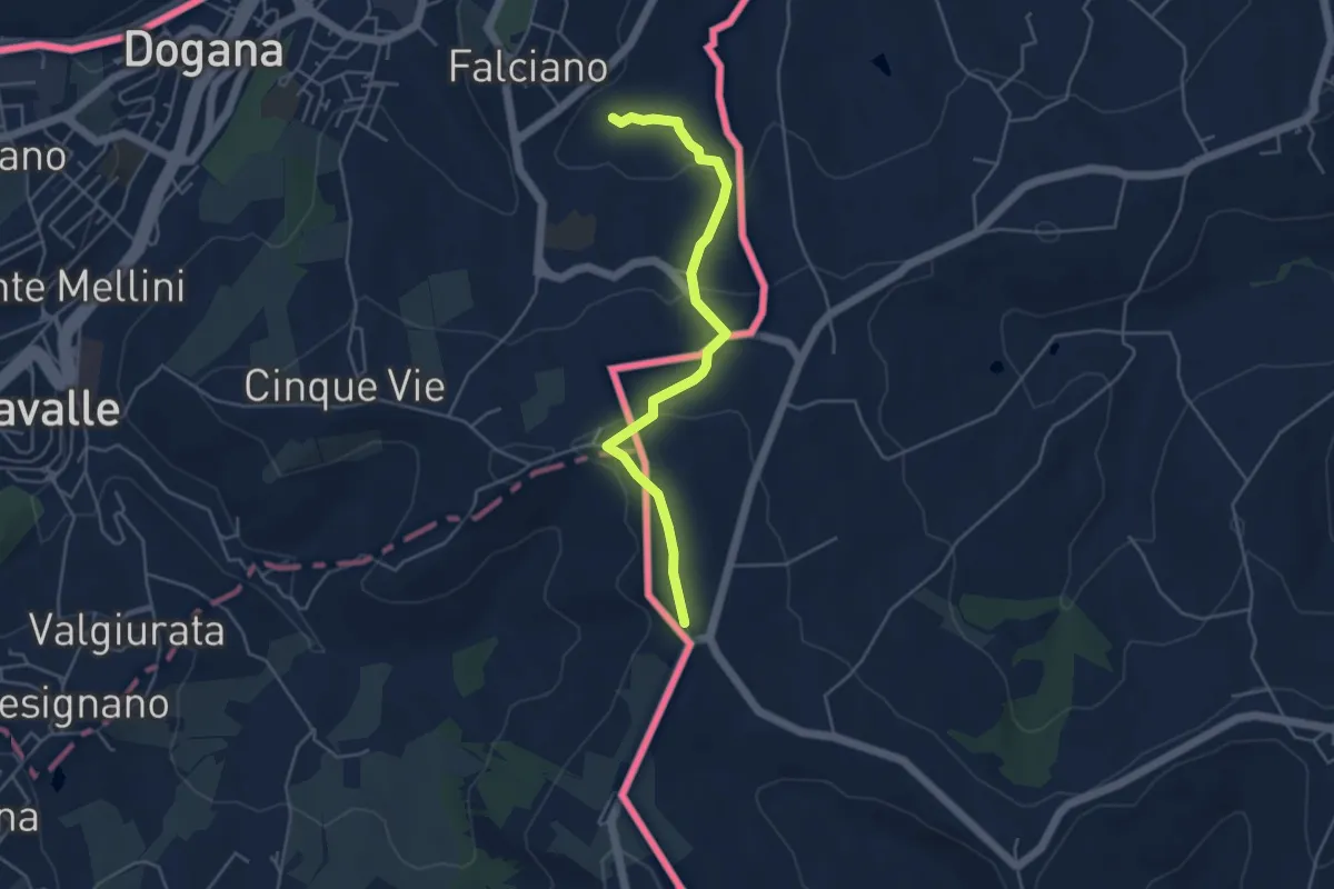
Easy · Trail
Ca' Valentino
4.8 km · ↑ 154 m · 1 h 28 min
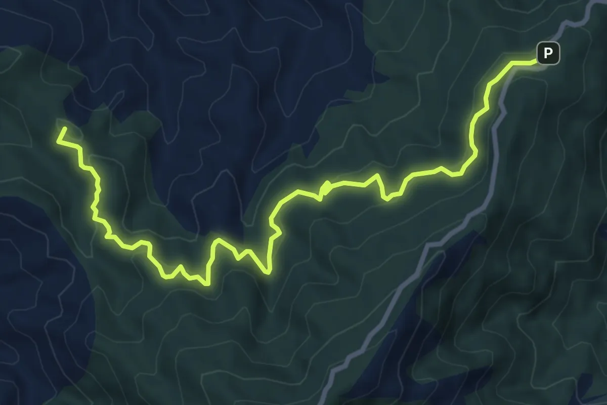
Medium · Summit
Cavaliere Sentiero Italia (Via Forte Campone Musolino)
9.7 km · ↑ 524 m · 3 h 26 min
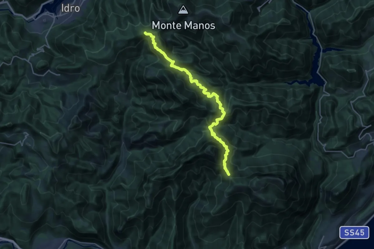
Demanding · Trail
Cavallino della Fobbia - Passo dello Spino
10.0 km · ↑ 813 m · 4 h 14 min
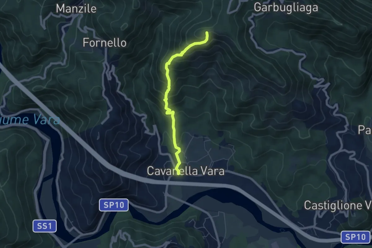
Medium · Summit
Cavanella – Bric Arvota – (Bivio 159)
5.5 km · ↑ 485 m · 2 h 21 min