Trails in Italy
25,211 hiking trails, each with its route, climb, walking time and grade.
All trails, page 51 of 526
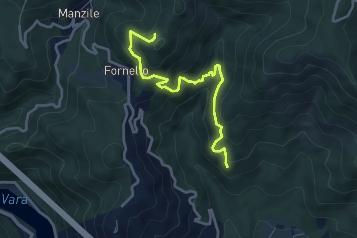
Medium · Trail
Cavanella – Case Bodri – (Bivio 152)
5.9 km · ↑ 564 m · 2 h 36 min
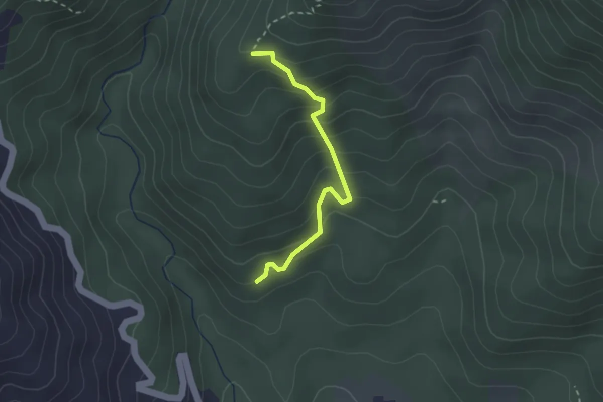
Easy · Trail
Cavanella – Case Bodri – (Variante 156)
2.2 km · ↑ 259 m · 1 h 5 min
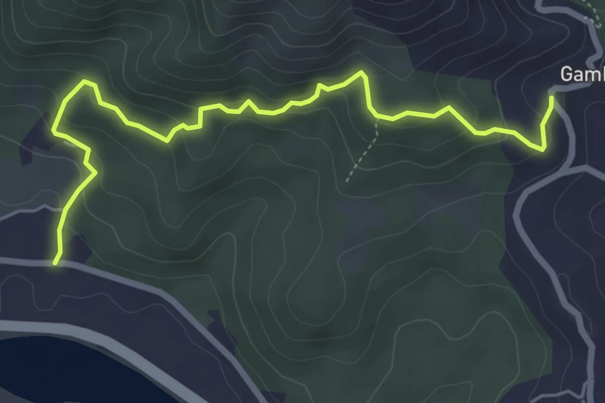
Easy · Trail
Cavanella – Gambella
5.6 km · ↑ 314 m · 2 h 1 min
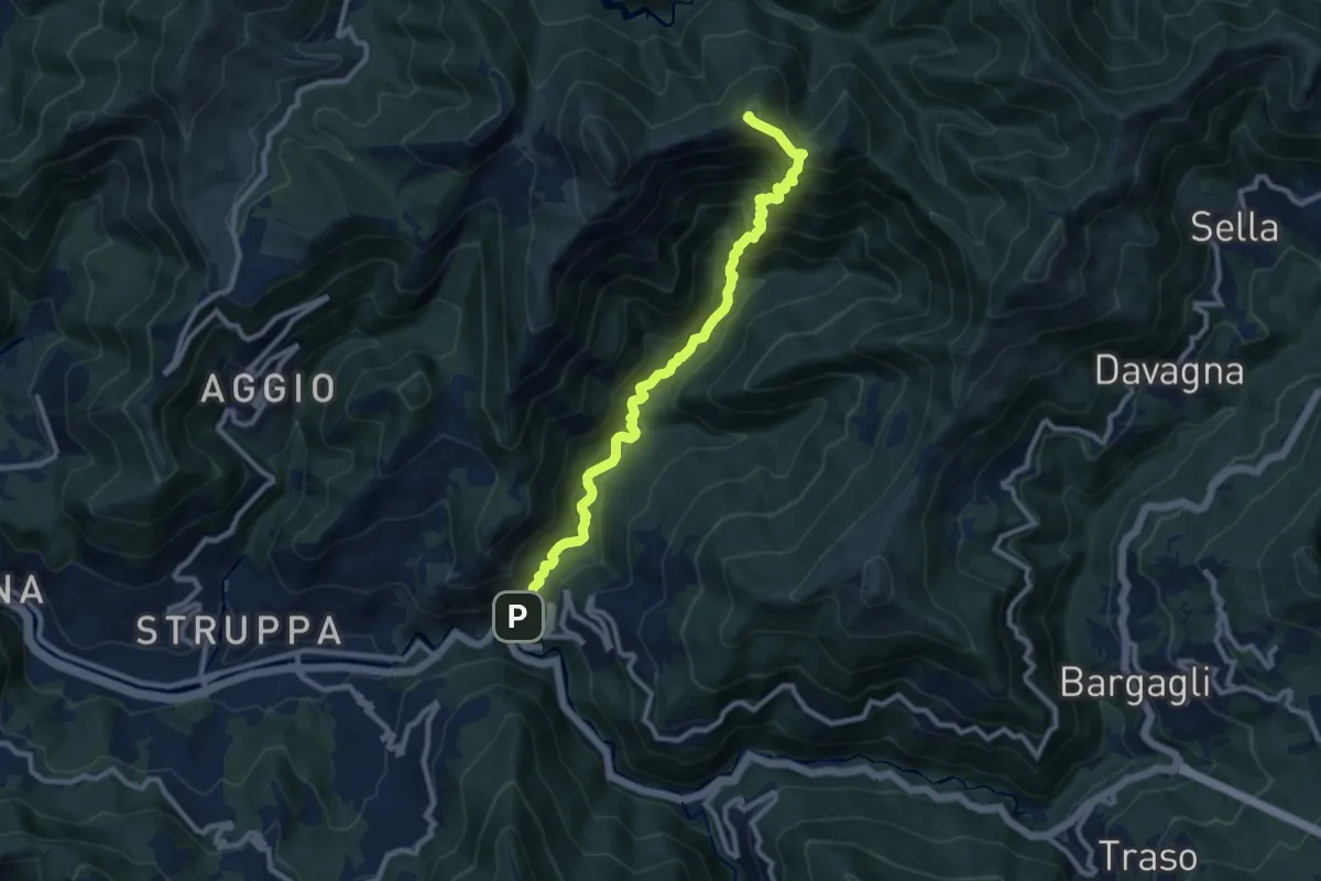
Demanding · Summit
Cavassolo - Monte Lago
10.3 km · ↑ 845 m · 4 h 15 min
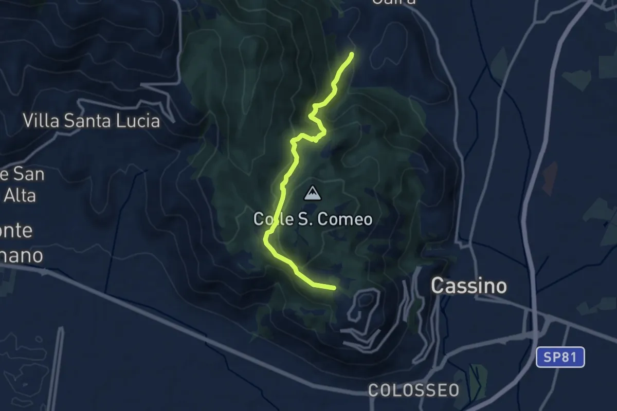
Medium · Trail
Cavendish Road
9.2 km · ↑ 506 m · 3 h 17 min
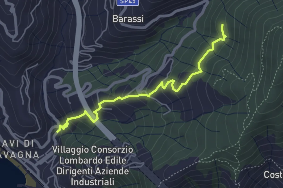
Easy · Trail
Cavi Borgo - Cerreto - S. Eufemiano
4.4 km · ↑ 294 m · 1 h 41 min
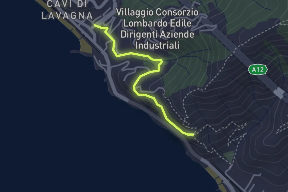
Medium · Trail
Cavi Borgo - S. Anna
2.9 km · ↑ 195 m · 1 h 6 min
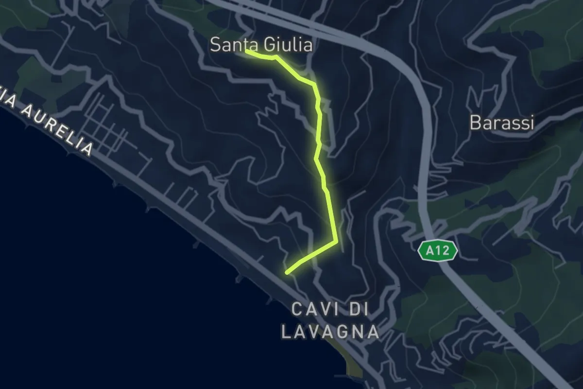
Easy · Trail
Cavi Borgo - S. Michele - S. Giulia
3.0 km · ↑ 233 m · 1 h 12 min
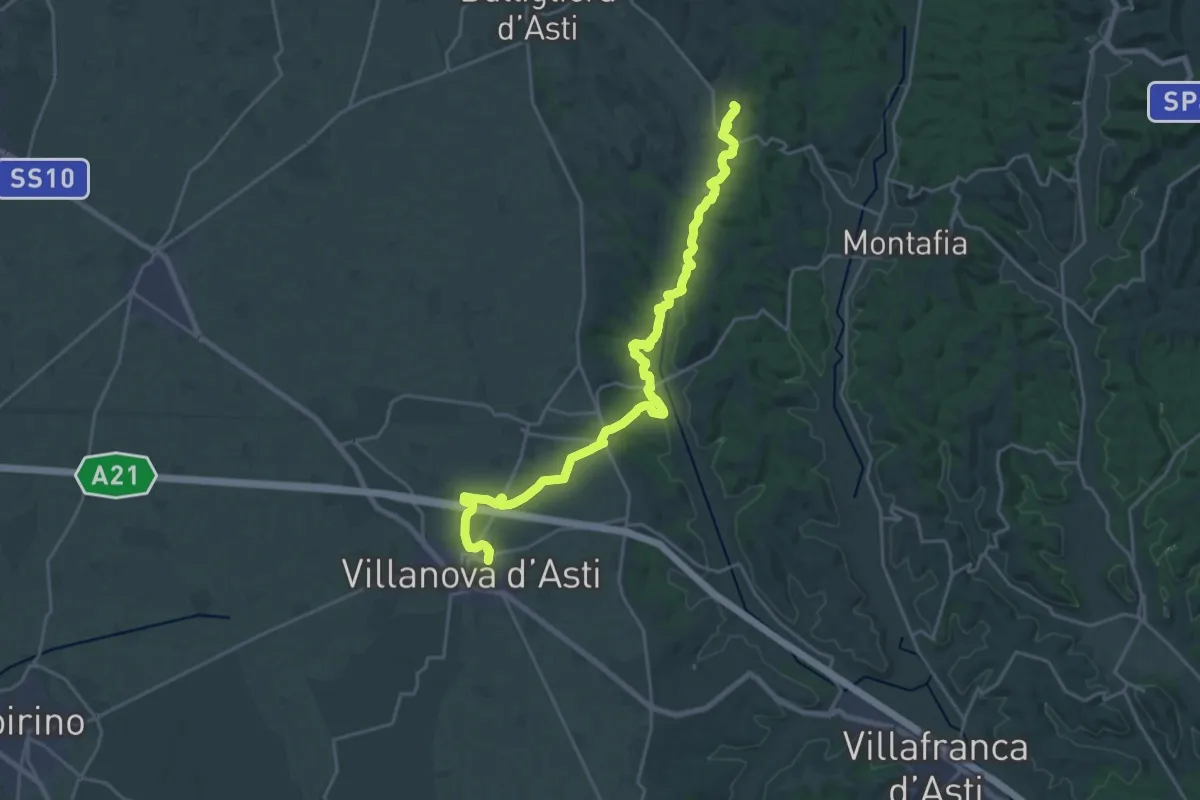
Demanding · Trail
CDB variante Villanova d'Asti
25.0 km · ↑ 212 m · 6 h 22 min
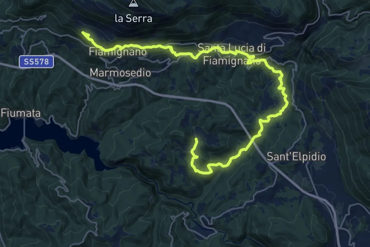
Demanding · Summit
CDS - Tappa 1/6 - Peschieta - Fiamignano
25.9 km · ↑ 934 m · 8 h 8 min
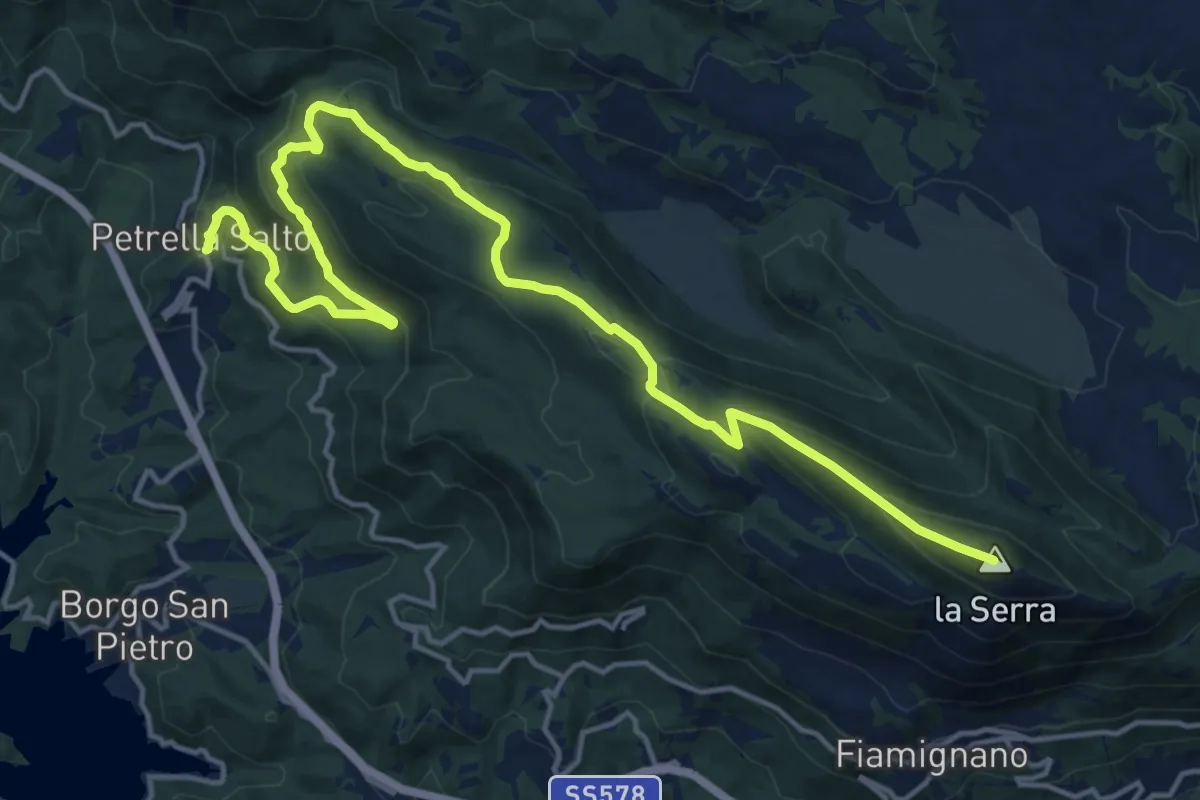
Demanding · Summit
CDS - Tappa 2/6 - Fiamignano - Petrella Salto
20.3 km · ↑ 957 m · 6 h 52 min
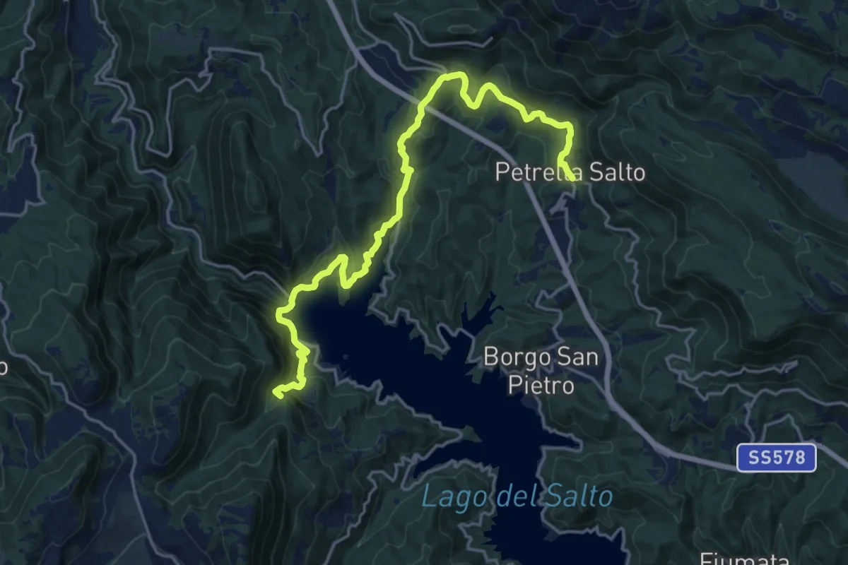
Demanding · Summit
CDS - Tappa 3/6 - Petrella Salto - Varco Sabino
20.0 km · ↑ 943 m · 6 h 46 min
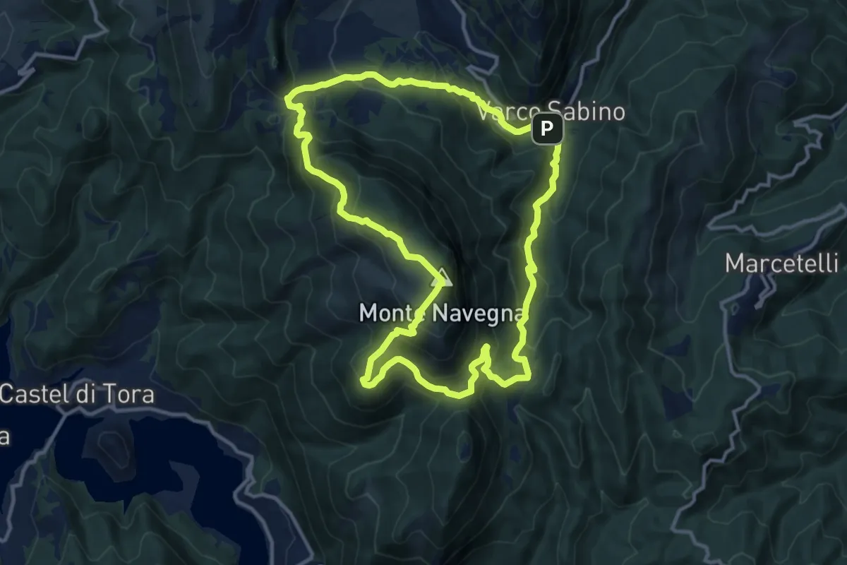
Demanding · Summit
CDS - Tappa 4/6 - Varco Sabino - Varco Sabino
12.7 km · ↑ 859 m · 5 h 2 min
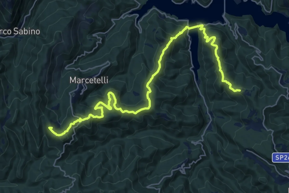
Demanding · Summit
CDS - Tappa 5/6 - Varco Sabino - Ospanesco
25.2 km · ↑ 1222 m · 8 h 35 min
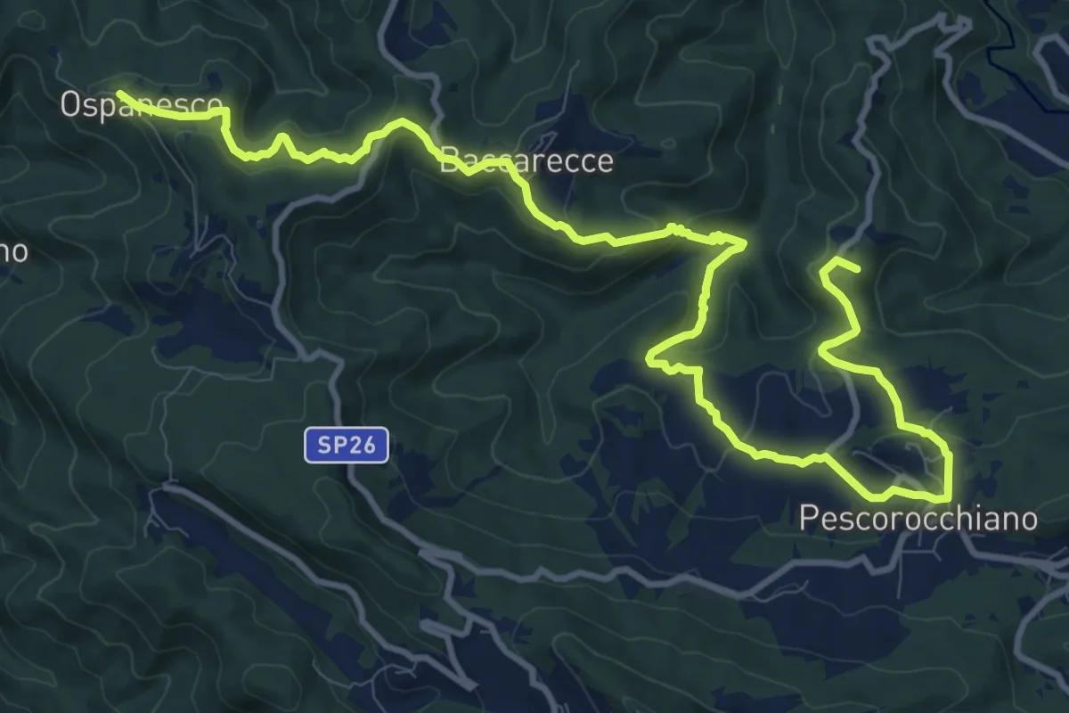
Medium · Summit
CDS - Tappa 6/6 - Ospanesco - Peschieta
15.9 km · ↑ 589 m · 5 h 2 min
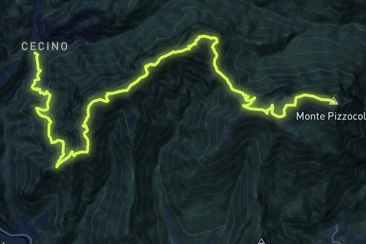
Expert · Summit
Cecino - Ortello
30.9 km · ↑ 2690 m · 13 h 7 min
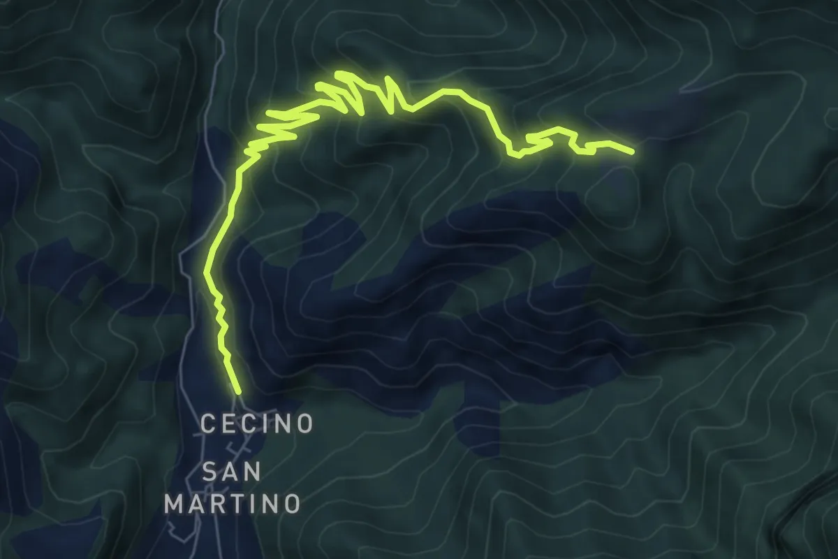
Medium · Trail
Cecino - Ponte Sacca - Cascina Brasassio
4.6 km · ↑ 642 m · 2 h 16 min
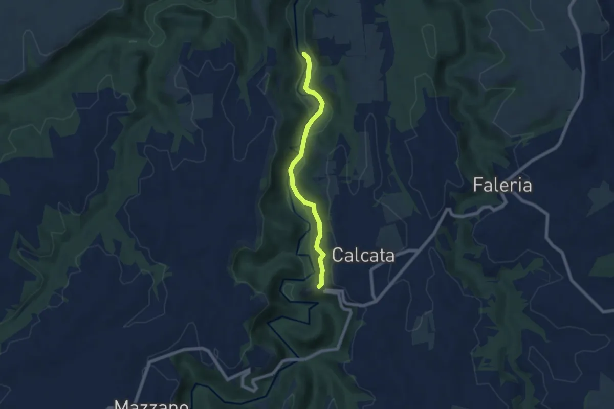
Easy · Trail
Ceciuli
5.5 km · ↑ 206 m · 1 h 45 min
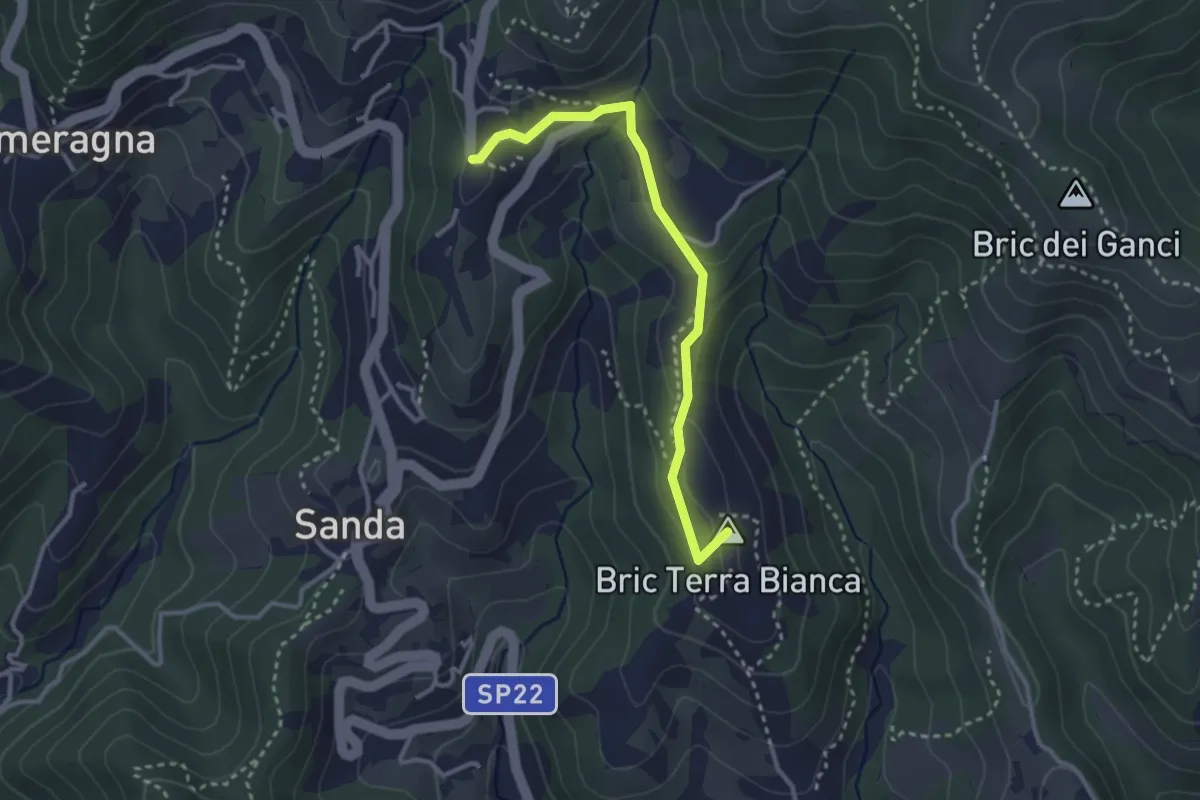
Easy · Summit
Celle Ligure - Brasi - Vespa
3.1 km · ↑ 79 m · 54 min
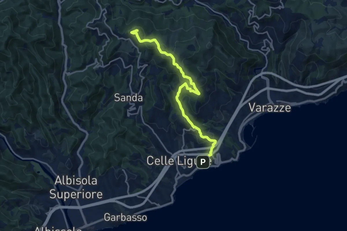
Medium · Summit
Celle Ligure - Bric delle Forche
13.1 km · ↑ 625 m · 4 h 27 min
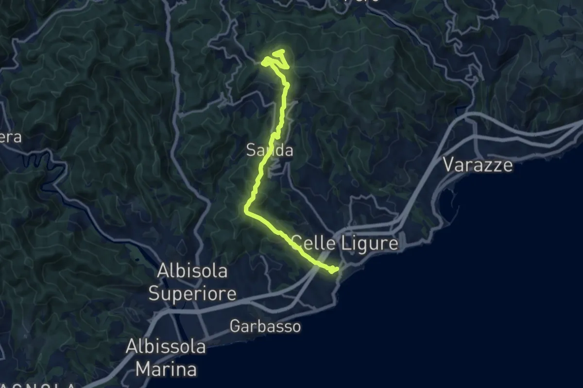
Medium · Summit
Celle Ligure - Sanda - Bric delle Forche
13.5 km · ↑ 566 m · 4 h 24 min
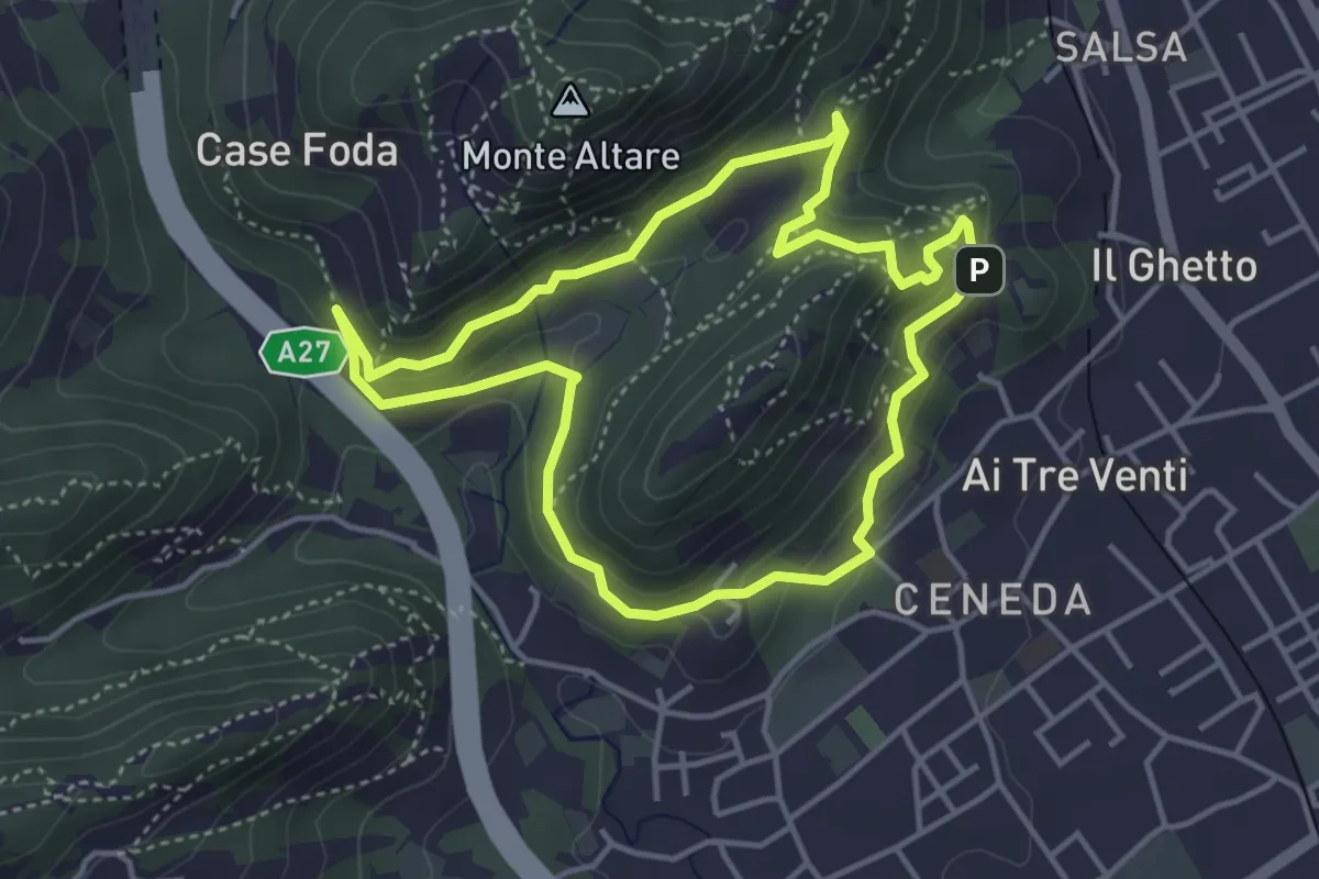
Easy · Summit
Ceneda - San Rocco - Case Posoccon - Castello di San Martino
4.0 km · ↑ 209 m · 1 h 27 min
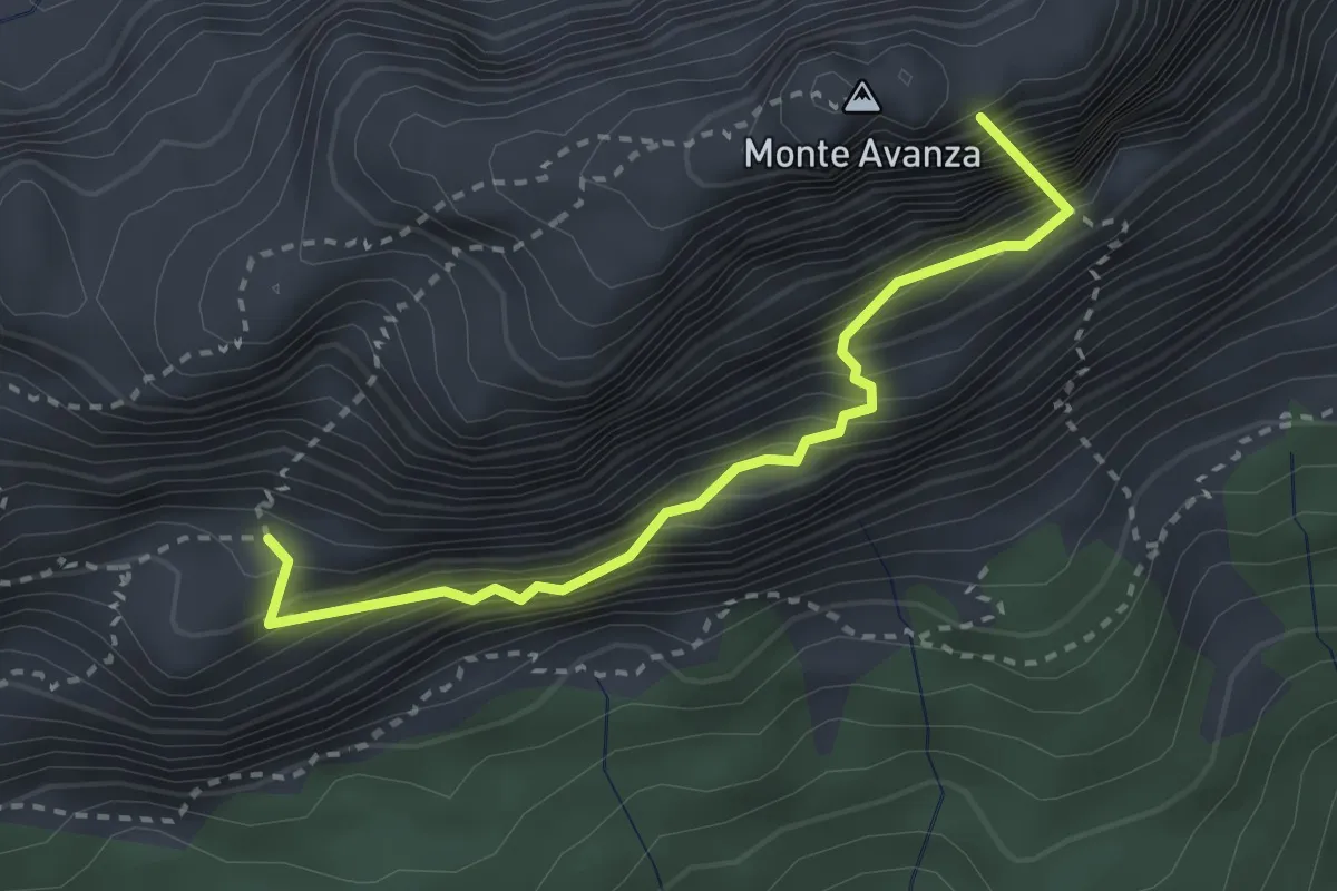
Expert · Summit
Cengia del Sole
2.9 km · ↑ 584 m · 1 h 57 min
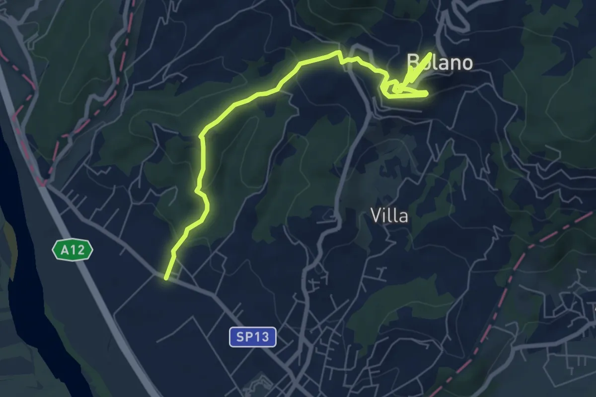
Medium · Trail
Ceparana – San Bartolomeo – Bolano (Bivio AVML)
7.9 km · ↑ 444 m · 2 h 49 min
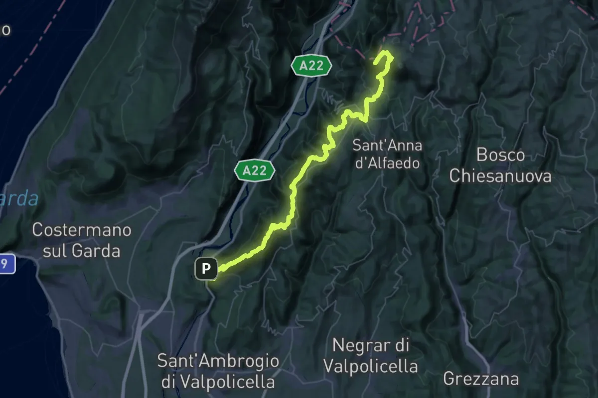
Demanding · Summit
Ceraino - Corno d'Aquilio
54.6 km · ↑ 2916 m · 19 h 13 min
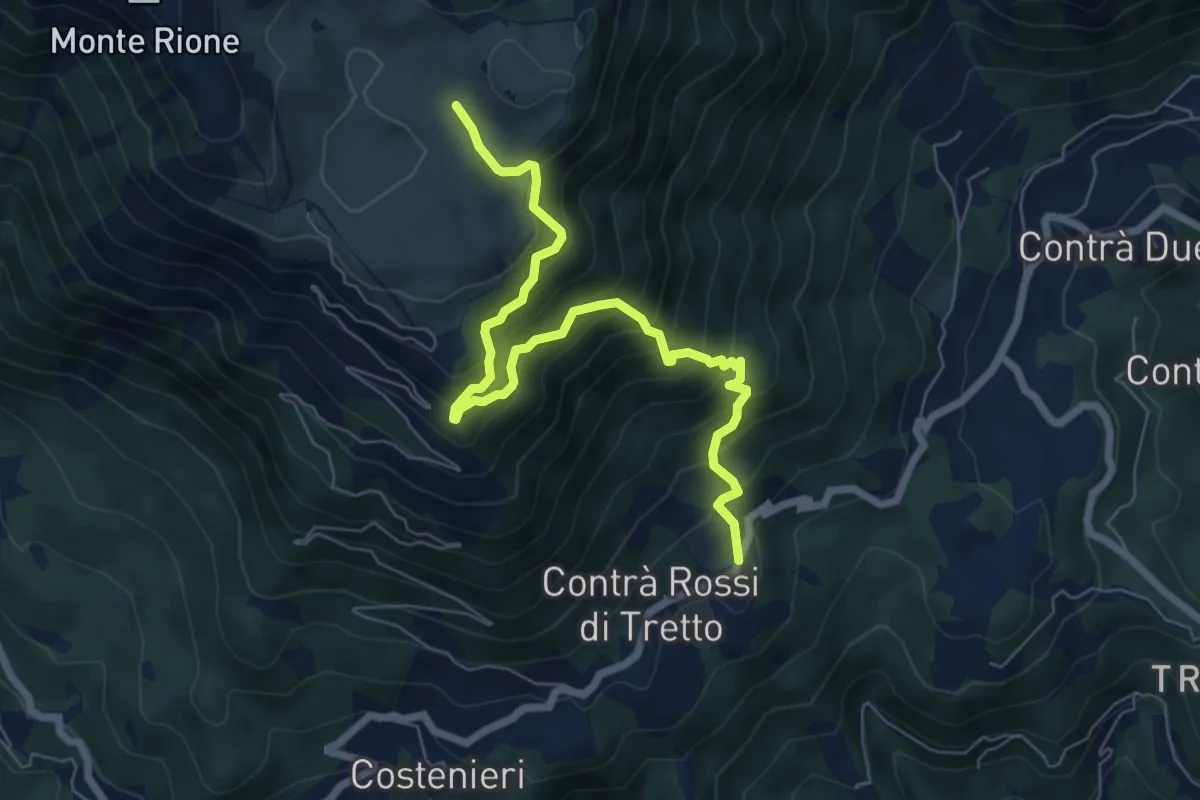
Demanding · Trail
Cerbaro - Busa Novegno
7.5 km · ↑ 865 m · 3 h 38 min
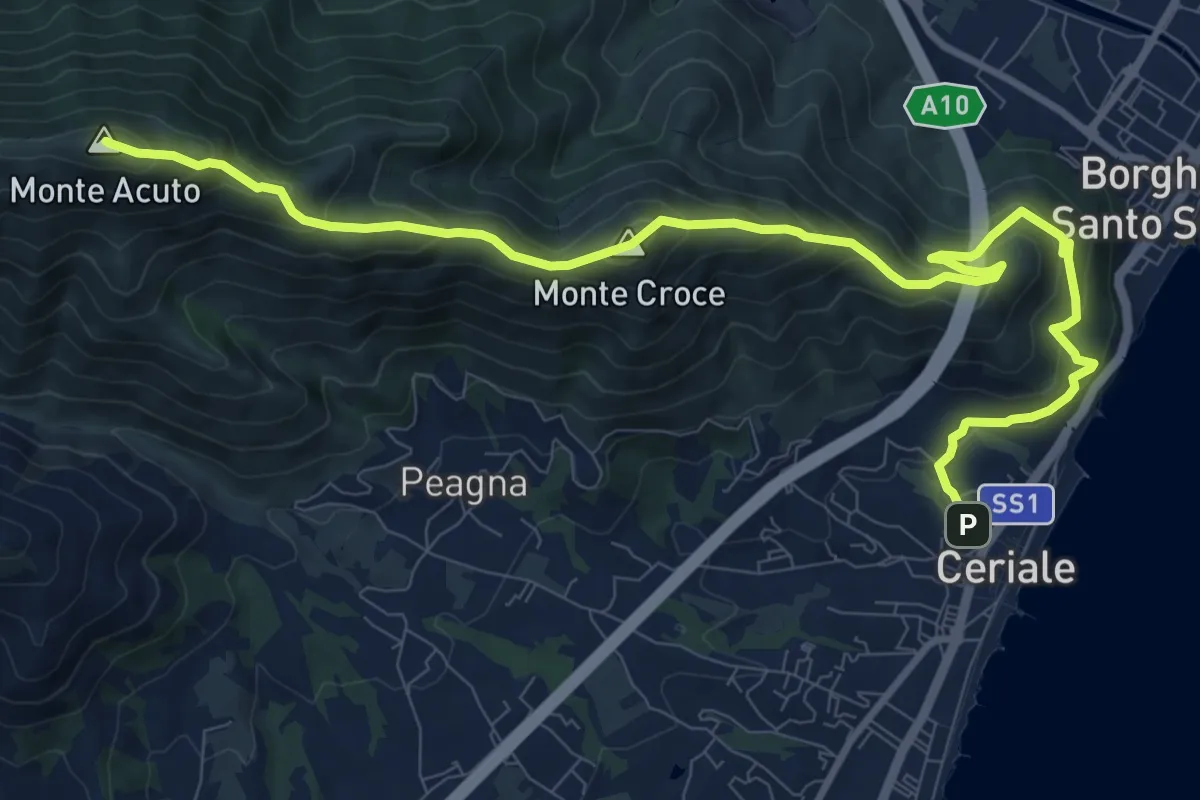
Demanding · Summit
Ceriale - Santuario di Monte Croce - Martinetto
13.0 km · ↑ 970 m · 5 h 10 min
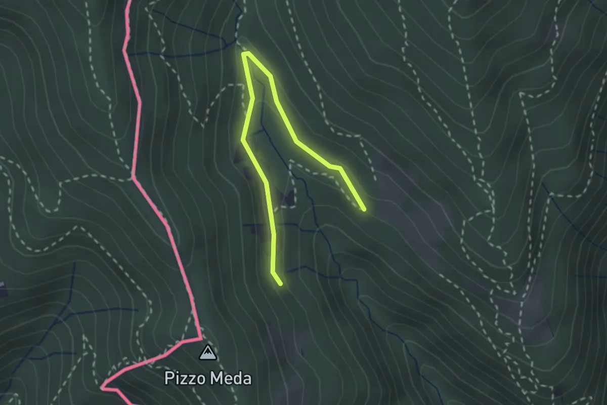
Easy · Trail
Cernobbio-Monte Bisbino
2.5 km · ↑ 103 m · 49 min
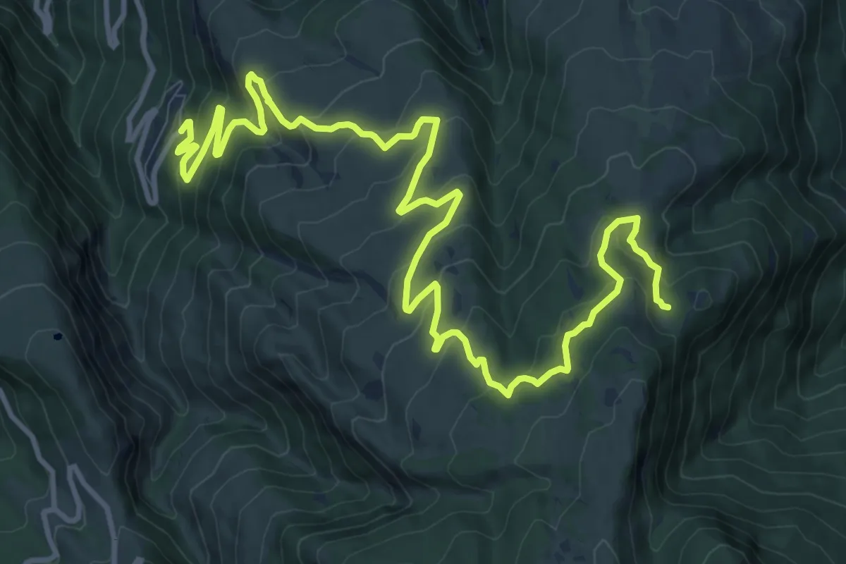
Demanding · Trail
Cerqueto - Cima Sportella
16.4 km · ↑ 842 m · 5 h 42 min
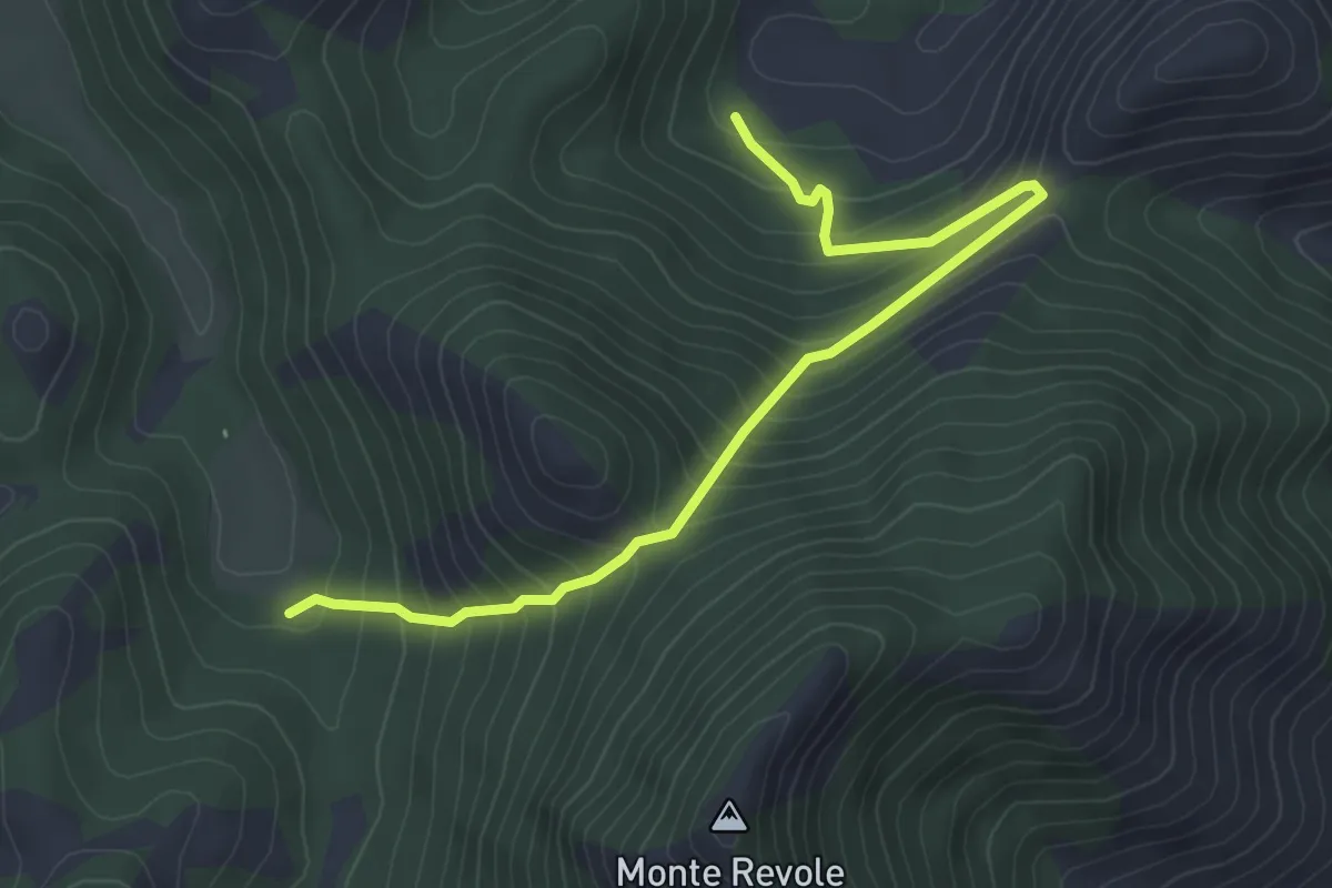
Medium · Trail
Cerretello-Valle Piana
5.2 km · ↑ 448 m · 2 h 12 min
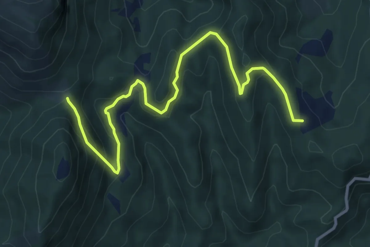
Medium · Summit
Cerreto - Fonte le Forche
8.8 km · ↑ 386 m · 2 h 54 min
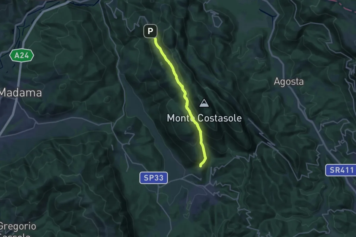
Medium · Trail
Cerreto Laziale-Saracinesco
15.2 km · ↑ 692 m · 5 h 5 min
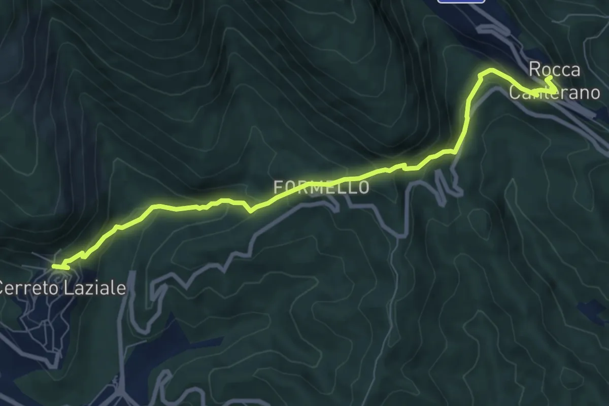
Medium · Trail
Cerreto L.-Rocca Canterano
8.7 km · ↑ 609 m · 3 h 22 min
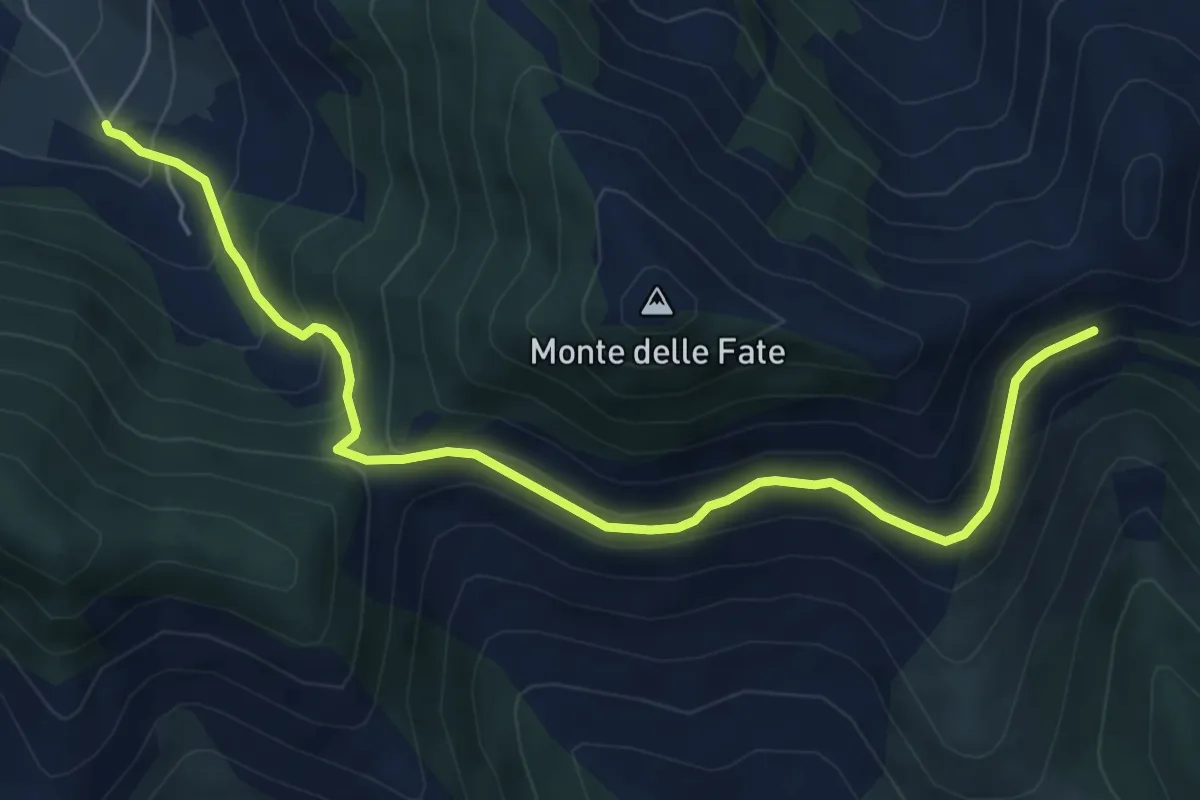
Medium · Trail
Cerreto-Serra Palombi-Fontana La Savia
7.2 km · ↑ 430 m · 2 h 38 min
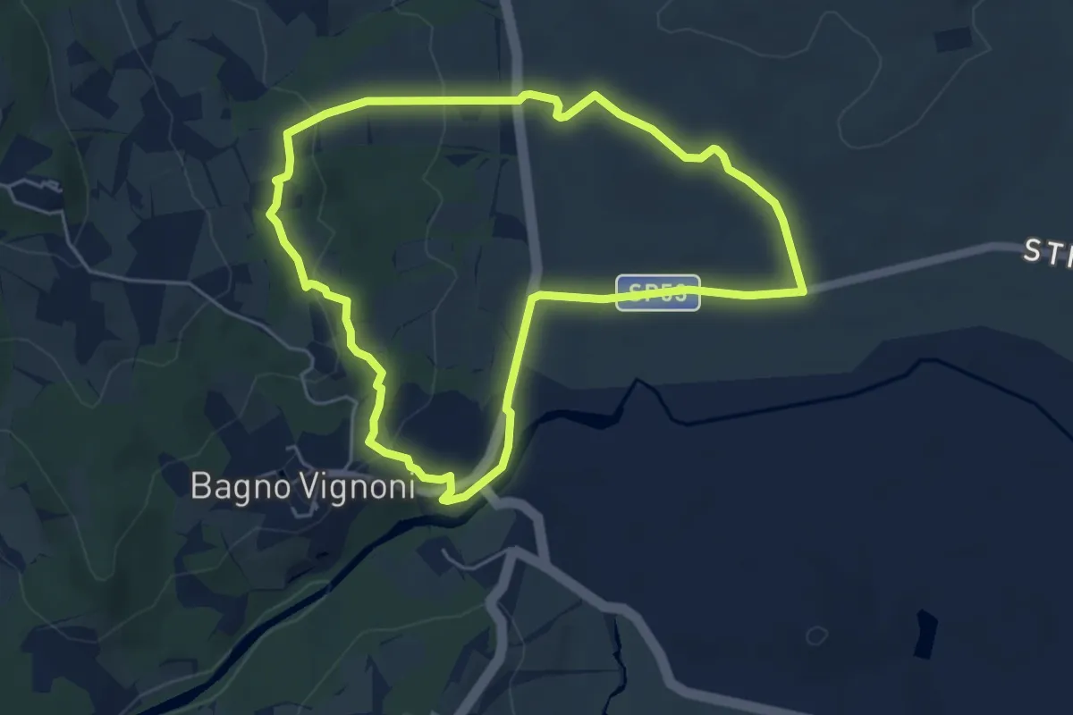
Easy · Trail
Cerrolungo
5.2 km · ↑ 142 m · 1 h 37 min
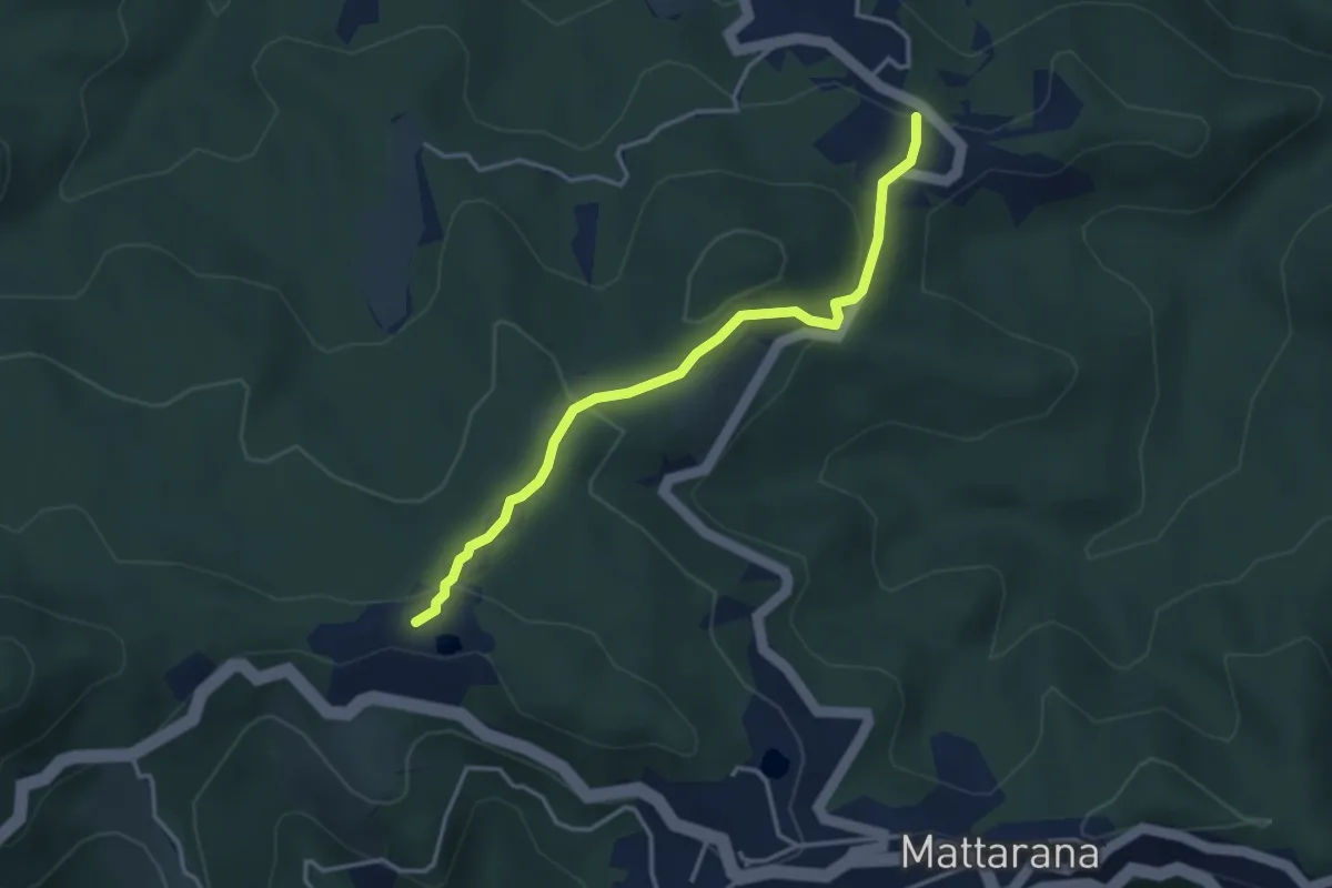
Easy · Trail
Cerro – Monte Gruzze - Bivio 630
3.6 km · ↑ 168 m · 1 h 13 min
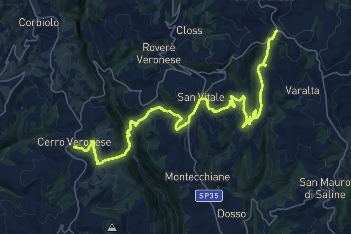
Demanding · Trail
Cerro Veronese - Bettola di Velo
22.7 km · ↑ 1131 m · 7 h 48 min
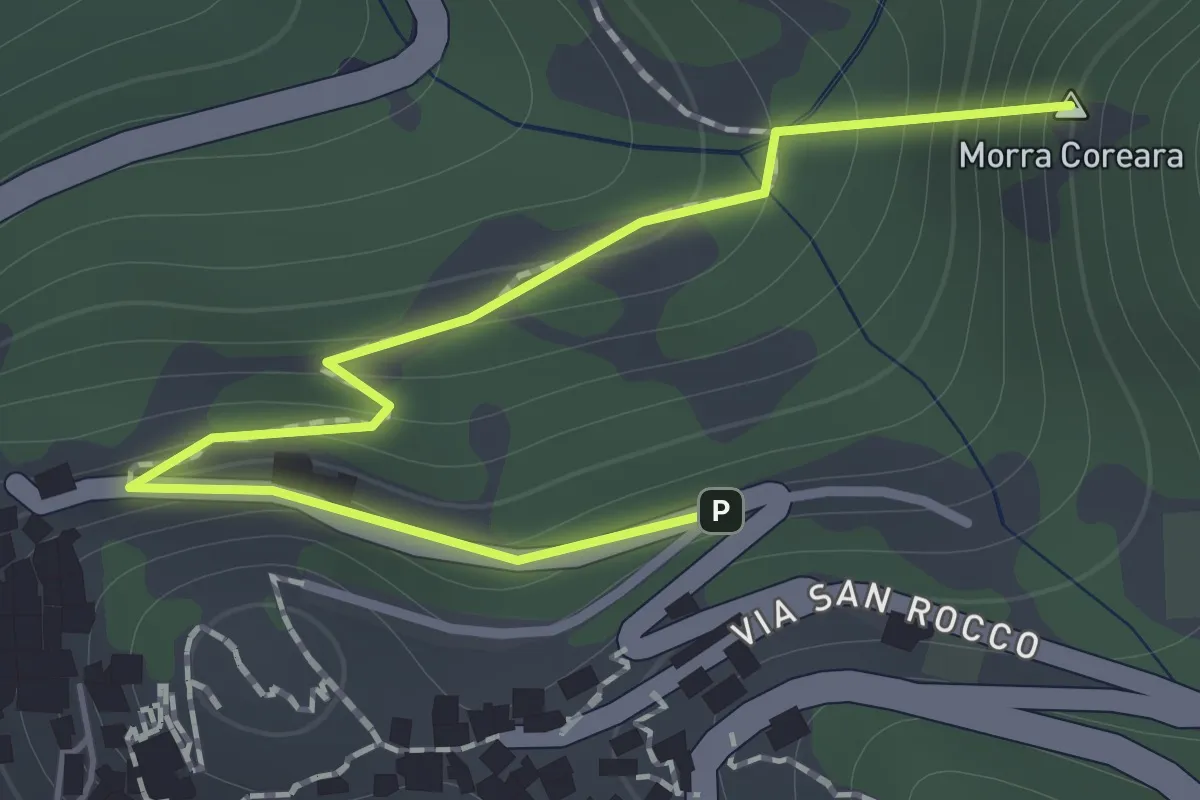
Easy · Summit
Cervara di Roma - Fonte Martino
1.4 km · ↑ 117 m · 35 min
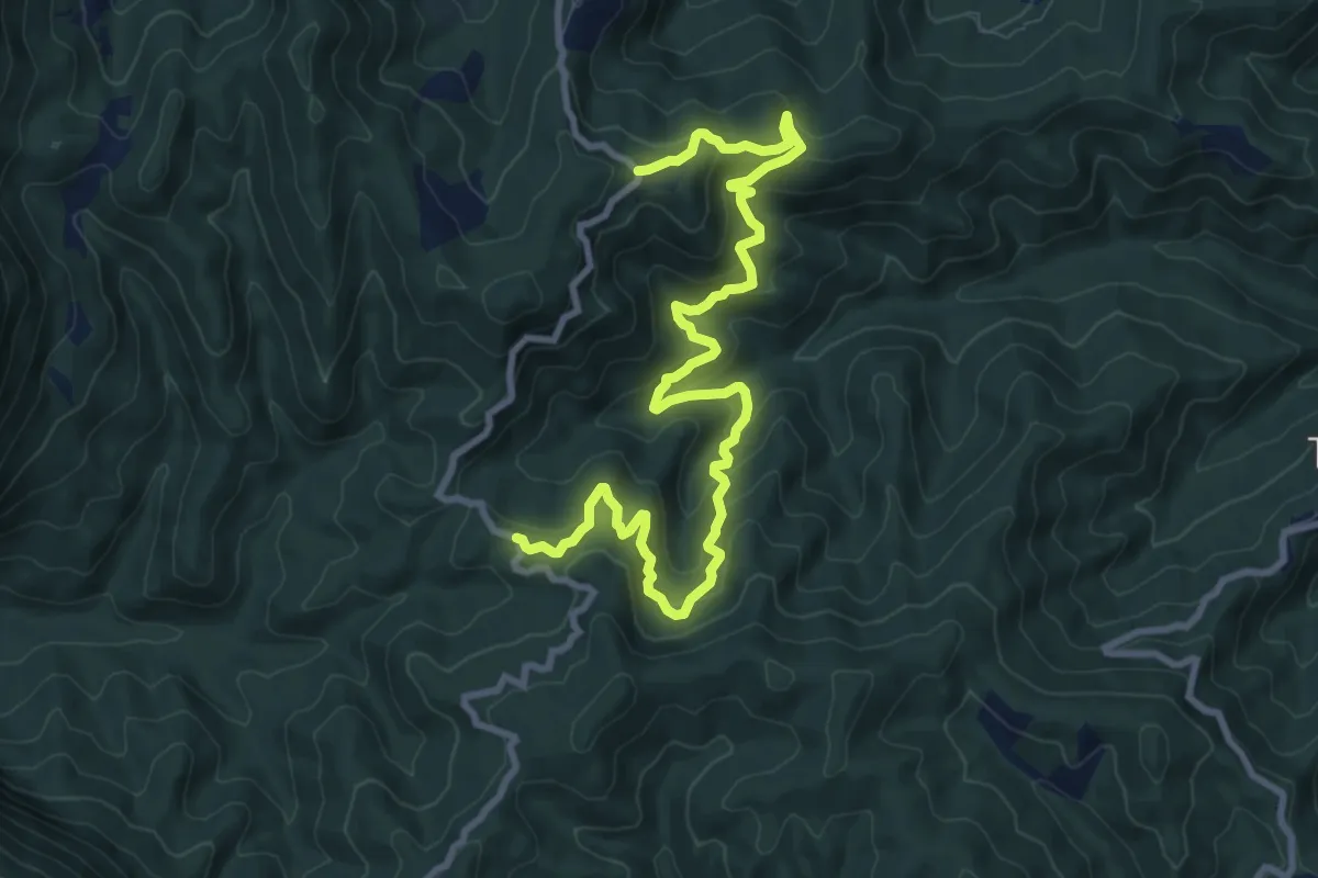
Medium · Trail
Cesa Piana-Quercia Bella
12.1 km · ↑ 769 m · 4 h 32 min
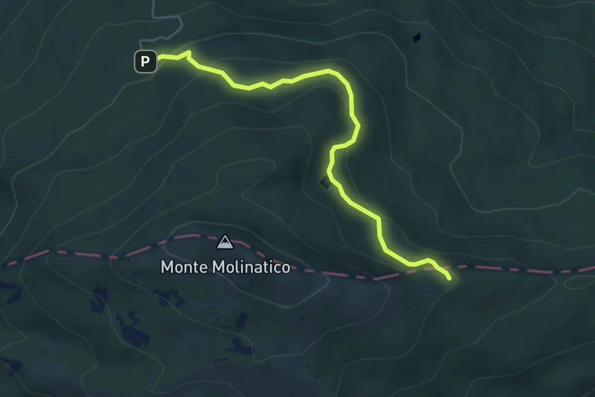
Medium · Trail
Chalet - Lago Martino - Malzapello
4.9 km · ↑ 246 m · 1 h 41 min
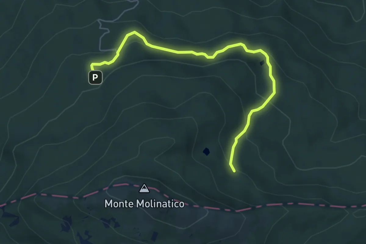
Easy · Trail
Chalet - Lago Spadene - Lago Martino di Sopra
5.5 km · ↑ 318 m · 2 h
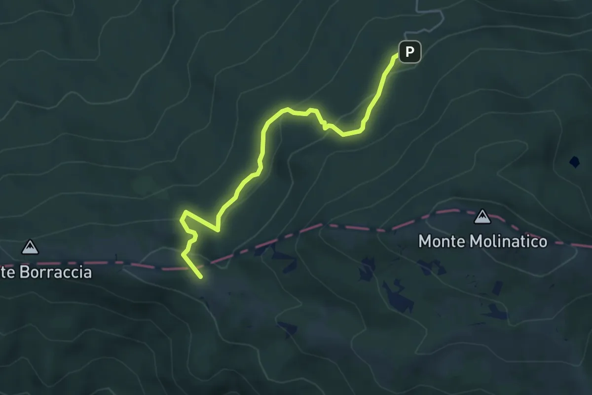
Medium · Summit
Chalet - Monte Borraccia di sotto
4.8 km · ↑ 224 m · 1 h 37 min
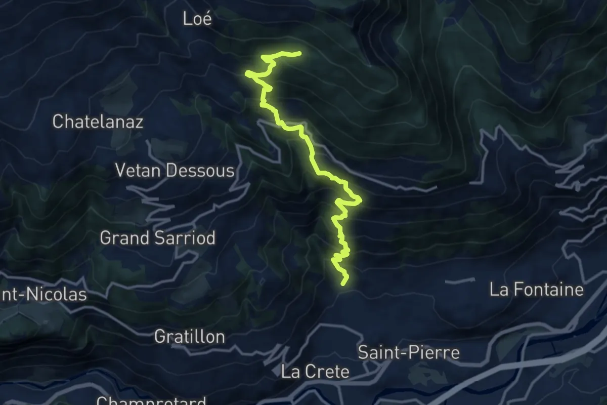
Demanding · Trail
Charrère - Verrogne
11.7 km · ↑ 1197 m · 5 h 22 min
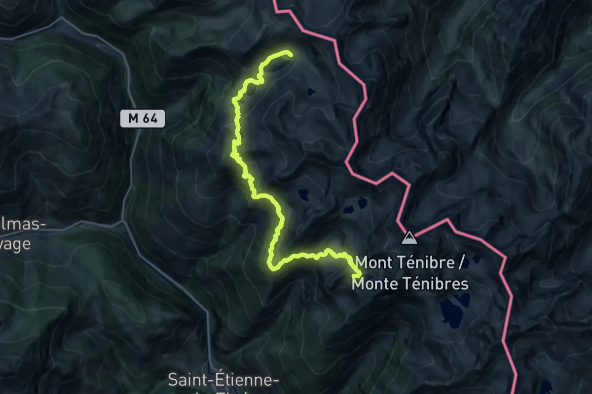
Demanding · Summit
Chemin de l'Énergie - Étape 2
18.8 km · ↑ 1367 m · 7 h 24 min
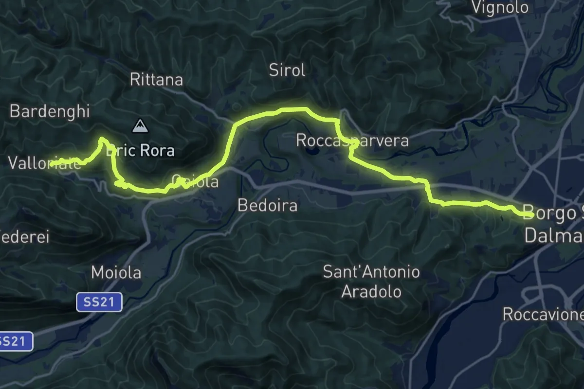
Demanding · Trail
Chemin pastoral de Valloriate à Borgo San Dalmazzo
23.3 km · ↑ 638 m · 6 h 53 min
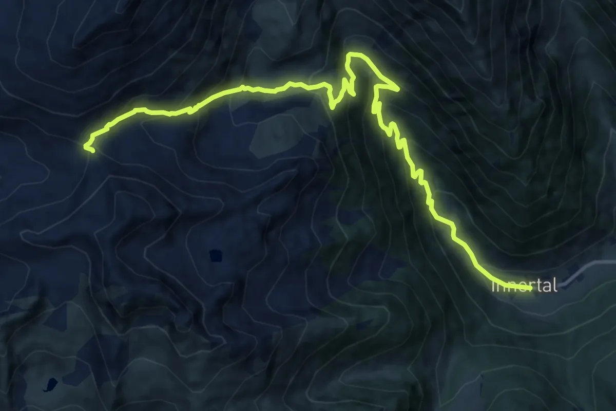
Demanding · Cabin
Chemnitzerhütte
15.0 km · ↑ 1074 m · 5 h 52 min
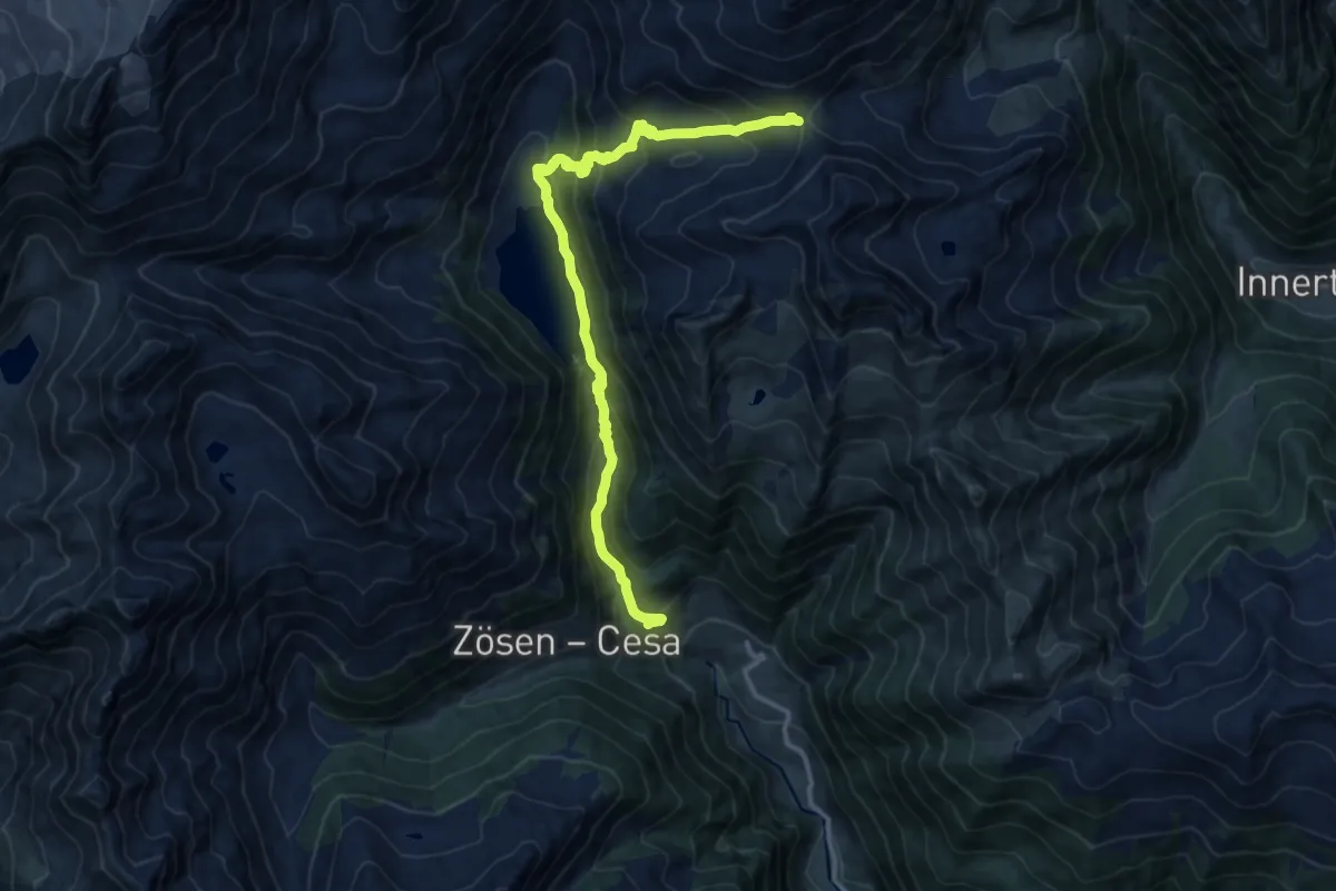
Demanding · Cabin
Chemnitzerhütte
13.8 km · ↑ 929 m · 5 h 16 min
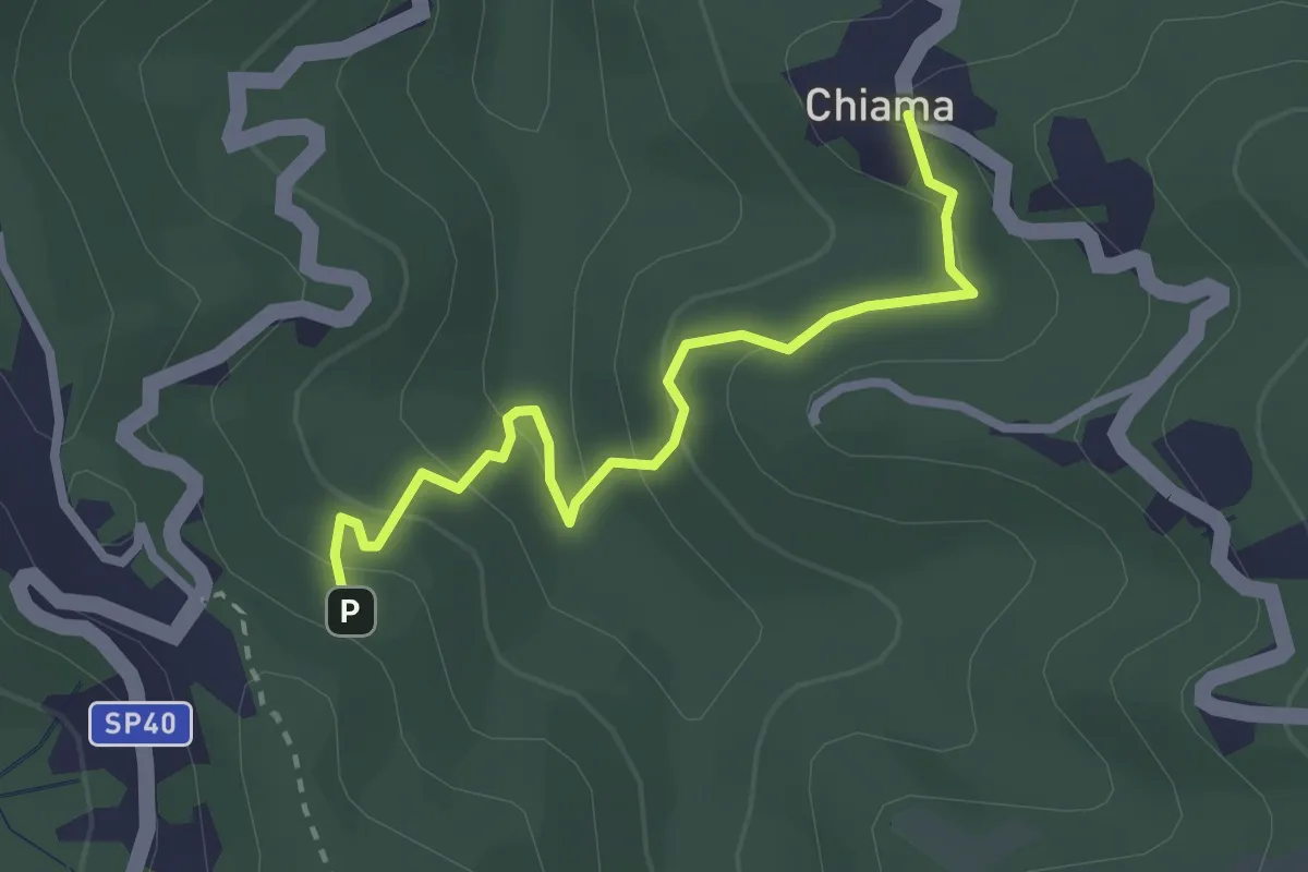
Easy · Trail
Chiama - Valico Velva
2.7 km · ↑ 147 m · 58 min