Trails in Italy
25,219 hiking trails, each with its route, climb, walking time and grade.
All trails, page 494 of 526
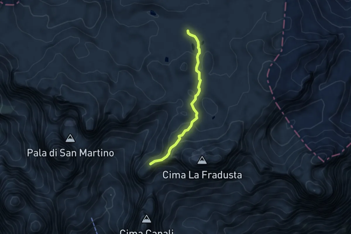
Medium · Trail
Riviera di Manna (bivio 707) – Passo delle Lede (bivio 711)
4.6 km · ↑ 207 m · 1 h 32 min
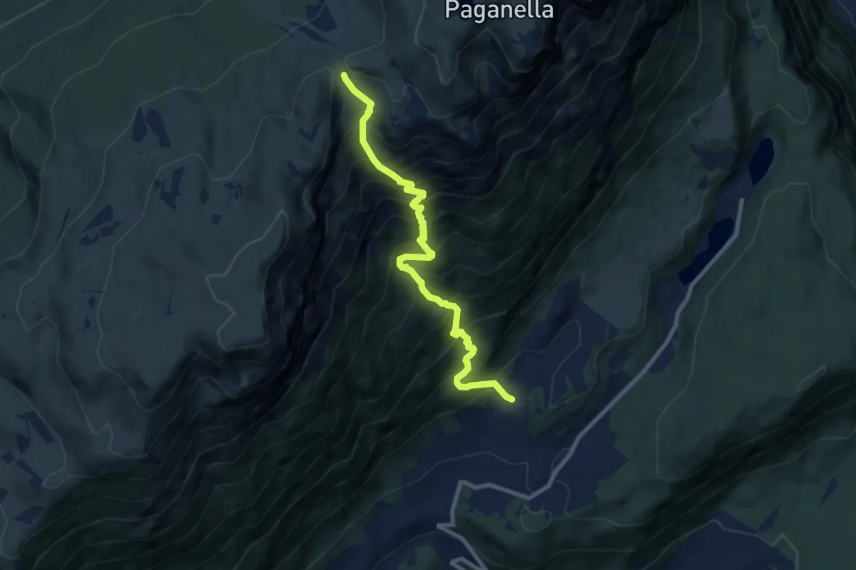
Demanding · Trail
Casale - presso Monte Terlago (bivio 627) – Passo di Sant'Antonio (bivio 602)
8.4 km · ↑ 1161 m · 4 h 30 min
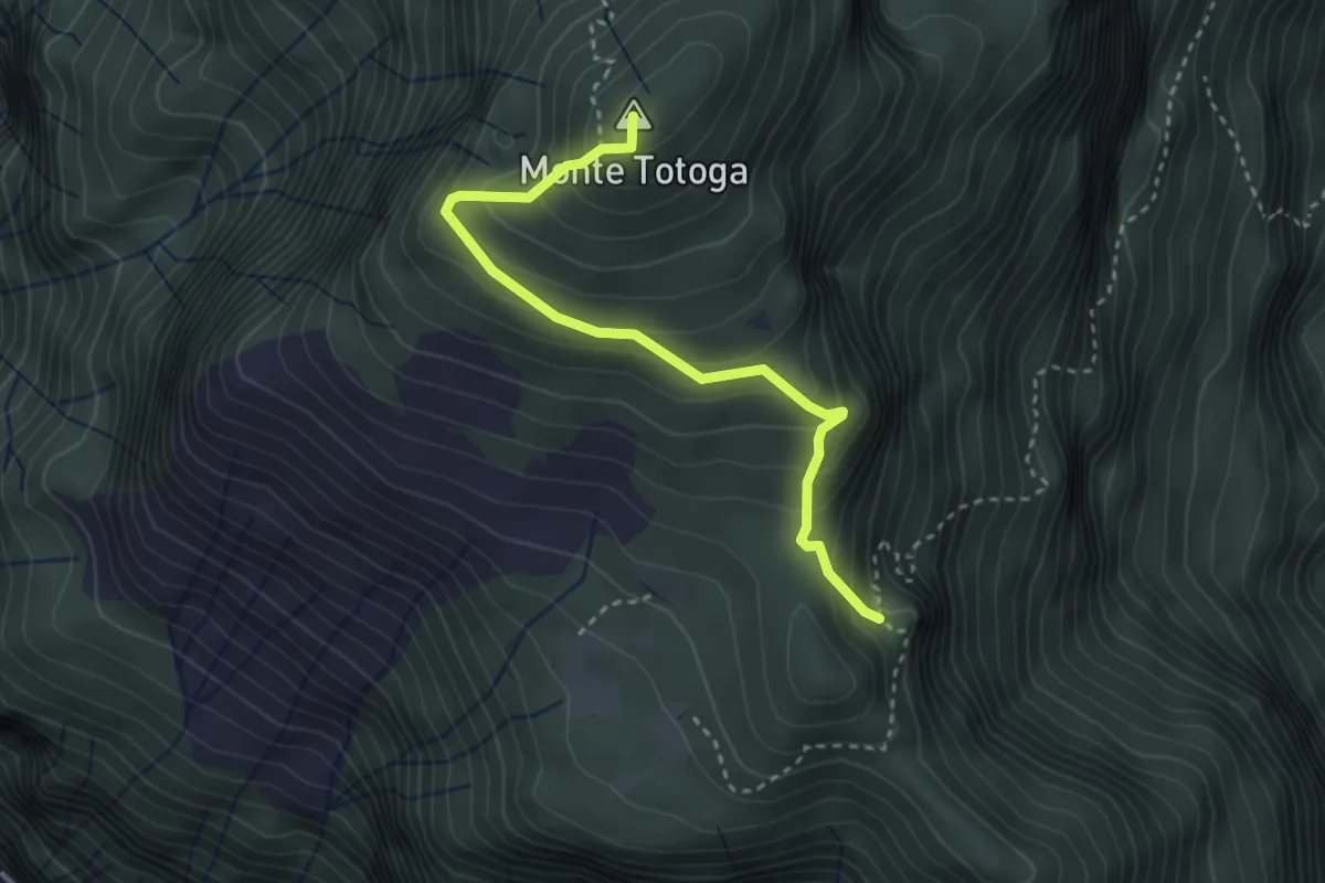
Medium · Summit
Bivio El Ram (bivio 345) – Monte Totoga
3.1 km · ↑ 292 m · 1 h 22 min
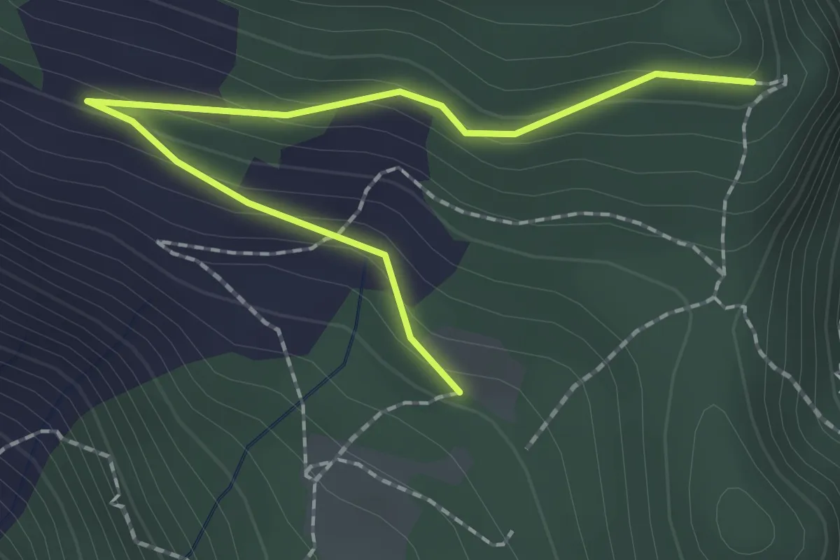
Easy · Trail
Pradi de Totoga alta (bivio 345) – Le Monde (bivio 345A)
2.2 km · ↑ 139 m · 50 min
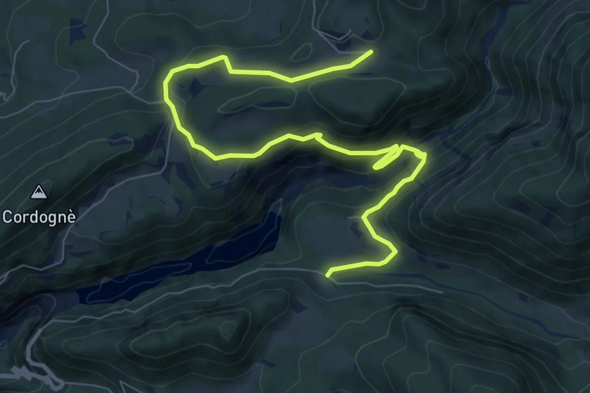
Medium · Cabin
Caltene (bivio 729) – Rifugio Fonteghi (bivio 727 - 723 - 748)
9.4 km · ↑ 401 m · 3 h 6 min
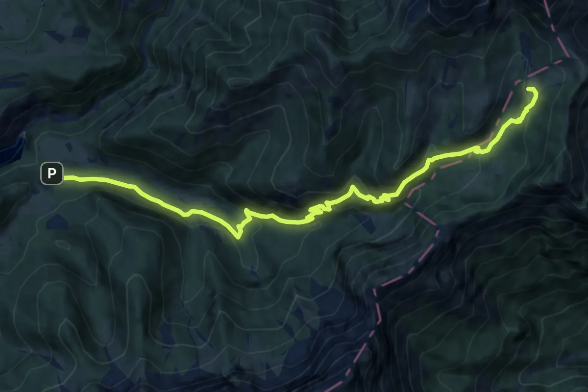
Medium · Cabin
Rifugio Fonteghi (bivio 726 - 733 - 748) – Rifugio "Bruno Boz" Malga Nevetta
13.3 km · ↑ 755 m · 4 h 46 min
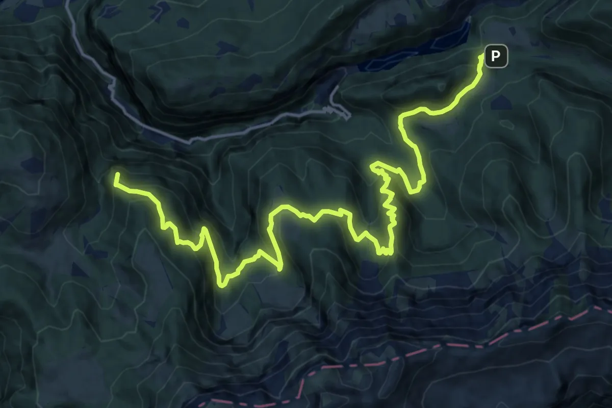
Demanding · Summit
Rifugio Fonteghi – Località Ss-Cioss Presso Maso Vederna (bivio 736)
19.6 km · ↑ 1384 m · 7 h 37 min
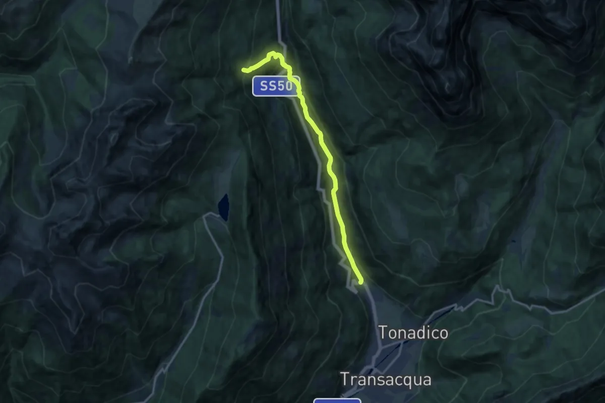
Medium · Trail
Nolesca - Ponte sul torrente Cismon (bivio 355) – Pian del Termen (bivio 377)
11.6 km · ↑ 725 m · 4 h 18 min
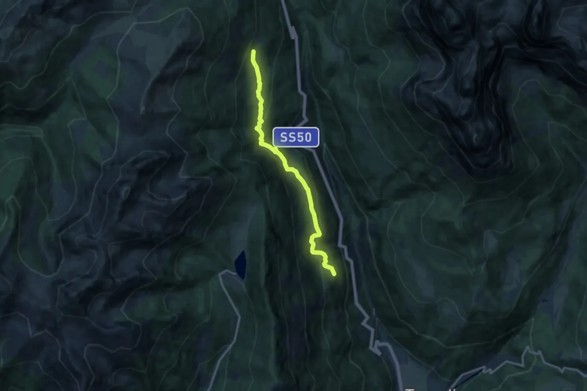
Medium · Trail
Prati Cosaipi (bivio 351) – Strada forestale Malga Crel (bivio 350)
10.4 km · ↑ 656 m · 3 h 53 min
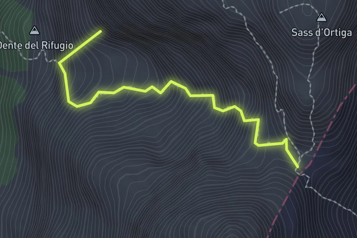
Medium · Summit
Rifugio Treviso (bivio 707 - 718) – Forcella delle Mughe
2.2 km · ↑ 633 m · 1 h 54 min
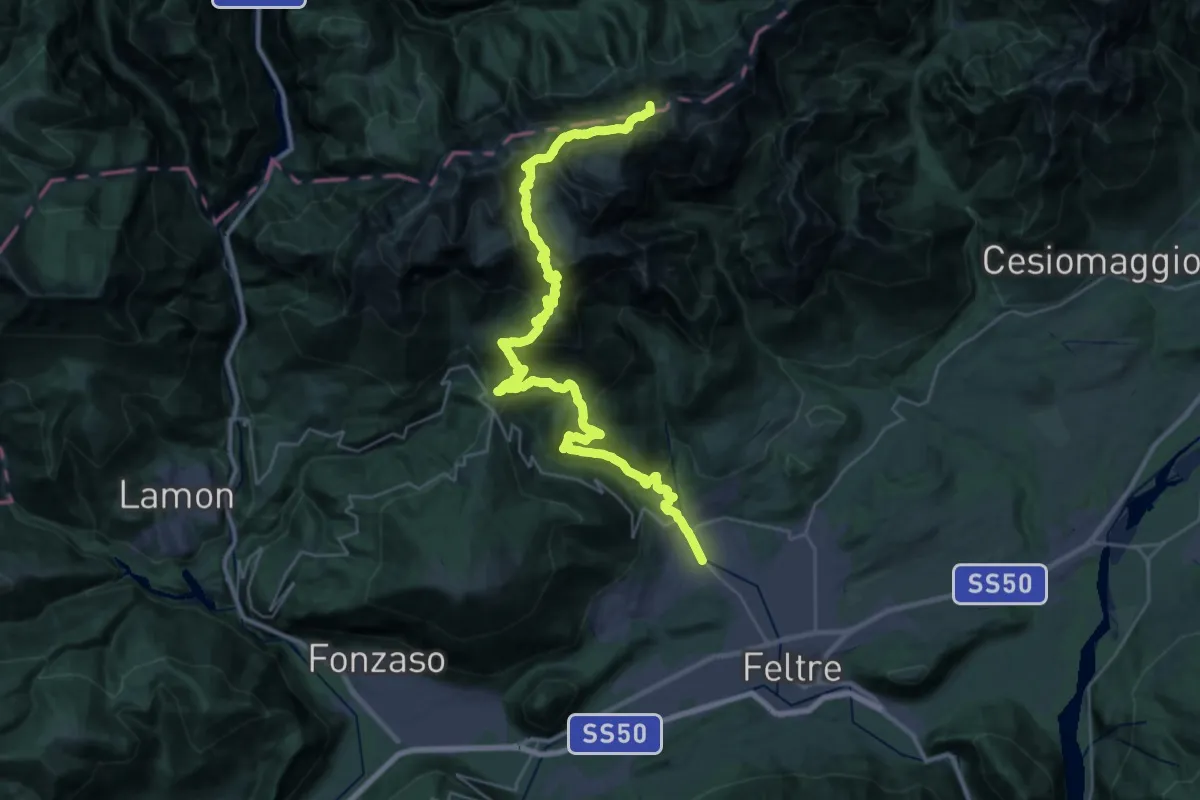
Expert · Summit
Pedavena Feltre – Passo Comedon - Confine Regione
37.8 km · ↑ 2687 m · 14 h 45 min
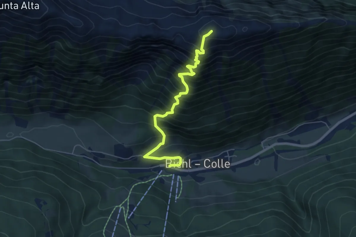
Demanding · Trail
Ratschings - Racines – Mareiter Stein - Sasso Mareta
5.5 km · ↑ 902 m · 3 h 16 min
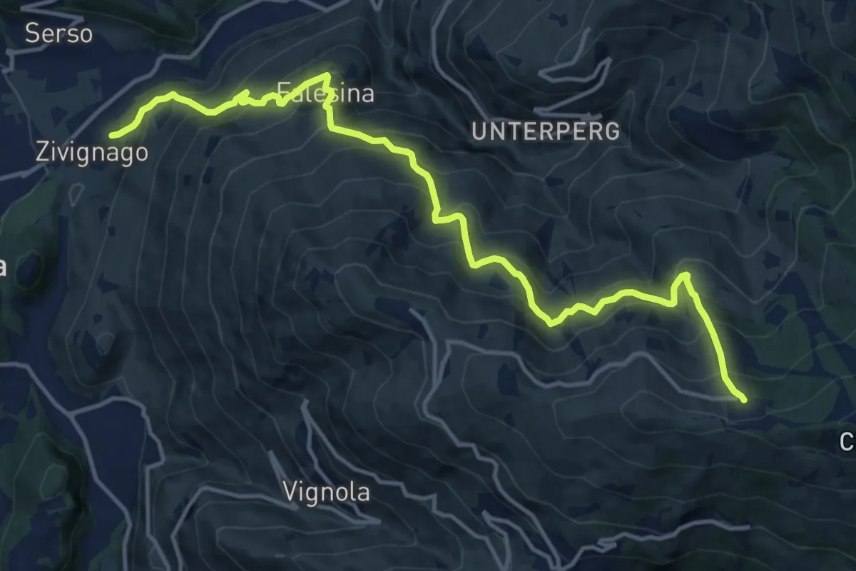
Demanding · Trail
Cargadora - Zivignago – Ristorante Panarotta (bivio 235)
14.7 km · ↑ 1366 m · 6 h 27 min
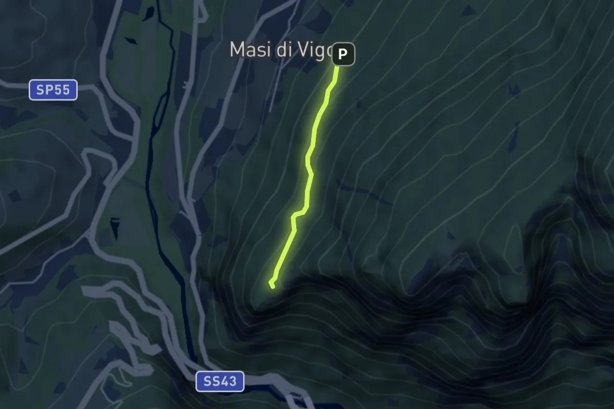
Easy · Trail
Quota 496 (bivio 516) – Presso la Torre di Visione (bivio 516B)
2.5 km · ↑ 200 m · 1 h 1 min
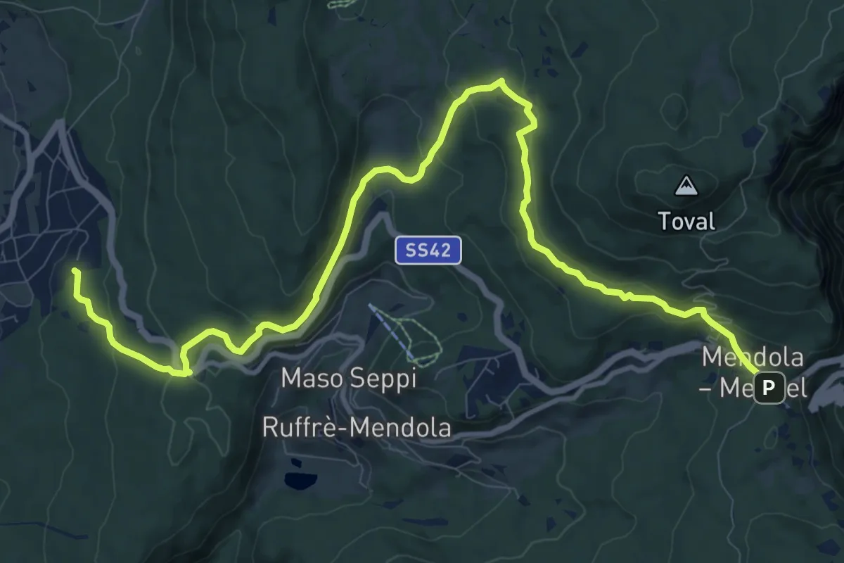
Medium · Trail
Ronzone - piscina, campo sportivo – Passo Mendola (bivio 521 CAI - 500 - 527)
13.2 km · ↑ 463 m · 4 h 8 min
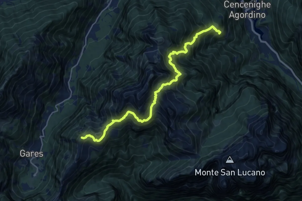
Demanding · Summit
Bogo – Forcella Cesurette
16.2 km · ↑ 1933 m · 8 h
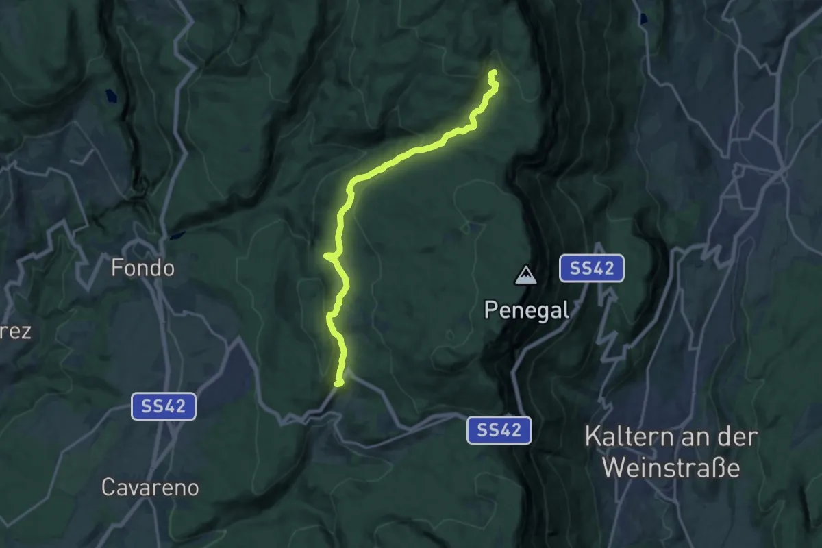
Medium · Trail
Centro sci Fondo Regole – Bait del Prinz (bivo 545 Alpenverein Südtirol - 500)
14.5 km · ↑ 429 m · 4 h 21 min
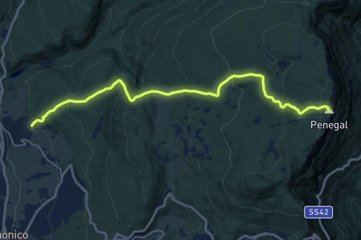
Medium · Summit
Malosco – Monte Penegal (bivio 500)
13.5 km · ↑ 684 m · 4 h 40 min
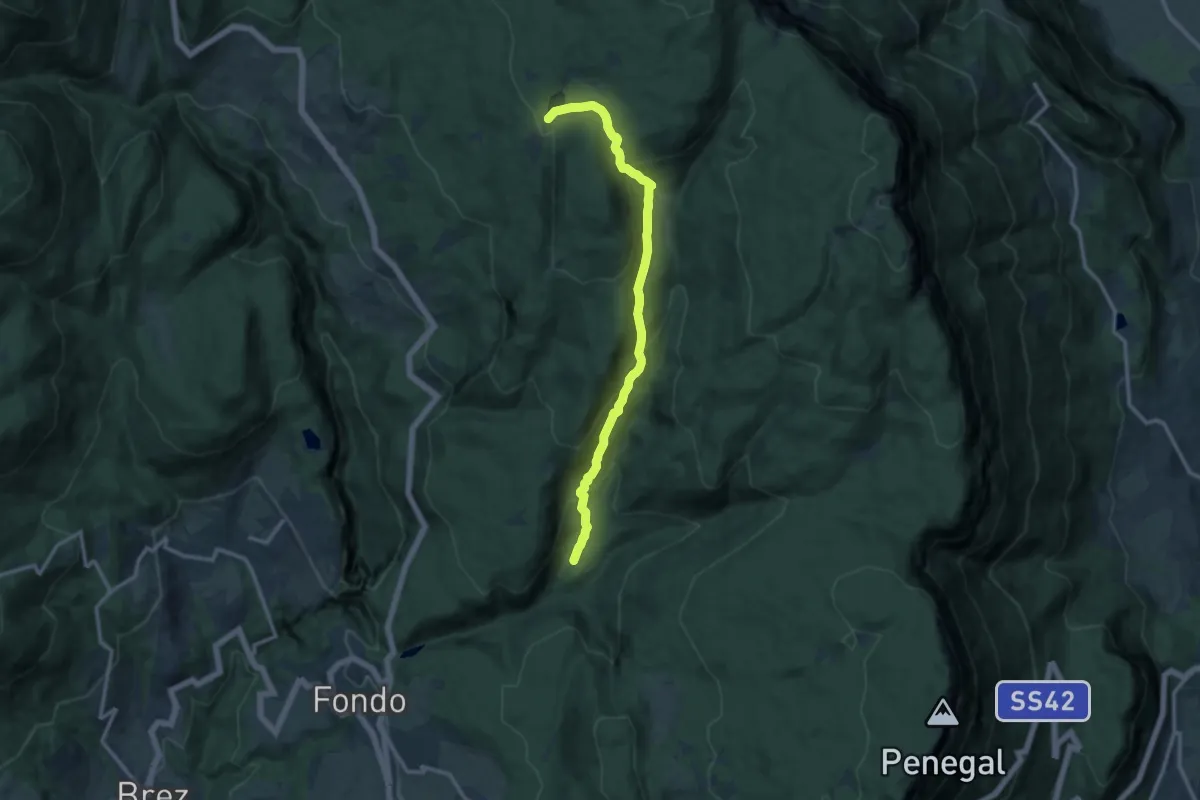
Medium · Trail
El Ram (bivio 513) – Lago di Tret o di Santa Maria (bivio 512)
12.0 km · ↑ 648 m · 4 h 14 min
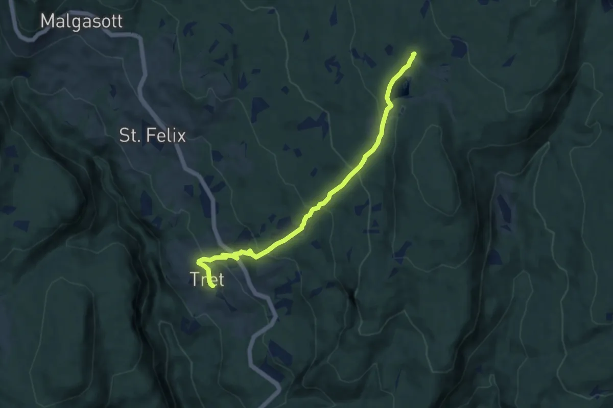
Medium · Trail
Tret (bivio 541 - 542) – Ristorante Waldruhe - presso Lago Tret (bivio 500)
8.0 km · ↑ 483 m · 2 h 57 min
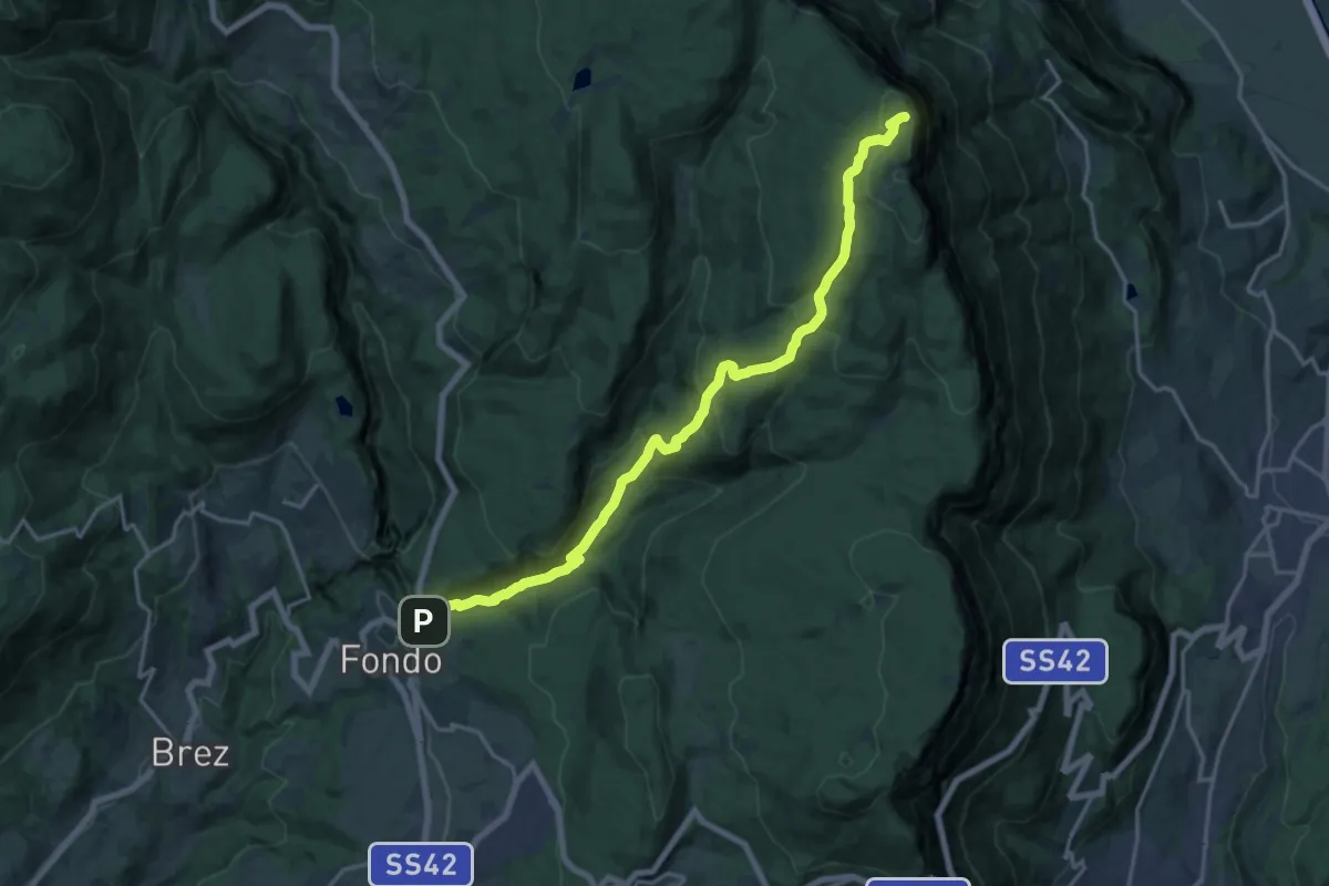
Demanding · Trail
Fondo - Lago Smeraldo (bivio 522 - 542) – Ex caserme (bivio 500)
18.3 km · ↑ 880 m · 6 h 13 min
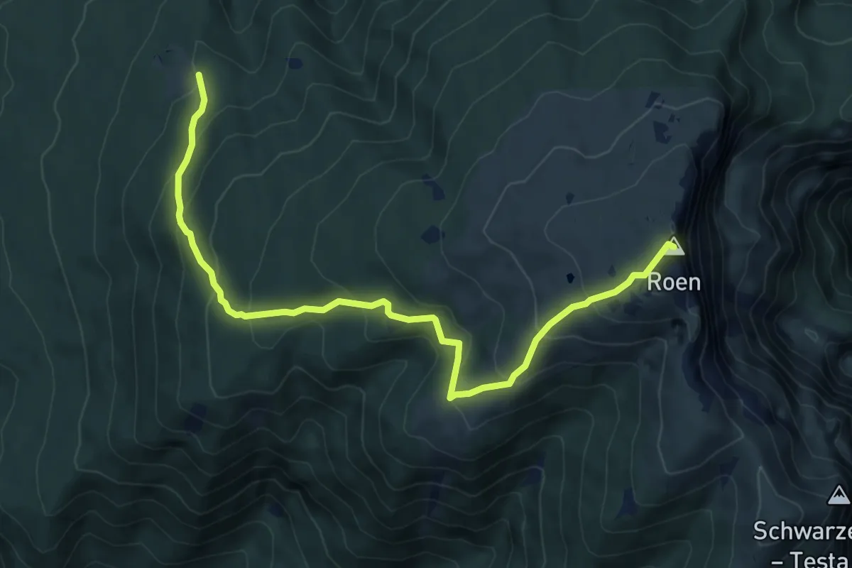
Medium · Summit
Malga Sanzeno (bivio 537) – Monte Roen (bivio 523 CAI - 500)
7.9 km · ↑ 573 m · 3 h 6 min
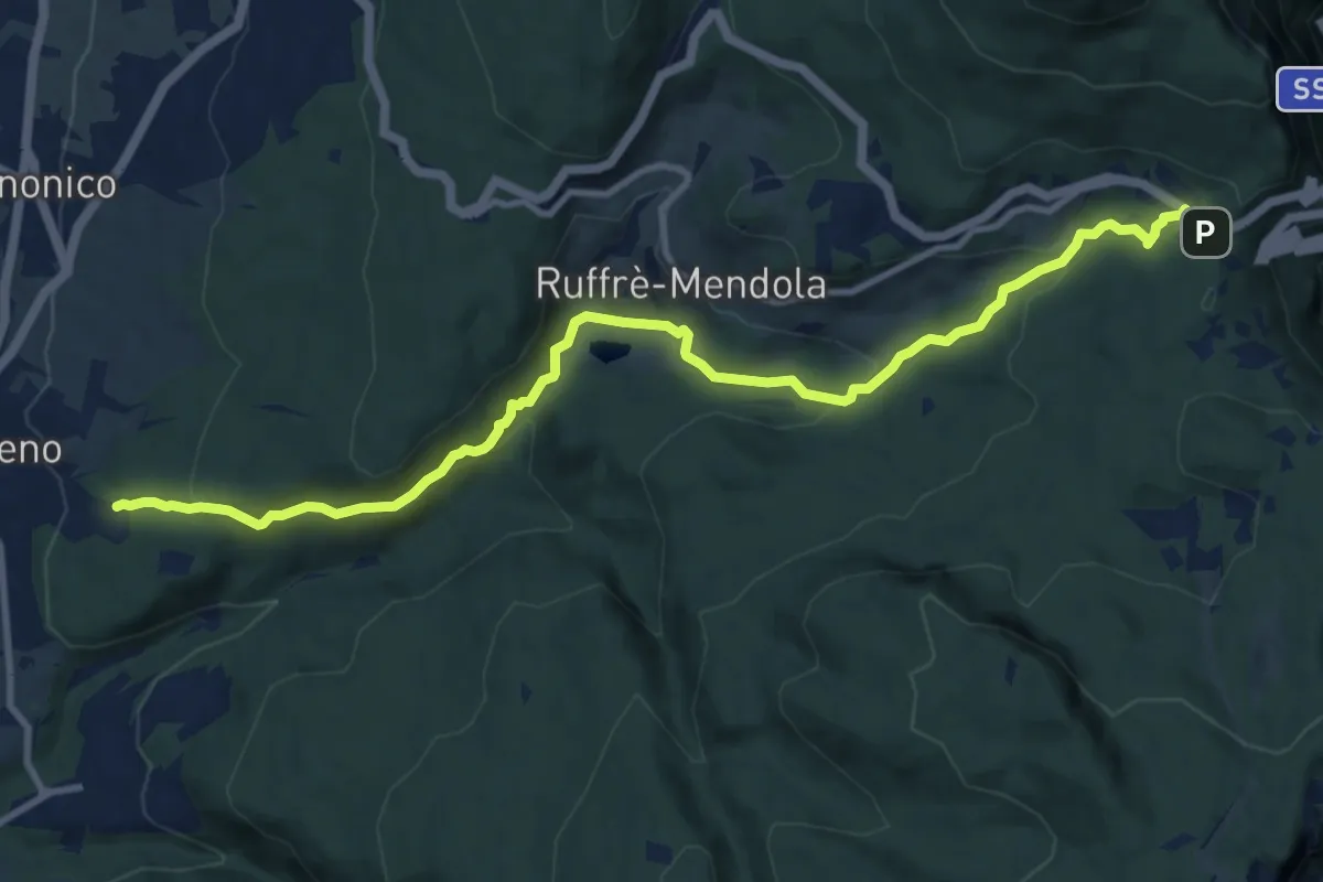
Medium · Trail
Cavareno - sentiero "Dria al Fos" – Passo Mendola (bivio 521 CAI - 500 - 515)
11.9 km · ↑ 498 m · 3 h 53 min
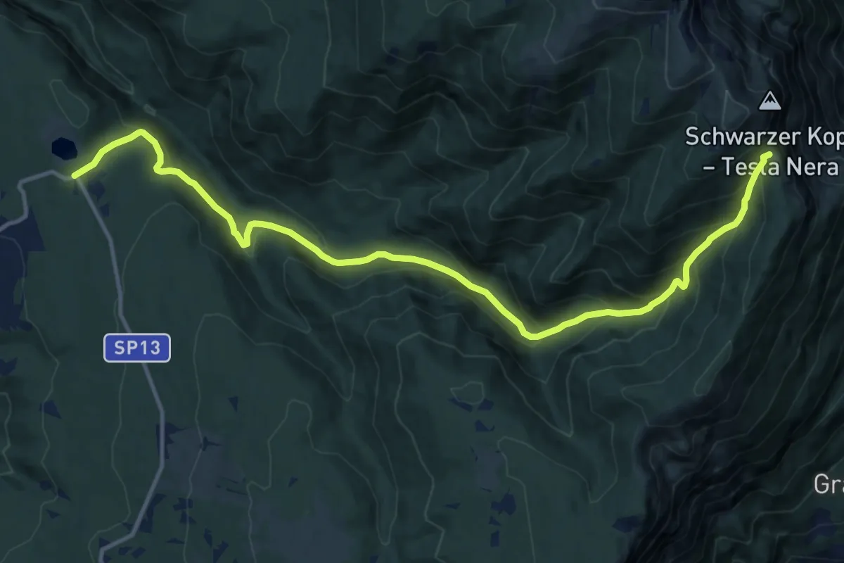
Demanding · Trail
Sette Larici – Bocca di Val Calana (bivio 500)
14.5 km · ↑ 985 m · 5 h 33 min
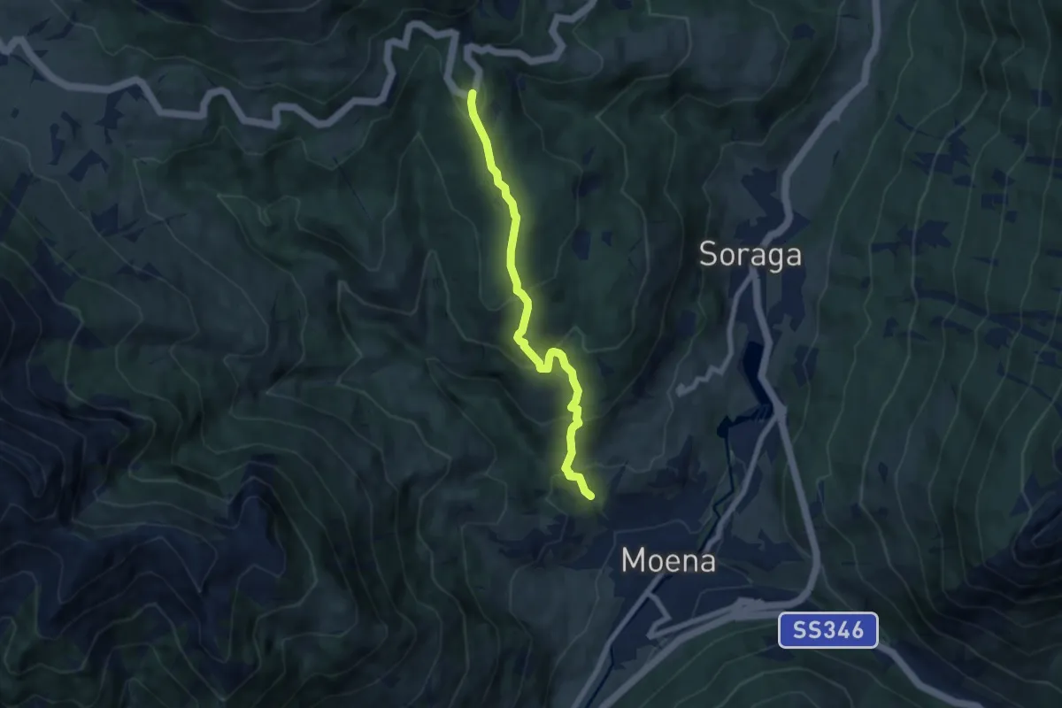
Medium · Trail
Pala da Rif (bivio 519) – Col da la chiusa - bivio Strada Statale 241 al Km 5,7
6.6 km · ↑ 485 m · 2 h 36 min
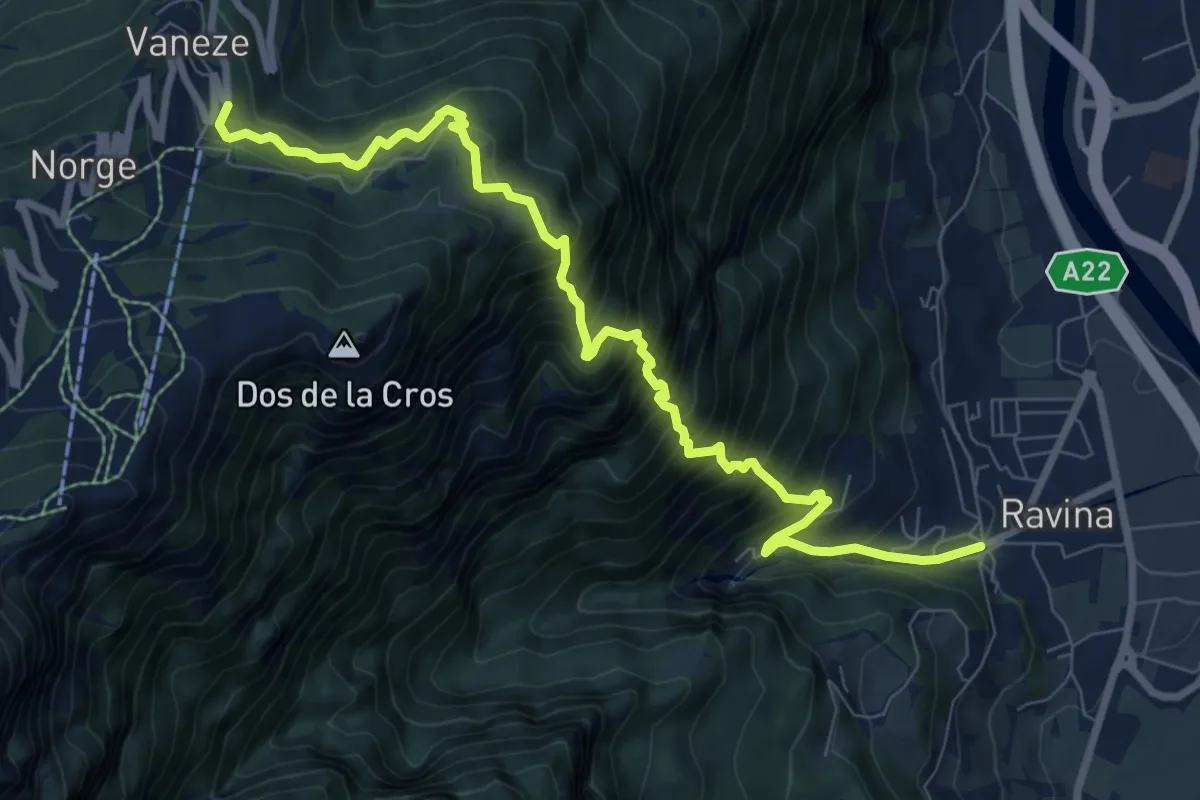
Demanding · Trail
Ravina (bivio 626) – Vaneze
9.6 km · ↑ 1292 m · 5 h 5 min
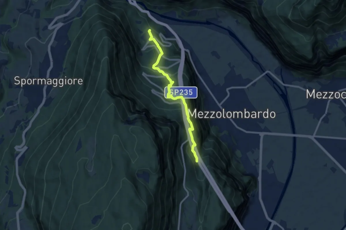
Medium · Trail
Ai Piani - Al Castagneto – Al Monte - val del Rì
7.0 km · ↑ 564 m · 2 h 53 min
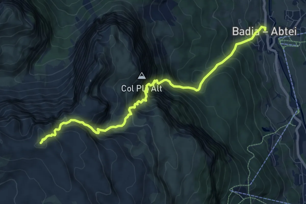
Expert · Summit
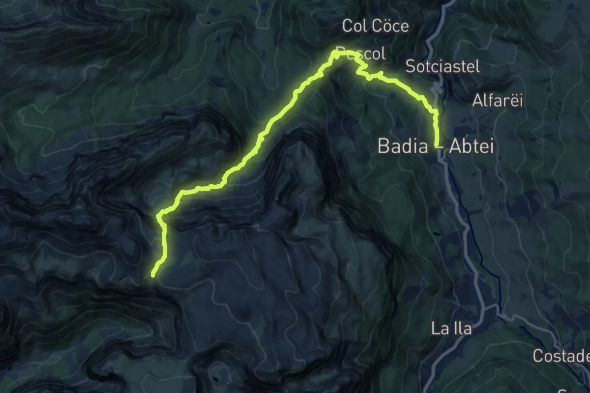
Pedraces – Utia Puez
10.5 km · ↑ 1438 m · 5 h 35 min
Demanding · Cabin
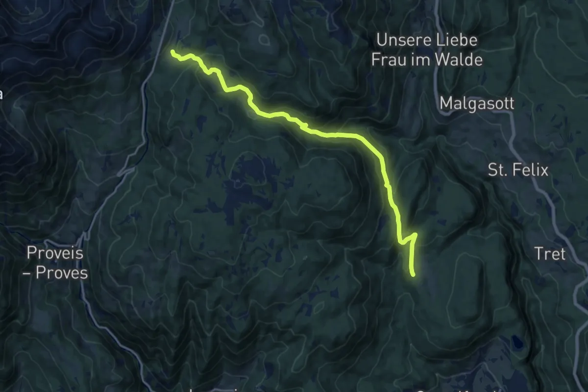
Pedraces – Utia Puez
18.8 km · ↑ 1443 m · 7 h 34 min
Medium · Cabin
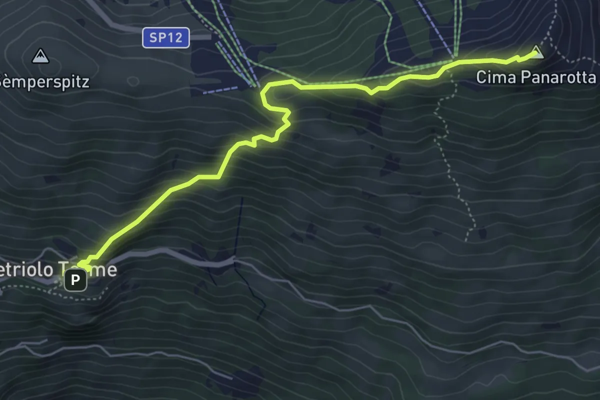
Regola - ristorante Arnica – Prato presso Passo Castrin (bivio 24 Alpenverein Südtirol, 133
15.0 km · ↑ 641 m · 4 h 56 min
Medium · Summit
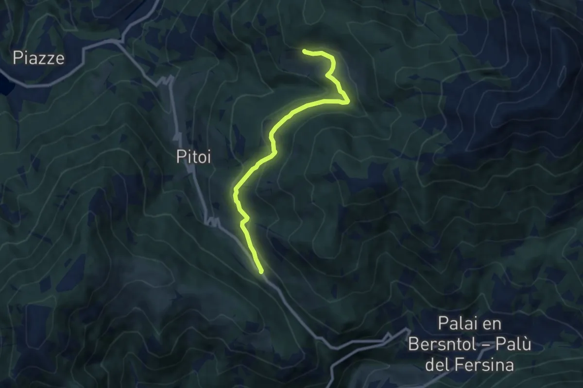
Vetriolo - Piazzale delle Terme – La Bassa
5.7 km · ↑ 497 m · 2 h 26 min
Medium · Trail
Passo del Redebus (bivio 404) – Malga Stramaiolo bassa (bivio 443)
7.6 km · ↑ 246 m · 2 h 20 min
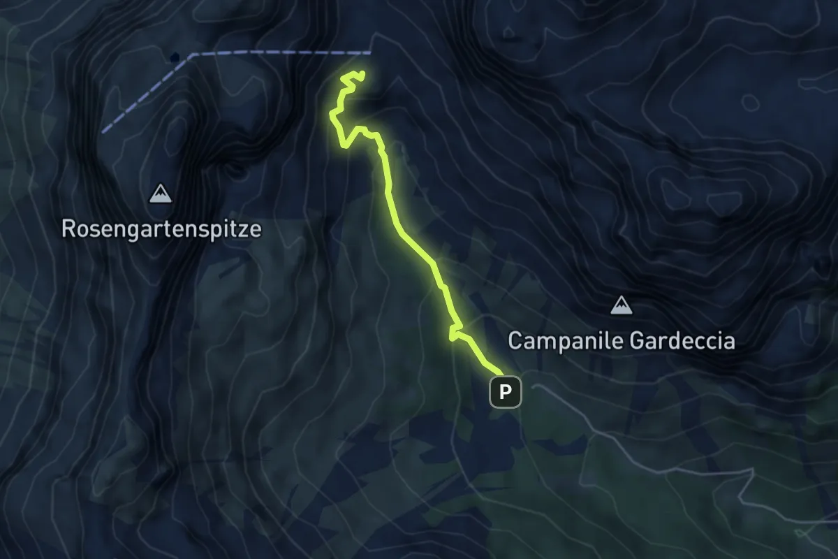
Medium · Cabin
Gardecia (bivio 540 - 583) – Rifugi Vaiolet e Preuss (bivio 542 - 584)
3.9 km · ↑ 282 m · 1 h 31 min
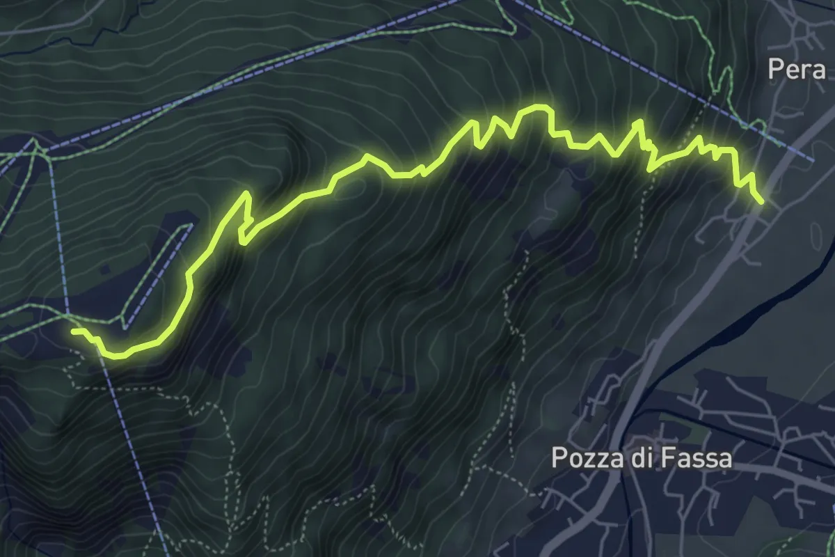
Medium · Cabin
Pera de Sot – Rifugio Ciampedìe (bivio 540 - 544 - 545)
7.3 km · ↑ 686 m · 3 h 12 min
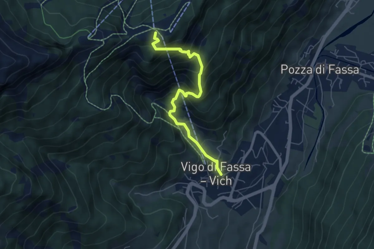
Medium · Cabin
Vigo di Fassa / Vich – Rifugio Ciampedìe (bivio 540 - 543 - 545)
5.5 km · ↑ 608 m · 2 h 36 min
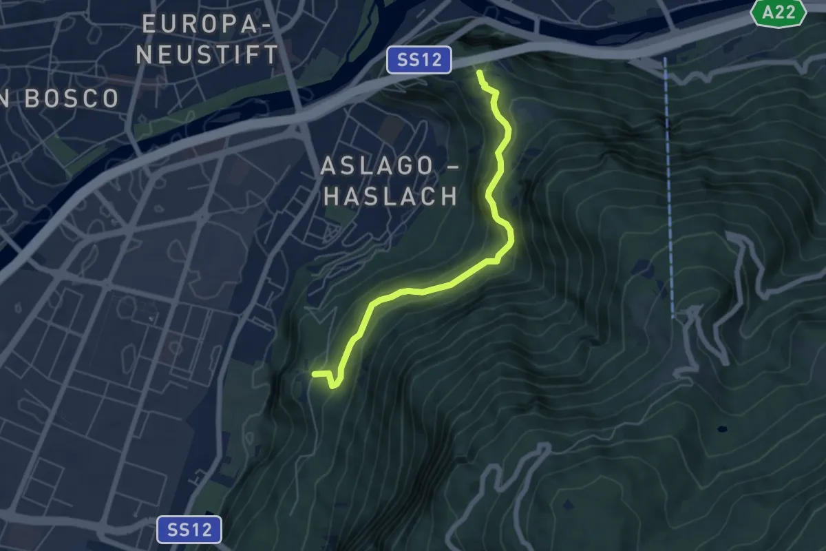
Medium · Trail
Haselburg - Castel Flavon – Virgl - Virgolo
5.1 km · ↑ 396 m · 2 h 4 min
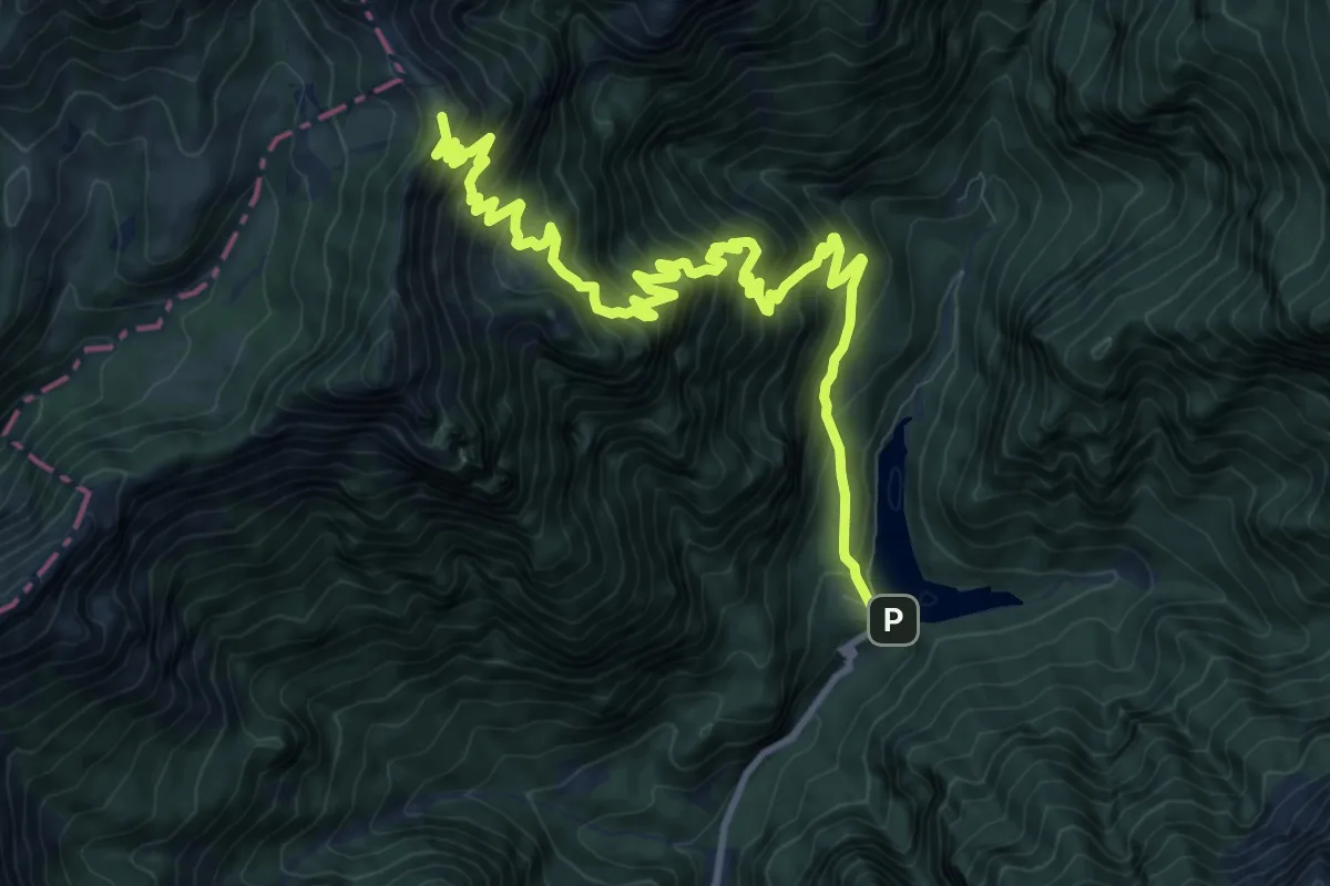
Demanding · Summit
Val Canzoi - Lago della Stua – Rifugio Boz
13.1 km · ↑ 1354 m · 6 h 2 min
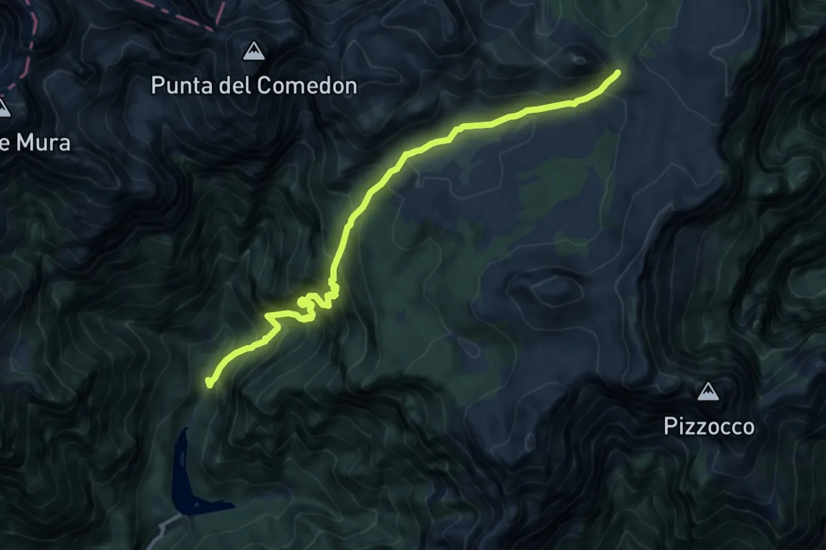
Demanding · Trail
La Stua - Frassen - da sent.806 – Forcella Pelse - confine C.M.
12.2 km · ↑ 1272 m · 5 h 39 min
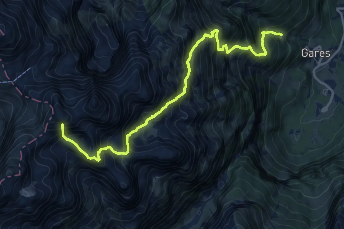
Demanding · Summit
sopra Gares - sentiero . 754 – sentiero 703 - dopo Passo delle Fede
9.6 km · ↑ 1550 m · 5 h 37 min
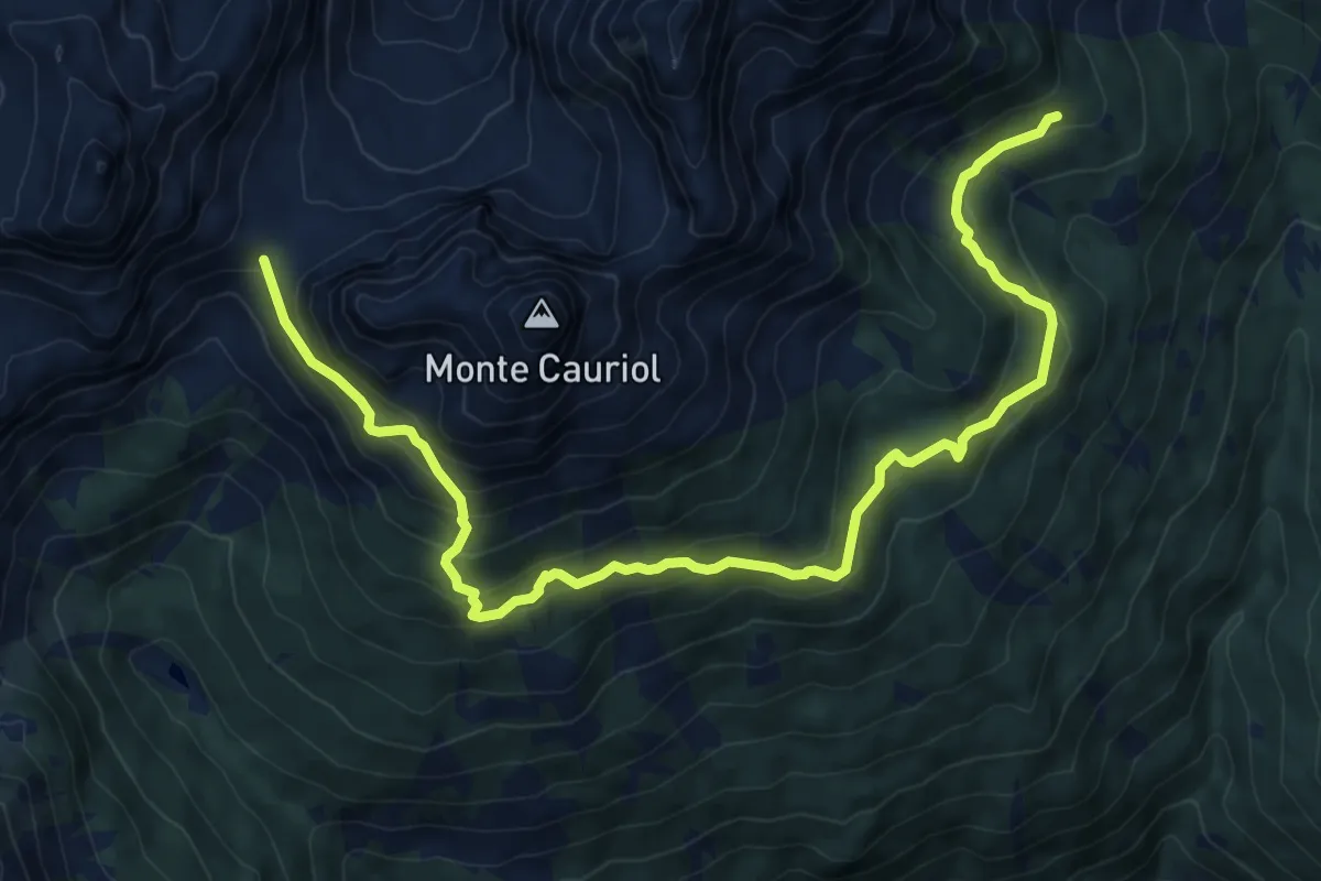
Medium · Trail
Passo Sadole (bivio 320) – Coldose di Dentro (bivio 339)
10.7 km · ↑ 633 m · 3 h 54 min
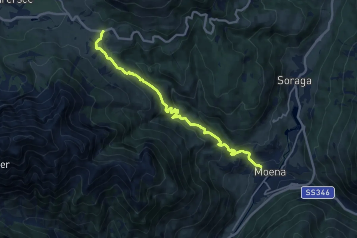
Medium · Trail
Moena - Piaz Scopol – Passo Carezza
12.4 km · ↑ 646 m · 4 h 20 min
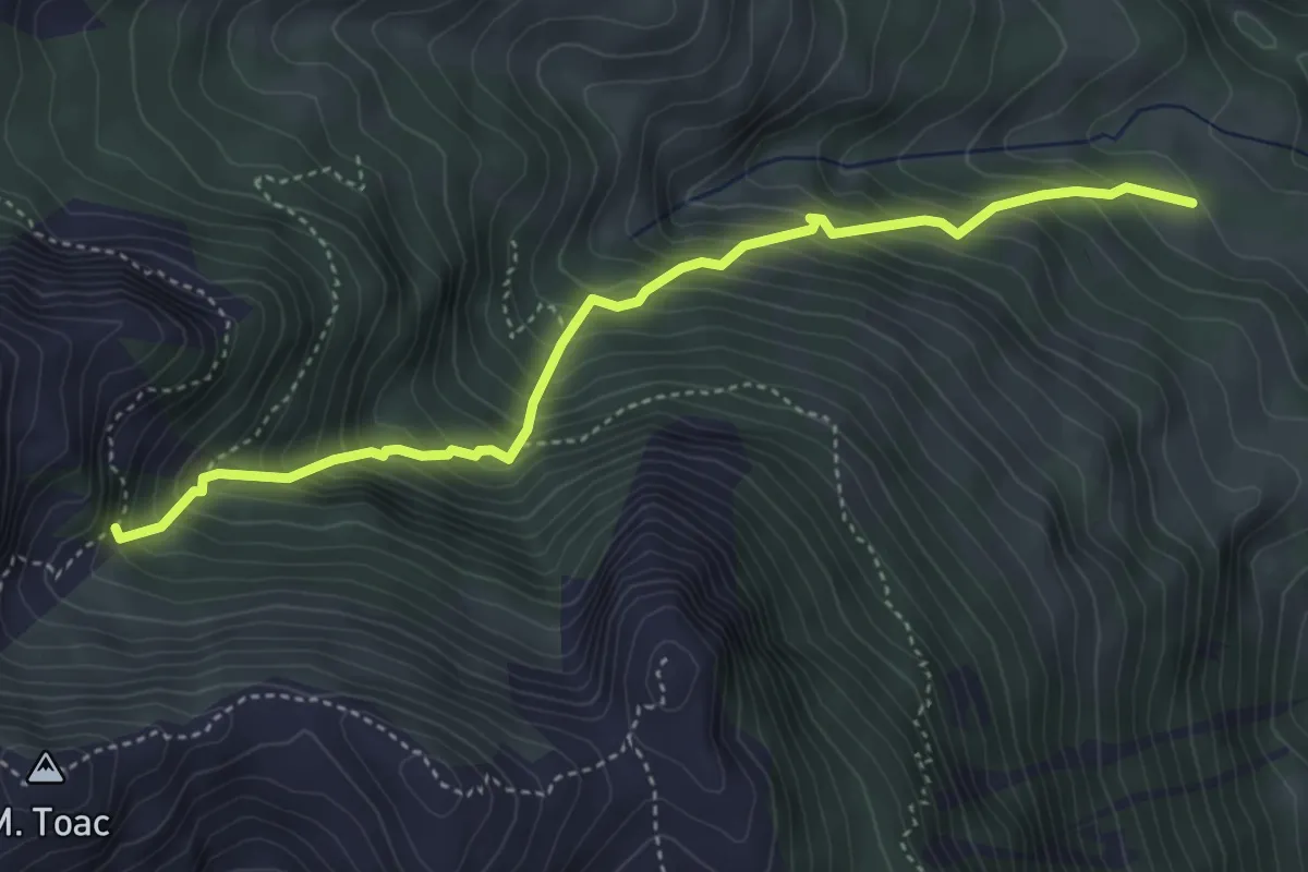
Medium · Trail
Brenz - Le Palue (bivio 519) – Val do Peniola (bivio 517)
4.4 km · ↑ 642 m · 2 h 26 min
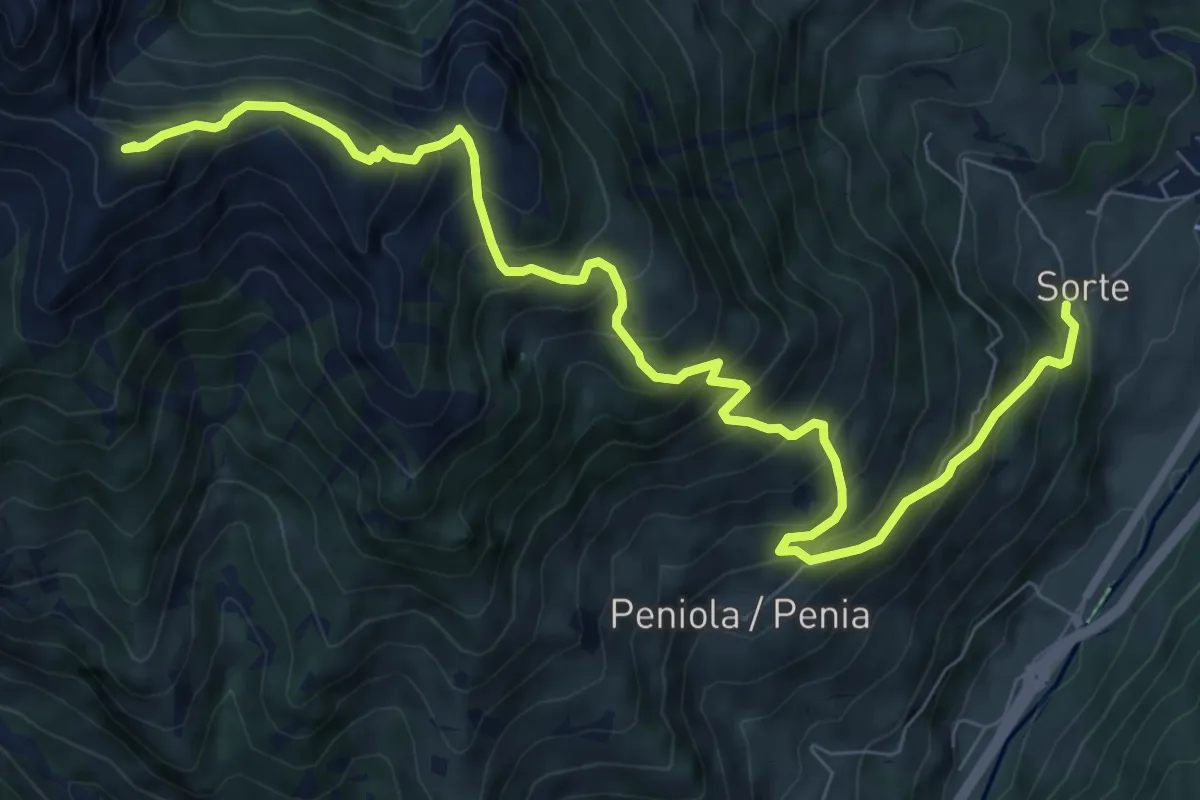
Demanding · Summit
Sort - frazione di Moena – Sforcela del Fontanel (bivio 517)
10.1 km · ↑ 1089 m · 4 h 45 min
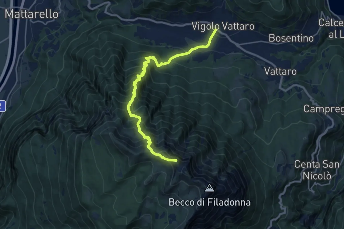
Demanding · Summit
Vigolo Vattaro – Bocca Lavinella (bivio 453 - 453A)
15.9 km · ↑ 1450 m · 6 h 54 min
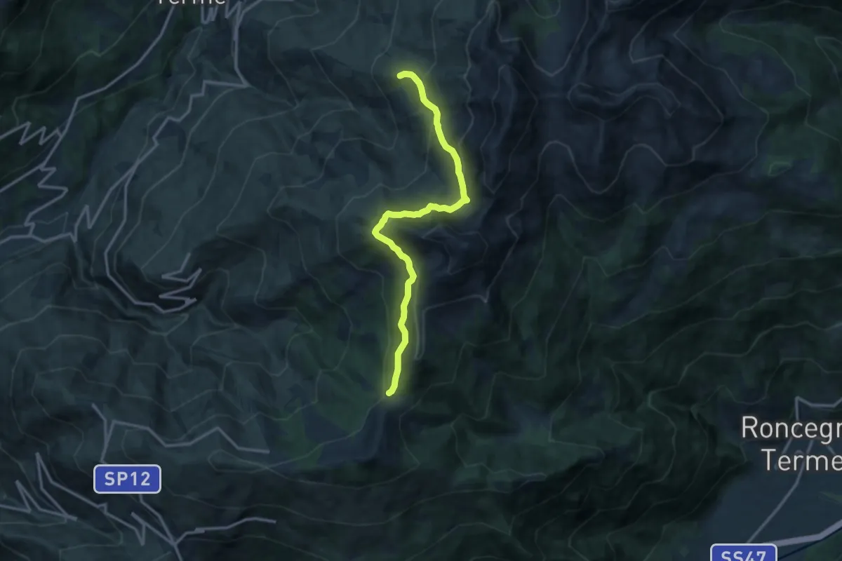
Medium · Trail
Prati Imperiali - Caservisen – La Bassa
12.3 km · ↑ 778 m · 4 h 35 min
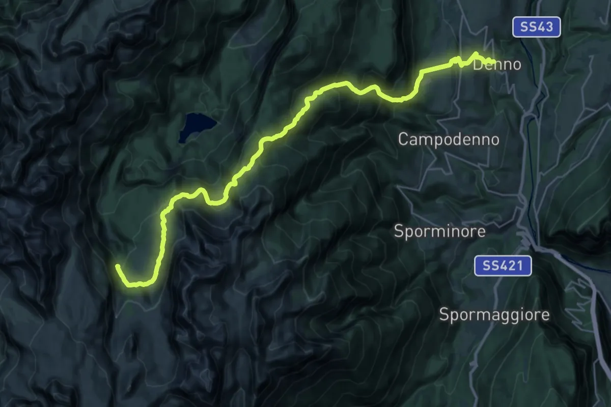
Demanding · Trail
Denno – Ponte sul Torrente Tresenga (bivio 314)
15.2 km · ↑ 1729 m · 6 h 52 min
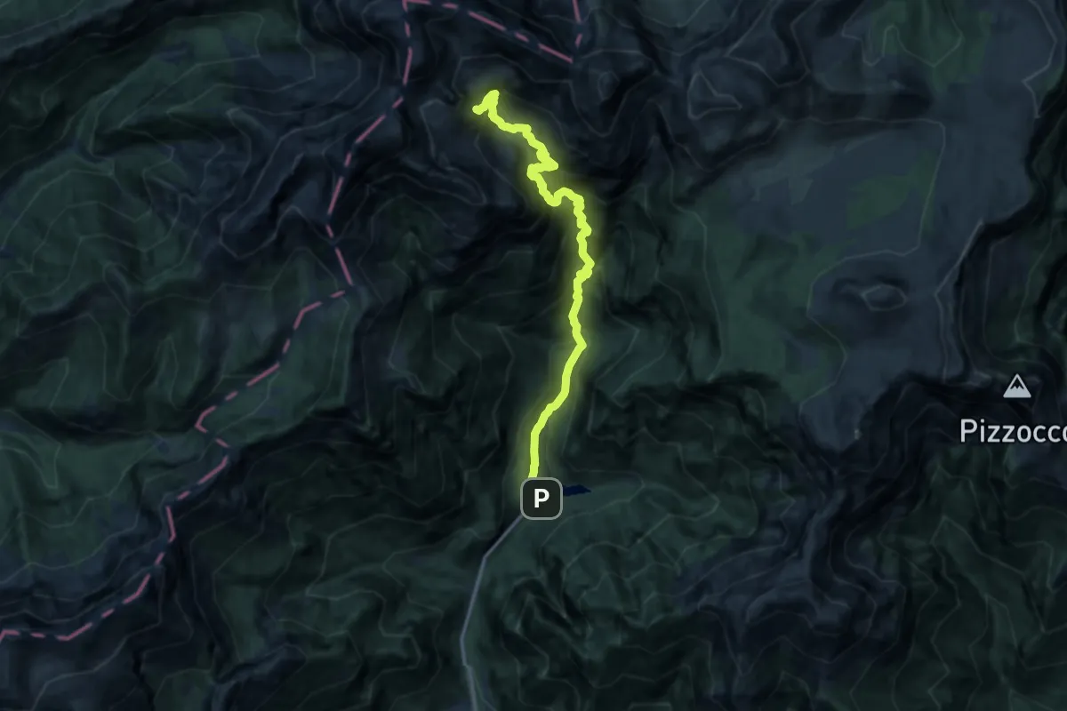
Demanding · Trail
Val Canzoi - Lago della Stua – Cresta Col del Mul - innesto sentiero 801
12.8 km · ↑ 1403 m · 6 h 3 min
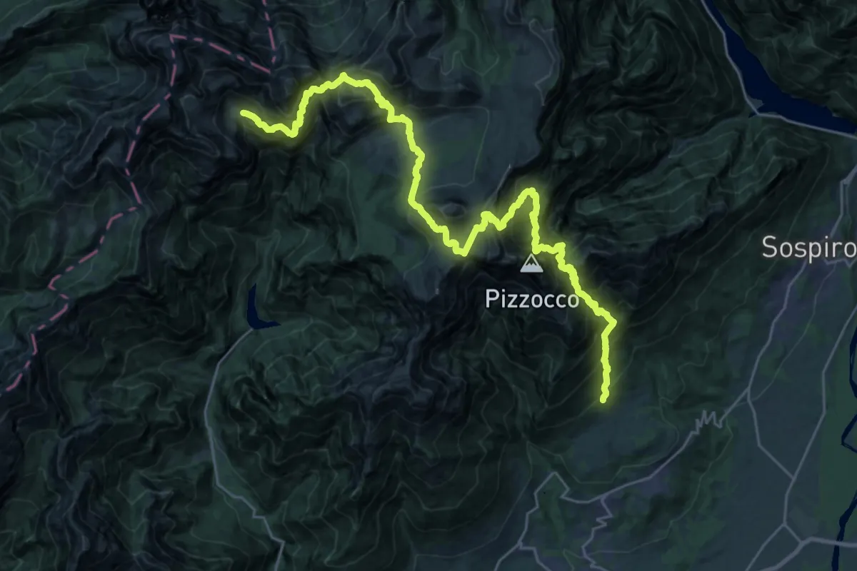
Expert · Trail
Roncoi - Roer – Casera Cimonega - innesto sentiero 806
15.6 km · ↑ 1622 m · 7 h 51 min