Trails in Italy
25,219 hiking trails, each with its route, climb, walking time and grade.
All trails, page 495 of 526
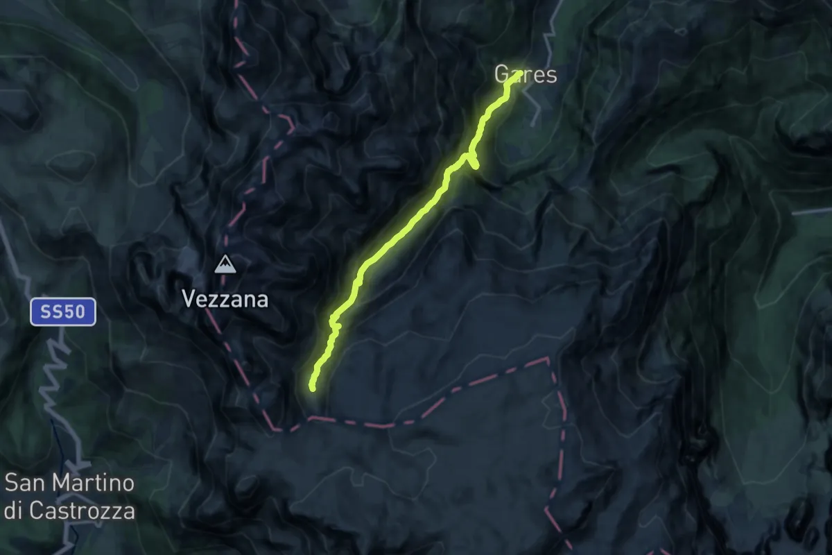
Expert · Trail
Gares – Pian dei Cantoni
11.9 km · ↑ 1331 m · 5 h 41 min
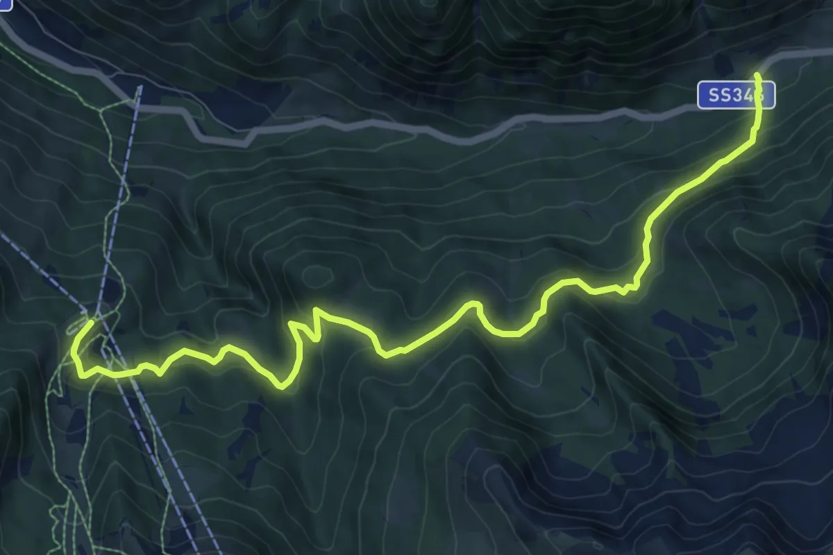
Medium · Trail
L Fanch - Fango - Val de Sen Pelegrin (bivio 616B) – Valbona - cabinovia Alpe Lusia (bivio 614 - 622 - 632)
11.2 km · ↑ 575 m · 3 h 54 min
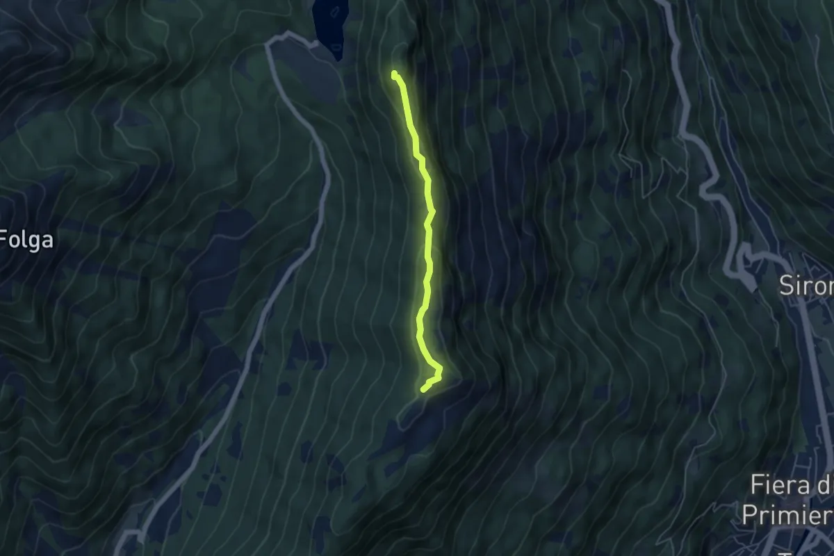
Medium · Summit
Forcella di Calaita (bivio 351 - 350) – Frate del Liro
4.2 km · ↑ 168 m · 1 h 21 min
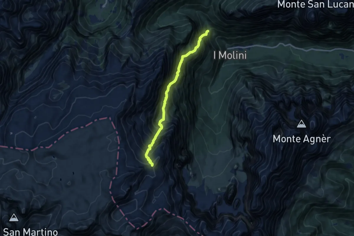
Demanding · Trail
Strada Col di Pra - Pont – Forcella del Miel - innesto sentiero 707
9.5 km · ↑ 1560 m · 5 h 38 min
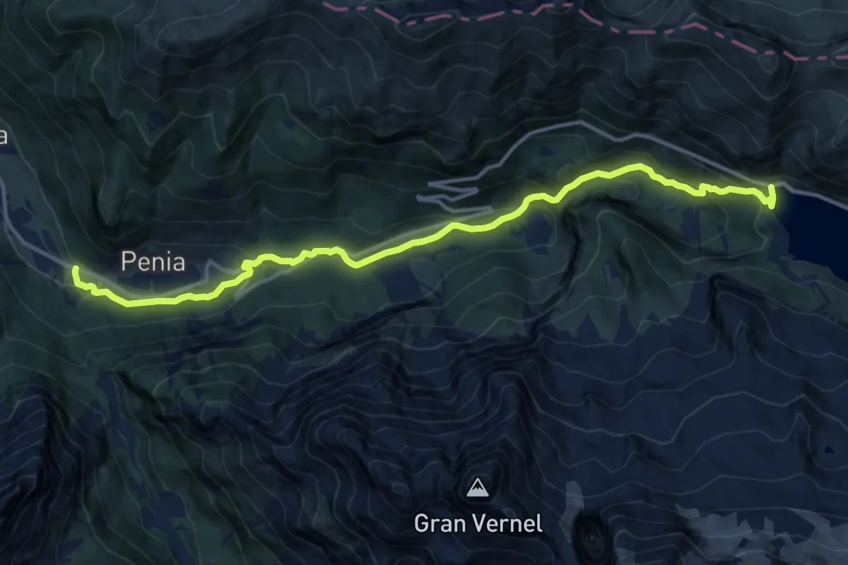
Medium · Cabin
Penìa Pènt de la Sia – Fedaia Rifugio "Ettore Castiglioni" (bivio 601 - 698)
13.4 km · ↑ 654 m · 4 h 35 min
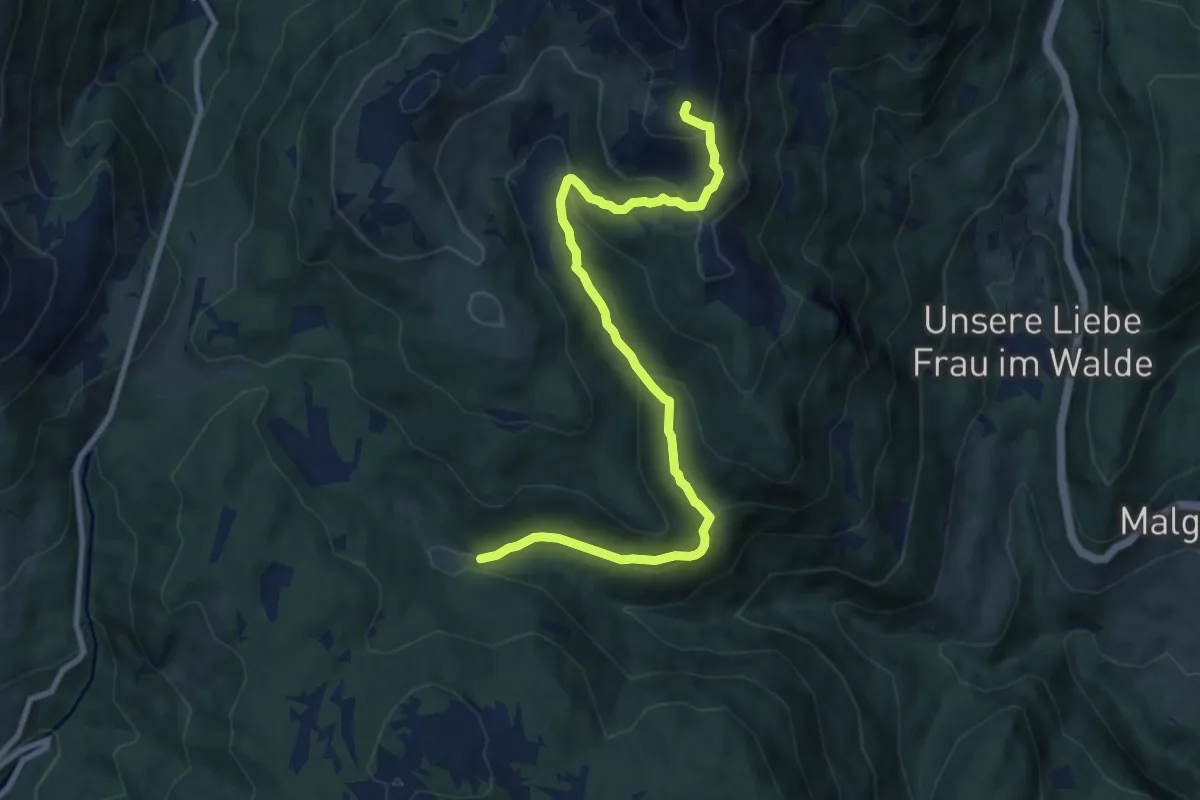
Medium · Trail
Prieda dal Ghial (bivio 157) – Dorsale sud del Monte Luco (bivio 10A Alpenverein Südtirol, 133)
9.9 km · ↑ 551 m · 3 h 32 min
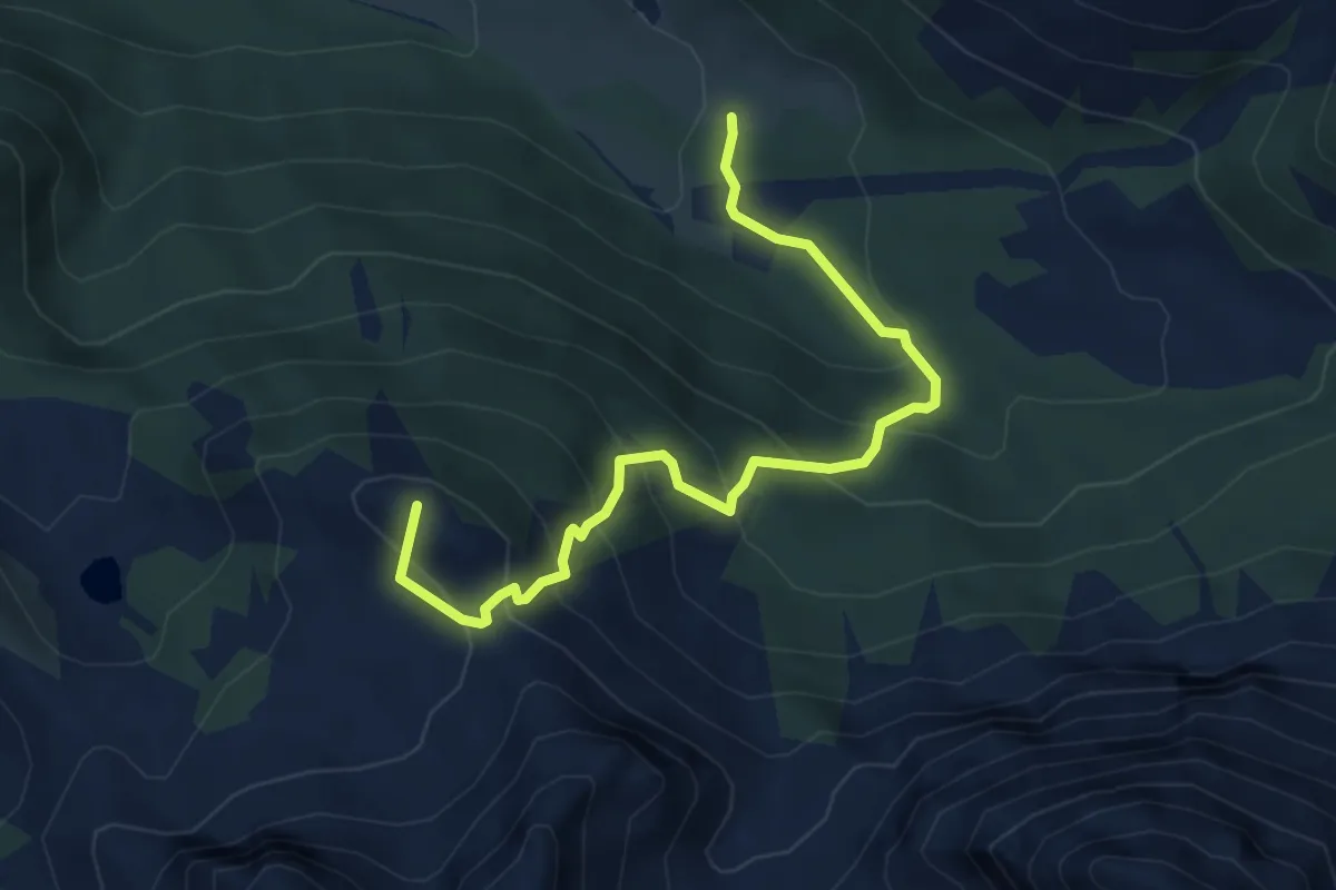
Medium · Summit
Pènt de Ciamp (bivio 603) – Ciampiè - Micelin (bivio 608)
5.0 km · ↑ 430 m · 2 h 6 min
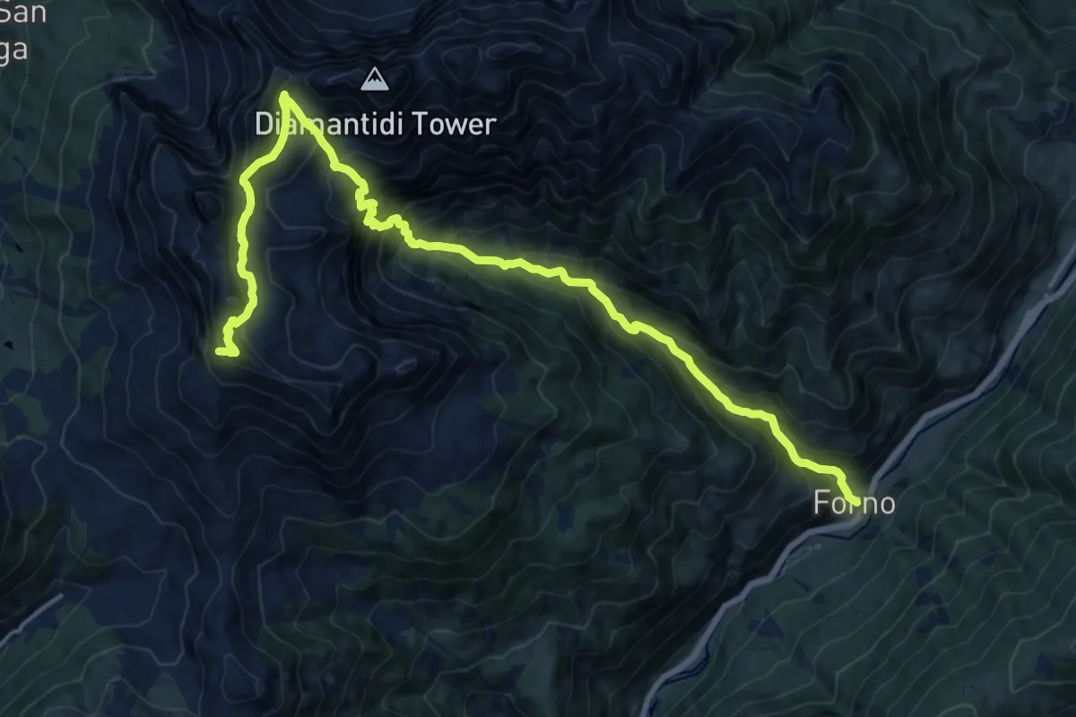
Demanding · Summit
Forno – Passo del Feudo (bivio 504 - 515)
19.7 km · ↑ 1807 m · 8 h 34 min
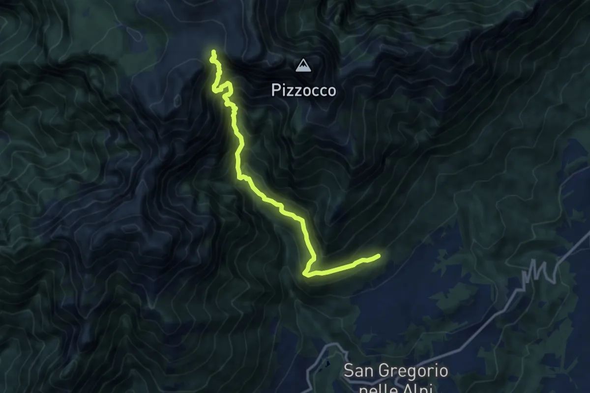
Demanding · Trail
Roncoi-Staolet – Passo Forca - innesto sentiero 851
10.5 km · ↑ 1462 m · 5 h 39 min
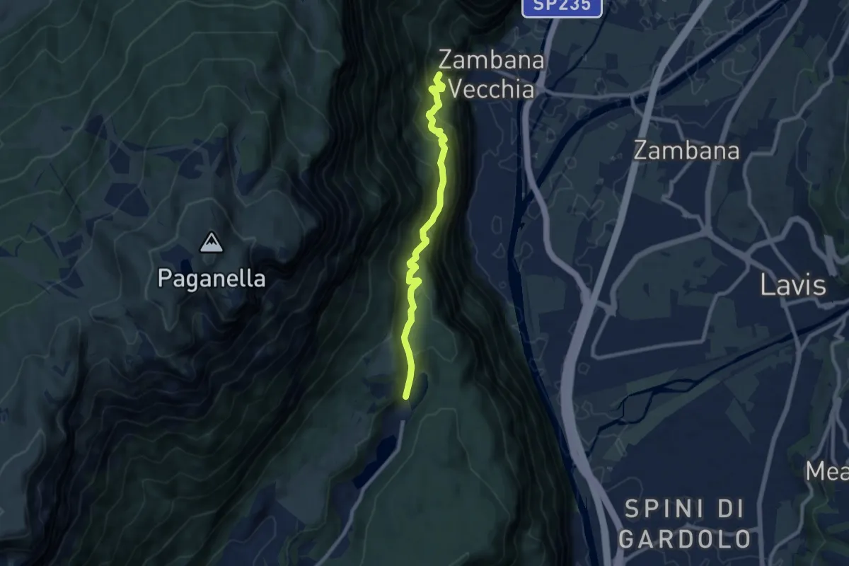
Medium · Trail
Molinel (bivio 680) – Lago di Lamar (bivio 627)
7.7 km · ↑ 673 m · 3 h 16 min
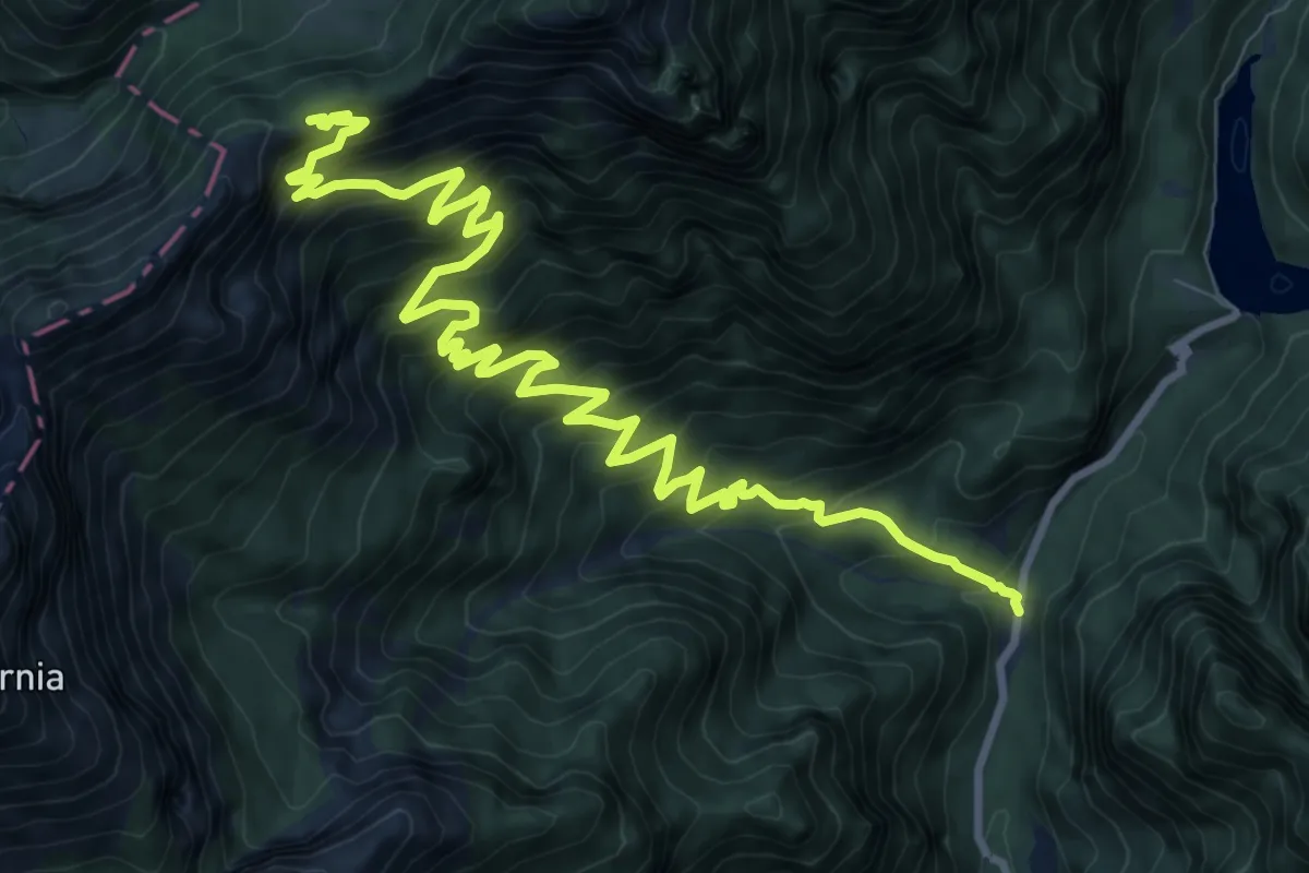
Demanding · Trail
Val Canzoi - centrale Enel – Passo Finestra - innesto percorso 801
13.0 km · ↑ 1193 m · 5 h 40 min
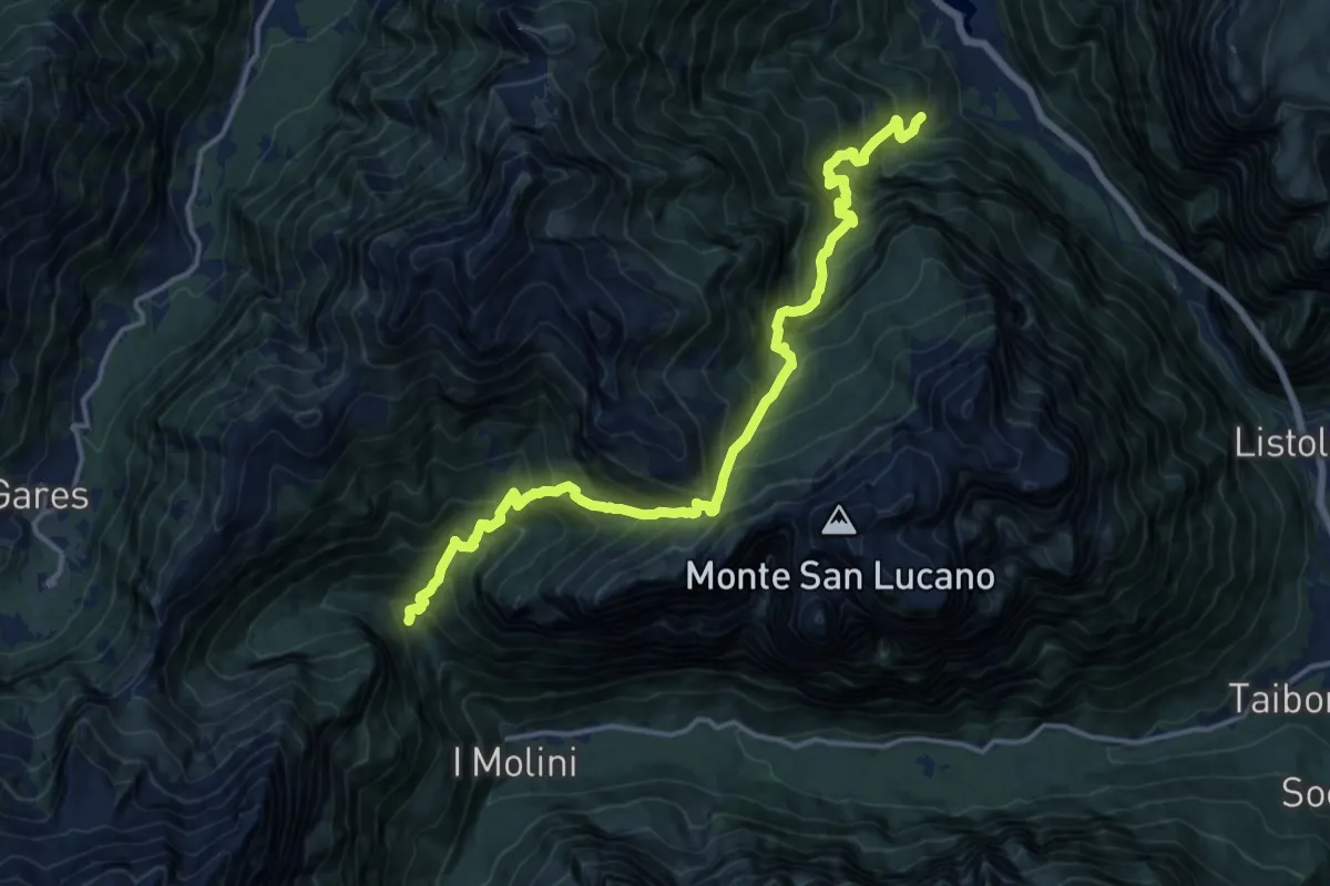
Demanding · Trail
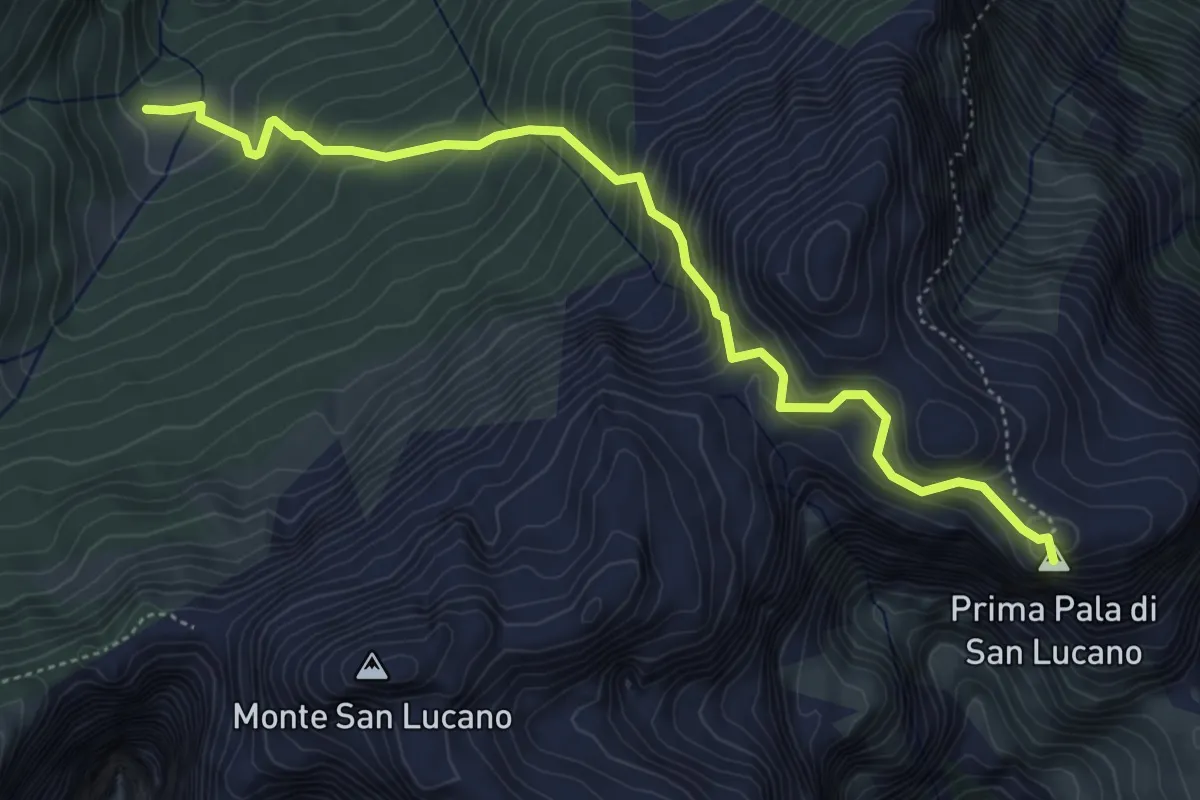
Pra de Mez – Valle S. Lucano - Pont (cascata)
8.1 km · ↑ 930 m · 4 h 11 min
Medium · Summit
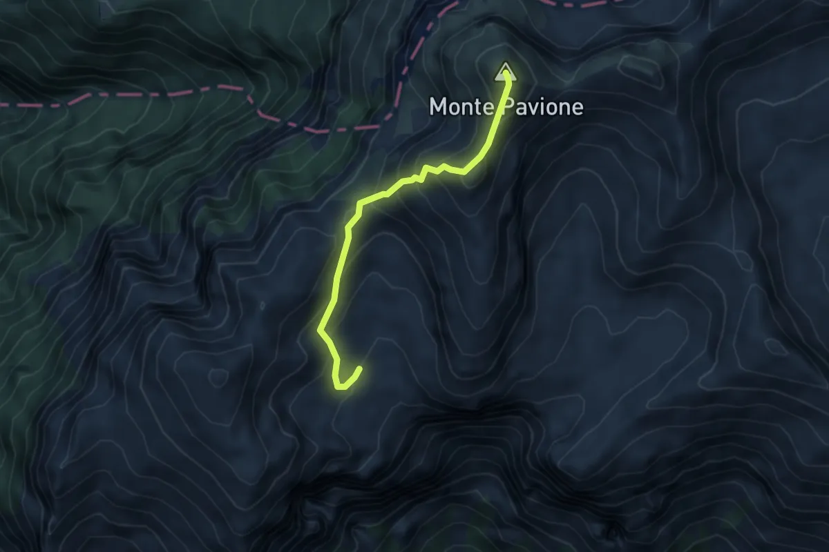
Forno di Val – Casera Rudolfin Alta
5.4 km · ↑ 645 m · 2 h 40 min
Expert · Summit
Passo delle Vette Grandi – Malga Monsampiàn - inn. sent. 810 e 818
4.4 km · ↑ 406 m · 1 h 54 min
Medium · Trail
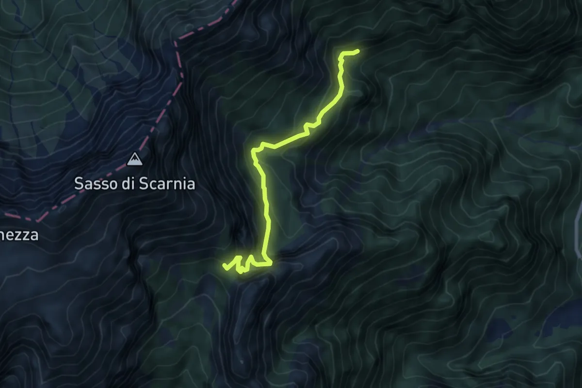
Valle delle Grave - bivio Col d'Istiaga - – Forcella Scarnia - innesto percorso 803
5.7 km · ↑ 496 m · 2 h 26 min
Demanding · Summit
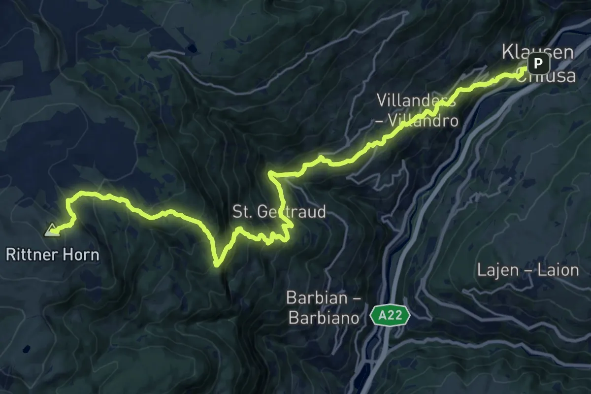
Chiusa – Rifugio Corno del Renon
26.5 km · ↑ 1887 m · 10 h 21 min
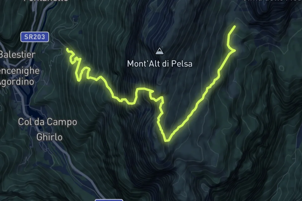
Expert · Trail
Cencenighe-Bastiani (quota 971) – Piani di Pelsa (quota 1914)
13.9 km · ↑ 1820 m · 7 h 13 min
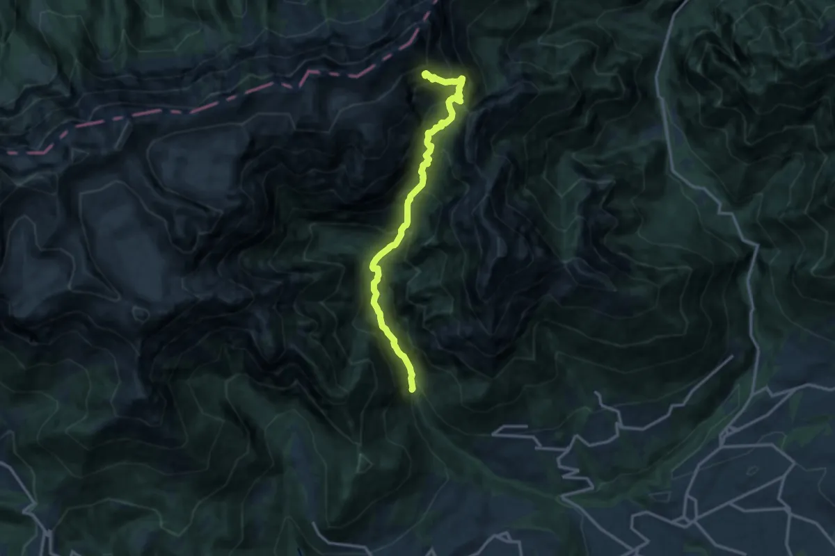
Demanding · Trail
Valle di San Martino - Località Grava Bianca – Bivio Scarnion - inn. sent. 801
12.2 km · ↑ 1495 m · 6 h 7 min
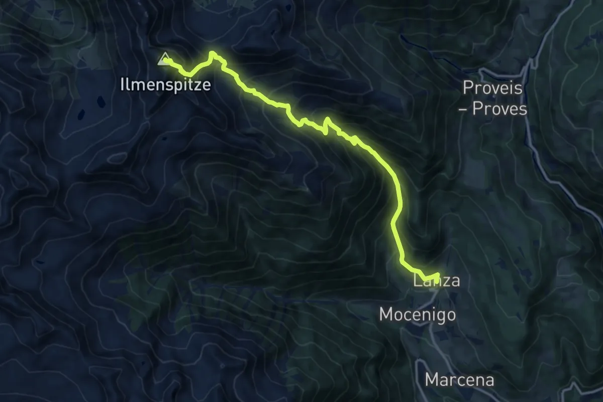
Demanding · Summit
Lanza - frazione di Rumo – Cima degli olmi - Ilmenspitz (bivio 113A)
13.3 km · ↑ 1503 m · 6 h 24 min
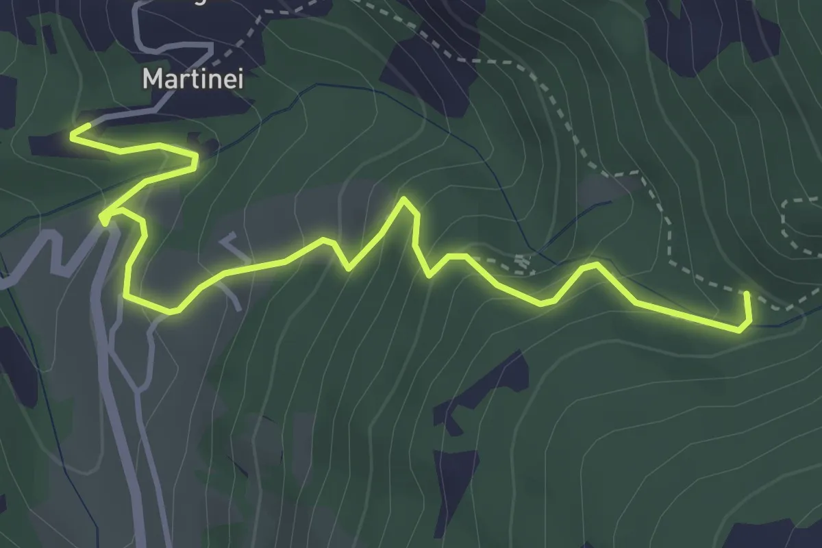
Medium · Trail
Presso Martinei (bivio 443) – Val dell'Inferno (bivio 443)
4.1 km · ↑ 368 m · 1 h 46 min
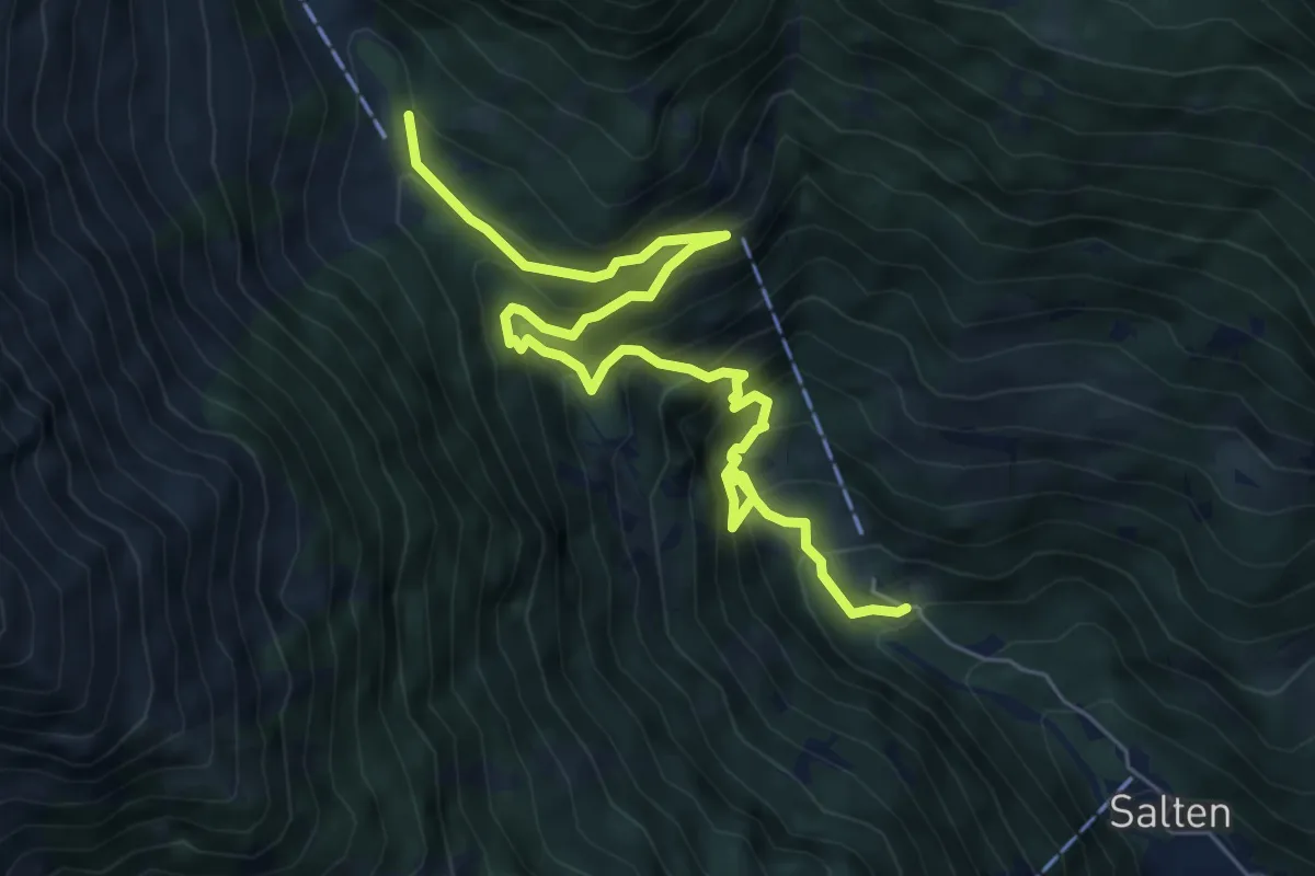
Demanding · Cabin
Birkenwald – Rifugio Nasereit
7.7 km · ↑ 890 m · 3 h 45 min
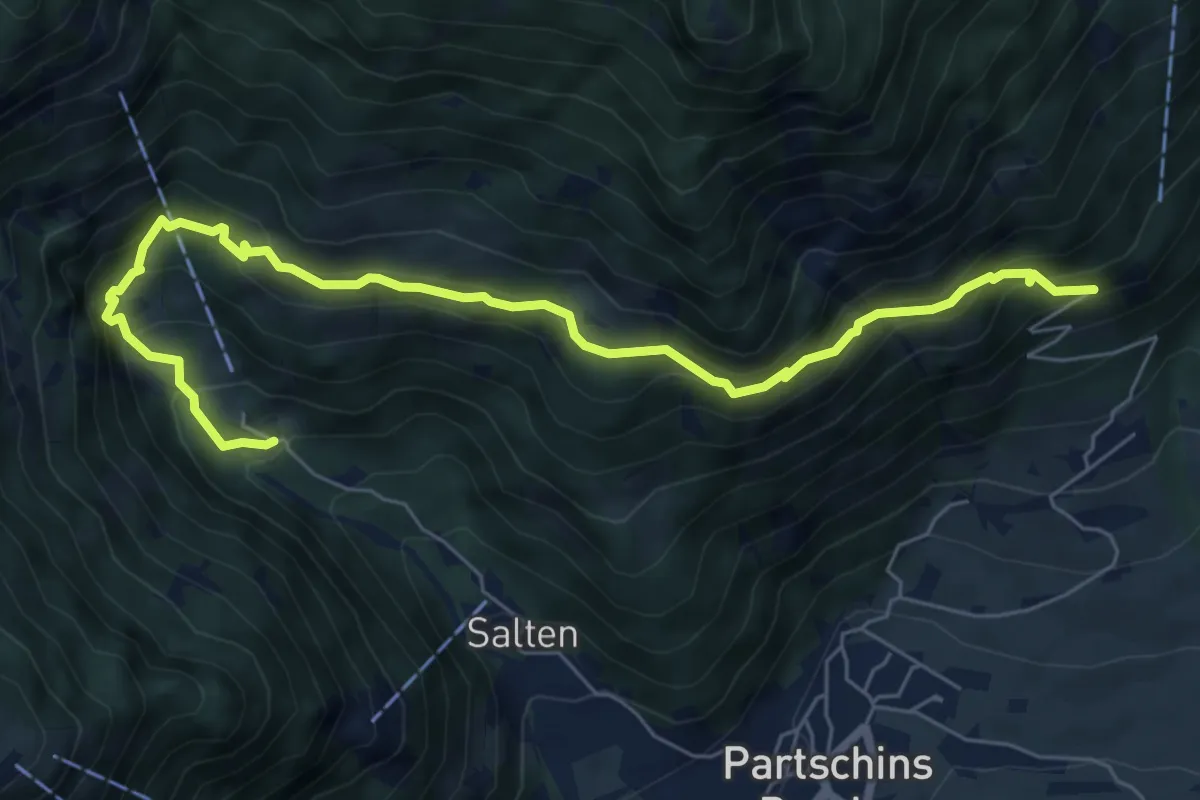
Medium · Trail
Niederhaushof – Birkenwald
7.6 km · ↑ 696 m · 3 h 18 min
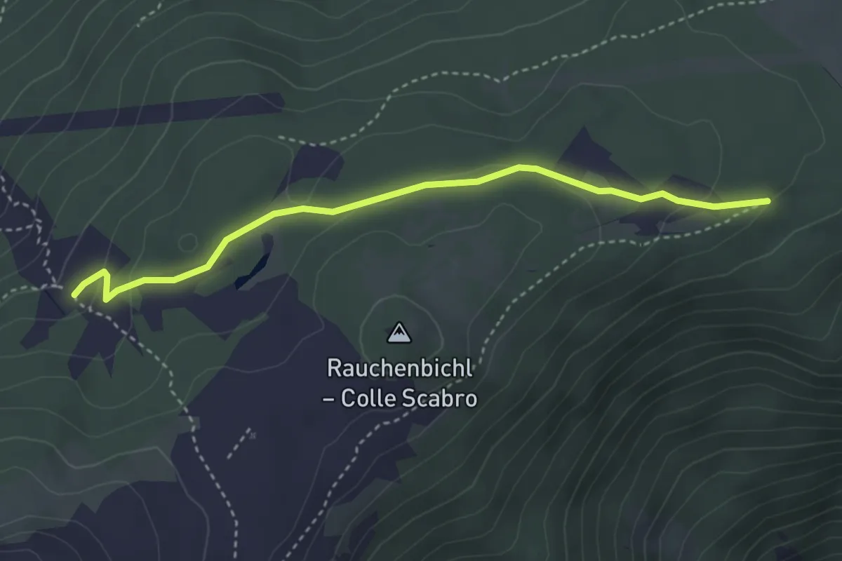
Easy · Trail
Percorso 9 – Malga Naturno
3.6 km · ↑ 101 m · 1 h 4 min
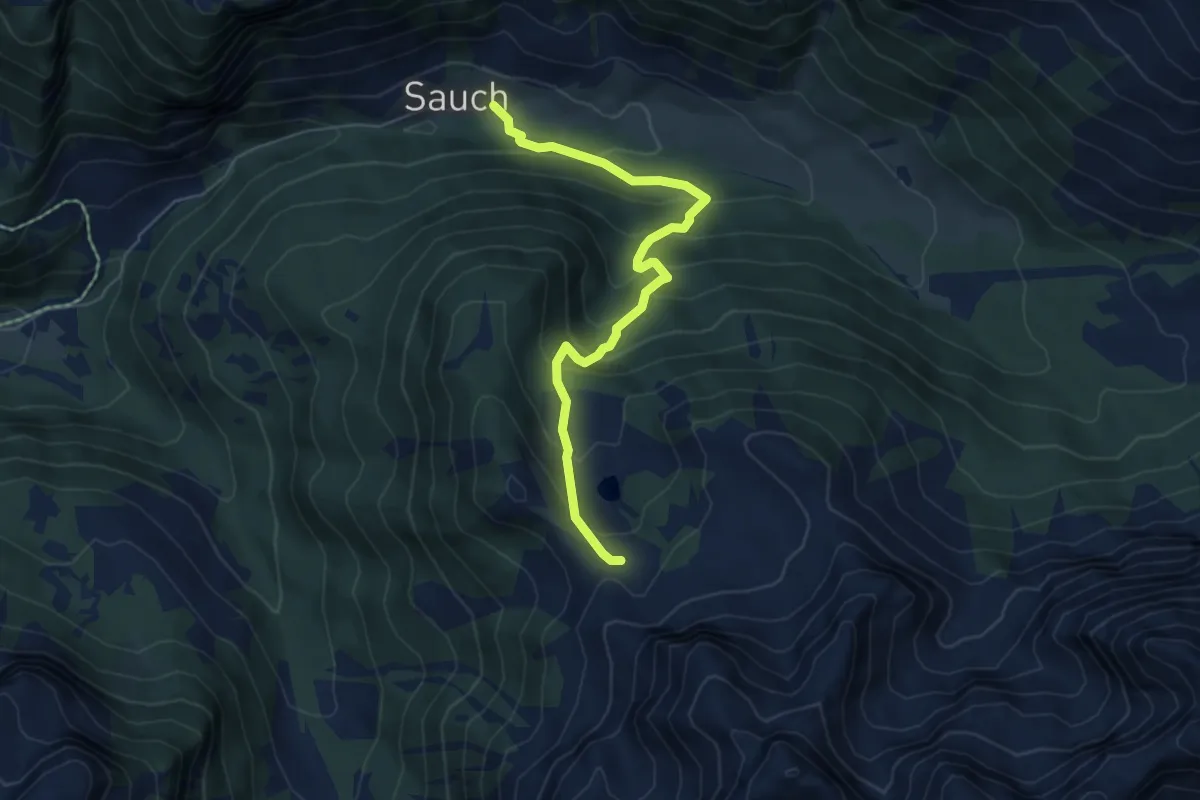
Medium · Trail
Sauch - Val de Sen Nicolò (bivio 608) – L Pief (bivio 640A - 641)
5.8 km · ↑ 460 m · 2 h 22 min
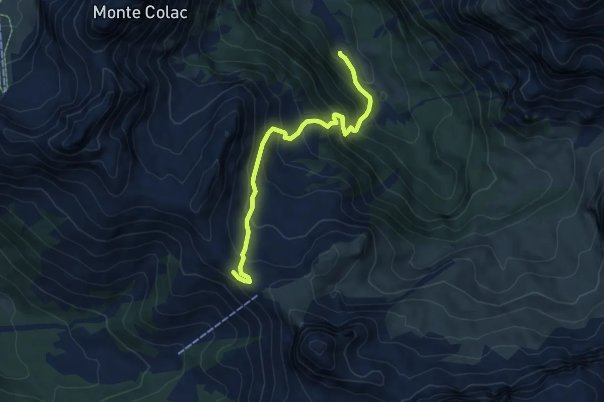
Medium · Trail
Pènt Ruf de Contrin (bivio 602) – Pas de Sen Nicolò (bivio 608)
5.9 km · ↑ 537 m · 2 h 33 min
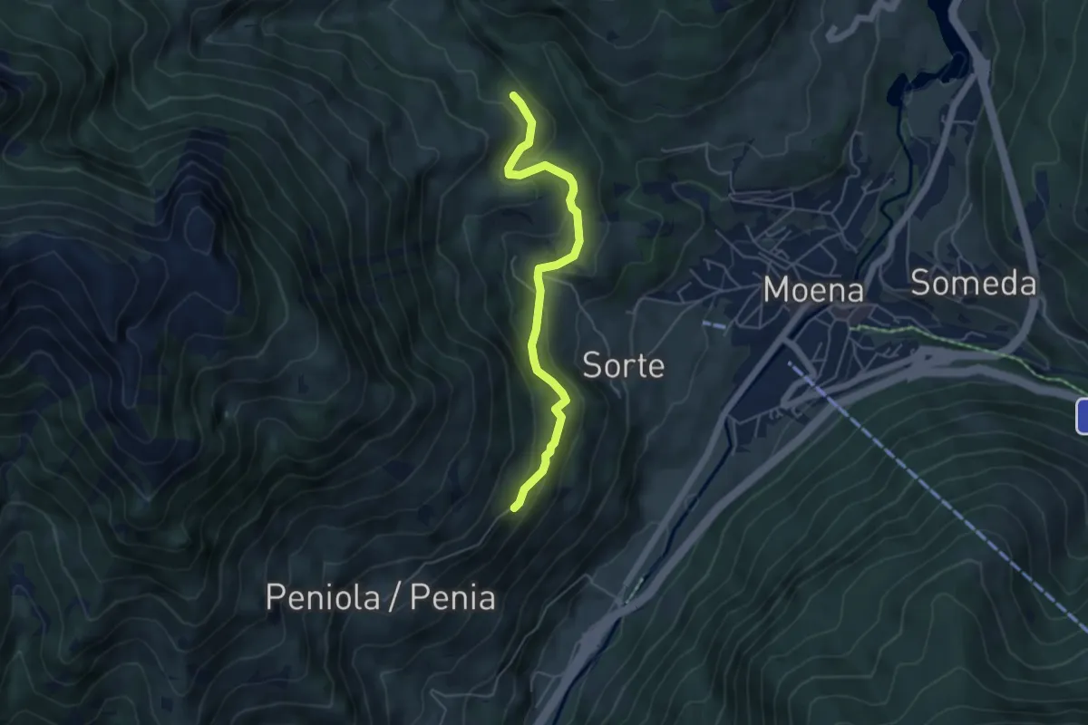
Medium · Trail
Roa oppure Frata (bivio 521) – Tal Cristo (bivio 519)
4.8 km · ↑ 269 m · 1 h 42 min
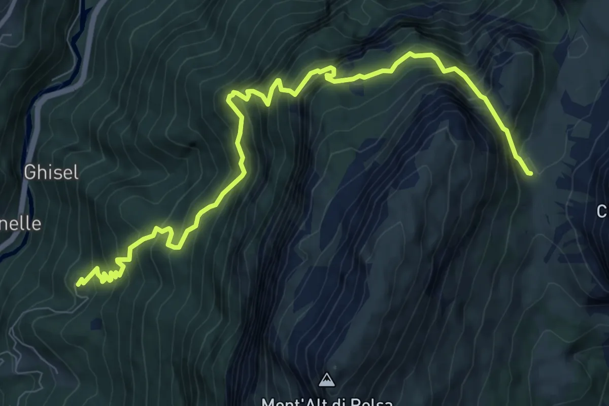
Demanding · Trail
Cencenighe - Collaz – Sella di Pelsa - inn. sent. 560
10.1 km · ↑ 1260 m · 5 h 7 min
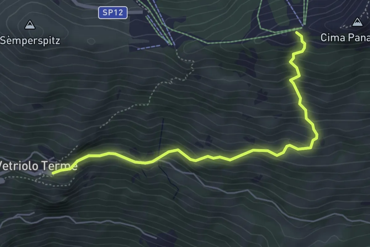
Medium · Trail
Vetriolo - Piazzale delle Terme – Cresta o Cima Panarotta (bivio 308)
5.5 km · ↑ 482 m · 2 h 20 min
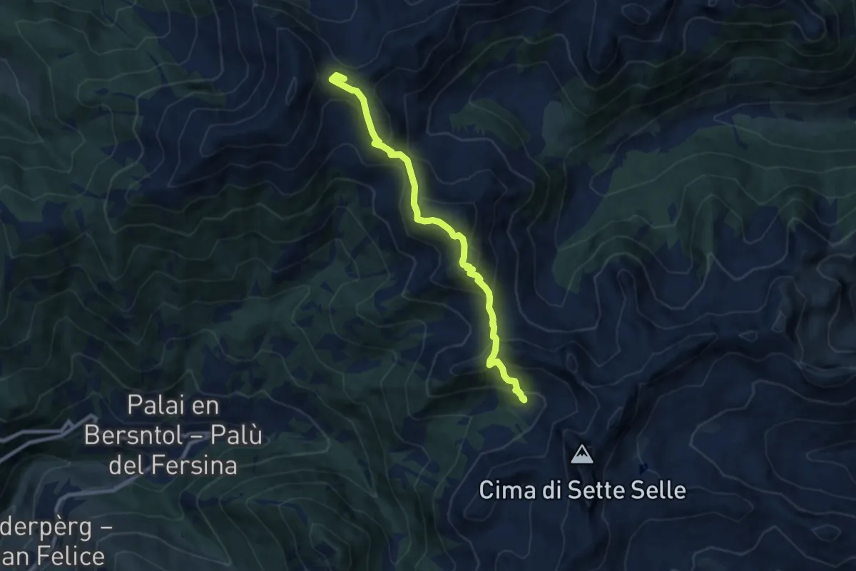
Medium · Summit
Rifugio Sprugio "Giovanni Tonini" (bivio 443 - 468) – Rifugio Sette Selle (bivio 343)
8.3 km · ↑ 726 m · 3 h 32 min
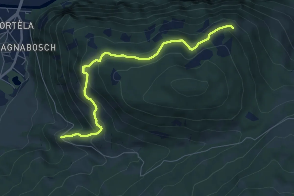
Medium · Trail
Quota 1173 Strada della Valmaggiore – Tof Strent (bivio 341)
6.0 km · ↑ 489 m · 2 h 29 min
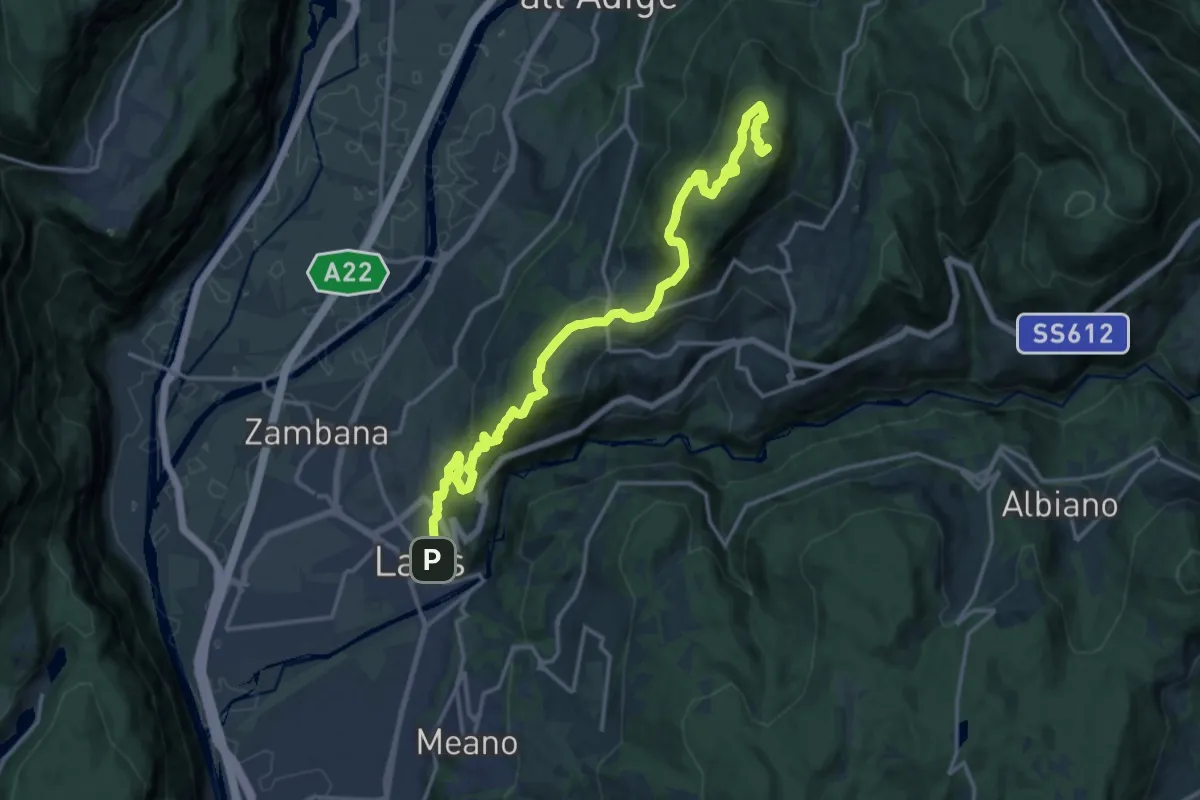
Demanding · Summit
Lavis - Via del Colli - parcheggio – Monte Corona - Dos Paion
17.7 km · ↑ 952 m · 6 h 15 min
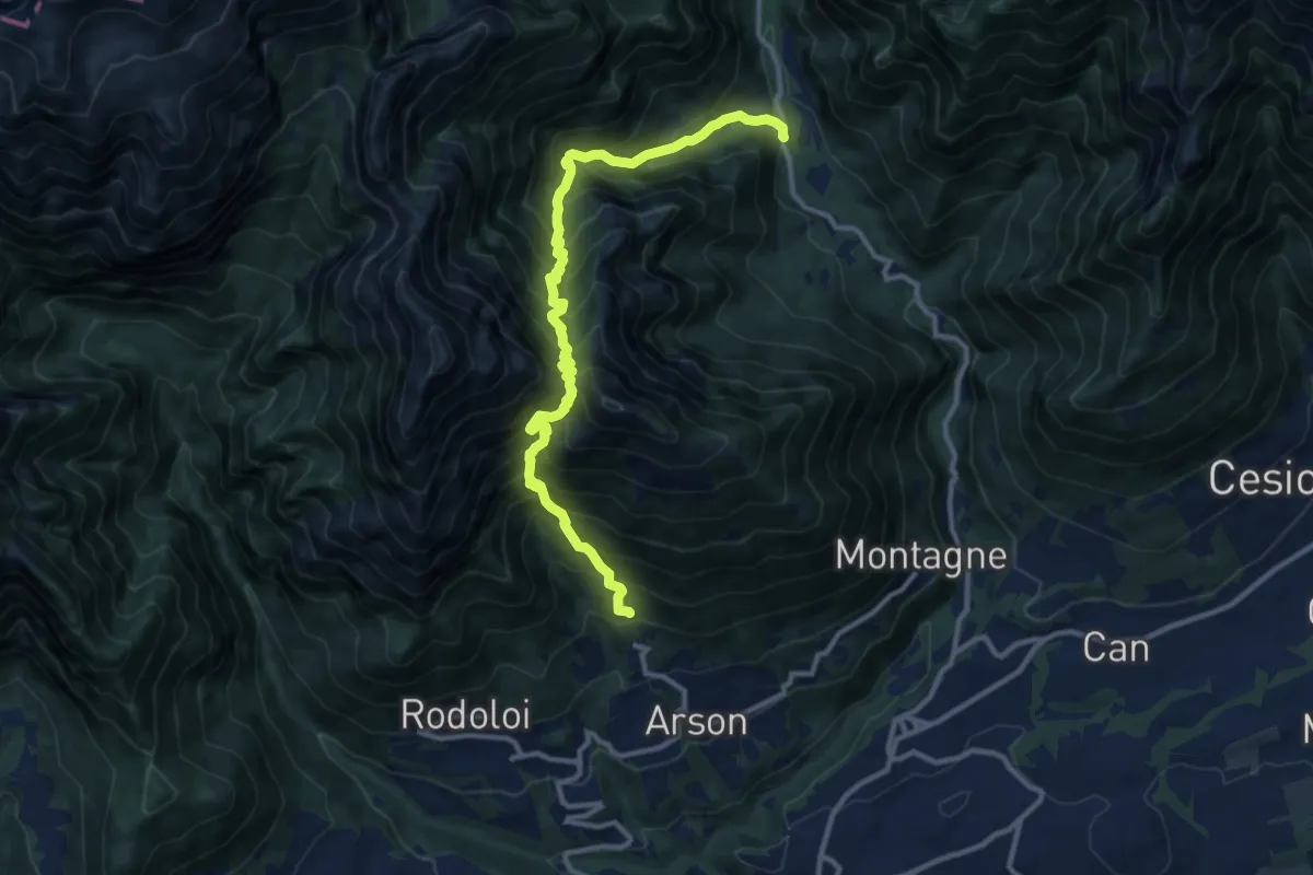
Demanding · Trail
Arsòn ‐ Case al Zot – Val Canzoi ‐ Fràina Bassa ‐ Agrit. Orsèra
12.0 km · ↑ 1600 m · 6 h 18 min
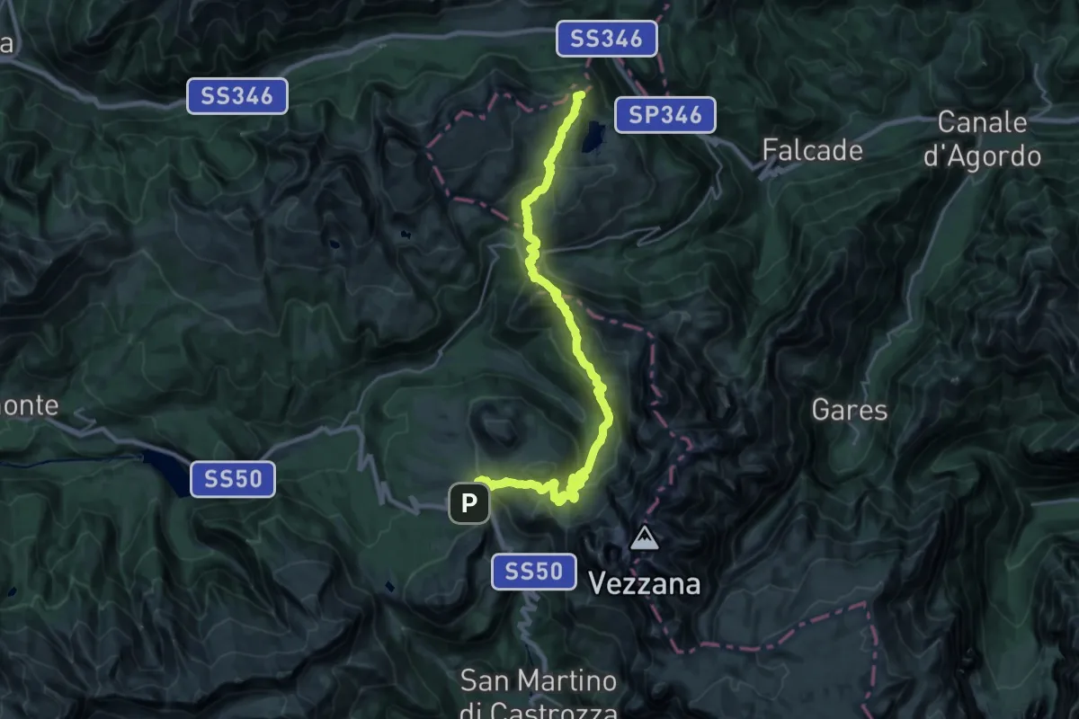
Demanding · Summit
Passo Rolle – Passo San Pellegrino
28.9 km · ↑ 1385 m · 9 h 50 min
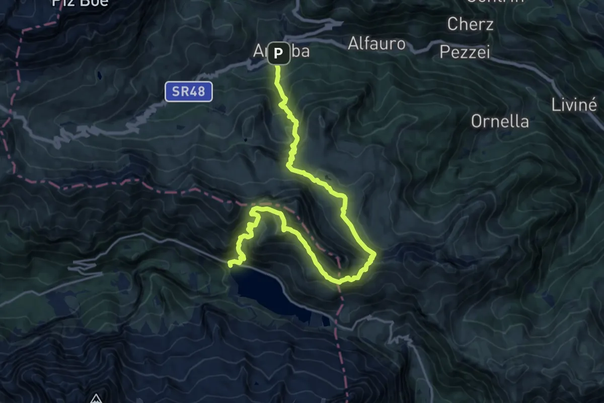
Demanding · Cabin
Rifugio Marmolada Pian di Fedaia – Arabba
10.0 km · ↑ 1064 m · 4 h 36 min
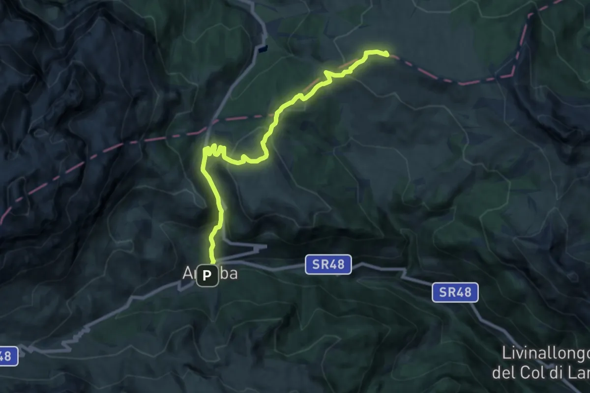
Demanding · Summit
Arabba – Pralongià
16.4 km · ↑ 921 m · 5 h 52 min
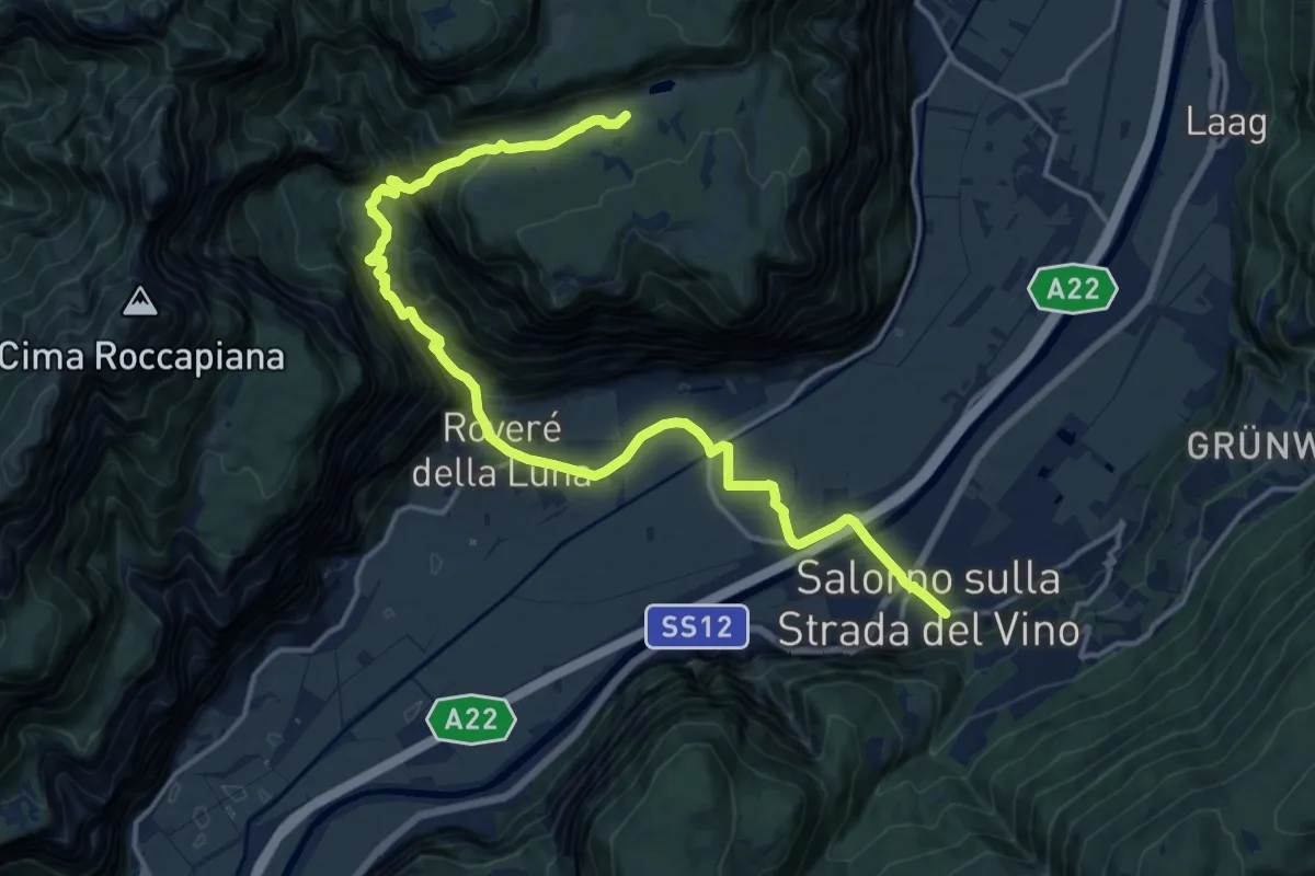
Demanding · Trail
Favogna – Salorno (Salurn)
19.1 km · ↑ 932 m · 6 h 32 min
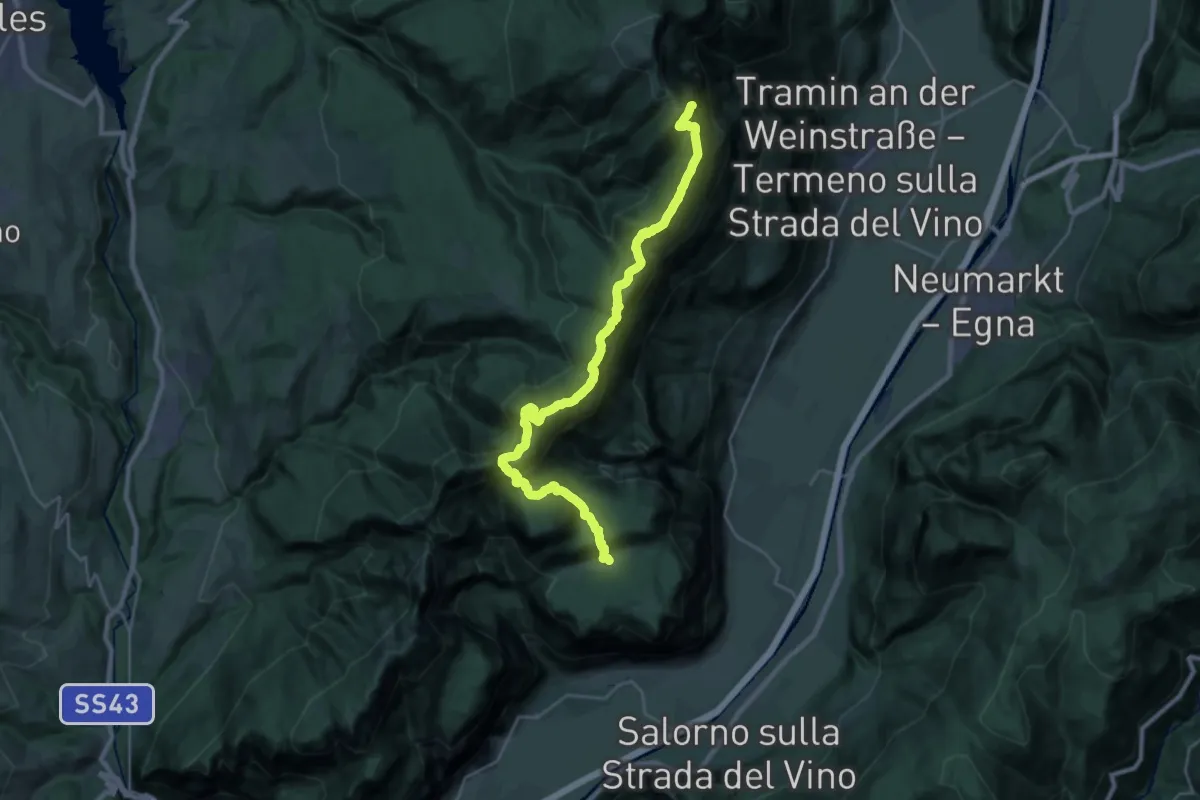
Expert · Summit
Rifugio Oltradige – Favogna
27.5 km · ↑ 1945 m · 10 h 42 min
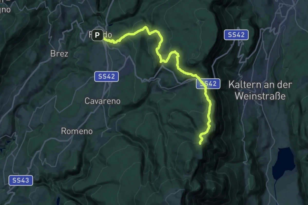
Demanding · Summit
Fondo – Rifugio Oltradige
27.3 km · ↑ 1096 m · 8 h 50 min
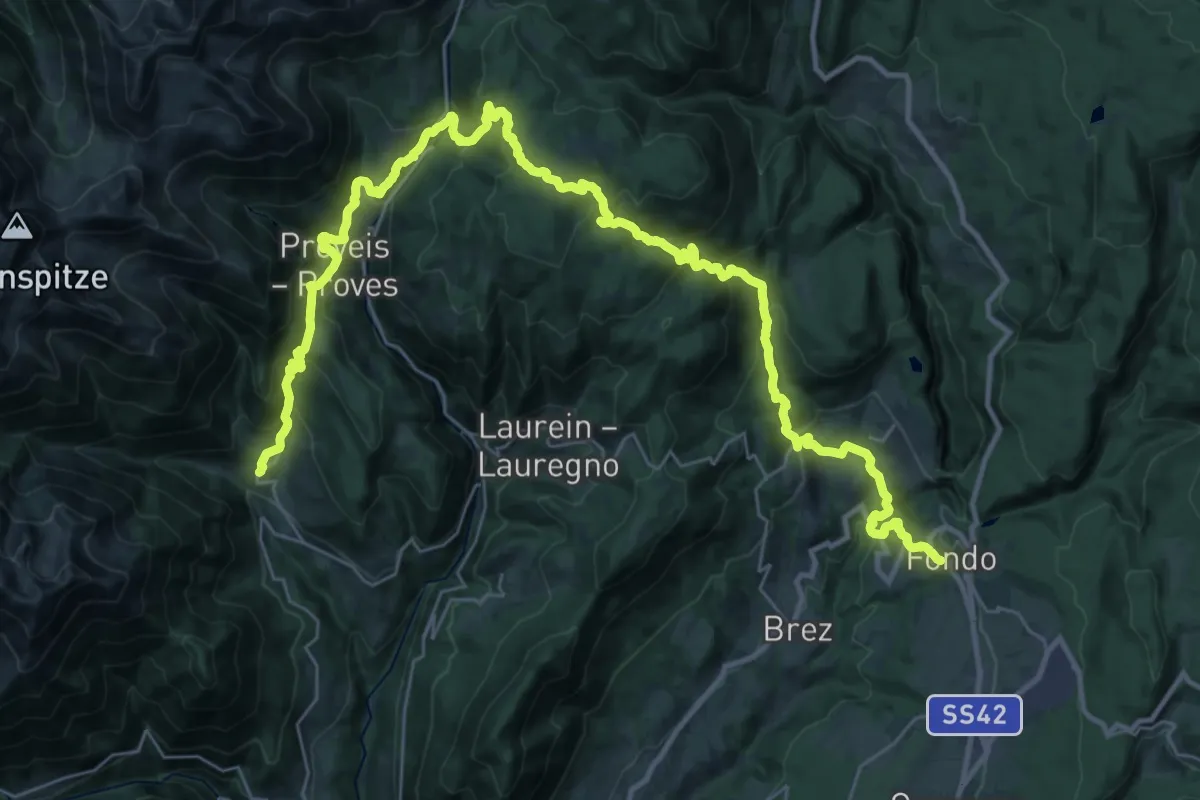
Demanding · Trail
Mocenigo di Rumo – Fondo
22.4 km · ↑ 1208 m · 8 h 15 min
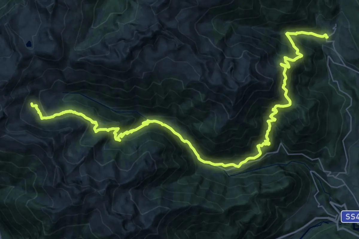
Demanding · Trail
Malga Bordolana di Sotto – Mocenigo di Rumo
20.6 km · ↑ 1987 m · 8 h 56 min
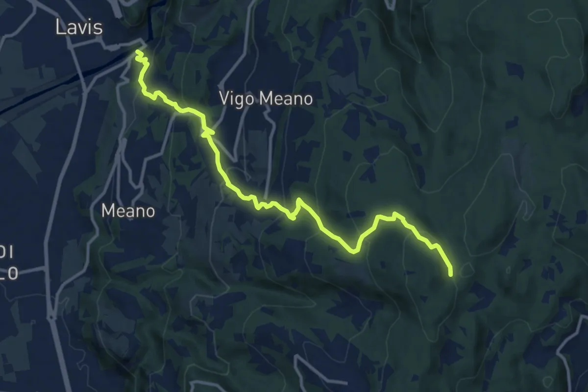
Medium · Trail
San Lazzaro - presso chiesa San Lazzaro – Dolasi (bivio 421)
11.2 km · ↑ 679 m · 4 h 6 min
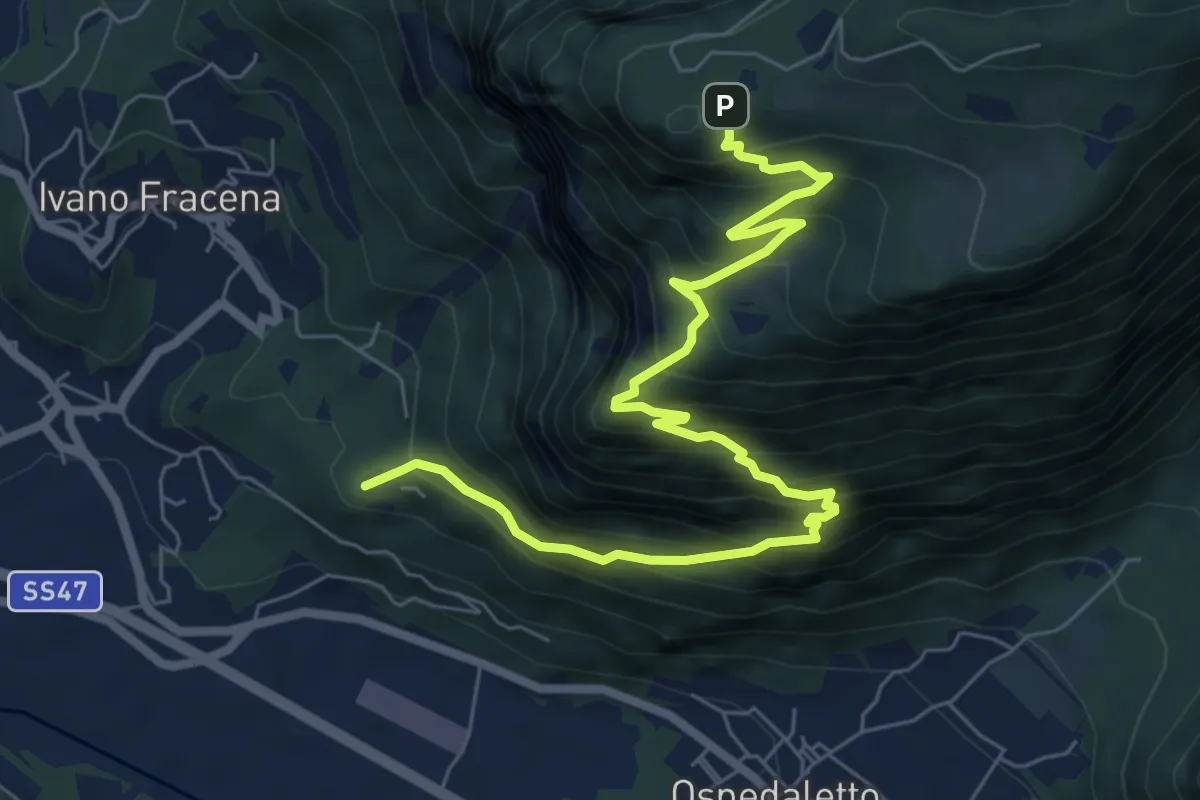
Demanding · Summit
Località Fracena – Presso Rifugio Monte Lefre (bivio 330)
8.4 km · ↑ 946 m · 4 h 1 min
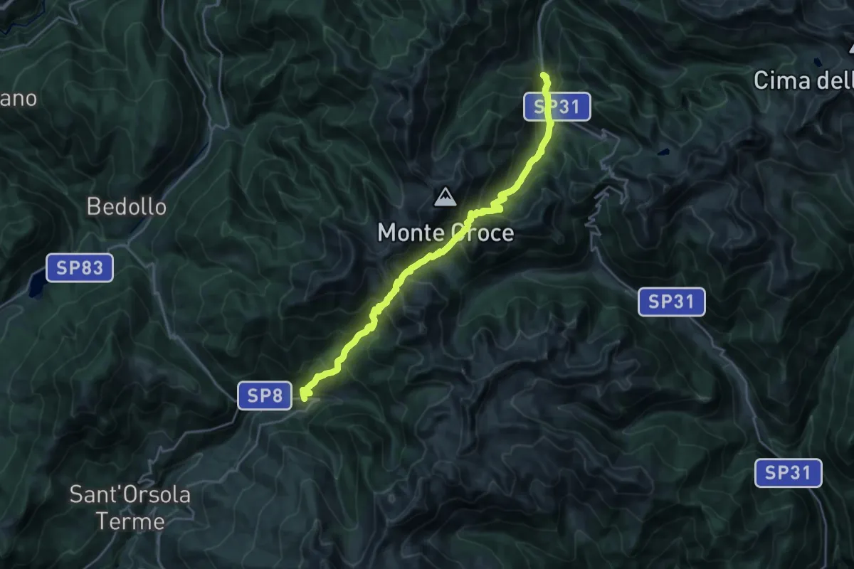
Demanding · Trail
Lènzi - frazione di Palù del Fèrsina – Presso Baito Fornasa Bassa, strada provinciale 31
11.3 km · ↑ 986 m · 4 h 54 min
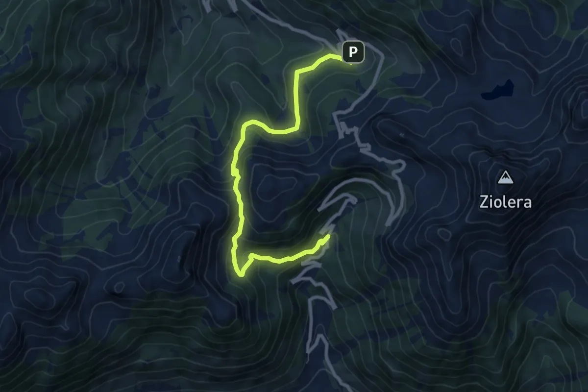
Medium · Trail
Malga Valsolero di Sopra – Malga Cadinello Alta
7.9 km · ↑ 506 m · 2 h 57 min
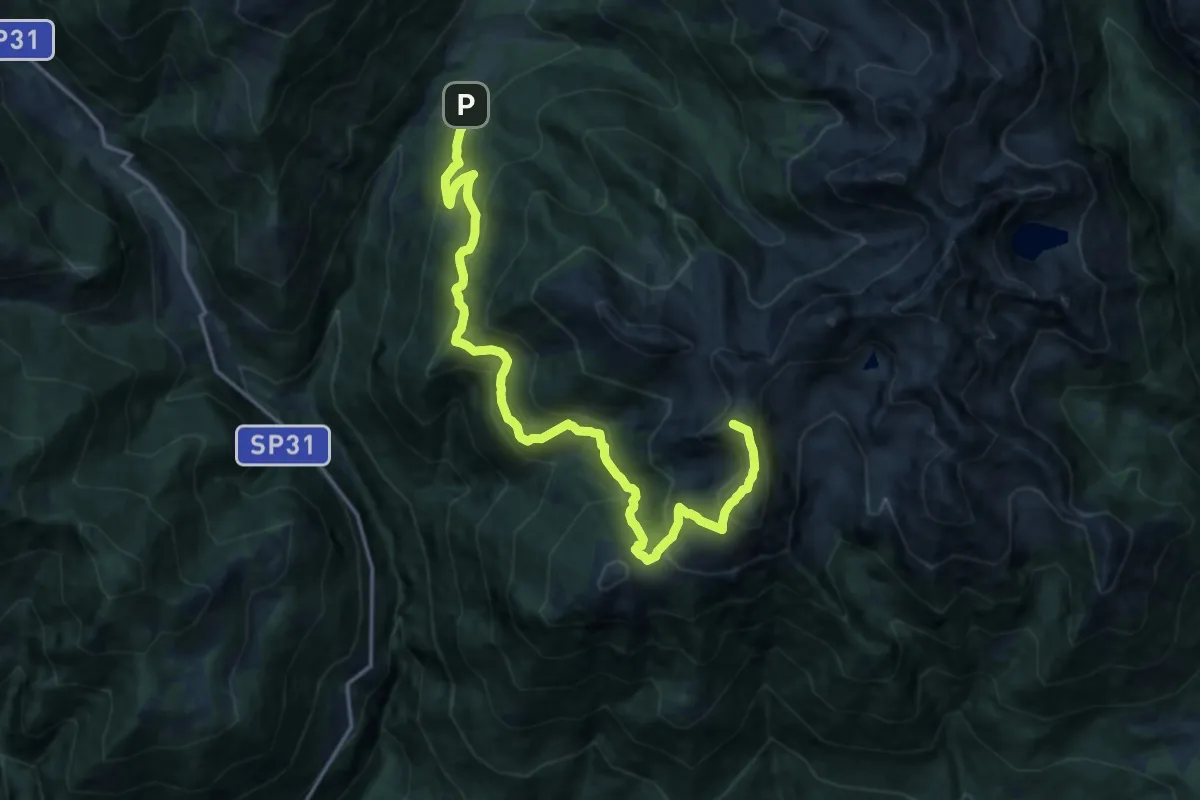
Demanding · Summit
Cenon di sotto - Ponte delle Rudole – Forcella Ravetta (bivio 332 - 332B)
18.1 km · ↑ 1301 m · 7 h 5 min
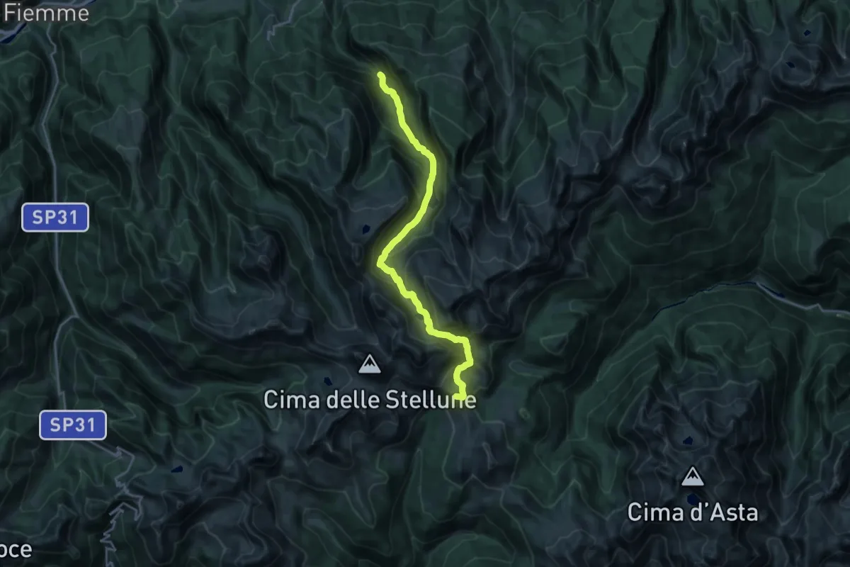
Demanding · Summit
Val Lagorai - bivio per Malga Bombasel – Rifugio Malga Conseria
20.1 km · ↑ 1440 m · 7 h 52 min
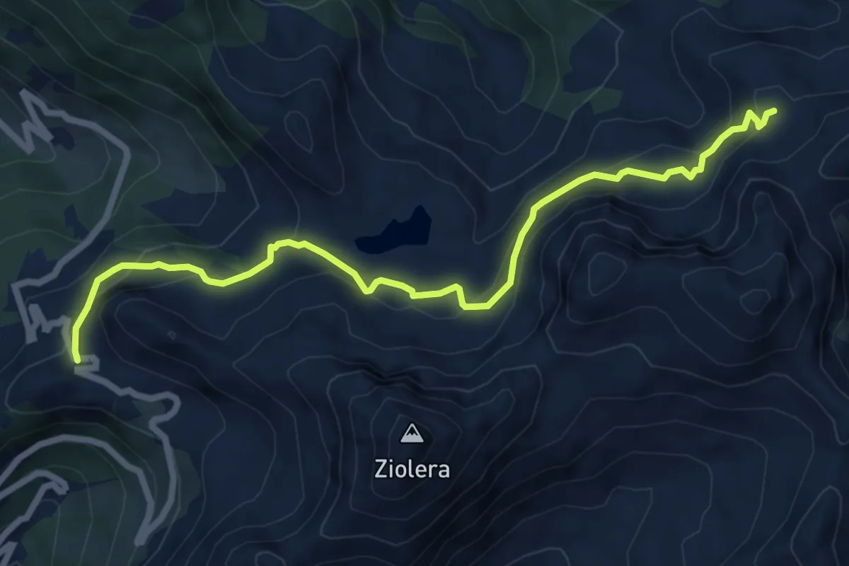
Medium · Trail
Lago Cadinello presso Passo del Mànghen – Pian delle Fave (bivio 322)
7.1 km · ↑ 387 m · 2 h 31 min
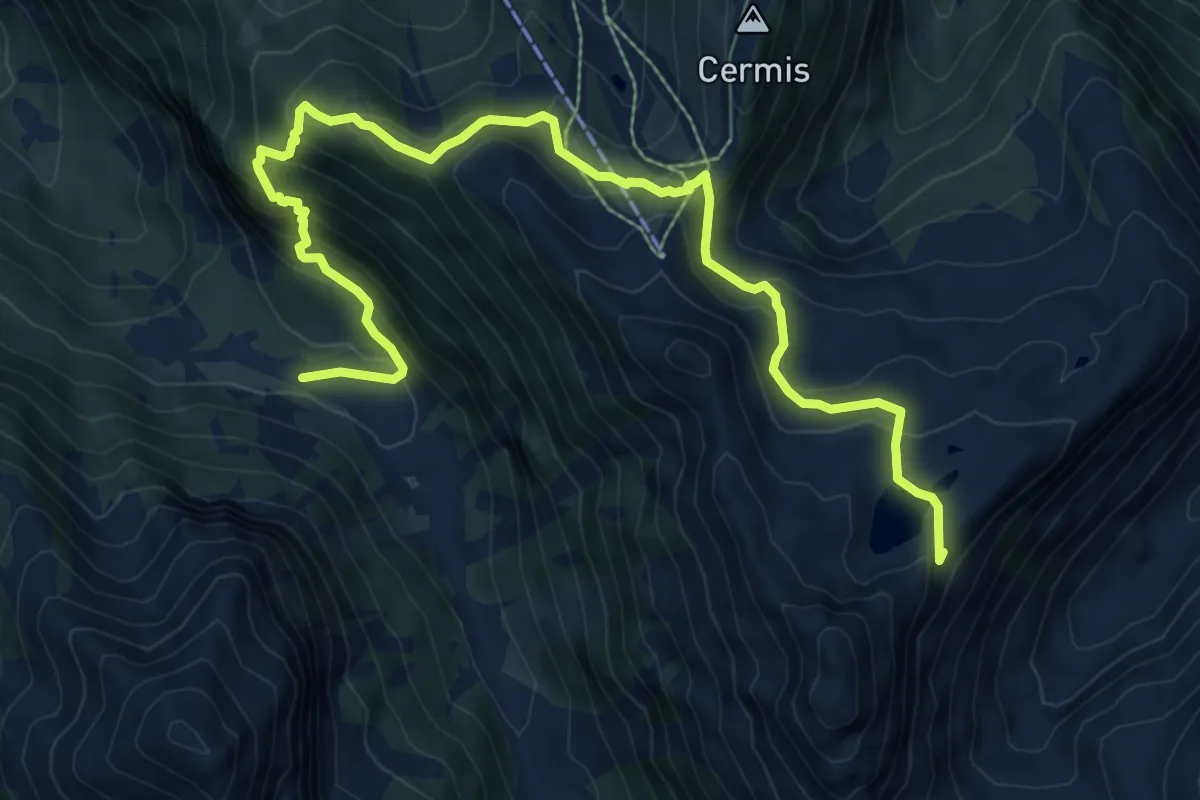
Medium · Summit
Ponte presso Malga Val Moena (bivio 317) – Valon (bivio 316)
10.2 km · ↑ 637 m · 3 h 47 min