Trails in Italy
25,219 hiking trails, each with its route, climb, walking time and grade.
All trails, page 500 of 526
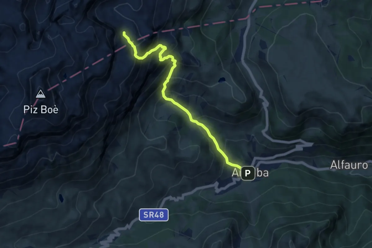
Demanding · Trail
Arabba – inn. sent 638 - confine Regione sotto Rifugio Kostner
8.7 km · ↑ 935 m · 4 h 4 min
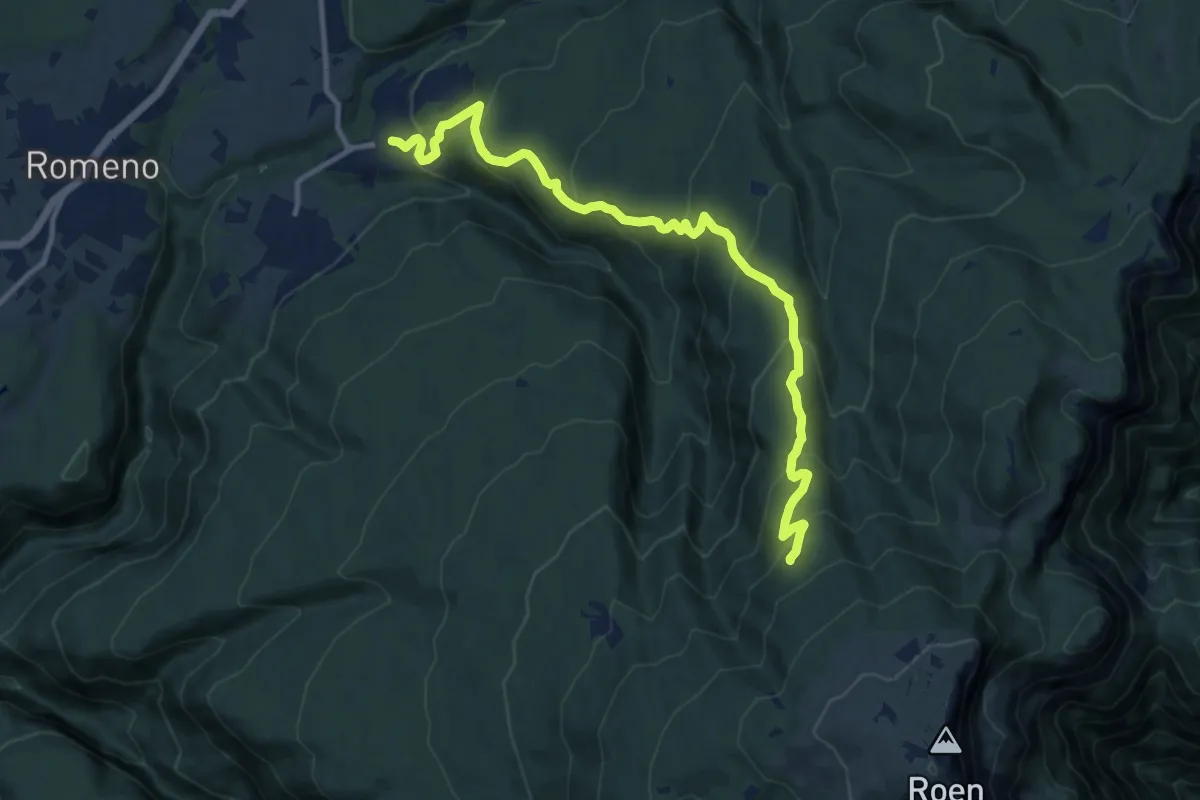
Medium · Cabin
Amblar – ex Malga di Amblar - bivacco (bivio 537)
12.3 km · ↑ 757 m · 4 h 33 min
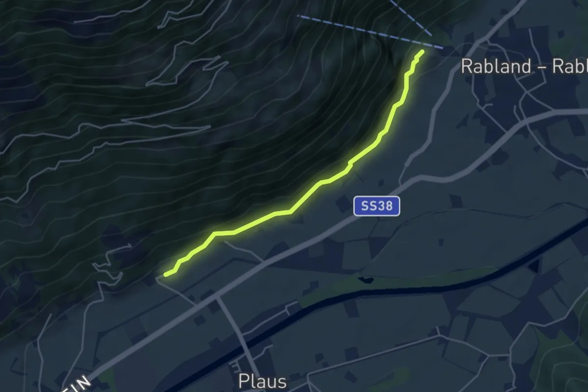
Easy · Trail
Plaus – Rabland
4.2 km · ↑ 150 m · 1 h 19 min
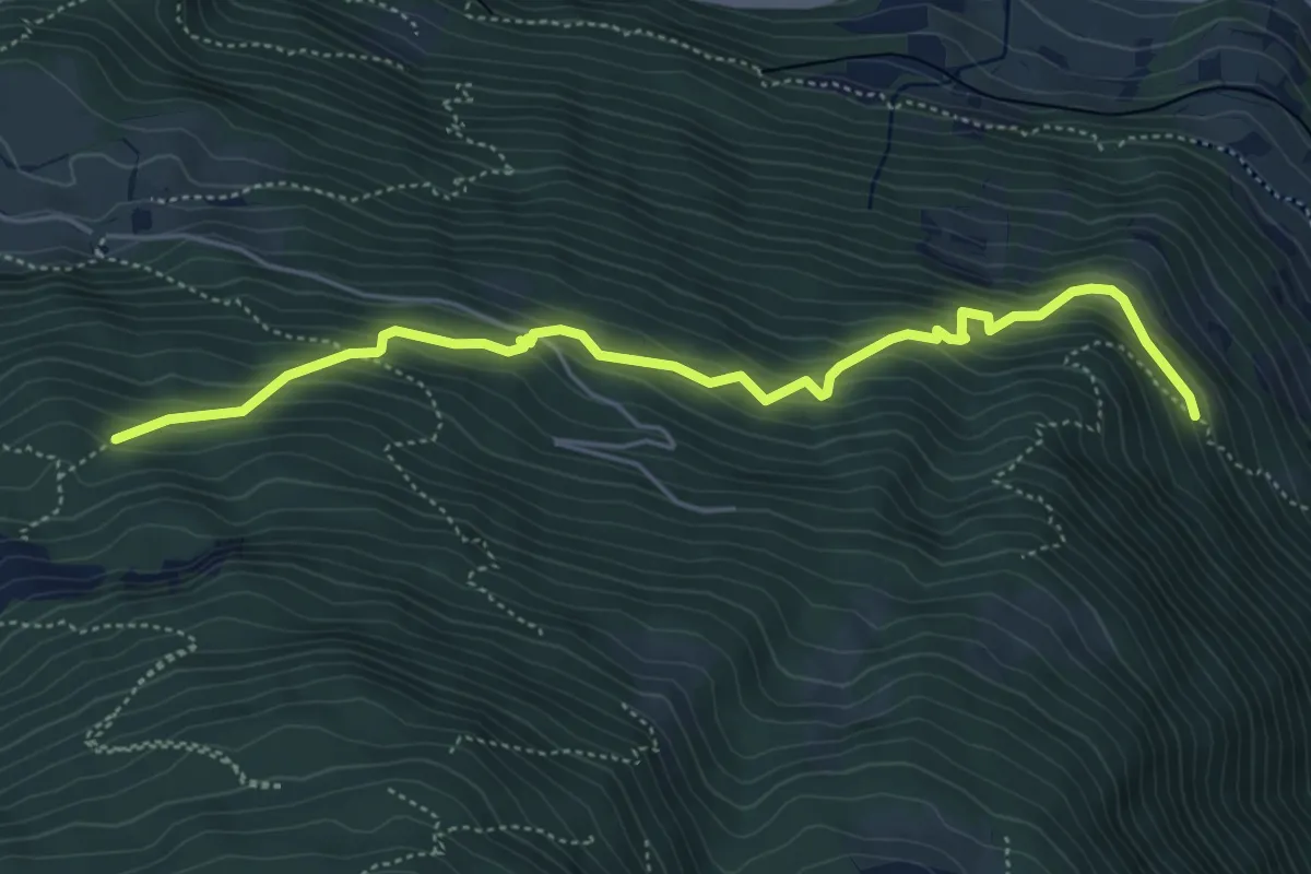
Medium · Trail
Verbindungsweg 27A – Marlinger Höhenweg
5.4 km · ↑ 458 m · 2 h 15 min
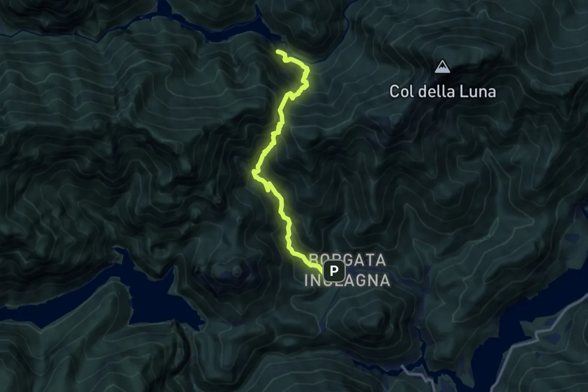
Demanding · Trail
Inglagna (Tramonti di Sopra) (quota 366 m) – Diga del Ciul (bivio sentiero n. 398) (quota 598 m)
9.4 km · ↑ 1159 m · 4 h 44 min
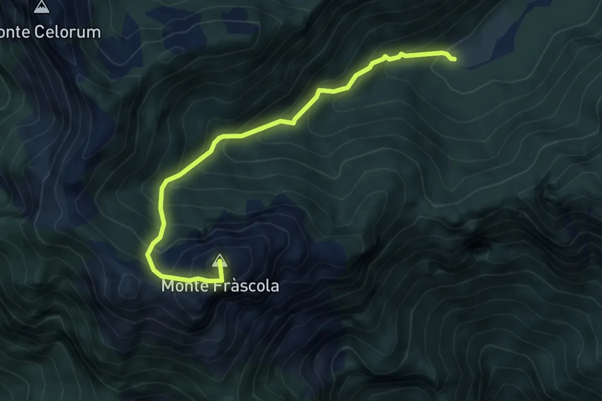
Medium · Summit
Casera Chiampis (quota 1236 m) – Forca del Frascola (quota 1520 m)
5.5 km · ↑ 664 m · 2 h 44 min
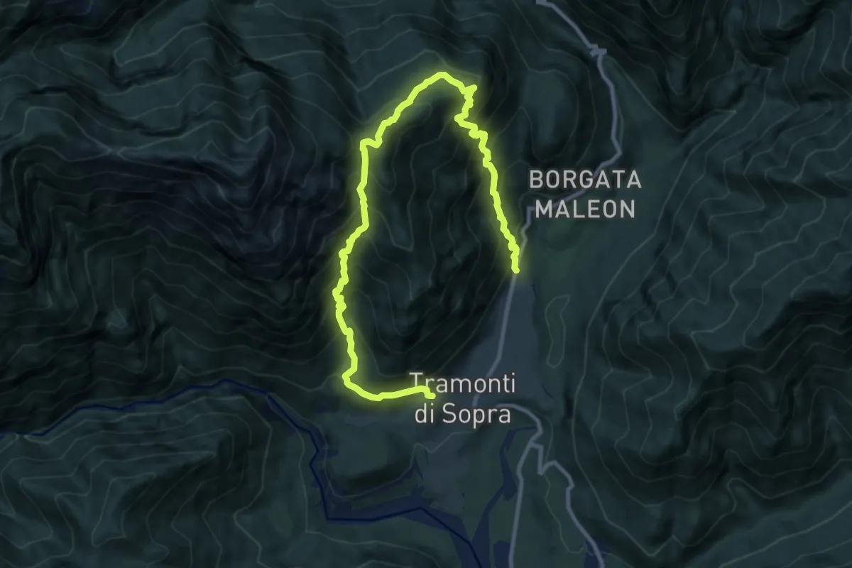
Demanding · Trail
Tramonti di Sopra (quota 415 m) – Casera Soncleva (S.R. N. 552 del Passo Rest)
12.0 km · ↑ 1554 m · 6 h 12 min
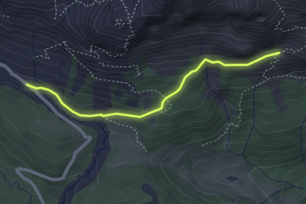
Demanding · Trail
Parcheggio val Sesis (quota 1780 m) – Bivio sentiero 173 (quota 1900 m)
3.4 km · ↑ 210 m · 1 h 15 min
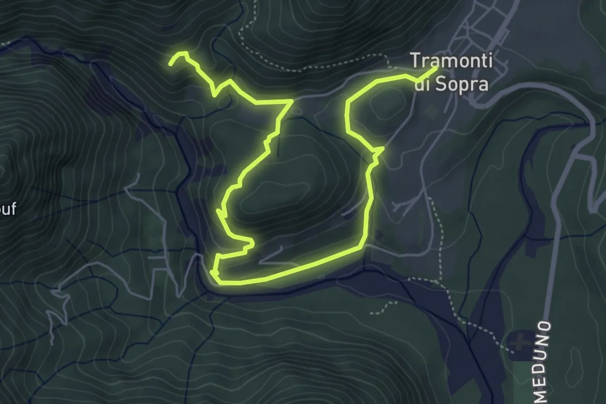
Medium · Summit
Tramonti di Sopra (quota 415 m) – Bivio sent. 395 (quota 520 m)
7.3 km · ↑ 348 m · 2 h 29 min
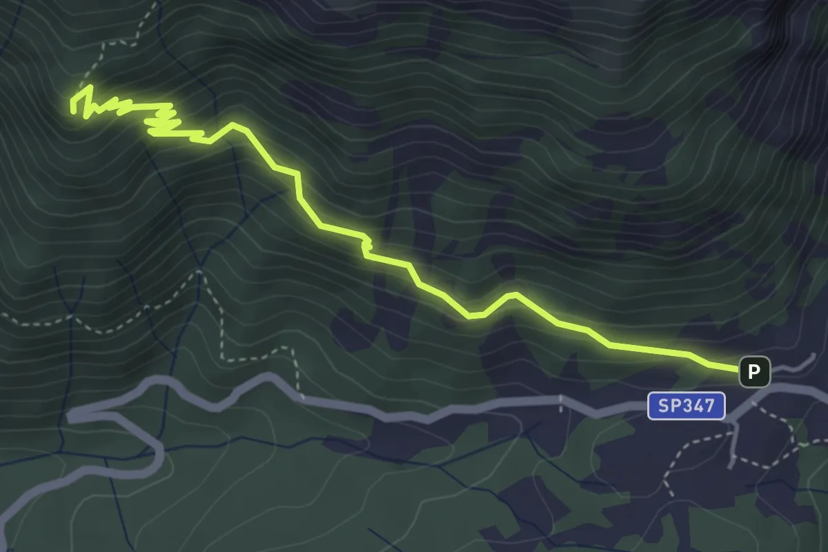
Medium · Summit
Forcella Cibiana - Rifugio Remauro – Forcella Deona o de Rite - inn. sent. 478
4.7 km · ↑ 421 m · 2 h 2 min
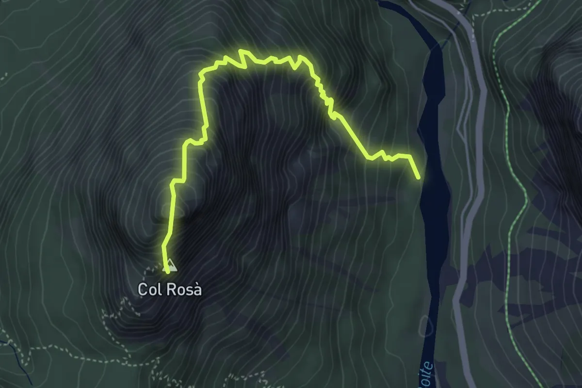
Expert · Summit
Pian de Ra Spines da sentiero 417 – Col Rosà
4.9 km · ↑ 910 m · 3 h 8 min
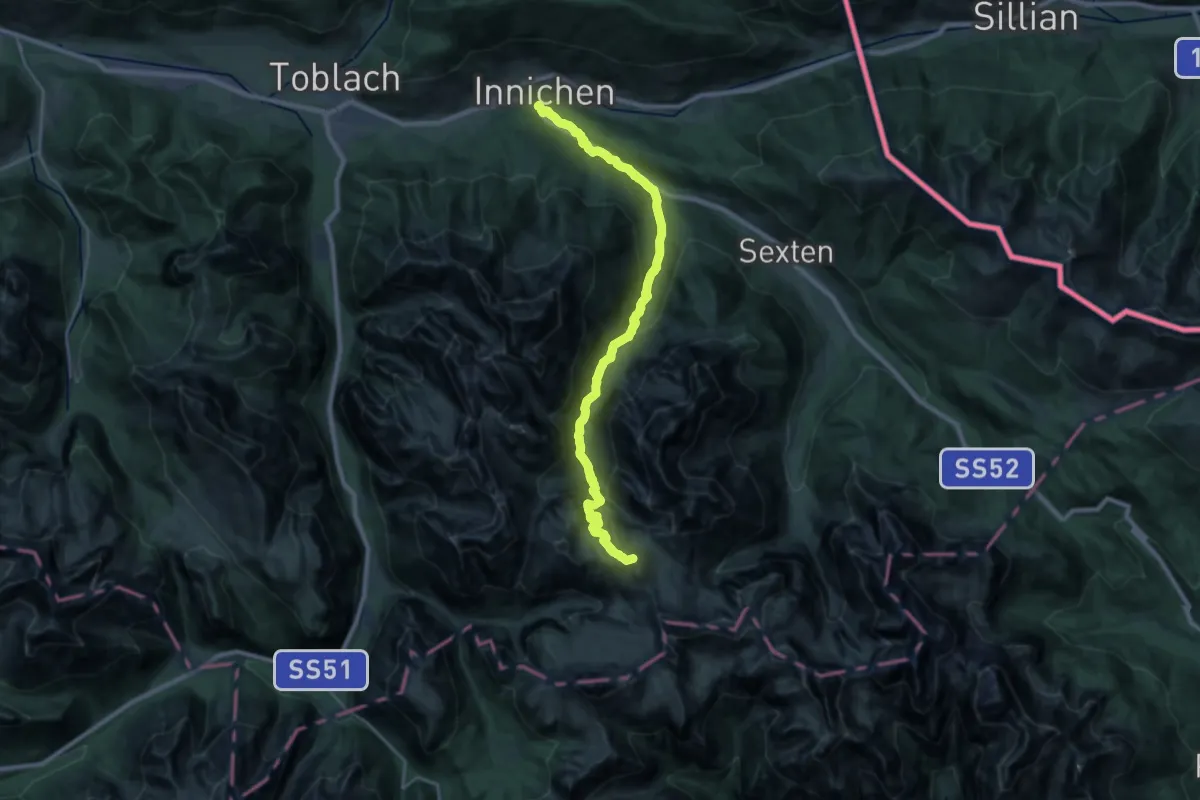
Demanding · Summit
Innichen - San Candido – rif. Auronzo, parcheggio ovest
28.0 km · ↑ 1530 m · 9 h 55 min
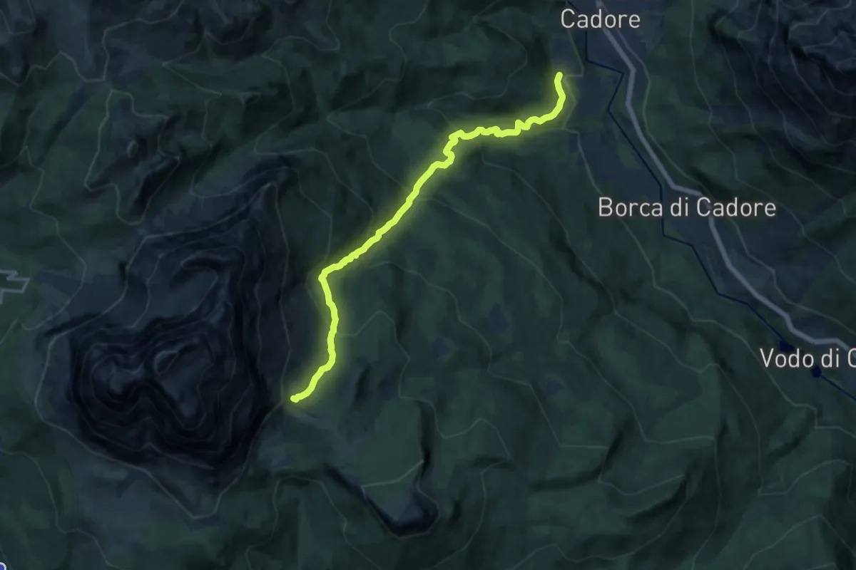
Demanding · Cabin
San Vito - Serdes Chiesa di San Rocco – Rifugio Venezia
13.2 km · ↑ 980 m · 5 h 15 min
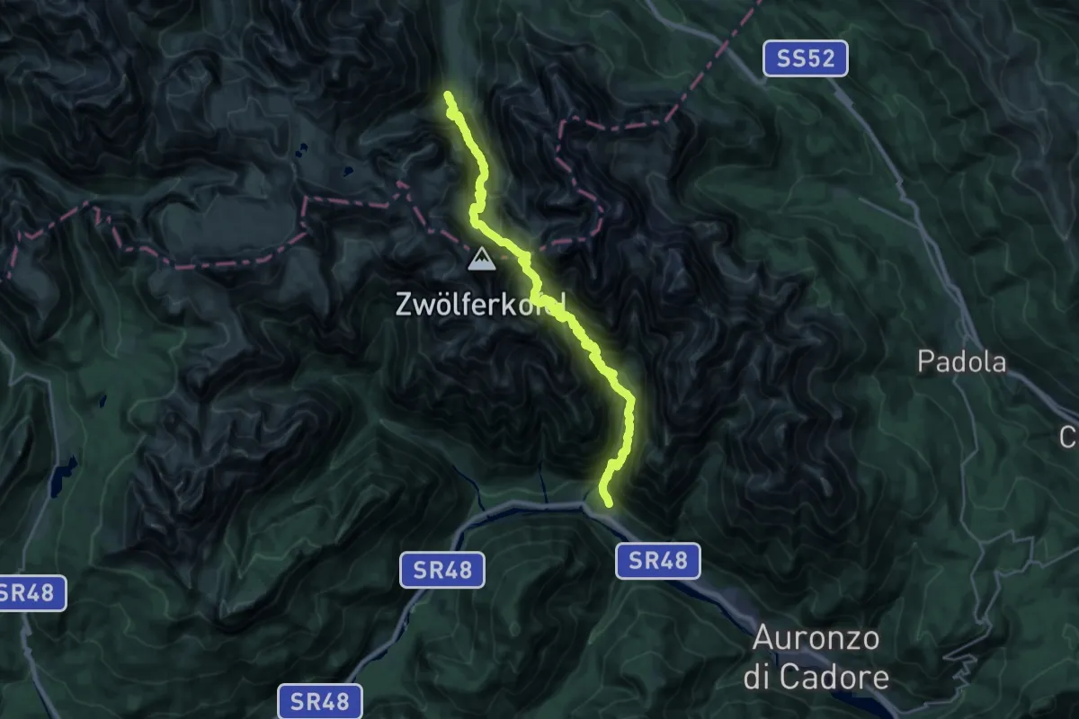
Expert · Trail
Rifugio Fondo Valle;Talschlusshütte – Pian de la Velma
13.1 km · ↑ 1030 m · 5 h 49 min
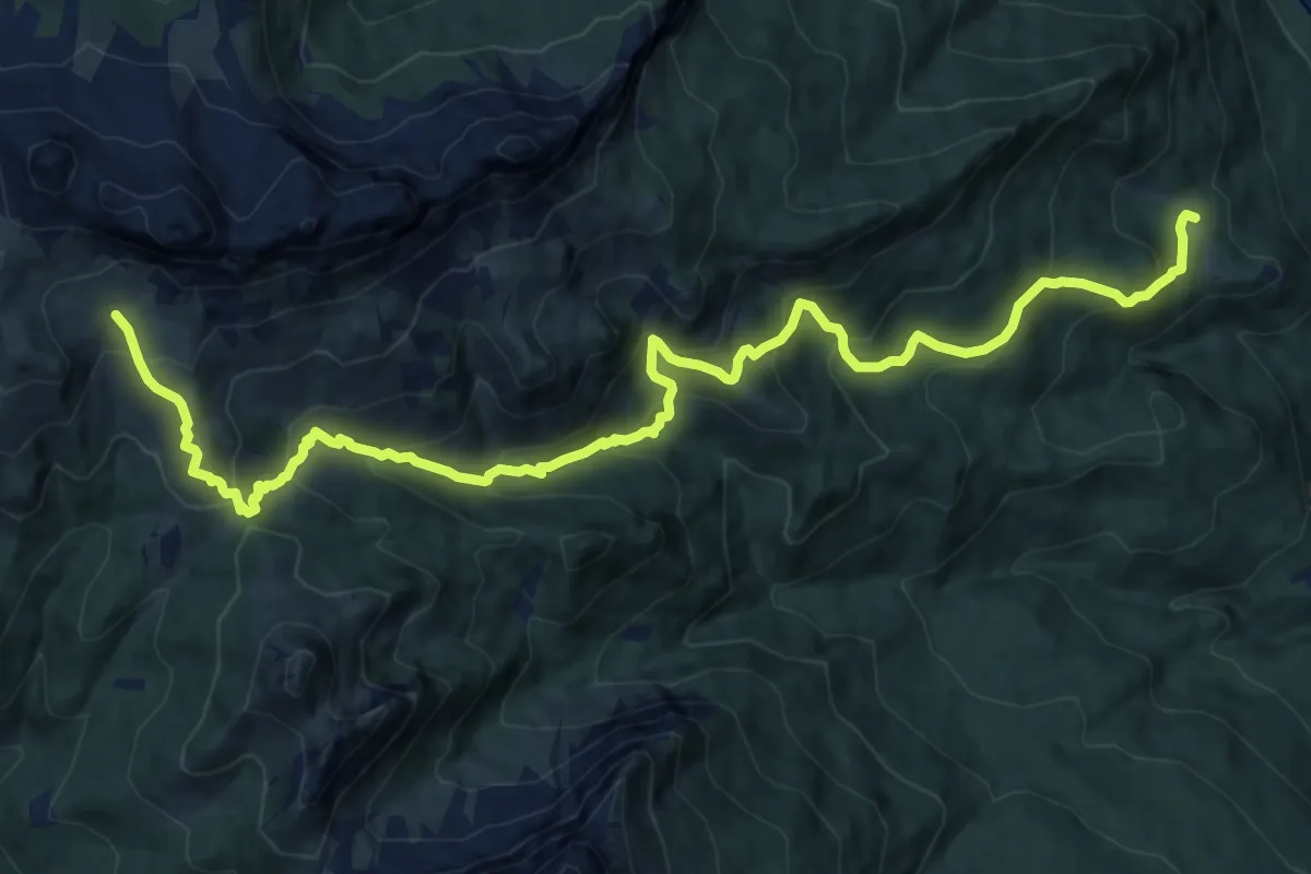
Demanding · Trail
San Vito - Ponte di Serdes – Malga Prendera - innesto sentiero 436
17.0 km · ↑ 1189 m · 6 h 35 min
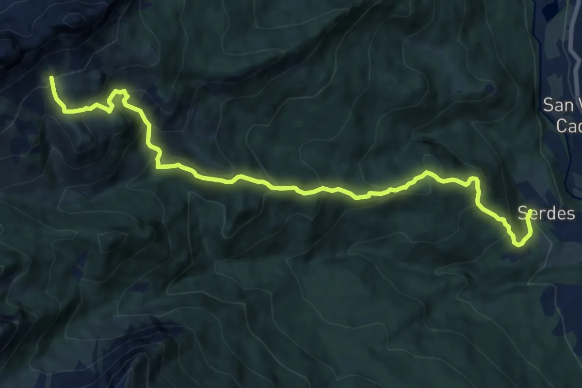
Demanding · Trail
Serdes - Chiesa di San Rocco – Sorarù - inn. sent. 436
12.7 km · ↑ 1045 m · 5 h 16 min
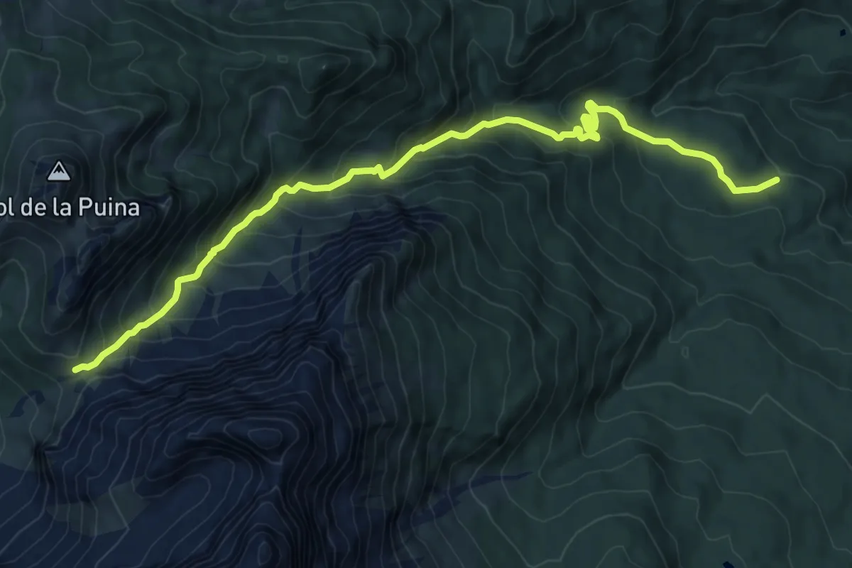
Medium · Trail
Villanova di Borca - Taulà de Tiera – Forcella Forada - inn. sent. 480
10.5 km · ↑ 799 m · 4 h 12 min
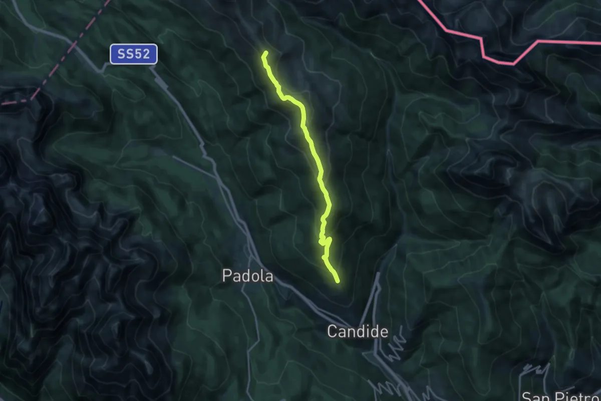
Medium · Summit
Casamazzagno - Le Fdere – Passo Silvella
14.7 km · ↑ 762 m · 5 h 7 min
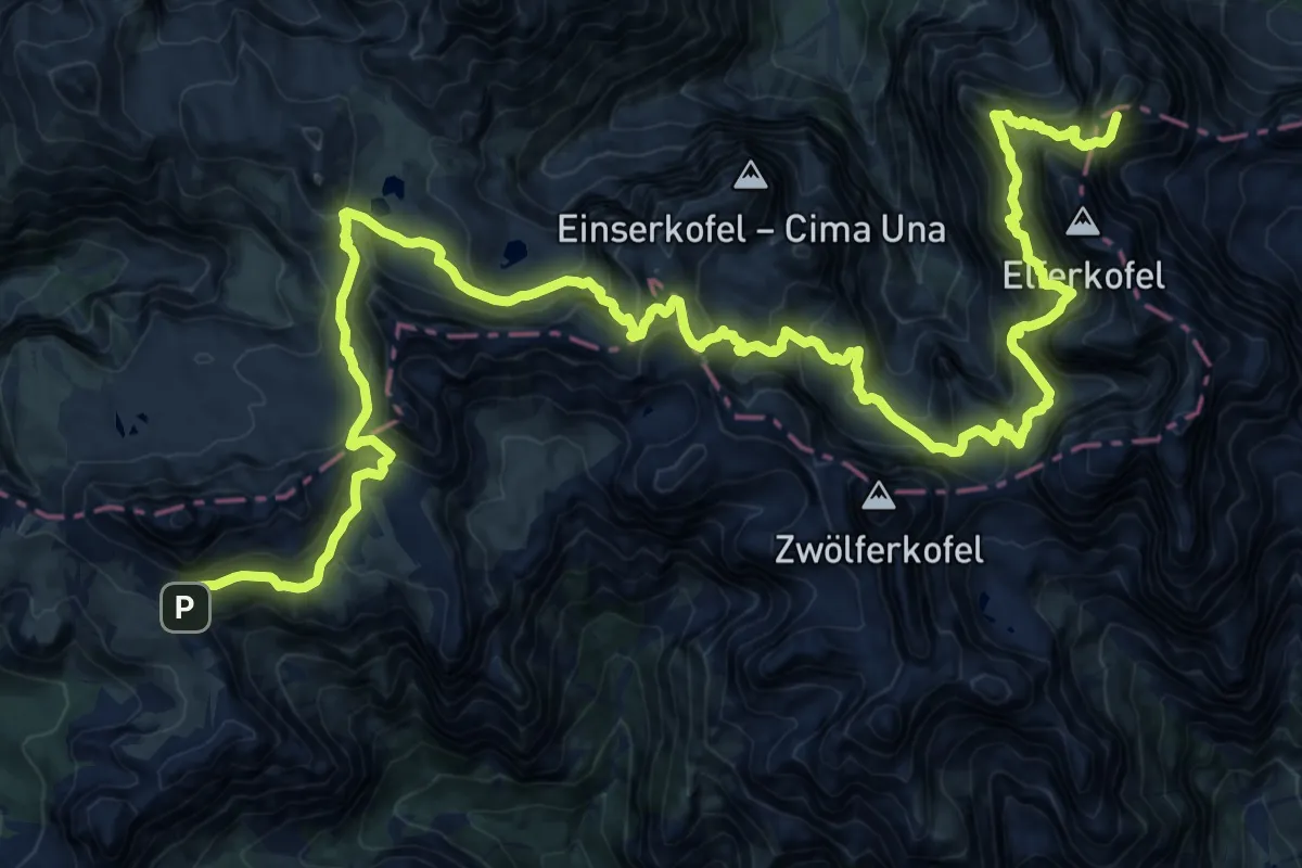
Expert · Summit
Rifugio Lunelli a Selvapiana – Rifugio Auronzo
31.6 km · ↑ 2841 m · 13 h 37 min
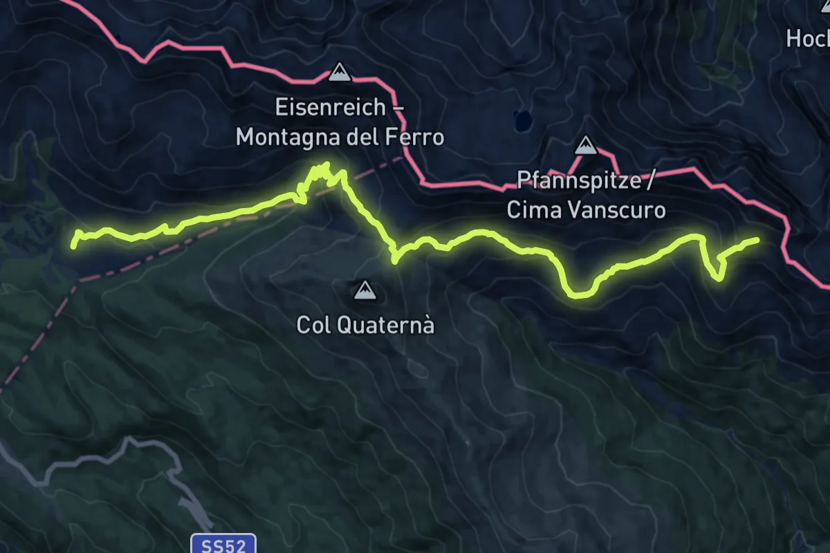
Demanding · Trail
Rifugio Malga di Nemes – Ghiaione del Cavallino - innesto sentiero 145
20.4 km · ↑ 1109 m · 7 h 13 min
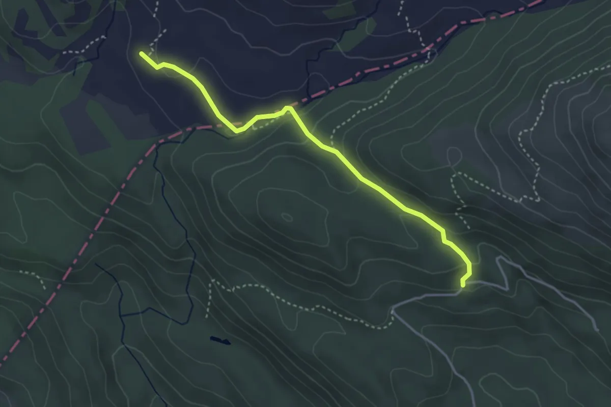
Medium · Trail
Casera Coltrondo (Agriturismo) – Malga Nemes
3.6 km · ↑ 116 m · 1 h 6 min
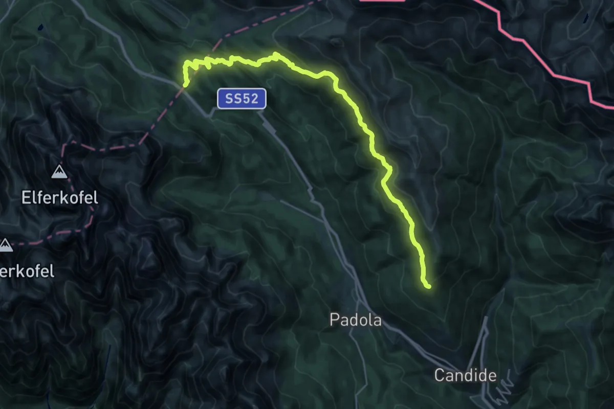
Medium · Trail
Casamazzagno - Le Fdere – Pressi di Col della Croce - confine di Regione, innesto su sentiero 131
12.7 km · ↑ 505 m · 4 h 19 min
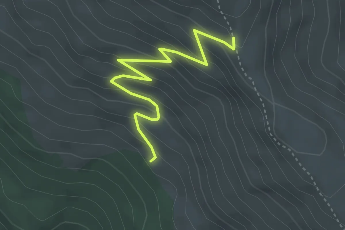
Easy · Trail
La Ponta - da sentiero 149 – Sotto Sella Quaternà - innesto sentiero 148
3.5 km · ↑ 283 m · 1 h 27 min
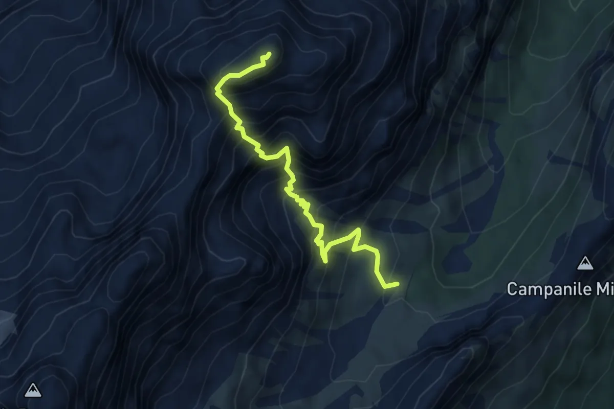
Demanding · Summit
Val Popena Alta – Cima Cristallino di Misurina
4.8 km · ↑ 800 m · 2 h 51 min
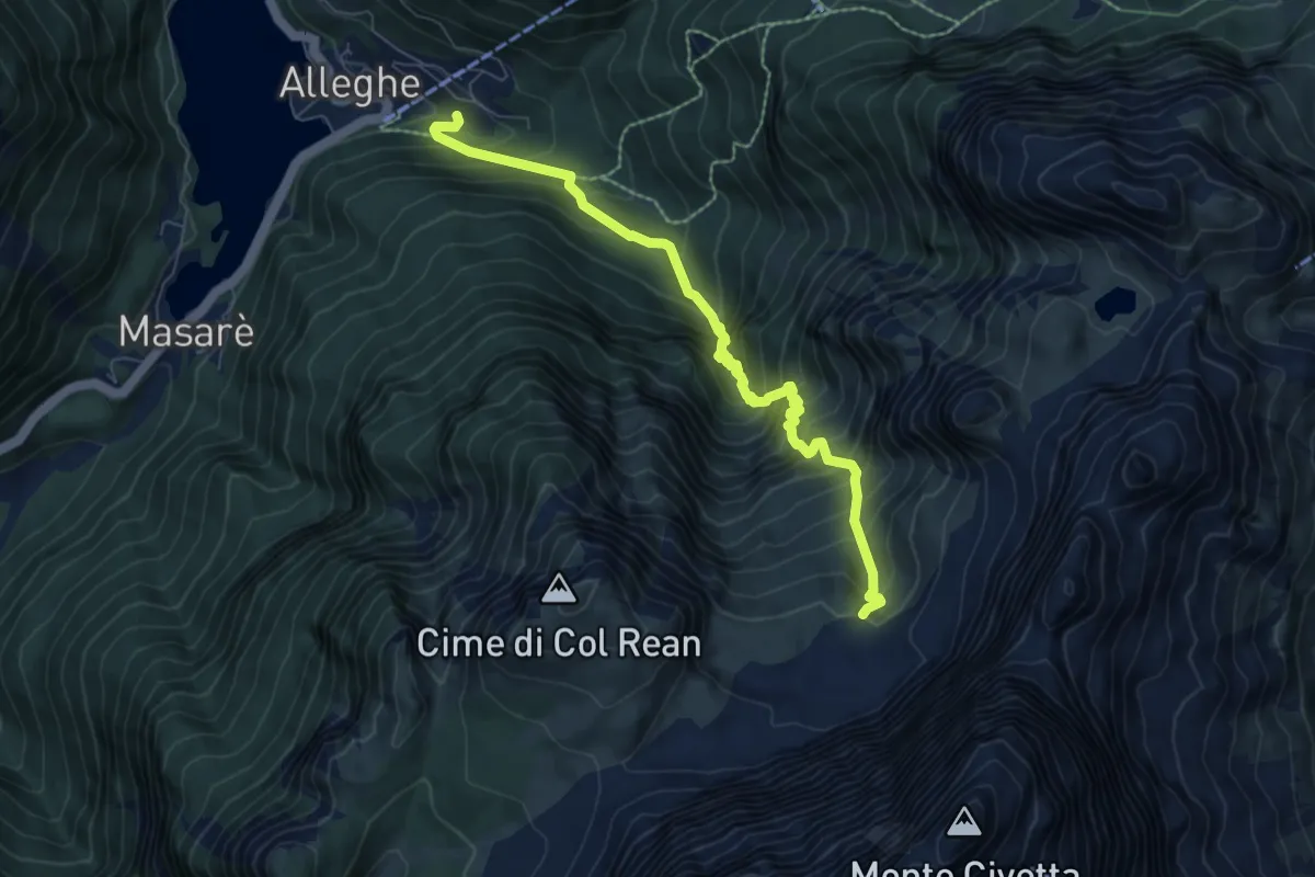
Expert · Trail
Alleghe – Val Civetta - inn. sent. 560
7.4 km · ↑ 1032 m · 3 h 59 min
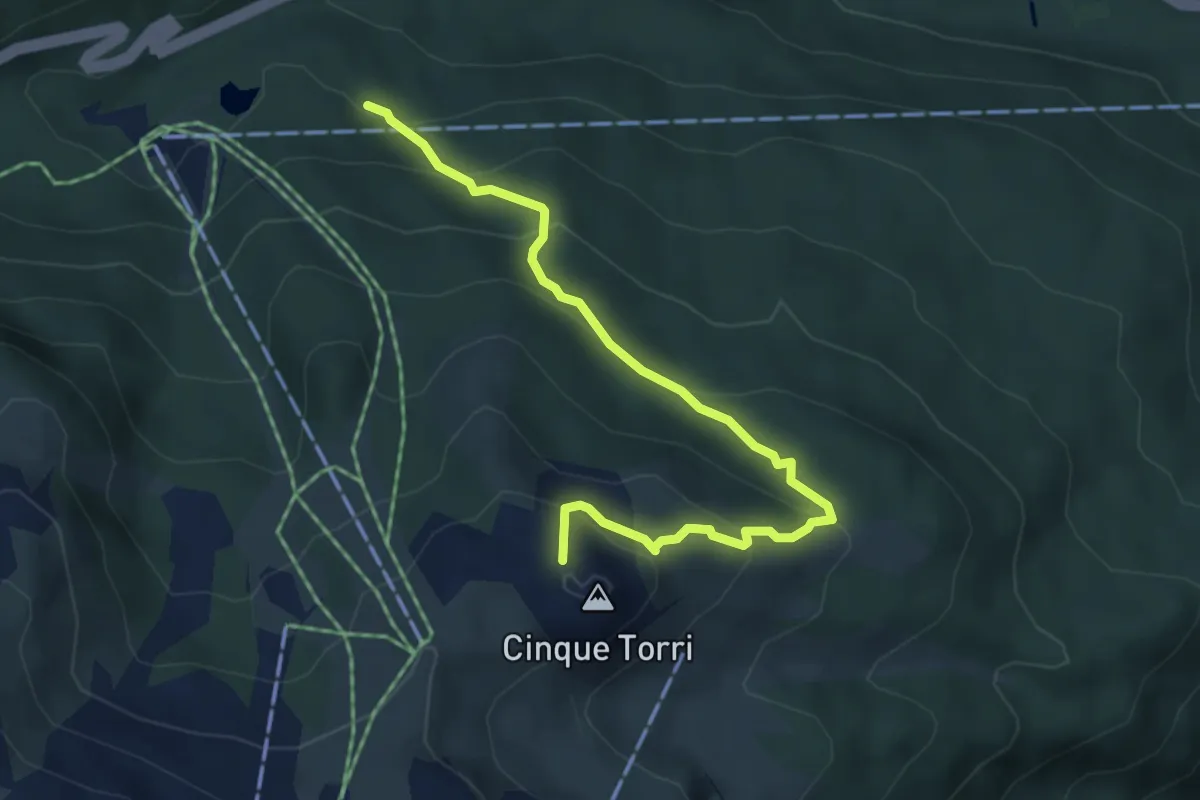
Medium · Summit
Bai de Dones - da sent. 424 – Rifugio Scoiattoli
4.9 km · ↑ 354 m · 1 h 56 min
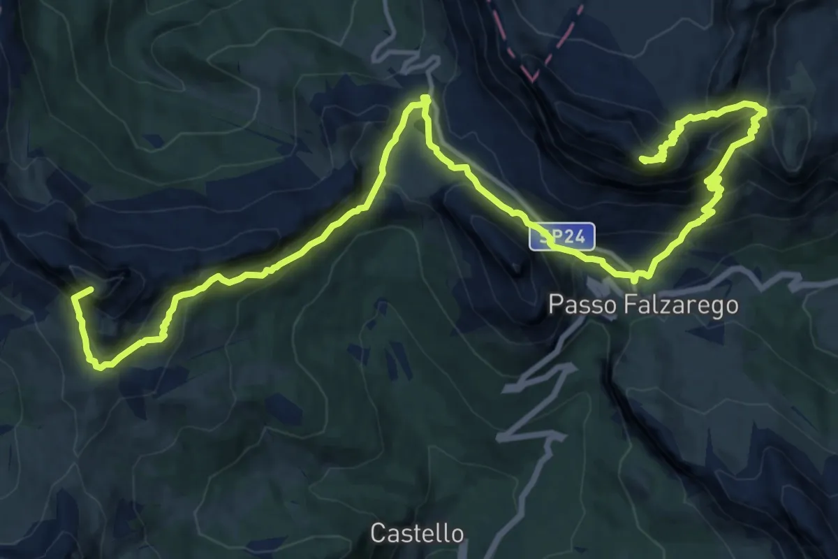
Demanding · Summit
Pralongià – Rifugio Lagazuoi
20.0 km · ↑ 1464 m · 7 h 53 min
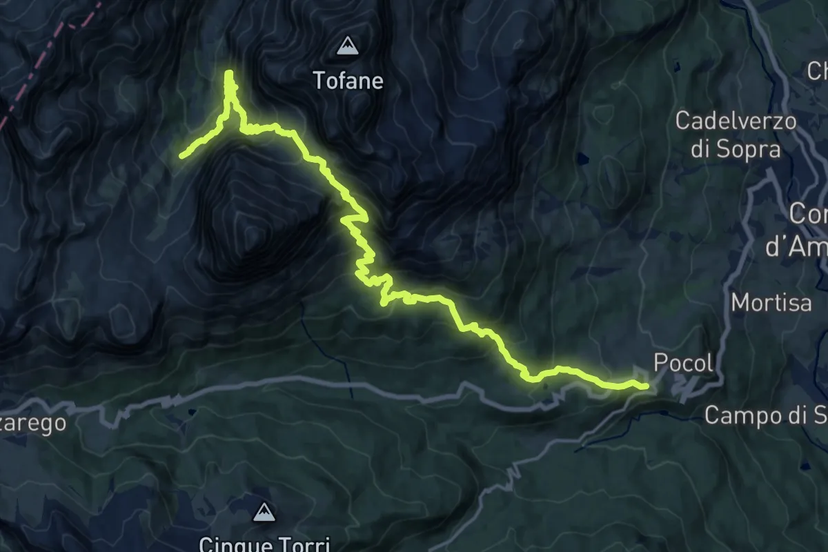
Medium · Trail
Lacedel - Pocol – sotto Cason Travenanzes - sentiero 401
11.0 km · ↑ 772 m · 4 h 40 min
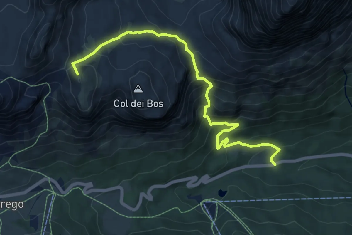
Medium · Summit
Ponte de Landries - S.R. 48 al km 111 – Passo Falzarego
8.4 km · ↑ 701 m · 3 h 30 min
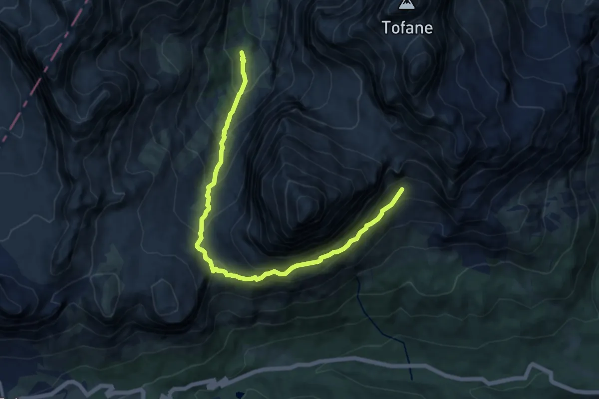
Demanding · Trail
Cason de Travenanzes - innesto percorso 401 – Valon de Tofana - pressi rif. Dibona - da percorso 403
10.2 km · ↑ 1251 m · 5 h 8 min
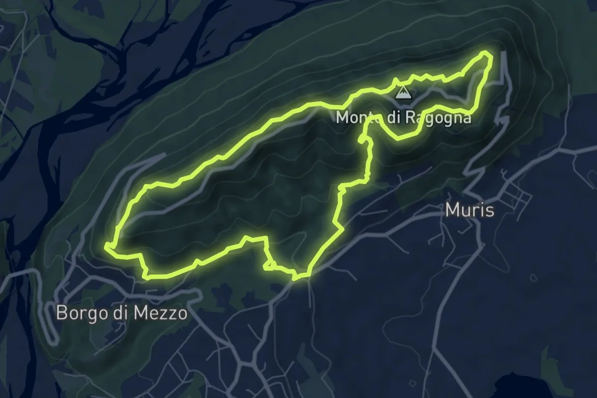
Medium · Summit
San Giacomo (Ragogna) (quota 232 m) – Cima Monte Ragogna (quota 512 m)
8.3 km · ↑ 499 m · 3 h 9 min
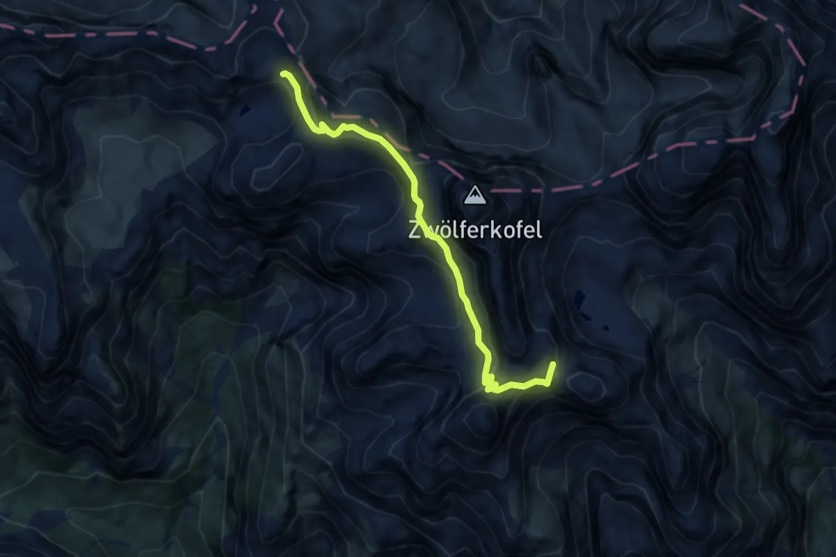
Expert · Summit
Sopra Lago di Cengia inn. sent. 104 – Rifugio Carducci inn. sent. 103
7.7 km · ↑ 1058 m · 4 h 6 min
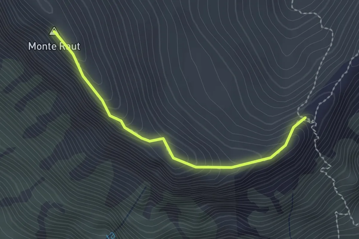
Demanding · Summit
Forcella Capra (quota 1824 m) – Monte Raut (quota 2025 m)
2.0 km · ↑ 178 m · 52 min
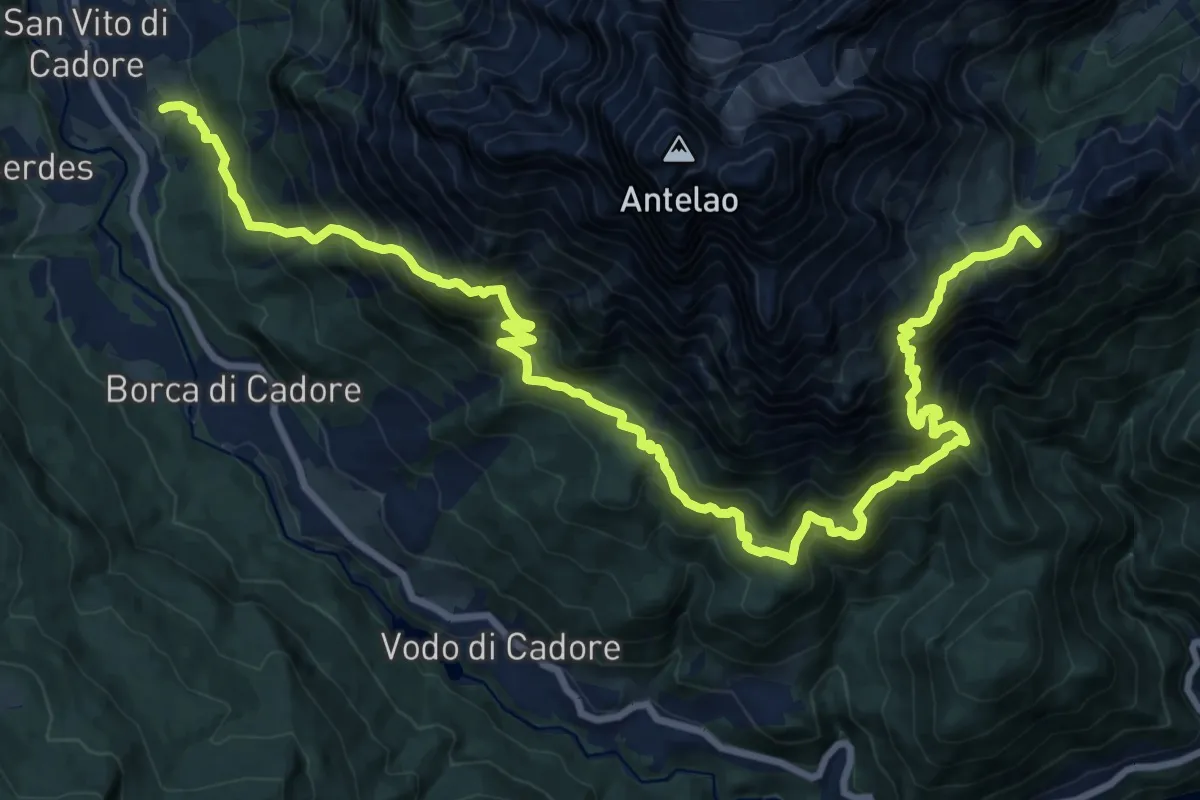
Demanding · Summit
Resinego - sopra Istituto di Selvicoltura – Sotto Forcella Piria - innesto sentiero 250
25.1 km · ↑ 2454 m · 11 h 15 min
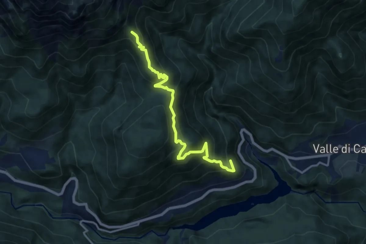
Medium · Trail
Venas - Suppiane – La Glories - innesto sentiero 230
9.0 km · ↑ 720 m · 3 h 41 min
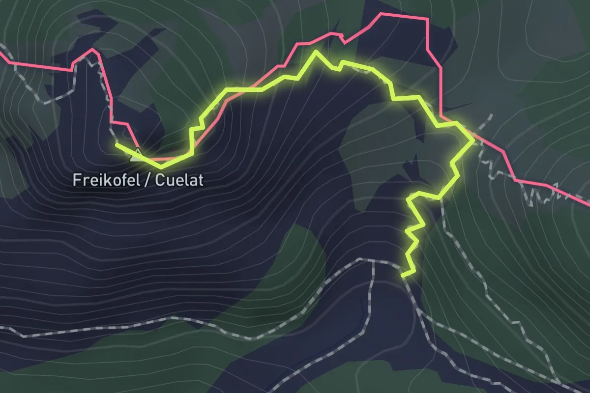
Expert · Summit
Bivio sentiero n. 401 (quota 1640 m) – Bivio sentiero n. 401 (quota 1500 m)
1.7 km · ↑ 227 m · 54 min
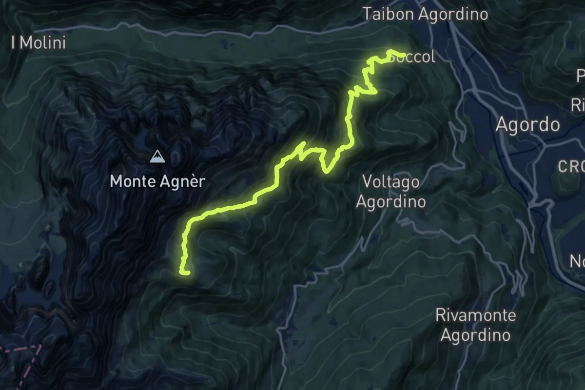
Demanding · Cabin
Soccol (quota 749 m) – Rifugio E. Scarpa (quota 1746)
17.5 km · ↑ 1309 m · 6 h 58 min
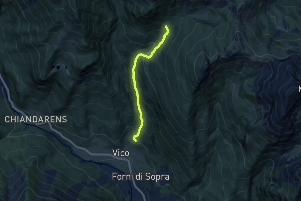
Medium · Trail
Loc. Pidilia, bivio sentiero 209 (quota 1103 m) – Bivio sentiero "Puonsas – Tragonia" (quota 1617 m)
6.8 km · ↑ 640 m · 2 h 59 min
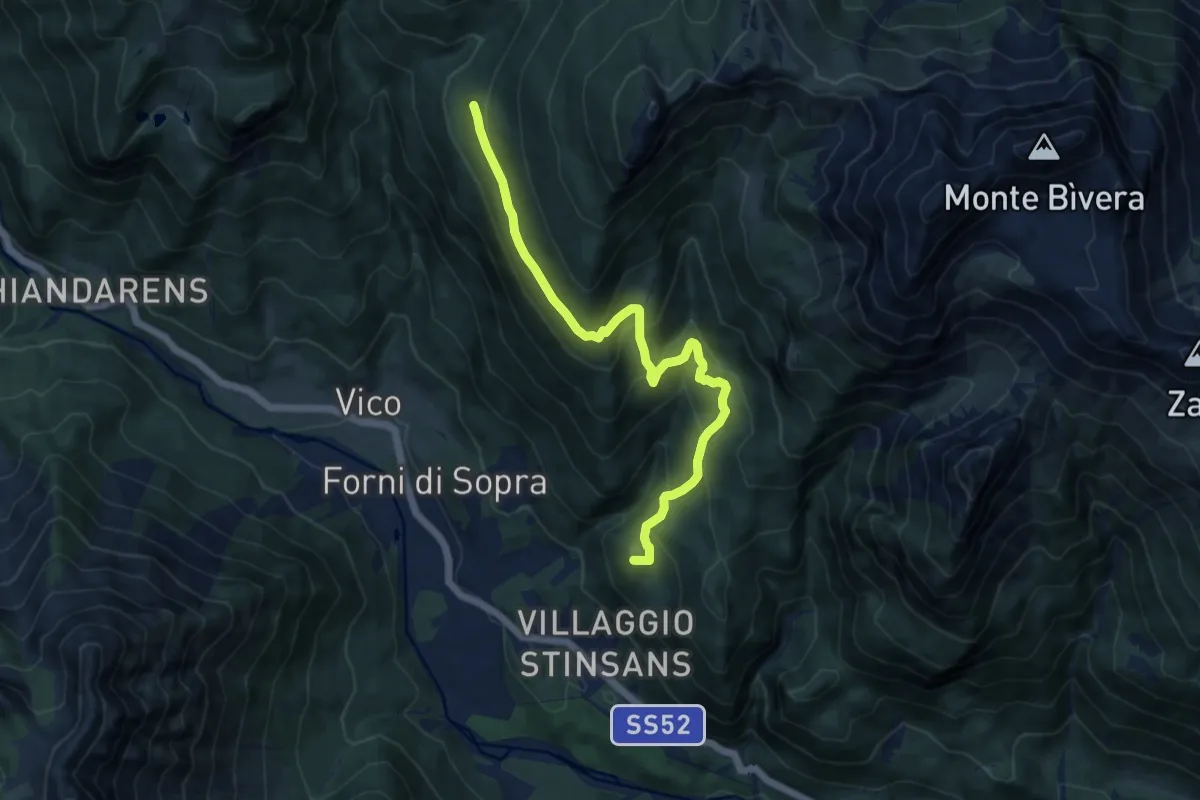
Demanding · Summit
Loc. Masaroul (quota 974 m) – Bivio sentiero 209 (quota 1550 m)
10.9 km · ↑ 598 m · 3 h 52 min
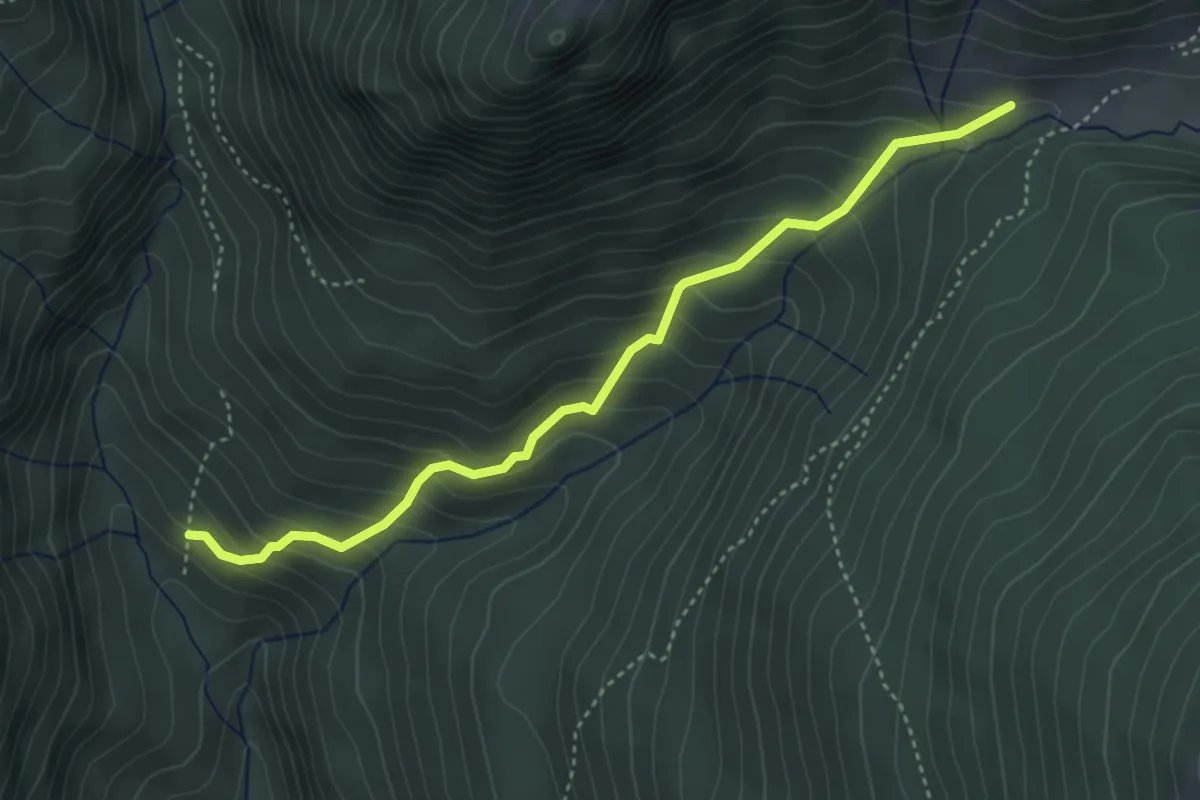
Medium · Trail
Loc. Puonsas, bivio sentiero 208 (quota 1326 m) – Bivio sentiero 223 (quota 1615 m)
4.0 km · ↑ 395 m · 1 h 48 min
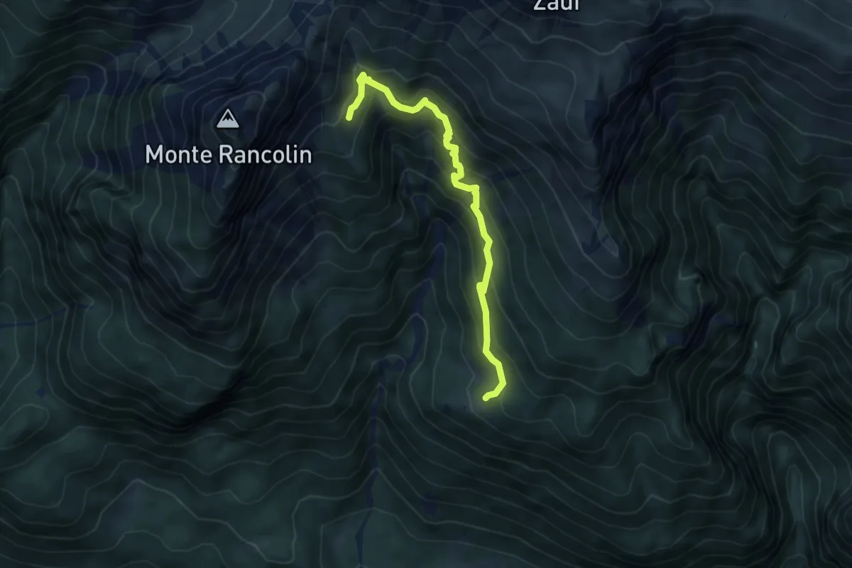
Medium · Cabin
Forni di Sotto località fienili Preson (quota 1359 m) – Casera Costa Baton (quota 1731 m)
5.3 km · ↑ 504 m · 2 h 20 min
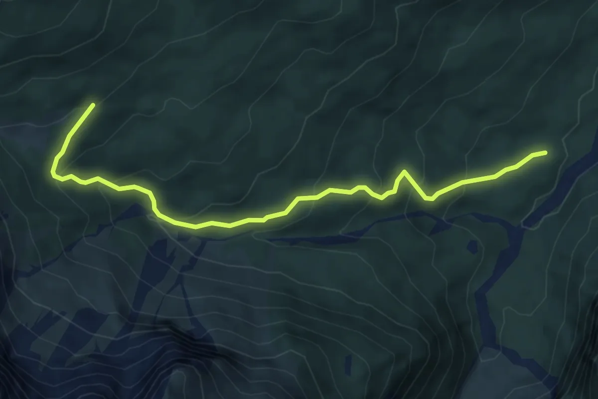
Medium · Trail
Bivio sentiero 314 (quota 1278 m) – Bivio sentiero 313 (quota 1650 m)
6.3 km · ↑ 398 m · 2 h 21 min
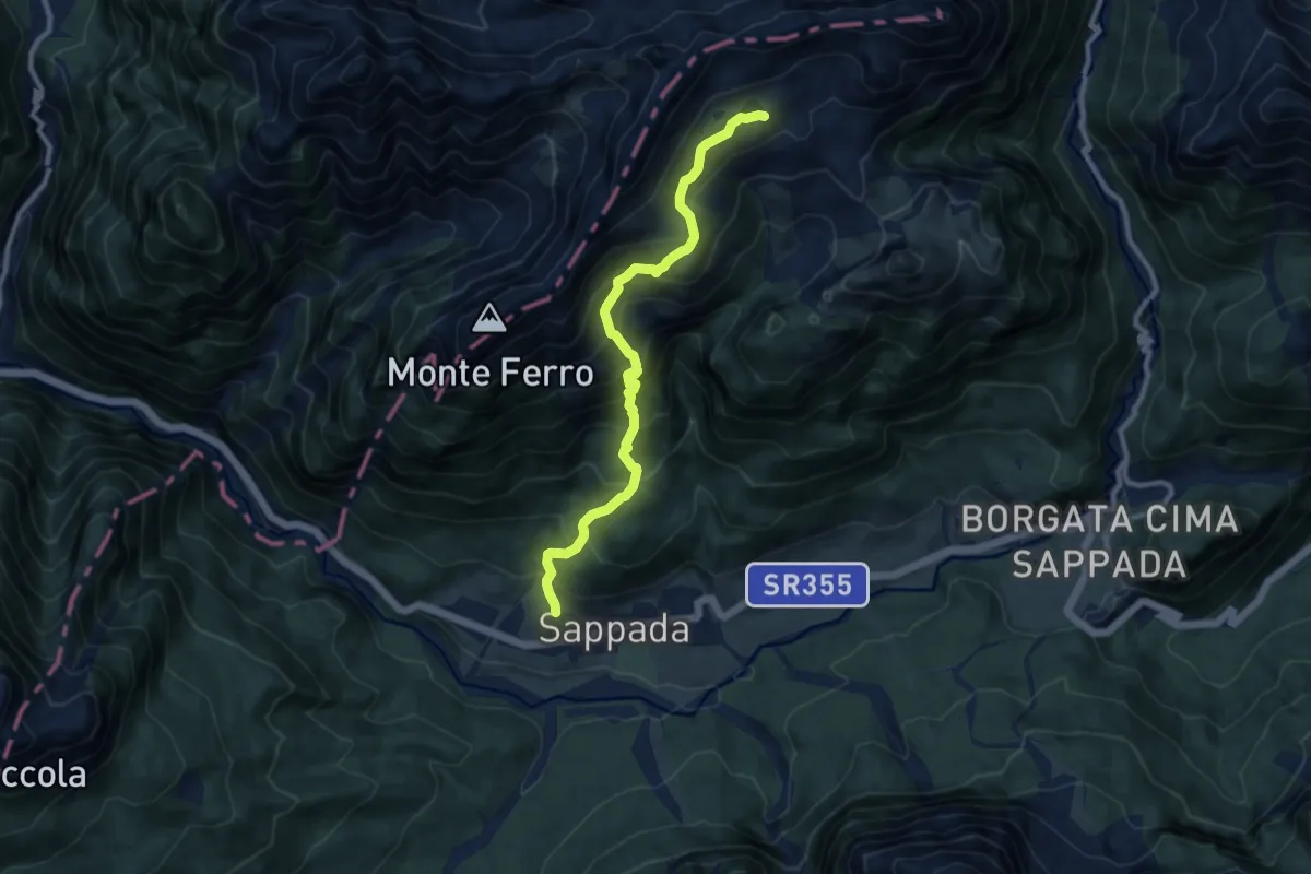
Demanding · Trail
Borgata Granvilla (quota 1220 m) – Laghi d’Olbe (quota 2146 m)
9.5 km · ↑ 931 m · 4 h 15 min
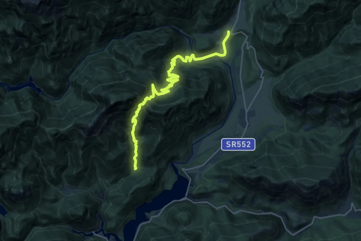
Demanding · Trail
Tramonti di Sopra (quota 415 m) – Posplata (quota 398 m)
9.7 km · ↑ 837 m · 4 h 14 min
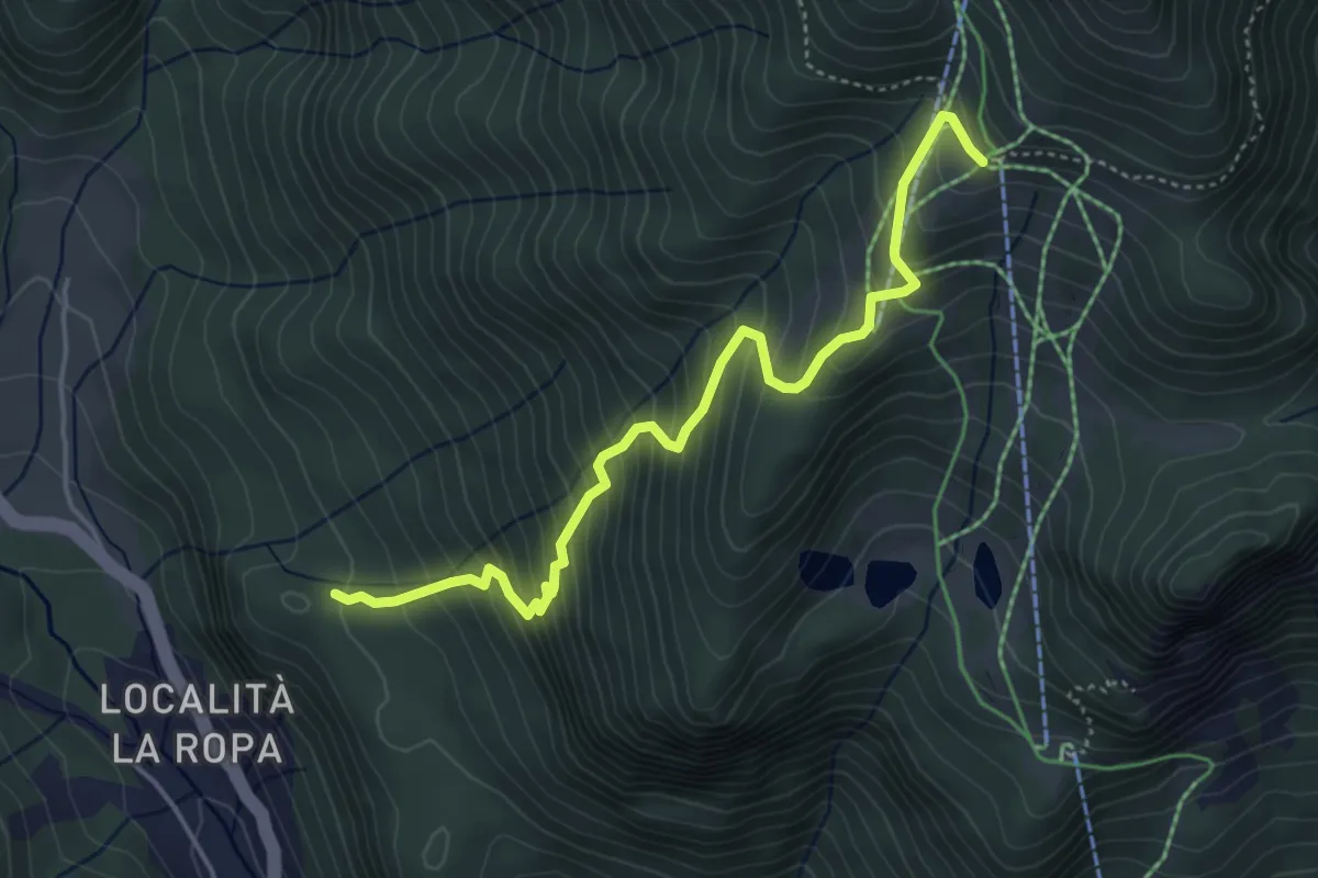
Medium · Trail
Località Poàs (quota 1181 m) – Casera Varmost (quota 1758 m)
4.7 km · ↑ 560 m · 2 h 19 min
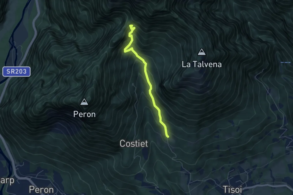
Medium · Trail
Casera Zoppa – Forcella San Giorgio
5.1 km · ↑ 432 m · 2 h 8 min
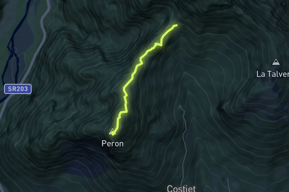
Demanding · Summit
Forcella San Giorgio – Monte Peron
3.7 km · ↑ 354 m · 1 h 39 min
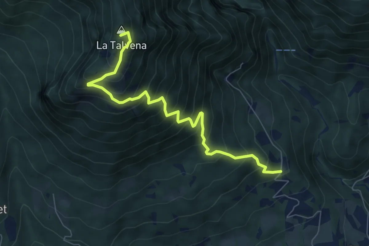
Demanding · Summit
Pascoli - Case Tovena – Pian de Regnac - inn. sent. 510
6.8 km · ↑ 788 m · 3 h 19 min