Trails in Italy
25,219 hiking trails, each with its route, climb, walking time and grade.
All trails, page 501 of 526
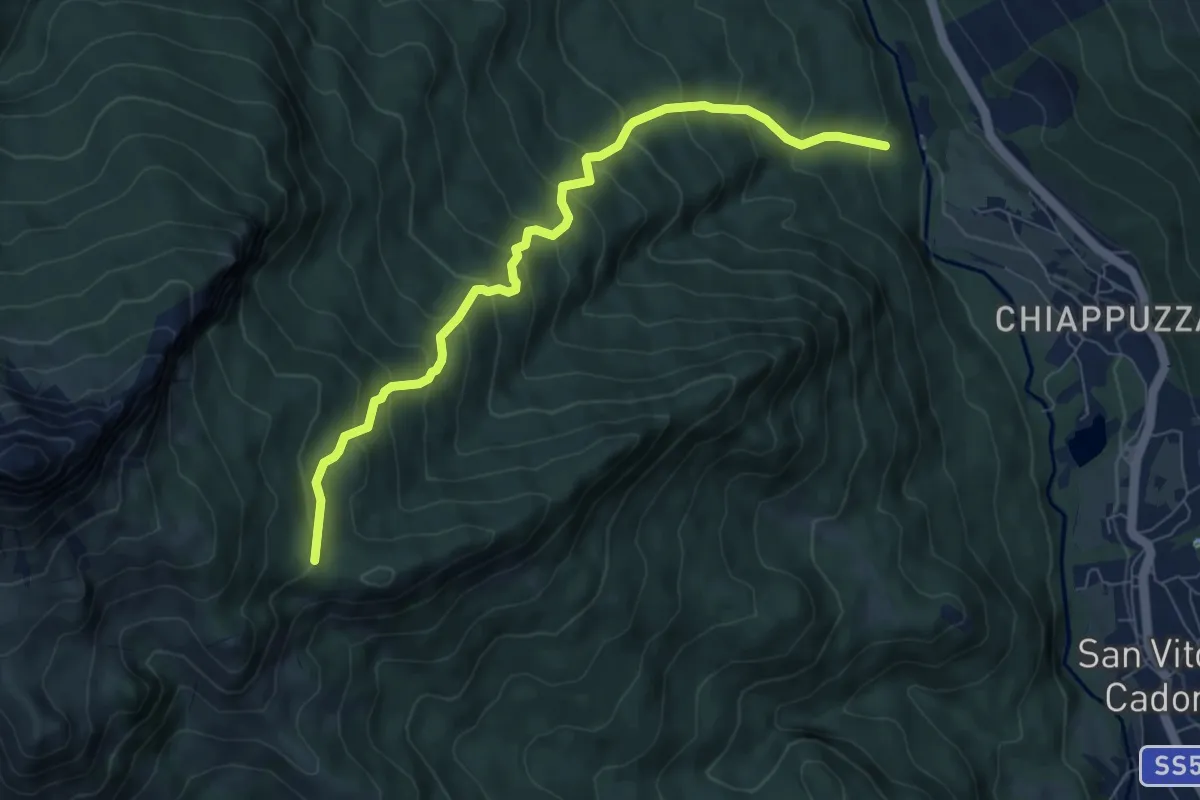
Medium · Cabin
San Vito - Ponte di Geralba - da sent. 426 – Taulà Frates - inn. sent. 436
7.6 km · ↑ 709 m · 3 h 20 min
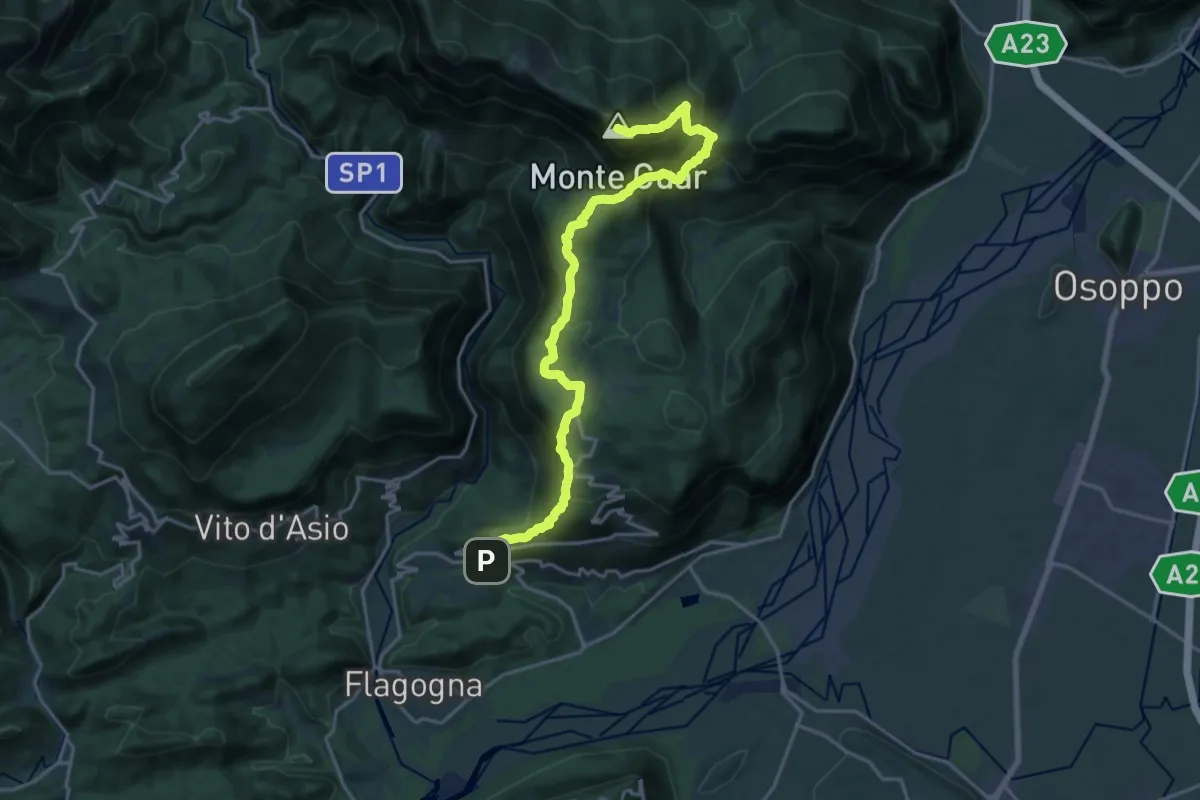
Demanding · Summit
Forgaria (quota 263 m) – Monte Cuâr (quota 1478 m)
20.4 km · ↑ 1466 m · 8 h
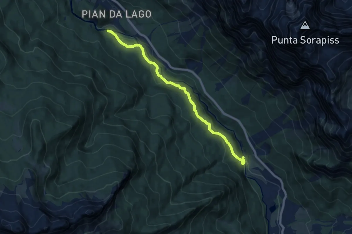
Medium · Trail
San Floreano-Ponte Geralba – Fratta - confine Comune
10.4 km · ↑ 377 m · 3 h 16 min
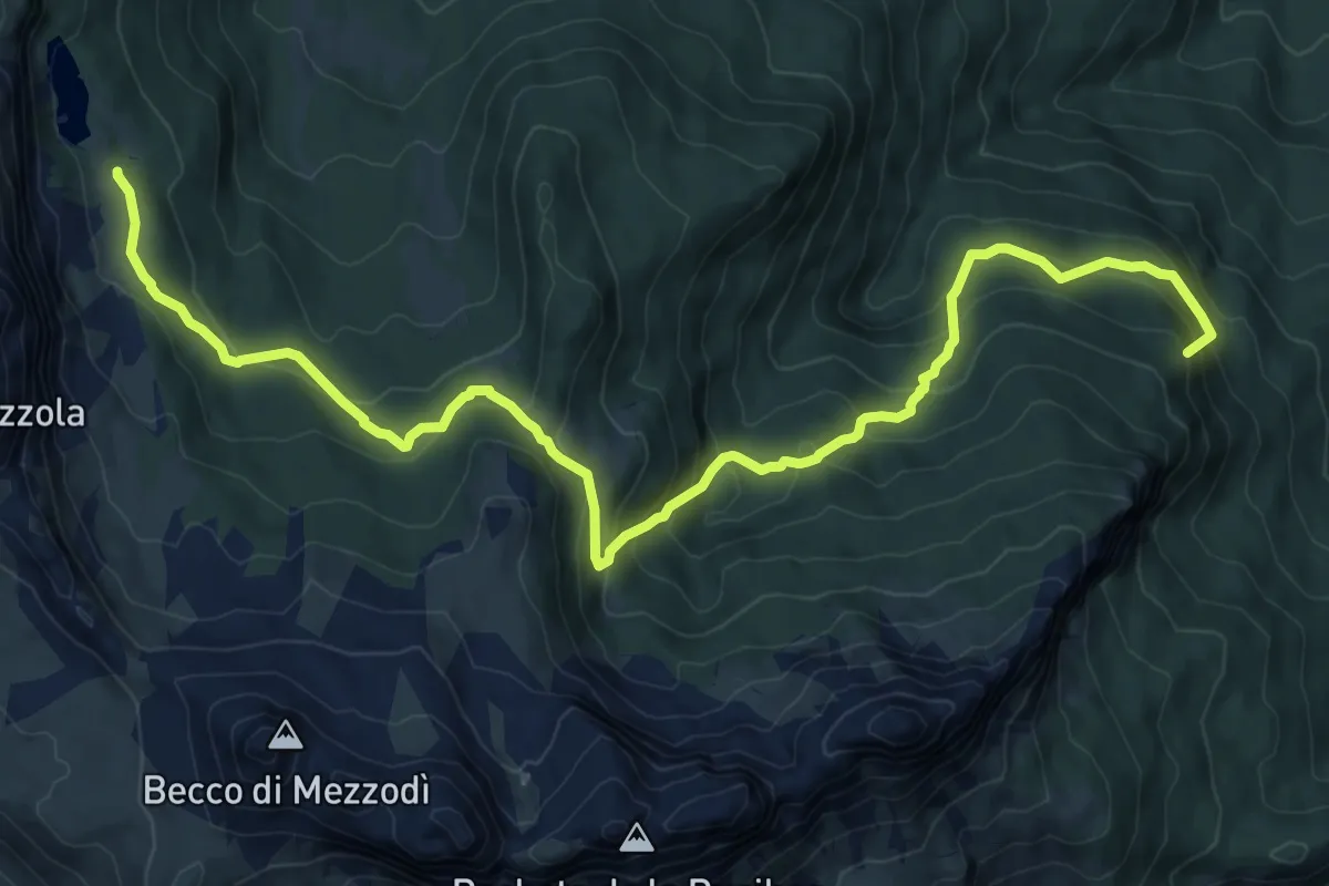
Demanding · Summit
San Vito - Ponte Palù - da sent. 459 – Sotto Rifugio Croda da Lago - inn. sent. 432
12.5 km · ↑ 882 m · 4 h 52 min
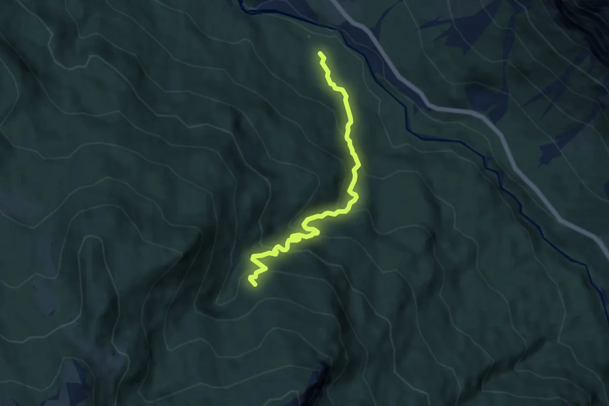
Medium · Trail
nei pressi del Ponte Socol - da sent. 426 – Pian de Ra BVaita - inn. sent. 457
7.6 km · ↑ 579 m · 3 h 3 min
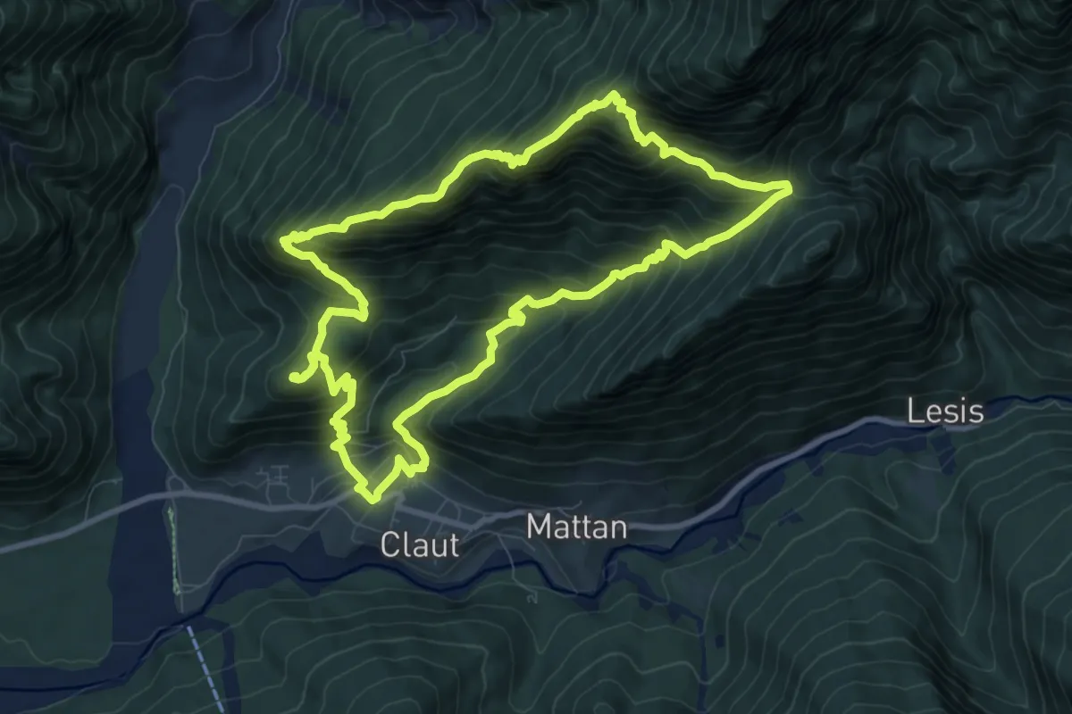
Demanding · Summit
Claut – Conca Verde (quota 600 m) – Claut – Conca Verde (quota 600 m)
9.4 km · ↑ 925 m · 4 h 22 min
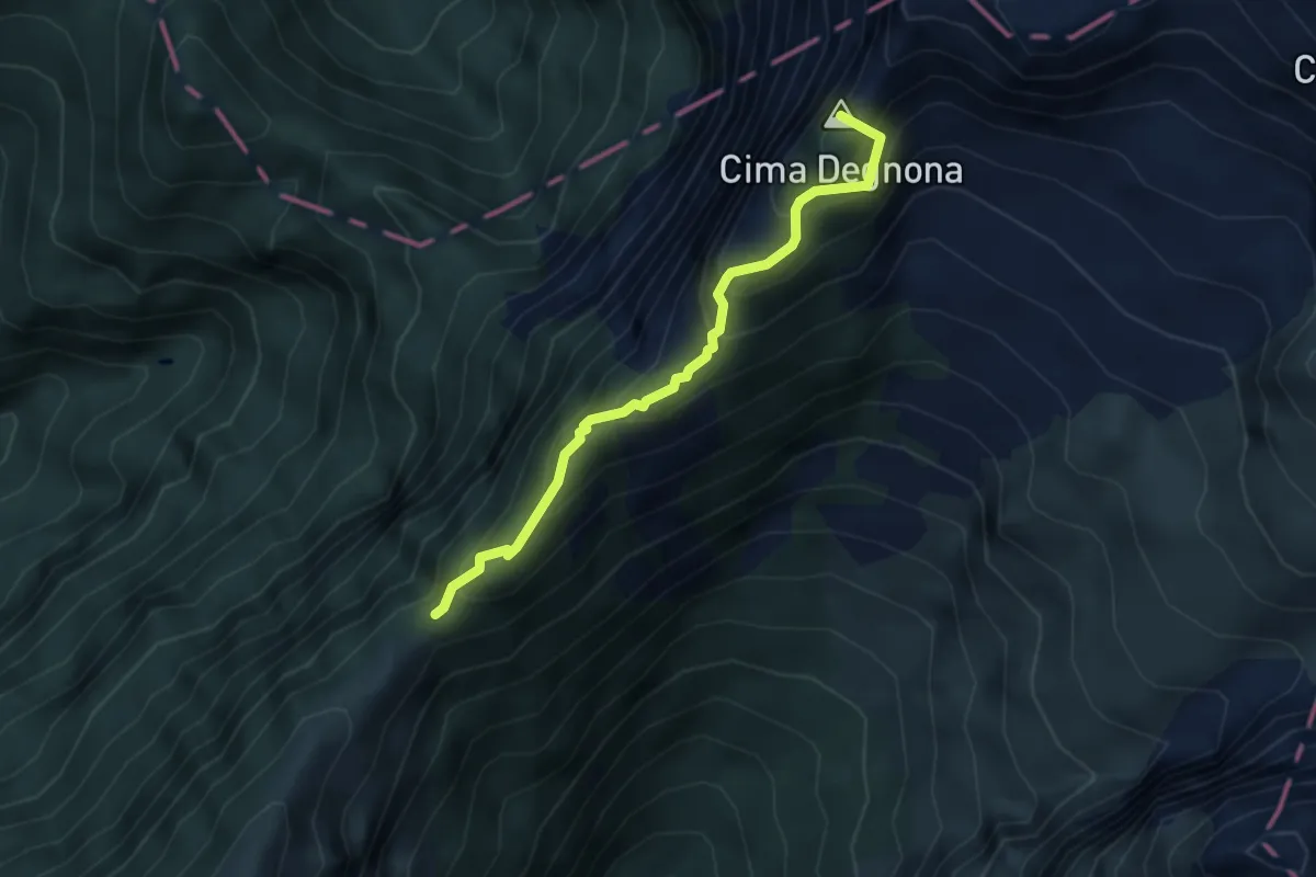
Demanding · Summit
Forcella della Lastra – Forcella Bassa dietro al Teverone
3.5 km · ↑ 412 m · 1 h 43 min
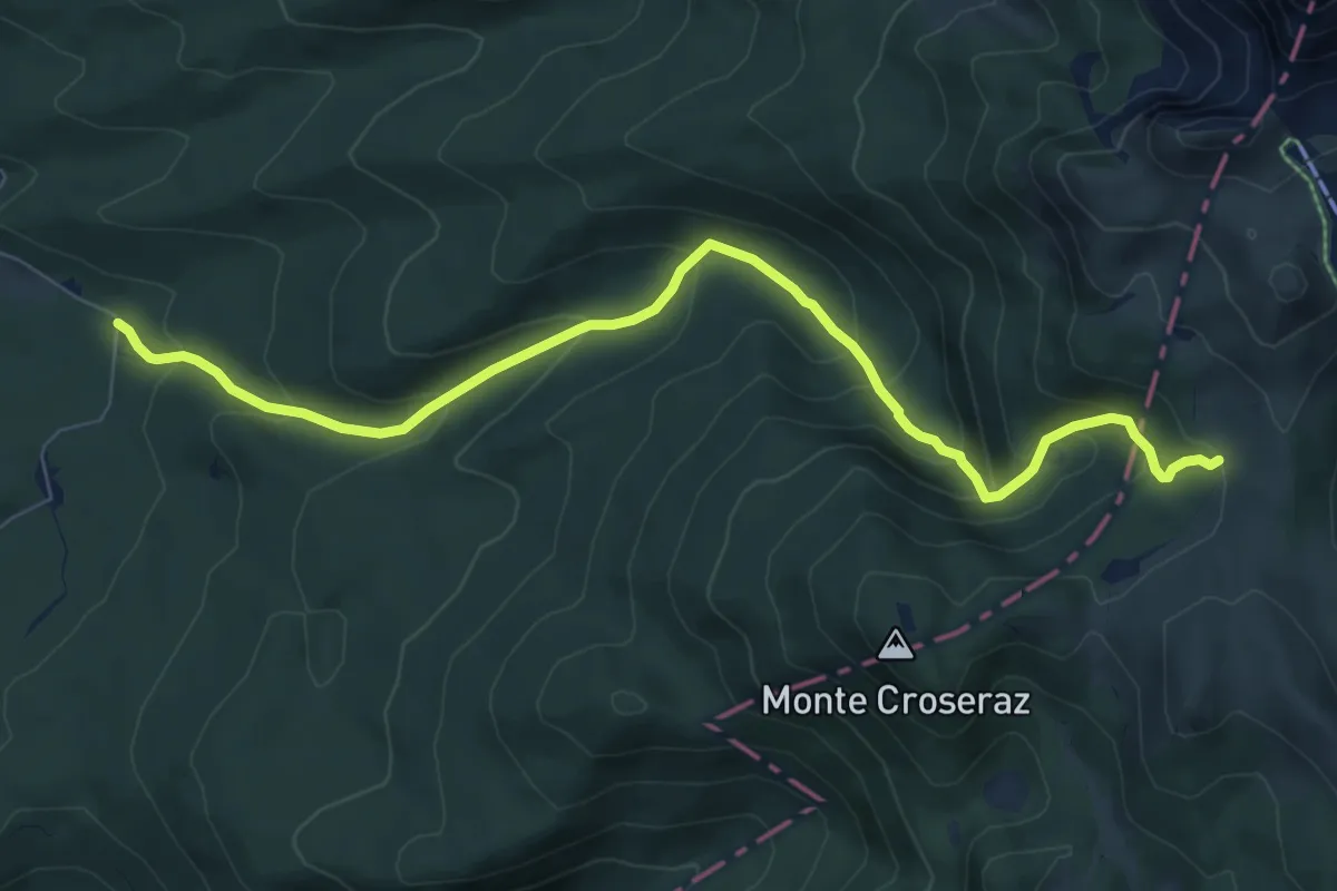
Medium · Trail
Canaie - Val Bella Bassa – Confine Regionale Veneto/FVG - (innesto 984 Mezzomonte – Casera Valle del Friz – bivio sentiero n. 993)
8.7 km · ↑ 572 m · 3 h 17 min
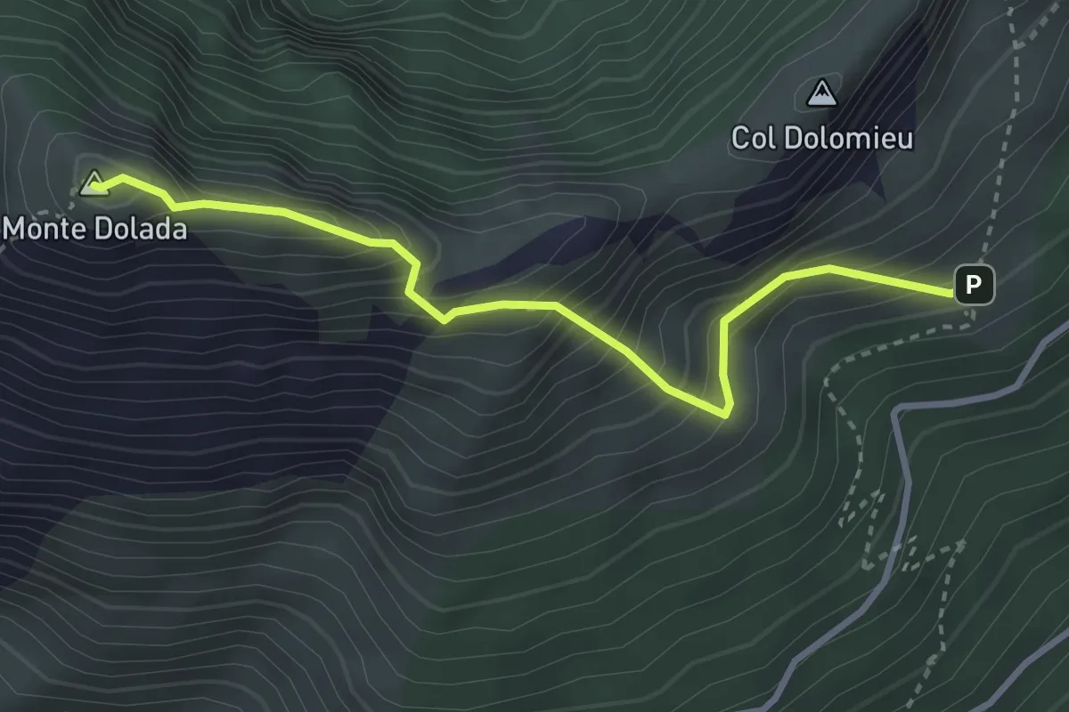
Demanding · Summit
nei pressi del Rifugio Dolada da sentiero 905 – Monte Dolada
3.2 km · ↑ 425 m · 1 h 41 min
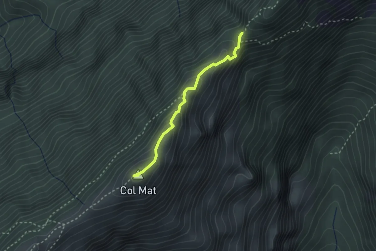
Demanding · Summit
Rifugio Dolada – Forcella della Meda o del Ciot (confine Regione)
2.2 km · ↑ 141 m · 50 min
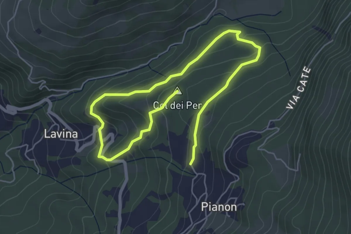
Medium · Summit
Fontana de le Lavine – Carere
7.3 km · ↑ 337 m · 2 h 27 min
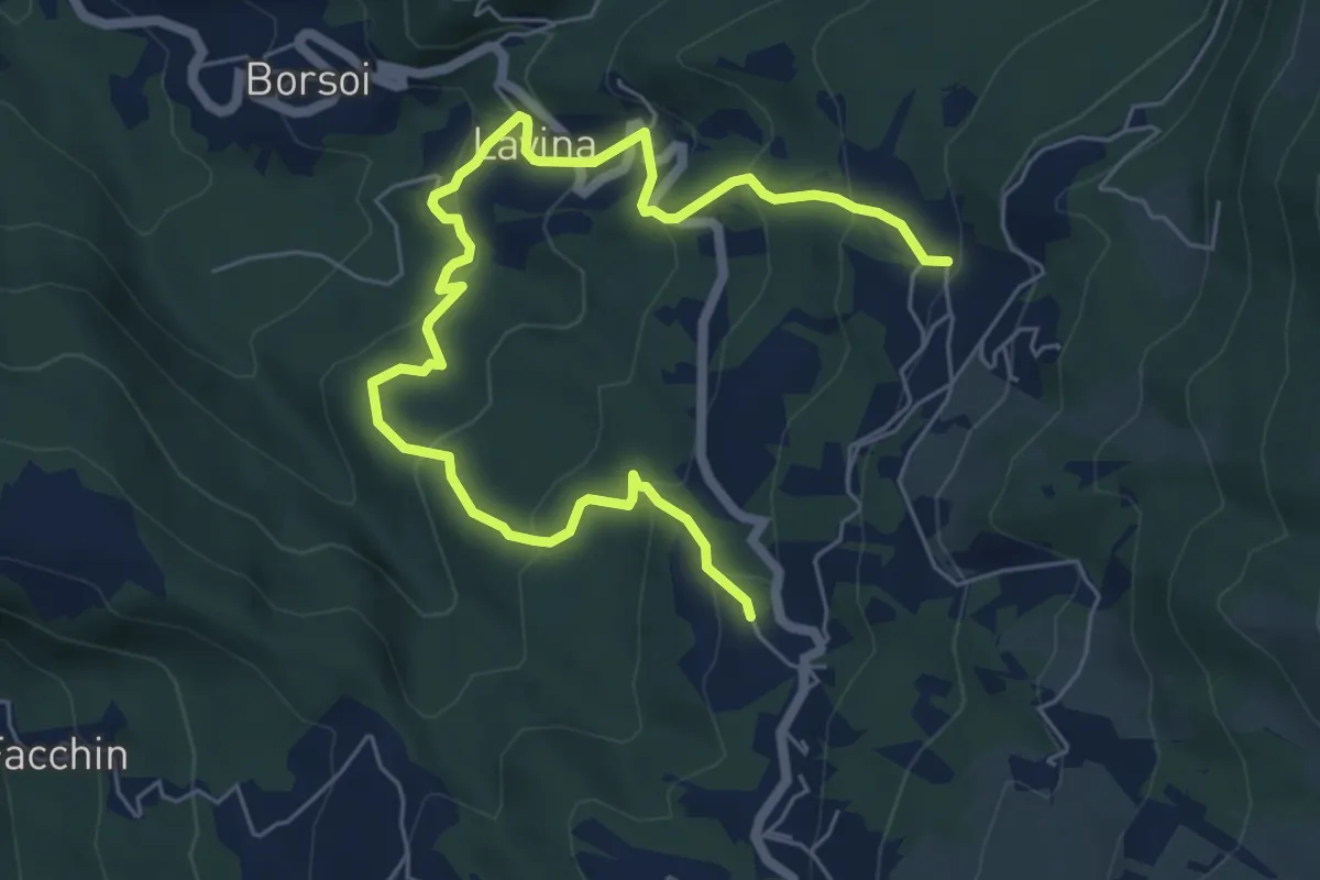
Medium · Trail
Civit – Sabionere
7.9 km · ↑ 516 m · 2 h 59 min
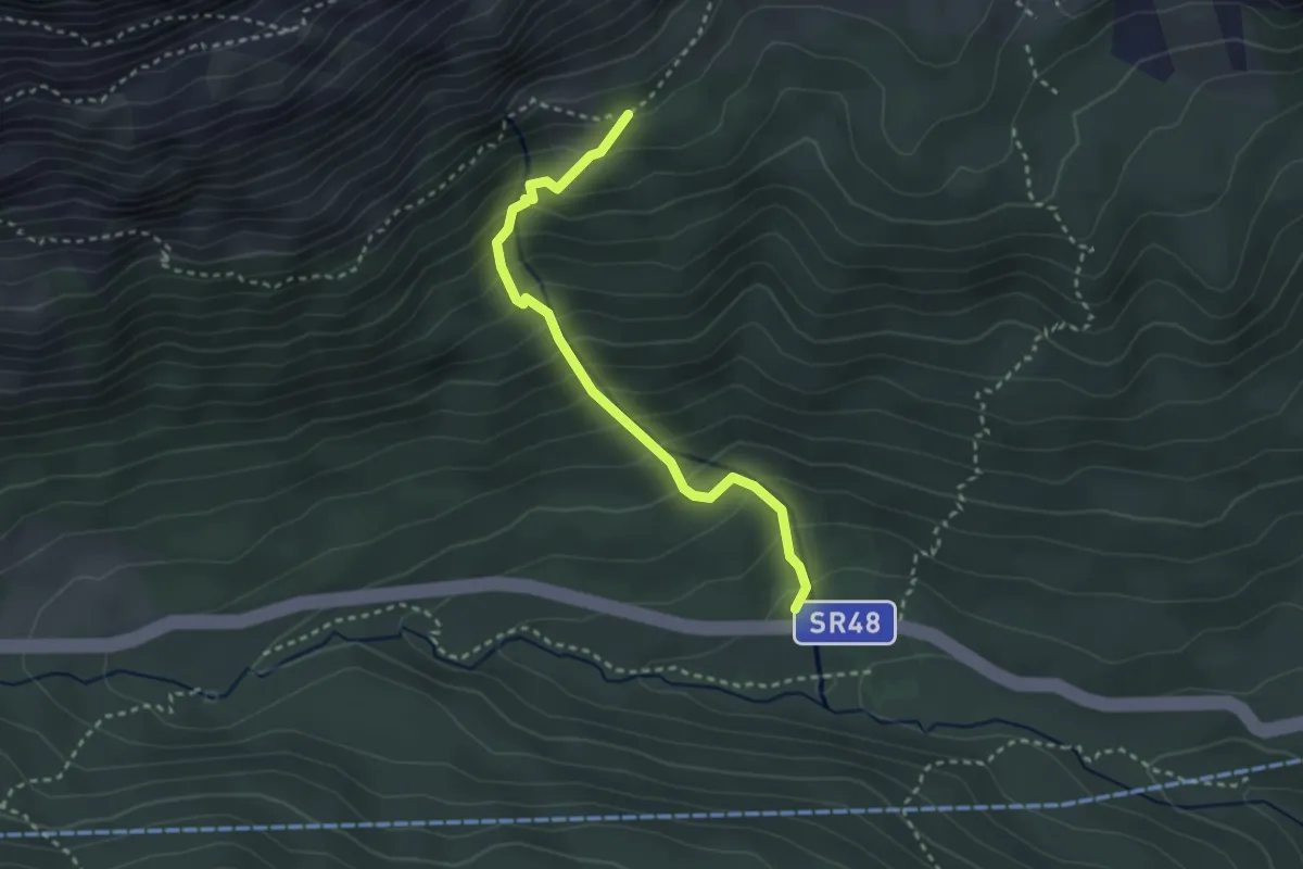
Medium · Trail
Cian Zopè - S.R. 48 km 112 – Sotecordes - inn. sent. 412
2.9 km · ↑ 322 m · 1 h 23 min
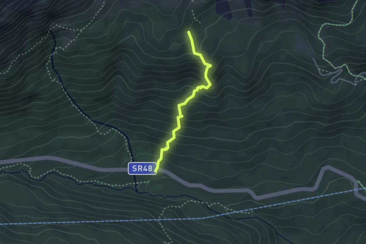
Medium · Trail
Cian Zopè - S.R. 48 km 112 – Rifugio Dibona - inn. sent. 403
2.6 km · ↑ 292 m · 1 h 15 min
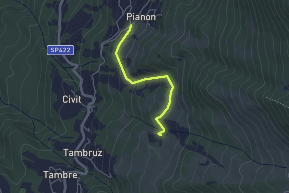
Easy · Trail
Sas – Sabionere
3.0 km · ↑ 128 m · 59 min
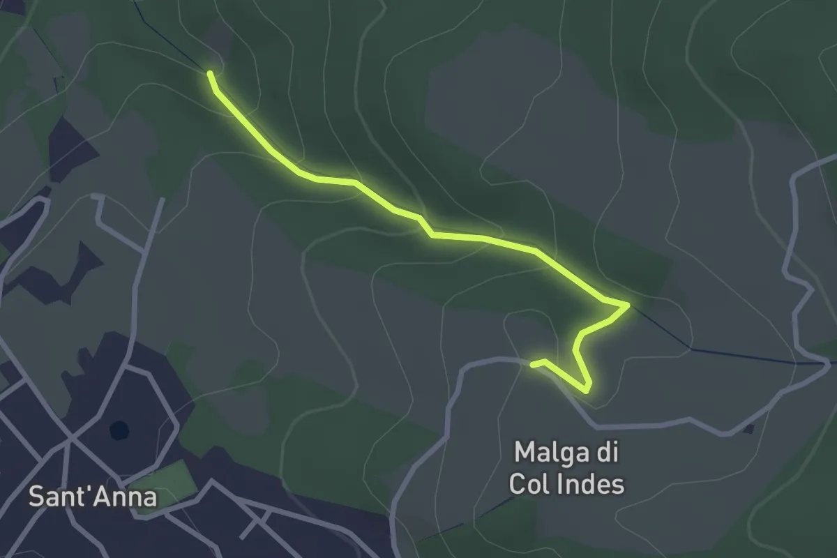
Easy · Trail
Tambre – Col Indes
2.5 km · ↑ 134 m · 53 min
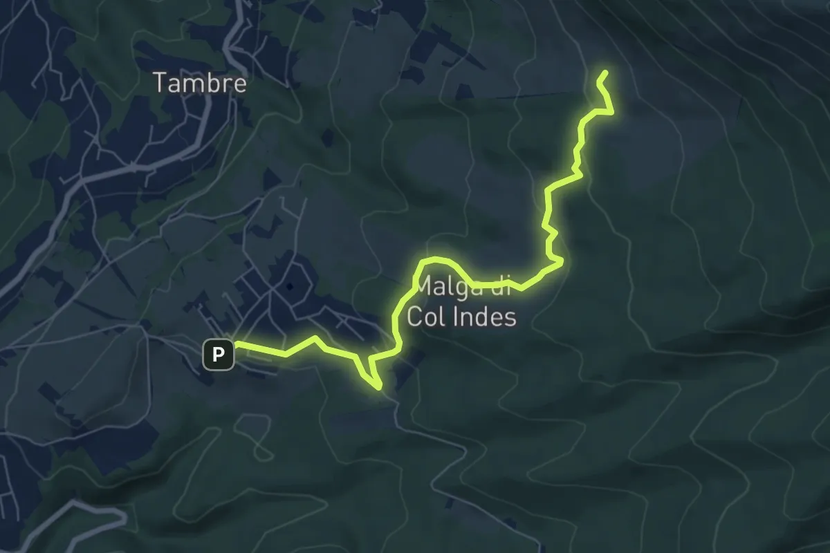
Easy · Trail
Sas – Pian de le Lastre
7.3 km · ↑ 225 m · 2 h 13 min
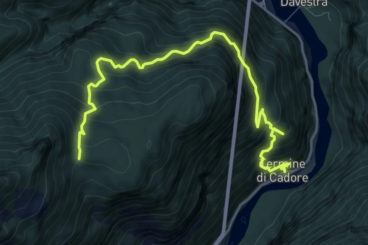
Demanding · Trail
Termine di Cadore – in Val inn. sent. 495
10.3 km · ↑ 1149 m · 4 h 55 min
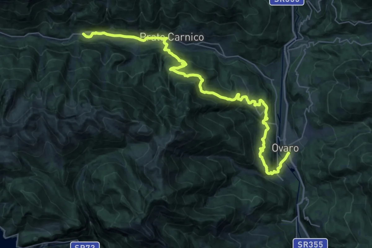
Demanding · Trail
Hst. Pesariis Bivio Lavaret – Ovaro/Alpedale
15.9 km · ↑ 941 m · 5 h 54 min
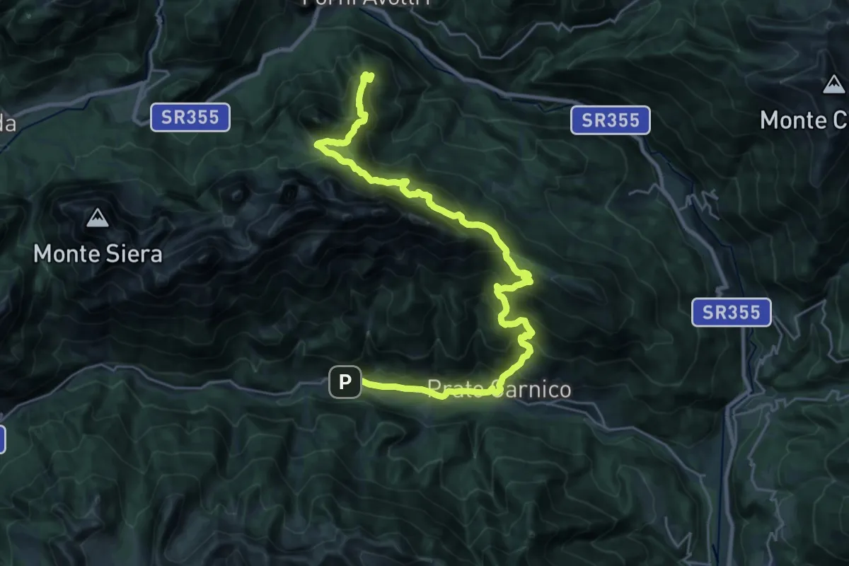
Demanding · Summit
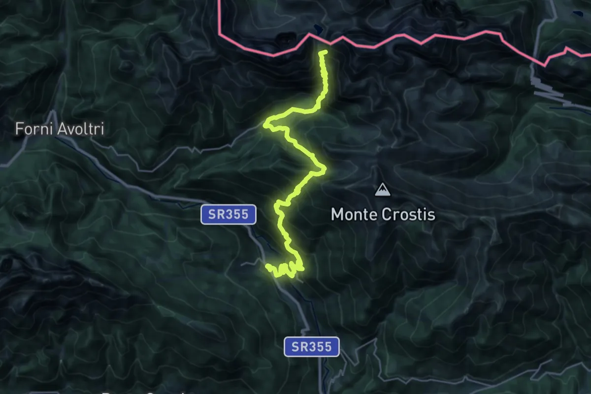
Hst. Forni Avoltri/Corso Italia 22 (Municipio)- – Pesariis/Sot La Nape
30.1 km · ↑ 1954 m · 11 h 21 min
Demanding · Summit
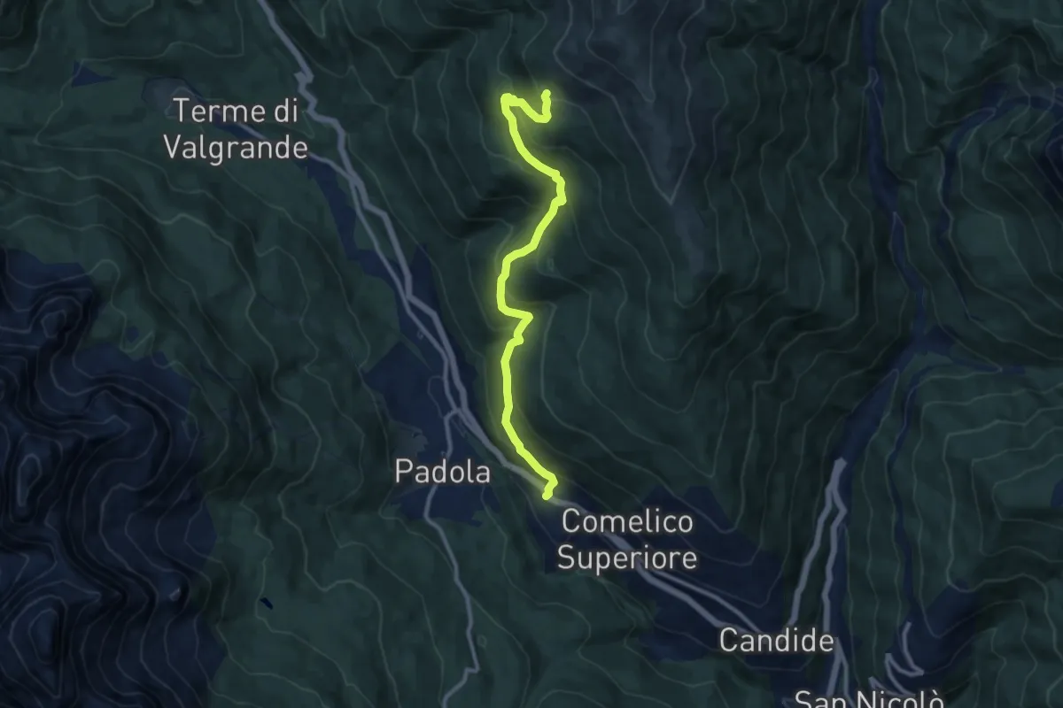
Hst. Rigolato/Via della Repubblica 5 – Wolayersee Hütte
26.4 km · ↑ 2412 m · 11 h 28 min
Medium · Trail
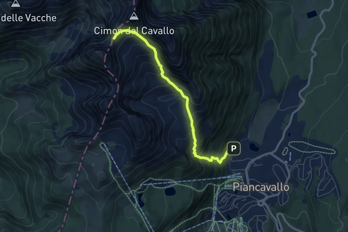
Dosoledo - Nellere – Casera Ciampobon - inn. sent. 149
10.2 km · ↑ 689 m · 3 h 53 min
Demanding · Trail
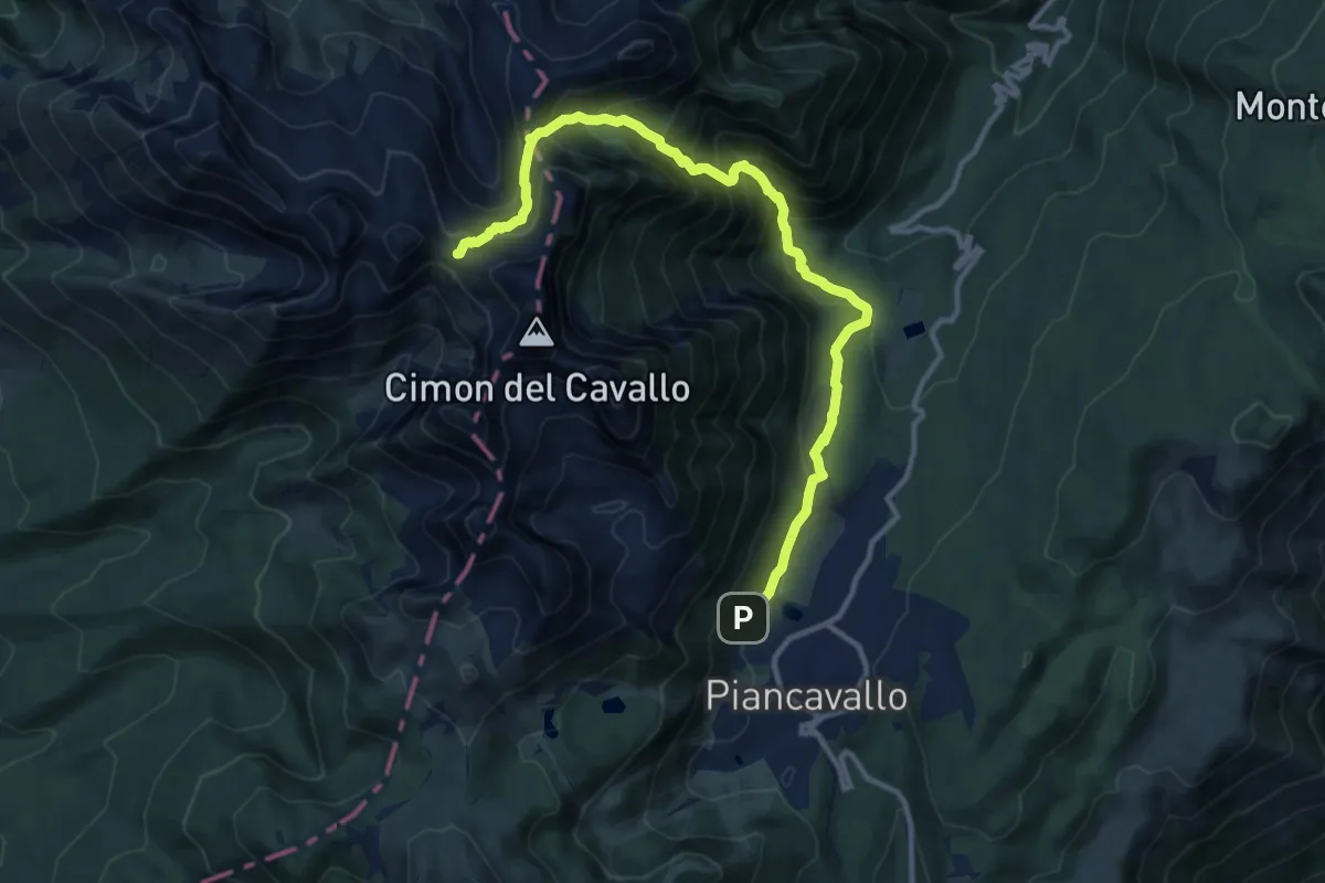
Casera Capovilla – Forcella Palantina-Bivio CAI 918
6.2 km · ↑ 823 m · 3 h 14 min
Demanding · Cabin
Casera Capovilla (quota 1300 m) – Rifugio Semenza (quota 2020 m)
12.8 km · ↑ 1065 m · 5 h 20 min
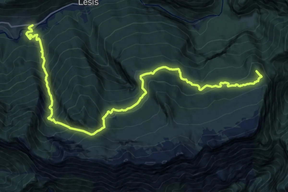
Demanding · Summit
Matan (quota 604 m) – Forcella Clautana (quota 1432 m)
21.2 km · ↑ 1885 m · 9 h 6 min
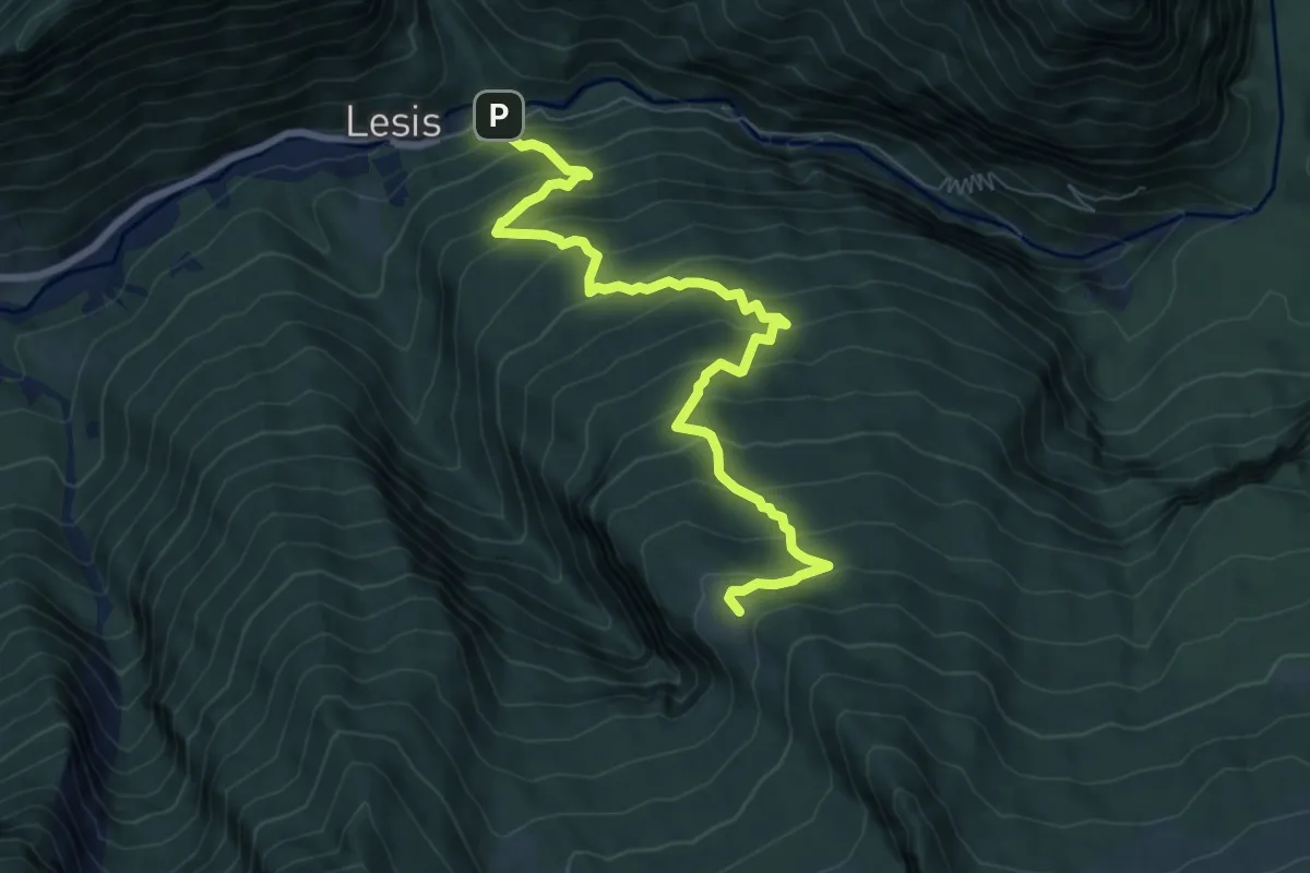
Medium · Cabin
Lesis (quota 650 m) – Rifugio Pradut (quota 1435 m)
8.6 km · ↑ 793 m · 3 h 45 min
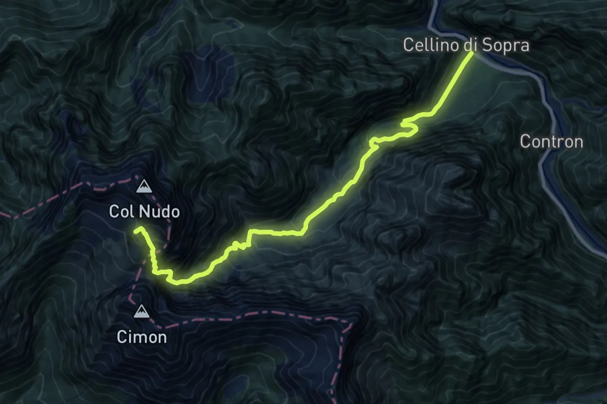
Demanding · Summit
Cellino di sopra (quota 503 m) - Strada forestale, Casera Gravuzza (quota 984 m) - inizio Sentiero – Passo Valbona (quota 2130 m)
17.9 km · ↑ 1711 m · 7 h 56 min
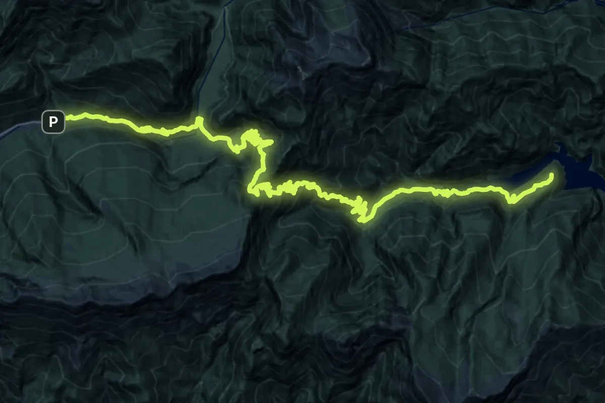
Demanding · Summit
Lesis (quota 650 m) – Lago di Selva (quota 530 m)
43.2 km · ↑ 3123 m · 16 h 59 min
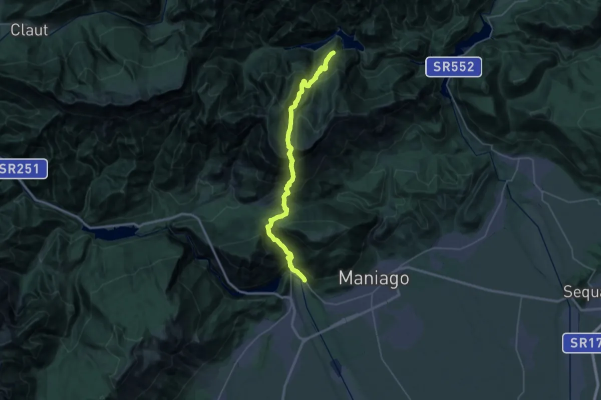
Demanding · Trail
Ponte Ravedis (quota 310 m) – Val Silisia (quota 690 m)
13.7 km · ↑ 1307 m · 6 h 24 min
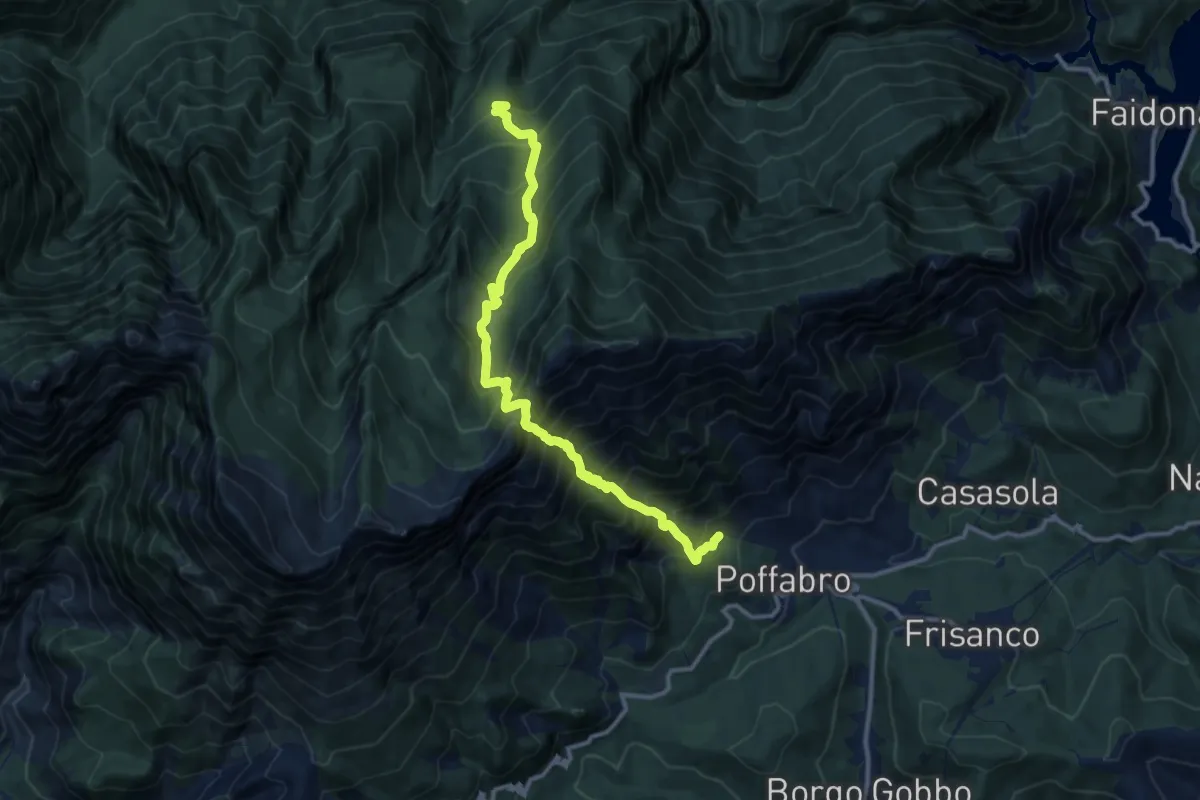
Demanding · Trail
Villa Santa Maria – Poffabro (quota 595 m) – Bivio sentiero n. 967 (quota 926 m)
12.3 km · ↑ 1633 m · 6 h 26 min
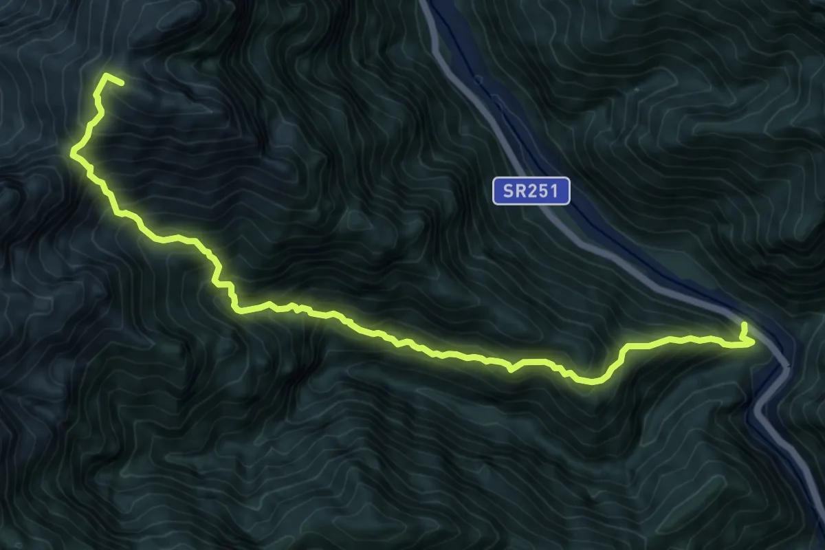
Demanding · Summit
Ponte Mezzo Canale – Valcellina (quota 450 m) – Val Cialedina, Bivio sentiero n. 965 (quota 813 m)
10.5 km · ↑ 1442 m · 5 h 36 min
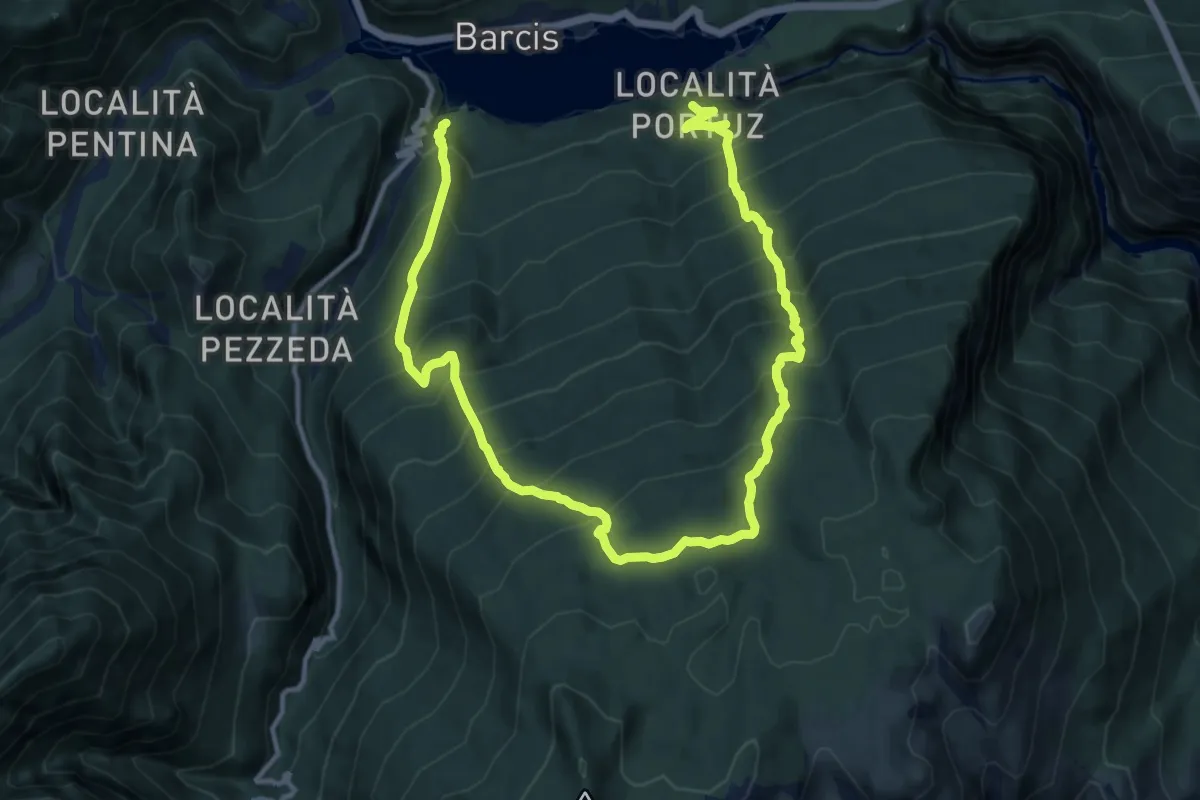
Demanding · Trail
Portuz – frazione di Barcis (quota 483 m) – Lago di Barcis (quota 431 m)
8.8 km · ↑ 916 m · 4 h 12 min
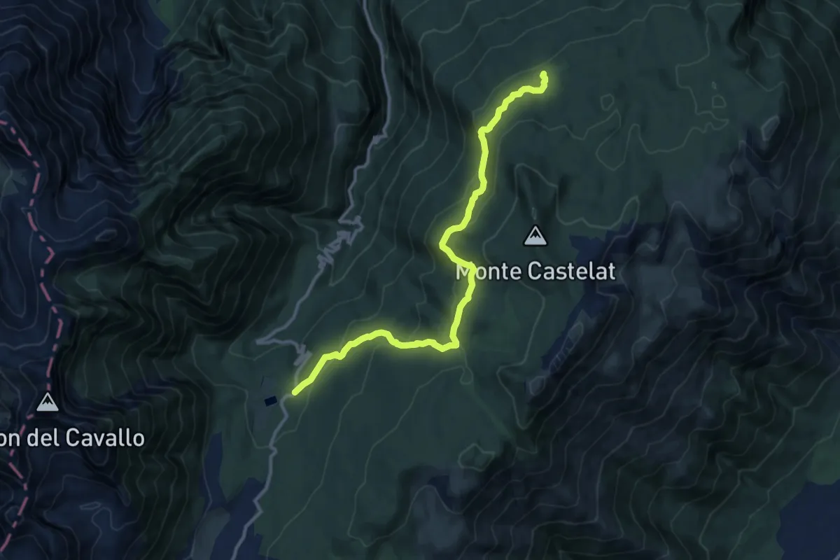
Medium · Cabin
Pian delle More (quota 1177 m) – Casera Montelonga (quota 1327 m)
12.0 km · ↑ 504 m · 3 h 56 min
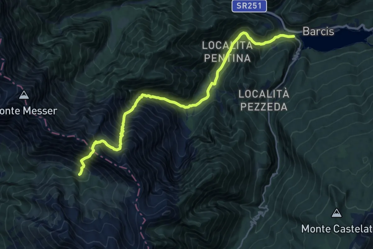
Demanding · Cabin
Torrente Pentina (quota 480 m) – Casera Pian de le Stele (quota 1421 m)
9.4 km · ↑ 1577 m · 5 h 15 min
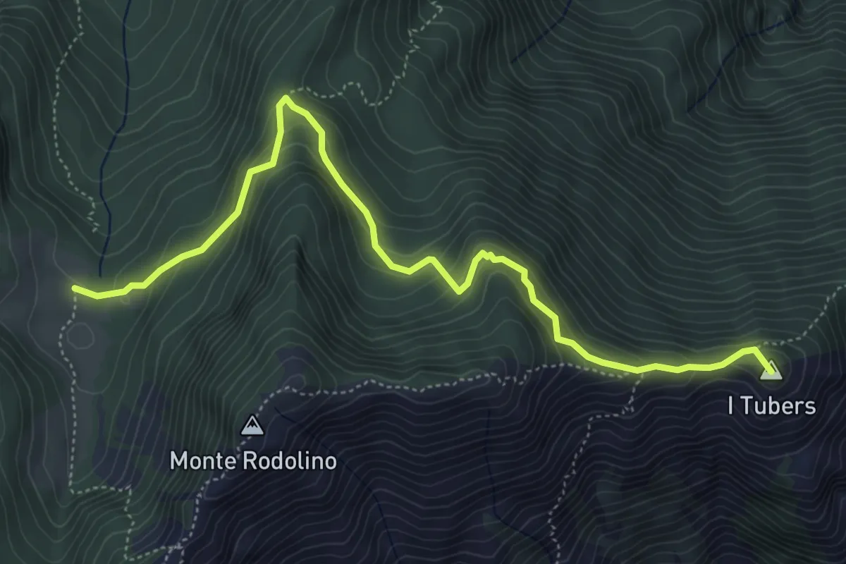
Demanding · Summit
Casasola (quota 430 m) – Casera Valine Alta (quota 1328 m)
6.1 km · ↑ 385 m · 2 h 16 min
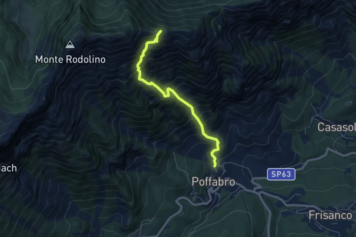
Demanding · Trail
Poffabro (quota 498 m) – Forcella Salinchieit (quota 1459 m)
5.6 km · ↑ 972 m · 3 h 25 min
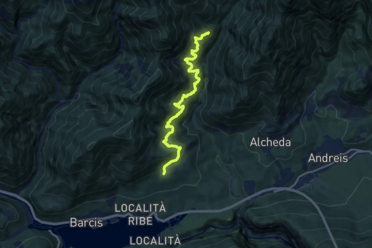
Demanding · Cabin
Barcis – Roppe (quota 578 m) – Bivacco Molassa (quota 700 m)
9.2 km · ↑ 1272 m · 4 h 55 min
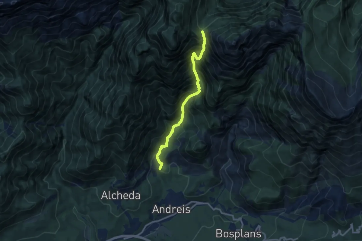
Demanding · Summit
Andreis (quota 456 m) – Forcella Navalesc (quota 1526 m)
7.4 km · ↑ 1220 m · 4 h 23 min
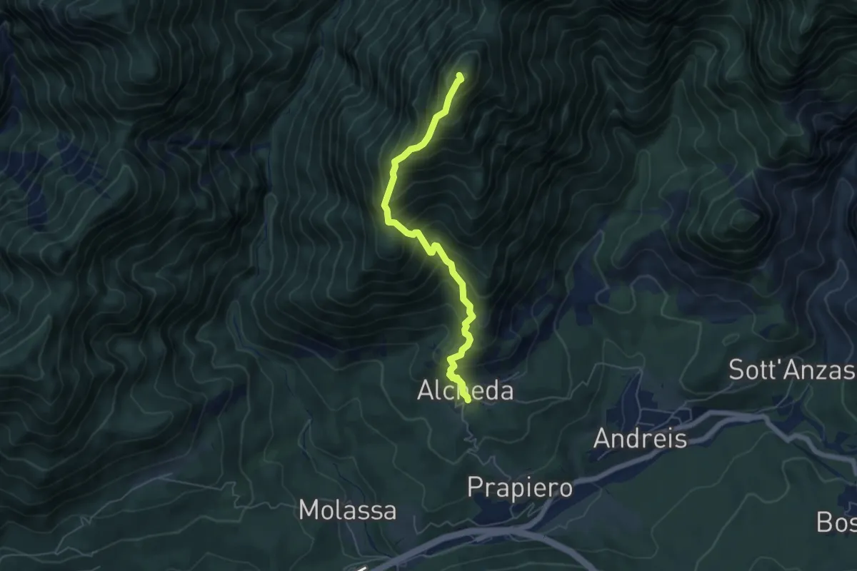
Medium · Summit
Alcheda (quota 542 m) – Forcella d’Antracisa (quota 1173 m)
5.3 km · ↑ 779 m · 2 h 56 min
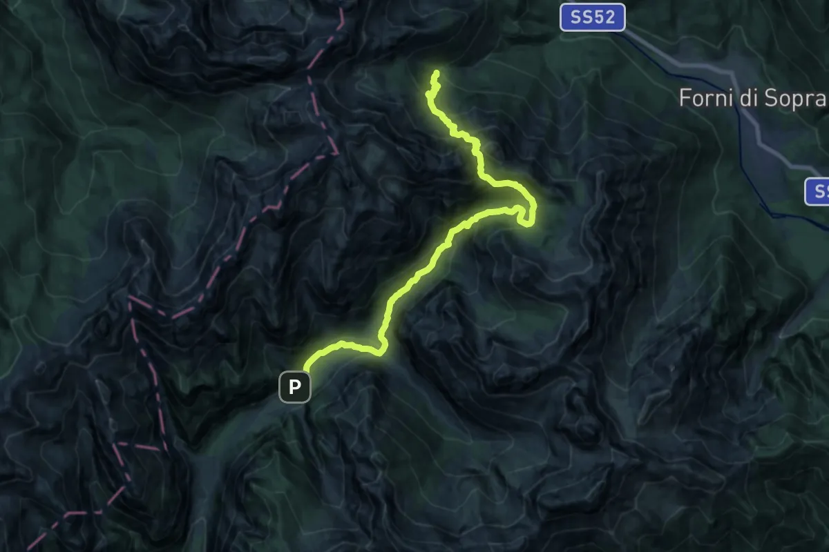
Demanding · Cabin
Rifugio Giàf (quota 1400 m) – Rifugio Pordenone (quota 1249 m)
10.1 km · ↑ 878 m · 4 h 19 min
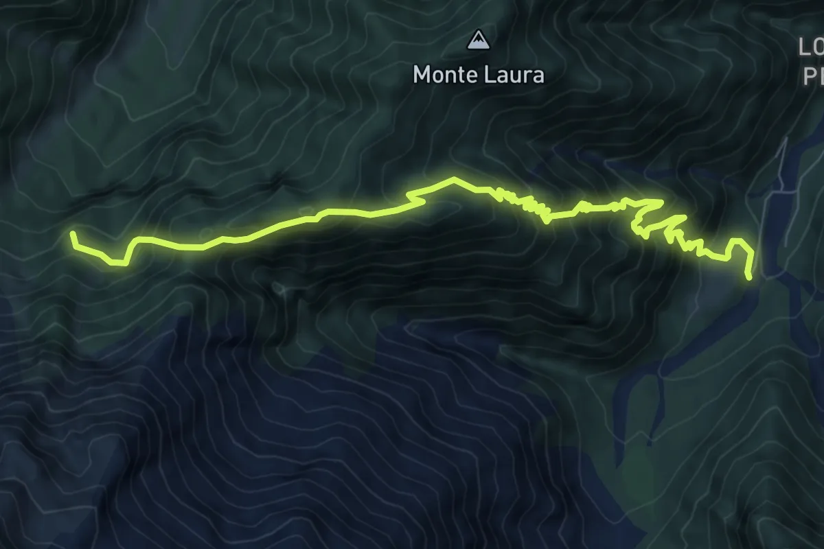
Demanding · Summit
Casa Nest (quota 490 m) – Palazzo Prescudin (quota 640 m)
10.2 km · ↑ 1195 m · 5 h
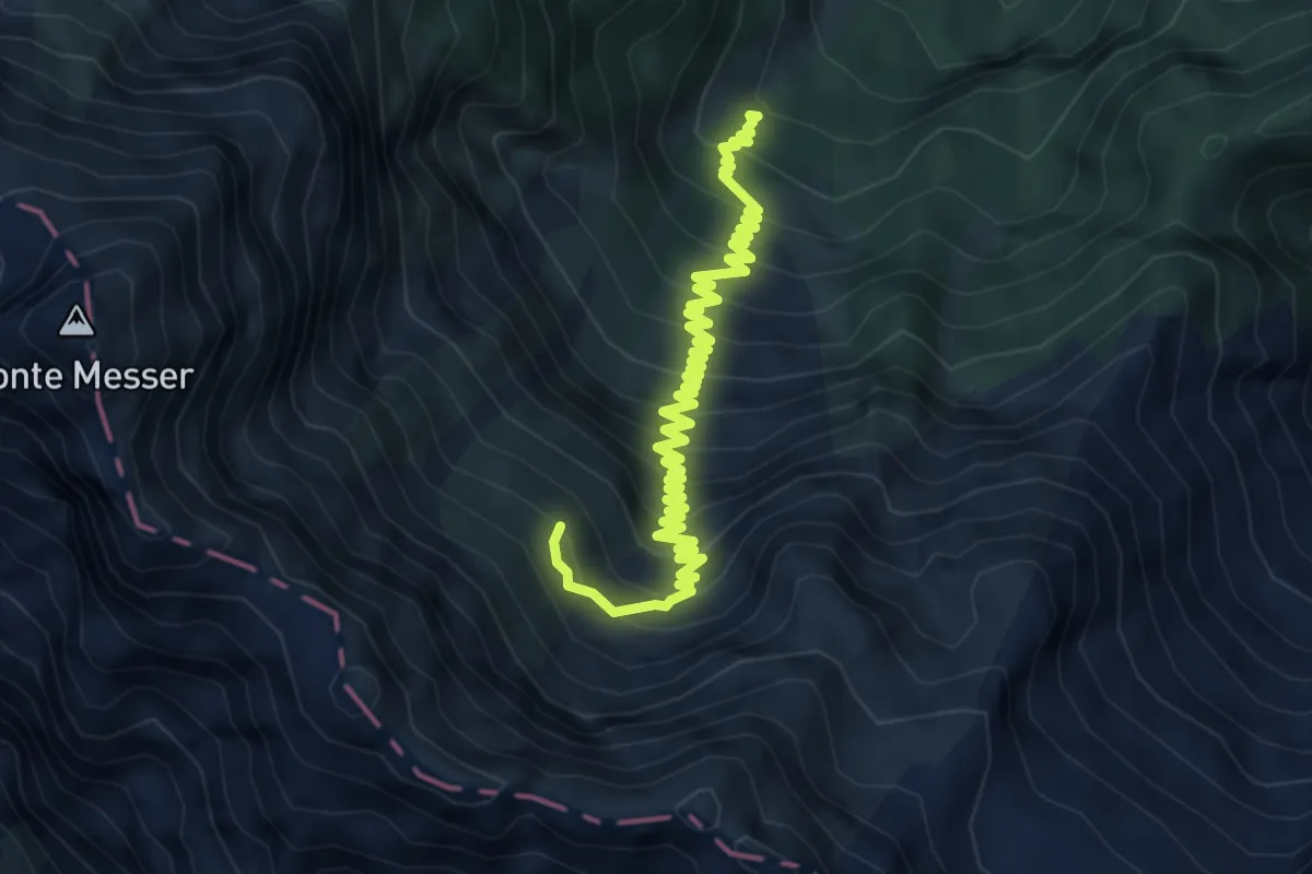
Medium · Trail
Bivio sentiero n. 978 (quota 950 m) – Bivacco Pastour (quota 1617 m)
7.0 km · ↑ 672 m · 3 h 6 min
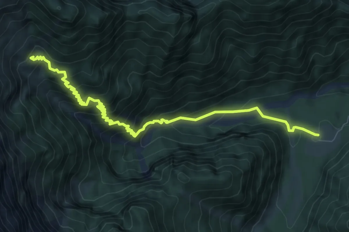
Medium · Trail
Palazzo del Prescudin (quota 640 m) – Bivacco Val di Zea (quota 1245 m)
9.2 km · ↑ 714 m · 3 h 42 min
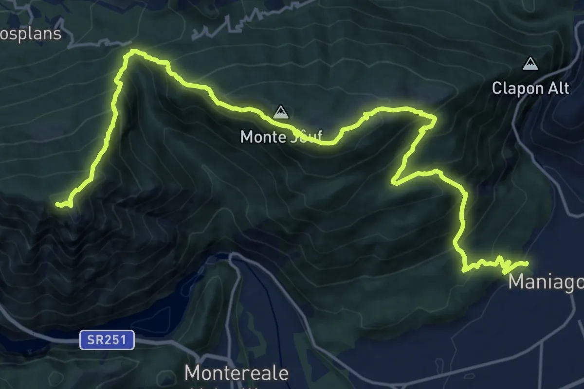
Demanding · Summit
Maniago (quota 293 m) – Molassa (quota 390 m)
20.9 km · ↑ 1975 m · 9 h 13 min
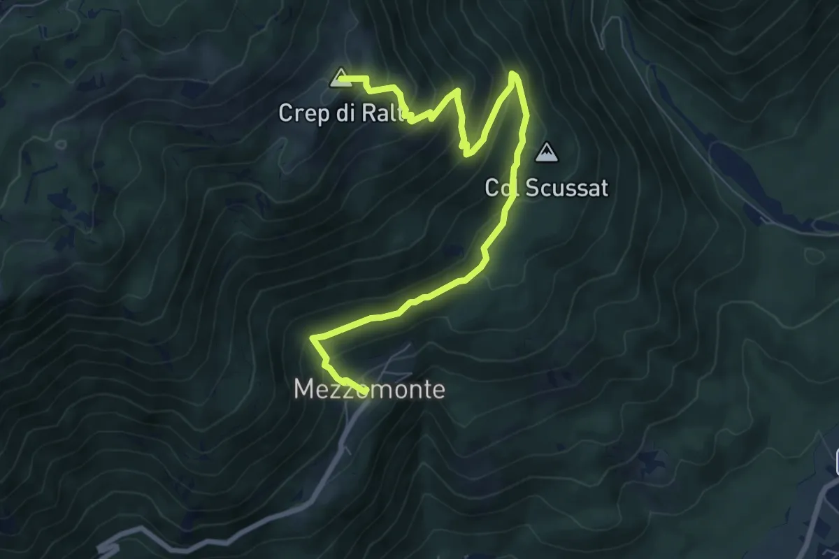
Medium · Summit
Mezzomonte (quota 502 m) – Bivio sentiero n. 993 (quota 1687 m)
8.6 km · ↑ 637 m · 3 h 25 min
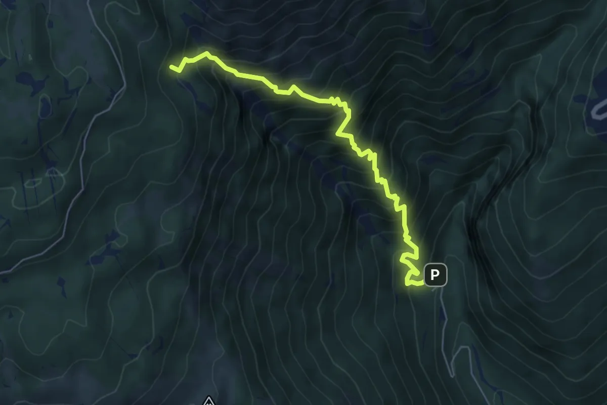
Demanding · Trail
Bivio sentiero n. 984 (quota 513 m) – Bivio sentiero n. 984 (quota 1347 m)
6.1 km · ↑ 958 m · 3 h 31 min
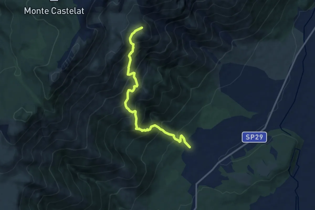
Demanding · Summit
Glera frazione di Aviano (quota 345 m) – Bivio sentiero n. 970 e 987 (quota 1316 m)
8.7 km · ↑ 1022 m · 4 h 16 min
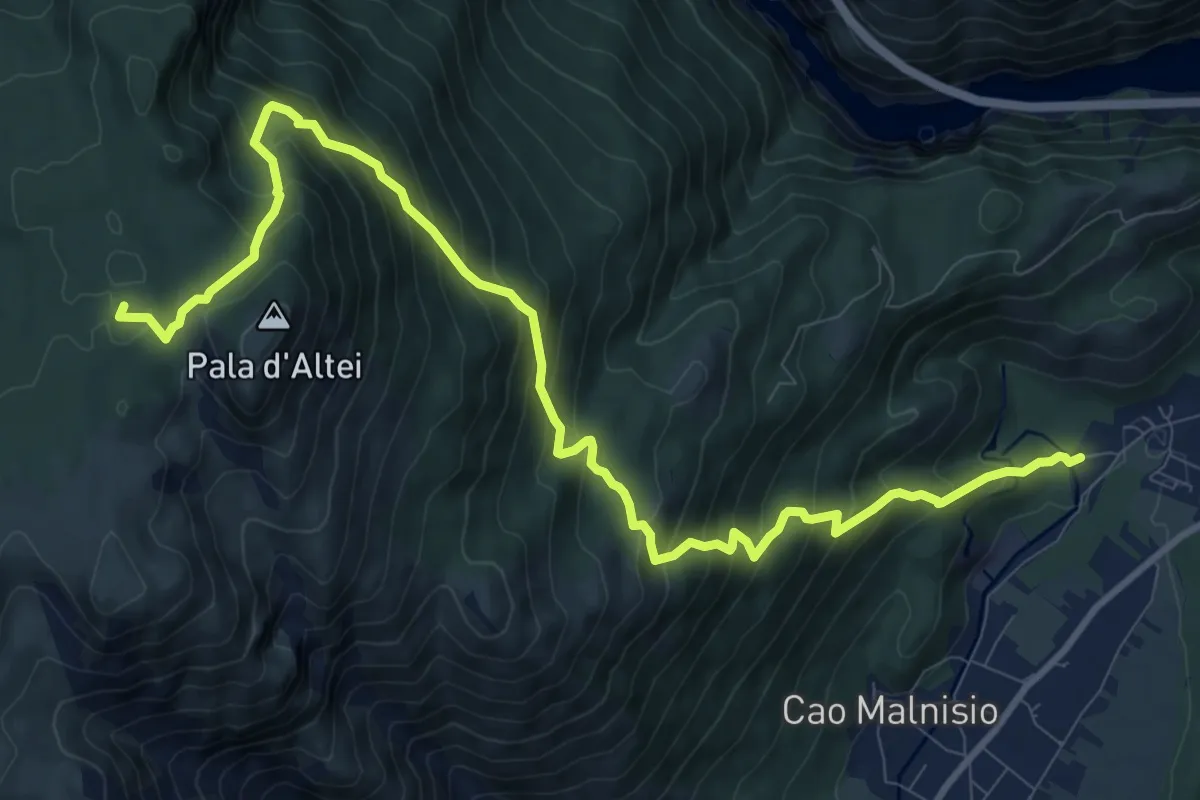
Demanding · Summit
Borgo Alzetta (quota 305 m) – Bivio sentiero n. 970 e 986 (quota 1316 m)
12.8 km · ↑ 1195 m · 5 h 37 min